
St. Augustine, Florida, holds a distinction that no other American city can claim: it is the oldest continuously inhabited European-established settlement in the United States. Founded by Spanish colonists in 1565, the city had already been standing for more than four centuries by the time these photographs were taken in 1986. By then, St. Augustine had become one of Florida’s most visited destinations, drawing tourists from across the country and around the world. Its appeal was straightforward — nowhere else in the U.S. could visitors walk cobblestone streets lined with Spanish colonial architecture, then head to the beach within the same afternoon.
Avenida Menendez runs along the waterfront, offering some of the most recognizable views in the city. In 1986, it served as a natural boundary between the historic district and the Matanzas River, where boat traffic was a regular part of daily life.
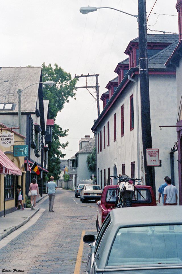
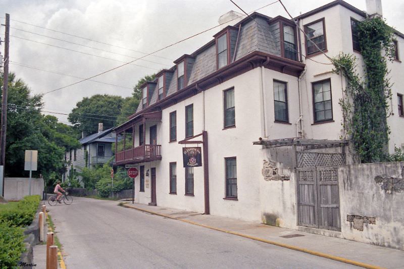
Aviles Street is one of the oldest streets in the city, and in 1986 it retained much of its original character. The Ximenez-Fatio House, which dates to 1798, sat along this stretch and gave visitors a direct view down the street from its front balcony. The house itself served as a boarding house through much of the 19th century and was preserved as a museum by the time these photos were taken.
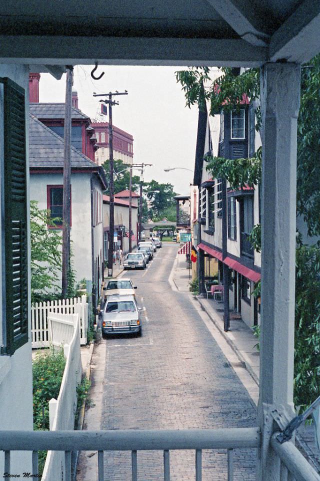
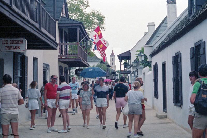
Walking down Aviles Street in 1986 meant passing through layers of history compressed into just a few blocks. The street’s narrow width and low-rise buildings gave it a scale that felt more like a Spanish village than an American city.
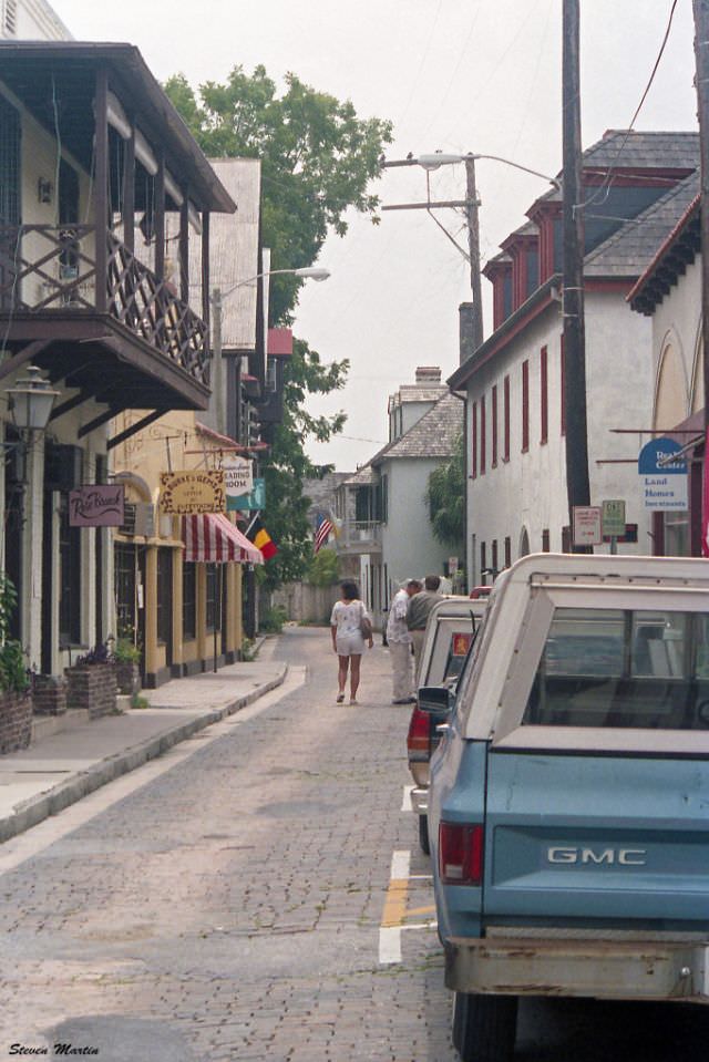
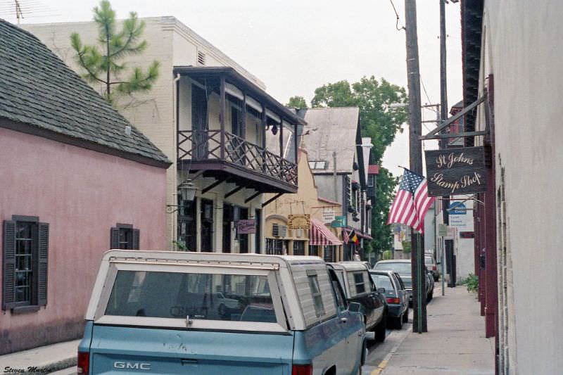
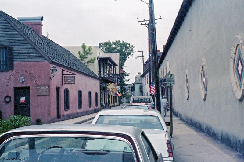
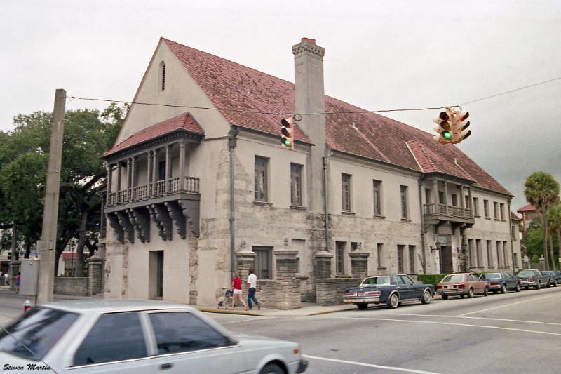
One of the standout features along Aviles Street was the Hospital Militar — a reconstruction of a Spanish Colonial military hospital. Spain operated the original structure during its colonial periods in Florida, and the rebuilt version gave visitors a tangible sense of how the city’s early inhabitants organized their civic life.
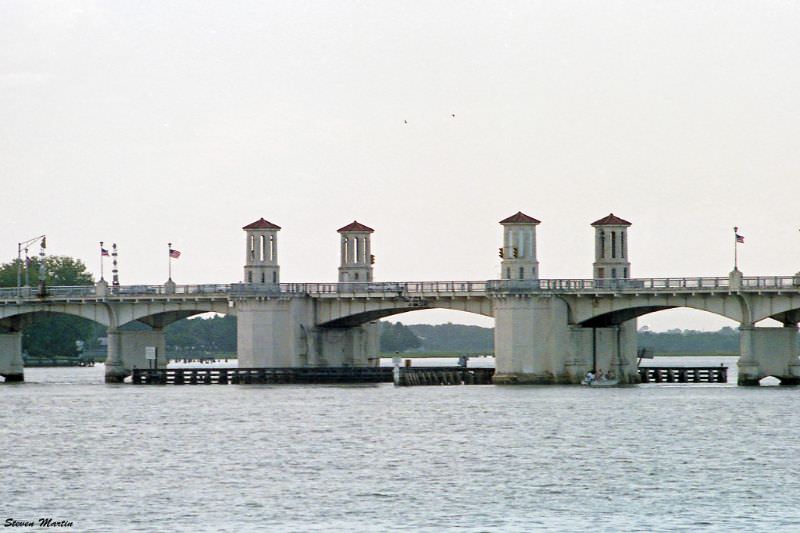
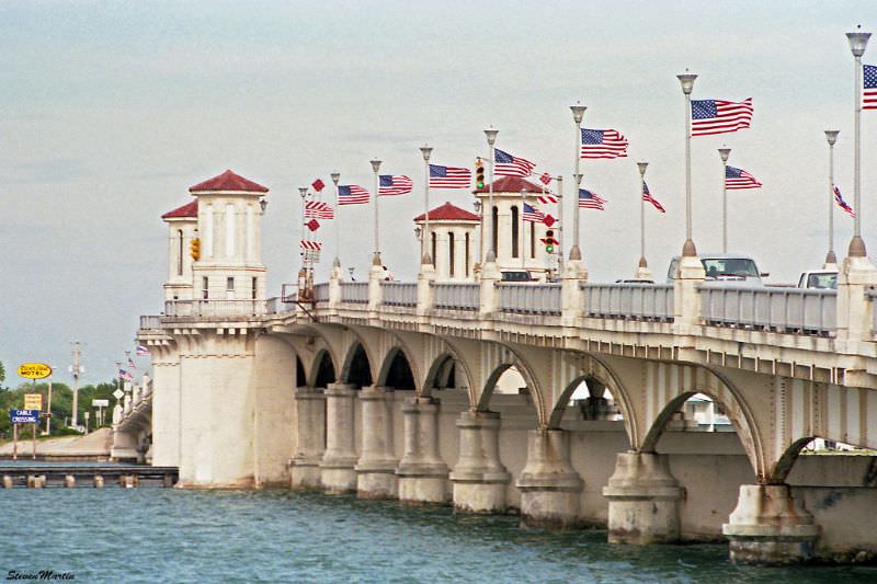
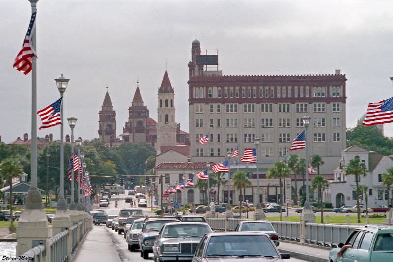
The Bridge of Lions is one of St. Augustine’s most iconic landmarks. Completed in 1927 and named for the marble lion sculptures at its western entrance, the bridge connects downtown St. Augustine to Anastasia Island. From the battlements of Castillo de San Marcos, the bridge stretches across the Matanzas River in clear view, framing the water and the island beyond.
Standing at the center of the Bridge of Lions and looking west in 1986 offered a sweeping view of the city’s low skyline. The buildings along the waterfront reflected the city’s mix of Victorian-era and Spanish colonial architectural styles.
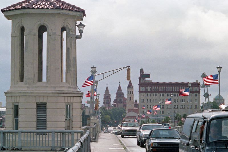
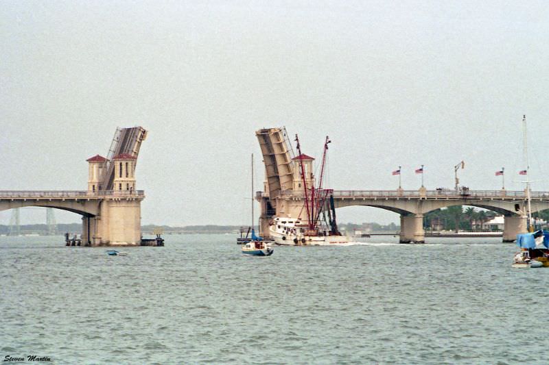
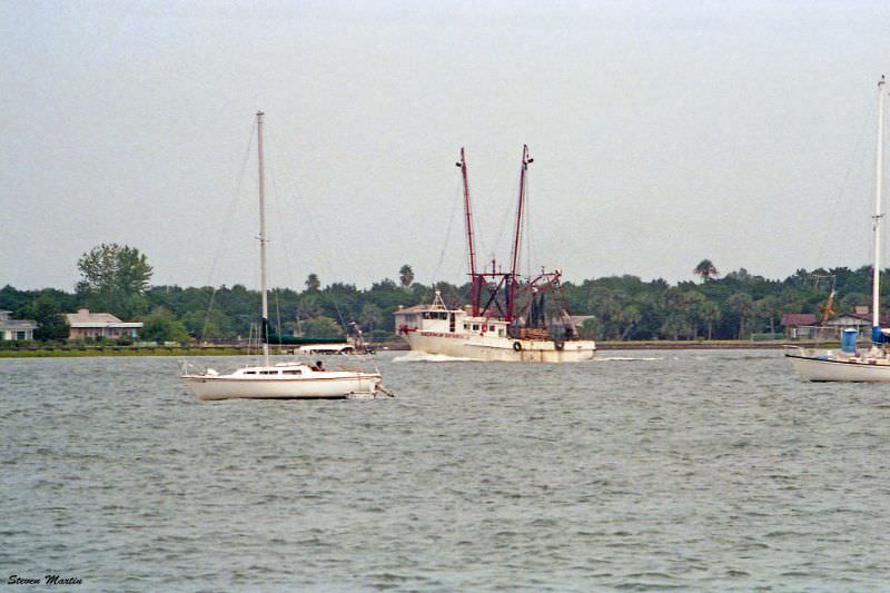
The Bridge of Lions was a drawbridge, and in 1986 it still opened regularly to allow boat traffic through. Shrimp boats were a common sight on the Matanzas River, and the bridge’s draw span would swing open to let them pass beneath.
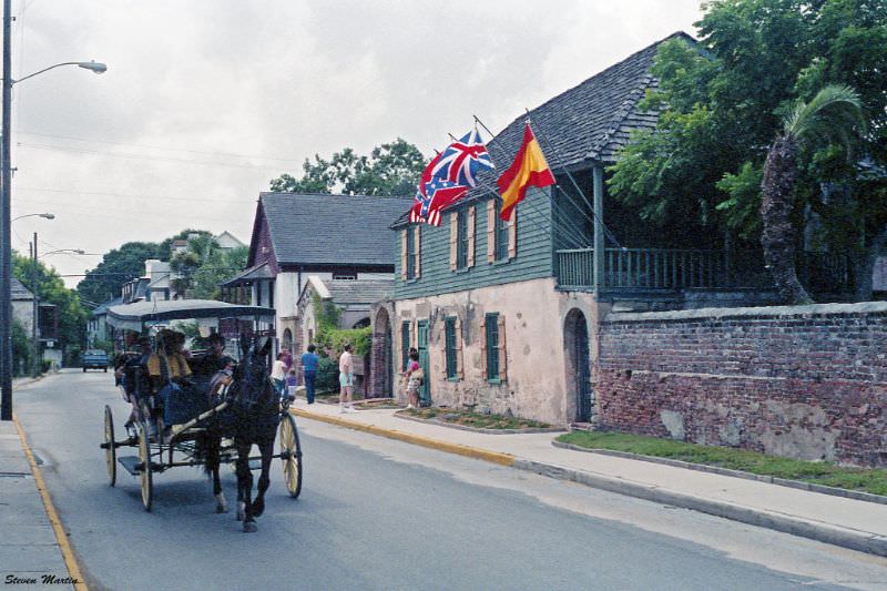
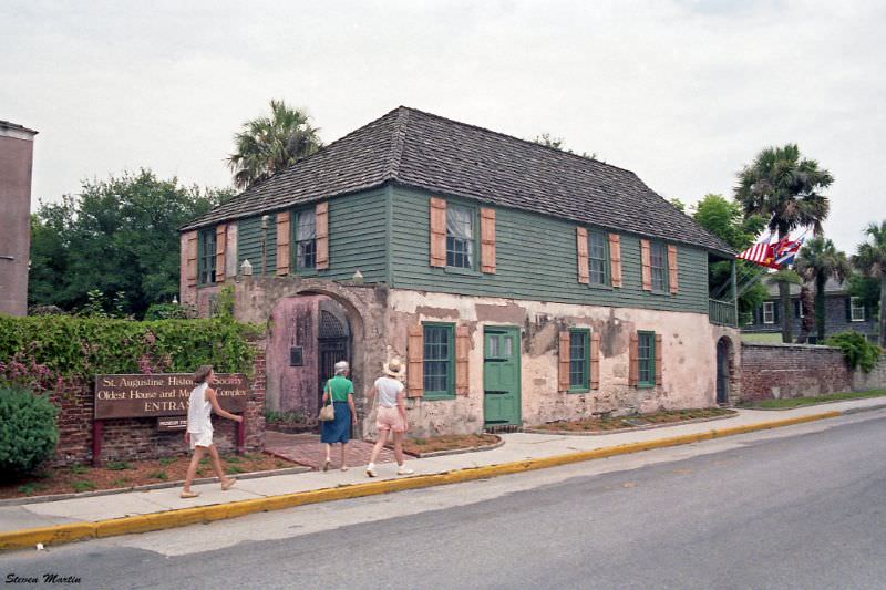
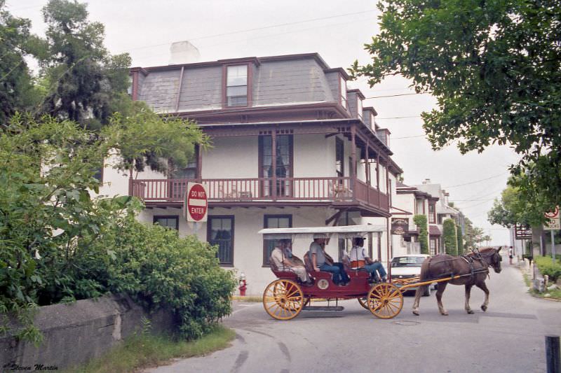
The Gonzalez-Alvarez House is the oldest surviving house in St. Augustine and the oldest in the state of Florida. Built in the early 1700s on foundations that may date to the late 1600s, it passed through the hands of several families over the centuries — including a British merchant and a Cuban veteran of the Seminole Wars. By 1986, it operated as a museum. Horse-drawn carriages passing in front of it were a common tourist attraction.
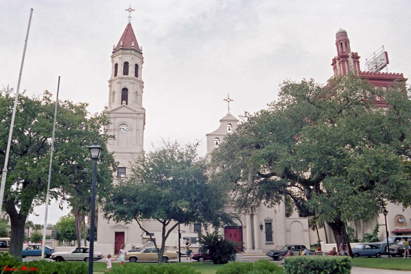
The Cathedral Basilica of St. Augustine faces the Plaza de la Constitución, the city’s central public square. The church’s origins date to 1565, though the current structure was largely built in the late 18th century and underwent major reconstruction after a fire in 1887. It remains the oldest Catholic parish in the United States.
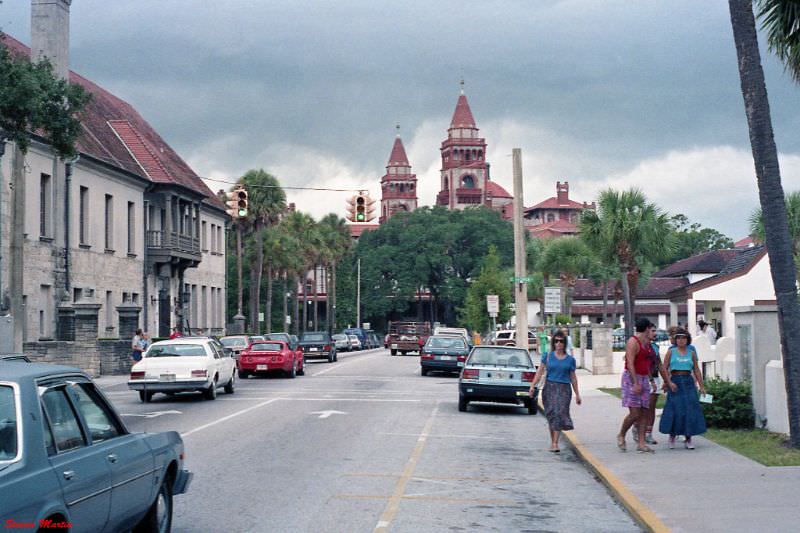
Looking west along Cathedral Place in 1986, one of the most striking sights was the former Ponce de Leon Hotel at the end of the view. Henry Flagler, the railroad and hotel magnate who helped develop Florida’s east coast in the late 19th century, built the grand Spanish Renaissance Revival structure in 1888. By 1968, it had been converted into Flagler College, a private liberal arts institution. Government House, another significant colonial-era building, stood to the left along the same stretch.
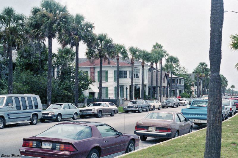
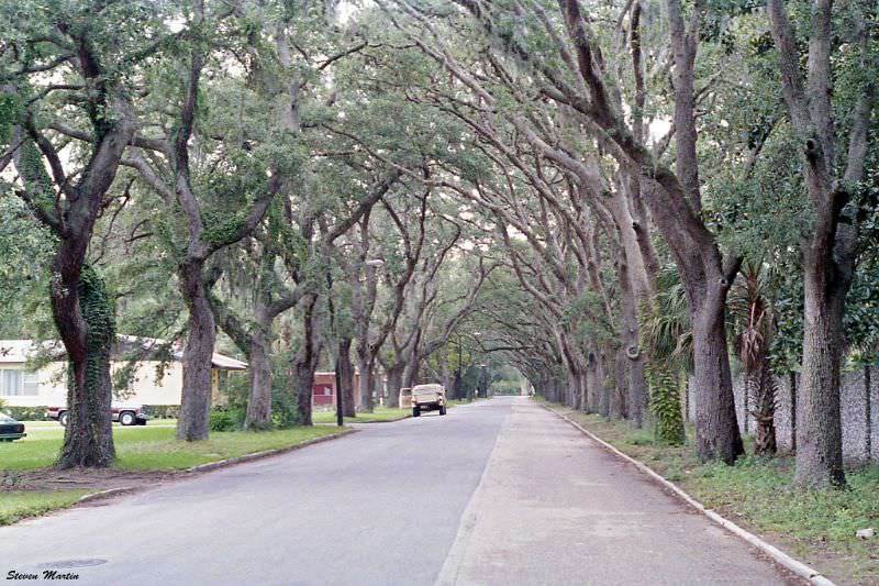
Magnolia Avenue offered a quieter residential feel compared to the busier tourist corridors. Lined with trees and older homes, it captured a side of St. Augustine that visitors venturing off the main streets would occasionally discover.
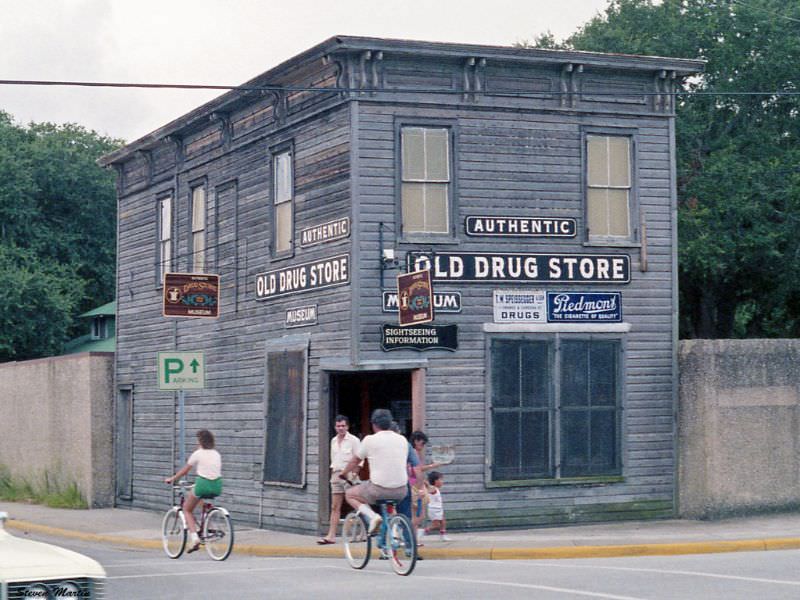
The Old Drug Store Museum was one of the city’s more unusual attractions in 1986. Housed in a building that once served as a working pharmacy, it preserved the look and contents of an old-fashioned American drugstore, complete with period fixtures and merchandise.
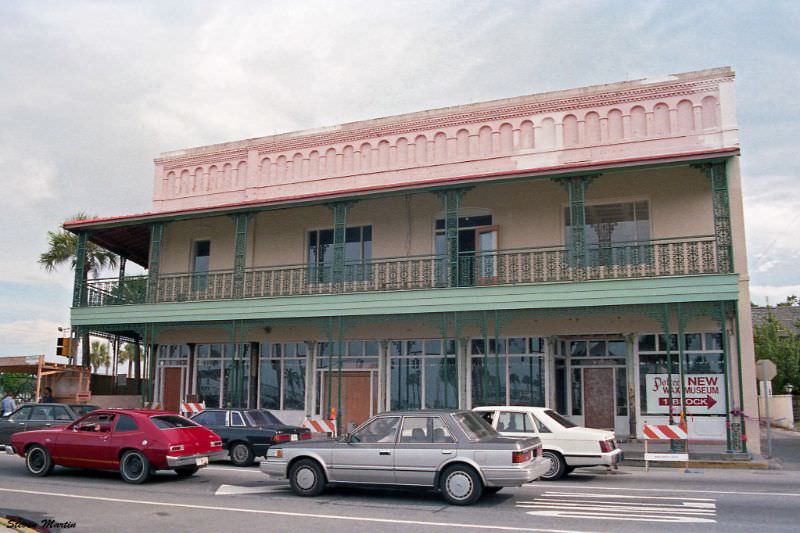
Ripley’s Believe It or Not Museum occupied a prominent building in St. Augustine’s historic district. The museum, part of Robert Ripley’s internationally known chain, drew steady crowds with its collection of oddities, curiosities, and unusual artifacts from around the world. Its St. Augustine location added an extra layer of intrigue simply by virtue of the city it sat in.
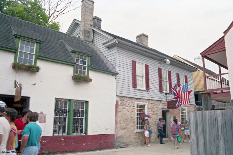
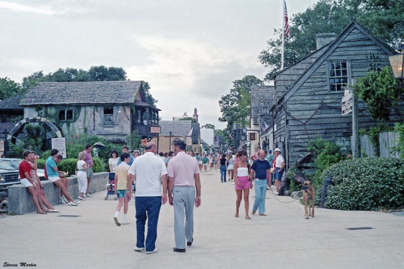
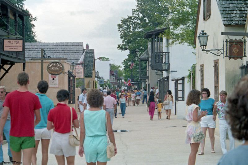
St. George Street was the heart of the tourist experience in 1986. Much of it had been converted into a pedestrian zone, lined with shops, restaurants, and reconstructed Spanish colonial buildings. The Rodriquez-Avero-Sanchez House was one of the historic structures along this corridor, representing the kind of 18th-century Spanish construction that made the street architecturally significant.
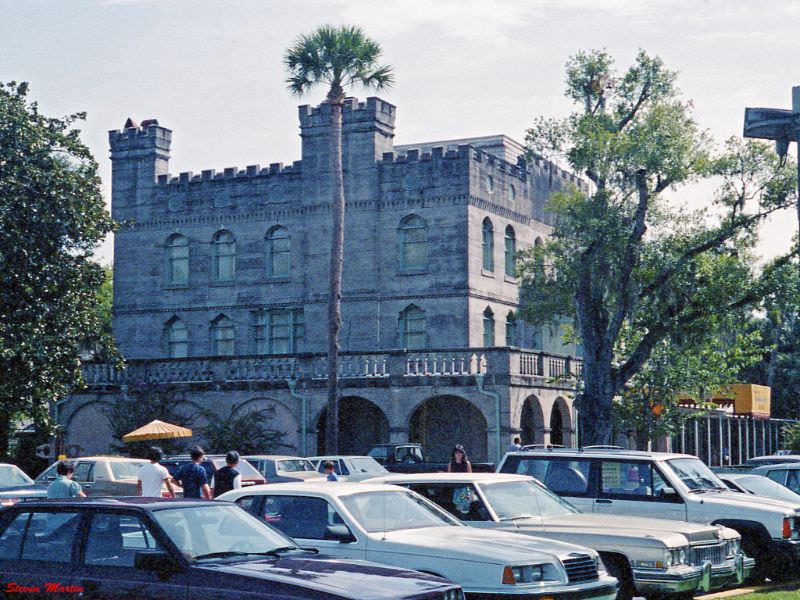
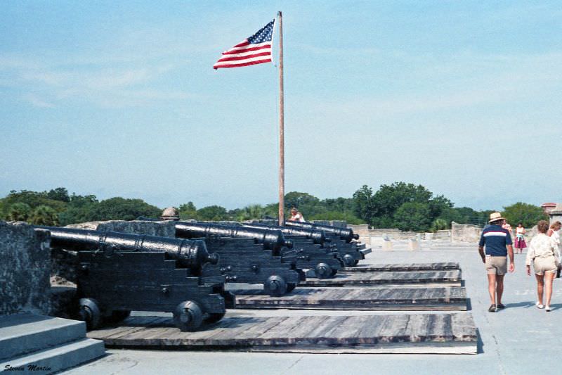
Castillo de San Marcos is the oldest masonry fort in the continental United States. Built by the Spanish between 1672 and 1695 using coquina — a soft limestone made of compressed shells — it withstood multiple sieges and never fell in battle. By 1986, it was a National Monument managed by the National Park Service, and its cannon batteries remained one of the most photographed features of the city.
The Matanzas River in 1986 was active with both recreational and working boats. Sailboats shared the water with shrimp boats, and the waterfront remained a working part of the city’s economy alongside its growing tourism industry.
The St. Francis Inn is one of the oldest inns in Florida, with a history stretching back to the early 18th century. In 1986, it continued to operate as a bed and breakfast, drawing guests who wanted to stay in an authentically historic setting rather than a modern hotel. Its location near the southern end of the historic district put it within easy walking distance of many of the city’s major sites.
St. George Street was the central artery of St. Augustine’s historic district. In 1986, the street buzzed with foot traffic, and the mix of colonial-era structures and period-style storefronts created an atmosphere that was both educational and commercially lively. The city’s preservation efforts in the 1980s worked to keep the street’s visual character intact while allowing businesses to operate within it.
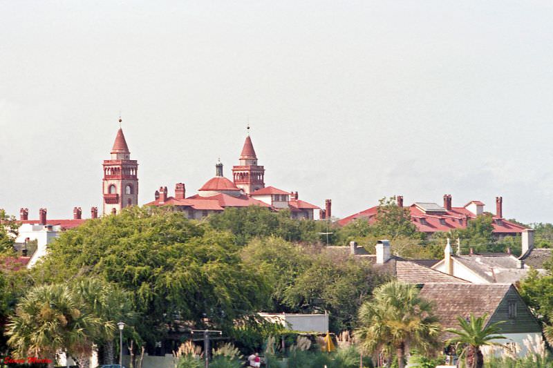
From the top of Castillo de San Marcos, the view westward in 1986 brought Flagler College into clear sight. The building’s ornate towers and red-tiled roofs rose above the surrounding structures, a reminder of the Gilded Age ambition that Flagler poured into his Florida enterprises. The fort’s thick coquina walls and the college’s Spanish Renaissance facade — both products of very different eras — framed the same skyline.
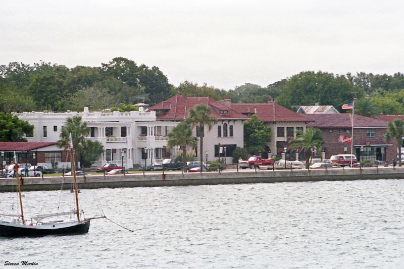
The waterfront buildings visible from the Bridge of Lions reflected decades of commercial and civic activity along the Matanzas River. In 1986, this stretch of the waterfront was a defining part of St. Augustine’s streetscape, where the edge of the old city met the open water.





Looks all pretty similar to today!
Super helpful as I’m actually writing something regarding St A in the 1980s and it’s hard finding photos! Thanks for posting
The only part I find fascinating is how someone let a tree grow on the roof in Pic #3. It’s a historic building and they just let nature run its course. One good thing about the increased tourism is the historic buildings are probably more likely to be maintained nowadays.
That tree isn’t growing on the roof. There’s a narrow alley a few feet wide between the buildings, as you can see on Google Maps if you look between 3 Aviles Street (the pink building) and 5 Aviles Street (the one with the second story patio). The tree is across the street from Forgotten Tonic today.
Thanks for the clarification. On Google Maps looks like the pine tree is gone now. Still a weird place to let a tree grow just asking for roots to cause structural damage.