

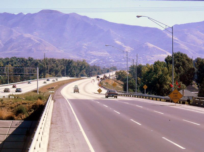
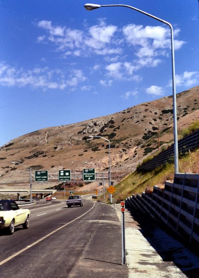
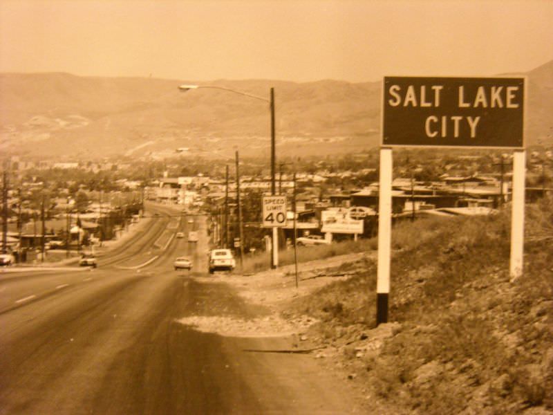
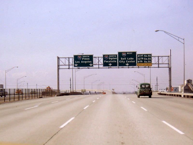
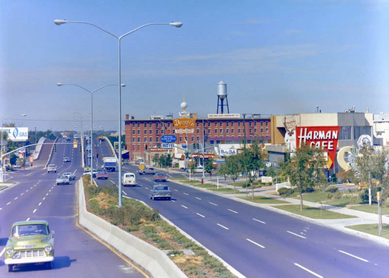
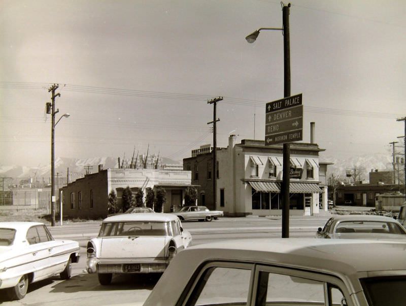
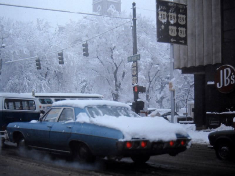
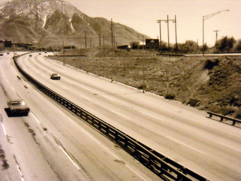
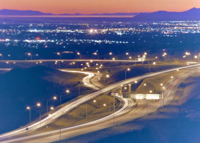
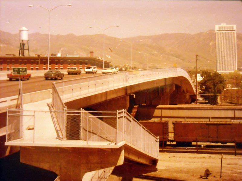
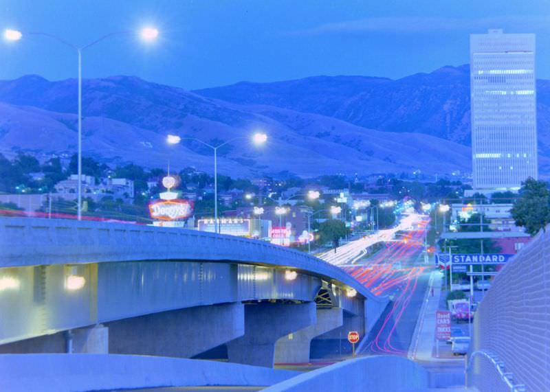
Salt Lake City 1970sSalt Lake City is the capital and most populous city in Utah State. The city is surrounded by the Great Salt Lake and the snow-capped Wasatch Range. The city lies mountain valley with the Wasatch Mountains to the east and north and the Oquirrh Mountains to the west. The city is a regional trade and transportation center and has an international airport.
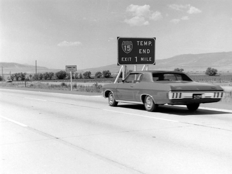
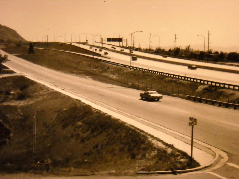
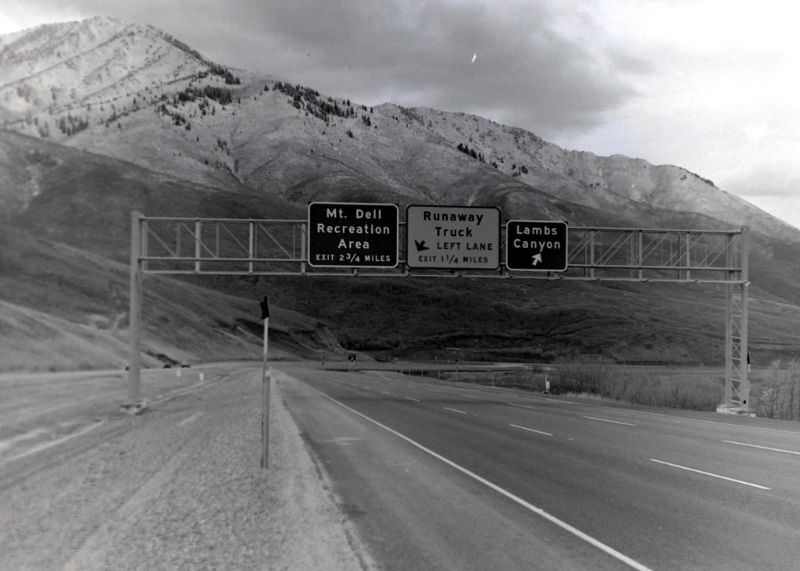
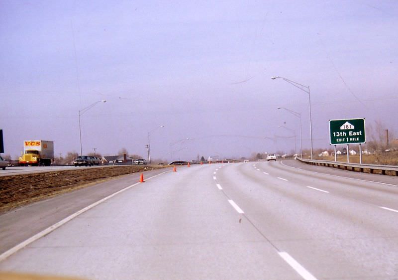
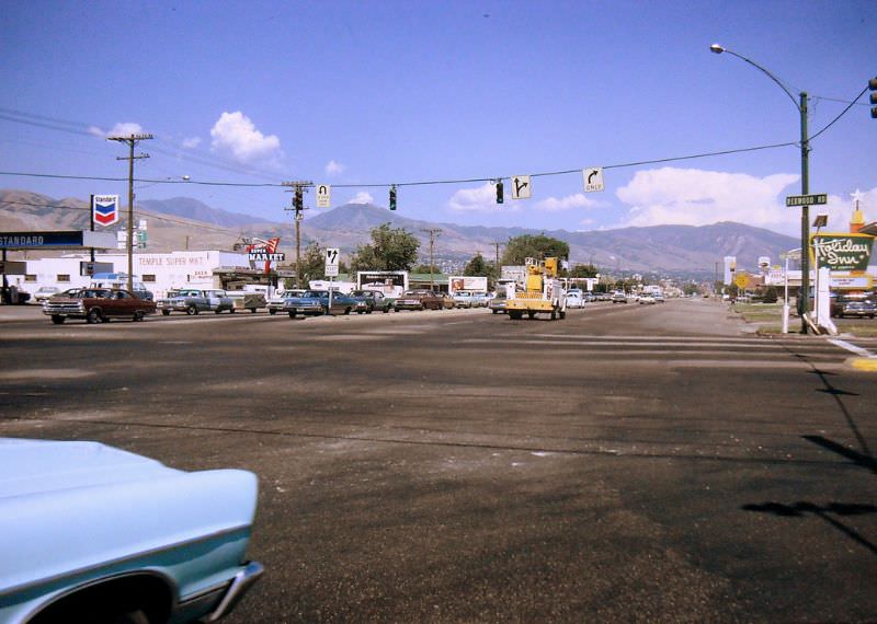
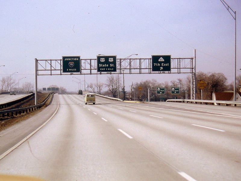
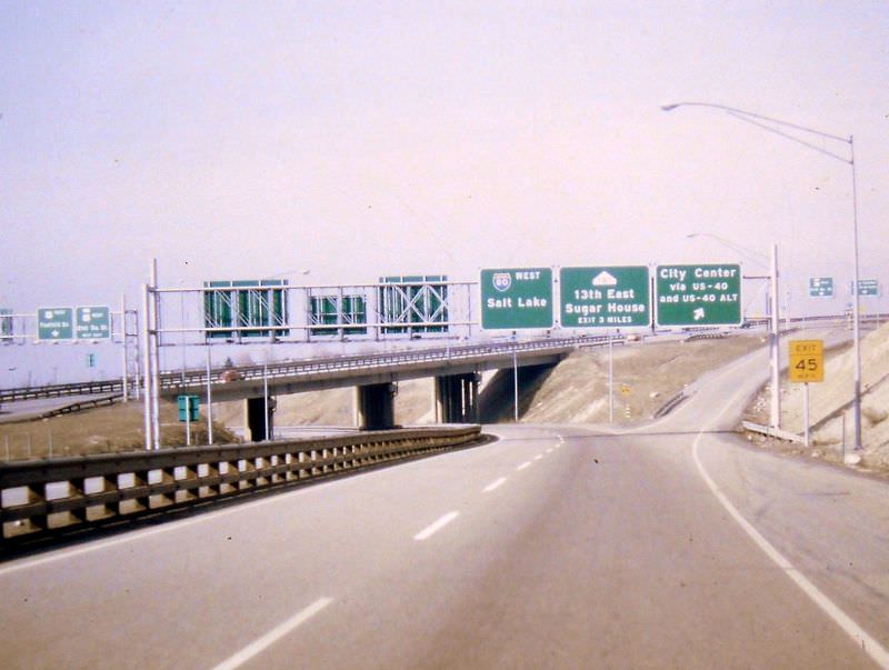
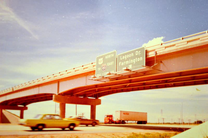
These stunning photographs show Salt Lake City’s streets, roads, and highways. These photographs were taken by Cal Briggs and Gerald E. for the Utah Department of transportation from the 1970s.
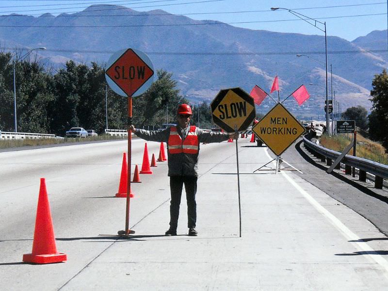
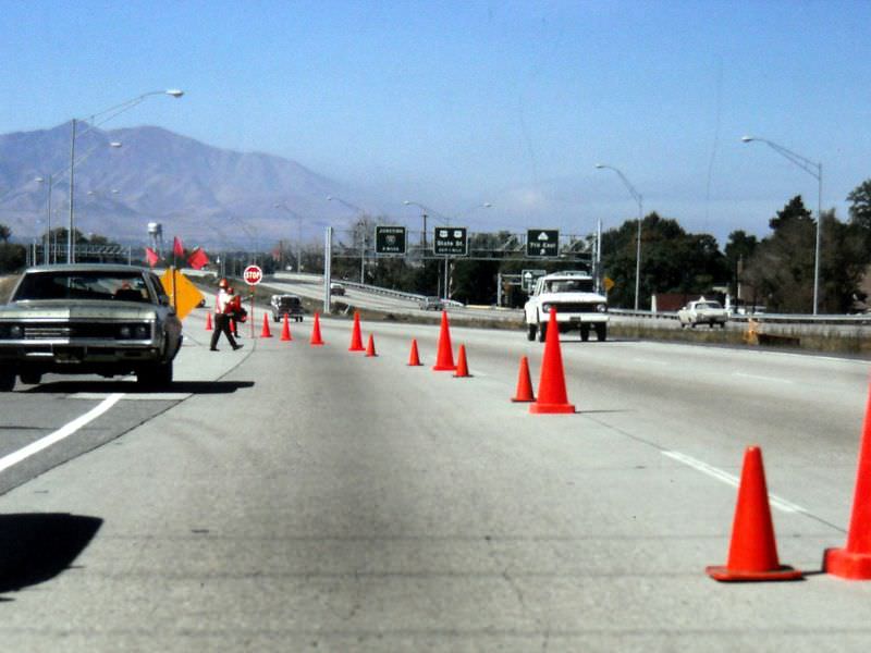
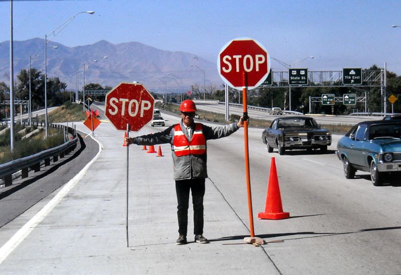
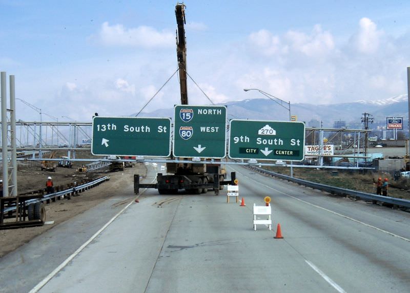
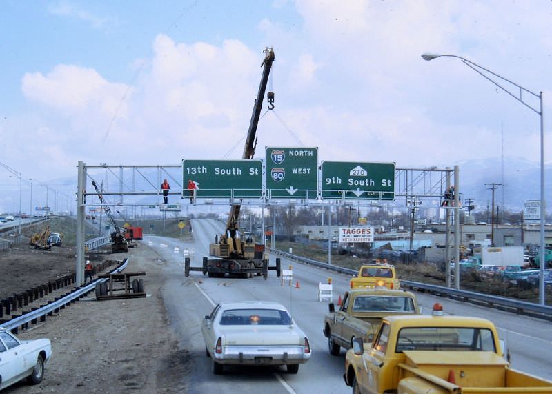
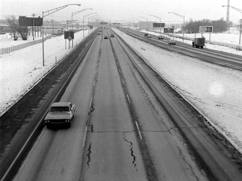
I thought this was a joke for a second about the constant construction. But no, it is just reality.
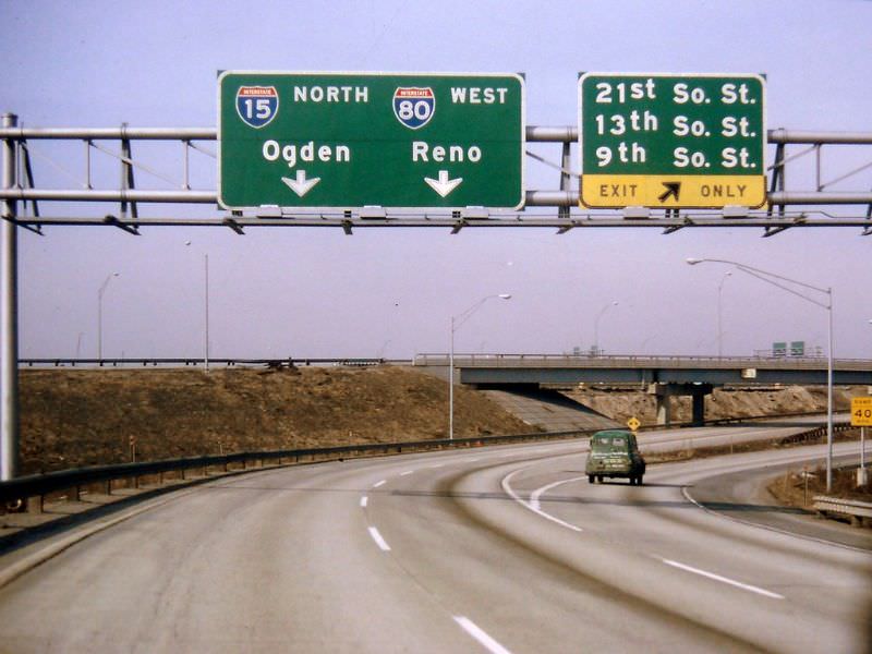
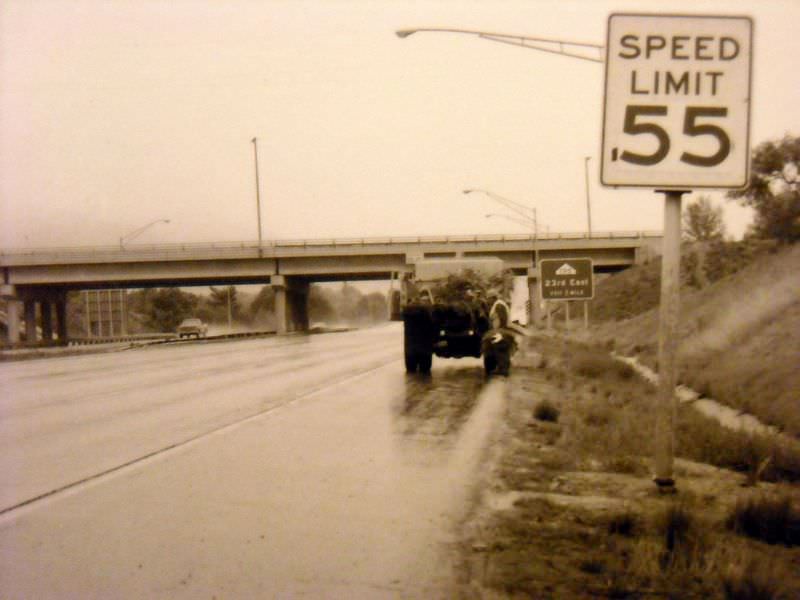
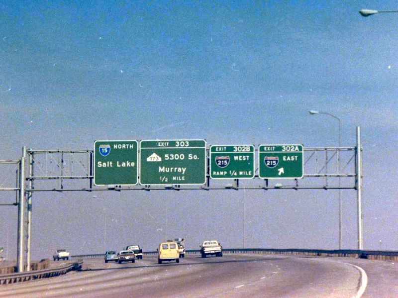
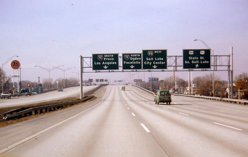
Interesting how the exit signs used to say 21st So St instead of 2100 So.
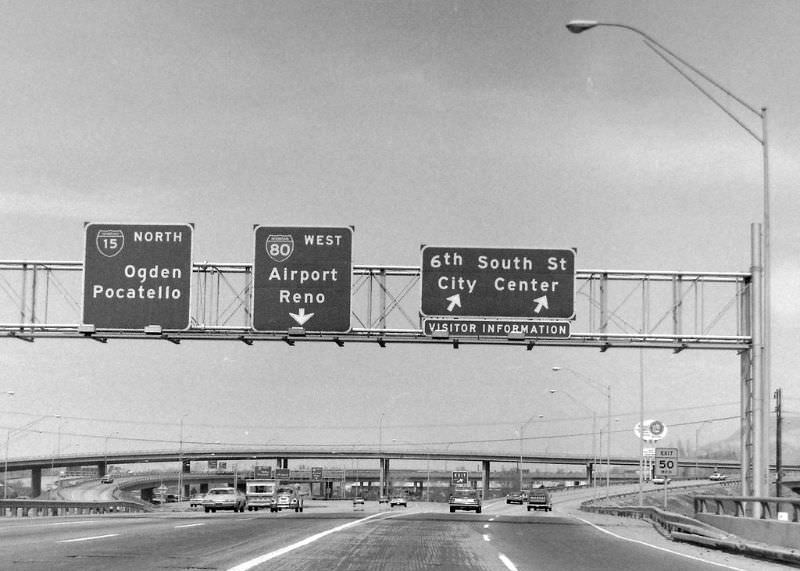
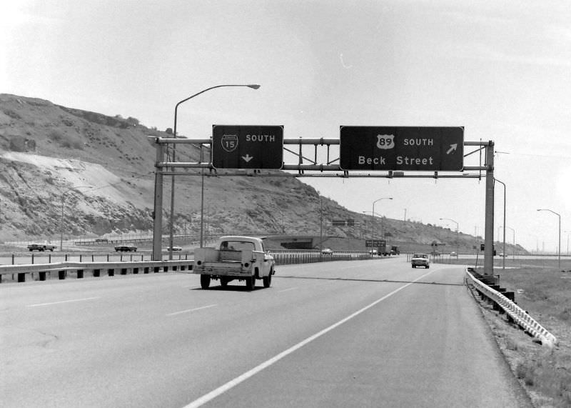
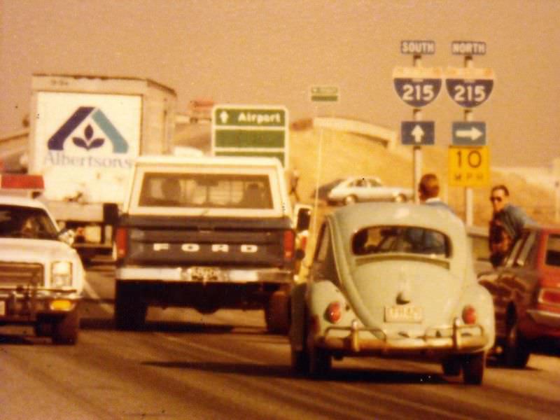
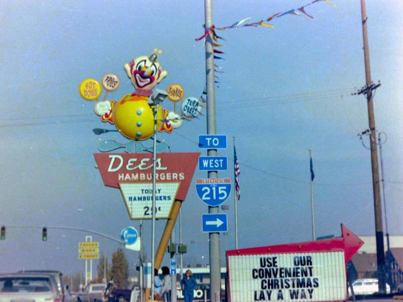
I didn’t realize 215 was that old.
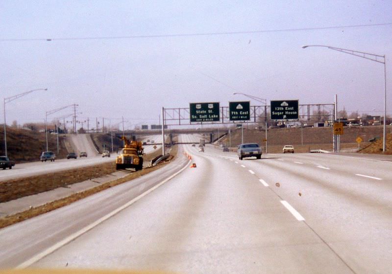
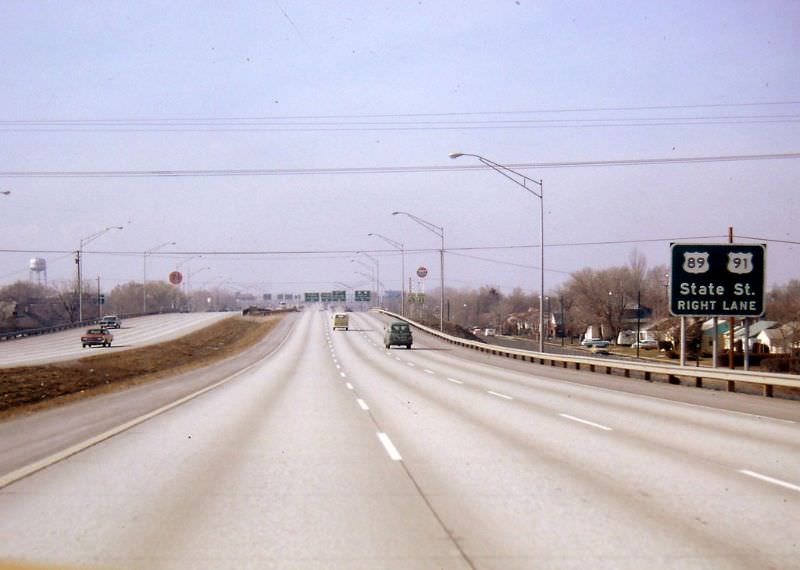
interestingly, they used to label the signs as “13th So. St.” instead of “1300 South.”
$0.29 for a hamburger in 1979!? Lol, Times sure have changed.
McDonald’s 29 cent Wednesdays must have slipped your mind. You could get a burger for .29 cents. No limit. That was in the late 90s. Sunday was 39 cent cheeseburgers