In 1860, Richmond, Virginia was home to nearly 38,000 people, including 11,739 enslaved people. When the Civil War began, it became the capital of the Confederate States of America — and the city was never the same again. By 1863, the population had swelled past 100,000. Some estimates put the number as high as 150,000 by 1865. The streets that once held a mid-sized Southern city were now packed with soldiers, refugees, government workers, and laborers from across the South.
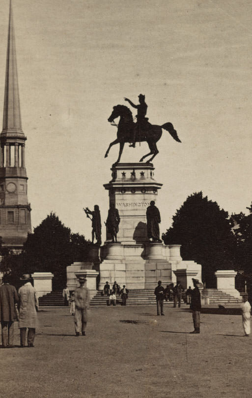
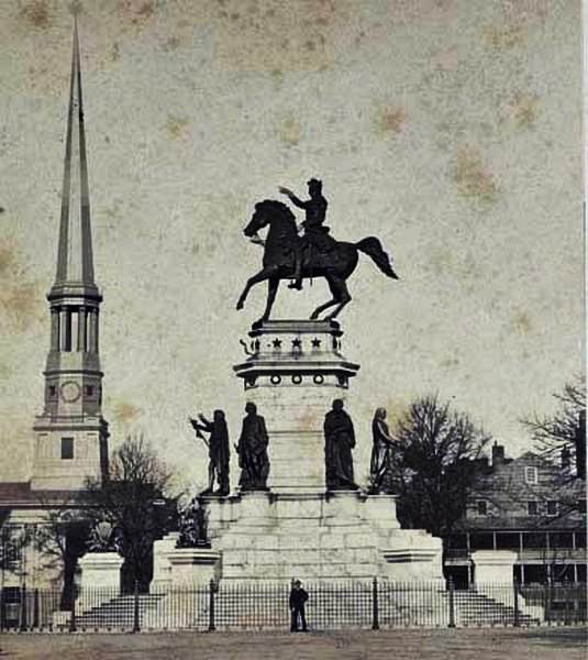
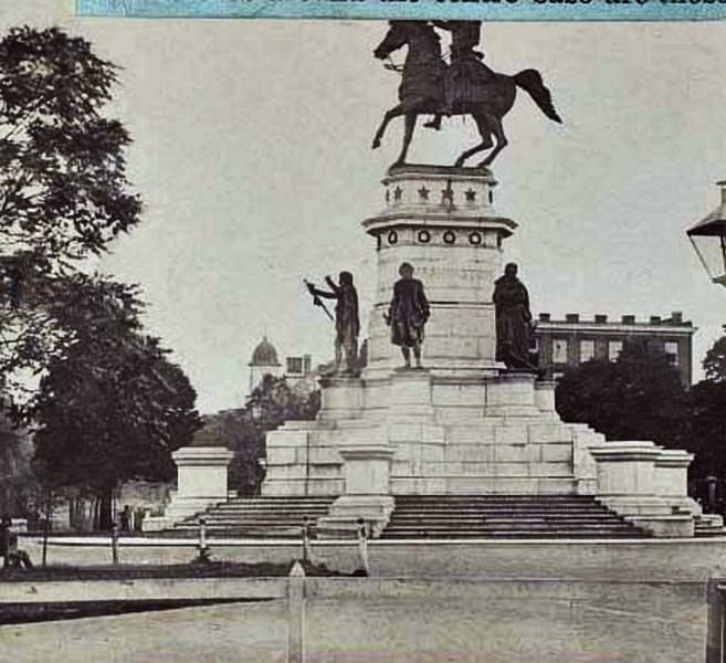
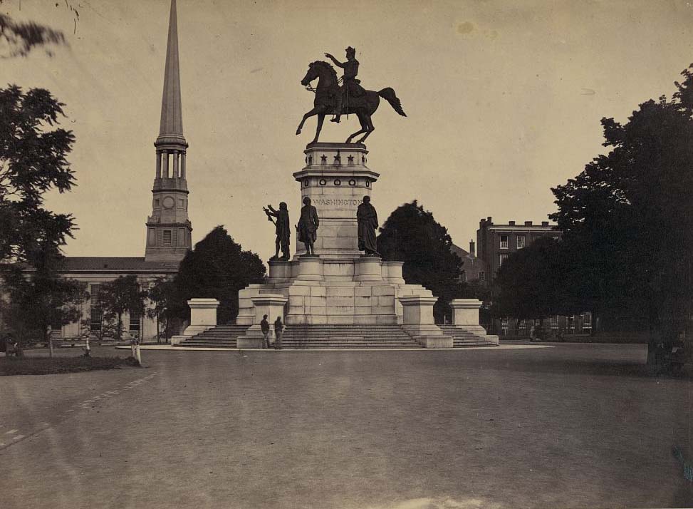
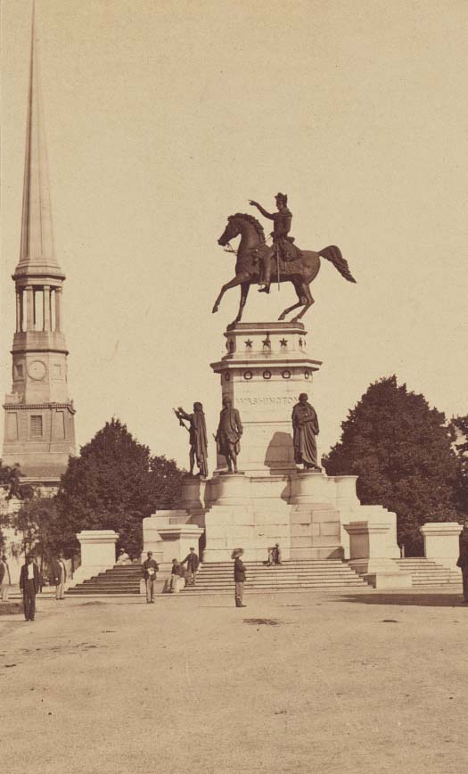
Washington Monument, Capitol Square, Richmond, Va, 1861
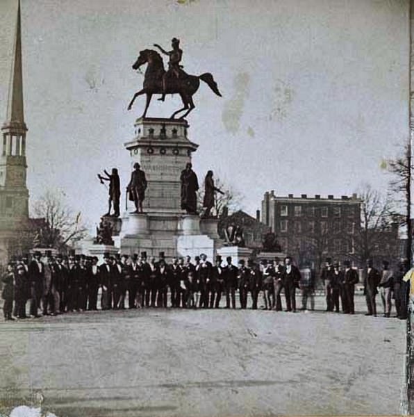
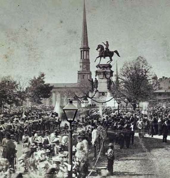
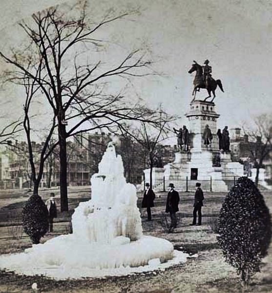
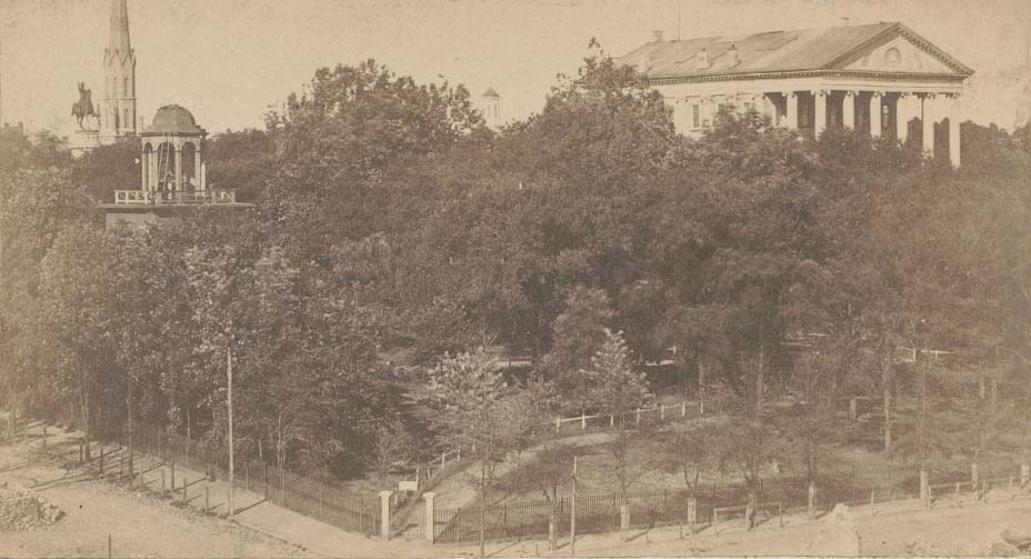
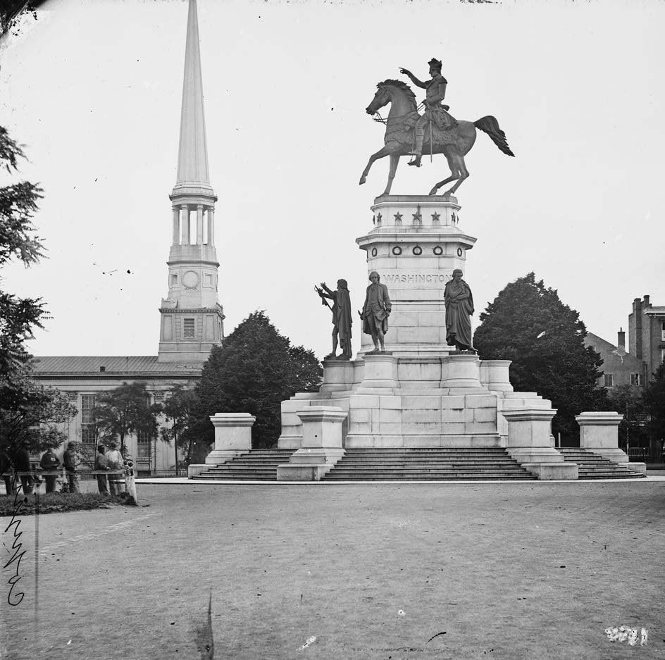
Capitol Square was the civic heart of Richmond. The equestrian statue of George Washington stood at the center, surrounded by smaller pedestals bearing statues of Patrick Henry, George Mason, and Thomas Jefferson. The spire of St. Paul’s Church rose nearby. This was the seat of Confederate political power — the place where crowds gathered to celebrate victories and leaders met to manage a war.
A crowd gathered in front of the Washington Monument in Richmond, Virginia, 1860A large crowd including uniformed soldiers gathered in front of the Washington Monument in Richmond, Virginia, 1860A group standing around a frozen fountain in Capitol Square, near the Washington Monument in Richmond, Virginia, 1860The Virginia Washington Monument in Capitol Square in Richmond, Virginia with the spire of St. Paul’s Church on the left, 1860
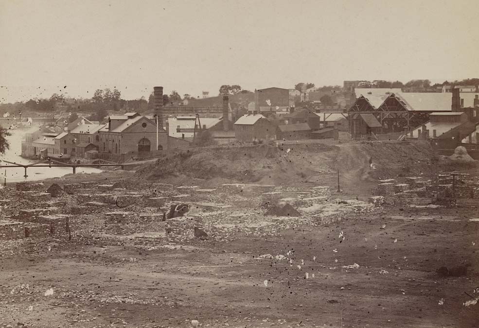
Richmond was not just the political capital of the Confederacy — it was also a critical industrial and transportation hub. The Tredegar Iron Works was the backbone of Confederate manufacturing. It produced cannons, ammunition, and iron plating for warships. Grain mills and iron foundries lined the James River, feeding both the local economy and the Confederate war machine. The city’s rail connections made it a strategic target that the Union Army spent years trying to reach.
The Tradegar Iron Works, a major producer of cannons for the Confederacy during the war, 1860The Tredegar Iron Works, Richmond, Virginia, 1863
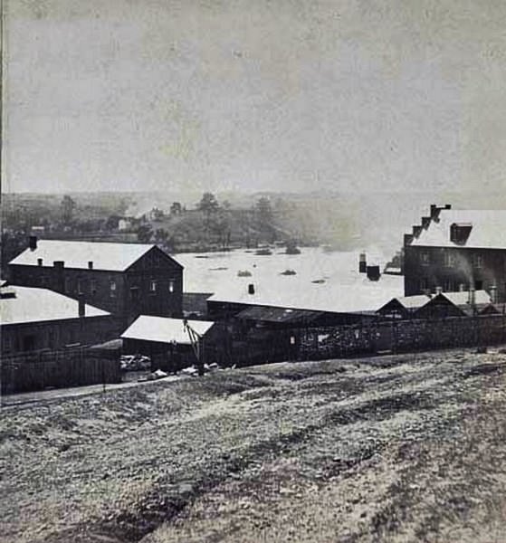
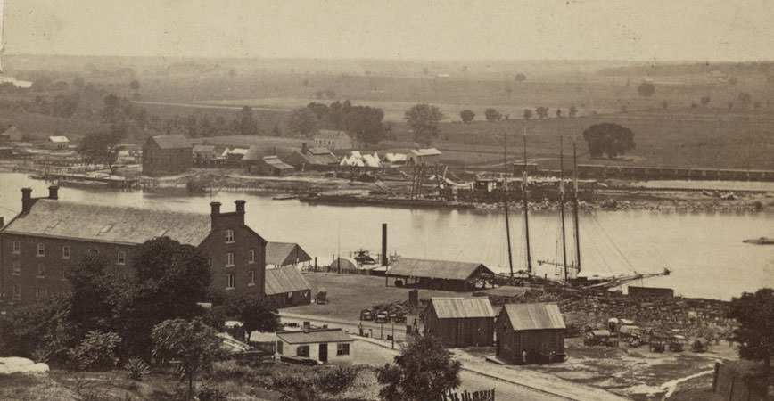
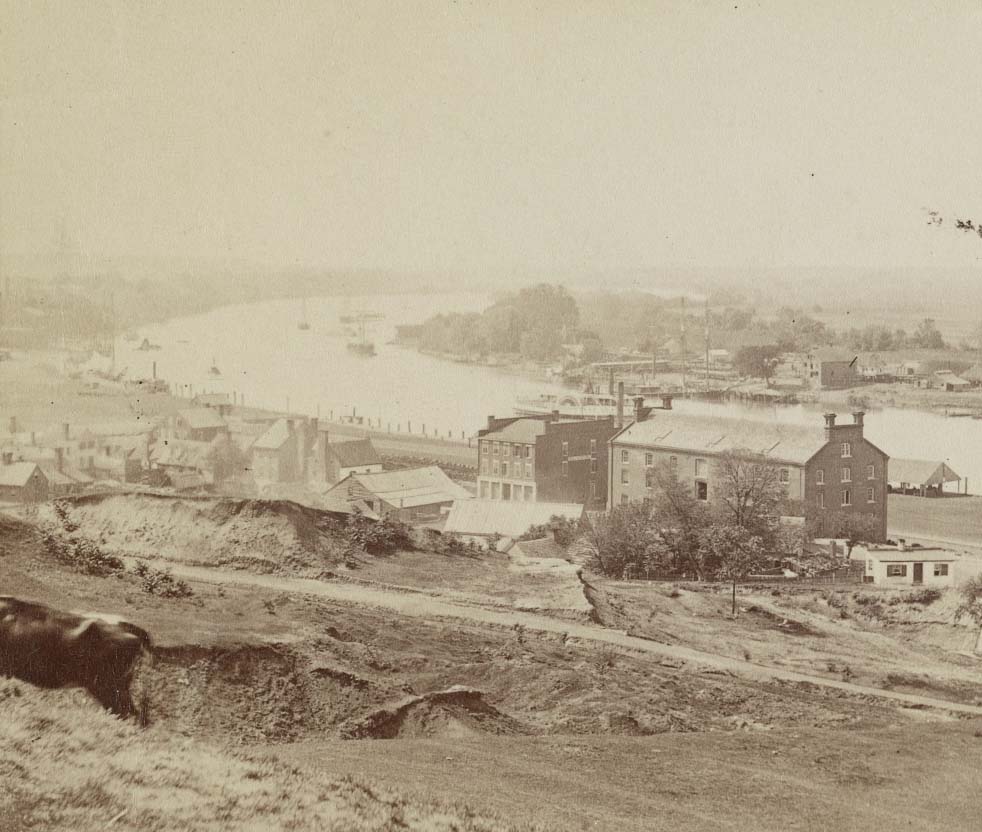
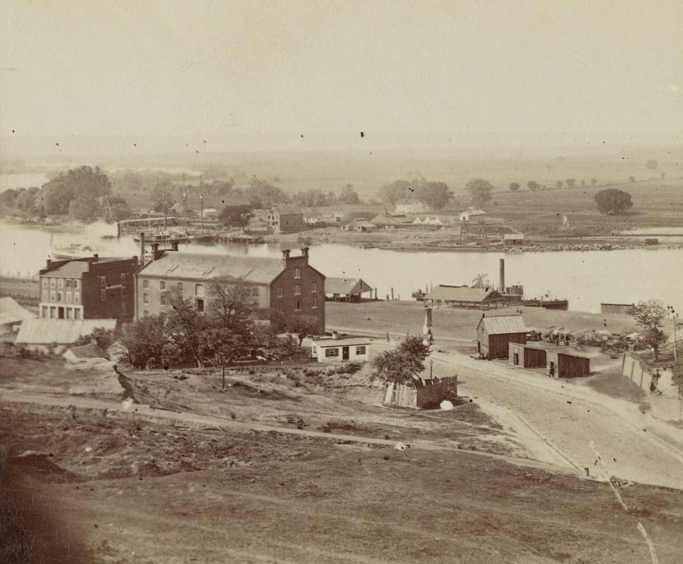
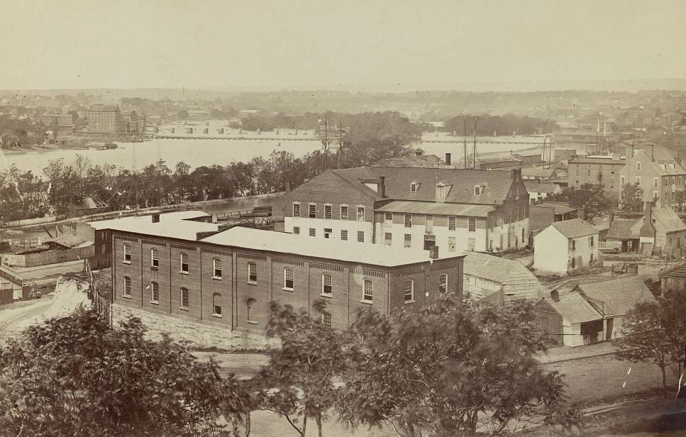
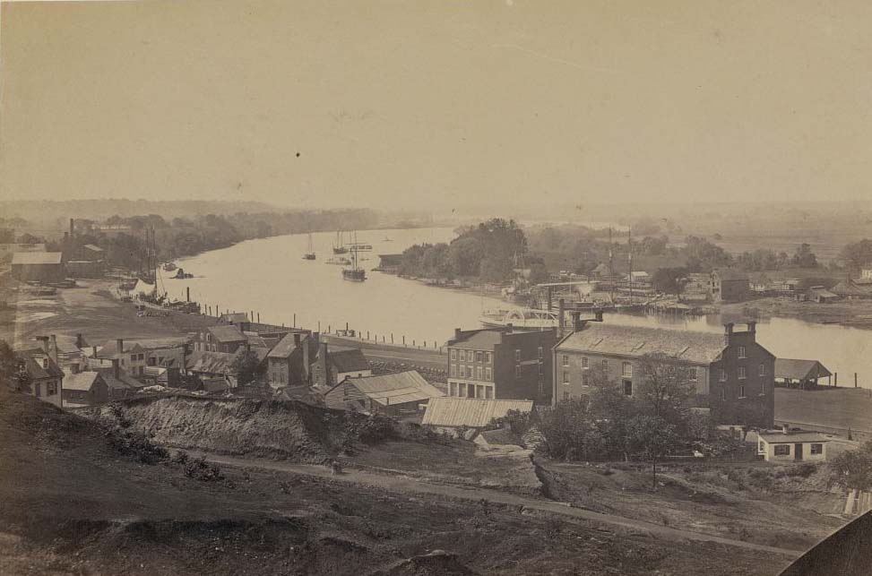
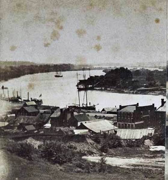
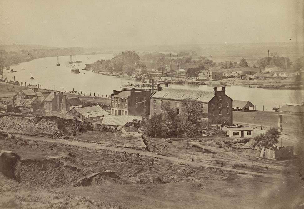
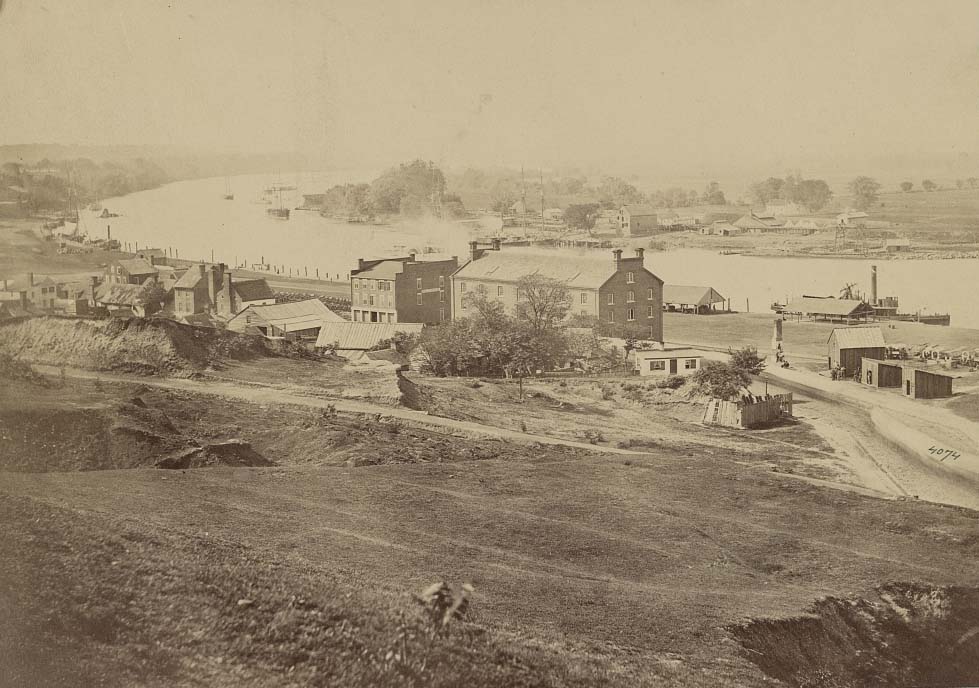
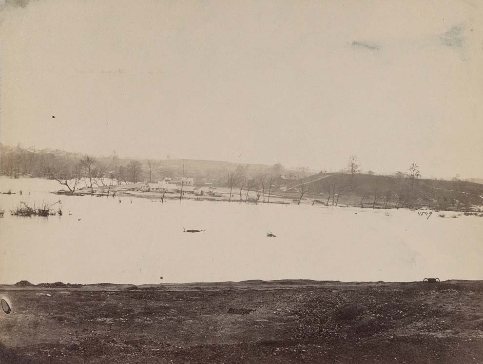
The James River was Richmond’s commercial lifeline. Rocketts Landing served as the city’s main port, with warehouses, wharves, and docks handling goods coming in and out of the city. During the war years, the river took on new importance — it moved supplies, troops, and prisoners. Photographers captured the area extensively, documenting the industrial waterfront that kept Richmond functioning under enormous pressure.
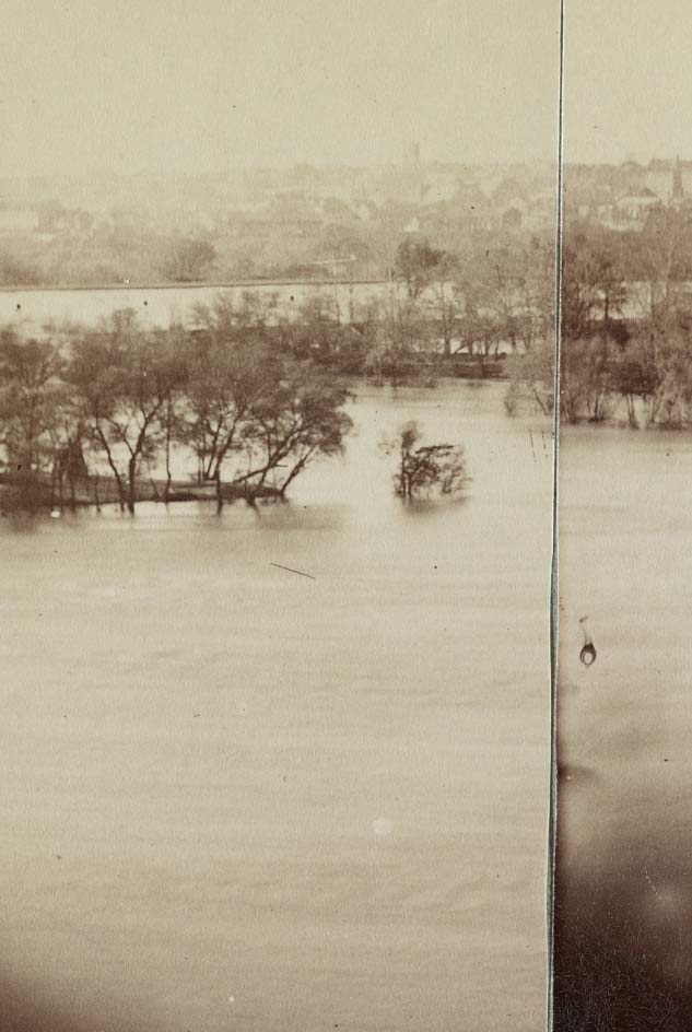
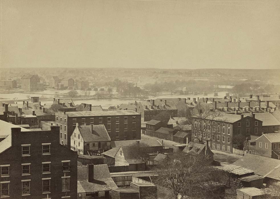
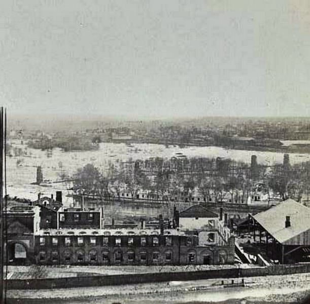
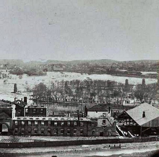
A view of Rocketts and the south side of the James River from Libby Hill in Richmond, Virginia, 1862Buildings at the wharf at Rocketts Landing on the south side of the James River in Richmond, Virginia, 1863Rocketts and south side of James River from Libby Hill, 1863A city in the distance across the river, Richmond, 1863Looking westward up James River, Richmond, Virginia, 1863View of James River and part of city of Richmond looking west from Libby Hill, 1863View of “Rocketts” & James River, Richmond, 1863
The rapid population explosion created serious problems on the ground. The city’s police force was too small to manage the surge of newcomers. Crime spread through the streets. Gambling houses and brothels operated openly, even after Confederate General John H. Winder took command of the city in February 1862. Youth gangs committed robberies and assaults against residents. Working-class people faced double pressure — wages rose, but the cost of food and goods rose faster.
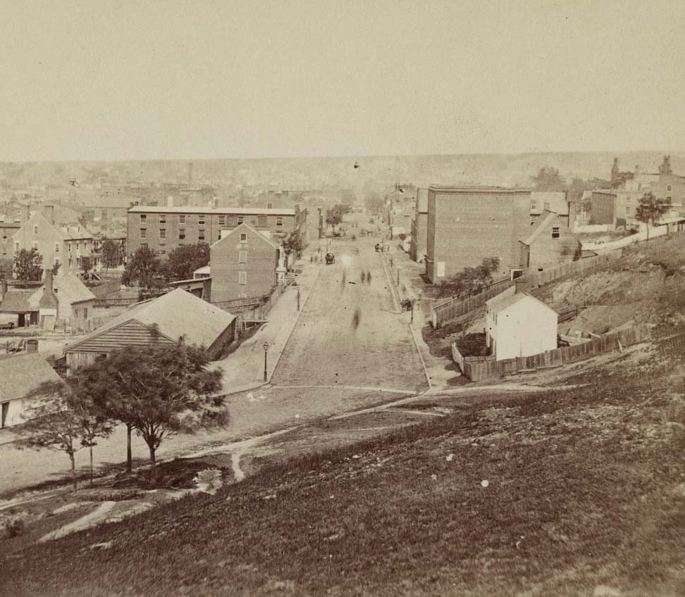
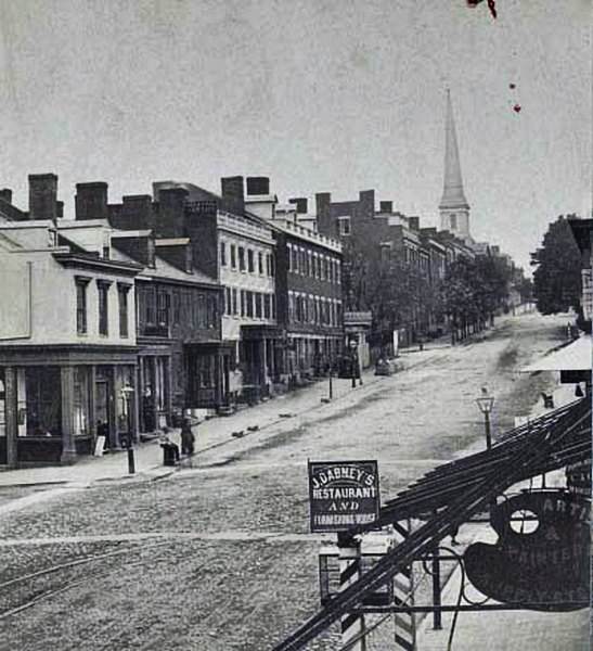
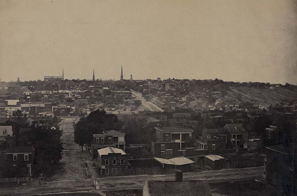
View from Libby Hill looking west on Main Street, 1860sRichmond, Virginia, 1862
The tension broke on April 2, 1863. A group of women — most of them factory and government bureau workers — marched to the Executive Mansion to confront Virginia Governor John L. Letcher about their right to survive. When he turned them away, the crowd grew into the hundreds as it moved through the business district. The Richmond Bread Riot lasted two hours and included widespread looting before artillery was brought up and the mob was dispersed. The riot made clear that suffering in the Confederate capital was real and severe.
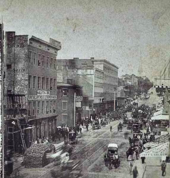
A view of a busy street scene in Richmond, Virginia, 1865A commercial area along Main Street in Richmond, Virginia, 1860s
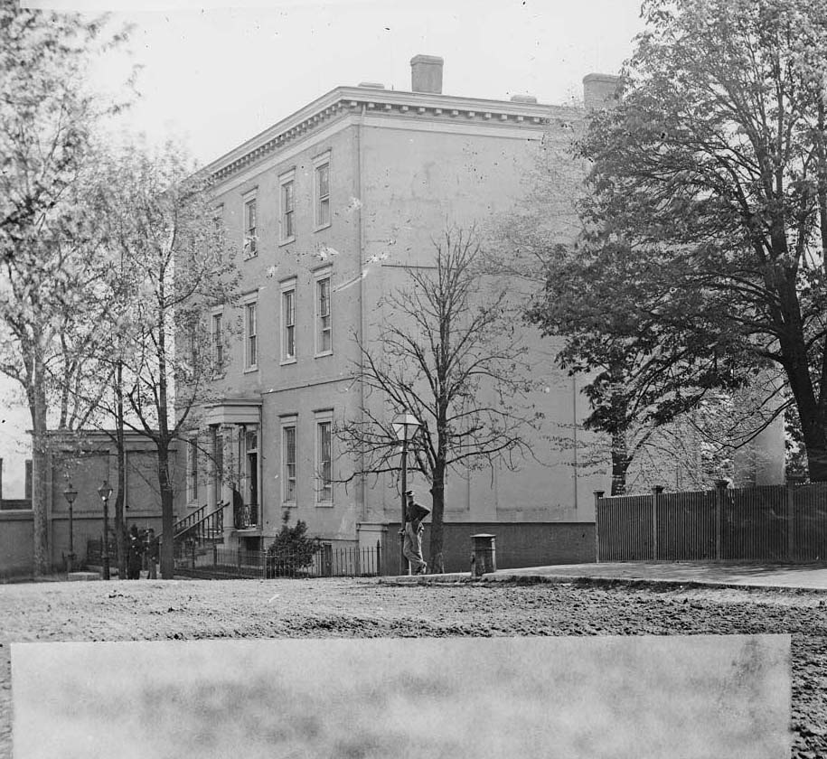
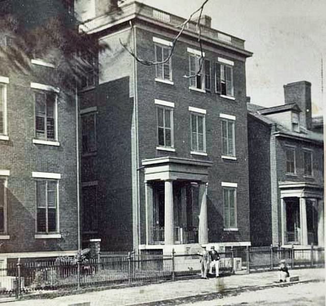
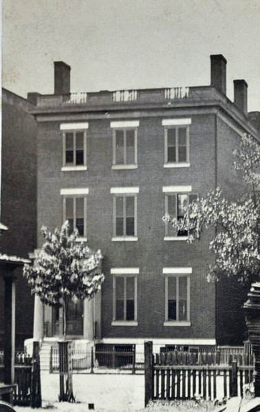
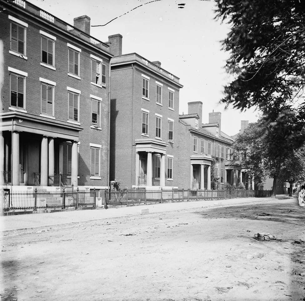
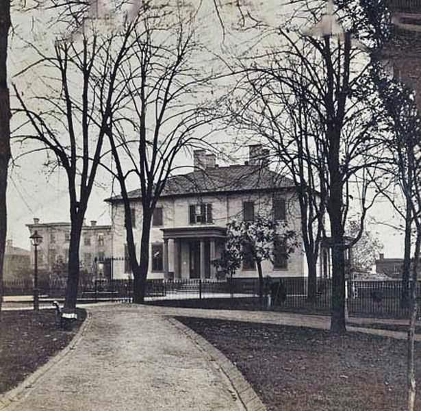
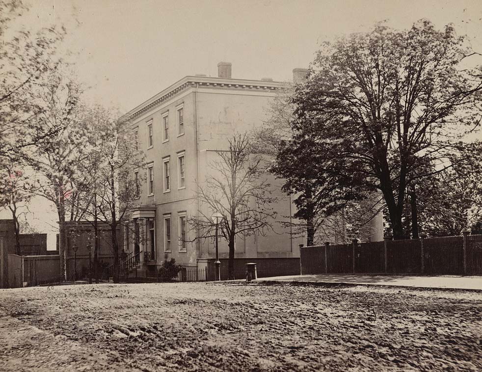
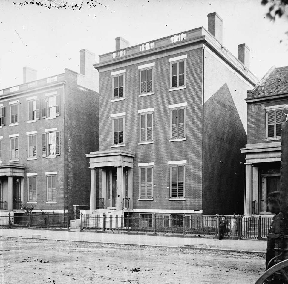
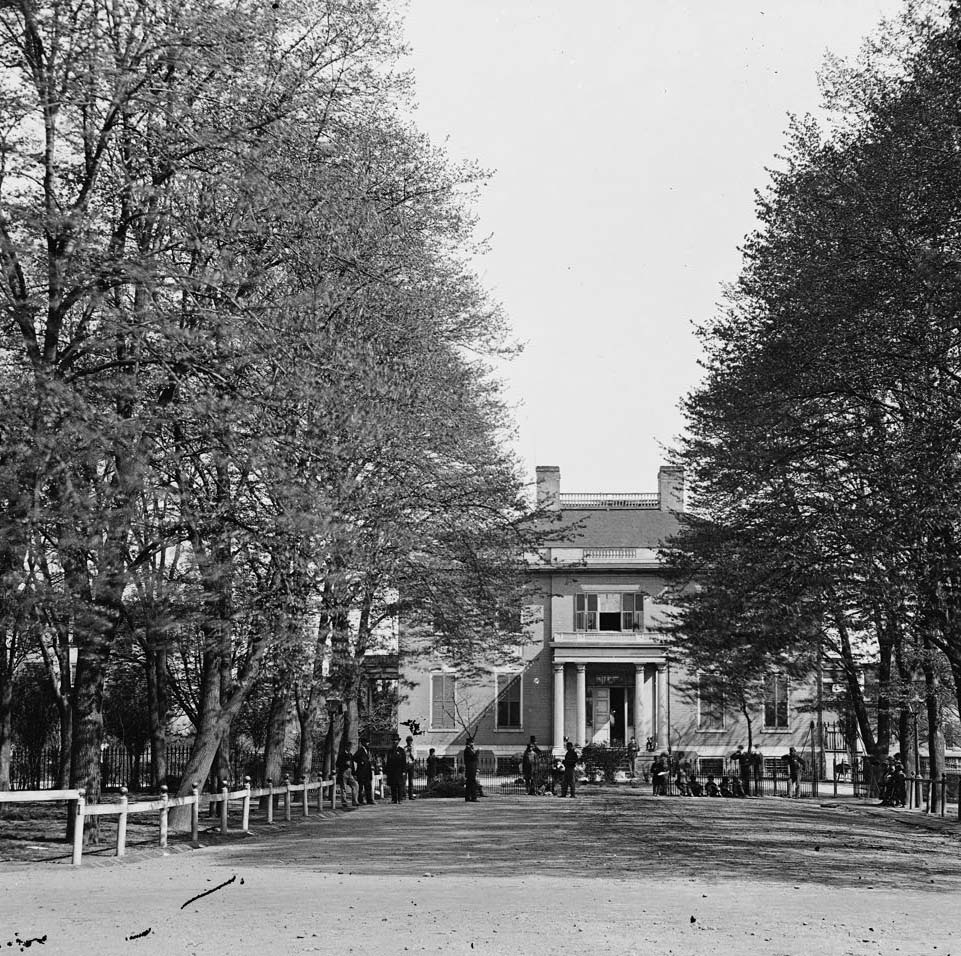
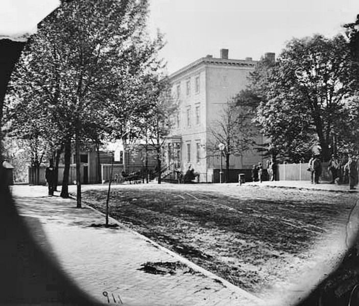
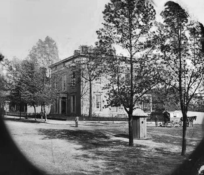
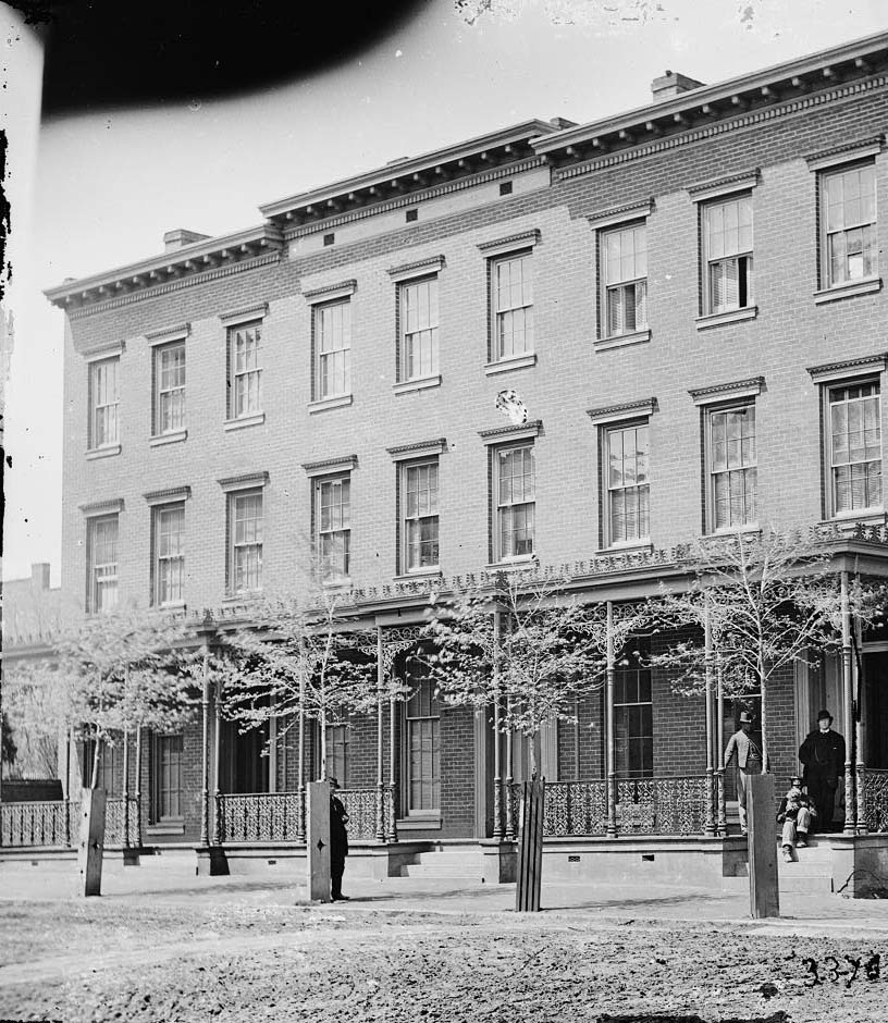
Jefferson Davis, president of the Confederacy, lived at 1201 East Clay Street in Richmond — a building known as the Confederate White House. General Robert E. Lee maintained his family residence on Franklin Street. These two addresses were the symbolic and military nerve centers of the Confederate war effort. Photographers documented both homes during and after the war.
Richmond, Va. Residence of Jefferson Davis (1201 East Clay Street); a closer view, 1860Three people in front of the home of General Robert E. Lee, at 707 E. Franklin Street in Richmond, Virginia, 1861The three story home of General Robert E. Lee in Richmond, Virginia, 1865Va. Franklin Street, including the residence of Gen. Robert E. Lee (second from left), 1865.
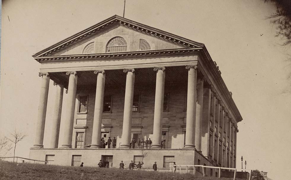
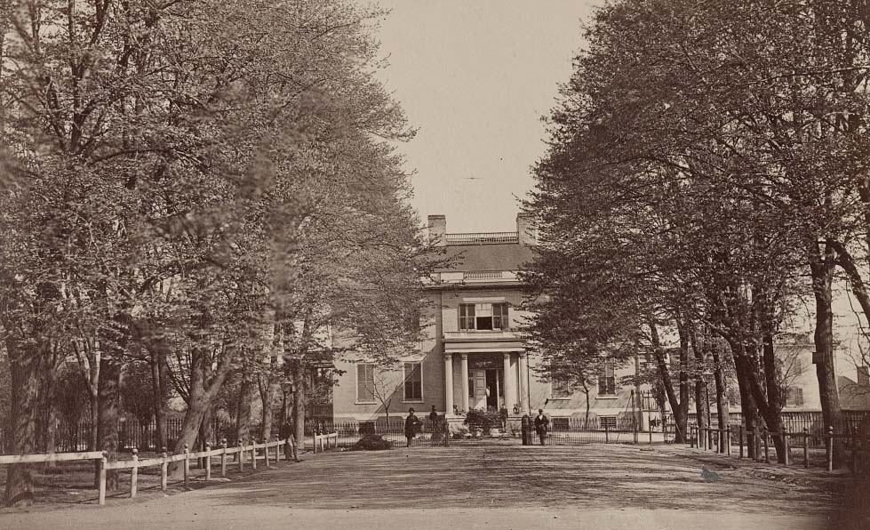
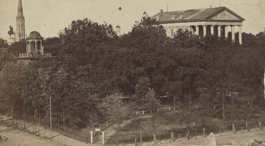
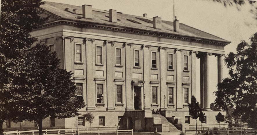
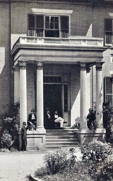
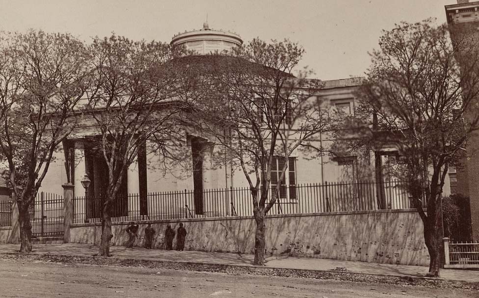
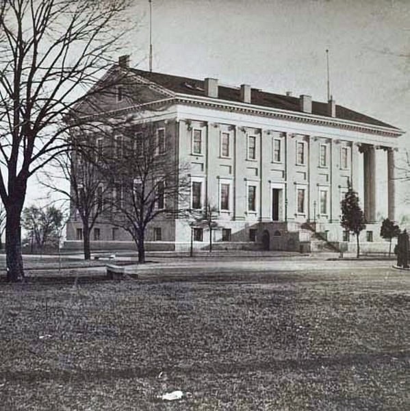
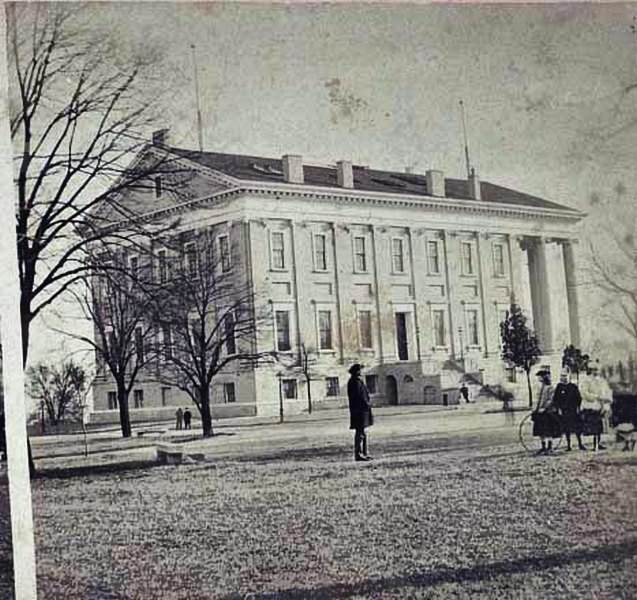
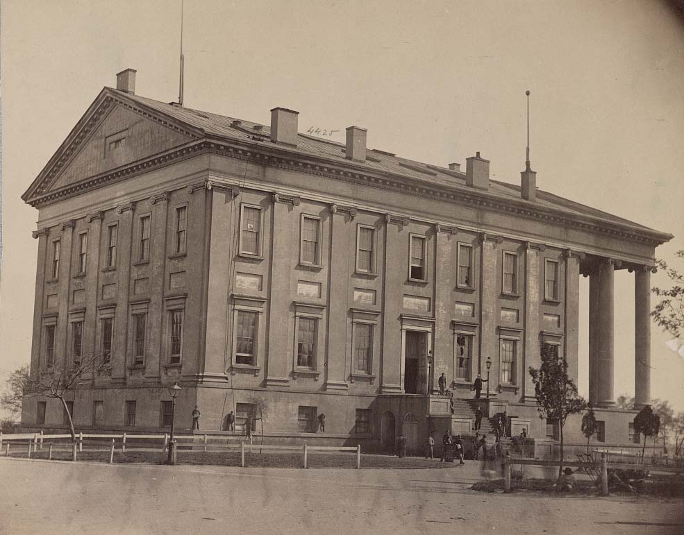
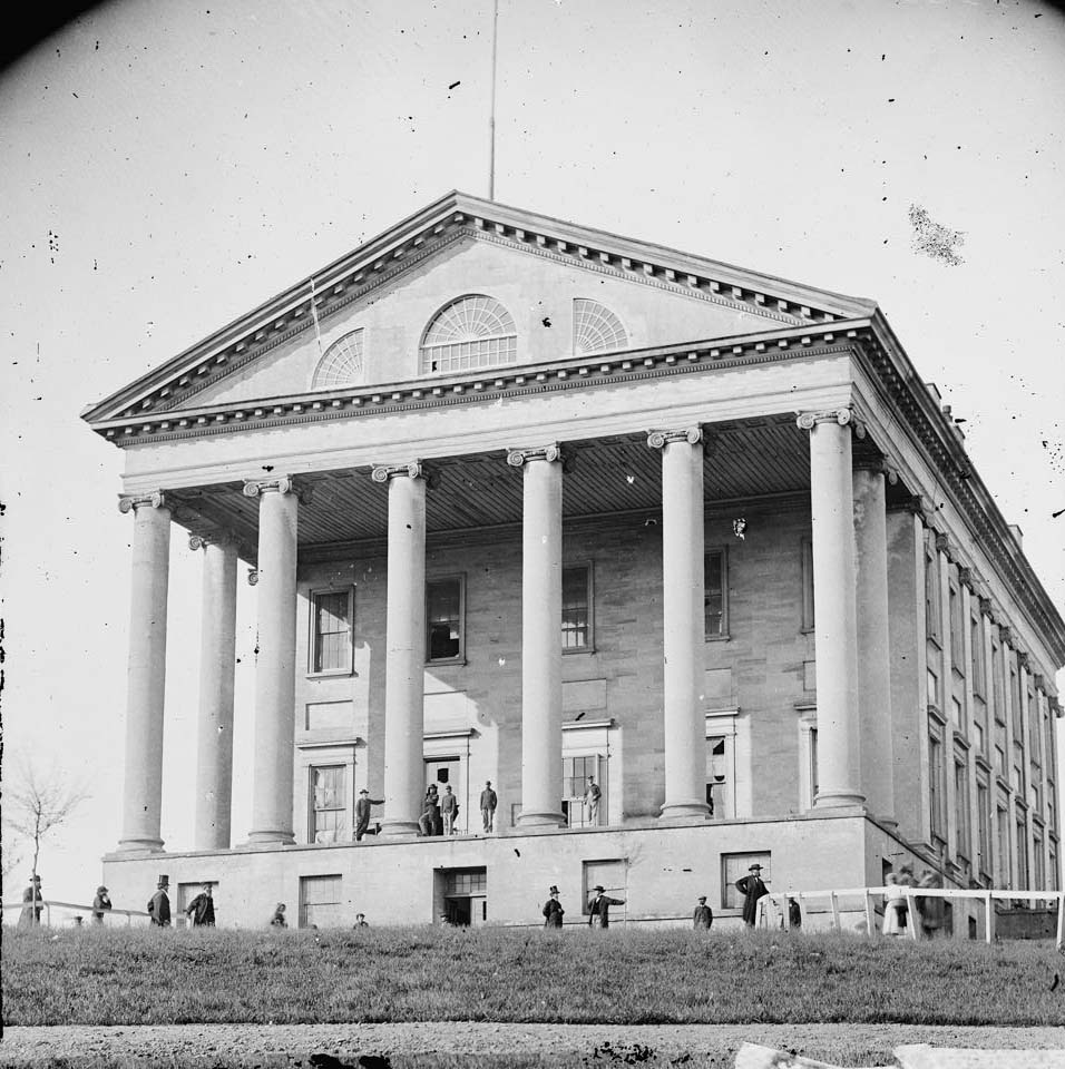
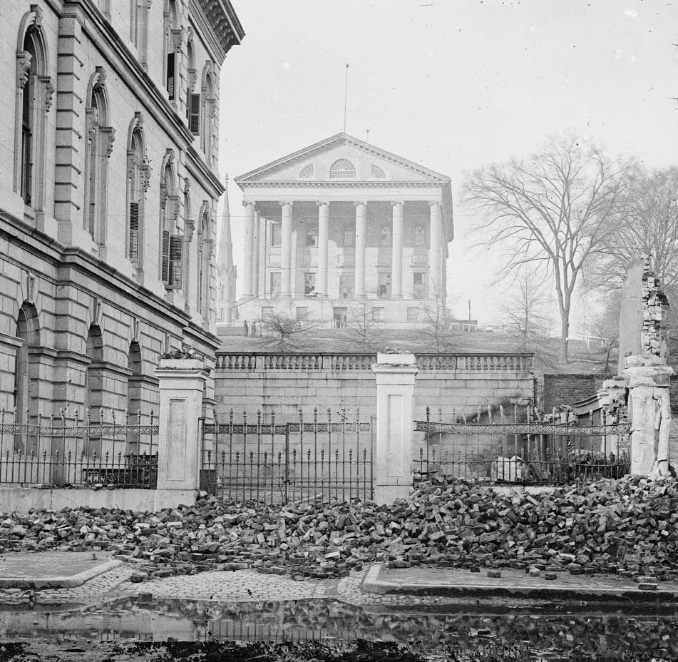
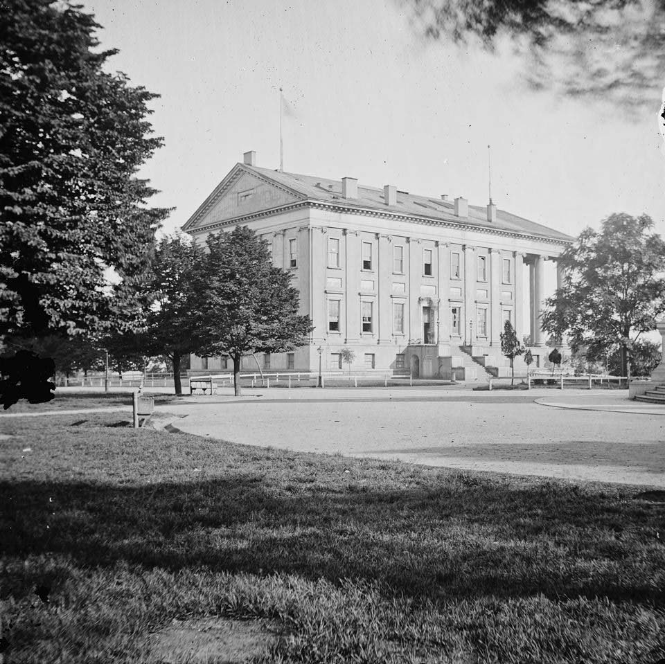
The Virginia State Capitol, designed after a Roman temple, served double duty during the war as both the seat of Virginia’s state government and the home of the Confederate Congress. The Governor’s Mansion stood nearby. These buildings remained intact through the war, though the government briefly relocated to Lynchburg for five days in April 1865 as Union forces closed in on the city.
The State Capitol, Richmond, 1863The Governor’s Mansion, Richmond, 1863Governor’s Mansion, 1860sA view of Capitol Square Park in downtown Richmond. The Virginia state capitol building is on the right, 1861West facade of the Virginia State Capitol building in Capitol Square Park in Richmond, Virginia, 1861A group of men seated in the portico of the governor’s mansion in Richmond, 1861
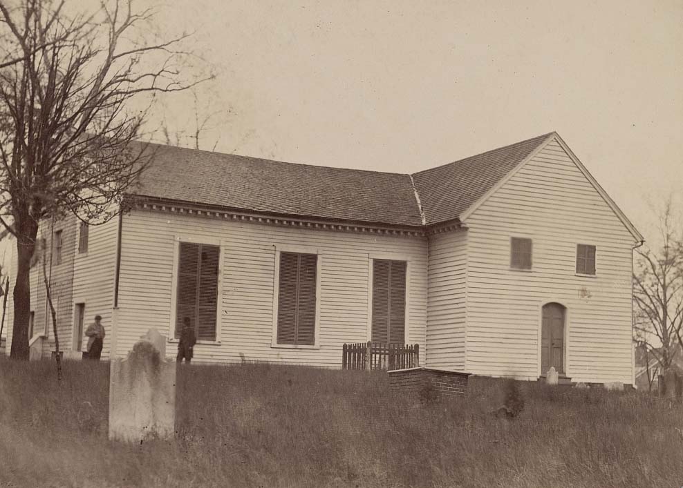
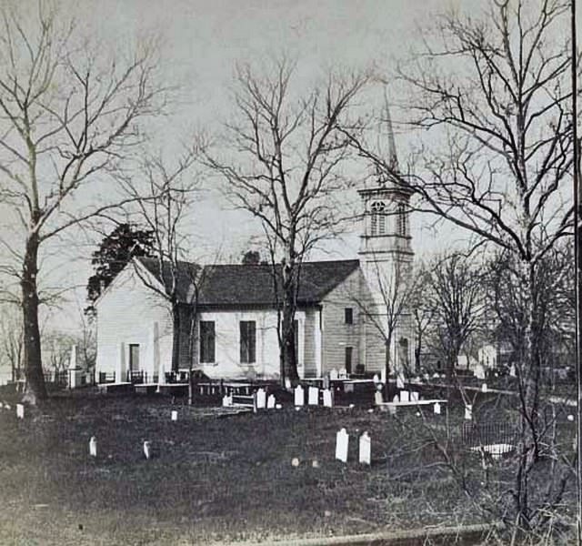
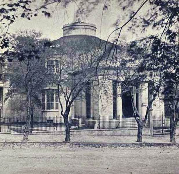
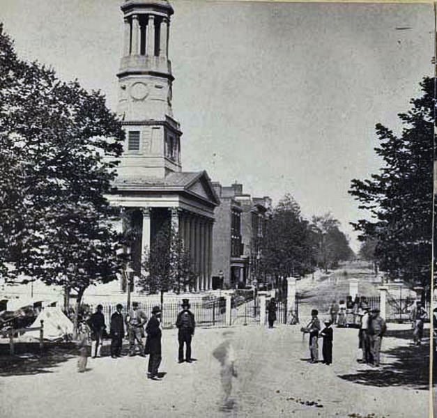
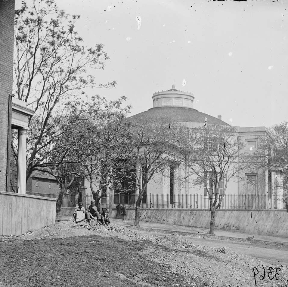
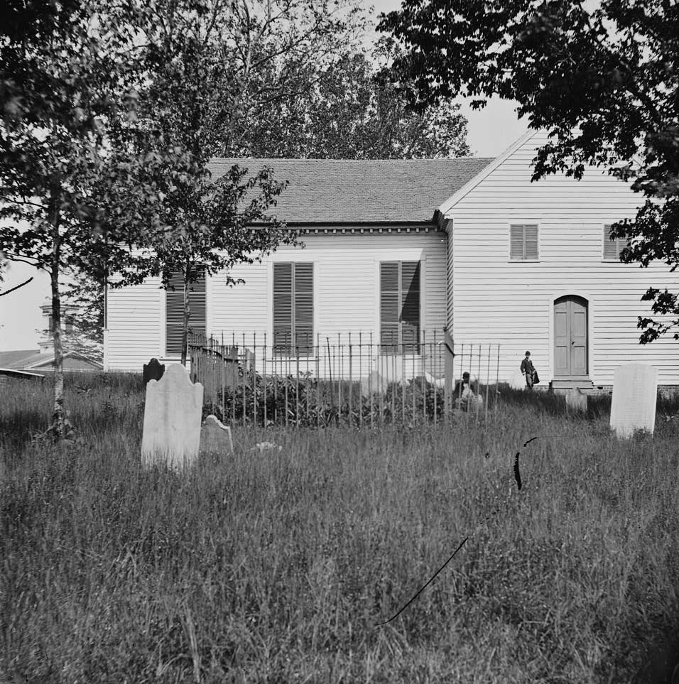
Richmond’s churches were landmarks long before the war. St. John’s Church on Richmond’s east end was already famous as the place where Patrick Henry delivered his “Give me liberty, or give me death” speech in 1775. St. Paul’s Episcopal Church on Grace Street was attended by both Jefferson Davis and Robert E. Lee during the war years. The Monumental Church on Broad Street stood as one of the city’s oldest religious buildings. All three survived the destruction that came later.
Saint John’s Church, Richmond, Virginia, where Patrick Henry delivered his famous speech, 1860The church yard surrounding St. John’s Church in Richmond, Virginia, 1865Monumental Church at 1224 E. Broad Street, in Richmond, Virginia, 1865People mingling on the street outside of St. Paul’s Episcopal Church on Grace Street in Richmond, Virginia, 1865Four soldiers in front of the Monumental Church at 1224 E. Broad Street in Richmond, 1865
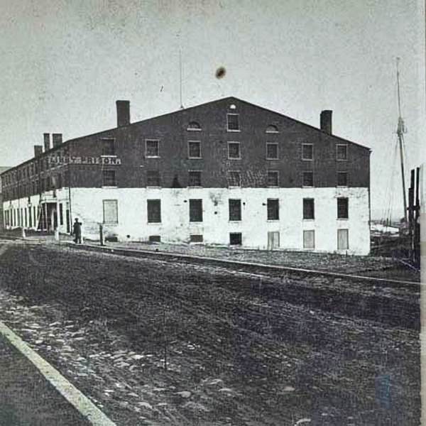
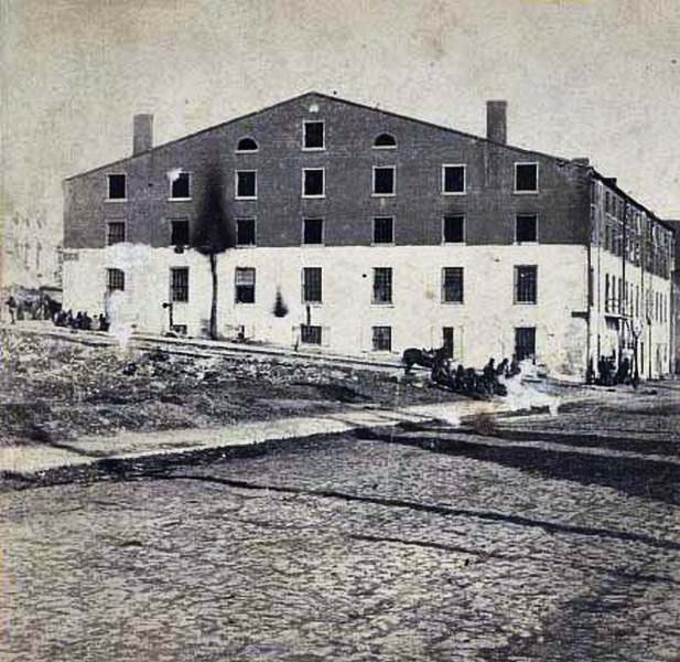
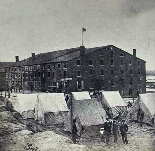
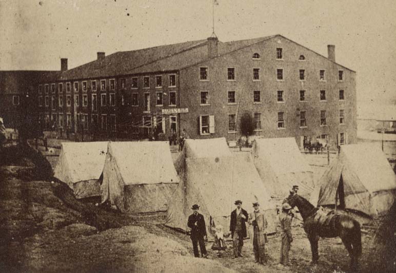
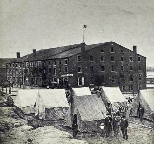
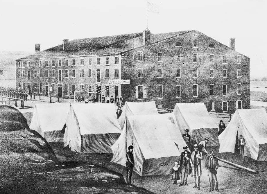
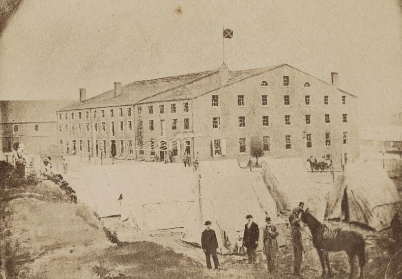
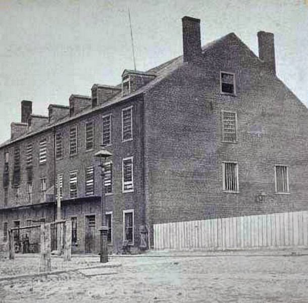
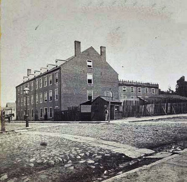
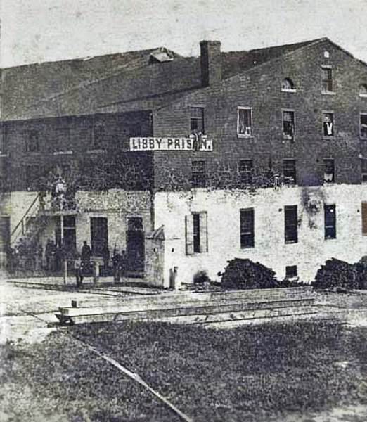
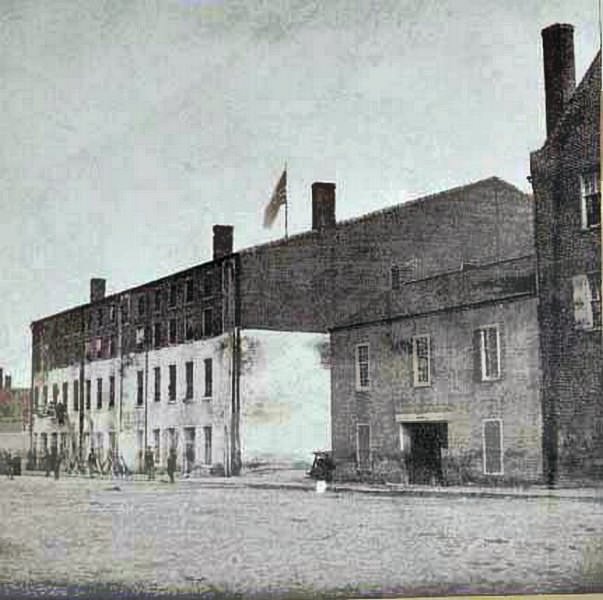
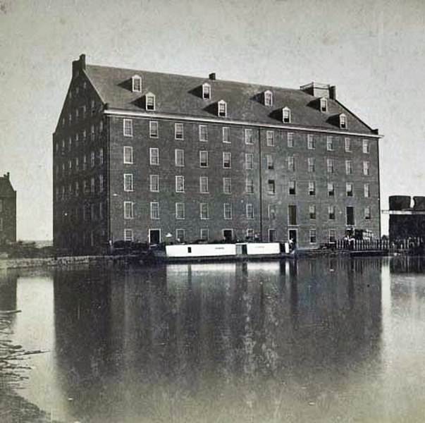
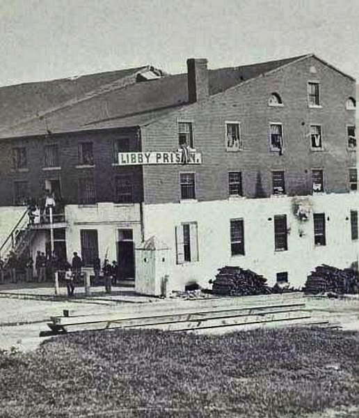
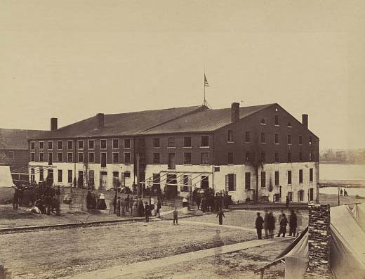
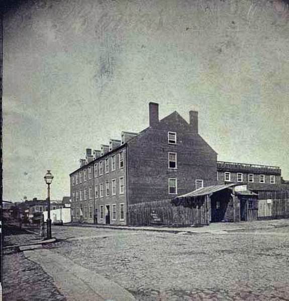
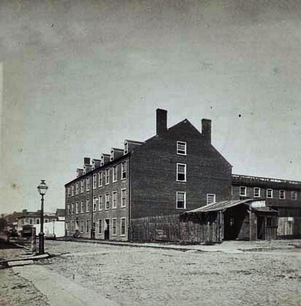
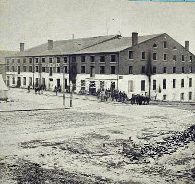
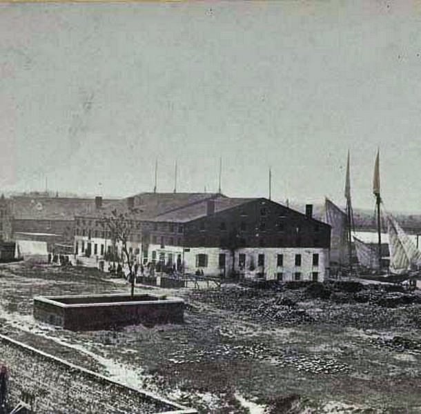
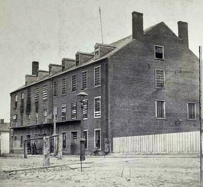
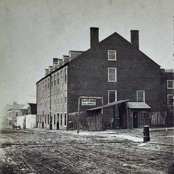
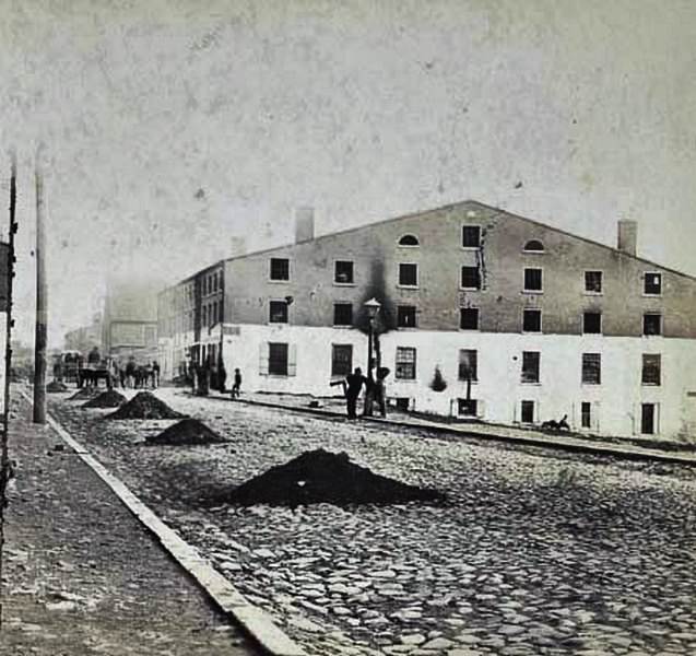
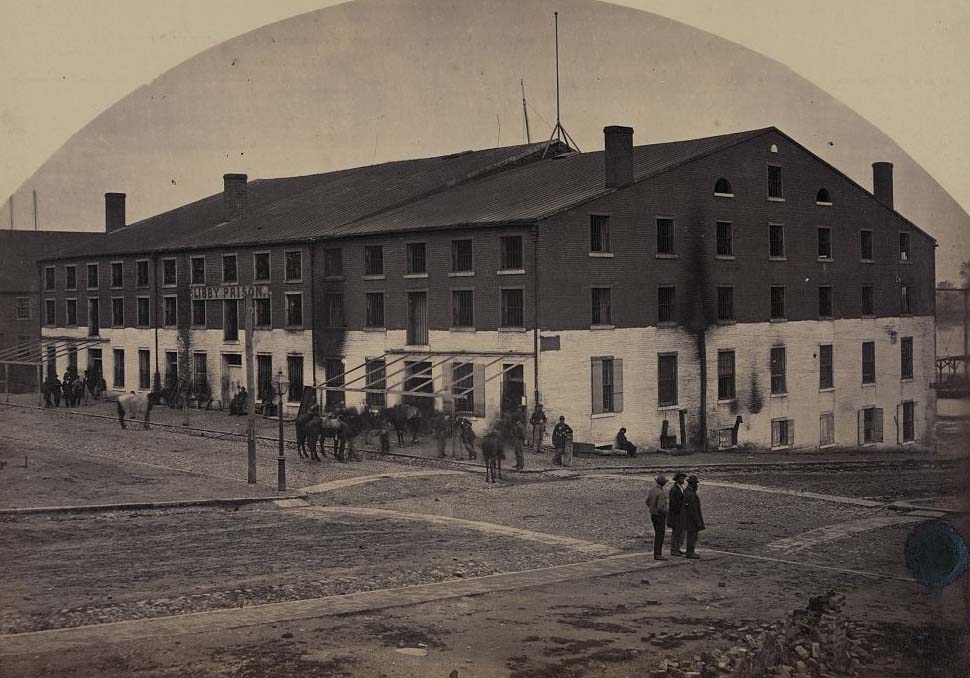
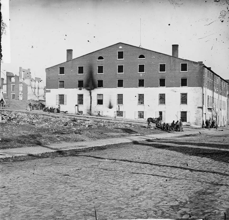
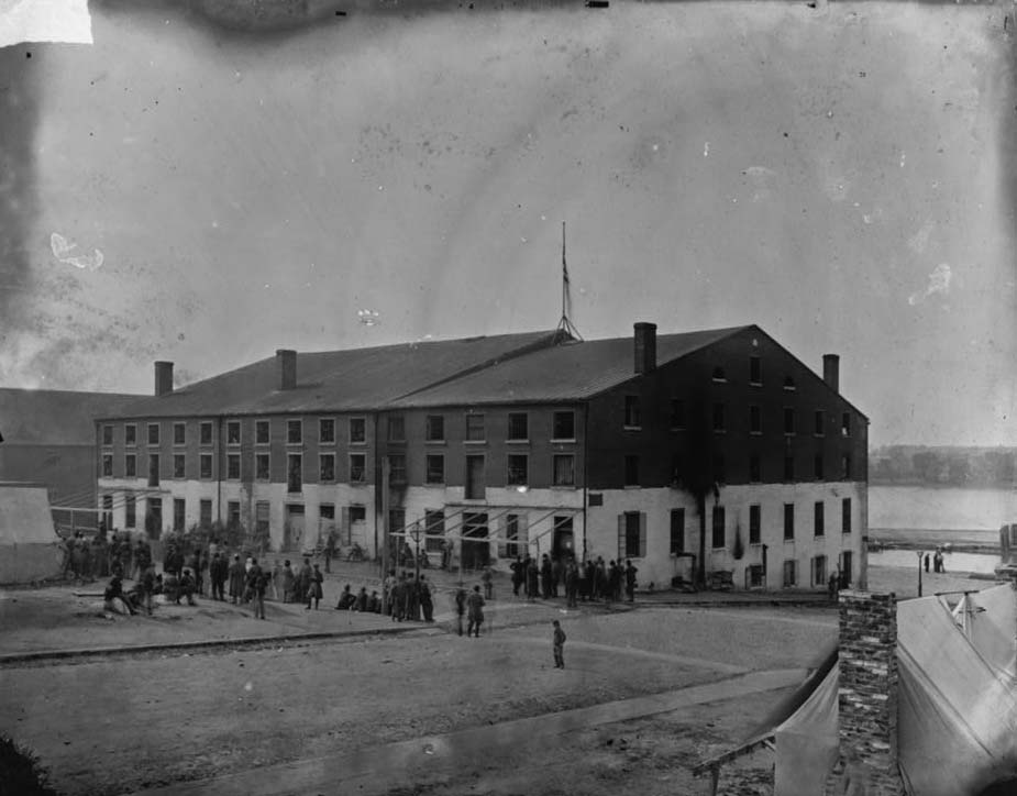
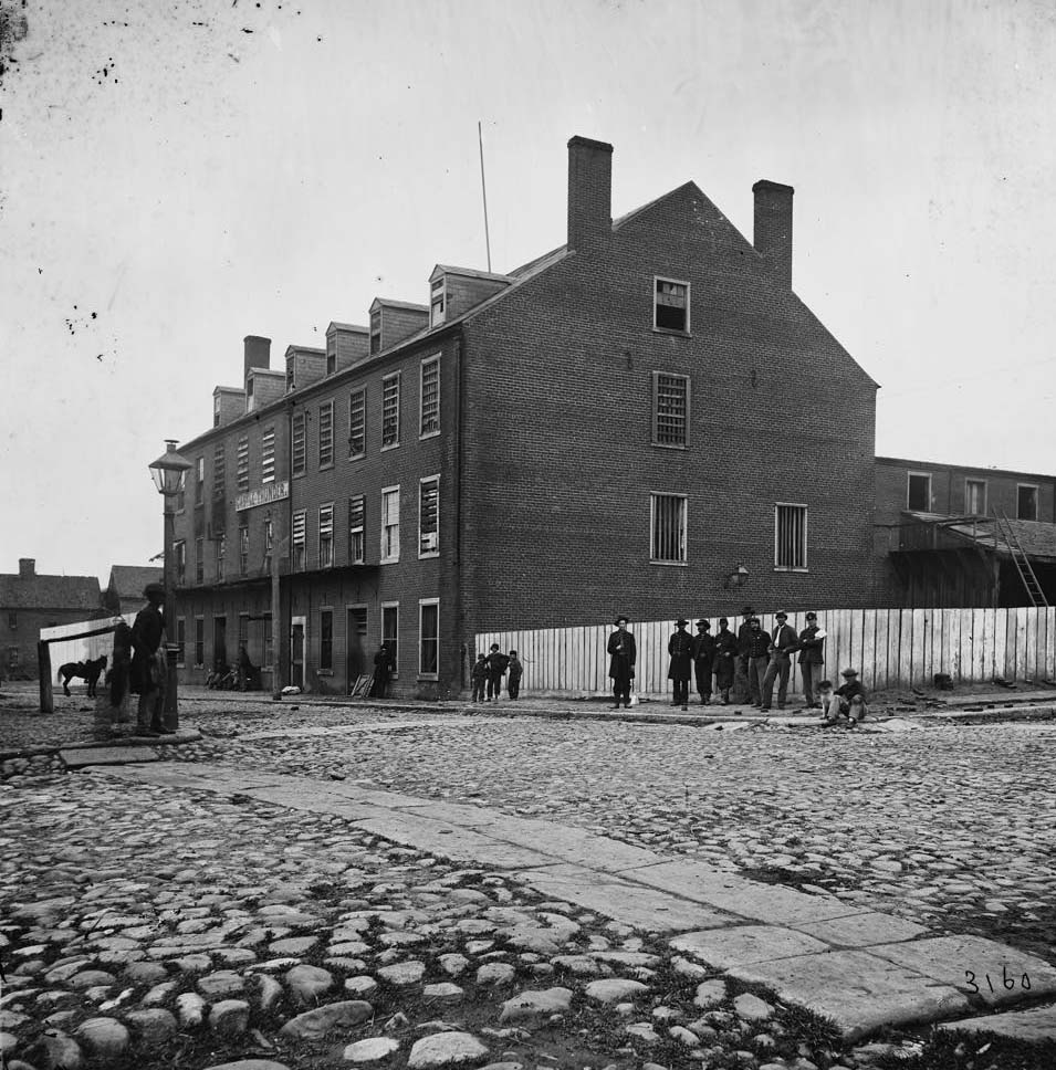
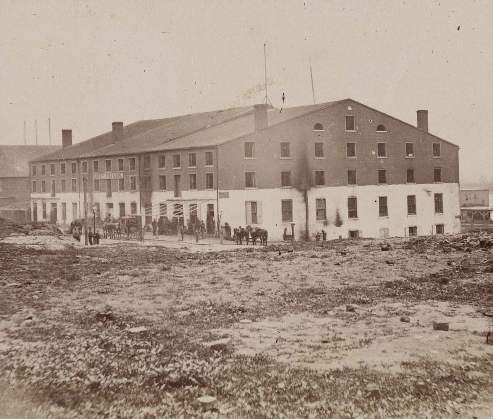
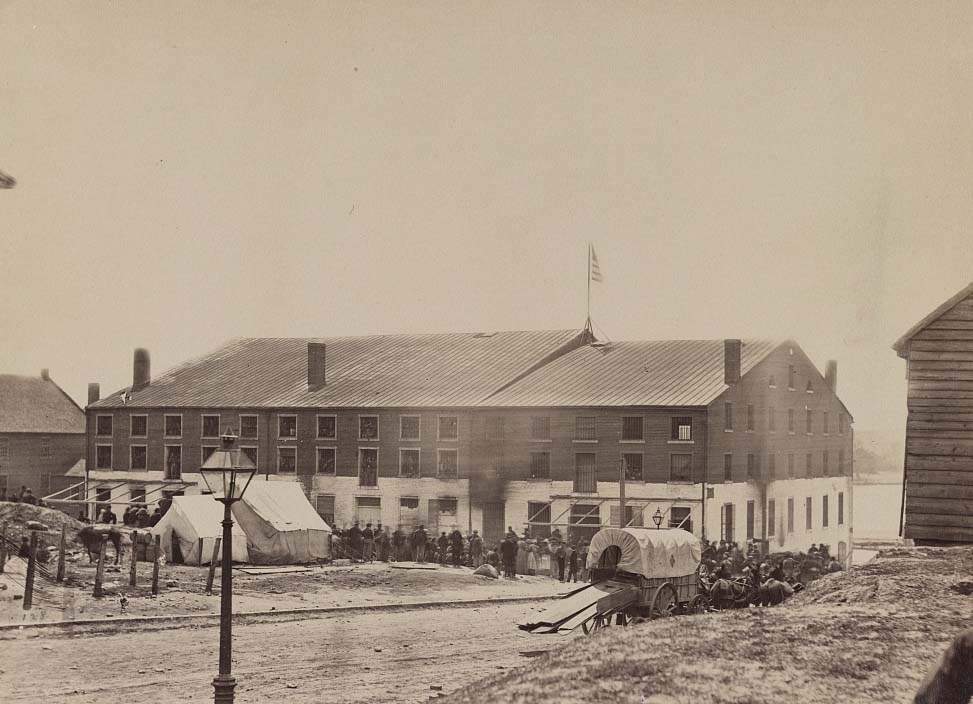
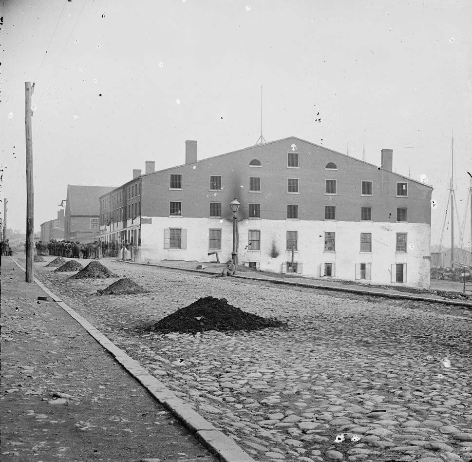
Richmond held several prisoner-of-war facilities. Libby Prison was a converted tobacco warehouse on the waterfront used to hold captured Union officers. Castle Thunder on Cary Street held political prisoners, deserters, and Union soldiers. Both became notorious during the war. Photographs taken throughout the 1860s show the buildings from multiple angles — fortified, guarded, and surrounded by tents and soldiers.
A man standing in front of Libby Prison, a Confederate facility in Richmond, Virginia, 1860An exterior view of the site of the Confederate military prison, 1861Old “Libby Prison” building, Richmond, 1862Agroup of people including a child and a man holding on to a horse next to tents in front of Libby Prison, a Confederate military prison established in 1861.Old “Libby Prison” building, Richmond, Va, 1863Soldiers, other people, and tents of Confederates outside of Libby Prison, Richmond, Virginia, 1863Men and a horse next to tents in front of Libby Prison, Richmond, Virginia, 1863Castle Thunder, Richmond, on Carey, 1863Castle Thunder, Richmond, 1860sLibby Prison, Richmond, 1860sLibby Prison, Richmond, 1860s
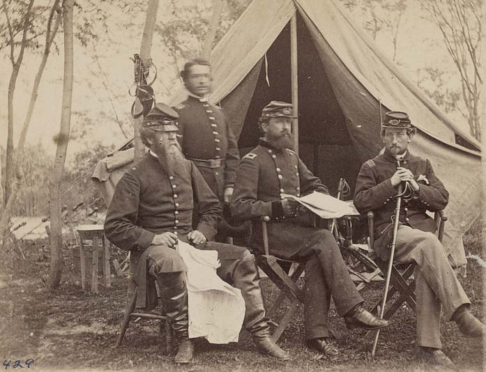
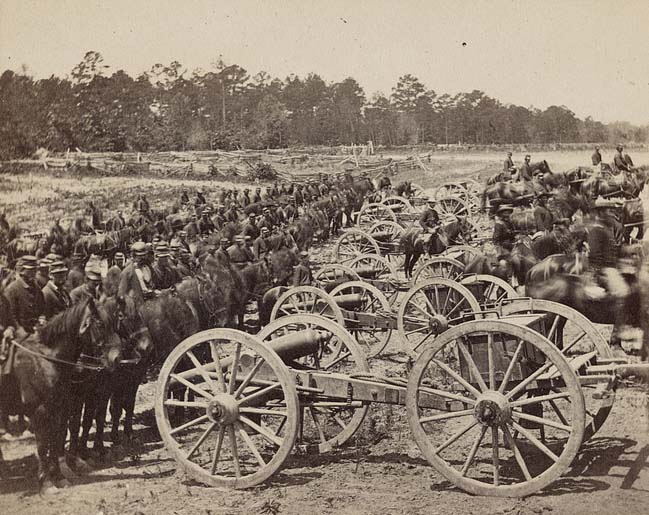
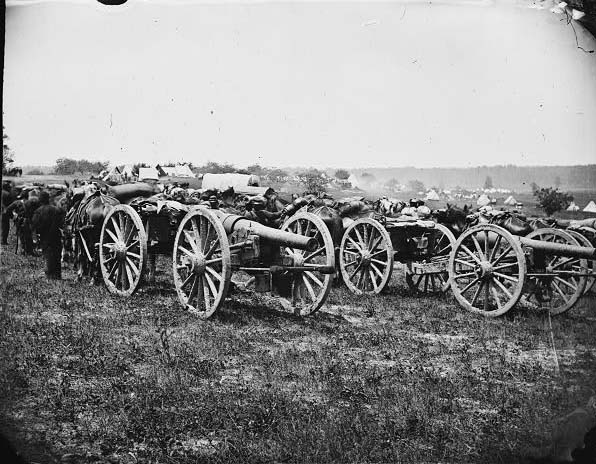
The Eastern Theater of the Civil War centered heavily on Richmond. Because of the city’s role as the Confederate capital and its industrial output, Union commanders made taking Richmond a primary objective from the first year of the war. The Peninsular Campaign of 1862 brought Union forces under General George McClellan within sight of the city before Confederate counterattacks pushed them back. Military units photographed in and around Richmond during these years show the scale of the forces involved.
Group portrait of General George Sykes and his staff in front of a tent, 1862Soldiers, horses, and mounted cannons from Captain James M. Robertson’s 2nd U.S. Artillery, 1862The main eastern theater of war, the Peninsular Campaign, May-August 1862.The main eastern theater of war, the Peninsular Campaign, 1862
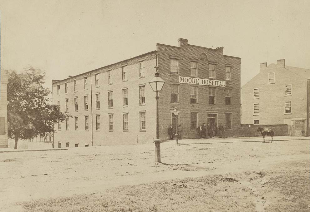
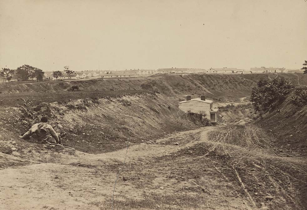
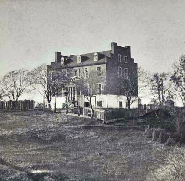
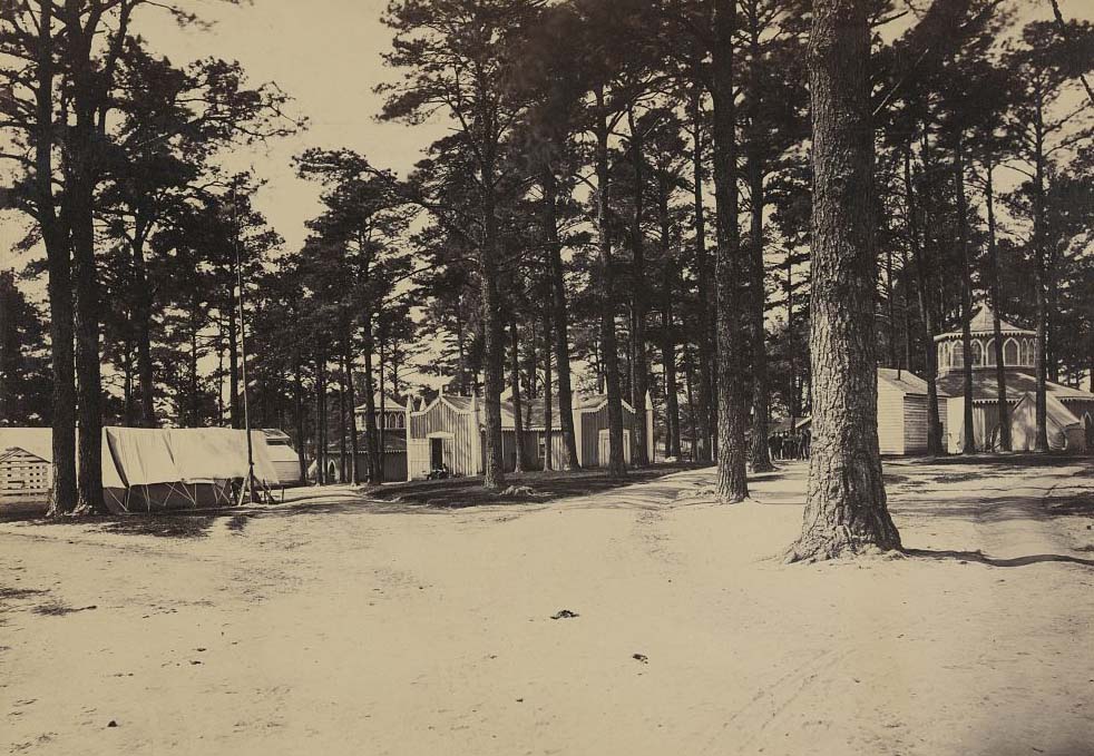
Richmond’s hospitals handled thousands of wounded soldiers from battles across Virginia. Chimborazo Hospital, on the city’s east end, became the largest military hospital in American history, treating over 76,000 patients during the war. Moore Hospital on Main Street also served Confederate wounded. The city’s medical infrastructure was stretched far beyond its original capacity, with makeshift wards filling churches, homes, and warehouses.
Moore Hospital (Confederate) Main Street, Richmond, 1864Chimborazo Hospital, (Confederate) Richmond, 1864Exterior view of City Hospital in Richmond, 1865Confederate hospital near Richmond, April 1865
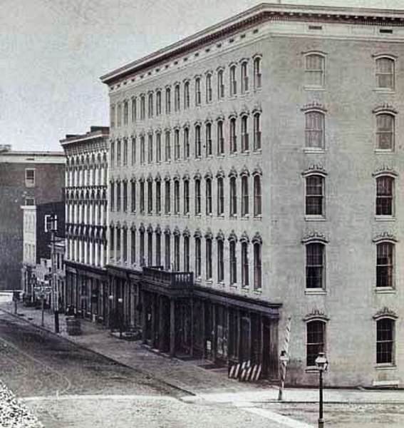
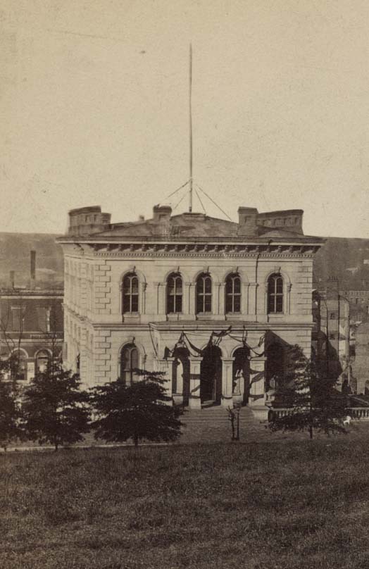
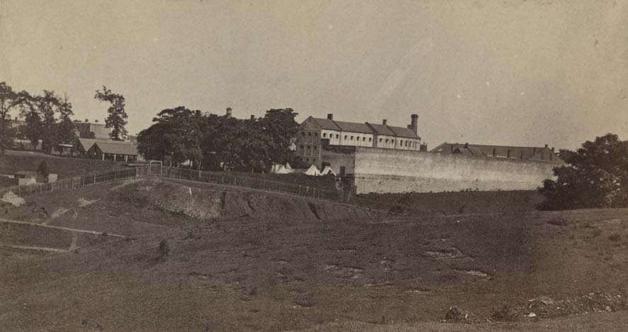
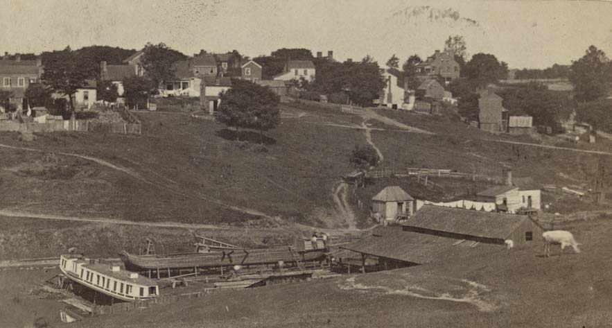
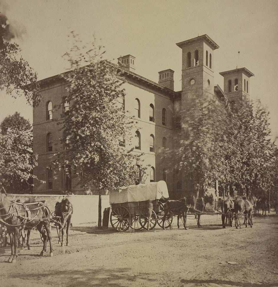
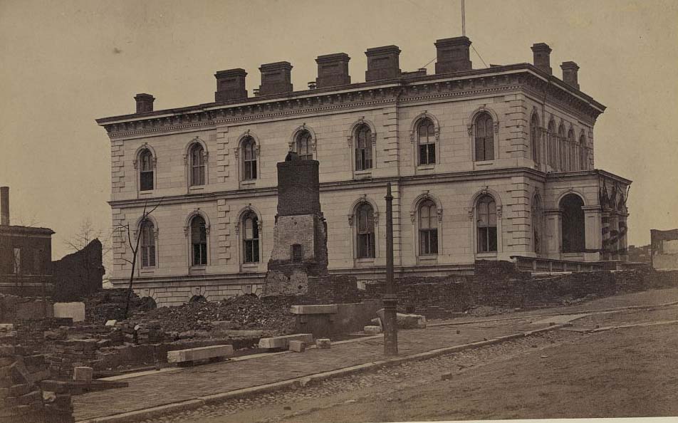
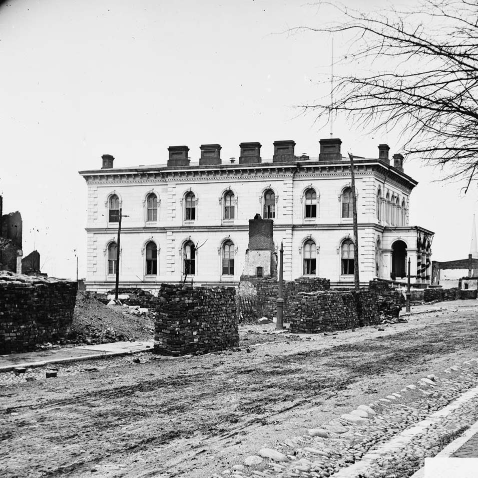
The city’s other institutions remained visible through the war years. The Female Institute on 10th Street, the Treasury building, the State Penitentiary on Gamble’s Hill, and the Custom House all appeared in photographs taken during this period. The Spotswood Hotel on Main Street served as a gathering point for Confederate officials and military officers. These buildings gave Richmond the look of a functioning capital city even as the war tightened around it.
A street view of the Spotswood Hotel in Richmond, Virginia, 1861Treasury building, now National Bank of Virginia, 1861The Virginia State Penetentiary on Gamble’s Hill in Richmond, Virginia, 1861A ship building facility in a rural area near Richmond, Virginia, 1861Female Institute, 10th Street, Richmond, 1864A street view of the Spotswood Hotel in Richmond, Virginia, 1865The custom house, Richmond, 1865
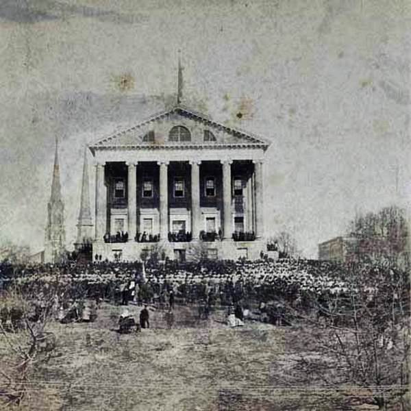
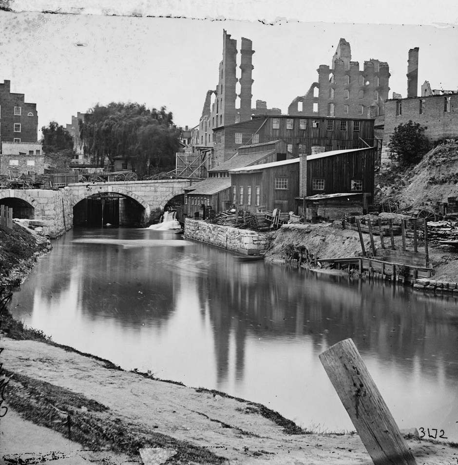
The celebrations that marked early Confederate victories — including a large gathering at the Virginia State Capitol to mark the first battle of Manassas in 1861 — gave way to mounting hardship as the war dragged on. The James River and Kanawha Canal kept industry moving, with flour mills like the Haxall and Gallego operations producing food for the city and the Confederate Army. The Gallego Flour Mill, one of the largest in the world at the time, stood along the river as a symbol of Richmond’s industrial strength.
A crowd gathered for the Confederate Celebration at the Virginia State Capitol celebrating the victory at the first battle of Manassas, 1861The Gallego Flour Mill on the James River before the fall of Richmond in 1865James River and Kanawha Canal near the Haxall Flour Mills, and ruins of Gallego Mills in the distance, 1863Dock on south side of James River, opposite Richmond, 1864
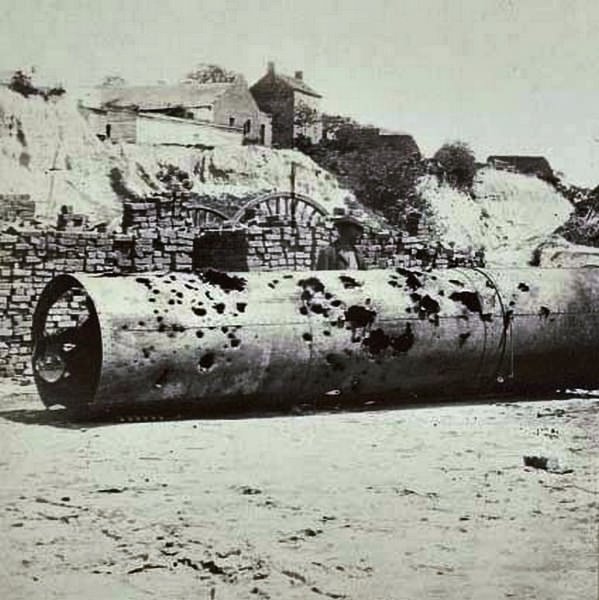
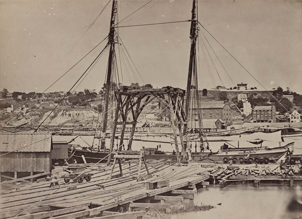
The Confederate ram Virginia No. 2 was one of Richmond’s naval defense assets. When the Confederates evacuated the city in early April 1865, they damaged the vessel themselves to keep it from Union hands. A photograph taken in 1864 shows its smokestack riddled with holes from Union gunfire and further torn apart by Confederate sabotage. It was one of dozens of deliberate acts of destruction that preceded the evacuation.
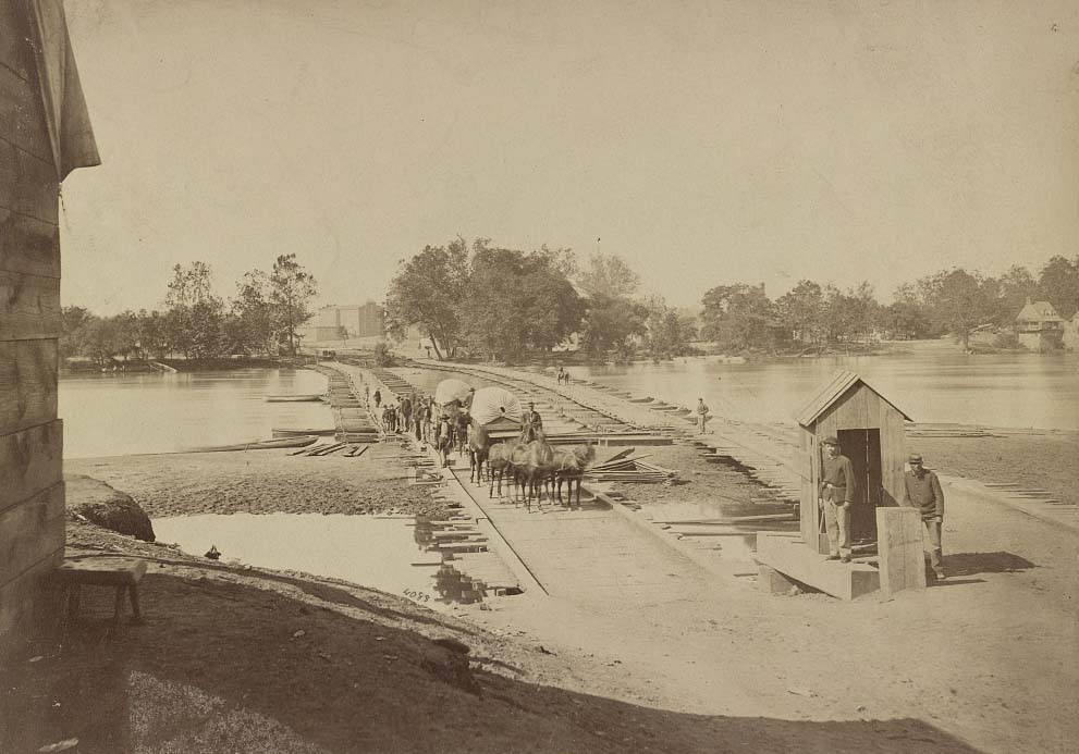
A damaged smokestack from the Confederate ram “Virginia No. 2” full of holes from Union gunshots, and further damaged by the Confederates before their evacuation of the city, 1864An aerial view of Rocketts Landing on the James River in Richmond, Virginia, 1864Pontoon bridges across James River at Richmond, 1864
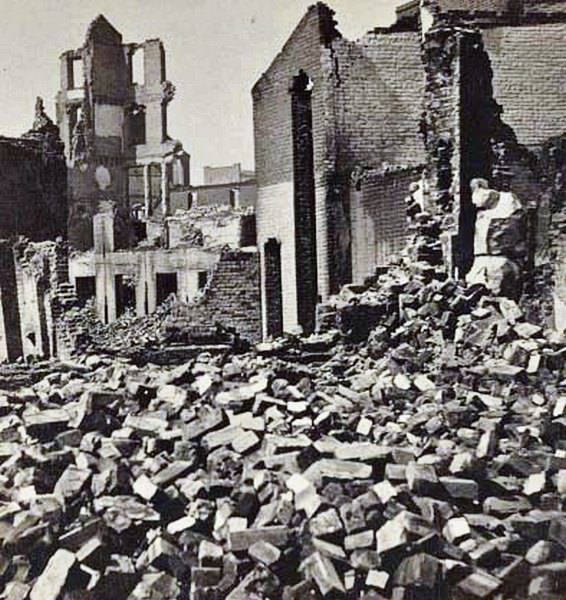
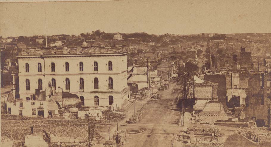
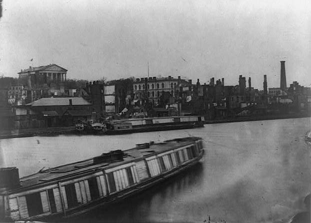
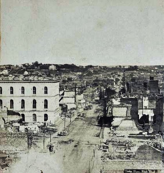
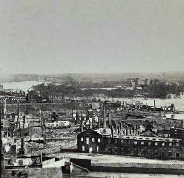
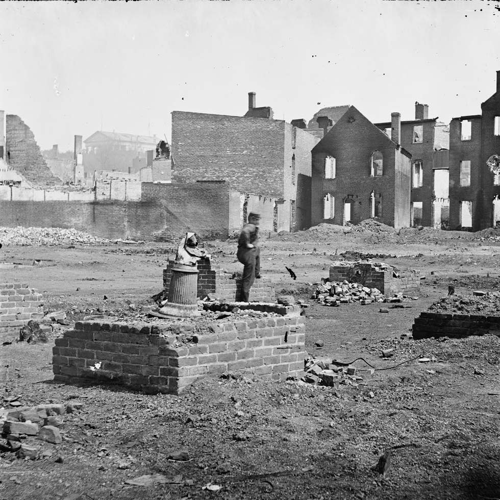
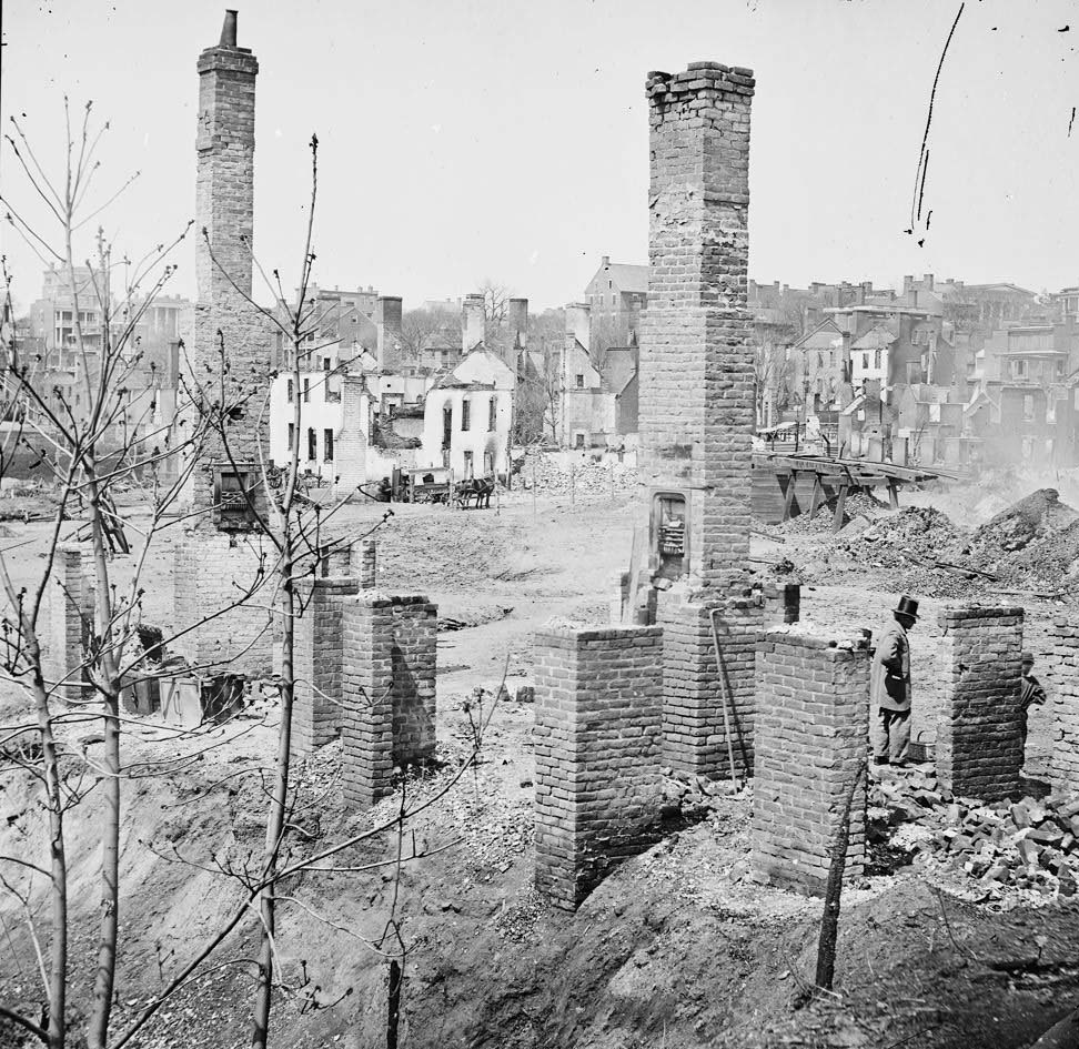
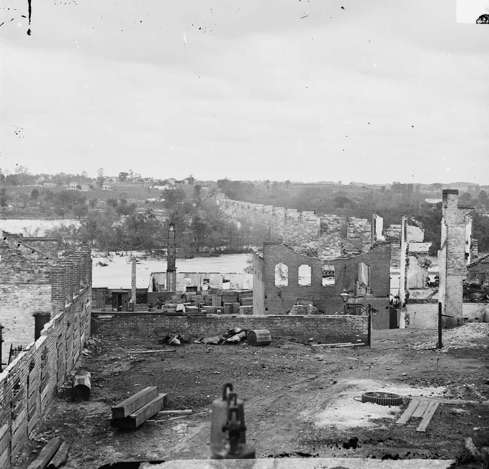
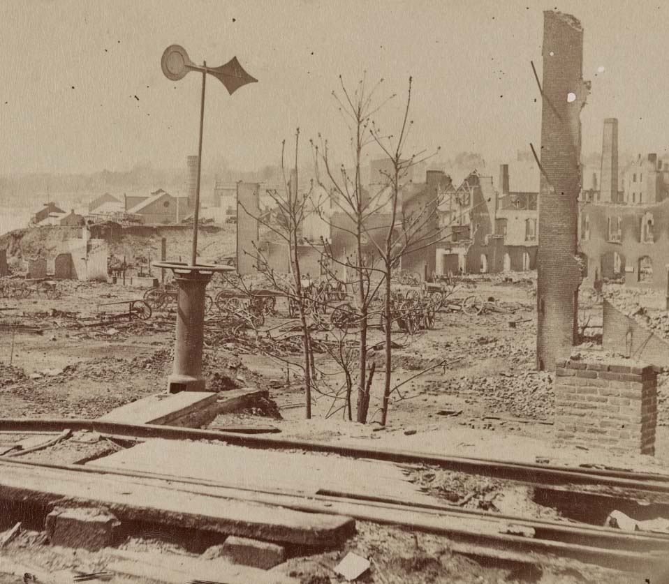
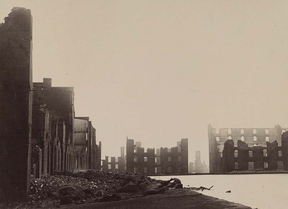
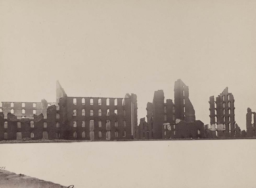
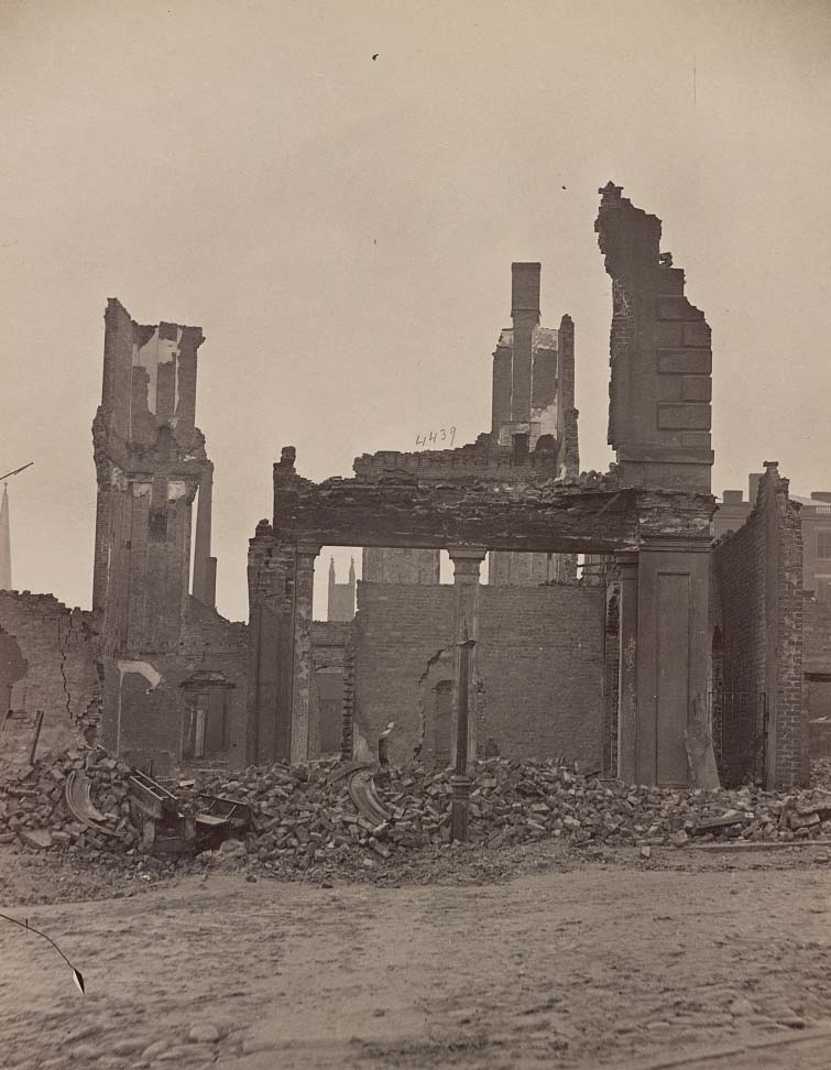
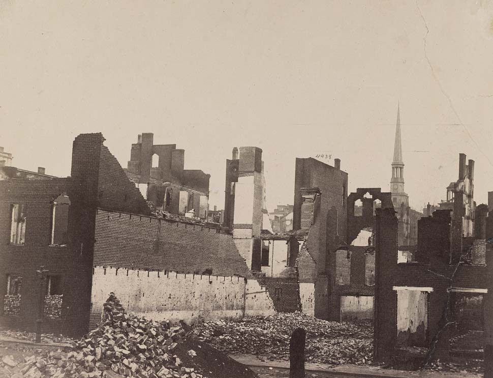
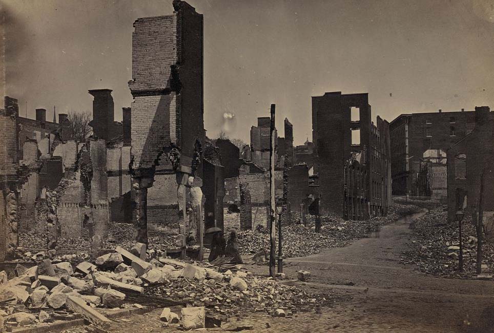
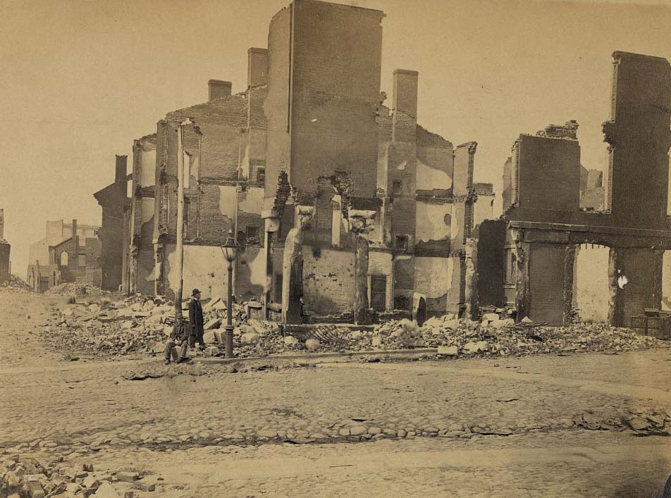
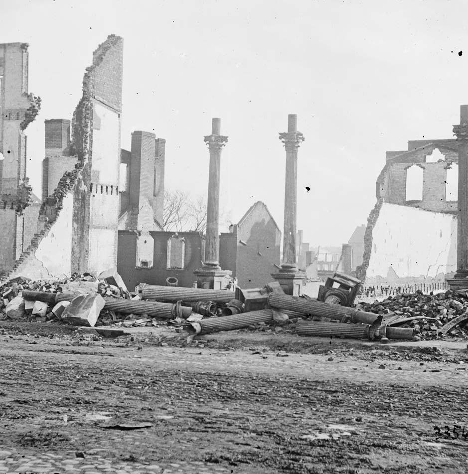
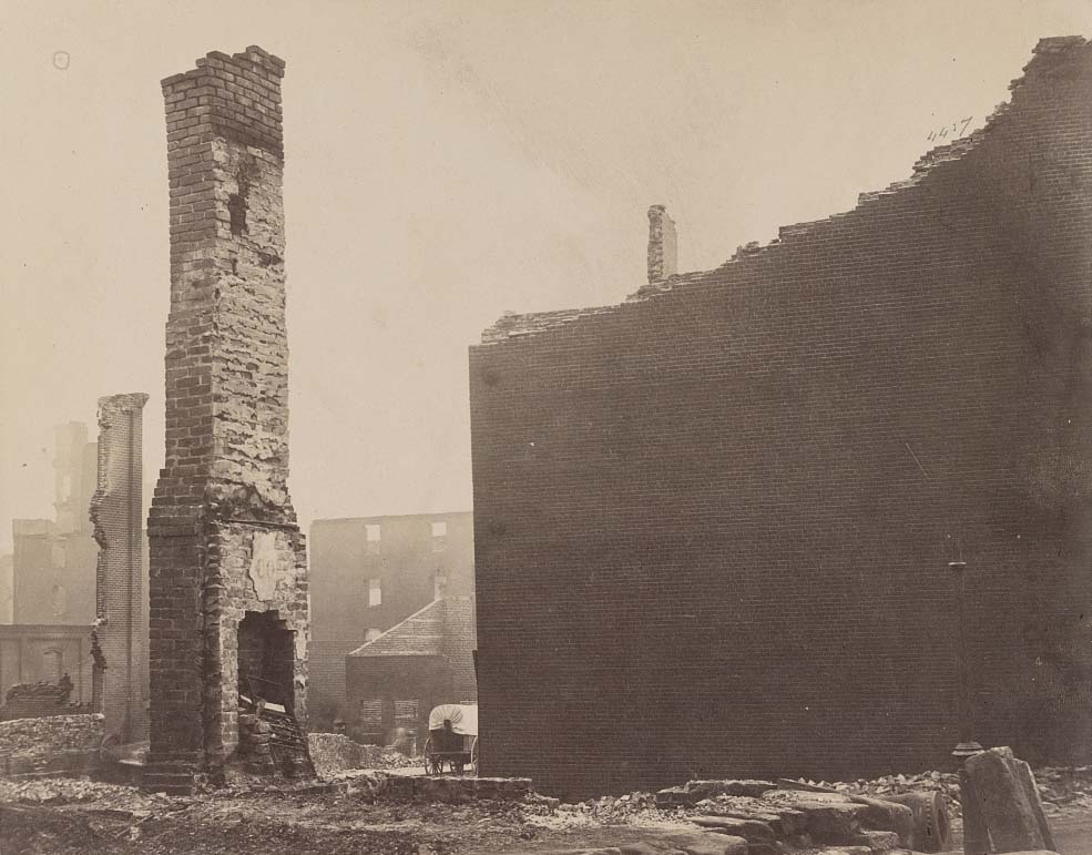
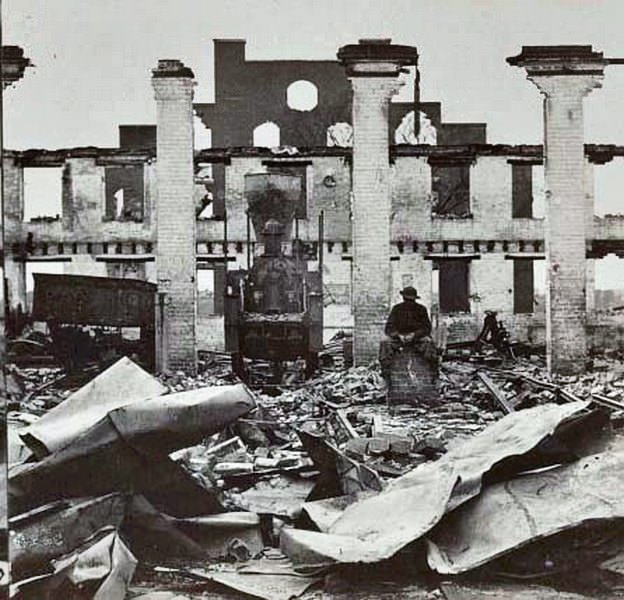
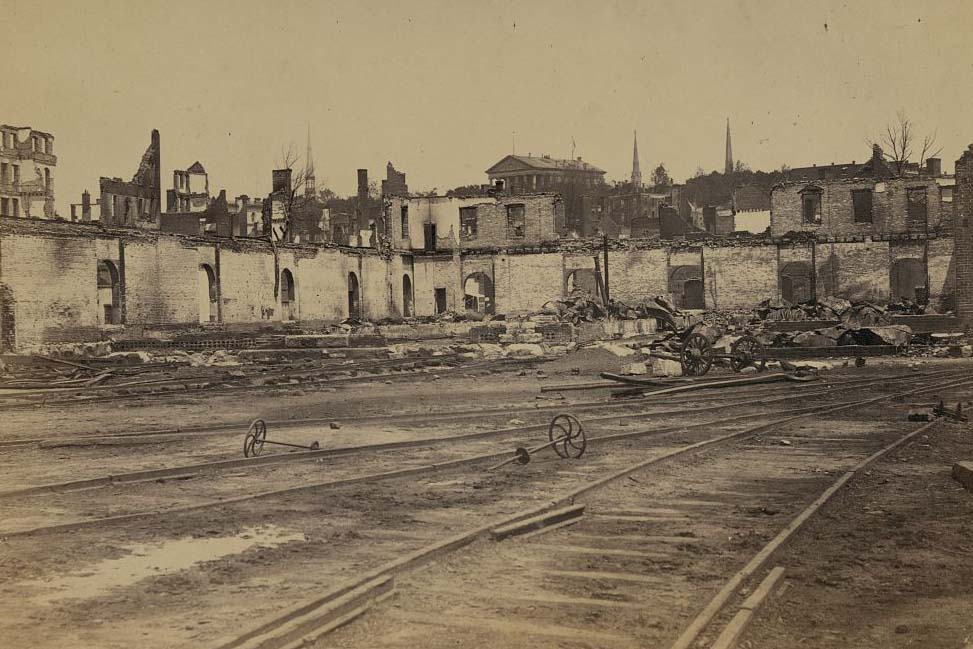
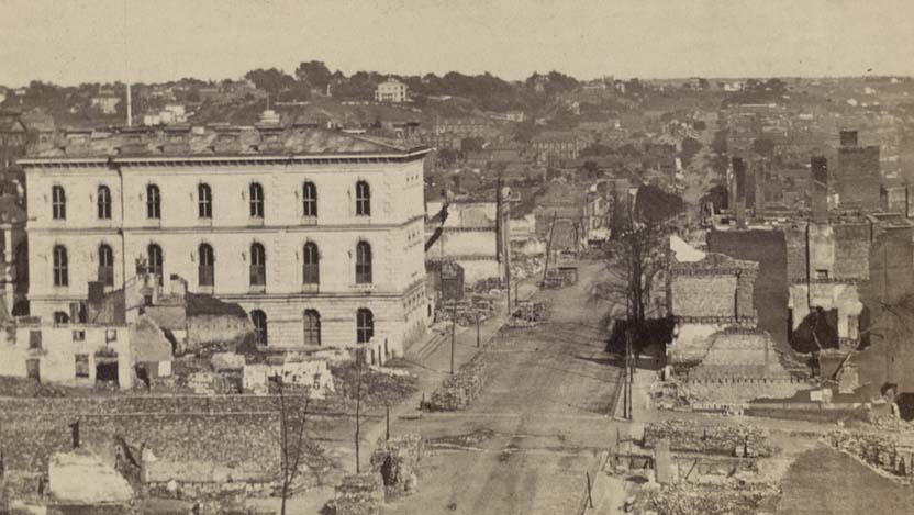
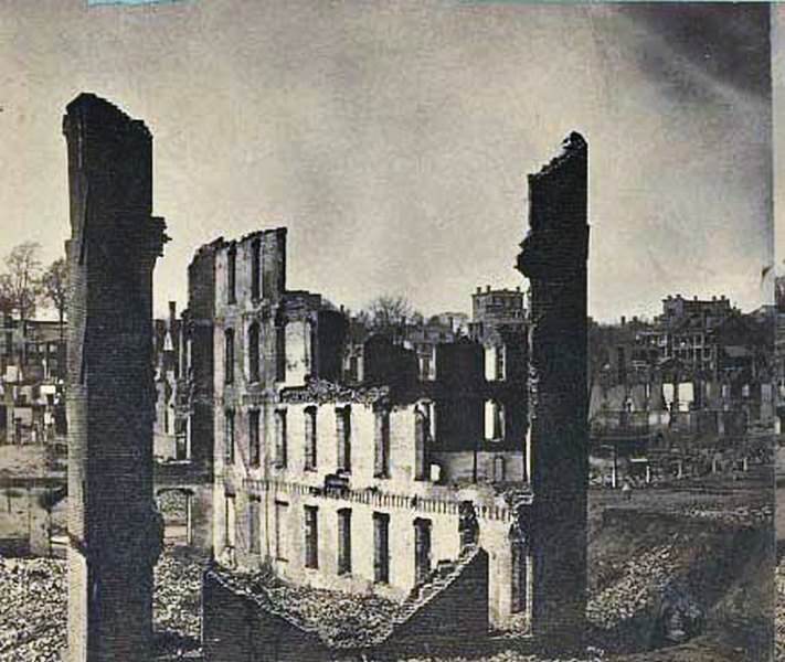
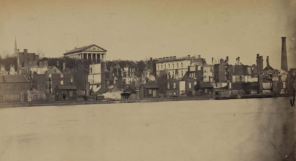
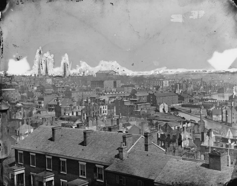
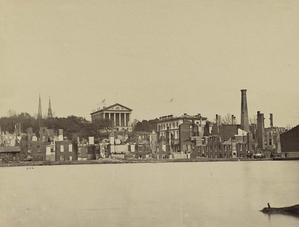
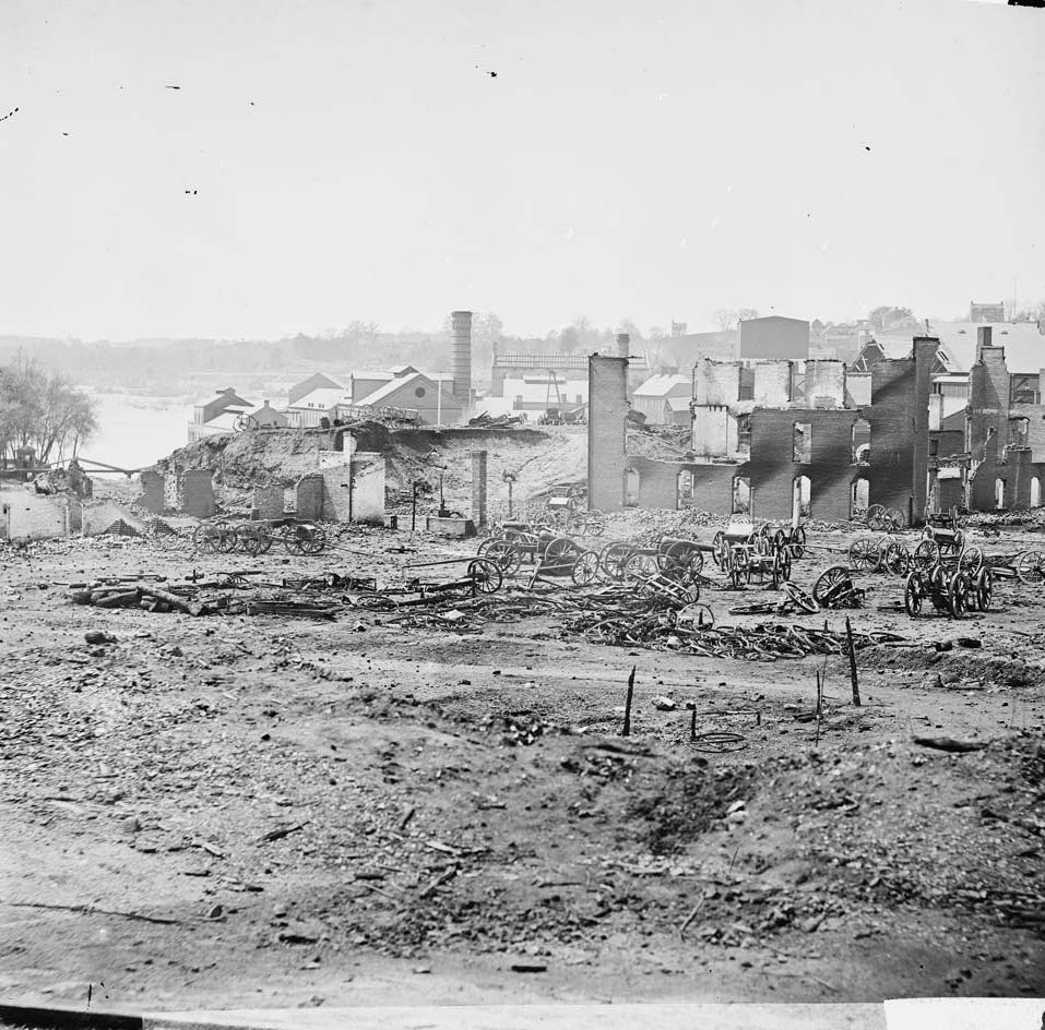
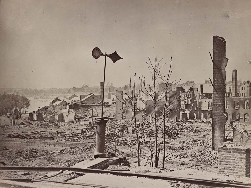
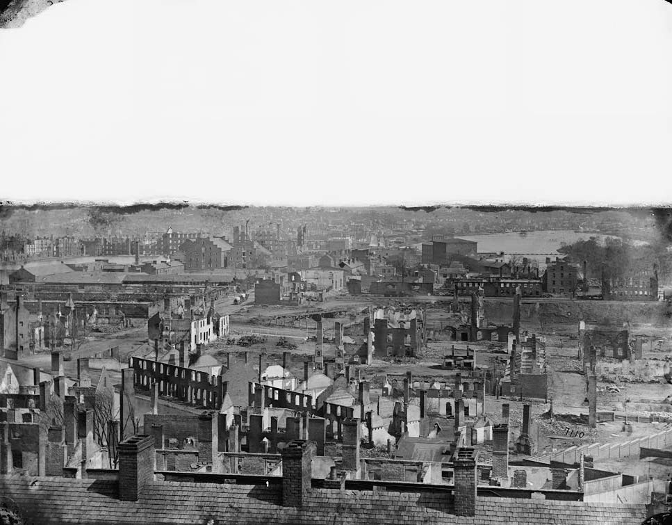
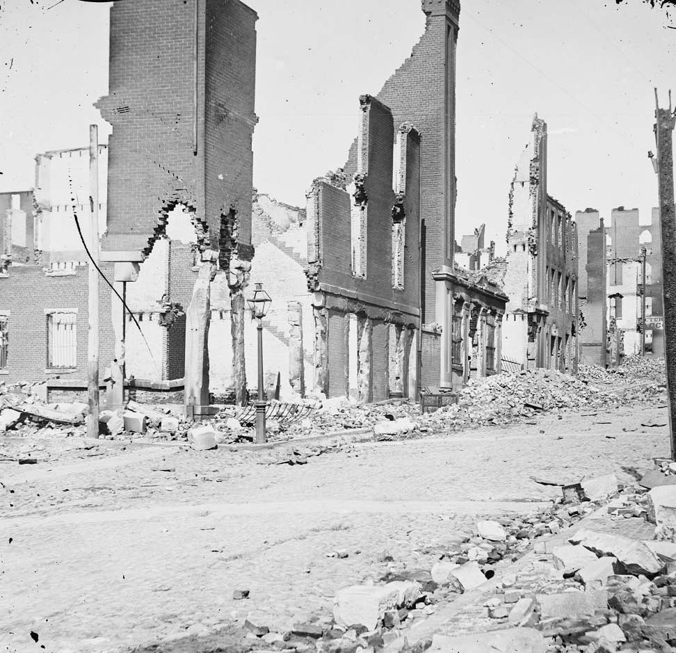
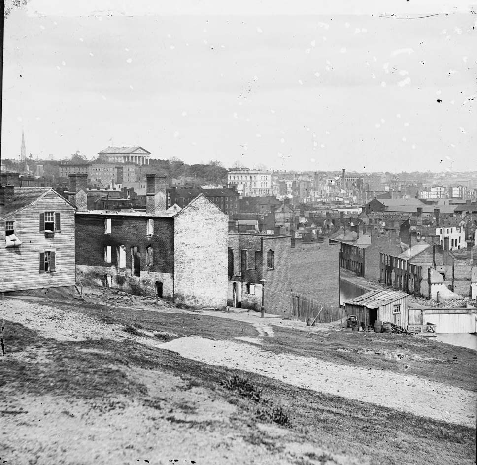
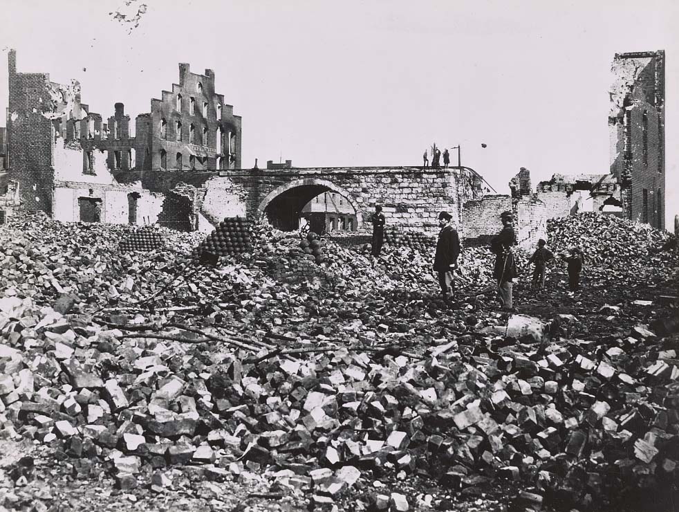
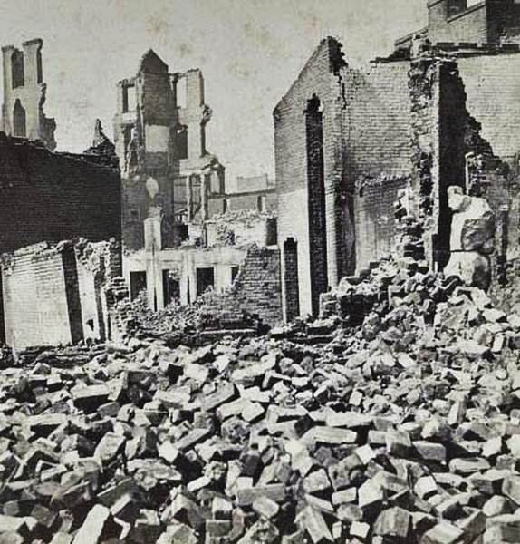
On the night of April 2–3, 1865, Confederate forces set fire to warehouses, bridges, and military stores as they abandoned Richmond. The fires spread out of control, destroying over 700 buildings across the business district. The area became known as the “Burnt District.” What followed was one of the most photographed scenes of the entire Civil War — block after block of charred facades, collapsed roofs, and standing chimneys with nothing behind them.
View of Richmond, at the close of the rebellion, 1860sAerial view of Richmond, Virginia, showing ruins of buildings in the “Burnt District, 1865Burnt district, 1865An aerial view of demolished buildings after the Confederates abandoned the city in 1865.An aerial view of Richmond before the evacuation of the Confederates in 1865.An aerial view of the “burnt district” in Richmond, taken from the old arsenal. The James River in background, 1865An aerial view of the “burnt district” in Richmond, taken from the old arsenal, 1865An aerial view of the “burnt district” in Richmond, taken from the old arsenal, 1865Aan aerial view of Richmond, Virginia, 1865Richmond, Va. Ruined buildings in the burned district, 1864Chimneys standing in the burned district, 1864
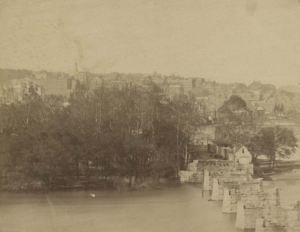
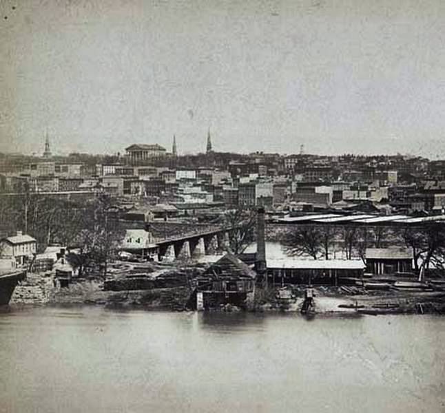
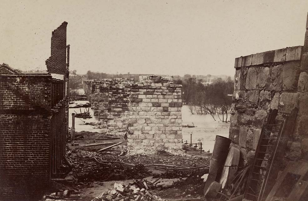
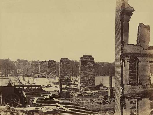
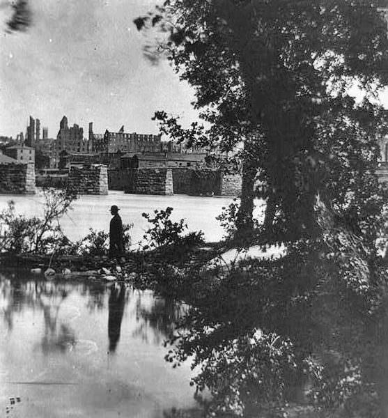
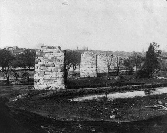
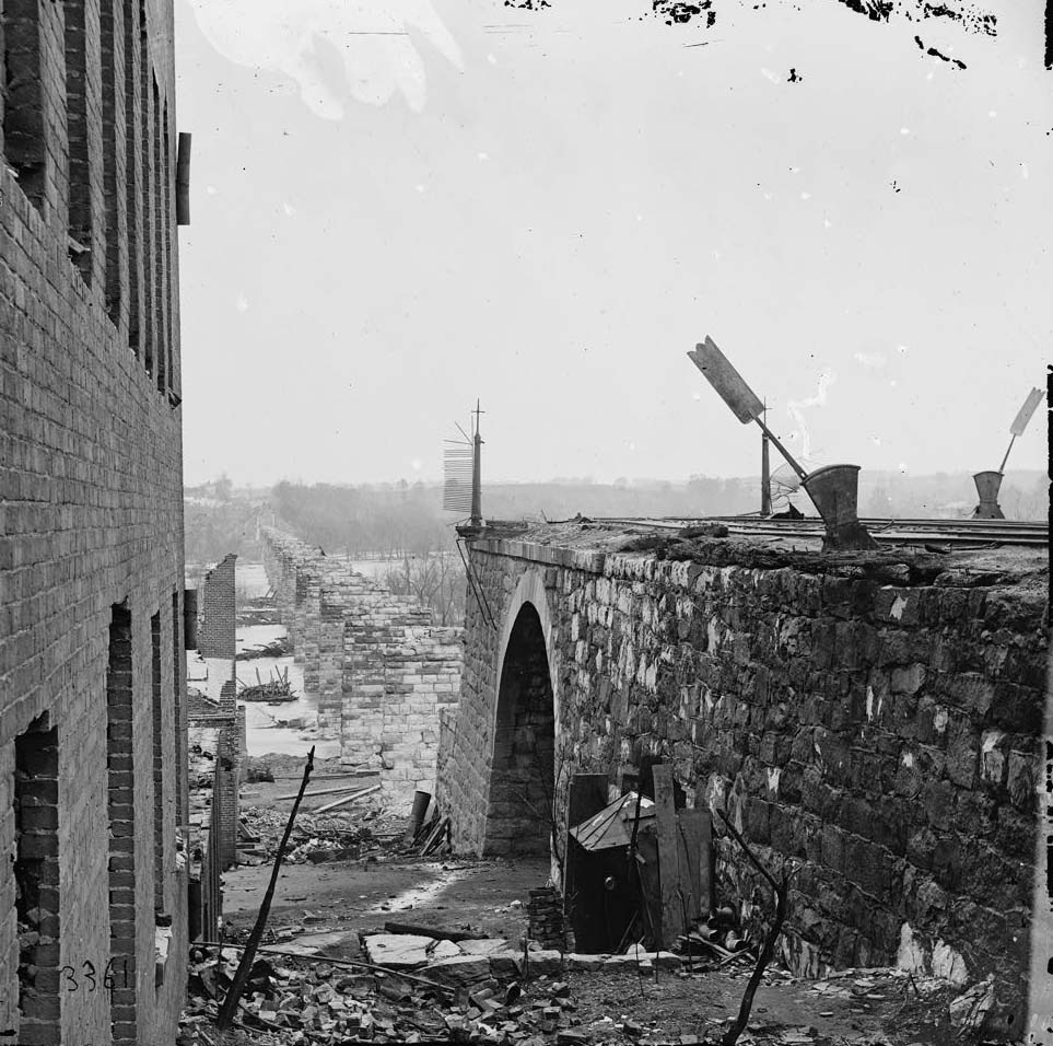
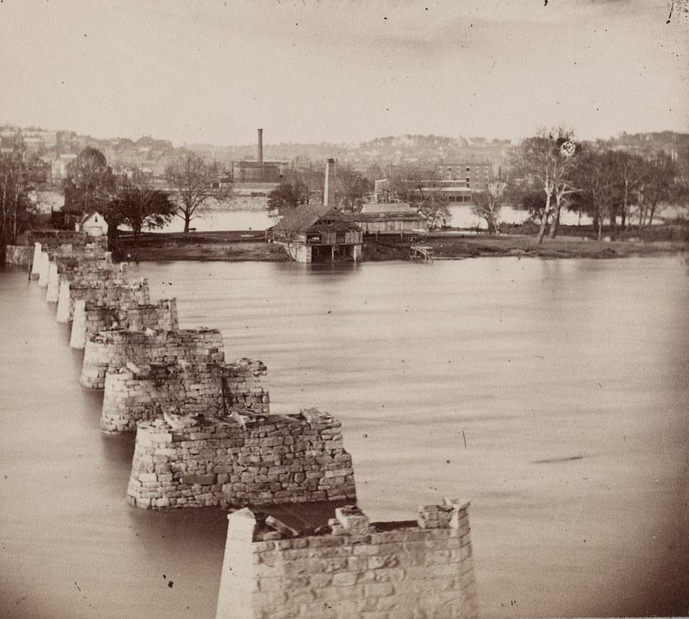
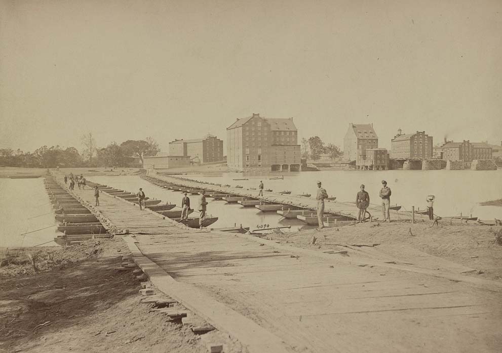
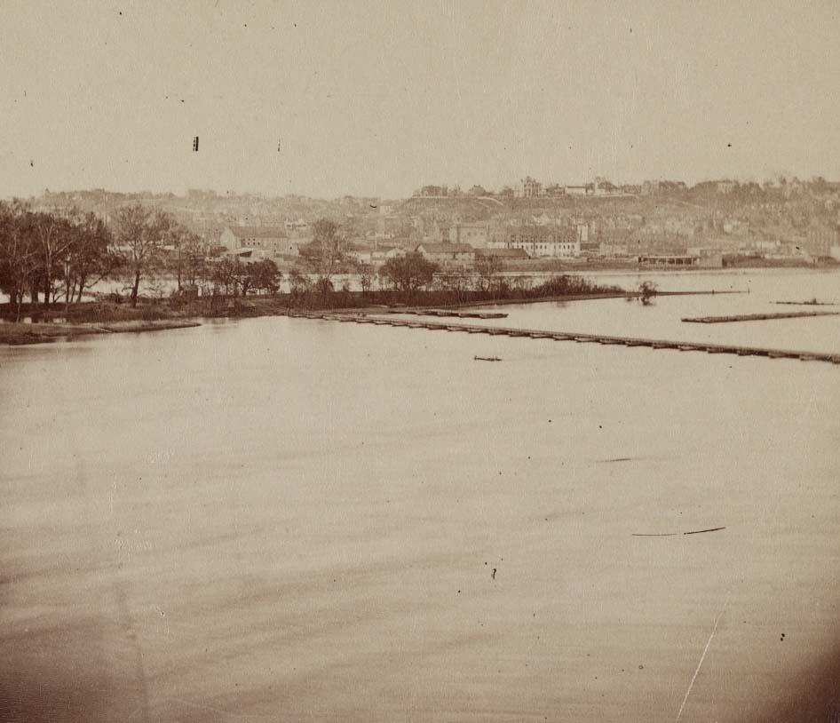
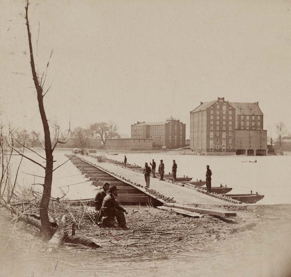
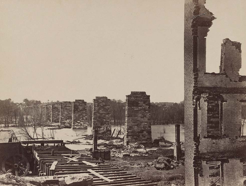
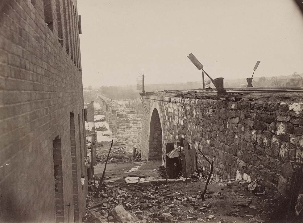
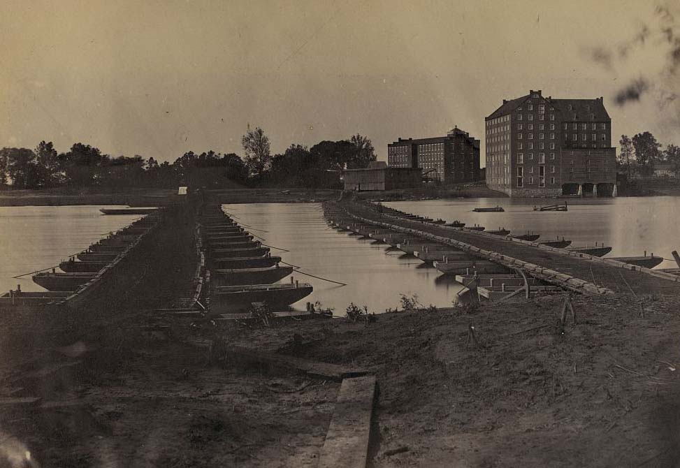
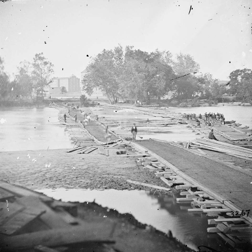
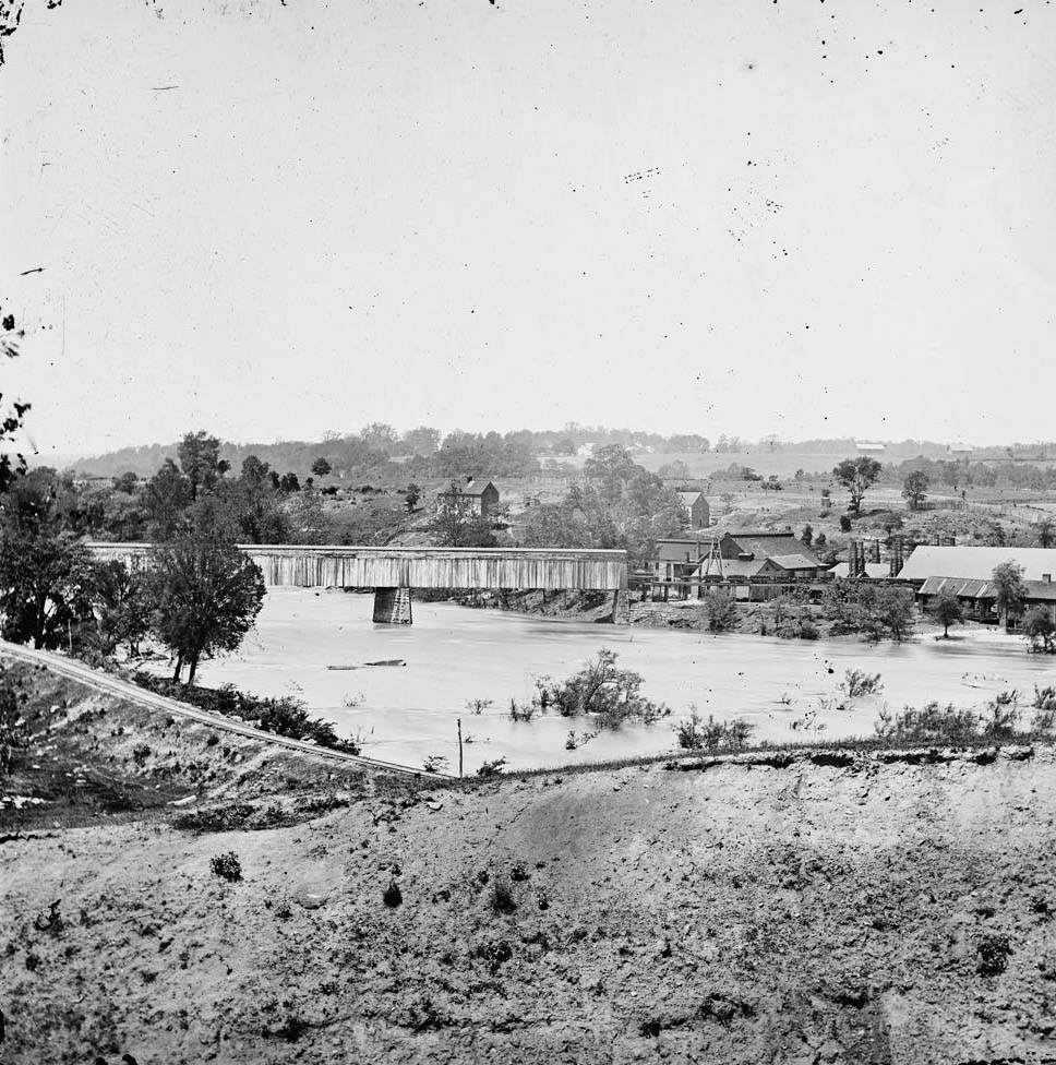
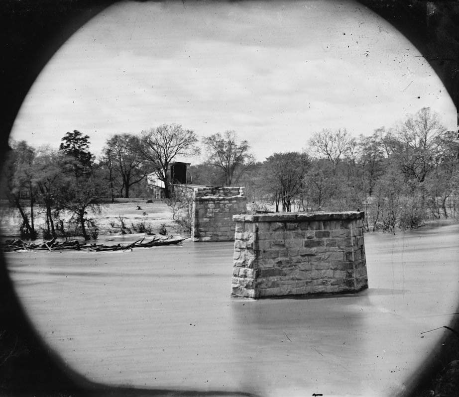
The ruins of the Richmond and Petersburg Railroad Bridge over the James River became one of the most photographed landmarks of the post-war scene. The bridge’s stone piers stood in the river while the wooden spans above were gone, burned by retreating Confederates. Photographers returned to this spot repeatedly, capturing it from the north bank, the south bank, and from higher ground. Pontoon bridges built by Union engineers quickly replaced the destroyed crossings.
Ruins of Richmond and Petersburg Railroad Bridge, James River, Richmond, 1864The ruins of the Richmond and Petersburg railroad bridge in the yard where the Confederate artillery was manufactured, 1863Ruins of Petersburg and Richmond railroad bridge, across the James, 1864Man standing on shore overlooking ruins of bridge with ruins of city in background, Richmond, 1865Richmond and Petersburg R.R. Bridge, James River, Richmond, 1865Ruins of paper mill and railroad bridge, Richmond, 1865Ruins of Richmond & Petersburg Railroad bridge; south bank of the James beyond, 1865Ruins of Richmond & Petersburg Railroad bridge, 1865Ruins of Richmond and Petersburg R.R. bridge, Richmond, 1864Ruins of Mayo’s Bridge.photographed April, 1865Pontoon bridges across James River at Richmond, Va., April, 1865Pontoon bridges across James River.photographed April, 1865,Pontoon bridges across James River, 1865Ruins of Richmond and Petersburg Railroad Bridge, Richmond, Va., April, 1865Ruins of Richmond and Petersburg Railroad Bridge, Richmond, Va., April, 1865
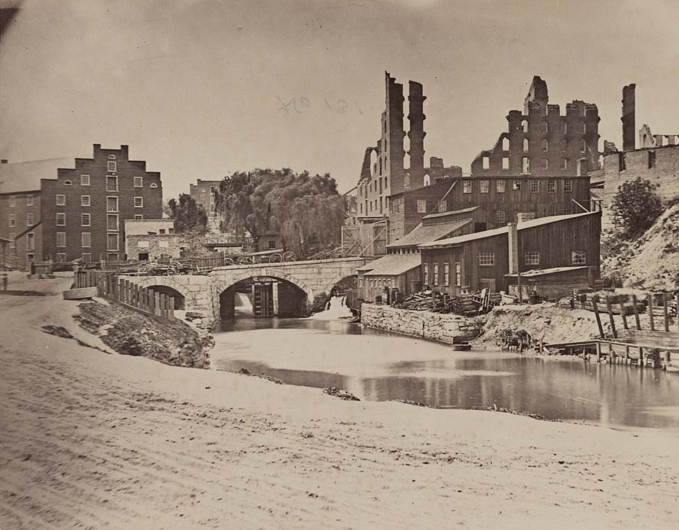
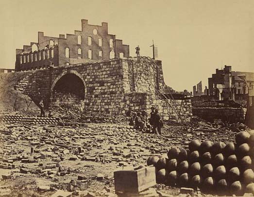
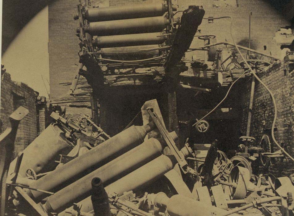
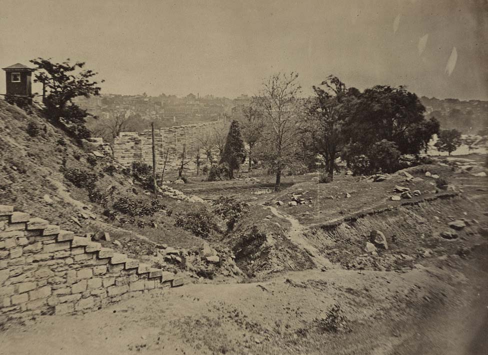
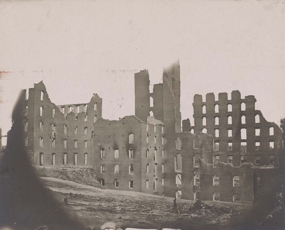
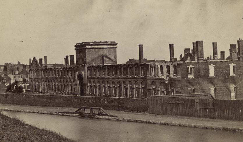
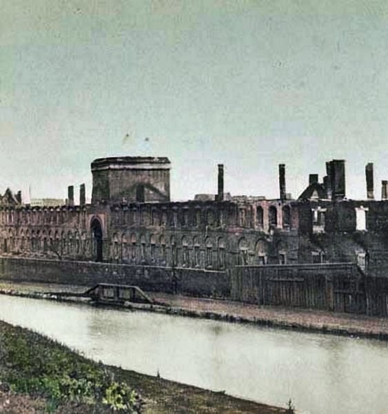
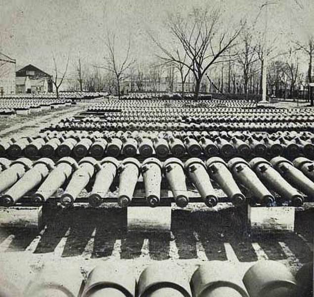
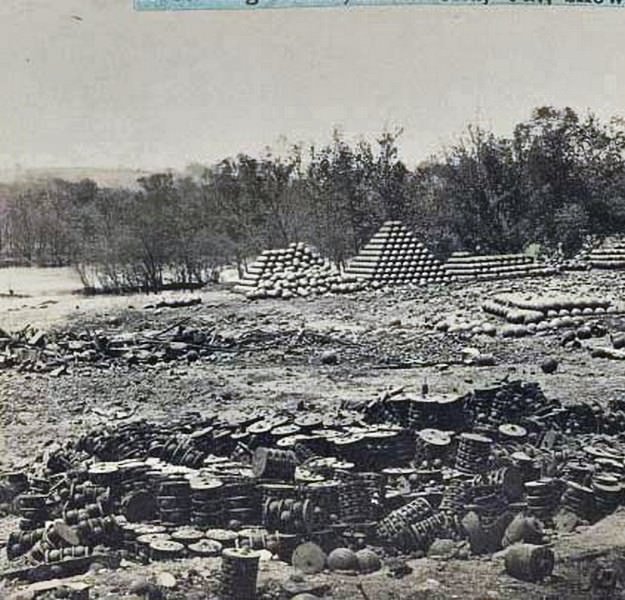
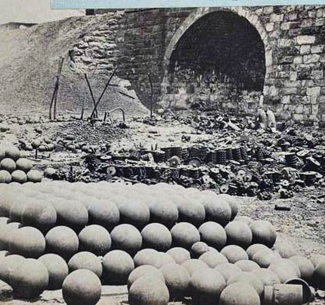
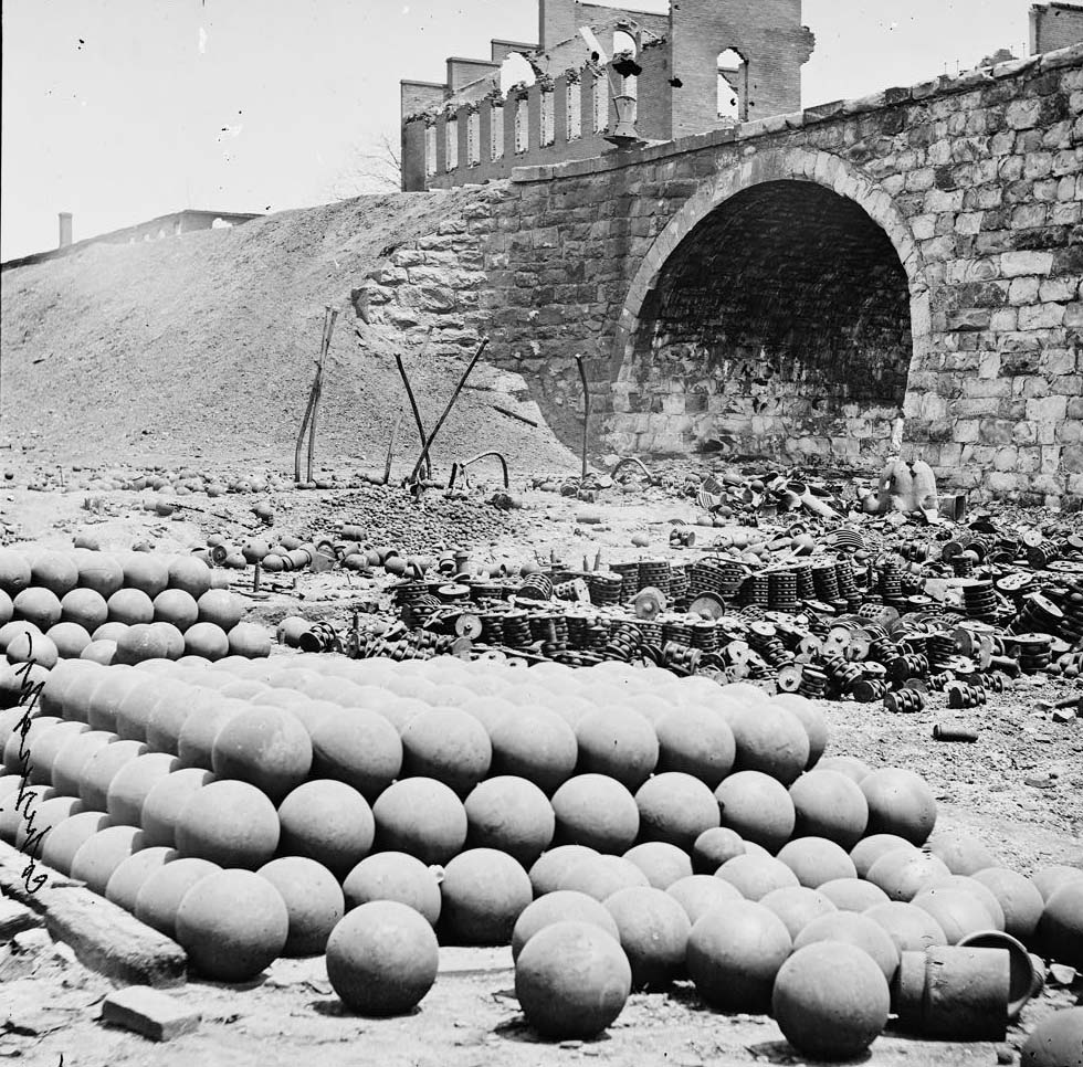
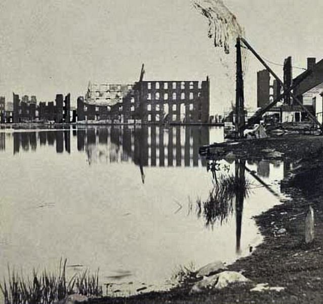
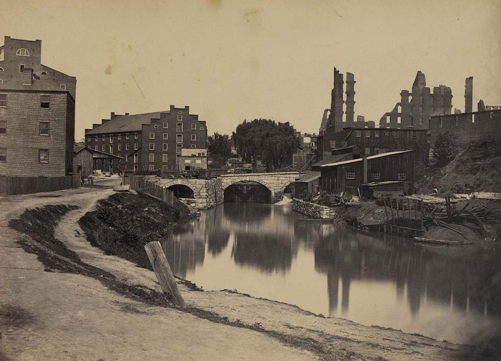
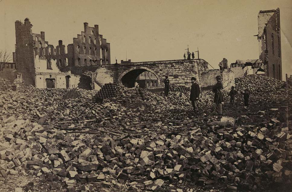
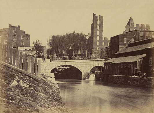
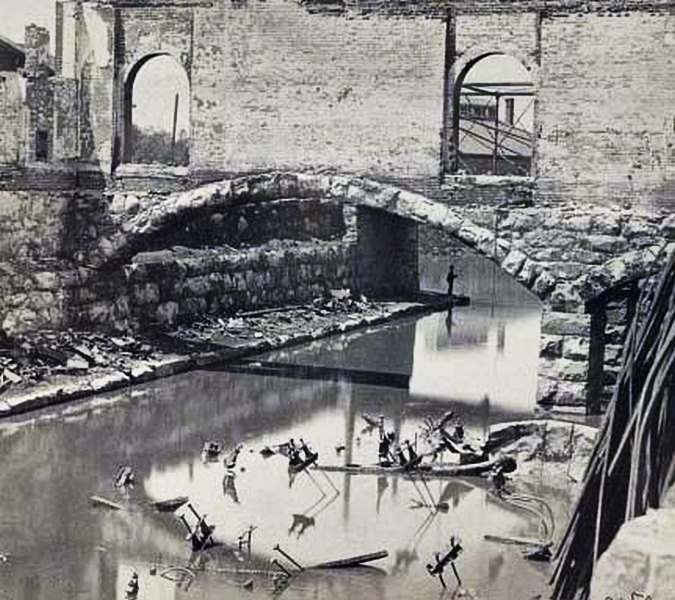
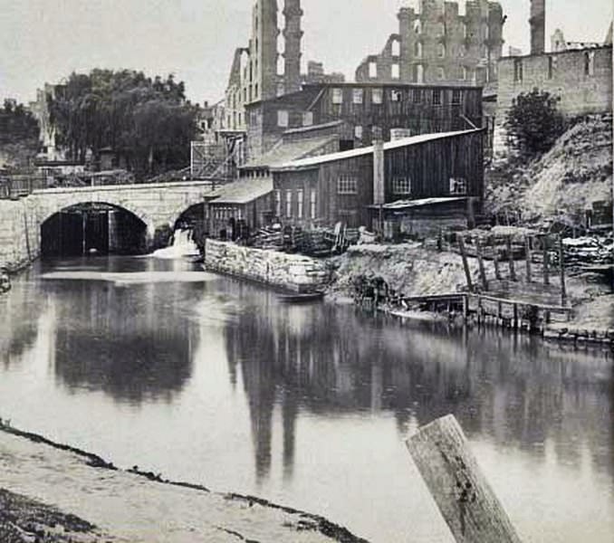
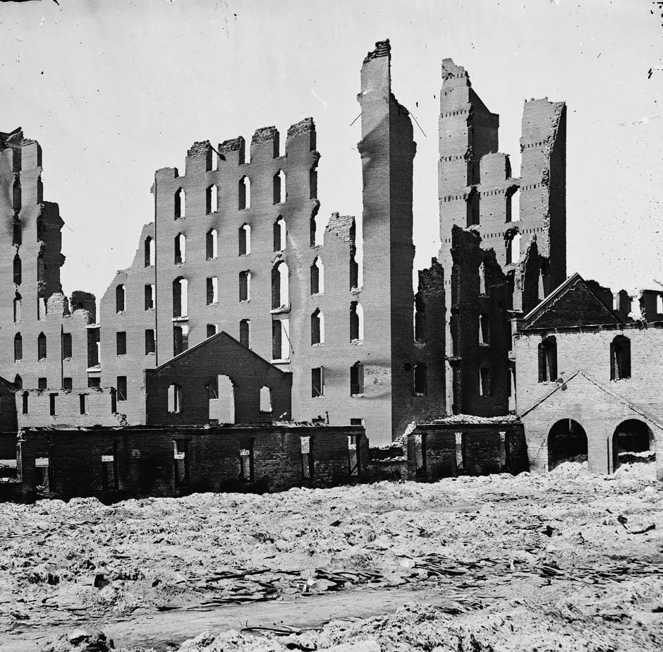
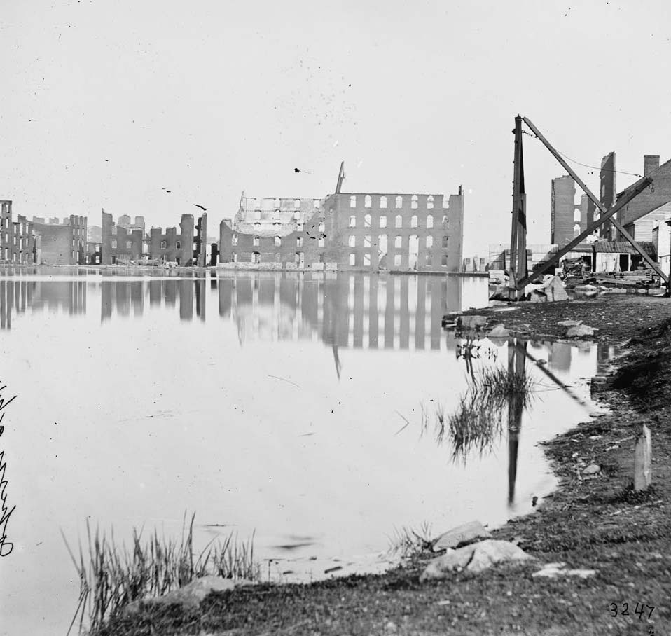
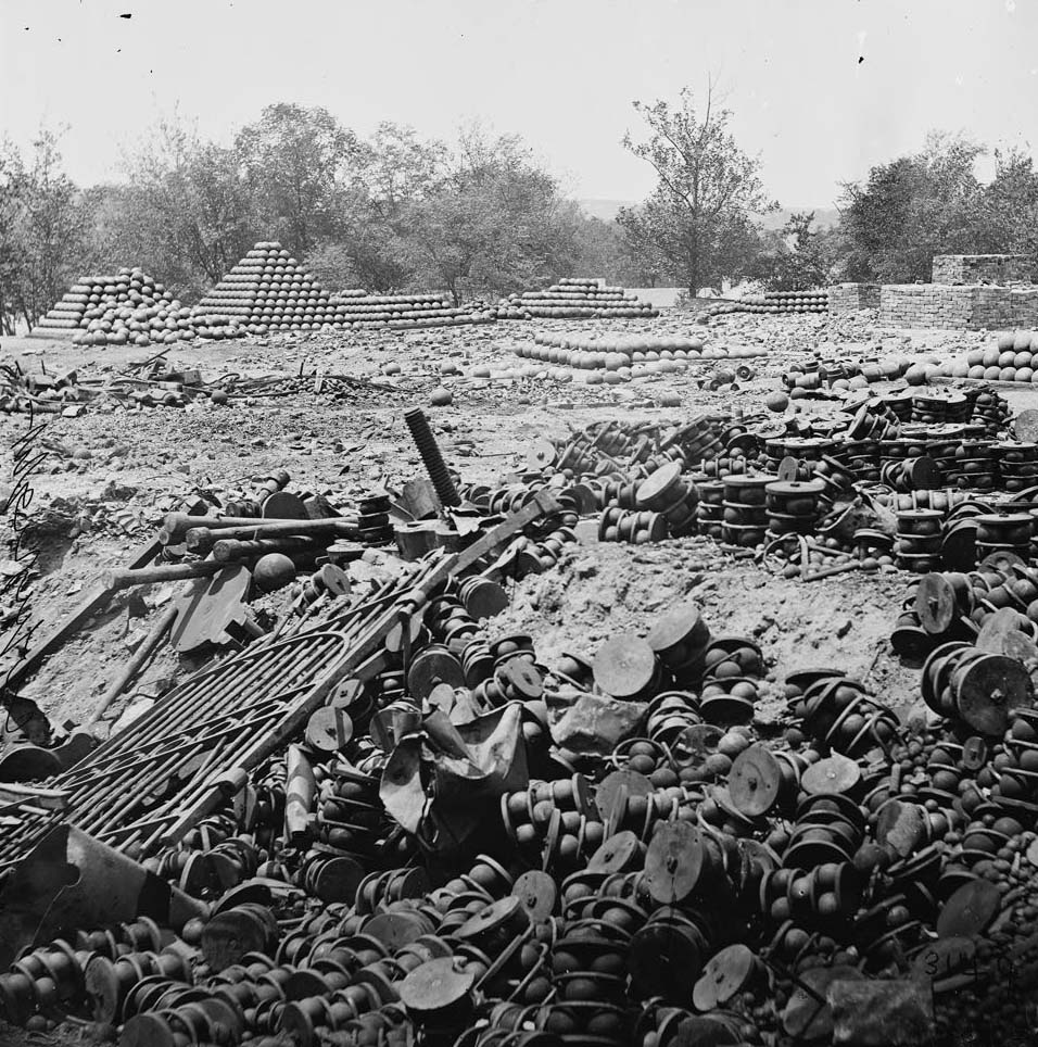
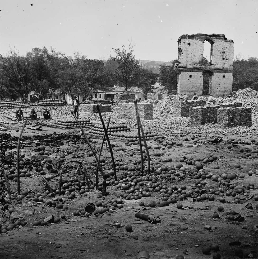
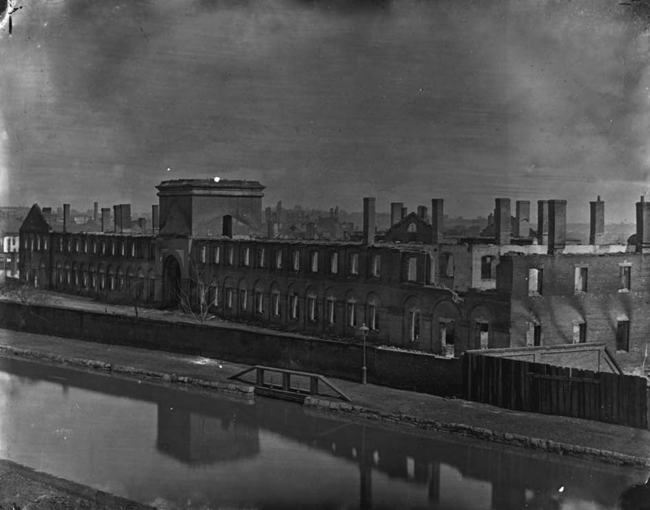
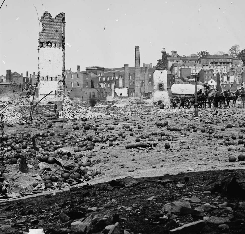
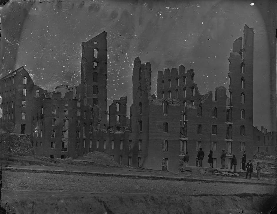
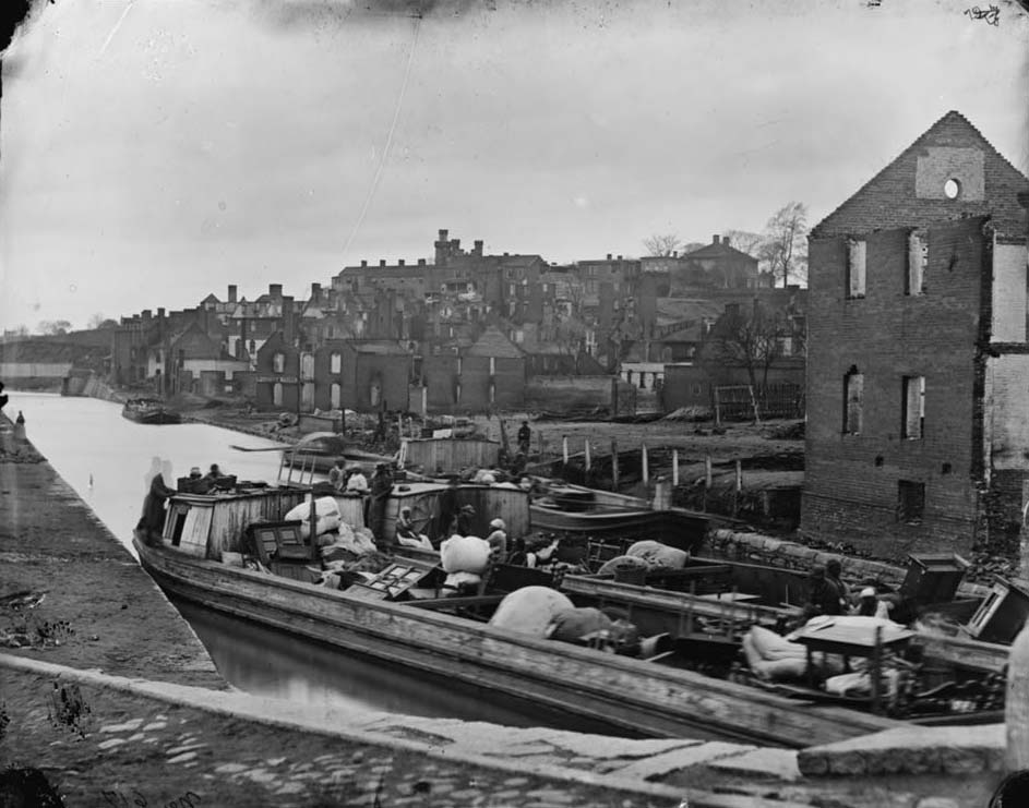
The Arsenal grounds along the canal were a wasteland after the fall. Shot, shell, and cannonballs lay scattered across the grounds. The State Arsenal building had been reduced to rubble. Nearby, the ruins of the Gallego Flour Mills stretched along the river — the once-towering industrial complex now a shell of broken walls and empty window frames. The Haxall Flour Mills fared better but still stood amid widespread destruction.
Ruins of Gallego Mills, Richmond, 1863Ruins of the State Arsenal along the canal in Richmond, Virginia, 1861The ruins of the former Virginia State Armory along the canal in Richmond, Virginia after the Confederates abandoned the city, 1865Arsenal grounds, Richmond, showing ruins and shot and shell scattered around, 1865.Arsenal grounds, Richmond, Va., showing ruins and shot and shell scattered around. 1865.View in the arsenal grounds, Richmond, 1865Piles of solid shot, canister, etc., in the Arsenal grounds; Richmond & Petersburg Railroad bridge at right, 1864Views of ruins of the Arsenal, Richmond, Virginia, April, 1865Ruins on the Canal Basin, Richmond, Va., April, 1865Ruins of Gallego Flour Mills, Richmond, Va., April, 1865
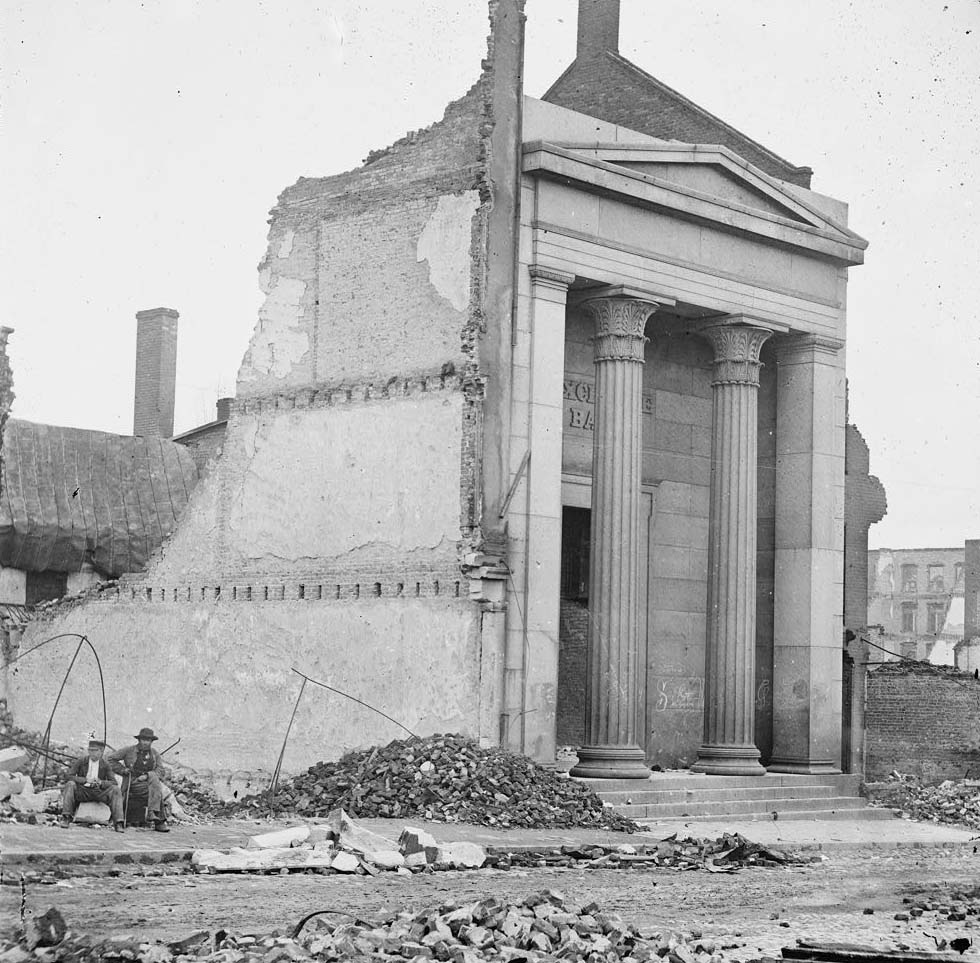
Carey Street and its surrounding blocks were among the hardest-hit areas. Multiple photographs taken in 1863, 1864, and 1865 show the same streets at different stages of destruction. The Southern Express Office, the Exchange Bank, and rows of commercial buildings were gutted. Only facades remained in some places, their interiors completely burned out. Photographers moved through these ruins systematically, creating a visual record of the scale of the damage.
Ruins on Carey Street, Richmond, 1863Ruins on Carey Street, Richmond, 1863Ruins in Richmond, cor. Carey and Governor Sts, 1865Corner Governor and Cary Streets, Richmond, May 1865Ruins of Richmond, 1865Richmond, Va. Ruins of the Southern Express Office (Carey Street), 1865.Ruins of the Exchange Bank (Main Street) with the facade nearly intact, 1865Ruins on Carey Street, Richmond, Va., April, 1865
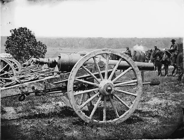
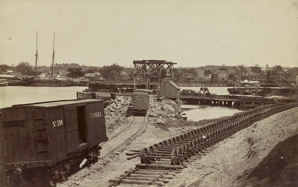
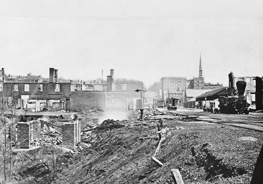
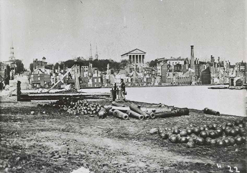
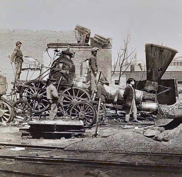
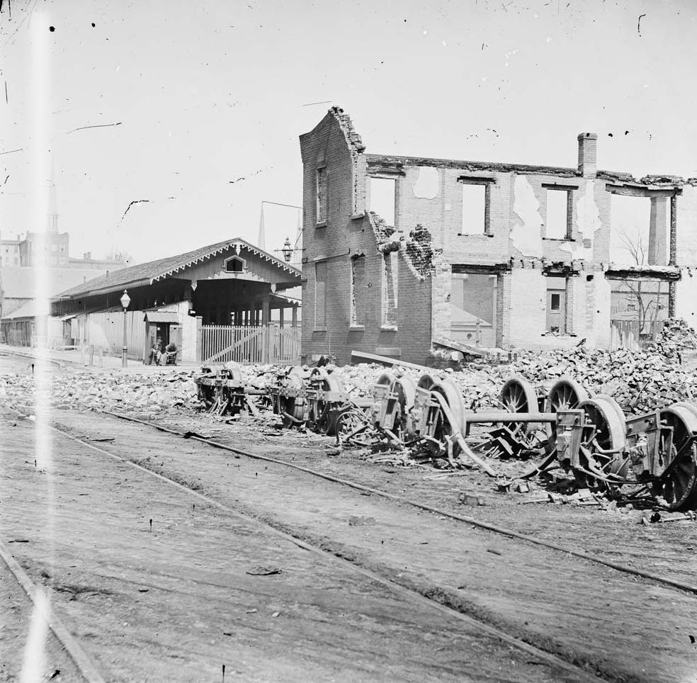
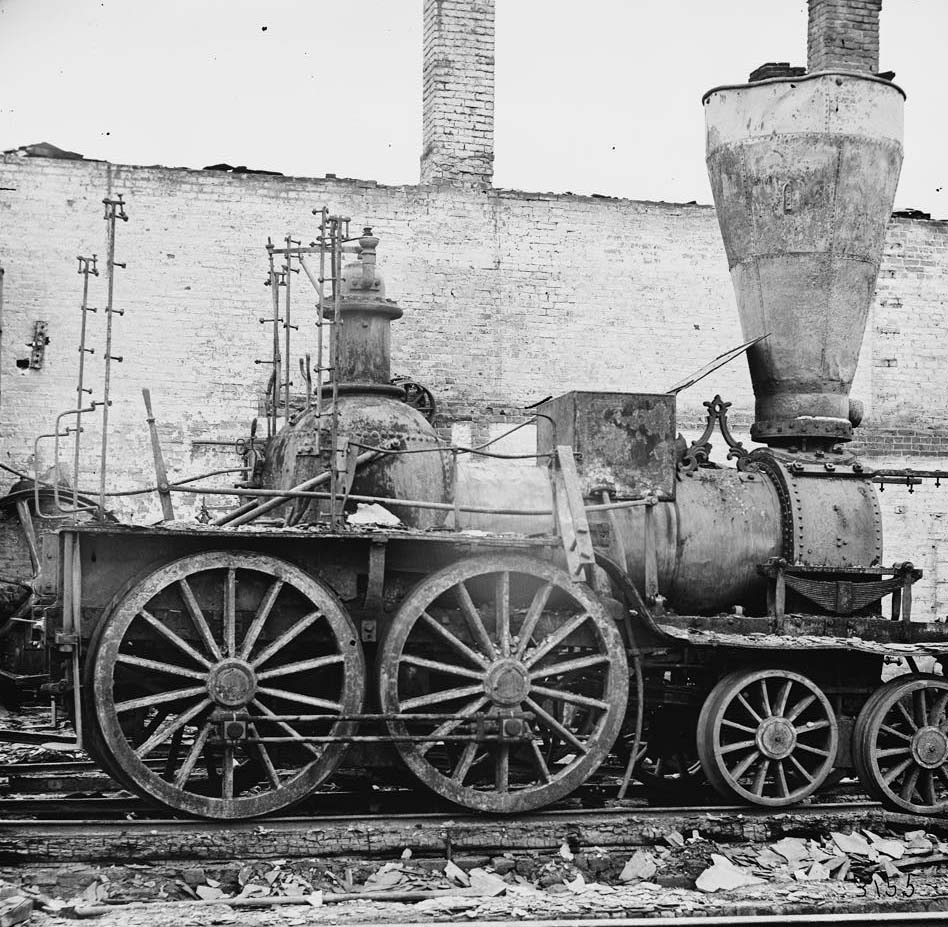
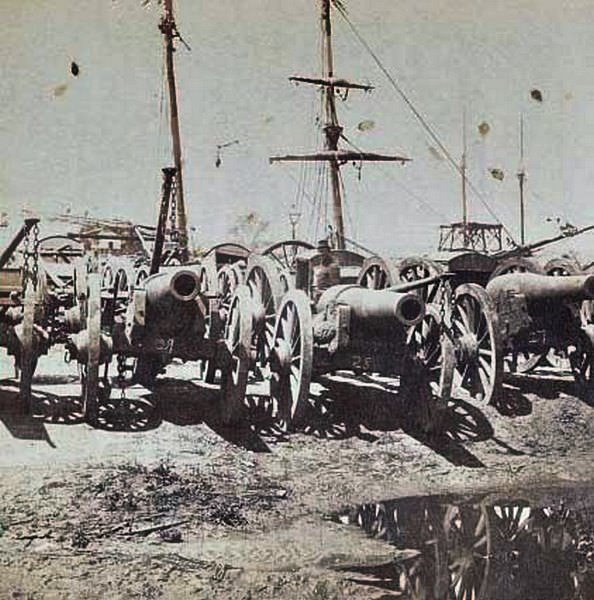
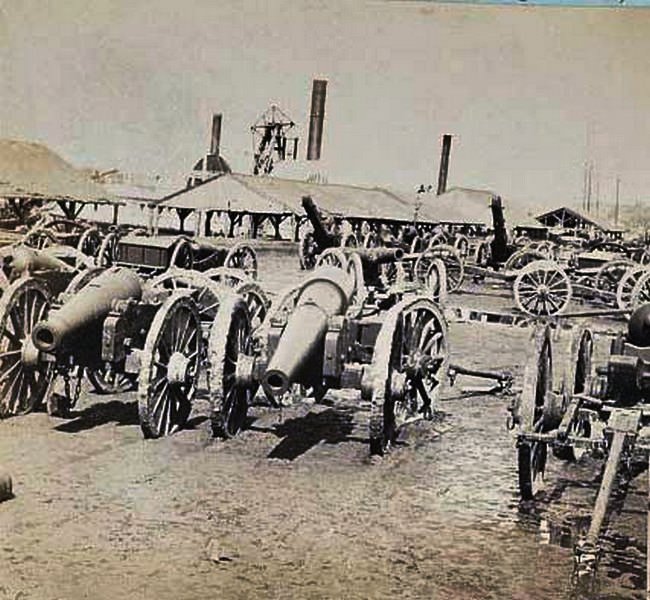
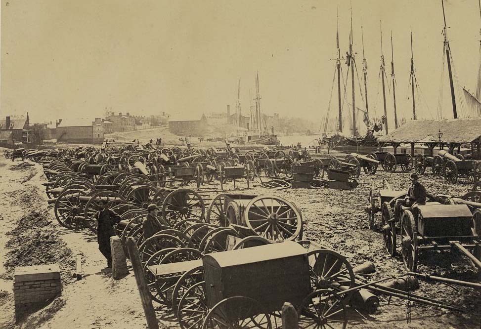
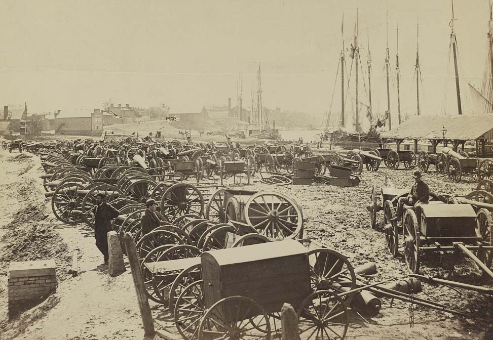
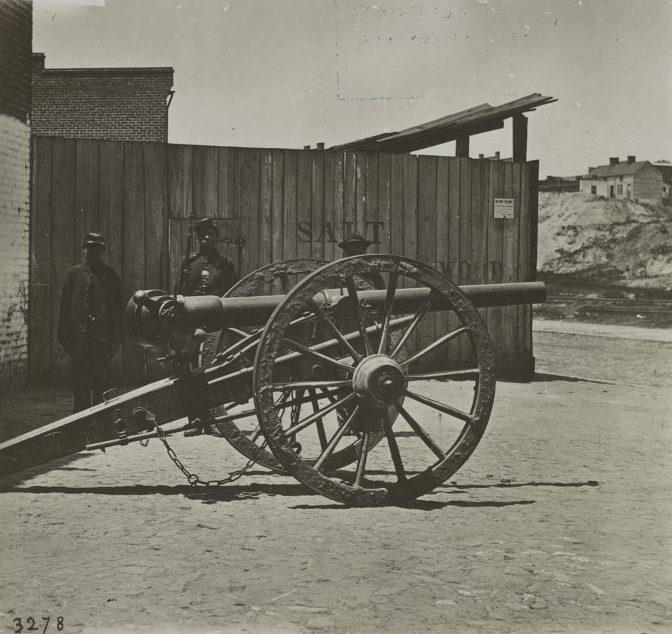
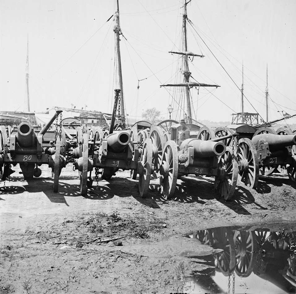
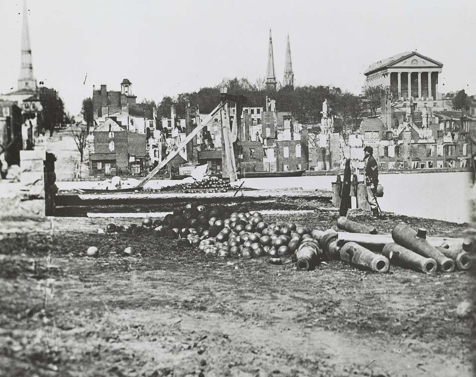
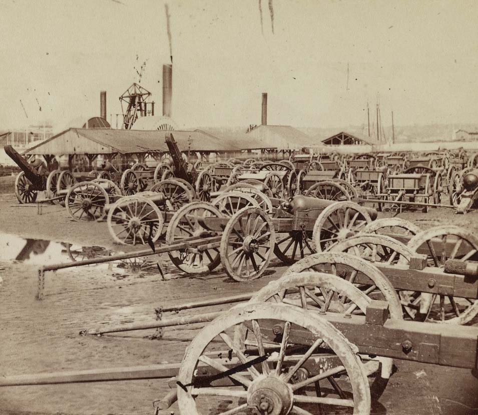
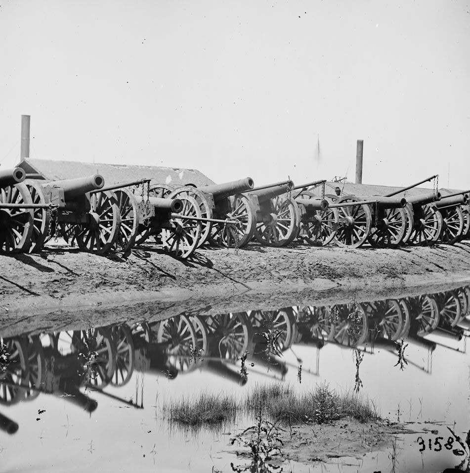
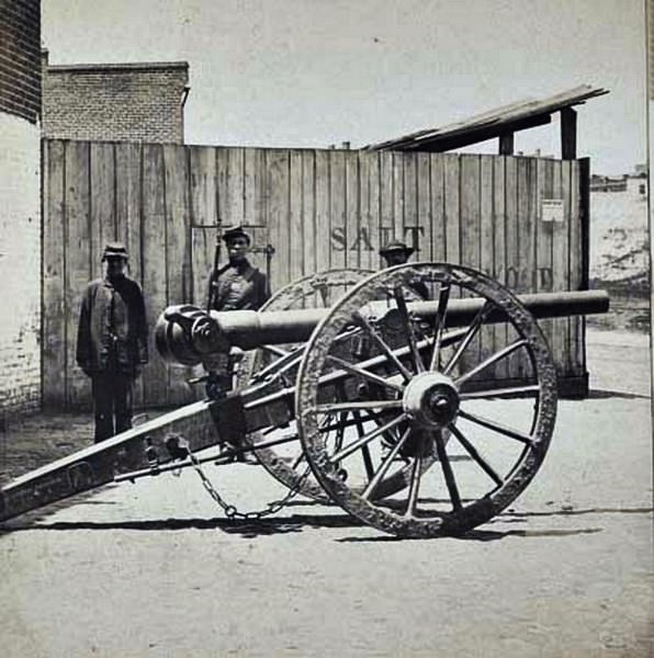
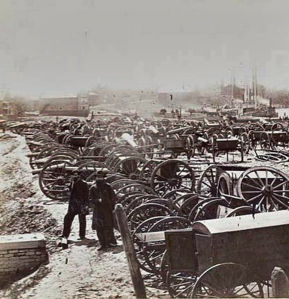
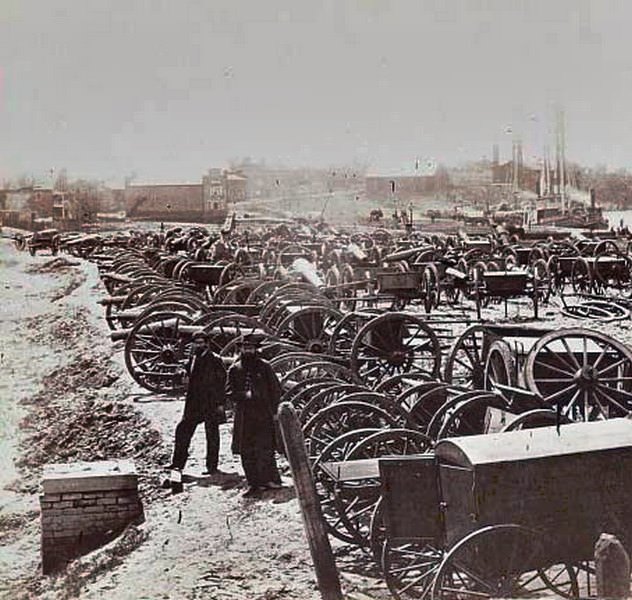
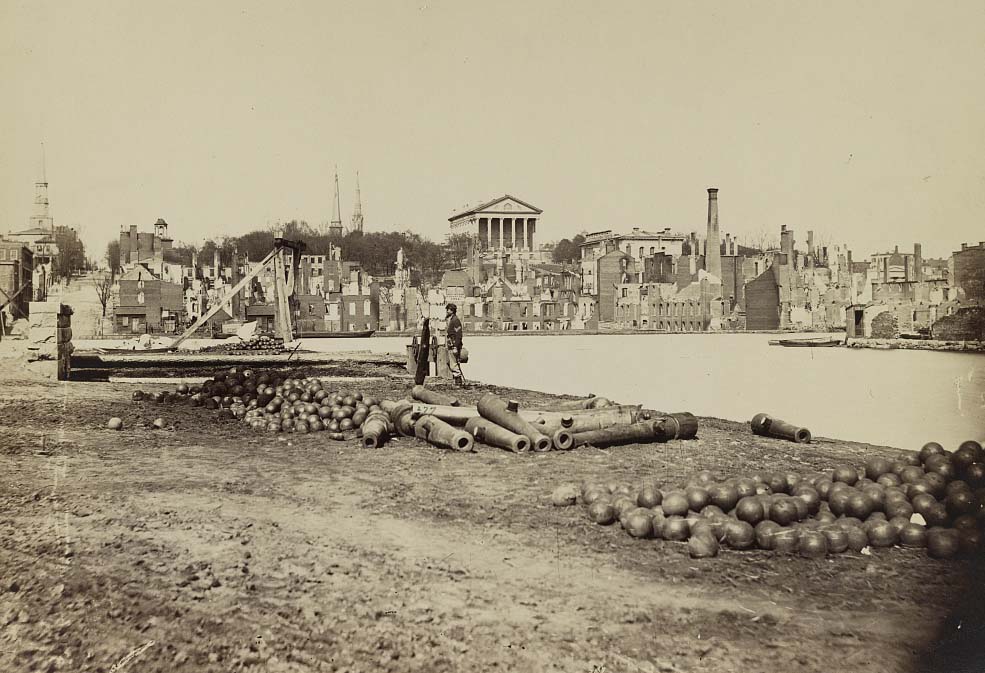
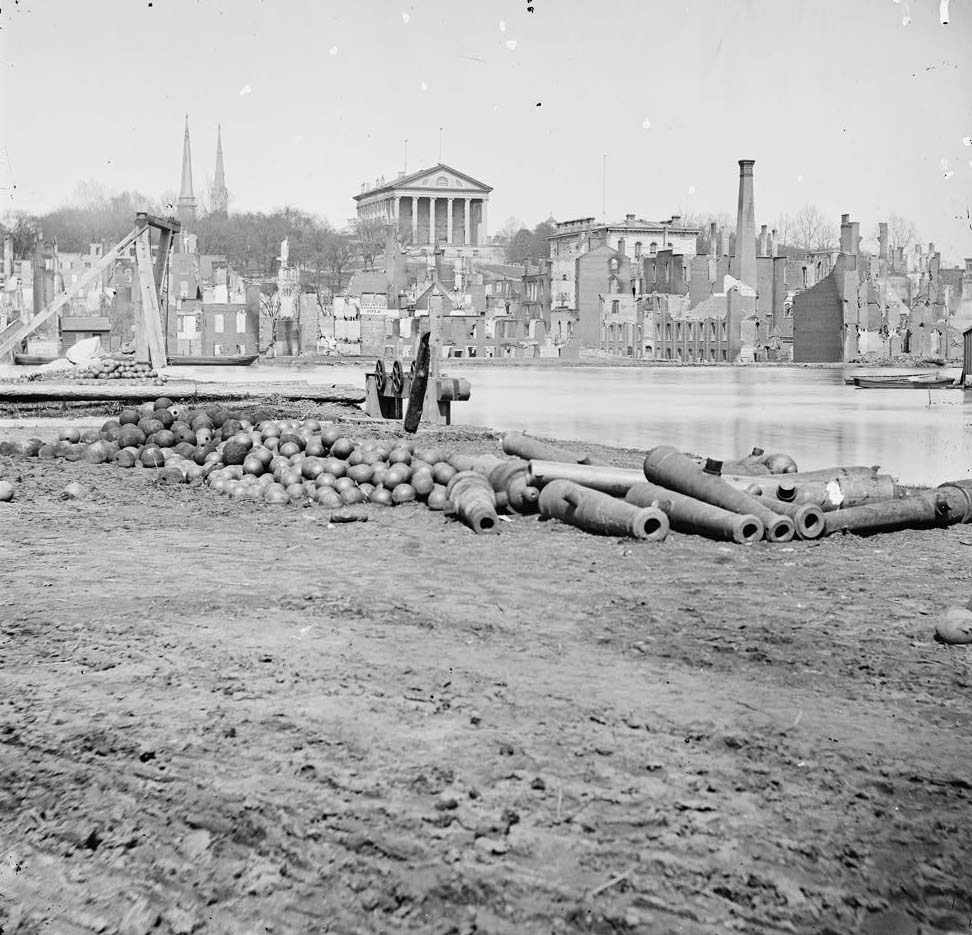
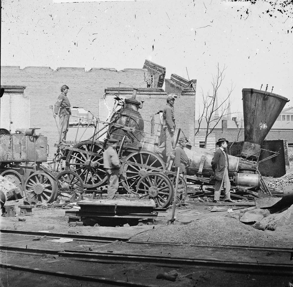
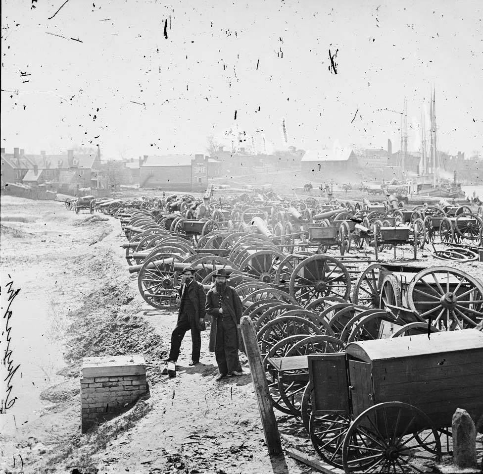
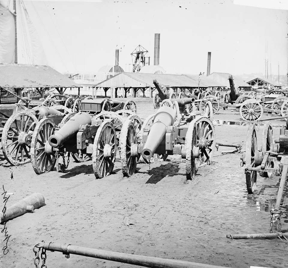
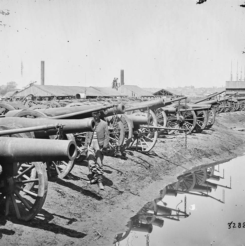
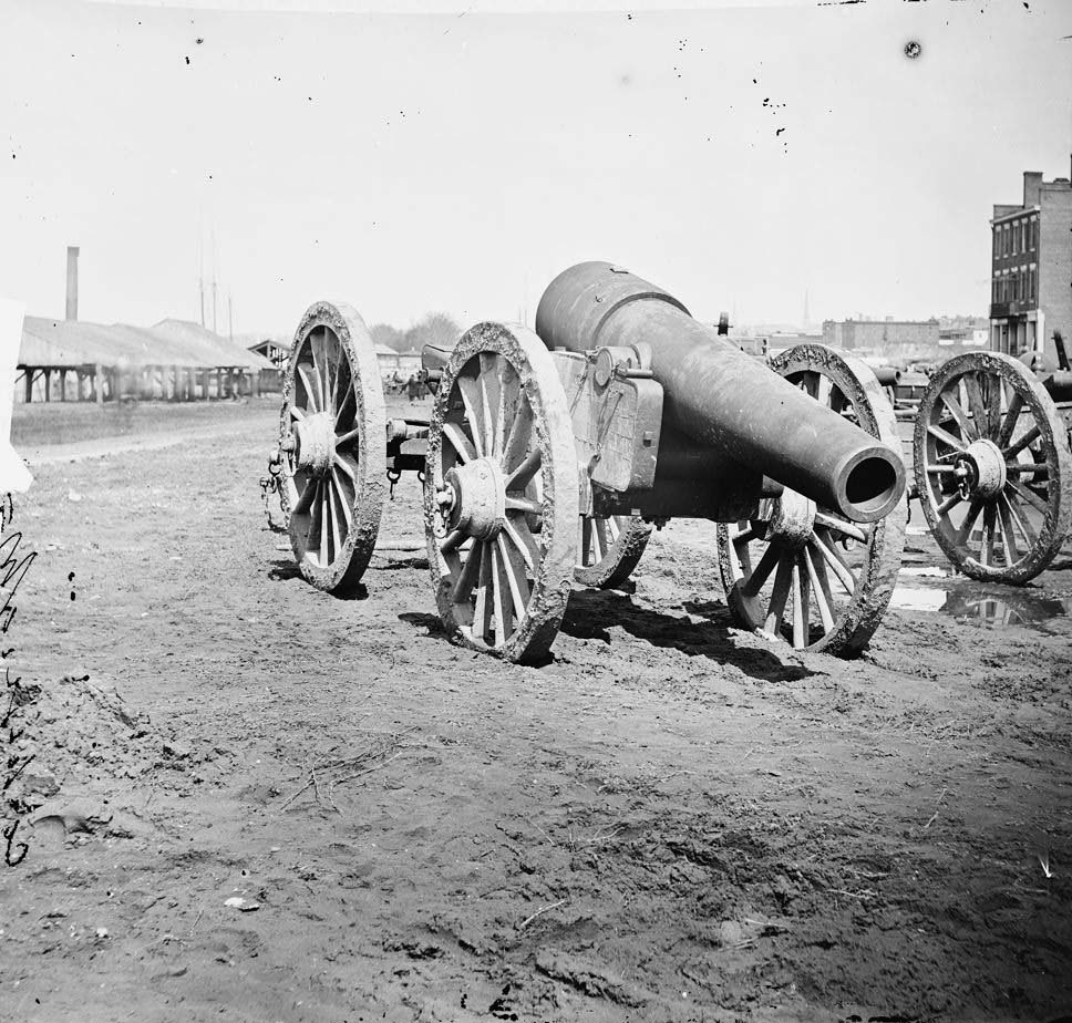
When Union forces entered Richmond on April 3, 1865, they found a city still smoldering. The Richmond and Petersburg Railroad Depot had been destroyed by the retreating Confederates. Damaged locomotives sat in the rail yards. Captured Confederate cannons were collected at Rocketts Landing and prepared for shipment north — some destined for Fort Monroe, others for Washington. A soldier standing beside a pile of cannon barrels and cannonballs, ruins stretching behind him, became one of the defining images of the war’s end.
A soldier standing by a pile of cannon barrels and cannon balls with the ruins of the city in the distance, 1863Union soldiers and a civilian standing on and near a locomotive at the Richmond and Petersburg Railroad Depot which was destroyed by Confederate troops as they fled the city, 1865Ruins of Richmond & Petersburg Railroad depot, 1865Railroad yard ruins, Richmond, 1865Wheels and burned railroad cars near Richmond & Petersburg Railroad station, 1865Damaged locomotives, Richmond, 1864Captured Confederate cannons at Rocketts Landing in Richmond in the process of being shipped to Fort Monroe, 1865Confederate mounted cannons at Rocketts Landing in Richmond, 1865Captured guns at Richmond ready for transportation to Washington, May, 1865Captured Confederate artillery, on the docks at Richmond, 1864Captured Whitworth gun on wharf awaiting shipment, 1864Captured siege guns at Rocketts; 1865A soldier standing amid a pile of cannon balls and cannon barrels with ruins of the city in the distance, 1865Captured Confederate artillery on docks at Rocketts, 1865Richmond, Va. Captured siege guns at Rocketts; different view, 1865Cannon with two soldiers and a civilian awaiting shipment on a wharf in Richmond, Virginia, 1865Two Union soldiers standing amid the cannons and caissons captured by the Union near Rocketts in Richmond, Virginia, 1865Two soldiers standing amid the cannons and caissons captured by the Union near Rocketts in Richmond, Virginia, 1865
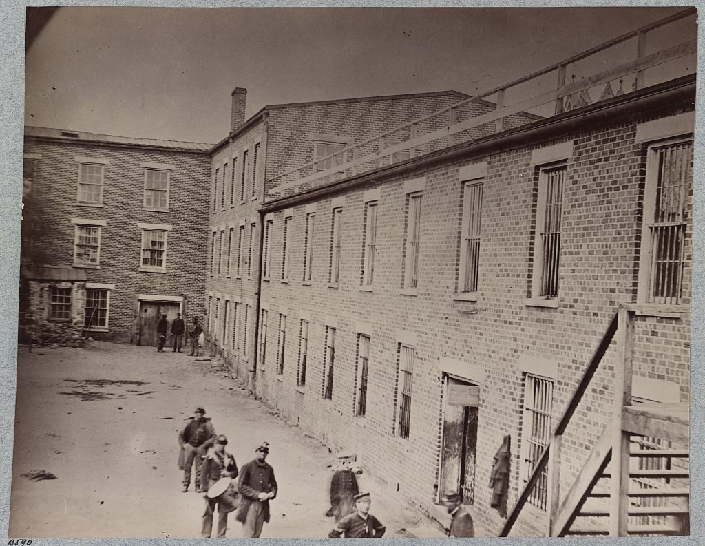
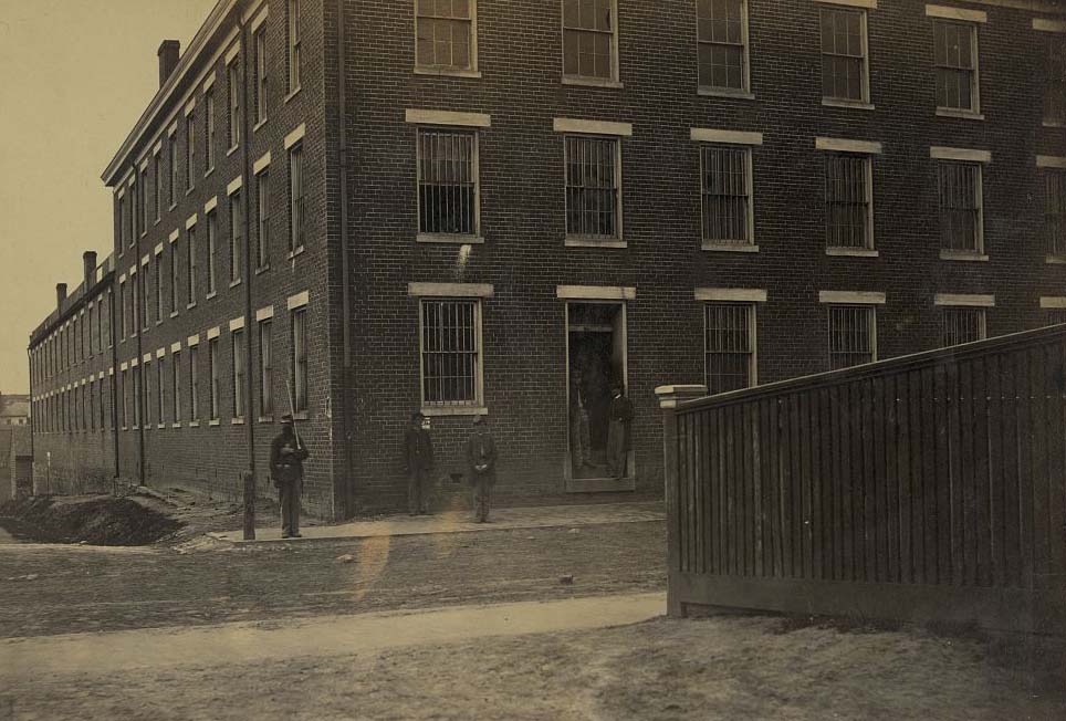
Libby Prison and Castle Thunder were occupied by Union forces after the fall. Photographs taken in 1865 show both buildings standing, now held under Union control. Groups of soldiers and civilians gathered outside them, the buildings’ grim purpose not yet forgotten. The interior courtyard of Castle Thunder was photographed in April 1865, showing the confined space where prisoners had been held for years.
A group of people including soldiers standing outside Libby Prison in Richmond, Virginia, 1869A group of people gathered outside Libby Prison, an old tobacco warehouse and former Confederate military prison, now held by the Union Army, 1866Castle Thunder on Cary Street in Richmond where Union soldiers were confined during the Civil War, 1865Castle Thunder — Confederate prison, 1865An exterior view of the site of the Confederate military prison with a group of people standing outside, 1865Exterior view of the prison with people milling about in the prison yard, Richmond, 1865The prison on Cary Street in Richmond, Virginia, 1865Charles H. Page’s Coal and Wood business operating near the brick warehouse that was formerly Castle Thunder, a Civil War prison in Richmond, 1864A street view of the Confederate military prison in Richmond, Virginia, 1865Libby Prison, Richmond,April 1865Side and rear view of Libby Prison, 1865Front and side view of Libby Prison, 1865Castle Thunder, Cary Street, Richmond, 1865Views of Libby Prison, Richmond, Va., April, 1865Libby Prison, Richmond, Va., April, 1865Interior of court-yard, Castle Thunder, Richmond, Va., April, 1865
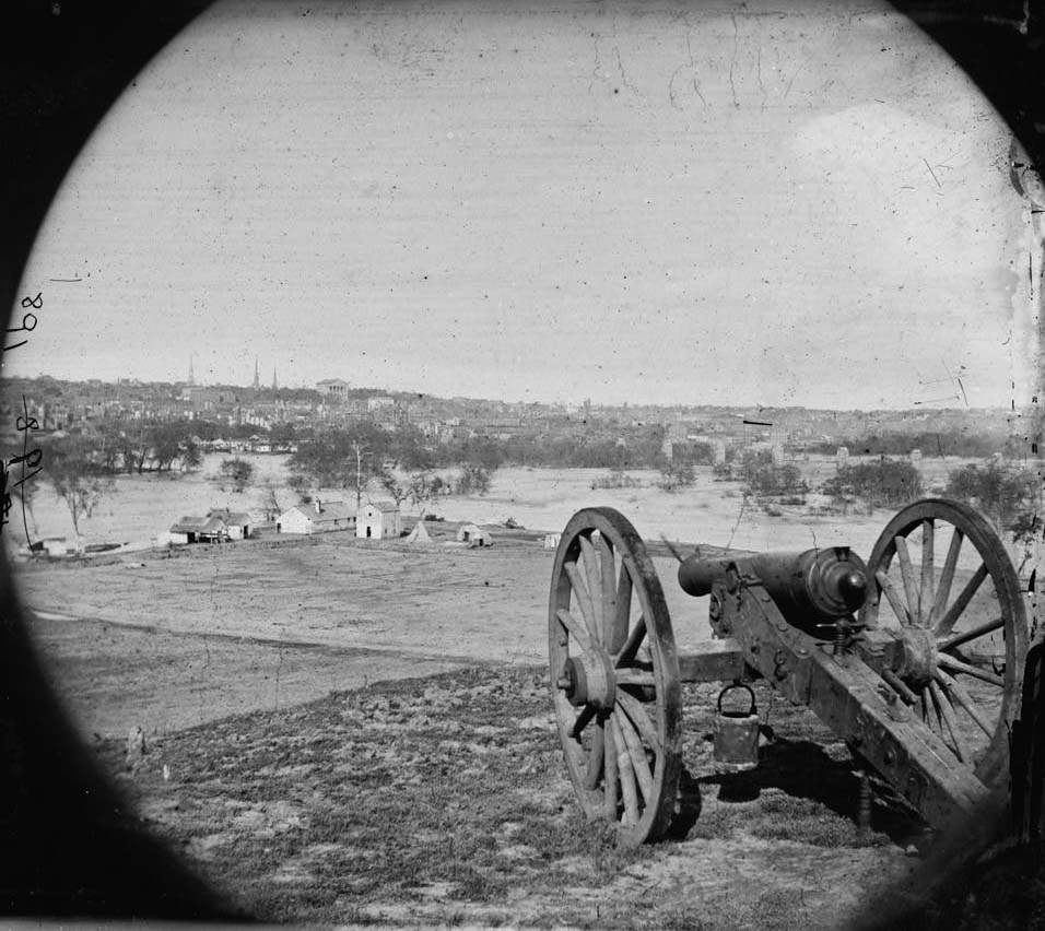
Views from Gamble’s Hill and other high points around the city gave photographers wide angles on the scale of destruction. The canal basin, the Capitol building, and the Custom House all appeared in the same frame — intact government structures surrounded by gutted commercial blocks. The contrast was stark. The canal, the James River, and the ruins beyond told the story of a city that had been the engine of the Confederacy and paid a heavy price for it.
An aerial view of ruins along a street in Richmond, Virginia, 1861Ruins of the burnt district, from the canal basin, Richmond, 1865View from the Petersburgh railroad Depot, Richmond, Va., looking south-west, showing a portion of the burnt district, and Gamble Hill in the distance, 1865.Richmond, looking across canal basin, Capitol and Custom House in distance, 1865Ruins at Richmond, Va., canal in foreground, ruins in background, 1865Richmond from Holywood, 1865View with ruins from Gambles Hill, Richmond, 1864View from Gamble’s Hill, Richmond, Va., April, 1865Richmond, Va. General view, with ruins, from Gambles Hill, 1865View taken from south side of Canal Basin, Richmond, Va., showing Capitol, Customs House, etc., April, 1865View taken from south side of Canal Basin, Richmond, Va., April, 1865, showing Capitol, Custom House, etc.
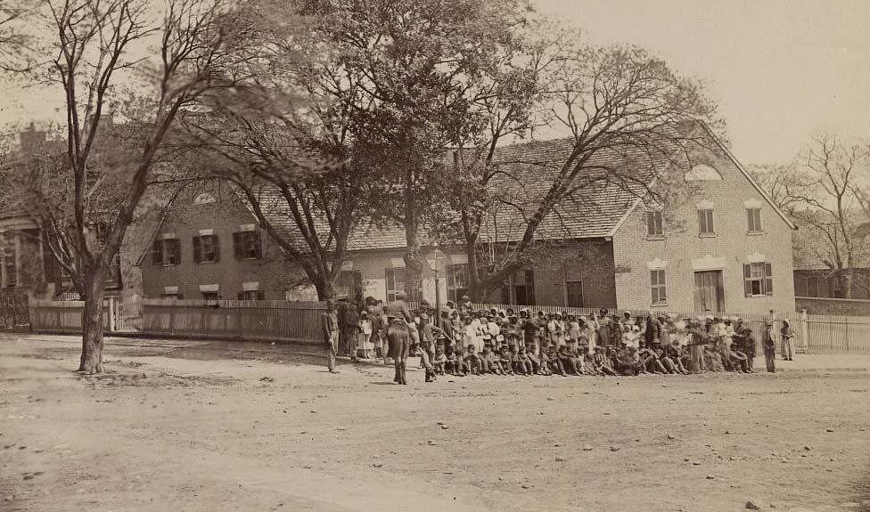
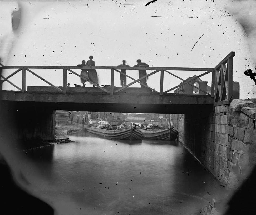
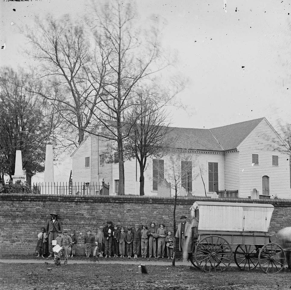
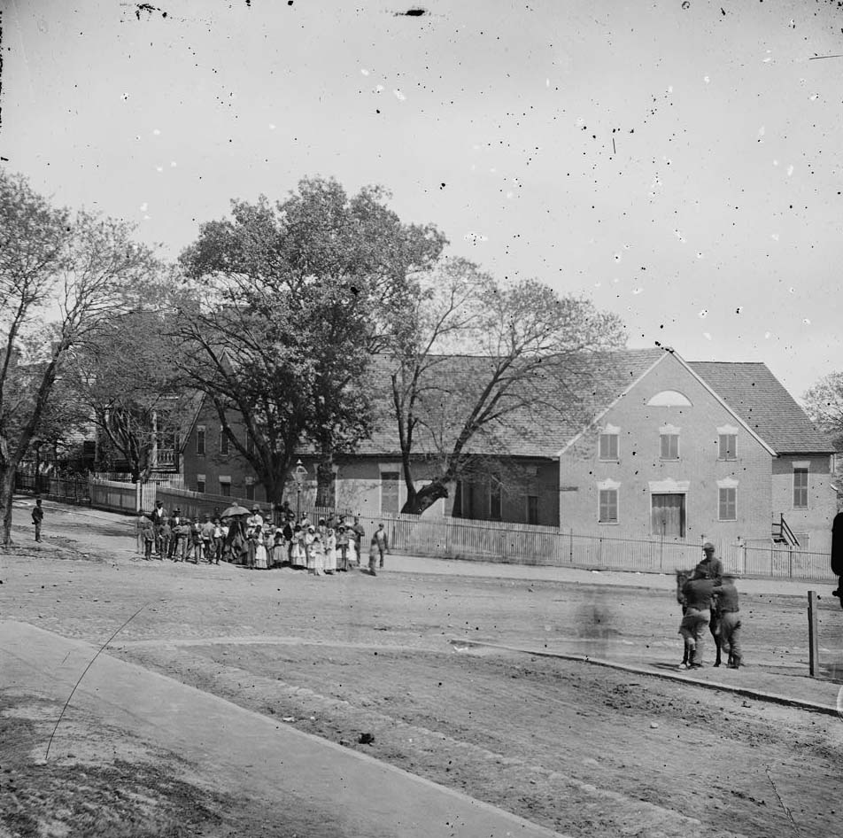
African Americans in Richmond navigated the war years under brutal conditions. In 1860, nearly 12,000 enslaved people lived in the city. Photographs taken during the war show Black men and women going about daily life on Richmond’s streets — in front of churches, on canal bridges, and in neighborhoods throughout the city. When Union forces arrived in April 1865, many of the city’s Black residents were among those who welcomed them. The photographs documenting this moment are some of the most historically significant images to come out of the entire war.
Group of African American men and women in front of the church on Broad Street in Richmond, 1864The main eastern theater of war, fallen Richmond, 1864. This photograph shows Canal Bridge at foot of 7th Street, Richmond. Shows African American children standing on the bridge.The main eastern theater of war, fallen Richmond, April-June 1865. This photograph shows African American man and little girl with white children in front of the church.
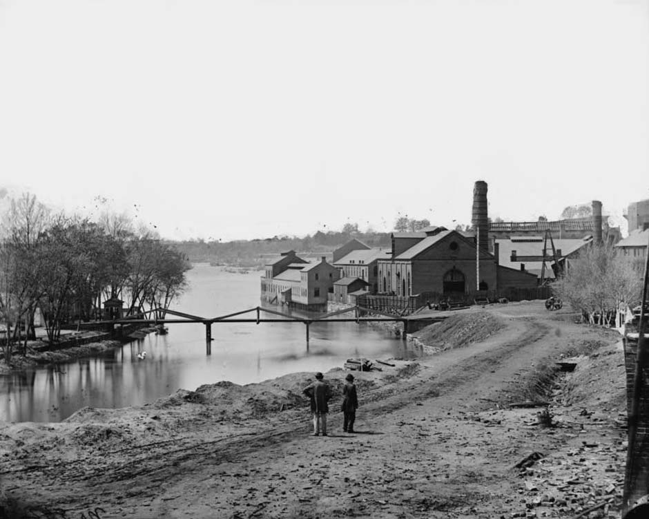
The Tredegar Iron Works, which had produced the guns that defended the Confederacy, still stood after the evacuation. Piles of cannon barrels and ammunition lay on the grounds. Union soldiers used the space almost immediately after taking the city. The works themselves survived the fire that destroyed so much else — largely because Union soldiers helped put out flames threatening to spread to the building. Photographs taken in the days after the evacuation show the site surrounded by the wreckage of war.
Guns and ruined buildings near the Tredegar Iron Works, 1864Ruins near arsenal and Tredegar Iron Works, Richmond, Va., April, 1865Two soldiers, three boys and piles of cannonballs among ruins, 1865View on James River and Kanawha Canal near the Haxall Flour Mills; ruins of the Gallego Mills beyond, 1864
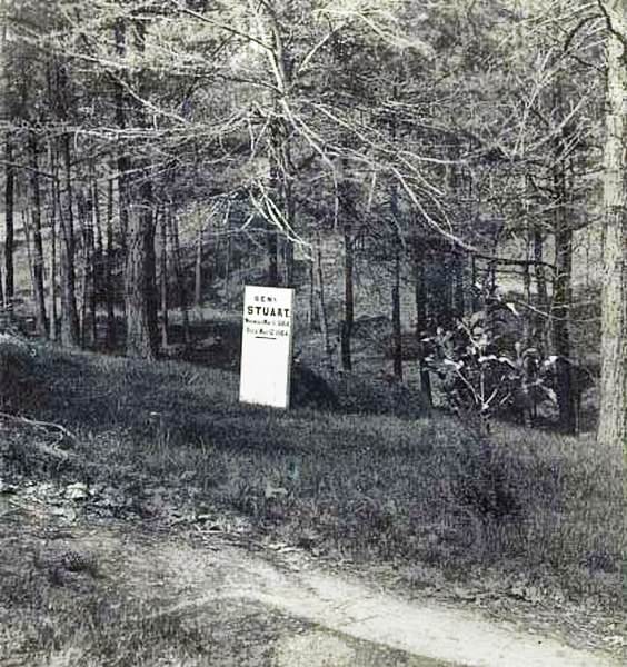
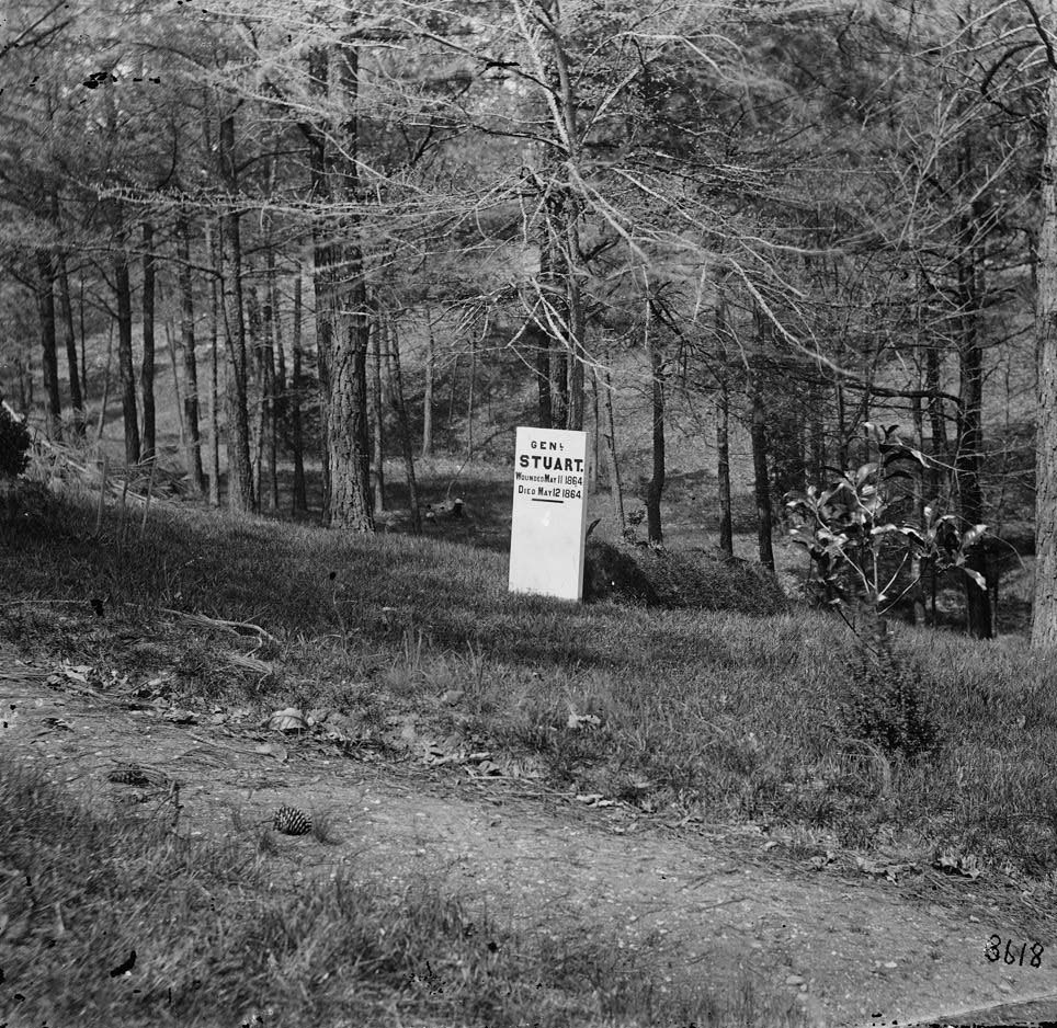
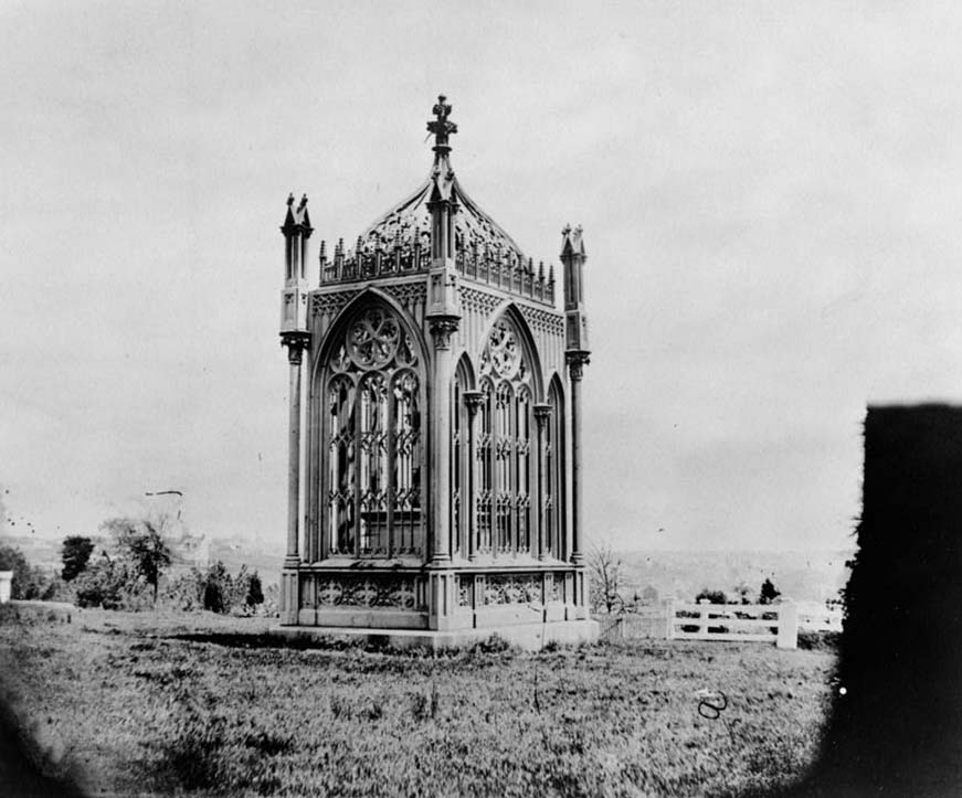
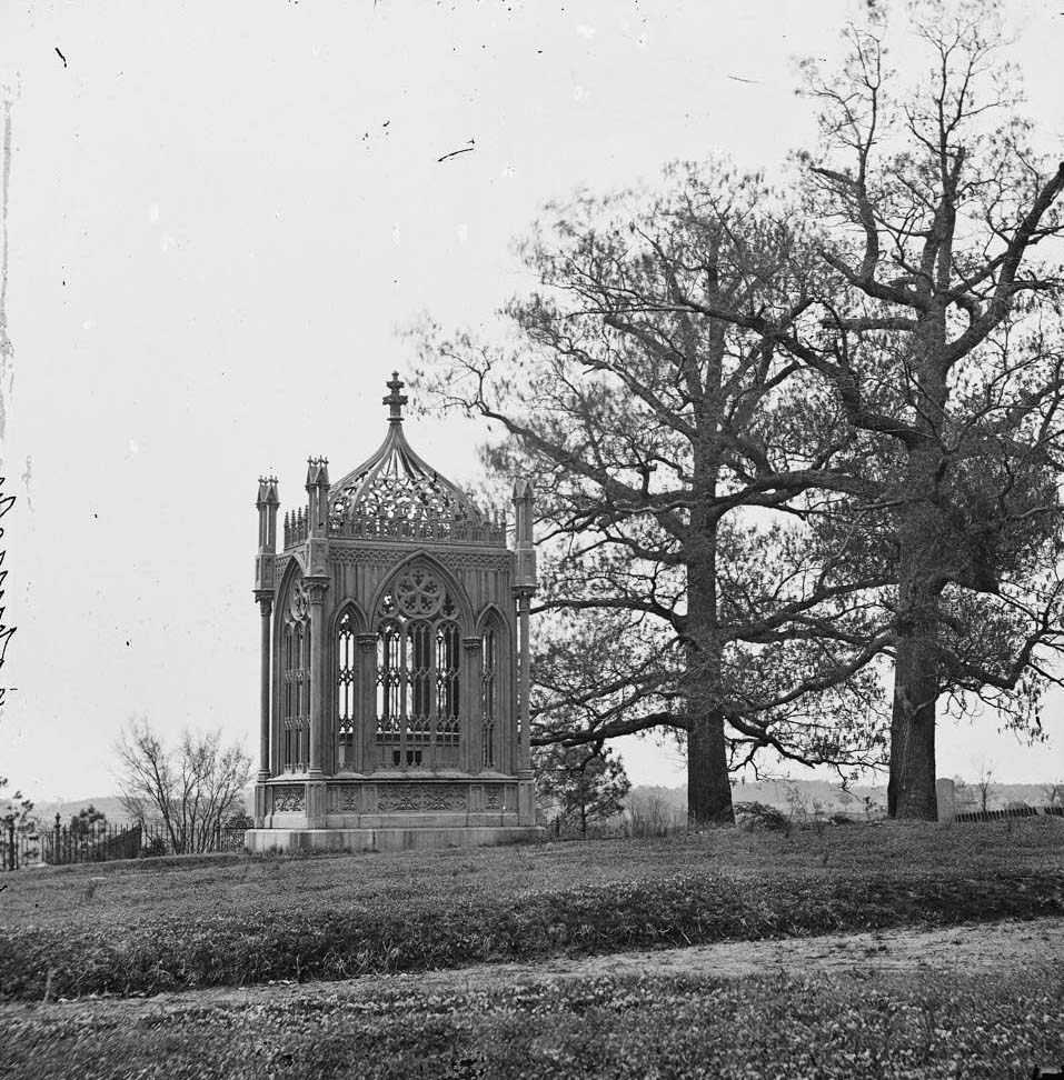
Hollywood Cemetery, on a hillside overlooking the James River, held the graves of Confederate dead throughout the war. General J.E.B. Stuart, the cavalry commander killed in May 1864, was buried there. His grave, marked with a temporary wooden marker in 1864 and 1865, was photographed while the war was still being settled. Former President James Monroe was also buried near Richmond, his tomb photographed in 1863. The city’s cemeteries became part of the documentary record as much as its streets and buildings.
Grave of Confederate cavalry General James E.B. Stuart in Hollywood Cemetery, Richmond, 1864Grave of Gen. J.E.B. Stuart in Hollywood Cemetery, with temporary marker, 1865James Monroe’s tomb, near Richmond, 1863
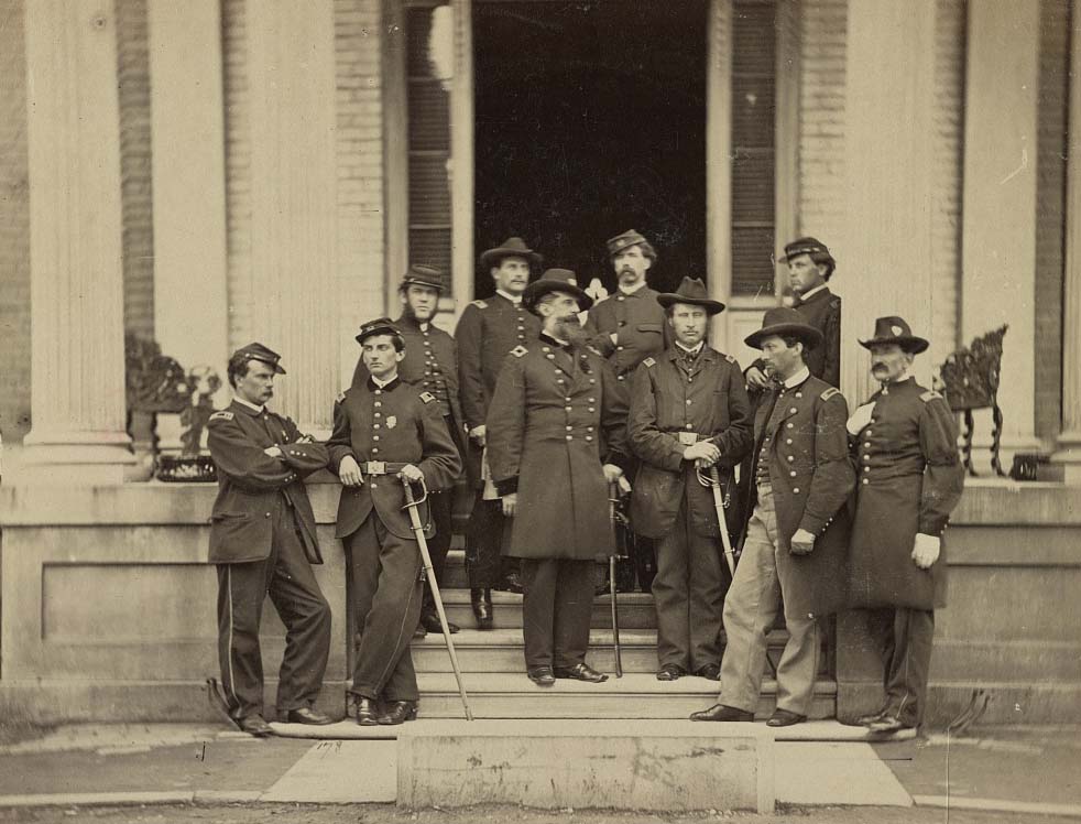
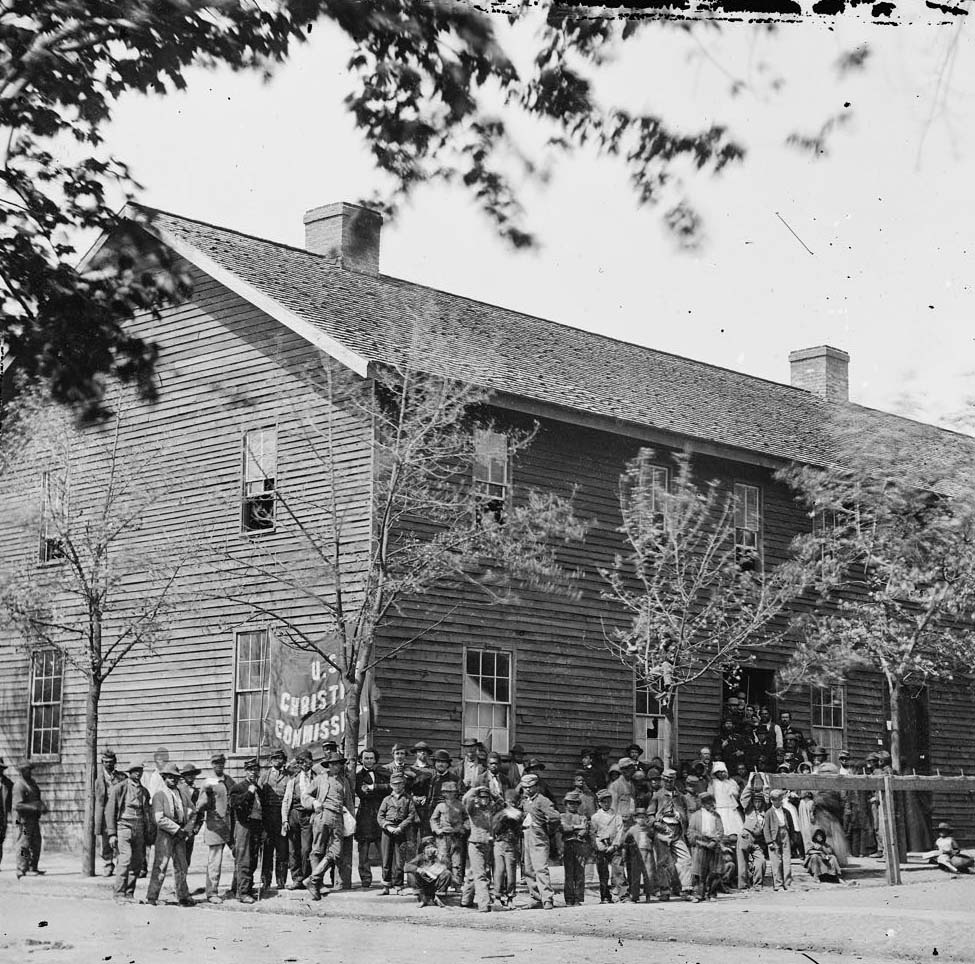
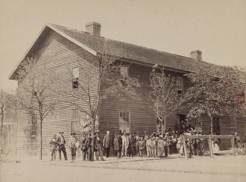
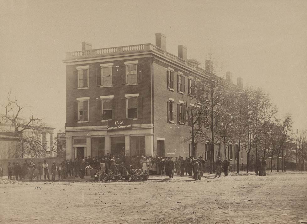
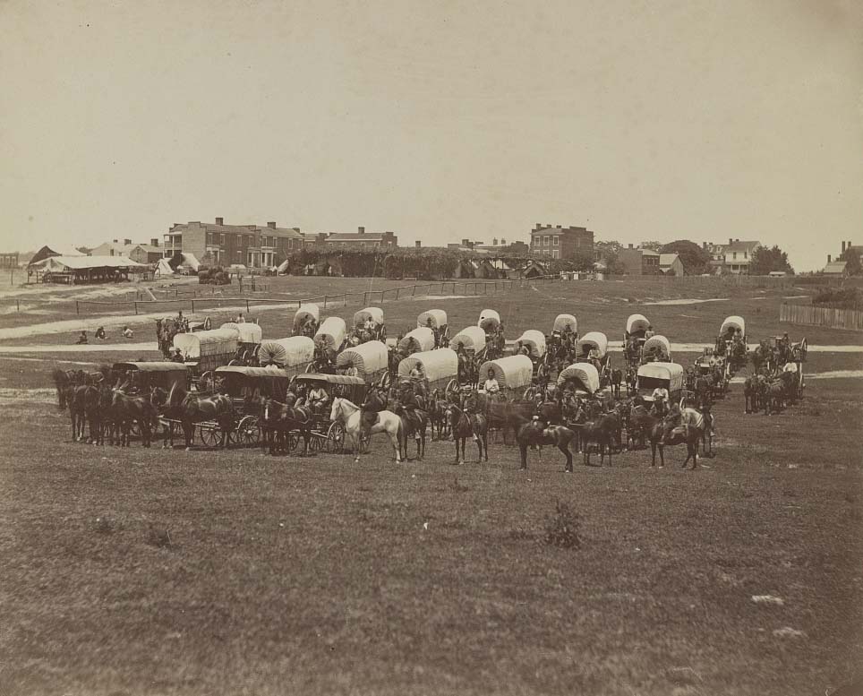
The months following the fall of Richmond brought Union military officials, relief organizations, and photographers to the city in large numbers. The U.S. Christian Commission and U.S. Sanitary Commission set up headquarters in Richmond, providing aid to civilians and former prisoners. Brevet Major General Charles Devens and his staff were photographed in the city in 1865. The Lynchburg Canal, the dock streets, and the river wharves all continued to function, now under Union control.
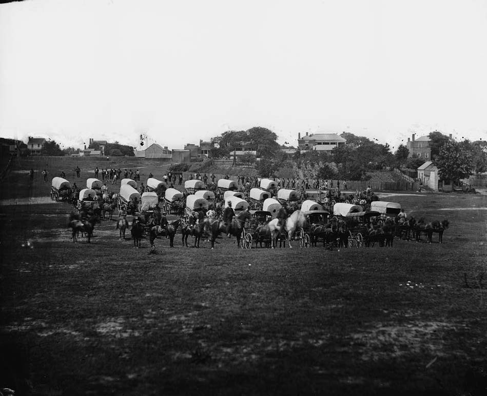
Brevet Major General Chas. Devens and staff, Richmond, 1865Richmond, Va. Crowd before headquarters of the U.S. Christian Commission, 1865Headquarters U.S. Christian Commission, Richmond, Va., April, 1865Headquarters U.S. Sanitary Commission, Richmond, Va., April, 1865Wagon train of U.S. Military Telegraph Corps, Richmond, Va., April, 1865View on canal, near Crenshaw’s Mill, Richmond, Virginia, 1866View of the Lynchburgh (i.e. Lynchburg) Canal, and the ruins of the Danville railroad depot, Richmond, 1865View on the Lynchburgh (i.e. Lynchburg) Canal, near the Haxall Flour Mills, Richmond, 1865
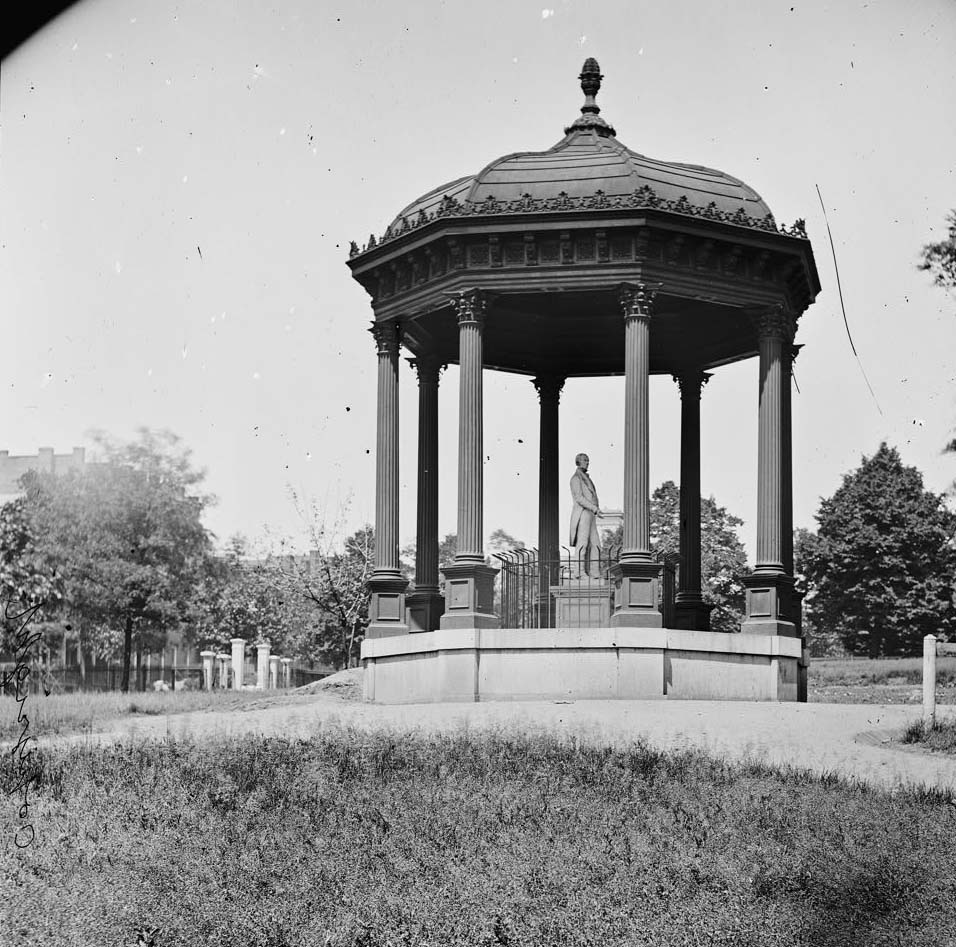
The Virginia State Capitol stood intact through all of it. The Washington Monument in Capitol Square remained untouched. Photographs taken in 1865 show the grounds of the capitol largely undisturbed, with small groups of soldiers and civilians gathered near the building. The Henry Clay memorial on the grounds was also photographed. Richmond’s government quarter had survived while its commercial and industrial core had burned to the ground.
Grounds of Virginia state capitol in Richmond with capitol building in the distance, 1865A group in front of the Virginia State Capitol in Richmond, Virginia, 1865Washington monument, in the Capitol grounds, Richmond, 1865Statue of George Washington on horseback on top of a monument in the Capitol Square area of Richmond, Virginia, 1865Richmond, Va. Henry Clay memorial on the Capitol grounds, 1865The State Capitol, Richmond, Va., April, 1865House occupied by Jefferson Davis, Richmond, Va., April, 1865Washington Monument, Capitol Square, Richmond with the spire of St. Paul’s Church on left, 1868
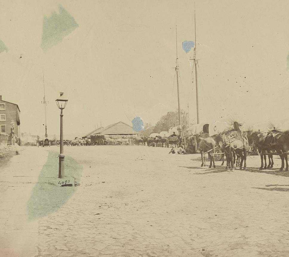
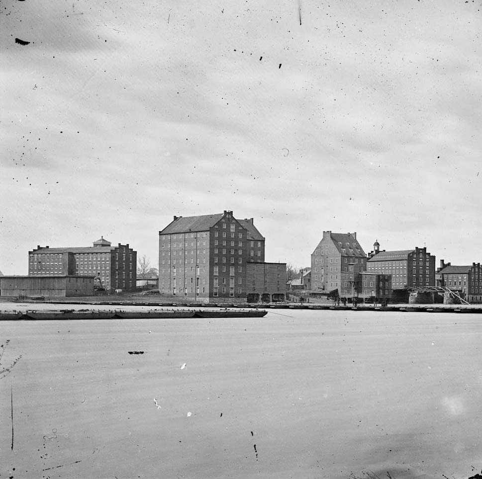
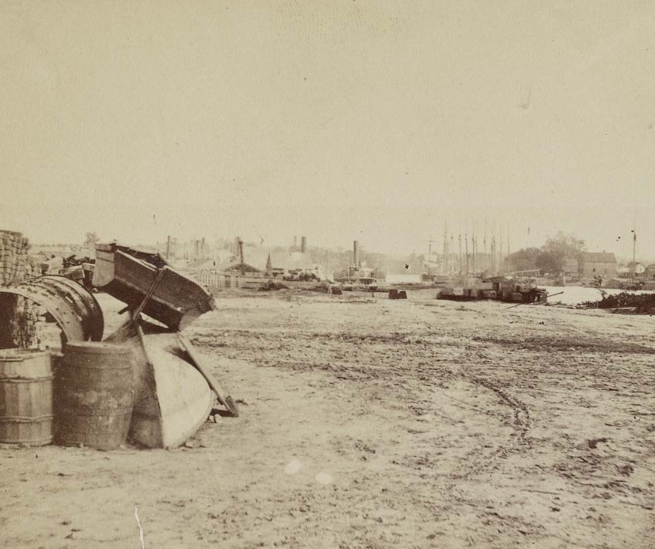
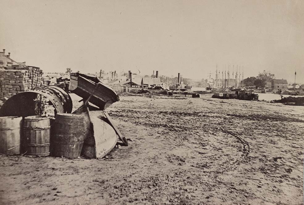
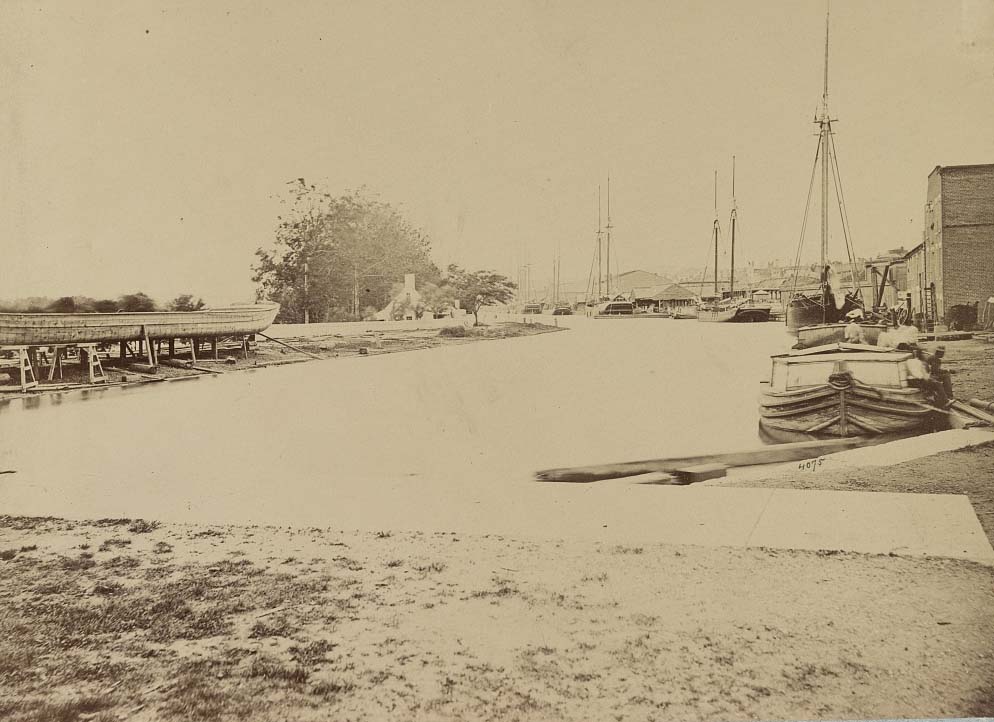
Rocketts Landing and the south bank of the James River were photographed extensively in the final months of the war and in April 1865. Barrels, dinghies, and supply crates filled the docks. Captured Confederate siege guns lined the wharf, waiting for transport north. The river itself was crossed by newly built pontoon bridges. Belle Isle, the island in the James that had served as a Union prisoner-of-war camp, was also documented at this time.
View on Dock street, Richmond, Va., April, 1865Factories on the James opposite Richmond, 1865Two boats stacked next to supplies with the wharf in the distance, 1865Barrels and dinghies on the dock at Rockett’s Landing, 1865View of James River at Rocketts, Richmond, 1865View on the canal docks, Richmond, Virginia, April, 1865View of “Rocketts” and the James River, Richmond, Va., April, 1865View on the dock on south side of James River opposite Rocketts, Richmond, Va., April, 1865Belle Isle, James River, Richmond, Va., April, 1865Manchester Mills & pontoon bridges, 15, 1865
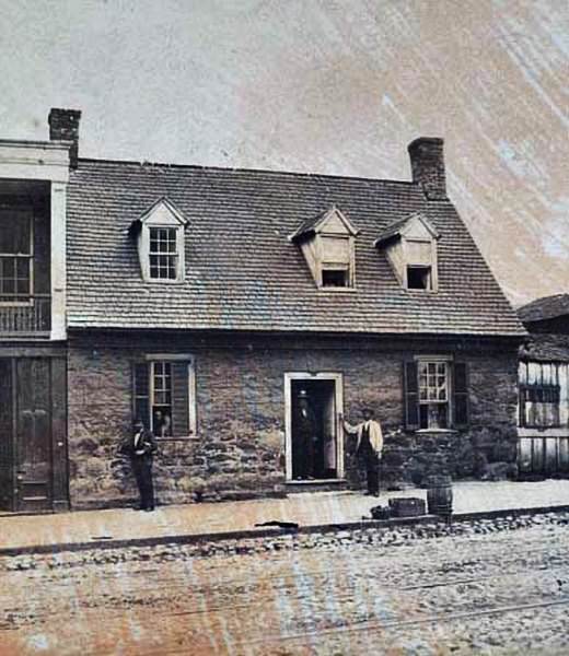
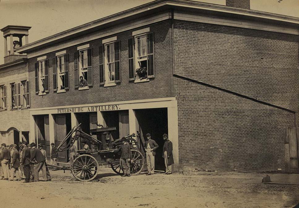
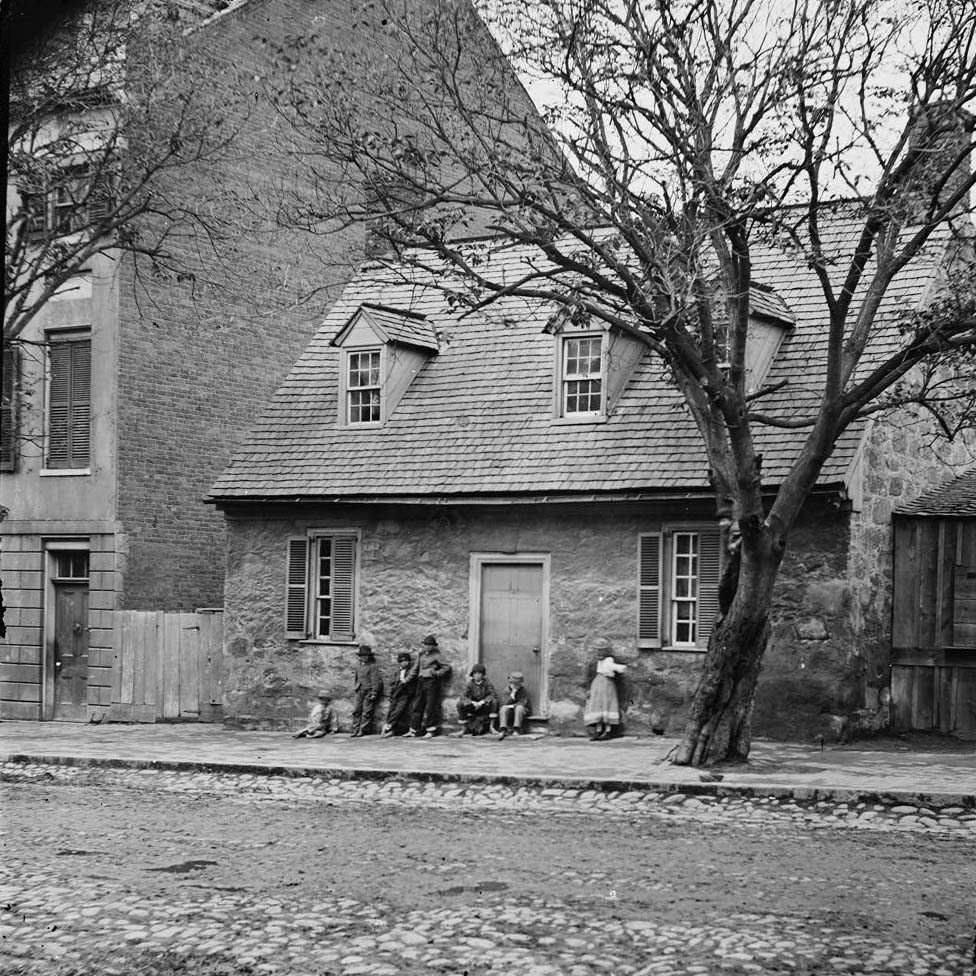
Street-level photography from April and May 1865 captured Richmond at its lowest point. Union soldiers pulling fire engines, civilians picking through rubble, and men standing on the stone foundations of burned buildings all appear in the record. The State Penitentiary, the Old Stone House on East Main Street, and the northeastern suburbs all came under the photographer’s lens in those weeks. What these images show, collectively, is a city that had been pushed to its absolute limit.
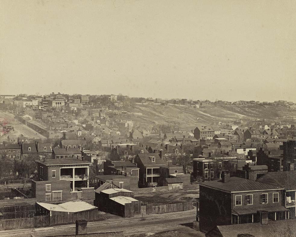
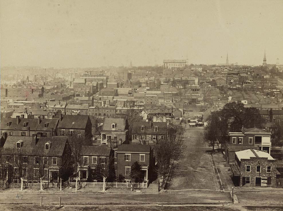
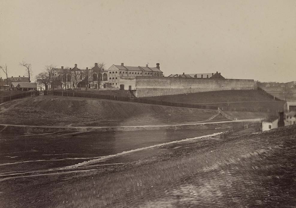
A group of men standing inside and outside of a stone house located at 1916 E. Main Street, Richmond, 1865Union soldiers pull a fire engine from a garage designated Petersburg artillery, 1865The Old Stone House (“Washington’s headquarters,” 1916 East Main Street, 1865Northeastern suburbs of Richmond, Va., April, 1865Richmond, Virginia, April, 1865, looking westward, 1865The State Penitentiary, Richmond, Va., April, 1865A Union guard standing next to Castle Thunder, a Confederate military prison in Richmond, Virginia, 1865The main eastern theater of war, fallen Richmond, April 1865The main eastern theater of war, fallen Richmond, 1865The main eastern theater of war, fallen Richmond, April, 1865The main eastern theater of war, fallen Richmond, 1865The main eastern theater of war, fallen Richmond, 1865Richmond, Va. St. John’s Church from graveyard, 1865.The main eastern theater of war, fallen Richmond, 1865The main eastern theater of war, fallen Richmond, 1865The main eastern theater of war, fallen Richmond, 1865The main eastern theater of war, fallen Richmond, 1865The main eastern theater of war, fallen Richmond, April 1865The main eastern theater of war, fallen Richmond, 1865The main eastern theater of war, fallen Richmond, April 1865The main eastern theater of war, fallen Richmond, April 1865The main eastern theater of war, fallen Richmond, April 1865The main eastern theater of war, fallen Richmond, April 1865The main eastern theater of war, fallen Richmond, April 1865The main eastern theater of war, fallen Richmond, 1865The main eastern theater of war, fallen Richmond, 1864The main eastern theater of war, fallen Richmond, April 1864The main eastern theater of war, fallen Richmond, 1864The main eastern theater of war, fallen Richmond, 1864The main eastern theater of war, fallen Richmond, 1864The main eastern theater of war, fallen Richmond, 1864The main eastern theater of war, fallen Richmond, 1864The main eastern theater of war, fallen Richmond, 1864The main eastern theater of war, fallen Richmond, 1864The main eastern theater of war, fallen Richmond, April 1864The main eastern theater of war, fallen Richmond, April 1864The main eastern theater of war, fallen Richmond, 1864The main eastern theater of war, fallen Richmond, 1865The main eastern theater of war, fallen Richmond, 1865The main eastern theater of war, fallen Richmond, April 1865The main eastern theater of war, fallen Richmond, 1865The main eastern theater of war, fallen Richmond, 1865The main eastern theater of war, fallen Richmond, 1865The main eastern theater of war, fallen Richmond, 1865The main eastern theater of war, fallen Richmond, 1865The ruins of Richmond, 1865View of Richmond Va., at the close of the rebellion, 1865
I wish that the financial district and skyscrapers were not concentrated around the capitol. Late 1800s photographs taken from Manchester show the capitol in its entirety and towering over the skyline, almost like the Parthenon.
There was a time when the sentiment of “keeping wealthy Northerners out of our city” became a serious matter.There was a time when the sentiment of “keeping wealthy Northerners out of our city” became a serious matter.
It’s a pity that the Arsenal building located along the canal didn’t survive the war. It would have been an excellent inclusion to the canal walk region.

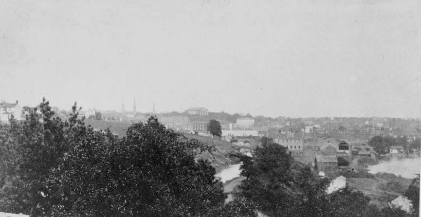
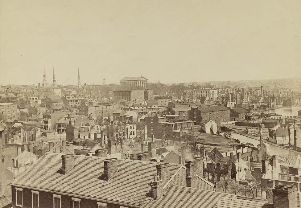
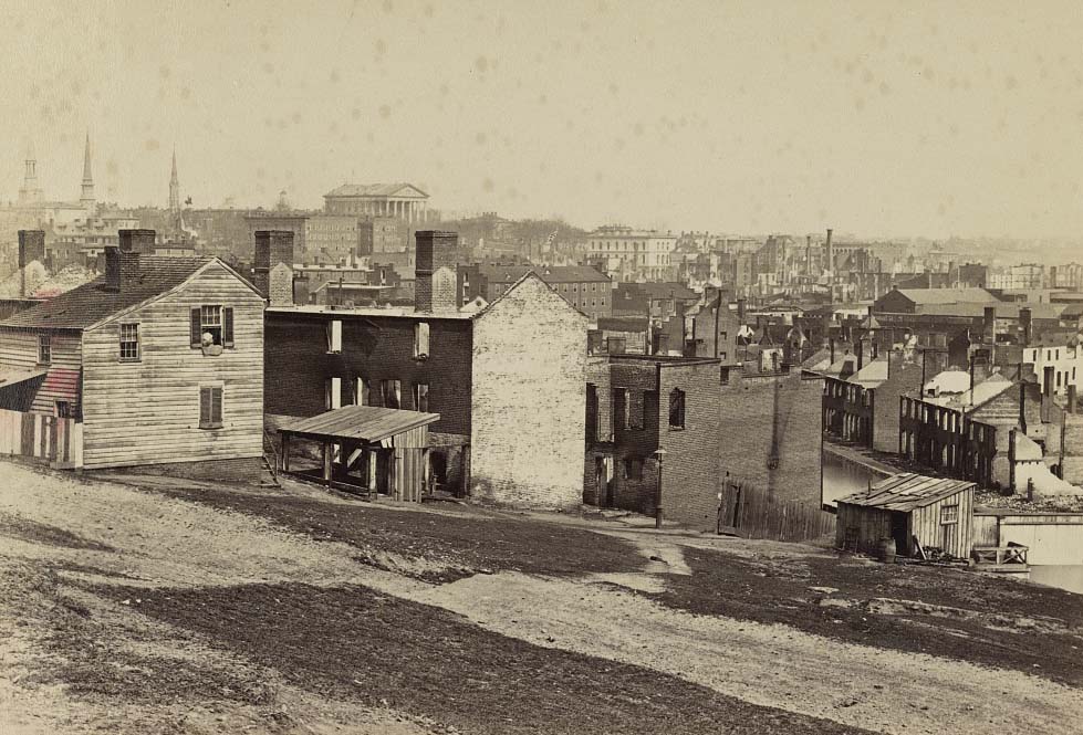





I wish that the financial district and skyscrapers were not concentrated around the capitol. Late 1800s photographs taken from Manchester show the capitol in its entirety and towering over the skyline, almost like the Parthenon.
There was a time when the sentiment of “keeping wealthy Northerners out of our city” became a serious matter.There was a time when the sentiment of “keeping wealthy Northerners out of our city” became a serious matter.
They’re called yankees
can we start calling them carpetbaggers again?
Only if your grandpappy was a slave owner and you’re trying to extort $3.5B from UR.
He wasn’t, but , I still want a share of that $3.5 billion.
It feels both familiar and unfamiliar at the same time.
Although I’m certain it was much more severe in the past, this brief excerpt shares some similarities with contemporary Richmond.
It’s a pity that the Arsenal building located along the canal didn’t survive the war. It would have been an excellent inclusion to the canal walk region.
add fire for 1865
Unconditional Surrender Grant sends his regards.
Fully expecting pics of the Burned District from 1865.
would be neat to see the side by side!!!
Huh, a lot less trees than I thought there would be.