Little Rock is the capital and the largest city in Arkansas state. The area was named “Little Rock” in 1722 by the French explorer, and the city was incorporated on November 7, 1831. After the American Civil war, the city thrived, and the population also grew rapidly. A water system was created in 1884, and two years later, electricity was introduced. At the beginning of the 20th century, the town of Pulaski Heights was incorporated in 1903. In 1908 the City Hall was opened at the corner of Markham and Broadway Streets. In the 1920s, the Broadway Bridge and Main Street Bridge were completed. Several other buildings and landmarks were constructed, including the Museum of Fine Art, Robinson Auditorium, Little Rock Zoo, and the Boyle Park. The city became a river port in 1969 with the opening of a system of locks and dams on the Arkansas River.
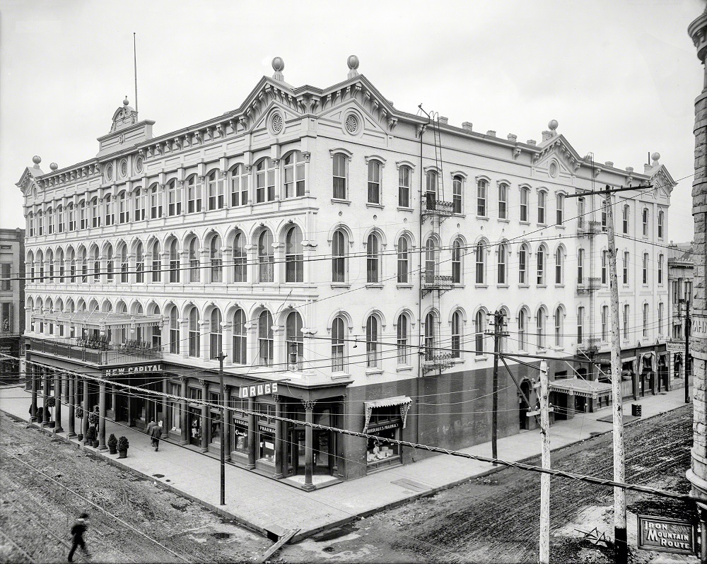
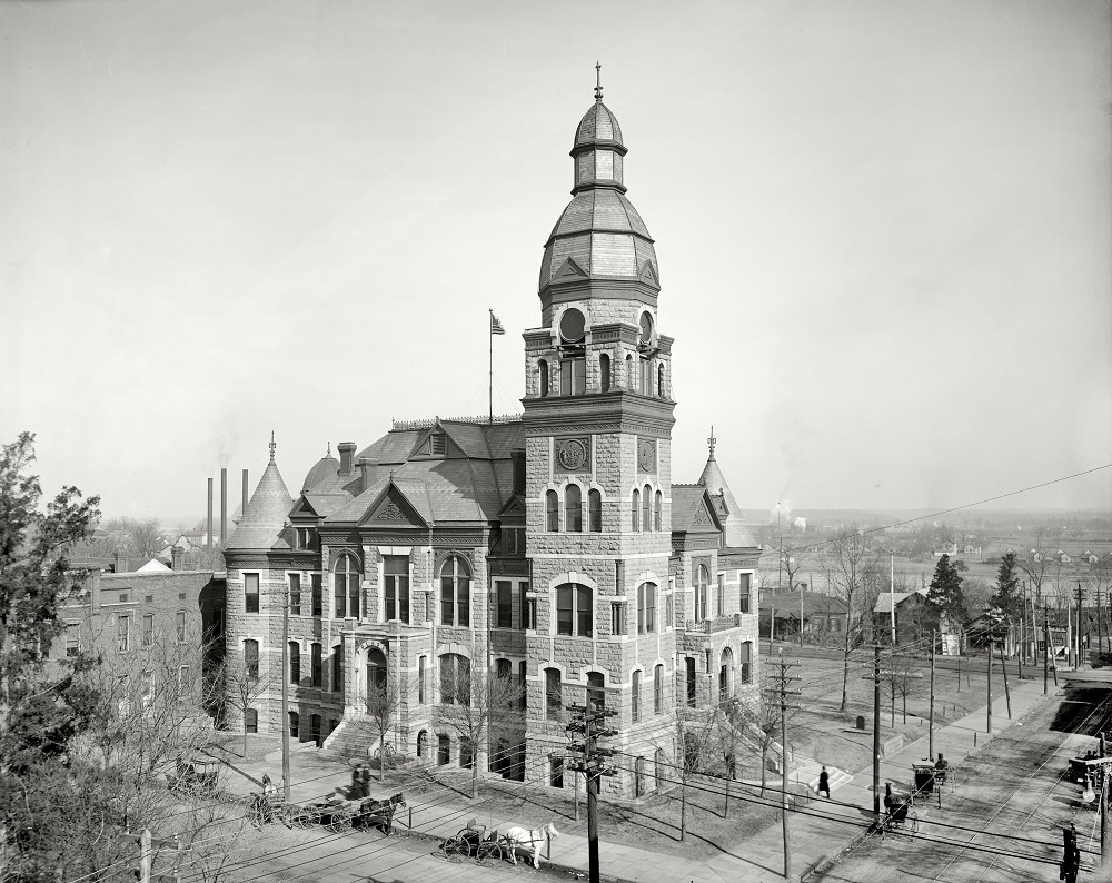
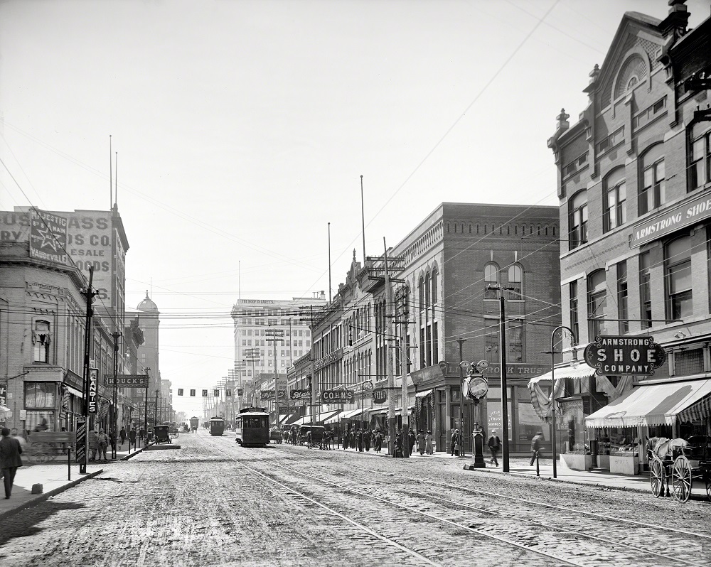
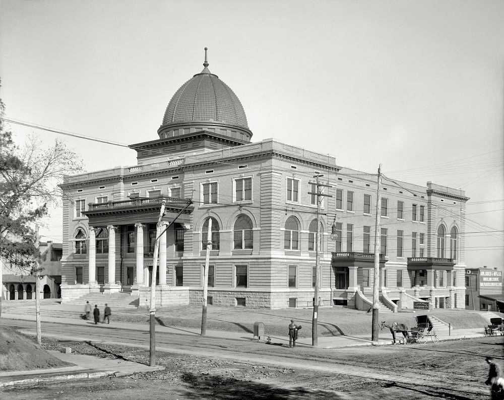
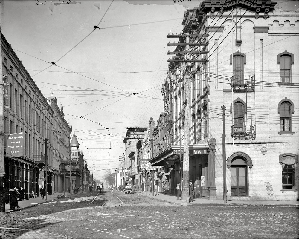
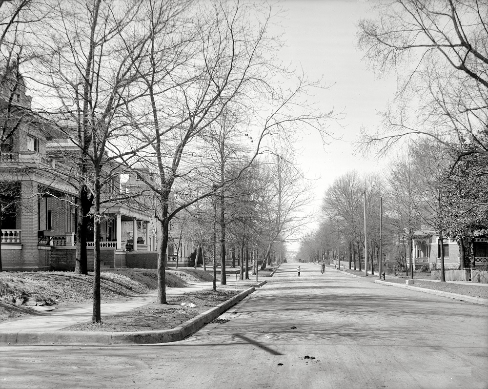
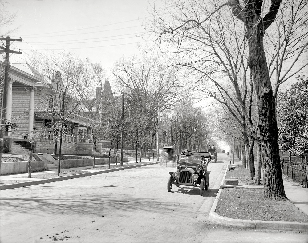
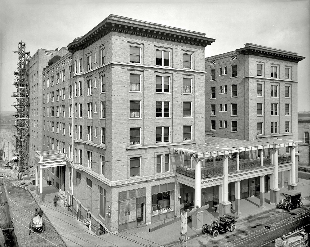
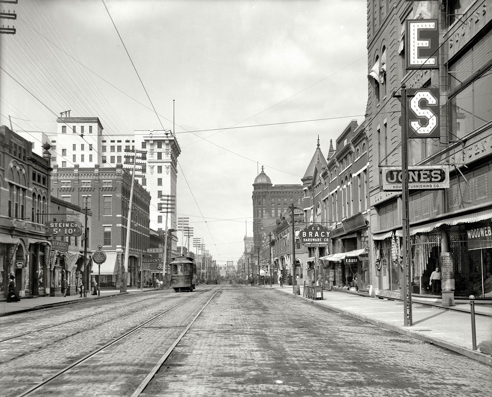
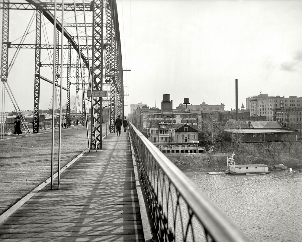
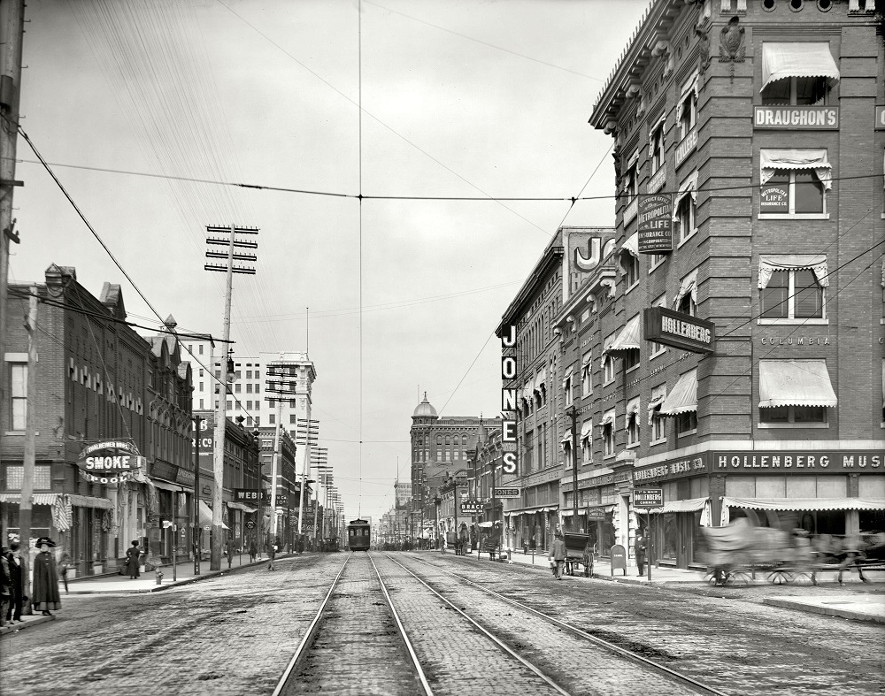
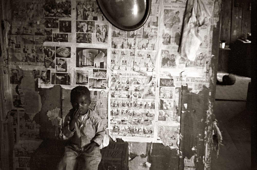
Here below are some historical photos of Little rock city from the early 20th century that show street scenes, landmarks, and everyday life.


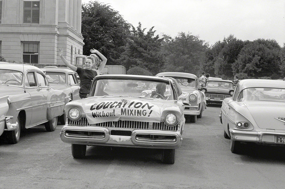
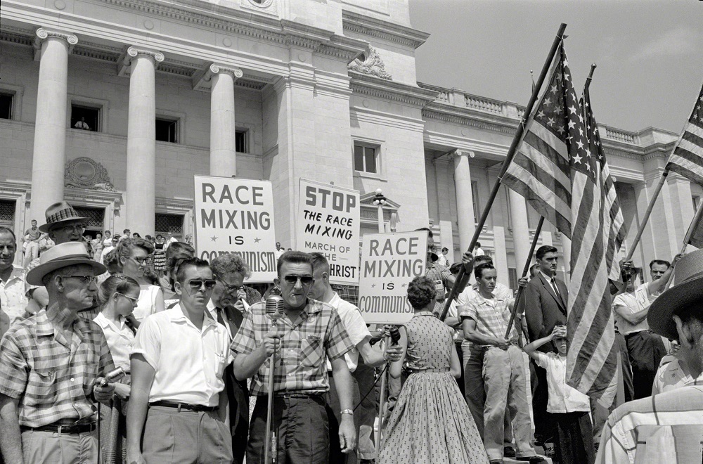

I couldn’t tell if the pictures of people having a parade for segregated schools was from the 1900’s or last week 😂
I think it’s funny that people downvoted the last two pics, like that changes the sentiment in LR at the time. It’s a picture capturing the moment. A bad moment. A good representation of that moment in time though.
The thing that stands out to me the most is the lack of potholes.
Neat seeing which buildings are still standing, sad to see some of the beautiful architecture has been replaced with parking lots/garages.
I have some old photos from when my family moved here back in the 50s. It’s always bothered me that in those old photos of Main Street the street itself is very wide, like 5 cars could drive side-by-side down main street. But now the buildings look like they are literally closer together. I had thought maybe it was the focal length of the lens in my photos, but the second photo on this page looks the same way.
The width of Main Street and its relation to the established building edge has not changed.