
Long before Zimbabwe gained its independence in 1980, the country — then known as Rhodesia under British colonial rule — had already built a striking urban landscape. Its cities were laid out with wide main streets, colonial-era architecture, and functioning public infrastructure. In September 1968, a photographer captured a remarkable set of images across the country, from the border town of Beitbridge to the spray-soaked cliffs of Victoria Falls. These photos offer a rare, ground-level look at what daily life and the built environment looked like in a country on the edge of major change.
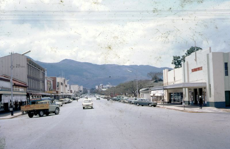
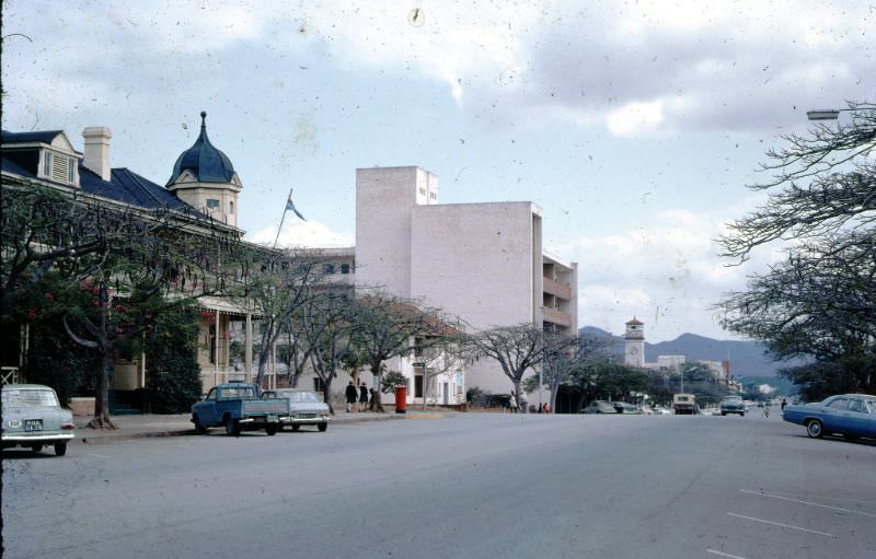
Umtali, known today as Mutare, was one of the towns documented in detail. Sitting near the eastern border with Mozambique, it served as an important administrative and transit hub. Its main street was lined with commercial buildings and government offices that reflected the colonial character of the era.
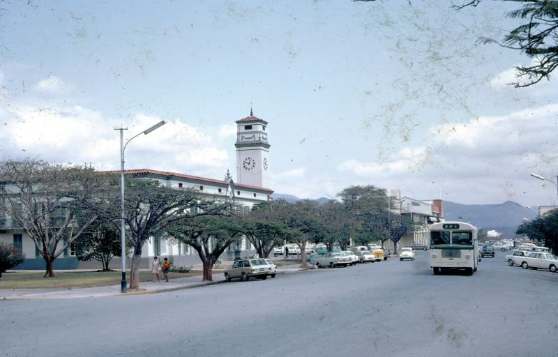
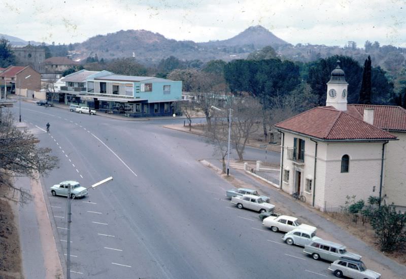
The Council Offices on Main Street stood as a symbol of local government authority. Just down the road, the Customs House marked Umtali’s role as a key point of entry and trade along the eastern corridor of Rhodesia.
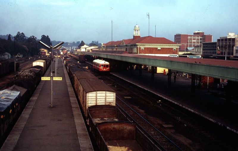
Rail travel was the backbone of long-distance movement across Rhodesia in 1968. Salisbury — now Harare — served as the country’s main railway hub, with lines stretching to Umtali in the east and Bulawayo in the southwest. Early mornings at Salisbury station were busy, with rail motors preparing for departure to regional destinations.
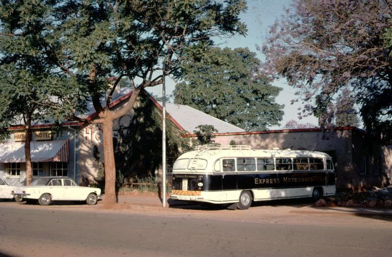
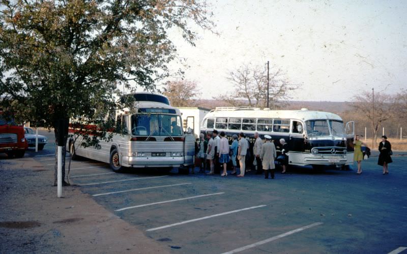
For those traveling between cities by road, coach services like African Motorways provided a vital link. The route from Salisbury to Beitbridge — the southern border crossing into South Africa — passed through smaller towns like Hartley, where coaches made scheduled stops.
At Beitbridge, the journey required a coach change. Passengers coming from Rhodesia would transfer from an Express Motorways coach to a South African Railways vehicle for the onward trip to Pretoria. The handover was a routine part of cross-border travel at the time.
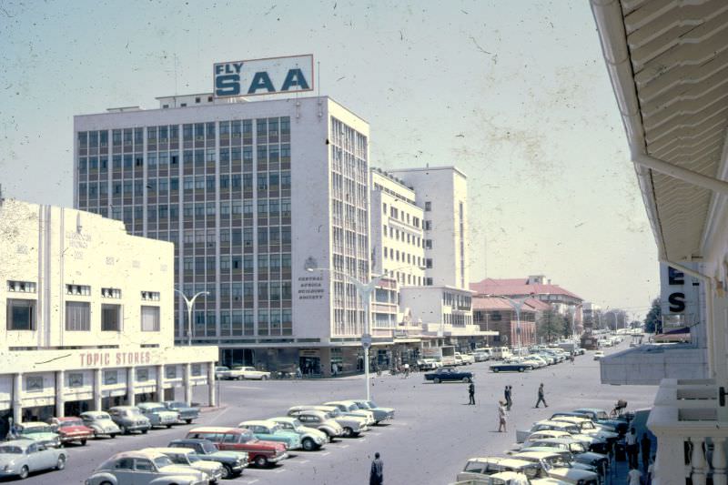
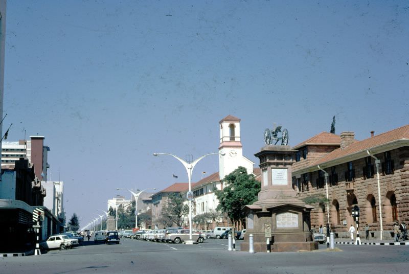
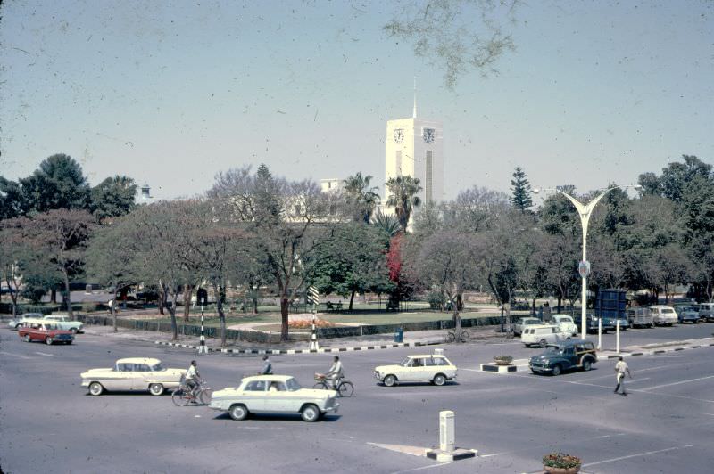
Bulawayo, Zimbabwe’s second-largest city, featured prominently in the 1968 photos. The city’s wide main streets — deliberately designed wide enough for an ox wagon to turn around — were a defining feature. They were flanked by a mix of commercial buildings, public institutions, and open green spaces.
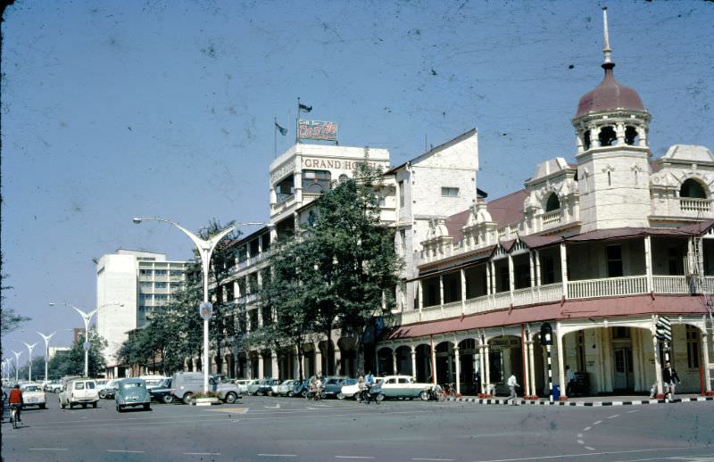
The Grand Hotel and Theatre on Main Street was one of Bulawayo’s most recognizable landmarks. It anchored the social and cultural life of the city during this period, hosting travelers and serving as a gathering point for residents.
A statue of Cecil John Rhodes stood prominently on Bulawayo’s main street in 1968. Rhodes, who lived from 1853 to 1902, was the British mining magnate and politician after whom Rhodesia was named. His statue’s placement at the center of the city’s main thoroughfare reflected how deeply colonial symbolism was embedded in public space at the time.
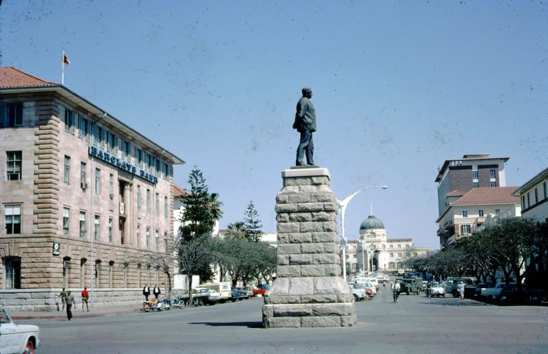
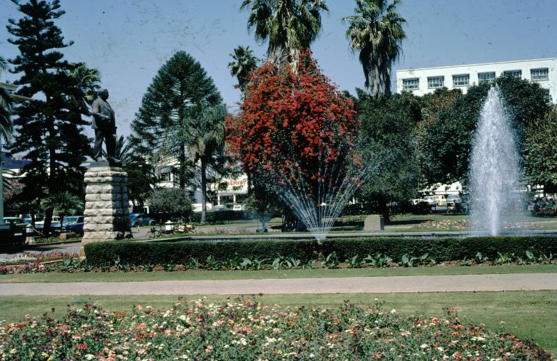
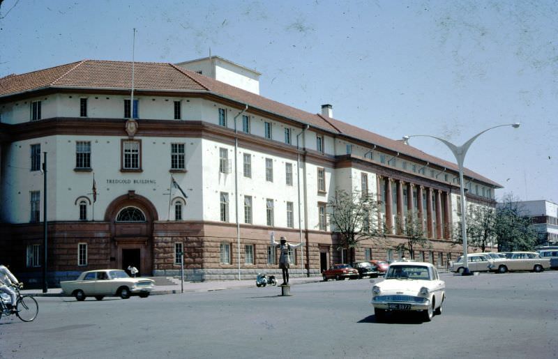
Beyond the statues and storefronts, Bulawayo had well-maintained parks and gardens that offered open space within the urban center. The Tredgold Building, a notable civic structure, added to the city’s formal architectural character.
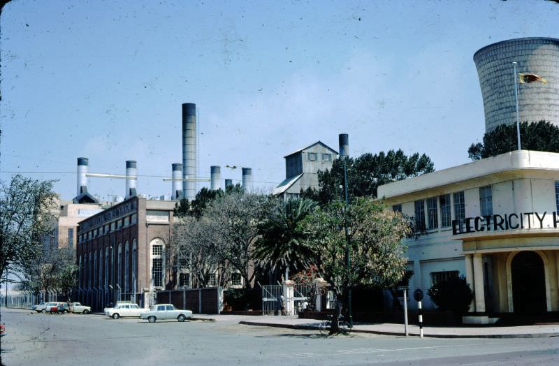
Bulawayo’s power station was a key piece of infrastructure supporting the city’s growing population and industrial activity. It stood as evidence that, despite the deep inequalities of colonial rule, significant investment had gone into the urban core.
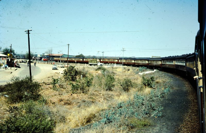
The photographer also captured the rail journey itself. A photo taken looking back from a passenger train past Figtree — a small town southwest of Bulawayo — shows the open landscape of southern Rhodesia stretching behind the moving carriages.
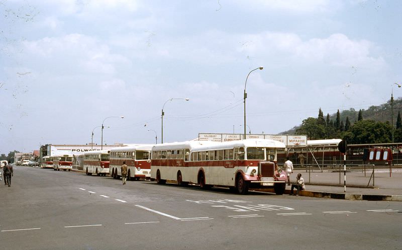
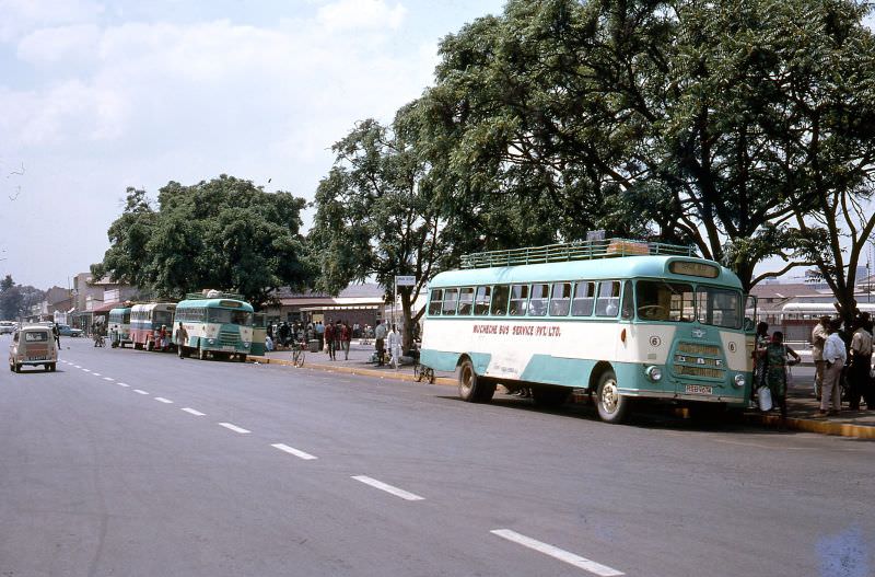
Salisbury, the capital, had its own distinct character. The city’s bus network was operated by the Salisbury United Omnibus Company Ltd., with a busy terminal handling daily commuter traffic. Private buses also operated throughout the city, adding to its urban bustle.
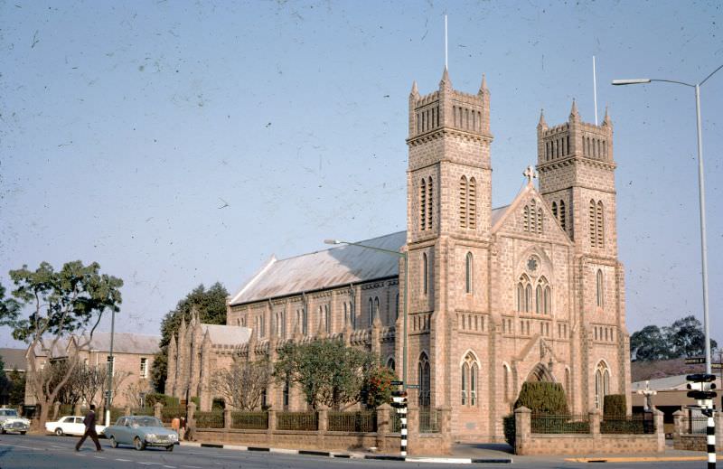
The Roman Catholic Cathedral in Salisbury was among the city’s most prominent religious landmarks. Its architecture reflected the European influences that shaped much of Rhodesia’s built environment during the colonial period.
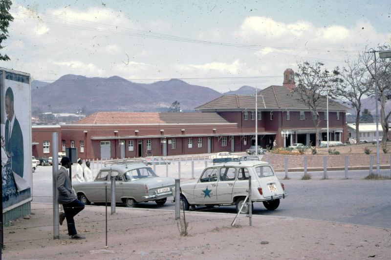
Back in Umtali, the railway station served as a critical transit point for goods and passengers moving between Rhodesia and Mozambique. The main street, photographed twice on the same day, showed a town with active commercial life.
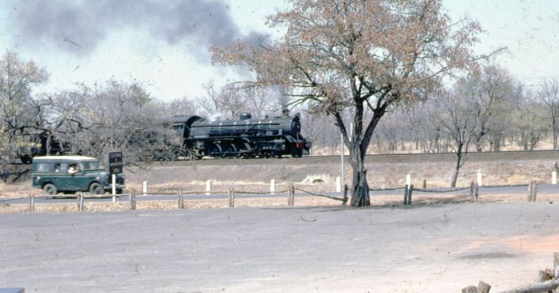
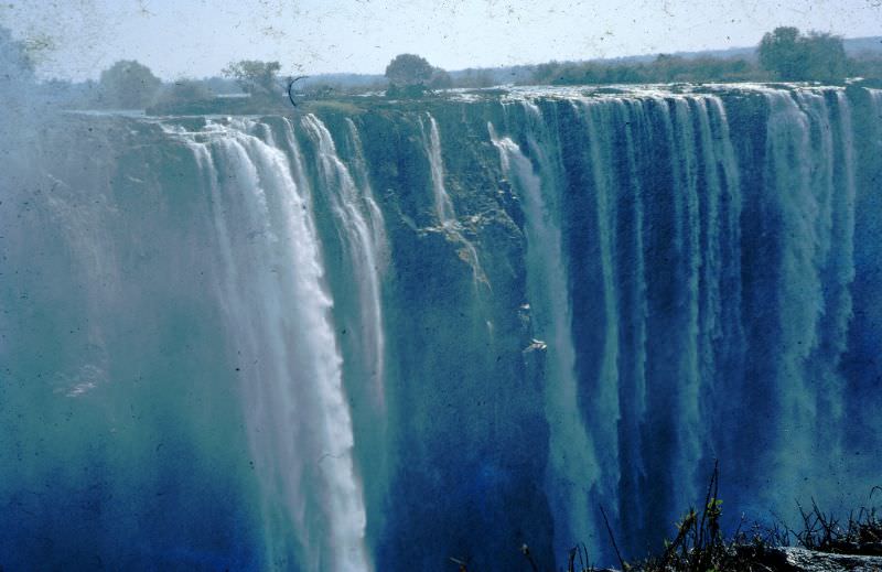
No journey through Rhodesia in 1968 would have been complete without a stop at Victoria Falls. Located on the border between Rhodesia and Zambia, the falls were — and remain — one of the most powerful natural spectacles on earth. Steam locomotives worked the area, hauling freight and passenger trains across the famous Victoria Falls Bridge.
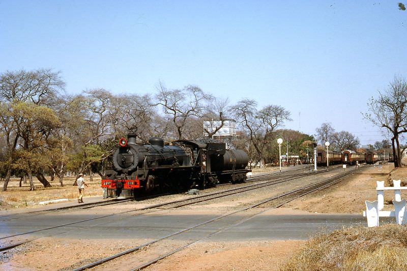
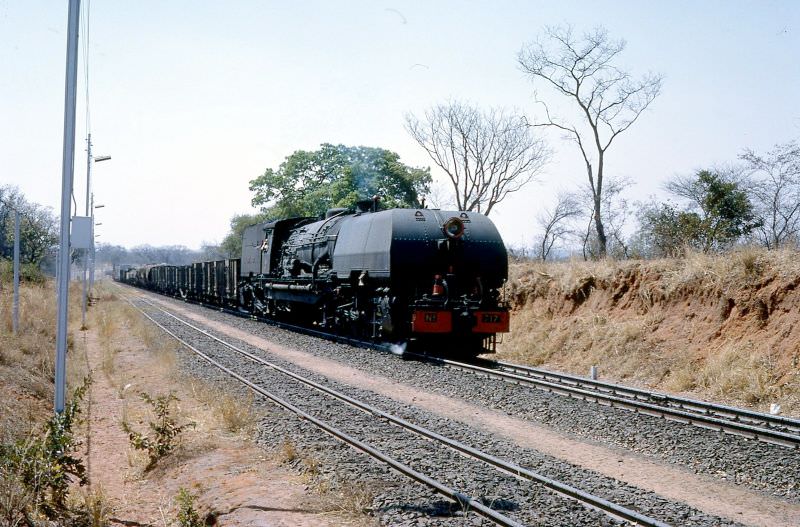
The Victoria Falls Bridge also served as the crossing point for trains heading north into Zambia. The route connected two nations and was a vital artery for regional trade and movement.
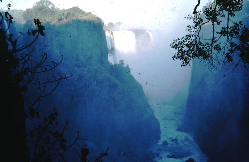
The falls themselves were photographed from multiple vantage points. The view from Devil’s Cataract looking downstream gave a sense of the sheer force and scale of the water, while the Northern Falls section showed the breadth of the cascade across the Zambezi River gorge.





Pre ZANUPF Marxist dictatorship, corruption and plunder.
That’s right. To be honest, I find that so sad. If our leaders weren’t able to steer the ship post-colonization, we would still be relying on colonial architecture
It looked great
Zimbabwe could have been a little Europe. Now it’s a little destitute run by incompetent fools. A person who sells gold for a worthless currency, both USD and ZWL.
This statement clearly shows you don’t understand how oppressed black Zimbabweans were during Rhodesia.
Both ideologies were bad, let’s agree. Each has its pros and cons. That’s all there is to it!
Now blacks and whites are so free they have no work no services little food. And rely on refugees from outside to send them money. Wonderful freedom? They have the vote but less that 30% eligible vote because they are. Or permitted a legitimate choice. Good freedom that.