By 1947, Canada was still finding its footing after World War II. Over a million veterans had returned home, and they were getting married, starting families, and buying houses at a rapid pace. The so-called “baby boom” was well underway. Much of what Canadians were purchasing came from the United States, which put Canada’s balance of payments under serious strain — the worst since the Great Depression. On the labor front, unions had nearly doubled in size by the end of the war. Workers in the auto, steel, and transportation industries were ready to flex that new muscle, and major strikes followed. Against this backdrop of social and economic change, Western Canada still offered some of the most breathtaking scenery on the continent. These photographs, taken in 1947, capture that world in vivid detail.
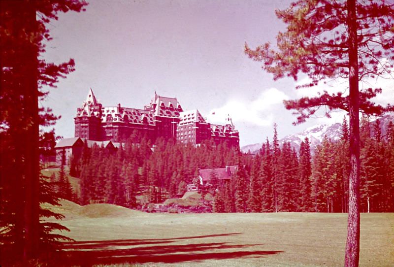
Banff, Alberta, was already a well-established destination by 1947. The Banff Springs Hotel sat at the center of it all — a grand castle-like structure that had been drawing visitors since the Canadian Pacific Railway first opened the area to tourism in the late 1800s.
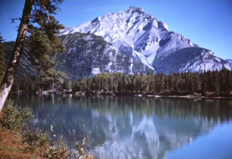
Just outside the hotel’s doors, the natural world made an equally strong impression. The Bow River wound through the valley below the towering Cascade Mountains, a scene that painters and photographers had been trying to capture for decades.
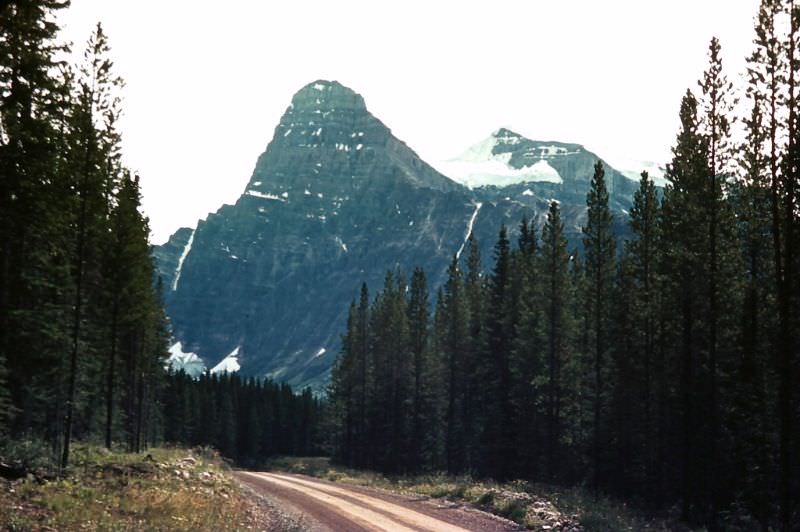
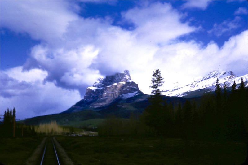
The peaks surrounding Banff offered a different view from nearly every angle. Chephero Mountain rose sharply from the valley floor, its rugged face a reminder of just how wild the Canadian Rockies remained even as tourism grew.
Johnston Canyon, a short drive from the town of Banff, drew visitors into a narrow limestone gorge carved over thousands of years by a fast-moving creek. Walkways and catwalks had been built along the canyon walls, making it accessible without disturbing the scenery.
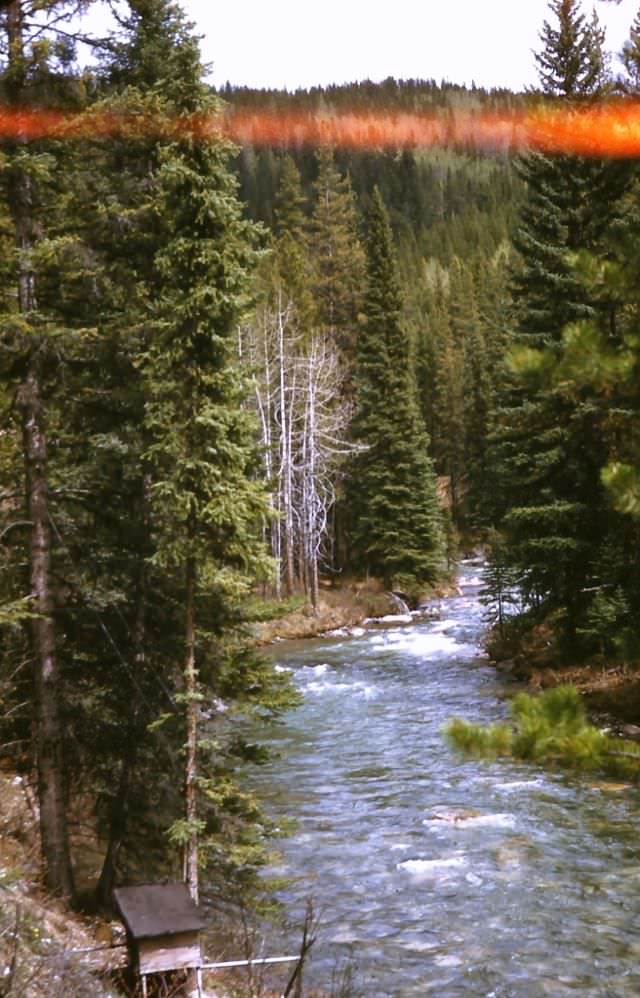
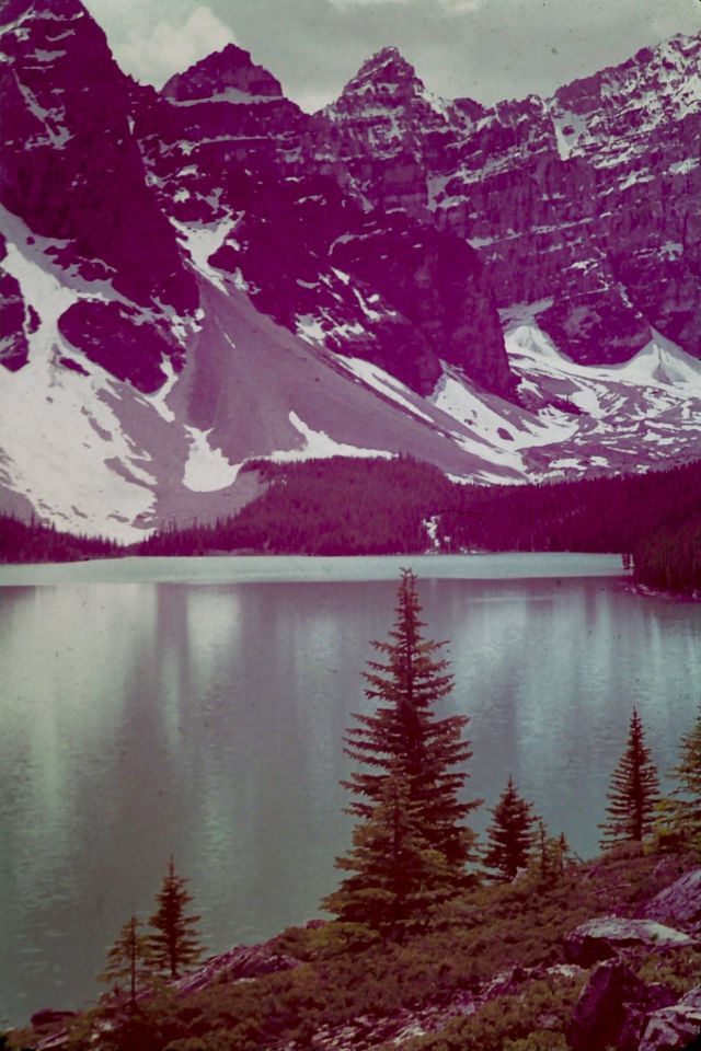
Further into the park, Moraine Lake sat nestled at the foot of the Valley of Ten Peaks. The water ran a brilliant turquoise from glacial rock flour suspended in it — a color that seemed almost artificial in photographs but was entirely natural.
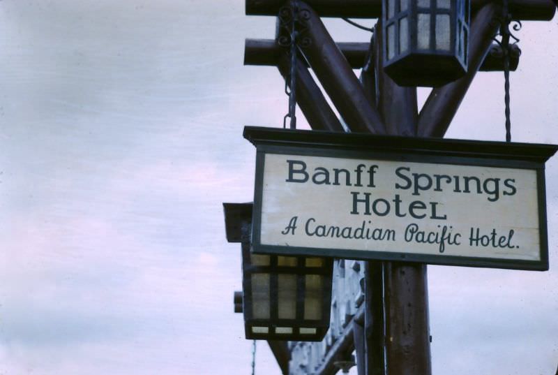
The Banff railway station served as the gateway for most visitors arriving by train in 1947. The Canadian Pacific Railway had built the line through the mountains decades earlier, and the station sign marked the town’s identity as much as anything else.
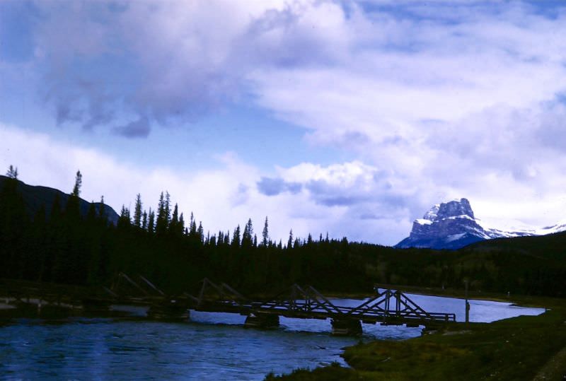
Downstream from Banff, the Bow River passed beneath the imposing face of Mount Eisenhower, which stood at 9,390 feet. The mountain had been renamed in honor of the American general just two years earlier, in 1946.
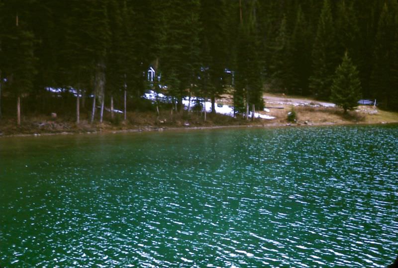
Crossing into British Columbia from Alberta, Emerald Lake in Yoho National Park lived up to its name. Fed by glacial streams, its deep green color stood out sharply against the surrounding evergreen forest and grey mountain slopes.
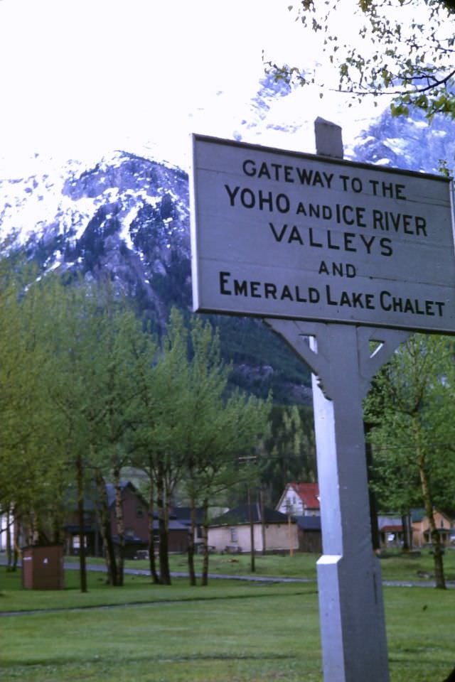
The town of Field, B.C., sat along the Canadian Pacific Railway’s main line through the mountains. The CPR had engineered its route to follow the Kicking Horse River through one of the most challenging stretches of the entire transcontinental line.
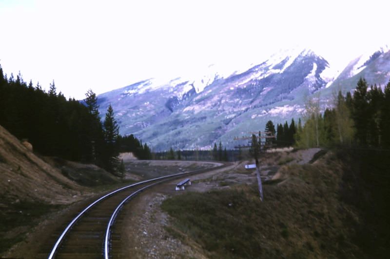
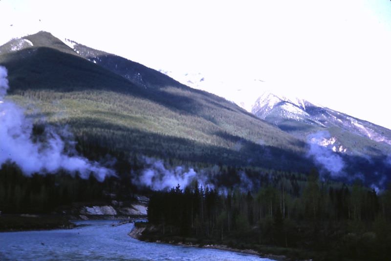
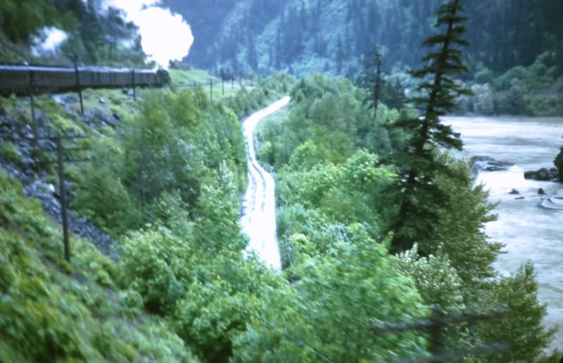
Heading west, the Fraser River Canyon presented a dramatic shift in landscape. The river had carved a deep gorge through the interior of British Columbia, and the canyon walls dropped sharply to the fast-moving water below.
The Great Divide marks the boundary between Alberta and British Columbia along the Rocky Mountain ridge. Water on the east side drains toward the Atlantic; water on the west drains toward the Pacific. A simple roadside marker in 1947 noted the spot.
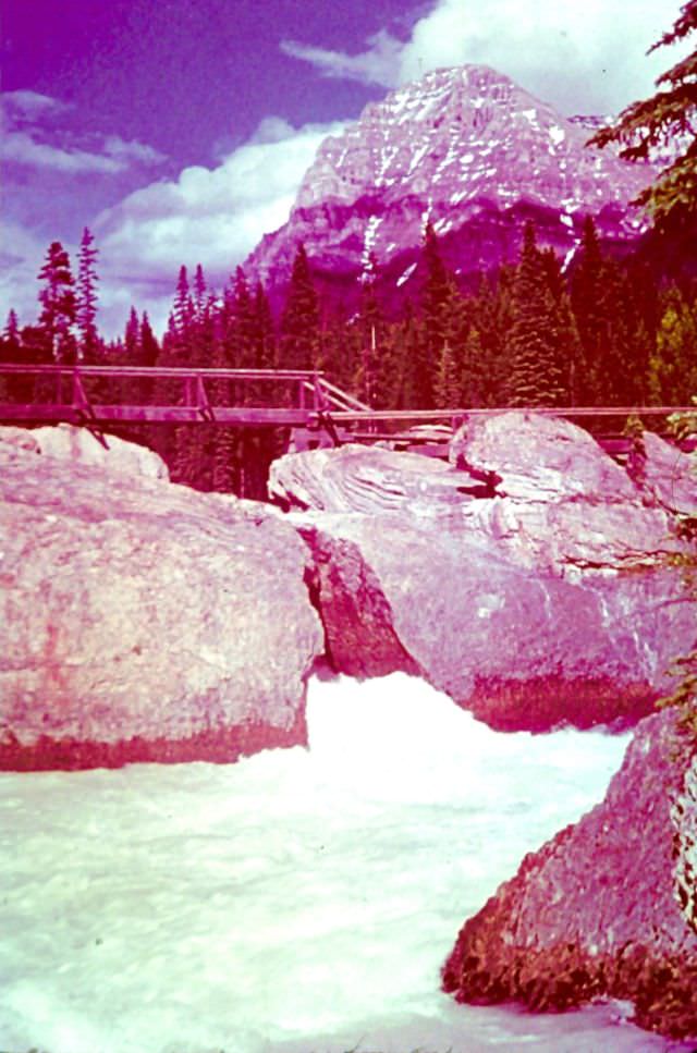
Along the Kicking Horse River, a natural bridge had formed where the river forced its way through a gap in solid rock, leaving a stone arch overhead. It was one of the more unusual geological features in the entire national park system.
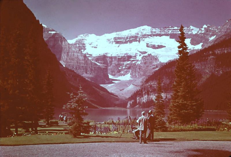
Lake Louise, one of the most photographed spots in Canada, drew visitors year after year. The Victoria Glacier fed the lake and gave it the same vivid color seen at Moraine Lake. These three photos from 1947 show the lake from different vantages.
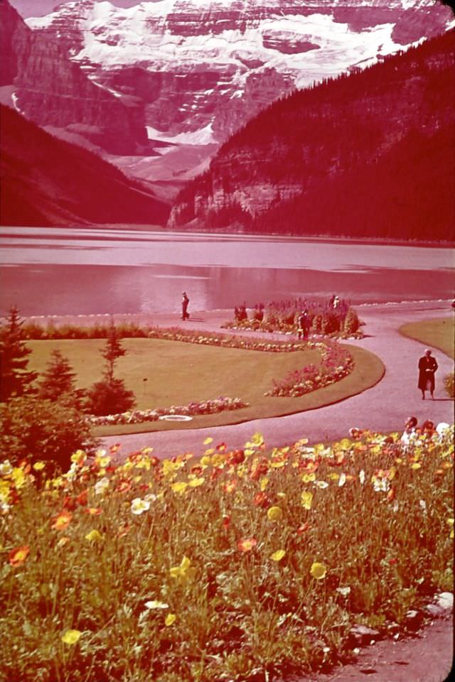
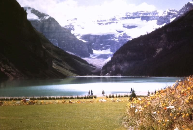
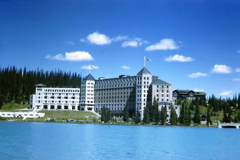
Overlooking the lake itself stood the Chateau Lake Louise, another grand CPR hotel that had grown over the decades from a simple log structure into a full-scale resort. In 1947, it remained one of the premier destinations in the Canadian Rockies.
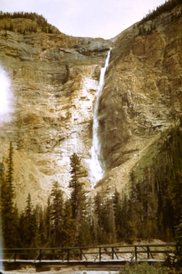
Takakkaw Falls in Yoho National Park dropped over 830 feet from the Daly Glacier above, making it one of the tallest waterfalls in Canada. The name comes from the Cree word meaning “it is wonderful.”
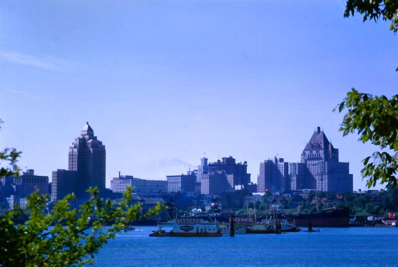
Vancouver in 1947 was a busy port city on the Pacific coast. Its skyline was modest compared to what it would become in later decades, but the city had a distinct character shaped by its waterfront setting and its role as a gateway to Asia and the rest of the Pacific.
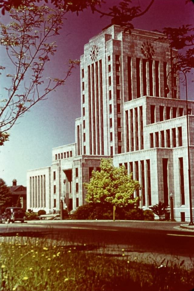
Vancouver’s civic institutions gave the city a sense of permanence. City Hall, completed in 1936, was a strong example of the Art Deco style that had defined much of North American public architecture in the years before the war.
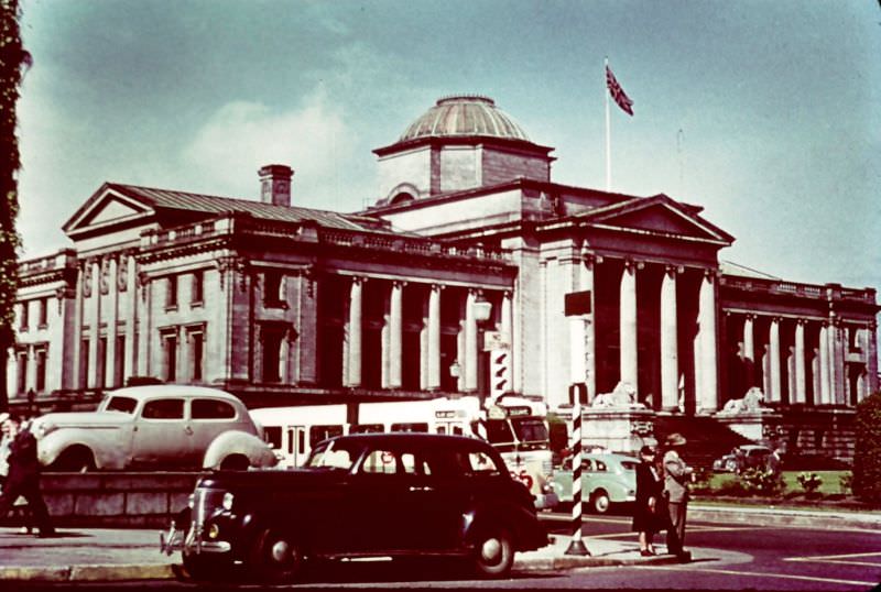
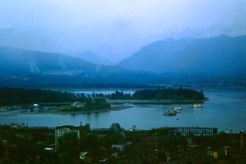
The harbor was central to Vancouver’s identity and economy. Seen from a hotel window high above the waterfront, the spread of Burrard Inlet and the North Shore mountains beyond gave the city one of the most dramatic urban settings in North America.
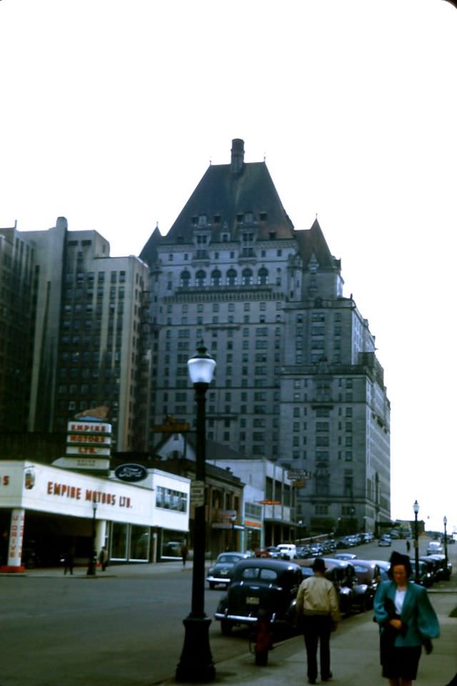
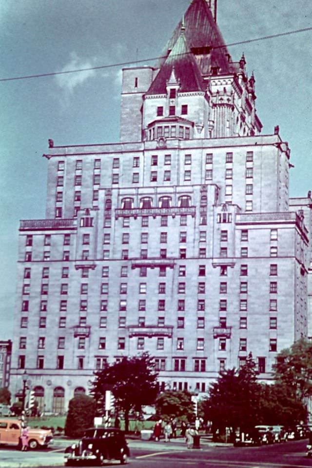
Hotel Vancouver on Burrard Street was the city’s flagship hotel. The chateau-style building, completed in 1939, was operated jointly by the CPR and Canadian National Railways. It was where visiting dignitaries and tourists alike came to stay.
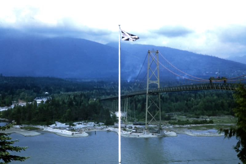
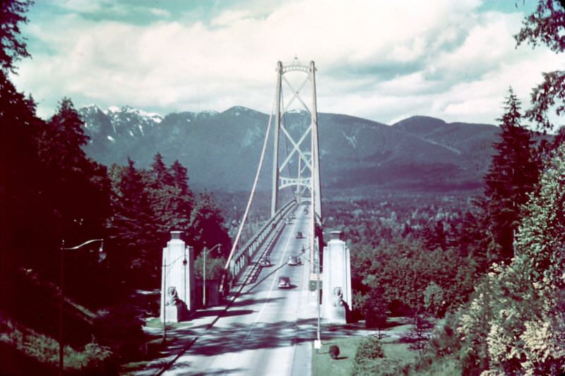
Lion’s Gate Bridge, which had opened in 1938, connected downtown Vancouver to the North Shore across the First Narrows of Burrard Inlet. By 1947, it was already one of the defining features of the city’s landscape.
Stanley Park, Vancouver’s massive urban green space, contained a pavilion that served as a community gathering spot. The park itself, covering over 1,000 acres on a peninsula, had been a public space since 1888.
Across the Strait of Georgia, Victoria on Vancouver Island served as the capital of British Columbia. The Empress Hotel, operated by the CPR, sat directly on the inner harbor and had been the city’s most recognizable landmark since its opening in 1908.
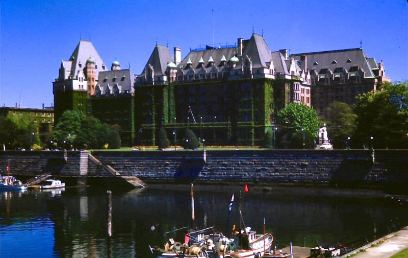
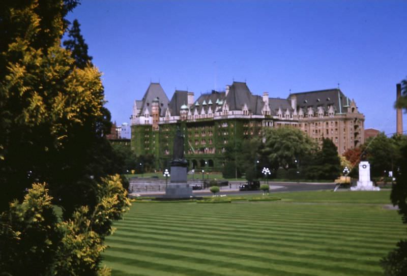
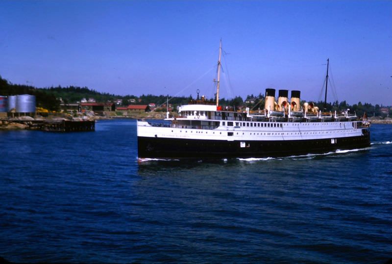
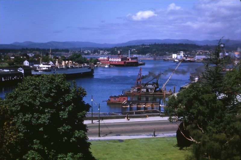
Arriving in Victoria by sea meant sailing into one of the most picturesque harbors on the west coast, with the Parliament Buildings and the Empress Hotel both visible from the water.
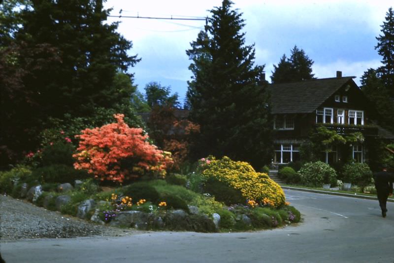
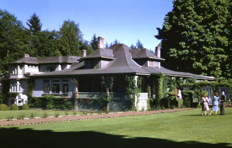
Outside the city center, the home of the late Robert Pim Butchart — founder of the famous Butchart Gardens — stood as a reminder of Victoria’s prosperous past. The gardens themselves had grown from a reclaimed limestone quarry into a world-famous attraction.
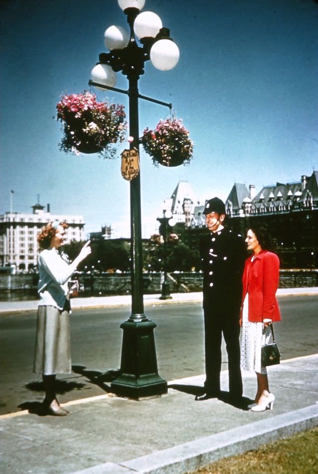
On Victoria’s streets, daily life carried a noticeably British character. A uniformed police officer on the street corner reflected the city’s strong ties to British tradition, which set Victoria apart from most other Canadian cities.
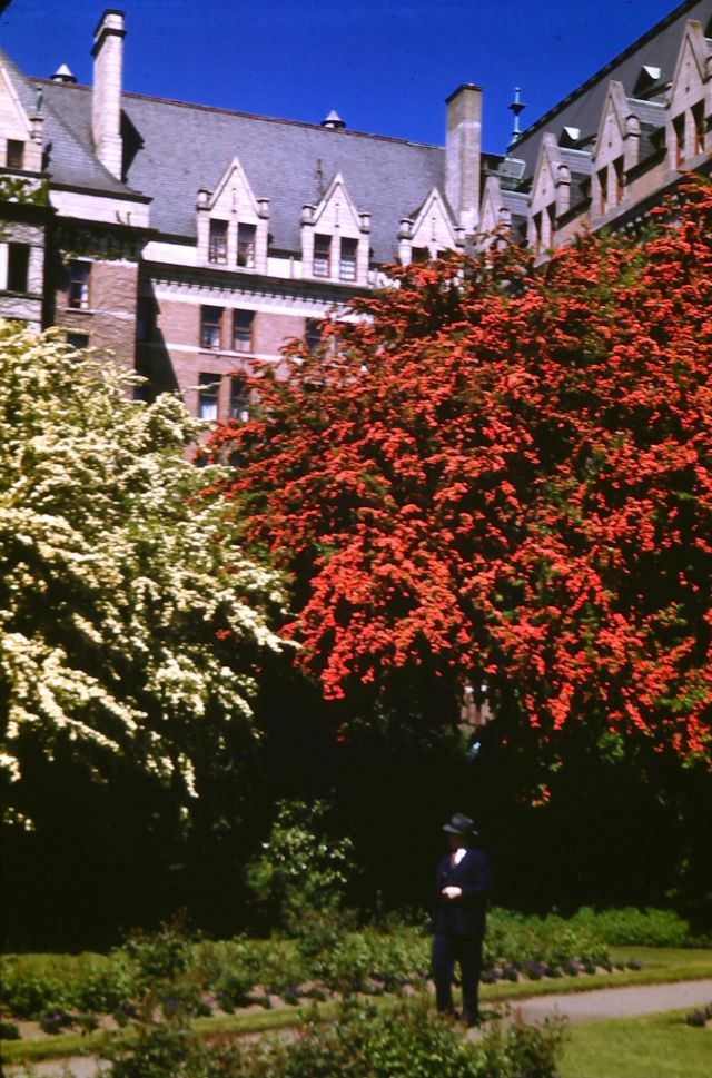
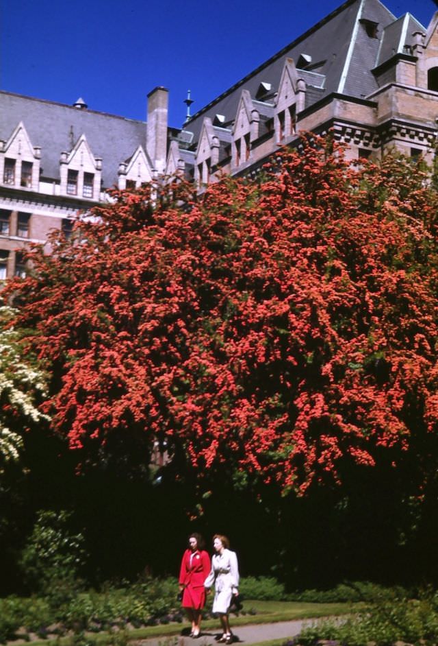
The gardens of the Empress Hotel were carefully maintained and known for their flowering trees. In spring, red and white May trees in full bloom lined the grounds, drawing visitors and locals alike.
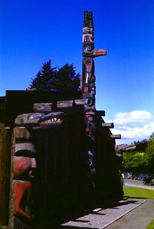
Thunderbird Park, located next to the Royal BC Museum, held a collection of totem poles carved by Indigenous peoples of the Pacific Northwest. The poles represented family crests, historical events, and spiritual figures central to the cultures that created them.
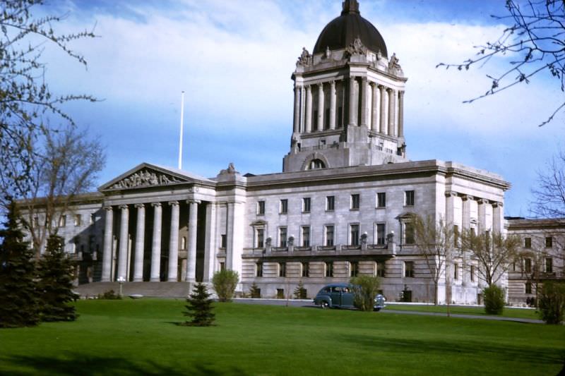
Far to the east, Winnipeg stood as the largest city in Manitoba and the economic hub of the Canadian prairies. The Manitoba Parliament Building, with its famous Golden Boy statue atop the dome, anchored the city’s Broadway district.
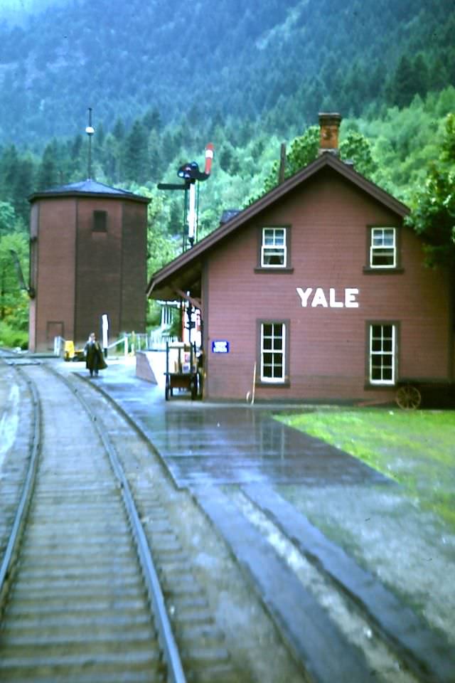
Back in British Columbia, the small town of Yale sat in the Fraser Canyon and had once been the largest city west of Chicago during the 1858 Gold Rush. By 1947, it was a quiet stop along the CPR line, its station still in service for passing trains.
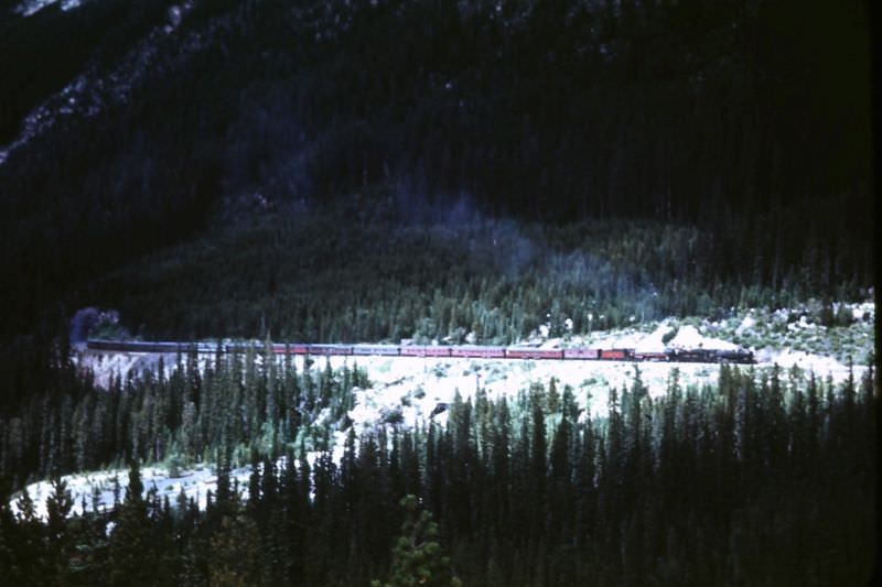
In Yoho National Park, the Spiral Tunnels were a feat of railway engineering. Built in 1909 by the CPR to reduce the steep grade of the original Kicking Horse Pass route, the tunnels bored through two mountains in a figure-eight pattern. A train entering the tunnel would emerge above itself, having gained elevation through the spiral route inside the rock.