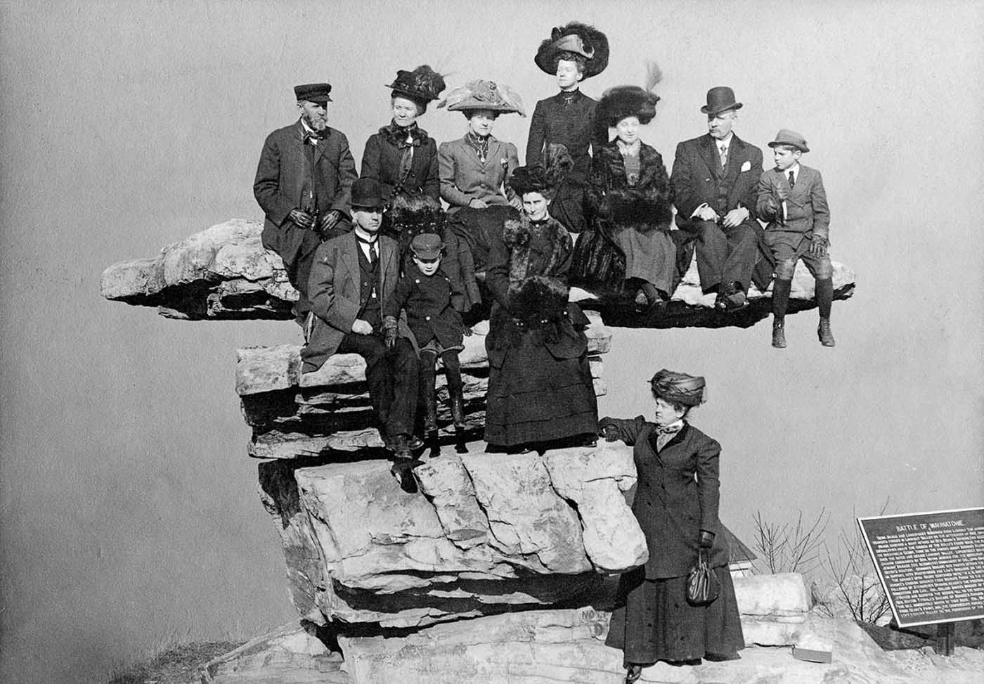
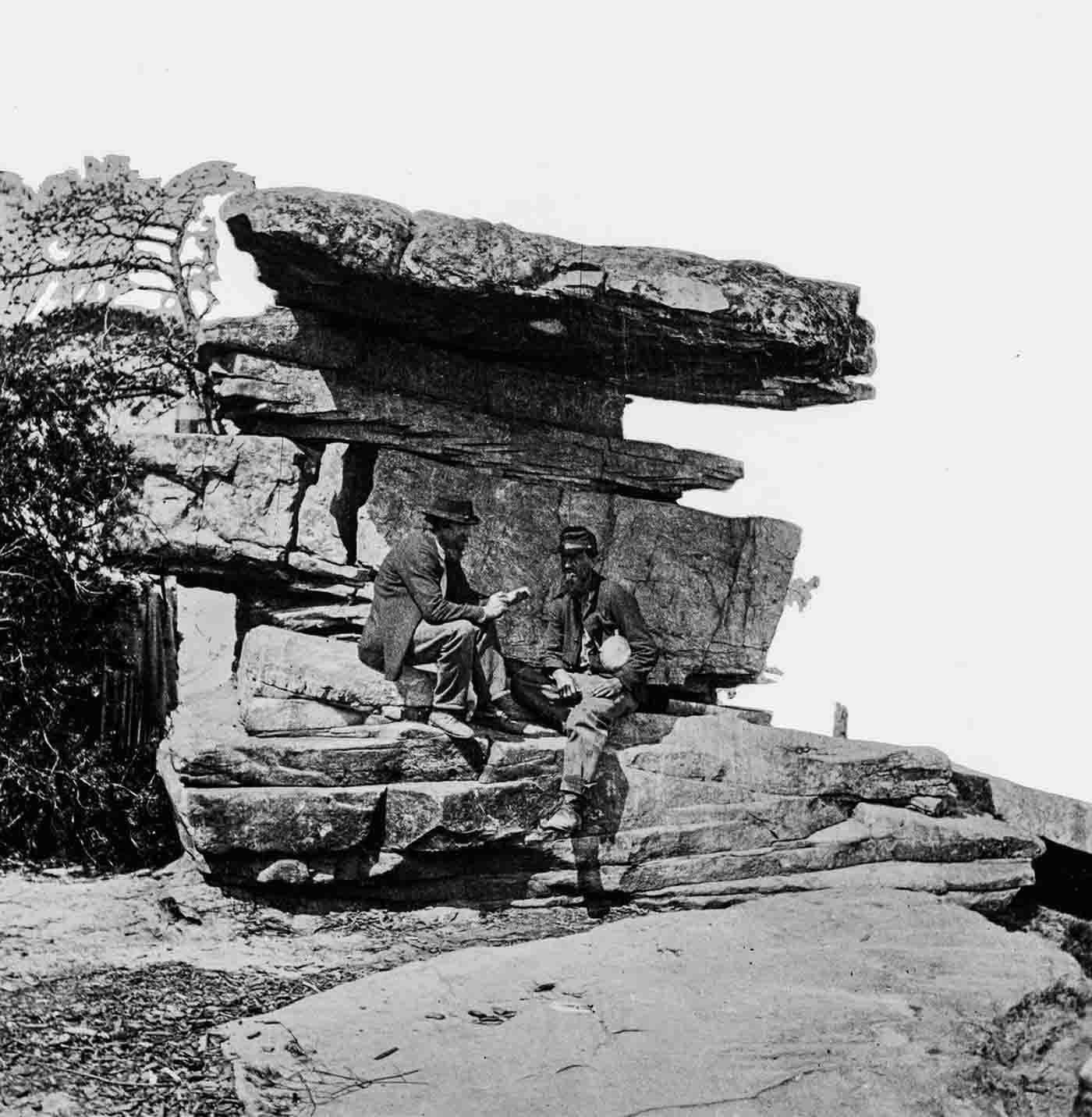
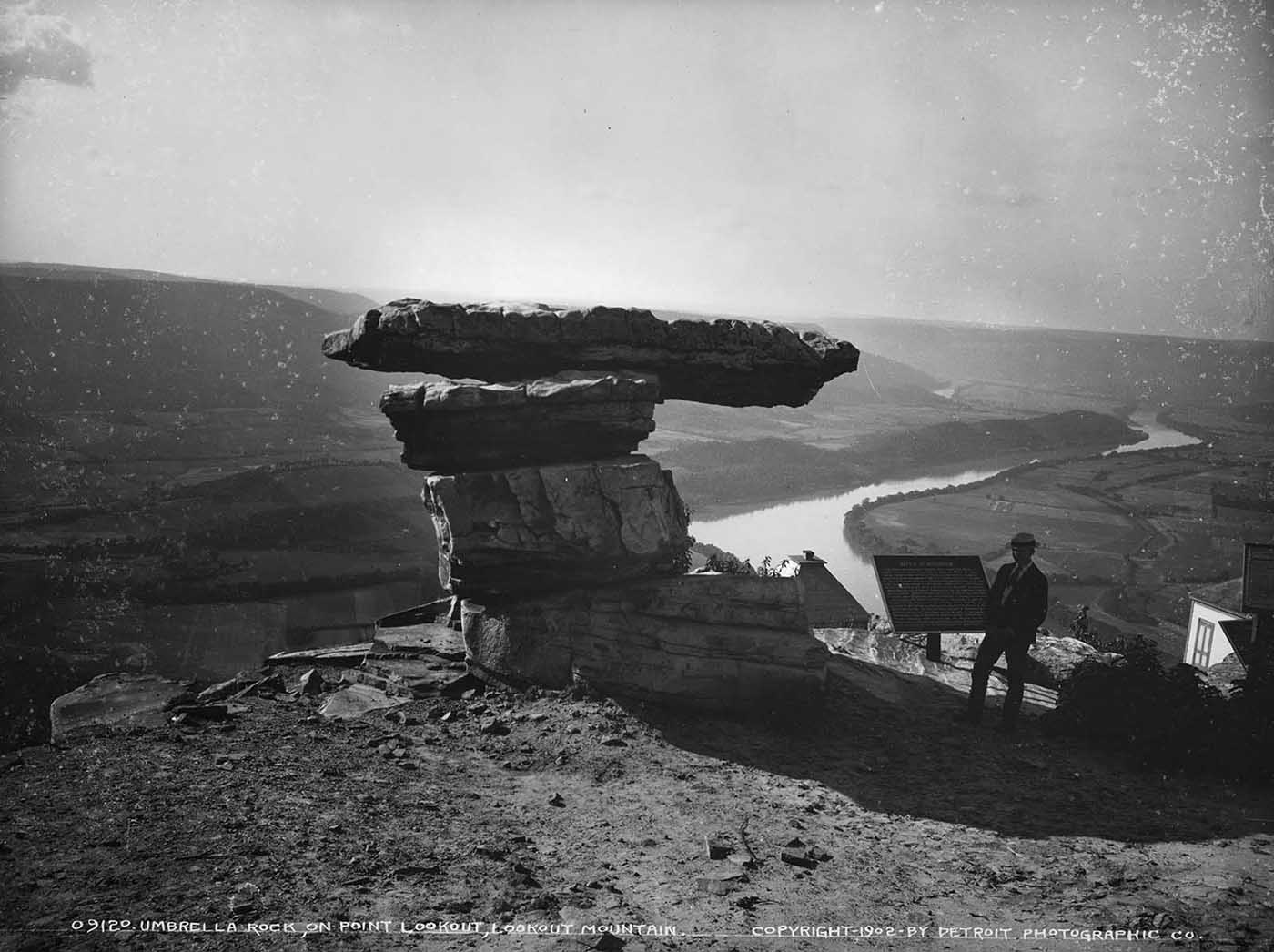
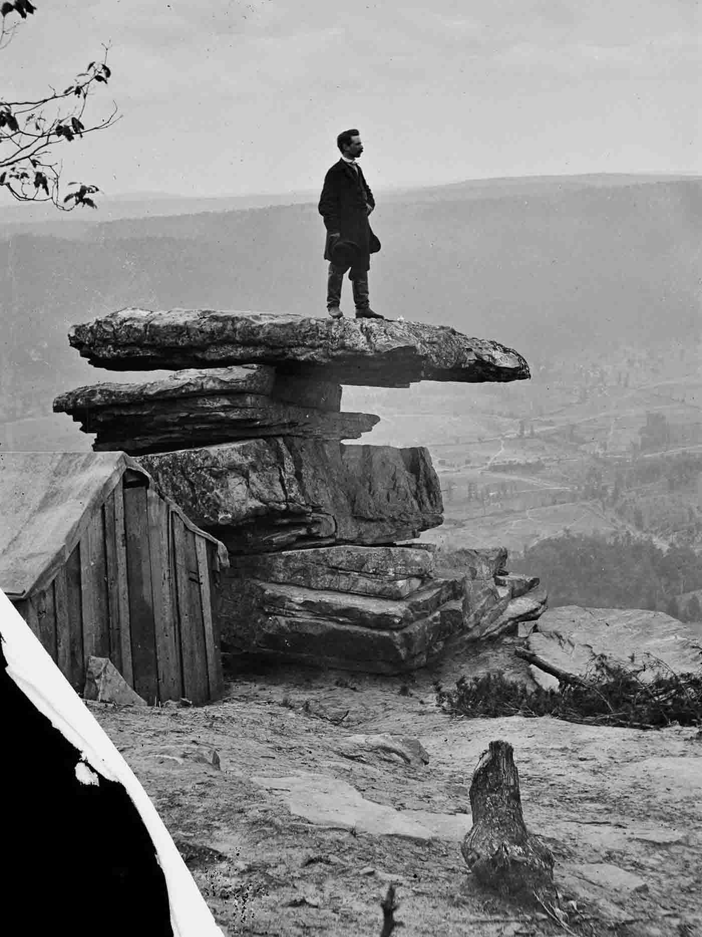
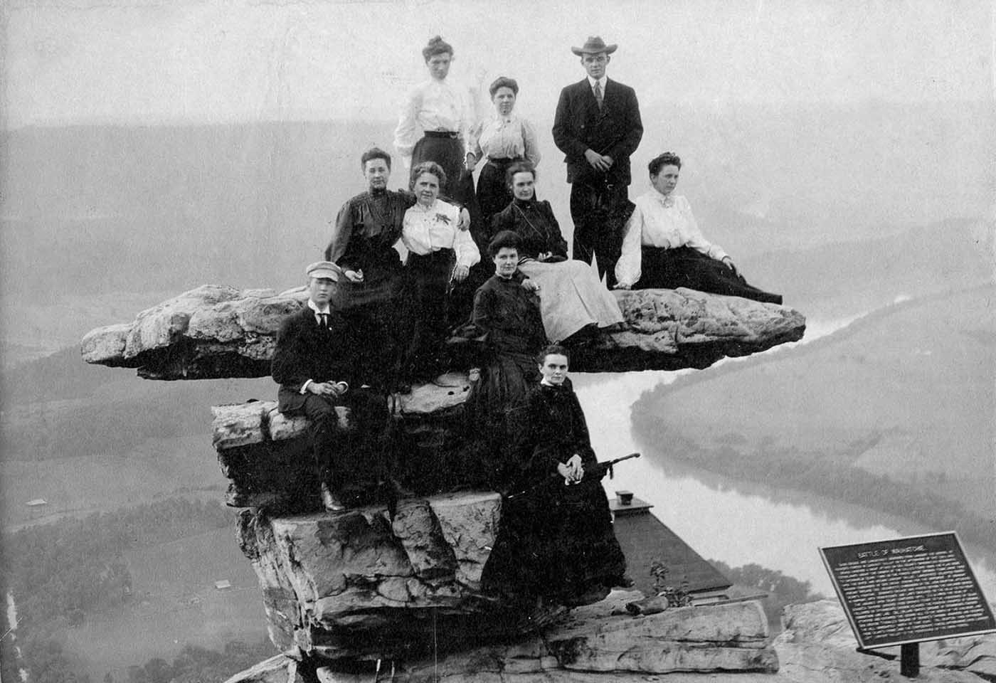
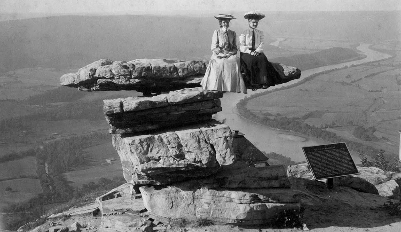
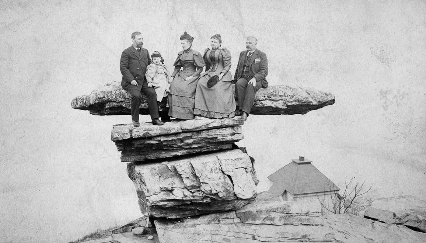
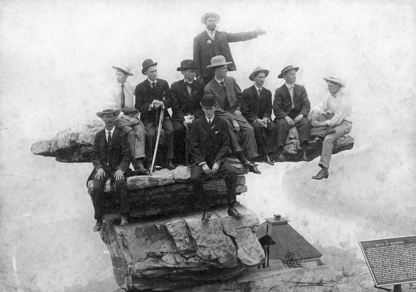
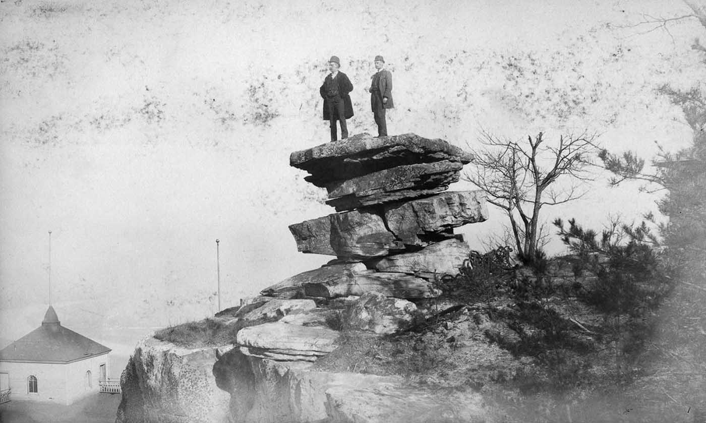
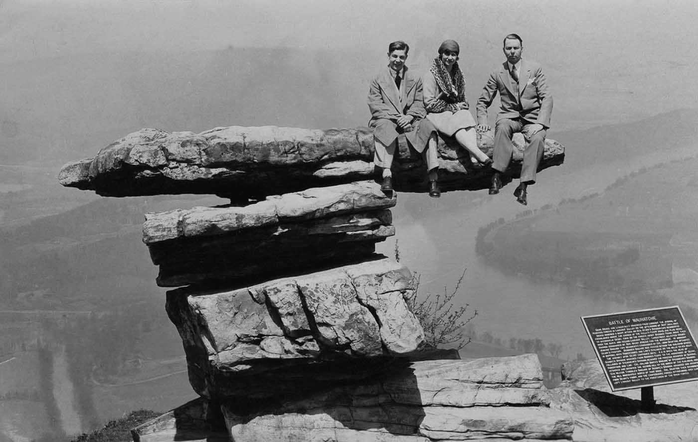
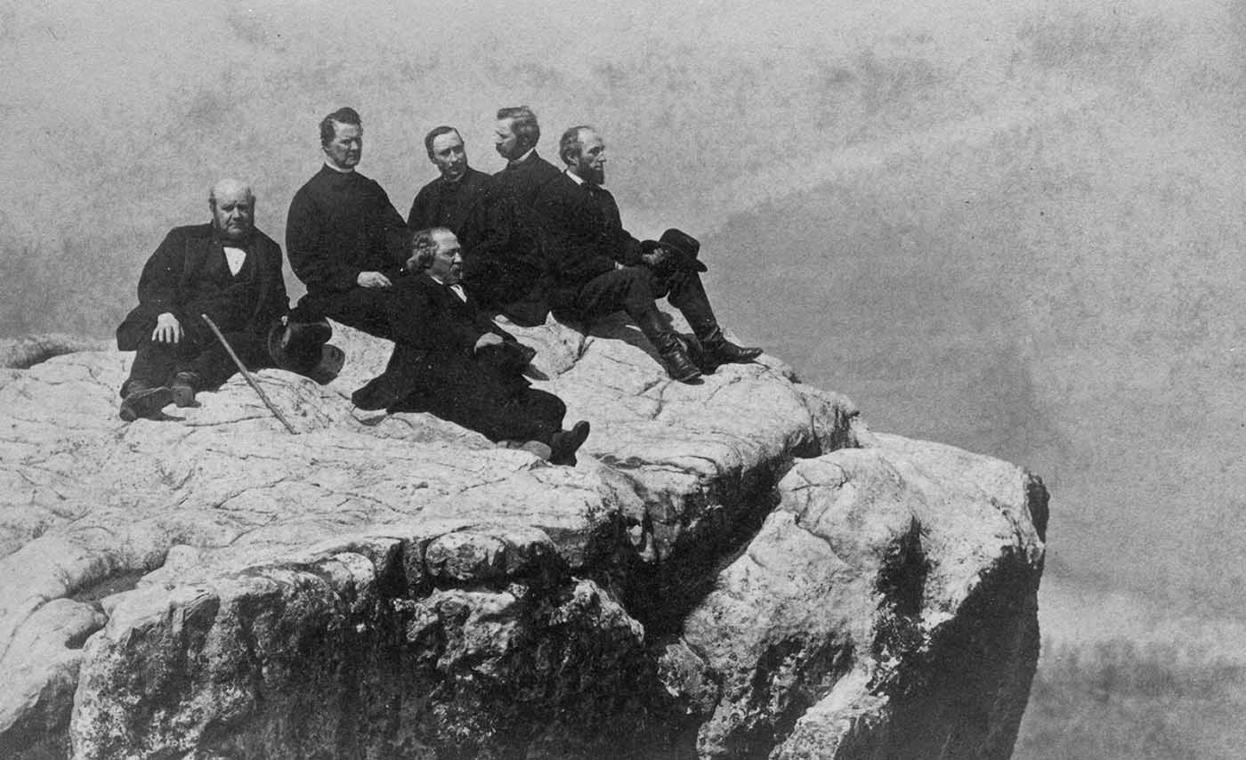
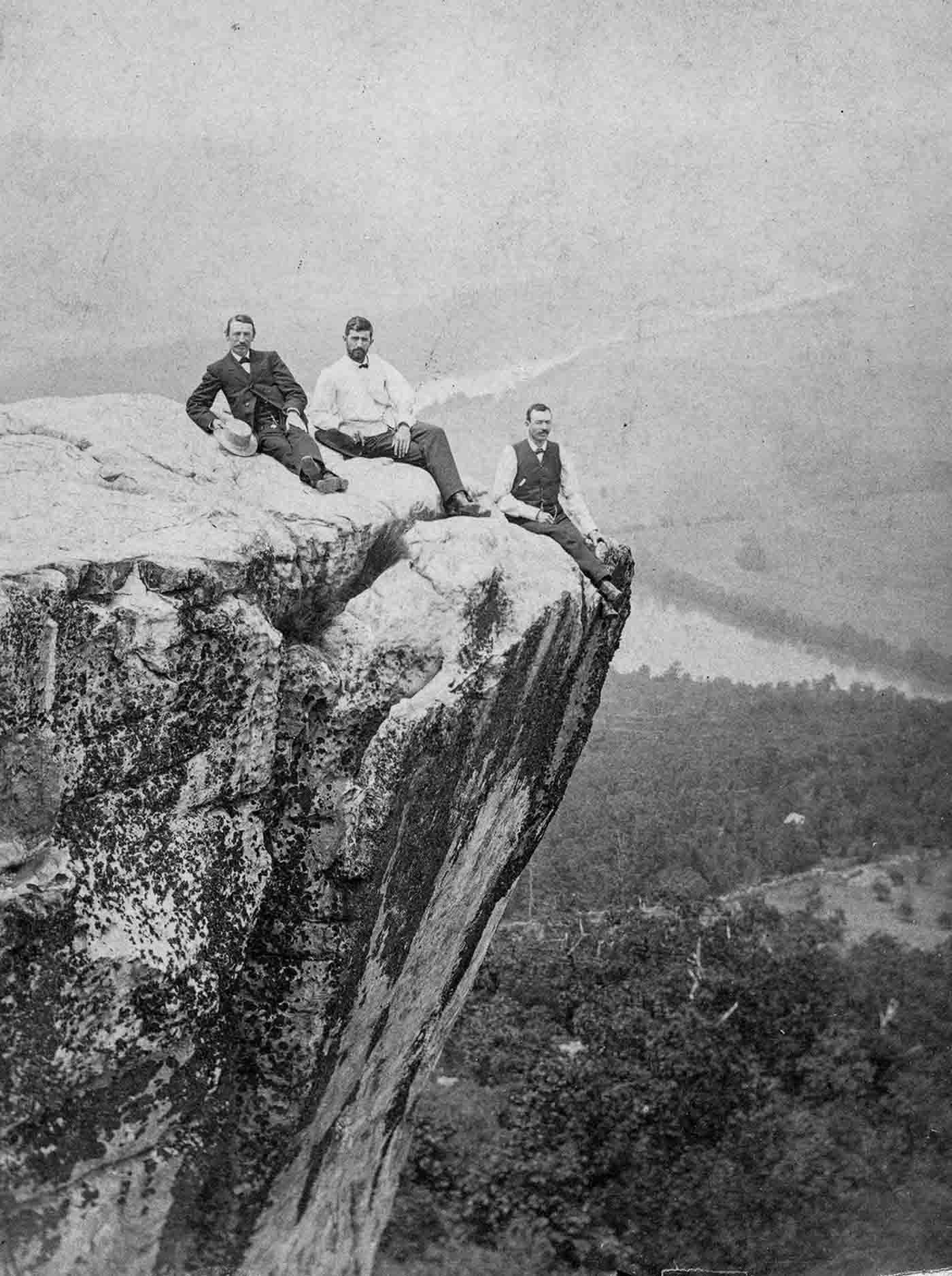
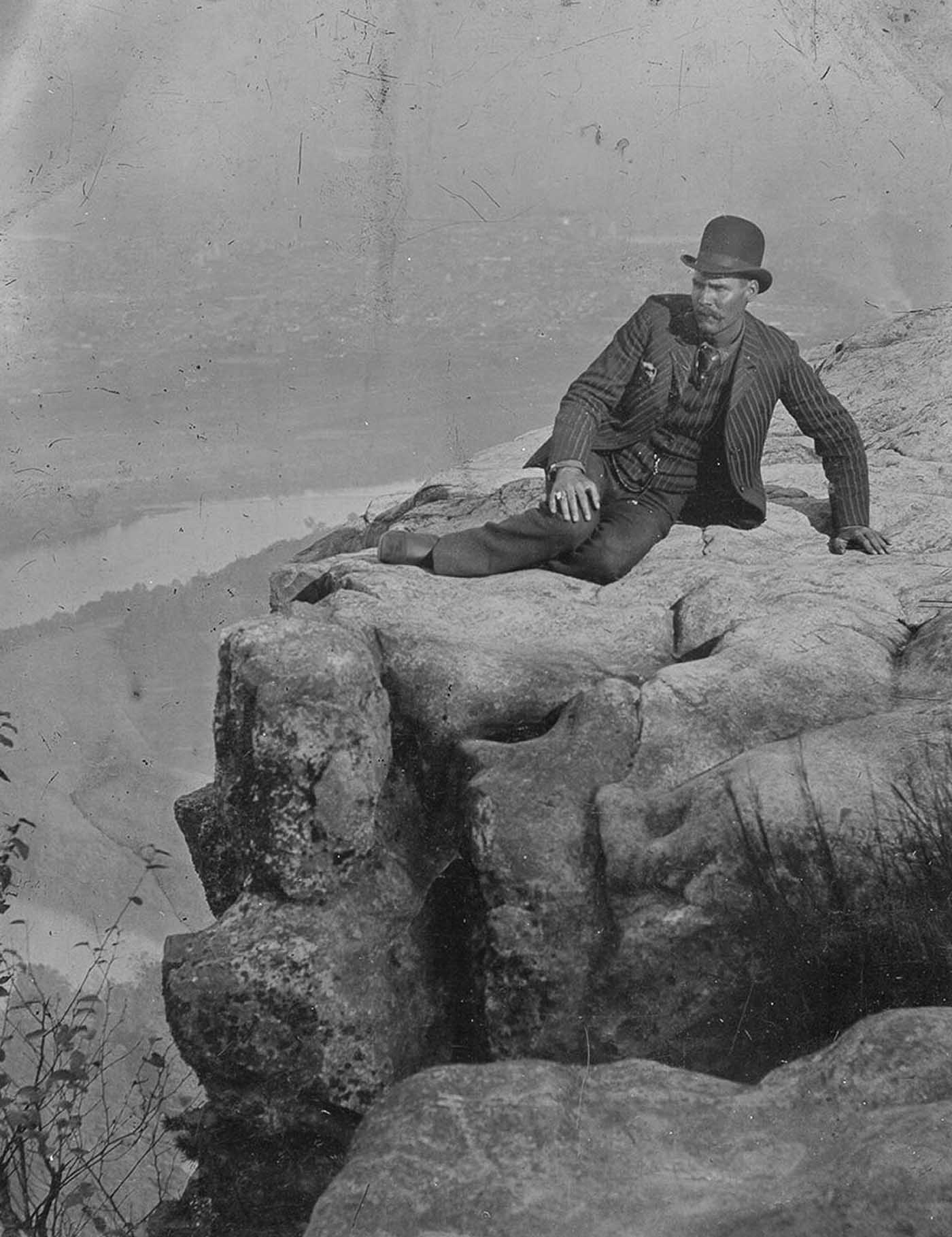
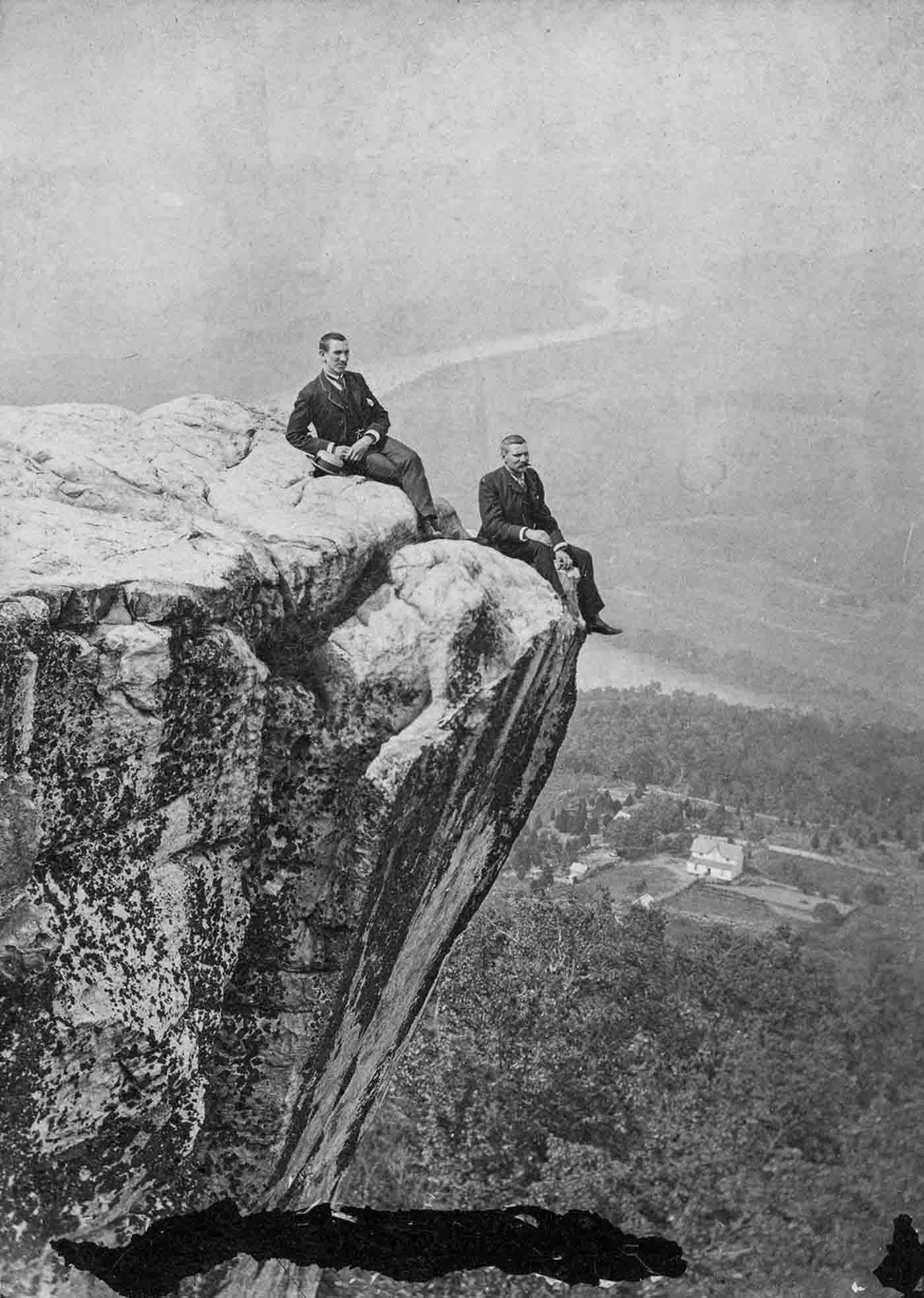
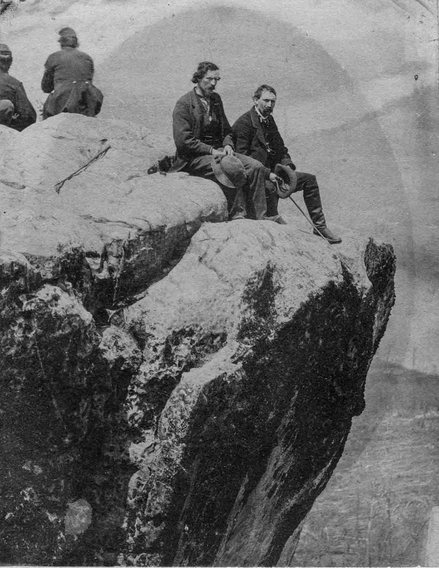
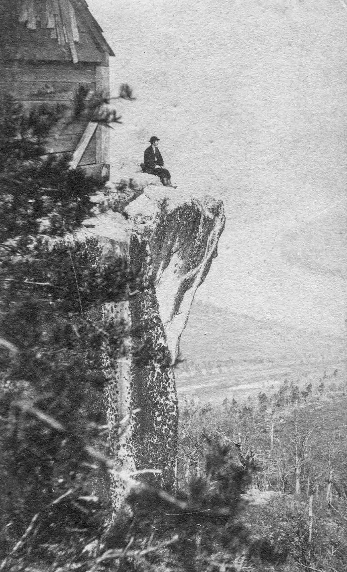
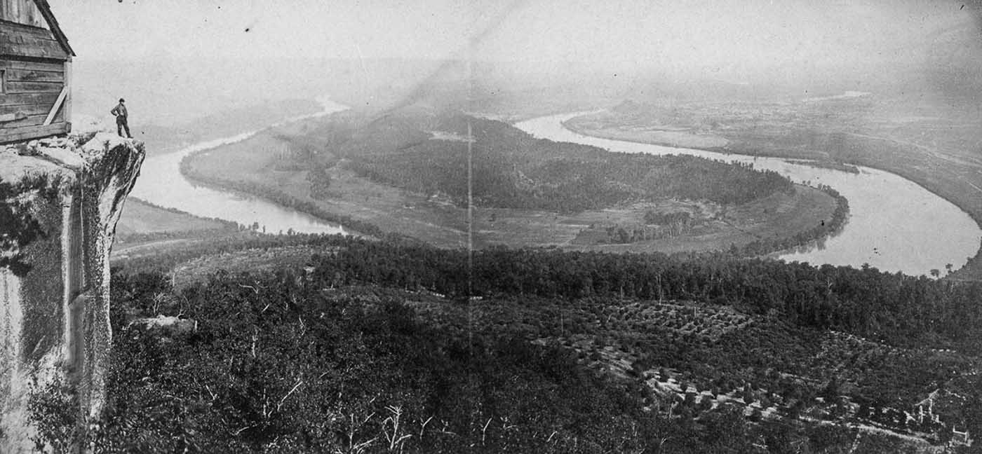
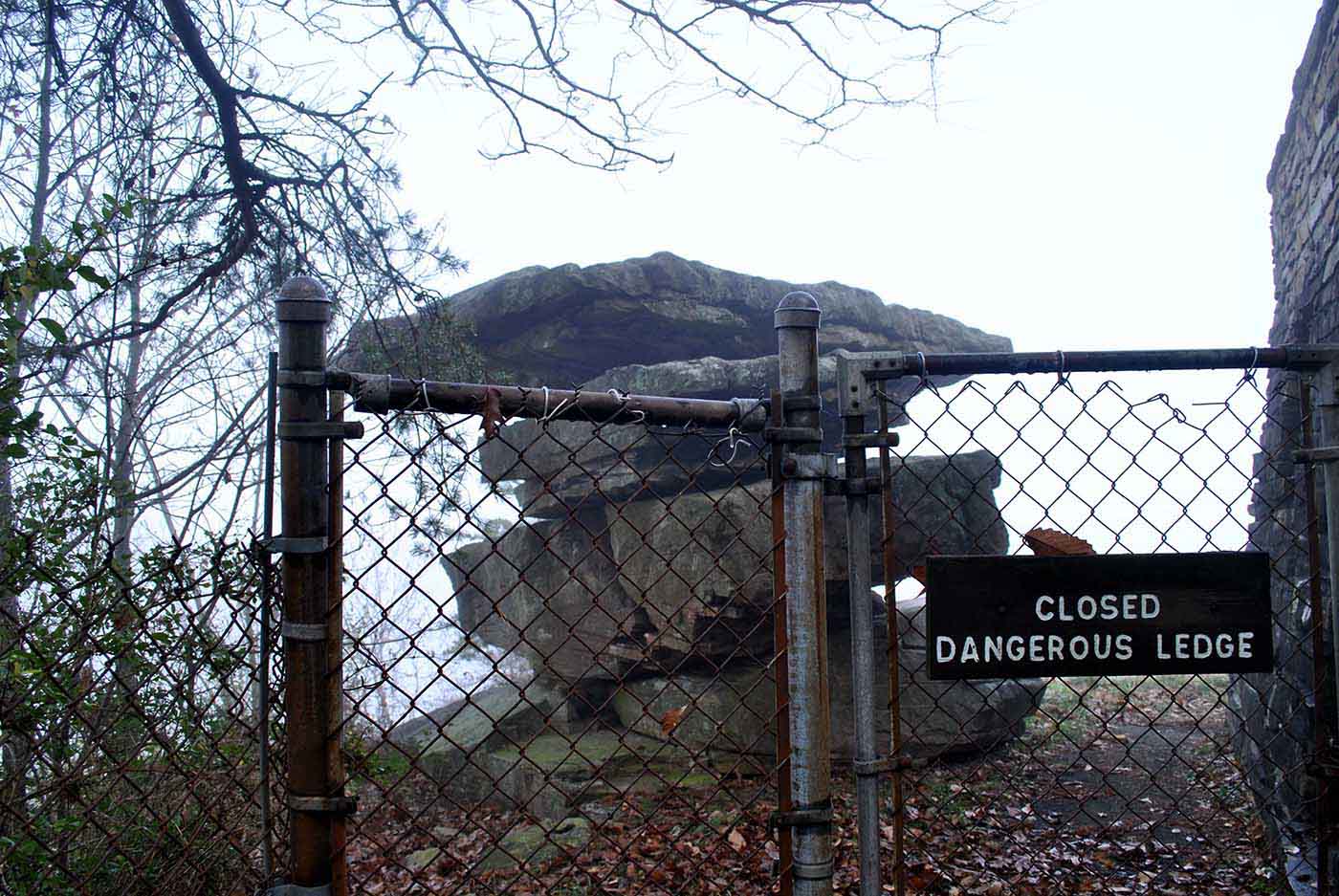
Umbrella Rock on top of Lookout Mountain was a popular tourist attraction from the 1880s to the 1940s. Chattanooga’s local historical organization Picnooga assembled these images of Umbrella Rock to document over 60 years. More than thirty people can stand on its top at once, despite it appearing perilously balanced. The Lookout Mountain ridge is located in Chattanooga in the southeast of Tennessee, Georgia’s northwest corner, and Alabama’s northeast corner. The name Lookout Mountain comes from the Creek term meaning “rock rising to a point.”. The name appears as early as Mathew Carey’s 1795 “Map of The Tennessee Government.”
The Confederate army held the lookout Mountain until 1863 during the Civil War. General Joseph Hooker’s army stormed up the mountainside following the Union’s defeat at Chickamauga. The union army later established a military hospital complex on the summit of the Mountain. Due to the fog during the engagement, the engagement was dubbed the “Battle Above the Clouds.” Eventually, an enterprising photographer opened a summit studio, where he photographed Union soldiers as they stood on the cliffs and Umbrella Rock, a distinctive formation in the landscape.
A fence was erected around the Umbrella Rock in 1940 because of safety concerns. It became a major tourist destination when soldiers returned home with pictures of the magnificent view. Chattanooga was home to the Chickamauga people, a branch of the Cherokee tribe. As a result of the Chickamauga calling the Mountain Chat-a-nu-ga, the city got its name. Although no physical evidence has been found, research suggests the Mountain was inhabited. The boulder pattern on top of the Mountain suggests lanes or walls once existed.


