
On the night of April 19, 1904, a fire broke out at the Currie Building at 58 Wellington Street in Toronto’s industrial core. Within hours, it had consumed 20 acres of the city, destroyed 98 buildings, and caused more than $10 million in damages — a staggering sum at the time. Only one person died, but the physical destruction reshaped an entire section of downtown Toronto. This event became known as the Great Fire of Toronto.
A police constable on patrol in the downtown area first reported the fire at 8 p.m. The neighborhood around Wellington and Bay Streets was densely packed with manufacturing and industrial buildings — exactly the kind of environment where fire travels fast. By the time firefighters could properly respond, the blaze had already begun its rapid spread.

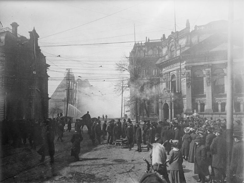
At 8:51 p.m., a general alarm brought every firefighter in the city to the scene. Toronto’s own crews were quickly overwhelmed. Mayor Thomas Urquhart reached out to neighboring cities, and firefighters from Buffalo, Hamilton, and London were brought in to help battle the blaze. Even with all those resources, the fire burned through the night.
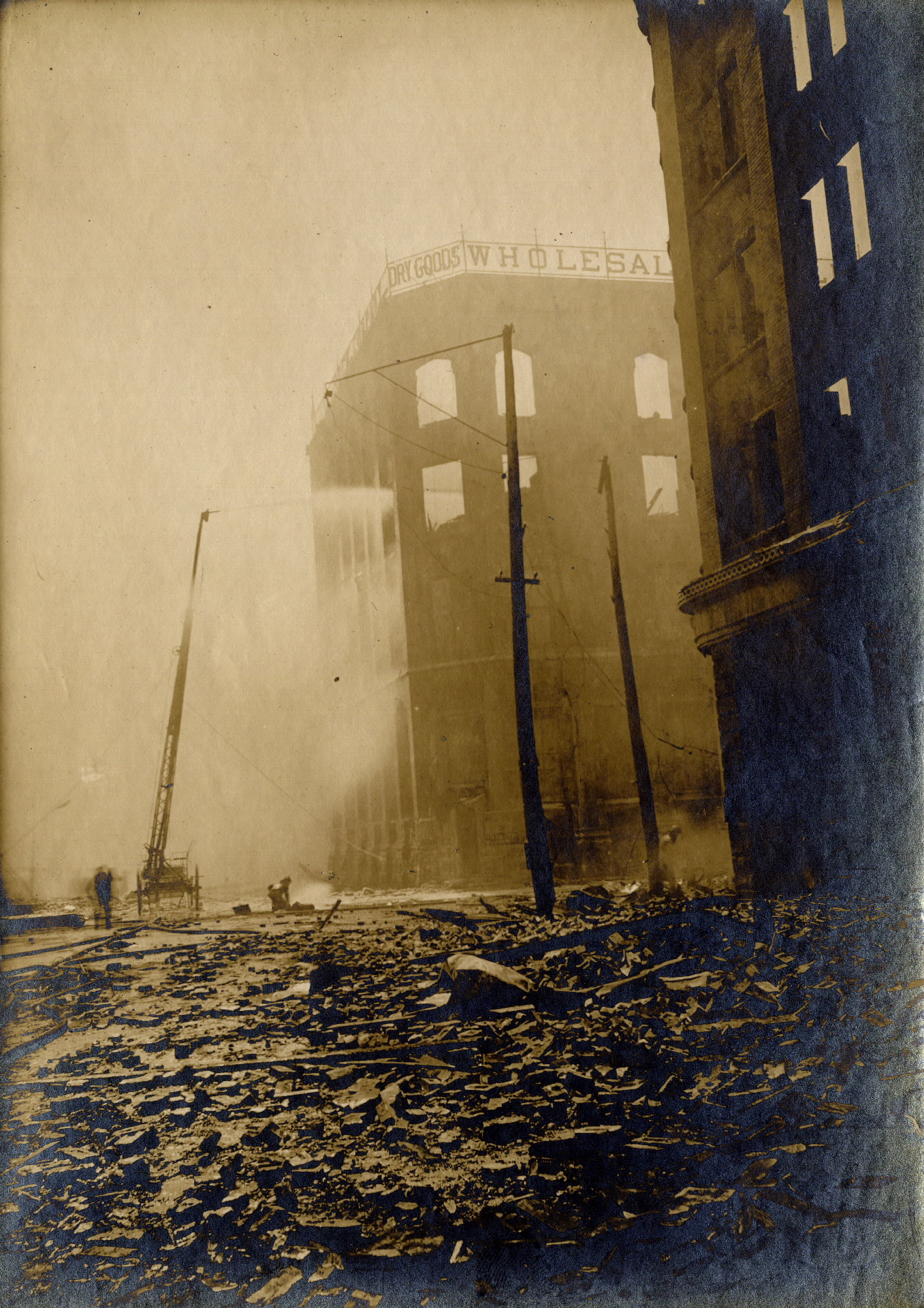
Conditions at the scene made the firefighters’ work extremely difficult. Strong winds whipped across the Bay Street corridor, carrying embers from one building to the next. Water pressure was critically low, and the wind drove the water streams back onto the men operating the hoses. In the cold April air, that water froze on their clothing and equipment.
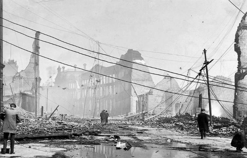
Another serious obstacle was the web of electrical, telegraph, and telephone wires strung between buildings across the area. These wires made it nearly impossible for firefighters to position ladders against the burning structures. They couldn’t reach upper floors, and they couldn’t safely get close enough to fight the fire from above. The blaze essentially had free rein on the rooftops.
By 4 a.m. on April 20, the fire department had finally brought the main blaze under control. It had taken roughly eight hours and firefighters from four cities to do it. The area destroyed spanned approximately 20 acres. But even after the flames were extinguished, the site continued to smolder. Smaller fires reignited periodically for two full weeks following the disaster.
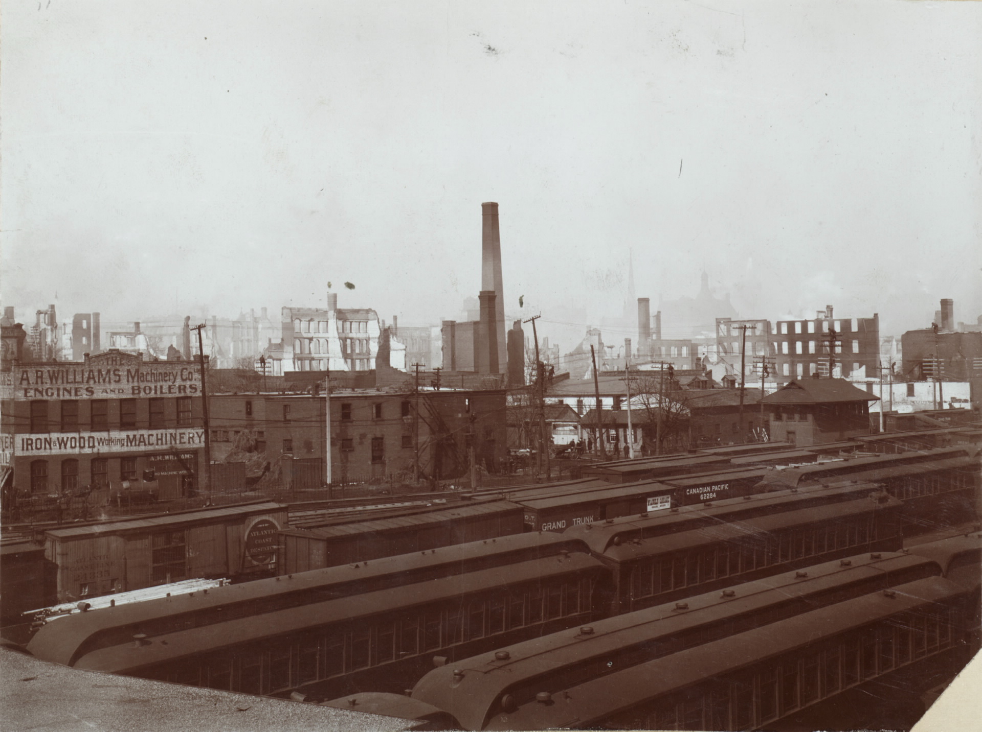
Investigators never determined the exact cause of the fire. Two main theories circulated at the time: faulty electrical wiring inside the Currie Building, or an overheated pipe connected to a furnace or stove. Neither theory was ever confirmed. The origin remained officially unknown, adding a layer of frustration to an already devastating event.
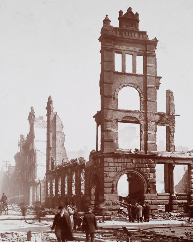
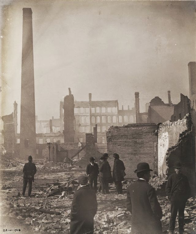
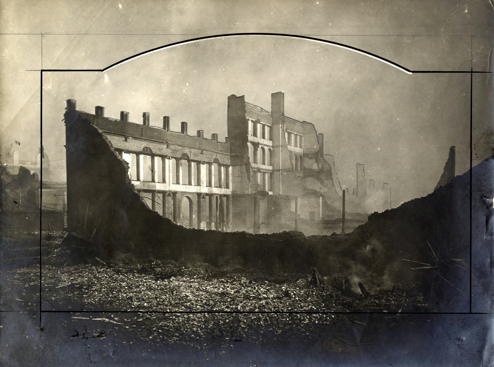
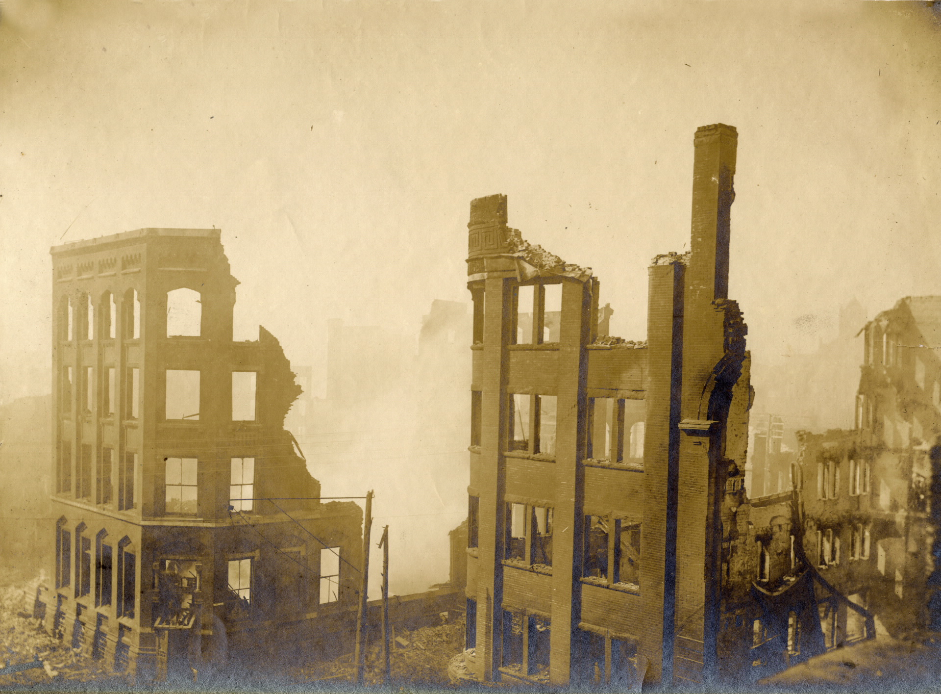
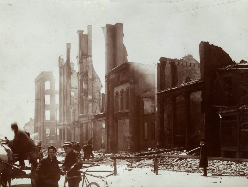
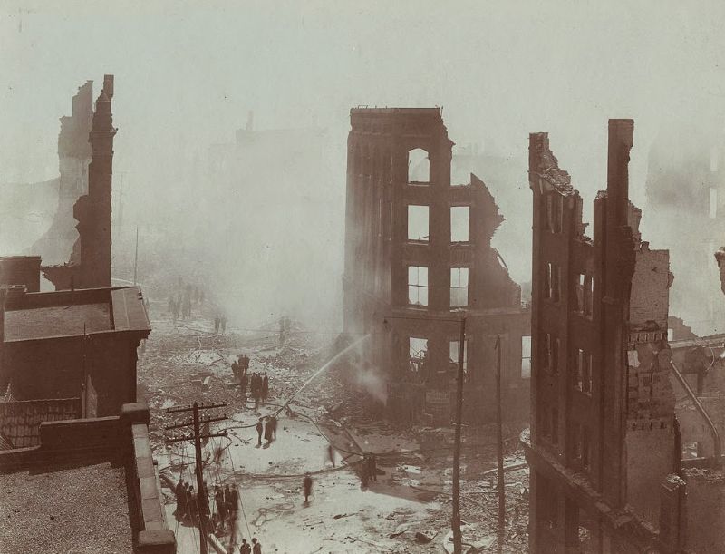
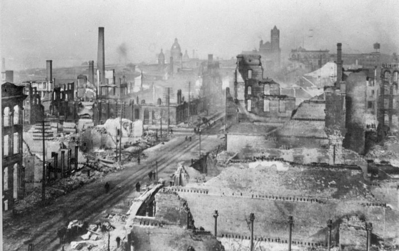
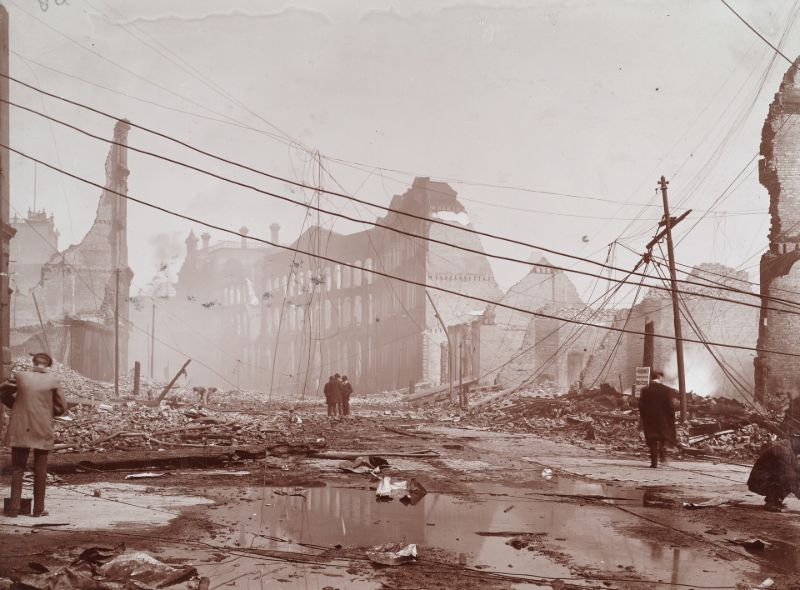
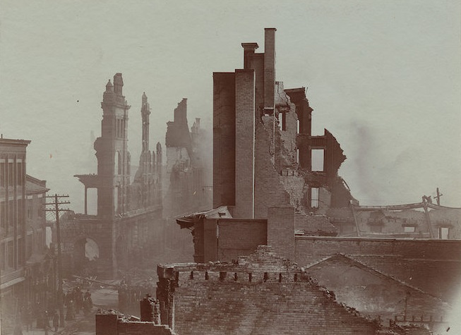
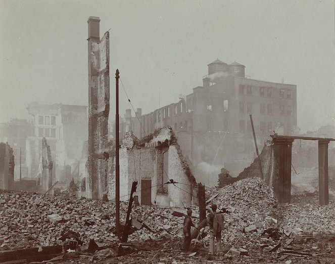
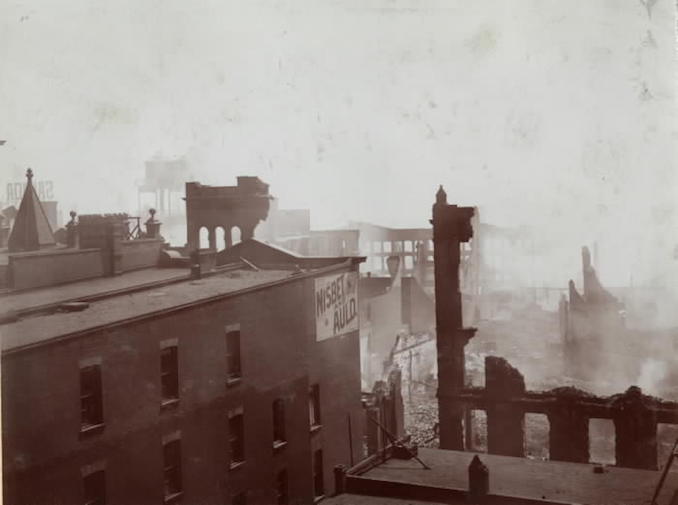
The photographs taken in the days and weeks after the fire document a landscape of total destruction. Block after block along Wellington Street, Bay Street, and Front Street was reduced to rubble, exposed brick walls, and collapsed rooftops. What had been a functioning industrial district was now an open field of ash and ruin.
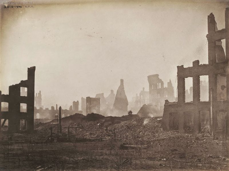
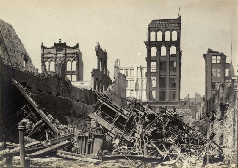
The epicenter of the destruction sat at the intersection of Wellington and Bay Streets — the same area where the fire had first been fought. Photos taken from different vantage points around this intersection show how thoroughly the fire had gutted the surrounding blocks. Barely a wall remained intact in many places.
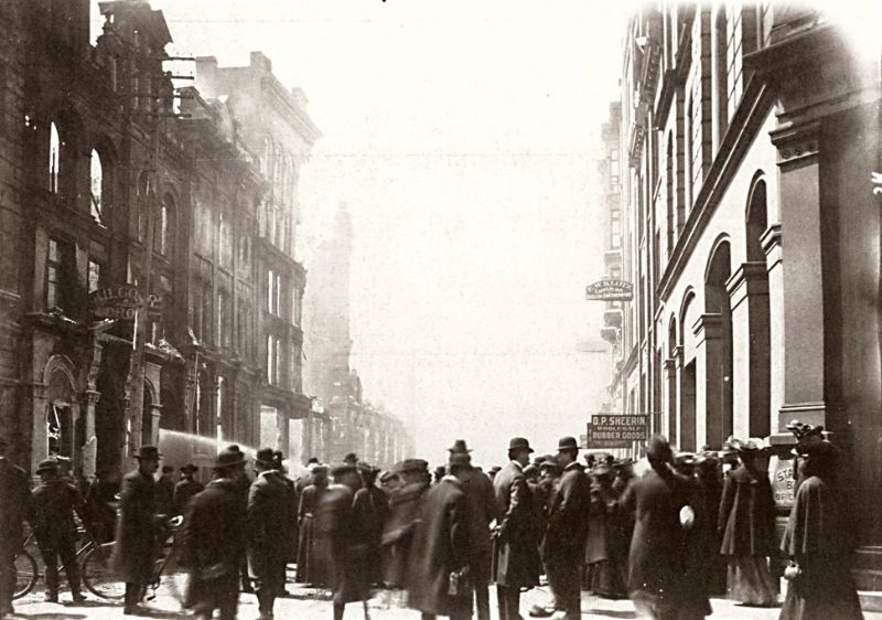
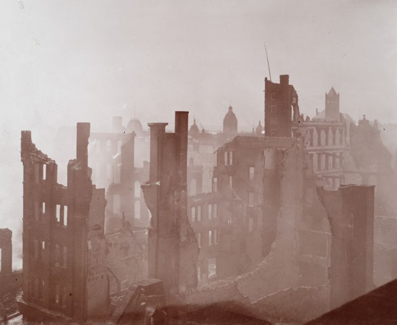
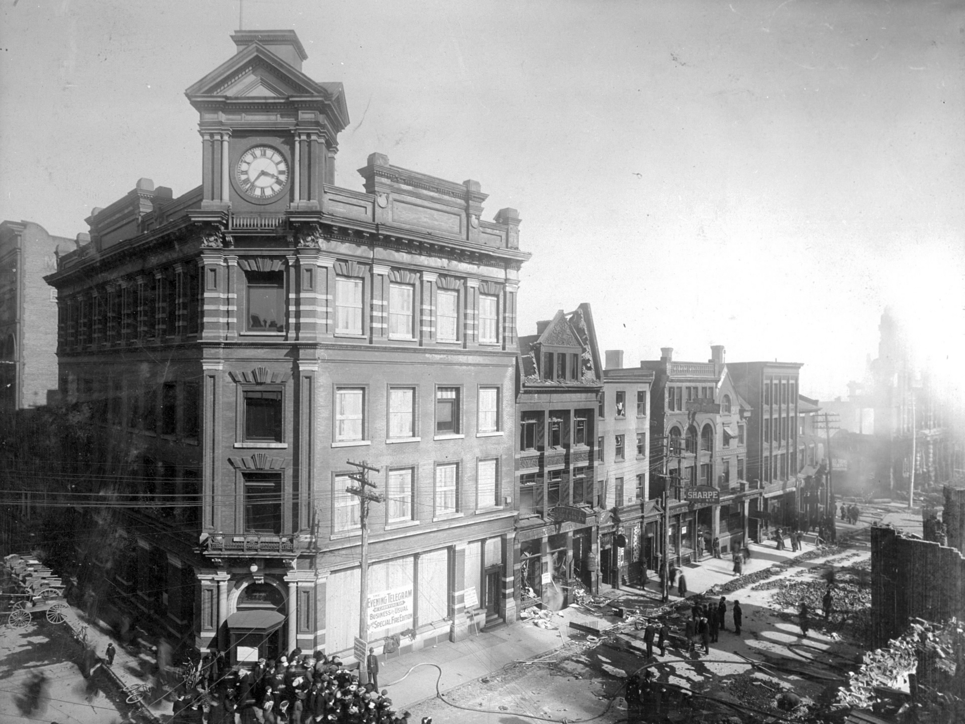
Aerial-style photographs taken from the top of the Toronto Telegram Building gave residents and readers a sweeping view of the scale of destruction. Looking southwest from that height, the burned-out blocks stretched far into the distance, with no sign of the commercial and industrial activity that had filled the area just days before.
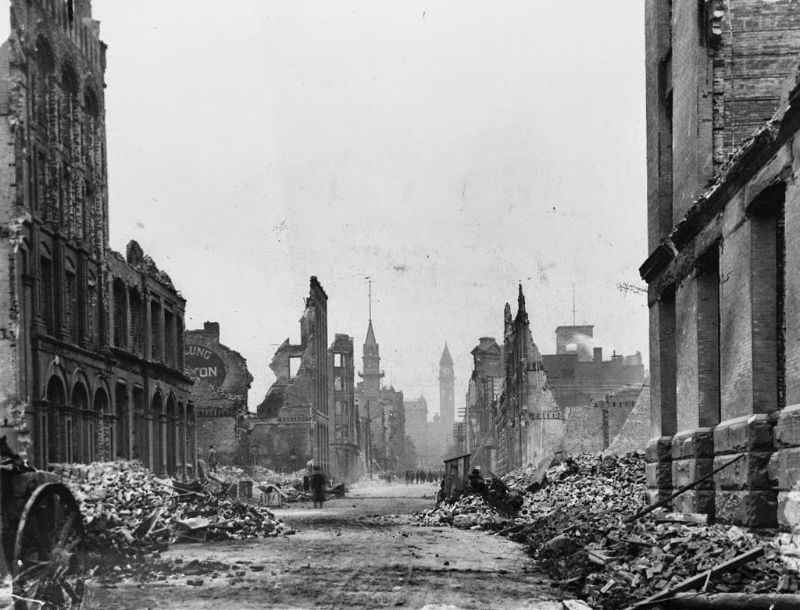
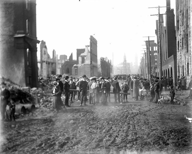
Bay Street, one of Toronto’s most important commercial corridors, was among the hardest-hit areas. Multiple photographs taken along its length — looking north and south from different blocks — show the same scene repeating itself: gutted facades, missing roofs, and debris-strewn streets. The buildings that had lined both sides of the street were gone.
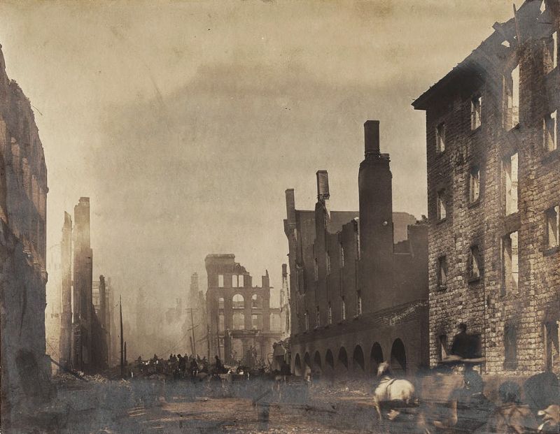
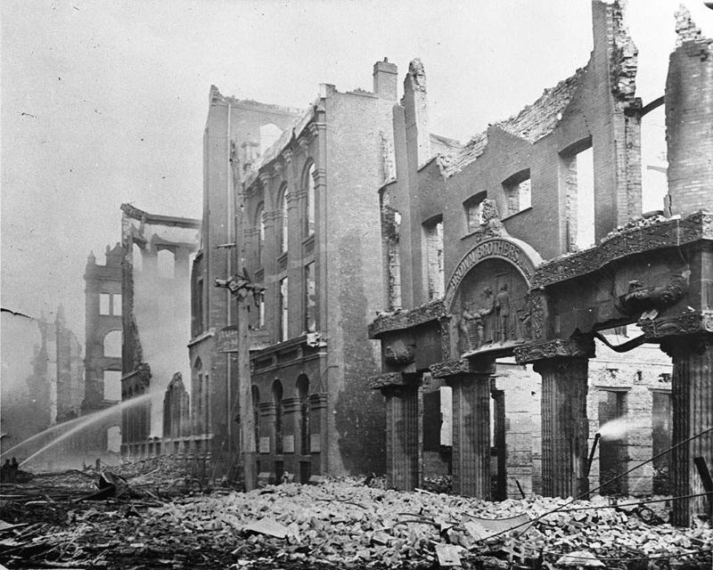
Front Street and its surrounding blocks suffered the same fate. Photographs taken looking east from Bay Street and west from Yonge Street show a continuous stretch of ruined buildings. The scale of the damage along Front Street made it clear that the fire had not been contained to a single block or section — it had swept across the entire district.
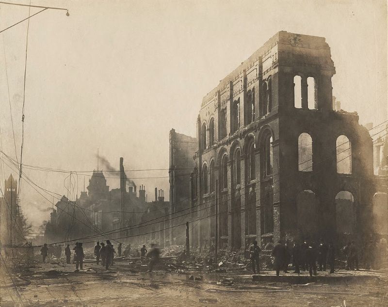
The corner of Front and Yonge Streets, where the building that would later become the Hockey Hall of Fame stands, also fell within the fire’s reach. That landmark corner, so familiar to Torontonians today, was photographed amid the ruins, its surroundings barely recognizable.
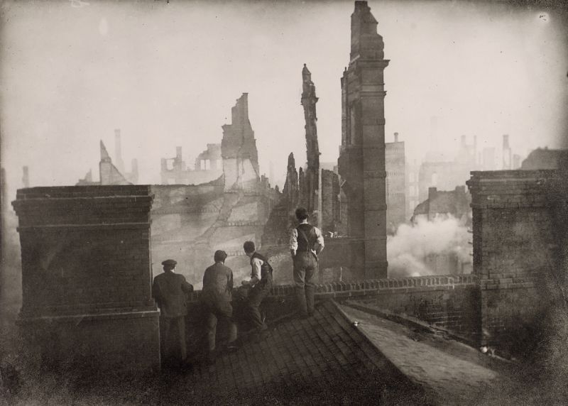
Rebuilding began quickly. Excavation work started at the corner of Front Street and Yonge Street for the construction of a new Customs House. The clearing of fire ruins to make way for new buildings was documented in photographs that show workers and heavy equipment moving through the debris. The site of what would eventually become Union Station was also among those cleared during this period.
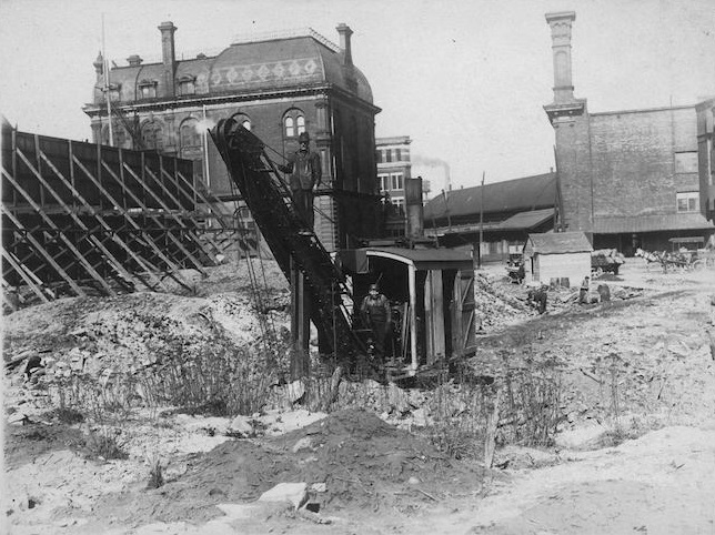
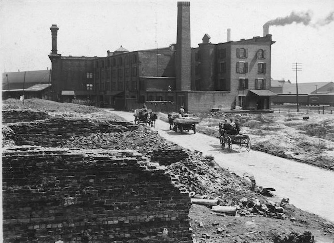
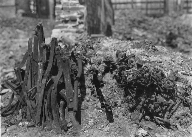
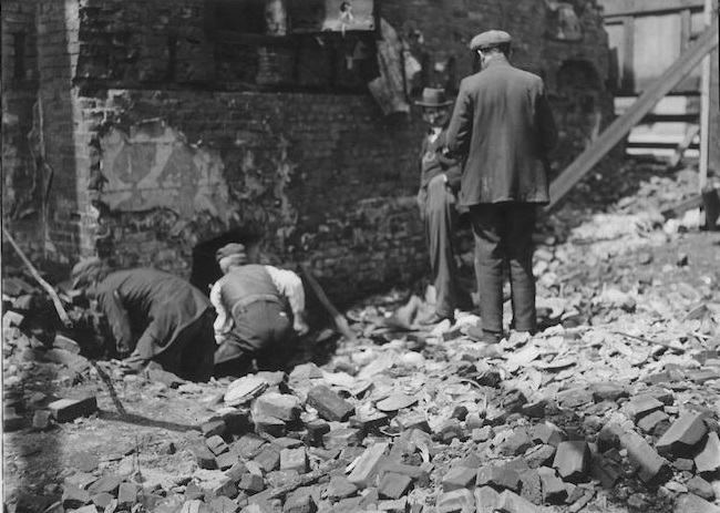
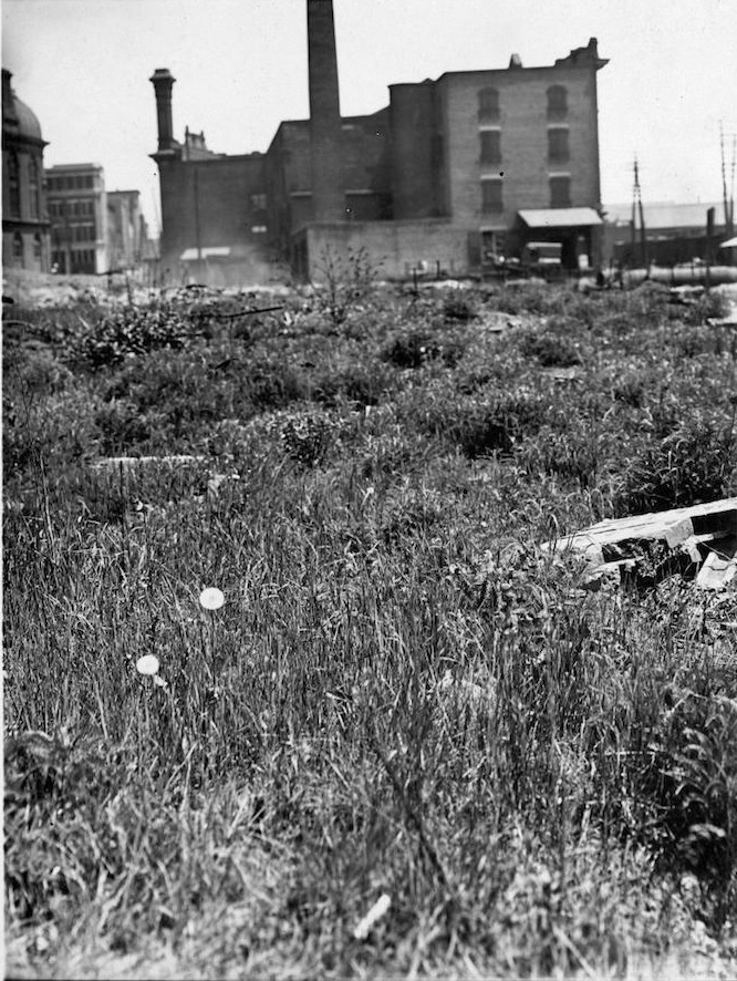
In the months that followed, weeds took root across the fire-scarred lots that had not yet been rebuilt. Photographs show patches of vegetation growing up through the rubble and ash — a stark contrast between new growth and the blackened remnants of buildings that had stood for decades. The ruins of Front Street East were particularly well documented in this state.
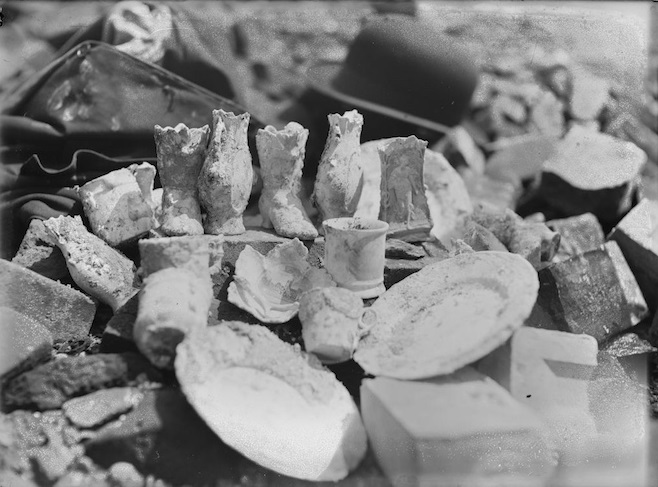
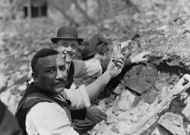
People came to the ruins looking for objects that had survived the fire. Pieces of pottery were recovered from the ash and photographed as artifacts from the disaster. Crowds described as “curio seekers” picked through the wreckage in search of souvenirs — fragments of the city’s lost industrial past that the fire had left behind.
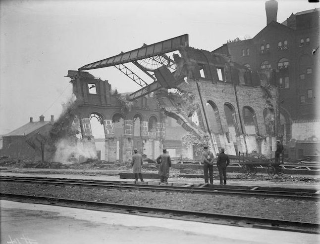
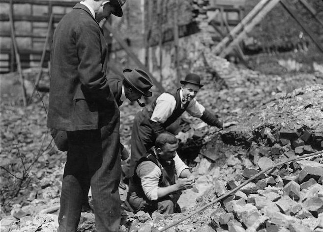
The photographs taken from street level along Bay Street, north of Wellington and looking south, give a ground-floor perspective on what the area looked like to someone walking through the aftermath. Hollow shells of buildings lined the street, their interiors gutted and open to the sky. Debris covered the sidewalks and road surface.
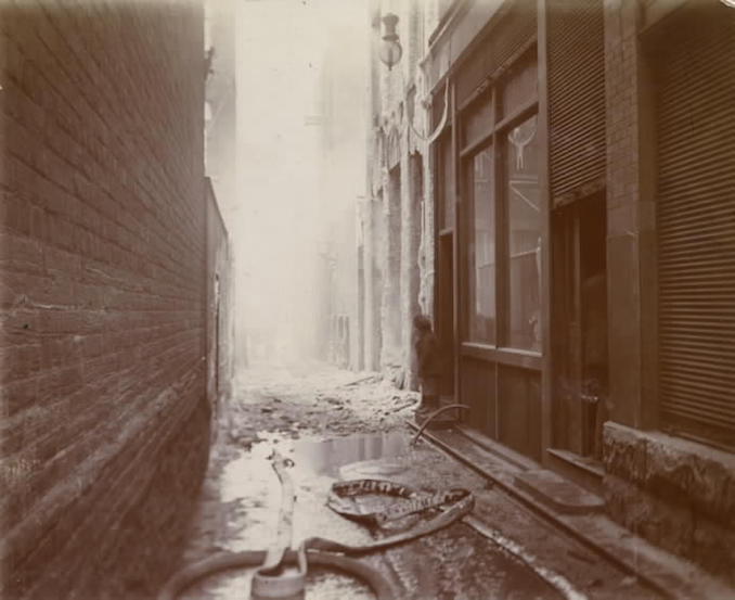
The Toronto Telegram Building was one of the structures that survived the fire, and its survival made it a useful vantage point for documenting the destruction around it. Photographs of the building itself — both its street-facing side and the lane behind it — show a structure that stood largely intact while the neighborhood around it had been reduced to rubble.





It is sad to see the buildings destroyed in the fire, but I wonder how many buildings would have been demolished if historical buildings had been knocked down to accommodate parking lots in the 1960s and 1970s?
What a fantastic collection of photos! The 1904 Fire destroyed the buildings to become the future Union Station.
Wow! I just passed Croft Street and saw a plaque commemorating the Great Fire! Interesting.
Those are some amazing photos. I think it helps put things into perspective. I think we should all consider ourselves lucky that we didn’t have to live through this experience, considering how doom and gloom things can sometimes feel around here.