
By the early 1980s, Toronto had officially overtaken Montreal as Canada’s largest city. The population hit 3 million, edging past Montreal’s 2.8 million, and the gap kept widening as the decade wore on. Several forces drove this shift. Immigration surged, particularly from Asia and the Caribbean. Southern Ontario’s auto industry had been expanding steadily since the Canada-U.S. Auto Pact was signed in 1965. And Quebec’s political instability — marked by a separation referendum in 1980 and a second one in 1995 — pushed many businesses and residents eastward toward Ontario. Quebec’s higher personal income taxes added another reason for the move.
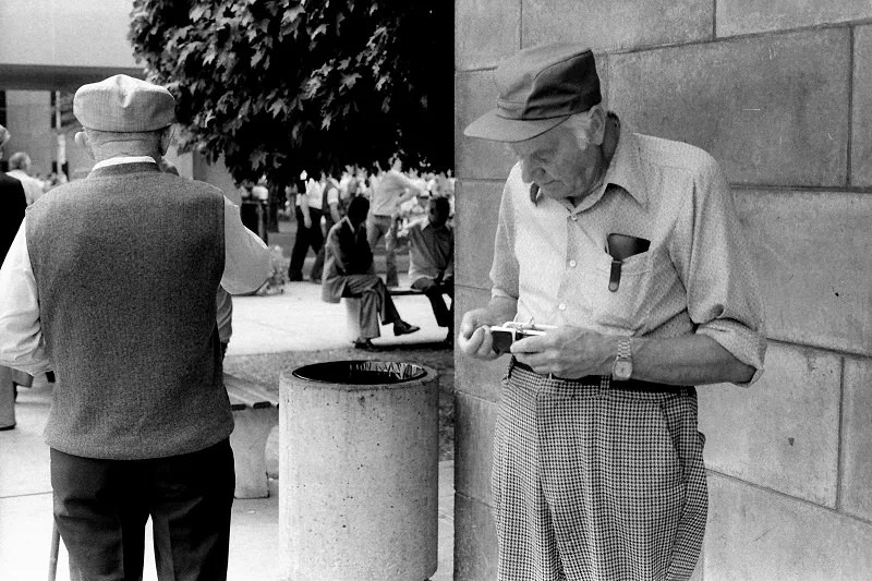
Toronto didn’t just grow in people — it grew in economic muscle. By the 1980s, five of Canada’s six national banks had their headquarters in the city. Most major Canadian corporations were also based there, cementing Toronto’s status as the country’s financial and corporate capital. The downtown core reflected this. High-density office towers were rising fast, and Bay Street became synonymous with finance and power.
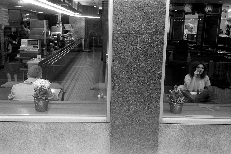
Manufacturing in Toronto didn’t disappear in the 1980s, but it changed shape. Industries shifted toward more specialized production, particularly electronics. At the same time, the service sector exploded. Toronto became a major hub for finance, insurance, real estate, education, retail, wholesale trade, and tourism. The city wasn’t just a place people lived — it was a place where Canada did business.
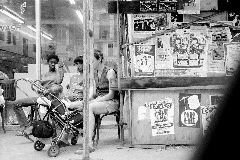
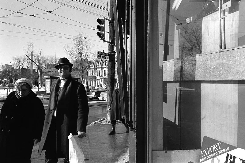
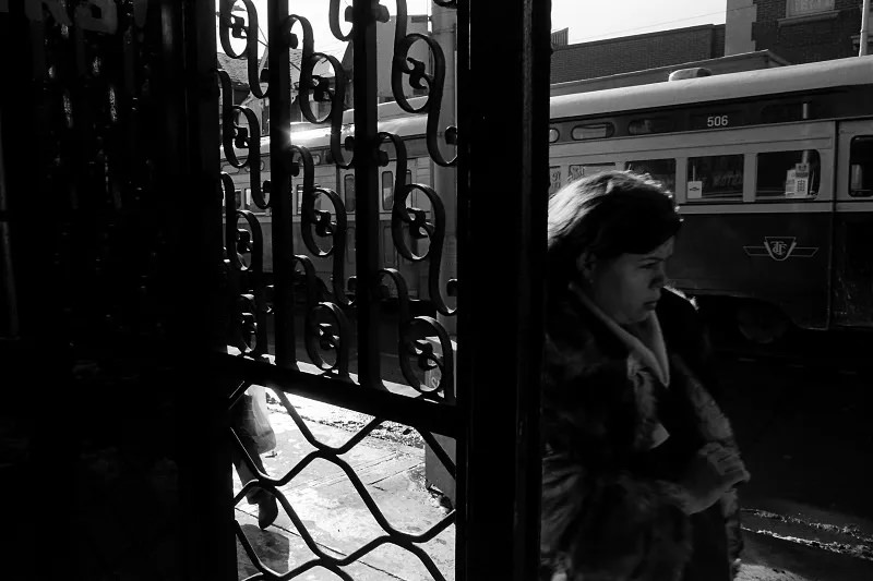
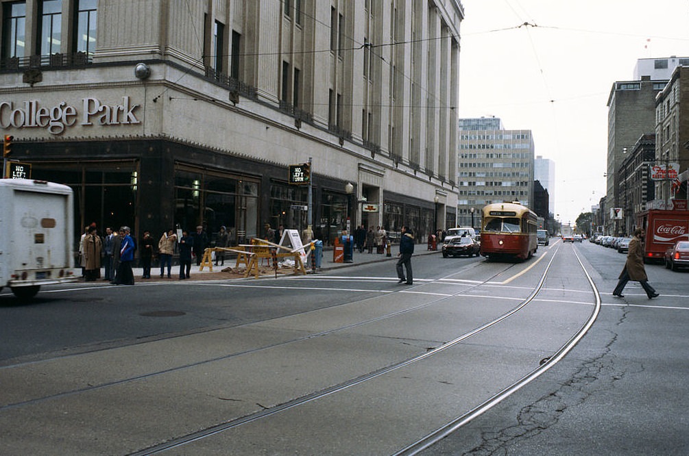
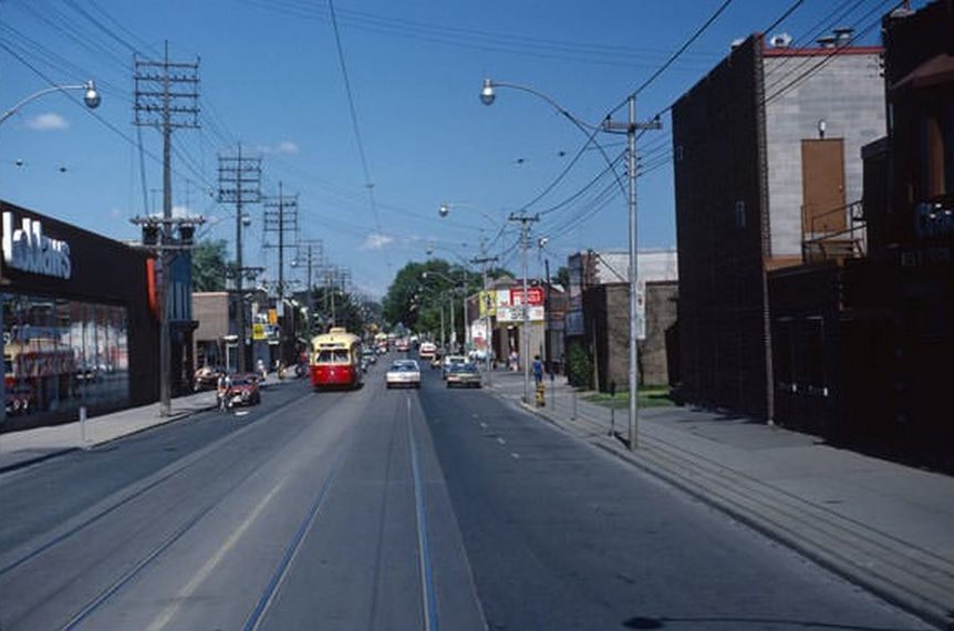
The streets told the story of a city in motion. Streetcars still ran along many routes, sharing the road with early 1980s cars and diesel buses. The TTC’s fleet included the iconic PCC streetcars — older cars that had been in service since the postwar years but were still a common sight on Toronto’s roads at the start of the decade.
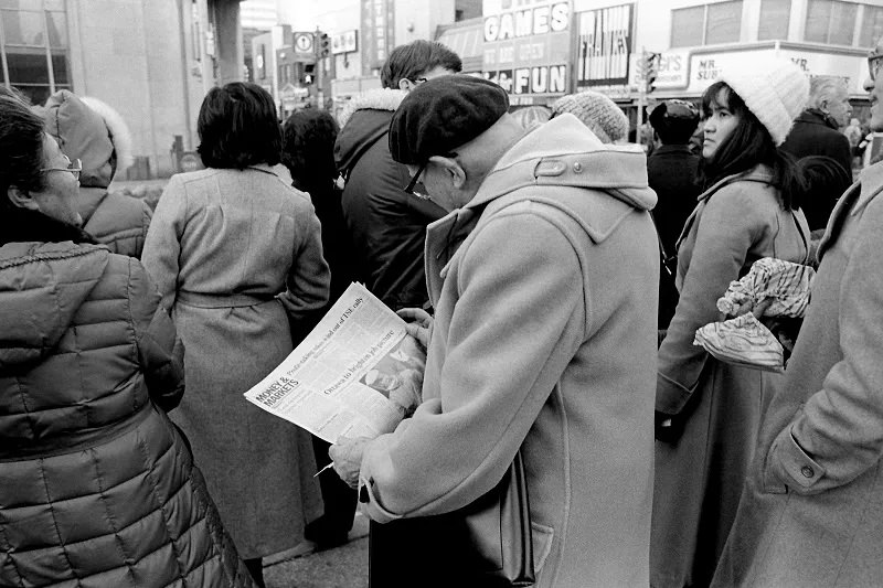
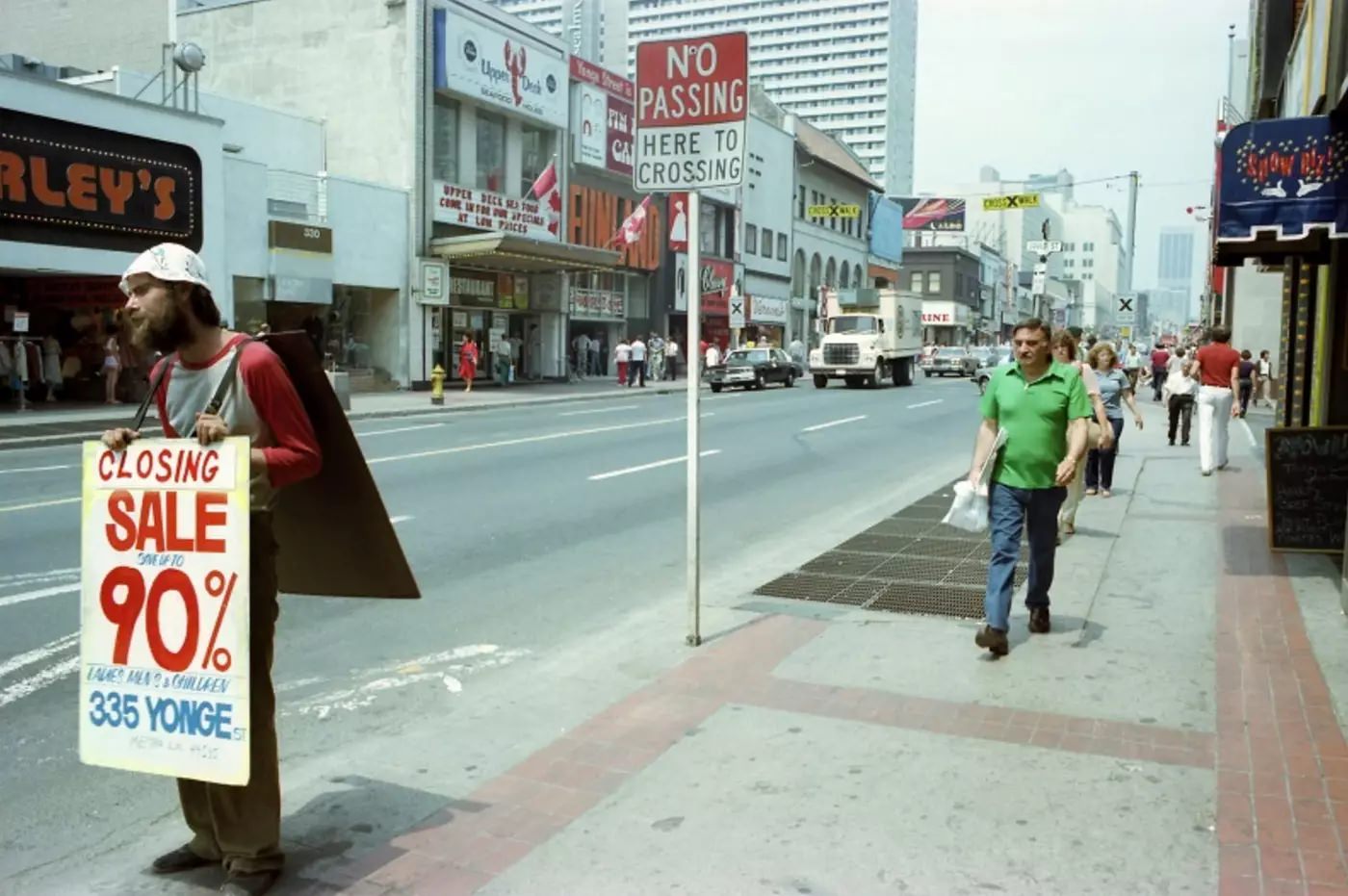
Yonge Street was the city’s main artery — and its most colorful one. In the early 1980s, the stretch around Yonge and Dundas was a dense mix of record shops, restaurants, cinemas, and retail stores. Neon signs competed for attention. Street vendors set up along the sidewalks. It was loud, busy, and completely alive.
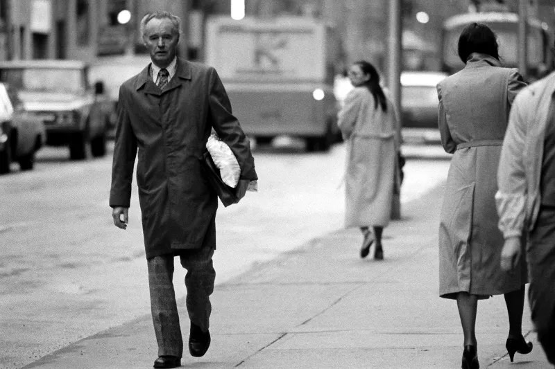
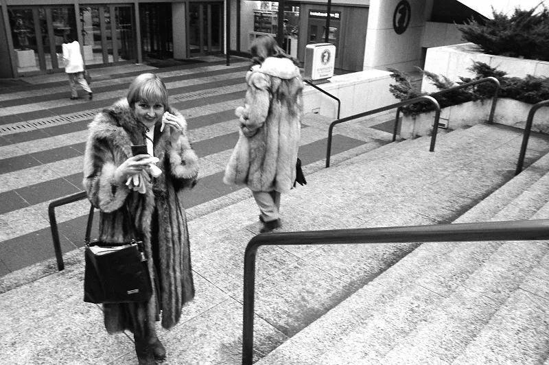
Bay Street in 1981 looked nothing like it does today. The canyon of glass towers was still forming. But the suits were already there — the financial district was clearly claiming its ground, and the sidewalks reflected that energy even in the early years of the decade.
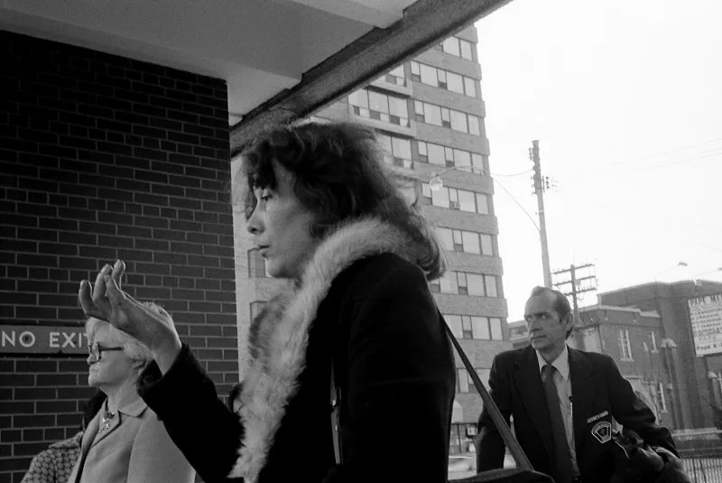
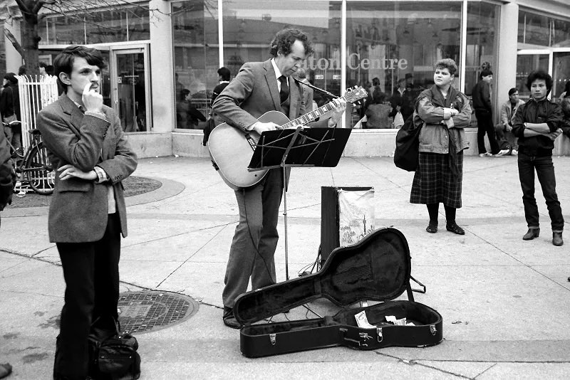
Public transit was the backbone of daily life. As the city’s population and density grew, so did the pressure on the TTC. The subway expanded, and stations like Pape served as neighborhood anchors. At street level, trolley buses and streetcars handled routes that the subway didn’t reach, weaving through residential and commercial strips alike.
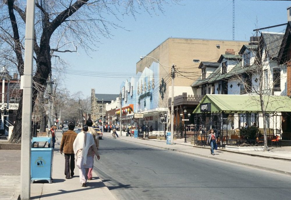
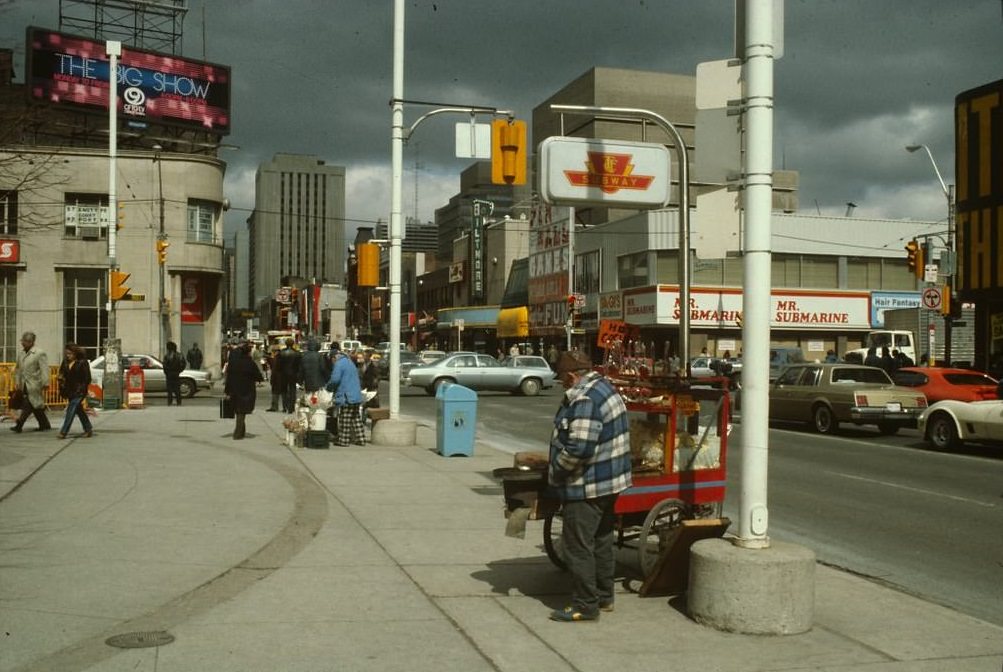
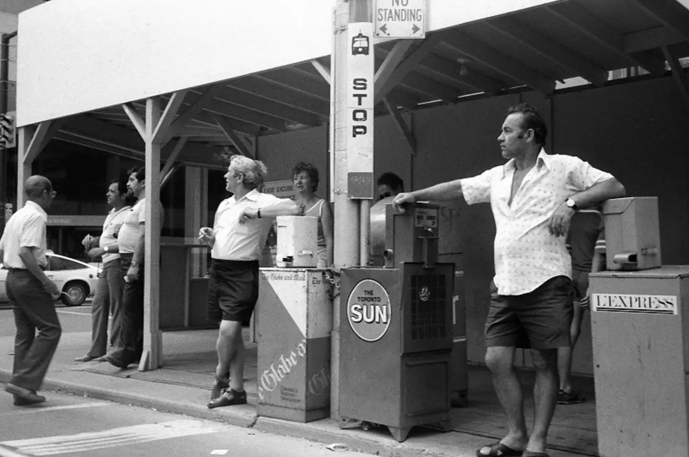
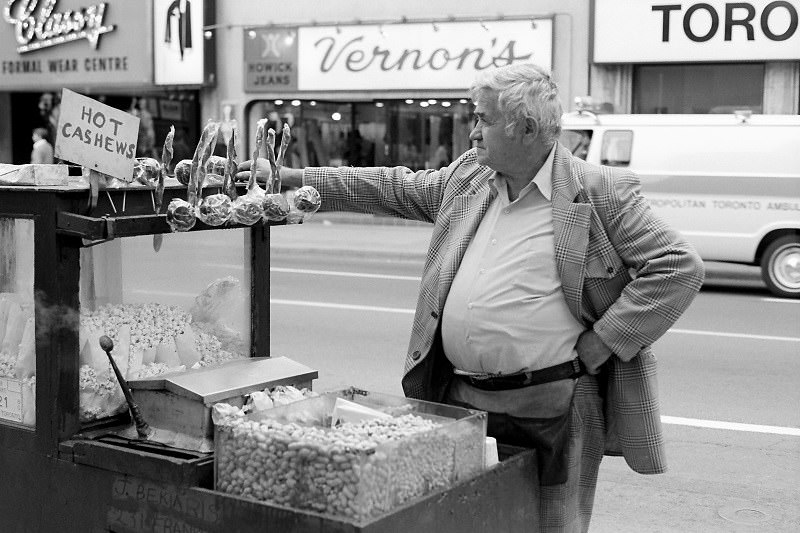
Street vendors were a fixture outside subway stations throughout the decade. Hot dogs, pretzels, and newspapers changed hands at the entrance to nearly every major stop. These small, informal businesses were part of what made Toronto feel like a city with a pulse — every corner had something happening.
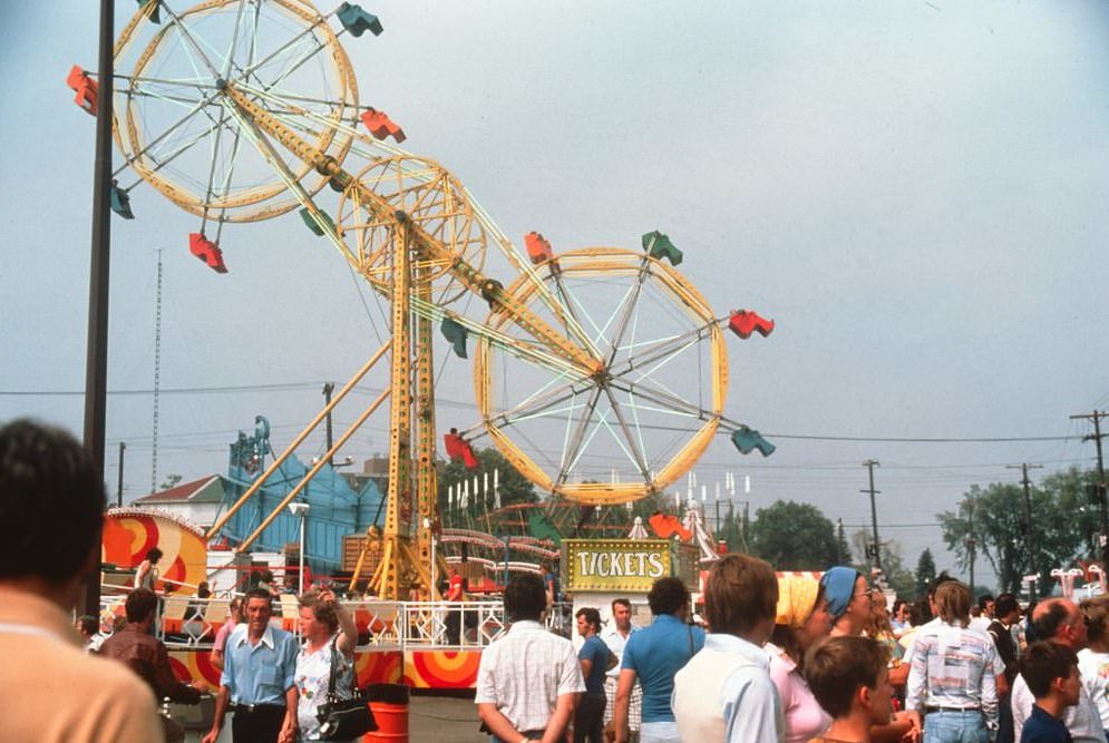
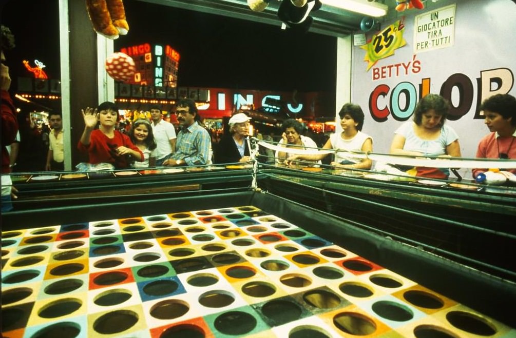
The Canadian National Exhibition — the CNE — was a late-summer institution for Toronto families. Every August, Exhibition Place filled with midway rides, game stalls, live performances, and food vendors. It was one of the largest annual fairs in North America, and in the 1980s it drew enormous crowds from across the city and beyond.
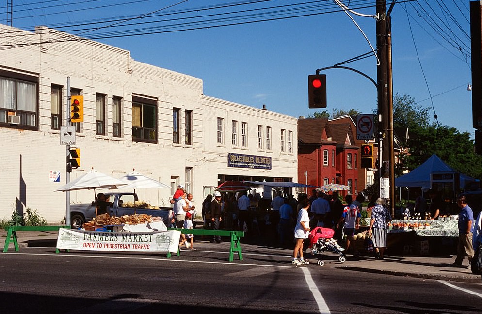
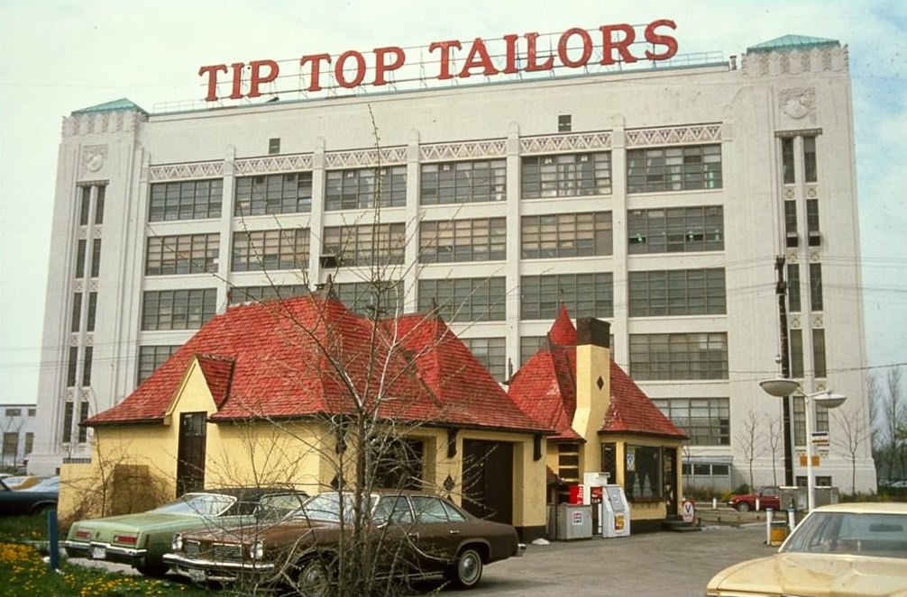
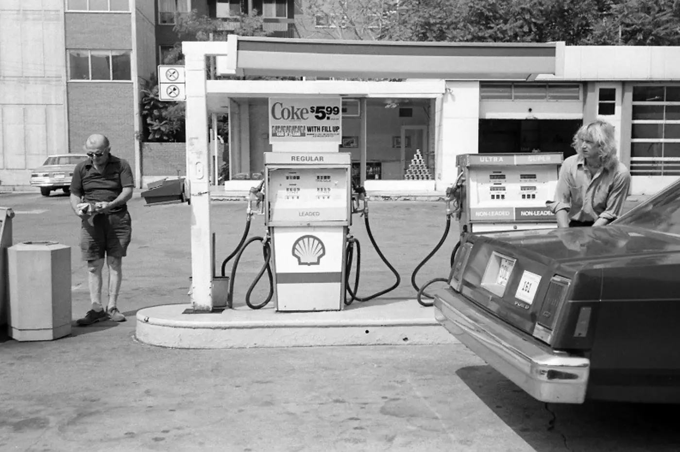
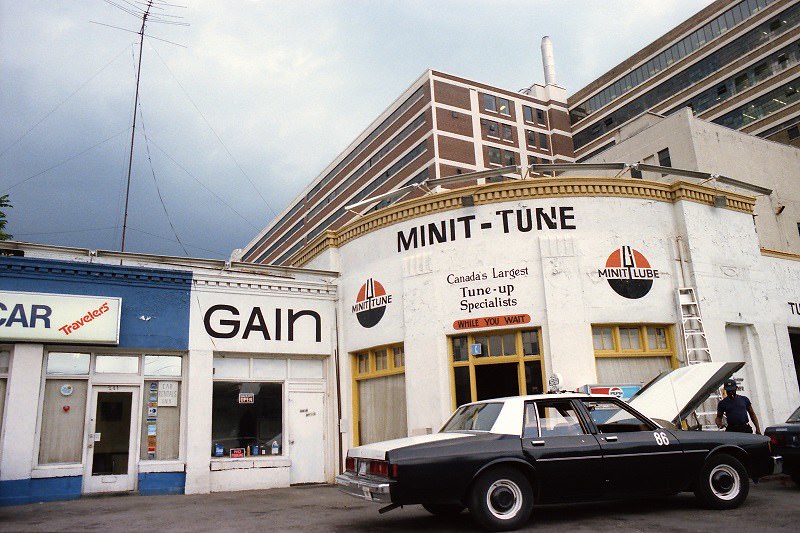
Gas stations dotted the city’s main corridors in 1980, each one a reminder that the car still ruled suburban Toronto. Lake Shore Road, running along the waterfront, was lined with the kind of commercial strip that defined mid-century North American urban design — wide roads, surface parking, and signage built to be read at speed.
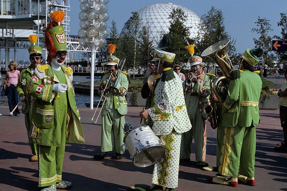
Ontario Place, the lakefront entertainment complex that opened in 1971, was a popular gathering spot throughout the 1980s. Street performers drew crowds on summer weekends, and the venue hosted concerts, festivals, and family events. From the CN Tower, the whole complex was visible against the backdrop of Lake Ontario — a sprawling, human-made island of leisure.
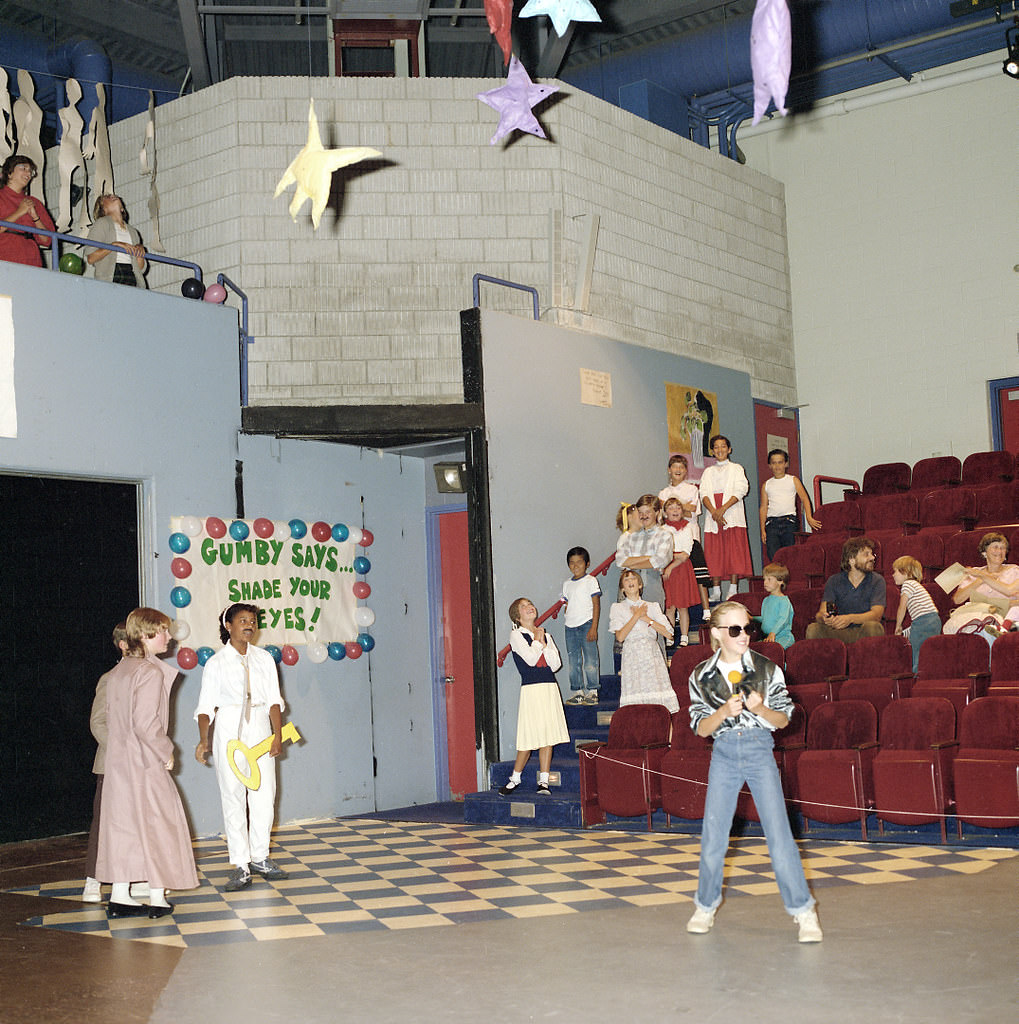
Community arts and local theatre thrived across Toronto’s neighborhoods. Suburban venues like Scarborough Theatre hosted full productions, from musicals to drama, bringing professional-level performance to residents far from the downtown core. These weren’t small operations — they had full casts, rehearsals, sets, and audiences.
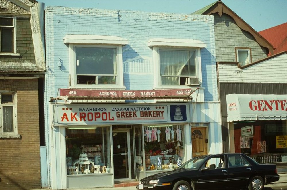
Danforth Avenue was Toronto’s Greek corridor. Restaurants, bakeries, and cafes stretched along the strip for blocks, serving a large and established Greek-Canadian community. The Akropol Greek Bakery at 458 Danforth was one of many such businesses that gave the avenue its distinct character — fresh bread, pastries, and the smell of strong coffee.
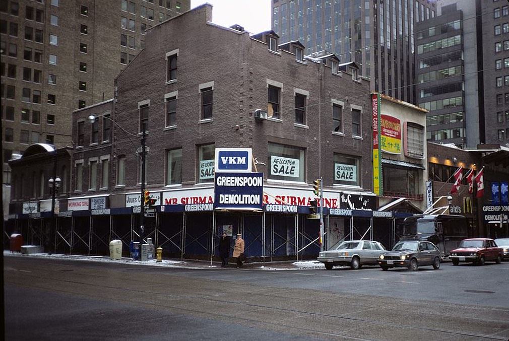
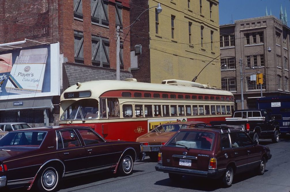
Demolition was a constant backdrop in early 1980s Toronto. Old buildings made way for new office towers and condominiums as the downtown intensified. Meanwhile, on the streets below, the old PCC streetcars kept running — a visible contrast between what was being torn down and what had, so far, survived.
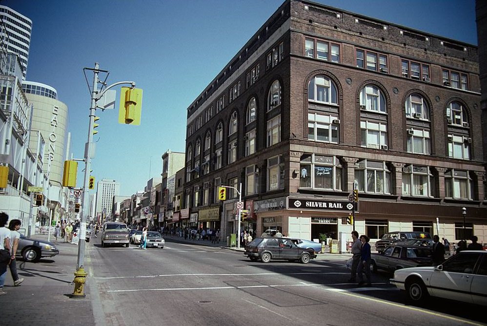
The Silver Rail on Yonge Street was one of Toronto’s most recognizable bars. It opened in 1947 and was still drawing regulars in 1980. It occupied a kind of middle ground — not quite upscale, not quite a dive — that made it a fixture for workers, journalists, and anyone looking for a cold drink after a long day. The neon-lit front was as much a part of Yonge Street’s visual identity as any storefront on the strip.
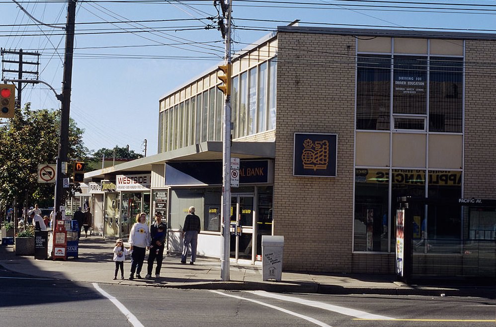
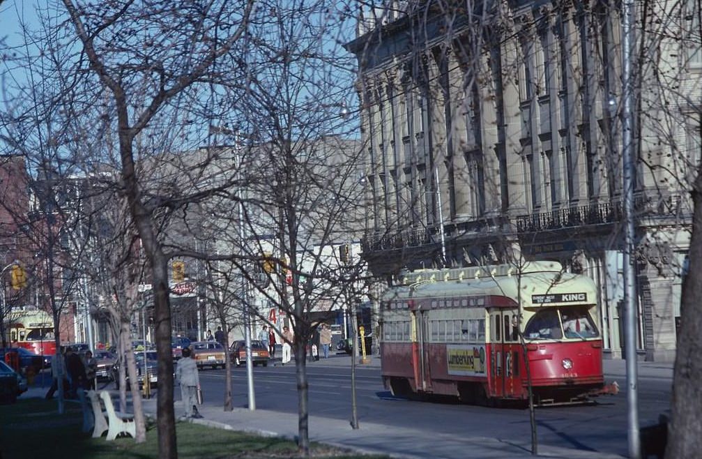
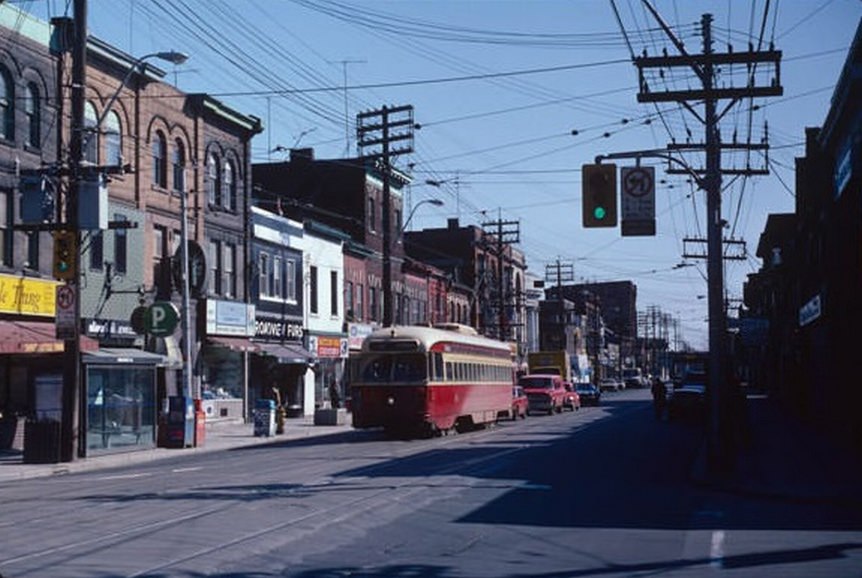
King Street East in 1980 was still a working-class commercial strip, dotted with small shops, light industrial buildings, and the occasional pub. The PCC streetcars that ran along it were already decades old, but they remained reliable. Toronto was one of the few North American cities that never fully abandoned its streetcar network — a decision that would prove significant as the city grew.
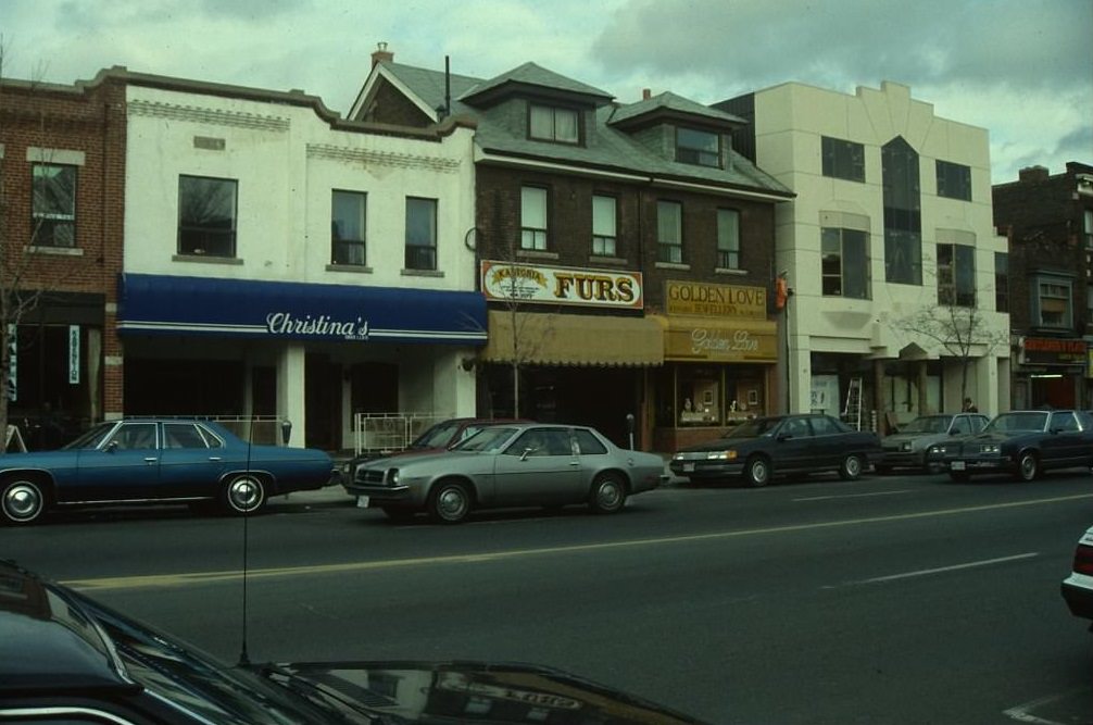
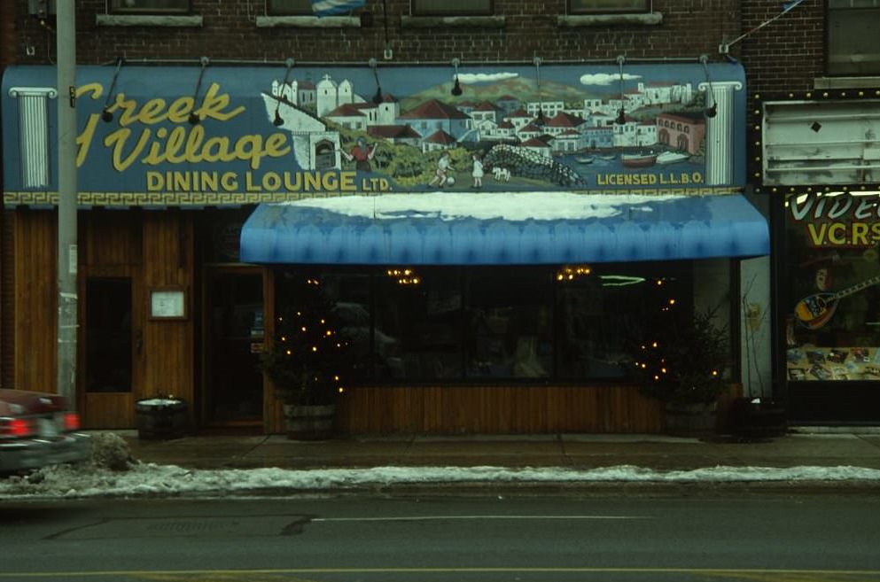
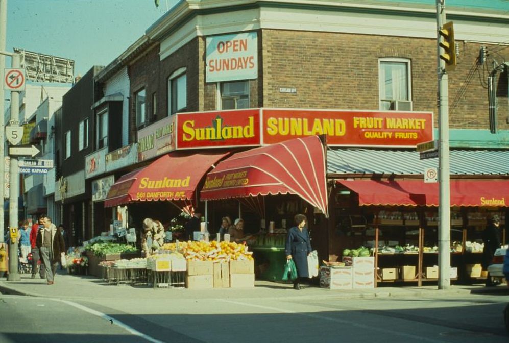
Along Danforth, the restaurant signs told the story of immigration. The Greek Village Dining Lounge at 551 Danforth was typical of the sit-down restaurants that catered to both the local Greek community and Torontonians from across the city who came specifically for the food. The area earned the nickname ‘the Danforth’ long before restaurant strips became a trendy concept.
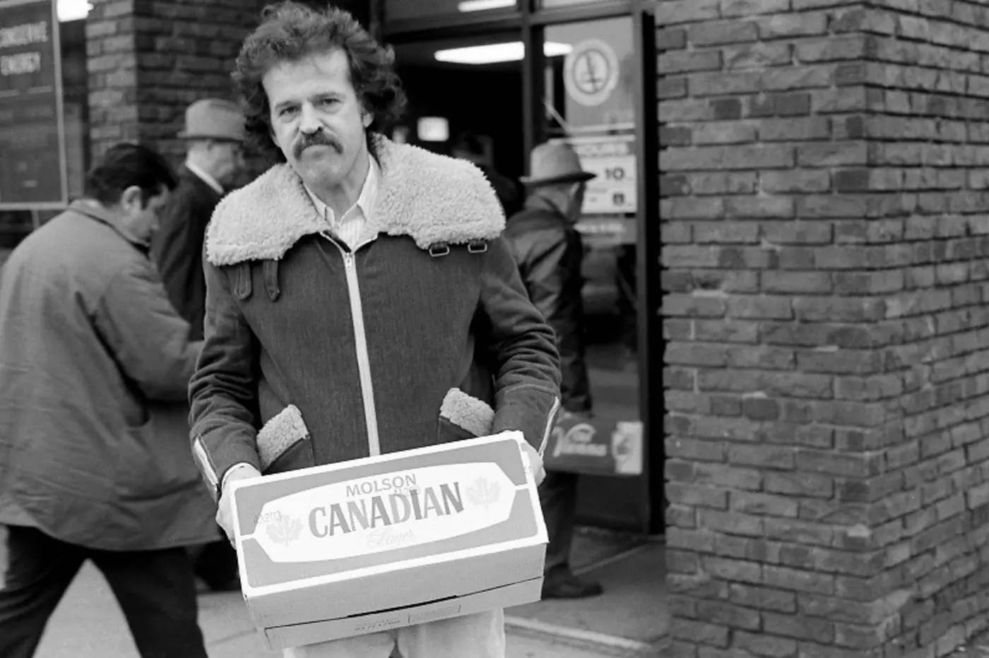
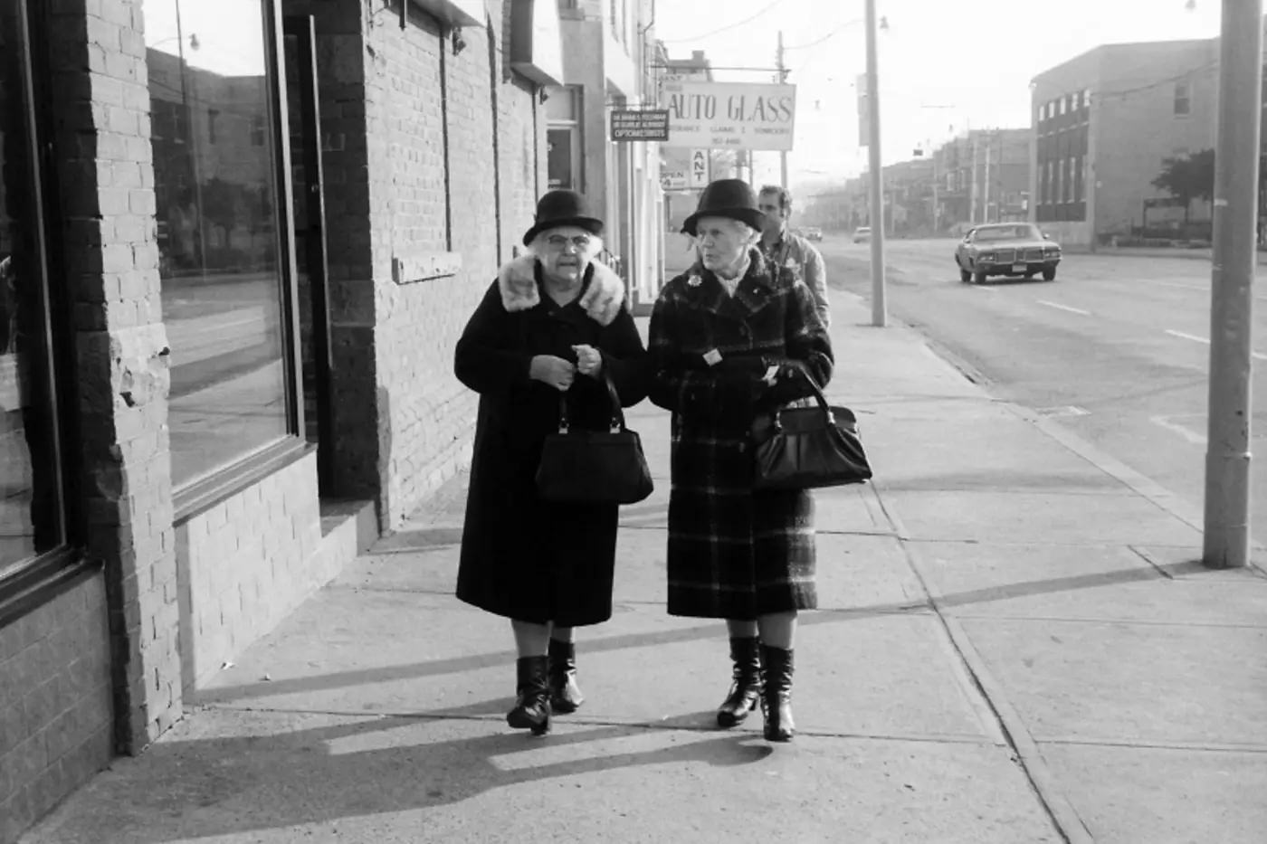
Toronto’s residential streets in the early 1980s had a quiet, lived-in quality. Gerrard Street East mixed housing with small storefronts, a pattern repeated throughout the older east end. Keele Street further west showed a similar character — low-rise commercial buildings at street level, apartments above, and plenty of foot traffic.
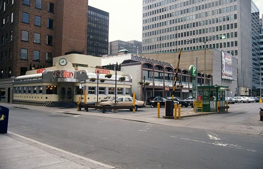
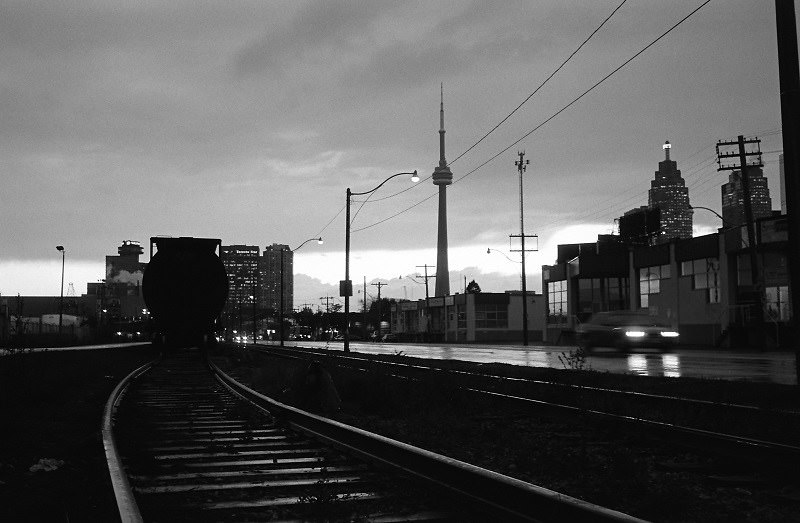
By 1983, Toronto’s downtown skyline was unmistakably that of a major city. The CN Tower dominated the horizon, and the cluster of office towers along Bay and King spoke to the financial boom underway. But zoom into the street level and you still found corner stores, diners, and independent shops that gave the city its human scale.
The Queen and Bathurst area was one of the city’s most dynamic corners. Artists, musicians, and working-class residents shared the neighborhood. Independent galleries, record shops, and clothing stores occupied the ground floors of century-old buildings. It was one of the last areas of the city where rent was still low enough to support creative businesses.
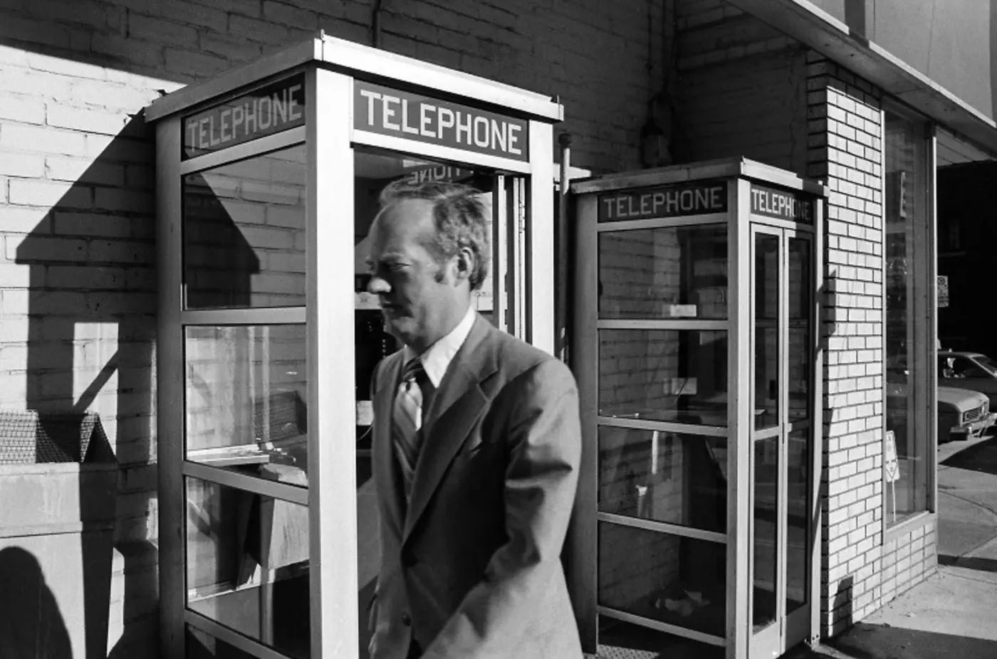
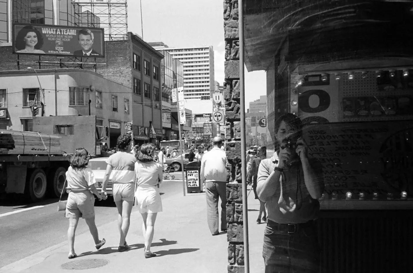
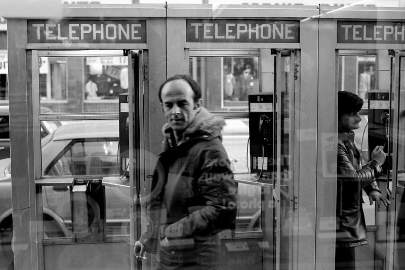
Phone booths stood at regular intervals along Toronto’s major streets. In 1980, they were essential infrastructure — the only way to make a call when you weren’t near a landline. A row of them along a busy sidewalk was an entirely ordinary sight, and a ringing phone booth was answered without a second thought.
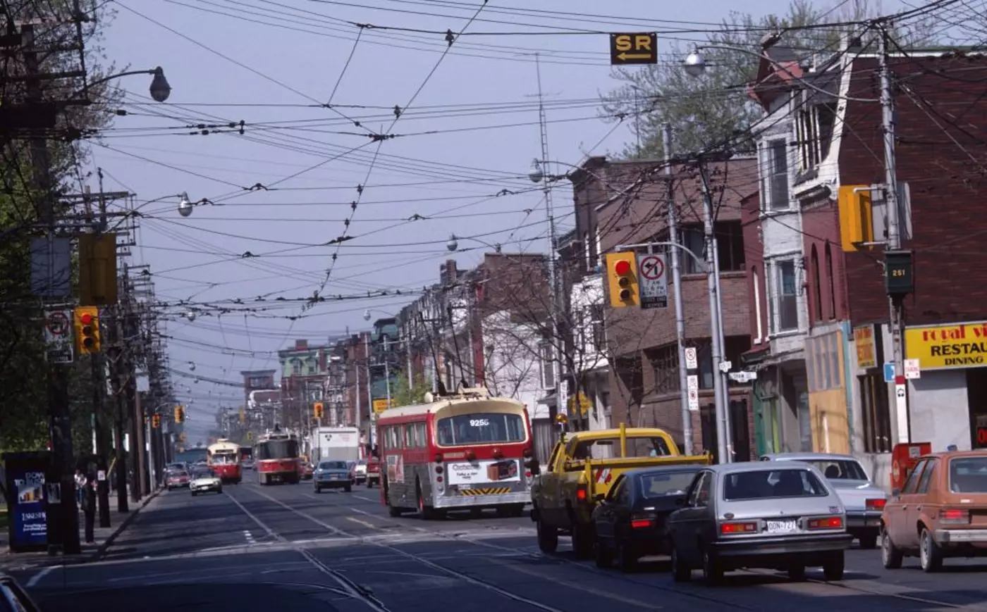
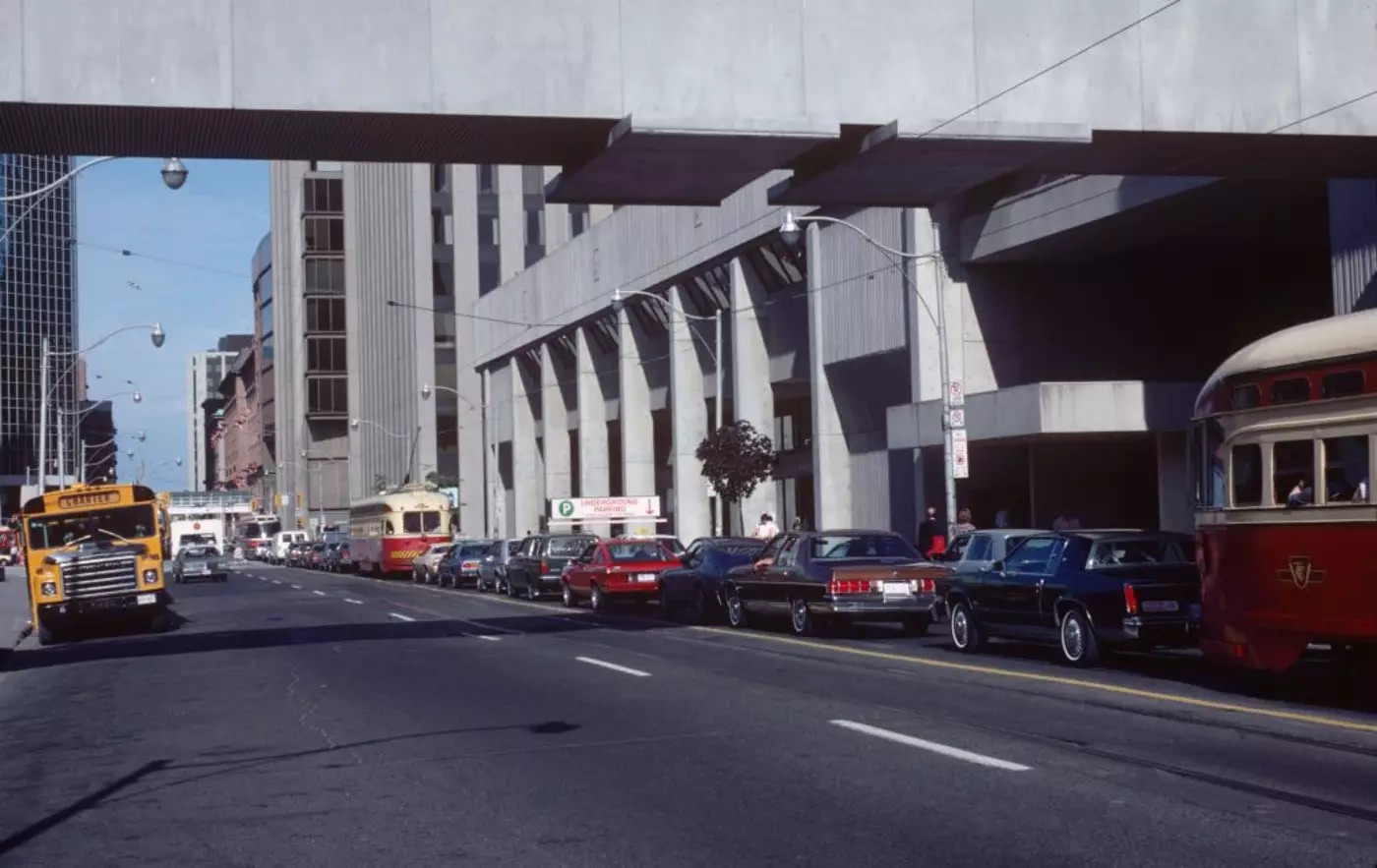
Queen Street West, running from downtown toward the western neighborhoods, was the city’s creative artery. The stretch near Shaw Street had a working-class, unhurried feel — wide sidewalks, modest storefronts, and the constant rumble of streetcars. Further east, near Bay, the character shifted sharply toward the financial core.

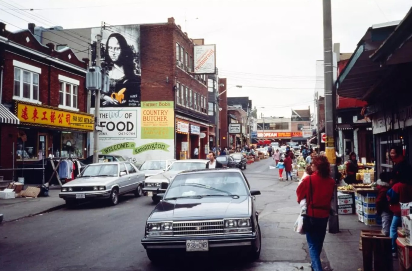
The World’s Biggest Bookstore on Edward Street was exactly what it claimed to be — at least for a time. It opened in 1980 in a converted bowling alley and held over 1 million books across 27 kilometers of shelving. Browsing there was a genuine event. Not far away, Kensington Market operated in a completely different register — an open-air neighborhood market with vendors selling vintage clothing, fresh fish, cheese, and Caribbean spices from storefronts that spilled onto the sidewalk.
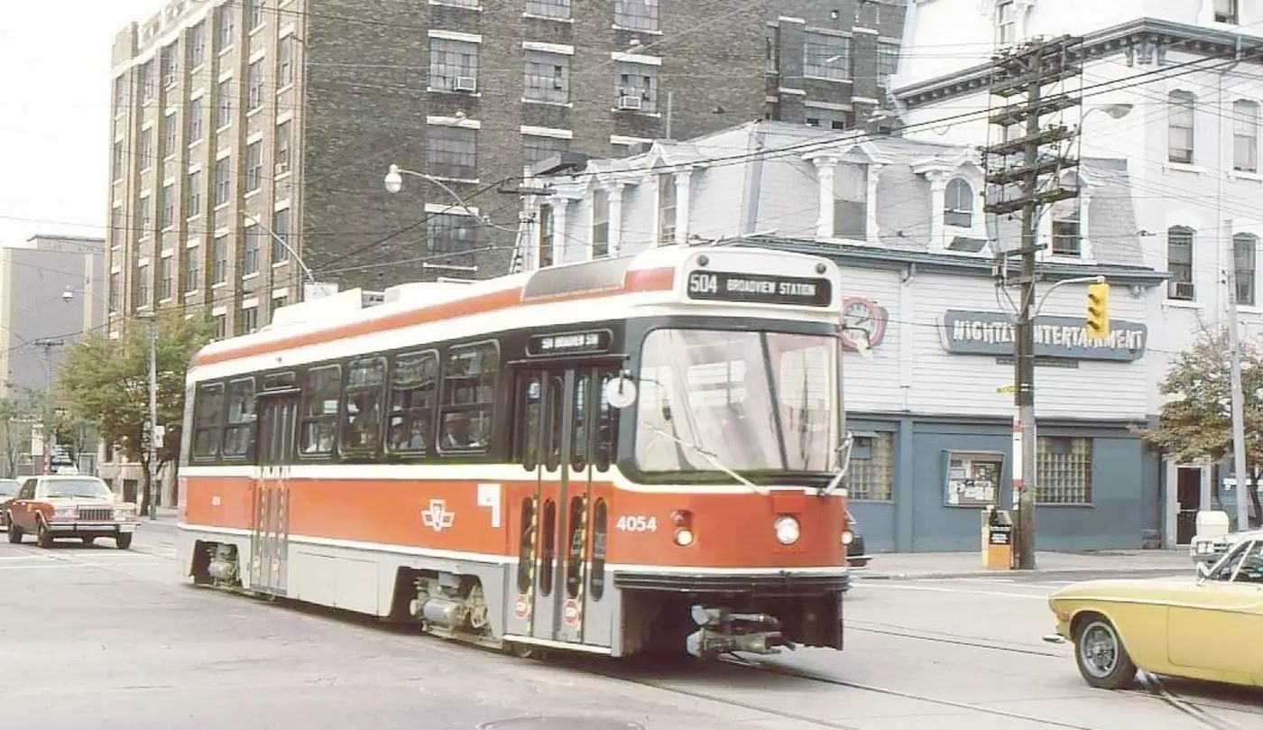
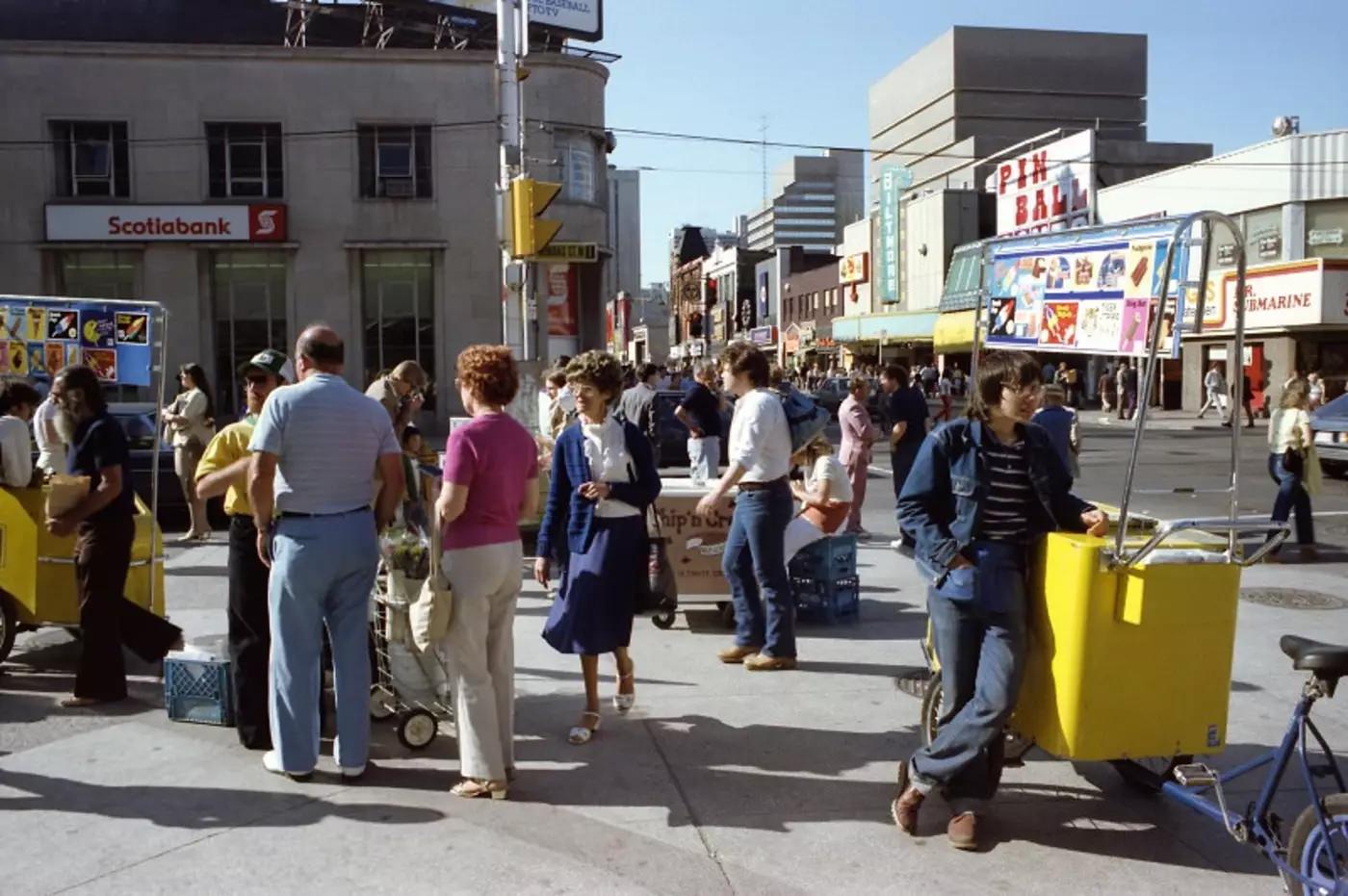
The intersection of King and Spadina sat at the edge of the garment district, one of Toronto’s older industrial zones. In the 1980s, the area still had textile factories, warehouses, and fabric wholesalers occupying the buildings that would later be converted into lofts and condos. The transformation hadn’t started yet — this was still a place where people worked with their hands.
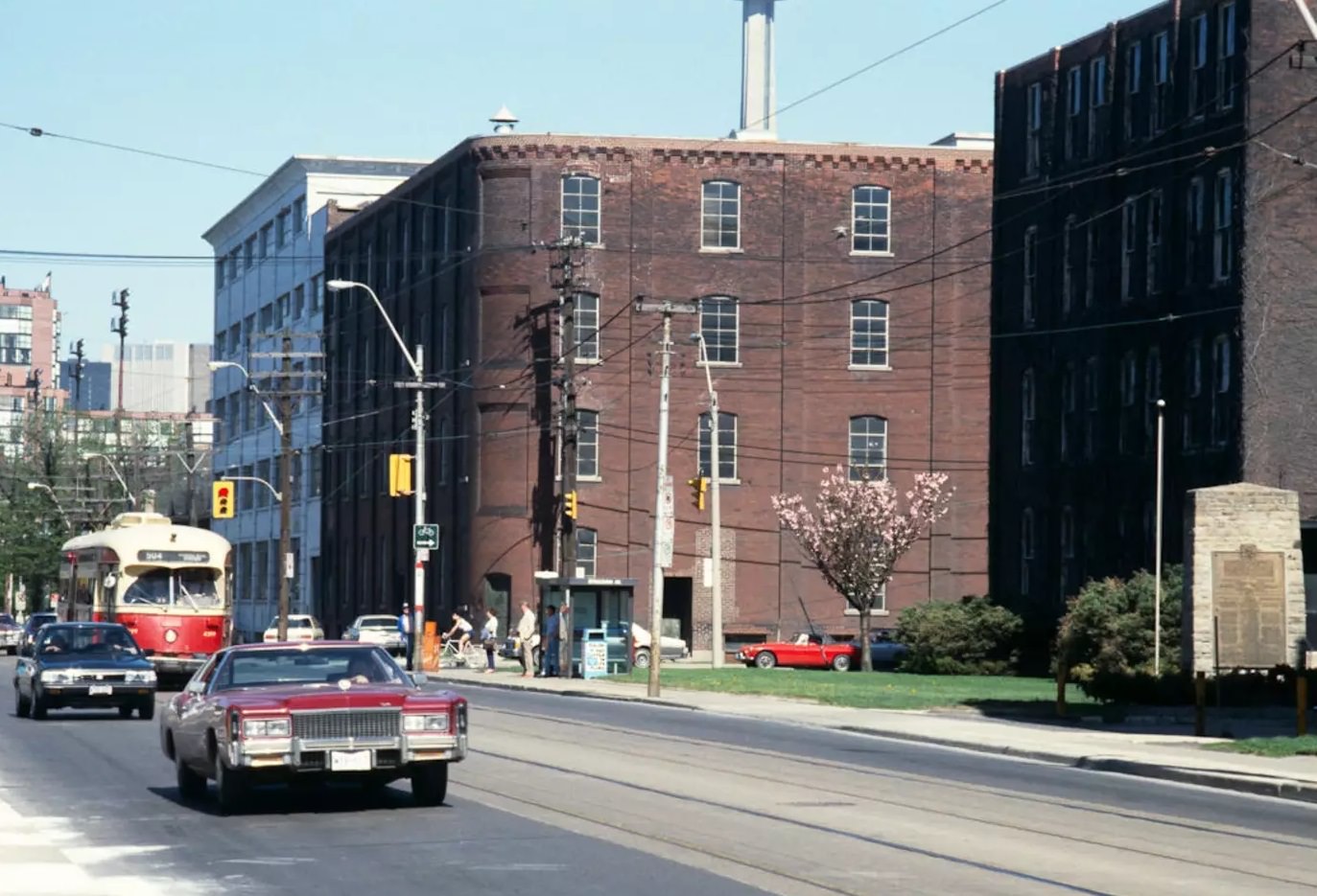
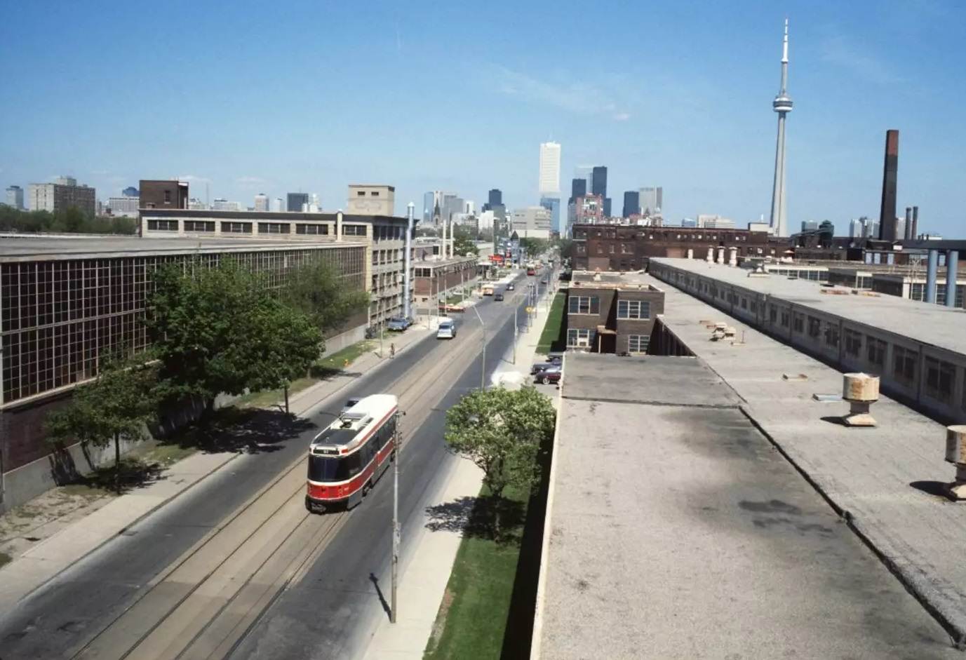
The Massey Ferguson factory lands along King West were a remnant of Toronto’s industrial past. In the 1980s, the company’s manufacturing operations were winding down, leaving large stretches of property in flux. The surrounding streets showed a city at a crossroads — old factories alongside new development, with no clear sense yet of what would come next.
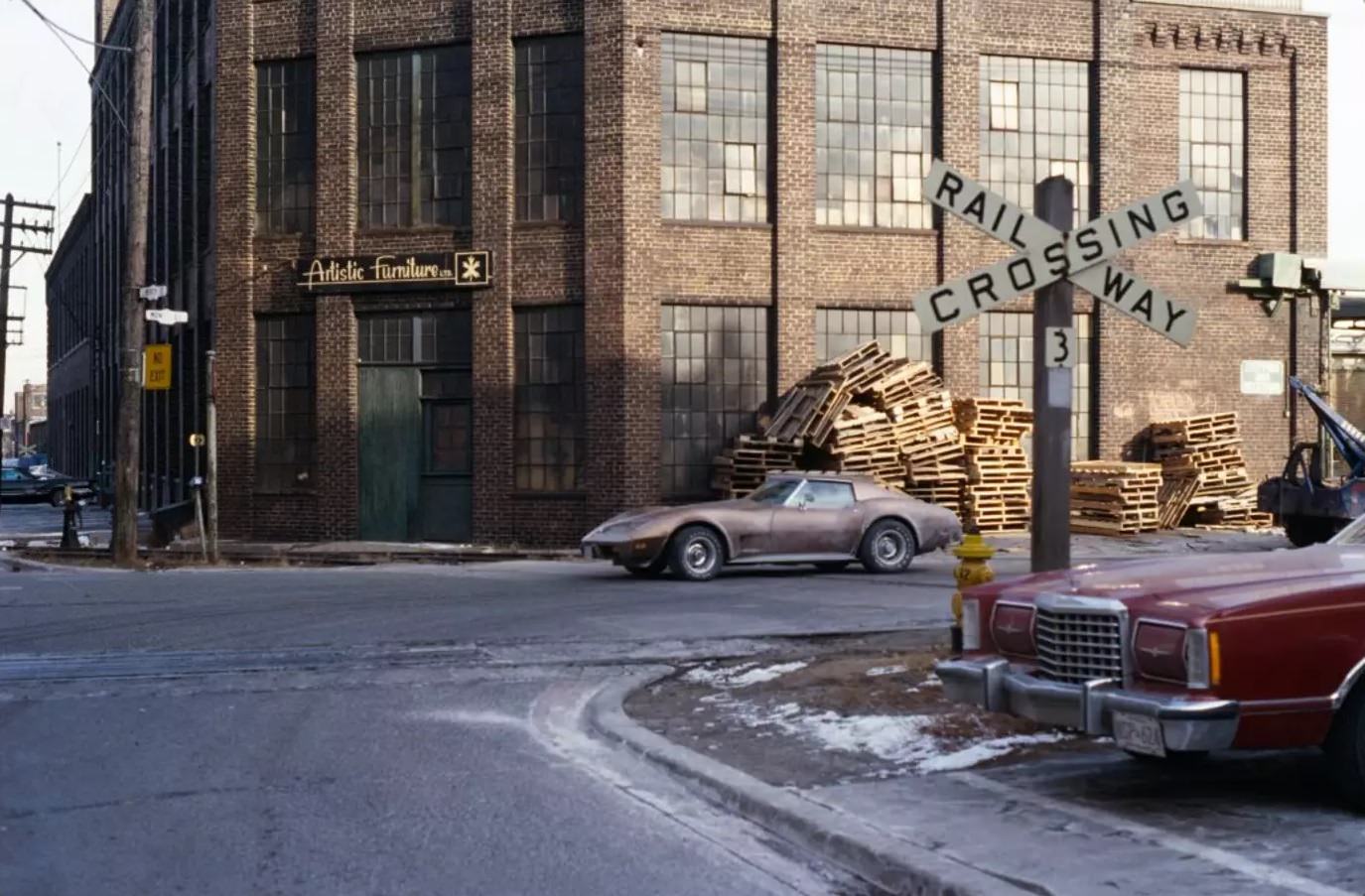
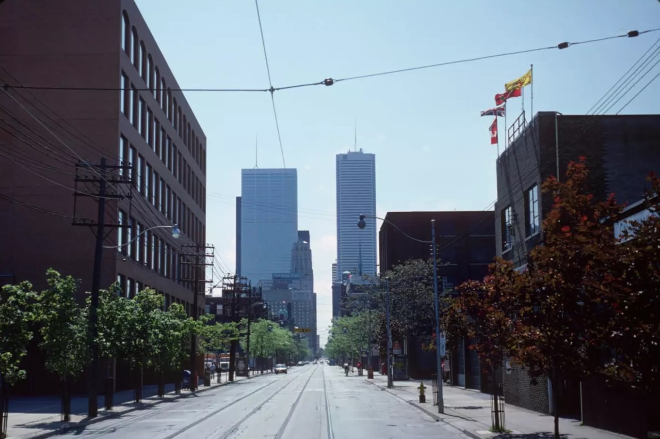
Liberty Village in the 1980s was still a functioning industrial district. The brick factory buildings that would later become offices and condos were still producing goods. The streets were quiet on weekends and busy with delivery trucks on weekdays. It bore no resemblance to the tech-office neighborhood it would eventually become.
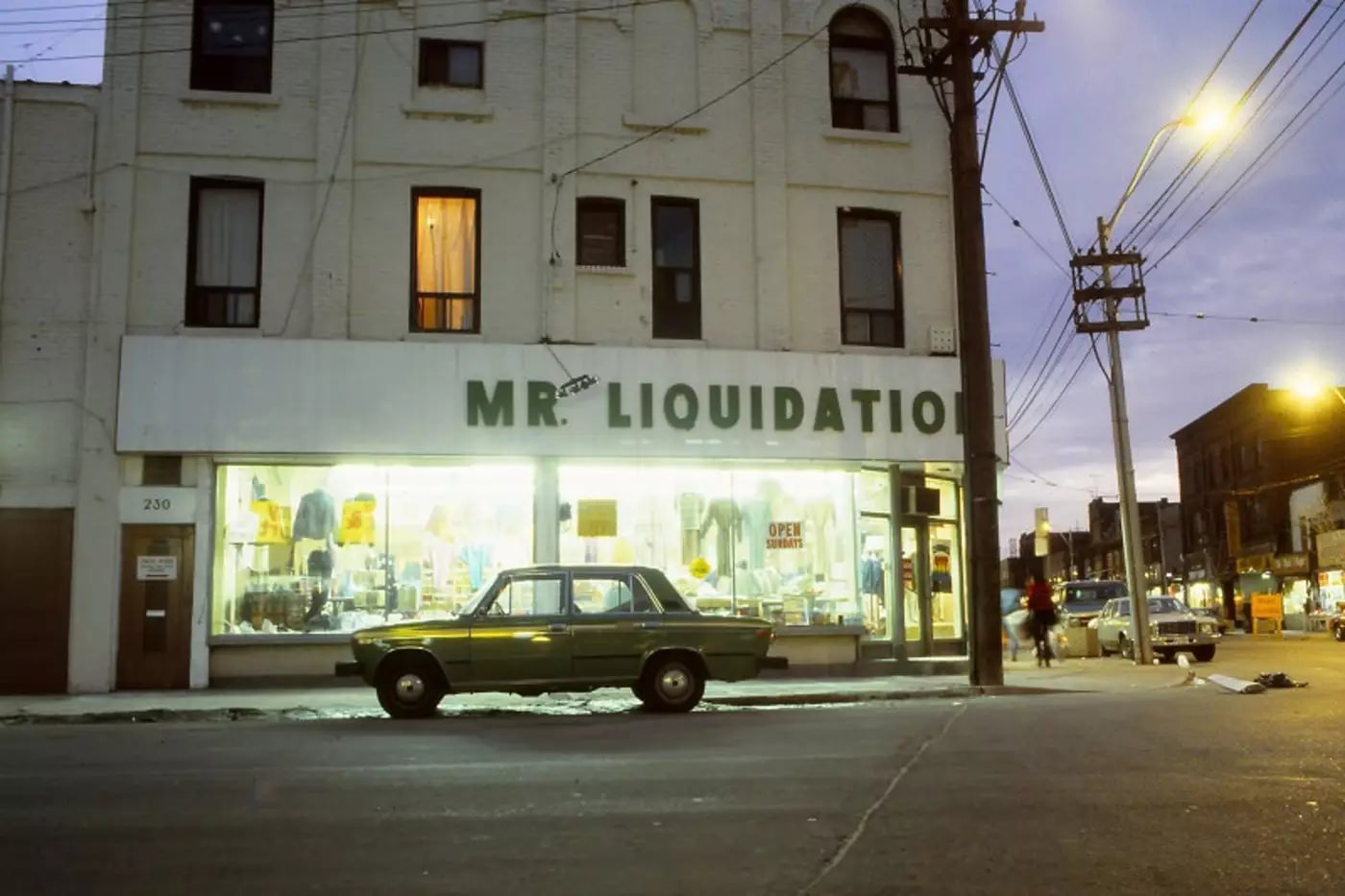
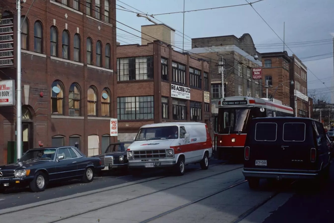
Traffic jams on King Street were a regular occurrence. Streetcars, cars, and delivery vehicles competed for space on roads that hadn’t been designed for the volume now using them. Near Portland, gridlock was common during rush hours, and the combination of parked streetcars and double-parked vehicles turned the street into a slow-moving puzzle.
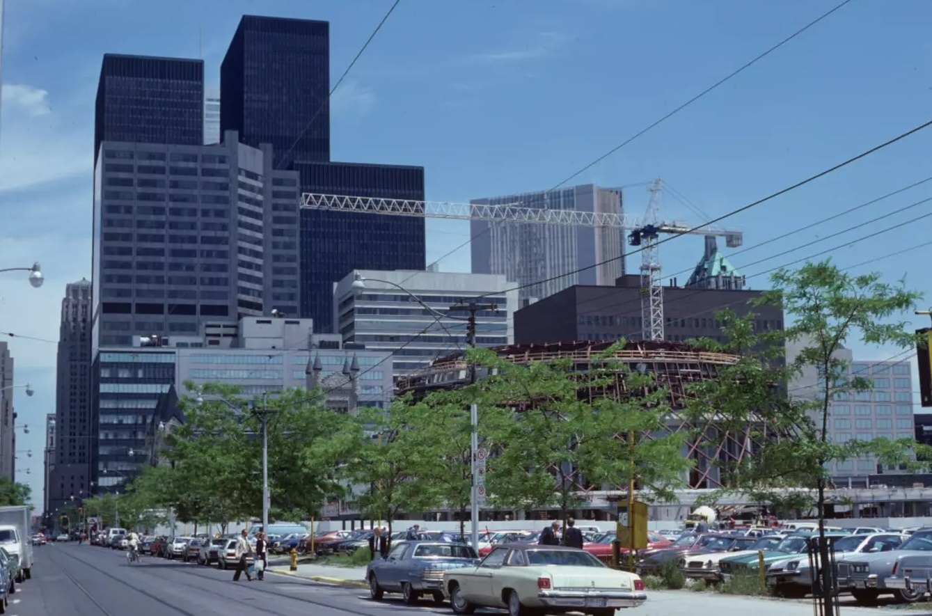
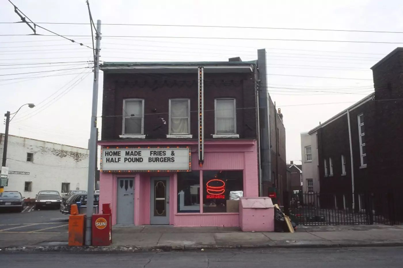
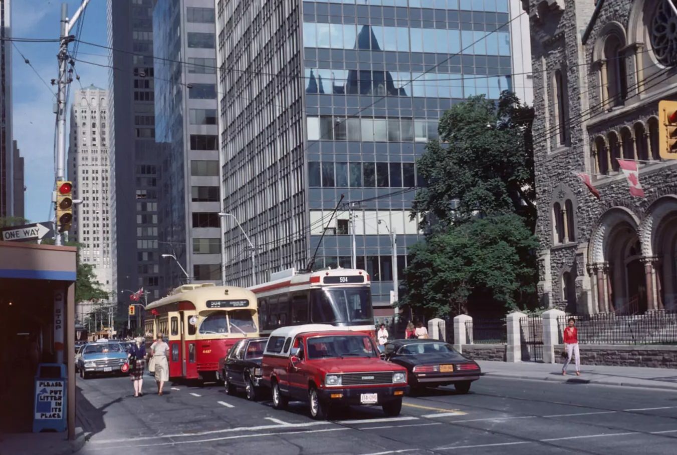
King and Simcoe placed you at the edge of the entertainment district and the financial core — a block from Roy Thomson Hall, two blocks from the cluster of towers that defined Bay Street. The contrast was visible in the architecture: concert halls and government buildings on one side, glass office towers on the other.
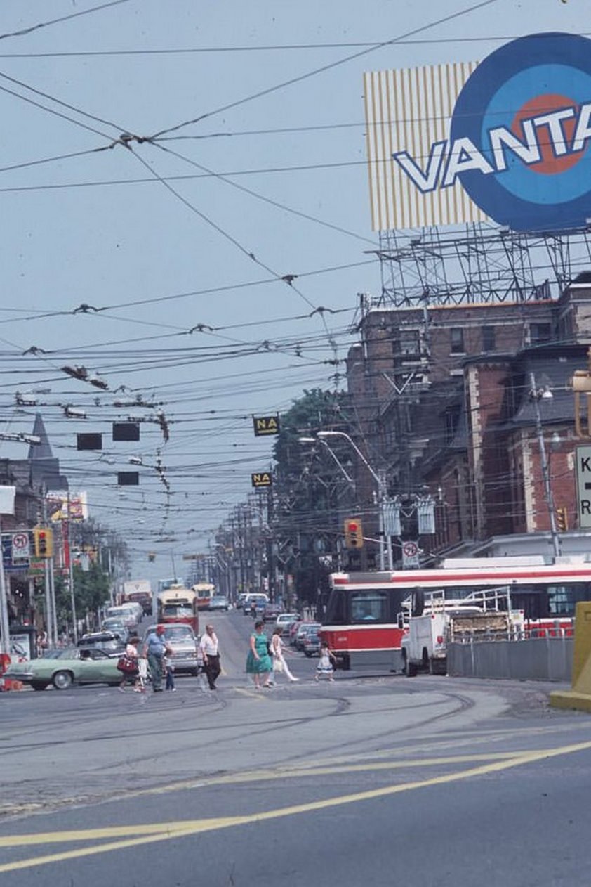
Roncesvalles Avenue, where it met Queen Street West, was the heart of Toronto’s Polish community. Delis, bakeries, and Catholic churches anchored the neighborhood. On a summer day in 1983, the streets were busy with locals going about their routines — grocery shopping, stopping for coffee, picking up children from school.
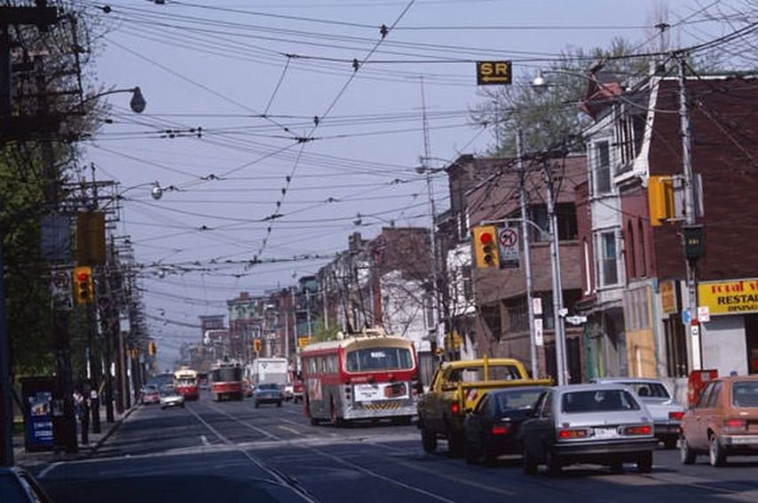
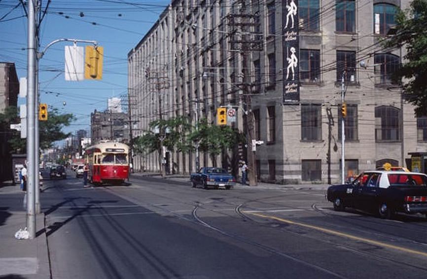
Queen Street was a transit photographer’s dream in the early 1980s. On a single block you could catch the old PCC streetcars, the newer Canadian Light Rail Vehicles that were being introduced, and trolley buses — three distinct forms of electric transit sharing the same corridor. The TTC was in a transitional period, swapping out aging equipment while keeping the network running.
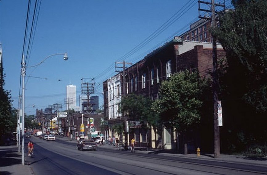
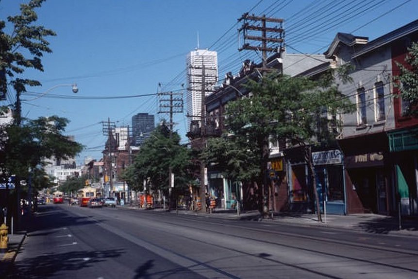
Queen and Bathurst looking east on a summer day in 1983 captured one of the city’s busiest intersections at full tilt. The sidewalks were crowded, the streetcar tracks ran in four directions, and the mix of storefronts reflected the neighborhood’s diversity — a pharmacy next to a record store next to a laundromat.
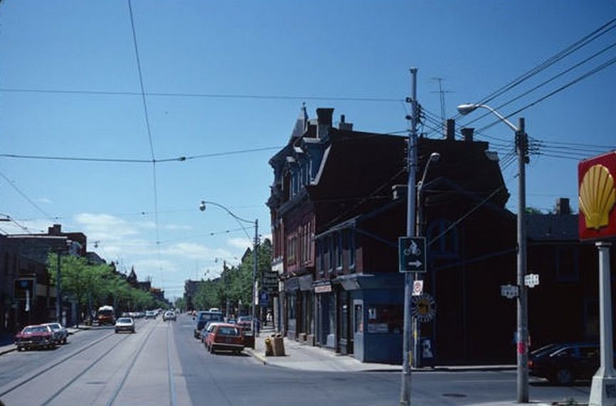
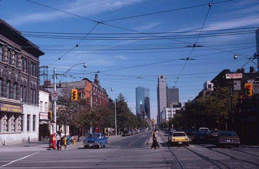
Not every moment on Queen Street was busy. On a late September Sunday in 1981, Queen and Spadina was nearly empty. The wide intersection sat still, the traffic signals cycling through their sequence for almost no one. It’s a reminder that even in a city of 3 million, quiet moments existed — you just had to find the right time.
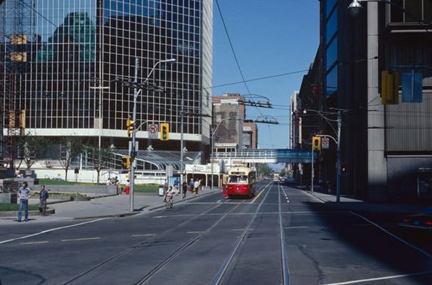
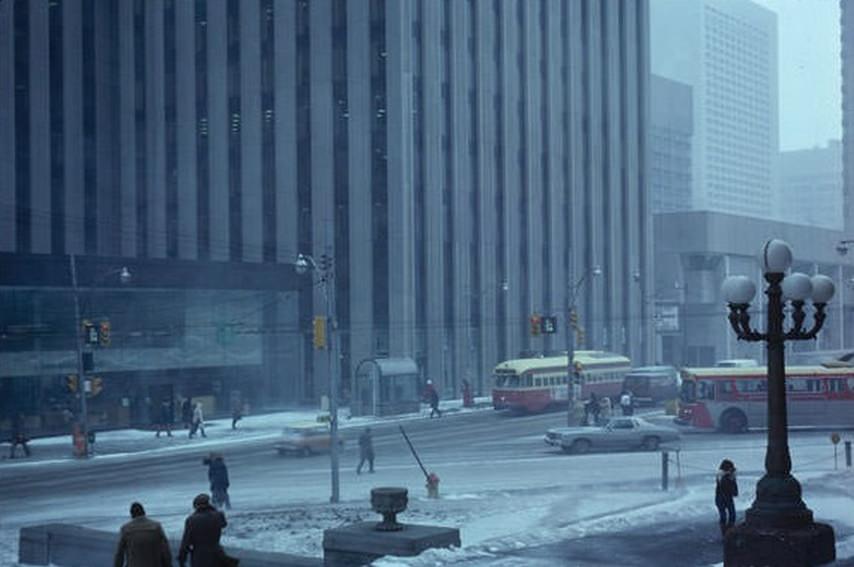
Toronto winters were unforgiving. A March snowstorm in 1980 turned Queen and Bay into a grey, wind-driven scene — pedestrians bent forward, cars moving slowly, the glass towers above disappearing into the low sky. The city’s winter character was sharply different from its summer self, and these photos preserve both sides equally.
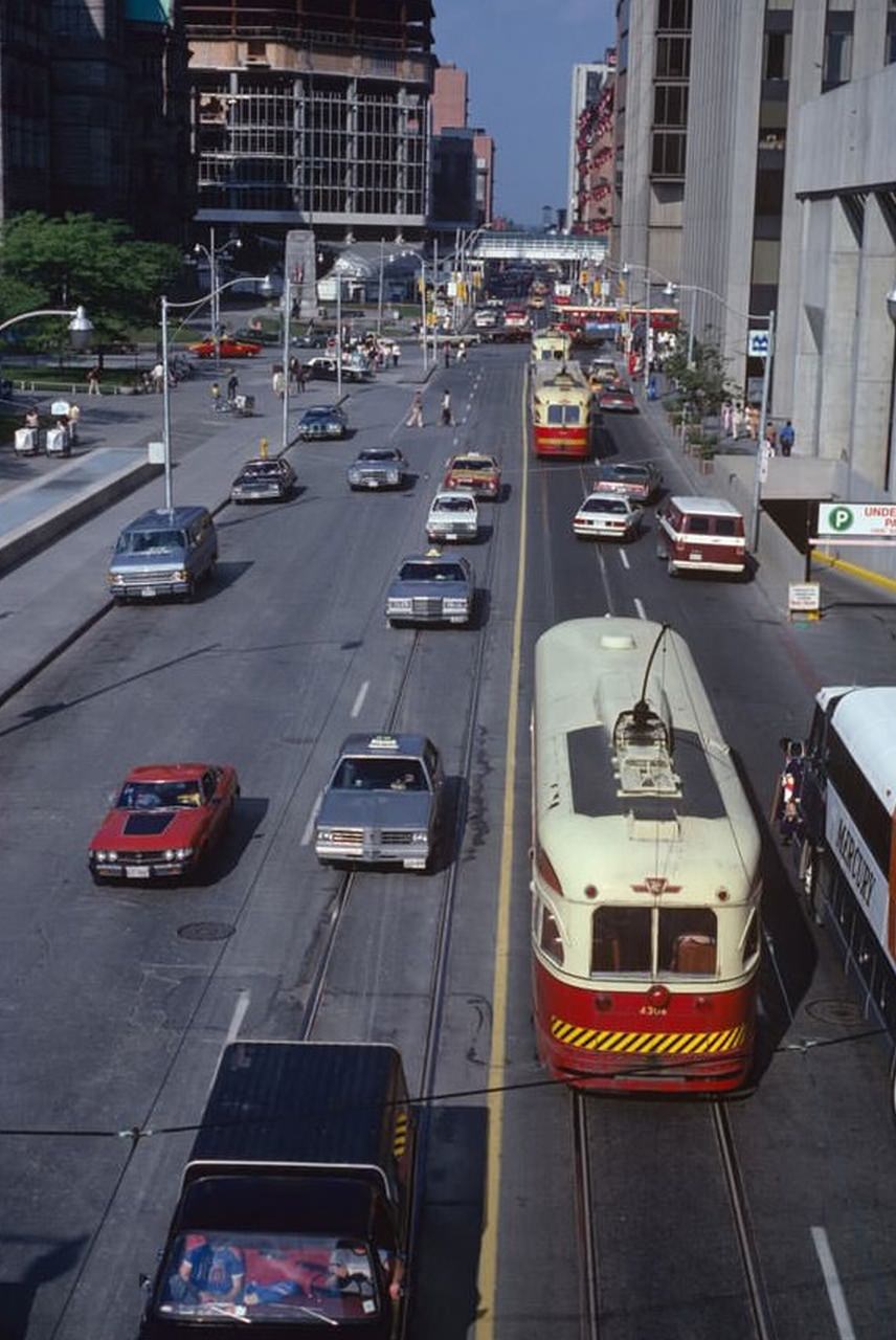
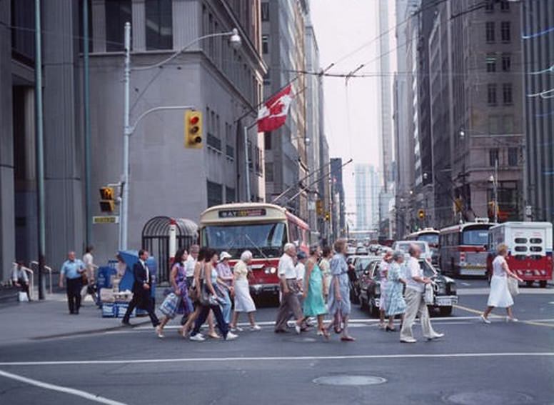
Bay Street trolley buses ran on overhead electric wires, silent and smooth compared to diesel alternatives. By the mid-1980s, the trolley bus network was already being phased out in many cities, but Toronto kept its routes running through the decade. The buses were a practical choice for busy downtown corridors where emissions and noise mattered.
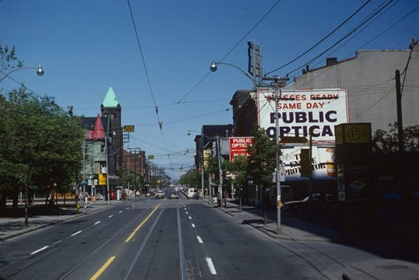
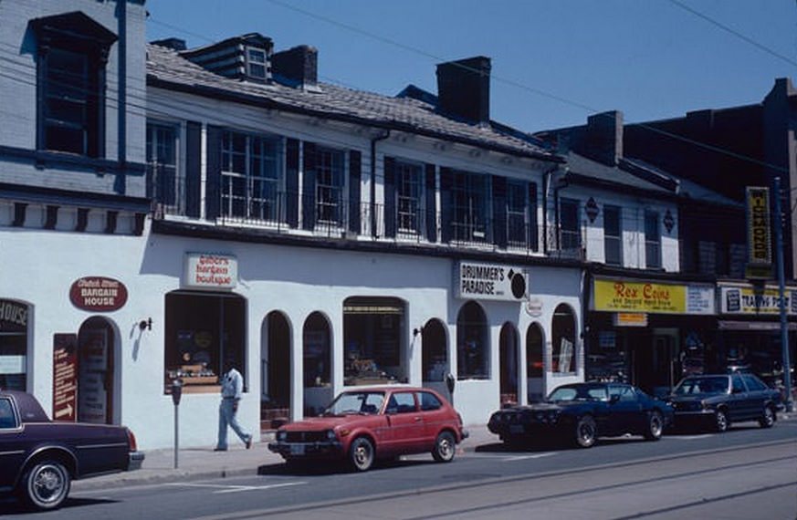
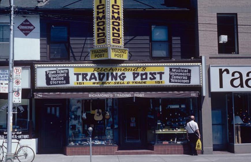
Church Street at Queen was home to a collection of specialty music shops in the early 1980s. Drummer’s Paradise catered specifically to percussionists, stocking kits, cymbals, and accessories. A few doors away, Richmond’s Trading Post offered used gear and instruments. These weren’t big-box retailers — they were specialist shops run by people who knew their stock.
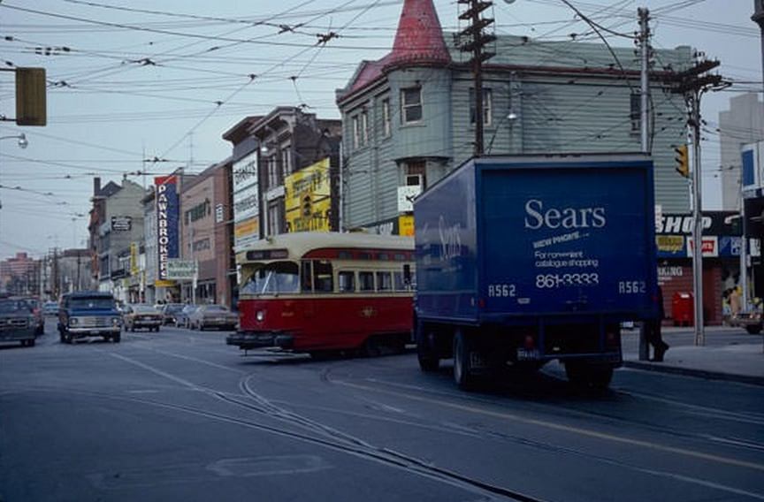
On a February morning in 1980, a streetcar turned south onto Church Street past a Sears delivery van. It’s an ordinary moment — two pieces of the city’s commercial infrastructure crossing paths — but it captures exactly how daily life in Toronto looked and felt at the start of the decade.
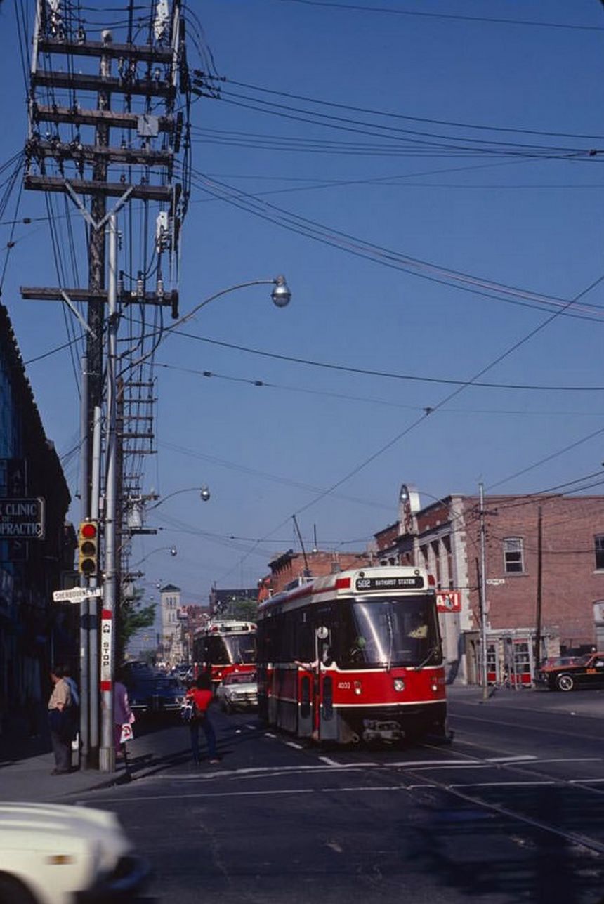
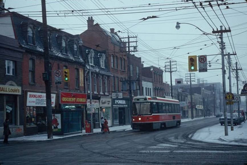
The eastern stretch of Queen Street had a rougher edge in the early 1980s. The area around Queen and Parliament was working-class and in places run-down, with rooming houses and social service agencies mixed among the older commercial buildings. St. Paul’s Basilica rose above the streetscape near Sherbourne — one of the neighborhood’s most prominent landmarks.
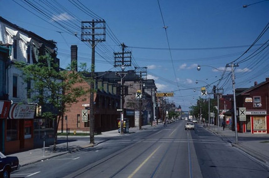
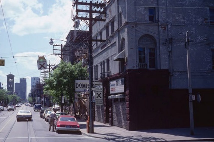
The Dominion grocery store on Queen Street was one of the chain’s older locations, still operating in a neighborhood that was struggling economically in the early 1980s. The surrounding blocks were described at the time as rough — high vacancy rates, derelict properties, and a lack of investment that wouldn’t be reversed until well into the following decade.
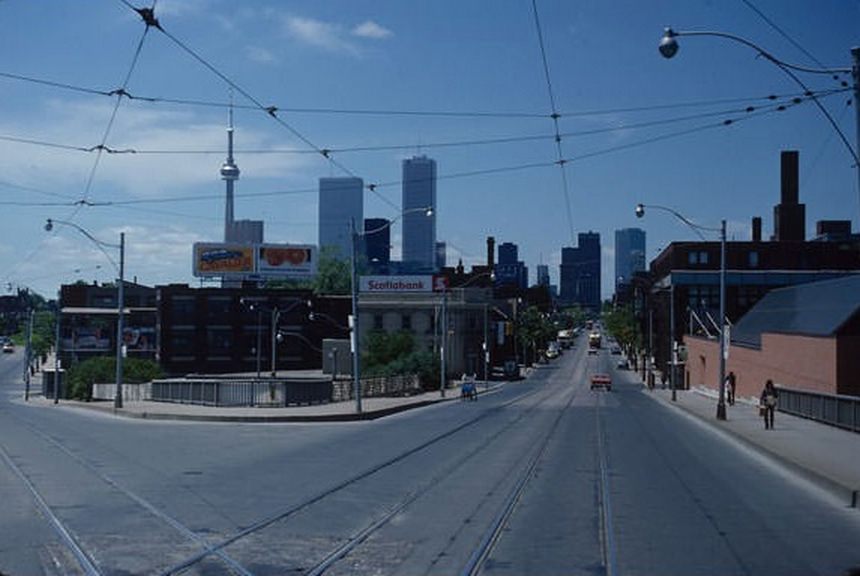
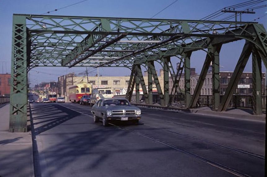
Looking west from the Don River bridge in 1981, the downtown skyline was still incomplete. Scotia Plaza hadn’t been built yet, and Exchange Tower was still under construction behind First Canadian Place. The skyline captured at that moment was mid-process — a city adding to itself in real time.
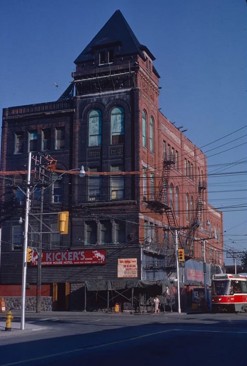
The Broadview Hotel, sitting at the corner of Queen and Broadview, went through several names and incarnations during the 1980s. It operated as ‘Kicker’s’ and later as ‘Maxi’s’ and ‘Jilly’s’ — a strip bar that became infamous in the neighborhood. The building itself was a striking Victorian structure, hiding behind its various tenants until a later restoration would bring it back to its original grandeur.
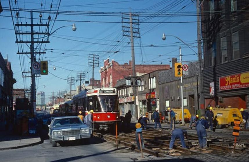
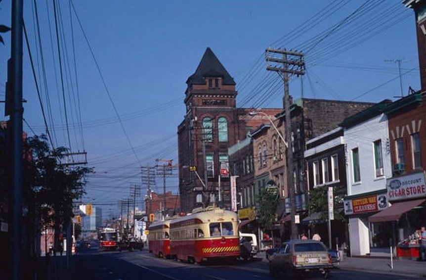
Track maintenance on the Queen streetcar line was a regular disruption. In March 1981, crews worked on the tracks at Queen and Broadview while streetcars continued to operate around the construction. The TTC rarely shut down a line completely — the system stayed running even while being repaired.
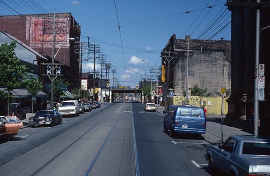
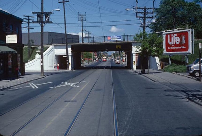
The railway bridge at Queen and Saulter was a defining feature of the east end streetscape. Freight lines crossed over Queen Street at several points, and passing under them — whether on foot or by streetcar — was a daily part of life for east-end residents. The bridges were utilitarian and grimy, but they were also landmarks.
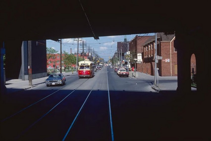
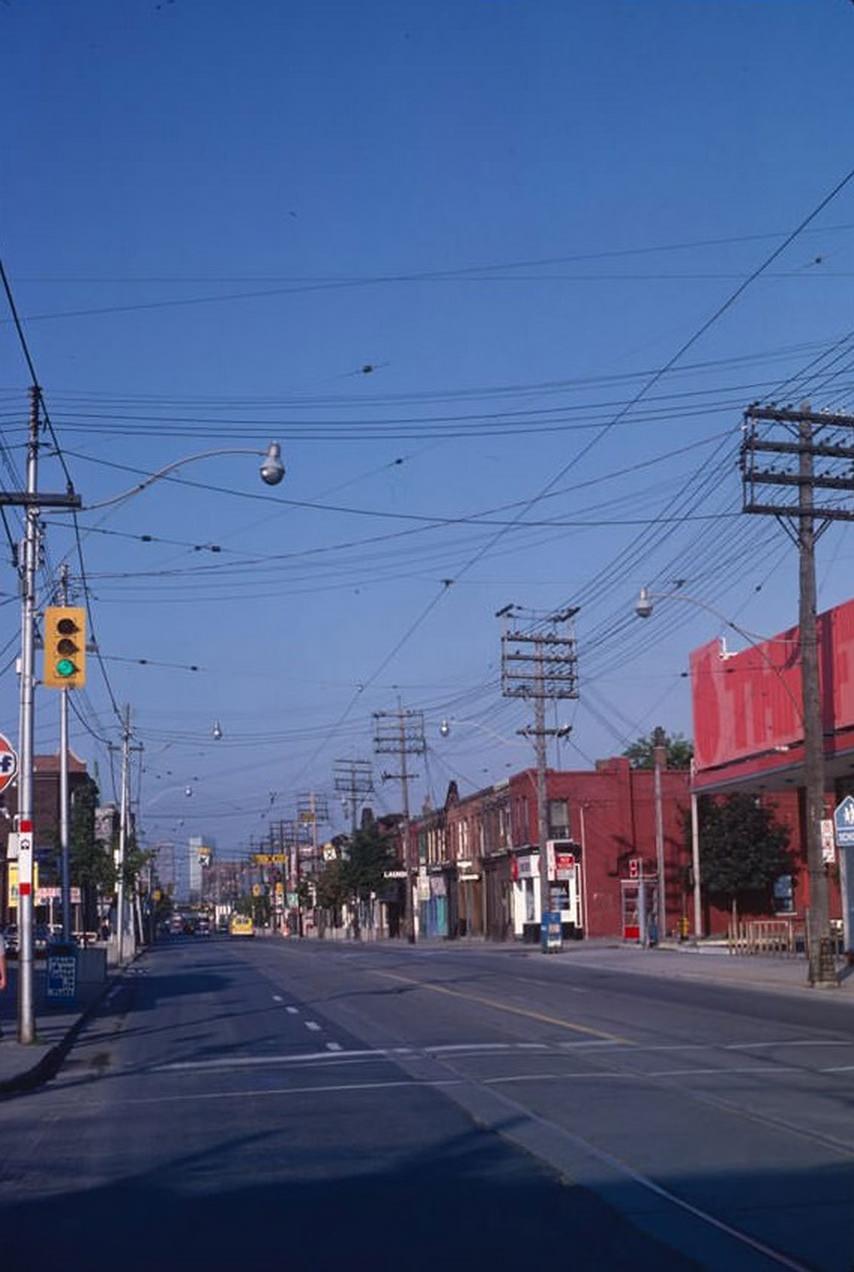
Leslieville, centered along Queen Street East between Broadview and Leslie, was a quiet, modest neighborhood in the 1980s. It had none of the attention it would receive decades later. The streets near Carlaw and the Jimmie Simpson Recreation Centre were lined with small homes and unpretentious shops, and residents mostly stayed within their own corner of the city.
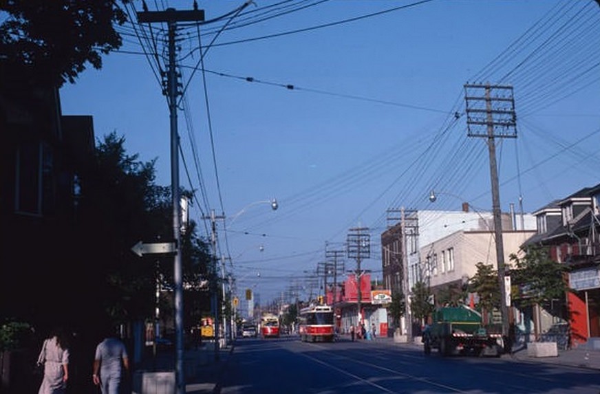
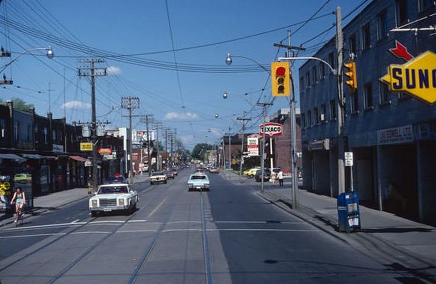
The intersection of Queen and Jones had multiple gas stations competing for the same customers — a pattern common to busy arterial intersections across the city in the early 1980s. Gas was still cheap by later standards, and the car remained central to how many Torontonians moved around, particularly in the inner suburbs.
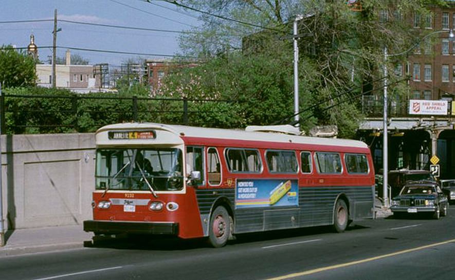
Trolley buses operated across multiple routes in the city, and the junction at Dupont, Annette, and Dundas was one of the more complex intersections on the network. The overhead wire infrastructure required at these junctions was intricate — a web of copper wire strung above the road to keep the buses powered through the turn.
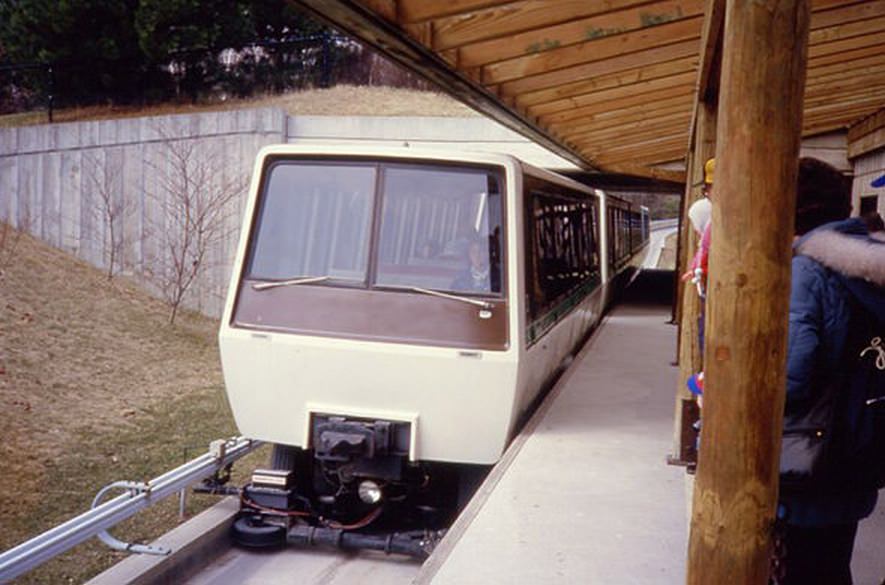
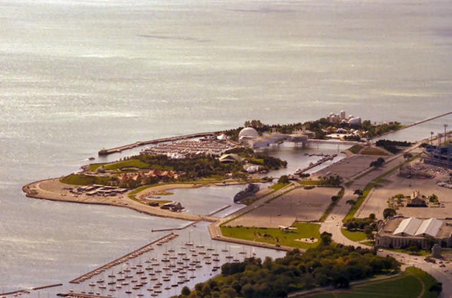
The Toronto Zoo, which opened in 1974 in Scarborough, had its own monorail system that carried visitors over the large outdoor exhibits. In the 1980s, it was one of the most popular family destinations in the city. From the top of the CN Tower, Ontario Place offered a very different kind of view — the man-made islands extending into Lake Ontario, with the Exhibition grounds directly behind them.
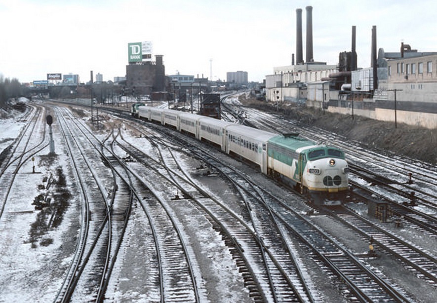
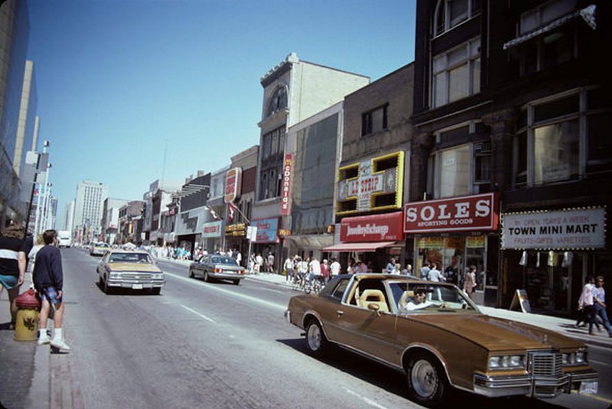
GO Transit, the regional rail service connecting Toronto to its surrounding communities, grew steadily through the 1980s as suburbanization pushed more residents further from downtown workplaces. Union Station was its hub, and the sight of GO trains pulling in from Mississauga, Hamilton, Oshawa, and Barrie became increasingly familiar as the decade wore on.
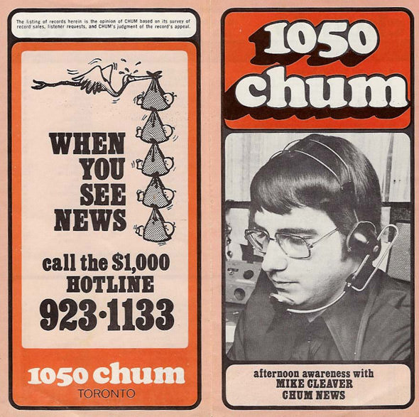
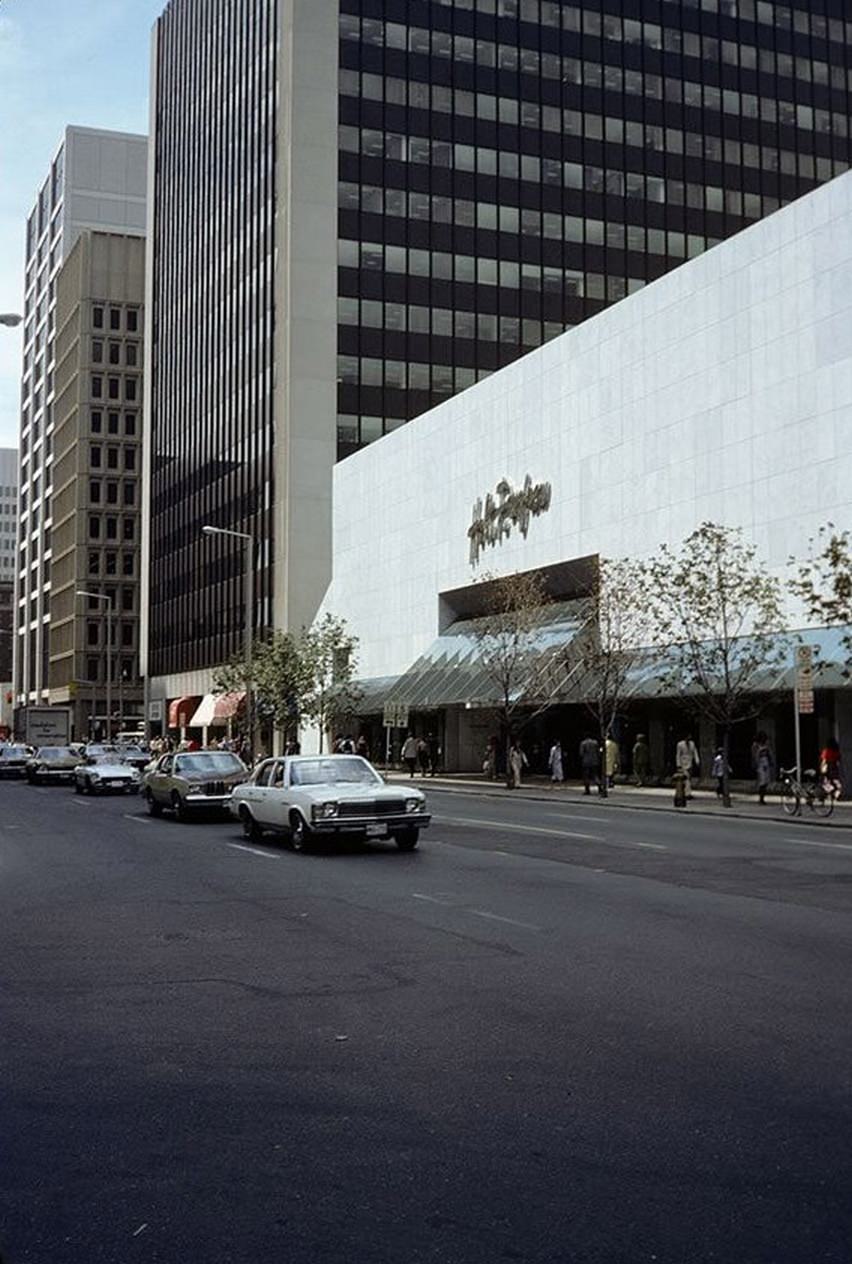
CHUM 1050 was one of Toronto’s most listened-to radio stations throughout the decade. Its advertisements appeared on billboards and bus shelters across the city, and its broadcasts were a constant presence in cars, kitchens, and stores. Bloor Street near Bay, meanwhile, was among the city’s most upscale shopping corridors — Holt Renfrew catered to a clientele that had little in common with the CHUM demographic.
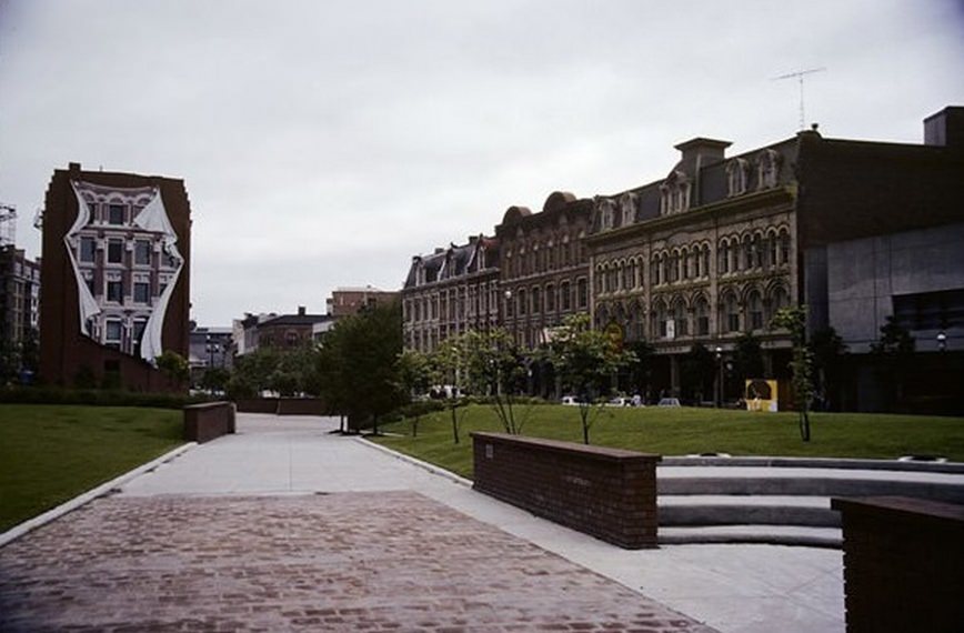
The Flatiron Building at Front and Church was one of Toronto’s oldest surviving commercial buildings, and artist Derek Michael Besant’s large-scale trompe-l’oeil mural on its flat west wall was a striking addition. When it was new in the 1980s, the mural — depicting the building’s own windows continuing around the corner — was clean and vivid, a piece of public art that made people stop and look twice.
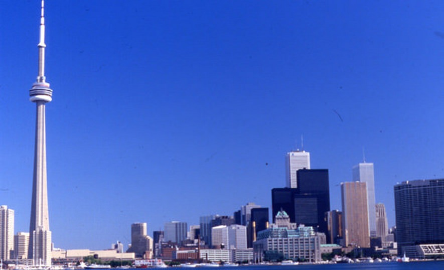
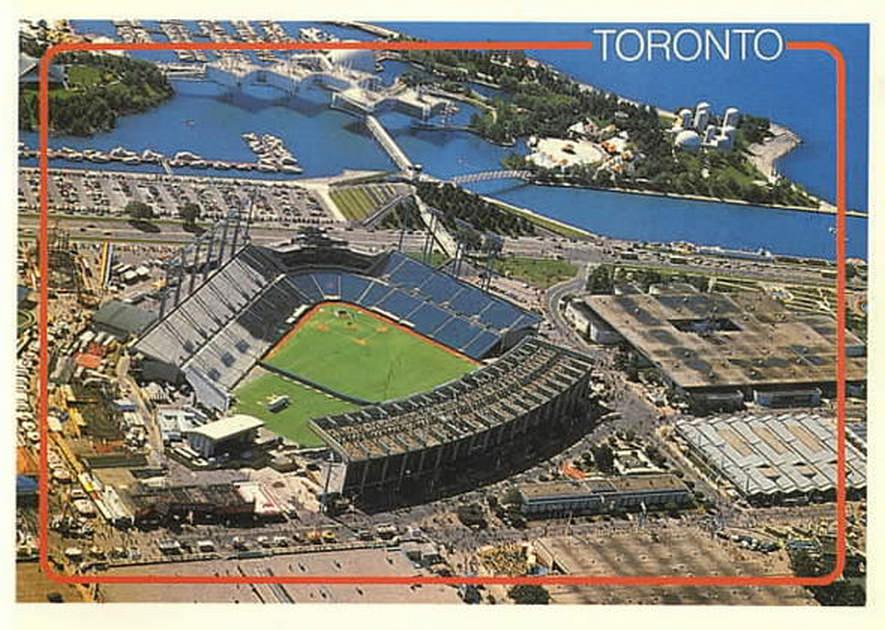
The 1986 skyline showed a city that had filled in considerably since the start of the decade. The CN Tower remained the dominant structure, but the cluster of office towers around it had grown denser. Exhibition Stadium, sitting at the foot of Lake Shore Boulevard, still appeared on postcards as one of the city’s landmarks — home to the Blue Jays and the Argonauts before the SkyDome changed everything.
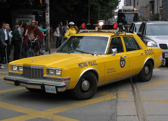
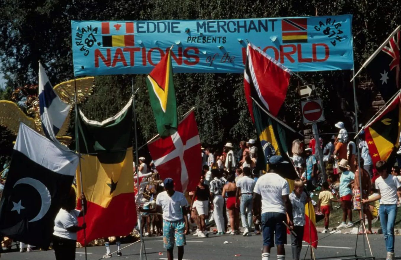
Metro Toronto Police cars of the 1980s had a distinctive look — the black and white paint scheme, the push bumpers, the older cruiser body styles. The Caribana Parade in 1987 brought a very different energy to the streets. Founded in 1967, Caribana grew through the 1970s and 1980s into one of the largest Caribbean festivals in North America, drawing hundreds of thousands of spectators to the lakefront route each summer.
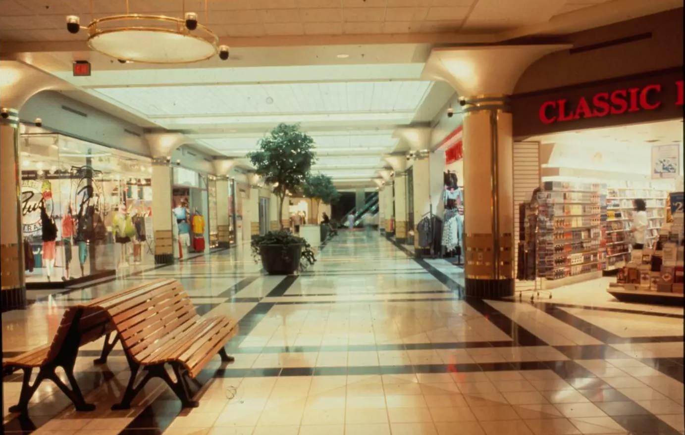
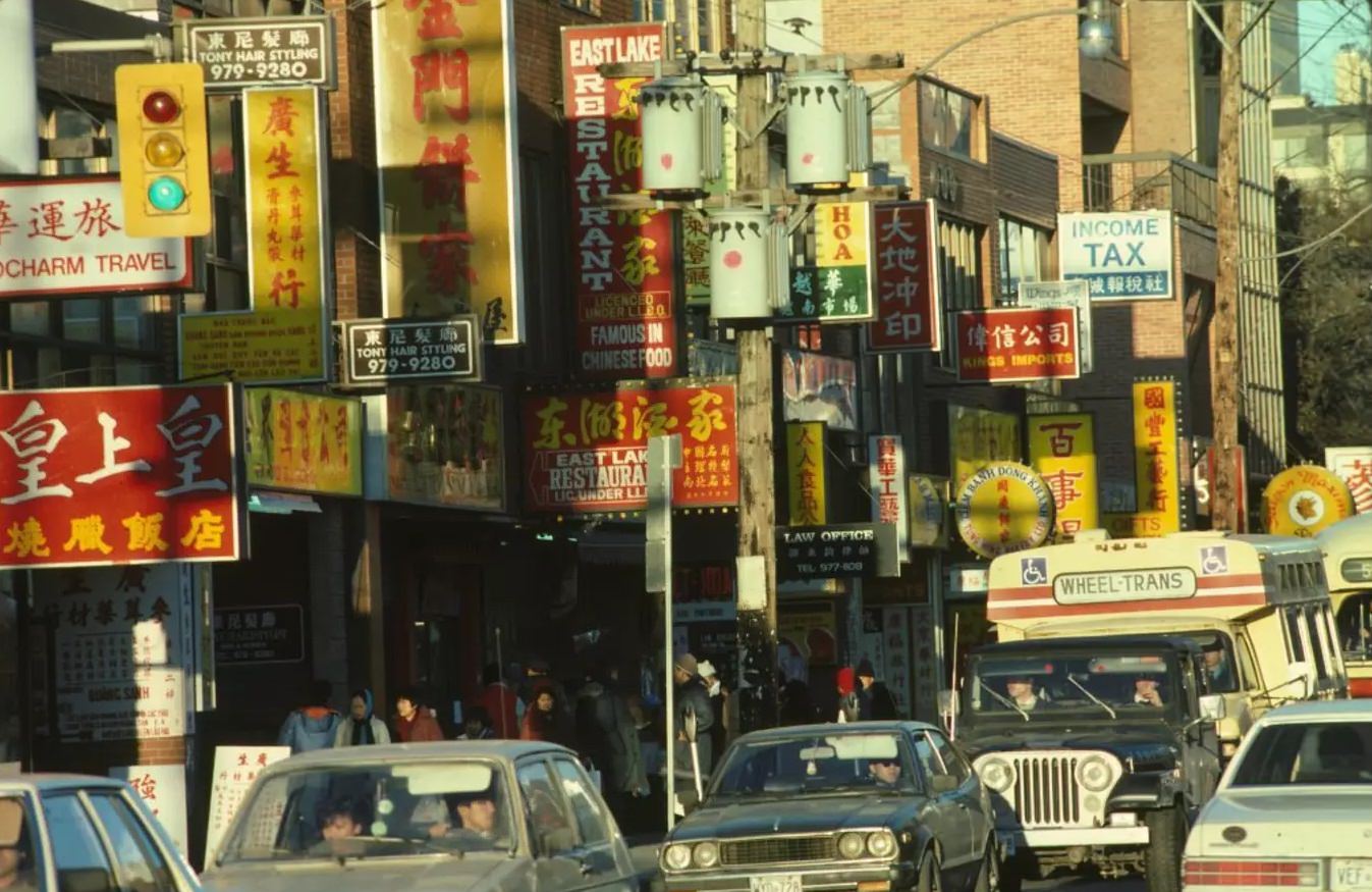
The PATH underground walkway system expanded significantly through the 1980s as new office towers were connected to the network. By the end of the decade, it stretched for dozens of kilometers beneath the financial district, allowing office workers to commute between buildings without ever stepping outside. Above ground, Chinatown along Dundas and Spadina was equally layered — storefronts stacked signs in Chinese and English, competing for the attention of shoppers on one of the city’s busiest commercial streets.
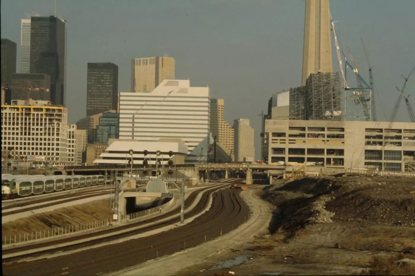
Construction on the SkyDome began in 1986 and by 1988 the massive retractable-roof stadium was visibly taking shape near the CN Tower. It was the largest construction project in the city’s history at that point, and it dominated the skyline even while incomplete. When it opened in 1989, it immediately replaced Exhibition Stadium as the home of the Blue Jays.
The junction of Dundas West and Keele Street in 1983 was a busy suburban commercial intersection. Grocery stores, hardware shops, and fast food outlets lined the corners. The neighborhood around it was solidly working-class, with postwar housing stock and a population that had largely arrived from Europe in the 1950s and 1960s.
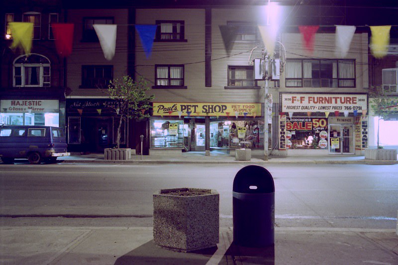
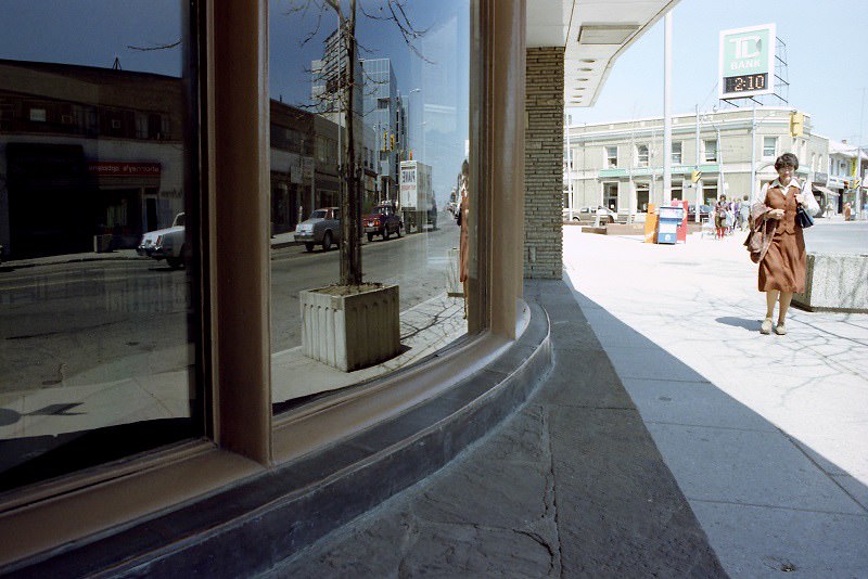
The western corridors of the city — Dundas West, Bloor, Jane Street — were densely residential with strong local commercial strips. Bloor and Jane sat at the edge of Bloor West Village, a neighborhood with a strong Ukrainian-Canadian presence and a main street that was well-kept and locally owned.
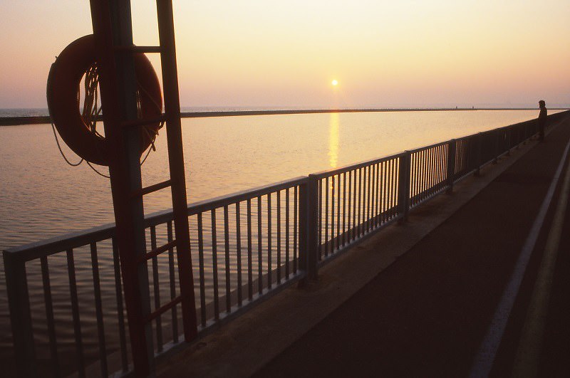
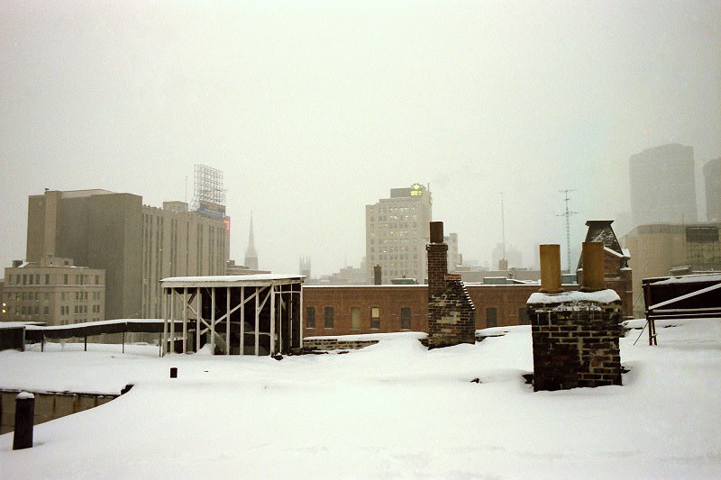
Lake Ontario was always present at the southern edge of the city. The waterfront in 1984 was still largely industrial in character — rail yards, port facilities, and parks that hadn’t yet been fully developed for public use. The lake itself was clean by this point, having recovered significantly from the severe pollution of earlier decades.
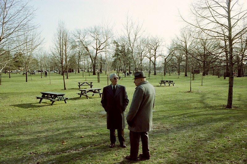
High Park in the west end was — and remains — one of Toronto’s largest green spaces. In 1982, it was a place for dog walkers, cyclists, family picnics, and anyone who needed to get away from the city’s concrete and noise. The park’s ravines, open fields, and small zoo made it a genuine natural refuge within a dense urban setting.
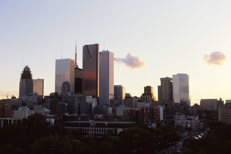
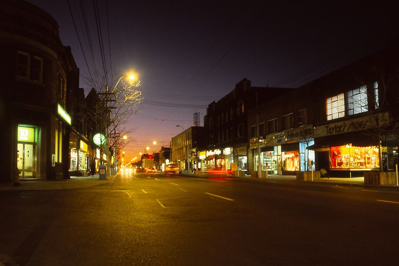
The 1989 skyline captured the city at the end of a transformative decade. The SkyDome was nearly complete. The financial towers of Bay Street had multiplied. The CN Tower stood where it always had, but the city around it had grown up to meet it. Toronto in 1989 looked very different from Toronto in 1980.
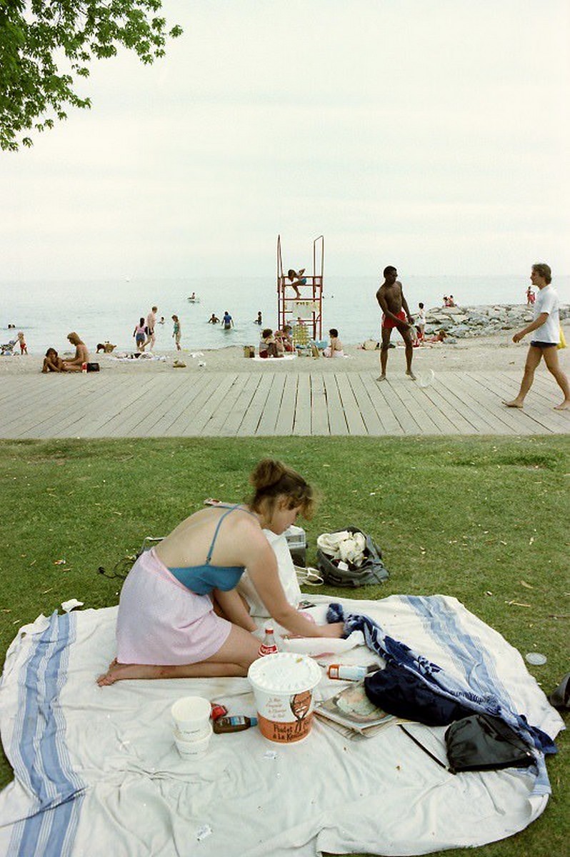
Woodbine Beach in the east end was Toronto’s most popular urban beach in the summer months. The long sandy strip along Lake Ontario drew swimmers, sunbathers, and volleyball players throughout the warm season. By the early 1980s, water quality at the beach had improved enough for regular swimming, and weekend crowds reflected that.
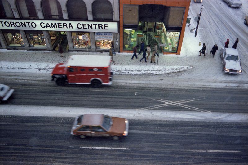
Yonge and Queen in 1982 placed you at one of the city’s most photographed corners. The northeast corner held the old Eaton’s department store. The southeast corner looked toward the financial district. The intersection was a point where every layer of the city — retail, transit, finance, pedestrian life — converged at once.
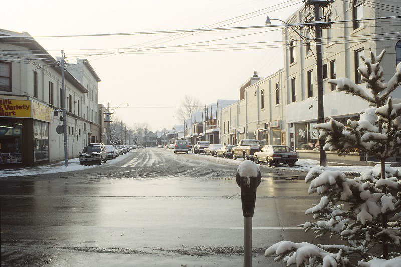
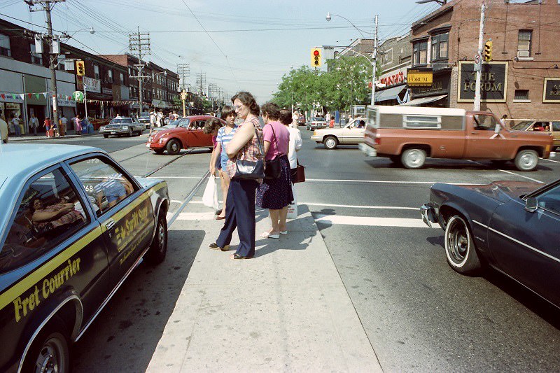
St. Clair Avenue at Dufferin ran through one of the city’s established Italian-Canadian neighborhoods. Cafes, pastry shops, and men’s clothing stores occupied the street level, and the area had a close-knit community feel that distinguished it from the busier downtown corridors.
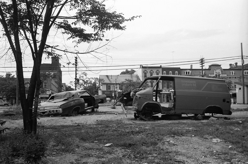
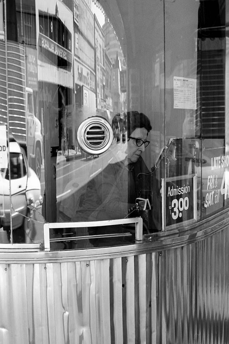
Queen West near Portland in 1983 was at the center of Toronto’s emerging arts scene. Galleries, alternative clothing shops, and music venues occupied the former storefronts of an older working-class street. The rents were low, the crowd was young, and the energy was distinct from anything else happening in the city at the time.
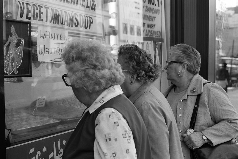
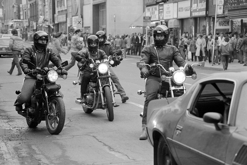
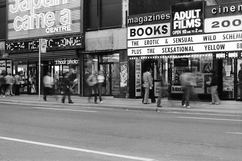
Yonge Street in 1980 had a rawer character than it would even a few years later. The strip north of Dundas had a concentration of adult entertainment venues that city officials had been trying to reduce through the late 1970s. The mix of legitimate retail and raunchier businesses gave the street a reputation that the city actively worked to change as the decade progressed.
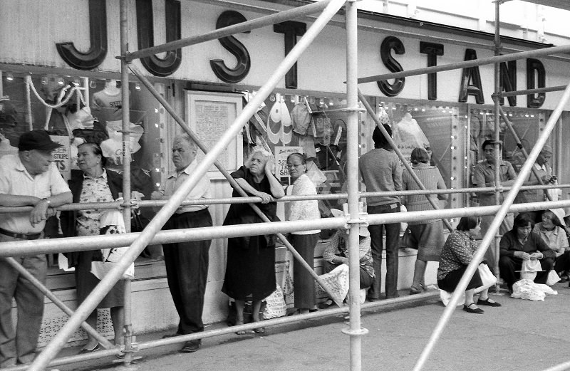
Honest Ed’s at Bloor and Bathurst was one of Toronto’s most distinctive institutions. The discount department store, owned by Ed Mirvish, was covered in thousands of light bulbs and hand-painted signs advertising the lowest prices in the city. Inside, the store was a controlled chaos of merchandise piled high in narrow aisles. It was loud, unpretentious, and entirely beloved.
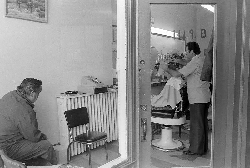
Barbershops were neighborhood anchors throughout the city in the early 1980s. They were places where men came for a haircut and stayed for the conversation. The striped pole outside was a universal signal, and the interior — mirrors, chrome chairs, the smell of talc and aftershave — was the same from Scarborough to Etobicoke.
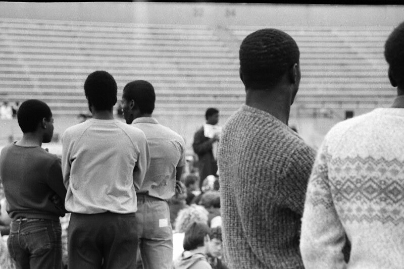
Lamport Stadium in Liberty Village hosted soccer and football events throughout the decade. The small, unpretentious stadium sat in an industrial neighborhood that few Torontonians visited unless they had a reason to be there. It was functional rather than grand — the kind of facility that served its community without drawing much attention.
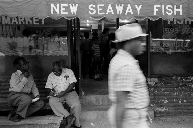
Kensington Market in 1983 was one of the most densely layered neighborhoods in the city. It had been a Jewish market earlier in the century, then transitioned through Portuguese and Caribbean immigrant communities. By the 1980s, it was a mix of all of these, plus a growing number of vintage clothing stores and health food shops that brought a younger crowd into the area.
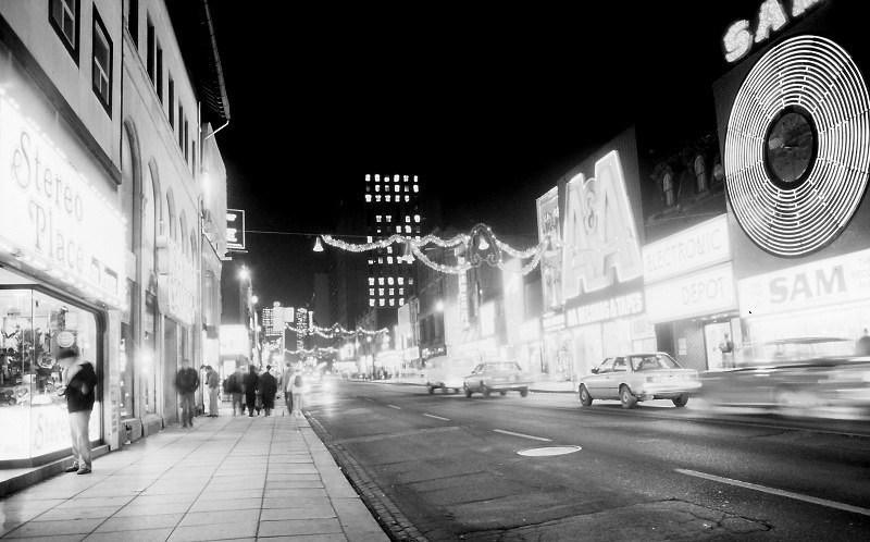
By 1984, Yonge Street was showing the effects of city efforts to clean up its image. Some of the adult entertainment venues had closed or been pushed further north. New retail moved in. The street still had an edge, but it was shifting — slowly, block by block — toward the commercial corridor it would become.
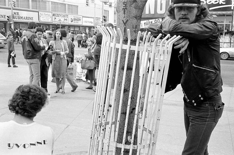
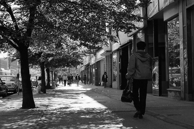
Queen Street West in 1985 was in full creative bloom. The stretch west of University Avenue had become Toronto’s most talked-about street — a place where independent fashion, music, and art coexisted in a way that was genuinely unusual for a North American city of this size. Every storefront seemed to be doing something different.
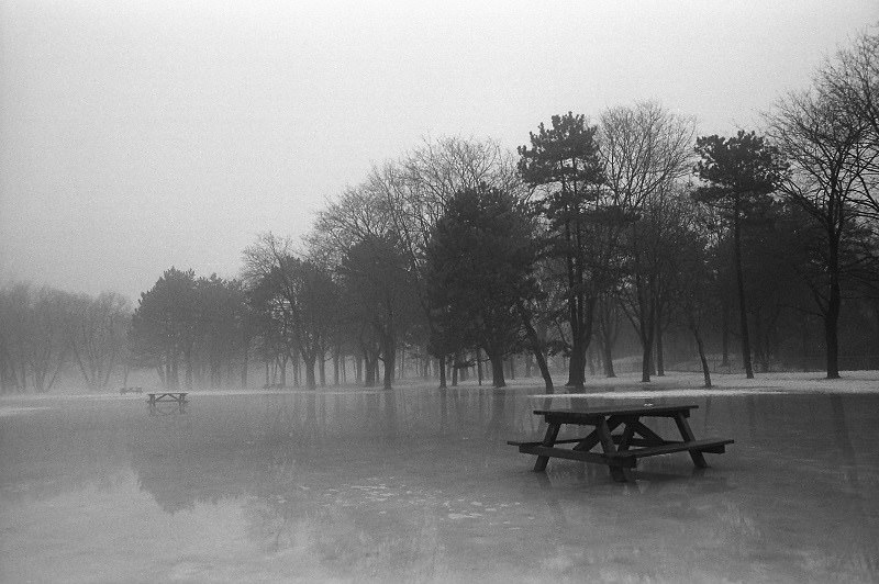
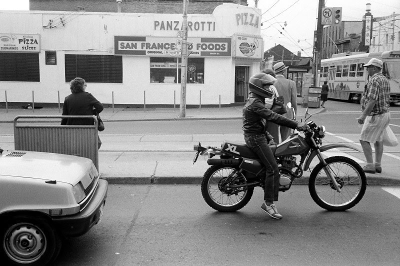
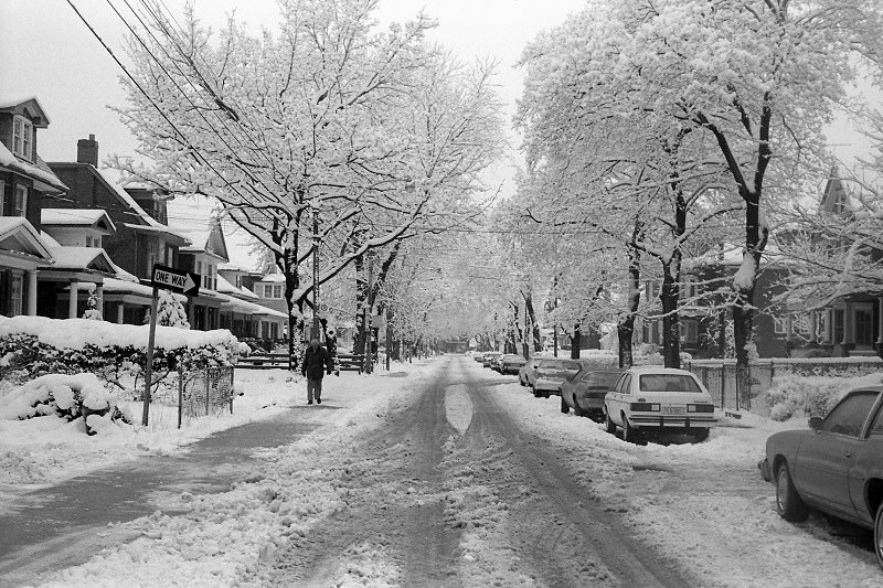
Boustead Avenue in the west end ran through a quiet residential pocket just south of Bloor. The houses were modest, the street was tree-lined, and the neighborhood had the settled quality of a place that had been home to the same kinds of families for decades. This was the Toronto that didn’t make the news — ordinary, functional, and comfortable.
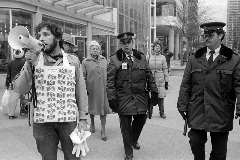
Public protest was a regular part of Toronto’s street life in the 1980s. Demonstrations took place on issues ranging from nuclear disarmament to housing rights to labor disputes. The early 1980s recession hit many Canadians hard, and the political temperature was high. Single protesters with handmade signs were as common as organized marches.
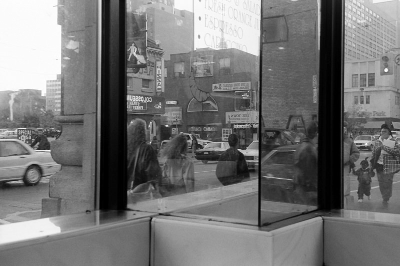
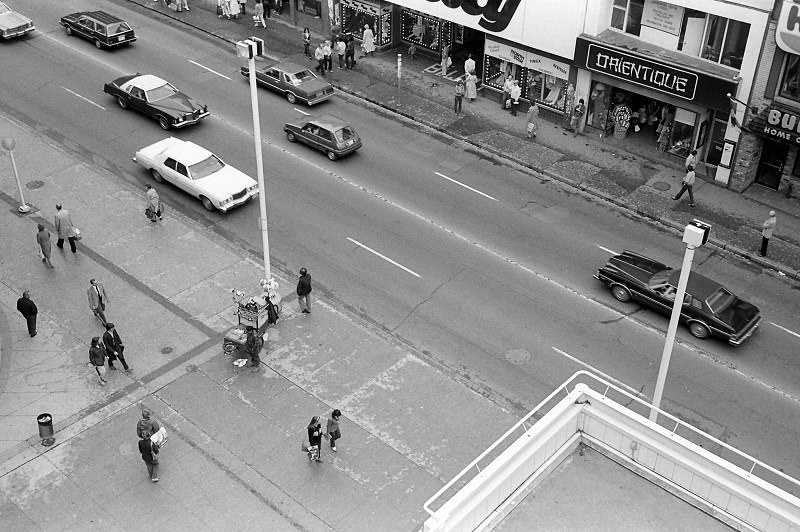
Yonge and Gerrard sat a few blocks north of Dundas, at the edge of the downtown core. In the early 1980s, it was surrounded by a mix of older apartment buildings, small hotels, and retail shops. The intersection had a transitional quality — not quite the busy commercial center of Yonge-Dundas, not quite the quieter residential streets further north.
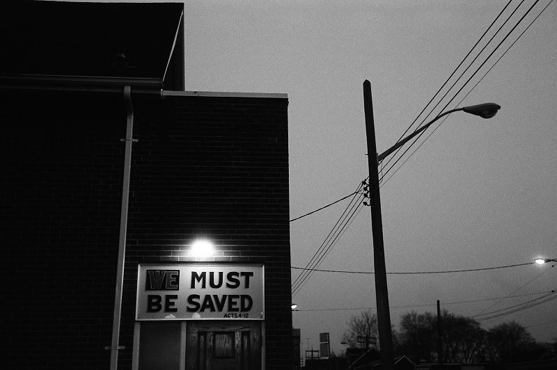
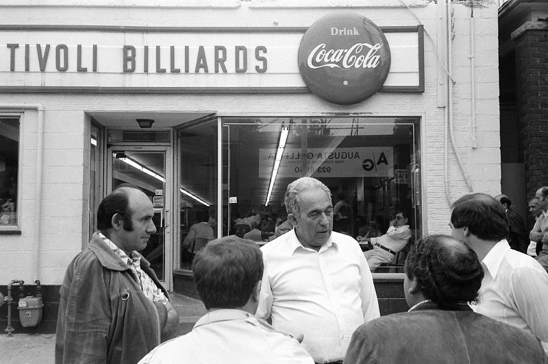
Pape Avenue in the east end was a neighborhood commercial strip serving the Riverdale and East York communities. By 1986, it had a mix of Portuguese-Canadian and older Anglo-Canadian businesses. Augusta Avenue in Kensington Market, meanwhile, was one of the area’s main pedestrian corridors — narrow, busy, and lined with the vendors and shopfronts that defined the market.
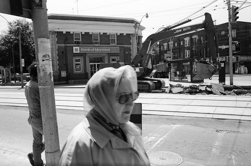
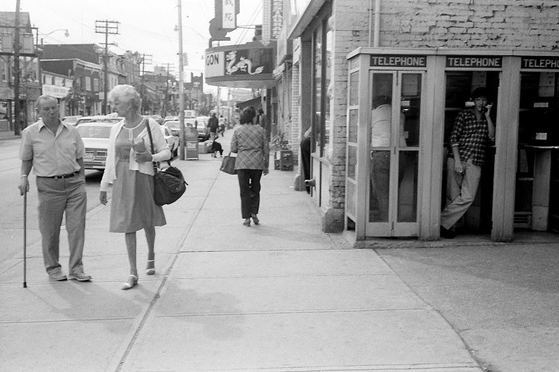
Roncesvalles Village — where Dundas West met Roncesvalles Avenue — was the heart of Toronto’s Polish community. It had churches, delis, bakeries, and a community center that held the neighborhood together. The street had a European character that set it apart from the more typically North American commercial strips elsewhere in the city.
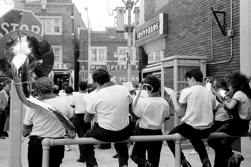
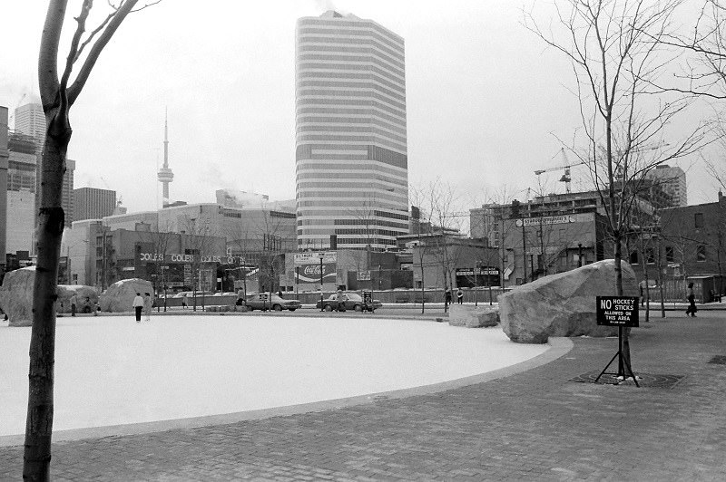
The Junction, at Dundas and Keele in the far west end, had been a dry neighborhood since 1904 — meaning no bars or liquor stores were permitted within its boundaries. In the 1980s, the main street had a worn, slightly faded quality, with storefronts that had seen better days. The area’s industrial character was still dominant, but the manufacturing base was beginning to thin out.
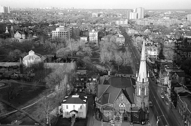
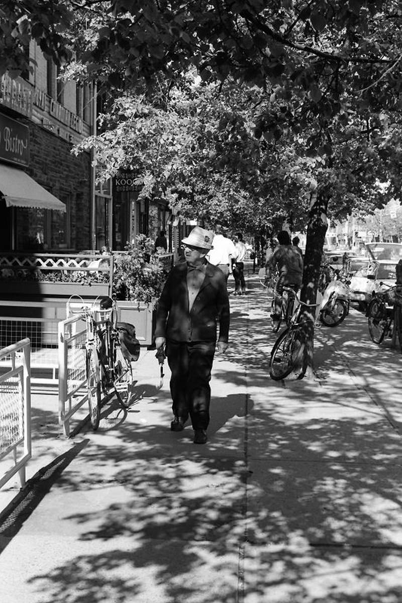
The view east from Gerrard and Mutual in 1982 opened onto a stretch of the city that was in the process of changing. Cabbagetown to the north was being gentrified as young professionals bought and renovated Victorian homes. The streets around Gerrard and Mutual were catching some of that energy — new faces, renovations in progress, and rising property values.
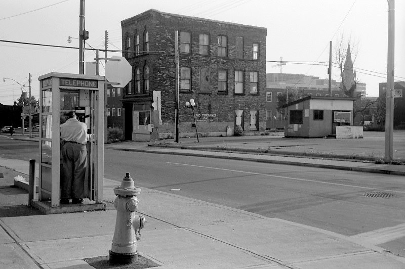
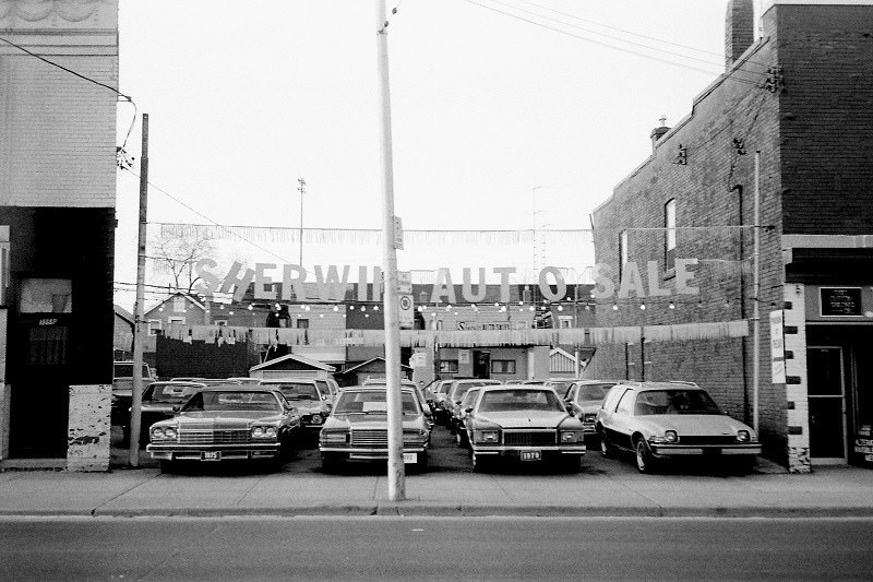
Dundas West and Runnymede sat at the western edge of the city’s older streetcar suburbs — a neighborhood of detached homes, corner stores, and local schools. The nearby Runnymede Theatre was a landmark, even if it was by the 1980s operating primarily as a multiplex. The surrounding streets had a quiet stability that contrasted with the rapid changes happening closer to downtown.
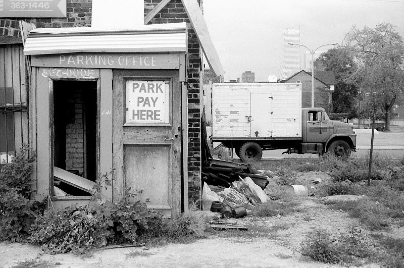
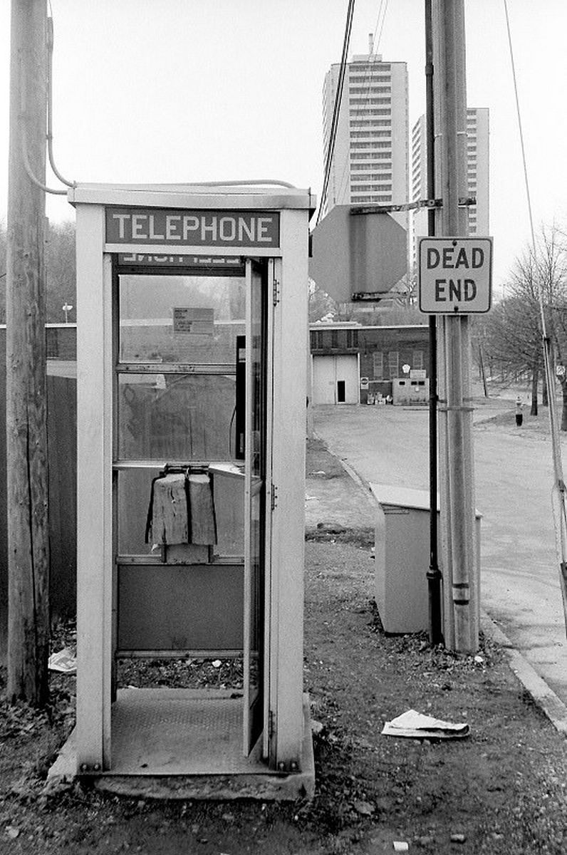
Pears Avenue in the Annex neighborhood ran through one of Toronto’s most educated and politically engaged communities. The area around the University of Toronto attracted academics, writers, and professionals who filled the Annex’s gracious late-Victorian homes. By 1984, the neighborhood had one of the highest concentrations of bookstores, cafes, and independent cinemas in the city.
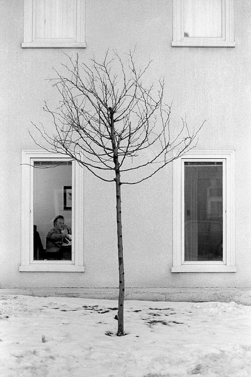
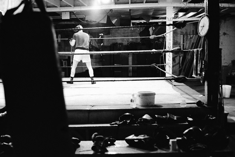
Cabbagetown in 1981 was mid-transition. The neighborhood east of Jarvis had historically been one of the city’s poorest, but gentrification was actively remaking it. The Victorian row houses were being snapped up and renovated, while older institutions like the Cabbagetown Boxing Club persisted — a reminder of what the neighborhood had been before the renovation money arrived.
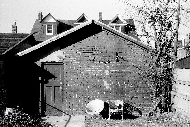
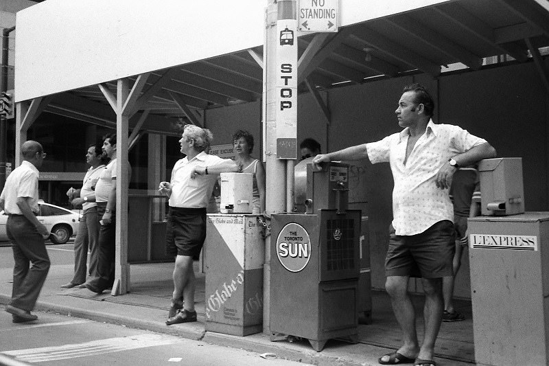
Gladstone Avenue, running south from Bloor to Queen near Dufferin, was a working-class residential street in the 1980s. The Gladstone Hotel at the southern end of the avenue was a local landmark — a 19th-century building that had served as a hotel, bar, and community space for over a hundred years. In 1986, it had none of its later arts-venue reputation; it was simply a pub in a blue-collar neighborhood.
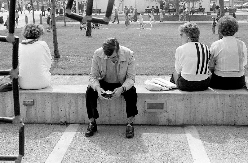
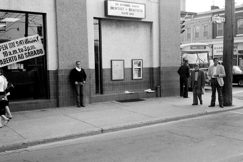
Bloor Street West in 1985 had a well-established retail strip that served the surrounding neighborhoods of the Annex, Seaton Village, and Bloor West Village. Independent businesses dominated — clothing shops, hardware stores, bakeries, and pharmacies that had served the same customers for years.
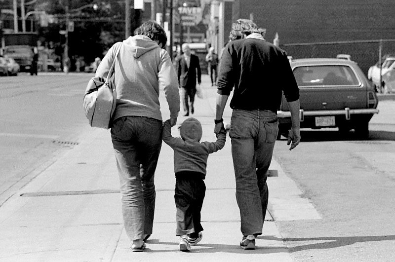
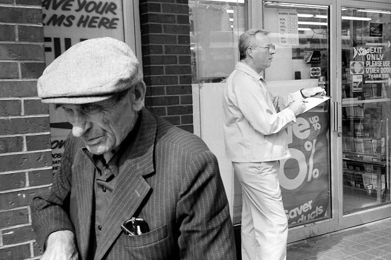
Dundas and Ossington in 1983 was a neighborhood crossroads in flux. The surrounding area — later called Dufferin Grove and Little Portugal — was densely Portuguese at this point, with social clubs, cafes, and churches that served a community that had settled there heavily through the 1950s and 1960s.
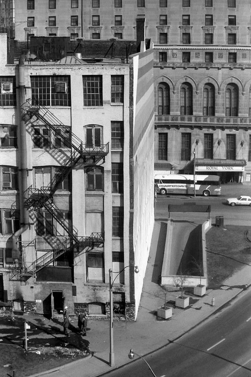
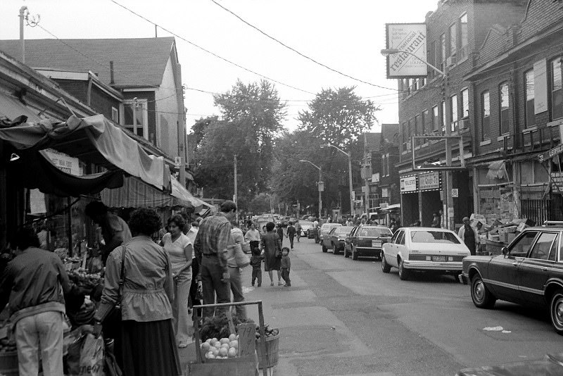
Front and York streets placed you at the edge of the financial district and the rail corridor. Union Station sat a short walk to the east. In 1982, the surrounding blocks were still partly industrial, with warehouses and light commercial uses that would later give way to condominiums and hotels as the city’s entertainment district expanded westward.
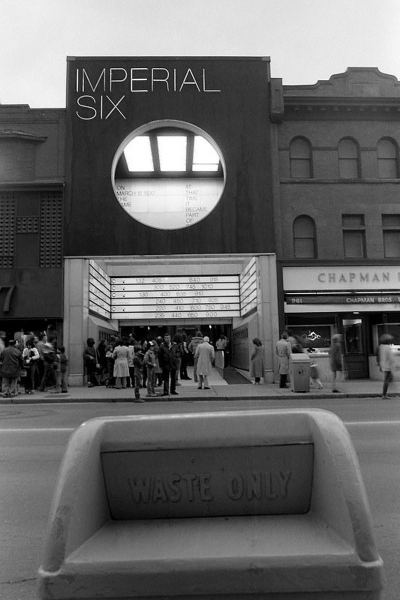
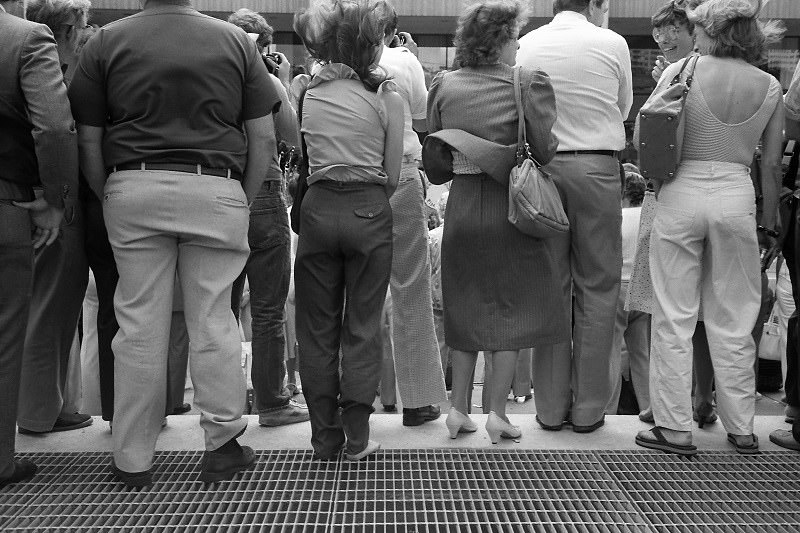
Nathan Phillips Square in front of City Hall was one of the city’s most used public spaces. In summer, the reflecting pool hosted paddleboats. In winter, it became a skating rink that drew thousands of skaters. Throughout the 1980s, the square was also a regular venue for public concerts, political rallies, and civic events.
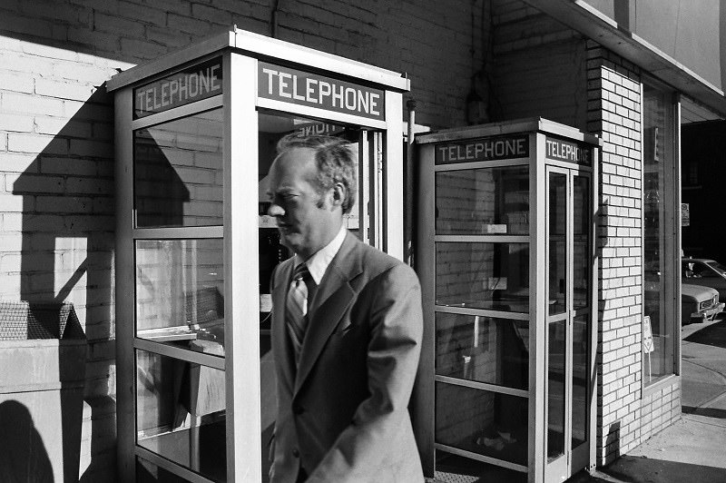
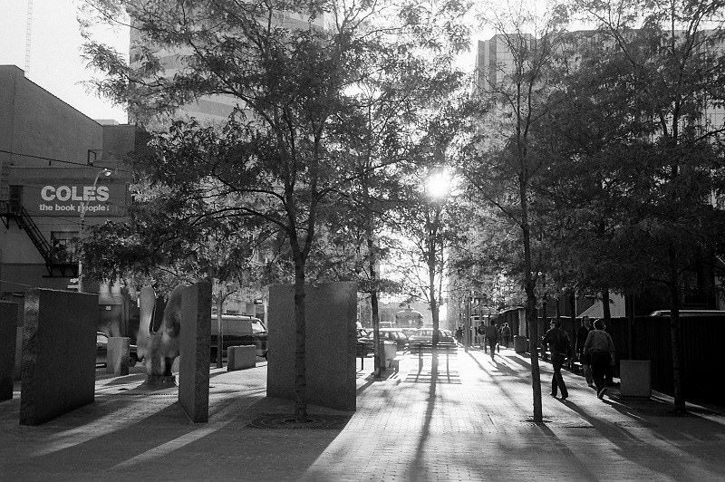
The rows of red phone booths that appeared on Toronto’s streets in 1980 were a piece of infrastructure that everyone took for granted. They were how you called home when you were out, how you reached a friend whose address you’d forgotten, how you summoned a cab. Their ordinariness made them invisible — until they were gone.
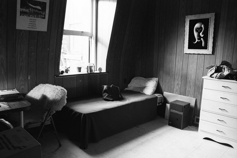
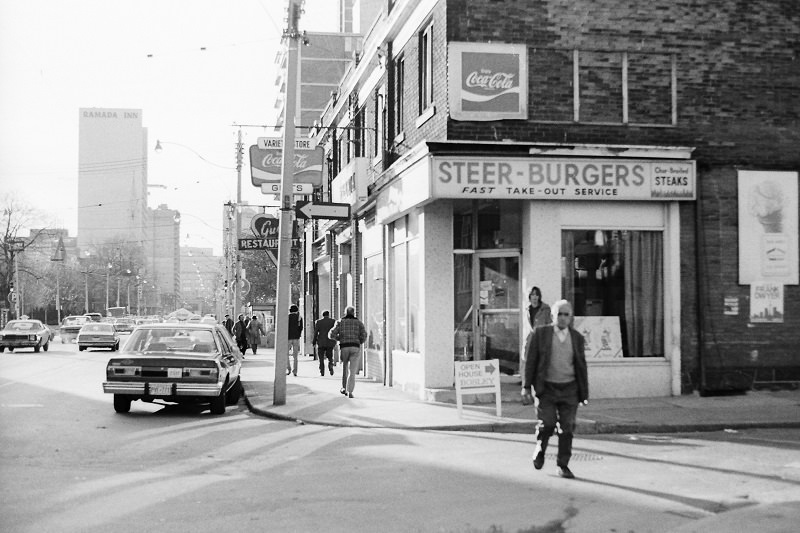
Carlton Street ran east from College and Yonge through Cabbagetown, and in 1980 it had a mix of rooming houses, small apartments, and older commercial buildings. The intersection at Bleecker was quiet — a residential corner that gave no indication of the gentrification that would sweep through the neighborhood in the years ahead.
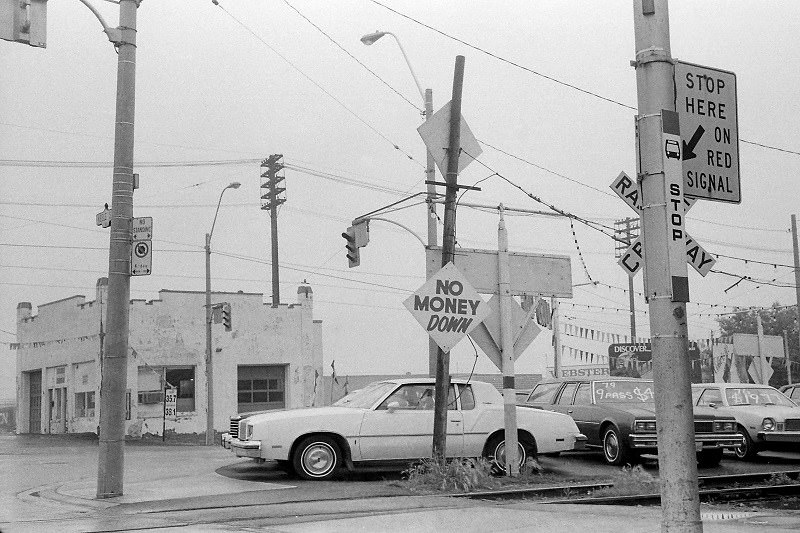
Keele and St. Clair in the west end was a busy intersection surrounded by postwar commercial development. The nearby Weston Road corridor and the presence of Humber River Hospital made this part of the city a functional hub for the surrounding residential streets. The streetscape was dense with signage and small storefronts.
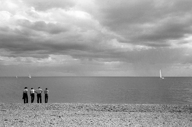
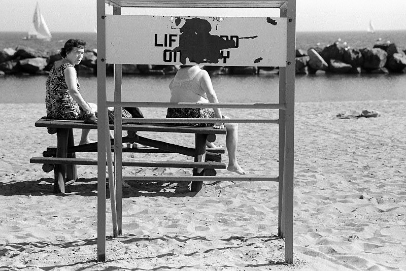
The Beaches neighborhood in the east end had a distinct small-town quality, with a main street along Queen Street East lined with cafes, bookshops, and clothing stores. Cherry Beach, a few kilometers to the west along the waterfront, had a more utilitarian character — a city beach in an industrial area, popular with windsurfers and people looking for open space.
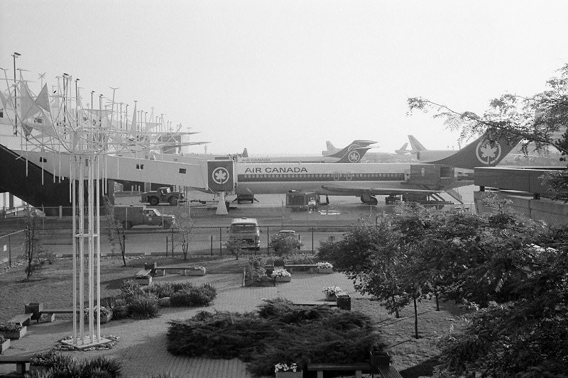
Toronto International Airport — officially renamed Lester B. Pearson International Airport in 1984 — was expanding rapidly through the 1980s to handle the growing volume of passengers connecting through Canada’s largest city. By 1983, it was one of the busiest airports in North America, handling international flights to destinations across the world.
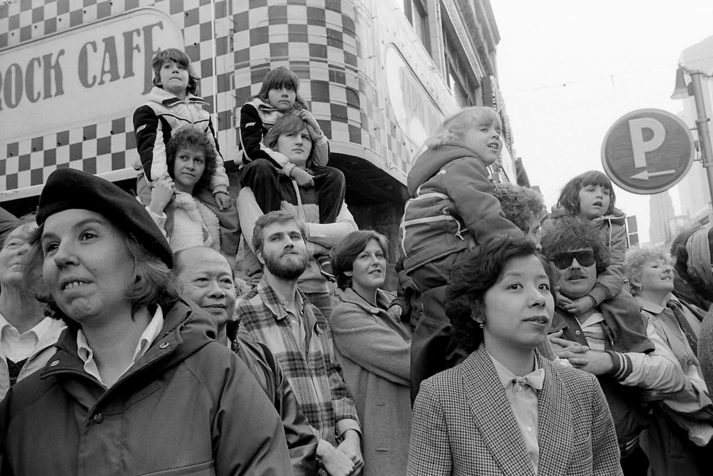
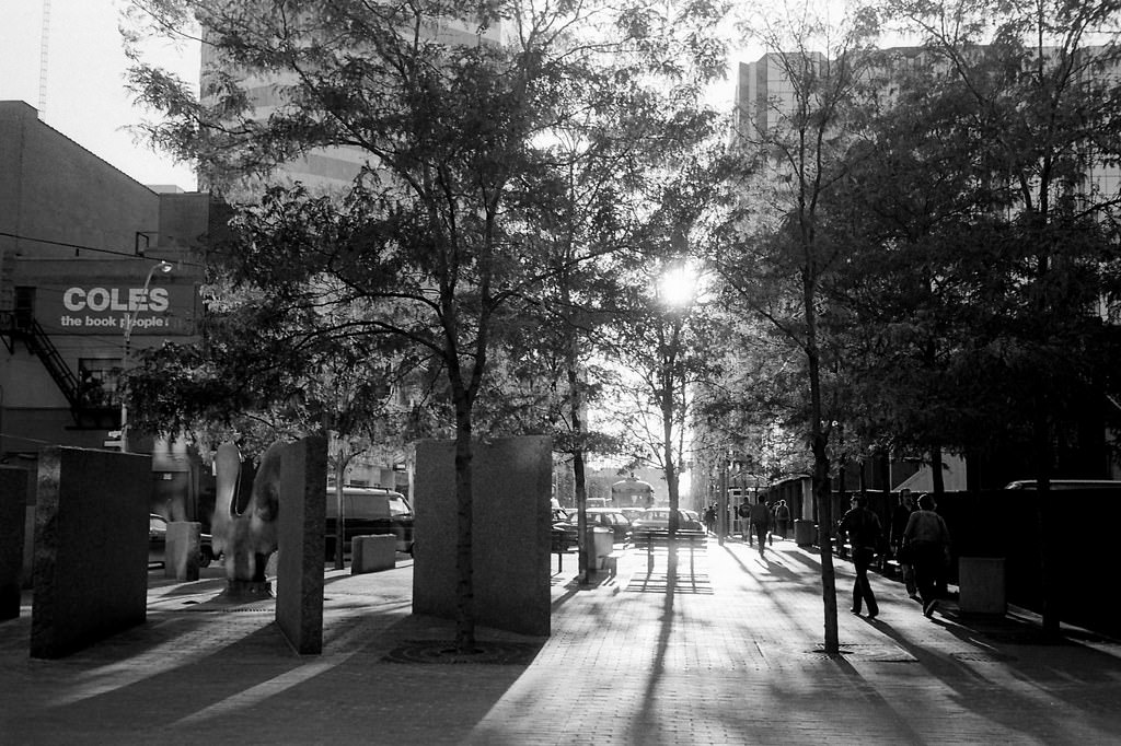
The Toronto Santa Claus Parade was, and remains, one of the oldest events of its kind in the world. In November 1981, it brought floats, marching bands, and enormous crowds to the streets of downtown Toronto. Families lined the route several deep, and the event was televised live — a genuine civic ritual that drew the entire city together.
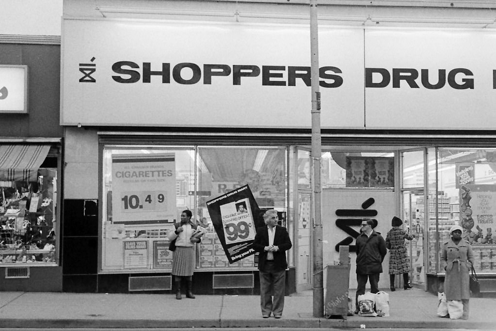
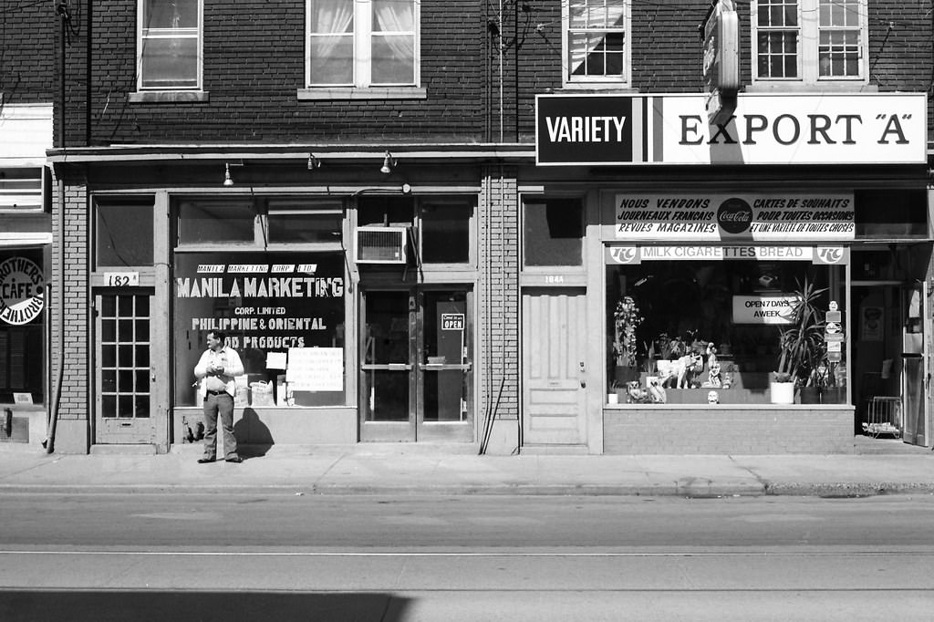
Danforth Avenue in 1982 had the full texture of its Greek character on display. Restaurants with handwritten menus in their windows, travel agencies advertising flights to Athens, and coffee shops where men played backgammon at corner tables. The avenue was busy from mid-morning until late at night, and the atmosphere on summer evenings was particularly lively.
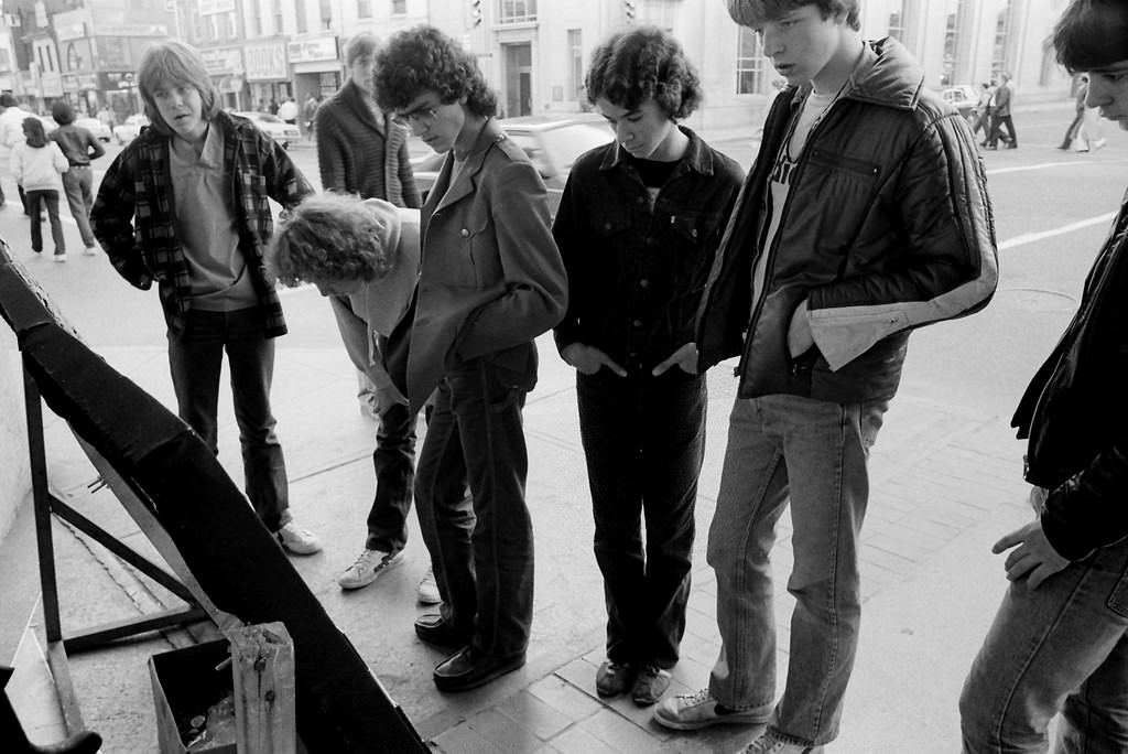
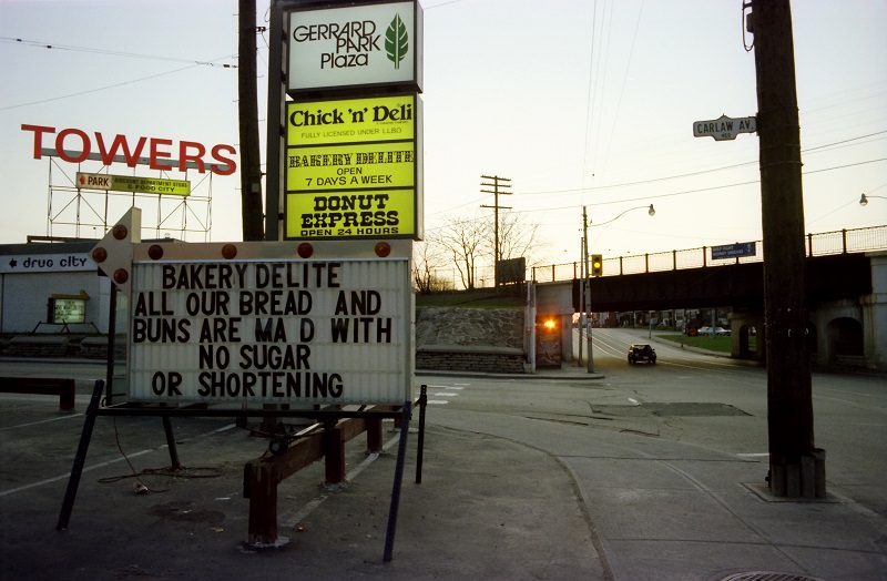
Gerrard East had two distinct personalities in the early 1980s. West of Broadview, it was primarily a Portuguese and working-class neighborhood. Further east, near Carlaw, Gerrard Street East was home to a small but established South Asian commercial district — one of the earliest such areas in the city, with sari shops, grocery stores, and restaurants serving the local Indian and Sri Lankan communities.
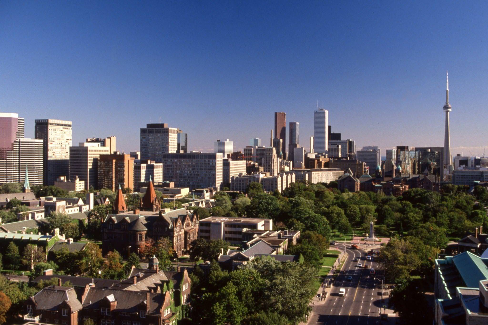
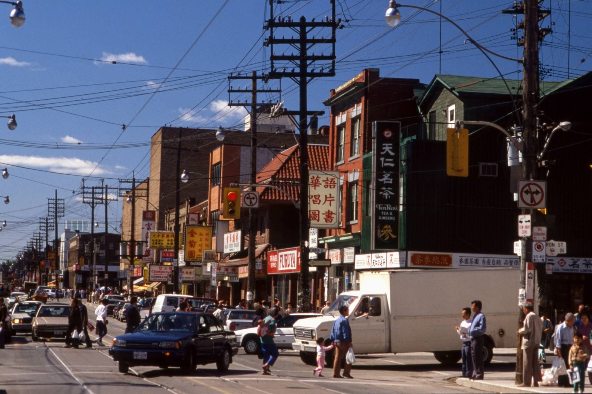
Toronto’s downtown towers made a powerful impression from the street level. Looking up along Bay or King, the glass and steel facades rose straight up, blocking the sky. Street-level Toronto in 1988 felt fast and purposeful — people in business attire moving between towers, the subway entrance disgorging commuters, taxis lining up outside hotel lobbies.
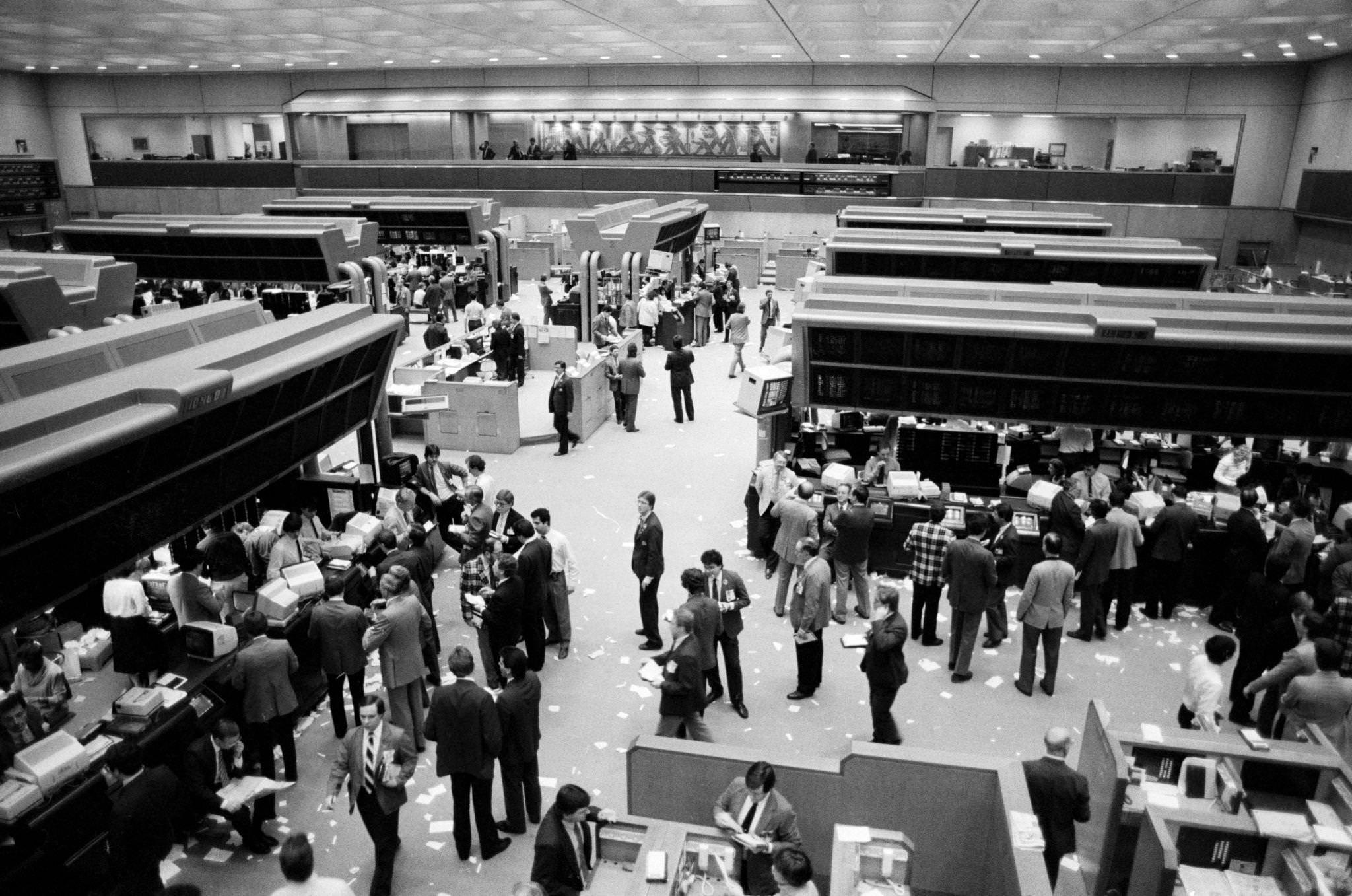
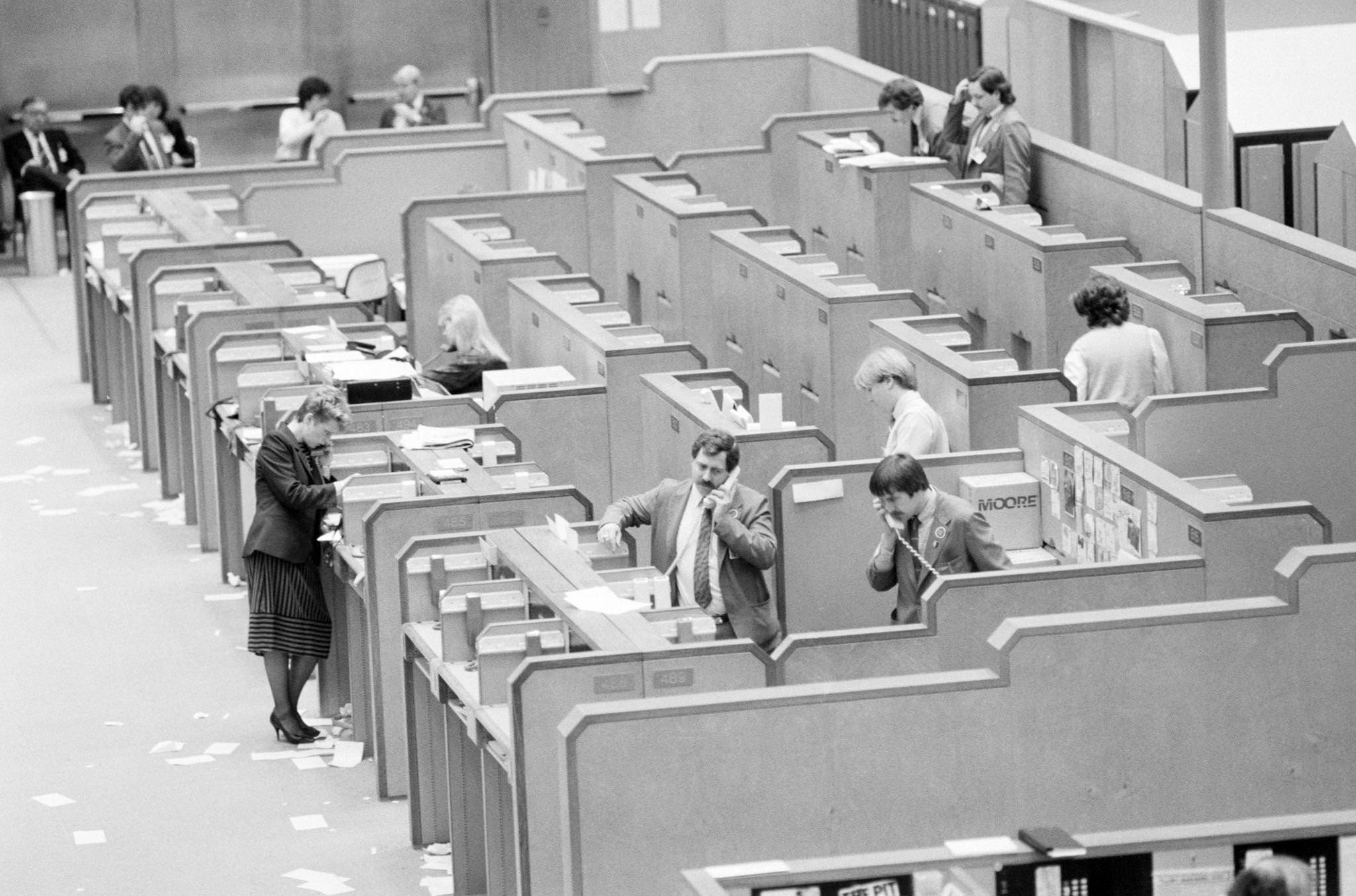
The Toronto Stock Exchange in 1987 was at the center of one of the decade’s most dramatic financial events. On Black Monday, October 19, 1987, markets around the world crashed, and the TSX fell sharply along with them. The trading floor, which still operated with paper orders and open-outcry bidding at this point, was a scene of controlled chaos as the selloff accelerated through the day.
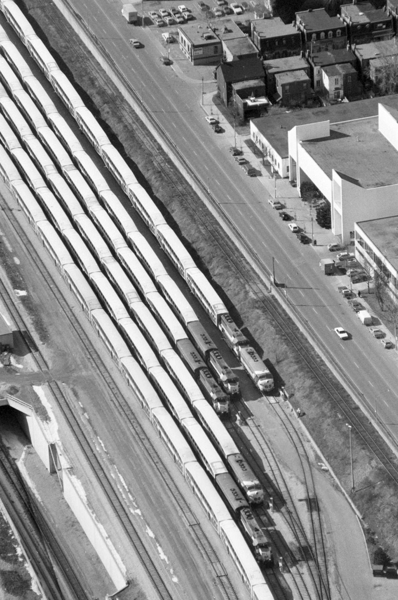
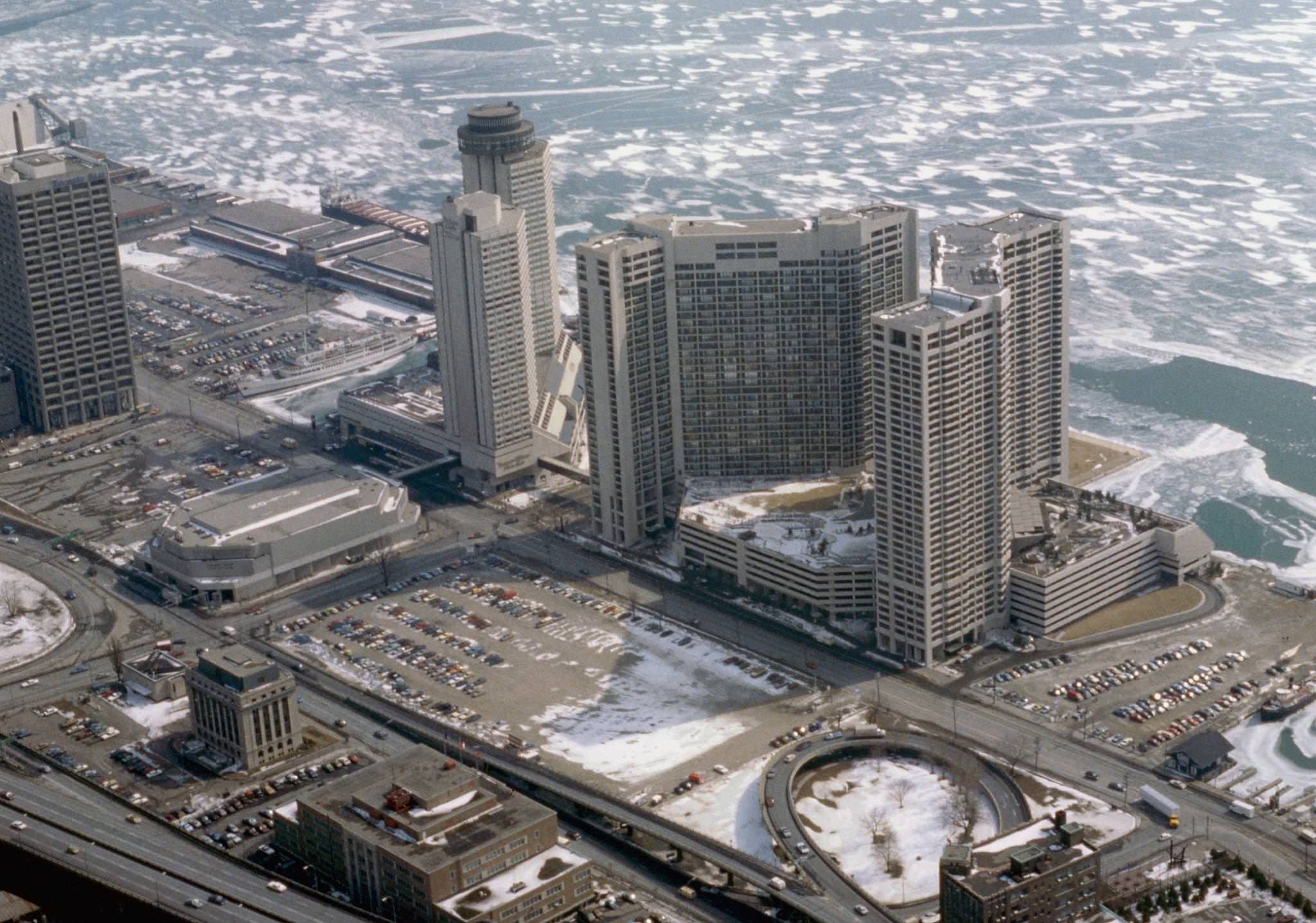
The rail yards south of Union Station were one of the most striking features of Toronto’s urban geography from the air. Dozens of passenger and freight cars sat in parallel rows, waiting to be called back into service. The yards separated the financial district from the lakefront, a gap that the city was only beginning to think seriously about bridging.
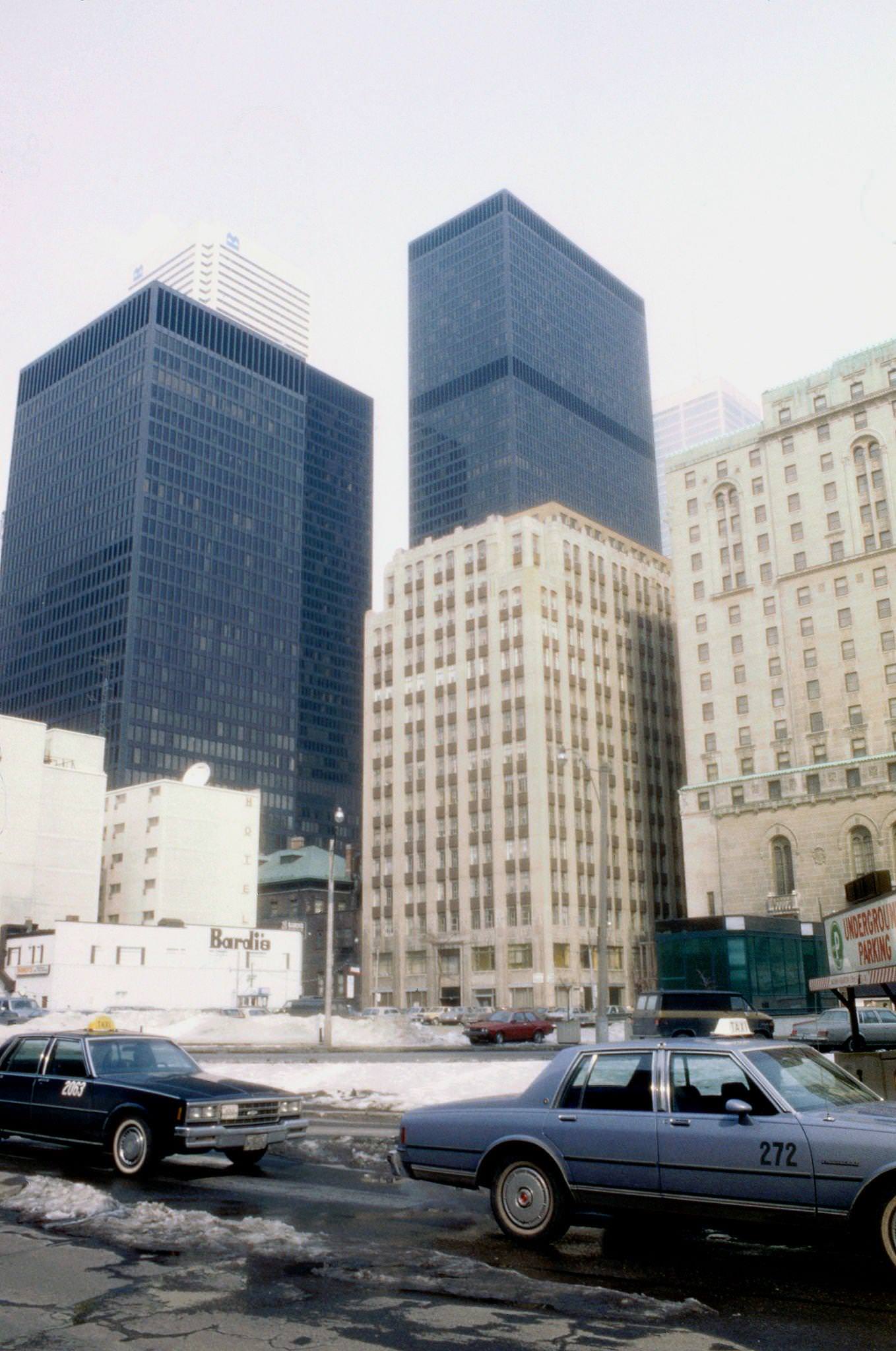
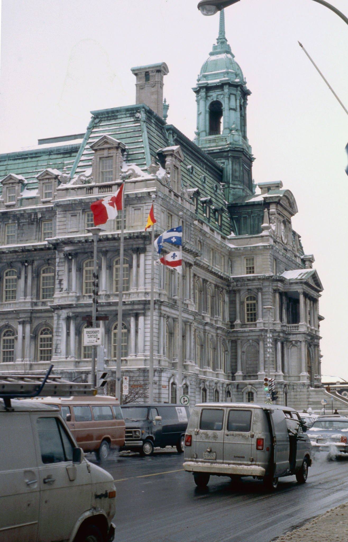
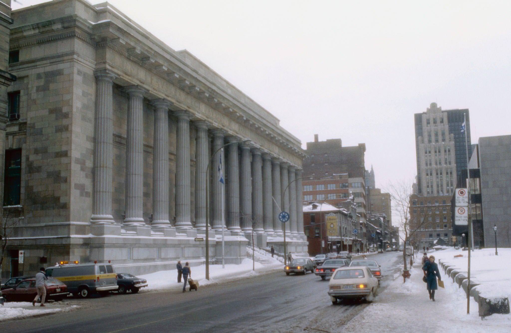
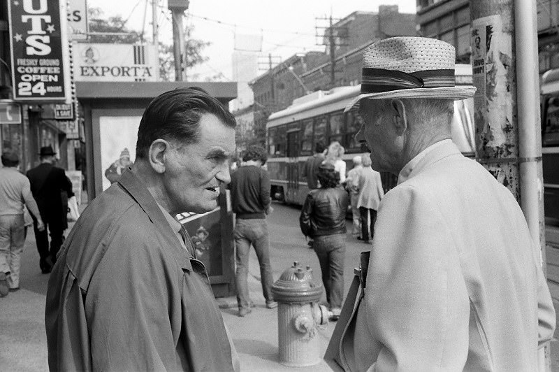
Street-level views of Toronto in 1984 captured a city that was confident in its growth but still held onto a human scale. The wide arterials were busy, the streetcars were running, and the sidewalks had the layered quality of a place where many different communities shared the same space — often within the same block.
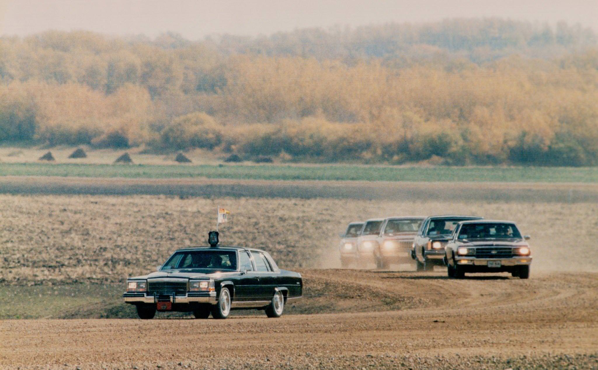
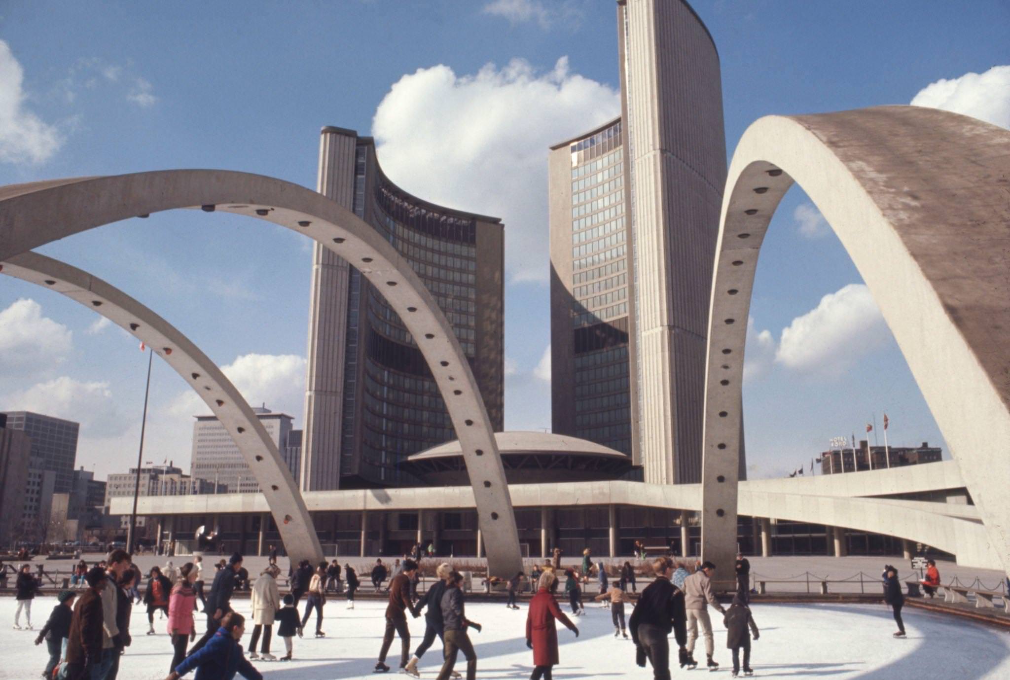
Queen Elizabeth and Prince Philip visited Toronto in 1984 as part of a royal tour of Canada. The visit drew large crowds along the route and to any public appearance — royal visits were still significant events in Canadian public life, and Toronto’s civic authorities organized the occasion with full ceremony. The skating rink in front of City Hall, photographed in 1980, represented a different kind of public occasion entirely — an everyday pleasure, free to all, in the middle of the city.





Great photo selection
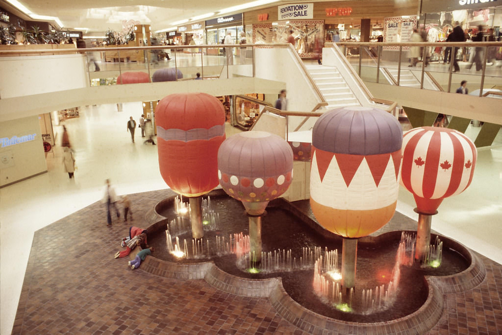
Was just telling my wife today about how i miss fountains in malls. Seeing the balloon fountain at stc really just hit home how much worse malls are now.
Better or not, I’d love to live through it all over again.
It was better. And I would do the same
Yup it ain’t nostalgia, things were that much better
This photo album is curated well, but there are no photo credits at all and no archives accession numbers (for which a great many were sourced, and a few of which I’ve held the actual slides and negatives at the City Archives).
I know a few hail from from the city’s urban design department, whereas a few of the early ’80s shots come from the Harvey Naylor fonds (whose photo work ended around the time of the 1984 visit of the Queen). I have no idea where the photos with French captions came from, but I would have wanted to know.
That absence of metadata, set to a click-oriented listicle format, is the one thing which takes away from an otherwise excellent variety of bygone scenes around the city.
Unbelievable, I did not see a single piece of trash anywhere. What happened between then and now?
Do you mean human or otherwise?
The population quadrupled while the city’s budget hasn’t been able to keep up.
Don’t give into the nostalgia. It was not better then
Maybe not but it was a much simpler time for the average Canadian at least before the big recession at the end of the 80s. Can’t blame people for having some nostalgia for that lifestyle
Yes. Yes it was.
People were nicer. The stores didn’t need signs that said, “Abuse of our staff will not be tolerated.” Because stores didn’t need to say it.
Porch pirates? In 1980, you’d think that would mean someone who actually stole your porch.
Someone like Donald Trump would never have gotten within 100 miles of the White House.
If you called a business, live people would actually answer the phone.
People actually watched where they were walking because they didn’t have their nose stuck in their cell phone.
It was fun getting the newspapers on the weekend because of all the extra supplements.
Christmas catalogues.
Yes, everything was better.
There was a B movie actor as president who was the Trump of his day
Dan “If we don’t succeed, we run the risk of failure” Quayle was one bullet away from becoming president.
You mean one potatoe.
Trump makes Reagan look like FDR.
No.
Metro Toronto Police still had its Morality Squad, and their harassment actions against LGBTQ+ folks were still happening.
The Stockyards and the Glidden Paint factory (along with many other factories peppered around town) still pumped out filthy air and odours on the west end — rendering entire neighbourhoods barely habitable. The Junction was still dry.
King Street West after dark was basically a seedy nowhere land, full of warehouses. There was the former Consumers Gas brownfield and the stalled Ataratiri. And so on.
It was cheaper.
It depends on your frame of reference. A city in the past is always “worse” for someone, somehow. Generally, growing up, Toronto streets were pretty clean in the 80s.
We had a huge two-bedroom with full-length balcony for $500 a month (Kennedy and Egg) and I was literally driving across to Dixie and the 401 in HALF AN HOUR lol. So ya, more affordable and traffic was better.
Nice. Thanks! PIC. 105.
What building is this/was this? I cannot ever remember seeing it in Toronto?
Looks like the Montreal City Hall.
Nuts. That’s it. I was hoping somehow in 31 years I had missed this building….
#107 and #108 are Montréal. #105 is in front of the Hard Rock Café, before the well-known re-brand.
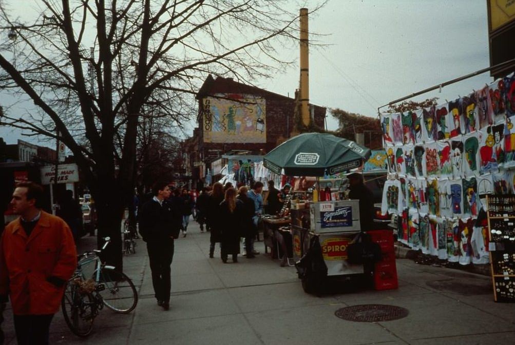
There’s the Bamboo. I once bought a silver ring for my boyfriend from a vendor standing at that location. It was the coolest thing, it had a rotating moon face on a thin silver dowel that you could flip to happy or sad.
Late 90’s to about 2015 was a bit of a golden age for the city. A lot of the worst issues had been substantially improved but prices weren’t at the moon. The population was busy but not as crushing as it is now. It was a good time.
I turned 15 in 1980. I was a suburban kid who would start hanging out in the city because it was the cool place to be. When I was 18, I got my first car and would be cruising the Yonge Street strip on Saturday nights with my buddies.
These pictures brought back so many memories and to be able to see once again what I saw 40 and 45 years ago was a nostalgic trip through my teenage years.
Thank you for sharing.
Apart from there being more smog and a yellow haze hanging over the skyline, the weather forecast reporting on a pollution count (before turning it into air quality index), it didn’t look so dull.
It would be nice if photos from back then got some modern colour grading.
Look what they took from us
Who’s “they”?
The shareholders and corporations