
Toronto in the 1920s was a city in the middle of a major transformation. Its population was growing fast, its streets were filling with new businesses, and its skyline was climbing higher every year. New immigrants arrived in large numbers, bringing different languages, foods, and traditions that added to the texture of daily life. The decade was one of the most active periods of physical and social growth the city had ever seen.
Manufacturing drove the economy. Factories hummed across the city, producing everything from bread and cameras to trucks and textiles. Workers packed into industrial neighborhoods, and new commercial strips spread outward along major roads like Danforth Avenue, Bloor Street, and Yonge Street. Storefronts advertised dry goods, drugs, clothing, and food to a city that was eager to spend.
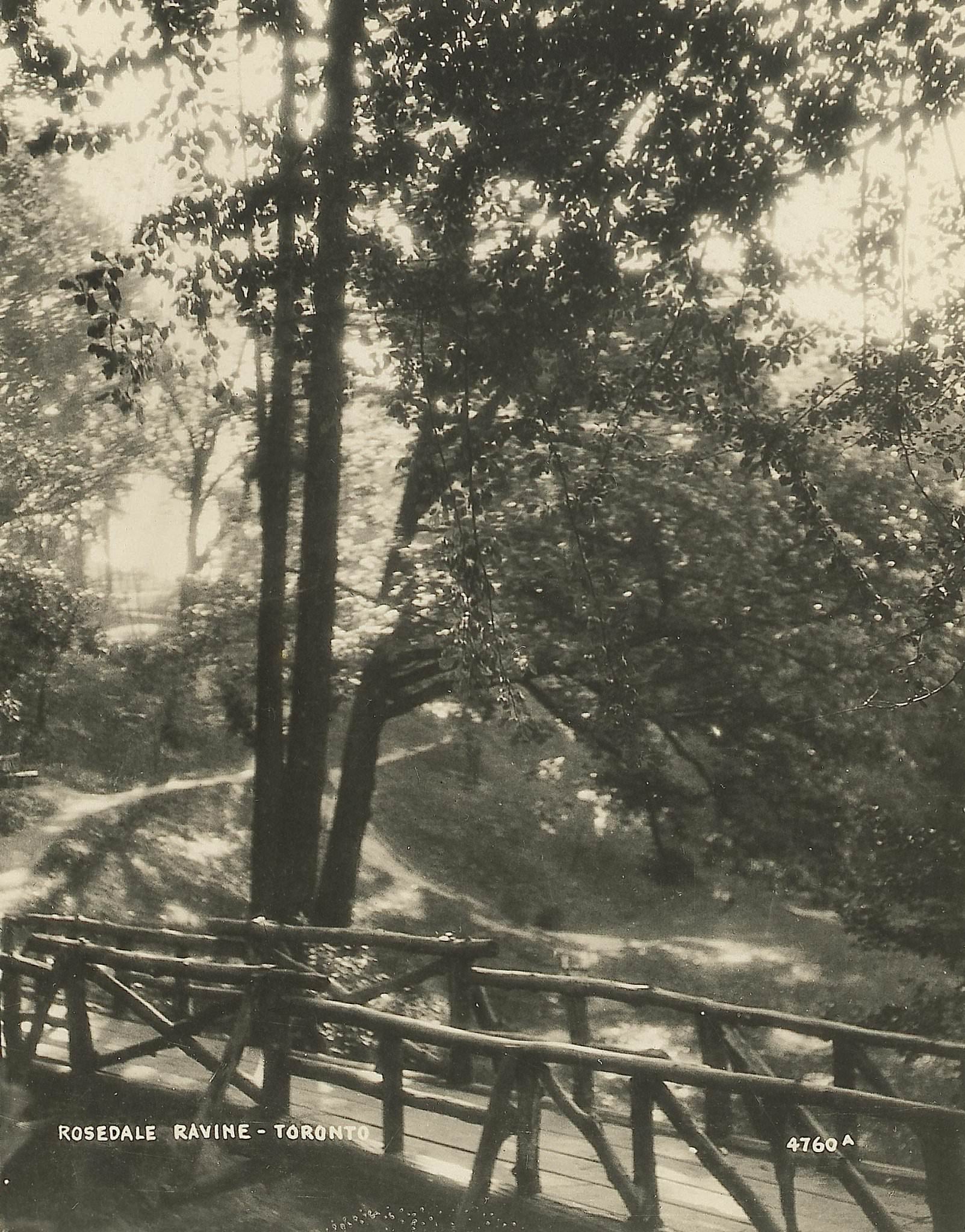
Not all of Toronto was brick and commerce. The city’s ravines and green spaces remained a quiet contrast to the busy streets above. Rosedale Ravine, with its dense tree cover and winding paths, offered residents a place to step away from the noise of urban life. These natural corridors cut through the city in ways that made Toronto’s geography unlike almost any other North American city of its size.
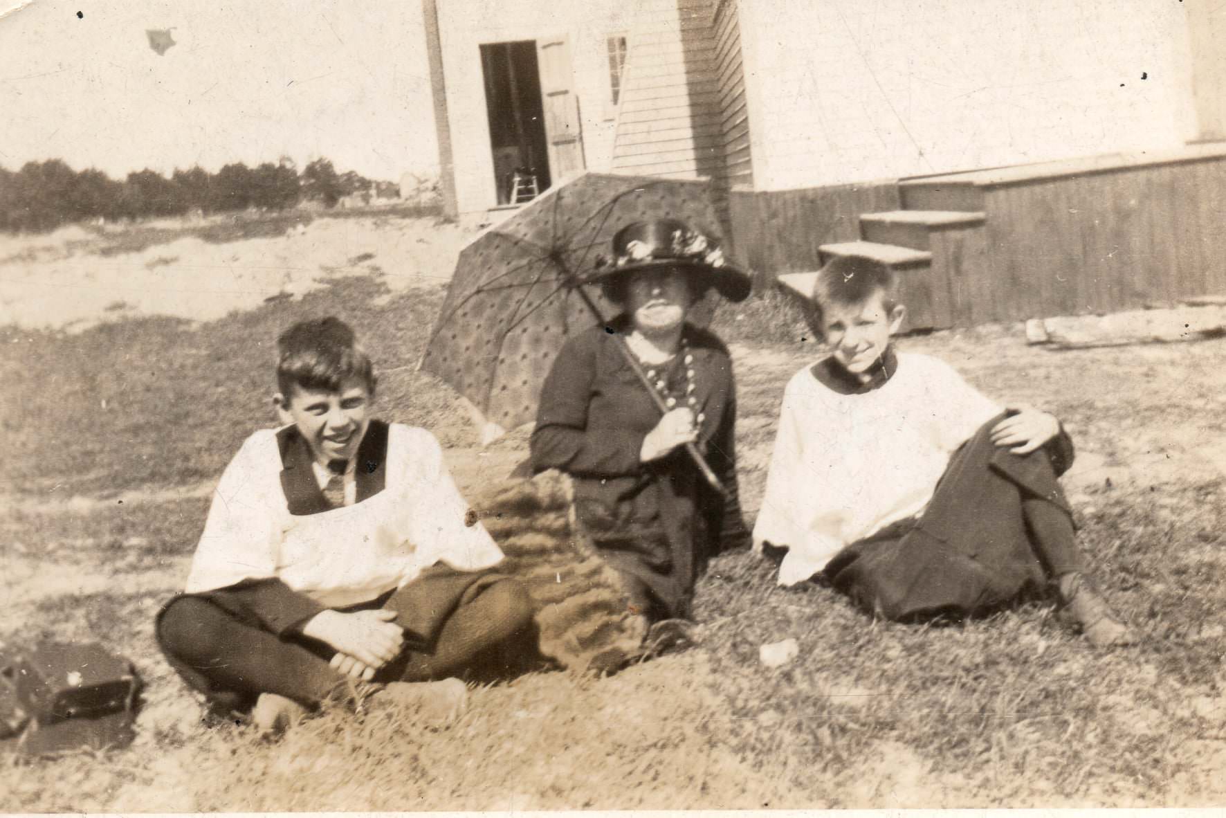
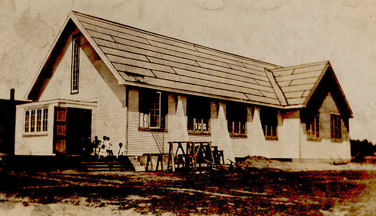
Religion played a central role in community life throughout the decade. Churches were not just places of worship — they were social hubs where families connected, children were educated, and neighborhoods organized around shared values. St. Brigid’s Roman Catholic Church in Toronto was one such anchor for its community, drawing in residents from the surrounding streets every week.
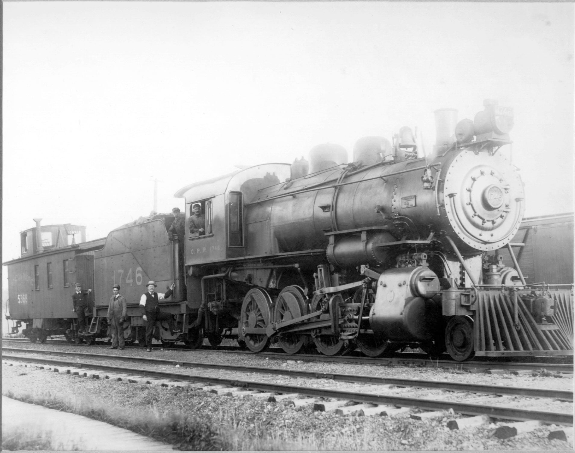
Rail was the backbone of Toronto’s transportation network. Trains moved goods and people across the city and connected Toronto to the rest of the country. The Canadian Pacific and Canadian National railways both maintained a strong presence, and their infrastructure — stations, rail yards, and repair shops — shaped entire neighborhoods. Leaside, for instance, was built largely around the CNR shops that operated there.
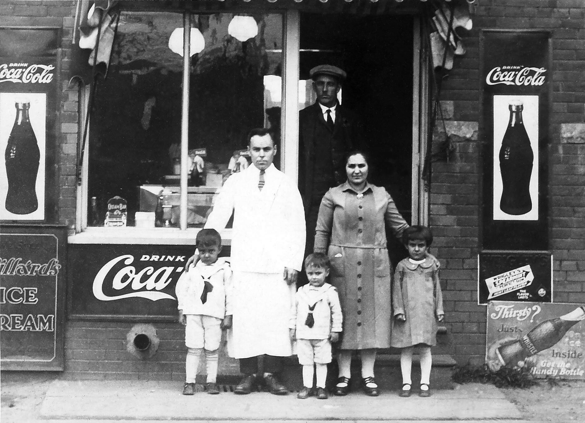
Along commercial corridors, small restaurants and lunch counters fed the workers and shoppers moving through the city every day. Places like the CP Lunch on Runnymede were unpretentious spots that served hot meals quickly and cheaply. These businesses were the lifeblood of working-class neighborhoods, and their owners often lived in the same buildings or just around the corner.
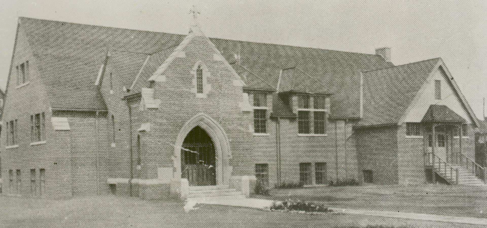
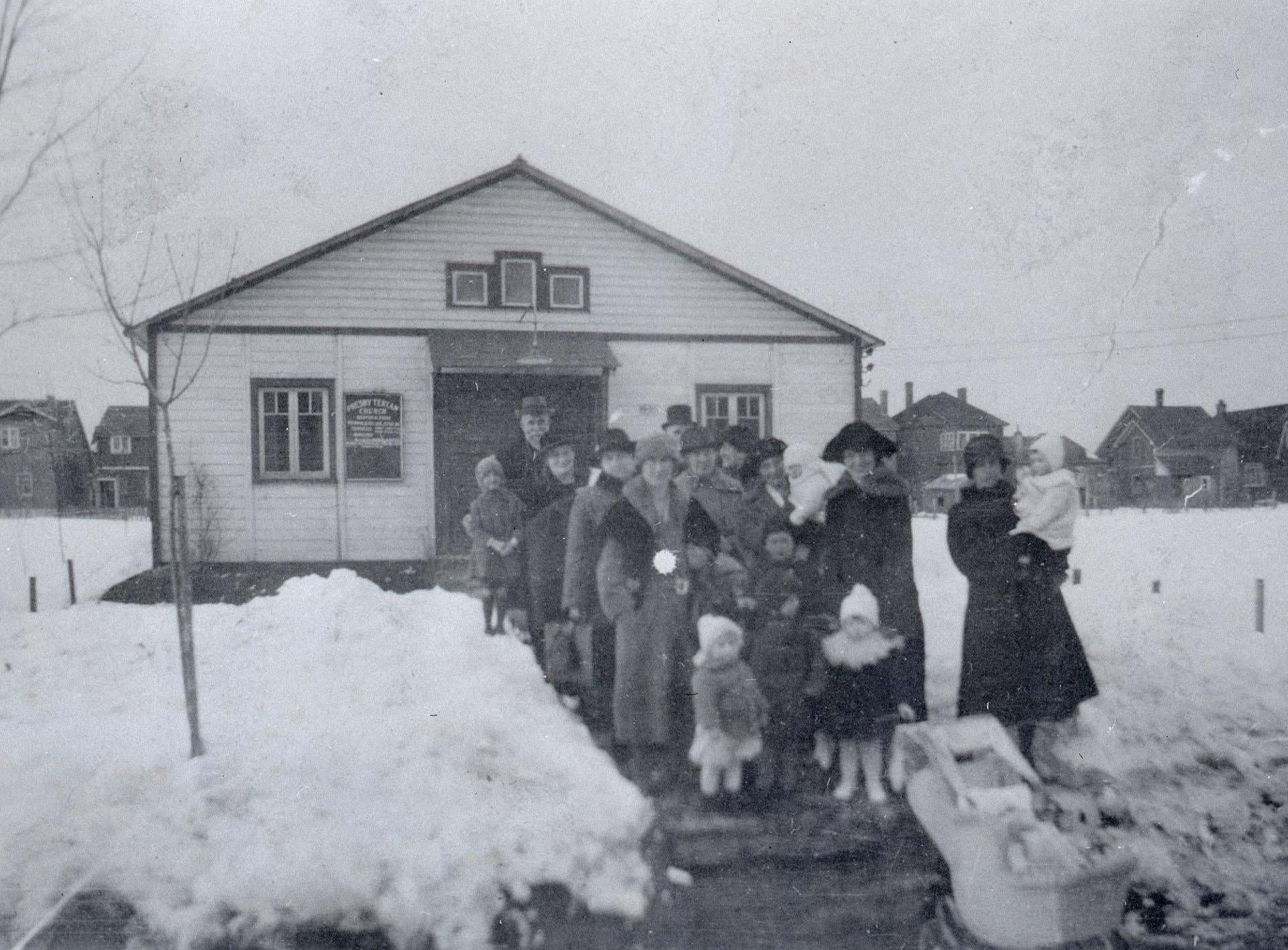
Church construction was brisk across Toronto in the early part of the decade. Bedford Park Presbyterian Church, which later became a United Church following the union of several Protestant denominations in 1925, was built between 1921 and 1924. Its completion marked the maturation of the Bedford Park neighborhood, which had been steadily growing north of the old city boundaries.
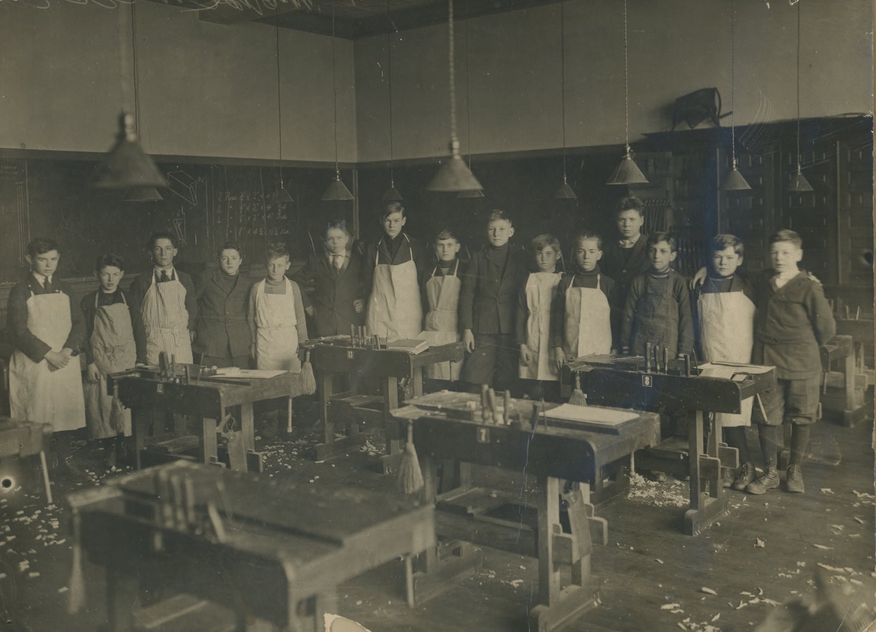
Toronto’s public schools placed a strong emphasis on practical education. Wood shop classes taught students to work with their hands, building skills that would serve them directly in the trades and manufacturing jobs that dominated the local economy. The Toronto School Board ran a broad network of schools across the city, and classroom photographs from the era show orderly, formal environments that took learning seriously.
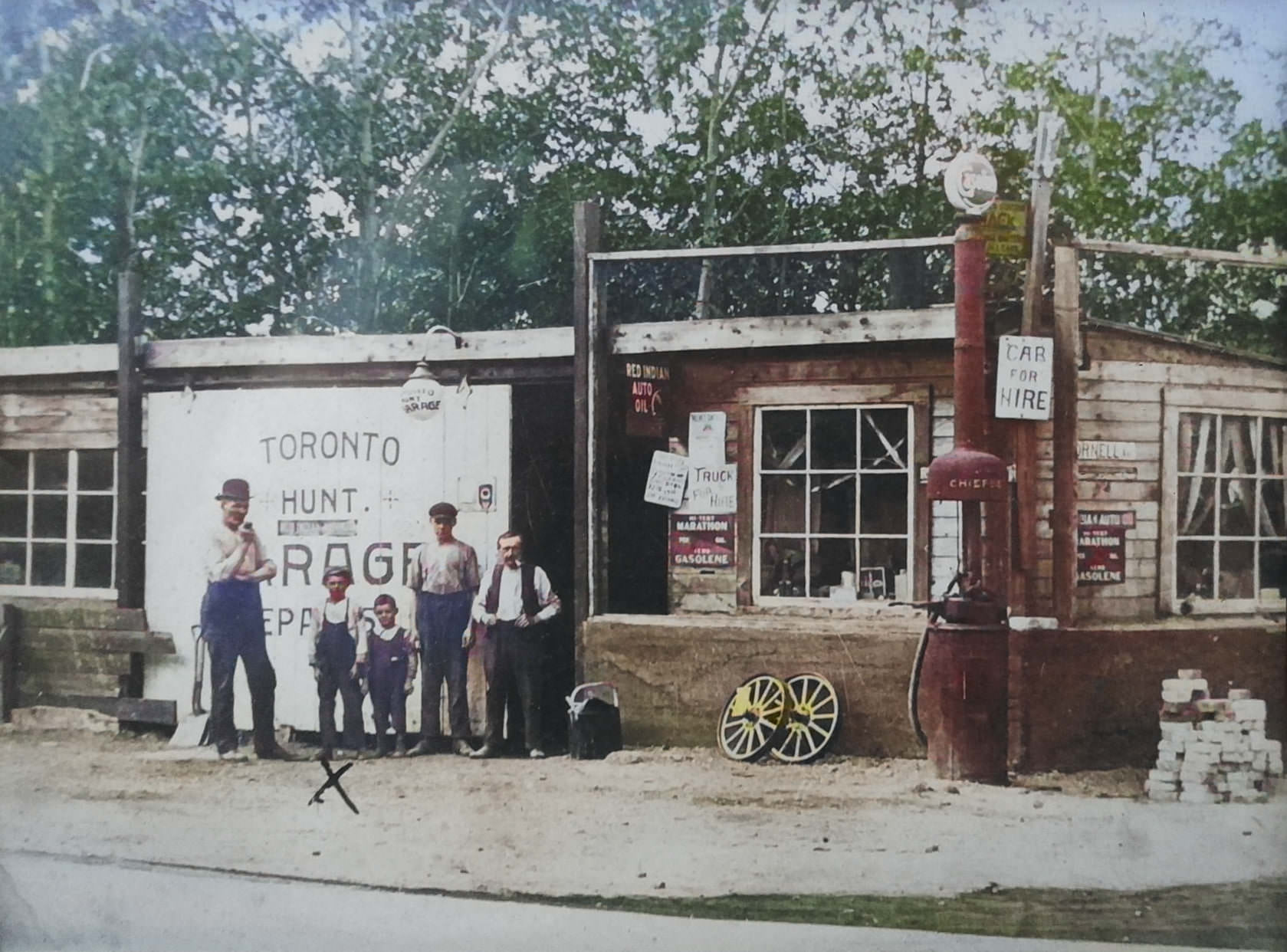
The automobile was reshaping Toronto’s streets with remarkable speed. By 1920, garages and service stations were already appearing at key intersections throughout the city. The corner of Kingston Road and Cornell Avenue was typical of this shift — a small garage sitting at a crossroads, ready to service the growing number of cars on the road. Within a few years, the auto industry’s footprint on Toronto’s commercial landscape would become enormous.
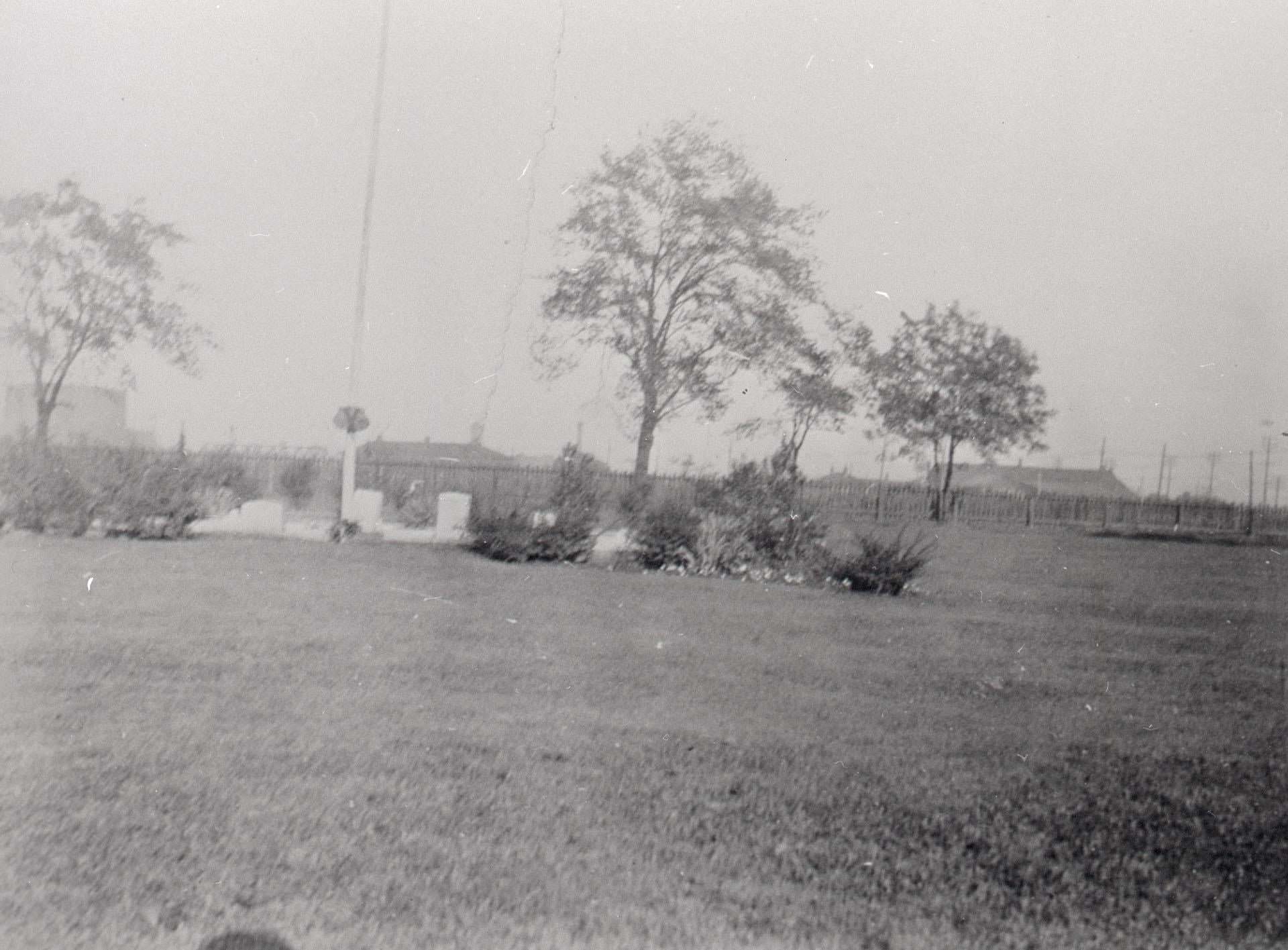
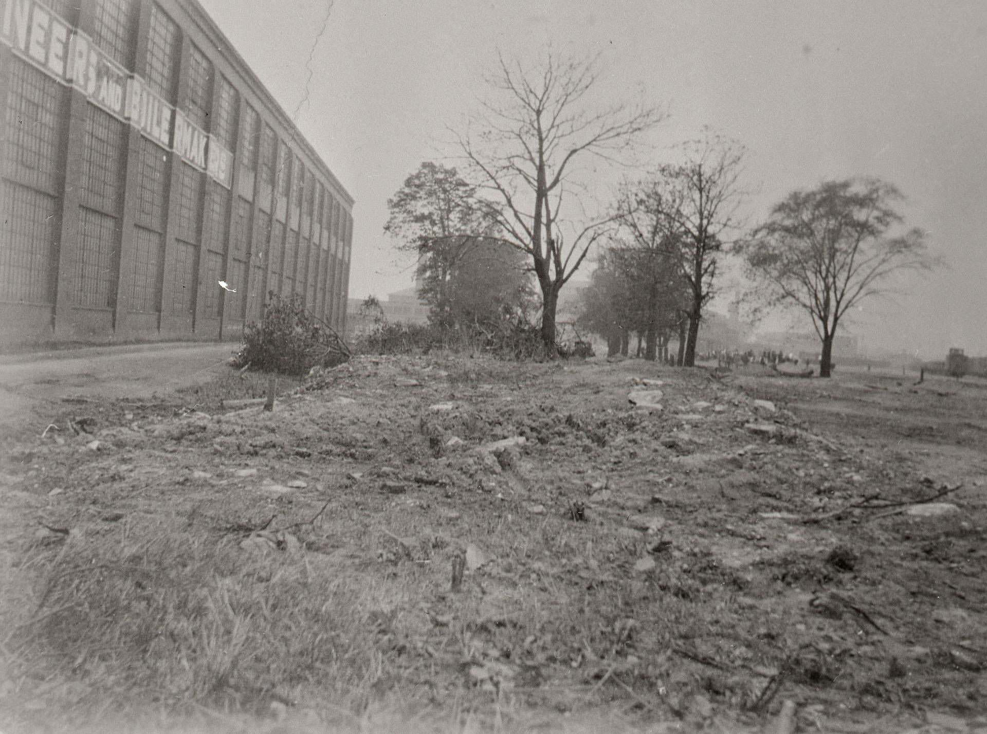
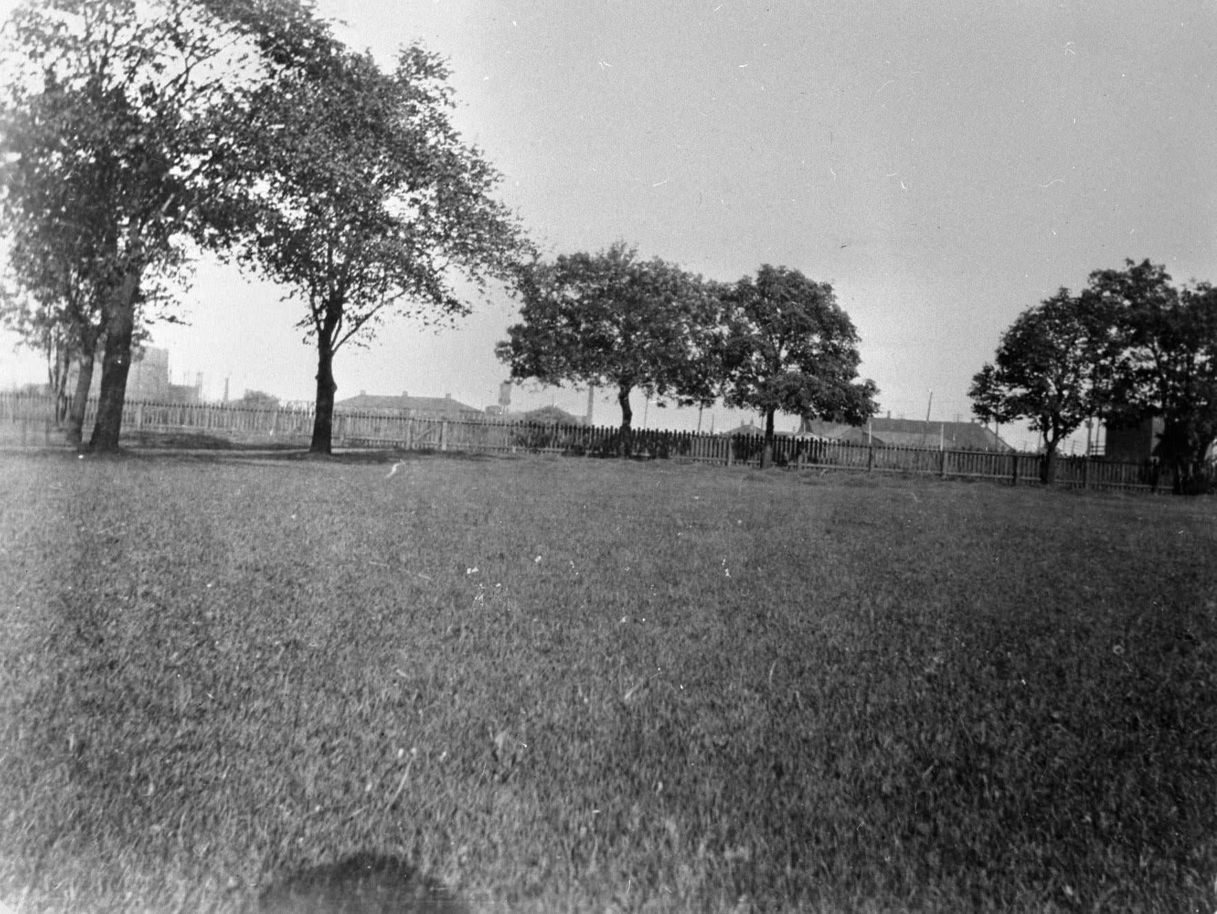
The Military Burying Ground on Strachan Avenue, located just west of Fort York, stood as a reminder of Toronto’s earlier history as a garrison town. The graves dated back to the early 19th century, and by the 1920s the site existed in an increasingly industrial neighborhood. Fort York itself remained a significant landmark, even as the surrounding area filled with factories and rail lines.
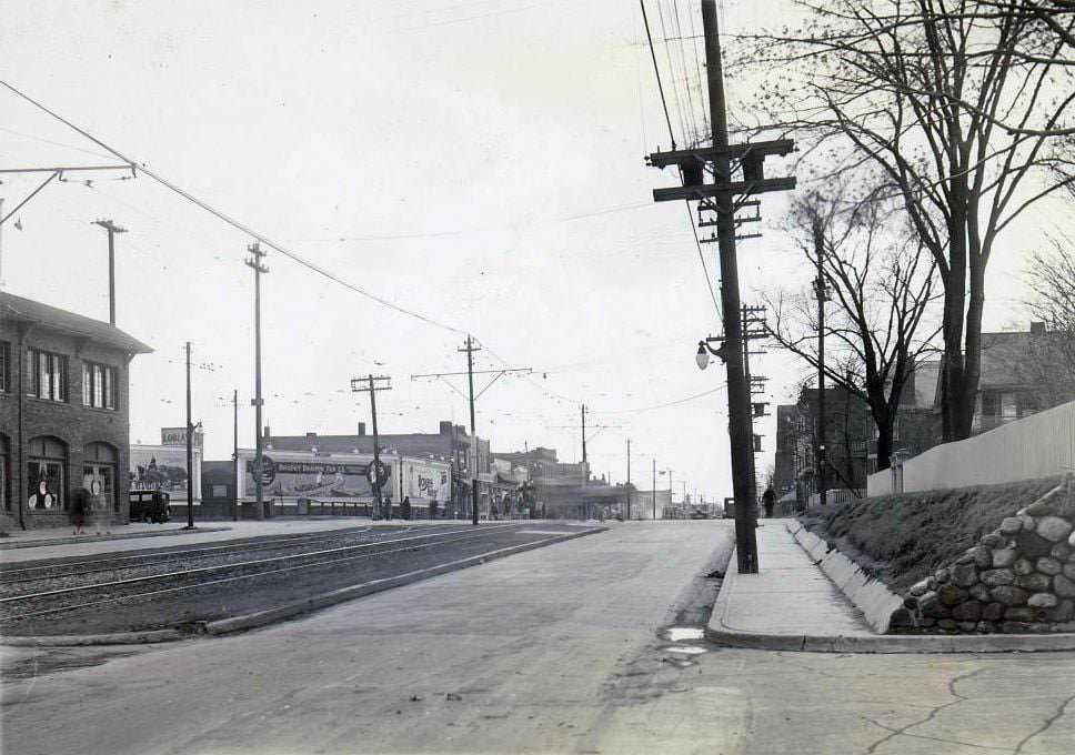
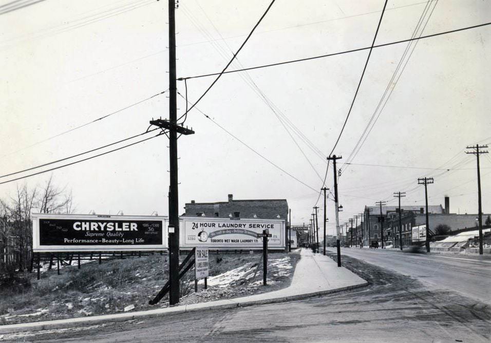
Street-level photographs from the 1920s capture how Toronto’s intersections looked in their prime — wide enough for streetcars, lined with low-rise commercial buildings, and busy with foot traffic. Bloor Street and St. Clair Avenue were both major east-west arteries that anchored the neighborhoods around them. Shops, offices, and transit stops clustered at these crossings, making them natural gathering points.
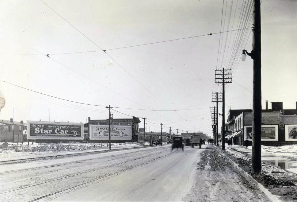
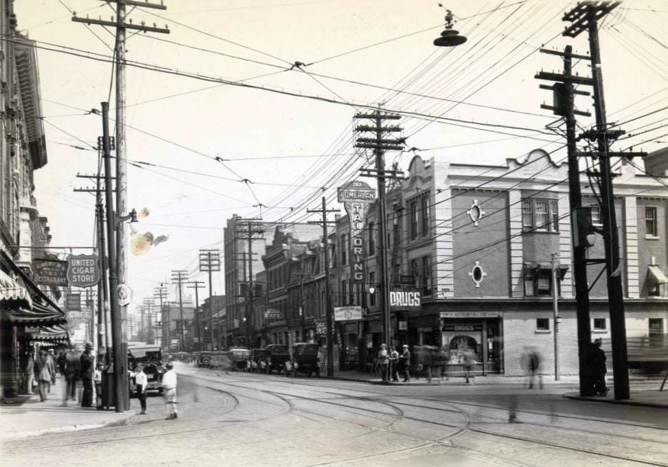
The automobile economy generated entirely new types of businesses. Tire shops, battery services, and fueling stations appeared on busy streets across the city. Danforth Avenue became a particularly active commercial strip, its south and north sides lined with storefronts serving both pedestrians and drivers. The variety of businesses along Queen Street told a similar story — the city’s commercial energy was spread across dozens of major and minor streets.
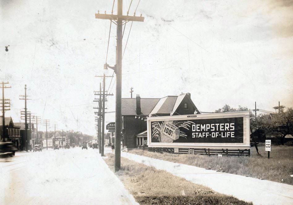
Yonge and Eglinton was developing into a significant node north of the old city core. Businesses of every kind took up space along this stretch of Yonge Street, including an undertaker operating at 2284 Yonge — a reminder that even in a decade known for its energy and optimism, the ordinary realities of life and death shaped the commercial landscape just as much as the new consumer economy did.
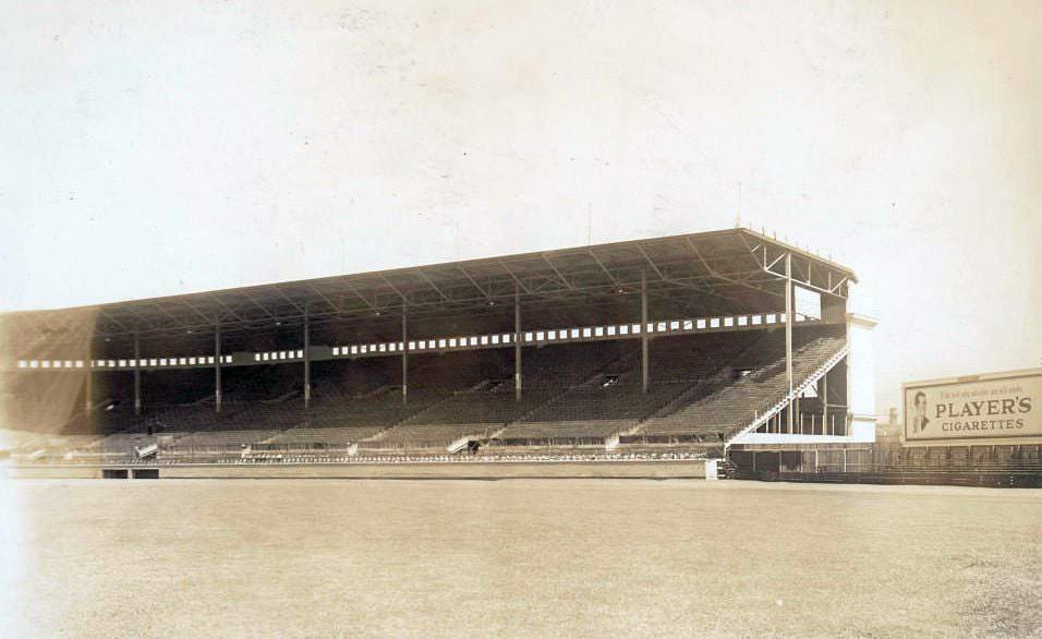
Maple Leaf Stadium opened in 1926 at the corner of Bathurst Street and Fleet Street, becoming the home of the Toronto Maple Leafs baseball team of the International League. The park held around 20,000 fans and was a modern facility for its time. Baseball was among the most popular spectator sports in the city, and the stadium’s construction reflected Toronto’s growing appetite for organized entertainment.
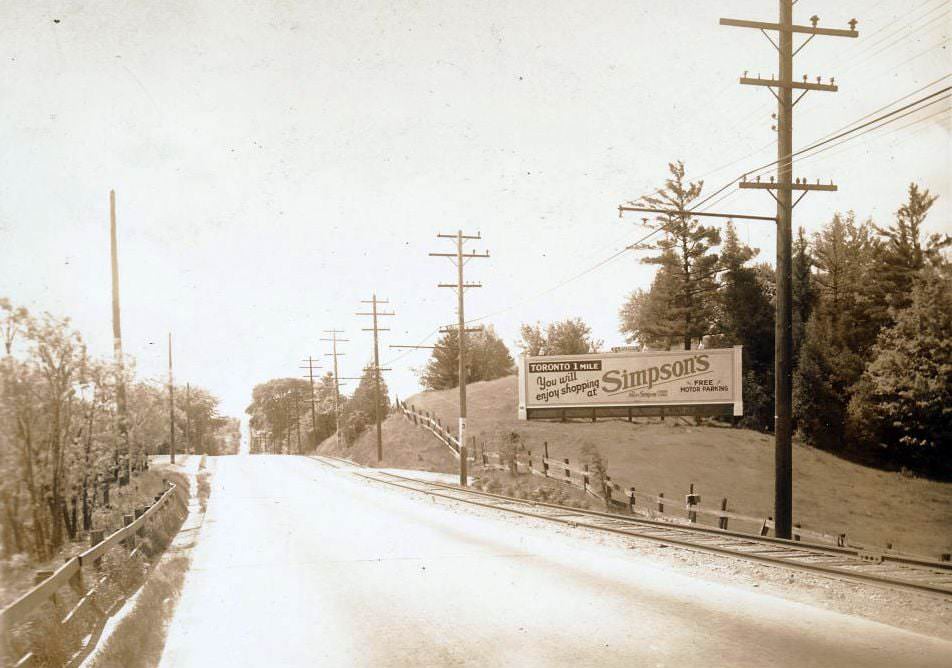
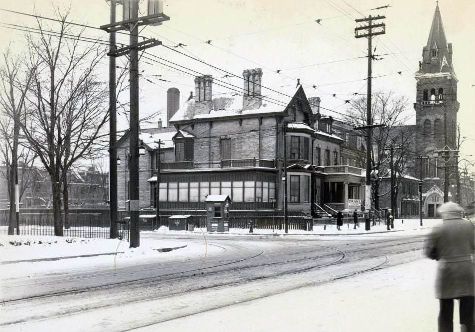
Outside the city’s denser core, Yonge Street in the 1920s passed through areas that were still largely rural. The view looking south into Hogg’s Hollow shows a road cutting through a valley — a landscape that would not be suburbanized for decades. Closer in, Bloor Street East at Church Street was already a fully developed urban corner, its buildings tightly packed and its sidewalks well-used.
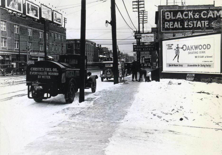
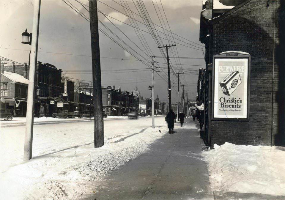
Yonge and St. Clair was one of the city’s busiest uptown intersections by the late 1920s. Streetcars moved through regularly, and the surrounding blocks were dense with retail. Spadina Avenue, running south of College Street, had developed a strong commercial identity of its own — a wide boulevard flanked by shops and businesses that served a diverse population from the surrounding neighborhoods.
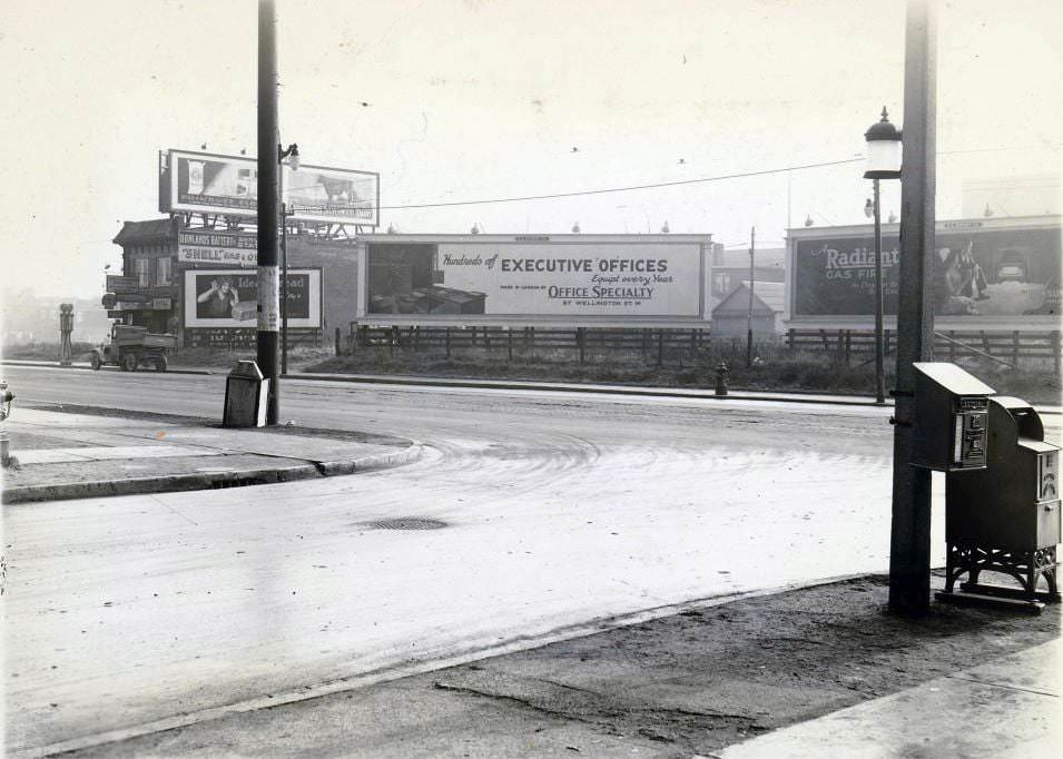
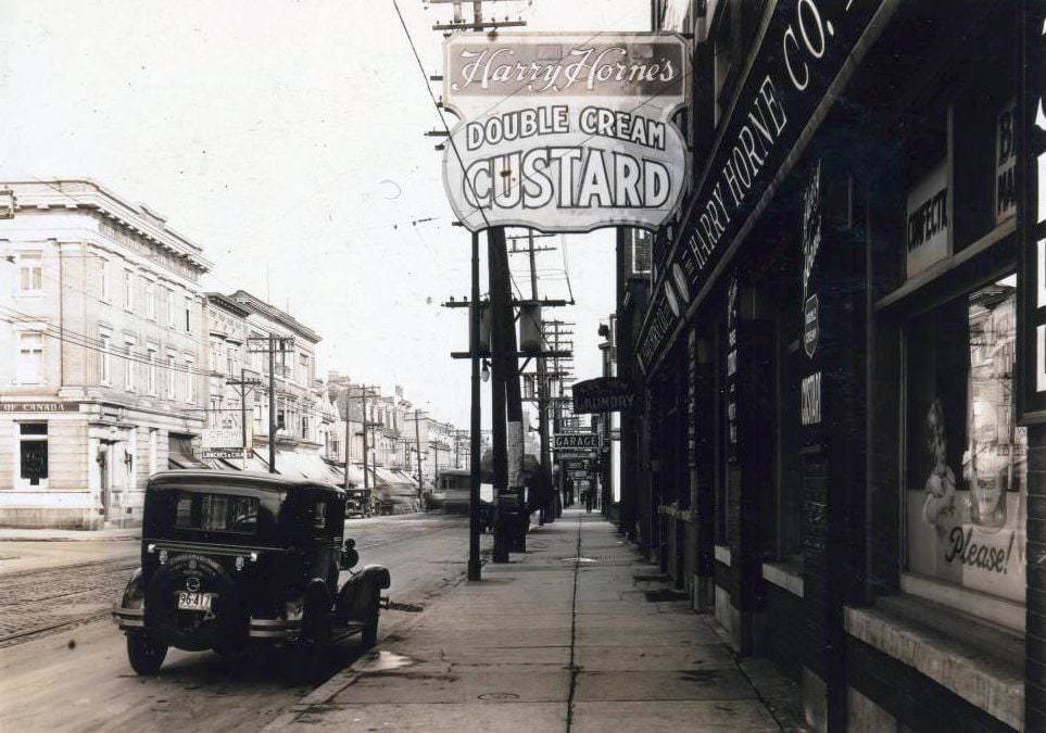
Service stations and food vendors occupied the street-level economy with equal enthusiasm. Donlands Battery and Service Station on Danforth catered to drivers needing quick mechanical help, while Harry Horne’s Double Cream Custard on Queen Street West offered a sweeter kind of stop. These small businesses defined the street experience for Torontonians walking or riding through their neighborhoods.
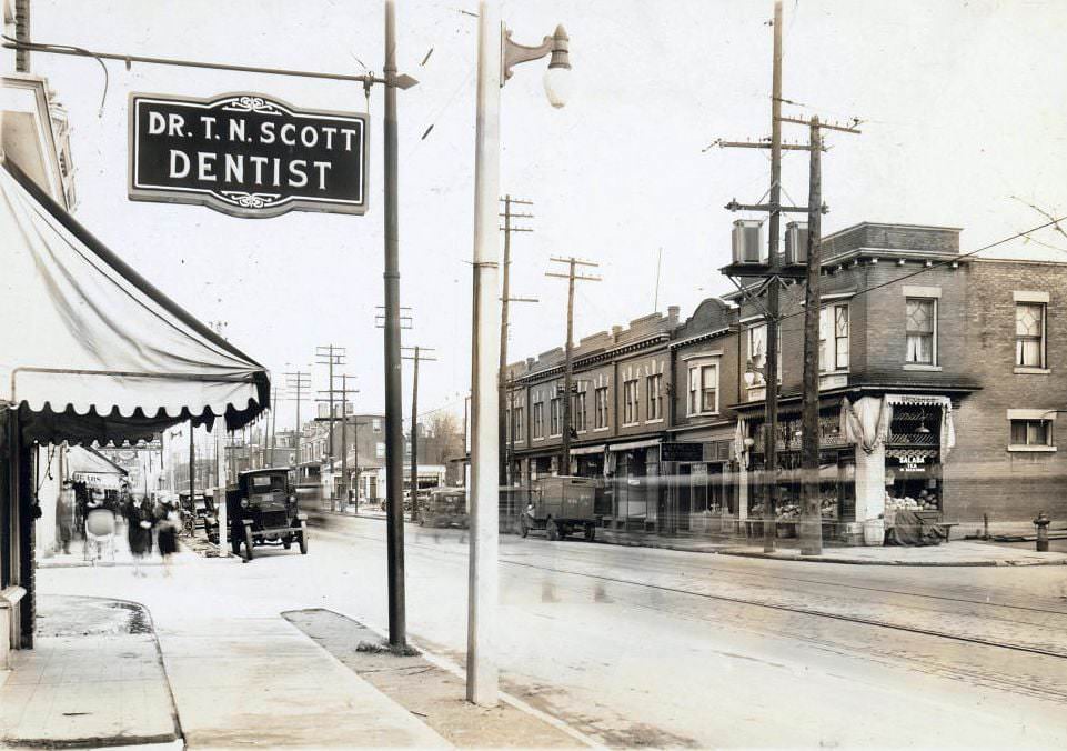
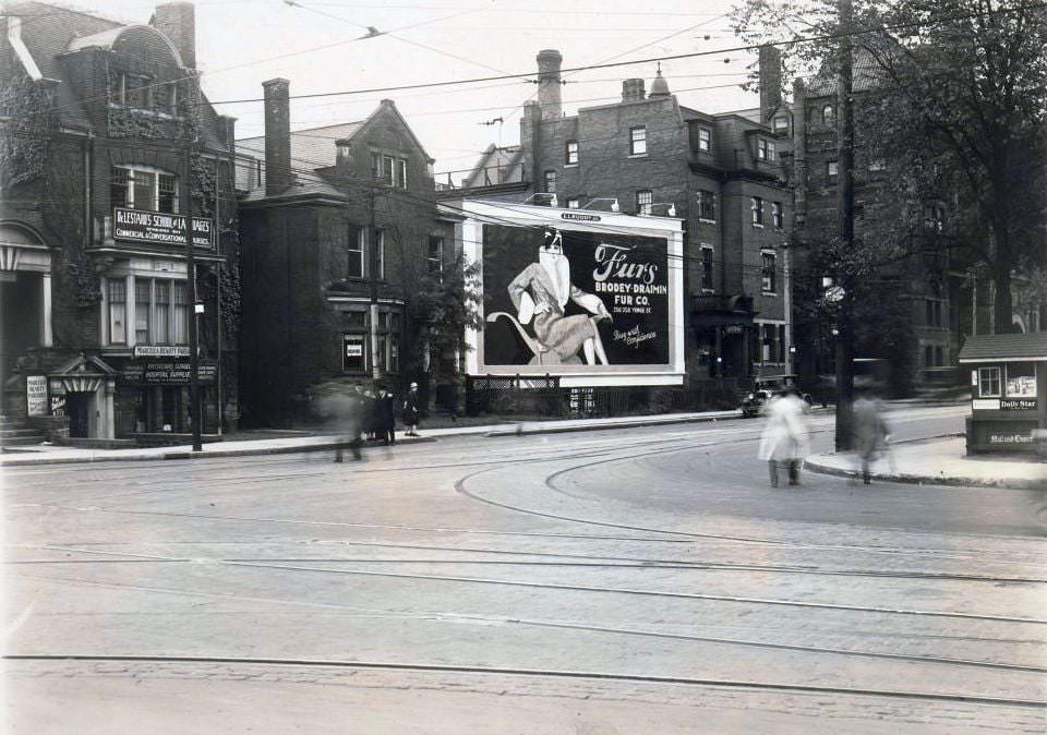
Toronto’s commercial streets in the 1920s housed an unusual mix of services side by side. A dentist’s office on Bloor West sat within a few storefronts of a tailor or a druggist. On College Street near Bay, a school of languages, a beauty parlour, and a hospital supplies shop shared the same block — a snapshot of the layered, practical economy that kept the city running.
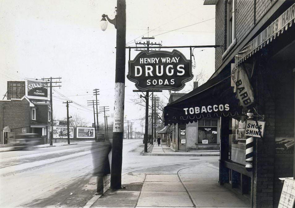
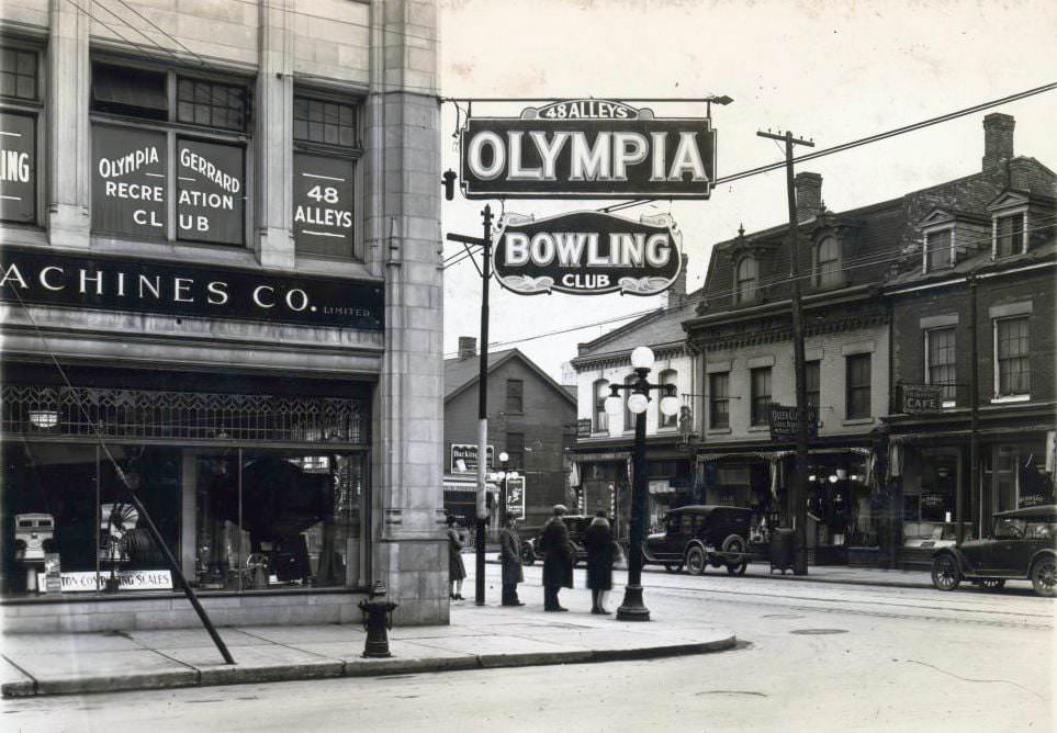
Drug stores were fixtures on nearly every major street in the city. They sold medicines and prescriptions, but also operated soda fountains that drew in customers of all ages. Recreation was also a growing industry. The Olympia Bowling Club at Yonge and Gerrard was part of a broader push toward organized leisure — bowling alleys, billiard halls, and movie theatres gave working Torontonians new ways to spend their evenings.
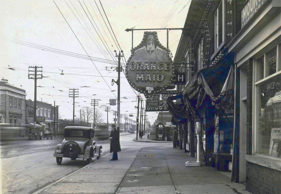
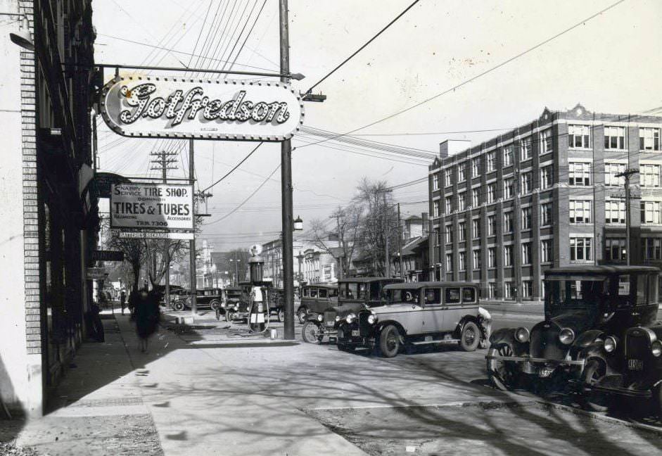
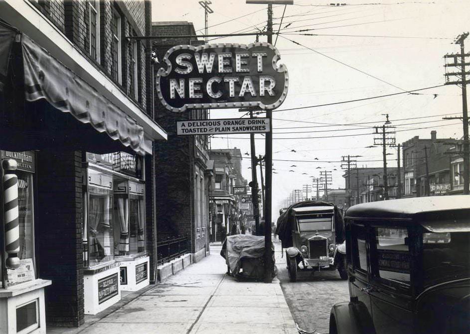
Signage was a competitive art form in 1920s Toronto. Businesses fought for attention along busy streets with painted signs, overhanging electric boards, and large storefront displays. Orange drink stands on Danforth and truck dealerships on Spadina used every available surface to pull in customers. The visual clutter of commercial signage was already a defining feature of the city’s streets.
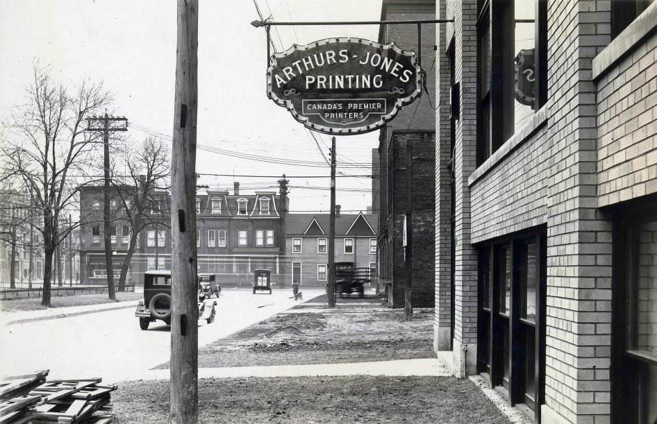
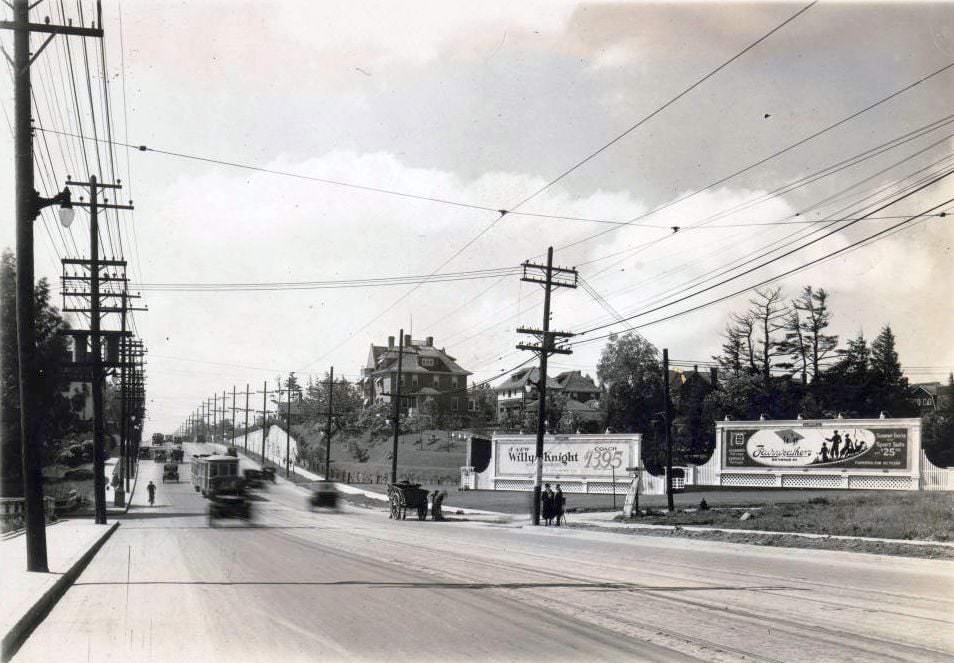
Printing and publishing were important industries in the city, with businesses like Arthur-Jones Printing on Adelaide West serving the commercial and government sectors. Meanwhile, Yonge Street further north, as seen from Chatsworth, had a quieter, more residential feel. The contrast between the dense commercial core and the quieter northern stretches of Yonge was sharp, and it illustrated how much of Toronto’s growth was still concentrated in the old city.
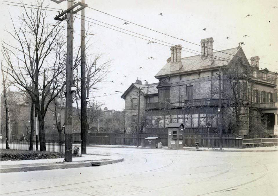
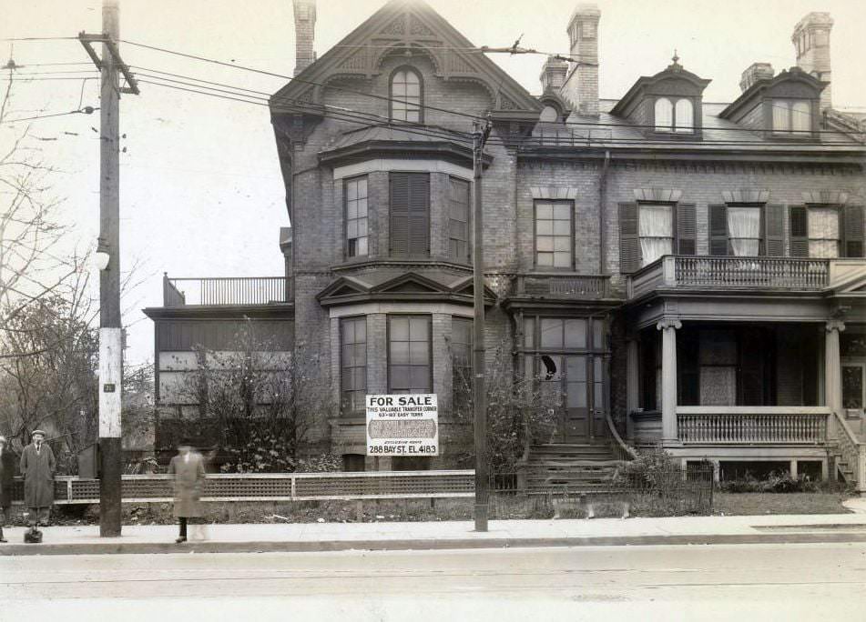
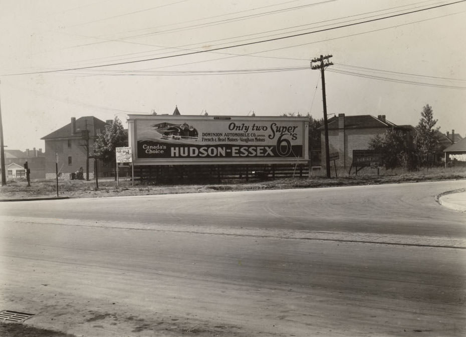
The southwest corner of Bloor and Church was a well-trafficked urban spot, documented from multiple angles in photographs of the era. Nearby, the intersection of Yonge Street and Yonge Boulevard captured a moment where the old city’s main artery pushed into newer suburban development. These corners marked the edges of Toronto’s expanding footprint.
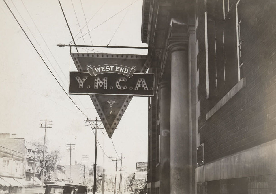
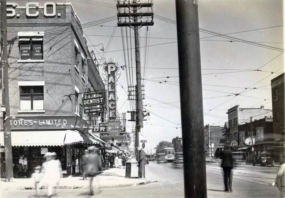
The YMCA on College Street at Dovercourt served the west end community with athletic facilities, lodging, and social programs. A few miles east, the Palace Theatre on Danforth Avenue drew neighborhood audiences with its large overhanging electric sign — a hallmark of the movie-house era. Cinema was exploding in popularity through the 1920s, and Toronto’s movie theatres became central to how people spent their leisure time.
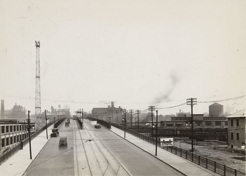
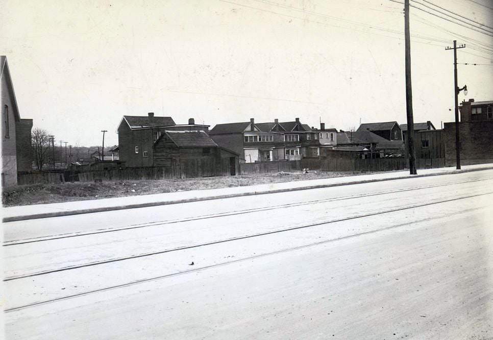
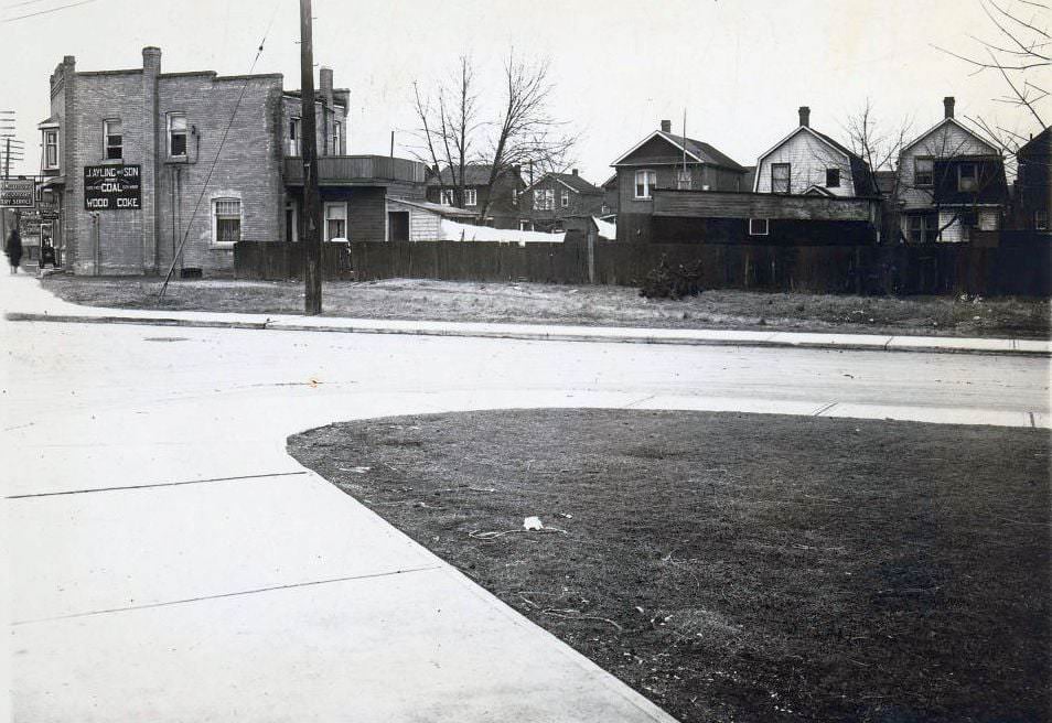
Spadina Avenue looking north in the 1920s shows a broad street lined with the mix of residential and commercial buildings that defined Toronto’s major corridors. Further west, Weston Road in 1926 captured the Mount Dennis neighborhood at a particular moment in its development — a community of modest homes and local businesses occupying land that had only recently been absorbed into the greater Toronto area.
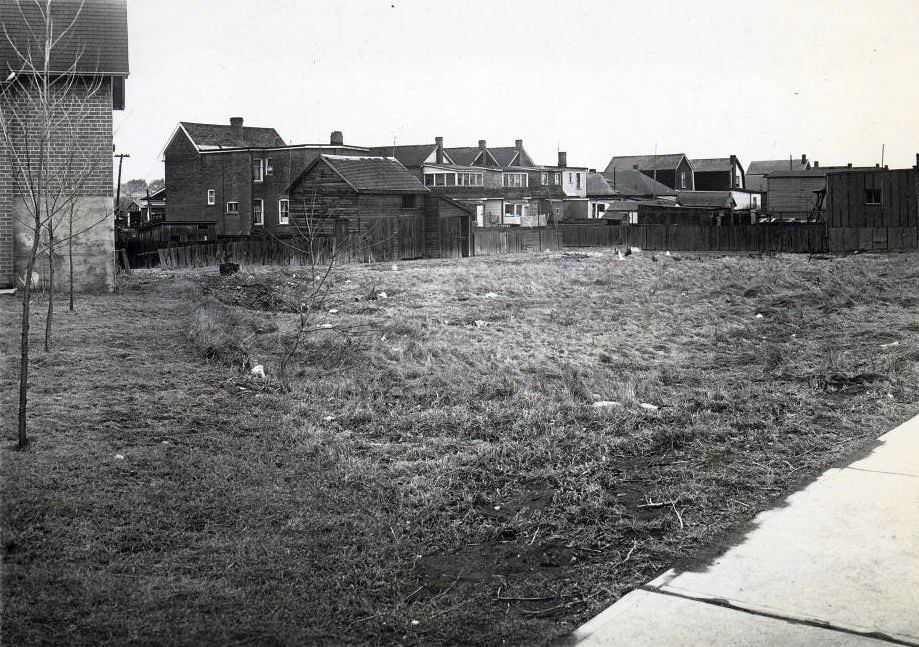
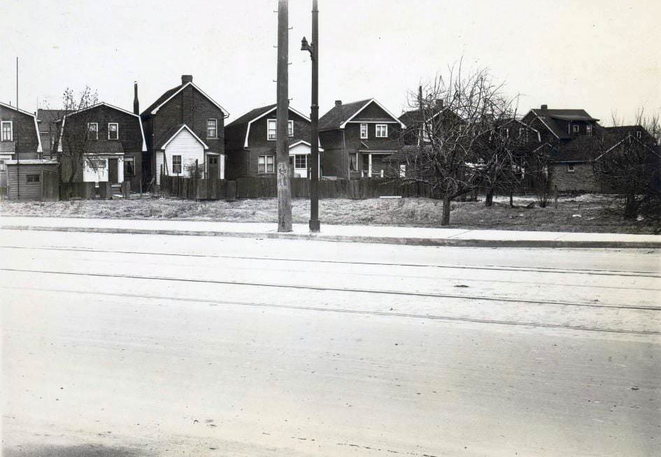
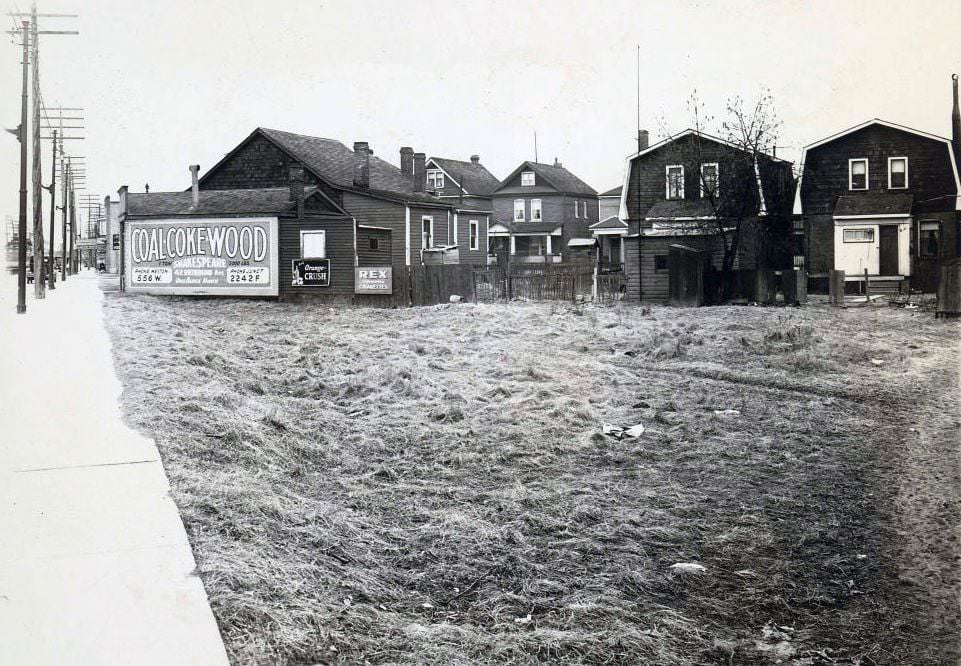
Mount Dennis in 1926 was a working-class neighborhood with a distinct identity. Its streets were lined with wood-frame homes, and the residents were largely employed in the nearby industries. Rutherford Avenue and Weston Road defined the grid of this community, which existed at the western edge of Toronto’s expanding urban reach. These photographs preserve a neighborhood that has changed significantly in the decades since.
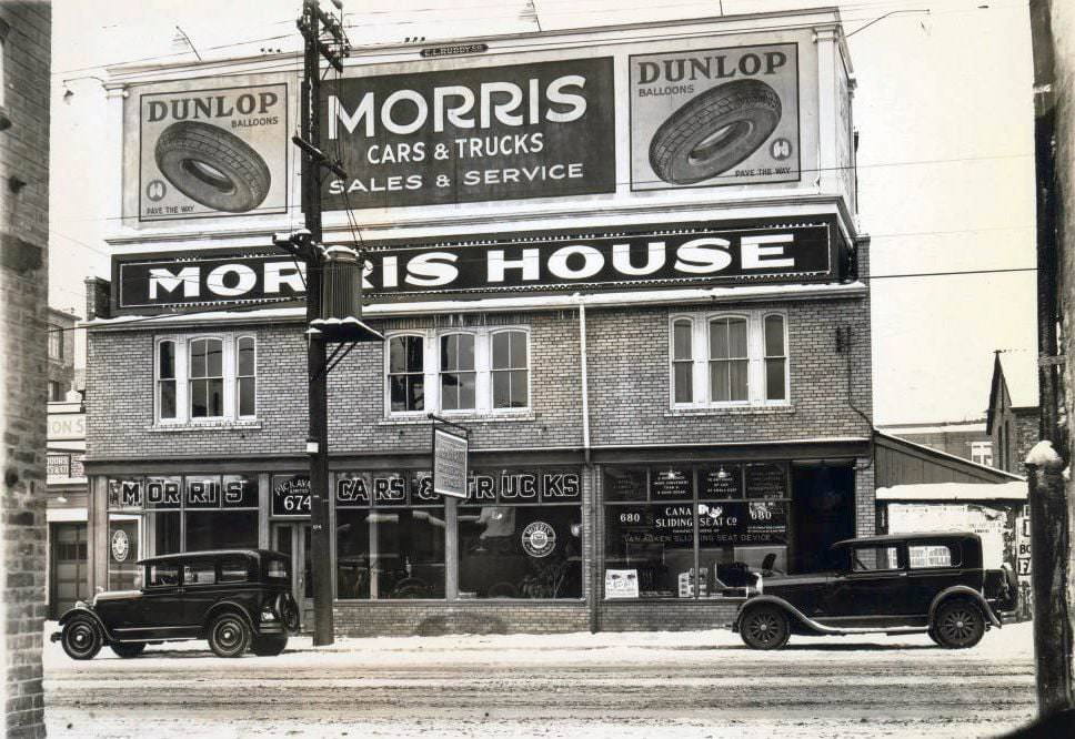
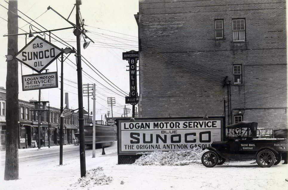
Automobile dealerships were expanding rapidly across the city. Morris House on Bay Street sold both cars and trucks, catering to businesses and private buyers alike. The growing car culture sat alongside older forms of entertainment — the Riverdale Bowling Alley on Queen Street East was the kind of neighborhood institution that kept local residents close to home for their recreation.
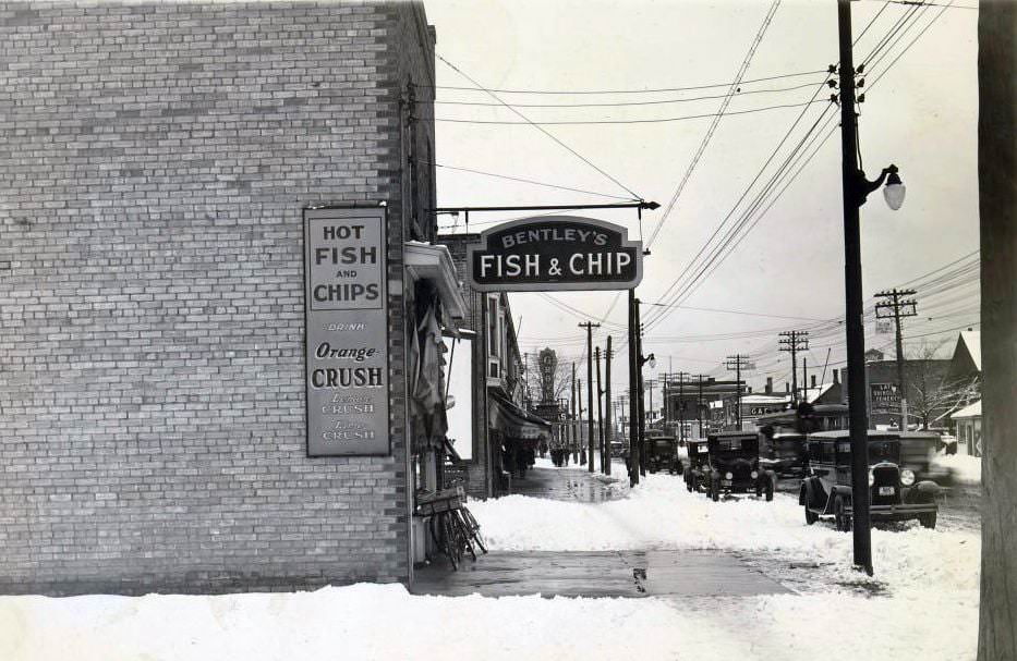
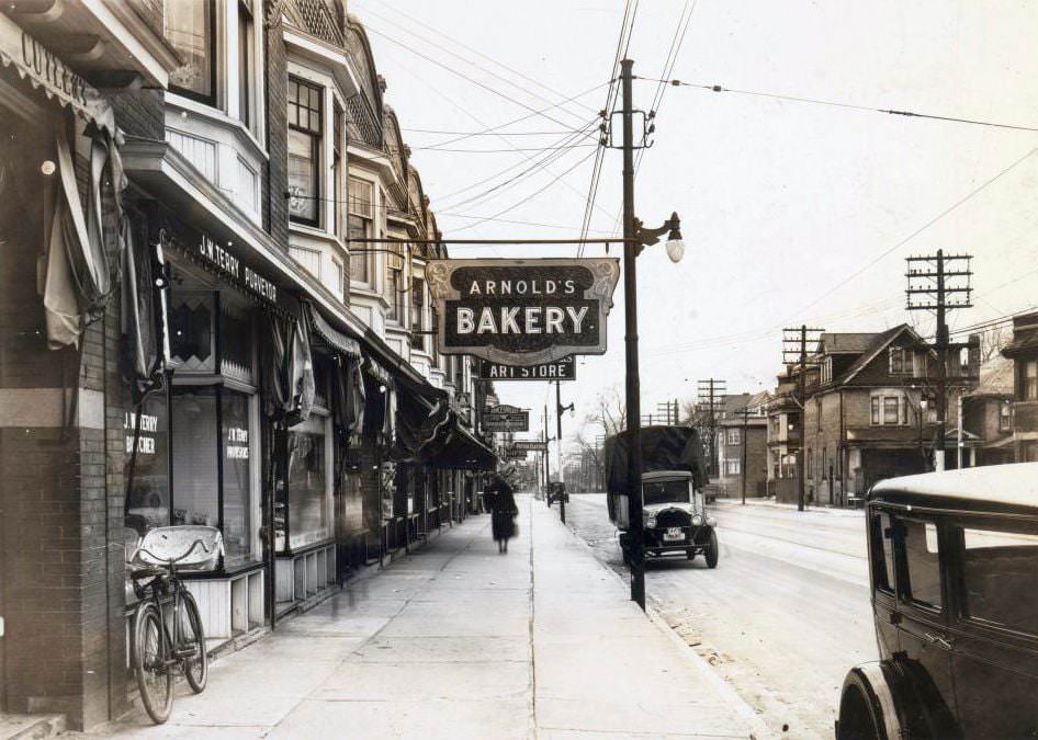
Food businesses were everywhere along Toronto’s commercial strips. Bentley’s Fish and Chips on Danforth Avenue operated near the Grover Theatre, making it a convenient stop before or after a film. Arnold’s Bakery on Roncesvalles Avenue served the Polish and Ukrainian community that had settled heavily in that part of the west end. Both businesses were rooted in the daily needs of their immediate neighborhoods.
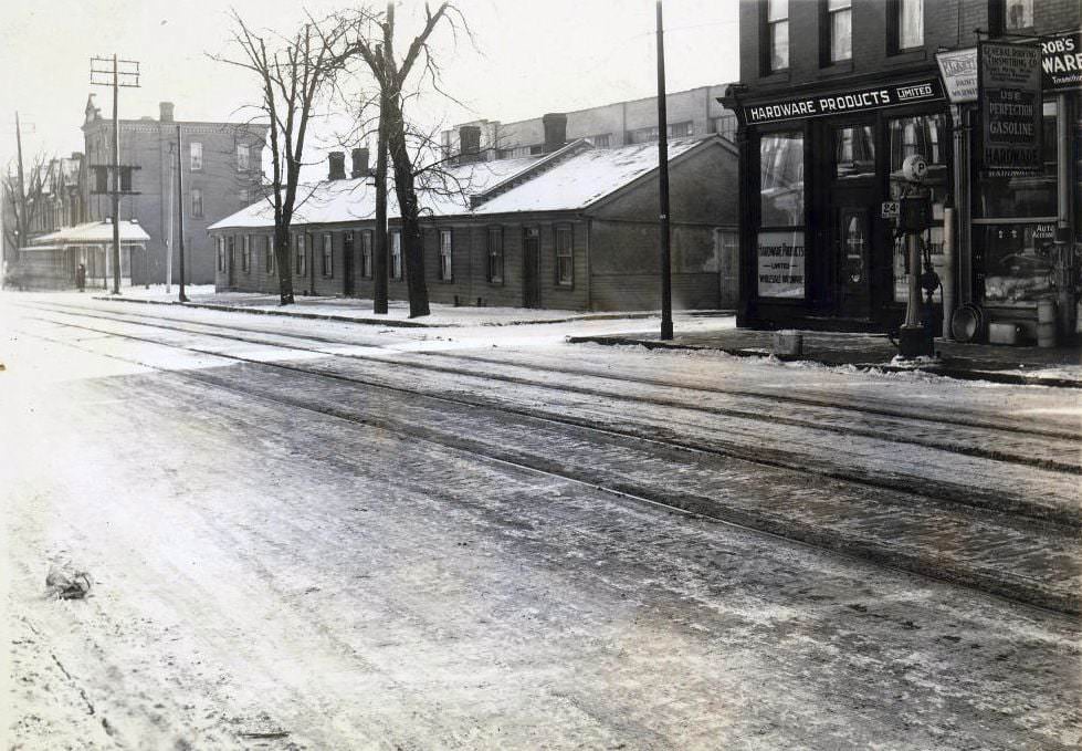
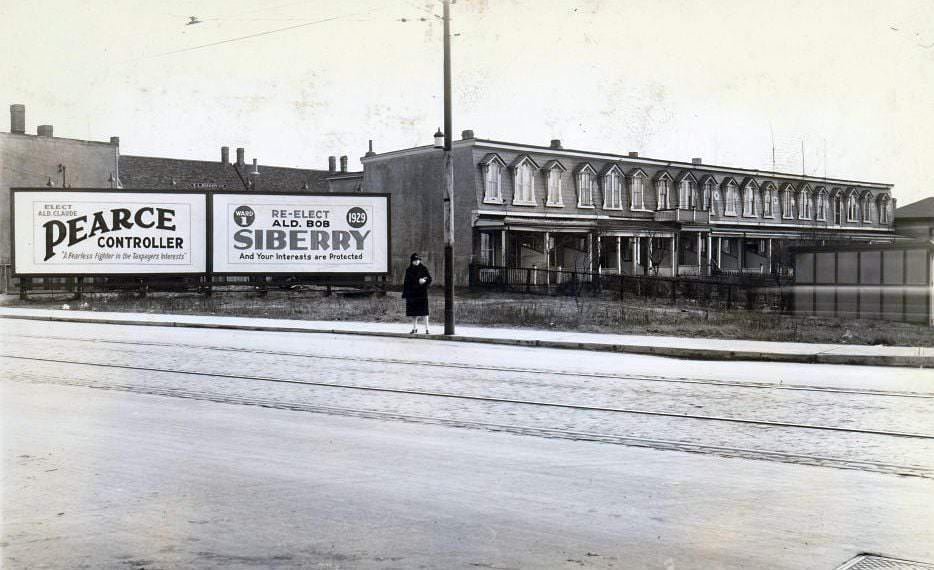
Dundas Street at Milan showed a typical Toronto street corner, with low-rise buildings and the mix of commercial and residential use that characterized most of the inner city. Nearby on Blackburn Street, a row of modest homes sat directly across from the Don Jail — one of Toronto’s most imposing institutional buildings. The proximity of ordinary housing to such a structure was not unusual in 1920s Toronto, where residential streets often abutted jails, factories, and rail yards.
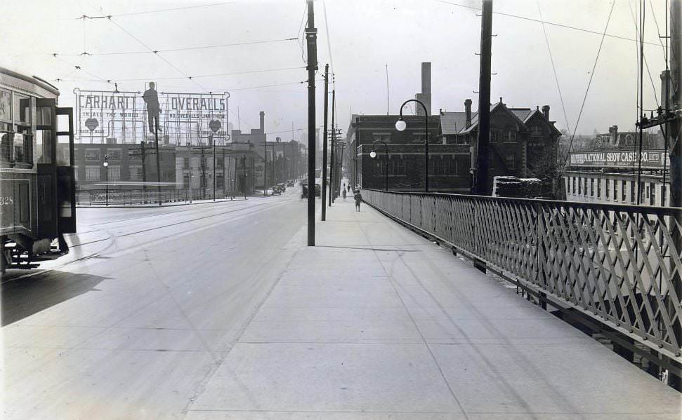
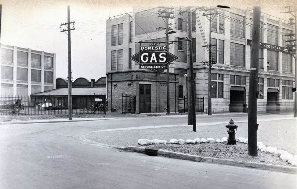
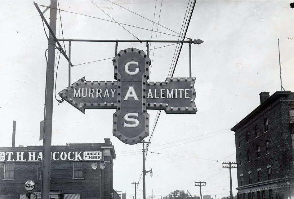
Queen Street East running toward River Street showed the inner east end in full commercial stride. Large manufacturing operations also anchored parts of the city — Lever Brothers, a major soap manufacturer, operated a significant complex visible in a photograph of a nearby Domestic Gas Service Station. These industrial plants employed hundreds and formed the economic core of the neighborhoods around them.
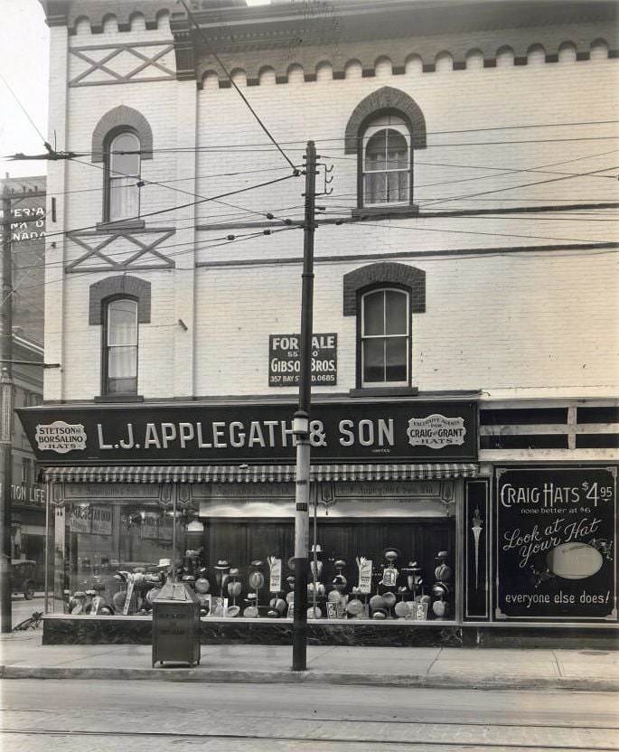
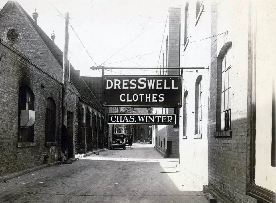
Clothing and accessories were serious business on Toronto’s commercial streets. Hats, suits, and dresses were sold at dozens of specialized shops throughout the downtown core and in the outer neighborhoods. Applegath’s on Queen East advertised Craig Hats to passersby, while Dresswell Clothes at Charles Winter’s offered men’s ready-to-wear in the fashion of the era. Dressing well was a point of pride for working and middle-class Torontonians alike.
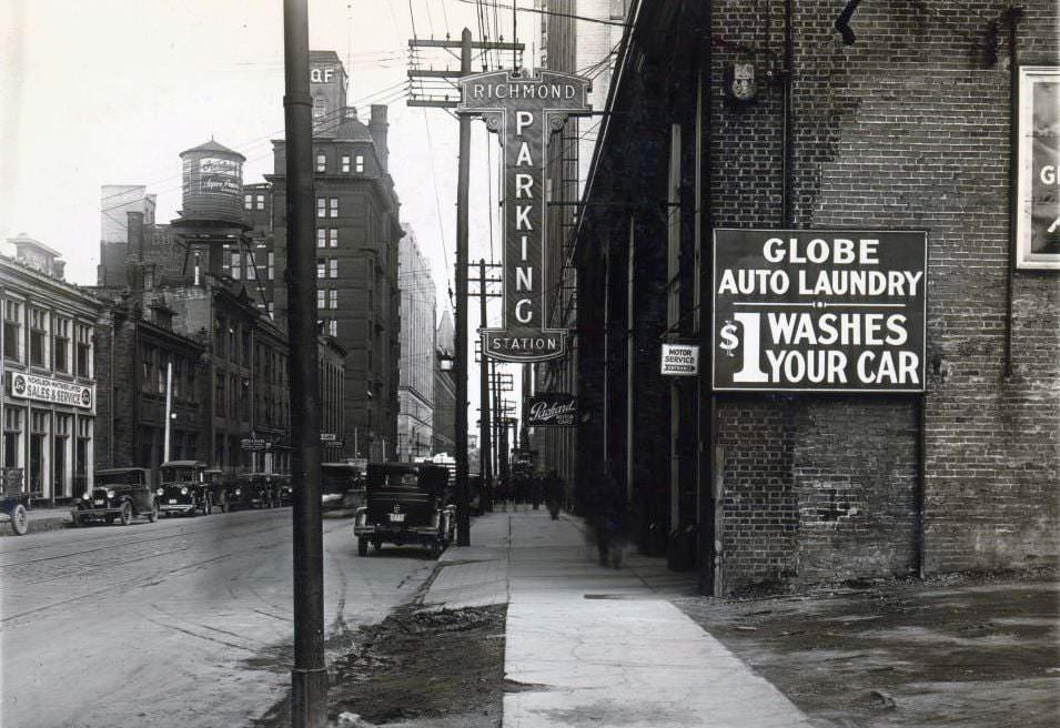
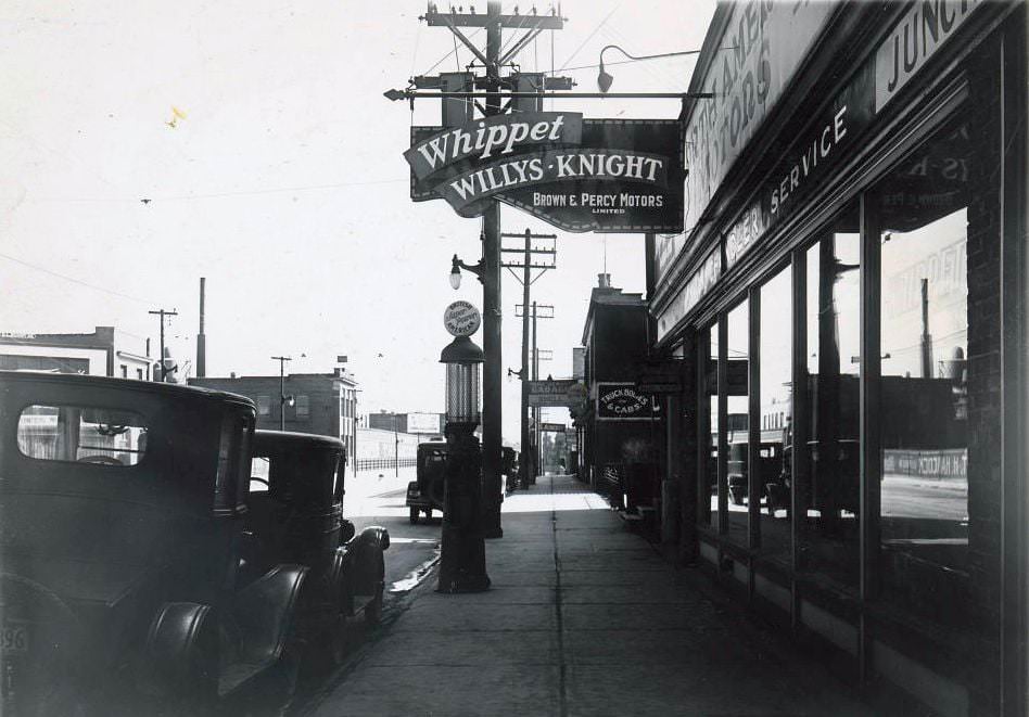
As car ownership increased, so did the need to park them. The Richmond Parking Station on Richmond Street West was one of several facilities opening in the downtown core to accommodate drivers. Dealerships like Brown and Percy Motors on Bloor Street West sold the Willys-Knight and Whippet lines — mid-range cars marketed to the growing number of Canadians who could now afford a vehicle.
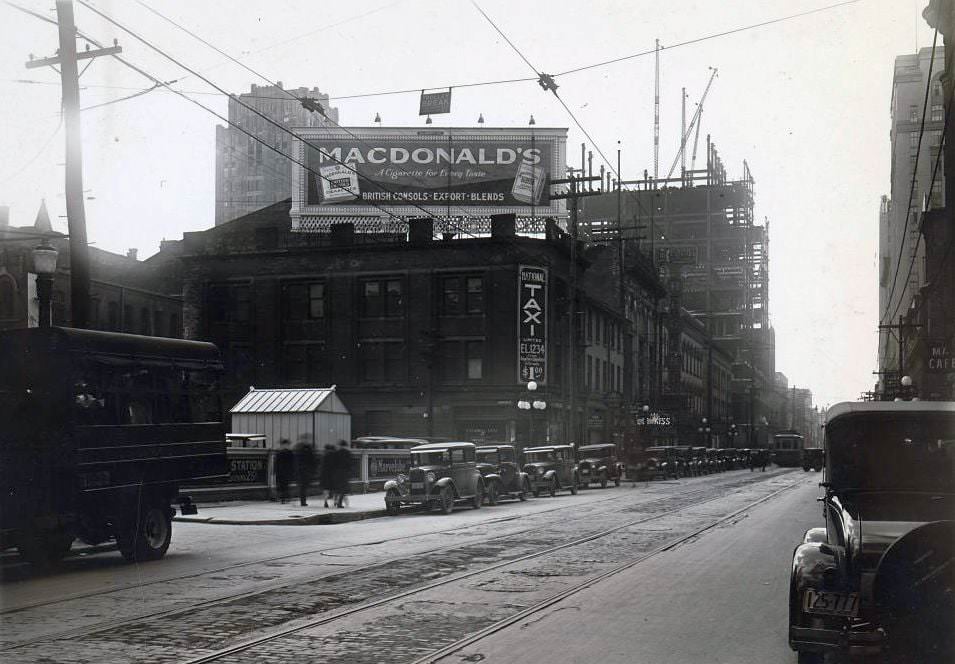
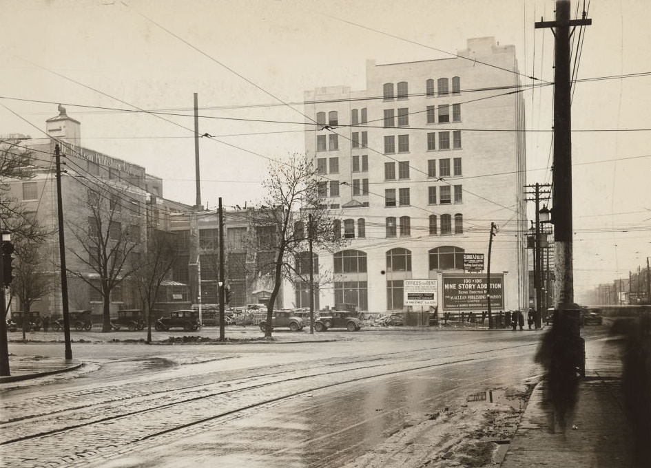
Taxi companies organized formally in the late 1920s, with National Taxi Limited operating out of Adelaide Street West. On a larger scale, the planned nine-story addition to the Maclean-Hunter Building at Dundas and University Avenue in 1926 signaled the confidence of Toronto’s business and publishing sectors. Maclean-Hunter was one of Canada’s leading magazine publishers, and its expansion reflected the strength of the print media industry.
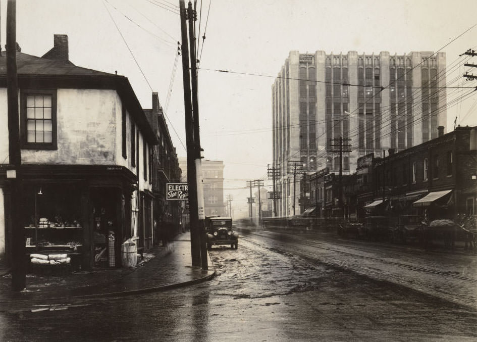
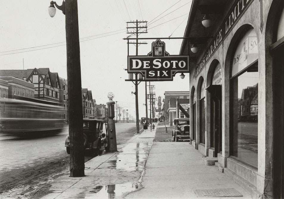
The Maclean-Hunter Building dominated its corner by 1929, a completed structure that had grown substantially over the decade. Nearby on St. Clair Avenue West, an overhanging electric sign for St. Clair Oakwood Motors advertised the De Soto Six — one of the newer car models entering the Canadian market. Electric signage was becoming the standard way for businesses to announce themselves after dark.
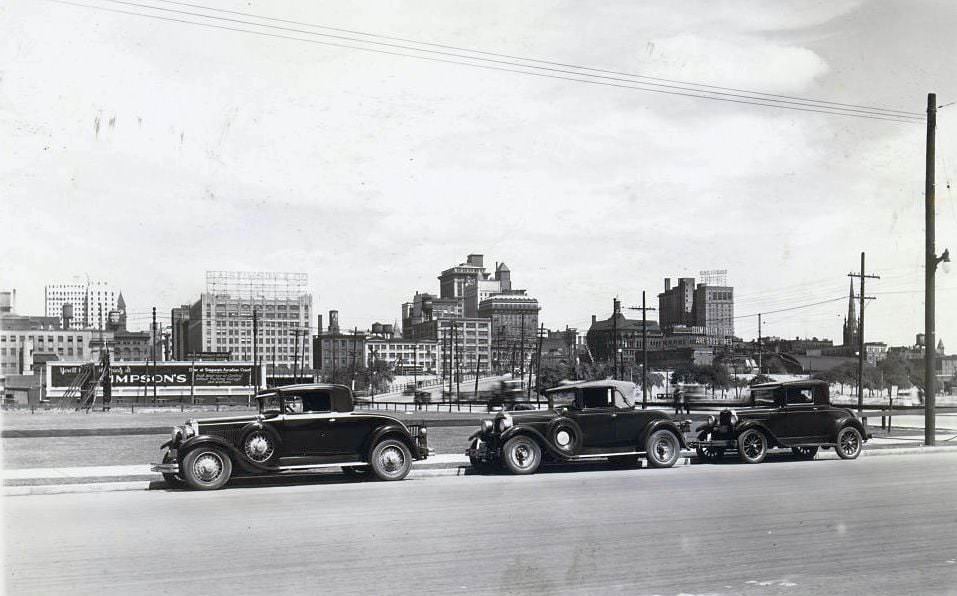
By 1929, Toronto’s skyline had grown considerably from what it looked like at the start of the decade. Office towers, hotels, and industrial buildings had pushed the city’s profile upward. The skyline photograph from that year shows a city that had matured rapidly, its waterfront and central core marked by buildings that represented decades of investment and growth. Toronto was no longer a modest provincial capital — it was emerging as one of Canada’s dominant cities.
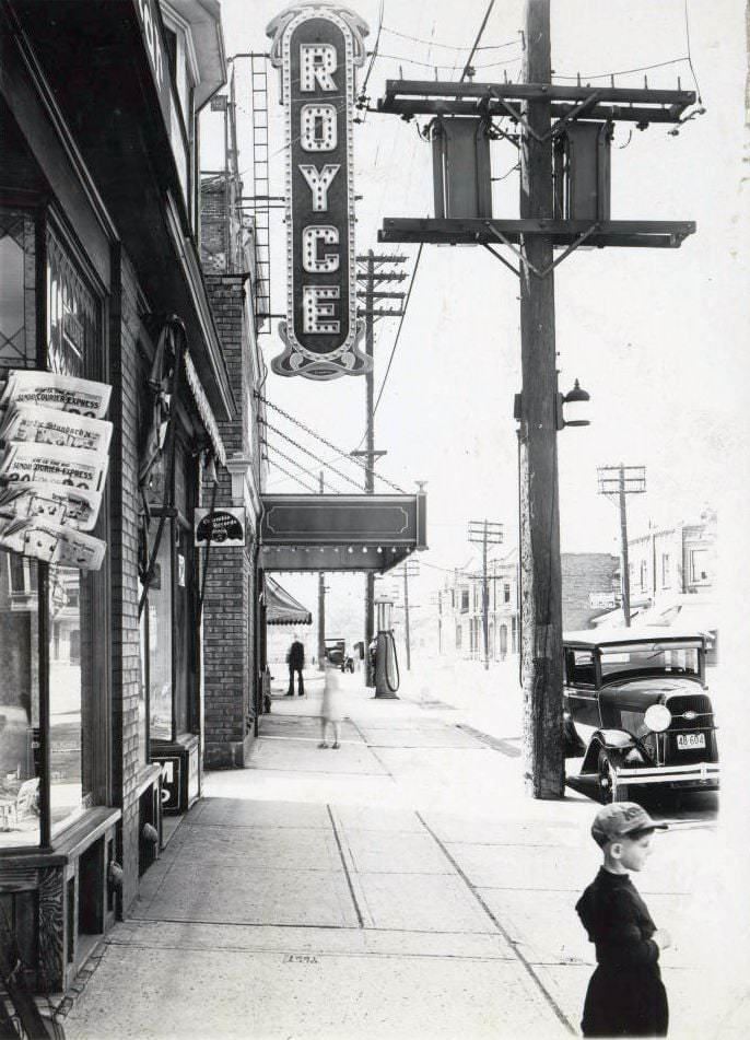
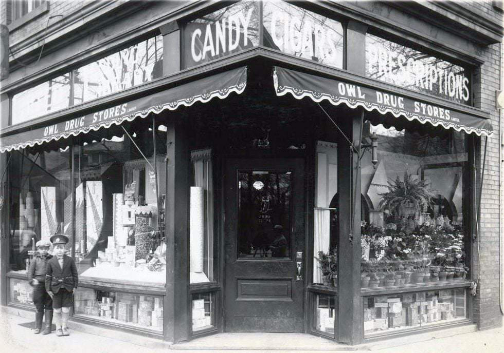
The Royce Theatre on Dupont Street served the Dovercourt and Dufferin neighborhoods with local cinema. It was a neighborhood theatre rather than a grand downtown house, and that distinction mattered — by the late 1920s, entertainment had become genuinely local, with movie houses operating in nearly every district of the city. Owl Drug Stores, one of Toronto’s early chain pharmacies, staked out the high-traffic corner of Bloor and Spadina.
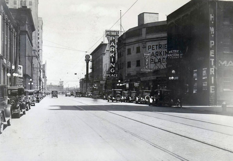
Petrie’s Parking Place occupied a building on Front Street West that had originally been constructed in 1887 as the Cyclorama — a public entertainment venue featuring large panoramic paintings. By 1929 it had been converted into a parking garage, a transformation that neatly encapsulated how dramatically the city’s needs had changed in just a few decades. Bloor Street West at 1376 showed the same pattern: older buildings repurposed for the demands of modern commercial life.
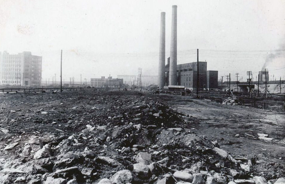
The old Toronto Hydro plant on Scott Street was photographed in 1928, shortly before it was expropriated and demolished. The Toronto Terminals Railway needed the site to build a railway viaduct, and in its place the new Central Heating Plant was constructed at York and Fleet Streets. When it was completed in 1929, it was the largest central heating facility in Canada, producing up to 330,000 pounds of steam per hour. It supplied heat to Union Station, the Royal York Hotel, the Dominion Public Building, and several major railway facilities through underground tunnels.
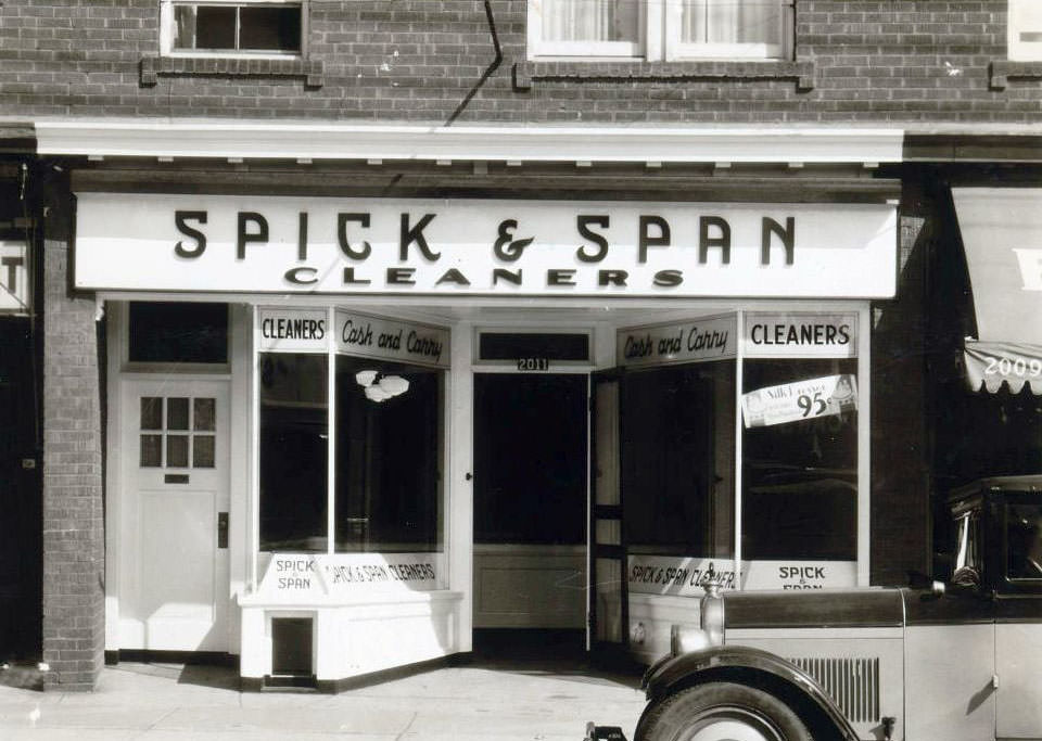
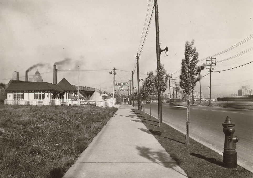
Dry cleaning and laundry services were in high demand in a city where working people needed presentable clothing for work and social life. Spick and Span Cleaners on Yonge Street was one of many such businesses operating throughout the decade. On Lakeshore Road at Spadina Avenue, the McColl-Frontenac Service Station served the increasing traffic moving along the waterfront — one of the busier routes through the city.
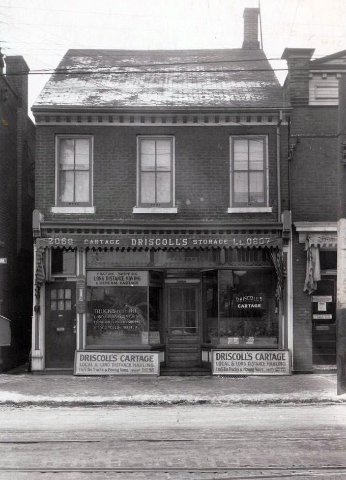
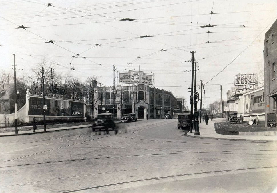
Cartage companies moved goods across the city by horse-drawn wagon and increasingly by motorized truck throughout the 1920s. Driscoll’s Cartage on Dundas Street West was part of this delivery economy. High above street level, the rooftop of the McLaughlin Building at Bay and Grenville streets carried a large billboard for McLaughlin Canada Buick — a Canadian car brand that merged into General Motors Canada. The building itself was demolished in 2010.
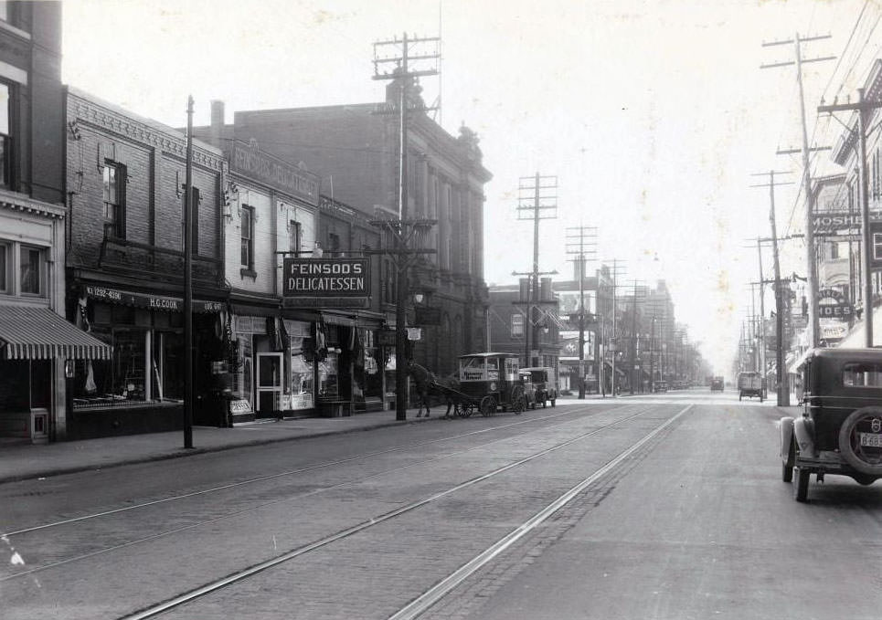
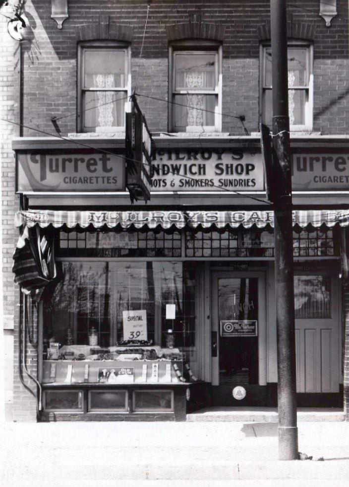
Feinsod’s Delicatessen on Yonge Street served the Jewish community that had settled along that corridor, offering traditional deli foods in a city that was becoming increasingly diverse. On Danforth Avenue, McIlroy’s Sandwich Shop paired food service with cigarette advertising — a common combination in an era when tobacco companies advertised on nearly every available surface.
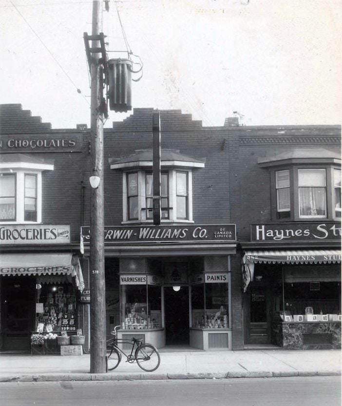
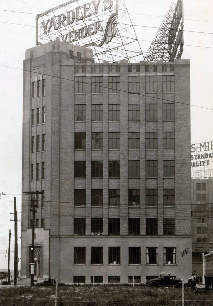
Hardware and home-supply businesses were well established on Danforth by the late 1920s, with the Sherwin-Williams paint store at number 580 serving both trade customers and homeowners. Consumer goods advertising was sophisticated by this point — Yardley’s Lavender Soap, positioned at the prominent corner of York and Harbor streets near the waterfront, used its location and signage to reach shoppers moving through one of the city’s busiest zones.
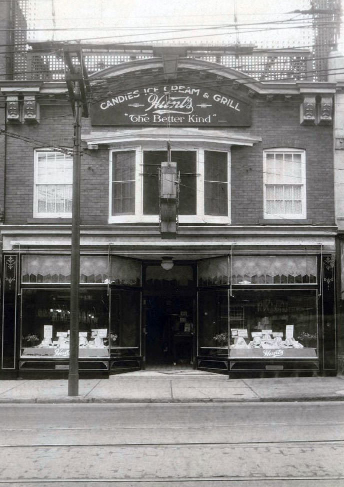
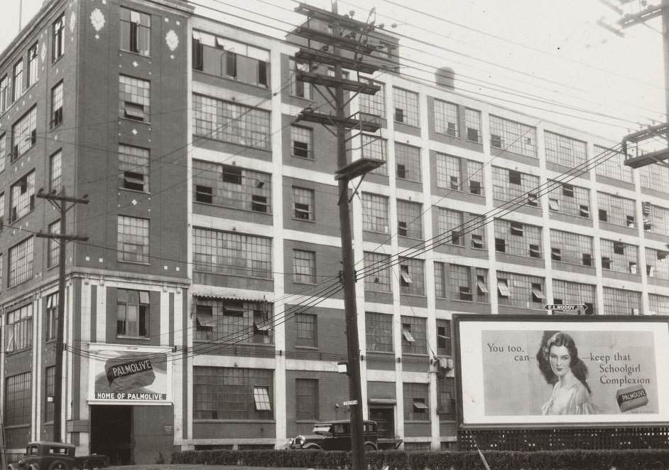
The intersection of Yonge and Bloor was already one of the busiest in the city, and the businesses clustered around it reflected that. Hunt’s Candies, Ice Cream and Grill just south of Bloor drew shoppers and theatergoers with its sweets and light meals. National consumer brands like Palmolive Soap used large signage to reach Toronto’s growing population of urban shoppers who were increasingly buying branded, packaged goods.
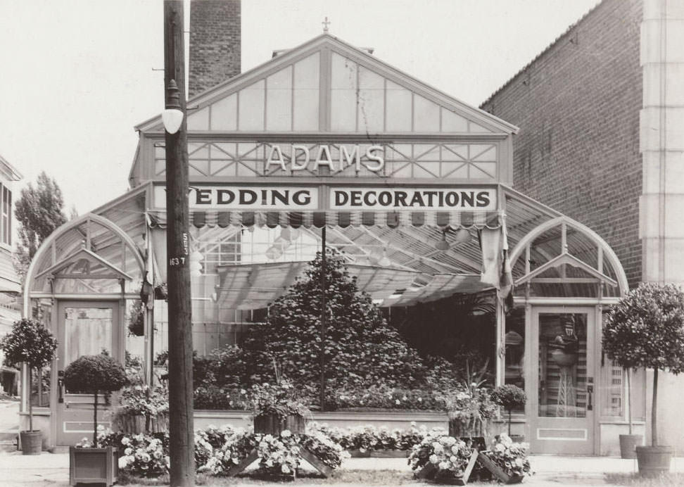
Rail lines cut through Toronto’s residential neighborhoods in ways that shaped street life and development. The eastern end of Clouston Avenue at the train tracks shows how definitively the railways divided urban space. Meanwhile, specialty businesses like Adams Wedding Decorations on Yonge Street catered to the social rituals of middle-class life — weddings, in particular, were elaborate affairs that required dedicated suppliers.
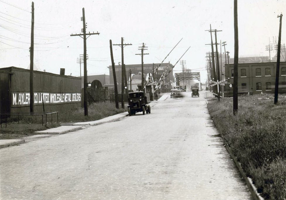
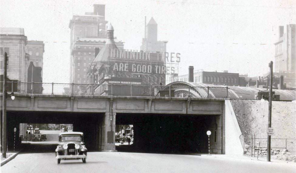
Eastern Avenue extended east toward the Don River, crossing it on a bridge that connected the city’s inner east end to its outer neighborhoods. The Don River corridor was a working industrial zone by this point, with factories and warehouses lining its banks. At the corner of Yonge and Front streets, the Dominion Rubber Company mounted a large rooftop electric sign — a visible landmark in the heart of the commercial district near Union Station.
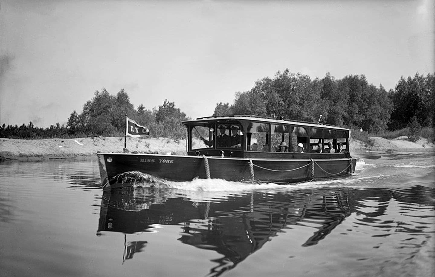
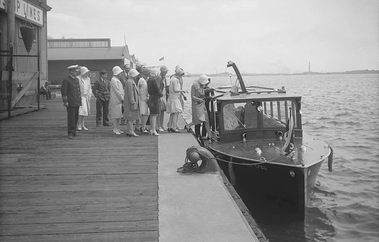
Toronto Island was a popular destination for city residents looking to escape the heat of summer. The Miss York motor launch offered guided tours through the island’s lagoons, and photographs from July 1929 show groups of excited passengers boarding for the trip. The islands were accessible by ferry and offered beaches, picnic grounds, and boating — a recreational world just minutes from the downtown waterfront.
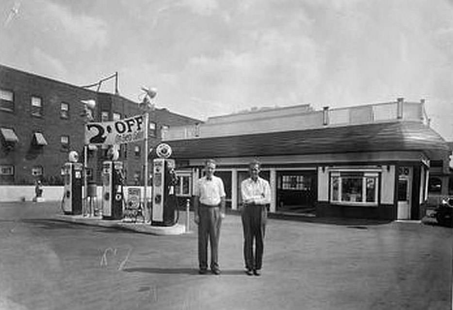
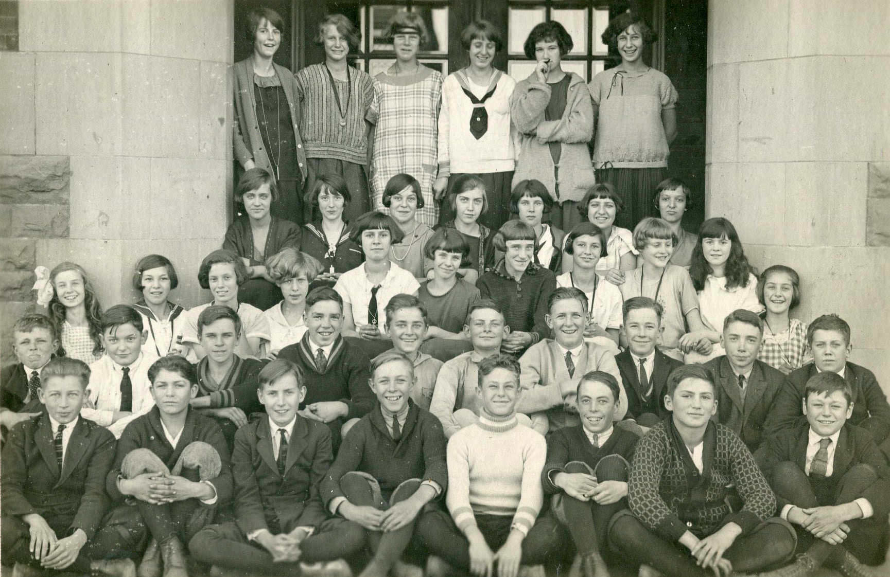
Gas pumps at street-level service stations like George Tompkins’ on Queen Street were becoming a familiar sight throughout the city. Schools, too, documented their existence with classroom photographs. The Senior Fourth class at Gledhill Public School in 1924 posed in the formal style typical of school portraits from the era — rows of children in neat clothing, a teacher nearby, in a room filled with the orderly furniture of public education.
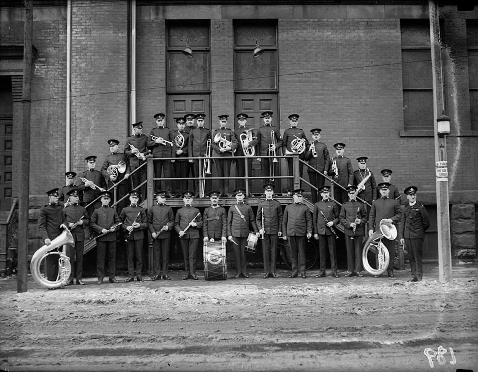
The Toronto Police Band assembled outside Massey Hall on February 2, 1923. Massey Hall, which had opened in 1894 on Shuter Street, was the city’s premier concert venue and hosted everything from classical concerts to public ceremonies. The Police Band’s appearance there illustrated how civic institutions used music and public performance as part of their identity in the 1920s.
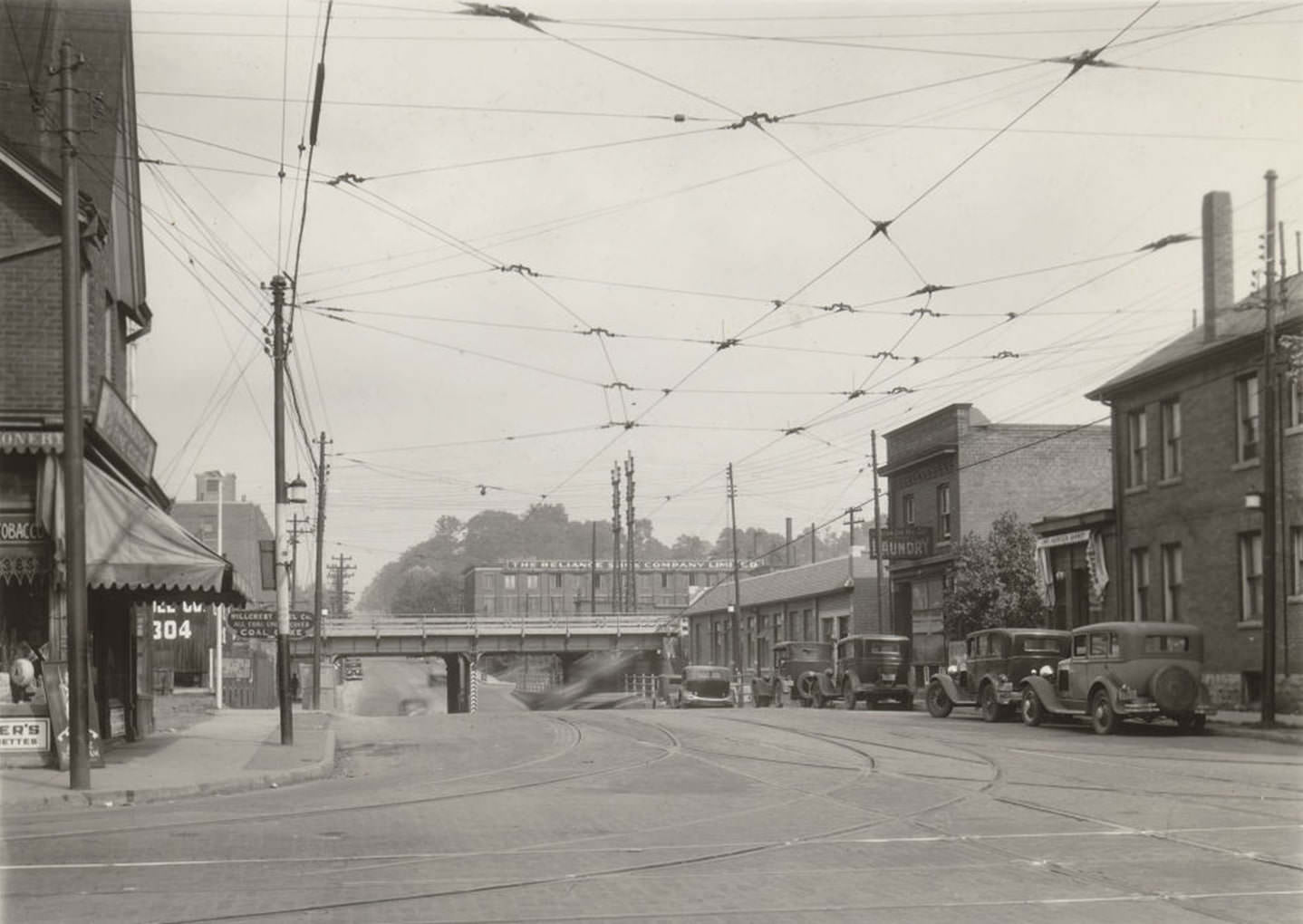
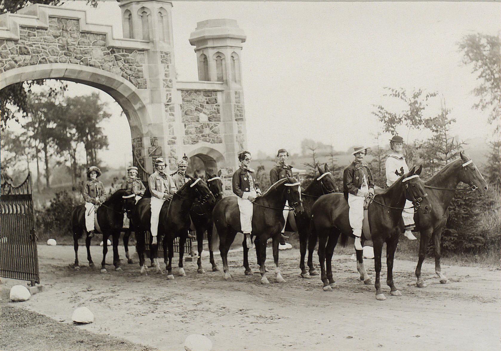
Bathurst Street north of Dupont in 1929 was a residential stretch with a modest commercial presence — the kind of street that anchored stable working-class communities across the Annex and Seaton Village neighborhoods. In a more theatrical register, a procession of clowns was photographed at the gates of Sir Henry Pellatt’s Casa Loma estate in 1922, suggesting that the castle was already being used for public entertainments even before Pellatt was forced to vacate in 1923.
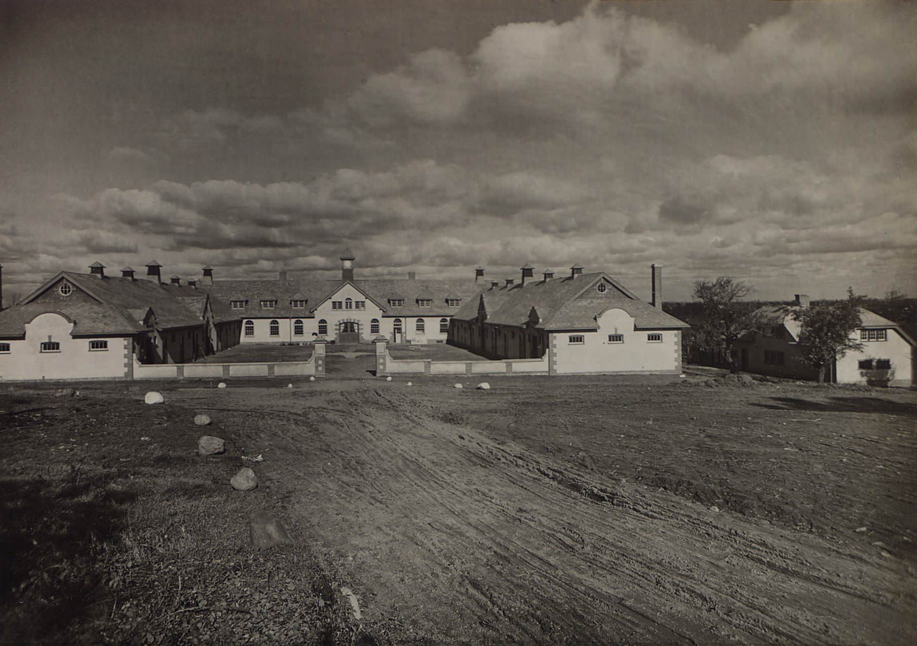
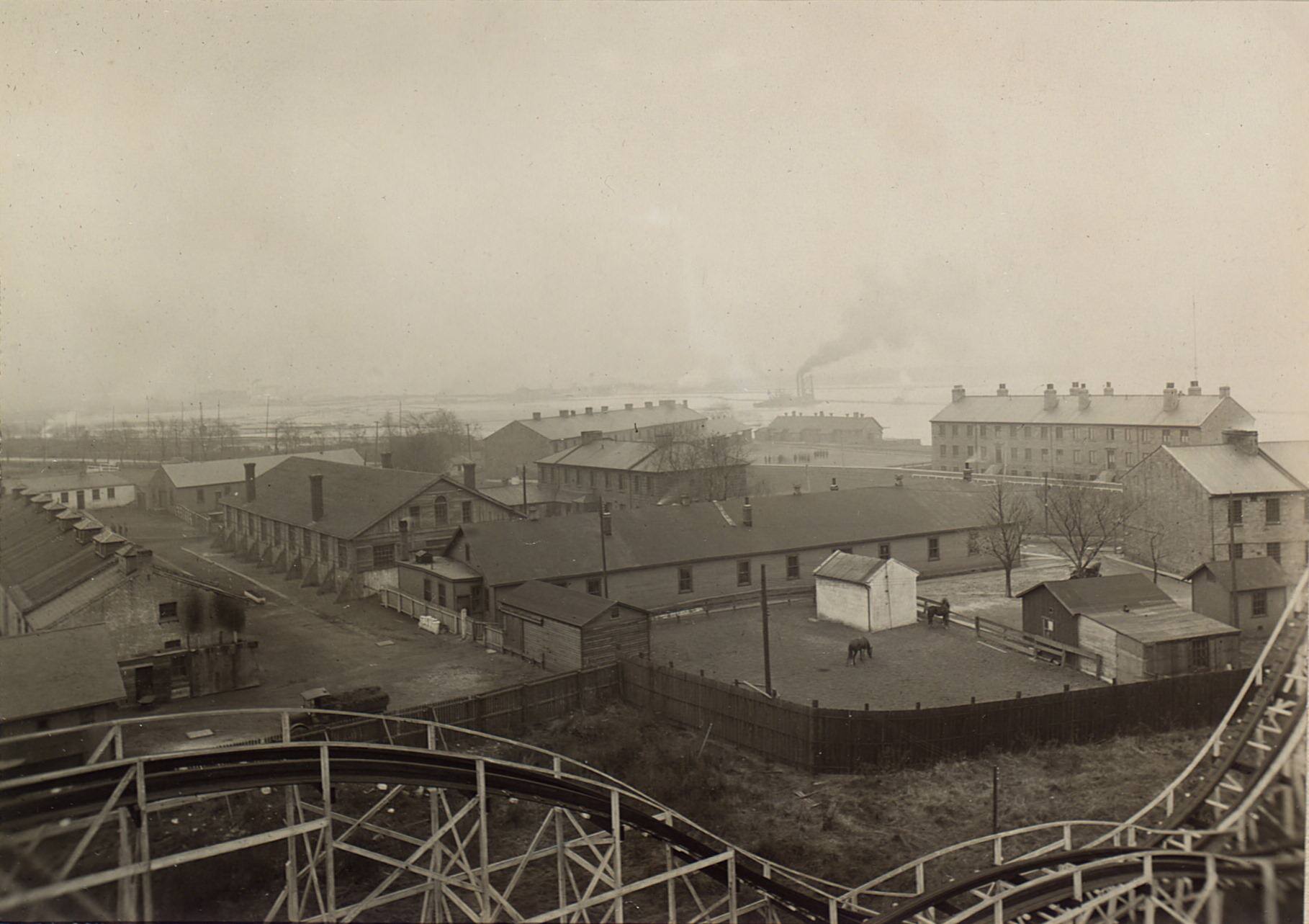
The Eglinton Hunt Club maintained stables north of the city in 1921, a sign that horse culture was still alive among Toronto’s upper classes even as automobiles took over the streets below. The Stanley Barracks, photographed from a ride at the Canadian National Exhibition in 1923, stood near the CNE grounds on the western waterfront. The CNE was one of Toronto’s most significant annual events, drawing hundreds of thousands of visitors each year.
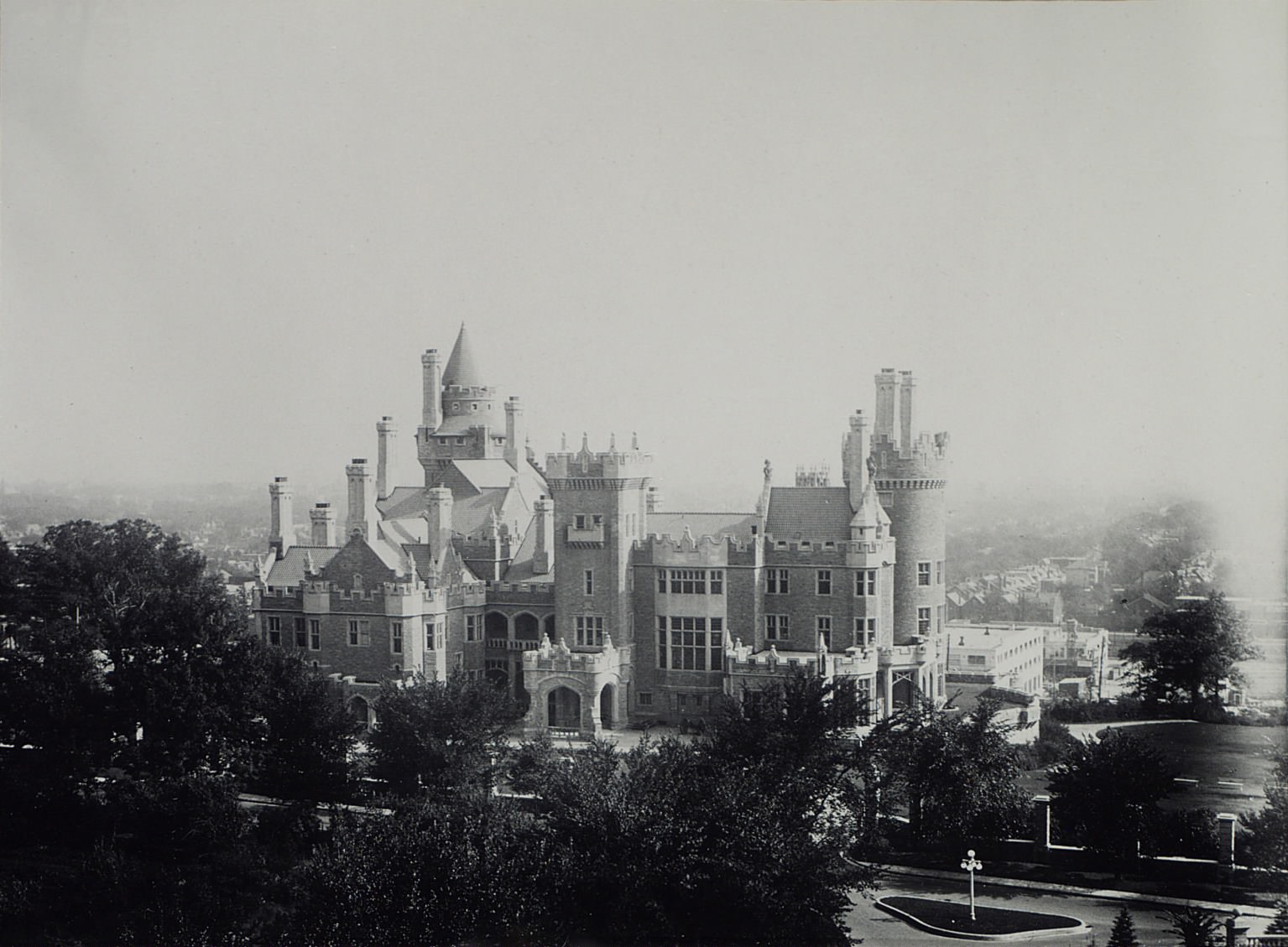
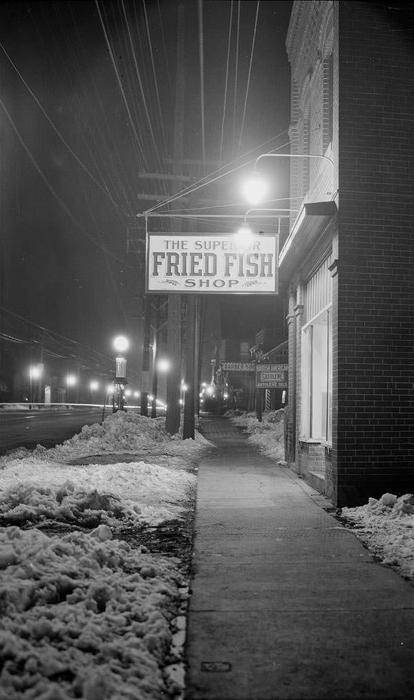
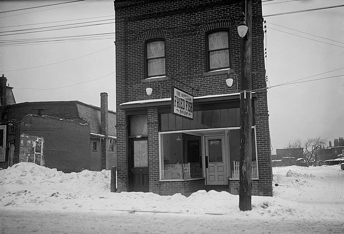
Casa Loma, photographed from the stables water tower in 1922, was still in Pellatt’s possession at that point, though his financial troubles were mounting. He would be forced to leave in 1923. The 98-room castle had cost a fortune to build between 1911 and 1914 and was impossible to maintain. Meanwhile, down on Yonge Street, the Superior Fried Fish Shop photographed at night in March 1923 showed a very different side of the city — the neon-lit, working-class commercial strips that fed ordinary Torontonians.
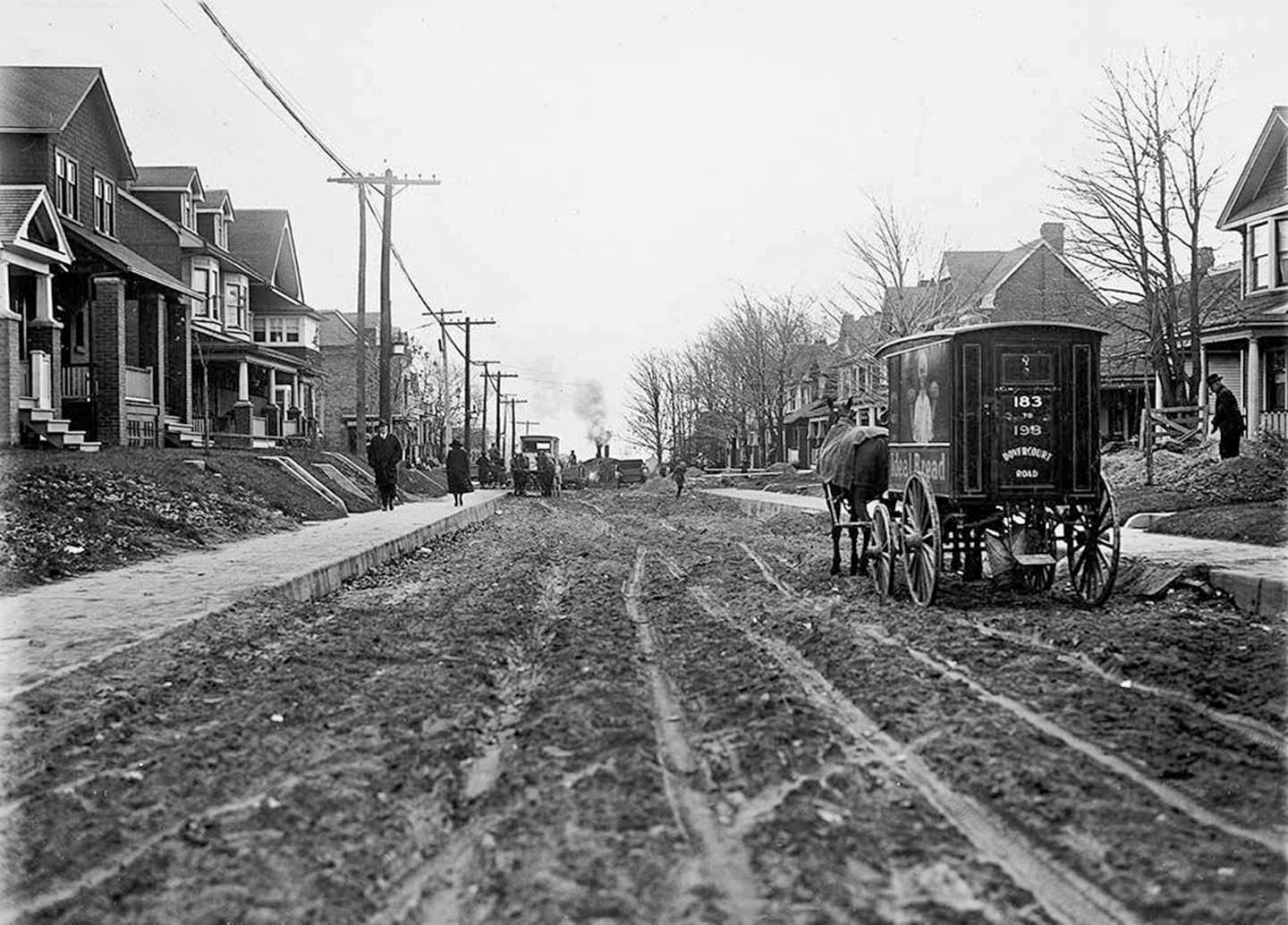
The Ideal bread wagon photographed on Woodbine Avenue in November 1921 represents the still-active horse-drawn delivery economy of the early decade. Bakeries, dairies, and grocers all used horse-drawn wagons to make home deliveries across Toronto’s residential streets. By the end of the decade, most of these wagons would be replaced by motorized trucks, but in 1921 the horse was still doing a significant share of the city’s daily work.
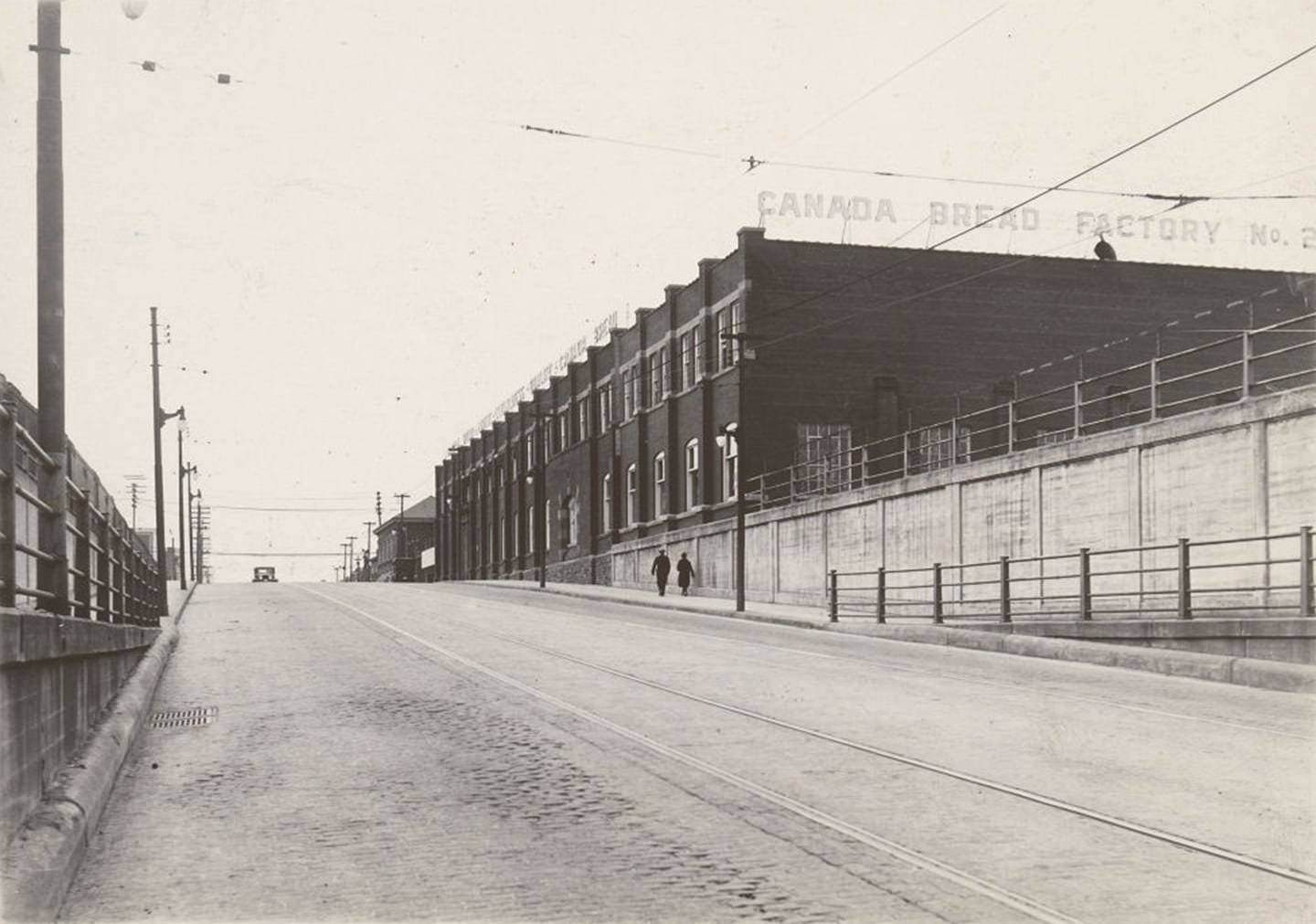
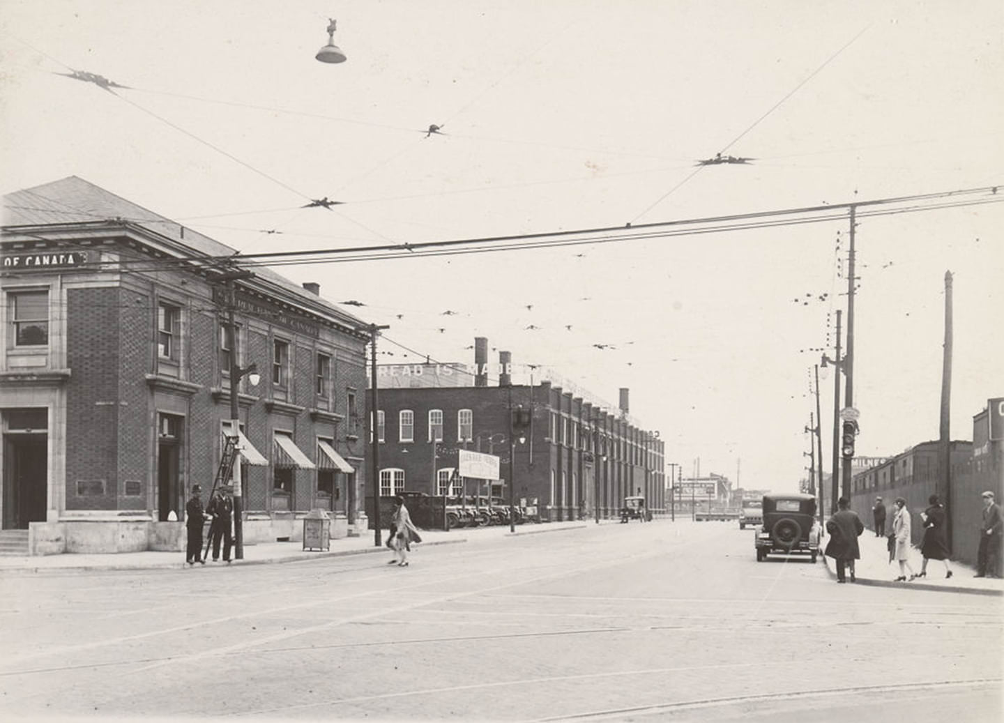
Canada Bread Company’s Factory No. 2 at Bloor and Dundas was a major industrial presence in the west end. Photographed from both directions in 1929, the factory was a large-scale commercial bakery that supplied bread to a wide region. Its prominence on Bloor Street West illustrated how industrial and residential uses coexisted on the same streets throughout 1920s Toronto — factories were not hidden away in distant zones but were planted squarely in the middle of neighborhoods.
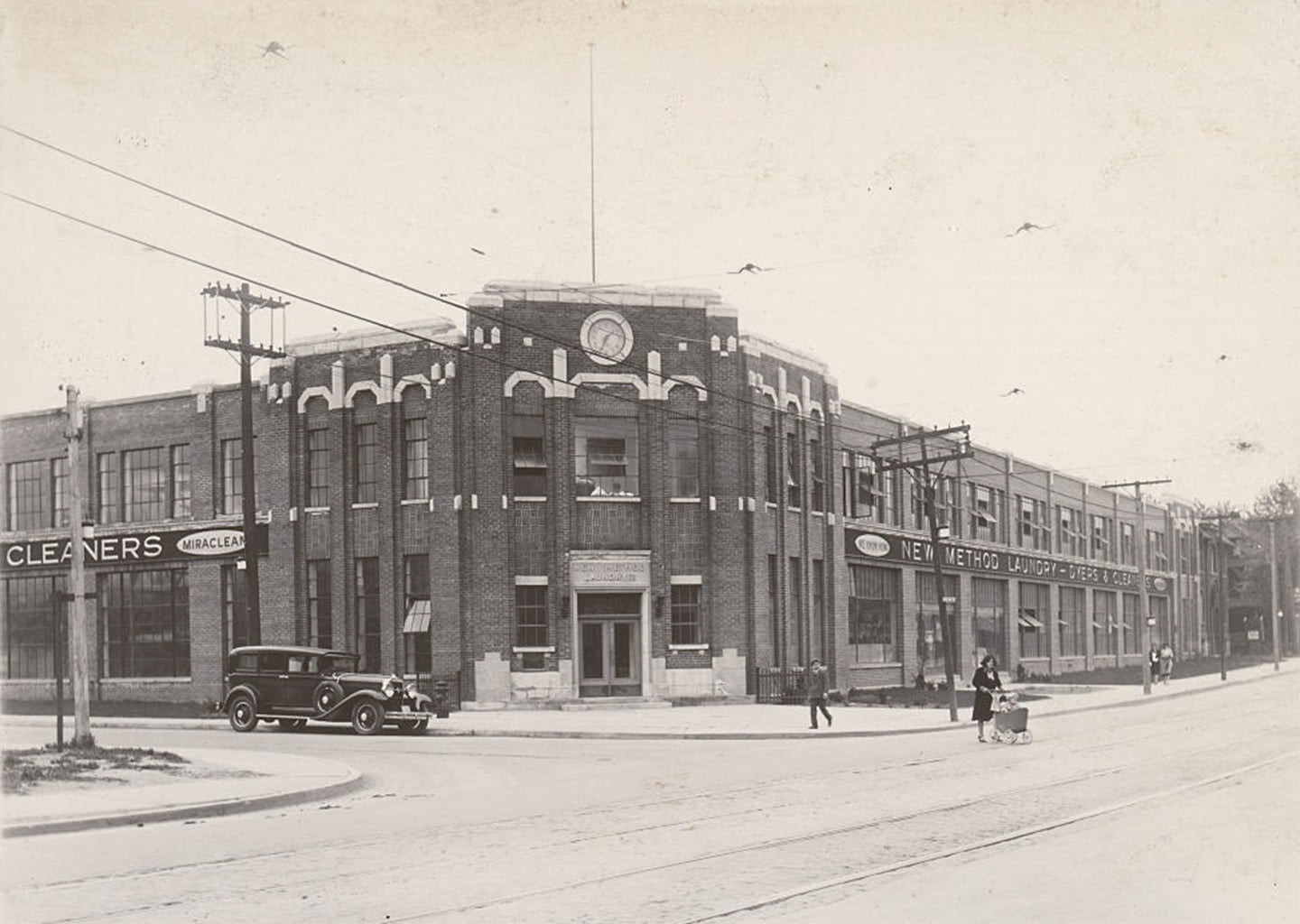
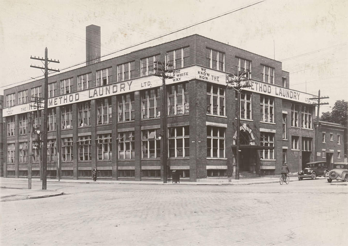
The New Method Laundry Company operated from multiple locations across the city, with buildings at College Street and Crawford, and at Queen Street East and River Street. Commercial laundries served both residential customers and the hotel and restaurant industries. Their scale and the quality of their buildings suggest they were profitable, well-organized operations in a city where cleanliness and presentation mattered increasingly to a growing middle class.
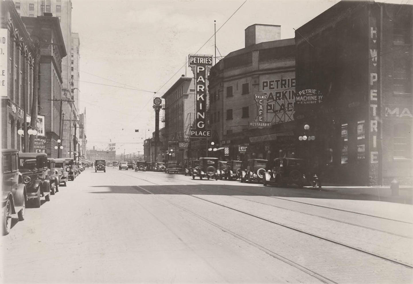
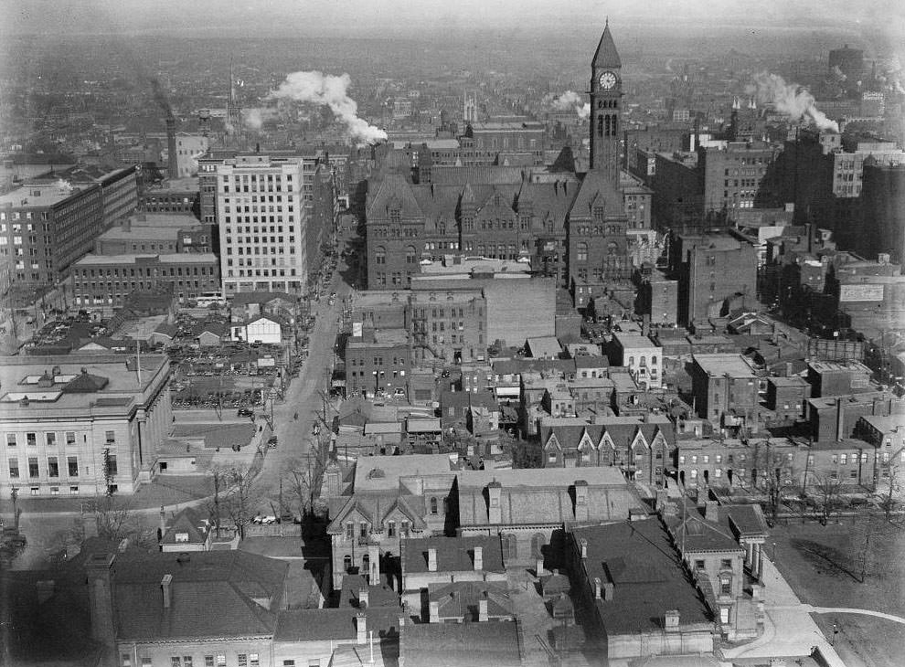
A second photograph of Petrie’s Parking Place captured its new sign from a different angle in 1929, confirming how prominently parking facilities were marketing themselves to downtown drivers. From the tower of the Canada Life Building on University Avenue, the view looking east in 1929 showed a dense, well-developed city core stretching toward Yonge Street. The Canada Life Building itself was one of the anchor buildings on the newly developed University Avenue corridor.
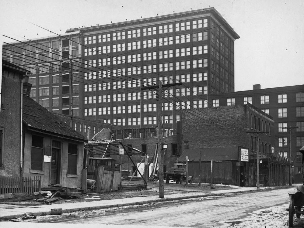
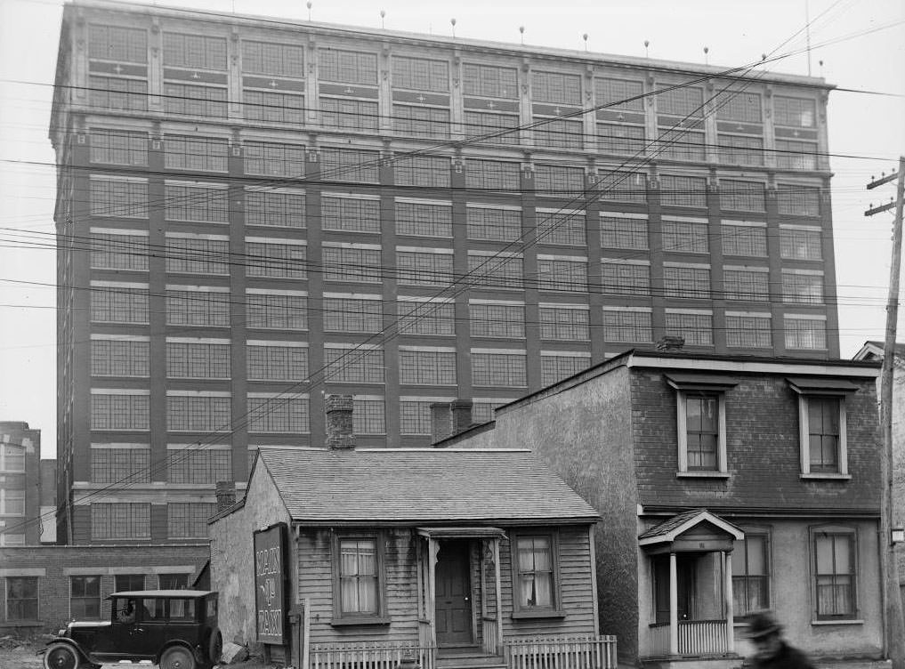
The T. Eaton Company was the most dominant retail force in Toronto and one of the largest in Canada. The Eaton factory loomed over Louisa Street — a road that no longer exists, having once run parallel to Albert Street just north of it. The entire factory site was eventually demolished and replaced by the Eaton Centre. Eaton’s mail order building, photographed from Dundas Street West in 1925, handled orders from across the country, making the company’s reach far larger than any single store.
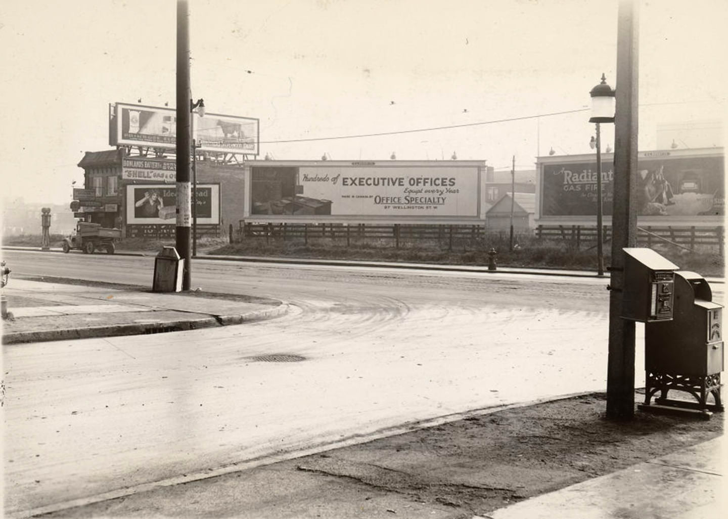
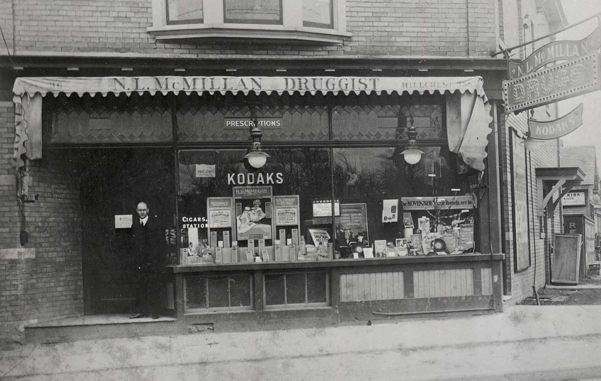
The intersection of Danforth and Donlands was a busy node in the east end, its four corners reflecting the active commercial strip that Danforth Avenue had become. Further west, McMillan’s drug store on Vaughan Road at Ellsworth Avenue served the residential community around it — a typical neighborhood pharmacy occupying a corner storefront and serving as an informal community anchor.
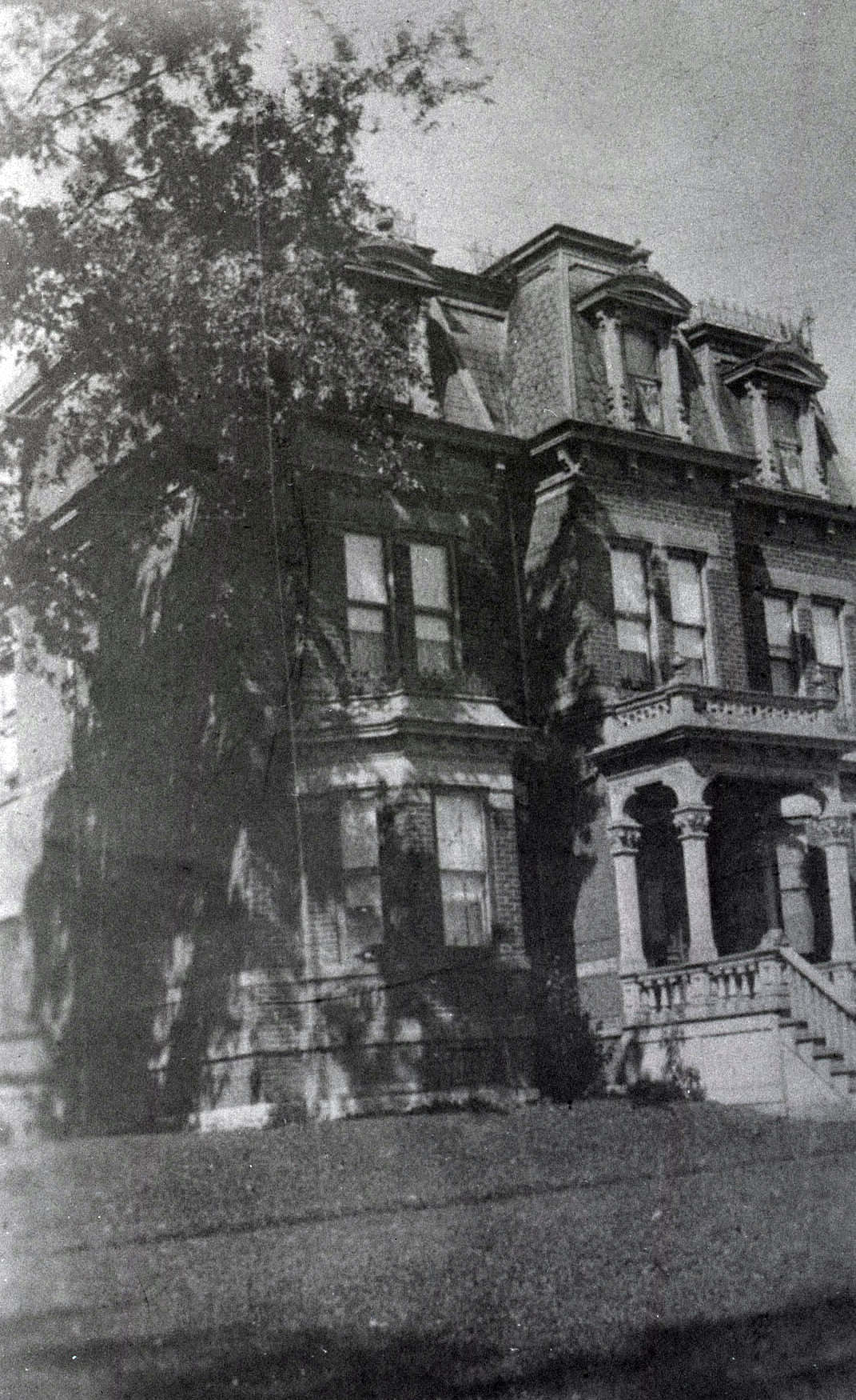
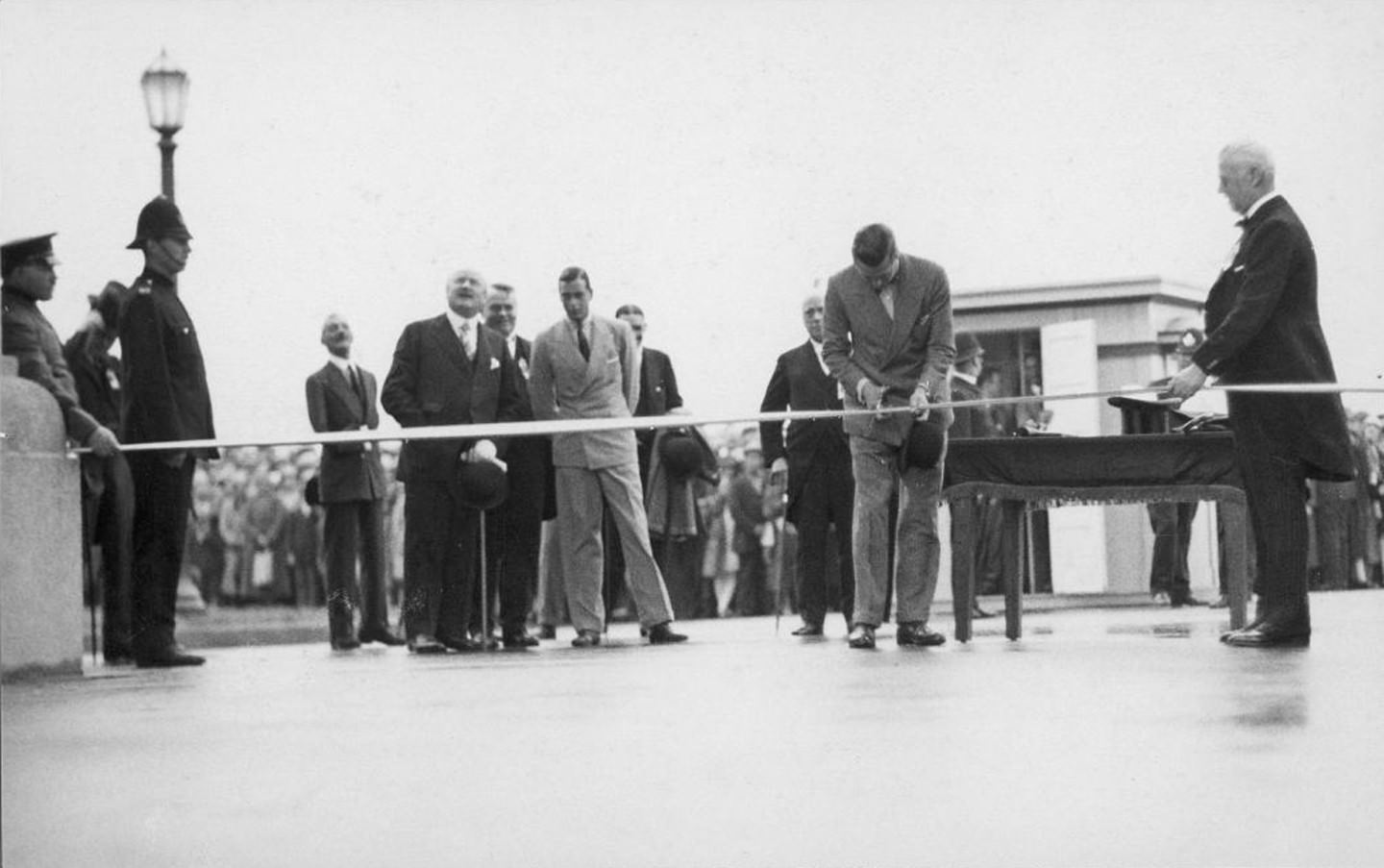
Abbey Court on Yonge Street at Orchard View Boulevard was part of a wave of residential apartment buildings constructed in the late 1920s as Toronto’s population demanded more urban housing. On August 30, 1927, the ribbon was cut at the formal opening of the Princes’ Gates at the Canadian National Exhibition — an ornate ceremonial entrance built to commemorate the Diamond Jubilee of Confederation and named in honor of the Prince of Wales and his brother.
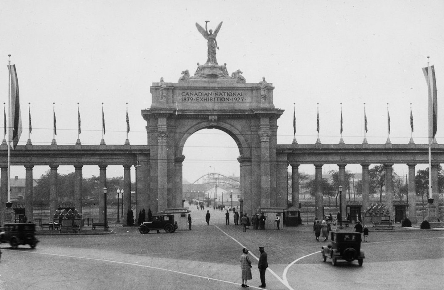
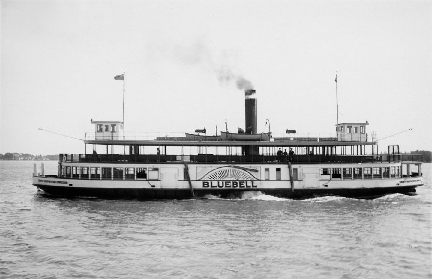
The Princes’ Gates stood as a grand entrance to the CNE grounds, its columns and sculpture designed to impress the fair’s millions of annual visitors. The ferry S.S. Bluebell, photographed by Alfred Pearson in June 1927, was one of the vessels that moved passengers between the mainland and Toronto Island. The ferry system was essential to island life, operating year-round to connect the small residential and recreational community to the city.
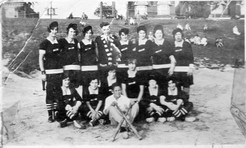
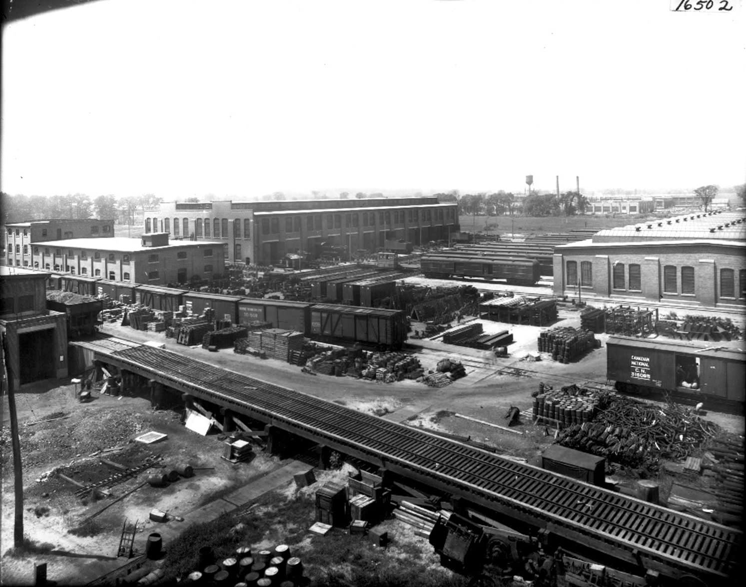
Amateur baseball was enormously popular throughout Toronto in the 1920s, and neighborhood teams like the Danforth Baseball Team of 1929 competed in leagues across the city. Organized sport brought communities together and gave young men a structured outlet for competition. On the industrial side, the CNR shops at Leaside, photographed in 1920, formed a major complex of locomotive and equipment maintenance facilities. Only one building from the complex survives today, now home to a grocery store east of Laird Drive.
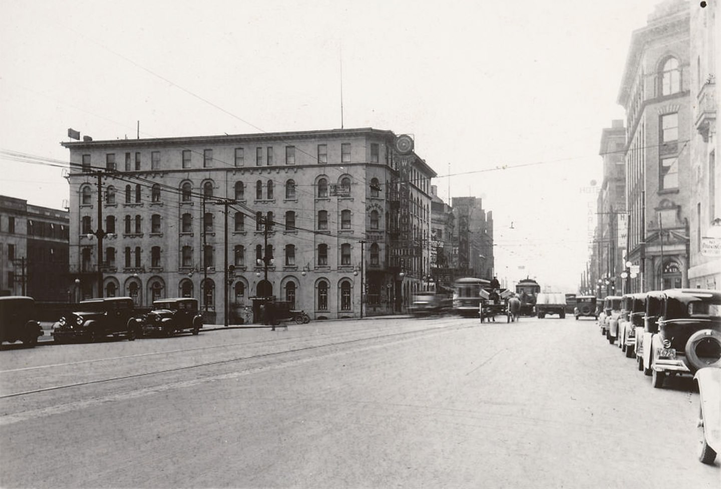
A street photograph from September 1928 captured Toronto at the height of its late-decade energy. On Front Street West looking toward York Street, the Walker House Hotel stood prominently on the left — one of the older established hotels in the downtown core, situated near Union Station in a prime location for railway travelers. The hotel district around Front Street was one of the most active parts of the city.
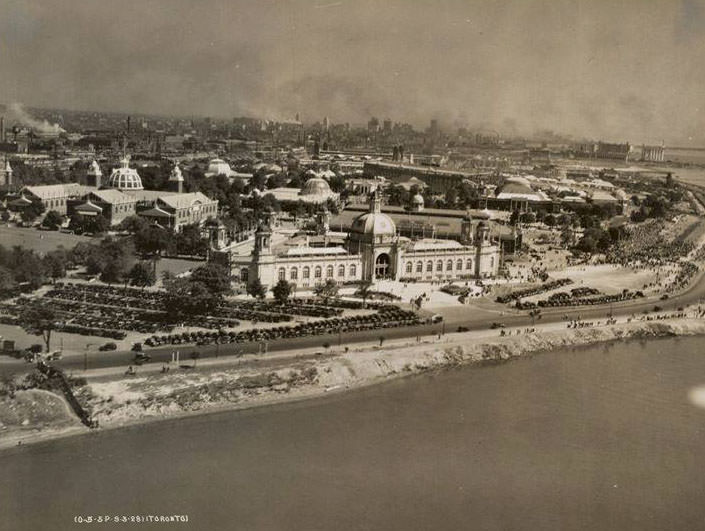
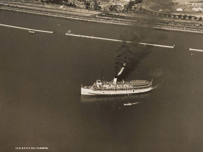
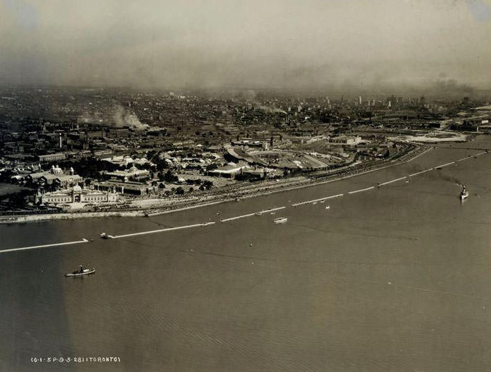
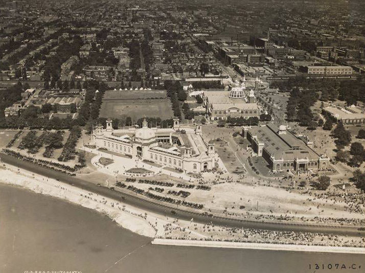
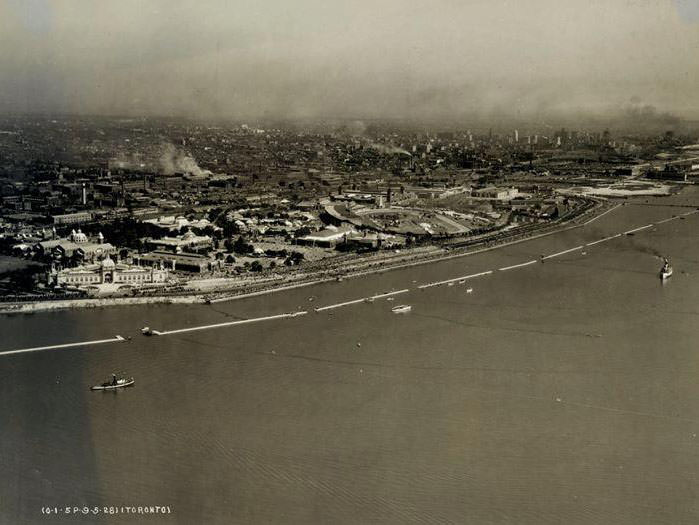
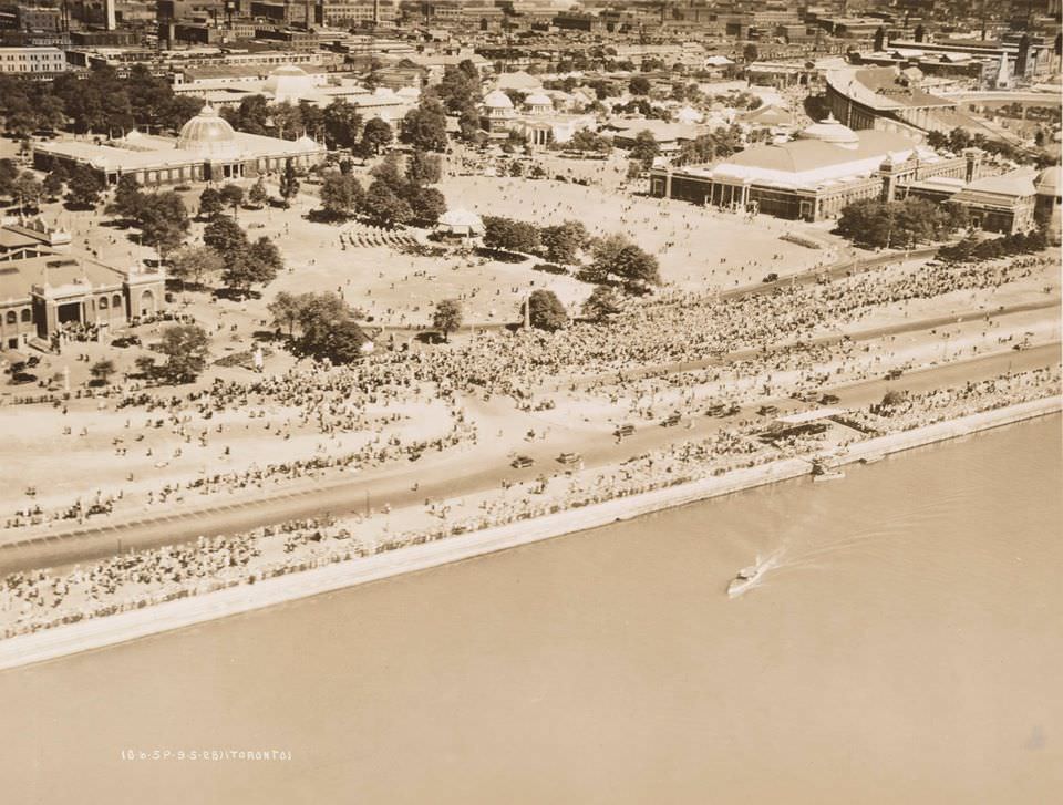
A series of aerial photographs taken on September 5, 1928, during the Industrial Exposition, provided a rare bird’s-eye view of Toronto at its late-1920s peak. The images show the organized grid of the city’s streets, the dense clustering of buildings near the waterfront and downtown core, and the relatively open land still visible to the north and west. These aerial views document a city in the middle of becoming something larger and more complex than it had ever been before.
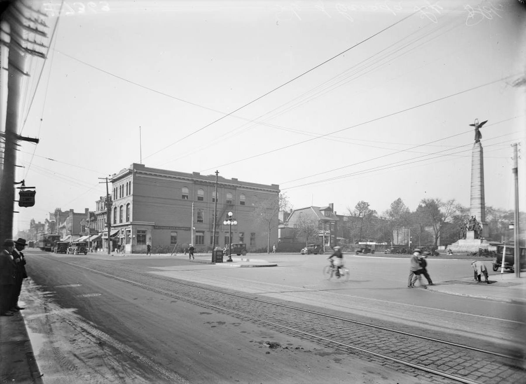
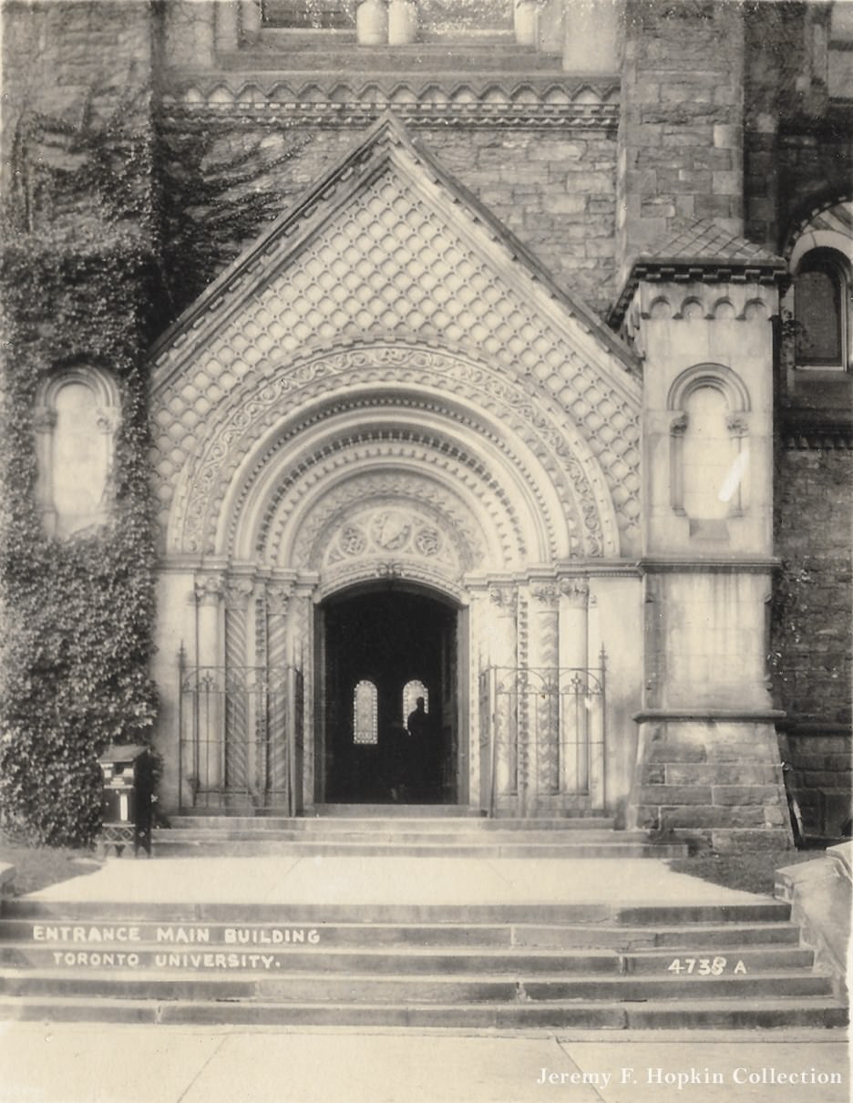
In 1924, the site at University Avenue and Queen Street West was photographed before the Canada Life Building rose there — an empty lot that would soon become one of the city’s major office addresses. The University of Toronto, whose entrance to University College was photographed in 1920, stood as one of the city’s most important intellectual institutions. The university’s campus expanded in the 1920s, and its buildings were among the most architecturally impressive in the city.
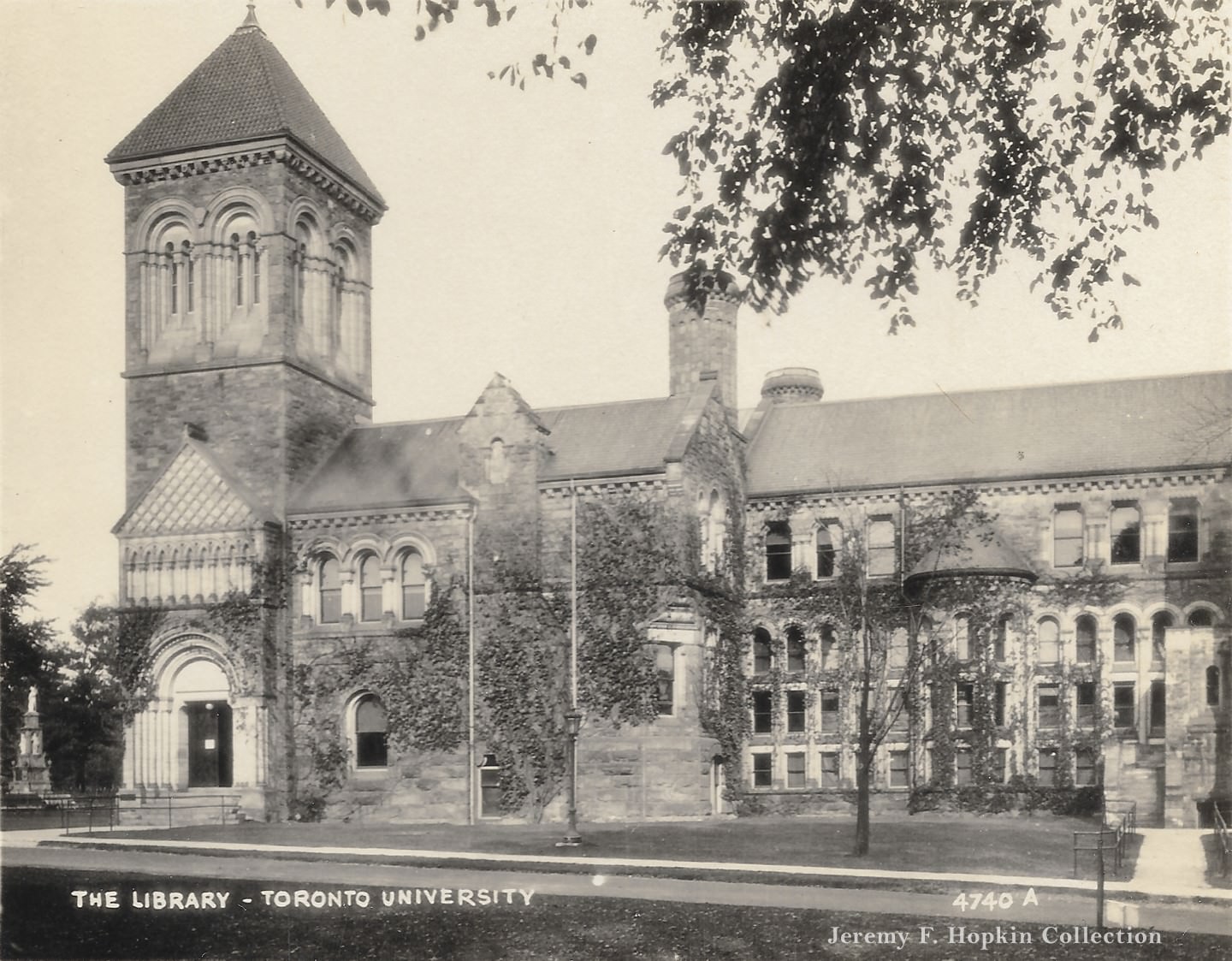
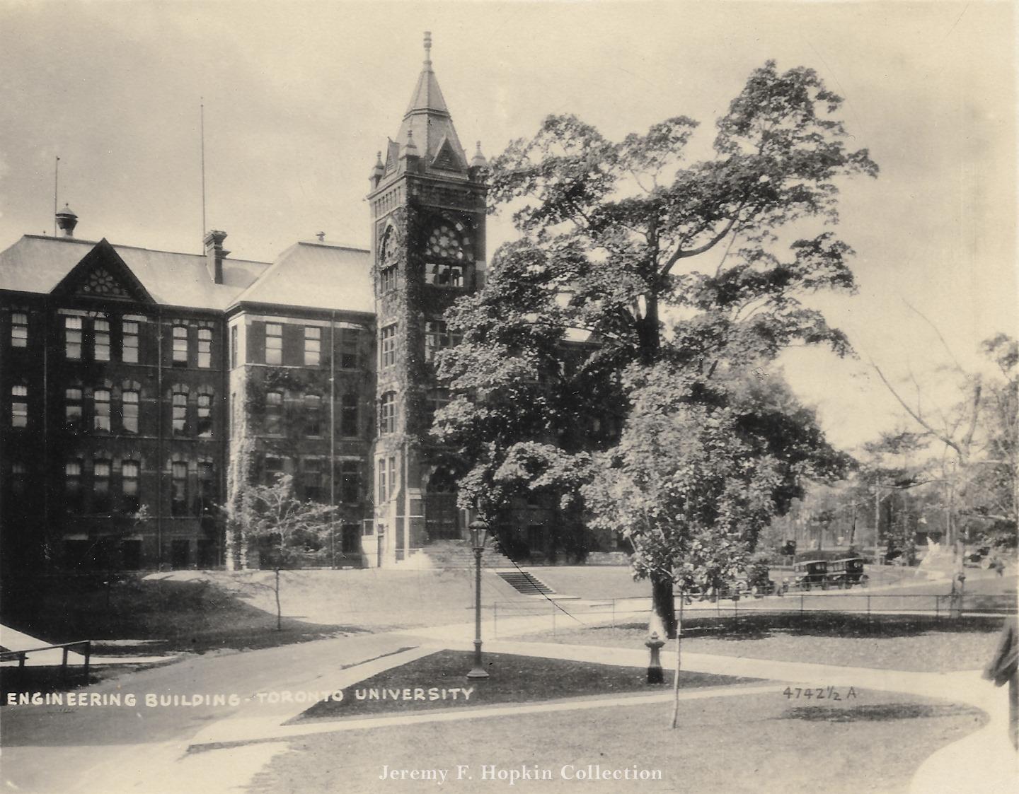
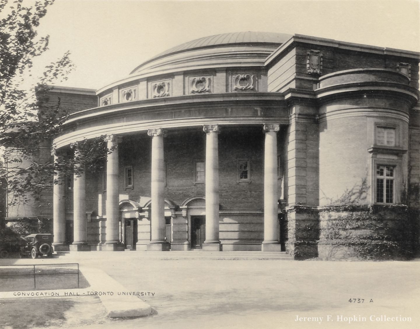
The University of Toronto’s library, engineering building, and Convocation Hall were all photographed in 1920, documenting a campus that had taken its modern shape over the preceding decades. Convocation Hall, completed in 1907, seated thousands and served as the venue for graduation ceremonies and major public lectures. The university’s engineering programs fed directly into Toronto’s industrial economy, producing graduates who went to work in the city’s factories and infrastructure projects.
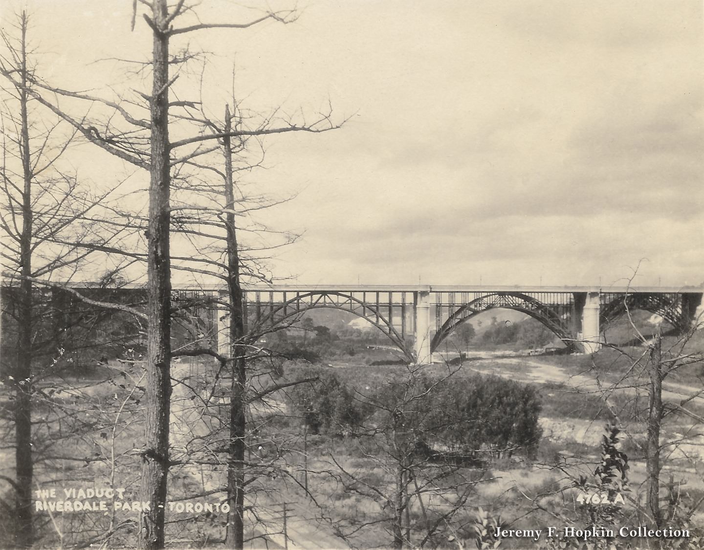
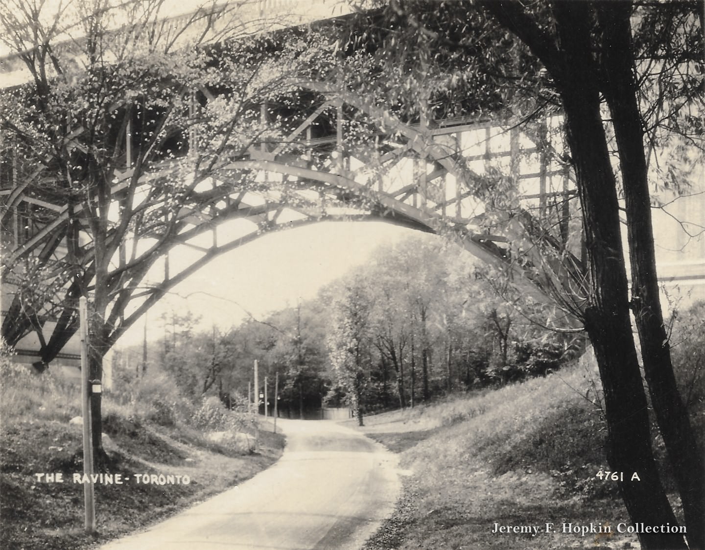
The Prince Edward Viaduct, completed in 1918, was one of the great engineering achievements of early 20th-century Toronto. It carried Bloor Street over the Don Valley, connecting the east and west ends of the city in a way that transformed development patterns. Photographed from Riverdale Park in 1920, the viaduct was still relatively new. Its lower deck, designed from the beginning to carry future subway trains, would not actually be used for that purpose until the Bloor-Danforth subway opened in 1966.
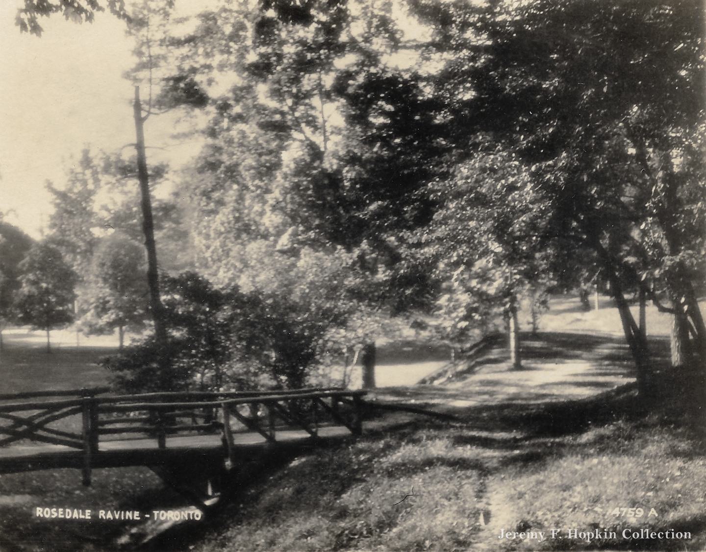
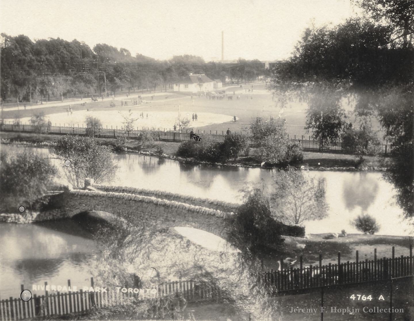
Rosedale Ravine in 1920 offered the kind of natural scenery that made Toronto’s park system distinctive. The ravine network ran through some of the city’s wealthiest neighborhoods, providing green corridors that residents treasured. Riverdale Park, looking south in the same year, showed an open park space in the east end that served working-class families from the surrounding streets.
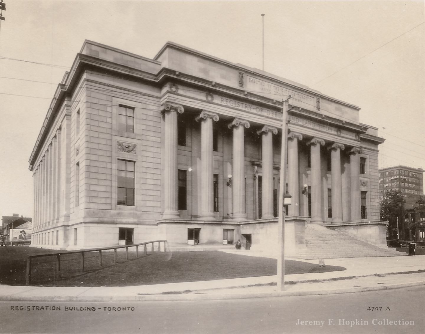
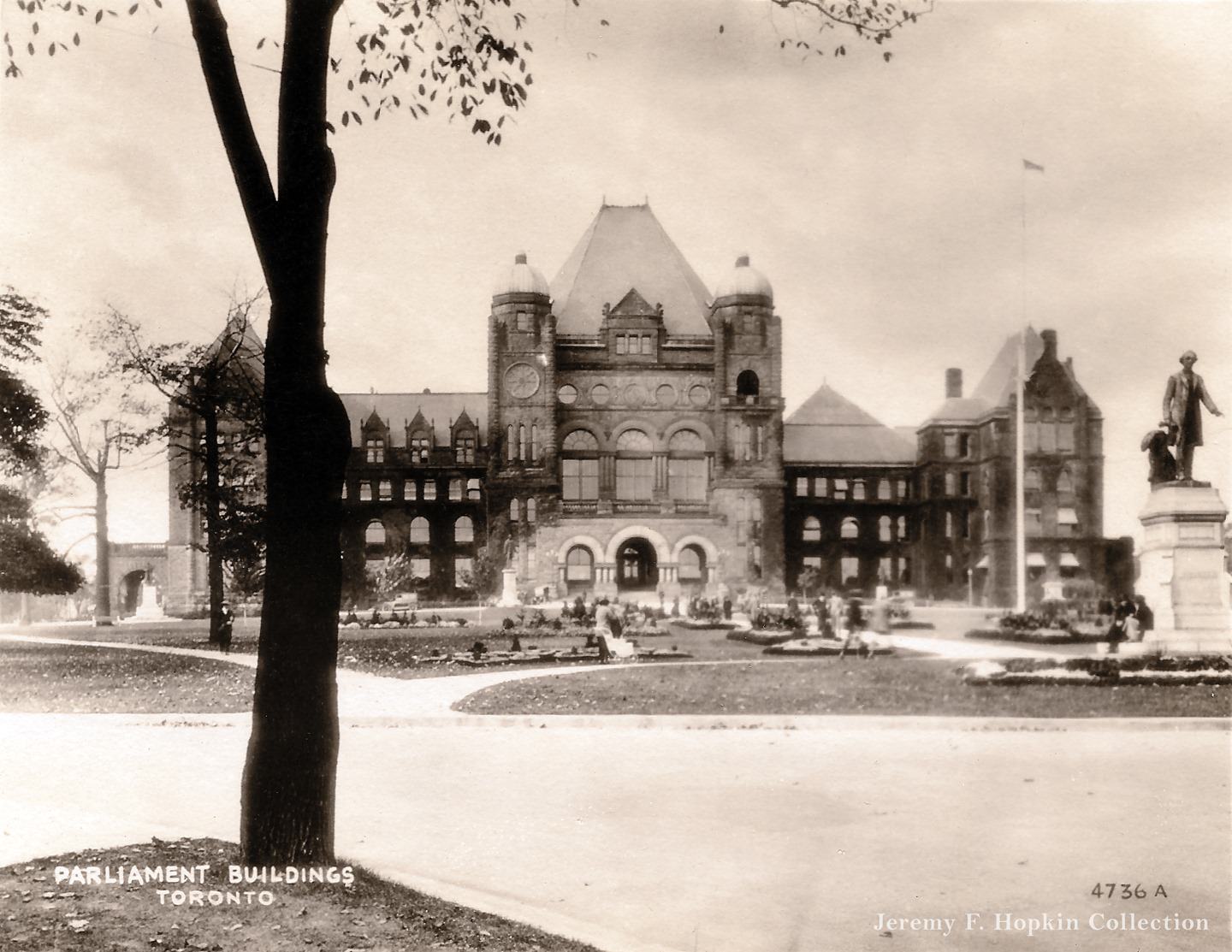
The Registry of Deeds and Land Titles building on Queen Street West stood as a functioning part of city administration until it was demolished in 1957 to make way for the current Toronto City Hall. Its 1920 photograph documents a building that would be gone within a generation. Queen’s Park, home to Ontario’s Parliament Buildings, presented a more permanent face of government — its Romanesque Revival buildings completed in 1893 and still defining the northern end of University Avenue.
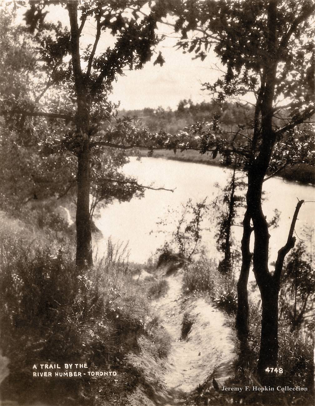
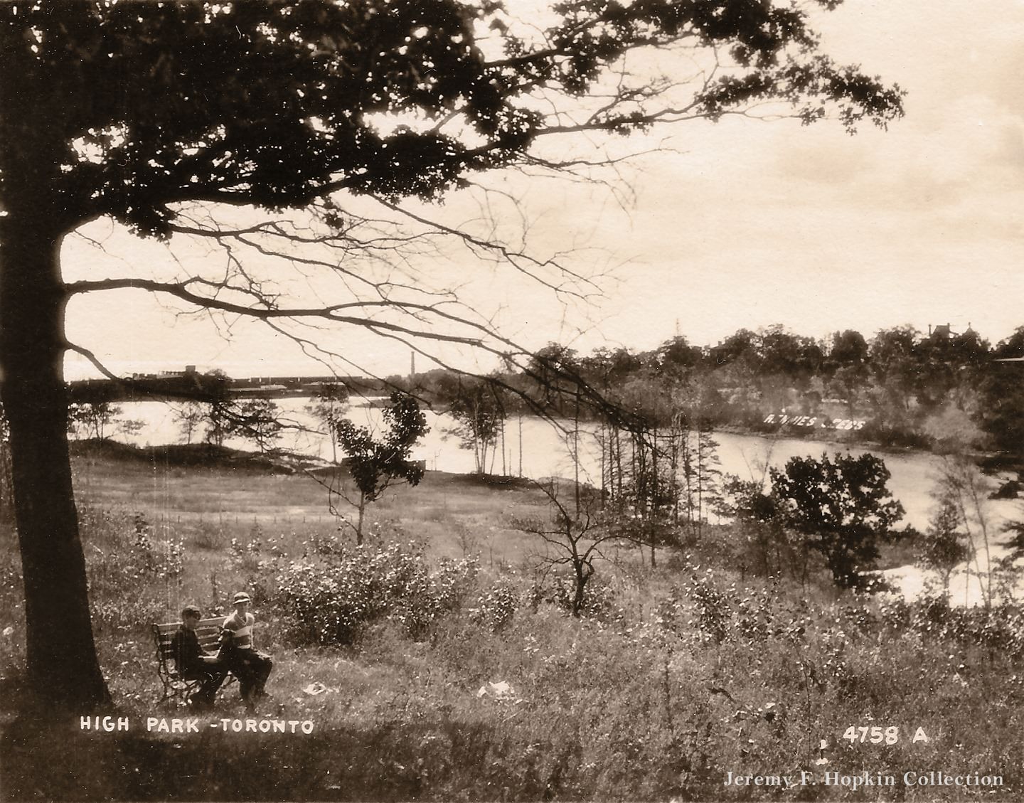
The Humber River on Toronto’s western edge remained a natural and relatively wild corridor in 1920. Its trails were used for walking and cycling by west-end residents. High Park, donated to the city by John Howard in 1873, still contained a working farm in 1920 — the Rennie Seed Company operated on the park’s western portion, a commercial agricultural use that coexisted with the park’s public recreational function.
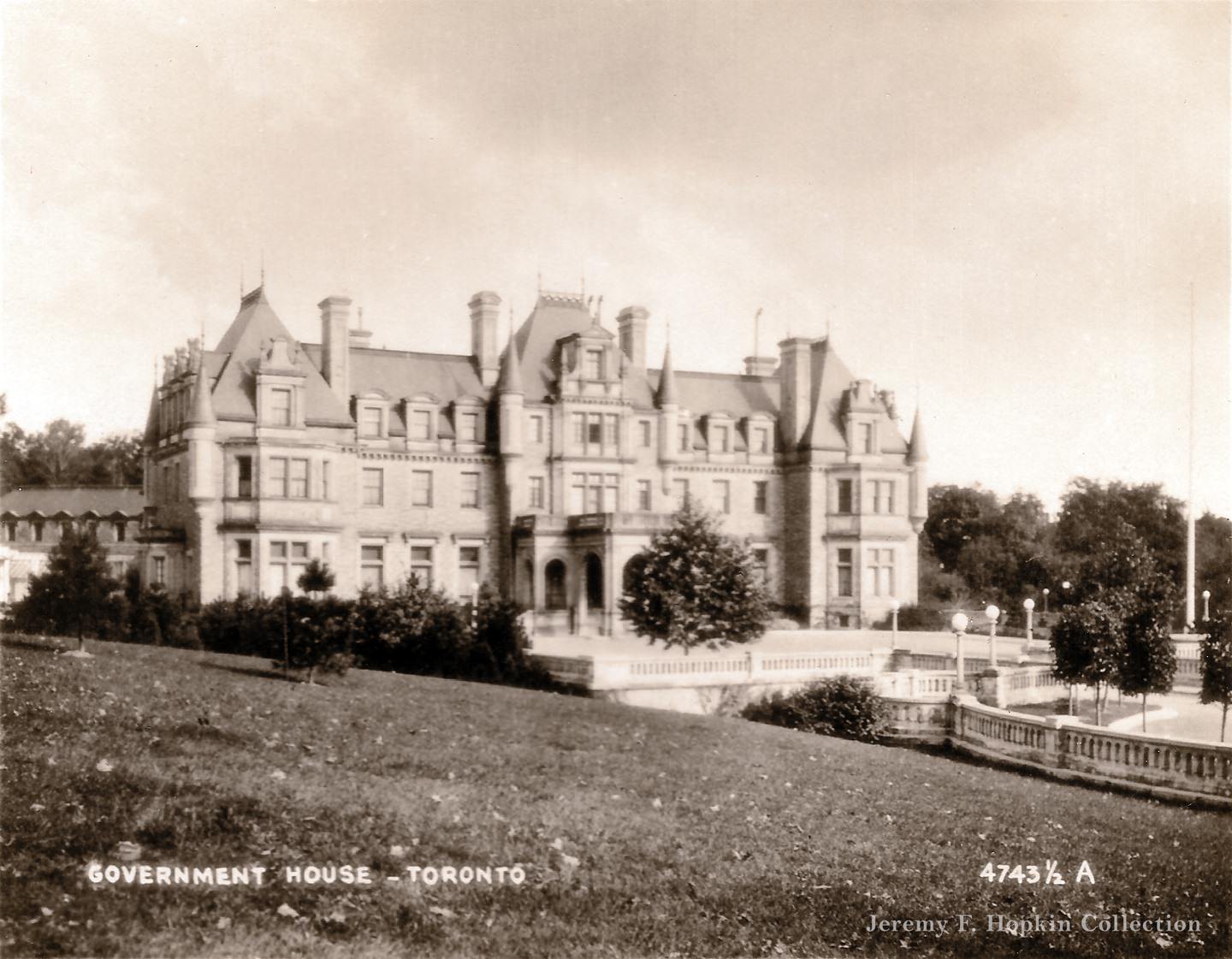
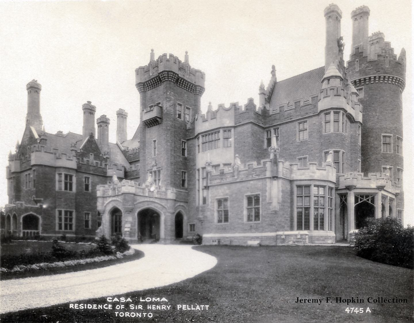
Chorley Park, also known as Government House, served as the official residence of Ontario’s Lieutenant Governor until it was vacated and eventually demolished in the 1960s. Its 1920 photograph shows a grand Edwardian structure in Rosedale that represented the peak of formal governmental architecture in the city. Casa Loma, photographed in the same year, was still in Sir Henry Pellatt’s hands — he would be forced out in 1923 after failing to keep up with the property’s enormous costs.
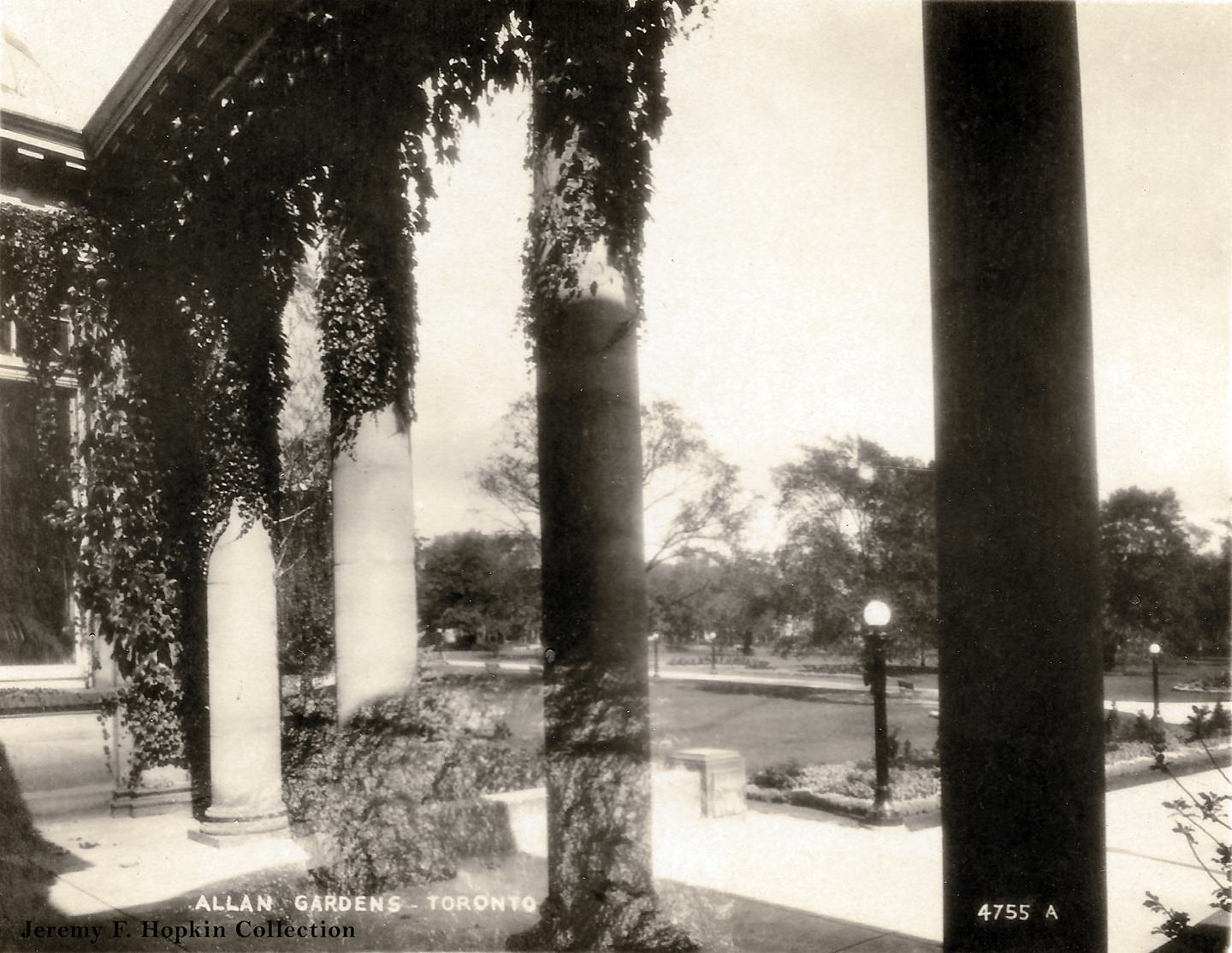
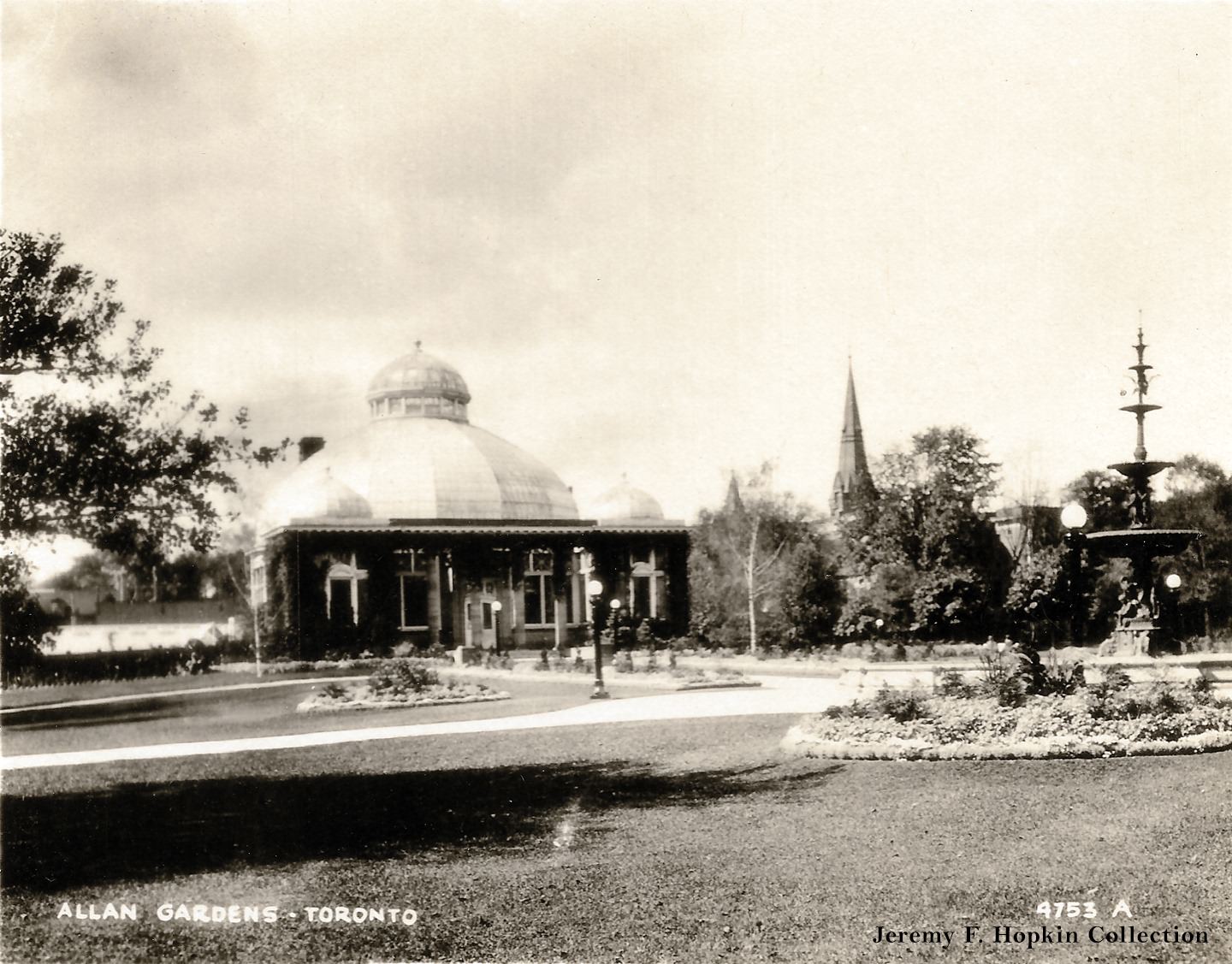
Allan Gardens in the east end of downtown was one of Toronto’s most beloved public parks. Its Palm House conservatory, opened in 1910, was a domed greenhouse that attracted visitors year-round. The 1920 photographs of the gardens show the park in its established form — a green oasis surrounded by the dense residential streets of Cabbaagetown and the adjoining neighborhoods.
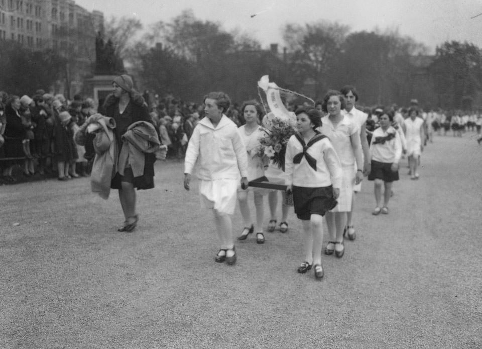
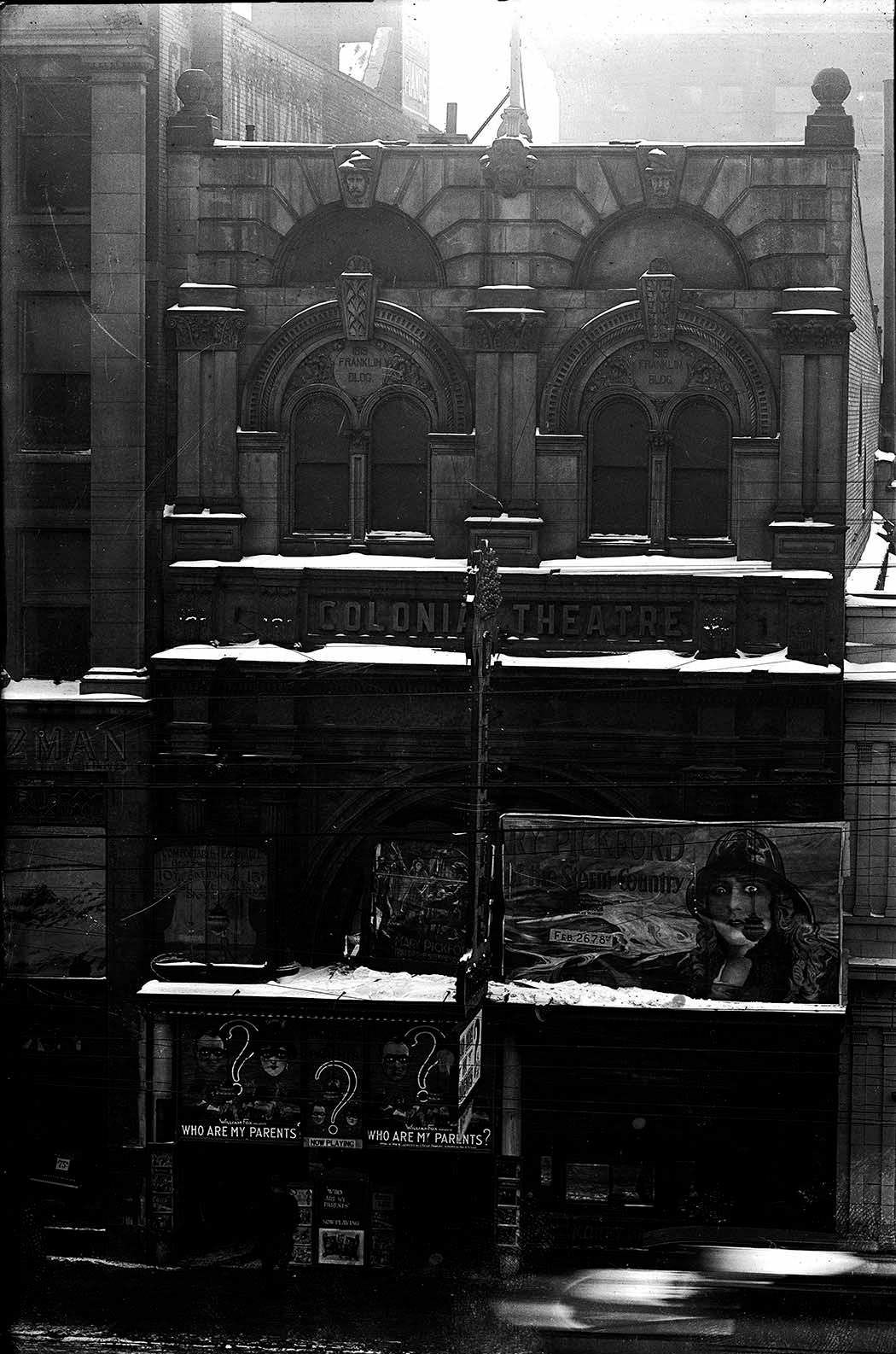
Empire Day on May 23 was a major civic celebration in 1920s Toronto, marked with school parades, flag displays, and patriotic ceremonies. The Morse Street School flower party in 1929 was part of that tradition — students dressed for public display of civic pride. The Colonial Theatre on Queen Street, photographed in 1923, was a building assembled from fragments of the old Customs House, a detail that speaks to how Toronto’s buildings were sometimes recycled and repurposed rather than built entirely from scratch.
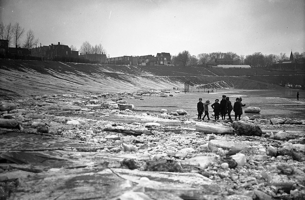
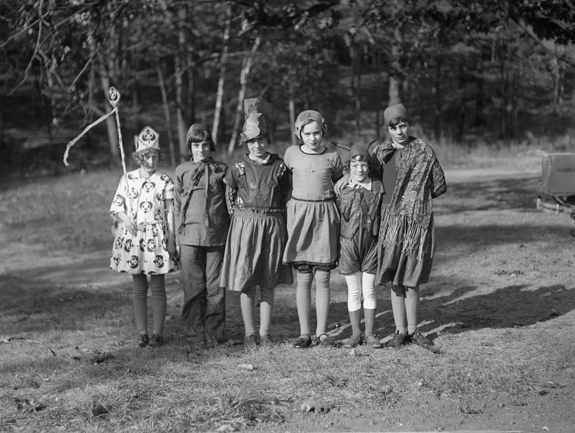
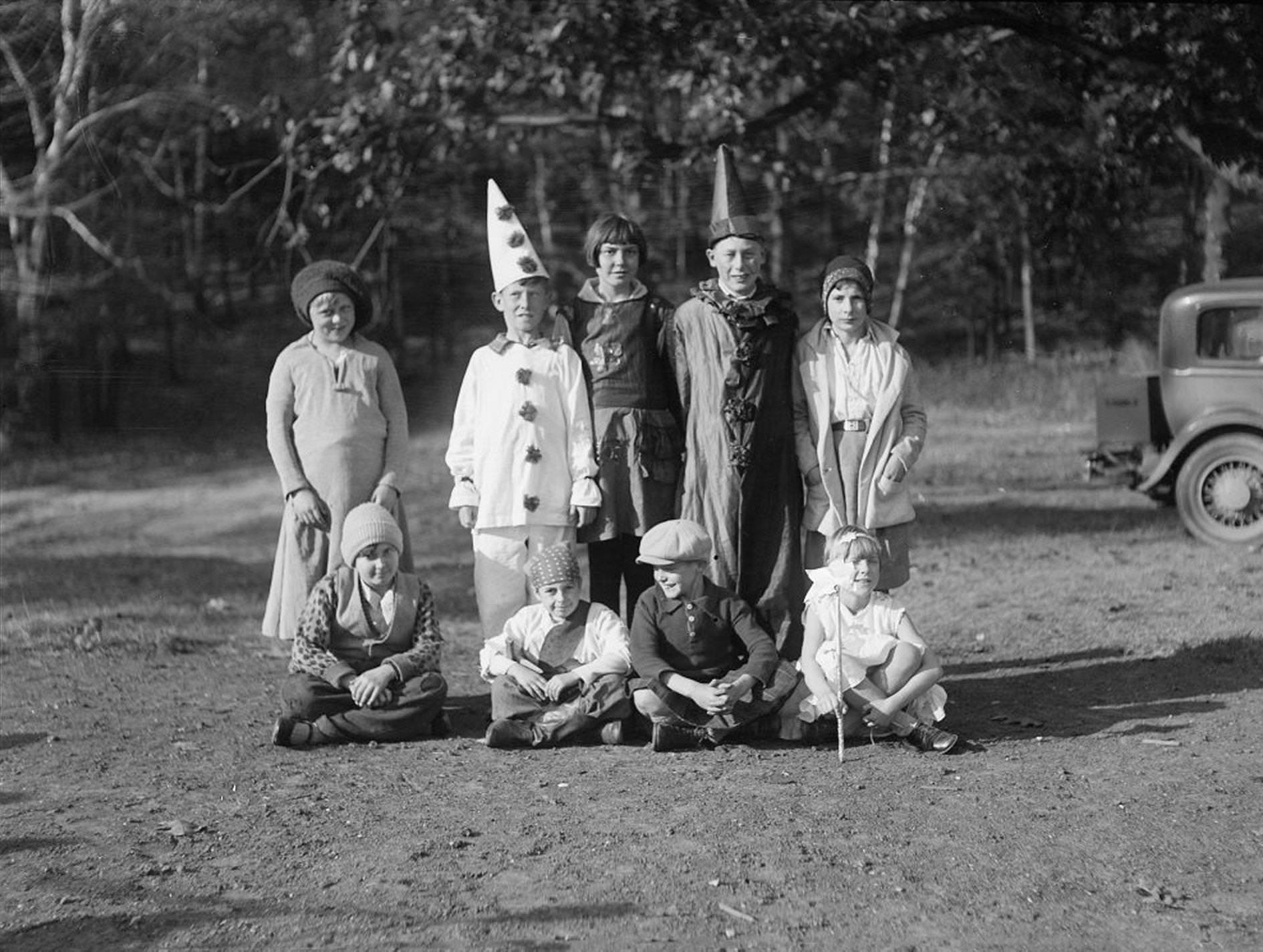
Children’s life in 1920s Toronto was shaped by the seasons. A February 1925 photograph shows kids playing on ice at Riverdale’s west side north of Gerrard Street — outdoor winter play that was a normal part of childhood across the city. The Victoria Park Forest School, an outdoor educational facility, held a Halloween party on October 28, 1929, with two groups of costumed students photographed amid the autumn trees. Forest schools were an early effort to bring children’s education into natural settings.
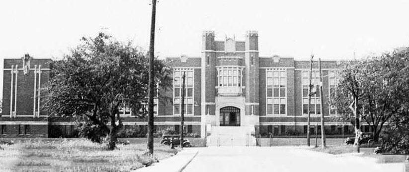
York Memorial Collegiate was built in 1929, a large and impressive secondary school in the City of York. Its construction at the end of the decade reflected the sustained investment in public education that characterized Toronto and the surrounding municipalities throughout the 1920s. Schools like York Memorial served rapidly growing residential populations that had spread beyond the old city boundaries.
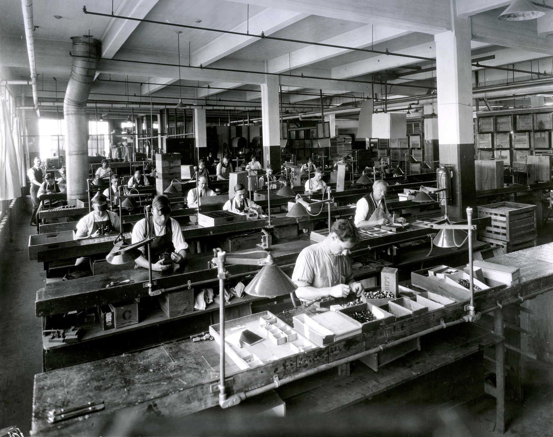
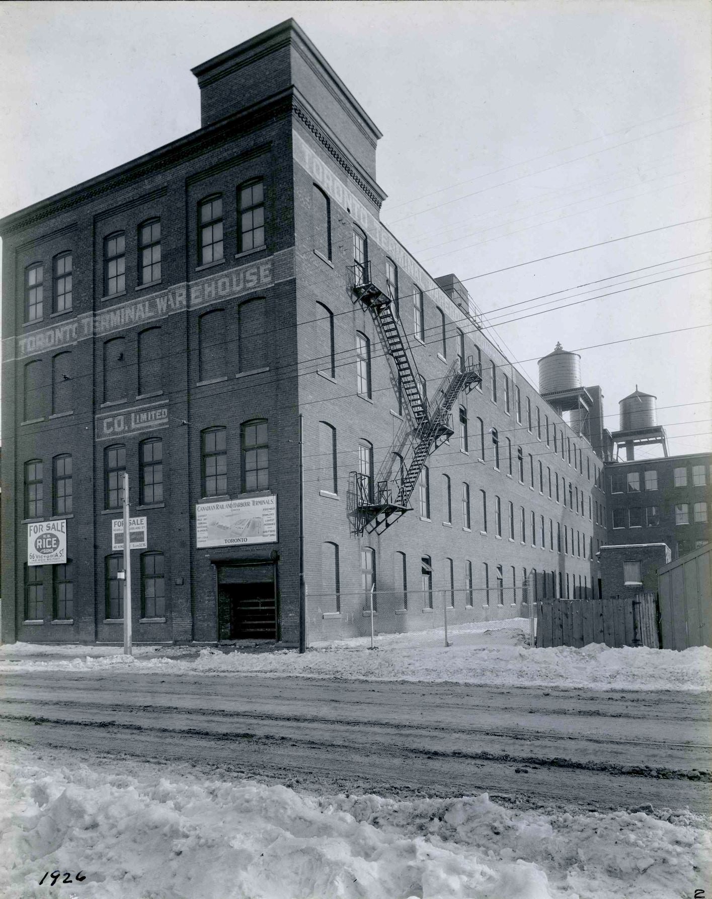
Canadian Kodak’s factory at Kodak Heights, in the Mount Dennis area, was one of the most advanced manufacturing facilities in the country. The camera assembly area photographed in 1923 shows rows of workers at benches, engaged in precise assembly work under good lighting. The King Street premises at 588 King Street West, photographed in 1926 nearly a decade after Kodak had completed its move to Kodak Heights, document the company’s earlier urban location. The King Street portion of the building bordering Adelaide Street was constructed during an earlier expansion phase.
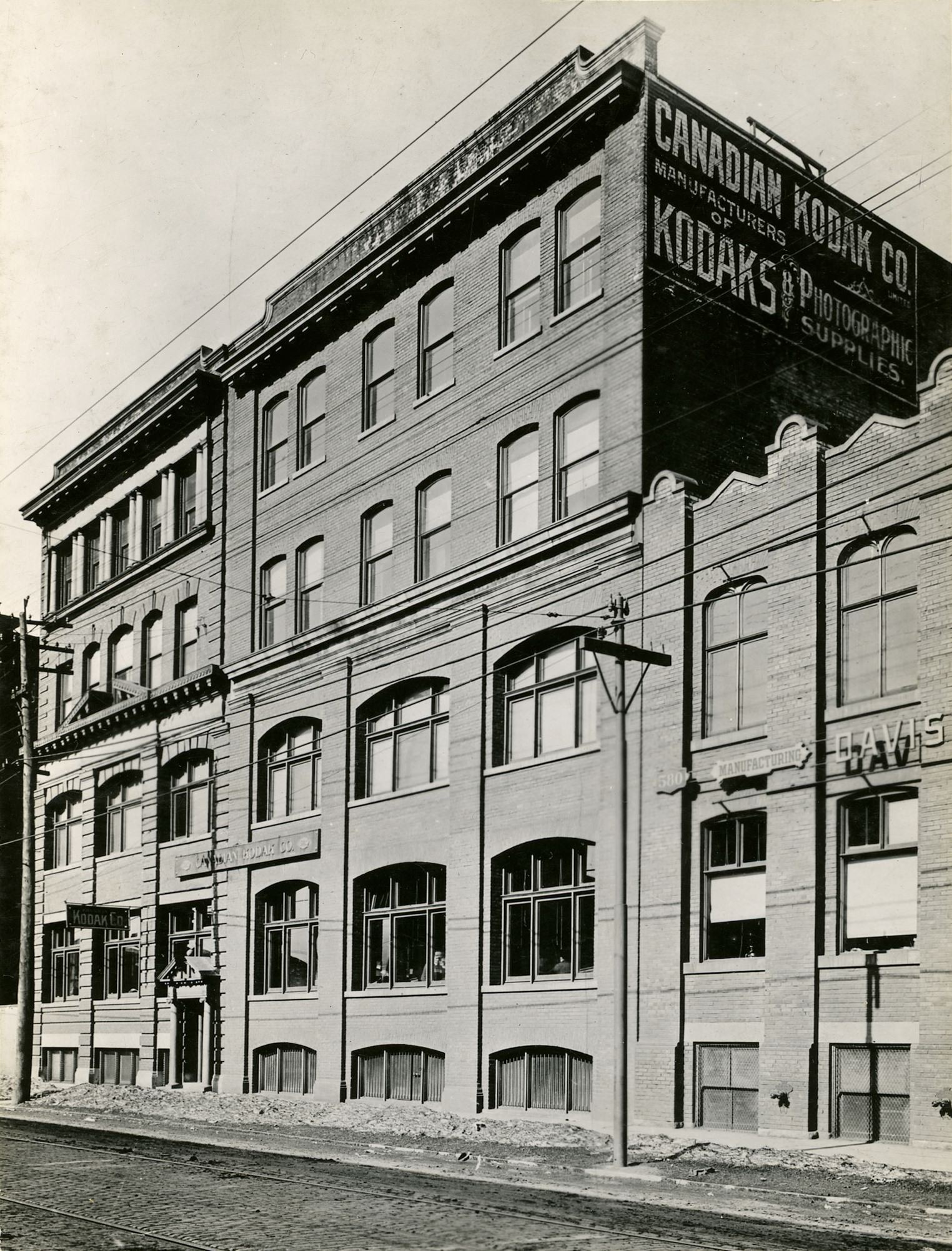
The frontal view of the old King Street premises shows a substantial industrial building that served Kodak well during its first two decades in Canada. Even earlier, from 1899 to 1901, Kodak’s Canadian headquarters were at 41 Colborne Street — a downtown office address that reflected the company’s modest beginnings before it expanded into large-scale manufacturing. By the 1920s, Kodak was a major employer and one of the most recognizable companies in the country.
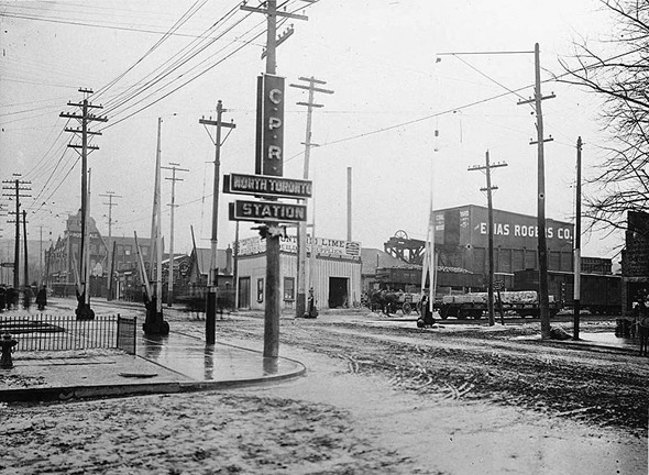
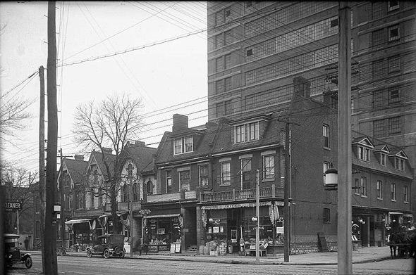
Looking southwest from the CPR North Toronto Station in 1920, Yonge Street stretched away toward the old city in a view that captured the transition point between the developed urban core and the newer northern neighborhoods. The Northwest corner of Dundas and Mutual Streets in the same year showed a dense inner-city block with multi-story buildings and active street life — the kind of scene that was common across central Toronto.
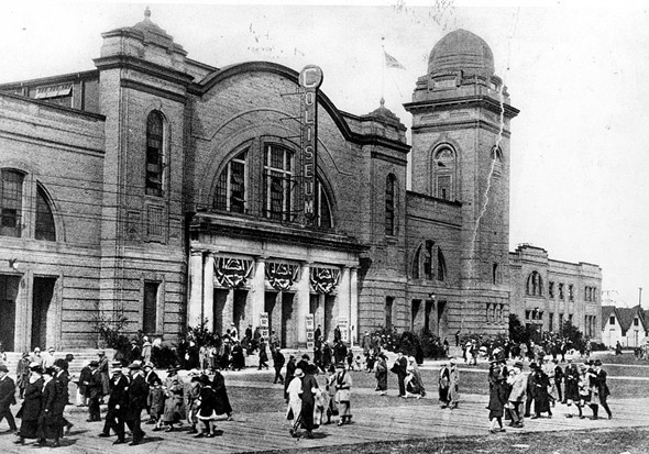
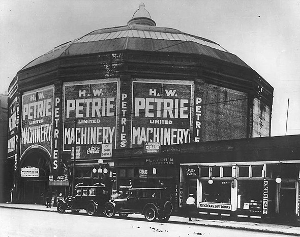
The Coliseum at the CNE grounds was a major venue for agricultural shows, exhibitions, and events throughout the 1920s. Photographed in 1922, it was one of the largest exhibition buildings in the country. The Cyclorama, also photographed in 1922, was the older Front Street building that housed large panoramic paintings before being repurposed — first as an exhibition space and later as a parking garage under the Petrie’s brand.
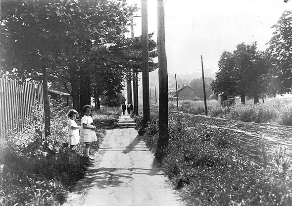
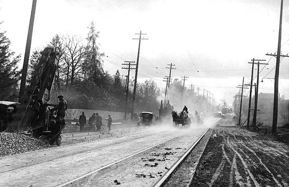
Eglinton Avenue west of Yonge in 1922 was a quiet suburban street with modest commercial development just beginning to establish itself. Lawrence Avenue to the north was even less developed — the view looking north along Yonge showed a road flanked by relatively sparse buildings and open land. These stretches would fill in steadily over the following decades, but in 1922 they reflected how recently Toronto had expanded to include these areas.
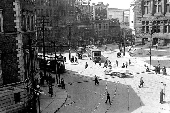
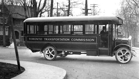
Queen and Bay in 1923 was one of the most active corners in the entire city, combining the financial district with the city’s most heavily used east-west streetcar line. The Toronto Transportation Commission, formed in 1921 to take over the private Toronto Railway Company, introduced buses to supplement its streetcar network. A TTC bus photographed in 1923 shows one of the early vehicles that began serving routes where streetcar infrastructure did not yet exist.
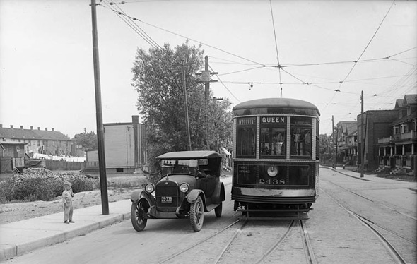
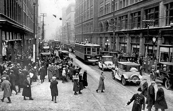
A TTC streetcar near Queen and Woodbine in 1923 shows the transit system serving the eastern part of the city, where the Queen streetcar ran all the way from the west end to the beaches. Queen Street looking east from James Street in 1924 documented the commercial density of the downtown section of the route — blocks filled with shops, offices, and pedestrians moving through one of the city’s most important streets.
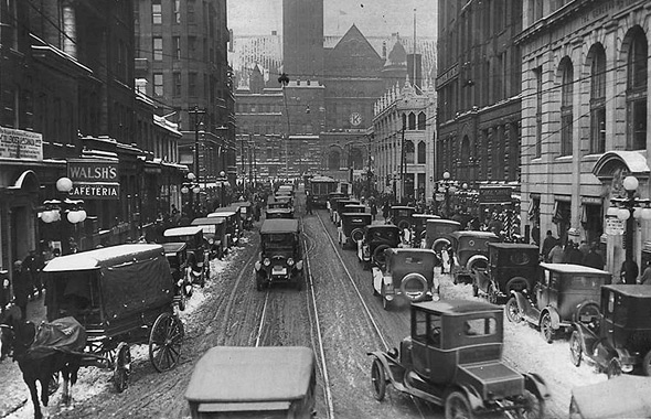
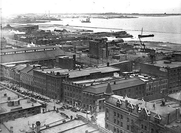
Bay Street traffic in 1924 showed a mix of automobiles, horse-drawn vehicles, and streetcars sharing the road in the financial district. The transition between horse power and engine power was still visibly underway. Front and Church Streets looking southeast in the same year captured the area just east of Union Station — a zone of hotels, warehouses, and office buildings that served the heavy commercial traffic generated by the station.
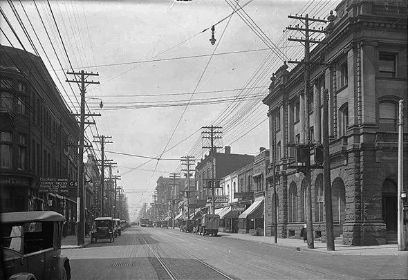
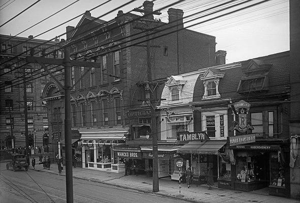
Yonge Street north from Charles in 1924 showed the stretch approaching Bloor — a fully developed commercial corridor packed with retail stores and pedestrians. Two years later in 1926, Yonge and Bloor was documented as the major intersection it had already become, with the uptown and downtown commercial zones meeting at this critical junction. The TTC’s Yonge streetcar made the corridor one of the most heavily traveled in the city.
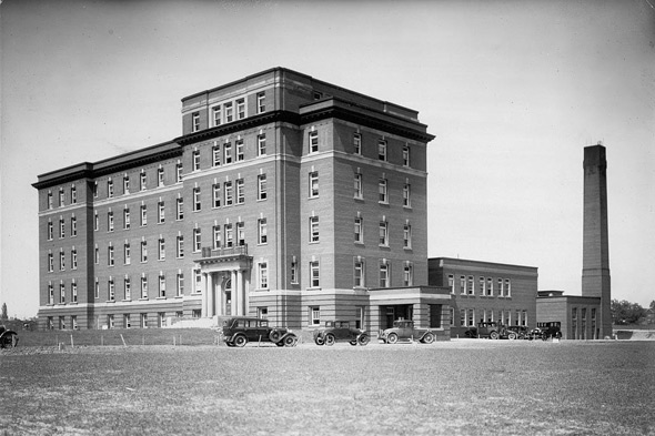
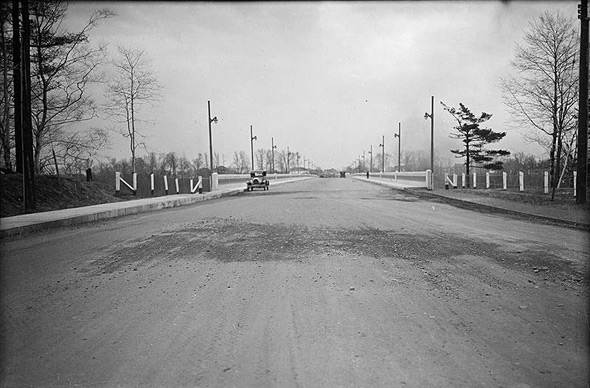
East General Hospital, photographed in 1928, served the east end of the city and surrounding communities. It was one of several hospitals built or expanded during the decade to meet the needs of a growing population. The Leaside Bridge, also photographed in 1928 shortly after its completion, connected Leaside to the Millwood Road area to the south, opening up new development possibilities in the Don Valley area and improving cross-valley movement for vehicles and transit.
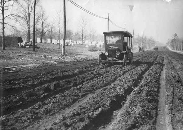
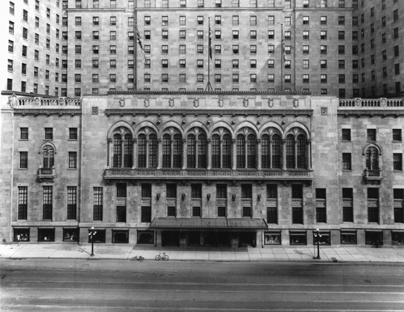
Mount Pleasant Road running north with the cemetery visible in the background showed one of Toronto’s most distinctive streets — a wide boulevard flanked by one of the largest cemeteries in the city. The Royal York Hotel, photographed at its front in 1929, had just opened that year. Built by Canadian Pacific Railway, it was the tallest building in the British Empire at its completion. Its 28 stories and over 1,000 rooms made it an instant symbol of Toronto’s ambitions.
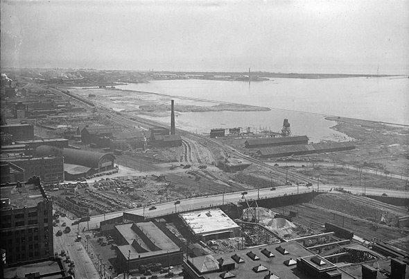
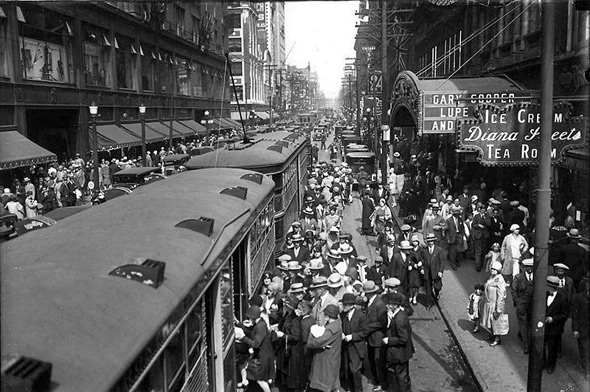
Looking east from the Royal York Hotel in 1929, the view captured the full spread of Toronto’s downtown core — Union Station directly below, the rail corridor leading east, and the dense fabric of commercial and industrial buildings stretching toward the Don Valley. Trams at Queen and Yonge in the same year showed the most famous intersection in the city, busy with streetcars crossing in multiple directions. The TTC carried hundreds of thousands of passengers every day across a network that had grown substantially since the commission took over transit operations at the start of the decade.





I love that you can see the sky from anywhere. I hate big cities.
Totally the opposite. I love big cities!
Wow, these are some of the finest photos of Toronto. Thanks for sharing
From all the ads, I suspect that the working class menu in 1930s Toronto feature lots of Coca-Cola.
Love the photos 👍
Fantastic pictures, I so enjoyed looking at them. Many thanks for posting these.
Loved the memories born and raised here grand parent lived on Hastings Ave
Would be great to provide location and direction.
I coudln’t link a photo of the Maclean-Hunter building for some reason.
Anyway. That photo #47 with the highrise in the background. That’s 481 University Ave. That building is now integrated as the foundation to a 180 metre 54 storey tower which completed this year.
I found it an interesting transitional image, Victorian rowhouses, loomed over by an early modern highrise, which itself is now loomed over by a skyscraper today.