By 1953, Switzerland was in the middle of one of the most productive economic stretches in its modern history. The Swiss economy was growing at roughly 5 percent per year, unemployment was minimal, and the country was busy negotiating trade agreements with partners across the globe. It was a nation that had come through World War II without direct combat, but not without consequences. Swiss neutrality had been called into question internationally, largely due to the country’s wartime dealings with Germany. In 1946, the western Allies — led by the United States — pressured Switzerland into paying 250 million Swiss francs to compensate for looted western European bank assets.
Switzerland had also chosen to stay out of the United Nations, even though the UN maintained offices in Geneva. The Soviet Union had only granted Switzerland diplomatic recognition reluctantly, viewing it as a firmly anticommunist state. Behind closed doors, Swiss authorities were quietly exploring whether to build a nuclear bomb. Paul Scherrer, a top nuclear physicist at the Federal Institute of Technology Zurich, made that goal seem achievable. Budget limitations ultimately blocked it, and Switzerland later looked to the Nuclear Non-Proliferation Treaty of 1968 as an alternative path. By 1988, all nuclear weapons plans had been formally dropped.
Amid all of this, Switzerland in 1953 was a striking place to see. Lake Lucerne sat at the heart of the country’s tourism scene, drawing visitors to its clear waters and mountain backdrops.
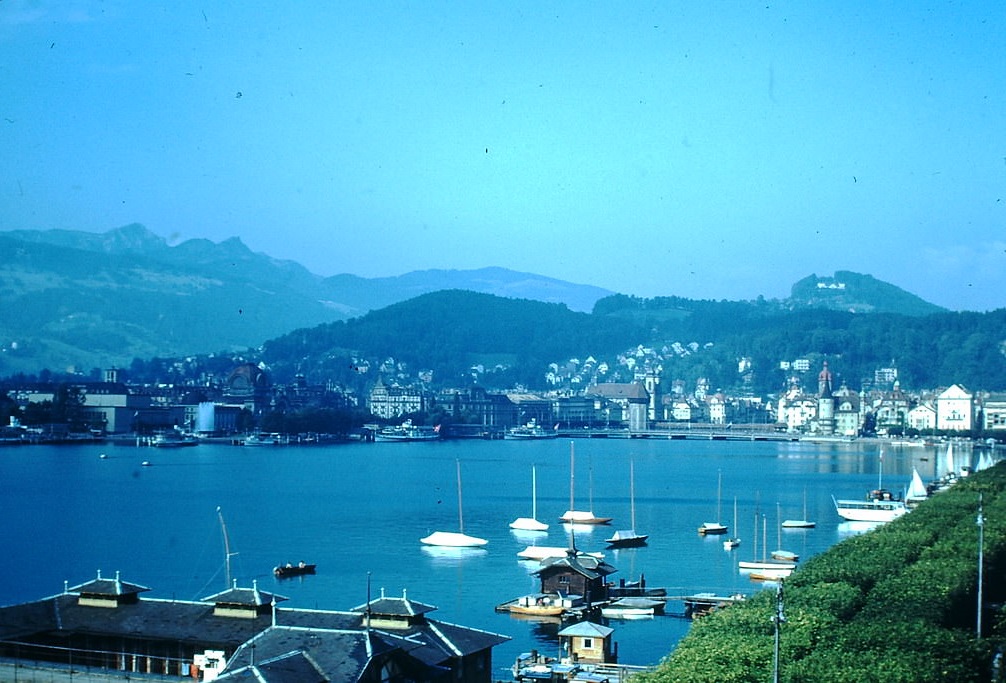
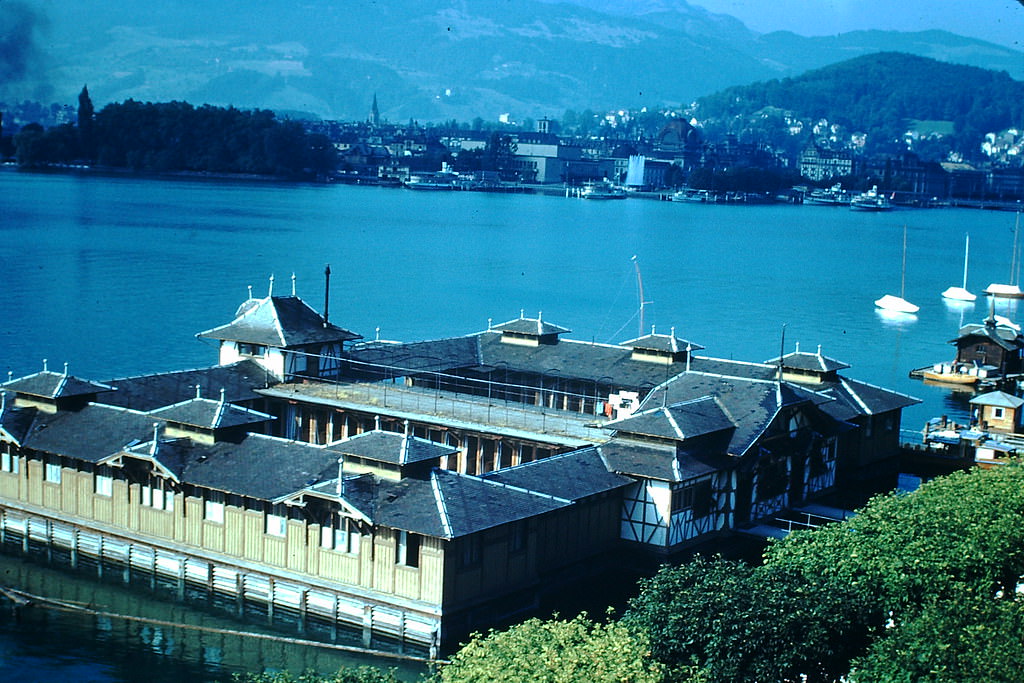
Lucerne itself offered a sweeping view from the surrounding hills, with its red-roofed buildings and church spires rising above the lake’s edge. The city had preserved much of its medieval character while functioning as a busy center of Swiss life.
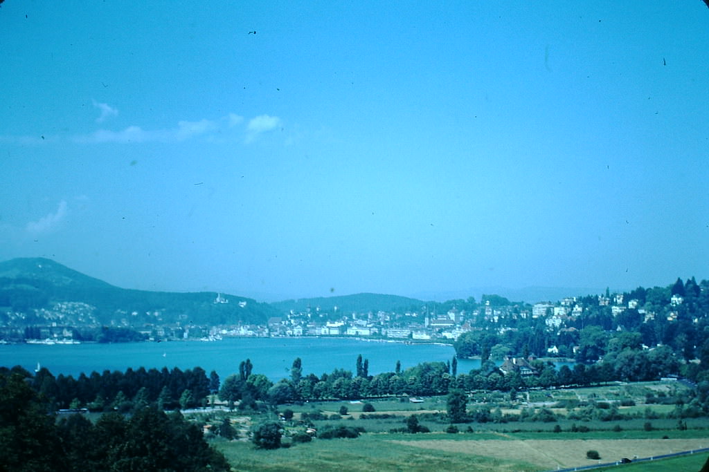
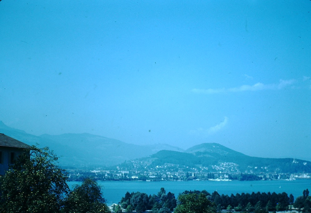
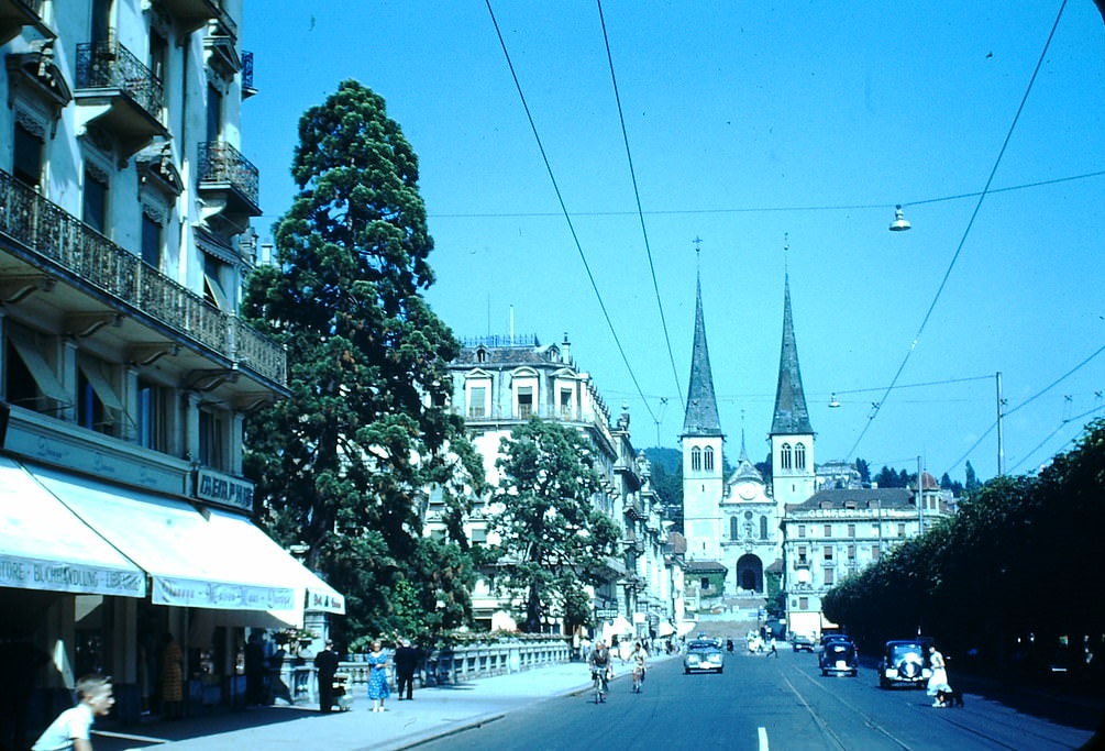
Along the lakefront, the Schweizerhof Quai was one of Lucerne’s most recognizable stretches, lined with grand hotels and open promenades. The Hofkirche stood at the end of the quai, a twin-towered church that dated back to the 17th century.
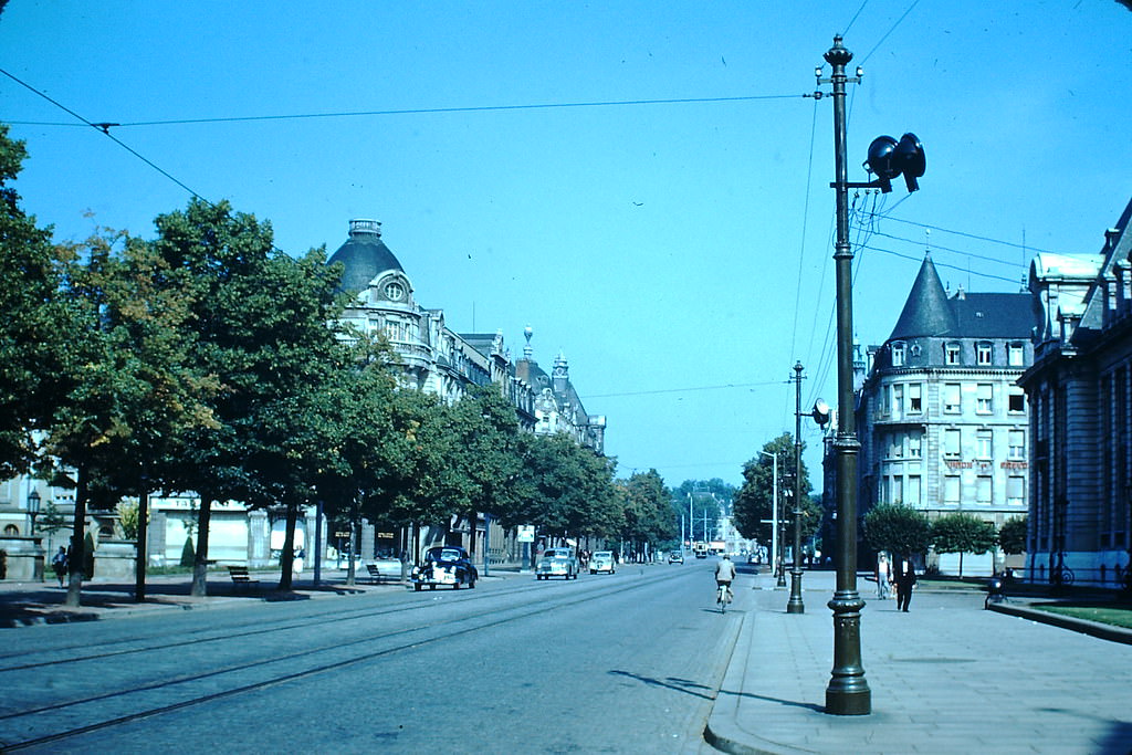
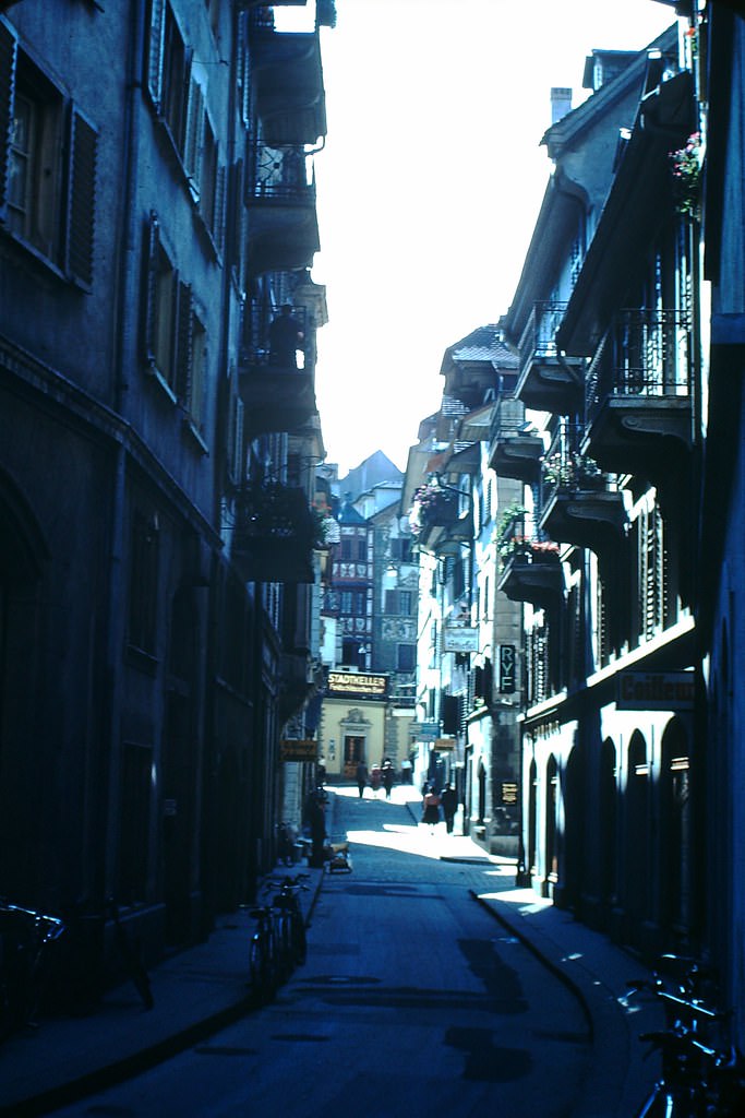
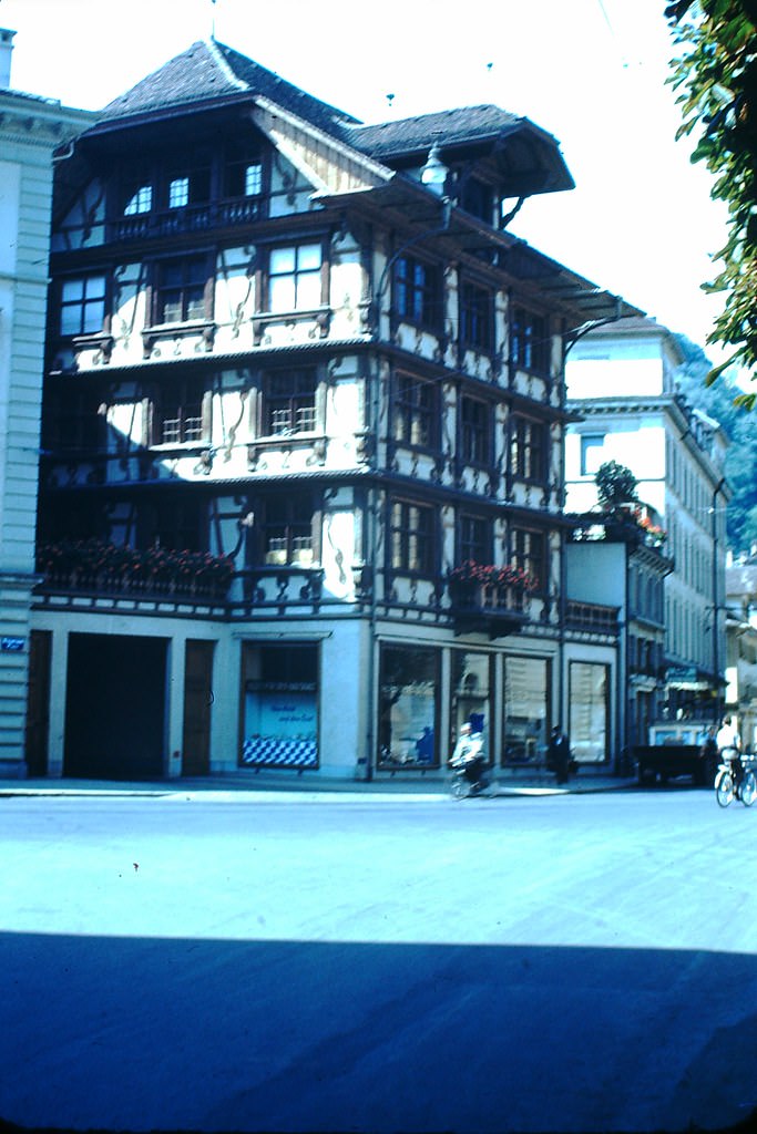
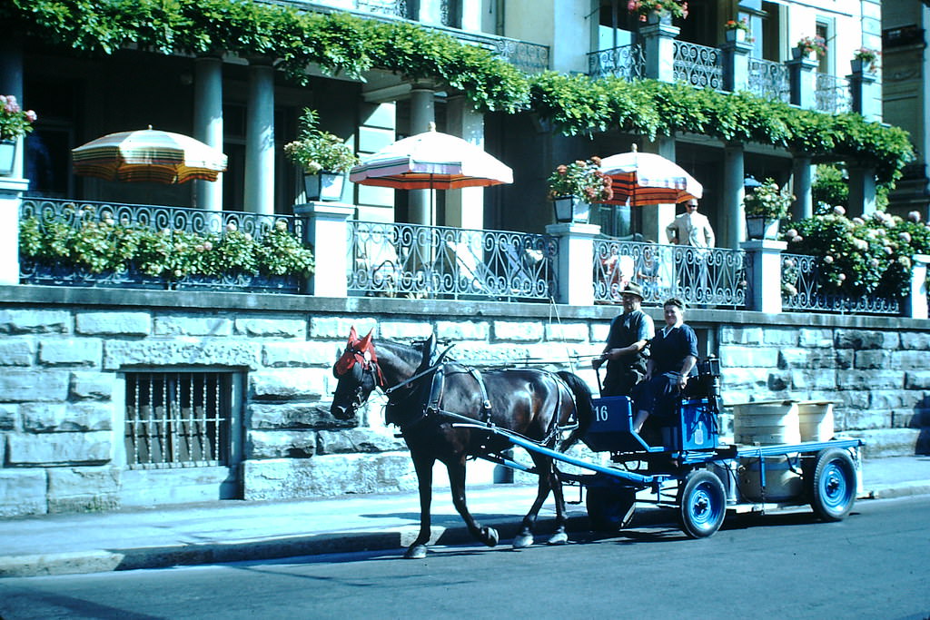
The Old Town section of Lucerne showed off architecture in the 16th-century Central Swiss style, with painted facades and narrow streets. A milk wagon — still a common sight in 1953 — moved through the city streets in a scene that mixed the old with the postwar modern era.
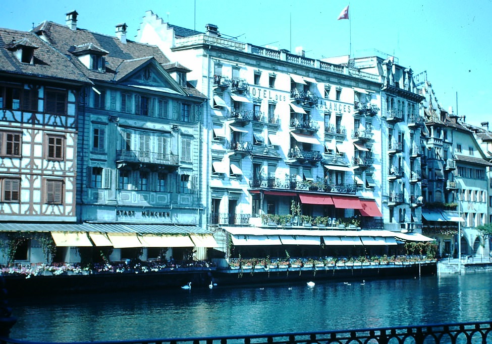
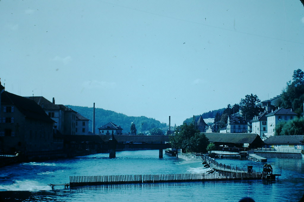
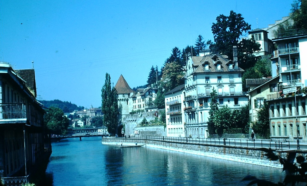
The Hotel des Balances and neighboring buildings lined the Reuss River, their reflections visible in the water below. Nearby, the oldest bridge in Lucerne — the famous Chapel Bridge — stretched across the river, its wooden structure and painted panels dating back to the 14th century.
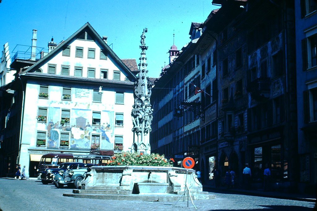
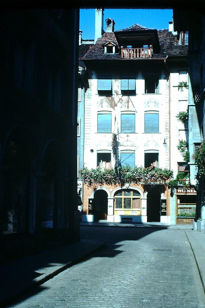
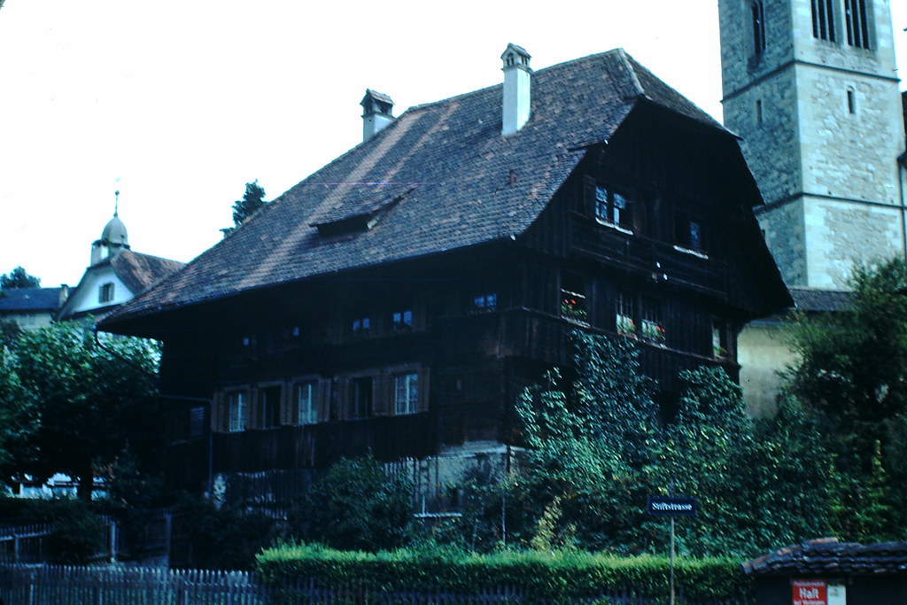
The Wine Market Square gave a sense of Lucerne’s commercial and civic history, while streets nearby revealed some of the oldest surviving buildings in the city. These structures had stood for centuries, weathering everything from plague to war.
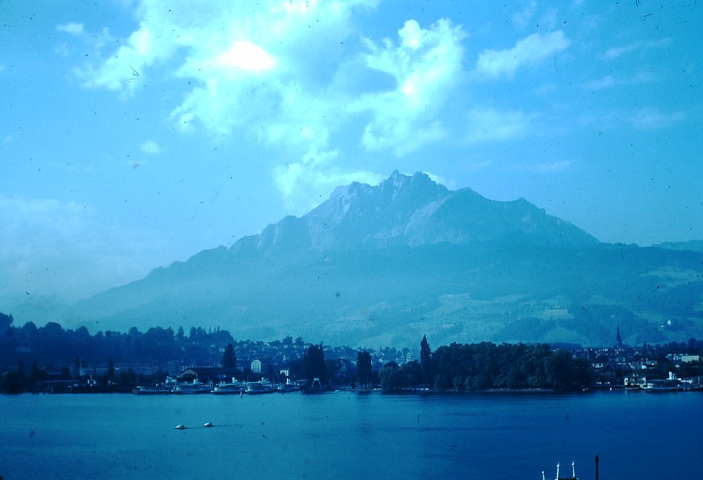
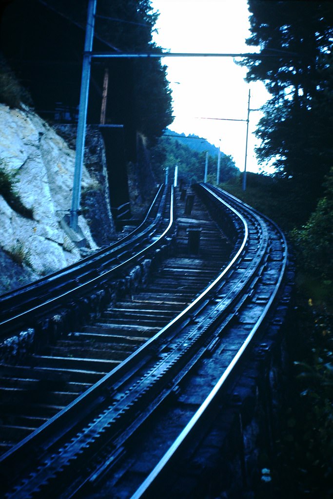
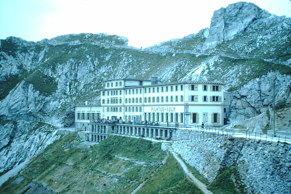
Just outside Lucerne, Mount Pilatus offered dramatic mountain terrain accessible by rail and road. The route up the mountain and the hotel perched near its peak were popular destinations for both Swiss residents and foreign visitors.
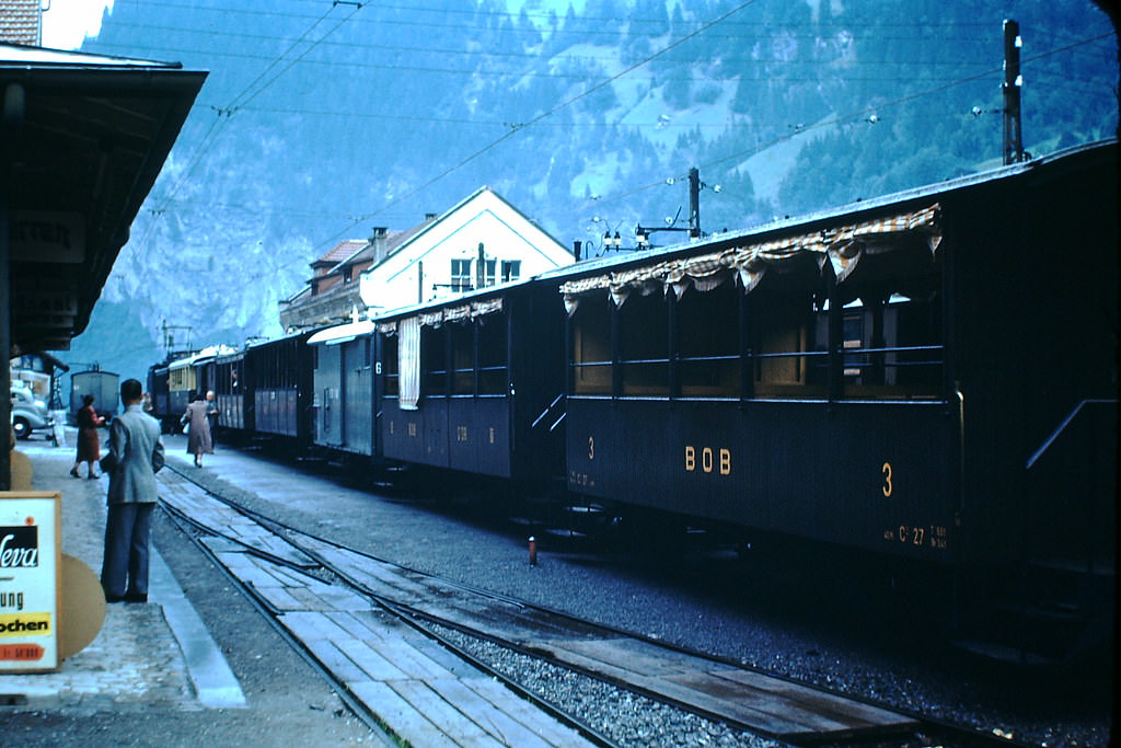
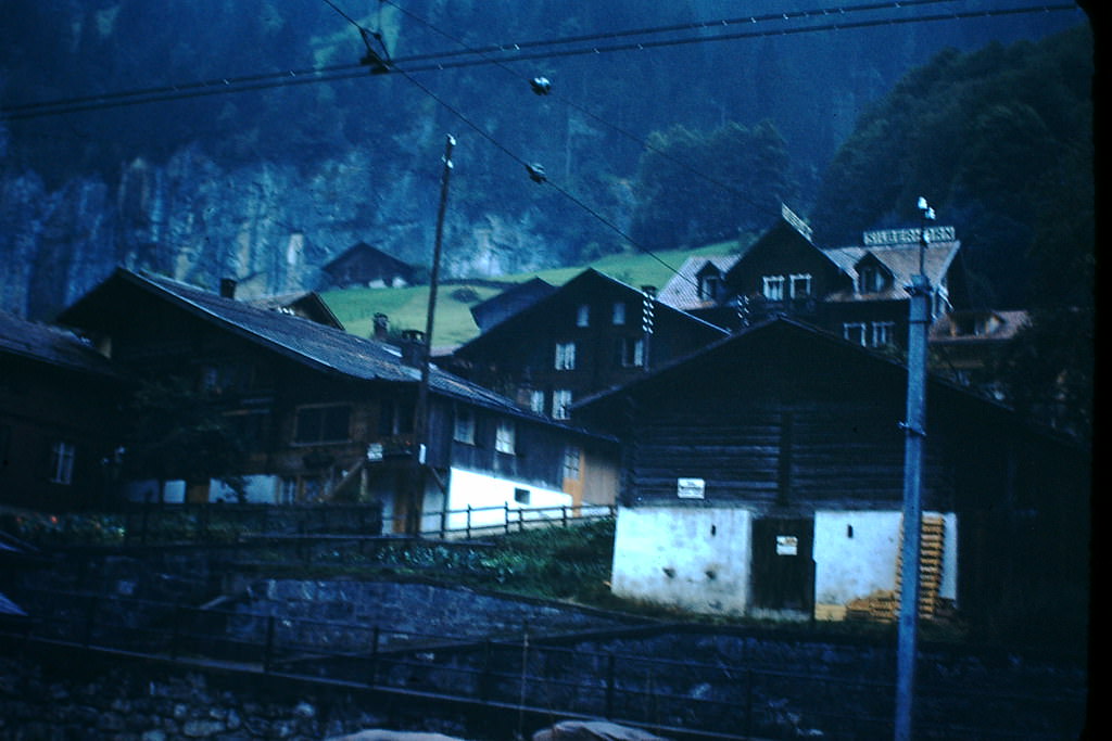
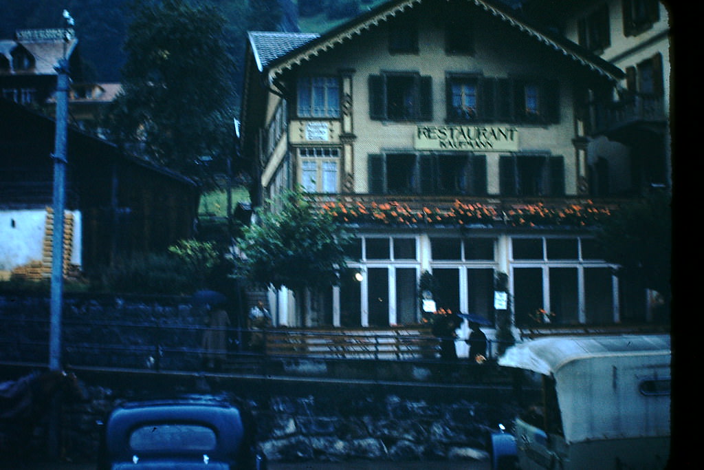
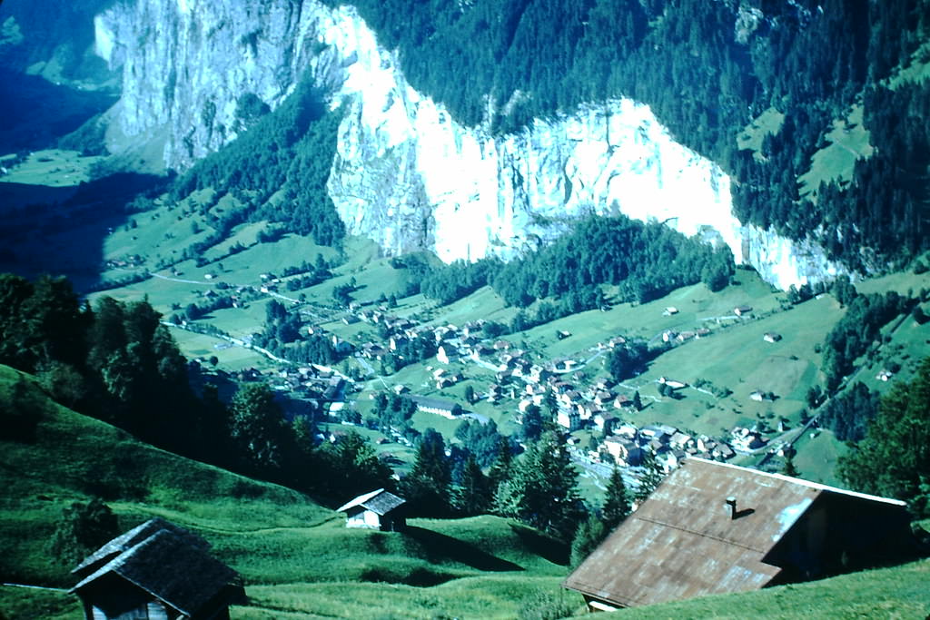
Further into the Alps, the Lauterbrunnen valley presented a different kind of Swiss landscape — deep, narrow, and enclosed by sheer cliff walls. The train station there served as a gateway to the high mountain rail lines running up toward Kleine Scheidegg and beyond.
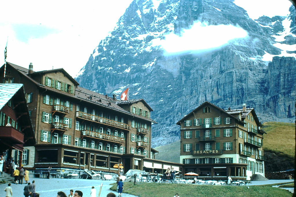
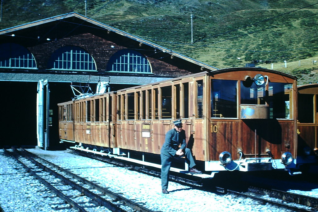
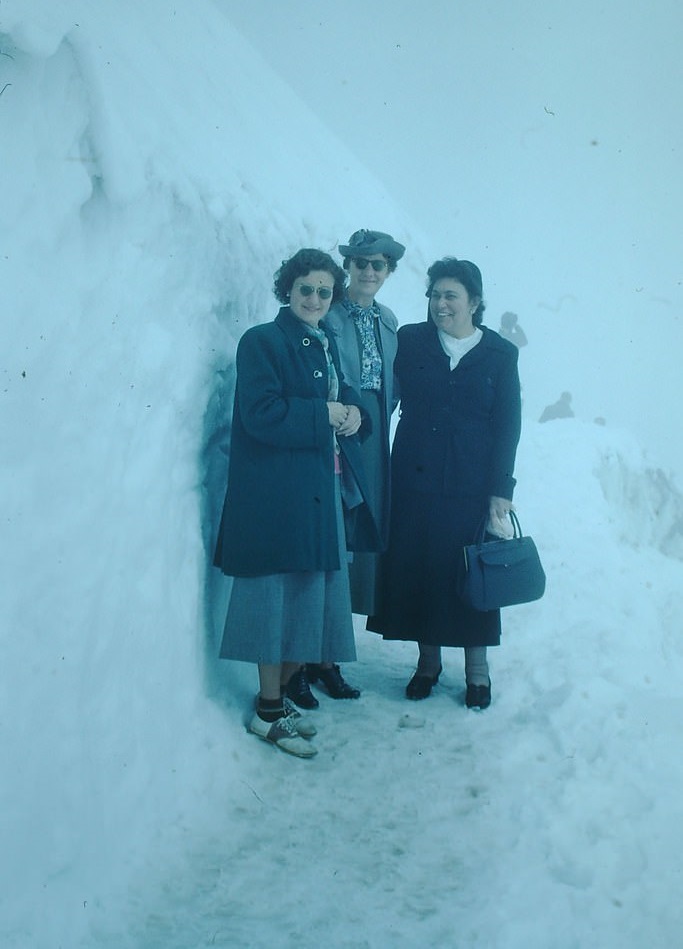
At Kleine Scheidegg, the Bellevue Hotel sat at an elevation where the Eiger, Mönch, and Jungfrau dominated the skyline. From there, a rail car continued the climb up to the Jungfraujoch — the highest railway station in Europe at 11,332 feet.
At the Jungfraujoch, dog teams were a working part of life on the glacier. They were used for transport and demonstrations, giving visitors a direct look at alpine conditions that few ever experienced firsthand.
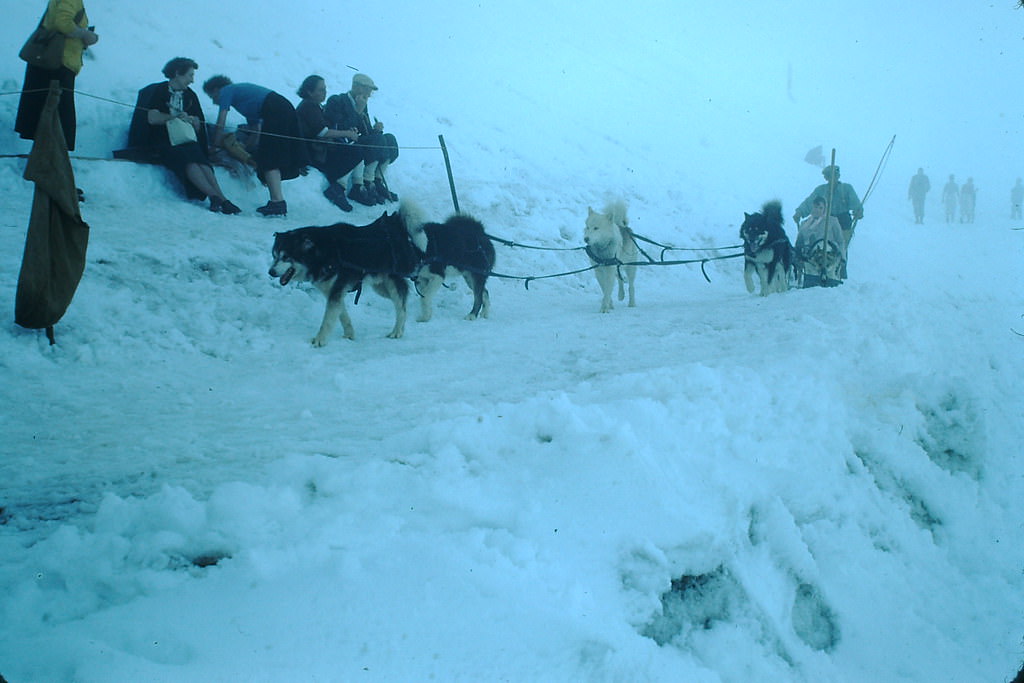
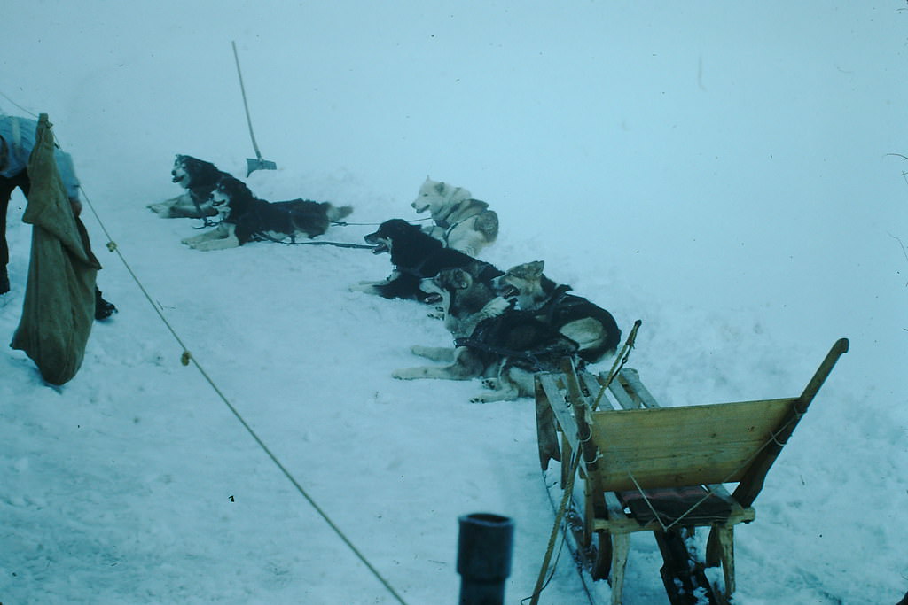
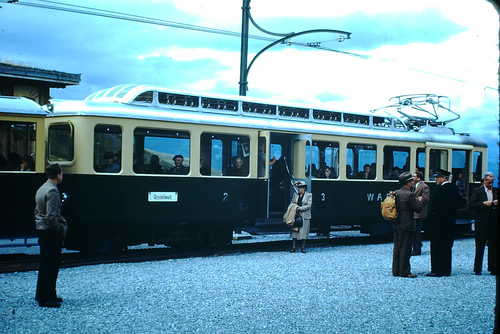
Rail cars from Grindelwald also connected to the Scheidegg routes, making the high alpine network one of the most advanced mountain transit systems in the world. Heading south toward Italy, massive stone bridges carried roads across deep gorges carved by centuries of glacial melt.
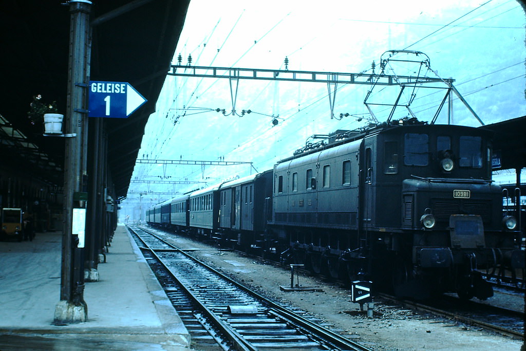
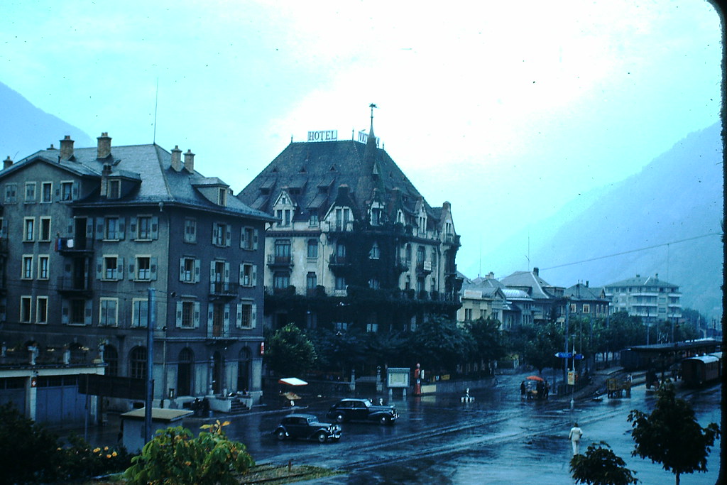
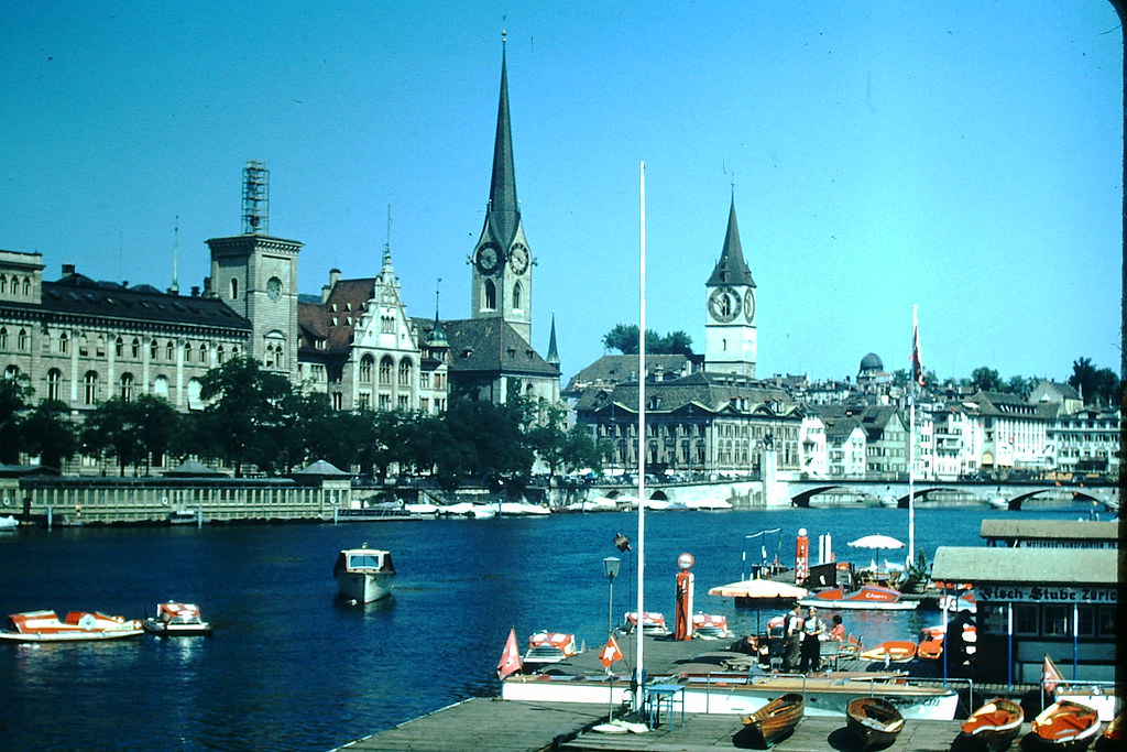
Zurich, Switzerland’s largest city, presented a very different face. Seen from across the lake, its waterfront was clean and orderly, with church towers rising above a dense mix of residential and commercial buildings.
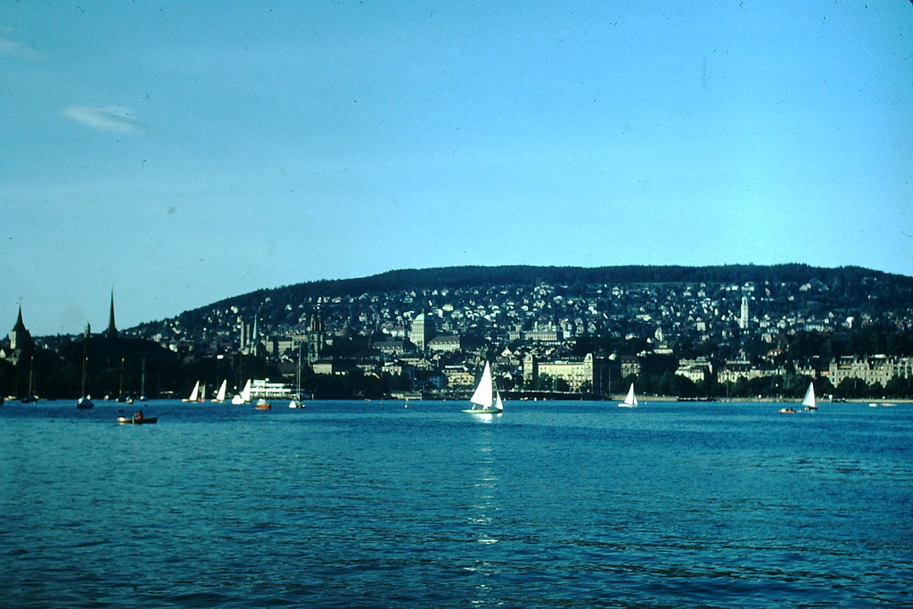
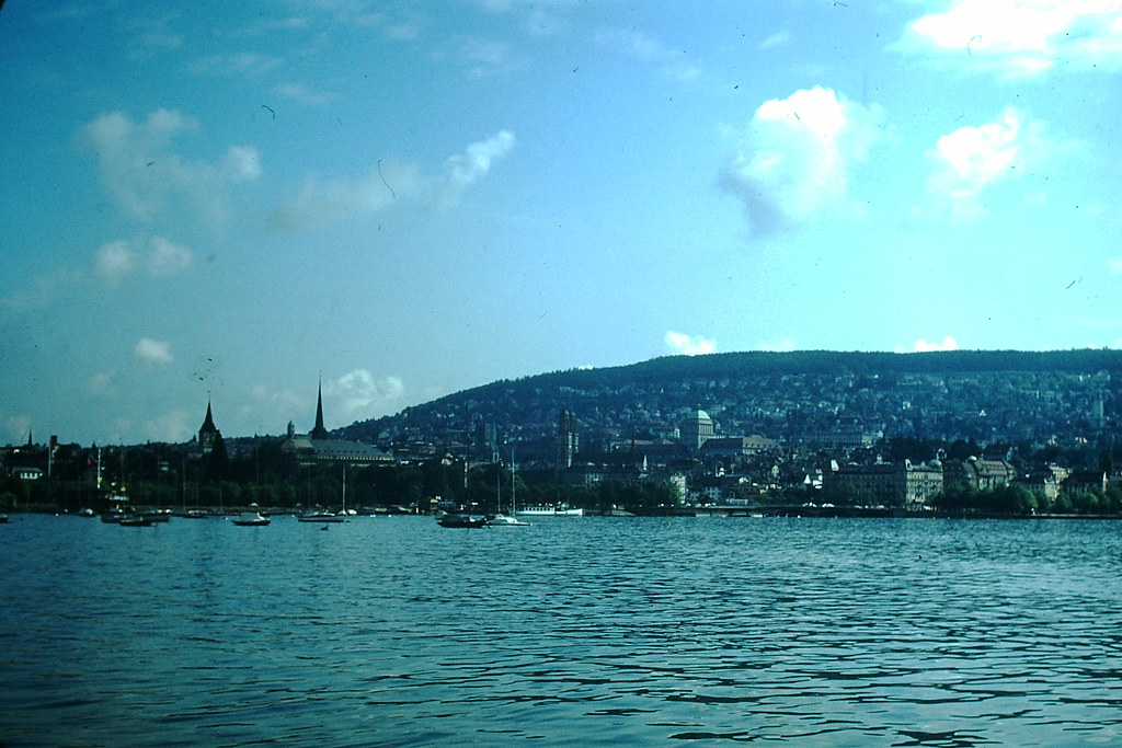
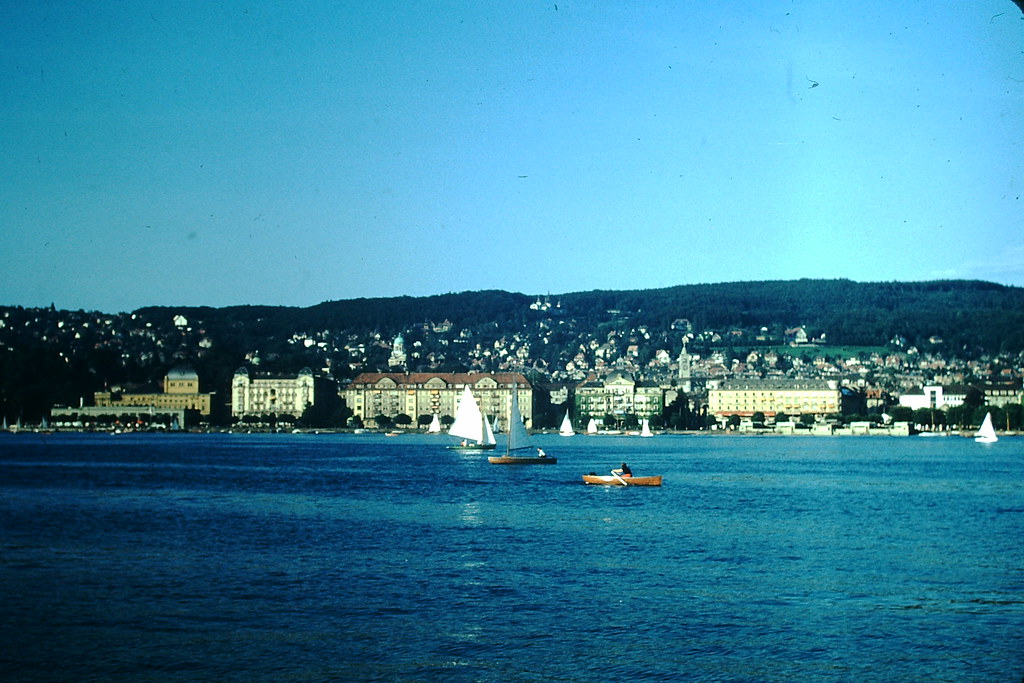
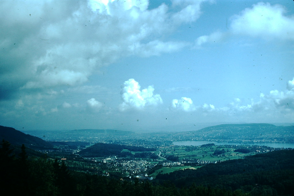
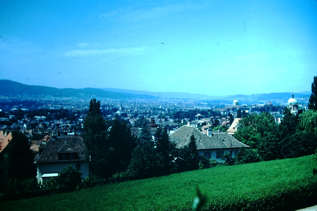
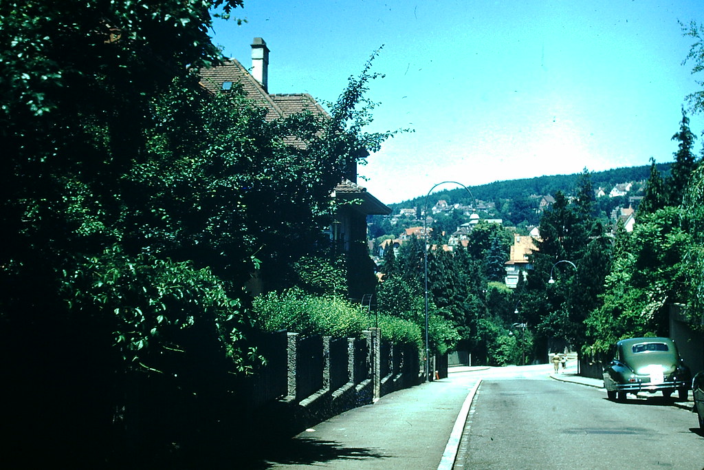
From the surrounding mountains, Zurich and its suburbs spread across the landscape in a compact pattern. The Hotel Sonnenberg offered another vantage point, showing the city nestled between lake and ridge.
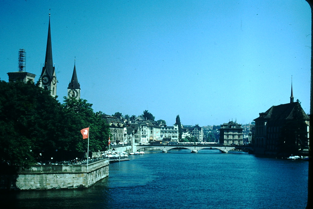
The River Limmat ran through the center of Zurich, flanked by historic guild halls and churches. At Burki-Platz, the river opened into a wider view that showed the city’s blend of old stone architecture and postwar commercial activity.
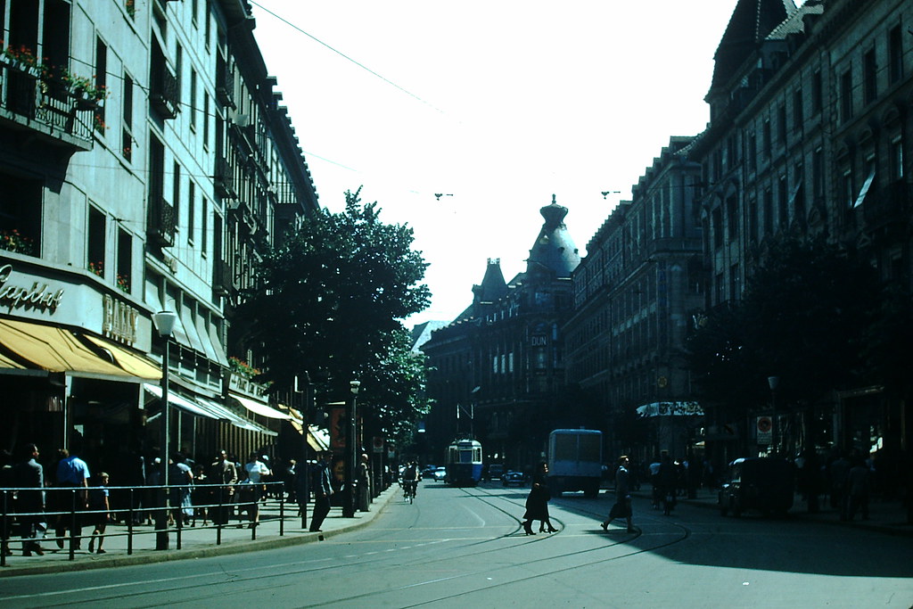
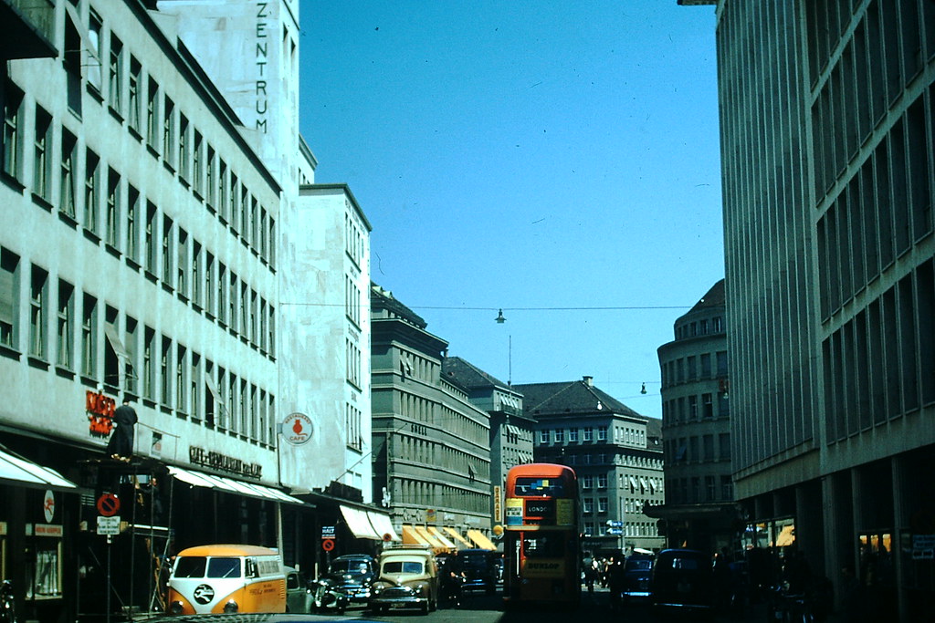
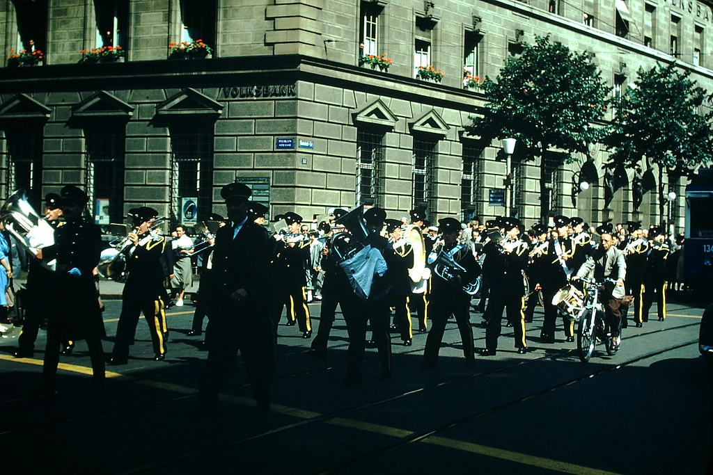
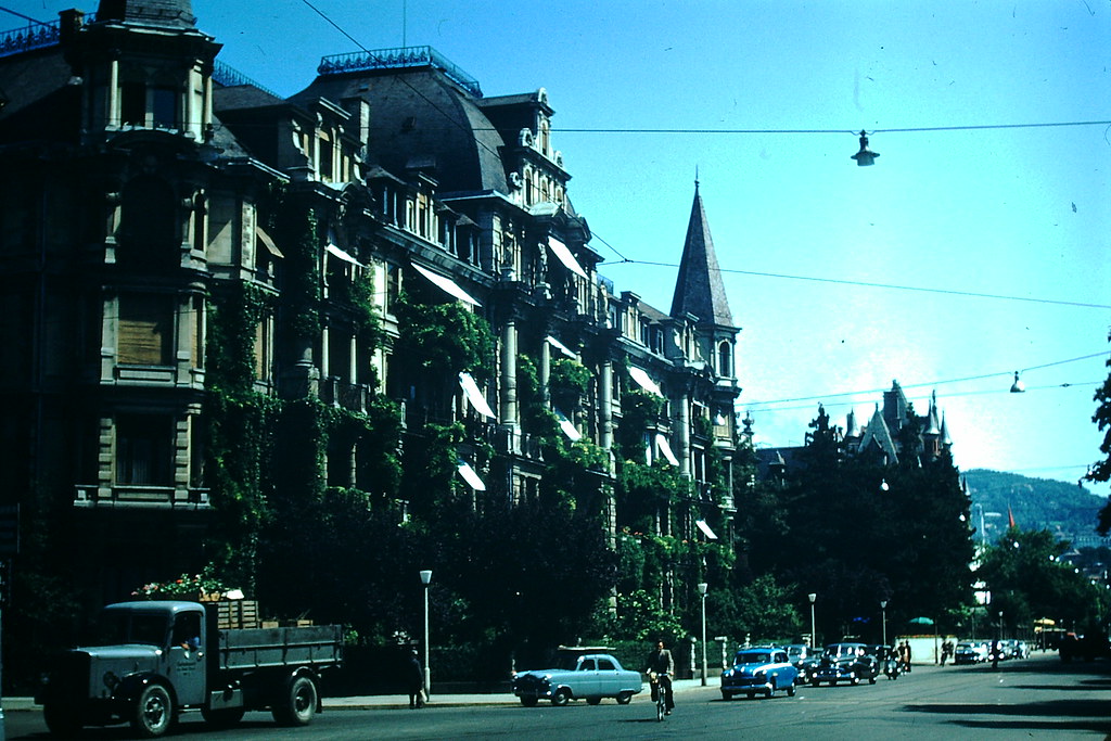
Bahnhofstrasse, Zurich’s main commercial boulevard, was already one of the most famous shopping streets in Europe by 1953. A band performing along the street captured the city’s lively public culture, while the broader business district hummed with economic activity driven by Switzerland’s booming postwar growth.
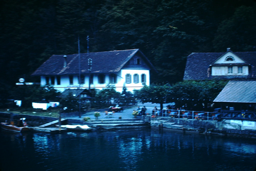
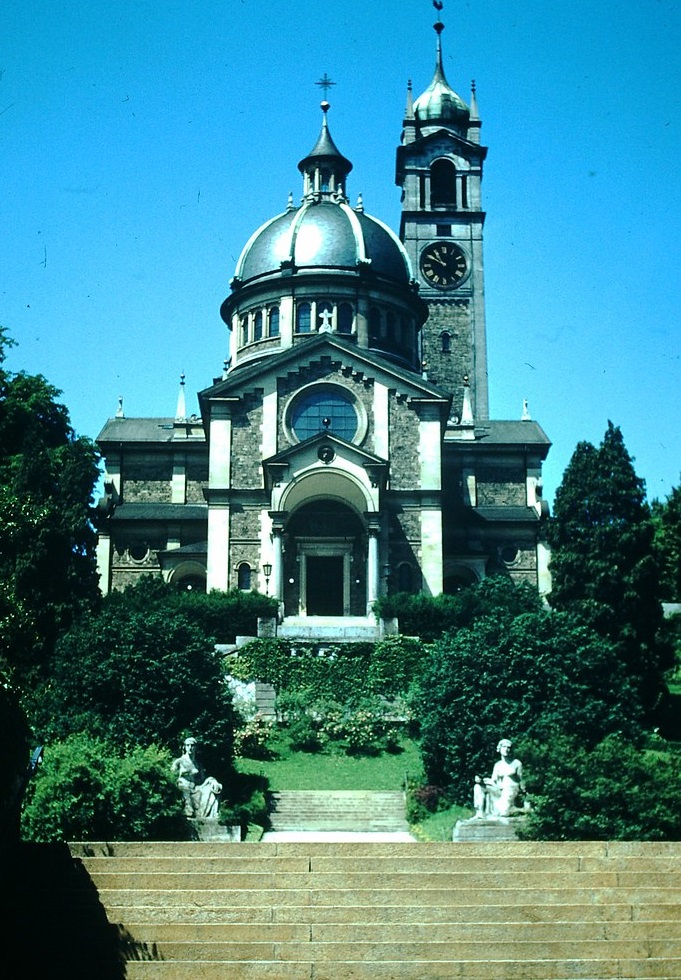
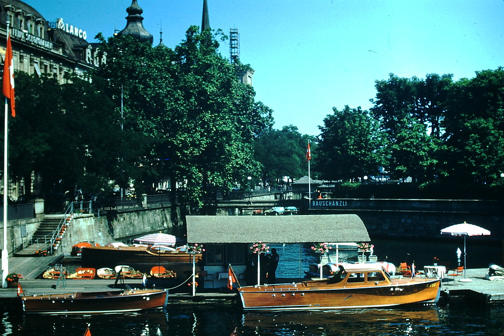
The Church of Enge stood in one of Zurich’s residential neighborhoods, a modest but well-preserved structure. Along the lakefront, restaurants with boats for hire gave the city a relaxed, recreational side that balanced its financial reputation.
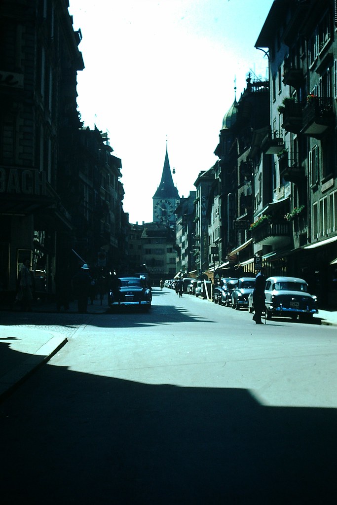
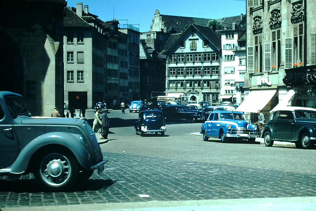
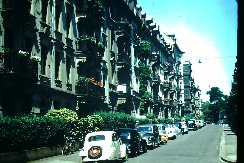
The old section of Zurich retained its cobblestone squares and centuries-old facades, while Lake Zurich’s shoreline was lined with well-maintained houses. Apartment buildings and residential areas nearby reflected the tidy, structured urban planning that defined postwar Swiss cities.
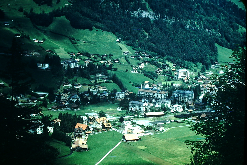
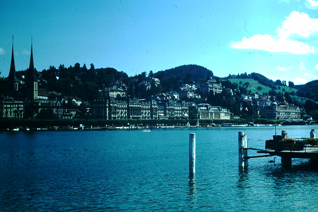
Back near Lucerne, the lake offered yet another perspective on the city’s waterfront profile. The town of Engelberg, tucked into a valley in the canton of Obwalden, showed a more rural side of Swiss life. Farmers there were still cutting hay by hand in 1953, working the steep alpine meadows the same way generations before them had.
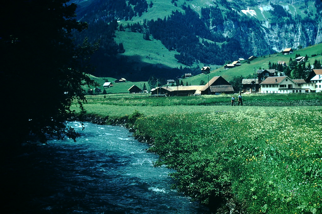
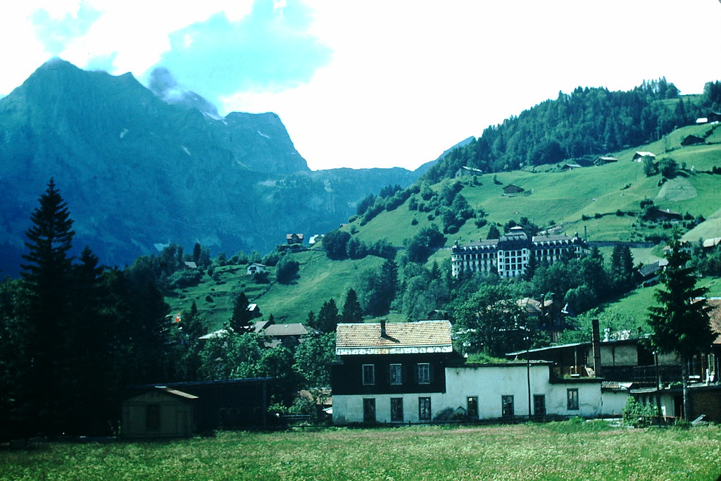
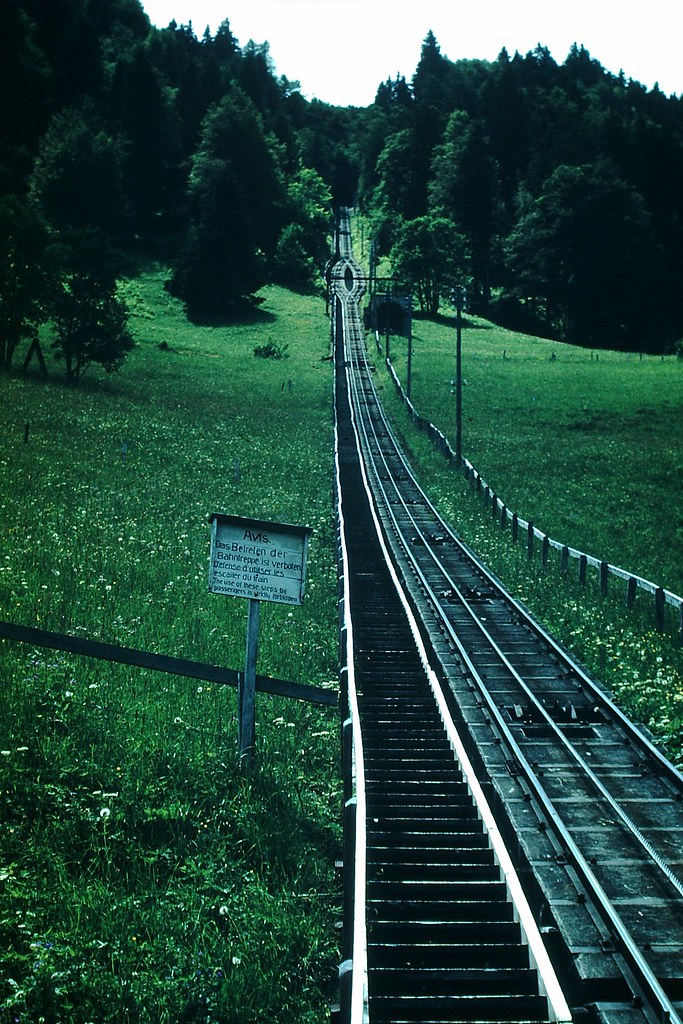
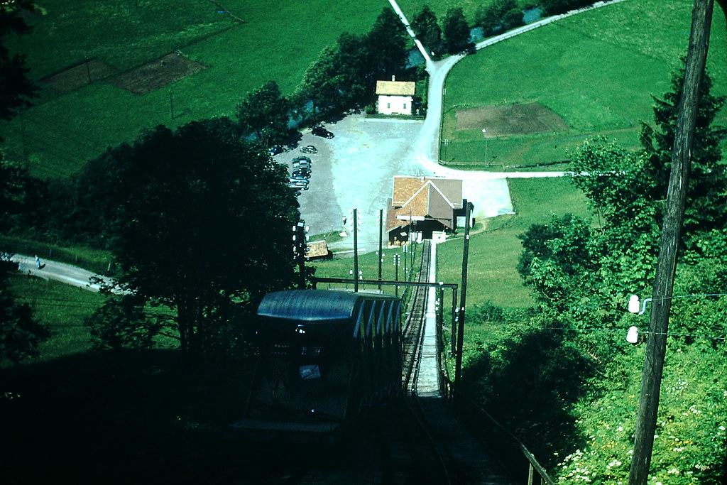
A funicular connected Engelberg’s valley floor to the higher terrain above, offering views back across the rooftops and fields. From the funicular car, the full scale of the surrounding mountains became clear — and Mount Titlis, rising to over 10,000 feet, waited at the top of the next stage up.