
St. Louis in the 1950s was a city caught between two worlds — one rooted in its industrial past and another reaching toward a modern future. The decade brought construction cranes, neighborhood change, labor disputes, and everyday life playing out on streets lined with brick buildings and vintage cars. These photographs capture all of it, from the grand banking halls downtown to the crowded riverfront and the quiet corners of residential St. Louis.
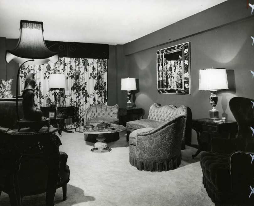
The city’s residential landscape in the early 1950s ranged from elegant apartment buildings to modest tenements. Along Lindell Boulevard and Cabanne Avenue, large apartment complexes housed middle-class families in furnished rooms with solid mid-century furnishings. These buildings projected stability and comfort, a reflection of the postwar housing boom that reshaped American cities.
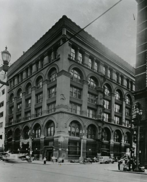
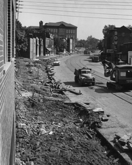
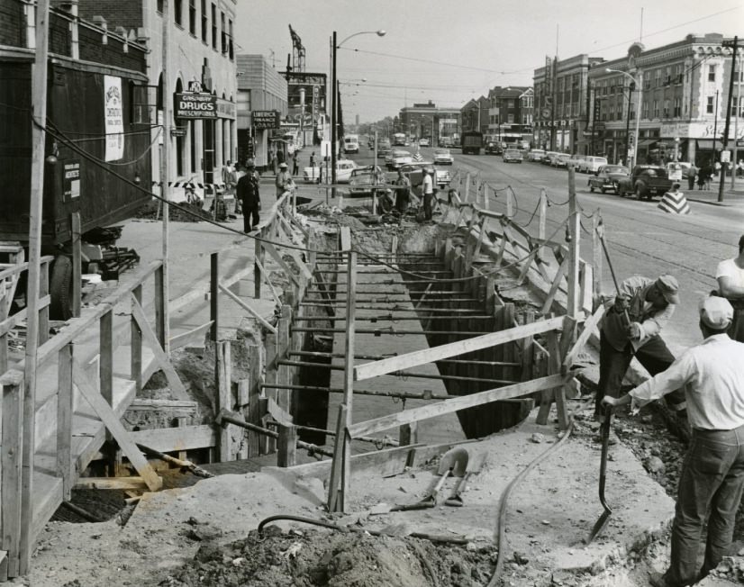
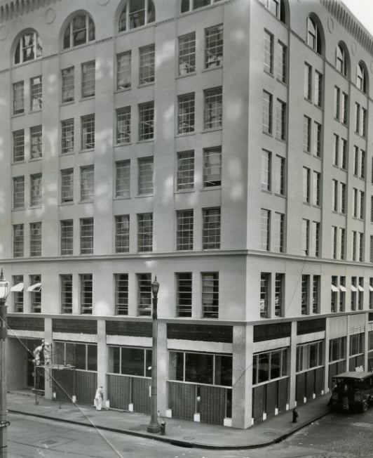
Road improvements were a constant presence across the city. At South Broadway’s intersection with Jefferson and Chippewa, crews worked to widen the road as early as 1950, a sign of the growing traffic demands on St. Louis streets. Downtown, the banking district was undergoing its own transformation. The First National Bank’s building at Broad and Locust stood as it had for years before remodeling crews moved in to modernize its facade.
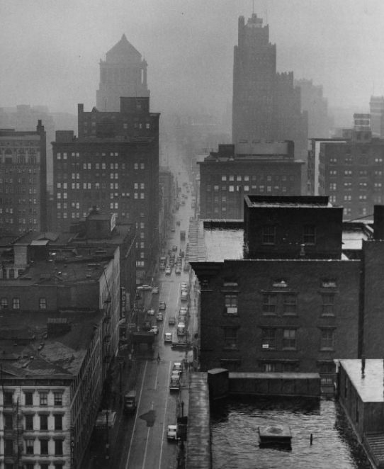
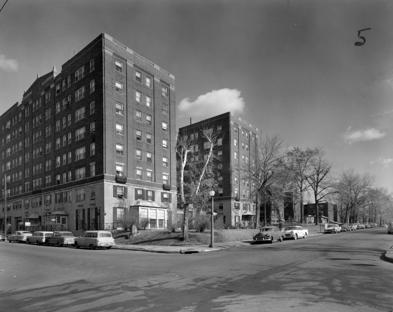
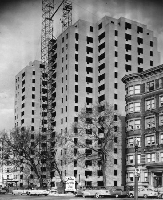
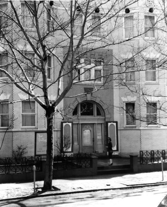
Apartment buildings defined much of the residential fabric of 1950s St. Louis. The Winston Churchill Apartments on Cabanne Avenue, the Frontenac Apartments, and the Park East Apartments on North Euclid Avenue all represented the dense, urban living that was common before the suburban migration pulled families away from the city’s core.
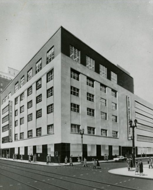
Banking was a central part of downtown St. Louis life. People passed the First National Bank building daily, and the financial district stretched along Broadway, Locust, and Olive streets. Banks competed not just for deposits but for prominence — their buildings were statements of permanence and trust in an era when brick-and-mortar presence mattered enormously to customers.
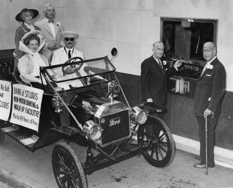
The Bank of St. Louis embraced new conveniences in 1950, installing both a drive-in service window and a new air conditioning system. Drive-in banking was still a novelty at the time, and air conditioning in commercial buildings was a genuine selling point. These upgrades signaled that St. Louis banks were keeping pace with changing customer expectations.
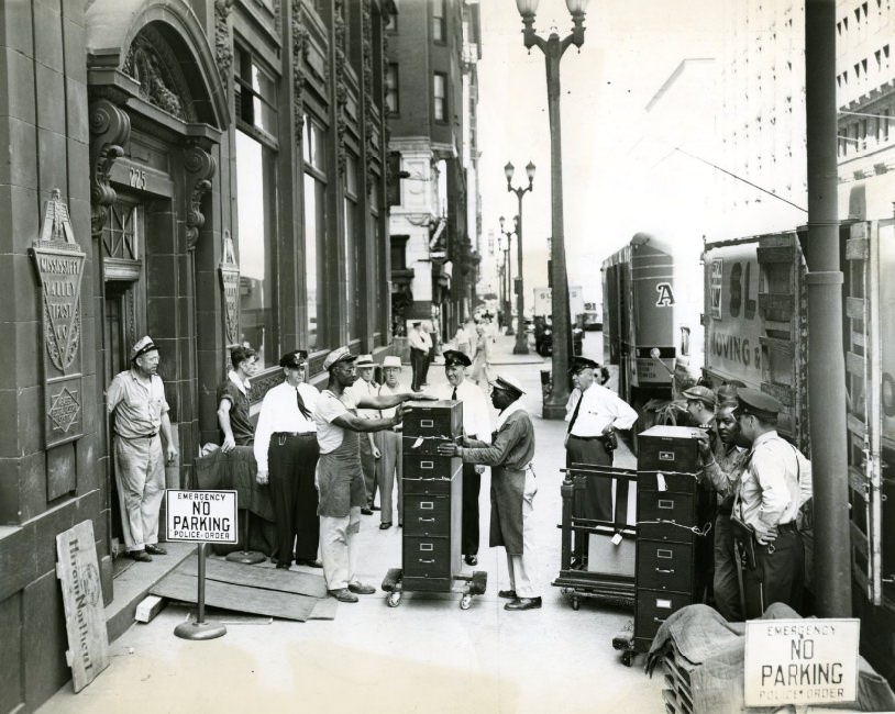
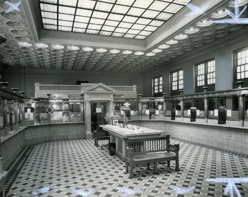
Missouri’s banking laws at the time barred branch banking, a restriction that shaped the city’s financial landscape in unusual ways. The Lindell Trust Company at 2745 North Grand Boulevard found a creative workaround — a $30,000 drive-through pit in the ground that technically operated as a separate facility rather than a branch. Meanwhile, the Mississippi Valley Trust Company was on the move, and Manufacturers Bank and Trust Co. stood in its pre-modernization state, its older architecture soon to give way to a newer look.
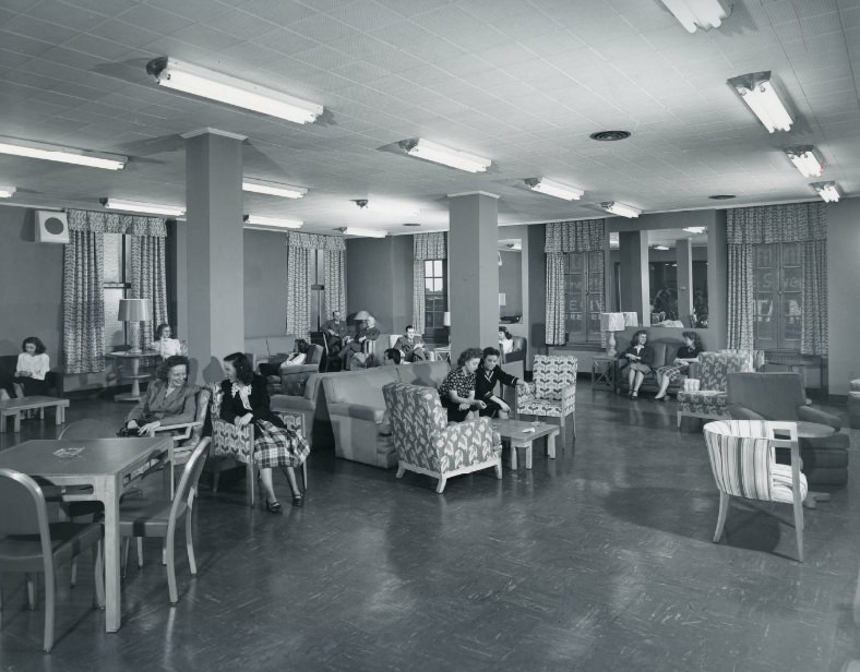
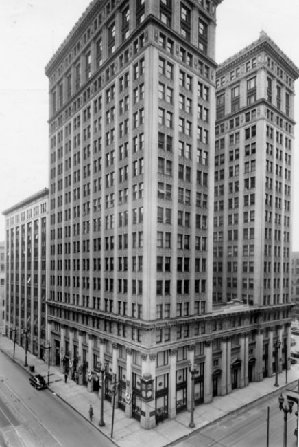
Inside Mercantile Bank, employees gathered on the seventh-floor staff lounge — a glimpse into office life that rarely made the papers. The Boatmen’s Bank building on Broadway, sitting between Locust and Olive streets, was set to change hands as a stock transfer moved toward completion, with Superior Construction Company taking control. St. Louis’s financial institutions were in constant motion throughout the decade.
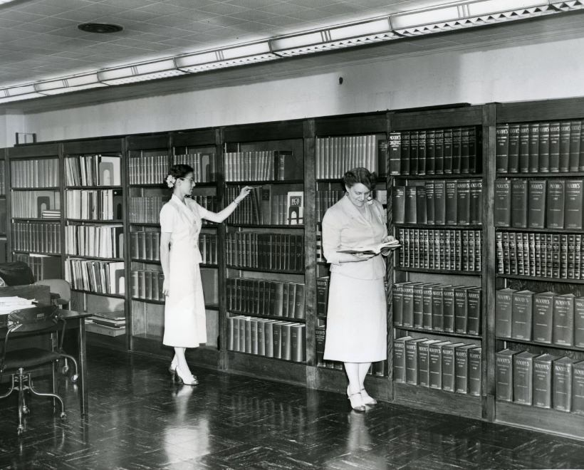
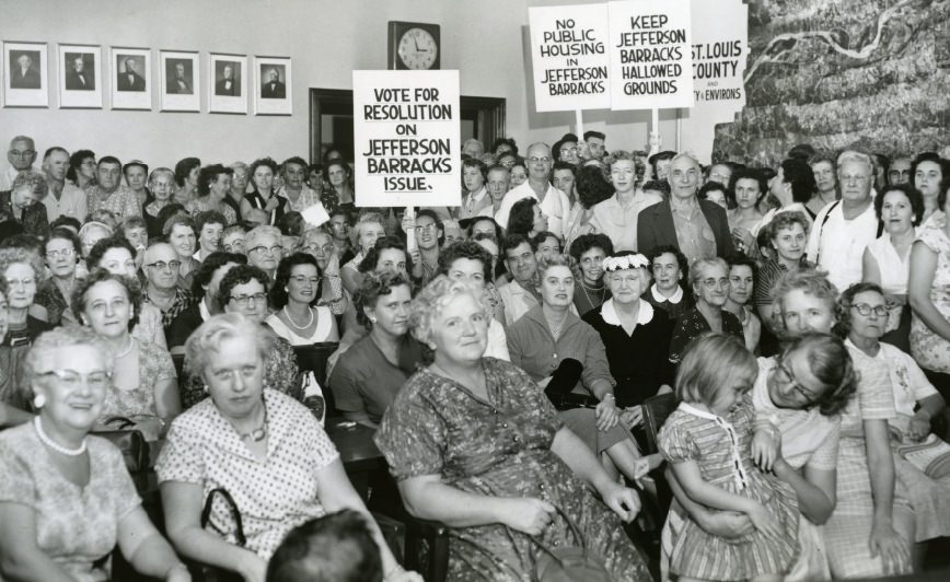
Not every development in 1950s St. Louis went smoothly. A housing project at Jefferson Barracks drew an overflow crowd of protesters in 1950, a demonstration of how strongly residents felt about changes to established neighborhoods. Jefferson Barracks, with its military history and surrounding communities, was a recurring flashpoint for civic debate throughout the decade.
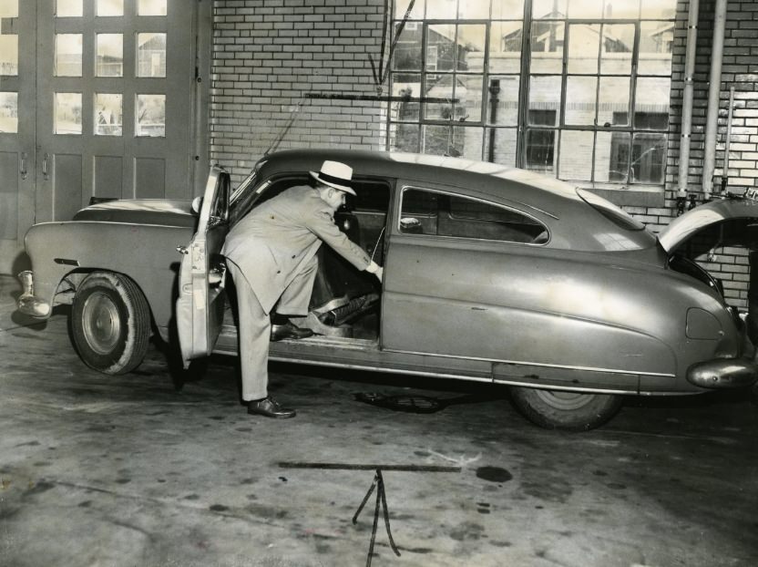
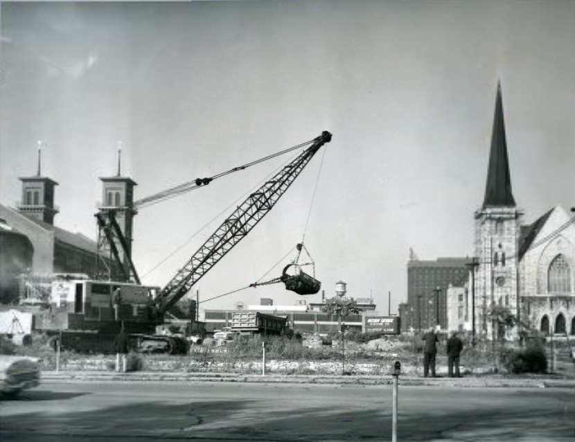
Crime made its way into the city’s photo record as well. Police documented gang activity with photographs of vehicles connected to criminal operations, a routine part of law enforcement work in postwar St. Louis. On a more constructive note, the Plaza Apartments project broke ground in 1950, kicking off years of construction activity that would eventually reshape a significant stretch of the city.
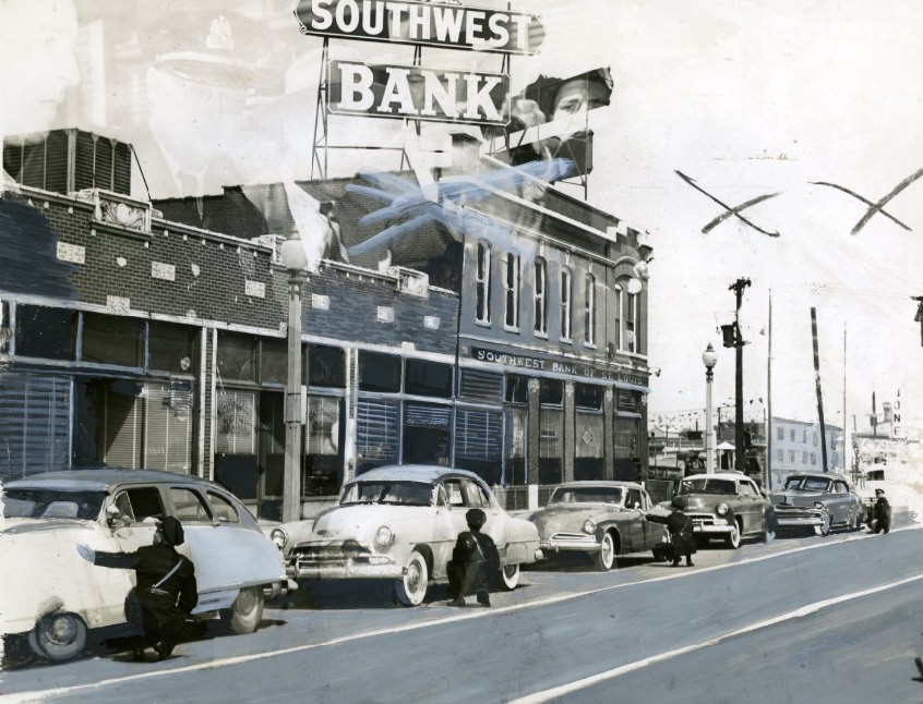
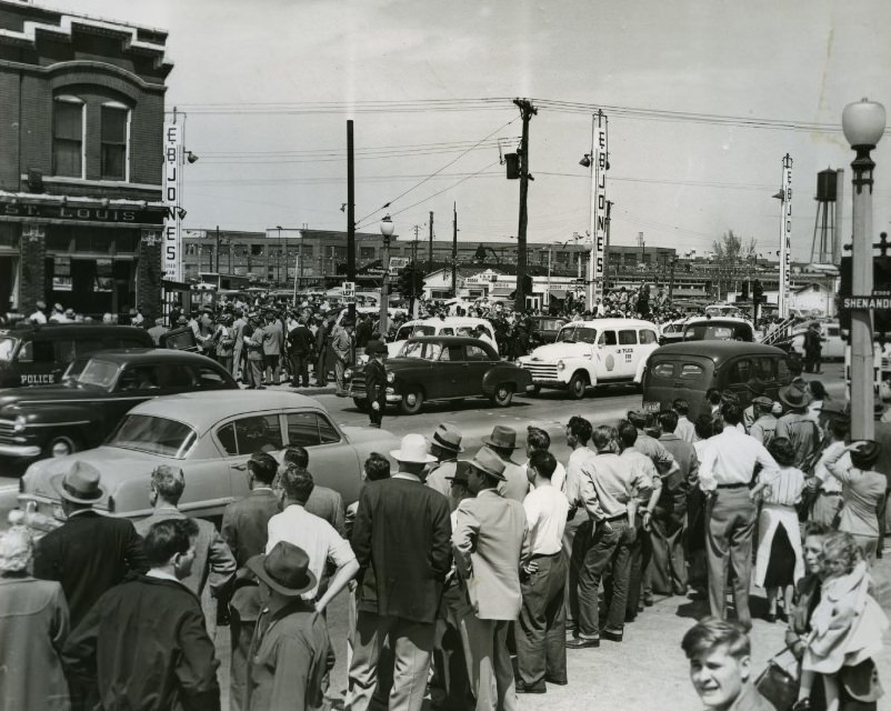
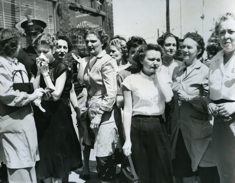
In 1953, a wild gun battle in St. Louis sent police crouching behind parked cars on city streets. Officers returned fire in what became one of the more dramatic law enforcement incidents documented in the city’s photographs from that era. Southwest Bank employees and customers were caught up in the chaos, their faces and surroundings preserved in press photographs that documented the danger of the event.
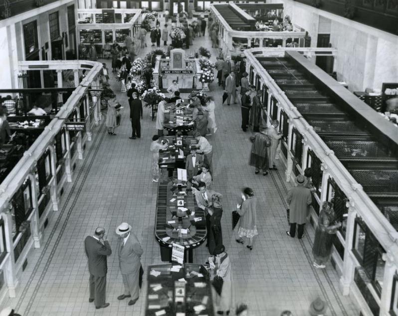
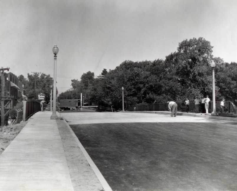
Mercantile Trust Company laid claim to being the largest bank under one roof in St. Louis by 1951 — an assertion backed by its imposing downtown presence. Infrastructure kept expanding across the decade. The Loughborough Avenue bridge over the Missouri Pacific Railroad tracks opened to traffic in 1957, connecting neighborhoods on either side of the rail corridor and easing movement through the south side of the city.
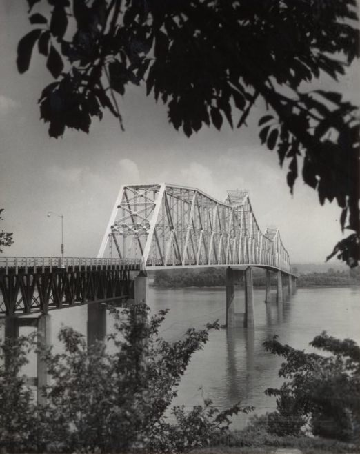
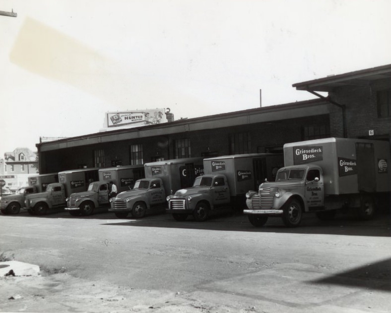
The Jefferson Barracks Bridge connected the city to the communities along the southern Mississippi River corridor in 1951. St. Louis was also a major brewing city, home to several large operations. Griesedieck Brothers Brewery was one of the local names that competed for shelf space and tap handles alongside Anheuser-Busch, the city’s brewing giant.
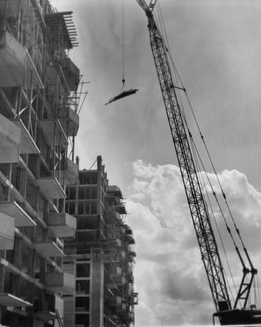
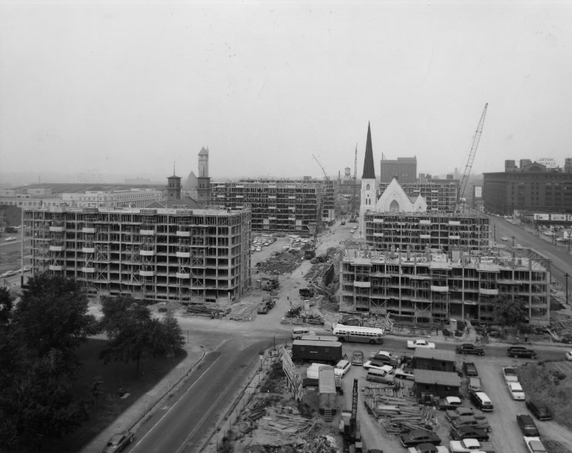
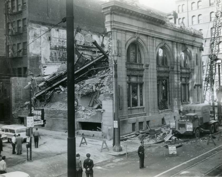
By the late 1950s, the Plaza Apartments project was reaching its final stages, with towers rising above the surrounding streets. Demolition elsewhere in the city carried its own risks. At Broadway and Pine Street in 1958, a wall of the old Telegraphers’ National Bank Building collapsed suddenly during wrecking operations, sending debris across the site in an uncontrolled moment that became front-page news.
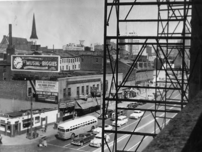
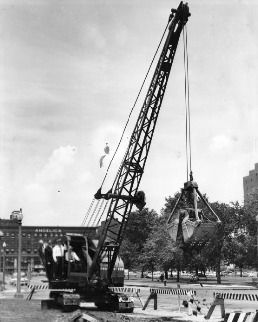
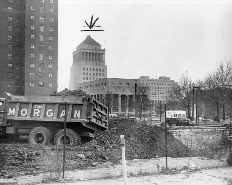
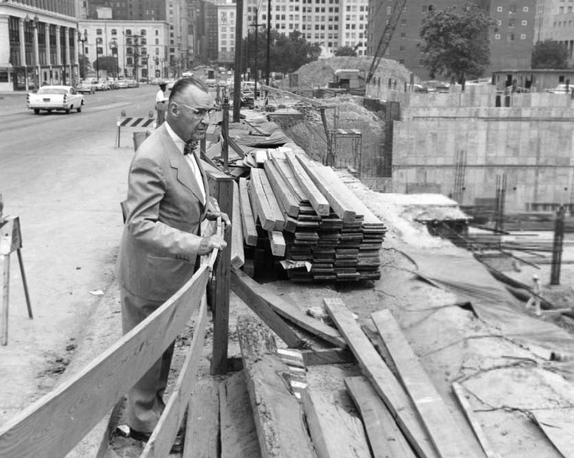
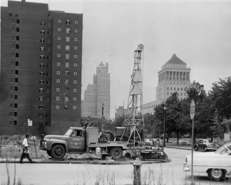
The Plaza Apartments development was one of the most documented construction projects of the decade. Test borings were conducted as early as 1953, followed by years of planning, area clearance, excavation, and foundation work before the buildings finally rose. Officials and engineers inspected each phase closely, and the photographic record of the project spans nearly the entire decade.
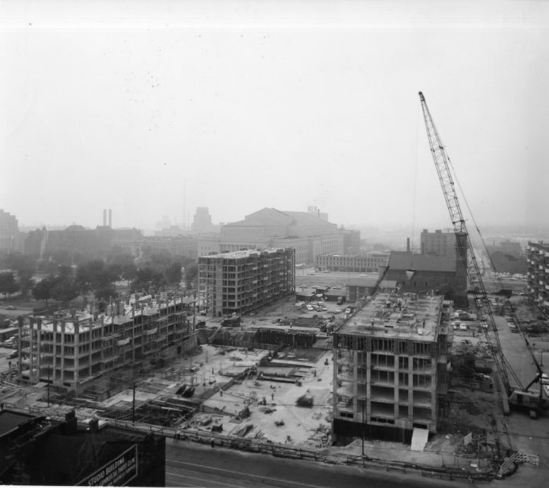
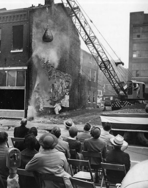
Mayor Tucker made the ceremonial swing of the wrecking ball in 1955 as the Plaza Apartments project moved into its demolition phase. Older structures were cleared to make way for the new development, a process that erased entire blocks of the city’s earlier built environment. Elevated views from construction cranes showed just how much of the surrounding landscape was being remade.
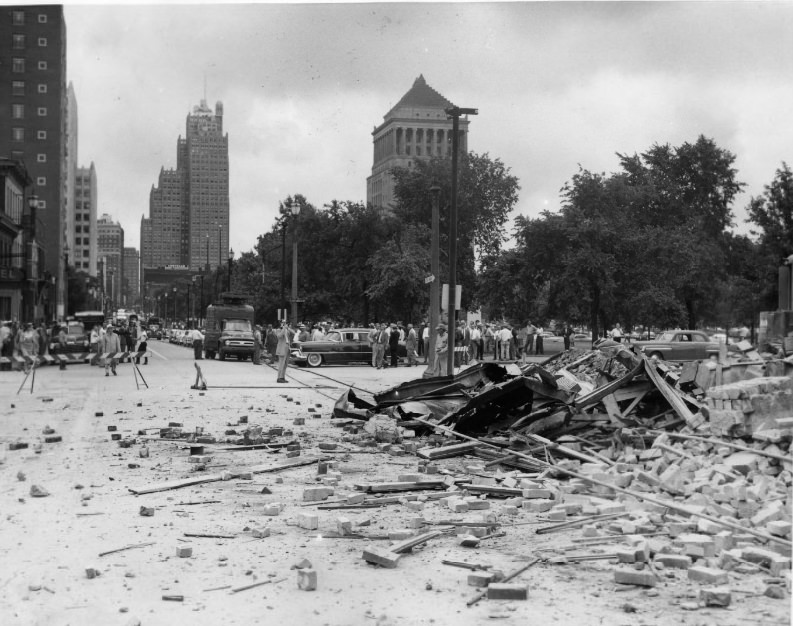
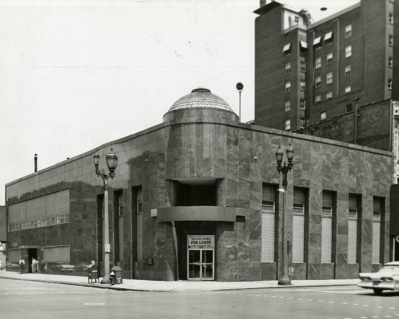
Demolition debris from the Plaza site spread across city blocks in 1955, a familiar sight in a decade defined by urban redevelopment. Banks continued their own physical relocations during this period. United Bank and Trust Company moved to a new location in 1958, one of many financial institutions that shifted addresses as downtown St. Louis evolved.
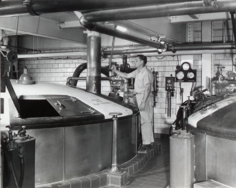
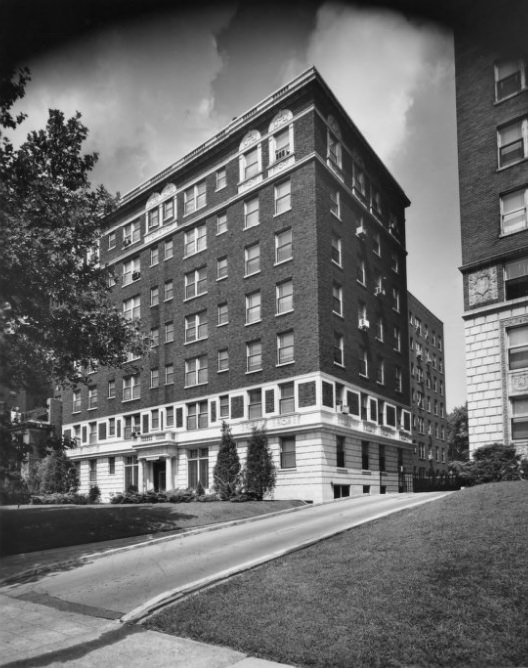
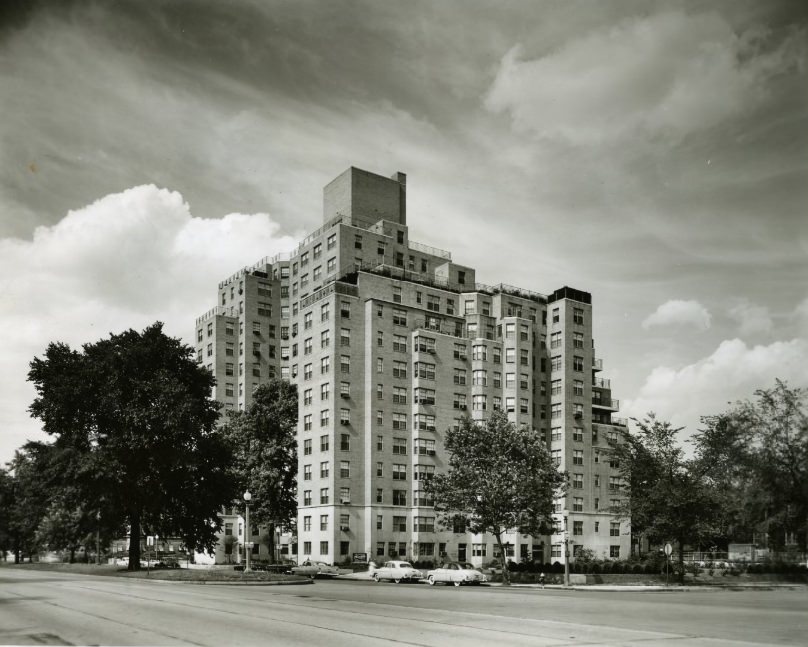
St. Louis supported multiple breweries operating simultaneously. The Carling Brewery Company documented its brewing process in 1957, showing industrial-scale beer production at work. Along Lindell Boulevard, the Monticello Apartments and the Montclair Apartments stood as examples of the mid-century residential architecture that lined the city’s major corridors, managed by established real estate firms like Henry R. Weisels Co.
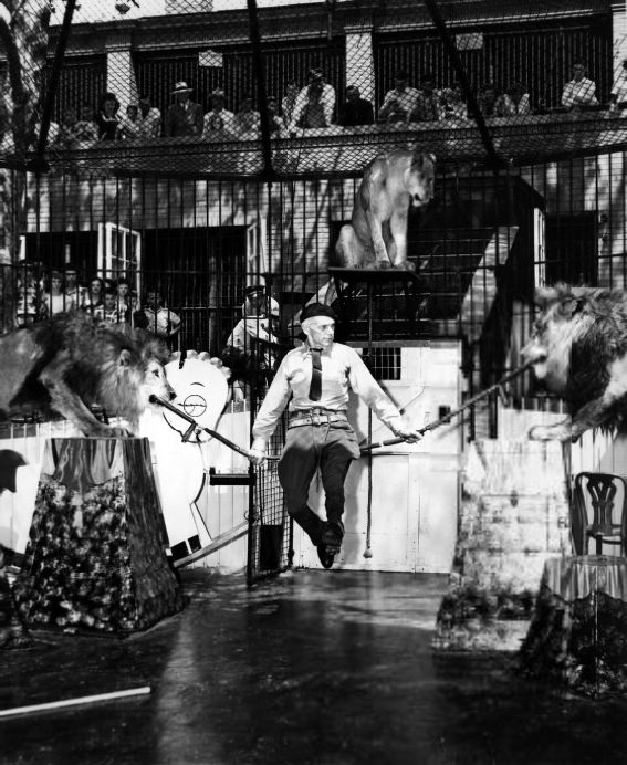
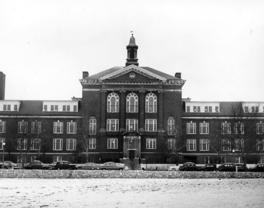
The St. Louis Zoo in Forest Park drew families throughout the 1950s. Lion shows were among the popular attractions that brought crowds out in 1951. Education was also a central part of city life. Sumner High School, one of St. Louis’s historic institutions, stood as a cornerstone of the city’s north side community, serving students in a segregated school system that remained in place through much of the decade.
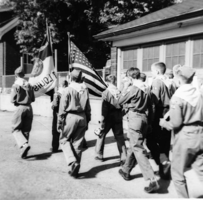
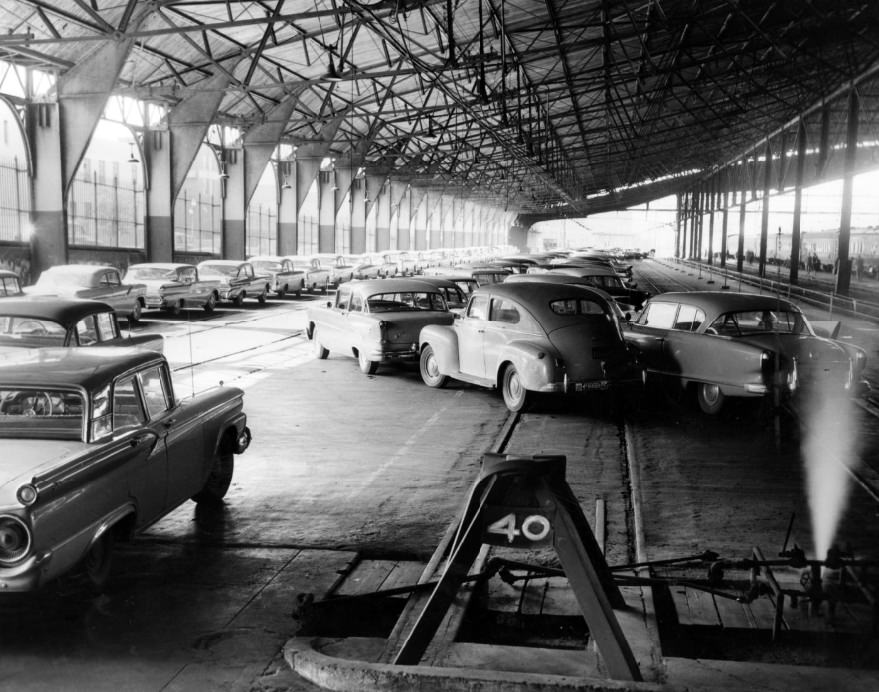
Community organizations were woven into everyday life in 1950s St. Louis. The St. Mary Magdalen Boy Scout troops marched in a school parade in June 1955, a tradition shared by parishes and schools across the city. By 1959, Union Station had taken on a new role as a park-and-ride hub for football fans — a practical solution to the traffic that accompanied major sporting events.
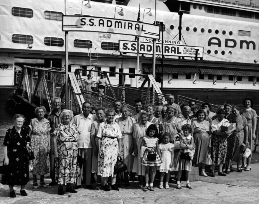
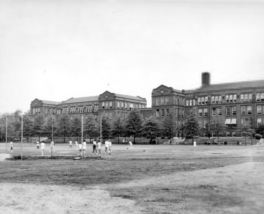
The Admiral, a large excursion steamboat docked along the St. Louis riverfront, was one of the city’s most recognizable recreational destinations. Passengers boarded and disembarked at the waterfront in 1954, enjoying a floating entertainment venue that offered dancing and sightseeing along the Mississippi. In the city’s schools, physical education was a structured part of daily life, as captured in a 1958 photograph of girls’ gymnasium classes.
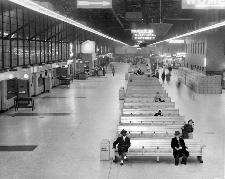
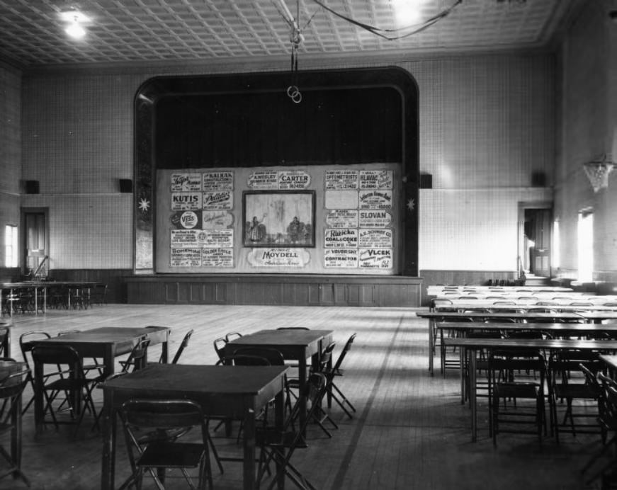
Union Station in 1952 was still a working transportation hub, handling rail passengers moving in and out of the city. St. Louis’s ethnic communities maintained their own civic institutions throughout this era. The Czechoslovak Society of America operated a hall on Dolman and Allen avenues that served as both gymnasium and auditorium, a gathering place for one of the city’s many immigrant-descended communities.
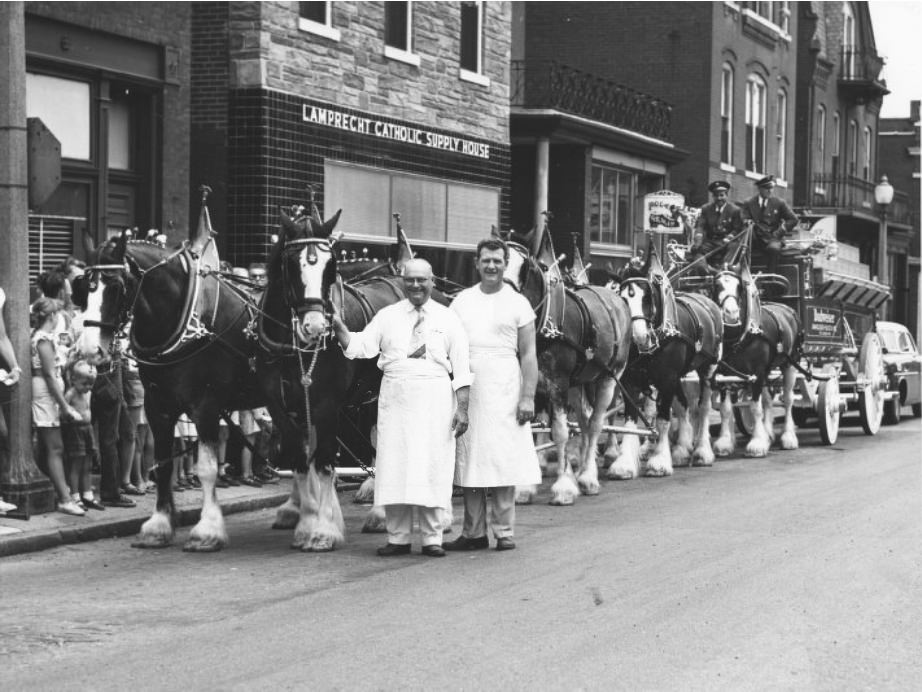
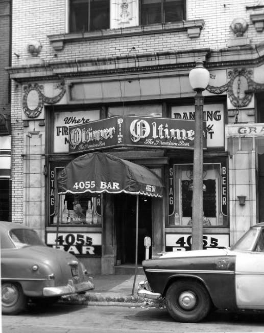
Anheuser-Busch’s famous Clydesdale horses made appearances at local establishments like Behrmann’s Tavern in 1952, drawing crowds and connecting the brewery to neighborhood bars across the city. Bars and taverns were a fixture of St. Louis street life. The entrance of the bar at 4055 Olive Street, photographed in 1958, shows the kind of corner establishment that anchored city blocks and served as social centers for surrounding residents.
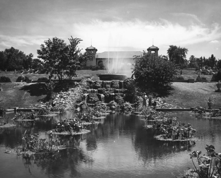
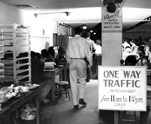
Forest Park held onto its legacy from the 1904 World’s Fair, with the old pavilion still standing in 1950 as a reminder of the city’s celebrated past. Education institutions across the city continued to grow. Harris Teachers College, photographed in 1955, served as one of the city’s key training grounds for educators during a decade when public school enrollment was expanding.
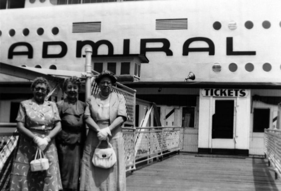
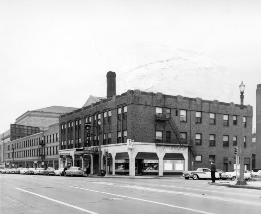
Market Street in 1957 shows the city’s commercial corridor in full activity — storefronts, pedestrians, and vehicles moving through a dense downtown environment. The Admiral continued to attract visitors to the riverfront that same decade, its dual role as excursion boat and entertainment venue making it one of the more distinctive features of the St. Louis waterfront.
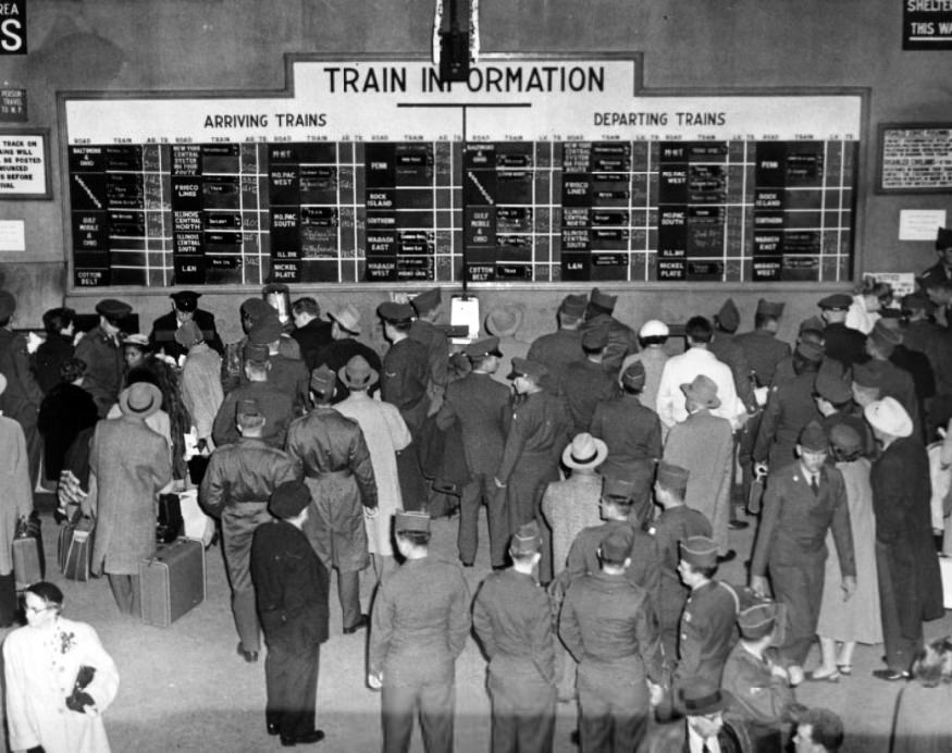
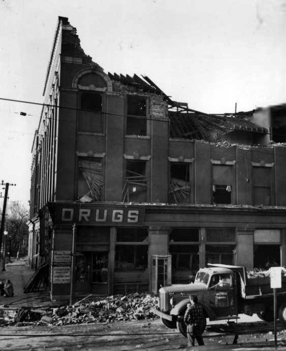
Military personnel moved through Union Station regularly in the 1950s, as the Korean War and Cold War kept troop deployments steady. Soldiers photographed at Union Station in 1955 were part of a constant flow of servicemen passing through the city. By the end of the decade, Evans Avenue in 1959 showed a residential street typical of St. Louis’s south side — brick homes, street trees, and a neighborhood character shaped by generations of working families.
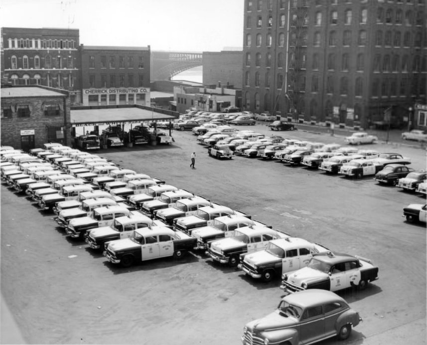
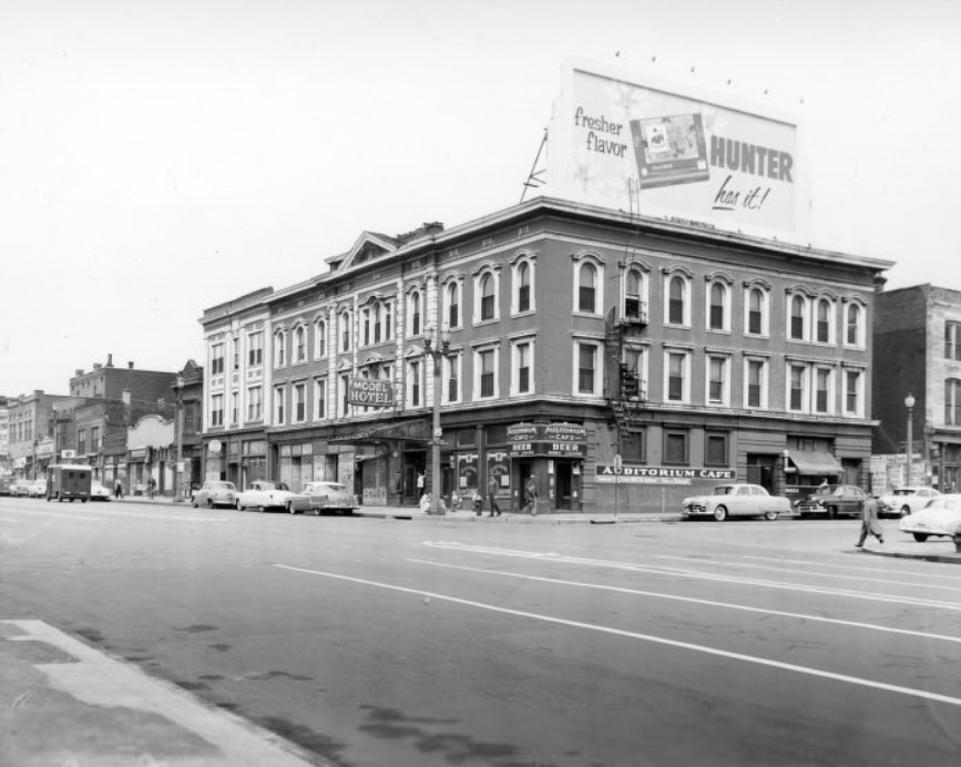
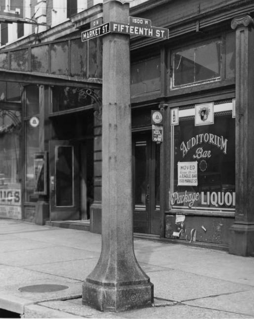
The Black and White Cab Company’s fleet lined up outside its office in 1956, with the Eads Bridge visible in the background — a pairing that captured two essential elements of St. Louis transportation in a single frame. Market Street, photographed from Fifteenth Street before plaza clearance in 1955, shows the older urban fabric that was soon to be demolished as redevelopment pushed westward.
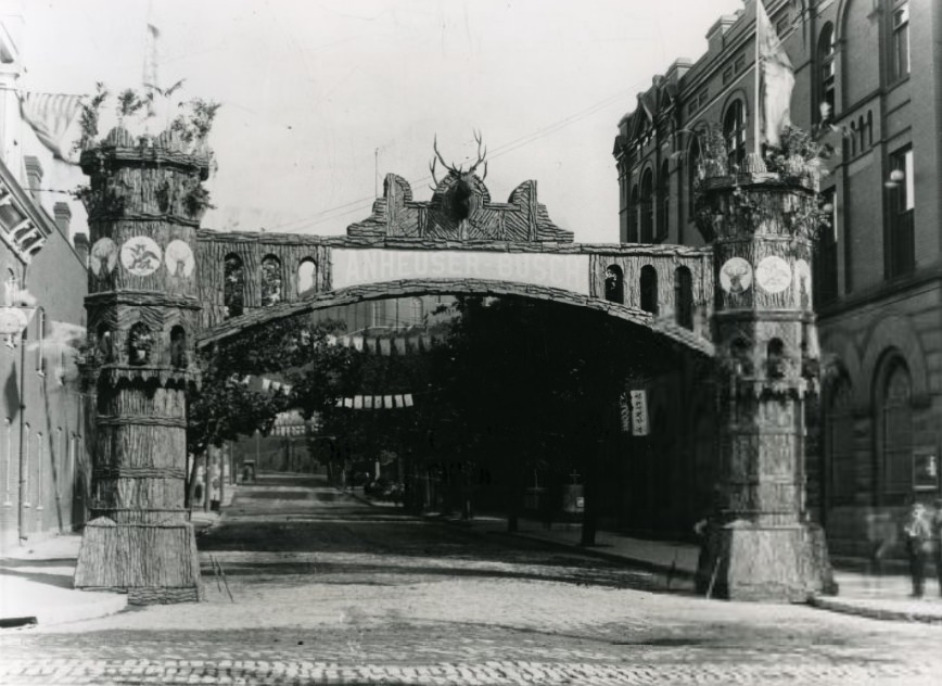
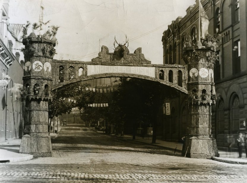
Anheuser-Busch marked milestones with celebratory arches erected at the brewery, a tradition that extended into the early 1960s. The brewery was more than just a production facility — it was a civic institution that staged events, hosted organizations, and maintained its own symbolic presence in the city. The Elks celebratory arch photographed in 1964 continued this tradition of public ceremony.
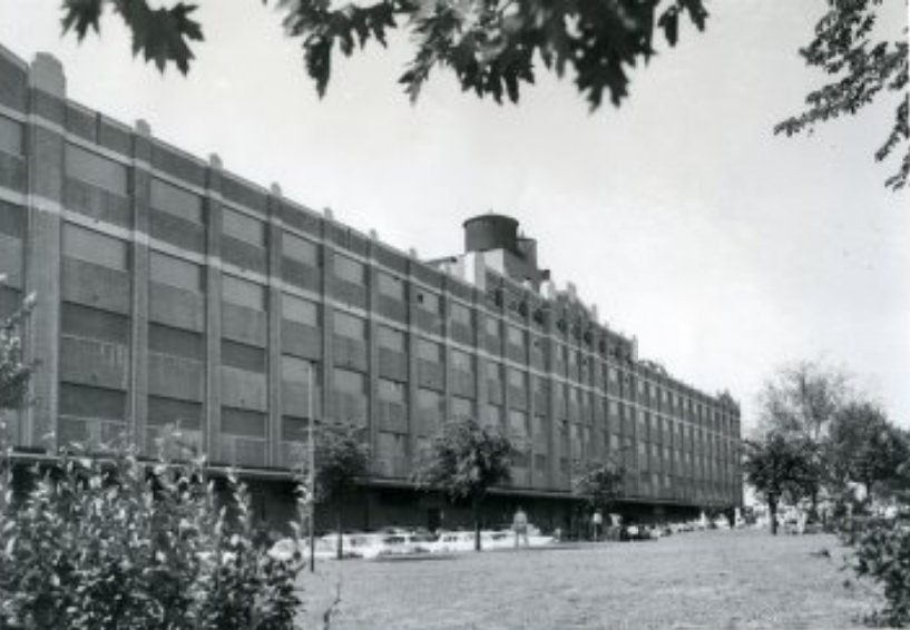
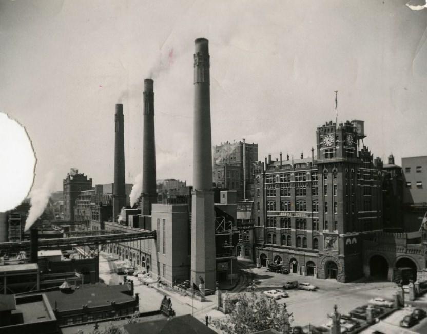
A St. Louis building was named in honor of an Air Force colonel in 1954, one of several civic dedications that connected the city to its military heritage during the Cold War years. The Anheuser-Busch brewery campus, photographed in 1952, shows the sprawling industrial complex that dominated its corner of south St. Louis, with multiple buildings, warehouses, and production facilities spread across several city blocks.
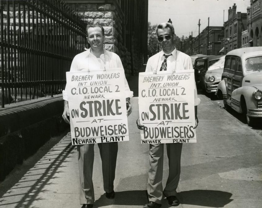
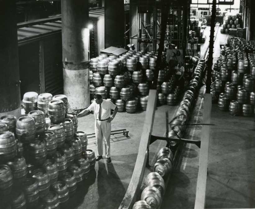
Labor relations at Anheuser-Busch were not always peaceful. Workers at the Newark plant picketed in 1952, a reminder that the brewing industry faced organized labor pressure during this era. Back in St. Louis, cases of beer stacked for shipment in 1957 showed the sheer volume of product moving out of the brewery — by the late 1950s, Anheuser-Busch was well on its way to becoming the largest brewer in the United States.
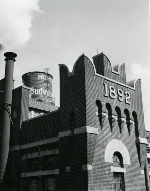
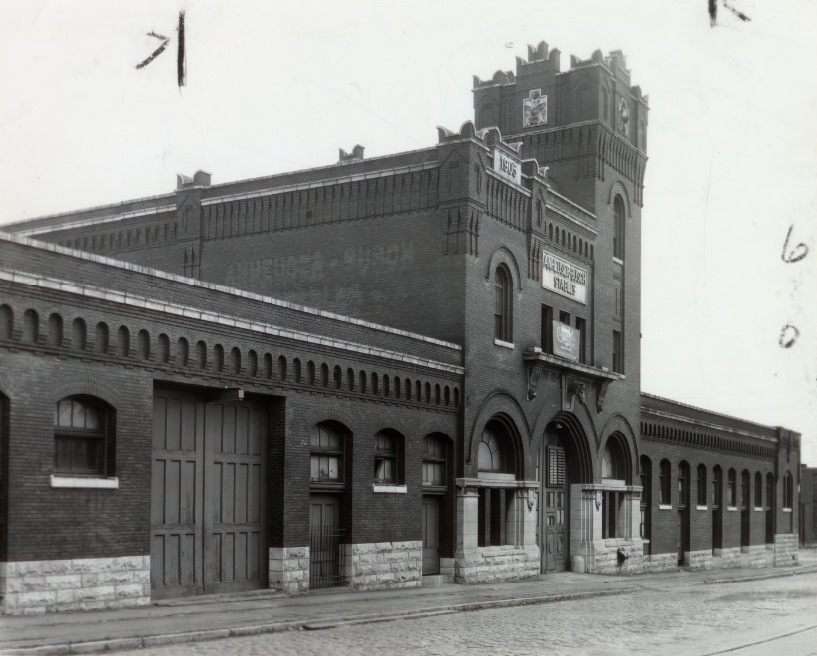
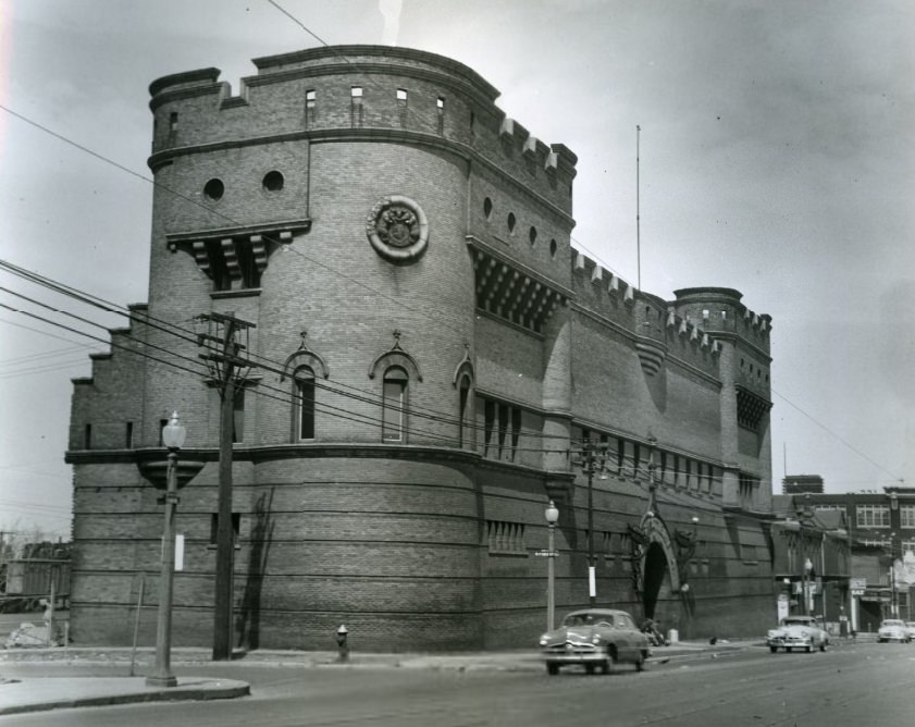
The Anheuser-Busch campus was also shedding its older infrastructure. In 1958, the stable that once housed the brewery’s working horses was slated for demolition, a sign that the operation was modernizing beyond the need for animal-powered transport. The Grand Building, photographed in 1956, stood as one of the commercial anchors along Grand Boulevard, a major north-south corridor that ran through the heart of the city.
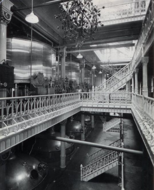
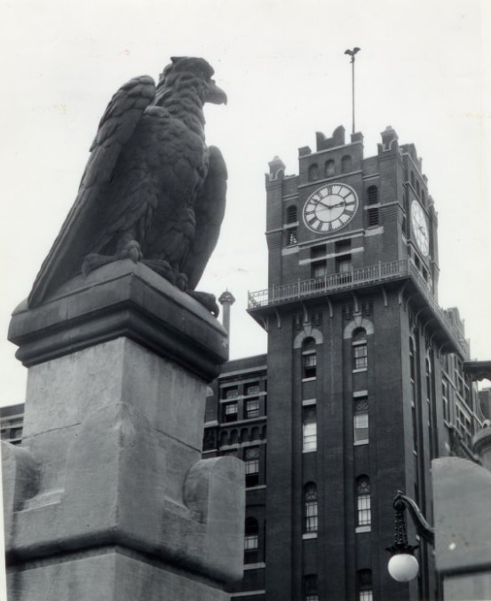
Inside the Anheuser-Busch facility, cold brewery operations and heavy industrial equipment defined the production process. The 1957 photographs of brewing equipment show the scale of the machinery involved in producing beer at industrial volume. The eagle statue on the brewery grounds, also photographed in 1957, served as one of the most recognizable symbols of the Anheuser-Busch brand during this period.
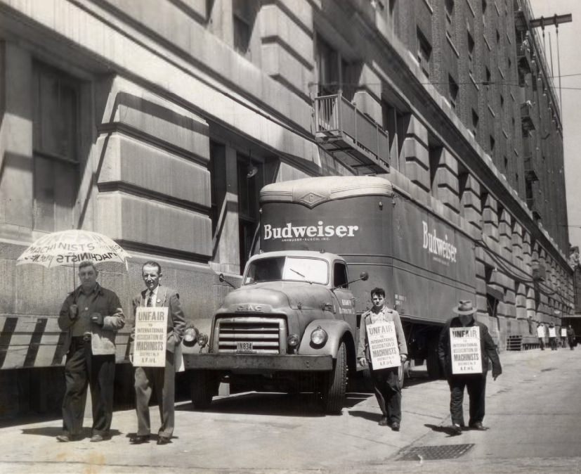
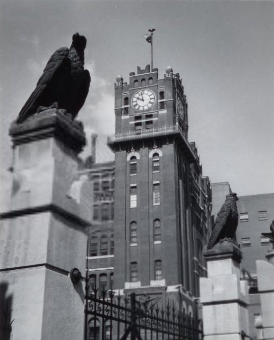
The Machinist Union picketed Anheuser-Busch in 1952, the same year workers at the Newark plant walked out. Labor disputes were a recurring feature of the city’s industrial landscape throughout the decade. By 1956, the brewery grounds presented a more settled image — a sprawling, well-maintained campus that had become one of the defining landmarks of south St. Louis.
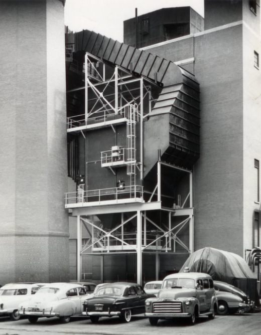
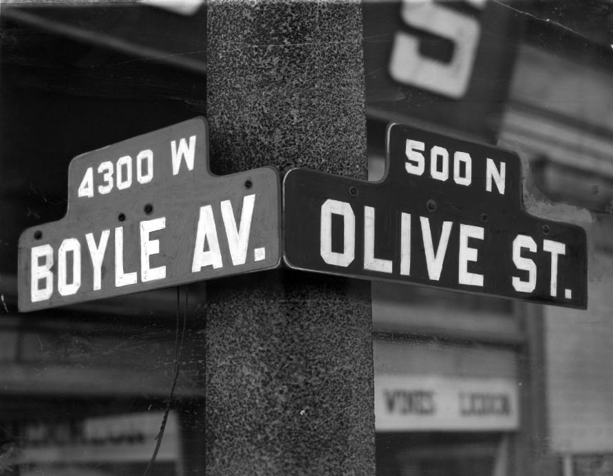
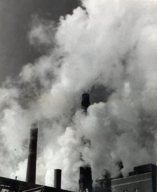
Anheuser-Busch was also addressing environmental concerns by 1951, with emission reduction work underway at the brewery. The city’s air quality was a growing issue during the decade, and large industrial operations were under increasing public pressure to reduce smoke and pollution. The intersection of Boyle Avenue and Olive Street in 1959 captures one of the city’s residential and commercial crossroads, showing the streetscape that characterized St. Louis’s inner neighborhoods at the decade’s close.
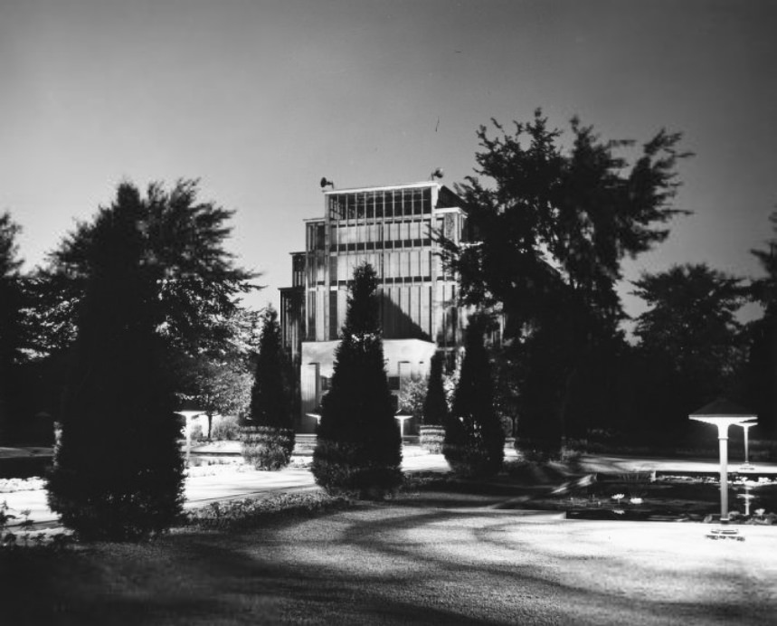
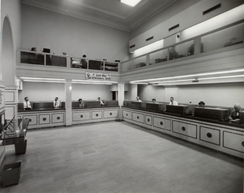
The Jewel Box in Forest Park, a large Art Deco greenhouse, was a popular attraction in 1955. Built in the 1930s, it hosted flower shows and public events throughout the decade, drawing visitors who came to see seasonal displays inside its glass walls. Across the city, Security National Bank Savings and Trust operated as one of the smaller financial institutions serving St. Louis neighborhoods in 1953.
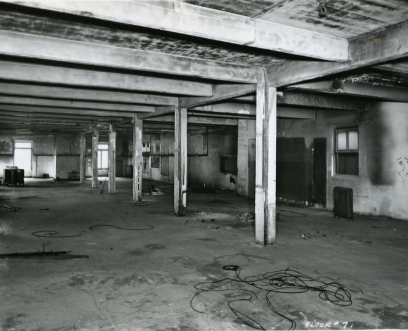
Gaslight-style street fixtures were installed in the city in 1953, lending parts of St. Louis a period character that contrasted with the modern buildings rising nearby. The Gaslight Square entertainment district, which emerged on Olive Street west of Grand Avenue, drew on this aesthetic. Downtown, vacant lots were being eyed for new construction — a 1951 photograph shows one such space before it was developed into a bank building.
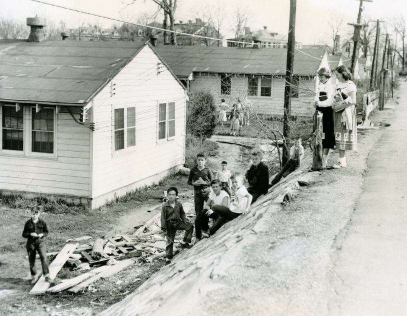
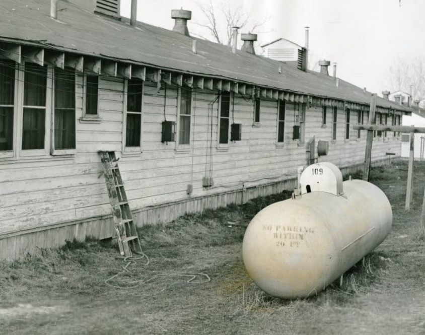
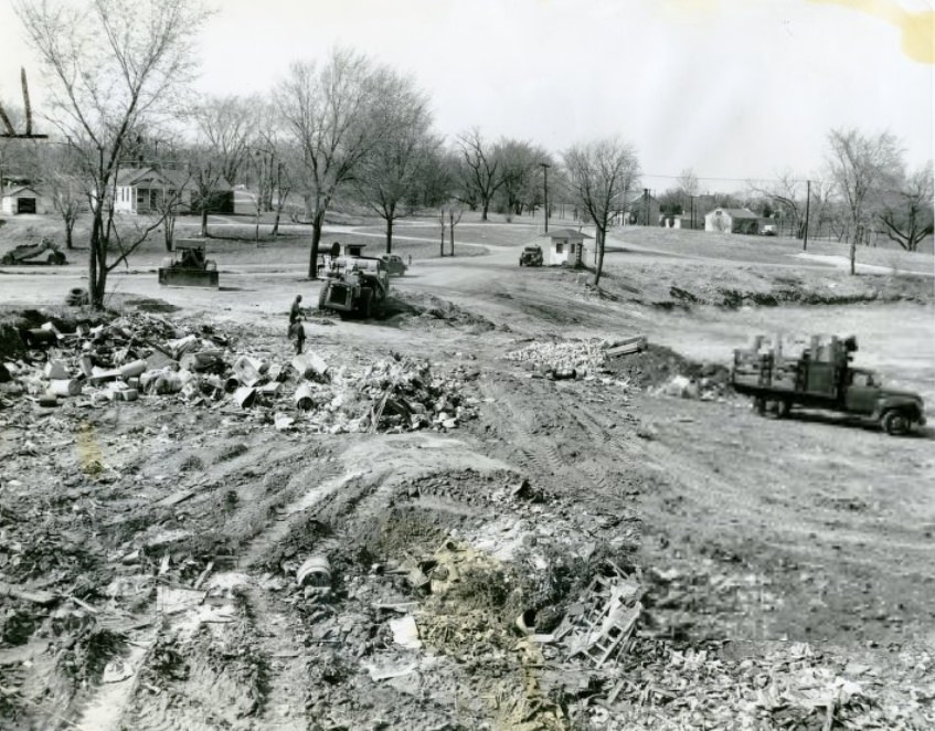
Infrastructure failures and hazards were documented across the city throughout the decade. A downed fence on the 1100 block of Gorgas Street in 1955 and an open landfill at Jefferson Barracks in 1956 were among the public safety concerns that city officials photographed and addressed. A fire hazard at the same Jefferson Barracks site that year pointed to the ongoing management challenges at the historic military installation.
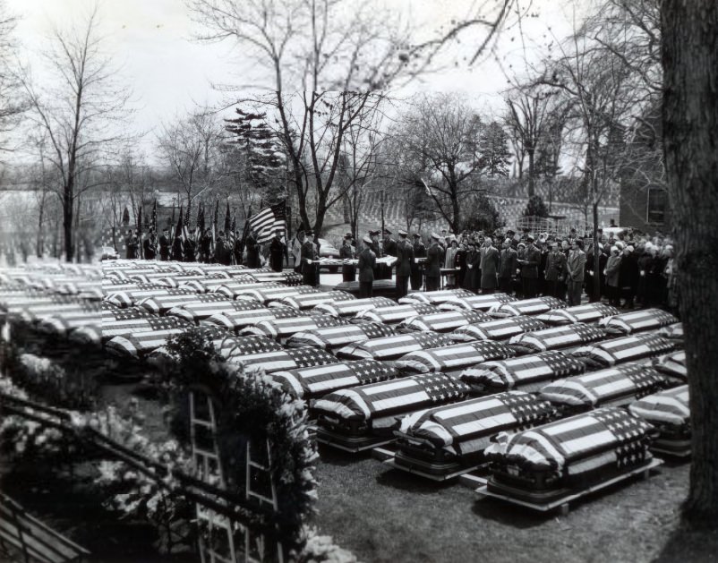
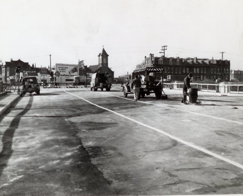
In 1951, the families of 77 servicemen killed in World War II walked behind chaplains and an honor guard through Jefferson Barracks National Cemetery. The ceremony brought finality to families still waiting for their loved ones to be laid to rest years after the war had ended. On a different note, the city’s transportation network expanded with the opening of a new bridge on Twelfth Street in 1954.
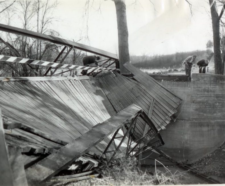
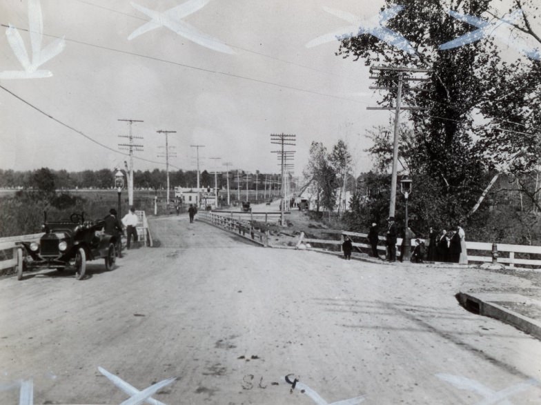
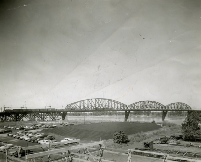
St. Louis’s bridges ranged from historic crossings to deteriorating one-lane spans. A small bridge on Old Baumgartner Road over Mattese Creek in south St. Louis was photographed in 1955 with boards and girders hanging at dangerous angles after structural failure. The Old Gravois Road Bridge and the McKinley Bridge represented different generations of crossing infrastructure, both serving the city’s need to move people and goods across its many waterways and rail lines.
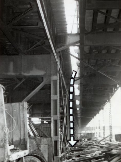
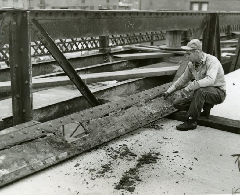
The McKinley Bridge had an unprotected opening that was flagged as a safety hazard in 1955. The following year, the Twenty-First Street Bridge showed deteriorated steelwork that threatened its structural integrity. Bridge maintenance was a persistent issue in 1950s St. Louis, as aging infrastructure strained under growing traffic loads.
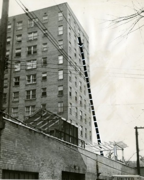
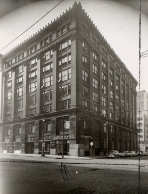
A fatal plunge at the President Apartments in 1951 was documented by press photographers, showing the path of the fall in clinical detail. Violent and accidental deaths were reported without softening in the press of the era. Commercial real estate continued to change hands in other parts of the city — the Garment District building at the southeast corner of Thirteenth and Washington was the subject of a real estate trade in 1955.
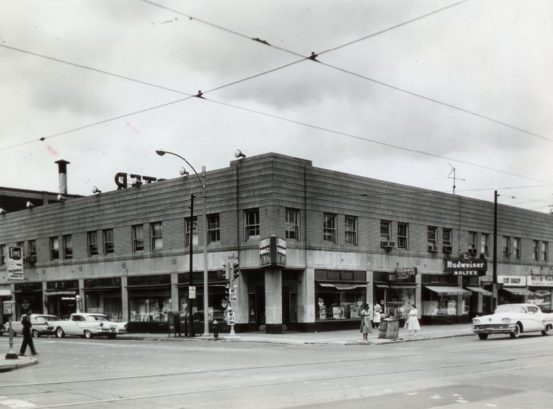
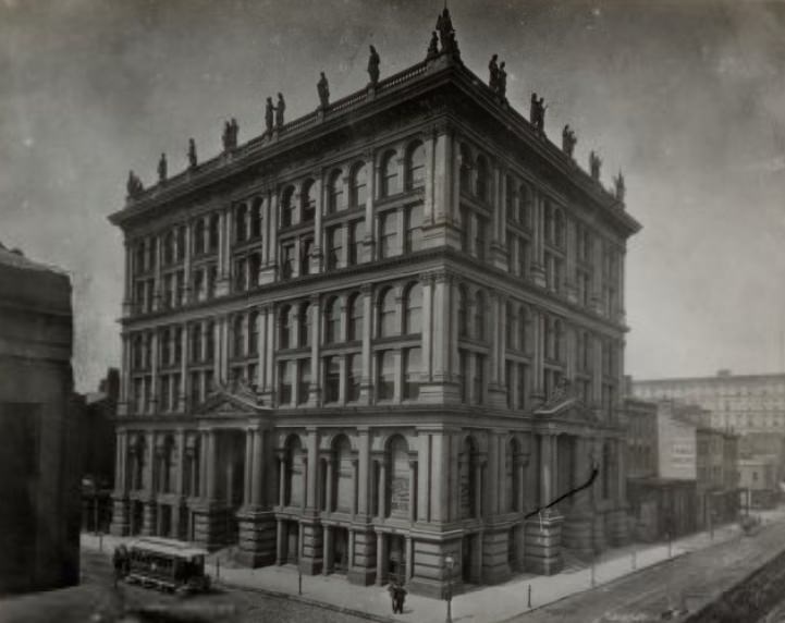
Construction at the northwest corner of Grand and St. Louis Avenue in 1958 added to the ongoing transformation of one of the city’s major intersections. The St. Louis Mutual Life Building, photographed in 1959, represented the kind of mid-century commercial architecture that was reshaping downtown St. Louis as older structures made way for taller, cleaner-lined replacements.
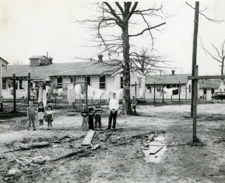
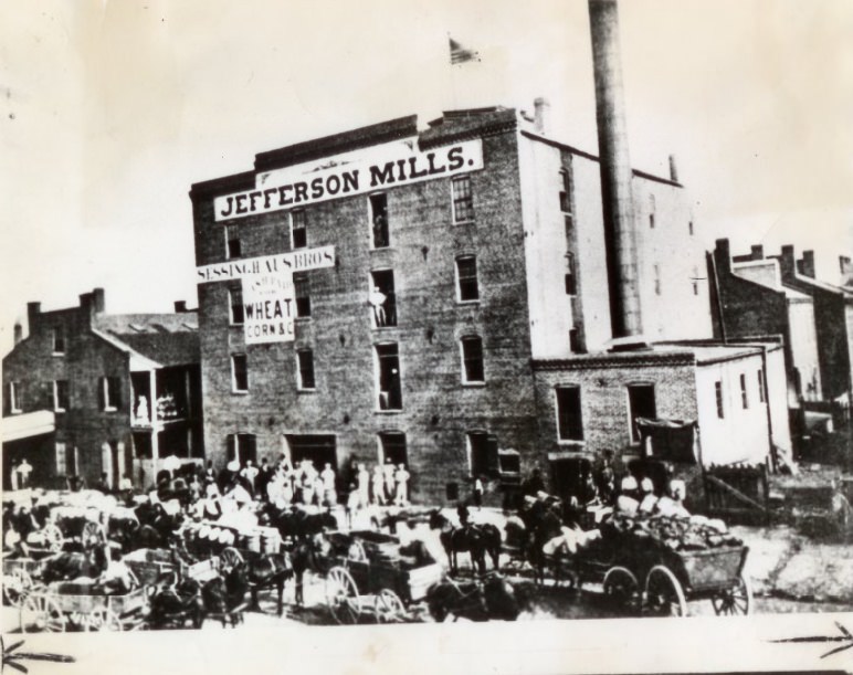
Children played in a mud hole behind the 1100 block of Scott Street next to Jefferson Barracks in 1955, a candid image of the conditions in neighborhoods bordering the military installation. The area had long been a mix of industrial and residential use. Jefferson Mills, photographed in 1950, was one of the industrial operations that defined the character of this part of the city.
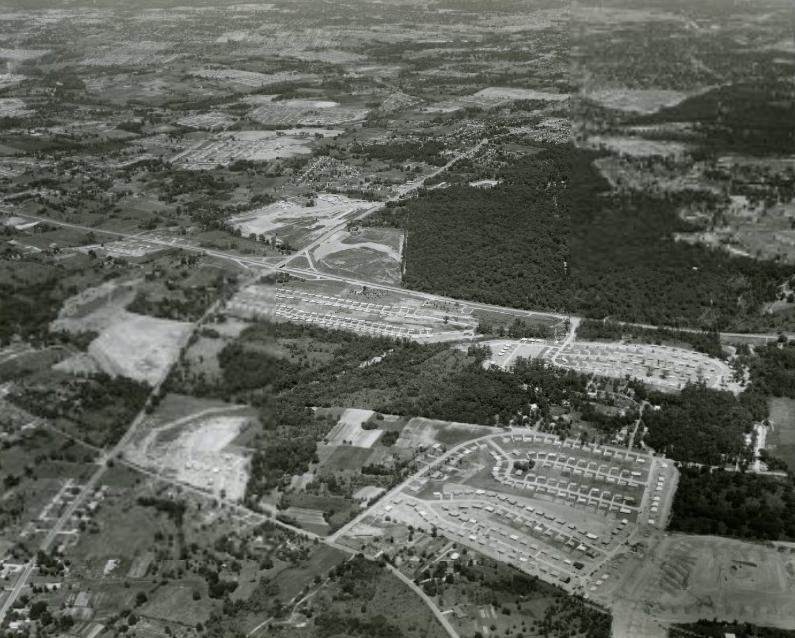
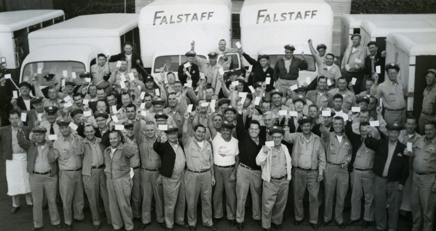
An aerial photograph from 1959 shows the Telegraph and Lemay Ferry area near Jefferson Barracks, revealing the landscape of roads, development, and open land that stretched along the Mississippi’s south flank. Traffic safety was a public concern during the decade. In 1953, all 125 truck drivers of the Flagstaff Brewing Corporation signed traffic safety pledges — a formal commitment that reflected the broader push to reduce accidents on increasingly busy city streets.
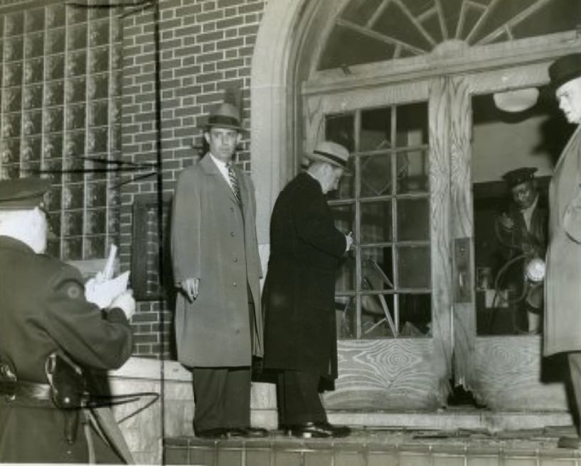
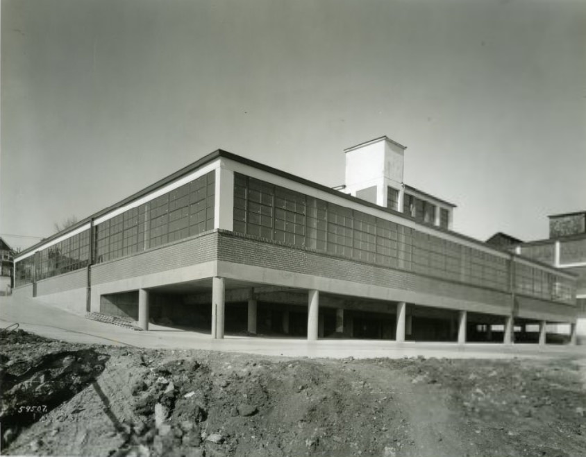
Labor violence reached a sharp point in 1953 when a bombing at the AFL bricklayers’ union brought police officers to the scene to inspect the damage. Tensions between unions and management were not limited to words and picket lines in 1950s St. Louis. In contrast, the Alligator Company at 4153 Bingham Avenue celebrated a rapid construction milestone — a new building addition completed in just 176 working hours.
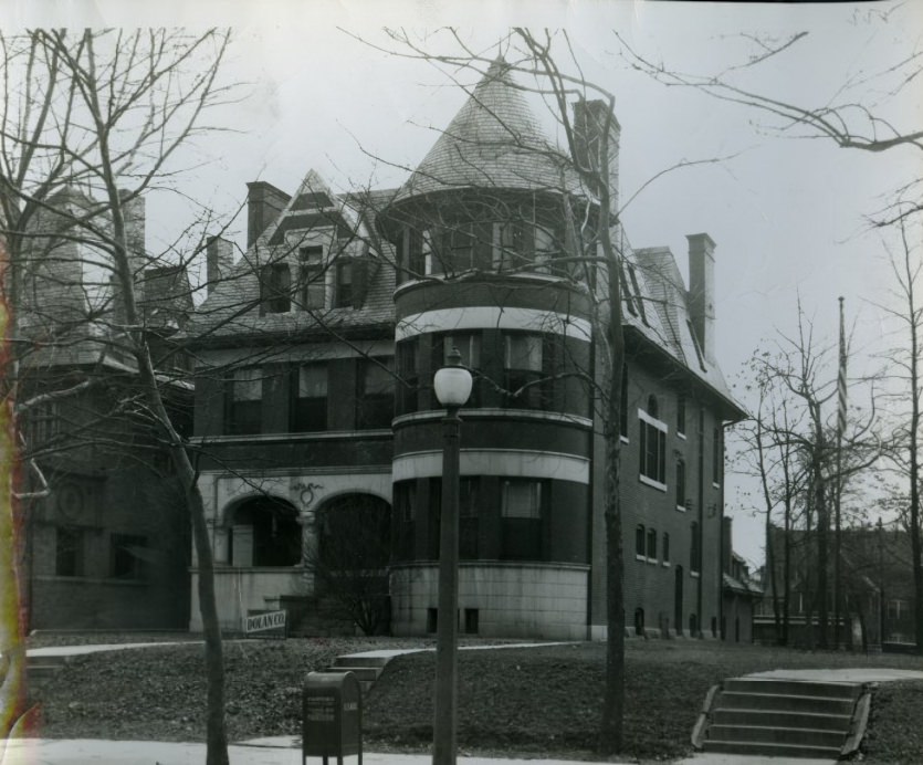
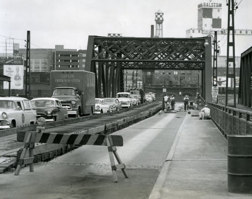
Alcoholics Anonymous purchased the residence at 4522 Lindell Boulevard in 1950 to use as a meeting place, one of the early signs of the organization’s growing presence in American cities after World War II. The MacArthur Bridge, a railroad crossing over the Mississippi, required significant repair work in 1958, with crews tackling aging pavement and structural elements on the span.
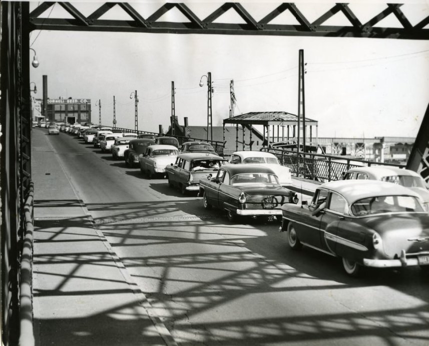
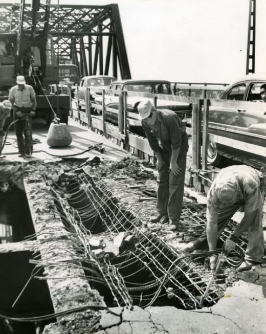
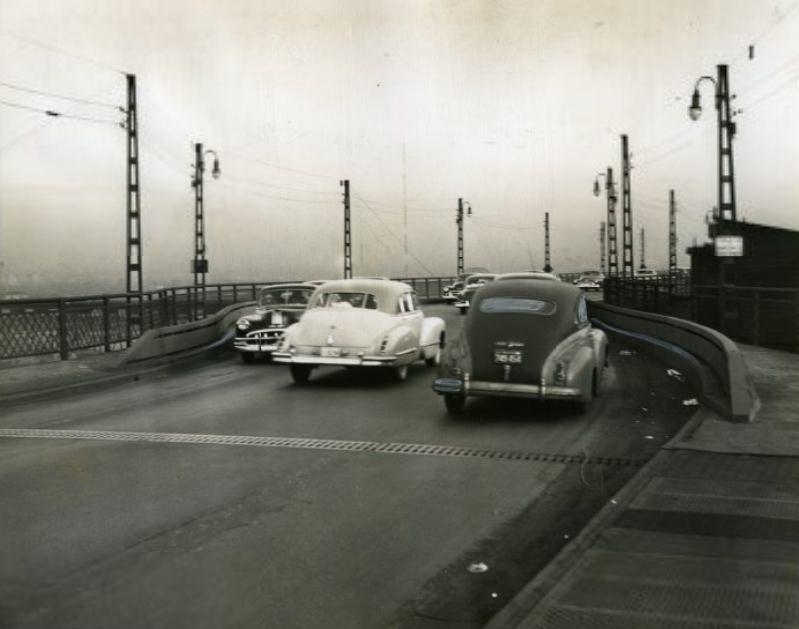
The MacArthur Bridge was a recurring problem for St. Louis through the decade. Traffic tied up on the bridge in 1957 was not an isolated incident. In 1950, three people were killed on the east approach in less than eight days, prompting the installation of heavy steel guard rails along the curve. Workmen were still breaking up old pavement on the span years later, the slow pace of repair work matching the bridge’s long history of use.
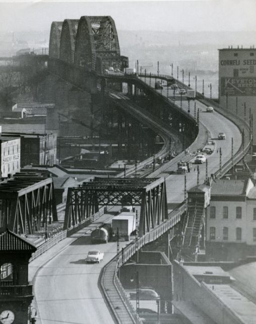
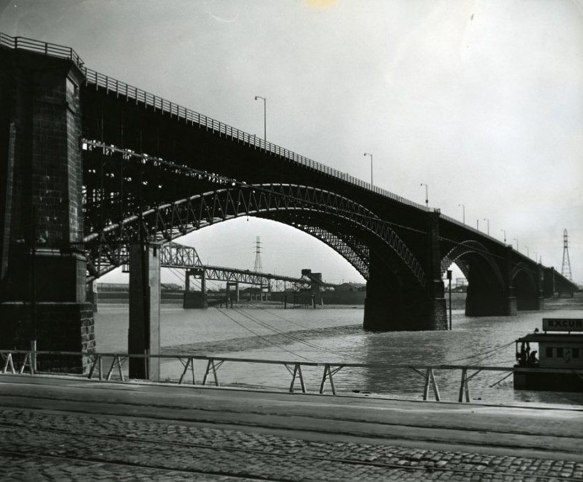
The MacArthur Bridge had originally been known as the Free Bridge before being renamed in honor of General Douglas MacArthur. A 1953 photograph shows the structure in its midcentury context. The Eads Bridge, one of the oldest and most celebrated crossings on the Mississippi, was photographed from the Missouri side in 1954, its stone towers still standing as they had since the bridge opened in 1874.
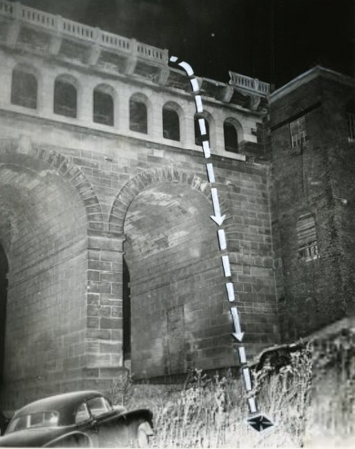
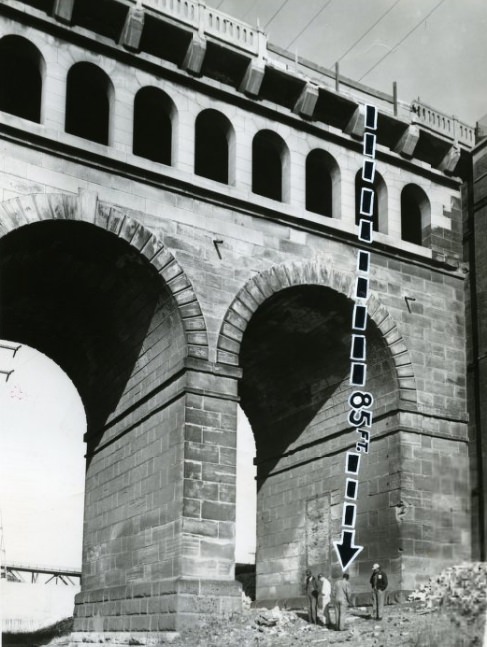
In 1953, a taxicab plunged 85 feet from the eastern approach of the Eads Bridge, killing the East St. Louis driver. The site of the plunge was photographed and documented by press photographers, showing the gap in the bridge railing and the fatal drop to the roadway below. It was one of several bridge deaths that made headlines in St. Louis during the decade.
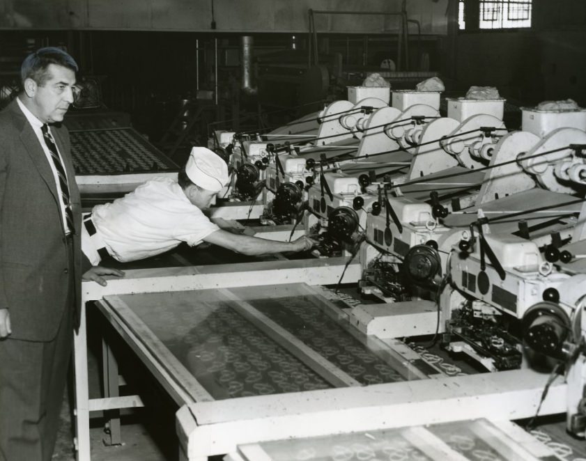
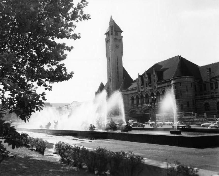
Food manufacturing in St. Louis was also undergoing automation. In 1957, machines replaced human pretzel twisters at a local bakery, a small but telling sign of the industrial changes reshaping production work across the city. Aloe Plaza and Union Station, photographed together in 1955, captured two of the city’s most recognizable civic spaces — the plaza with its famous fountain sculpture and the grand train station still operating as a regional transportation hub.
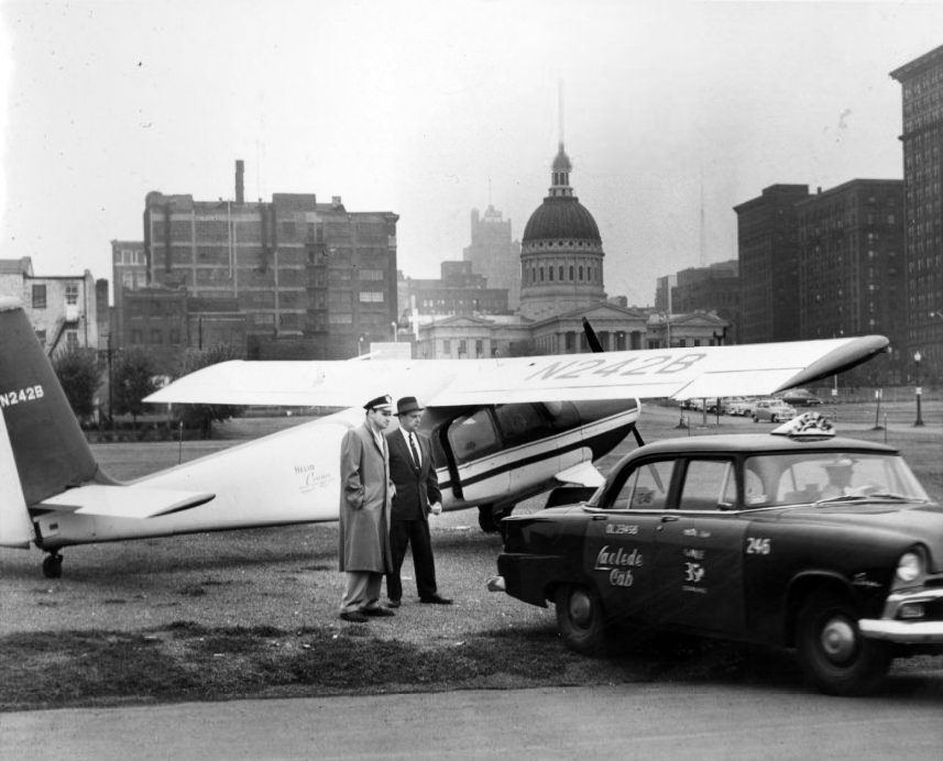
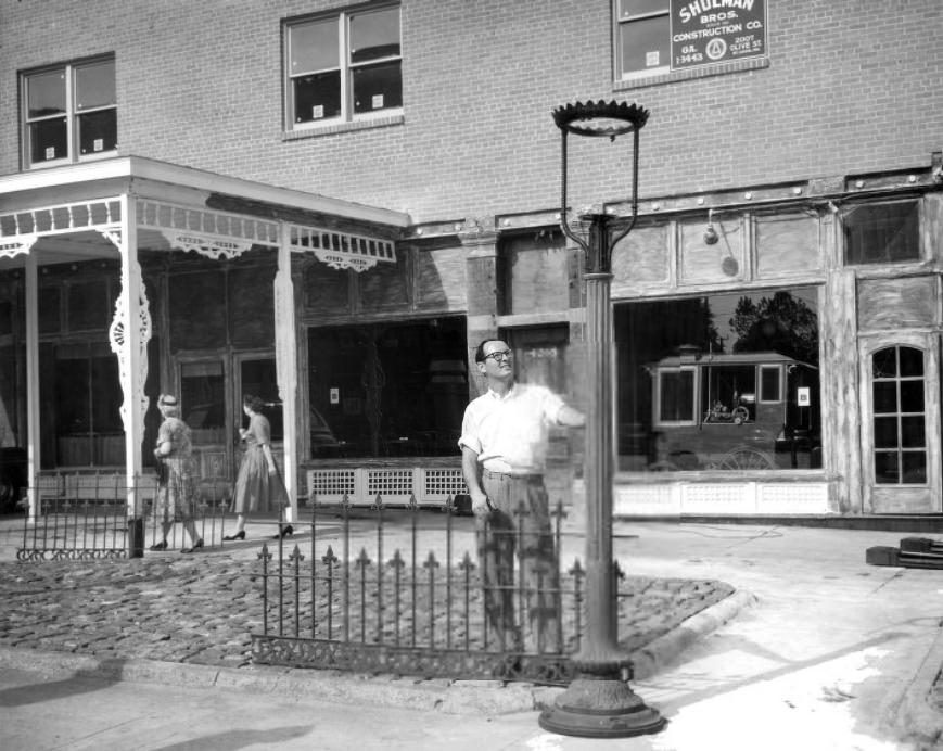
An aerial taxi test in 1955 explored the possibility of small aircraft serving as point-to-point transport in the St. Louis area — an idea that reflected the era’s optimism about aviation technology. The Golden Eagle Cafe, photographed in 1959, was one of the city’s established eating and drinking establishments, its name and signage typical of the neighborhood businesses that lined St. Louis streets through the decade.
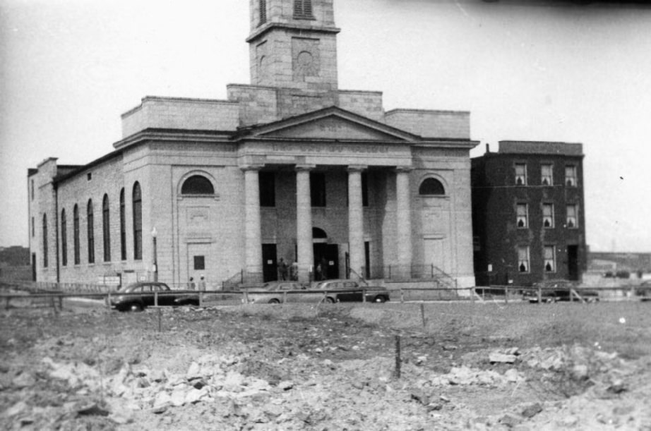
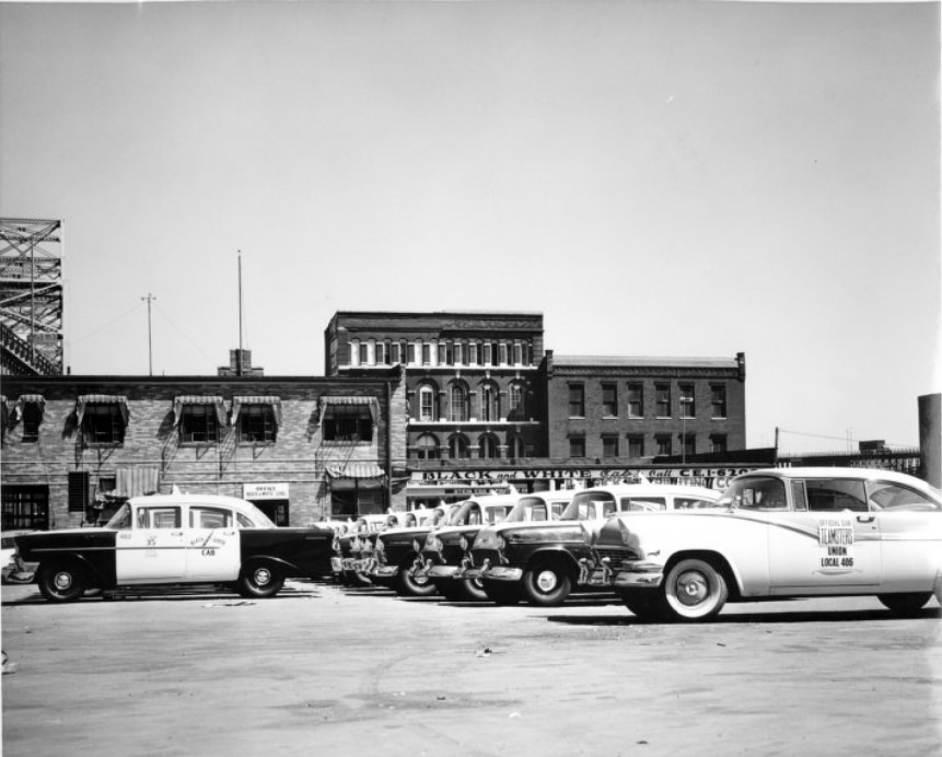
The Old Cathedral, formally known as the Basilica of Saint Louis, King of France, stood near the riverfront as one of the oldest buildings in the city. Photographed in 1950, it occupied the same ground where it had stood since 1834, surrounded now by the cleared land that would eventually become the Gateway Arch grounds. Rows of taxis outside the Black and White Cab Company in 1950 showed the transportation workforce ready for the city’s daily demands.
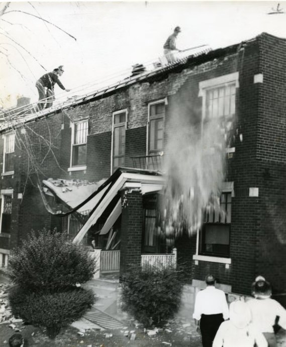
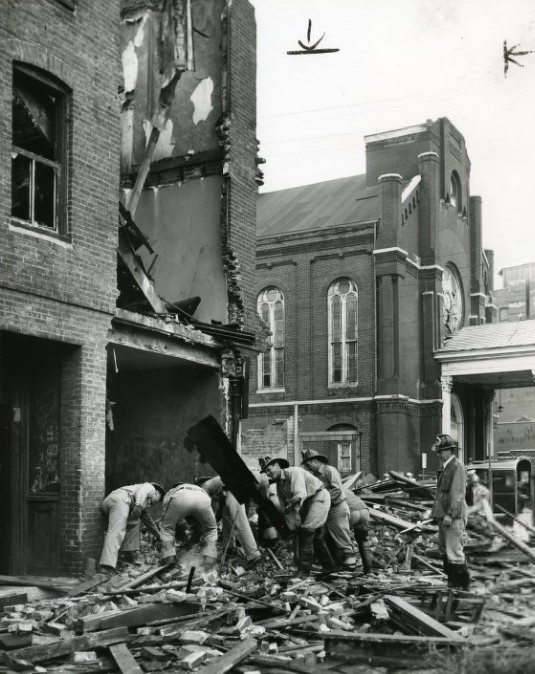
Structural collapses were a grim reality in older St. Louis neighborhoods. A porch collapse on Pennsylvania Avenue in 1950 and a tenement collapse at Twenty-Third and Cole Streets documented the dangers of aging housing stock that was poorly maintained and overcrowded. These failures were not isolated — they were symptoms of a broader housing crisis affecting many of the city’s lower-income residential areas.
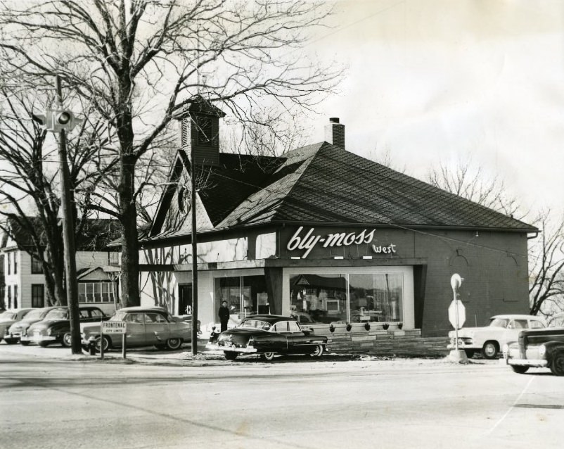
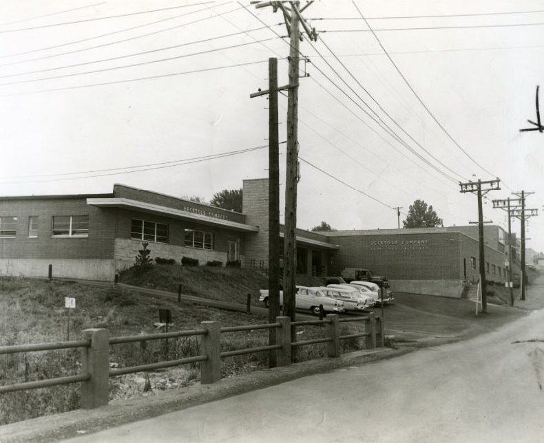
Retail expansion was also underway. The Bly-Moss Furniture Company opened a new store at Clayton and Lindbergh roads in the suburb of Ladue in 1953, positioning itself to capture the growing suburban consumer market. The Becktold Company, a book manufacturer operating in St. Louis, represented the city’s printing and publishing industry, which produced everything from school textbooks to commercial printing runs throughout the decade.
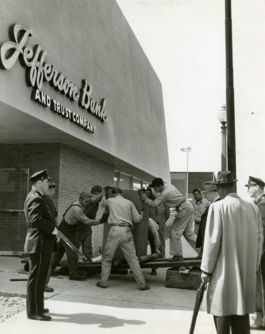
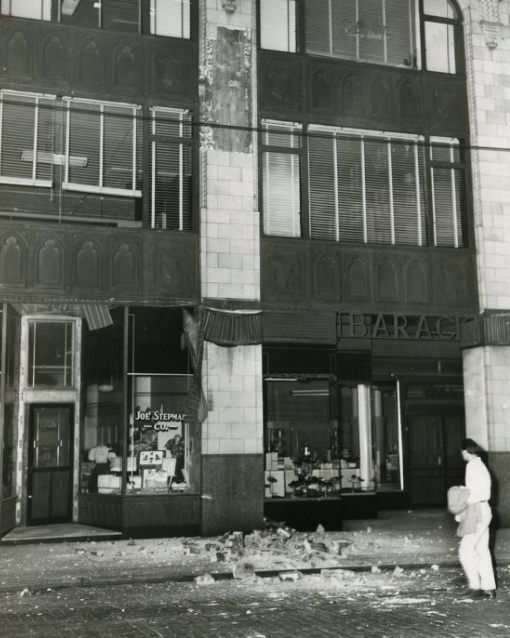
In 1958, a cornice fell from the Board of Education Building, adding to the city’s list of structural hazards in that year alone. Police stood guard at Jefferson Bank and Trust in 1956 during a period of heightened tension — the bank had become the center of a civil rights dispute when civil rights activists attempted to integrate the institution’s workforce, leading to demonstrations and a sustained police presence outside the building.
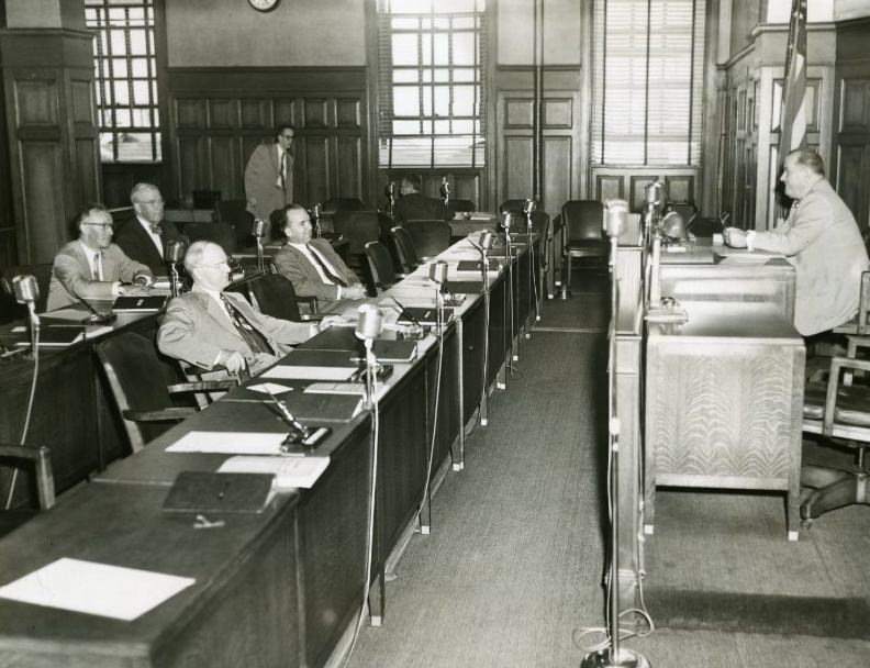
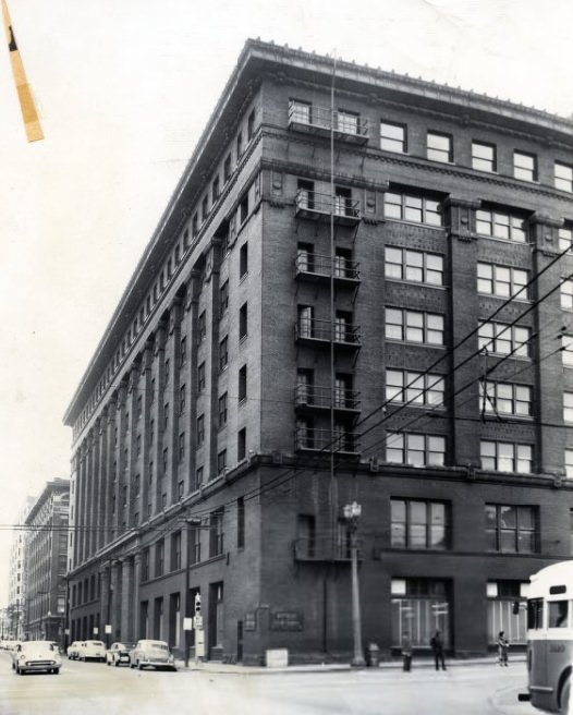
The Board of Education faced its own institutional problems — in 1952, no quorum showed up for a scheduled meeting, halting official business and drawing press attention to dysfunction within the city’s school governance. Commerce moved on regardless. The Butler Brothers Branch Warehouse, photographed in 1957, served as a distribution hub for one of the major wholesale supply networks operating in the Midwest during the decade.
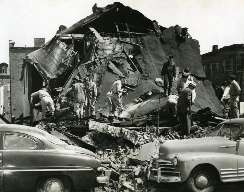
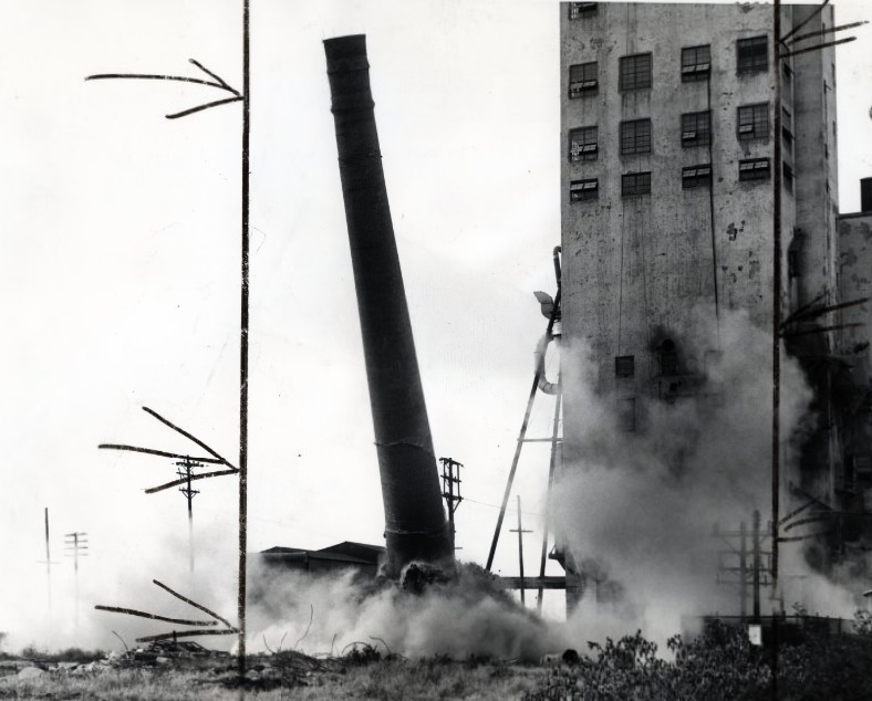
Another tenement collapse struck O’Fallon Street in 1955, part of the same pattern of structural failure seen across the city’s older housing stock. Industrial demolition continued on the commercial side of the city. The Burlington Grain Elevator was brought down in 1954, its massive structure reduced to debris in a demolition that marked the end of one of the city’s older industrial landmarks.
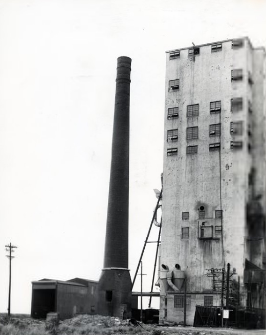
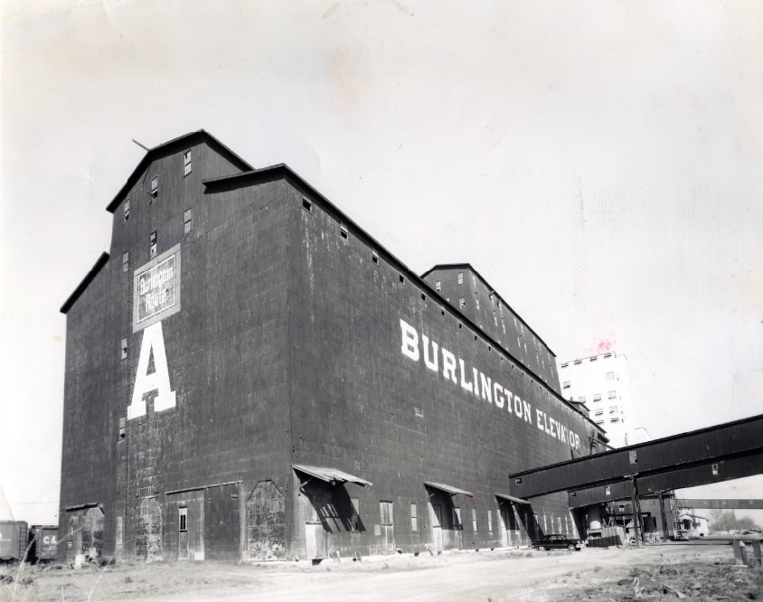
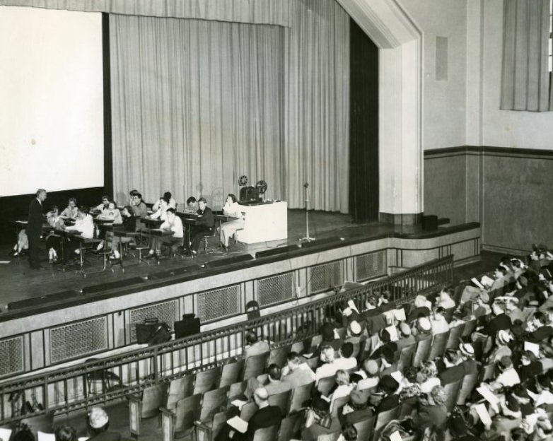
The Burlington Grain Elevator’s smokestack came down in 1954, completing a demolition that had begun the year before. The removal of the elevator cleared a significant footprint along the industrial riverfront corridor. In the city’s schools, the Board of Education showcased new educational technology in 1951, with an audio-visual demonstration that pointed toward modern teaching methods being adopted in St. Louis classrooms.
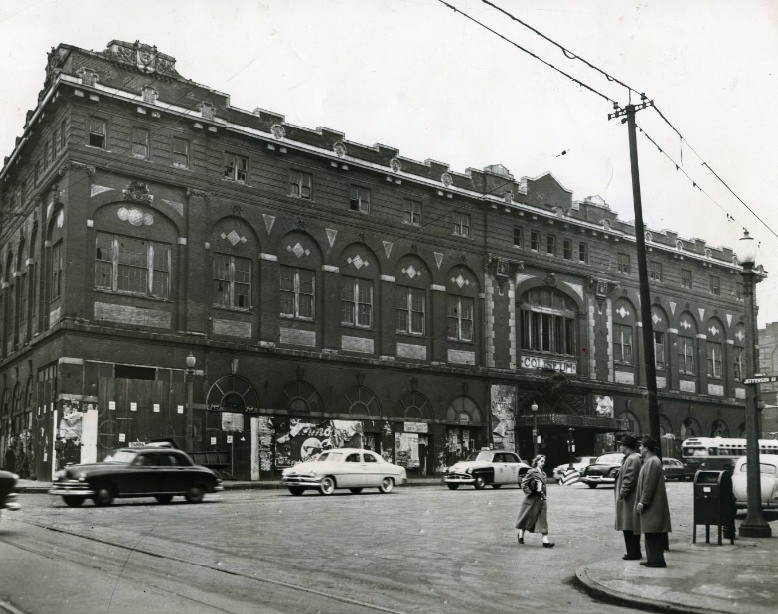
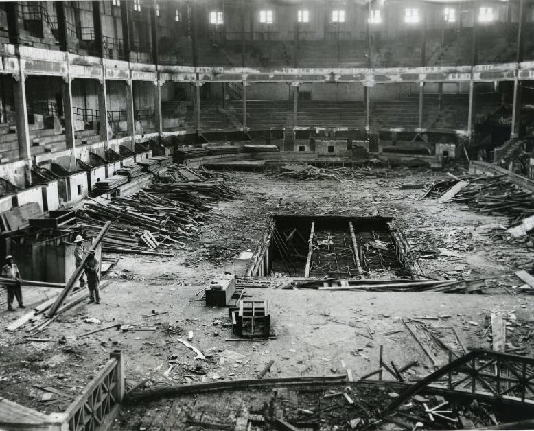
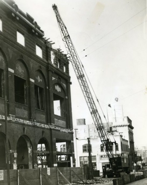
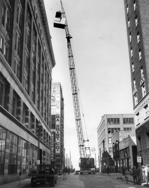
The old Coliseum at Washington Boulevard and Jefferson Avenue fell in 1953. Once a major venue for sporting events, conventions, and public gatherings, the building had been standing since the early twentieth century. Its demolition was documented in multiple photographs — the structure before the wrecking crews arrived, the crane positioned outside, and the condemned sign posted on its walls.
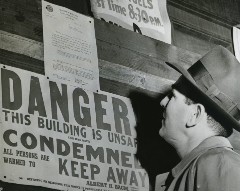
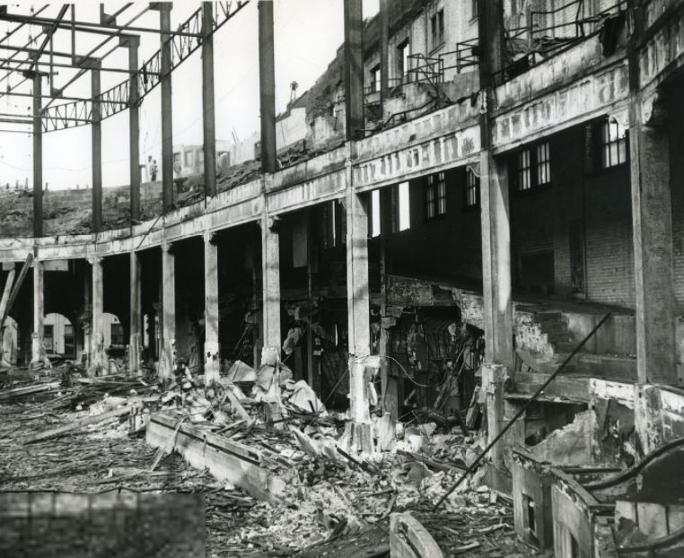
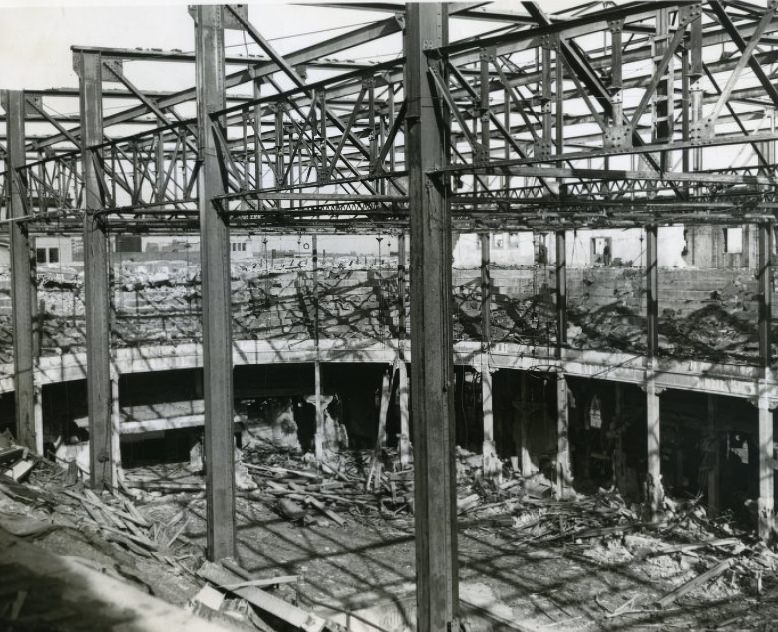
The condemned sign on the Coliseum’s facade in 1953 formalized what the building’s deteriorating state had already made clear. By the time demolition crews finished, the site that had once hosted major public events was reduced to rubble. Photographs from 1950 had already shown the Coliseum in ruins, suggesting the building had been in decline for years before the formal demolition order came.
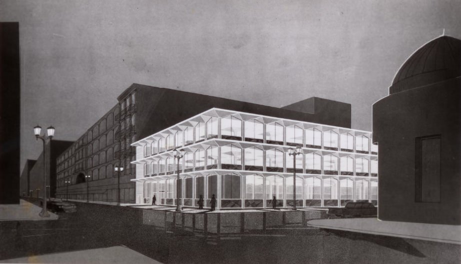
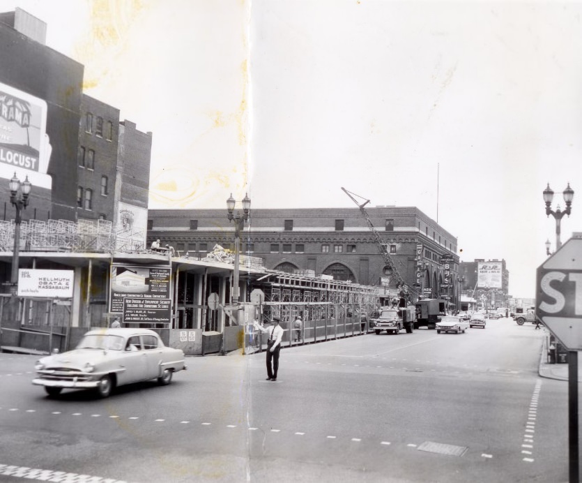
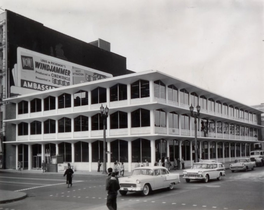
State government was also building in St. Louis. The State Division of Employment Security planned a new facility on Broadway, with schematics published in 1958 showing how the building would look. By 1959, the structure was rising, adding a government office building to the Broadway corridor that was already undergoing significant change.
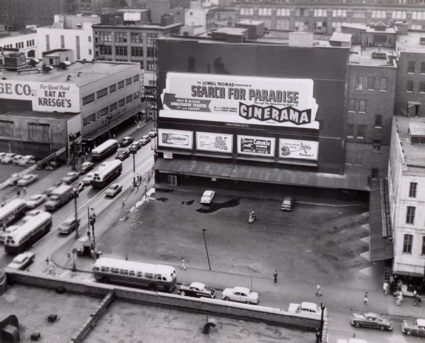
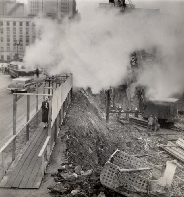
The site for the office building at Washington and Broadway was cleared and documented in 1958, and pile driving began the following year as foundation work got underway. A new state office building at 505 Washington Avenue had already been completed in 1955, part of the ongoing expansion of government facilities in the downtown core.
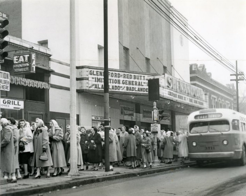
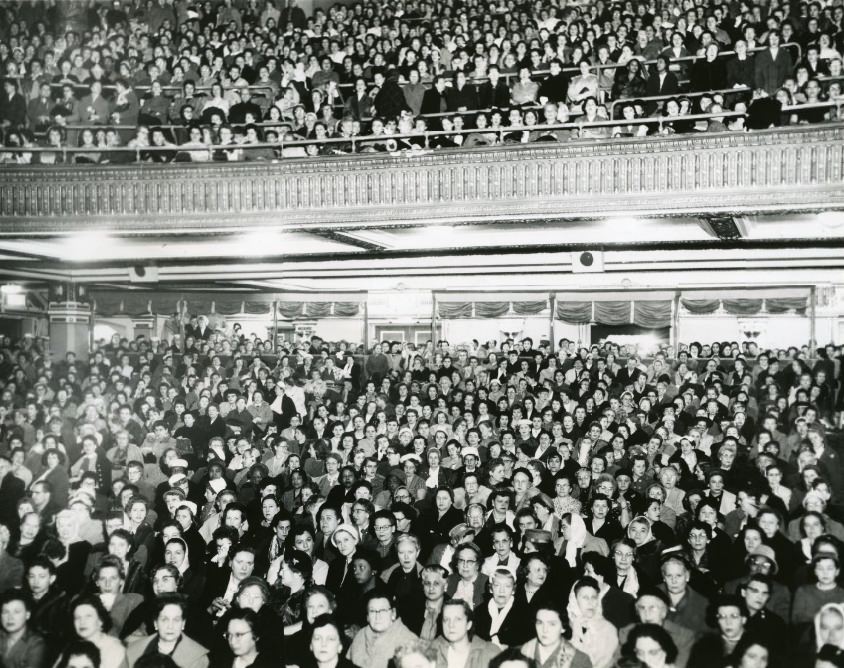
In 1959, the St. Louis Globe-Democrat partnered with the American Cancer Society to screen educational films about cancer at 23 theaters across the St. Louis area. Throngs of women filed into the Shenandoah Theater for the screenings, and a capacity crowd filled Loew’s Orpheum Theater for the same presentation. The event was a large-scale public health effort that used the city’s movie theaters as venues for medical education.
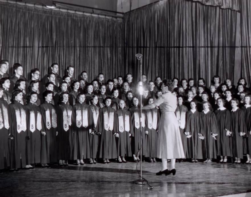
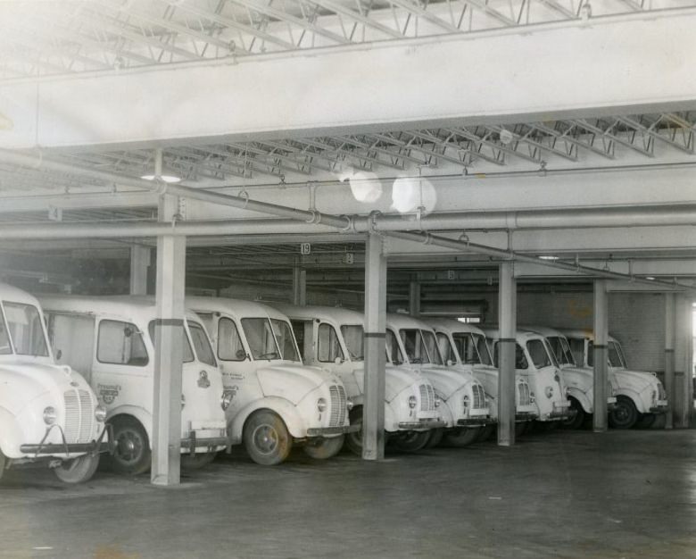
Beaumont High School’s 85-voice choir performed in 1953, one of many school music programs that thrived in St. Louis’s public education system during the decade. Freund Bakery’s delivery trucks, also photographed in 1953, were a fixture on city streets, supplying bread and baked goods to households and businesses across the metropolitan area.
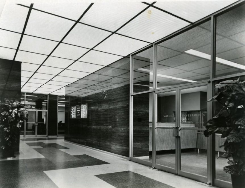
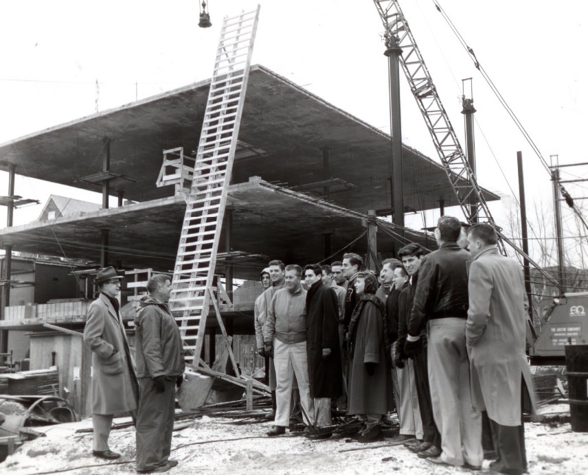
Remodeled commercial buildings presented fresh faces to city streets in 1954, as property owners invested in updating storefronts and facades to keep pace with changing tastes. Construction technology was also advancing. The lift-slab technique, documented in 1955, allowed builders to pour concrete floor slabs at ground level and then jack them up into position — a method that reduced construction time and labor costs significantly.
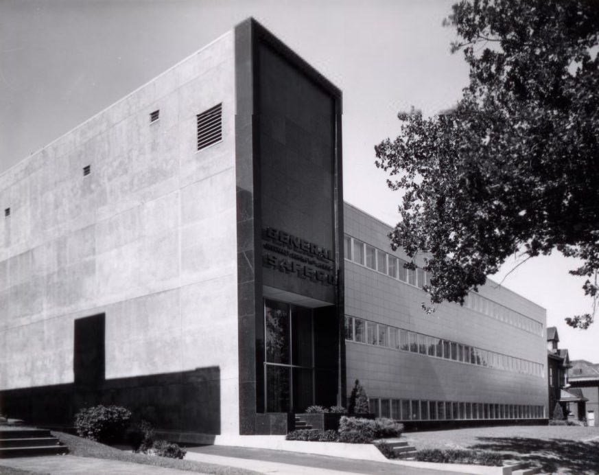
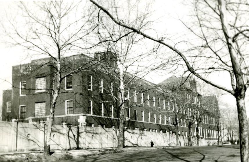
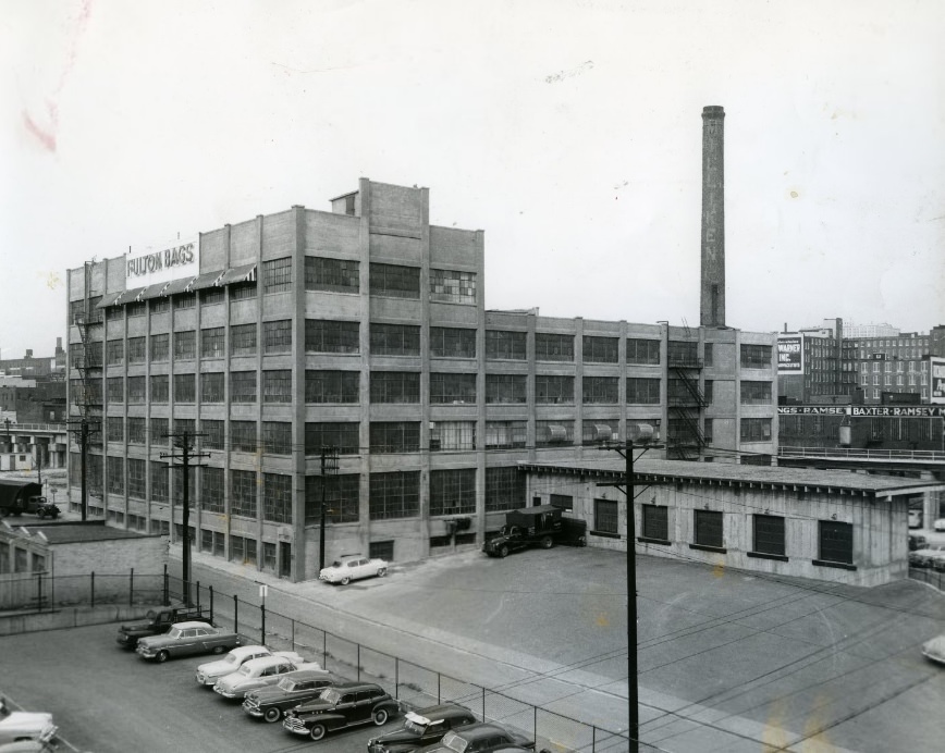
The General Life Insurance Company Building, photographed in 1956, was one of the city’s mid-century commercial towers. Religious institutions maintained their own presence across the city — the Franciscan Sisters Home was one of many faith-based residential facilities operating in St. Louis during the decade. General Fibre Co., documented in 1957, represented the city’s manufacturing sector, which employed a significant portion of the workforce.
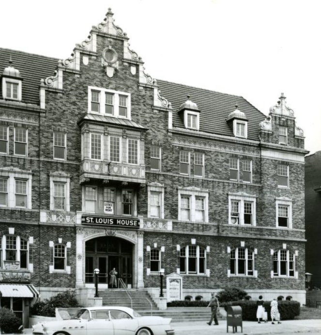
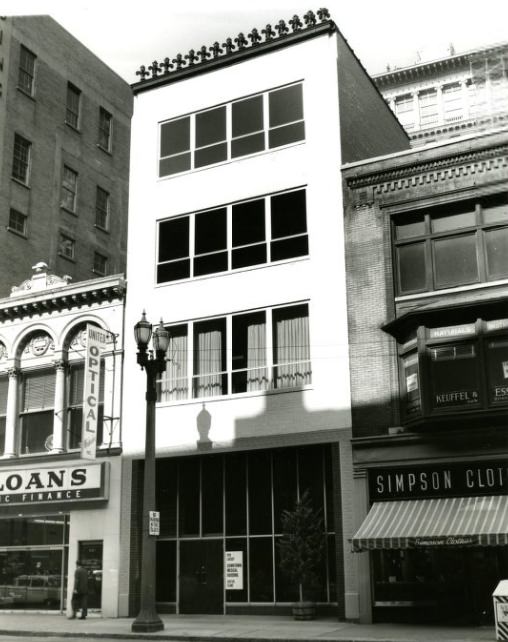
German House, photographed in 1958, was a surviving piece of the city’s strong German-American heritage, which had shaped St. Louis culture, architecture, and commerce since the nineteenth century. Nearby, the building at 819 Locust Street was slated for conversion into the Downtown Medical Building, with architect’s drawings published in 1958 showing how the remodeled structure would appear once the transformation was complete.
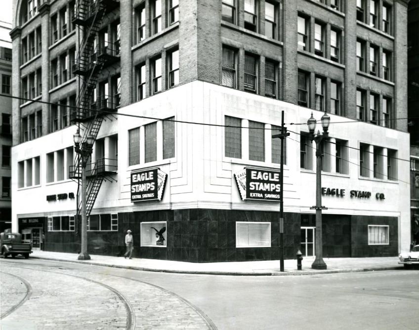
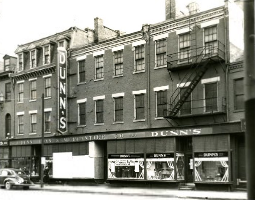
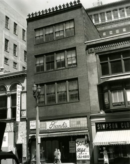
Building remodels and business relocations were documented throughout the decade. The Eagle Stamp Company occupied a remodeled space in 1951. The A. and L. Dunn Load and Mercantile Company operated at its established location in 1950. Frank’s building, photographed in 1958, was one of many commercial structures along the city’s retail corridors that were regularly updated or repurposed as business tenants turned over.
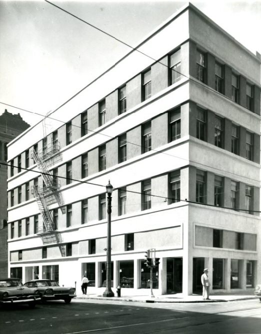
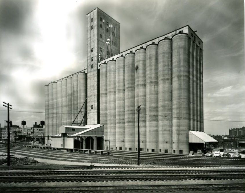
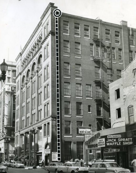
The old Conroy building at Eleventh and Olive streets, originally built in 1875, was transformed into the modern Eleven Hundred Olive building by 1958. The reuse of a Victorian-era commercial building as a mid-century office address was a common pattern in downtown St. Louis, where older structures were updated rather than demolished. The Elam Elevator was completed in 1954, adding modern vertical transportation to one of the city’s commercial properties.
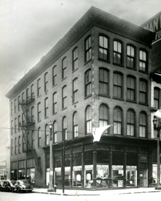
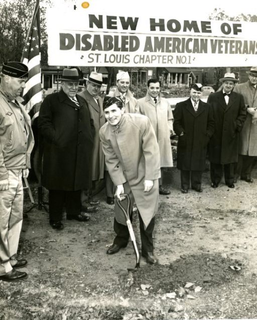
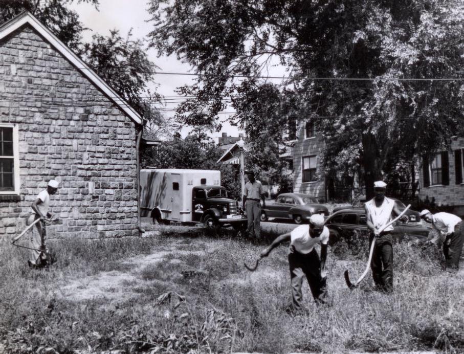
The older structure at Eleventh and Olive was preserved in photographs before its conversion. Community facilities were also being developed — ground was broken for a new home and recreation center in 1950, adding to the city’s network of public spaces. In 1953, a veterinarian was assigned to the city dog pound, a noted improvement to animal care services that the local press covered as a sign of civic progress.
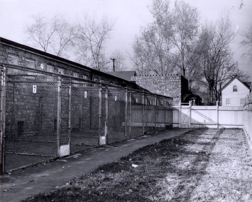
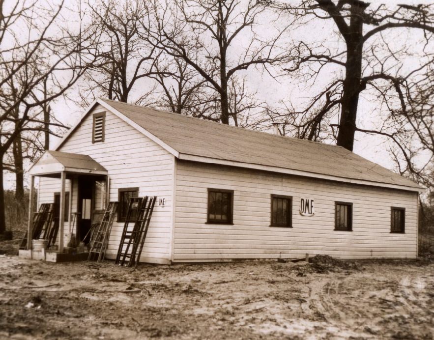
The city dog pound added outdoor exercise kennels for warm weather by 1955, a continued upgrade to the facility that had seen improvements since the veterinarian’s appointment two years earlier. The Doctors Medical Foundation Building, photographed in 1951, was one of the medical facilities serving the city’s healthcare needs during a decade when the St. Louis medical community was growing.
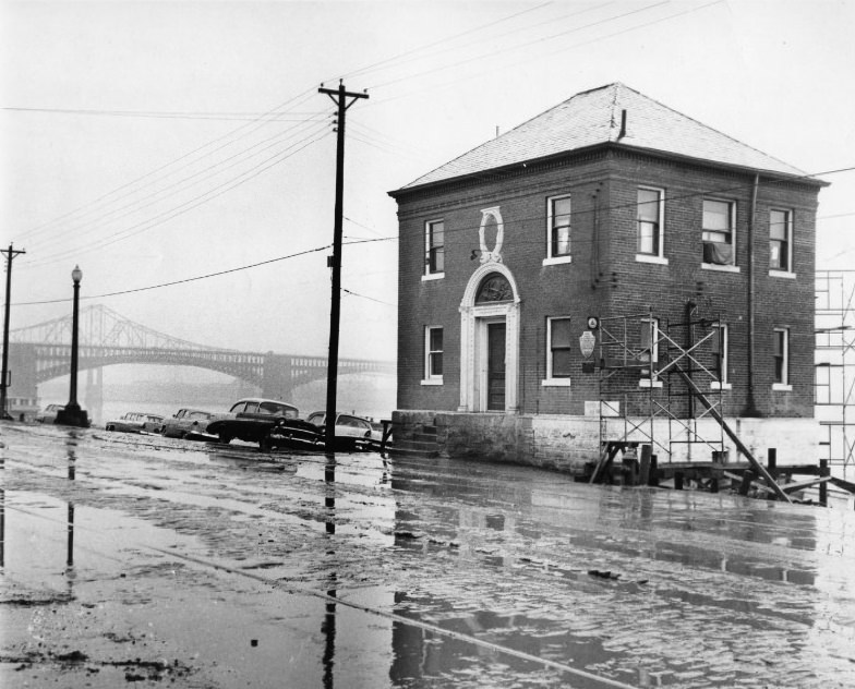
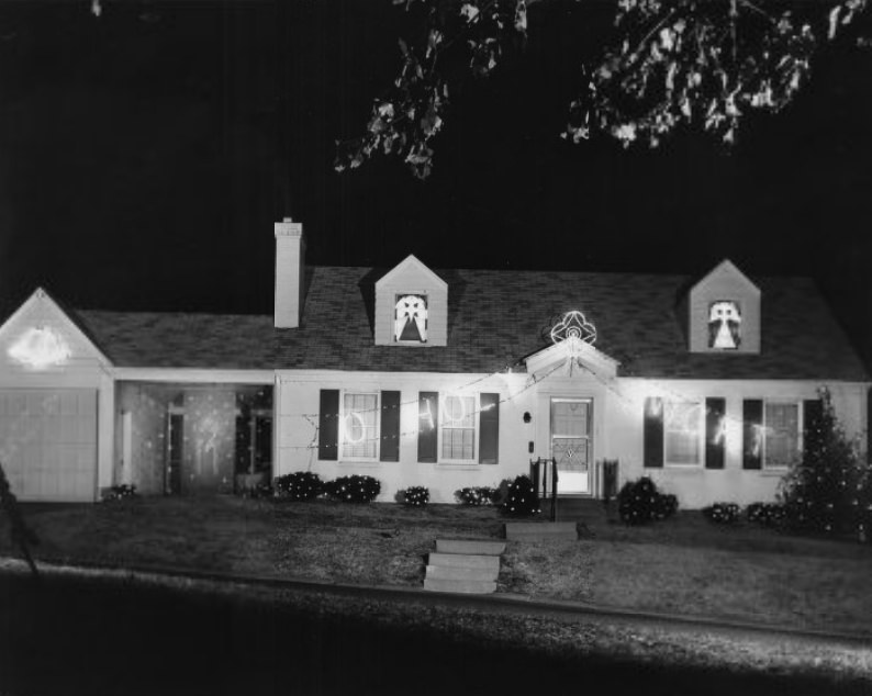
The City Harbor Office on the St. Louis riverfront managed the commercial and recreational traffic that moved along the Mississippi in 1959. The river remained an active working waterway throughout the decade. High-end residential construction continued at the other end of the economic scale — homes built without cost limits in 1958 represented the architectural ambitions of the city’s wealthiest residents.
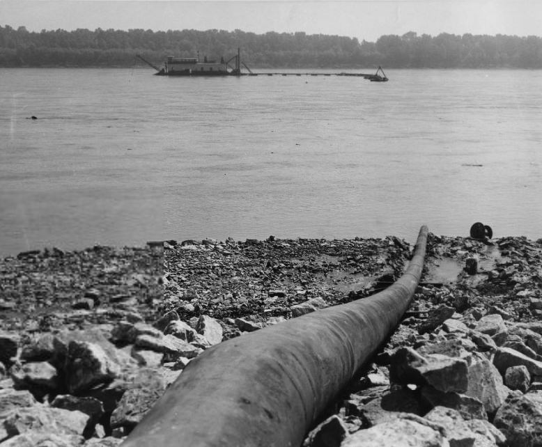
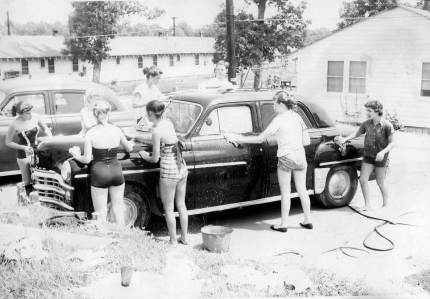
In 1959, engineers used the Mississippi River’s own sand and silt to build a new earthen levee along its banks. Dredged material was pumped through a submerged pipe and deposited at the levee site, a technique that put the river’s sediment load to practical use. Community fundraising events like a 1956 car wash for the Heart-Lung Fund showed St. Louisans raising money for medical research through neighborhood efforts.
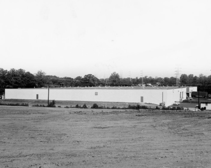
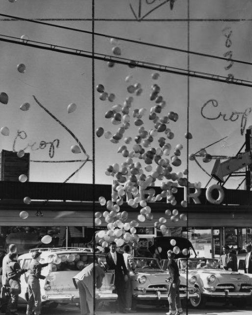
Industrial development for warehousing, packaging, and shipping expanded in the St. Louis region in 1959, as businesses positioned themselves to handle growing commercial traffic. A lighter moment came in 1956 when a mass of balloons was released over St. Louis — likely tied to a promotional event or civic celebration, the photograph showing the balloons rising above the city’s rooftops.
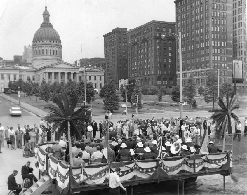
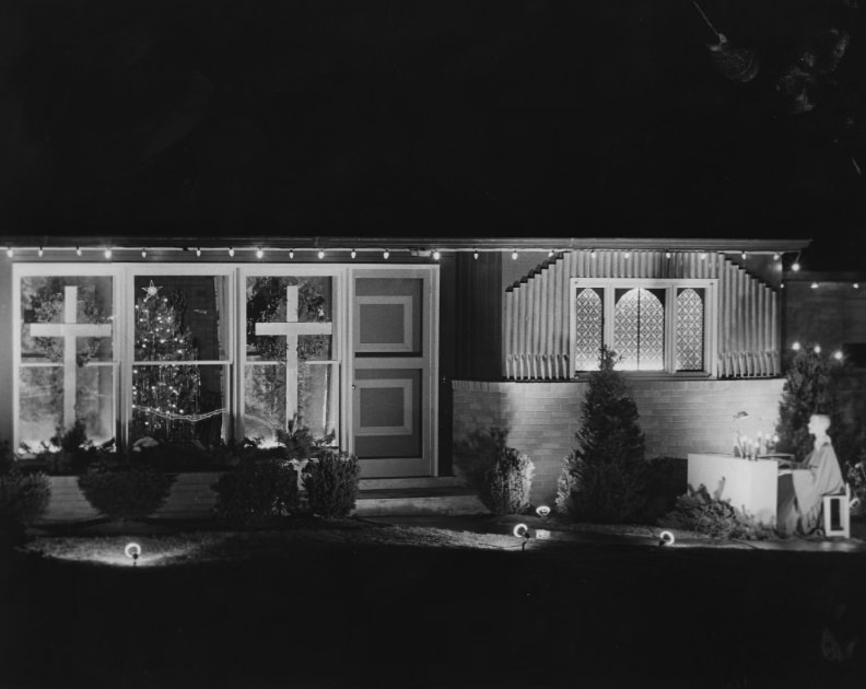
Ground was broken on the riverfront in 1959, part of the long process of clearing and developing the land that would eventually become the Jefferson National Expansion Memorial. This groundbreaking was part of a broader riverfront transformation that had been underway for years. Architectural and building competitions also drew attention — tied winners in the unlimited residential category in 1955 reflected the era’s interest in innovative home design.
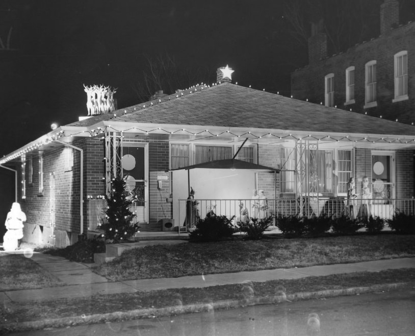
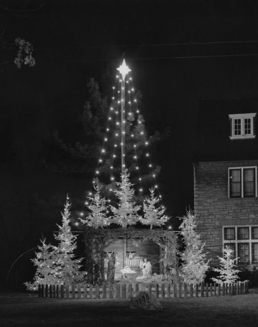
William T. Schoen won the residential unlimited category in 1955 with a design featuring a distinctive chimney star — a detail that stood out among the competition entries. Religious architecture also earned recognition, with Our Lady of Lourdes Church taking honors in 1959. Church construction was active throughout the decade as St. Louis’s Catholic and Protestant congregations built and expanded facilities across the metropolitan area.
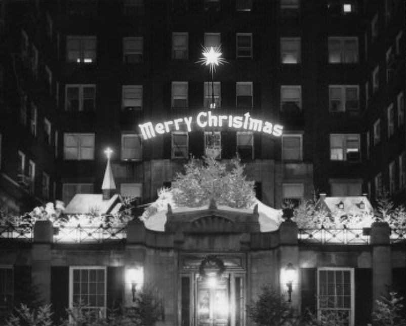
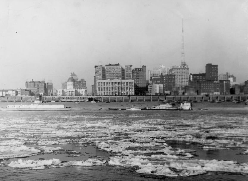
Holiday decorations at the Winston Churchill Apartments in 1957 included an animated Santa Claus and reindeer display, the kind of seasonal fixture that drew neighborhood attention in the days before television dominated home entertainment. Winter on the Mississippi brought its own drama. In 1955, ice floes appeared on the river for the first time that season, a natural event that drew observers to the waterfront and press photographers to document the sight.
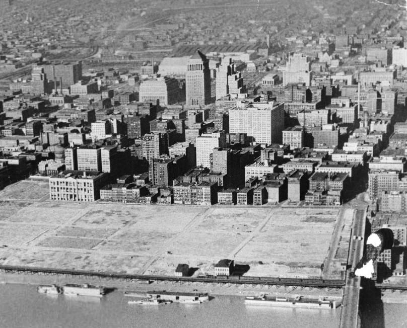
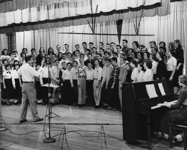
Early photographs from 1951 document the riverfront before the Gateway Arch construction began in earnest, showing a cleared and transformed landscape that had once been dense with warehouses and commercial buildings. Across the city, school music programs flourished — the Ritenour High School Chorus, photographed in 1954, was one of many student performance groups active in the St. Louis school system.
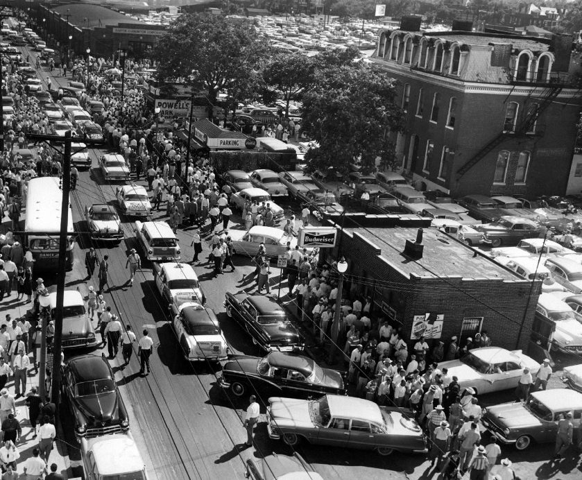
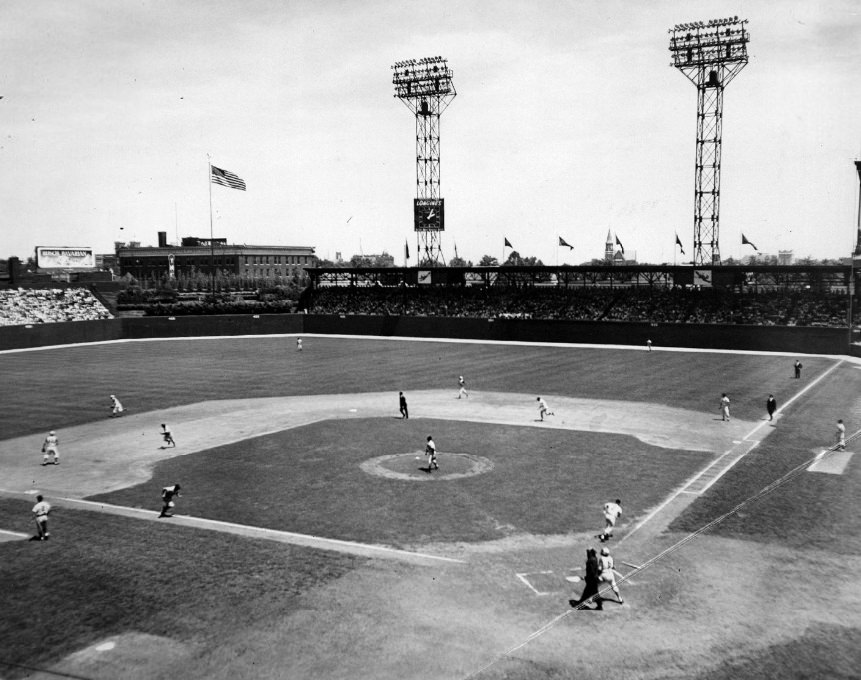
St. Louis hosted the Major League Baseball All-Star Game in 1957, a major event that brought the sport’s best players to Sportsman’s Park. In one of the game’s moments, Nellie Fox filed out to Frank Robinson in short left field to end the second inning after the American League had scored two runs. The Cardinals’ own star, Stan Musial, was a fixture on the National League roster throughout the decade.
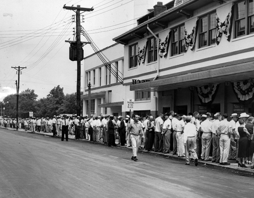
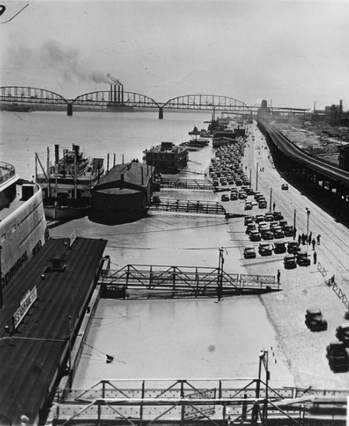
Fans getting to the 1957 All-Star Game navigated the city’s streets and transit lines, the photograph showing the movement of crowds toward the ballpark. The St. Louis wharf in 1956 presented a different kind of activity — commercial boats, barges, and river traffic moving along the Mississippi waterfront, a reminder that the river remained a working industrial highway through the middle of the twentieth century.
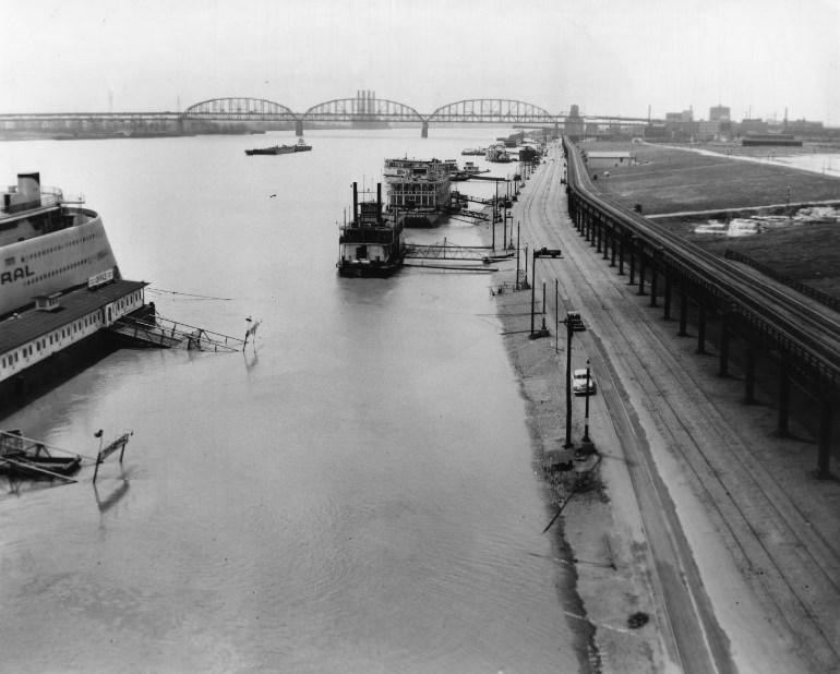
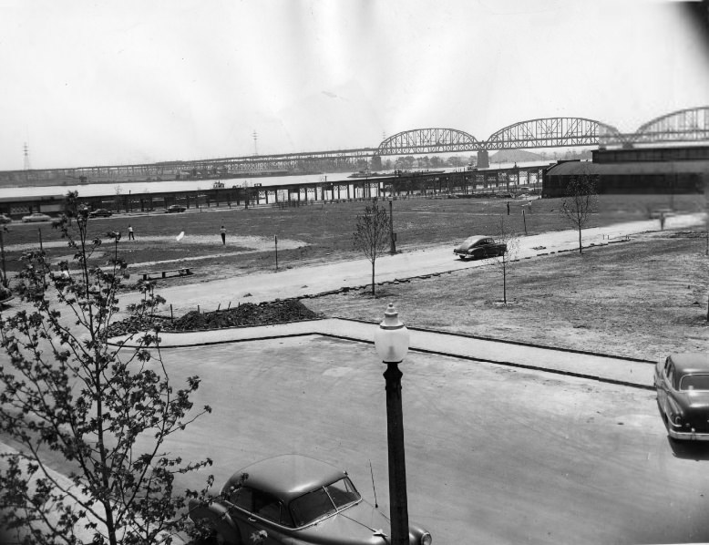
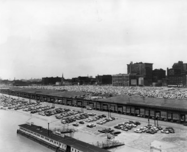
The Mississippi flooded its banks in 1951, an overflow event that sent water into low-lying areas of the city and surrounding communities. Photographs of the overflowing river show how much of the waterfront infrastructure sat in close proximity to the water at high stage. The riverfront in 1952 and 1953 offered scenic views of the same landscape, the water back within its banks and boat traffic resuming.
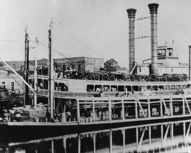
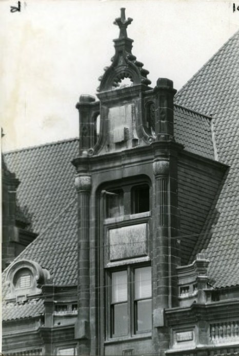
The steamboat David R. Powell carried cargo out of St. Louis in 1952, one of the working vessels that moved goods along the river in an era when barge and boat transport was still commercially significant. City Hall was documented in close detail in 1955, with photographers capturing the architectural features of the building that served as the seat of St. Louis city government.
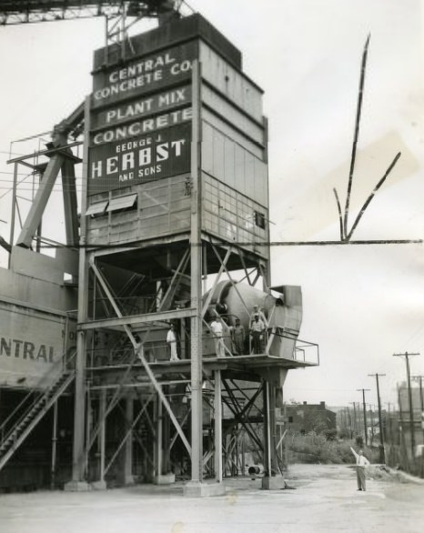
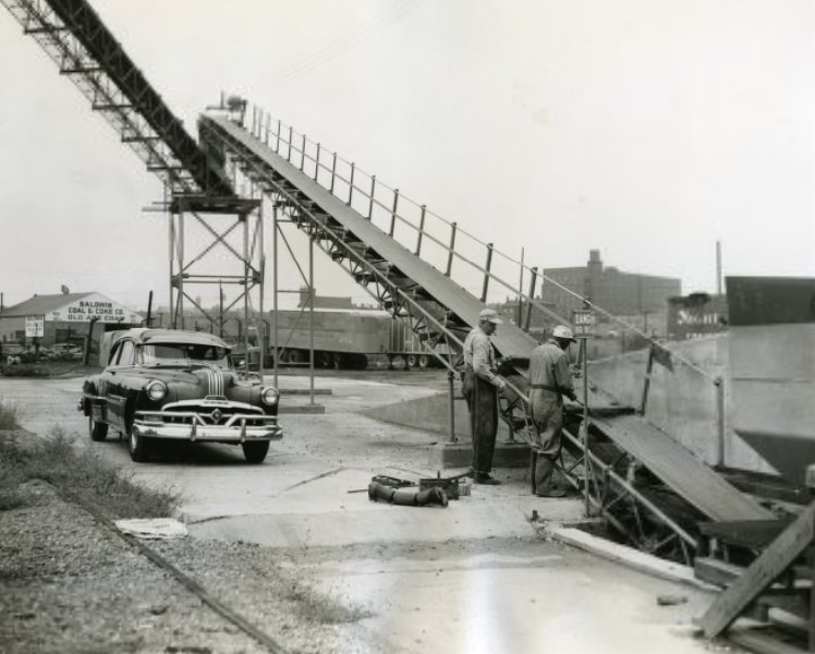
The Central Concrete Company at 2231 Papin Street was one of the suppliers feeding the city’s constant construction appetite. Workers at the plant repaired the long conveyor belt that carried cement and gravel to the mixer in 1953, keeping the facility operational during a period when concrete demand was high across the metropolitan area.
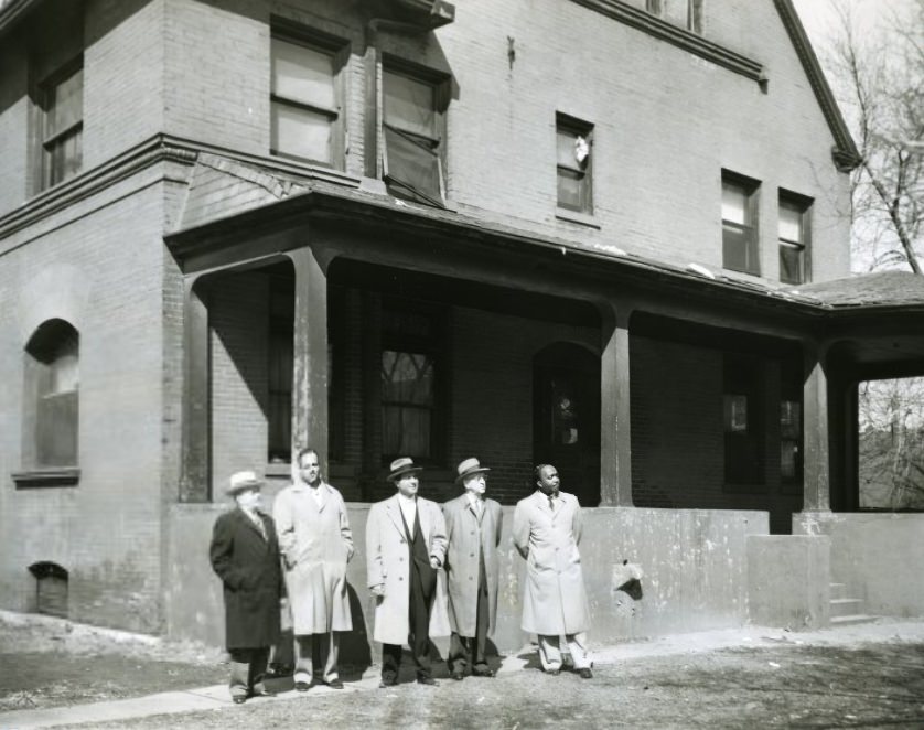
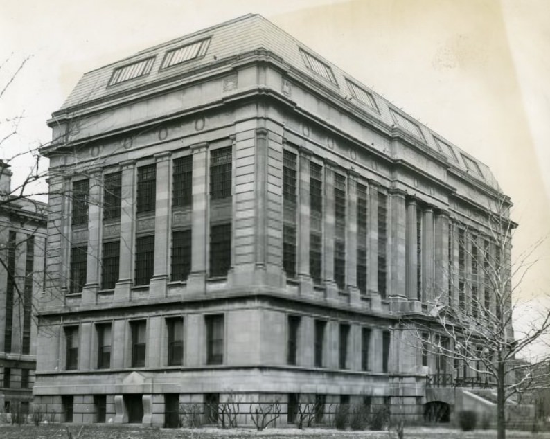
Aldermen were out in the field in 1958, examining development sites as part of their oversight of city projects. The hands-on inspection of construction and demolition locations was a regular part of local governance during the decade. A children’s building photographed in 1954 represented the city’s investment in youth facilities — spaces designed for programs and services directed at St. Louis’s younger population.
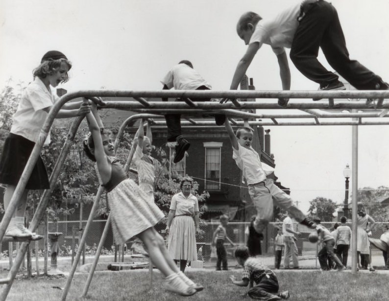
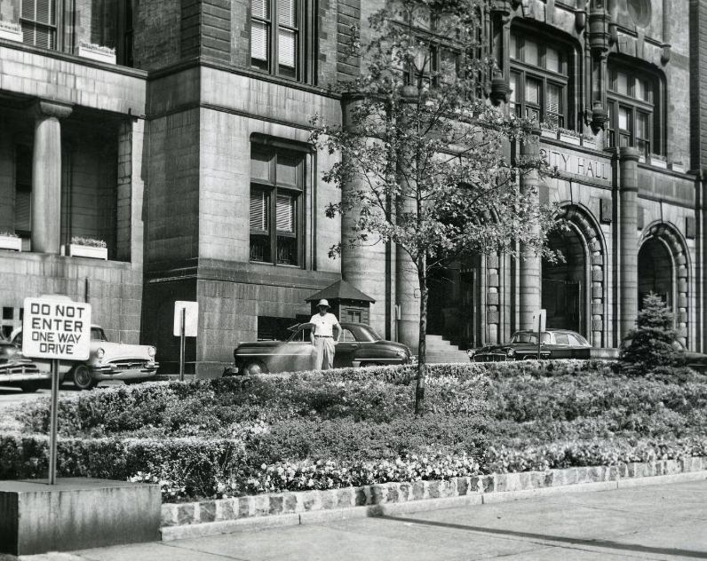
The Catholic Women’s League Day Care Nursery at 1515 North Market installed a new climbing structure on its playground in 1959, causing excitement among the children in attendance. Day care facilities run by religious organizations were an important part of the city’s childcare infrastructure. City Hall received new landscaping in 1957, giving the building a refreshed appearance that drew press attention.
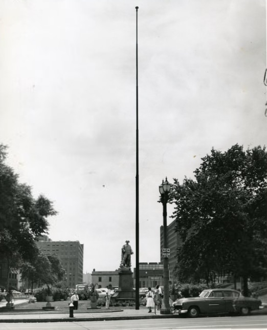
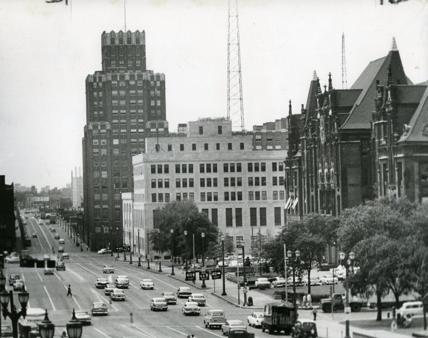
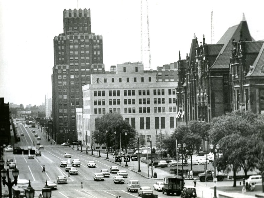
City Hall was photographed from multiple angles throughout the decade. A bare flagpole between City Hall and the Municipal Courts Building was noted in 1956 — a detail that prompted civic comment about the proper display of flags on public grounds. Street views from 1958 captured City Hall in its urban context, surrounded by the traffic and pedestrian movement of a working government district.
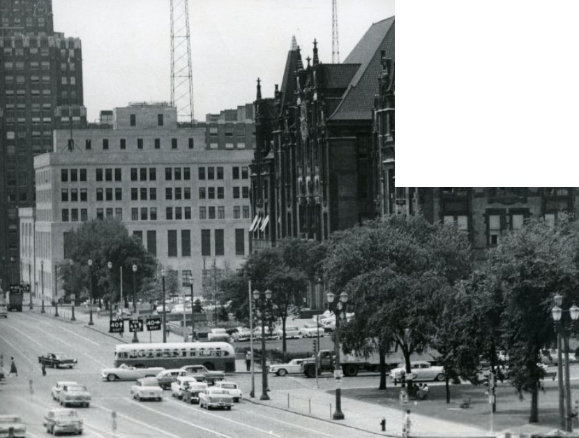
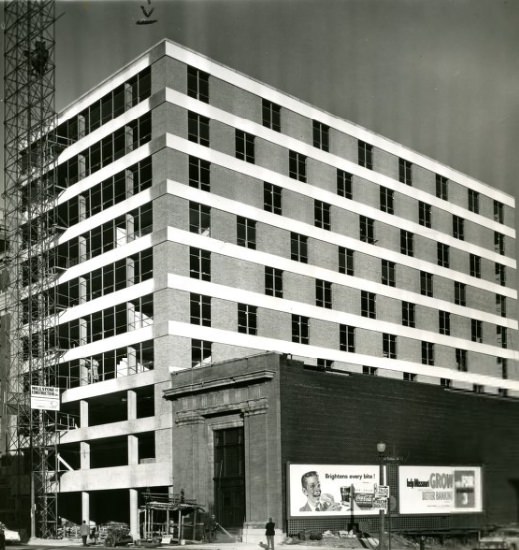
The view of City Hall from Twelfth Street showed the building in relation to the wider downtown grid. Nearby, a new structure was rising at 14 South Fourth Street in 1958, adding to the vertical growth of the downtown core. Construction cranes and scaffolding were a common sight along Fourth Street during this period of intensive downtown redevelopment.
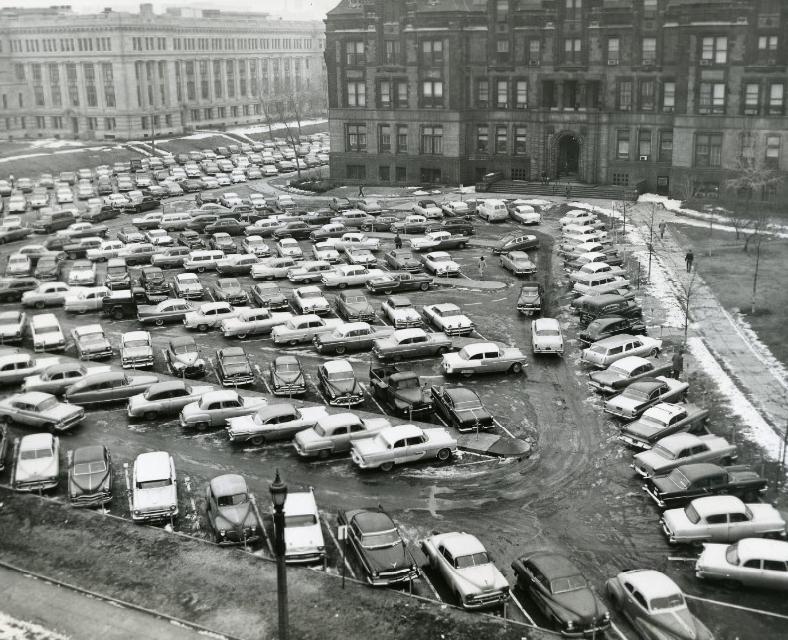
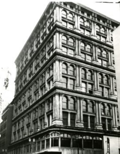
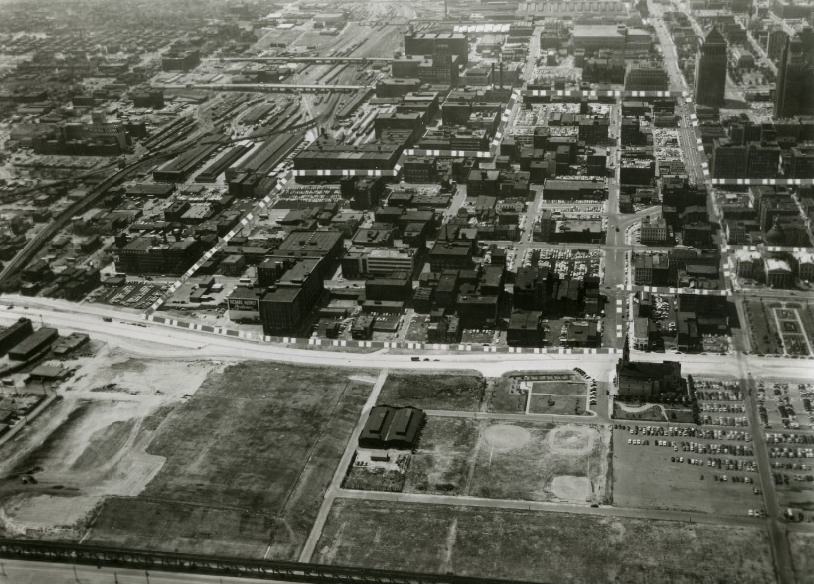
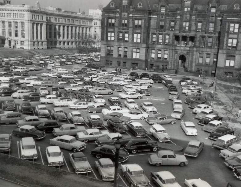
The City Hall parking lot in 1958 reflected the growing dominance of the automobile in urban life. Surface parking lots were consuming more and more of downtown St. Louis’s real estate. The corner of Sixth and Locust, also photographed in 1958, showed the mix of older and newer commercial buildings that defined the downtown streetscape. An aerial photograph from 1959 captured the entire city from above, showing the river, the cleared riverfront, and the dense urban grid stretching westward.
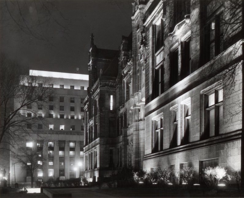
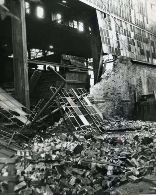
City Hall was bathed in red, green, and amber light in 1955 as colored spotlights were turned on for the Christmas season, with the Federal Building visible in the background to the west. Industrial accidents continued to mark the decade. A wall collapsed at the Controlled Casting Company foundry in 1952, an industrial incident in a city where heavy manufacturing carried ongoing physical risks for workers.
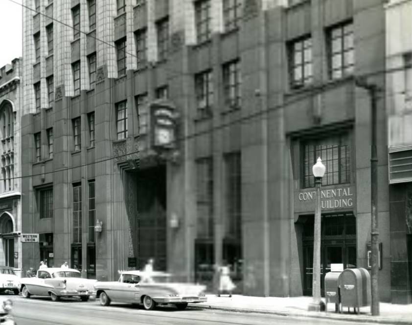
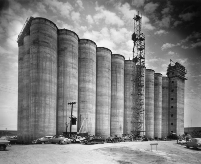
The building at 3617 Olive Street had formerly housed the Grand National Bank of St. Louis, its banking past visible in the architecture even after it changed uses by 1958. A grain silo photographed in 1954 with cars parked nearby showed the coexistence of agricultural storage infrastructure and urban activity in a city that served as a major Midwest commodities hub.
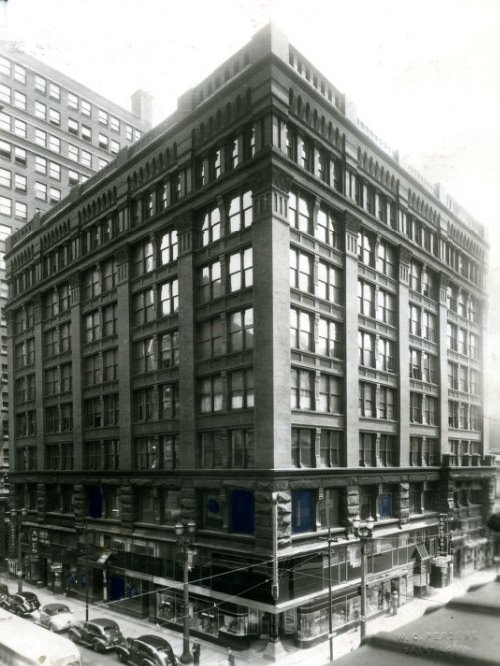
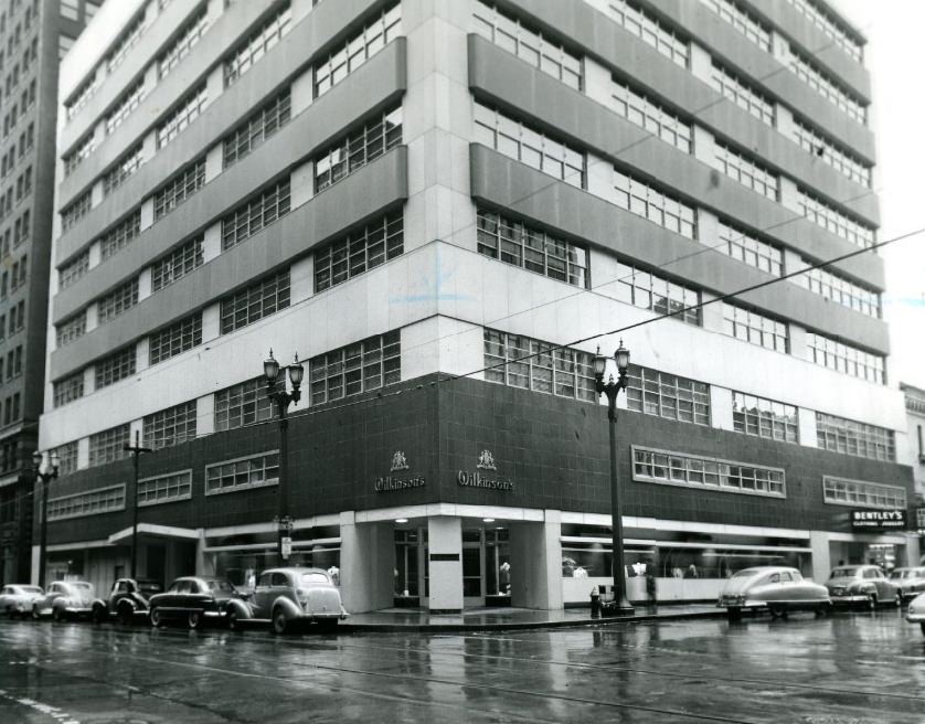
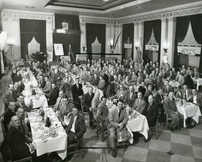
The commercial building at the northeast corner of Sixth and Olive streets was photographed in 1951 before its remodeling began. Wilkinson’s building, also documented up close in 1951, was one of many commercial properties whose before-and-after transformations were recorded for city archives. St. Louis food and grocery executives gathered for a photograph in 1953, representing an industry that supplied the city’s households through an era before large-chain supermarkets dominated the market.
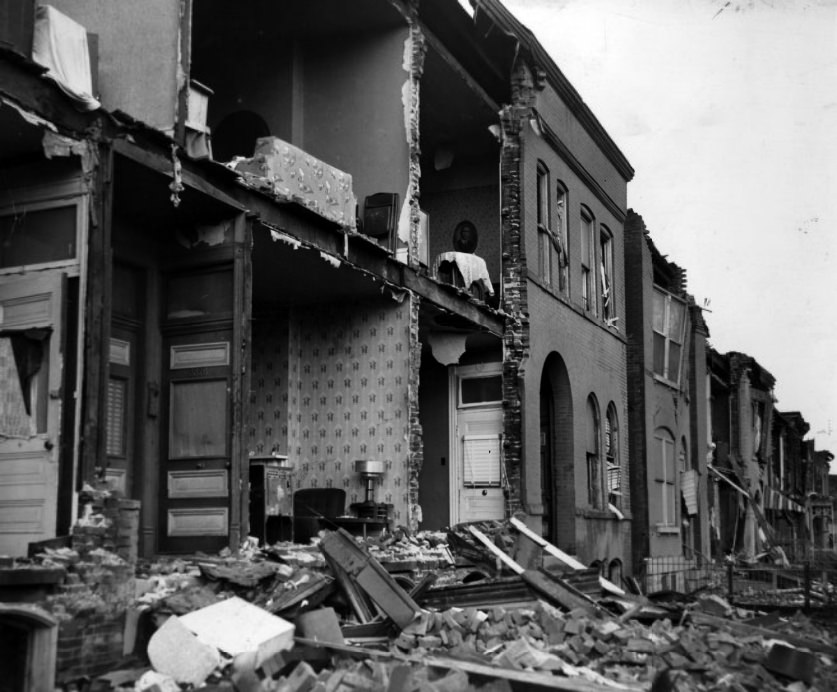
The corner of Boyle and Olive in 1959 captured a residential and commercial intersection on the city’s near west side. A headline noting that tranquility had come to City Hall in 1959 referred to some resolution of a civic dispute — though the photograph of the building in its new, quieter state suggested that whatever controversy had preceded it had passed.
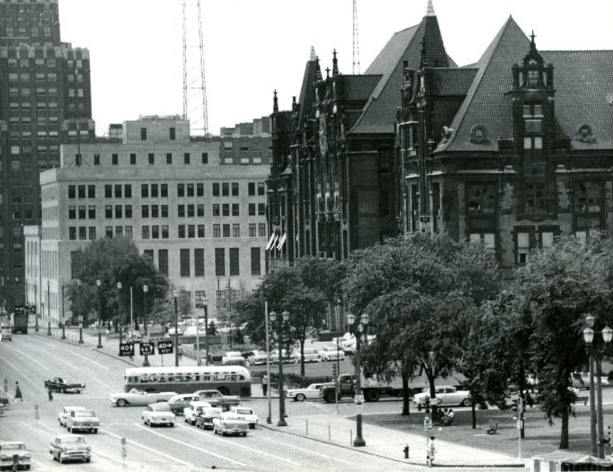
A broad view of downtown St. Louis in 1958 shows City Hall anchoring the civic core, surrounded by the commercial and governmental buildings that filled the central city. Fashion Square, photographed in 1954, was an early example of the retail developments that were beginning to respond to the growing suburban consumer population, bringing upscale shopping to a more accessible location.
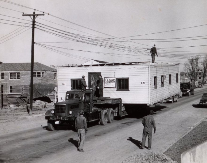

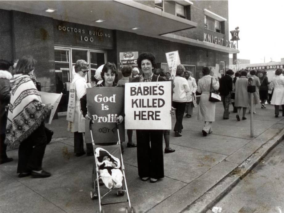
A modest frame building photographed in 1951 stood in contrast to the brick and steel structures dominating most of the city. The Doctors Building, documented in both 1955 and 1956, was a dedicated medical office facility that housed multiple physician practices, a model that was becoming more common as medical specialization increased the demand for purpose-built professional space.
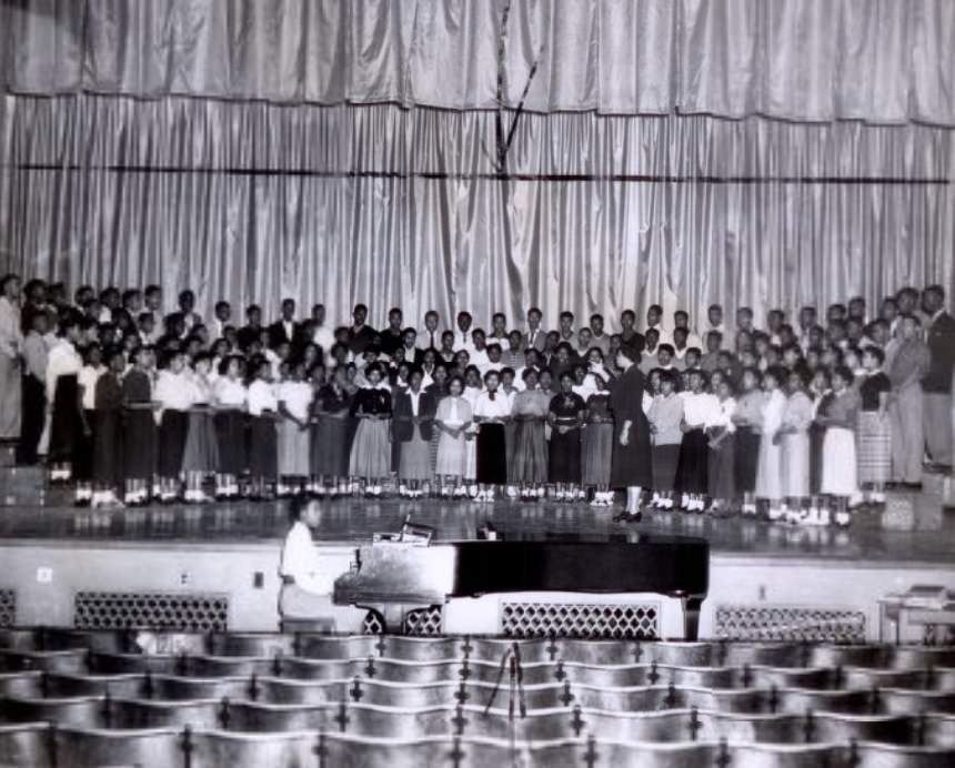
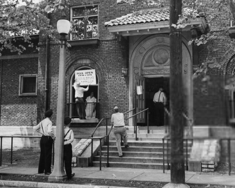
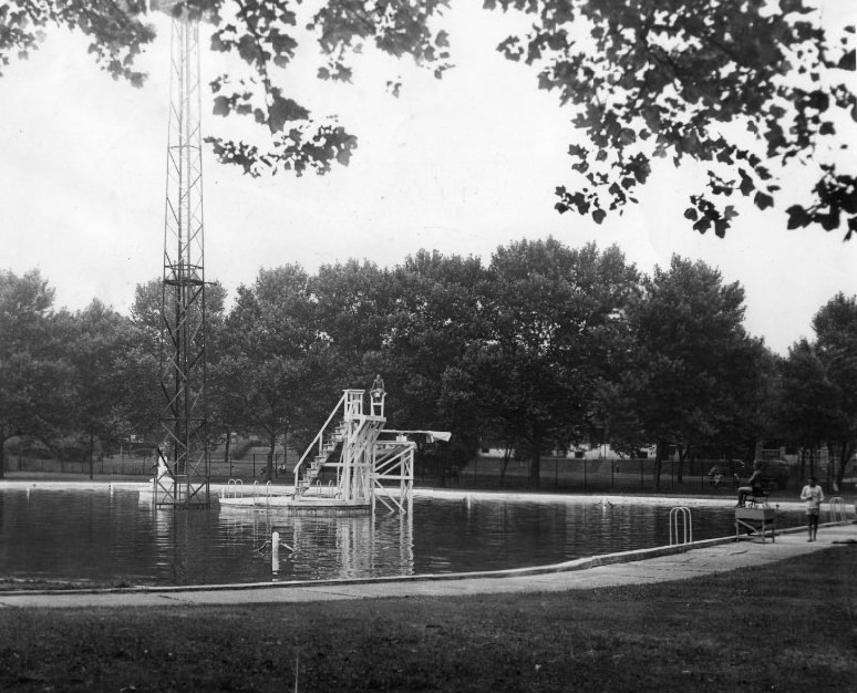
A choral pageant honoring veterans was held in 1953, one of the many public ceremonies that marked the decade’s ongoing recognition of military service. The Marquette Swimming Pool, photographed twice in 1950, was one of the public recreational facilities serving St. Louis residents during the summer months — a gathering place for families in an era before private backyard pools were common.
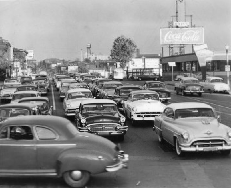
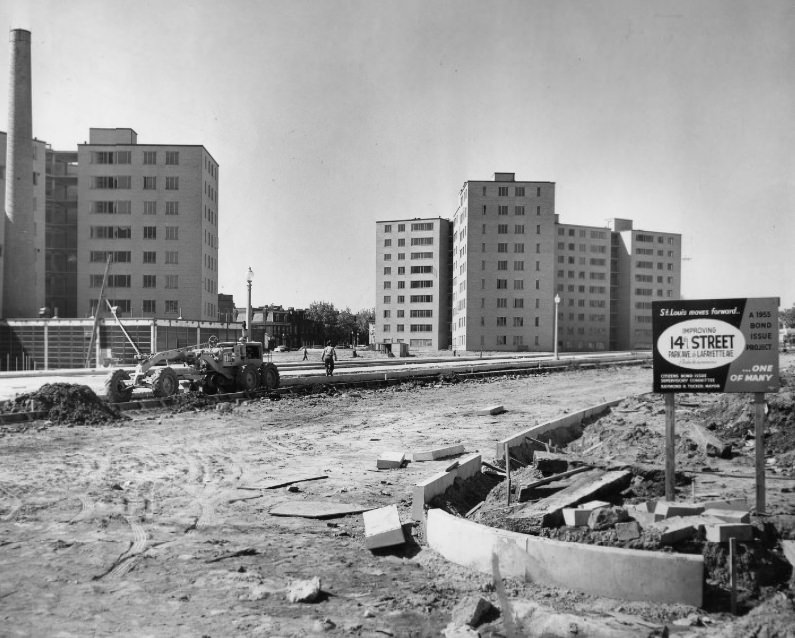
Market Street at 5 p.m. in 1955, looking east from Theresa Street, shows the end-of-workday rush — pedestrians, streetcars, and automobiles filling the corridor as downtown workers headed home. Road construction on 14th Street in 1956 was part of the ongoing effort to improve traffic flow through a city that was seeing more cars on its streets every year.
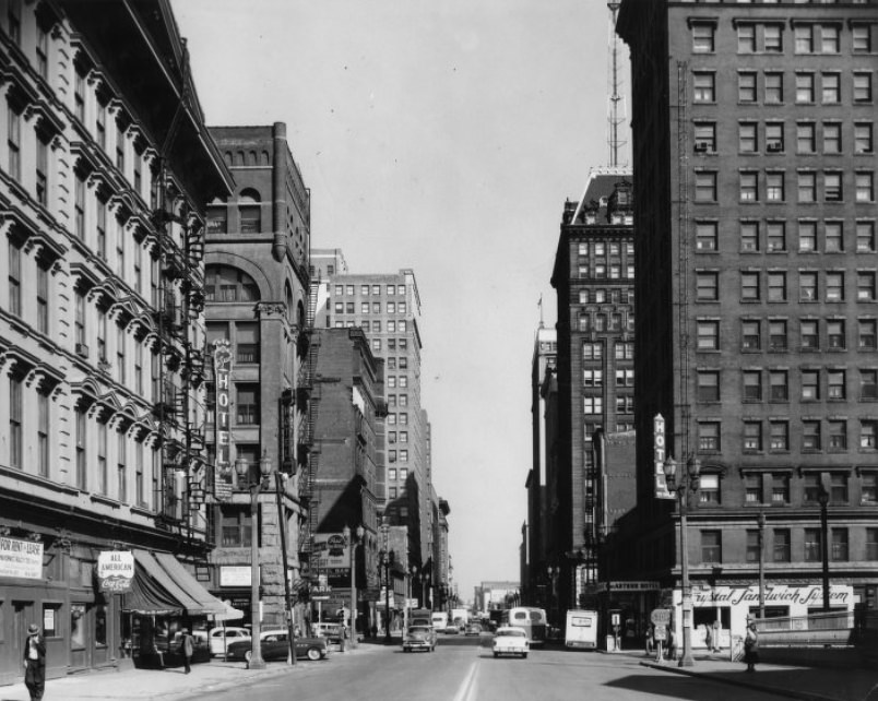
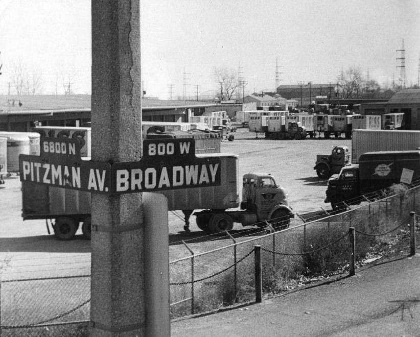
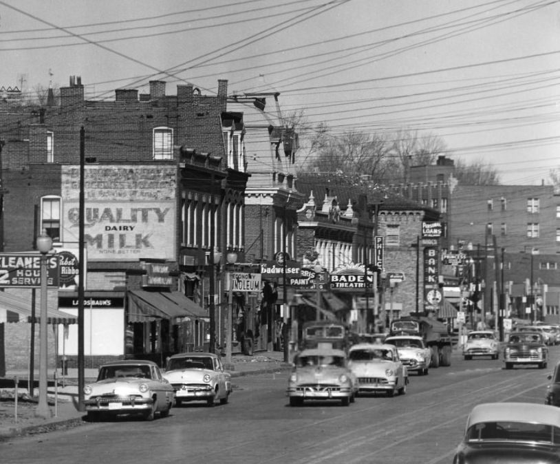
Broadway was one of St. Louis’s primary commercial and civic arteries, photographed repeatedly throughout the decade. Looking north from Chestnut in 1959, the street shows a dense corridor of buildings, signage, and traffic. The 1956 photographs along Broadway captured the same corridor three years earlier, showing the mix of older commercial architecture and newer development that defined the street’s character.
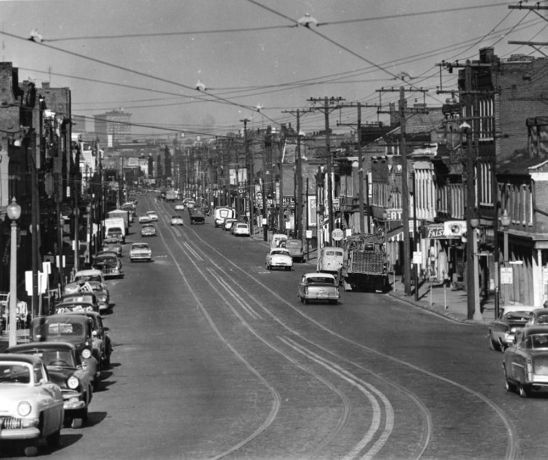
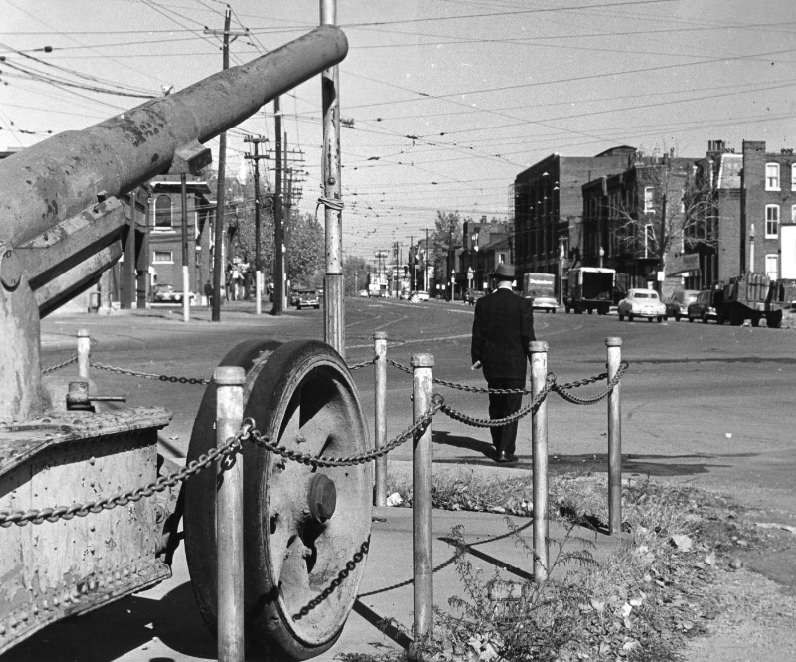
South Broadway, looking north from St. George Street in 1956, shows the residential and commercial character of the street’s southern stretch. At the point where Broadway curved near Gasconade, an old World War I cannon occupied a small public area, a piece of military memorial hardware that alarmed passersby with its unexpected placement on the narrow curve.
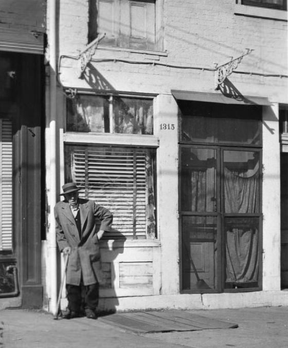
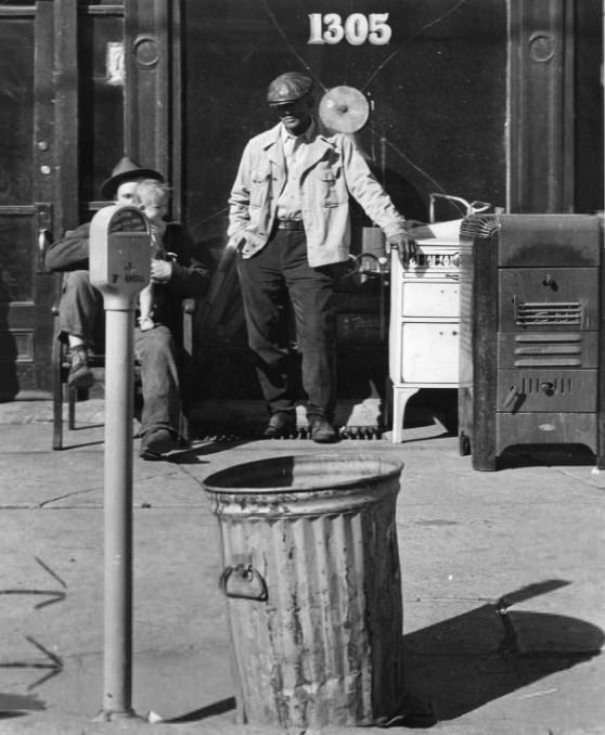
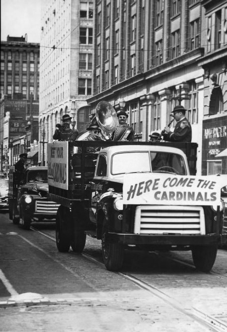
Further photographs along Broadway in 1956 show the street at different points and times, building a layered record of one of the city’s most documented corridors. Music was never far from St. Louis street life — a 1954 photograph of music riding along on a city street captured the kind of spontaneous public performance or mobile entertainment that was part of the city’s character.
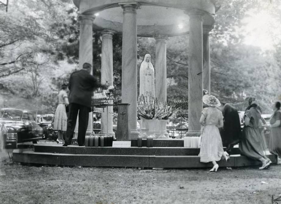
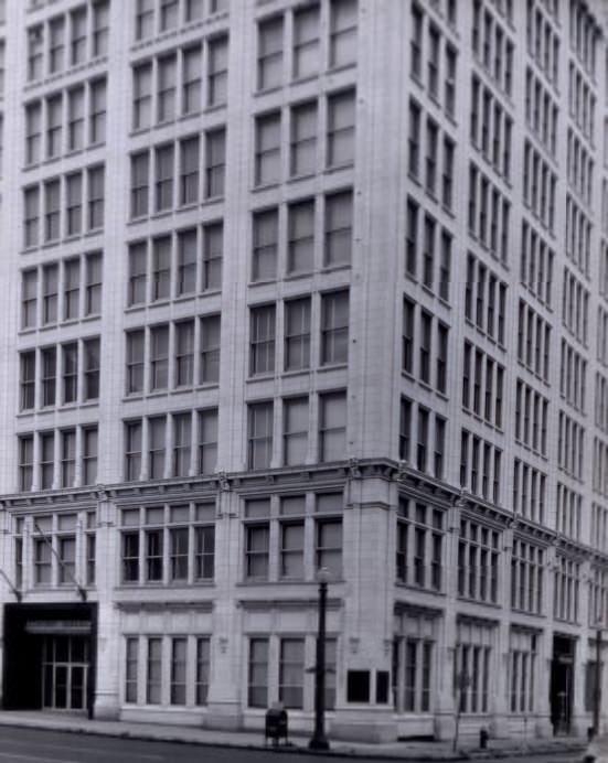
The Carmelite Monastery on Clayton Road, photographed in 1951, was one of the religious communities that maintained a visible presence in the St. Louis area. The General American Insurance Company Building, documented in 1958, was one of the large corporate office structures that gave the downtown skyline its mid-century shape.
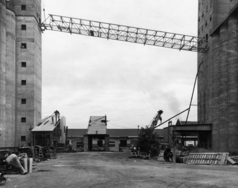
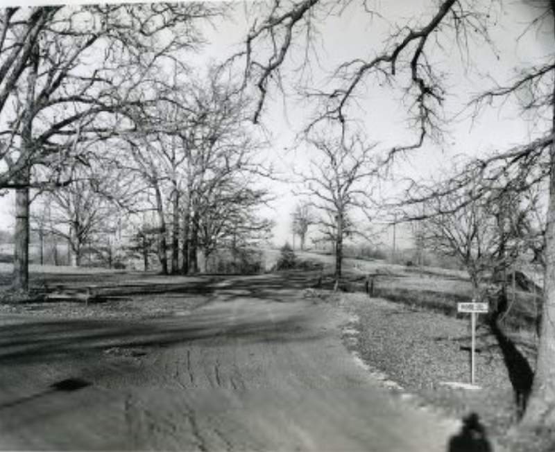
Continental Grain Co., photographed in 1954, was one of the major commodity operations that used St. Louis’s strategic location on the Mississippi and Missouri river systems to move grain through the national supply chain. Ridge Road at Jefferson Barracks, documented in 1958, shows the roads and infrastructure of the historic military reservation that had become increasingly mixed with civilian uses as the decade progressed.
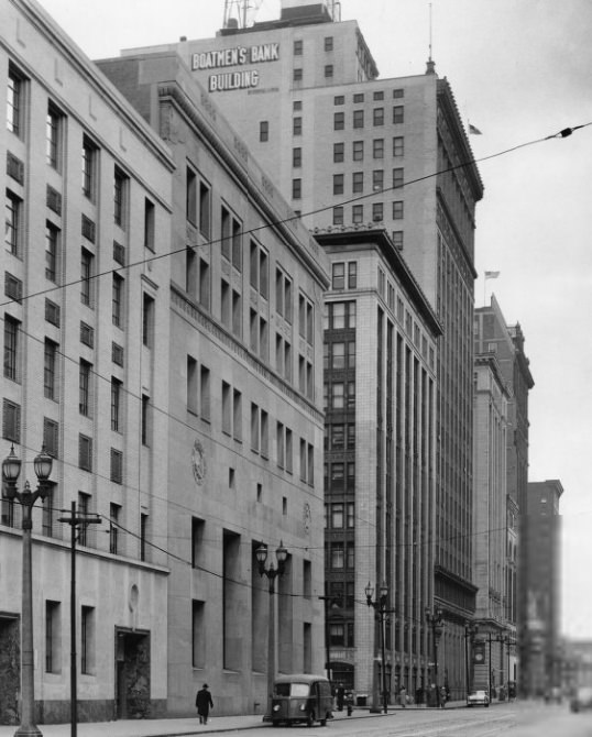
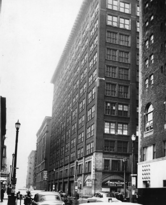
Broadway looking south from St. Charles Street in 1956 offers one more angle on the corridor that ran through the commercial heart of the city. The building at Eleventh and Locust, photographed looking north on Eleventh Street in 1958, stood at one of downtown’s active intersections — a corner that saw steady foot traffic, commercial activity, and the constant movement of a city in the middle of rebuilding itself.





The location isn’t even right on some of the photos.
I can hear the grainy, semi-astounded voice-over description in my head as I look at these photos