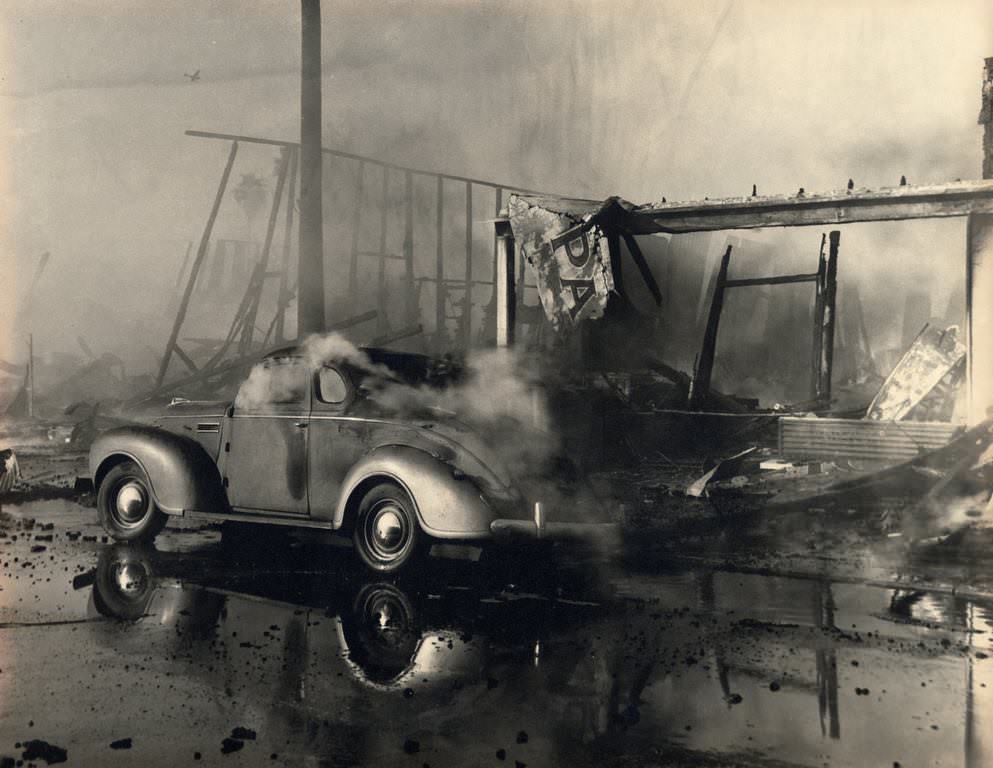
San Jose in the 1940s was a city in the middle of one of the biggest transformations in American history. World War II had reached every corner of the country, and San Jose was no exception. The city that had long depended on agriculture — prune orchards, fruit canneries, and vegetable farms — began shifting toward industrial manufacturing almost overnight. Defense contracts poured in, new institutions took root, and the skyline slowly changed. At the same time, the war brought deep social tension. Black, Mexican, and Japanese American residents faced discrimination, forced removal, and violence during these years. These photos offer a rare look at the streets, buildings, businesses, and people of San Jose during one of the most turbulent decades in its history.
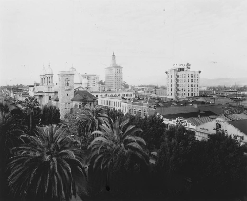
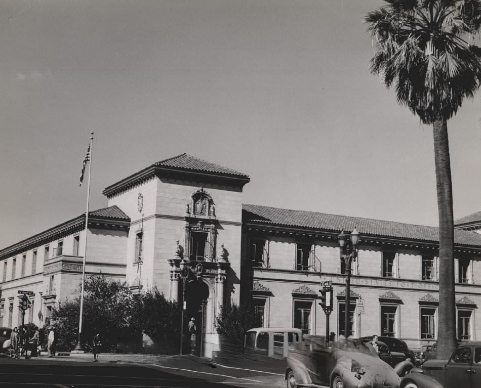
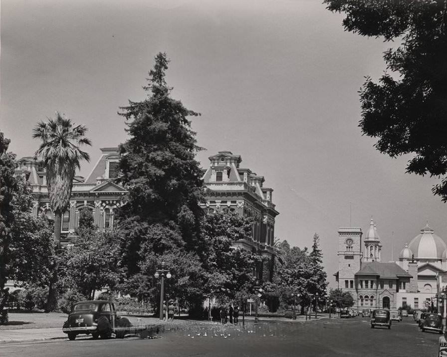
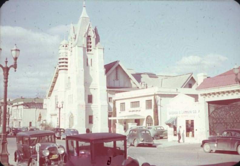
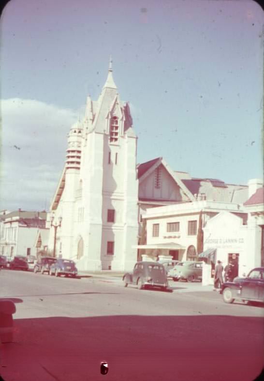
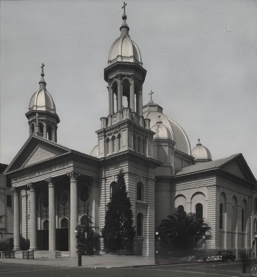
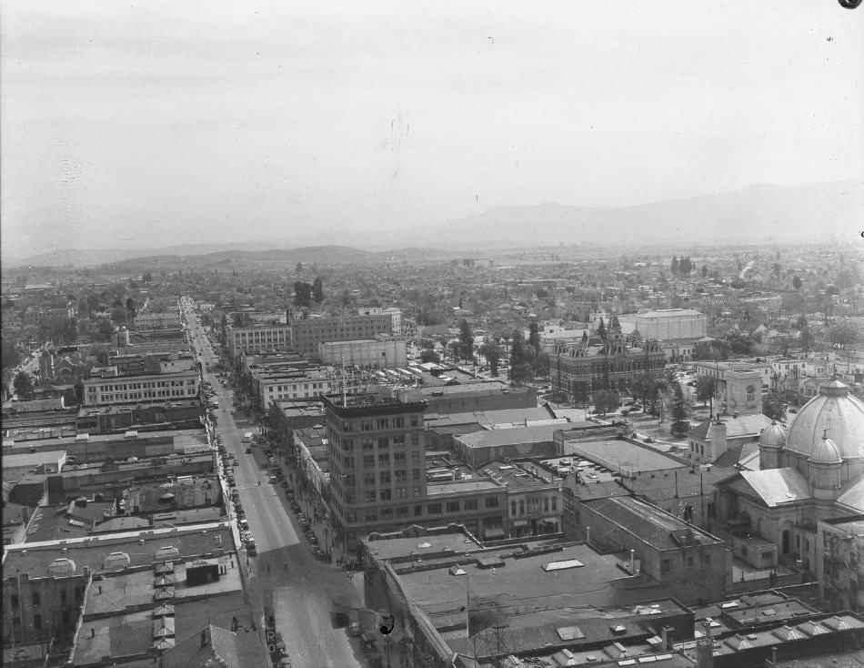
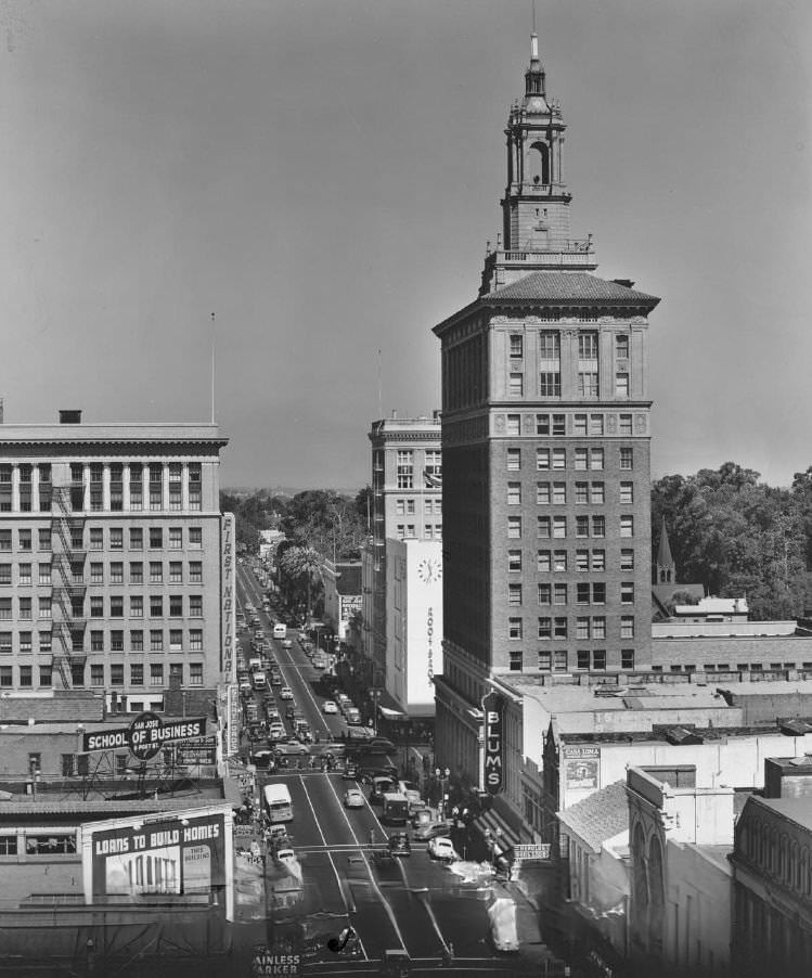
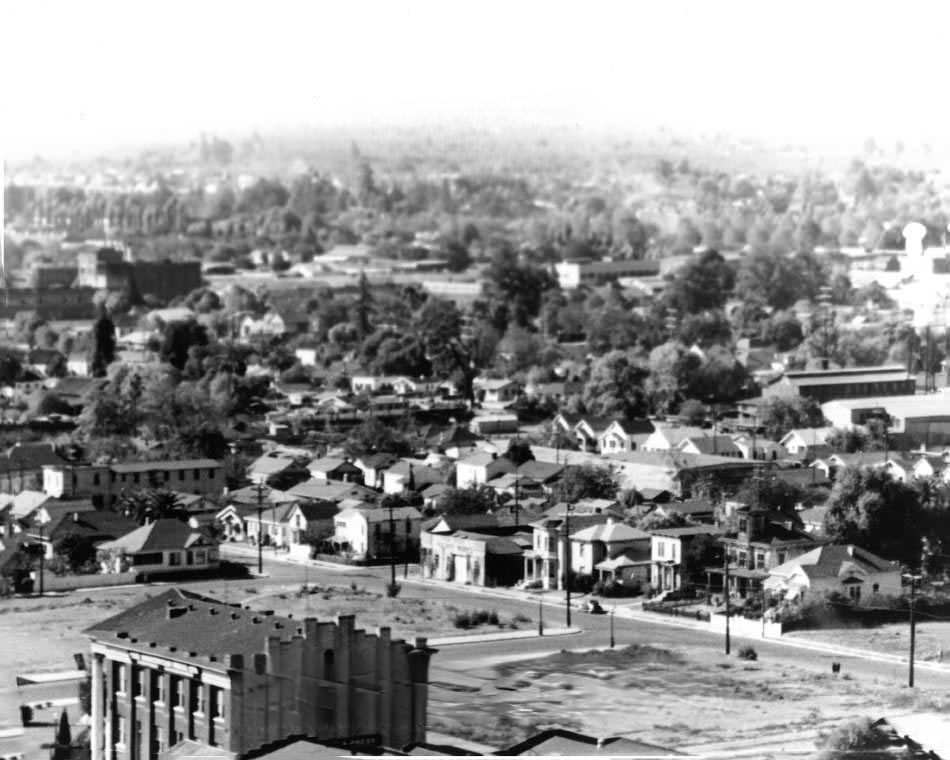
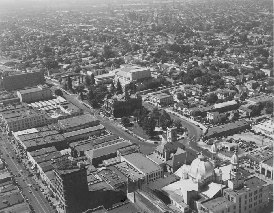
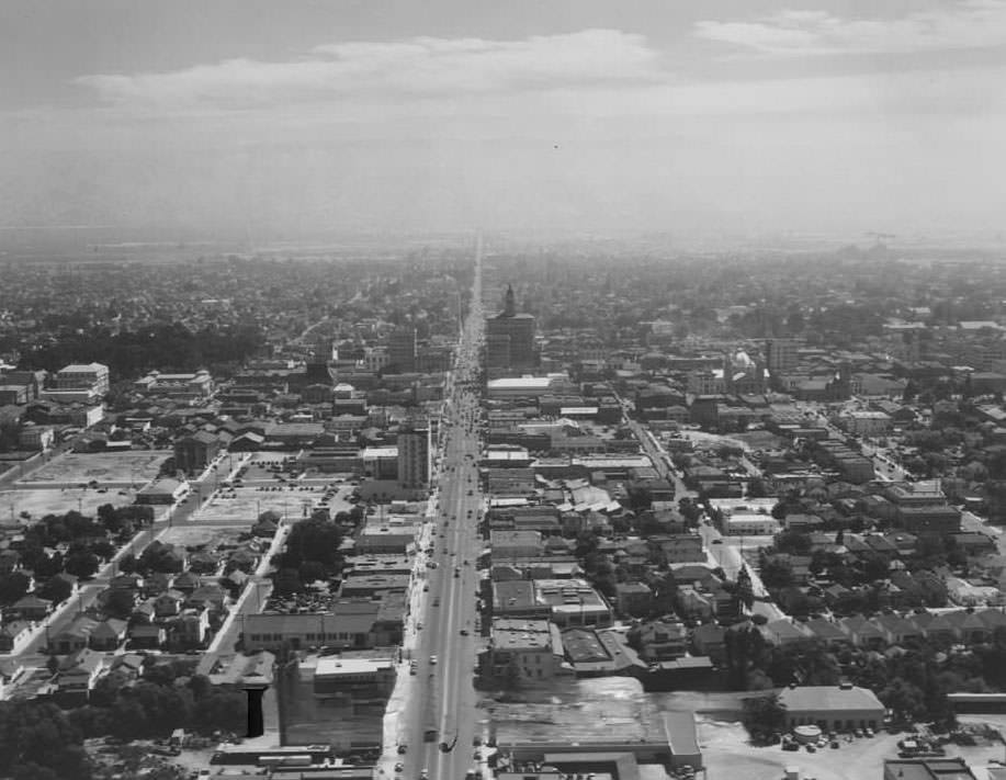
At the start of the decade, San Jose still had the look and feel of a mid-sized agricultural town. The downtown skyline was modest, with a few prominent buildings rising above the tree line. The Bank of America building, the old post office, and St. James Cathedral were among the most recognizable structures. Palm trees lined the streets below. This was the city that the war would soon push into a new era.
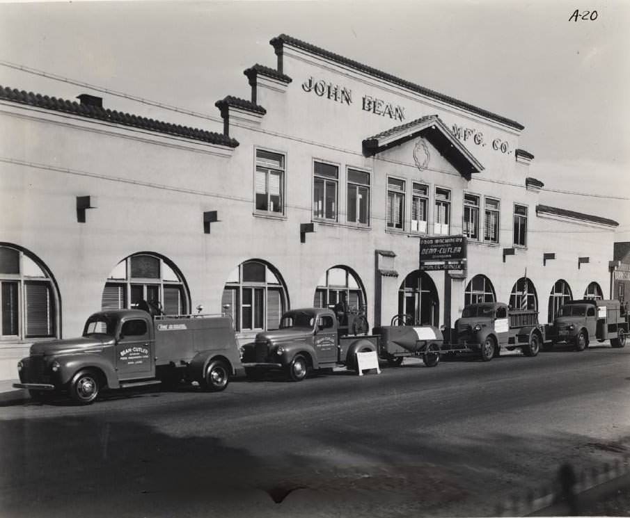
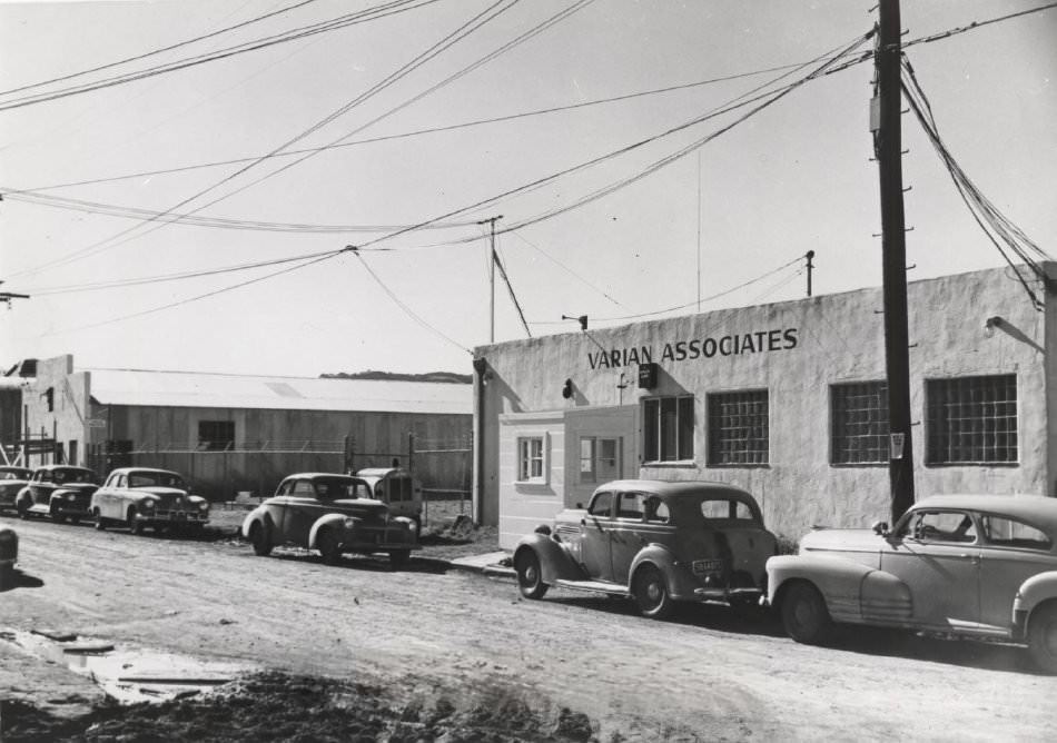
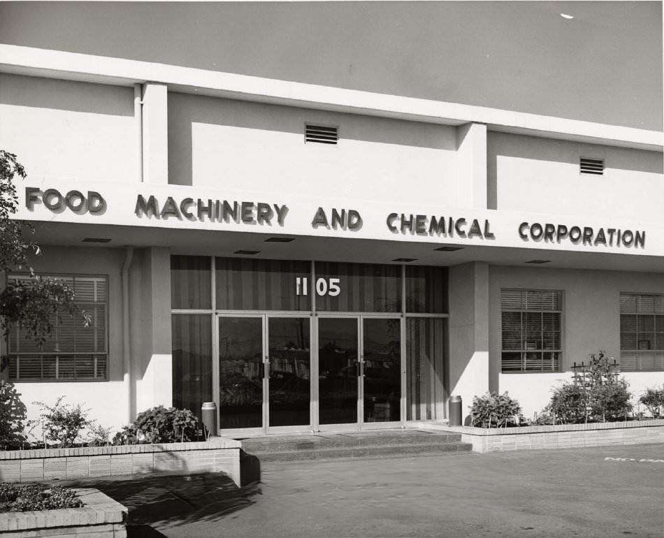
The U.S. War Department’s contract with the Food Machinery Corporation was the single biggest economic event of the decade for San Jose. The company was hired to build 1,000 Landing Vehicle Tracked — armored amphibious vehicles used to move troops and supplies from ship to shore during the war. This contract pulled the local economy hard away from farming and toward heavy manufacturing. The Food Machinery Corporation, which already had deep roots in San Jose, became one of the most important defense producers on the West Coast.
While the Food Machinery Corporation was building war machines, IBM was looking west. In 1943, the company opened its first West Coast branch right in downtown San Jose — a punch card plant that processed data. By 1952, IBM would open a full research facility in the city. These were early signs that San Jose’s future wasn’t just in orchards or factories, but in technology and information.
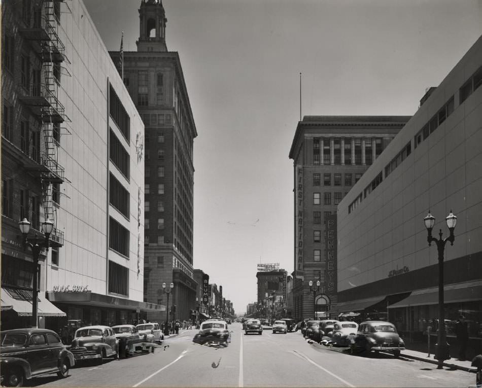
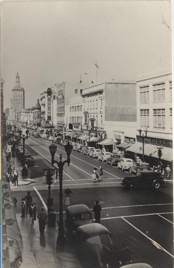
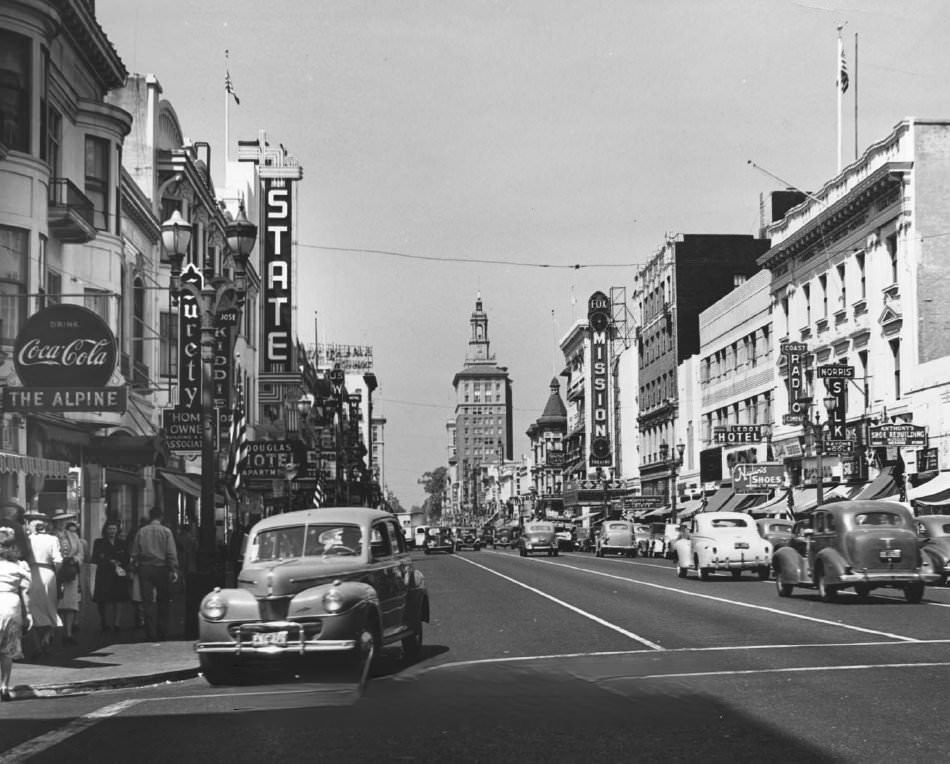
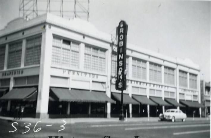
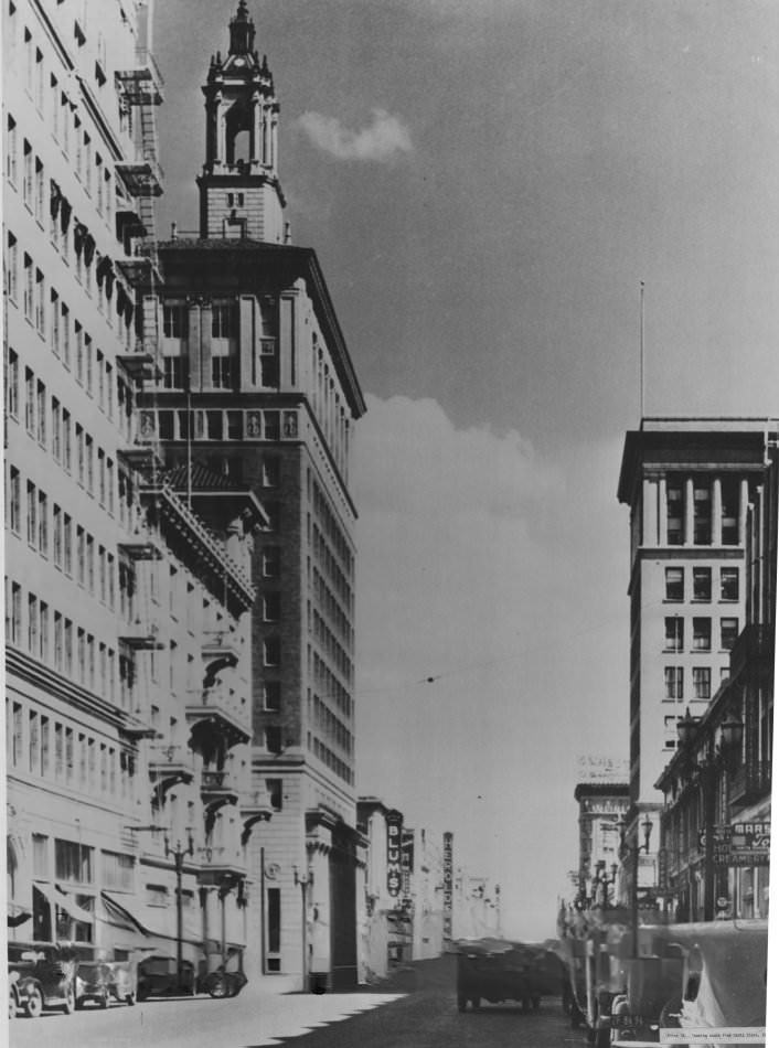
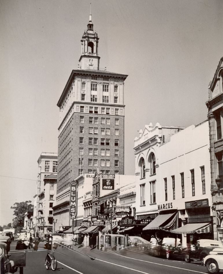
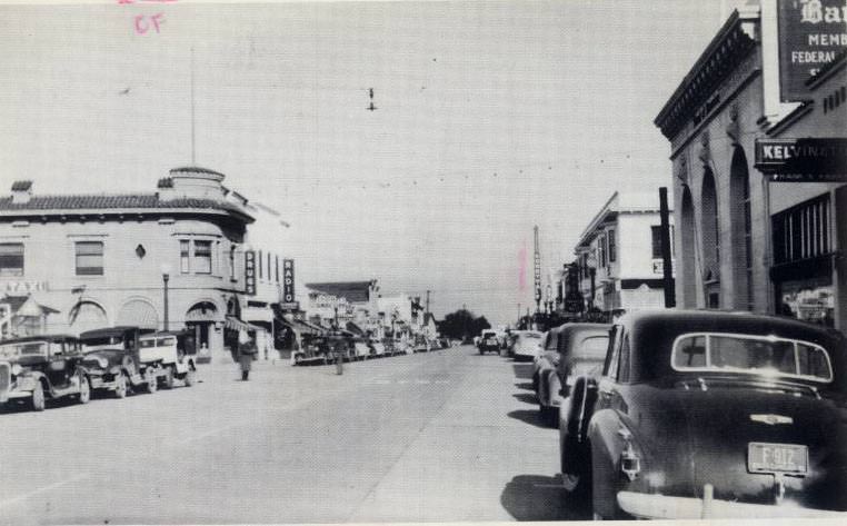
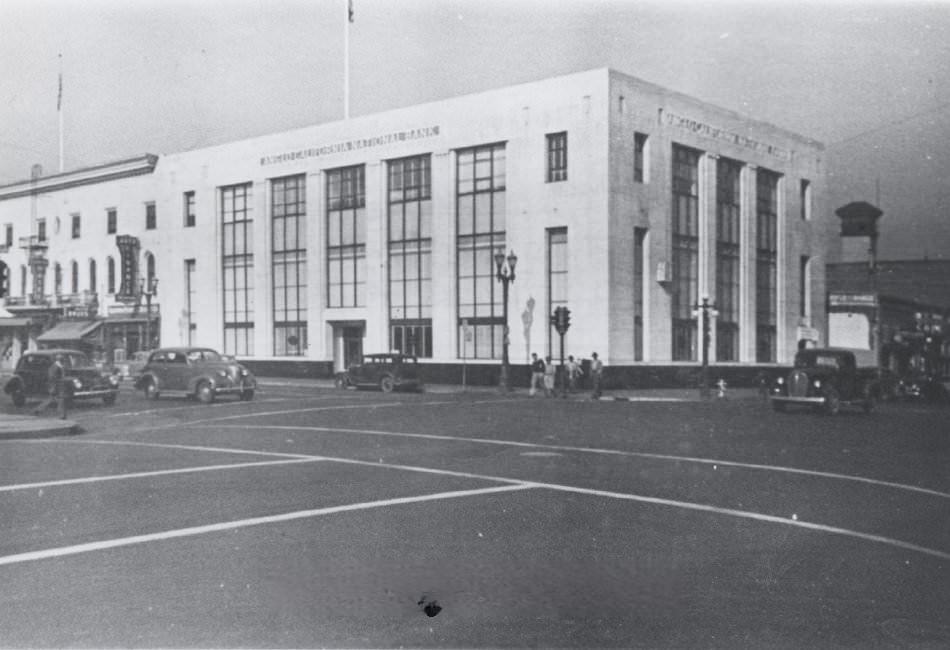
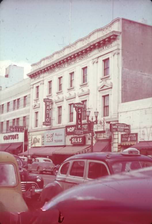
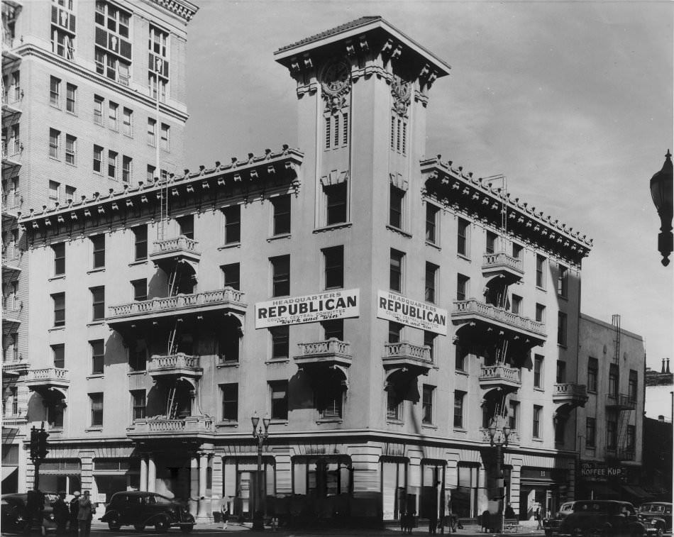
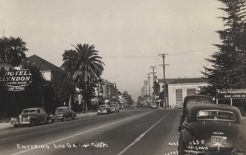
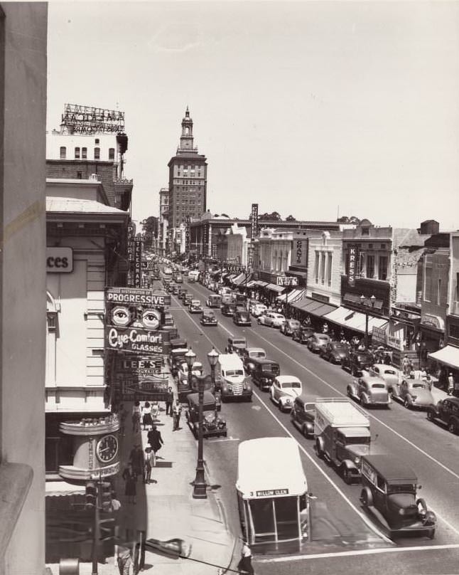
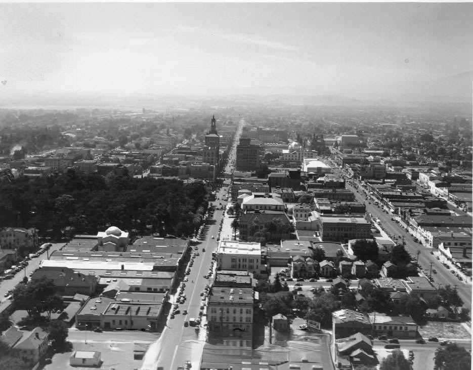
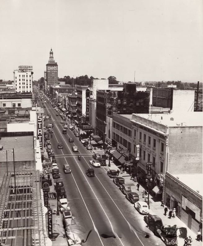
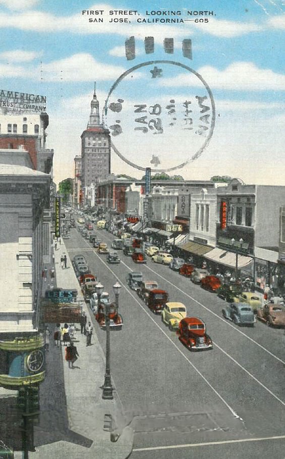
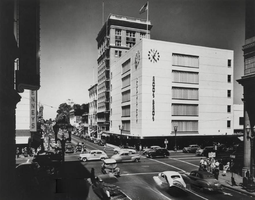
Downtown San Jose in the 1940s was a busy commercial district. First Street was the main artery, lined with banks, theaters, and retail shops. The Bank of America building anchored the financial district, while theaters like the State and Mission drew crowds on weekends. Automobiles were parked bumper to bumper along the curb, and foot traffic was constant during business hours.
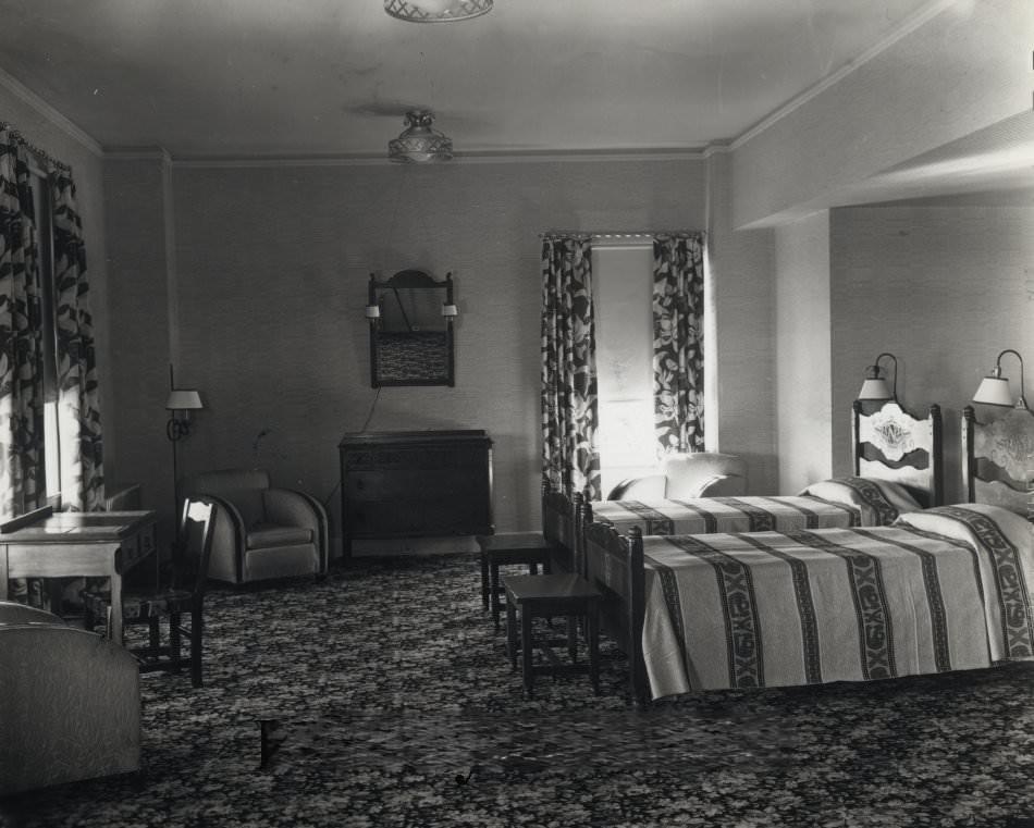
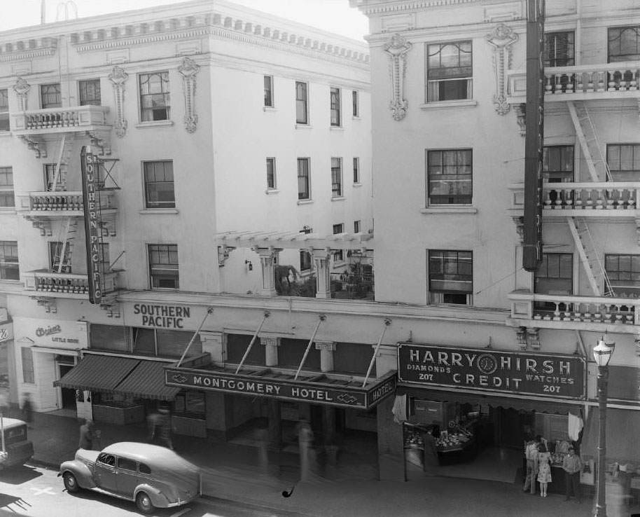
The Montgomery Hotel stood at the corner of First and Paseo de San Antonio as one of the city’s most recognized landmarks. It had opened in 1911, designed by local architect William Binder, and quickly became San Jose’s premier downtown hotel. In the 1920s, a single room cost about $1.50 per night, with a private bathroom running an extra dollar. By the 1940s, it remained a fixture of the downtown area, hosting visitors and business travelers passing through the city.
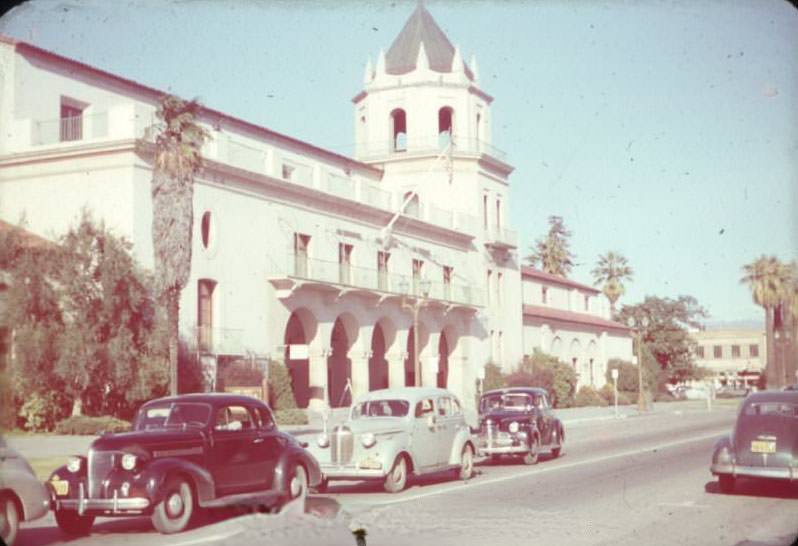
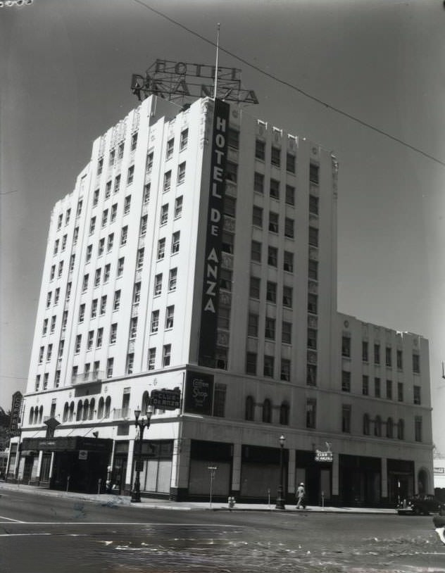
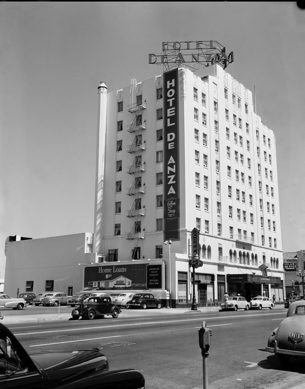
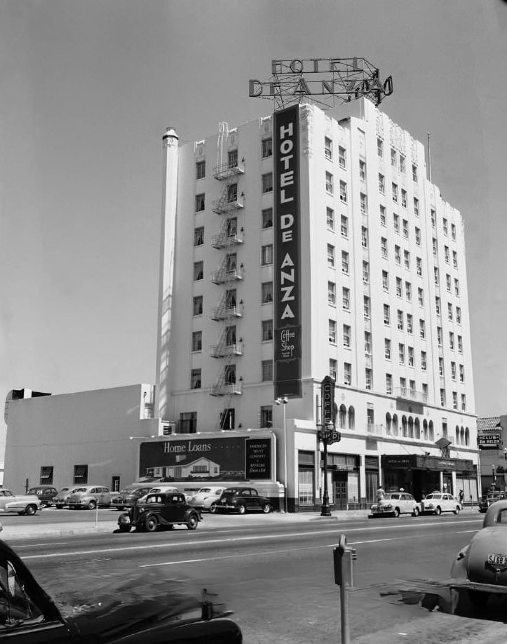
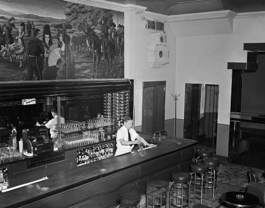
The Hotel De Anza was the other pillar of San Jose’s hospitality scene during this period. Located on West Santa Clara Street between Notre Dame and Santa Teresa Streets, it was considered one of the two leading hotels in the city throughout the 1930s and 1940s. The hotel’s tap room and coffee shop were popular gathering spots, and the building’s exterior projected an elegance that matched its reputation.
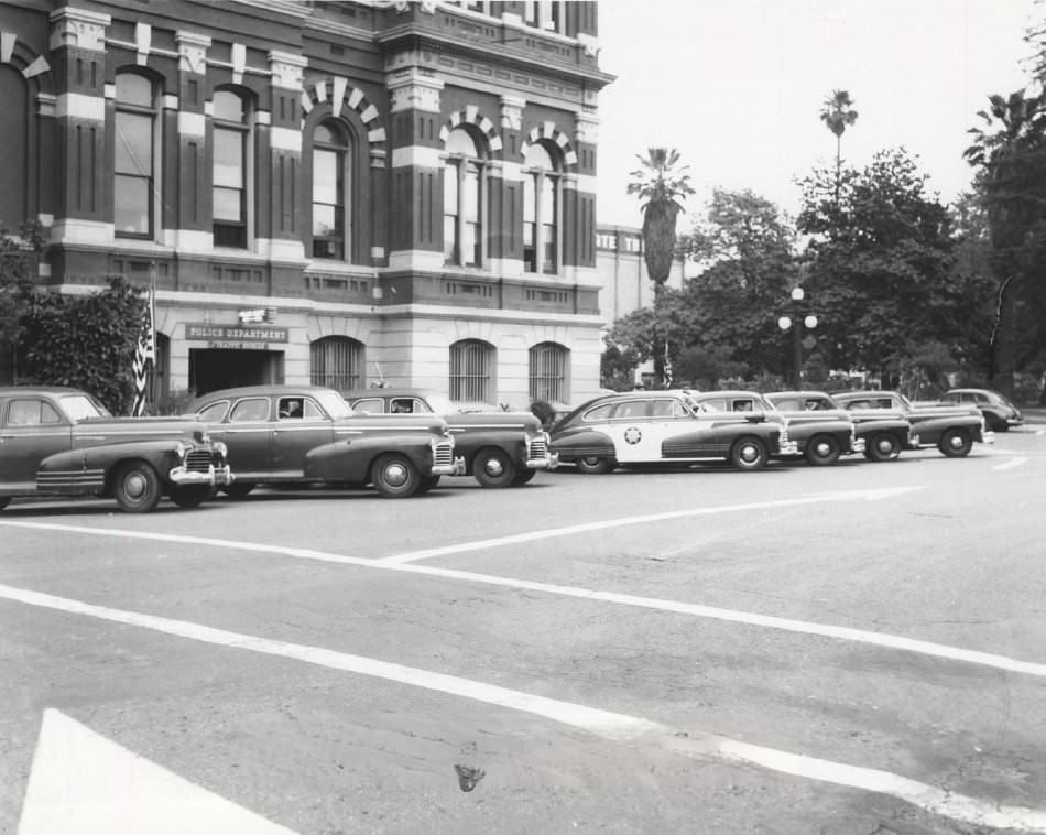
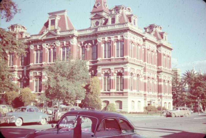
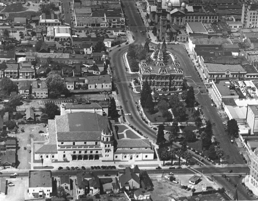
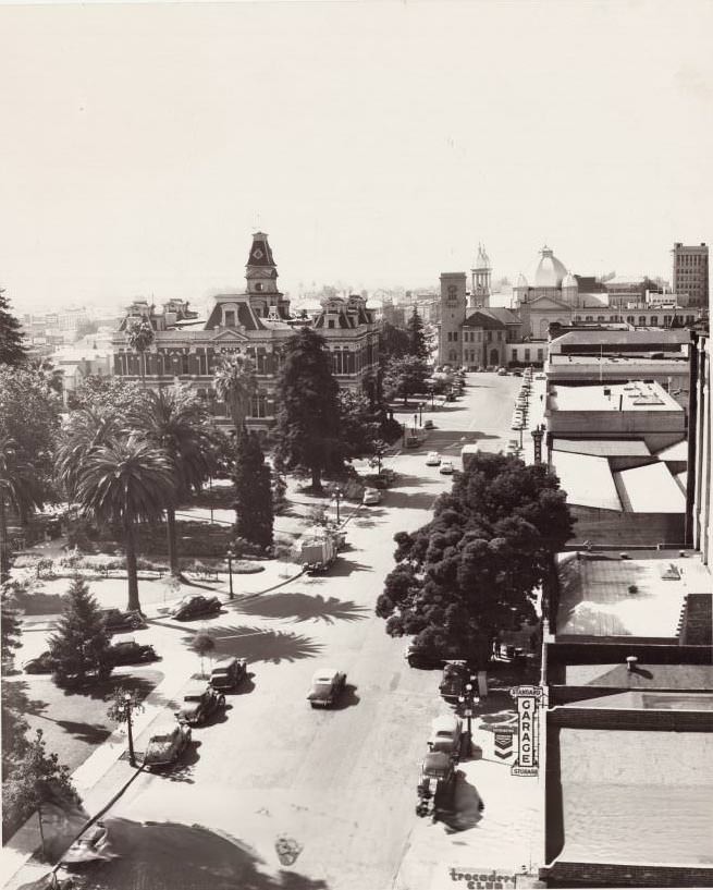
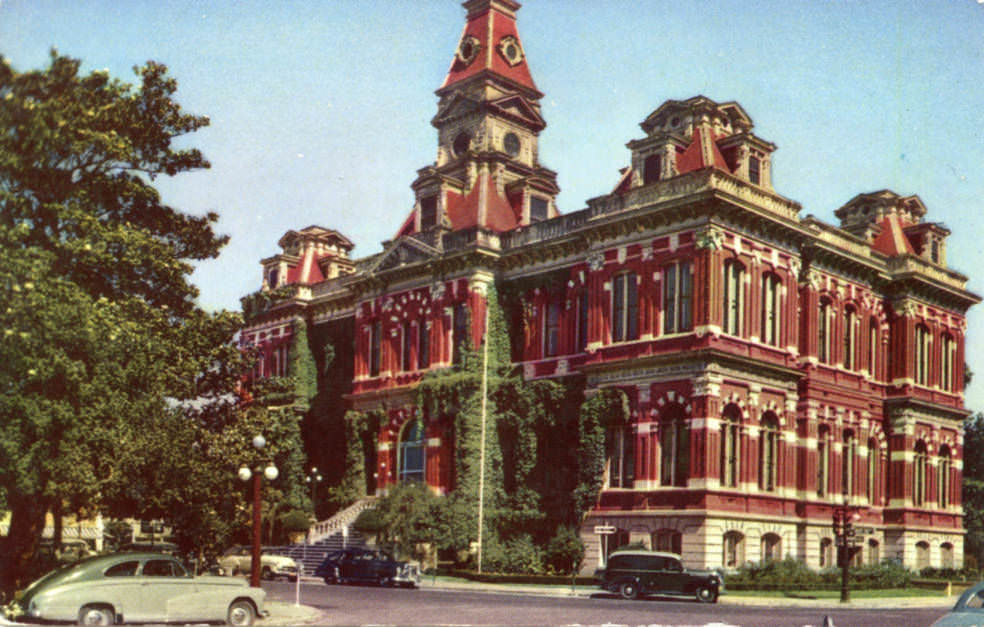
San Jose’s City Hall stood in the middle of City Hall Park — now known as Plaza de Cesar Chavez — a red brick Victorian-era building modeled after a Bavarian town hall. Built in 1889, it was ivy-covered and surrounded by parked cars by the 1940s. Looking down from above, the park and plaza gave a clear view of the surrounding neighborhood: St. Joseph’s Cathedral rose in the background, the old library building — which later became the San Jose Museum of Art — sat in the center, and the Standard Garage and Trocadero Club occupied the foreground.
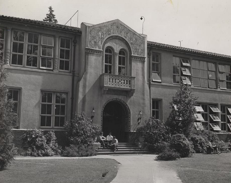
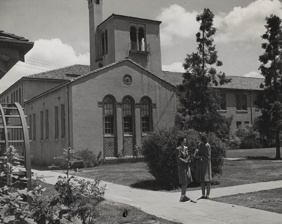
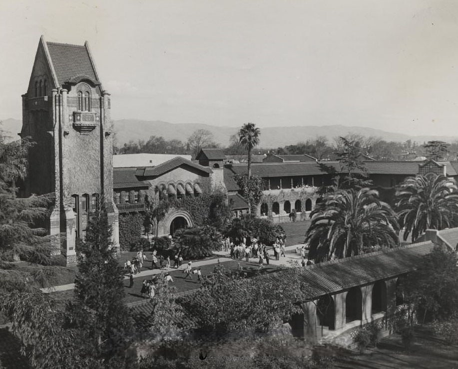
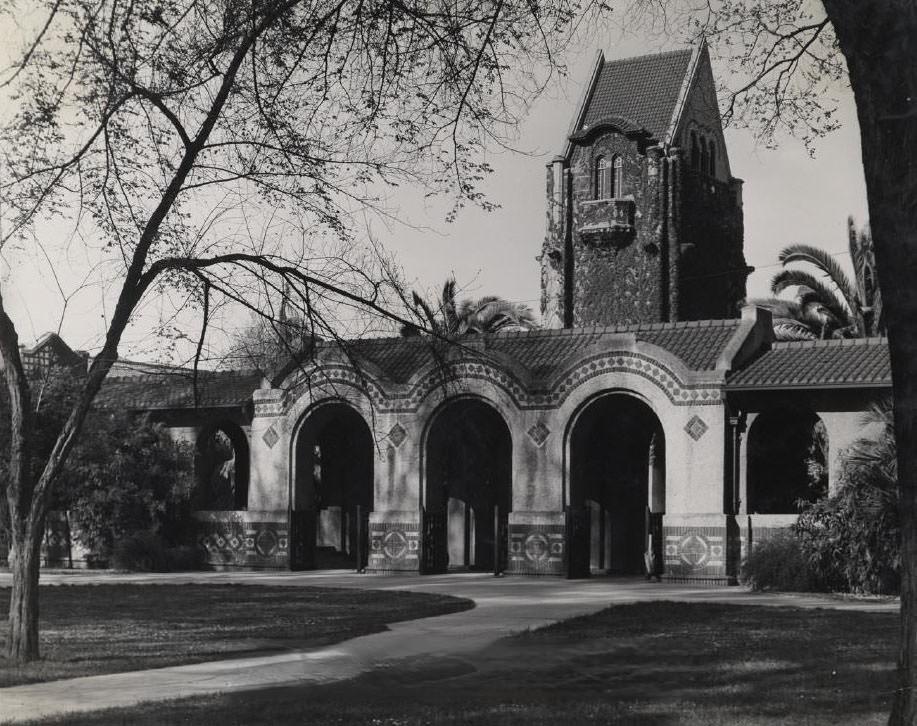
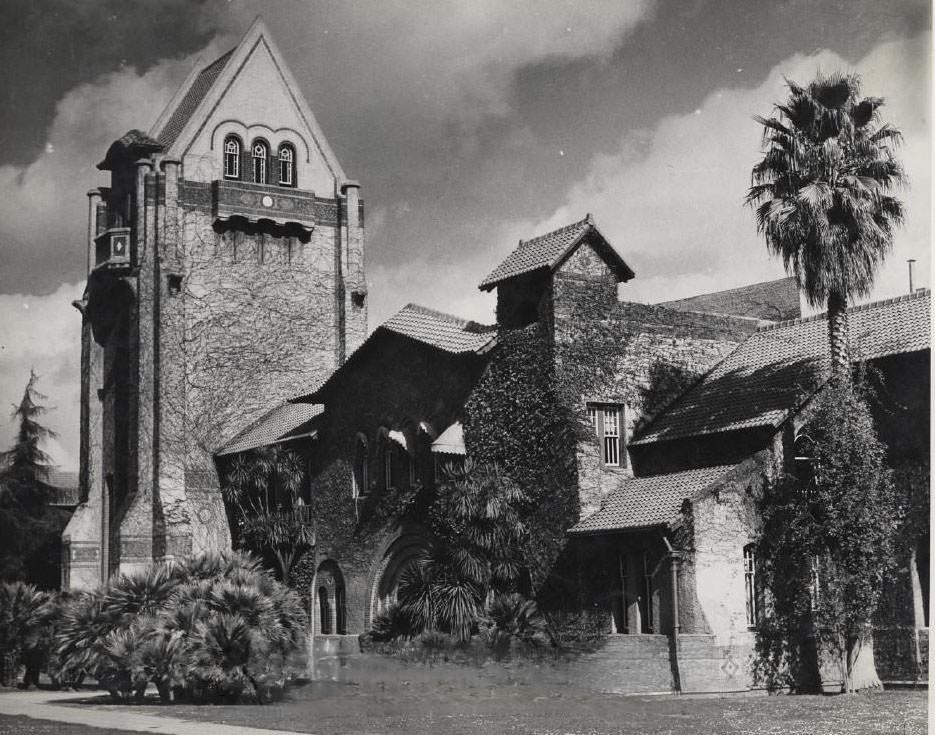
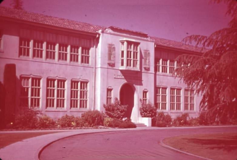
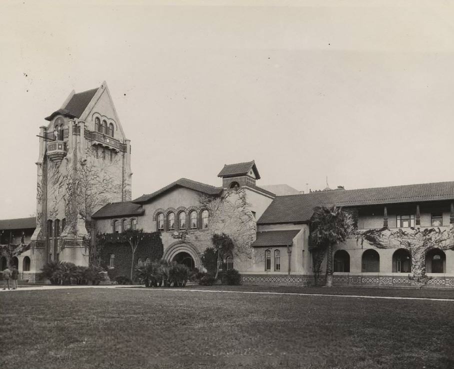
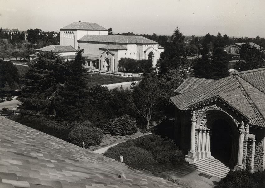
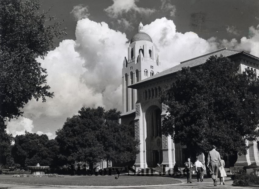
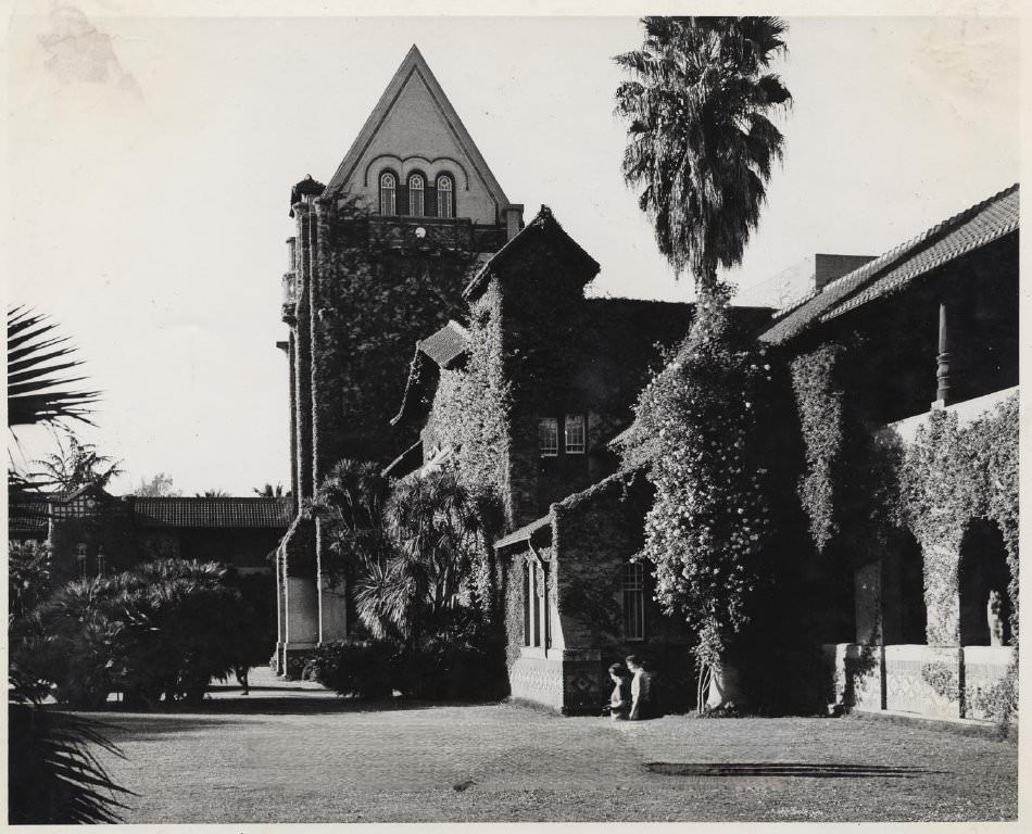
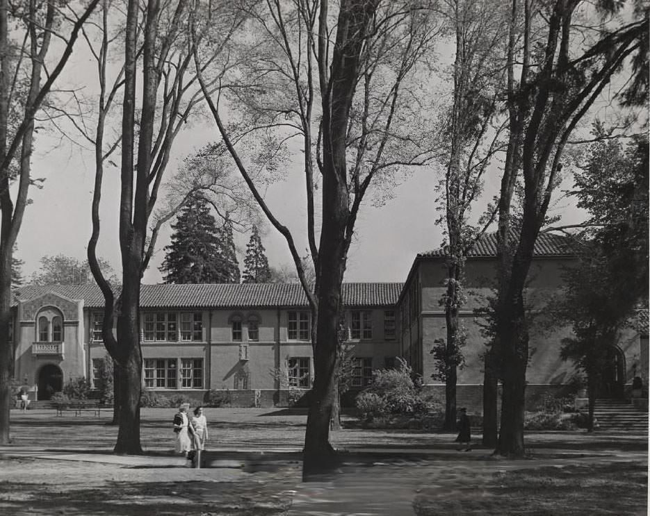
San Jose State College was an active part of the city’s fabric throughout the war years. The campus featured Tower Hall, Dwight Bentel Hall with its distinctive arches, a men’s gymnasium, and open quad spaces where students gathered. Even as many young men left for military service, the college kept operating. Photos from 1942 show the campus buildings standing clean and formal, the kind of calm that contrasted sharply with what was happening overseas.
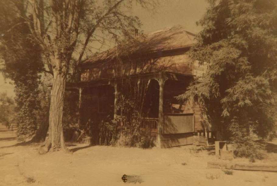
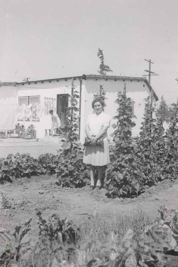
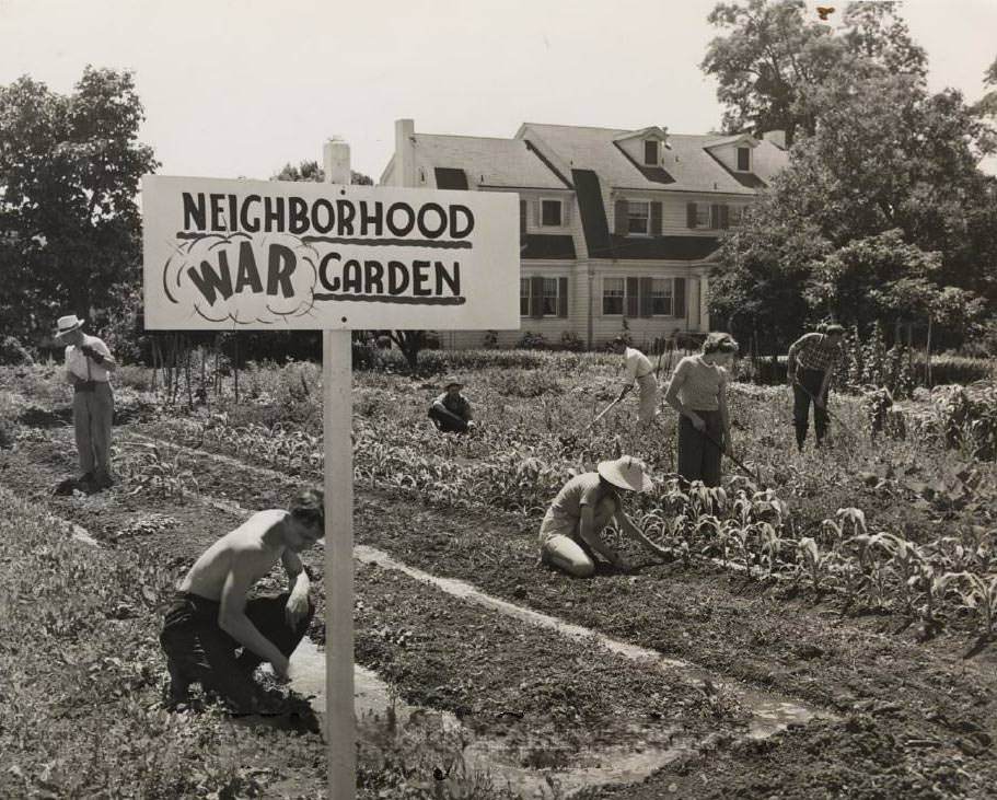
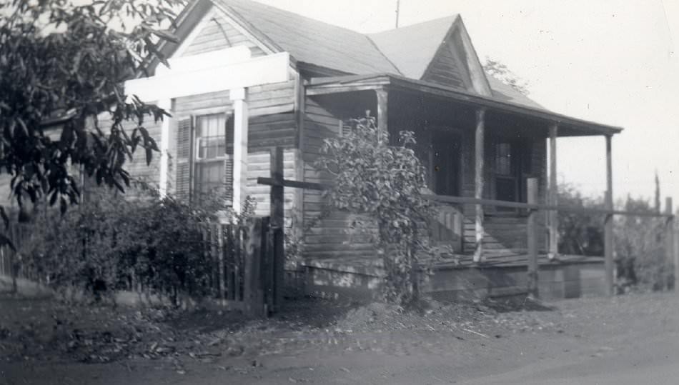
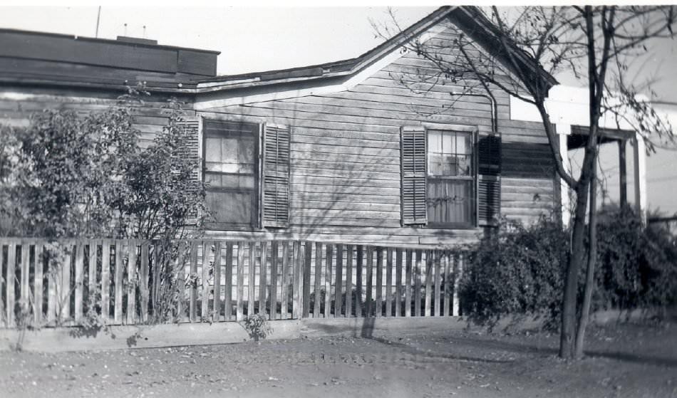
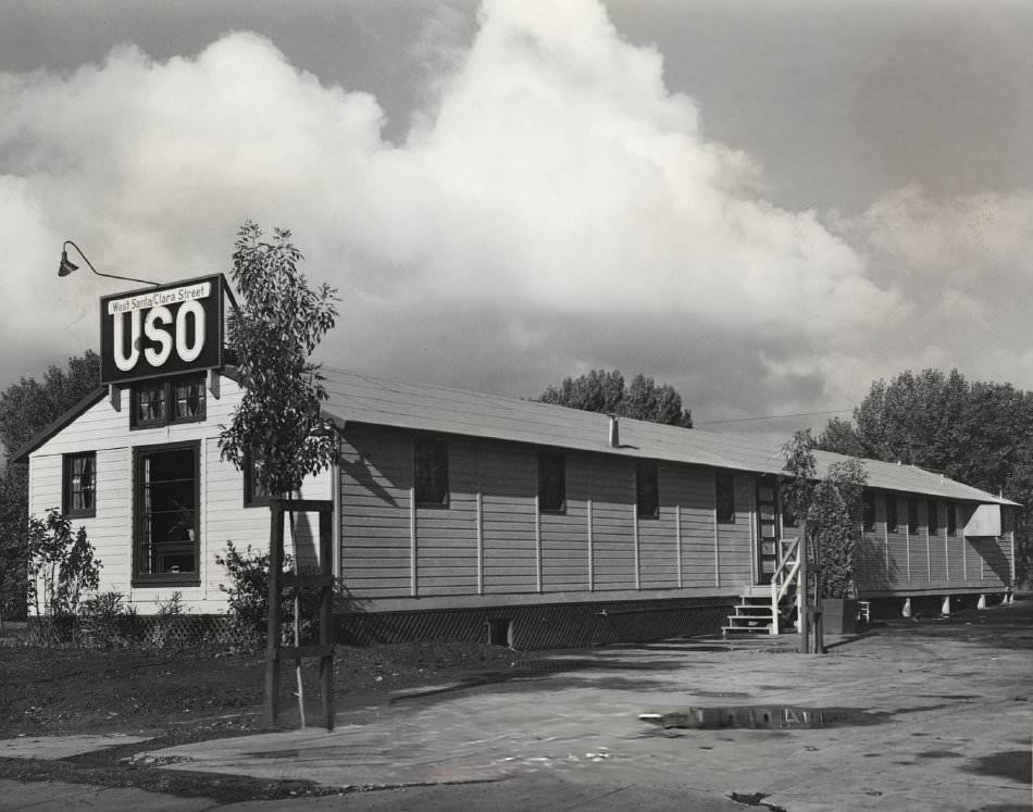
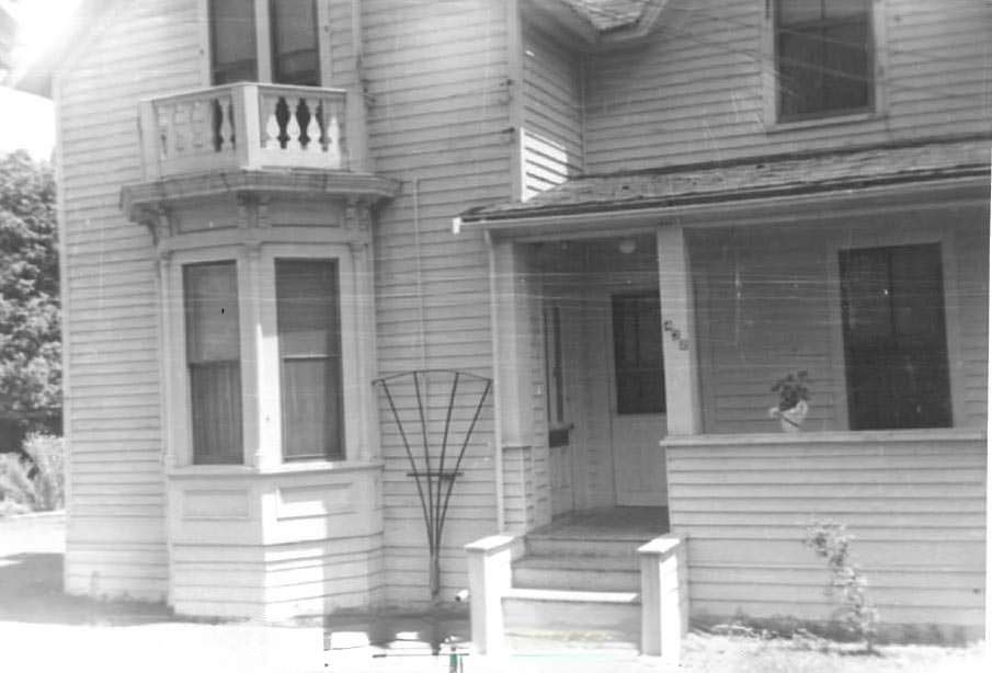
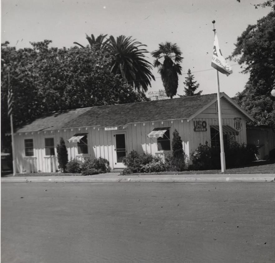
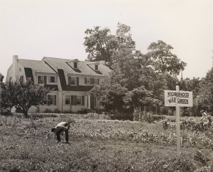
The war touched everyday life in visible ways across the city. USO houses on West Santa Clara Street provided a place for military personnel to rest, eat, and socialize. Neighborhood war gardens — plots where residents grew their own vegetables to support the wartime rationing effort — appeared alongside residential homes. Even the Polhemus house, a historic structure in the area, was photographed next to one of these gardens.
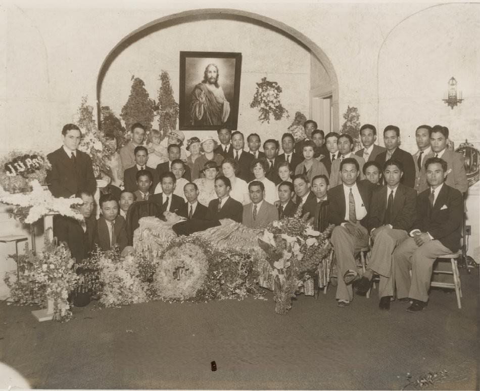
Japanese Americans living in San Jose were forcibly removed from their homes and placed in internment camps following President Roosevelt’s executive order in 1942. This displacement ripped apart families and communities that had been established in the Santa Clara Valley for generations. The same year, anti-Mexican violence flared across California. In 1943, riots over zoot suits broke out in Los Angeles and the hostility spread to surrounding areas, putting Mexican American residents in San Jose on edge. Black Americans in the city also faced ongoing segregation and discrimination throughout the decade. These racial pressures ran parallel to the patriotic wartime narrative playing out in the streets and on the front pages.
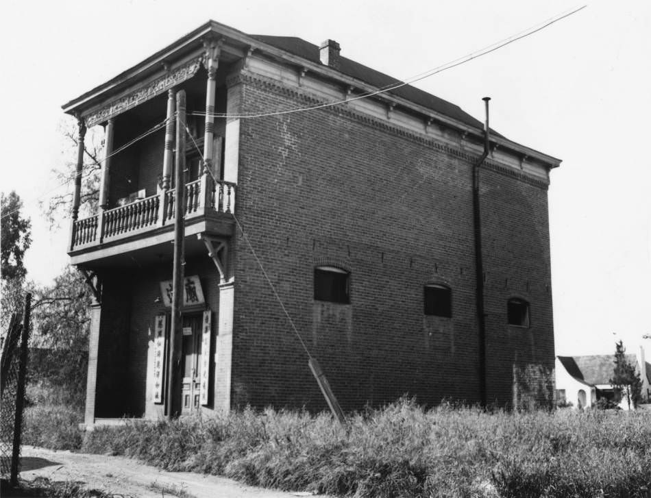
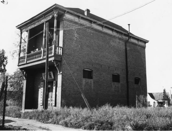
San Jose’s Chinatown, known as Heinlenville, was home to the Ng Shing Gung Temple — a Taoist temple dedicated to the Five Deities. The temple had been completed in 1888 at a cost of $2,000 and stood for over six decades as a center of Chinese religious life in the city. In 1949, it was demolished. The altar and statues of the Five Deities were salvaged and later installed in a replica building on the grounds of History San Jose.
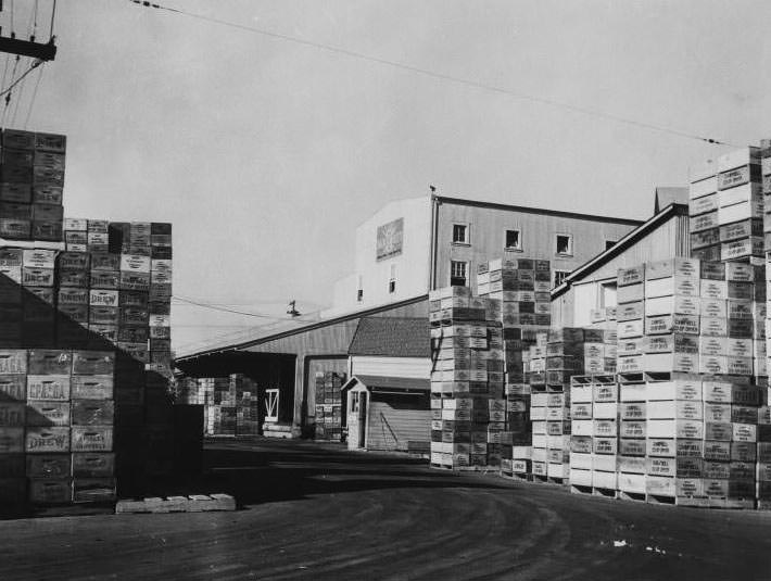
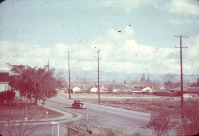
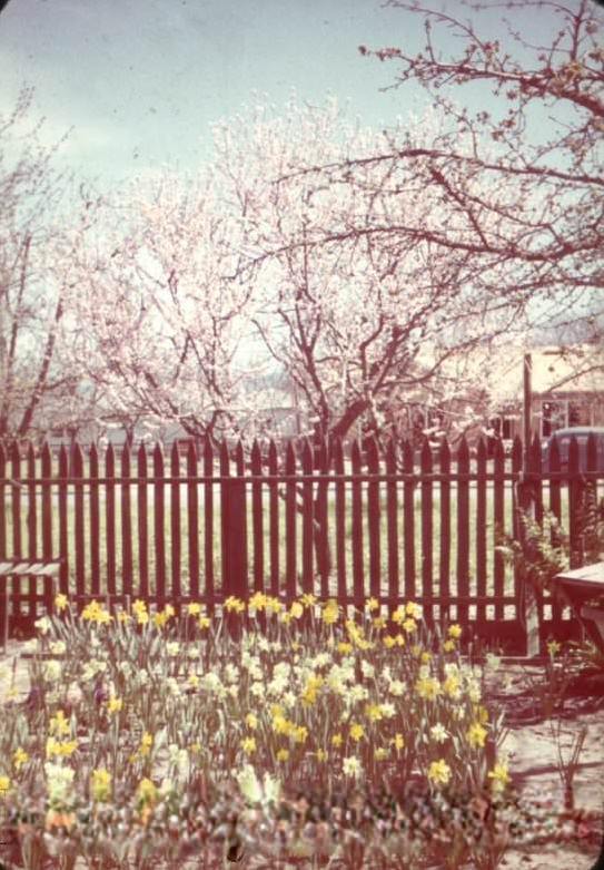
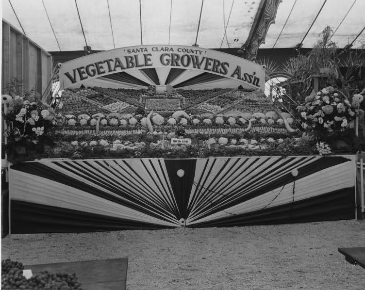
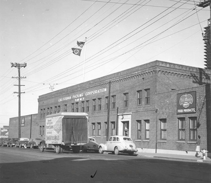
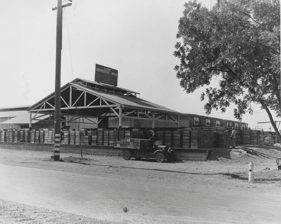
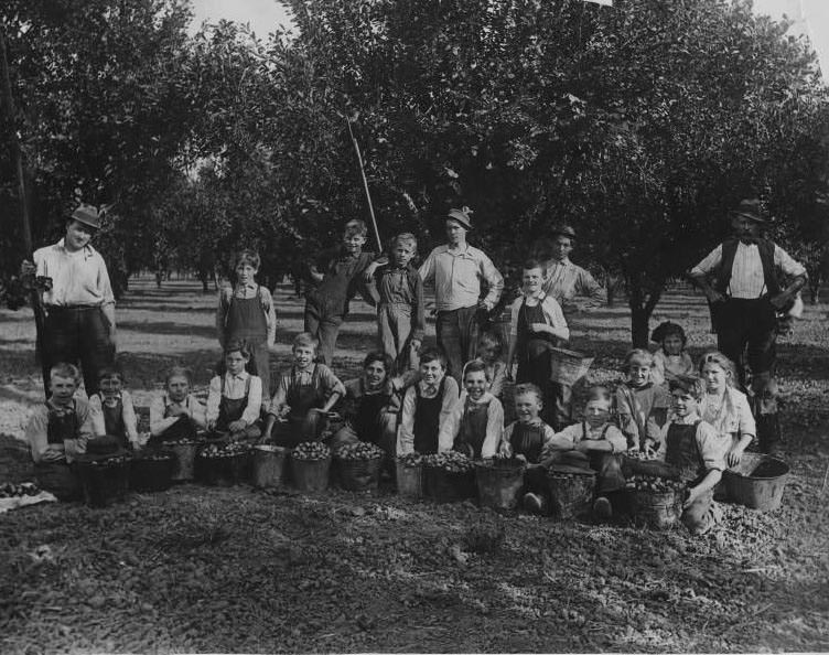
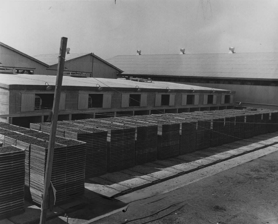
Agriculture hadn’t disappeared from San Jose — it just shared space with the new industrial economy. Prune orchards still bloomed in spring, and harvest crews including children worked the fields filling buckets. Fruit drying operations, cooperative canneries, and vegetable grower associations were still active throughout the decade. The California Packing Corporation, the Gilroy Cooperative Dryer, and the Sun Sweet Campbell Co-operative Dryer were all operating during these years, processing the valley’s abundant harvests.
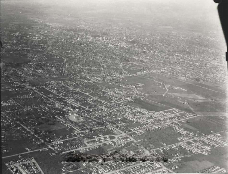
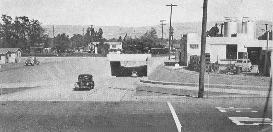
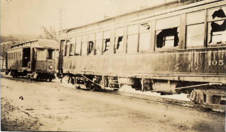
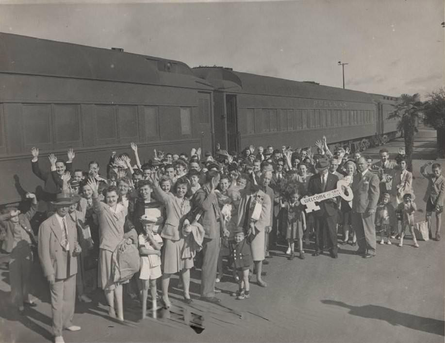
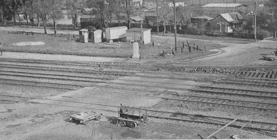
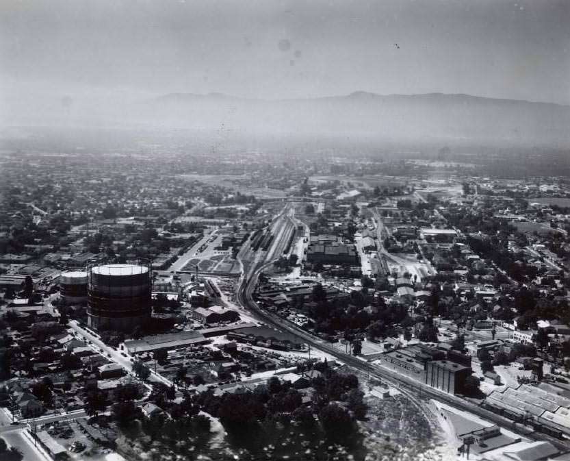
Polhemus Street, now known as Taylor Street, was a major crossing point where a highway met nine railroad tracks used by as many as eighty trains per day. The intersection was a constant source of traffic and hazard before road improvements were made. Southern Pacific’s Cahill station served as the city’s main railroad hub, a large complex visible from the air. Beside it, the smaller Western Pacific freight depot handled cargo that helped break the Southern Pacific’s regional monopoly — the WP had built its branch line into San Jose in 1922 specifically for that purpose.
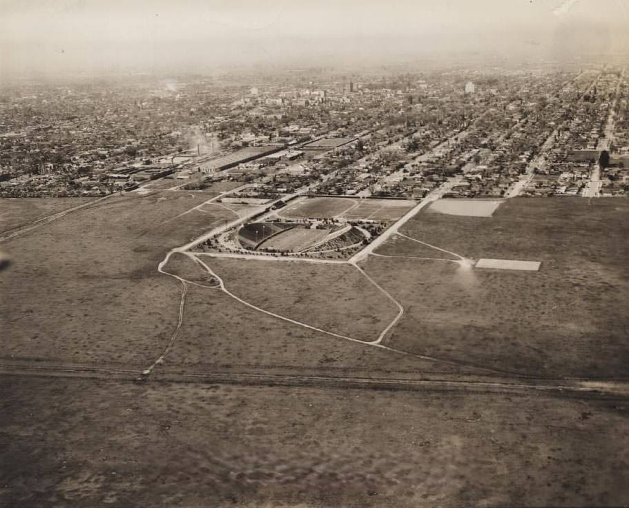
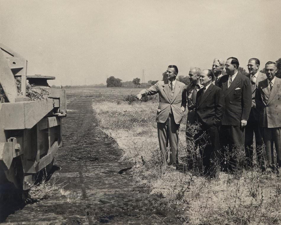
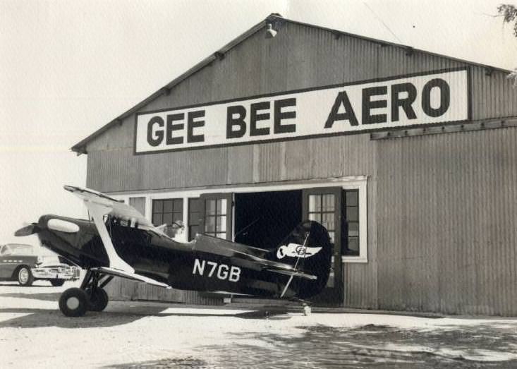
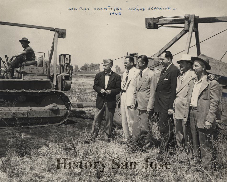
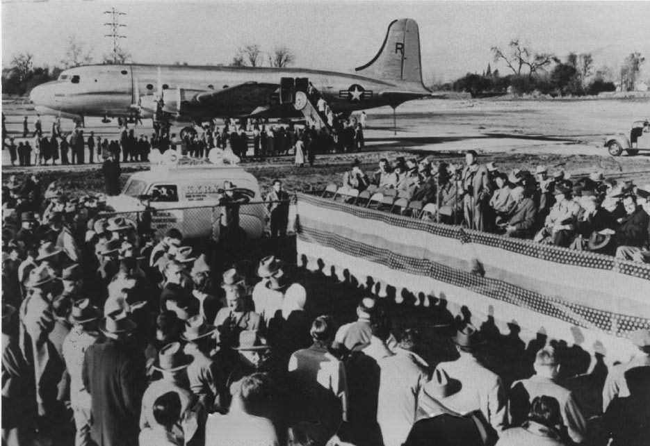
Ground was broken for the San Jose Municipal Airport in 1948, with the Airport Committee and heavy equipment marking the moment on a flat open field. The airport was formally dedicated in 1949, a milestone that pointed toward the postwar growth that San Jose was beginning to experience. Aviation was becoming increasingly important for commerce and travel, and the city’s leaders understood that a modern airport was essential to keeping pace.
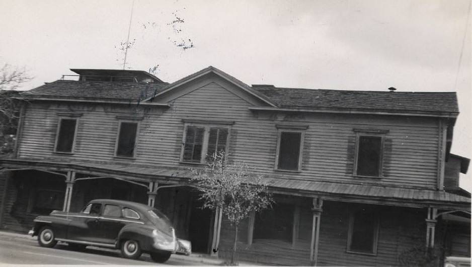
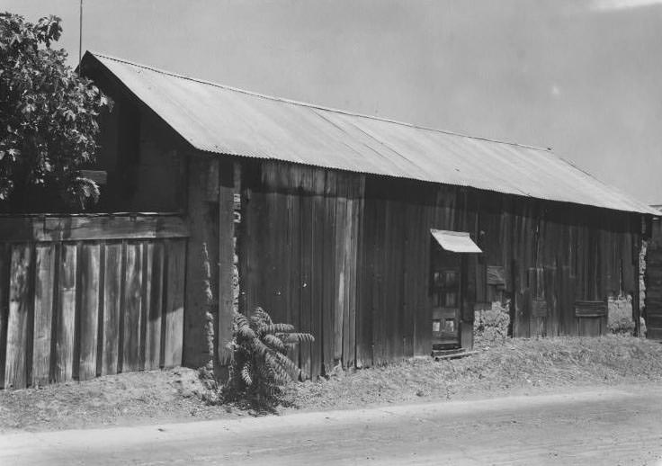
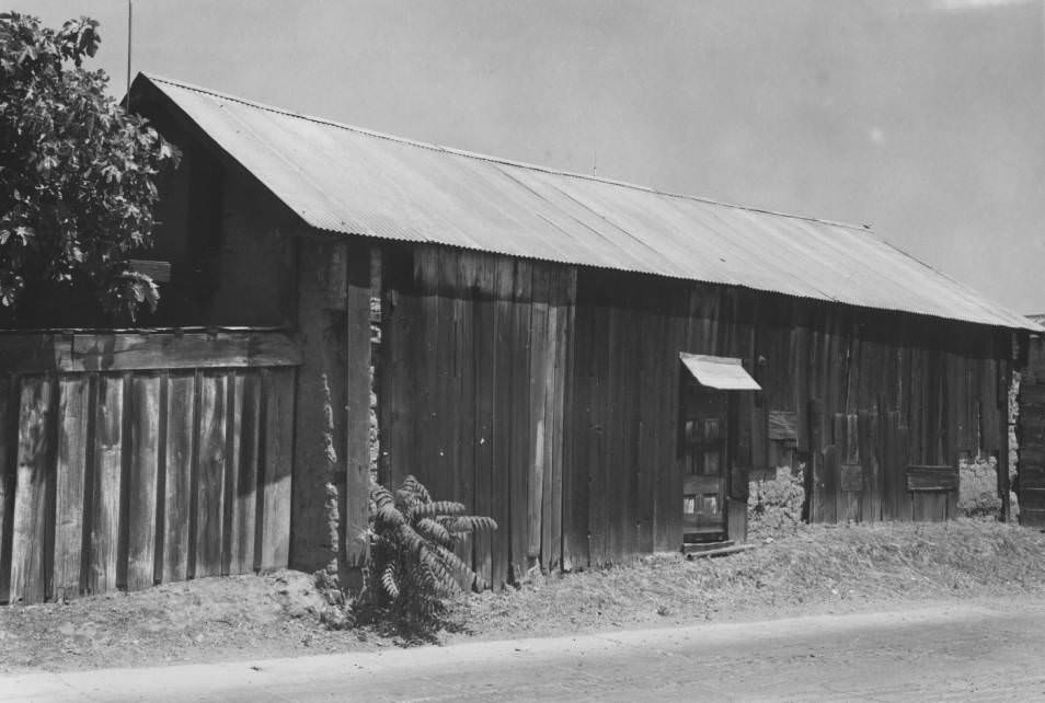
The Peralta Adobe, the oldest surviving structure in San Jose and its only remaining adobe building, was still standing in the 1940s — though barely recognizable as a historical landmark. In 1947 photographs, it appears with a tin roof, unrestored, and being used as a storehouse for plumbing supplies. It would not be restored until 1976, as part of the nation’s Bicentennial celebration. The building is now recognized as a San Jose Historic Landmark, a California Historical Landmark, and is listed on the National Register of Historic Places.
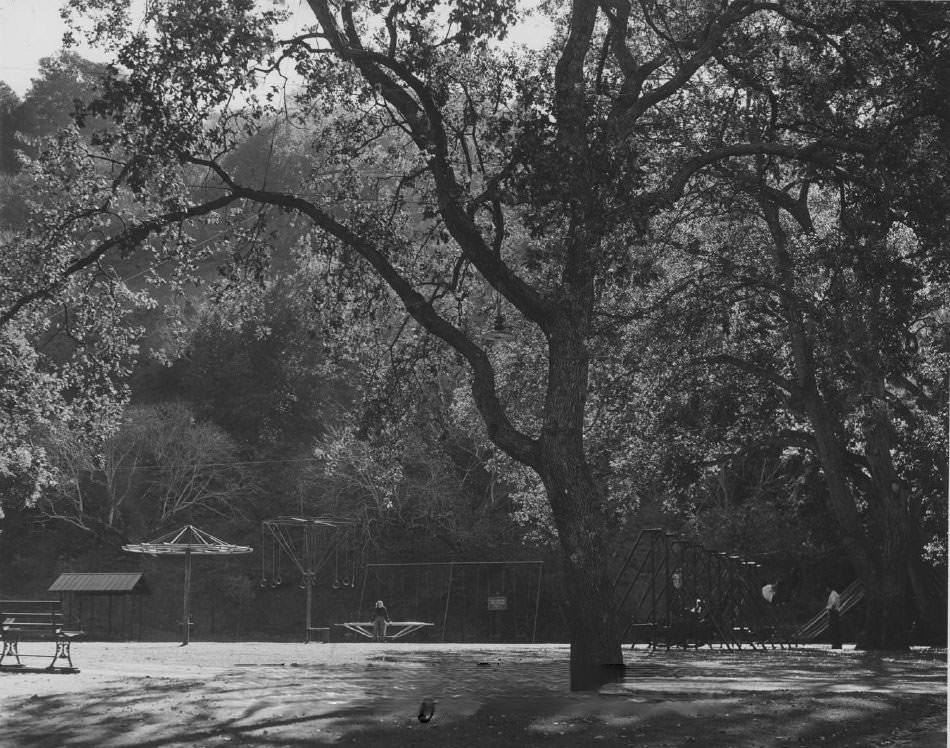
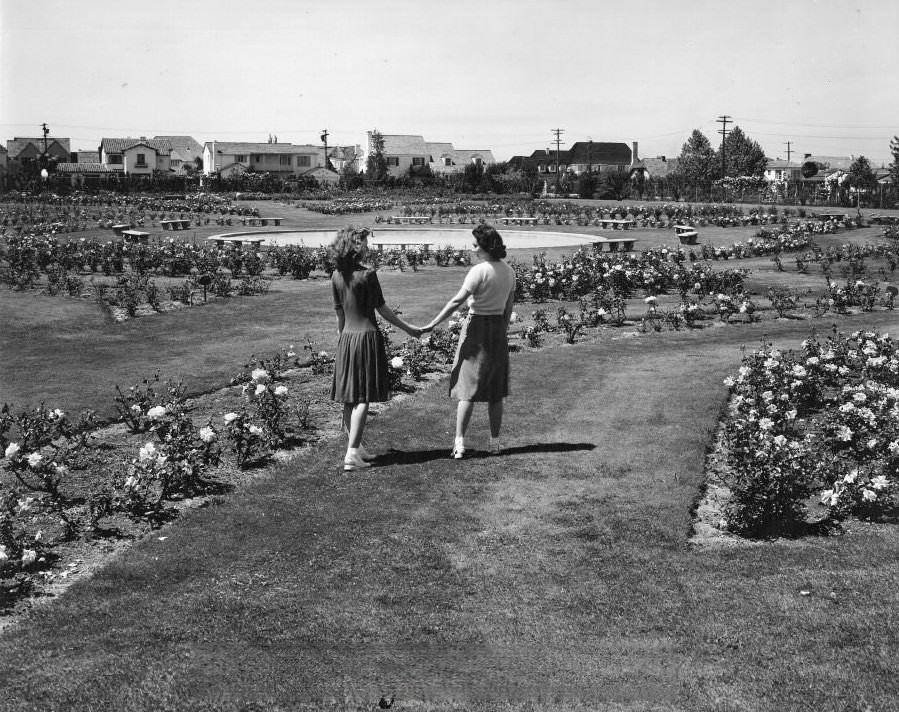
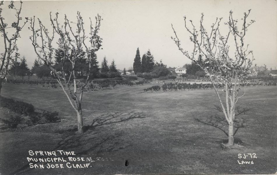
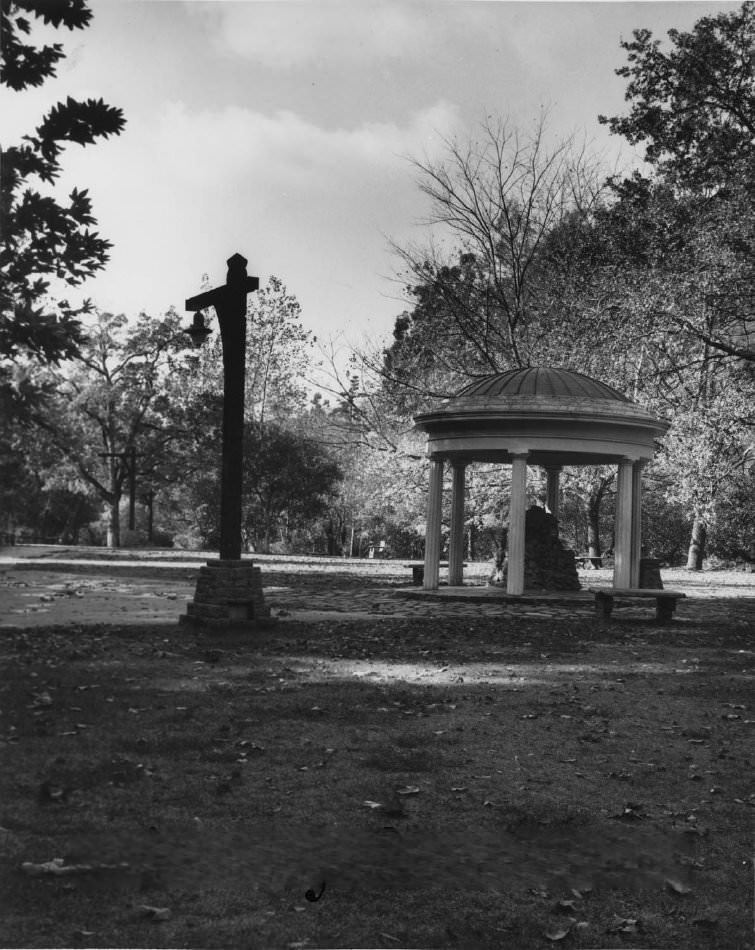
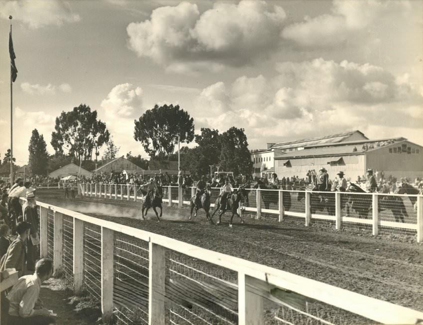
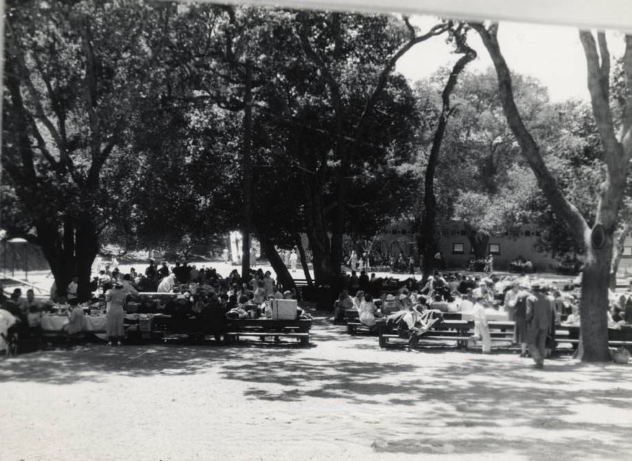
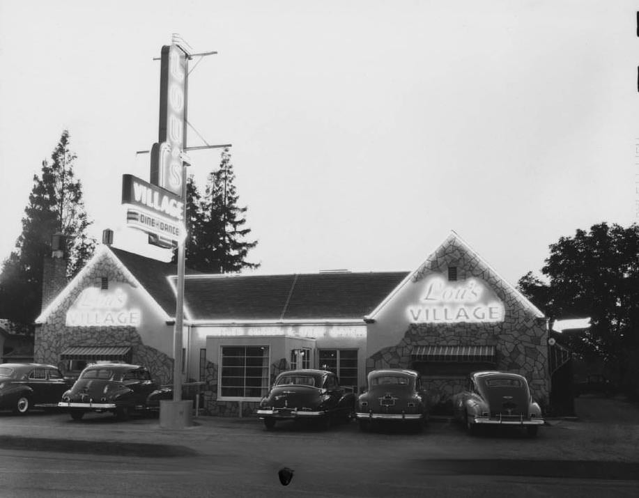
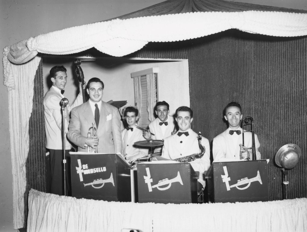
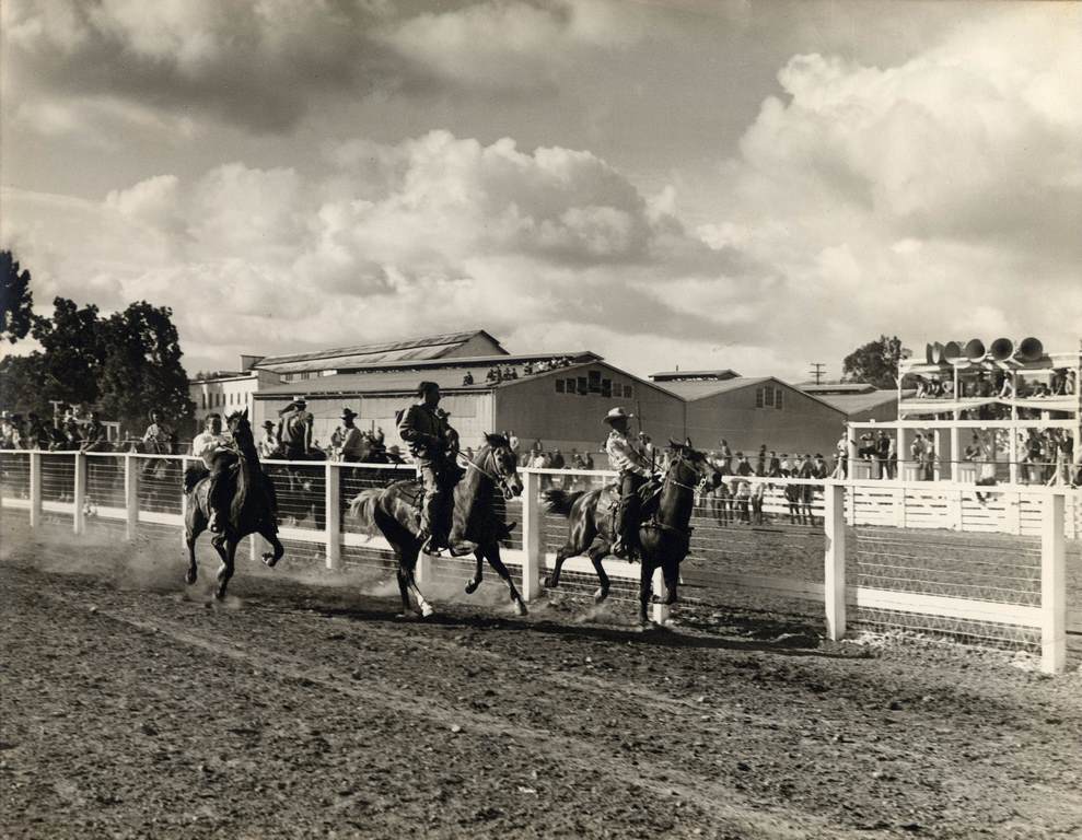
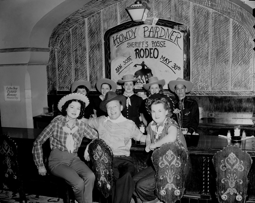
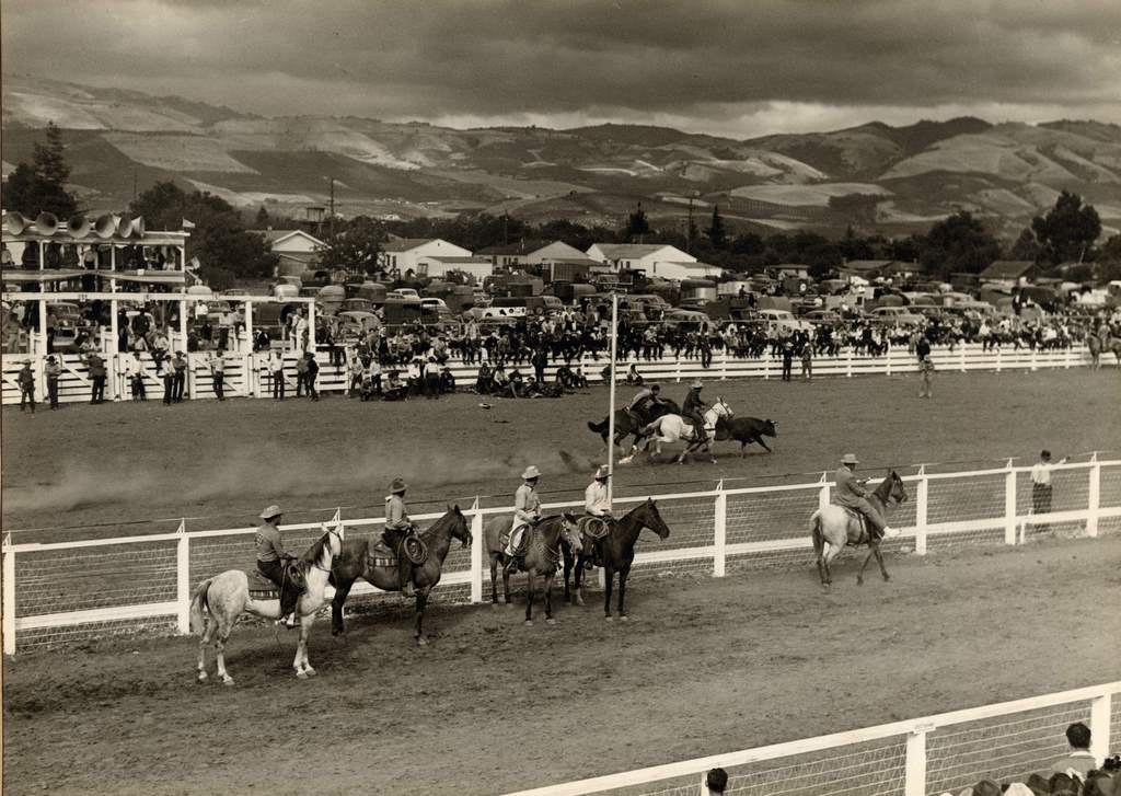
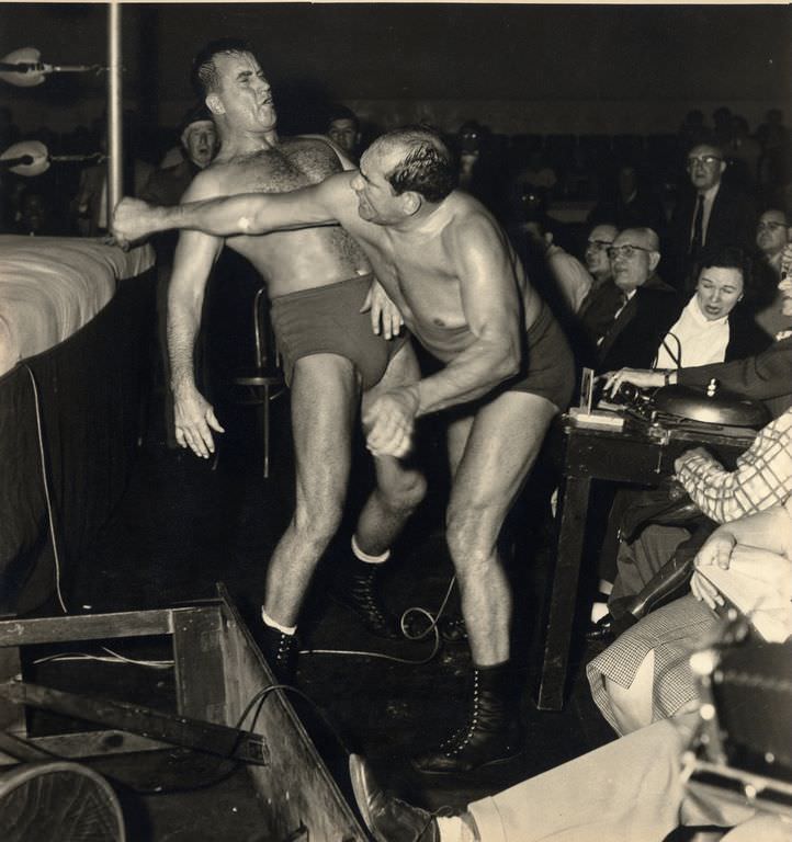
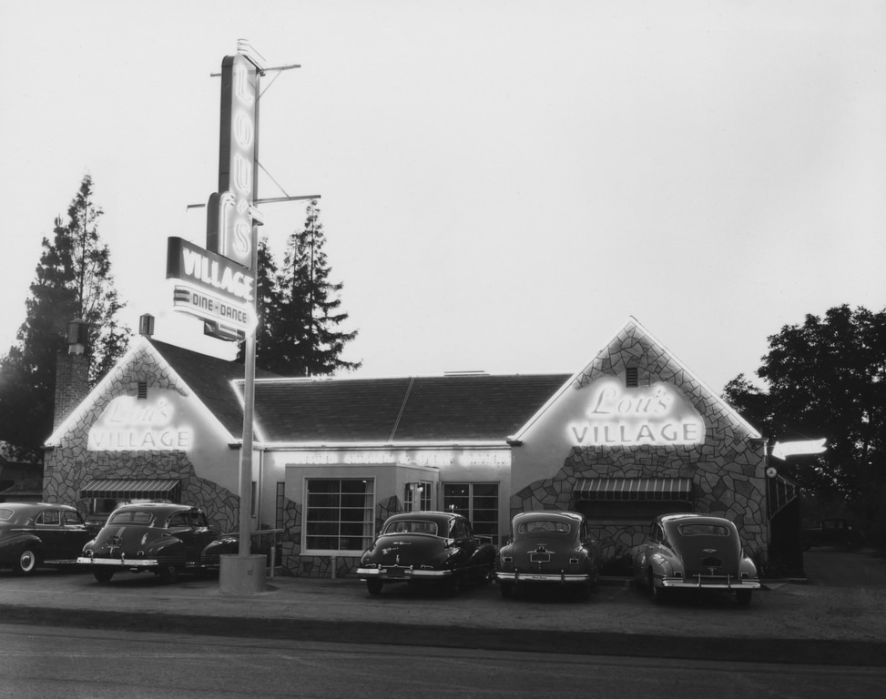
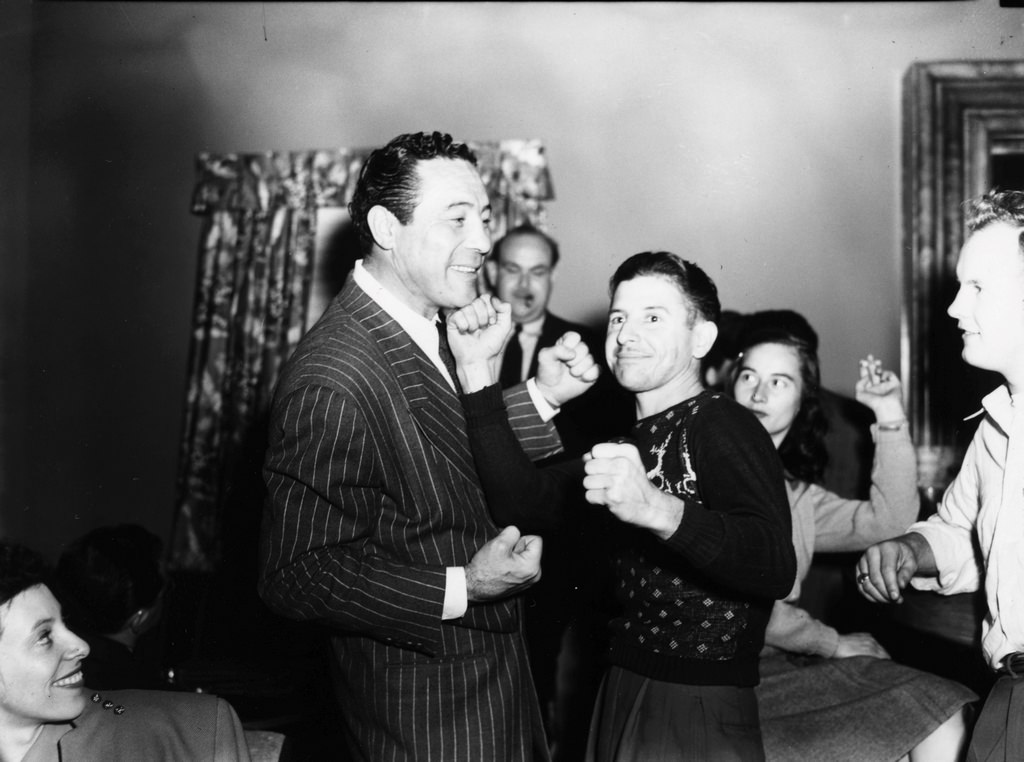
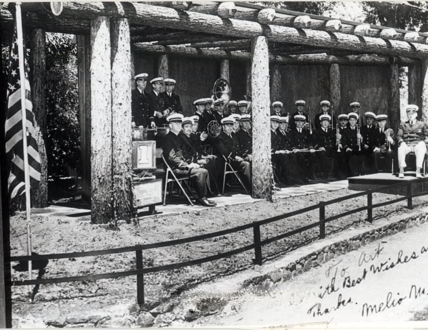
Social life in 1940s San Jose still had a lively side, even during the war. Lou’s Village restaurant on West San Carlos Street was a popular destination, hosting live music acts like the Joe Tomasello Band. Former heavyweight boxing champion Max Baer was spotted there in 1946. The Municipal Rose Garden attracted families, and Alum Rock Park drew picnickers and listeners to Sunday concerts performed by the San Jose Municipal Band. The Santa Clara County Fair featured events like wrestling matches and horse racing at the Sheriff’s Posse Grounds.
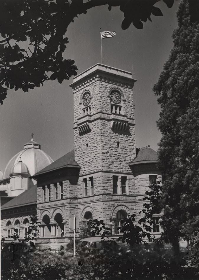
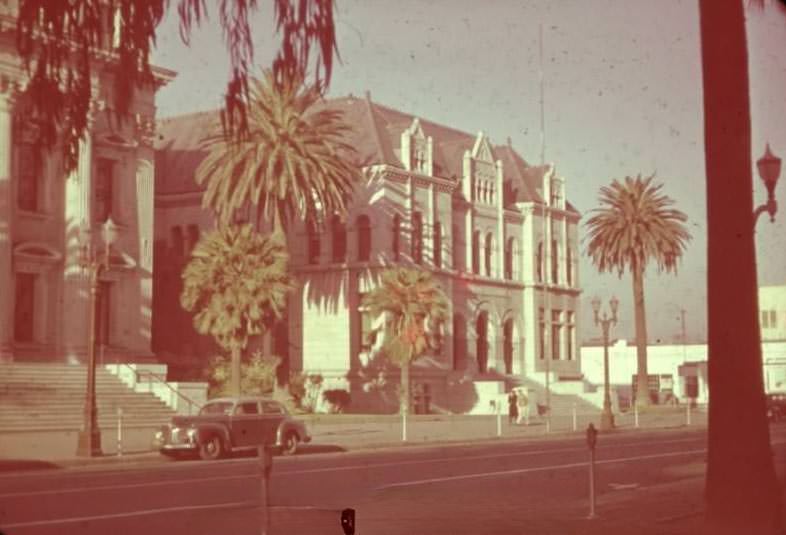
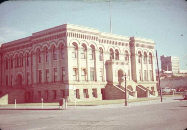
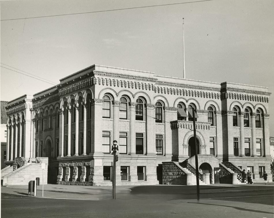
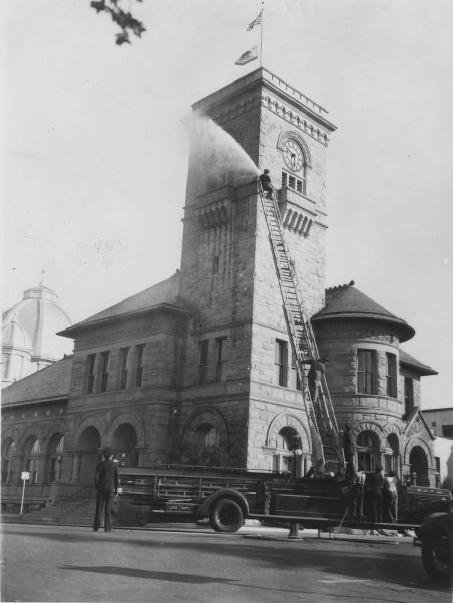
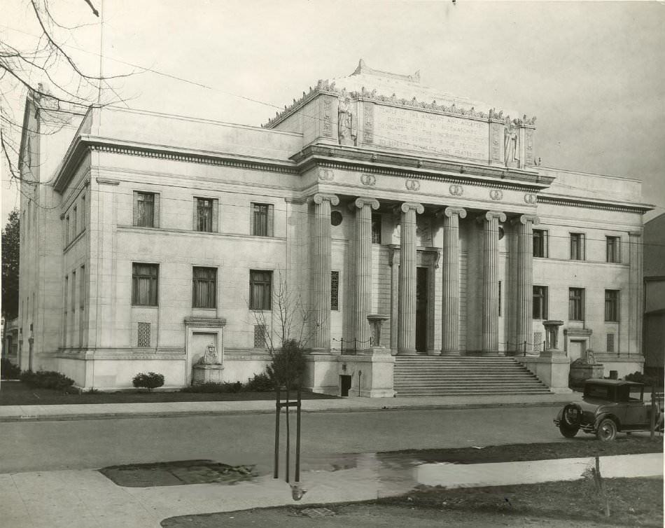
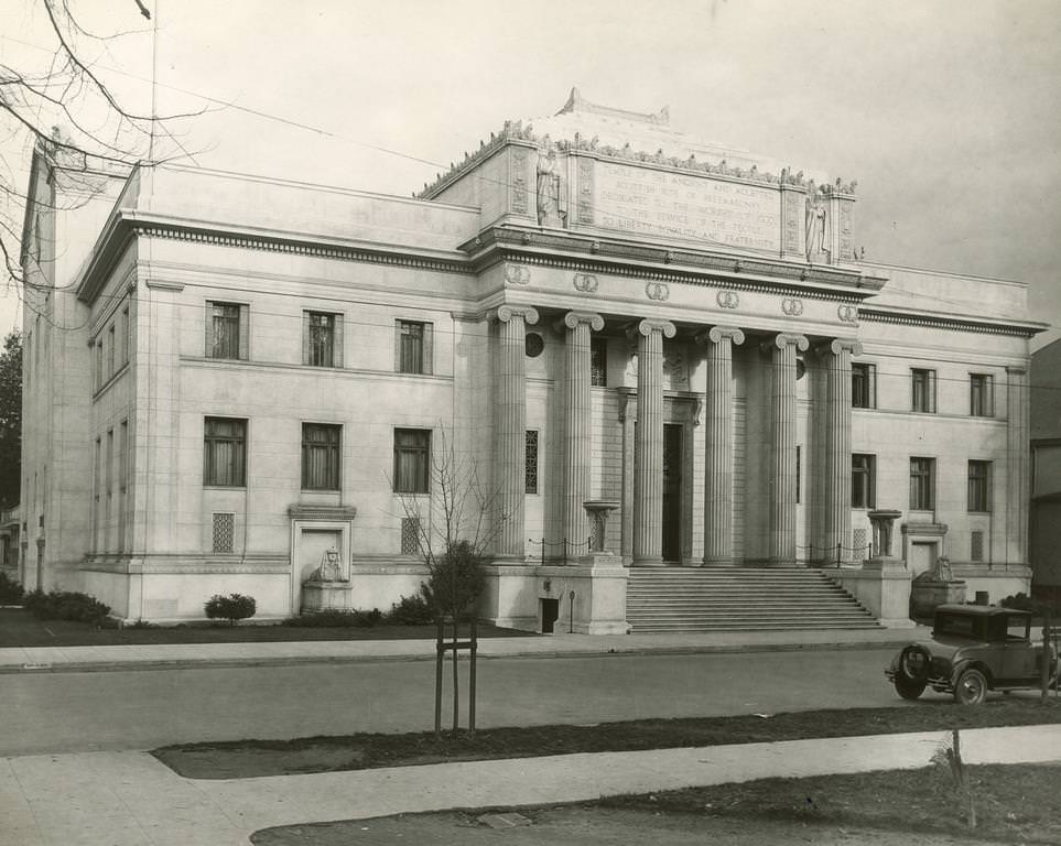
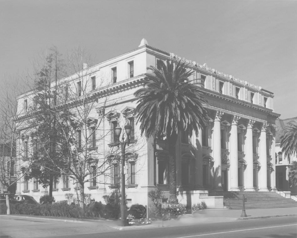
The Scottish Rite Temple at 196 North Third Street was another prominent downtown building. Built in 1924, it was a solid, formal structure that served the local Masonic community for decades. Nearby, the Hall of Justice stood at North Market and St. James, and the Santa Clara County Courthouse handled the legal business of the region. These civic and fraternal institutions were as much a part of San Jose’s identity as its orchards and canneries.
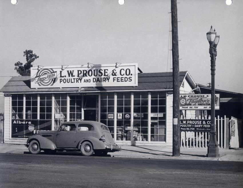
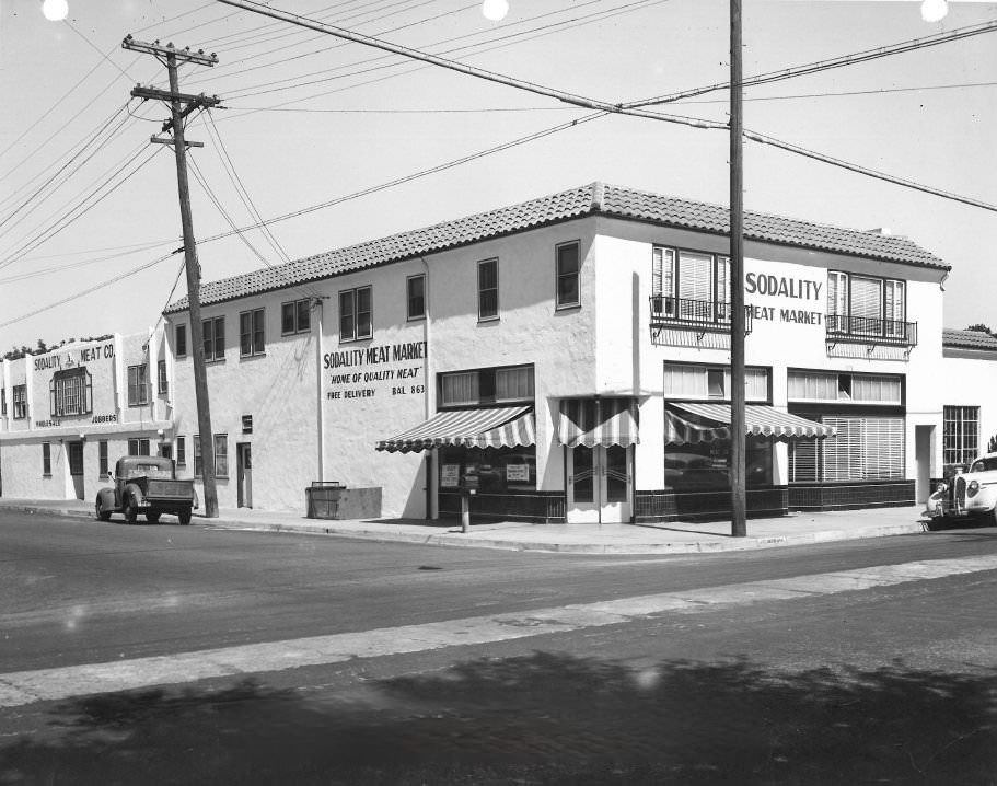
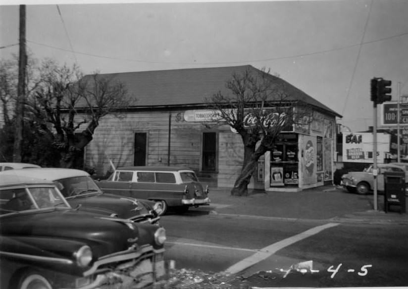
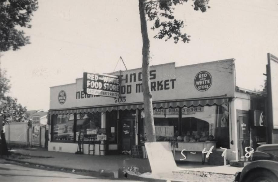
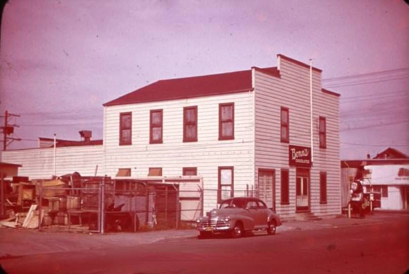
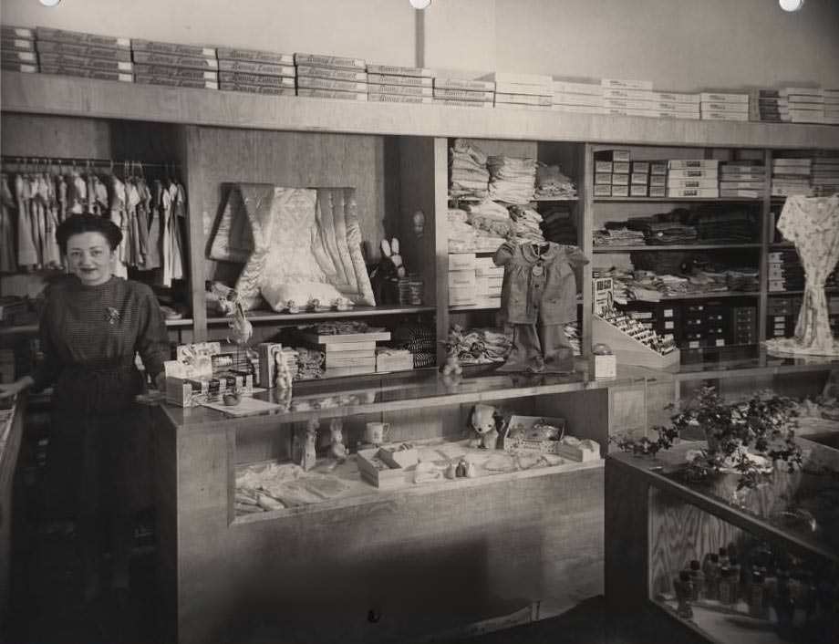
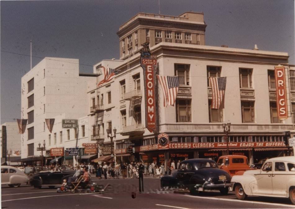
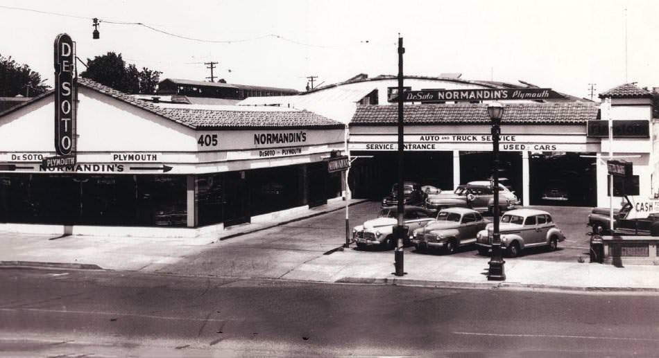
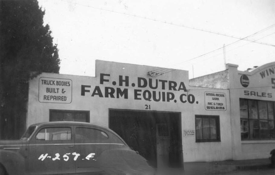
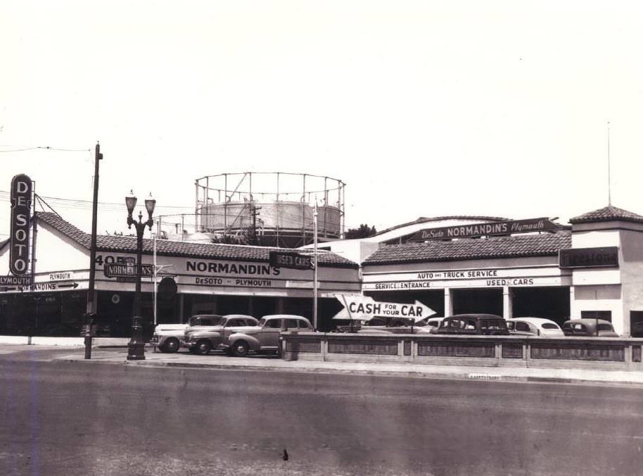
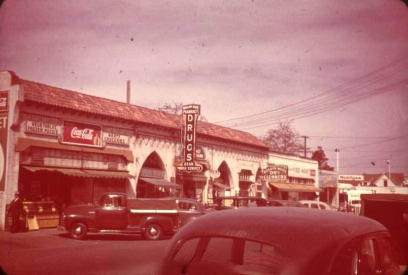
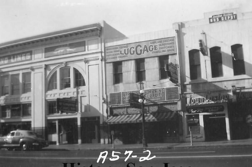
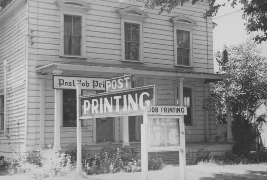
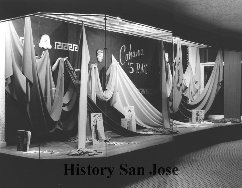
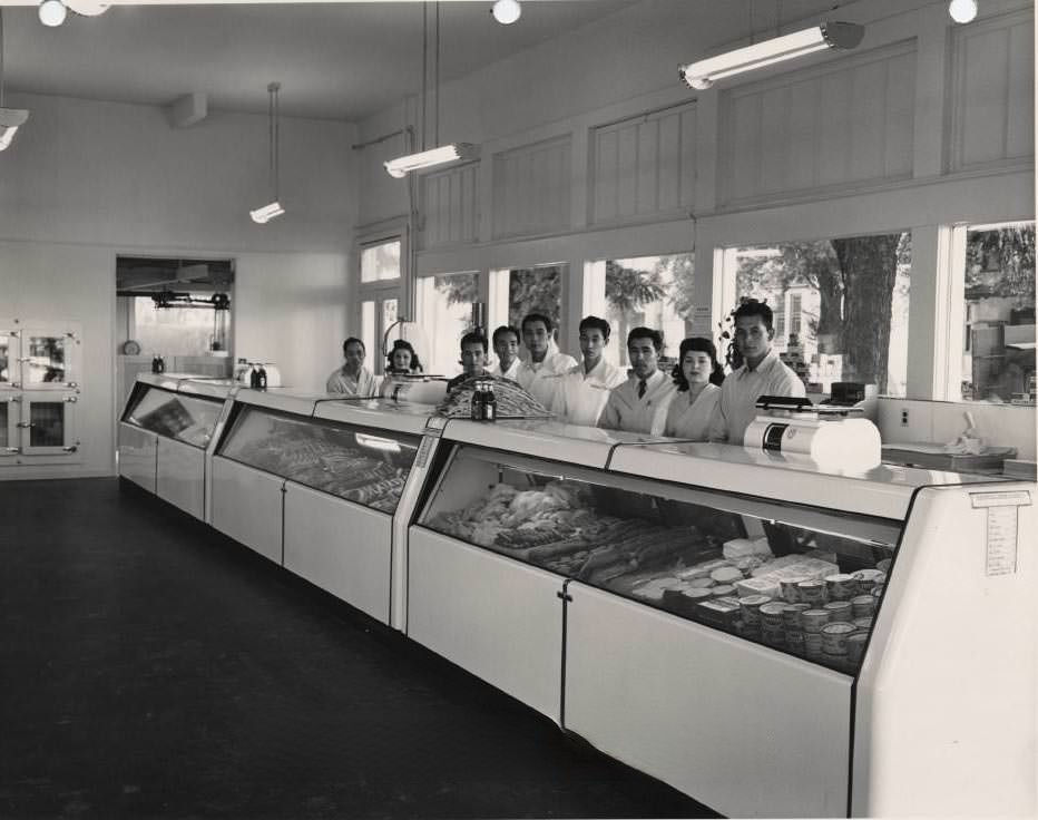
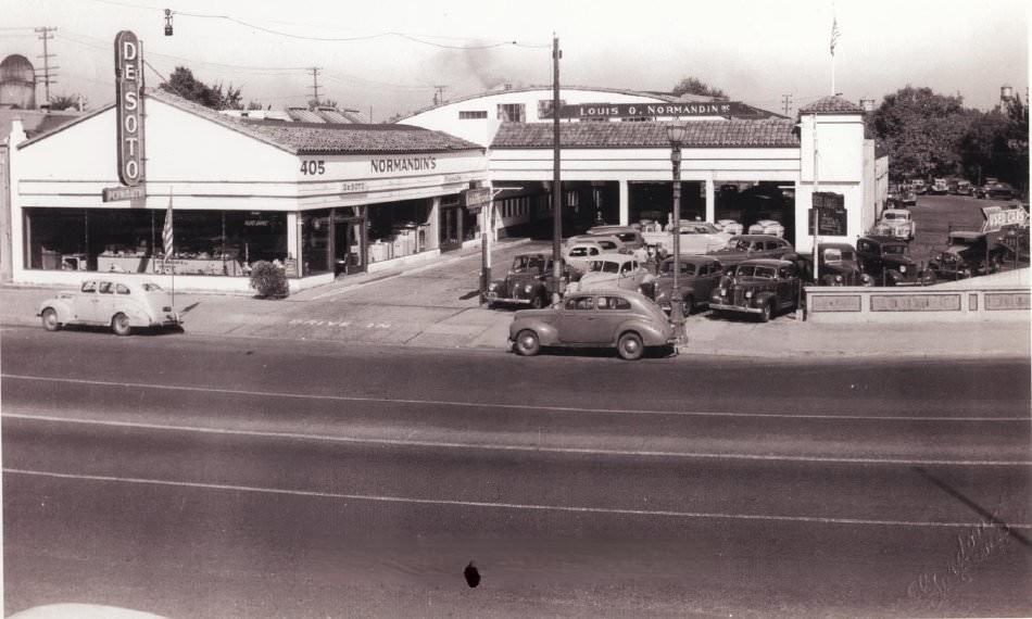
Commercial life on San Jose’s streets reflected the mix of old and new. Norris’ on South First Street displayed Cohama fabrics and McCall’s patterns in its storefront window. The National Food Market on South First Street had employees lined up behind the counter ready to serve customers. Normandin’s sold DeSoto and Plymouth cars and trucks on West Santa Clara Street. The Economy Cleaners operated in the Tyler Beech Building at Second and Santa Clara. Everyday commerce carried on even as the wider world was at war.
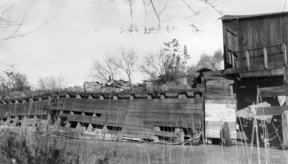
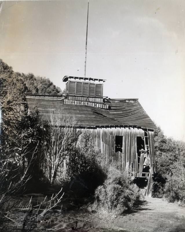
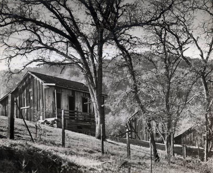
The Guadalupe Mine, located in the hills west of San Jose, was still in operation in 1940. Photos show the mine head, hoist equipment, and a miner’s cabin on the property. The mine had a long history of mercury extraction going back to the 19th century, and it continued to operate into the mid-20th century before eventually being shut down due to environmental contamination. The Santa Clara Valley held many such industrial sites that ran quietly alongside the more visible commercial and civic life of the city.
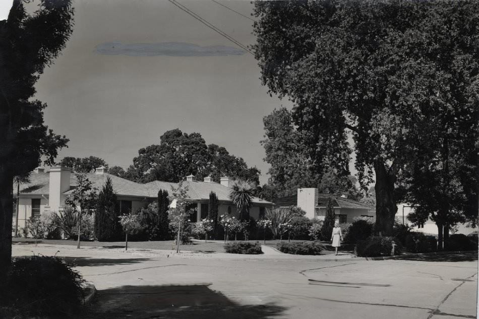
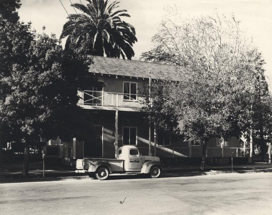
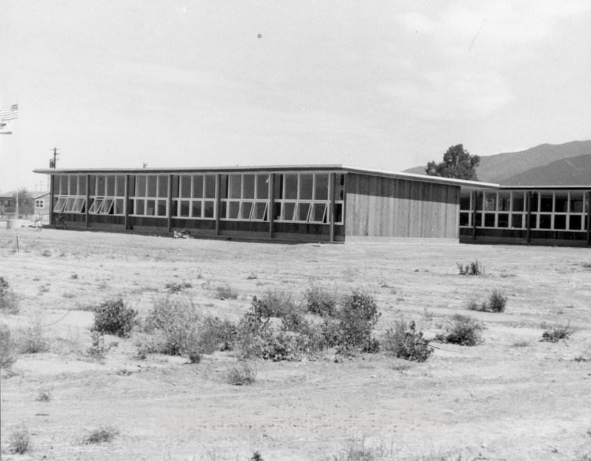
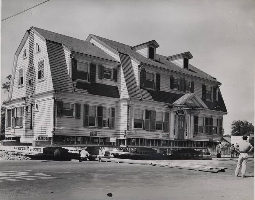
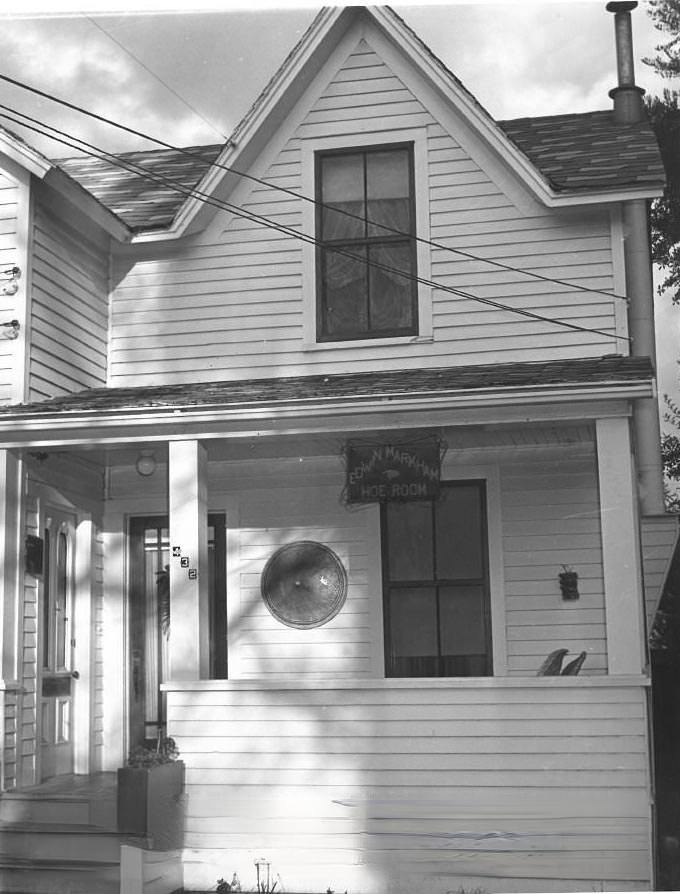
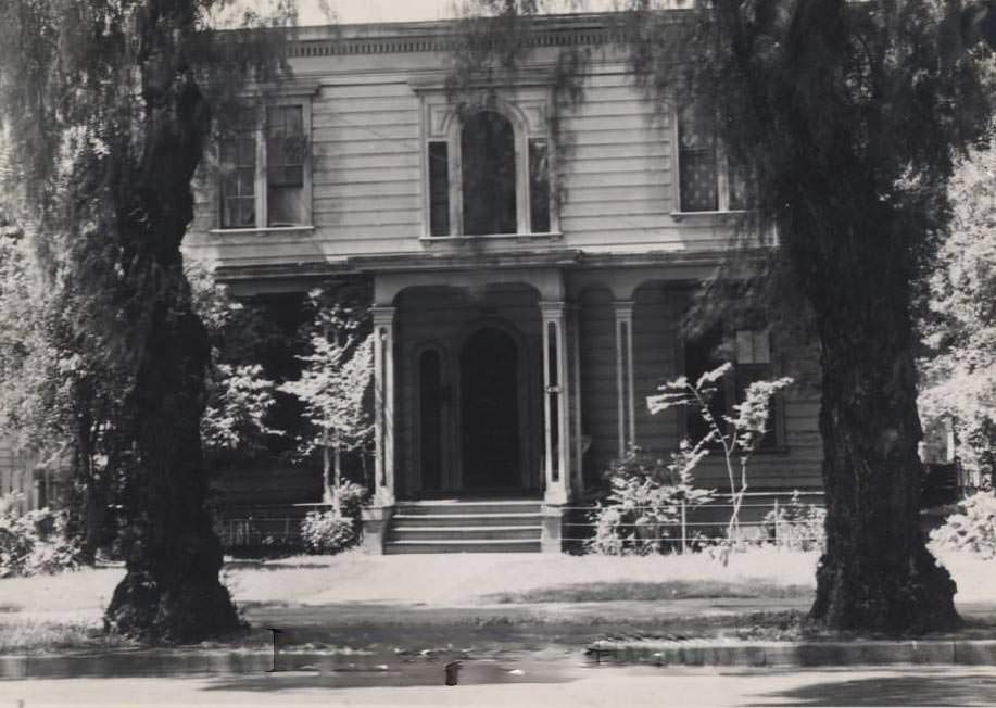
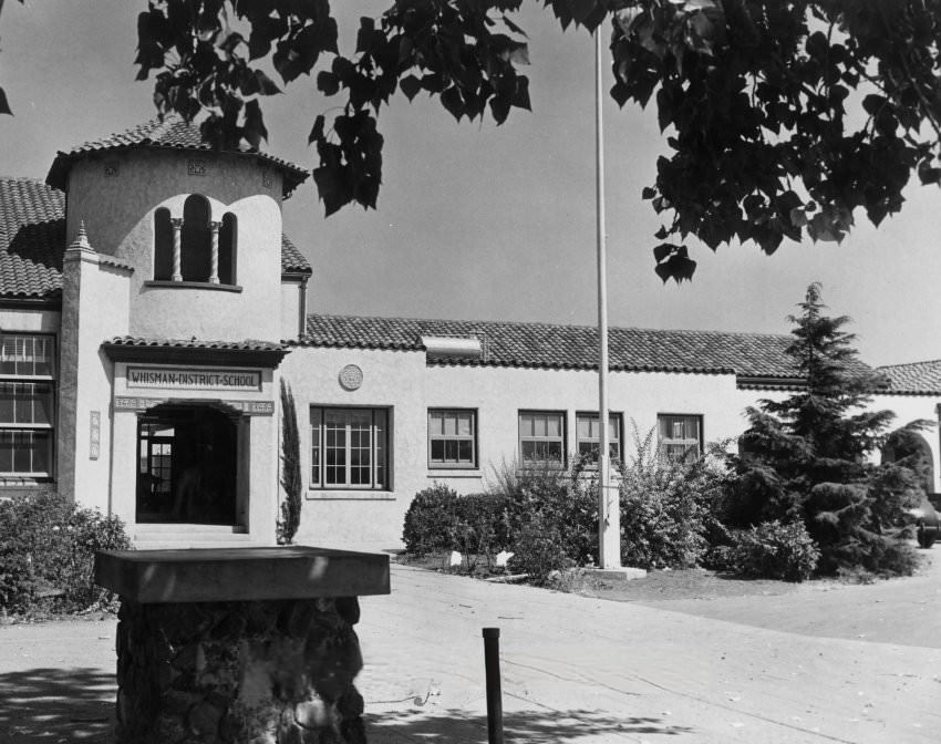
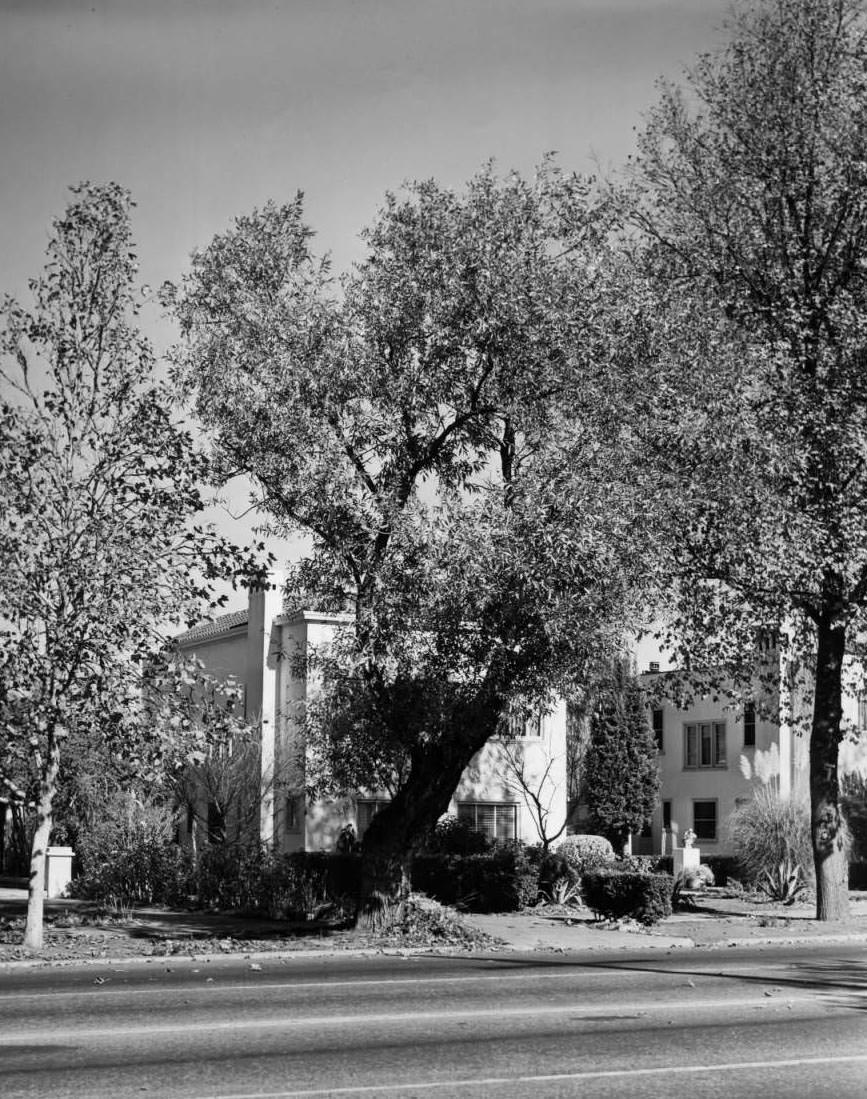
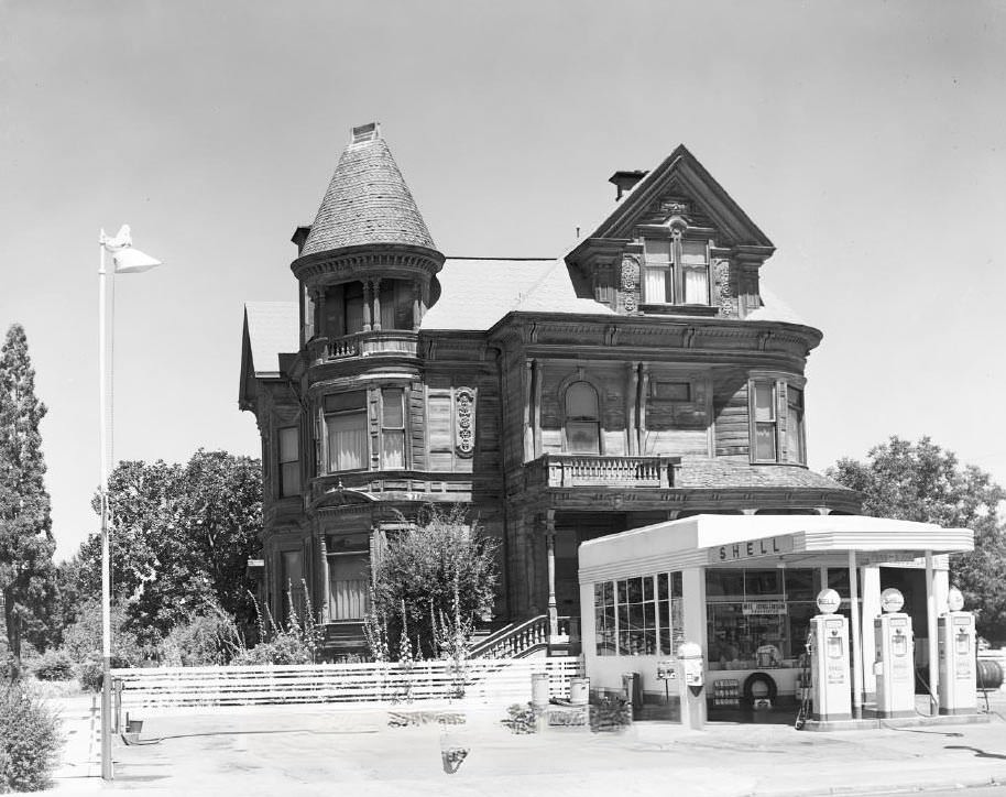
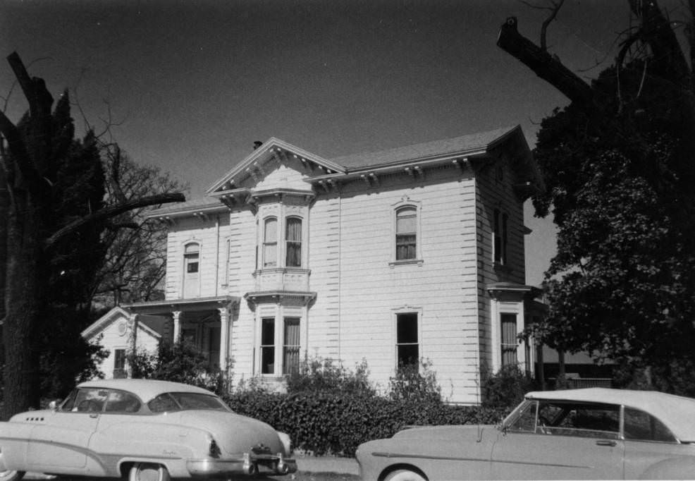
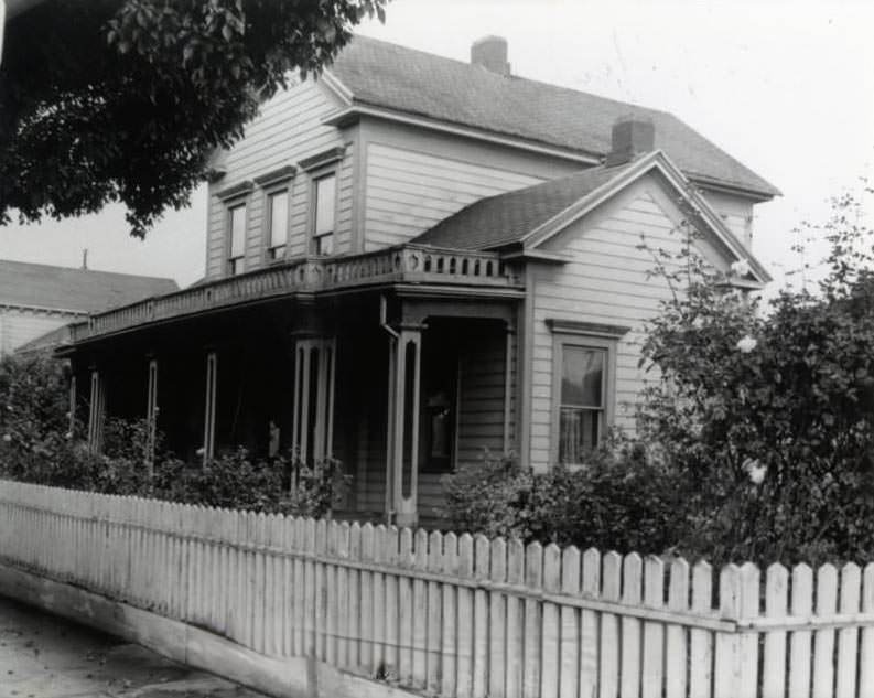
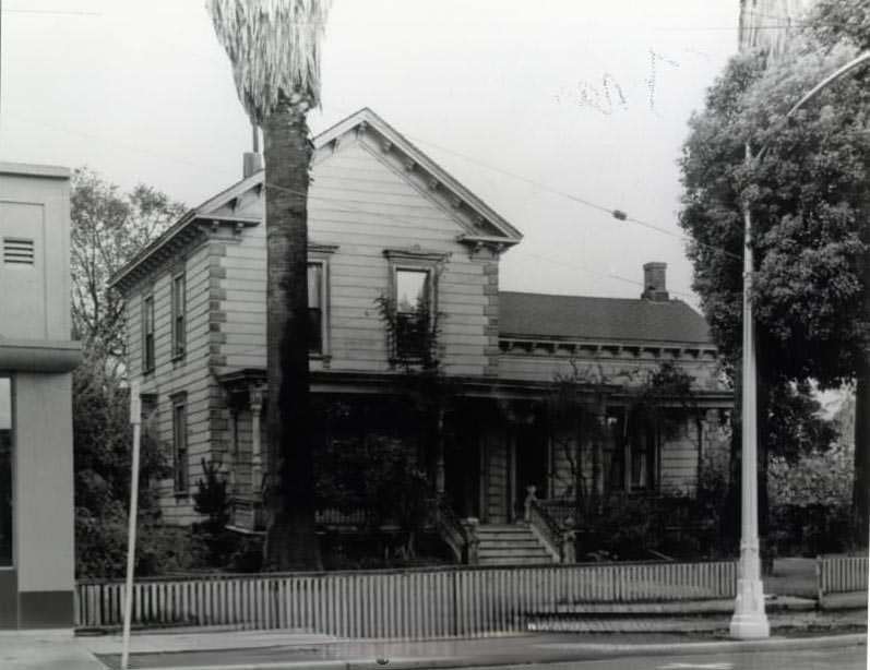
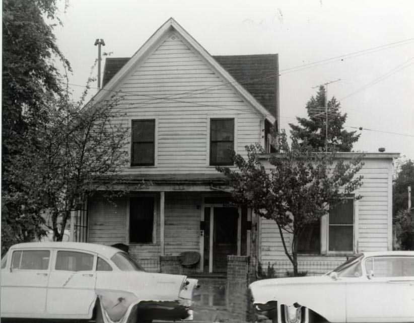
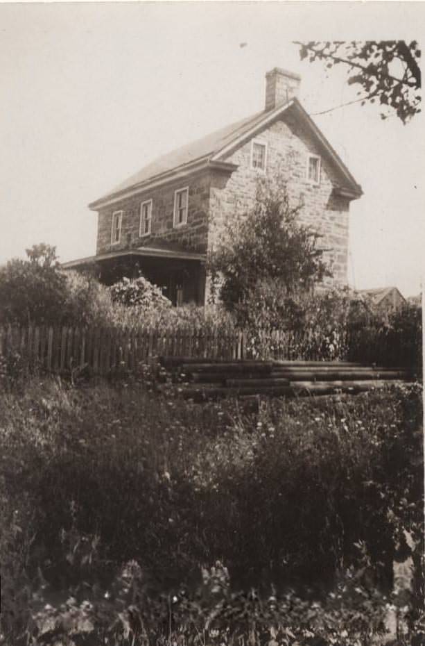
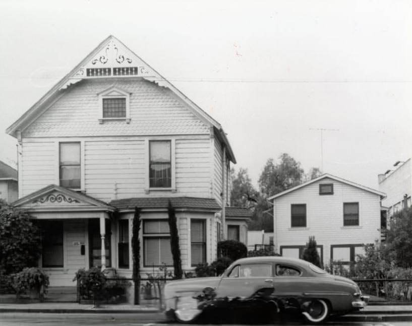
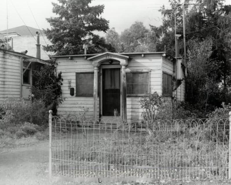
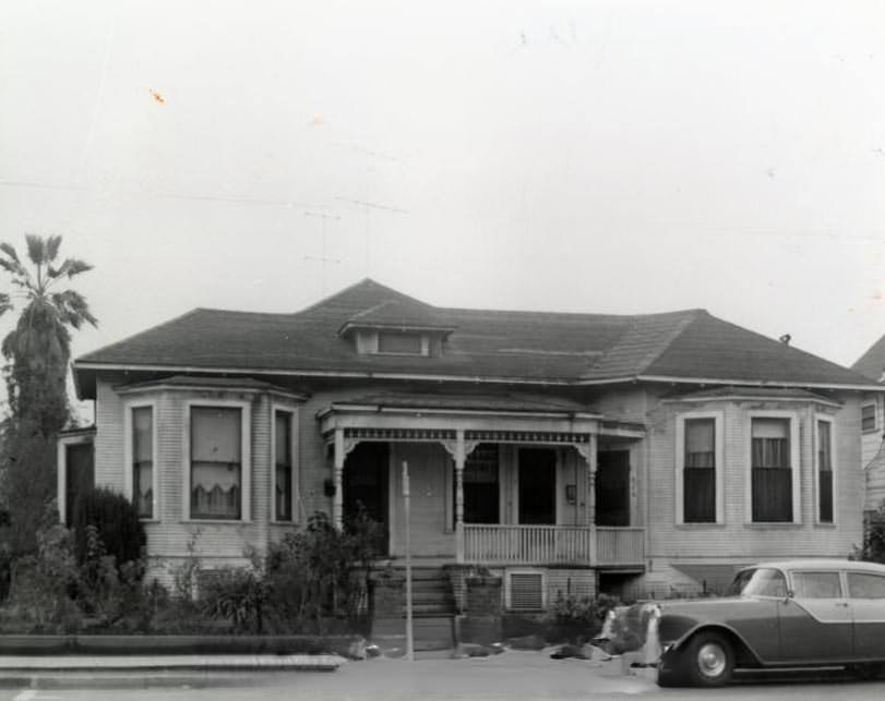
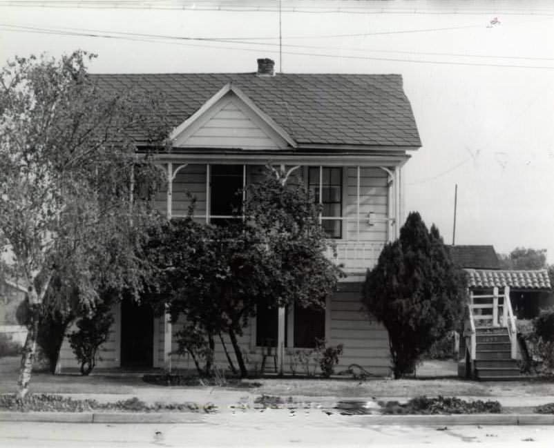
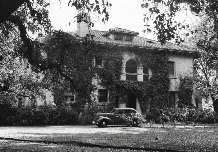
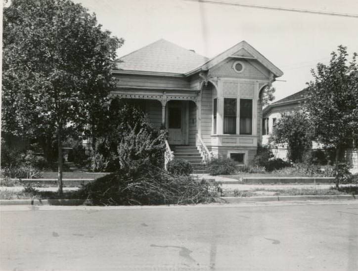
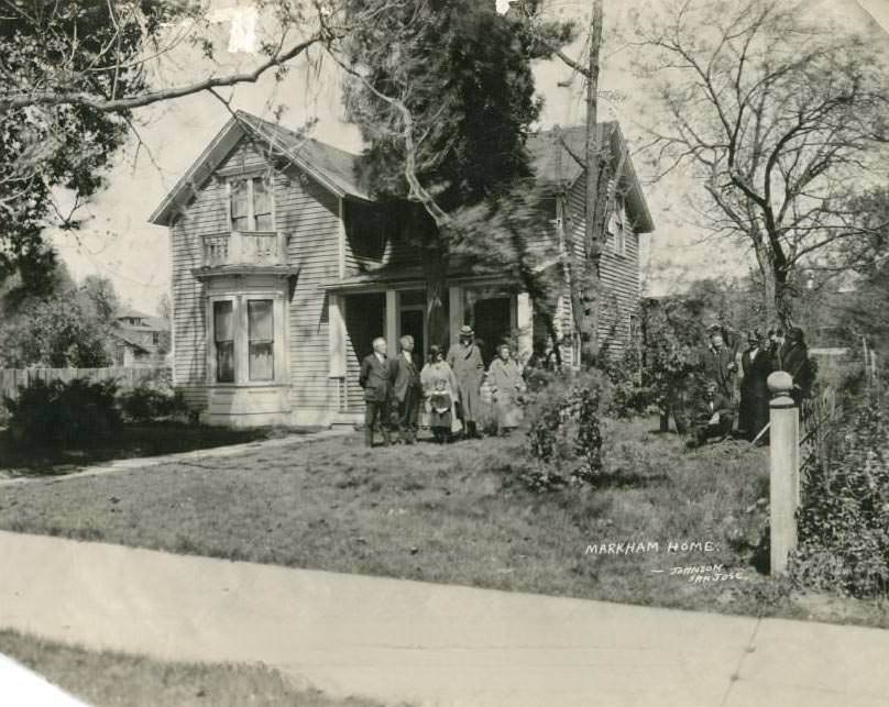
Residential San Jose ranged from modest wooden homes to grand Victorian-era houses. The Hayes Mansion, the Dr. Benjamin Cory House on South Second Street, and the Edwin Markham House on South Eighth Street were among the more notable private residences that still stood during the decade. The Markham house had historical significance — the poet Edwin Markham had lived there while attending San Jose State College. Neighborhoods like Willow Glen had their own grammar schools, parks, and quiet streets that gave little outward sign of the turbulence playing out across the city and the world.
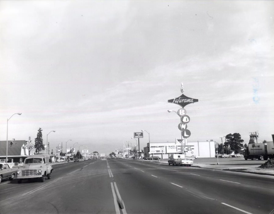
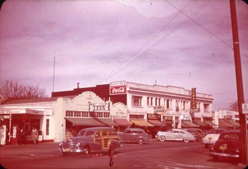
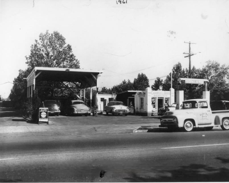
Santa Clara Street was one of the busiest corridors in the city, running east to west through the commercial heart of San Jose. Looking east along the street in 1940, storefronts, parked cars, and pedestrians filled the frame. The same street hosted gas stations, saloons, and auto dealerships as the decade progressed. The Saratoga Saloon sat at San Carlos and Meridian, while a Shell gas station operated at 21st and Santa Clara by 1949. The city’s streets carried the mix of pre-war tradition and postwar expectation in equal measure.
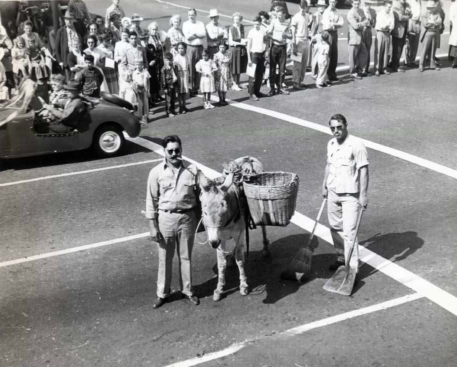
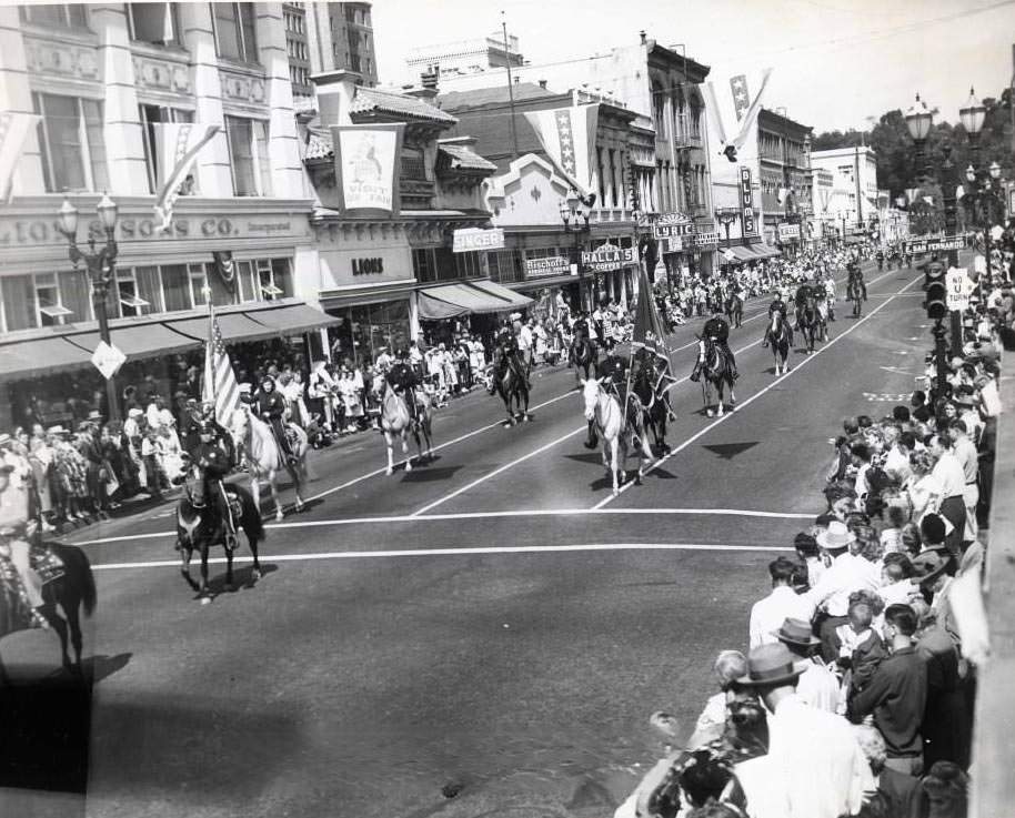
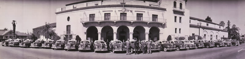
California’s Admission Day parade in 1949 brought San Jose Street Department workers and a mounted unit through the streets in celebration. The event marked the state’s entry into the Union nearly a century before, but in 1949 it also carried a forward-looking energy. San Jose had survived the Depression, endured the war, absorbed racial conflict, and was now looking toward a new chapter. The airport was open. IBM had arrived. Industry was growing. The city on the edge of the Santa Clara Valley was becoming something different — and these photographs capture the last years before that transformation fully took hold.