San Francisco in the 1930s was a city defined by hard times and bold ambition at the same time. The Great Depression had knocked out jobs across the country, and San Francisco was no exception. Unemployment was high, and thousands of residents struggled to get by. Yet the city kept moving. Streets stayed busy, neighborhoods held together, and major construction projects reshaped the skyline. These vintage photographs capture that tension — a city under financial pressure that still managed to build, celebrate, and carry on with daily life.
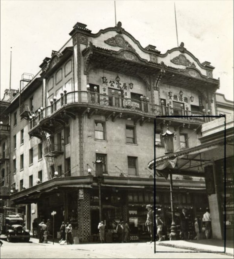
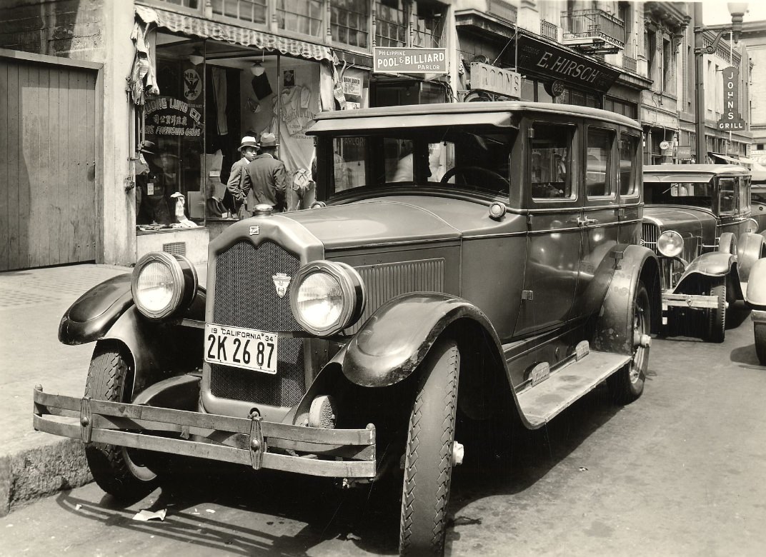
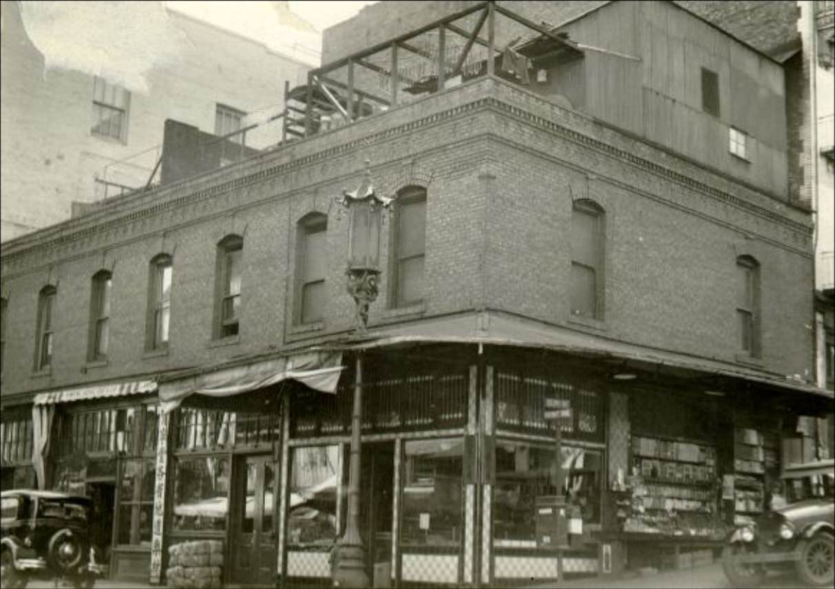
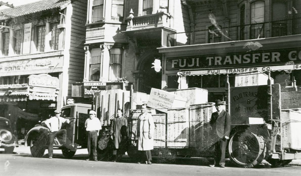
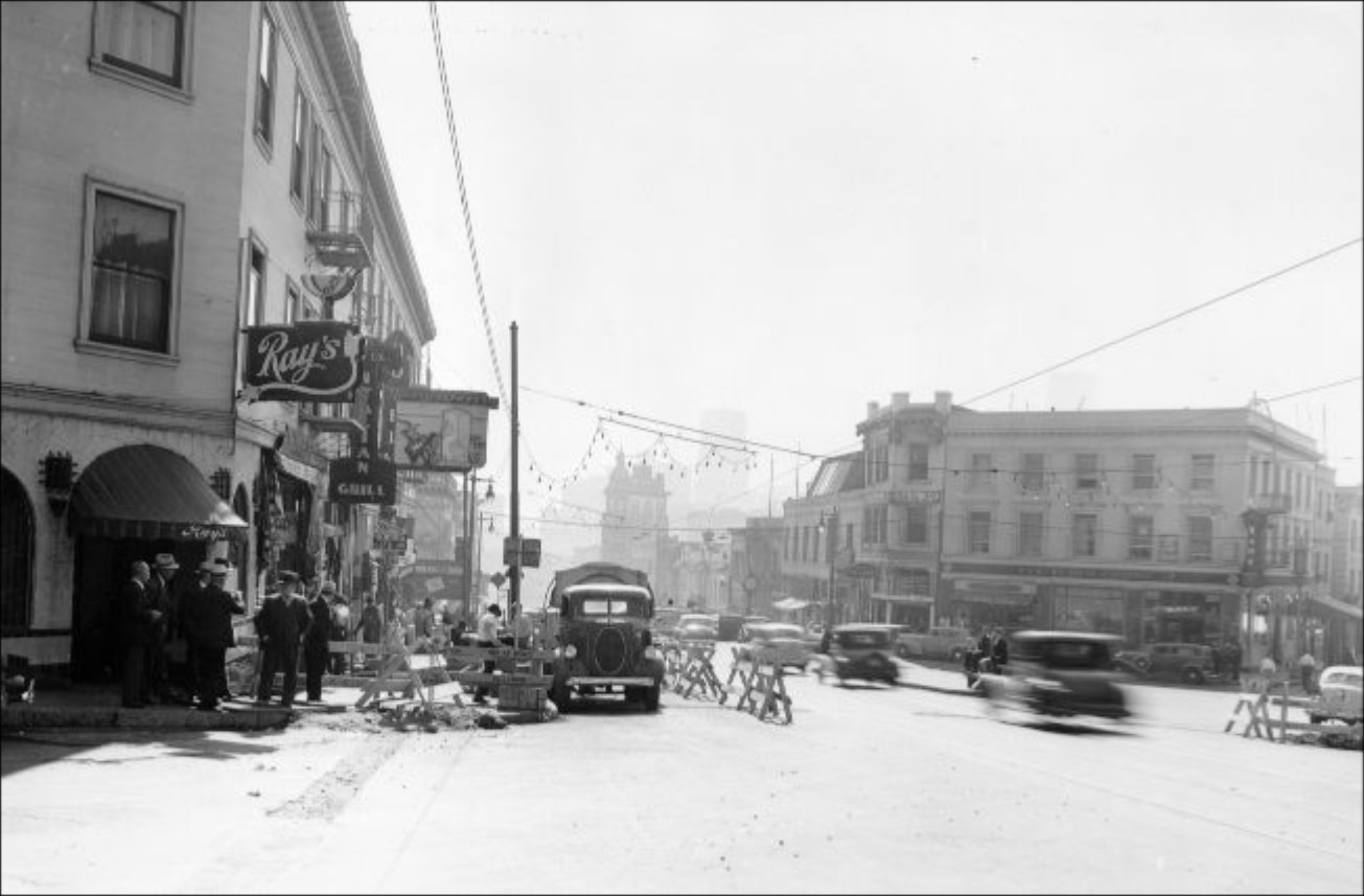
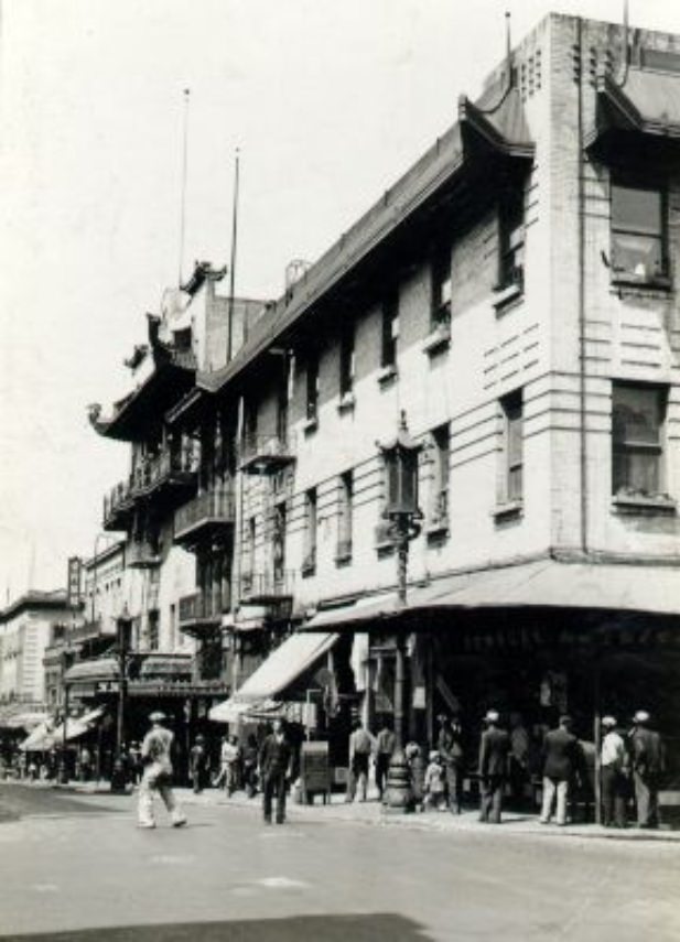
Grant Avenue was one of the most recognizable corridors in the city. Running through Chinatown and into North Beach, the street mixed cultures, businesses, and foot traffic in a way that few other stretches in America could match. Chinatown itself was a self-contained world — grocers, restaurants, temples, and social clubs packed into a compact grid of blocks. It drew visitors from across the city and offered residents a taste of home in the form of dim sum, fresh produce, and goods imported from China.
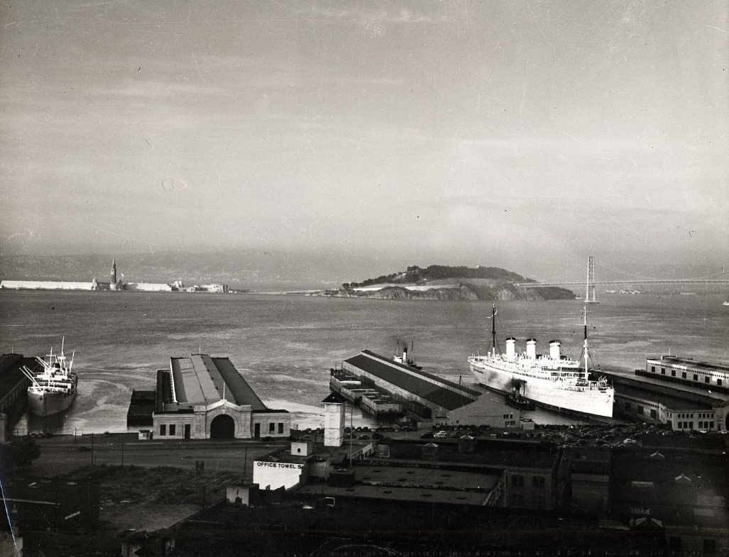
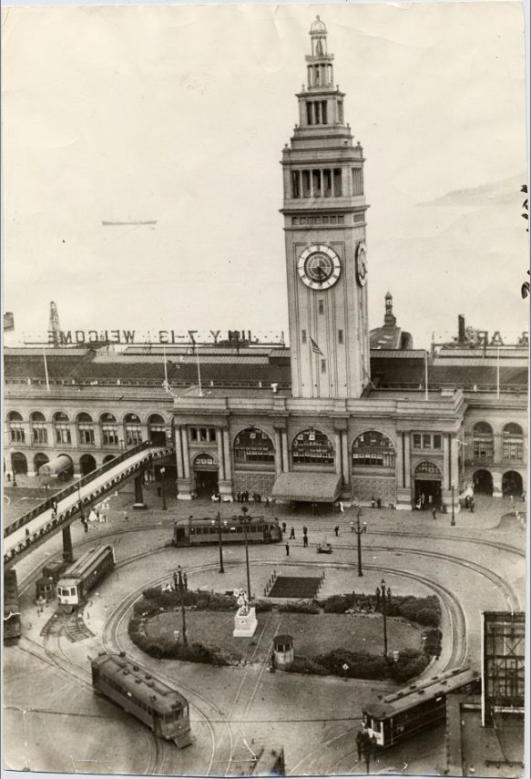
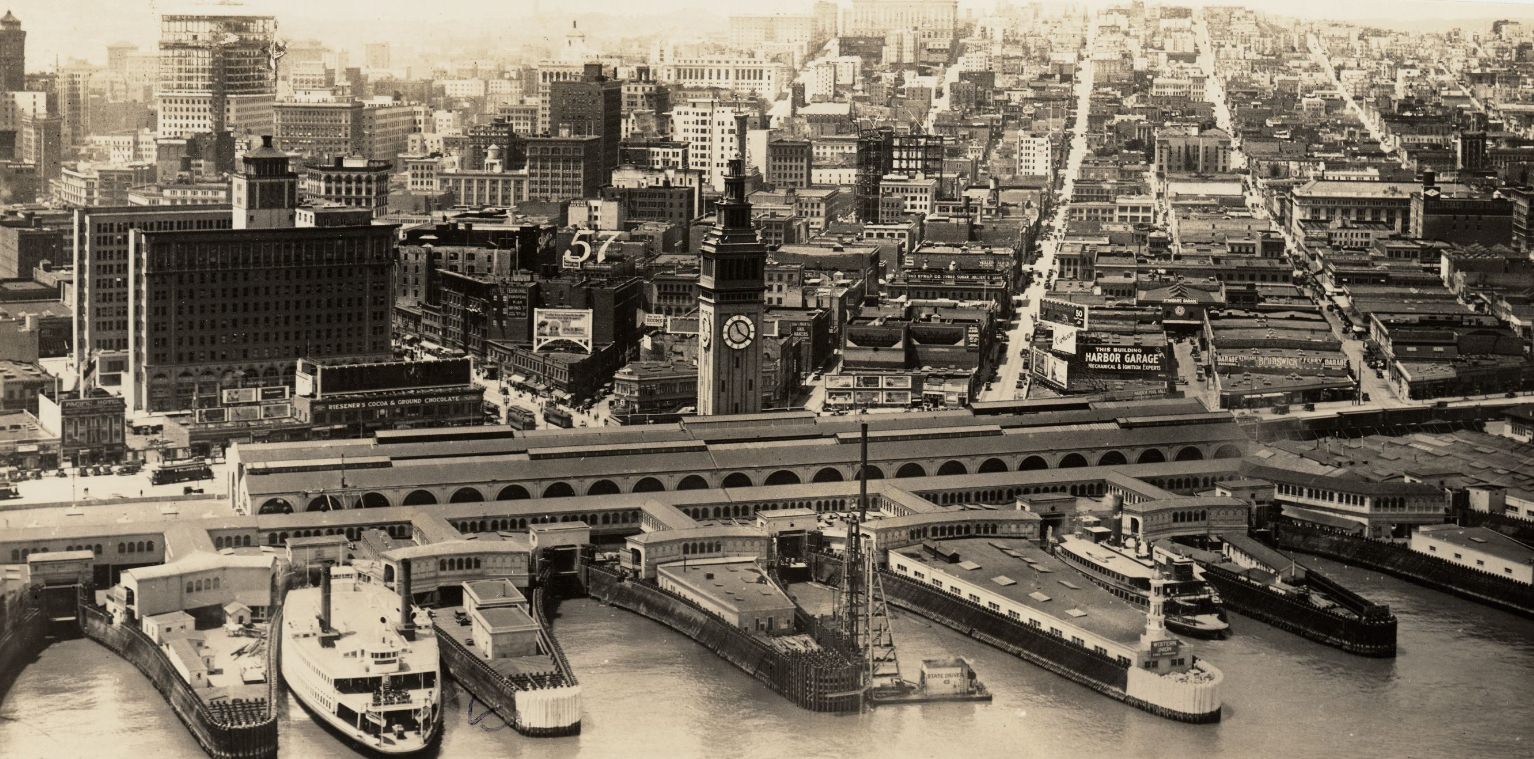
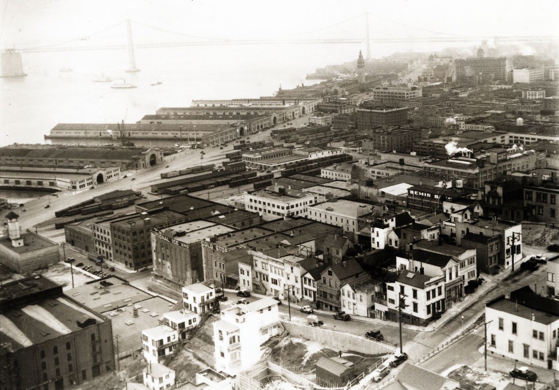
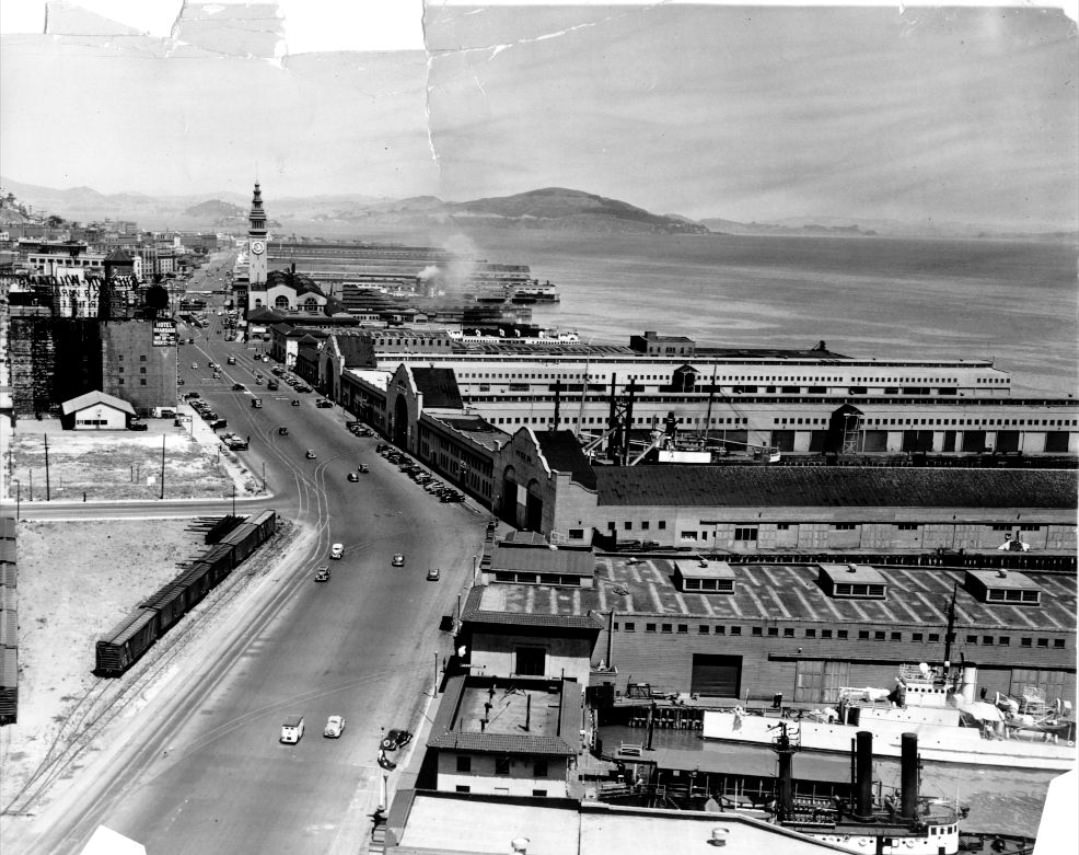
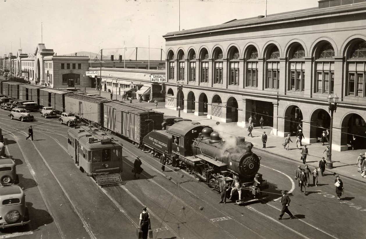
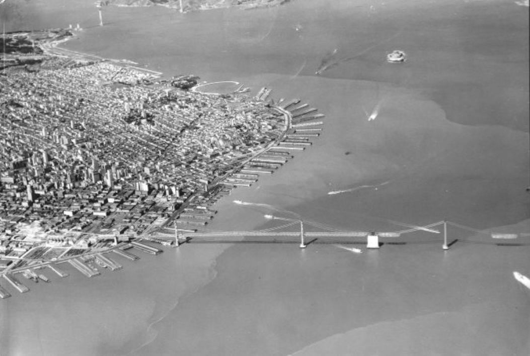
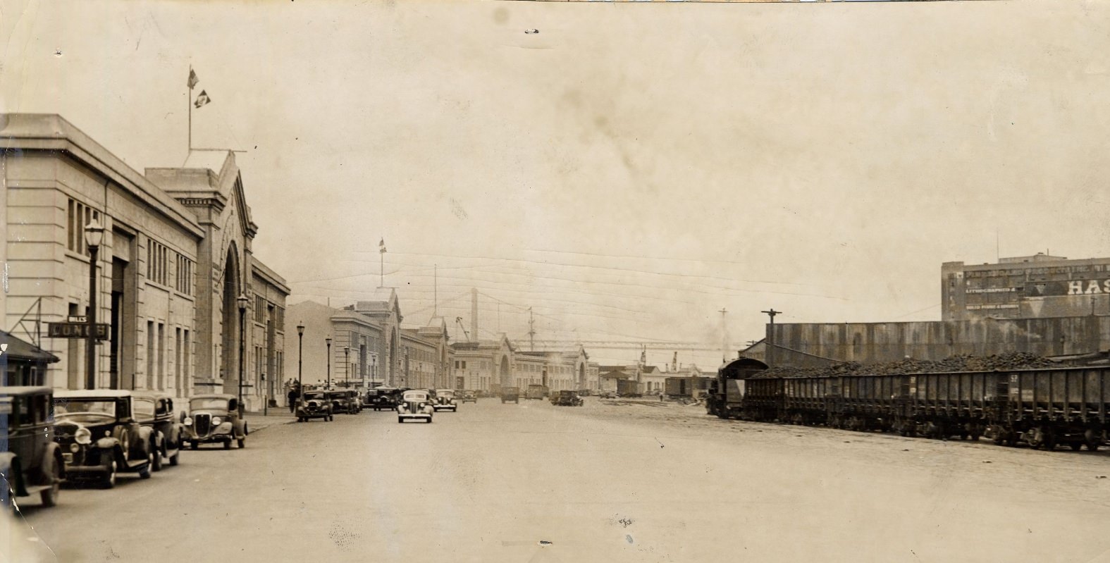
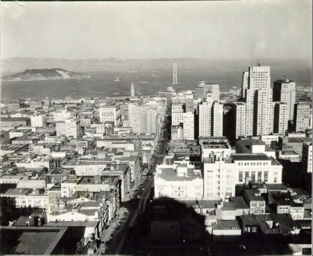
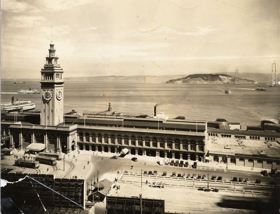
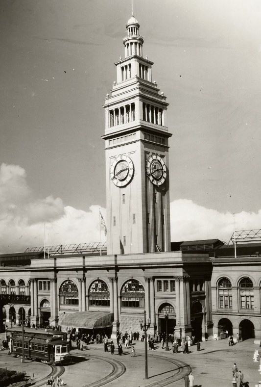
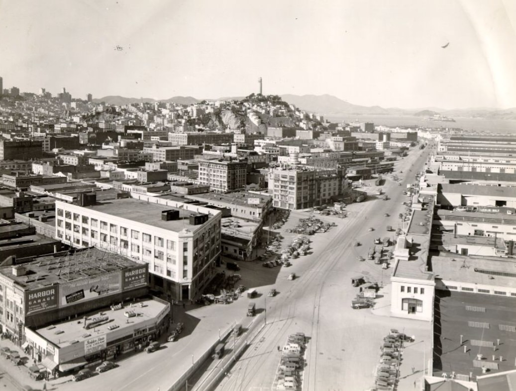
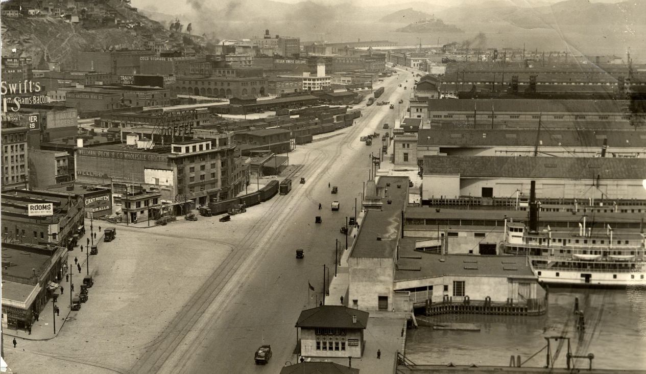
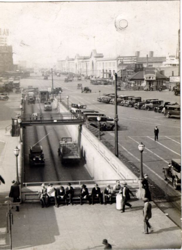
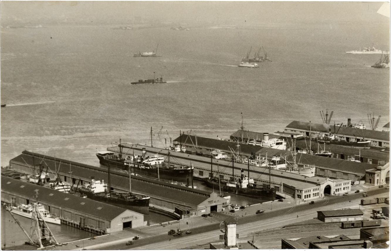
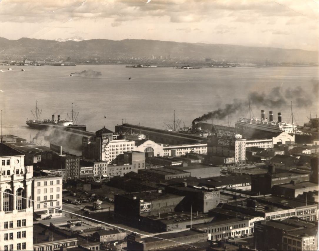
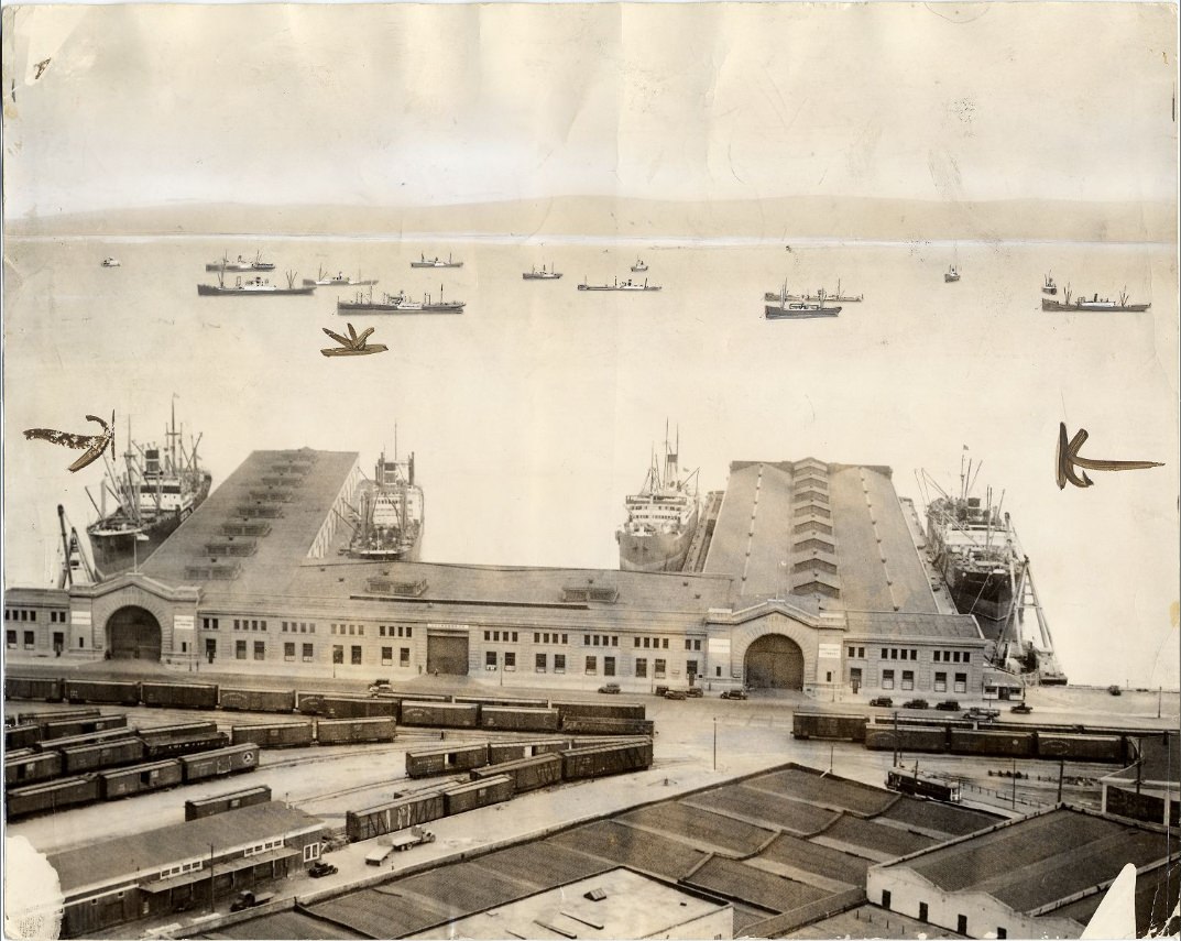
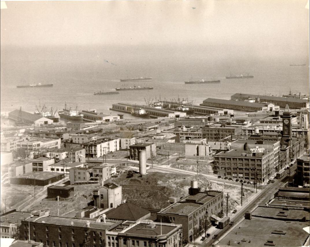
The waterfront was one of San Francisco’s most economically important areas. The Ferry Building anchored the eastern edge of the city, serving as a transit hub for commuters crossing the bay before the Bay Bridge opened. From there, the Embarcadero stretched along the waterfront, lined with working piers where goods moved in and out of the port daily. Freight cars, longshoremen, and cargo ships were a constant presence along this stretch.
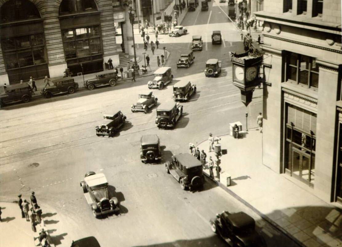
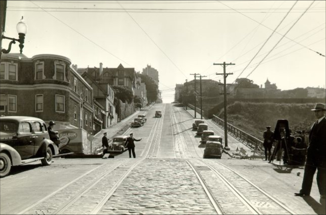
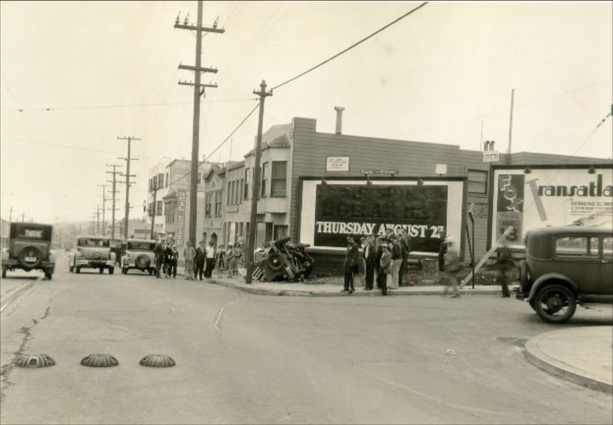
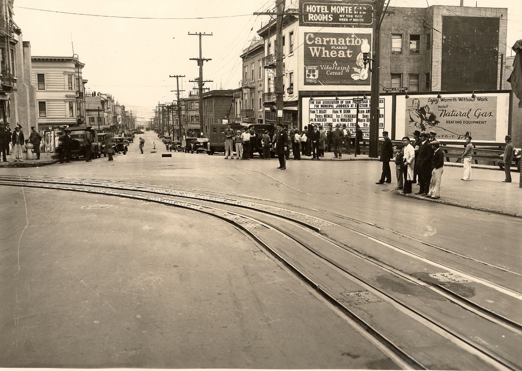
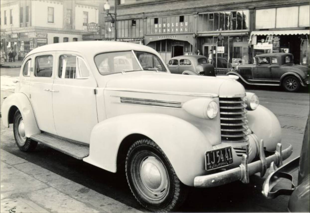
The city’s streets were not always orderly. Automobile traffic was growing fast, and accidents were a regular feature of urban life. Mission Street, Third Street, and Harrison Street all saw recorded crashes during the decade. These were not minor fender-benders — some scenes drew crowds of onlookers and required police documentation. The city’s road infrastructure was still catching up with the number of cars on the road.
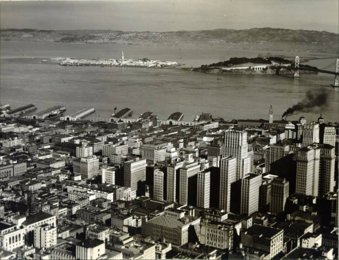
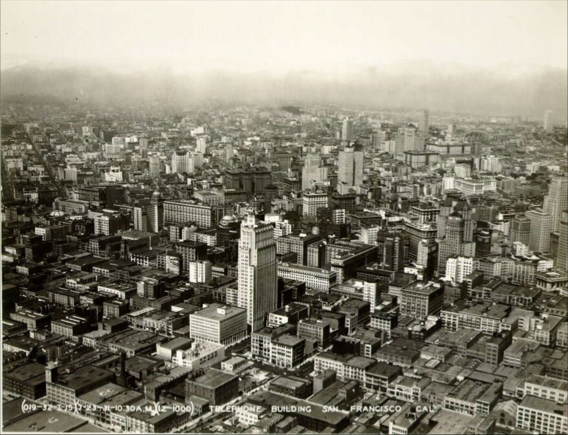
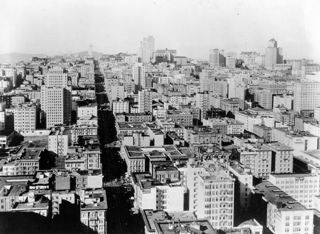
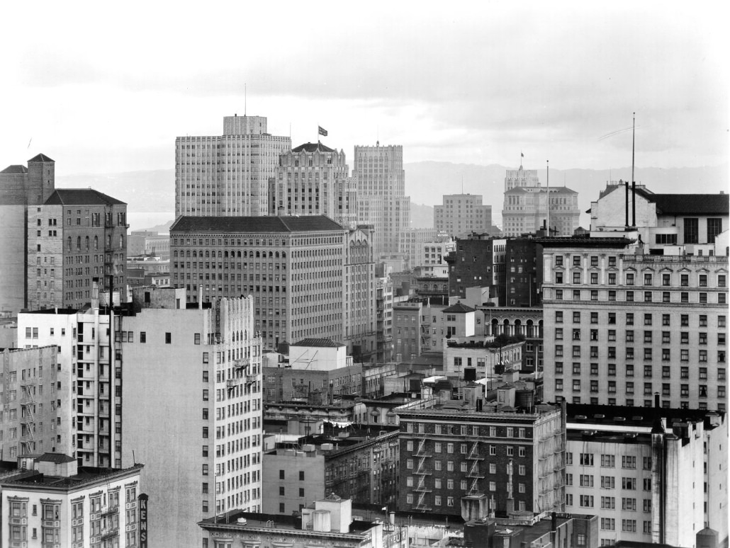
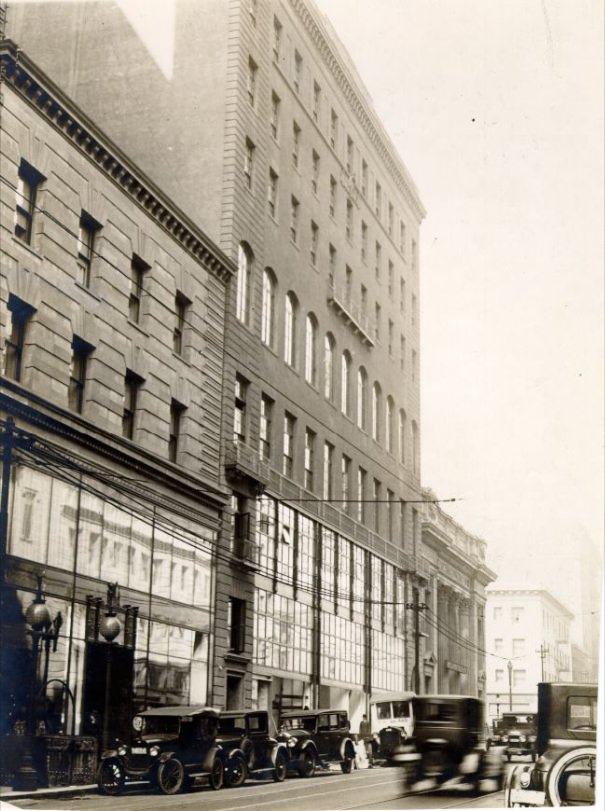
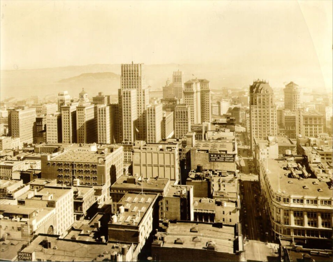
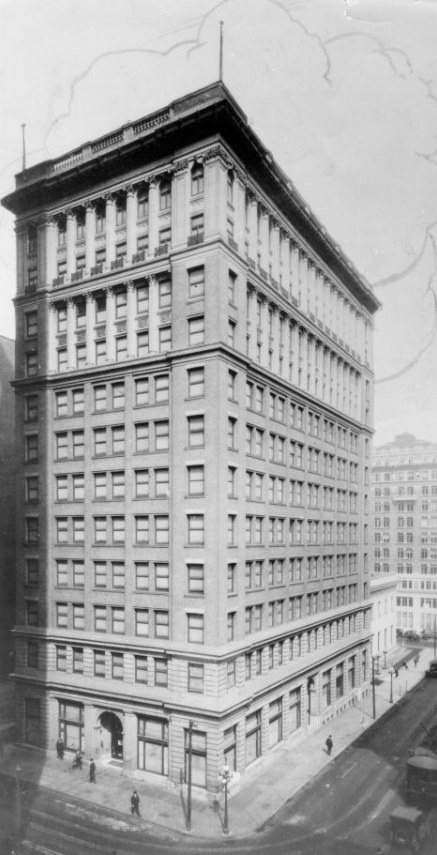
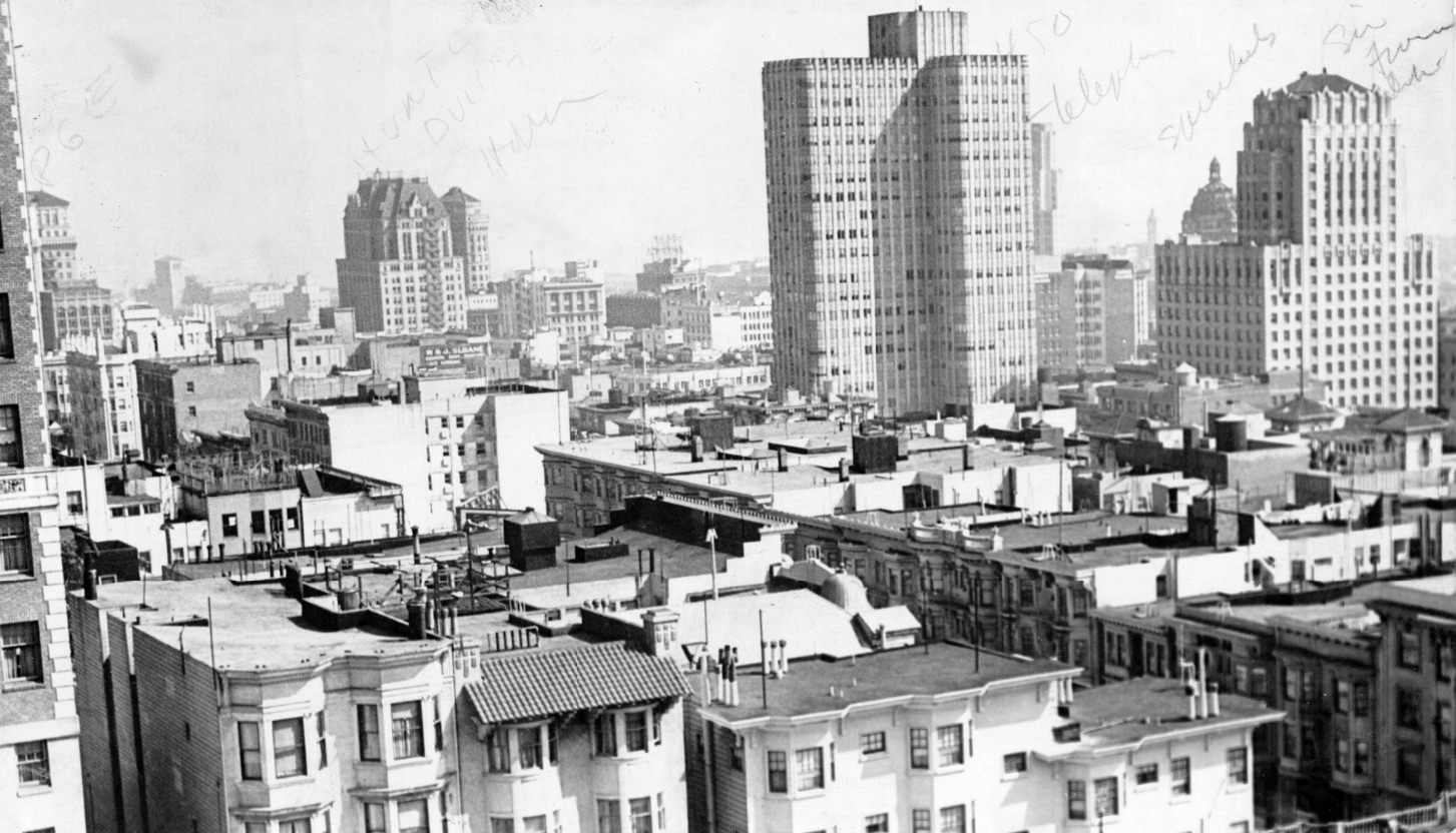
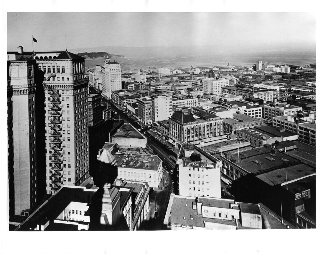
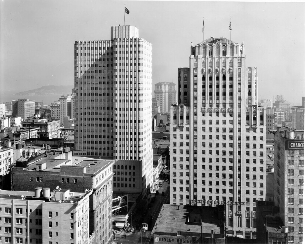
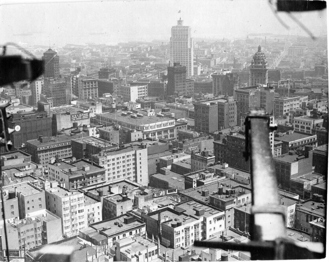
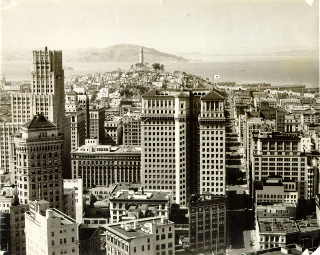
Downtown San Francisco’s skyline took on a new character during this period. Art Deco architecture was in full swing, and buildings like 200 Bush Street and 450 Sutter Street added sleek geometric facades to the financial district. These structures were designed to project confidence — clean lines, polished surfaces, and vertical ambition at a time when the economy was doing the opposite. The contrast between the gleaming new buildings and the poverty on the streets below was stark.
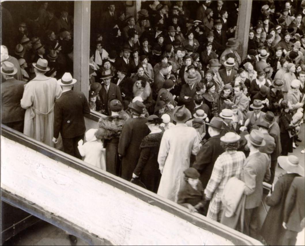
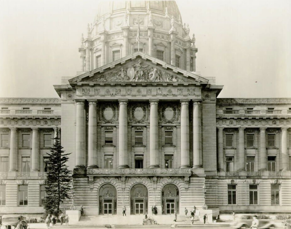
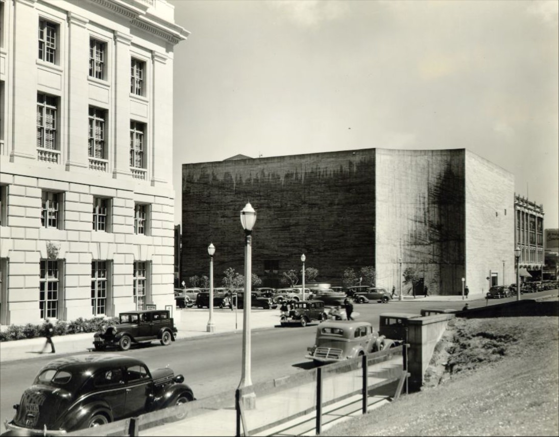
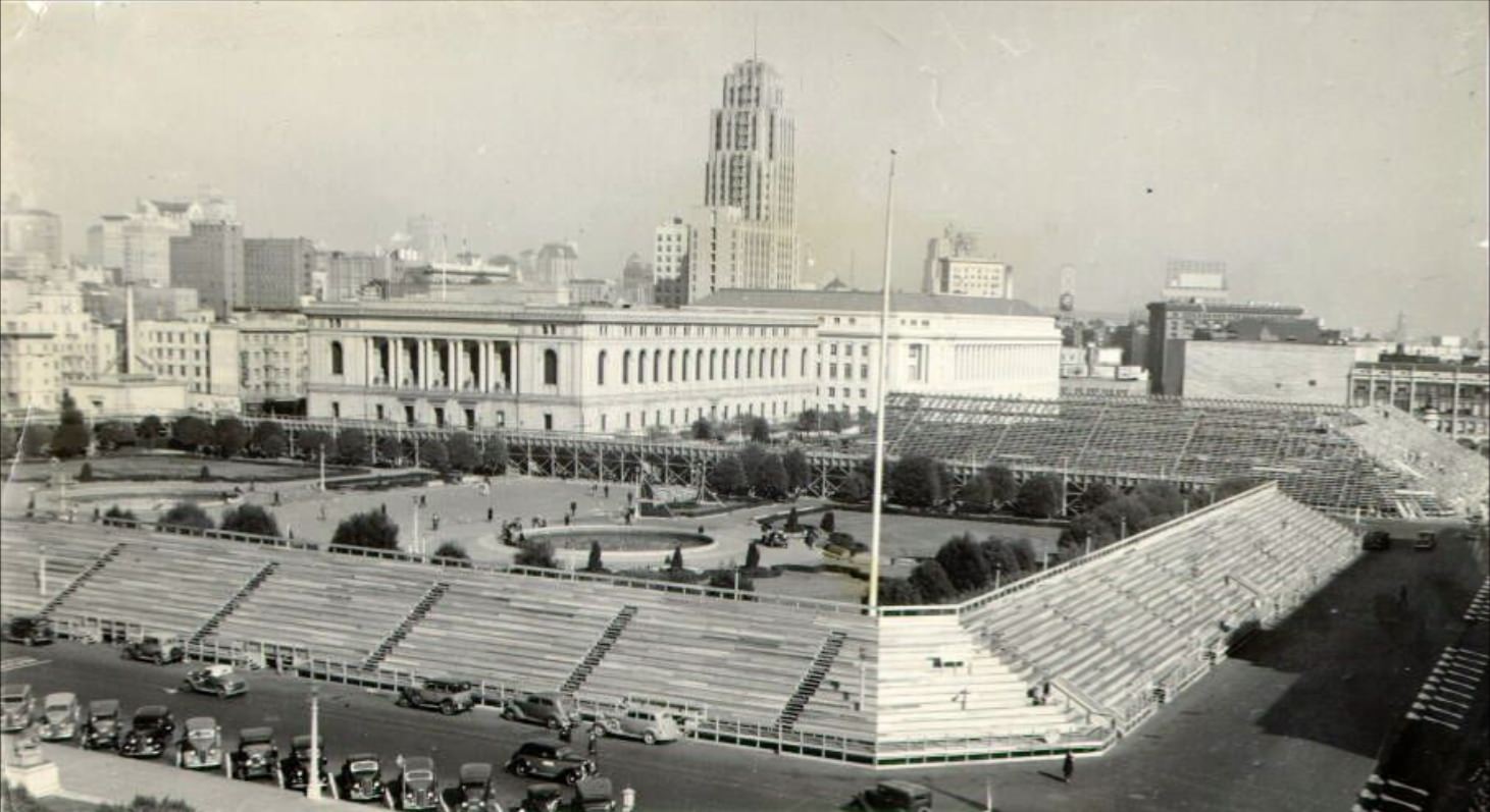
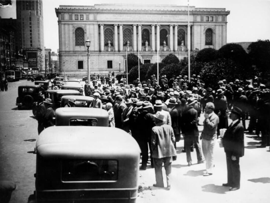
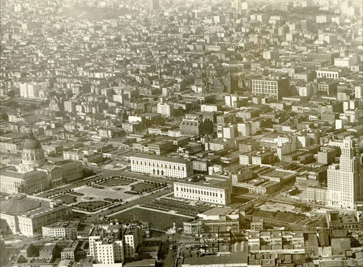
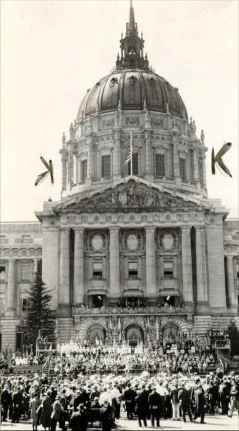
The Civic Center served as the political and ceremonial heart of the city. Its grand Beaux-Arts buildings — City Hall, the Main Library, and surrounding structures — formed a deliberate statement of civic authority. Throughout the decade, this space hosted public gatherings, political rallies, and ceremonies. In 1930, a crowd packed in front of the Main Library for a hearing related to the Tom Mooney case, a labor cause that had divided California for years. Mooney had been convicted of a 1916 bombing and spent over two decades in prison before receiving a pardon in 1939.
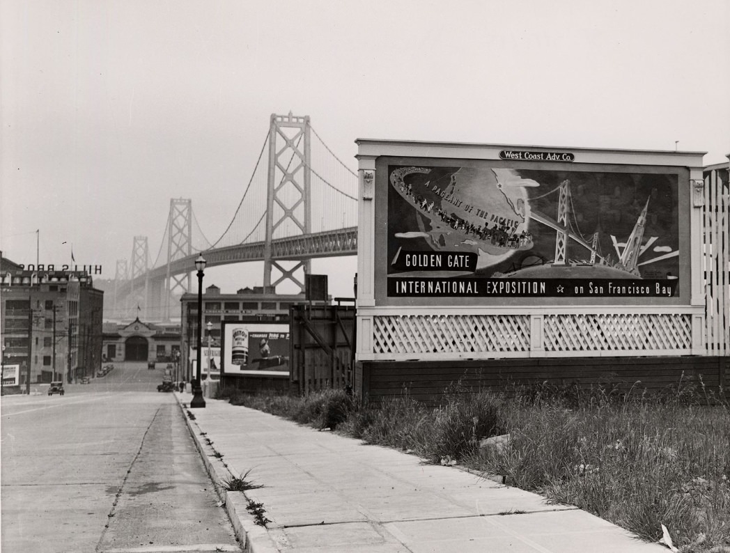
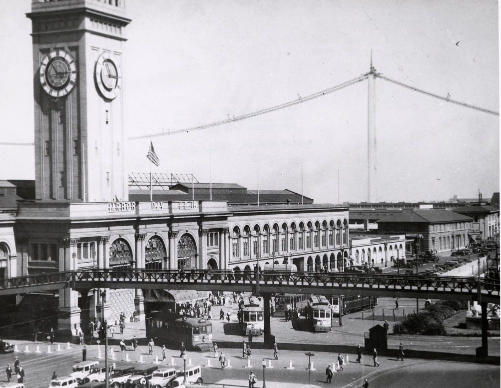
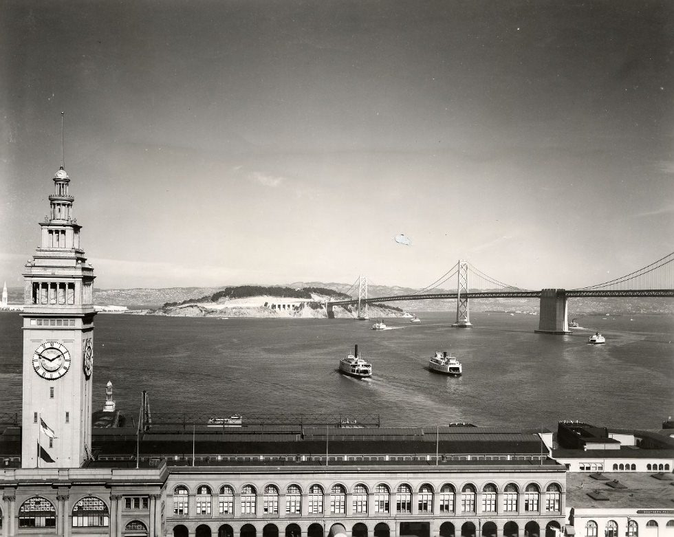
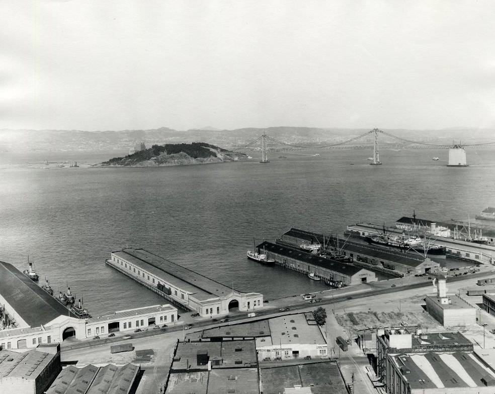
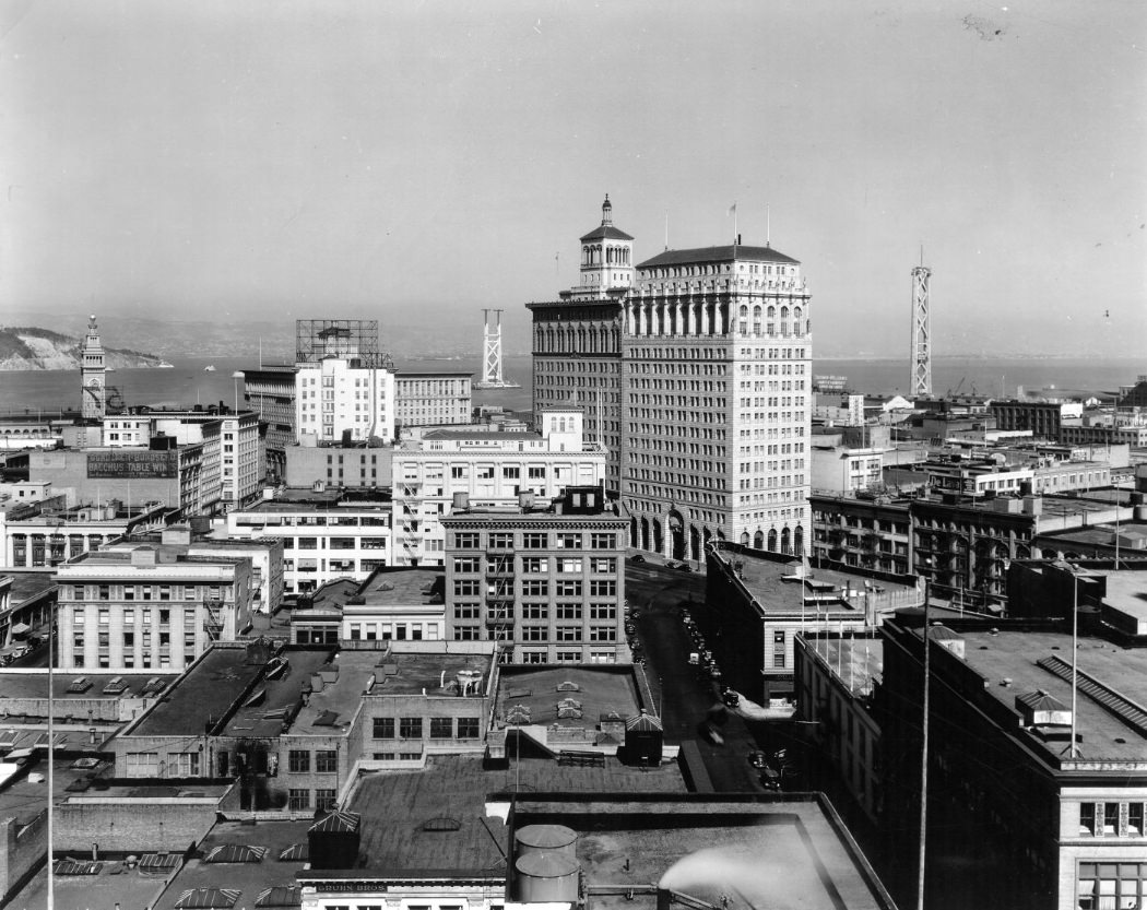
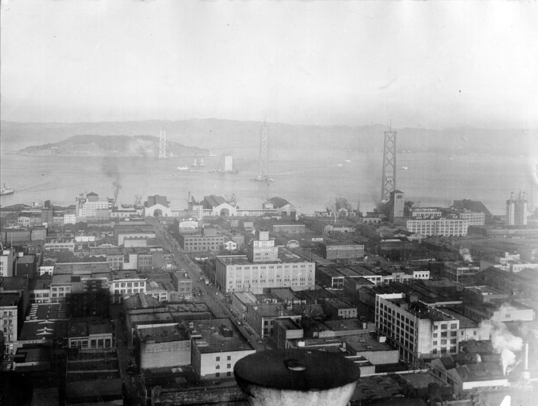
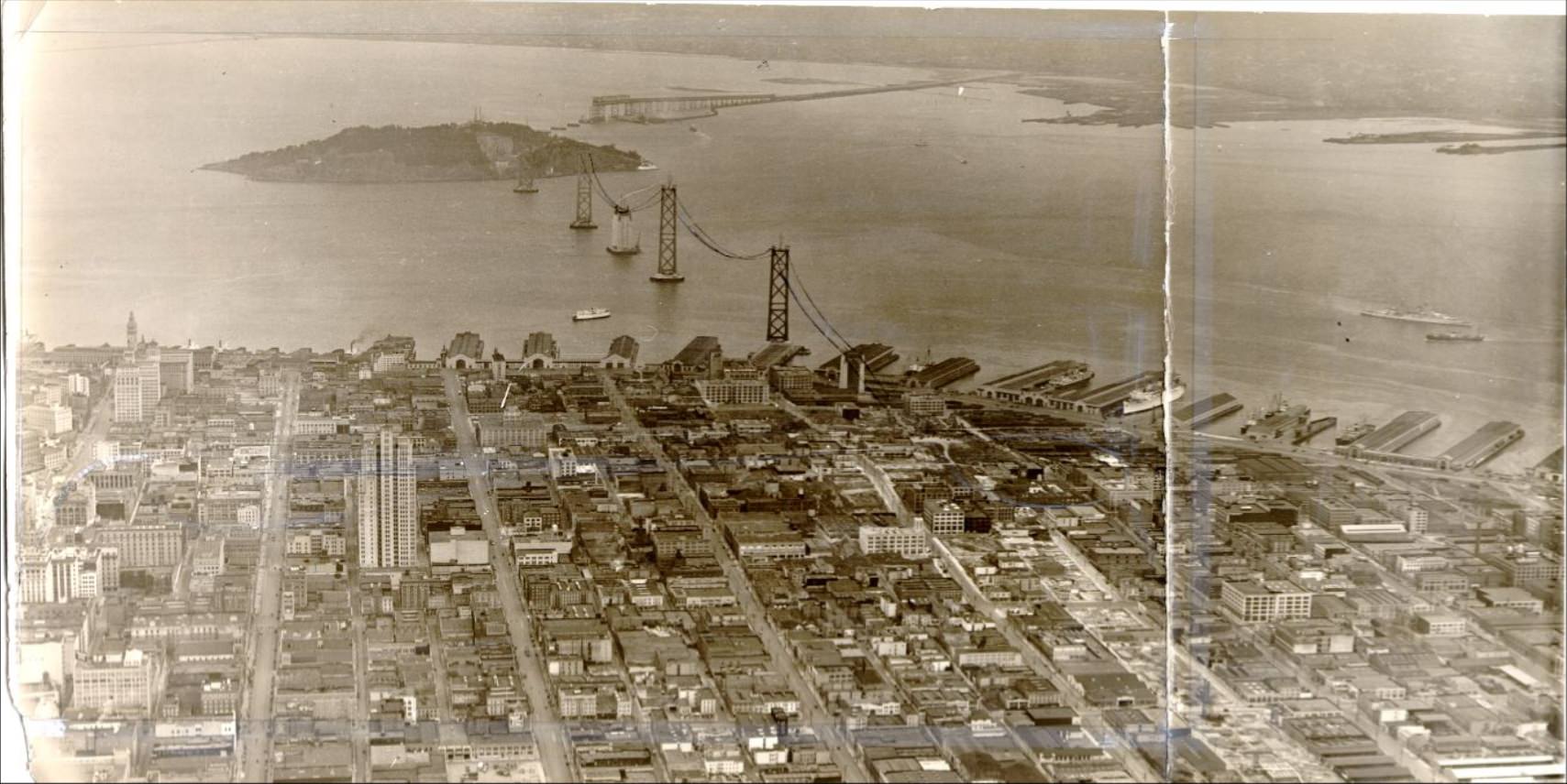
The Bay Bridge and the Golden Gate Bridge were the decade’s defining construction projects. Work on the Bay Bridge began in 1933, and photographs from those years show the towers rising out of the water near Yerba Buena Island. The project employed thousands of workers during some of the worst years of the Depression. The bridge opened in November 1936, more than six months before the Golden Gate. Aerial photographs from this period show the waterfront transformed — piers, cranes, and scaffolding crowding the shoreline as the structure took shape.
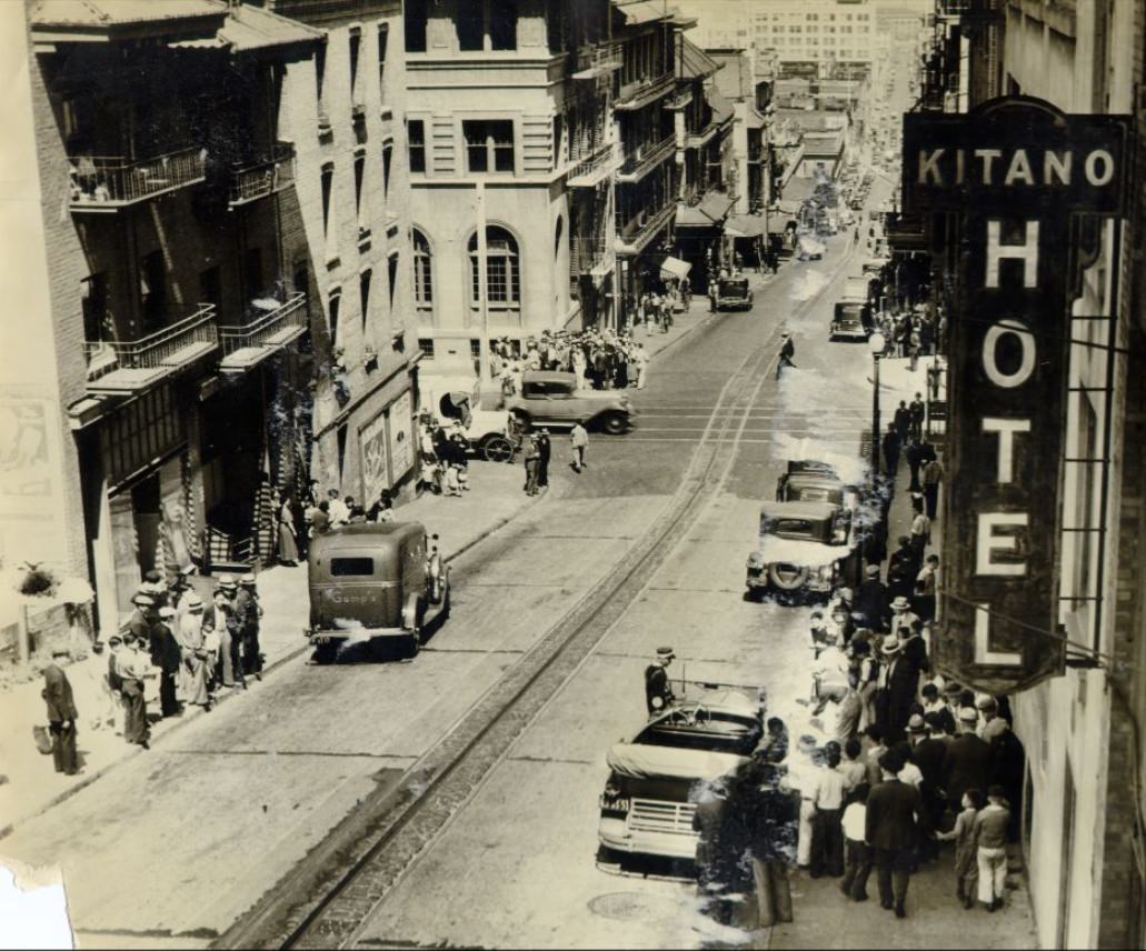
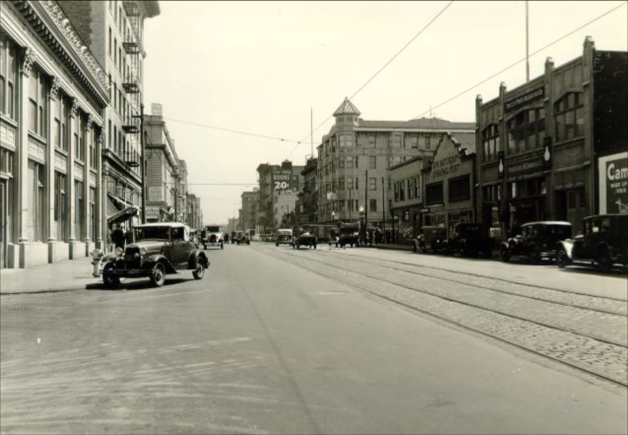
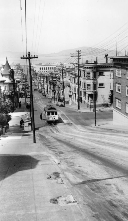
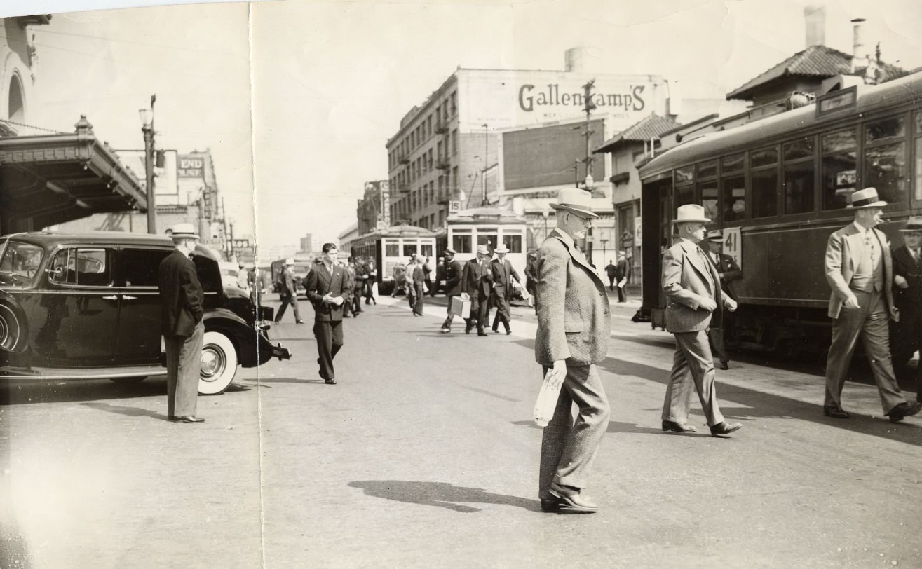
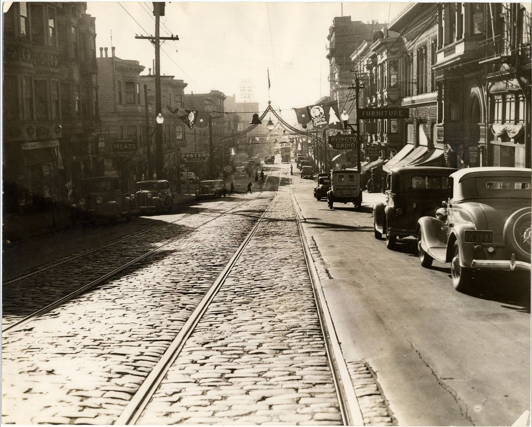
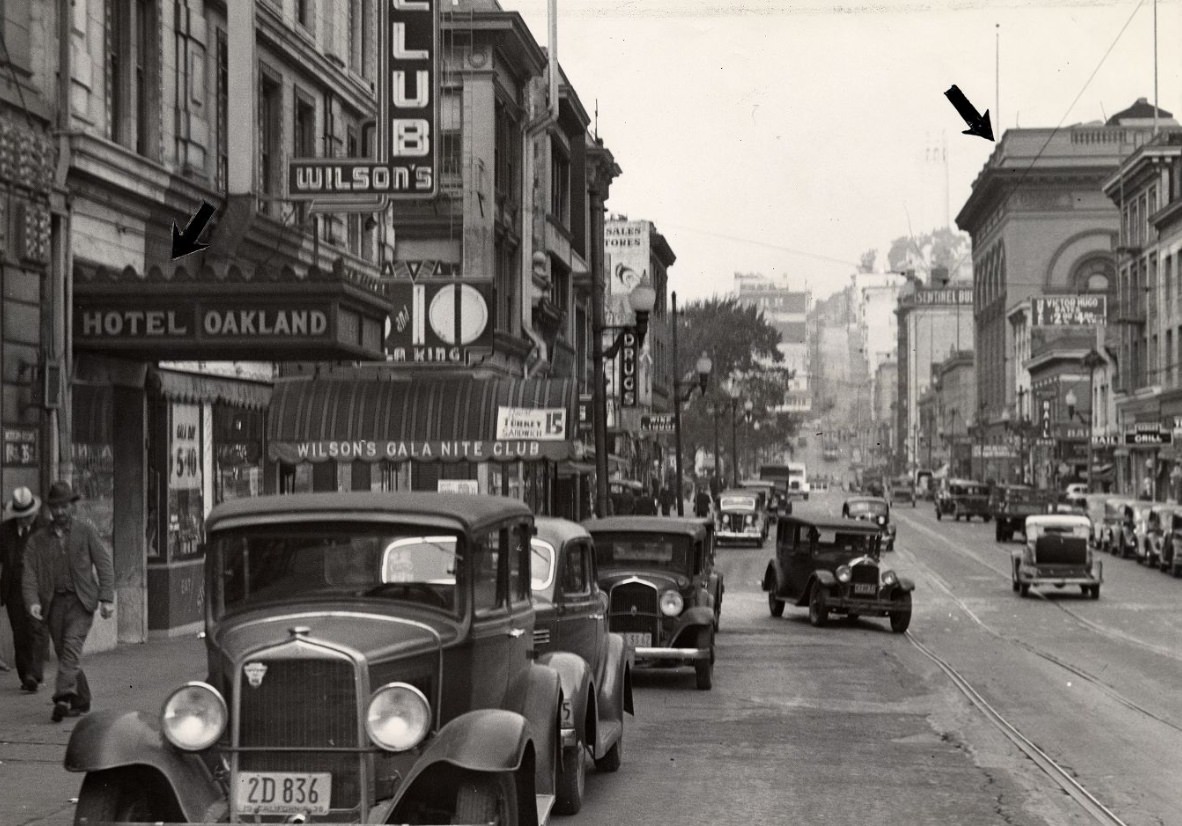
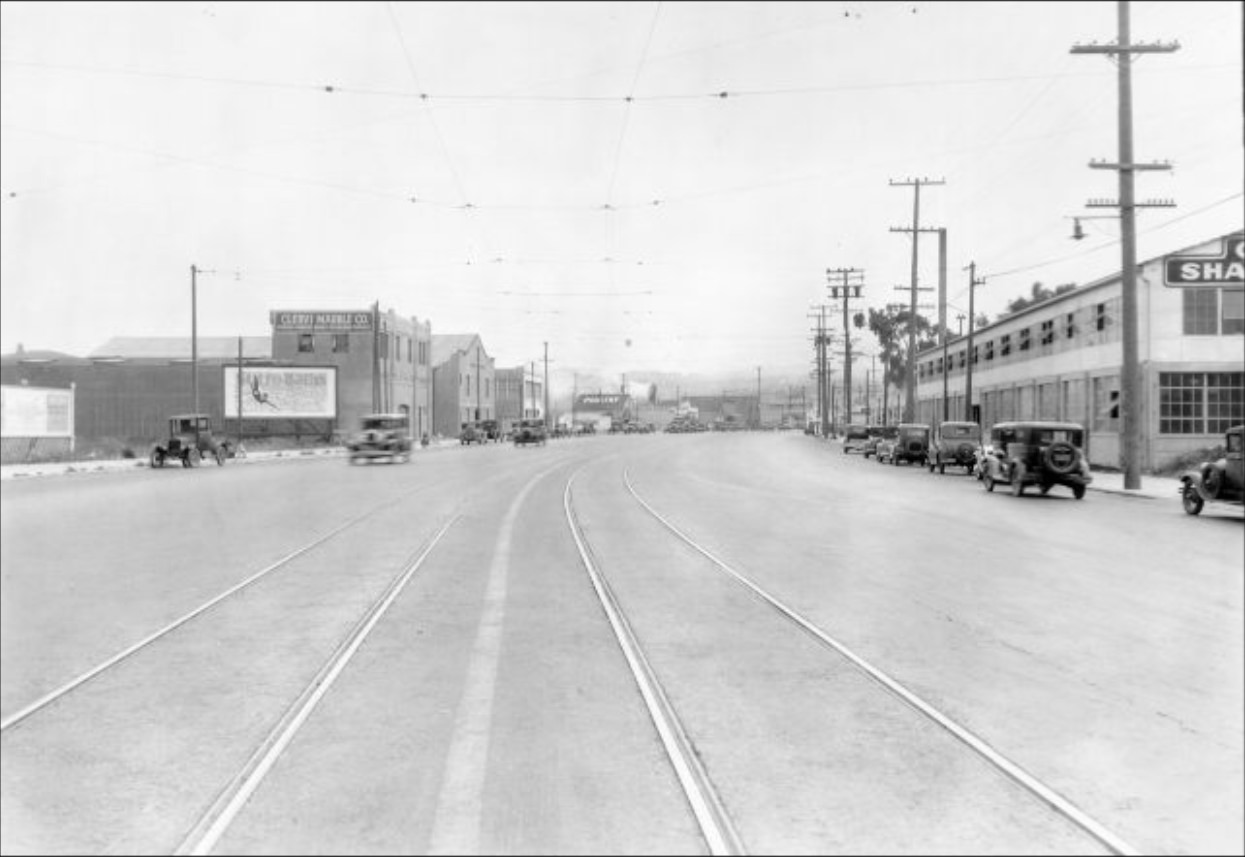
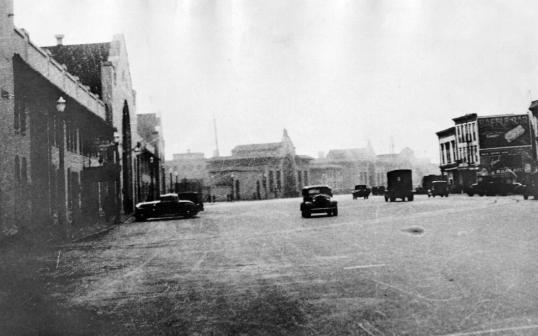
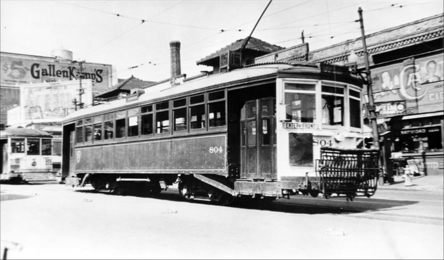
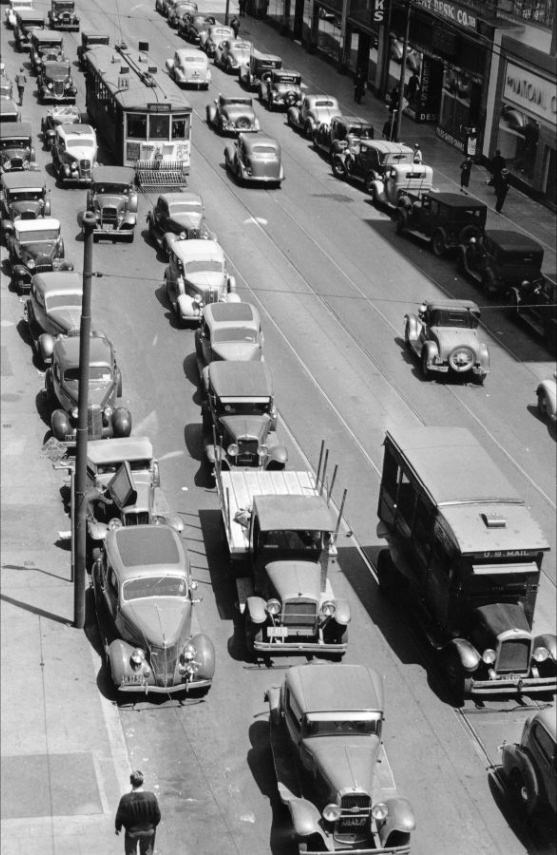
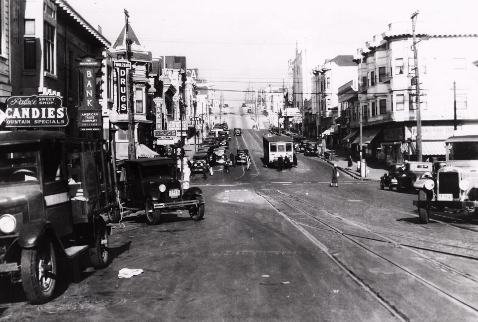
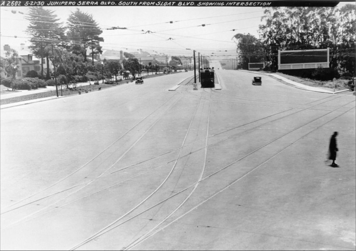
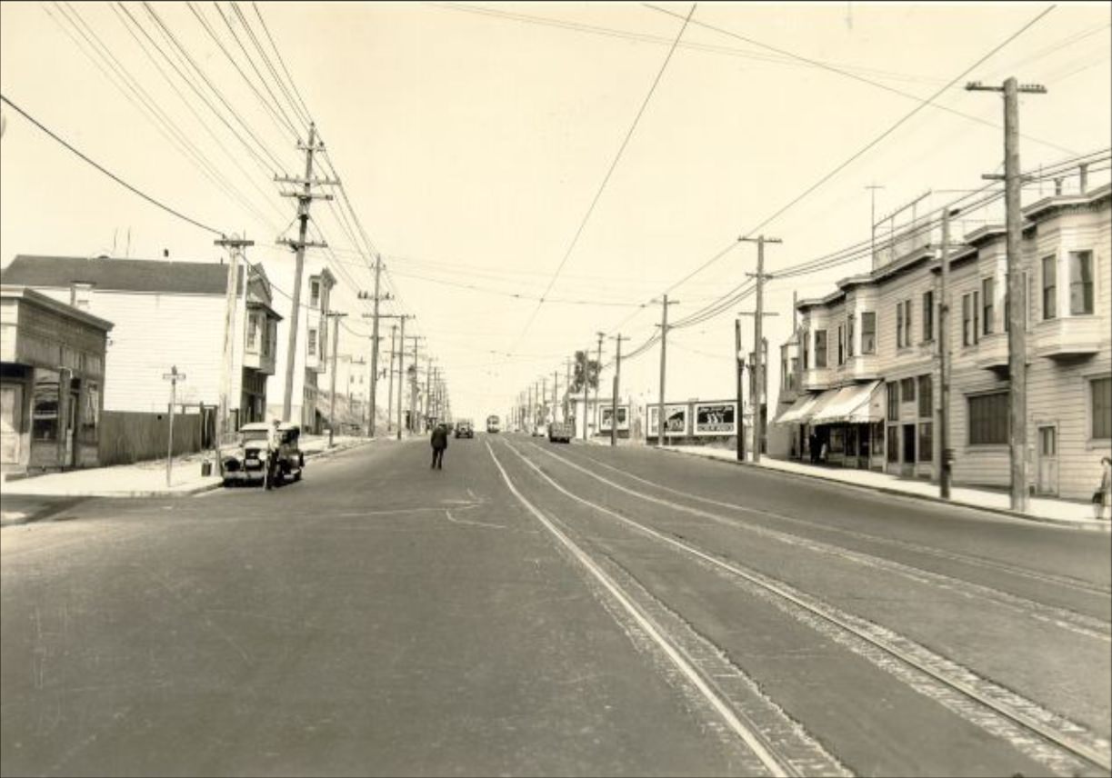
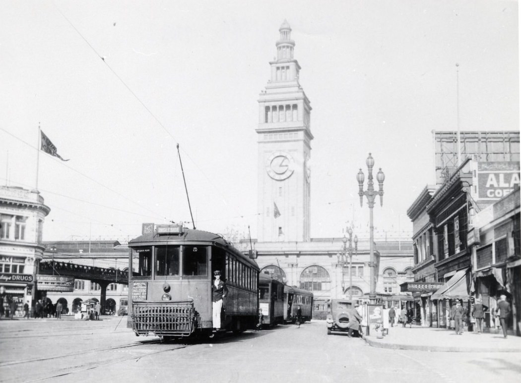
Neighborhood streets like Third Street, Williams Avenue, and Mission Street showed the texture of everyday working-class life. Storefronts, trolley lines, and pedestrians filled these corridors from morning to evening. The K Ingleside streetcar ran through the city to the Ferry Building, connecting outer neighborhoods to the waterfront. Cable cars and streetcars together formed the backbone of how most residents moved around a city built on steep hills and long distances.
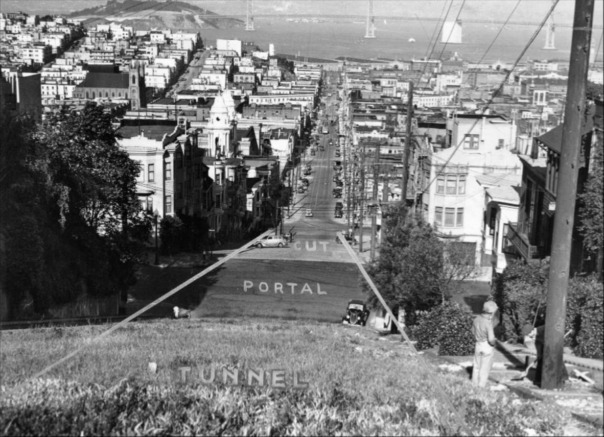
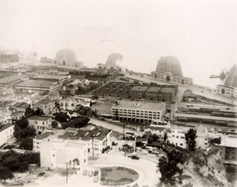
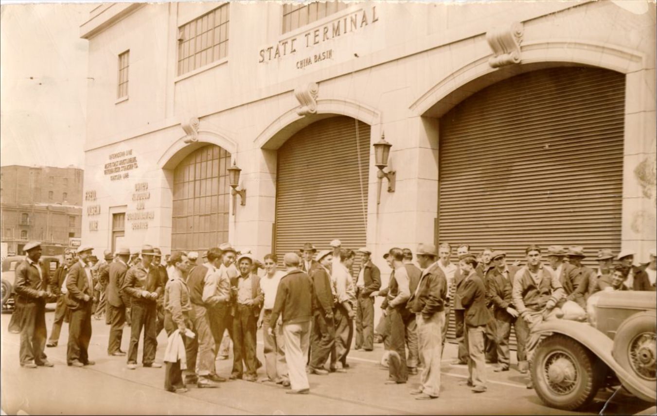
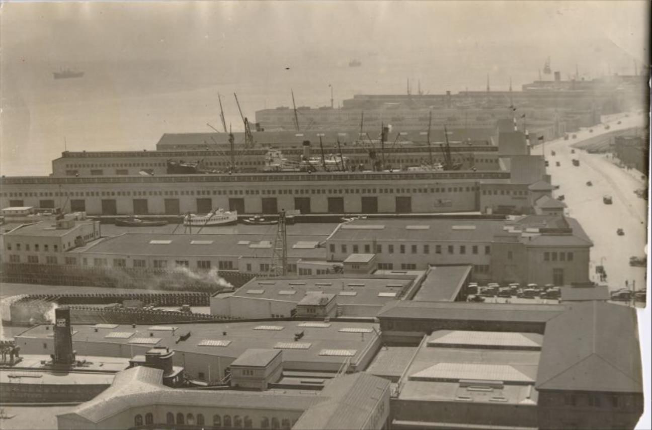
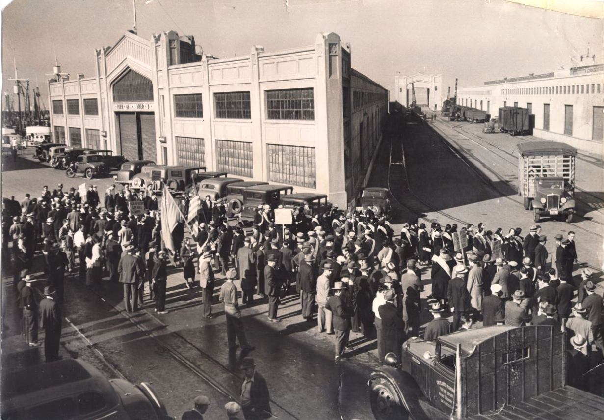
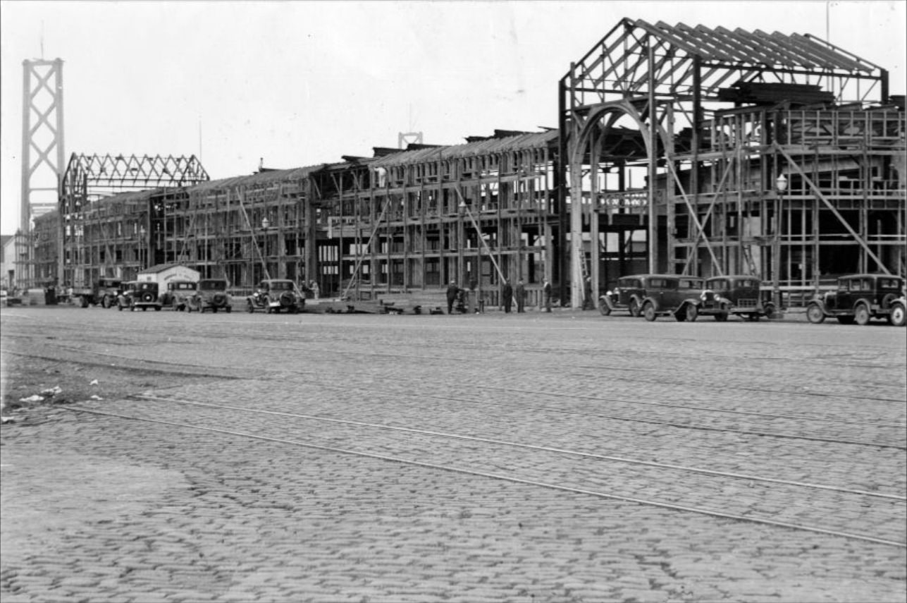
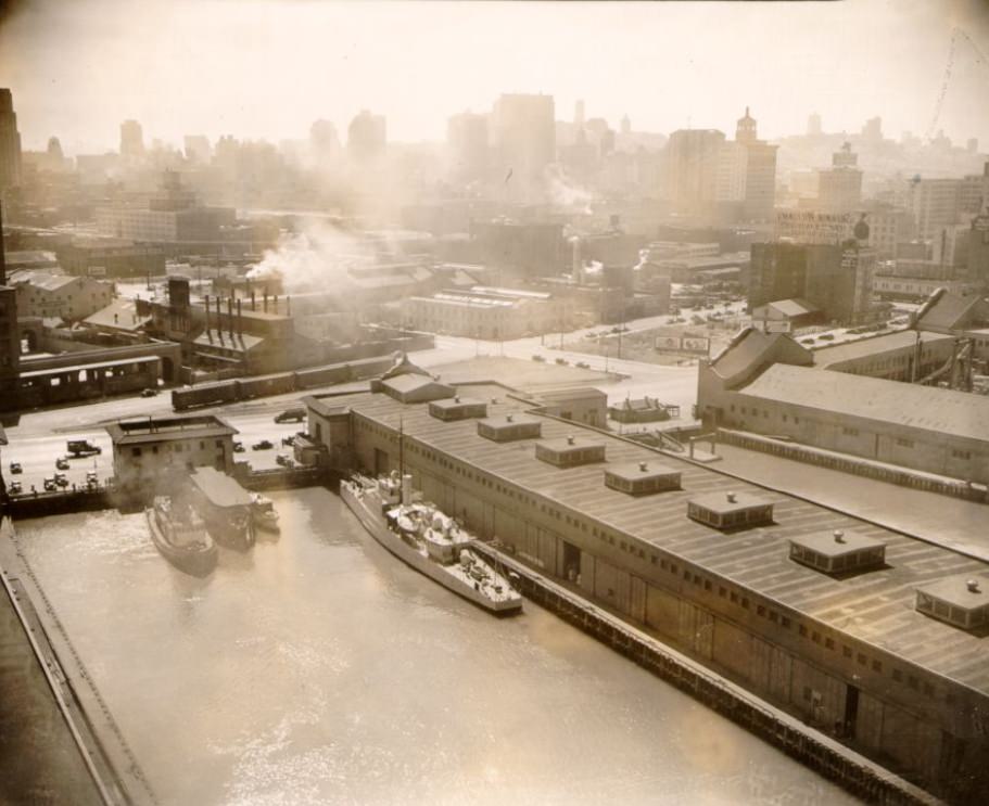
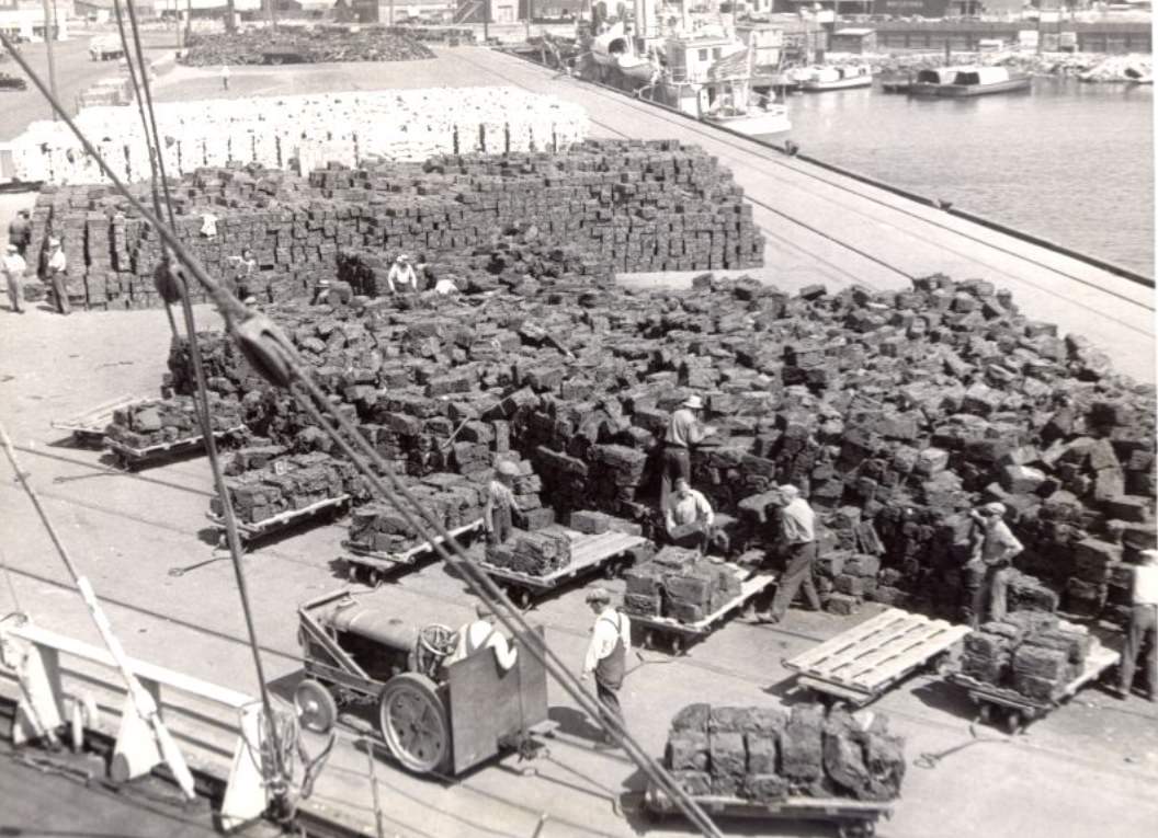
The waterfront was also a place of active construction beyond the bridges. Piers 17 through 44 saw ongoing development throughout the decade, with new dock facilities built to handle growing cargo volumes. Workers and freight cars operated side by side along the Embarcadero. The port was a major employer, and labor disputes — including a major longshoremen’s strike in 1934 — shaped working conditions for thousands of San Franciscans tied to the shipping industry.
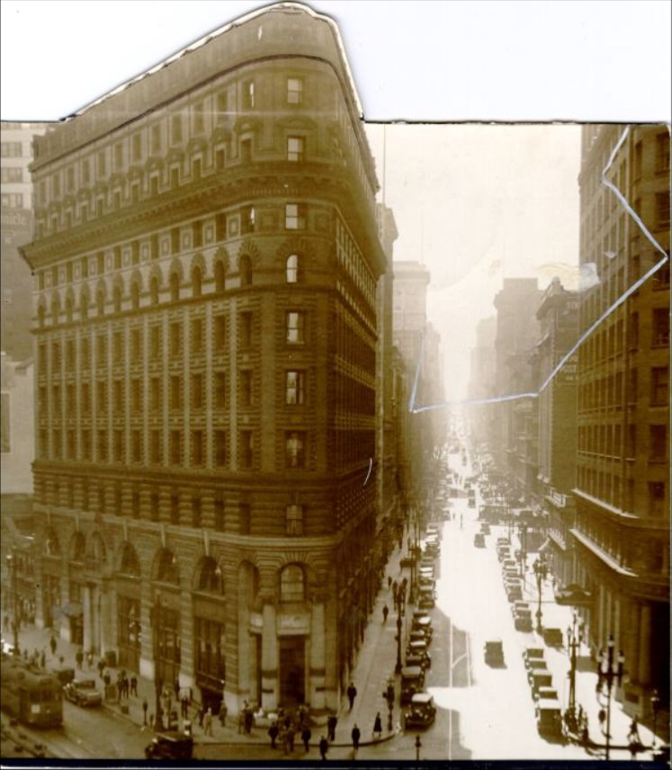
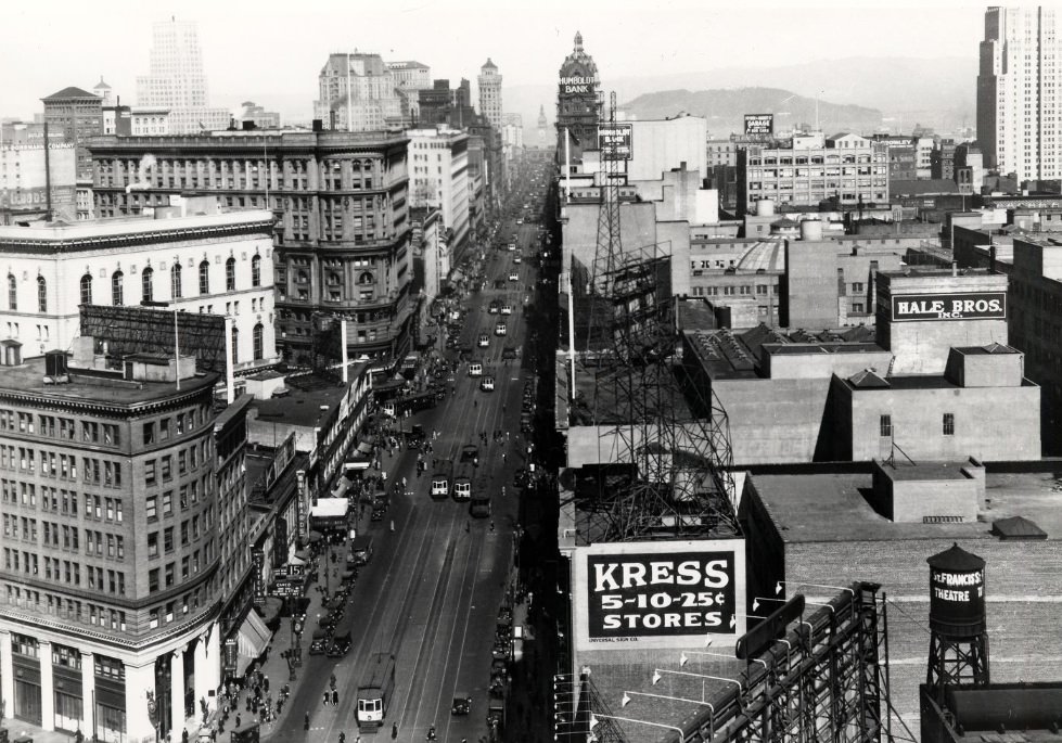
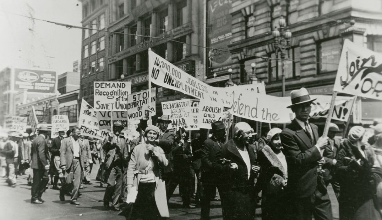
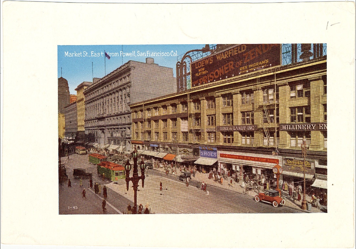
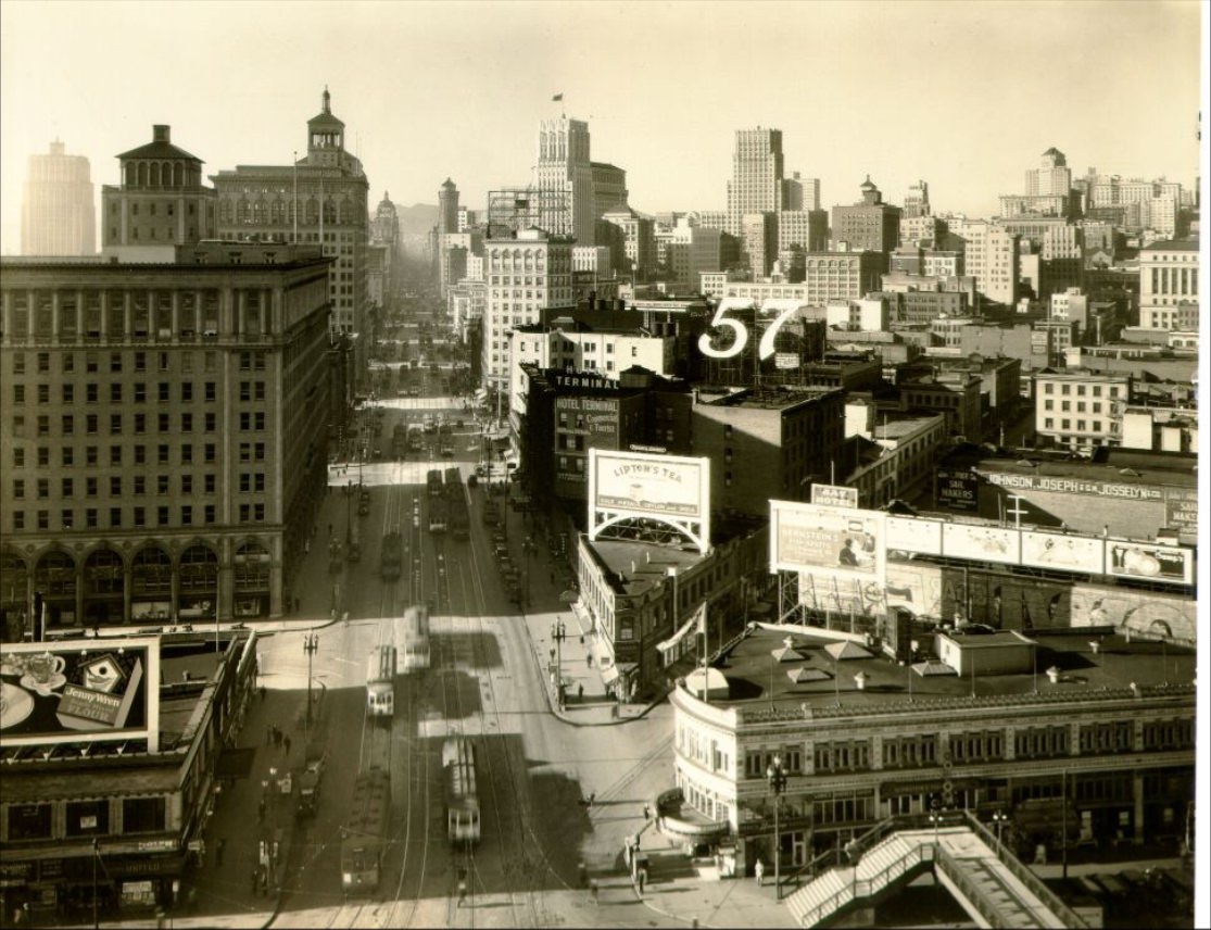
Market Street was the city’s main commercial artery. Running diagonally from the Ferry Building into the western neighborhoods, it was lined with department stores, theaters, and office buildings. The Emporium and I. Magnin offered upscale retail, while the Fox Theatre and other movie houses gave residents an affordable escape. A night at the movies cost very little, and Hollywood films were among the most popular entertainment of the decade. Market Street also served as the staging ground for labor marches and public demonstrations.
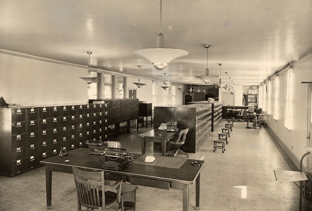
Violence and crime were documented alongside the ordinary flow of city life. In 1932, Luigi Malvese was slain on Columbus Avenue in North Beach, and the scene was photographed as part of the police record. Automobile accidents at intersections like Third and Harrison were captured in detail, showing crumpled vehicles and gathered crowds. San Francisco’s police Identification Bureau, housed in the Old Hall of Justice, processed these scenes and maintained detailed photographic records of incidents across the city.
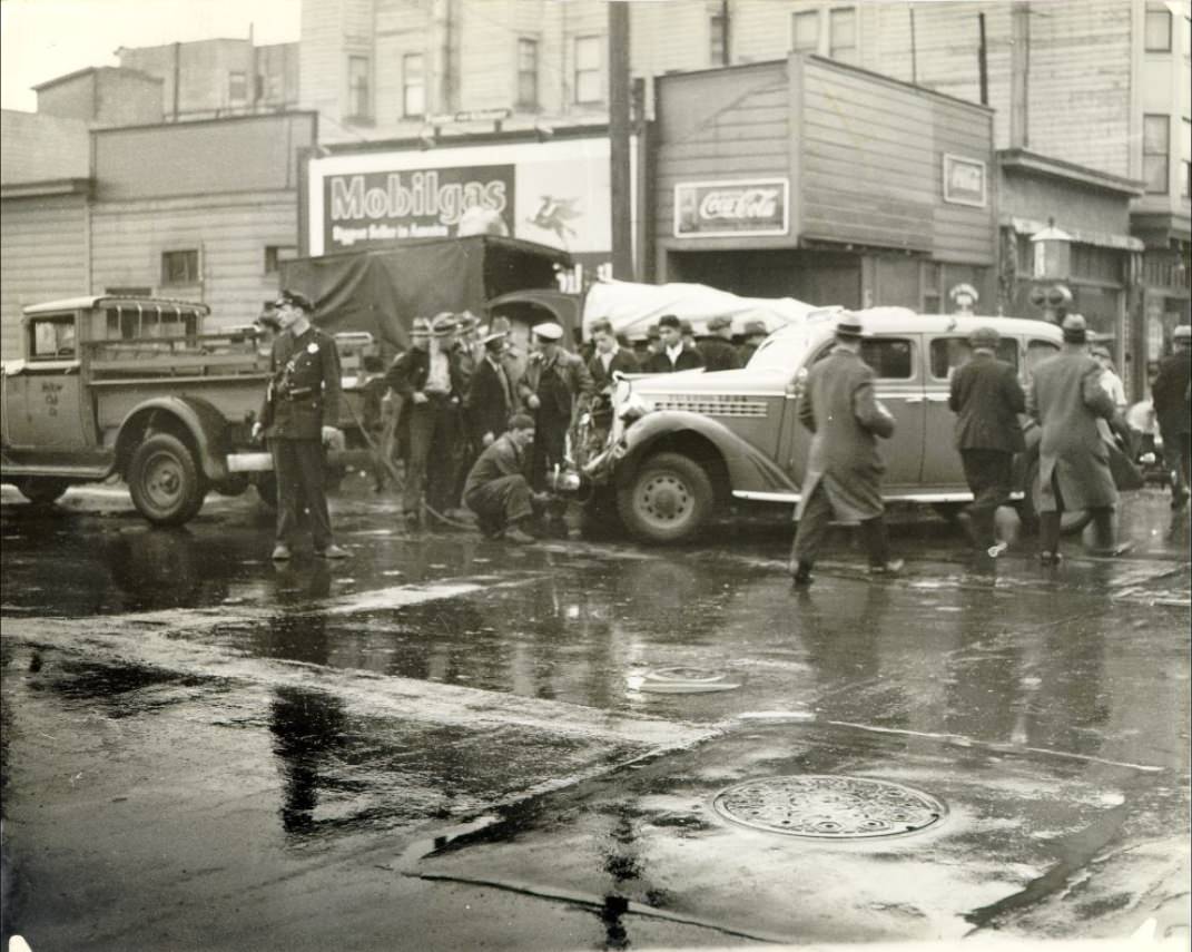
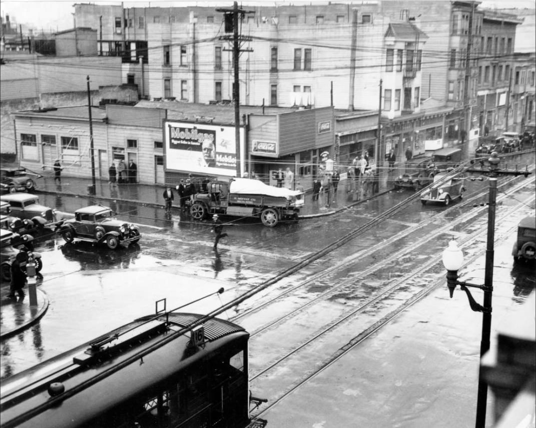
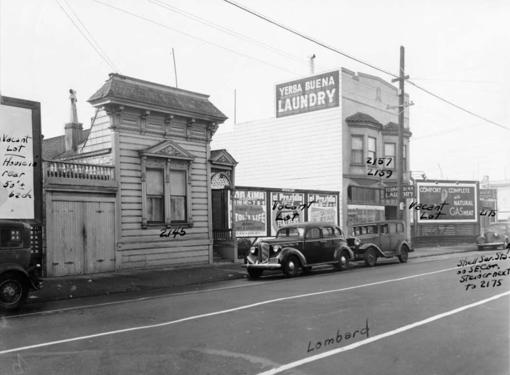
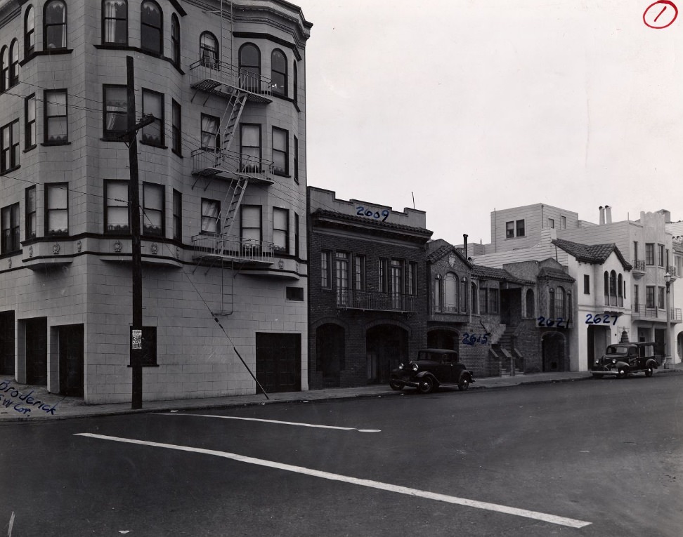
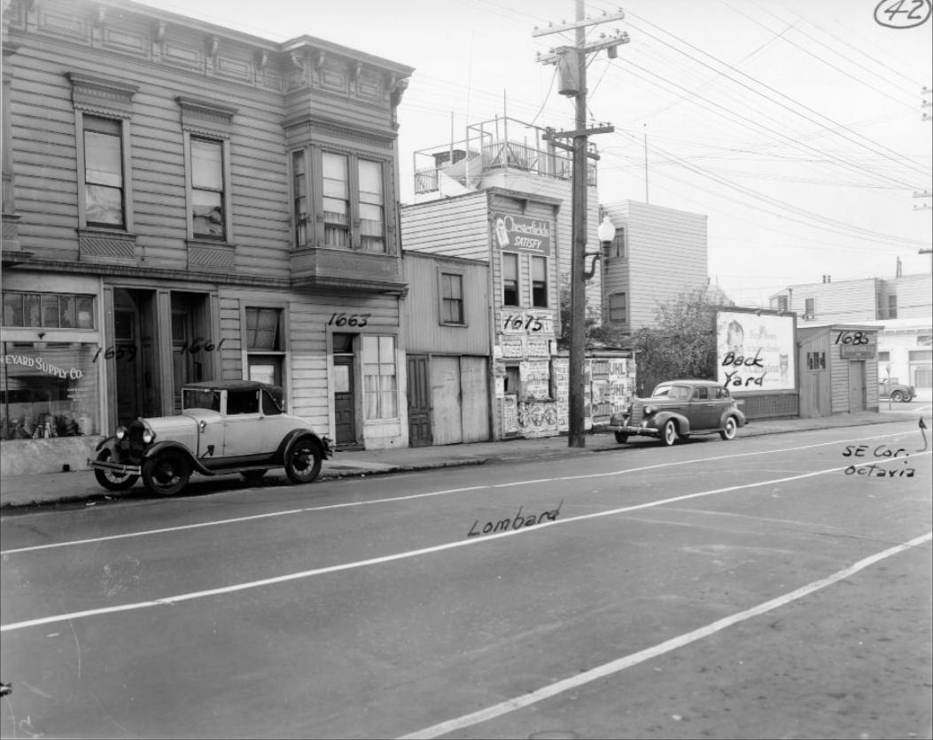
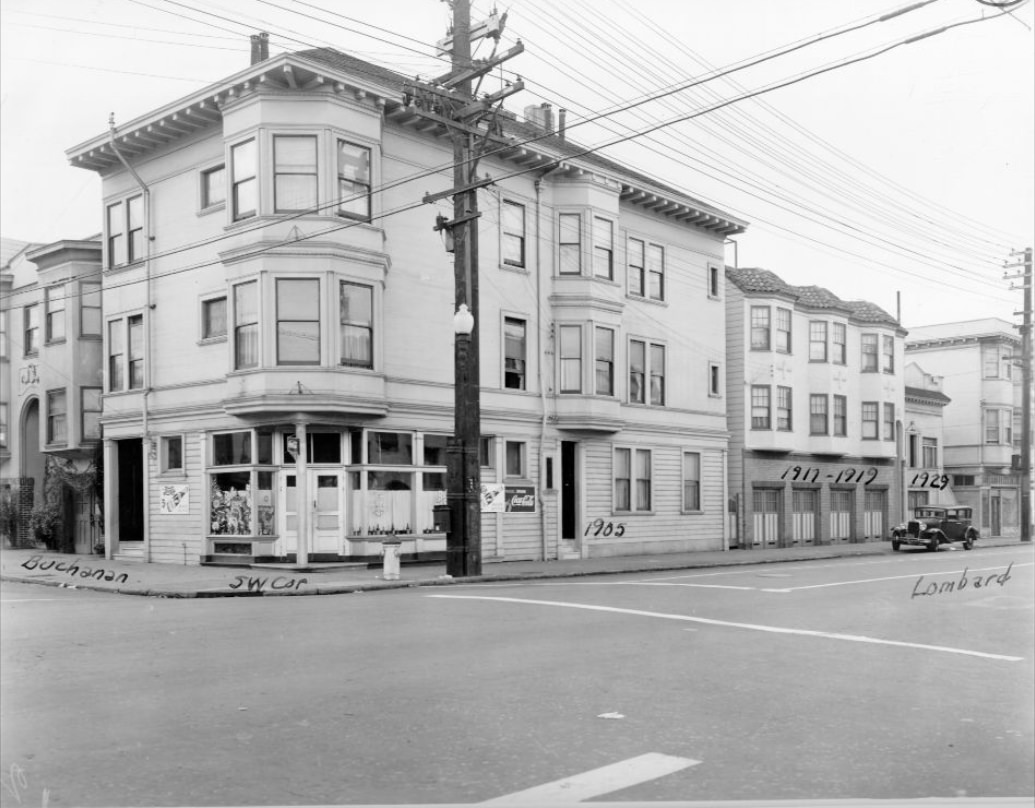
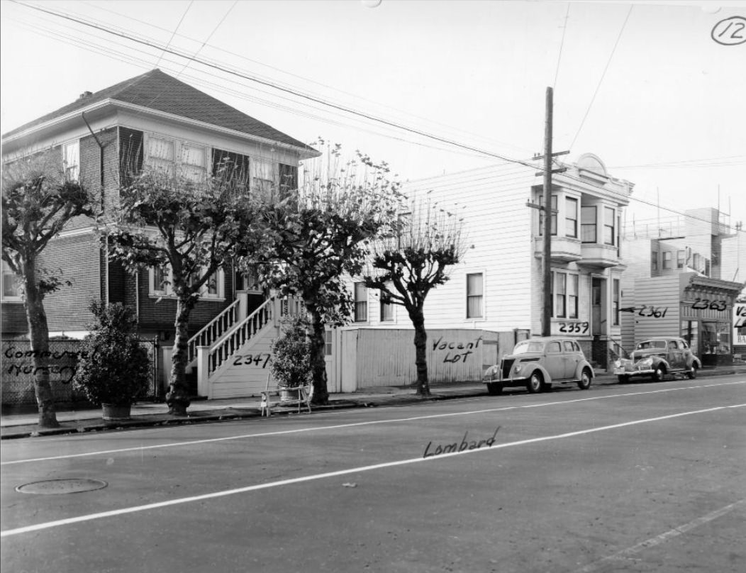
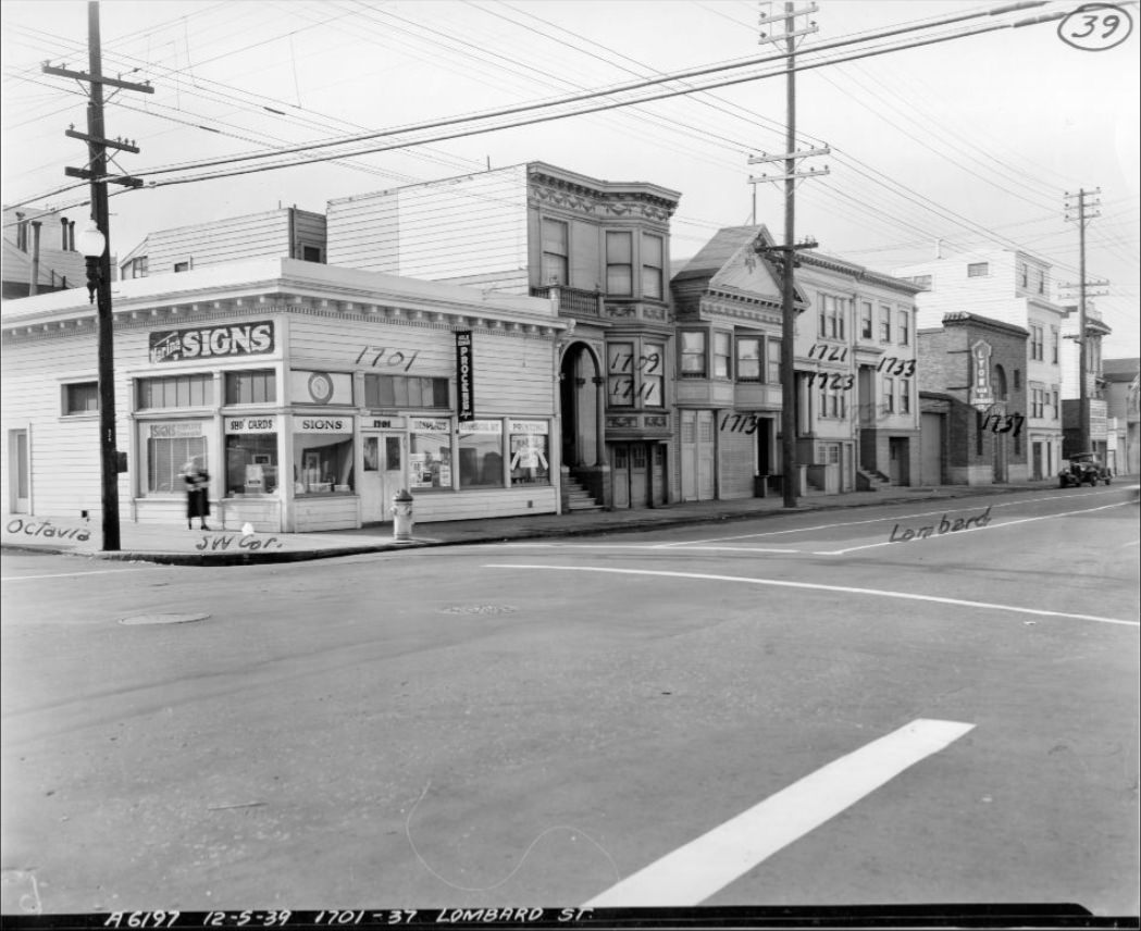
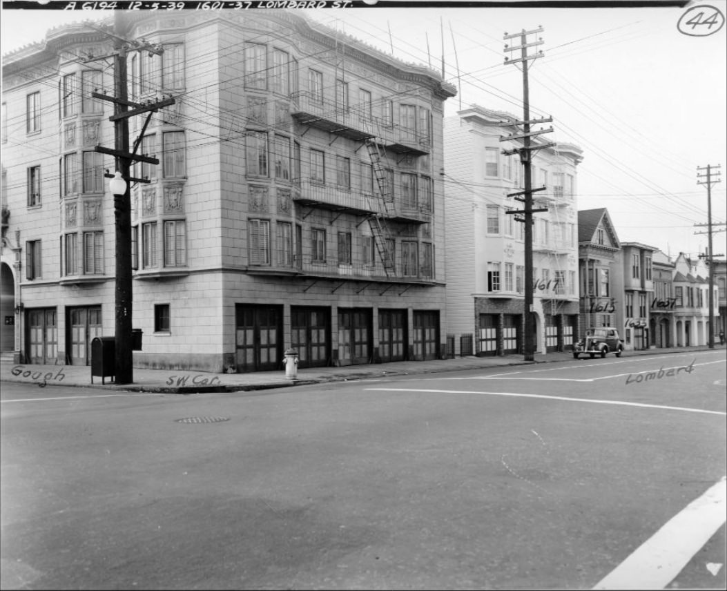
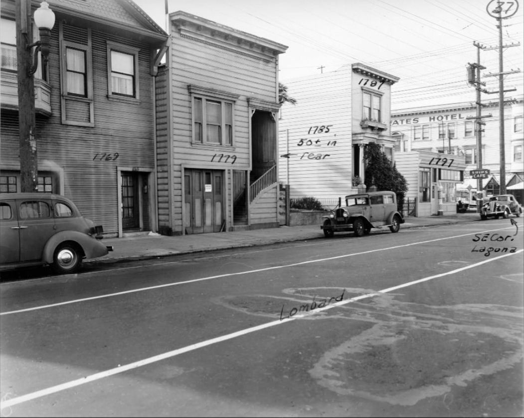
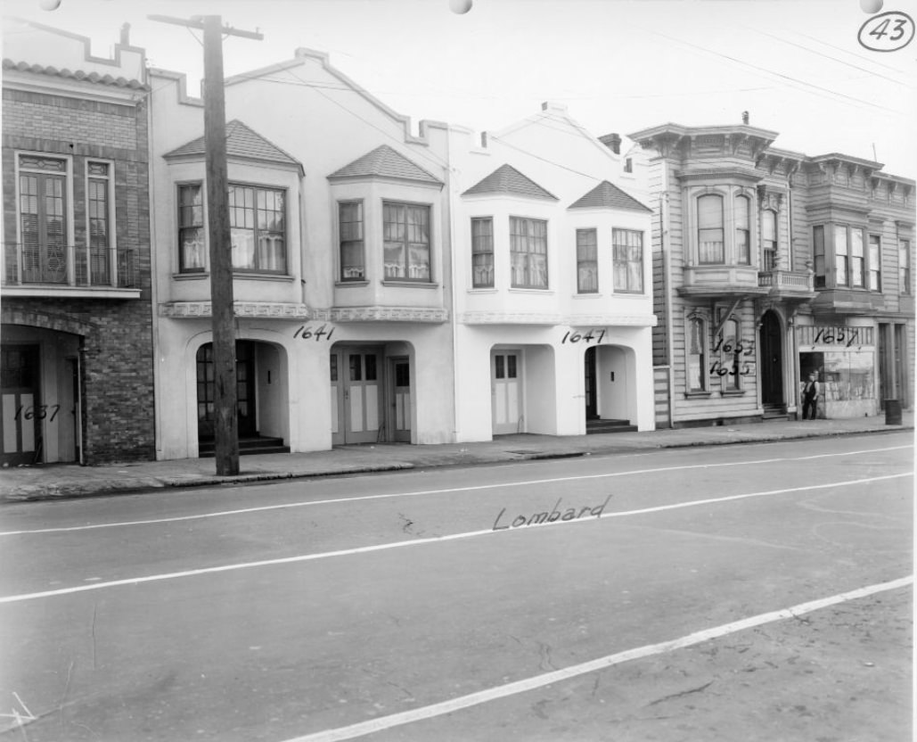
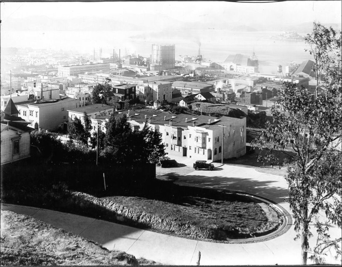
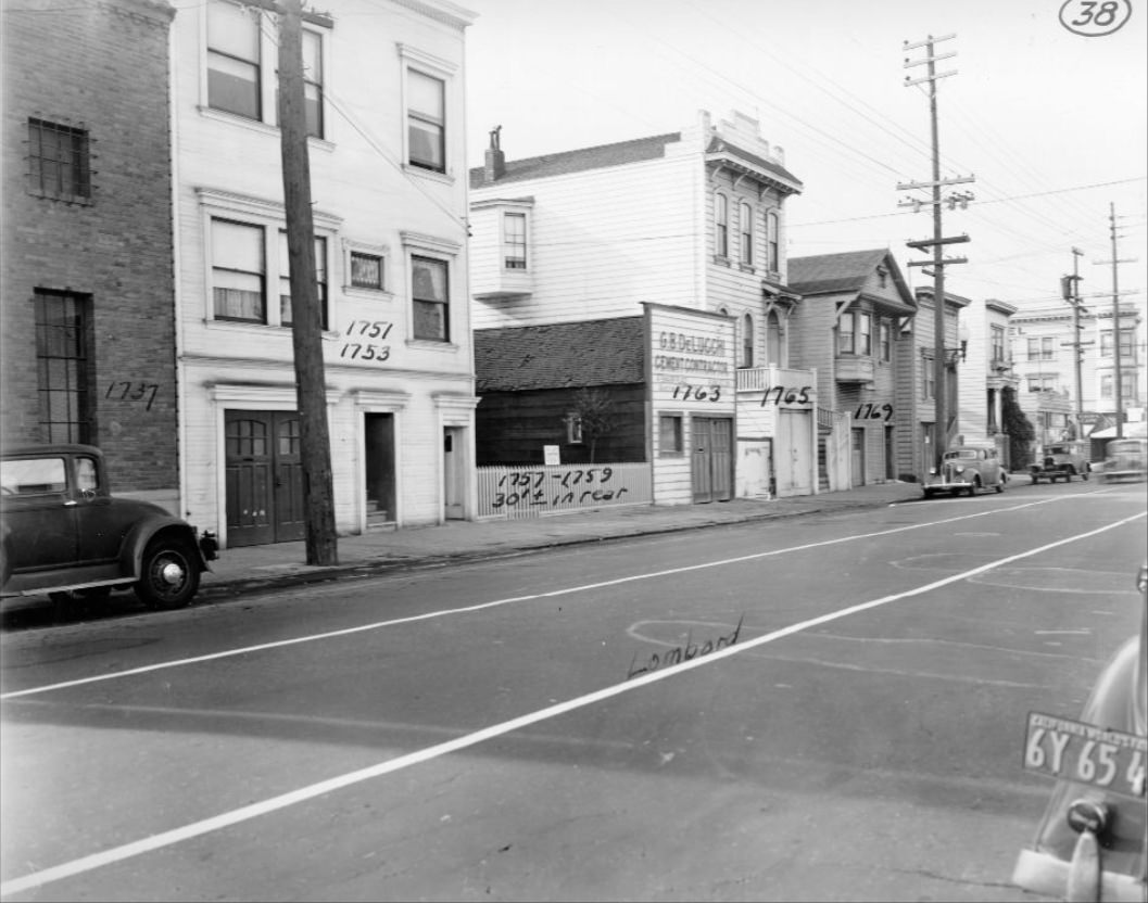
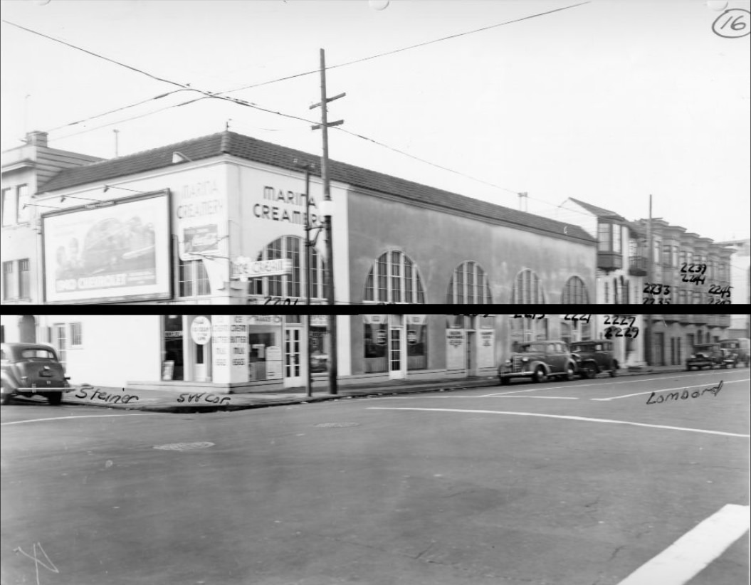
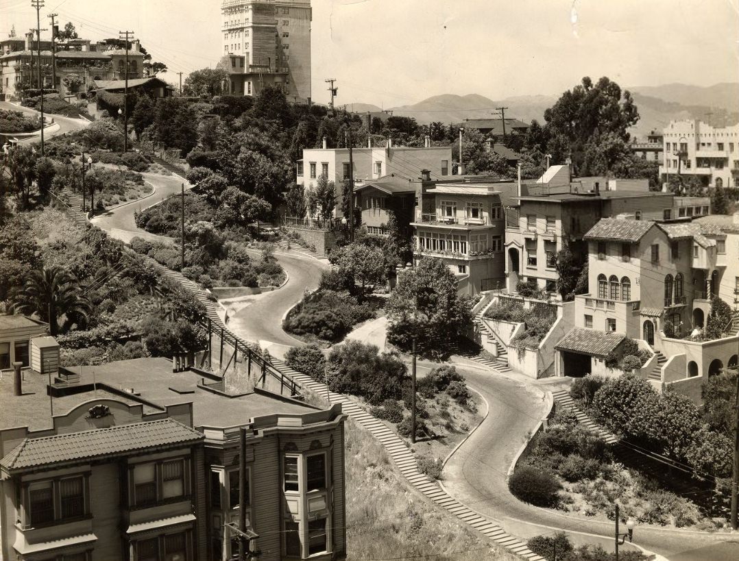
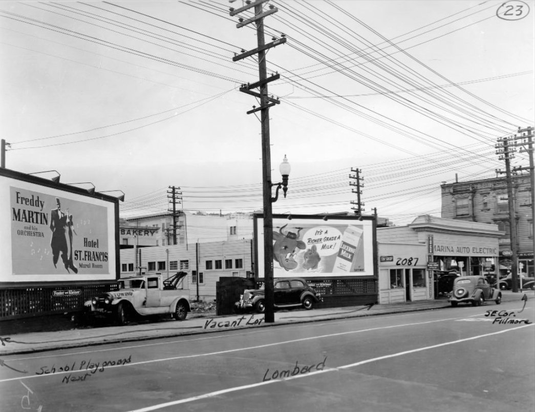
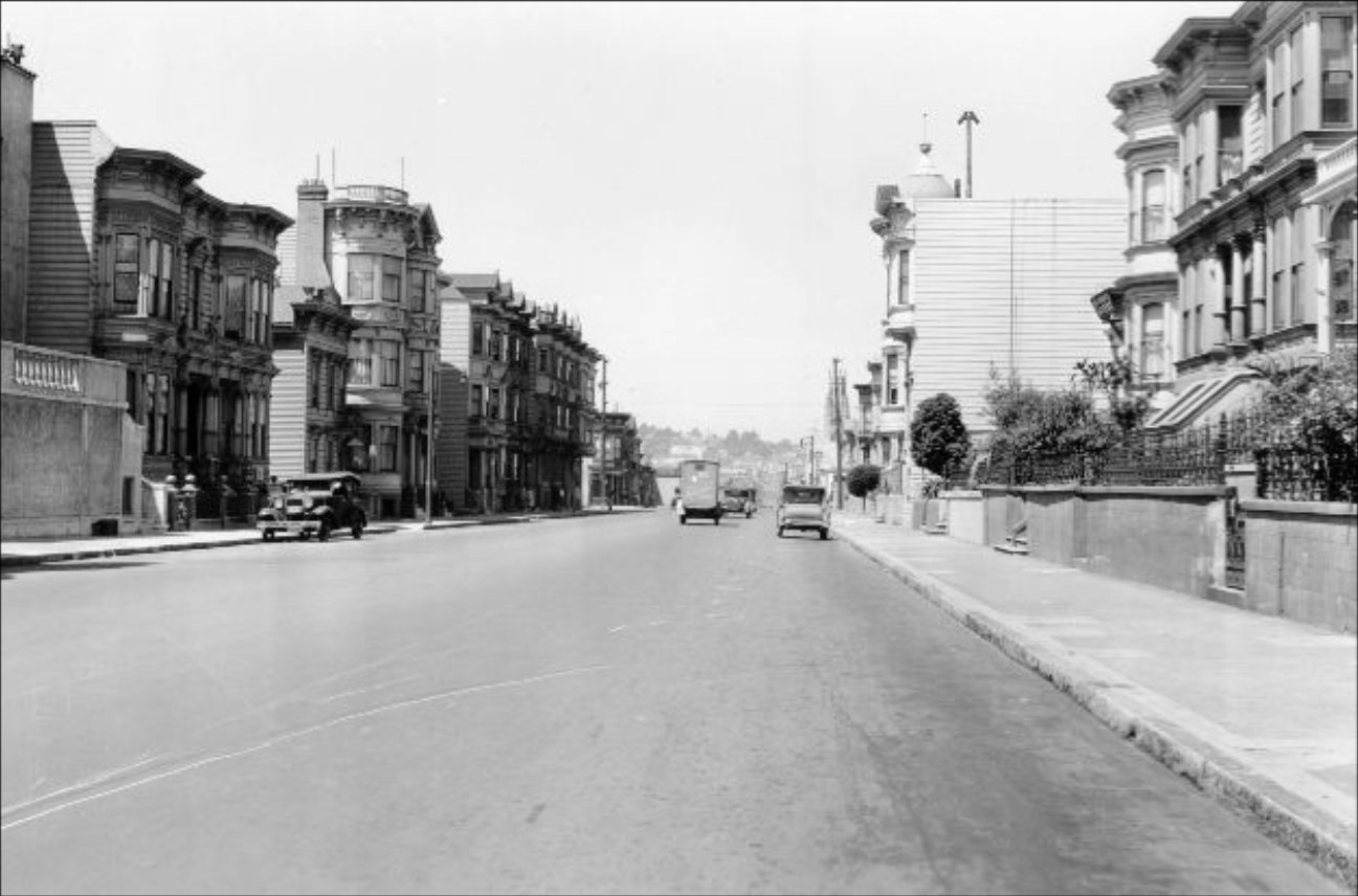
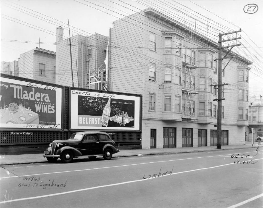
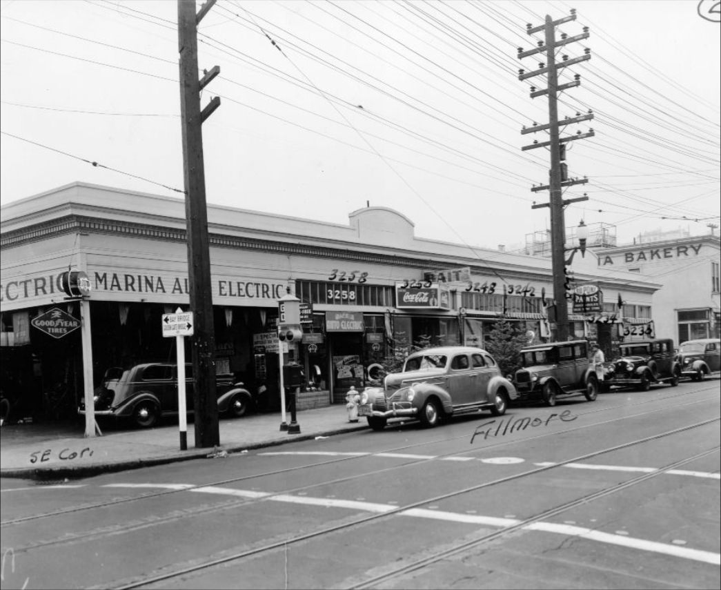
Lombard Street appears in photographs throughout the decade, block by block, recorded as part of a systematic survey of city streets. The famous crooked section between Leavenworth and Hyde was already a recognized feature of the neighborhood in 1933. Nearby blocks on Fillmore, Buchanan, Steiner, Divisadero, Octavia, Broderick, Gough, and Webster were all documented, giving a remarkably detailed visual record of how this residential corridor looked in the late 1930s.
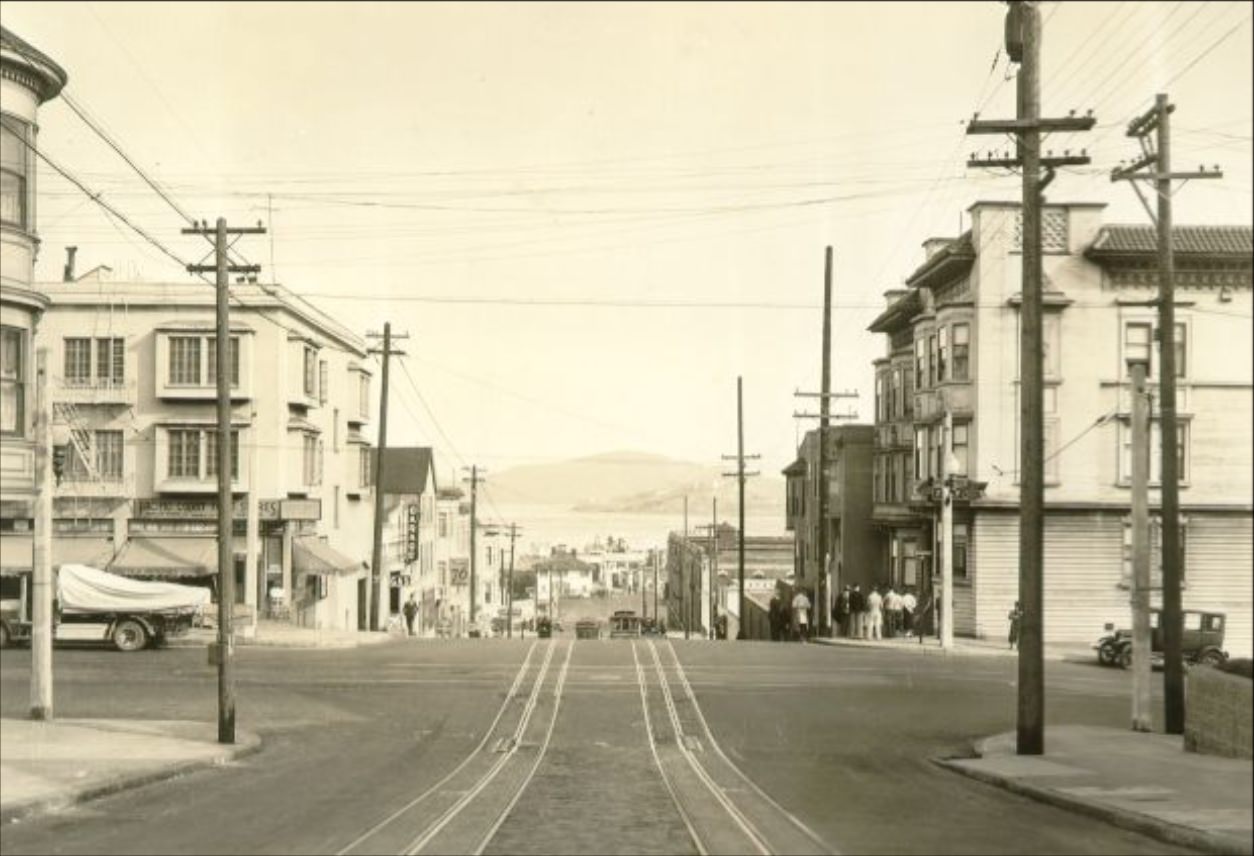
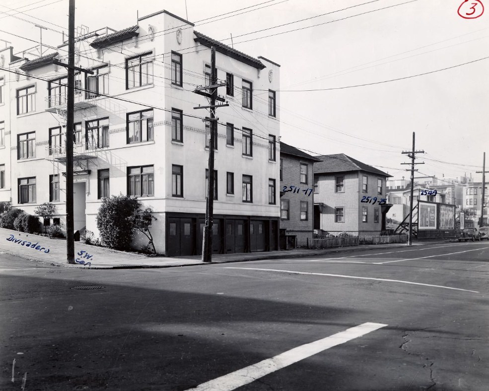
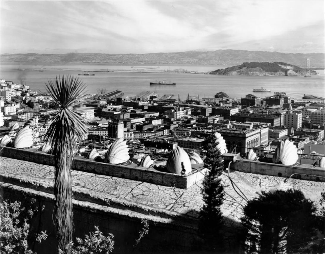
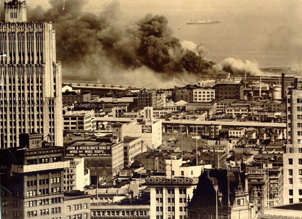
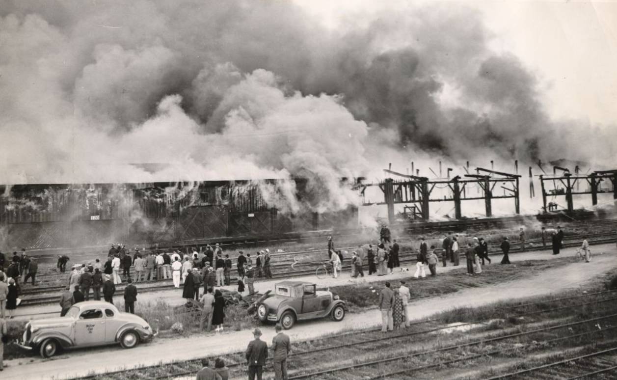
Fire was an ongoing danger along the city’s wooden piers and industrial waterfront. In 1938, a fire broke out at a freight transfer shed on 3rd Street, drawing spectators who gathered to watch. An aerial photograph from the same year captured flames at San Francisco’s piers from above. These fires destroyed cargo, damaged infrastructure, and reminded residents of the same vulnerabilities that had leveled the city after the 1906 earthquake and fire.
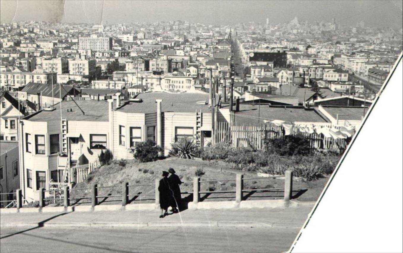
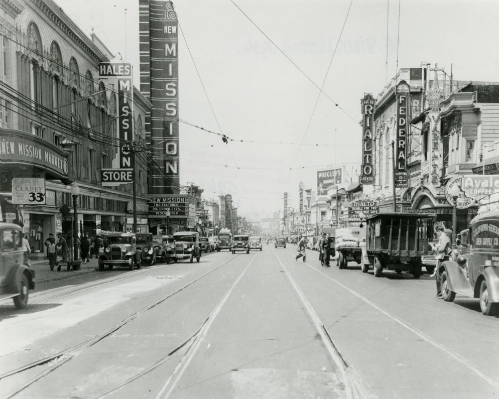
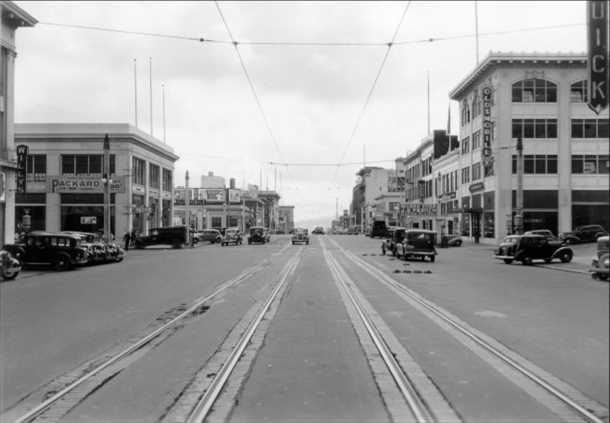
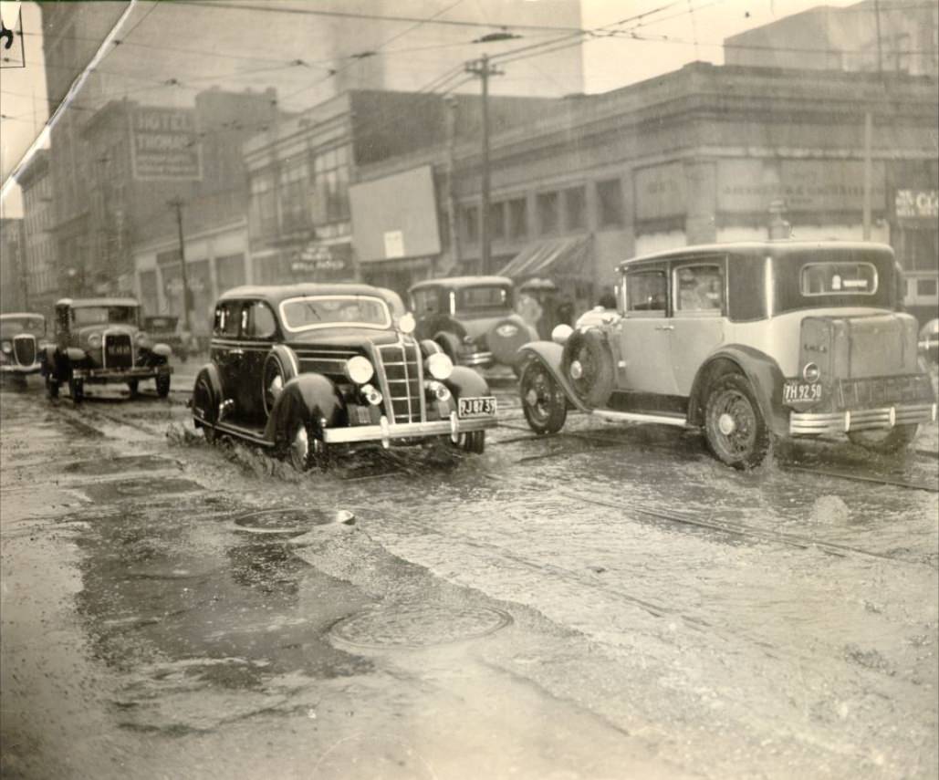
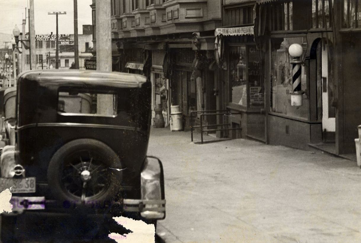
Mission Street was one of the busiest corridors in the southern part of the city. On a rainy day in 1937, pedestrians moved along the wet sidewalks under awnings and storefront overhangs. Traffic at Mission and 4th Street showed the density of automobiles that had become standard by mid-decade. The Mission District itself was a working-class neighborhood, home to a mix of Irish, Italian, and Latino families who ran small businesses and raised children in tight-knit blocks.
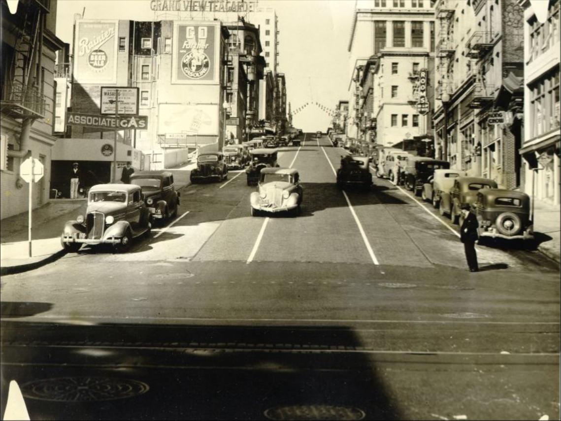
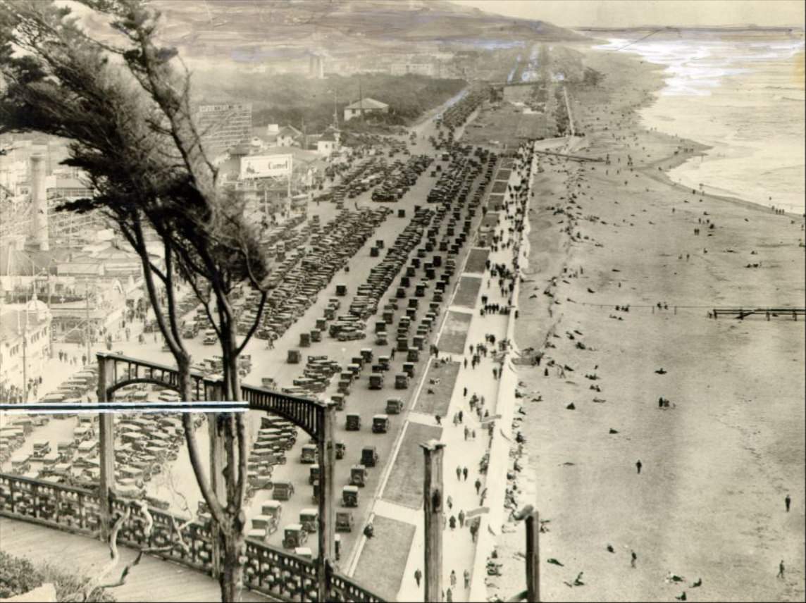
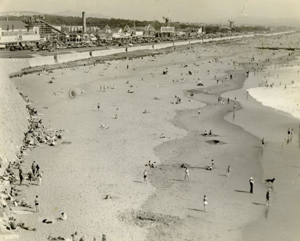
Ocean Beach on the western edge of the city offered an escape from urban density. The Great Highway ran along the shoreline past Playland at the Beach, an amusement park that operated from the early 1900s through the mid-20th century. Storefronts near the beach catered to visitors in 1930, and by the same decade, sunbathers stretched out on the sand even in the cool Pacific temperatures San Francisco is known for. The beach drew people from across the city looking for open space and a break from crowded neighborhoods.
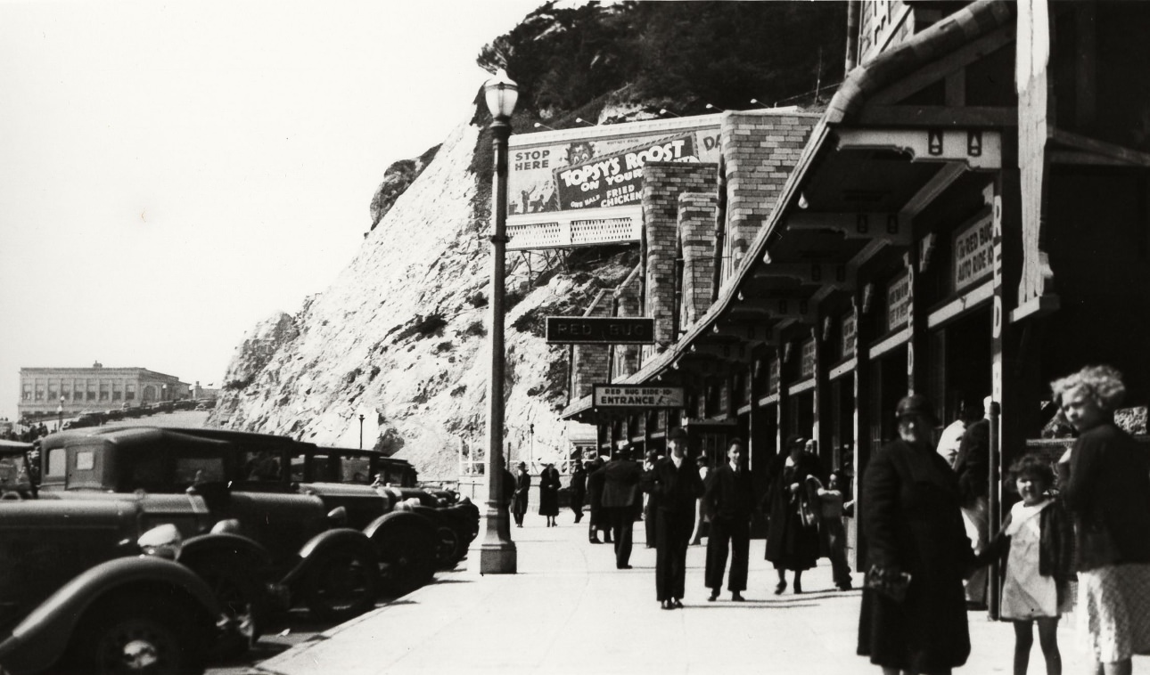
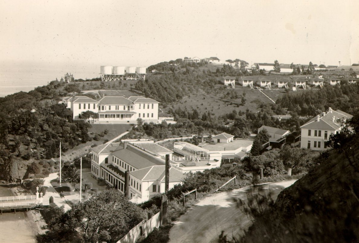
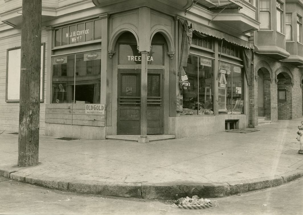
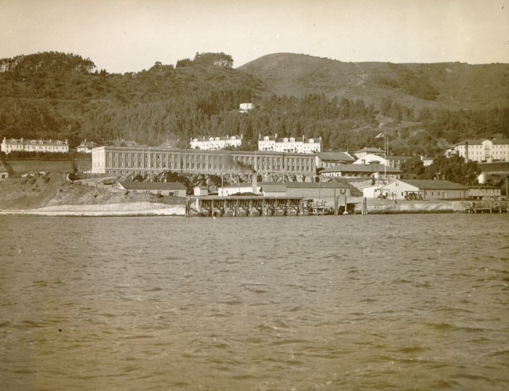
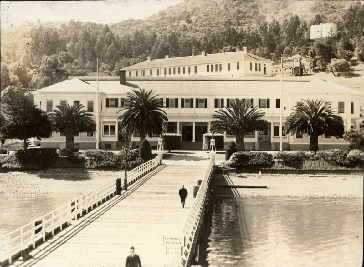
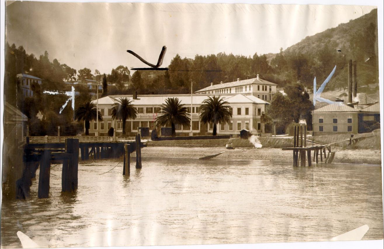
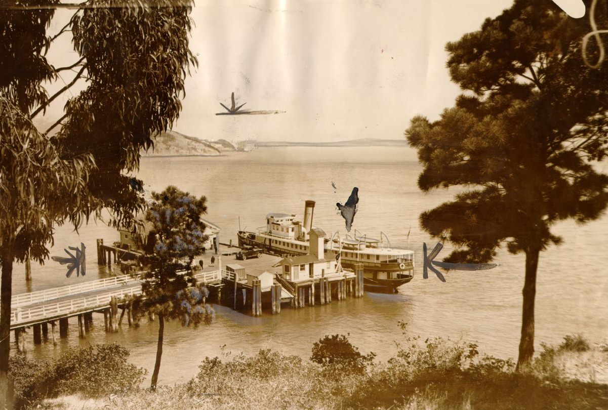
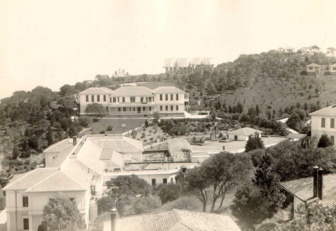
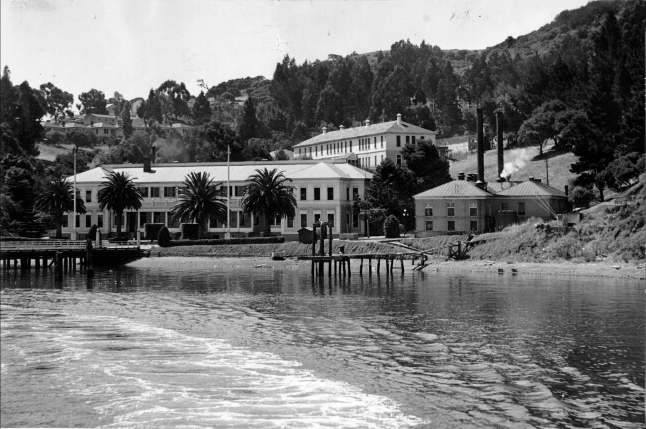
Angel Island sat in the middle of San Francisco Bay and served as the West Coast’s main immigration processing station. Between 1910 and 1940, hundreds of thousands of immigrants — the vast majority from China, Japan, Korea, and the Philippines — passed through its facilities. Detainees were held for days, weeks, or months while their cases were reviewed under strict immigration laws designed to limit Asian entry into the United States. Photographs of the administration building and docks on Angel Island document the physical setting where these lives were put on hold.
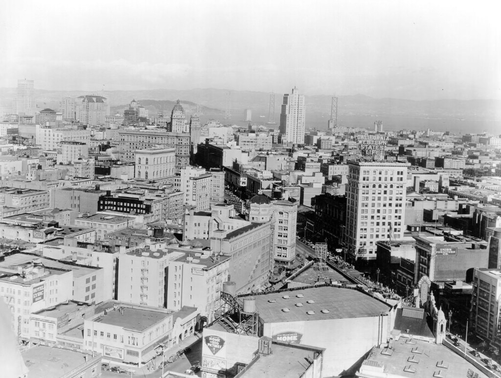
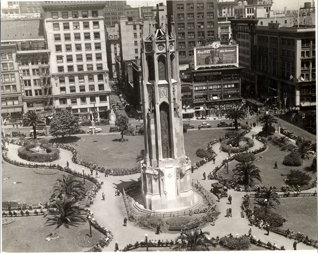
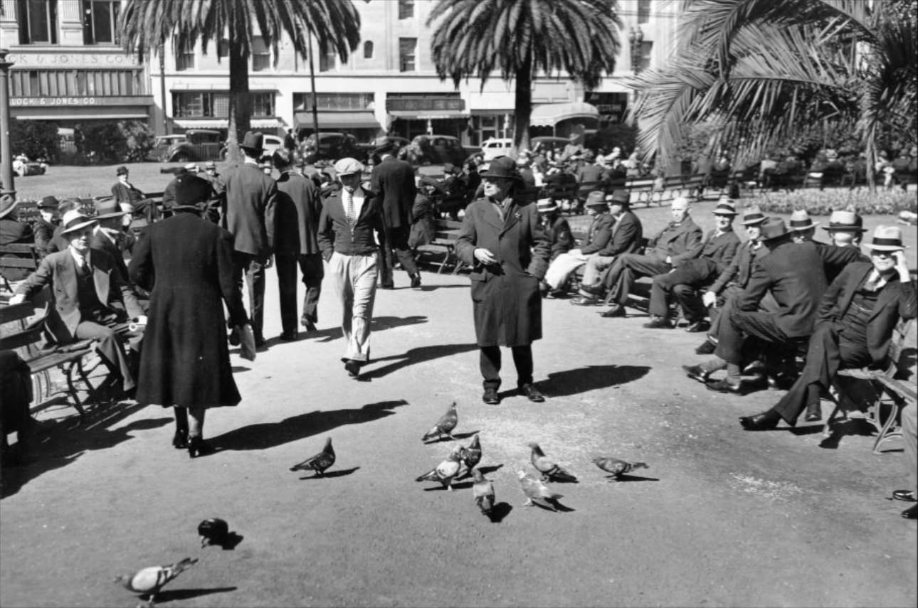
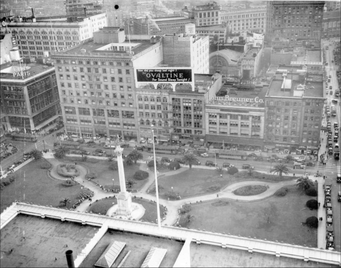
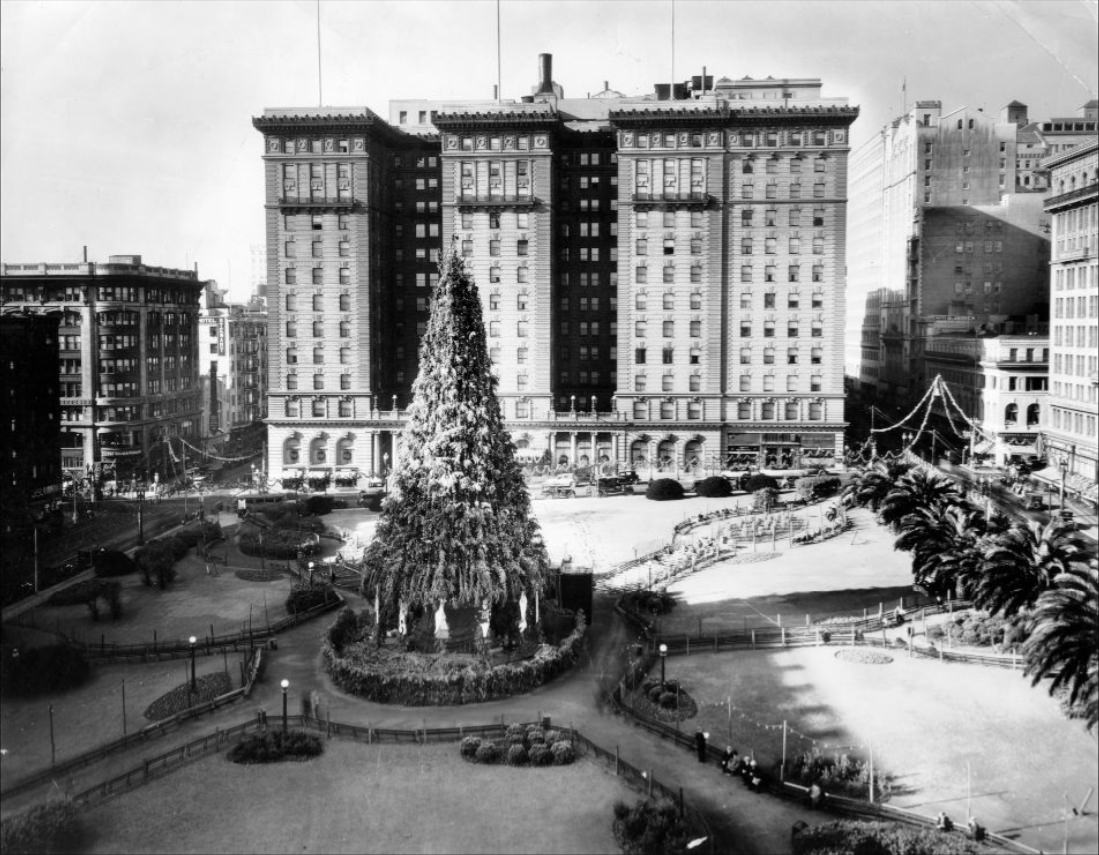
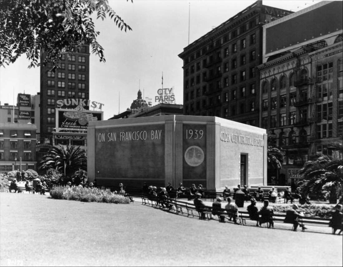
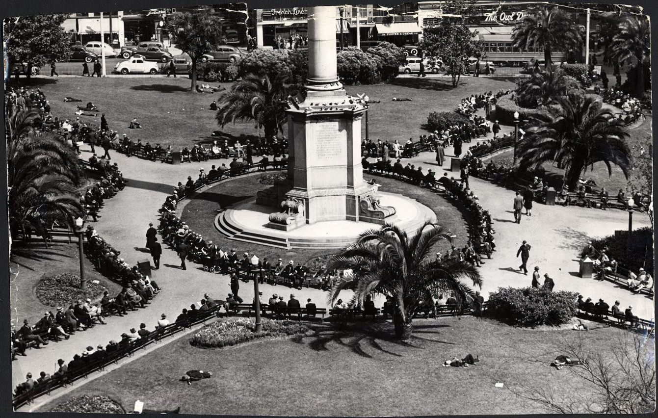
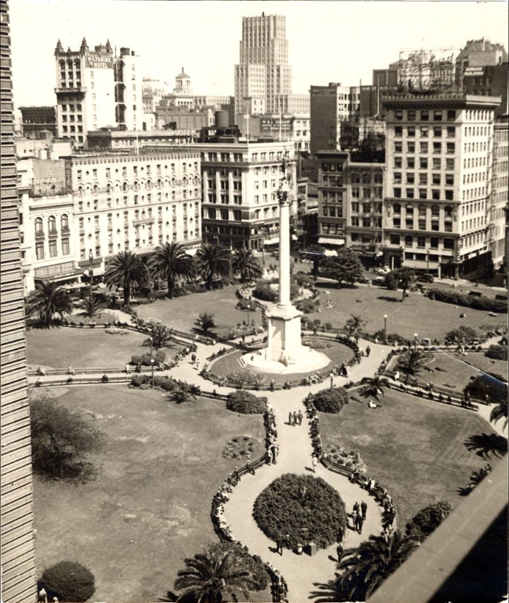
Union Square served as a social gathering place throughout the decade. Benches filled with people on ordinary weekday afternoons. A Christmas tree went up there in 1935. In 1934, a cathedral monument was erected in the square for the Knight Templar Conclave. By 1939, people were still using the park as a place to sit, talk, and watch the city move around them. The square was ringed by hotels and retail stores, making it a natural meeting point for residents and visitors alike.
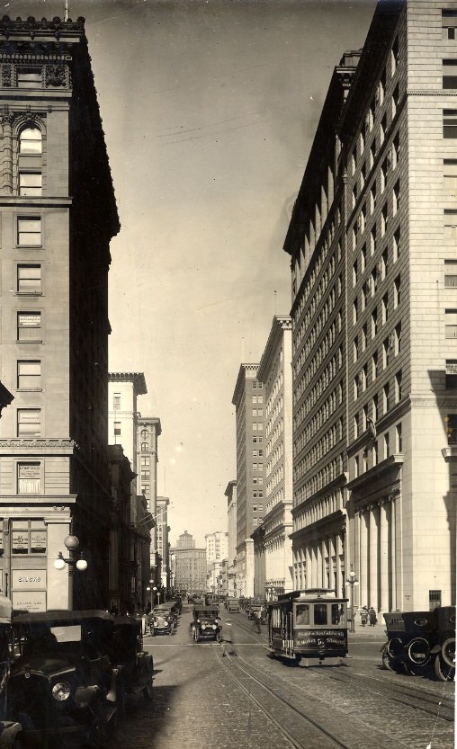
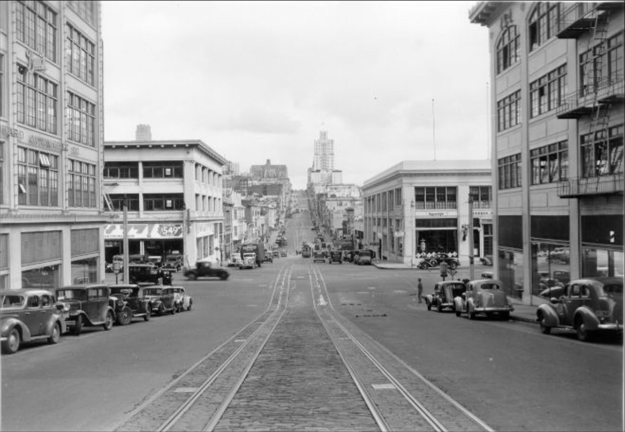
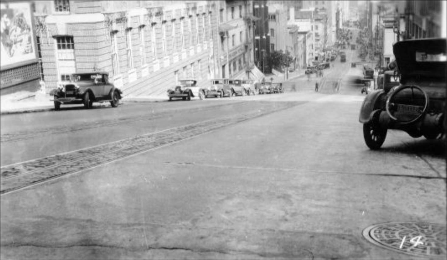
California Street was one of the city’s primary cable car routes, climbing from the Financial District over Nob Hill and down toward Van Ness Avenue. The cable cars running this route were a practical necessity in a city where the hills made walking difficult and buses were slow. Photographs taken along California Street in the 1930s show the cars operating alongside automobile traffic, sharing lanes in a city still working out how different forms of transit would coexist.
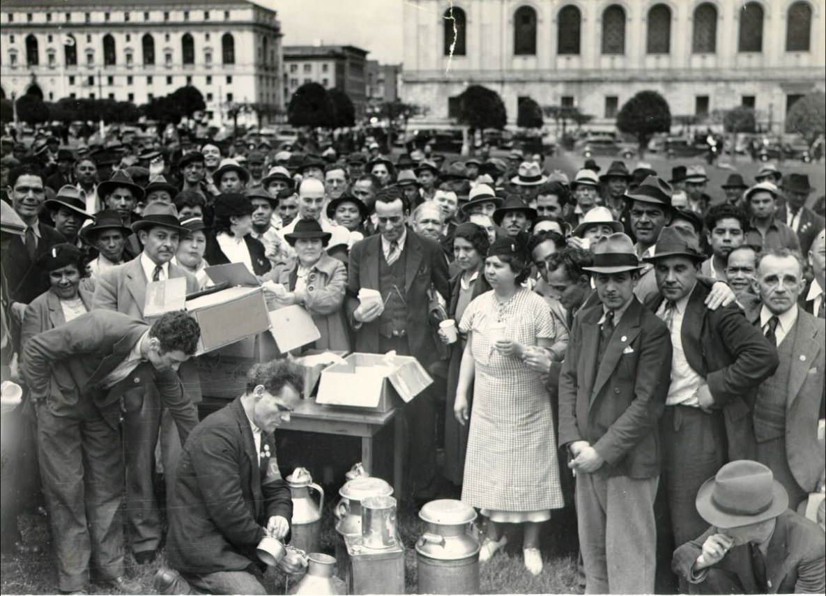
The Civic Center’s grand plaza hosted large public events throughout the decade. In 1935, a crowd gathered in front of City Hall for Constitution Day Exercises. In 1936, grandstands were erected around the Civic Center for a major public event. In 1938, free lunches were served there to cannery workers — a direct response to the economic hardship that continued to grip the city’s labor force. These events ranged from patriotic ceremonies to basic welfare provisions, reflecting the full range of what civic life looked like during the Depression years.
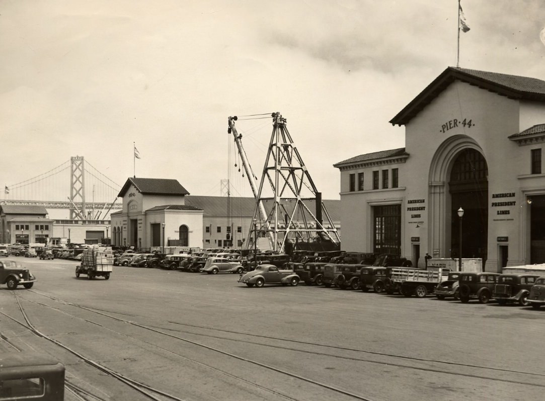
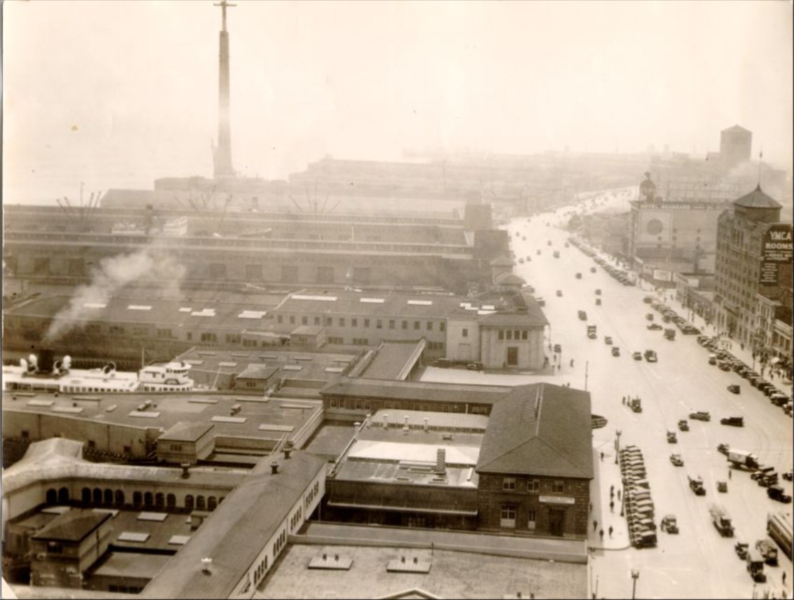
The Ferry Building’s clock tower remained one of the most recognizable landmarks on the waterfront. Before the Bay Bridge opened in 1936, the ferry lines were the primary link between San Francisco and Oakland. Dozens of boats crossed the bay each day, carrying commuters, workers, and goods. Aerial photographs from 1930 show the ferry slips packed with boats, and the scene remained busy well into the late 1930s even as bridge traffic began to draw riders away.
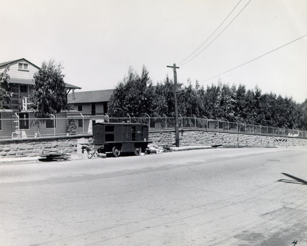
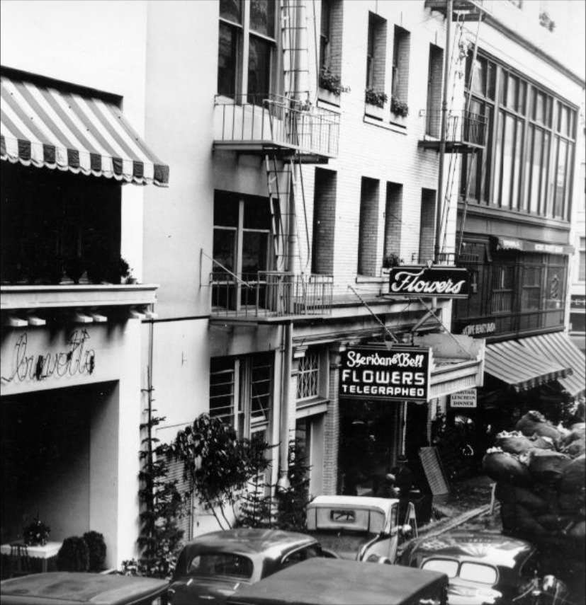
Public works and street maintenance generated their own moments in the photographic record. In 1935, a crowd on Kearny Street near Market gathered to watch workers repair a broken trolley cable — a fairly common disruption in a city that depended on cable cars and streetcars for daily transit. In 1939, workers along Maiden Lane were photographed during a cleanup effort. Small civic events like these reveal how closely residents paid attention to the functioning of their city’s infrastructure.
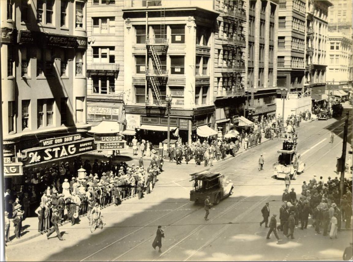
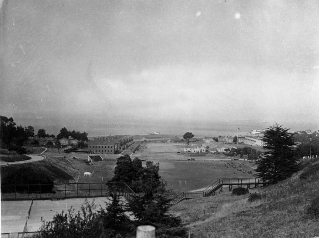
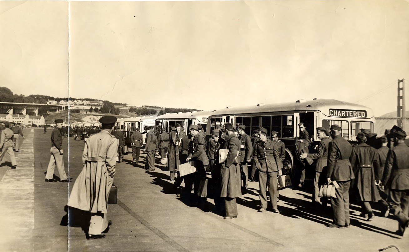
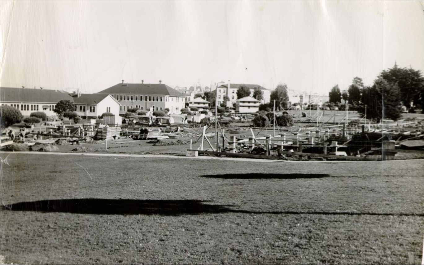
The Presidio occupied a large stretch of land at the northern tip of the San Francisco Peninsula. As a U.S. Army installation, it remained active throughout the 1930s, and by 1939 troops were arriving by bus as international tensions in Europe and Asia began to accelerate military preparations. Construction at the Presidio in 1939 reflected the federal government’s increased focus on national defense. Photographs from Fort Mason and the Presidio’s bluffs show a site that combined military utility with sweeping views of the bay.
North Beach was the center of the city’s Italian community. Italian restaurants lined the streets, serving pasta, seafood, and wine to locals and visitors who found the neighborhood’s narrow blocks and sidewalk culture reminiscent of southern Europe. Jazz clubs in the area drew crowds on weekends, and the neighborhood’s social energy made it a gathering point for writers and artists. John Steinbeck and Dashiell Hammett both drew material from San Francisco’s diverse neighborhoods during this period.
Columbus Avenue in North Beach connected the waterfront to the heart of the Italian quarter, passing through blocks of restaurants, cafes, and shops. Grant Avenue ran nearby and extended down into Chinatown, making the two streets the main axes of one of the city’s most densely layered neighborhoods. Photographs of Columbus Avenue at Grant in 1939 show storefronts and pedestrians operating in what was clearly a thriving local economy, even during the Depression.
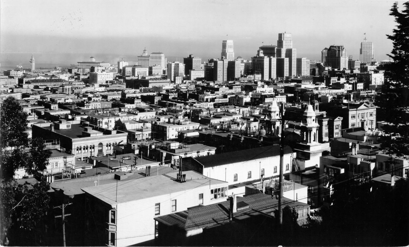
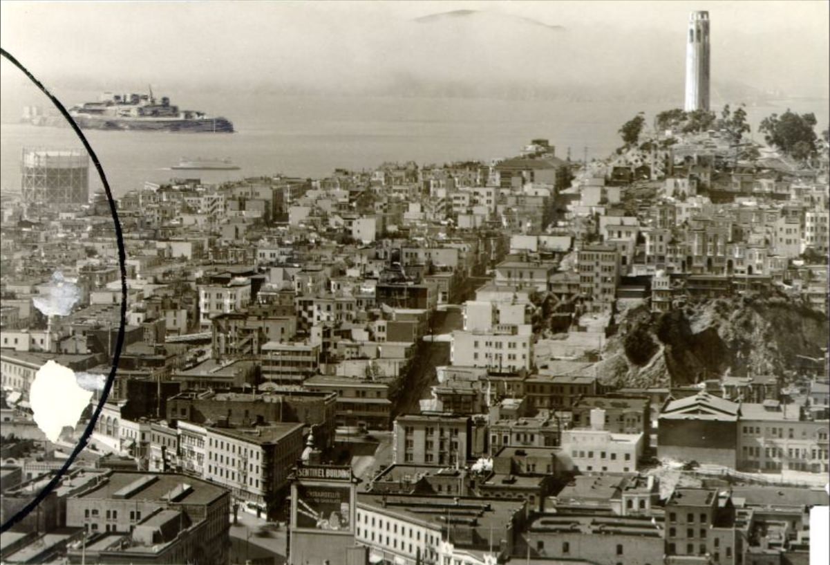
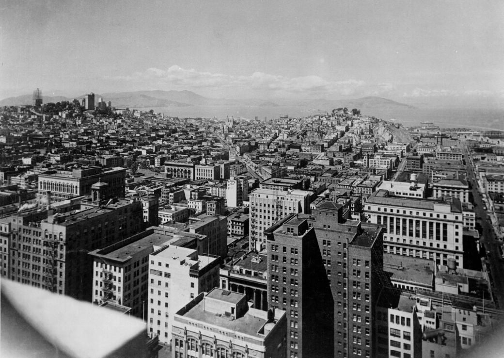
The downtown skyline photographed from multiple vantage points throughout the decade shows a city that was densely built and still growing. Views from Telegraph Hill, the Empire Hotel, and the Mark Hopkins showed how the financial district’s tower buildings stood against the bay and the hills. Telegraph Hill itself, topped by Coit Tower after its completion in 1933, became a new reference point in these photographs. The tower was funded by Lillie Hitchcock Coit and built with New Deal money through the Public Works of Art Project, its interior walls covered with murals painted by local artists depicting California life.
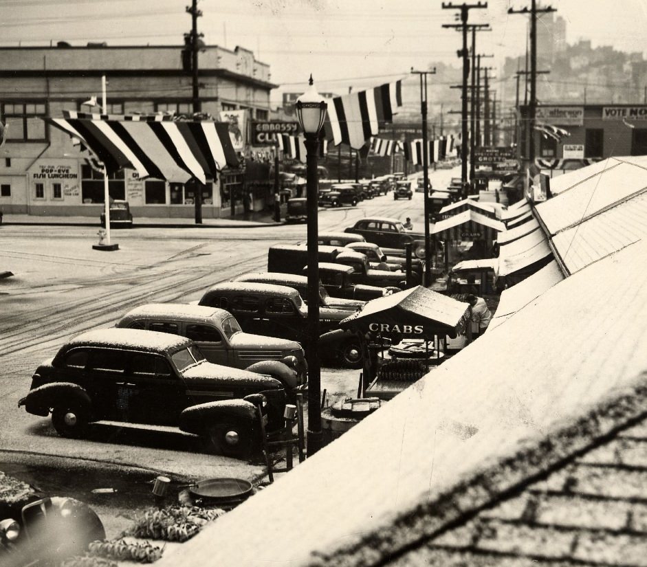
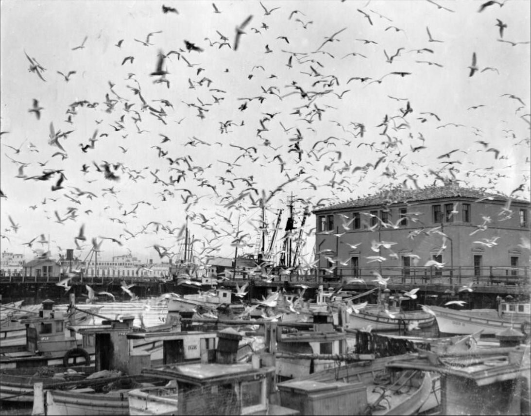
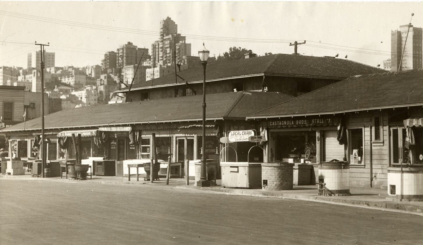
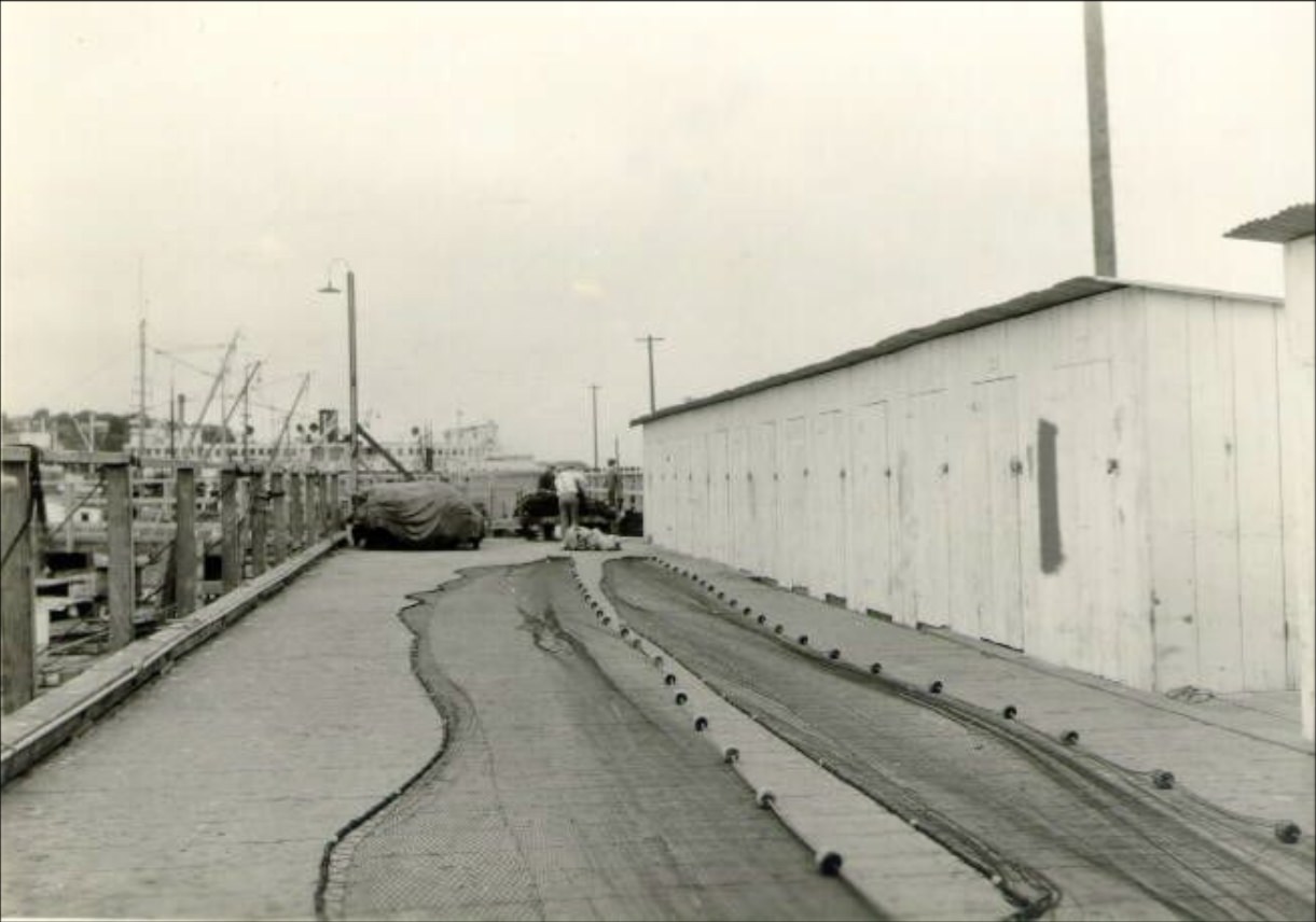
Fisherman’s Wharf in the 1930s was a working commercial fishing hub, not yet the tourist destination it would later become. Crab pots stacked along the docks in 1934, flocks of seagulls wheeling overhead, and boats tied up along the pier formed the daily backdrop for the Italian fishermen who dominated the trade. A remarkable photograph from 1939 shows Fisherman’s Wharf after a rare snowfall — an almost surreal image given San Francisco’s mild climate.
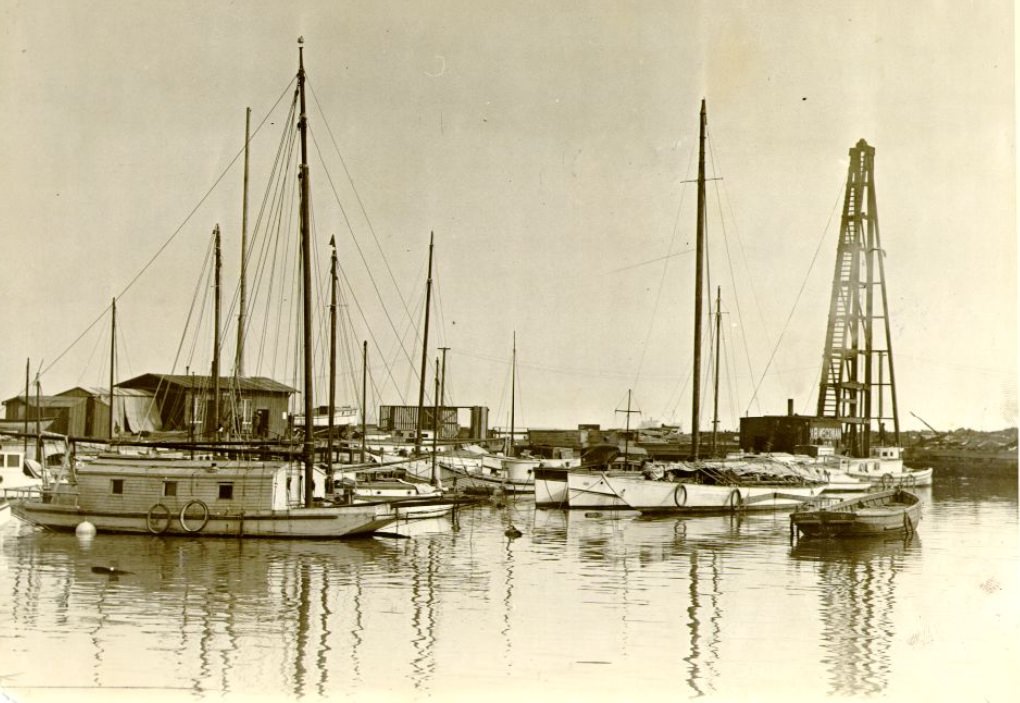
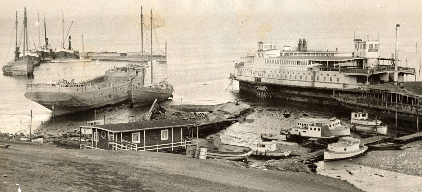
Across the bay’s surface, old ship hulks had been abandoned near Hunters Point by 1932. These rotting vessels, left over from earlier eras of maritime commerce, sat alongside the working waterfront as relics of a different time. Hunters Point itself was a shipyard area on the southeastern edge of the city, and its industrial character stood in contrast to the gleaming new piers and bridge construction visible elsewhere along the shoreline.
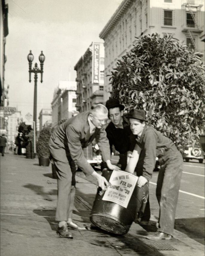
By the late 1930s, San Francisco was preparing for the 1939 Golden Gate International Exposition on Treasure Island, a man-made island created in the bay for the event. In 1938, three men were photographed carrying a tree planter with a sign reading “Join With Us Fix Up Shine For ’39’,” a direct reference to the citywide beautification effort ahead of the exposition. The fair drew millions of visitors and showcased San Francisco’s recovery from the Depression years.
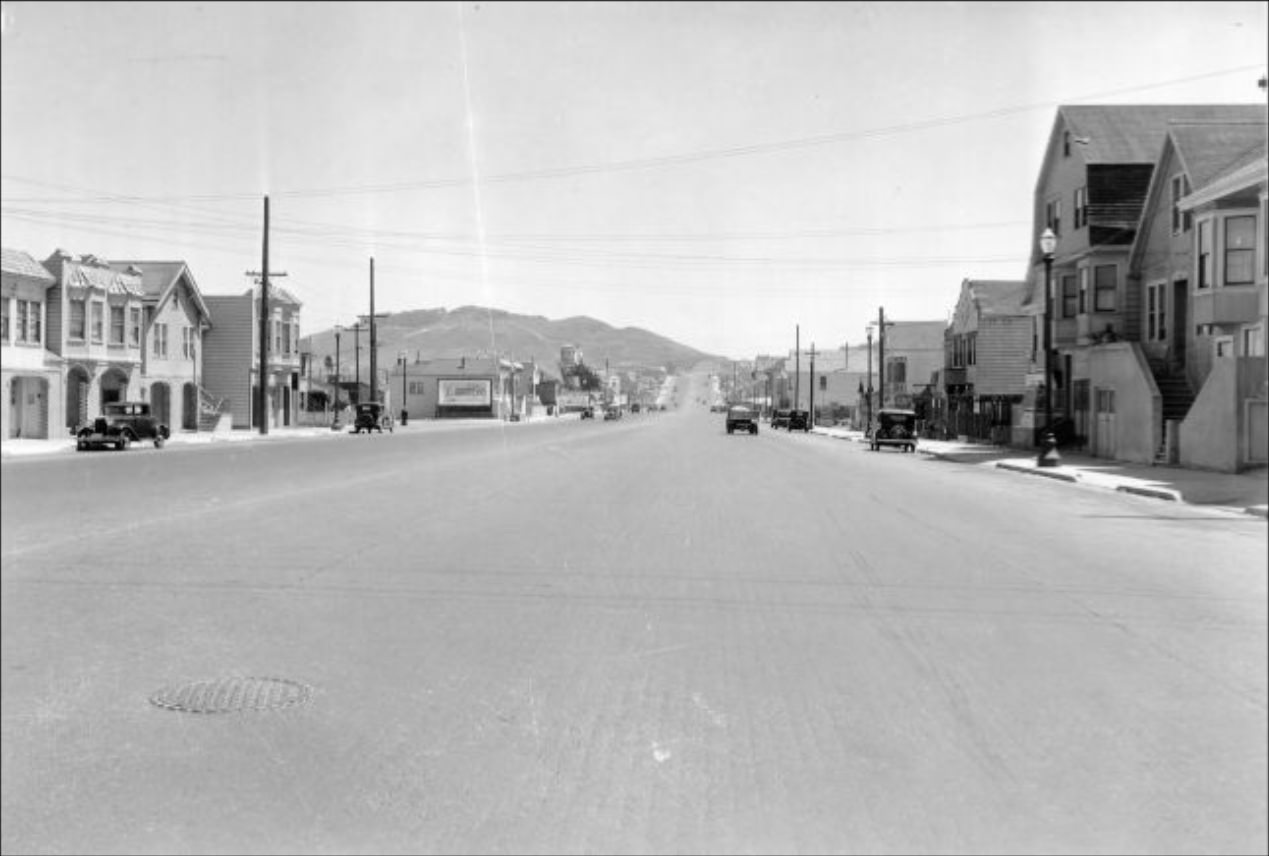
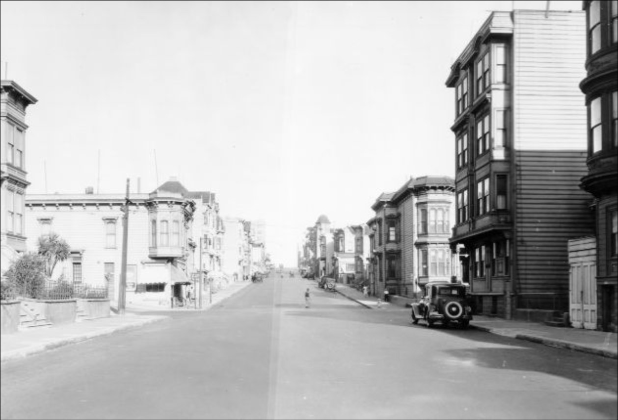
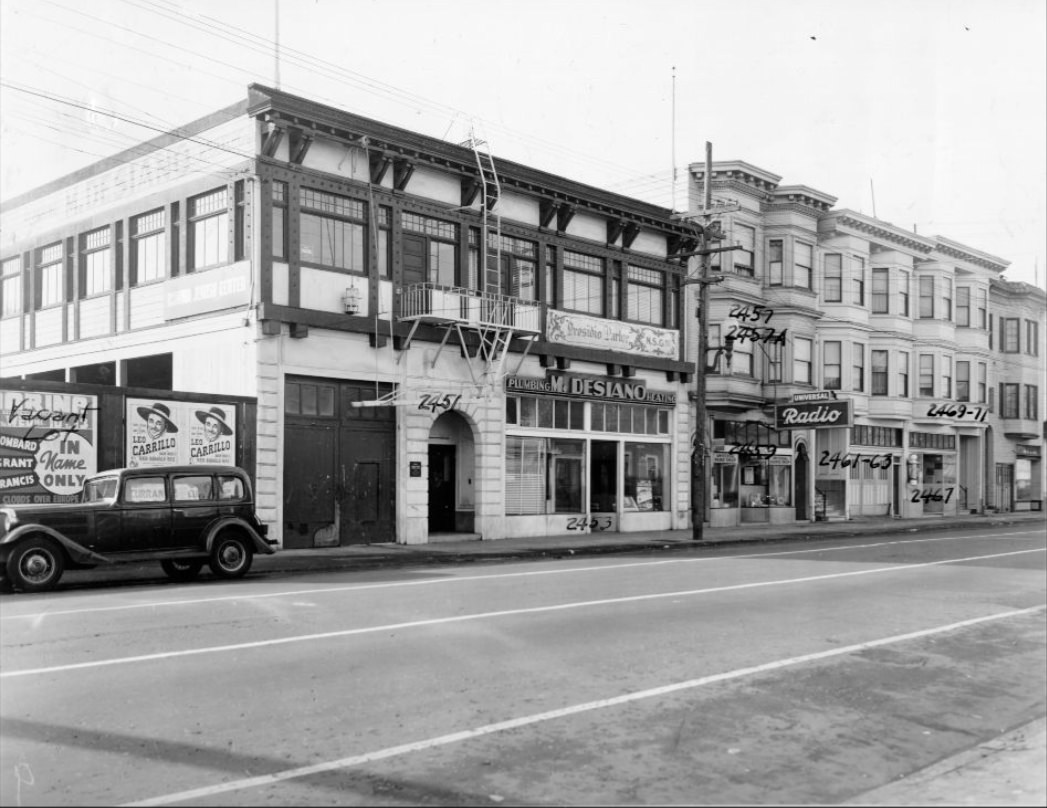
Lombard Street’s many blocks were photographed in systematic detail in 1939, from the 1600 block near the waterfront all the way to the 2400 block farther inland. These records document the residential character of the street — two- and three-story buildings, parked cars, sidewalks, and street trees that give a clear picture of how middle-class San Franciscans lived outside the commercial corridors of Market Street and downtown.
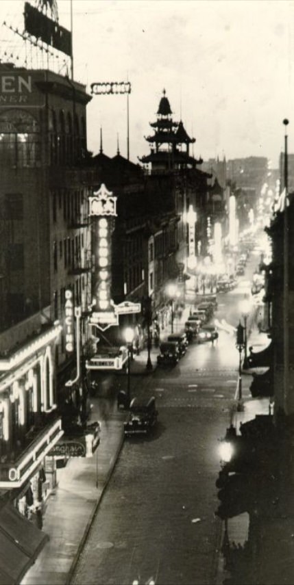
Chinatown’s Grant Avenue was recognized even at the time as the oldest street in San Francisco. Photographs from 1933 and 1935 show the avenue lined with businesses, lanterns, and signs in both English and Chinese. The neighborhood had been rebuilt after the 1906 earthquake and fire and by the 1930s was a fully functioning urban enclave with its own schools, newspapers, and community organizations. Despite the Depression, the economic life of Chinatown remained active because its residents largely relied on internal networks for commerce and mutual support.
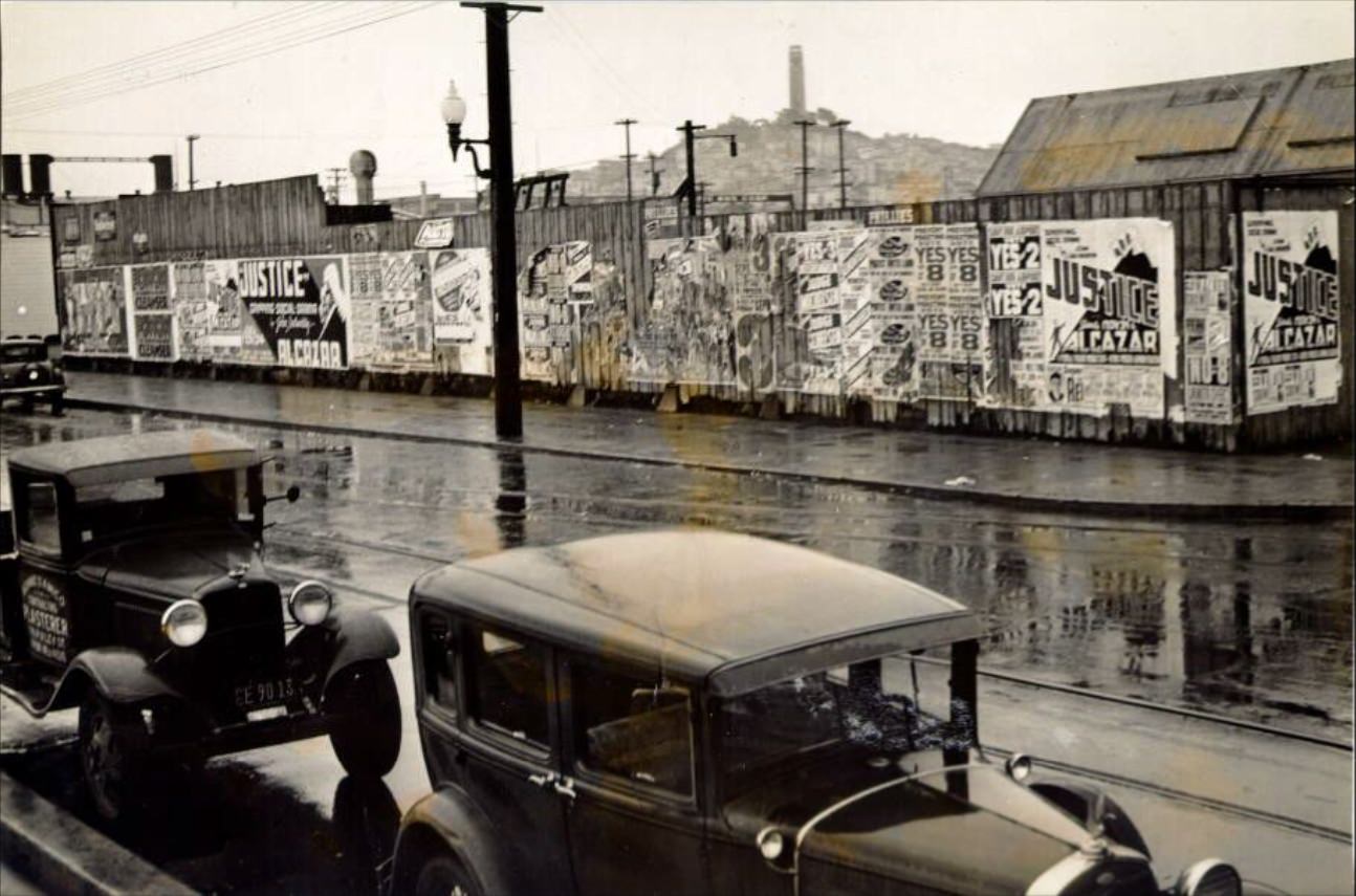
Labor activism was a defining feature of San Francisco in the 1930s. The 1934 waterfront strike shut down the port for months and led to a general strike that paralyzed the city for four days. Photographs of labor rallies down Market Street and demonstrations against the shipment of scrap iron believed to be destined for Japan show a politically active workforce that was willing to take direct action. The Embarcadero, deserted during a truck drivers’ strike in 1937, presented a striking image of how labor action could stop one of the city’s most important economic arteries.
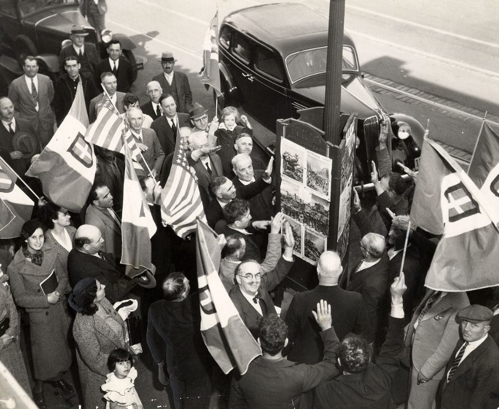
Crowd gatherings at City Hall captured the political mood of the decade. Constitution Day in 1935 brought hundreds of people to the Civic Center plaza. Earlier in the decade, the Mooney hearing at the Main Library drew a similarly large public turnout. These gatherings were not passive — they reflected a population that felt directly affected by the decisions being made inside those buildings. San Franciscans in the 1930s showed up in large numbers when something important was at stake.
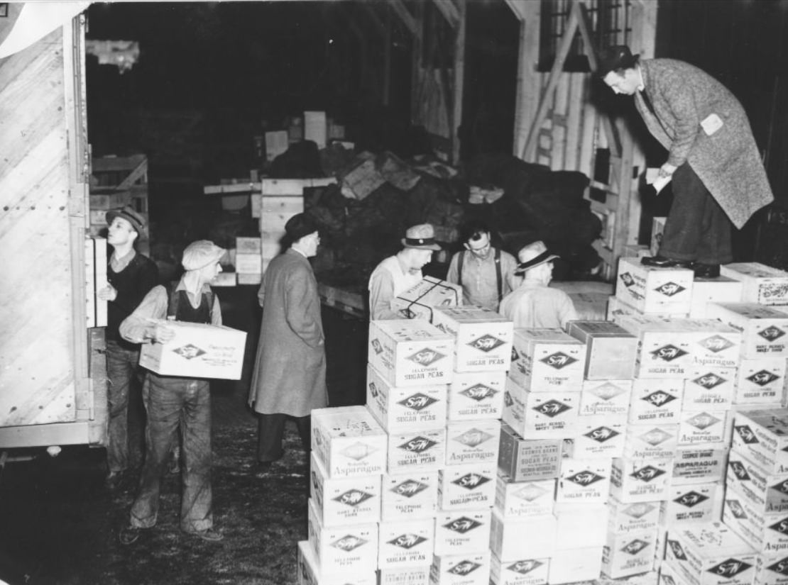
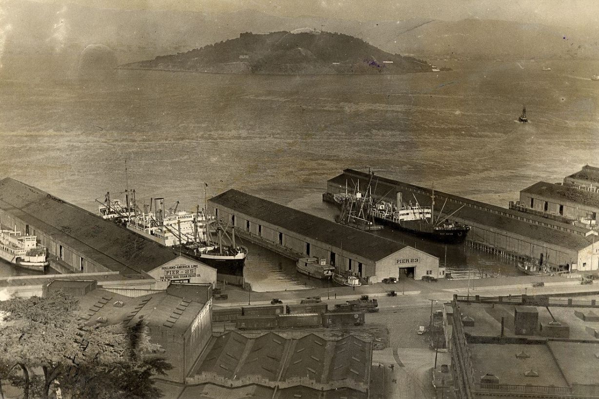
The bay’s piers were among the most photographed locations in 1930s San Francisco. Views from multiple angles — from the Bay Bridge, from ferry boats, from Telegraph Hill — document the piers’ role as the city’s industrial and commercial front door. Freight cars lined up outside piers 29 and 31 in 1934. Workers moved cargo by hand and by machine along the Embarcadero. The State Belt Railroad of California ran along the waterfront to connect the piers directly to the rail network, making the Embarcadero a critical link in the regional supply chain.
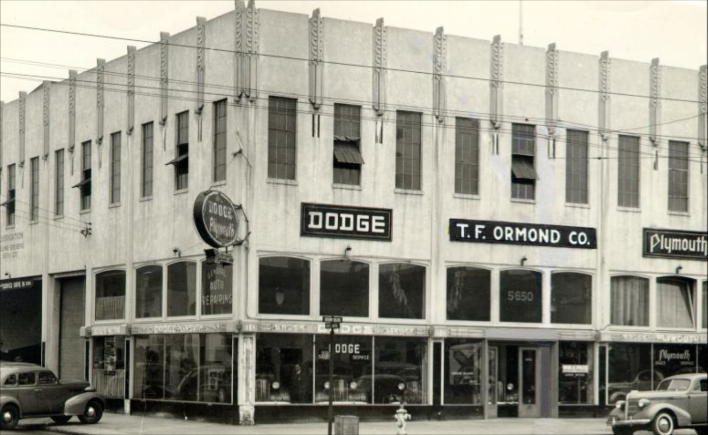
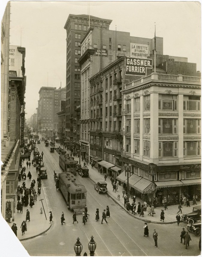
Geary Street near Union Square was a retail hub. Businesses like the T. F. Ormond Co. operated on corner lots, and the street stayed busy with shoppers moving between Union Square and the surrounding blocks. Department stores within walking distance offered everything from clothing to housewares. This area of the city served the middle and upper-middle class, drawing customers from across San Francisco who wanted more than what neighborhood markets could offer.
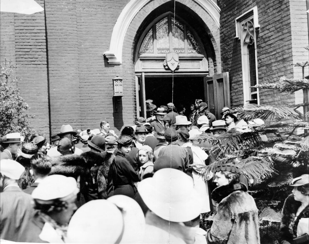
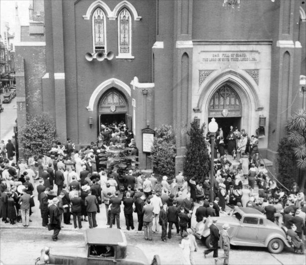
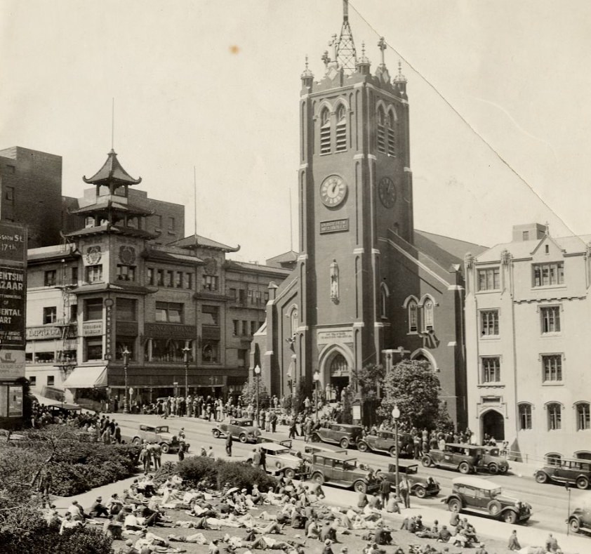
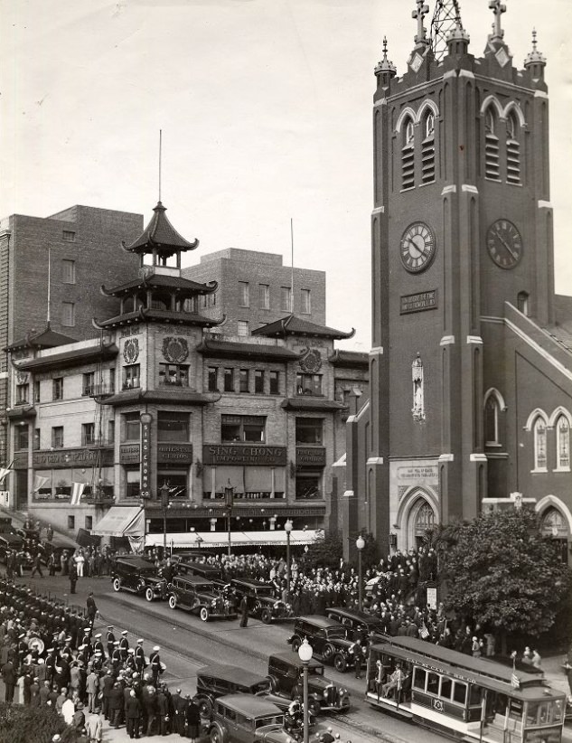
Old St. Mary’s Church in Chinatown appeared in photographs in 1933, 1934, 1935, and 1936, including one image documenting a funeral in 1935. Built in 1854, the church was the oldest Catholic cathedral in California and stood at the corner of Grant Avenue and California Street as a permanent fixture in a neighborhood that had been rebuilt around it. Its brick walls and Gothic detail made it a visual anchor on the edge of Chinatown.
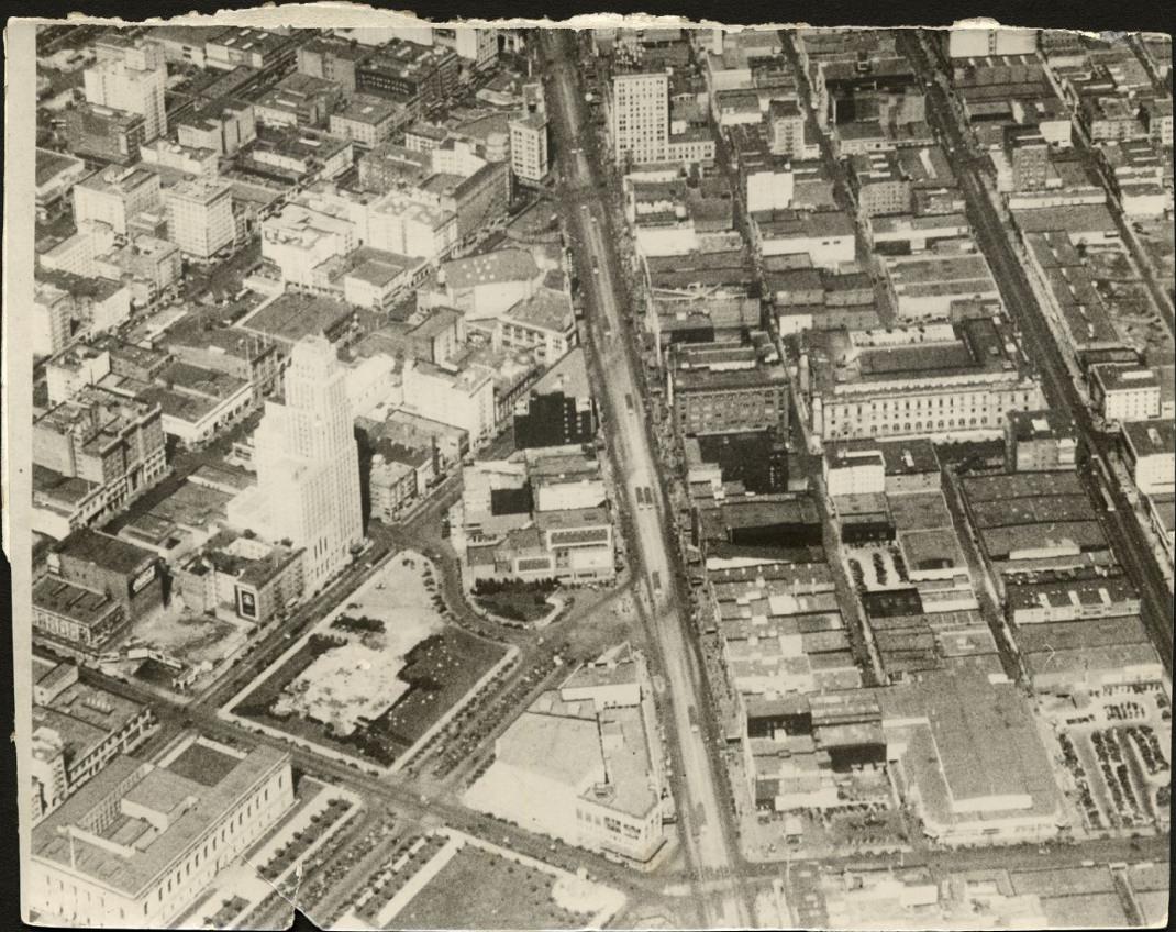
Market Street, viewed from the Ferry Building looking west, was one of the city’s most powerful visual corridors. Streetcar tracks ran down its center, flanked by buildings on both sides that grew denser and taller as the street approached downtown. Cars and pedestrians shared the wide boulevard, and the street’s diagonal cut through the city’s grid gave it a unique energy. Photographs taken facing east from Mason Street or west from the Ferry Building capture how much activity moved through this single artery every day.
By 1939, Treasure Island was visible in skyline photographs, sitting in the bay between San Francisco and Oakland. The island had been constructed from bay mud and rock dredged for the Bay Bridge project, covering an area of 400 acres. It hosted the Golden Gate International Exposition from February to October 1939, an event that drew over 17 million visitors across two seasons. The exposition celebrated the completion of both the Bay Bridge and the Golden Gate Bridge and positioned San Francisco as a Pacific gateway city with eyes on Asia and the future.
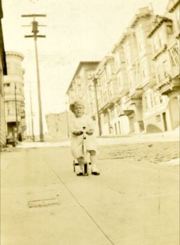
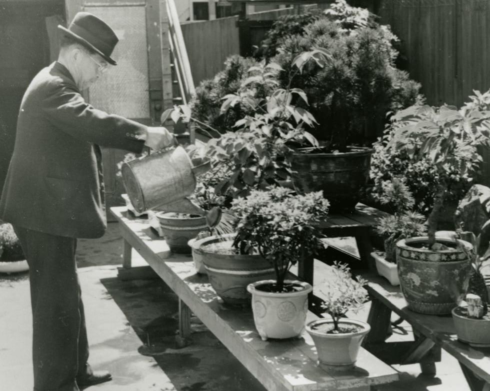
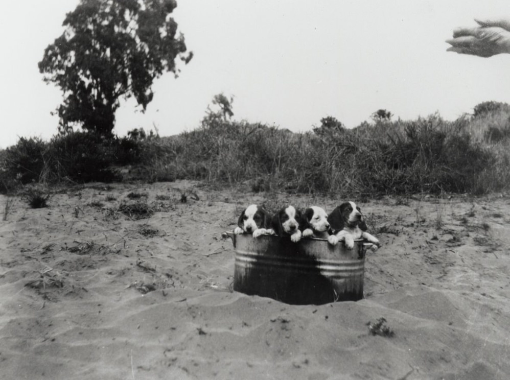
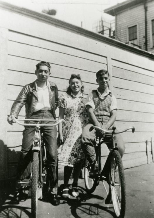
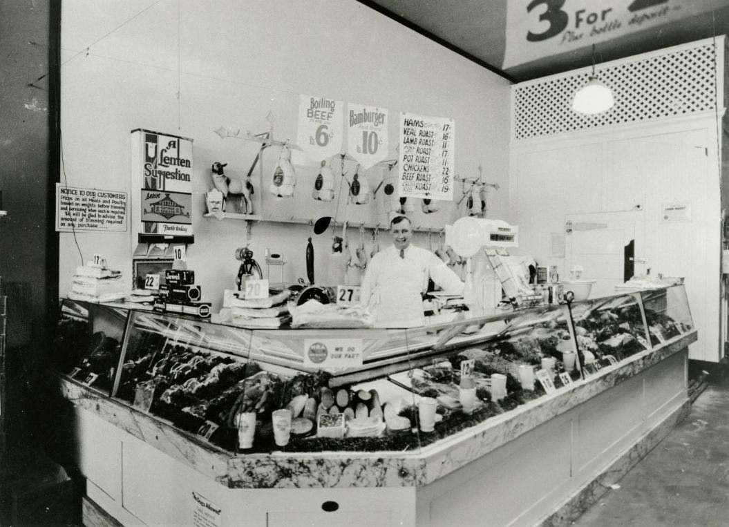
Everyday private life also found its way into the photographic record. A child photographed on the 500 block of Clay Street in the 1930s. Two women walking in the Mission District in 1937. Children on bicycles on Scott Street in 1939. A man watering bonsai in a backyard on Laguna Street. Beagle puppies in a tub. A Union Market butcher standing behind his counter in 1930. These images belong to the same decade as the bridge construction and labor strikes, and they show that ordinary life — quiet, domestic, neighborhood-scaled — continued alongside the larger events that defined the era.