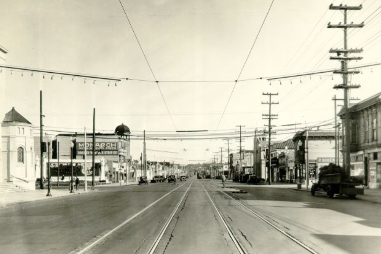
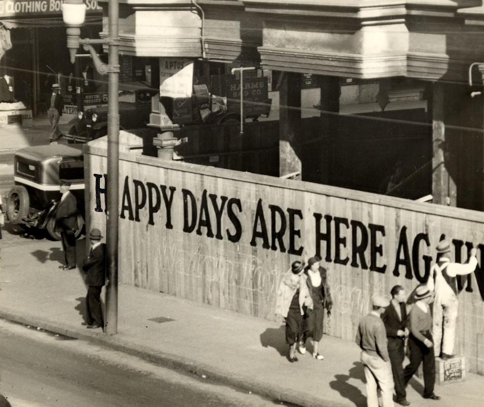
The 1930s were one of the hardest decades in American history. The Great Depression had gutted the economy, leaving millions out of work. San Francisco was not spared. Unemployment was widespread, food was tight for many families, and the future felt uncertain. But even against that backdrop, the city kept moving. Streets stayed busy, neighborhoods held together, and life — complicated as it was — carried on. These photographs capture San Francisco during those years with remarkable clarity. They show a city in motion: workers, streetcars, storefronts, piers, public buildings, and ordinary people going about their days. Together, they form a detailed picture of what urban life looked like during one of America’s most difficult eras.
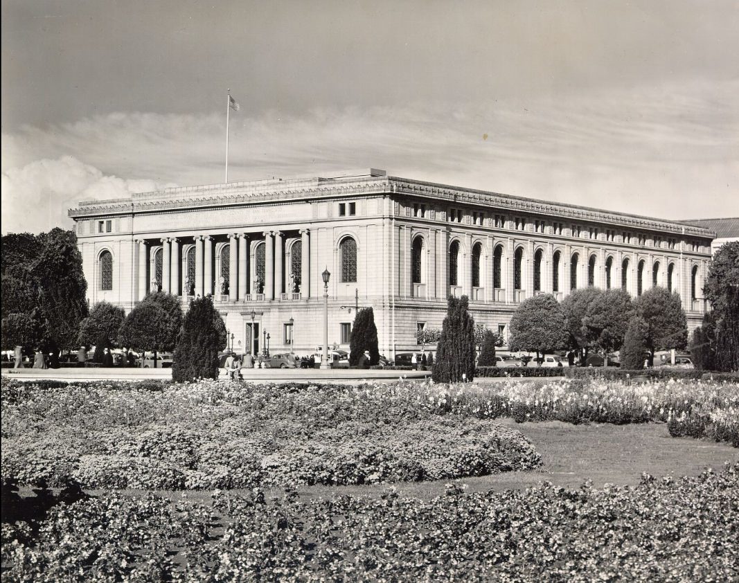
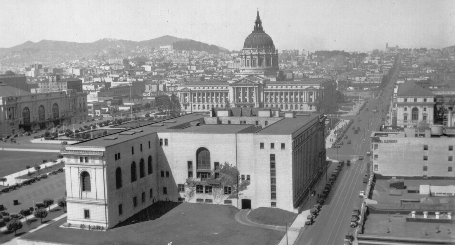
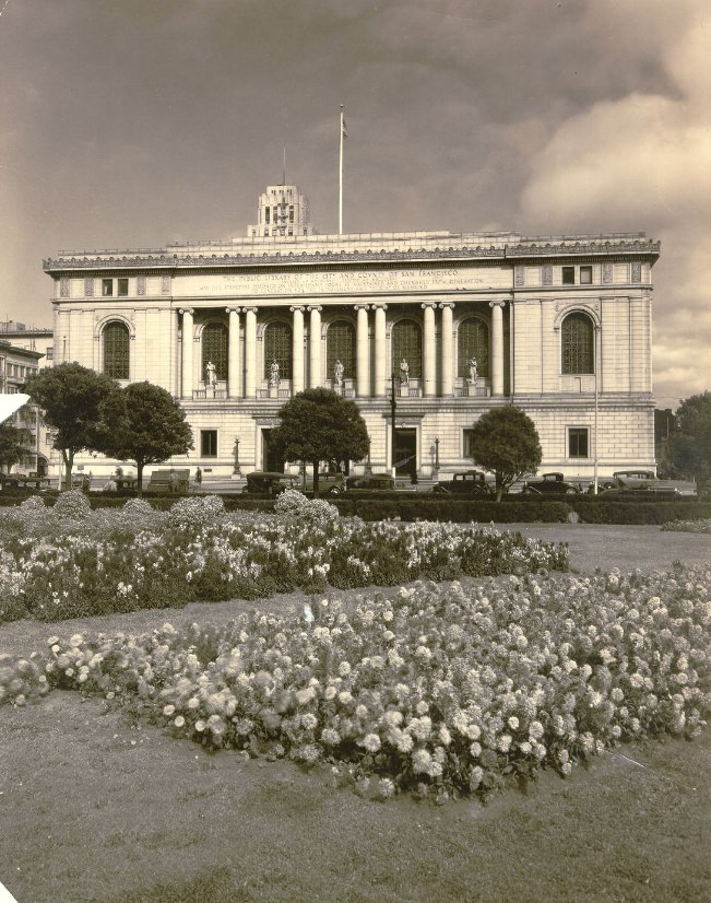
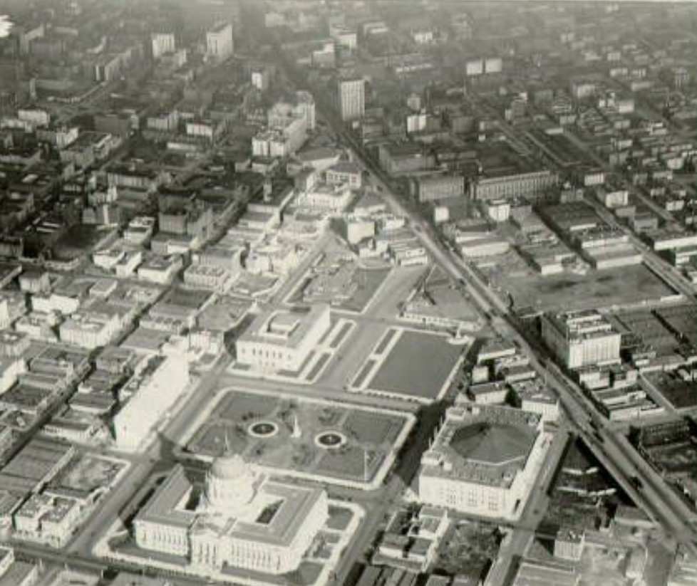
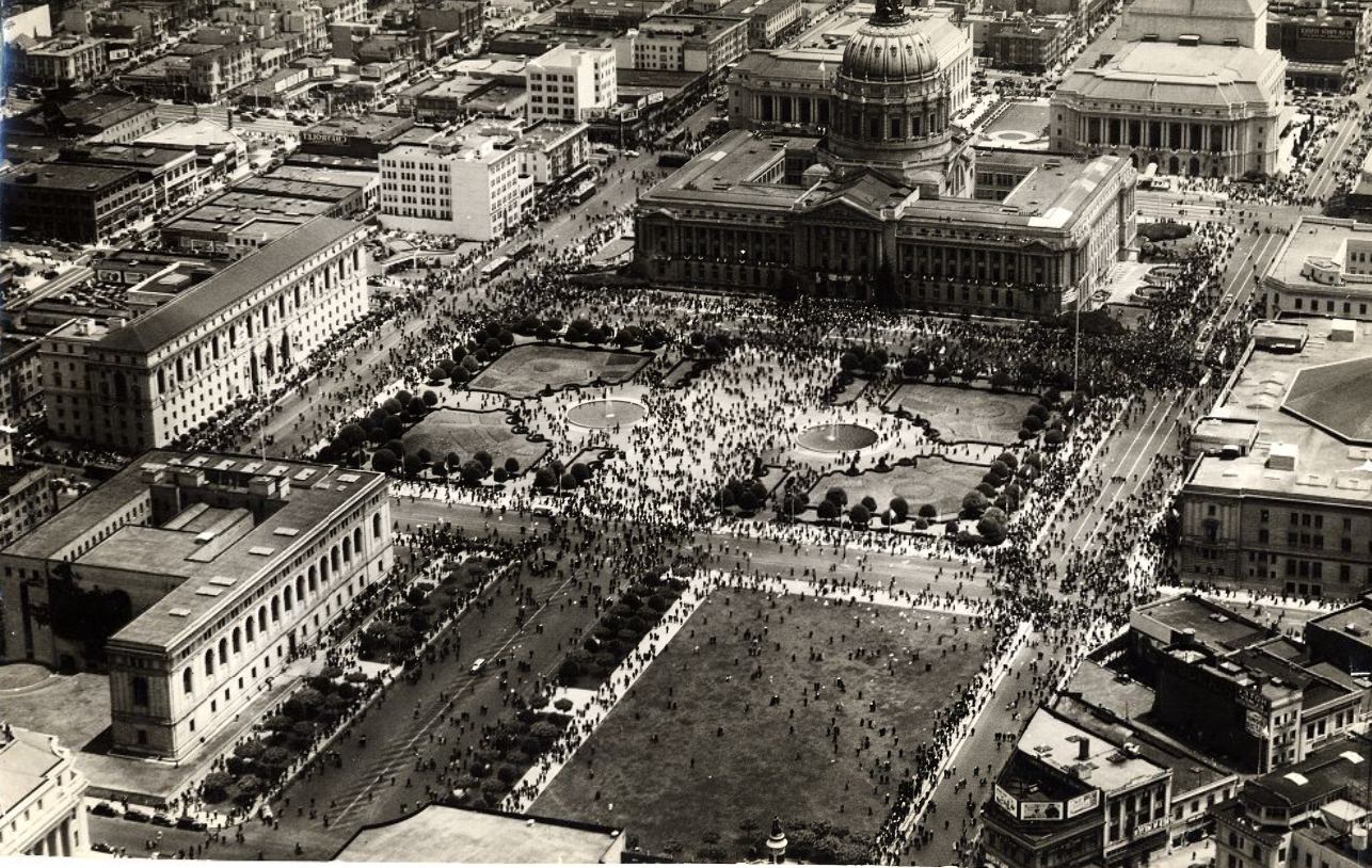
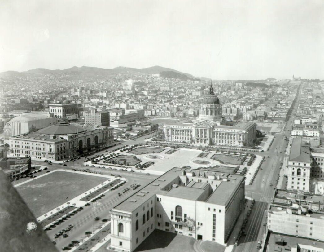
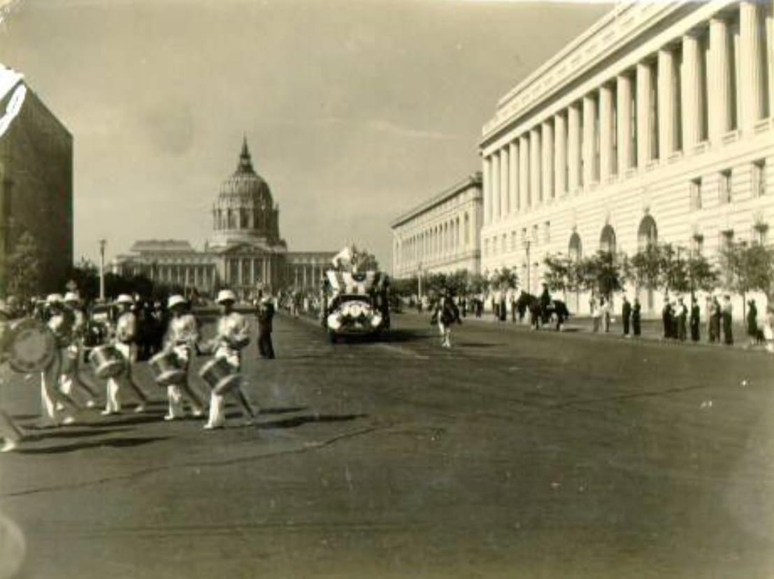
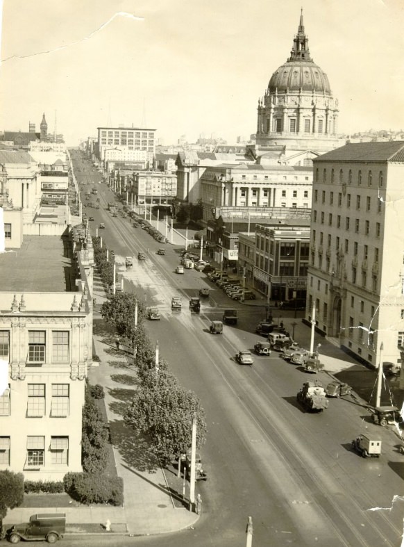
San Francisco’s civic institutions remained central to daily life throughout the decade. The Main Library and the surrounding Civic Center represented the city’s investment in public space — places that belonged to everyone, regardless of income. The Civic Center itself was a grand architectural complex, anchored by City Hall’s massive dome and flanked by government and cultural buildings.
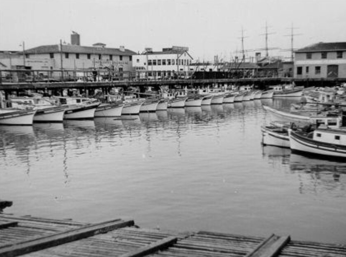
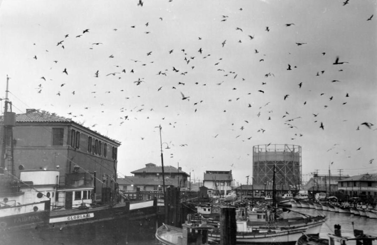
Down at the waterfront, Fisherman’s Wharf was one of the most active corners of the city. Italian immigrant fishermen had built the wharf into a working hub, and by the 1930s it was packed with boats, nets, and the smell of the sea. Crab stands and seafood restaurants lined the area. Cioppino — a rich fish stew rooted in the city’s Italian heritage — was a staple dish, and the catch of the day was never far from the table.
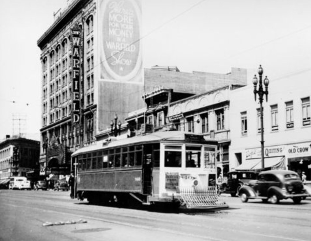
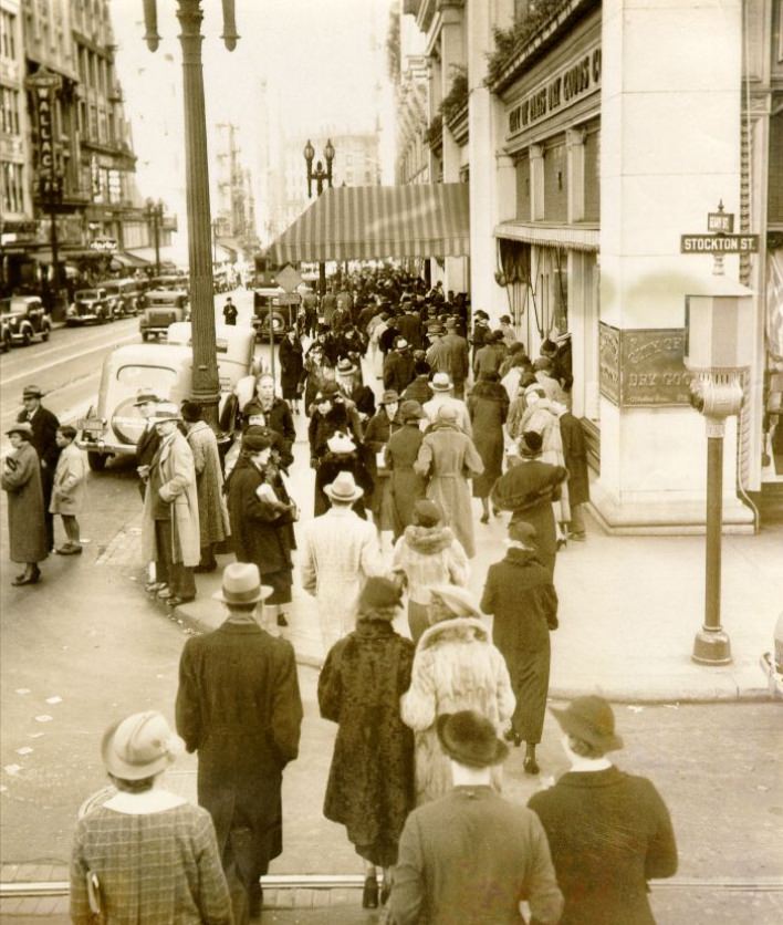
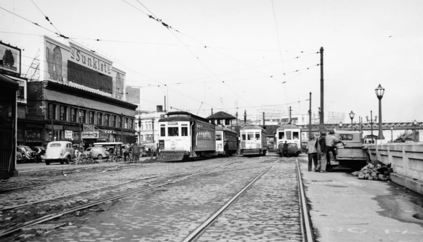
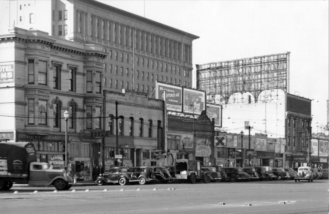
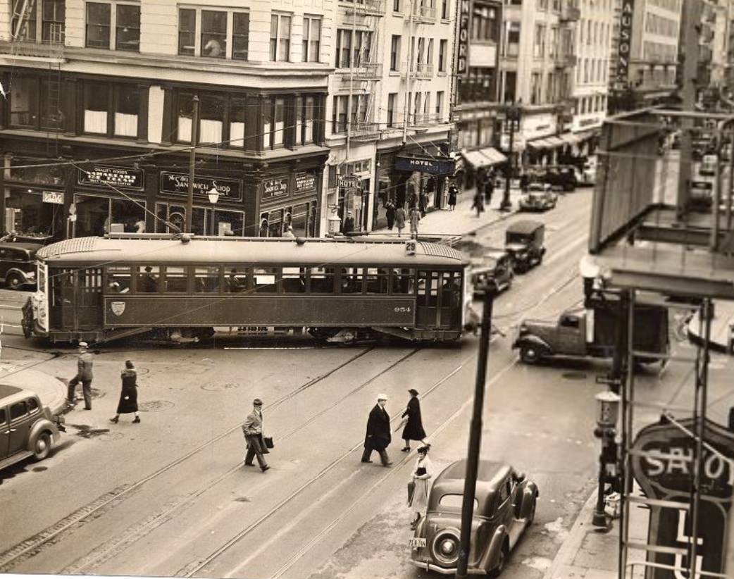
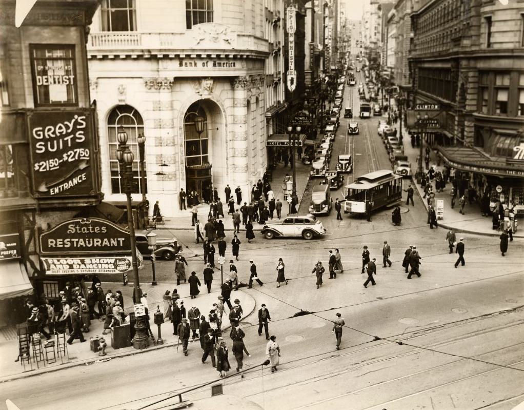
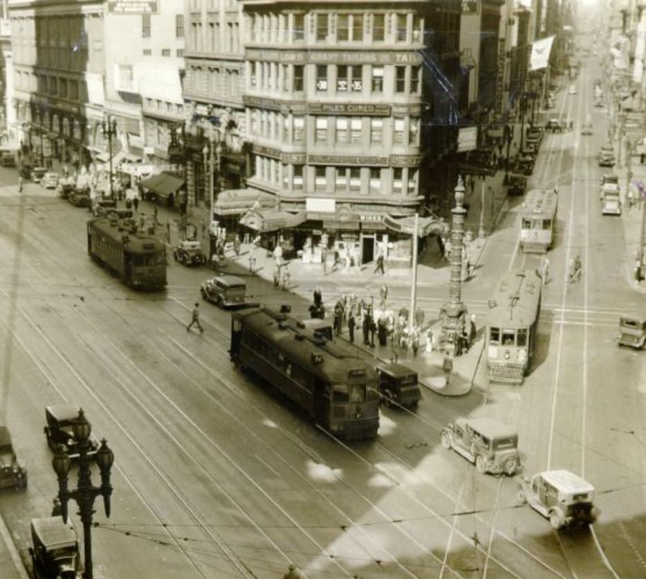
Market Street was the spine of San Francisco. Streetcars ran its length from the Ferry Building inland, carrying commuters, shoppers, and workers through the heart of the city. The sound of steel wheels on rails was constant. Men in suits and fedoras, women in fitted dresses and hats — San Franciscans dressed carefully even when money was scarce. Appearances mattered, and the streets reflected that.
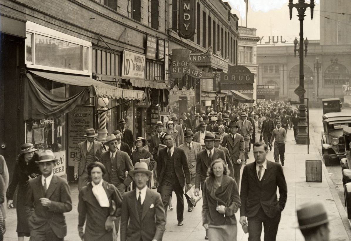
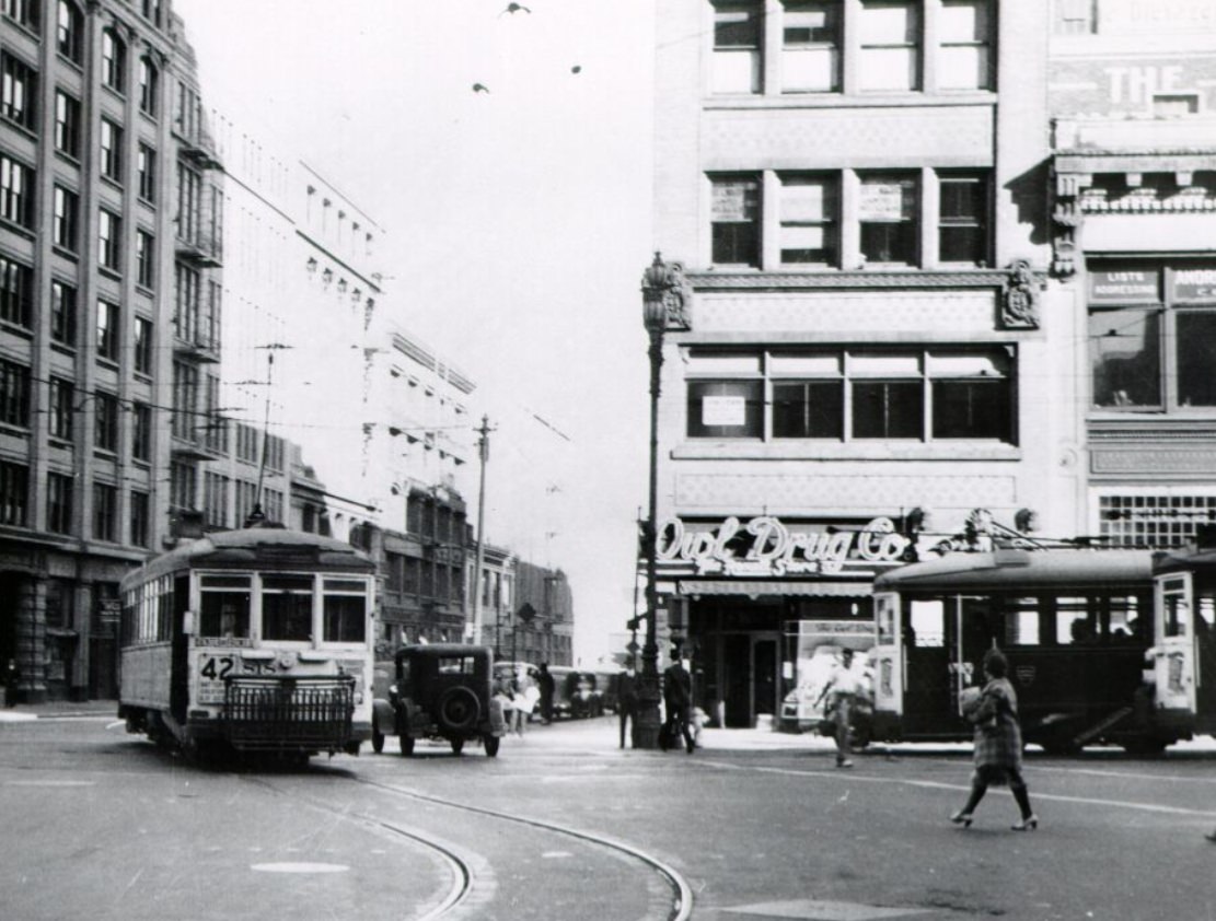
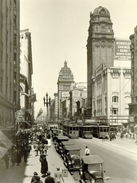
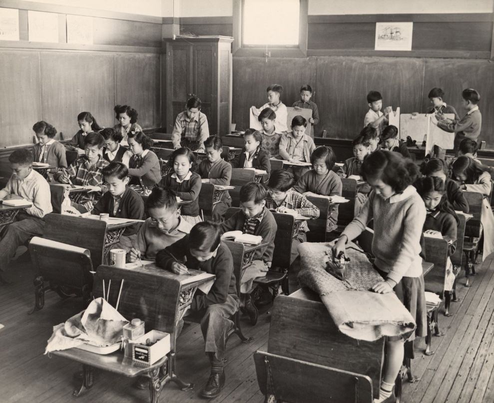
Schools stayed open through the Depression, and children continued their education as best they could. Arts and crafts programs were part of the school day, offering students a creative outlet even when resources were limited. Public works programs funded by the federal government — part of President Roosevelt’s New Deal — also put artists to work around the city. Coit Tower on Telegraph Hill, completed in 1933, was decorated with murals by federally employed artists depicting California life and labor.
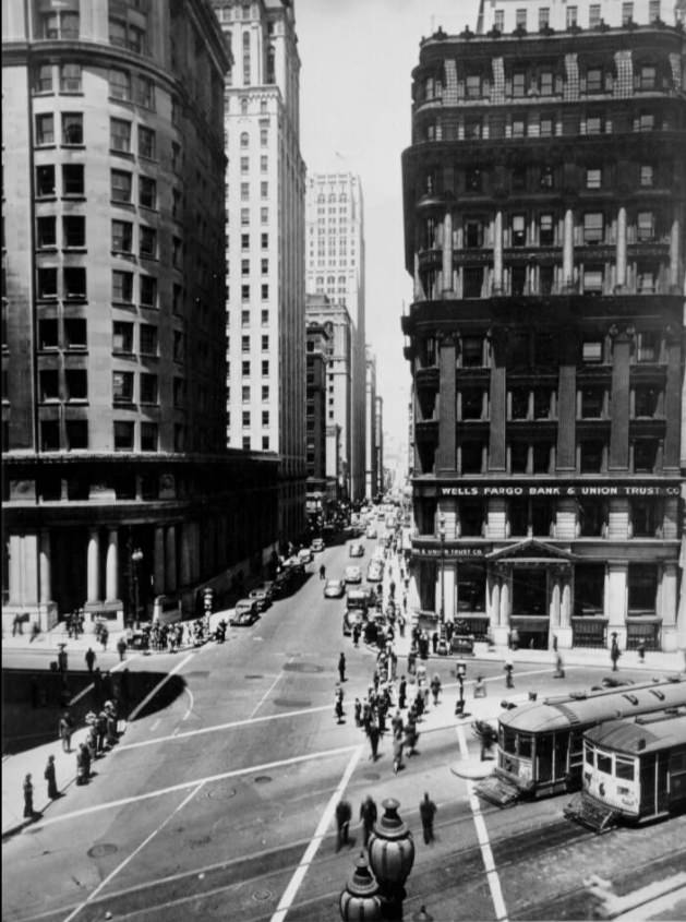
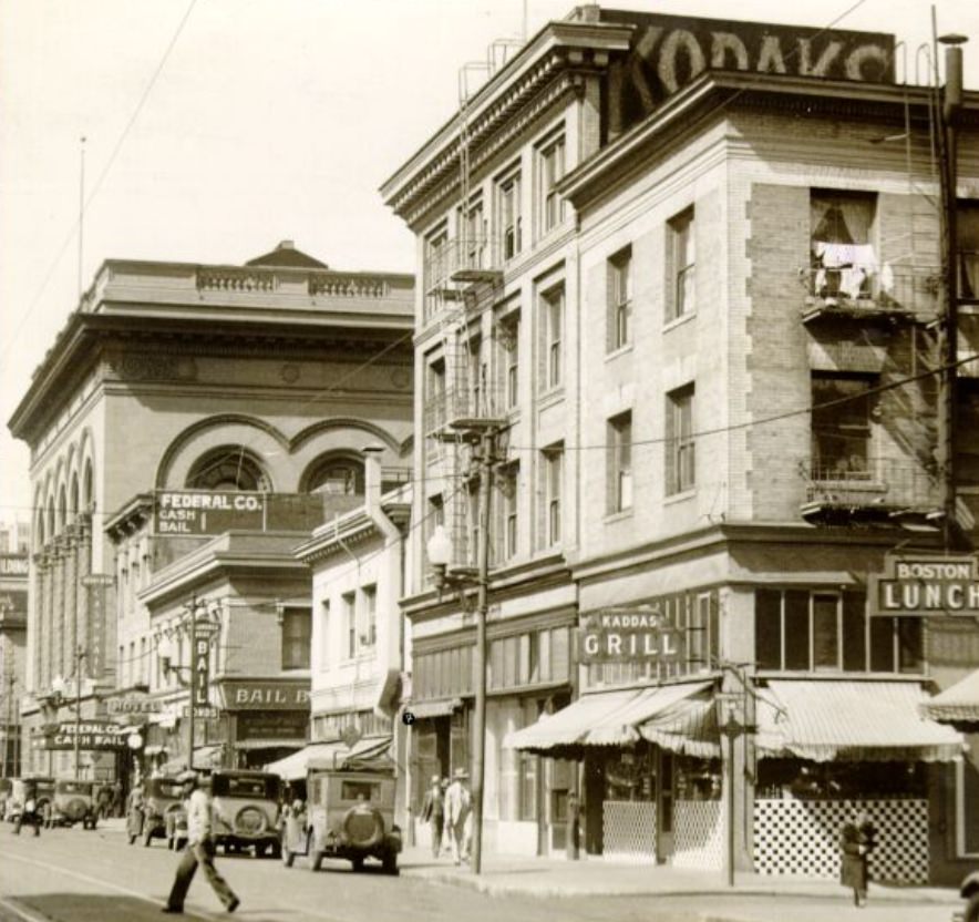
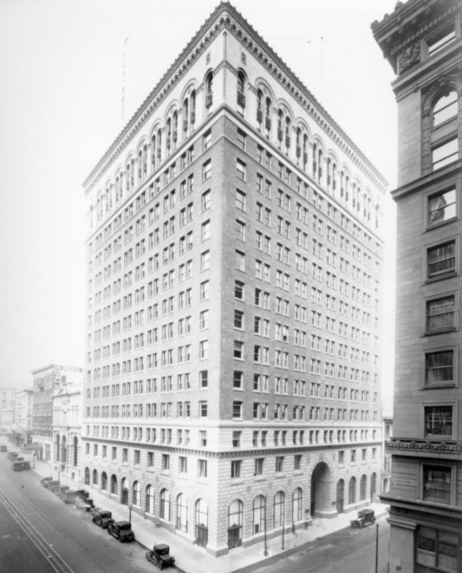
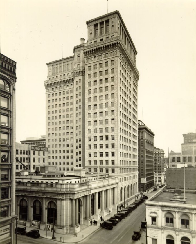
San Francisco’s financial district along Montgomery Street remained active even as the national economy struggled. Banks, law firms, and businesses occupied the lower floors of multi-story buildings, and foot traffic stayed steady. The city’s commercial core showed few outward signs of collapse, though behind the storefronts, the pressures were real.
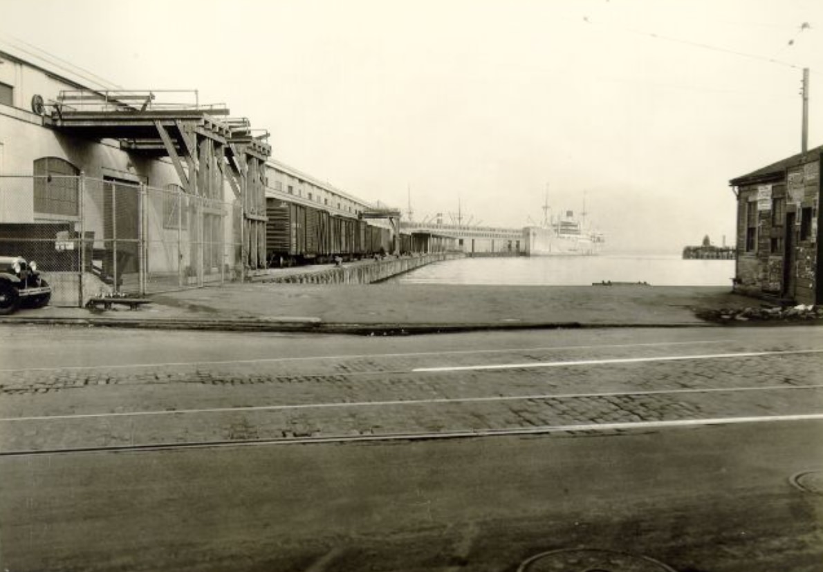
The Embarcadero — the waterfront boulevard running along the bay — was one of the busiest stretches of pavement in the city. Streetcars terminated there, ferries docked, and goods moved in and out constantly. Longshoremen loaded and unloaded cargo from freighters, and the piers hummed with commercial activity. In 1934, a major longshoremen’s strike shut down West Coast ports, including San Francisco’s, for 83 days. It was one of the most significant labor actions in American history, and the city felt every day of it.
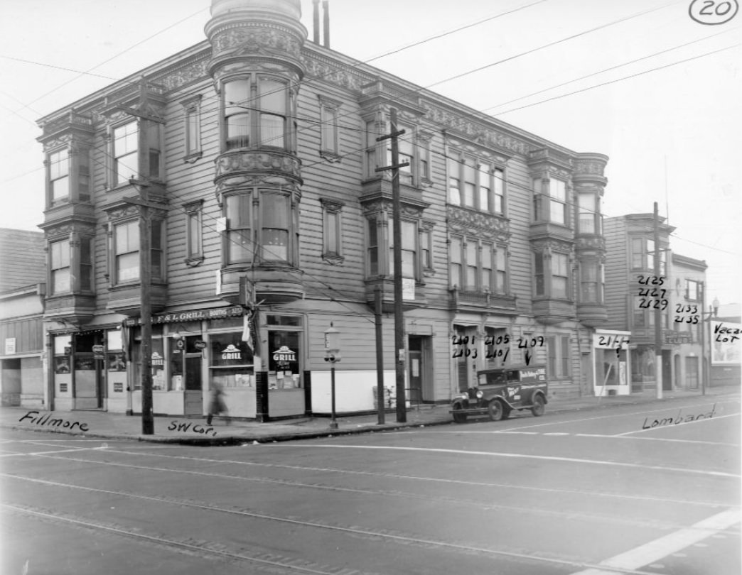
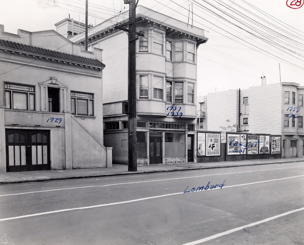
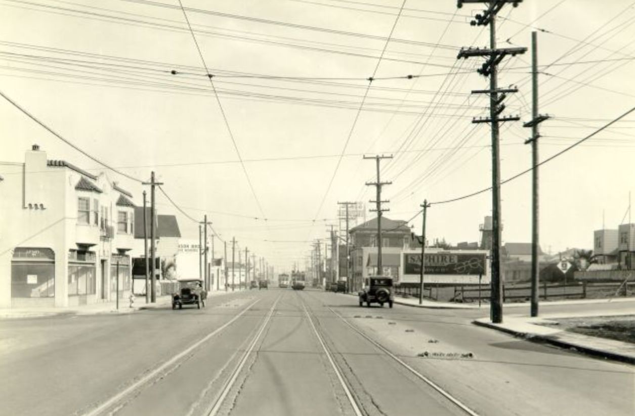
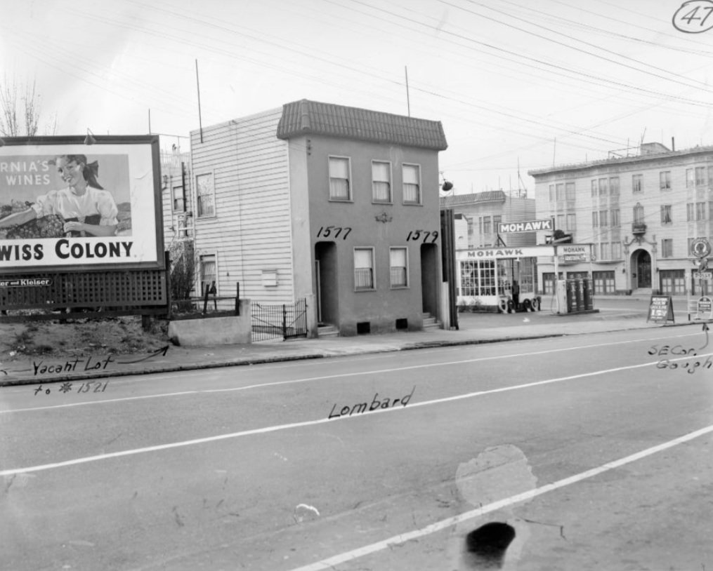
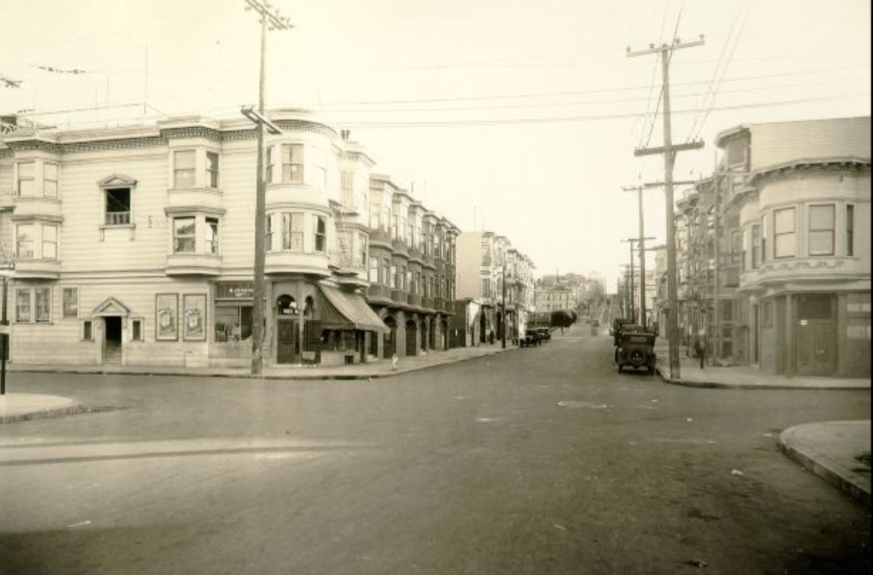
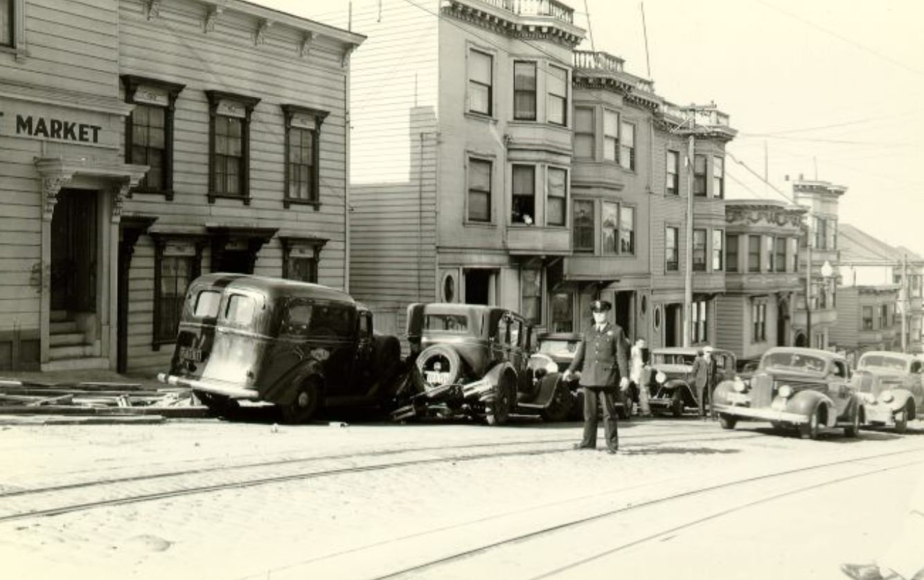
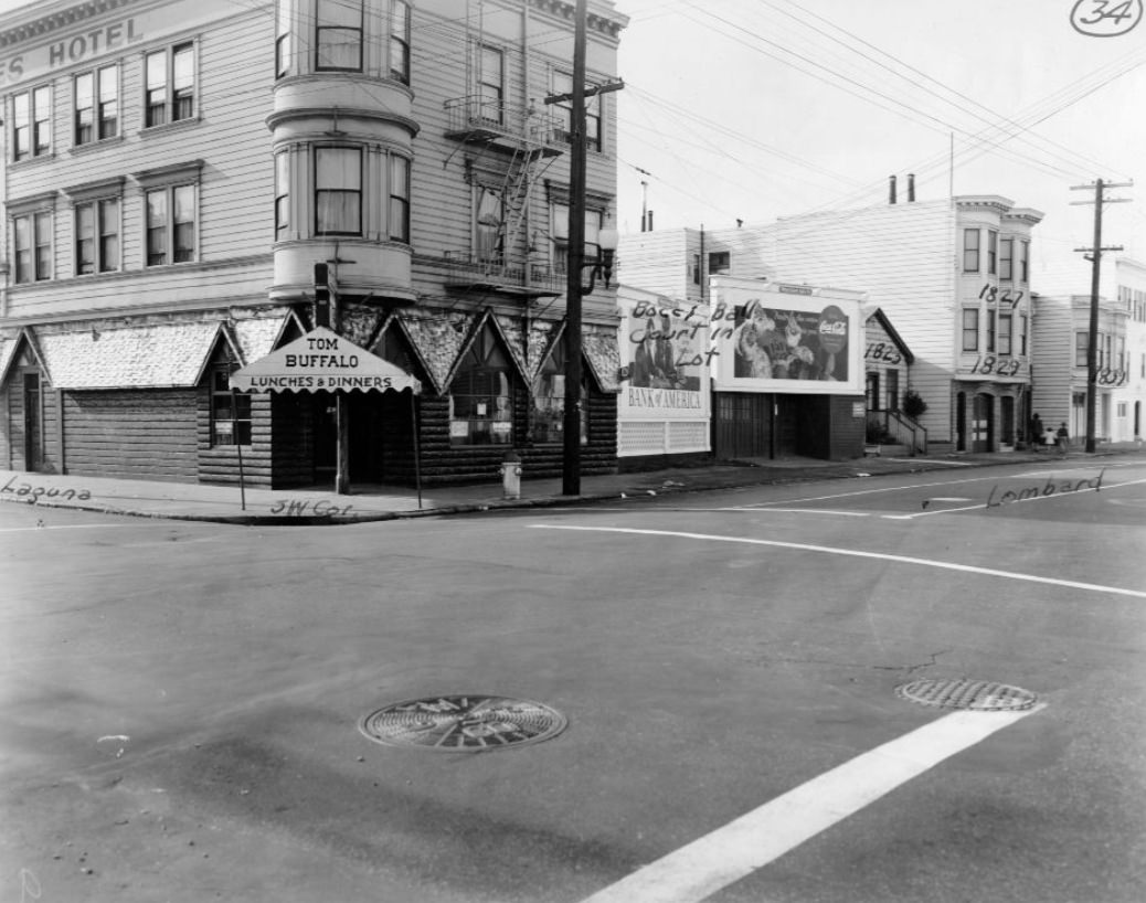
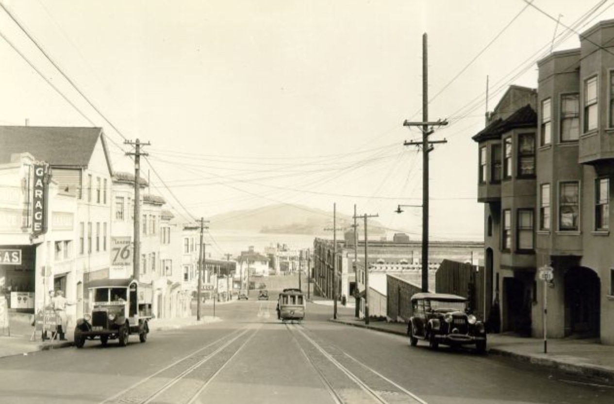
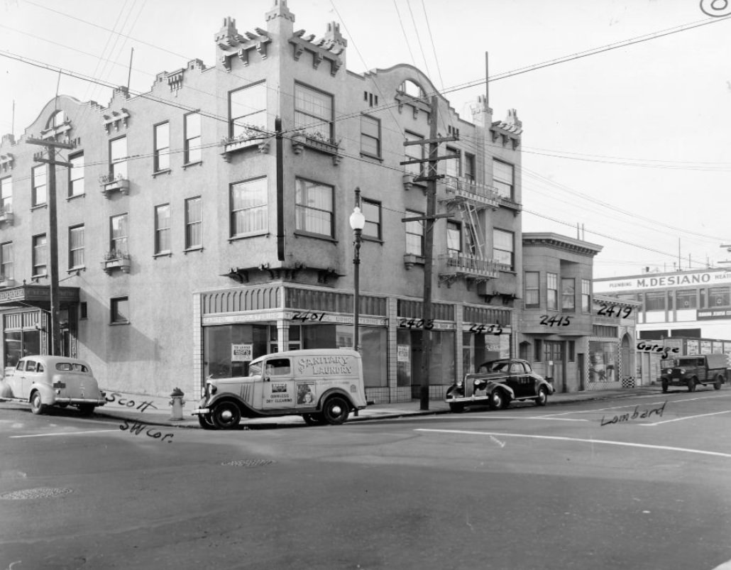
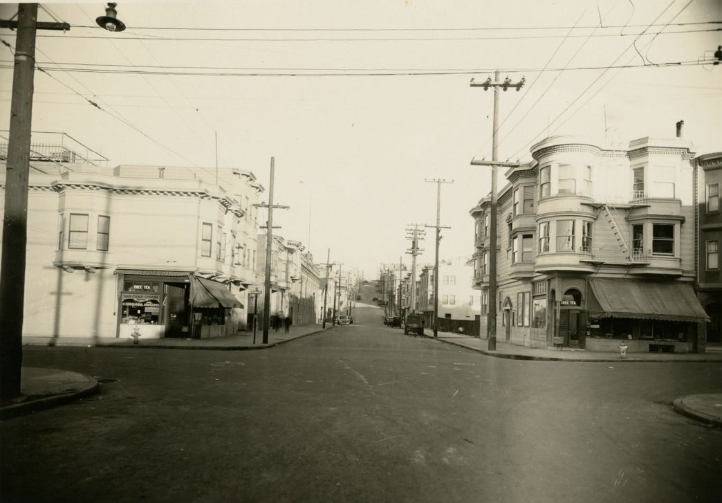
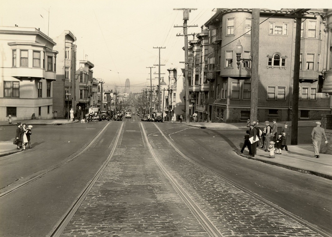
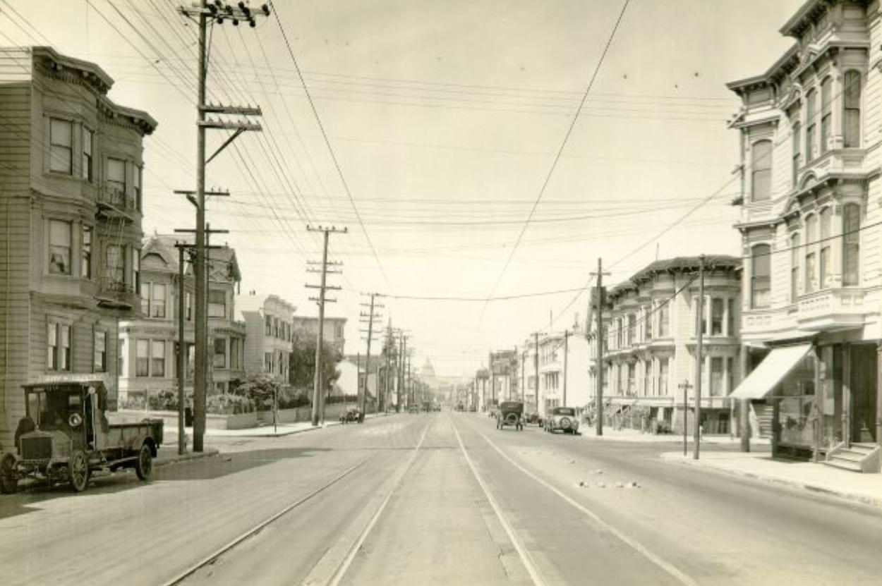
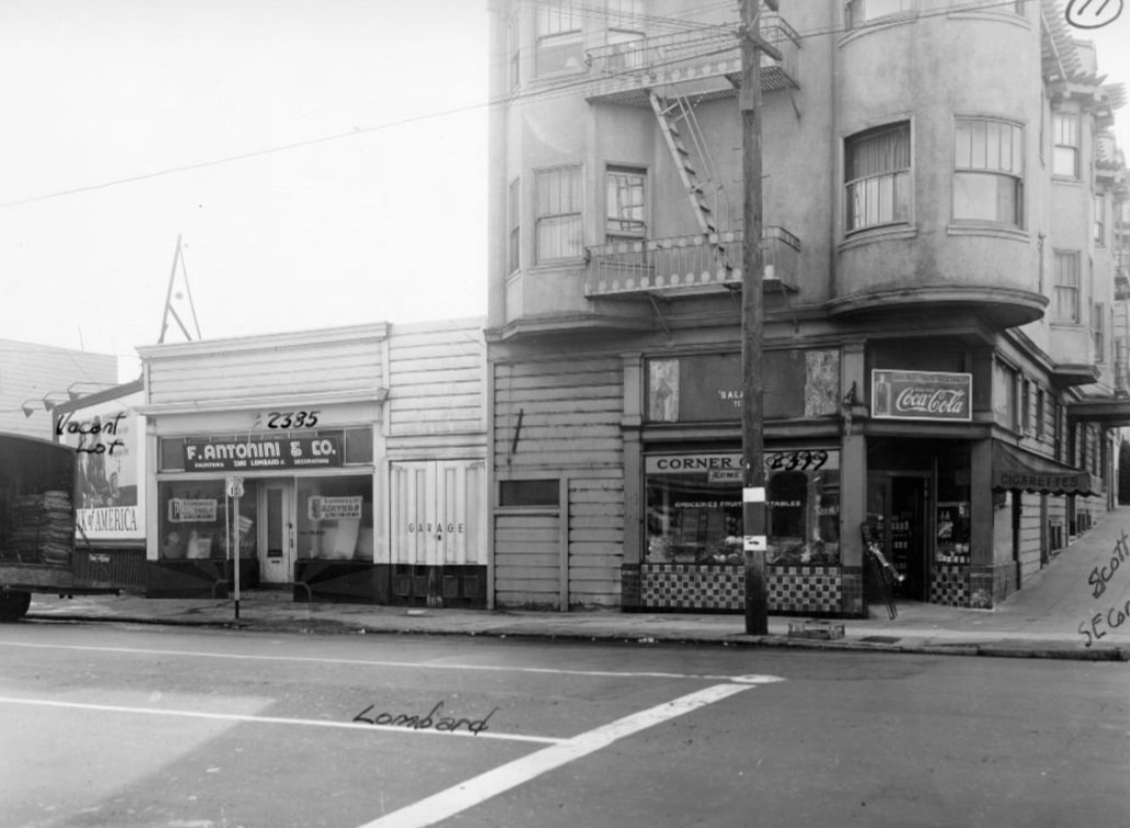
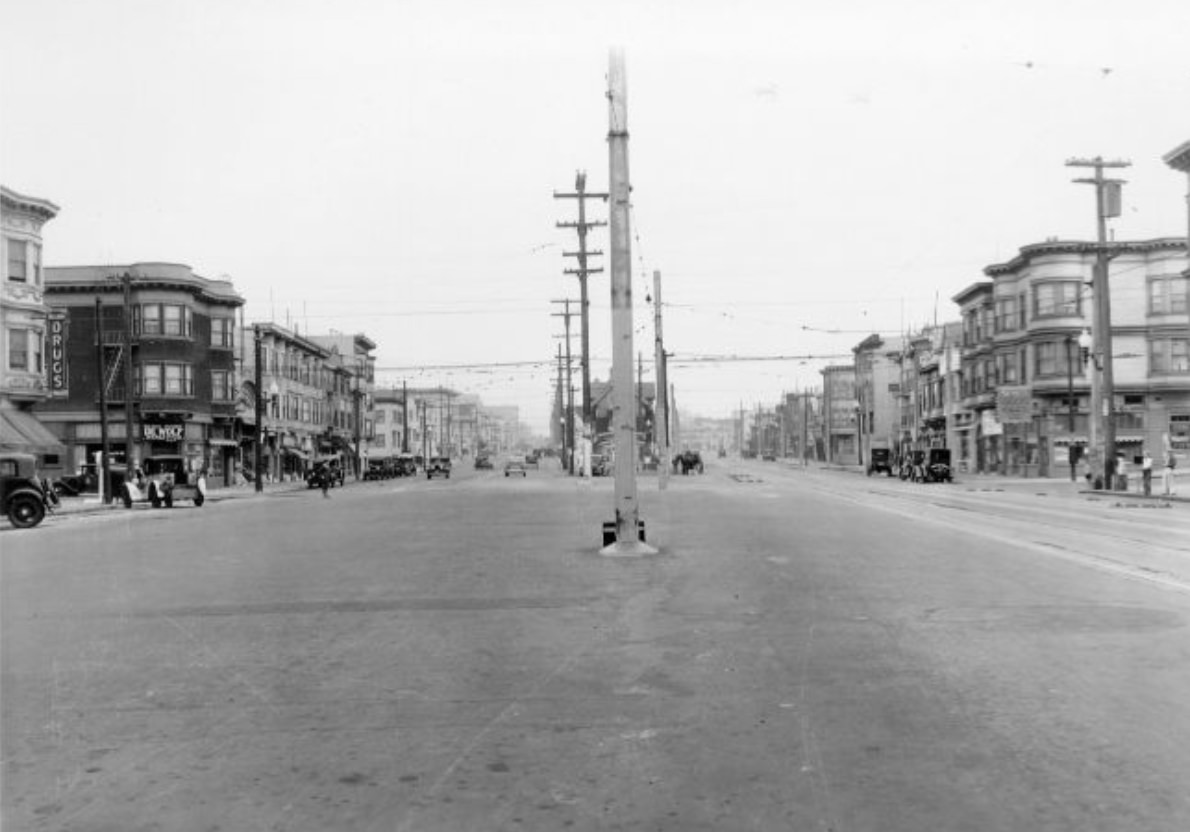
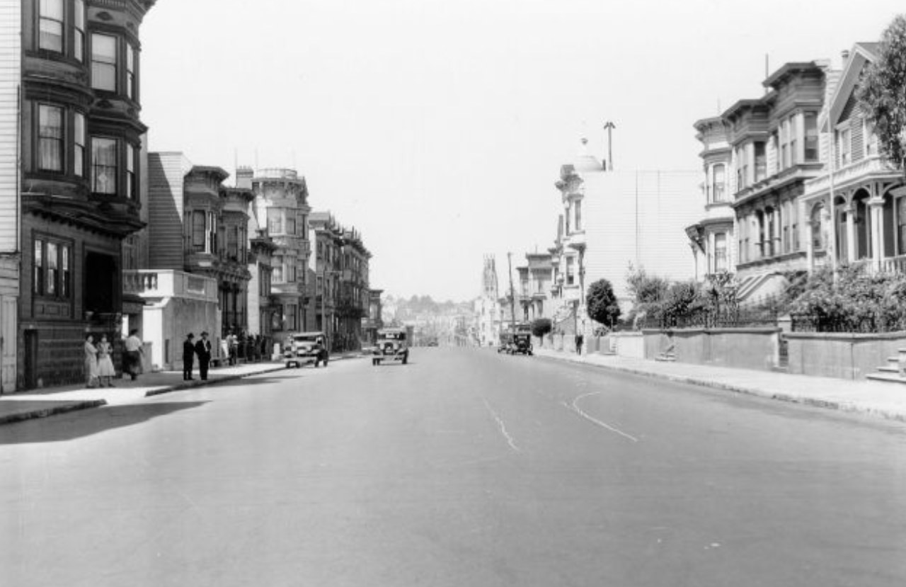
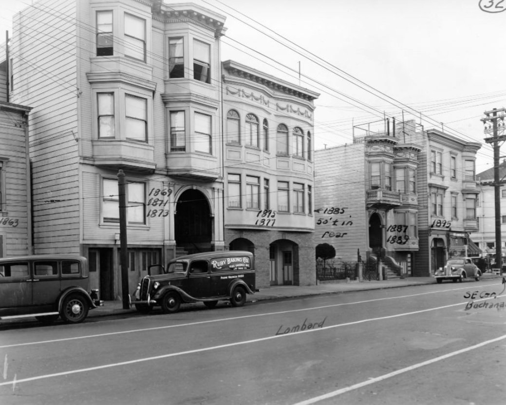
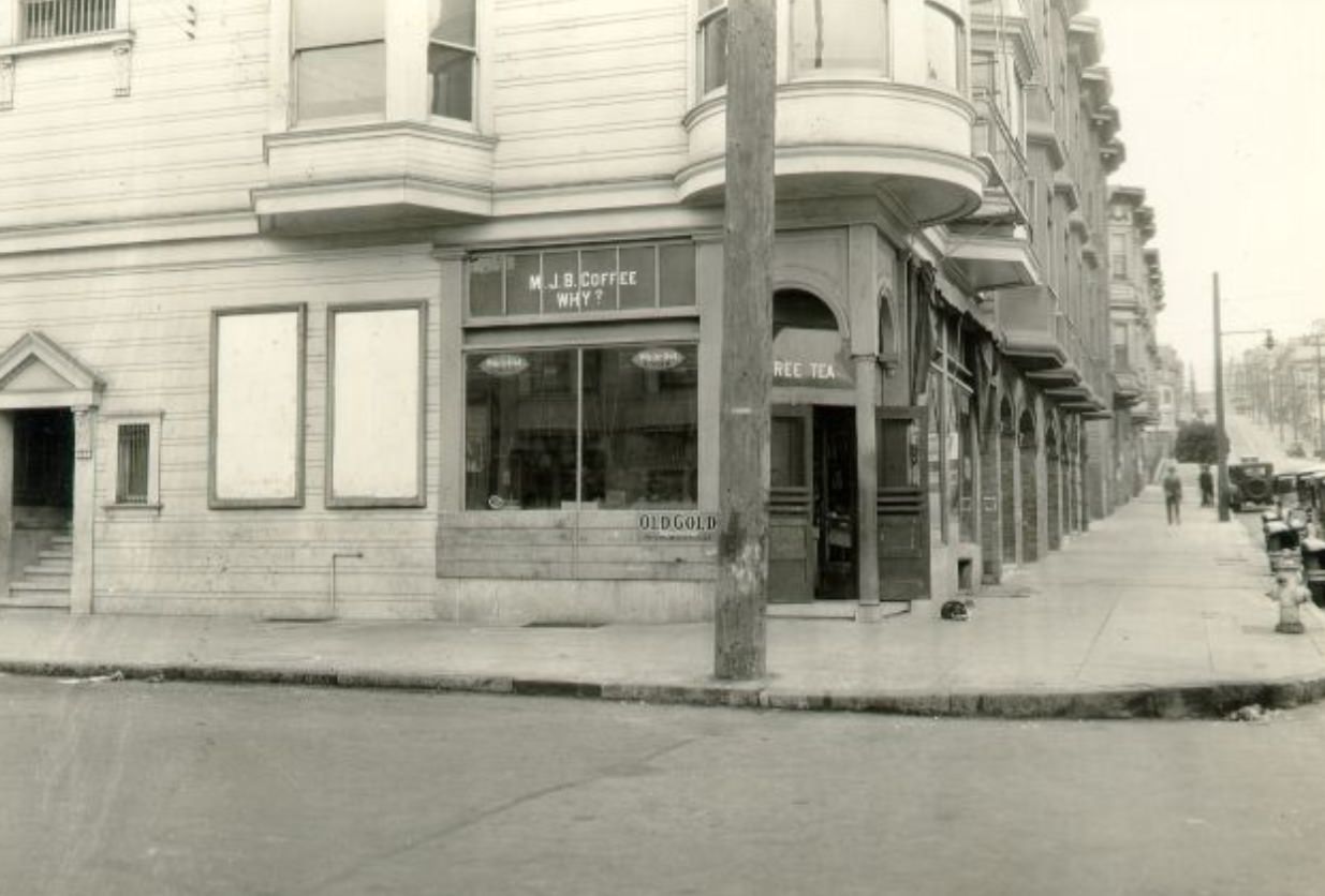
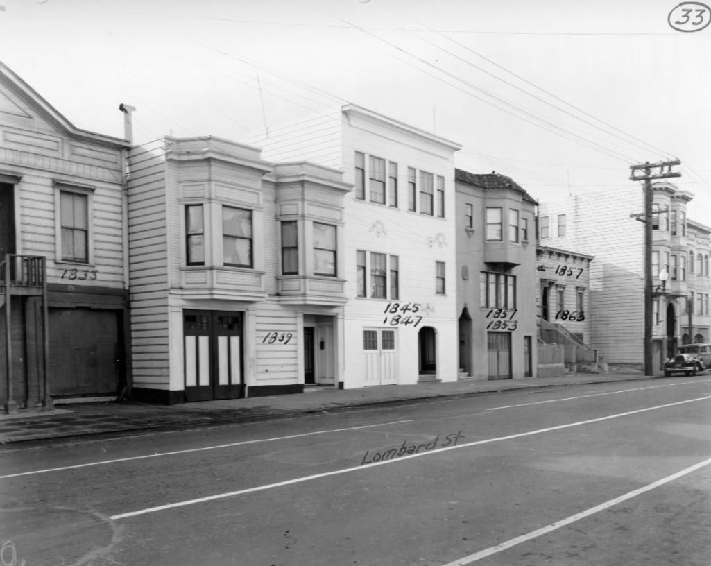
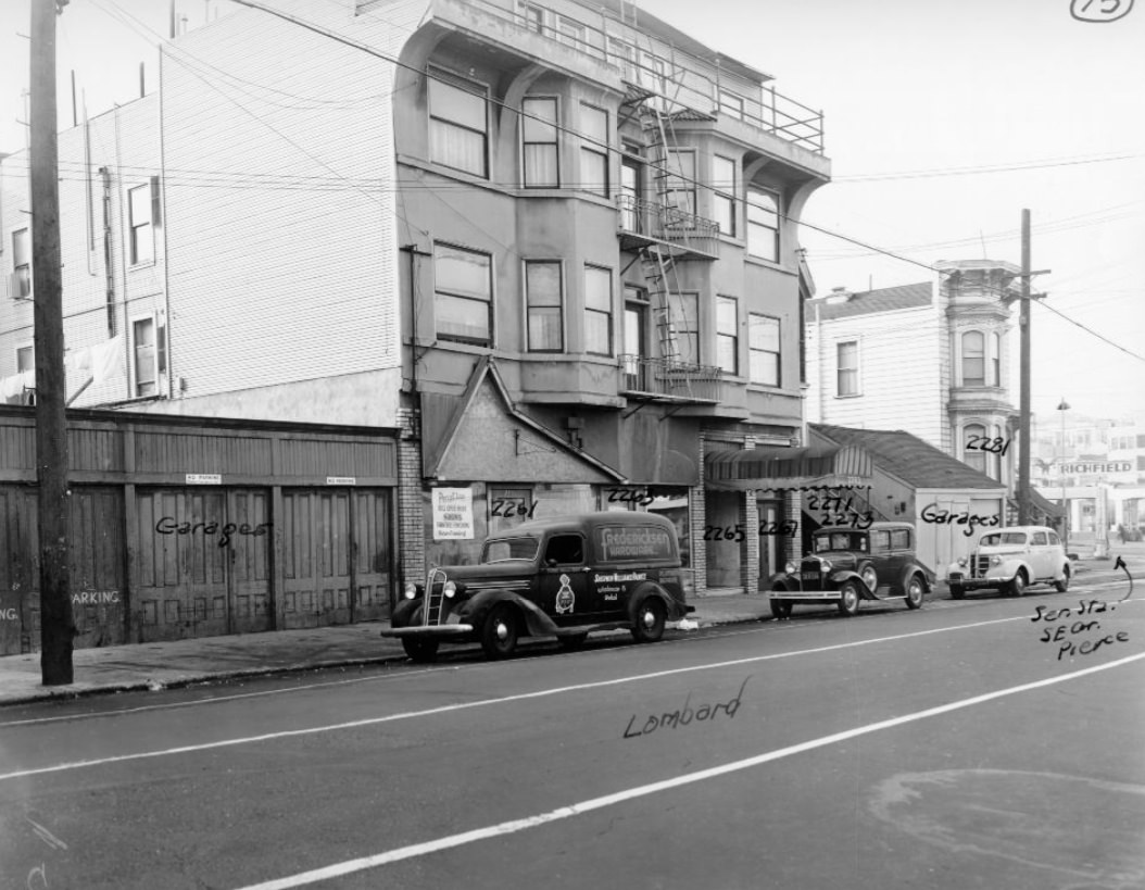
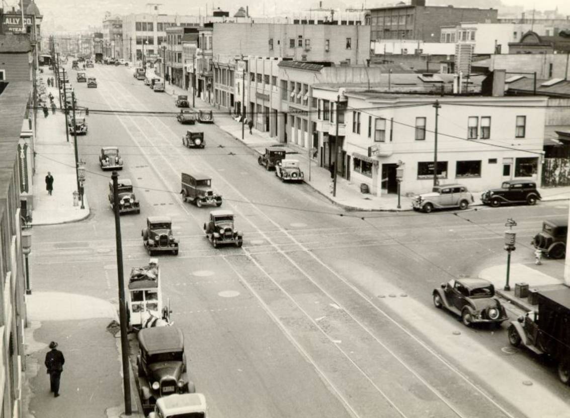
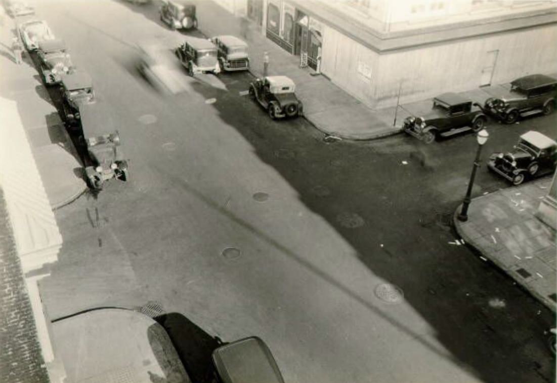
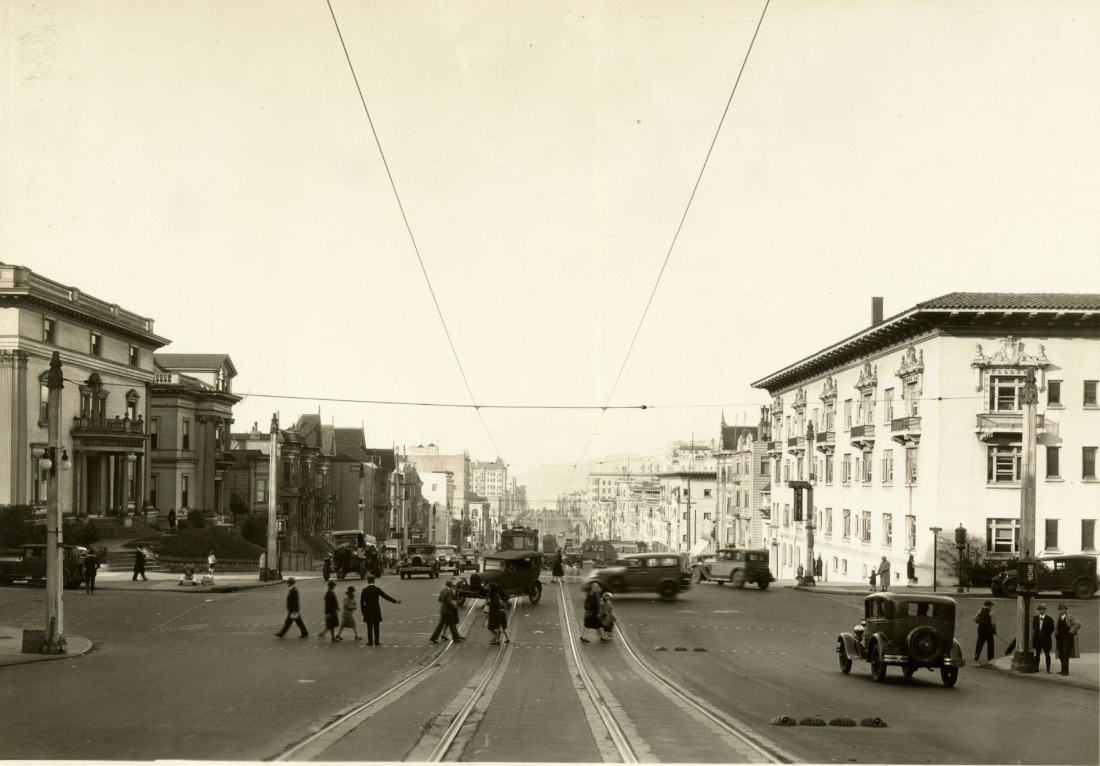
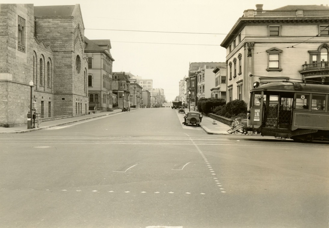
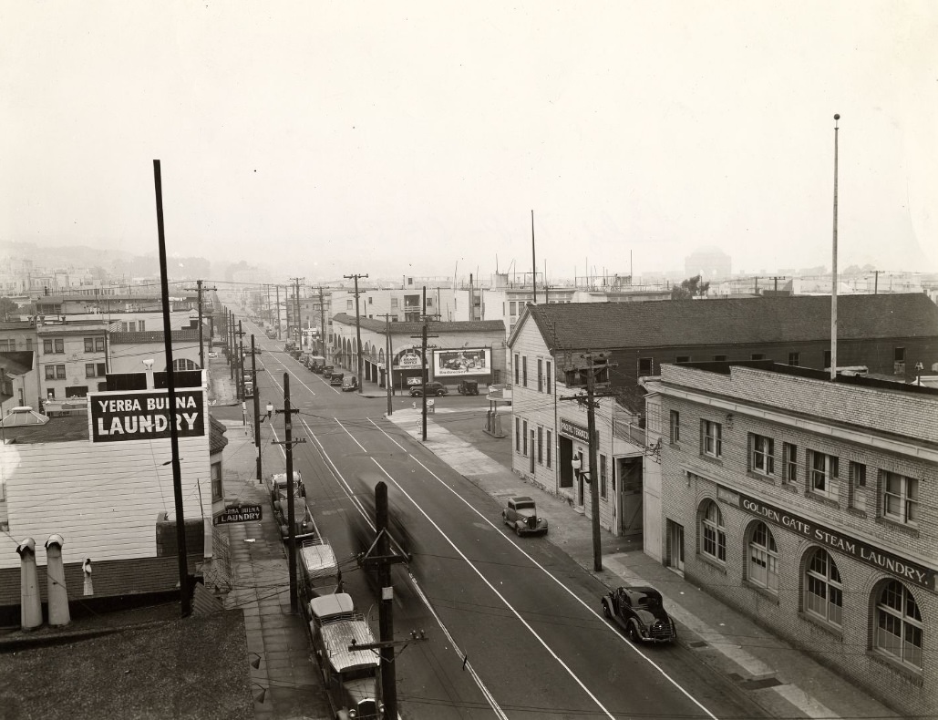
Neighborhood streets throughout the city told their own stories. Residential blocks on Lombard, Chestnut, and Mason showed the texture of everyday San Francisco — corner stores, parked cars, trolley wires overhead, and the mix of Victorian and newer buildings that defined the city’s look. Each block had its own rhythm.
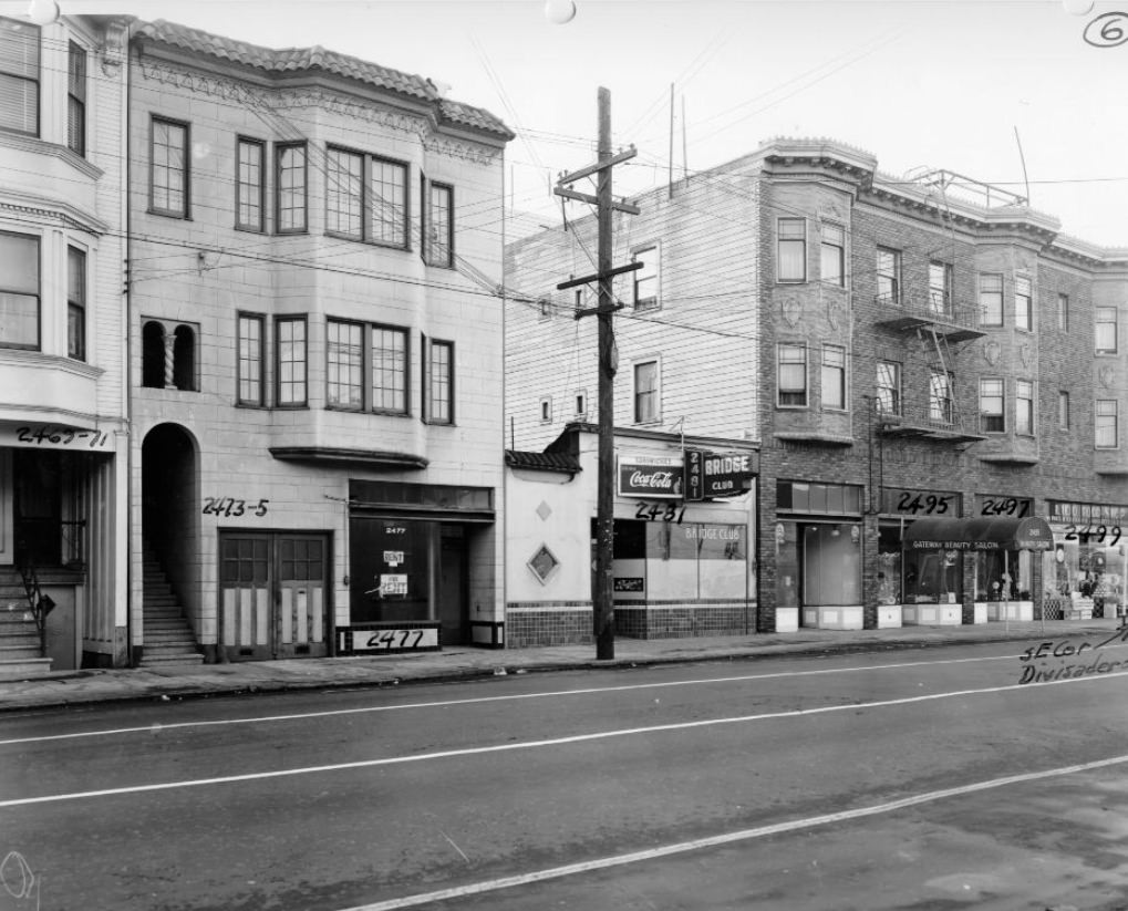
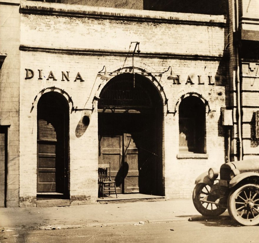
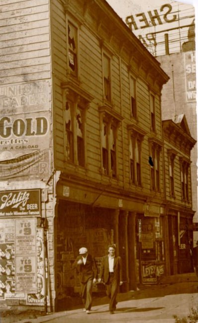
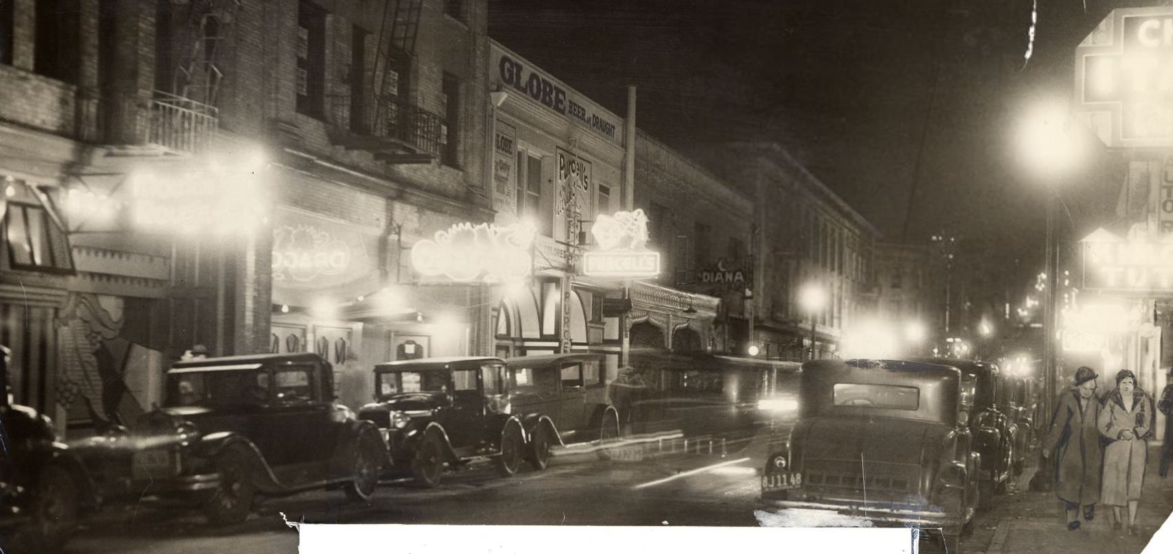
The Barbary Coast district, long known as a rough waterfront neighborhood, was still a recognizable part of the city in the early 1930s. Establishments like Diana Hall at 580 Pacific Avenue operated in the area, which had a history stretching back to the Gold Rush. By the mid-1930s, the district’s character had shifted, but its buildings and streets remained.
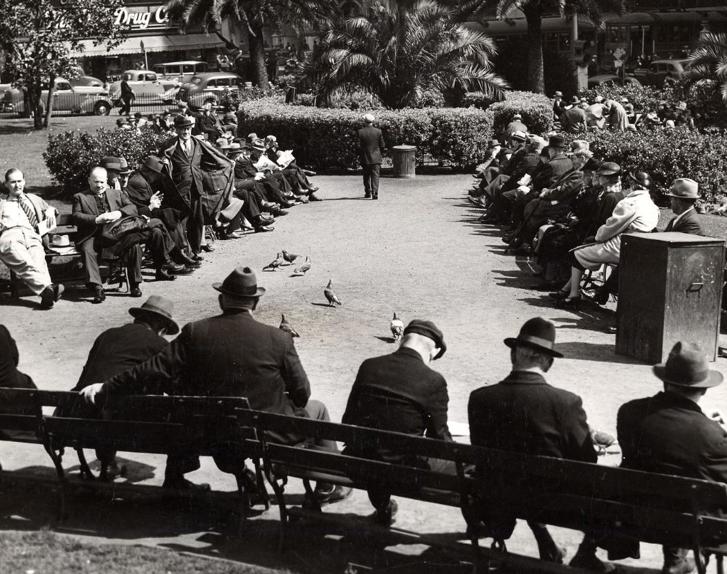
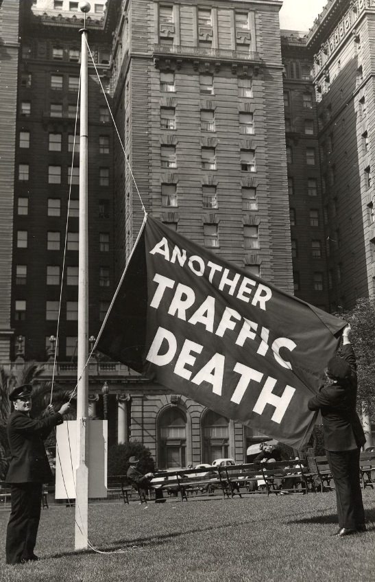
Union Square sat at the center of San Francisco’s retail and hotel district. In spring, the park offered a calm break from the surrounding bustle. But it also served as a place where the city’s harder realities played out — including police traffic awareness campaigns, like the raising of flags in the square to mark each traffic fatality, a grim reminder of how dangerous the city’s streets had become as automobile use surged.
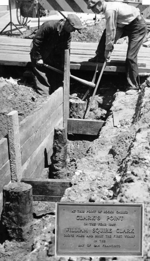
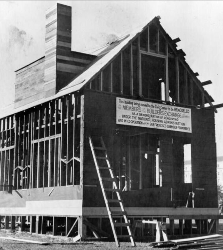
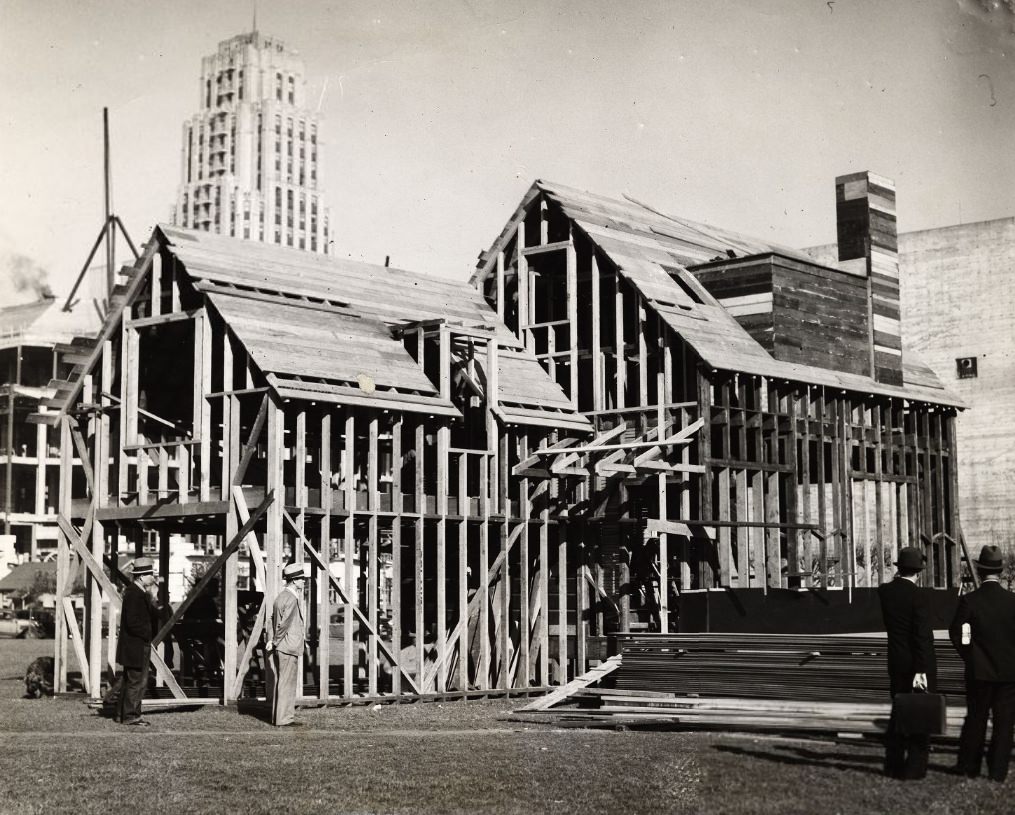
Construction was one of the few consistent sources of work during the Depression. The federal and city governments funded public works projects that put men back on payrolls. Sewer excavations, street improvements, and building projects kept laborers employed across the city. The construction of the San Francisco–Oakland Bay Bridge, which opened in 1936, was among the largest engineering efforts of the era, visible from much of the city as it took shape across the water.
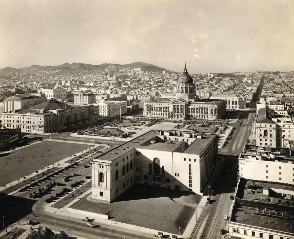
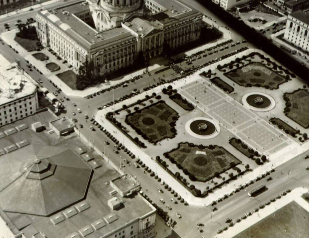
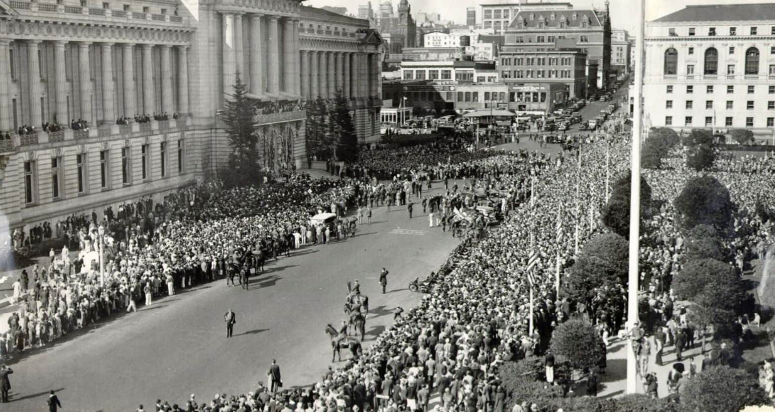
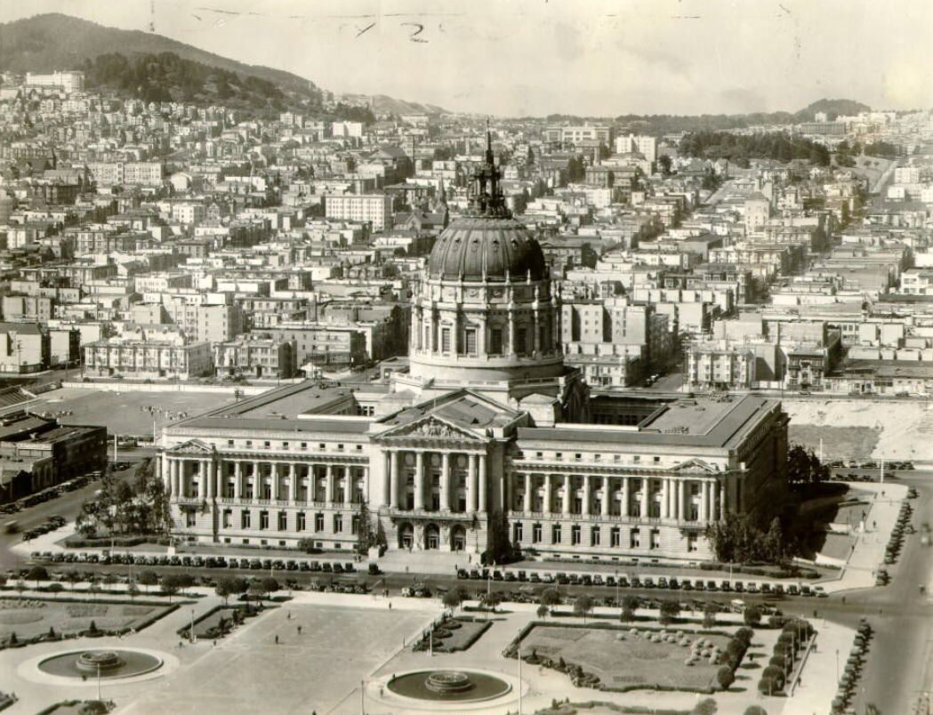
The Civic Center as seen from above gave a sense of how deliberately San Francisco had planned its governmental core. City Hall, rebuilt after the 1906 earthquake and completed in 1915, dominated the area. By the early 1930s, the State Building and other structures completed the complex, giving the city a monumental public campus that rivaled those of much larger American cities.
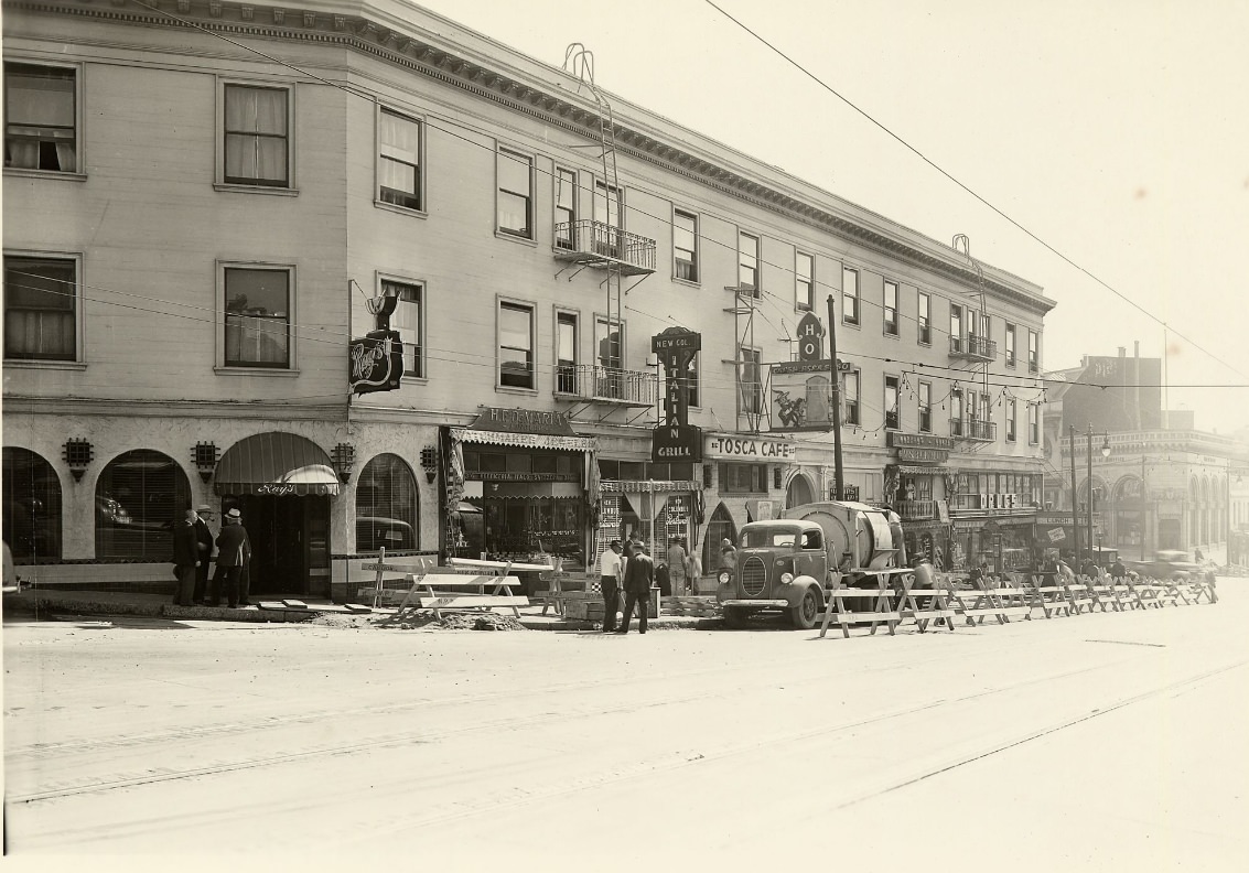
Columbus Avenue in North Beach was the heart of San Francisco’s Italian American community. Bakeries, coffee houses, restaurants, and delis lined the avenue. The neighborhood’s residents had come largely from Genoa and Sicily, and they brought their food, language, and traditions with them. Sourdough bread — a San Francisco signature — and fresh seafood from the wharf nearby were everyday staples.
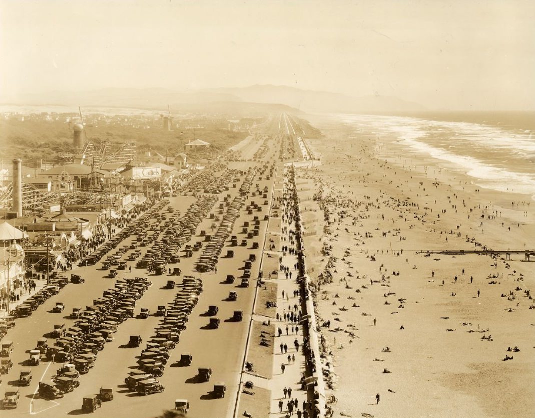
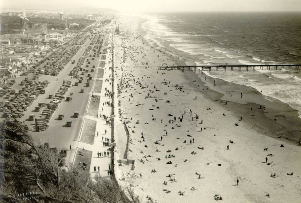
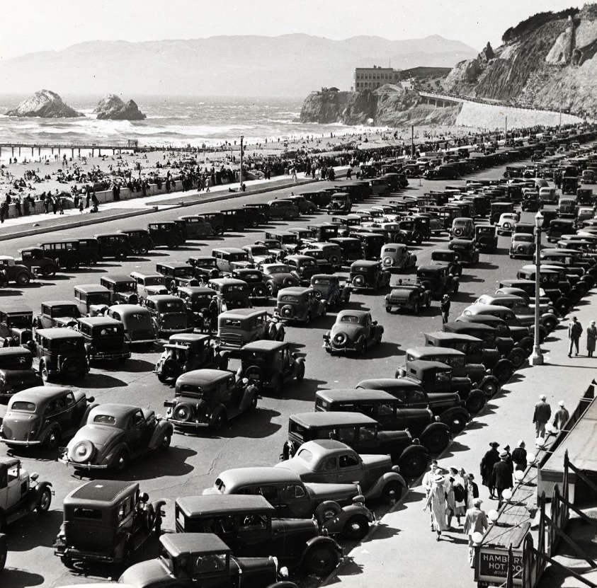
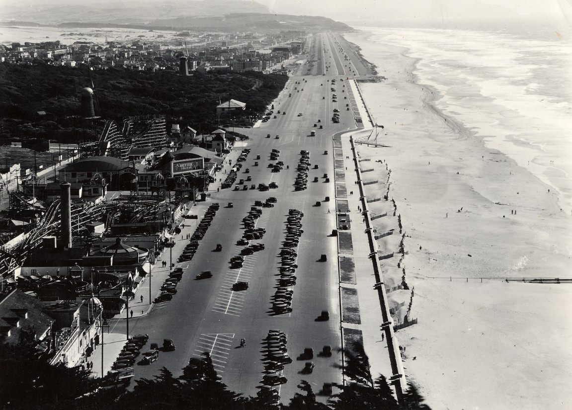
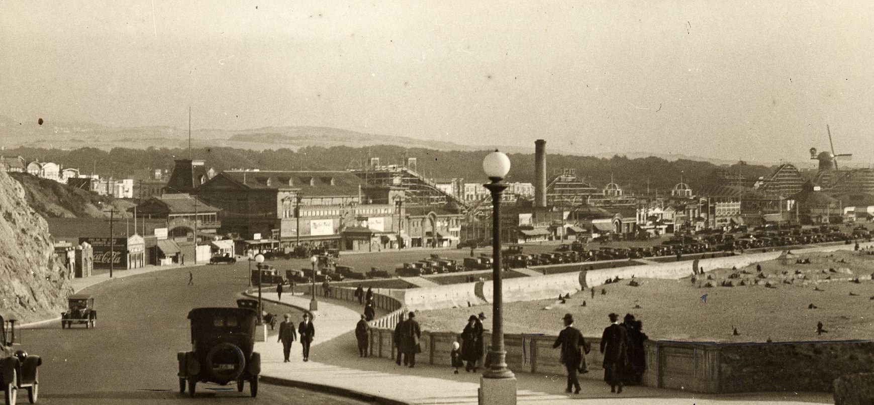
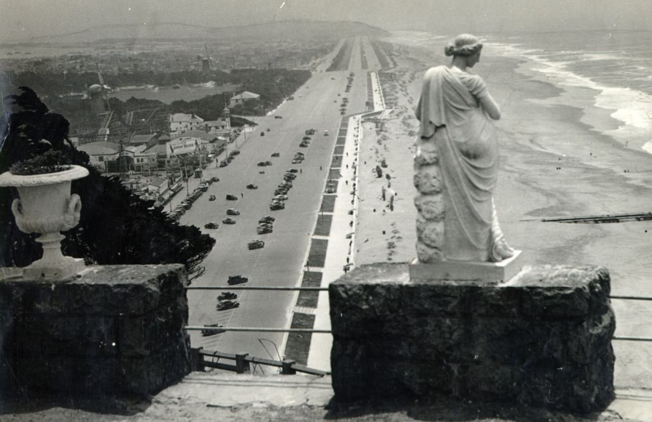
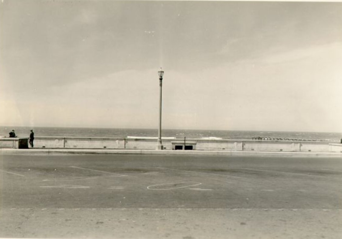
Ocean Beach stretched along the western edge of the city, bordered by the Great Highway. On warm days, crowds gathered there for relief from the city’s density. Playland at the Beach — the amusement park that sat directly across from Ocean Beach — offered rides, games, and food. It was a popular escape for families who couldn’t afford much else. The WPA also ran projects along the beach, including sand-control planting along the esplanade.
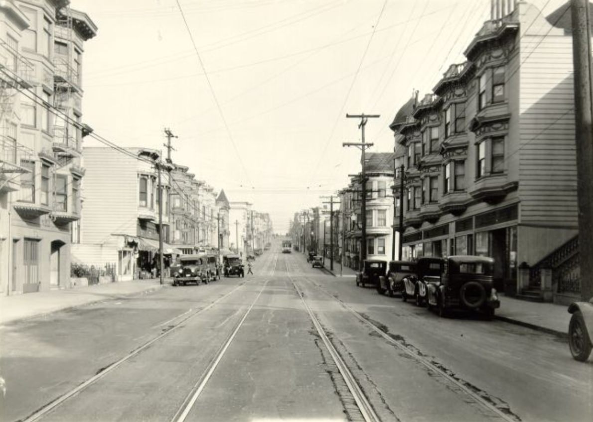
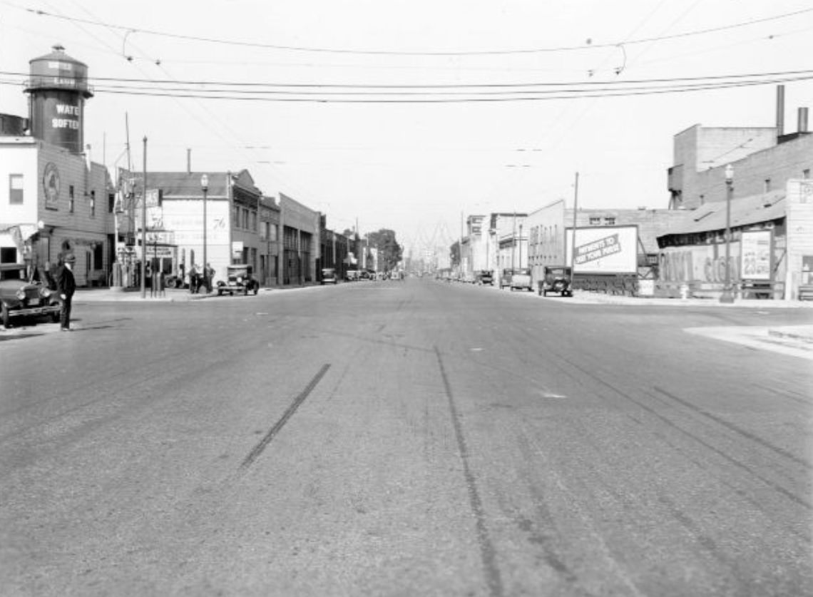
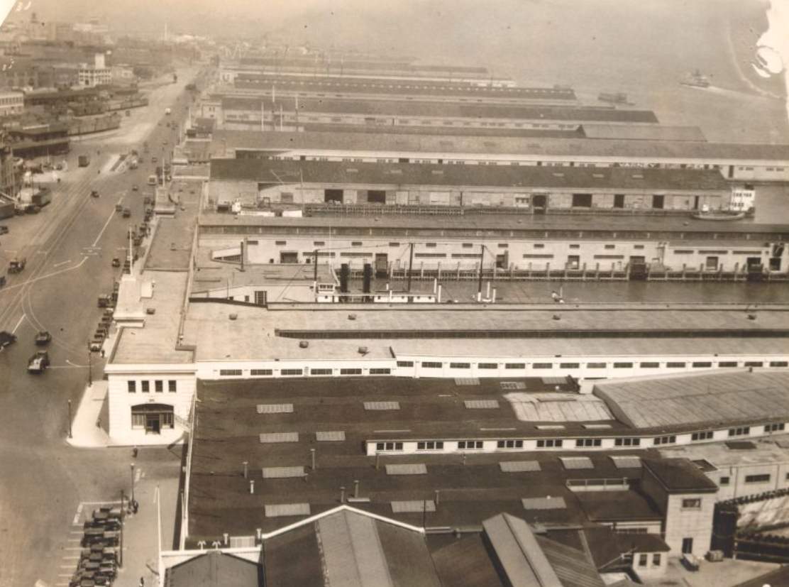
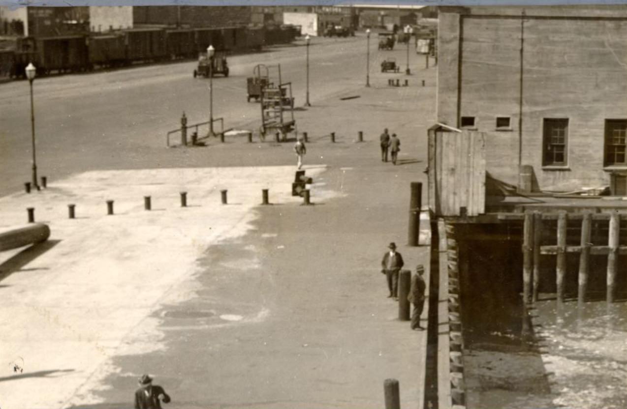
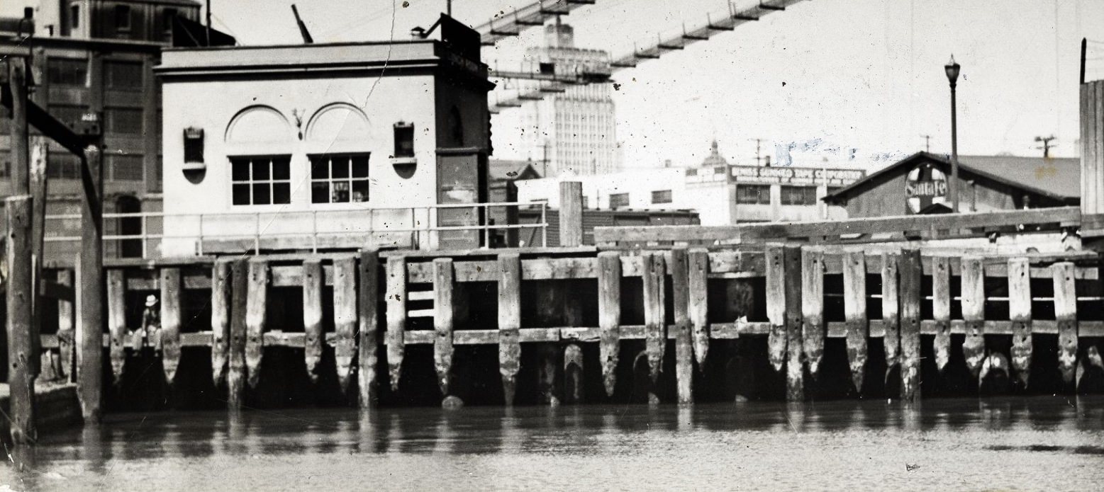
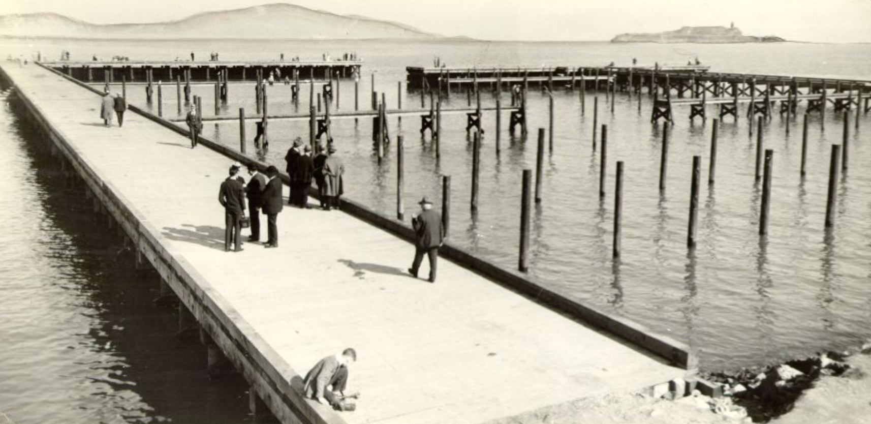
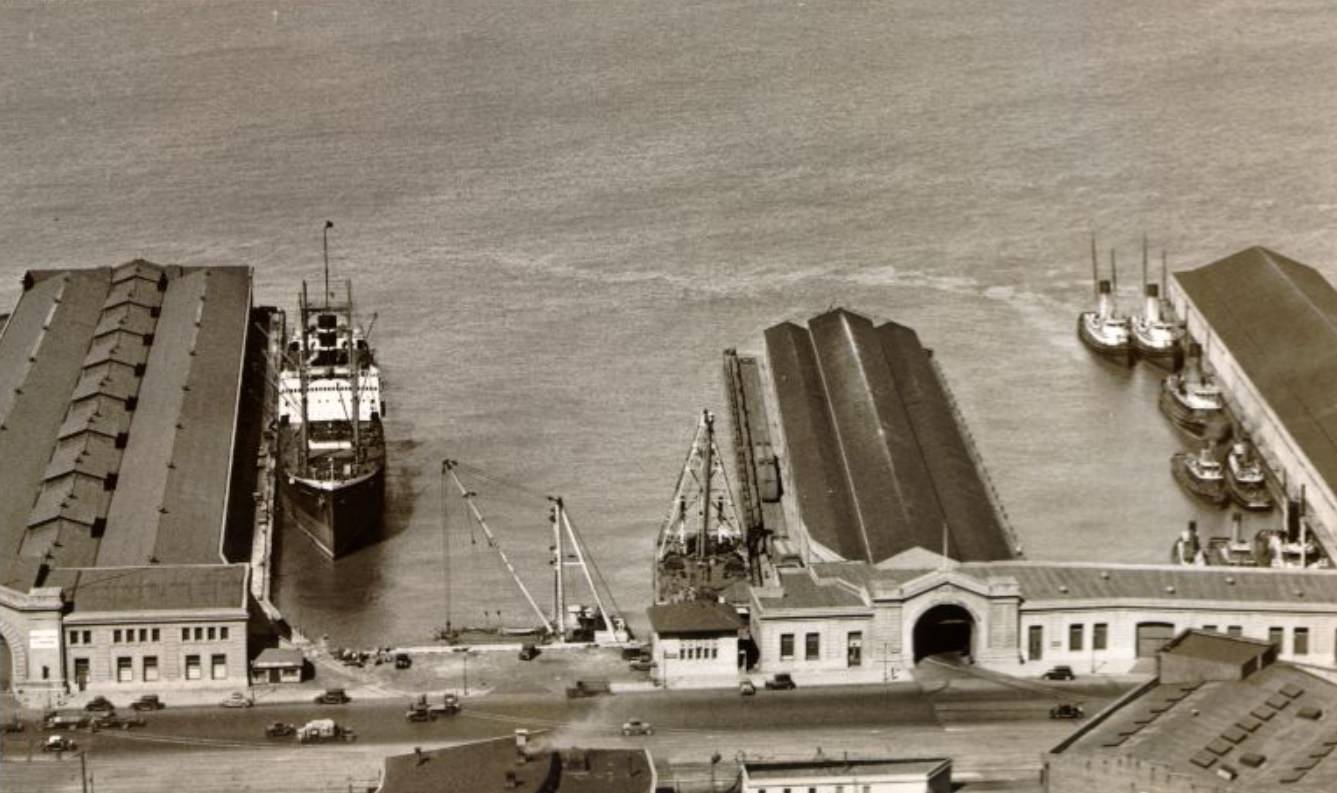
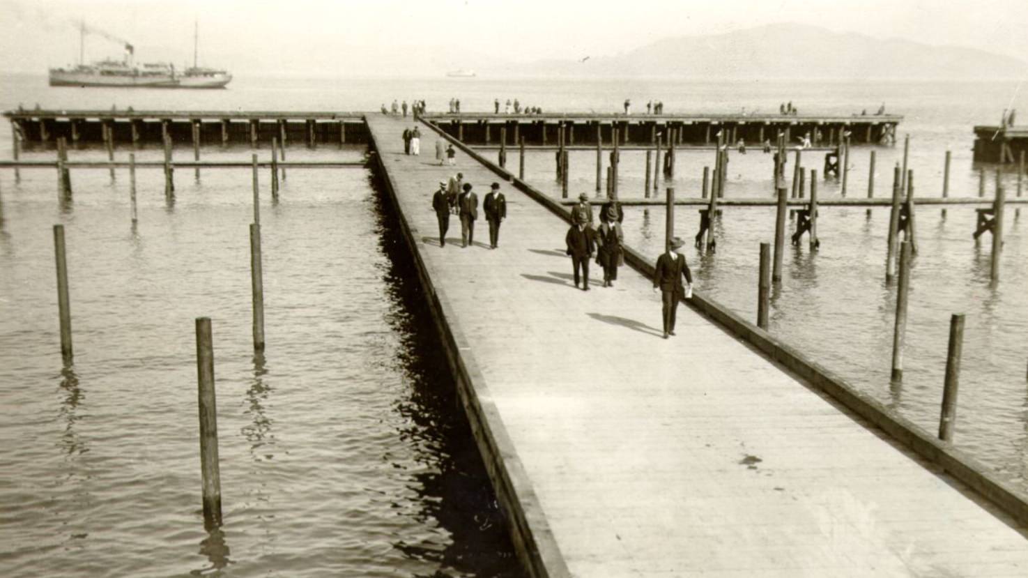
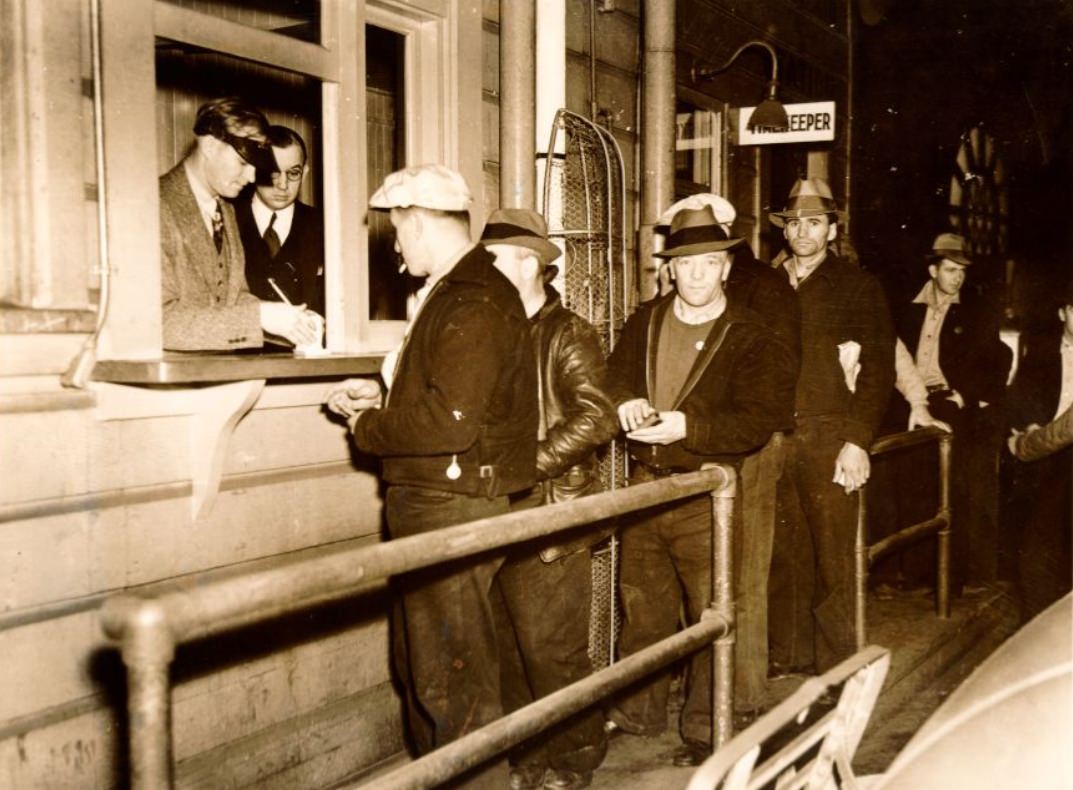
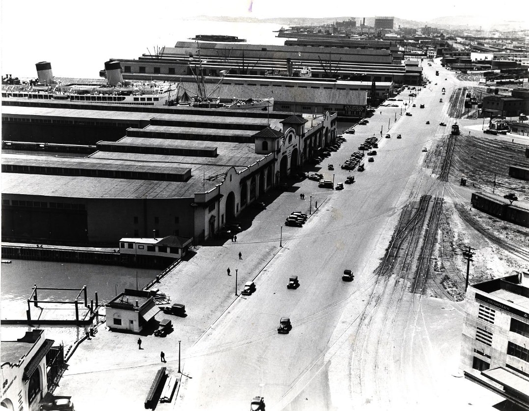
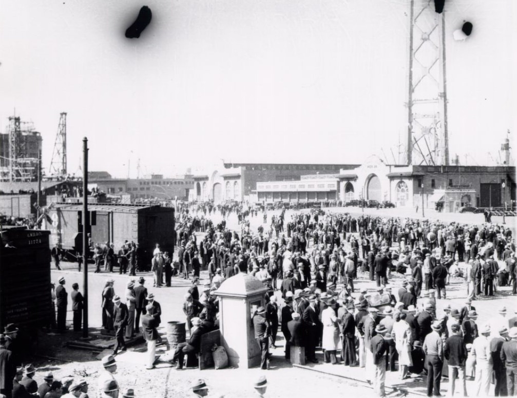
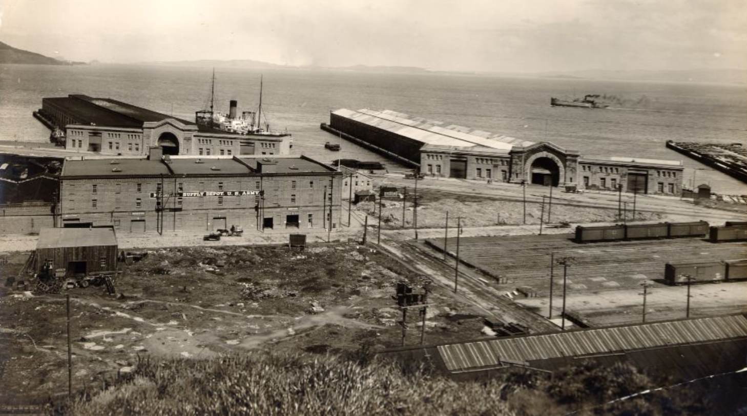
Along the waterfront, men lined up looking for work. The hiring hall system used by longshoremen before the 1934 strike was notorious — workers showed up daily with no guarantee of being chosen. After the strike, the union won the right to control hiring, a significant shift in power on the docks. The waterfront’s piers, some rotting and in need of repair, were a constant presence on the city’s eastern edge.
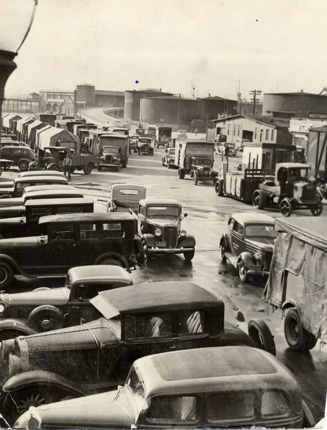
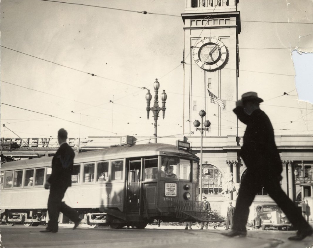
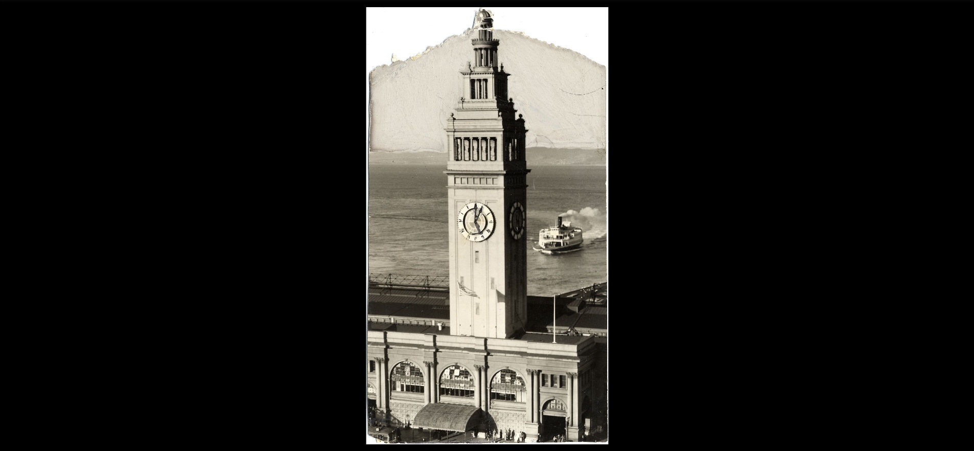
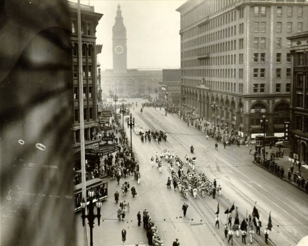
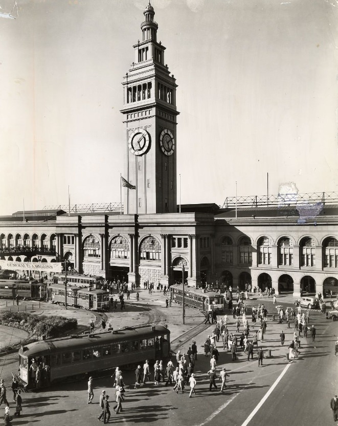
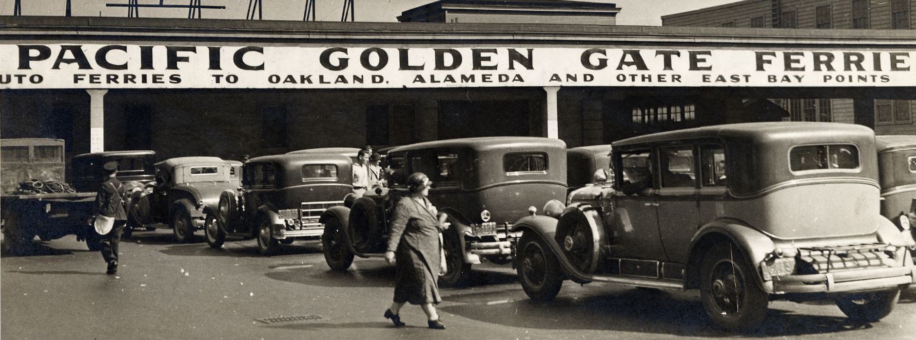
The Ferry Building at the foot of Market Street was the gateway to San Francisco for anyone crossing the bay. Before the Bay Bridge opened in 1936, ferries were the primary way to travel between San Francisco and the East Bay. Thousands of commuters passed through the building daily, and automobiles lined up to board the boats. The building’s clock tower was one of the most recognized landmarks in the city.
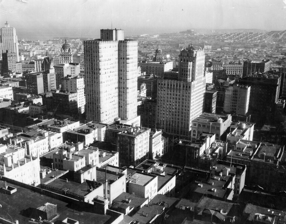
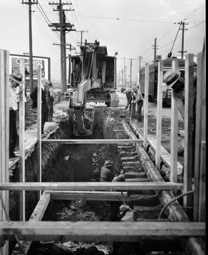
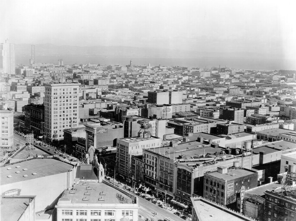
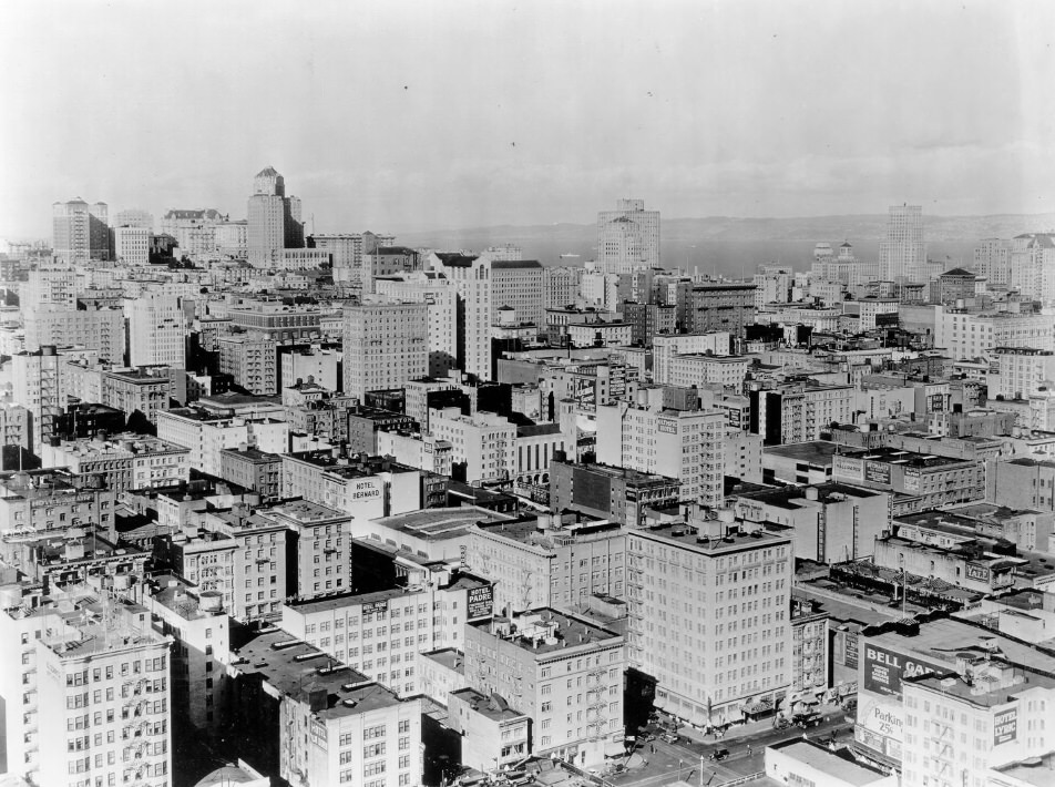
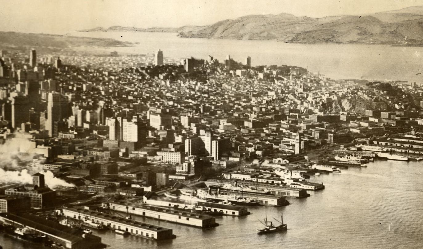
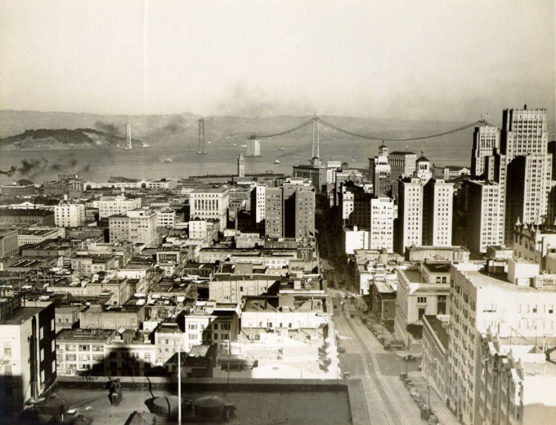
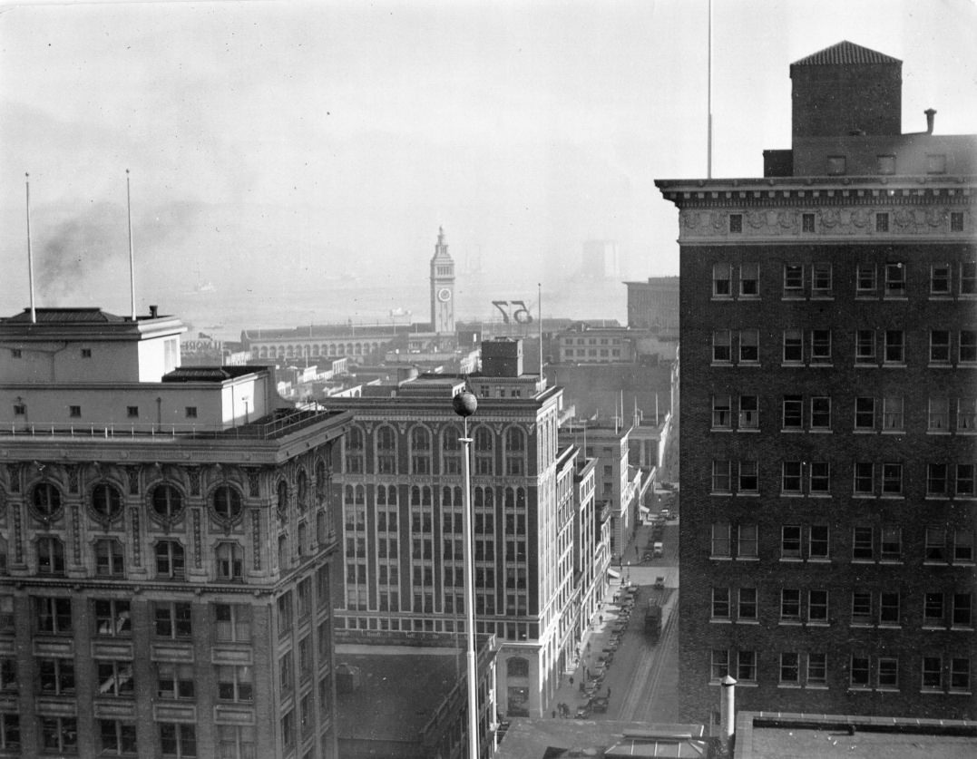
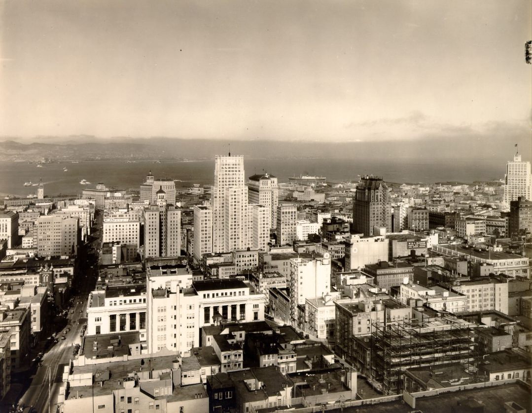
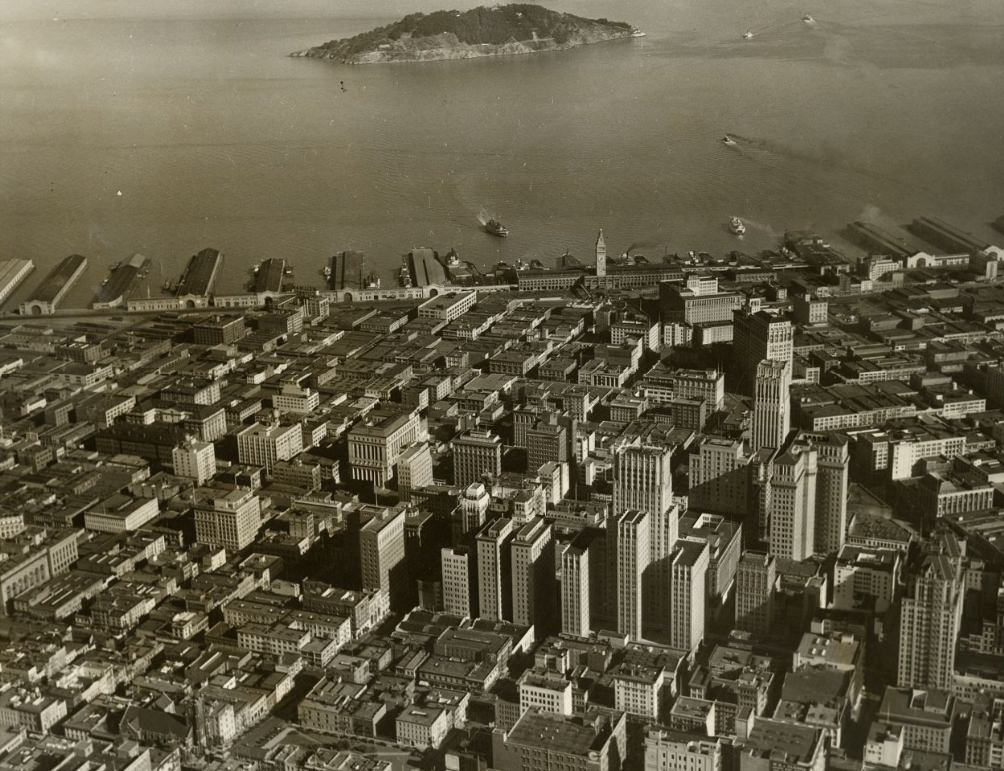
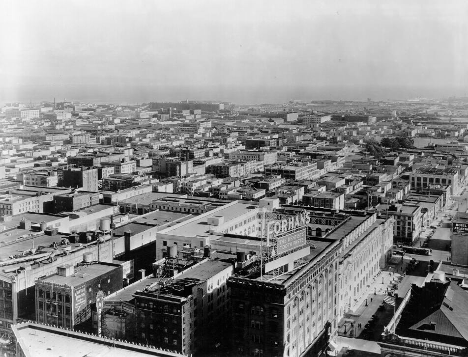
The skyline of San Francisco in the mid-1930s was already dense with mid-rise buildings, and views from elevated hotels and hilltops showed a city that had rebuilt itself forcefully after the 1906 disaster. By 1937, aerial photographs captured the waterfront stretching toward the southeast, and the Bay Bridge — now complete — changed the visual relationship between the city and the water entirely.
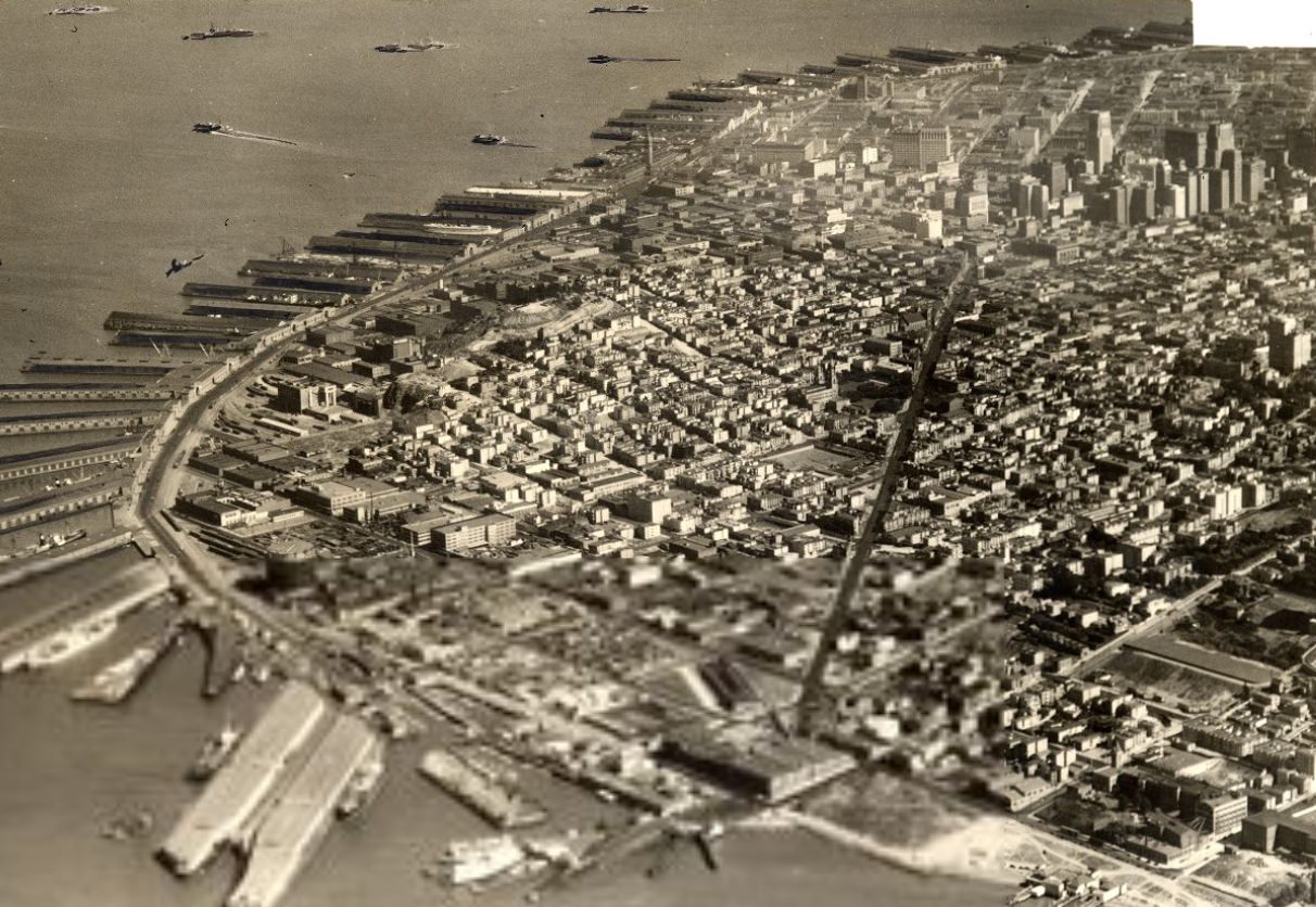
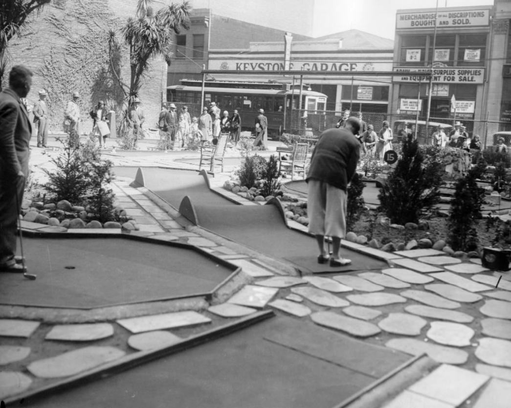
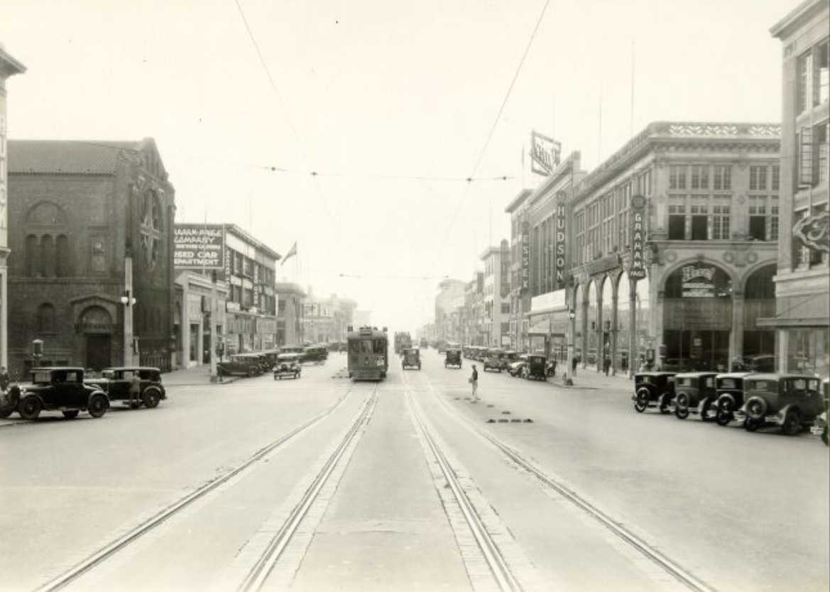
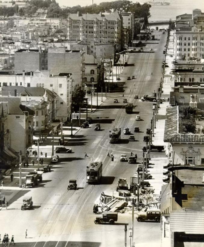
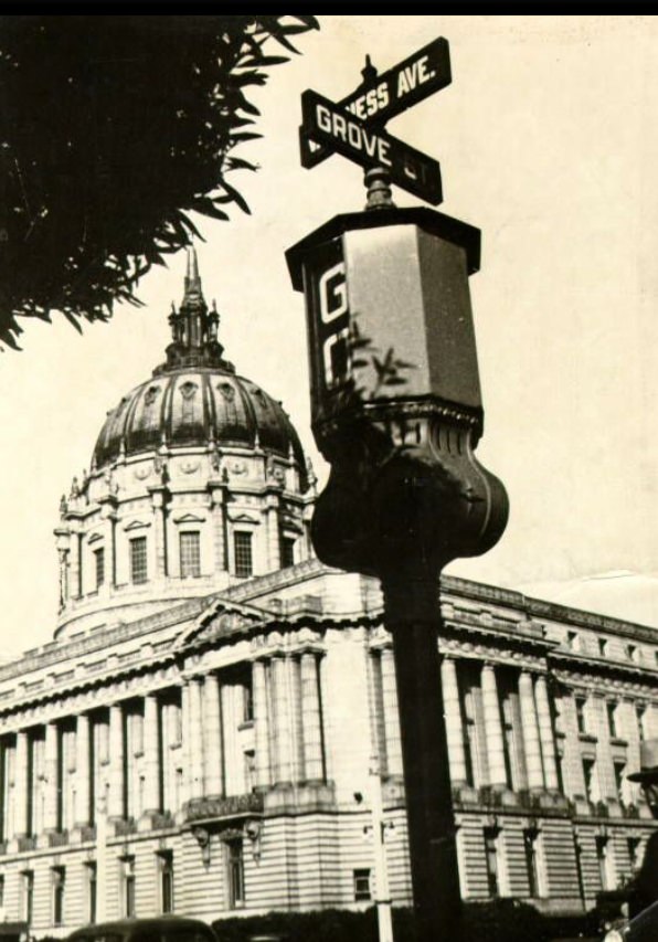
Van Ness Avenue was one of the city’s main north-south corridors, lined with automobile dealerships, hotels, and apartment buildings. City Hall’s dome rose above the intersection at McAllister, visible from blocks away. The avenue handled heavy traffic and connected the neighborhoods on either side of it — the Western Addition to the west and the Tenderloin to the east.
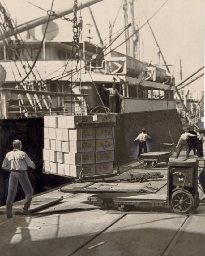
At the docks, longshoremen loaded cargo onto freighters under physically demanding conditions. The work was irregular and dangerous. Loads were heavy, equipment was rudimentary by modern standards, and accidents were common. The men who worked the waterfront were a tight-knit group, and their solidarity during the 1934 strike reshaped labor relations on the West Coast.
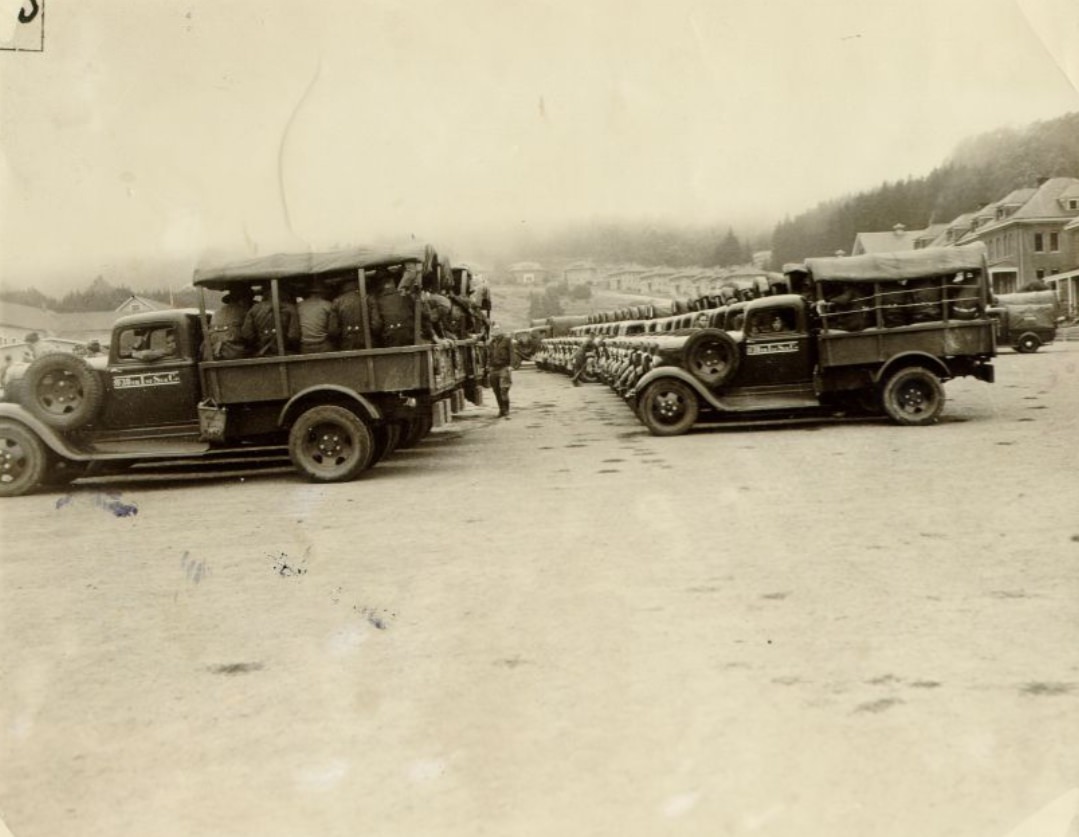
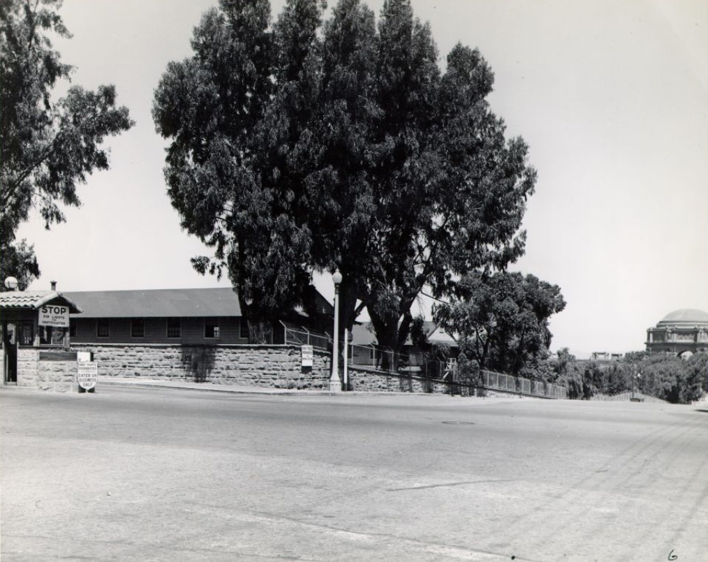
The Presidio, the historic military reservation at the northern tip of the peninsula, remained an active U.S. Army post throughout the decade. Troops trained and prepared for maneuvers on its grounds, which also included hospitals, housing, and forested land. The base occupied a commanding position overlooking the Golden Gate — the same strait that the Golden Gate Bridge was crossing during construction throughout the mid-1930s.
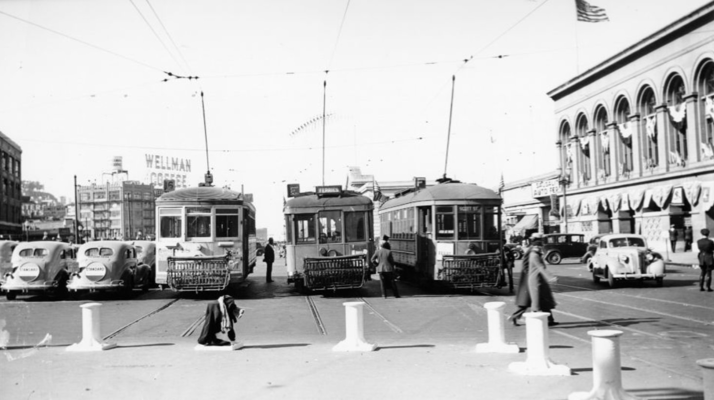
The Ferry Building’s clock tower remained an icon at the foot of Market Street even as the Bay Bridge’s opening in 1936 began to reduce ferry ridership. That same year, photographs recorded the building’s exterior and the steady flow of streetcars and automobiles that surrounded it. The structure handled both the mundane movement of daily commuters and the more ceremonial arrivals of visiting dignitaries and naval vessels.
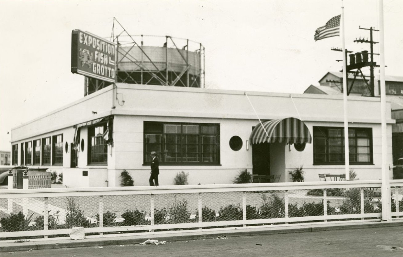
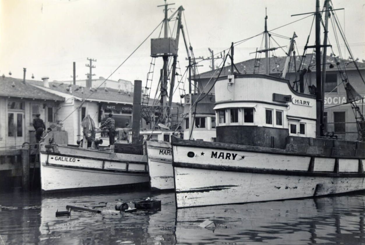
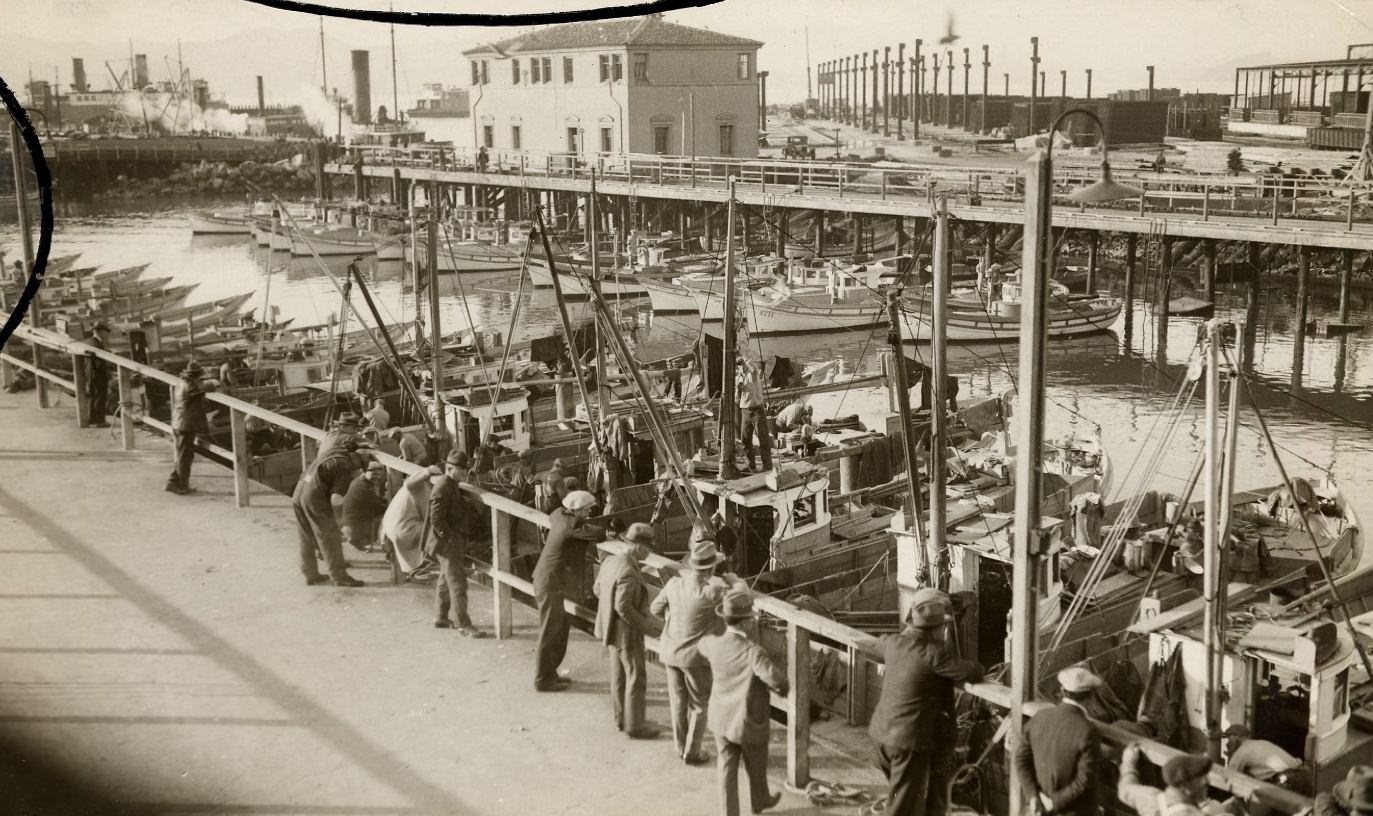
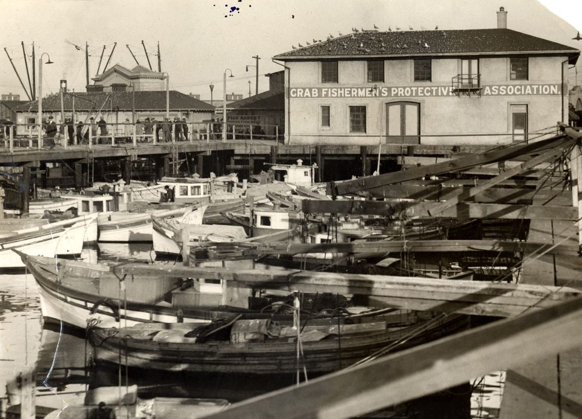
Fisherman’s Wharf drew visitors and locals alike. The Exposition Fish Grotto was one of the well-known restaurants there, and fishing boats tied up just outside. Fishermen worked early mornings, heading out before dawn and returning with Dungeness crab, rockfish, and other catches from the bay and the Pacific. The wharf was both a working commercial facility and a place people came to eat, watch, and breathe the salt air.
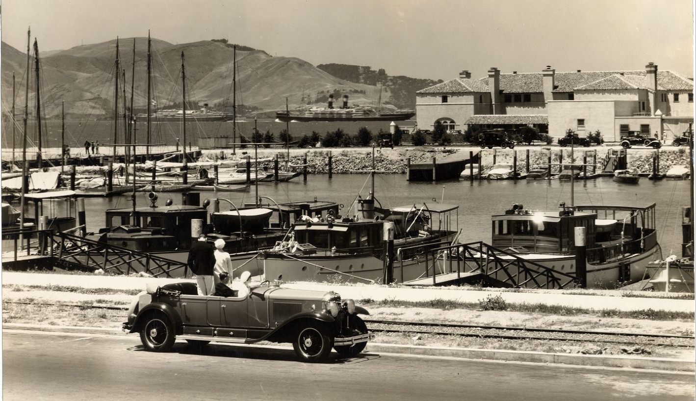
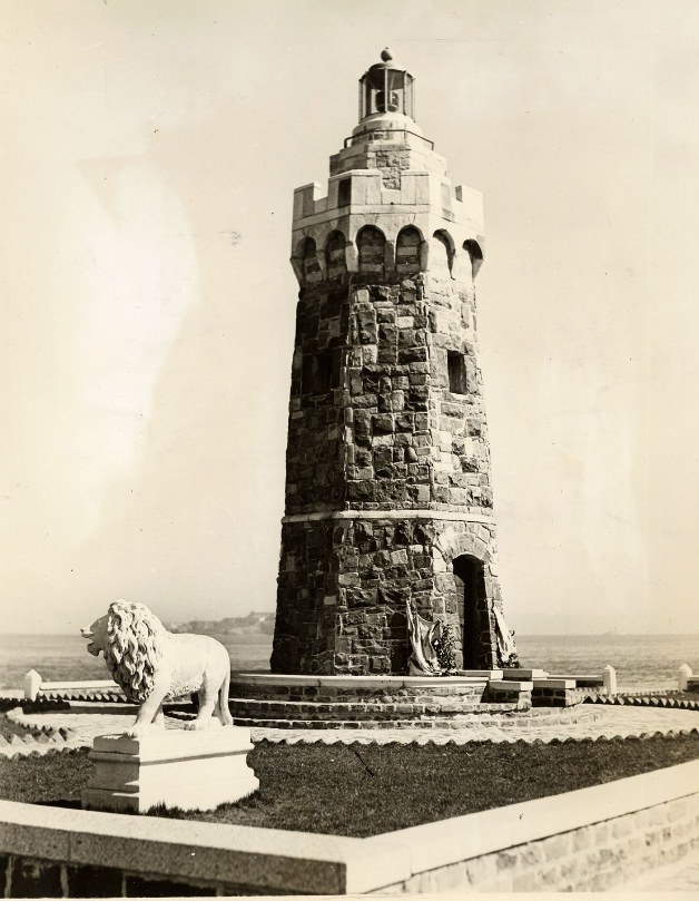
The Presidio’s forested grounds and the Marina District’s yacht harbor offered a different side of the city — quieter, more recreational. The municipal lighthouse at the Marina yacht harbor guided vessels on the bay, and the waterfront park nearby attracted people on weekends. The Marina itself had been built on fill created for the 1915 Panama-Pacific International Exposition, and by the 1930s it was a settled residential neighborhood.
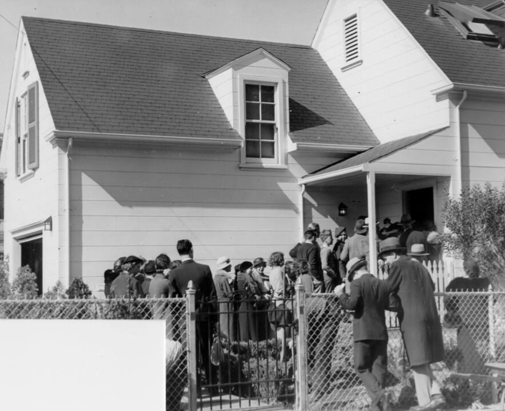
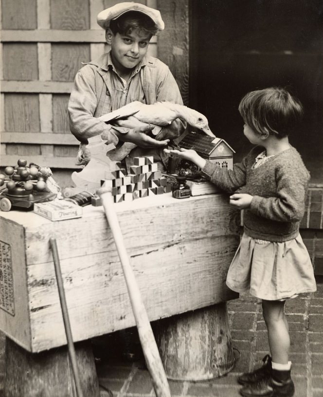
Charity organizations worked throughout the city during the Depression years. The Community Chest — a forerunner of United Way — collected donations and distributed aid to struggling families. Children were sometimes used in promotional efforts to encourage giving, a common practice of the era. Toy stands and fundraising events kept the organization visible during the Christmas season especially.
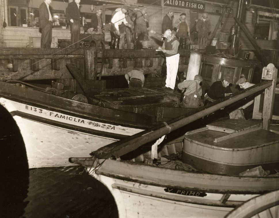
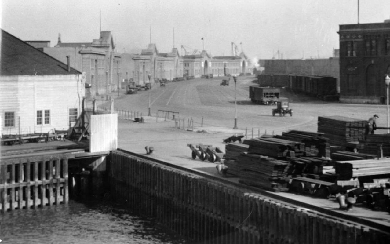
The waterfront drew not only workers but also those without steady employment. Men gathered near the piers looking for day labor, waiting for a hiring agent to point a finger their way. Sailor boarding houses stood nearby, serving the merchant marine crews who passed through the port. The Embarcadero’s economy ran on physical labor, and the men who supplied it were a constant presence along its length.
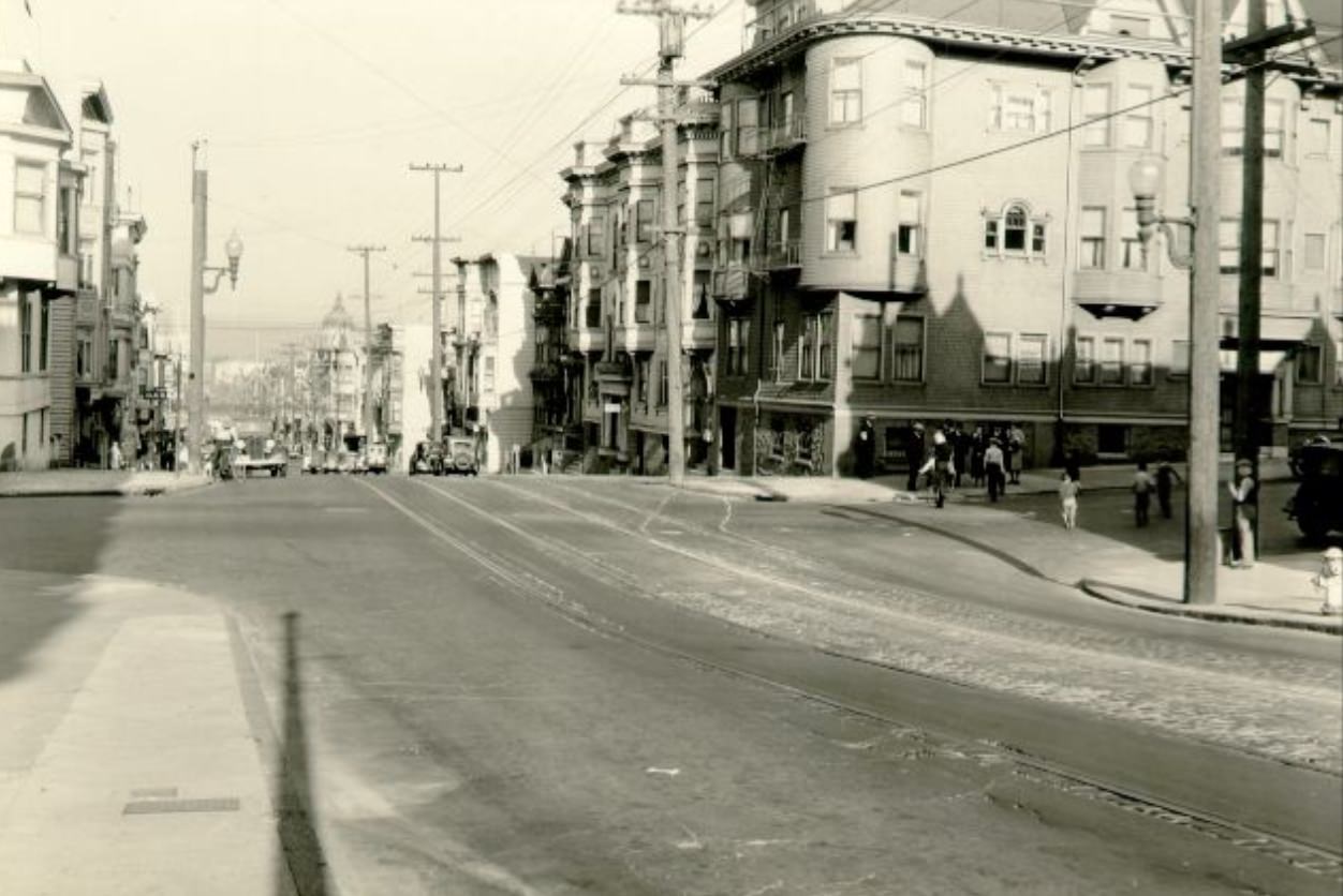
Broadway cut through the northern part of the city, connecting the waterfront neighborhoods to the hills above. Views of Broadway in 1938 showed a street of mixed use — residential buildings alongside commercial properties, with the bay visible in the distance from higher vantage points. The city’s topography meant that nearly every neighborhood had some view of water or hills.
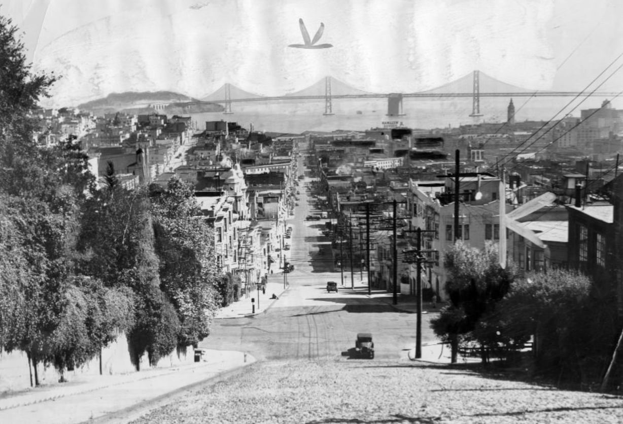
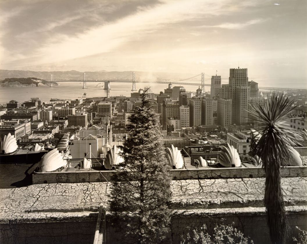
By 1937, the Bay Bridge had been open for a year, and its profile was already becoming as familiar as the Ferry Building’s clock tower. Views looking east from downtown showed the bridge’s towers rising from the water, connecting the city to Oakland and the East Bay. The bridge had taken four years to build and was, at the time of its completion, the longest steel high-rise bridge in the world.
Entertainment gave San Franciscans relief from the grind of Depression-era life. Movie palaces like the Fox Theatre and the Orpheum offered Hollywood films and live performances in ornate surroundings. The Bal Tabarin provided live music and dancing. Baseball fans followed the San Francisco Seals of the Pacific Coast League at Seals Stadium. Boxing matches at the Civic Auditorium drew large crowds, with fighters like Joe Louis and Max Baer drawing national attention during the decade.
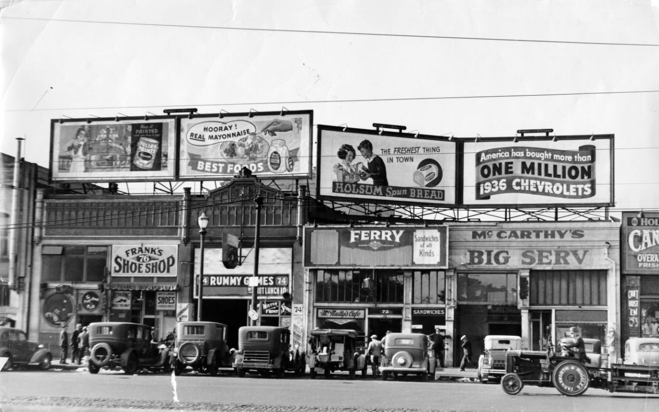
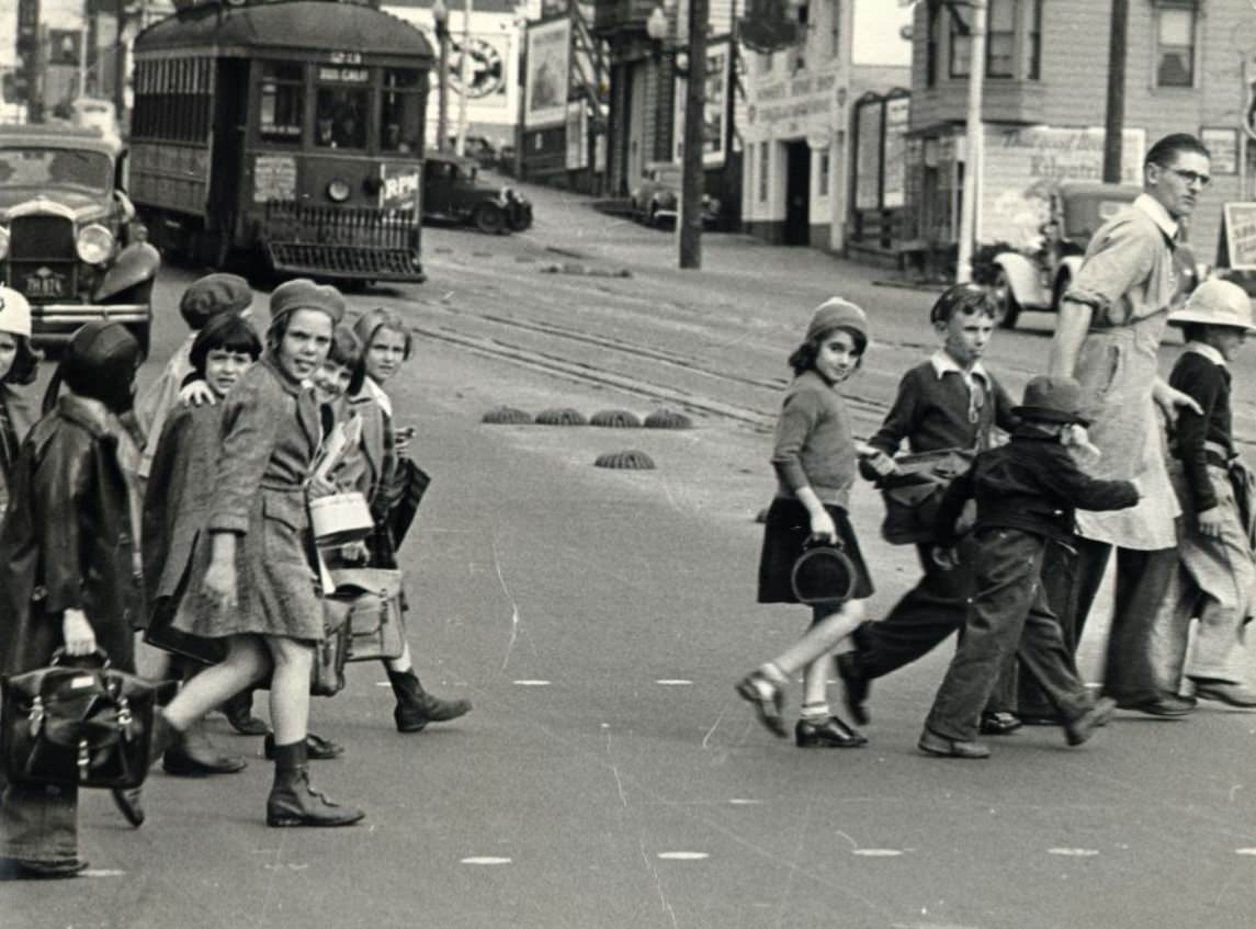
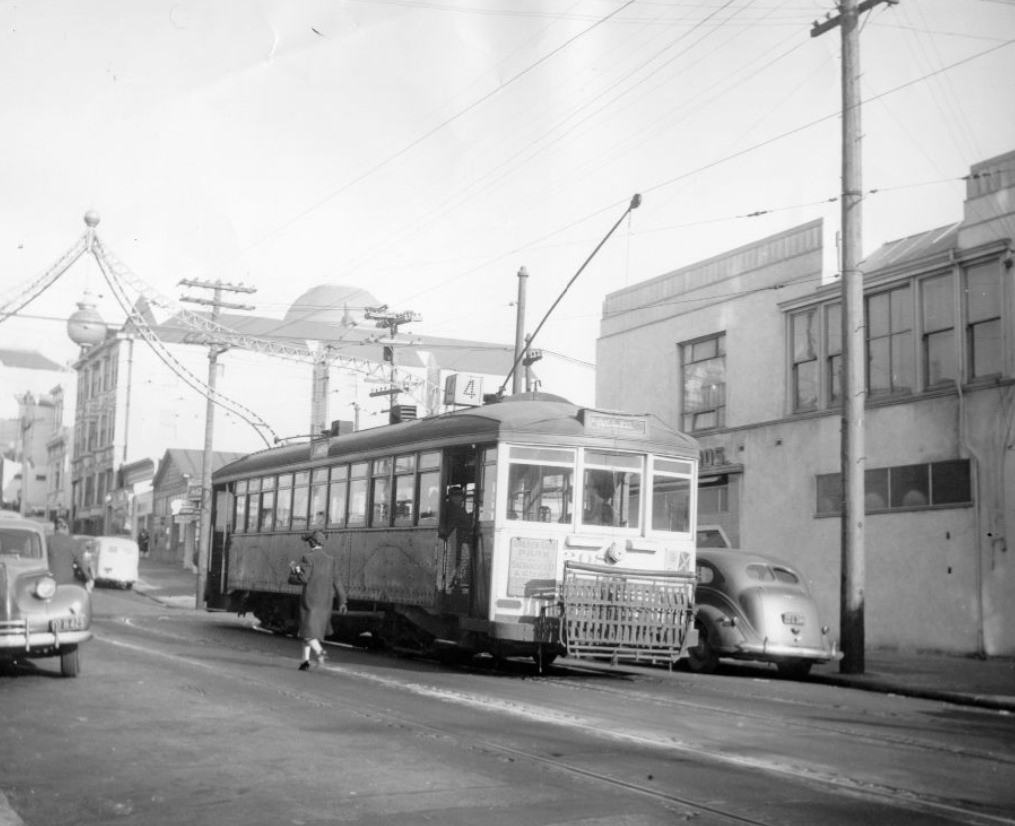
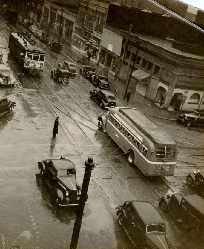
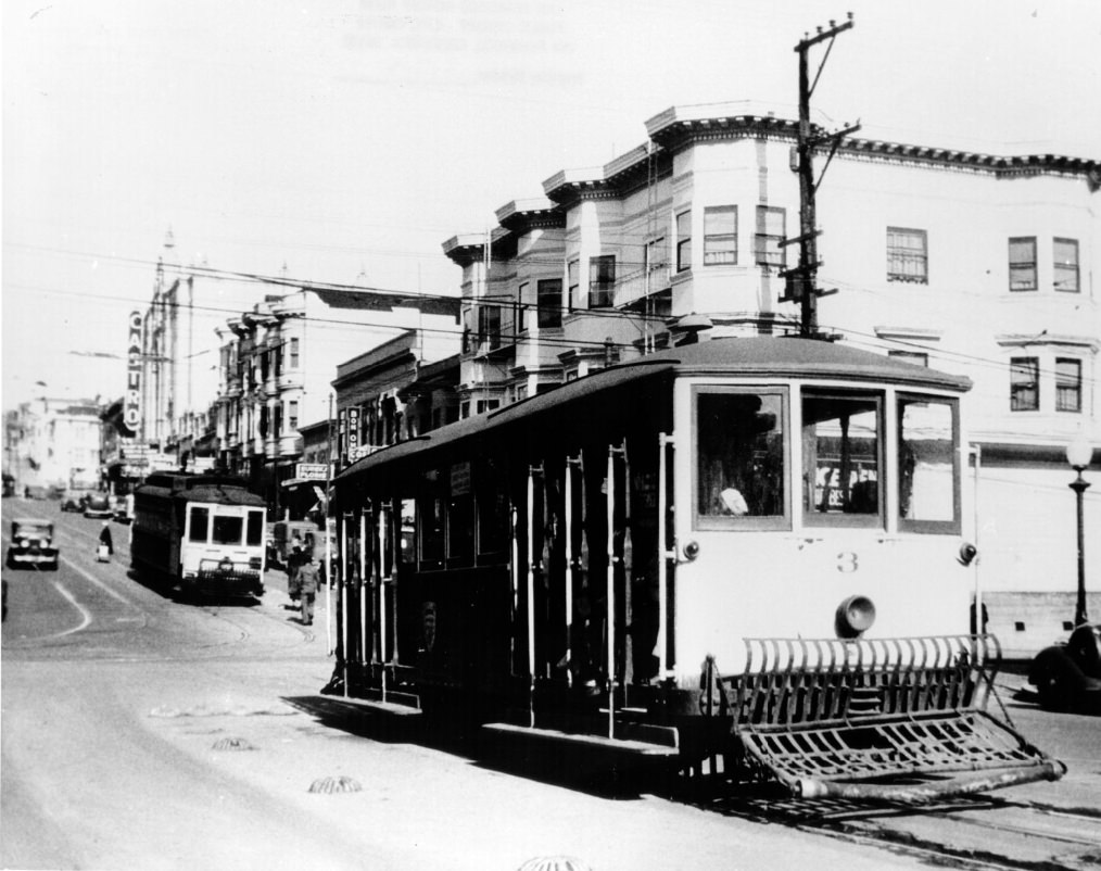
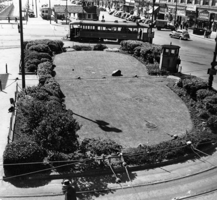
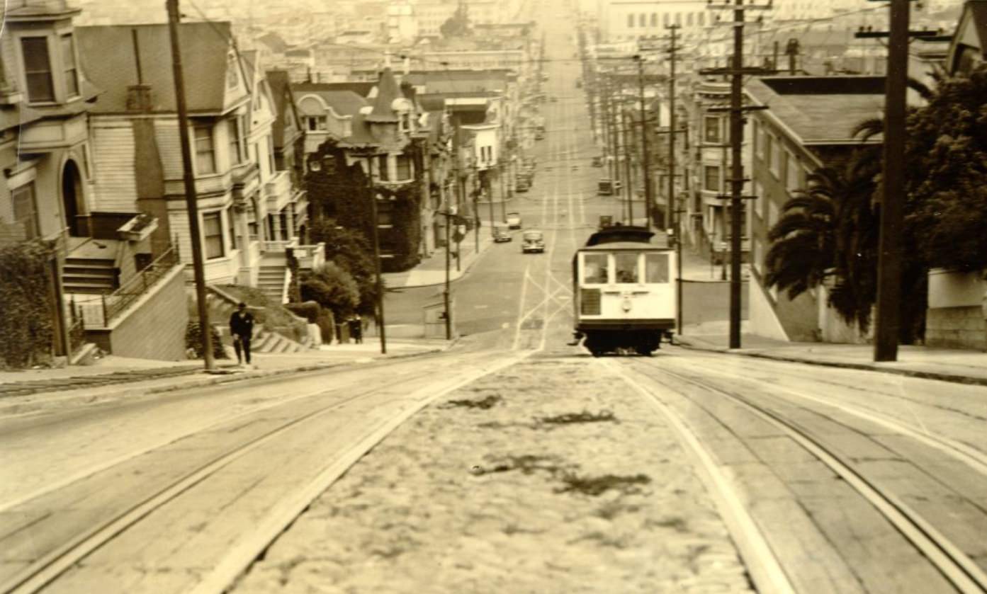
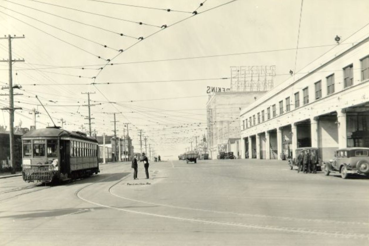
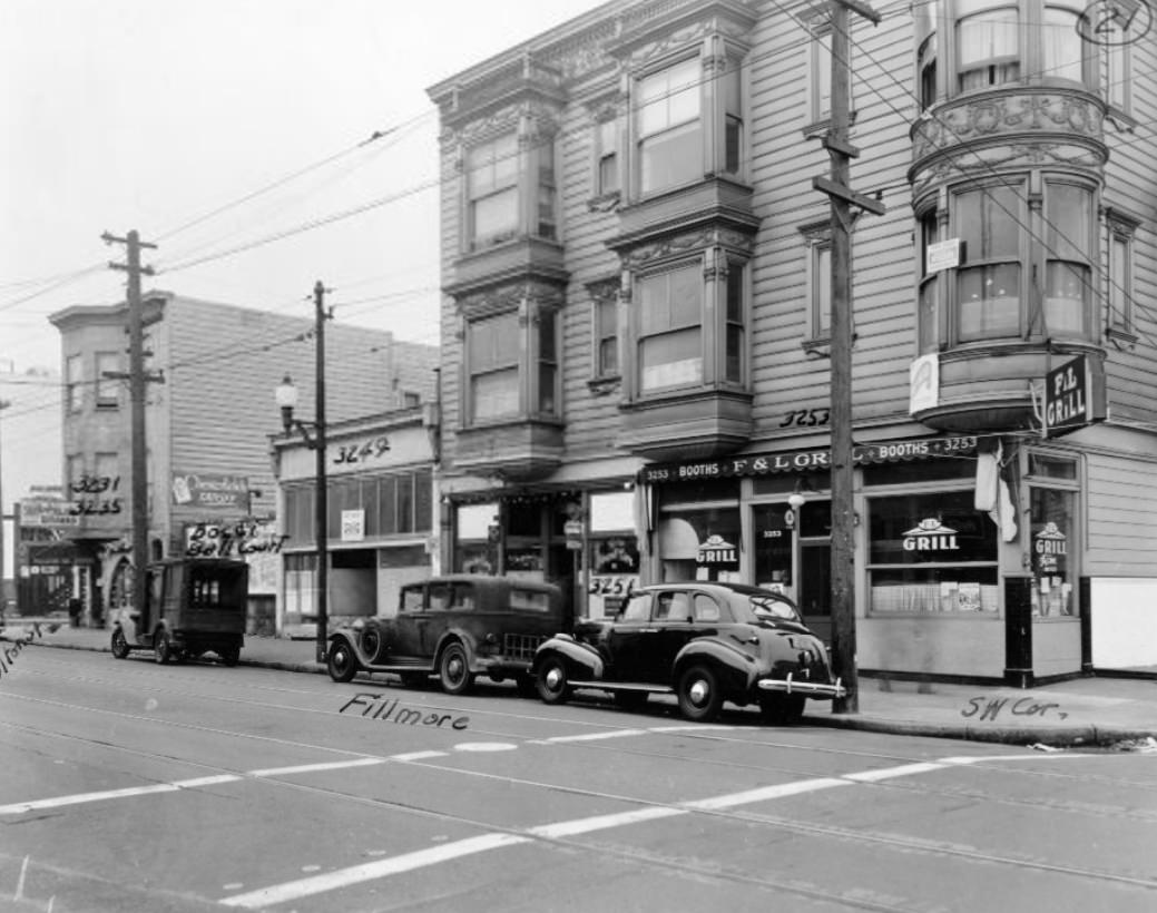
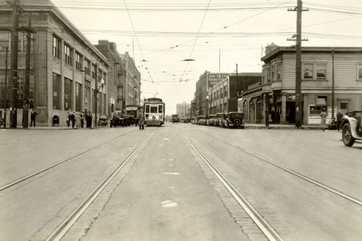
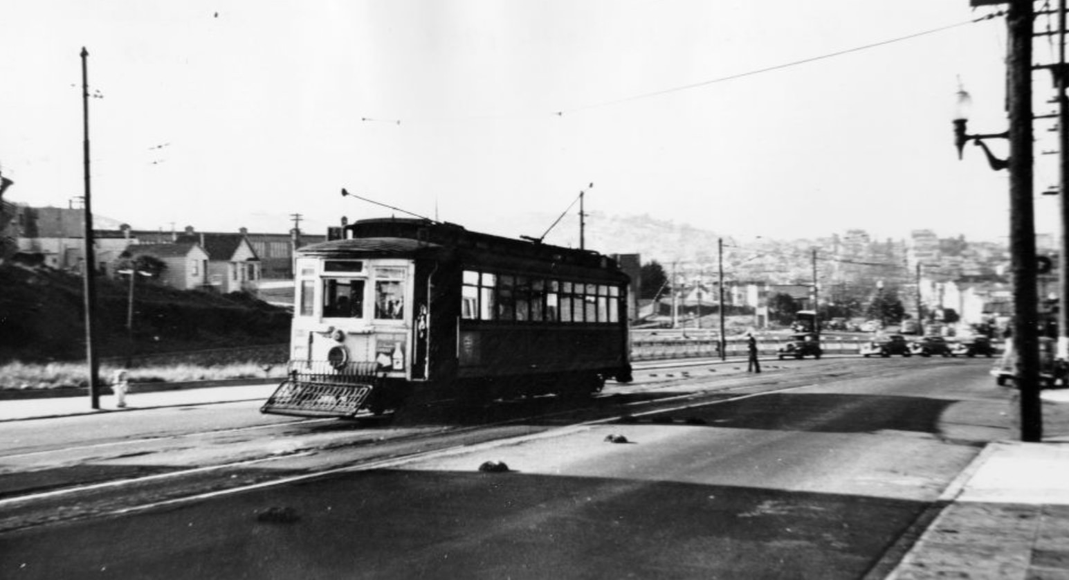
San Francisco’s streetcar network was one of the most extensive in any American city. Lines ran along Fillmore, Sacramento, Market, and dozens of other streets, moving people across the city’s steep hills and flat avenues alike. The Embarcadero terminus saw streetcars packed end to end during rush hours, and the Castro Street cable car connected hilltop neighborhoods to the broader transit grid.
Law enforcement in the city dealt with a range of issues beyond traffic fatalities. In the Mission District in 1935, agents photographed and seized marijuana plants from a private home — an early example of drug enforcement actions that were becoming more common as federal marijuana prohibition, enacted through the Marihuana Tax Act of 1937, drew closer. The Mission itself was a dense, working-class neighborhood with a strong Latino and immigrant presence.
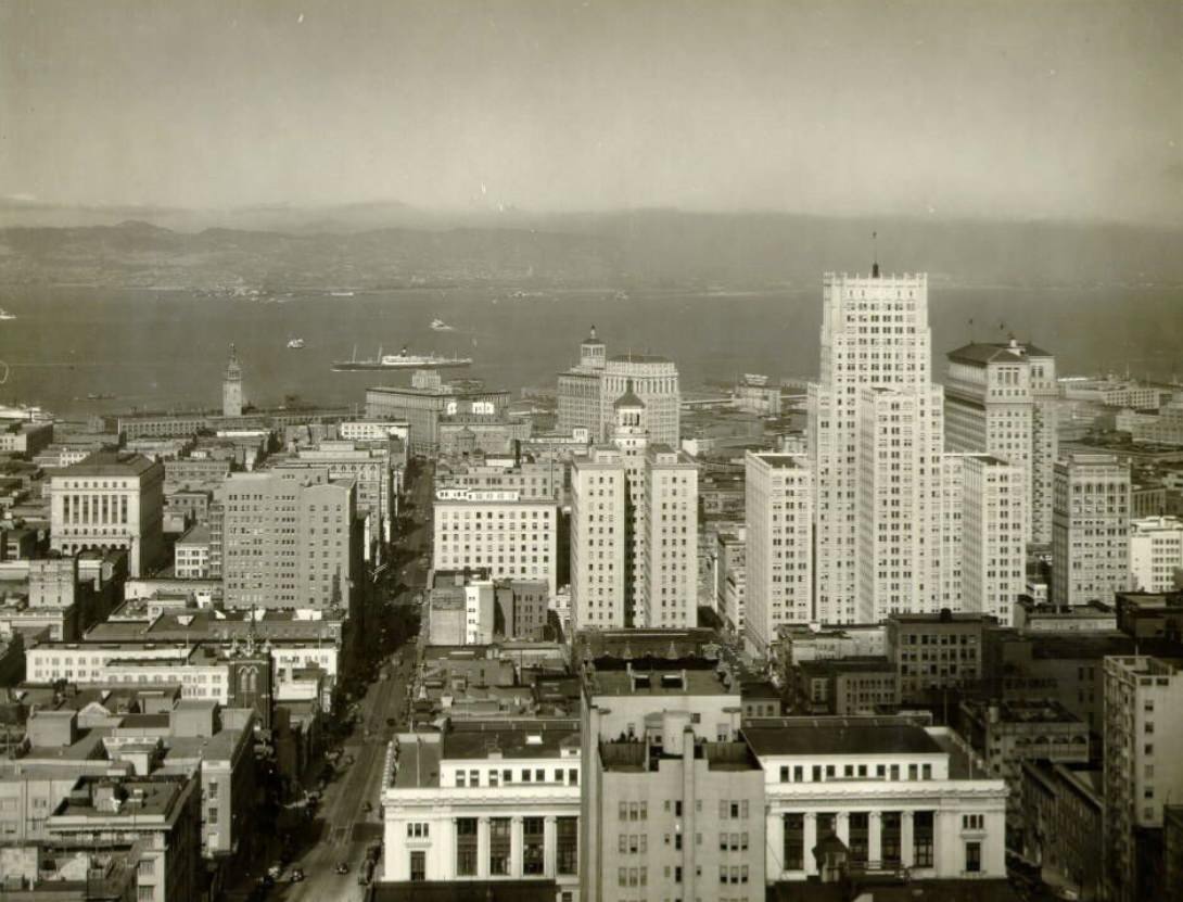
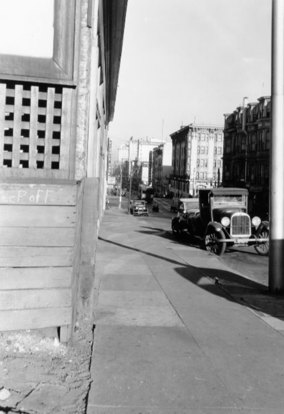
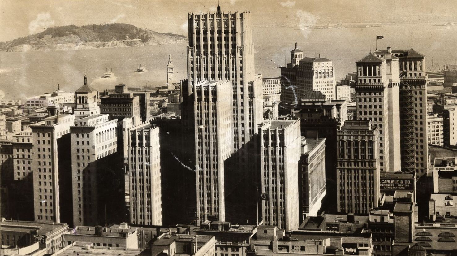
The early 1930s skyline, photographed in 1930 before either bridge existed, shows the city in its pre-bridge state — entirely reliant on ferries for bay crossings. By the middle of the decade, the Bay Bridge’s towers were rising in the background of downtown photographs, and by 1939, the bridge was simply part of the landscape. The change happened fast, and these photographs document that transformation year by year.
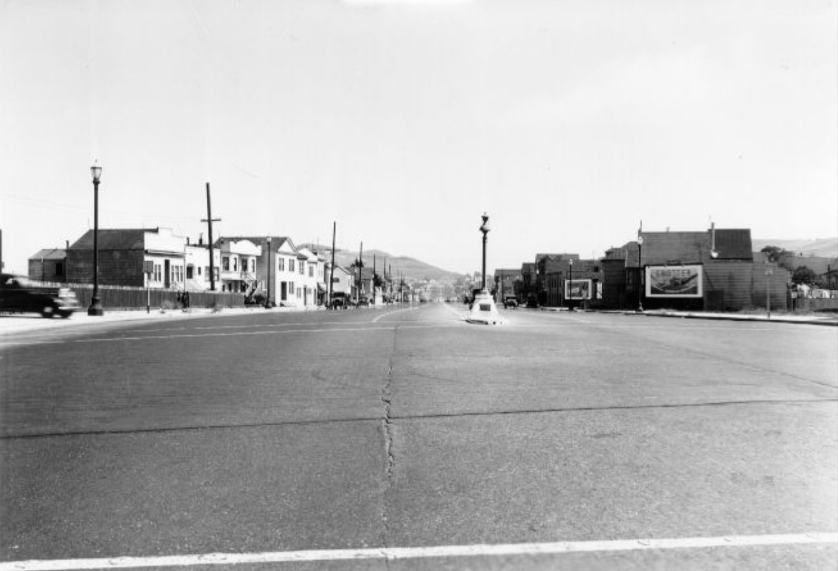
By 1939, the Bay Bridge was a fixture in views looking east from downtown. The waterfront south of the Ferry Building showed steady traffic, both vehicular and marine. Piers stretched into the bay, some in active use, others deteriorating. The city’s relationship with the water — for commerce, transit, industry, and recreation — defined its character as much as any street or building.
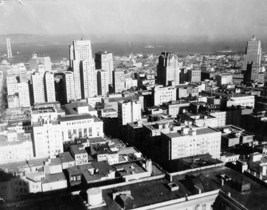
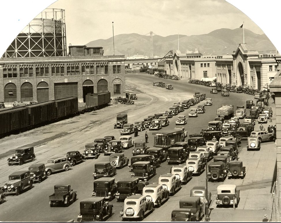
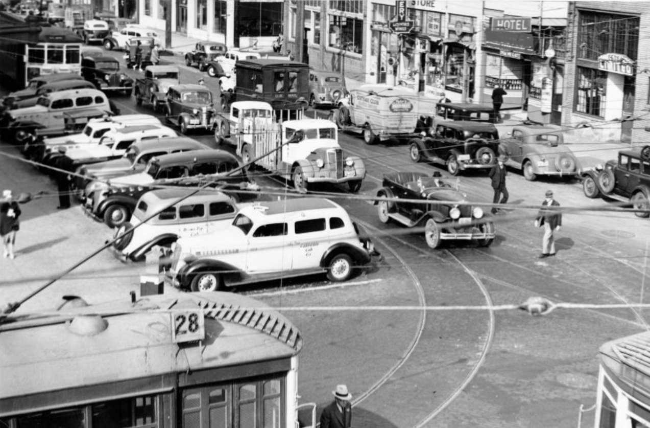
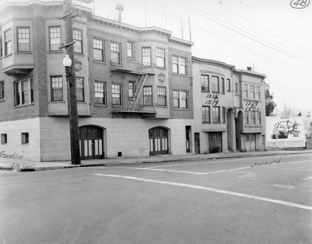
Lombard Street in its various blocks showed the residential fabric of the northern part of the city. In 1939, photographers documented multiple blocks from Franklin to Scott, capturing apartment buildings, single-family homes, corner businesses, and the mix of architectural styles that had accumulated over decades. These were working neighborhoods, full of people with ordinary lives navigating an extraordinary time in American history.
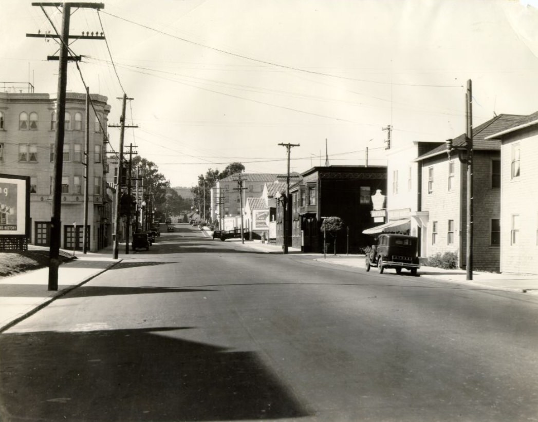
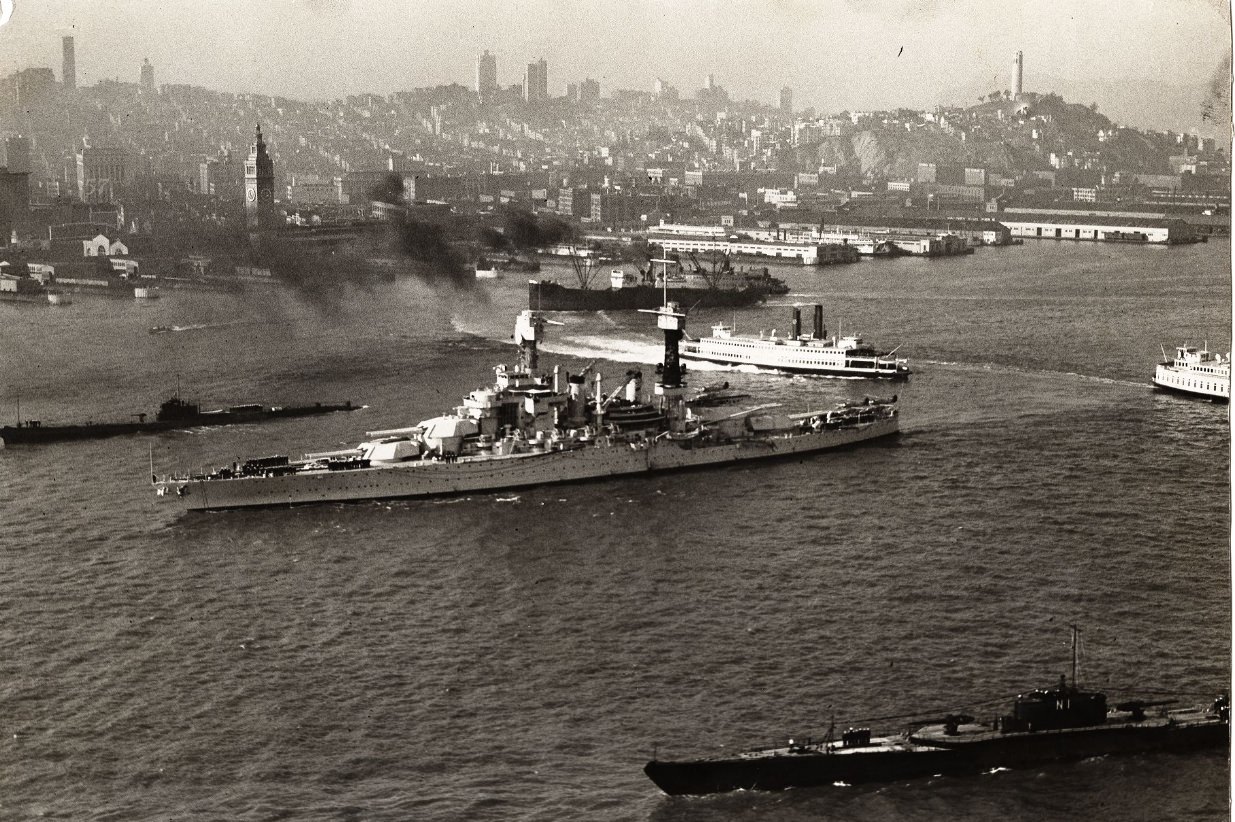
Naval vessels in the bay were a regular sight. The USS Colorado, a battleship of the Colorado class, was photographed anchored in the bay in 1934 with the city spread out behind it. The U.S. Navy maintained a significant presence in the region, with facilities at Treasure Island — itself still under construction — and at other bay installations. Plans during the decade also included proposals for an air terminal on Yerba Buena Island, though those plans never materialized as drawn.
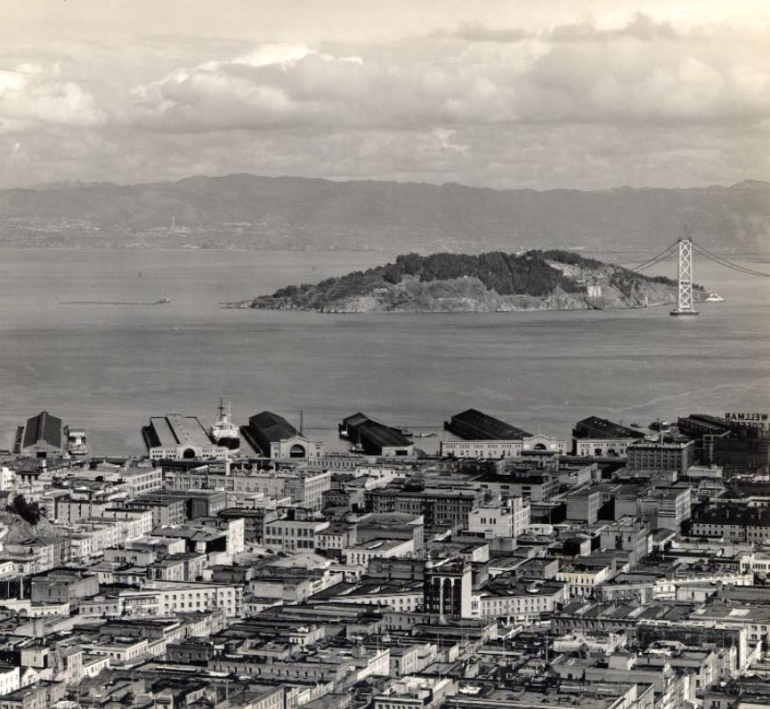
The Bay Bridge’s construction, visible from much of the city’s eastern side during the mid-1930s, was a defining feature of the decade’s middle years. The structure connected San Francisco to Oakland and carried both automobile and rail traffic. Yerba Buena Island served as the midpoint, where the western and eastern spans of the bridge met. The project employed thousands of workers and took four years to complete, opening in November 1936.
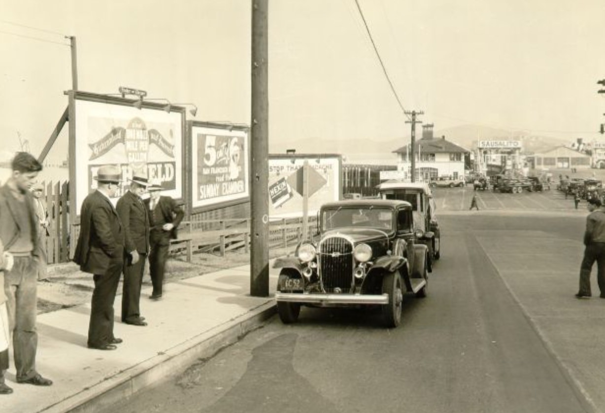
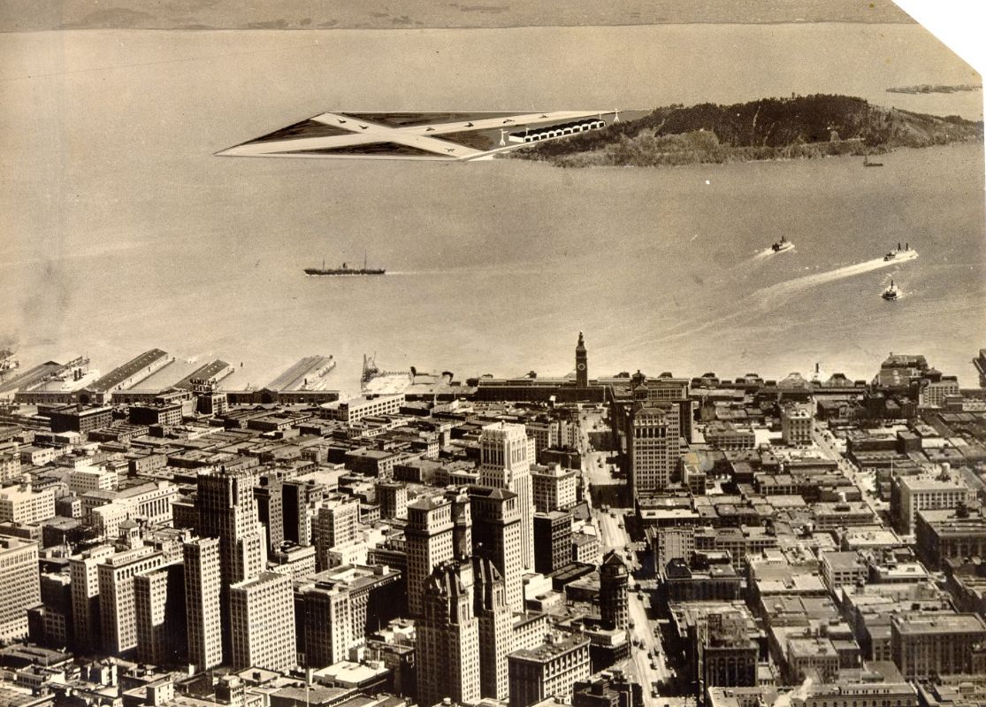
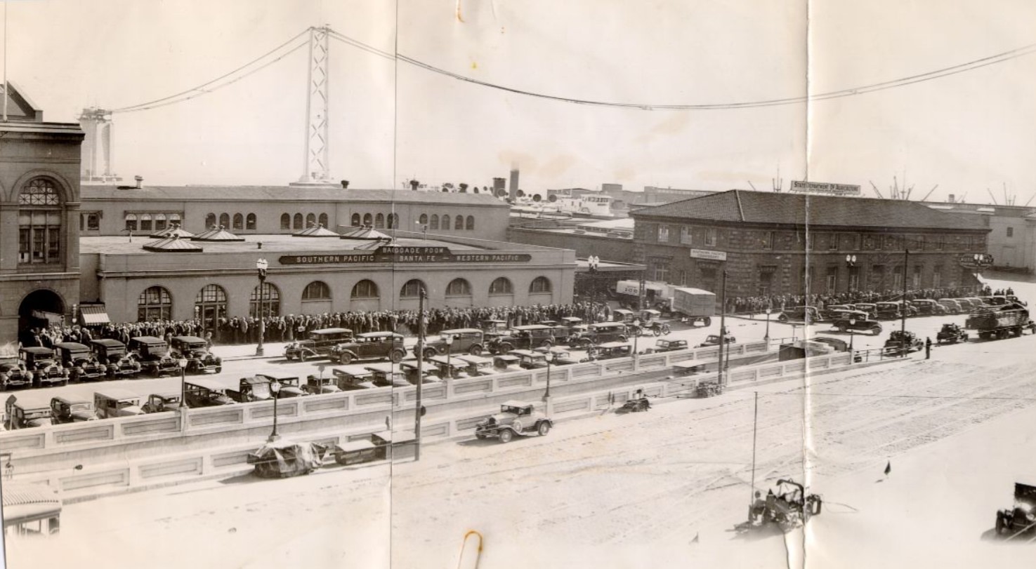
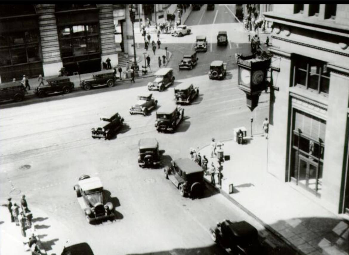
Downtown Market Street at Third remained one of the busiest intersections in the city throughout the decade. By 1939, automobiles and streetcars competed for space, and the sidewalks were packed at peak hours. Newsboys still worked the corners, and storefronts displayed goods behind plate glass windows. The Southern Pacific Station at Third and Townsend brought travelers in and out of the city by rail, connecting San Francisco to the rest of California and the country.
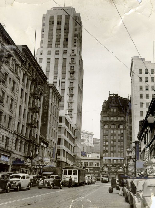
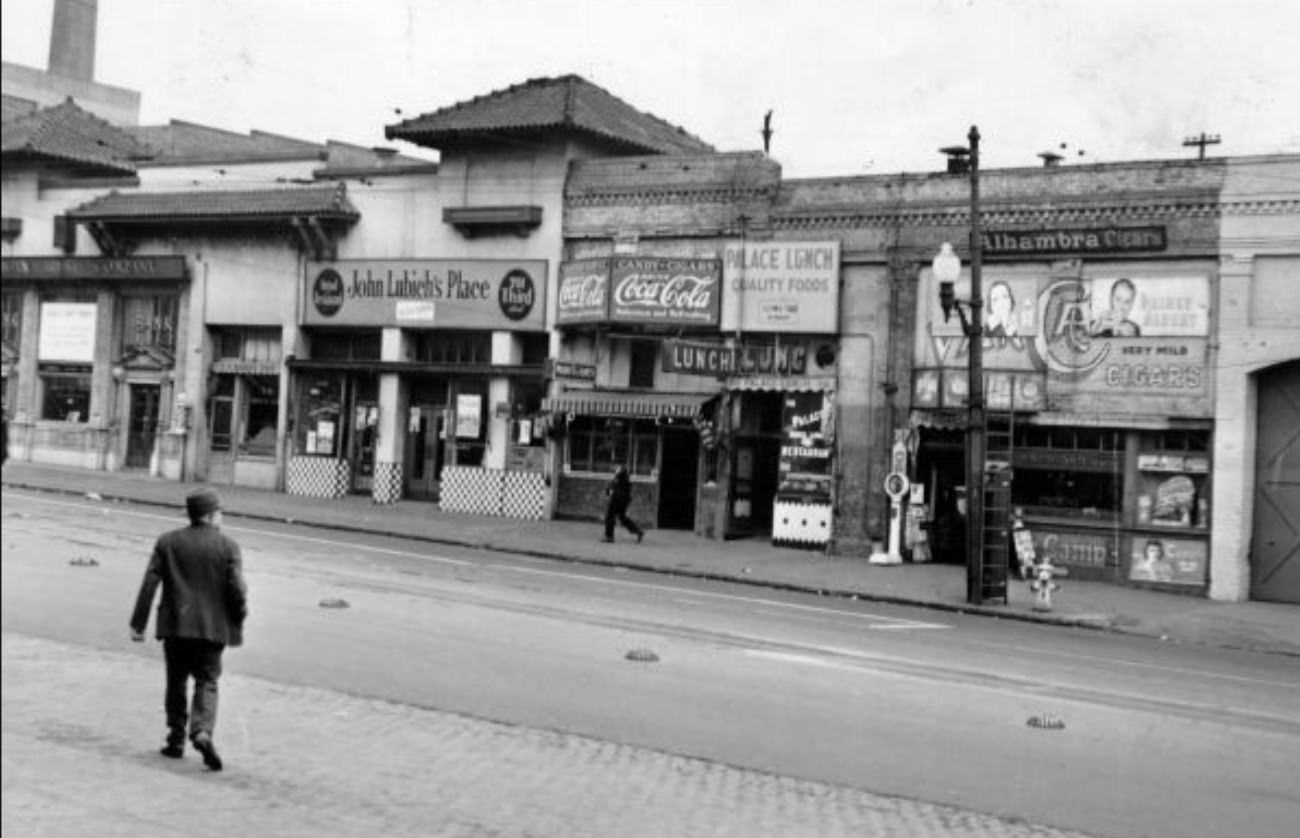
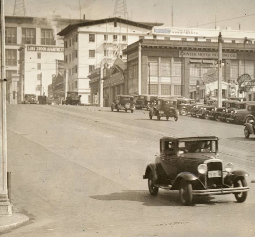
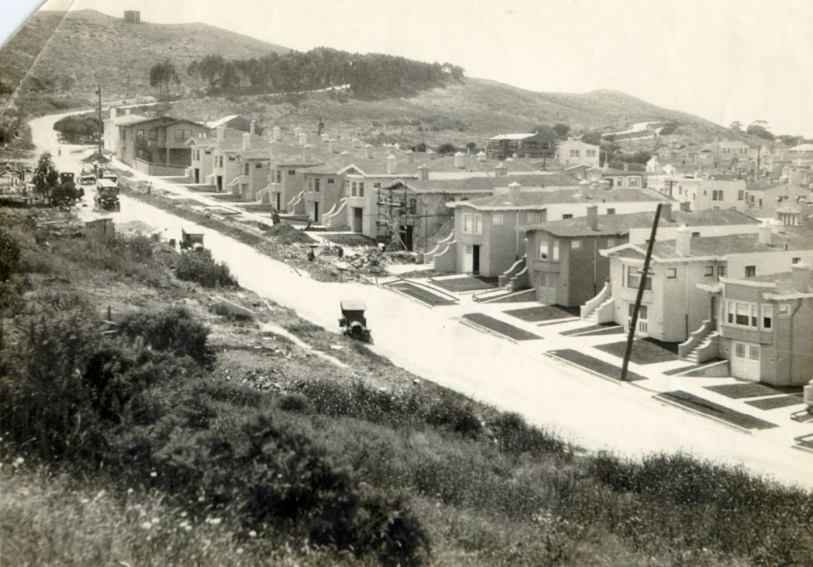
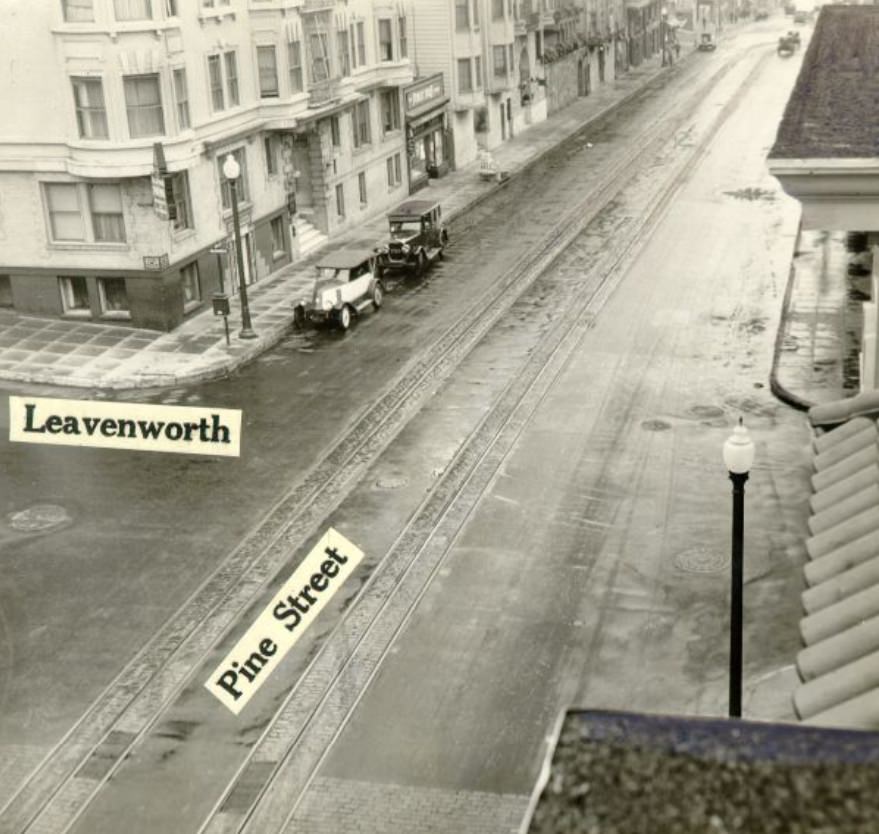
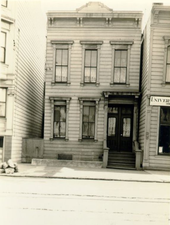
Residential blocks throughout the city — O’Farrell, Bush, Sutter, and others — showed neat rows of buildings that had survived the 1906 earthquake and fire and been rebuilt in the years that followed. By the 1930s, these streets were fully settled, their buildings occupied by families, boarders, and small businesses. The Depression added strain, but these neighborhoods remained intact and populated.
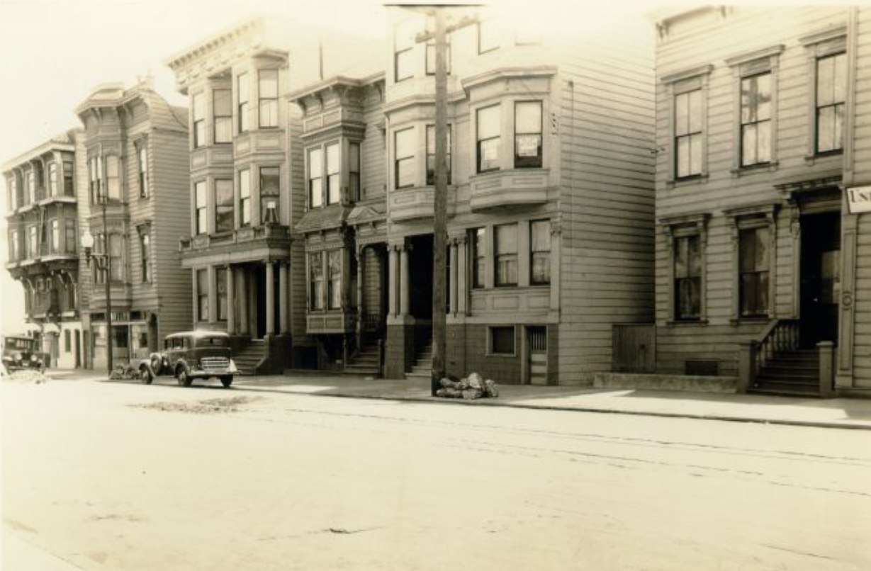
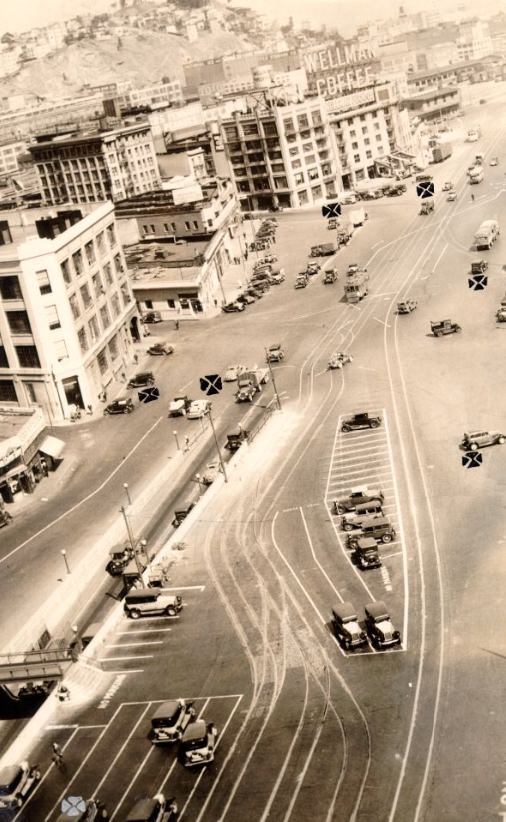
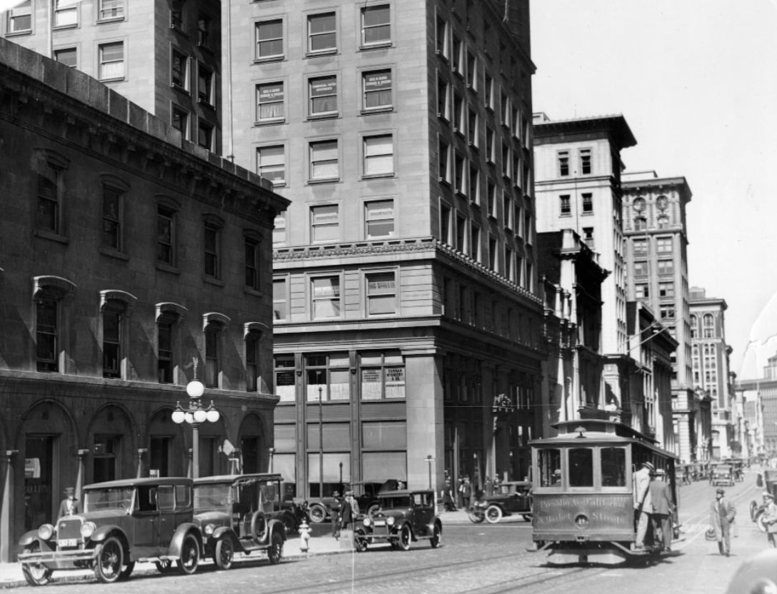
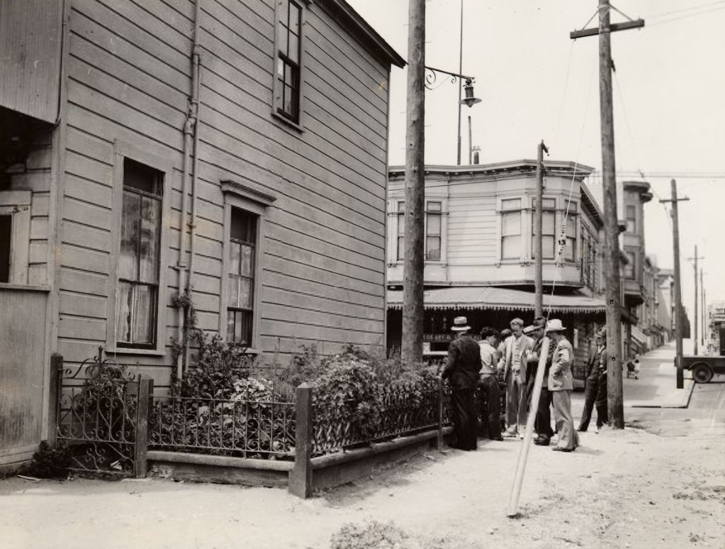
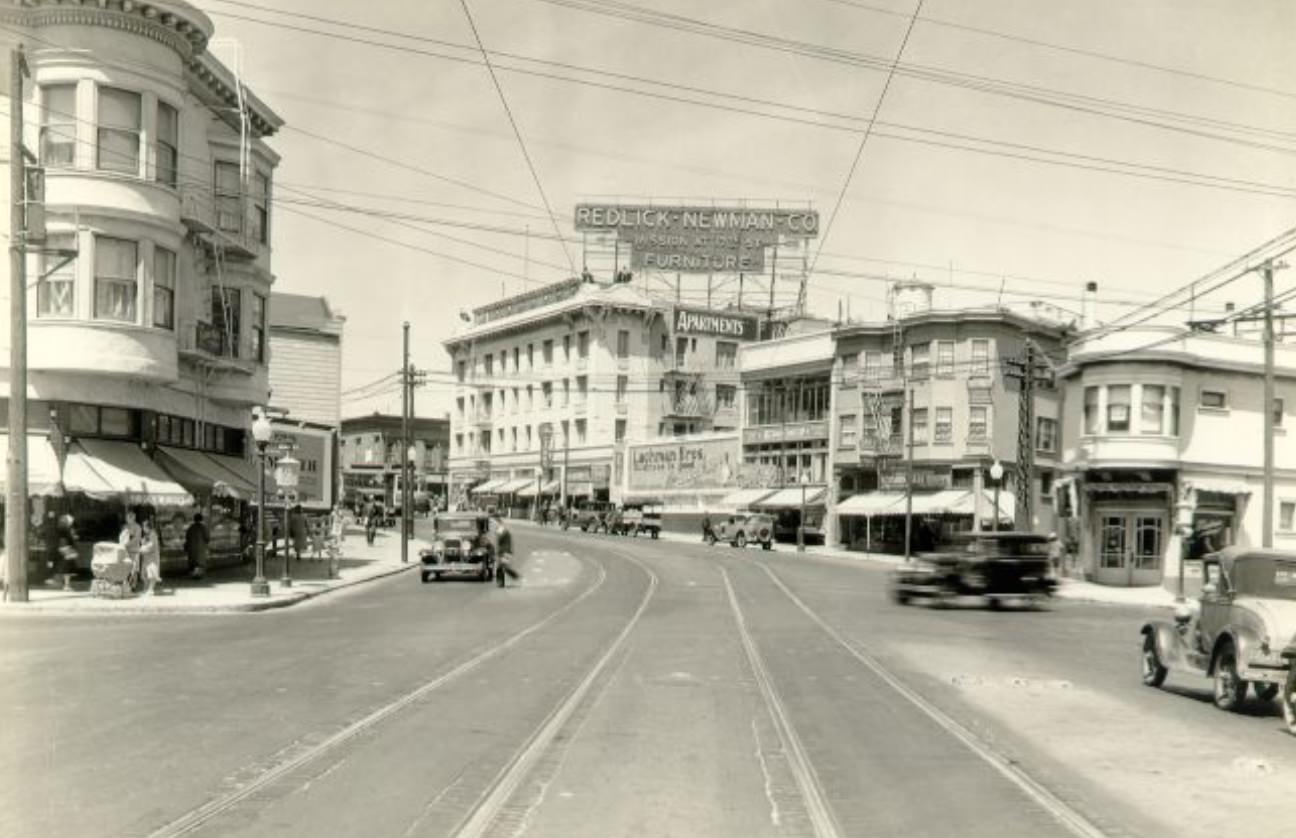
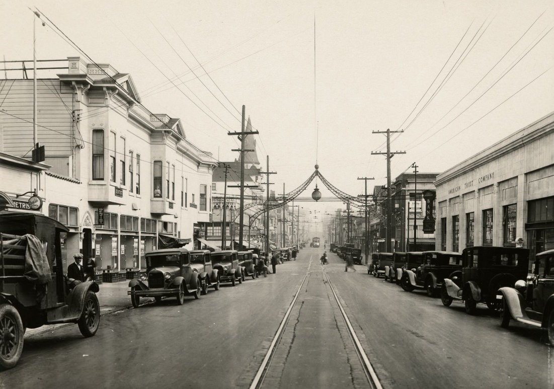
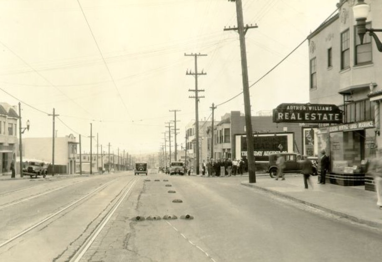
Mission Street was one of the longest commercial corridors in the city, running from downtown south through the Mission District and beyond. In the 1930s, its blocks varied from dense urban storefronts near downtown to quieter neighborhood strips further south. Photographs from different years along the street show how conditions changed block by block — and year by year as the Depression deepened and then slowly began to ease.
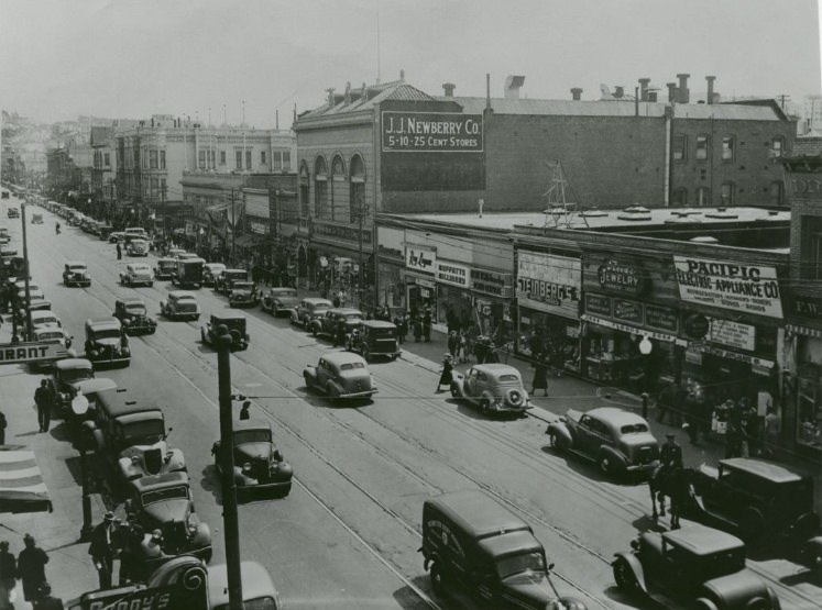
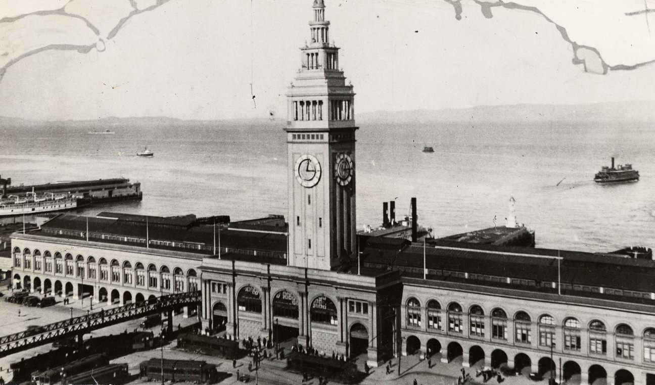
The bay itself — photographed from elevated positions throughout the decade — was filled with activity. Ferries crossed constantly before the bridges opened. Freighters anchored and moved through the channel. Aerial views from 1933 and later show Yerba Buena Island at the center of the bay, with the city’s skyline rising to the west and the East Bay hills in the distance. The bay was not just scenery; it was infrastructure.
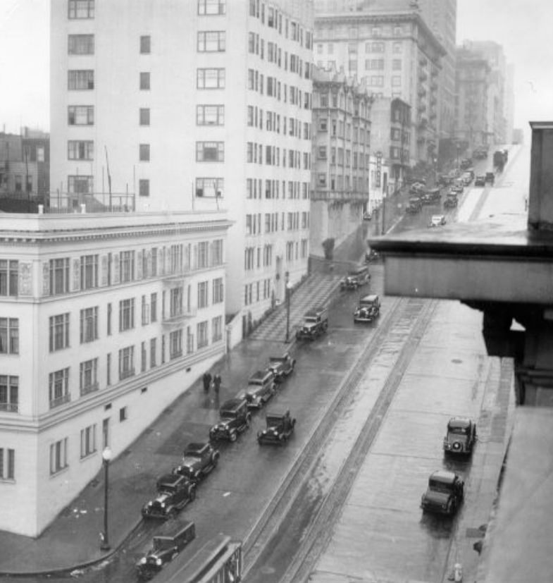
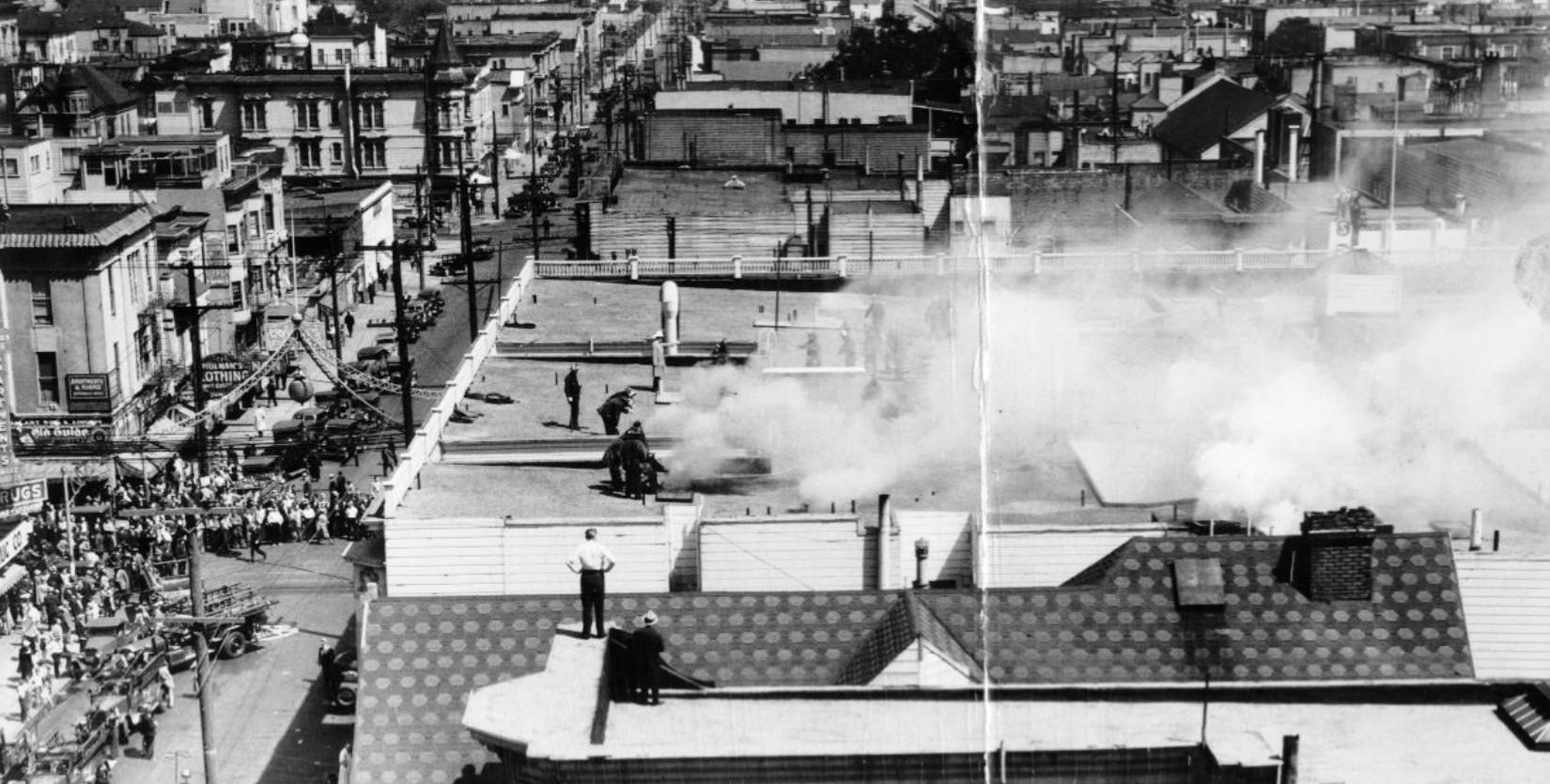
Fire was an ongoing danger in a city full of older wooden buildings. Firefighters battled a blaze at the Fillmore Street Hotel in 1936, one of many structure fires that challenged the department during the decade. The city’s Fire Department had been rebuilt and professionalized after the catastrophic fires that followed the 1906 earthquake, and by the 1930s it was a well-equipped force — though fires still caused significant damage when they took hold in dense residential blocks.
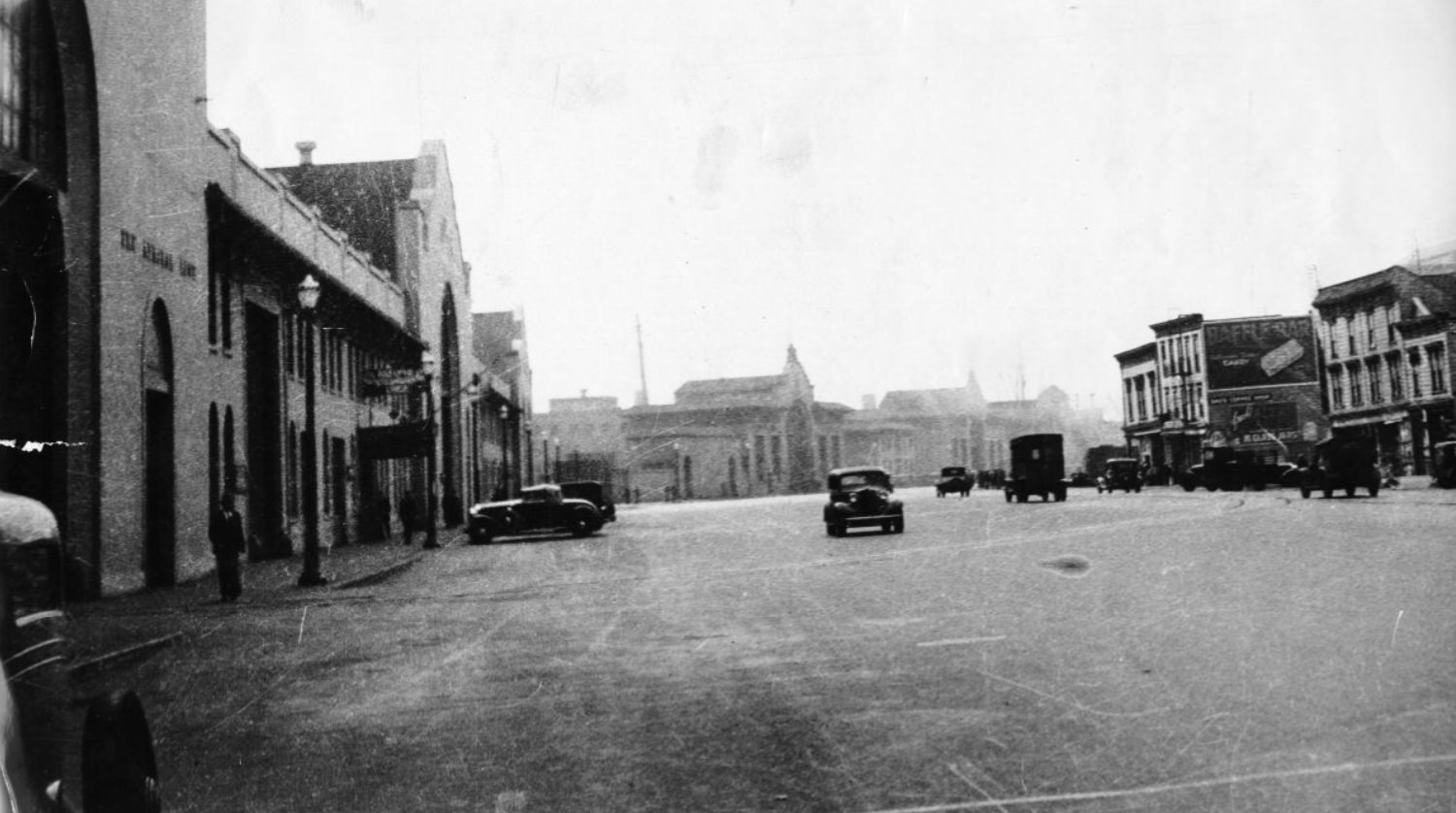
The Barbary Coast District along Pacific Avenue retained some of its edge even into the 1930s. Establishments that had operated in the area for decades continued under new names and shifted purposes. The neighborhood’s position near the waterfront meant it remained a destination for sailors and dock workers, and its reputation — built on generations of vice and entertainment — still clung to its streets.
The Bay Bridge construction proceeded through the early-to-mid 1930s as one of the largest engineering undertakings in American history at the time. Workers labored on the twin suspension spans on the western section and the cantilever truss spans on the eastern section. The project crossed Yerba Buena Island through a bore tunnel — the largest-diameter bore tunnel in the world at that point. Photographs taken around 1935 show the structure mid-completion, steel rising from the water.
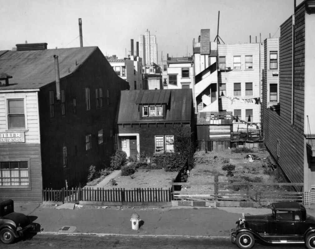
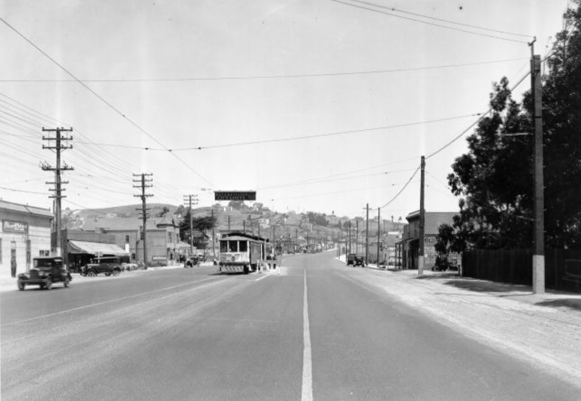
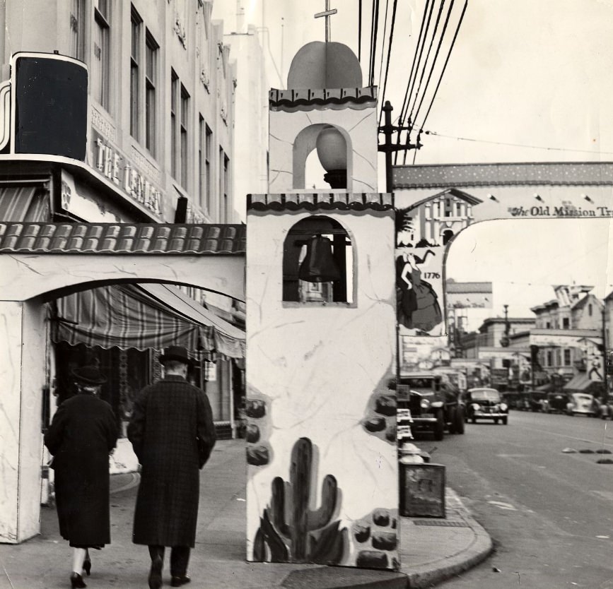
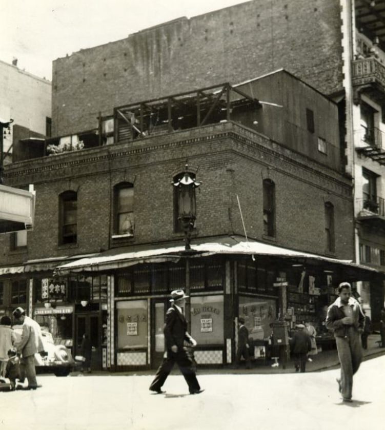
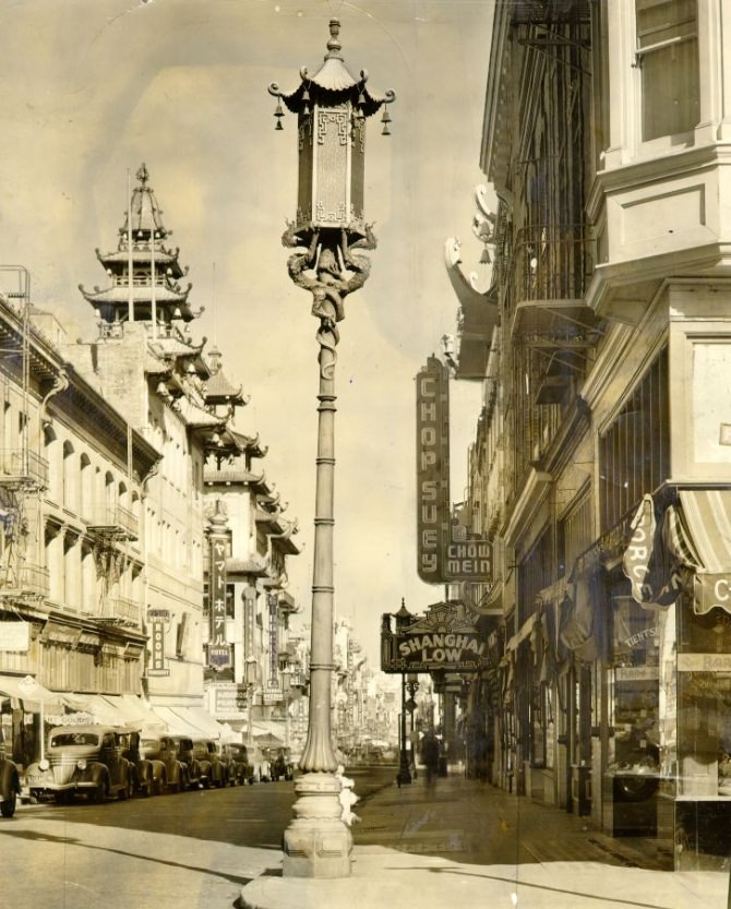
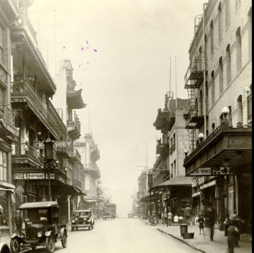
Grant Avenue and Columbus Avenue in North Beach and Chinatown were two of the city’s most distinct streets. Chinatown, centered on Grant Avenue, was the most densely populated urban neighborhood in the United States by some measures. Its buildings featured decorative Chinese-style facades added in the early 1900s to attract tourists, and by the 1930s the neighborhood was a fully functioning community with its own schools, churches, newspapers, and businesses. Chinese arc lamps lined Grant Avenue, visible in photographs from 1938.
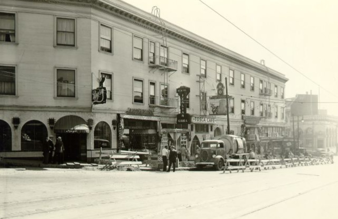
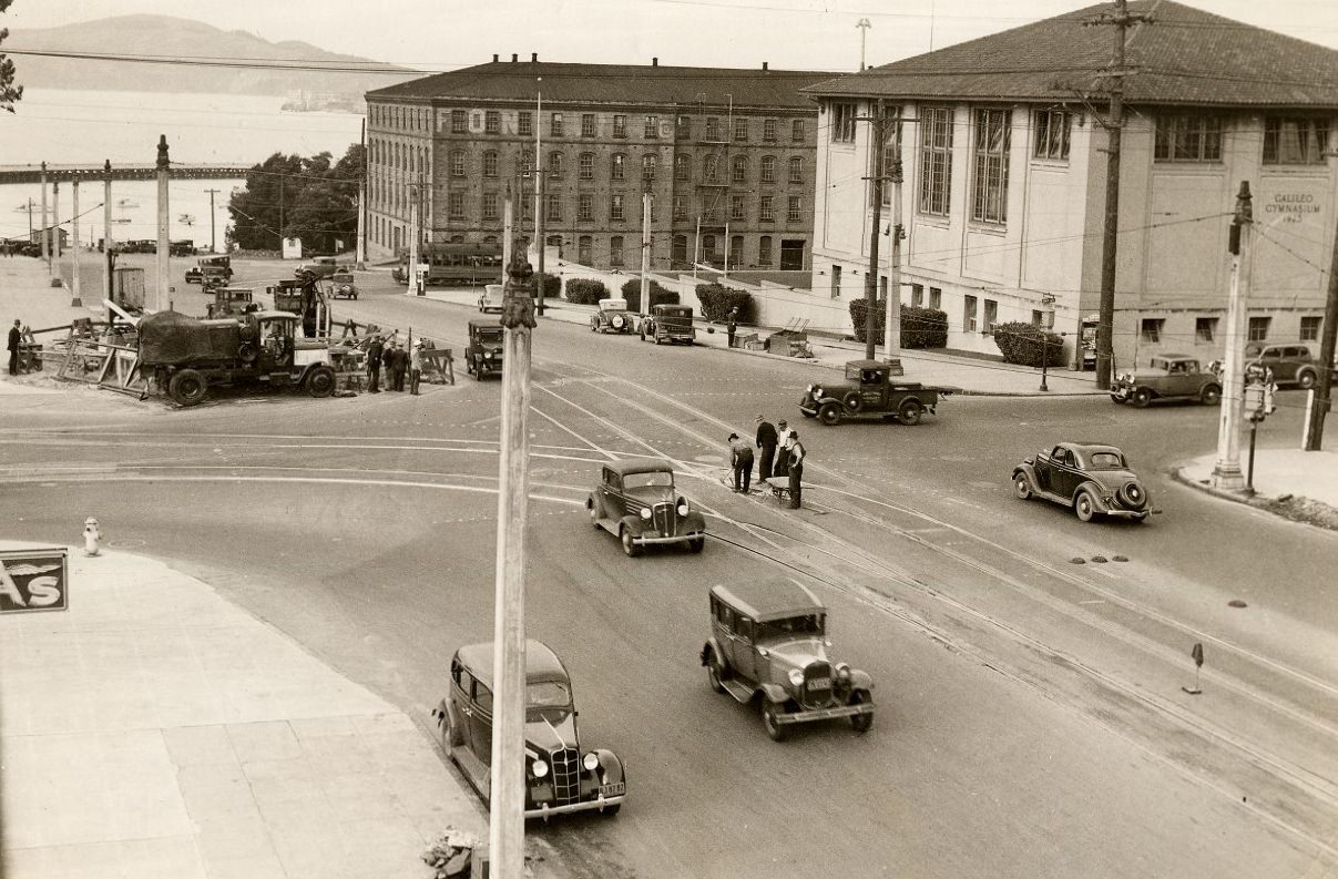
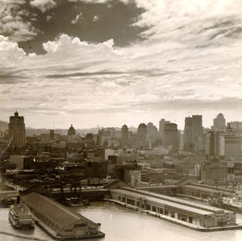
The city from the water looked different than from the streets. Photographs taken from the bay in 1936 show the waterfront and downtown rising together, the Ferry Building’s tower prominent among the piers, and the hills of the city stacked behind. The view from the bay showed San Francisco as a place built right up to the water’s edge, which was precisely true — the city’s eastern shoreline was built on fill extending well beyond the original shore.
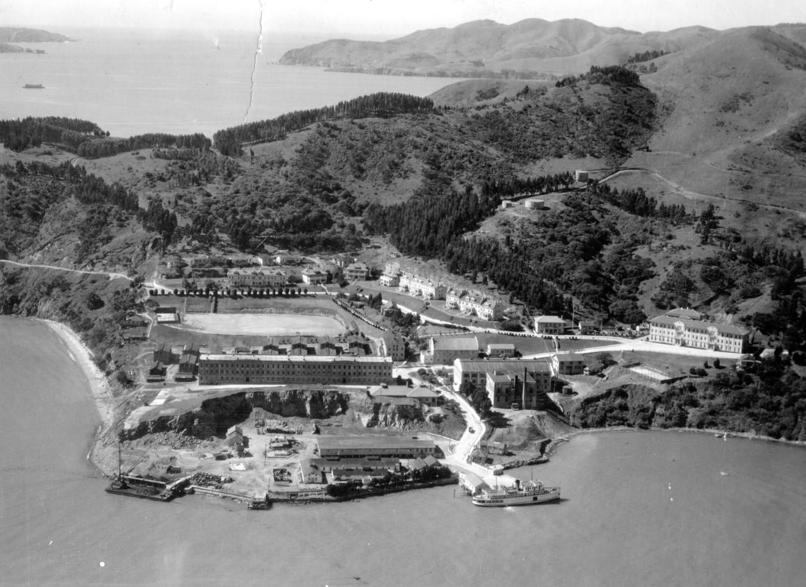
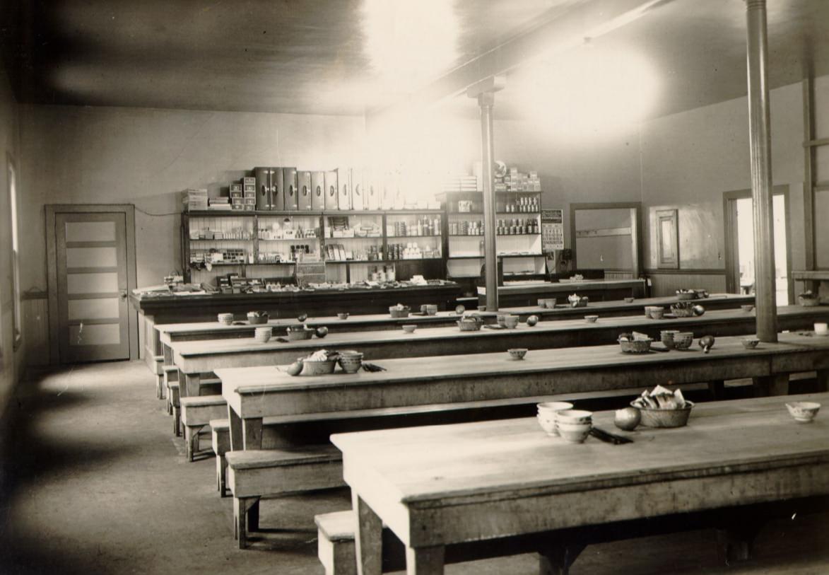
Angel Island in the middle of the bay served multiple purposes during the 1930s. Fort McDowell operated as an Army post and embarkation point for troops. The island also housed the Angel Island Immigration Station, which had processed hundreds of thousands of immigrants — primarily from Asia — since 1910. The station’s dining room, photographed in 1933, shows the institutional character of a facility that held immigrants, sometimes for months, while their cases were reviewed.
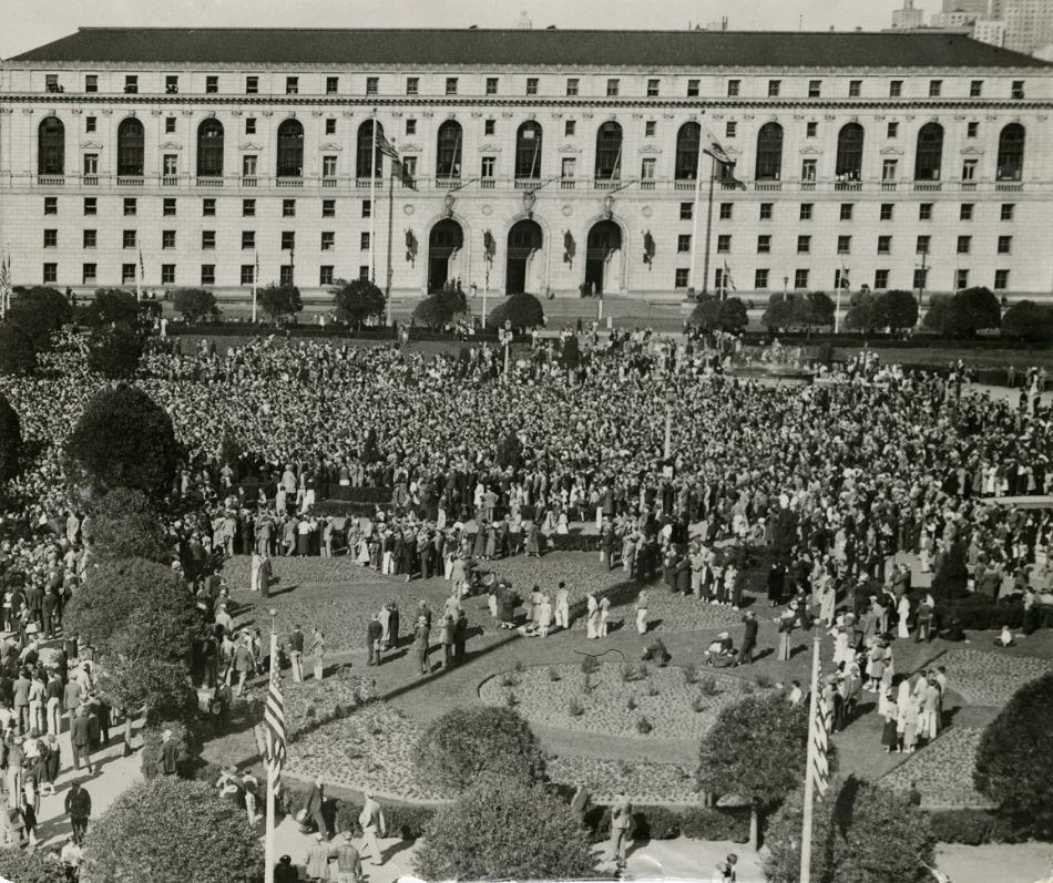
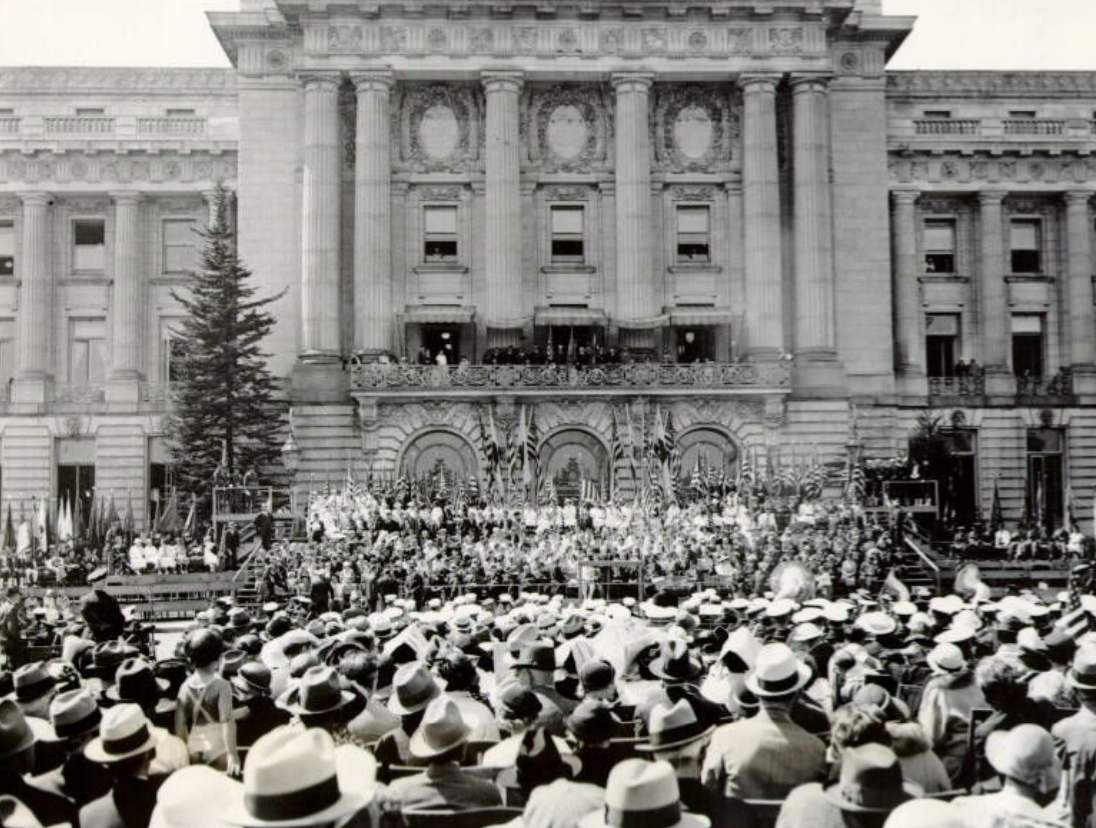
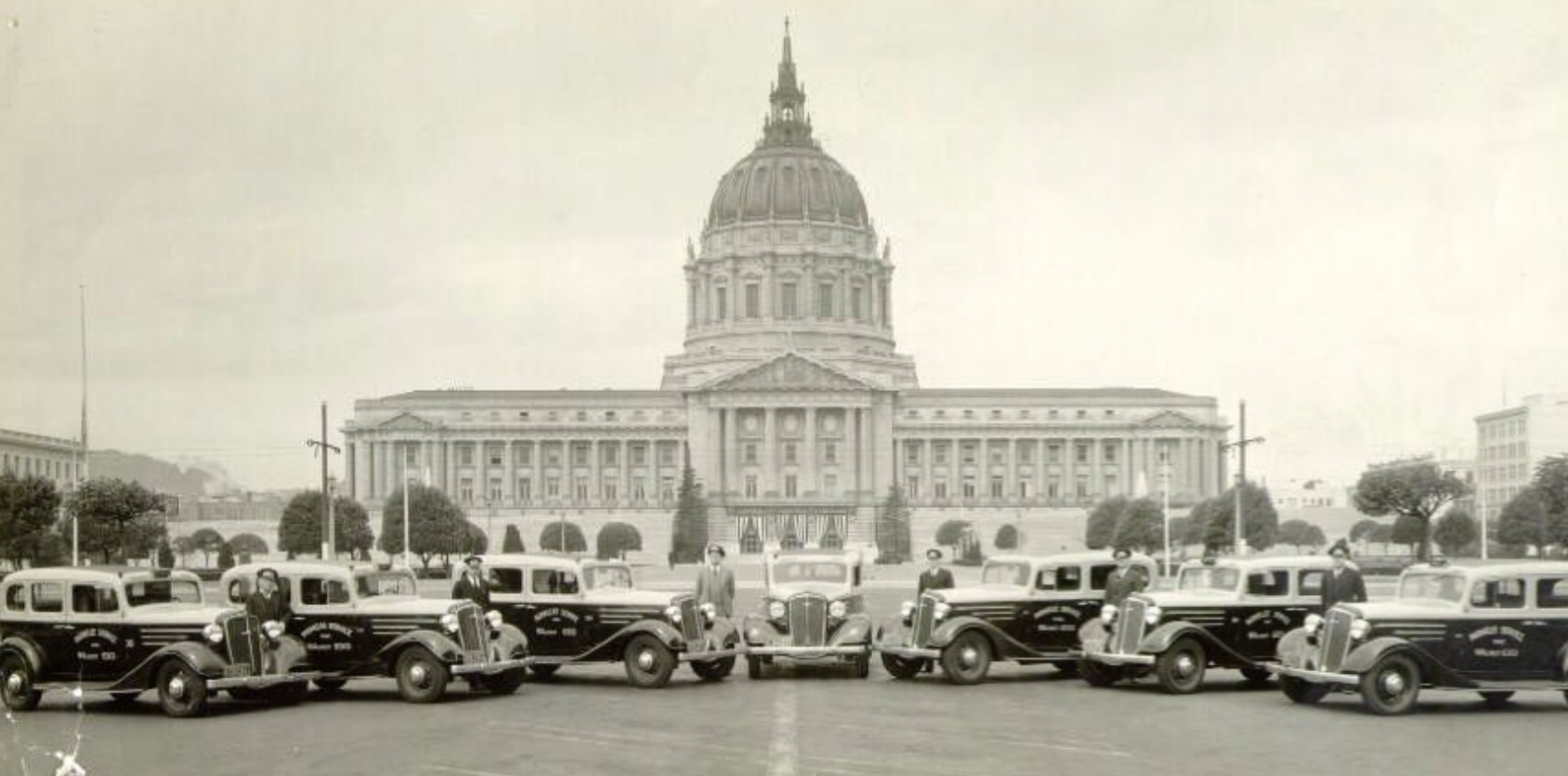
City Hall drew crowds for a variety of reasons throughout the decade. Rallies, protests, official ceremonies, and public gatherings all played out on its steps and in the plaza in front of it. In 1932 and again in 1935, large crowds assembled at the building — reflecting the political intensity of the Depression era, when unemployment, labor disputes, and questions about the role of government were at the forefront of public life.
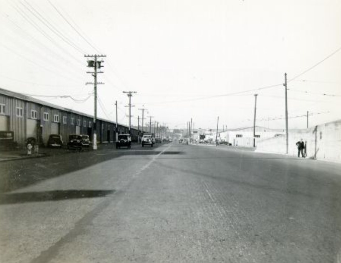
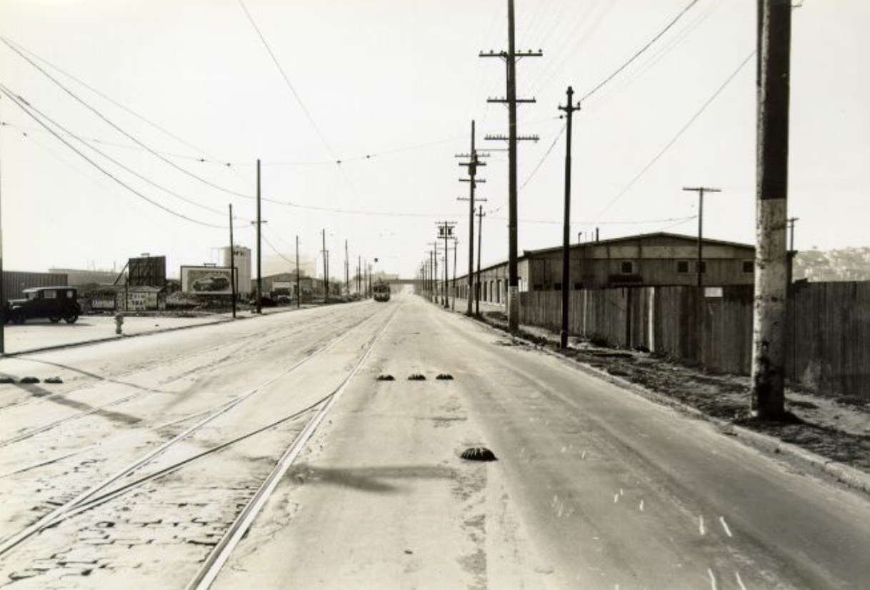
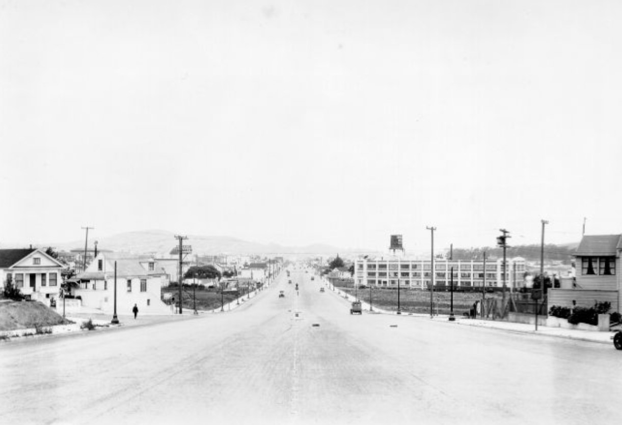
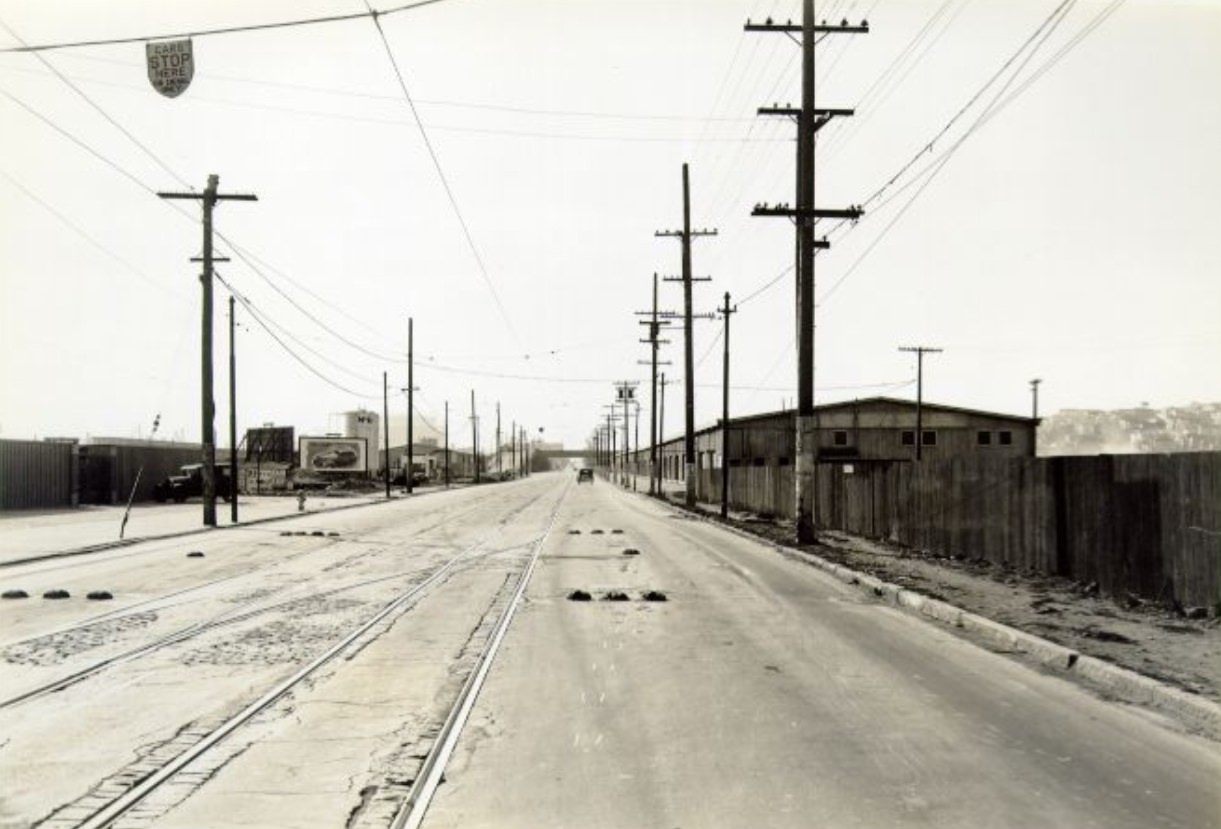
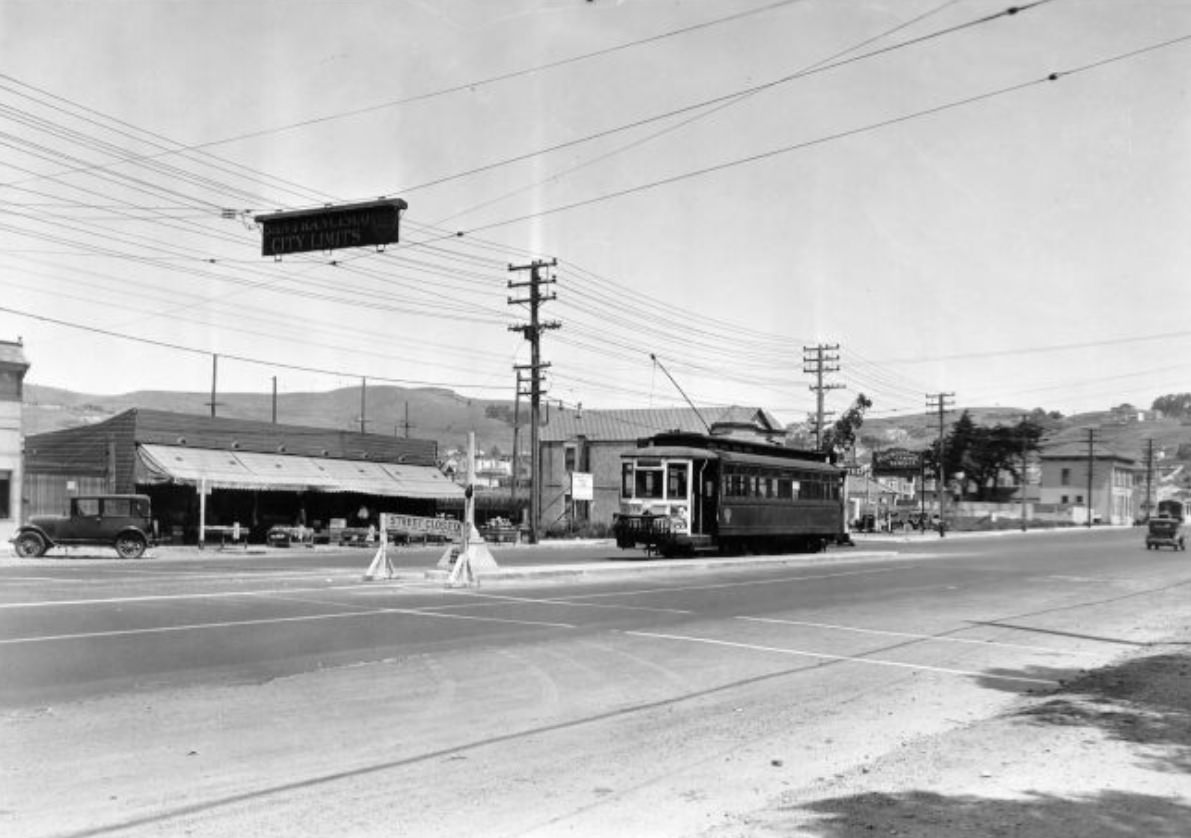
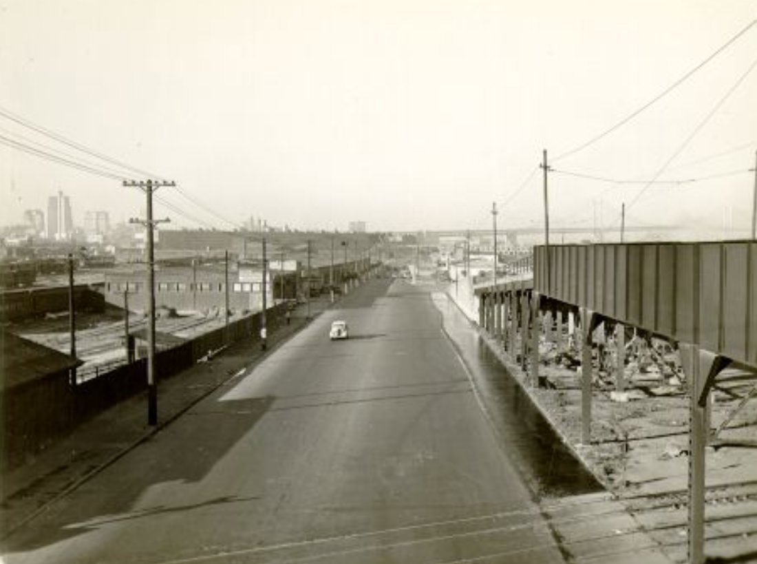
Bayshore Boulevard formed the southern approach to the city, running along the bay shore toward the county line. Industrial and commercial uses dominated the corridor, with warehouses, yards, and businesses lining the road. This part of the city was less photographed than downtown or the waterfront, but it was essential to how goods and people moved in and out of San Francisco from the south.
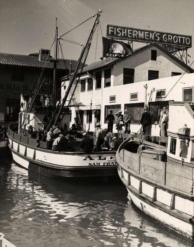
Fisherman’s Wharf in 1939 still operated as it had for decades, with fishing boats tied up alongside restaurants catering to both locals and visitors. The Fishermen’s Grotto was among the establishments that had built a reputation for fresh seafood. The wharf’s commercial character was intact, even as tourism began to grow as a secondary purpose for the area alongside its primary function as a working fishing harbor.
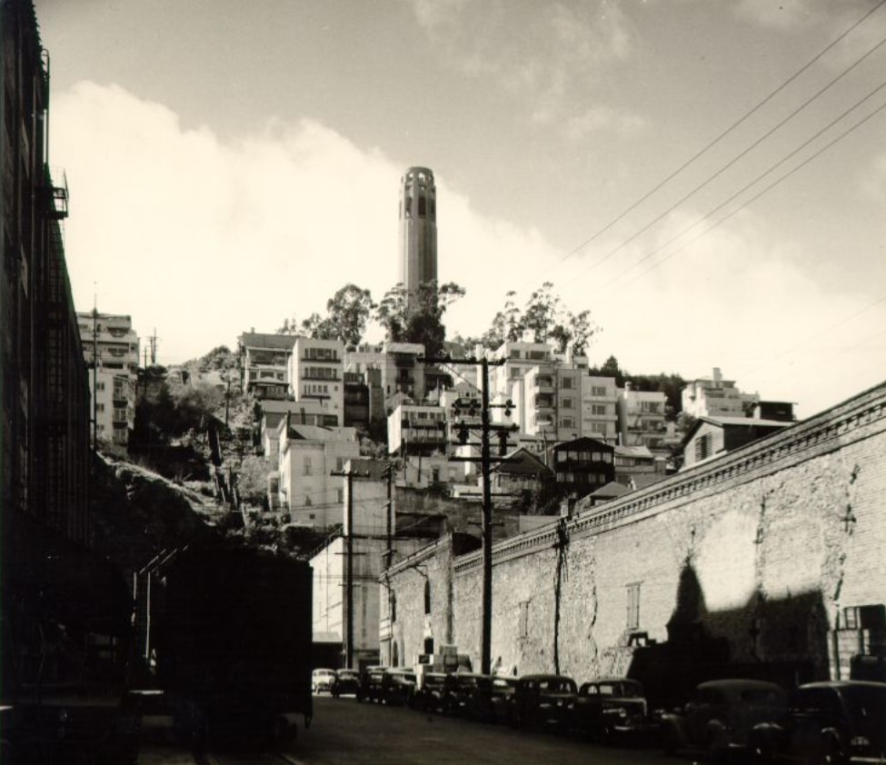
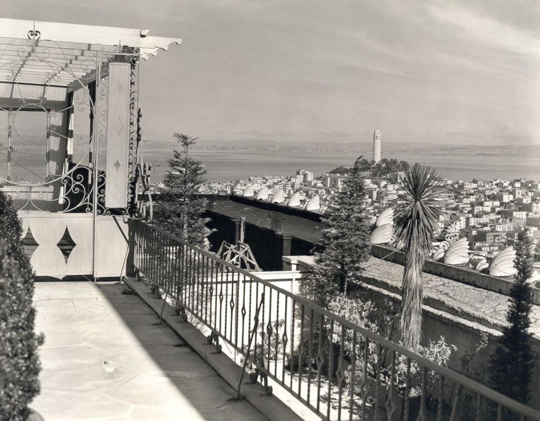
Telegraph Hill rose steeply above the North Beach neighborhood, its eastern face still bare rock where quarrying had eaten into the slope in earlier decades. Coit Tower stood at the summit, completed in 1933 with funding from Lillie Hitchcock Coit’s bequest to the city. The 210-foot concrete tower was built to resemble a fire hose nozzle, honoring the city’s firefighters. Its interior murals, painted by artists employed under the Public Works of Art Project, depicted California agriculture, industry, and urban life — and generated significant controversy over some of their content.
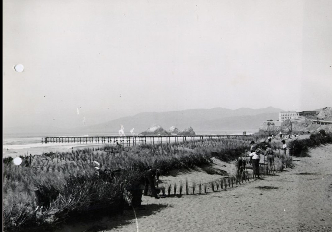
Ocean Beach and the Great Highway along the western edge of the city offered panoramic views of the Pacific. The Sutro Heights area, once home to entrepreneur Adolph Sutro’s elaborate estate and baths, still provided elevated vantage points over the beach by the late 1930s. Sutro Baths, the enormous glass-enclosed saltwater swimming facility built by Sutro in 1896, continued to operate during the Depression, offering affordable swimming to the public.
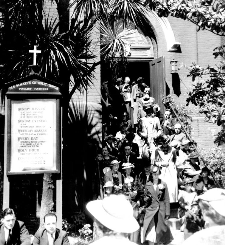
Grant Avenue in 1930 looked different from Grant Avenue in 1939. Through the decade, the street evolved as businesses opened and closed, as the neighborhoods around it shifted, and as the city absorbed the pressures of the Depression and the gradual return of economic activity. Old St. Mary’s Church on California Street, one of the oldest Catholic churches in San Francisco, stood as a fixed point in a changing city — its brick walls a reminder of the pre-earthquake era.
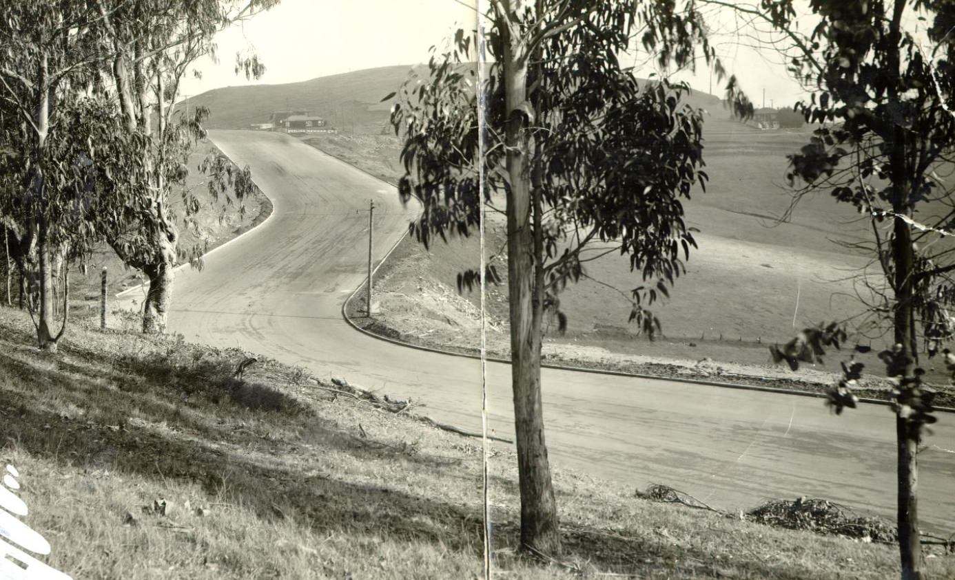
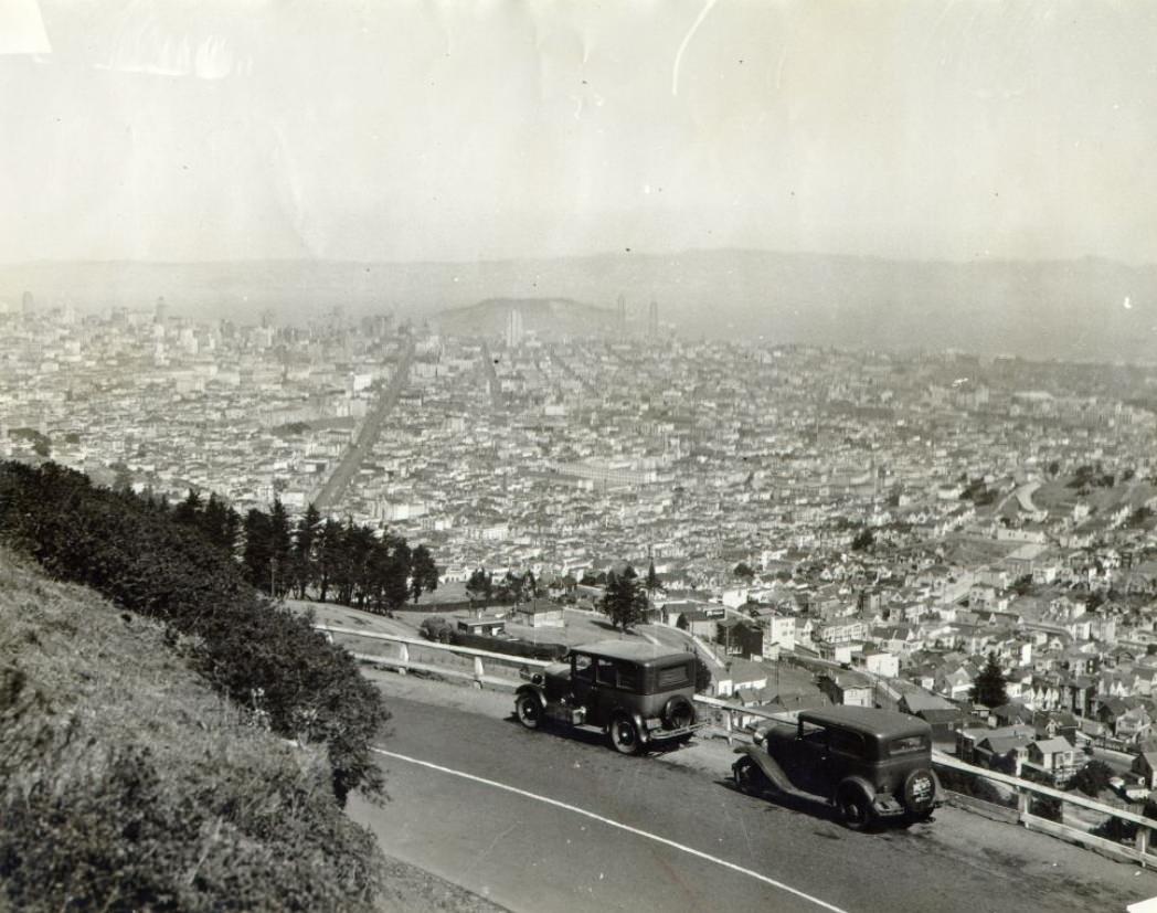
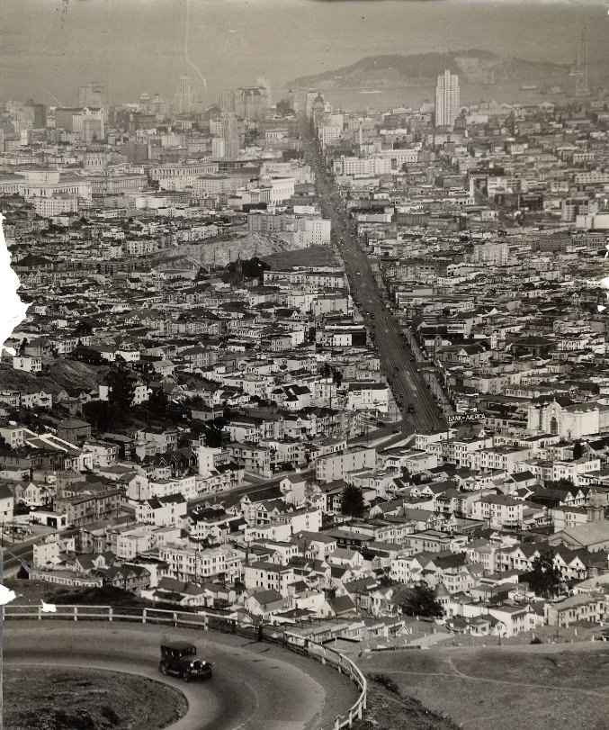
Twin Peaks, the pair of hills near the center of the peninsula, offered some of the broadest views of the city. From their summits, all of San Francisco spread out in every direction — the bay to the east, the ocean to the west, the Golden Gate to the north, and the peninsula stretching south. Views from Twin Peaks in 1930 and 1934 show the city before and during the bridge-building era, the bay open and unspanned in the earlier photograph and the Bay Bridge taking shape in the later one.
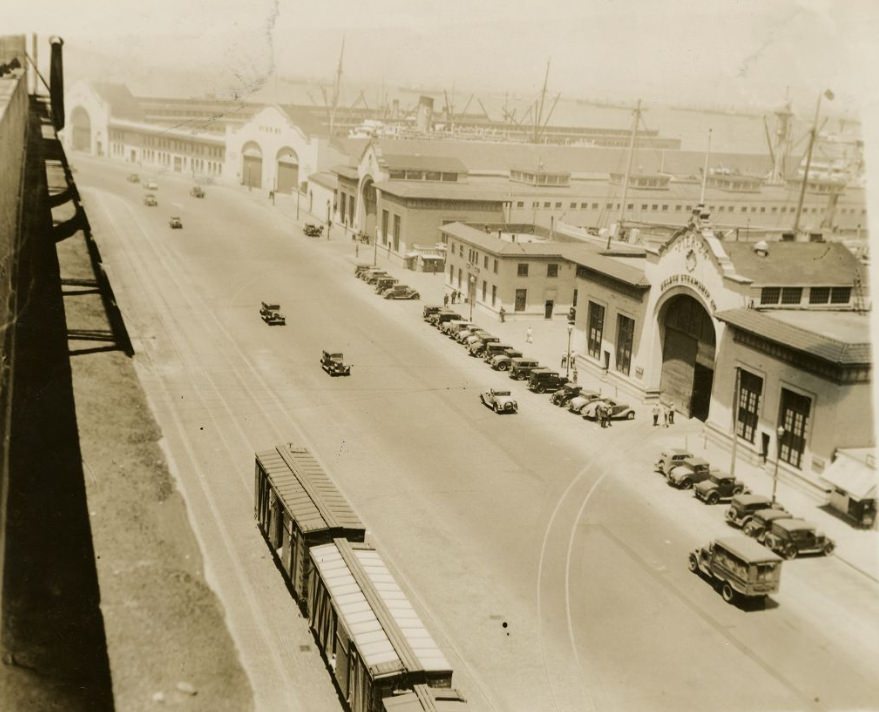
The longshoremen’s strike of 1934 was among the most consequential events in San Francisco’s 1930s history. The strike began in May and lasted 83 days, eventually triggering a general strike that shut down much of the city for four days in July. Photographs of the Embarcadero near Pier 24 from that year show the tensions that gripped the waterfront. Two workers were killed by police during the strike, and their deaths inflamed the conflict before negotiations finally produced a resolution.
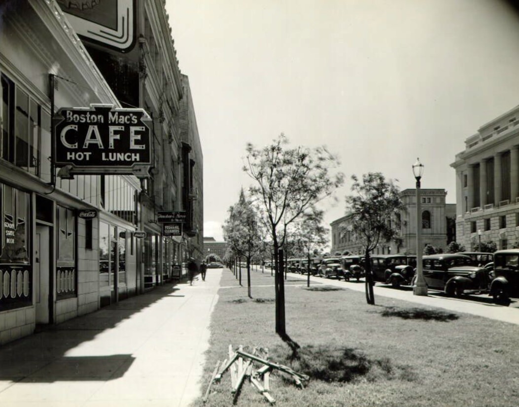
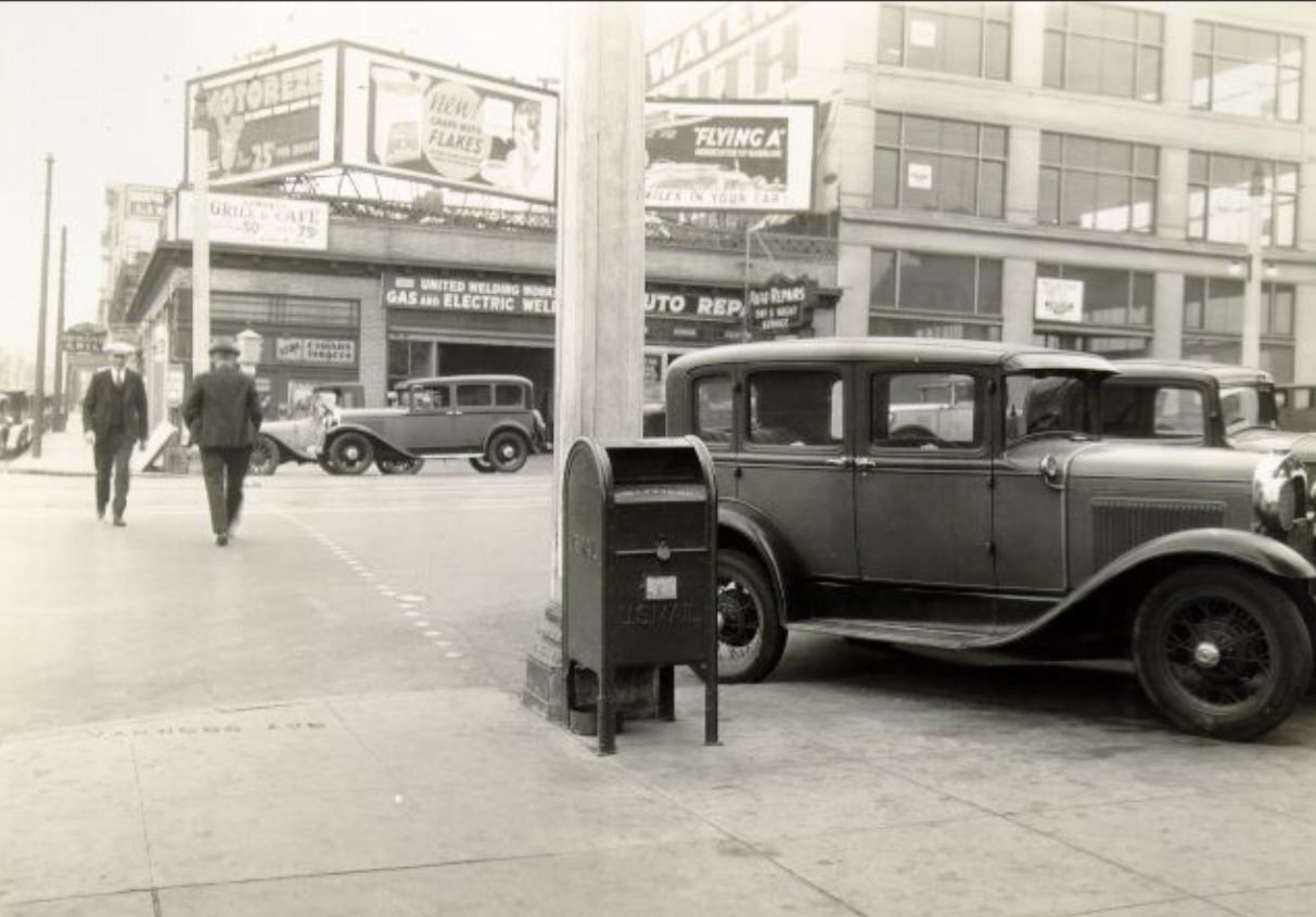
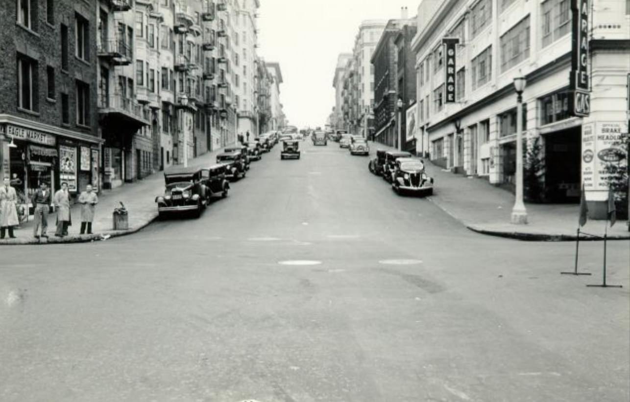
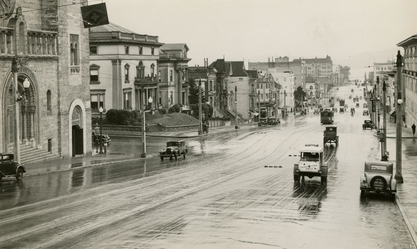
Van Ness Avenue underwent changes throughout the decade as automobile culture expanded. Car dealerships occupied large stretches of the avenue, and traffic volume increased steadily as more San Franciscans acquired vehicles. The dip at Van Ness and Bay Street — a notable grade change photographed in 1936 — was one of dozens of places where the city’s physical geography made driving a constant negotiation with hills and unexpected changes in elevation.
Geary Street and its surrounding blocks in the Richmond District showed a quieter, more residential San Francisco. The car barn at Presidio Avenue stored and serviced the streetcars that ran Geary’s length. By 1930, the Richmond was a fully built-out neighborhood, its streets lined with apartment buildings and row houses occupied by working- and middle-class families. Further west, Geary met the avenues of the Outer Richmond, where the city thinned out toward Golden Gate Park and the ocean.