San Francisco in the 1920s was a city moving fast. Having clawed its way back from the catastrophic 1906 earthquake and the strains of World War I, the city entered the decade with momentum. Its economy surged, its skyline grew taller, and its streets filled with workers, shoppers, commuters, and newcomers. The photographs from this era capture a city that was modern, ambitious, and very much alive.
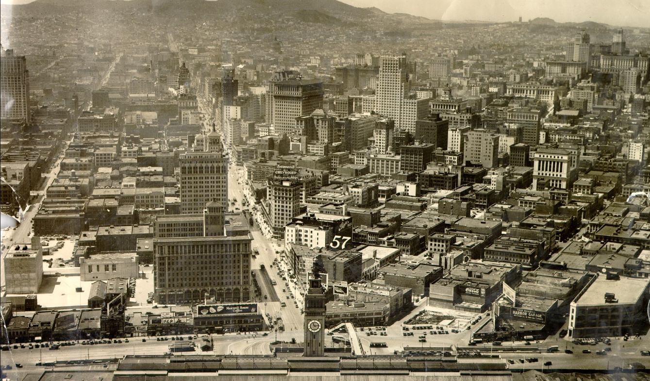
Aerial view of Market Street in 1920.
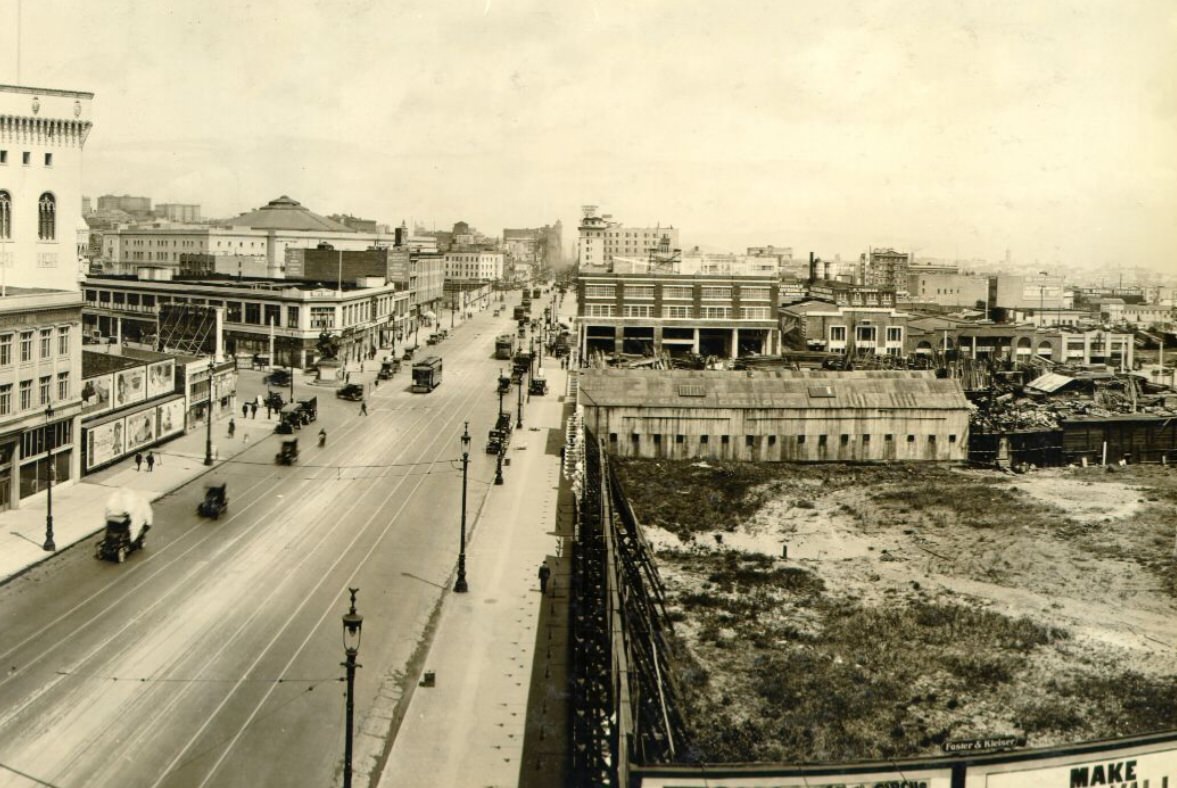
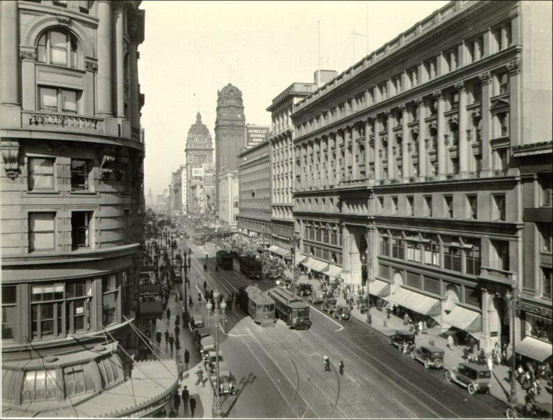
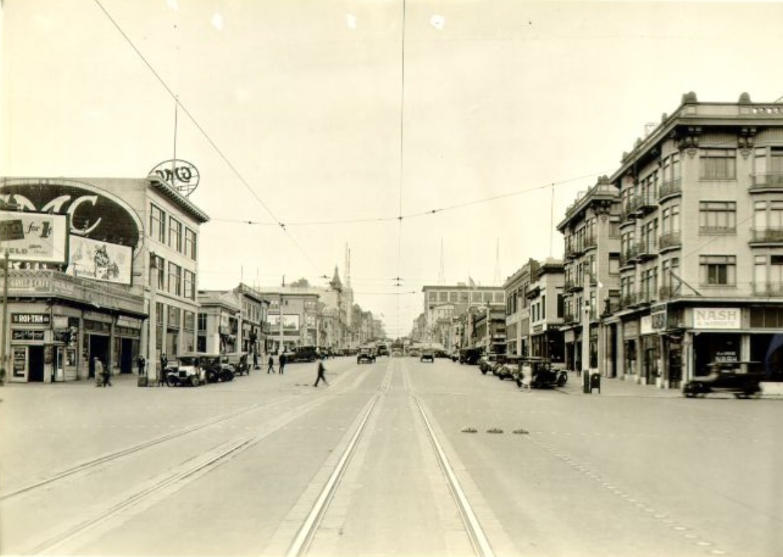
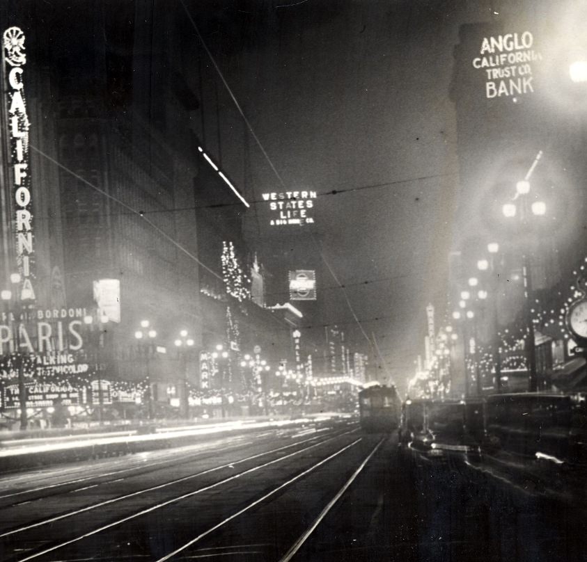
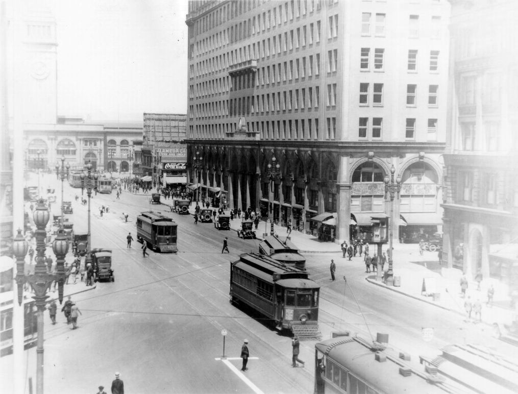
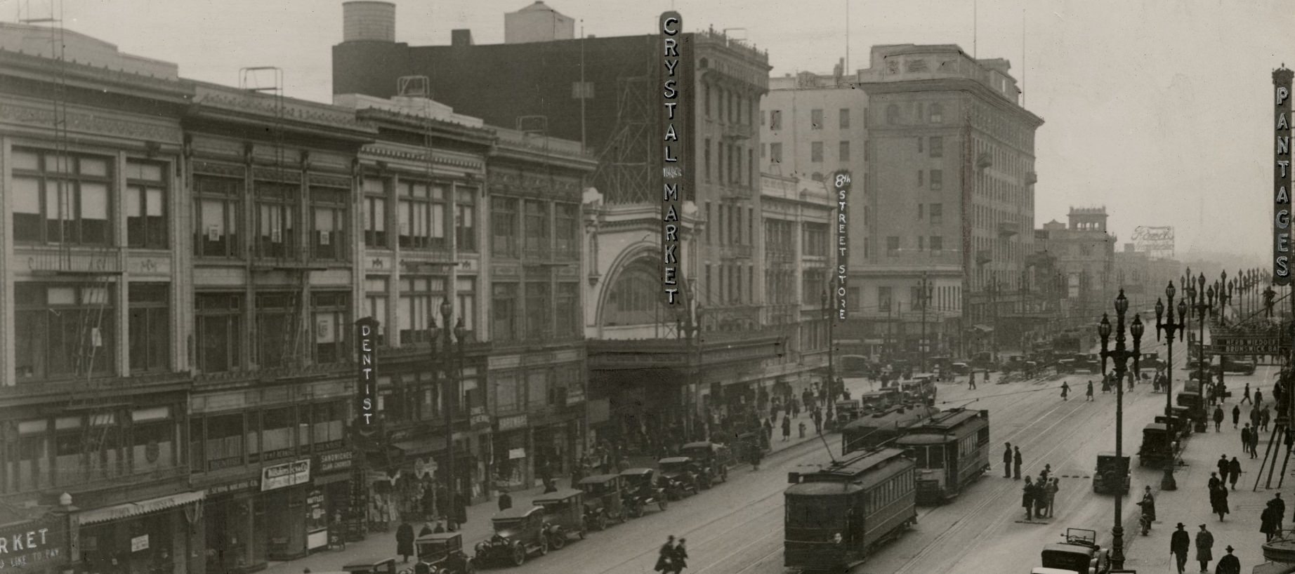
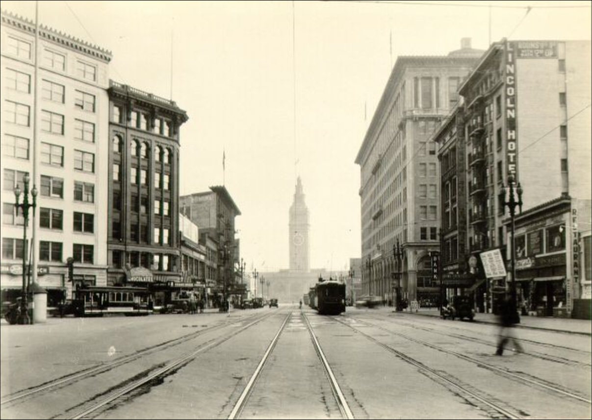
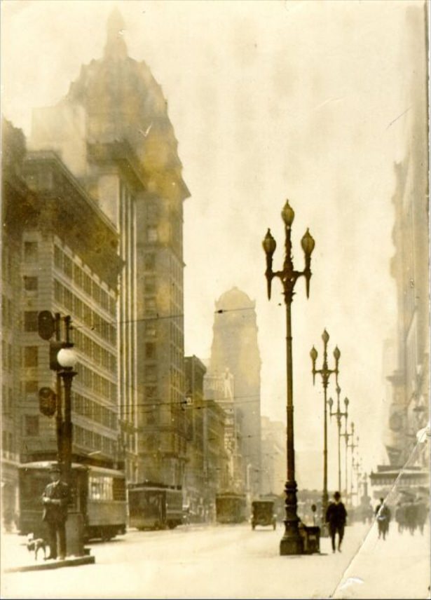
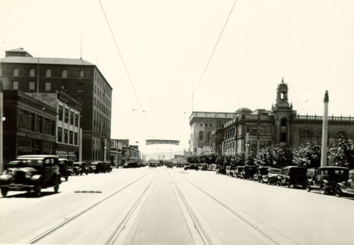
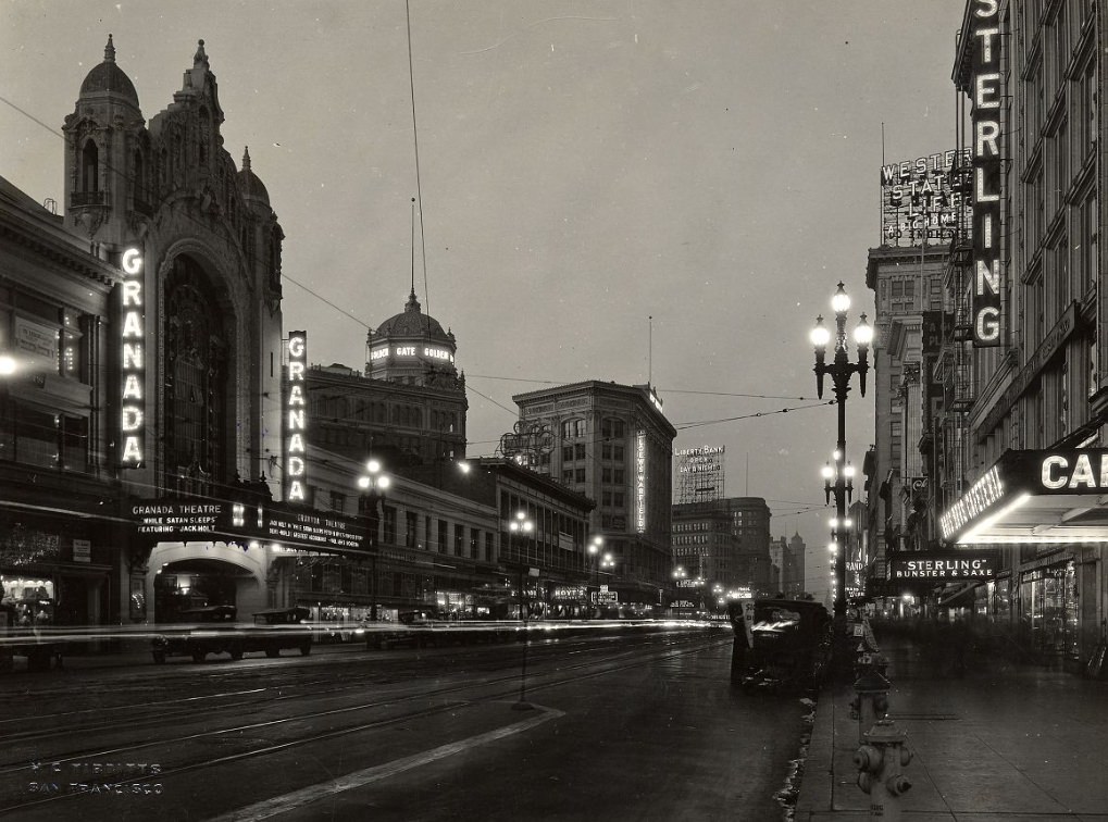
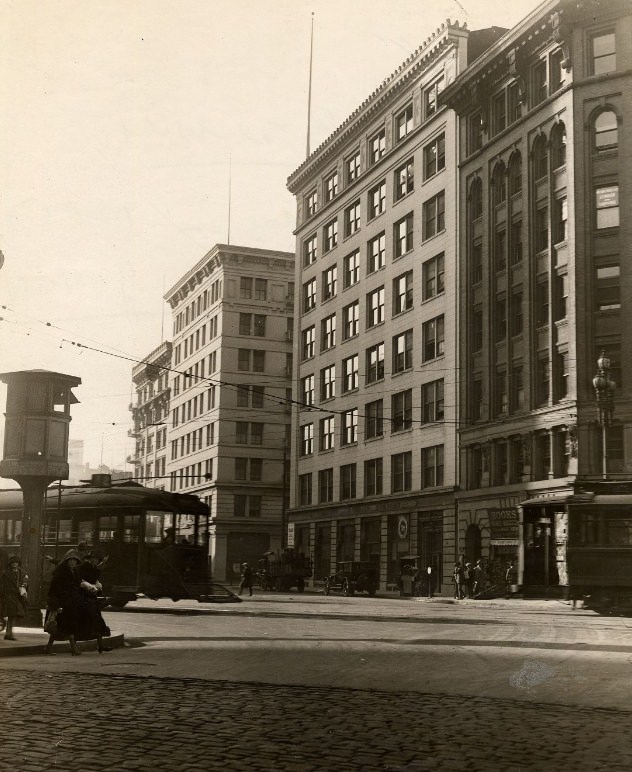
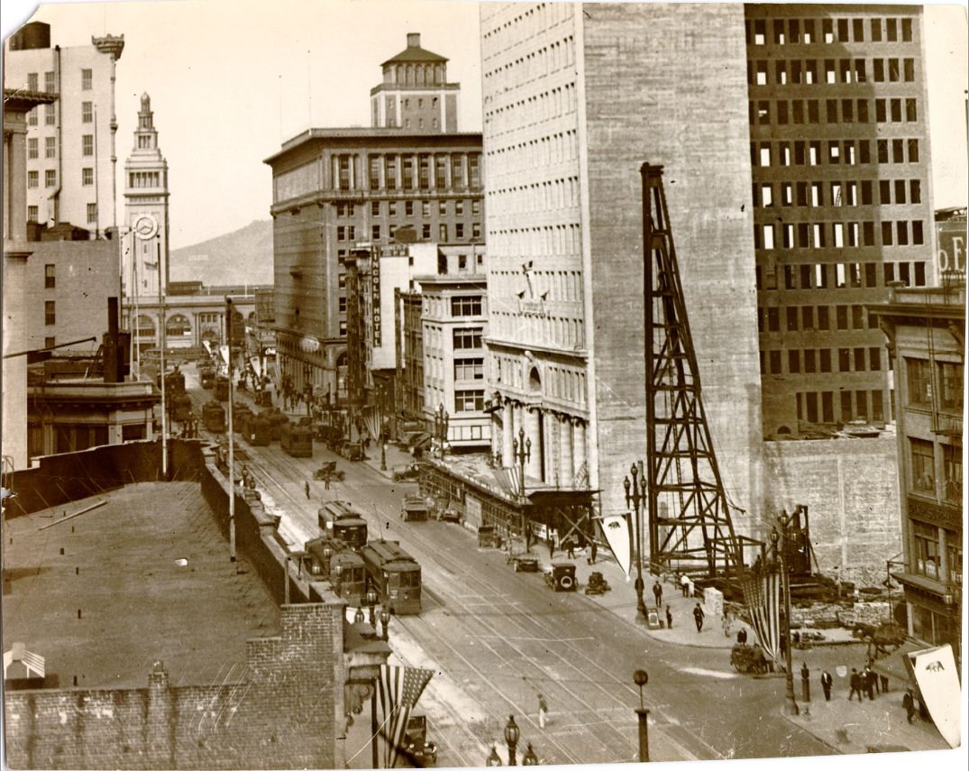
Market Street was the spine of the city. Stretching from the Ferry Building all the way to Twin Peaks, it carried streetcars, automobiles, and pedestrians in a constant flow. By 1920, the street was already lined with multi-story buildings, theaters, and storefronts that reflected the city’s commercial confidence.
Market Street in the 1920s.Market Street in the 1920s.
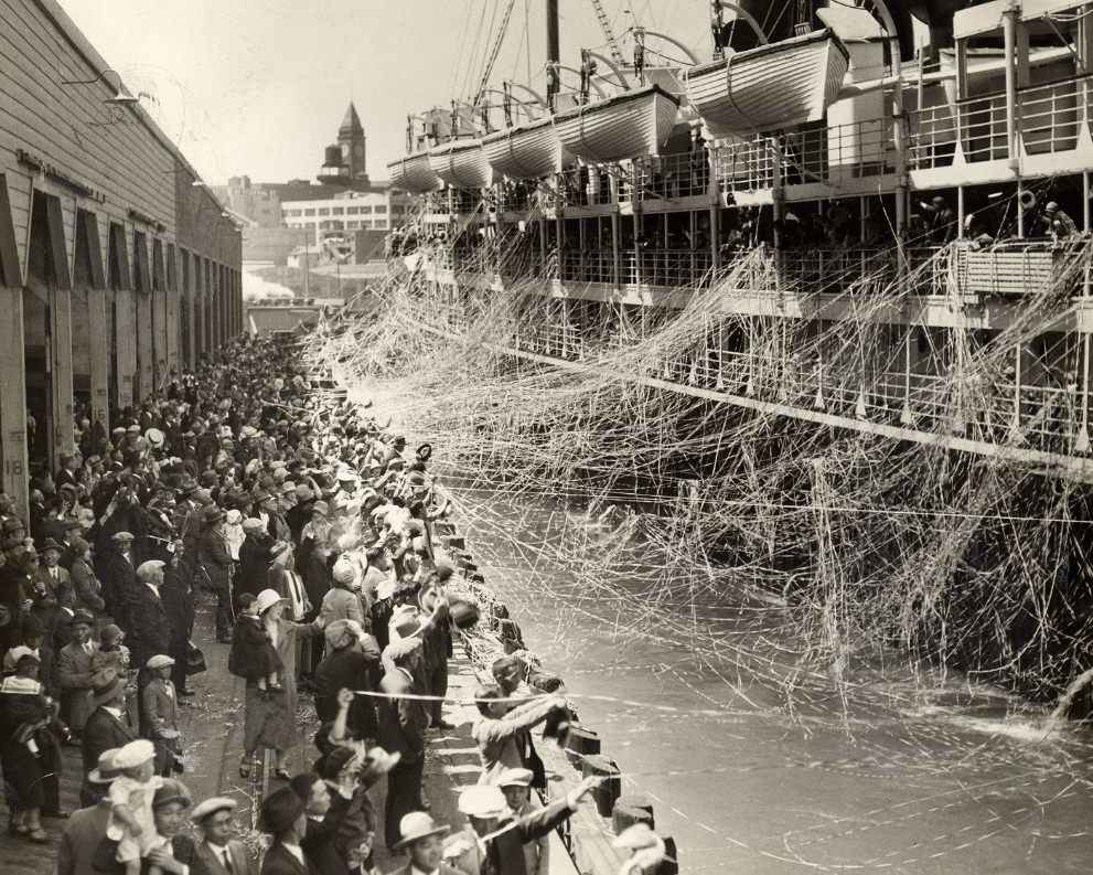
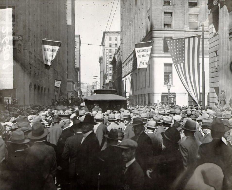
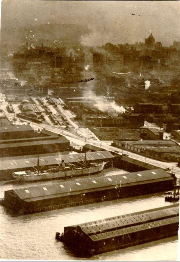
The Port of San Francisco was the engine behind the city’s economic boom. Trade with Asia made the waterfront one of the busiest in the country. Ships arrived and departed daily, carrying goods that fueled businesses across California and beyond. Montgomery Street, just a few blocks inland, earned its reputation as the “Wall Street of the West” during this same period, with banks and financial firms clustering along its blocks.
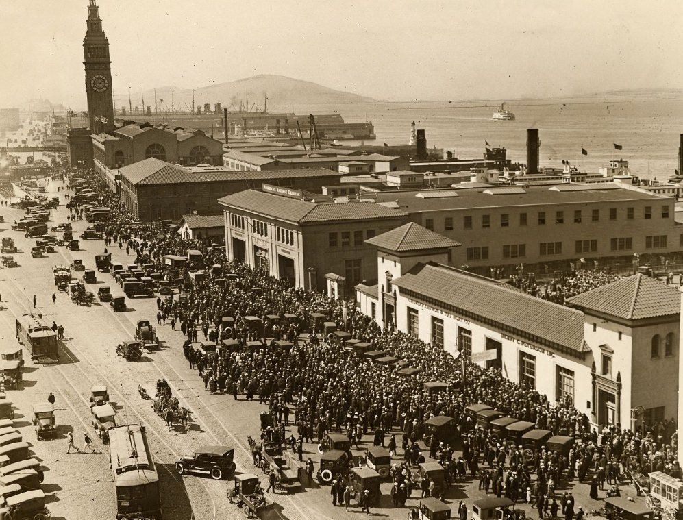
Siberia Maru leaving the port of San Francisco in 1927.Commuters converging on the Ferry Building in the late afternoon in the 1920s.
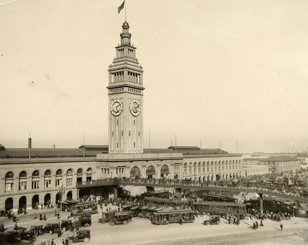
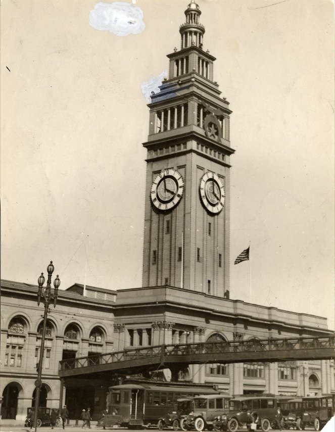
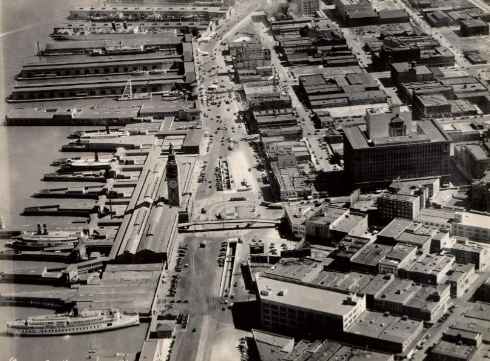
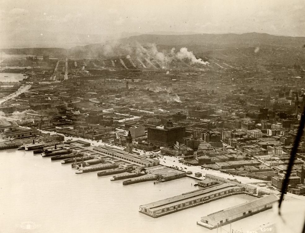
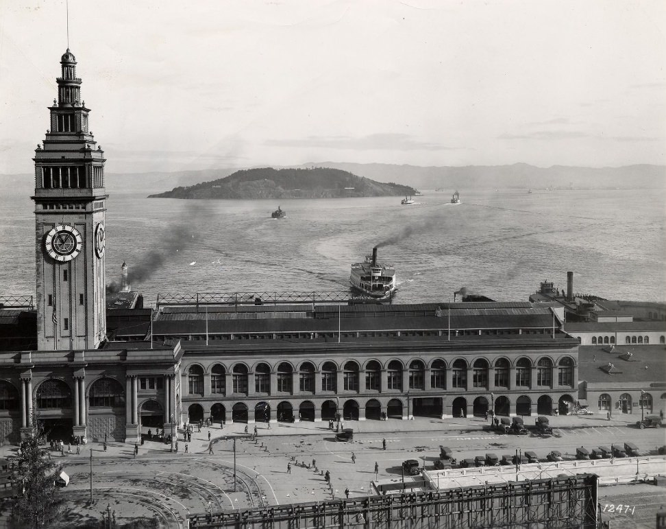
The Ferry Building at the foot of Market Street was the city’s main gateway. Before the Bay Bridge existed, ferries were the only way to cross the bay, and thousands of commuters passed through the building every single day. The afternoon rush brought crowds pouring onto the Embarcadero, a scene that played out with clockwork regularity throughout the decade.
Ferry Building in the 1920s.Crowd of people on the Embarcadero, near the Ferry Building in 1924.Aerial view of Ferry Building and surrounding area in 1925.
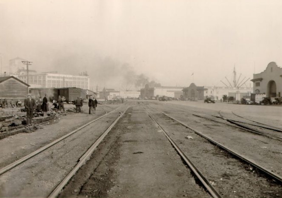
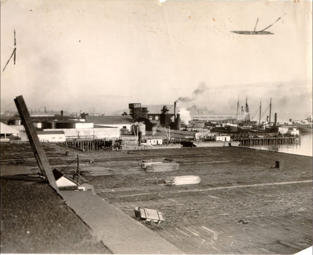
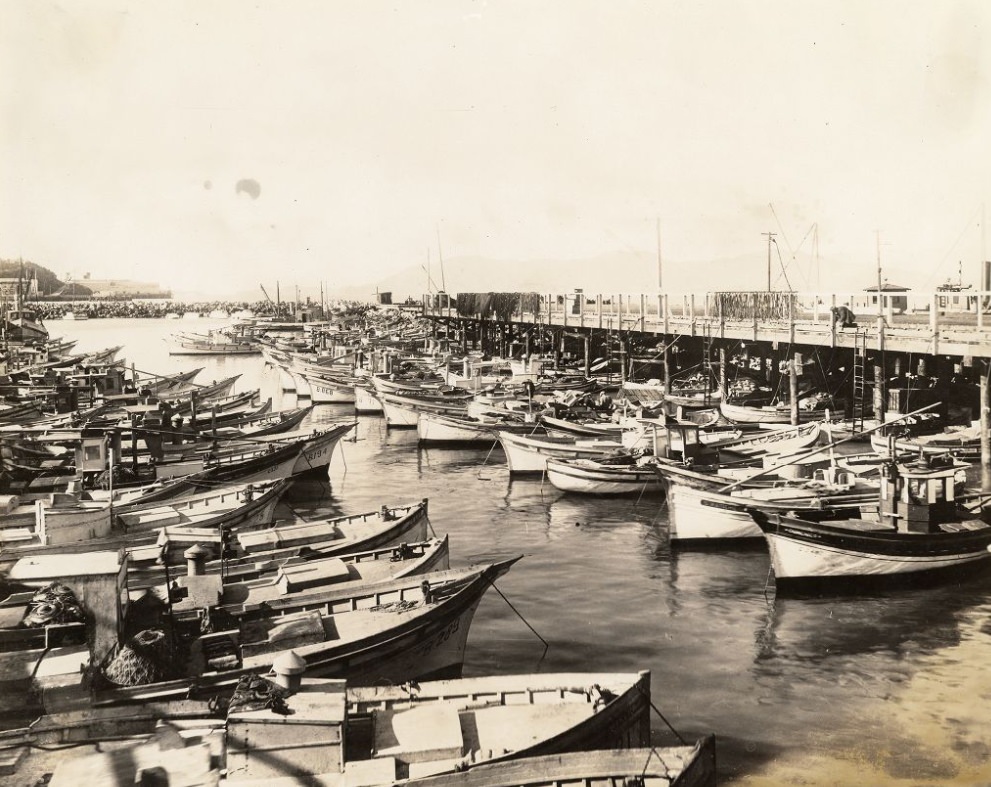
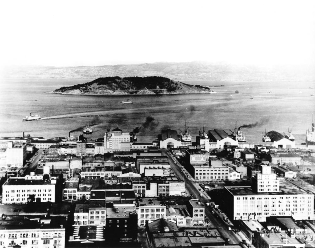
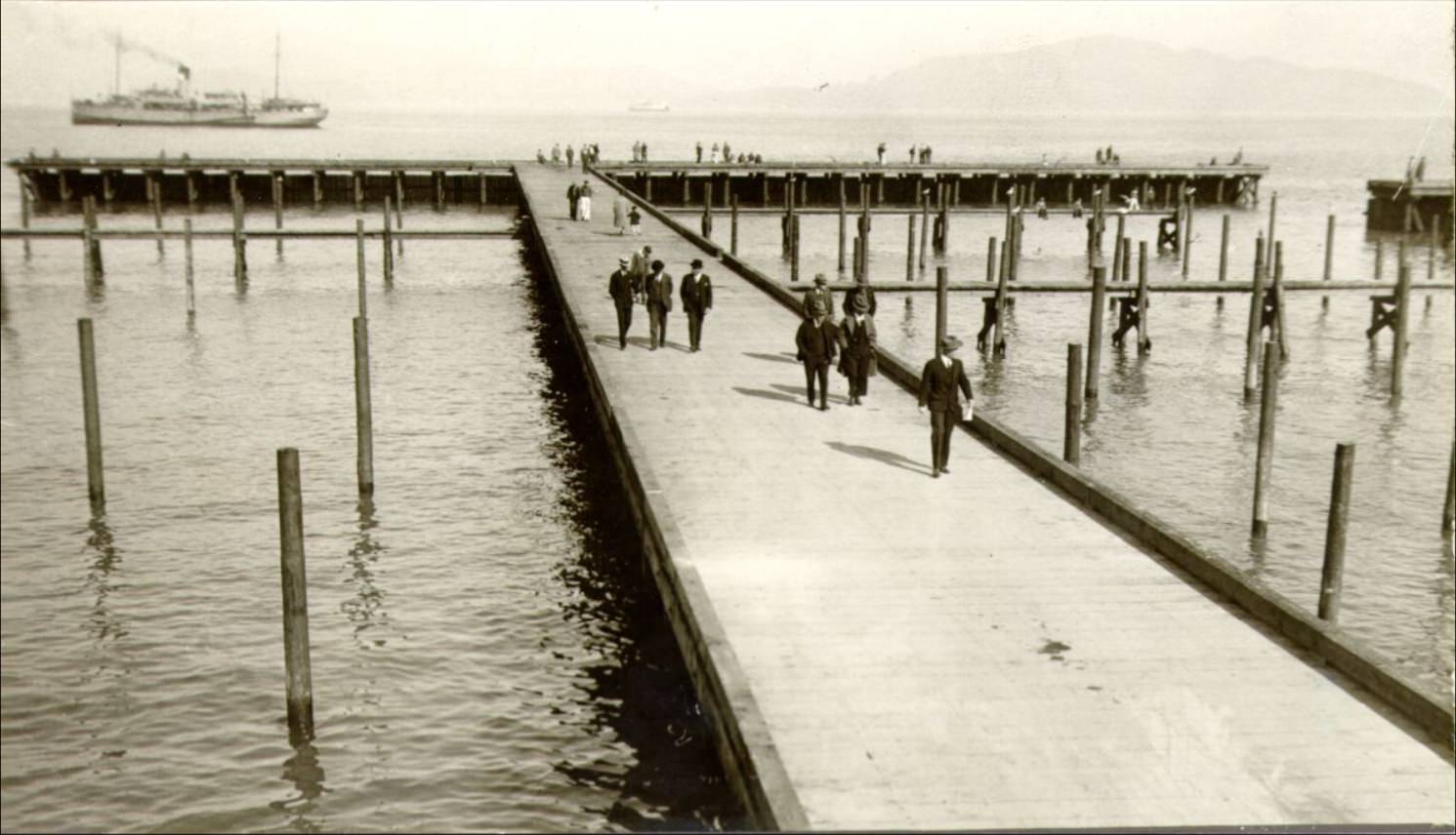
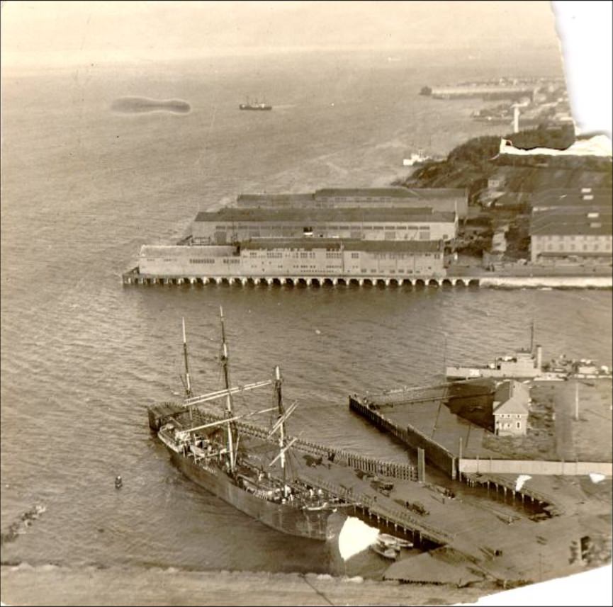
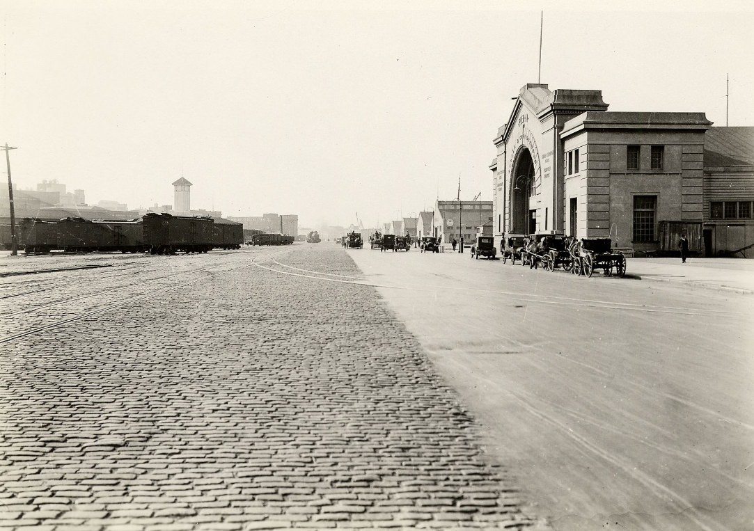
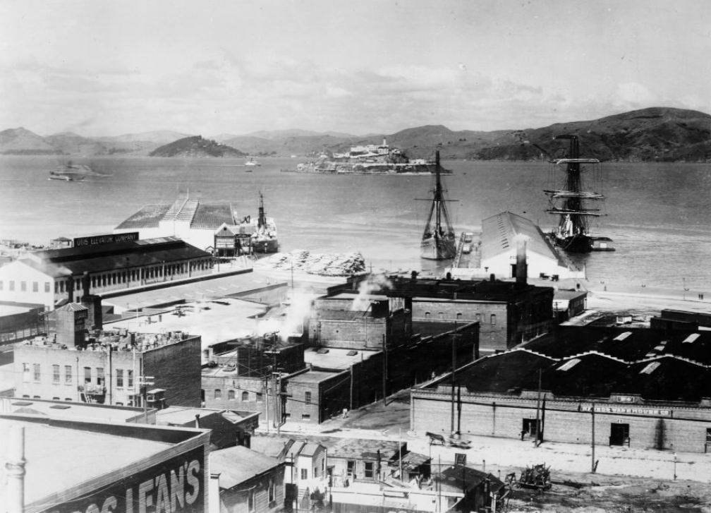
The waterfront stretched far beyond the Ferry Building. Dozens of piers handled freight, passenger ships, and fishing boats. The oil docks and dry docks at Hunters Point supported the industrial side of the port. Fisherman’s Wharf, already a working hub for the city’s fishing fleet, drew both laborers and visitors to its docks.
San Francisco waterfront, near Pier 32 in 1928.Oil dock at San Francisco waterfront in 1929.Fisherman’s Wharf in 1928.
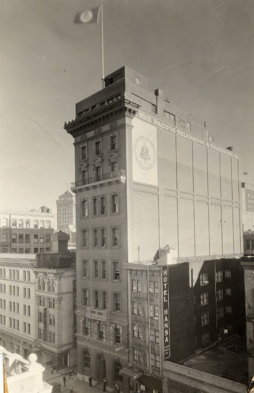
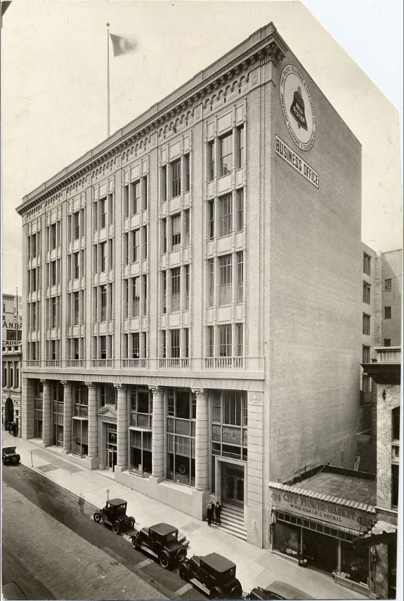
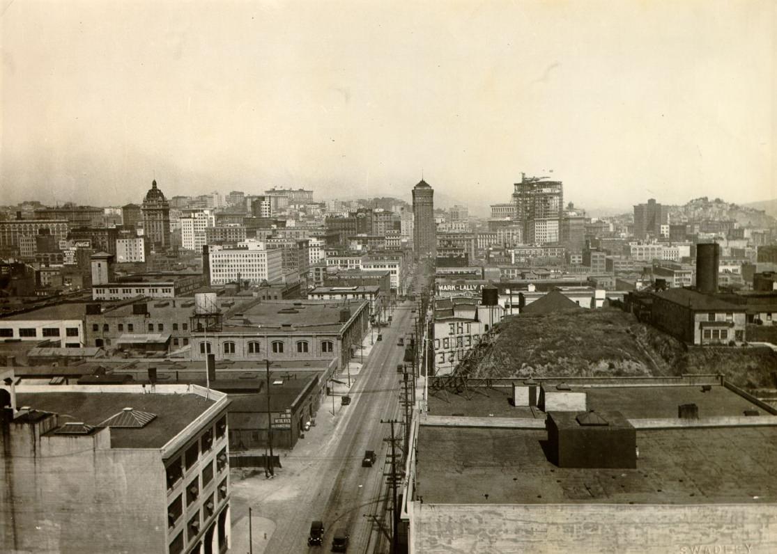
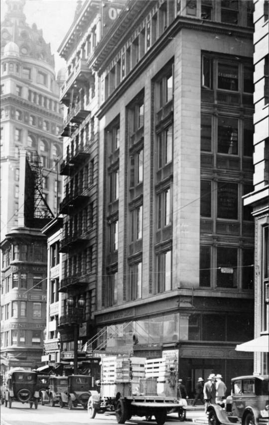
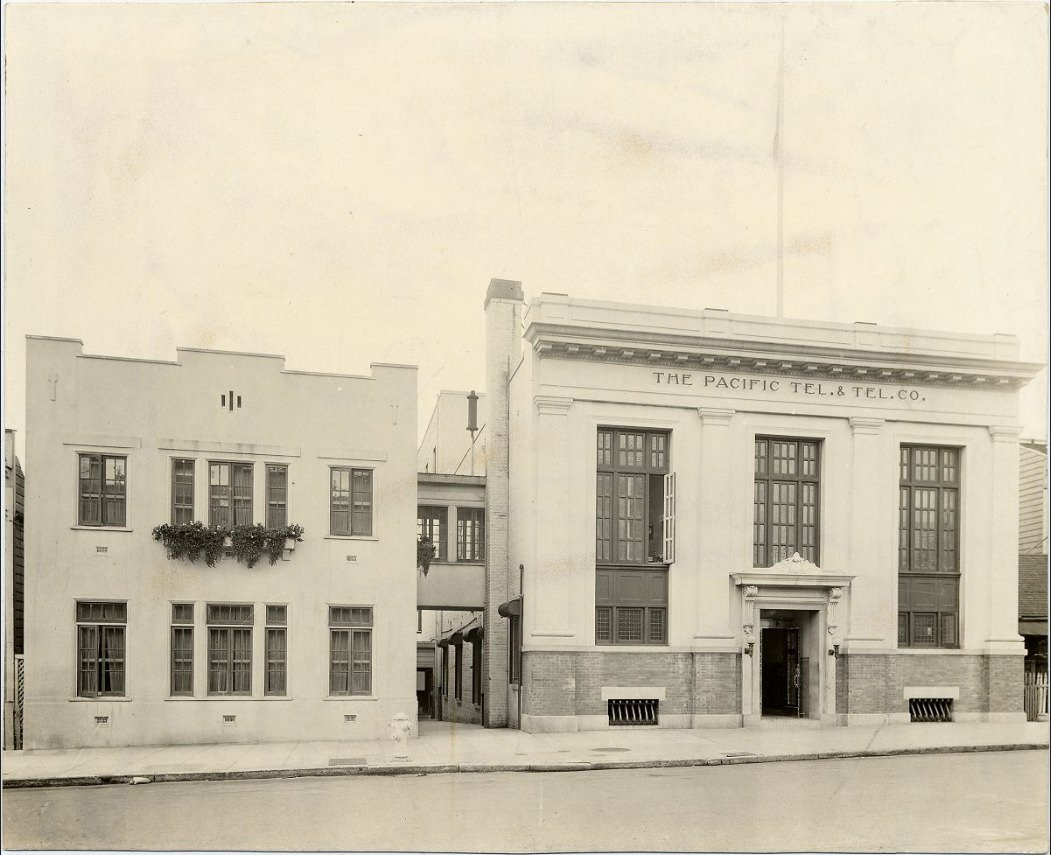
The city’s skyline was changing rapidly during this decade. New construction appeared in nearly every neighborhood, from large commercial buildings downtown to residential streets spreading into the outer districts. The Pacific Telephone and Telegraph Building on Bush Street, completed in 1925, stood as one of the decade’s most striking additions — a tall, Art Deco tower that signaled San Francisco’s arrival as a truly modern city.
Pacific Telephone & Telegraph Company building on Bush Street in 1928.
Pacific Telephone & Telegraph Company business office, 1928.
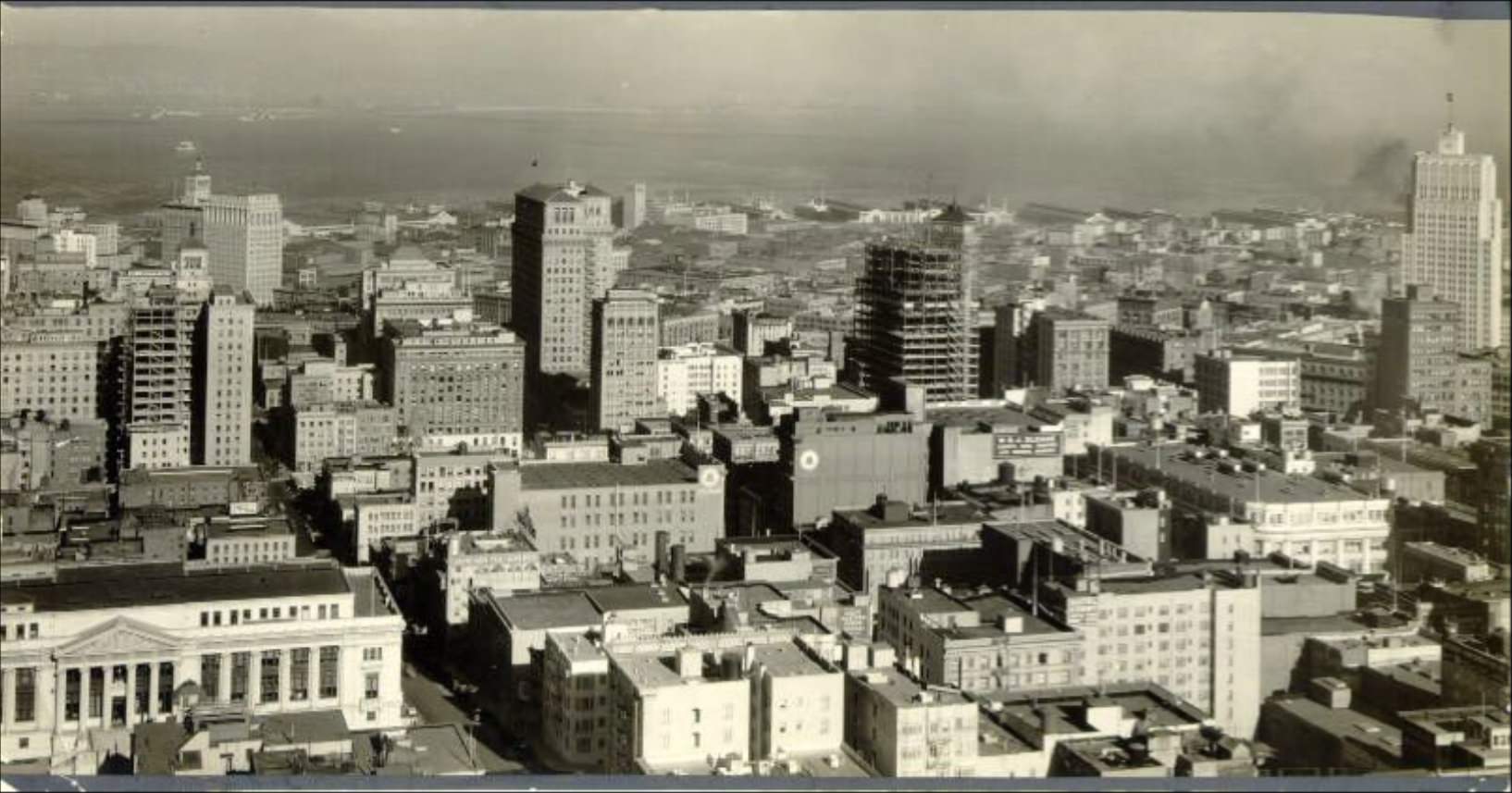
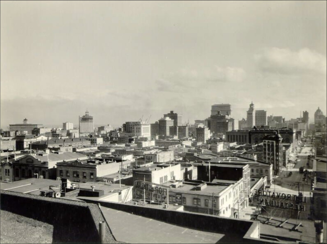
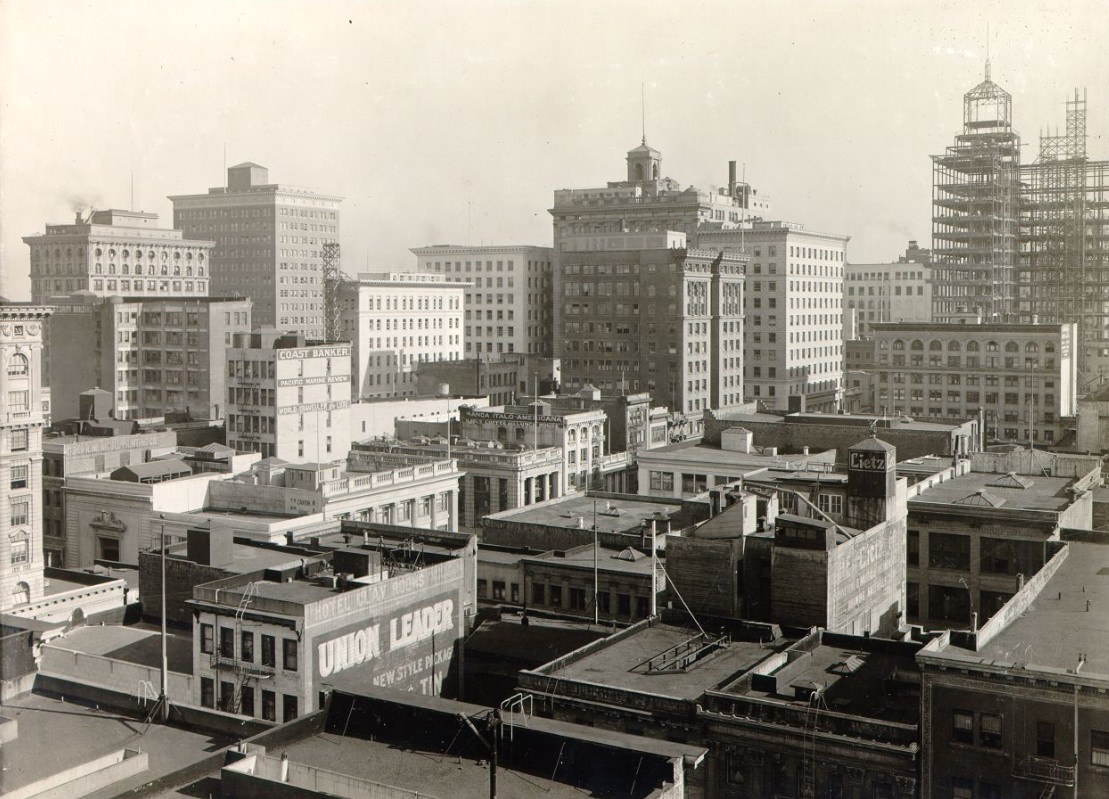
View of downtown in 1926.
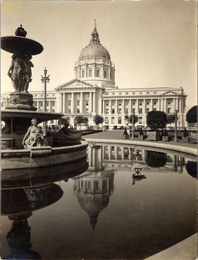
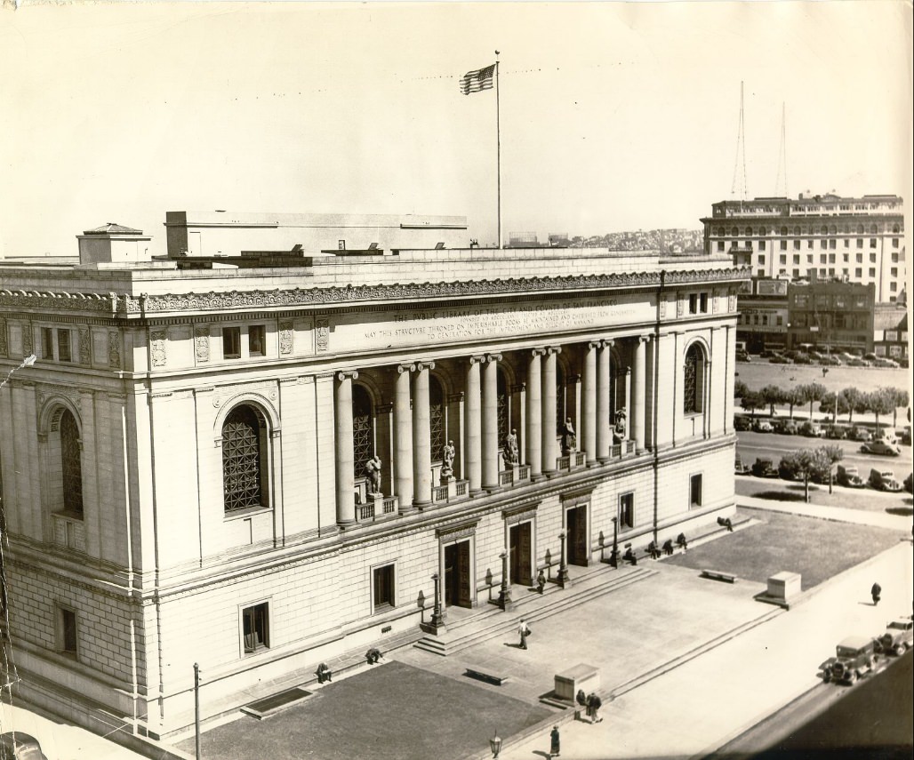
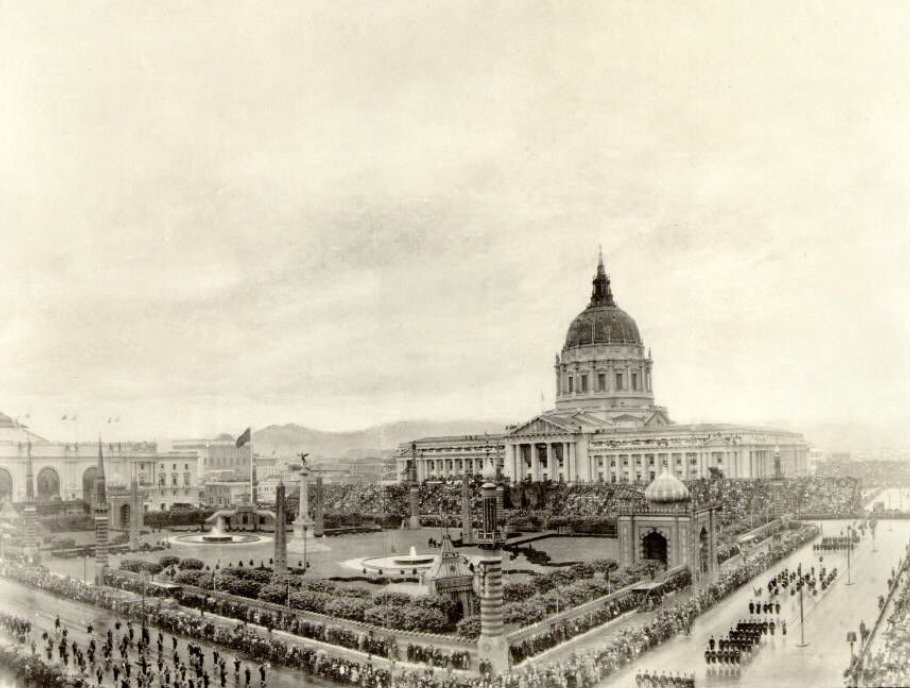
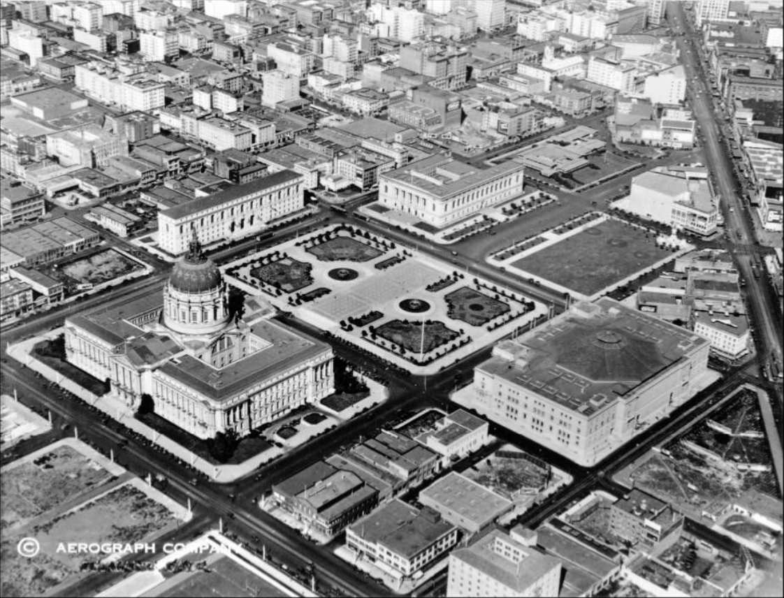
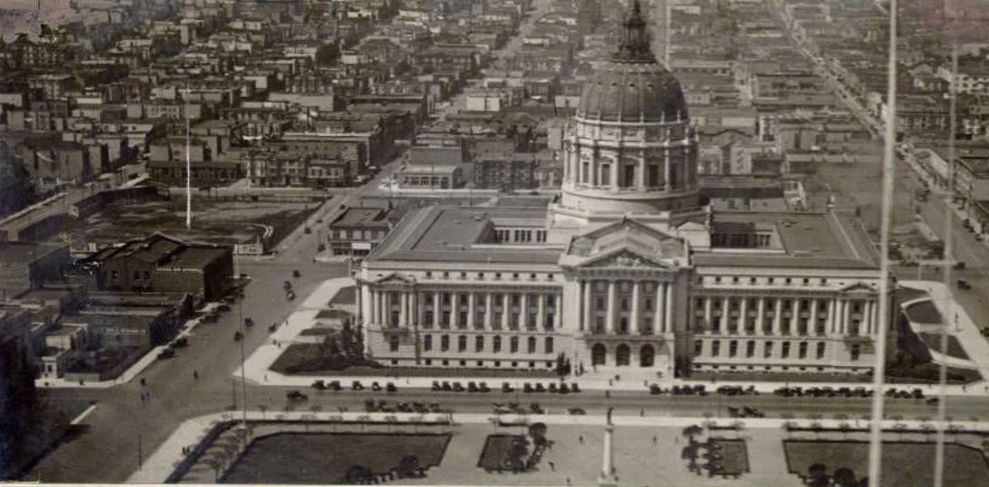
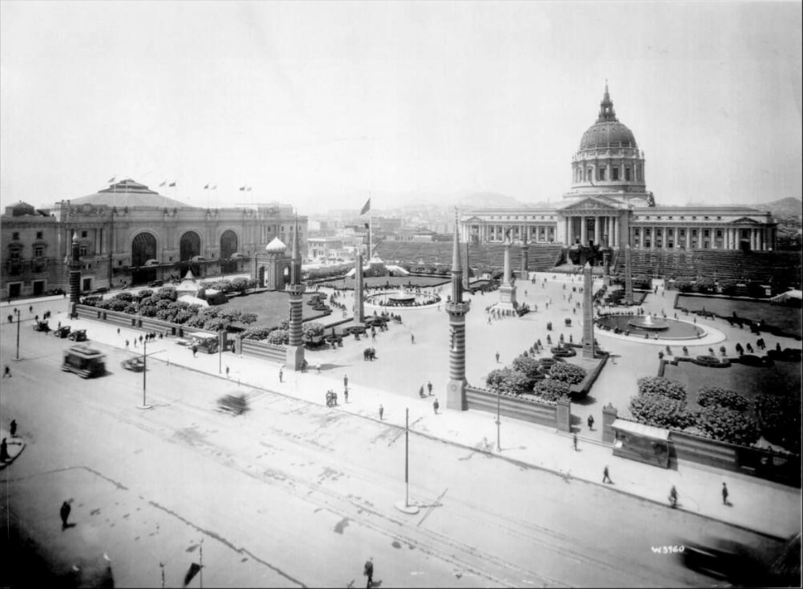
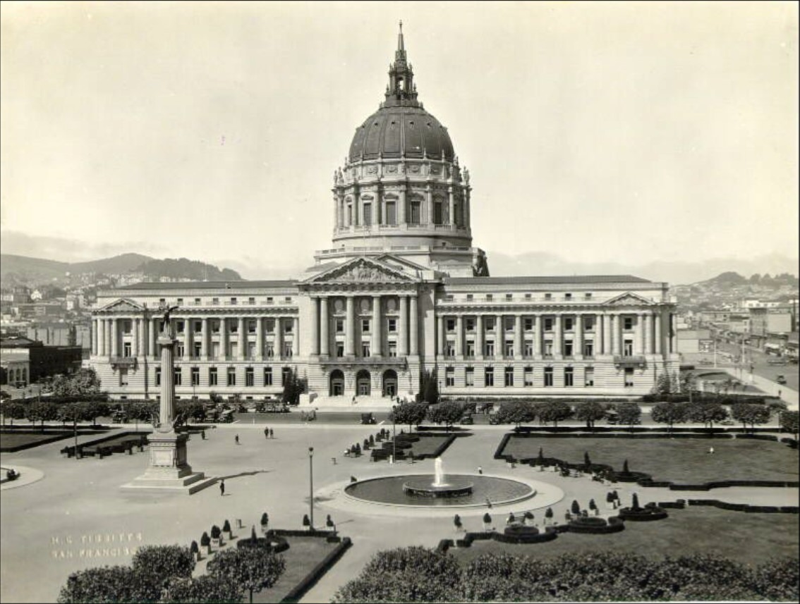
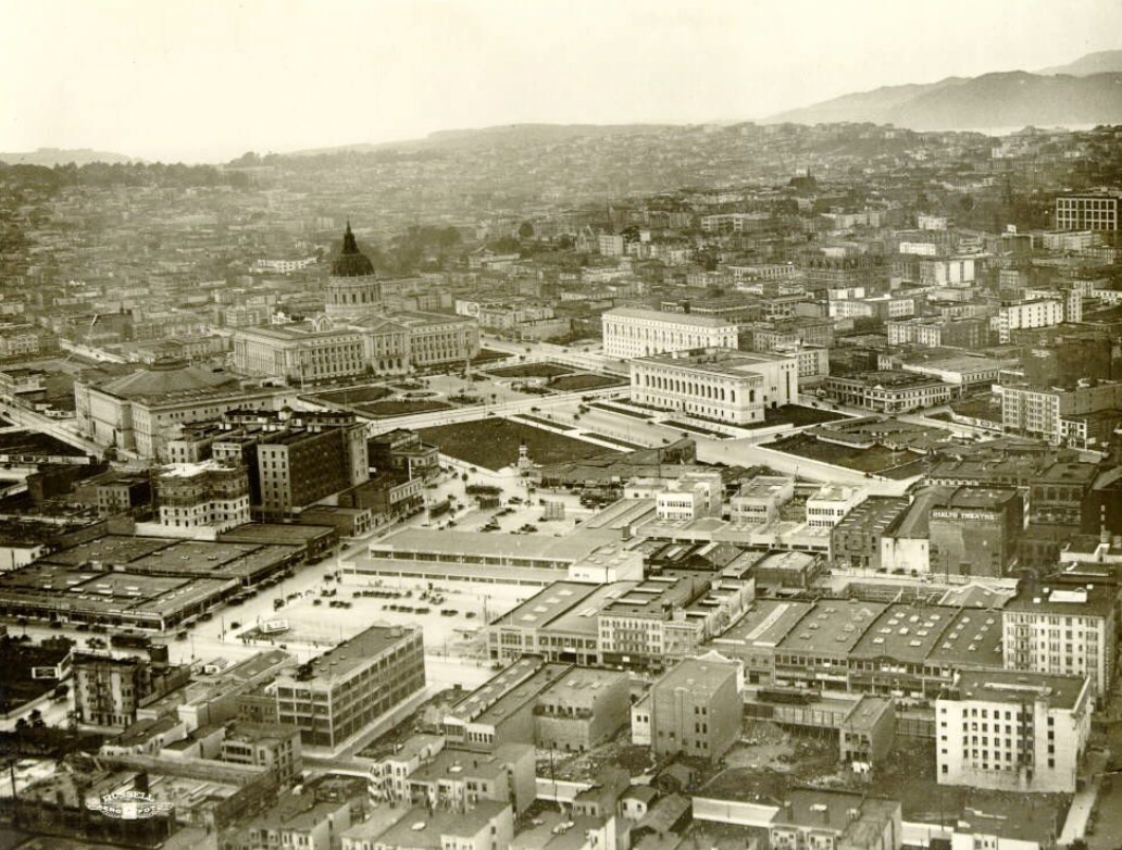
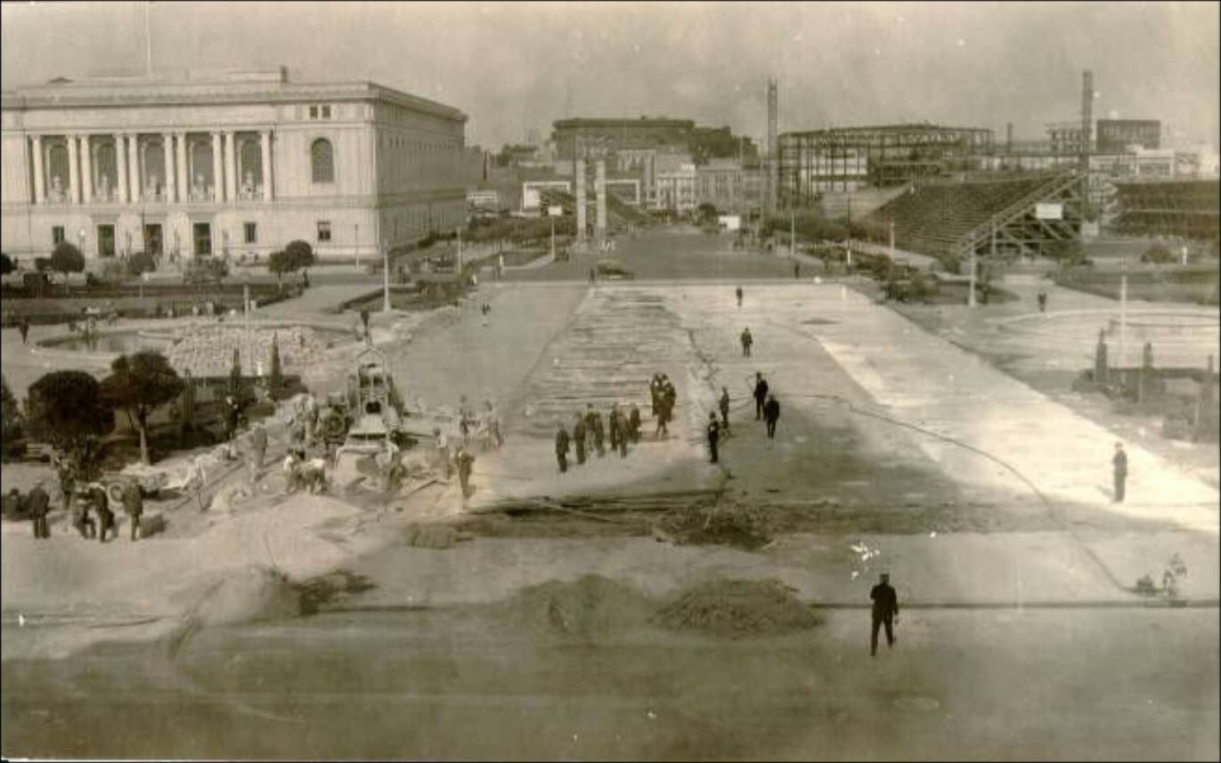
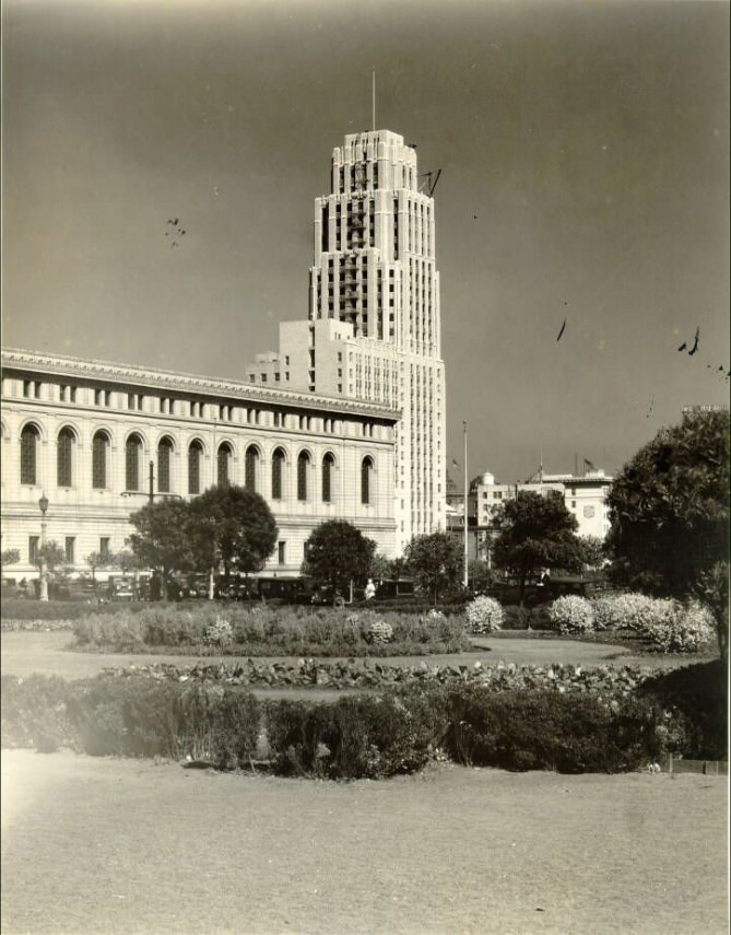
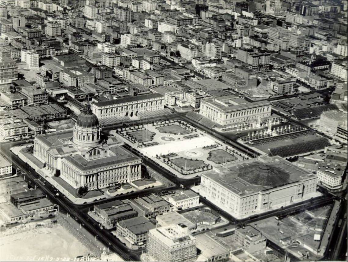
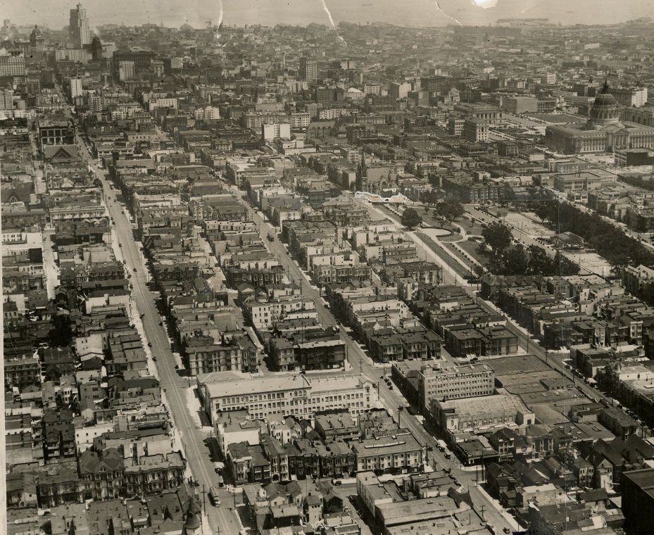
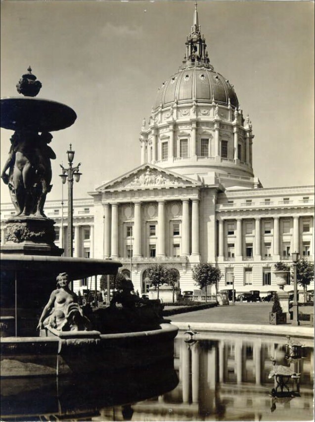
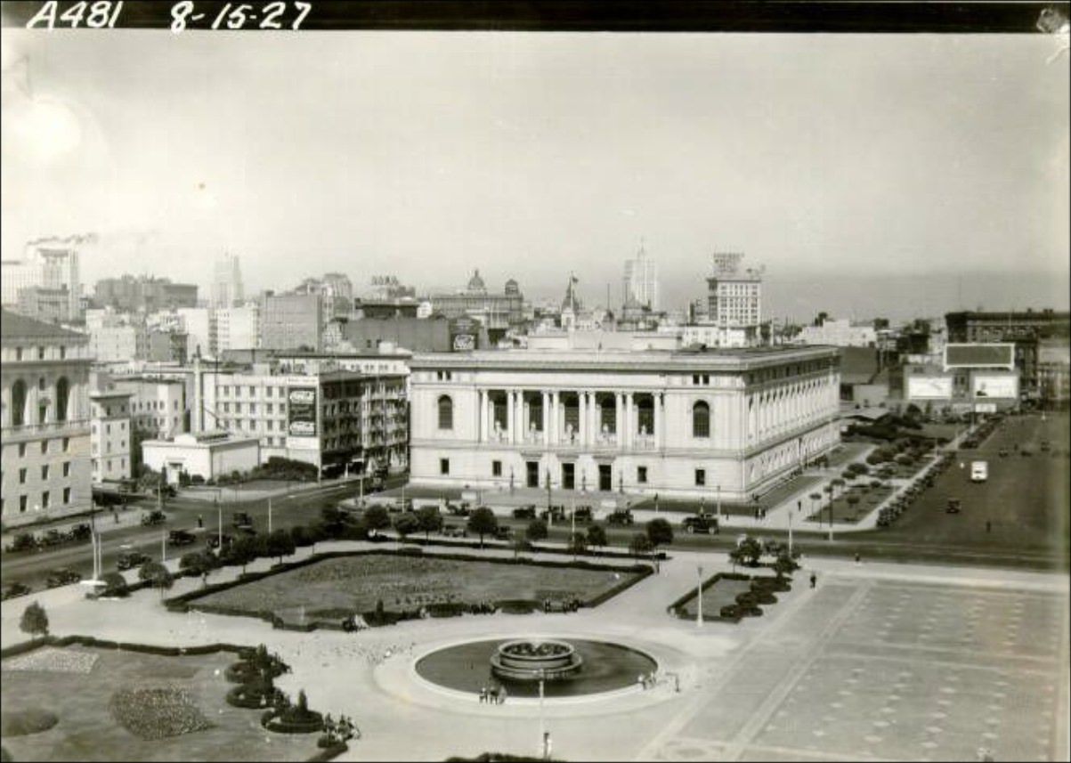
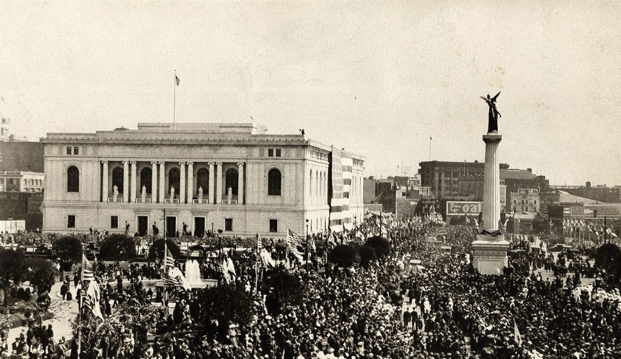
Civic Center was a point of civic pride. City Hall, rebuilt after the 1906 earthquake destroyed the original structure, dominated the plaza with its grand dome. The surrounding buildings — the Main Library, the Civic Auditorium, and later the State Building — gave the area a monumental character. Parades, public gatherings, and political events regularly filled the plaza throughout the decade.
Civic Center Plaza and City Hall in the 1920s.Main Library in the 1920s.Shriners Convention Parade at Civic Center Plaza in the 1920s.
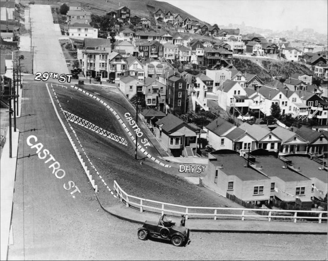
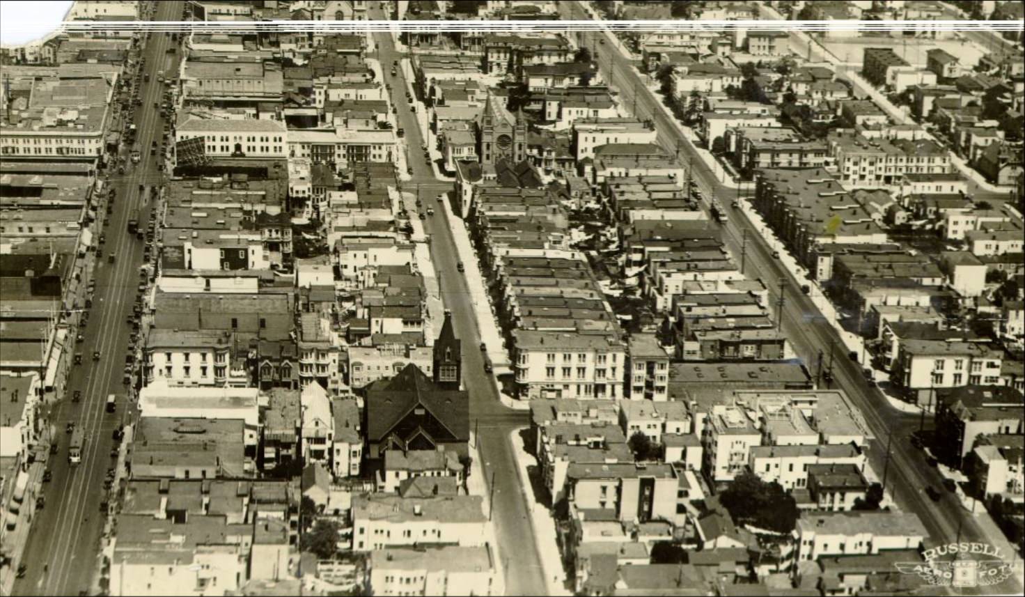
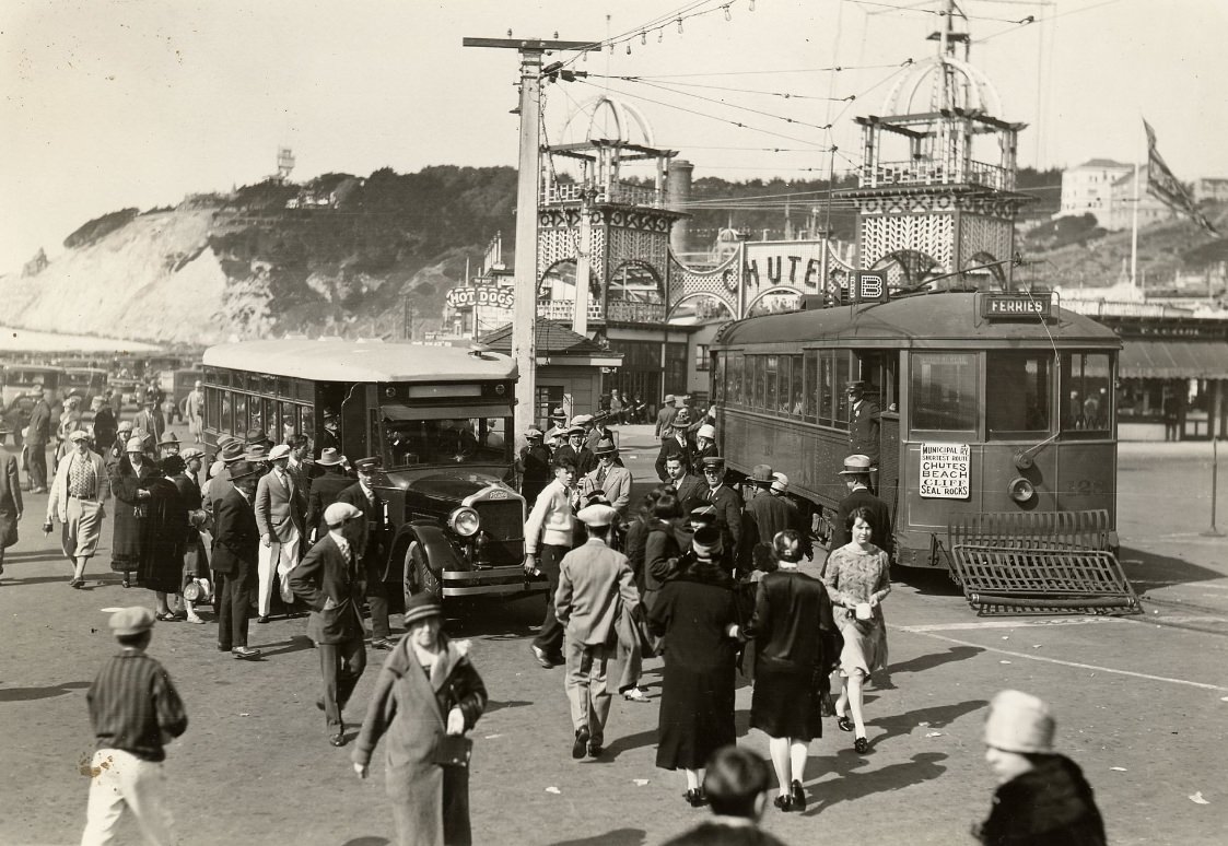
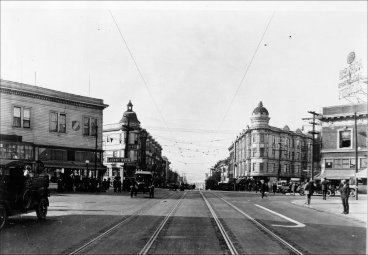
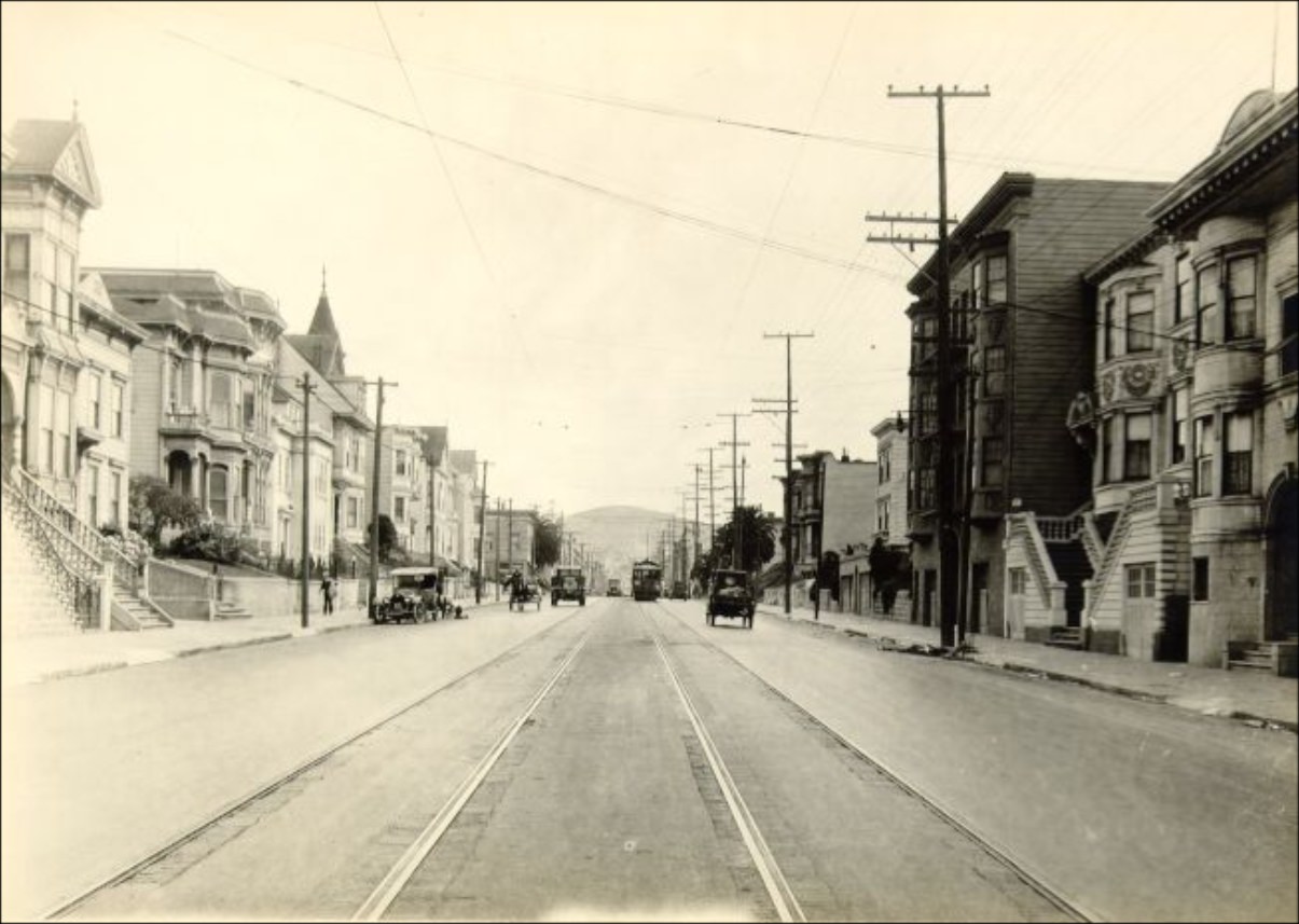
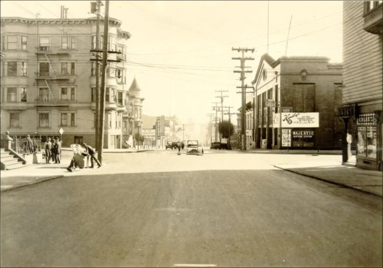
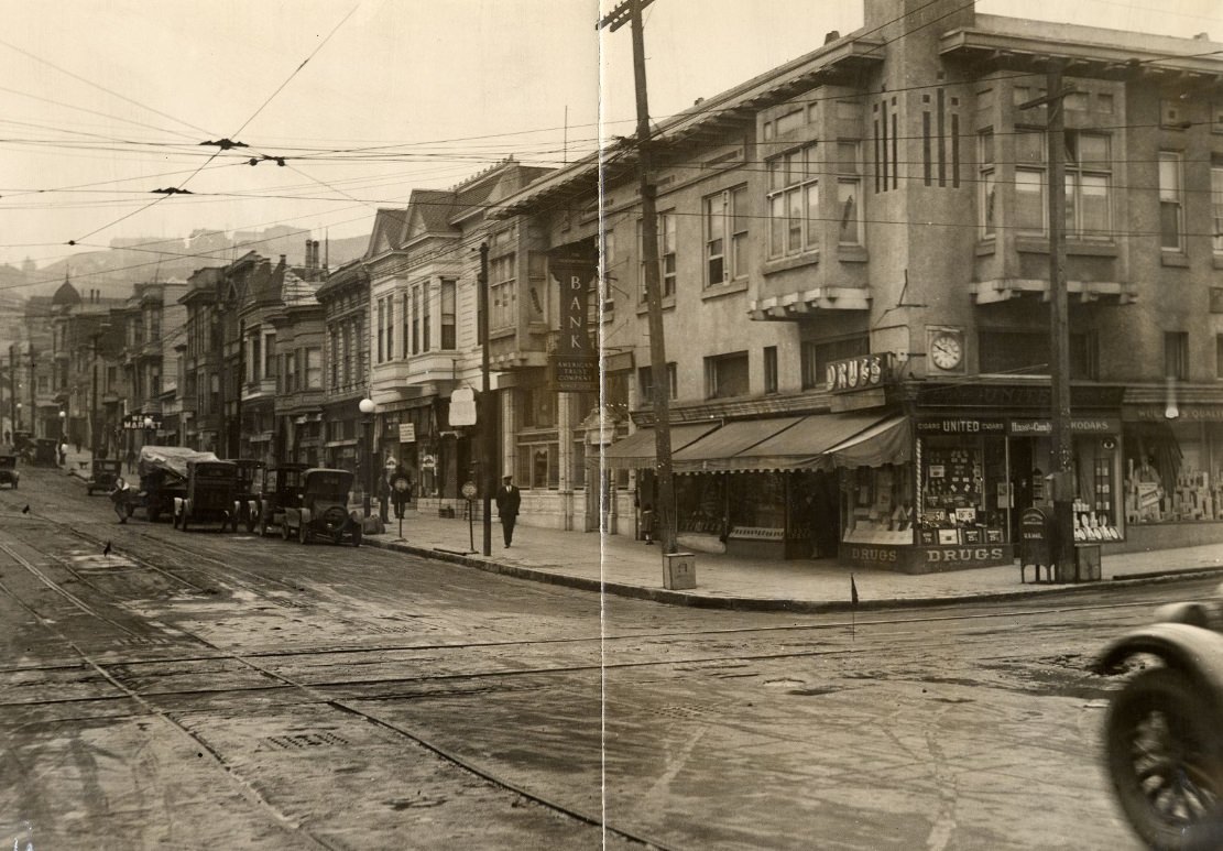
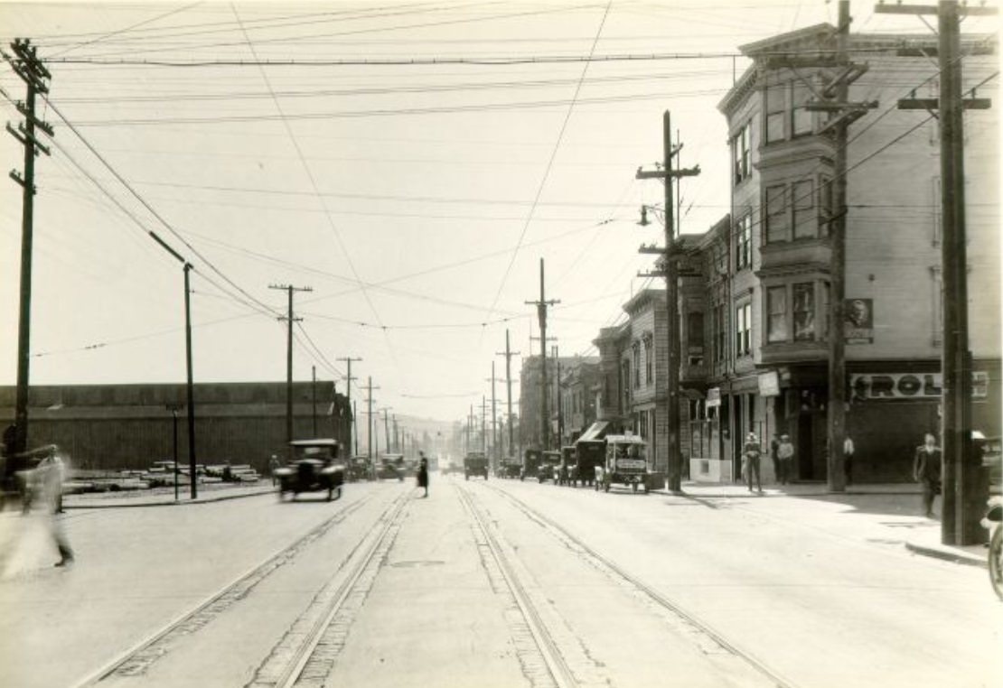
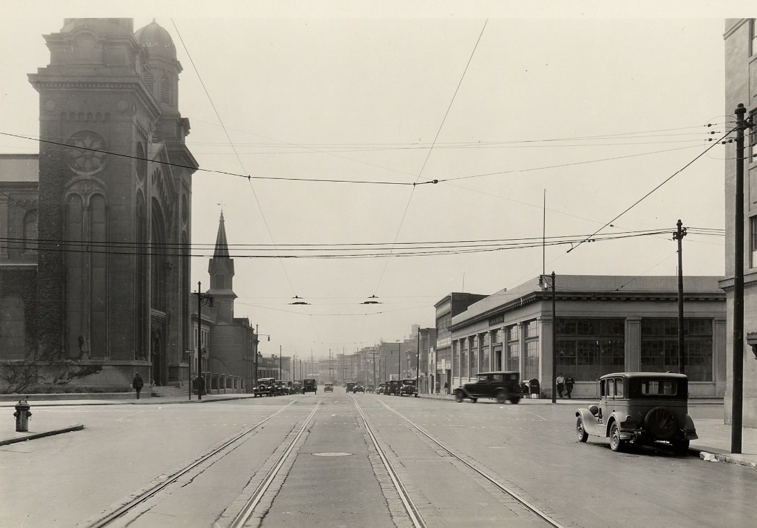
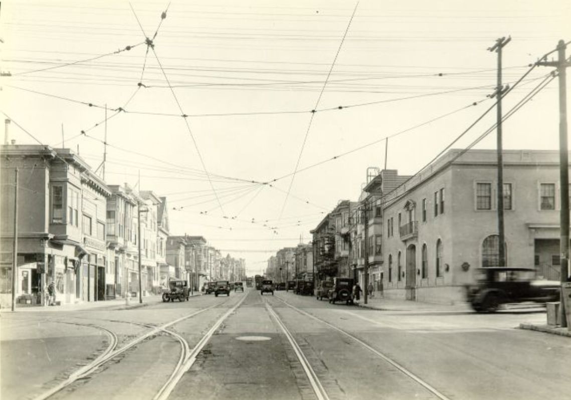
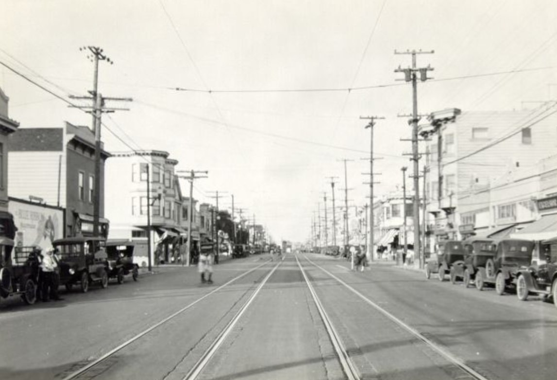
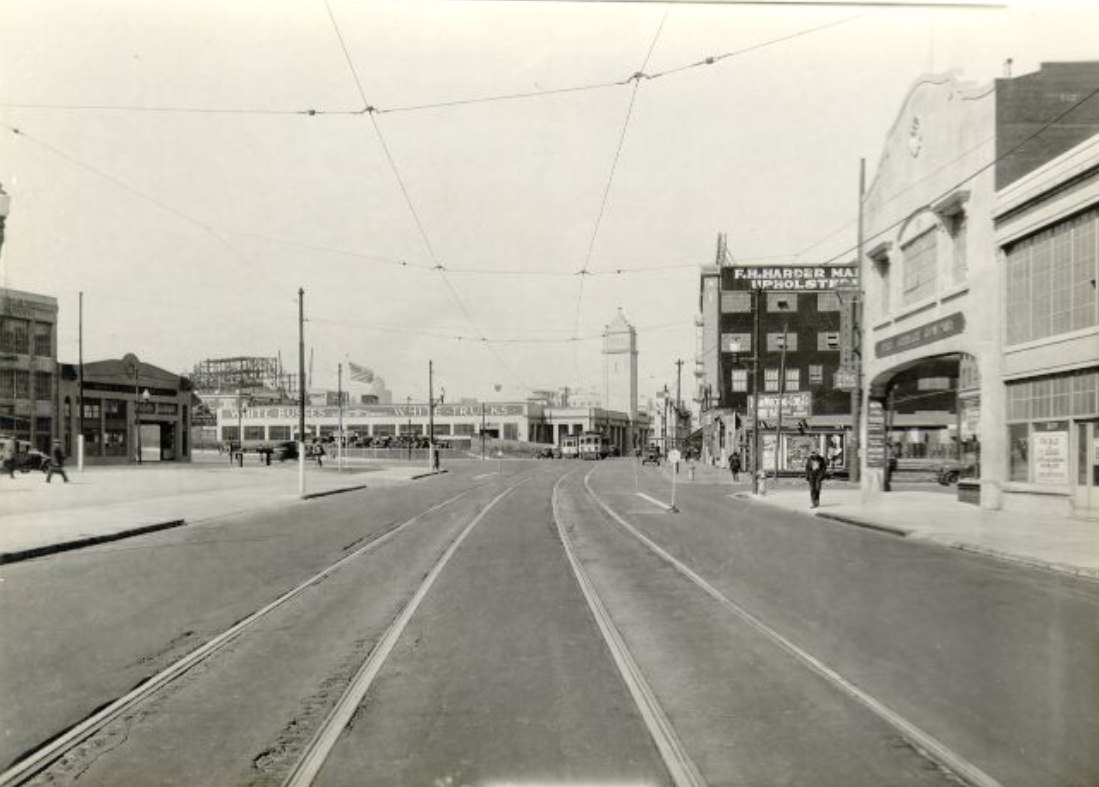
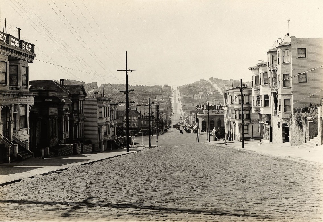
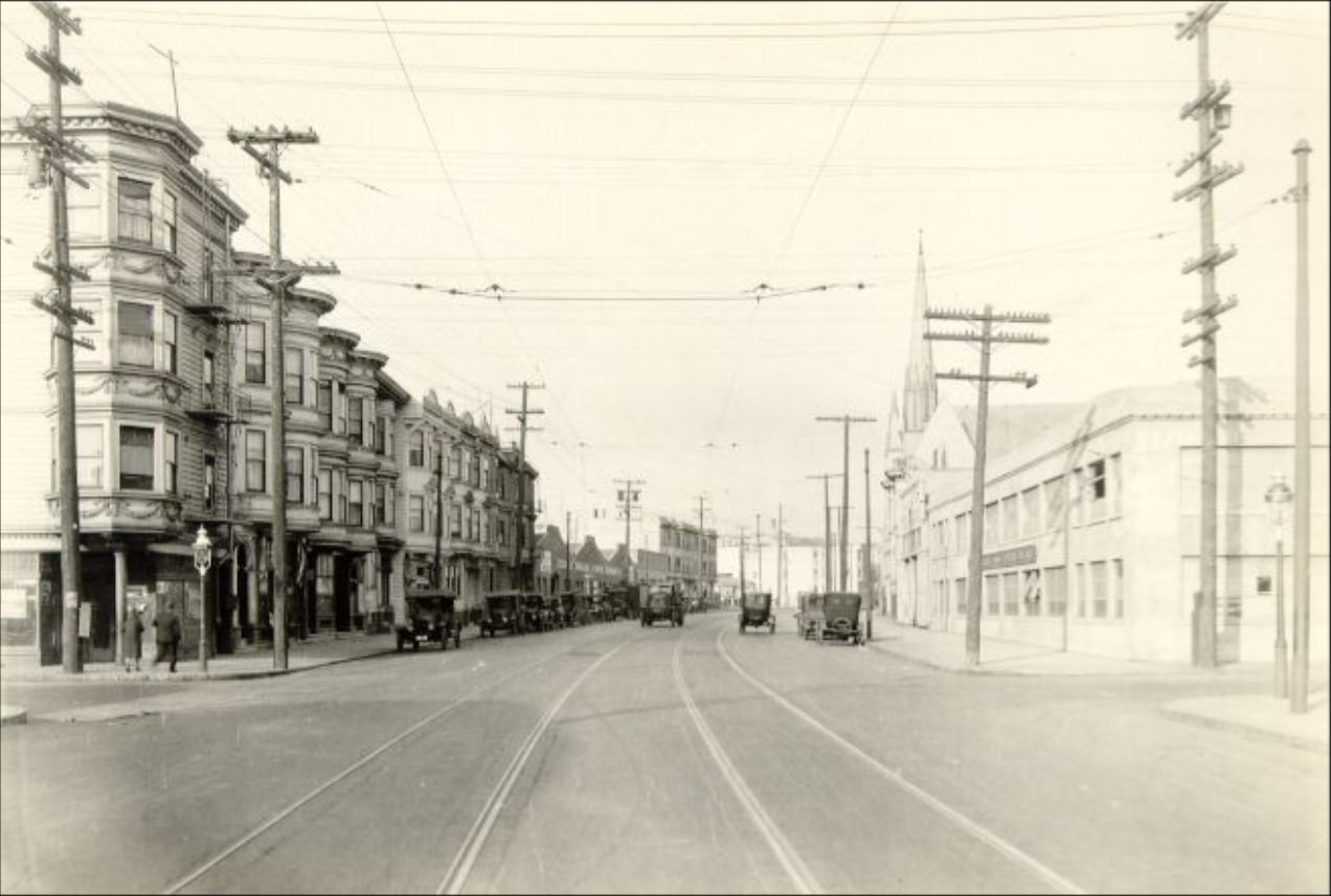
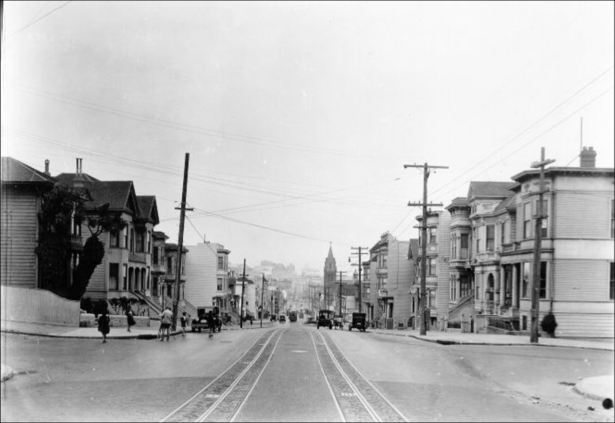
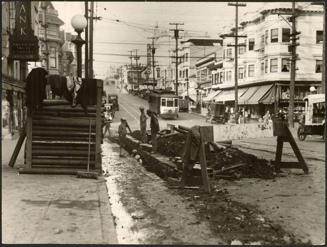
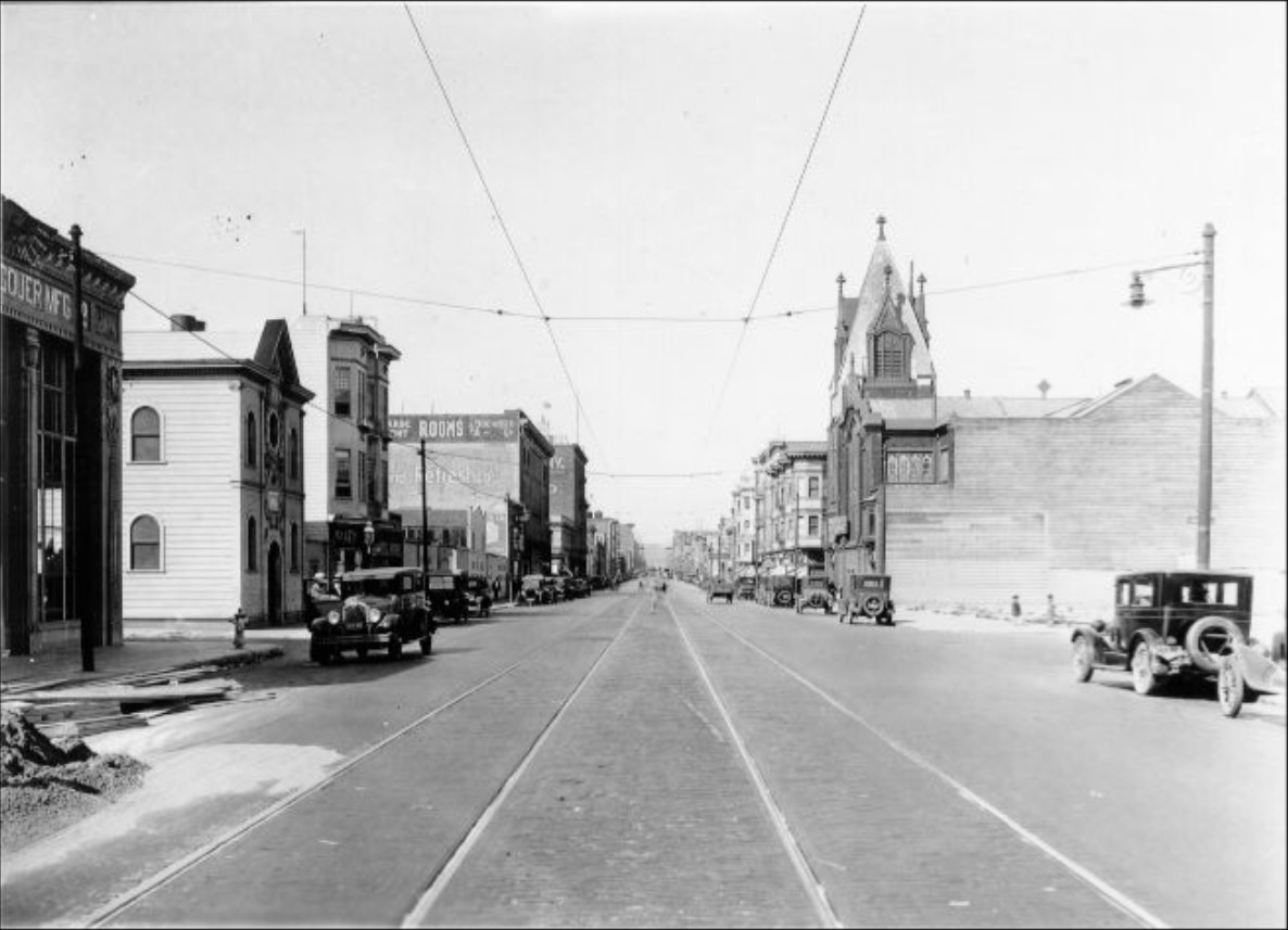
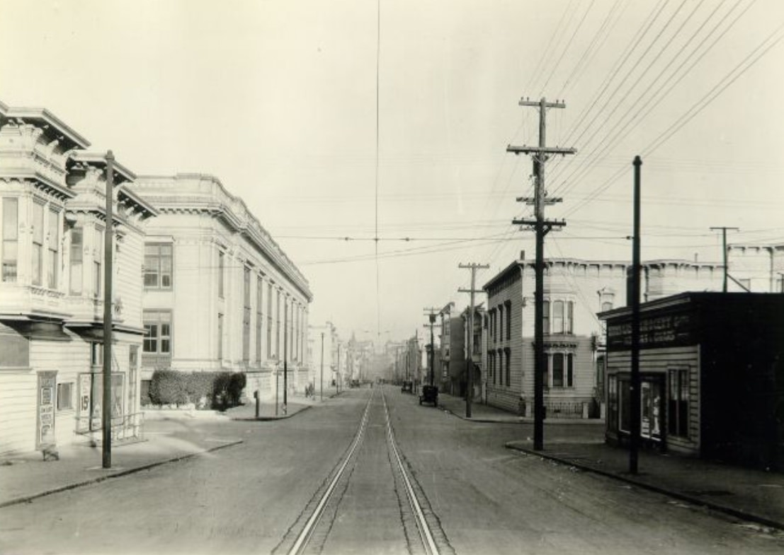
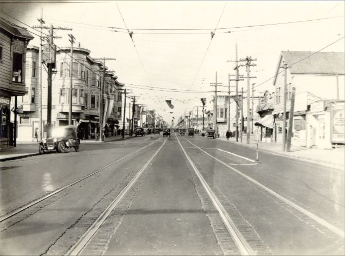
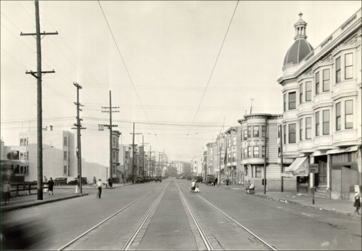
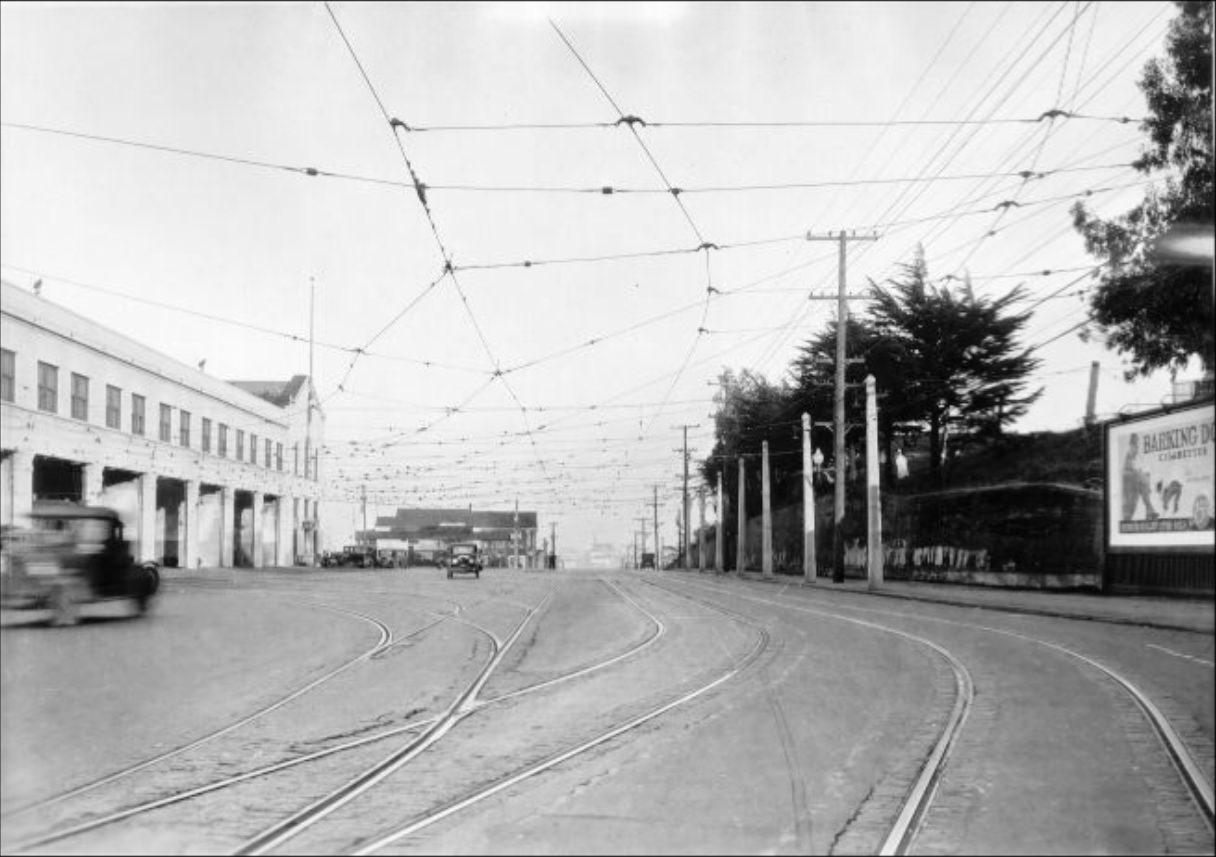
The neighborhoods spreading outward from downtown were growing fast. Streets like Castro, Mission, and Howard were filling in with new homes, shops, and transit lines. The city’s streetcar network connected these neighborhoods to the commercial core, making it possible for working families to live far from downtown and still get to work.
Castro and Day streets in 1927.Heart of the Mission district, looking downtown in 1927.Car & Bus at the end of “B” Line in 1927.
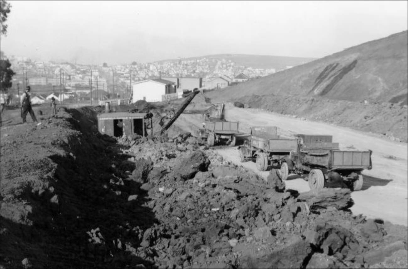
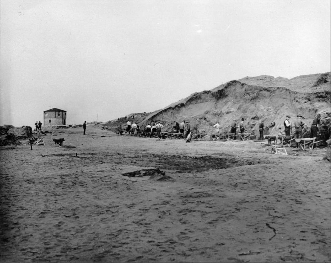
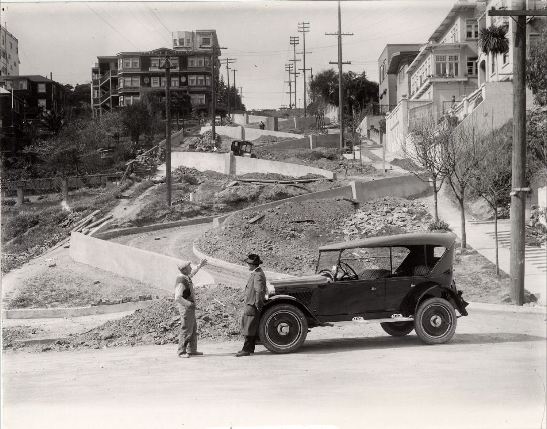
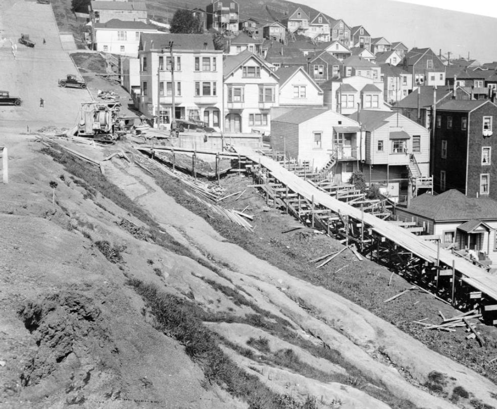
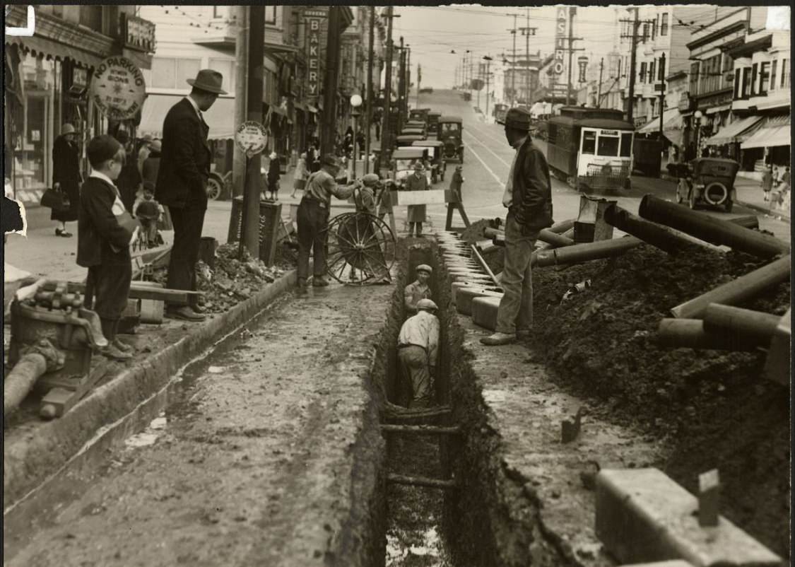
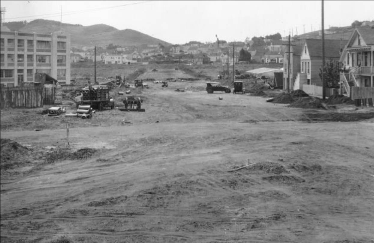
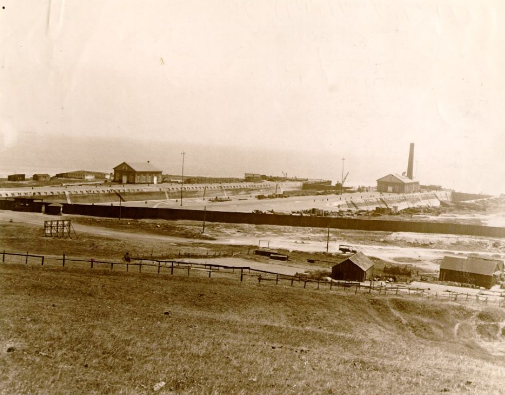
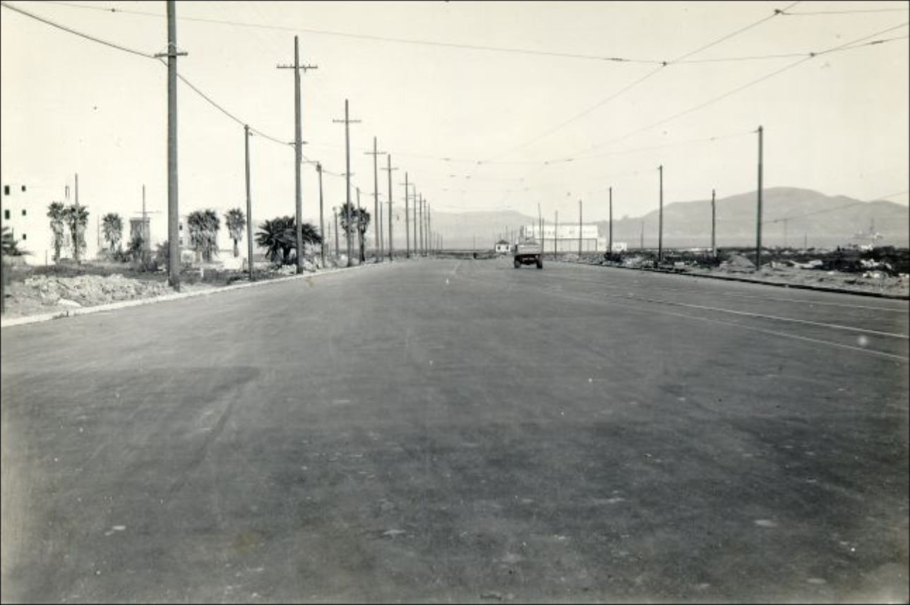
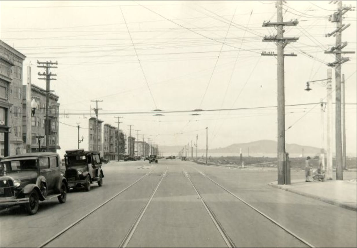
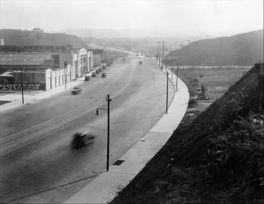
Road construction was a defining feature of the decade. The city was building and widening major roads to accommodate the explosion in automobile traffic. Bayshore Boulevard was one of the largest projects, cutting a new corridor through the southern part of the city. Workers graded hillsides, poured concrete, and laid down the infrastructure that would define San Francisco’s road network for generations.
Construction of Bayshore Boulevard in 1928.Men working on Harding Blvd. at Lands End in the 1920s.Lombard Street during construction, 1922.
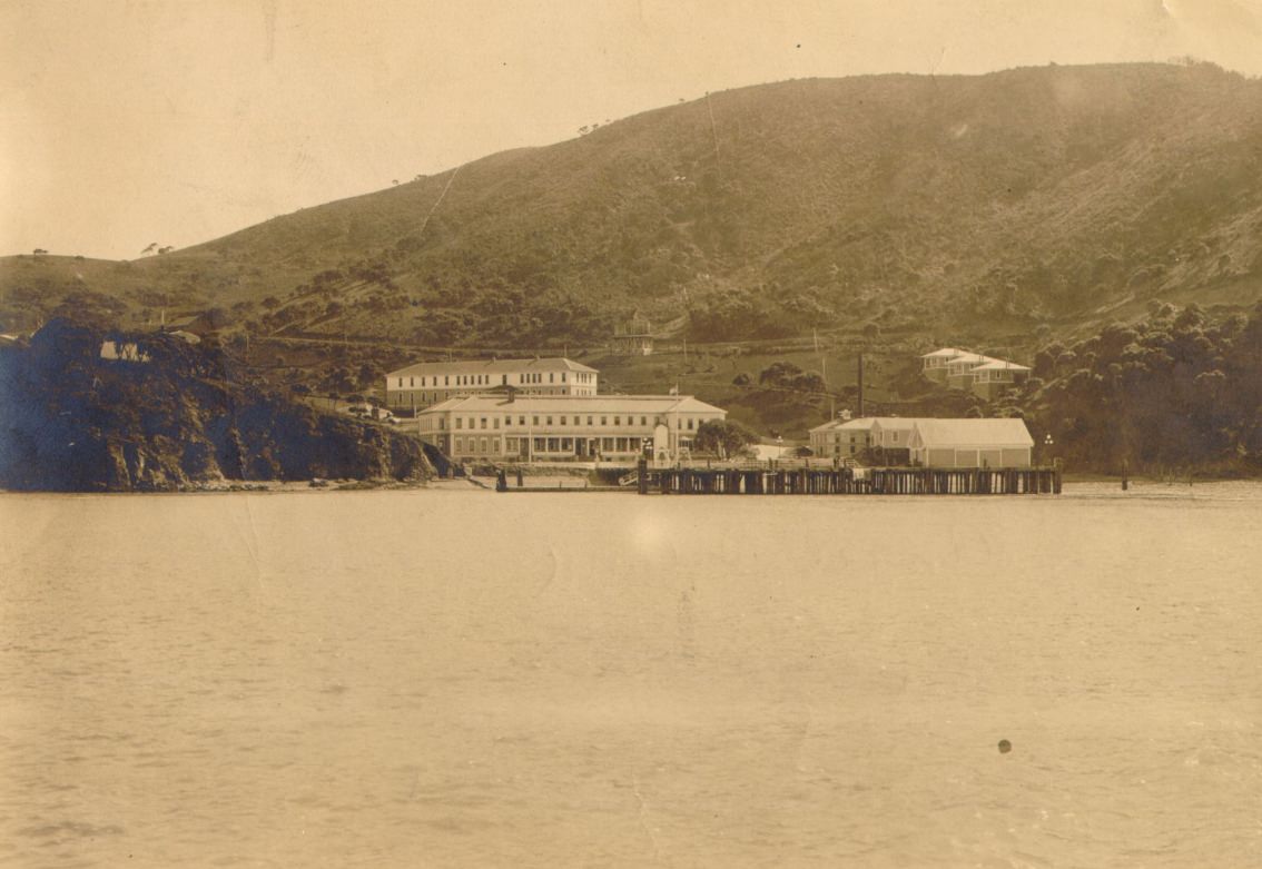
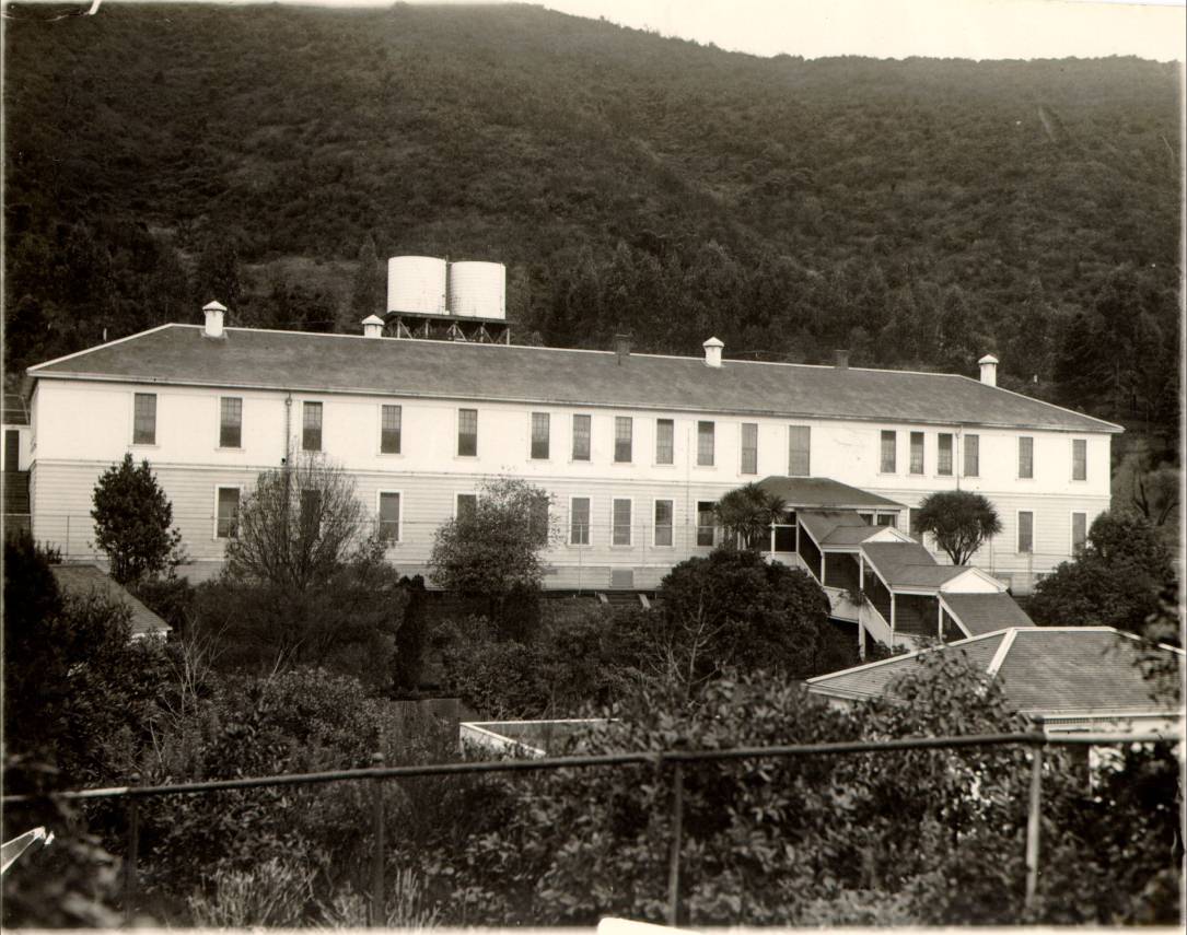
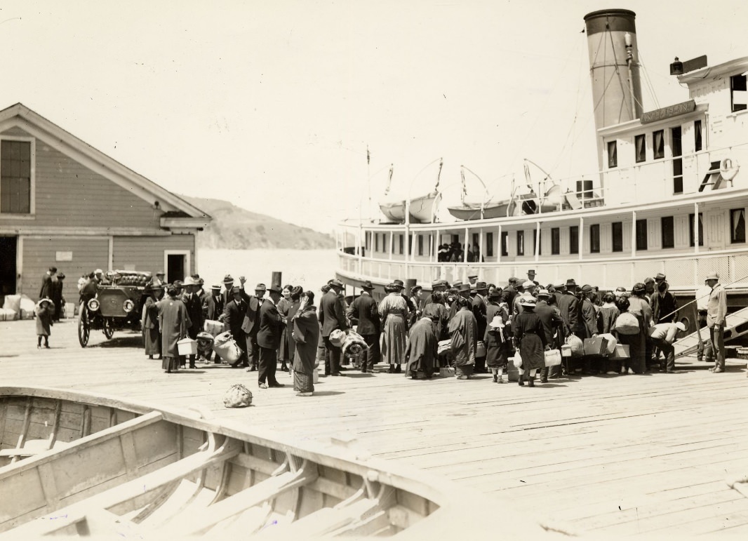
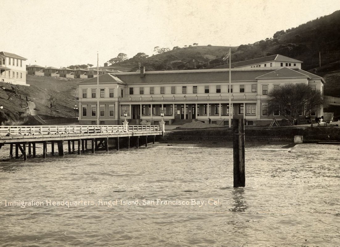
Angel Island, sitting in the middle of San Francisco Bay, served as the immigration processing station for people arriving from Asia and other parts of the world. Unlike Ellis Island on the East Coast, the Angel Island station was known for its harsh conditions and prolonged detentions. Chinese immigrants in particular faced intense scrutiny under the Chinese Exclusion Act, with many held for weeks or months in the detention building while their cases were reviewed.
Immigration station at Angel Island in the 1920s.Detention building at Angel Island immigration station in 1928.Crowd of people on a dock at Angel Island in 1920.
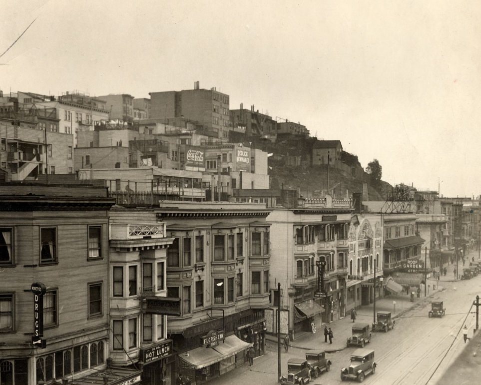
Prohibition, which took effect nationally in 1920, did little to dry out San Francisco. The city had a long history of saloons and a culture that pushed back hard against the ban on alcohol. Speakeasies operated openly in many neighborhoods, and illegal liquor distribution networks ran throughout the city. Organized crime grew more powerful during these years, filling the vacuum left by the shuttered legal bars and breweries.
Broadway in the 1920s.Columbus Avenue at Jackson in 1929.
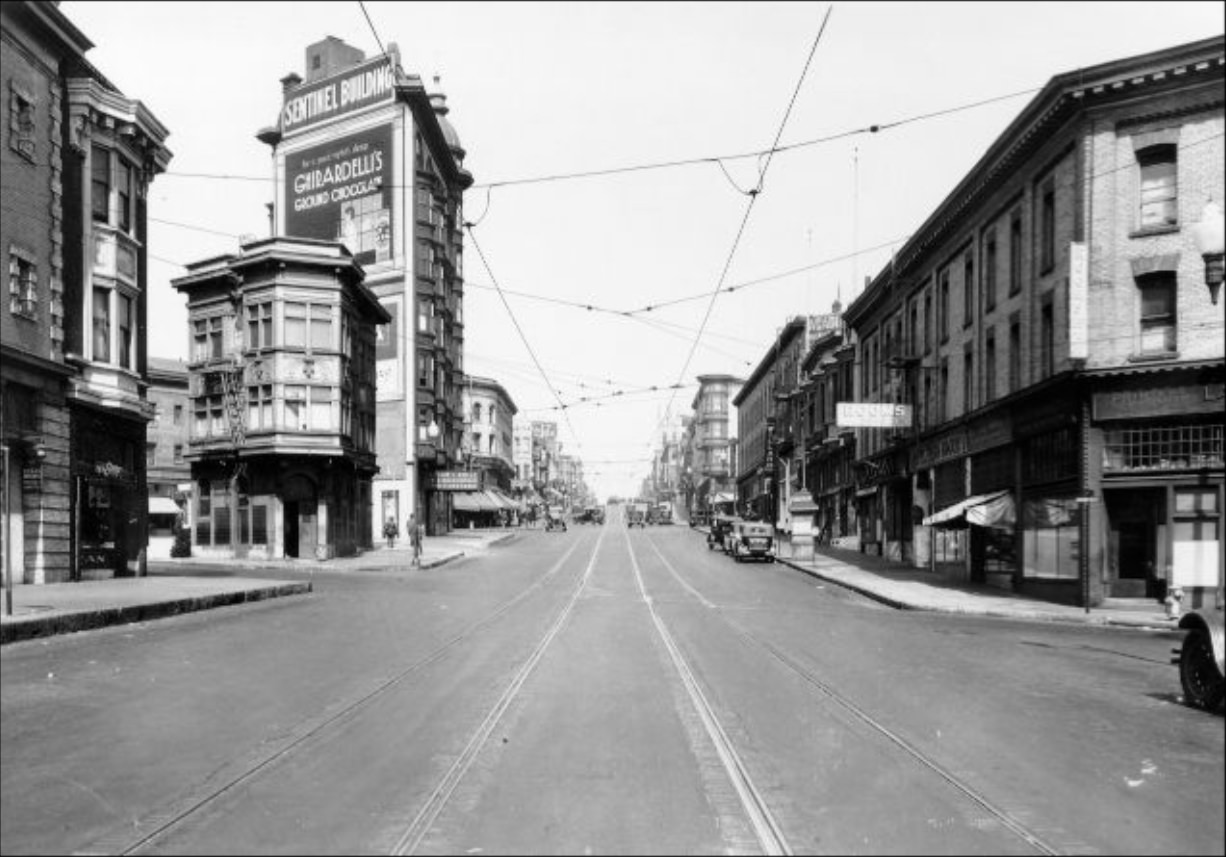
North Beach was one of the liveliest parts of the city during the 1920s. The neighborhood, home to a large Italian American community, was packed with restaurants, cafes, and social clubs. Jazz music spread through the Fillmore District as well, with clubs drawing crowds every night of the week. The cultural energy that would later produce the Beat Generation was already taking root in the city’s coffeehouses and gathering spots.
Aerial view of North Beach district in 1927.Columbus Avenue in the 1920s.
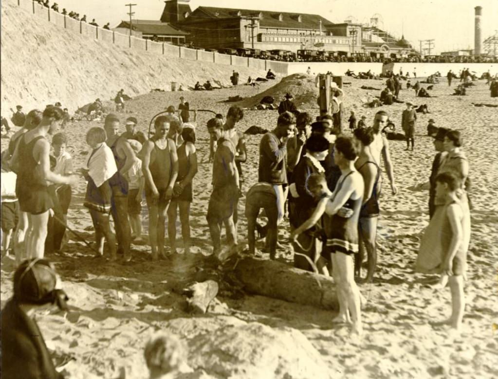
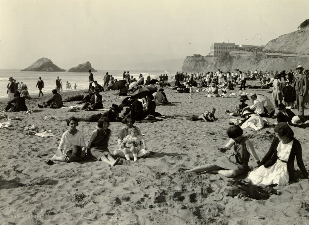
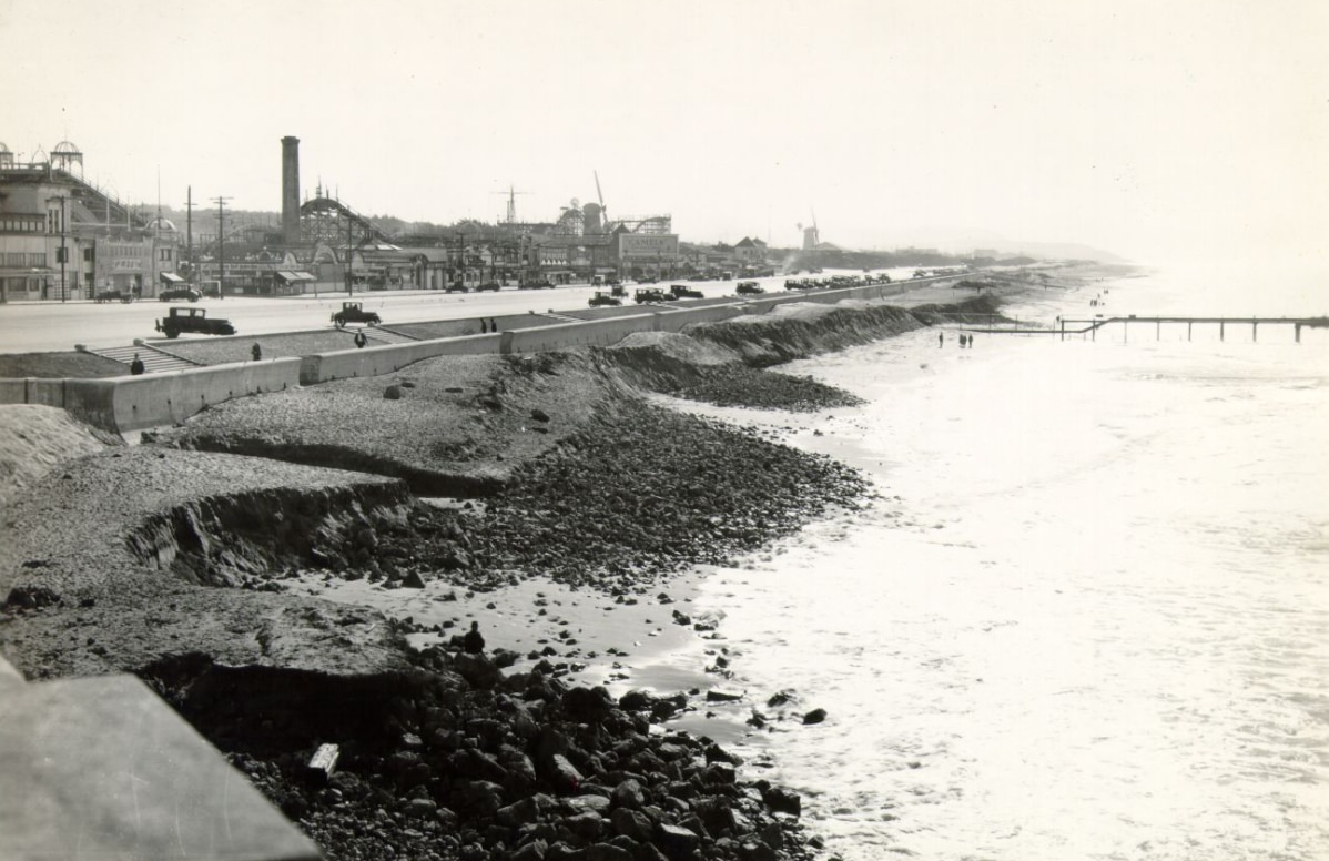
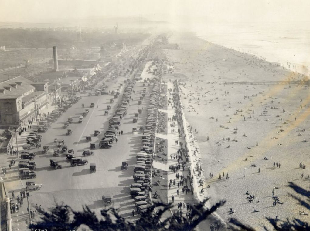
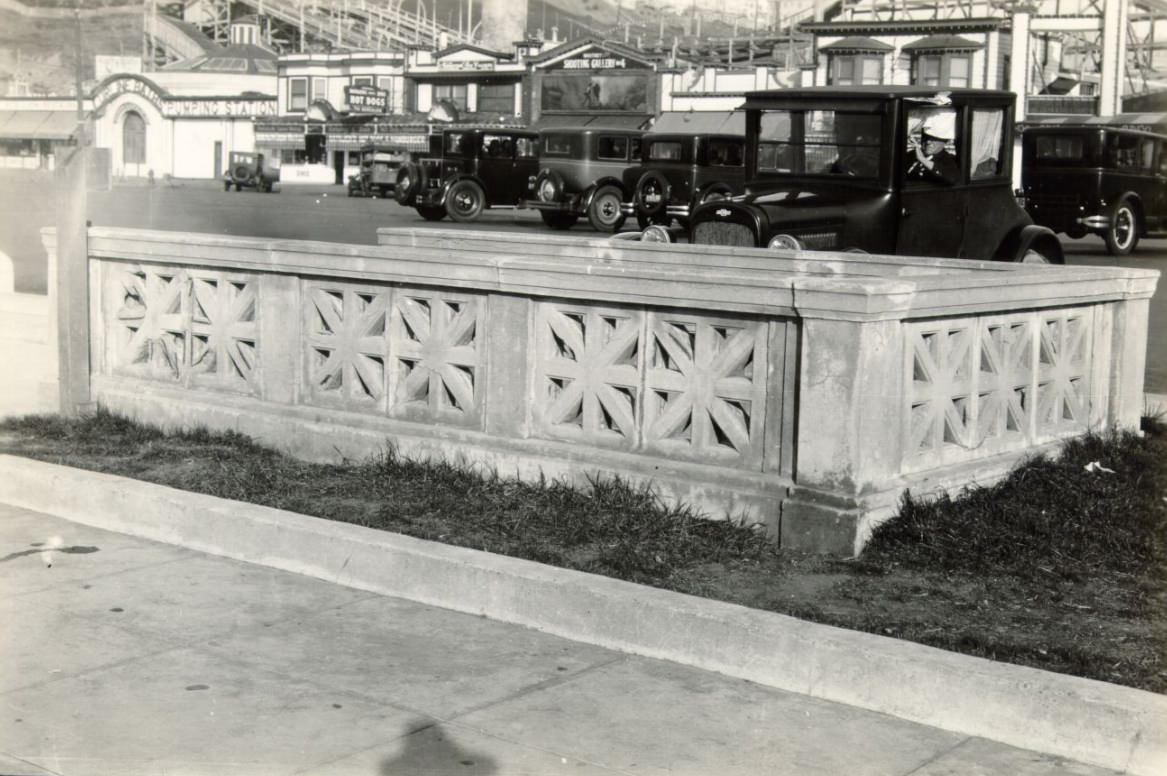
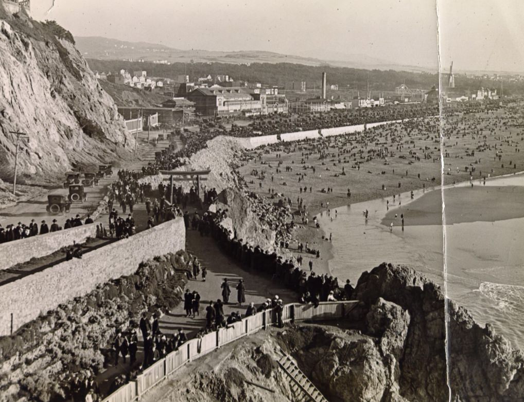
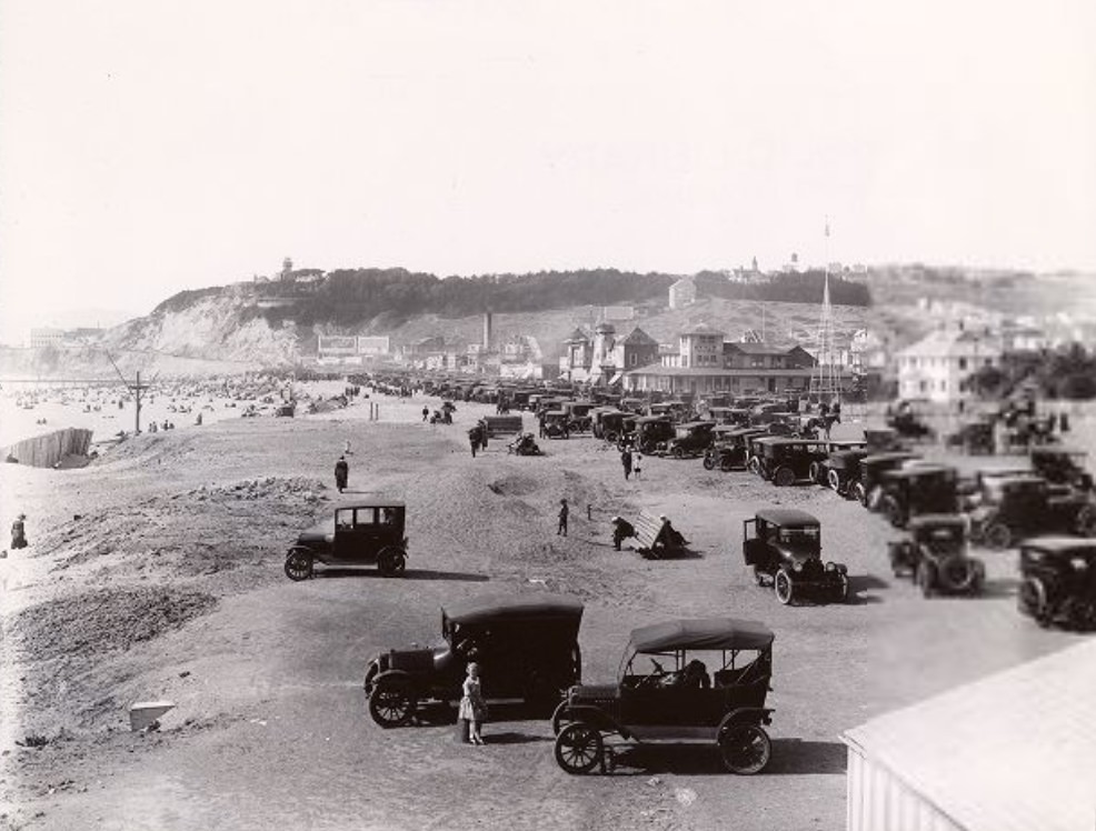
Ocean Beach on the western edge of the city was a popular destination for San Franciscans looking to escape the urban density. The Great Highway ran alongside the beach, and the Esplanade provided a formal promenade above the sand. On warm days, crowds gathered in large numbers. Playland, the amusement park near the beach, was a fixture of city life throughout the decade.
Crowds gathering at Ocean Beach in 1924.Crowds gathering on Ocean Beach in the 1920s.Ocean Beach & Esplanade in 1927.
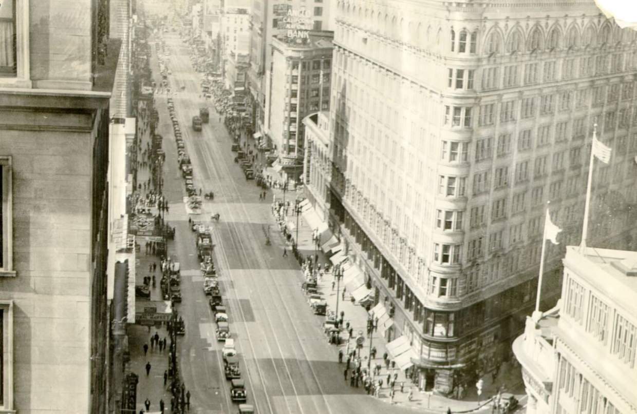
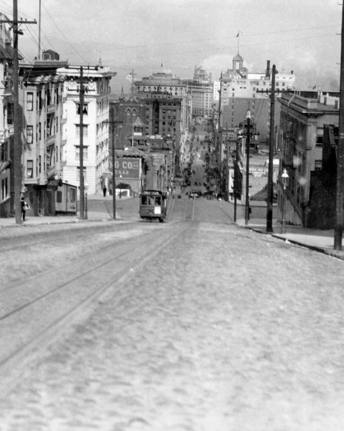
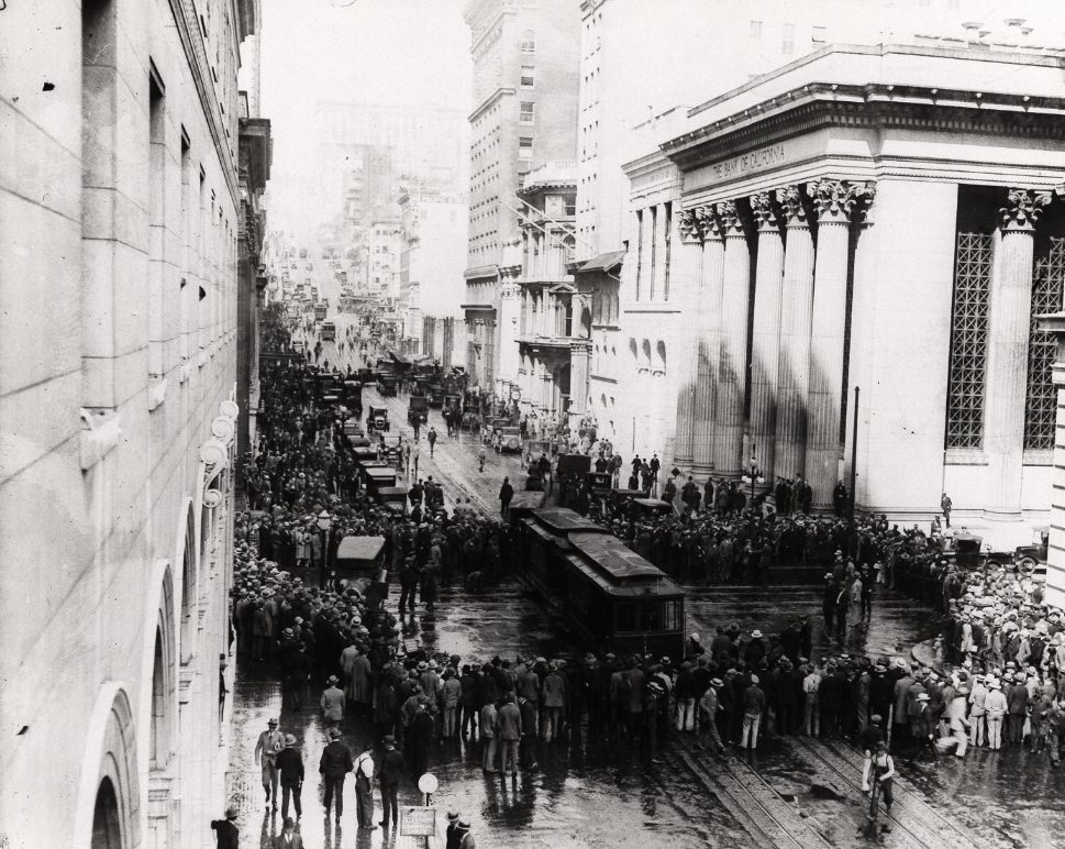
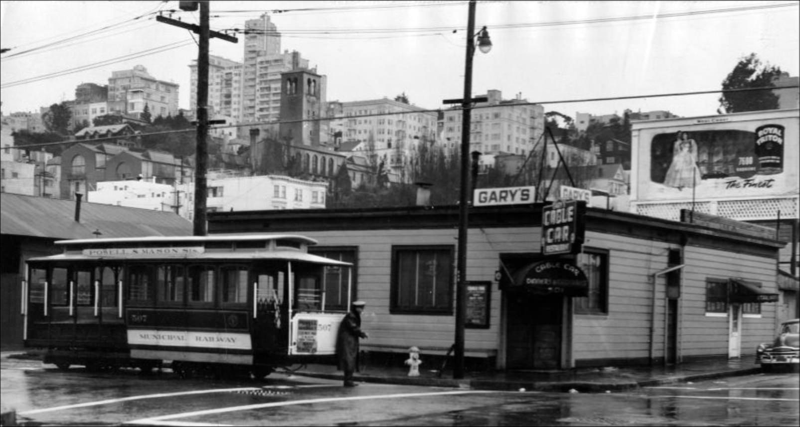
California Street was one of the city’s great corridors, running from the Financial District all the way to the Richmond neighborhood. The cable cars that climbed its steep grade were both a practical transit solution and a defining image of the city. Commercial buildings, banks, and offices lined the street near Montgomery, while the western stretches gave way to quieter residential blocks.
California Street circa 1920.
California Street between Sansome and Montgomery around 1920.
Group of people gathering around a cable car on Montgomery and California Street in 1926.
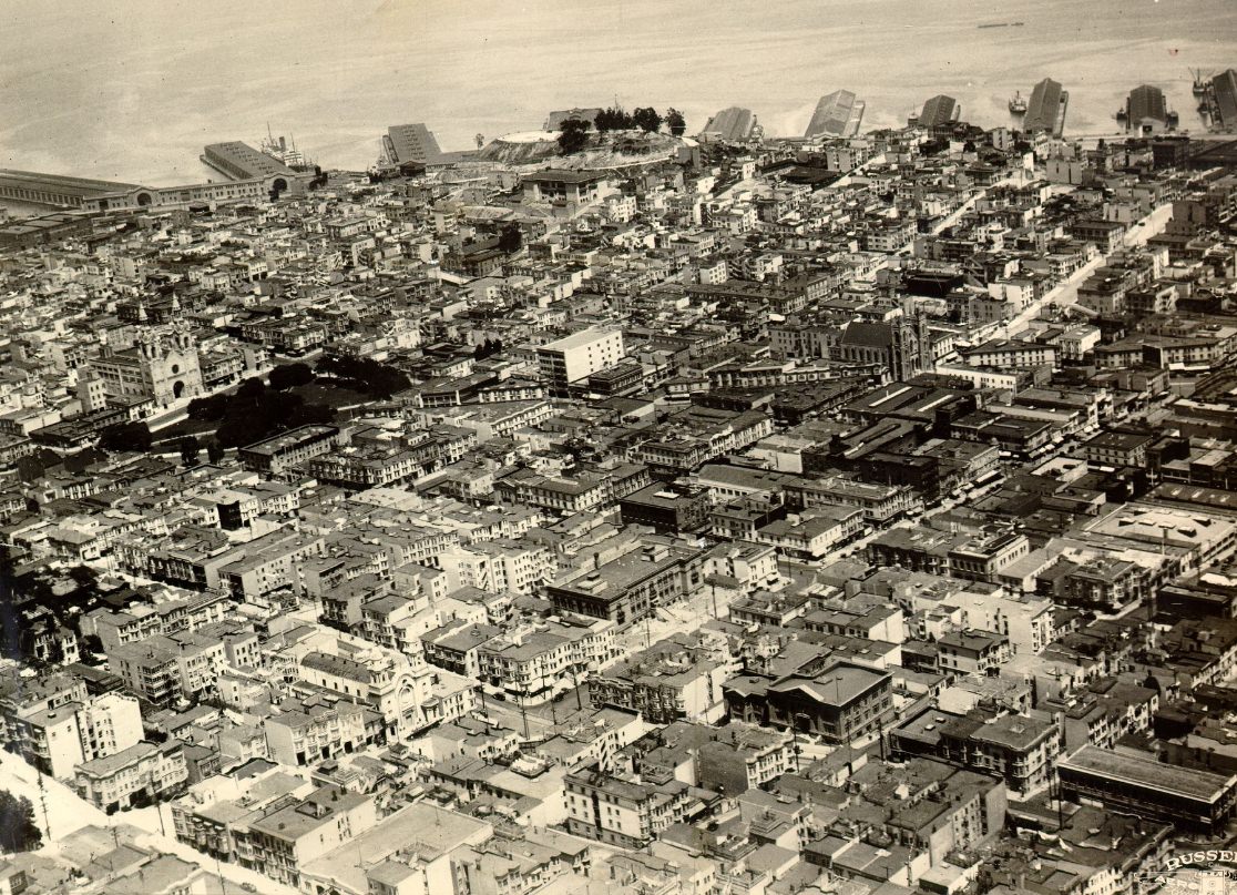
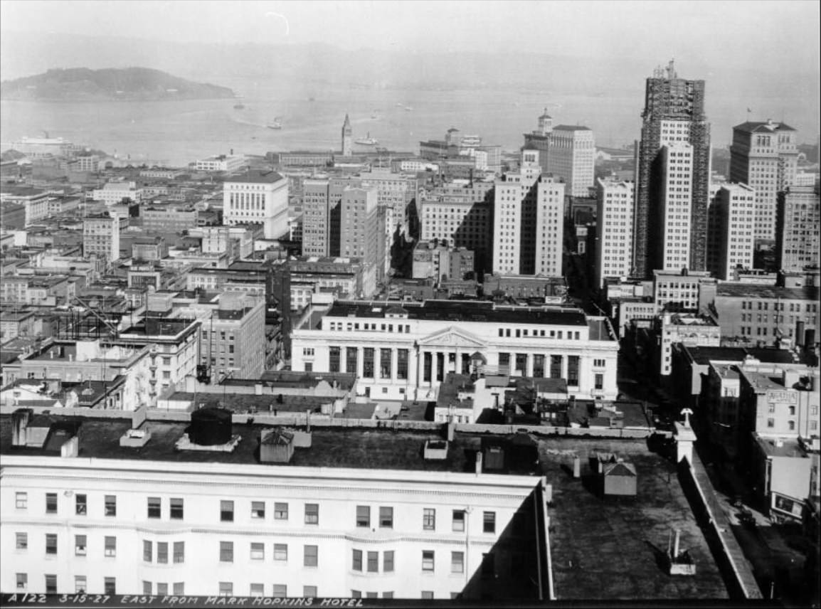
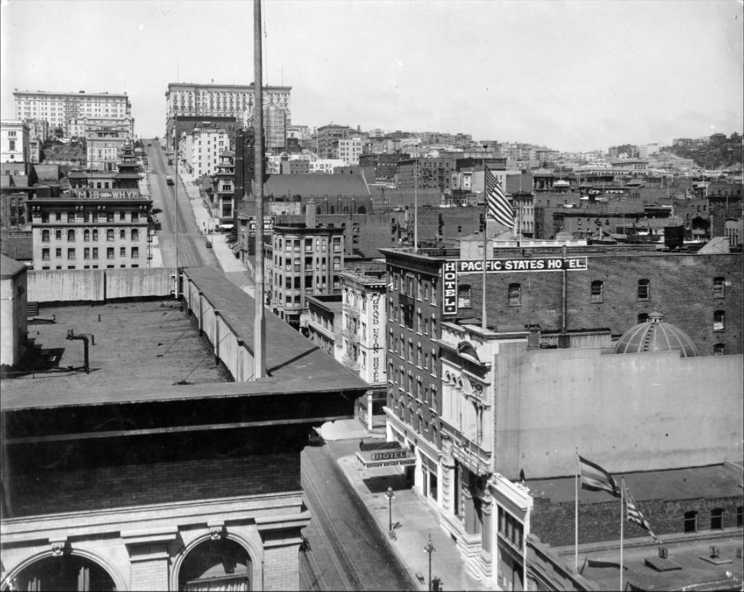
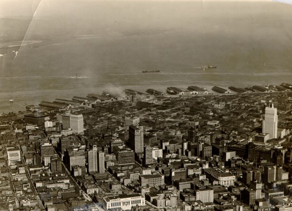
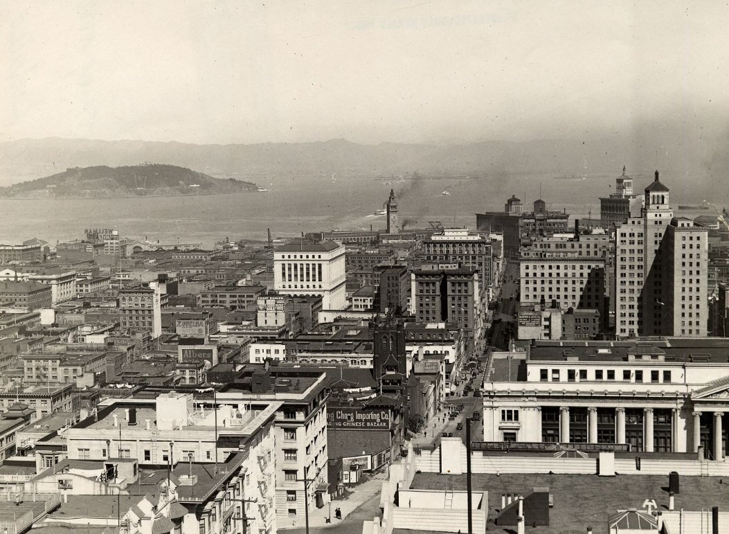
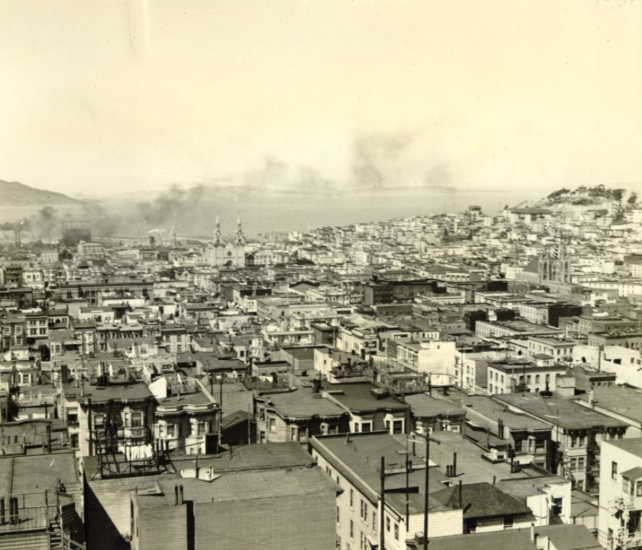
The view from high points across the city revealed just how much San Francisco had grown. Looking south from the Hall of Justice or east from the Mark Hopkins Hotel on Nob Hill, the city spread in every direction — a dense patchwork of buildings, streets, and neighborhoods reaching toward the bay and the hills. Aerial photographs from the mid-1920s show a city that had fully rebuilt itself and was pressing outward at every edge.
View of San Francisco, looking south from the Hall of Justice in 1921.Downtown, East from Mark Hopkins hotel in 1927.Aerial view of San Francisco in 1927.
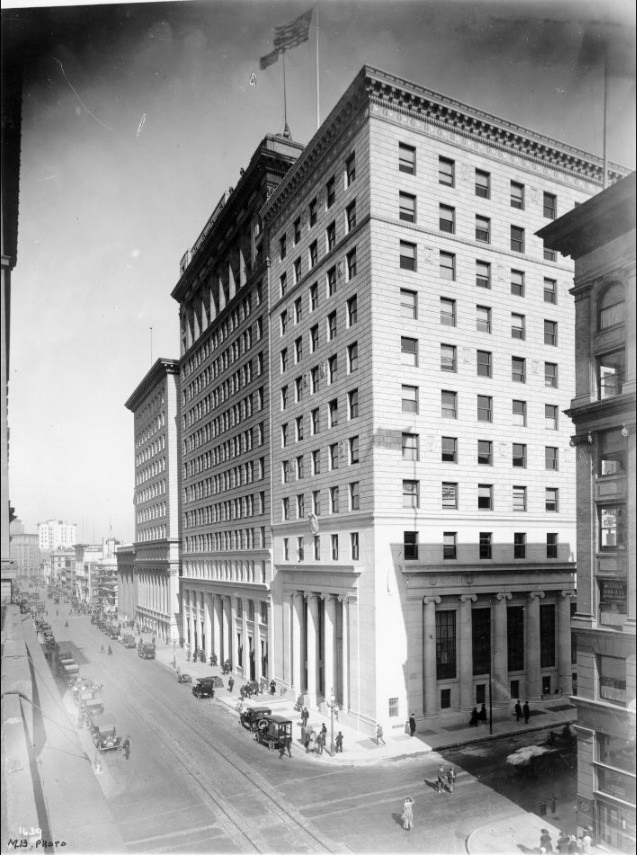
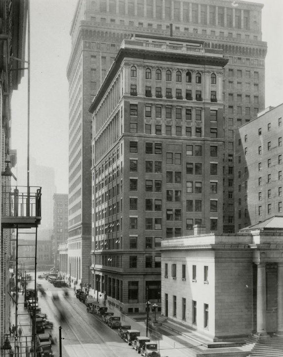
The financial district on Montgomery Street buzzed with activity during the decade. Banks, insurance firms, and trading companies filled the office towers that lined the street. By the mid-1920s, San Francisco was undeniably the financial capital of the American West, handling transactions that stretched across the Pacific and throughout Latin America.
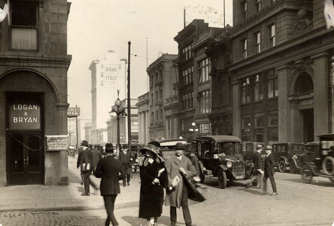
Montgomery Street, 1927.Sansome at California Street in 1926.Corner of Sutter and Montgomery Streets, 1924.
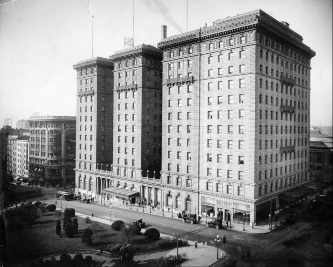
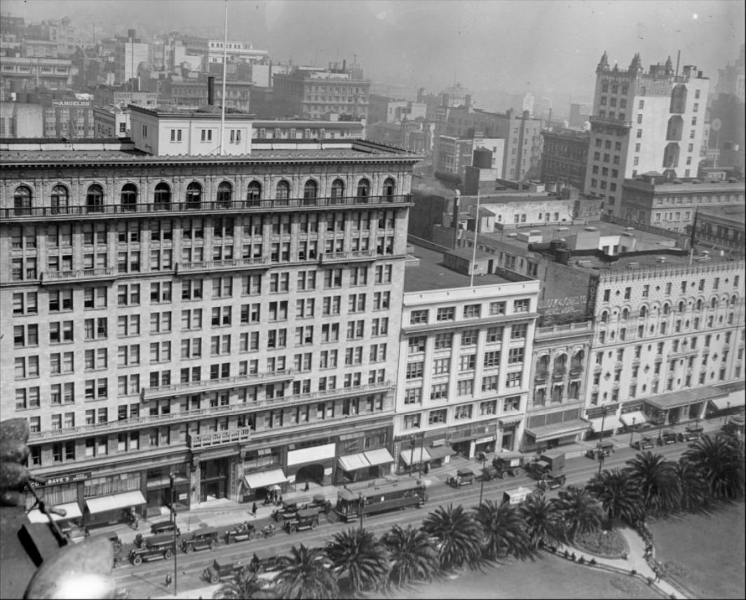
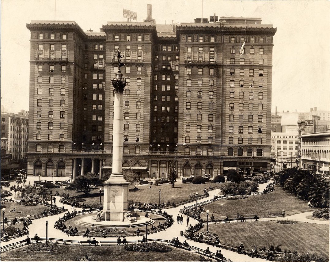
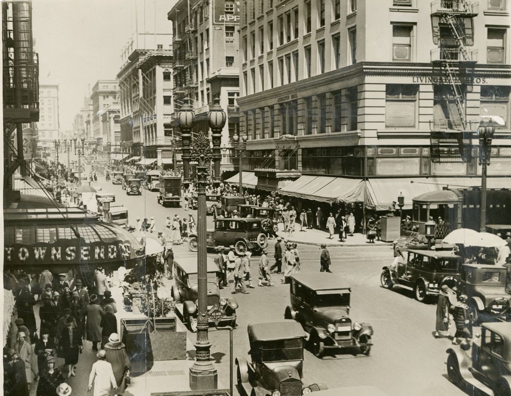
Union Square was already one of the city’s premier retail and social destinations by the 1920s. The St. Francis Hotel on the square’s western edge catered to the wealthy and well-connected. Nearby Post Street and Geary Street were lined with department stores, boutiques, and restaurants that drew shoppers from across the Bay Area.
St. Francis Hotel across from Union Square, 1928.Union Square and Post Street, 1925.Powell Street side of Union Square, 1928.
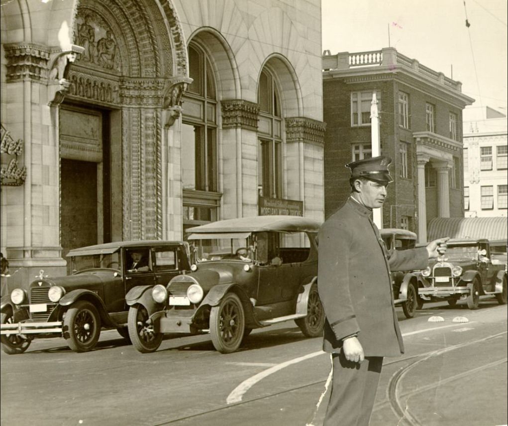
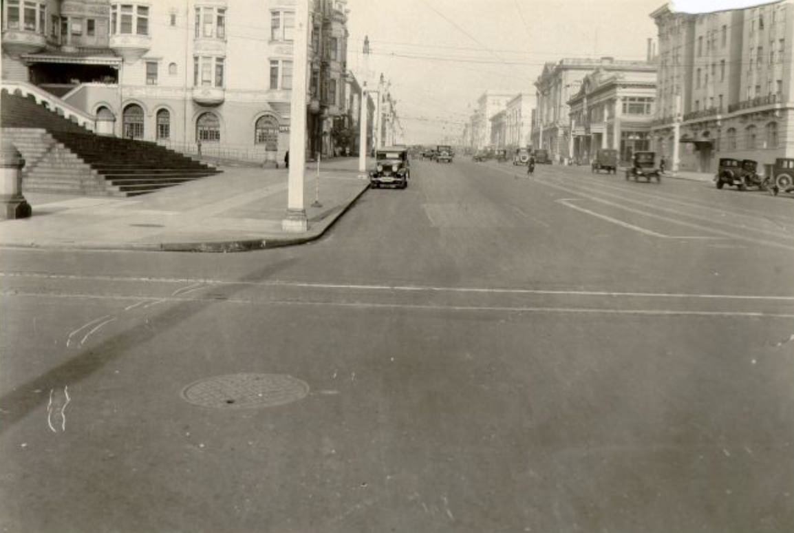
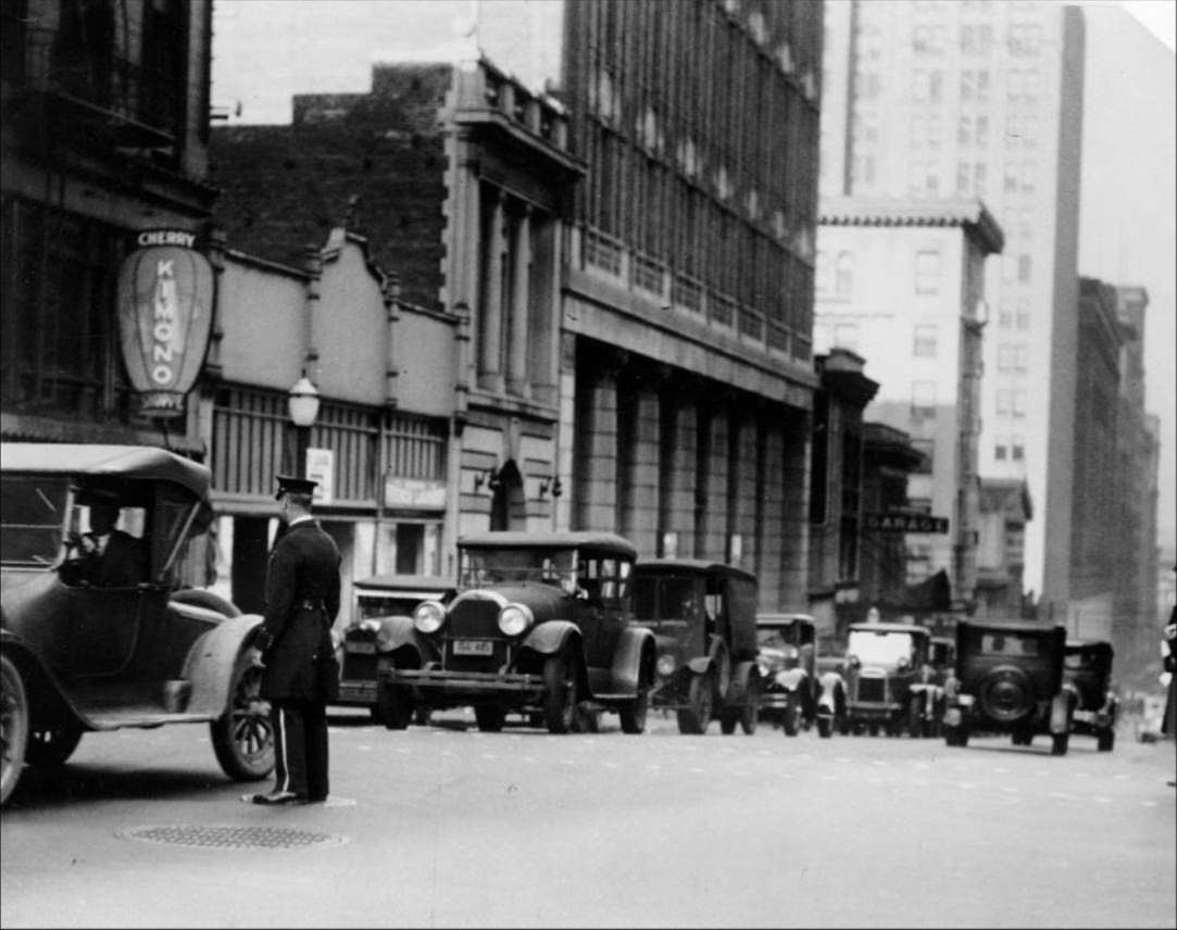
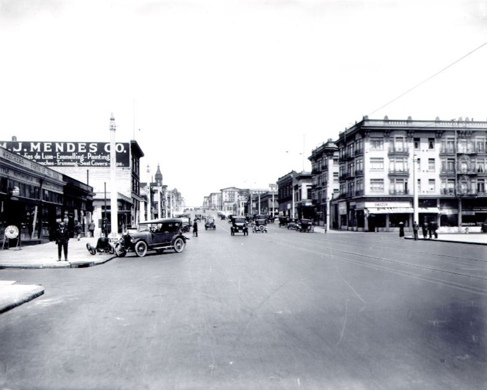
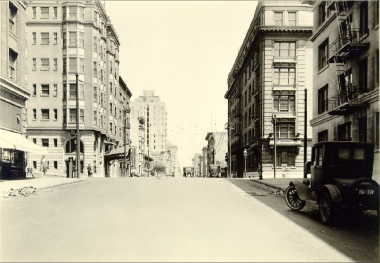
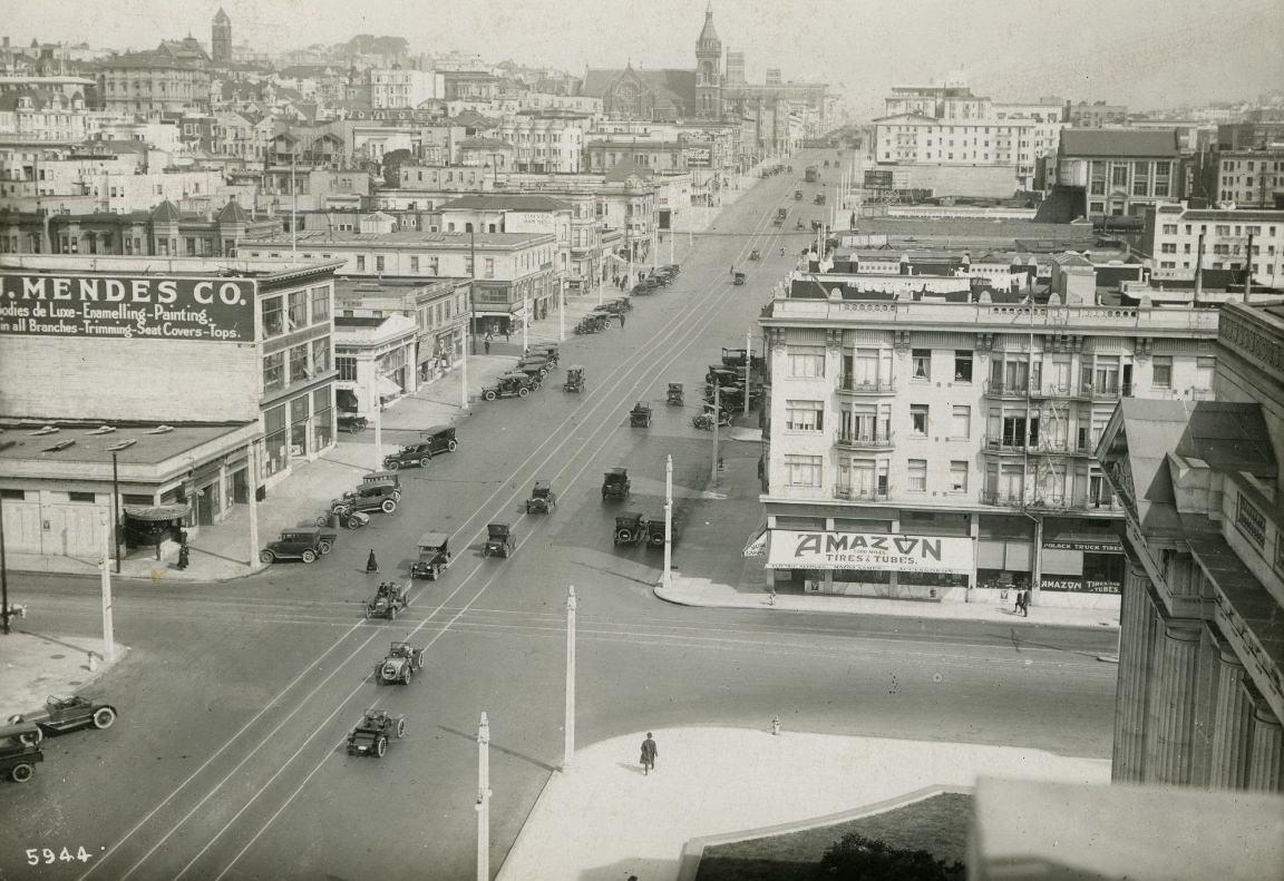
Van Ness Avenue served as the main north-south artery on the western side of downtown. It was broad enough to accommodate the growing number of automobiles that were flooding the city’s streets by the mid-1920s. Car dealerships, hotels, and commercial buildings lined the avenue, and a police officer directing traffic at a major intersection was a common enough sight that it became its own photographic subject.
Van Ness Avenue at Market Street with a superimposed photo of a police officer directing traffic in 1927.Looking south on Van Ness Avenue from Hayes Street, 1920.Van Ness Avenue at O’Farrell Street, 1925.
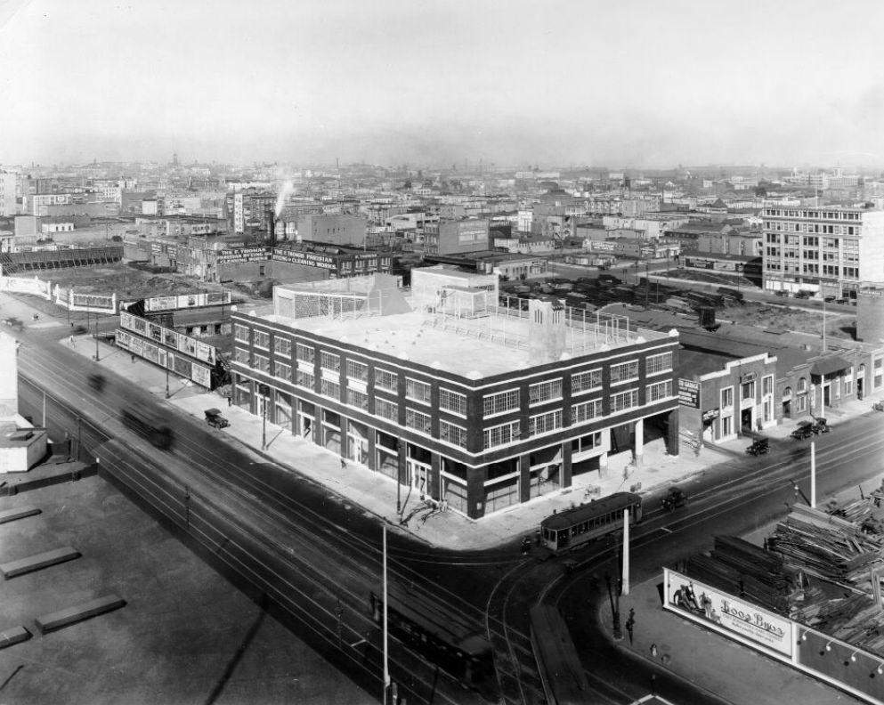
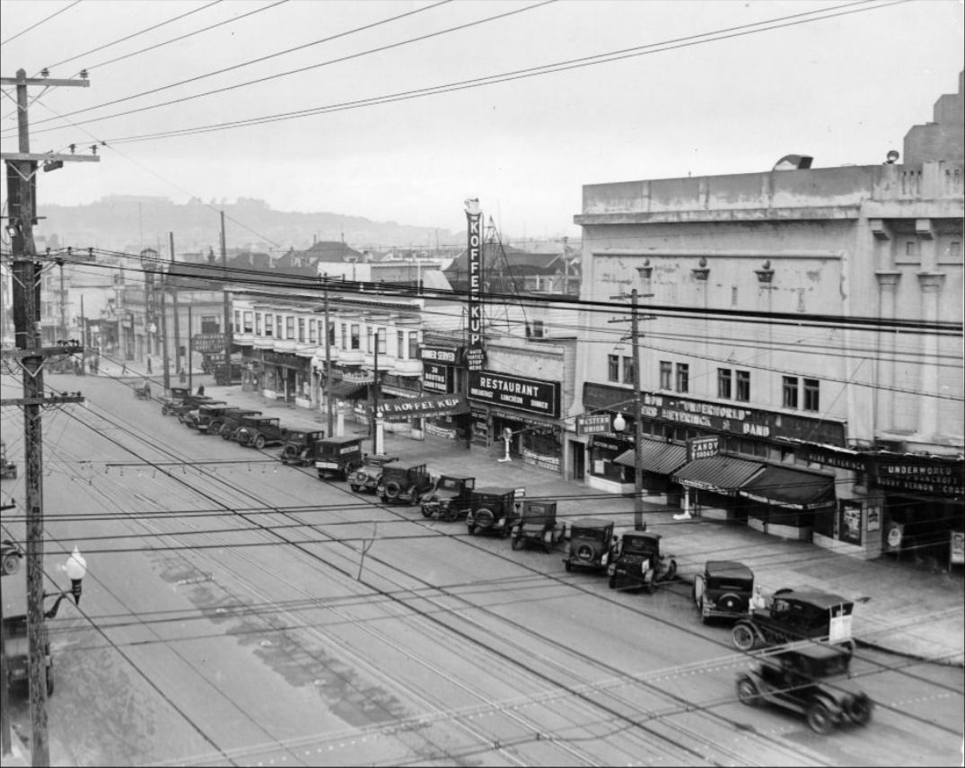
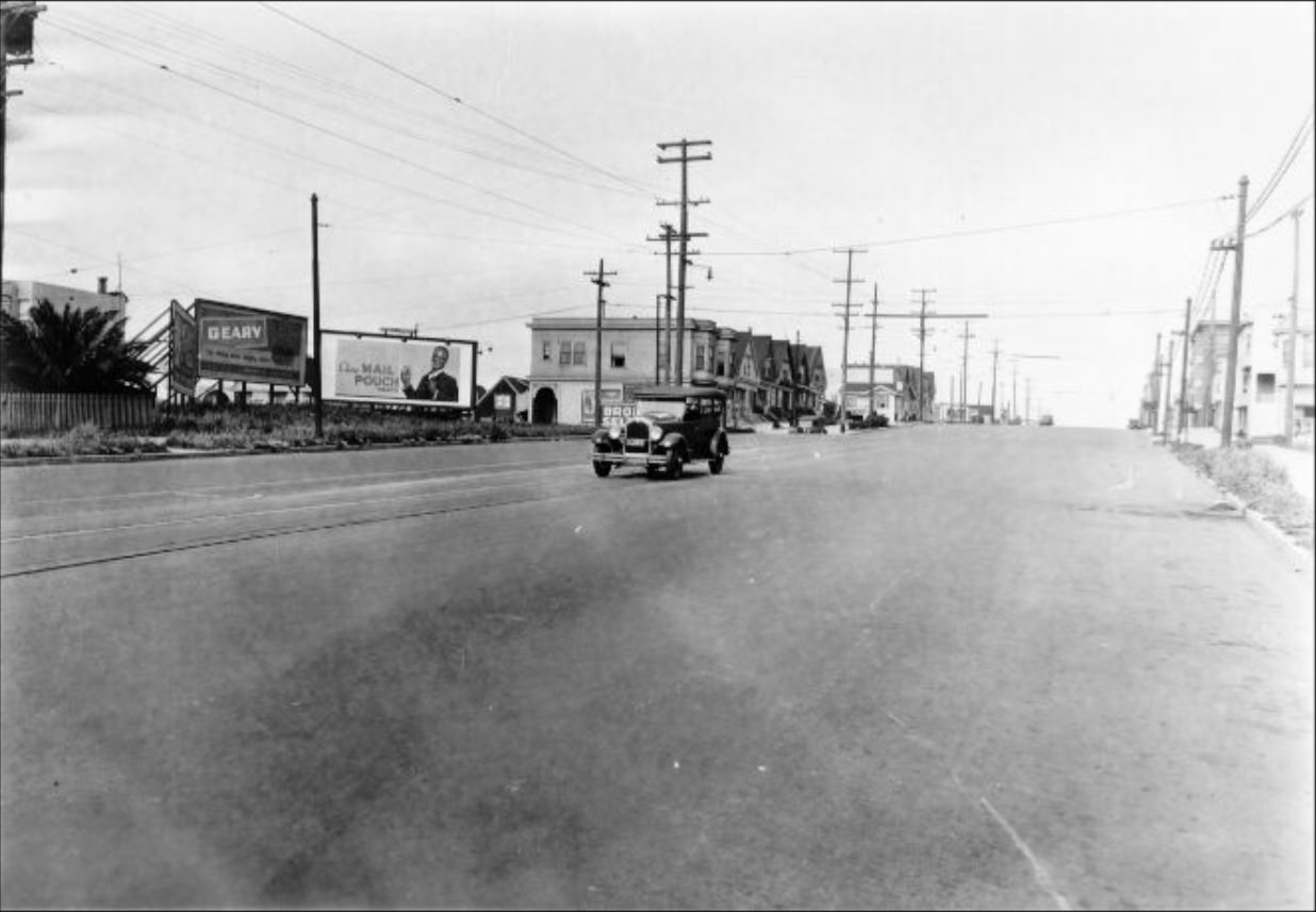
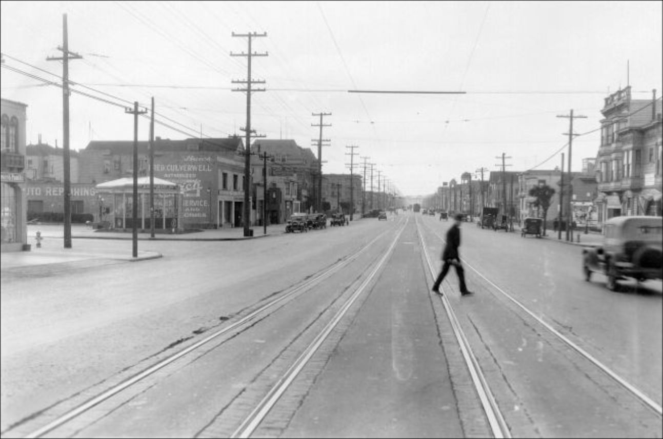
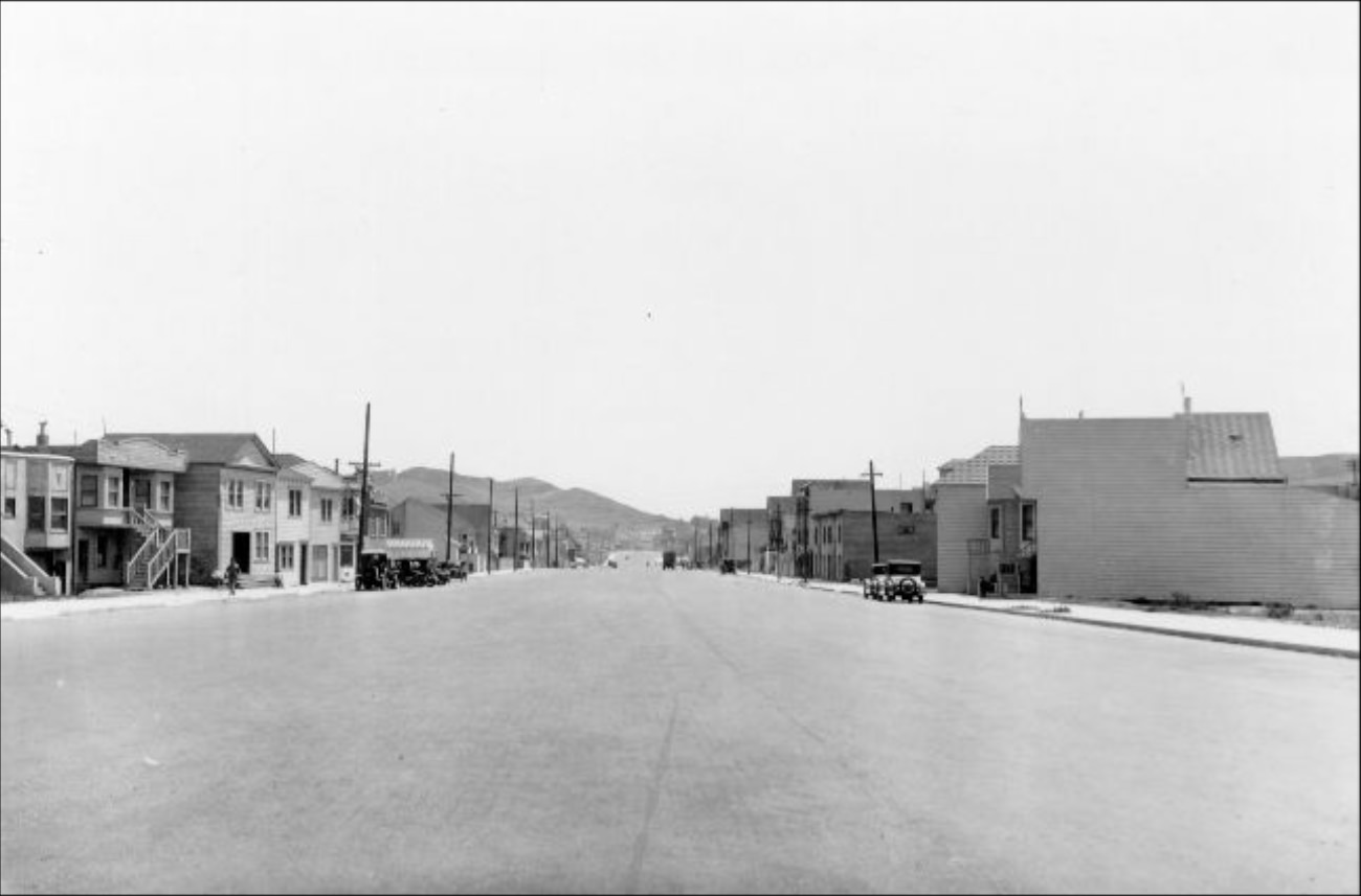
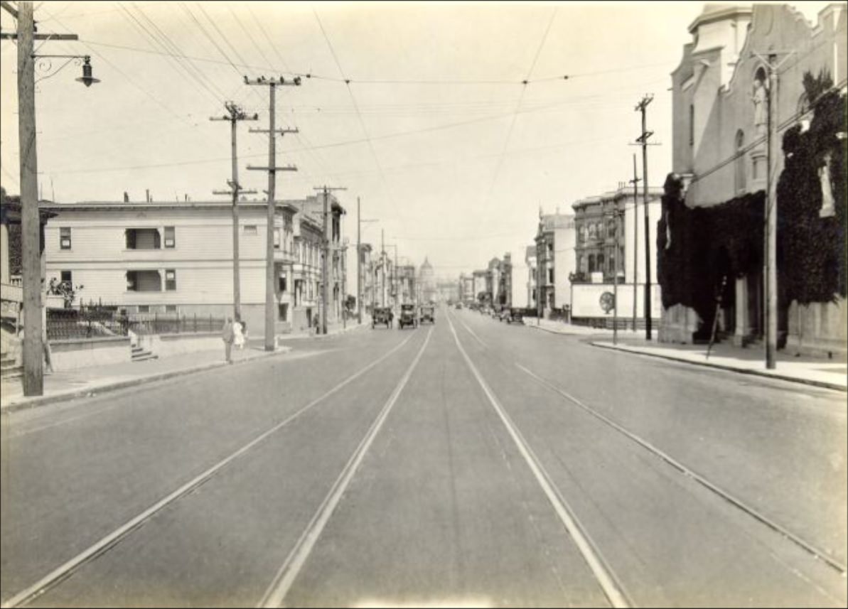
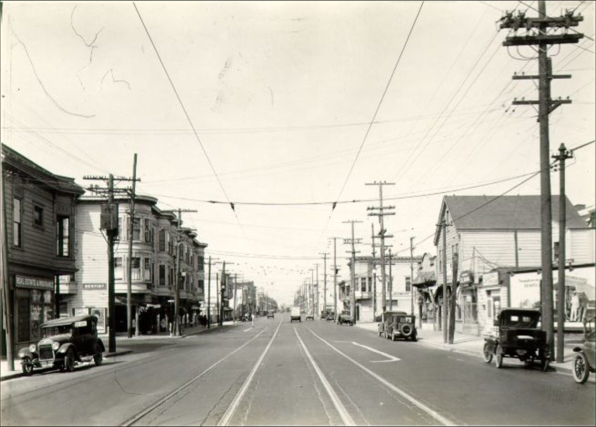
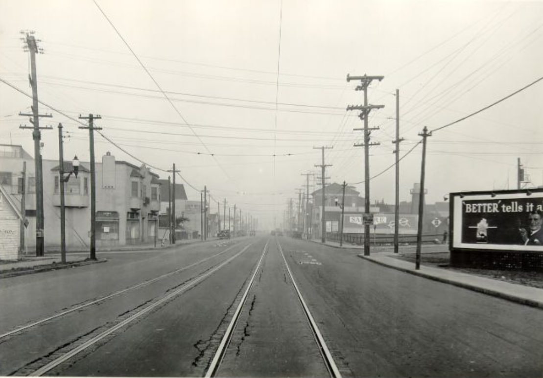
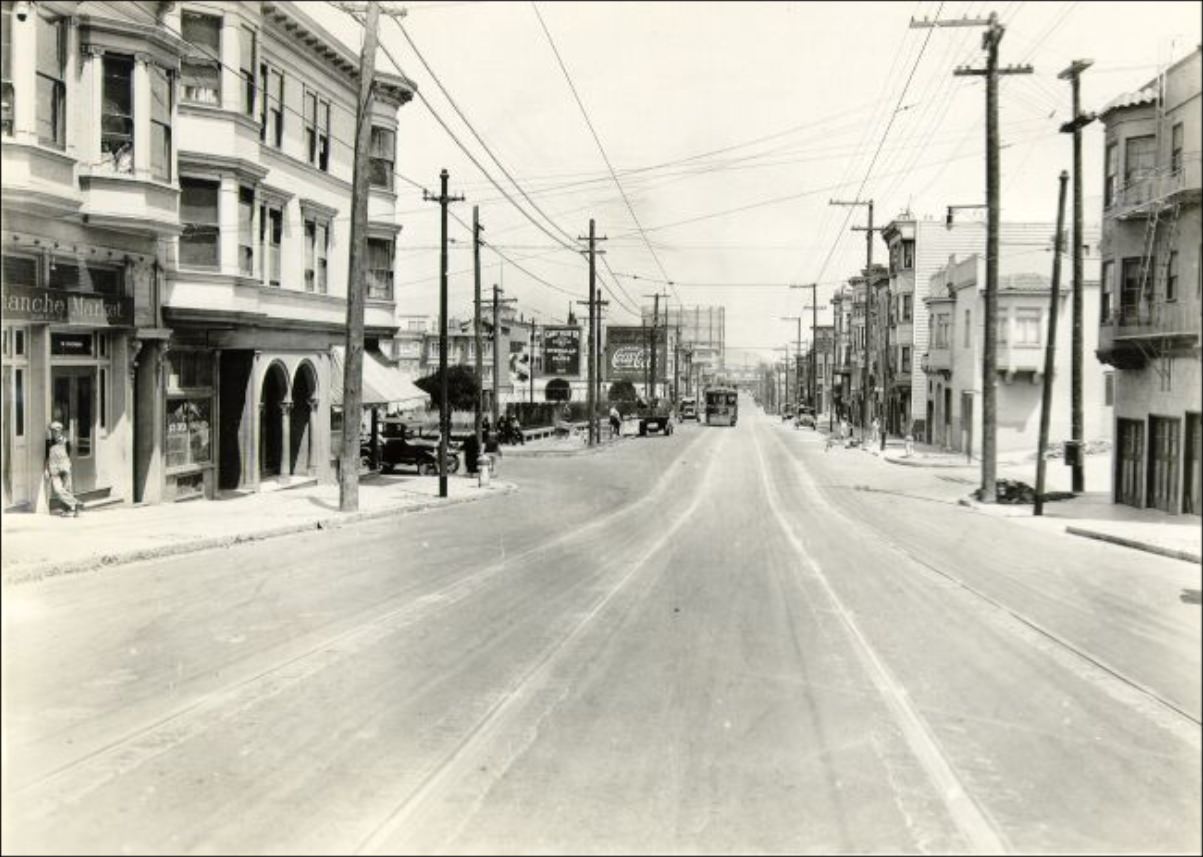
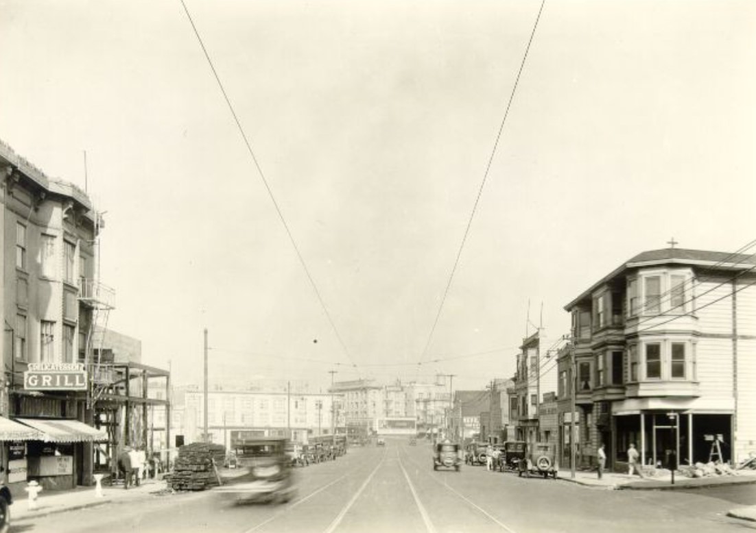
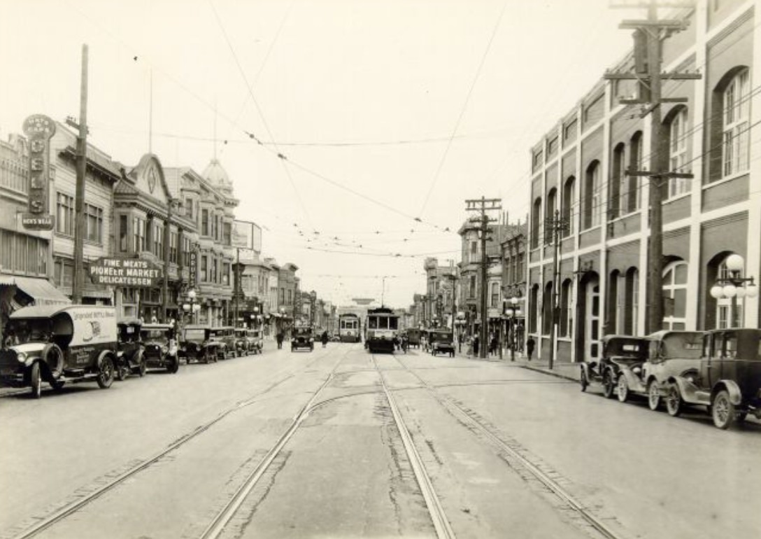
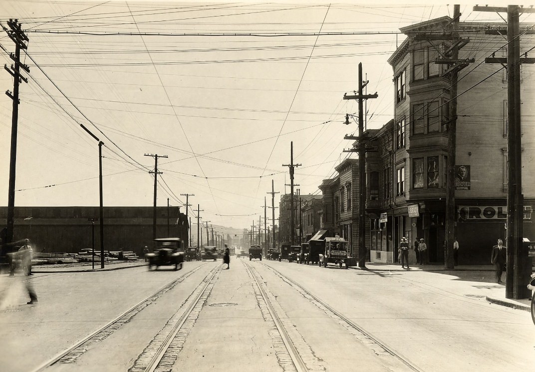
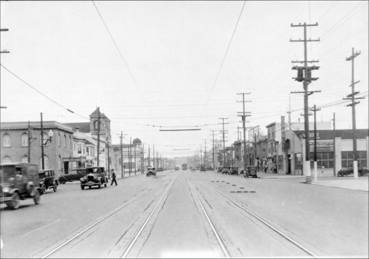
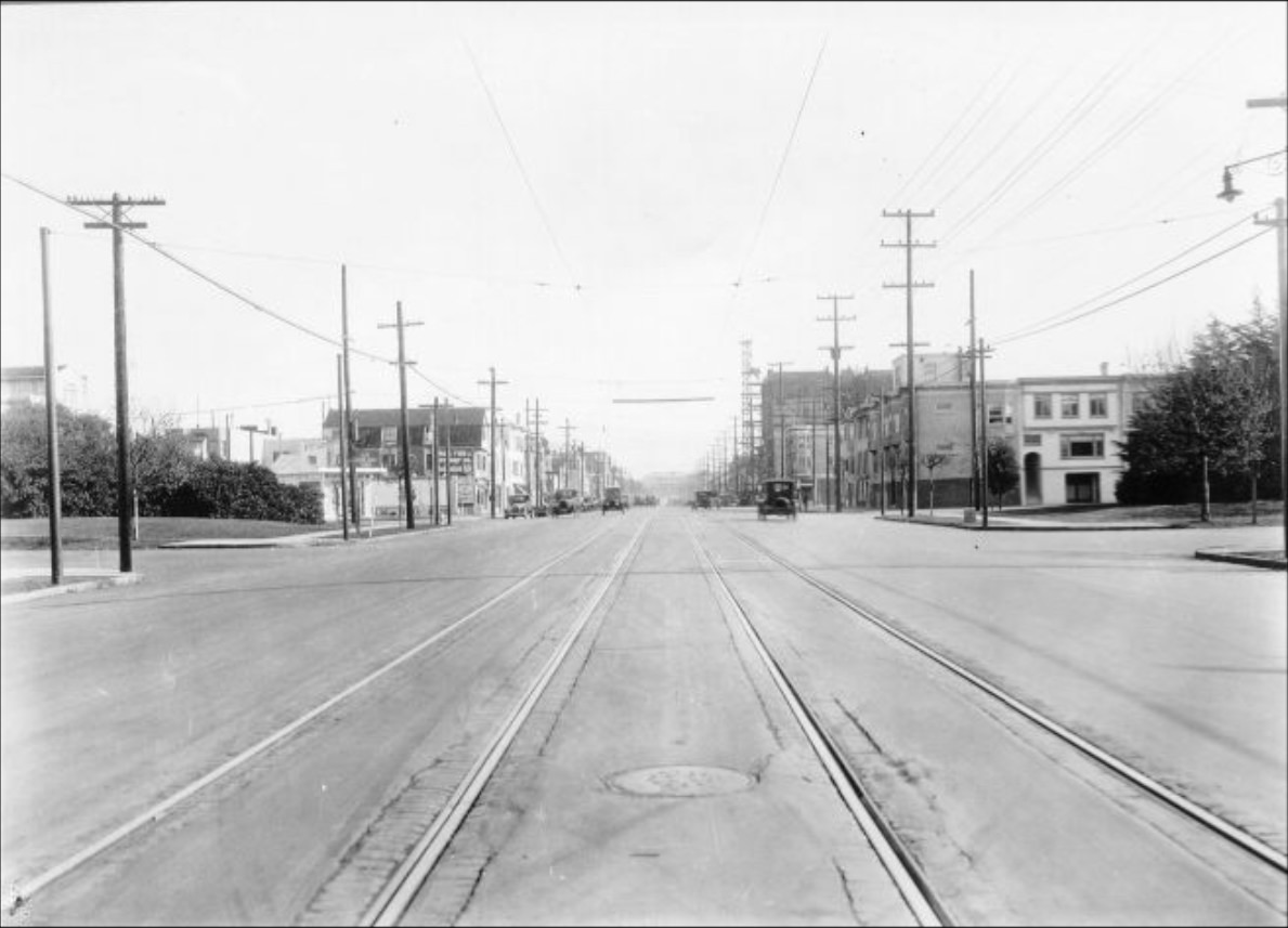
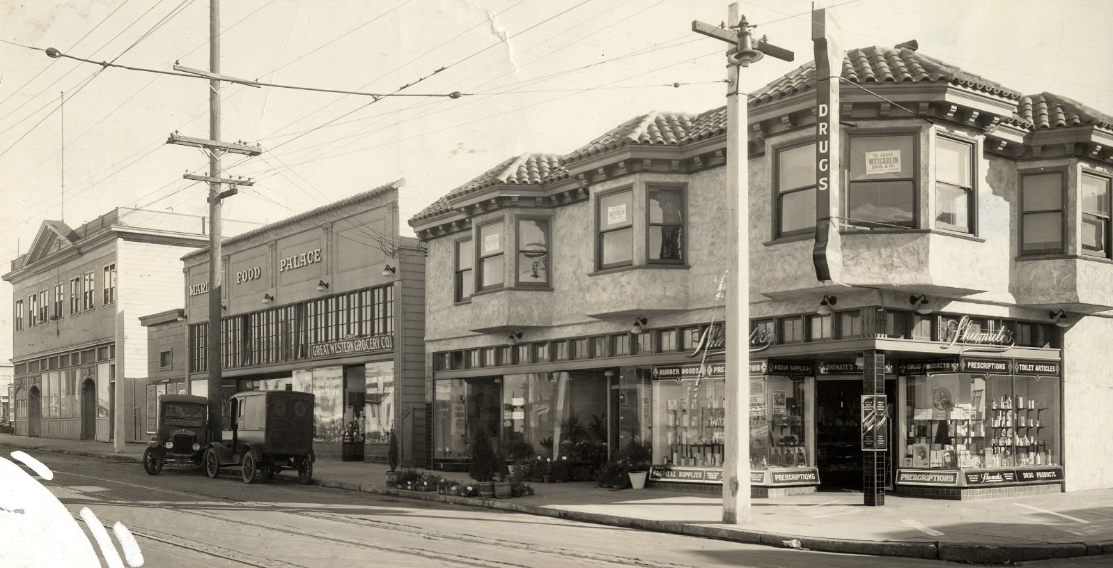
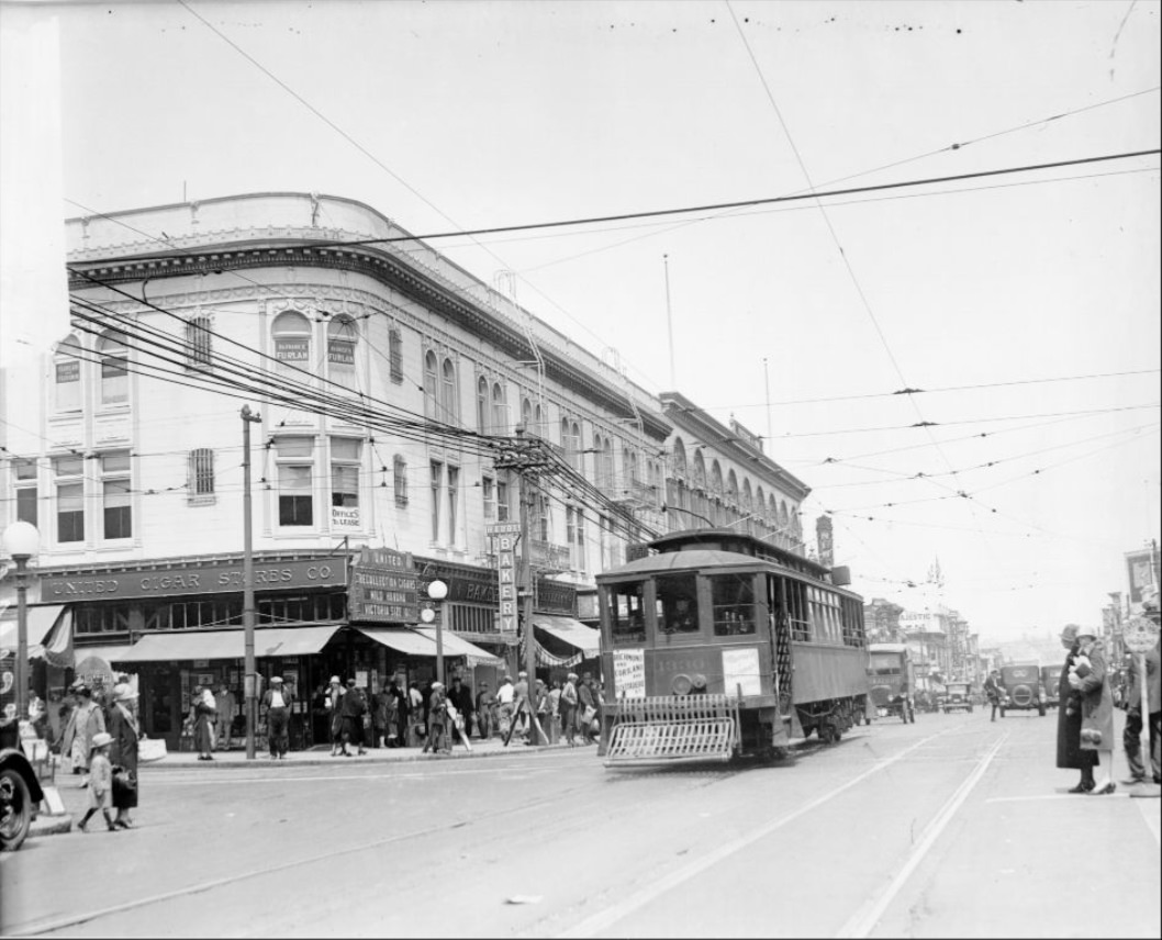
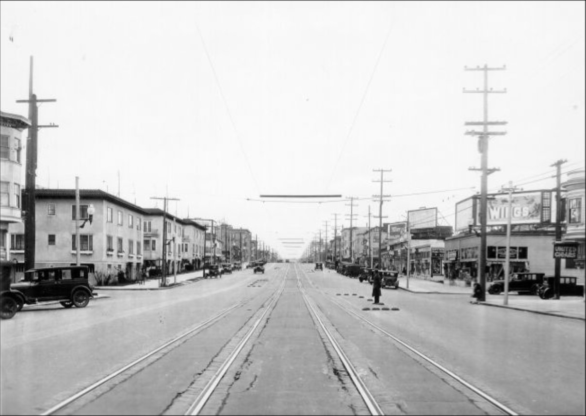
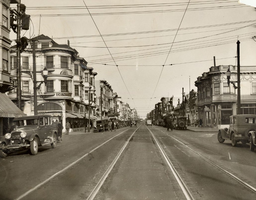
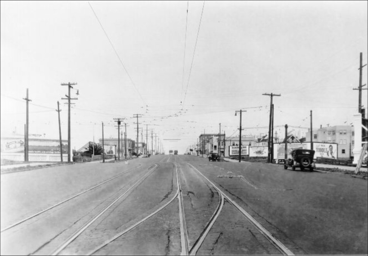
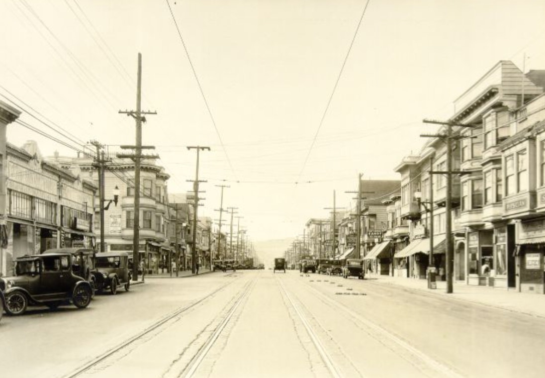
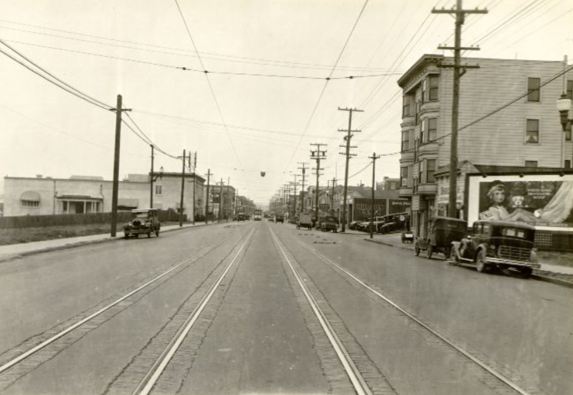
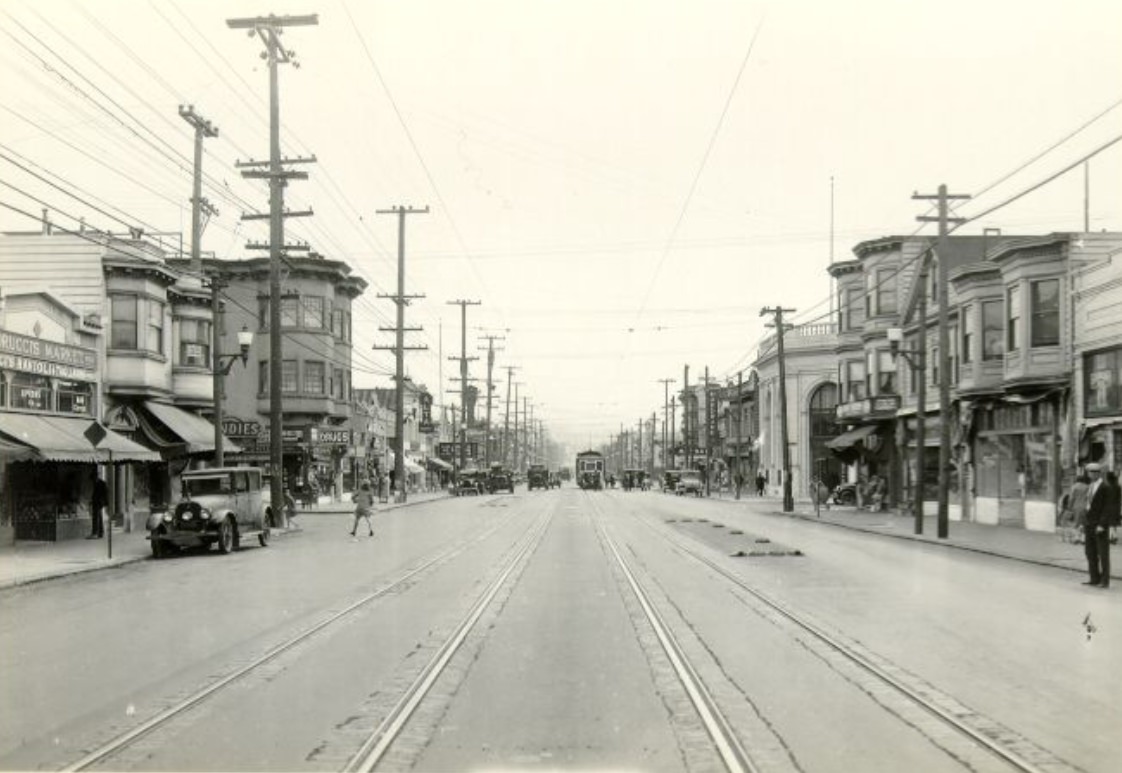
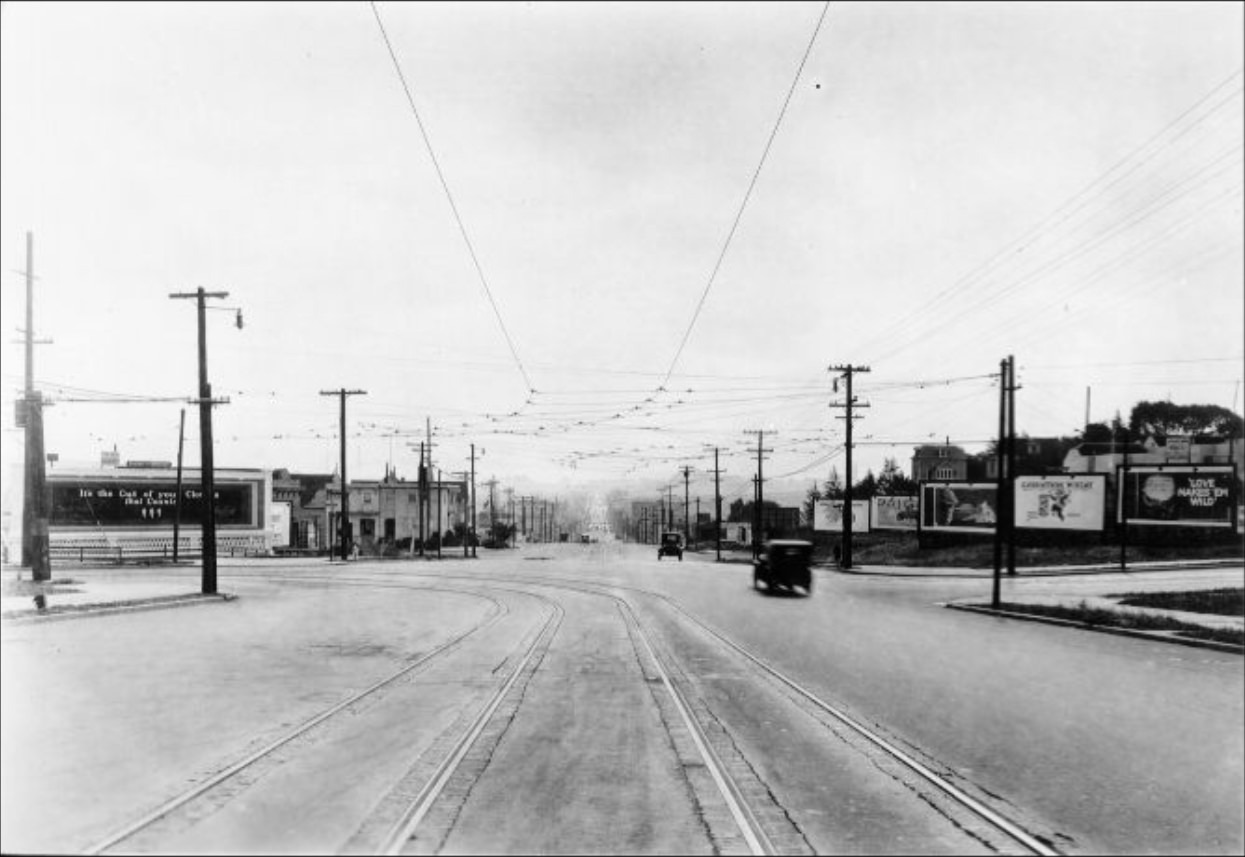
The outer neighborhoods of the city were filling in throughout the decade. Streets in the Mission, the Richmond, and the Sunset were being graded and paved. New homes went up block by block, and corner stores and neighborhood businesses followed close behind. Geary Street, one of the main routes heading west toward the ocean, was lined with a mix of storefronts, transit tracks, and billboards advertising the products of the era.
Storefronts along Geary Street in 1927.Advertising billboards along Geary Street at 33rd Avenue in 1927.Man crossing train tracks on Geary Street at 4th Avenue, 1926.
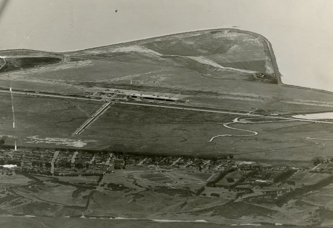
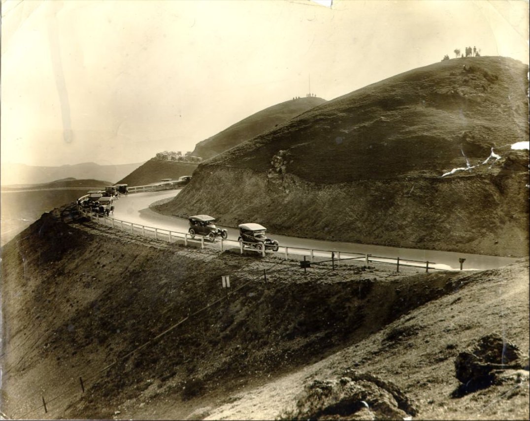
Mills Field, located south of the city, was still a modest airstrip when it was photographed in 1927. Within a few years it would become San Francisco Municipal Airport, a sign that aviation was already reshaping how cities thought about transportation and commerce. In 1920s San Francisco, the future was always visible just around the corner.
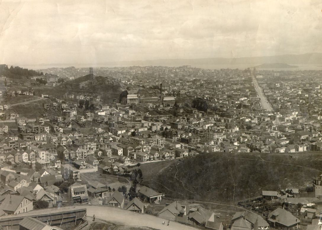
Mills Field before becoming San Francisco Municipal Airport, 1927.View of San Francisco down Market Street from Twin Peaks in the 1920s.
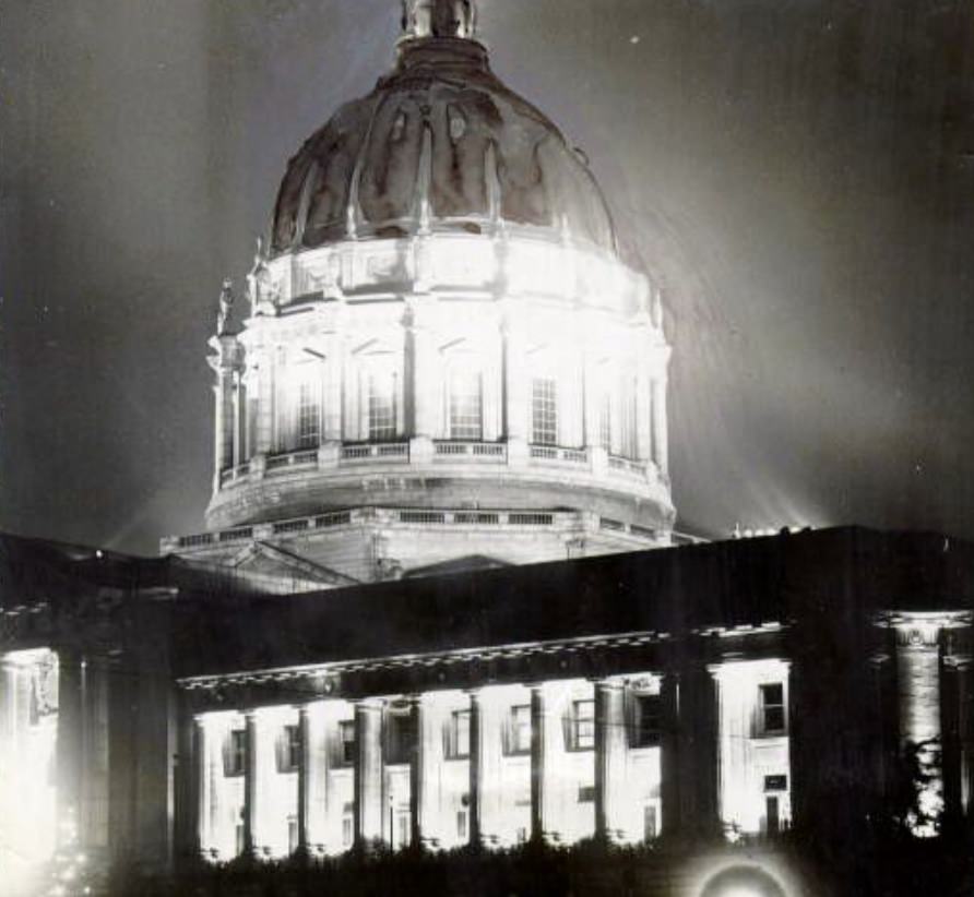
City Hall, illuminated at night, captured something of what San Francisco felt like at the close of the 1920s — bright, confident, and proud of what it had built. The decade had transformed the city from a place still recovering from disaster into one of the most dynamic urban centers in the country. These photographs preserve that transformation in extraordinary detail.
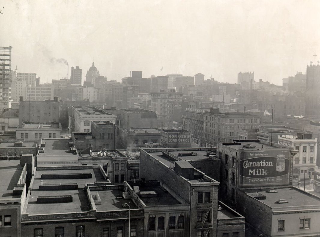
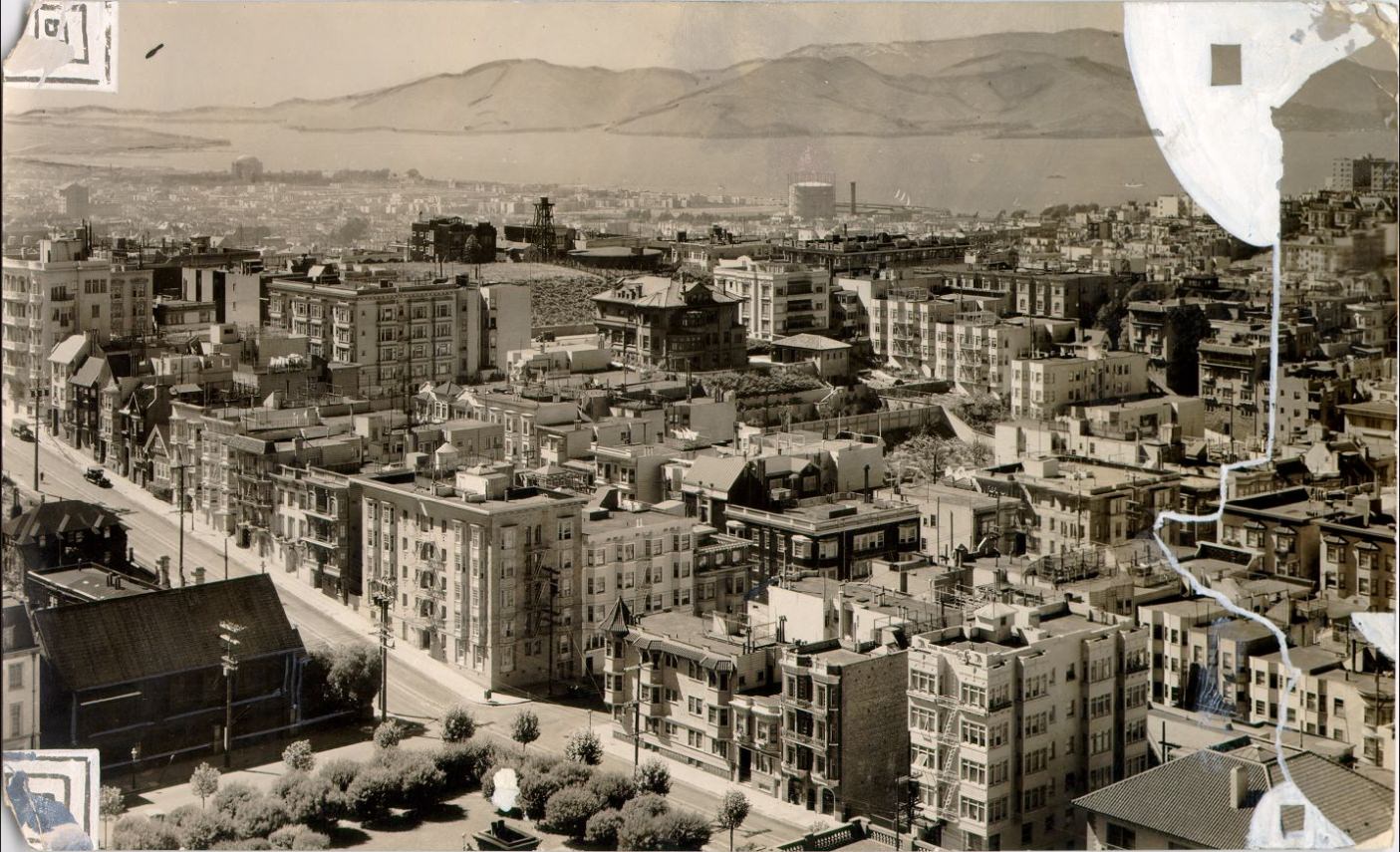
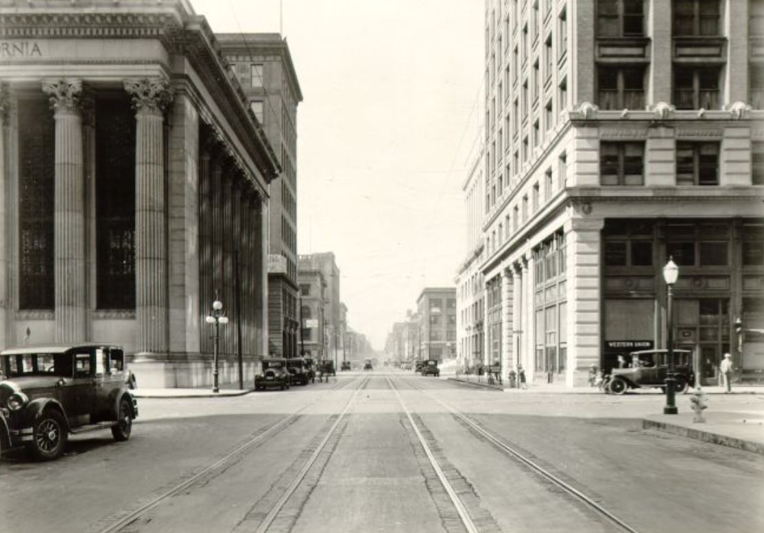
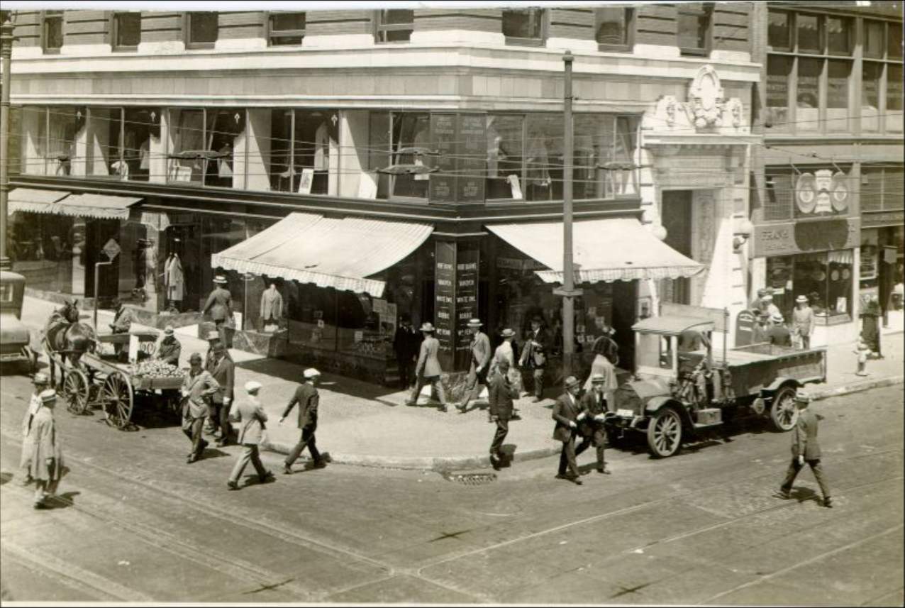
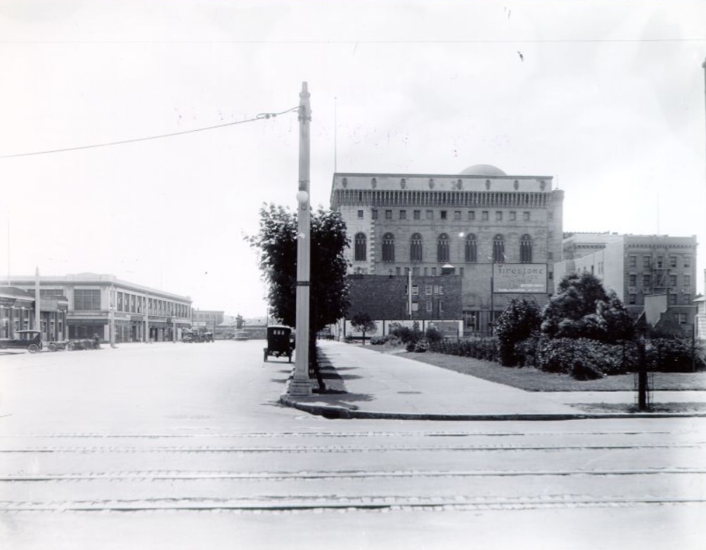
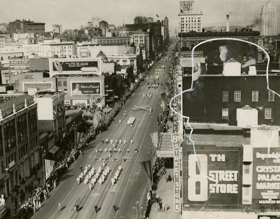
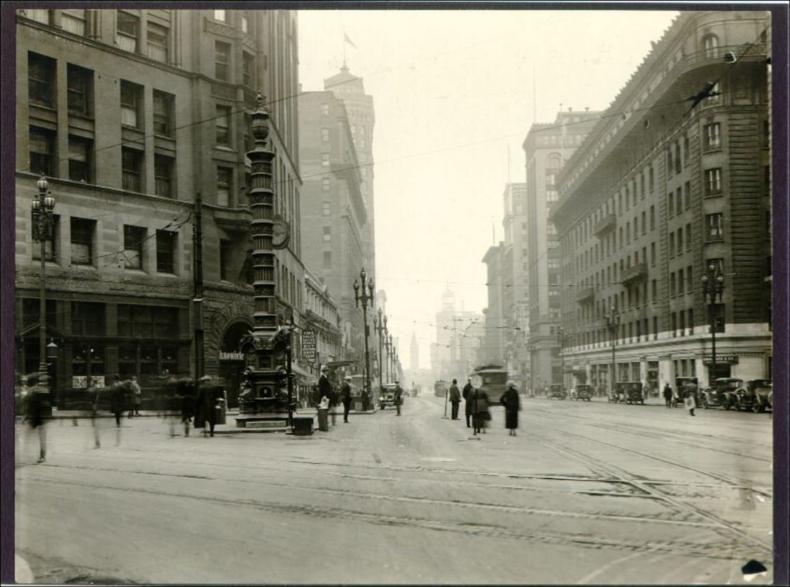
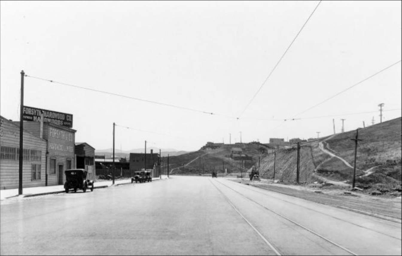
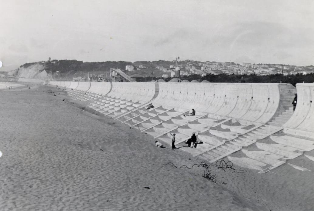
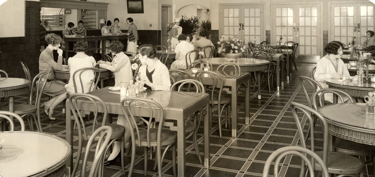
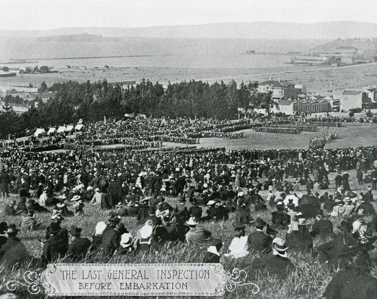
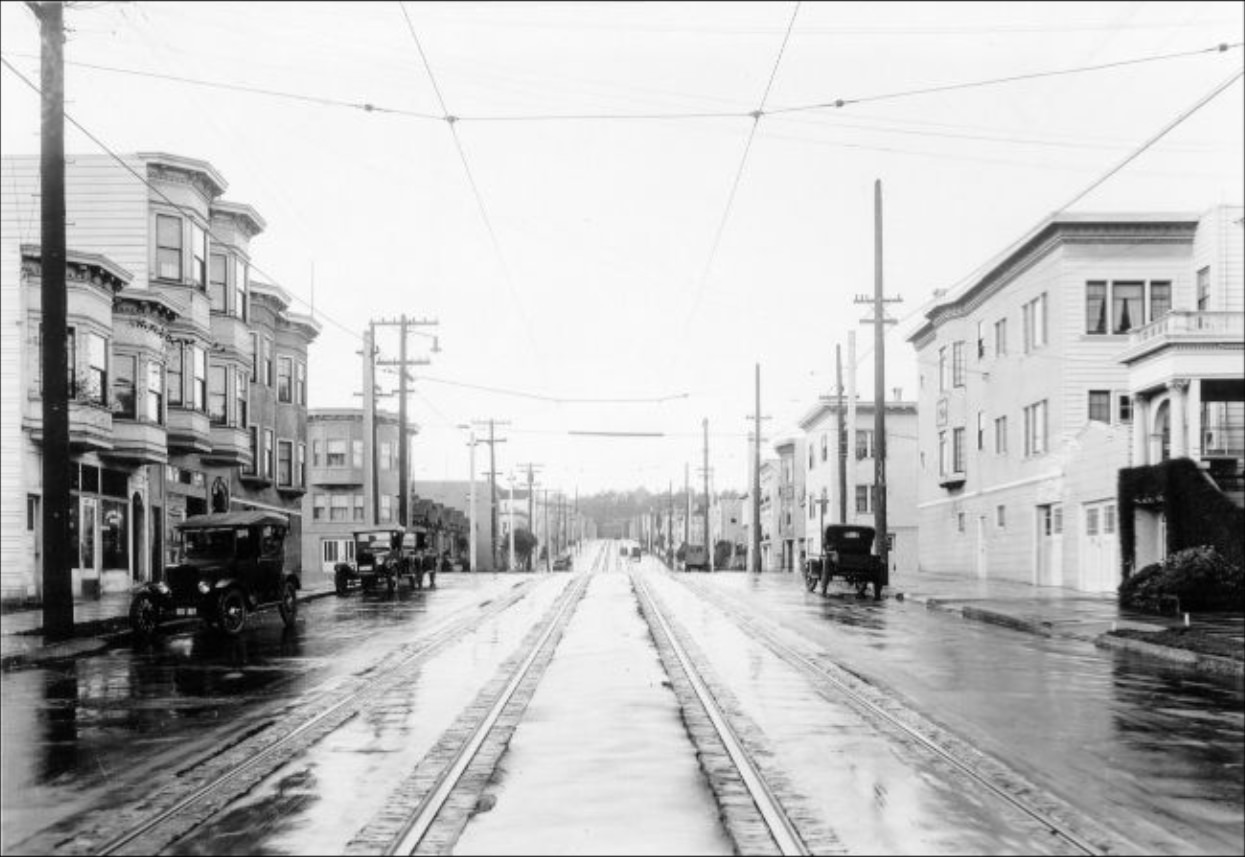
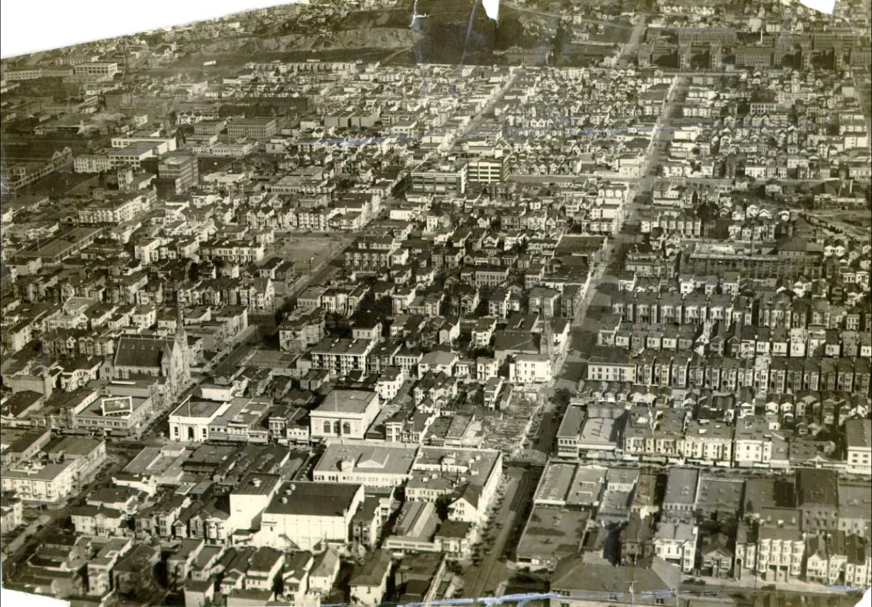
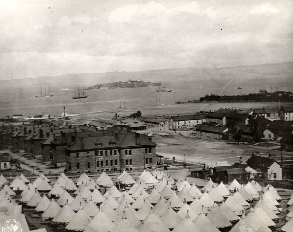
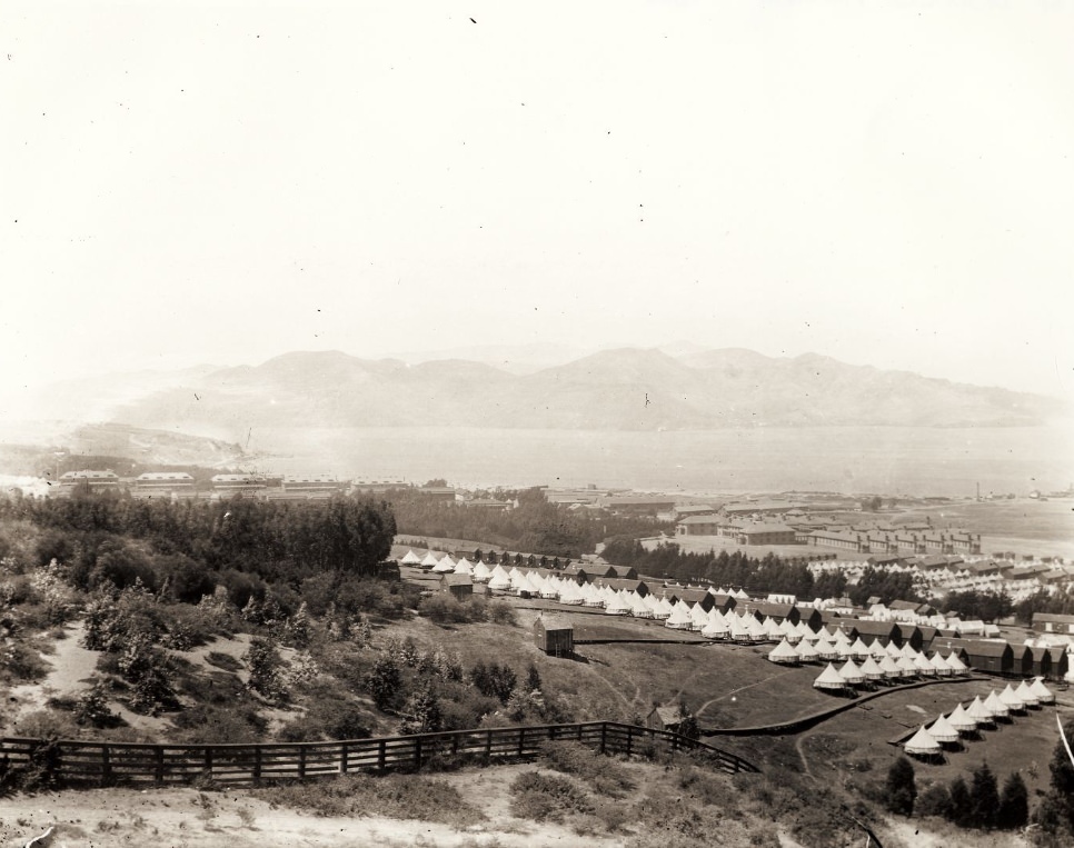
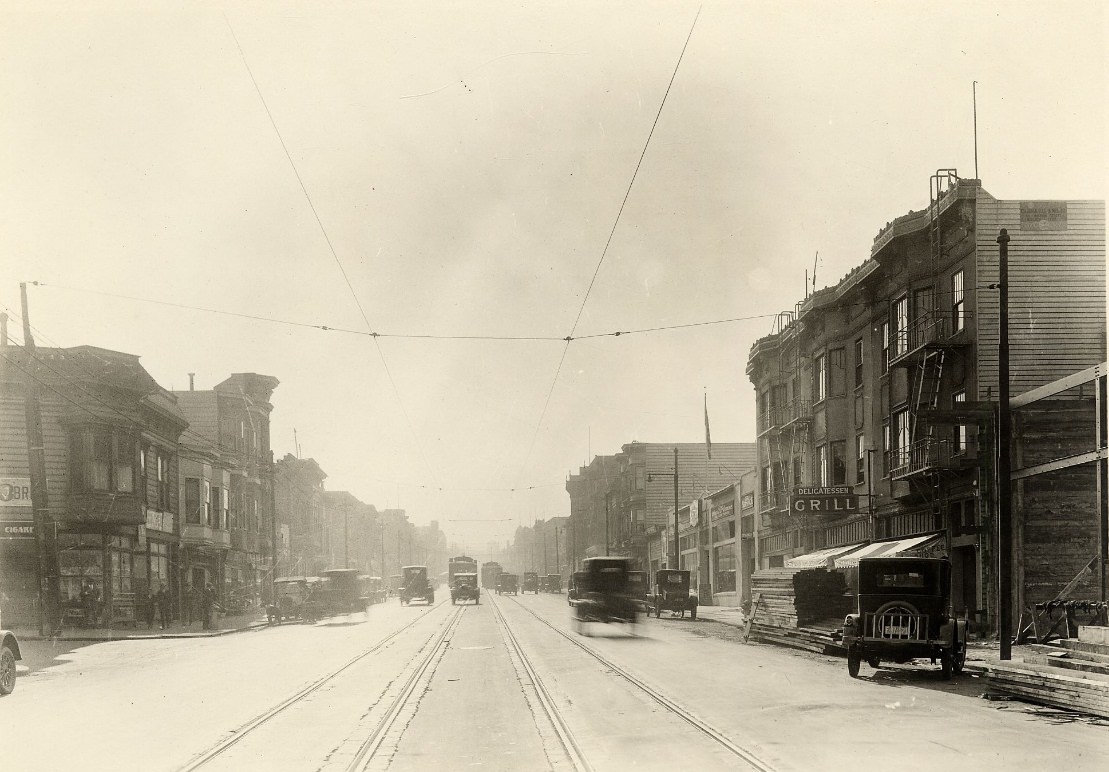
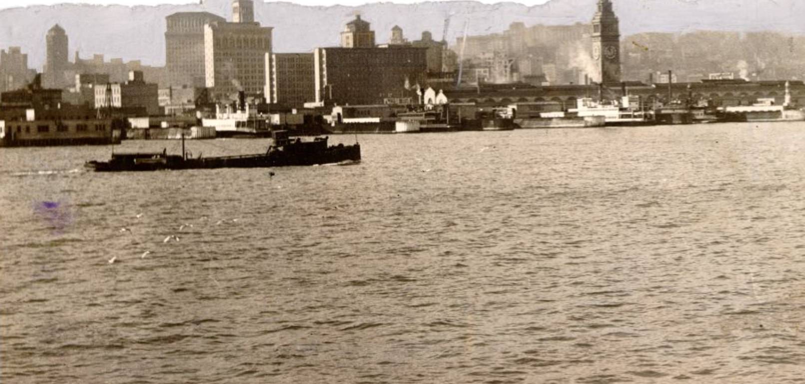
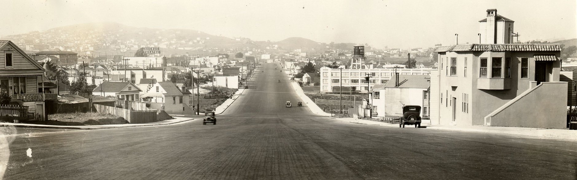
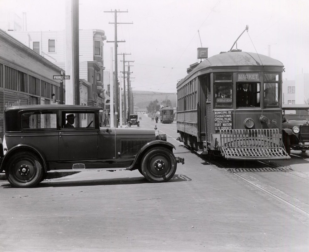
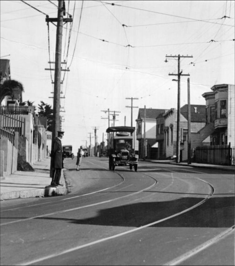
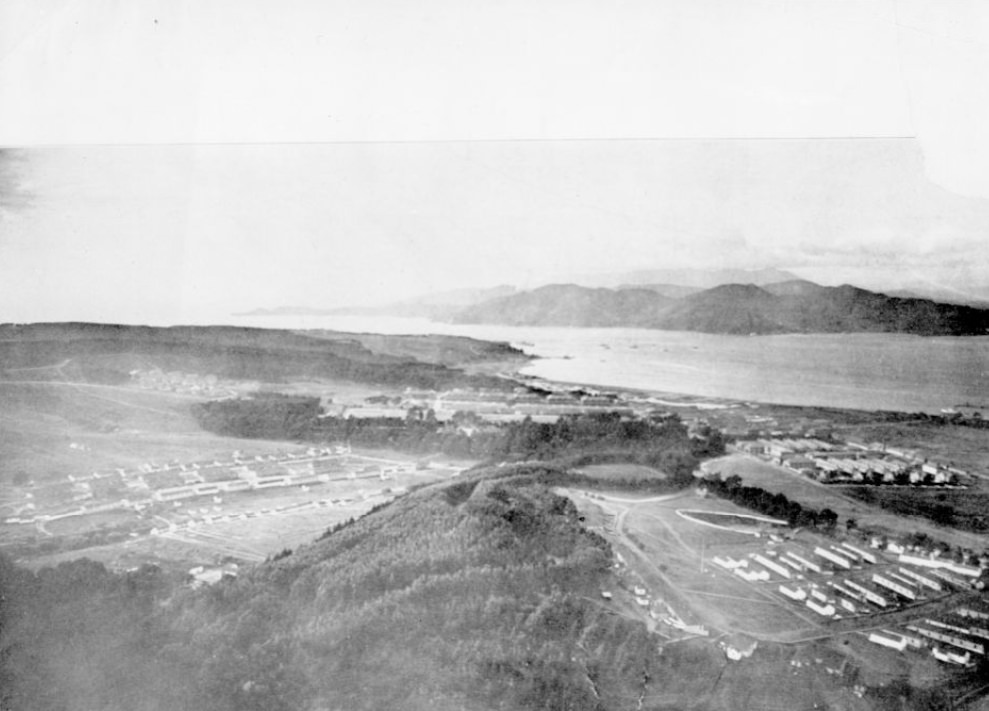
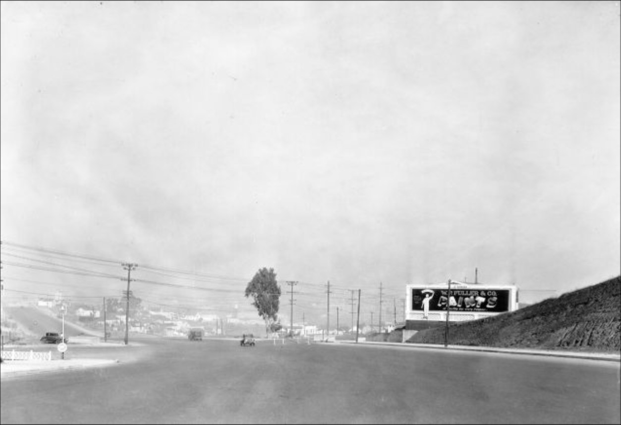
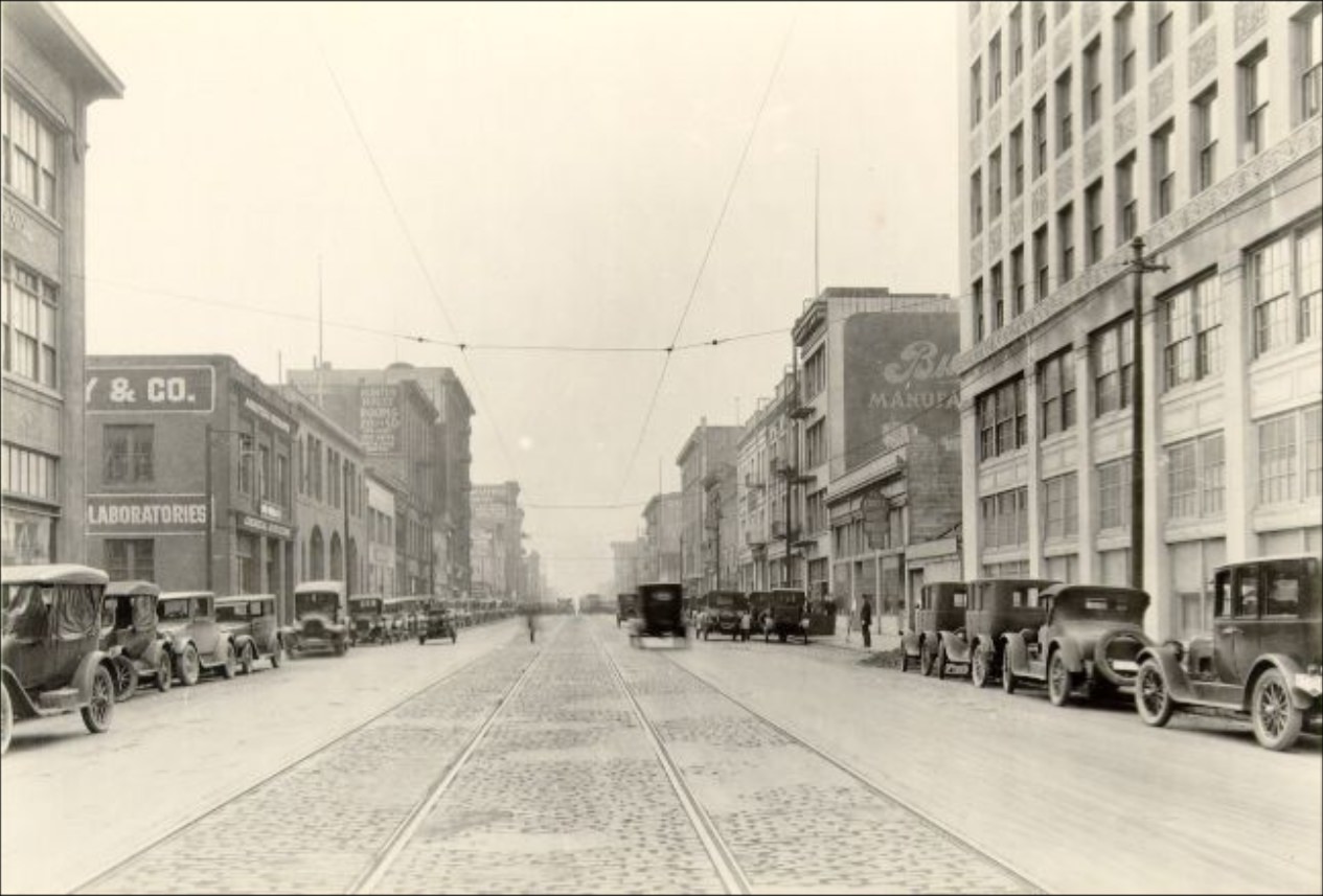
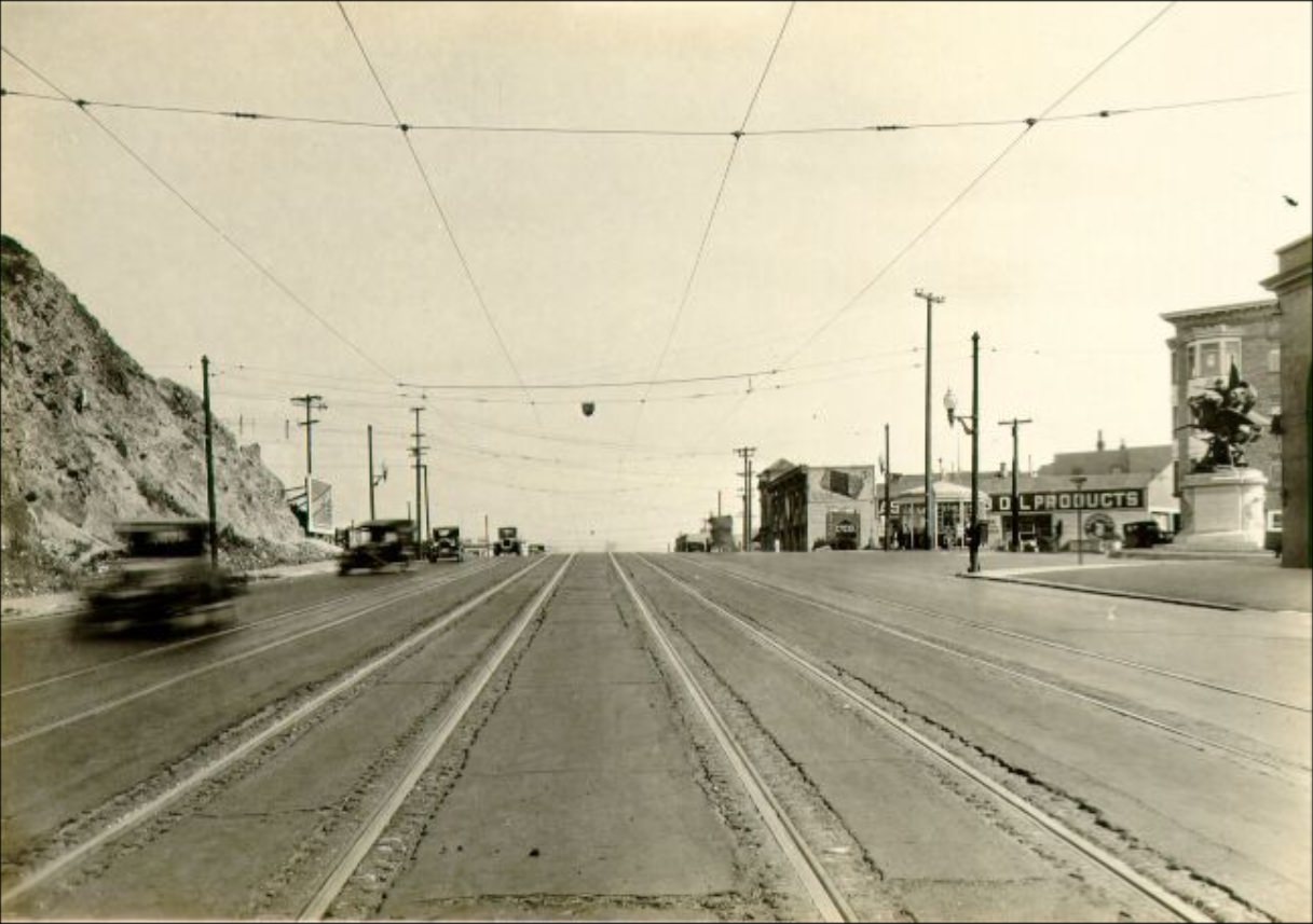
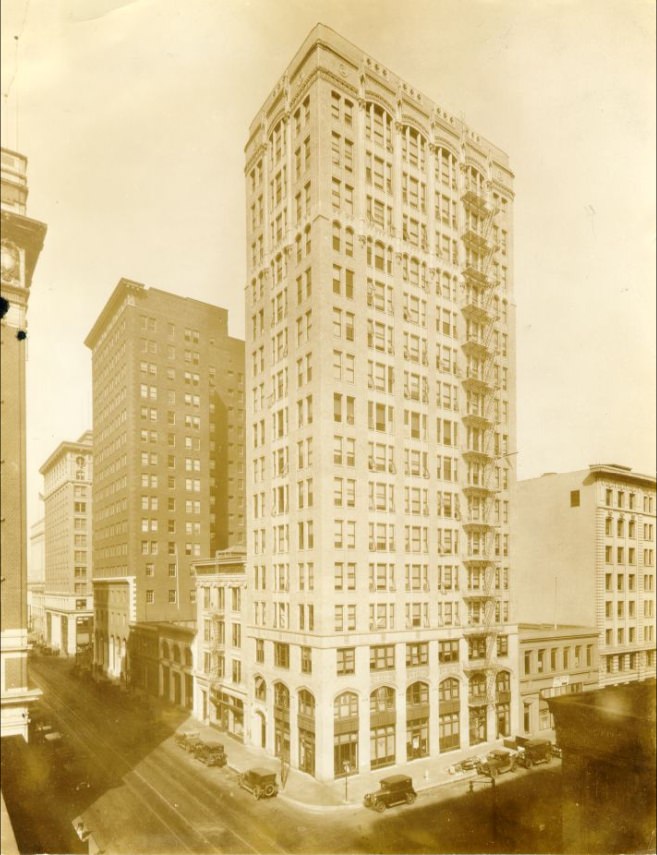
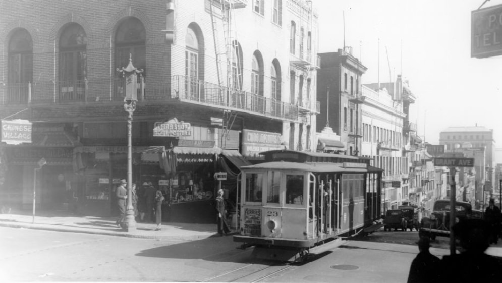
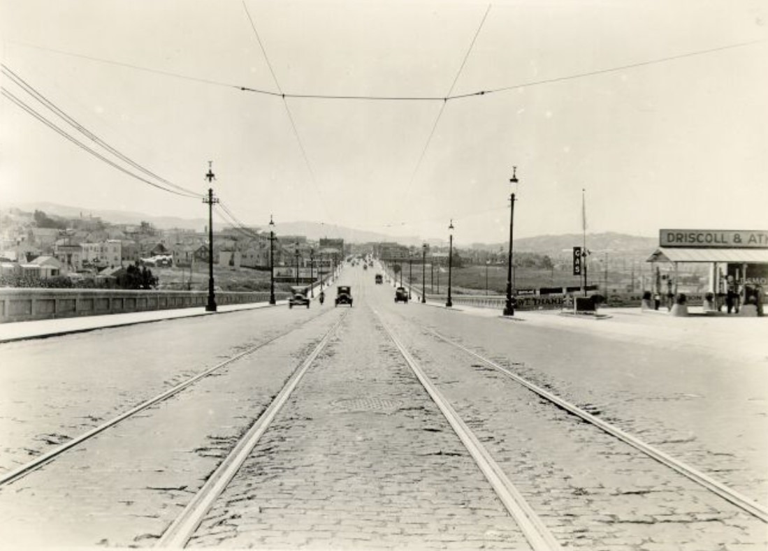
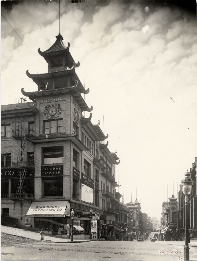
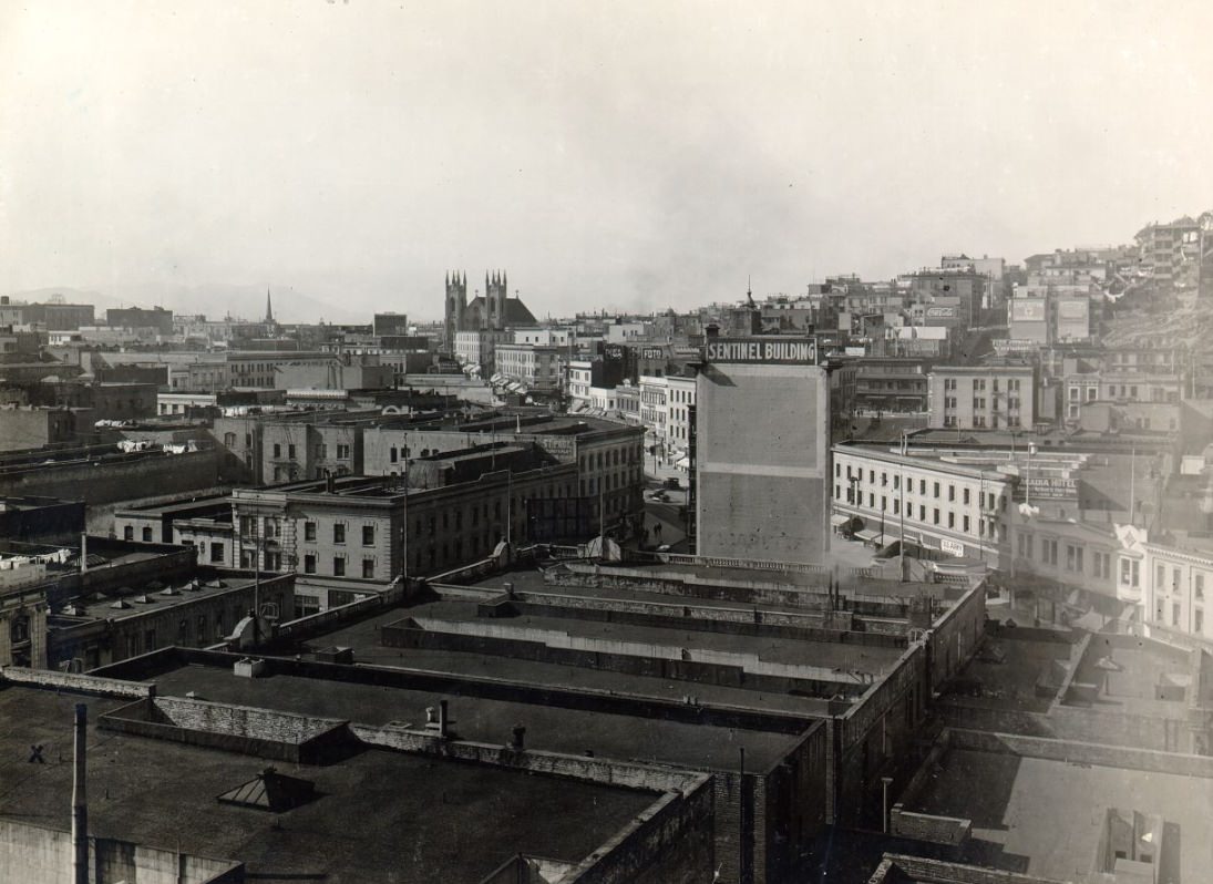
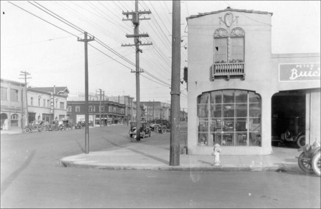
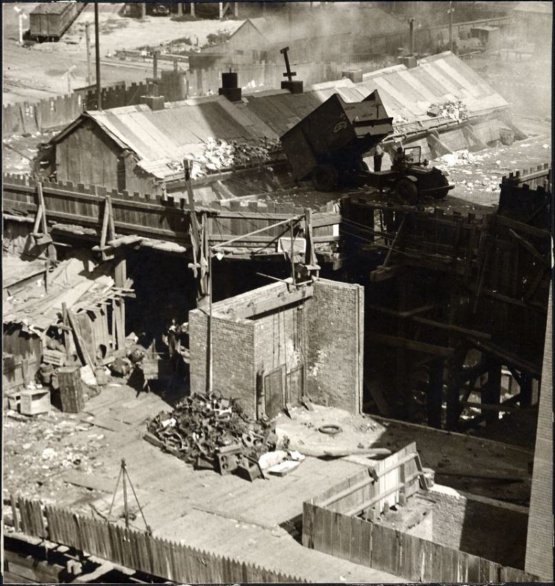
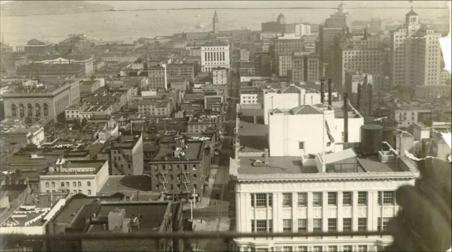
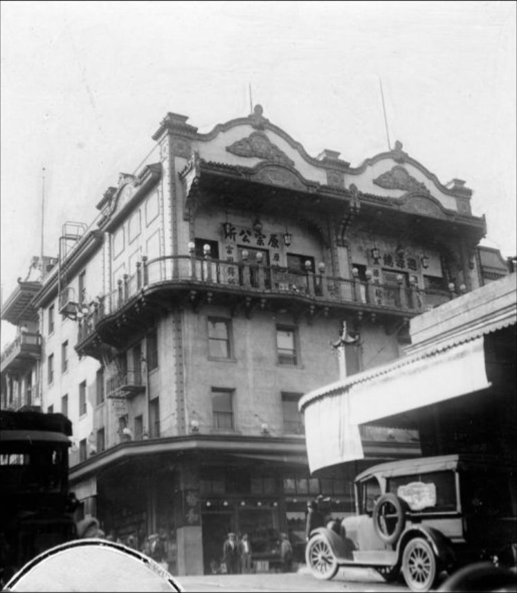
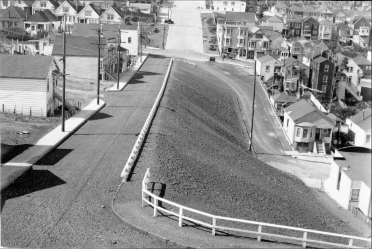
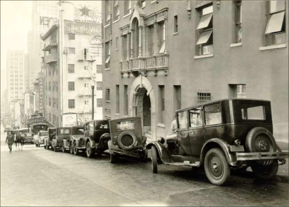
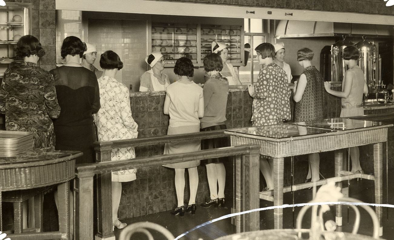
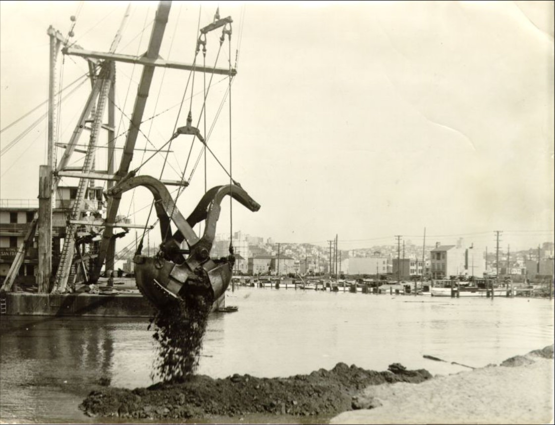
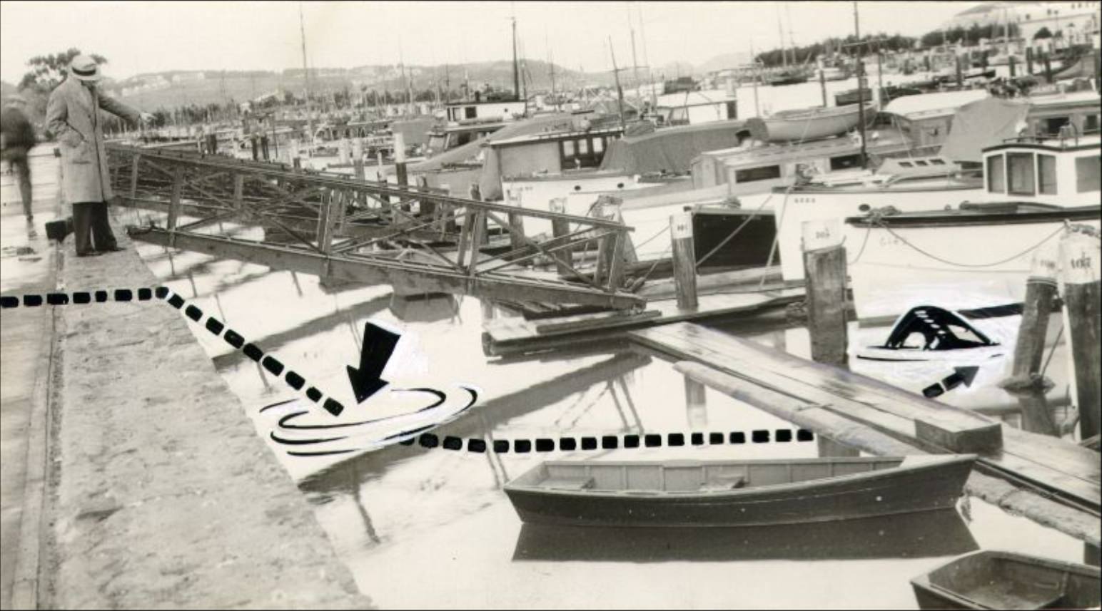
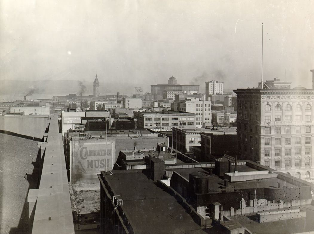
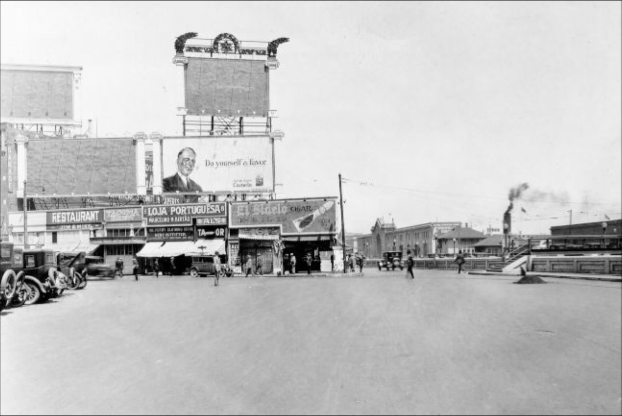
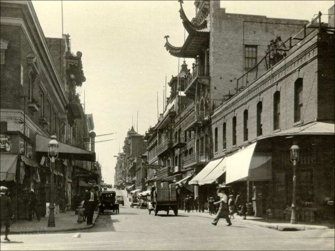
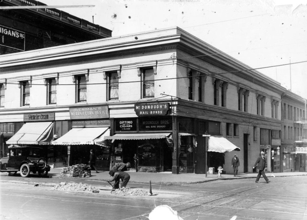
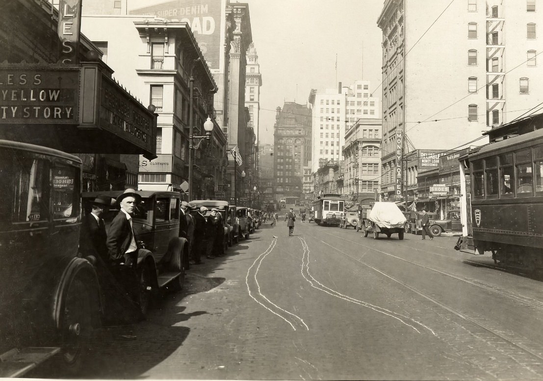
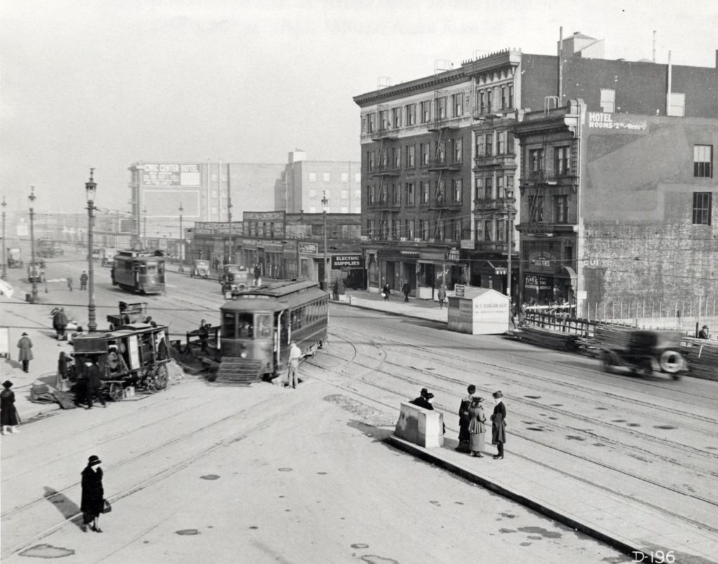
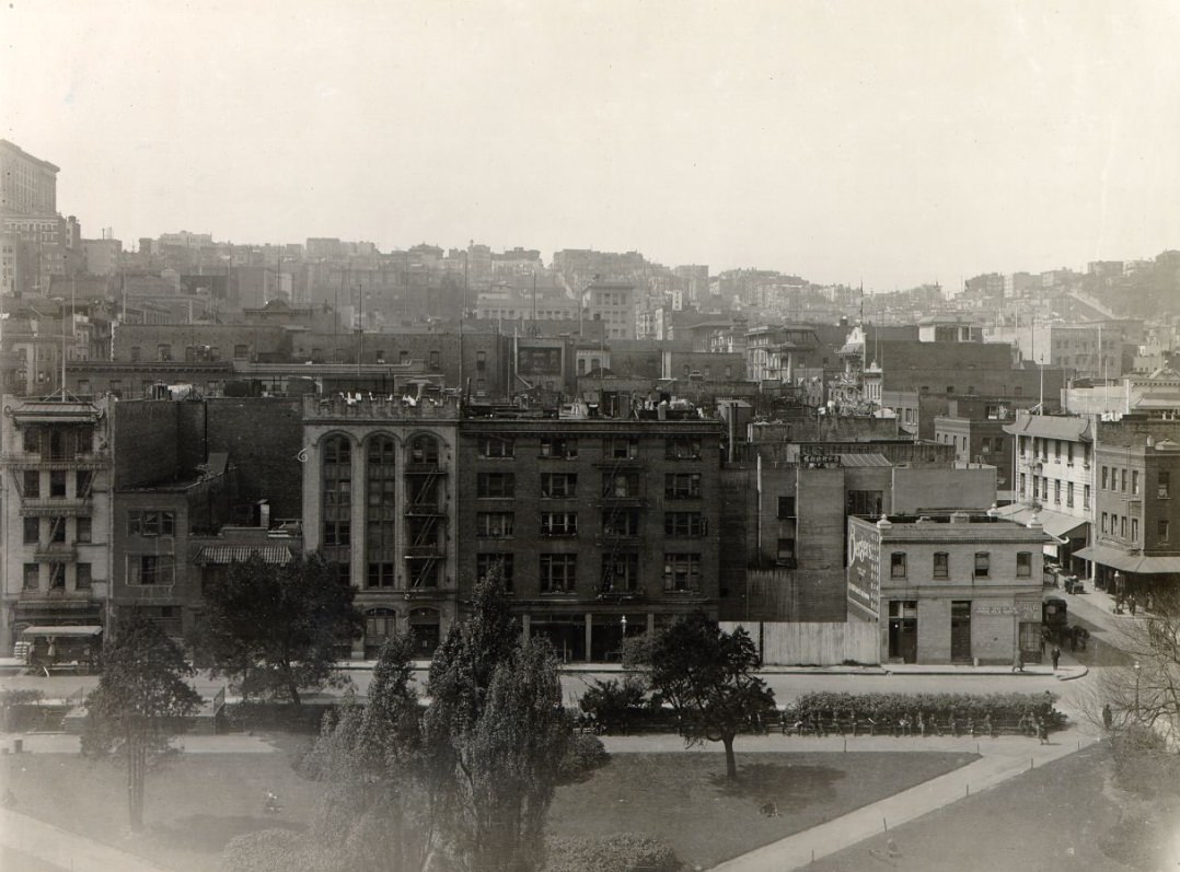
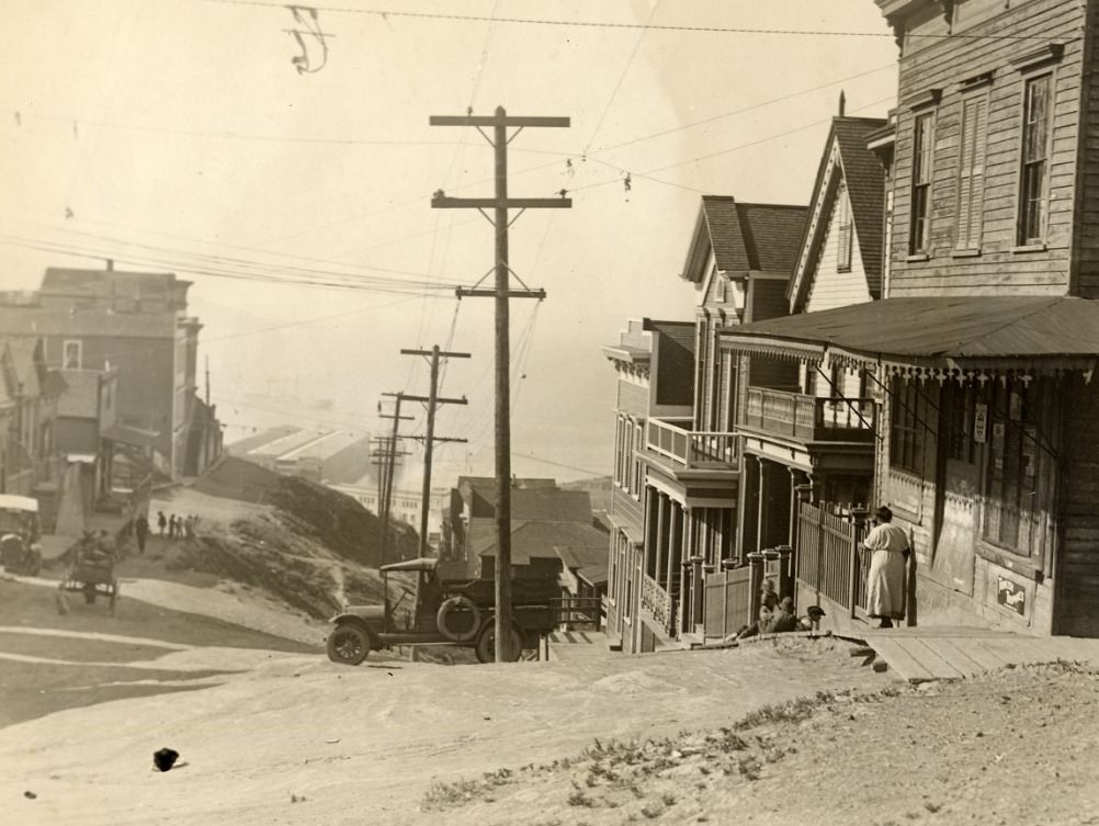
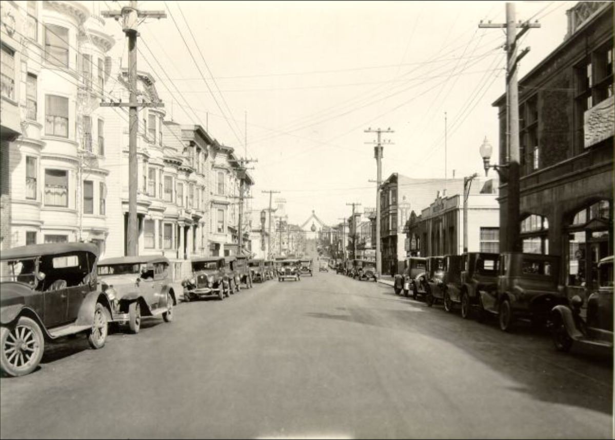
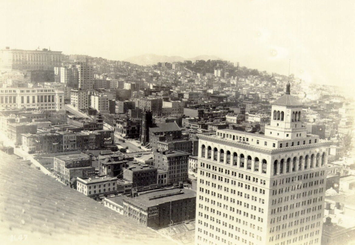
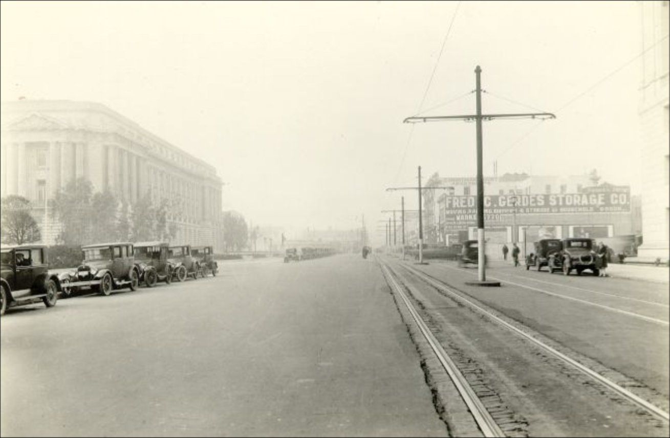
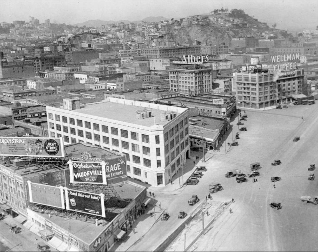
City Hall illuminated at night in 1929.Aerial view of downtown San Francisco and its waterfront in the 1920s.Bayshore in the 1920s.Panoramic view of Market Street during a parade in the 1920s.Lotta’s Fountain at the corner of Market east of Kearny Street in 1921.Bayshore Boulevard in 1929.Esplanade, Ocean Beach in 1929.Market at Powell Street looking east in the 1920s.Great Highway – Ocean Beach Esplanade, Winter Scene in 1920.California Street between Kearny and Mason, looking west in the 1920s.Howard Street between 18th and 19th in 1927.Howard Street between 21st and 22nd in 1927.Castro and 29th street in 1927.Dining area in Pacific Telephone & Telegraph Company building in 1929.Convenience Station at the beach in the 1920s.The Last General Inspection Before Embarkation in the 1890s.California Street at 27th Avenue in 1926.Looking east from Mission and 22nd Street in 1927.Bush Street and Grant Avenue in 1928.Post Street at Gough in 1928.Van Ness Avenue at McAllister Street in 1928.Mission Street at Onondaga in 1926.View of waterfront and Yerba Buena Island in the 1920s.Mission Street at Sickles in 1929.Market Street in 1929.Presidio of San Francisco in 1898.Market Street at California in 1921.View of the Presidio, army barracks and tents, and San Francisco Bay in the background in 1898.Mission Street at Precita in 1926.Aerial view of Civic Center in the 1920s.View of downtown in the 1920s.Powell Street between Filbert and Greenwich in 1926.Mission Street at Precita in 1926.Mission Street, between 29th and 30th in 1928.Castro and 18th Street in 1927.Captain P. B. Lamb, Charles S. Tripler, and Mark Fontana at the Marina Yacht Harbor, 1920sThird Street at Twenty-second Street in 1927.View of piers in San Francisco in the 1920s.Howard Street at 10th in 1929.Market and 8th Street in 1927.O’Farrell Street at Divisadero in 1926.Construction at Castro and 18th streets in 1927.Howard Street between 6th and 7th in 1927.View of the shoreline from the bay in 1946.Old Bayshore Boulevard in 1929.Chestnut at Pierce Street in 1925.Castro and Chenery Street in 1927.Third and Twenty-second streets in 1927.Mission Street near Brazil in 1925.Mission Street at 12th in 1928.Cars parked on Twin Peaks in the 1920s.Aerial view of downtown San Francisco and its waterfront in 1925.View of San Francisco in 1922.Civic Center in the 1920s.Castro near Market Street in 1927.View of the United States Military Reservation, The Presidio, around 1912.Bayshore Boulevard at Third Street in 1929.View from the Hall of Justice looking south over San Francisco in 1921.Van Ness Avenue at McAllister Street in 1921.Geary Street at 9th Avenue in 1928.Geary Street at Grant Avenue in 1928.Howard Street at 13th in 1926.Market near Drumm Street looking toward the Ferry Building in 1927.Howard Street between 3rd and 4th in 1926.Civic Center Plaza in the 1920s.Market at Dolores Street in 1927.Insurance Center Building at Sansome and Pine Streets in 1928.Cable car on Sacramento and Grant in 1942.Mission Street, south of Bosworth in 1926.Grant Avenue and California Street in the 1920sBayshore Boulevard Section B south from Fitzgerald Avenue, 1928Geary Street at Park Presidio Drive, 1926View of San Francisco northwest from the Hall of Justice, 1921View of downtown San Francisco from Stockton and California Streets, mid-1920sImmigration Headquarters on Angel Island, San Francisco Bay, 1928Civic Center Plaza in the 1920sPost Street at Leavenworth, 1926Chestnut Street in the 1920sAerial view of Van Ness Avenue at McAllister Street in the 1920sGeary Street at 4th Avenue, 1926Aerial view of the Civic Center, 1923Incinerator yard, 1929Aerial view of the city onto Sacramento Street, 1924Market Street in the 1920sMission Street at 22nd, 1924Kearny Street, 1927Cable Car restaurant closure, 1950Northwest corner of Grant Avenue and Clay Street, 1929North on Castro Street, 1927Geary Street at 18th Avenue, 1928Pine Street between Stockton and Grant, 1928Haight Street at Clayton, 1929Advertising billboards along Geary Street at 33rd Avenue, 1927Ship docked at San Francisco waterfront pier in the 1920sCafeteria in Pacific Telephone & Telegraph Company building, 1929Marina Yacht Harbor, 1927Marina district incident location of J. Derrig’s car in the bay, 1929View of San Francisco southeast from the Hall of Justice, 1921Embarcadero at Clay Street, 1927Construction around Civic Center Plaza in the 1920sCalifornia Street at Lyon, 1926Grant Avenue in the 1920sSansome Street, 1928Intersection of Kearny and Clay Streets, 1924Construction on Castro and 18th Streets, 1927Pacific Telephone & Telegraph Company building at 450 5th Avenue in the 1920sThird Street at Minna, 1929Mission Street at Excelsior, 1928William Taylor Hotel in the Civic Center in the 1920sPacific Telephone & Telegraph Company building on 19th Avenue, 1928Esplanade at Ocean Beach in the 1920sHoward Street, 1927Market and Haight Street, 1920Mission Street at France Street, 1929View of San Francisco west from the Hall of Justice, 1921Montgomery and Union Streets, Telegraph Hill, 1920Embarcadero opposite Pier 11, 1926Aerial view of the Civic Center during Diamond Jubilee, 1925O’Farrell Street at Scott, 1927Mission Street at Onondaga and Russia looking north, 1925Van Ness Avenue between Grove and Hayes, 1929Market Street near Granada Theater in the 1920sCrowds at Ocean Beach in the 1920sView of Hunters Point drydock, 1924Post Street between Fillmore and Steiner, 1929Downtown view in the 1920sMcAllister at Polk Street, 1926East side of Montgomery north of California Street, 1922Aerial view of San Francisco up Market Street from near Ferry Building, 1927Fillmore Street north from Chestnut, 1926Aerial view of the Western Addition district, 1927North Beach from the Fairmont Hotel in the mid-1920sFountain in Civic Center Plaza in the 1920sFerry Building with Yerba Buena Island, circa 1926California and Market Streets, circa 1926Fillmore Street at Chestnut, 1929Civic Center Plaza, 1927Crowds in Civic Center Plaza across from San Francisco Public Library in the 1920sOcean Beach near Playland, 1922Howard Street at 15th, 1929Waterfront view of Alcatraz and Angel Island in the 1920sAerial view of Embarcadero in the 1920sMarket Street near the Ferry Building, 1927Mission Street at Brazil, 1929Bayshore Boulevard, 1929Geary Street at Presidio Avenue, 1928Geary Street at 33rd Avenue, 1927
Kevin Clark is a historian and writer who is passionate about sharing the stories and significance behind historical photos. He loves to explore hidden histories and cultural contexts behind the images, providing a unique insight into the past.
Astounding, really; that’s the most pictures I have ever seen of SF from that era, easily. Amazing what happens in a hundred years. Thanks for posting.







Astounding, really; that’s the most pictures I have ever seen of SF from that era, easily. Amazing what happens in a hundred years. Thanks for posting.