
Less than a decade after the catastrophic 1906 earthquake and fires leveled much of the city, San Francisco in the 1910s was a place in full motion. Streets were being rebuilt, businesses were reopening, and the city was pushing itself forward with remarkable speed. These historic photographs capture that era in sharp detail — the crowded sidewalks, the cable cars, the waterfront, and the neighborhoods that gave San Francisco its character.
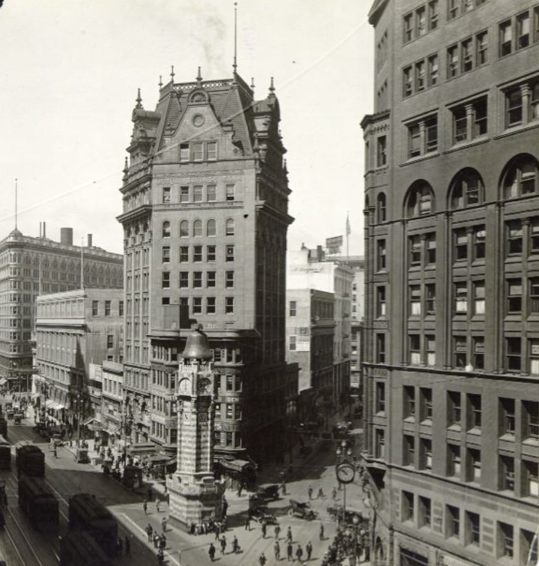
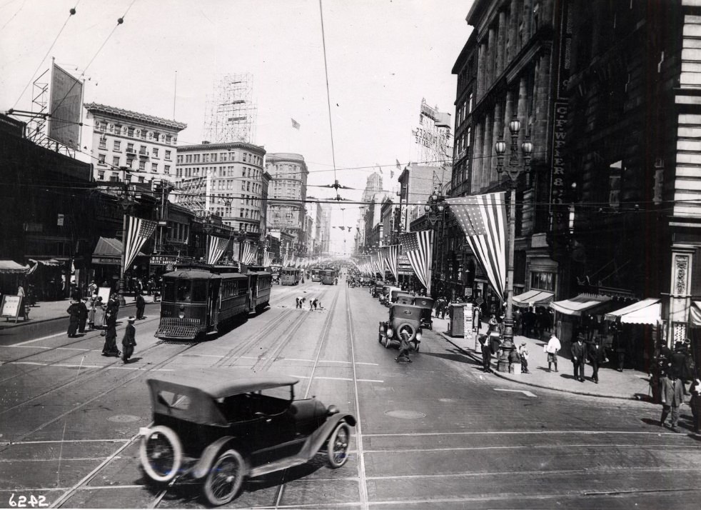
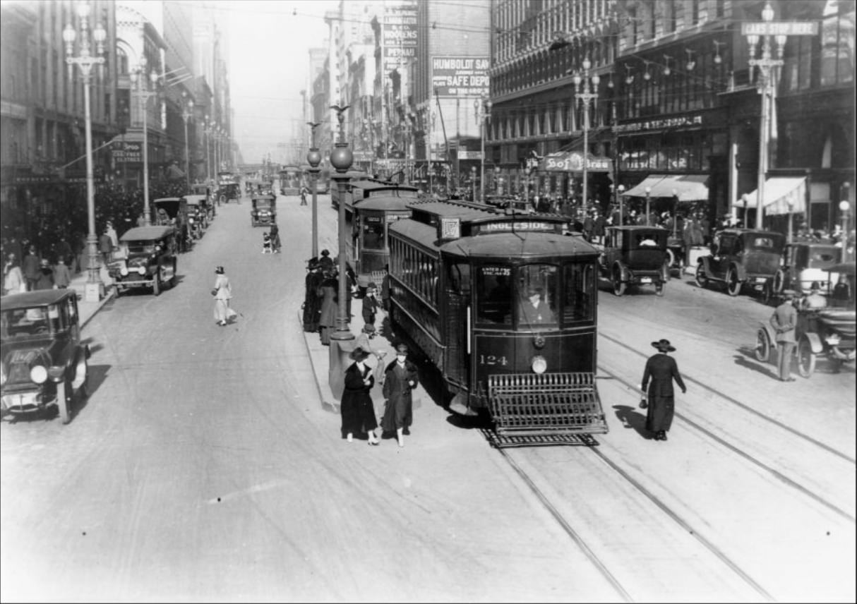
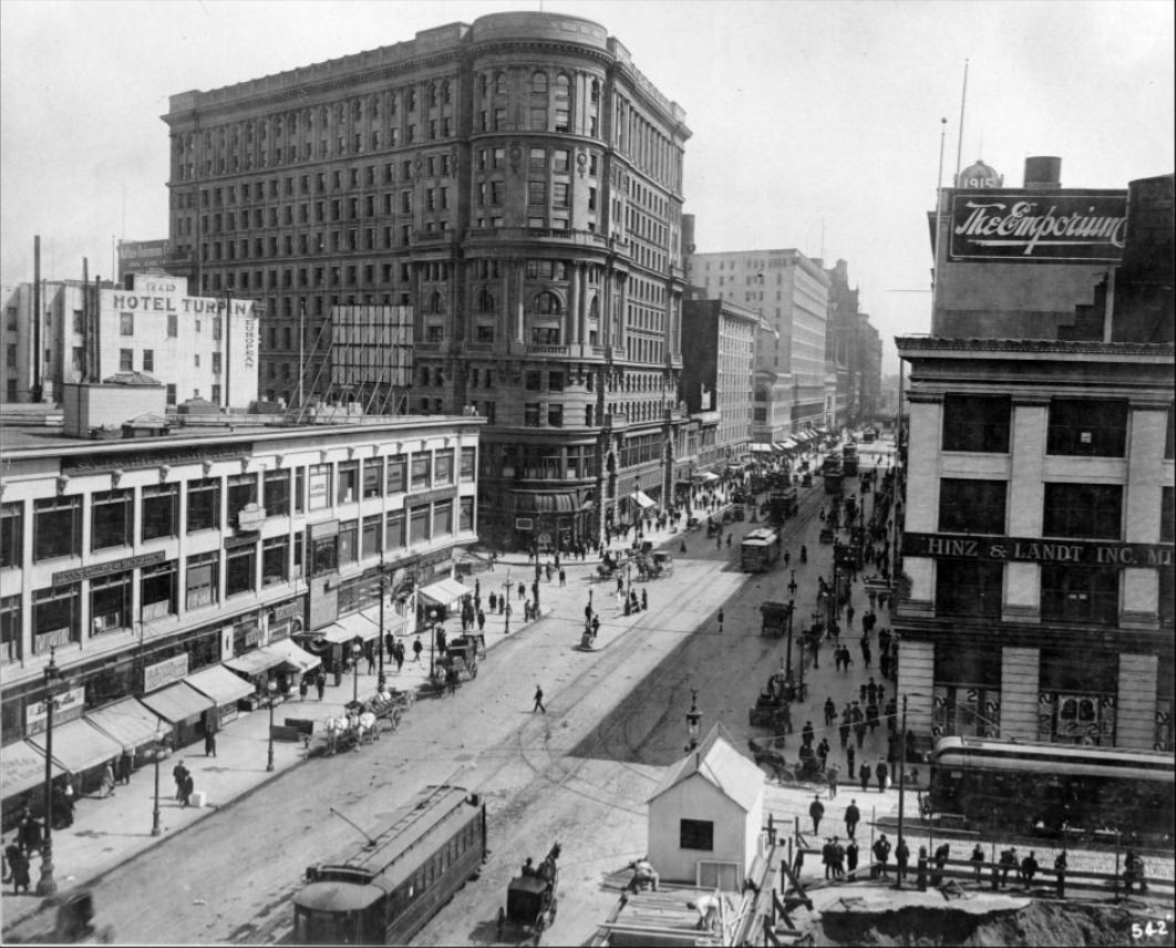
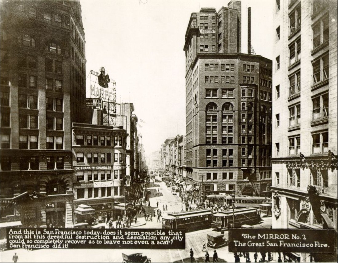
Market Street was the spine of the city. Running diagonally from the Ferry Building at the waterfront all the way through the heart of downtown, it was lined with banks, department stores, hotels, and theaters. Streetcars ran in both directions along its wide lanes, and foot traffic was constant from morning to night. Nearly every major event in the city played out on Market Street in some form.
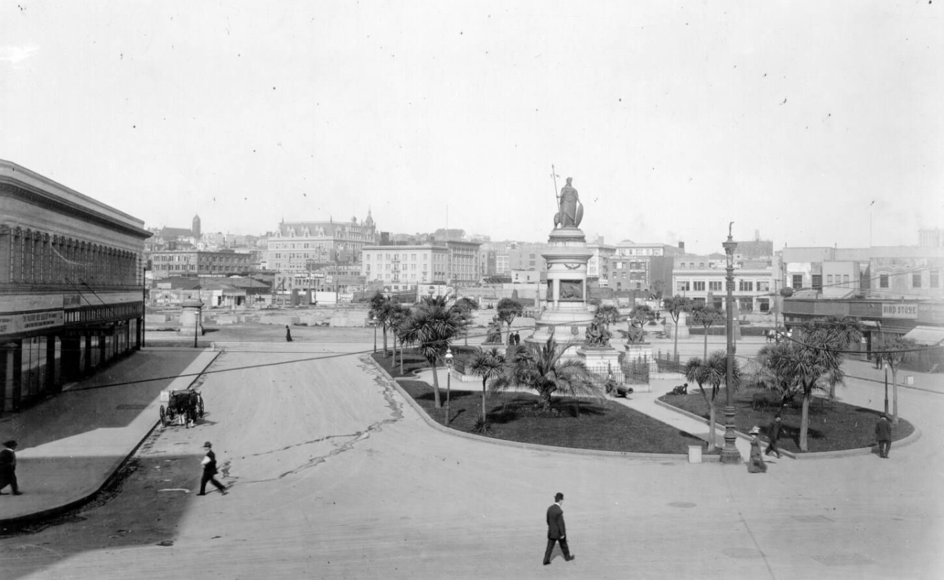
The new Civic Center complex, built in the Beaux-Arts style, stood as the clearest symbol of San Francisco’s recovery. Construction on the new City Hall began in 1913 and was completed in 1915, just in time for the city’s most ambitious undertaking of the decade — the Panama-Pacific International Exposition. The fair was held to celebrate both the opening of the Panama Canal and San Francisco’s own resurrection from disaster. It covered over 600 acres along the northern waterfront and drew more than 18 million visitors from around the world.
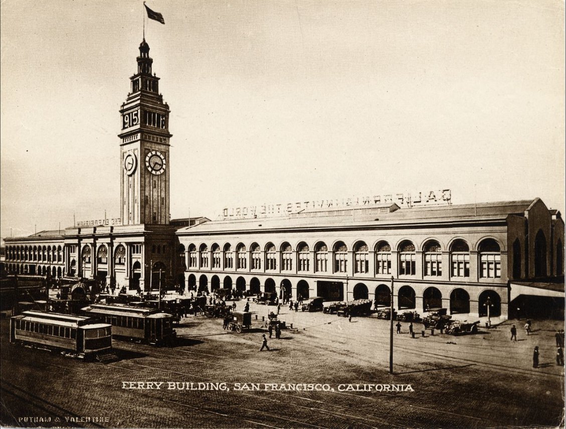
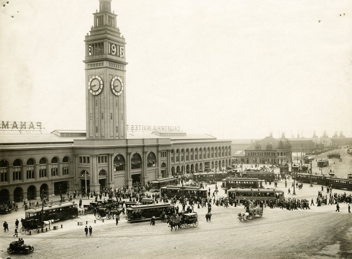
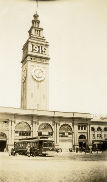
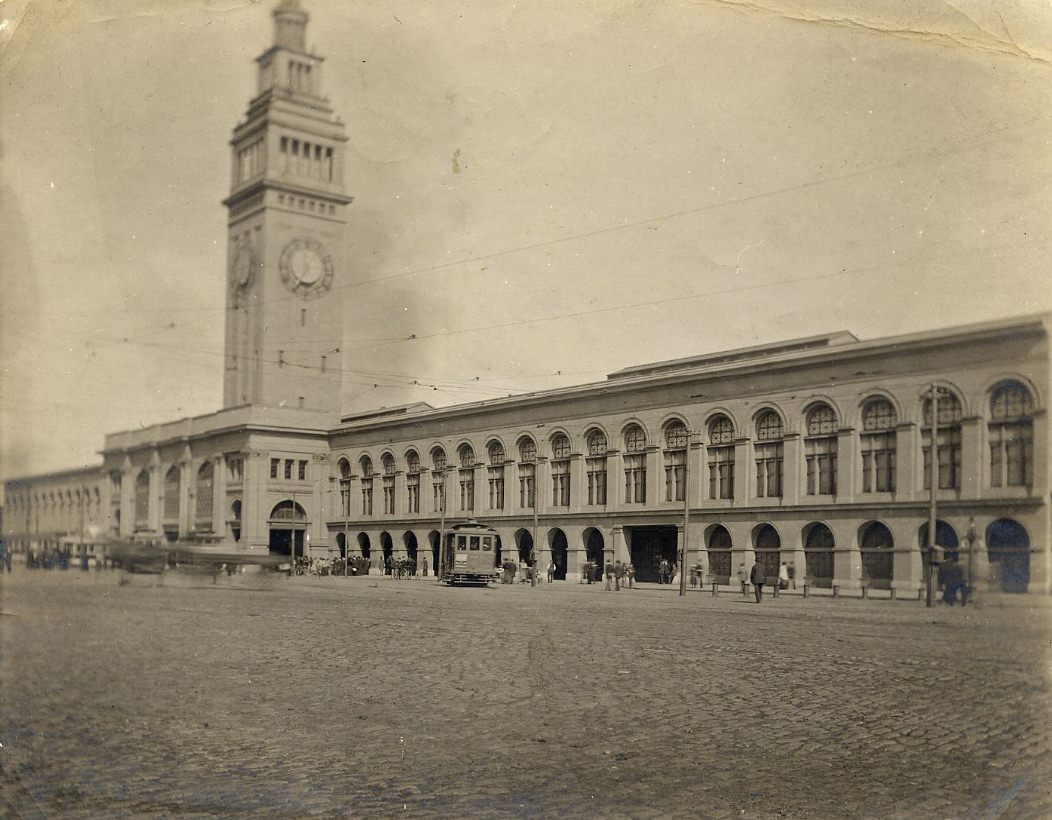
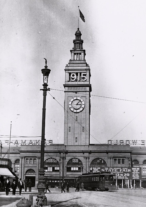
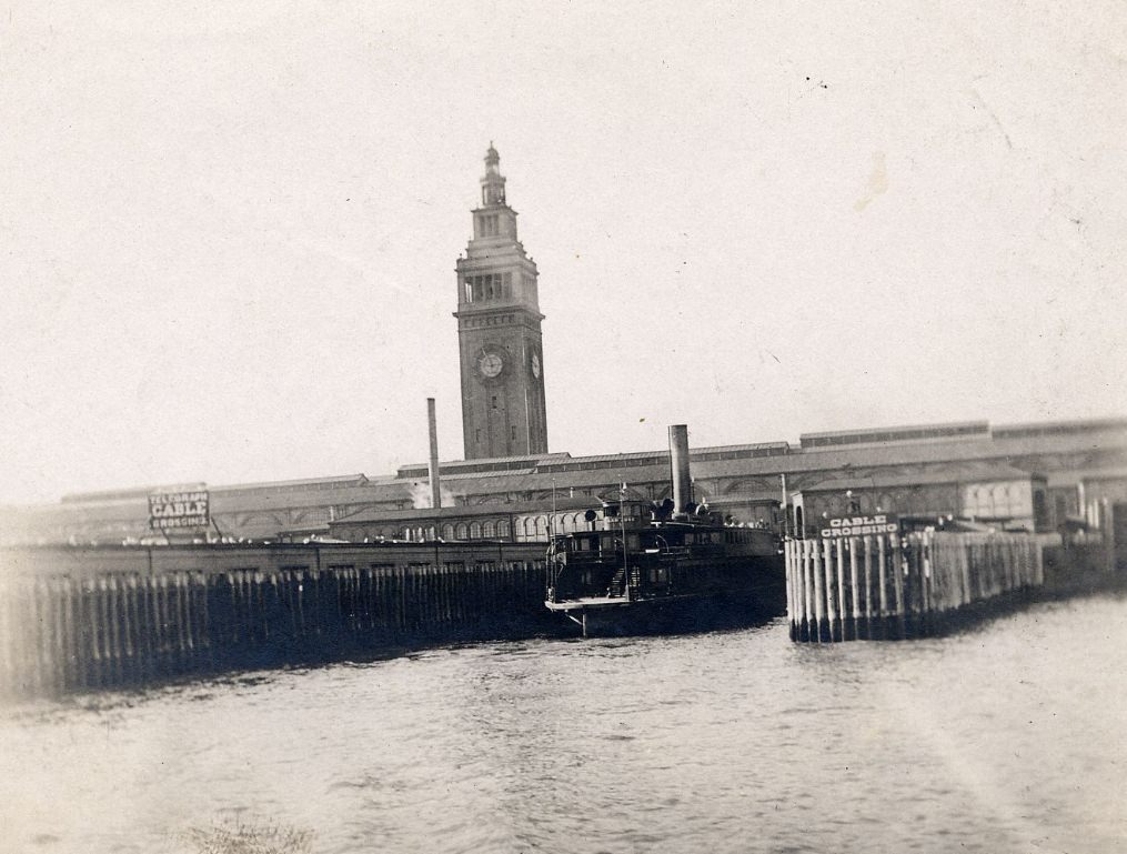
The Ferry Building at the foot of Market Street was one of the busiest transportation hubs on the West Coast. Ferries crossed the bay constantly, connecting San Francisco to Oakland, Berkeley, and other East Bay communities. Before the Bay Bridge opened in 1936, the ferry was how most people got in and out of the city. On a typical weekday, tens of thousands of commuters passed through its clock tower terminal.
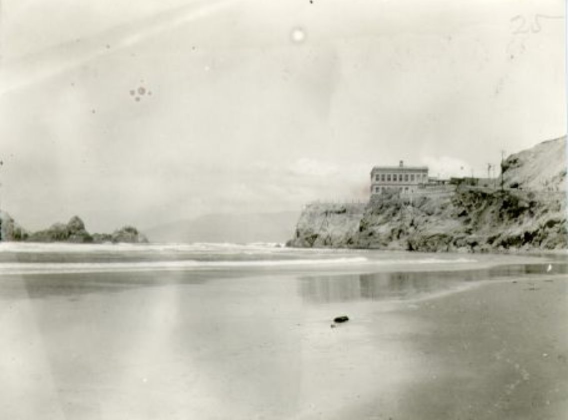
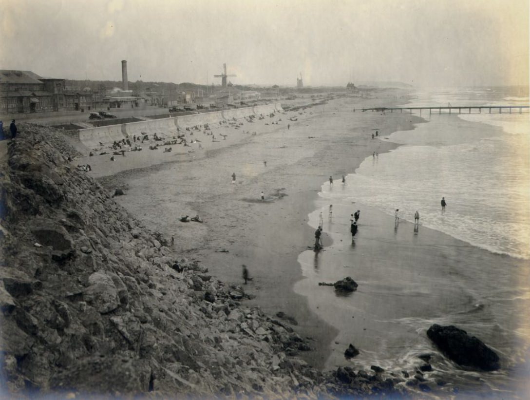
Away from downtown, San Francisco’s neighborhoods each had their own identity. Ocean Beach along the western edge of the city was a popular destination, drawing families and day-trippers from across the region. Meanwhile, districts like Chinatown, North Beach, and the Mission were densely populated, culturally distinct communities where immigrants and their families built daily lives centered around their own languages, food, and traditions.
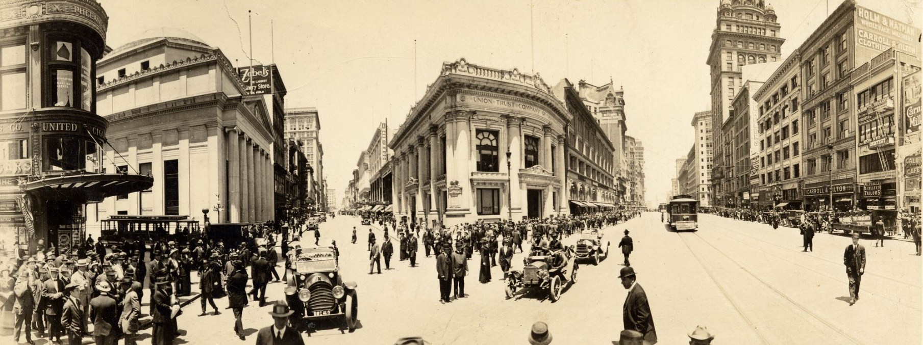
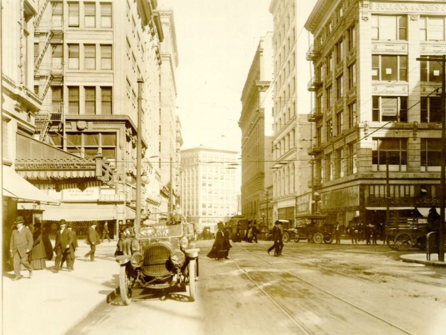
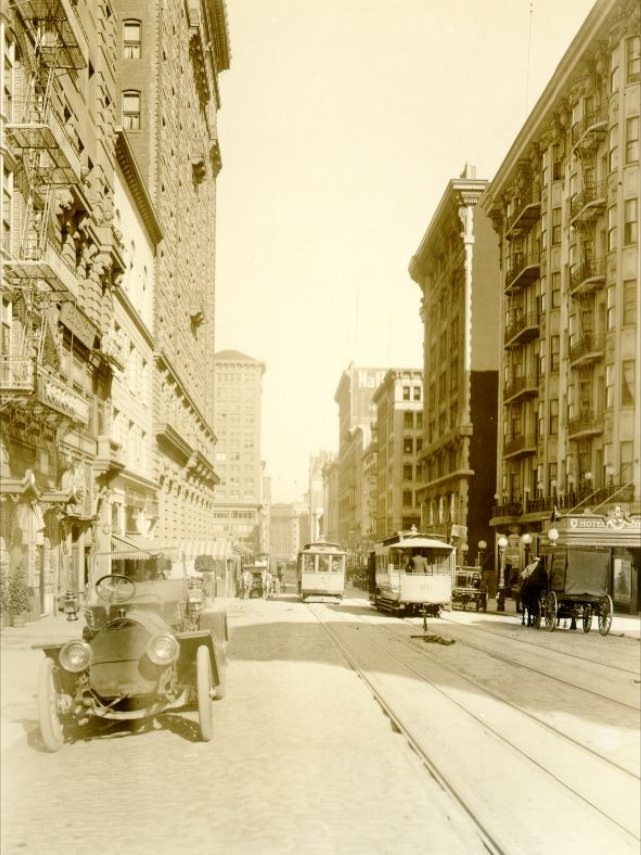
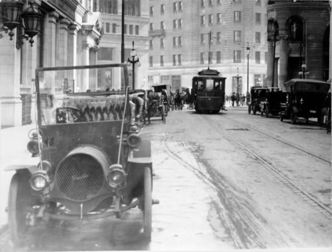
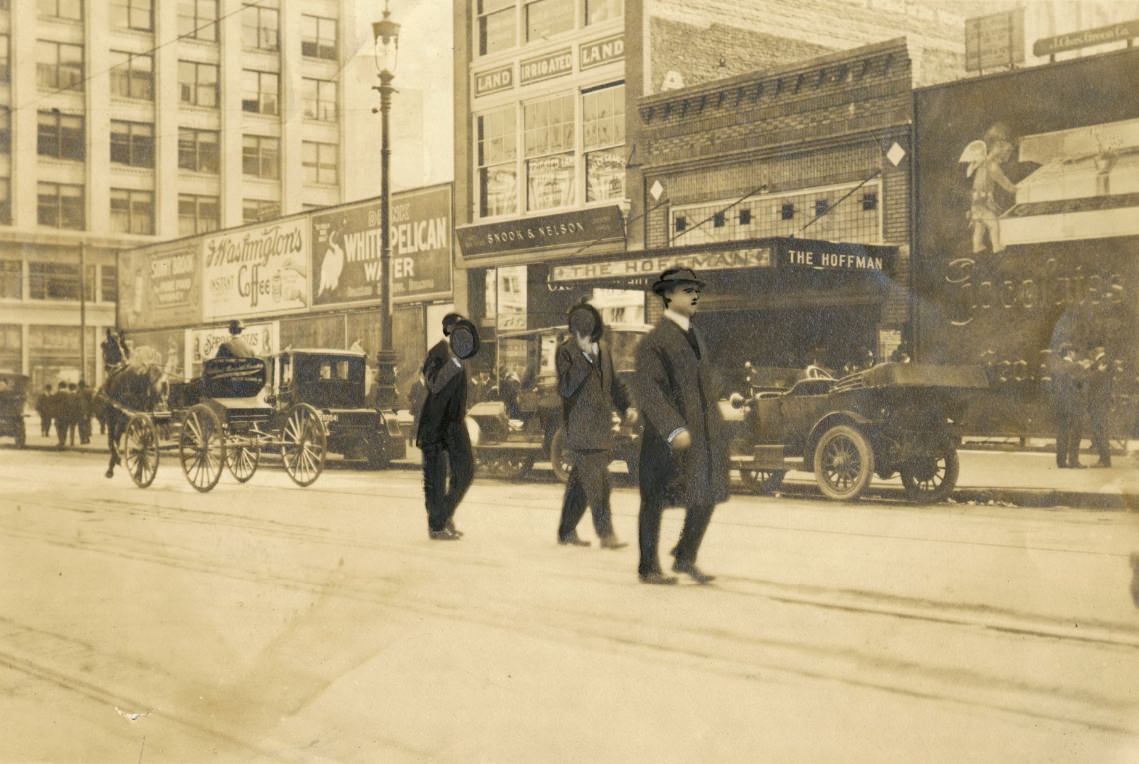
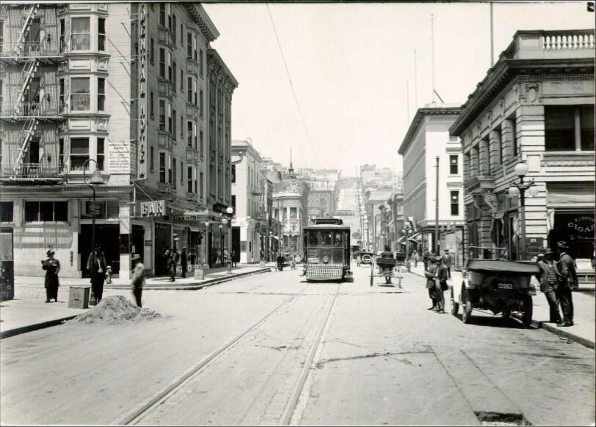
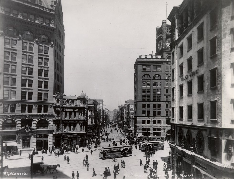
Grant Avenue cut through the heart of Chinatown before continuing north through the retail districts. The streets near its intersection with Market and Post were packed with shoppers, vendors, and pedestrians moving between trolley stops and storefronts. By the mid-1910s, automobiles were beginning to share the road with horse-drawn wagons and streetcars, creating a mix of old and new that defined city streets during this transitional period.
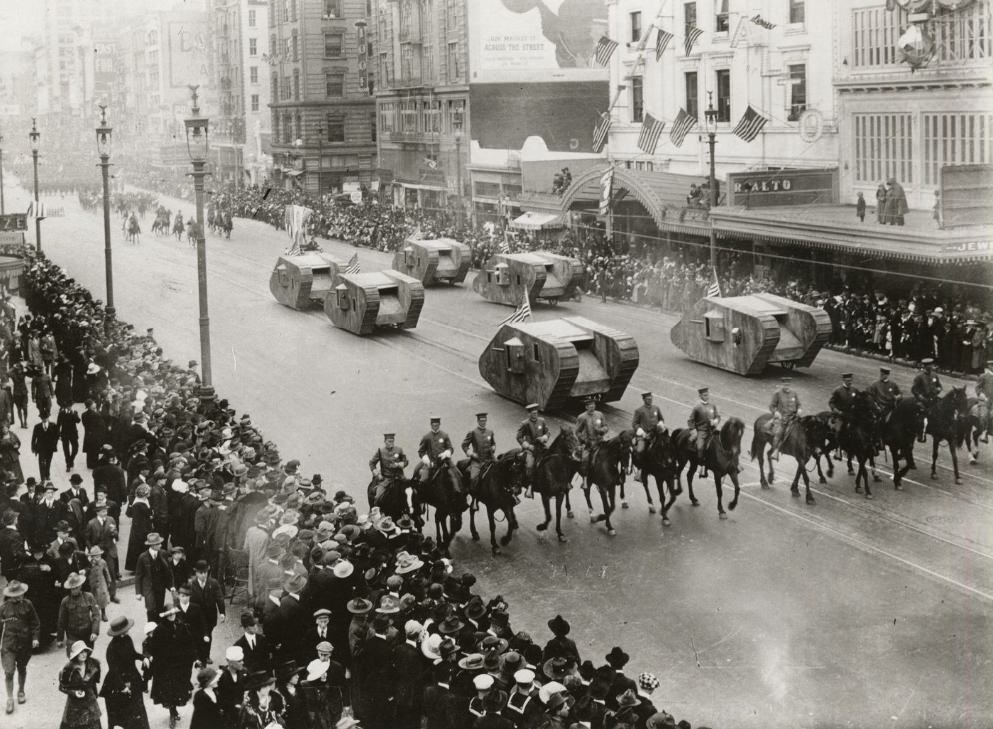
When World War I ended in November 1918, San Francisco erupted in celebration. The city had played a significant role in the war effort — its port was a key departure point for troops and military supplies heading across the Pacific. The Armistice brought enormous crowds into the streets, particularly along Market Street, where parades and public gatherings drew thousands of residents together in relief and celebration.
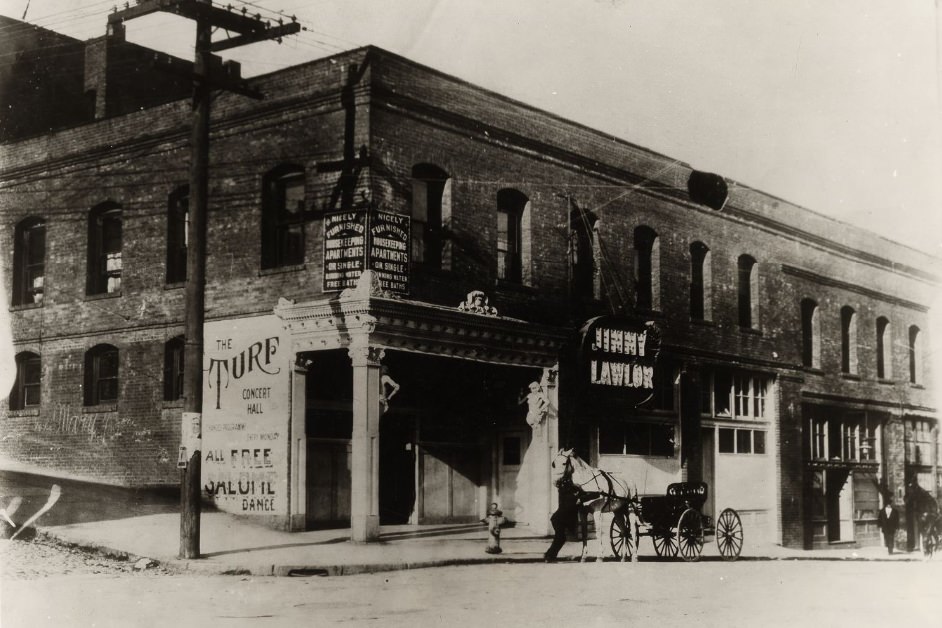
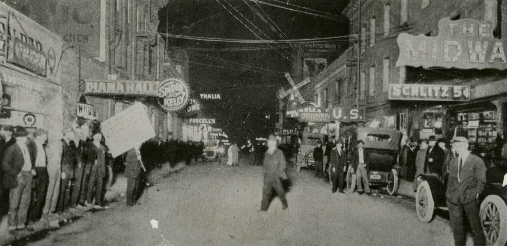
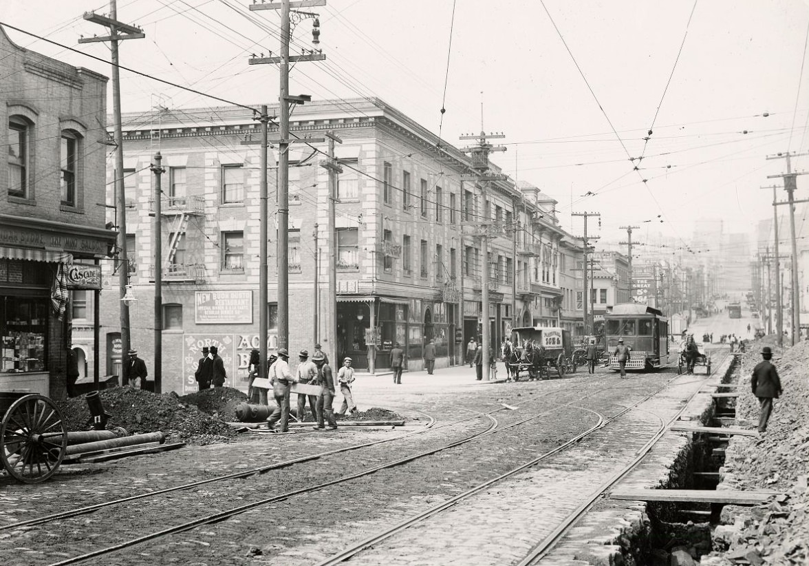
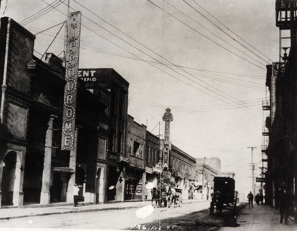
The Barbary Coast district along Pacific Street was one of the most notorious stretches of the city. Dance halls, concert saloons, and nightclubs operated openly, drawing sailors, laborers, and tourists alike. Venues like the Turf and the Hippodrome were well known by name throughout the city. The district had a long reputation for vice and lawlessness, and city officials eventually cracked down on it hard in 1917, shutting down most of its establishments under new state laws.
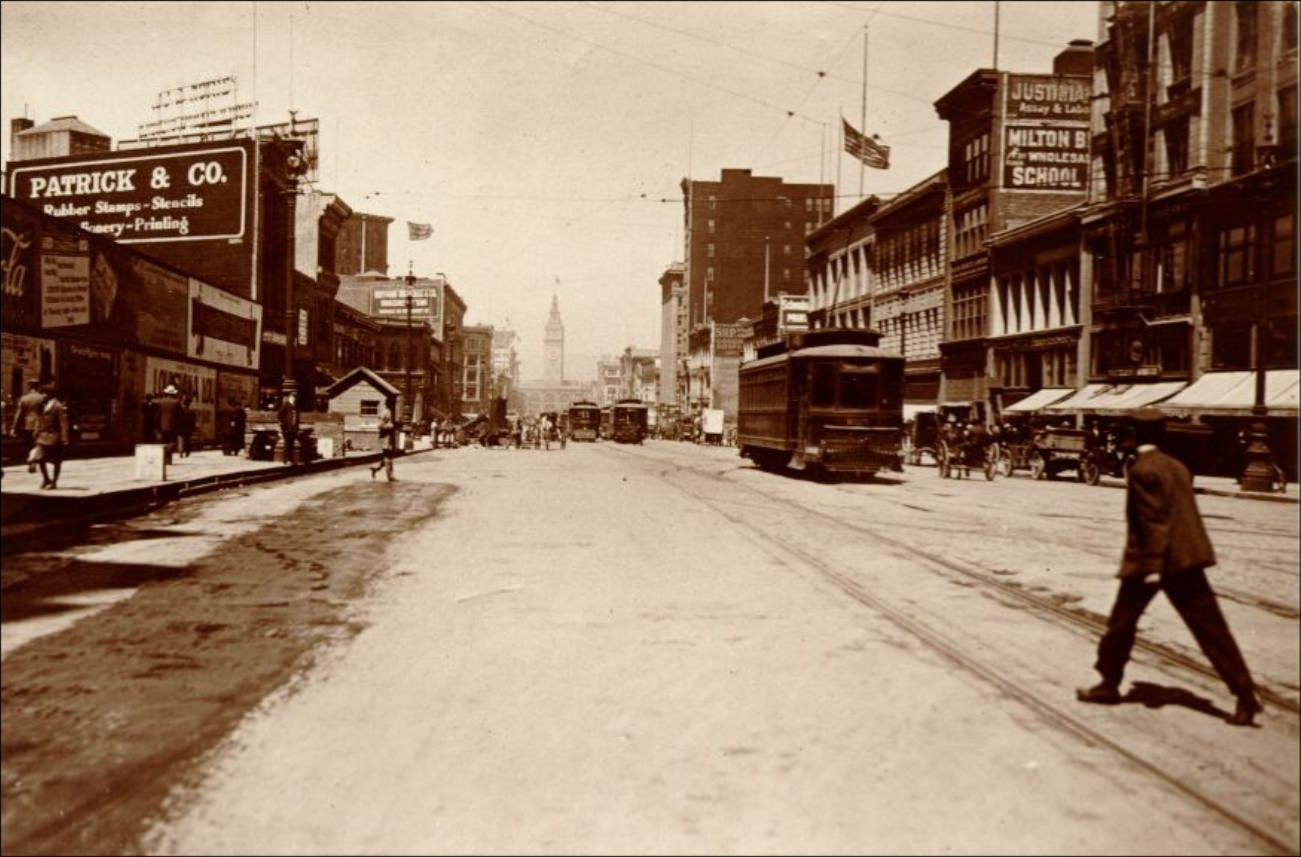
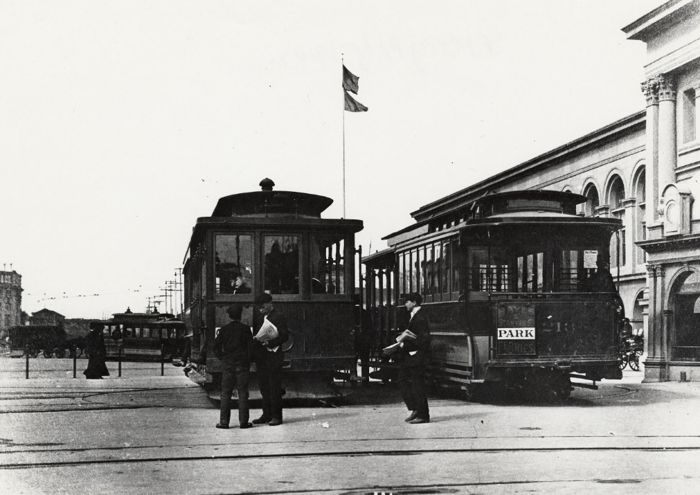
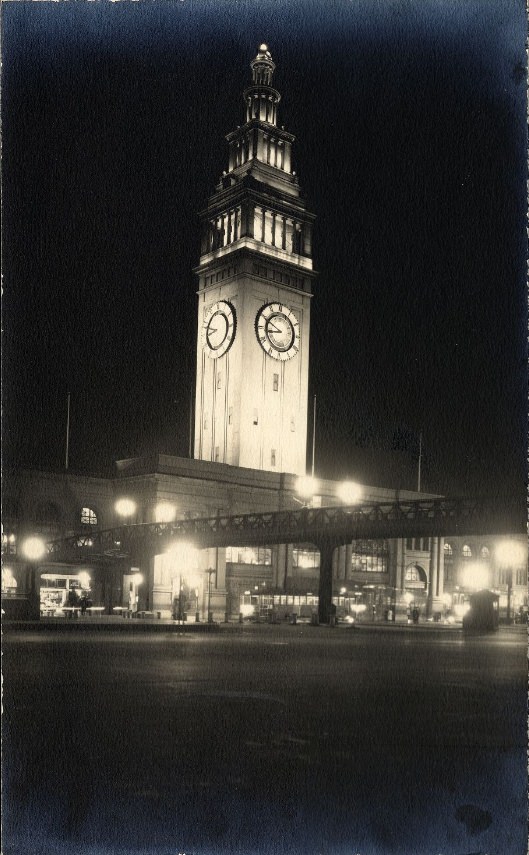
San Francisco’s streetcar network was extensive and heavily used throughout the decade. Lines radiated outward from downtown into every major neighborhood, making it possible for residents without cars to move around the city efficiently. The area around the Ferry Building was a constant knot of trolleys, wagons, pedestrians, and eventually automobiles. At night, electric lights illuminated the waterfront and downtown streets, a visible marker of the city’s modern infrastructure.
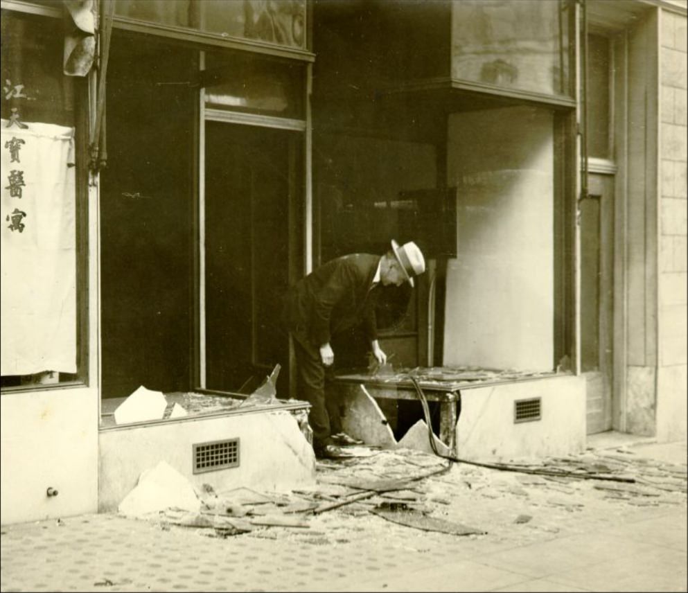
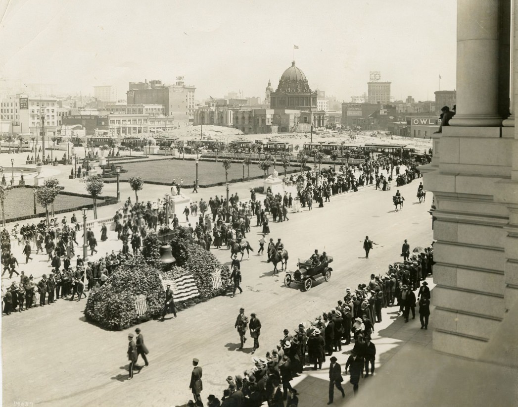
The year 1915 brought a string of significant public events to San Francisco. The Liberty Bell was transported from Philadelphia by rail and paraded through the city as part of the Panama-Pacific Exposition celebrations. Huge crowds gathered at the Civic Center to see it. The Exposition itself featured stunning temporary structures, including the Palace of Fine Arts, along with exhibits showcasing new technology, industrial machinery, and art from dozens of countries.
California became one of the first states to grant women the right to vote in 1911, nine years before the 19th Amendment extended that right nationally. The decade also saw significant labor unrest in San Francisco. Workers in various industries organized strikes and protests, reflecting deep tensions between the city’s working-class population and the business interests that had driven the post-earthquake rebuilding boom. The Preparedness Day Bombing of 1916, which killed ten people during a pro-war parade on Market Street, underscored just how charged the political atmosphere was.
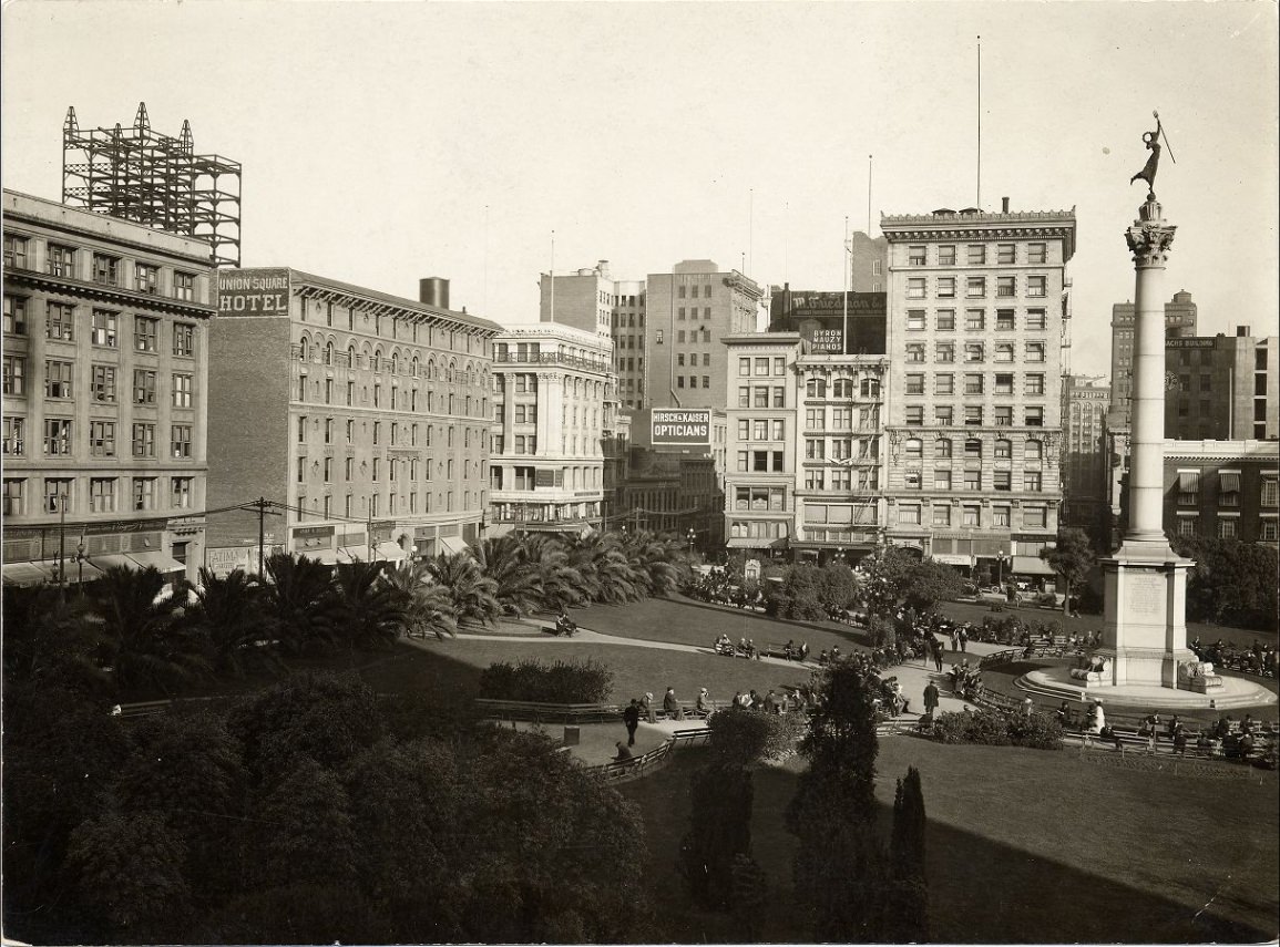
Union Square at the center of the retail district was already a gathering place for the city’s middle and upper classes by 1910. Upscale hotels and department stores framed the square’s perimeter. Geary and Post streets nearby were lined with shops that catered to well-dressed San Franciscans who had money to spend in a city that was, by all visible measures, back on its feet. Department stores like I. Magnin’s on Geary were fixtures of city life.
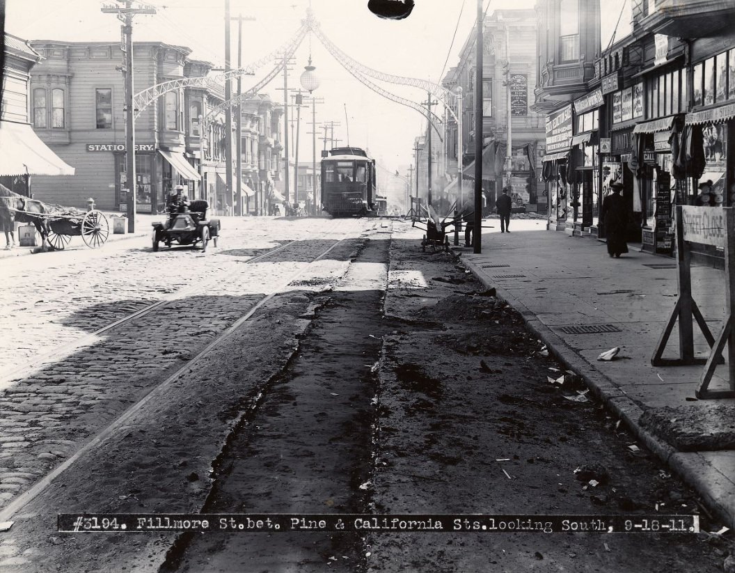
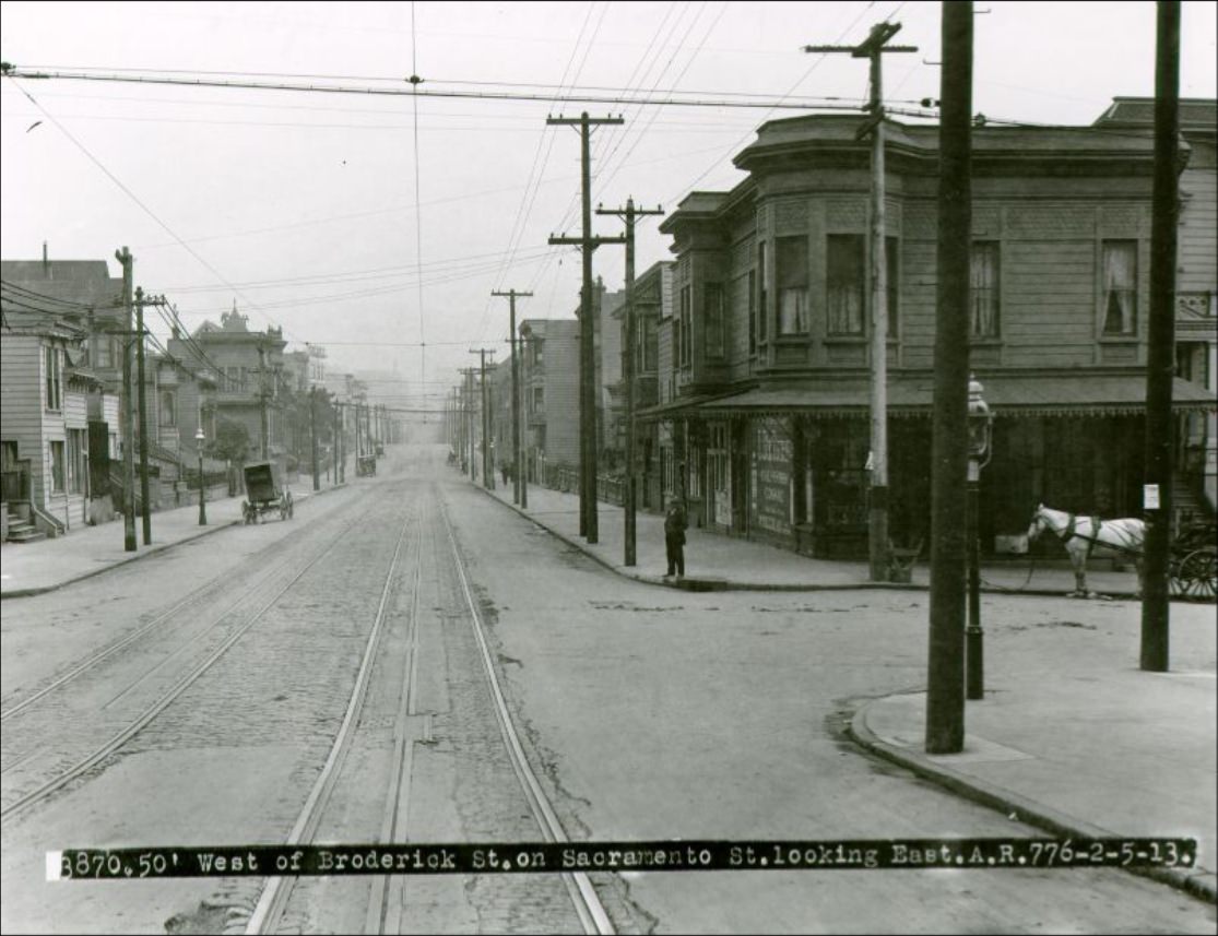
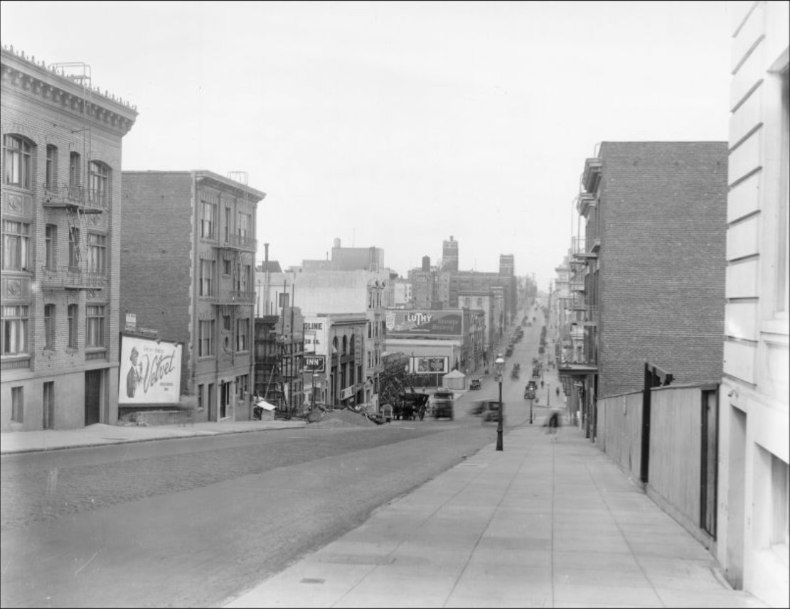
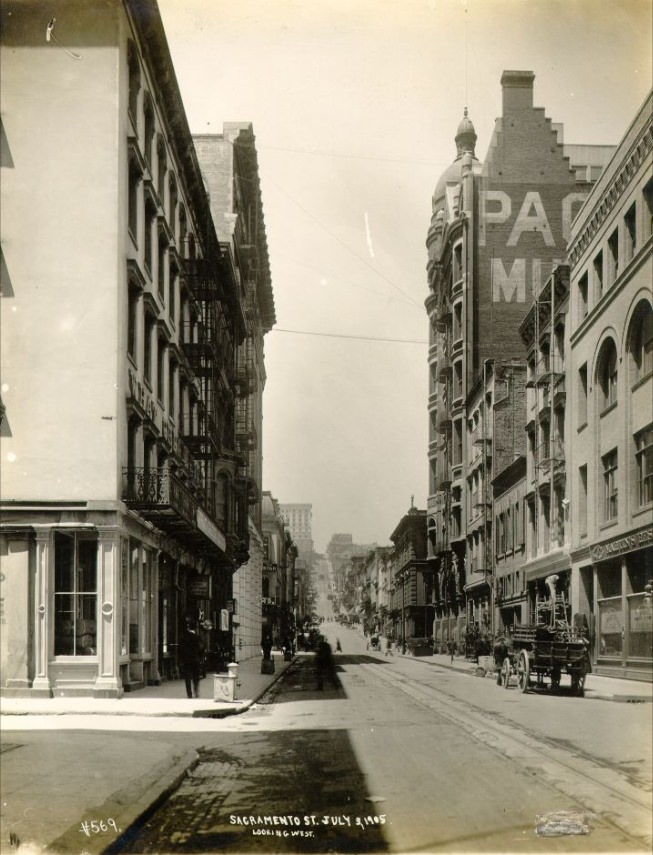
Fillmore Street had been one of the few commercial corridors to survive the 1906 disaster largely intact, which made it the city’s temporary downtown in the immediate aftermath. By the 1910s it had settled back into its role as a busy neighborhood commercial strip serving the Western Addition. Sacramento Street and other residential avenues further west showed a quieter San Francisco — tree-lined, relatively low-rise, and full of the Victorian and Edwardian homes that still define many of the city’s neighborhoods today.
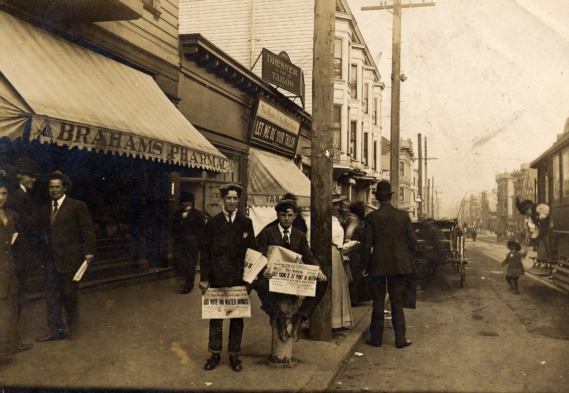
Newspaper boys were a common sight on San Francisco street corners throughout the 1910s. Daily papers kept residents informed about local politics, labor disputes, the war in Europe, and civic events. News moved quickly in a city this size and this connected to the outside world. By 1918, headlines were dominated by the war and, in the autumn of that year, by the devastating Spanish flu pandemic, which hit San Francisco particularly hard and prompted the city to mandate mask-wearing in public.
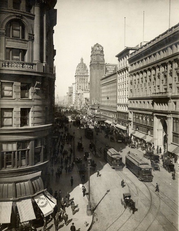
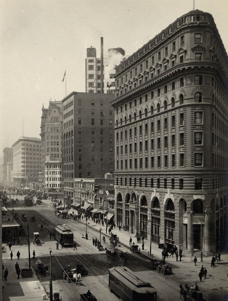
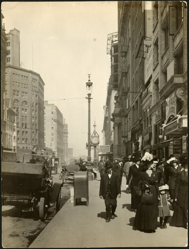
Looking east down Market Street from any cross-street in the early 1910s meant looking at a corridor packed with commercial activity. Tall office buildings and hotels rose on either side, their facades covered with signs for businesses, banks, and services. The street-level scene was one of constant movement — pedestrians weaving between slow-moving streetcars, horses pulling delivery wagons, and, increasingly, automobiles that were beginning to demand their own space.
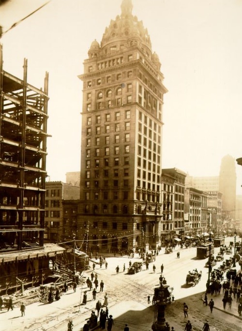
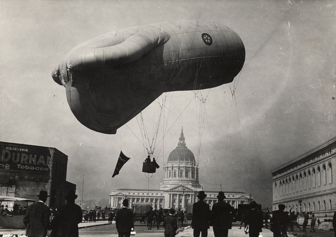
Public spectacle was a regular feature of life in 1910s San Francisco. Hot air balloon ascents at the Civic Center drew large crowds, as did parades, outdoor concerts, and military demonstrations. The Civic Center itself, once a chaotic construction site in the years after 1906, had transformed into a polished civic showpiece by the middle of the decade. The formal plazas and grand buildings were designed to project permanence and civic pride.
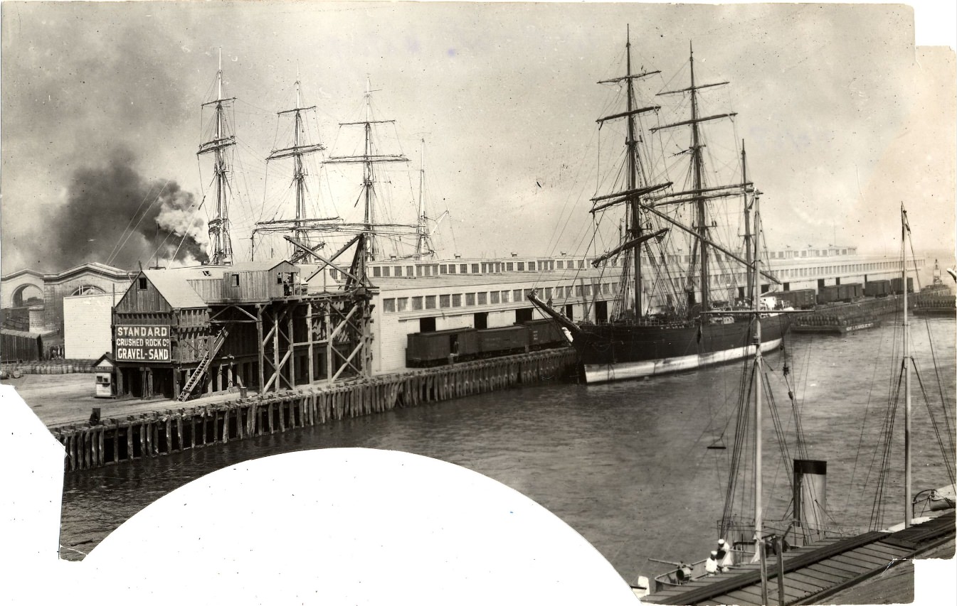
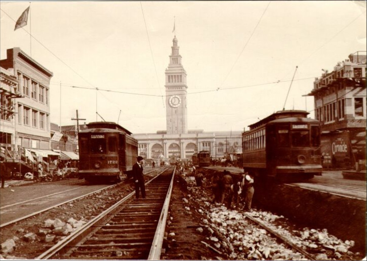
San Francisco’s waterfront was among the busiest on the West Coast throughout the decade. The port handled enormous volumes of commercial cargo and, during World War I, military shipments. Piers stretched along the Embarcadero from the Ferry Building northward and southward, accommodating everything from passenger ferries to ocean-going freight vessels. Pier 41 and the surrounding docks saw heavy activity as troop transports and supply ships moved in and out of the harbor during the war years.
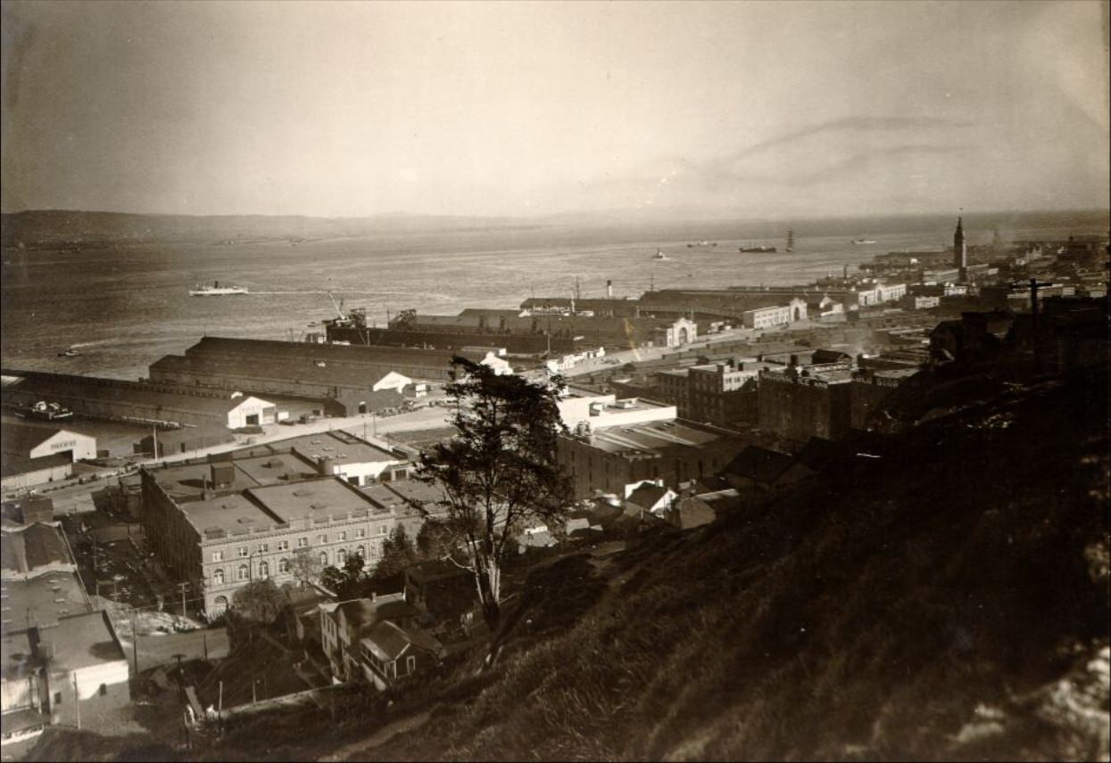
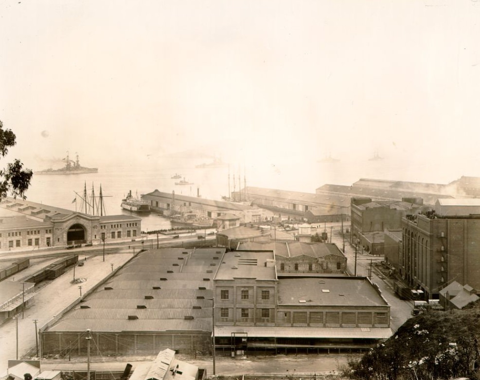
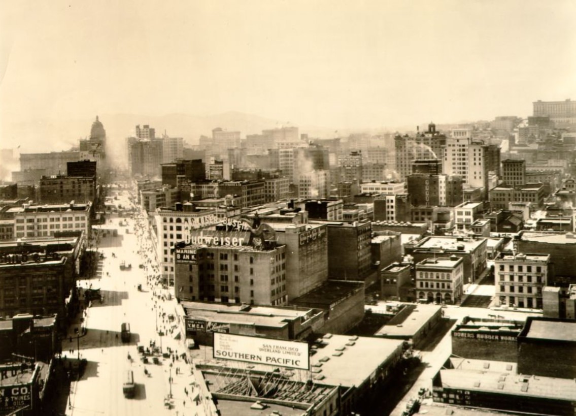
From the heights of Telegraph Hill, the full sweep of the waterfront was visible — piers extending into the bay, ships at anchor, rail lines running along the seawall, and the hills of the East Bay in the distance. Aerial and elevated views of Market Street from 1911 show just how completely the city had rebuilt its downtown core in just five years. The density of new construction was striking, and it continued to grow through the rest of the decade.
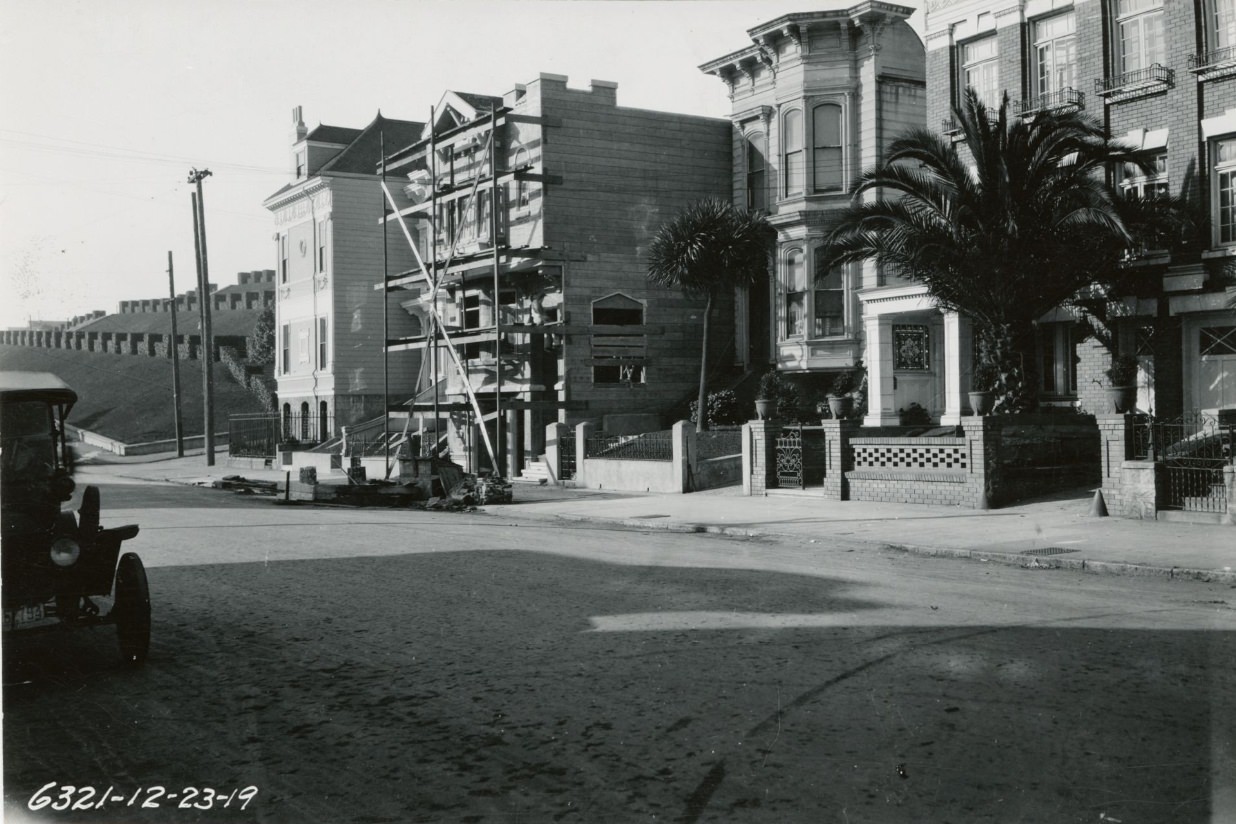
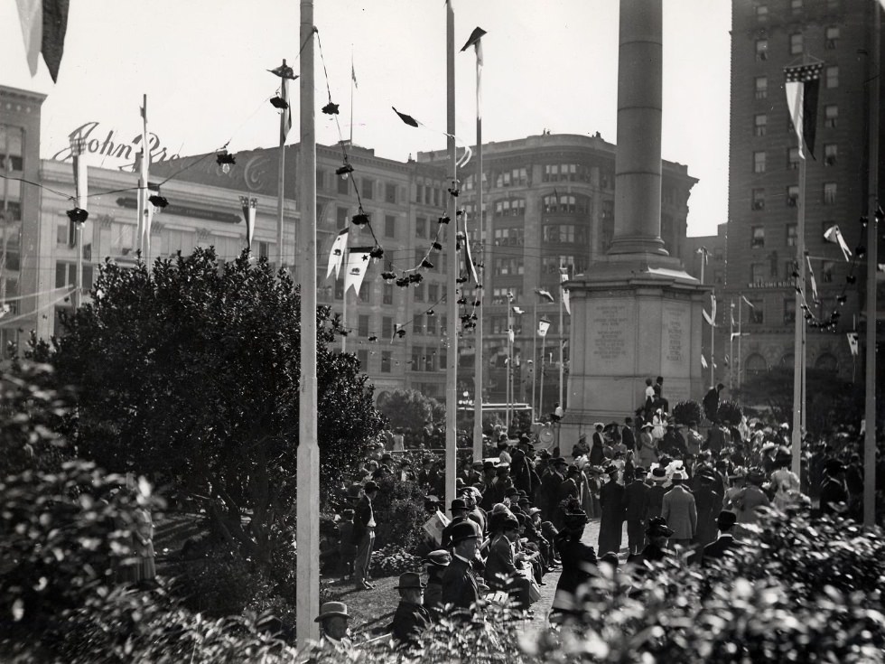
Union Square hosted everything from political rallies to public events throughout the decade. The square’s open space made it a natural gathering point, and the crowds that collected there reflected the full range of the city’s population. By the end of the 1910s, residential streets like Clay Street at Steiner showed a city that had stabilized — well-maintained homes, paved streets, and sidewalks lined with mature trees, far removed from the rubble-strewn blocks of 1906.
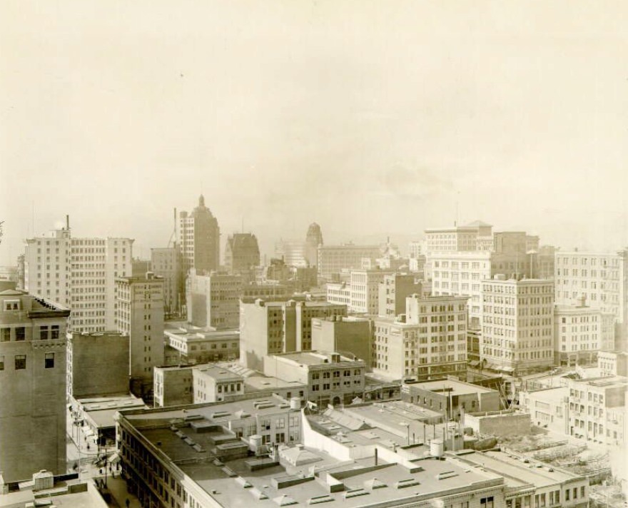
The view of downtown San Francisco from Pine and Montgomery in 1912 showed a financial district already densely built with mid-rise office buildings. Montgomery Street was the city’s financial center, home to banks, brokerages, and insurance companies that fueled the regional economy. The Ferry Building visible from many downtown vantage points served as a constant reference point — the gateway through which the city’s commercial lifeblood flowed in and out every day.
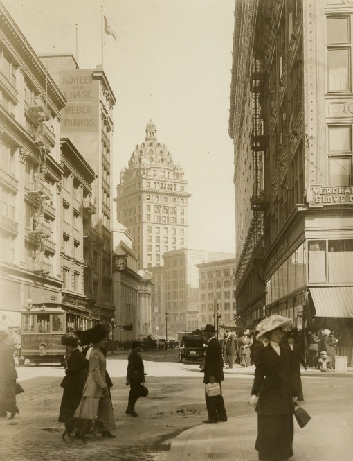
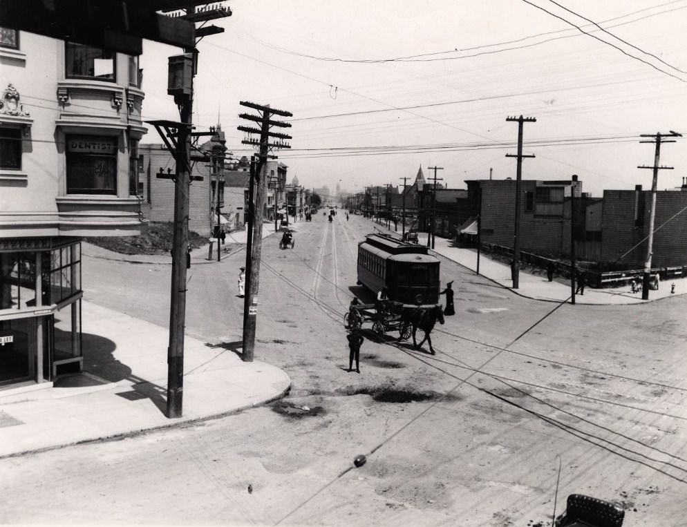
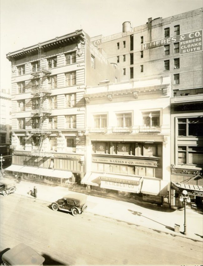
Away from the downtown core, Market Street continued through more working-class and mixed-use neighborhoods toward the Castro and beyond. The stretch between 17th and Castro streets in 1910 was a neighborhood commercial area with a very different feel from the busy downtown blocks closer to the Ferry Building. Grant Avenue near Post Street retained its character as a shopping destination, with storefronts catering to the city’s diverse shoppers.
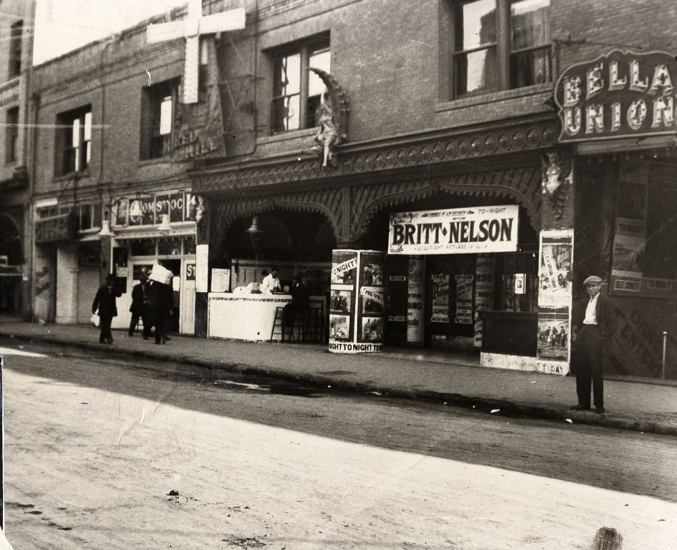
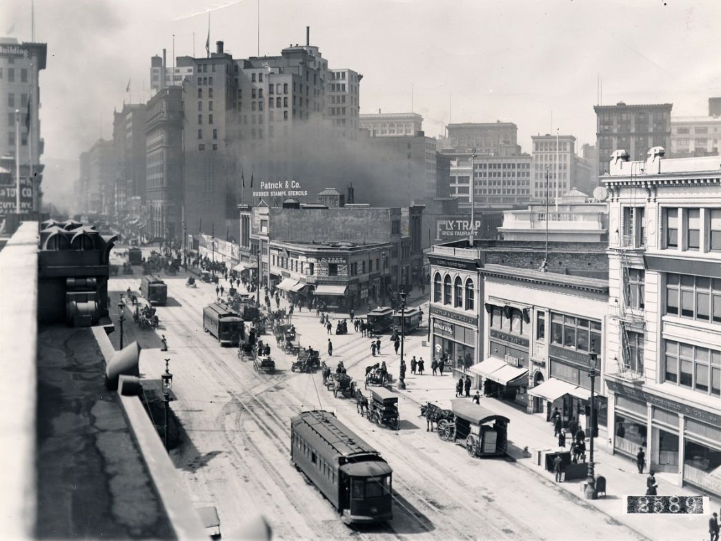
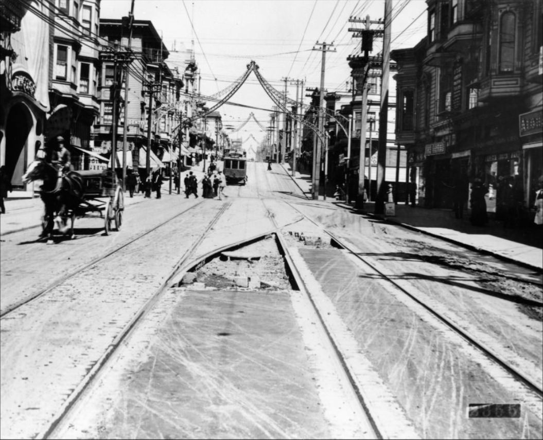
The Barbary Coast’s 500 block of Pacific Street was packed with saloons and dance halls well into the mid-1910s. The 1913 Red Light Abatement Act and subsequent enforcement in 1917 dismantled much of what had made the district infamous. Fillmore Street, by contrast, looking north toward Sutter Street, showed the more ordinary rhythm of a busy commercial neighborhood — trolleys, shoppers, delivery vehicles, and the steady hum of daily commerce.
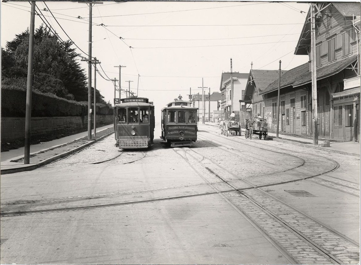
The Presidio at the northwestern corner of the city was a U.S. Army base with deep roots going back to the Spanish colonial period. During World War I, its role expanded significantly as troops were processed and deployed from its grounds. California Street ran from the financial district all the way through Pacific Heights and out to the Presidio gates, lined with grand homes belonging to some of San Francisco’s wealthiest families. The intersection of Montgomery and Market in 1910 captured the financial district at full throttle — suits, hats, and briefcases moving against a backdrop of new stone buildings.
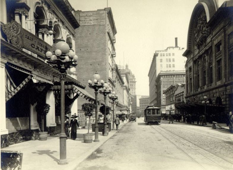
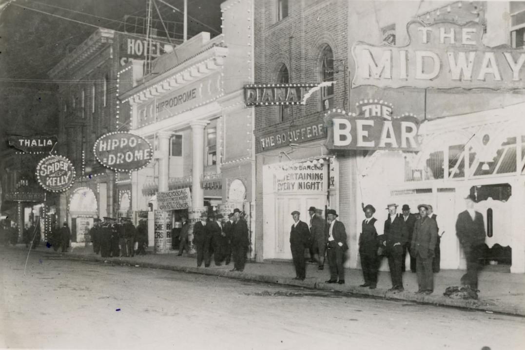
O’Farrell Street connected the retail district near Union Square to neighborhoods further west, and in the 1910s it carried a steady flow of streetcars and pedestrians. The nightclub strips along Pacific Street in the Barbary Coast operated in a completely different register — loud, crowded, and operating well past midnight. These two faces of the city, the respectable commercial district and the rowdy waterfront entertainment zone, existed just blocks apart and served entirely different segments of the population.
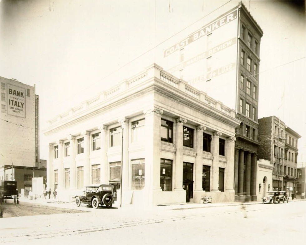
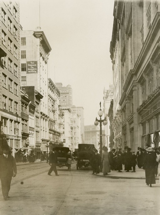
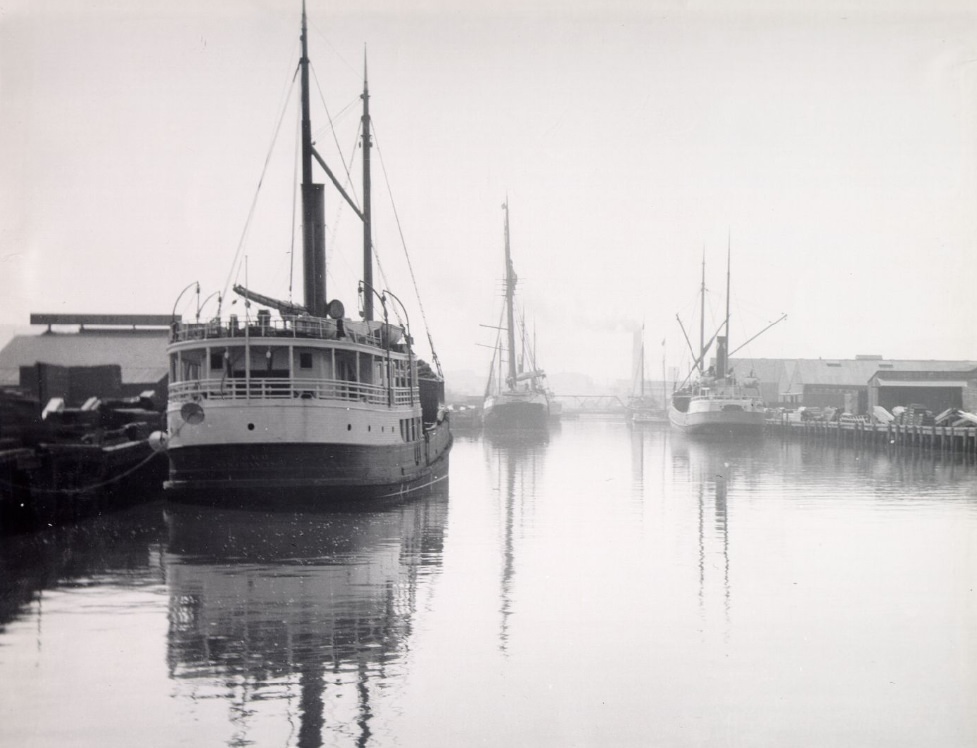
San Francisco Harbor in 1914 was a working waterway in constant use. The channel running through the bay carried commercial vessels, ferry boats, and naval ships, and the waterfront infrastructure — rail lines, warehouses, and cranes — reflected the enormous scale of the port’s operations. Sacramento and Montgomery streets, deep in the financial district, showed a city of suits and stone buildings, where the decisions that moved goods and money through the entire Pacific Coast economy were made.
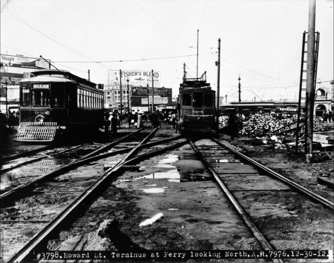
The ferry terminus at the foot of Howard Street was a different entry point to the city from the main Ferry Building, handling freight and additional passenger traffic. Looking north from that point in 1912, the density of the built city was immediately apparent — buildings pressed close together, streets already carrying a mixture of horse-drawn and motor traffic. Market Street in 1914 captured the decade at its midpoint, with the city fully operational and the Panama-Pacific Exposition just a year away from opening its gates.
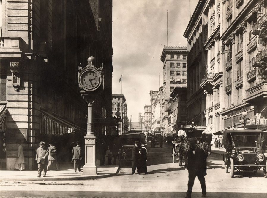
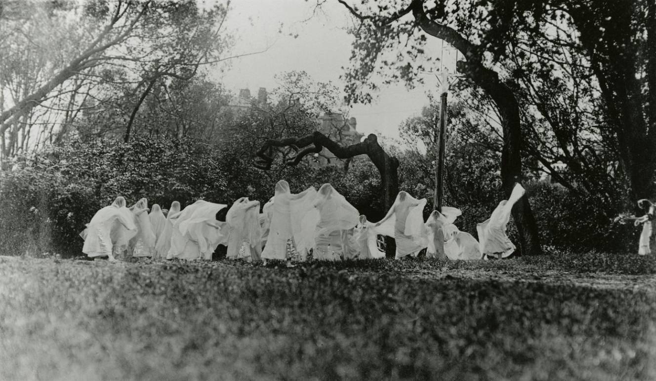
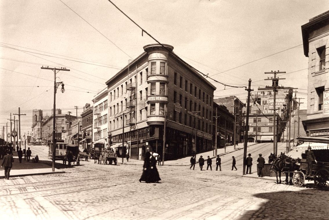
The arts were active throughout the Bay Area in the 1910s. Outdoor performances, theatrical productions, and cultural events drew audiences from San Francisco and across the bay. Columbus Avenue in North Beach was the heart of the Italian-American community, lined with cafes, delis, and social clubs that made the neighborhood one of the most distinctive in the city. Grant Avenue looking north from O’Farrell in 1910 showed a street already thick with commercial energy, stretching toward Chinatown.
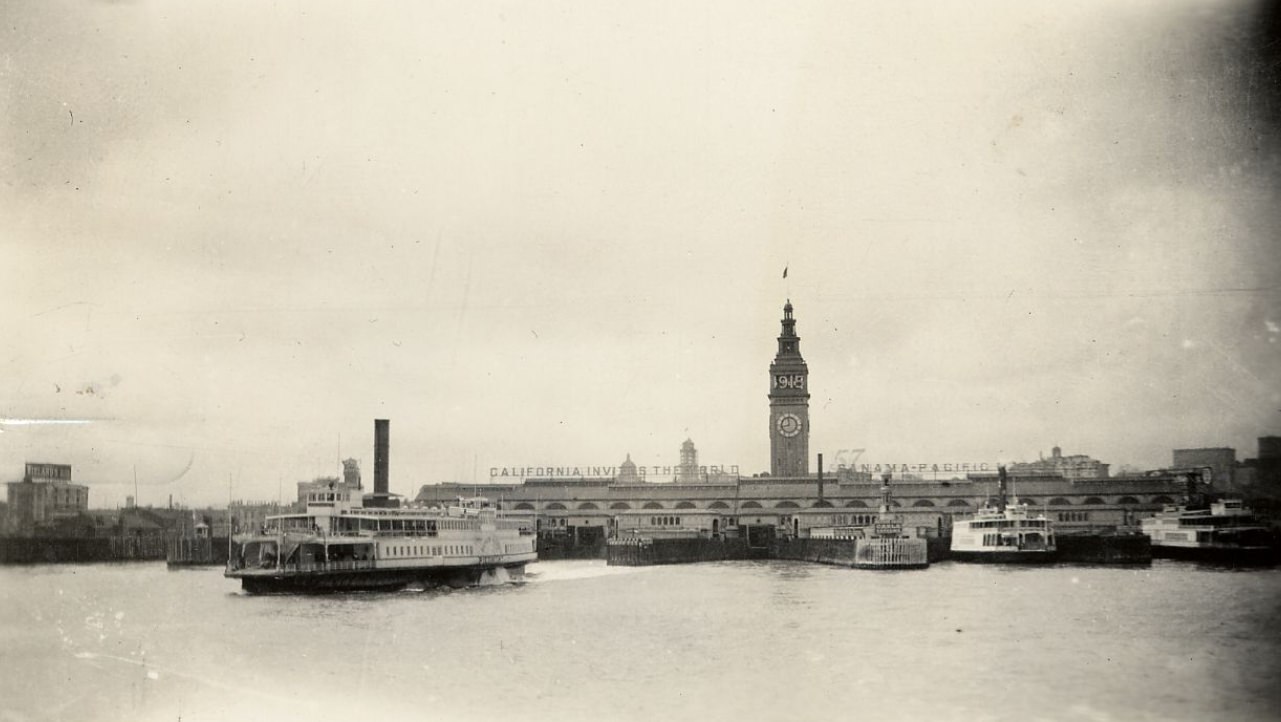
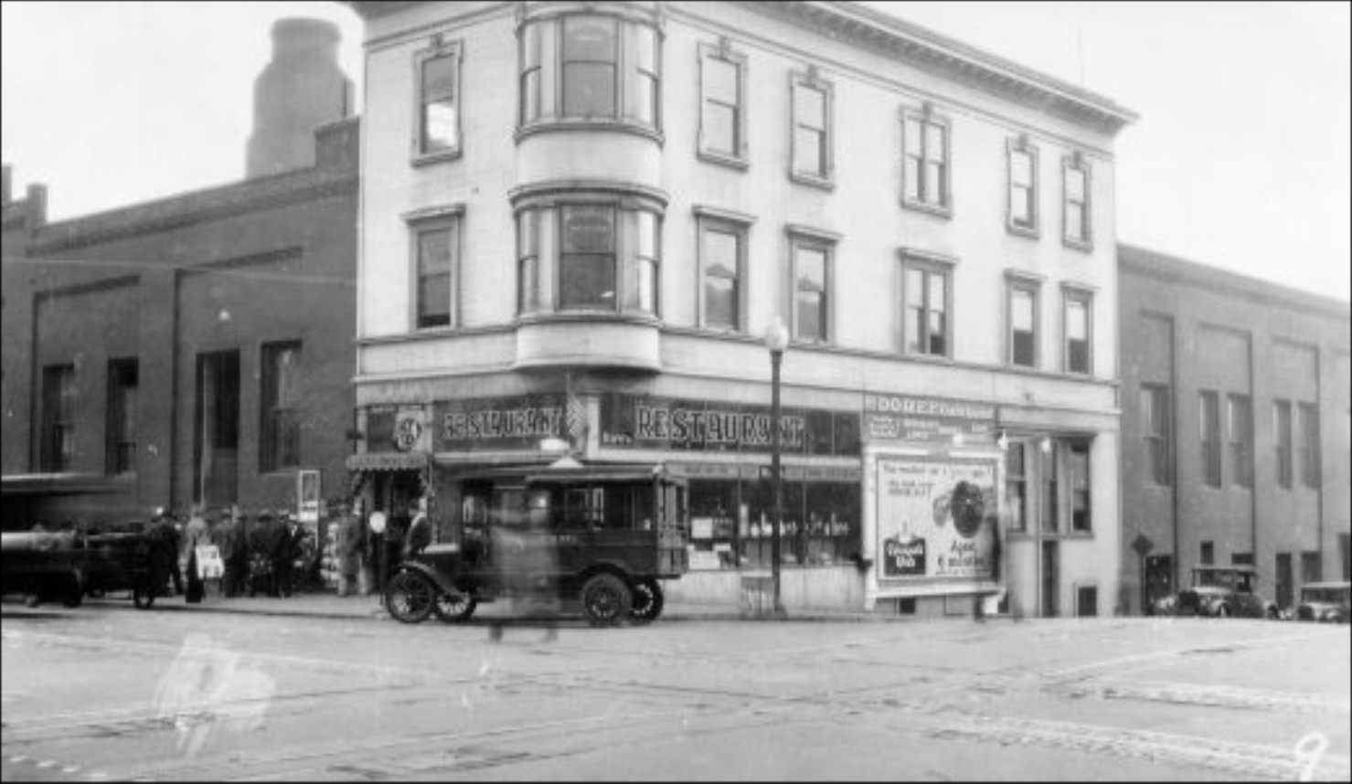
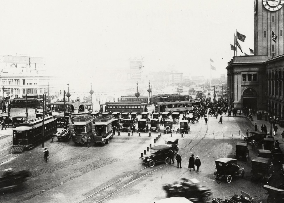
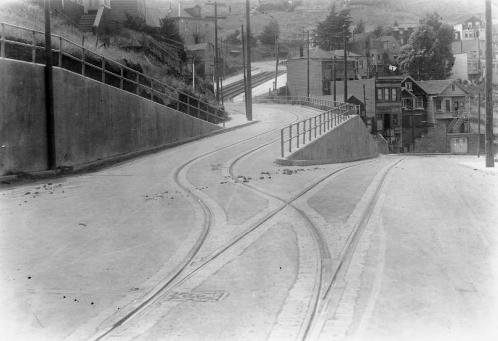
Seen from the bay in June 1914, the Ferry Building’s 245-foot clock tower was the dominant landmark along the waterfront, visible for miles. Vehicles parked in front of the building in the 1910s show the growing presence of automobiles alongside horse-drawn wagons — the transition from one era to the next playing out in a single frame. California Street, with its cable car tracks running up the steep grade toward Nob Hill, remained one of the most recognizable streets in the city.
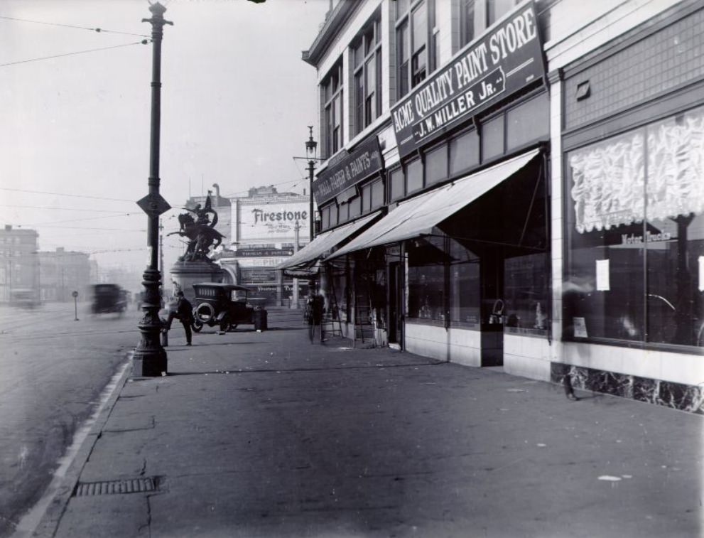
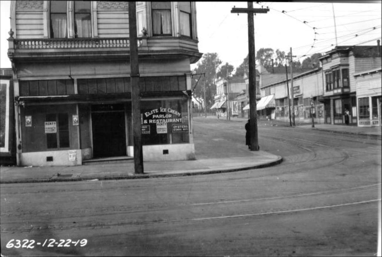
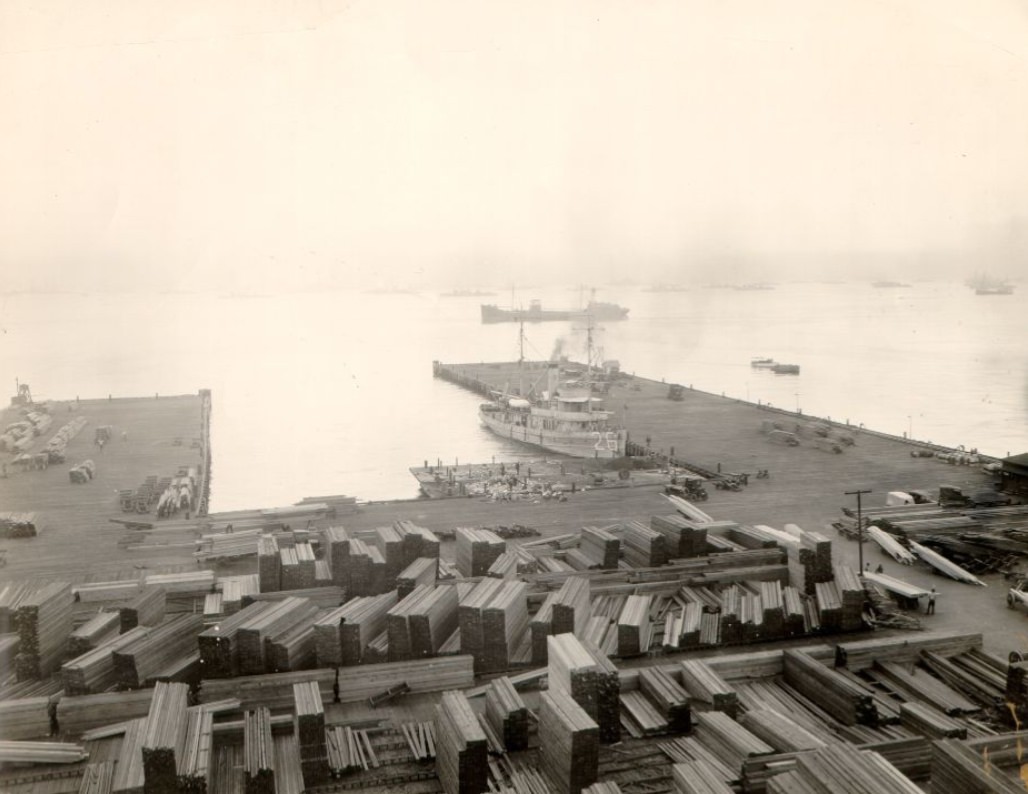
The Volunteers Monument at Market and Van Ness honored San Franciscans who had served in the Spanish-American War, standing at one of the city’s most important intersections. Lombard Street in December 1919 showed the residential neighborhoods of the northern part of the city at the decade’s close — unpaved in stretches, lined with homes, and far quieter than downtown. The waterfront east of 16th Street was an industrial zone of rail yards, docks, and warehouses that handled much of the city’s heavy freight.
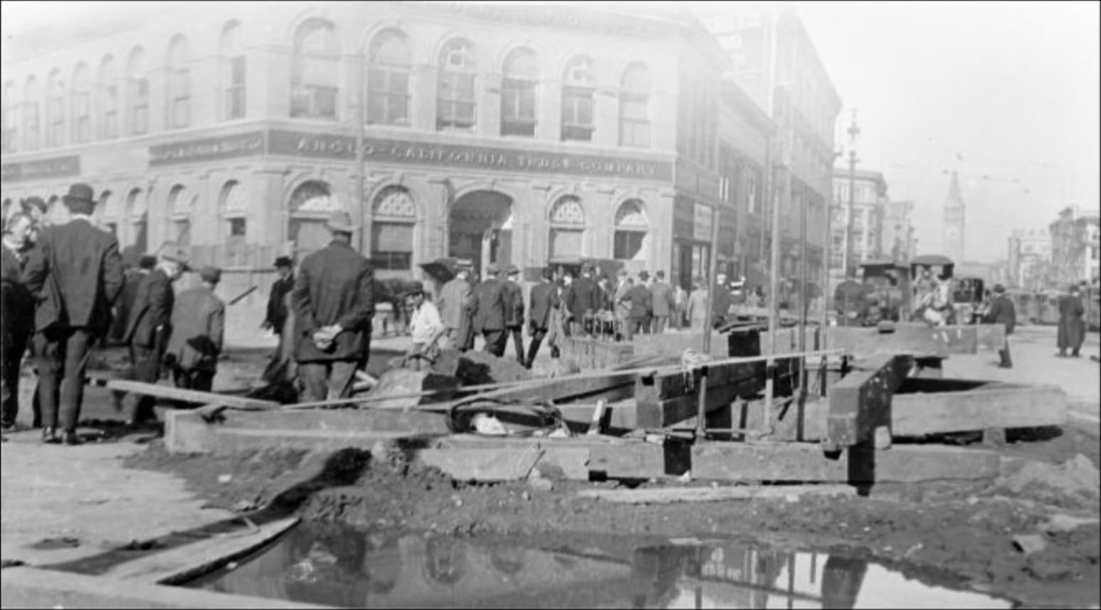
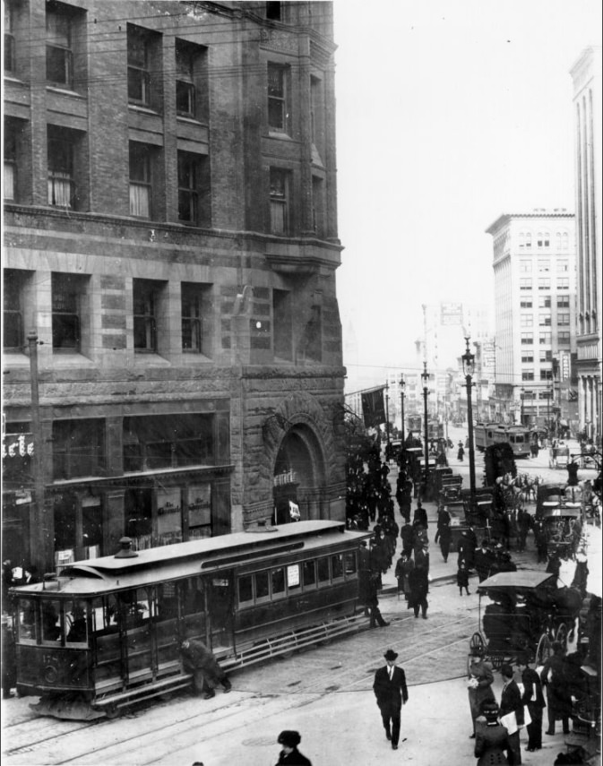
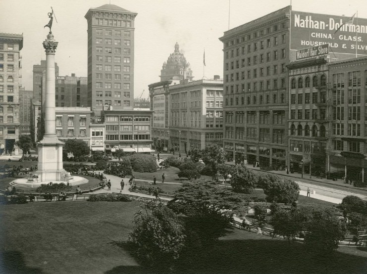
The intersection of Market and Sansome in 1912 sat right at the edge of the financial district, where the diagonal of Market Street cut across the grid. The resulting irregular intersections were a distinctive feature of downtown San Francisco’s layout. Union Square in 1910 already had the Dewey Monument at its center, erected in 1903 to commemorate Admiral George Dewey’s victory at Manila Bay. The square’s surrounding blocks were among the most commercially valuable in the city.
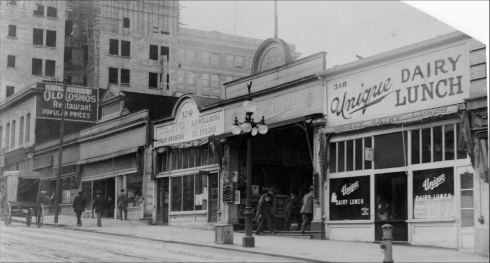
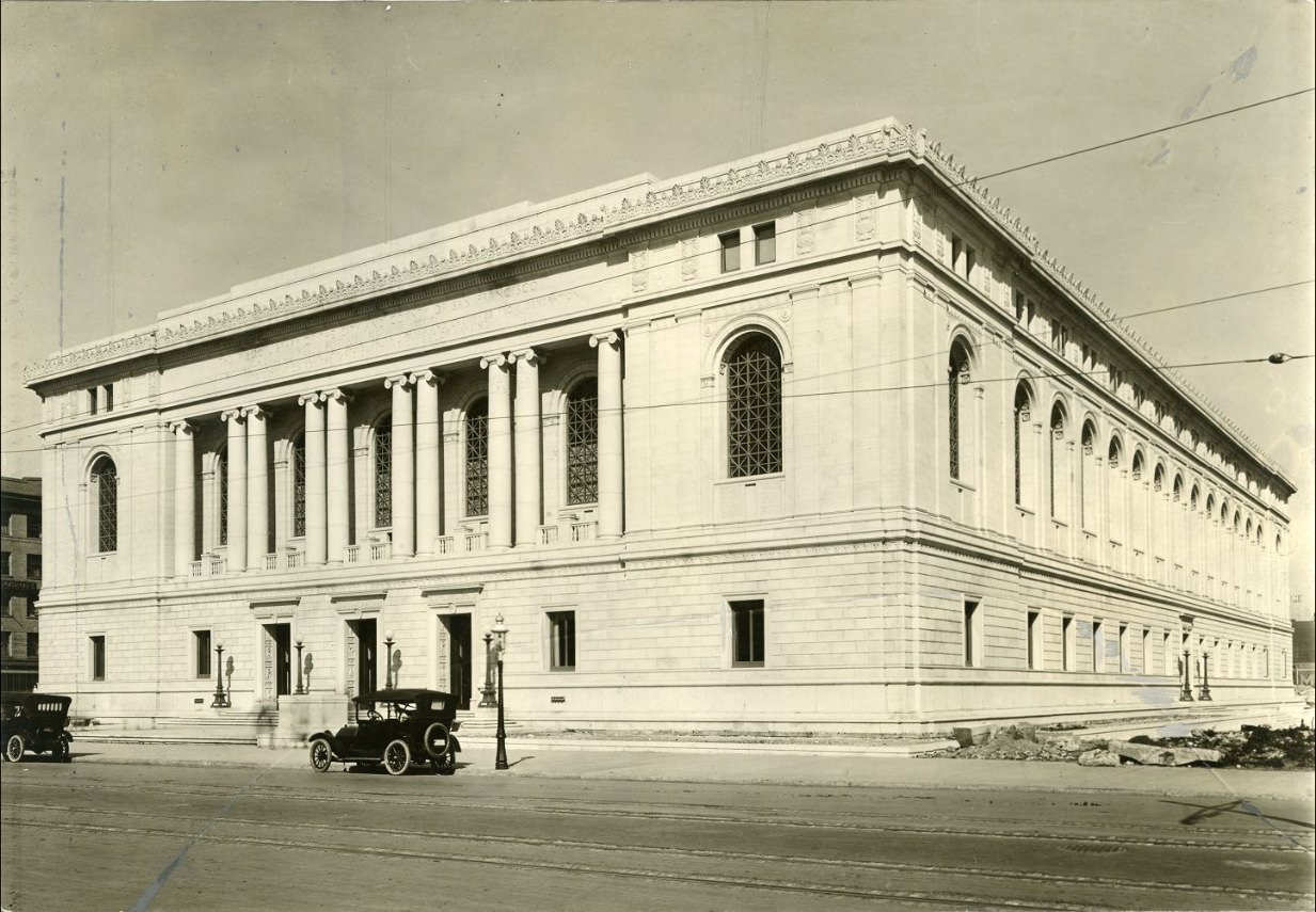
The Main Library, completed as part of the Civic Center complex, opened to the public in 1917. It was one of the most important public buildings constructed during the decade, giving the city a major cultural institution at the center of its rebuilt civic core. Kearny Street running north from Market was a busy commercial corridor, while Bush Street between Grant and Kearny sat in a mixed zone of offices, shops, and residential hotels that housed a significant portion of the downtown working population.
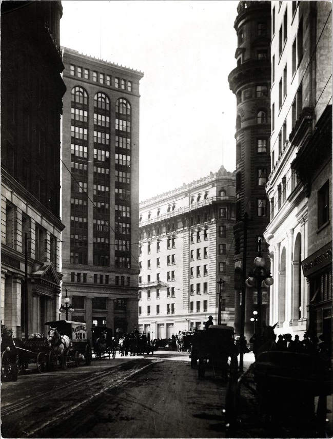
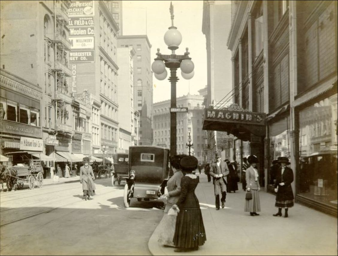
I. Magnin’s department store on Geary Street was one of the premier retail destinations in San Francisco. Founded by the Magnin family in 1876, by the 1910s it was well established as the place for upscale women’s fashion in the city. Montgomery Street near Market was where the financial district’s energy was most concentrated — office buildings, banks, and the constant movement of people doing business in one of the most economically dynamic cities on the West Coast.
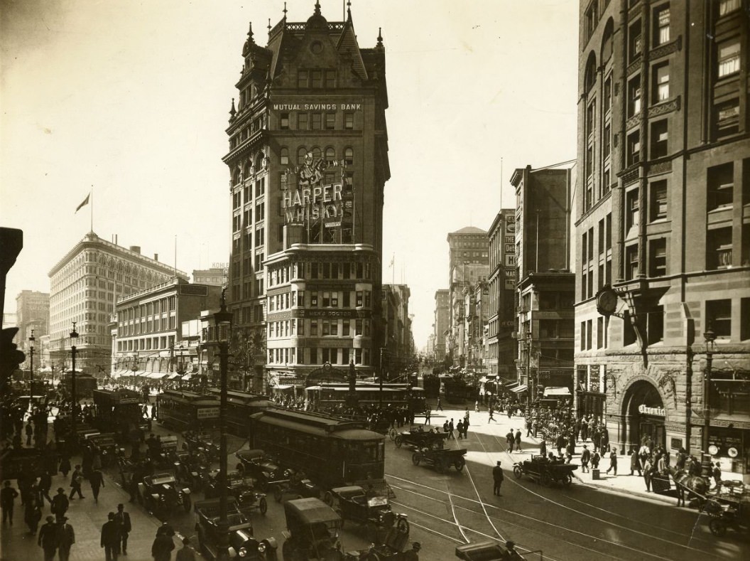
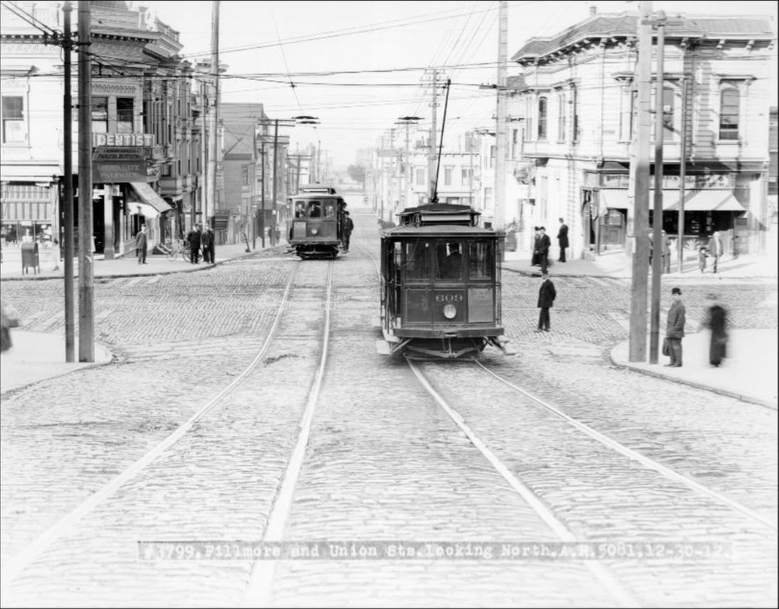
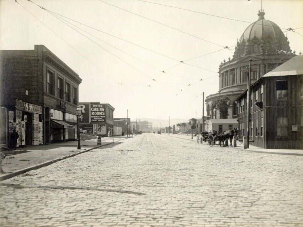
The Civic Center in 1913 was still a construction site in many respects — the new City Hall’s dome rising against the sky while surrounding buildings were not yet finished. By 1915, the complex was ready to host major public events, including the Liberty Bell parade and Exposition-related ceremonies. Fillmore and Union streets at the end of 1912 captured a residential commercial crossing in the Western Addition, busy with the everyday traffic of a dense urban neighborhood.
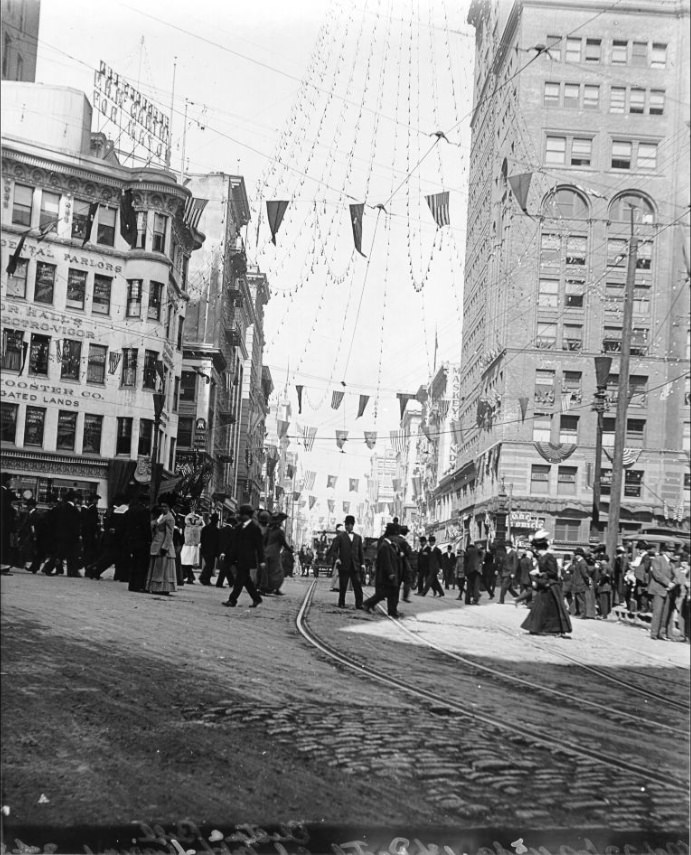
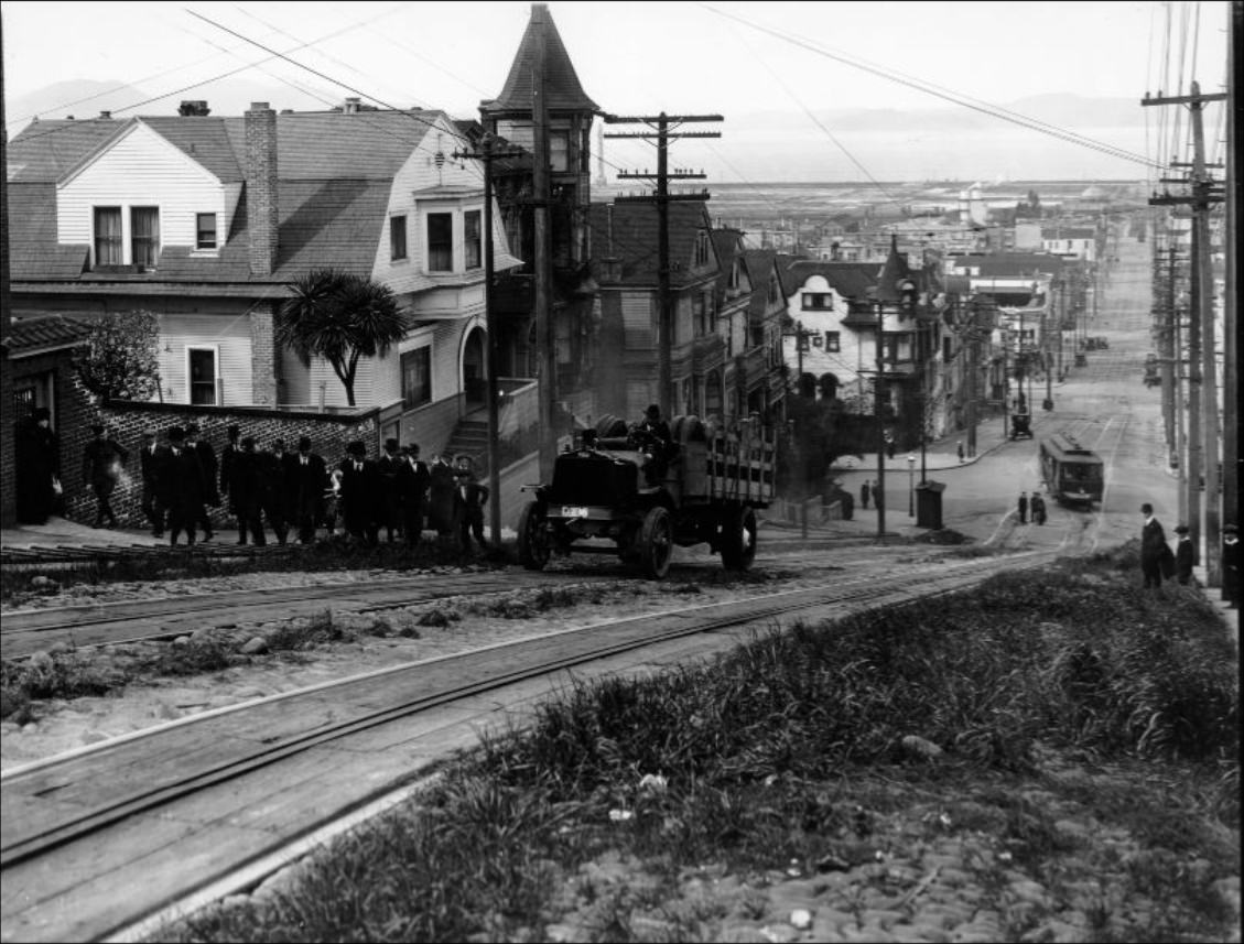
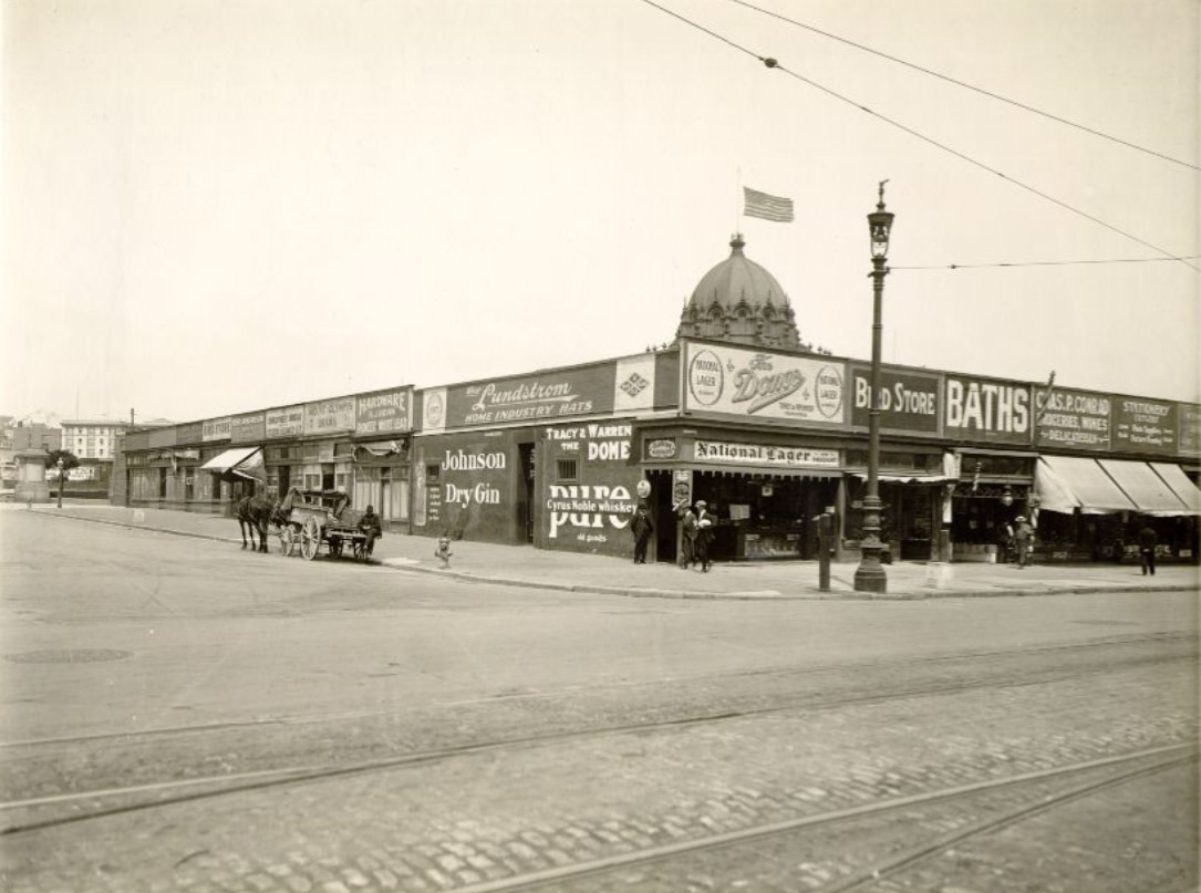
Trucks and motor vehicles were still a novelty on San Francisco’s streets in the early 1910s, and the sight of a truck straining up Fillmore Street’s steep grade was striking. The city’s hills made motorized transport both impressive and challenging. Pedestrians crossing Kearny at Market in 1910 still shared the intersection with horses, but by 1913 the motor vehicle’s presence on streets like Market at 8th was becoming harder to ignore.
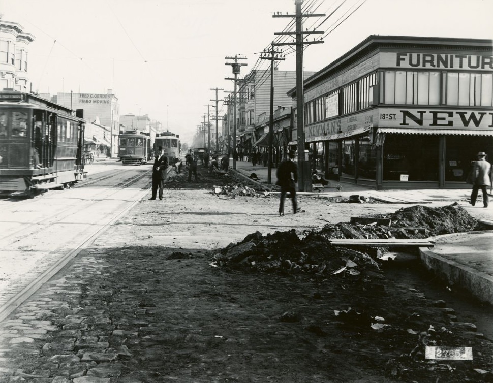
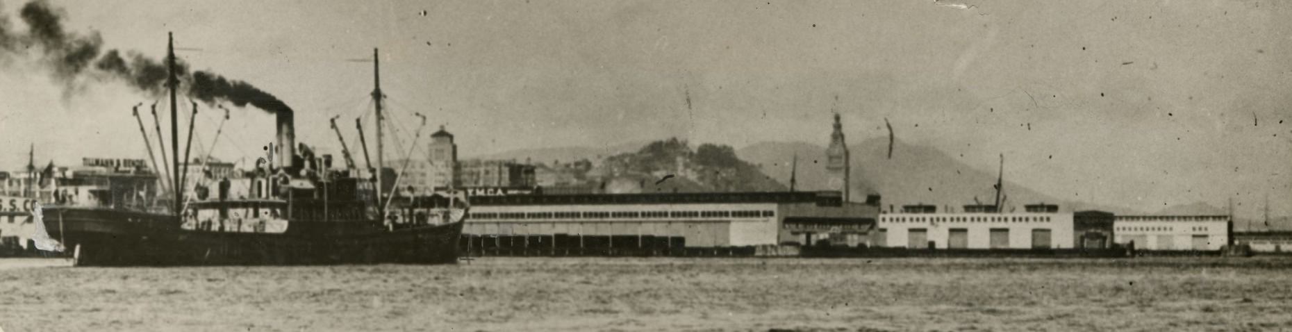
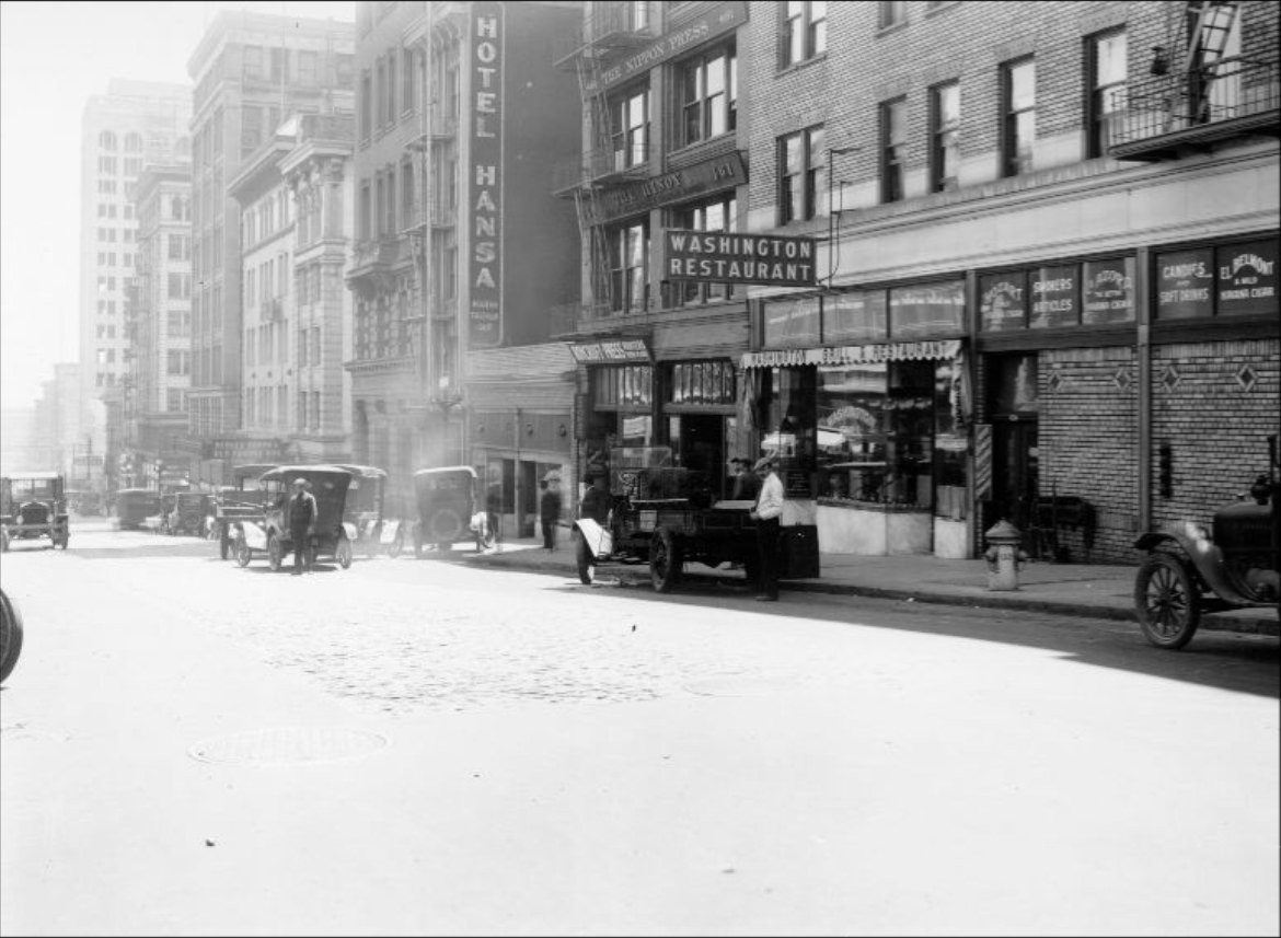
The Mission District at Mission and 18th streets in 1910 was a working-class neighborhood with a large population of Irish, Italian, and Latino residents. Its flat terrain and relatively mild weather made it one of the most densely settled parts of the city. From the bay, the waterfront presented a long, unbroken line of docks, warehouses, and the Ferry Building’s tower — the physical edge of a city that was, by every available measure, one of the most consequential urban centers in the American West.
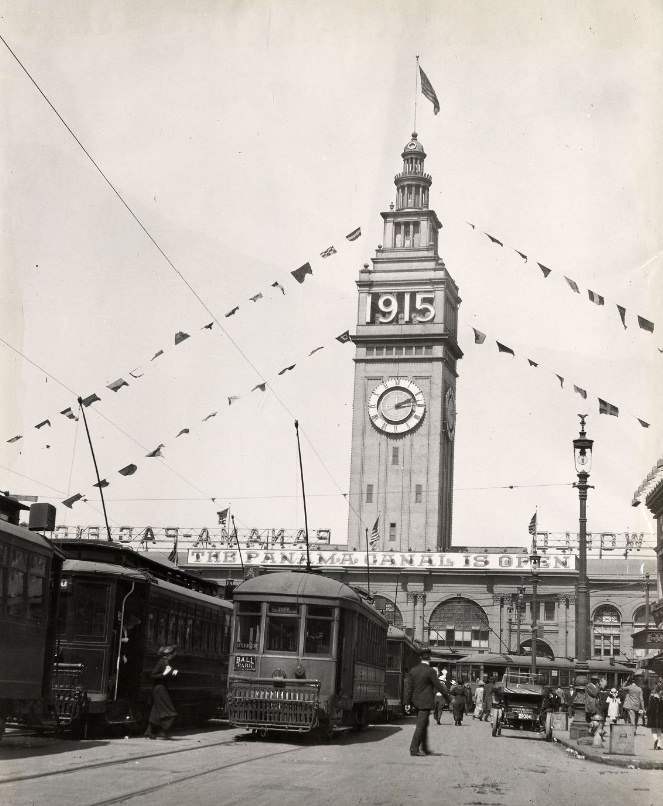
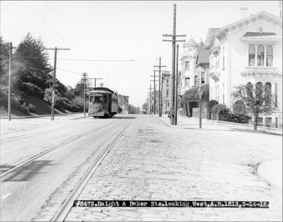
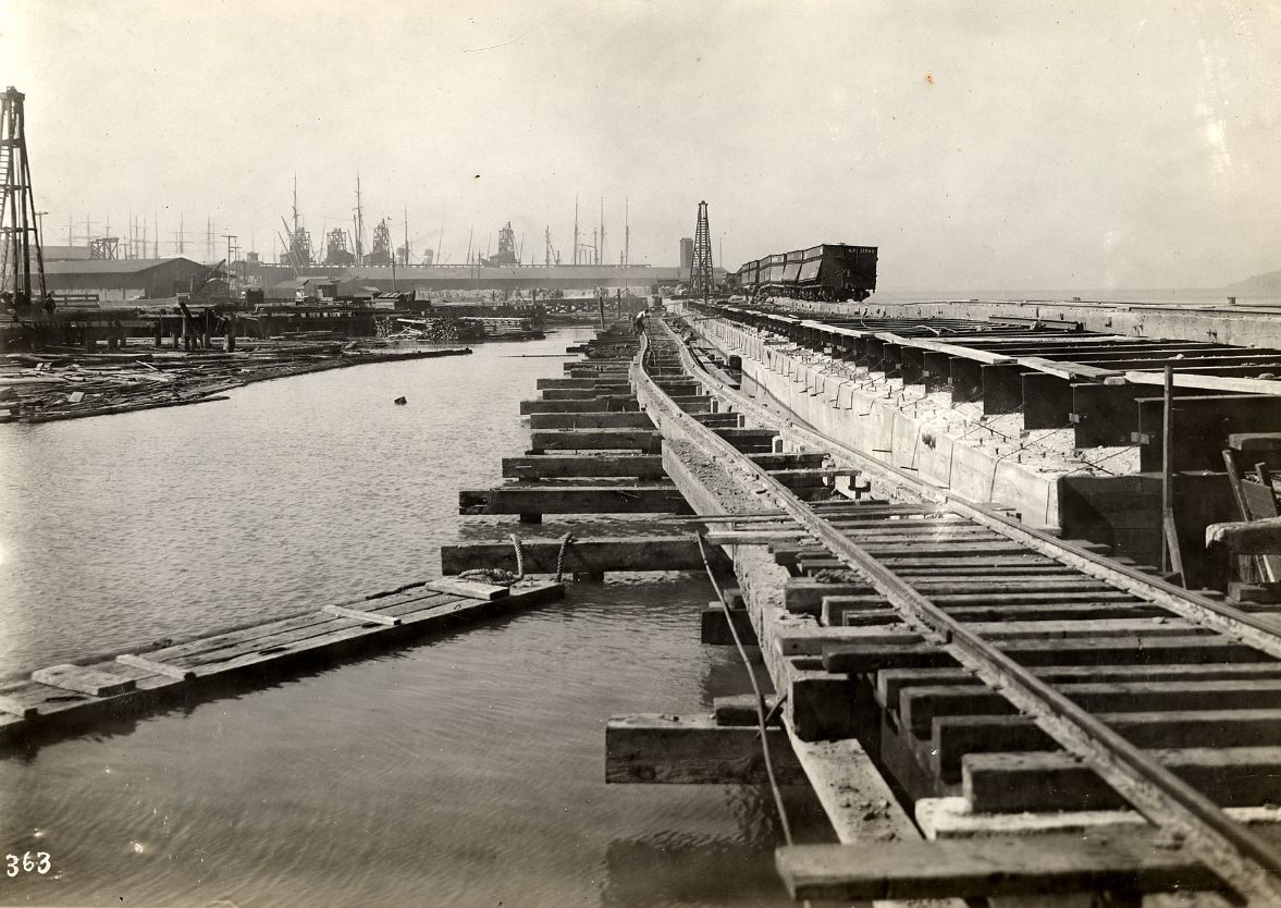
Railroad tracks ran along the seawall at the foot of Beale Street near Pier 34, connecting the waterfront piers to the rail network that distributed freight across the city and beyond. This industrial waterfront infrastructure was critical to San Francisco’s economic function. The Haight and Baker intersection in 1912 showed a far more residential corner of the city — quiet streets, wooden homes, and a neighborhood pace that contrasted sharply with the commercial districts closer to downtown.
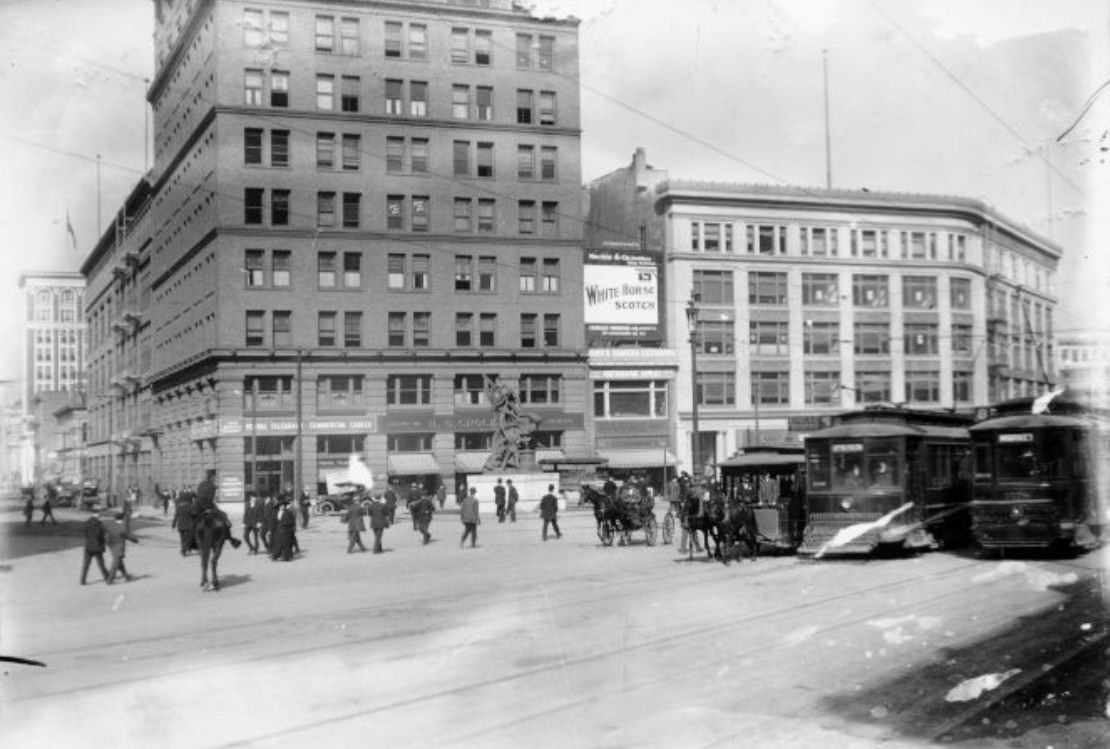
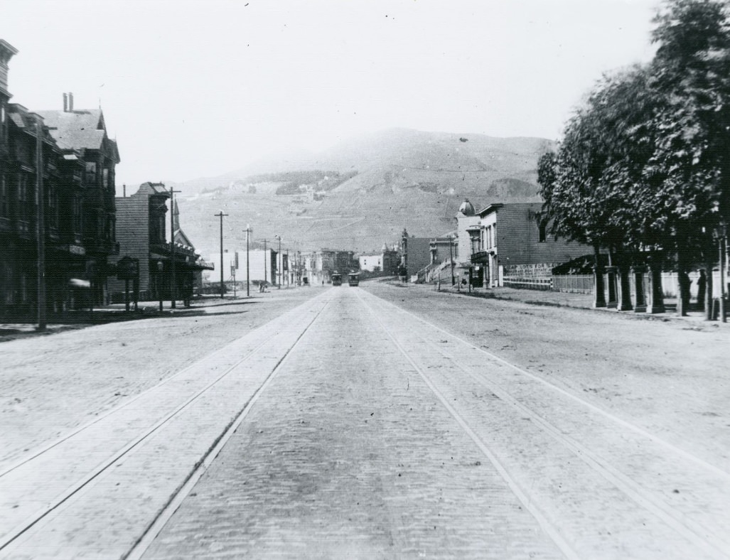
By the mid-1910s, Market Street was fully rebuilt and operating at a scale that would have seemed impossible in 1906. Tall buildings filled every block from the Ferry Building to Van Ness Avenue, and beyond that the street continued through mixed commercial and residential zones toward the Castro and the Twin Peaks area. The opening of the Twin Peaks Tunnel in 1918 extended streetcar service directly through the hills, opening up the western neighborhoods to faster development.
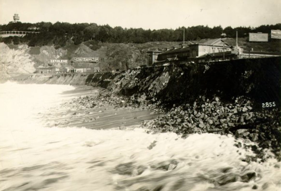
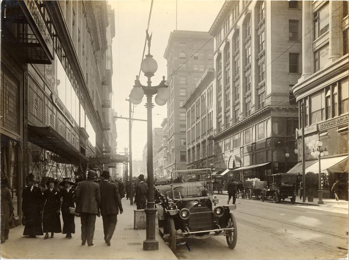
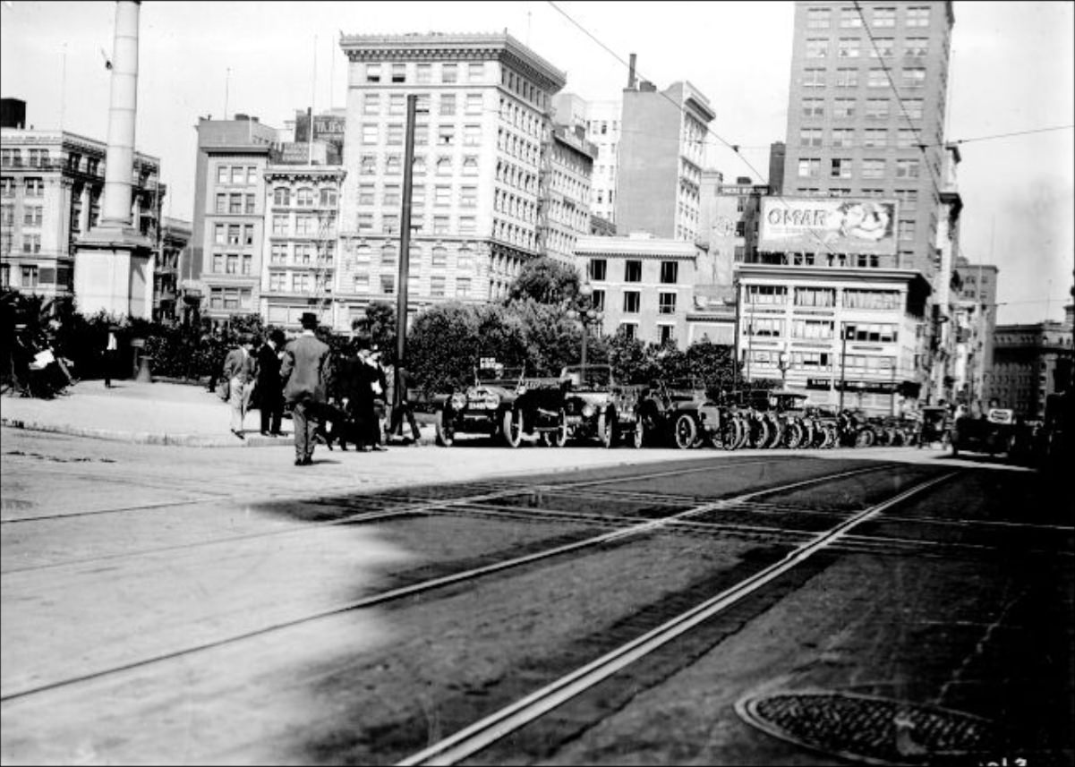
Post Street looking west from Kearny and Geary between Stockton and Powell were both at the heart of the city’s retail zone — the blocks where San Franciscans came to shop, dine, and spend an afternoon. Ocean Beach surf in 1914 shows a very different part of the same city: the long stretch of Pacific coastline at the western edge of San Francisco, where the city ended and the open ocean began. Reaching Ocean Beach by streetcar was entirely possible by this period, making it accessible to working-class families as well as those with cars.
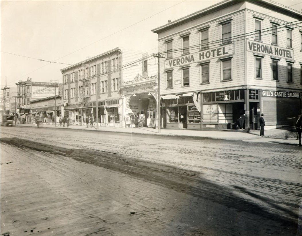
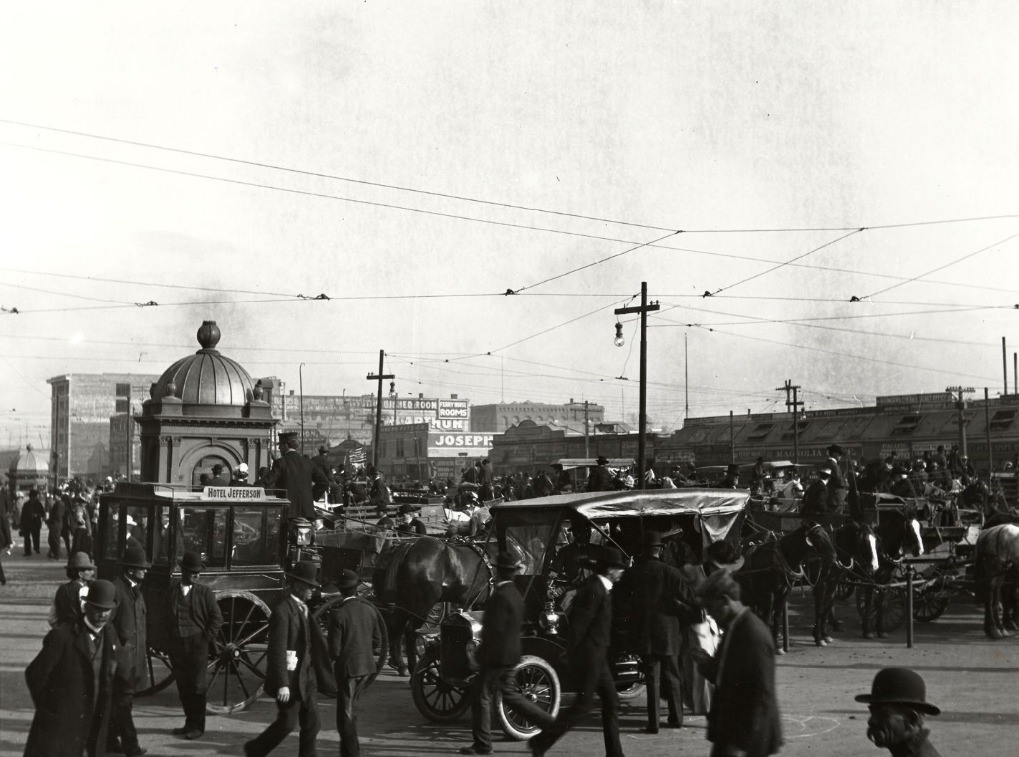
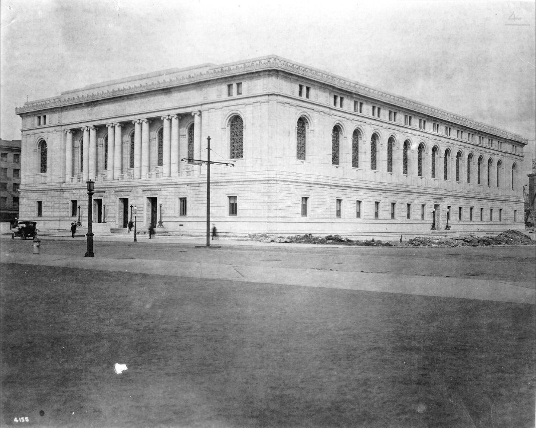
Hotels like the Verona near Third and Folsom provided lodging for the working-class residents, travelers, and laborers who moved through the city’s South of Market neighborhood. Horse-drawn carriages were still visible in front of the Ferry Building as late as 1915, even as automobiles multiplied around them. The Main Library’s exterior, with its Beaux-Arts facade, became one of the defining architectural images of the new Civic Center — a public institution built to serve a city that had every intention of lasting.
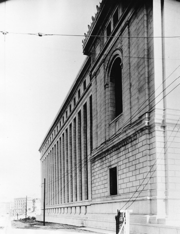
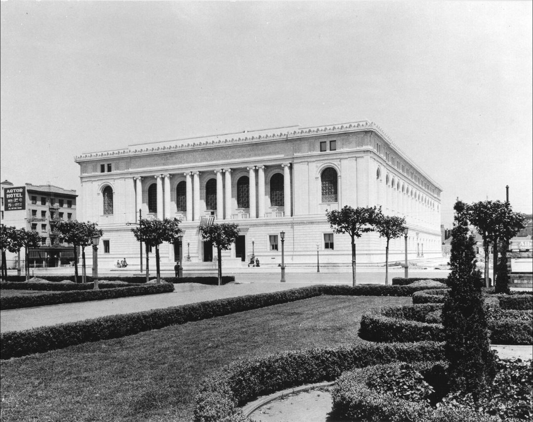
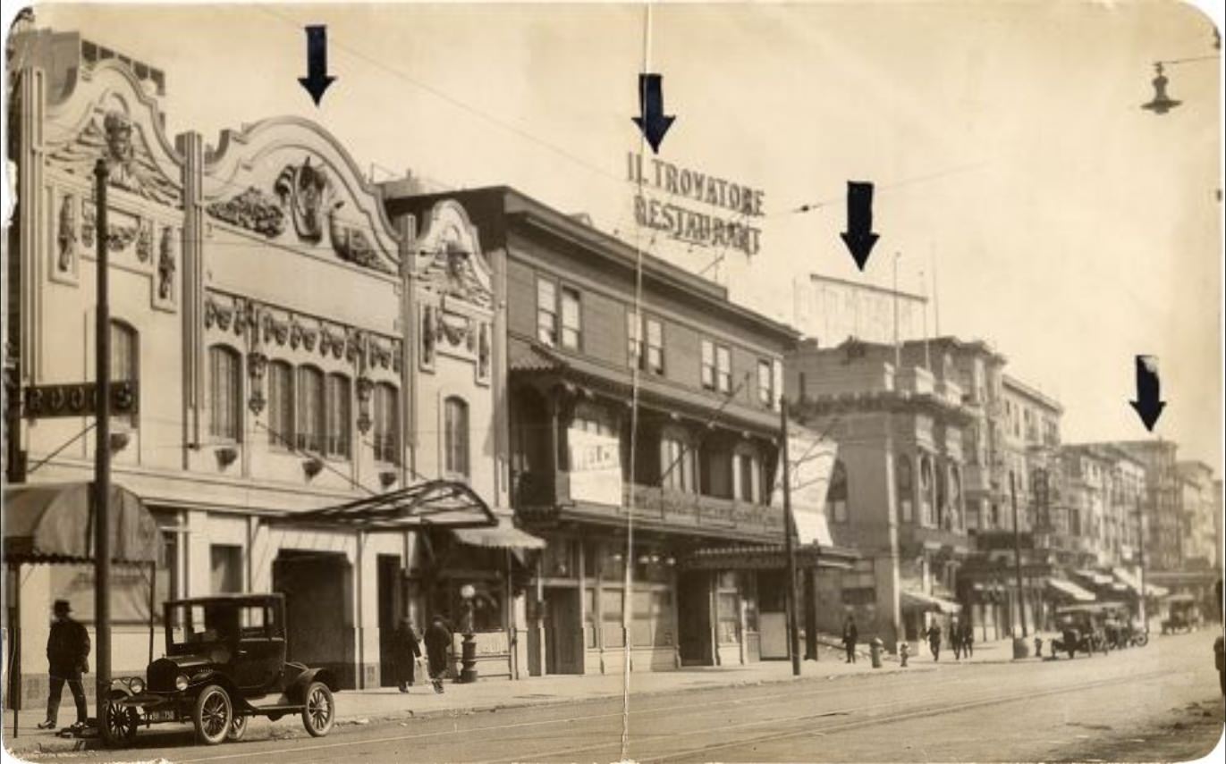
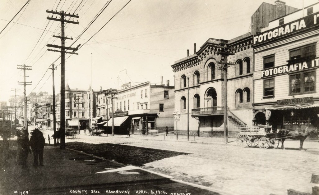
Broadway ran through North Beach and connected to the Broadway Tunnel corridor, passing through a stretch of the city that mixed working-class residences with commercial and light industrial uses. The Main Library seen from multiple angles showed the care that went into its design — a building meant to anchor the Civic Center and signal that San Francisco was investing in culture and public institutions alongside commerce and infrastructure.
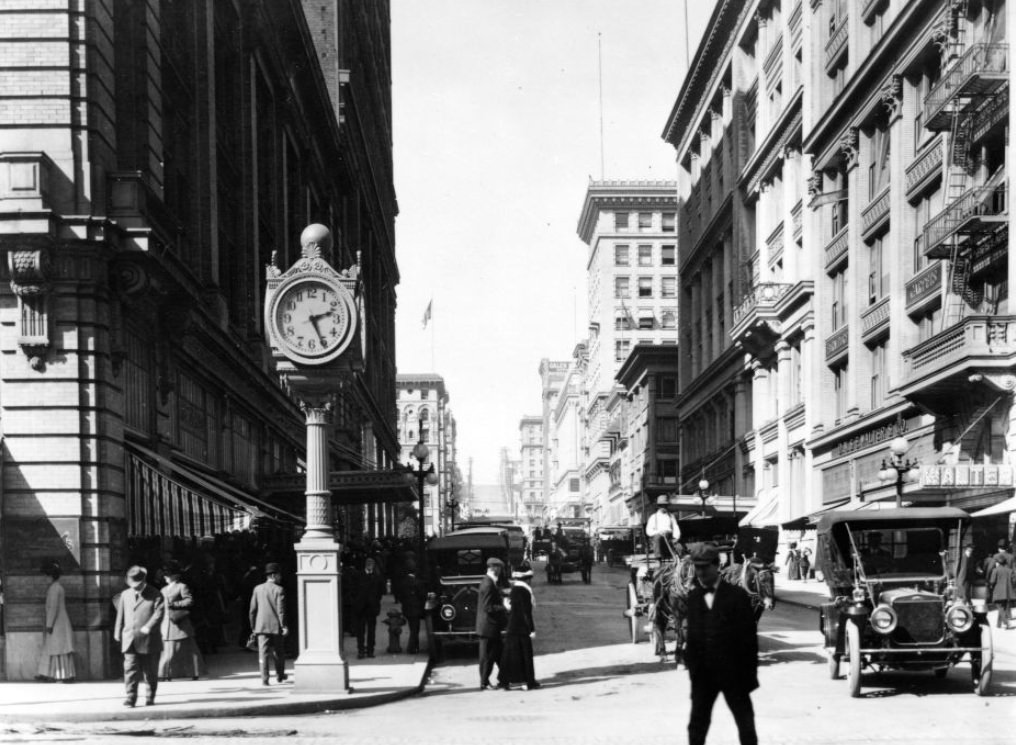
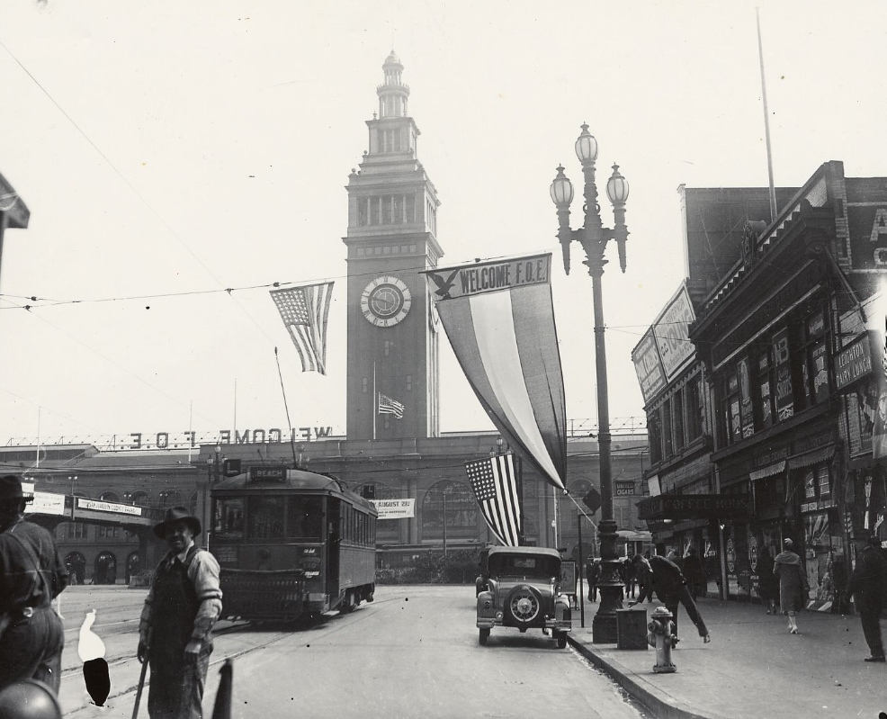
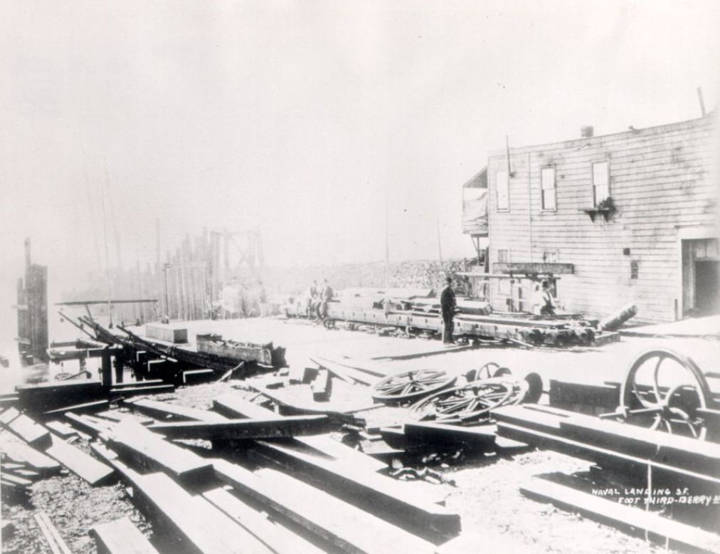
Stockton and O’Farrell sat just steps from Union Square and Chinatown, a corner that saw heavy foot traffic from shoppers, tourists, and residents of multiple communities. The Ferry Building photographed in August 1911 showed the structure at its operational peak, before the bridges would eventually make ferry travel obsolete. Naval landings at Third and Berry streets during the 1910s reflected the city’s role as a military embarkation point, a function that grew more urgent as the United States entered World War I in 1917.
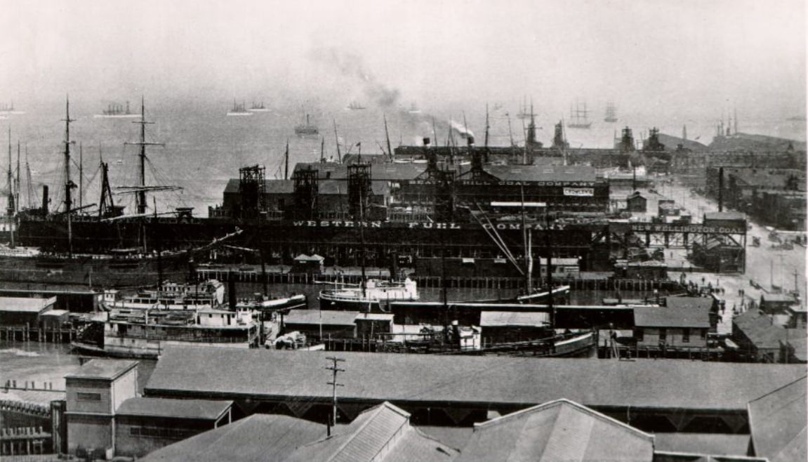
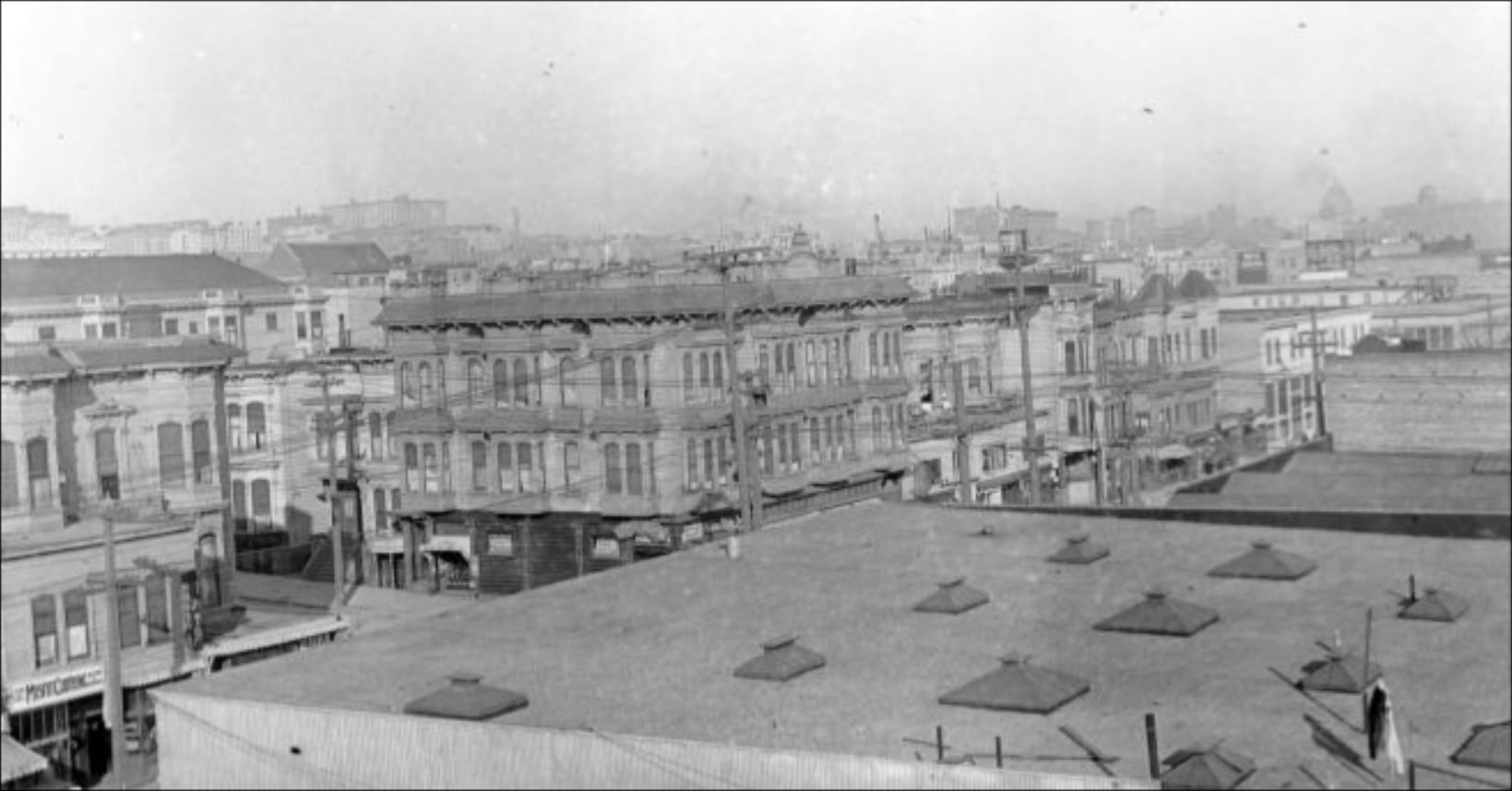
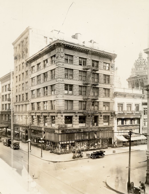
The view from the roof of John Swett School on McAllister Street in 1912 looked out over a neighborhood in the Western Addition that was fully rebuilt and fully occupied — rooftops, chimneys, and streets stretching in every direction. The San Francisco waterfront in December 1910 showed the port operating in full winter mode, ships at anchor and the hills of the city rising behind the docks. At Post and Grant in 1918, the city’s commercial energy remained undiminished even as the decade drew to a close, the streets full of people living and working in a city that had refused, at every turn, to stand still.




