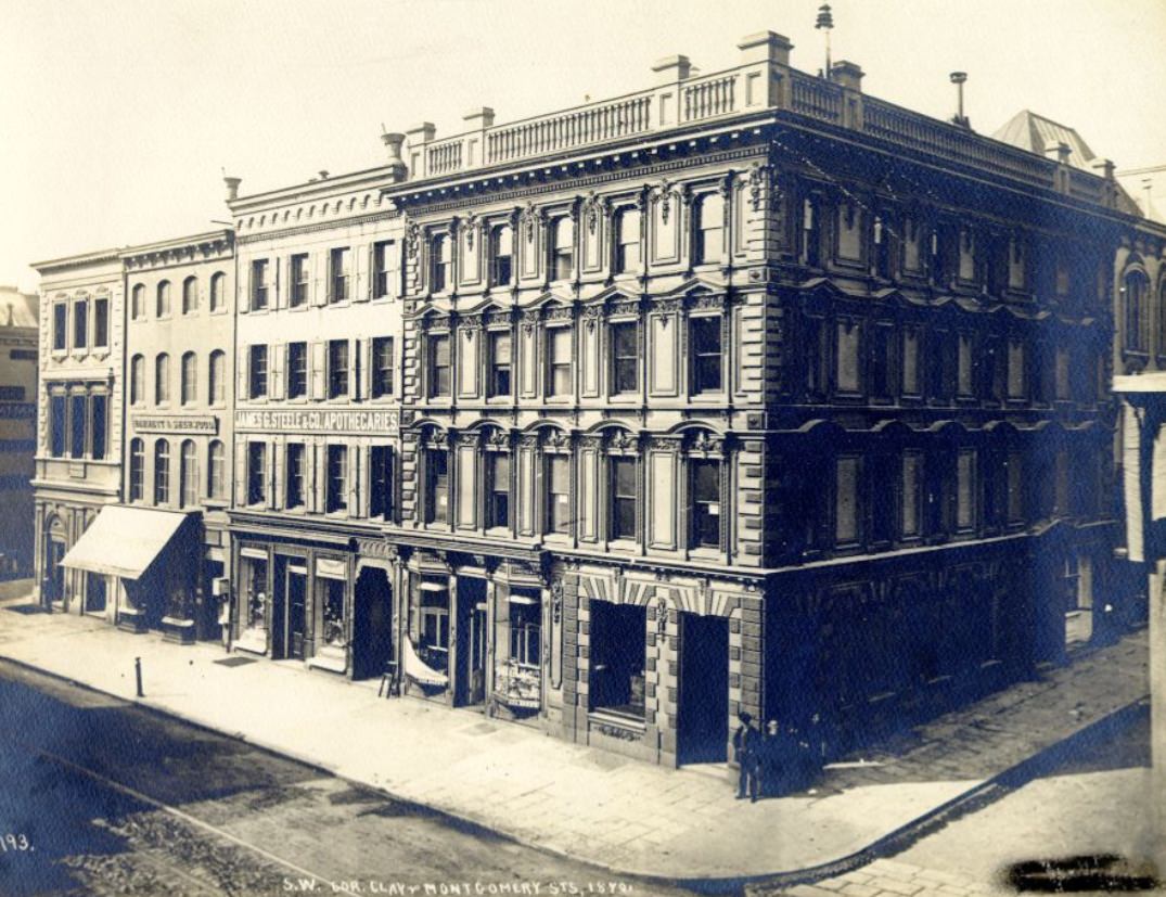
San Francisco in the 1870s was a city in full motion. The Gold Rush era had already passed, but the energy it left behind had not. The city was building, expanding, and reinventing itself at a pace that few places in the world could match. Streets were being graded, businesses were multiplying, and new neighborhoods were pushing the city’s edges outward. These photographs capture that moment — a rapidly growing metropolis still finding its shape.
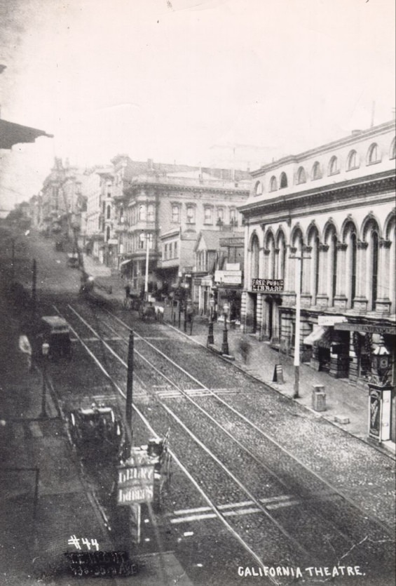
By the 1870s, San Francisco’s economy had moved well beyond gold. Maritime trade was the city’s lifeblood, and the Pacific Mail Steamship Company — operating directly out of San Francisco — controlled major shipping routes connecting the United States with Asia and the Pacific Islands. Banking and manufacturing were also growing fast. The city was no longer just a frontier outpost. It was becoming a genuine commercial center with global reach.
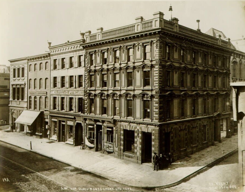
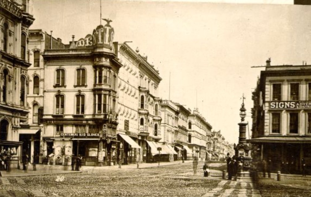
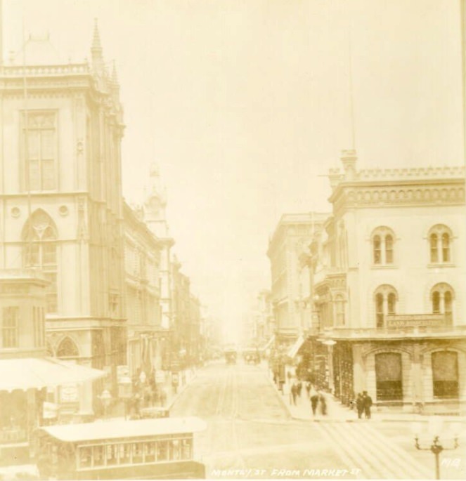
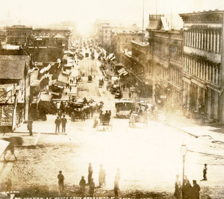
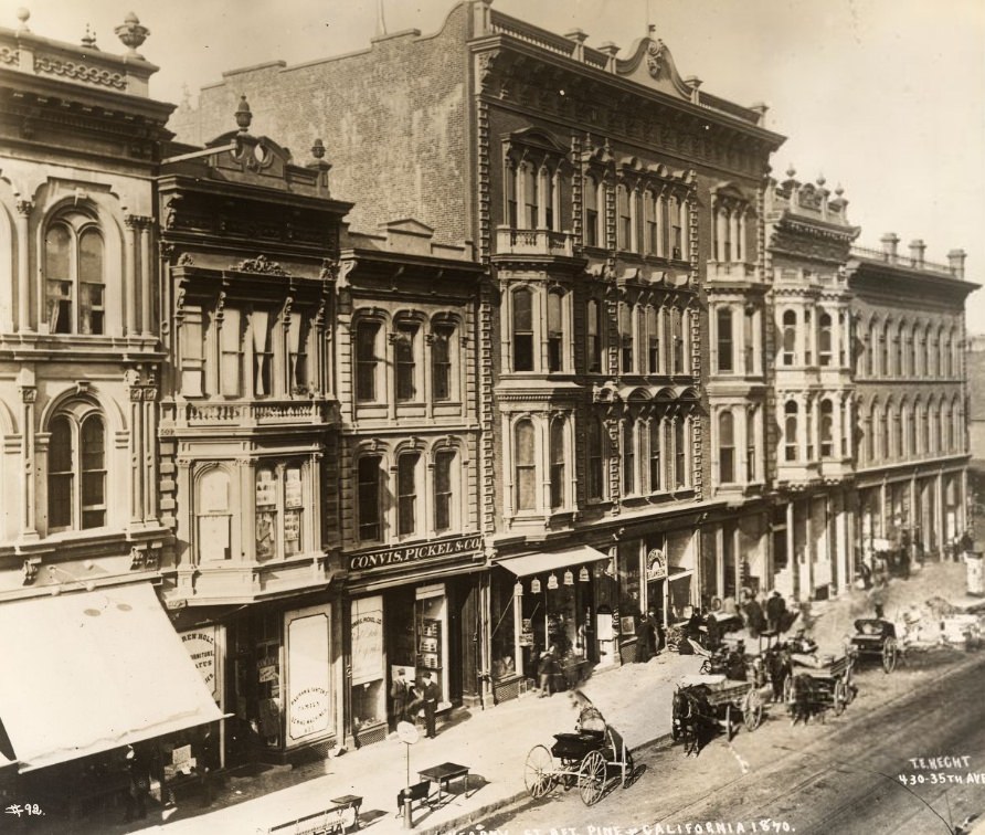
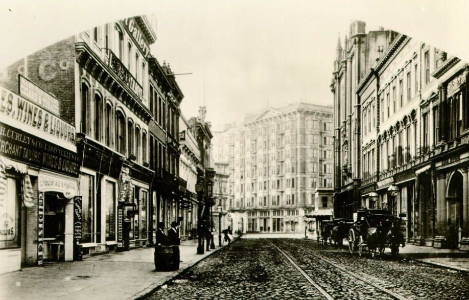
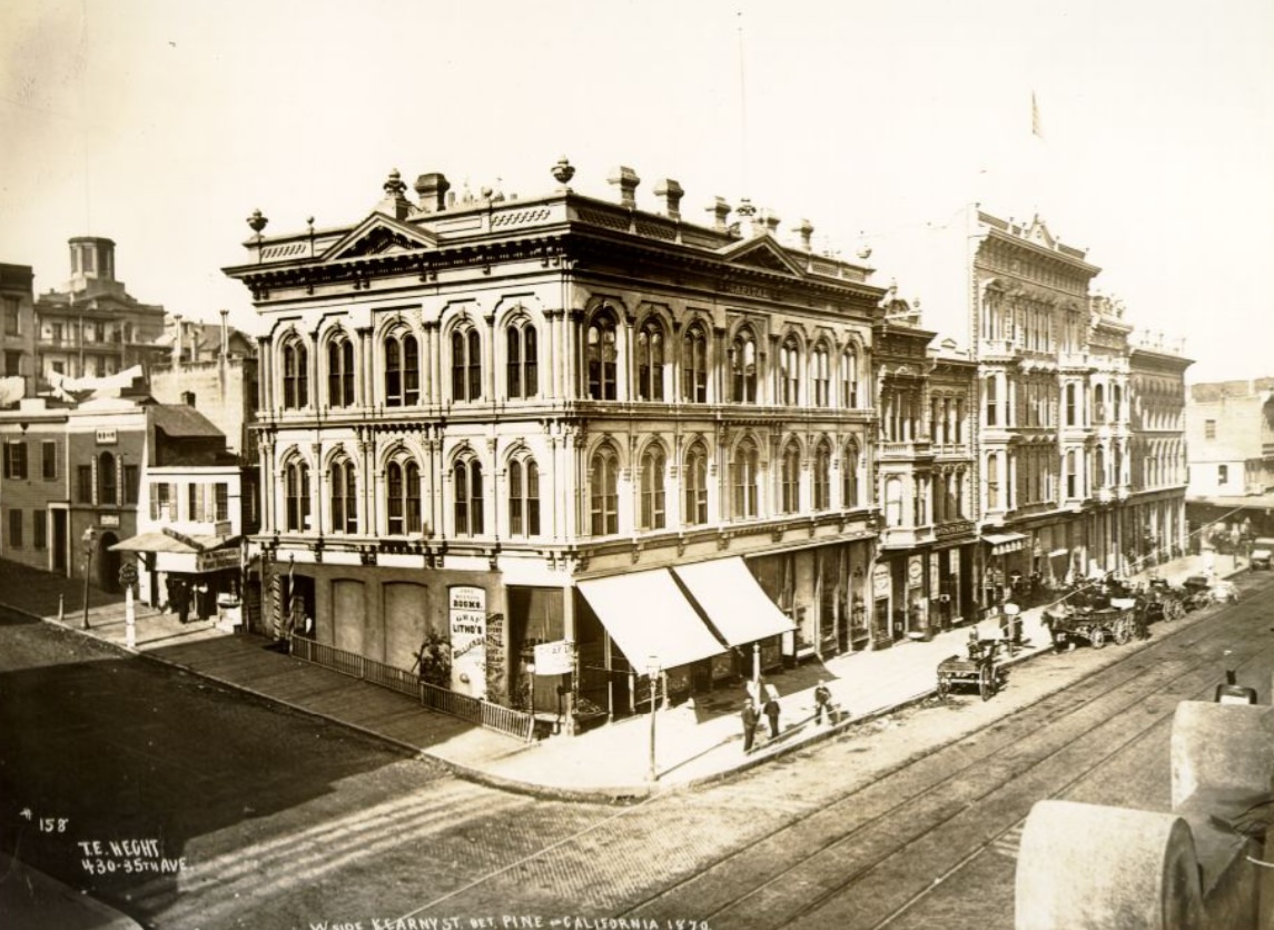
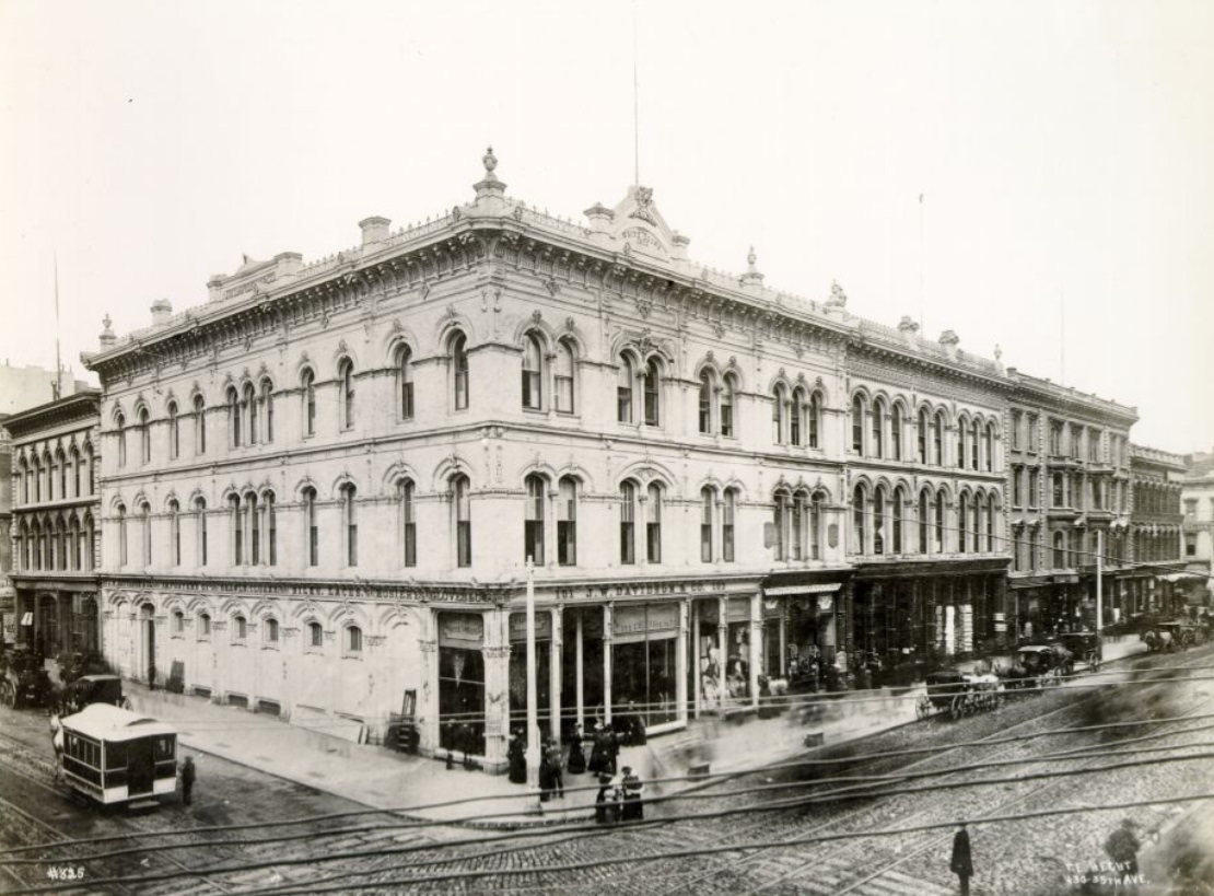
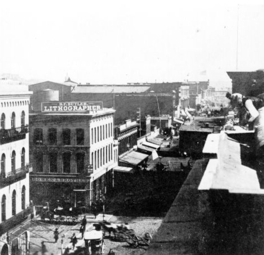
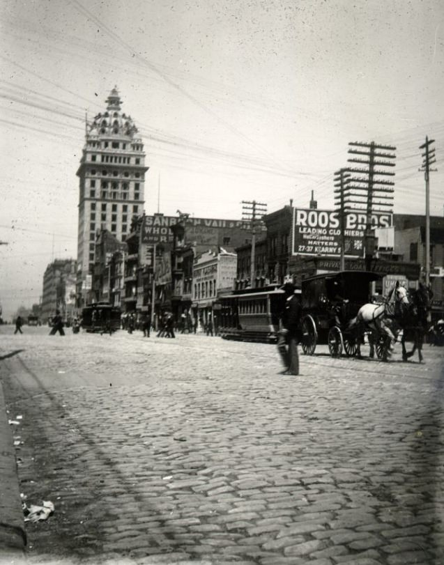
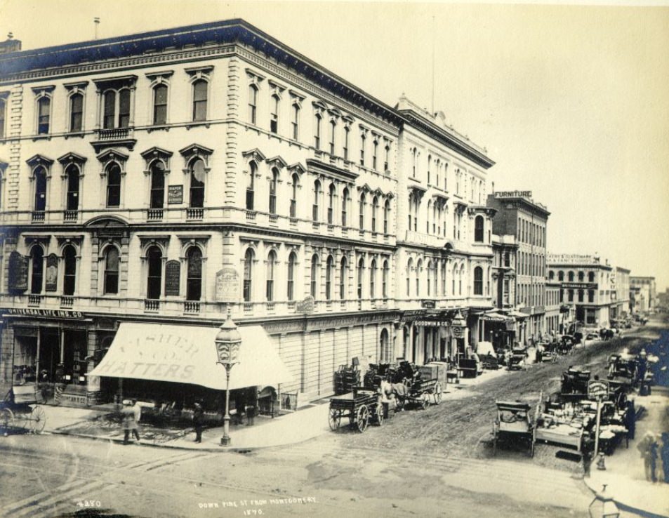
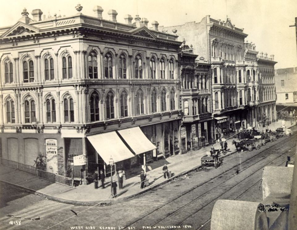
The streets themselves tell the story of this growth. Montgomery Street was the financial spine of the city — lined with banks, insurance offices, and trading houses. Kearny Street hummed with foot traffic, storefronts, and the daily rhythm of commercial life. These weren’t quiet provincial avenues. They were packed, purposeful streets that moved money and people from one end of the city to the other.
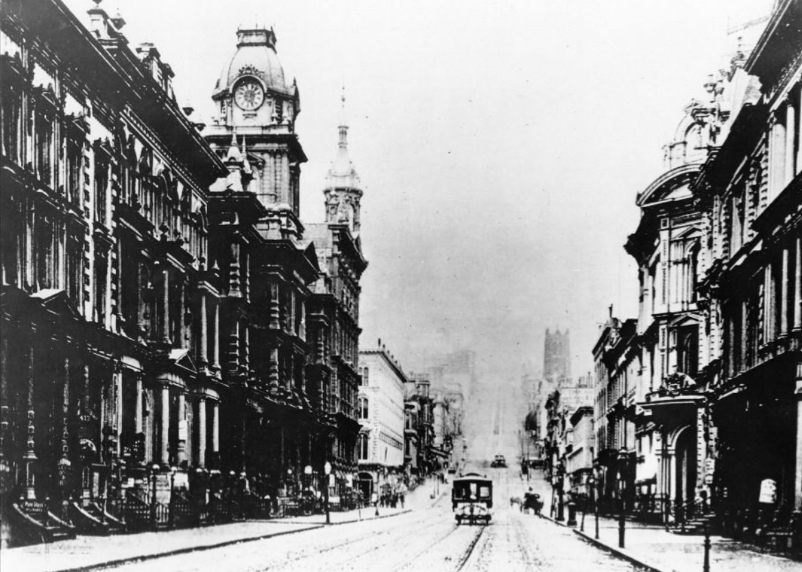
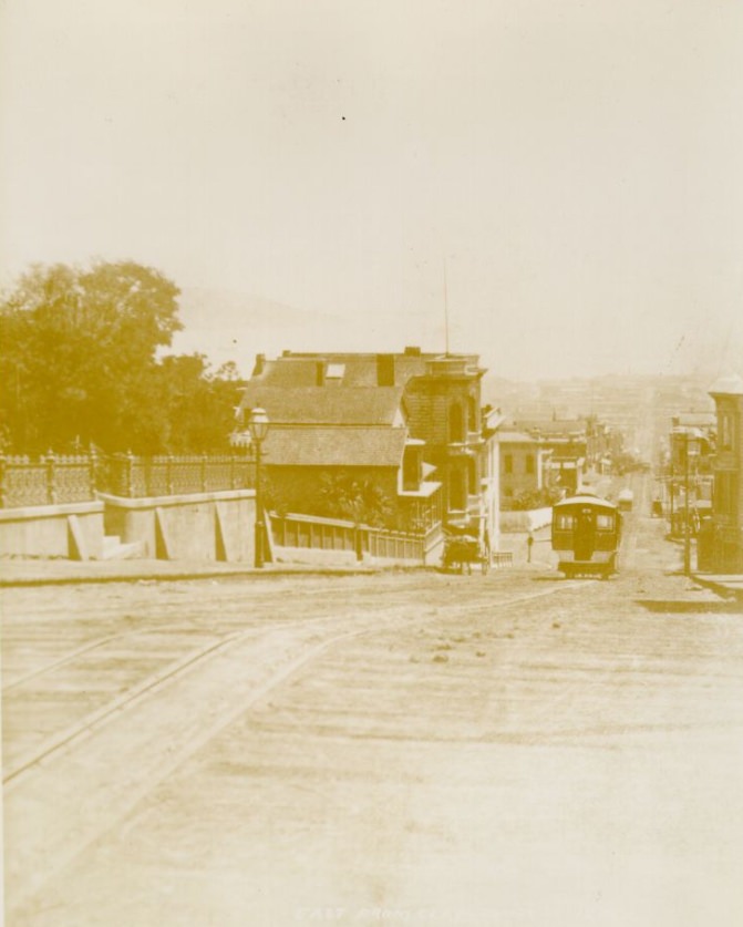
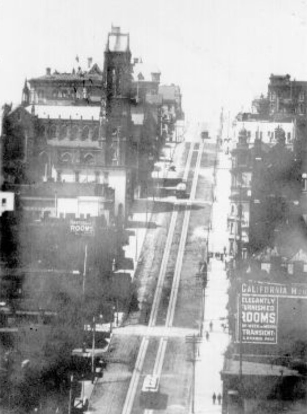
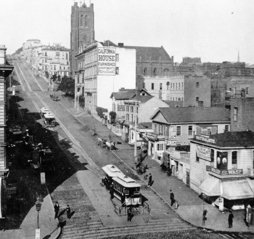
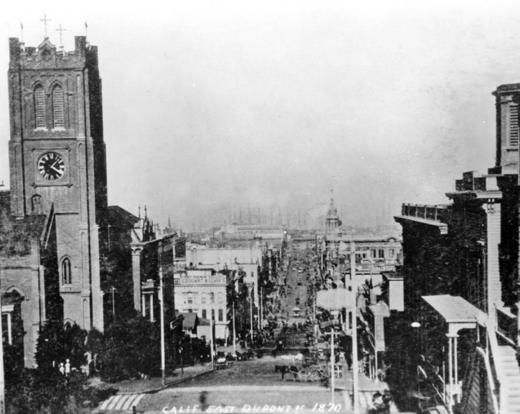
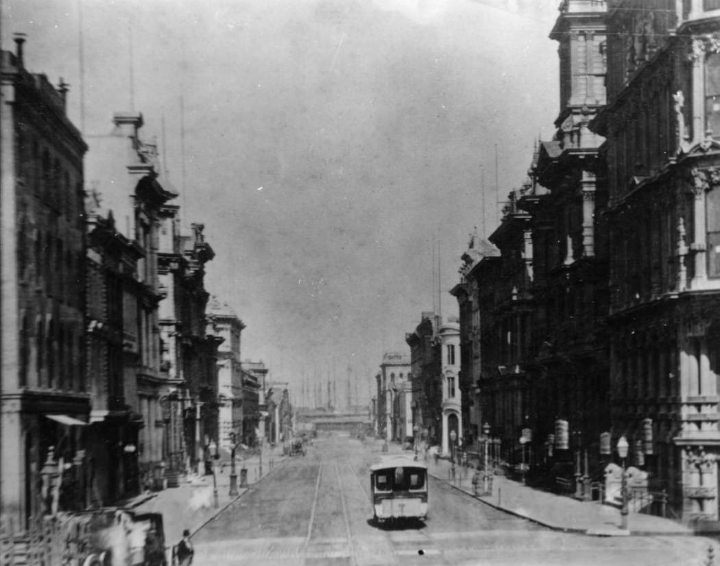
California Street was one of the city’s most important arteries. It ran from the waterfront up through the heart of the financial district and beyond. In 1873, Andrew Hallidie’s cable car system launched on Clay Street, and by the late 1870s, California Street had its own cable car line — a technology that solved one of San Francisco’s oldest problems: its punishing hills. Horses had struggled on these grades for decades. The cable car changed everything.
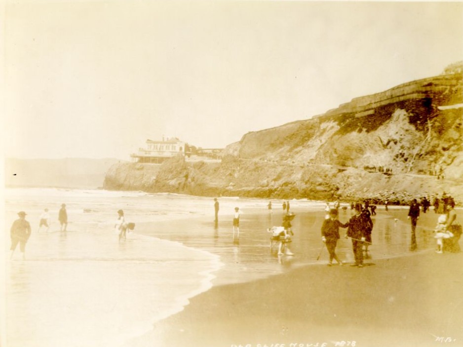
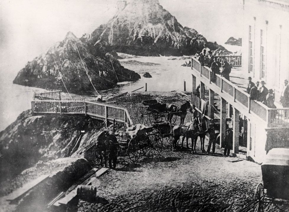
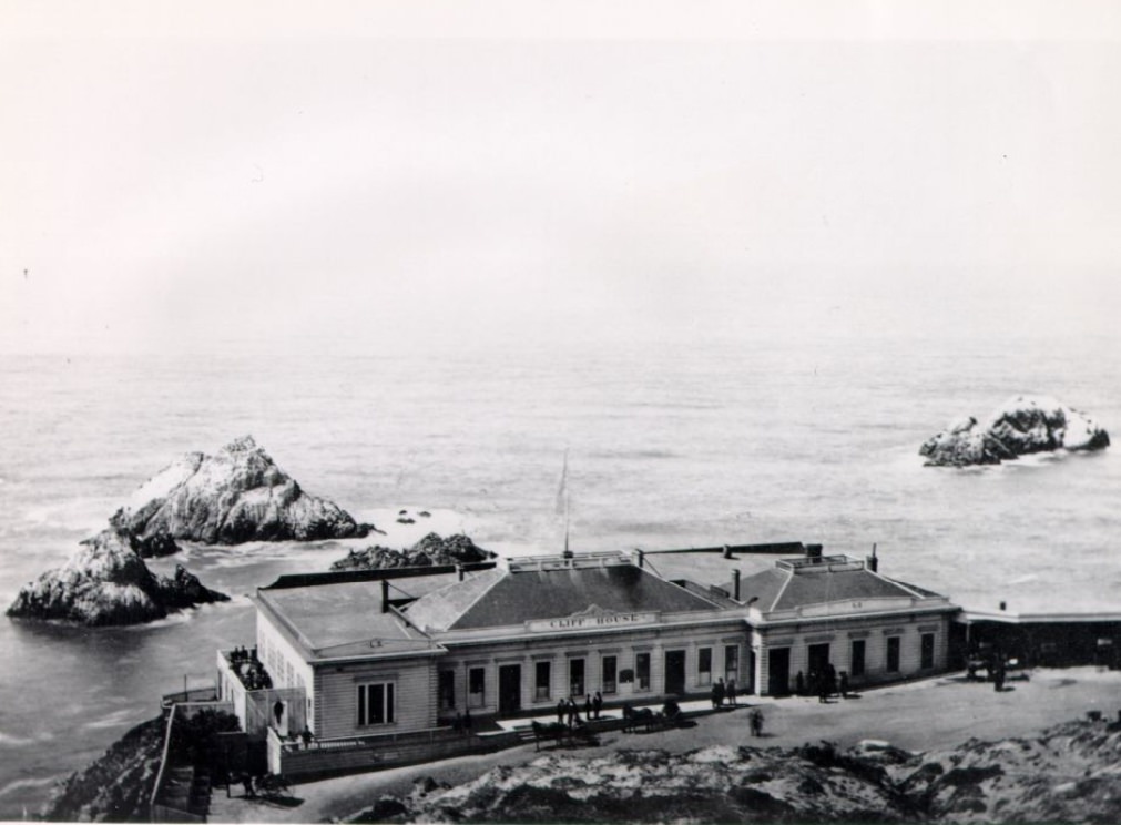
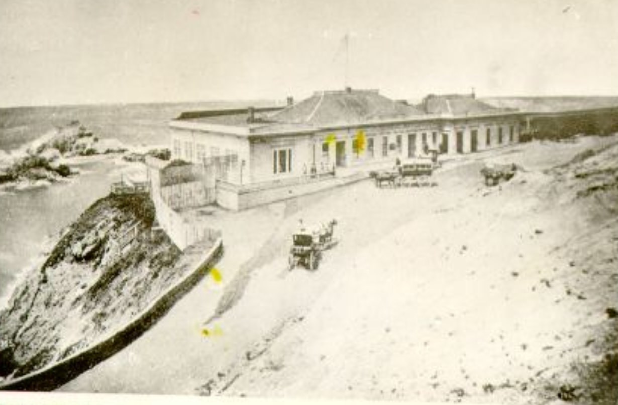
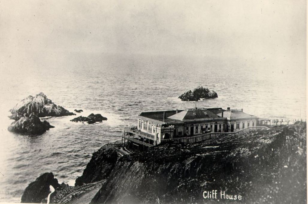
Not all of San Francisco’s life was commercial. The Cliff House, perched above the Pacific Ocean, was one of the city’s most popular destinations. Visitors would make the trip out to Ocean Beach to take in the sea air, watch the waves crash against Seal Rocks, and dine with a view of the open Pacific. It was a place for leisure in a city that worked hard and played equally hard.
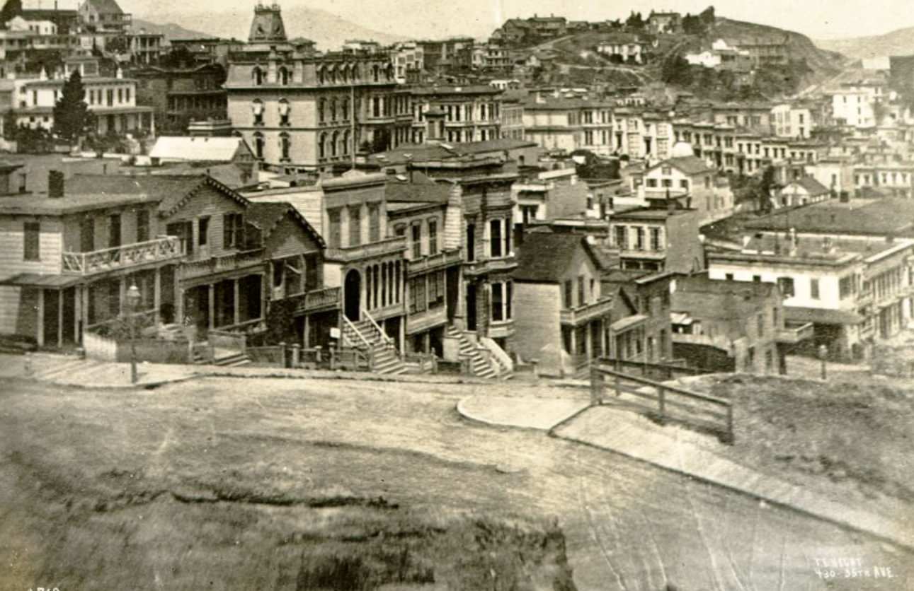
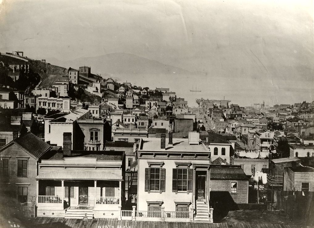
San Francisco’s neighborhoods were distinct and densely packed. Rincon Hill had once been home to the city’s elite, while North Beach drew working-class residents and immigrants. The Mission District, relatively flat compared to the rest of the city, was expanding steadily through the decade. Each neighborhood had its own character, its own population, and its own pace — all connected by the city’s growing network of streets and transit lines.
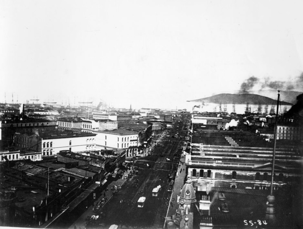
Market Street was San Francisco’s main boulevard — wide, busy, and central to the city’s layout. It cut diagonally across the city’s grid and served as both a commercial corridor and a civic backbone. By the mid-1870s, Market Street was lined with hotels, shops, and saloons, drawing foot traffic from every corner of the city. The street was the place where San Francisco’s ambition was most visible.
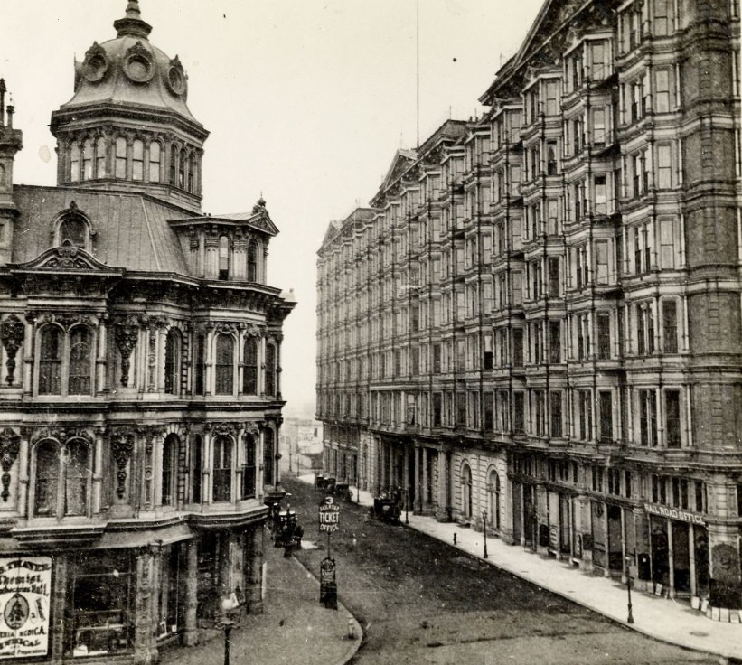
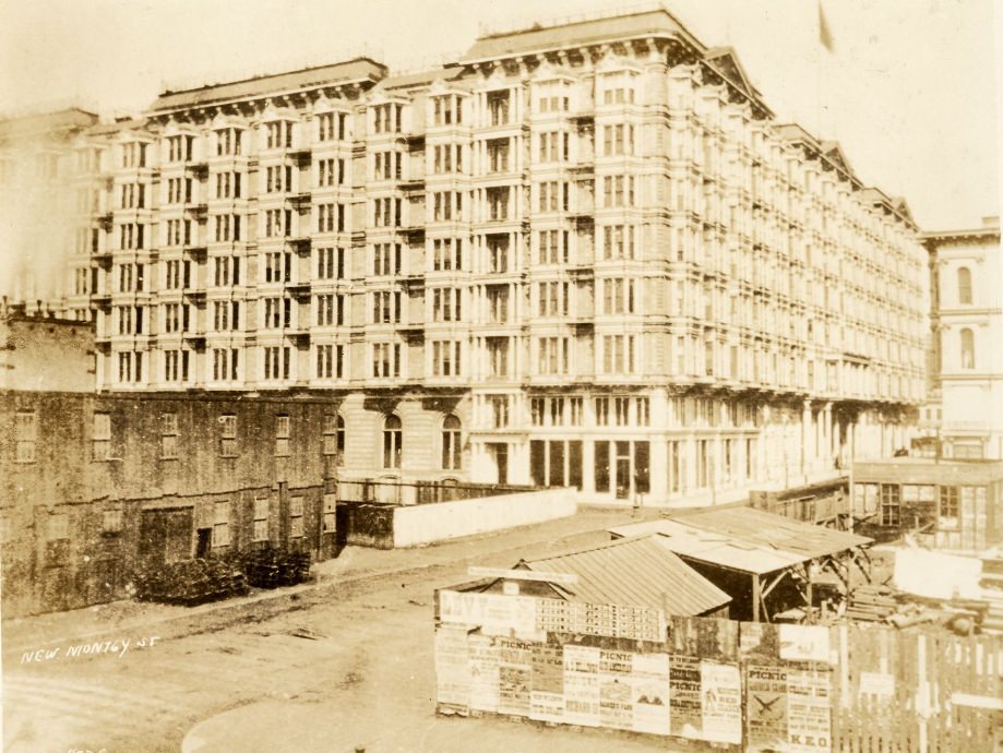
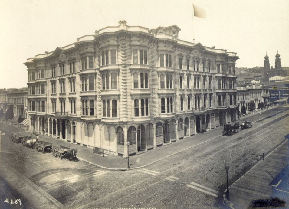
The Palace Hotel, which opened in 1875, stood as the most dramatic symbol of San Francisco’s prosperity. Located on New Montgomery Street, it was the largest hotel in the United States at the time — a massive structure with a grand interior court, 800 rooms, and every luxury available in the era. Its construction announced to the world that San Francisco had arrived.
The city’s cultural life was flourishing alongside its economic growth. The Bohemian Club, founded in 1872, brought together artists, writers, and musicians in a city that was developing a real literary identity. West Coast writers were producing work that reflected the raw, diverse energy of San Francisco — a city where a fisherman, a banker, a Chinese merchant, and a newspaper editor might all share the same block.
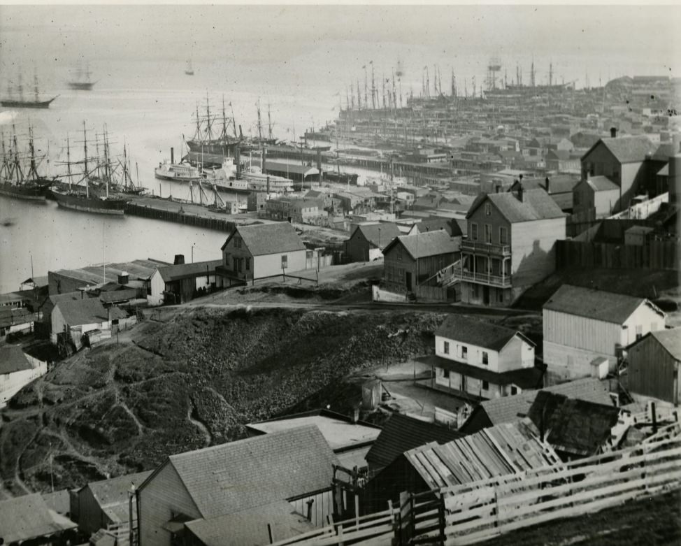
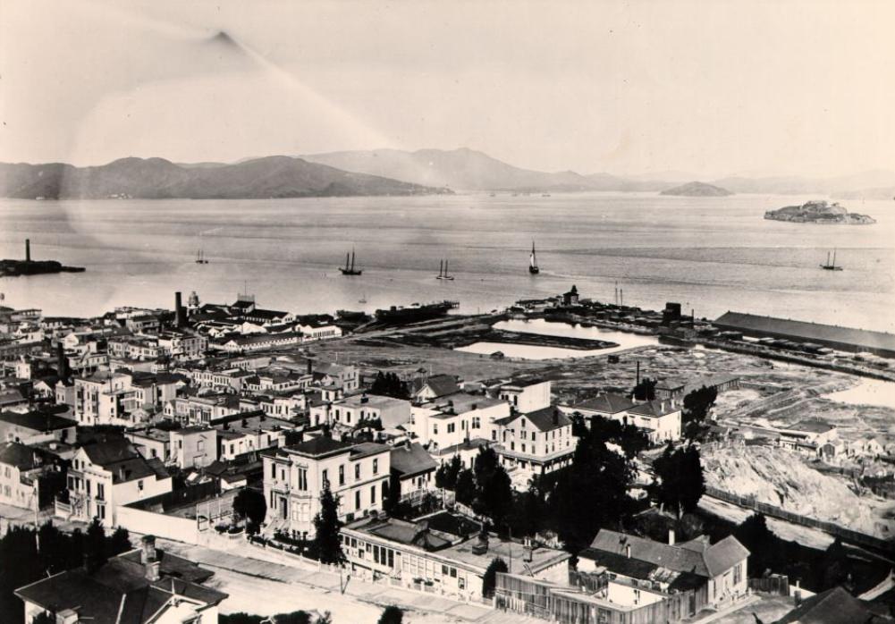
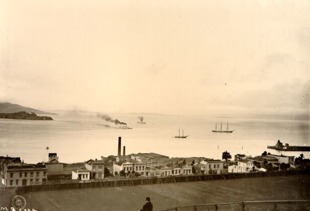
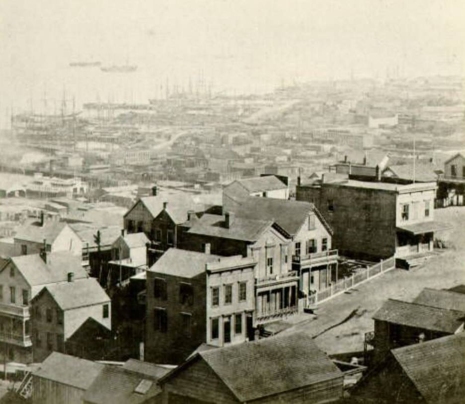
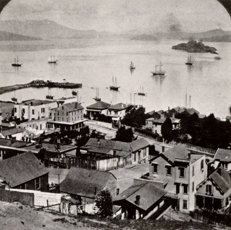
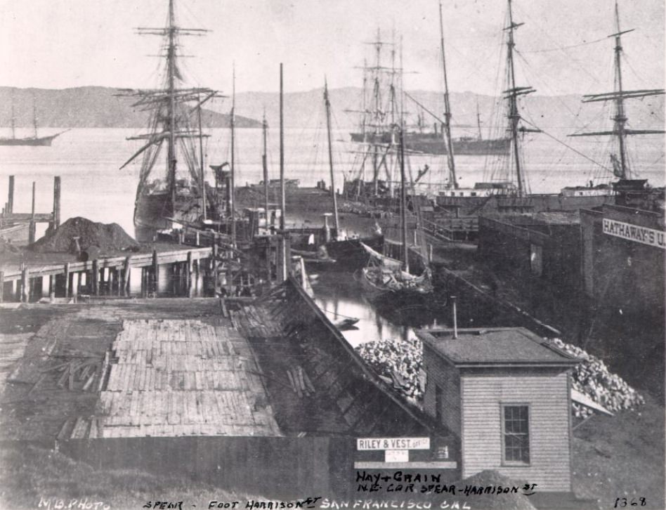
San Francisco’s waterfront was the engine of the entire operation. Ships from Asia, South America, and the eastern United States arrived constantly, unloading goods and passengers. Telegraph Hill offered the best vantage point over the bay — a wide view of docked vessels, the sweep of the harbor, and in the distance, the outline of Alcatraz Island. The waterfront never slept.
Despite its prosperity, San Francisco in the 1870s had serious problems. Overcrowded neighborhoods struggled with inadequate sanitation. Infectious diseases spread through densely packed areas where water supply and waste disposal were unreliable. City officials began pushing for public health reforms, and urban planning efforts started to address the worst conditions — though progress was slow and uneven across different parts of the city.
Chinatown, already the largest Chinese community outside of Asia by the 1870s, occupied a concentrated area in the center of the city near Kearny and Sacramento streets. It functioned as both a cultural refuge and a commercial district — home to restaurants, temples, laundries, and import businesses. Chinese workers had built much of the transcontinental railroad, and many settled in San Francisco after the project was completed in 1869.
Labor tensions ran beneath the surface of San Francisco’s growth. Industrialization had made some people very wealthy, while working-class residents faced long hours, low pay, and dangerous conditions. As the decade wore on, frustration mounted. By the late 1870s, the Workingmen’s Party of California had emerged, demanding an eight-hour workday and reforms that would shift power toward laborers. The movement was loud, organized, and impossible for city leaders to ignore.
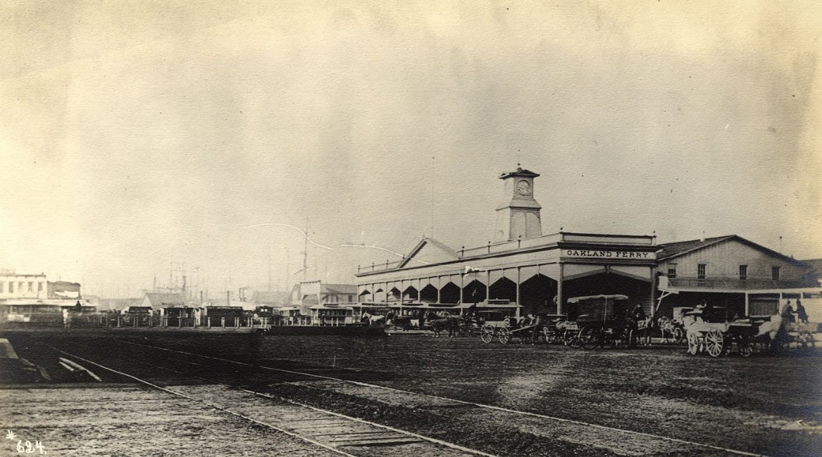
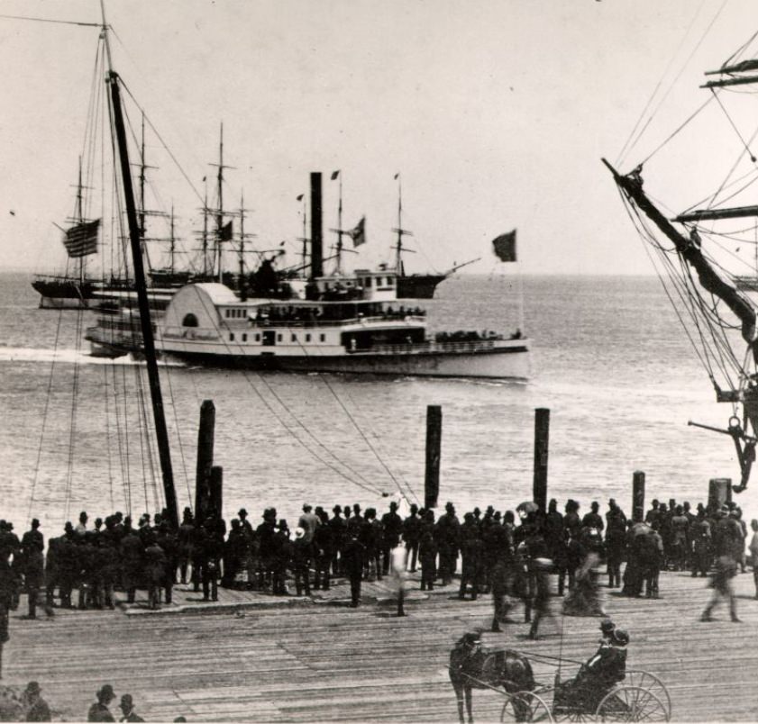
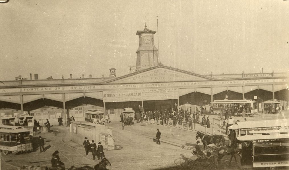
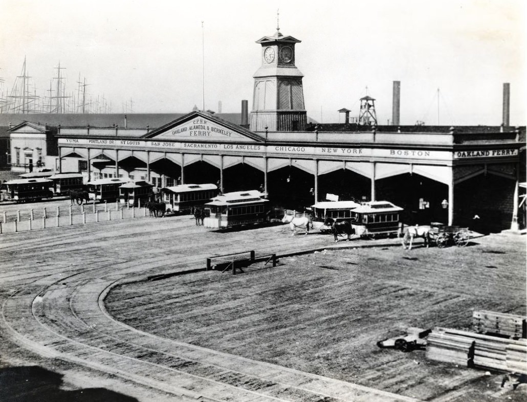
The Oakland Ferry at the foot of Market Street connected San Francisco to the East Bay, carrying thousands of commuters, goods, and travelers daily. The Ferry Building served as the gateway to the city for anyone arriving by water — which, before the bridges, was nearly everyone coming from the east. The scene at the ferry docks captured the city at its most active: crowds, cargo, and constant motion.
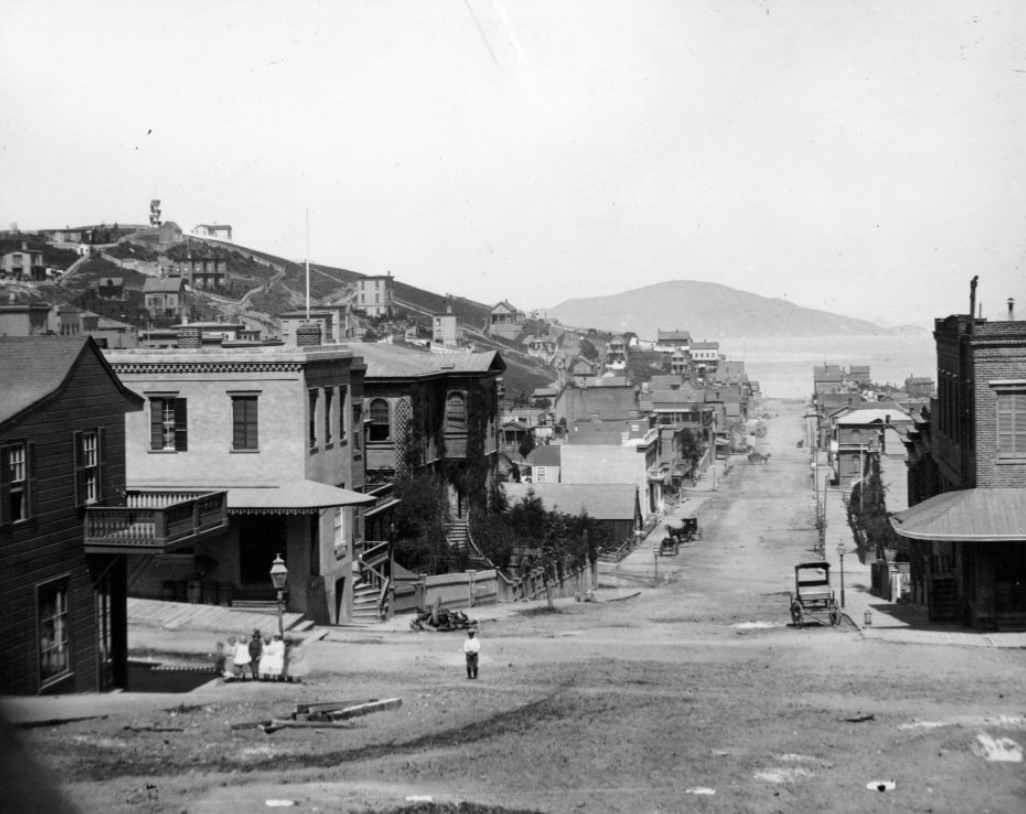
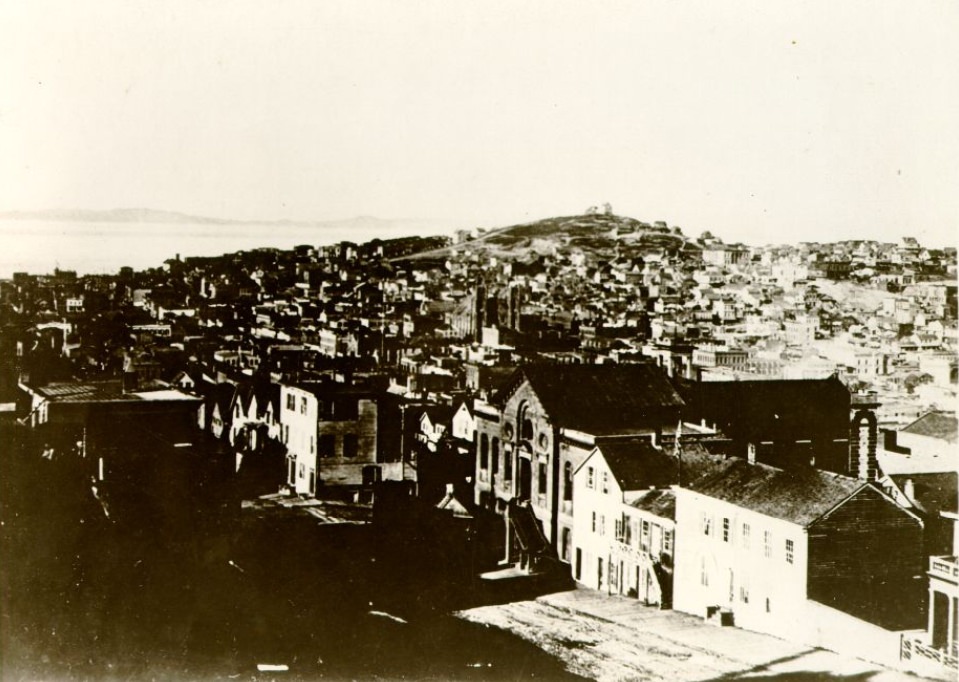
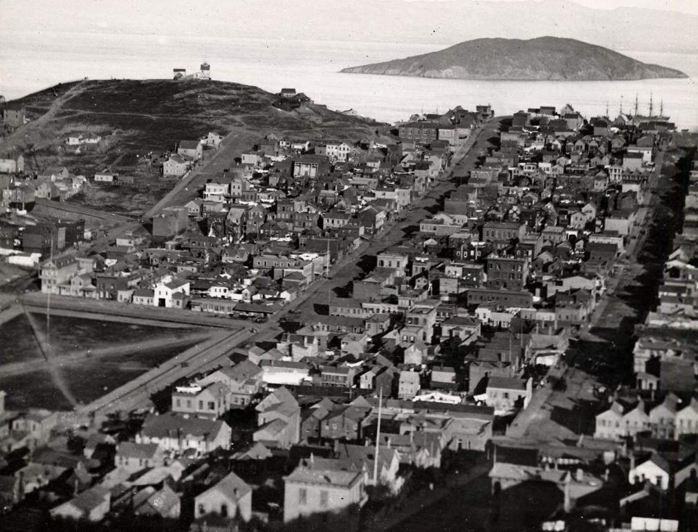
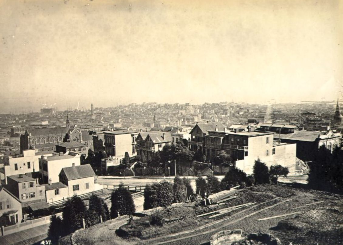
The hills of San Francisco shaped everything — how neighborhoods developed, where the wealthy built their homes, and which streets became commercial corridors versus residential blocks. Russian Hill and Telegraph Hill offered sweeping views of the bay and the growing city below. From these heights, the scale of San Francisco’s transformation was fully visible: a web of streets, buildings, and ship masts stretching from the hills to the water.
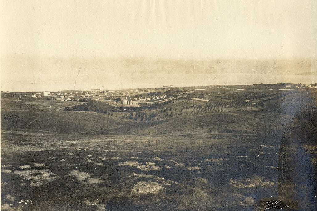
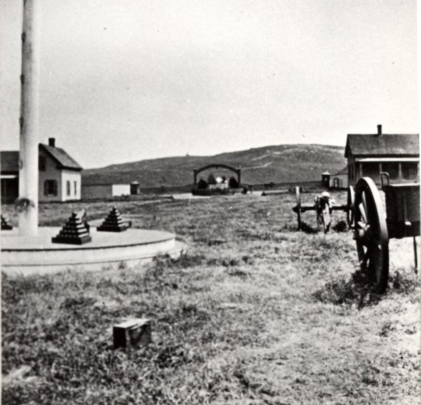
The Presidio, the military reservation at the northern tip of the peninsula, remained an active U.S. Army post throughout the decade. Its open grounds and coastal views stood in sharp contrast to the dense urban fabric developing just to the south and east. The installation had been a military presence in San Francisco since the Spanish colonial period, and it continued to define the northwestern edge of the city.
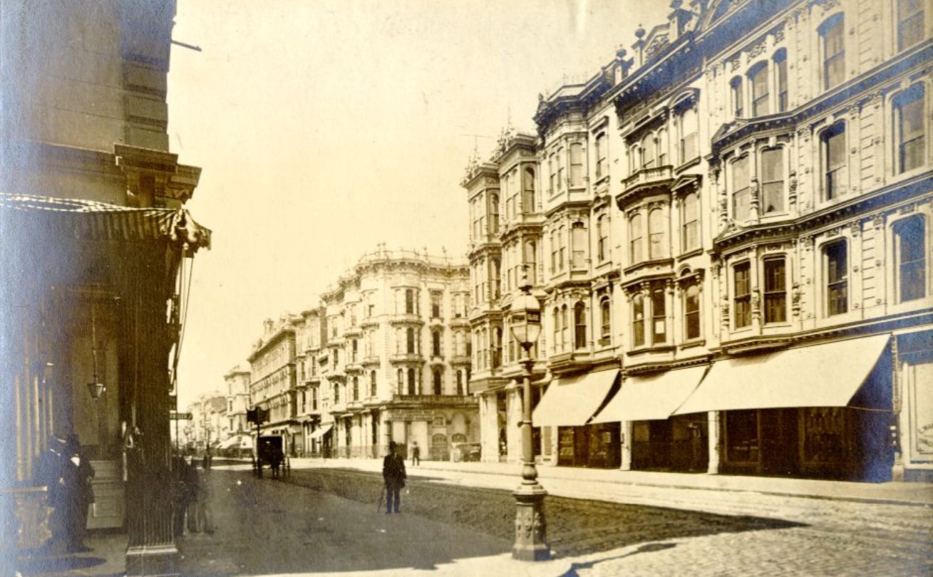
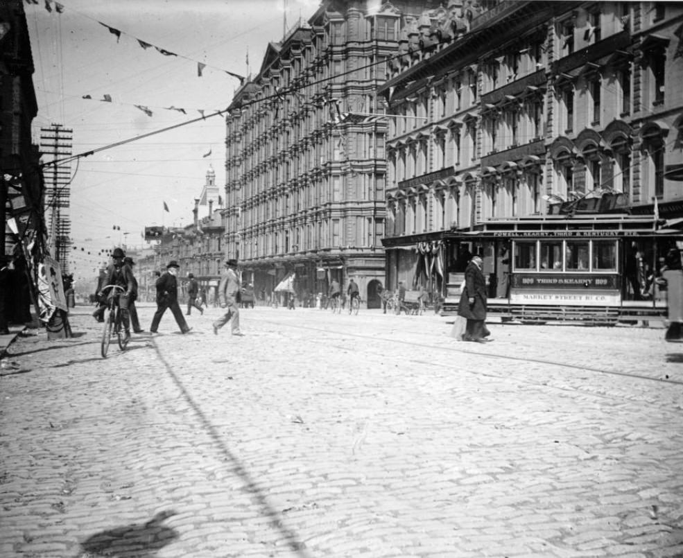
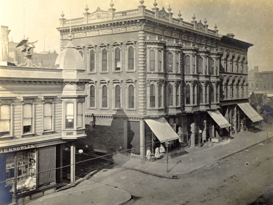
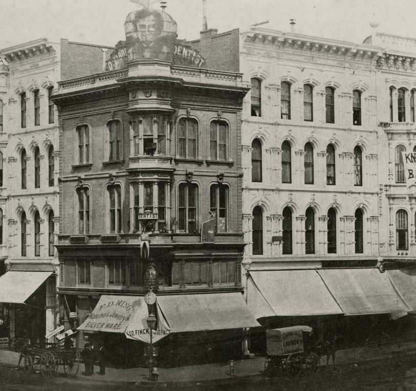
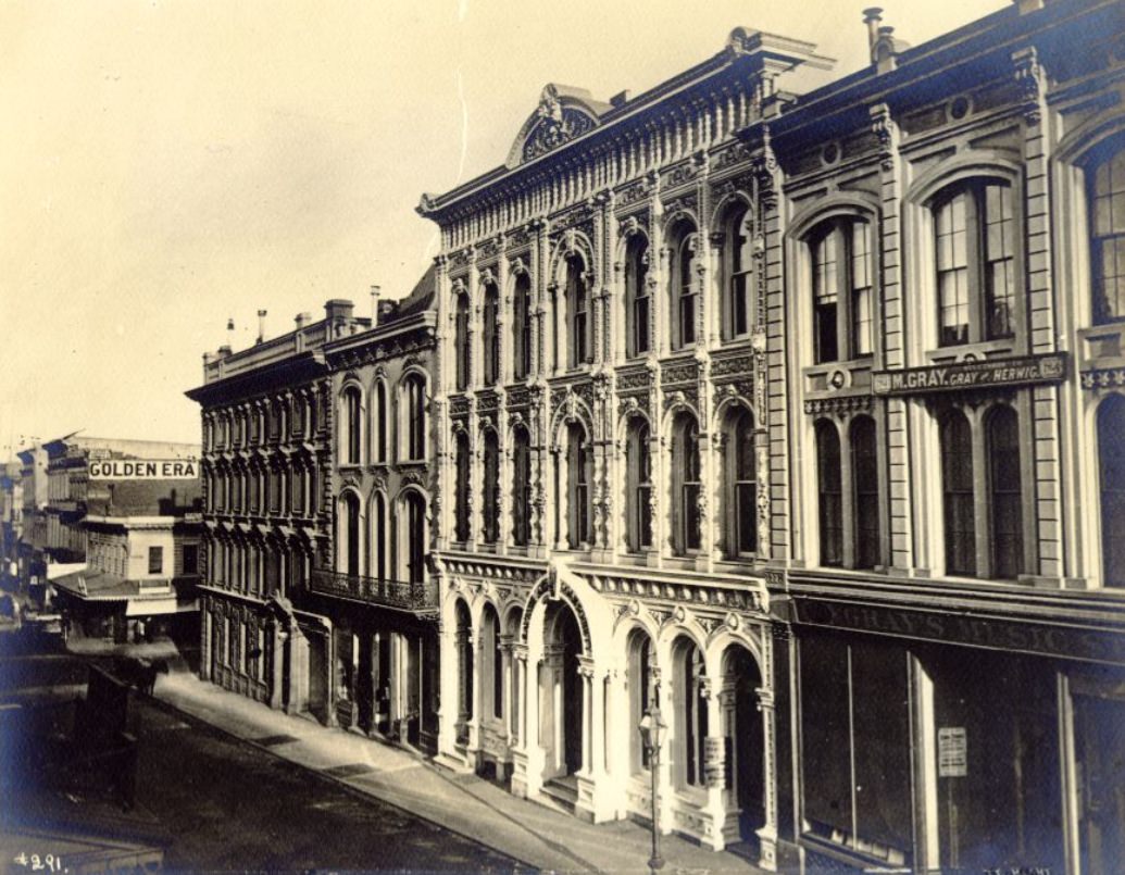
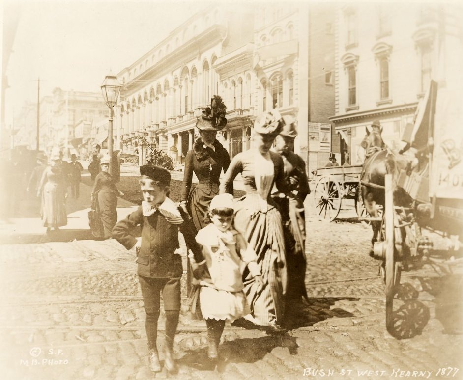
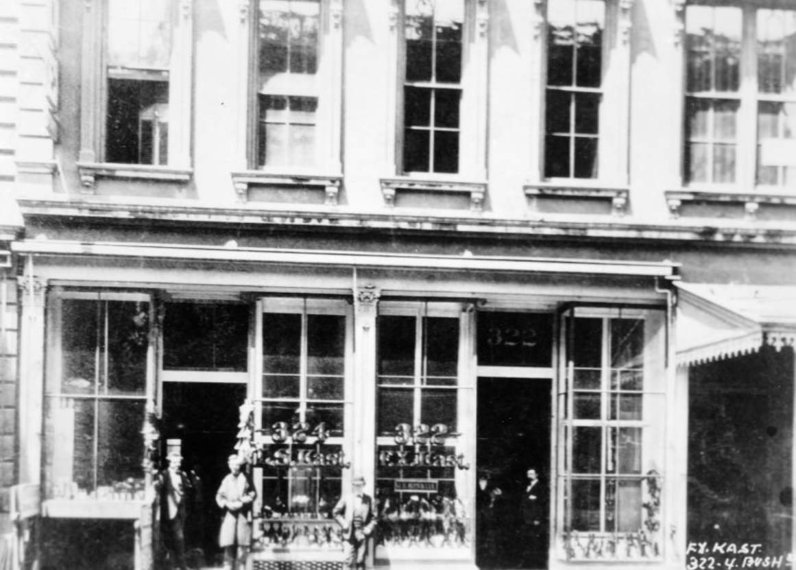
Small businesses were the foundation of San Francisco’s street-level economy. Shoe stores, dry goods shops, hotels, and saloons filled block after block across the central city. The F.X. Kast shoe store on Bush Street, the Occidental Hotel on Montgomery, and the White House department store on Kearny were all part of a commercial ecosystem that served the city’s growing population. These weren’t grand institutions — they were the everyday businesses that kept the city running.
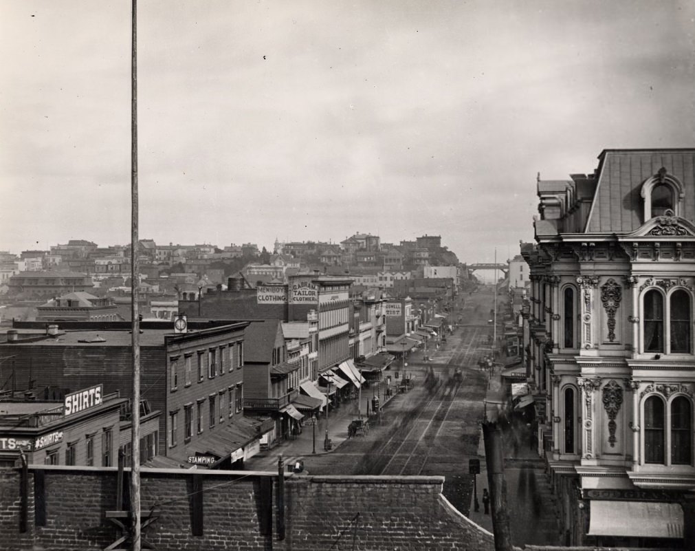
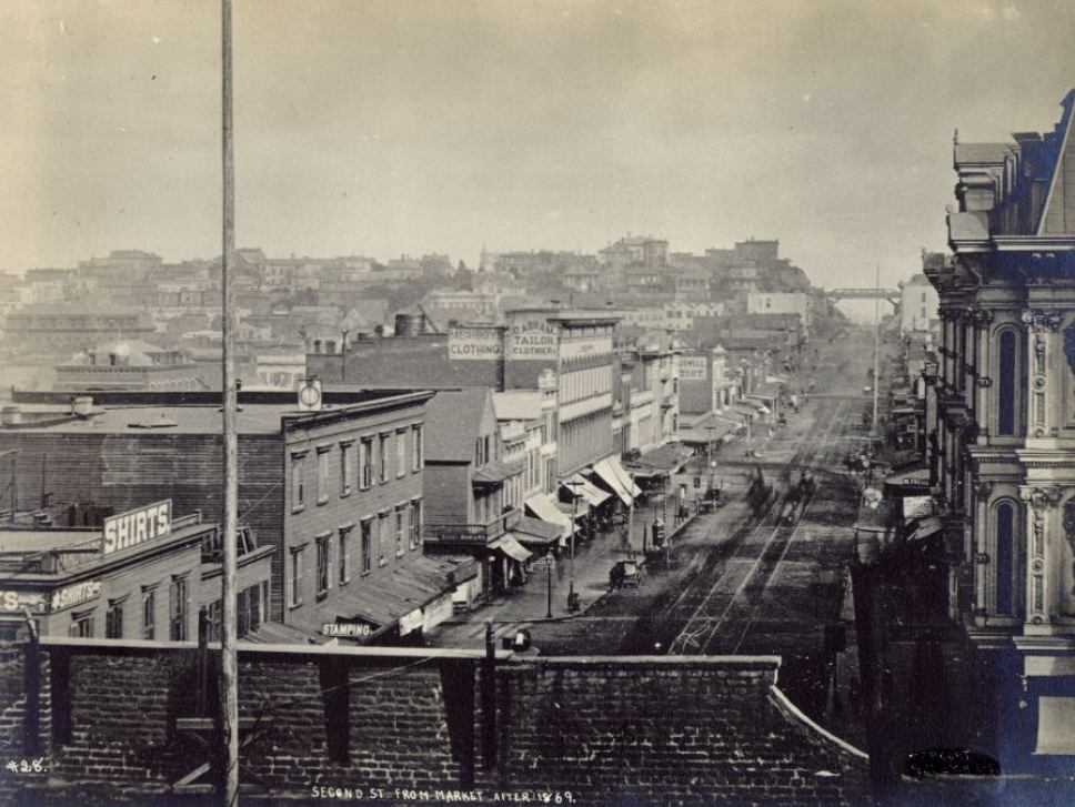
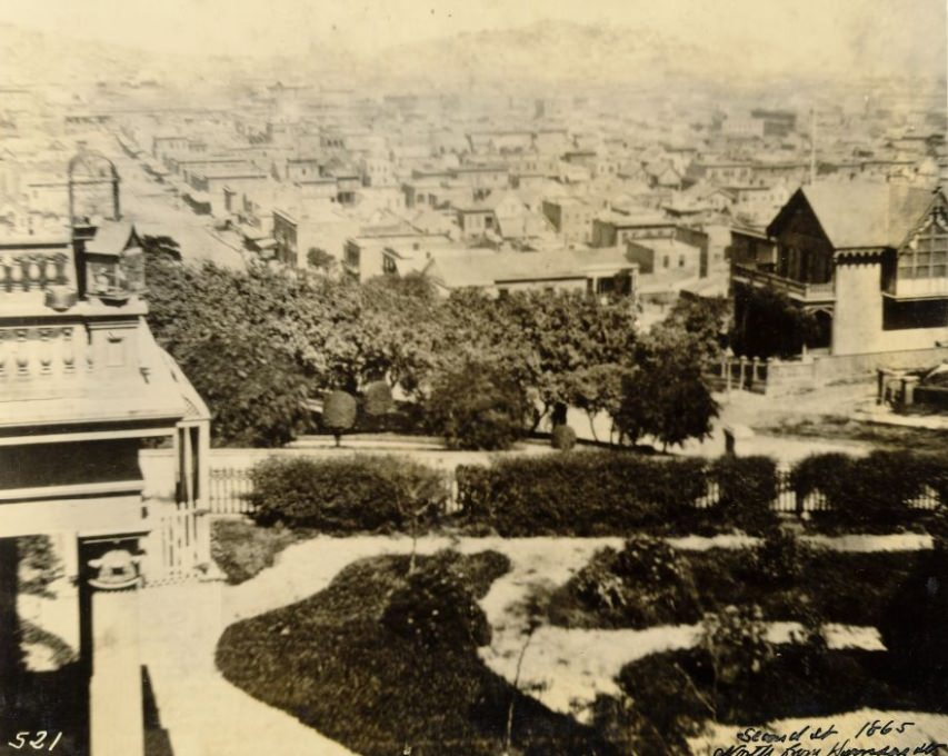
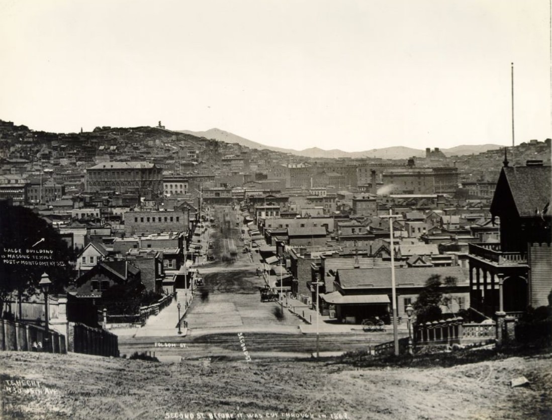
Rincon Hill had been the city’s most fashionable residential address in the 1850s and 1860s, but by the 1870s its status was fading. The Second Street cut — a major grading project completed in 1869 — sliced directly through the hill, dramatically reducing its elevation and making it far less desirable as a residential area. Wealthy families began moving to other neighborhoods, and Rincon Hill shifted toward industrial and working-class use.
San Francisco’s waterfront on July 5, 1876 drew enormous crowds for a major yacht race — one of many public events that reflected the city’s appetite for spectacle and recreation. The bay made a natural amphitheater, and San Franciscans turned out in force to watch the competition on the water. Events like this gave the city’s diverse population a shared civic experience.
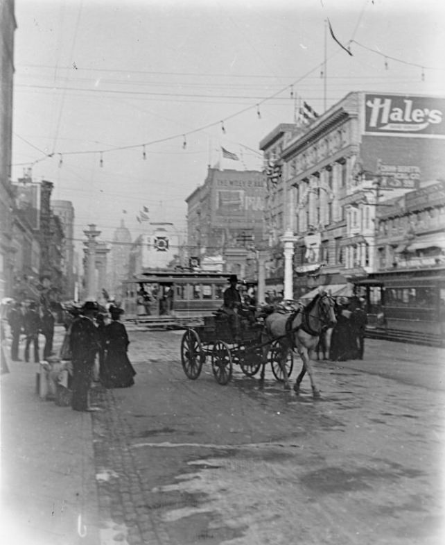
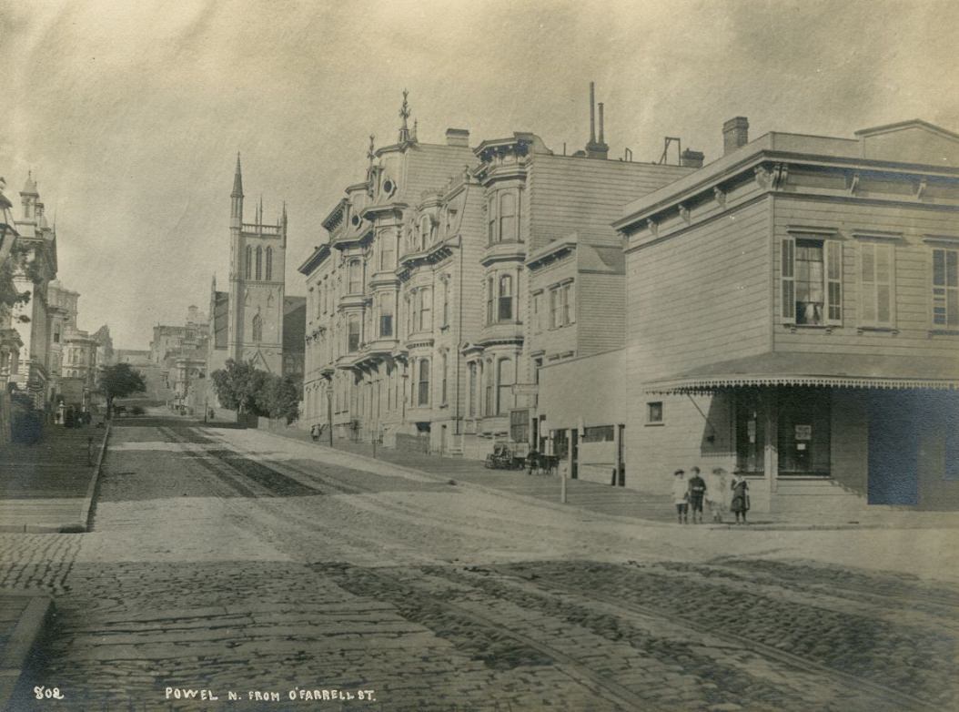
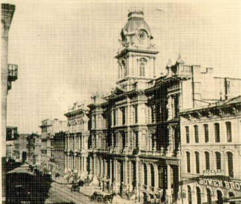
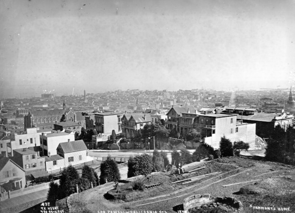
Powell Street was one of the city’s key north-south corridors, running from Market Street up through the heart of the city toward the bay. By 1879, it was well-developed — storefronts at street level, residential floors above, and the constant movement of pedestrians and horse-drawn vehicles. The intersection of Powell and California was a busy node where several different parts of the city’s commercial and residential life intersected.
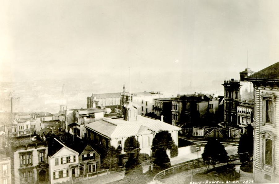
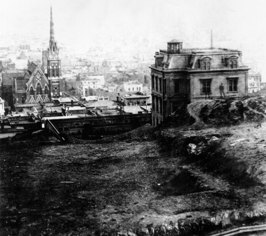
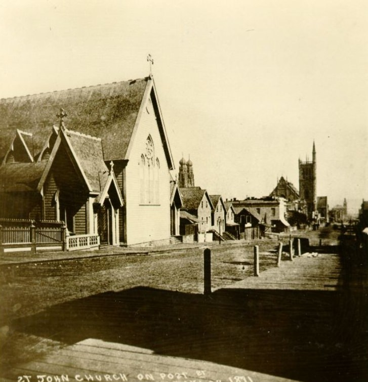
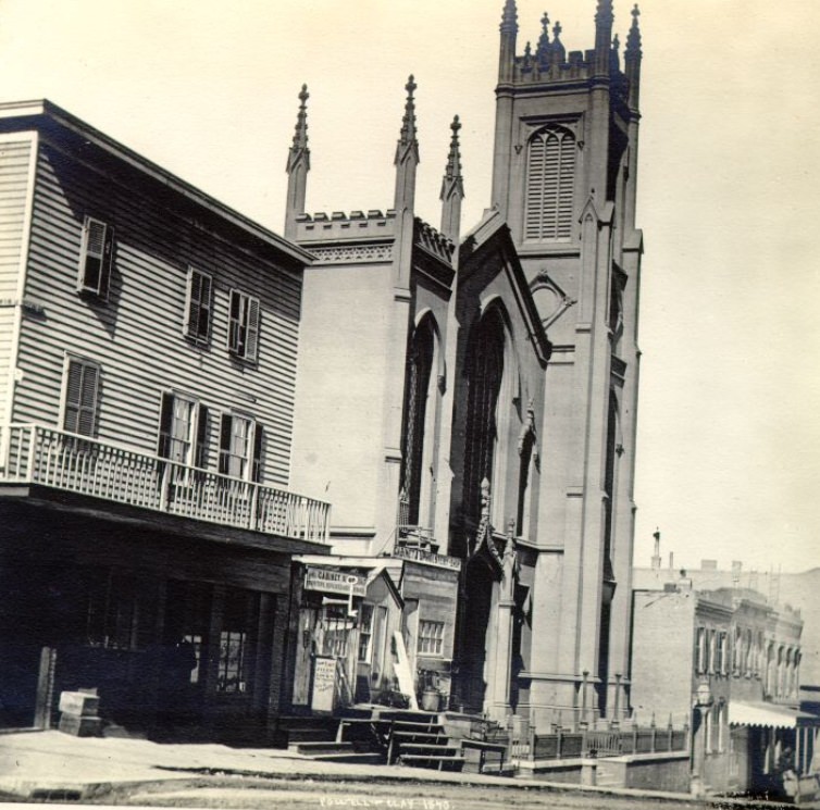
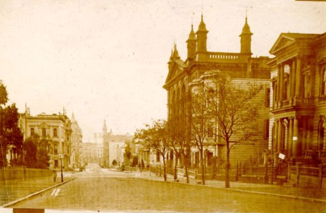
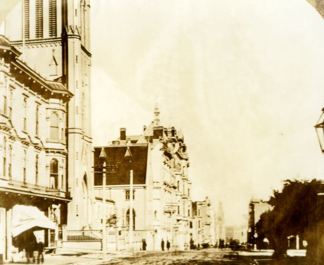
The city’s religious and civic institutions were also taking shape during this period. St. John’s Church on Post Street, the Girl’s High School visible near Powell and Clay, and the Main Library all represented San Francisco’s investment in its permanent infrastructure. These weren’t temporary frontier buildings. They were constructed with the expectation that San Francisco would be a major city for generations to come.
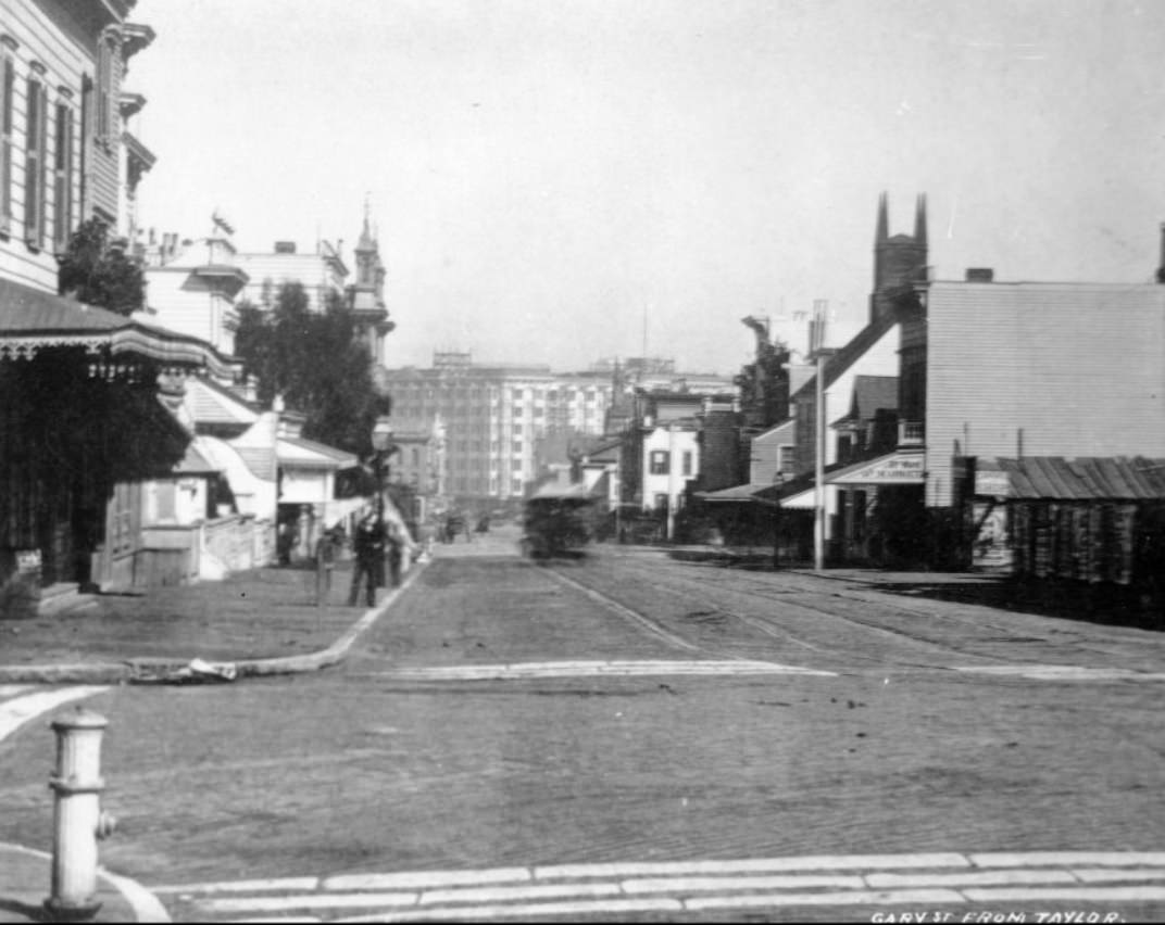
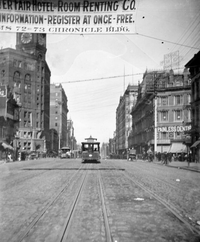
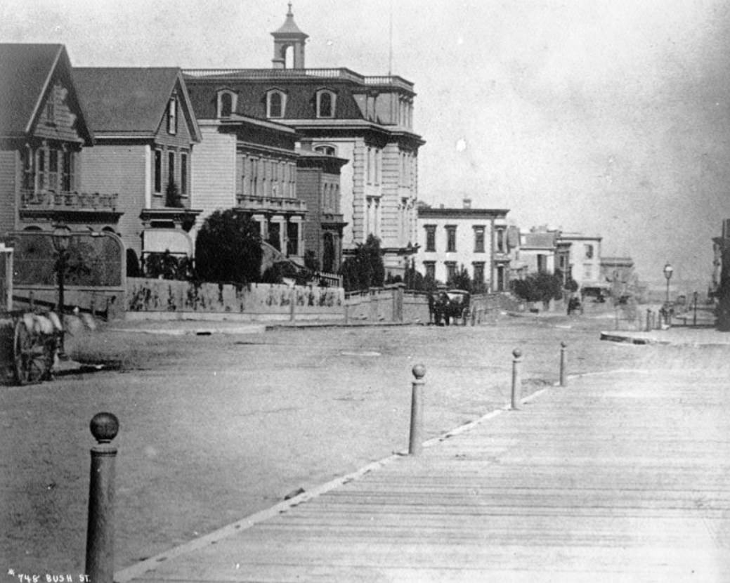
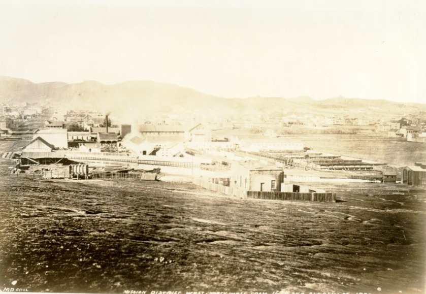
The Mission District in the 1870s was a neighborhood in transition. Its flat terrain made it easier to develop than the hilly central city, and working-class families moved in as the decade progressed. The area around 16th and Alabama streets was typical: modest wood-frame homes, local businesses, and the steady spread of urban development pushing further from Market Street toward the southern parts of the peninsula.
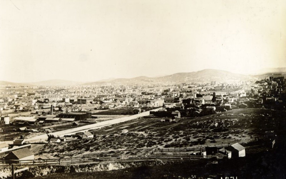
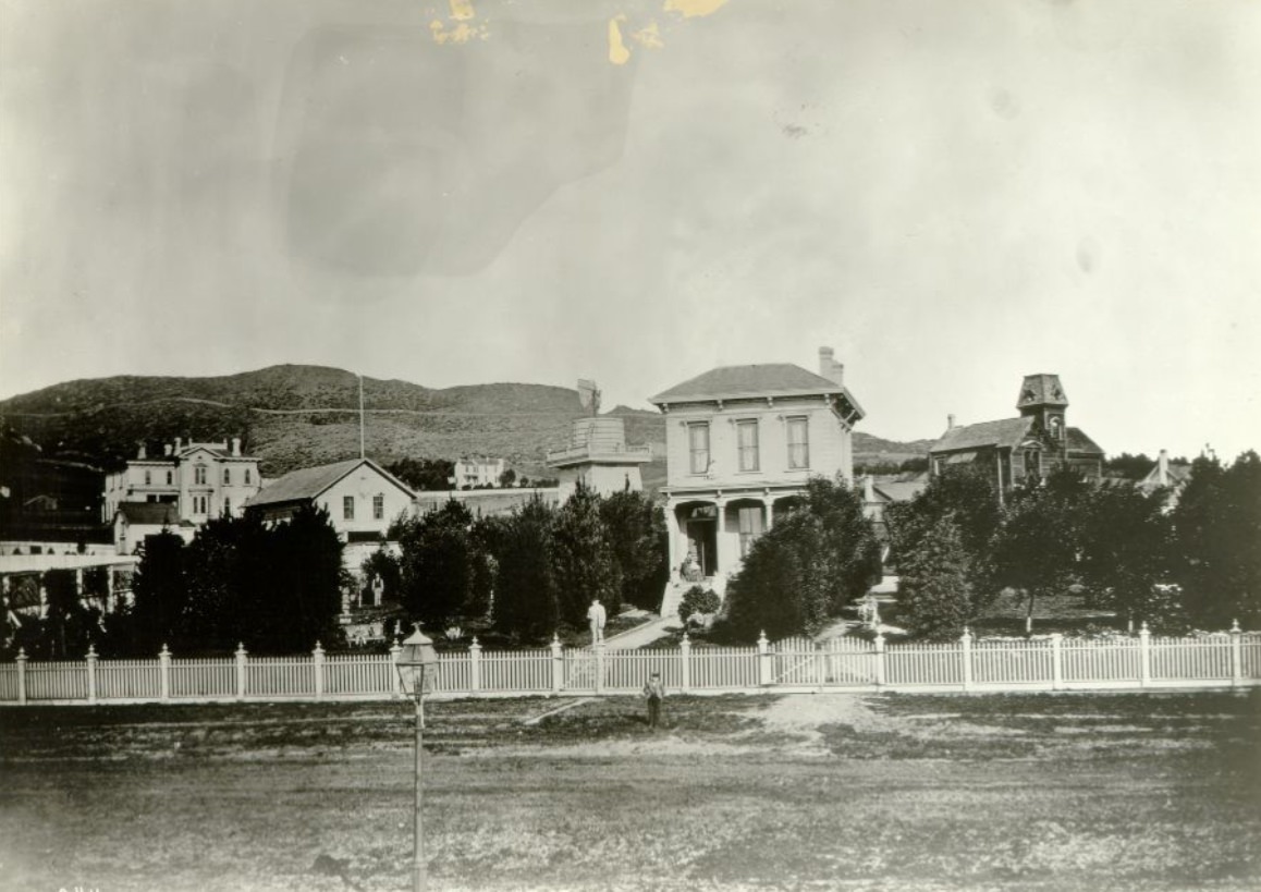
When the Palace Hotel opened in 1875, it changed the character of the blocks surrounding New Montgomery Street. What had been a relatively quiet extension of the street grid became a destination in its own right. The hotel’s presence drew other businesses and elevated real estate values in the surrounding area. Photographs from 1876 show the structure already dominating its surroundings — enormous, solid, and unmistakably permanent.
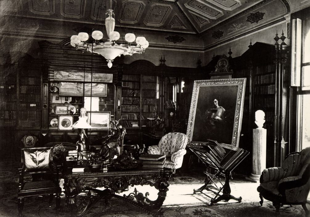
The private homes of San Francisco’s wealthy residents reflected the city’s prosperity. The library inside Milton S. Latham’s residence at 636–638 Folsom Street, photographed in 1872, showed the kind of refined interior that the city’s elite were building for themselves — well-stocked bookshelves, fine furnishings, and an environment that spoke to education and culture. Latham had been both Governor of California and a U.S. Senator before becoming a prominent banker.
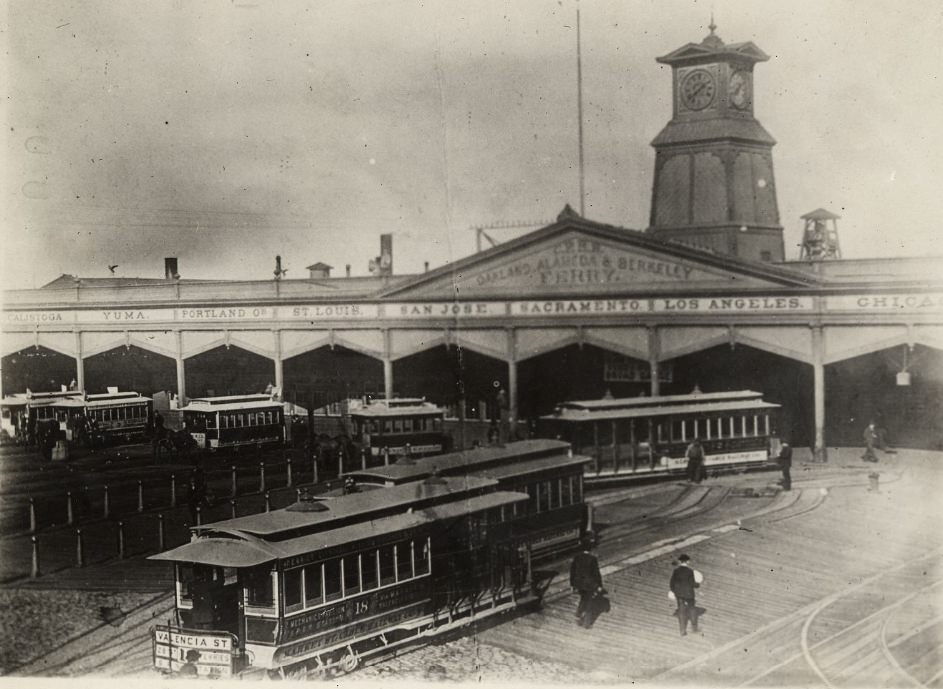
The Ferry Building on the Embarcadero was one of the most important structures in the city. Before the Bay Bridge opened in 1936, ferries were the only way to cross the bay, and the Ferry Building processed an extraordinary volume of passengers and freight every single day. Its location at the foot of Market Street placed it at the intersection of the city’s two most important axes — the commercial street and the waterfront.
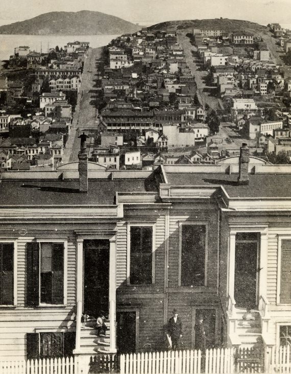
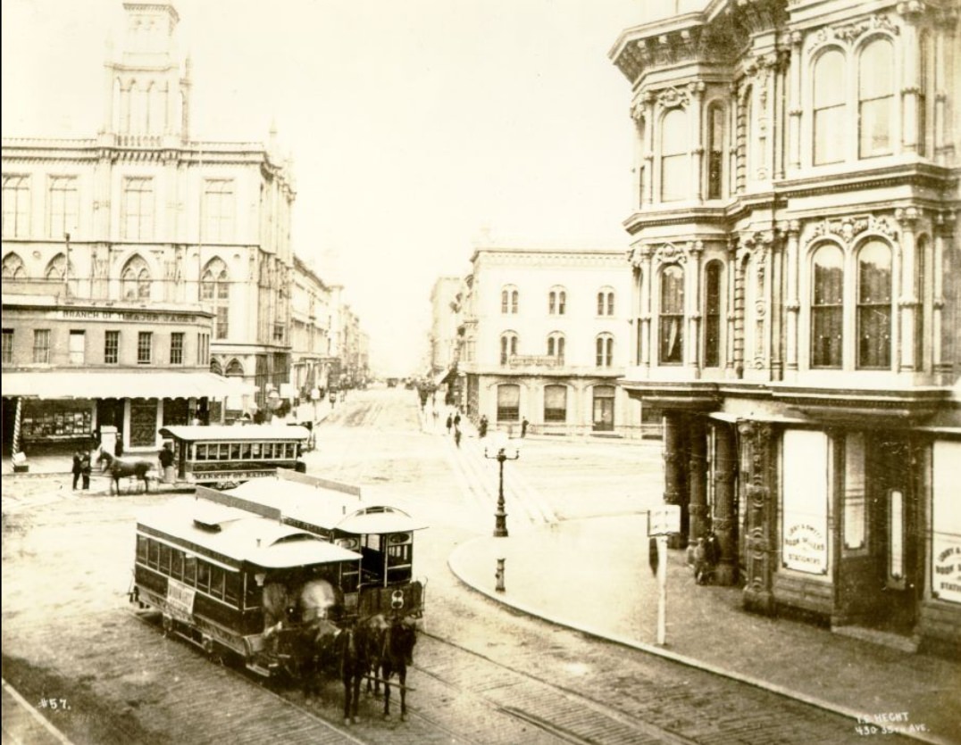
Transportation was transforming daily life in San Francisco. The cable car lines that spread across the city during the 1870s allowed people to live further from their workplaces than before. Areas previously too far or too hilly to reach easily became accessible neighborhoods. The Clay Street Hill Railway, the California Street line, and other routes were not just conveniences — they were tools of urban expansion, opening up new parts of the city to development.
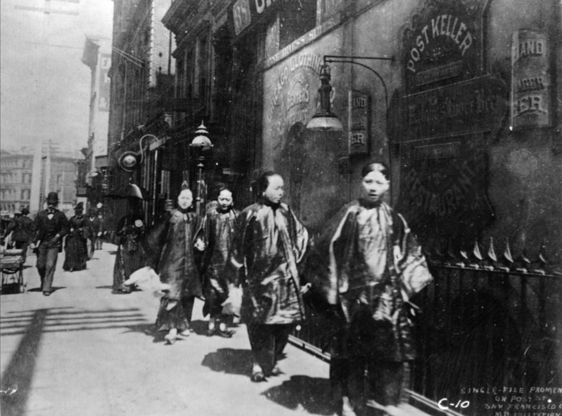
Post Street in the 1870s was a lively pedestrian corridor in the heart of the city. Photographs show well-dressed pedestrians moving along sidewalks past rows of commercial buildings. The street’s eastern blocks, near Kearny and Montgomery, sat in the center of San Francisco’s retail and financial activity. By the late part of the decade, Post Street had developed a distinctly urban character — dense, active, and fully built out.
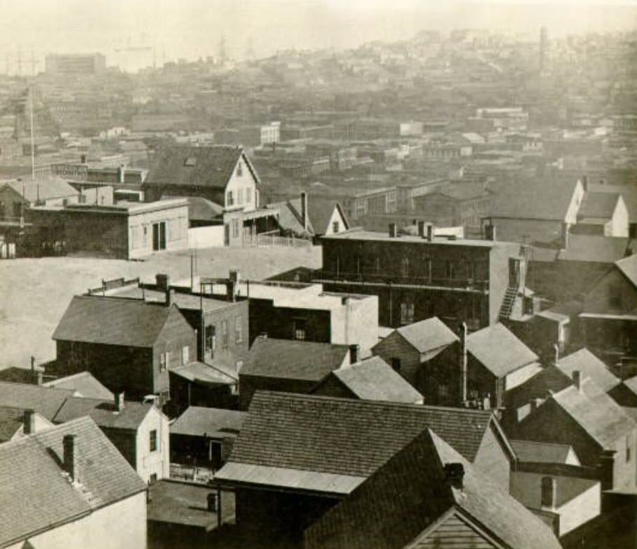
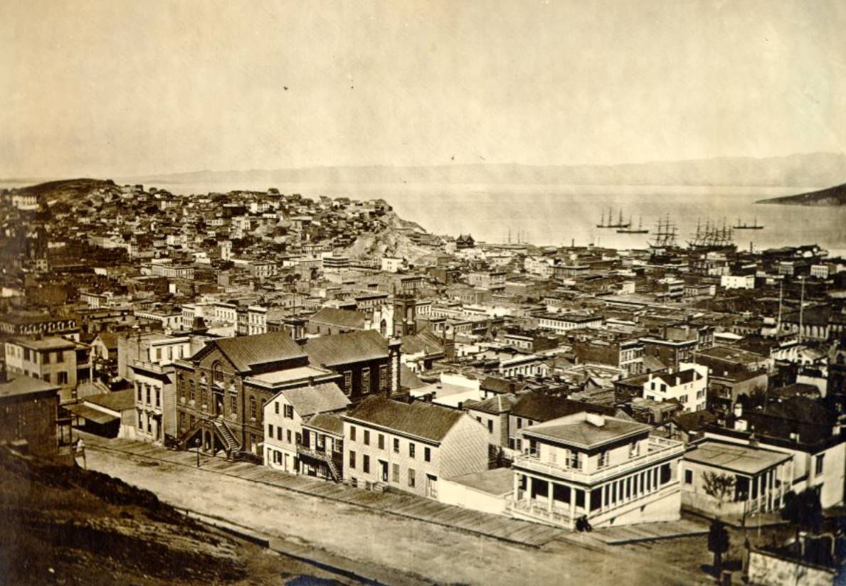
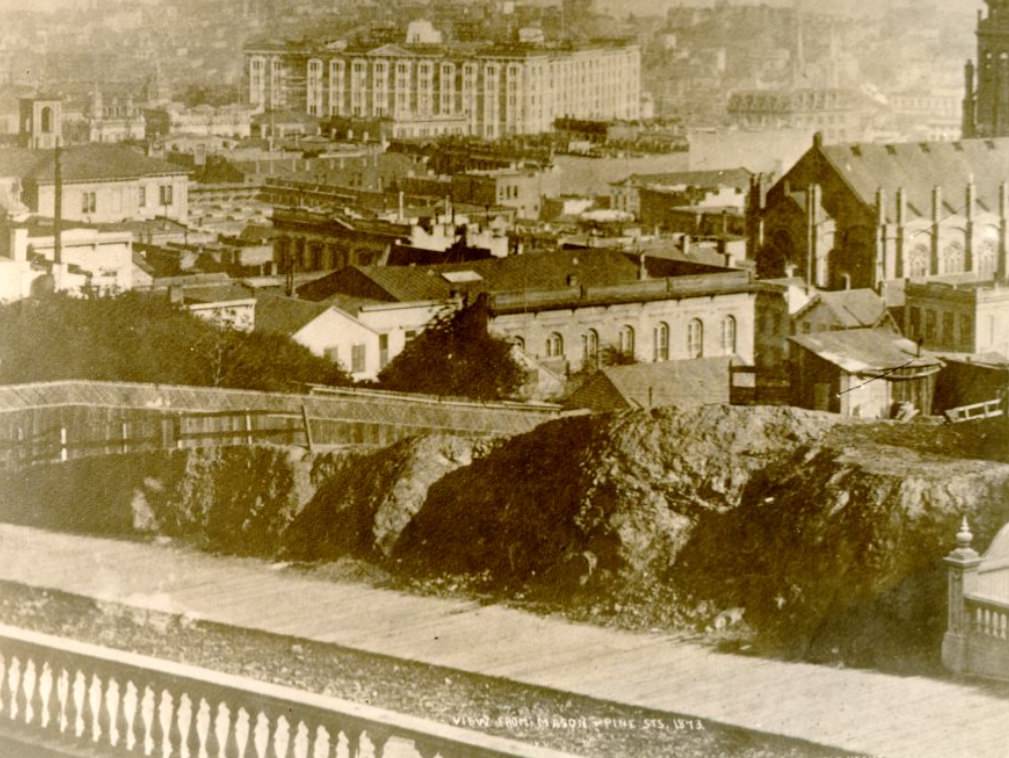
The views from San Francisco’s hills weren’t just scenic — they were strategic. Photographers and city planners alike used elevated vantage points to document and understand the city’s growth. From Russian Hill, Telegraph Hill, or the heights near Mason and Pine streets, the full sweep of the bay was visible, along with the dense cluster of buildings that had grown up in just a few decades from a small settlement into a genuine metropolis.
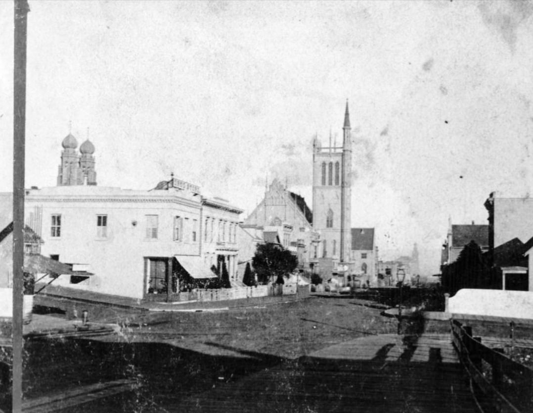
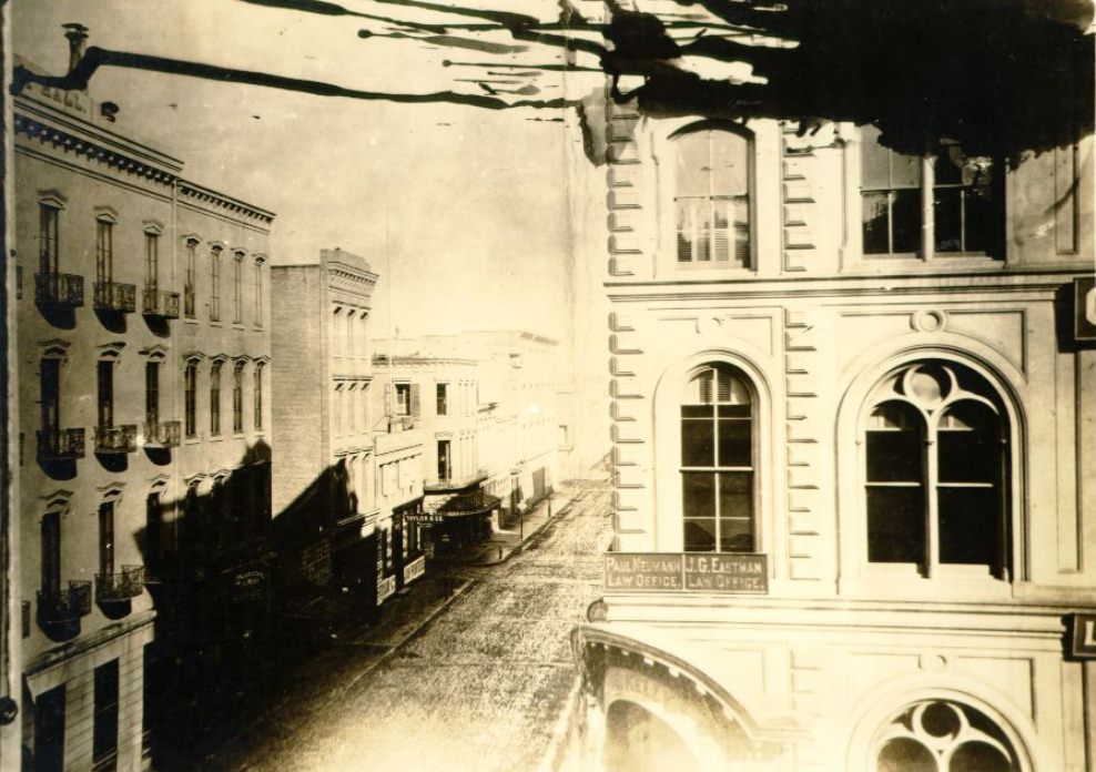
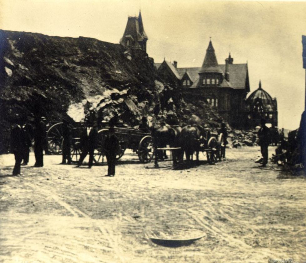
Sacramento Street, running parallel to California Street through the financial district, connected the waterfront to the interior of the city and passed directly through Chinatown. By 1872, the intersection of Sacramento and Montgomery was surrounded by multi-story commercial buildings — a physical sign of how thoroughly the city had filled in its central blocks. The photograph from that year shows a street already mature and fully urban.
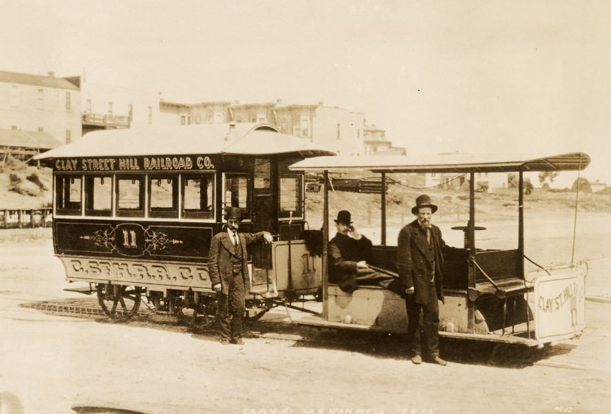
The cable car at Van Ness Avenue on the Clay Street Hill Railway marked a new era in the city’s transportation. Andrew Hallidie’s invention had proven itself, and by 1875 the system was operating regularly, carrying passengers up grades that had previously been impassable for horse-drawn vehicles. The technology spread quickly, and San Francisco became the proving ground for a transit system that would later be adopted in cities across the world.
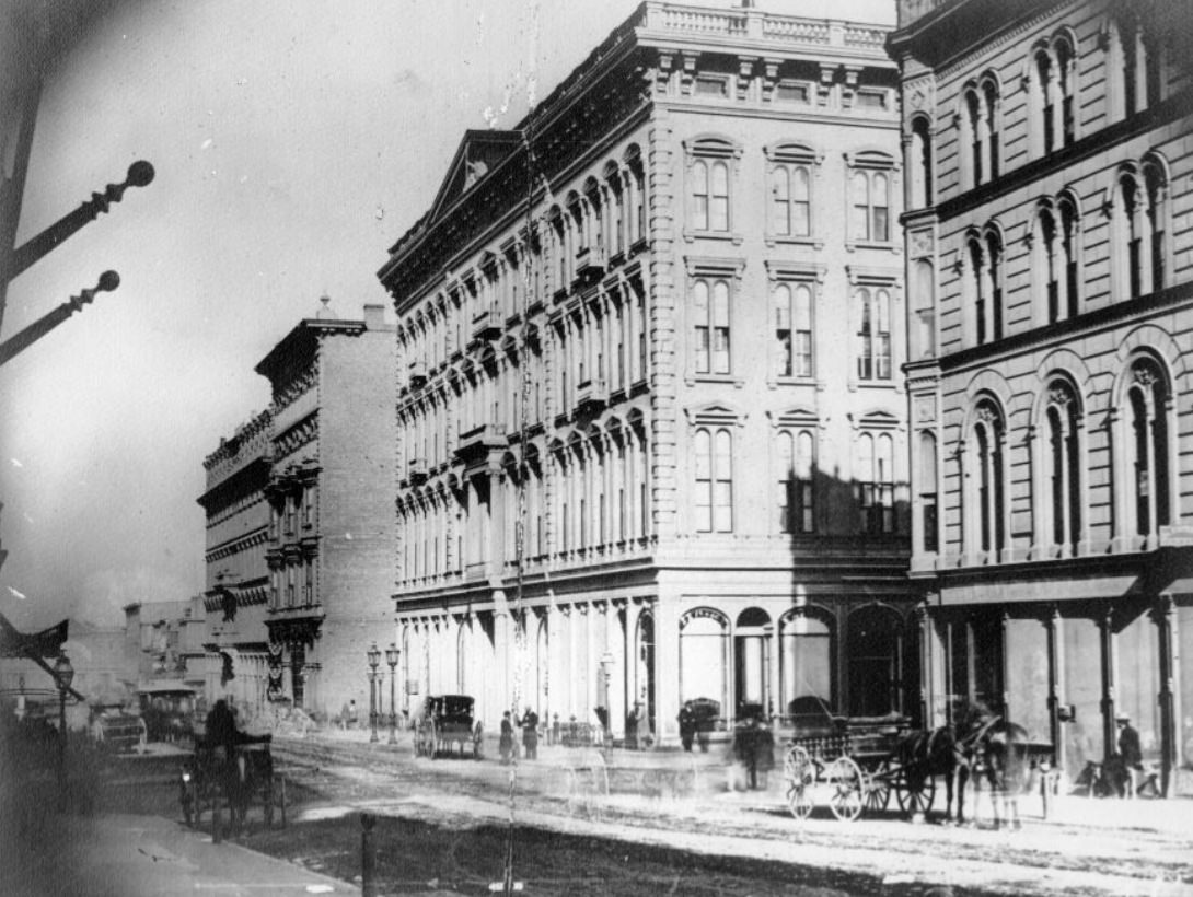
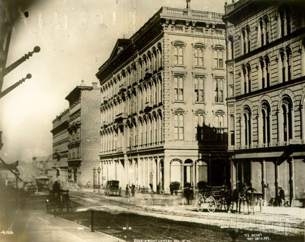
The Occidental Hotel at Montgomery and Bush was one of San Francisco’s premier lodging establishments in the early 1870s. It catered to wealthy travelers, businessmen, and dignitaries passing through the city. Montgomery and Bush was one of the most important intersections in the financial district, where the hotel sat alongside banks, insurance offices, and trading firms. Mark Twain and other prominent figures of the era were known guests.
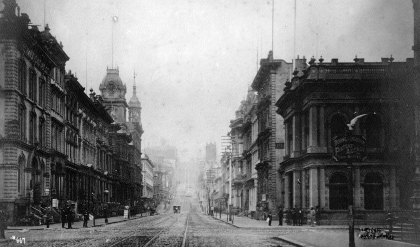
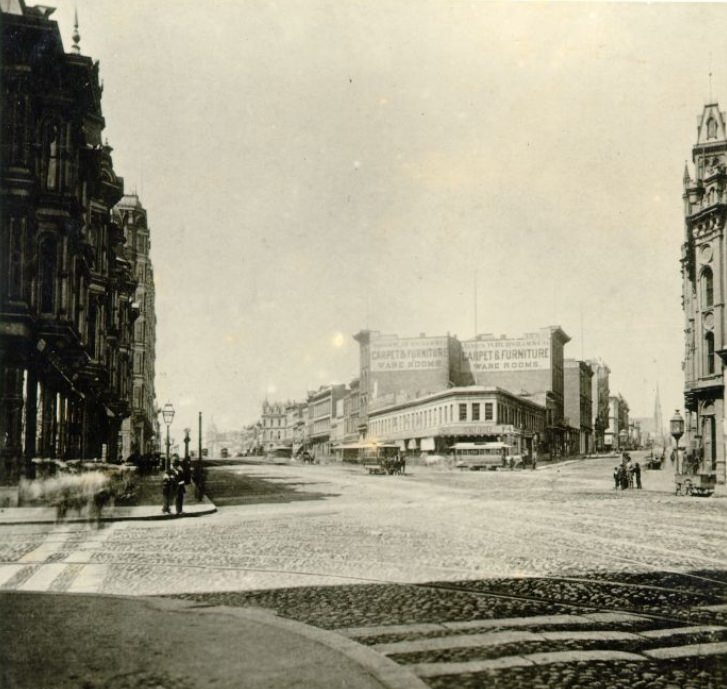
By 1879, the intersection of California and Sansome streets sat at the core of San Francisco’s financial activity. The surrounding blocks held the offices of banks, shipping companies, and law firms. Photographs from that year show a streetscape that had matured considerably from a decade earlier — taller buildings, busier sidewalks, and the unmistakable density of a city that had grown fast and kept growing.
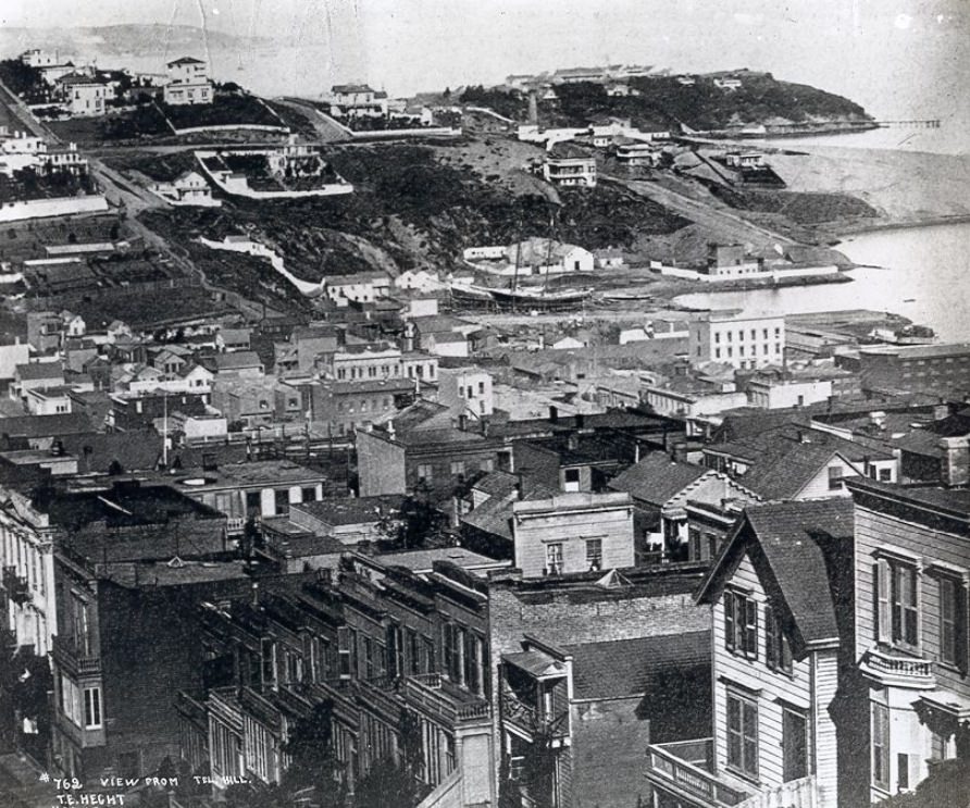
The view from Telegraph Hill in 1870 showed a city that was still visibly unfinished — gaps between buildings, undeveloped lots, and the raw edge of a place still being constructed. By the end of the decade, many of those gaps had been filled. San Francisco in the 1870s was defined by that tension: the gap between what the city already was and what it was still becoming. These photographs sit right inside that gap, capturing a moment that would never come again.