Salt Lake City 1970sSalt Lake City is the capital and most populous city in Utah State. The city is surrounded by the Great Salt Lake and the snow-capped Wasatch Range. The city lies mountain valley with the Wasatch Mountains to the east and north and the Oquirrh Mountains to the west. The city is a regional trade and transportation center and has an international airport.
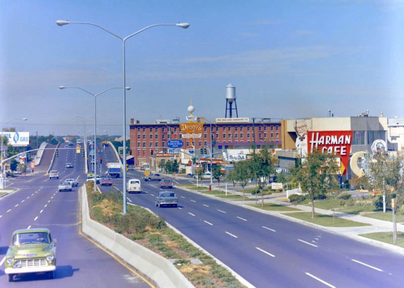
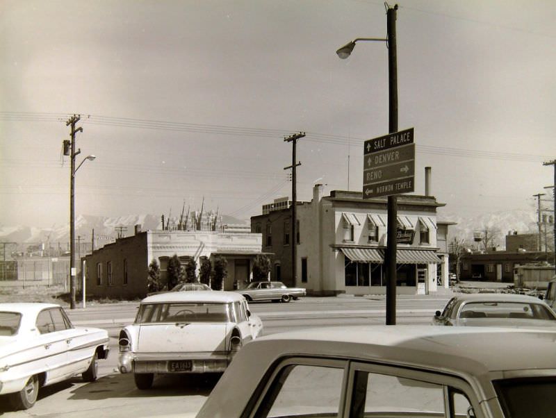
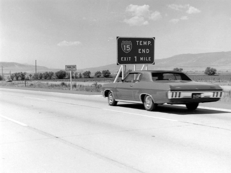
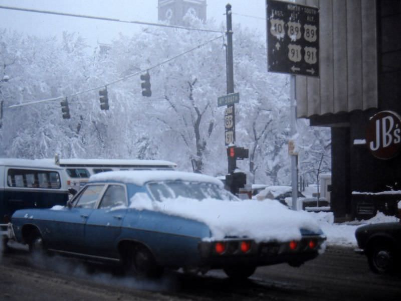
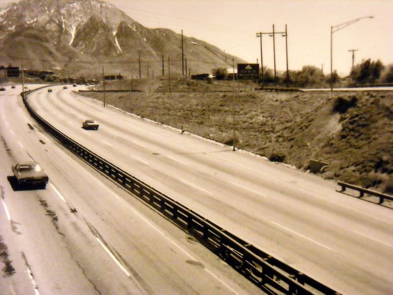
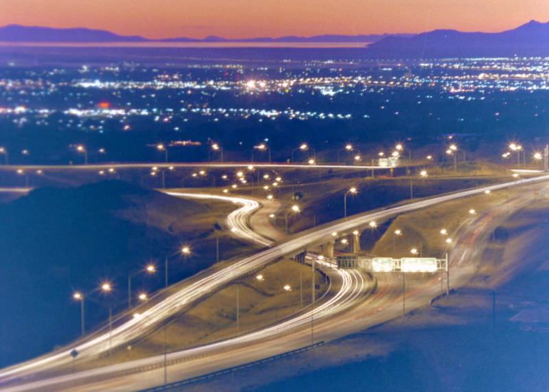
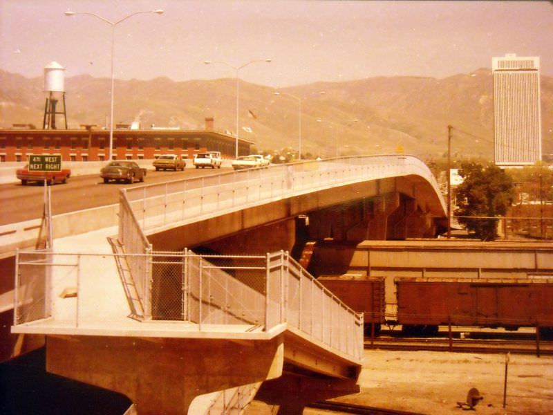
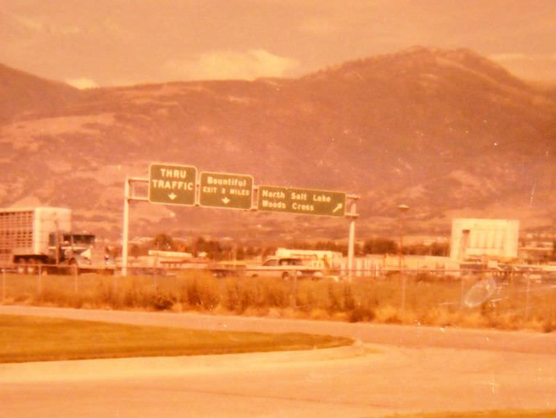
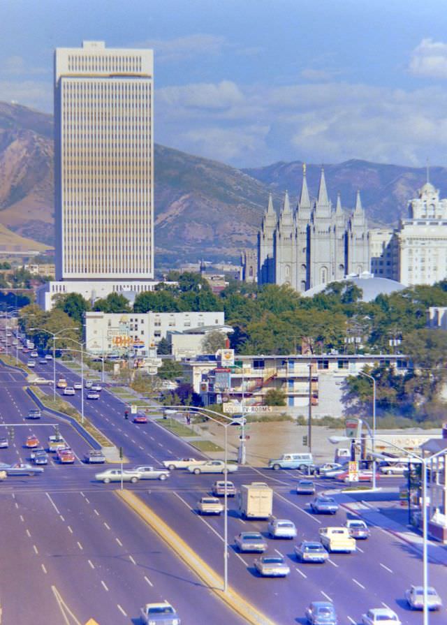
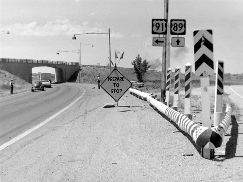
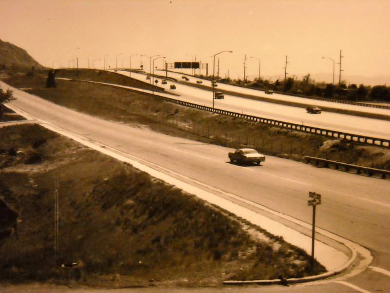
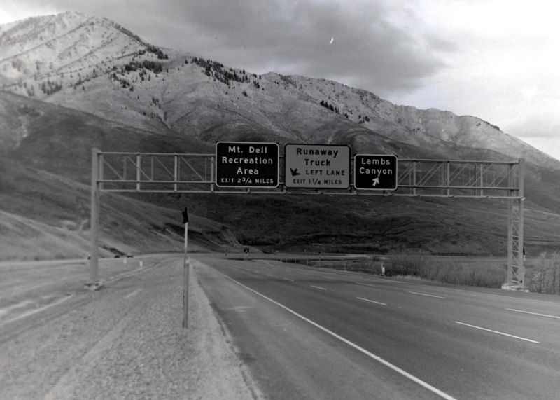
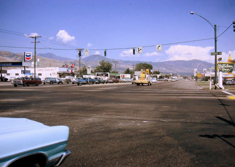
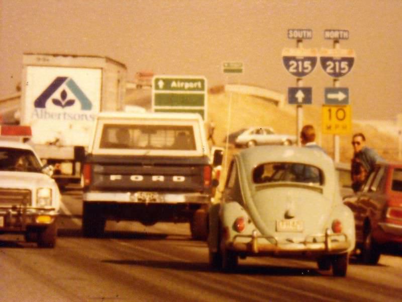
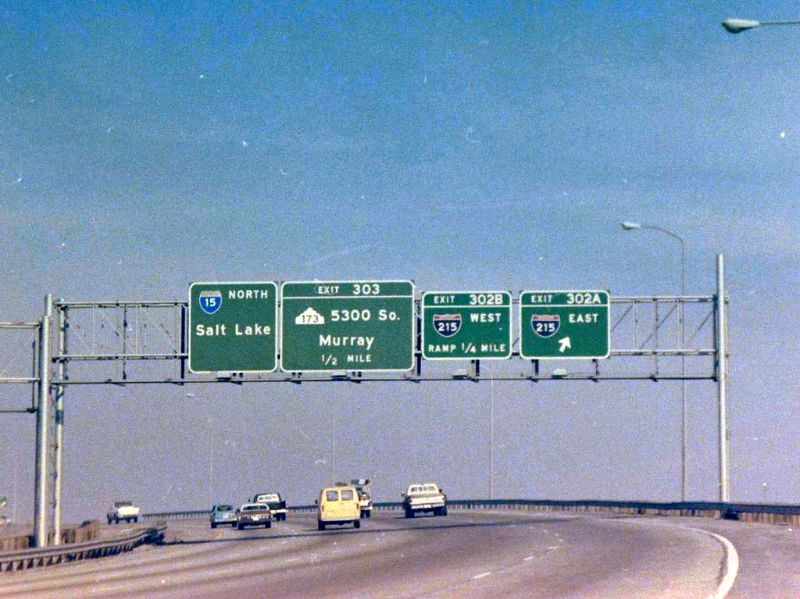
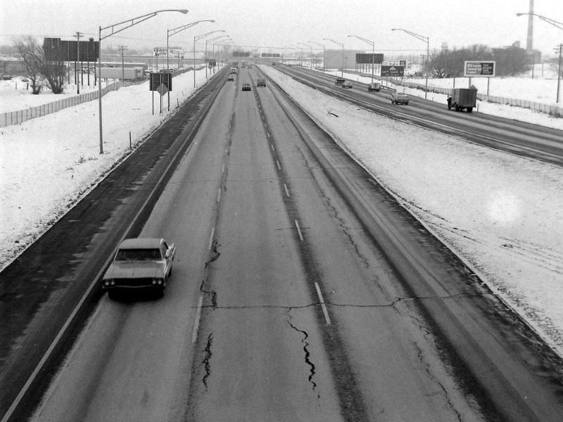
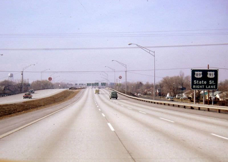
These stunning photographs show Salt Lake City’s streets, roads, and highways. These photographs were taken by Cal Briggs and Gerald E. for the Utah Department of transportation from the 1970s.


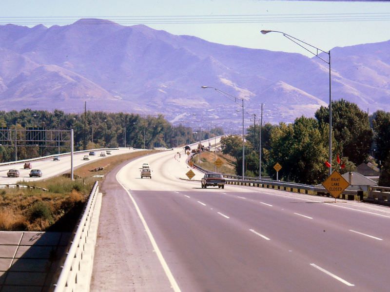
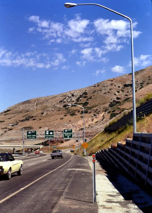
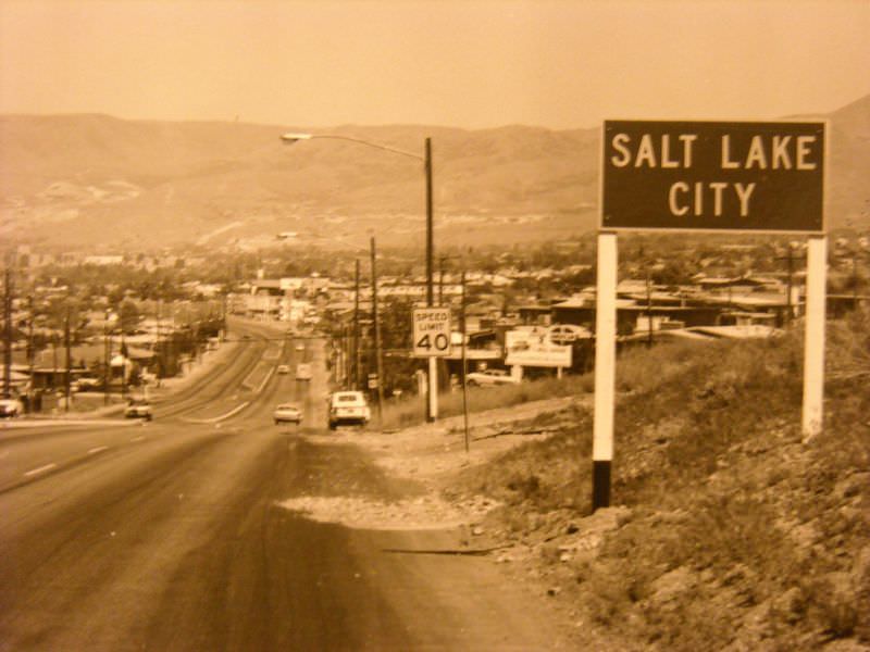
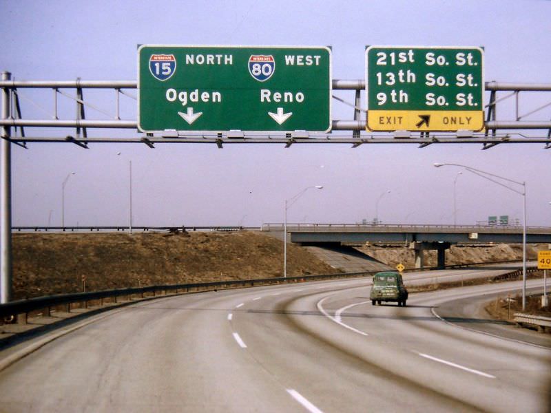
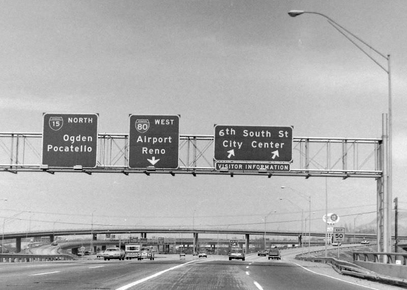
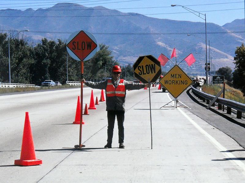
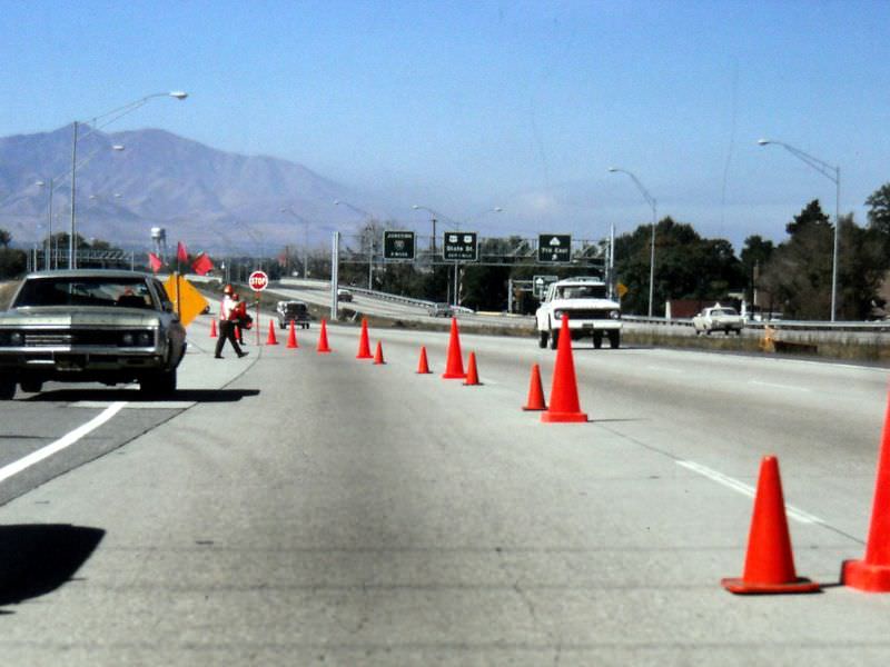
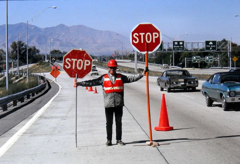
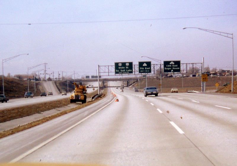
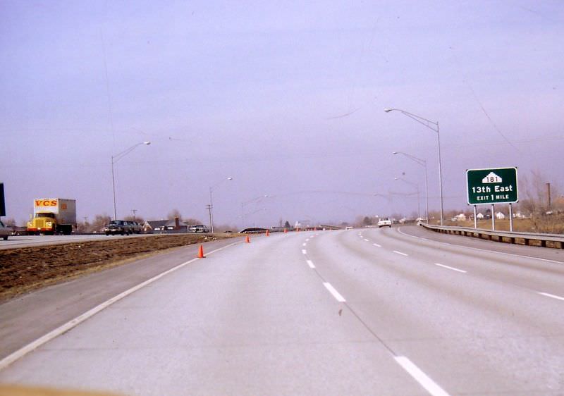
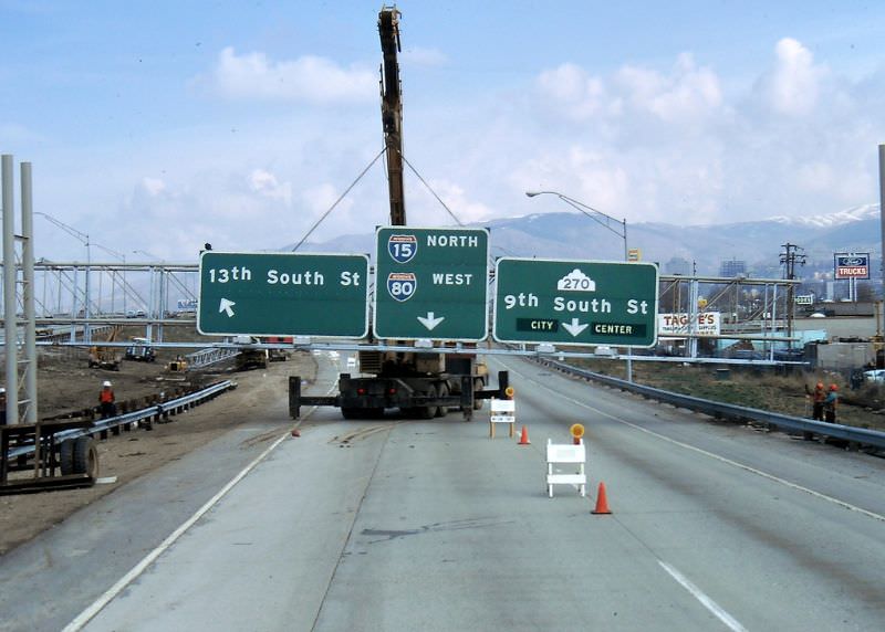
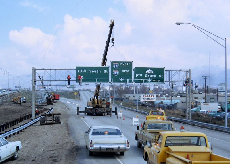
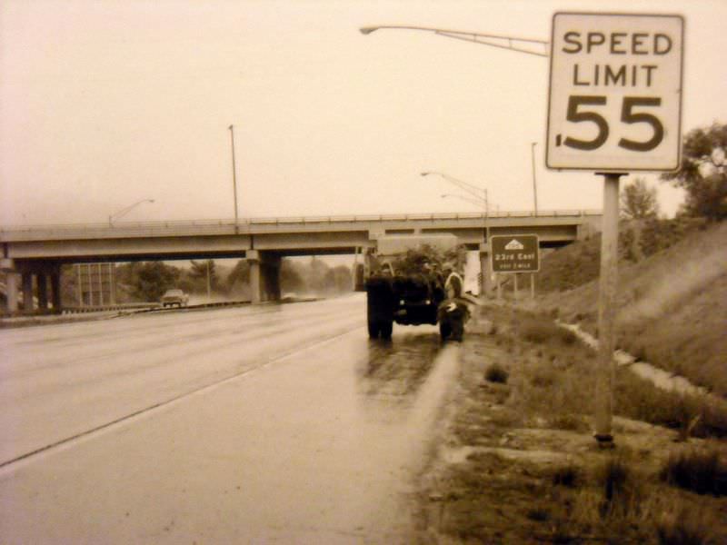
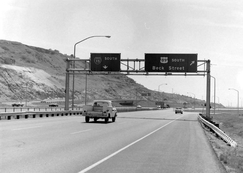
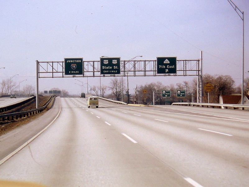
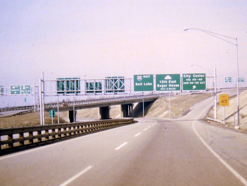
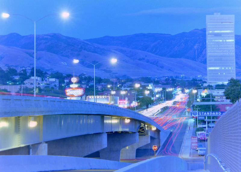
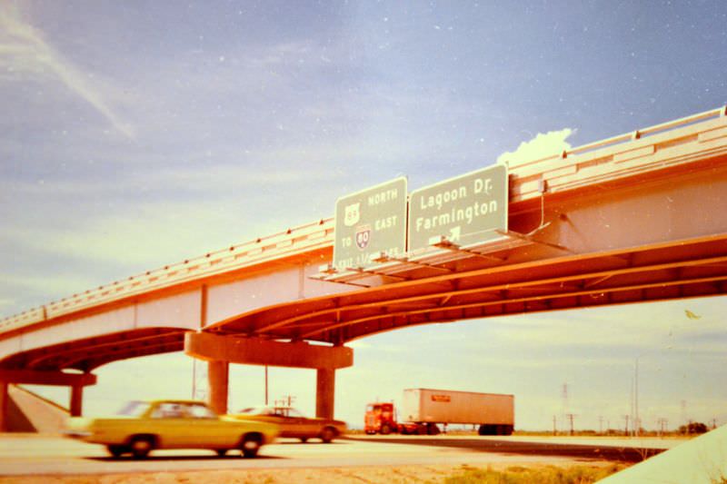
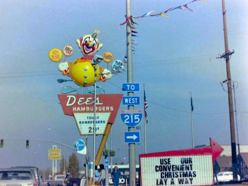
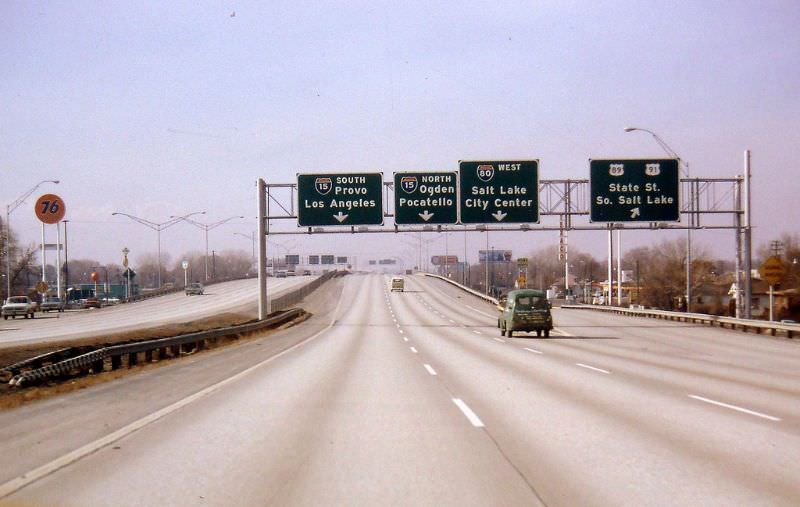

They still haven’t finished the construction on i-80 east 50 years later
Heroes get remembered; Road Construction never dies.
Compared to today’s traffic, the roads look so lovely and empty.
I notice all the trees
And 50 years later, I-15 is still under construction.
Even though I wouldn’t say I like constant construction, I’m glad we’re improving and expanding I-15 as our population grows.
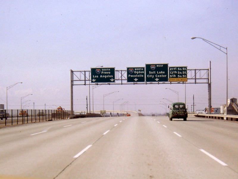
It’s interesting how the I 15 south signs say Provo / Los Angeles. When did it change to saying Vegas?
They probably redid the interchange, so the southbound exit is now right instead of the left. Probably before 2000 for the Olympics in 2002.
Yes, but even in Utah county, the southbound says Las Vegas
I’m amazed how little things have changed, except for the ageing cars and absence of five-story apartment buildings!