Sacramento in the 1860s was a city caught between crisis and ambition. The decade opened with the nation splitting apart over slavery, and Sacramento felt every ripple. The city was strongly pro-Union when the Civil War broke out in 1861. But it wasn’t free of Confederate sympathizers — supporters of the Confederate States of America were active in the city too. When Union troops stationed in Sacramento were pulled east to prepare for a possible Confederate push from Texas, residents didn’t wait. Volunteers organized their own military defense forces to protect the city from invasion.
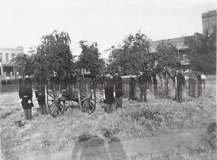
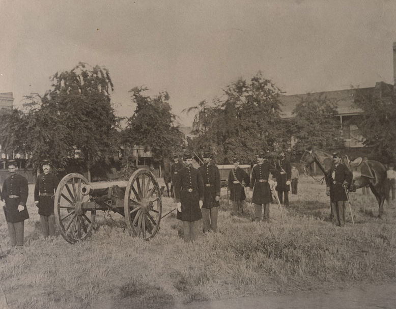
Union Boy cannon and Army crew in Plaza Park 1868.
The war years also sharpened Sacramento’s focus on communication. In 1860, the city adopted the Pony Express to replace the slow, ocean-based mail route that ran all the way around Cape Horn at the tip of South America. The Pony Express used riders on horseback to carry letters across the Great Plains, connecting California to the eastern states faster than any ship could manage. But the system only lasted 18 months. By 1861, telegraph lines had been extended to Sacramento, linking it to the transcontinental network and making horseback mail delivery obsolete overnight.
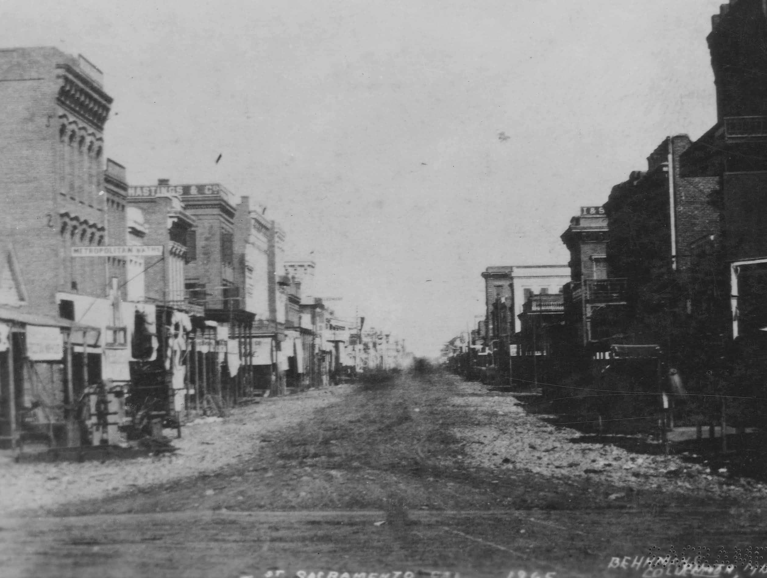
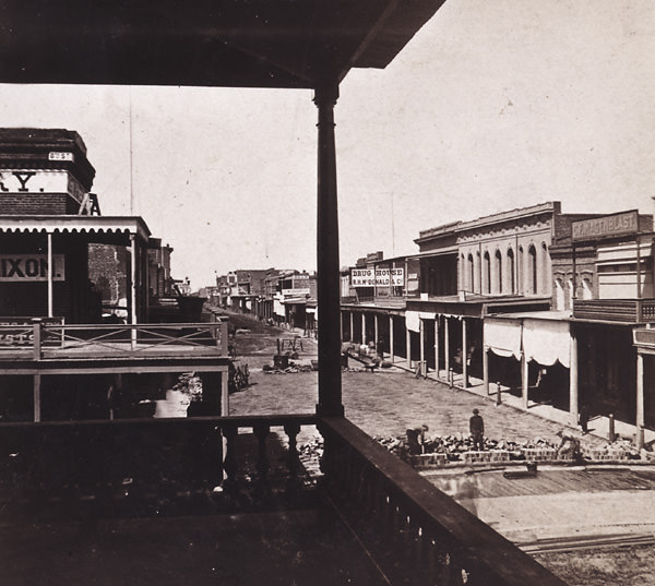
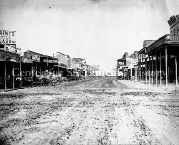
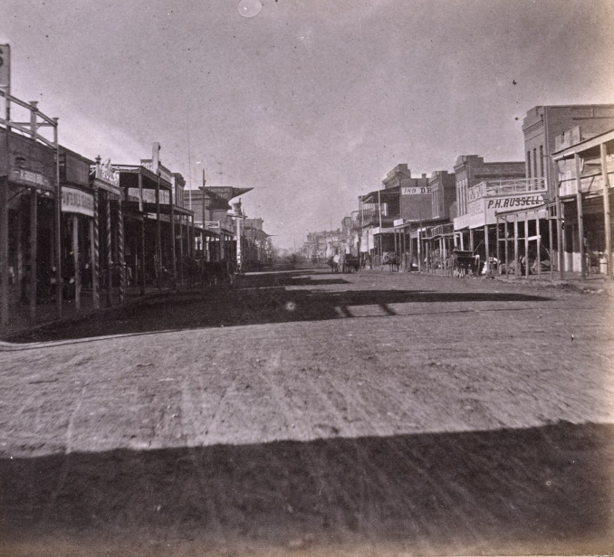
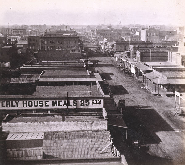
A view down J Street, showing, to the right, both the Metropolitan Baths and B.F. Hastings and Company, 1868
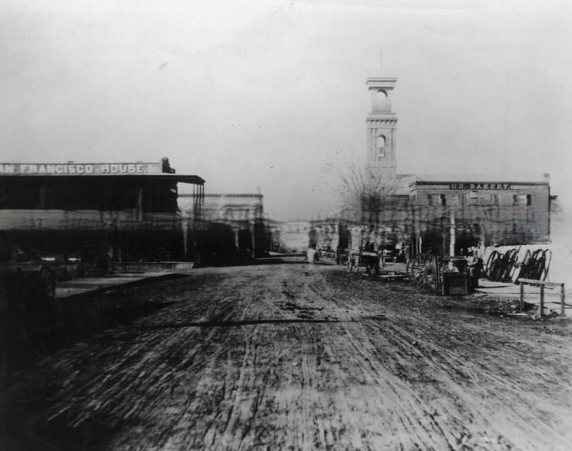
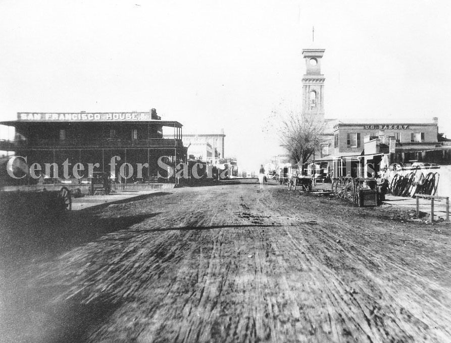
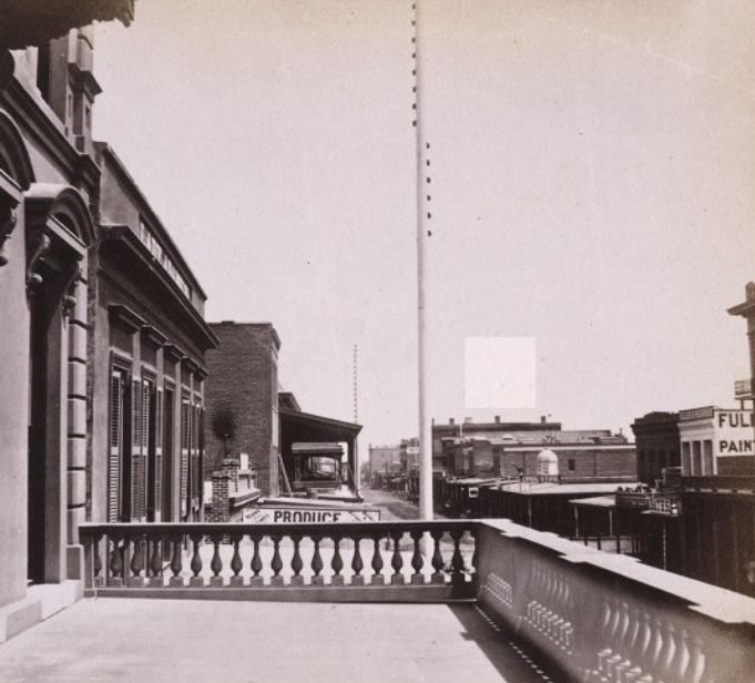
B.F. Hastings and Company on J Street held a special distinction — it served as the western terminus of the Pony Express during its brief operation from 1860 to 1861. The building stood alongside bathhouses and storefronts on one of Sacramento’s busiest commercial streets. Hastings operated as a bank until it failed in November 1871. Streets like J Street and K Street were the commercial spine of the city, lined with hotels, hardware stores, grocery shops, and service businesses that catered to Sacramento’s growing population.
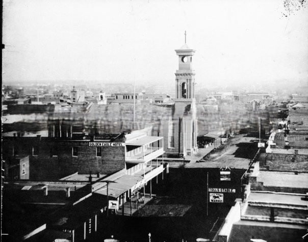
K Street, Sacramento, 1868
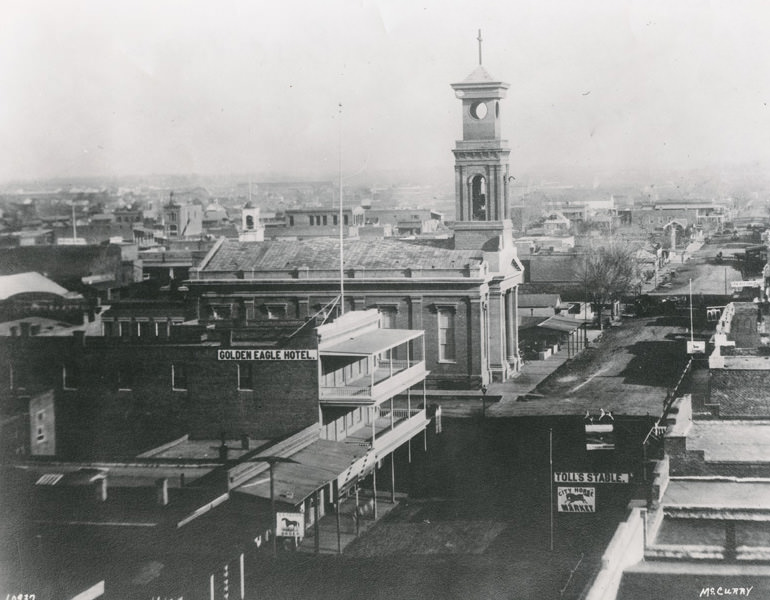
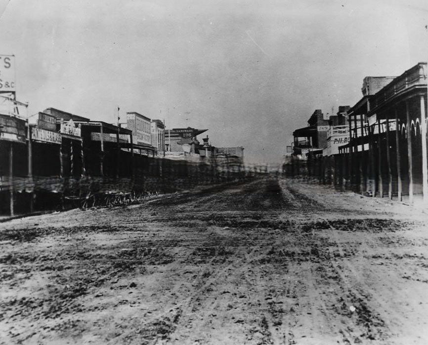
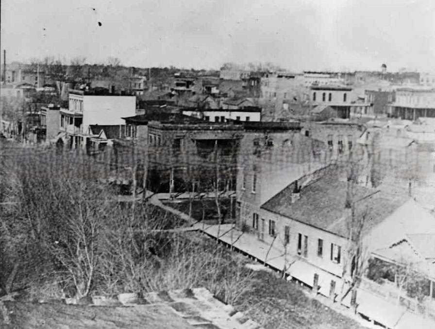
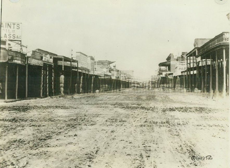
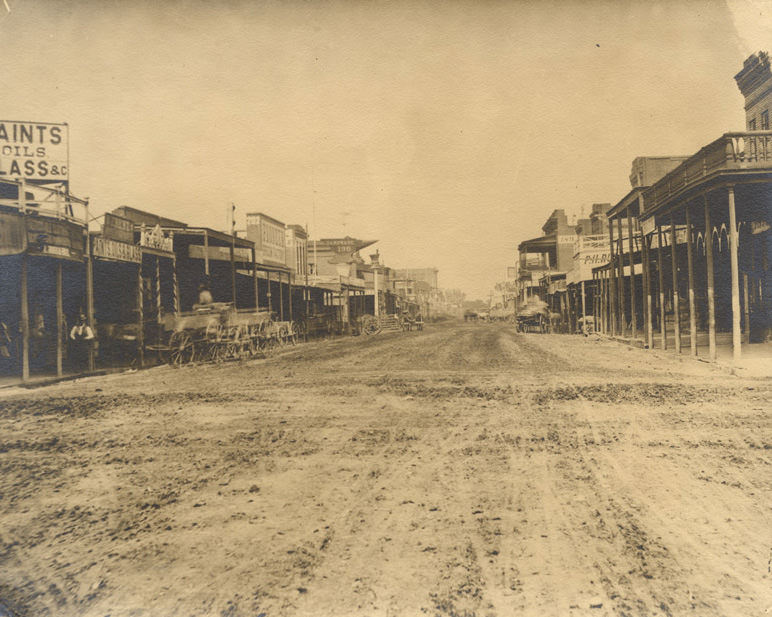
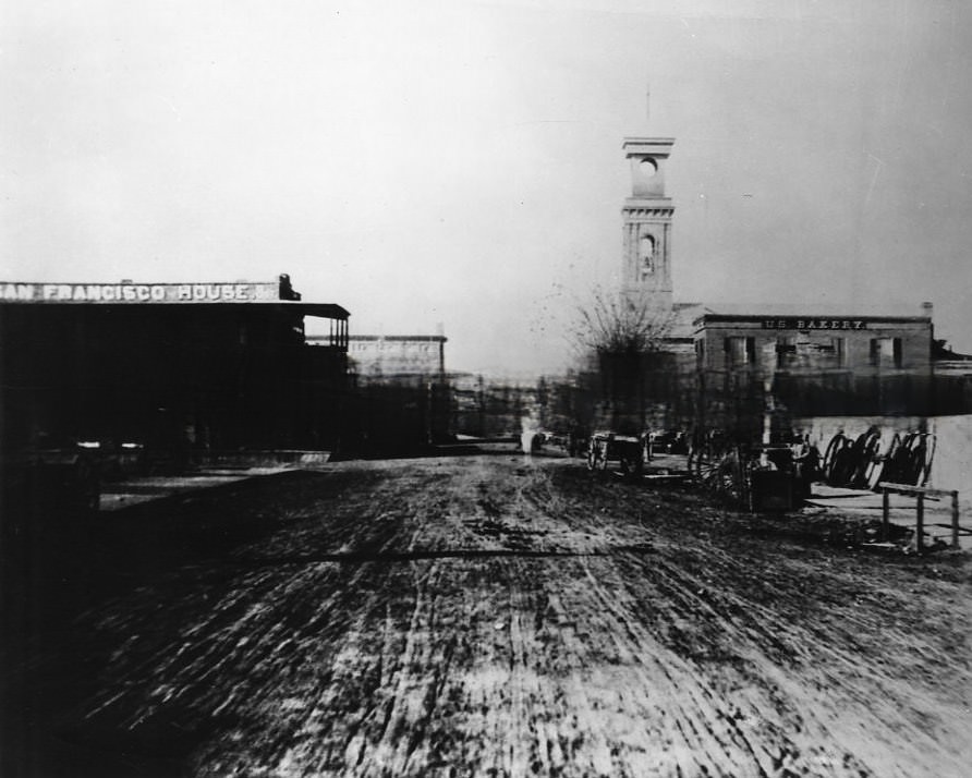
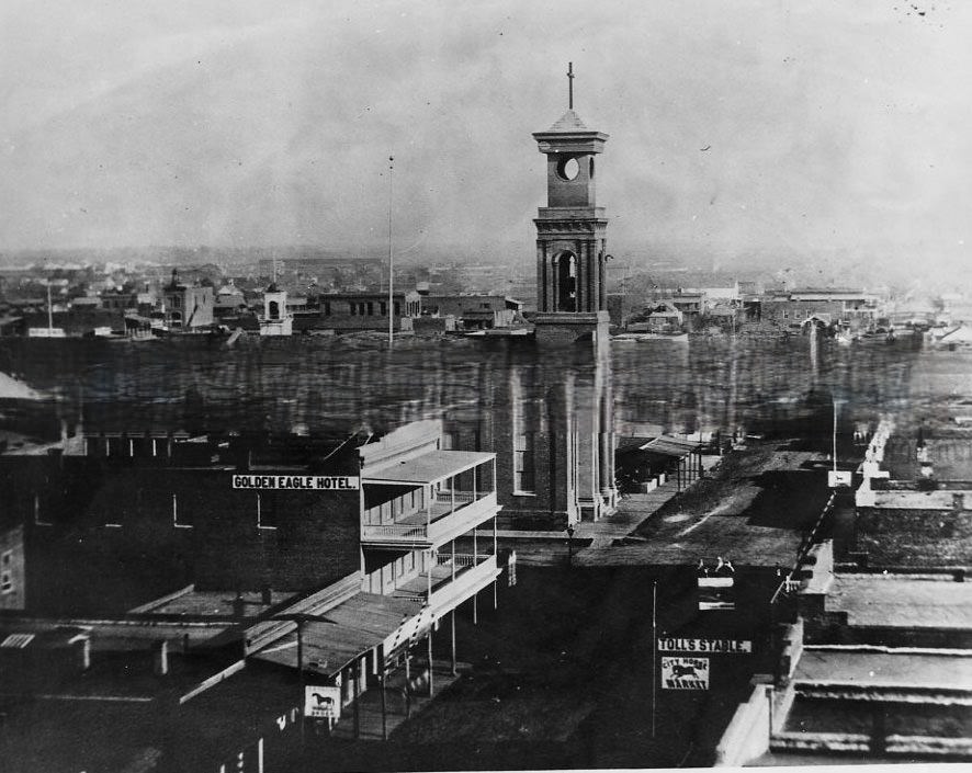
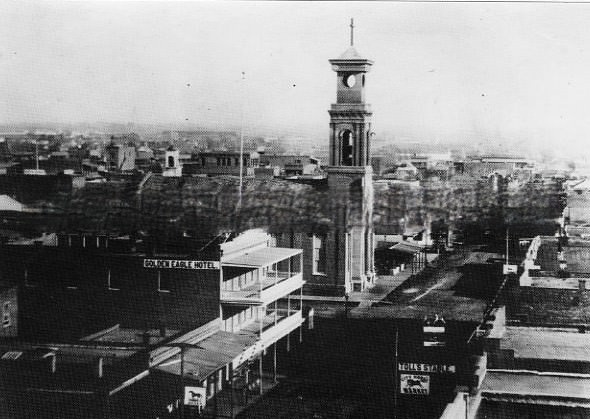
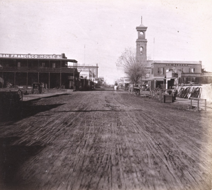
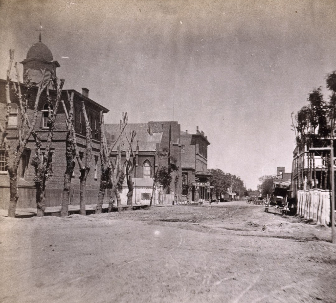
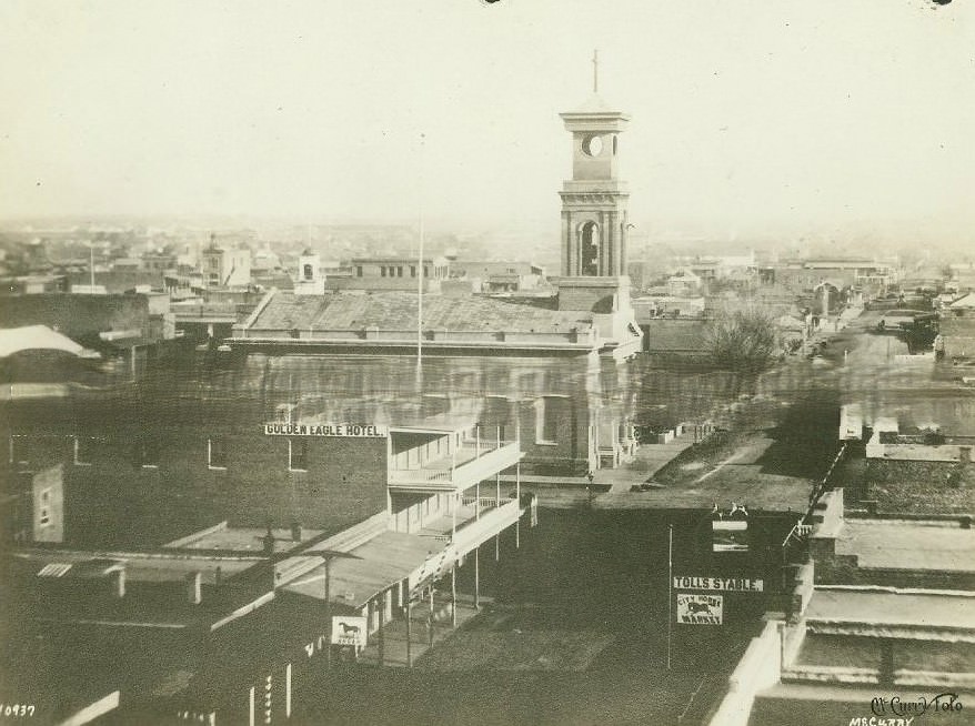
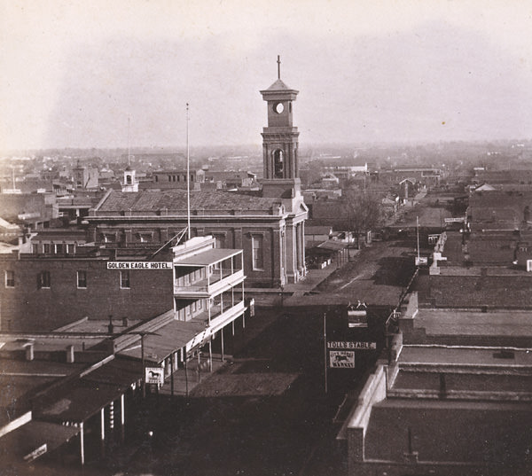
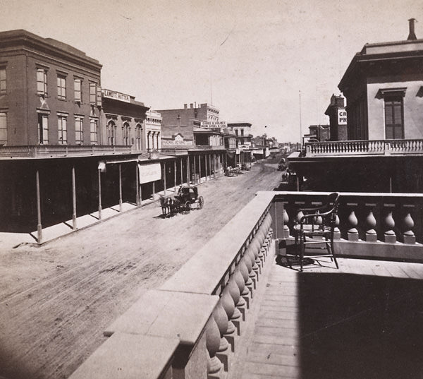
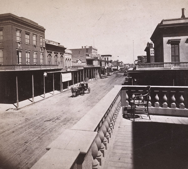
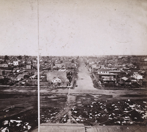
K Street was one of the most photographed corridors in 1860s Sacramento. Views looking east from the Masonic Hall showed the Golden Eagle Hotel on the left and a church in the background, with Toll’s Stable visible on the right. The street was unpaved for much of the decade, with wooden boardwalks running along storefronts. Businesses were packed tightly together, and the mix of hotels, churches, and stables gave K Street the character of a city that was still finding its shape.
K Street, looking east from near 6th Street Sacramento, 1866
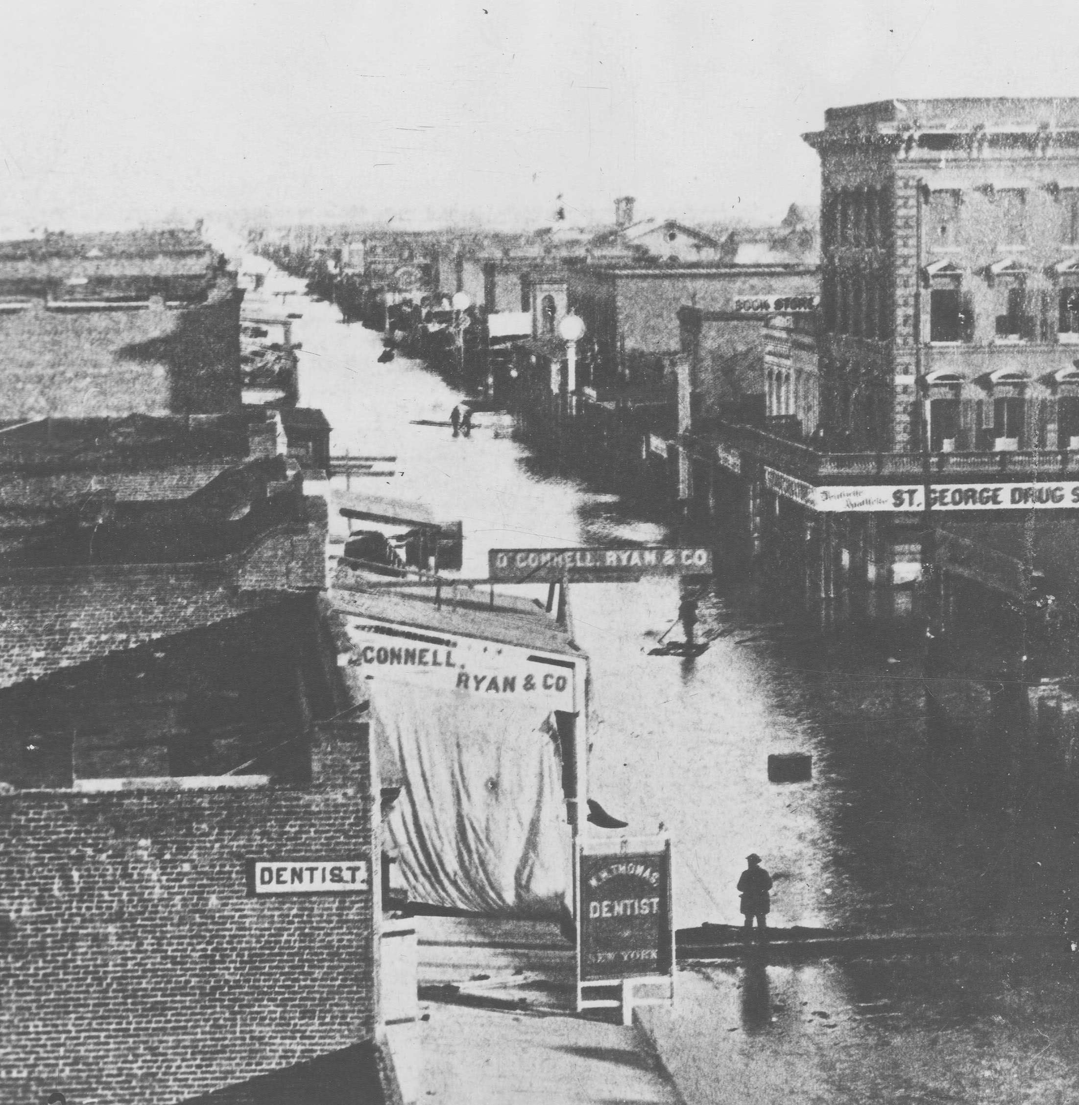
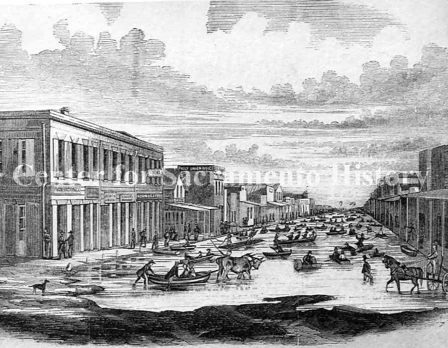
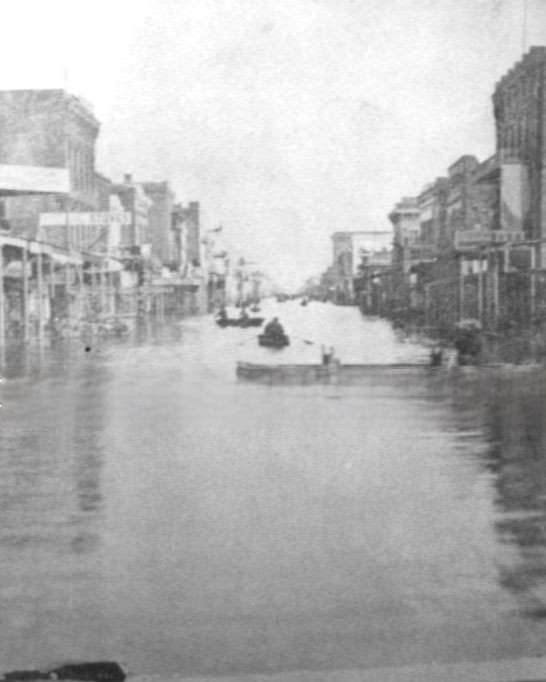
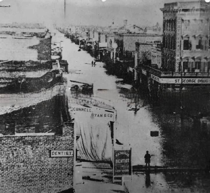
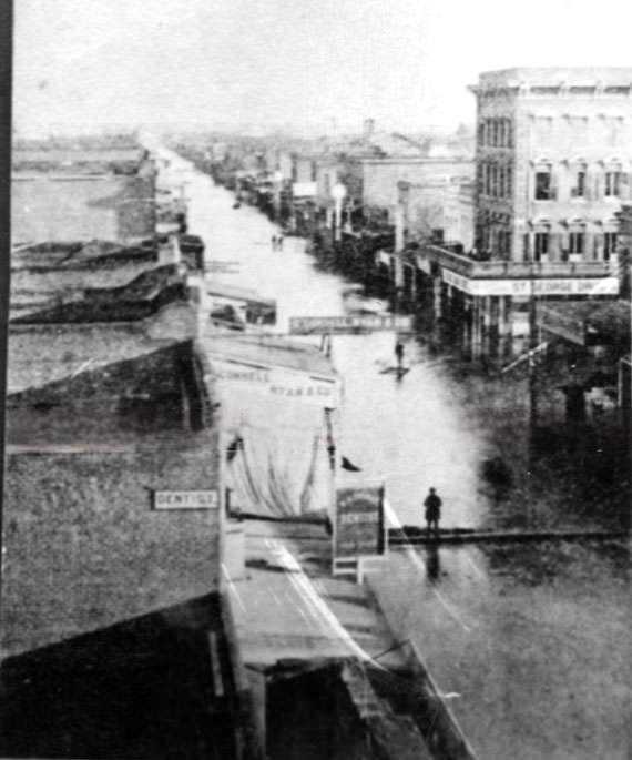
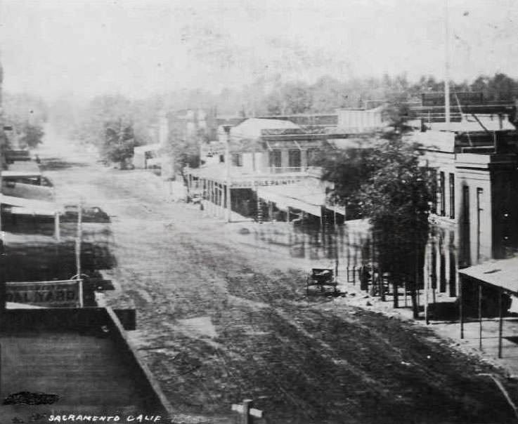
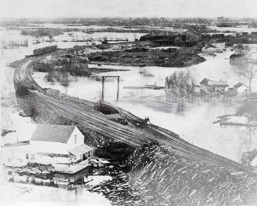
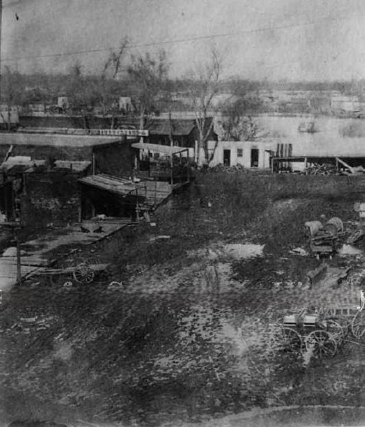
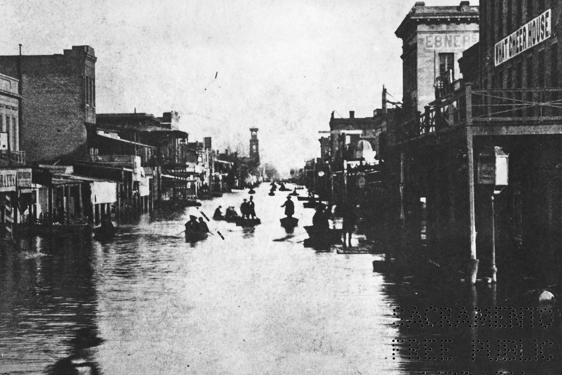
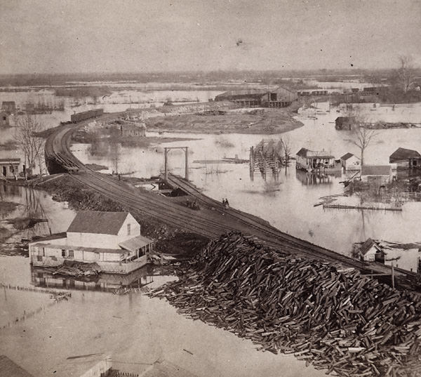
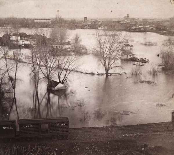
The most catastrophic event of the decade came not from war, but from water. In December 1861 and January 1862, Sacramento was struck by devastating floods. Levees broke — one at 31st Street on December 9, and another at Rabel’s tannery on the American River a month later. The floodwaters poured through the streets, submerging entire blocks. J Street near Fourth Street was photographed during the disaster, showing the scale of the inundation. A sign for dentist W.H. Thomas and the dry goods store of Patrick O’Connell and Jonathon Ryan are visible in the foreground of one image, with the St. George Drugstore just across the street — all of it sitting in floodwater.
Looking east, of a deluged J Street near Fourth Street captures the scale of the flood of December 1861.Flood of 1862 in Sacramento. This view shows J Street from Front Street looking east.
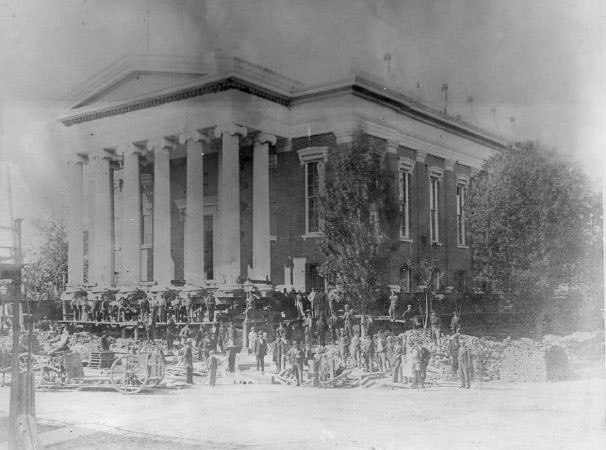
The 1862 flood forced a reckoning. Sacramento residents agreed that stronger levees alone weren’t enough. The debate that followed split the city: some wanted only a modest elevation of streets above the river crests, while others pushed for major grading that would raise the entire business district high enough to allow basements. After the election of 1863, the high-grading faction won. Work began to raise the city’s commercial district by 18 feet. Buildings were physically lifted during the project — including the Sacramento County Courthouse, which was jacked up as the ground level was rebuilt beneath it.
The second Sacramento County Courthouse being raised during the street raising project of the 1860s.Flood of 1862, Sacramento, J Street looking east from levee.
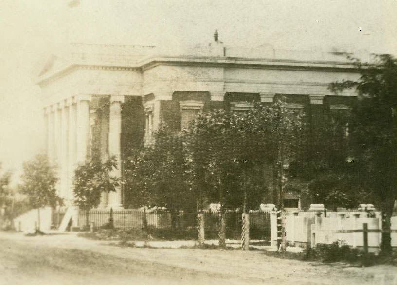
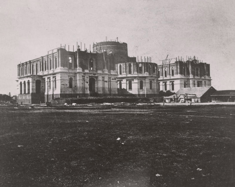
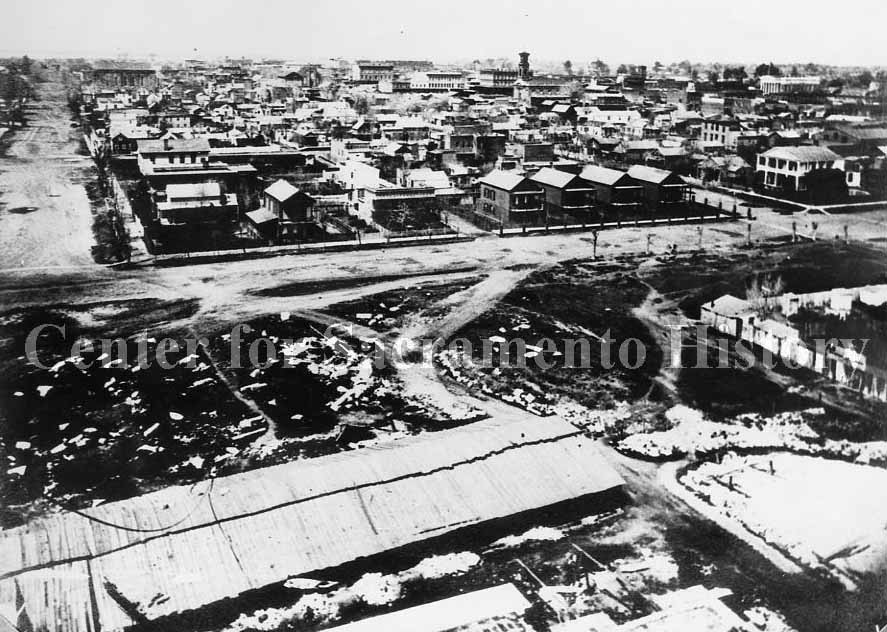
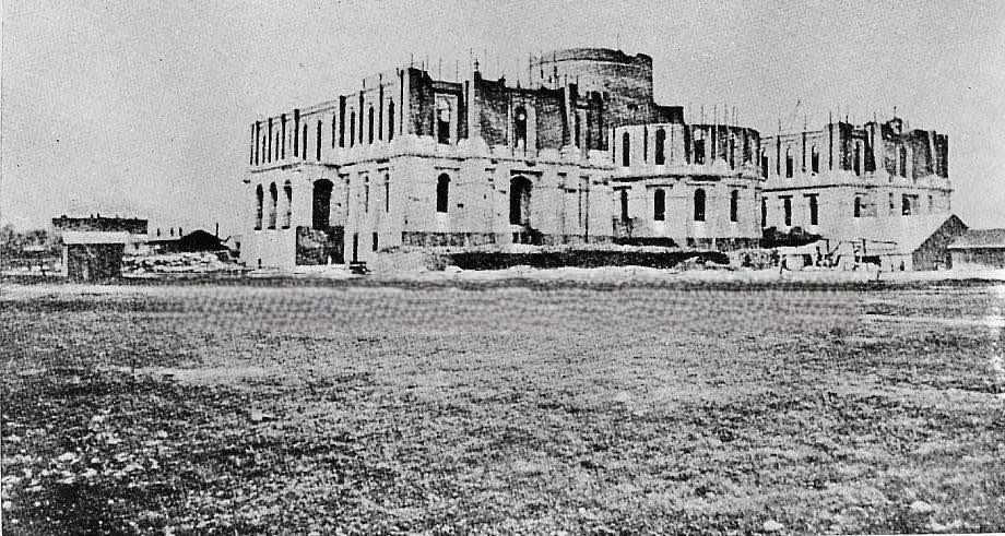
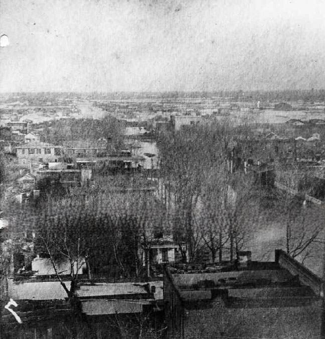
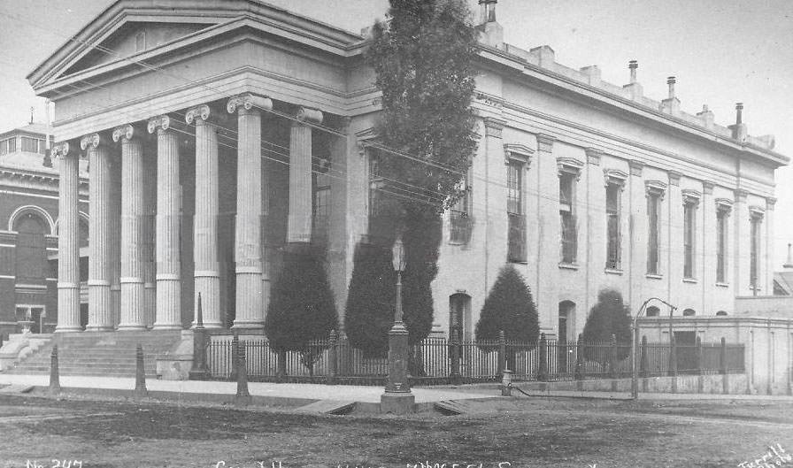
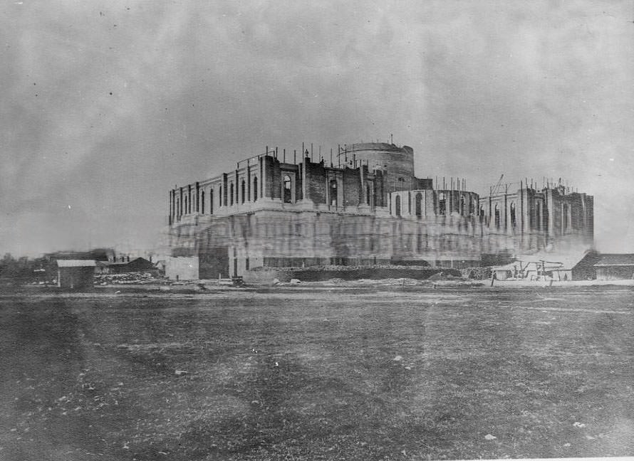
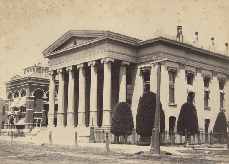
The Sacramento County Courthouse was a busy building throughout the decade. It also served as the statehouse where the California State Legislature met until 1869, when the new Capitol building was finally completed. The courthouse itself had been built in 1855 and was the second courthouse Sacramento had seen. The new State Capitol, meanwhile, was under construction for most of the 1860s, and photographers recorded its progress from multiple angles. Views from its unfinished dome looked out over the city in every direction, offering rare elevated perspectives of Sacramento’s rooftops, streets, and the river in the distance.
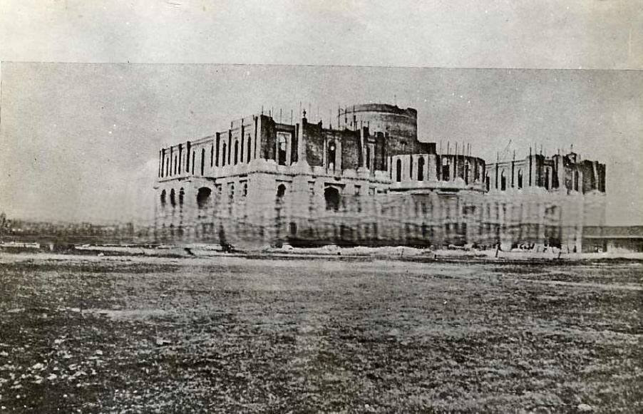
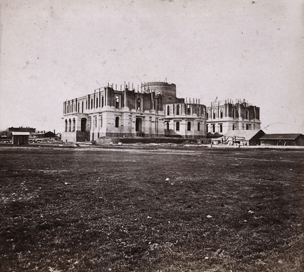
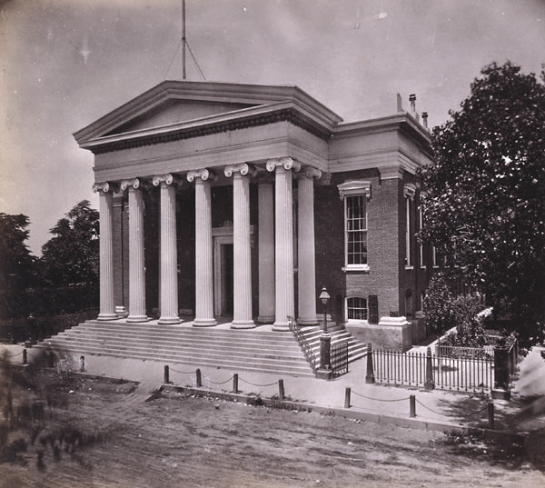
Sacramento County Courthouse, 1865California State Capitol under construction, 1867
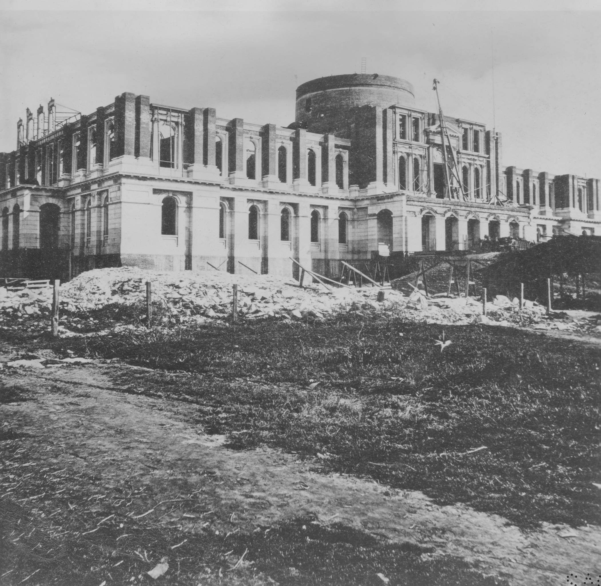
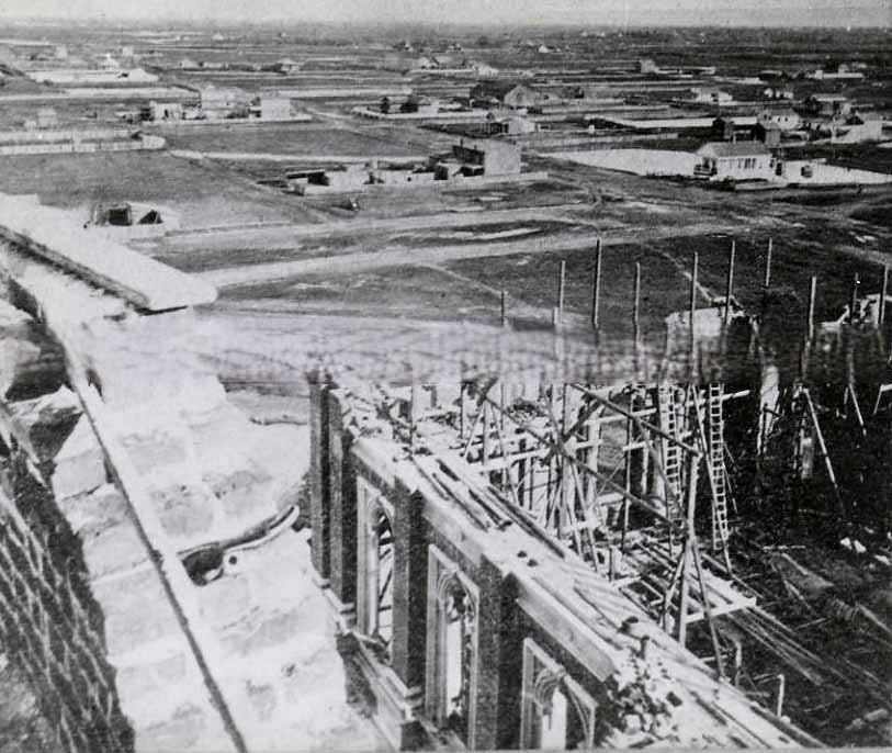
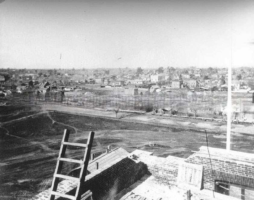
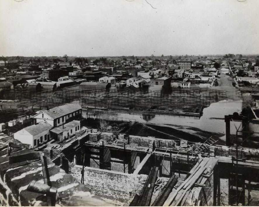
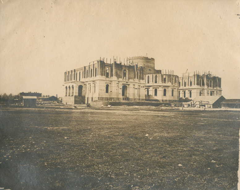
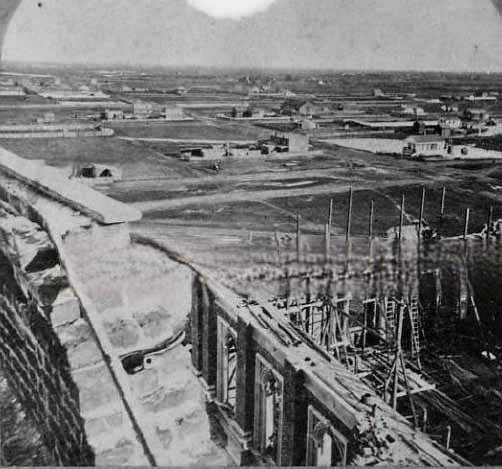
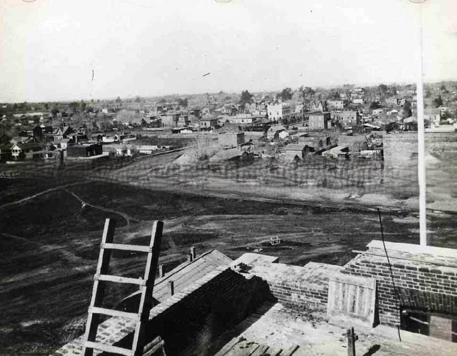
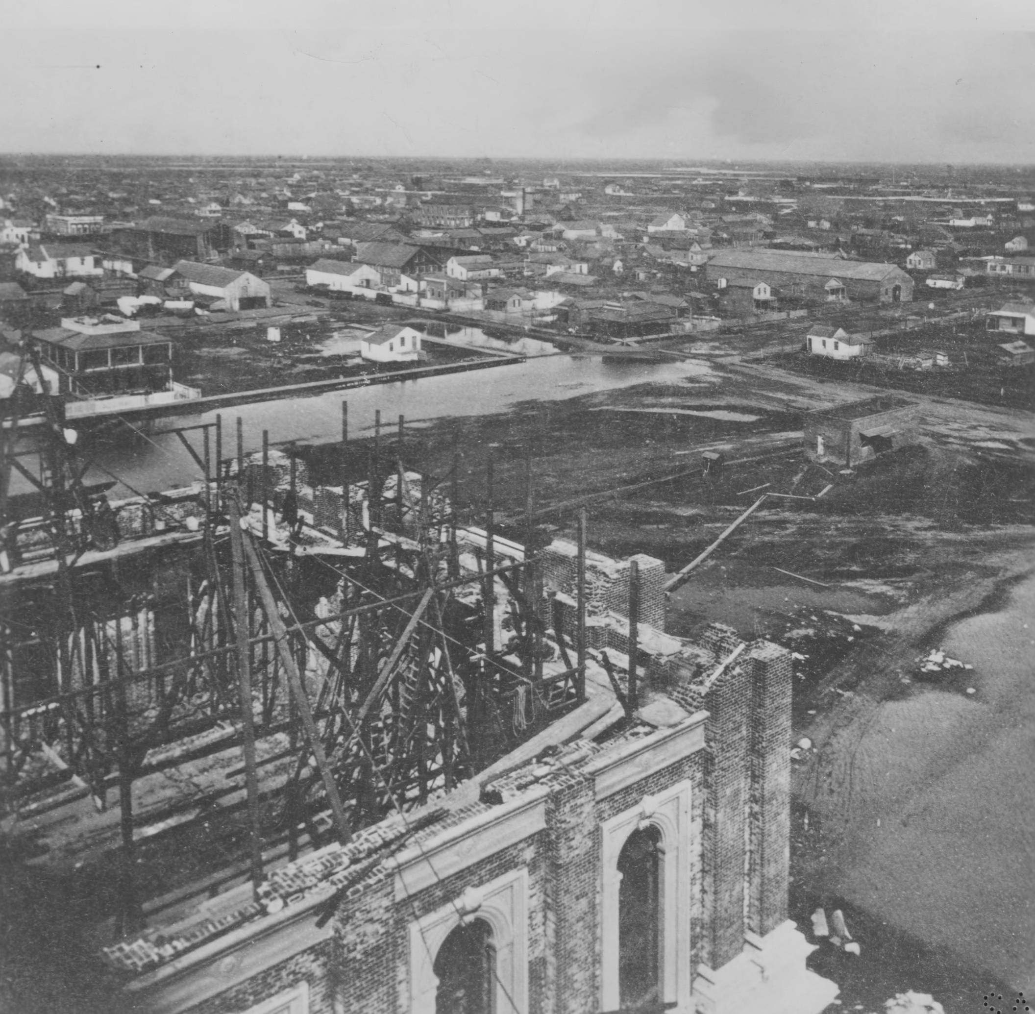
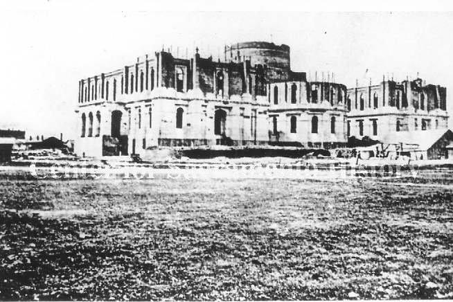
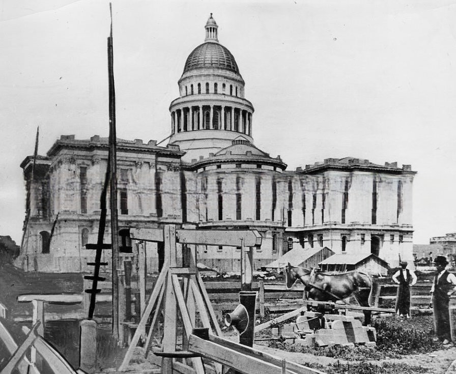
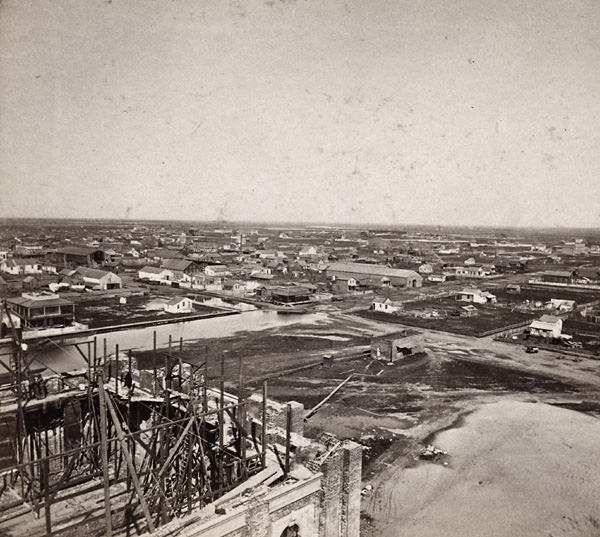
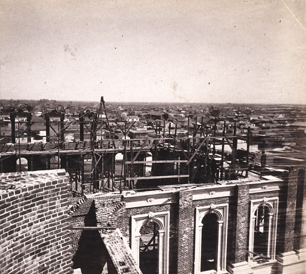
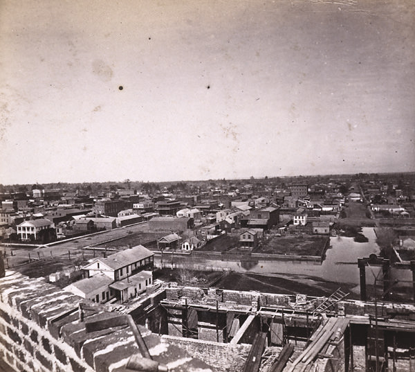
Construction of the Capitol was a massive undertaking. The sheer complexity of the project reportedly drove one of its architects, Reuben Clark, to insanity. Photographs taken from the southeast side of the building show the scale of the scaffolding and stonework required. By 1868, views taken from the unfinished dome stretched across the city grid — north toward 9th Street, east toward the outskirts, and west toward the Sacramento River. The building was finally completed in 1869.
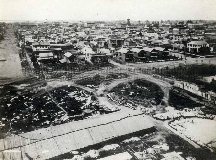
California State Capitol under construction, 1868Elevated view of Sacramento taken from the dome of the capitol during its construction looking northeast over the city, 1868
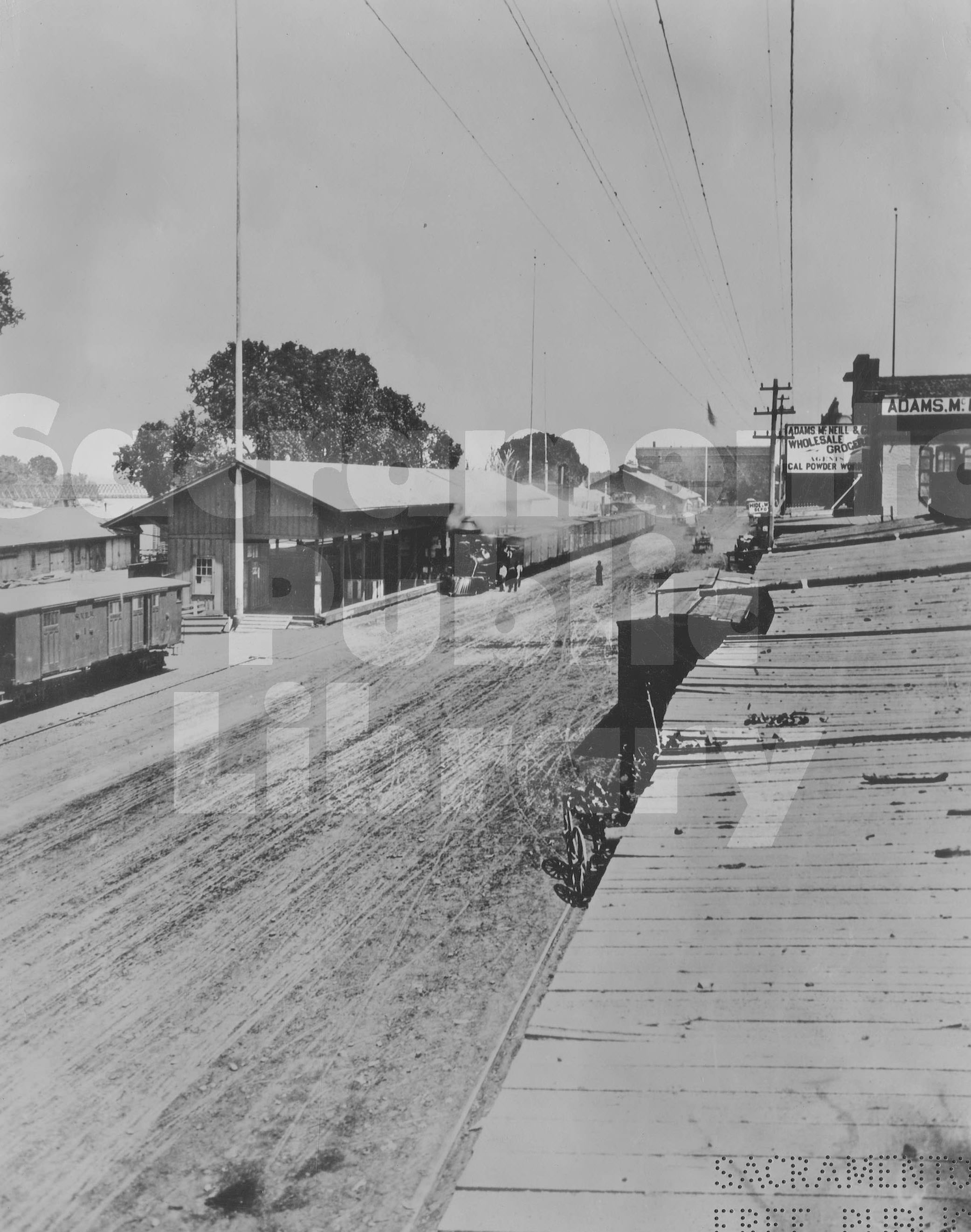
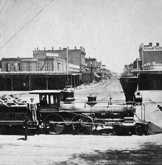
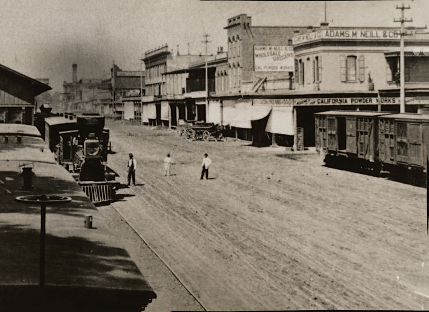
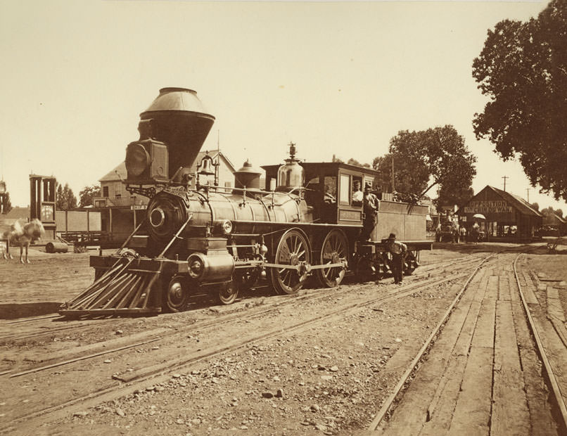
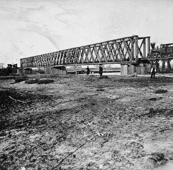
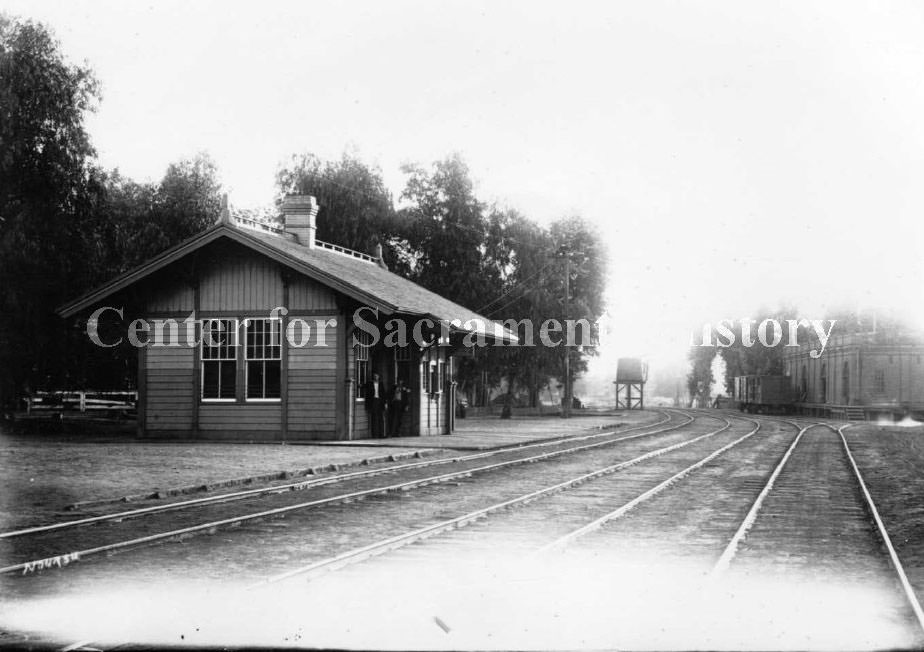
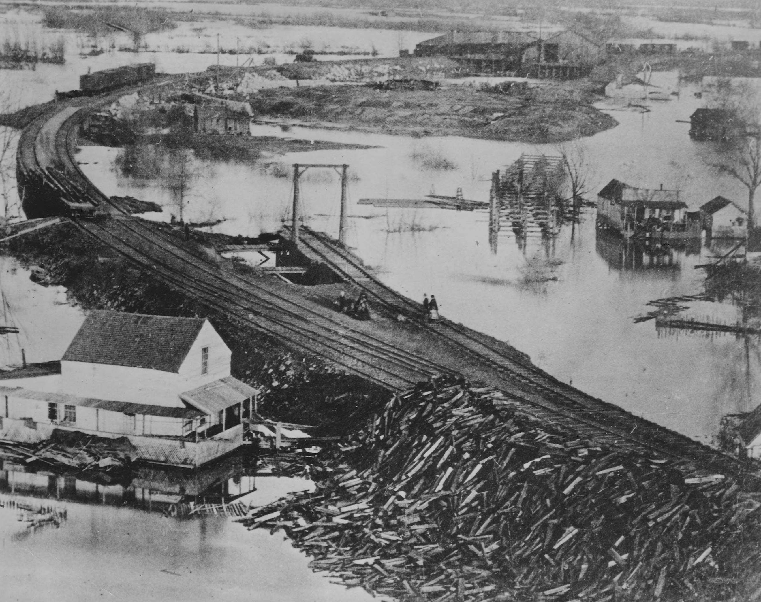
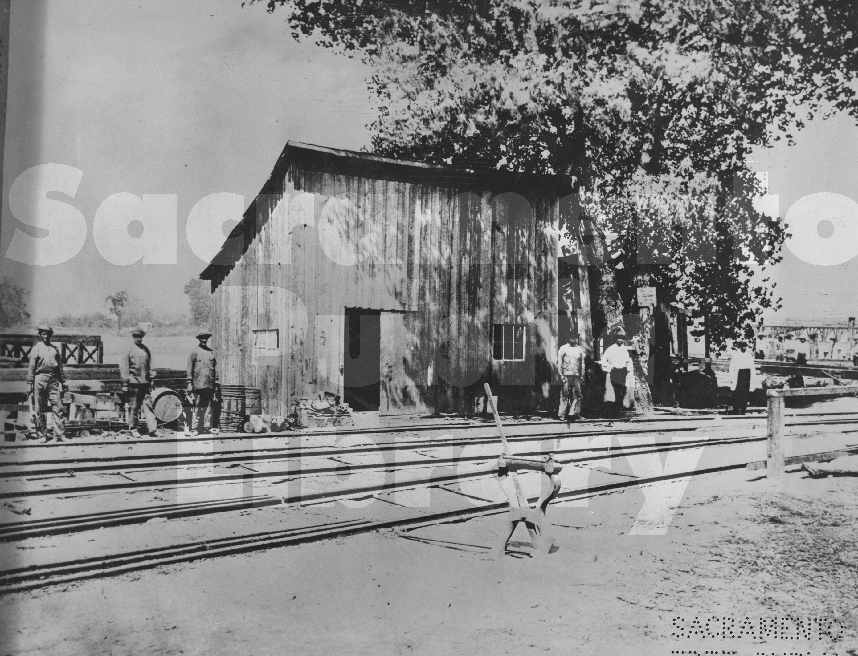
While the Capitol rose from the ground, Sacramento’s railroad network was expanding just as fast. In 1865, the Central Pacific Railroad acquired the Sacramento Valley Railroad. In 1867, the Western Pacific Railroad was incorporated to link Sacramento to Stockton. The combined efforts of these railroad companies also produced the Yolo-Sacramento Bridge — the first bridge ever built across the Sacramento River. The railroad levee, freight depots, and locomotive yards along Front Street became some of the most active and photographed parts of the city. Trains loaded with supplies and passengers moved in and out of Sacramento daily, and the riverfront hummed with commerce.
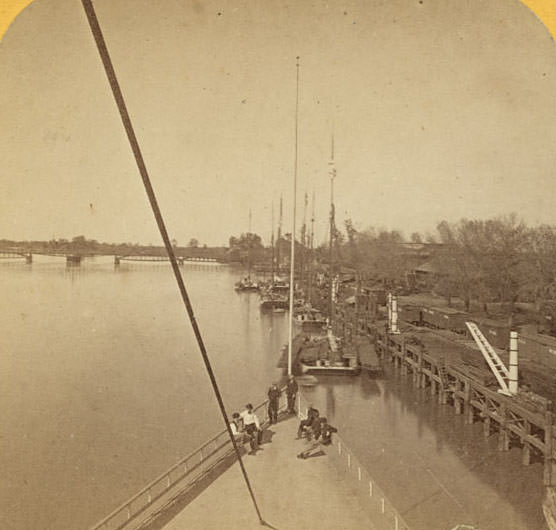
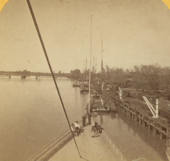
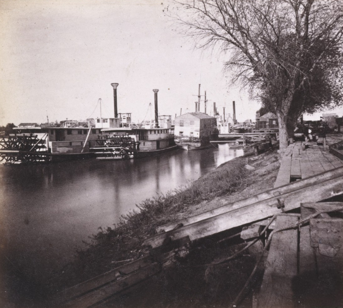
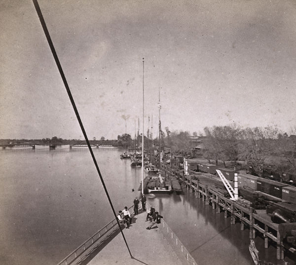
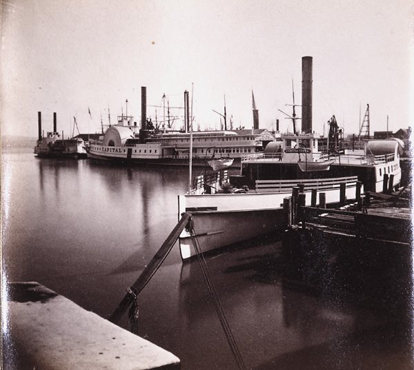
Sacramento Valley Railroad and Central Pacific Railroad Buildings, 1863The Levee at Sacramento, from the deck of the steamer Capital, 1866
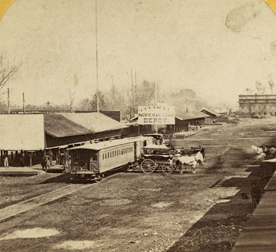
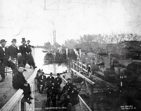
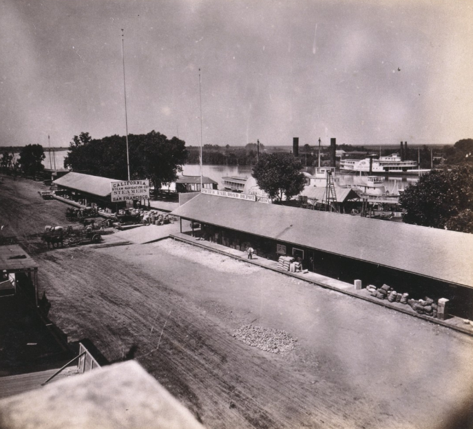
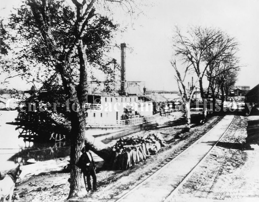
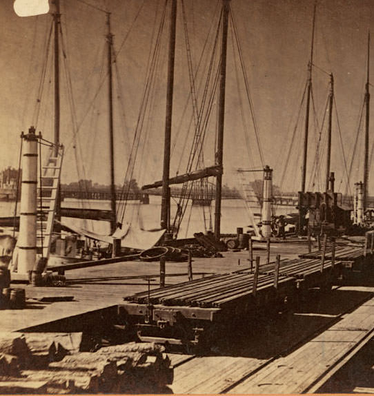
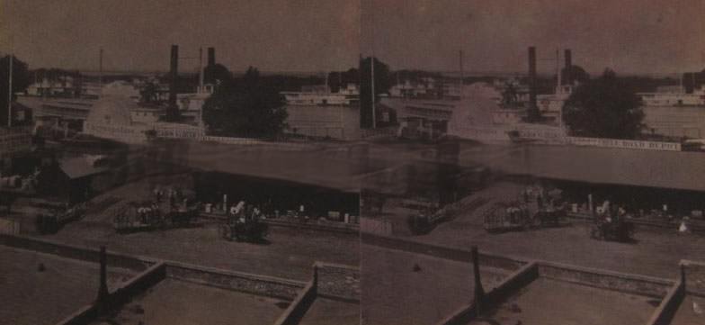
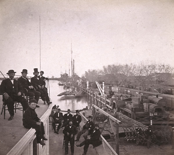
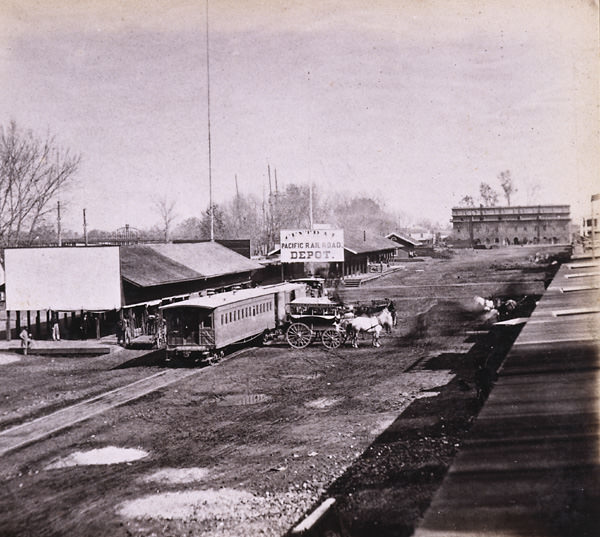
The Sacramento levee was more than a flood barrier — it was a working waterfront. Steamers docked alongside railroad tracks, and freight moved between river vessels and rail cars in a constant flow. Photographs from 1866 taken from the deck of the steamer Capitol show the packed levee, with boats, trains, and workers filling the frame. The railroad depots sat directly on the levee, making the transfer of goods between water and rail as direct as possible.
The Railroad Depots on the Levee, Sacramento City, 1866The Levee Sacramento 1866. The photo shows boats, railroad tracks with train, and men seated on boat in foreground.
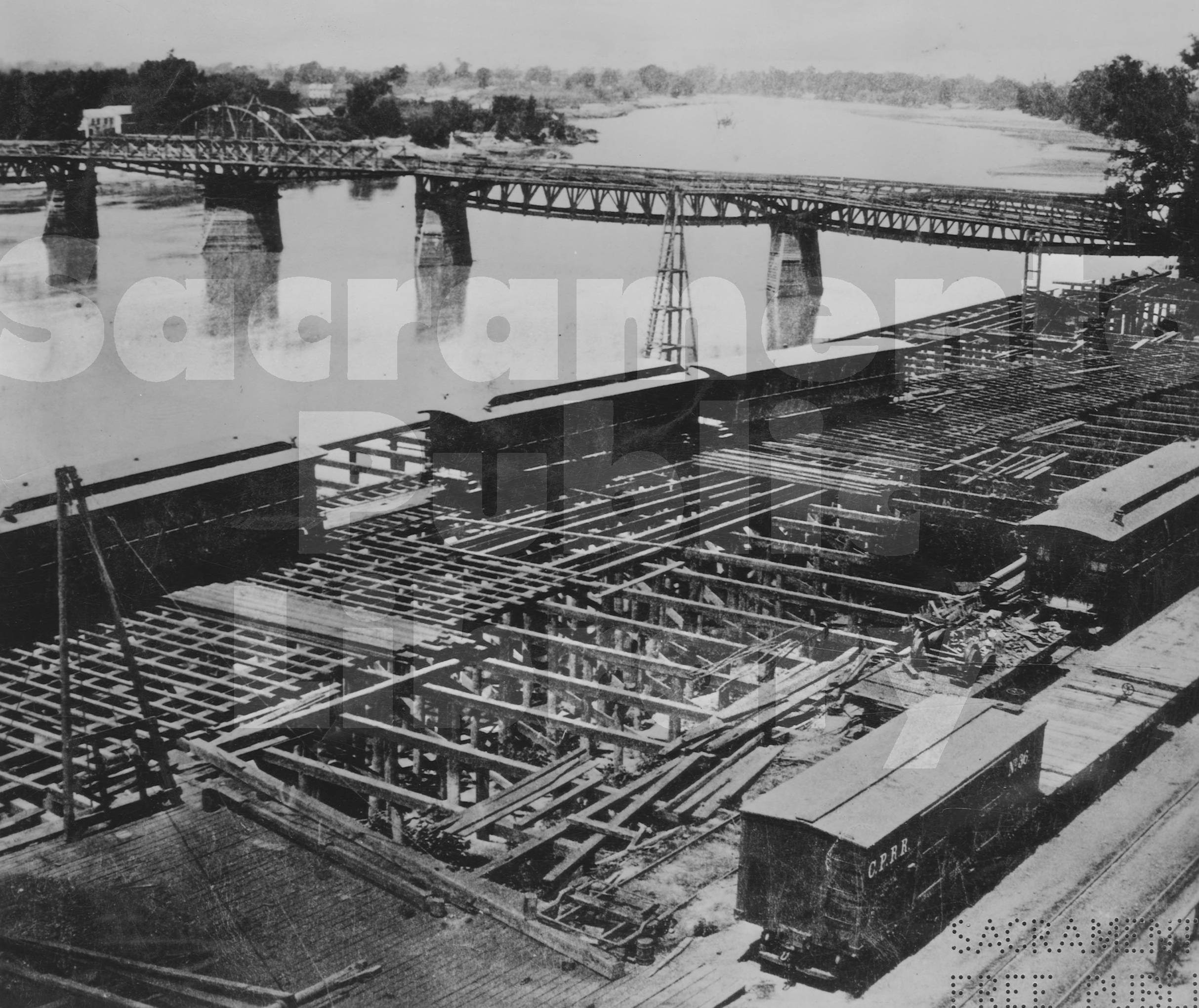
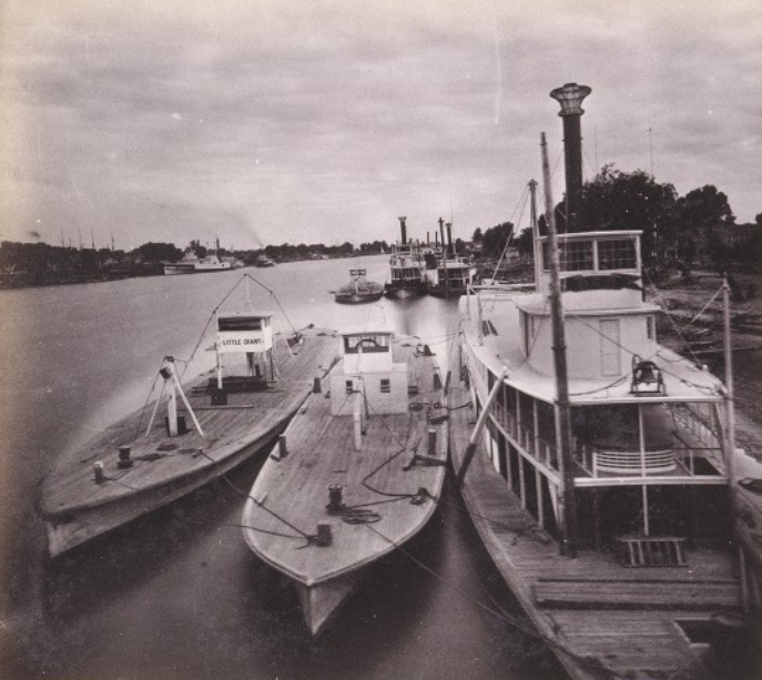
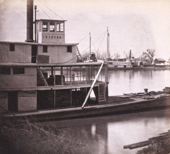
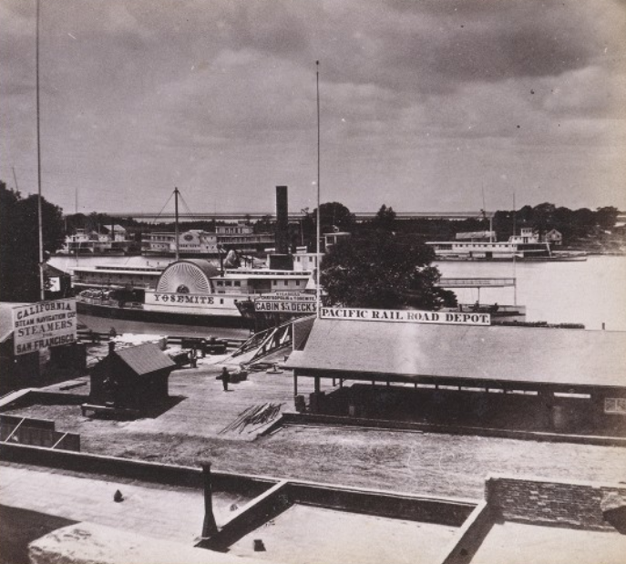
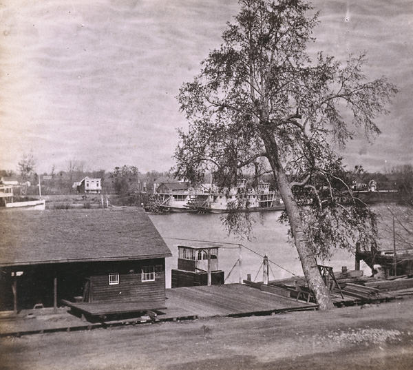
The waterfront construction documented in an 1864 photograph near I Street shows the old levee grade still visible below the new boardwalk — a physical record of the city being rebuilt layer by layer. Sacramento’s first bridge across the Sacramento River, which opened in 1858, can also be seen in that image, stretching across the water toward Yolo County. The river was central to Sacramento’s economy in the 1860s. Steamers carried passengers and cargo up and down the Sacramento River, with multiple vessels operating regular routes.
Construction of the Sacramento River waterfront near I Street, 1864.Sacramento River and Levee, from Front street, Sacramento City, 1860
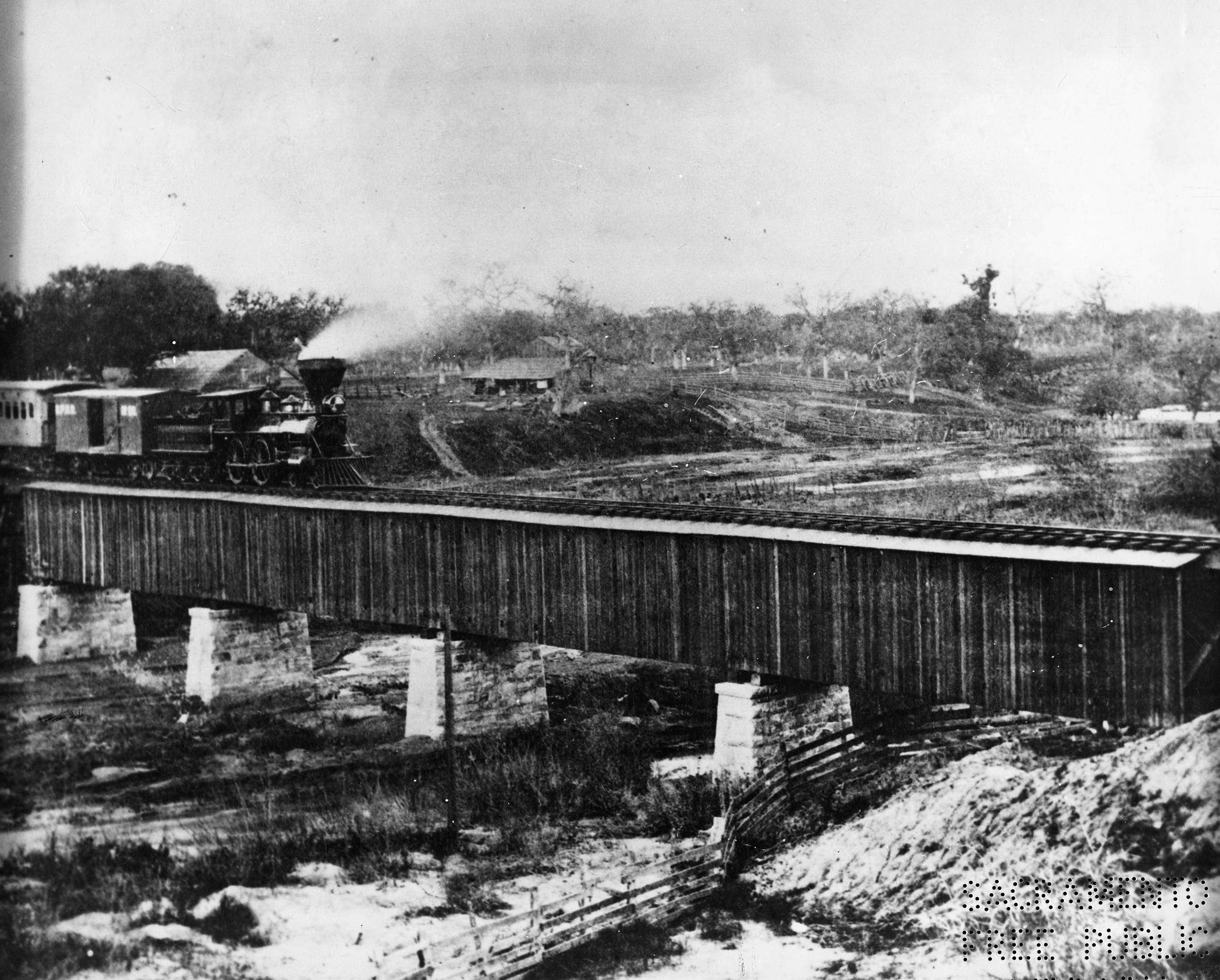
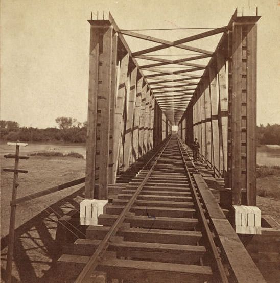
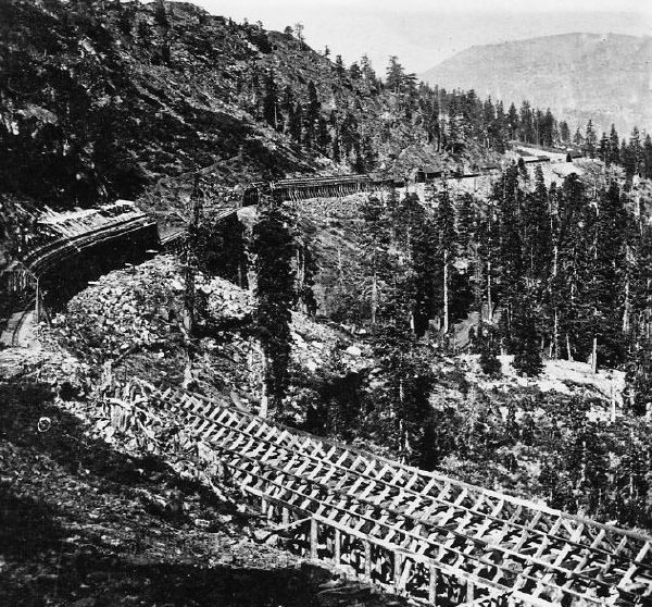
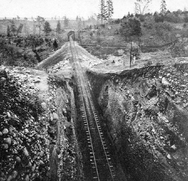
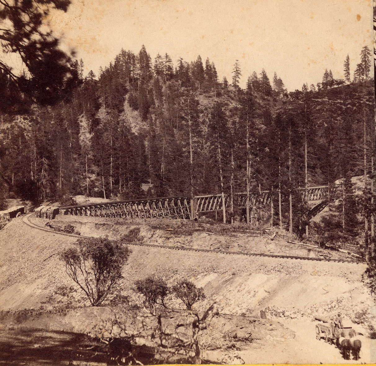
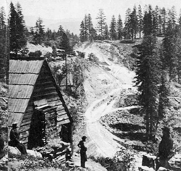
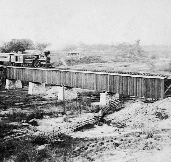
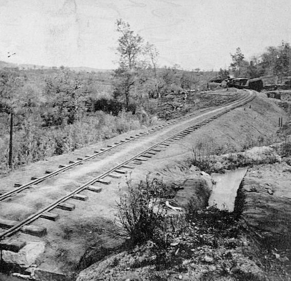
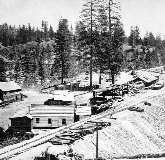
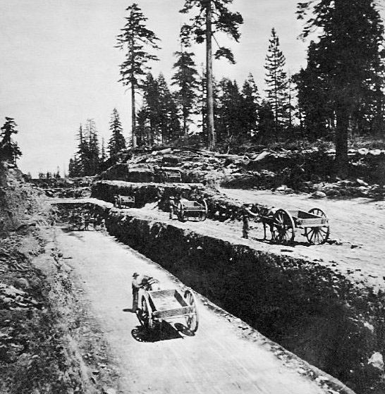
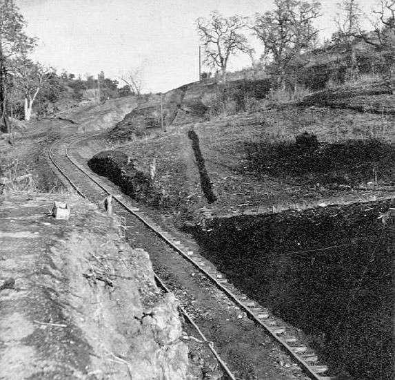
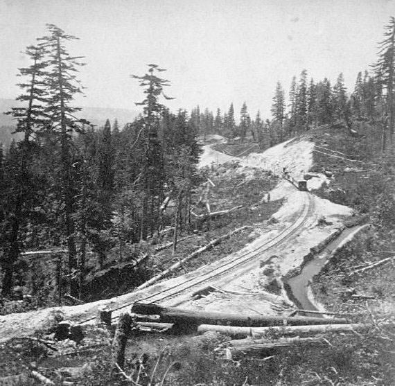
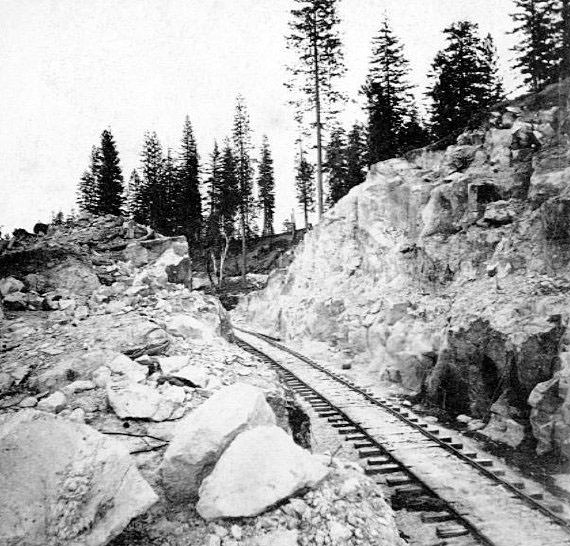
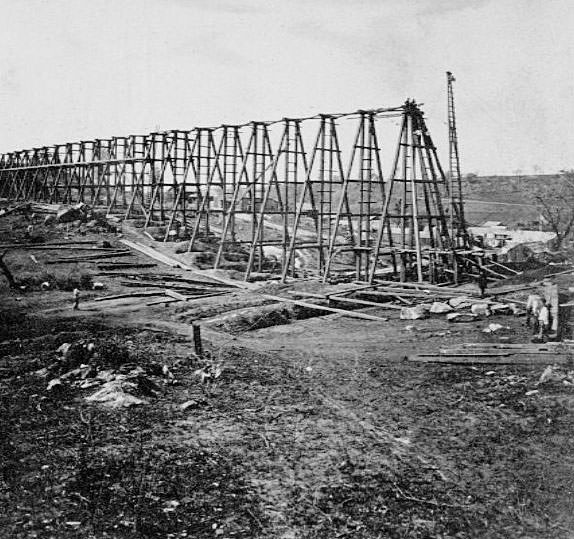
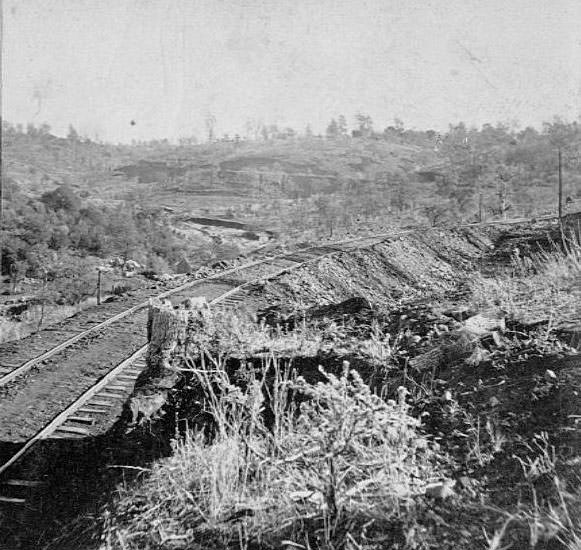
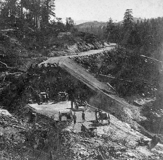
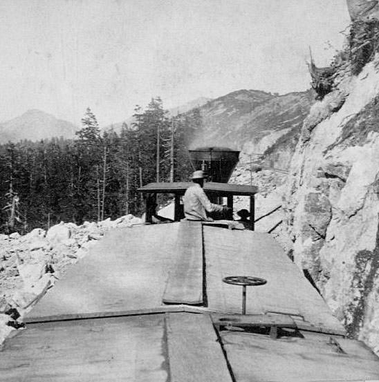
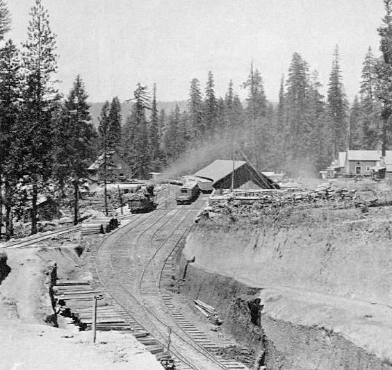
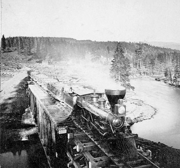
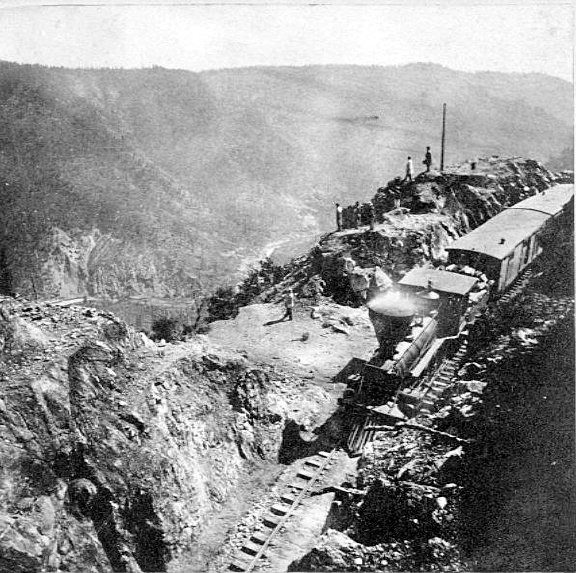
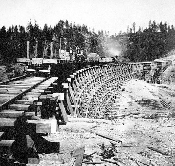
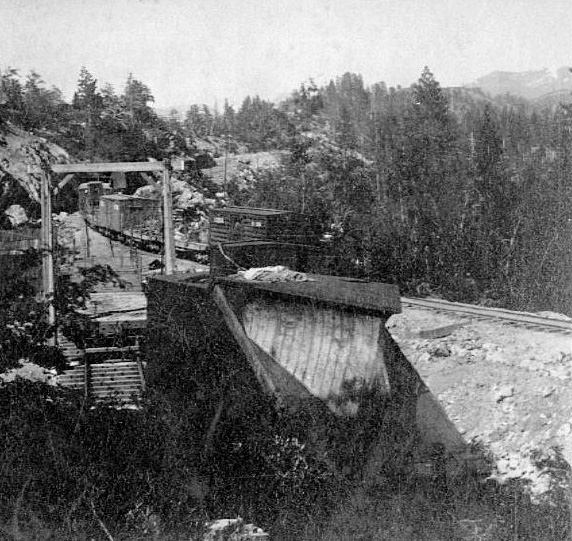
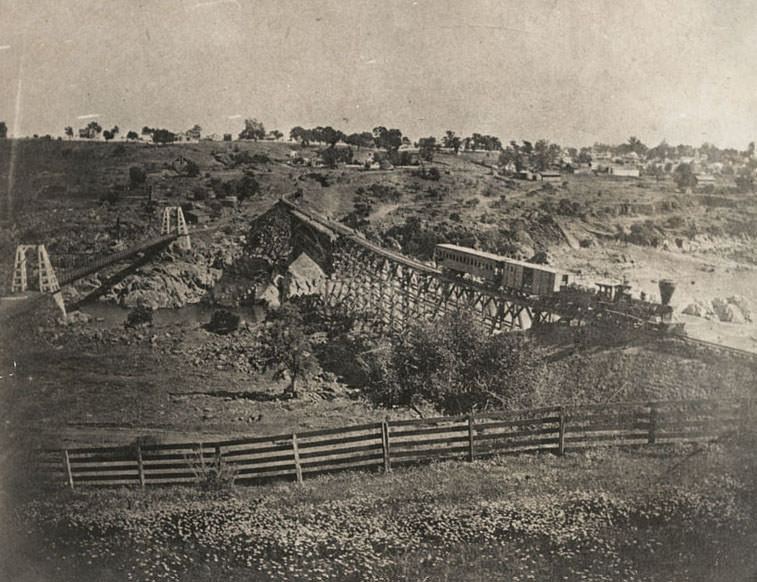
The Central Pacific Railroad’s expansion out of Sacramento produced some of the most dramatic engineering photographs of the decade. Workers pushed the rail line eastward through the Sierra Nevada mountains, blasting through granite, building trestles over deep ravines, and cutting through rock formations. The Dry Creek Bridge, located 17 miles east of Sacramento, carried trains across a steep valley. The American River trestle near Sacramento stretched 5,145 feet. At higher elevations, snowsheds were constructed to keep the tracks clear through brutal winters — the sheds at Black Butte near Cisco took three years to build.
A Central Pacific Railroad train of the Dry Creek Bridge, located 17 miles east of Sacramento, 1865Trestle and Crossing of the American River near Sacramento-5145 feet long. 866, 1865The Central Pacific snowsheds at Black Butte, near Cisco in 1867. It took three years to build the sheds.
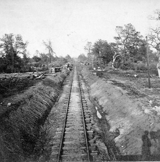
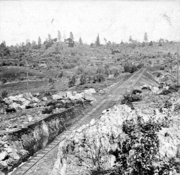
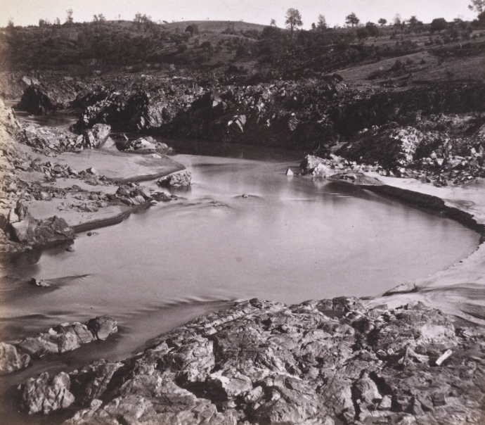
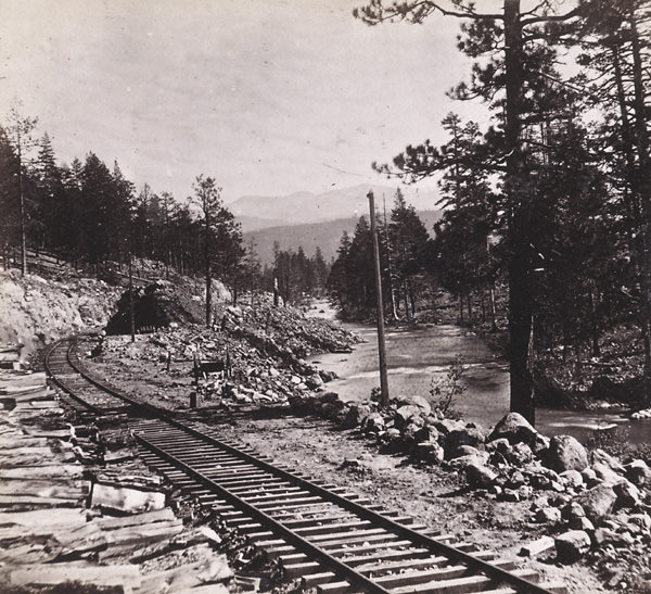
Photographer Alfred Hart documented much of the railroad’s construction for the Central Pacific, producing a systematic visual record of the line from Sacramento eastward. His images covered terrain at measured distances from the city — 23 miles, 30 miles, 56 miles, 62 miles, 80 miles, and further. Towns like Newcastle, Colfax, and Alta appear in his work, as do cuts through sandstone, ravine bridges, and mountain passes choked with snow. The railroad reached the Utah plain by 1869, where the Central Pacific met the Union Pacific at Promontory Summit.
Central Pacific Railroad. View from Bloomer Cut, 1866Long Ravine Bridge from the West. 56 miles from Sacramento, 1866
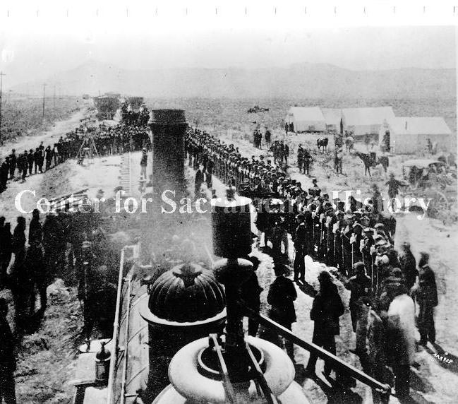
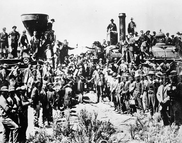
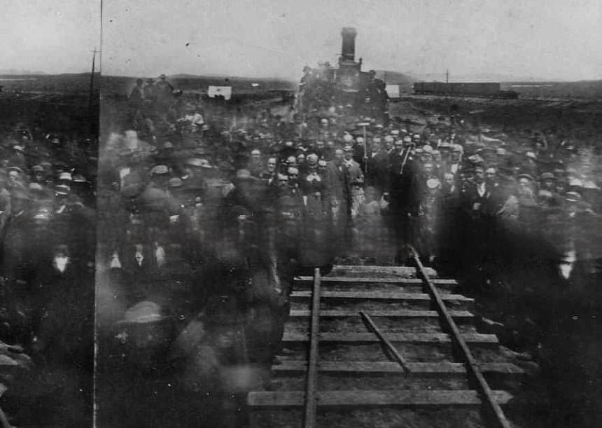
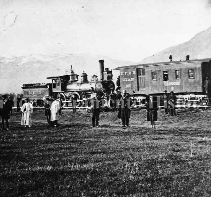
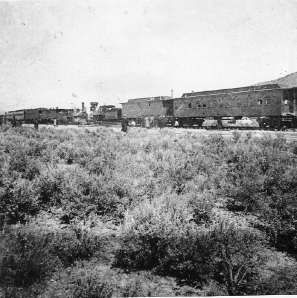
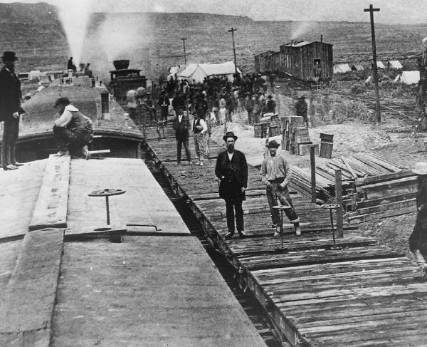
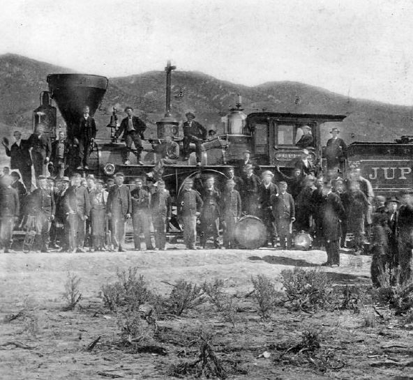
The Golden Spike ceremony in May 1869 marked the completion of the First Transcontinental Railroad. Crowds and engines gathered at Promontory Summit, Utah, for the celebration. The event connected Sacramento directly to the eastern United States by rail for the first time — a transformation that had been building throughout the entire decade. The locomotives and freight sheds along Front Street in Sacramento became the western anchor of a rail network that now spanned the continent.
Golden Spike Ceremony, 1869Crowd and engines gathered for Transcontinental Railroad Golden Spike completion ceremony, 1869
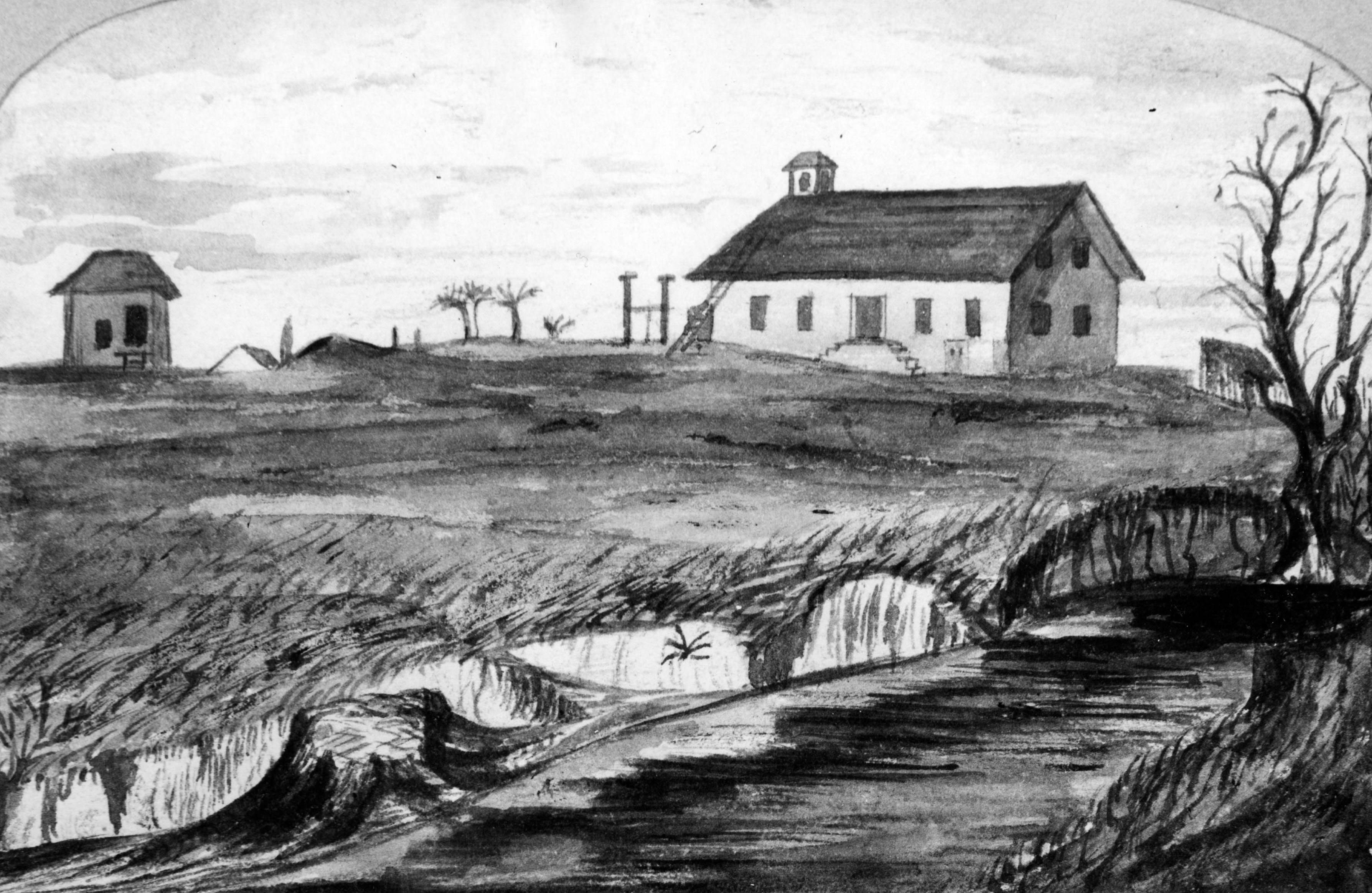
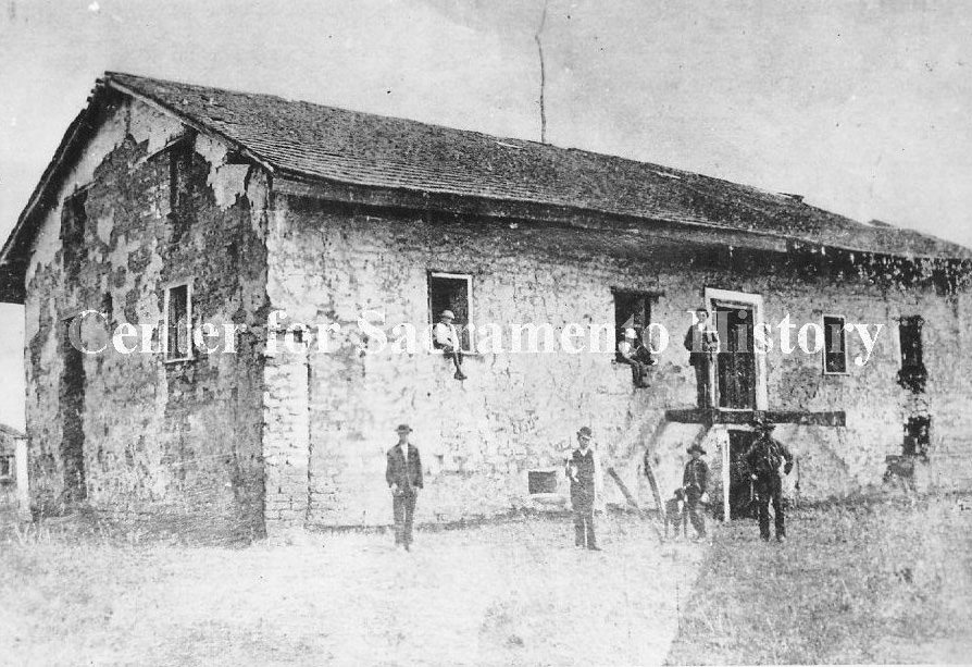
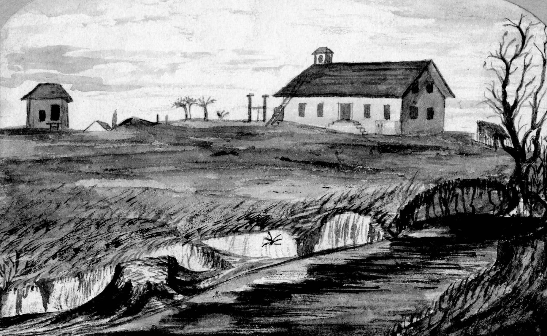
Back in Sacramento, daily life continued against this backdrop of change. Sutter’s Fort, the landmark that had anchored the region’s early settlement, stood in decay by the 1860s. John Sutter had abandoned it years earlier, and by 1862 the structure had lost its walls entirely, leaving only a central building flanked by two smaller structures surrounded by vegetation. The city of Sacramento had contested ownership of the former Mexican land grant land in the years before this period. The fort would not be restored until decades later.
A sketch of Sutter’s Fort as it appeared in 1862, fourteen years after its abandonment by John Sutter.Sutter’s Fort prior to being rebuilt with just the central building left standing. Several men and a dog are sitting in windows and doorways and standing next to the buiding, 1867
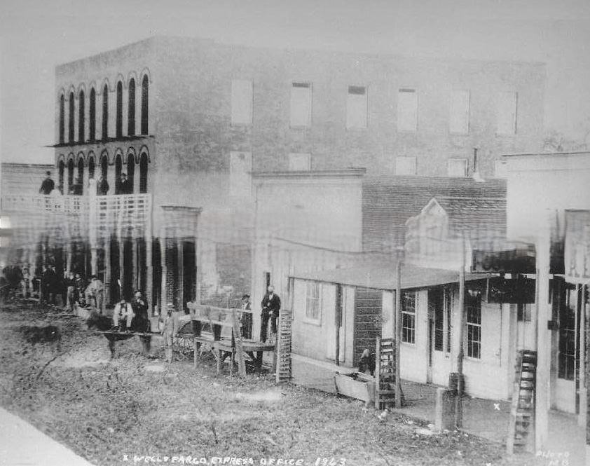
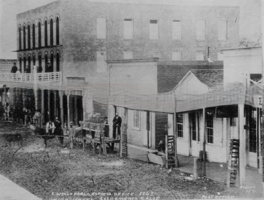
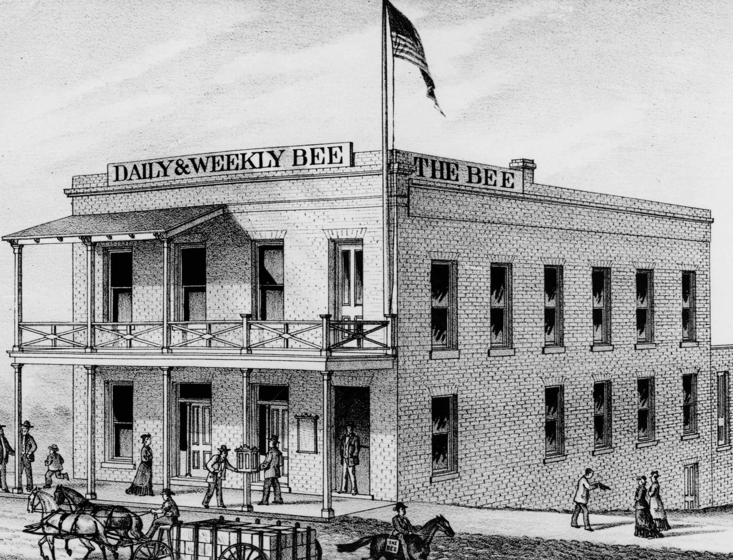
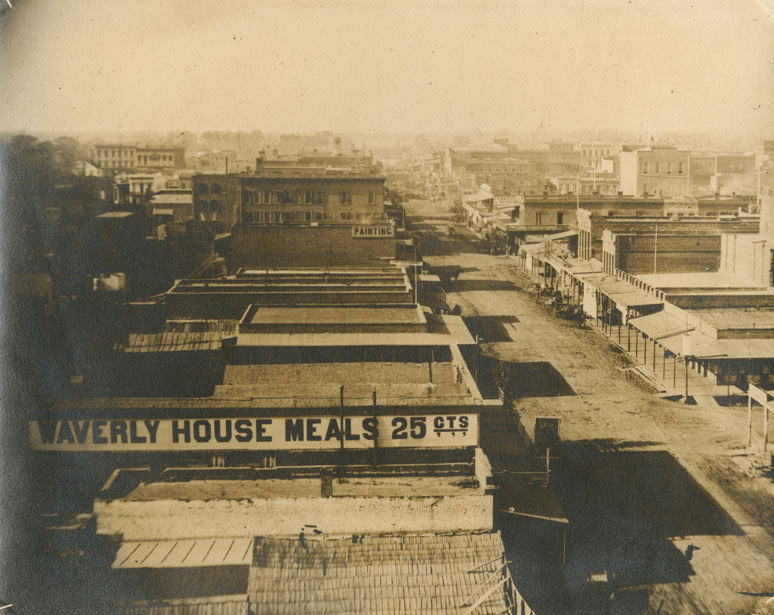
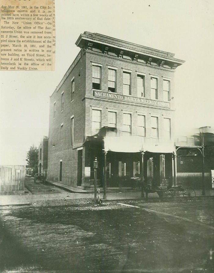
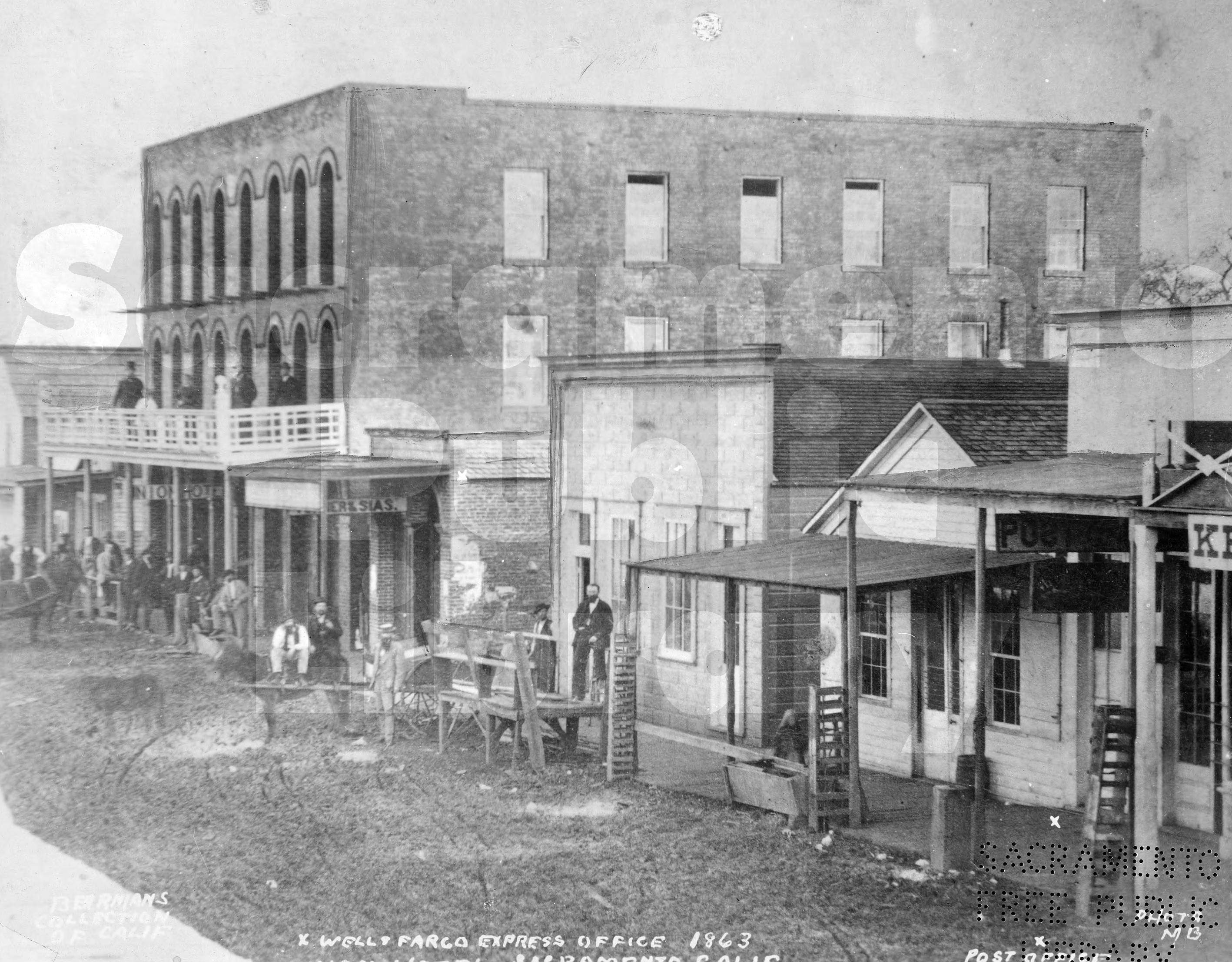
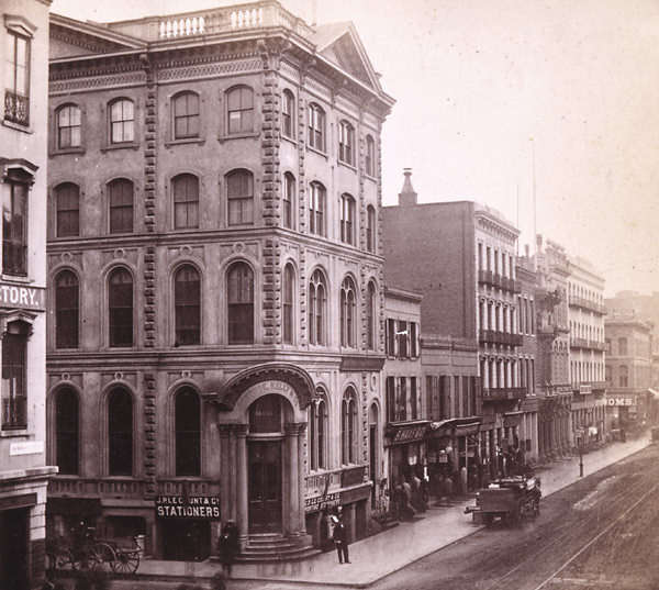
Sacramento’s commercial streets filled with hardware stores, hotels, grocers, and newspaper offices. The Sacramento Bee, founded as The Daily Bee in 1857, operated from its building on the city’s main grid. The Sacramento Daily and Weekly Union also ran throughout the decade. Wells Fargo had its express office on 2nd Street near J and K Streets, sharing the block with the Union Hotel. Storefronts on J Street, K Street, and the surrounding blocks were photographed repeatedly throughout the 1860s, capturing the texture of a mid-sized western city in the process of growing up.
Old Sacramento street scene Wells Fargo Express Office 1863 Post Office Union Hotel Sacramento.Union Hotel and Wells Fargo Express, 2nd Street between J & K Streets, 1863Sacramento Bee Building, 1860
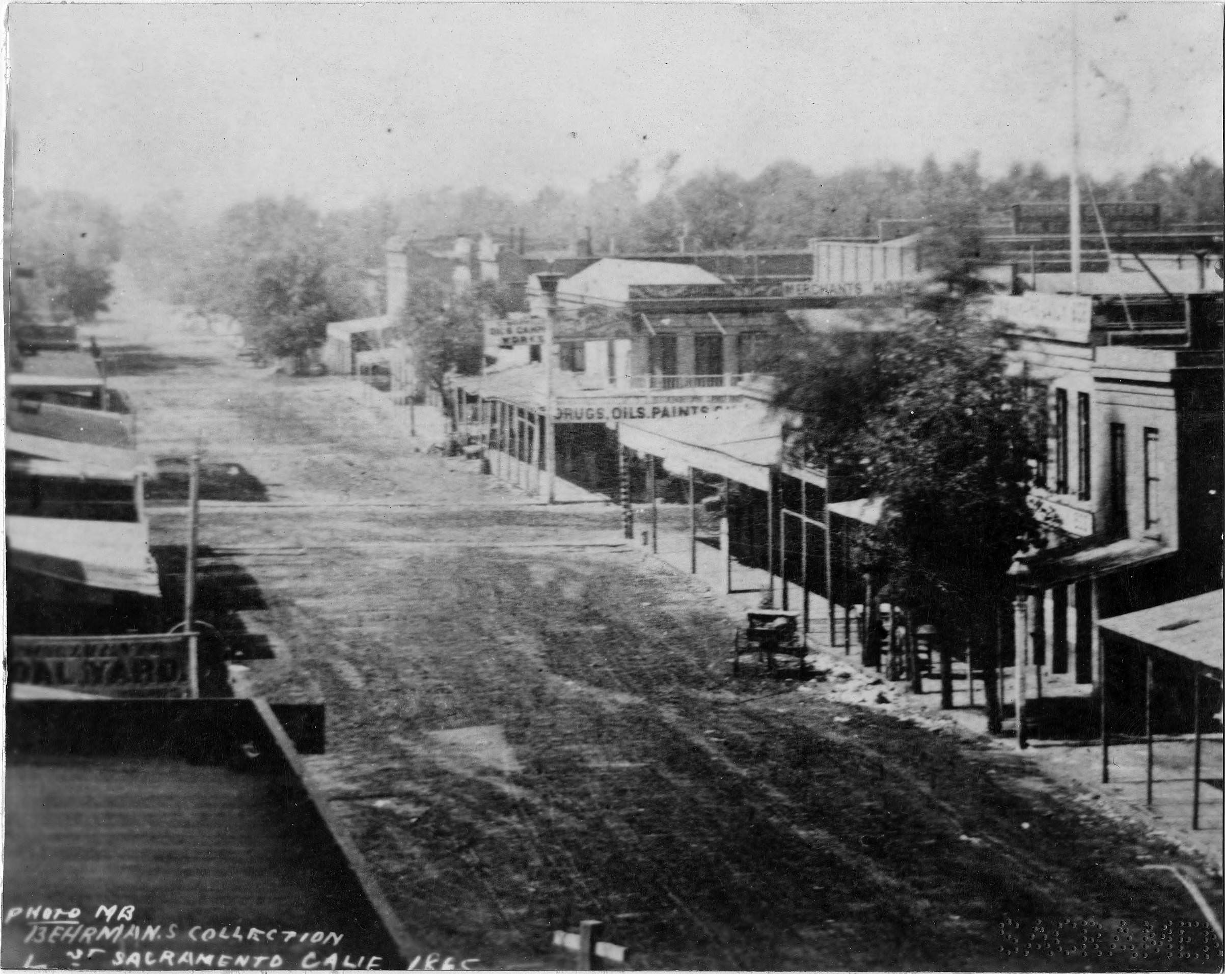
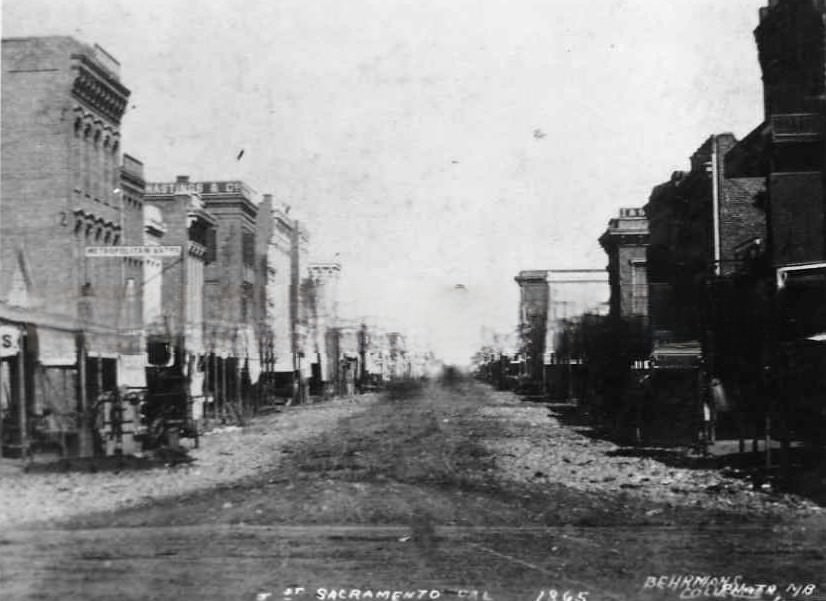
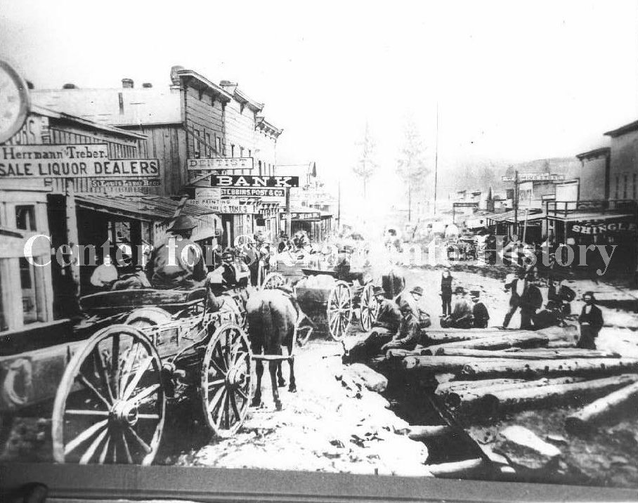
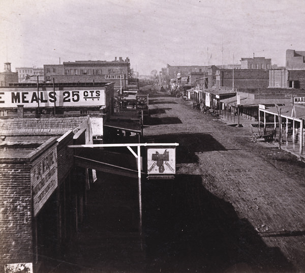
Street-level photographs from J Street in 1865 and 1866 show a city that was dense with activity. Hardware stores, dry goods dealers, bath houses, and saloons competed for frontage. Workers laid the Nicolson Pavement on J Street during the decade, one of the early attempts to improve the city’s muddy, unpaved roads. Looking west from 9th Street in 1868, Moore and Prentice Hardware anchored the far left of the frame, while the street stretched ahead lined with awnings and foot traffic.
J Street, Sacramento, 1865Street scene from 1868 looking west down J Street from 9th Street. Moore and Prentice Hardware is on the far left, 1868Sacramento. J Street, from Sixth Street. Laying the Nicolson Pavement, 1860s
The militia maintained a visible presence in the city throughout the decade. Nine members of the California Militia’s Battery B were photographed in Sacramento’s Plaza Park in 1865, standing alongside an 1841 Howitzer cannon. The “Union Boy” cannon and its Army crew were photographed in the same park in 1868. These images reflect the military awareness that had taken hold of Sacramento during the Civil War years and persisted into the post-war period, when volunteer defense forces remained organized and active.
Nine members of the California Milita Batter B. An 1841 Howitzer Cannon at left. The men stand in grassy area, bldgs. at rear, Sacramento City Plaza, 1865Cityscape, Sacramento, 1860s
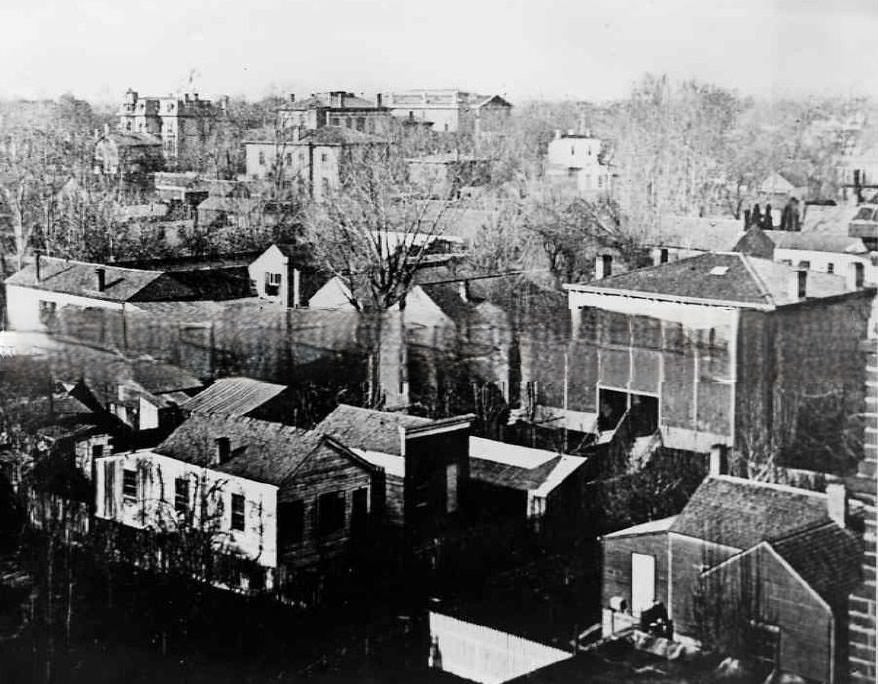
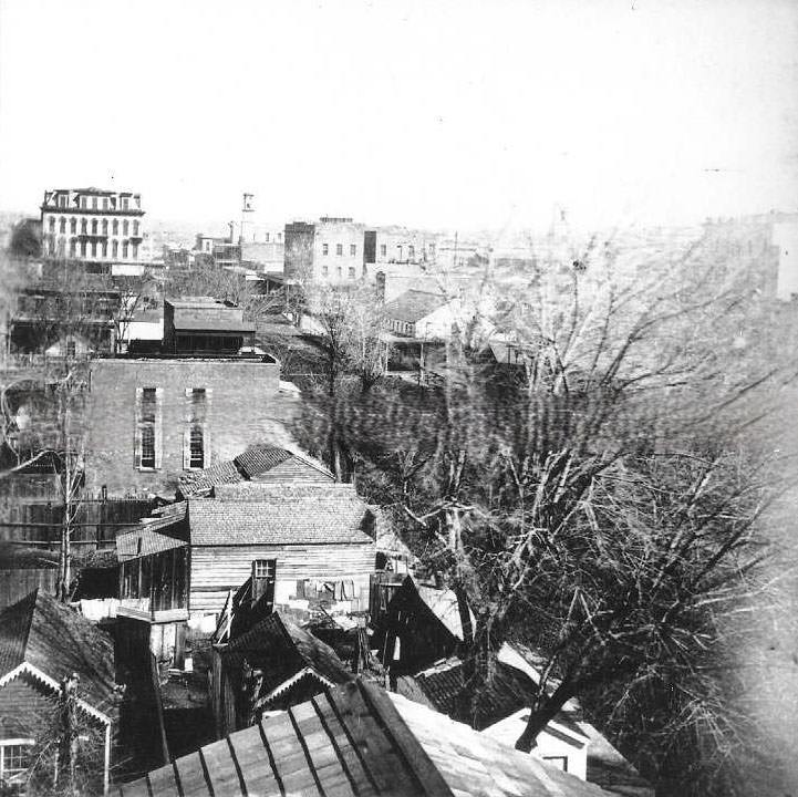
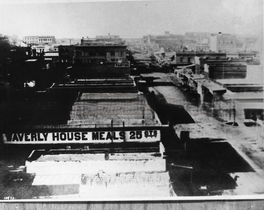
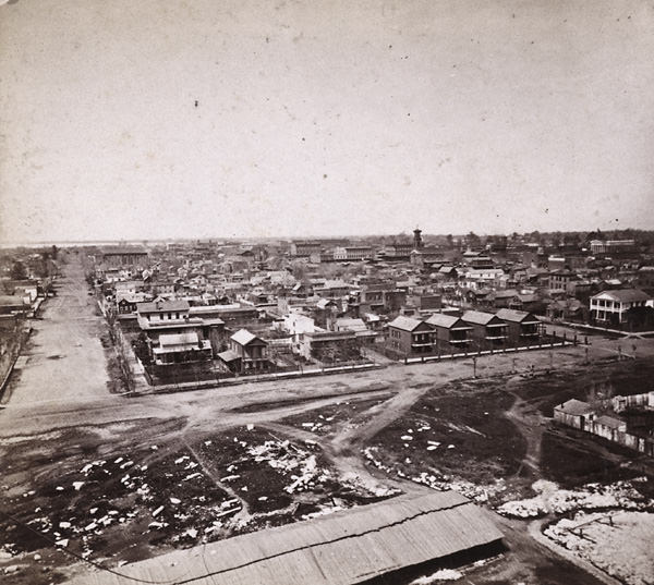
The cityscape photographs taken from the unfinished Capitol dome capture Sacramento at its most expansive — a grid of streets, wooden and brick buildings, church steeples, and the wide Sacramento River in the distance. By the end of the 1860s, the city had survived a war, two major floods, and the enormous physical labor of raising itself off the ground. The railroad had reshaped its economy, its skyline was changing with the new Capitol, and its streets were being paved. Sacramento in 1869 looked substantially different from the city that had entered the decade nine years earlier.
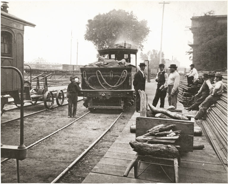
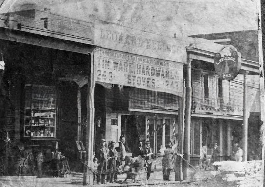
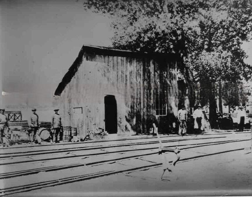
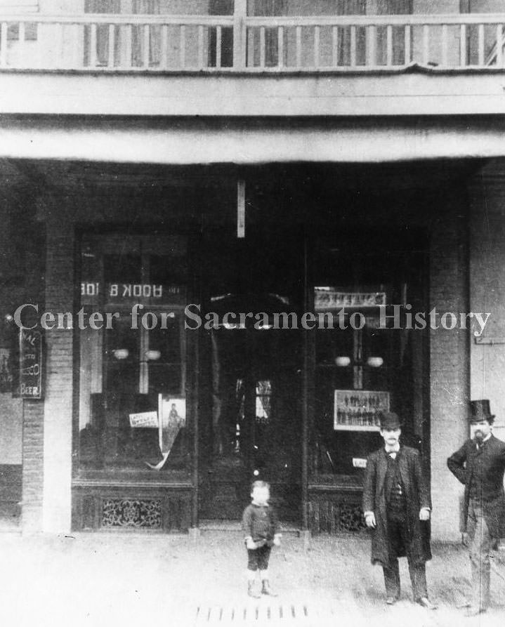
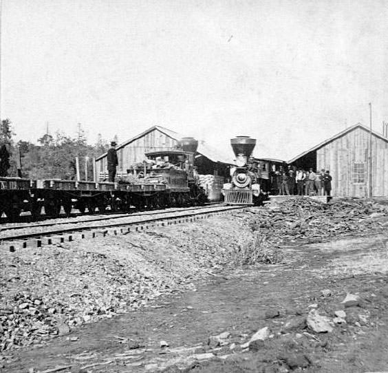
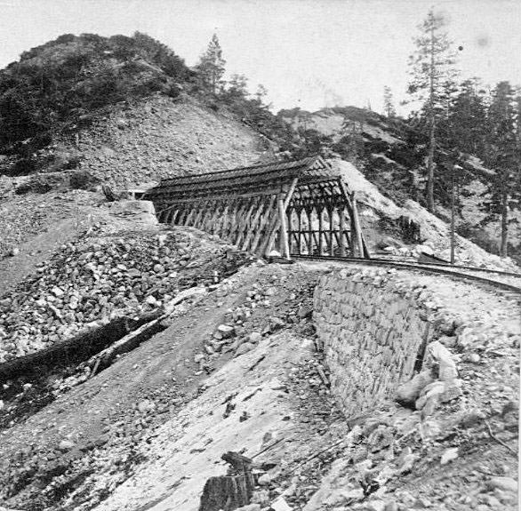
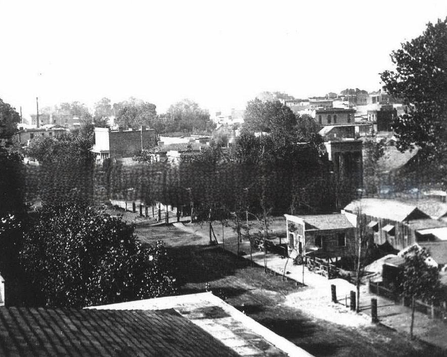
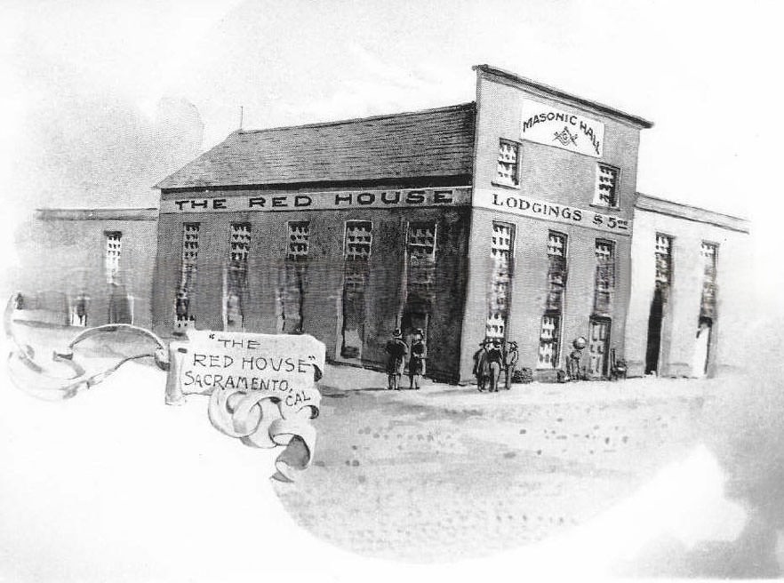
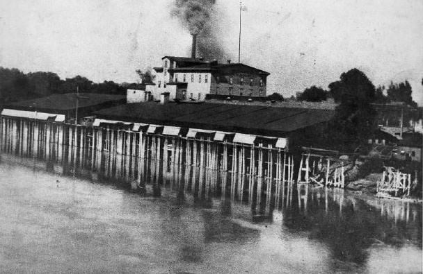
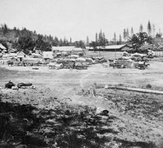
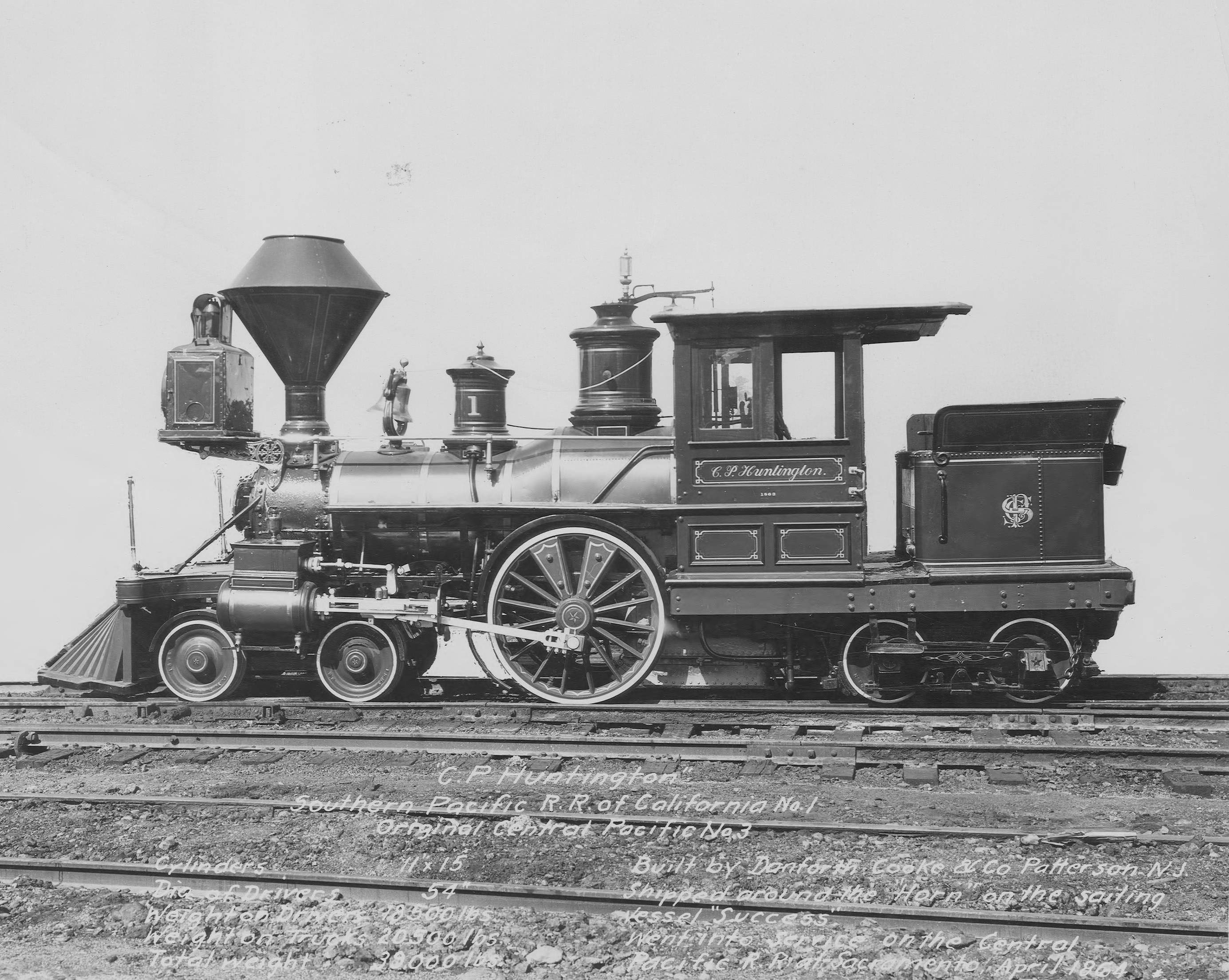
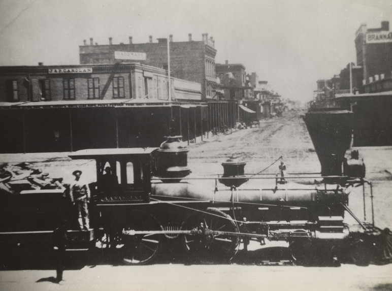
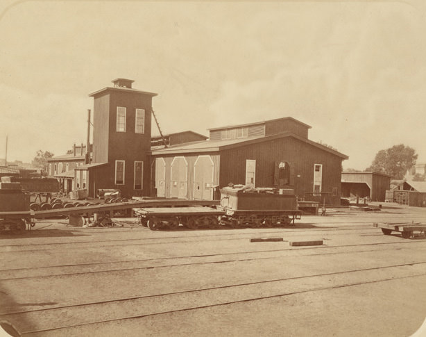
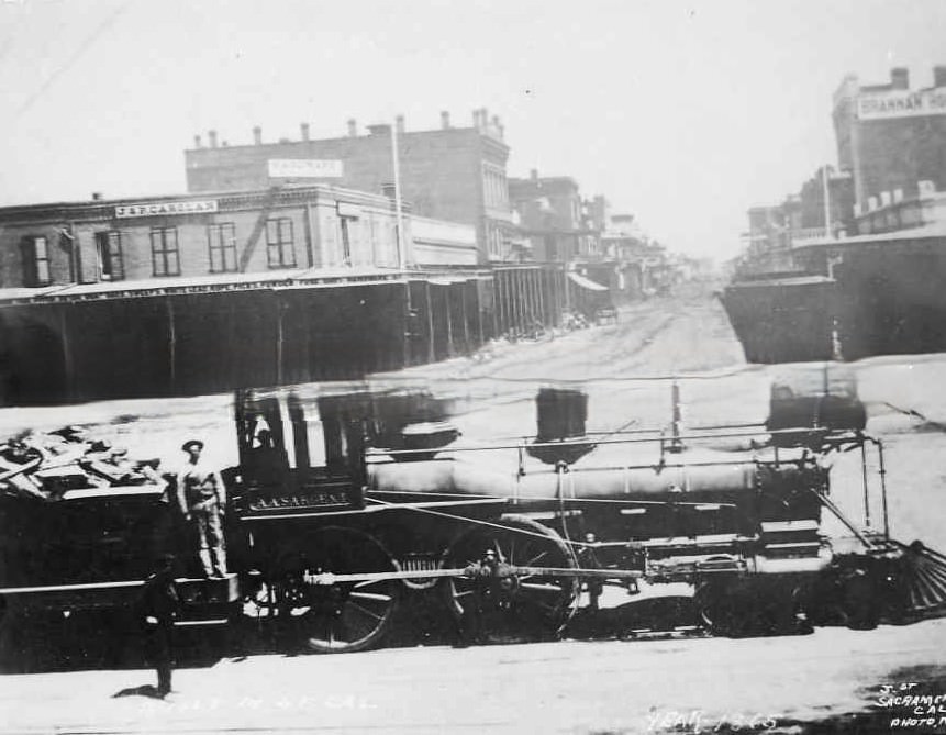
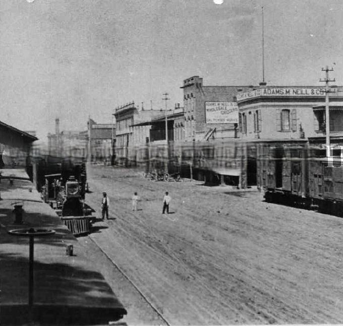
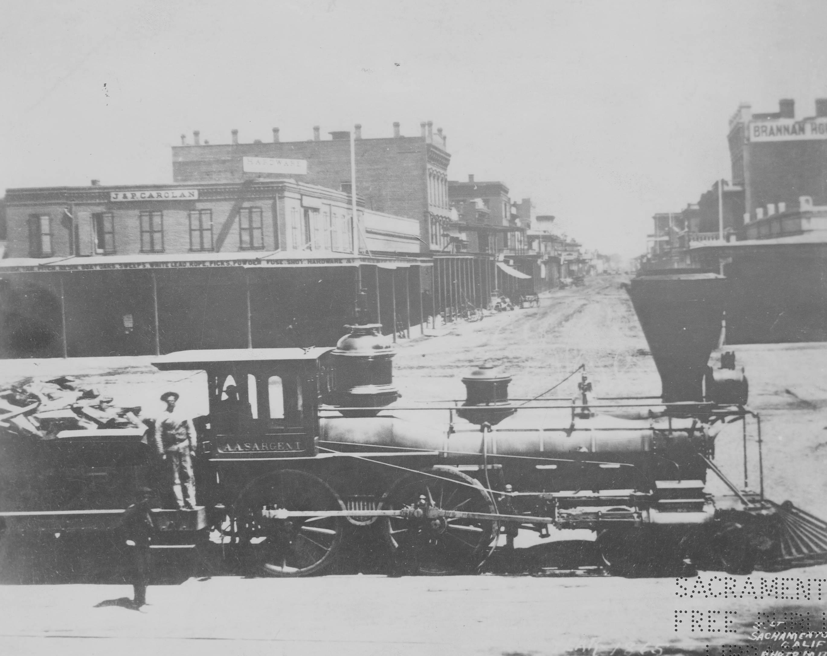
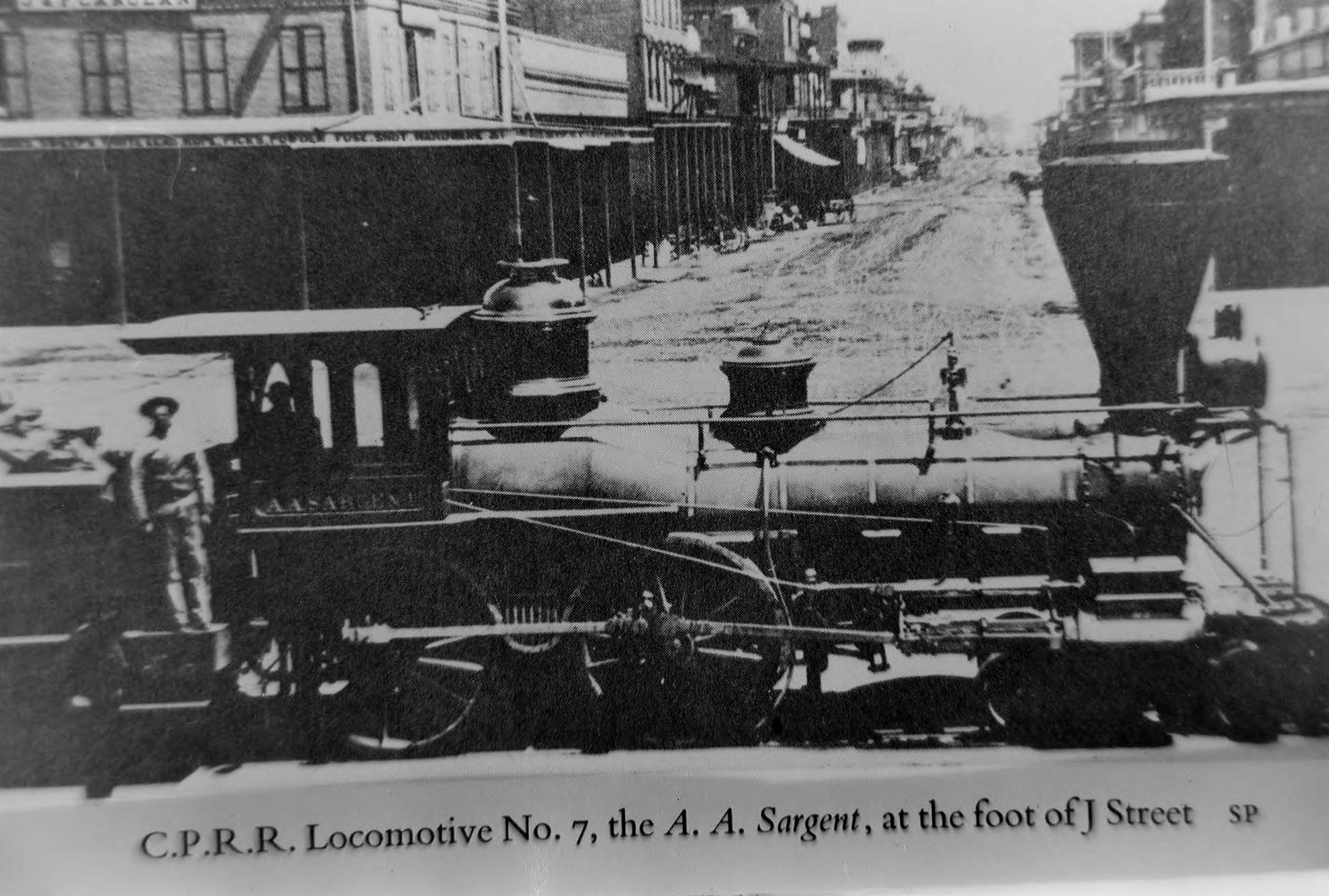
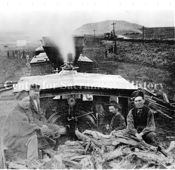
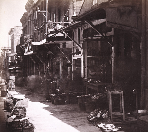
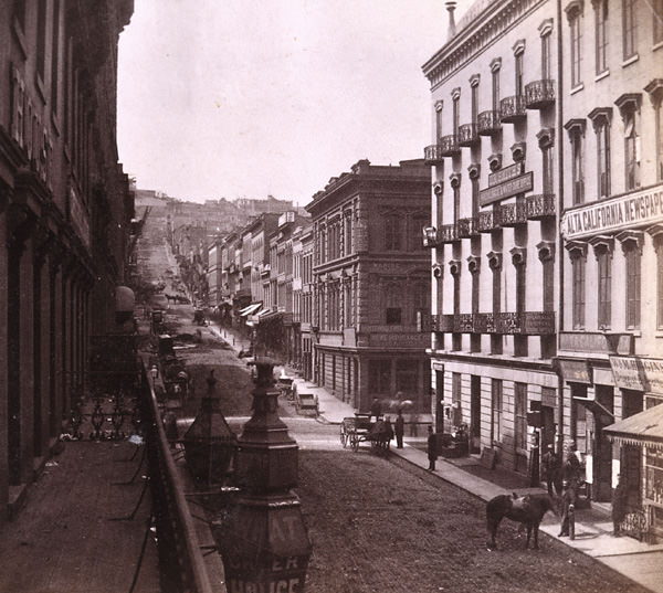
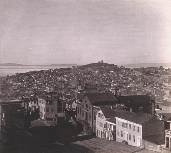
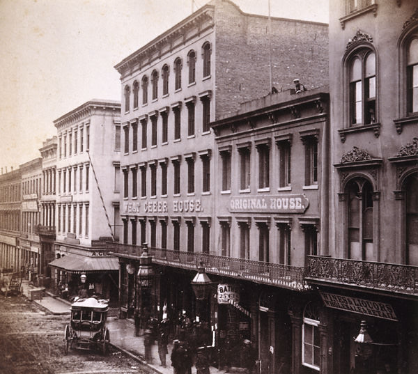
View of Sacramento from atop of the California State Capitol building under construction, 1868Cityscape of Sacramento taken from the state capitol building under construction. Taken from the Capitol Building. 10th street L to M street, looking West, 1868Prospect Hill from Camp 21., 1860sRoad and Rocks at foot of Crested Peak, 1860sAntelope Ridge, near New Castle, 30 miles from Sacramento. Alfred Hart image, Golden State Photographic Gallery, Sacramento, 1860s.View looking north on Front Street from L Street; shows Central Pacific freight shed, 1869Locomotive No. 162 on tracks at foot of U Street in Sacramento, 1869View of K Street looking west from 6th Street in Sacramento, 1868The Government Stanford” engine in Sacramento, 1864J Street, Sacramento, 1866Sacramento from the top of the incomplete California State Capitol building while construction, 1867Steamer “Chin Du Wan” docked on the Sacramento River, 1860The Levee at Sacramento, from the deck of the steamer Capital, 1866Railroad wharves at Sacramento, 213, 1867American River Bridge, 3 miles from Sacramento, 1860sSecrettown, 62 miles from Sacramento, 1860s,Owl Gap Cut, 80 miles from Sacramento, 1860s8th Street, Sacramento, 1865Columbia, looking South, 1860sRoad above Newcastle, 1860sCeremonies at the completion of the transcontintental railroad, 1869Capitol Building Under Construction, 1867L. Kellogg hardware store, 1863Central Pacific R. R. station, 1863Flood, J Street at 3rd Street, looking east, 1863Store front on J Street with a men and a small boy posing in front of the store, 1868Auburn Depot, 36 miles from Sacramento, 1860sEmigrant Gap Tunnel Wall and Snow Covering, 1860sCityscape in Sacramento, 1865Railroad West from Fort Point, 76 miles, 1860sSandstone Cut, near Alta, 1860sTangent below Pino, 23 miles from Sacramento, 1860sBuilding Trestle at New Castle, Placer County.1860s,Road above Newcastle, 1860sThe Red House, Sacramento, 1860sSacramento flood, 1862Heath’s Ravine Bank, 82 miles from Sacramento, 1860sDowntown Sacramento, 1865Cement Ridge Old Man Mountain in distance, 1860s,Alta from the north…69 miles from Sacramento, 1860Pioneer Flour Mill on the Sacramento River, 1865
Sacramento, J Street east from 3rd Street, 1862
Sacramento Daily & Weeklyl Union newspaper building, 1860s
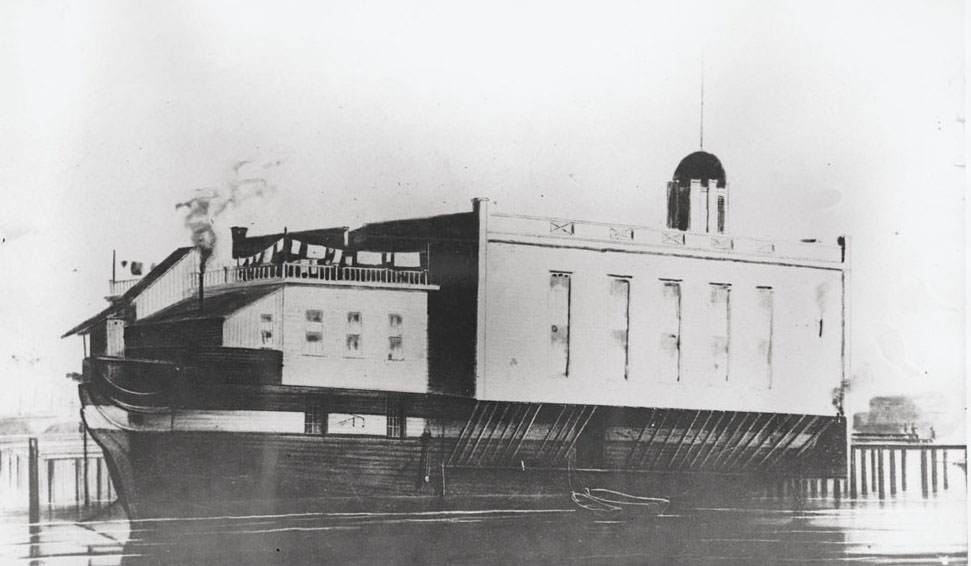
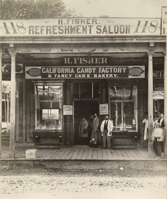
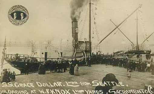
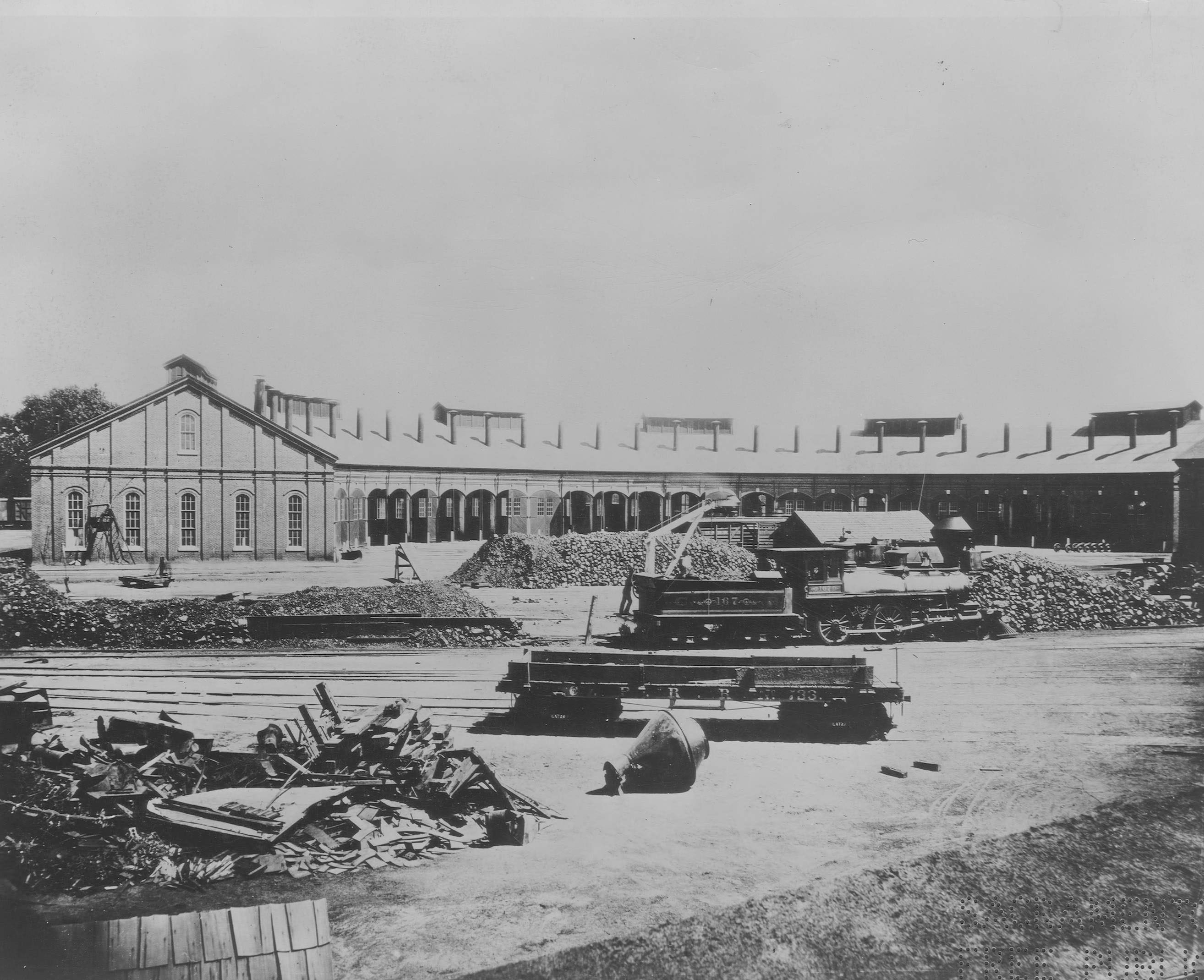
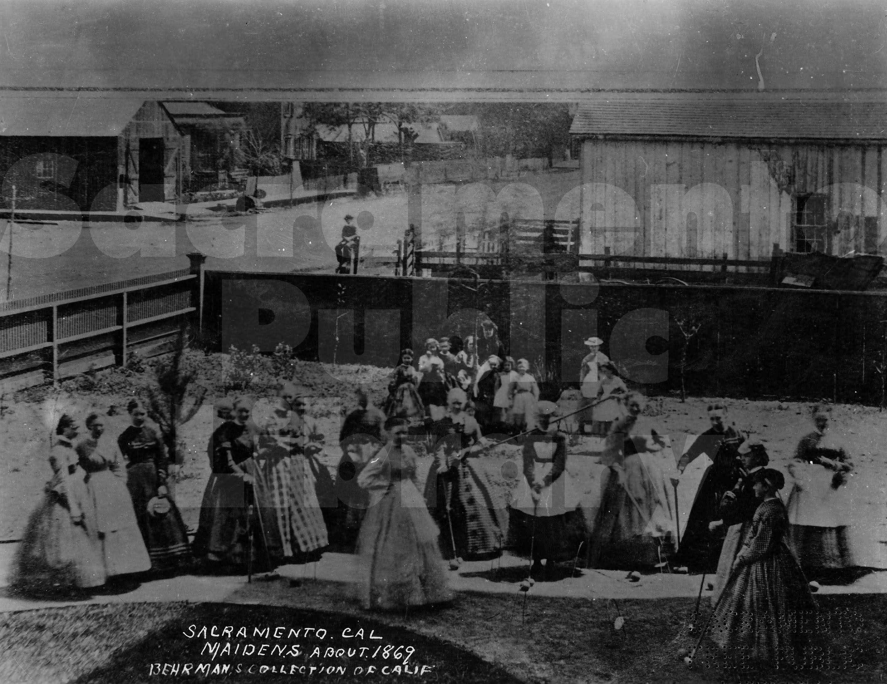
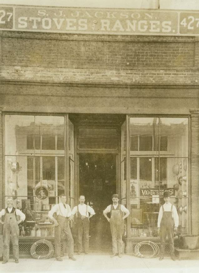
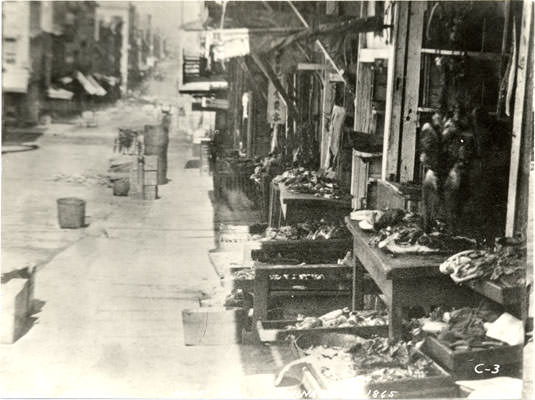
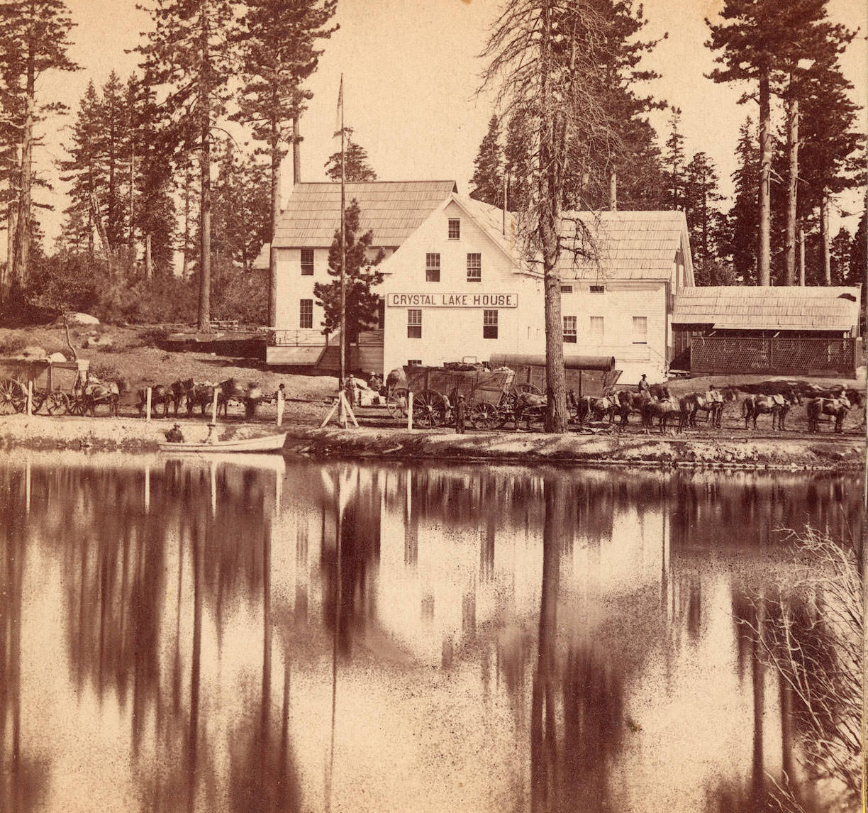
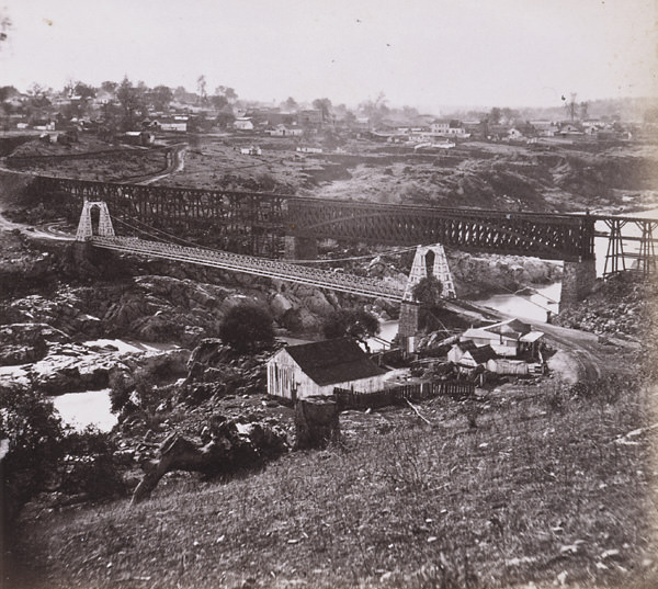
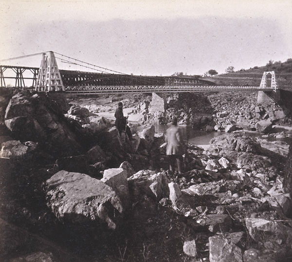
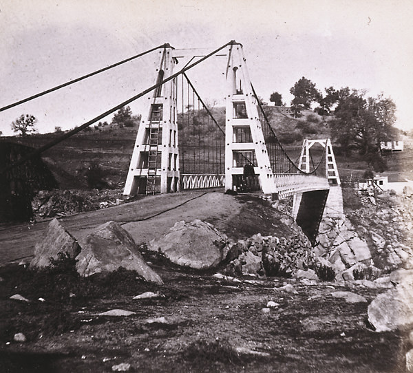
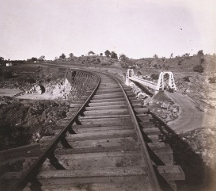
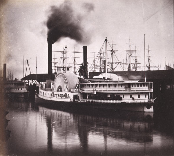
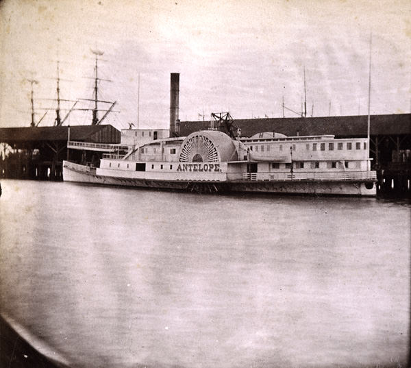
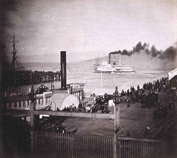
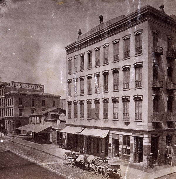
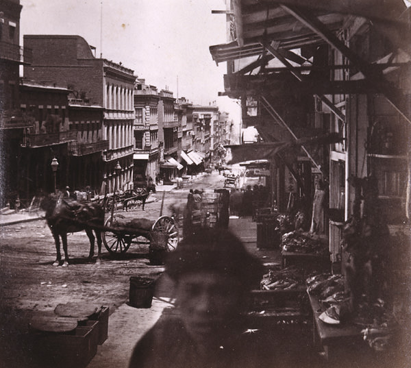
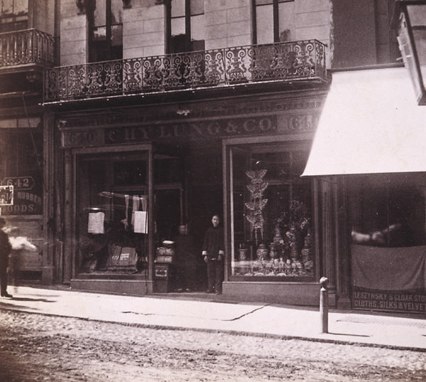
La Grange, moored on the Sacramento River opposite H Street; used as the second Sacramento County prison from 1860sCityscape of Sacramento, 1861View of the Courthouse located on the northwest corner of 7th and I Streets, 1865A View of Sutter’s Fort, 1862K and 3rd Streets, looking south, 1865.Street scene with businesses, 1868Exterior view of the state capitol during its construction. View taken from the southeast side of the building, 1869Street scenes of businesses on K Street from 9th Street looking west in 1860. St. Rose of Lima Church is on the right.K Street/9th Street 1868Colfax from the South, 1860sFolsom Train Depot, 1860Union Pacific Railroad train, 1869265 Boca Crossing of Little Truckee, 1860sJ Street looking West, Sacramento City 1868,State Capitol at 7th and I Streets, 1860sShows Capitol under construction, view from southeast, 1868The single-story Henry Fisher Refreshment Saloon and California Candy Factory and Fancy Cake Bakery at 118 J Street, 18691212 Sacramento City, from the new Capitol Building— east, 1868An elevated view of Sacramento during the great flood of 1862. This view shows “China Slough” and the railroad construction project along I StreetCityscape of Sacramento taken from the state capitol building under construction. Typed on the back of the image “Corner of 10th & N street in the year 1868.The S.S. Grace Dollar unloading lumber at the W.F. Knox lumber yards in Sacramento, 1860s. Shown are approximately 50 people watching from the dock.Last Act, 690 Miles from Sacramento, 1869View of the Central Pacific depot at the foot of J Street Sacramento, 1869.Named after Collis P. Huntington was the “C.P. Huntington” locomotive, 1864Central Pacific Railroad Roundhouse, 1868Group of young Sacramento women playing croquet, 1867.At the foot of Front & Jay street, looking East, in 1865.First machine shop CPRR 6th & D Sts Sac 1864Central Pacific engine, A.A. Sargent, at J and Front Streets, 1865Front & L street looking North in 18651862 Sacramento floodA rainy day in 1868 is viewed from on high upon the unfinished dome of the California State Capitol building. N Street and 12th Street intersect in the upper portion of the photograph.Central Pacific Railroad Locomotive “A.A. Sargent”, 1865Central Pacific Railroad and China Slough. 1868Original Central Pacific Depot, 1863Central Pacific Railroad Locomotive “A.A. Sargent”, 1865L Street circa 1865 is depicted with unpaved streets and wooden sidewalks, 1865Second Street Between J and K Streets, 1863Flood 1861-1862; K Street near Front Street.Sacramento River, from the Bridge at Sacramento City, 1860Steamers for the Upper Sacramento River, at Sacramento, 1860sAn elevated view looking west on K Street from 7th Street is Street, 1869. Rose of Lima Catholic Church.An early Central Pacific view of “Camp Victory” on the Utah plain, April 28, 1869.St. Rose of Lima Catholic Church, 1869State capitol under construction, 1867The Monarch From the West, 1869Street scenes of businesses on K Street from 7th Street looking east in 1869. The Golden Eagle Hotel is on the left and St. Rose of Lima Church is across 7th Street further on the left.Main Street of Cisco, California, 18661063. The Levee and Steamers at Sacramento City, 1860s1064. Sacramento City, K Street, Masonic Hall and Catholic Church, 1860sSixth Street, Sacramento City, Grammar School, Baptist Church, Masonic Hall, 1860sThe Levee and Central Pacific Railroad Freight Trains, Sacramento, 1860sSteamer Landing, and Pacific Railroad Depot, Sacramento City, 1860sThe River and Steamers at Sacramento City, 1860sA group of men sitting by the woodpiles on the back of an engine, 1869American River, from Green Bluffs, 1860s,Sacramento, 1865Street scenes of businesses on K Street from 5th Street looking west in 1868.Long Vavine Bridge near Colfax, 1860sState Capitol Under Construction, 1867A mountain town street scene, 1865K Street/7th Street, 1868Exterior view of the California State Capitol under construction, 1869Lime Point above Auburn, 1860sSamuel Jackson’s Hardware Store, 1864Emigrant Gap, Snow Plow and Turntable, 1860s,The Levee at Sacramento, From the deck of the Steamer Capitol, 1860sK Street, Sacramento, from Kohn’s buillding, 1860sResidence of Ex-Governor Stanford, Sacramento City, 1860sSacramento City, 1860sJ Street, looking West, Sacramento, 1860sCentral Pacific R. R. Works, At China Slough, 1860sSacramento City from the new Capitol Building, Looking East, 1860sSacramento City, K Street, from Masonic Hall, 1860sSacramento City from the New Capitol Building, Looking Northeast, 1860sSacramento City, K Street, looking East from the Masonic Hall, 1860sThe Railroad Depots, on the Levee, Sacramento City, 1860sCabin of the Sacramento River Steamer Capital, 1860sSacramento City, K Street, looking West from the Masonic Hall, 1860sJ Street, Sacramento, from Hastings’, 1860sJ Street, Sacramento, from Hastings’, 1860sThe New Capitol Building, Sacramento City, 1860The State Capitol at Sacramento City, 1860sStores on Sacramento Street in Chinatown, 1865Crystal Lake House. 90 miles from Sacramento, 1866Old Hilltop Mine at Michigan Bar, 1860Sacramento Valley Railroad 1861Sacramento City from the new Capitol Building, Looking Northwest–the River in the distance, 1860sSacramento City from the new Capitol Building, Looking North–Ninth Street at the right, 1860sView of the American River from the Suspension Bridge at Folsom, Sacramento County, 1860sSacramento City from the new Capitol Building, Looking west. M Street, 1860sThe Railroad and Suspension Bridges, Folsom, Sacramento County, 1860sSacramento City–China Slough, From the Pioneer Flour Mills, 1860sThe Suspension and Railroad Bridge over the American River, at Folsom, Sacramento, 1860The Suspension Bridge at Folsom, Sacramento, 1860sRailroad and Suspension Bridges at Folsom, Sacramento, 1860sThe Sacramento and Oakland Steamers, 1860sThe Sacramento Steamer Chrysopolis, 1860sChinese Market, Sacramento St., 1860sSacramento Street, West from Montgomery St., 1860sTelegraph Hill from corner Sacramento and Powell streets, 1860sWhat Cheer House, Sacramento Street, 1860The Sacramento Steamer Antelope, 1860The Sacramento Steamer Yosemite, 1860East side of Montgomery St., From Commercial to Sacramento street, 1860View among the Chinese on Sacramento Street, 1860East side of Montgomery St., from Sacramento, 1869Truckee River, looking towards Eastern Summit. 135 Miles from Sacramento, 1860Chinese Store–Chy Lung & Co., Sacramento street, 1980






OK, now we need some photographers to recreate these photos.
A friend of mine has an Instagram account where she does stuff like this – check out https://www.instagram.com/norcalthenandnow/