The Royal Borough of Kensington and Chelsea holds the distinction of being the smallest borough in London. It was created in 1963 through the merger of the Royal Borough of Kensington and the Metropolitan Borough of Chelsea. At first, the new borough was simply called ‘Kensington,’ but Chelsea residents pushed back hard against the name. On 2 January 1964, the name was officially changed to include Chelsea. Today, the borough is known for some of the most expensive residential properties anywhere in the world, with Paddington and Victoria serving as its nearest major railway termini and numerous bus routes connecting it to the rest of the city.
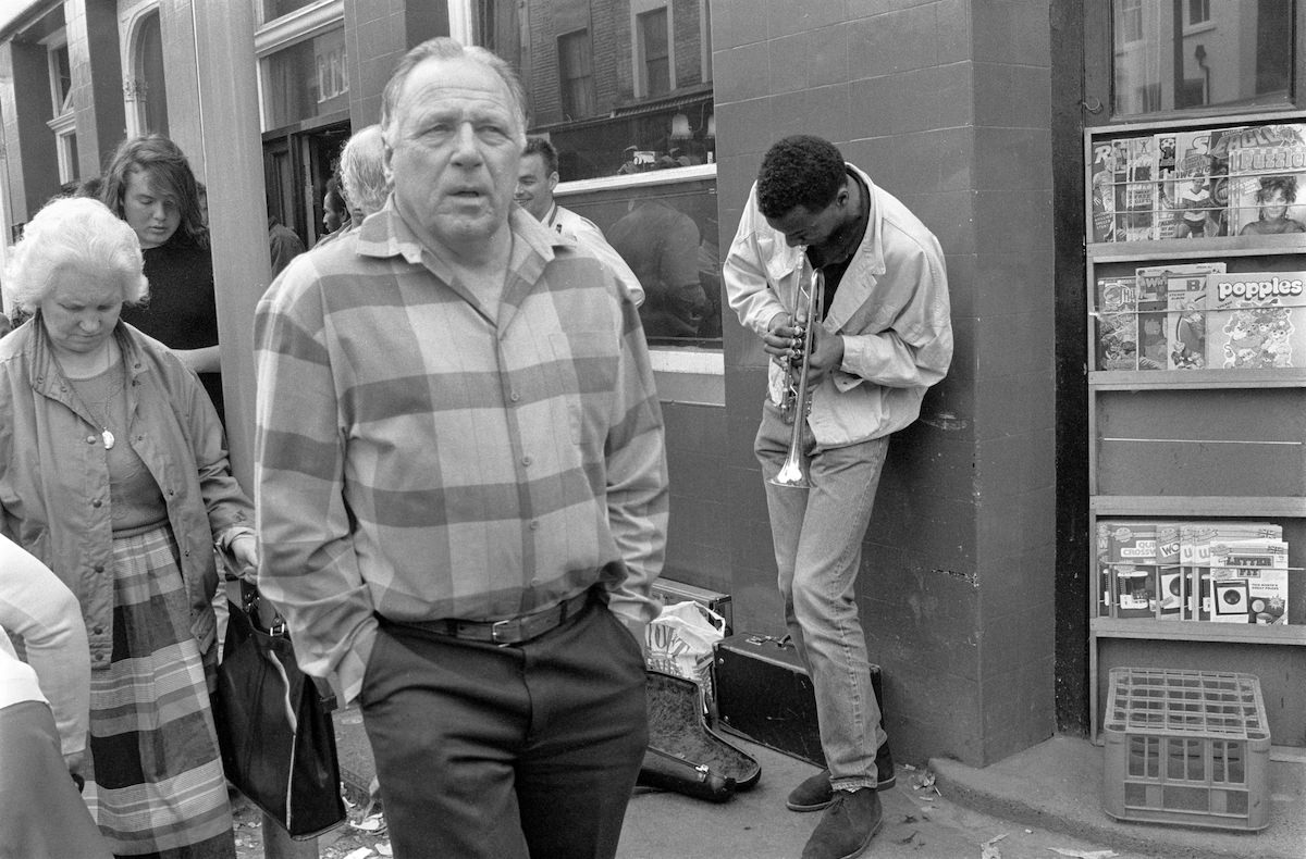
In the late 1980s, photographer Peter Marshall documented the streets, spaces, and everyday life of this remarkable borough. His camera moved through Notting Hill, South Kensington, Chelsea, Knightsbridge, Earl’s Court, and North Kensington, capturing a borough that was both wealthy and working-class, polished and raw. The images below offer a vivid street-level record of what the borough looked like between 1987 and 1988. One of the most lively corners Marshall returned to was Portobello Road, where street musicians regularly performed for passing crowds.
South Kensington offered a quieter, more residential character. Streets like Knaresborough Place reflected the Georgian and Victorian terraced housing that defines much of the borough’s architectural fabric.
Kensington itself contained pockets of calm, tree-lined streets away from the main thoroughfares. Kynance Place was one such spot, a narrow residential lane that retained the feel of an earlier London.
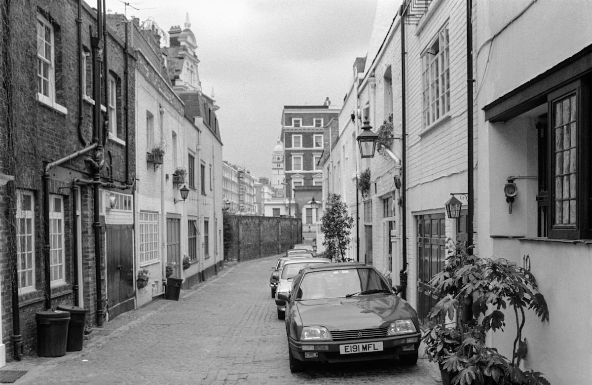
Just around the corner, Kynance Mews presented a different side of the same neighbourhood. Mews streets like this one were originally built as stables and coach houses, later converted into private residences.
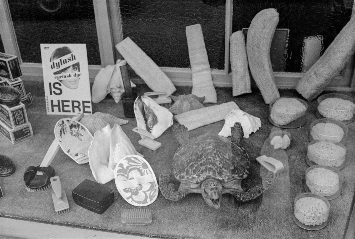
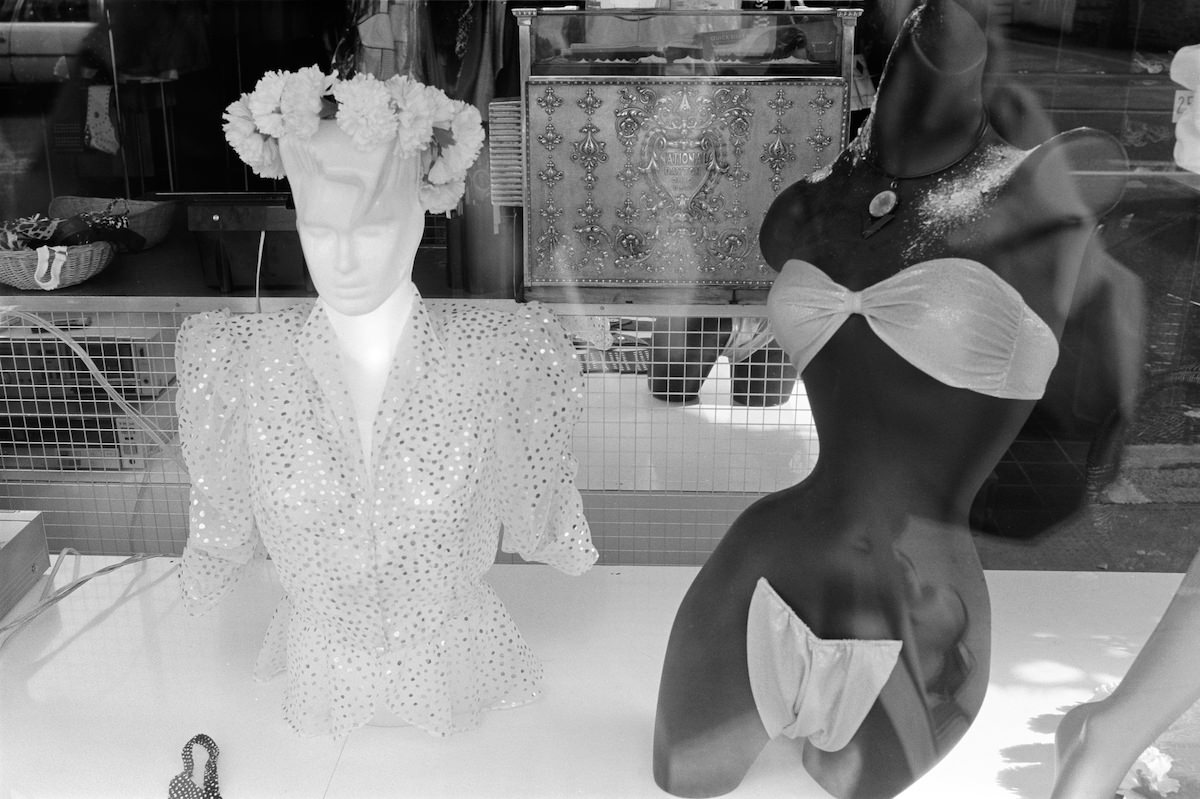
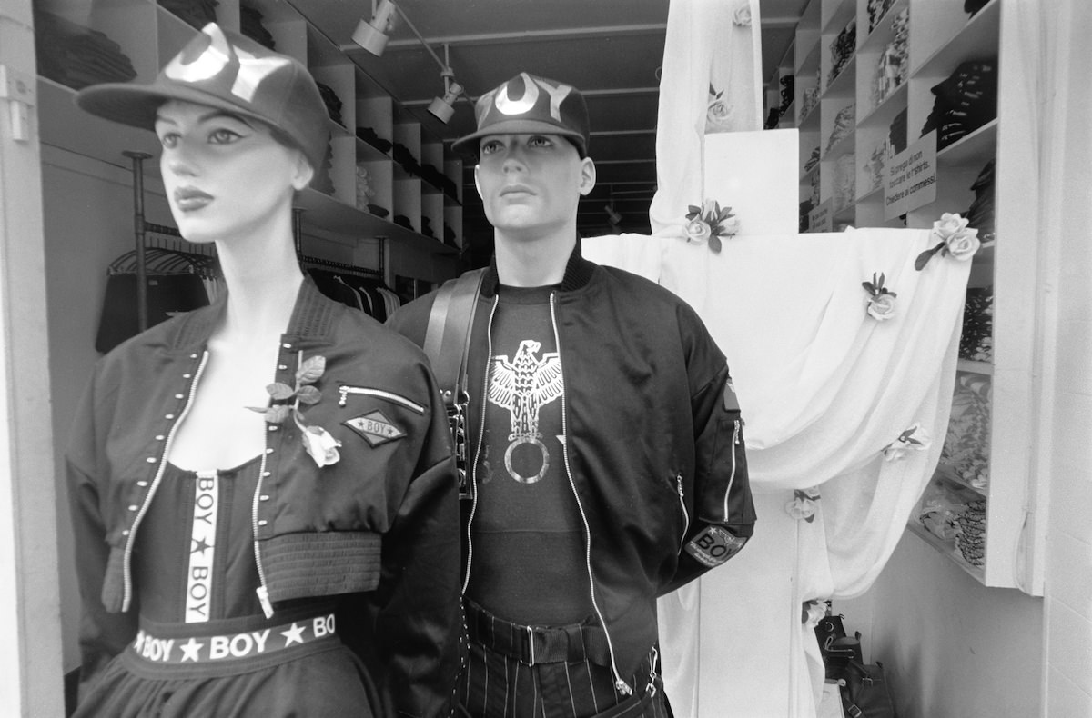
Chelsea’s Kings Road was a hub of fashion and retail energy in the late 1980s. Shop windows along the street reflected the bold, eclectic style of the era.
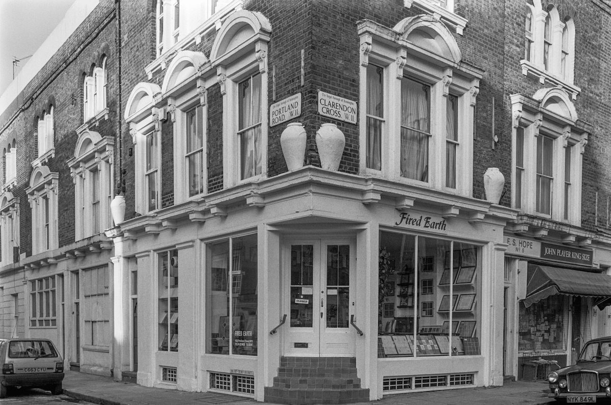
Notting Hill’s Clarendon Cross area, centred around Portland Road, mixed independent shops with a neighbourhood feel distinct from the grander streets nearby.
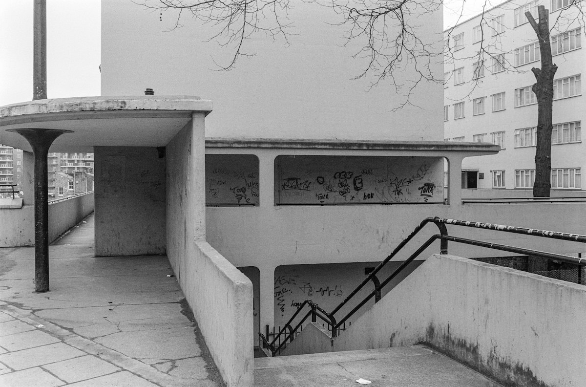
North Kensington’s Kensal House on Ladbroke Grove stands as one of London’s pioneering social housing projects. Built in the late 1930s, the modernist complex was designed to provide affordable, well-designed homes for working-class families.
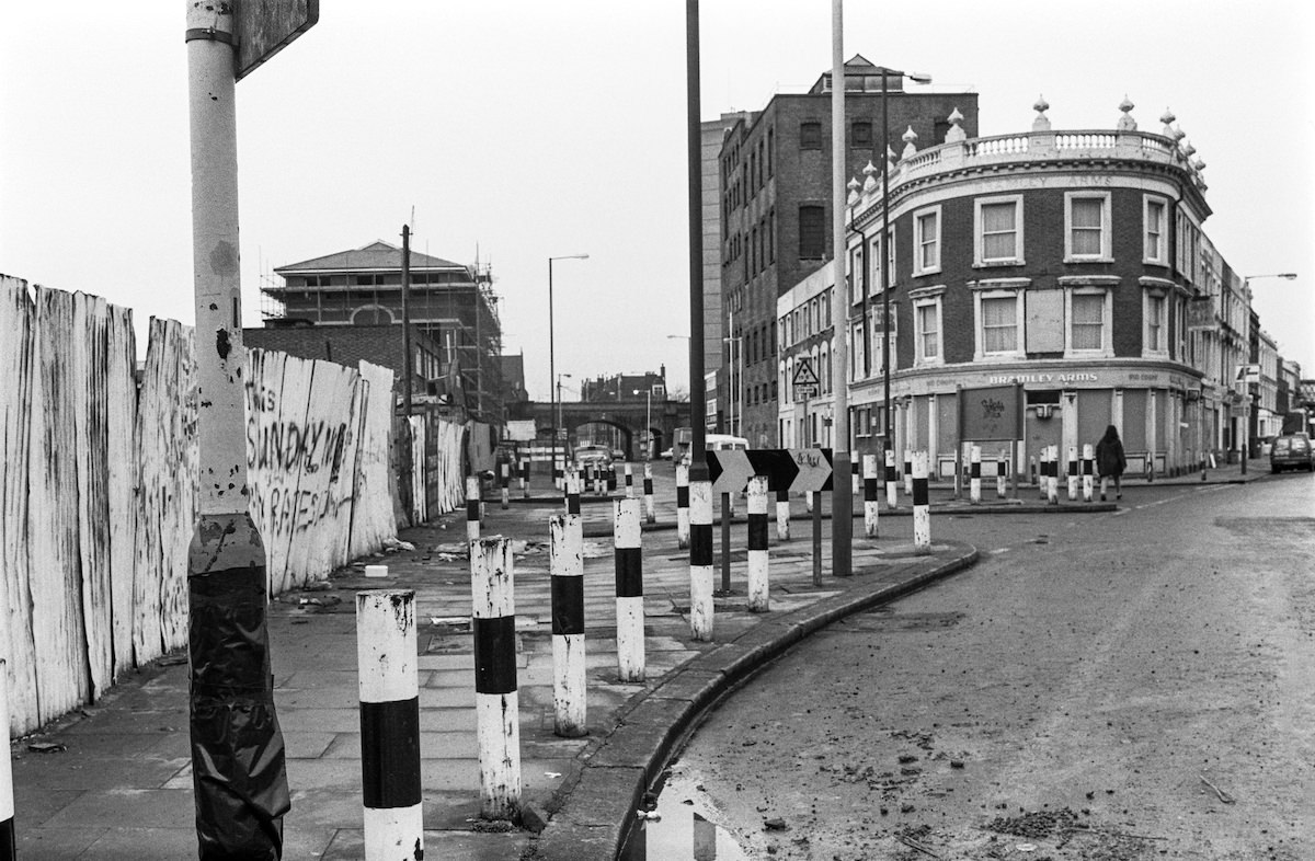
Freston Road in Notting Hill ran beneath the Westway elevated motorway, giving the area a gritty, industrial edge that contrasted sharply with the borough’s wealthier enclaves.
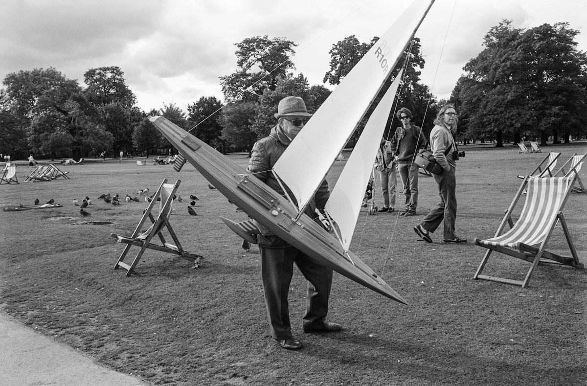
Kensington Gardens provided a peaceful escape at the heart of the borough. At the Round Pond, Londoners gathered to sail model boats, a pastime that had been enjoyed on those waters for generations.
The Ladbroke Grove area of Notting Hill carried the cultural energy that had made the neighbourhood famous. Its streets were dense with history, from the Notting Hill Carnival to the music and art scenes that flourished there throughout the decade.
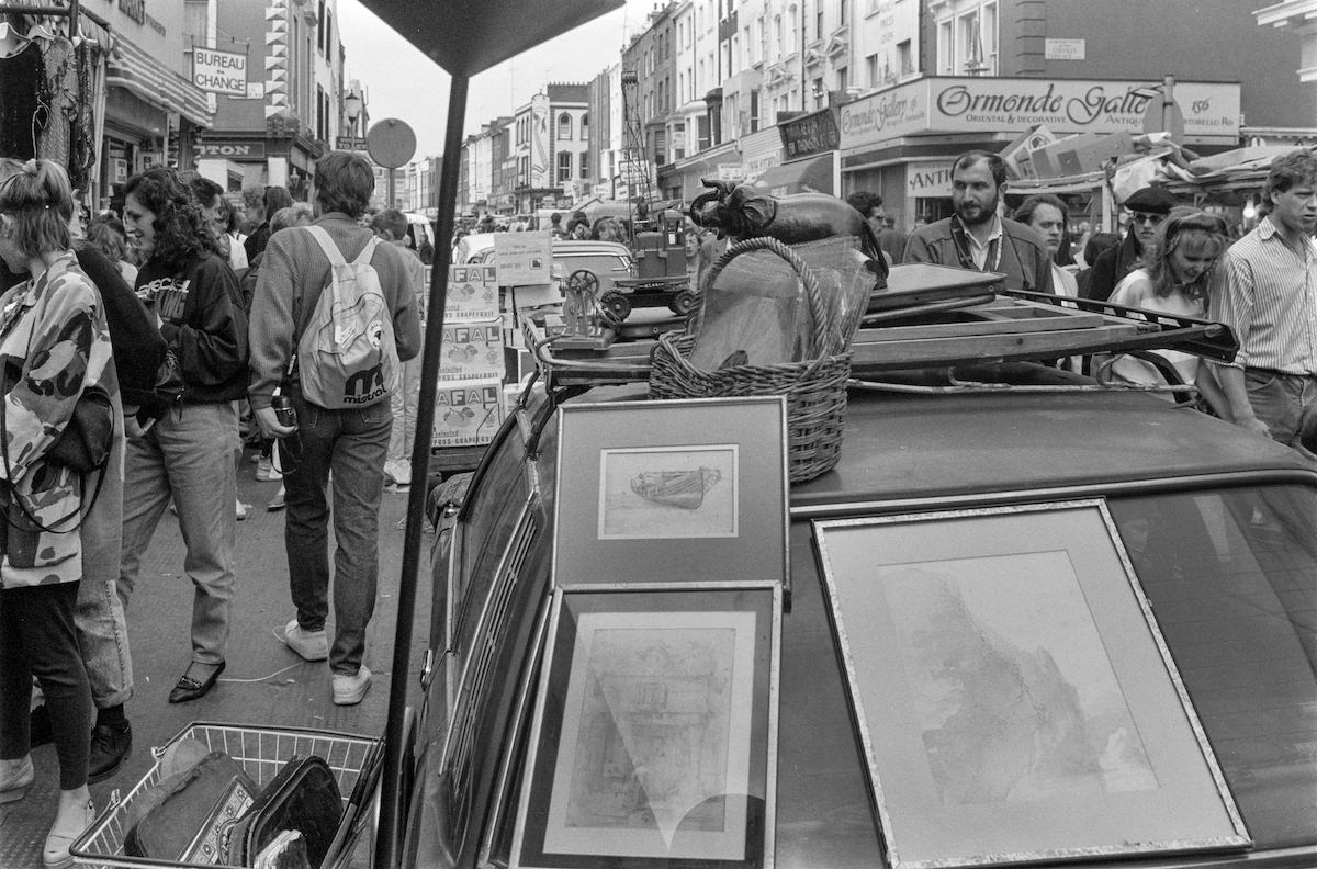
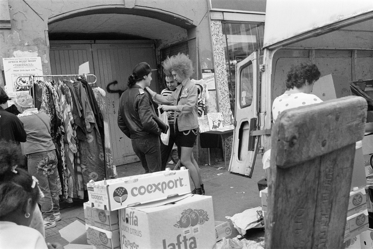
Portobello Road’s famous market drew traders and visitors from across London every weekend. Marshall photographed its bustling stalls and street life on multiple occasions throughout 1987.
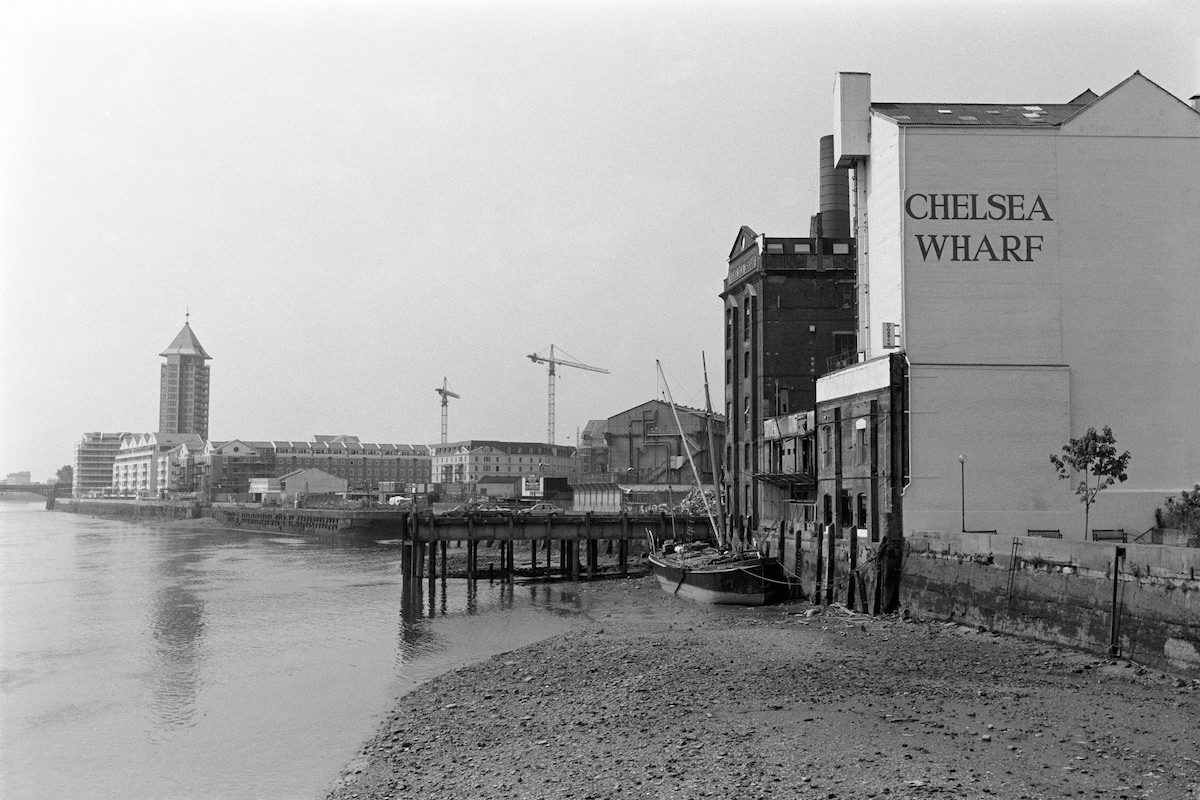
Down by the River Thames, Chelsea Wharf offered a stark industrial waterfront view. The wharf was a reminder that Chelsea’s riverbank had long served commercial and industrial purposes before its later residential transformation.
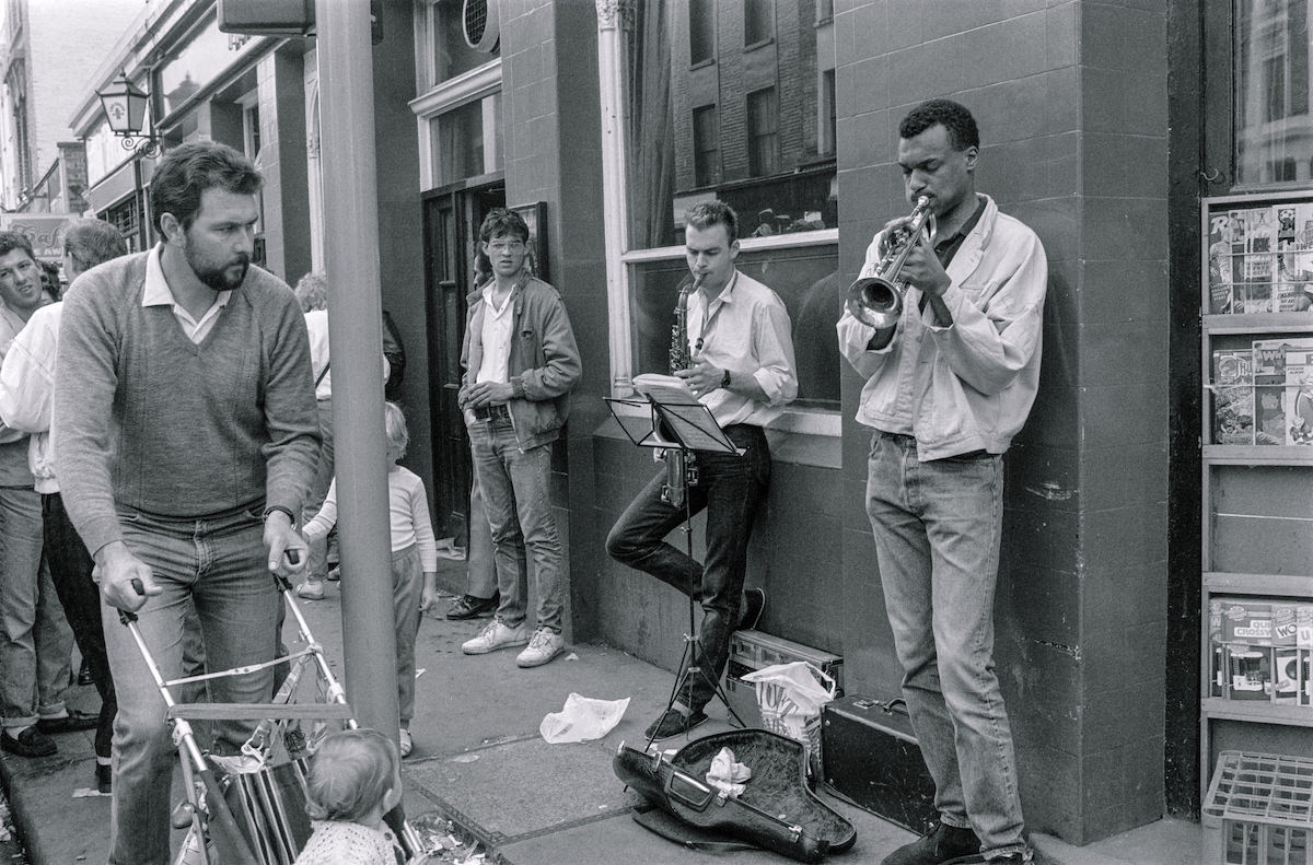
Back on Portobello Road, street musicians were a defining part of the market’s atmosphere. Groups of performers drew crowds with everything from folk and jazz to reggae and blues.
Earl’s Court was a neighbourhood of bedsits, hotels, and transient populations by the late 1980s. Hogarth Road was a typical example of its dense Victorian terraces.
Tadema Road in Chelsea represented the quieter residential side of the borough, lined with modest Victorian houses far removed from the luxury of nearby Sloane Square.
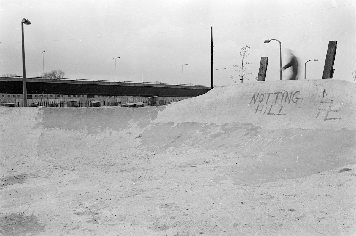
Meanwhile Gardens in Westbourne Park had earlier served as a skateboard park, and Marshall captured that scene as far back as 1981. The park was a community-led green space reclaimed from a derelict site in the mid-1970s.
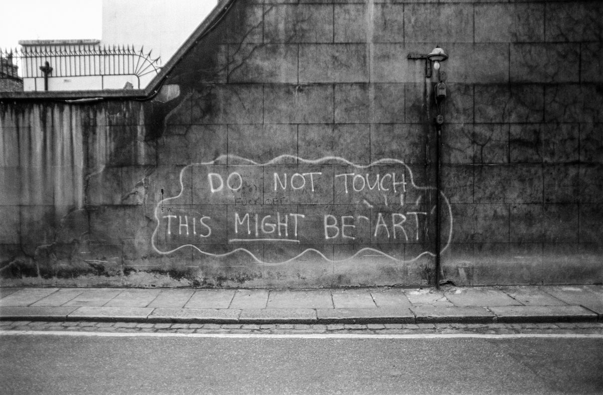
South Kensington’s streets also provided a canvas for graffiti and street art in this period, with walls and shutters across the borough bearing the work of local artists.
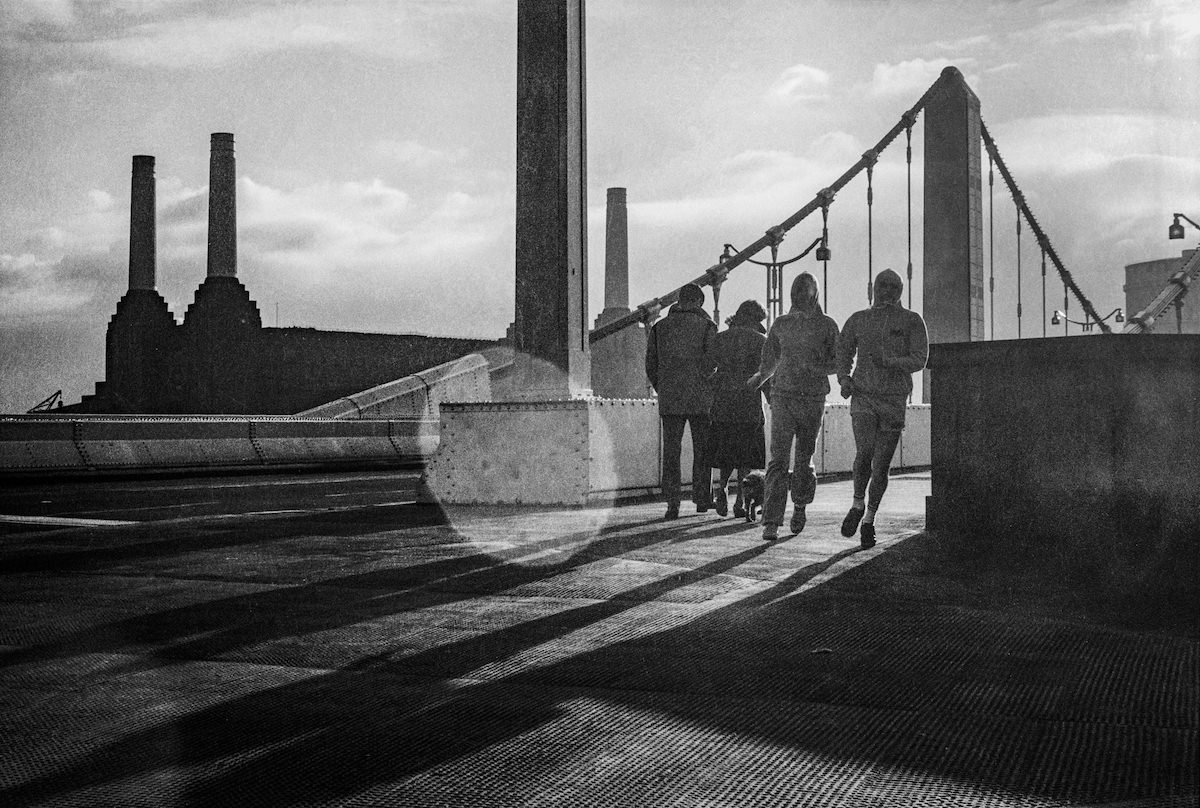
Chelsea Bridge spans the Thames at the southern boundary of the borough, connecting Chelsea to Battersea on the south bank. The suspension bridge seen today was completed in 1937, replacing an earlier structure.
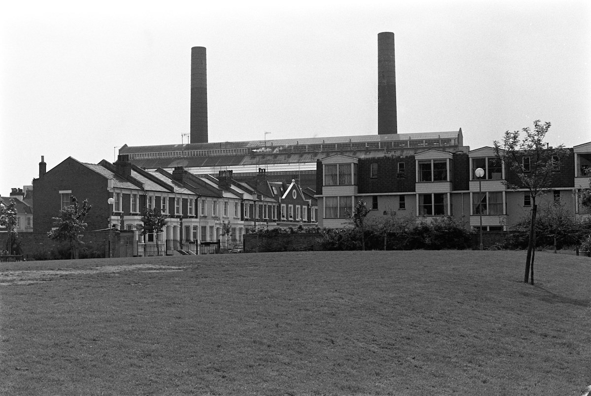
Lots Road Power Station loomed over the Chelsea waterfront for decades. Built in 1905 to power the London Underground, it dominated the skyline near Tetcott Road and Westfield Park well into the late twentieth century.
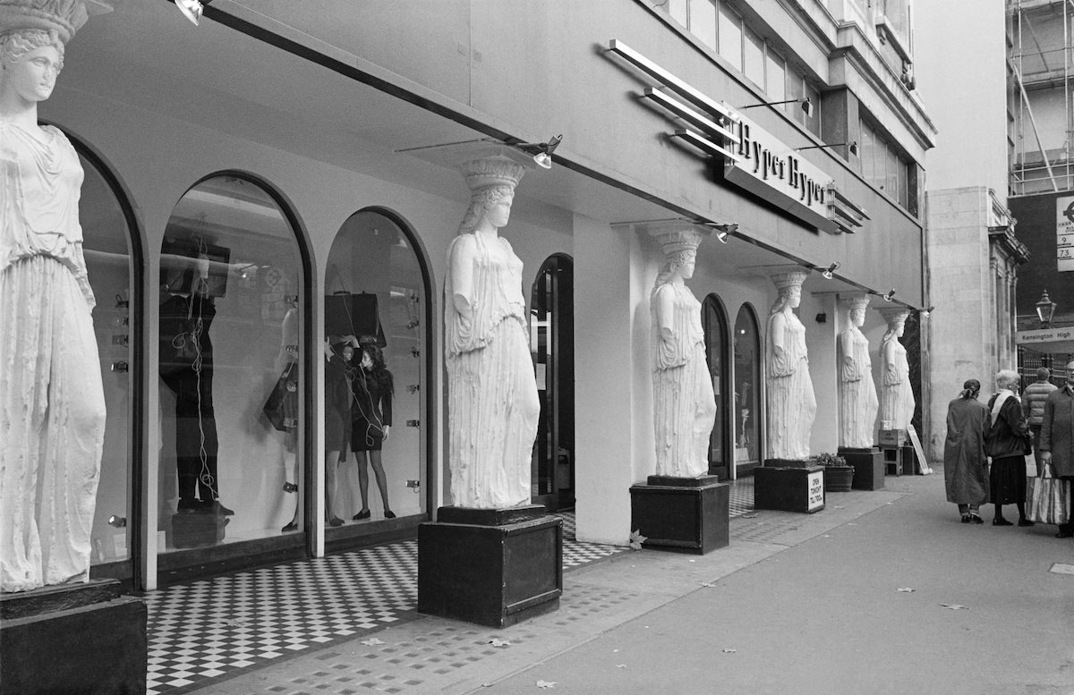
Kensington High Street in 1987 was home to HyperHyper, a fashion market that sold clothing from independent designers in individual stalls spread across a large retail space. It was a magnet for young Londoners interested in cutting-edge fashion.
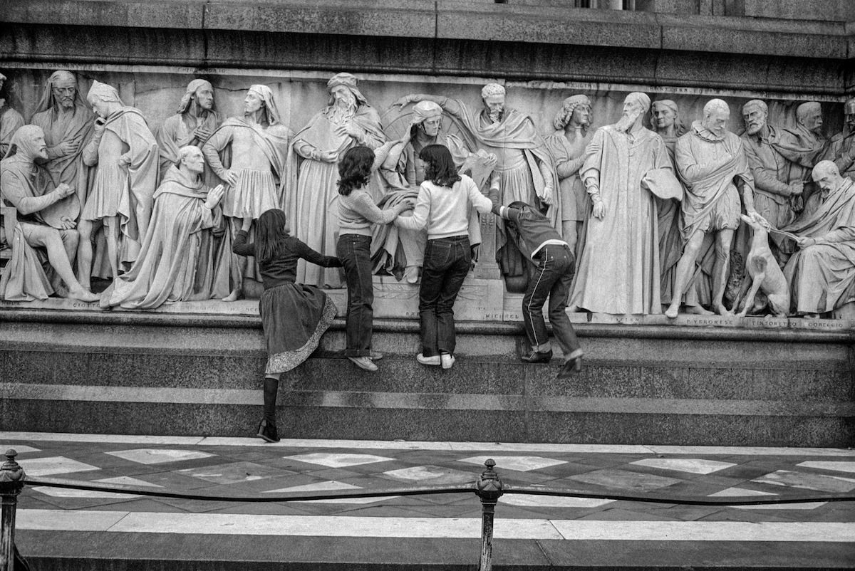
The Albert Memorial in Kensington Gardens stands as one of the most ornate Victorian monuments in London. Commissioned by Queen Victoria after the death of Prince Albert in 1861, it was designed by Sir George Gilbert Scott and completed in 1872.
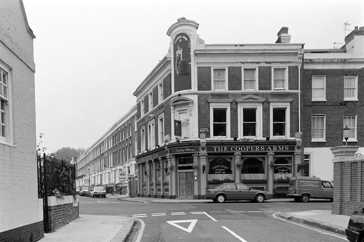
Chelsea’s pub culture was an important part of neighbourhood life. The Coopers Arms on Flood Street was one of the area’s well-known local pubs, a gathering place for Chelsea residents throughout the decades.
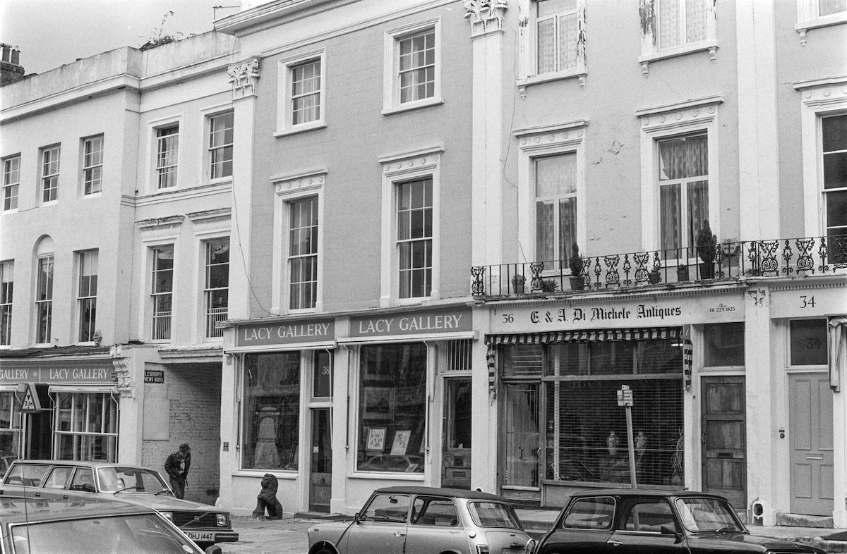
Ledbury Road in Notting Hill gave Marshall another opportunity to document the neighbourhood’s street-level character in 1987, a road that would later become one of London’s most fashionable addresses.
Portobello Road remained one of Marshall’s most frequently visited locations. Its antique dealers, food stalls, and second-hand traders created a market unlike any other in London.
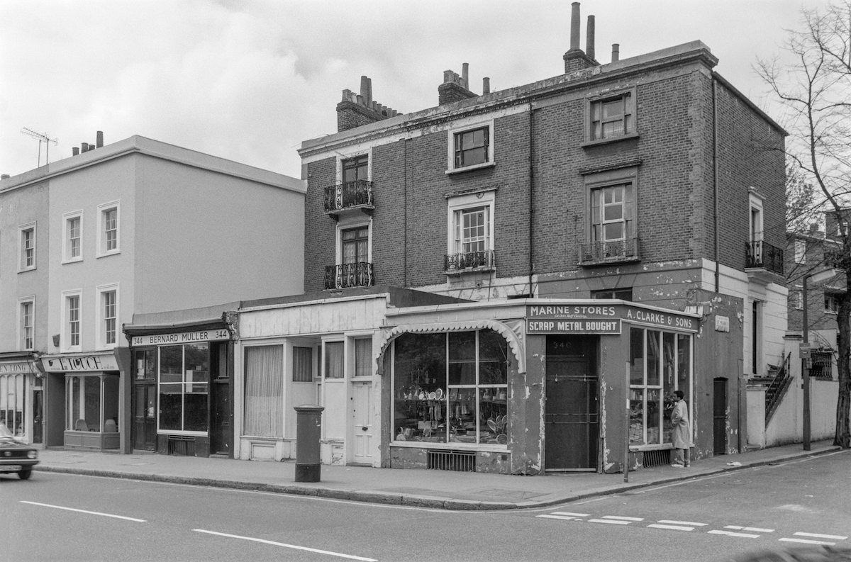
Along Fulham Road near West Brompton, specialist shops served a variety of trades. Marine Stores was one such business, a reminder of the eclectic mix of retail that once filled the borough’s secondary streets.
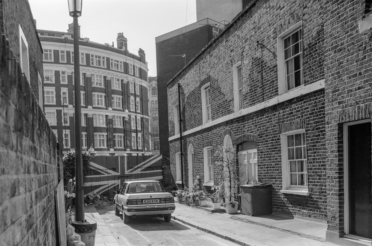
Belgravia, which falls partly within the borough’s boundaries, was among the most exclusive addresses in the country. Skinner Place offered a rare glimpse into its quieter residential corners.
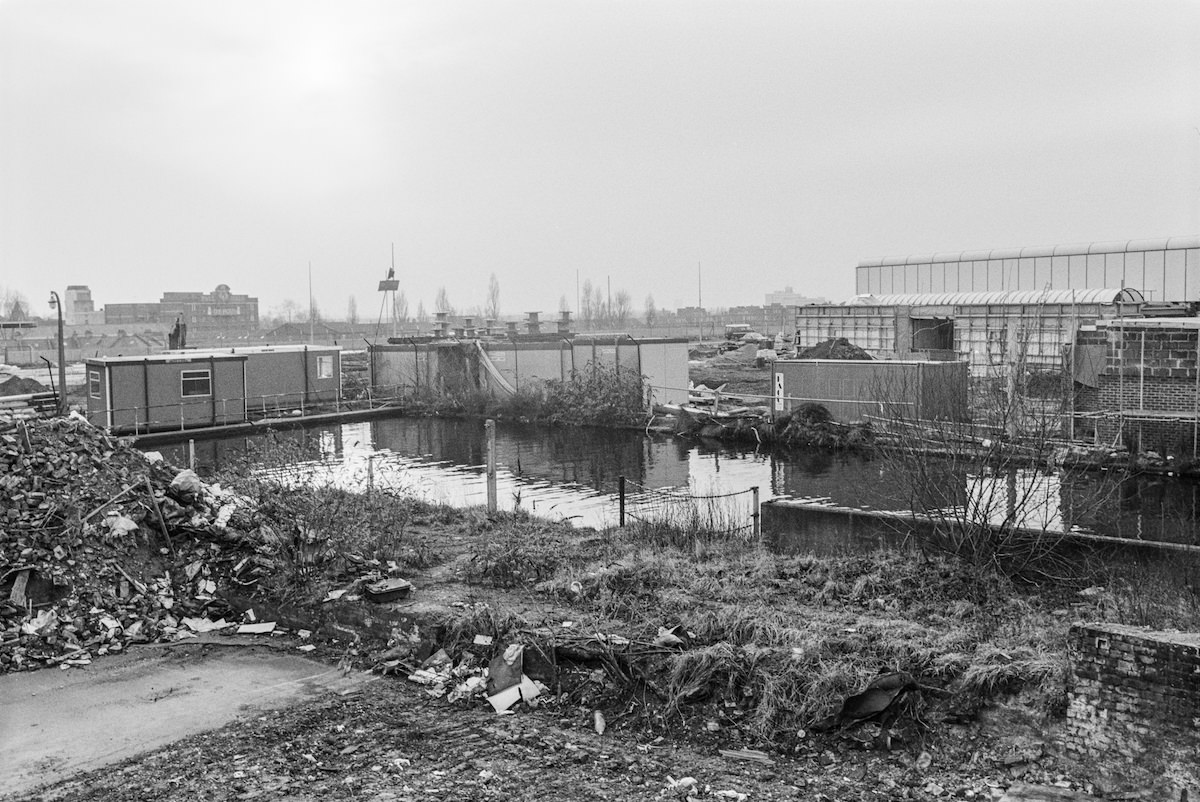
North Kensington’s waterway network connected the area to the wider Grand Union Canal system. The Kensal Green Basin on the Paddington Branch of the canal was an active part of that network.
Kenway Road in Earl’s Court was part of a dense grid of streets that served the neighbourhood’s large transient and international population in the late 1980s.
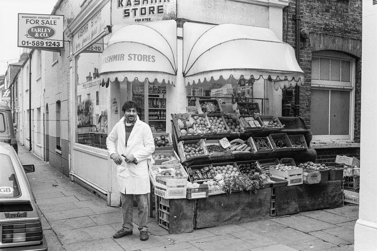
Old Brompton Road near West Brompton stretched along the borough’s southern boundary, lined with shops, homes, and the occasional independent business.
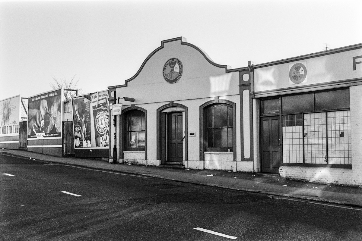
Marshall returned to Portobello Road throughout his project, each visit yielding different scenes as the market shifted with the seasons and the time of day.
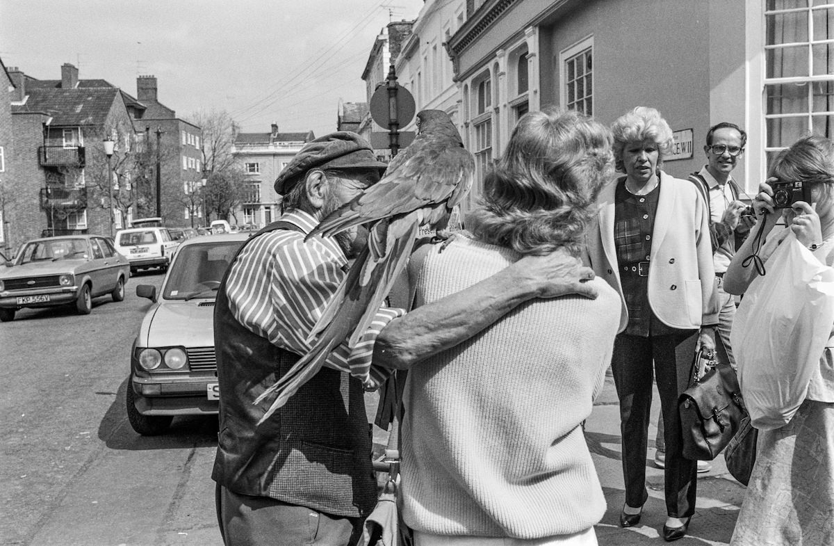
Ladbroke Grove in North Kensington was a long, straight road that cut through one of the borough’s most diverse and densely populated neighbourhoods. By 1988 it carried the energy of a community shaped by decades of immigration and cultural exchange.
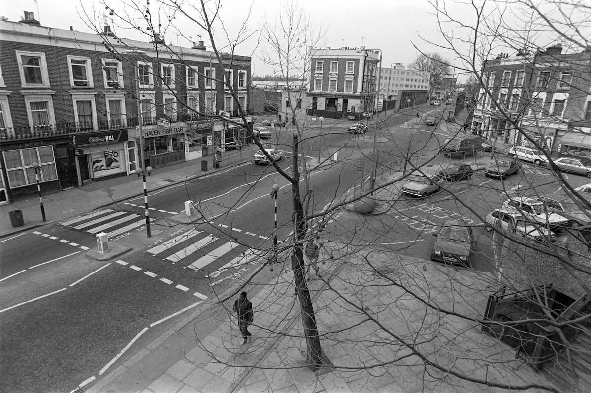
West Cromwell Road was one of the borough’s main arterial routes, connecting Kensington to the wider city and carrying heavy traffic through the area daily.
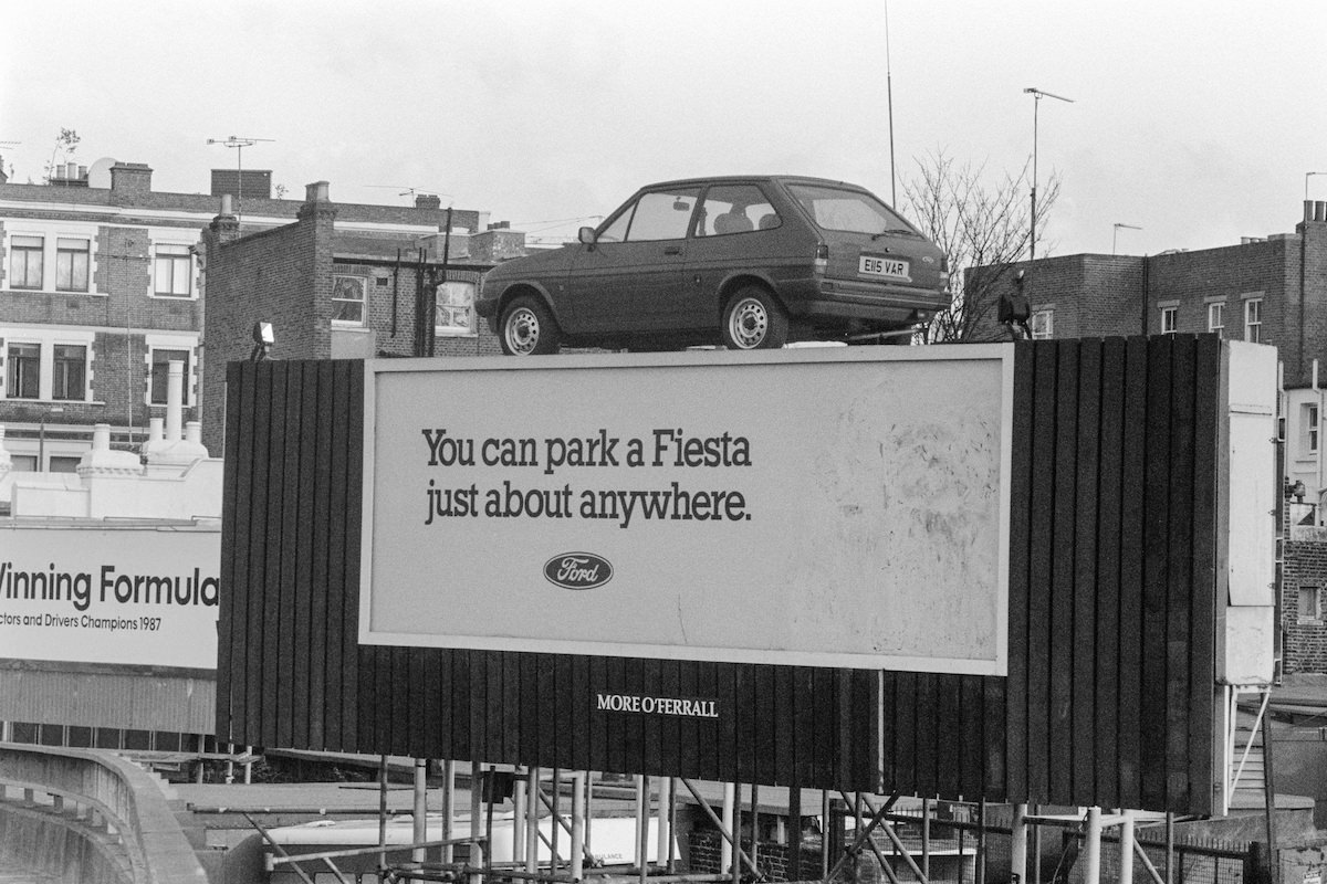
All Saints Road in Notting Hill had a well-known reputation in the 1980s. It was a street where street-level drug dealing was openly conducted, and it remained a focal point for local policing throughout the decade.
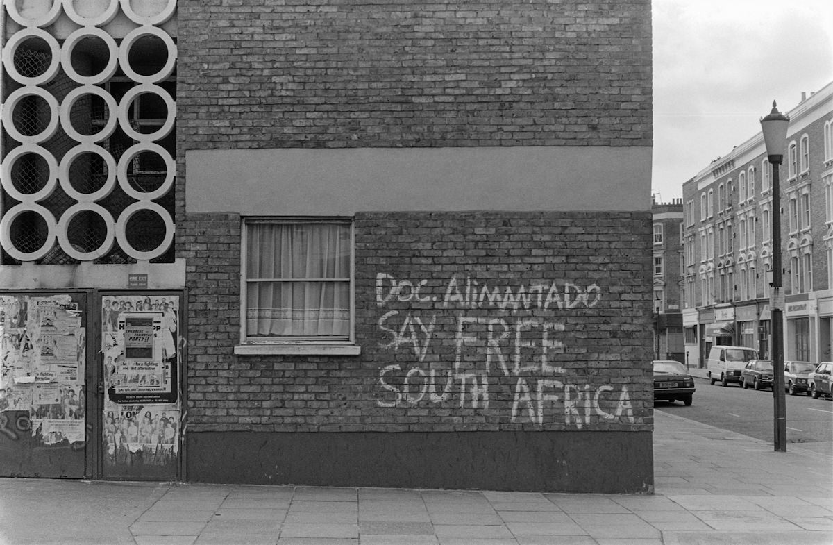
Anderson Street near Kings Road in Chelsea presented a contrast to the nearby retail activity, a quieter residential side street tucked behind one of the borough’s busiest shopping corridors.
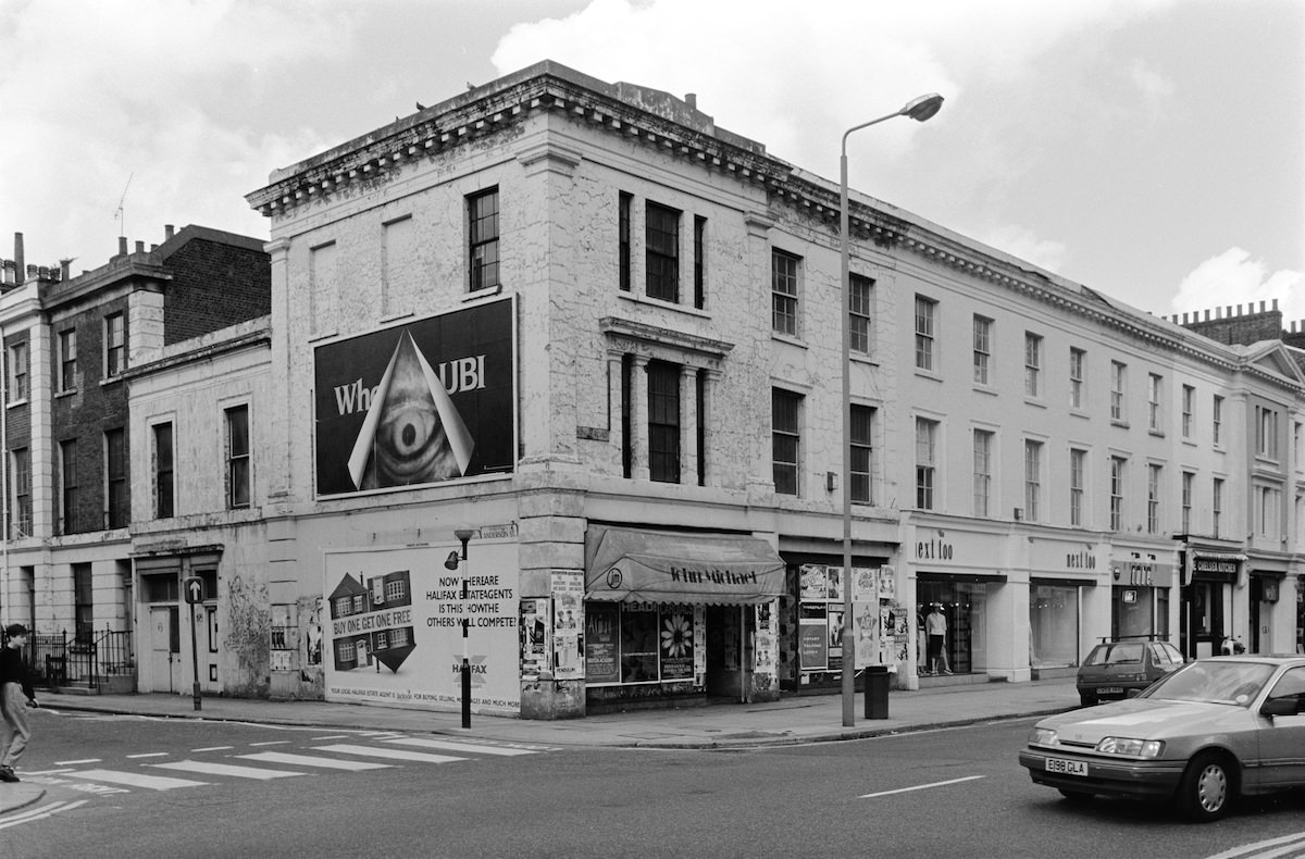
Marshall photographed All Saints Road more than once, documenting its street life across different visits in 1987. The images together build a more complete picture of a street that was central to Notting Hill’s social geography.
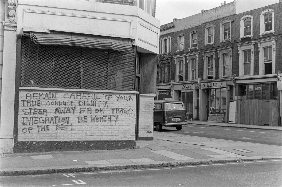
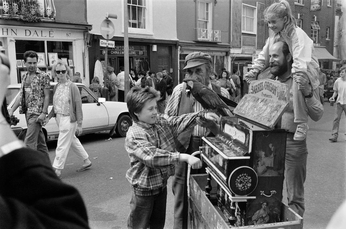
A barrel organ on Portobello Road added another layer to the market’s street performance scene. These hand-cranked instruments had been a fixture of London street life for over a century, and a few were still in use in the late 1980s.
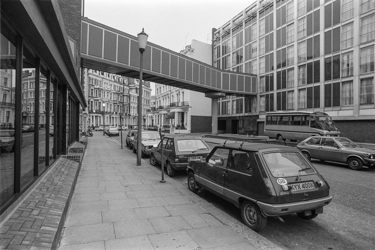
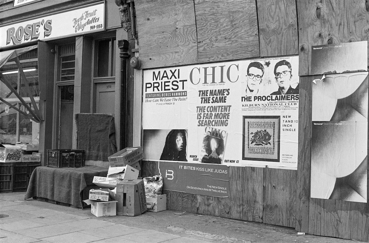
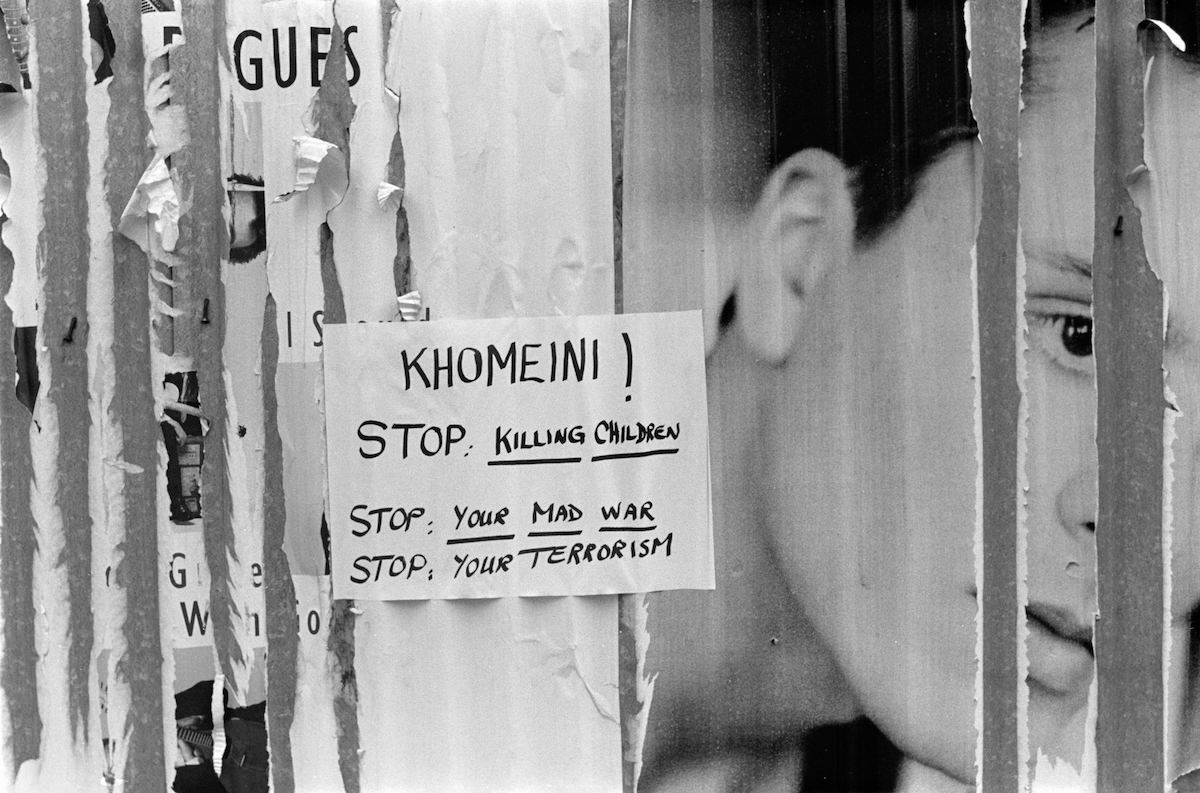
South Kensington’s Queens Gate was home to several embassies, learned societies, and grand Victorian townhouses. Marshall’s photograph of a poster on that street captures a brief, ephemeral moment against that permanent backdrop.
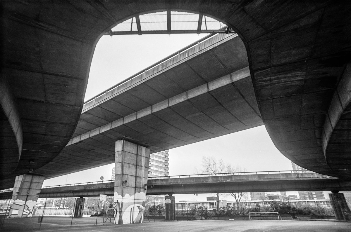
The Westway elevated motorway cut through Notting Hill, casting its shadow over the streets below. Built in the late 1960s, it had long been a source of controversy among local residents whose homes and streets fell beneath it.
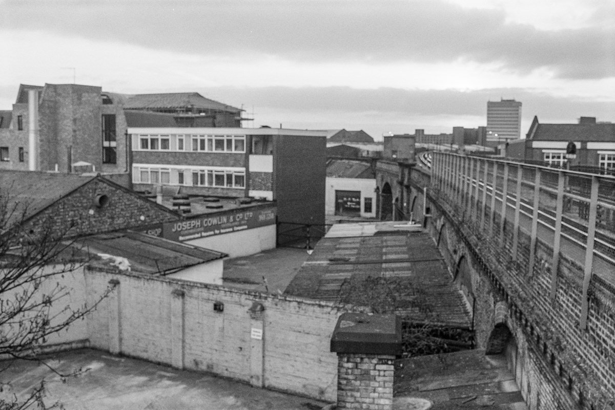
Latimer Road in Notting Hill sat at the western edge of the borough, an area that in the late 1980s remained poorer and less gentrified than the streets closer to Portobello Road.
Portobello Road attracted all kinds of people on market days, including skateboarders who used the broad pavements and open spaces around the market to ride.
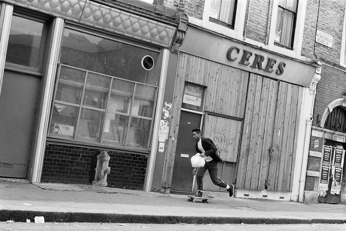
Lots Road in Chelsea ran along the western edge of the borough near the Thames. Its character in 1988 was defined by the power station at one end and the mix of light industrial and residential uses along its length.
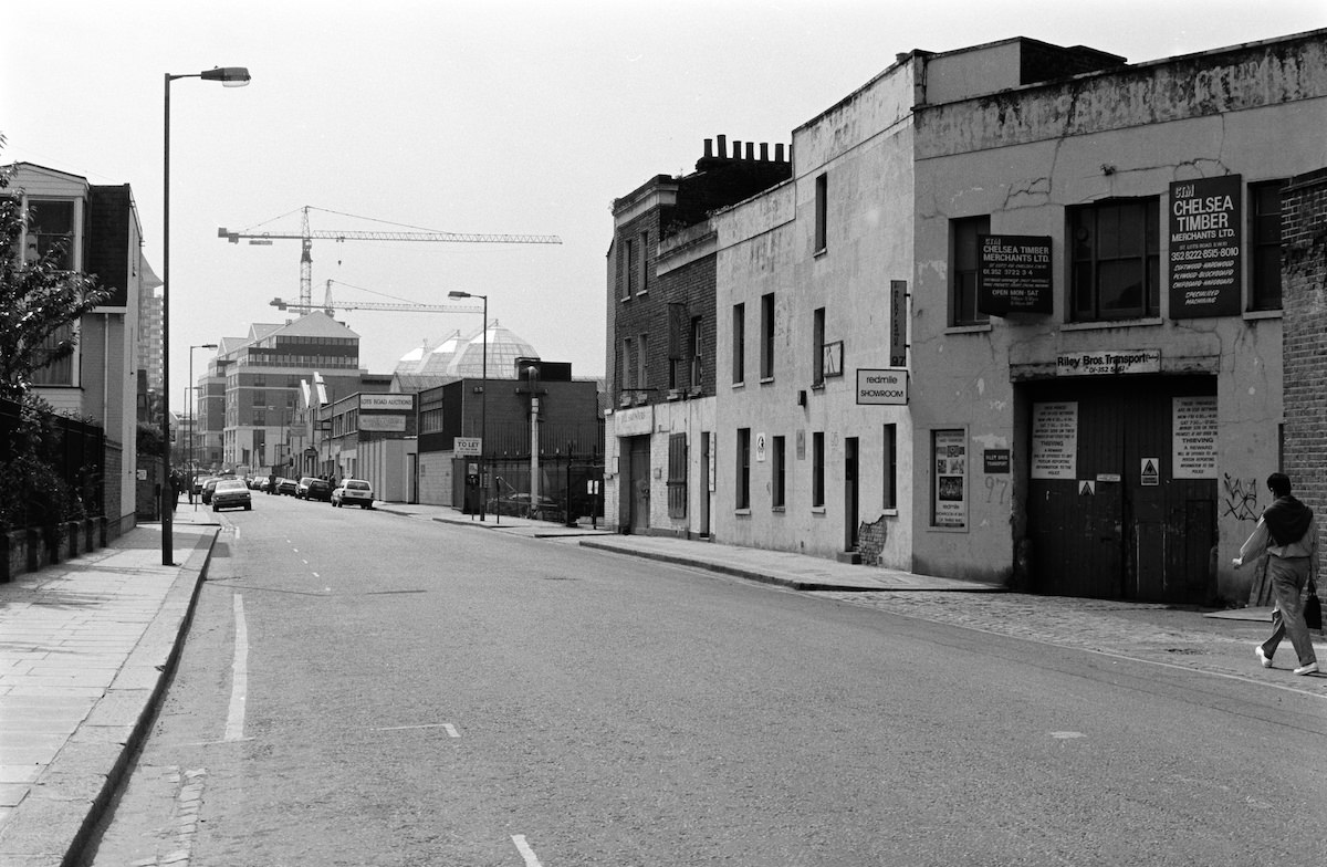
Marshall revisited Freston Road in Notting Hill to document its changing face. The street, overshadowed by the Westway, was part of a neighbourhood that was gradually shifting in character as the 1980s progressed.
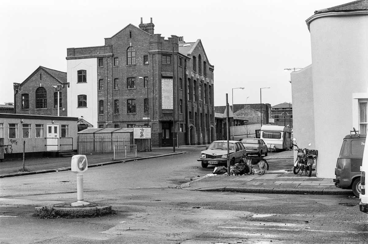
Saga Records on Kensal Road was captured by Marshall in 1981. Independent record shops like Saga were vital institutions in North Kensington, particularly for communities passionate about reggae, soul, and Caribbean music.
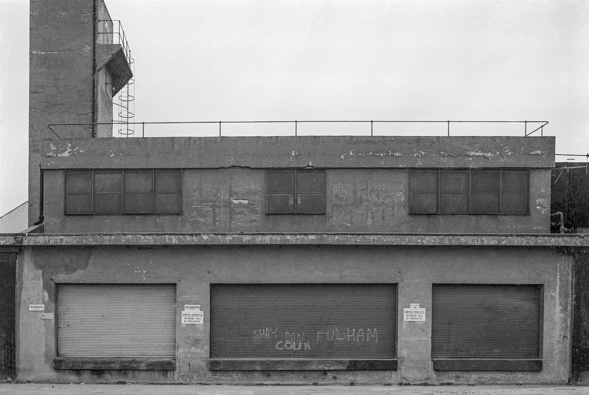
The Lamont Road Passage near Park Walk in Chelsea was a narrow pedestrian cut-through that connected the streets behind the Fulham Road, a quietly functional piece of the borough’s urban layout.
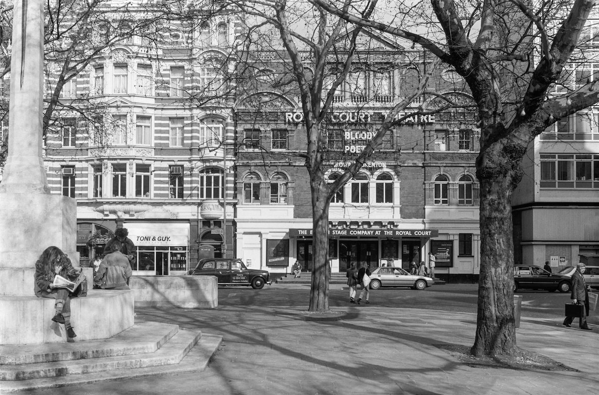
Sloane Square was home to the Royal Court Theatre, one of Britain’s most important stages for new writing. In 1988, Marshall photographed the theatre building on the square, a fixture of the borough’s cultural life since 1888.
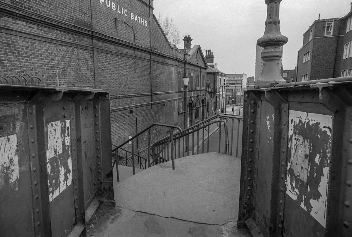
North Kensington’s public infrastructure included a footbridge and public baths that served its working-class communities. These facilities were essential to residents in an area that lacked the private amenities available to wealthier parts of the borough.
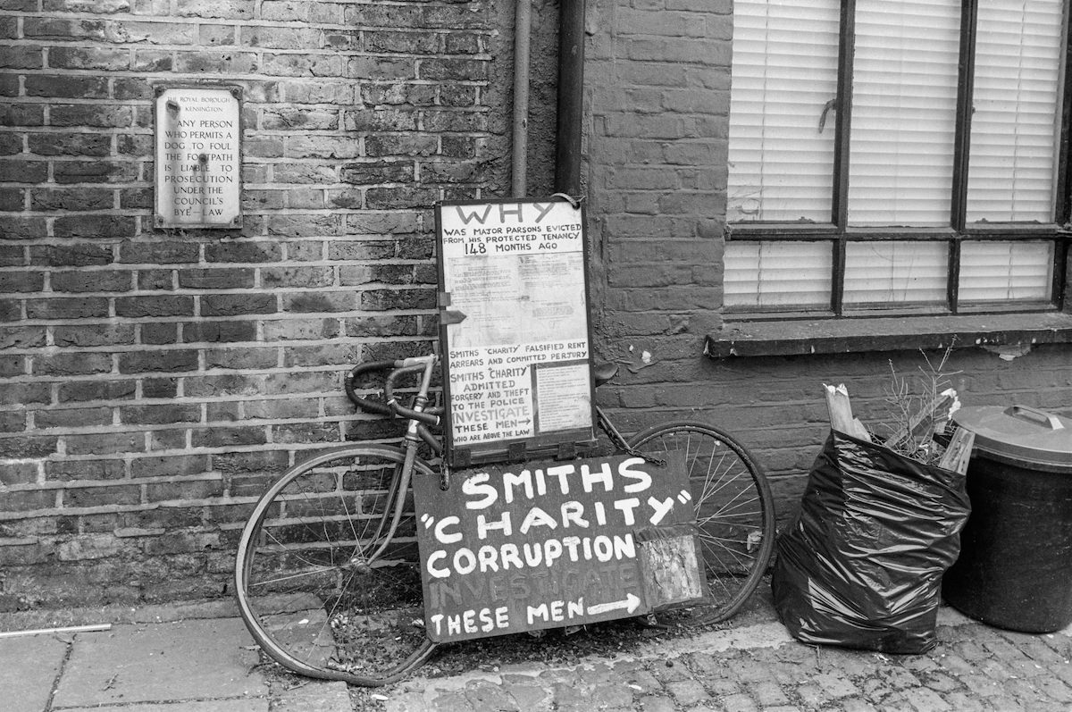
In South Kensington’s Cranley Mews, Marshall photographed signage related to Smiths Charity, a historic estate charity that managed properties across the borough. The caption’s reference to corruption points to controversies surrounding the management of charitable estates during this period.
Hyde Park Gate near Kensington was one of the most exclusive short streets in the borough. It was home to several notable residents over the years, including Winston Churchill, who lived and died there.
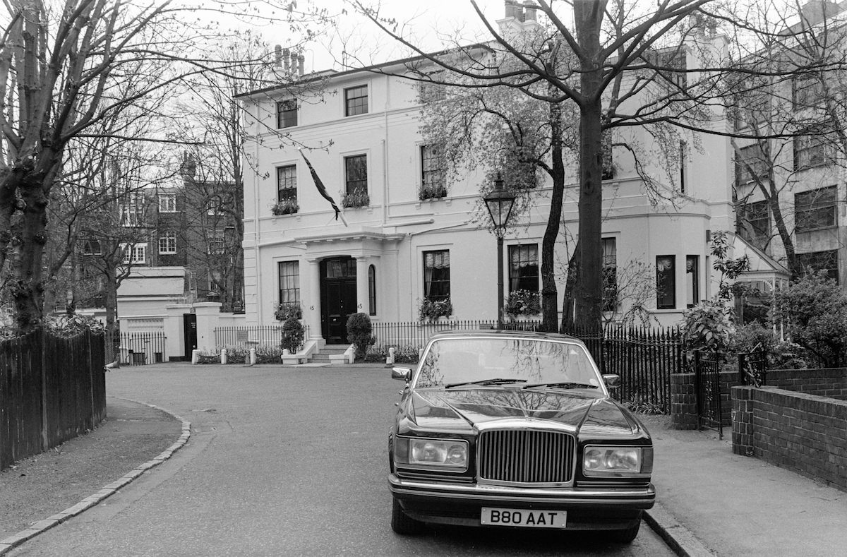
Stable Way in Notting Hill was a narrow road that ran through what had once been a working stable yard. By 1988 it had taken on a new identity as part of the shifting industrial fringe of the neighbourhood.
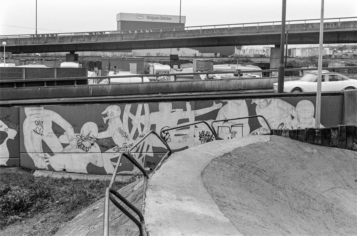
The cinema on Fulham Road near Drayton Gardens in Chelsea was a local fixture in 1988. Independent and repertory cinemas like this one were a common part of London neighbourhood life before the rise of multiplex chains.
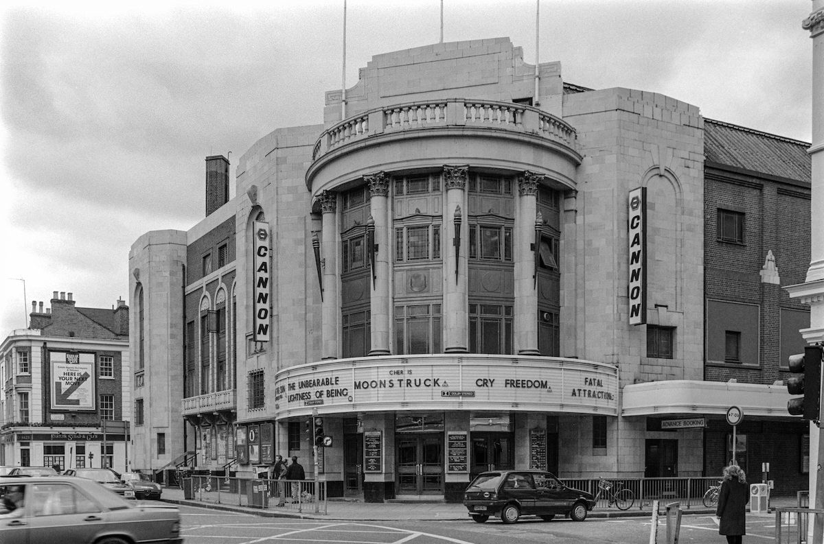
Street musicians appeared on Portobello Road in groups as well as solo. The collaborative performances added to the festive atmosphere that made the market one of the most visited spots in the borough each weekend.
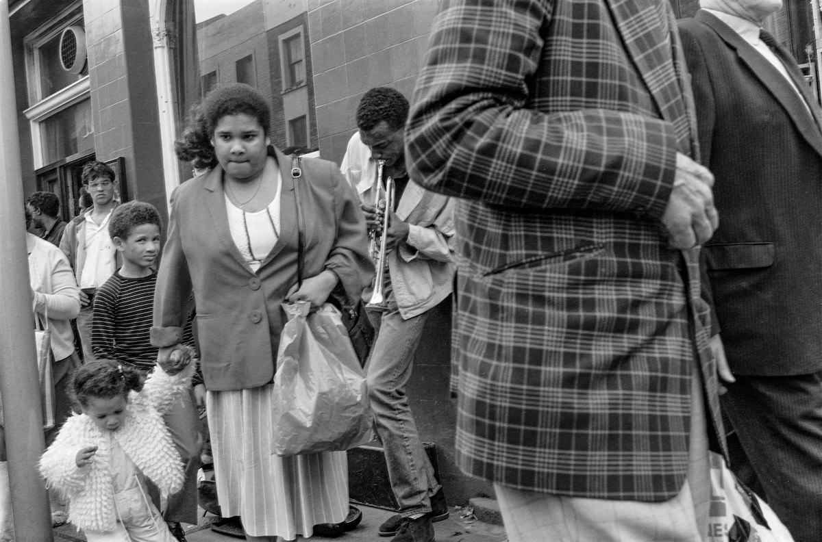
Kensington Church Street ran north from Kensington High Street through the heart of the borough, lined with antique dealers that gave it a distinct identity among London’s shopping streets.
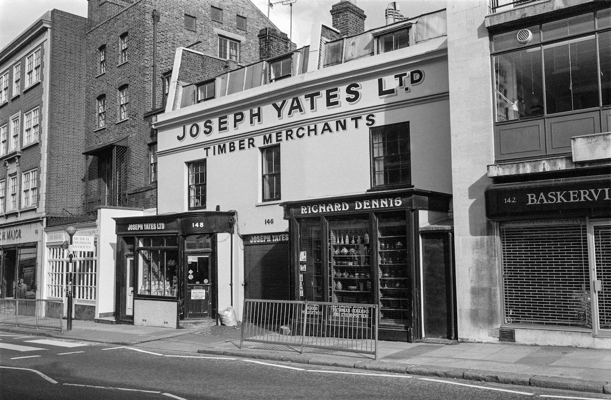
Sloane Street in Knightsbridge was one of London’s premier luxury shopping streets by the late 1980s, connecting Knightsbridge to Sloane Square with a corridor of high-end boutiques and designer shops.
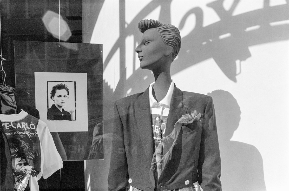
Fulham Road in Chelsea carried a mix of residential and commercial activity. By 1988 it had become a well-established destination for restaurants, bars, and independent retailers.
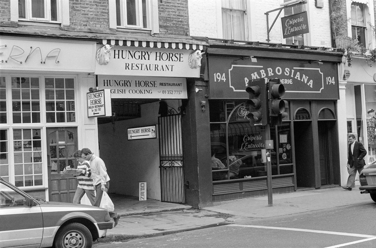
Sloane Square’s retail offering included independent opticians alongside its more famous fashion and homeware shops. Four Eyes Opticians was one of the locally known businesses operating on the square in 1988.
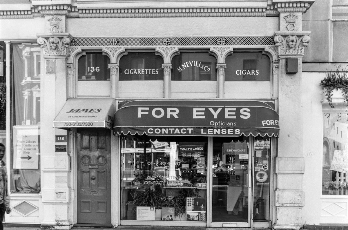
Chelsea Town Hall on Kings Road served as the administrative centre for the old Metropolitan Borough of Chelsea before the 1963 merger. By 1988 it continued to function as a civic building and public venue.
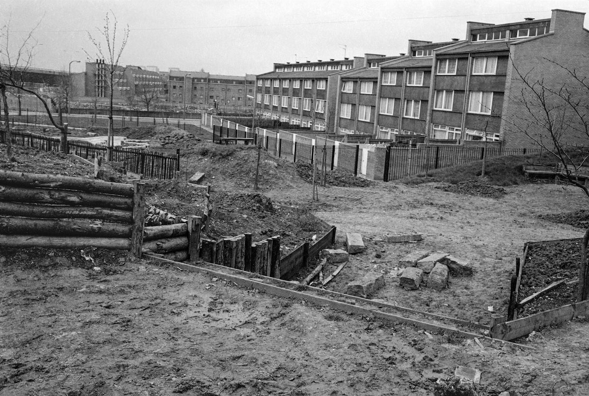
Meanwhile Gardens in North Kensington was photographed by Marshall as early as 1981. The community park had been created on a strip of derelict land along the Grand Union Canal, and its skateboard ramp and open spaces made it a popular destination for local youth.
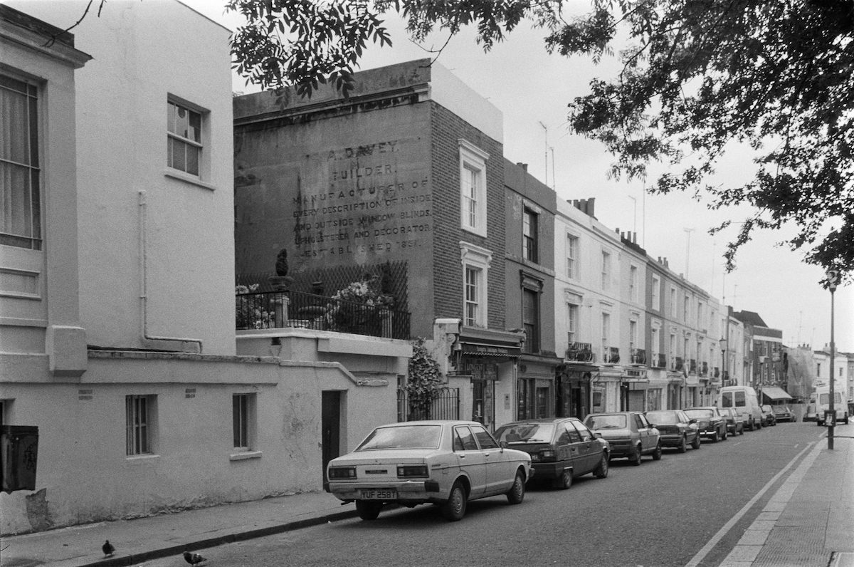
One of the most quietly compelling images in Marshall’s collection shows a ghost sign on Portobello Road advertising A. Davey, Builder. These faded painted advertisements, once common across London, were slowly disappearing from the city’s walls throughout the 1980s, making Marshall’s documentation of them all the more valuable as a historical record.