
By the mid-1800s, Pittsburgh was already one of America’s most important industrial cities. It ranked as the 17th largest city in the country in the 1850s, home to nearly 1,000 factories and a population of around 50,000 people. Steel production drove its economy and earned it the nickname “The Steel City.” As the city expanded, so did its need to move people efficiently from one end of town to the other.
Pittsburgh’s first public transit system launched in 1859 with a horse-drawn carriage line running between downtown and 34th Street. Over the following decades, the system grew and modernized alongside the city itself. By the 1950s, 33 private companies were operating bus, incline, and trolley routes across the region. The Pittsburgh Railways Company alone operated 666 streetcars. Several railroads, including the Baltimore and Ohio Railroad and the Pittsburgh and Lake Erie Railroad, also ran passenger trains through the area. Each company had its own fares, its own drivers’ union, and its own wage structure. Many of their routes overlapped, and ridership was falling.
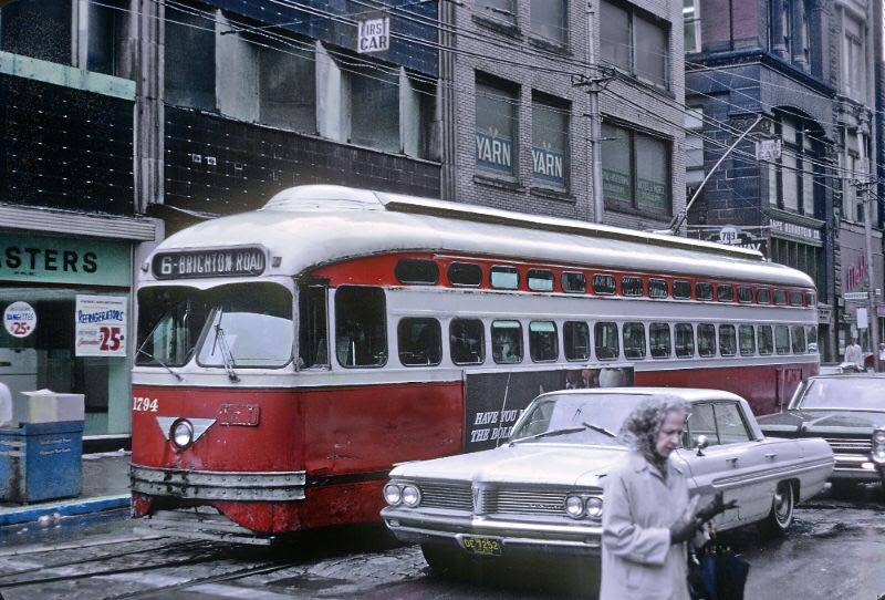
The financial strain on these private operators was unsustainable. In the early 1960s, the Port Authority of Allegheny County — known as PAT — took over regional transit and made the decision to gradually replace the streetcars with buses. Rather than pulling trolleys off the streets overnight, the Port Authority took a phased approach. It updated its bus fleet, built park-and-ride facilities for suburban commuters, and introduced brightly colored, striped “mod” style buses that reflected the design tastes of the era. Federal funding helped cover the cost of new buses. Routes were reorganized under a new alphanumeric naming system built around the city’s main corridors.
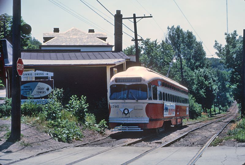
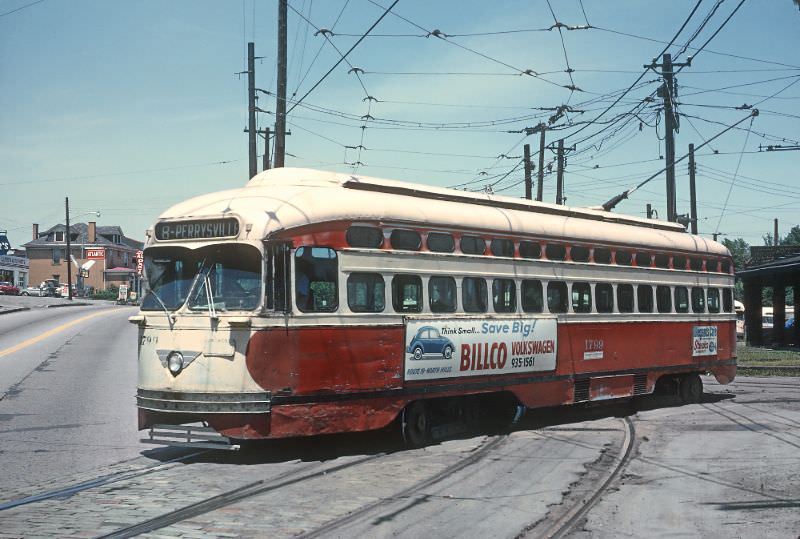
The Keating Car House was a central hub for streetcar operations on the North Side. These photographs, taken on June 26, 1965, capture the #8 Perrysville cars both arriving and departing the facility. The car house served as a staging point where trolleys were dispatched across their routes, and where motormen checked in before heading out.
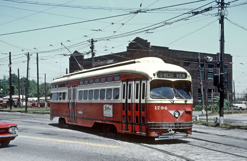
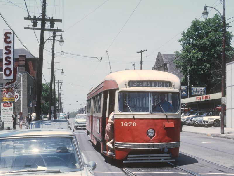
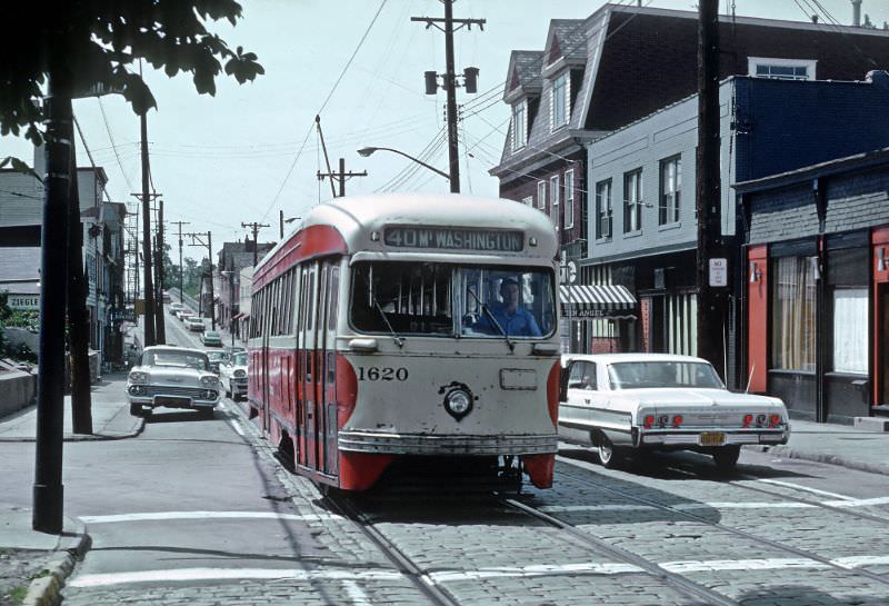
Routes stretched well beyond downtown Pittsburgh, reaching into surrounding communities like Bellevue, Emsworth, and Mt. Washington. The #13 Emsworth car ran through residential stretches of Lincoln Avenue, passing through neighborhoods that depended on the trolley as their main link to the city center. These routes served working-class communities every day, connecting workers to jobs, shops, and services.
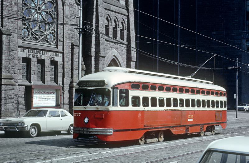
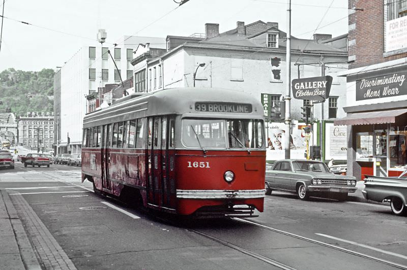
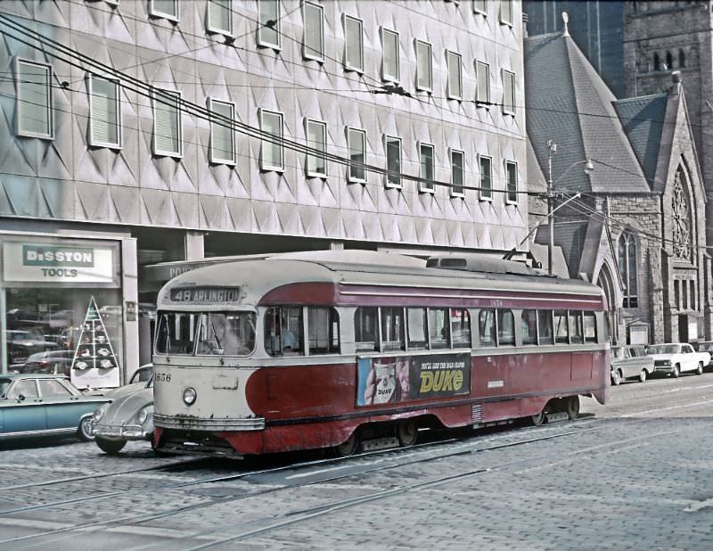
Downtown Pittsburgh was crisscrossed with trolley lines in the mid-1960s. Streets like Liberty Avenue, Smithfield Street, Grant Street, and Wood Street saw constant streetcar traffic. The #39 Brookline car threaded through the heart of the city, sharing the road with automobiles and pedestrians on some of Pittsburgh’s busiest blocks. On any given weekday, the downtown streets were alive with the rumble and clang of PCC cars moving in every direction.
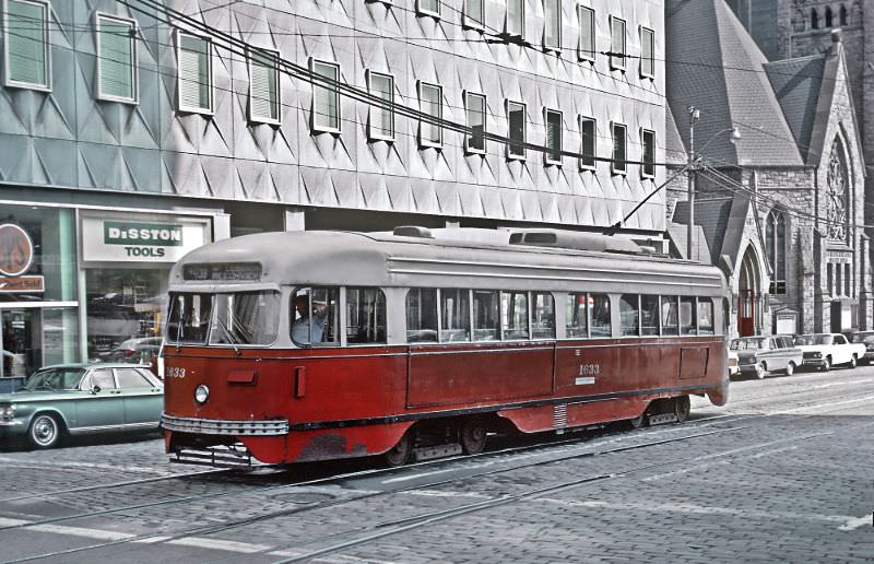
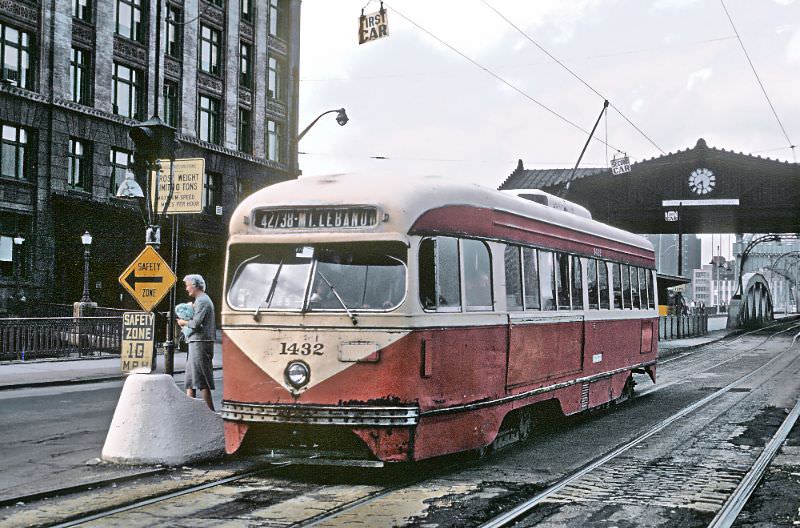
The Pittsburgh and Lake Erie Railroad transfer point near the Smithfield Street Bridge was a key interchange in the system. Riders could connect between streetcar lines and rail services here, making it one of the more active spots in the transit network. The #42/38 Mt. Lebanon car ran south from downtown, serving some of Pittsburgh’s more affluent suburbs on the South Hills.
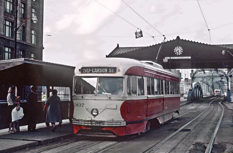
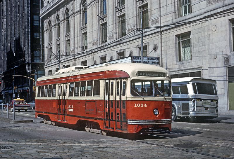
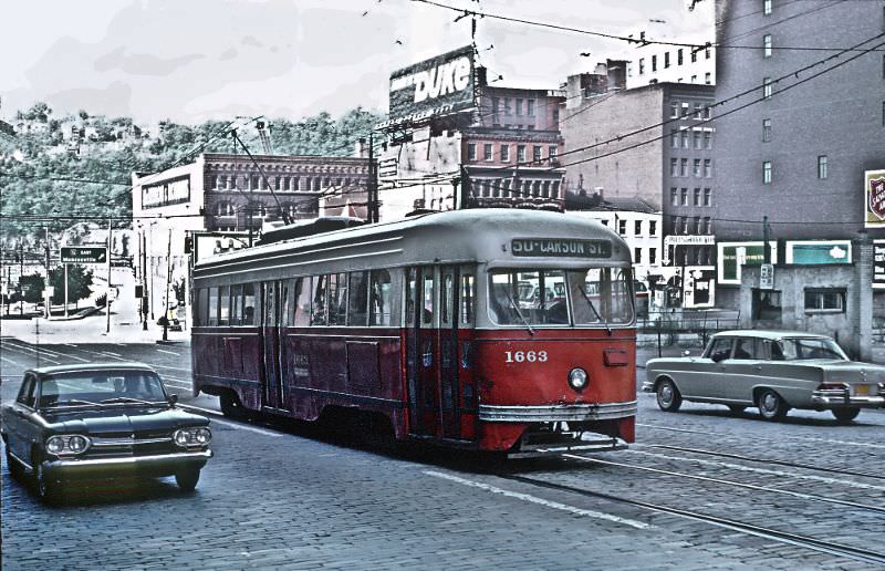
Carson Street on the South Side was one of Pittsburgh’s most active commercial corridors, and the #50 line served it well. These photos show the car both at the P&LE transfer point and moving through downtown on Grant Street — two very different environments the same trolley navigated on a single run. The South Side routes required cars to cross the Monongahela River and travel through dense urban streetscapes before returning downtown.
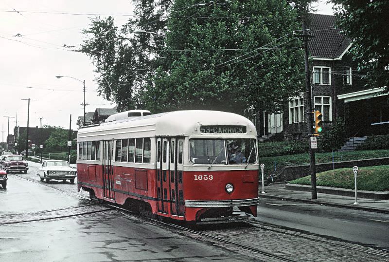
The Brentwood loop at the end of the Brownsville Road corridor was a turning point for several South Hills routes. The #53 Carrick car is seen here approaching the loop, completing its run before heading back downtown. Terminal loops like this one allowed single-ended PCC cars to reverse direction without a wye track or manual turntable.
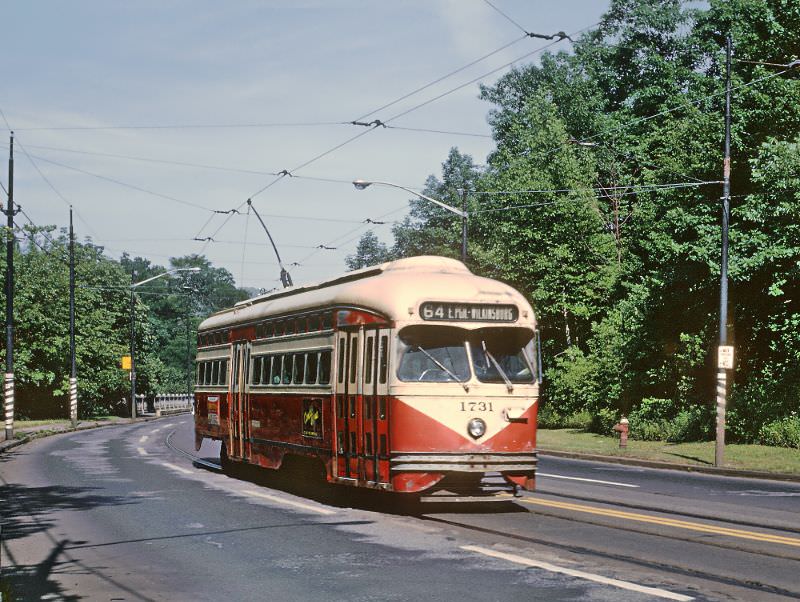
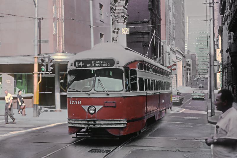
Forbes Avenue near Frick Park offered a rare stretch where the streetcar ran through a greener, more open part of the city. Two photos taken the same day show the #64 East Pittsburgh-Wilkinsburg car along this corridor. The route extended east from downtown, passing through Oakland and Squirrel Hill before continuing toward Wilkinsburg and East Pittsburgh.
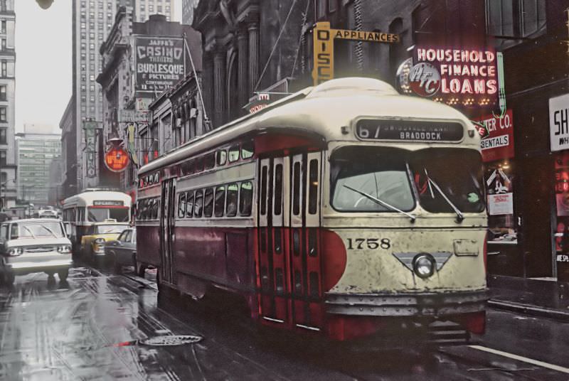
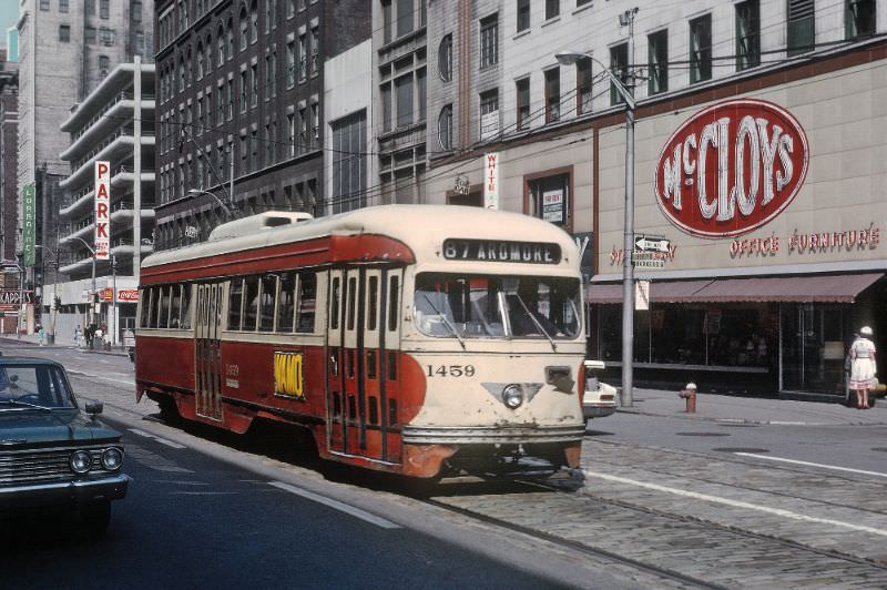
The #67 Swissvale-Rankin-Braddock route connected downtown to the Mon Valley steel towns to the east. Braddock and Rankin were home to major steel mills, and many of the workers who rode this line were employed in the very industry that had built Pittsburgh’s wealth. By 1965, the mills were still running, but the streetcar routes that served them were living on borrowed time.
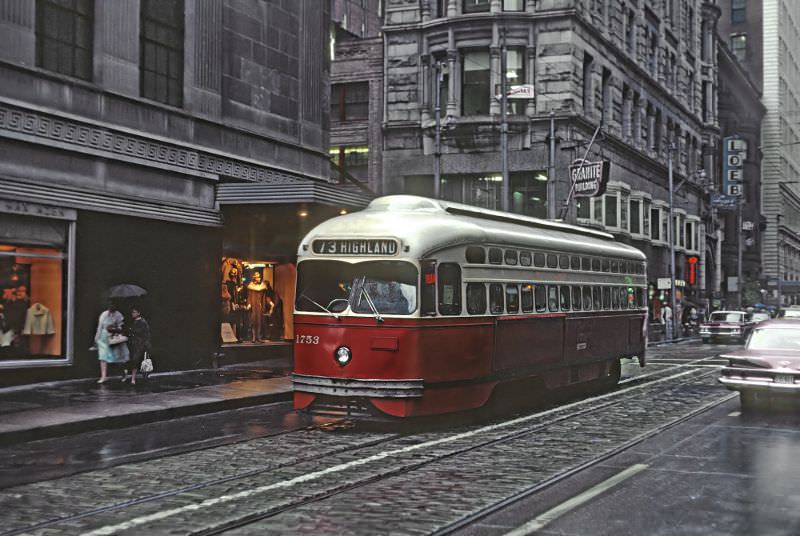
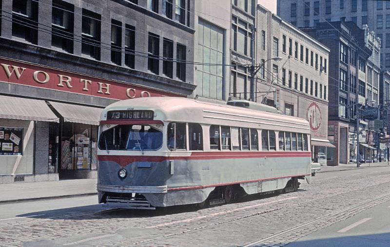
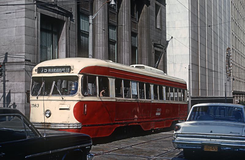
The East End routes — including the #73 Highland and #75 Wilkinsburg via East Liberty — ran through some of Pittsburgh’s most densely populated neighborhoods. East Liberty was a major commercial hub in the 1960s, and the trolley lines that passed through it carried thousands of shoppers and workers daily. These photos document the cars threading through both the East End neighborhoods and the tight downtown grid.
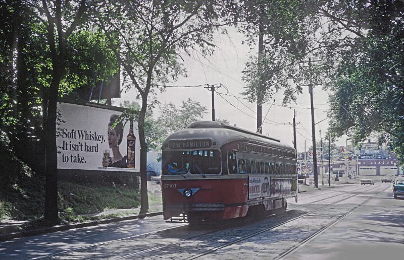
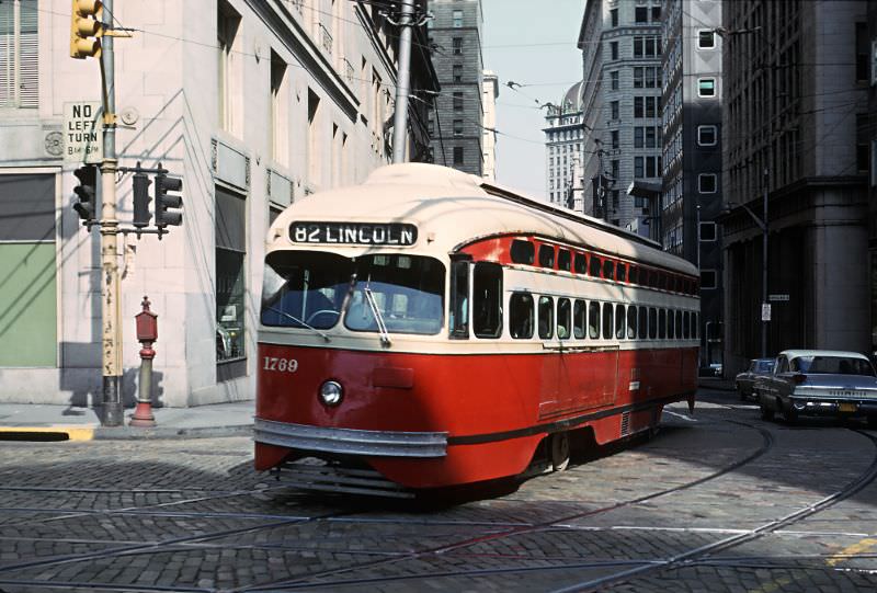
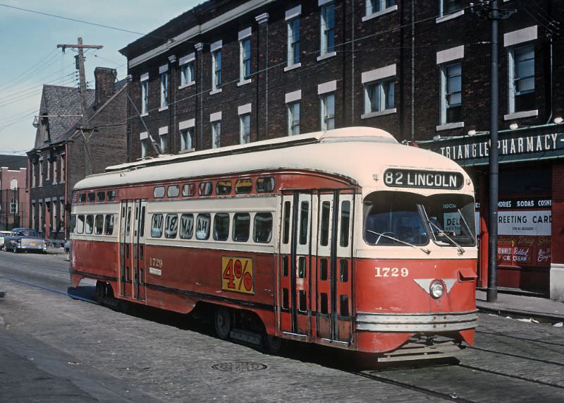
The #82 Lincoln line ran along Lincoln Avenue in the Penn Hills and Homewood areas before heading downtown. Photos from both ends of the route — on Lincoln Avenue approaching Frankstown, and on 6th Avenue crossing Grant Street downtown — show how far a single trolley line could reach across the city. These cars connected distant residential neighborhoods directly to Pittsburgh’s commercial core in a single unbroken ride.
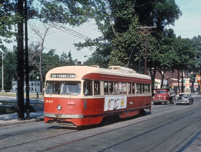
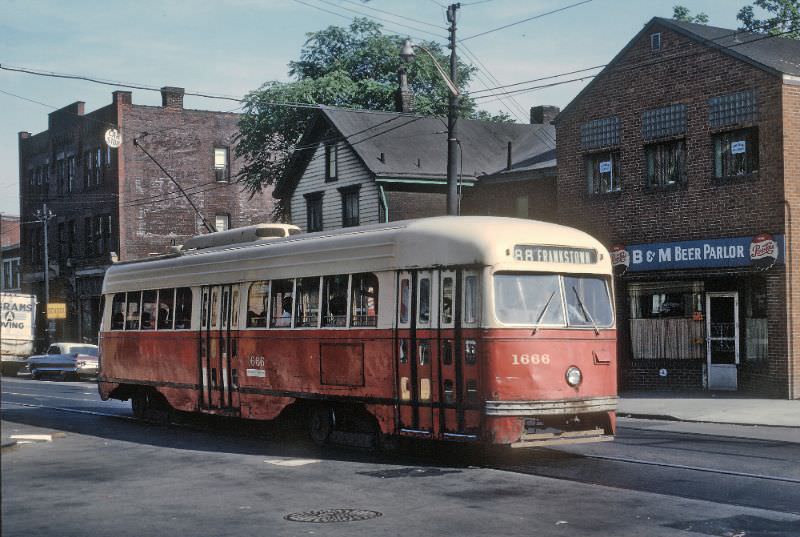
The #88 Frankstown car ran along Frankstown Avenue through the East End, passing directly in front of Pittsburgh Hospital. Two photos captured from nearly the same spot on the same day show the car’s regular rhythm — passing the hospital on a route that served patients, staff, and neighborhood residents alike. It was exactly this kind of utility that made the streetcar network so deeply embedded in daily life.

This shot inside Keating Car House captures a moment of routine that played out dozens of times each day. A motorman on the #8 Perrysville car is on the phone with the dispatcher before heading out on his run. Car houses like this one were the operational nerve centers of the streetcar system — where maintenance was done, schedules were coordinated, and crews reported for duty.
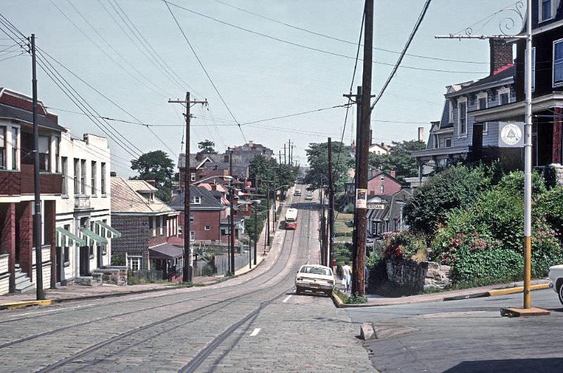
Grandview Avenue on Mt. Washington offered some of the most dramatic scenery in the entire Pittsburgh transit system. Sitting high above the South Side, the Mt. Washington streetcar ran along the ridge overlooking the confluence of the Allegheny and Monongahela rivers. The views from this route were unmatched, and the trolley that ran through Duquesne Heights gave riders a perspective of the city that few other transit lines anywhere in the country could offer.
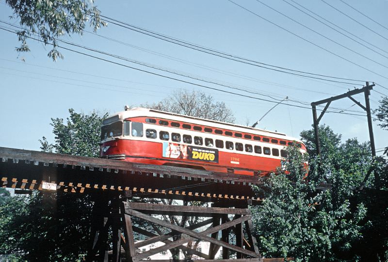
One of the most striking images in this collection shows the Shannon-Drake car crossing a gauntlet single-track wooden trestle over Saw Mill Run Parkway at Colerain Street. A gauntlet track is a section where two tracks overlap in a single lane, forcing cars to share the same narrow path. The wooden trestle structure carrying the streetcar above the parkway was an engineering holdover from an earlier era, still in regular use in 1965.
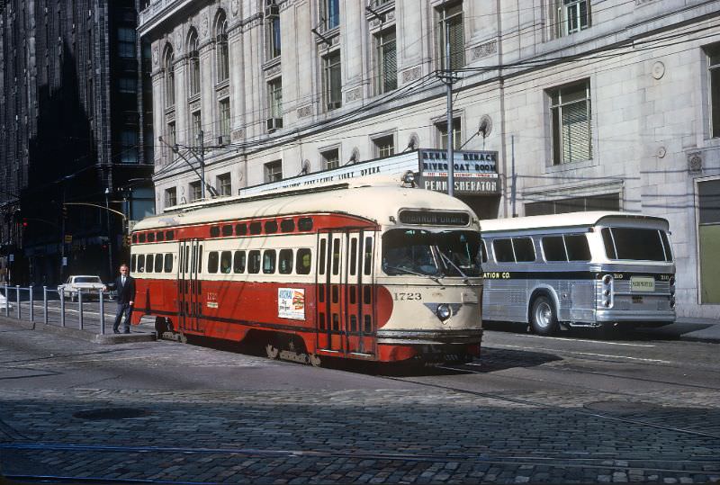
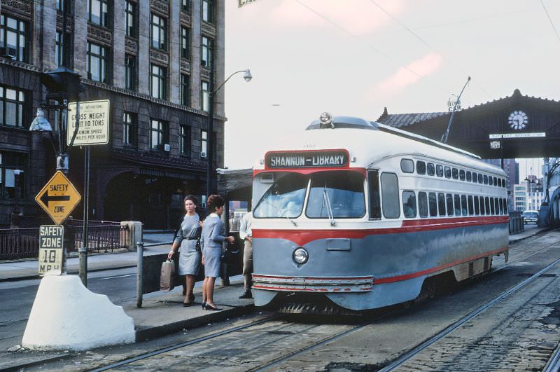
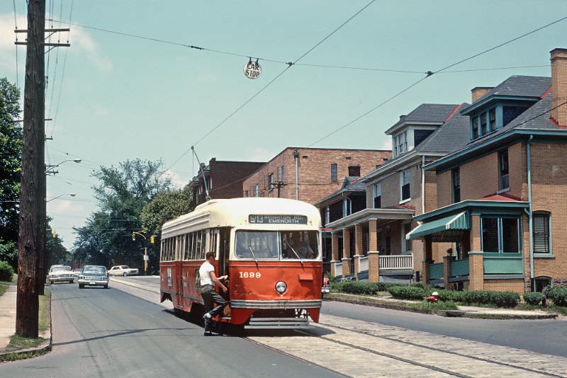
Brighton Road was one of the North Side’s main streetcar corridors, connecting the Emsworth neighborhood with downtown Pittsburgh. The Brighton Road-Emsworth car traveled through residential blocks lined with the kind of working-class housing that defined much of Pittsburgh’s urban fabric in the postwar years. By the time this photo was taken in June 1965, the route was still in full operation, though its days were numbered.
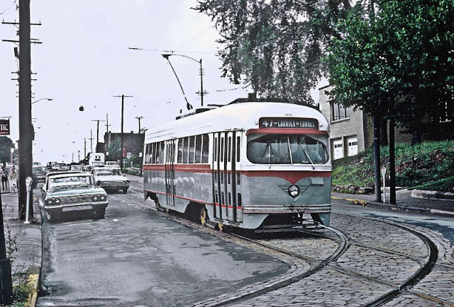
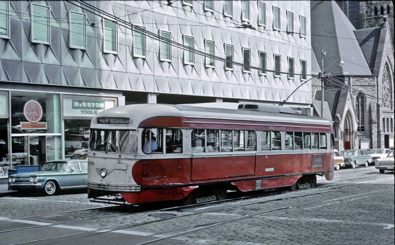
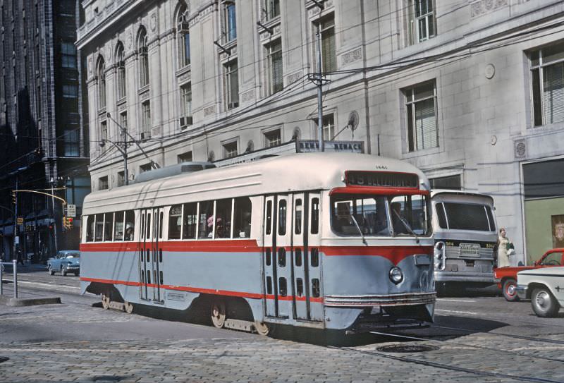
Some South Hills routes used the Liberty Tunnels to move between downtown Pittsburgh and the neighborhoods on the other side of Mt. Washington. The Carrick via Tunnel line was one of these, traveling through Brownsville Road and terminating at the Brentwood loop. The Mt. Washington car, photographed here on Grant Street downtown, made a similar cross-tunnel journey as part of its daily route.
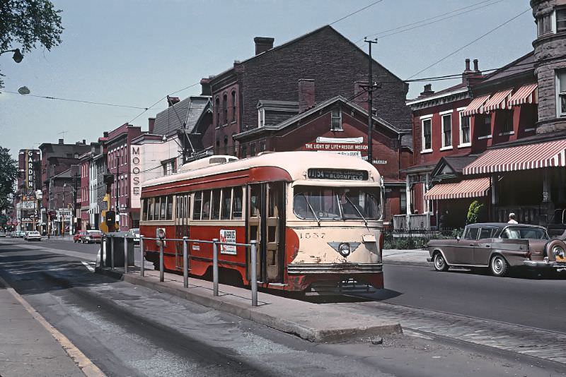
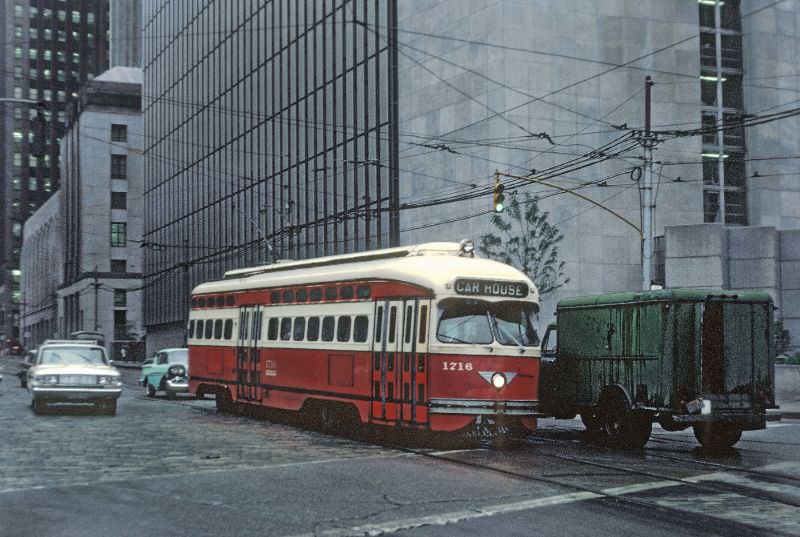
Not every photo in the collection shows a car in revenue service. This September 1, 1965 shot on Grant Street near Liberty Avenue captures a trolley heading back to the car house — a routine deadhead move at the end of a run. It’s an unglamorous but essential part of transit operations, and it’s a reminder that the streetcars were working machines on a fixed daily schedule, not just scenic fixtures of the city.
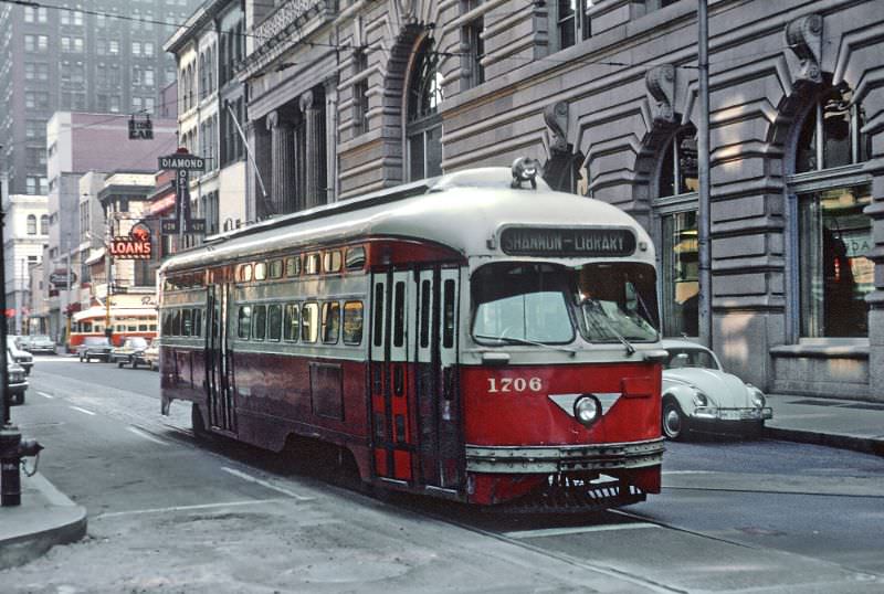
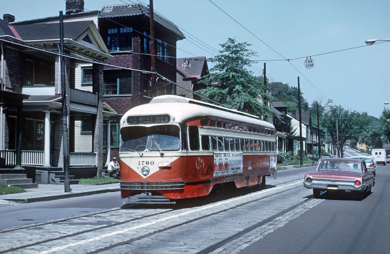
These photographs were scanned by Marty Bernard from slides shot by Roger Puta during visits to Pittsburgh in the summer and early fall of 1965. Puta documented Pittsburgh’s PCC streetcar network with remarkable thoroughness, capturing cars across dozens of routes and neighborhoods over just a few days. The Pittsburgh Railways Company’s streetcars continued running until the last car rolled through downtown on July 6, 1985 — twenty years after these images were taken. As the trolleys faded, Pittsburgh’s light rail system, known as the T, began to take shape, eventually inheriting some of the same South Hills corridors these PCC cars once served.

I have enjoyed these photos so much. I rode the 39 Brookline, the Shannon Drake and the Mt Washington streetcars for years. They were such a dependable mode of transportation and are greatly missed.
My uncle drove a streetcar and I often went with him
I want her back like nothing else
I’m crying in the club
The Crafton trolley that was replaced by that busway in 1959
Get back in there, tear!
I rode the street car from Bellevue to west view to St Benedict’s academy.