
Pittsburgh in the 1970s was a city caught between two eras. The steel mills that had powered its economy for generations were beginning to close, one after another, as foreign competition drove down prices and new technologies made old production methods obsolete. Thousands of workers lost their jobs. Neighborhoods that had been built around mill work felt the strain directly. Yet the city didn’t collapse — it adapted, slowly and painfully, into something different. These photos capture Pittsburgh in the thick of that transition, when the streets were still full of life and the city’s identity was being quietly rewritten.
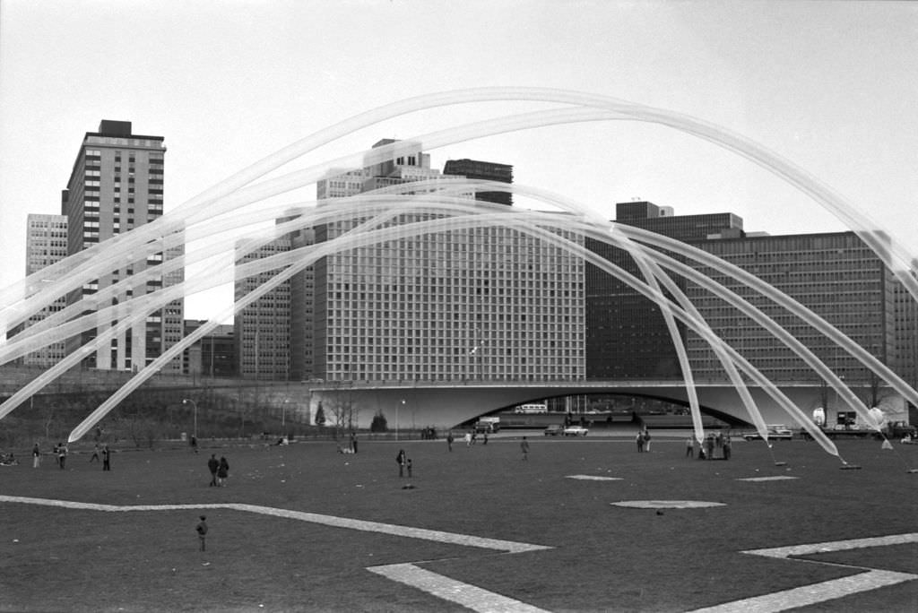
Point State Park, completed in 1974, became one of the defining landmarks of the new Pittsburgh. It sat at the very tip of the Golden Triangle, where the Allegheny and Monongahela Rivers meet to form the Ohio. The park replaced a tangle of old rail yards and warehouses, opening up the riverfront in a way the city had never seen before. Events held there drew large crowds and gave residents a new kind of gathering place — one that pointed toward the future rather than the industrial past.
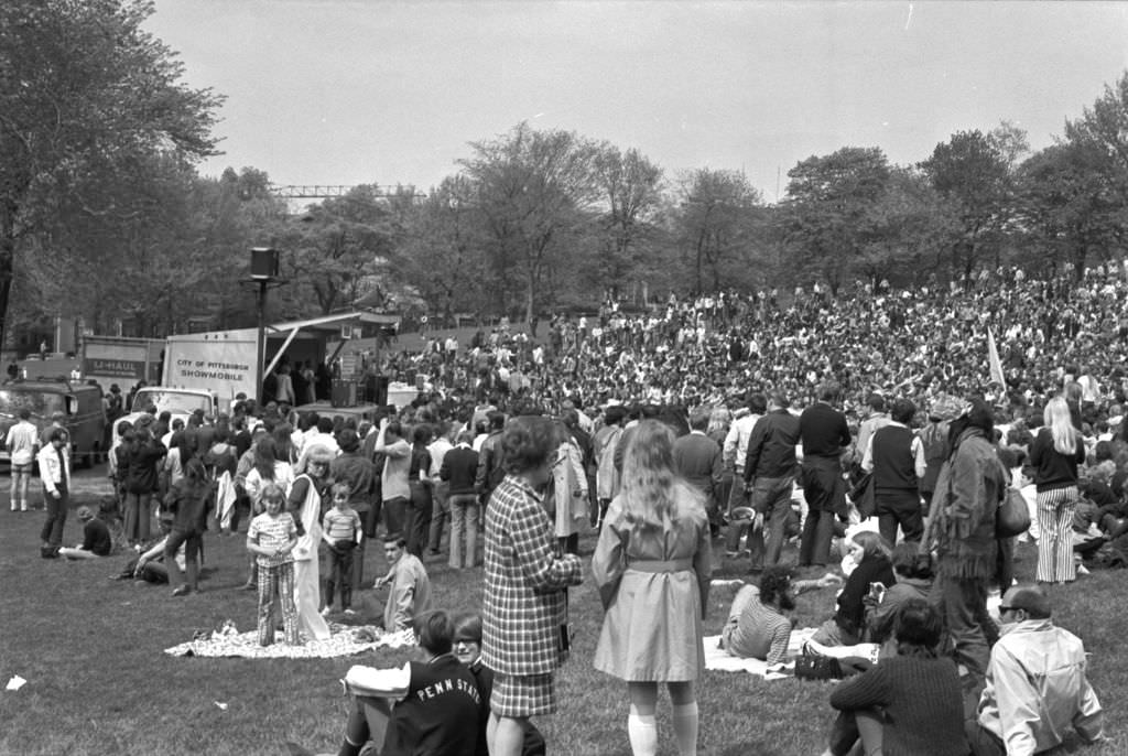
Schenley Park had long served as one of Pittsburgh’s most beloved public spaces, and in the early 1970s it continued to draw residents looking for an escape from the noise of daily life. The park’s open fields and wooded paths made it a natural setting for outdoor gatherings. The city’s cultural scene remained active even as the economy struggled. Institutions like the Carnegie Museum of Art and the Pittsburgh Symphony Orchestra kept their doors open, and smaller, street-level culture thrived in the neighborhoods.
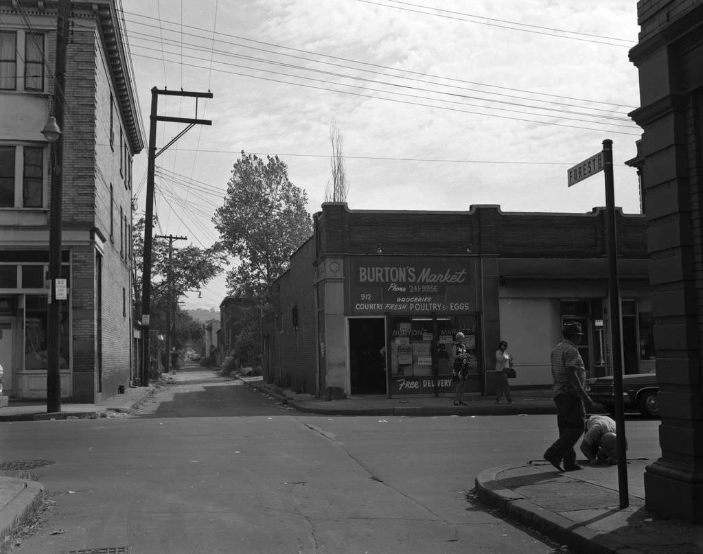
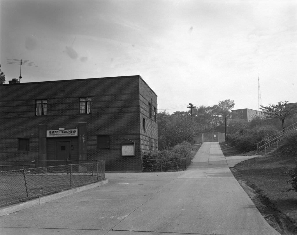
Homewood was one of Pittsburgh’s most densely settled neighborhoods, with corner markets, schools, churches, and playgrounds packed tightly together. Kennard Playground represented the kind of community infrastructure that kept neighborhoods functioning day to day. These spaces were where children spent their afternoons and where adults gathered after work. In a decade defined by economic pressure, places like this carried enormous social weight.
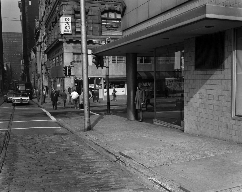
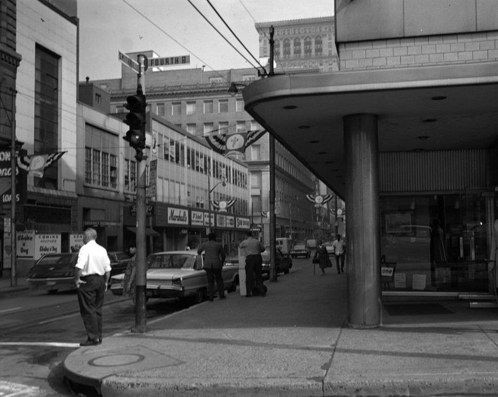
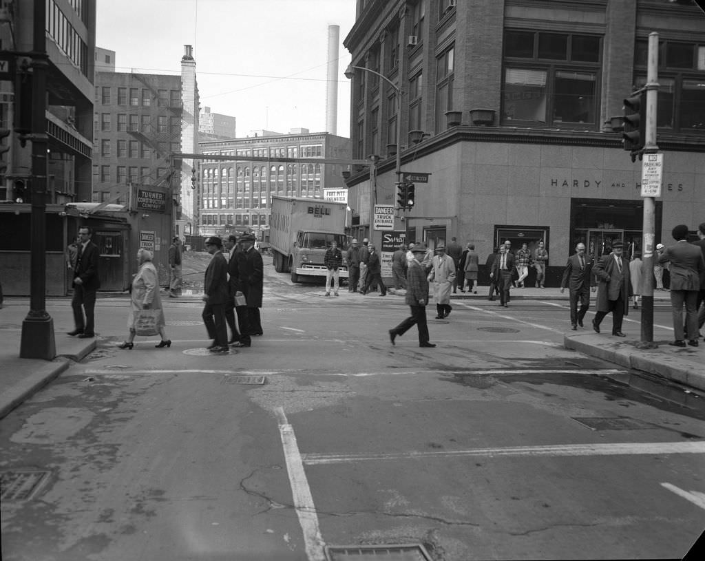
Downtown Pittsburgh in 1970 was still a hub of retail and commerce. Smithfield Street and Fourth Avenue were busy corridors lined with banks, department stores, and smaller shops. The intersection that appears here would later be transformed — the site visible in these photos is now occupied by One Oxford Centre, a modern office and retail tower that opened in 1983. But in 1970, the streetscape still reflected decades of mid-century commercial development, with low-rise storefronts and heavy foot traffic throughout the day.
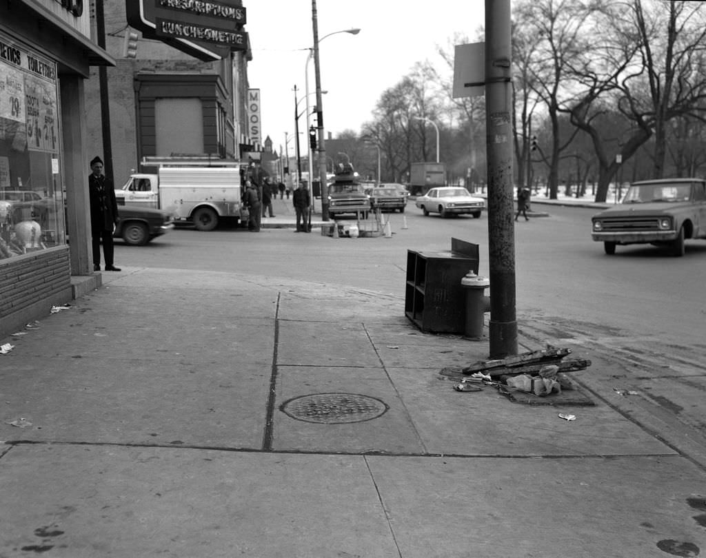
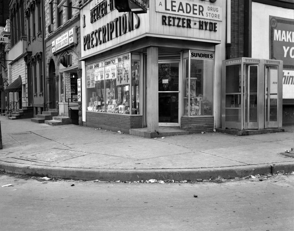
By 1971, the neighborhoods north of downtown showed a familiar pattern: independent drugstores anchoring street corners, modest traffic, and brick storefronts carrying the city’s architectural character from block to block. Retzer-Hyde Drugs appeared at multiple locations along West North Avenue and Federal Street, a sign of how neighborhood pharmacies functioned as community fixtures rather than just retail stops. These were the kinds of businesses where people ran into their neighbors.
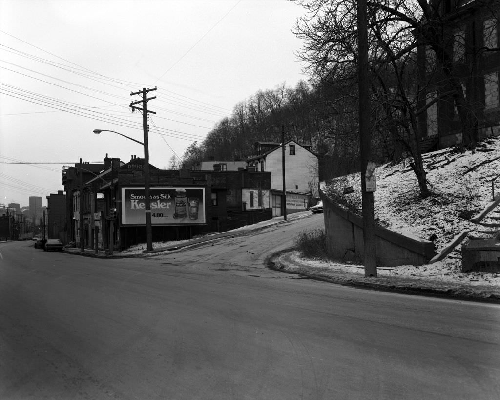
Billboards were everywhere in 1970s Pittsburgh. Whiskey brands, car dealers, and local businesses all competed for wall space and rooftop signage along the city’s major streets. The Kessler Whiskey billboard visible here was typical of the era’s streetscape advertising — bold, painted, and unmissable. Along with neon signs and painted storefronts, these ads gave Pittsburgh streets a layered visual energy that modern photography would later catalog as vintage charm but that was simply ordinary life at the time.
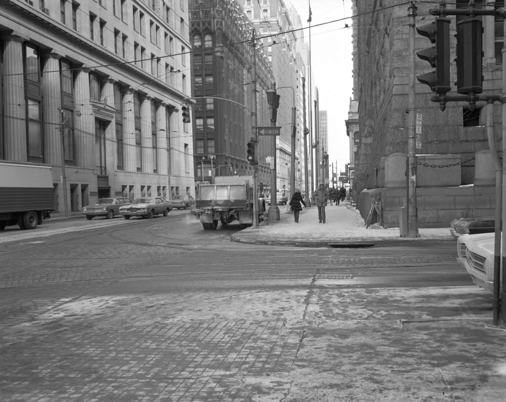
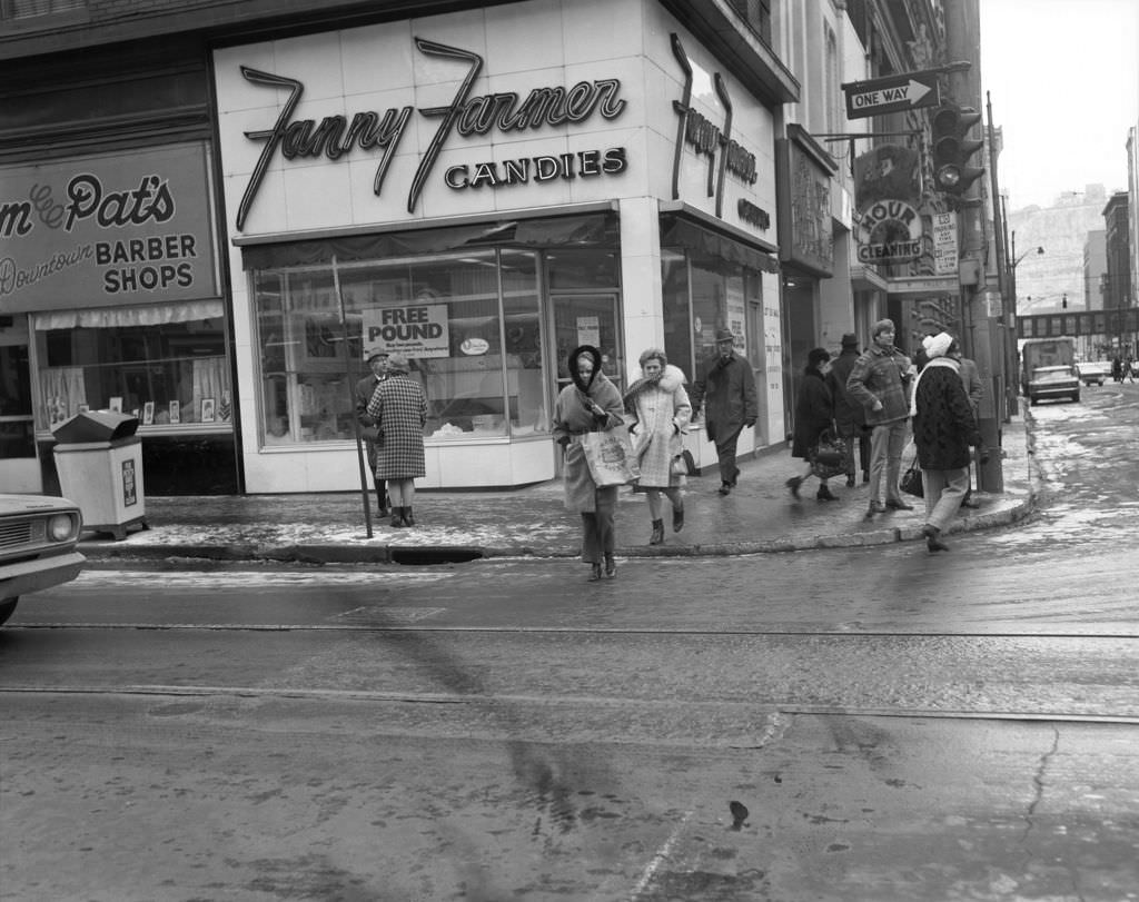
Forbes Avenue was one of downtown Pittsburgh’s main commercial corridors, and in the early 1970s it still held a wide range of retailers. Fanny Farmer Candies was a national chain that had settled into cities across the Northeast and Midwest, and its storefront at Forbes and Wood was a familiar stop for shoppers. A few blocks away, the corner of Forbes and Grant showed the dense concentration of historic masonry buildings that defined Pittsburgh’s downtown core, many of which dated back to the early twentieth century.
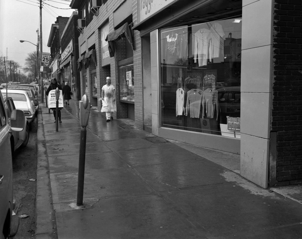
Murray Avenue in Squirrel Hill was one of Pittsburgh’s most active commercial strips, serving a densely populated and diverse neighborhood. Raggs Clothing Store was among the many independently owned shops that lined the avenue. Squirrel Hill’s retail corridor stayed healthy through the 1970s in part because of its strong residential base and the loyal customer patterns of a neighborhood that had been built for walkability. The street hadn’t changed dramatically from the postwar years — and that consistency was part of its appeal.
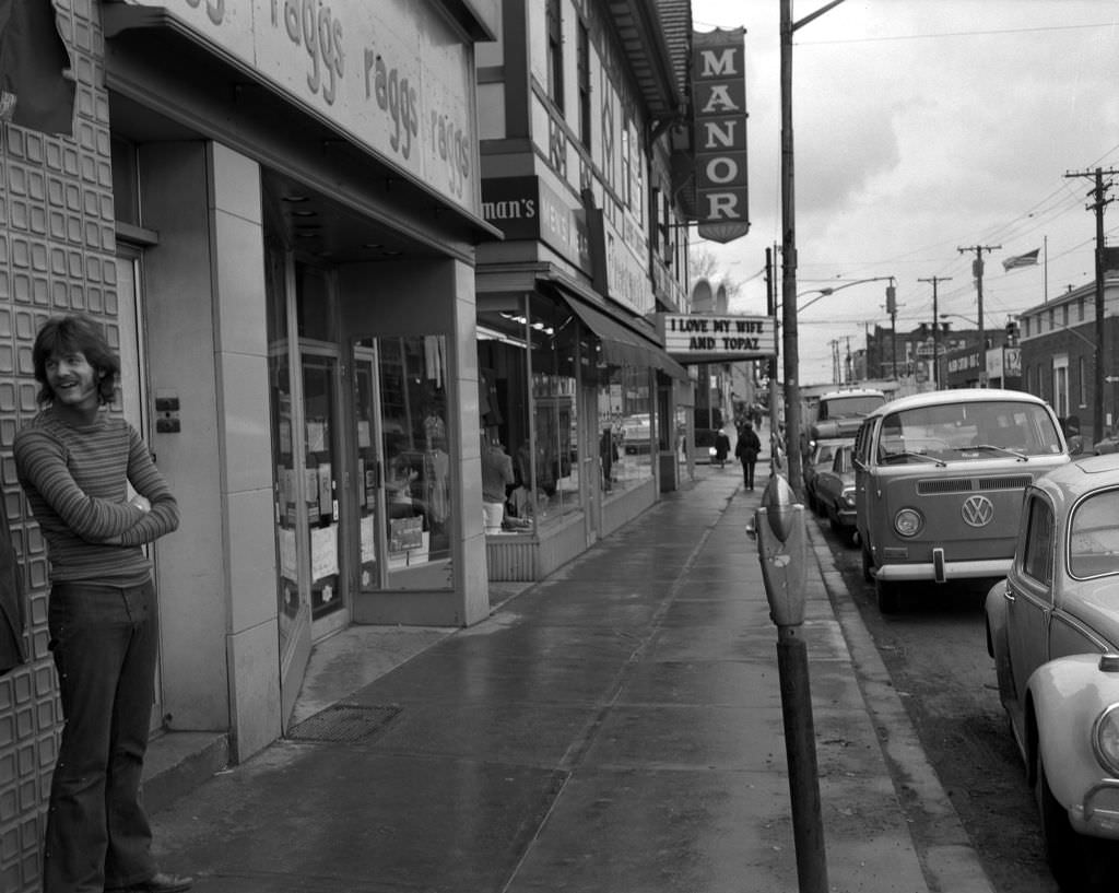
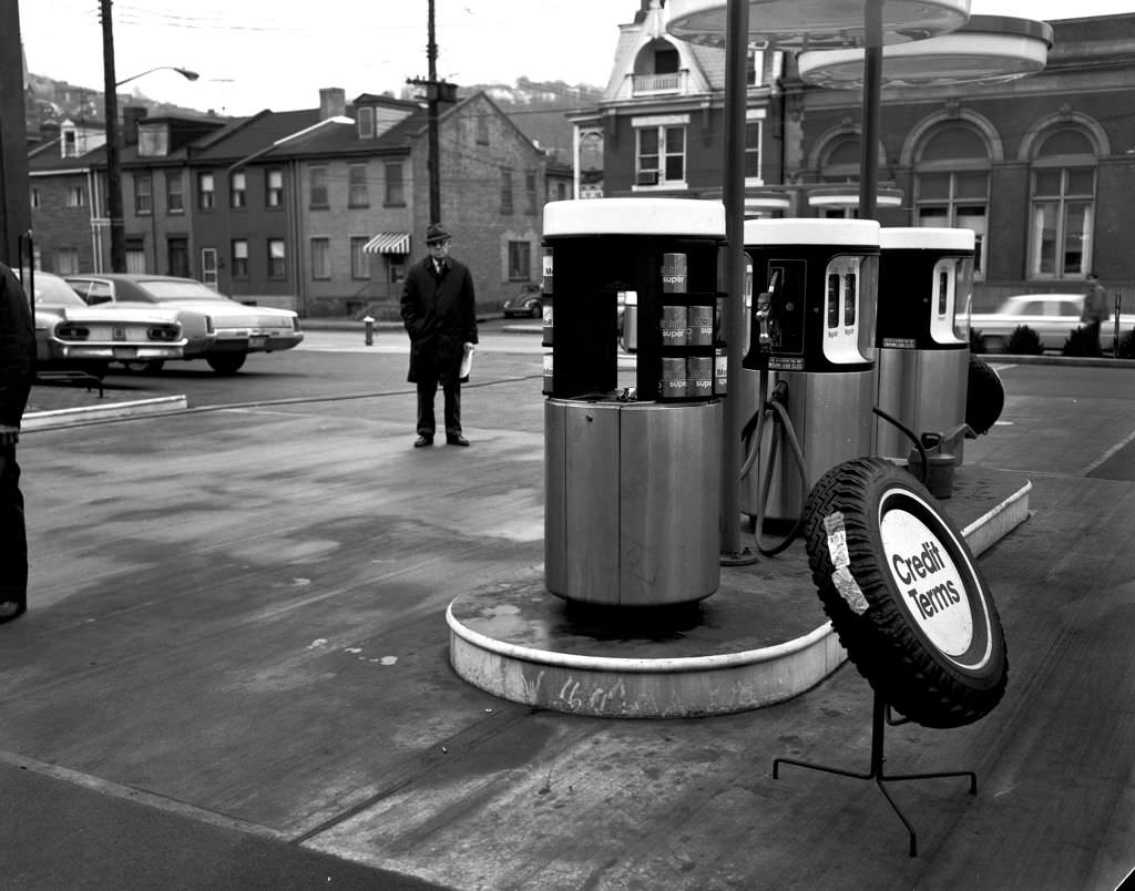
The Manor Theater on Murray Avenue was one of Pittsburgh’s neighborhood movie houses that continued to draw audiences in the early 1970s. The films it screened — including Alfred Hitchcock’s Cold War thriller “Topaz” — reflected the range of mainstream cinema available to city audiences at the time. A few miles south, on the South Side, East Carson Street remained a working commercial strip where gas stations like the Mobil outlet at South 18th Street served the everyday needs of the surrounding rowhouse neighborhoods.
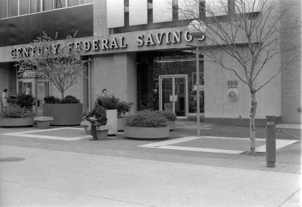
East Liberty was undergoing one of the most disruptive urban renewal projects in Pittsburgh’s history. The Urban Redevelopment Authority had converted Penn Avenue through the neighborhood into a pedestrian mall in the 1960s, closing it to through traffic in an attempt to revitalize retail. By 1972, it was becoming clear the experiment had problems. The closure cut off the neighborhood from surrounding areas, reducing the traffic that businesses needed to survive. What was intended as an improvement had begun to accelerate decline instead.
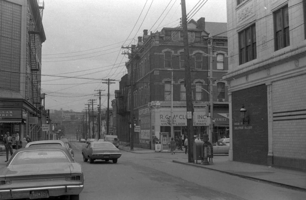
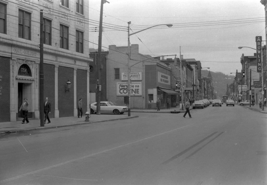
East Carson Street on the South Side remained a lively commercial street in 1972. Walkers moved between shops, bars, and service businesses that had served the neighborhood’s steelworker population for decades. The South Side’s grid of narrow streets and closely packed rowhouses gave it a particular urban texture — dense, working-class, and deeply connected to the river industry just blocks away. The mills along the Monongahela were still operating, and the neighborhood still ran on their rhythms.
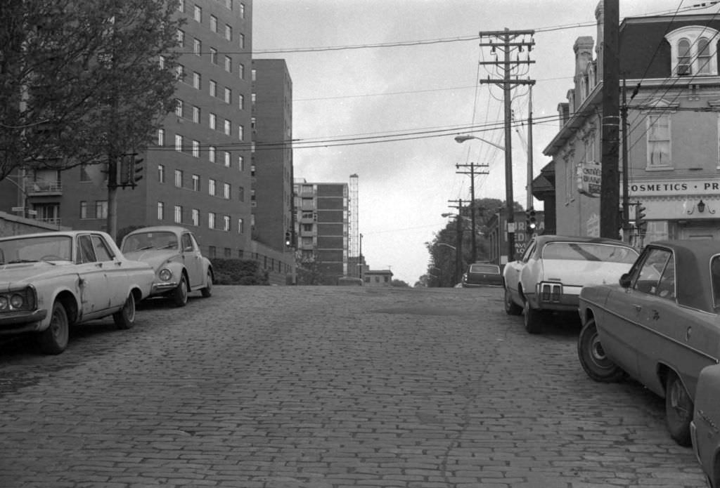
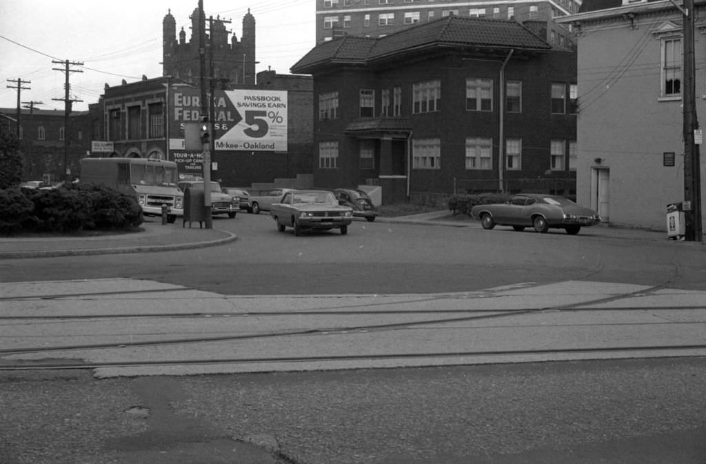
Oakland in 1972 was anchored by its universities and hospitals, institutions that were already beginning to absorb some of the economic slack left by the steel industry’s decline. The Church of the Ascension at Fifth and Neville was one of the neighborhood’s landmark structures, its stone facade a constant against the changing retail and residential mix around it. Cathedral Pharmacy nearby represented the kind of independent business that served the dense student and medical community that gave Oakland its particular energy.
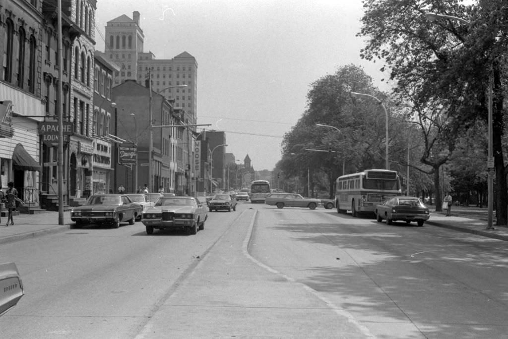
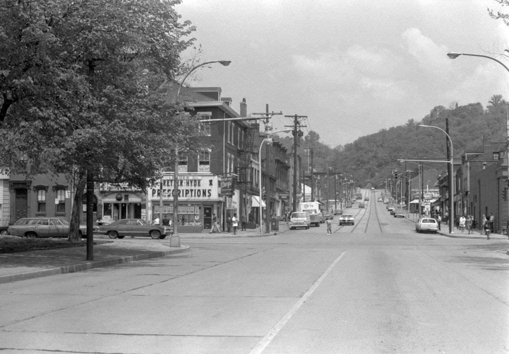
Allegheny General Hospital on the North Side was expanding its role as both a healthcare provider and a major employer in the early 1970s. The hospital and others like it would become increasingly important to Pittsburgh’s economy as the decade progressed. Federal Street, running nearby, was a key corridor connecting the North Side’s various commercial nodes, and the views along it showed the mixture of older commercial buildings, traffic, and pedestrian life that characterized Pittsburgh’s non-downtown neighborhoods.
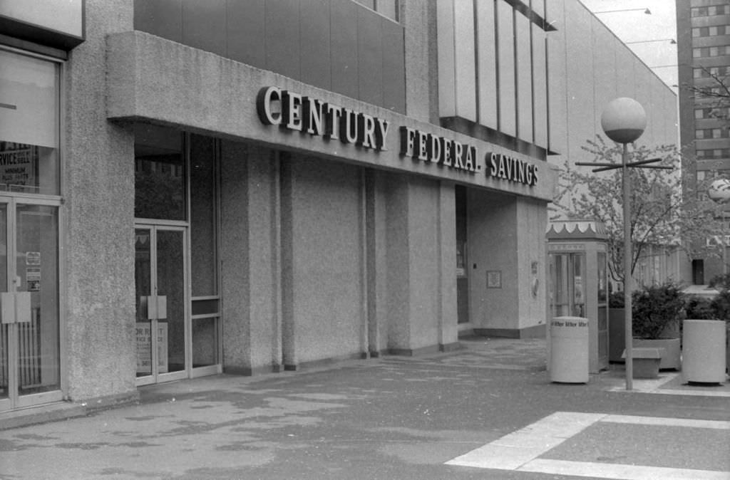
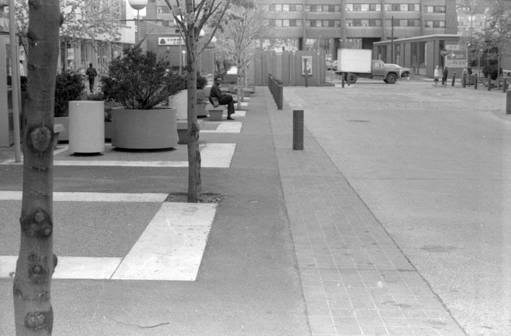
The East Liberty Mall’s Penn Avenue stretch showed what the pedestrian conversion looked like in practice. Century Federal Savings occupied one of the storefronts, and large concrete planters marked the new pedestrian zone. The planters and the closed street gave the area a quieter feel than a traditional commercial corridor, but not necessarily in a welcoming way. Foot traffic that once flowed through from surrounding streets was now reduced, and the mall’s long-term viability was already in question by 1972.
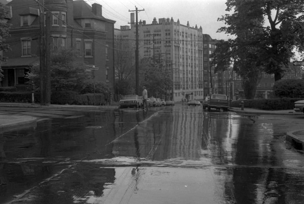
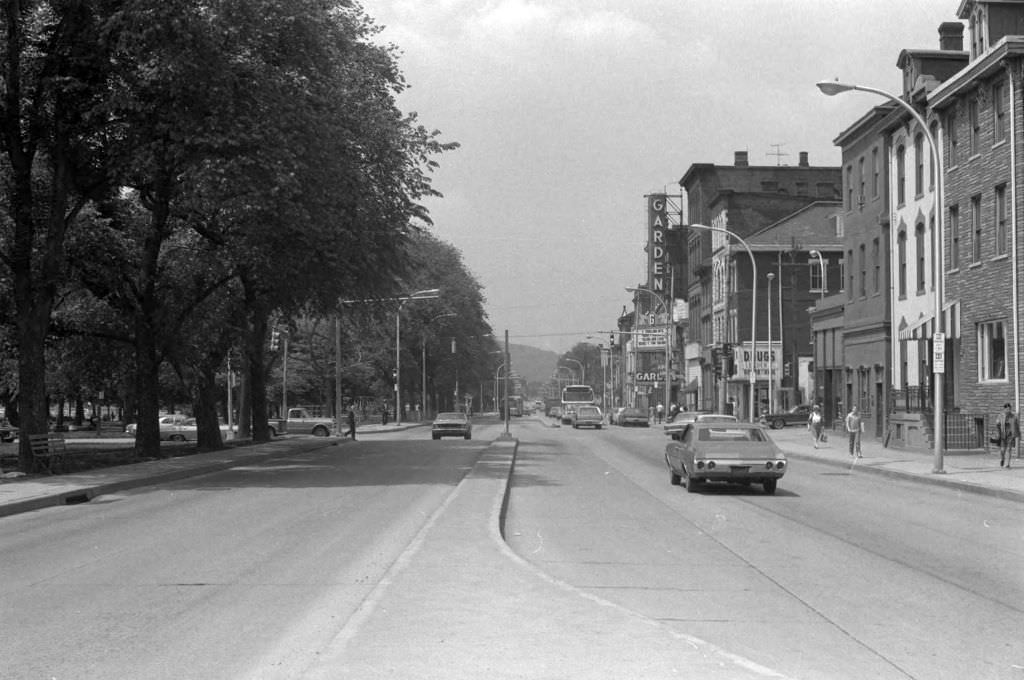
Infrastructure problems were visible throughout Pittsburgh in the early 1970s. Water pooling on Bayard Street at North Dithridge pointed to aging pipes and inadequate drainage — maintenance challenges that would grow more pressing as the city’s tax base contracted with mill closures. East North Avenue near Federal Street showed the ordinary traffic of a North Side commercial corridor: cars, pedestrians, and the day-to-day movement of a neighborhood that continued to function despite the pressures building around it.
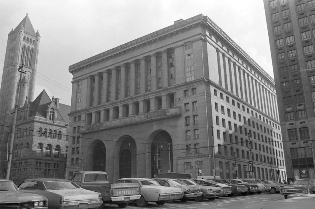
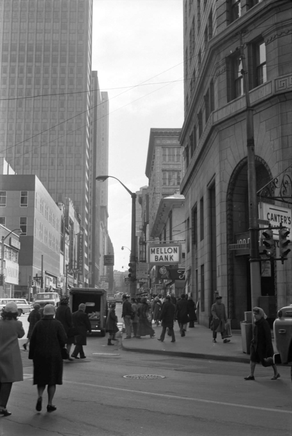
The City-County Building on Grant Street was the administrative center of both Pittsburgh and Allegheny County, handling the governance of a region facing serious economic stress by 1973. Mellon Bank, visible on Liberty Avenue at Fifth, was one of the financial institutions that remained deeply rooted in the city even as the industrial economy contracted. Banking and finance had been part of Pittsburgh’s identity since the steel boom, and institutions like Mellon represented continuity in an uncertain decade.
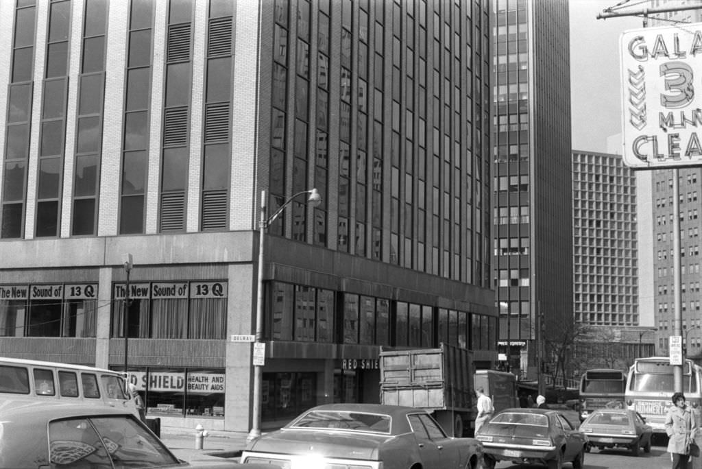
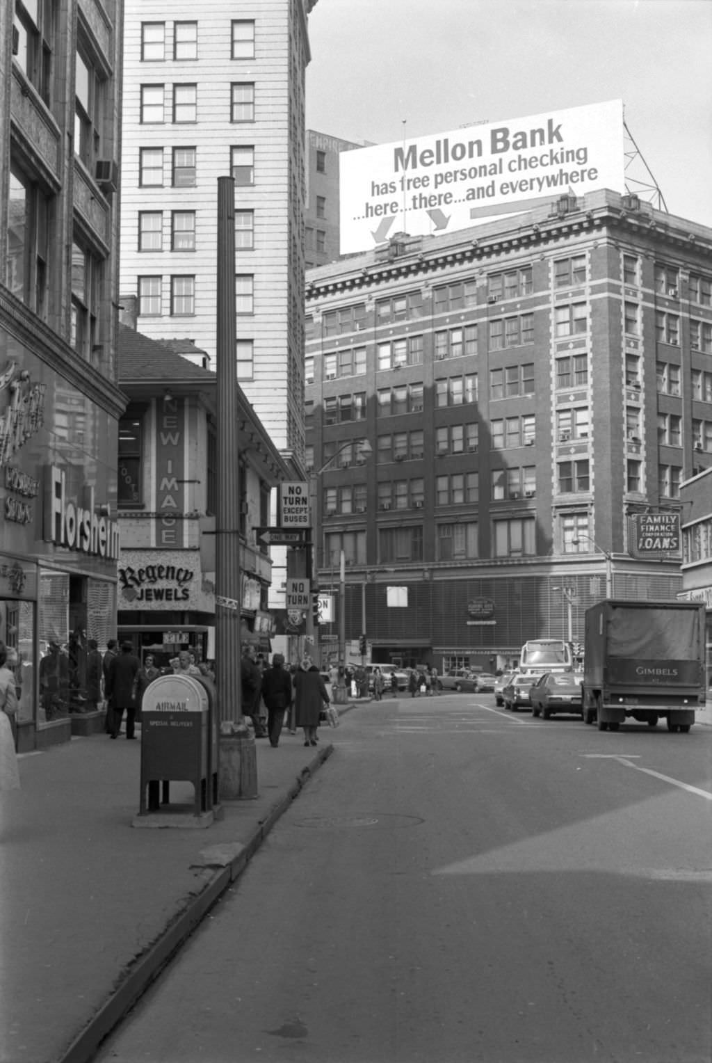
WKTQ, known as 13Q, was one of Pittsburgh’s prominent Top 40 radio stations in the early 1970s, broadcasting from its Forbes Avenue location. Radio remained a central part of how Pittsburghers experienced music and local news before cable television took hold later in the decade. Market Square, just a block from Fifth Avenue, continued to function as downtown’s informal gathering point — a space that had served that role since the city’s earliest days.
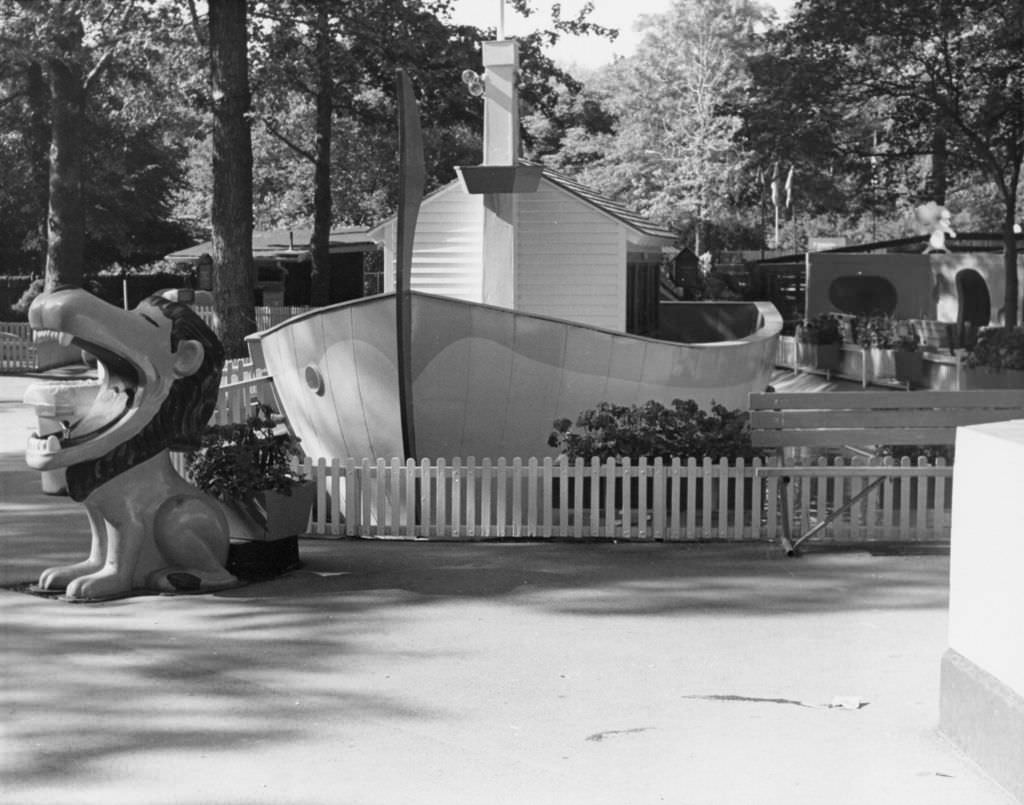
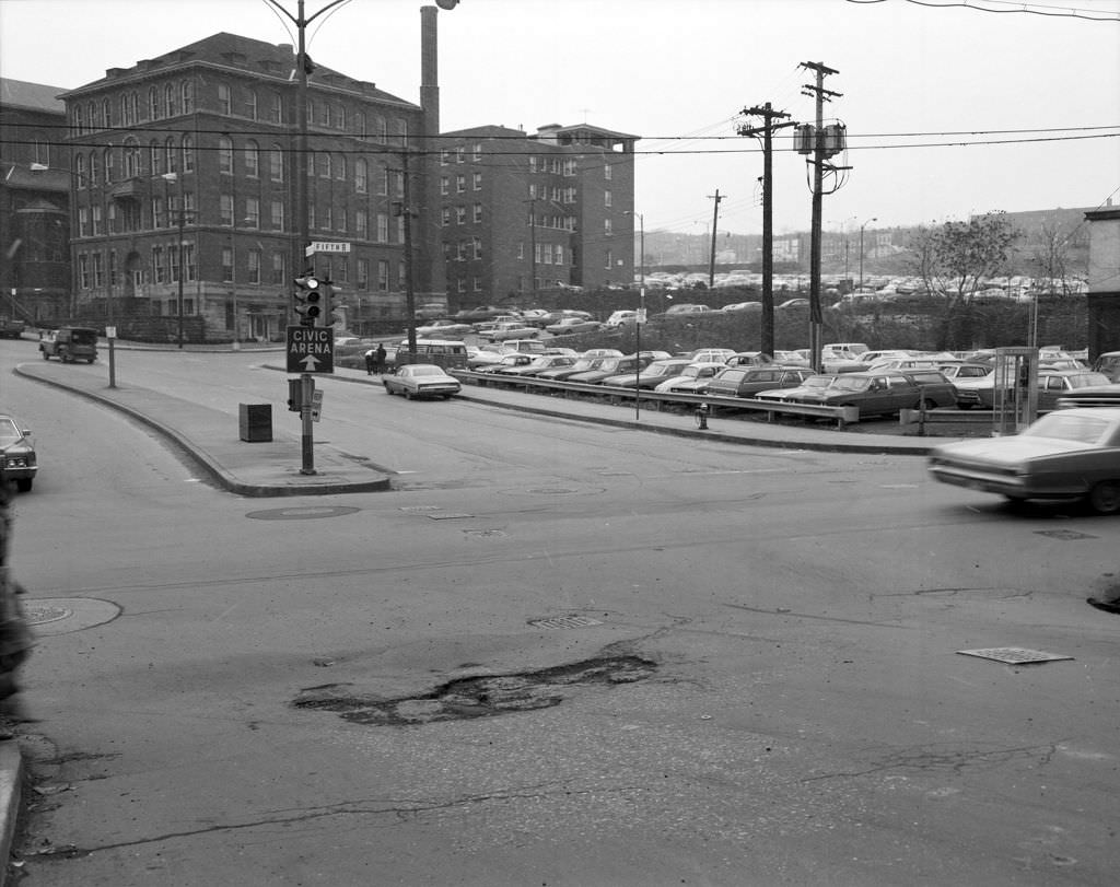
The Highland Park Zoo drew families from across the city throughout the decade, providing one of Pittsburgh’s most accessible public attractions. Its children’s section was a particular draw, offering young visitors close contact with animals in a setting designed for them. Meanwhile, Fifth Avenue continued to serve as one of the city’s main commercial and transit spines, with intersections like Hooper Street reflecting the mix of small businesses and residential uses that defined Pittsburgh’s many distinct avenue corridors.
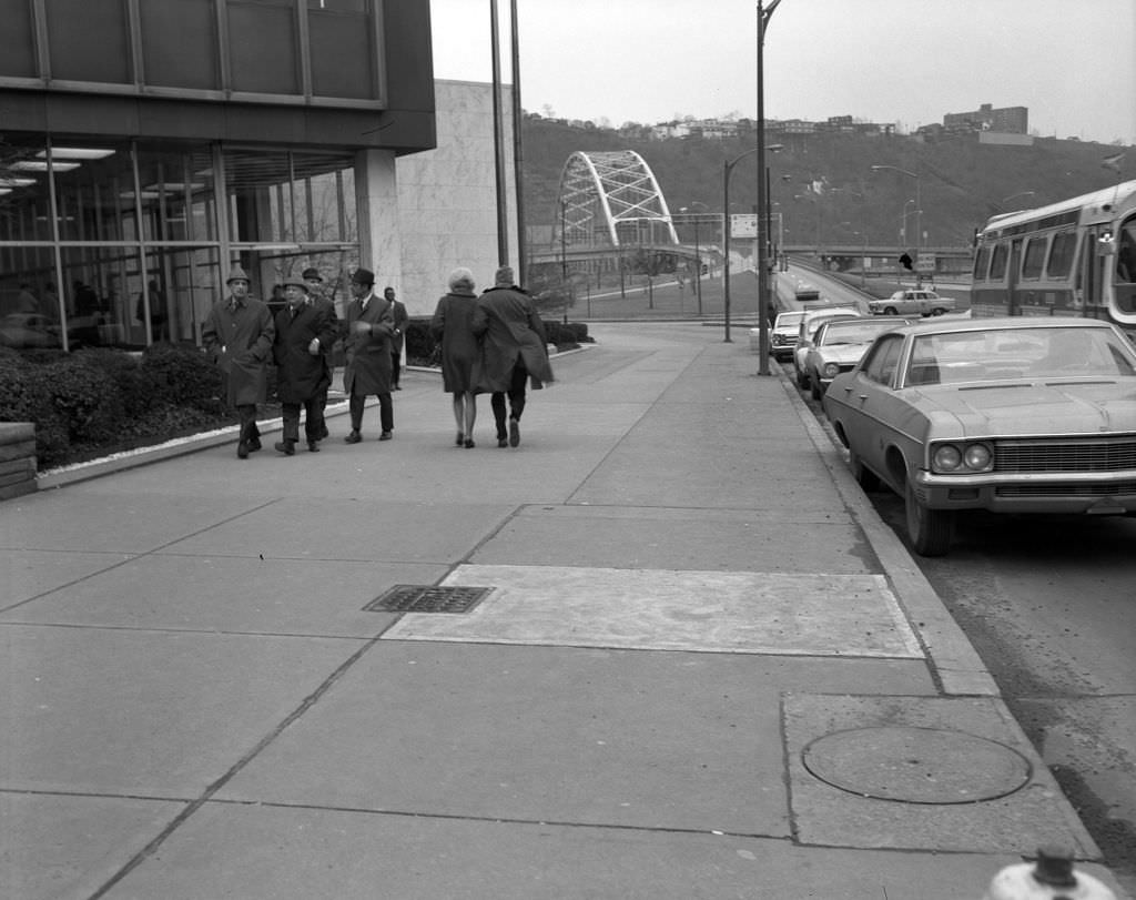
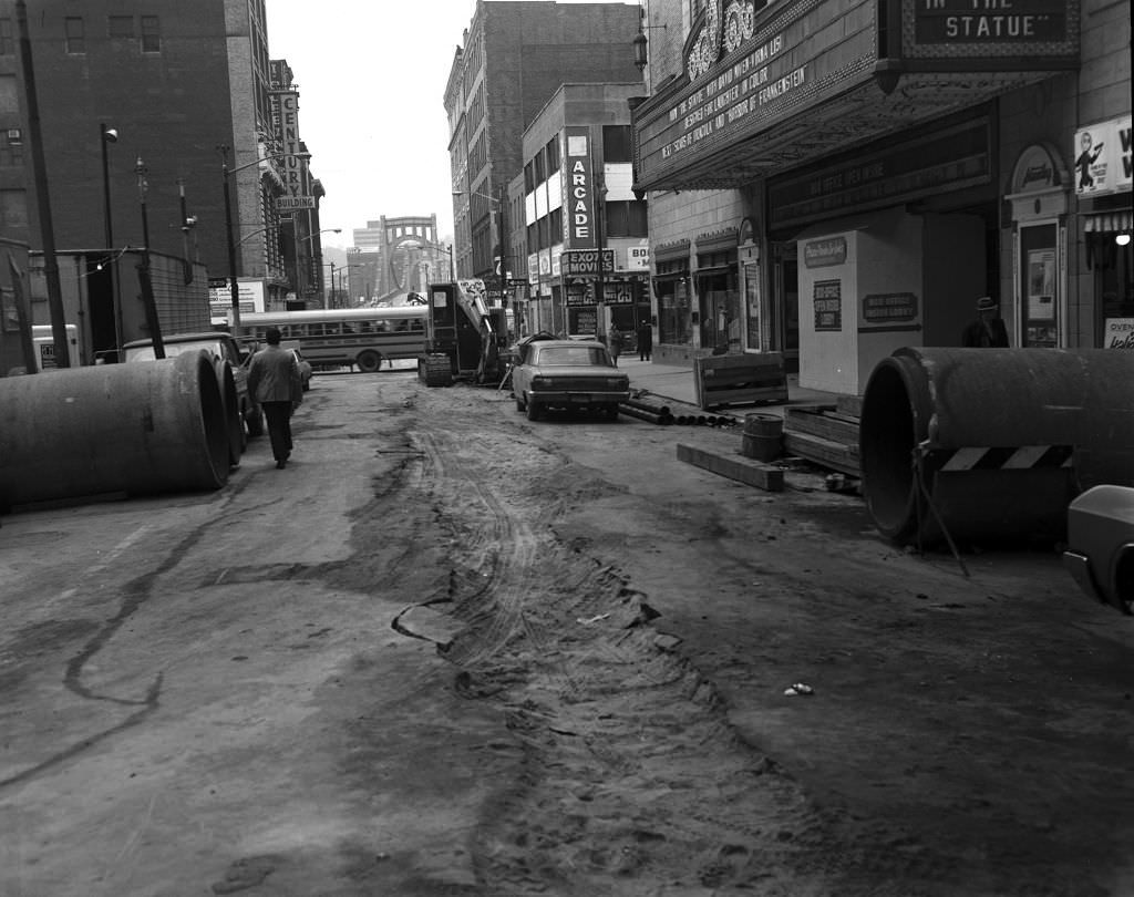
The State Office Building on Liberty Avenue was a large government complex that would eventually be converted into residential apartments, later known as River Vue. Nearby on 7th Street, construction work in front of the Stanley Theater showed the ongoing physical changes shaping downtown. The Stanley, a grand movie palace that opened in 1928, continued to screen films into the 1970s before eventually being transformed into the Benedum Center for the Performing Arts, one of Pittsburgh’s premier concert venues.
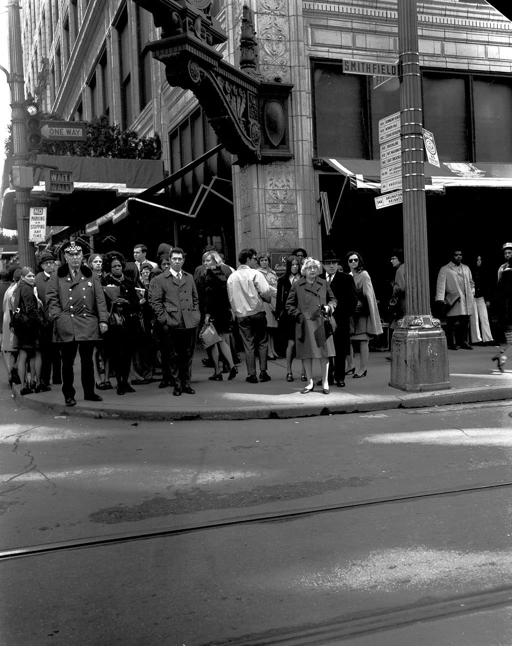
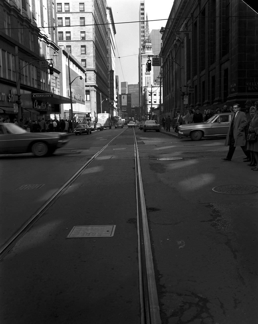
Kaufmann’s department store at Fifth and Smithfield was Pittsburgh’s flagship retail institution. In 1971, the intersection was still one of the busiest in the city, with pedestrians moving between the department store, banks, and surrounding shops. The Mellon National Bank Building loomed over the corner, a reminder that Pittsburgh’s financial sector was physically embedded in the heart of its downtown. These two blocks alone concentrated more commercial activity per square foot than almost anywhere else in western Pennsylvania.
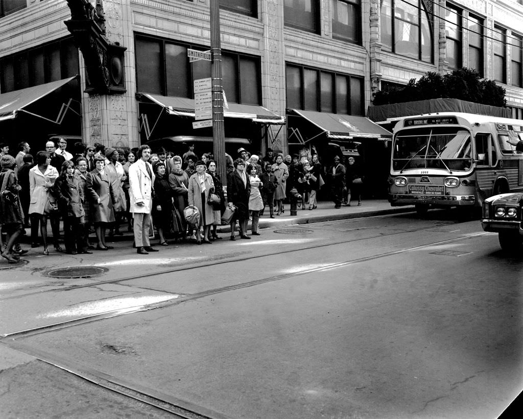
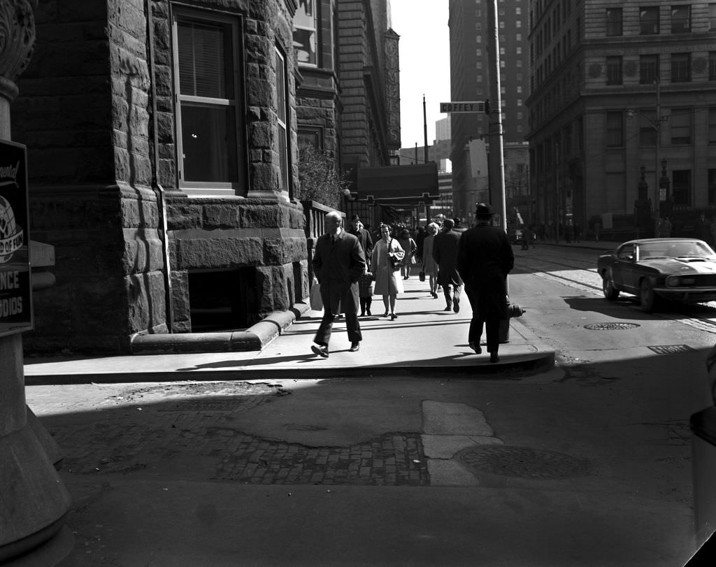
The Duquesne Club on Smithfield Street was Pittsburgh’s most exclusive private club, founded in 1873 and long associated with the city’s industrial and business elite. Its entrance remained understated despite its reputation — a sober brick facade among the commercial bustle of Smithfield Street. The club’s membership included steel executives and financiers who were, by 1971, beginning to reckon with the decline of the industry that had made them wealthy. The city’s power structure was shifting even if its landmarks remained.
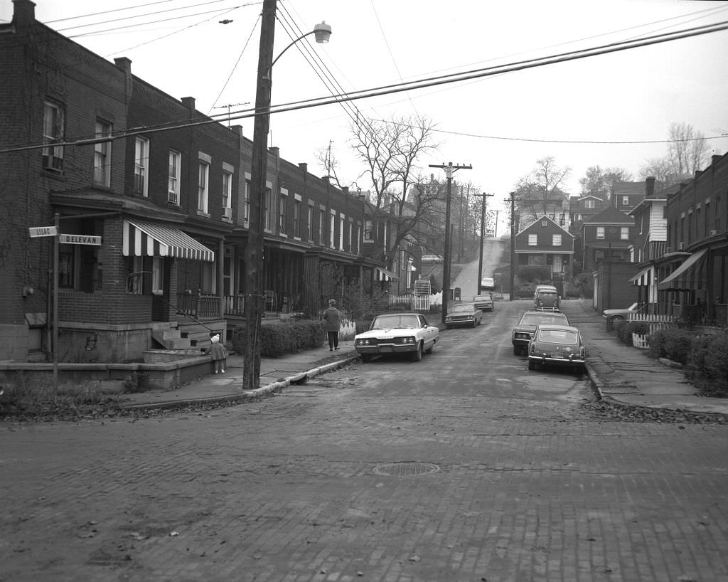
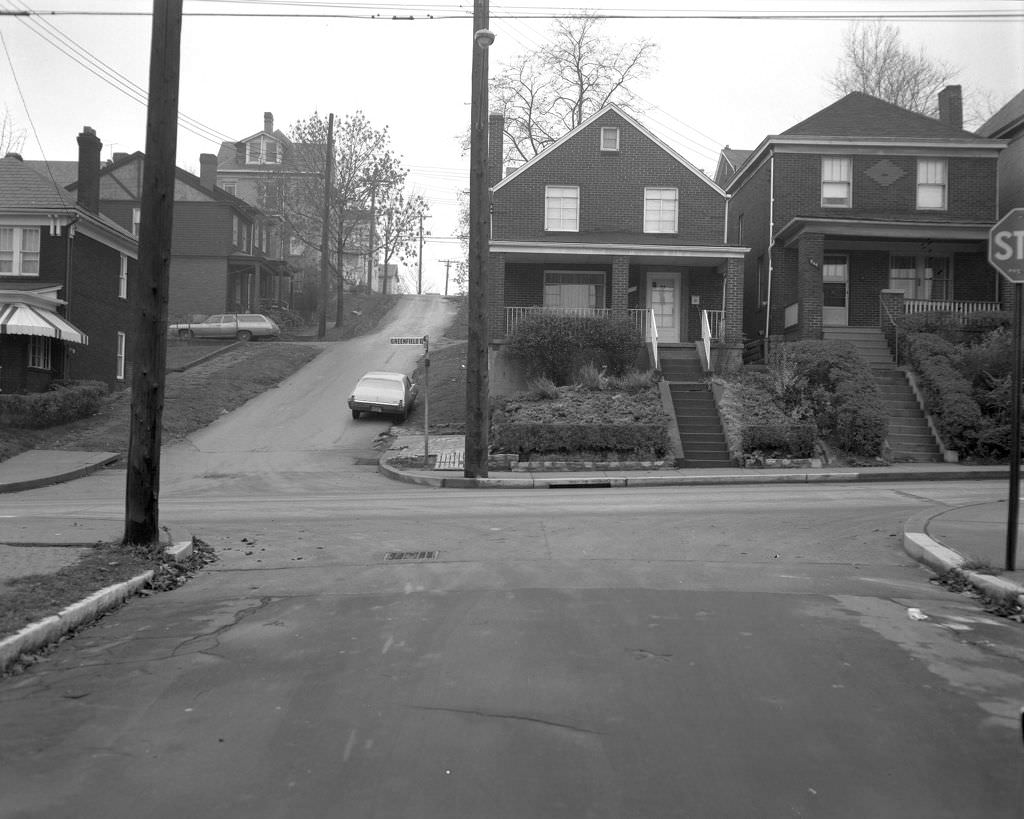
The residential streets of Pittsburgh’s South Hills neighborhoods like those near Delevan Street and Greenfield Avenue showed the compact, hilly terrain that defined so much of the city’s geography. Pittsburgh’s topography — defined by river valleys and steep ridges — shaped its neighborhoods as much as any economic or social force. Streets like Delevan ran along hillsides with views that dropped sharply toward the valley below, and the houses along them were built to fit the land rather than reshape it.
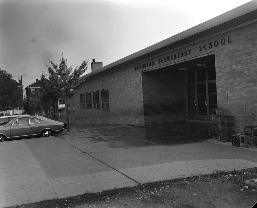
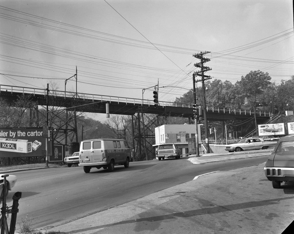
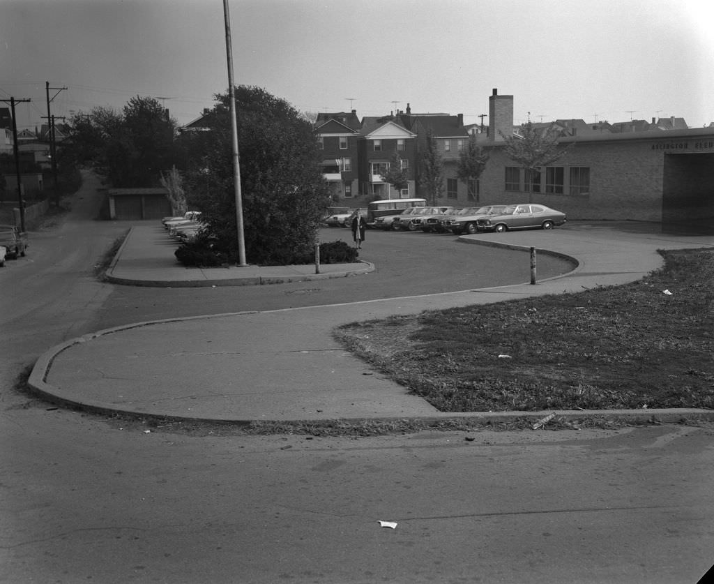
Arlington, perched on a hilltop south of downtown, was a tight-knit neighborhood whose school served generations of South Side families. Saw Mill Run Boulevard, running through the valley below, was one of the main arterial routes connecting the South Hills to the rest of the city. Traffic along it in 1970 moved through a landscape of commercial strips, gas stations, and small businesses that served the communities on either side of the ridge.
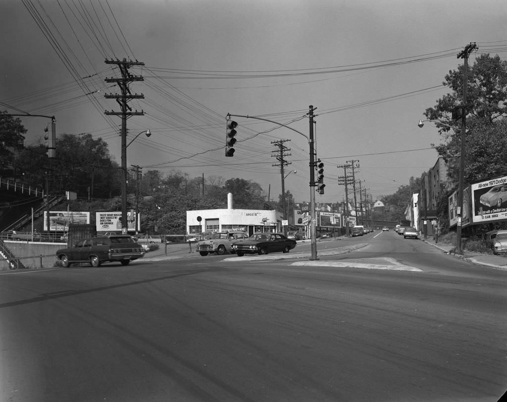
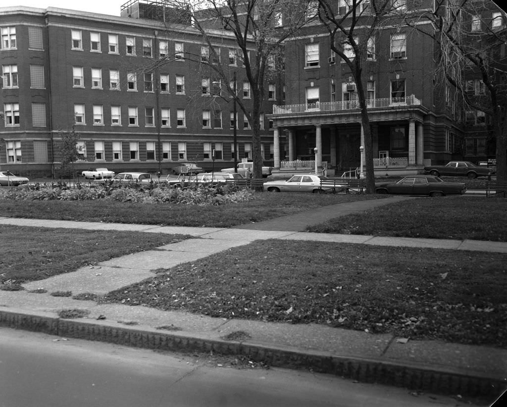
Car culture was fully embedded in Pittsburgh’s commercial landscape by 1970. The billboard advertising the 1971 Dodge Demon on West Warrington Avenue was one of countless automotive ads that lined the city’s streets — cars were central to how Pittsburghers moved through a city whose terrain made walking between neighborhoods impractical in many places. West Penn Hospital, visible across the Friendship Avenue parklet, was one of the city’s major medical facilities, already playing the kind of economic anchor role that hospitals would take on more visibly as the decade progressed.
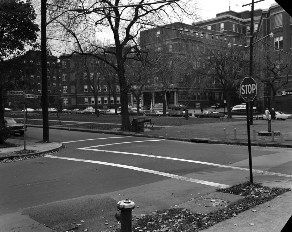
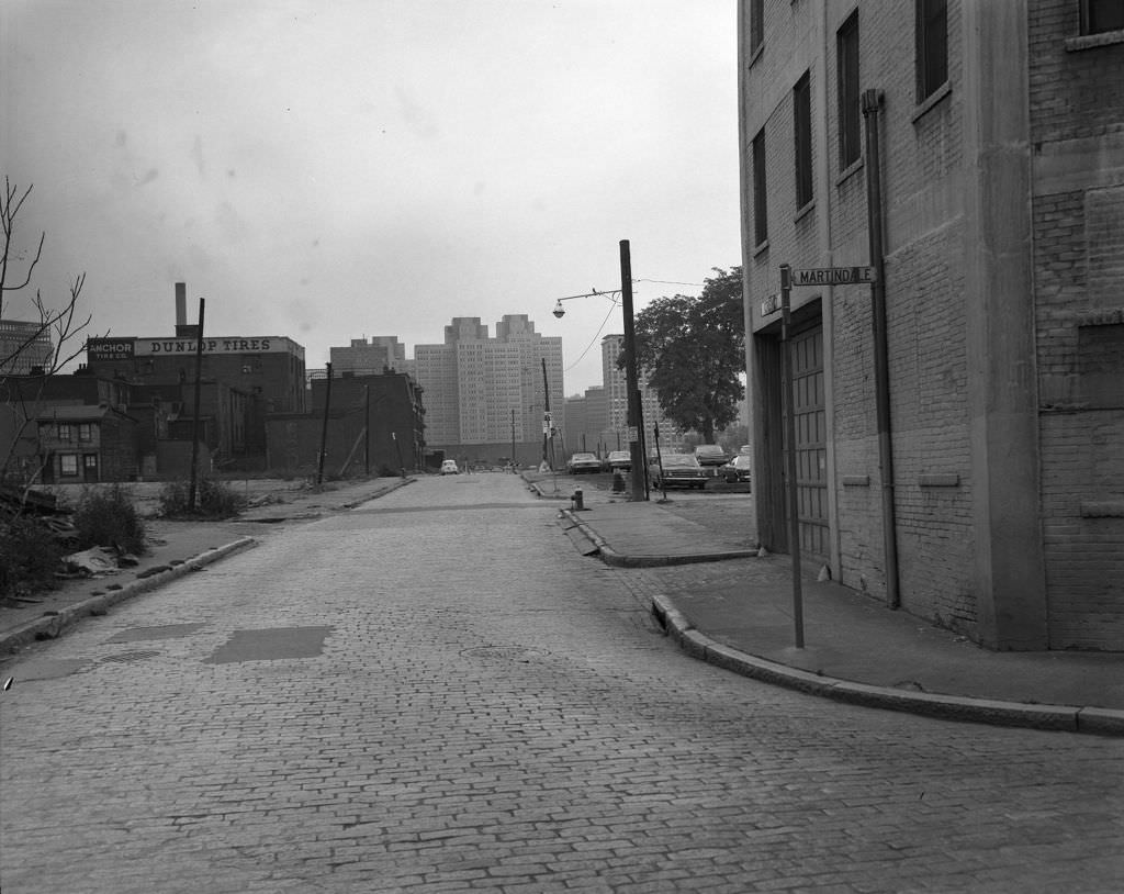
The area around Martindale and Reedsdale on the North Side was one of Pittsburgh’s older residential districts, with narrow streets and modest homes that had been built in the late nineteenth and early twentieth centuries for working-class families. By 1970, many of these streets were showing their age, with deferred maintenance and the early signs of population loss that would accelerate as mill jobs disappeared. The brick and frame houses remained occupied, but the trajectory was already visible.
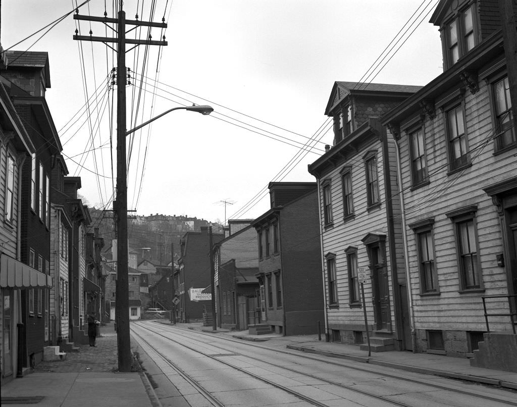
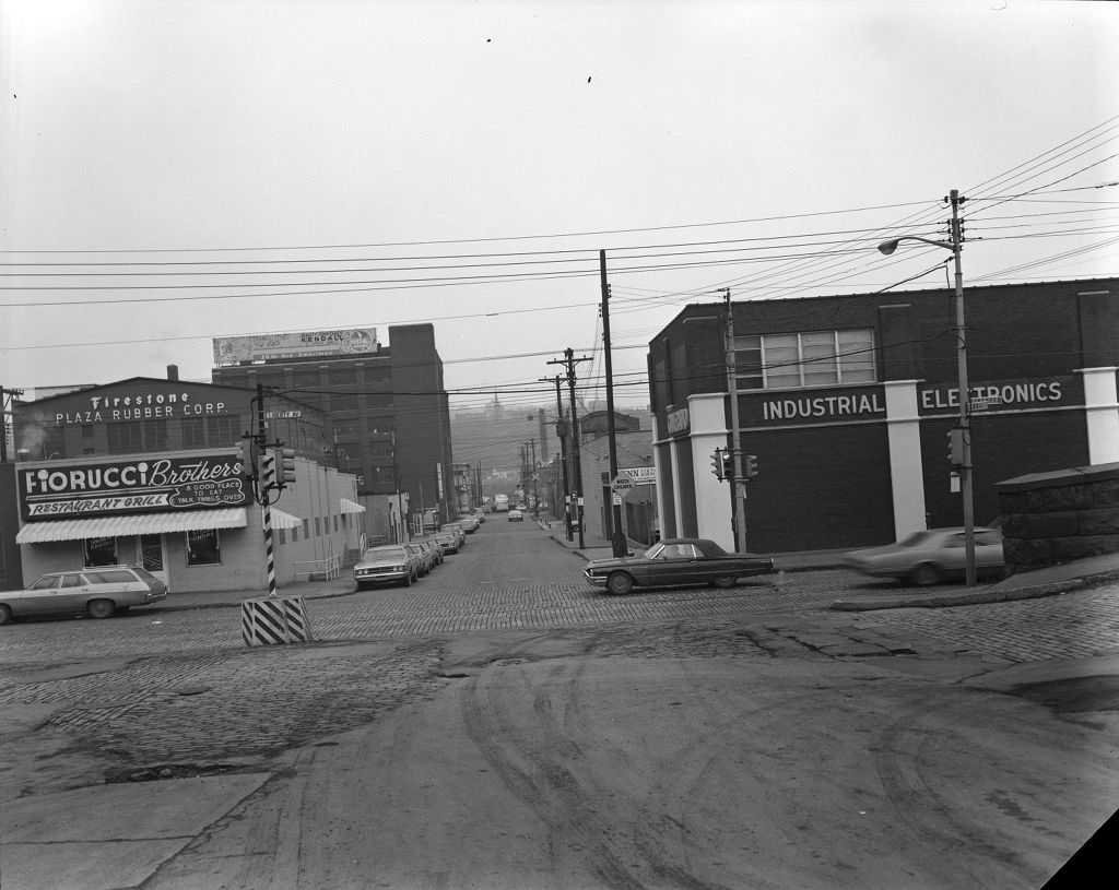
The Strip District in 1971 was defined by its wholesale produce and food markets, industrial buildings, and proximity to the rail yards that had served the city’s mills. The intersection of 28th Street and Liberty Avenue was in the heart of this area, where trucks and workers moved goods through a neighborhood that functioned as Pittsburgh’s commercial distribution hub. The Strip’s identity as a food market district predated the 1970s and would outlast the steel crisis, eventually becoming one of the city’s most distinctive destinations.
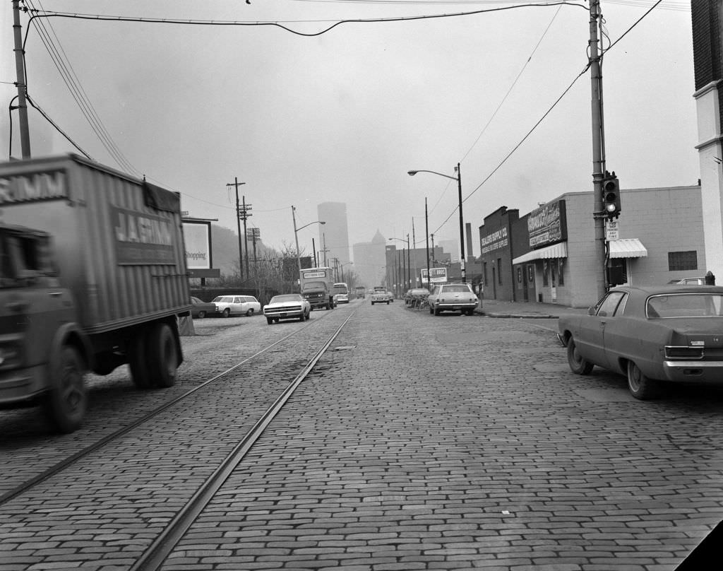
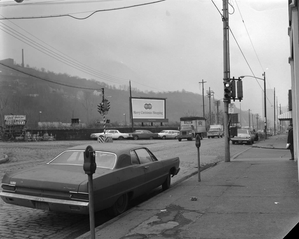
Liberty Avenue running through downtown showed the skyline anchors of Pittsburgh’s corporate identity. The U.S. Steel Building, completed in 1970, was at the time the tallest building in Pittsburgh and one of the most distinctive skyscrapers in the country, clad in weathering Cor-Ten steel. The Gulf Tower, with its stepped Art Deco crown, had been a downtown landmark since 1932. A MasterCard billboard urging Christmas shopping captured the consumer economy that continued to function even as the industrial base underneath it was starting to crack.
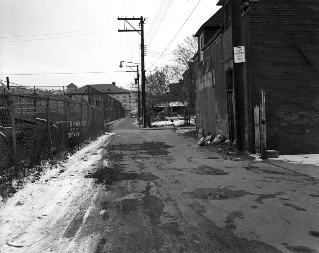
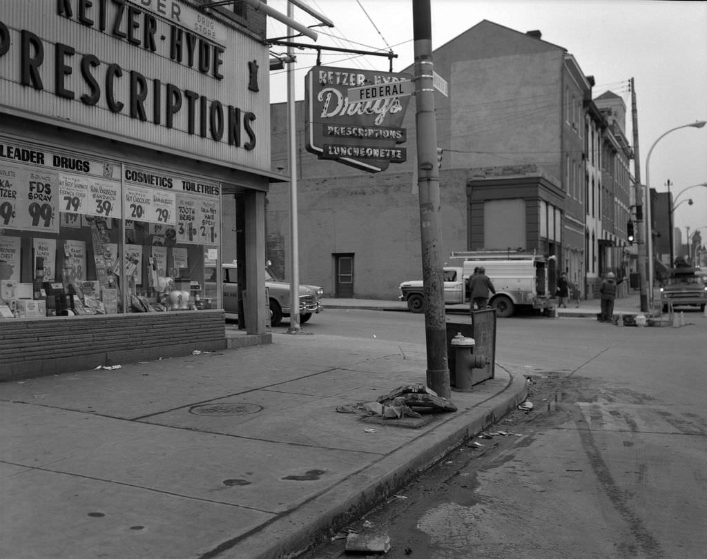
Pittsburgh’s neighborhood schools were central to community identity in a city where most residents spent their entire lives within a few miles of where they were born. John M. Conroy School, visible on Faulsey Way near Fontella Street, was one of many such schools embedded directly in the residential fabric of the North Side. The proximity of the school to houses, churches, and corner stores like Retzer-Hyde Drugs at West North Avenue and Federal Street reflected a neighborhood design that put daily life within walking distance.
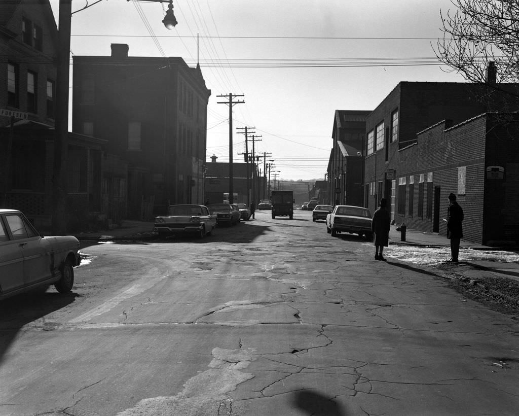
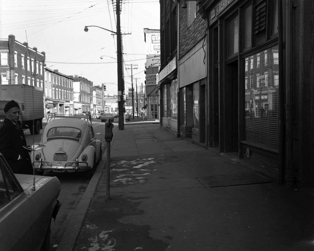
Larimer and Garfield, two neighborhoods in Pittsburgh’s East End, showed the residential density that characterized the city’s inner neighborhoods in 1970. Sterrett Street at Forest Way sat in an area of brick rowhouses and narrow lots. Butler Street, looking toward 52nd Street, was the main commercial artery of Lawrenceville — a neighborhood whose fortunes were closely tied to the nearby Allegheny Arsenal and the industrial economy that had driven its growth since the Civil War era.
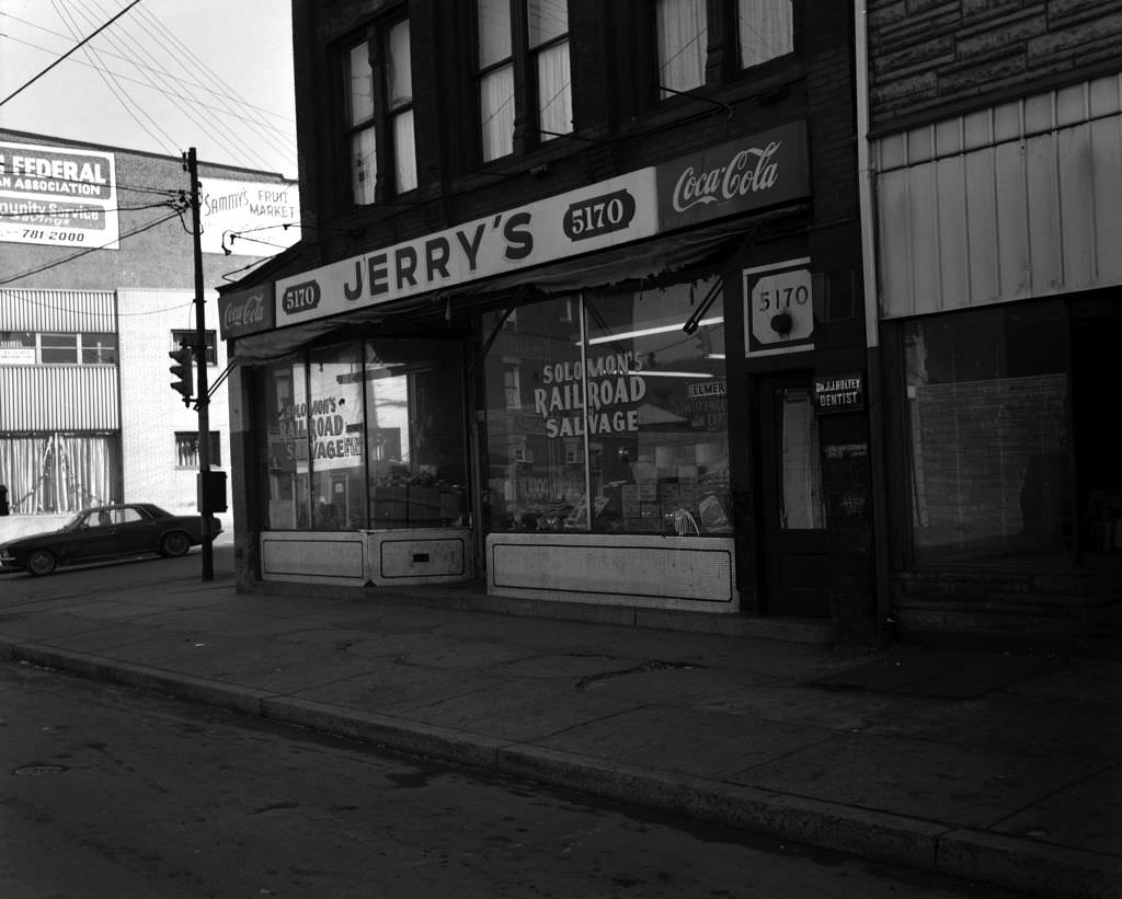
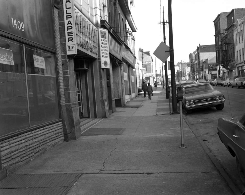
Butler Street’s storefronts in Lawrenceville in 1970 carried the mix of bars, small retailers, and service businesses that defined working-class commercial strips throughout Pittsburgh. Signs for Jerry’s and Coca-Cola were visual shorthand for the kind of neighborhood tavern that served as a social hub in communities built around shift work. Fifth Avenue further south showed a similar pattern with businesses like Groddy Sales and Great Lakes Paint — practical, trade-oriented shops serving tradespeople and homeowners in equal measure.
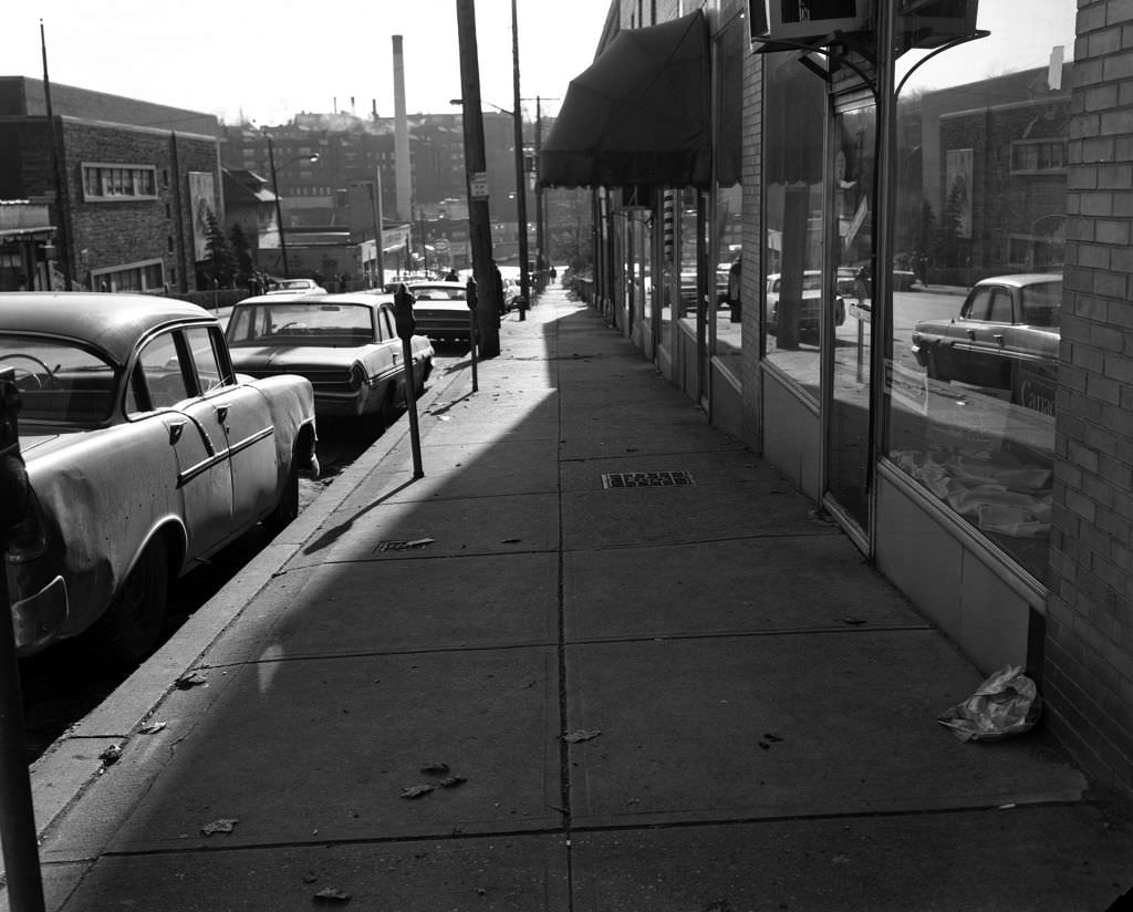
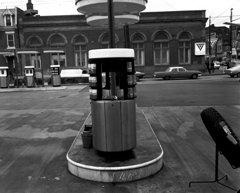
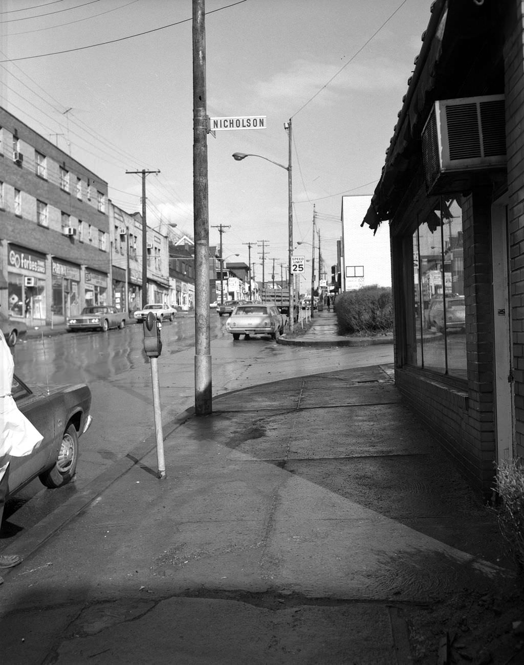
Murray Avenue near Nicholson Street in Squirrel Hill showed the commercial strip in its pre-1970s form, before the streetscape changes that would come with later decades. The avenue’s mix of independent businesses gave it a character entirely different from downtown retail — more personal, more neighborhood-specific, and more dependent on foot traffic from the surrounding blocks. The Mobil gas station on East Carson Street, meanwhile, was one of several fuel stops serving the South Side’s working residents, many of whom drove to jobs at nearby mills or factories.
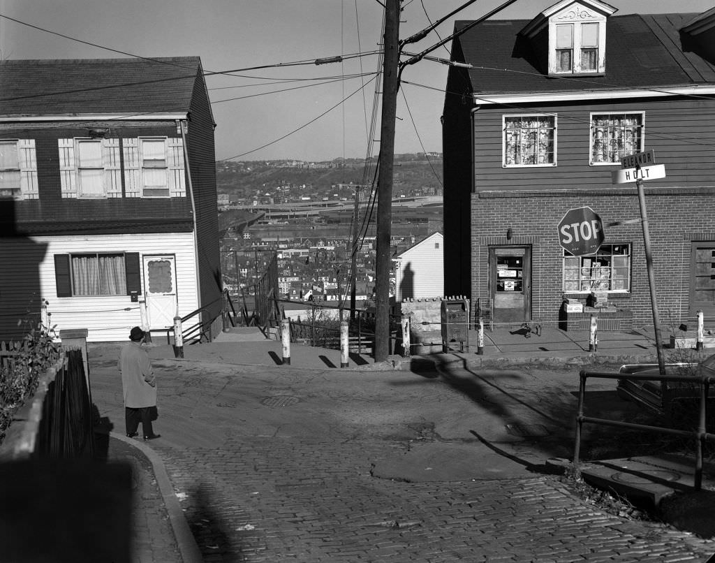
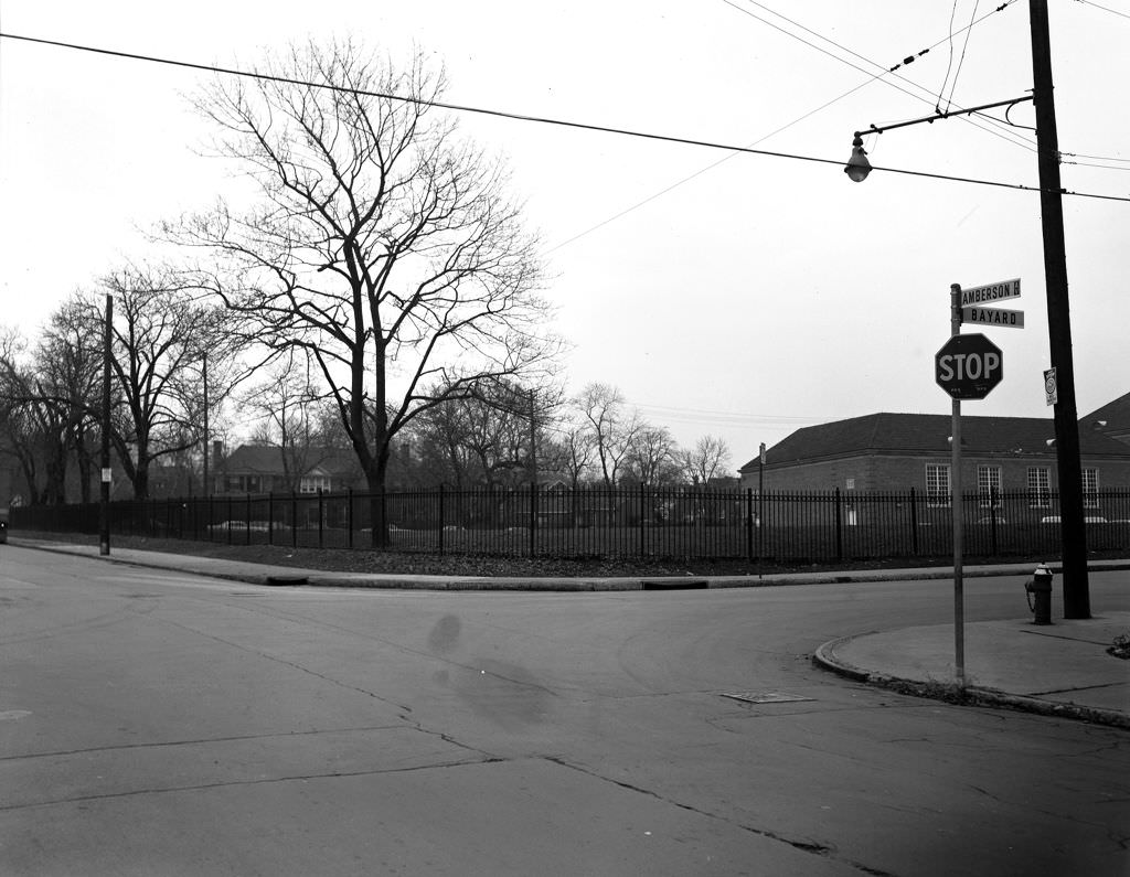
Pittsburgh’s famous public steps — the city has over 700 sets of them — were essential infrastructure in neighborhoods built on steep hillsides. The Eleanor Street Steps near Holt Street connected residents to streets above and below in a way that no road could. Winchester Thurston School, photographed here in 1970 when it was still a single-sex institution, occupied a well-maintained campus in Shadyside, reflecting the range of educational options available to Pittsburgh families across the economic spectrum.
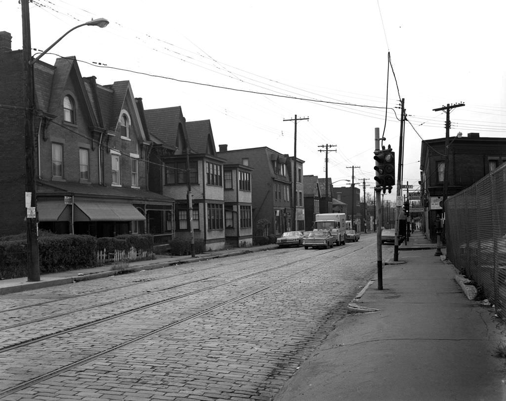
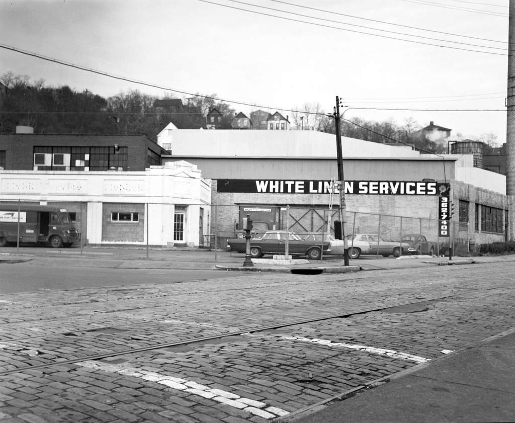
Lincoln Avenue in Beltzhoover and the surrounding South Hills neighborhoods ran through a landscape of modest homes and small commercial operations. White Linen Services, visible in one of these frames, was the kind of local laundry and linen service that operated in every Pittsburgh neighborhood in 1970, handling everything from restaurant linens to hospital laundry. These businesses occupied the industrial edges of residential blocks, fitting into the dense mixed-use character of Pittsburgh’s older neighborhoods.
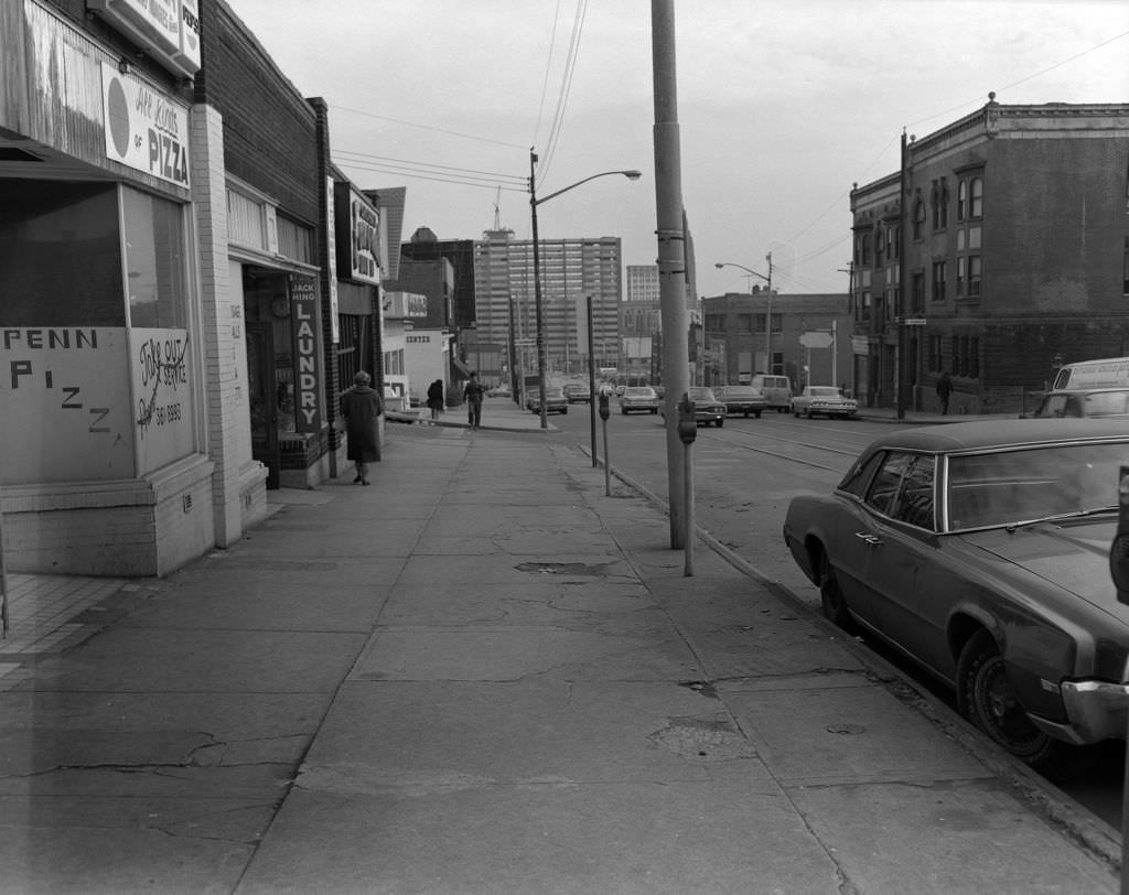
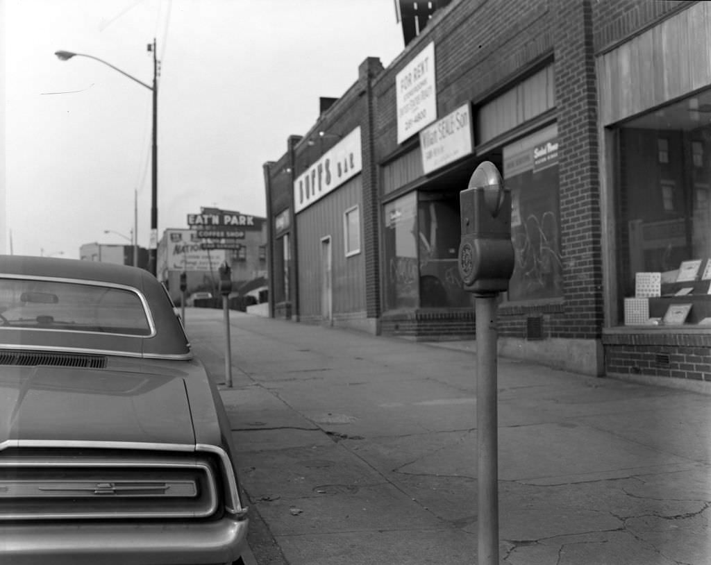
Penn Avenue cut through several of Pittsburgh’s East End neighborhoods, and its condition varied dramatically from block to block. In some stretches it was a thriving commercial corridor; in others, graffiti on building facades and shuttered storefronts told a different story. The presence of graffiti on commercial property in 1970 was a visible marker of disinvestment — a pattern that would intensify through the decade as mill closures removed income and population from surrounding neighborhoods.
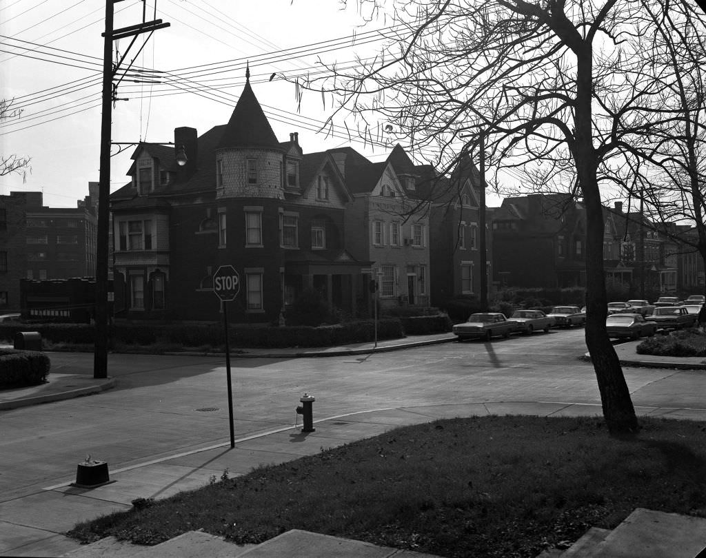
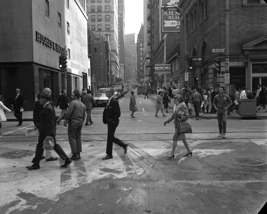
Friendship Avenue near Amber Street sat in a neighborhood transitioning between residential and commercial uses, with older properties showing the wear of decades. Downtown, Oliver Avenue and Wood Street remained active pedestrian corridors where shoppers and office workers moved between destinations throughout the day. The contrast between these two scenes — one a quiet neighborhood intersection, the other a busy downtown corner — captured the range of Pittsburgh’s urban experience within a few miles of each other.
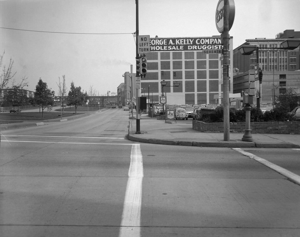
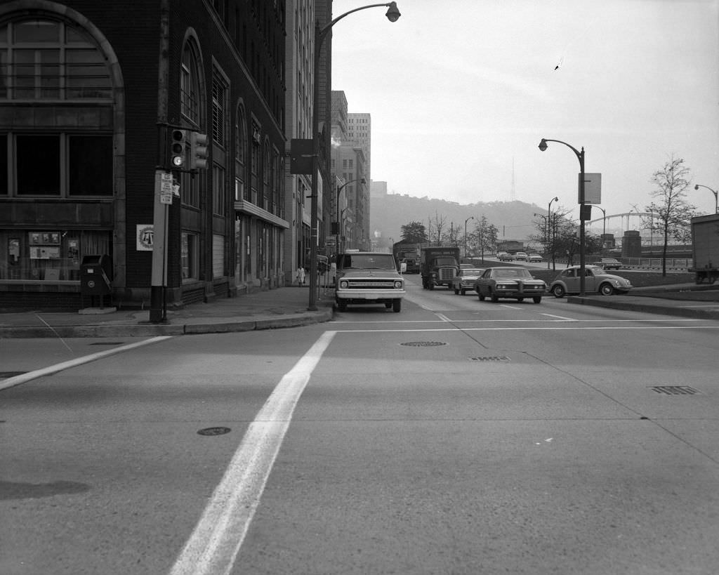
Fort Duquesne Boulevard ran along the north edge of downtown, connecting the Golden Triangle to the bridges crossing into the North Side. The Fort Duquesne Bridge, visible from 7th Street, was one of the three Sisters bridges — a set of nearly identical self-anchored suspension spans built in the 1920s and early 1930s that became an engineering landmark recognized across the country. In 1970, they were simply part of the daily commute, carrying workers across the Allegheny between neighborhoods.
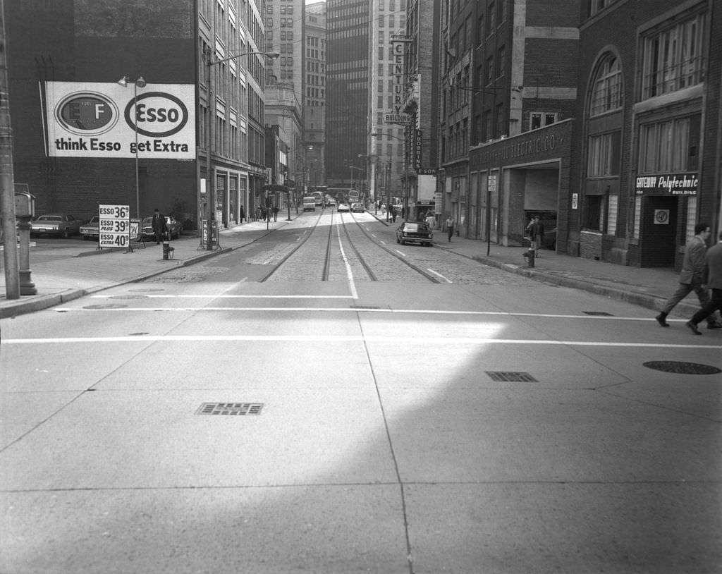
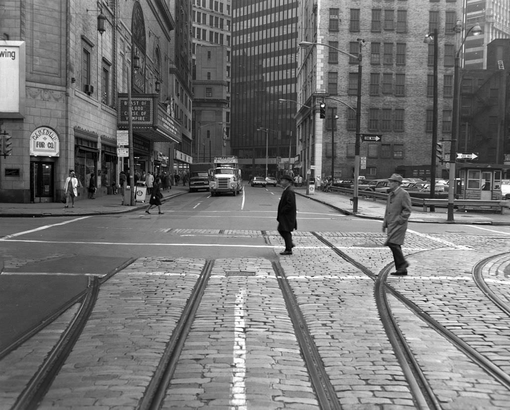
The Stanley Theater on 7th Street near Penn Avenue was one of Pittsburgh’s grand movie palaces, built in 1928 with an elaborate Spanish Baroque interior seating over 3,800 people. By 1970, it was screening Filipino horror films among other B-movie fare, a sign of how the theater’s programming had changed as television pulled audiences away from neighborhood cinemas. An Esso gas station stood nearby on 7th Street, one of hundreds of branded fuel stops scattered across Pittsburgh before the Exxon rebrand came later in the decade.
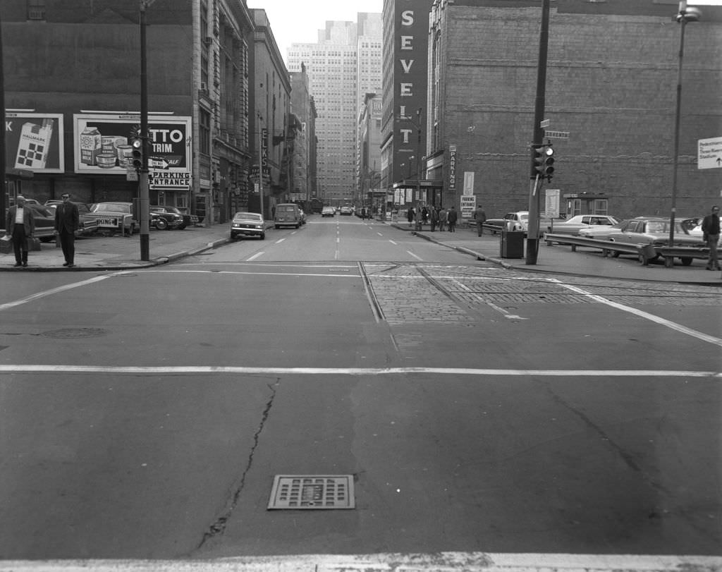
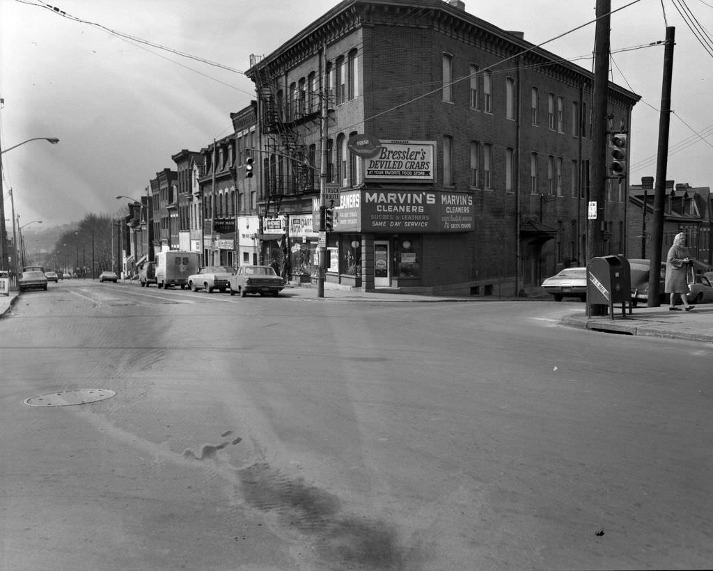
The corner of Penn Avenue and Main Street in the Strip District showed the commercial texture of a neighborhood that operated at the edge of downtown’s formal economy. Marvin’s Cleaners and the advertisement for Bressler’s Deviled Crabs pointed to the mix of service businesses and food vendors that defined the Strip’s street life. Bressler’s was a local institution known for its seafood, and its ads appeared throughout the area as a marker of the neighborhood’s distinct commercial identity.
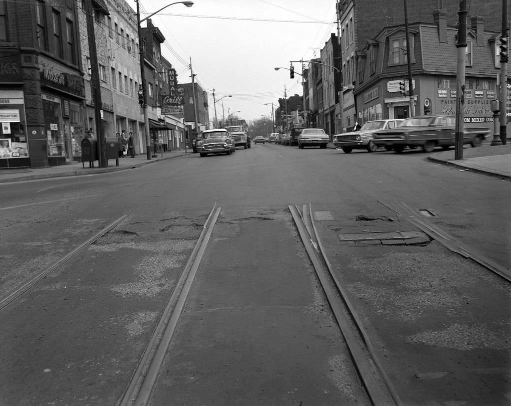
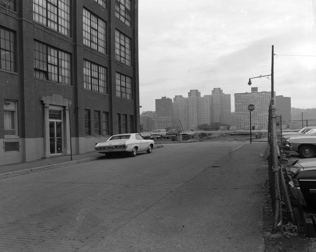
The D.L. Clark Company on Corry Street was one of Pittsburgh’s most recognizable food manufacturers, producing the Clark Bar — a chocolate and peanut butter candy that had been made in the city since 1917. By 1970, the factory was still operating, though the candy industry, like much of Pittsburgh’s manufacturing base, would face pressure in the years ahead. The building later found new life as office space, a pattern repeated across dozens of Pittsburgh’s old industrial facilities.
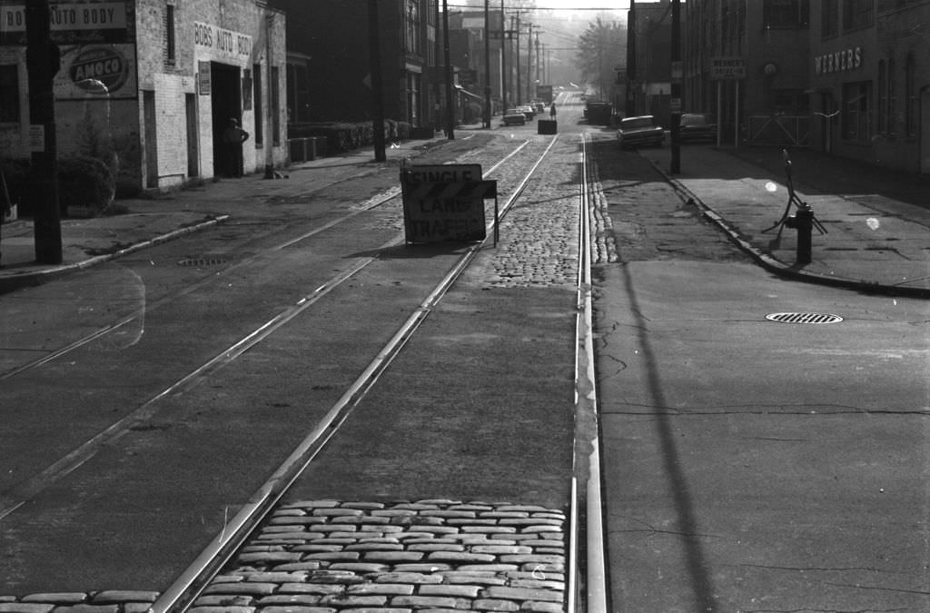
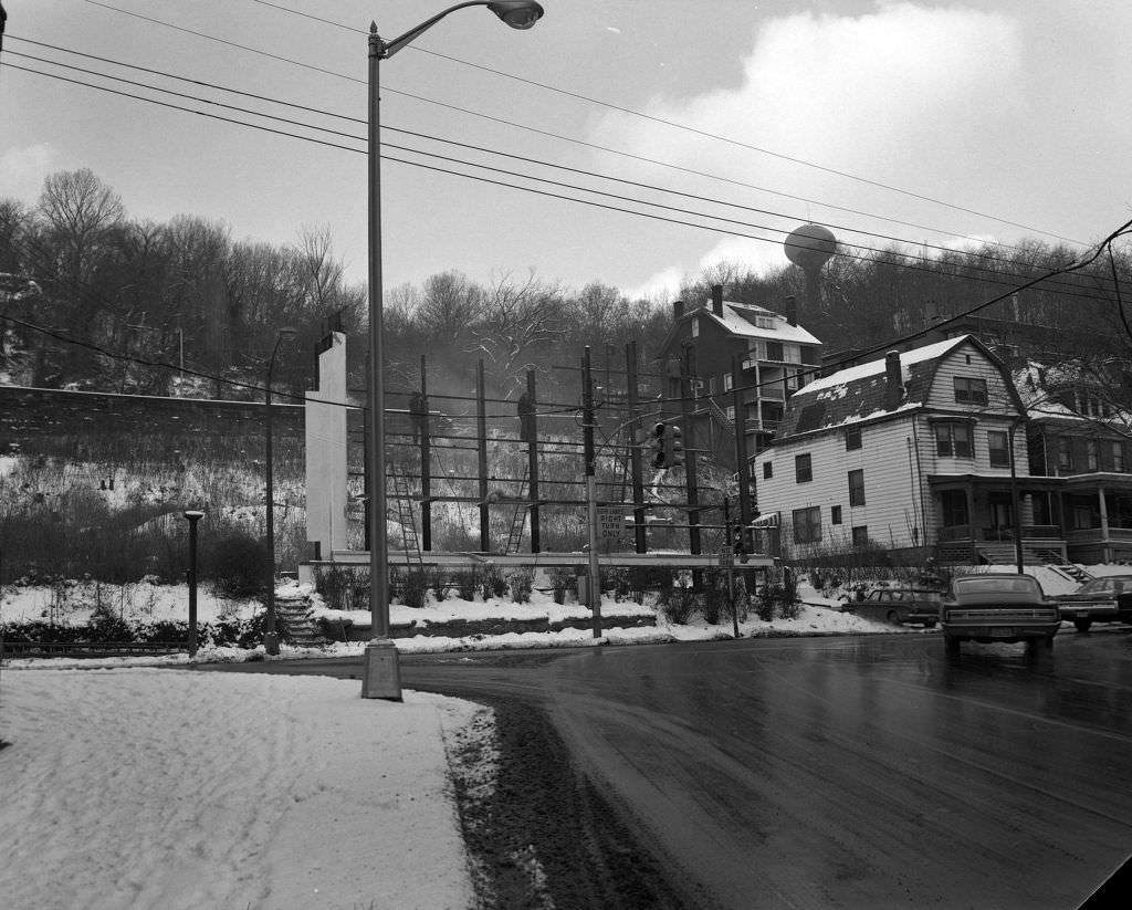
Street repairs and construction were a constant presence in Pittsburgh in 1970, as the city maintained infrastructure across its many neighborhoods. Bryant Street, blocked off for repairs, was one of countless such disruptions that residents navigated daily. At Baum Boulevard and North Craig Street in Shadyside, billboard construction pointed to the ongoing commercialization of the city’s major arterial corridors — advertising was going up even as the economic foundation it rested on was starting to shift.
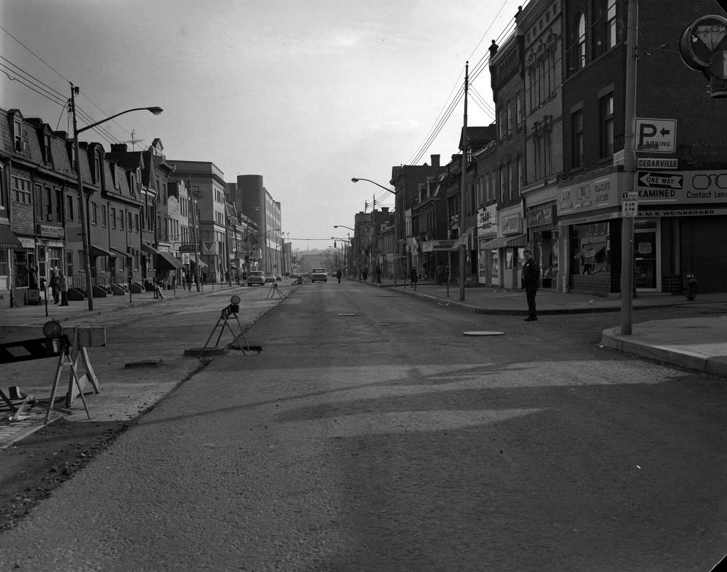
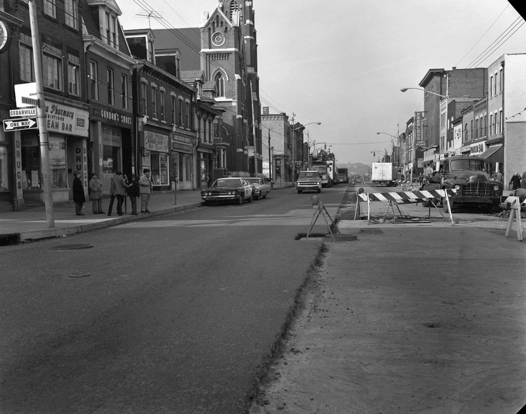
Liberty Avenue east of downtown ran through a string of neighborhoods where medical offices, churches, and small businesses coexisted on the same blocks. Dr. M.E. Weinberger’s office was one of many neighborhood physicians who operated storefront practices, accessible to working families who lived nearby. Saint Joseph Church, further along Liberty Avenue, was one of Pittsburgh’s Catholic parishes — the city had over 100 of them, reflecting the deep Catholic heritage brought by Eastern European and Italian immigrant communities who had come to work in the mills.
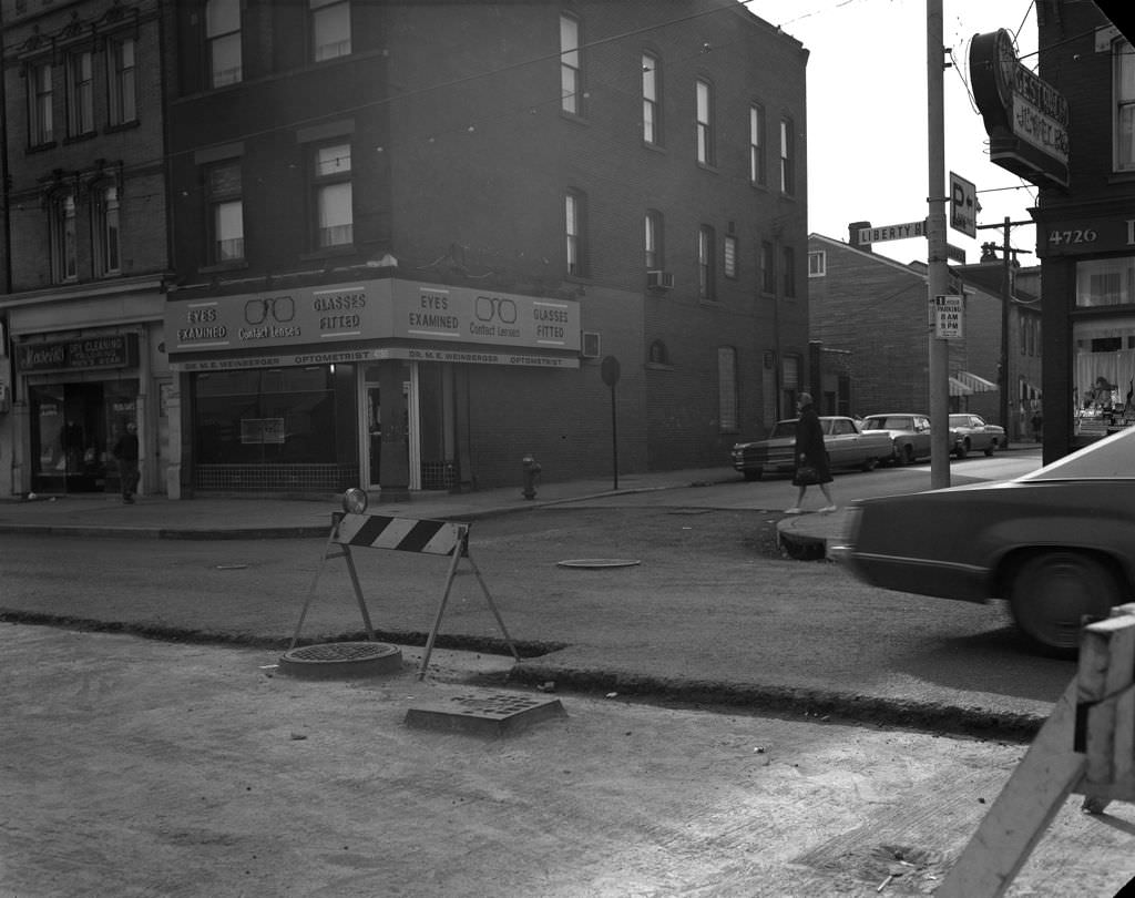
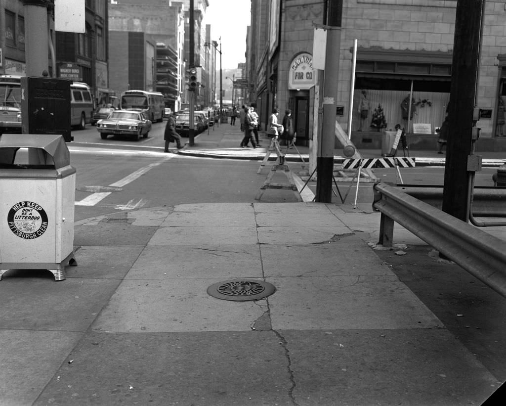
Roadwork on Liberty Avenue at Cedarville Street captured one of the enduring realities of urban maintenance in a city built on complex topography and aging infrastructure. The work disrupted traffic and pedestrians but kept the street functional for the businesses and residents who depended on it. The Stanley Theater, photographed again here from Penn Avenue, showed its marquee facing a street that was still busy with foot traffic, even as its programming had shifted from its golden-age film palace days.
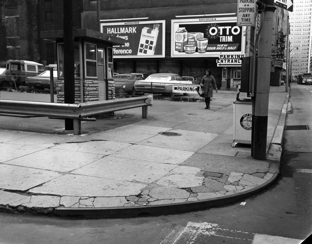
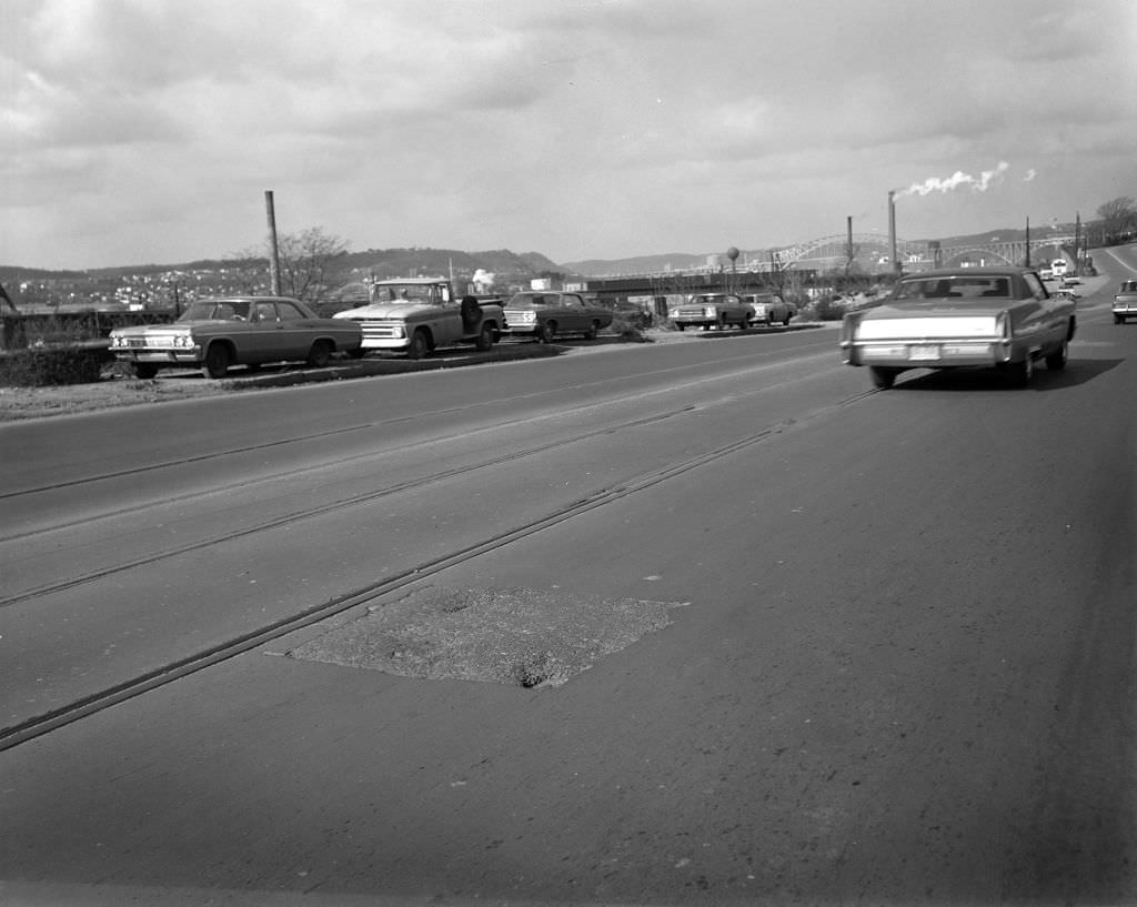
The surface parking lot on Penn Avenue that would later become Agnes R. Katz Plaza was, in 1970, a gap in the downtown streetscape topped by billboard advertisements. Urban plazas like the one that eventually replaced it were part of the downtown improvement efforts that gained momentum through the decade. California Avenue on the North Side showed a more open stretch of road with the McKees Rocks Bridge visible in the distance, connecting Pittsburgh’s North Side to the communities west along the Ohio River.
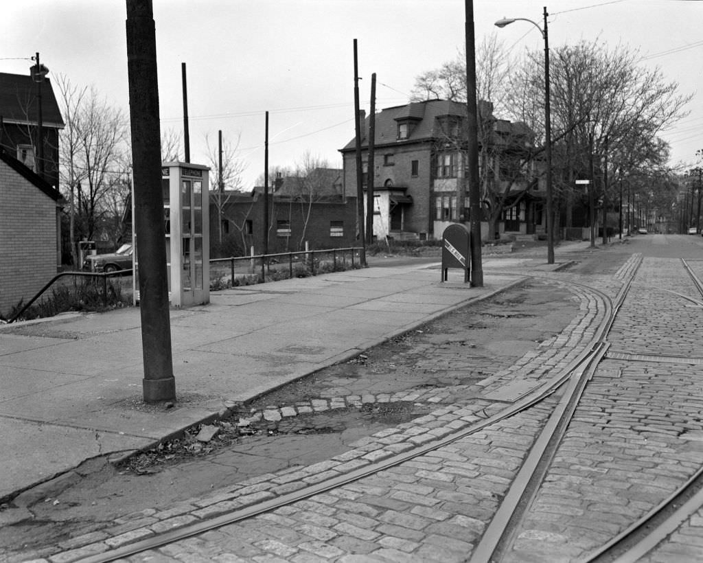
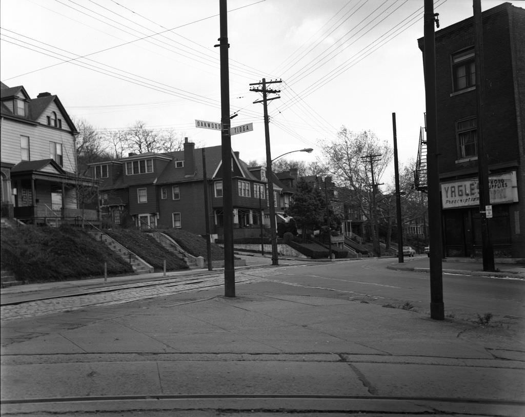
The telephone booth on Oakwood Street was a piece of street furniture so ordinary in 1970 that no one would have thought to photograph it except as part of documenting the neighborhood itself. Public phones were how Pittsburgh residents communicated when away from home — reaching family, calling a cab, or checking in with an employer. The intersection of Tioga and Oakwood, photographed nearby, showed the residential quiet of a neighborhood street far from any commercial corridor, where daily life moved at a slower pace.
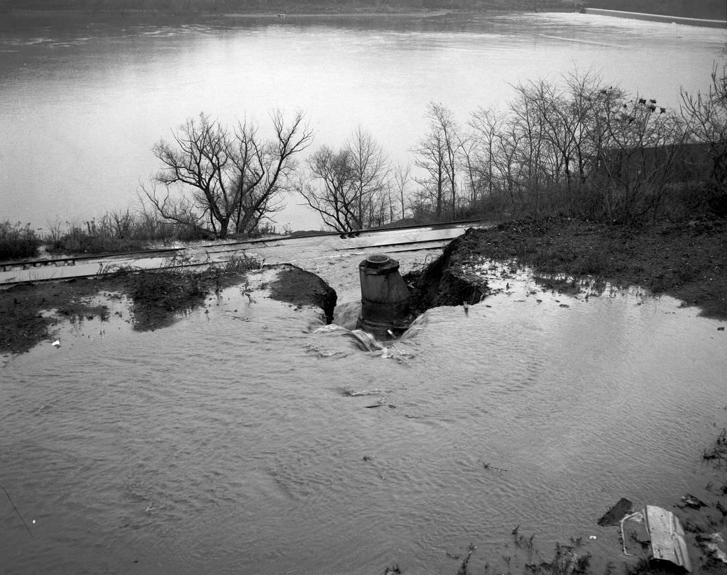
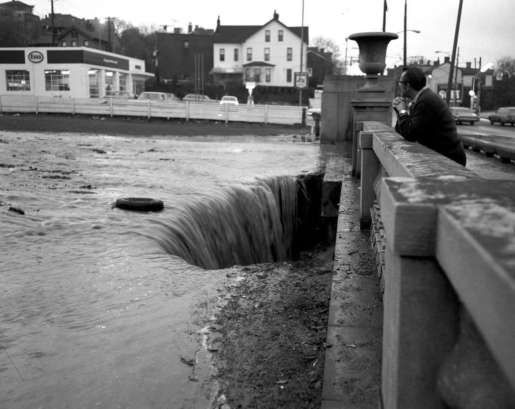
Heth’s Run, a small stream running through Pittsburgh’s Lawrenceville neighborhood before emptying into the Allegheny River, was prone to flooding — a problem made worse by aging water infrastructure. The water main break near the Allegheny River in 1970 sent water rushing into the run, illustrating the vulnerability of a city whose pipes dated back to the early twentieth century. The Heth’s Run Bridge, which spanned the gorge, was a significant piece of infrastructure that would eventually be rehabilitated in 2014 to restore its original appearance.
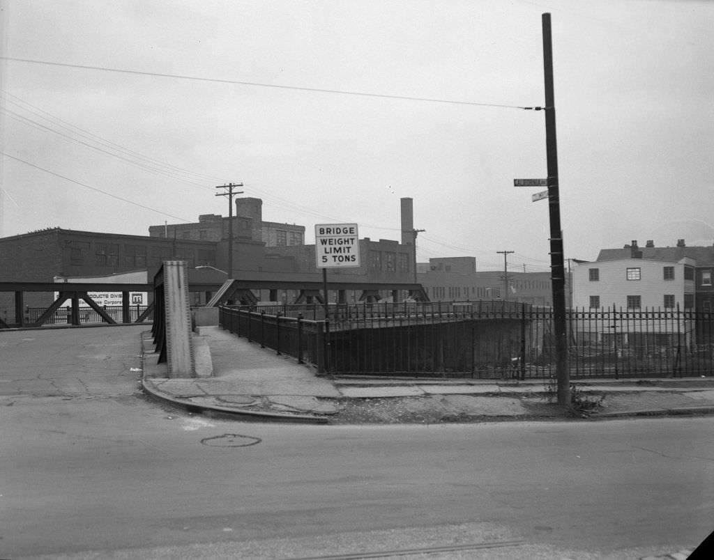
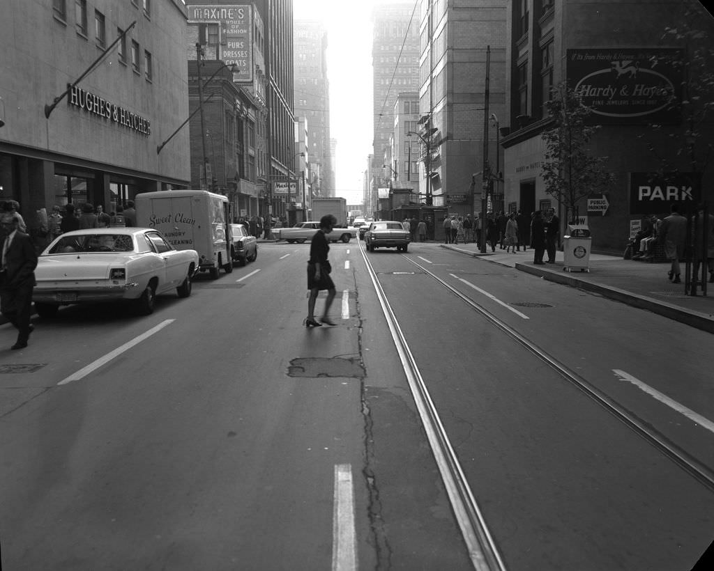
The Columbus Avenue Bridge connected California Avenue on the North Side to communities across the Ohio River, one of dozens of spans that made Pittsburgh’s river crossings possible. Wood Street downtown was one of the city’s main retail corridors, running between Oliver Avenue and Penn Avenue through the heart of the central business district. Pedestrians moved along its sidewalks past shops and office buildings, reflecting the continued vitality of downtown Pittsburgh even as economic pressures mounted elsewhere in the city.
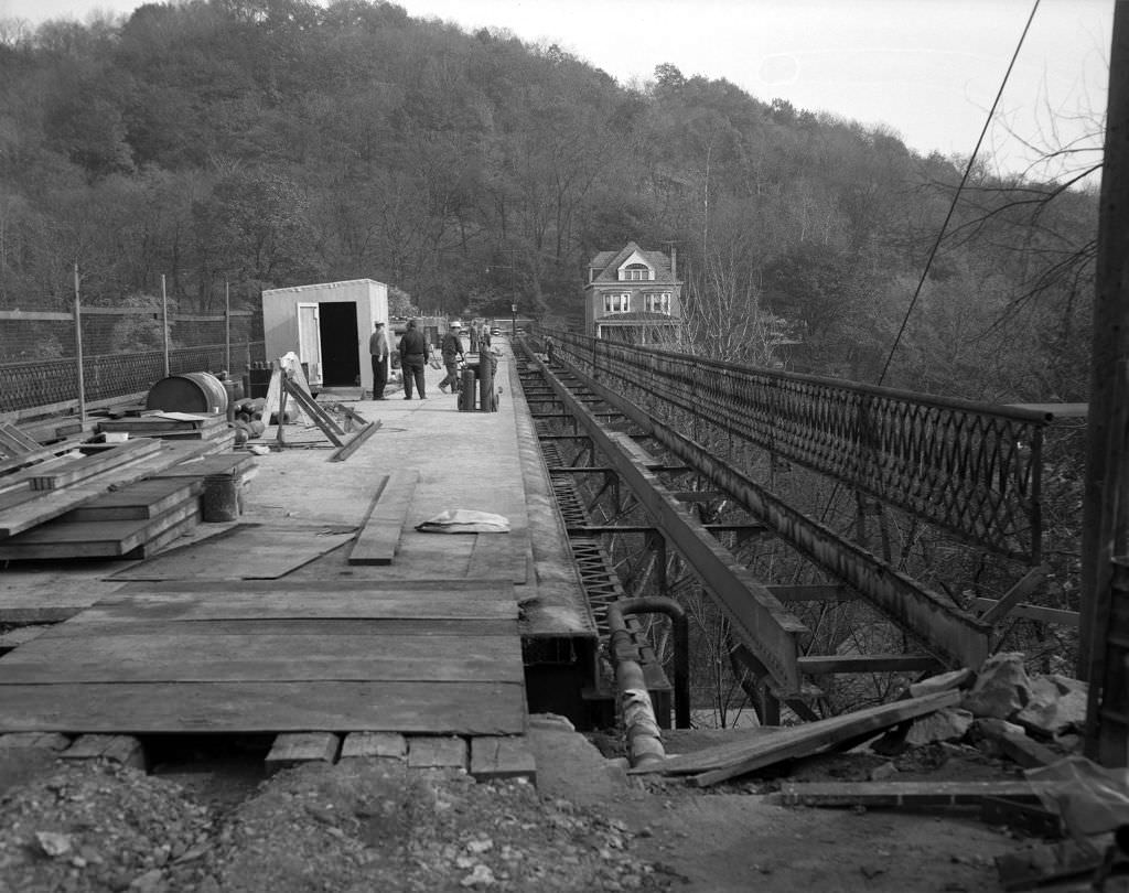
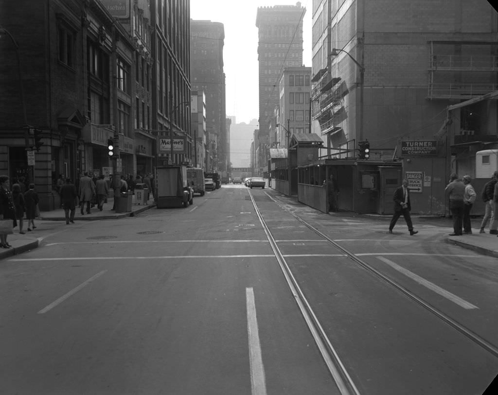
The Davis Avenue Bridge, under repair in 1970, was demolished in 2006, a fate shared by many of Pittsburgh’s older spans as maintenance costs exceeded the value of preservation. The intersection of Wood Street and Oliver Avenue downtown showed the concentrated retail activity of the central business district, where multiple department stores, banks, and specialty shops competed for shoppers who arrived by bus, streetcar, or on foot from the surrounding blocks.
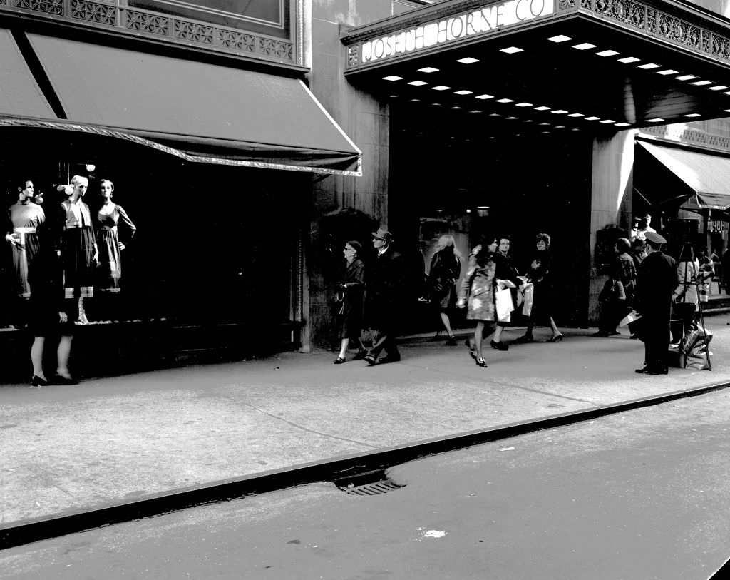
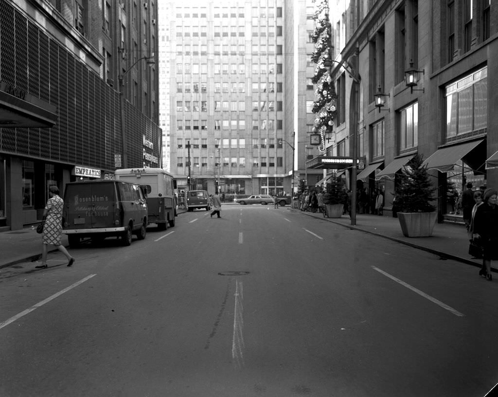
Oliver Avenue looking toward Wood Street was one of downtown Pittsburgh’s busiest pedestrian stretches. The Joseph Horne Company, one of Pittsburgh’s established department store chains, occupied a substantial building that would later become the headquarters of Highmark Blue Cross Blue Shield. Horne’s competed with Kaufmann’s and Gimbels for downtown shoppers and remained a fixture of Pittsburgh retail through the decade before eventually merging with F&R Lazarus in 1994.
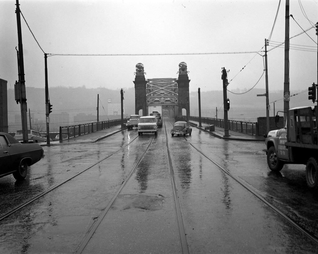
The 16th Street Bridge crossing the Allegheny River was a 1923 structure that connected the Strip District to the North Side. It was later renamed the David McCullough Bridge in honor of the Pittsburgh-born historian. In 1970, it carried daily traffic between two of the city’s most important neighborhoods, its steel arches reflecting Pittsburgh’s identity as a city of bridges — with over 440 of them, more than any other city in the world at the time.
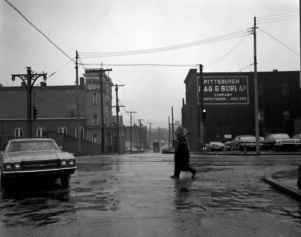
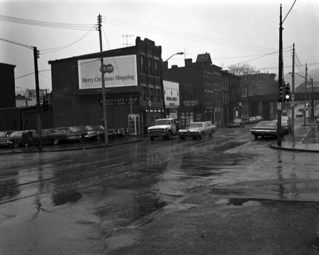
St. Wenceslaus Church near the 16th Street Bridge served Pittsburgh’s Czech immigrant community, one of the dozens of ethnic Catholic parishes that had been established in the city’s neighborhoods during the great waves of immigration in the late nineteenth and early twentieth centuries. By 1970, many of these parishes were losing members as their original ethnic communities dispersed into suburbs or other neighborhoods. The businesses on Chestnut Street nearby showed a mixed commercial strip adapting to the changing demographics around it.
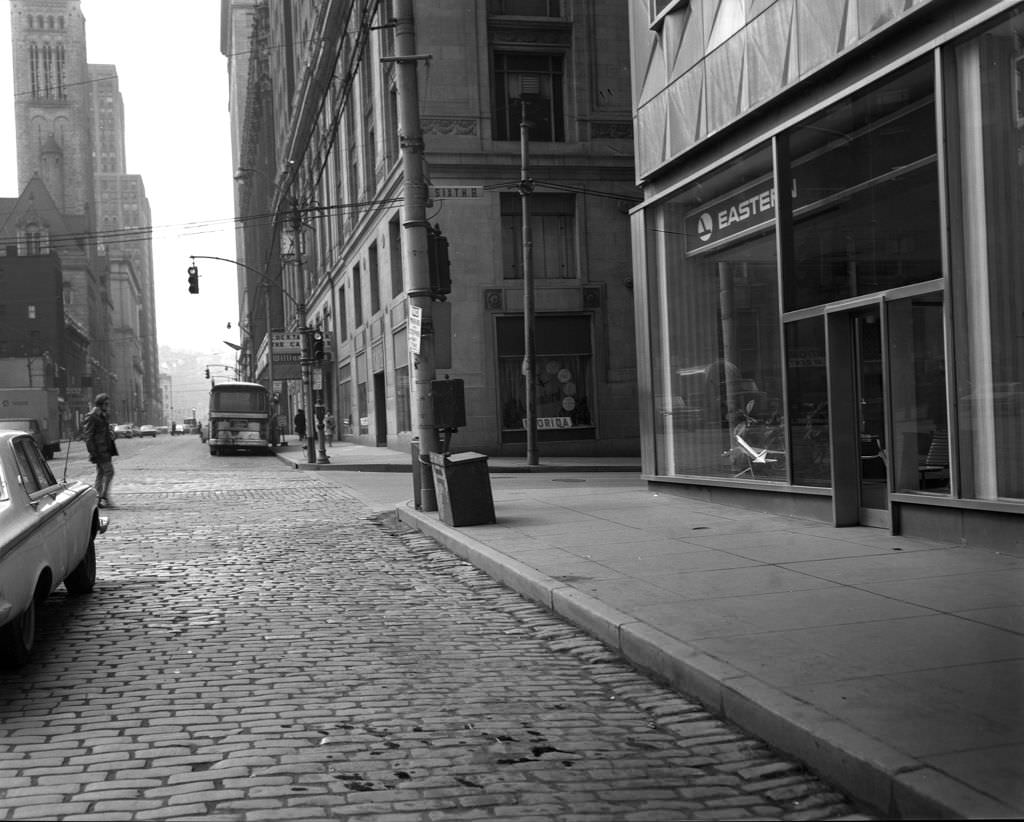
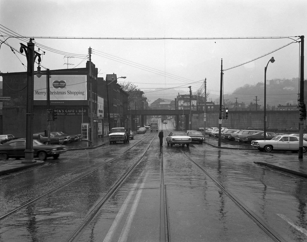
Grant Street at Sixth Avenue was part of Pittsburgh’s civic and legal core downtown, lined with government buildings and law offices. The entrance to the David McCullough Bridge from Chestnut Street on the North Side shore showed how these river crossings integrated into street-level urban fabric rather than hovering above it — the bridge ramps descended directly into neighborhood streets, connecting communities at ground level in a way that later highway construction would sever.
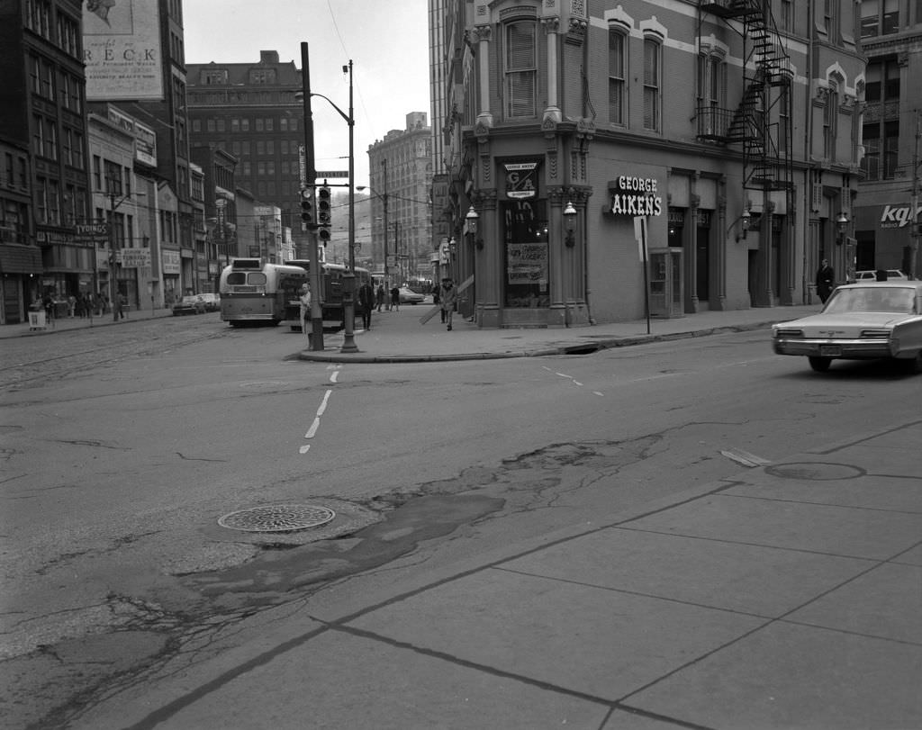
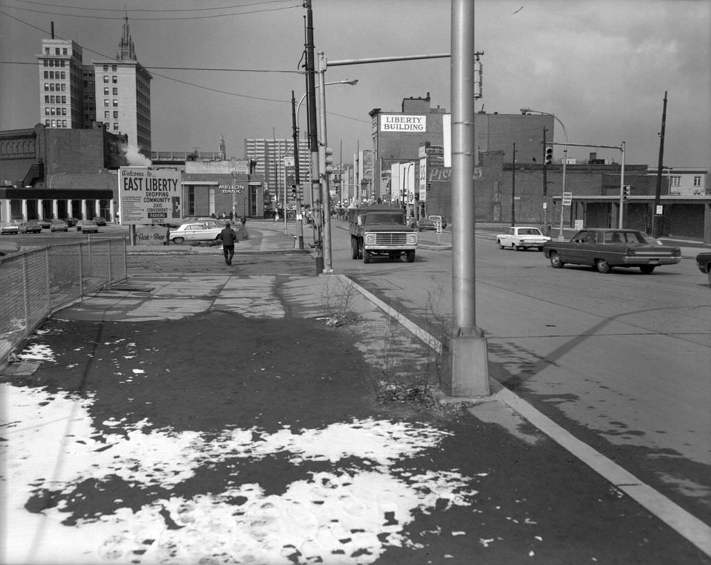
Liberty Avenue at Seventh Avenue was a key downtown intersection where restaurants, shops, and office workers converged. George Aiken’s restaurant occupied a prominent corner position, one of many dining establishments that served Pittsburgh’s lunchtime downtown crowd. Penn Avenue at Shady Avenue in East Liberty showed the neighborhood’s pedestrian mall experiment in an earlier phase — the intersection still functioning but already beginning to feel the effects of the traffic and retail changes that the closure of Penn Avenue had set in motion.
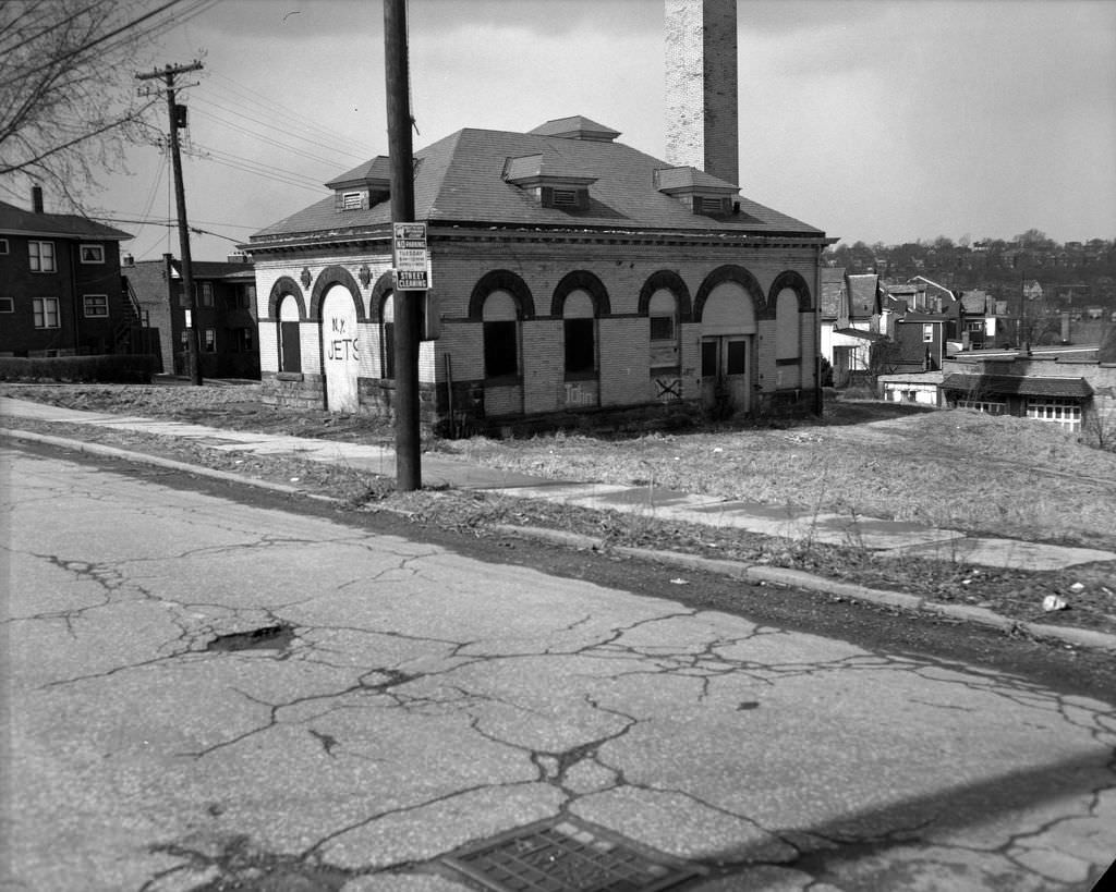
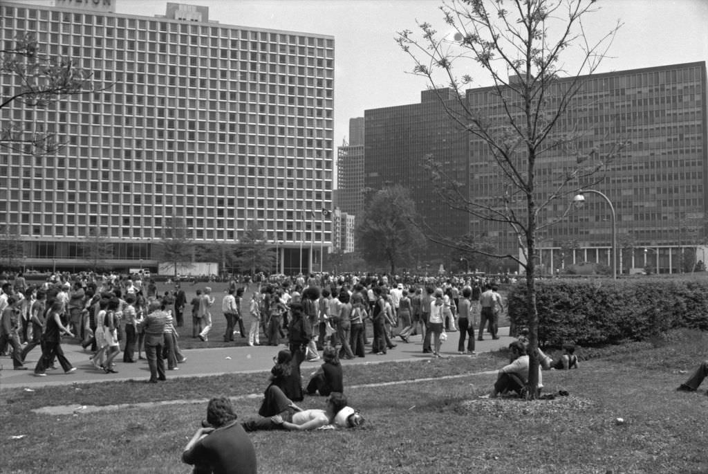
The Lincoln Pumping Station, with its graffiti and boarded windows in 1971, was an example of the abandoned industrial infrastructure scattered across Pittsburgh’s neighborhoods. The building later found new purpose as the Paulson Community Recreation Center. Point State Park, photographed the same year, showed how the city was reclaiming its riverfront for public use — the park preserved the site of Fort Duquesne and Fort Pitt, the colonial-era fortifications at the forks of the Ohio that had made Pittsburgh strategically vital in the eighteenth century.
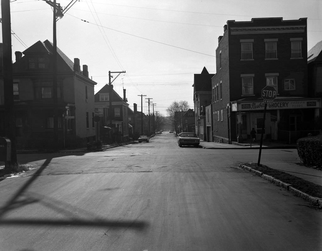
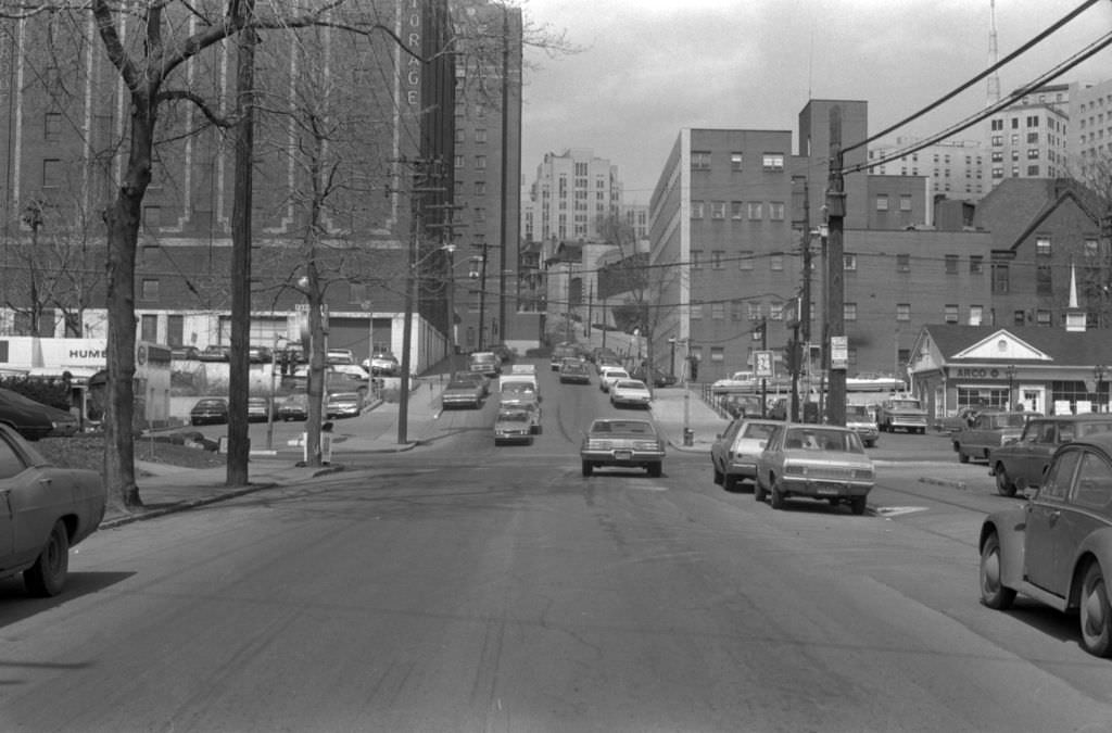
The intersection of Sterrett and Monticello Streets showed the residential character of Pittsburgh’s East End neighborhoods — narrower than the main avenues, quieter, and defined by the brick and frame houses that lined them. McKee Place and Iroquois Way near Forbes Avenue in Oakland placed the University of Pittsburgh’s campus in close proximity to ordinary neighborhood streets, a characteristic of how Pittsburgh’s major institutions had grown into rather than apart from the surrounding urban fabric.
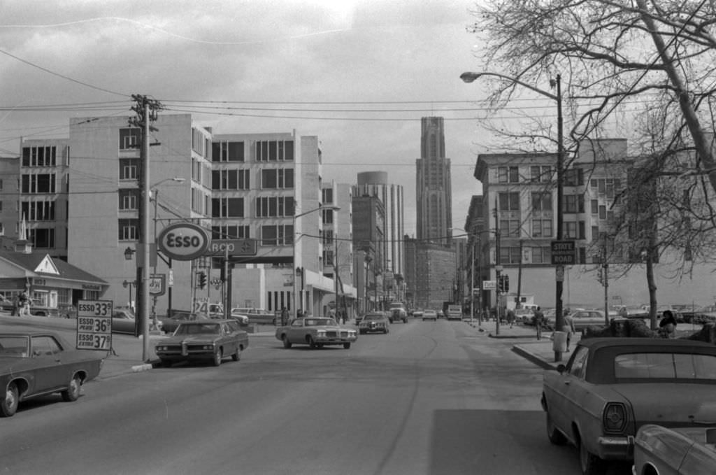
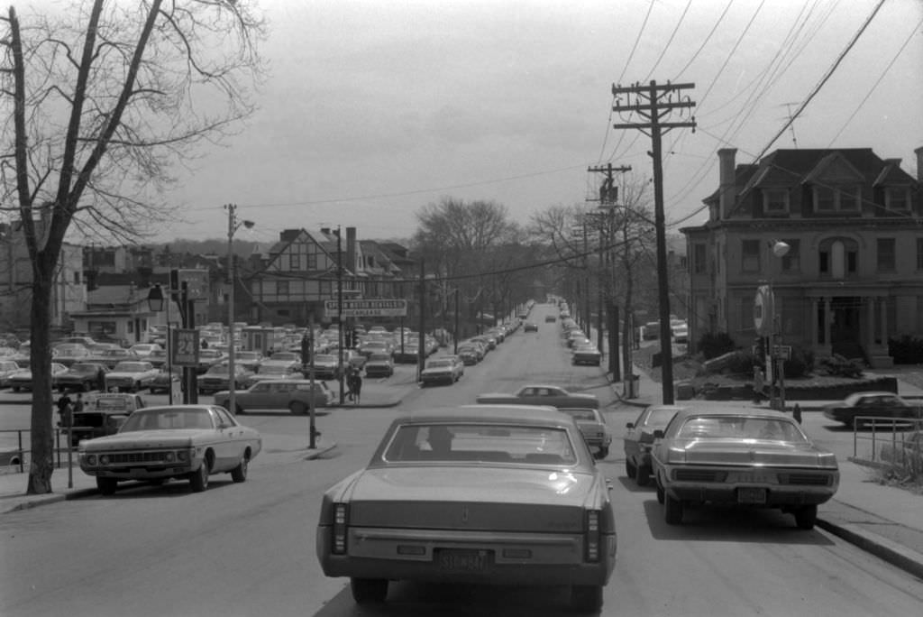
Forbes Avenue at McKee Place in 1972 offered views of the University of Pittsburgh’s Cathedral of Learning — the 42-story gothic skyscraper that served as the university’s academic hub and one of Pittsburgh’s most recognizable landmarks. The University of Pittsburgh, along with Carnegie Mellon University a few blocks away, was emerging as a more significant economic driver as the steel economy declined. Their combined research activity, student population, and employment base were growing into an anchor for Oakland that the neighborhood would rely on increasingly through the 1970s and beyond.
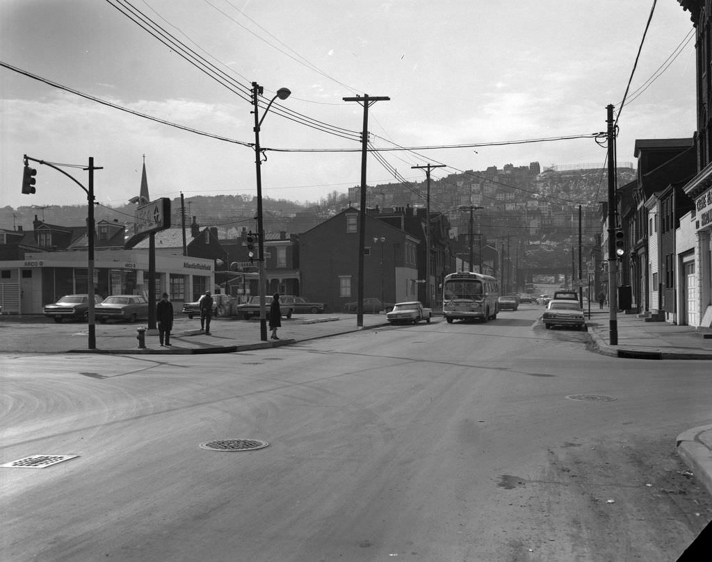
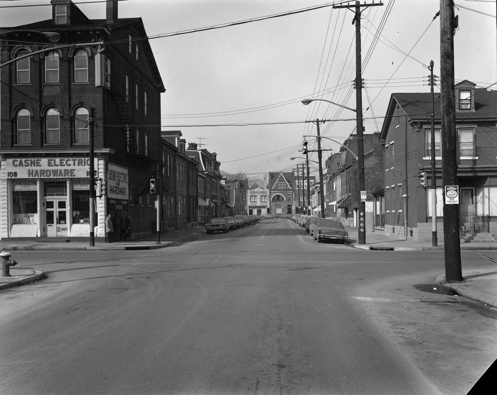
South 18th Street and Sarah Street on the South Side sat at the edge of a residential grid that had been built to house steelworkers and their families. Casne Electric, a hardware and electrical supply store, was the kind of trade-oriented business that served the neighborhood’s homeowners and the tradespeople who maintained the mills and factories nearby. These streets were functional and unpretentious — they existed to serve the people who lived and worked within a few blocks of them.
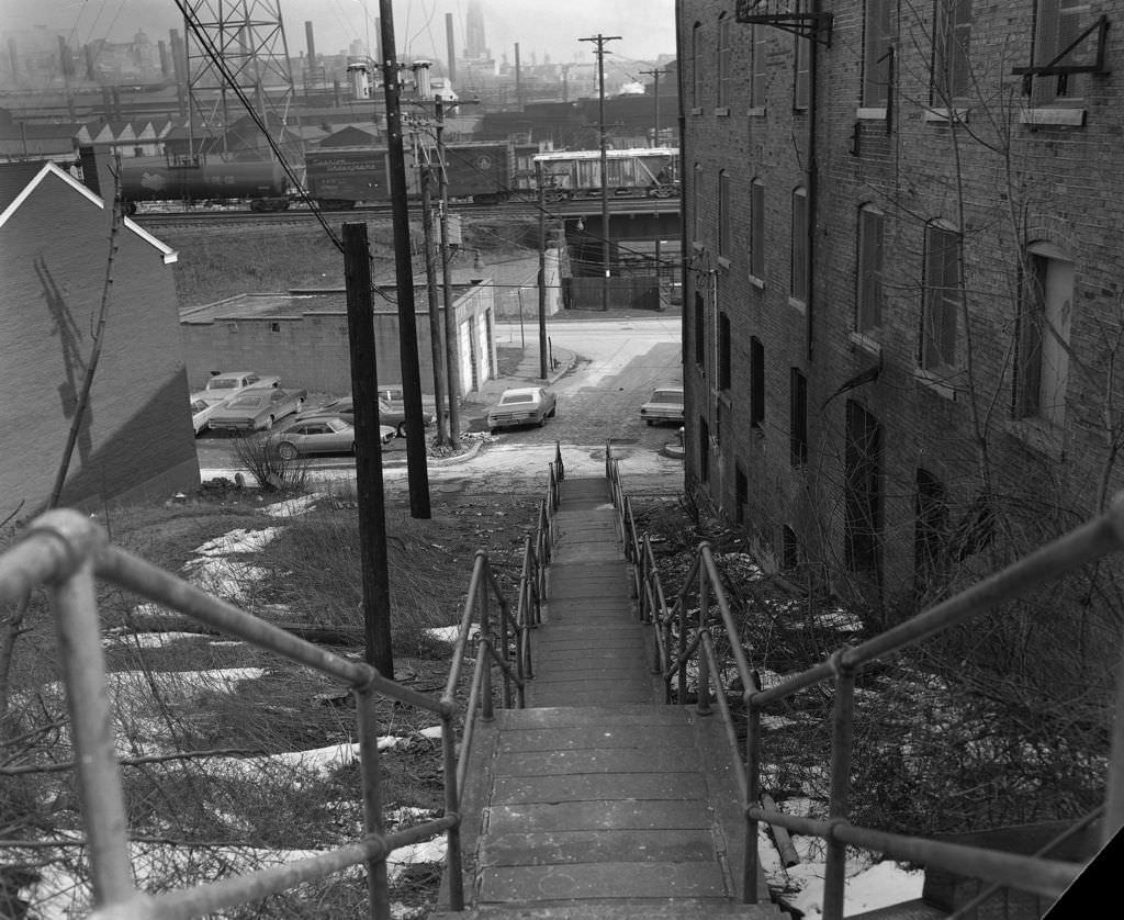
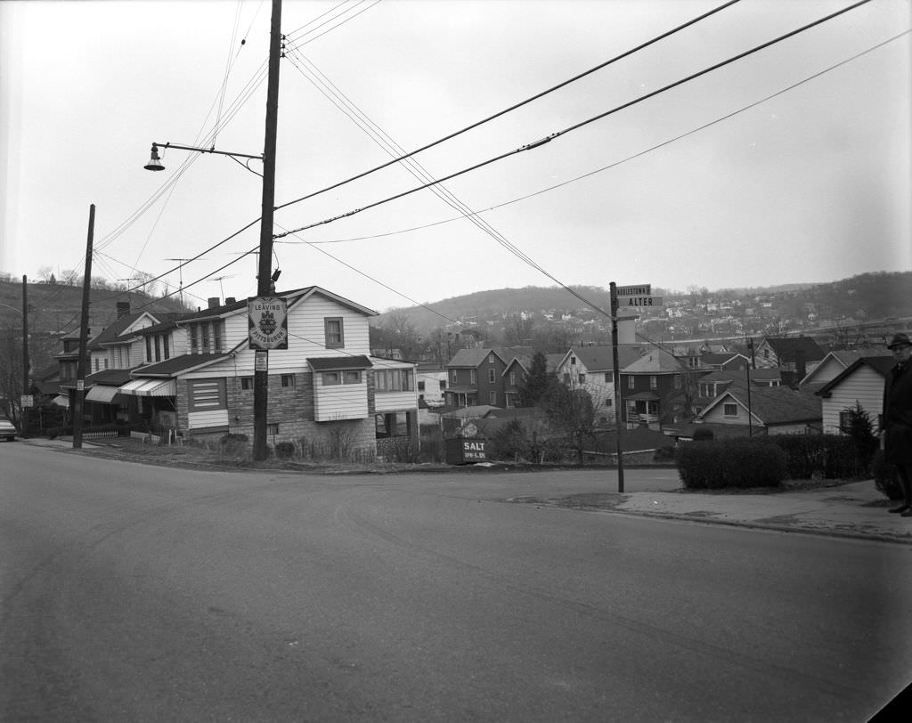
The South 30th Street Steps connected Mary Street to Harcum Way on a hillside typical of Pittsburgh’s South Side Slopes — a neighborhood where streets ran out on steep terrain and pedestrian steps took over. The city limits sign at Noblestown Road and Alter Street marked where Pittsburgh’s municipal boundary ran in 1971, a line that defined tax jurisdiction, school districts, and city services. These boundary markers were a reminder that the Pittsburgh metro area extended well beyond the city itself, with dozens of independent municipalities lying just beyond the sign.
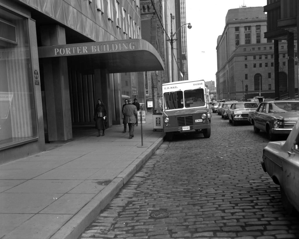
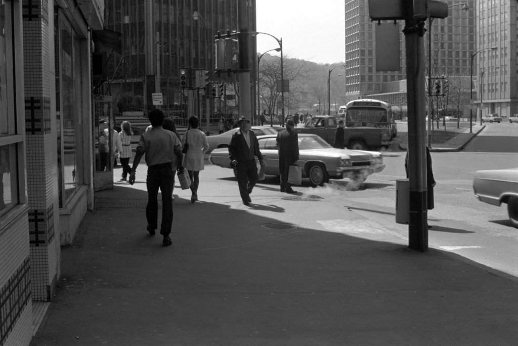
The H.K. Porter Building at Grant Street and Sixth Avenue housed the Federal Home Loan Bank, one of the financial institutions embedded in Pittsburgh’s downtown core. Henry Kirke Porter had built his fortune manufacturing locomotives in Pittsburgh, and the building bearing his name stood as a reminder of the city’s industrial heritage even as its ground floor tenants shifted to financial services. Liberty Avenue at Stanwix Street in 1972 was one of the most active pedestrian intersections in the city, serving both downtown shoppers and commuters moving through the gateway to the Golden Triangle.
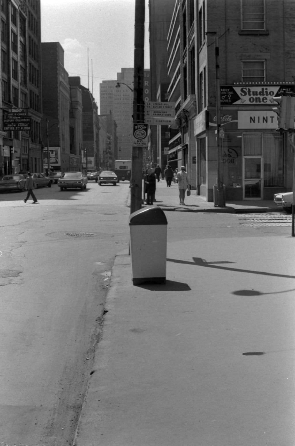
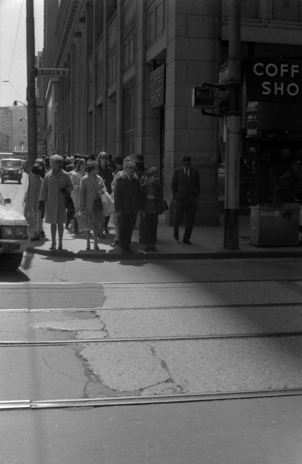
Penn Avenue at 9th Street in 1972 sat in a part of downtown that blended office uses with ground-floor retail. The intersection of Sixth Avenue and Smithfield Street was home to the Oliver Building, one of downtown Pittsburgh’s earliest skyscrapers, completed in 1910. By 1972, its ground floor housed a coffee shop serving the surrounding office workers — a function that had replaced the more elaborate retail uses of earlier decades, reflecting the gradual transformation of downtown’s ground-floor economy.
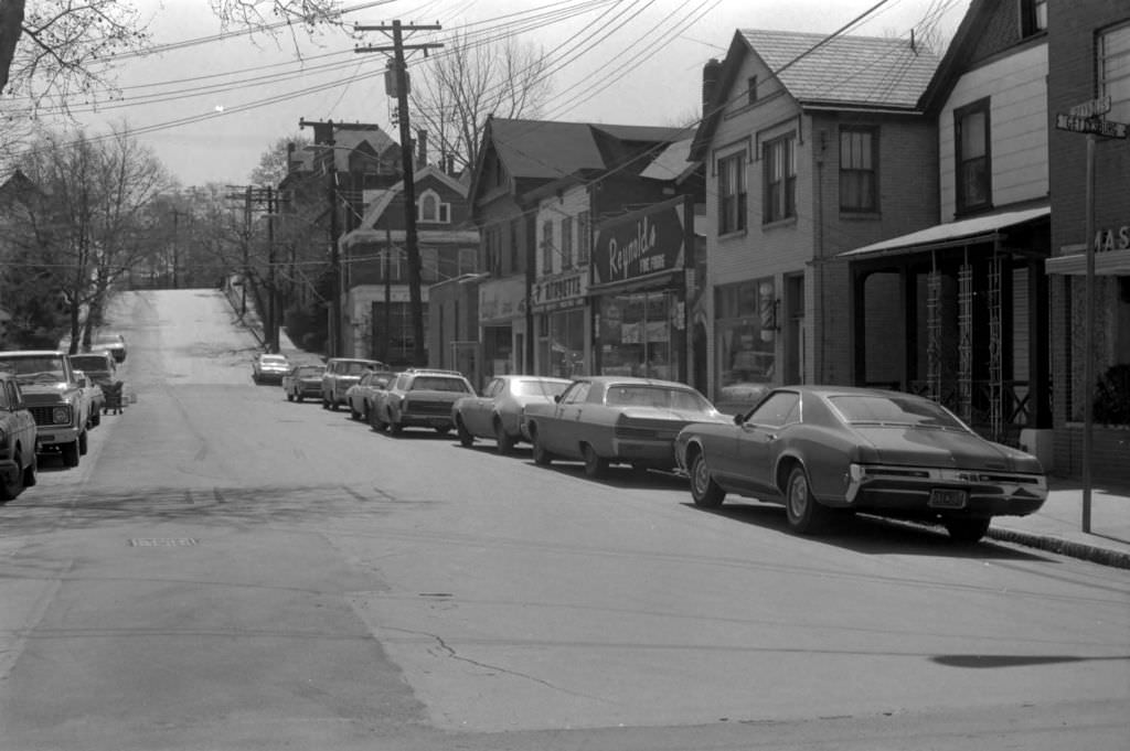
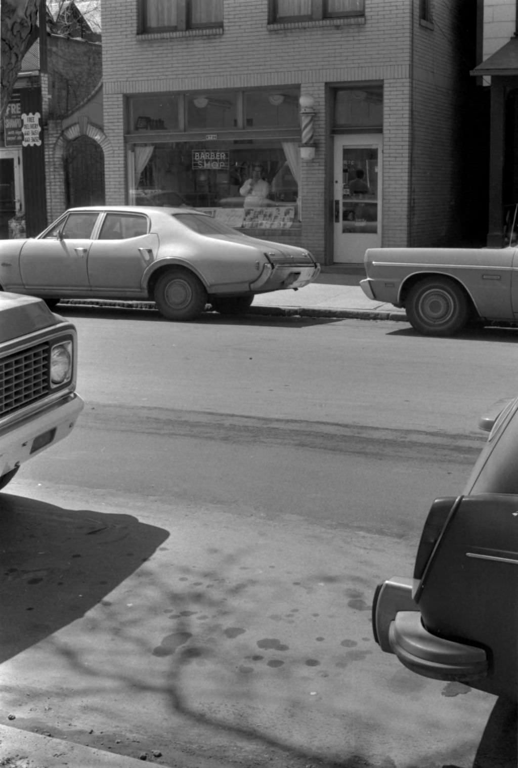
Reynolds Street in Point Breeze was a neighborhood commercial block with the kind of businesses that served residents without requiring a trip downtown. A barbershop near Hastings Street was the kind of business that anchored a neighborhood block — regular customers, a fixed clientele, and a social function that went beyond haircuts. These small operations existed on nearly every residential street in Pittsburgh, filling the everyday needs of communities that remained largely self-contained.
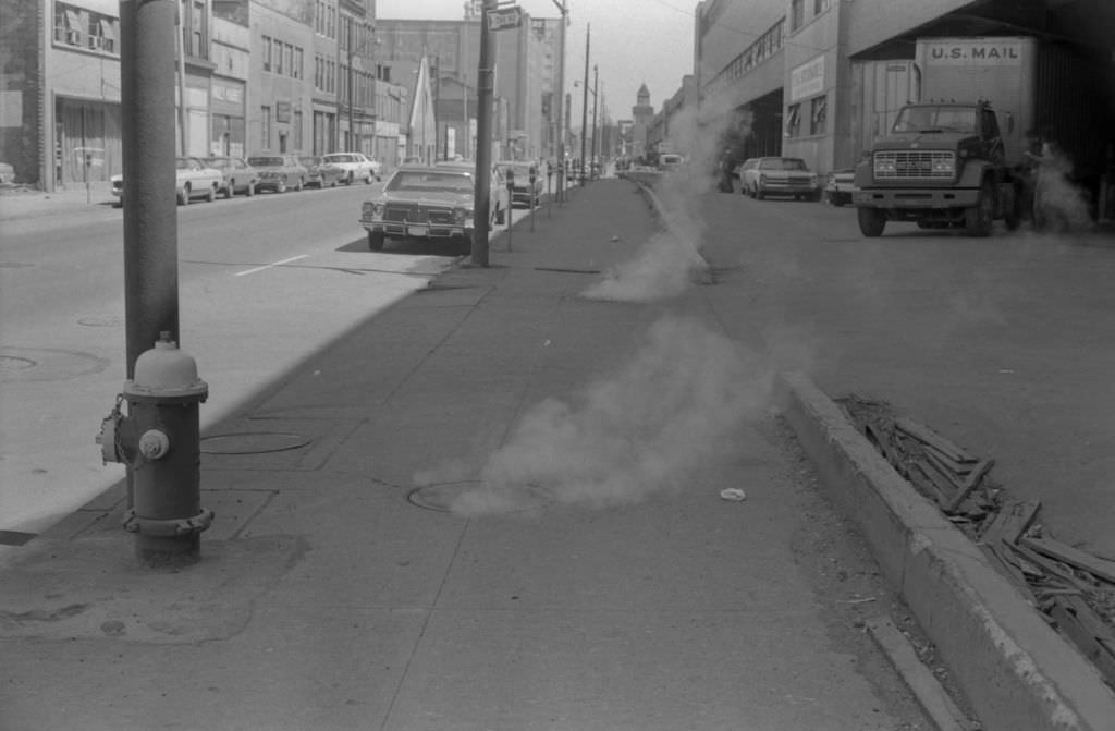
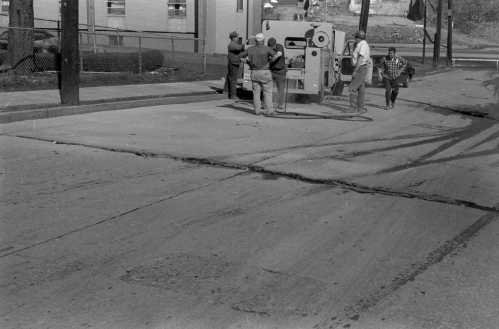
Steam rising from manholes on Penn Avenue at 13th Street was a winter staple of Pittsburgh’s downtown streetscape, produced by the district steam heating system that served many of the central business district’s buildings. It was atmospheric and entirely ordinary. A water main break on Morgan Street near Centre Avenue required a more urgent response — the cleanup effort shown here was one of many such incidents that challenged the city’s public works crews as aging infrastructure gave way under the stress of a hard Pittsburgh winter.
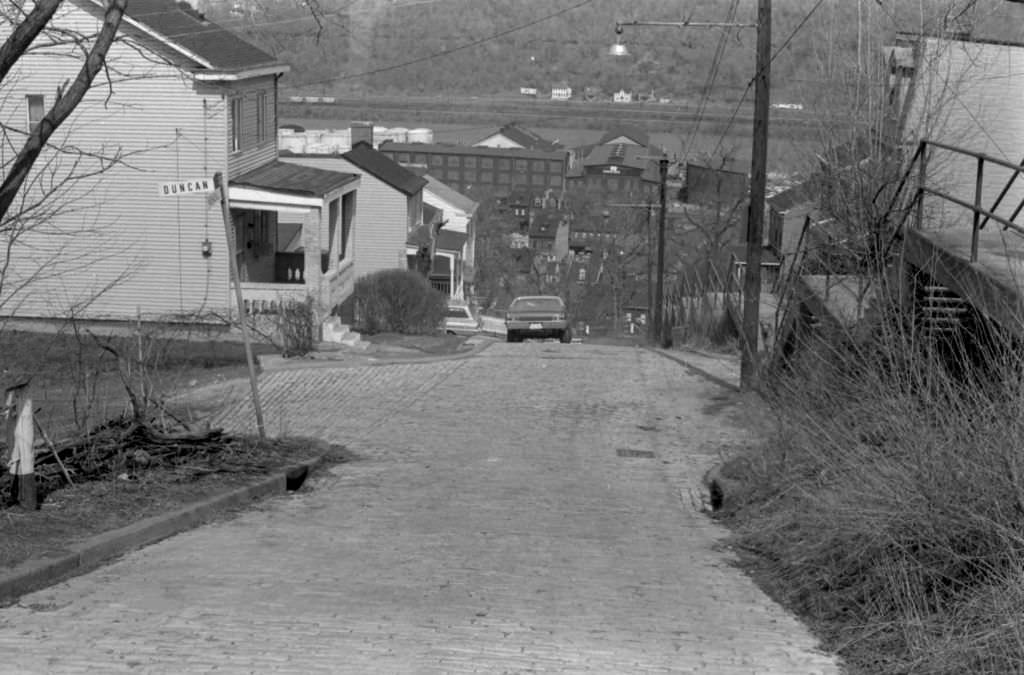
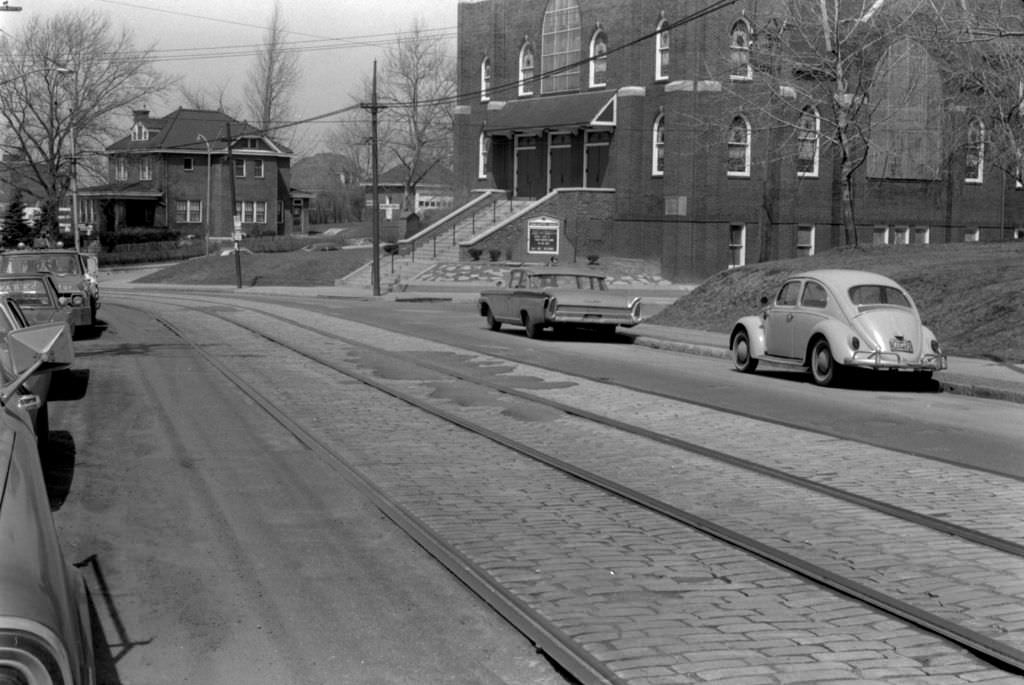
Kendall Street at Duncan Street showed the quiet residential streets of Pittsburgh’s inner neighborhoods away from major commercial corridors. Brownsville Road, running through the city’s South Hills communities, was one of Pittsburgh’s longest streets, stretching from downtown out through Carrick and Brentwood. The church on Brownsville Road, once Union Baptist and later Zion Christian, reflected the pattern of Pittsburgh’s religious institutions adapting to demographic change — congregations shifting, buildings passing to new communities as neighborhoods evolved.
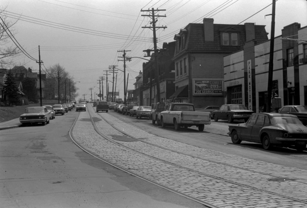
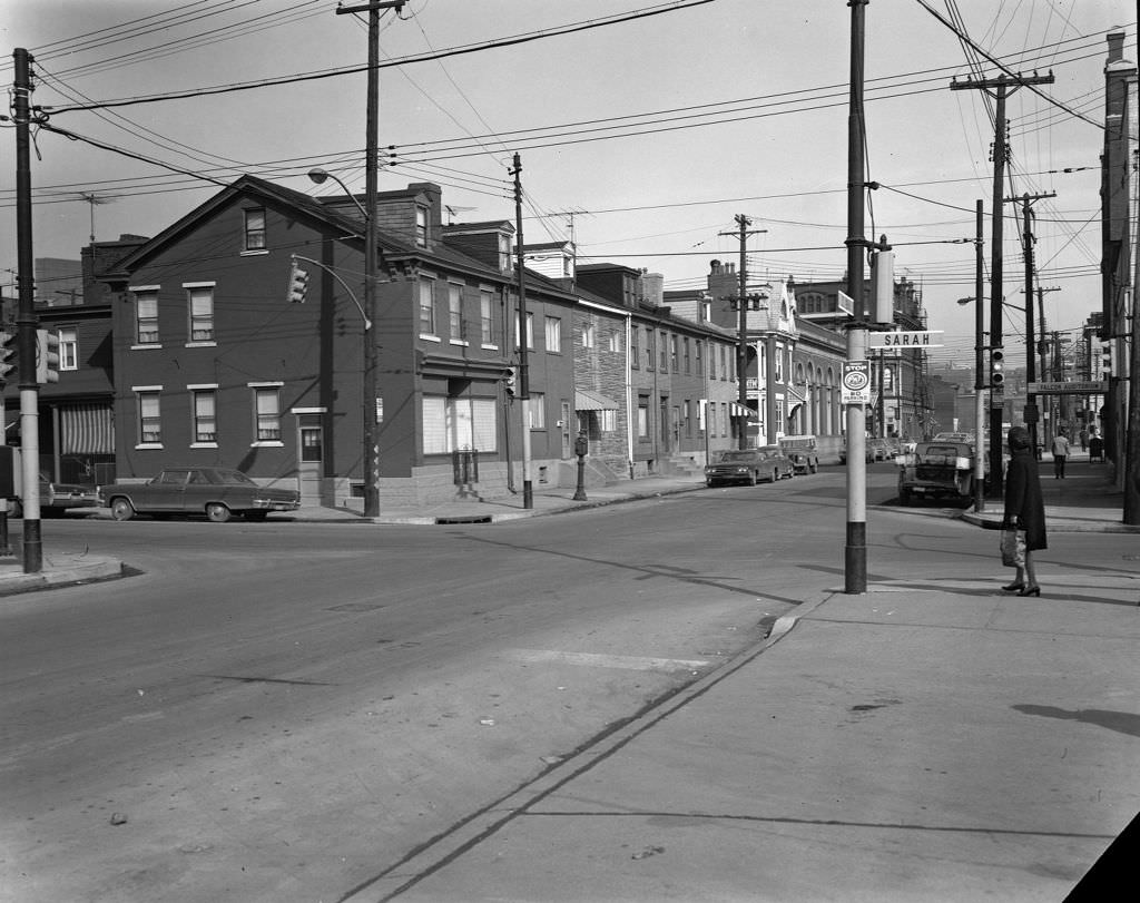
Brownsville Road at Madeline Street in 1972 showed a commercial and residential stretch typical of Pittsburgh’s South Hills corridors — wide enough to carry significant through traffic, lined with a mix of homes and storefronts that had developed organically over the preceding half century. The South 18th Street and Sarah Street intersection on the South Side, viewed from South 18th, placed the viewer in a neighborhood where the street grid, the architecture, and the scale of everything around them had barely changed since the 1930s.
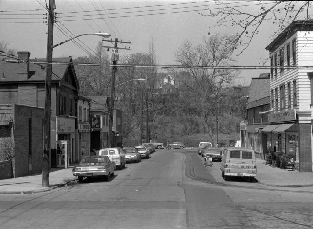
Reynolds Street at Hastings and Kingston, with Point Breeze Market anchoring the corner, showed the neighborhood grocery that served this part of the East End. Point Breeze was one of Pittsburgh’s more stable neighborhoods through the 1970s, its housing stock well maintained and its commercial corridors active. The market on Reynolds Street was the kind of local institution that kept a neighborhood functioning — a place where residents bought groceries, exchanged news, and sustained the daily rhythms of community life that persisted through the economic turbulence of the decade.





These are great – and I didn’t notice any blatantly incorrect captions in this one. But I’m not very knowledgeable about the North Side and West End.
I’m sure someone will find something that’s been mis-identified. Should make it a competition 🙂
What great pictures- so many good memories. One note: caption on #24 should refer to Master Charge, not MasterCard.Thank you for sharing this great research!