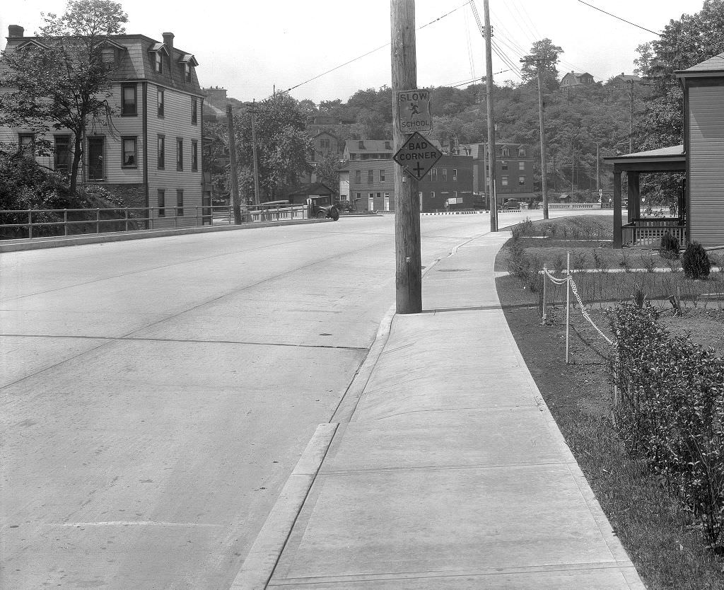
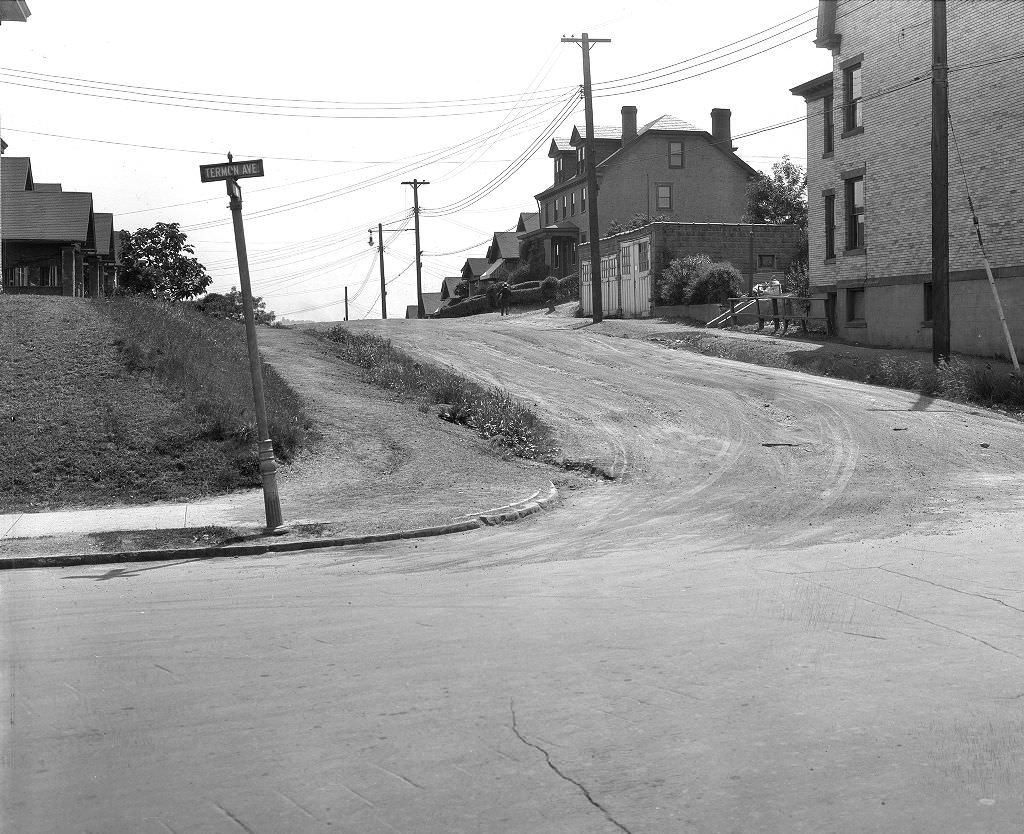
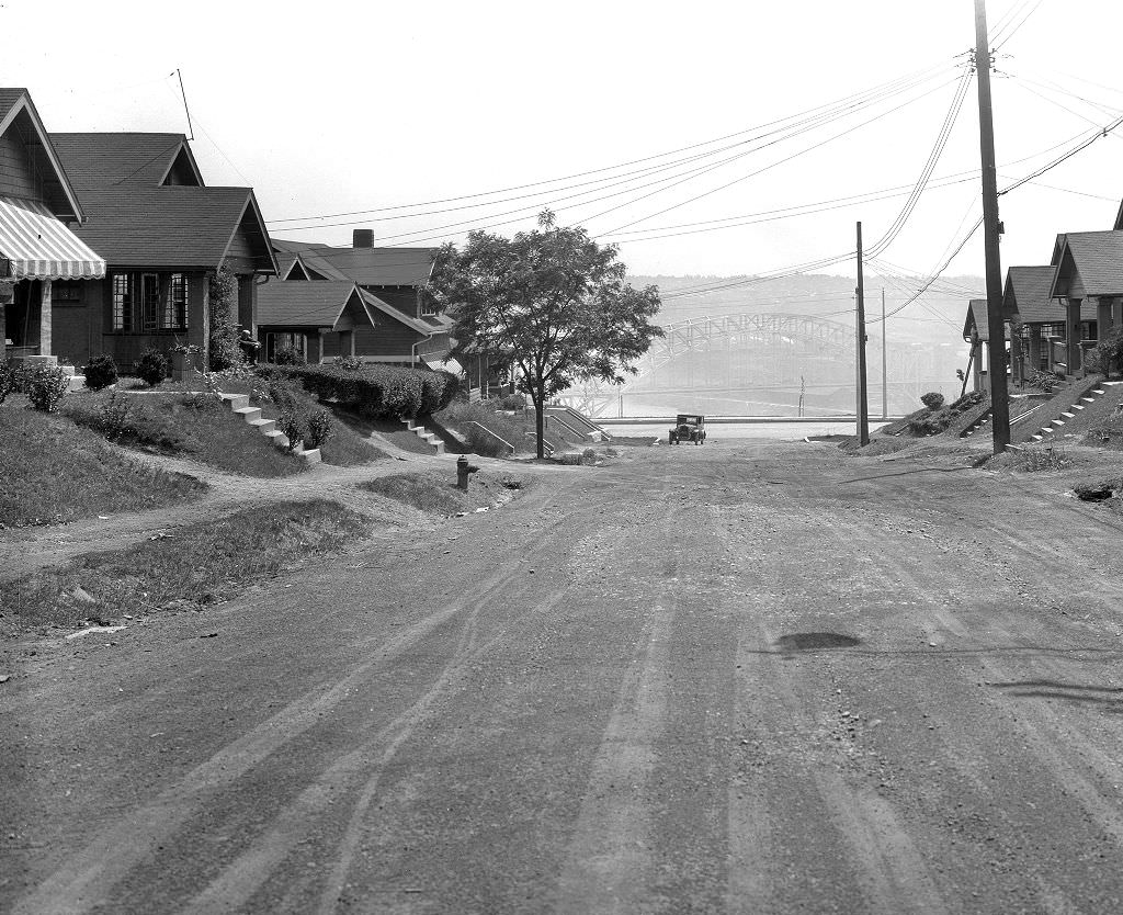
When the stock market crashed in 1929, Pittsburgh felt the impact fast. The city had spent the 1920s riding the steel boom, and when that prosperity collapsed, the fall was steep. By the early 1930s, unemployment was widespread, wages had dropped, and neighborhoods that once hummed with working-class energy were struggling to hold together. Yet Pittsburgh kept going. The steel mills slowed but did not stop. The rivers still carried coal barges. The streets stayed busy. What these photographs capture is not a city defeated — it’s a city grinding through one of the hardest decades in American history.
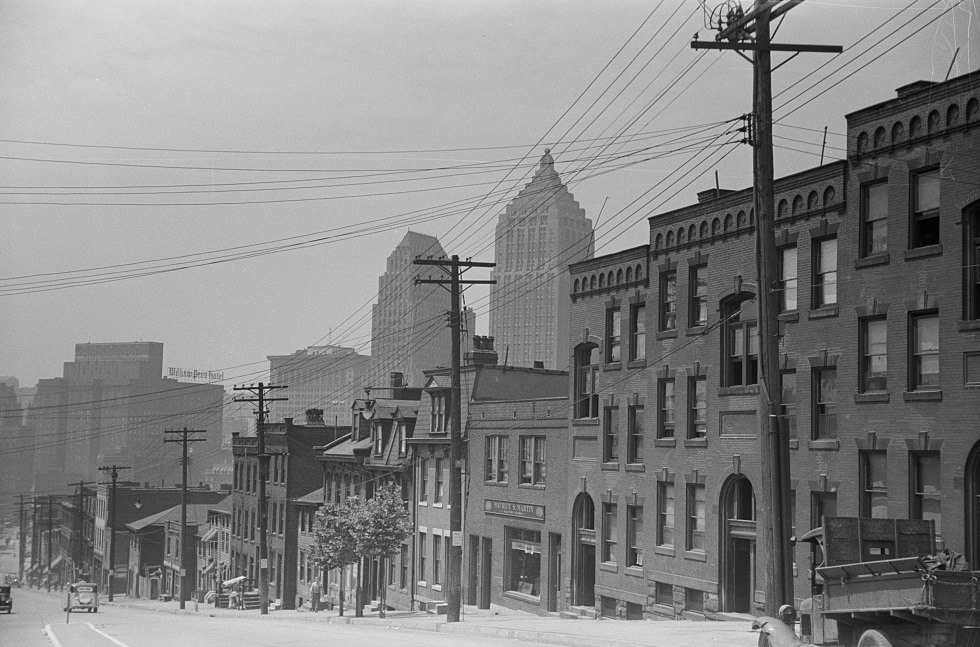
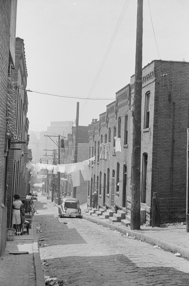
The Hill District sat just east of downtown and was one of Pittsburgh’s most densely populated neighborhoods in the 1930s. Housing conditions there were poor. Buildings were packed tightly together, many without adequate plumbing or heat. Families crowded into small rooms, and landlords had little incentive to maintain properties when tenants had nowhere else to go. The Hill was home to a large Black community, many of whom had migrated north from Southern states in search of work. What they found in Pittsburgh was employment — but also segregated housing and limited access to city services.
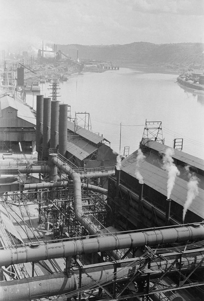
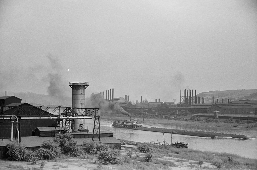
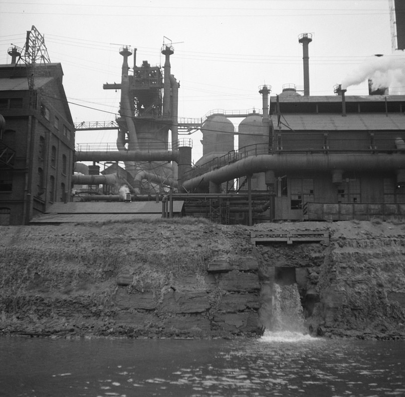
The Monongahela River was the backbone of Pittsburgh’s industrial identity. Steel mills lined its banks, and the river itself was a working highway for barges loaded with coal, coke, and raw materials. Even during the Depression, the industrial corridor along the Mon never fully shut down. Production dropped sharply — mills that once ran three shifts cut back to one — but the infrastructure stayed in place. Workers who still had jobs in the mills knew the work was dangerous and the pay had been cut, but they stayed because there were few alternatives.
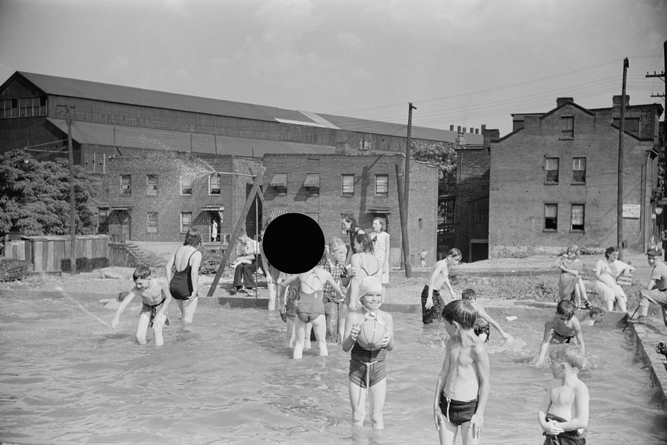
Away from the mills, working families found small ways to maintain a sense of normalcy. Steelworkers near their job sites built a makeshift pool so their children would have somewhere to cool off in summer. It was a practical solution born from limited resources — no money for a trip to a public pool, no access to a community center nearby. These kinds of self-built amenities were common in Pittsburgh’s mill neighborhoods, where residents handled their own needs when the city didn’t provide.
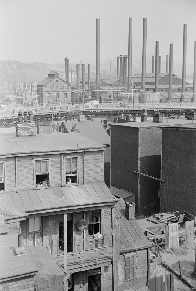
Substandard housing wasn’t limited to the Hill District. Across Pittsburgh’s hillsides and river flats, thousands of families lived in deteriorating conditions. Buildings leaned against each other on steep slopes, connected by narrow streets and outdoor staircases. Pittsburgh’s geography — all ridges, valleys, and riverbanks — made it difficult to develop neighborhoods in a uniform way, and many of the city’s poorest residents ended up on land that was hard to build on and harder to service. Sewers, water lines, and paved roads often didn’t reach these areas until the mid- to late 1930s, when New Deal public works programs began targeting city infrastructure.
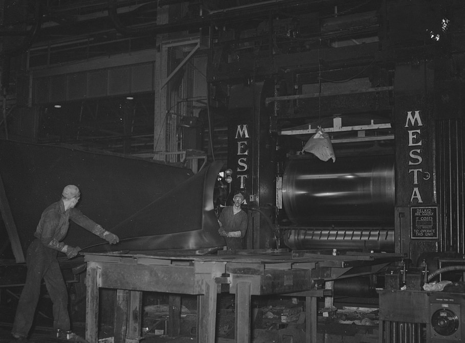
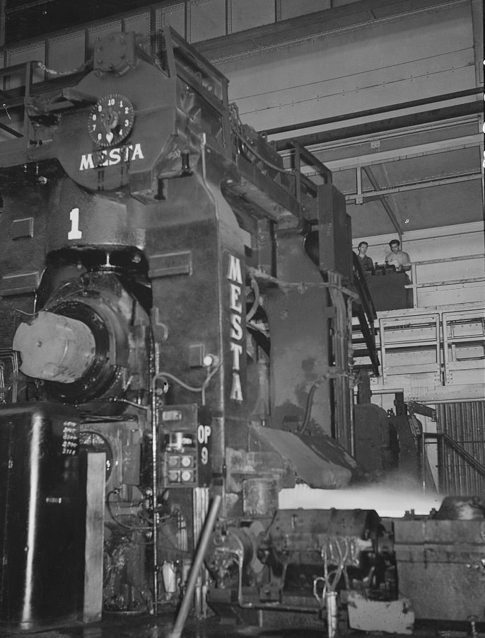
Inside the steel mills, the work was brutal. Rolling steel sheets required workers to stand near equipment that ran at extreme heat. The noise was constant, the air thick with smoke and metal dust. Safety standards in the 1930s were minimal compared to later decades, and injuries were frequent. Still, a mill job was considered secure work relative to what many others had. A man operating a steel sheet roller in 1938 was part of a workforce that had survived years of Depression-era cuts and was still standing.
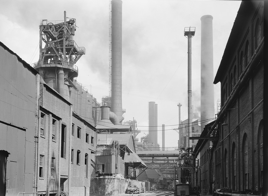
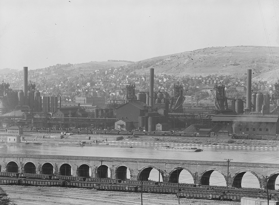
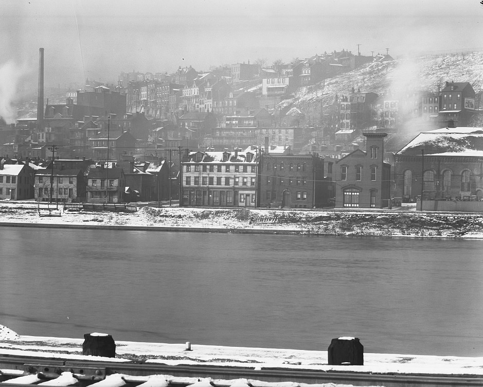
Homestead sat just across the Monongahela from Pittsburgh proper and was defined by the massive Carnegie Steel plant that had made it famous — and infamous — since the 1892 strike. By 1938, the plant was still operating, and from the Homestead side of the river, the view of Pittsburgh’s east side showed a city of stacked hillside housing, smokestacks, and bridges. It was an industrial panorama that had changed little in decades, a skyline shaped entirely by the demands of heavy manufacturing.
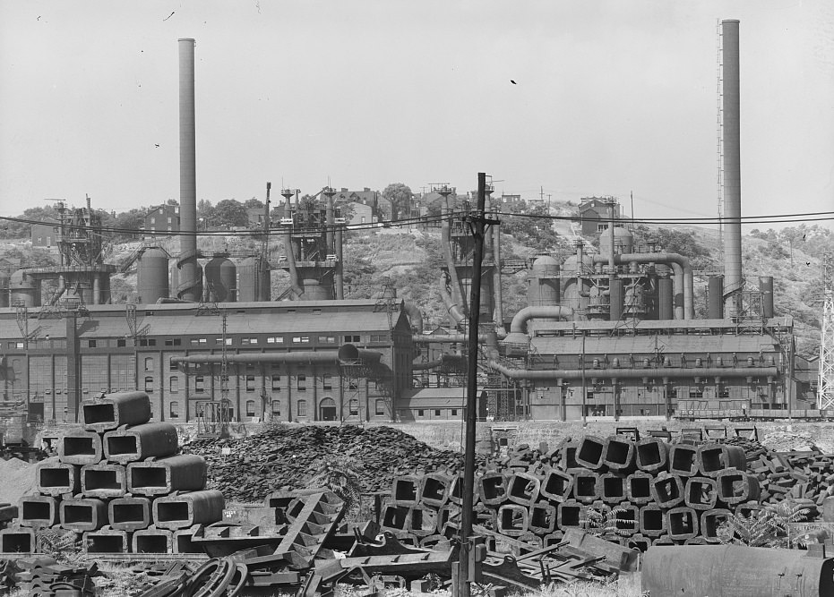
Not every mill kept running. Some facilities that had been active in the 1920s sat idle by the late 1930s, their furnaces cold and their yards empty. These shuttered plants represented direct job losses for entire communities built around them. When a mill went quiet, the neighborhood around it felt it immediately — storefronts closed, families moved, and property values dropped. The image of an inactive mill was one of the defining visuals of Depression-era Pittsburgh.
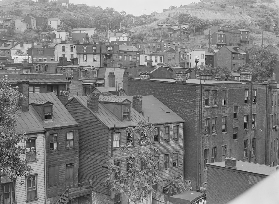
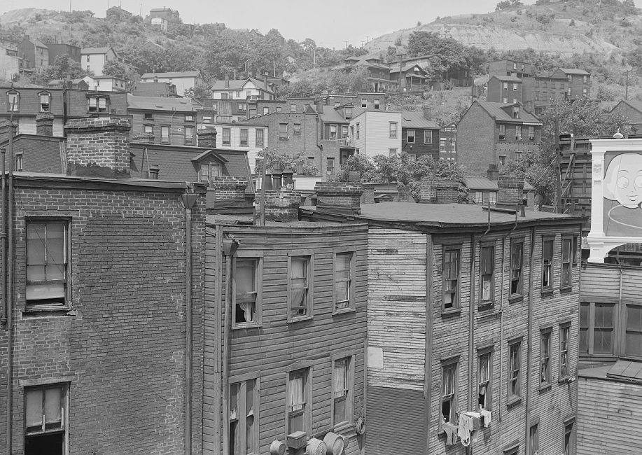
Along the Monongahela, residential streets ran parallel to the industrial waterfront. Workers’ homes sat within sight and smell of the mills they worked in. The river was not a scenic amenity for these residents — it was a working artery, frequently polluted and prone to flooding. Houses near the riverbanks were the first to flood when the Monongahela rose, and in 1936, that threat became catastrophic.
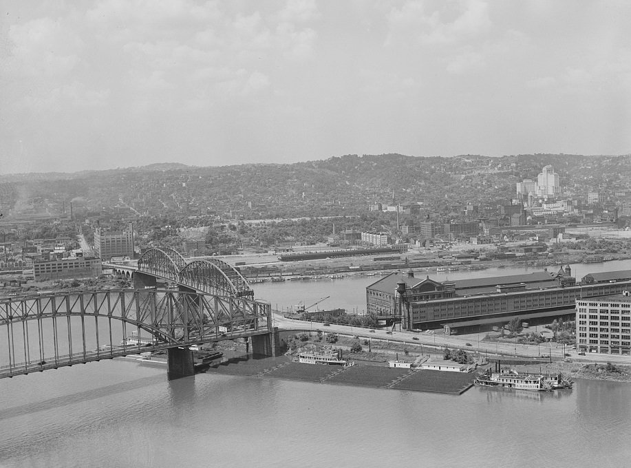
The Point — where the Allegheny and Monongahela Rivers meet to form the Ohio — was Pittsburgh’s geographic origin. In 1938, the area around the confluence was still dense with warehouses, rail lines, and commercial buildings. The river junction that had made Pittsburgh a strategic military post in the 1750s was, two centuries later, still the engine of its economy. Bridges crossed in every direction. Barge traffic moved constantly. The rivers defined the city’s shape and its commerce.
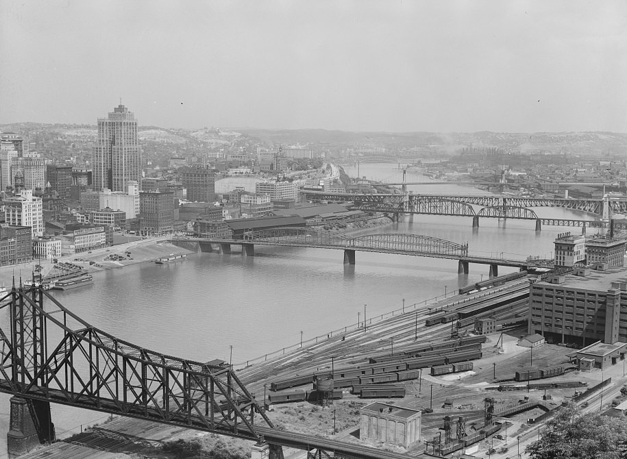
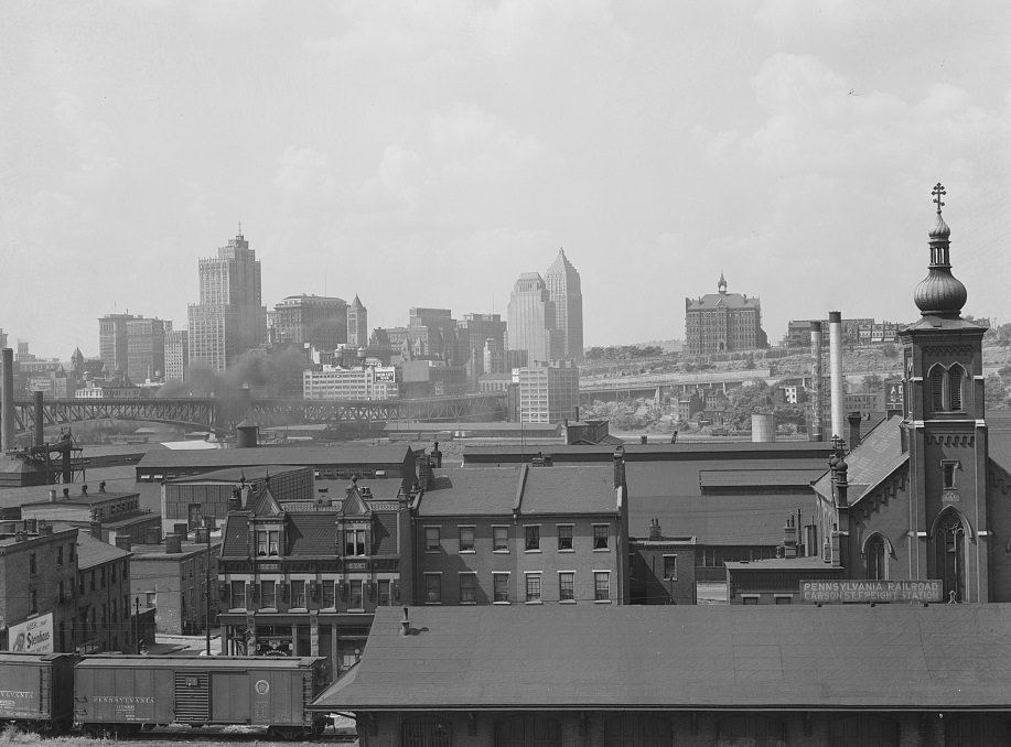
Pittsburgh’s downtown skyline, as seen from Homestead in 1938, showed a compact urban core. Office buildings and warehouses crowded together near the rivers, while residential neighborhoods climbed the hillsides behind them. The city had grown outward and upward in the early 20th century, but Depression-era construction had slowed significantly. Many of the buildings visible in photographs from this period would still be standing decades later — Pittsburgh’s architecture didn’t turn over quickly.
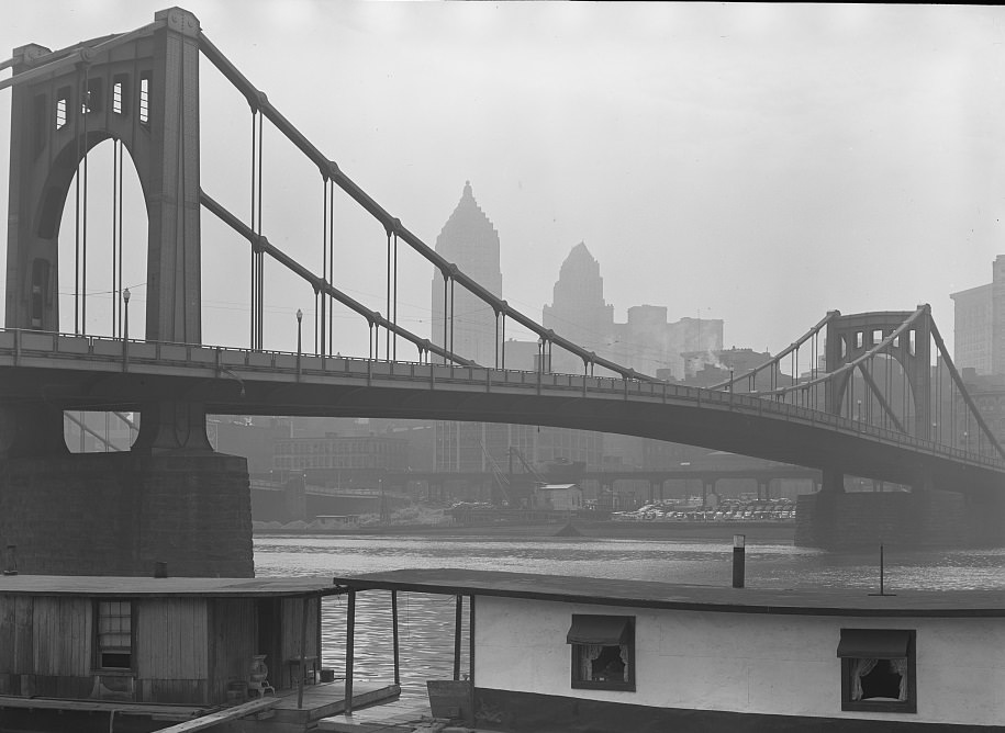
By 1935, Pittsburgh’s housing stock showed the strains of both age and neglect. Many buildings had been constructed quickly during the industrial expansion of the late 1800s and early 1900s, with little attention to long-term durability. Twenty or thirty years later, with property owners cash-strapped and city budgets tight, maintenance had fallen behind. Paint peeled, foundations settled, and rooflines sagged. This was true across income levels, though the worst conditions were concentrated in the neighborhoods where the poorest residents lived.
March 1936 brought the St. Patrick’s Day flood — one of the worst natural disasters in Pittsburgh’s history. Heavy rainfall across the region sent both the Allegheny and Monongahela Rivers surging over their banks. Downtown Pittsburgh was inundated, with water reaching the second floors of many buildings along the waterfront. The flood caused millions of dollars in damage, displaced thousands of residents, and destroyed businesses that had already been weakened by years of economic hardship. The 1936 waterfront photograph captures the city during or just after this disaster — a river system that defined Pittsburgh now threatening to consume it.
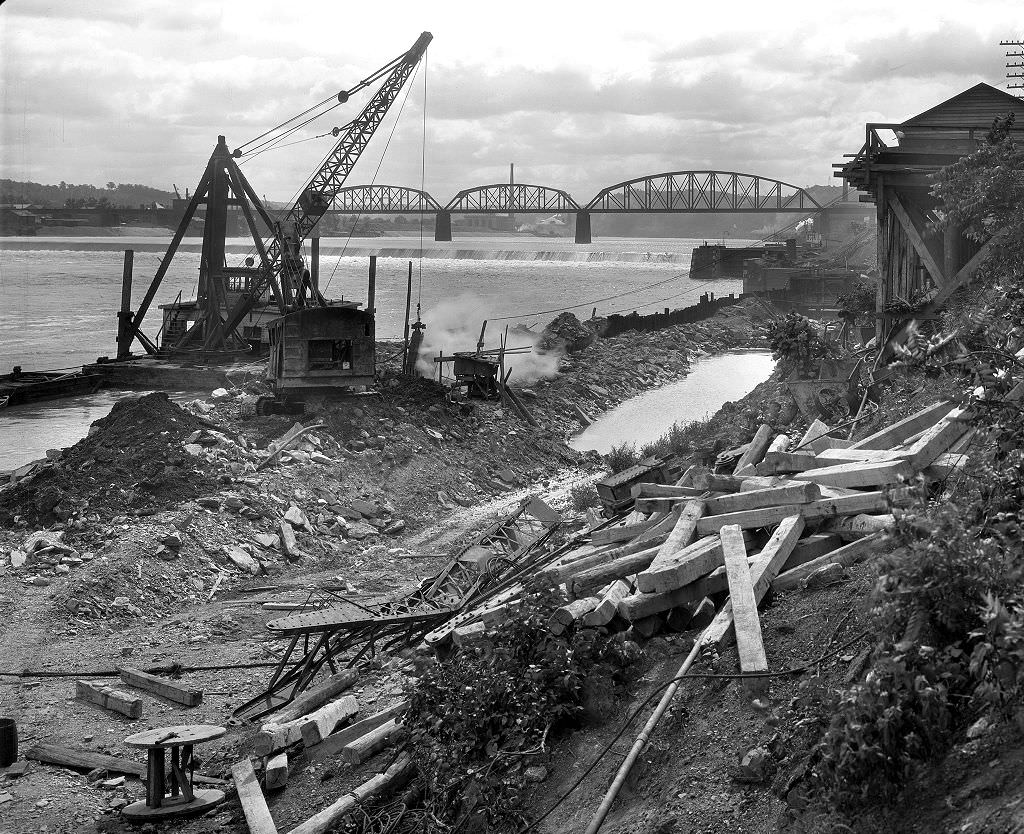
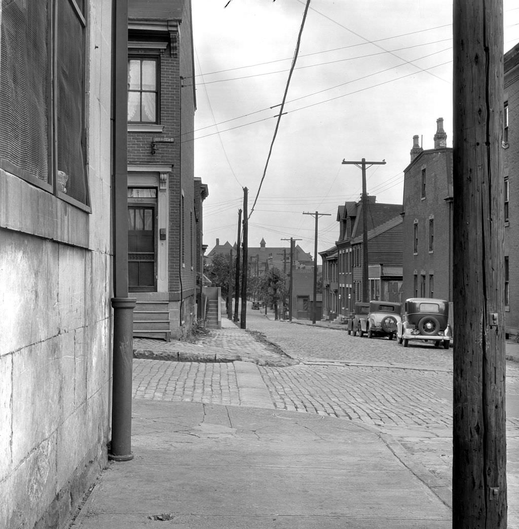
Infrastructure construction was one of the most visible changes to Pittsburgh’s streets in the early 1930s. Sewer lines were being extended, roads were being paved, and aging systems were being replaced. Some of this work was funded through the early New Deal programs, which put unemployed men to work on public projects. Photographs taken in 1933 document the raw, unfinished state of many Pittsburgh streets — open trenches, dirt roads, and half-built drainage systems that were slowly modernizing the city’s infrastructure one block at a time.
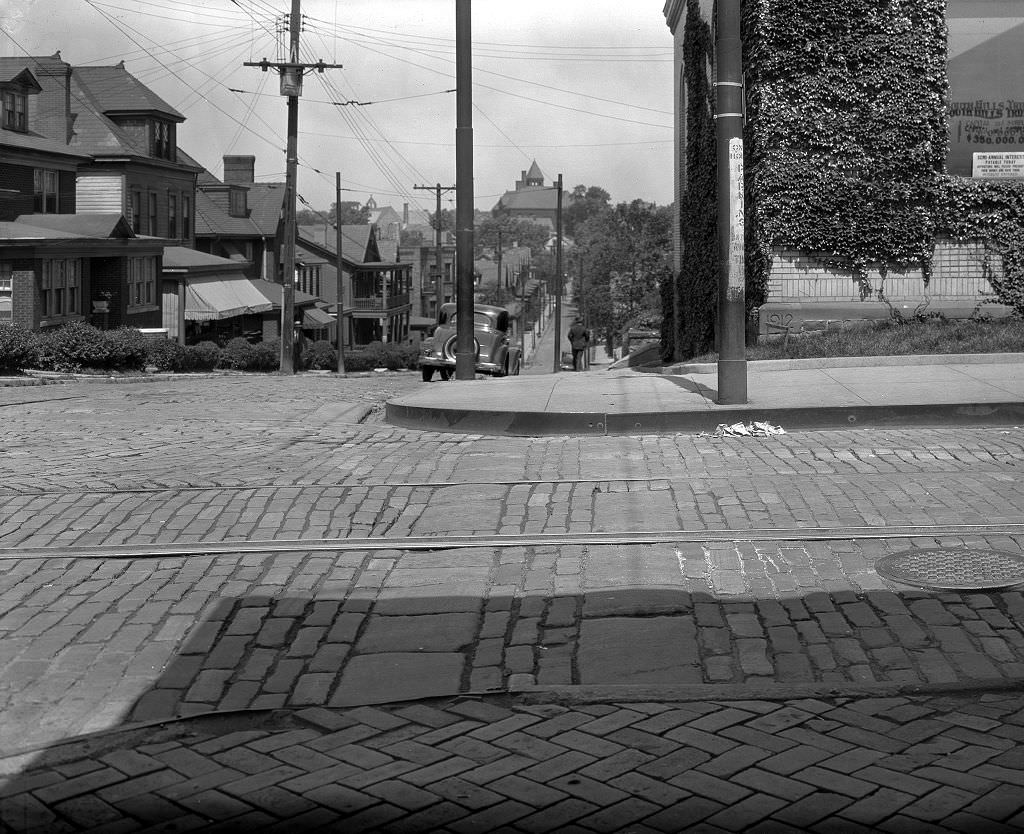
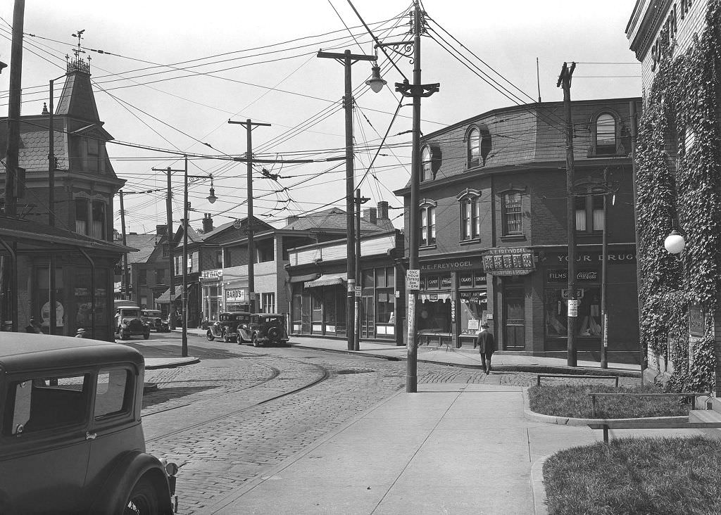
Corner pharmacies and local banks were anchors of Pittsburgh’s neighborhood commercial districts. The Freyvogel Pharmacy and South Hills Trust at their shared corner represent a snapshot of the small-scale commercial life that kept neighborhoods functioning. In the 1930s, the neighborhood drugstore served as more than just a place to fill prescriptions — it was a meeting point, a source of everyday goods, and often a source of credit for regular customers who couldn’t always pay in full. Local banks like South Hills Trust were under enormous pressure during the Depression, and many did not survive the decade.
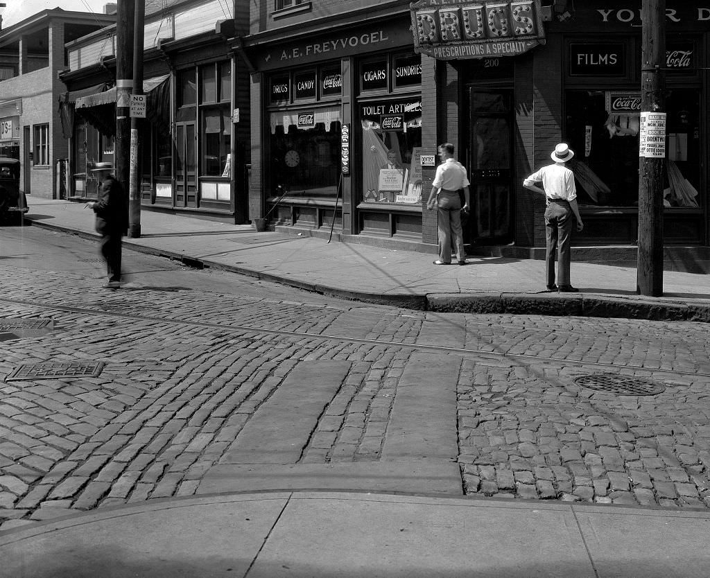
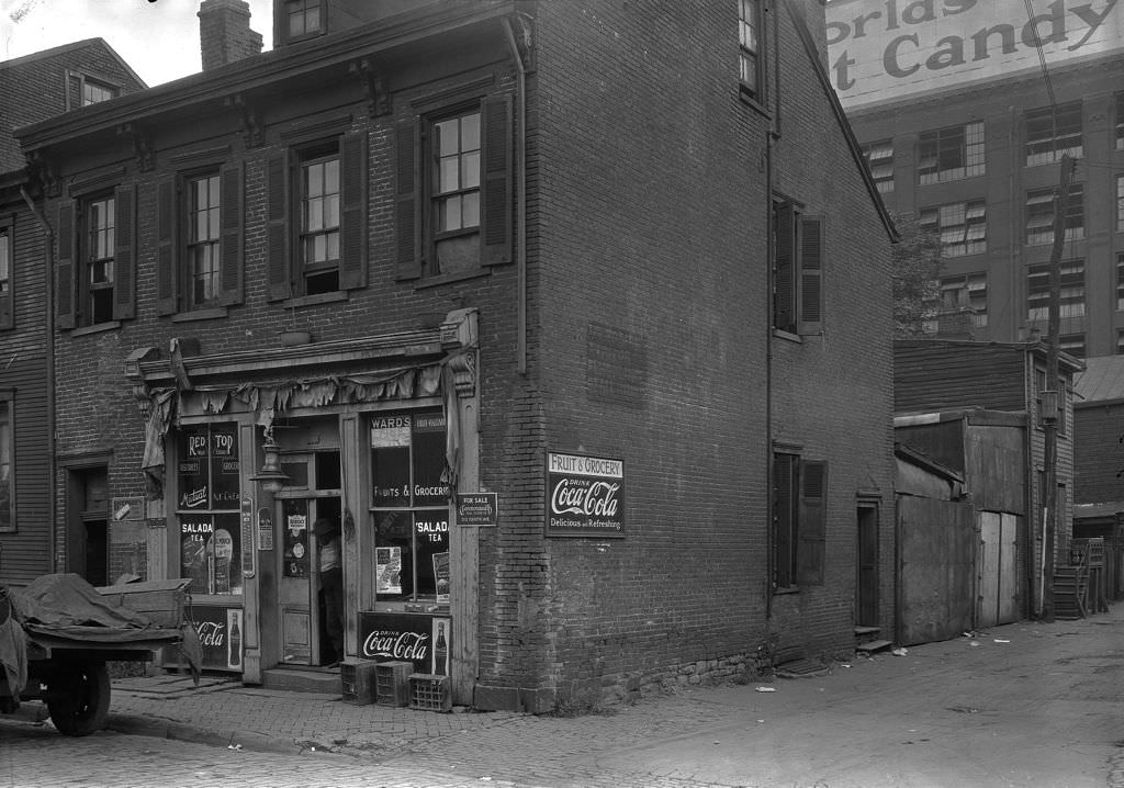
West Lacock Street, like many of Pittsburgh’s residential side streets in 1933, shows the city in a state of everyday use. Narrow streets, brick row houses, and utility poles mark the landscape. Traffic — a mix of early automobiles and foot traffic — moved through these streets in a pattern that had changed little since the previous decade. The economic crisis showed not always in dramatic scenes but in the small details: storefronts with reduced inventory, fewer cars on the road, men standing on corners with nowhere to be.
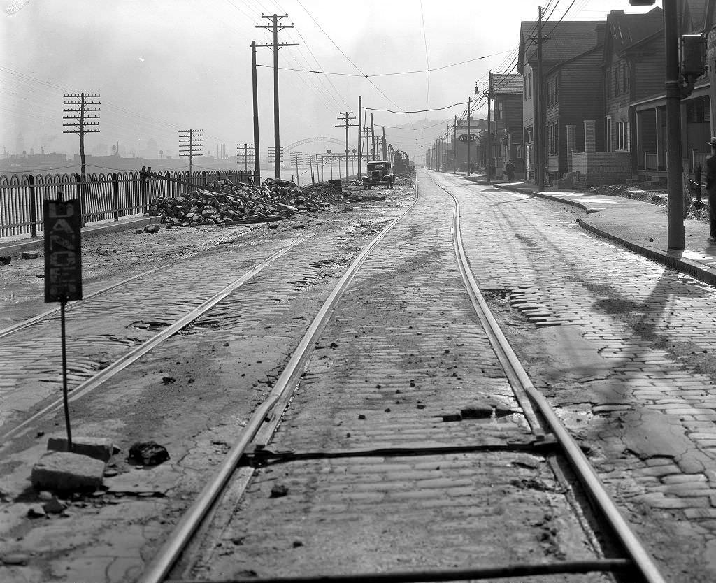
West Carson Street on Pittsburgh’s South Side was one of the city’s busiest commercial corridors, and construction along it in 1933 signals the ongoing effort to improve and expand city infrastructure even during hard times. South Side had long been a working-class neighborhood tied to the steel industry, and Carson Street served as its main commercial artery. Shops, bars, hardware stores, and service businesses lined its length, serving the mill workers and their families who made up most of the neighborhood’s population.
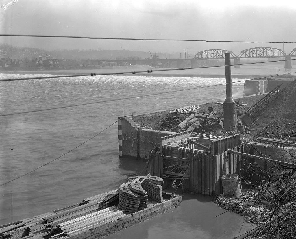
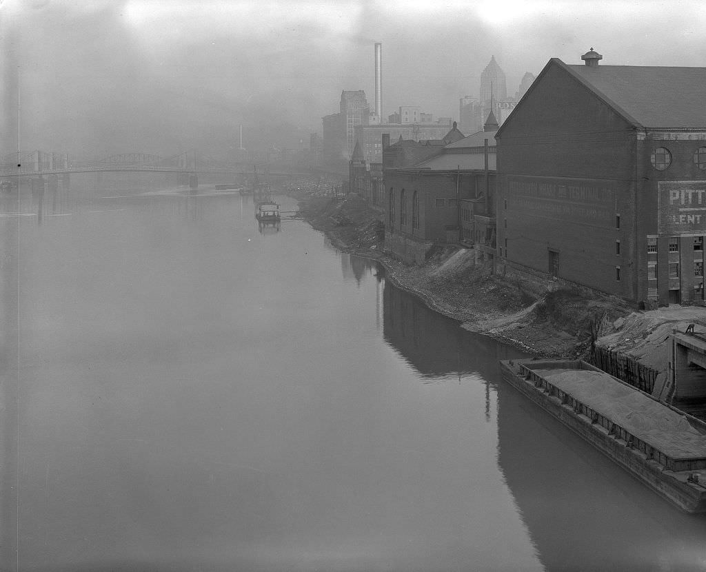
The Allegheny River’s banks in 1933 show a waterfront that was industrial in character but also home to residential communities that had grown up alongside the water. Pittsburgh’s rivers were used for transportation and manufacturing, not recreation. The banks were functional spaces — docks, warehouses, rail lines — and the communities living near them dealt with the constant noise and pollution that came with that use. Flooding was a recurring risk, and the lower-lying neighborhoods along the Allegheny had been damaged by high water many times before 1936’s record event.
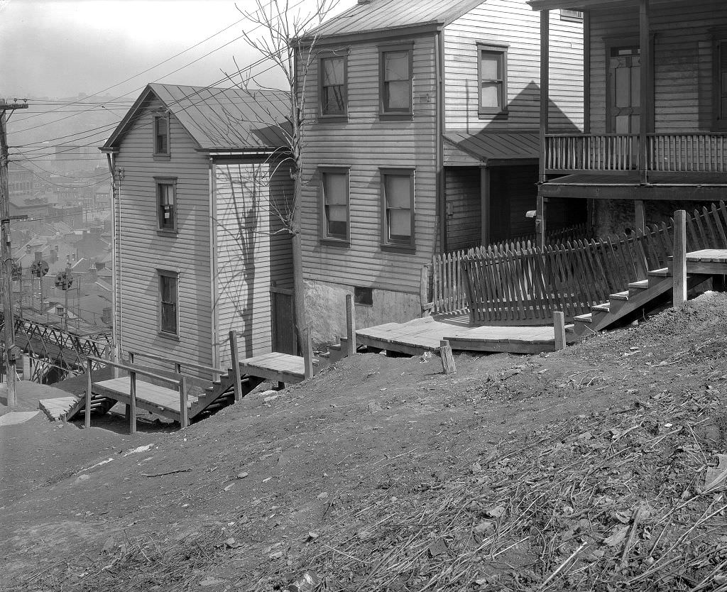
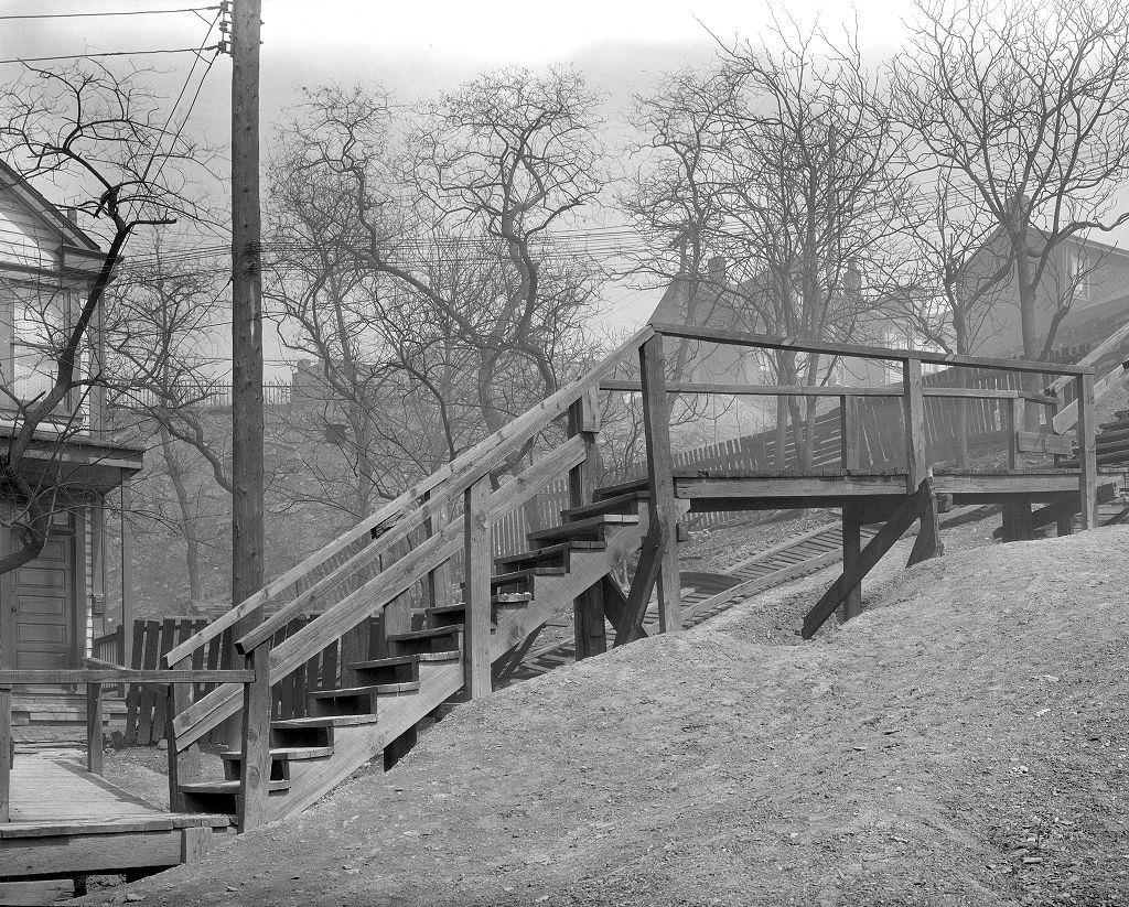
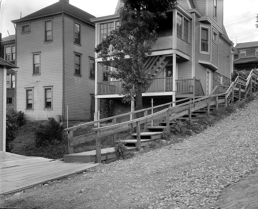
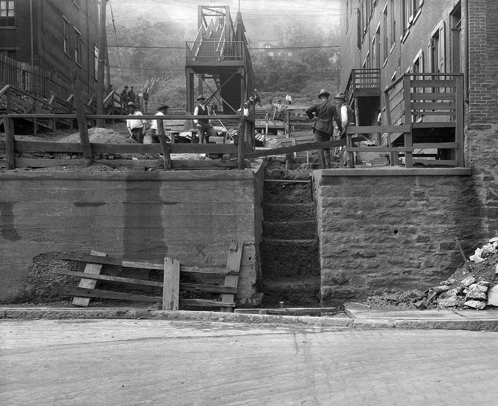
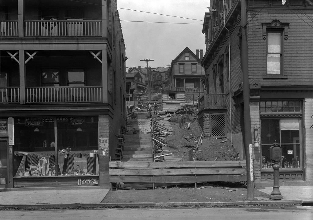
Pittsburgh’s outdoor staircases — known locally as city steps — were essential infrastructure in neighborhoods built on steep hillsides. There were hundreds of sets of steps throughout the city, connecting streets at different elevations and allowing residents to reach destinations that would otherwise require long detours by road. German Square Steps, like many others photographed in 1933, show these utilitarian structures as central to daily life in Pittsburgh. They were maintained by the city and appeared in planning documents as seriously as any paved road.
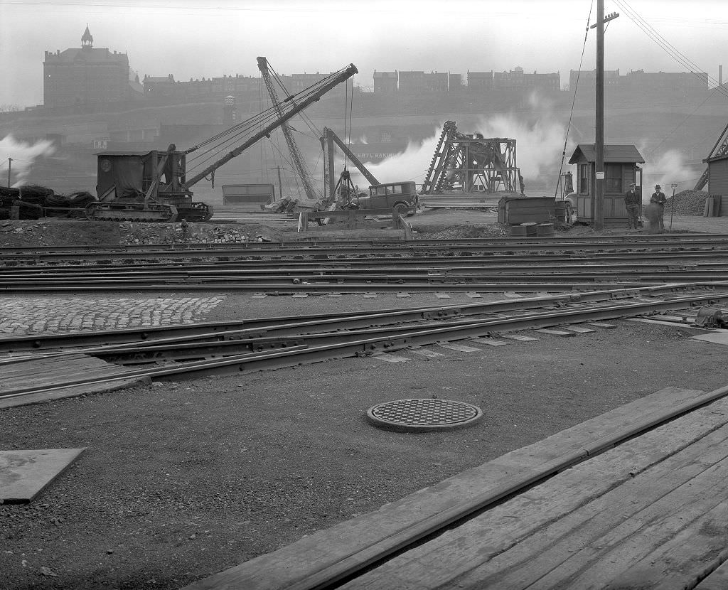
Sewer construction was one of the most critical infrastructure projects underway in Pittsburgh during the 1930s. Much of the city’s sewer system dated back to the late 19th century and was inadequate for the population density that had developed since. New sewer lines were being dug throughout the South Side and other neighborhoods, a process that tore up streets and disrupted daily life but was necessary for basic public health. The work was labor-intensive and provided employment at a time when any paying work was welcome.
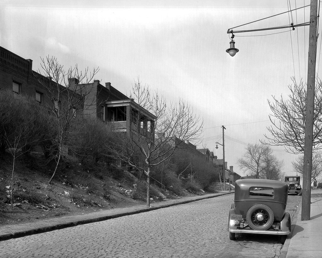
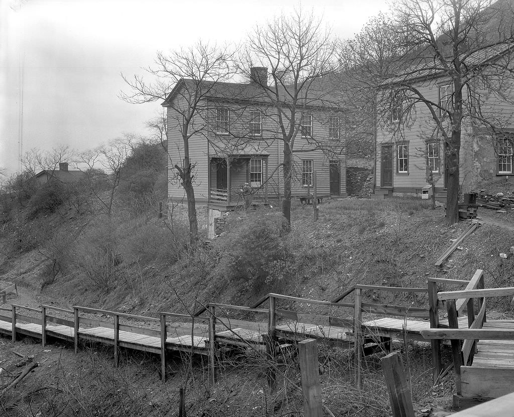
Pittsburgh’s hilly terrain created a recurring hazard: landslides. The steep slopes that gave the city its dramatic geography also made it vulnerable when soil became saturated from rain or when construction disturbed unstable ground. The William Street landslide of 1933 damaged properties and required emergency stabilization work. Landslides were documented as a regular maintenance concern by city engineers throughout the 1930s, and photographs of the damage were taken as part of the official record of needed repairs.
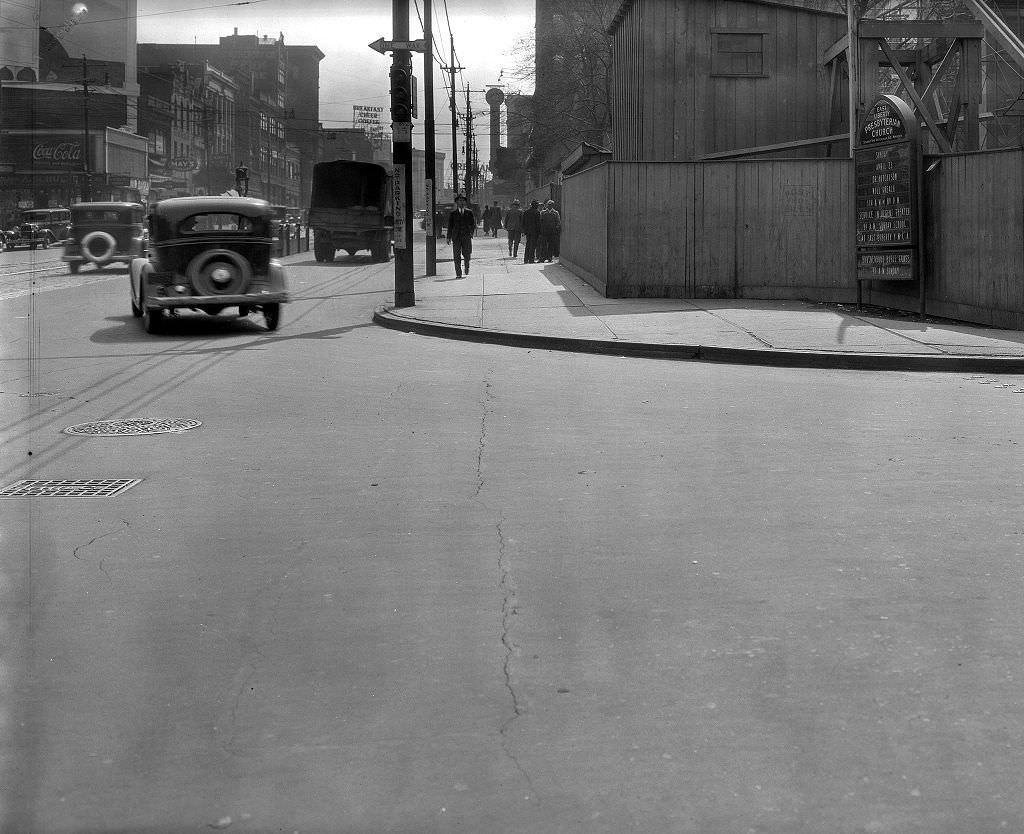
Not all construction in Depression-era Pittsburgh was utilitarian. The East Liberty Presbyterian Church was under construction in 1933, a massive Gothic Revival structure funded largely by the Mellon family. The project continued through the Depression, providing steady employment for skilled craftsmen — stonemasons, carpenters, ironworkers — when other building projects had stopped. The church, when completed, became one of the most architecturally significant buildings in Pittsburgh, a lasting monument to the wealth that still existed at the top of the city’s economic ladder even as workers below struggled.
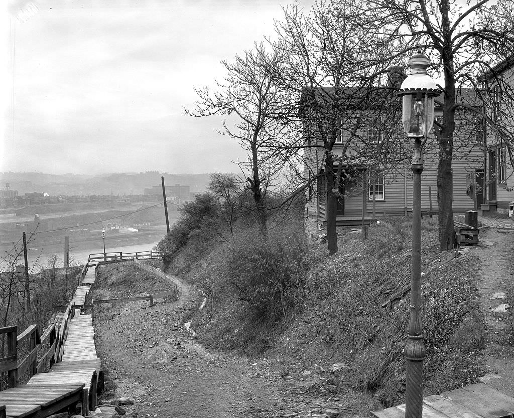
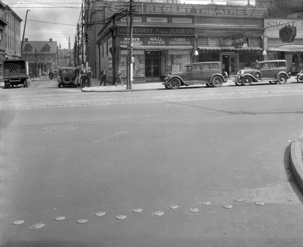
Penn Avenue was one of Pittsburgh’s primary commercial streets, running from downtown through East Liberty and beyond. In 1933, its businesses were a mix of retail shops, service providers, and entertainment venues. Some were thriving; many were not. Storefronts that had been busy in the 1920s now showed reduced hours or vacant windows. But Penn Avenue remained active — a busy urban corridor where streetcars ran, pedestrians moved, and commerce, diminished as it was, continued.
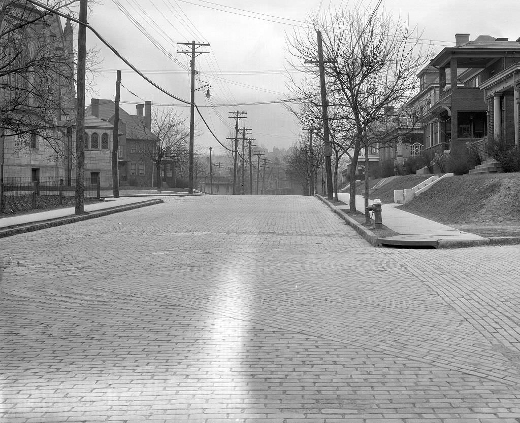
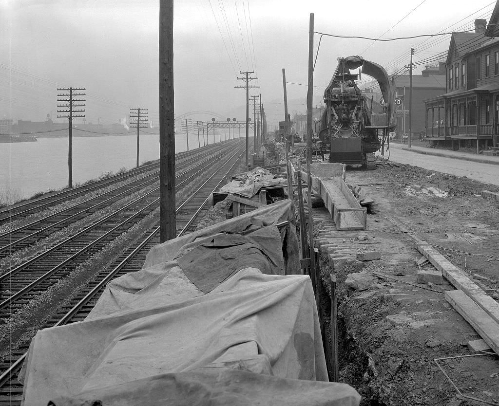
Retaining walls were a constant feature of Pittsburgh’s public works. The city’s topography required them everywhere — along roads carved into hillsides, at the bases of slopes prone to erosion, and along stretches of riverfront where embankments needed reinforcement. West Carson Street’s wall construction in 1933 was part of the broader effort to stabilize the South Side’s infrastructure. These projects were photographed systematically by city engineers tracking progress, which is why such a detailed visual record of 1930s Pittsburgh survives today.
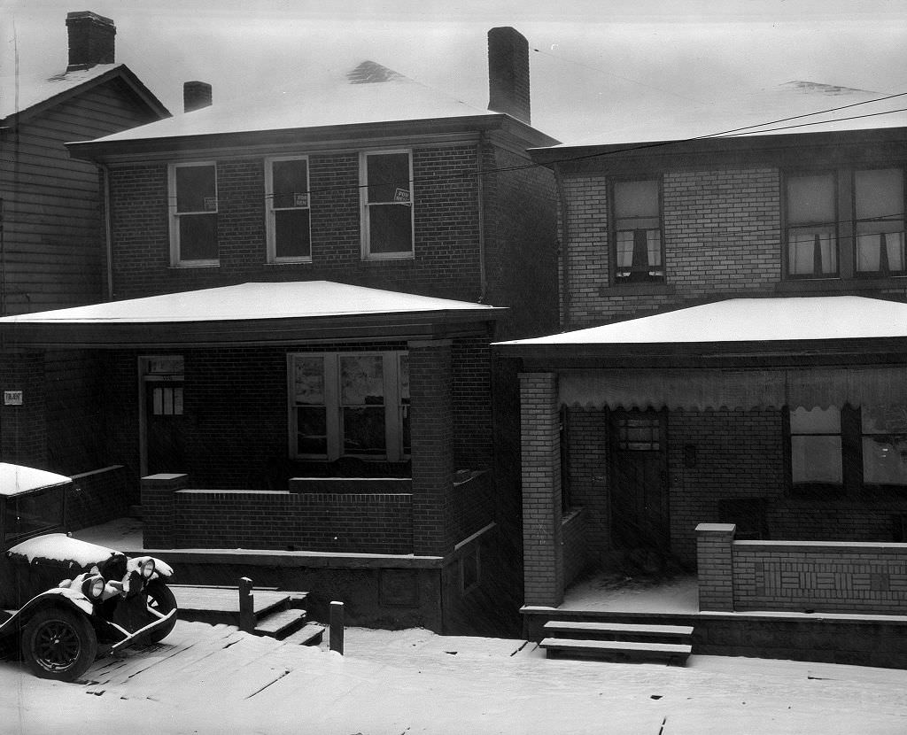
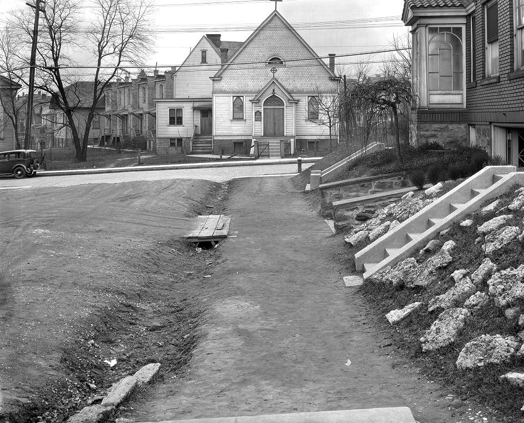
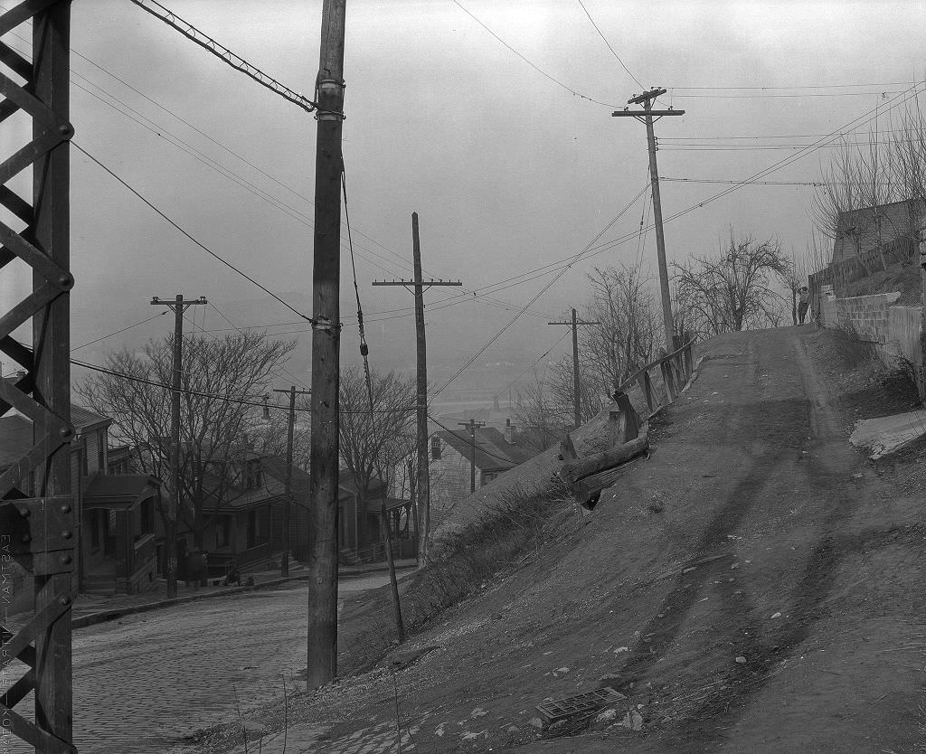
Pittsburgh’s South Side neighborhoods were a dense web of small streets, alleys, and stepped walkways. Saint Joseph Way and the surrounding blocks were typical of the area — narrow, residential, and built for pedestrian and foot traffic more than automobiles. Houses here were close together, yards were small, and community life happened largely on stoops, sidewalks, and in the small corner stores that dotted the neighborhood. By 1933, these blocks had the worn look of places that hadn’t seen investment in years.
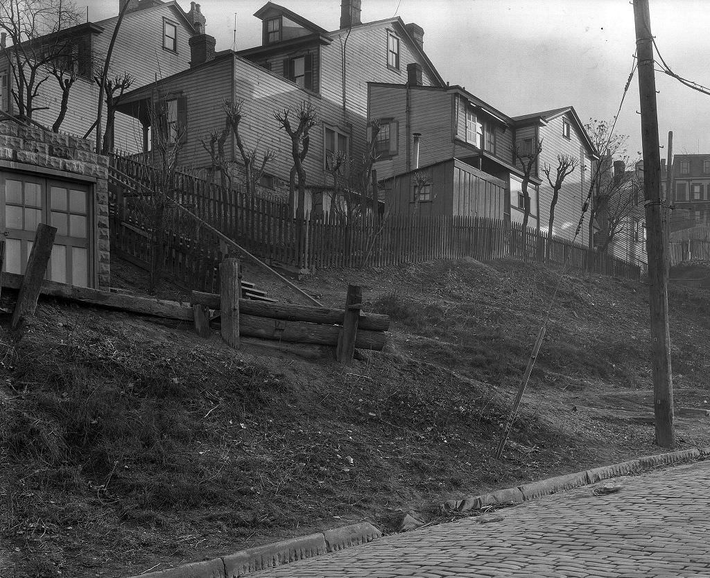
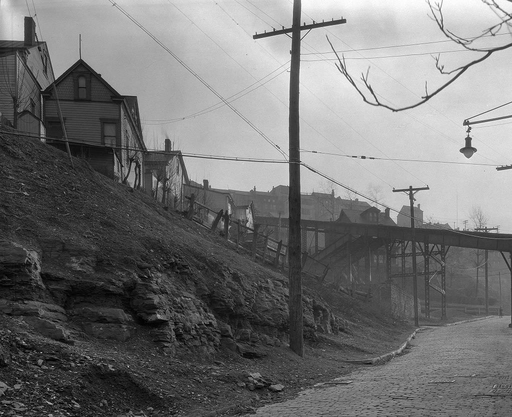
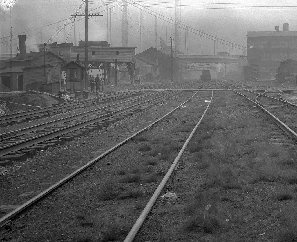
The Pittsburgh and Lake Erie Railroad ran along the South Side waterfront, and sewer reconstruction near its tracks in 1933 was part of a larger project to modernize underground infrastructure in the area. The railroad itself was a major employer and a key link in the regional transportation network. Freight moved along its lines to and from the steel mills, and the right-of-way running adjacent to it was shared with utility lines, drainage systems, and road corridors that all required constant maintenance.
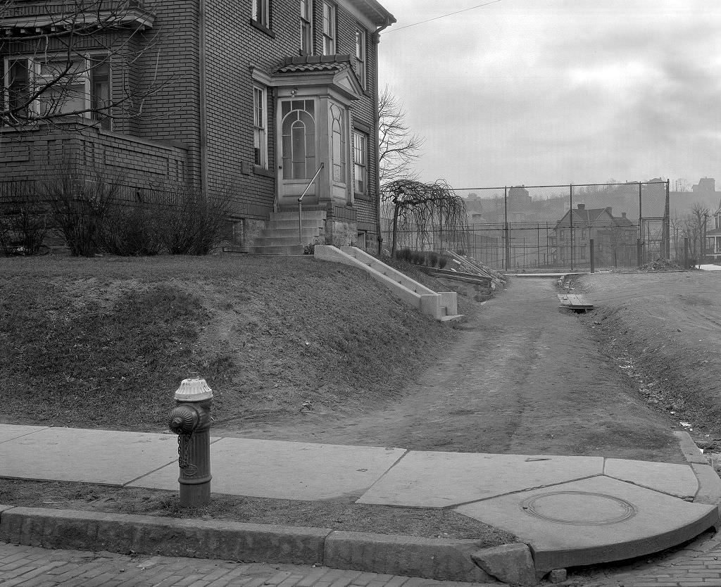
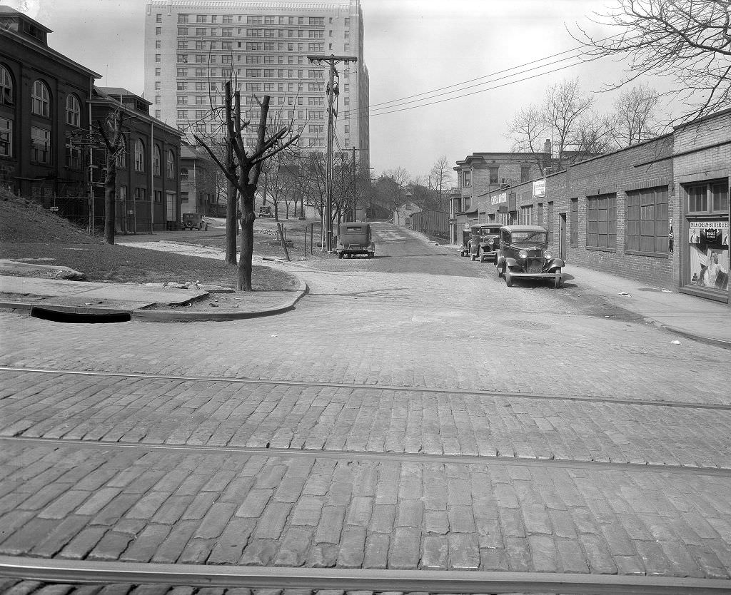
Centre Avenue was another key commercial and residential corridor, particularly important to Pittsburgh’s Black community. The intersection at Dollar Street sat within a neighborhood that had its own economy, culture, and institutions largely separate from the white-dominated mainstream. Black-owned businesses, churches, and social clubs lined these blocks. During the Depression, these community networks became even more important as formal social safety nets were either insufficient or, in some cases, explicitly excluded Black applicants.
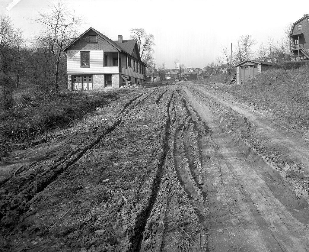
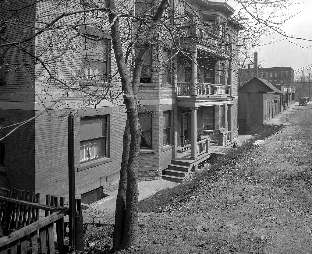
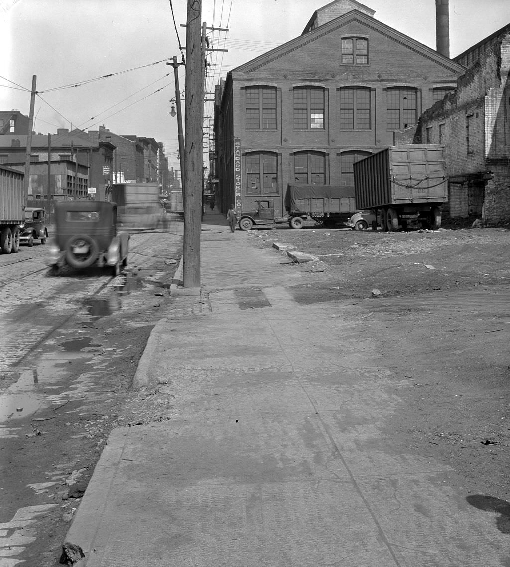
Pittsburgh’s street traffic in 1933 was a mix of automobiles, streetcars, delivery wagons, and pedestrians. West Lacock Street’s traffic heading toward Federal Street shows the North Side’s typical urban movement. The North Side — once the independent city of Allegheny before it was annexed by Pittsburgh in 1907 — retained its own commercial identity in the 1930s. Federal Street was its main spine, lined with shops and transit connections that served the surrounding residential neighborhoods.
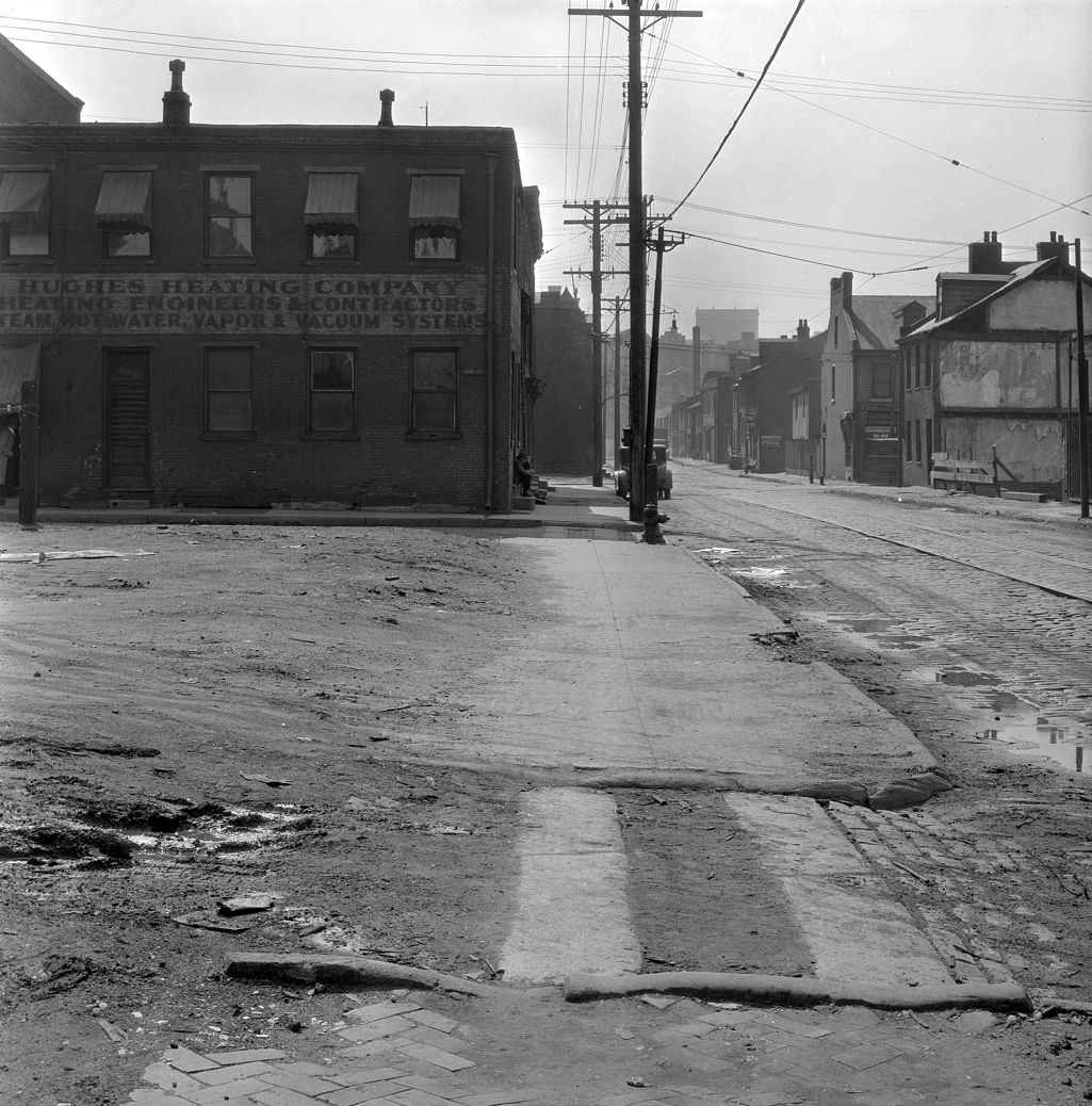
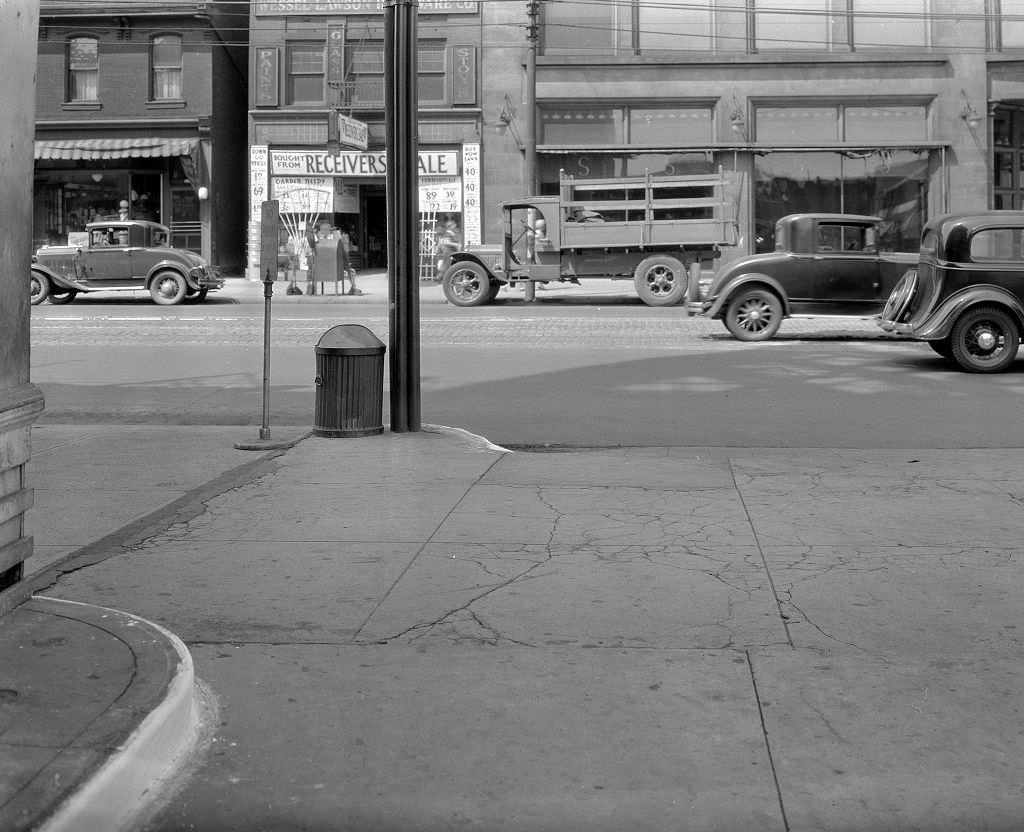
Gasoline stations began appearing throughout Pittsburgh in the 1920s as automobile ownership grew, and by 1933 chains like Amoco had established a presence on major commercial streets. The view from an Amoco station onto Penn Avenue captures the coexistence of old and new in Depression-era Pittsburgh — automobiles and horse-drawn vehicles still shared the road on some streets, while national chain gas stations and local mom-and-pop businesses competed side by side.
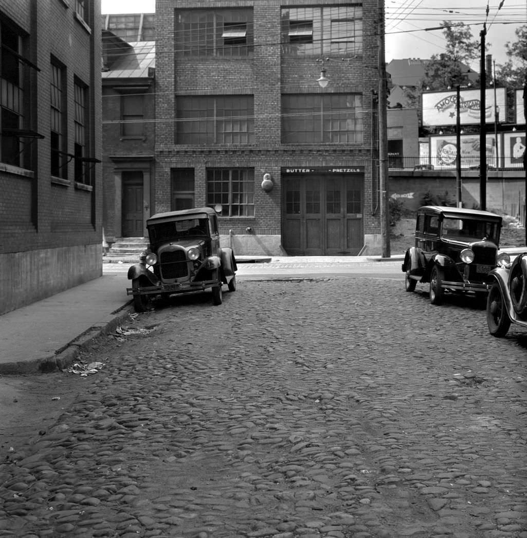
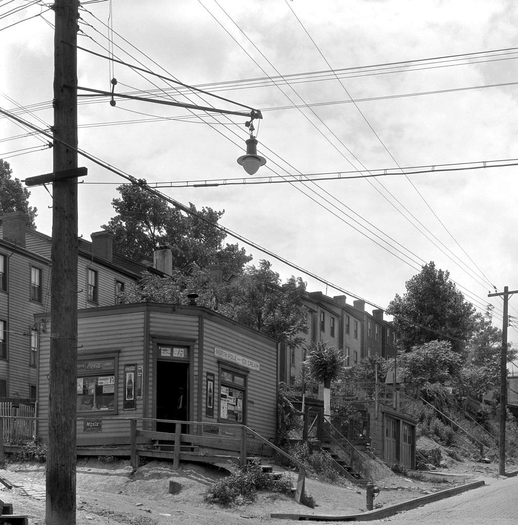
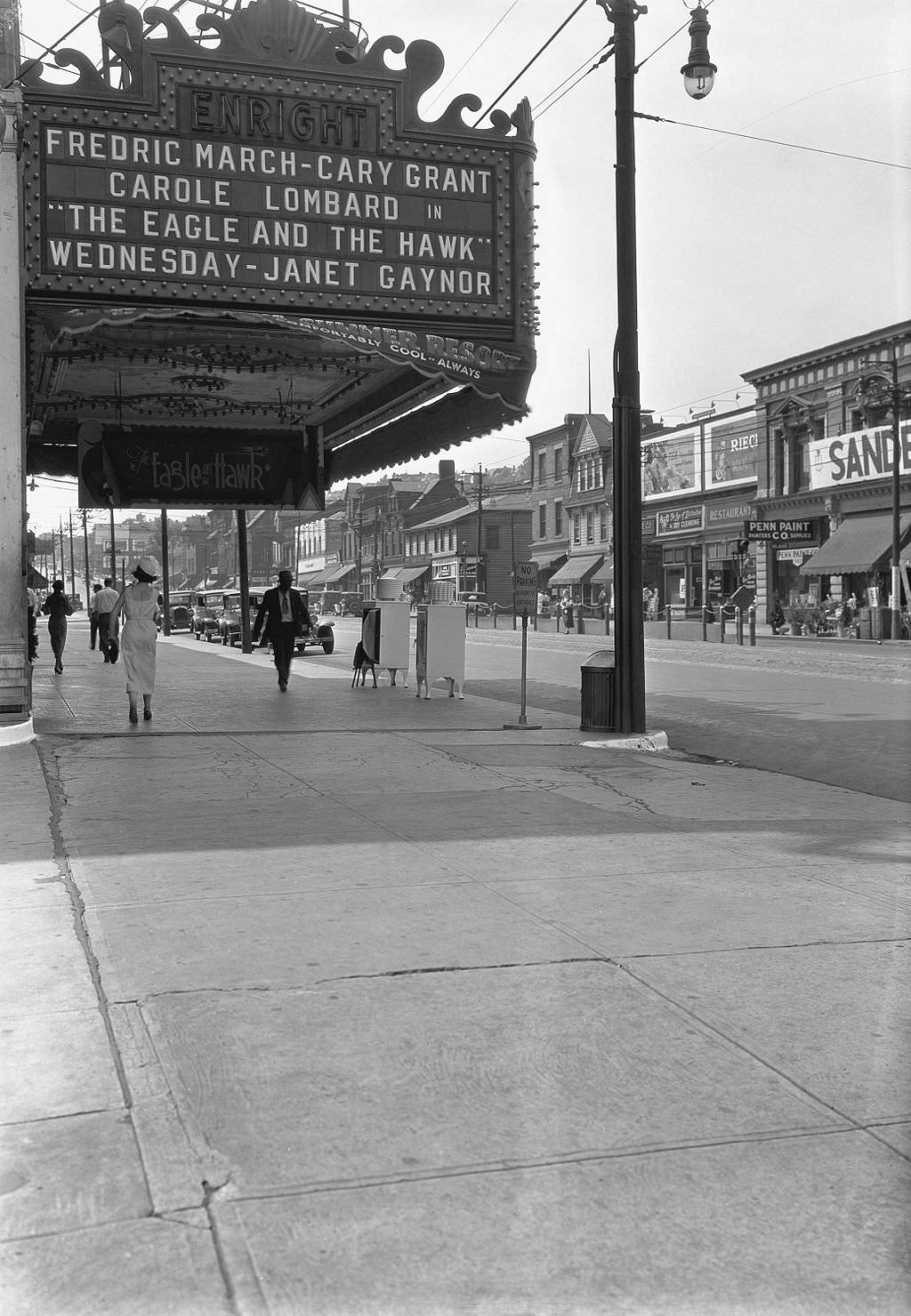
Movie theaters were one of the few industries that stayed relatively healthy through the Depression. Admission prices were low enough that even struggling families could afford an occasional visit, and theaters offered a few hours of escape from the stress of daily life. The Enright Theatre on Penn Avenue at Beatty Street served the East Liberty neighborhood. It was one of many neighborhood theaters operating across Pittsburgh in 1933, filling a cultural role that went beyond simple entertainment — the theater was a community gathering place, a consistent landmark in a time of uncertainty.
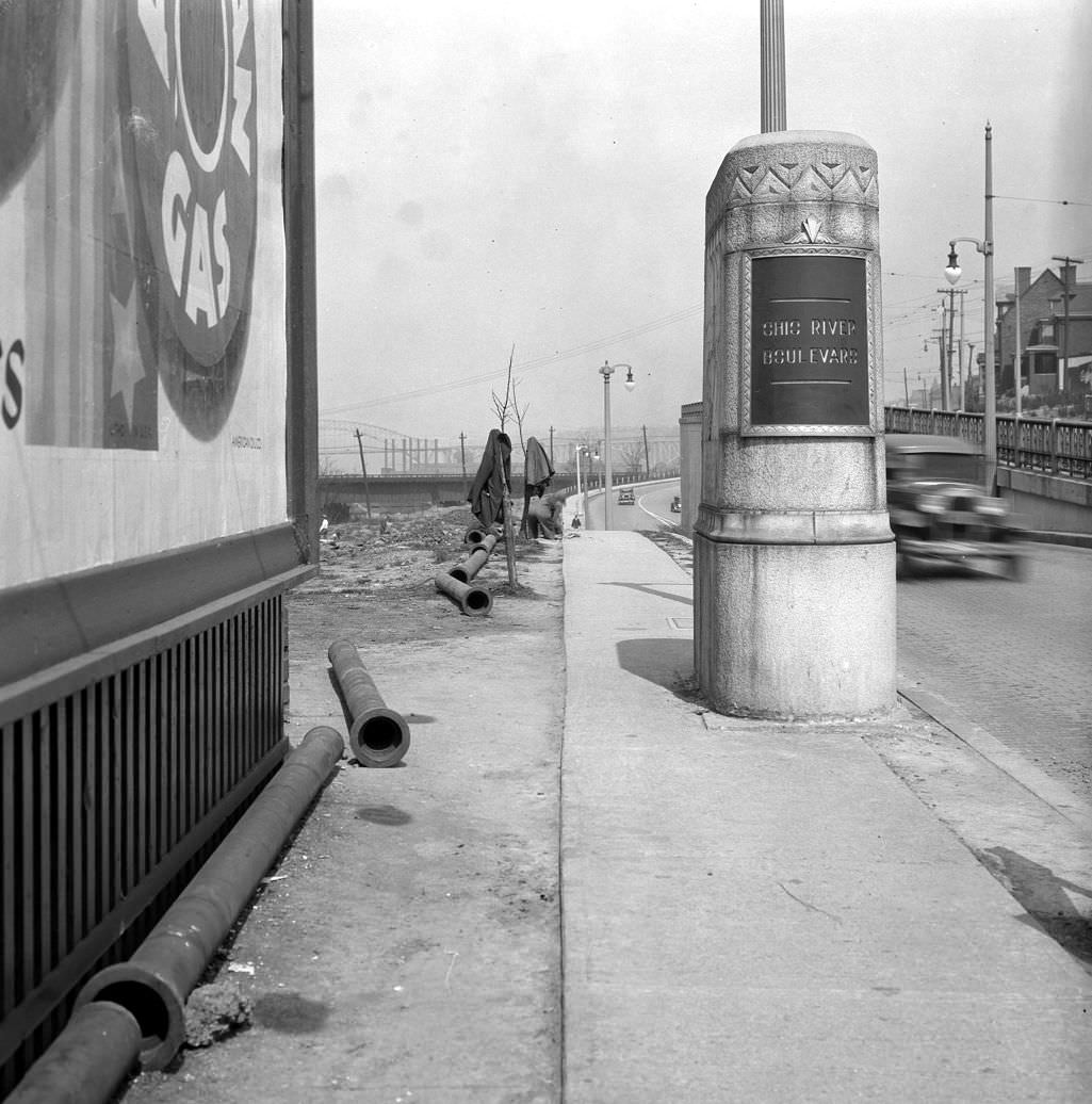
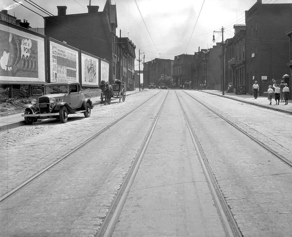
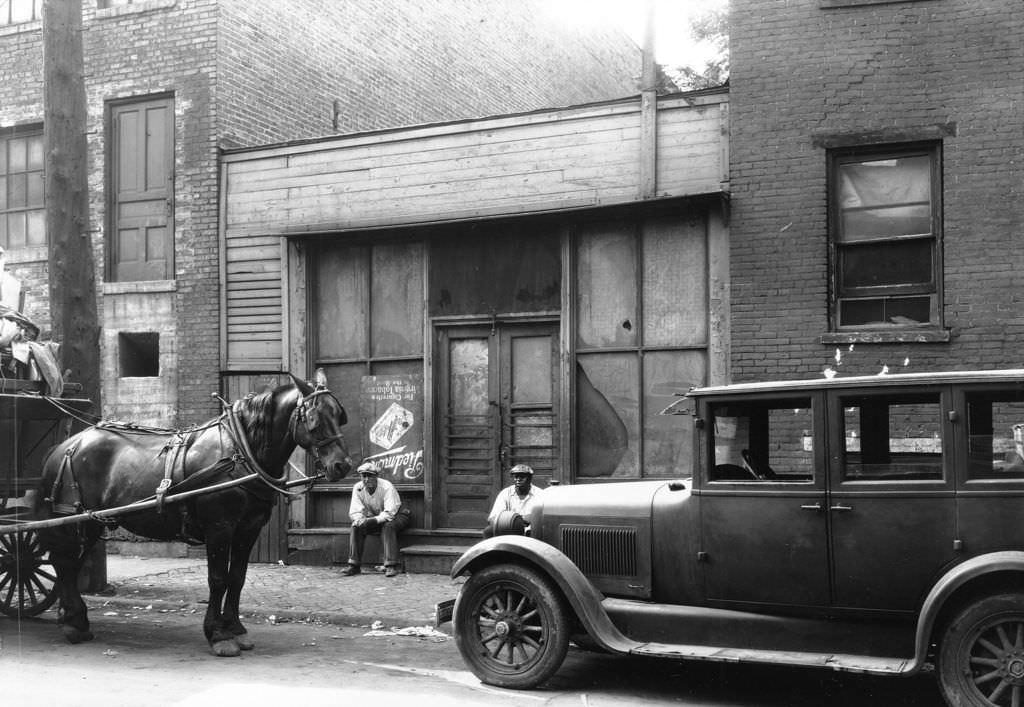
Fifth Avenue in 1933 was a study in transitions. Advertisements plastered on brick walls and storefronts competed for attention, hawking products to a public with diminished spending power. The appearance of a horse-drawn vehicle alongside motor cars on Fifth Avenue was not unusual — the shift to fully motorized transport was still underway in many parts of the city. Commercial signage from this period often advertised consumer goods, food products, and services that Depression-era Pittsburghers struggled to afford.
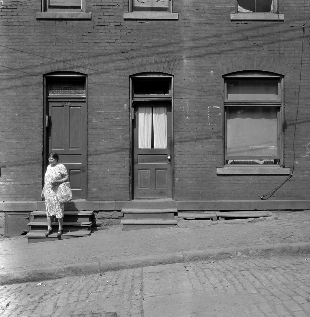
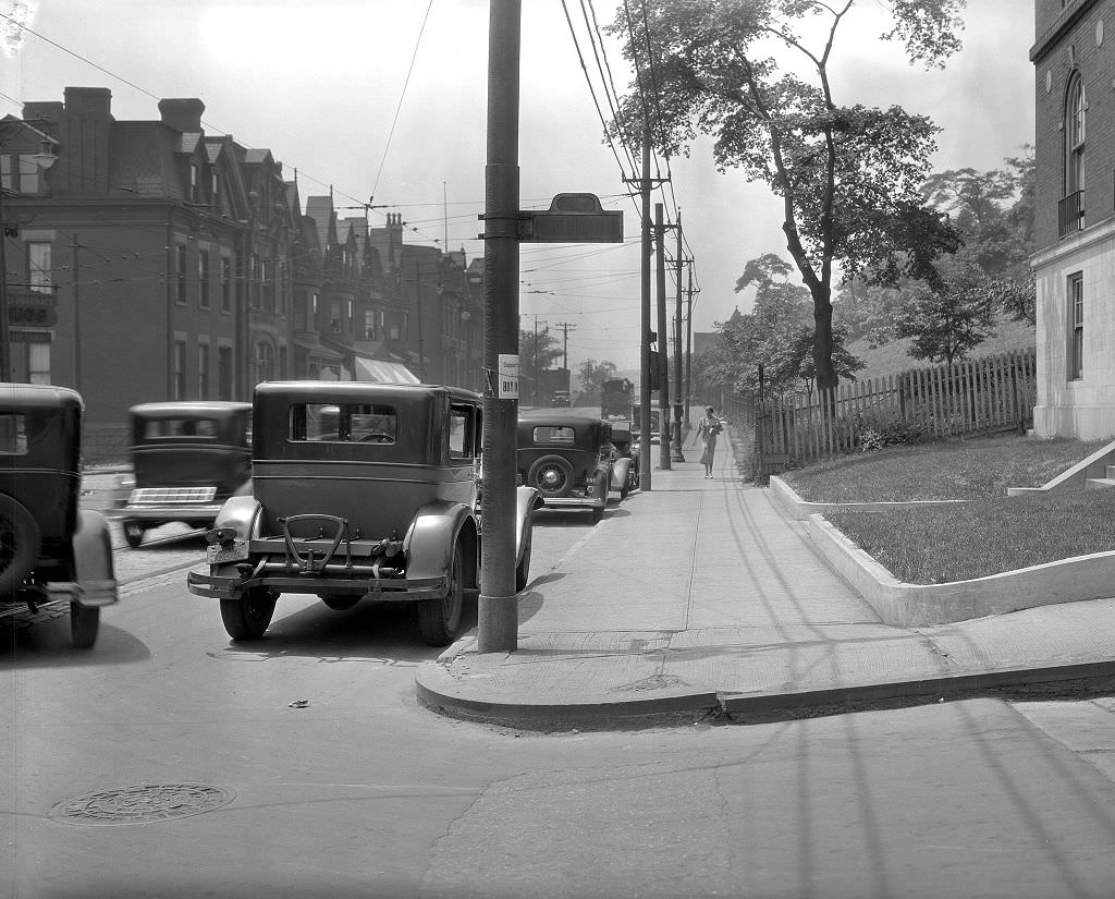
Montefiore Hospital, which had been established by Pittsburgh’s Jewish community in the early 1900s, stood along Fifth Avenue in Oakland. The area around Chesterfield Road was part of the broader Oakland neighborhood, which in addition to Montefiore contained the University of Pittsburgh, Carnegie Tech, and a growing cluster of medical and educational institutions. These institutions provided some of the more stable employment in the city during the Depression, insulated from the cyclical downturns that devastated manufacturing.
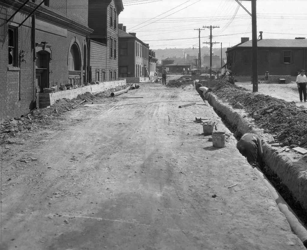
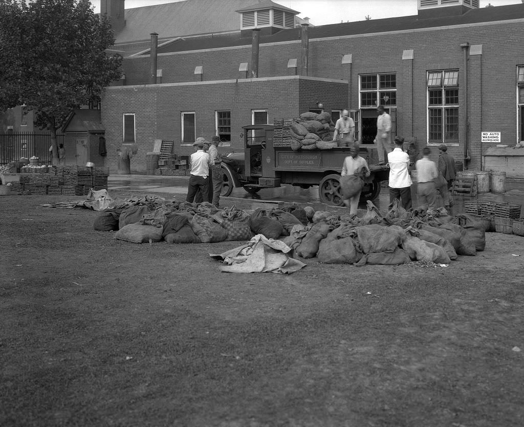
Mayview Hospital, located southwest of Pittsburgh in what is now Scott Township, was a large state psychiatric facility that operated its own farm. Workers photographed unloading crops there in 1933 were part of the hospital’s self-sufficiency program — the institution grew a significant portion of its own food supply, including vegetables, grains, and livestock products. This was common practice for large institutions during the era, and it took on added importance during the Depression when budgets were cut and food supply chains were strained.
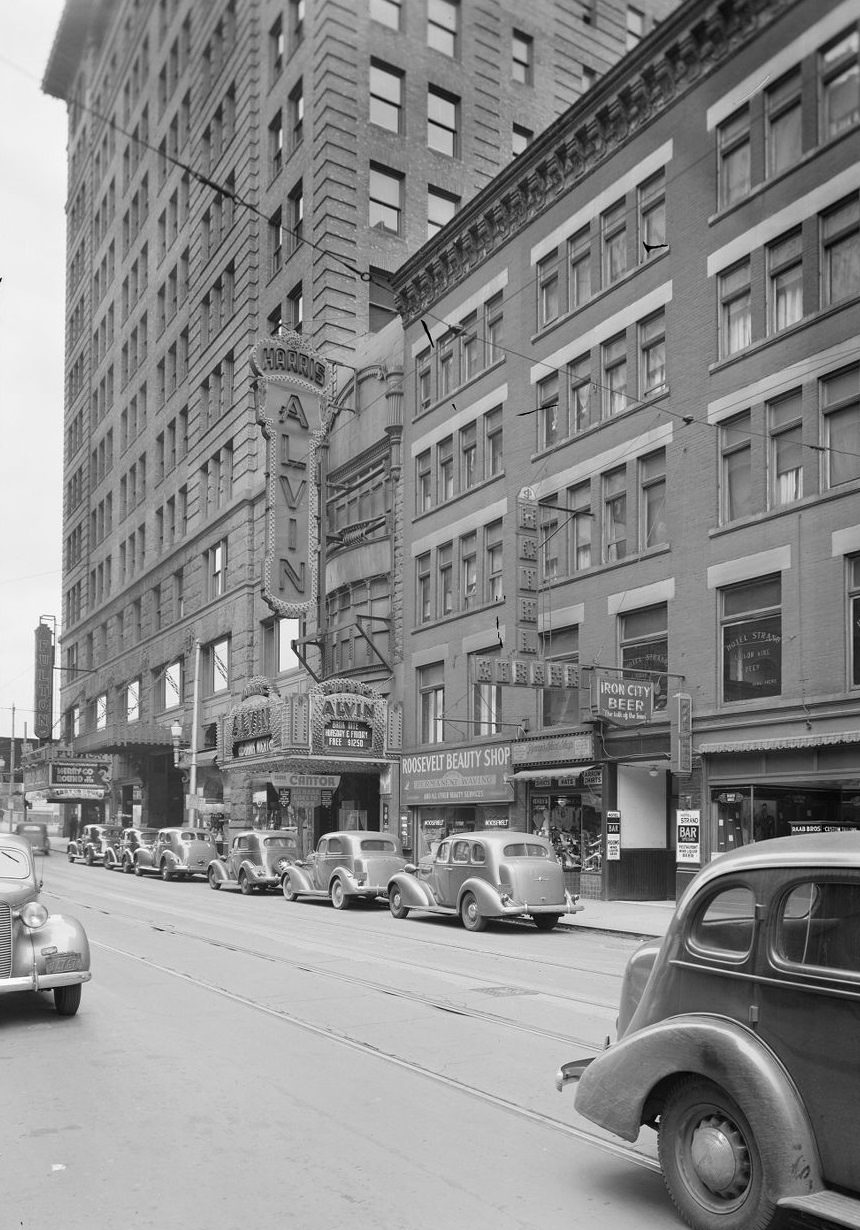
The Alvin Theatre on Sixth Street was part of Pittsburgh’s downtown entertainment district. By 1937, as the Depression slowly began to ease, the city’s theaters and entertainment venues were seeing renewed interest. The Alvin hosted live performances and drew audiences from across the city and surrounding communities. Sixth Street sat near the confluence of the two rivers in downtown Pittsburgh, a part of the city that had been hard hit by the 1936 flood but was rebuilding and reopening by 1937.
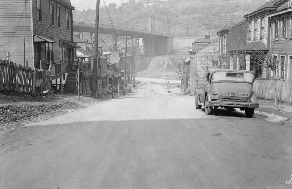
The Works Progress Administration — renamed the Work Projects Administration in 1939 — was responsible for a massive amount of visible change in Pittsburgh during the late 1930s. WPA crews worked on streets, stairways, parks, public buildings, and sewer systems throughout the city. The improvements on Acorn Street near Saline Street in 1938 were part of this broader program. The WPA provided wages to unemployed workers while delivering infrastructure improvements the city needed but couldn’t fund through normal channels during the Depression.
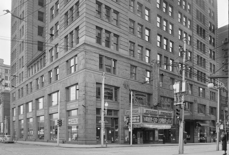
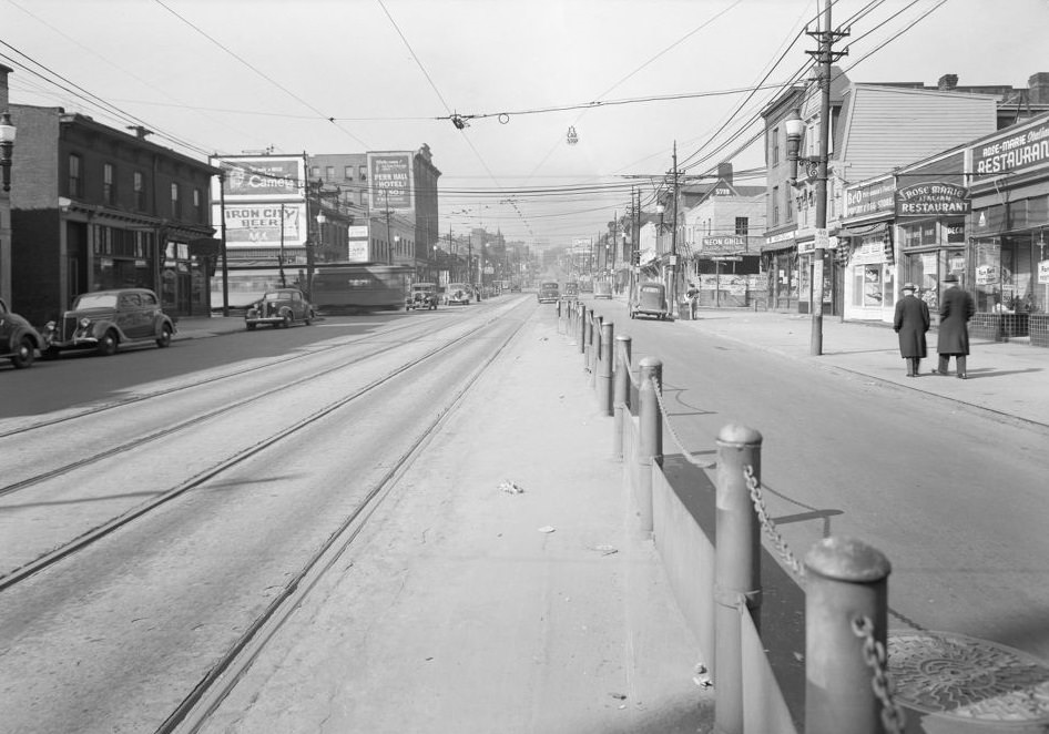
Penn Avenue at Euclid Avenue in 1937 captures a stretch of the city’s East End where residential and commercial uses mixed closely. Looking west along Penn Avenue from this point gave a view of a streetcar-served urban corridor lined with storefronts, awnings, and pedestrians. By 1937, some economic recovery was underway, and streets like Penn Avenue showed signs of returning activity — more cars, more open storefronts — though the full recovery of the local economy was still years away.
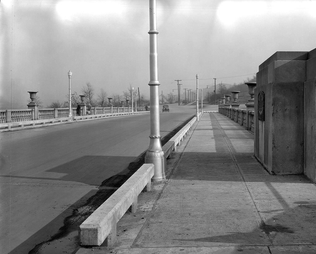
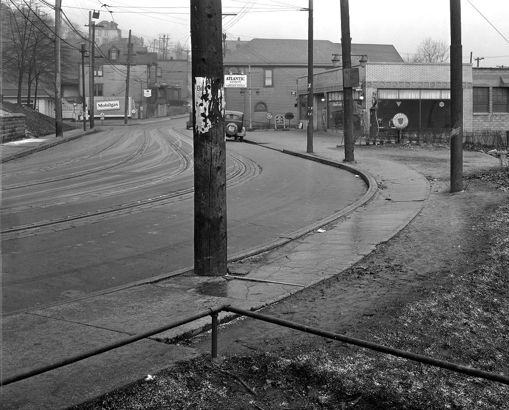
Chartiers Avenue ran through Pittsburgh’s West End, connecting neighborhoods on the western edge of the city. The stretch toward Allendale Street in 1933 showed a residential corridor with mixed housing stock — some brick, some frame — and the low-key commercial activity typical of outer neighborhoods. The West End was less industrial than the South Side or the North Shore but still felt the Depression’s weight in empty storefronts and reduced foot traffic.
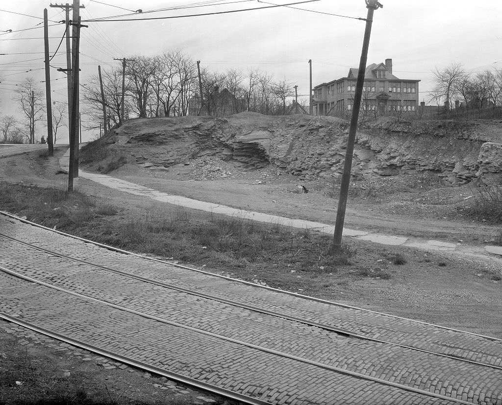
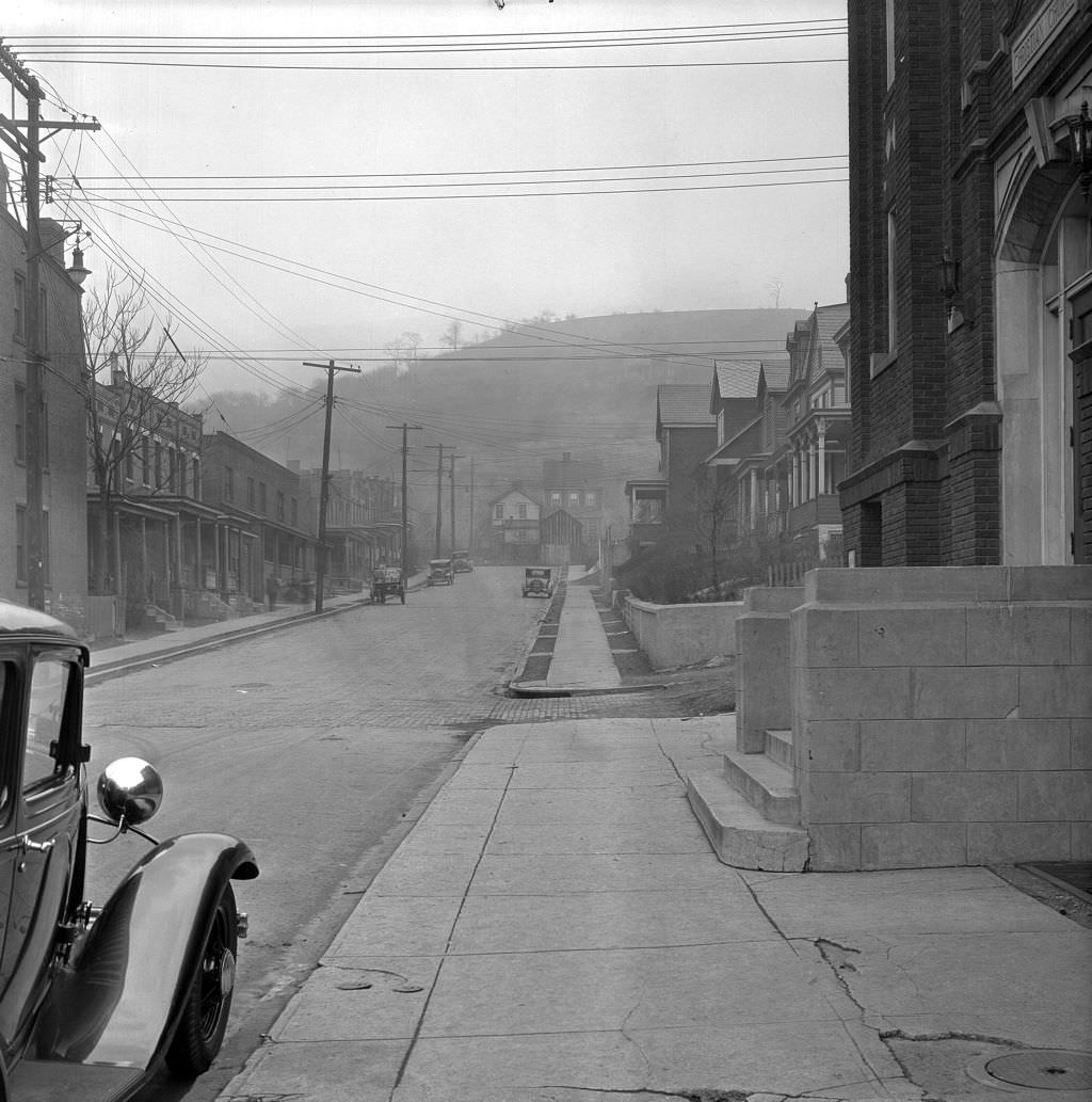
Hazelwood, located in Pittsburgh’s South Side along the Monongahela, was a heavily working-class neighborhood in the 1930s. Its churches were central institutions, offering not just religious services but community support, relief programs, and social gatherings. The Hazelwood Christian Church at Glen Caladh and Gertrude Streets was one of several congregations in the neighborhood. During the Depression, churches across Pittsburgh organized food drives and charitable assistance, filling gaps that neither employers nor government programs fully covered.
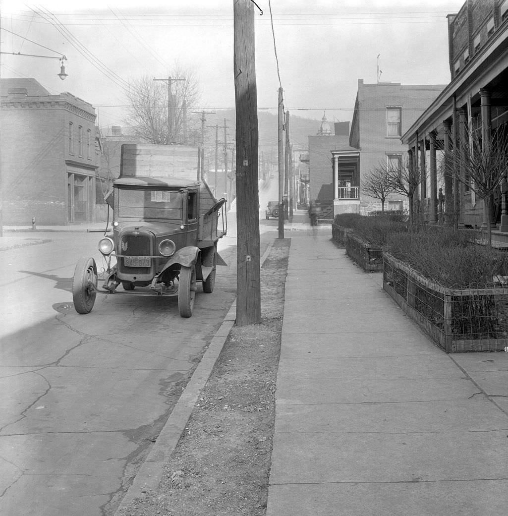
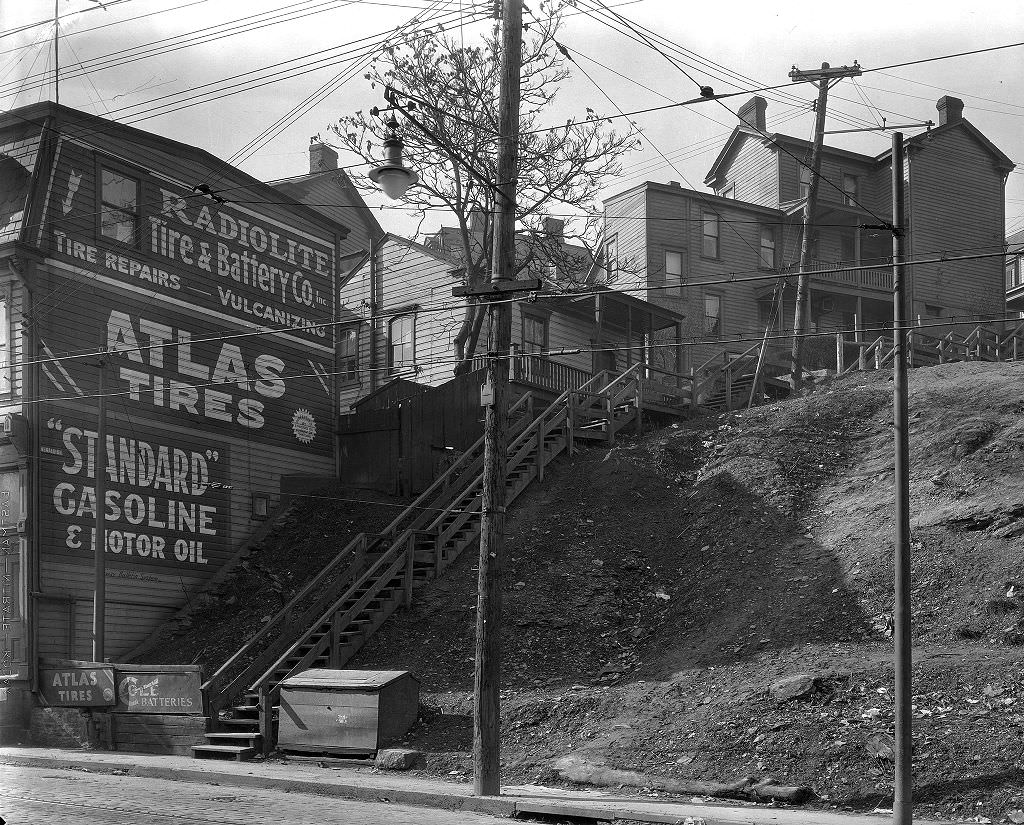
The Emerald Street Steps in the South Side Slopes connected Arlington Avenue to the neighborhoods below. Painted and posted advertisements covered nearby walls and surfaces, part of the visual texture of 1930s Pittsburgh. In an era before television, billboards, painted wall ads, and posted handbills were the primary means of mass advertising. These surfaces advertised everything from cigarettes to patent medicines to local services — a commercial landscape that covered almost every available vertical surface in dense neighborhoods.
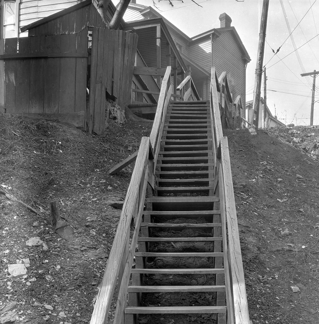
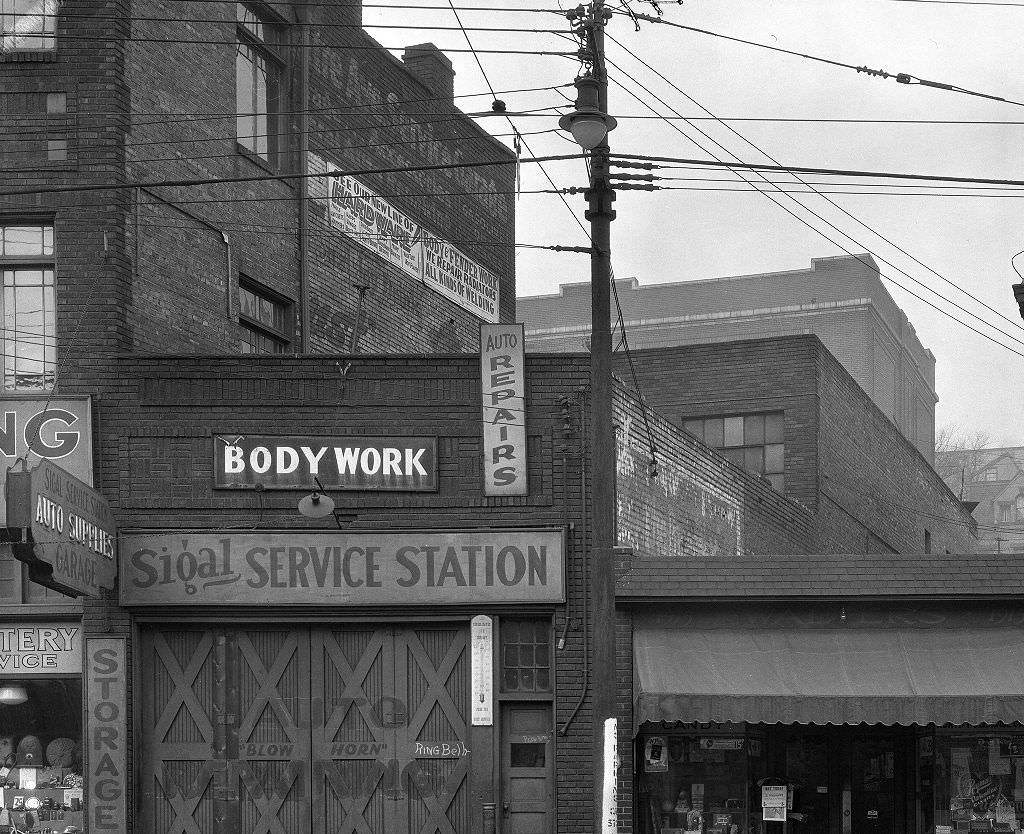
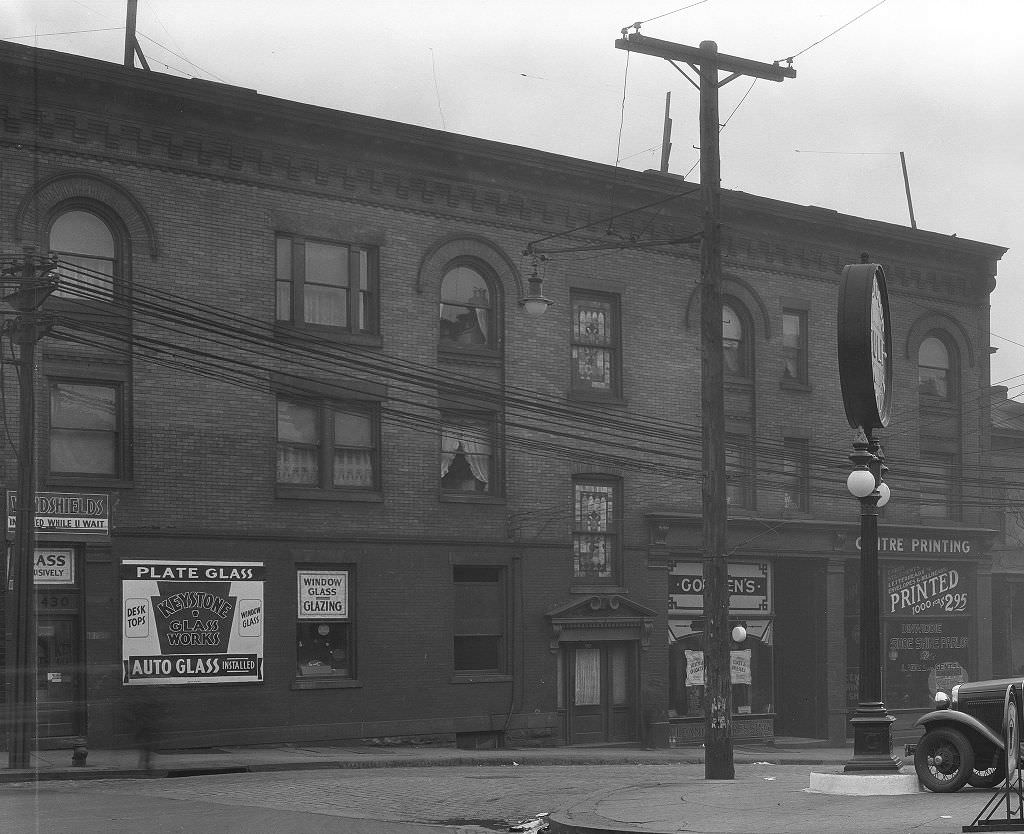
The intersection of Centre Avenue and Dinwiddie Street sat at the edge of the Hill District’s most active commercial stretch. In 1933, this block was surrounded by small businesses, churches, and residential buildings that served the neighborhood’s predominantly Black population. The local economy here was largely self-contained out of necessity — discriminatory practices in hiring, lending, and housing pushed Black Pittsburghers to build and rely on their own commercial networks. The intersection documented in these photographs was part of a functioning community operating within the constraints imposed on it.
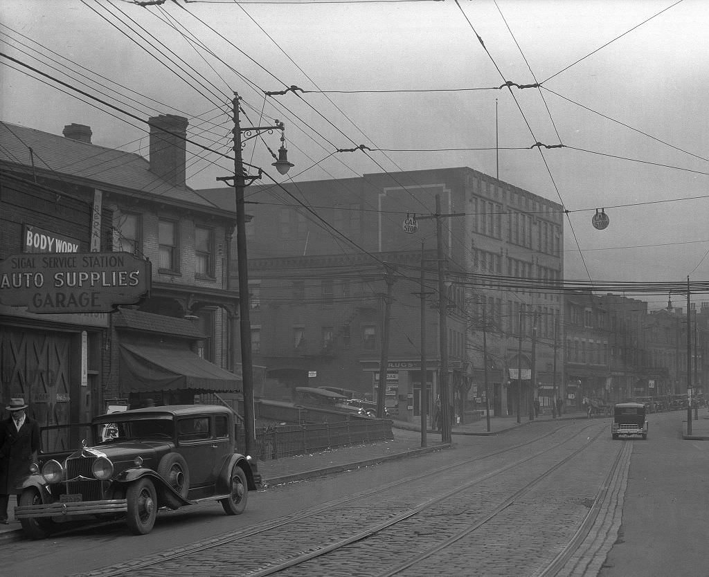
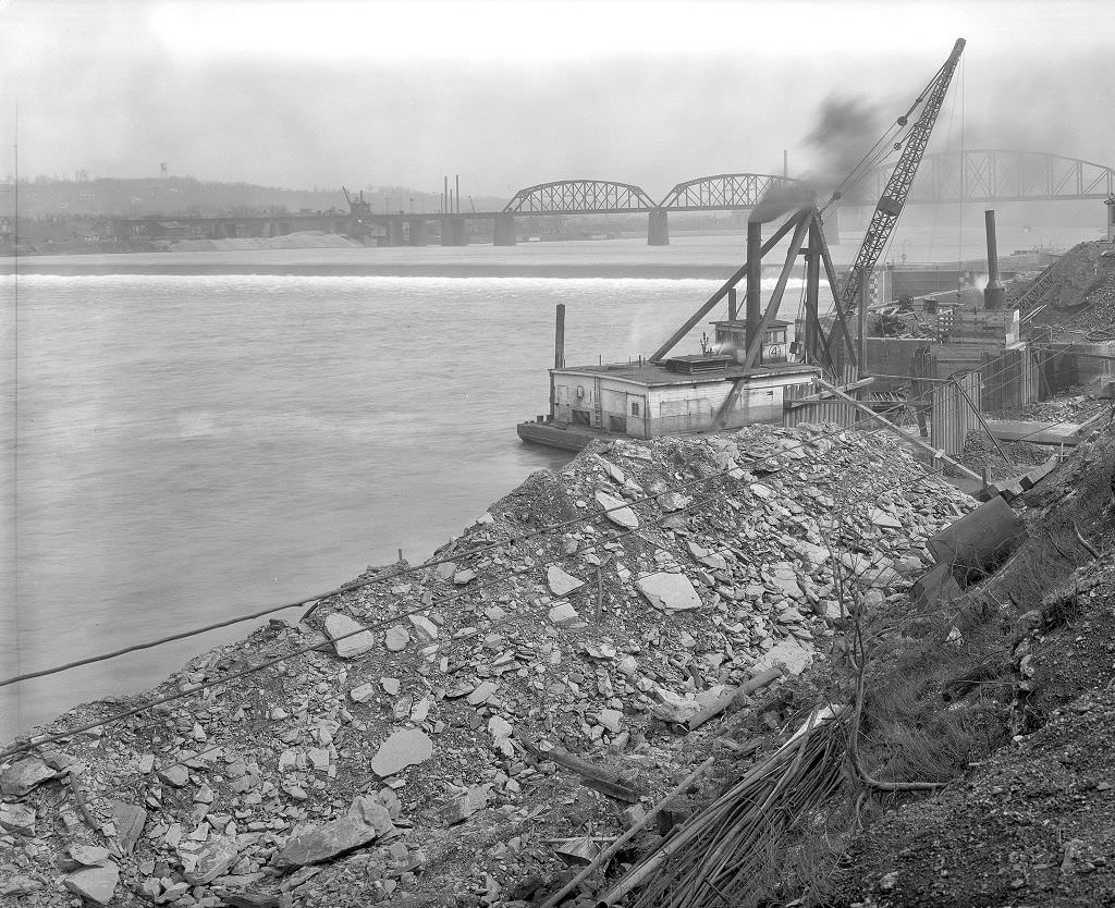
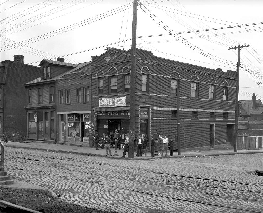
Second Avenue ran along the south bank of the Monongahela through neighborhoods like Hazelwood and Greenfield. Corner stores along Second Avenue served as the basic retail infrastructure for residents who didn’t have cars and couldn’t easily reach downtown. The pedestrians photographed near one such store in 1933 are a reminder that most of Pittsburgh’s residents got around on foot or by streetcar — the city was built for people, not automobiles, and its commercial life reflected that.
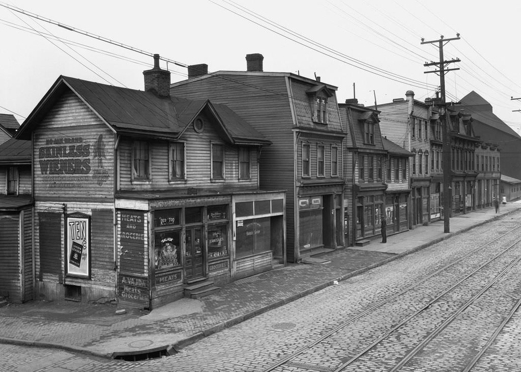
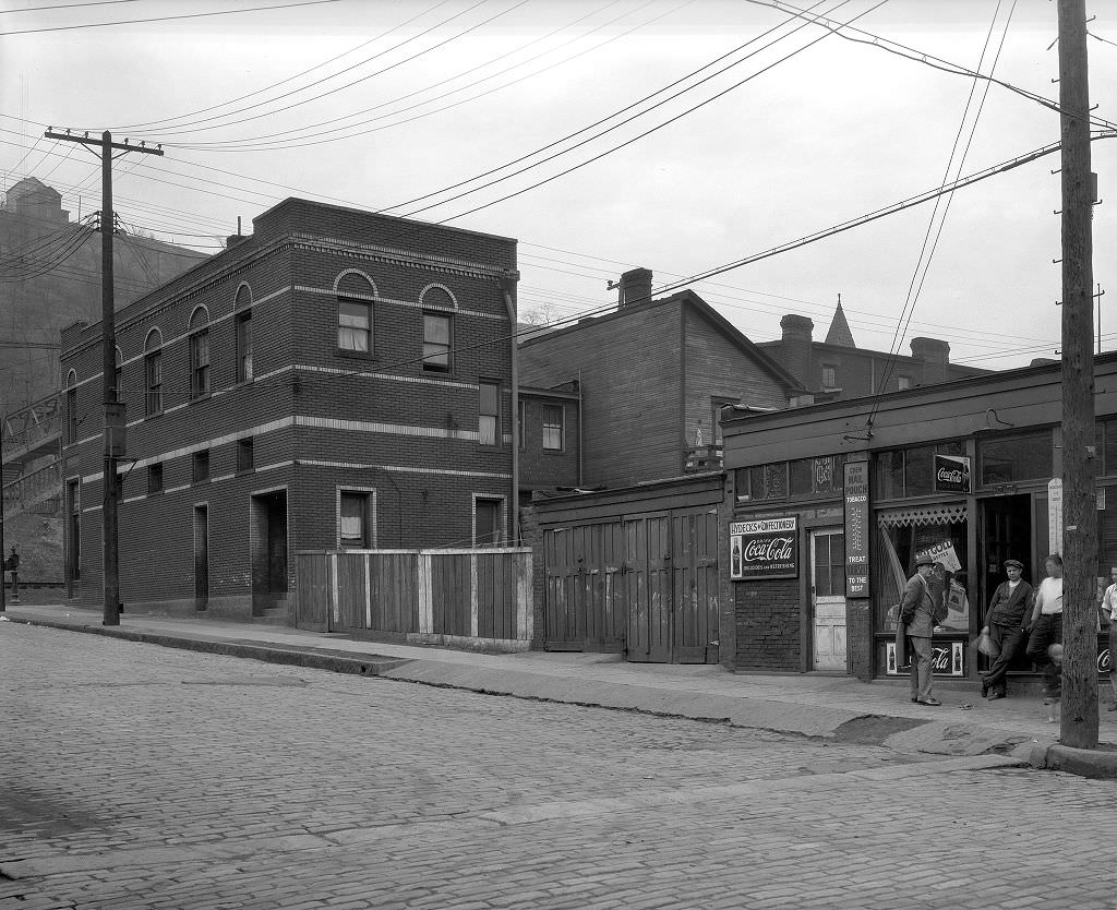
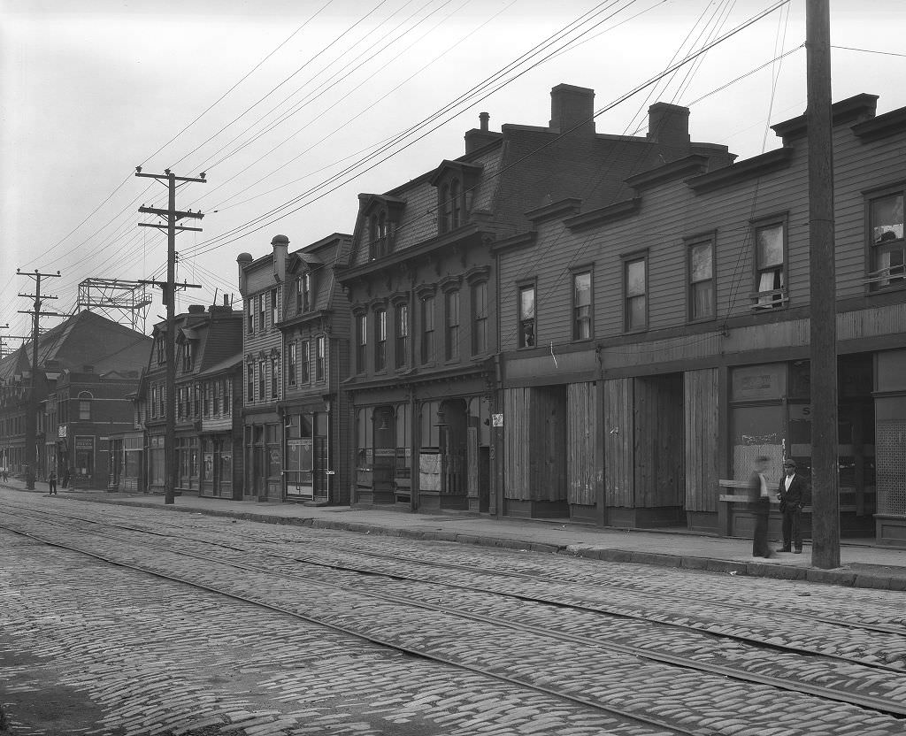
Pittsburgh’s outer neighborhoods, like those along Stebbins and Woodbourne Avenues, had a more residential and less industrial character than the neighborhoods along the rivers. These areas had developed later and had slightly more space between buildings, small front yards, and quieter streets. But they were not immune to the Depression. Unemployment reached into every corner of the city, and even in quieter neighborhoods the signs of financial strain — vacant properties, reduced maintenance, shuttered small businesses — were present by 1933.
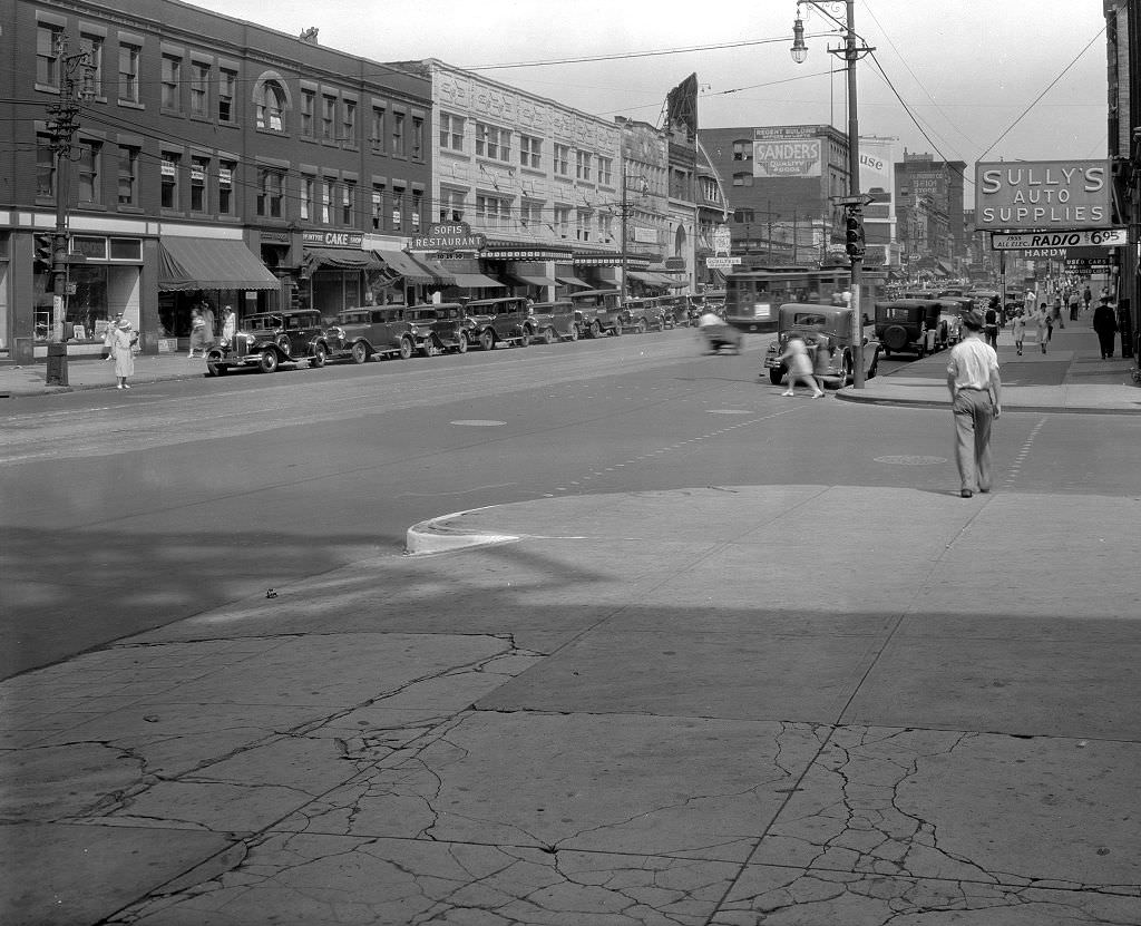
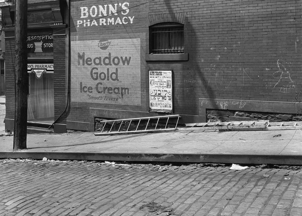
Neighborhood pharmacies like Bonn’s on Arthur Street were fixtures of residential Pittsburgh. In the 1930s, they dispensed prescriptions but also sold household goods, candy, soda, and basic first-aid supplies. Many served as informal community hubs where neighbors stopped to talk and where proprietors often knew their customers by name. For families without easy access to downtown shopping, the neighborhood pharmacy filled a wide range of needs.
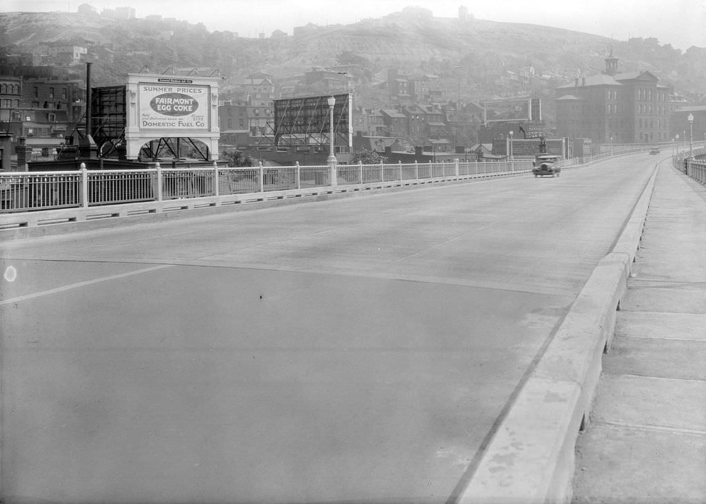
The Boulevard of the Allies was one of Pittsburgh’s major arterial roads, connecting downtown to the South Side and beyond. In 1930, it was lined with homes and the billboard advertising that characterized major city thoroughfares of the era. The road represented a deliberate piece of civic planning — a broad boulevard meant to provide efficient movement through the city while also projecting urban ambition. By 1930, it was already a busy commuter route carrying workers between their homes and jobs.
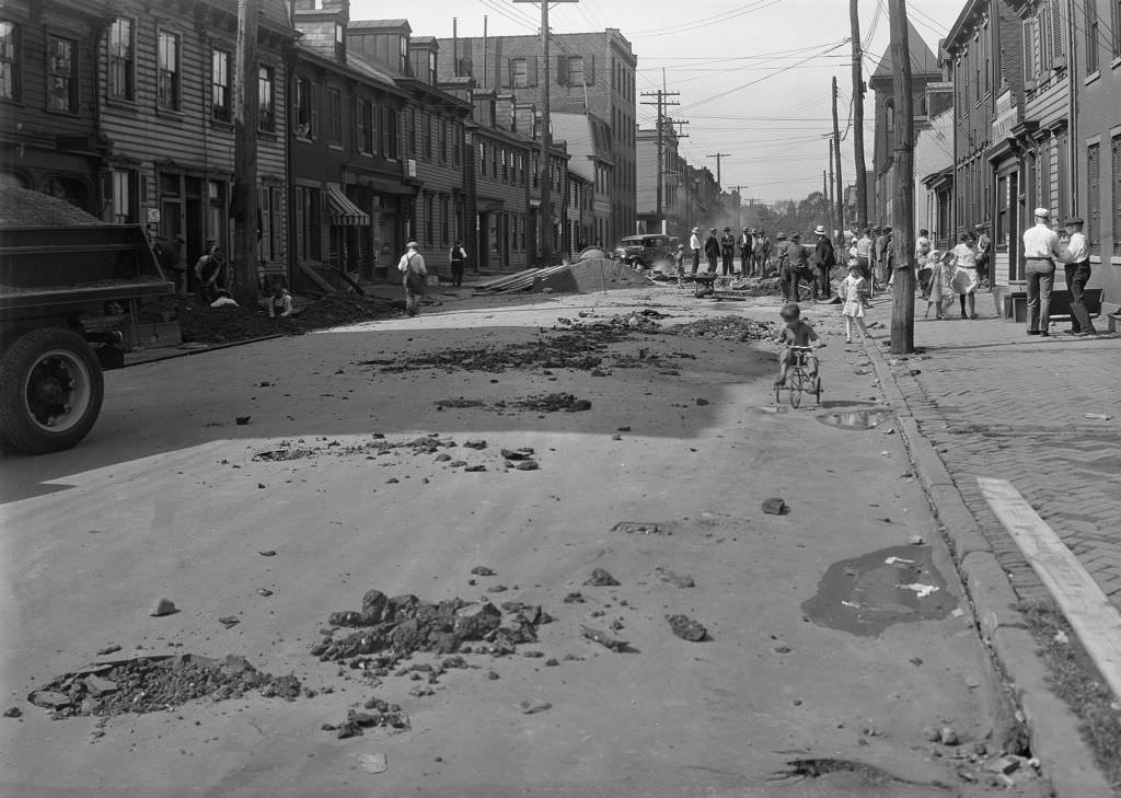
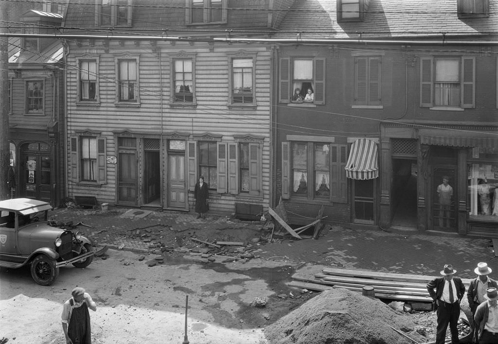
Water main breaks were a regular occurrence in Pittsburgh as the city’s aging underground infrastructure struggled under the pressure of a dense urban population. The 36-inch main break on Suismon Street in 1930, documented in two photographs, shows the scale of damage such failures caused. Roads were torn up, traffic was diverted, and repairs required significant labor and materials. These photographs were taken by city engineers as part of the official maintenance record, a practice that produced much of the surviving visual documentation of Depression-era Pittsburgh.
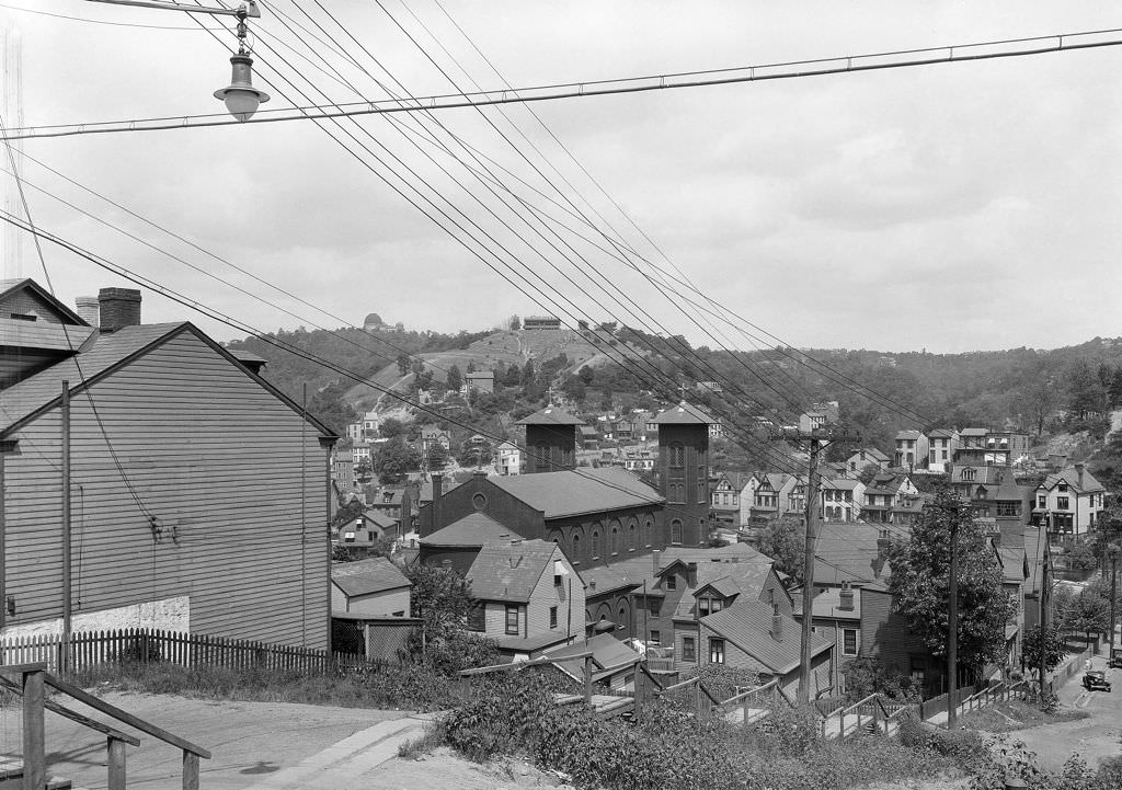
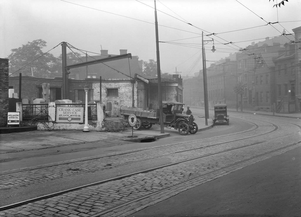
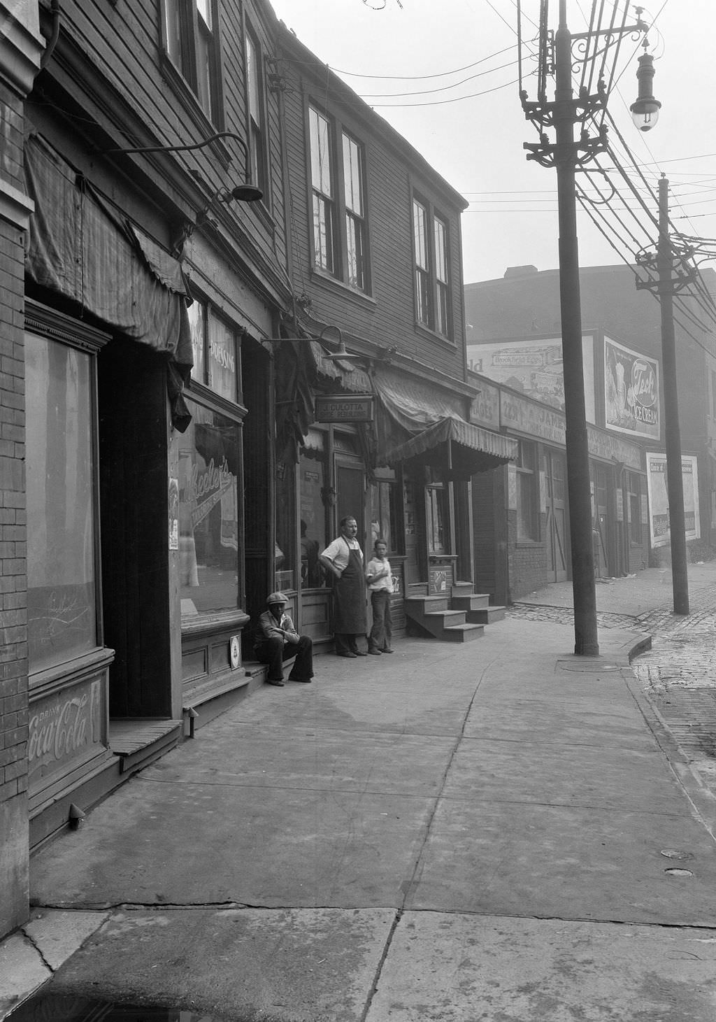
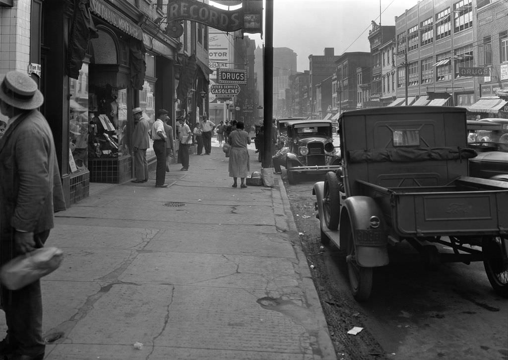
Oakland’s business district along Fifth Avenue in 1930 served a dense population that included university students, hospital workers, and residents of surrounding neighborhoods. Shops, restaurants, and service businesses crowded Fifth Avenue from downtown Oakland toward Squirrel Hill. The area around the University of Pittsburgh and Carnegie Tech provided some economic insulation — institutions kept running, students kept enrolling, and the businesses that served them stayed open even as other parts of the city contracted. West Oakland’s Fifth Avenue was one of the more commercially active stretches in the city throughout the Depression.
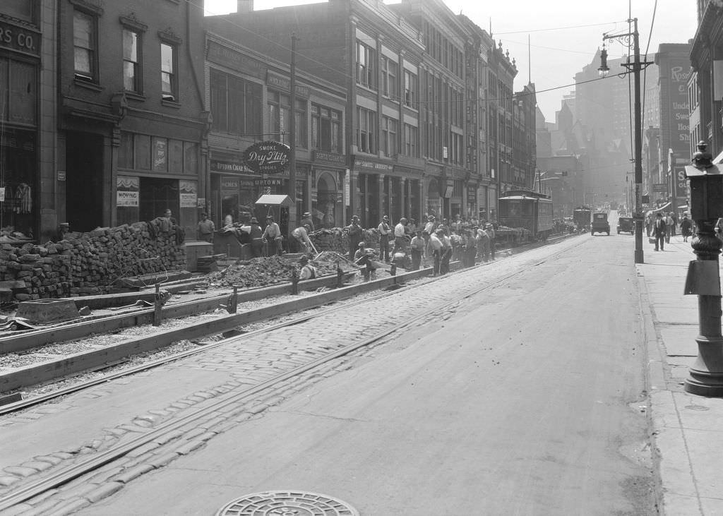
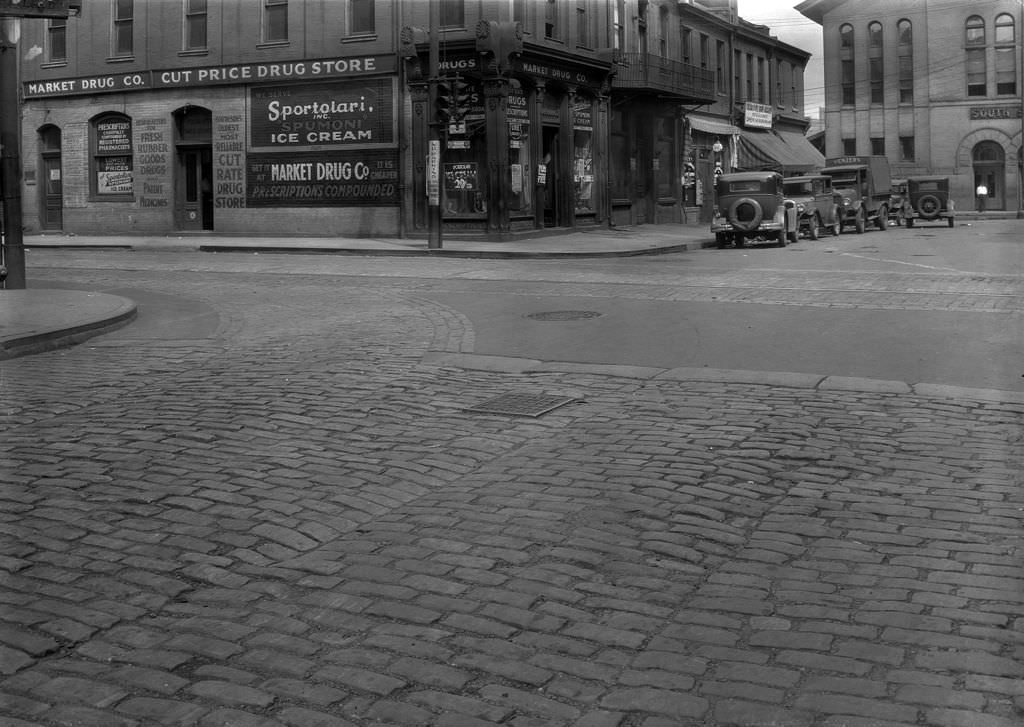
South 12th Street at Carson was a key intersection on the South Side, where residential streets met the main commercial corridor. Looking north from Carson in 1931, the photograph captures the dense urban grain of the neighborhood — row houses, storefronts, telephone poles, and street pavement that bore the marks of heavy use. The South Side’s population was largely Eastern European immigrant families — Polish, Slovak, Croatian, and others — many of whom worked in the nearby steel mills. These communities maintained their own churches, social clubs, and businesses within the neighborhood.
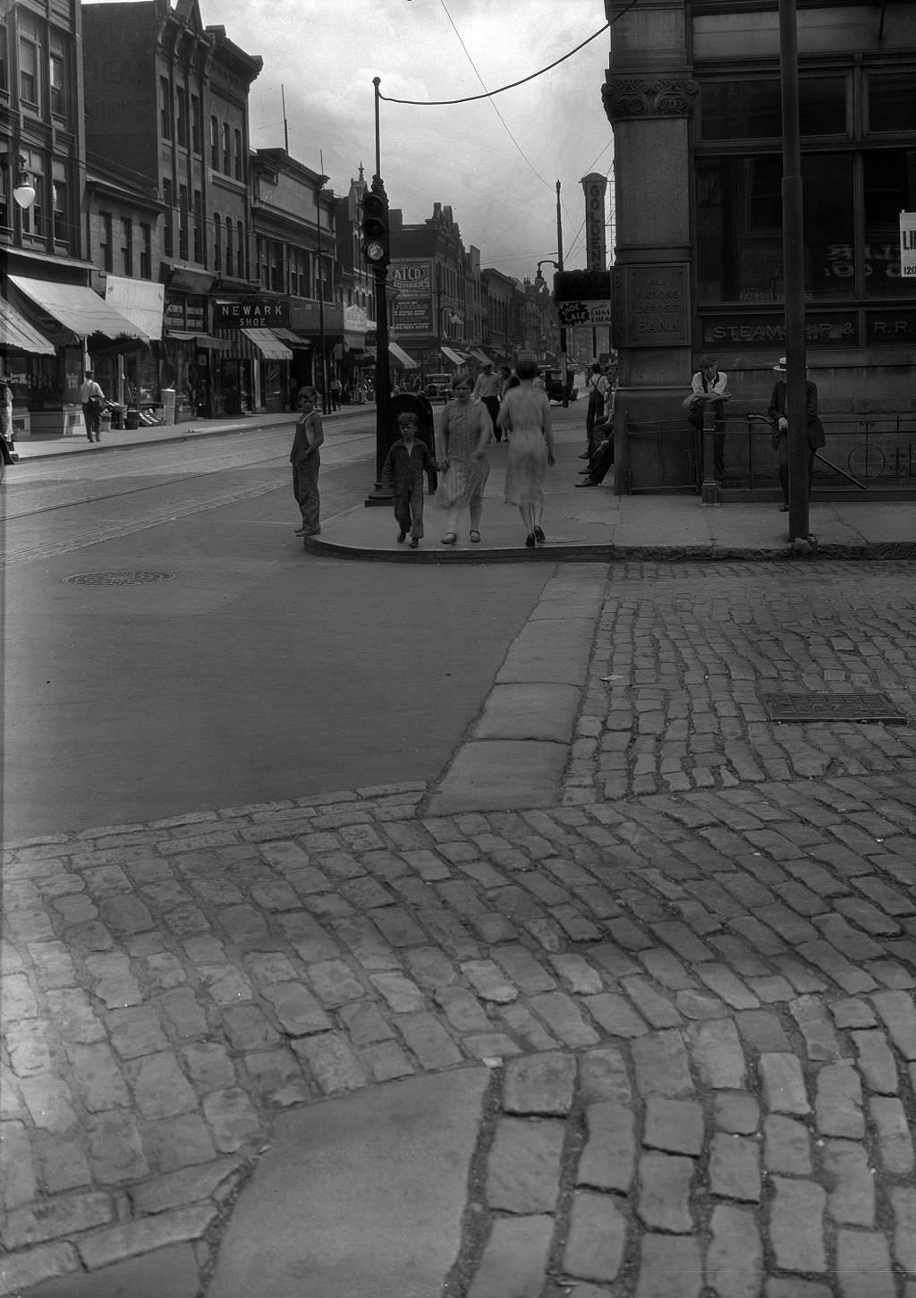
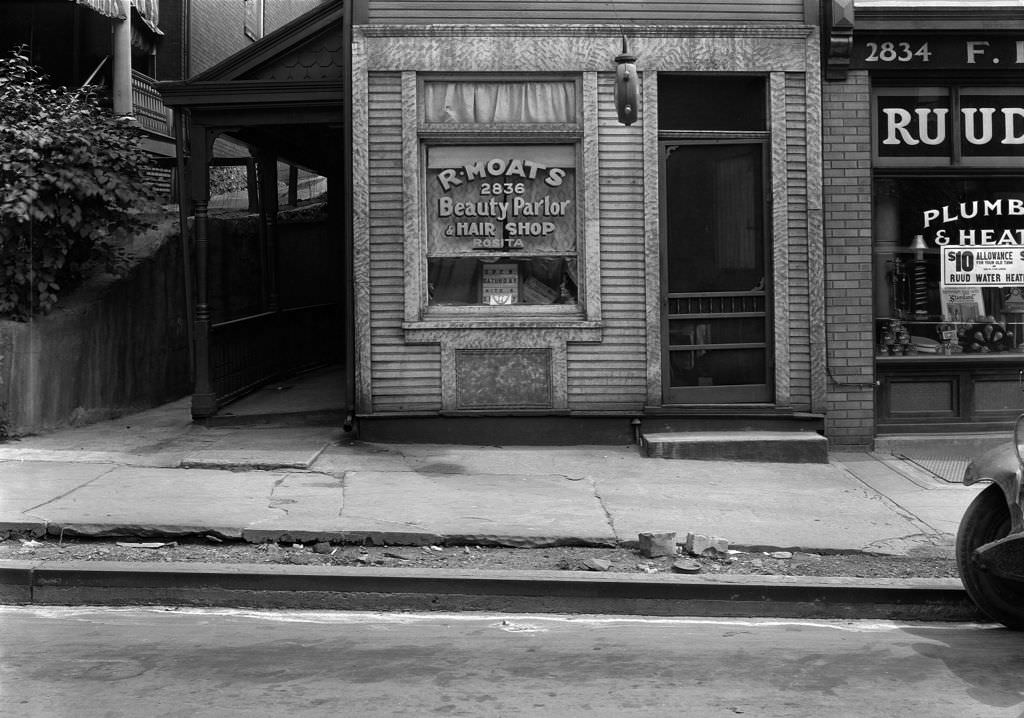
R. Moats Beauty Parlor on Centre Avenue occupied a building in the heart of the Hill District’s commercial zone. Black-owned service businesses like beauty parlors were important economic institutions in the Hill during the Depression. They provided employment for Black workers who faced severe discrimination in most industries and served customers who were excluded from many white-owned establishments. The beauty parlor was also a social space — a place where community members connected, shared information, and maintained a sense of normalcy.
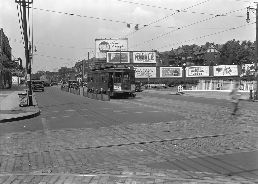
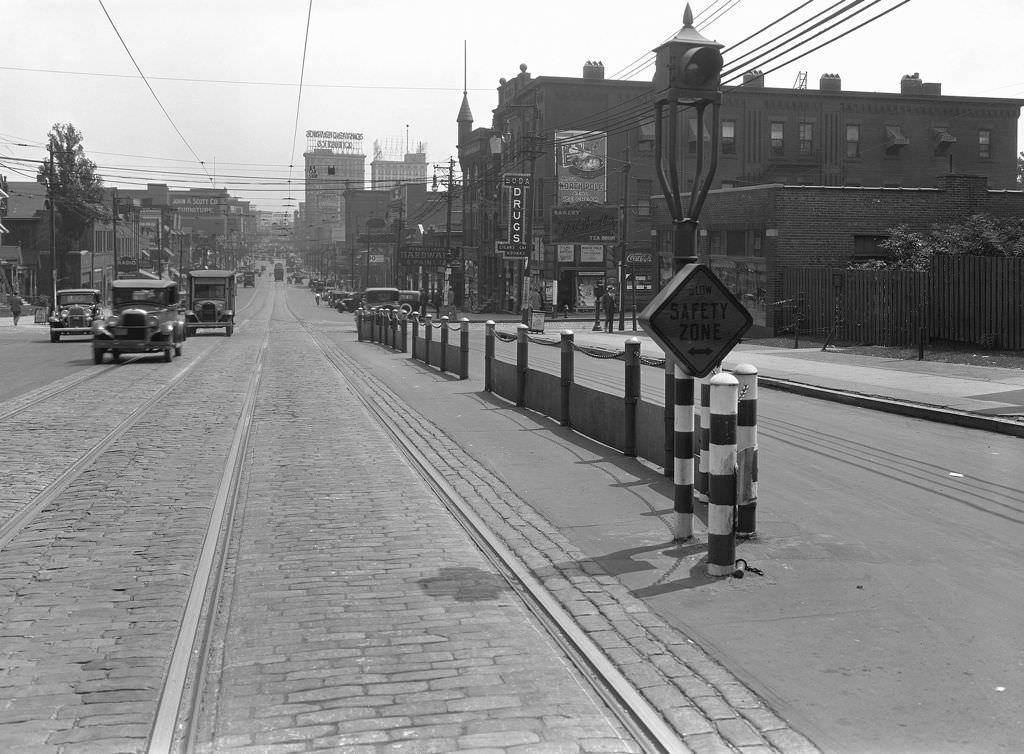
The intersection of Penn and Negley Avenues was one of the East End’s busiest transit hubs. Streetcars from multiple lines converged here, and the safety zone — a designated waiting area in the middle of the street — protected passengers boarding and exiting cars from passing traffic. This kind of transit infrastructure was essential in a city where most residents relied on the streetcar network to get to work, school, and shopping. Pittsburgh’s streetcar system in the 1930s was one of the most extensive in the country, and it kept the city moving even as private vehicle ownership remained limited.
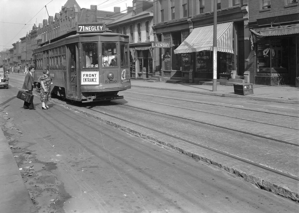
Chinese-owned laundries were a common sight on Pittsburgh’s commercial streets in the early 20th century. The Yee Hong Laundry on Fifth Avenue at Dinwiddie was one of many such businesses operating in the city in 1931. Chinese immigrants had established laundry businesses in Pittsburgh and other industrial cities partly because the work required relatively little startup capital and faced less direct competition from white-owned businesses. These shops served the general public and were woven into the fabric of neighborhood commerce.
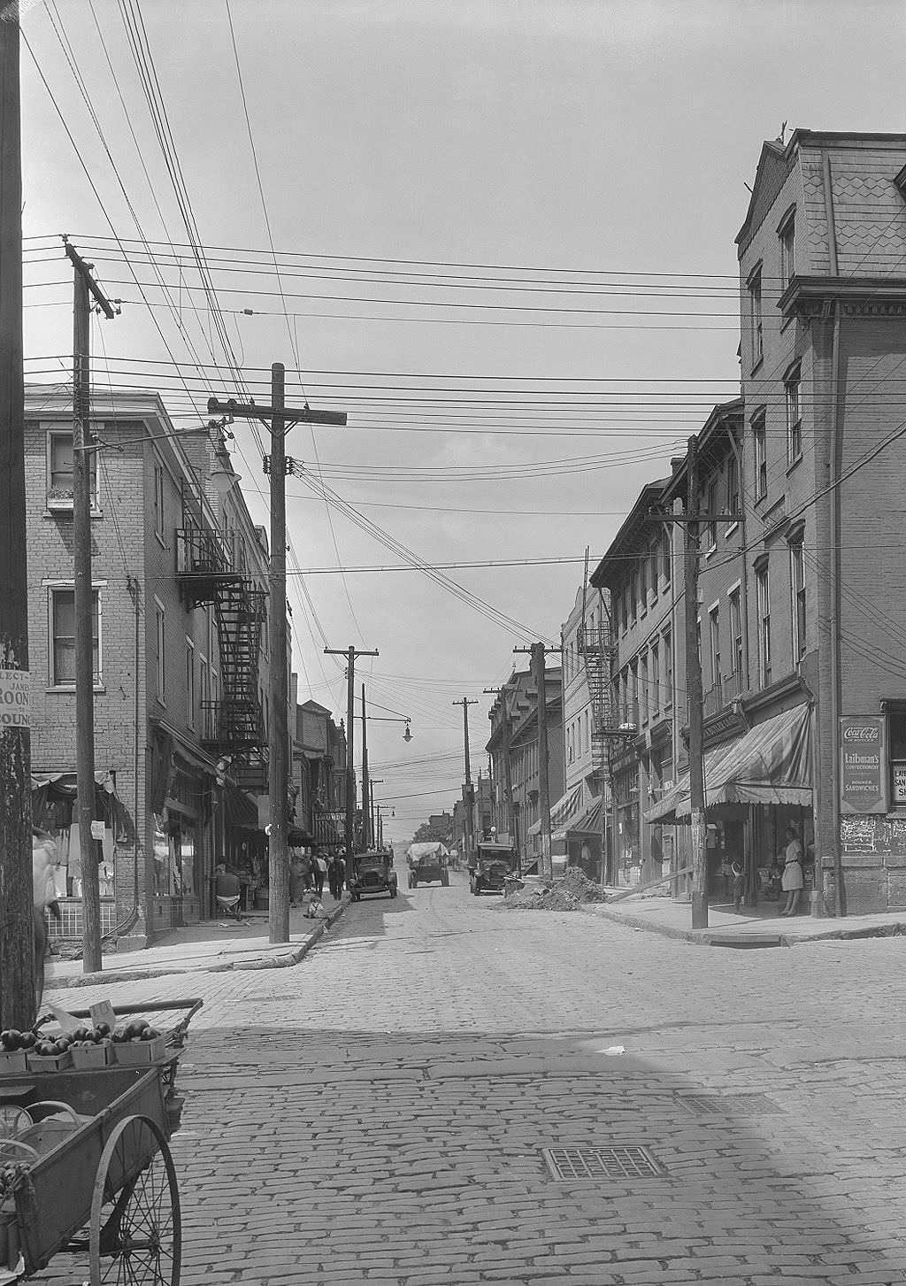
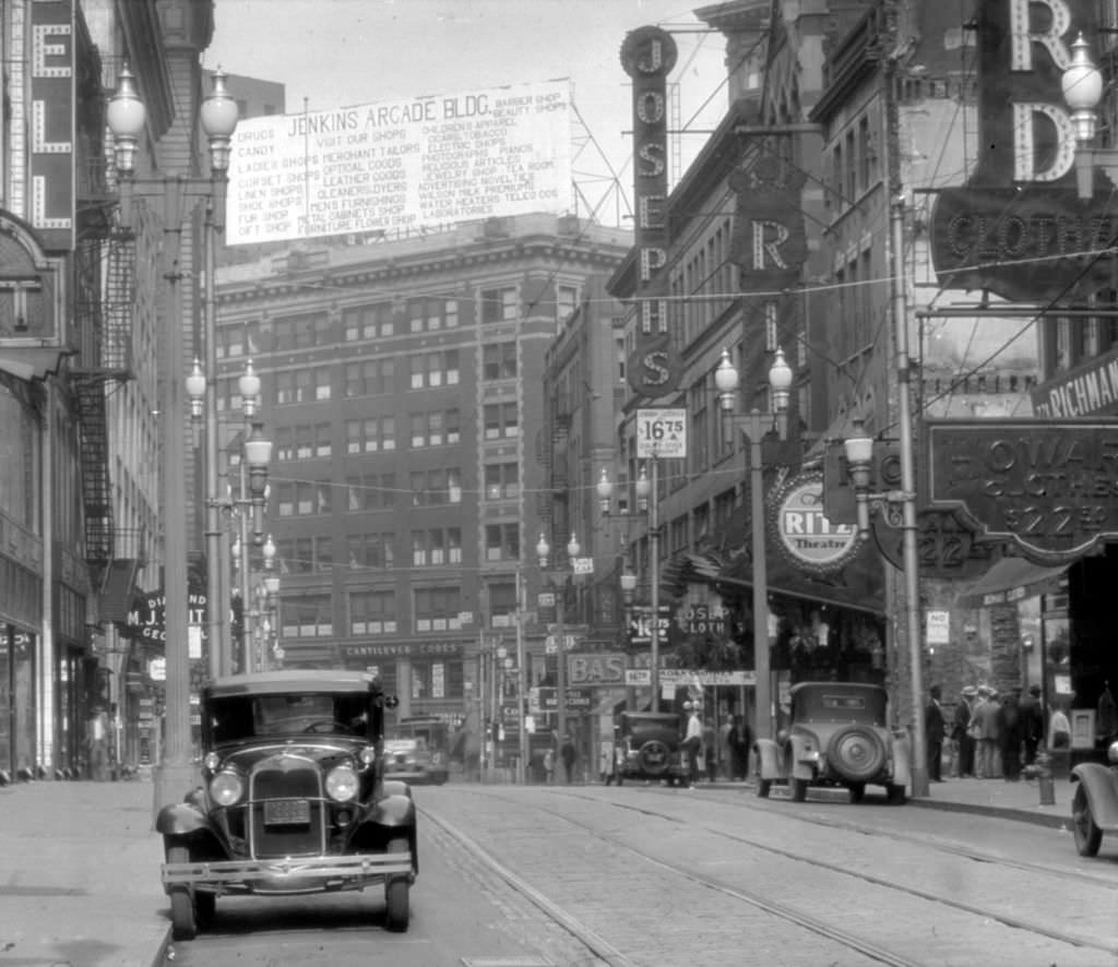
The Jenkins Arcade on Fifth Avenue was one of Pittsburgh’s premier indoor shopping destinations, an ornate galleria that had opened in 1910 and remained a downtown landmark through the 1930s. Looking west along Fifth Avenue in 1931, the Arcade anchored a stretch of high-end retail that contrasted sharply with the neighborhood stores and industrial districts elsewhere in the city. Even during the Depression, downtown Pittsburgh’s core shopping district maintained a level of activity, though foot traffic and sales had declined significantly from the peak years of the 1920s.
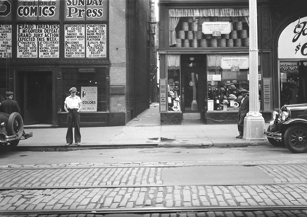
The Pittsburgh Press was one of the city’s major daily newspapers, and its building was a downtown institution. In 1931, the headlines posted outside its building were a daily snapshot of Depression-era news — unemployment figures, bank failures, relief efforts, and the political battles over how to respond to the economic crisis. Newspapers were a primary source of information for Pittsburgh’s residents, and publications like the Press and the Pittsburgh Post-Gazette shaped how the city understood and talked about what it was living through.
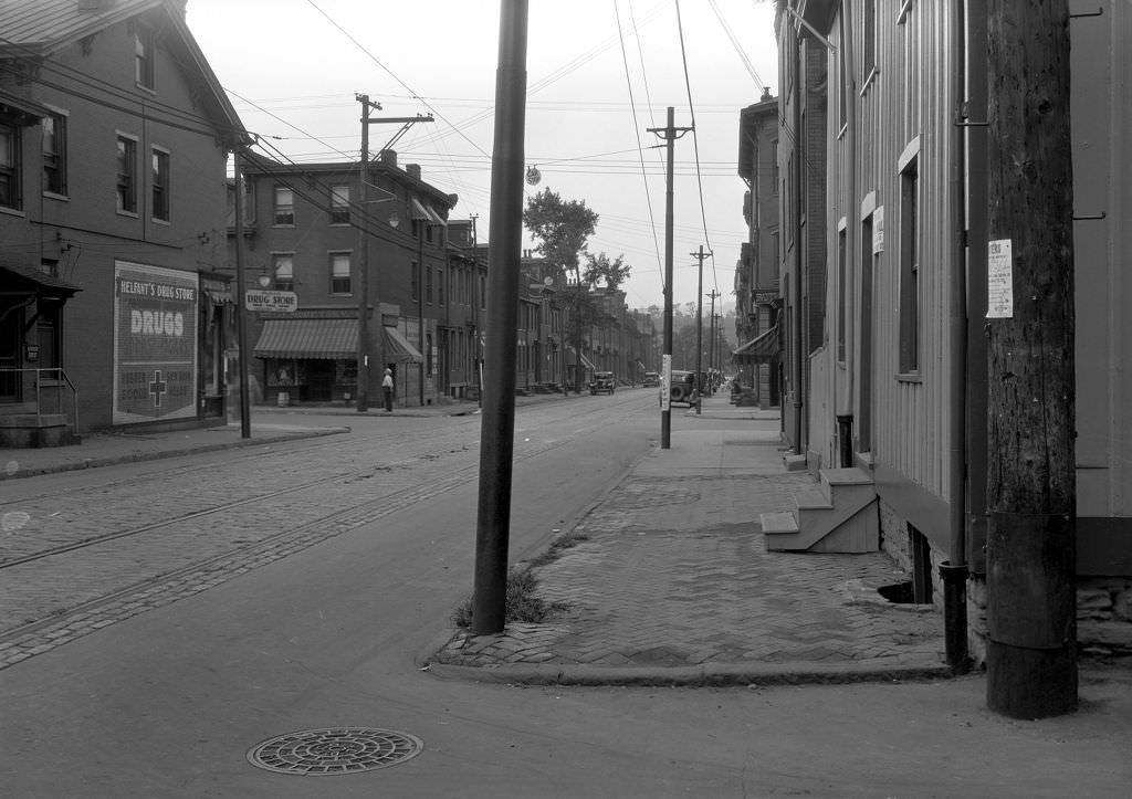
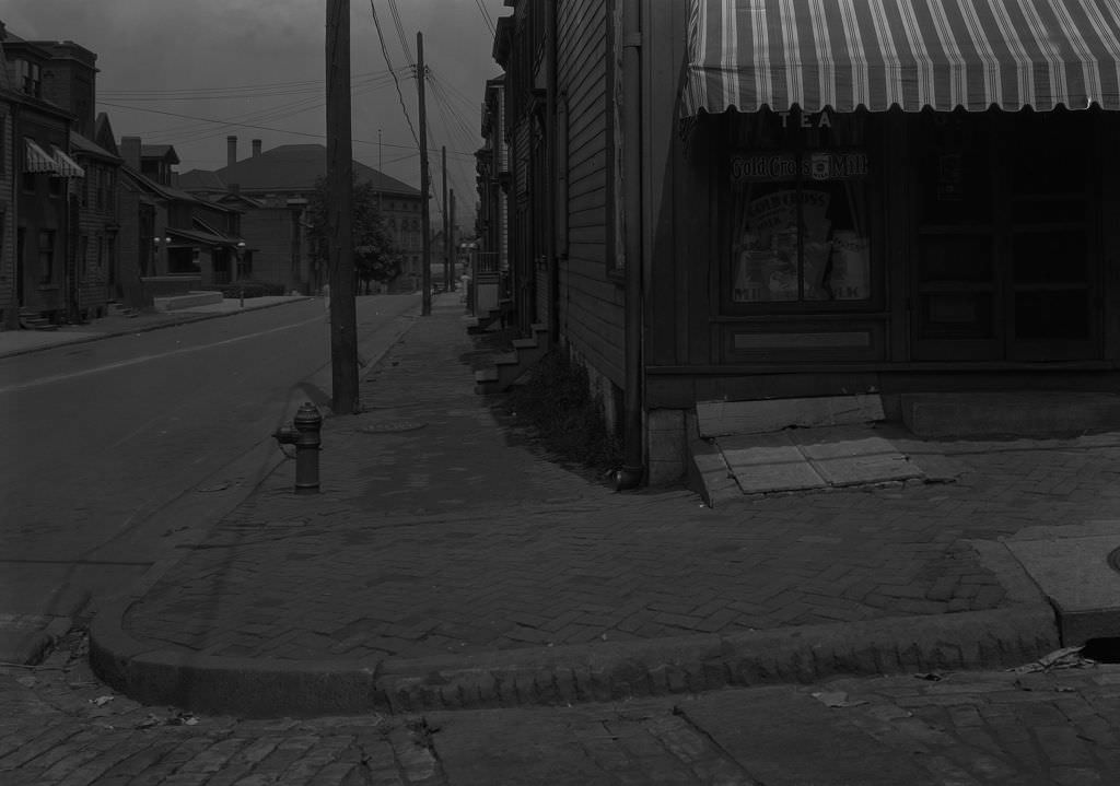
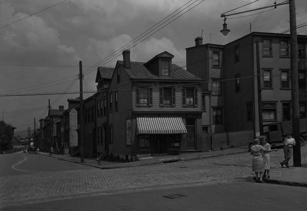
F. H. Bauer Grocery on 52nd Street in Lawrenceville was the kind of small, family-run store that anchored Pittsburgh’s residential blocks. Two photographs document the store — one showing the building, one showing people in front of it. Neighborhood grocers like Bauer’s often extended credit to regular customers who couldn’t pay all at once, a practice that kept families fed but put enormous financial strain on the store owners themselves. Many such businesses did not survive the Depression.
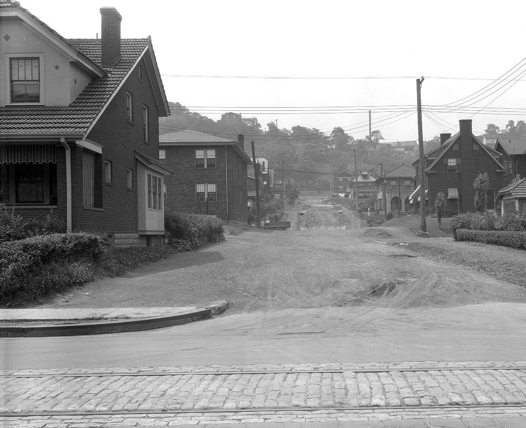
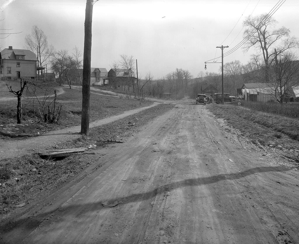
Dirt road improvement was one of the most common public works activities in Pittsburgh in the early 1930s. Many of the city’s outer neighborhoods still had unpaved streets in 1931, and grading, surfacing, and drainage work was underway on dozens of blocks simultaneously. These projects were documented systematically by the city’s Department of Public Works, which is why so many photographs of seemingly ordinary street improvements survive from this period. For residents of those neighborhoods, the work meant an end to muddy roads in the spring and dust clouds in the summer.
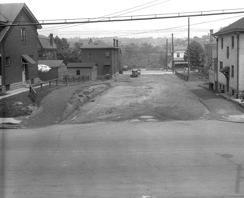
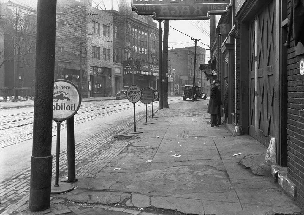
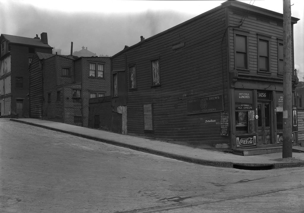
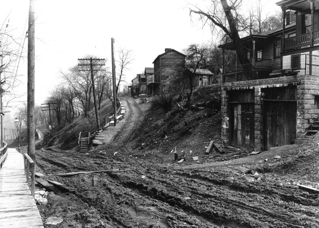
Individual property photographs like those on Independence Street and Pike Street were often taken in connection with city assessments, condemnation proceedings, or infrastructure projects that affected specific addresses. The detailed address information recorded in the captions reflects the systematic nature of Pittsburgh’s municipal photography program. These images weren’t taken for artistic or historical purposes — they were working documents. Their survival as a historical record is largely accidental, a byproduct of institutional record-keeping rather than intentional archiving.
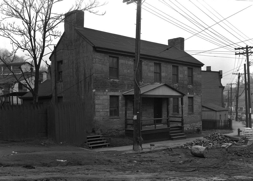
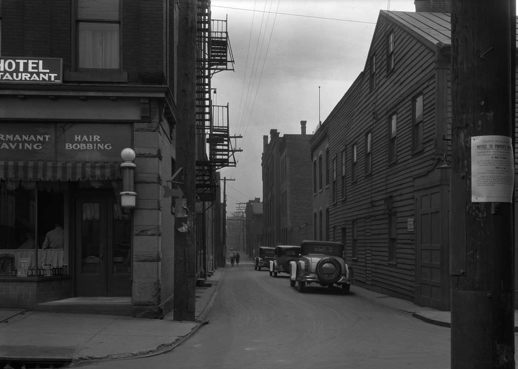
East Diamond Street was the heart of Pittsburgh’s downtown market district, a busy commercial strip where wholesale and retail trade intersected. Looking east along Diamond Street in 1931 reveals a dense corridor of commercial buildings packed with shops and warehouses. The market district had operated near this location for over a century, and even during the Depression it retained its function as the center of Pittsburgh’s food wholesale trade. Produce, meat, and dry goods moved through this area in large quantities, supplying both retailers and institutions across the city.
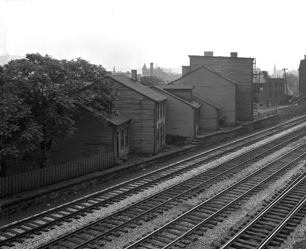
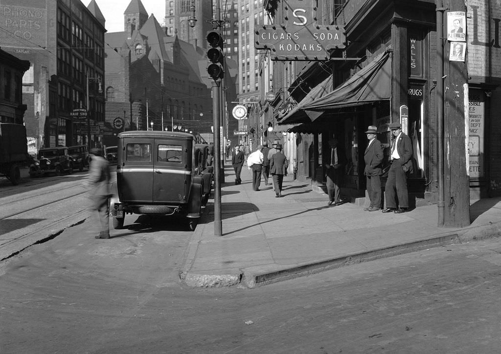
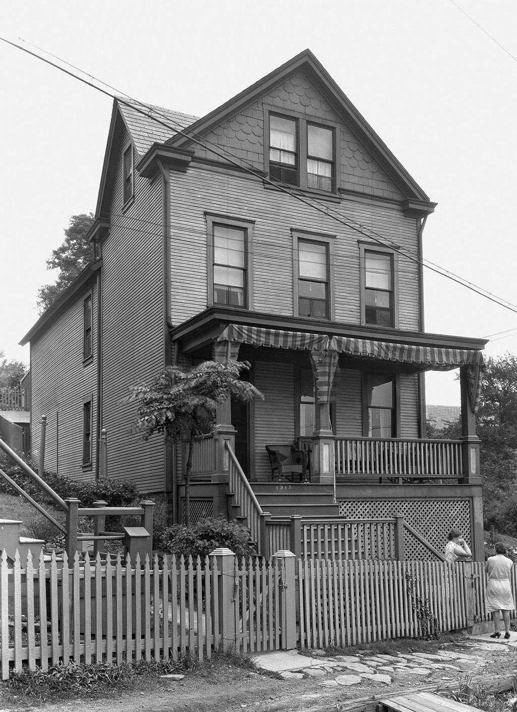
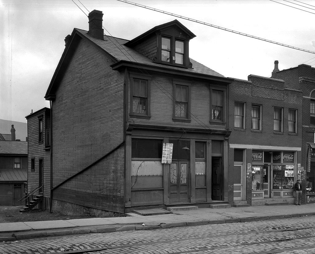
Frame houses like the one at W. Maus’ address were common in Pittsburgh’s hillside neighborhoods, built quickly and economically during the city’s rapid expansion in the late 19th and early 20th centuries. Two-story wood-frame construction was the standard for working-class housing across much of the city, and thousands of such structures still stood in 1931. By the 1930s, many were aging and in need of repair that their owners couldn’t afford. City inspectors and engineers photographed these buildings regularly as part of housing assessments and infrastructure documentation.
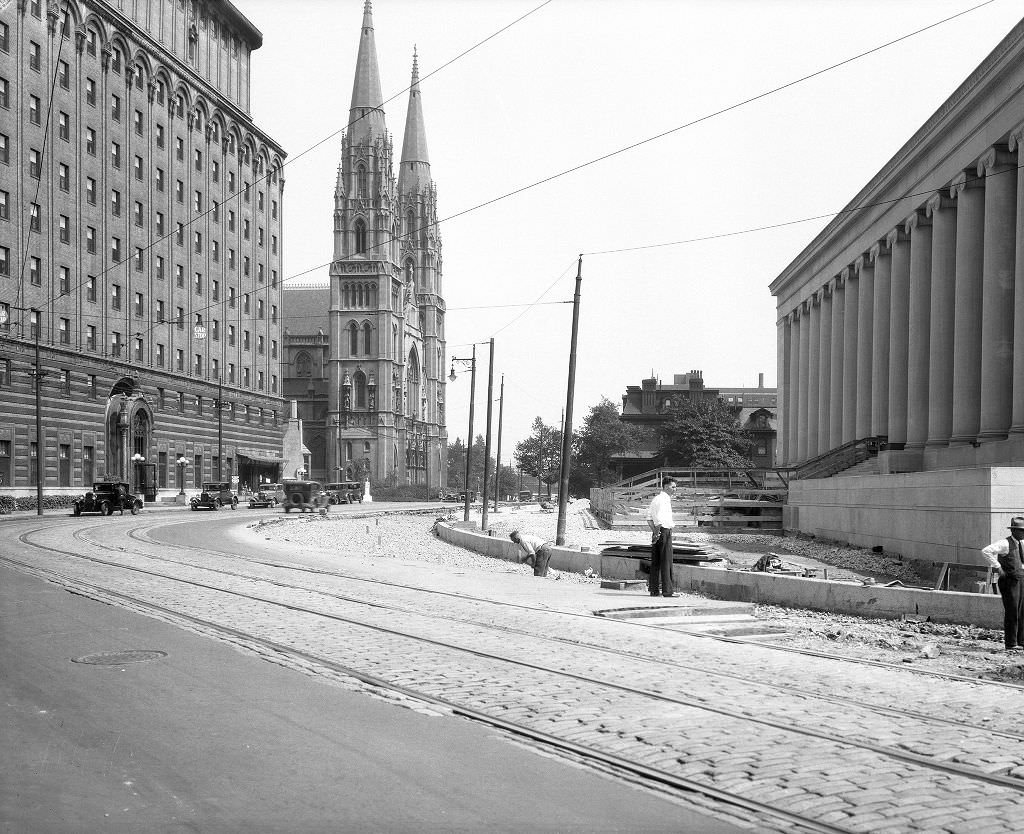
The Mellon Institute of Industrial Research was under construction on Fifth Avenue in Oakland in 1933, another major building project funded by Pittsburgh’s wealthiest family that continued through the Depression. The institute’s massive classical columns — some of the largest in the world — were being installed while much of the city around it was struggling economically. The building was a statement of institutional permanence and industrial ambition at a moment when both were under pressure. It opened in 1937 and became one of Pittsburgh’s most recognized architectural landmarks.
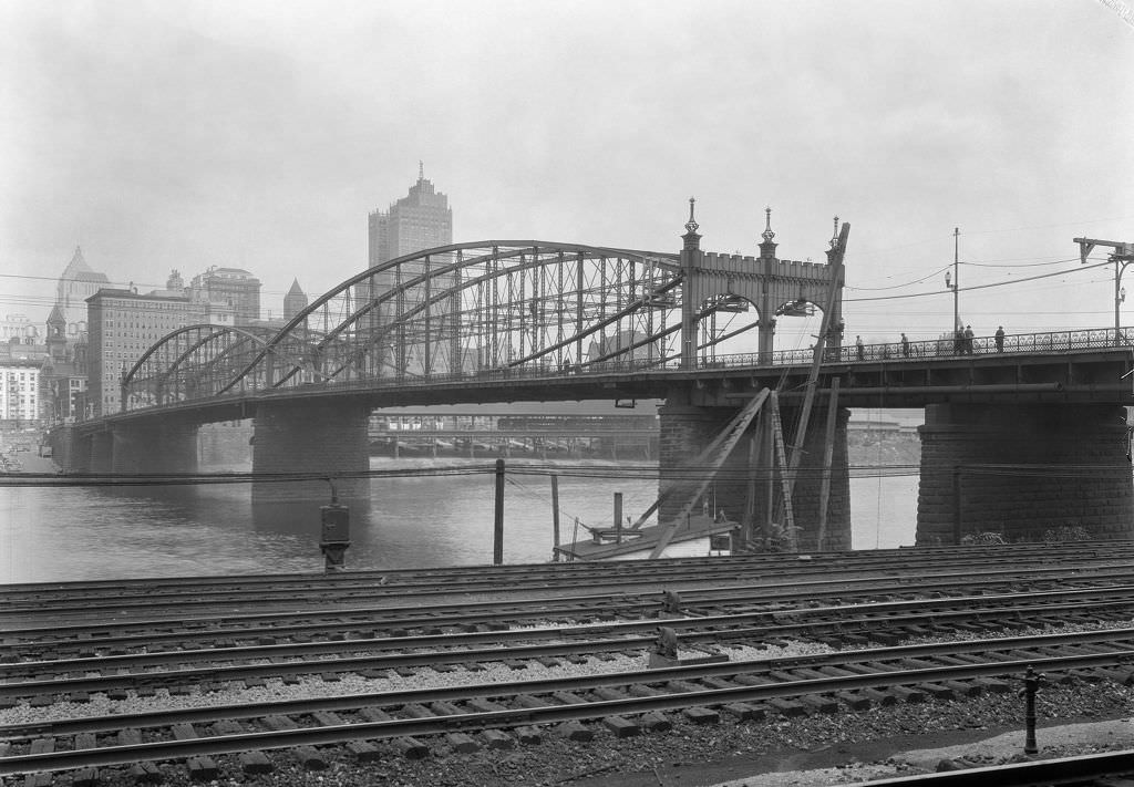
The Smithfield Street Bridge, one of Pittsburgh’s oldest surviving bridges, connected downtown to the South Side across the Monongahela. Built in 1883 with its distinctive lenticular truss design, it was a daily crossing point for thousands of workers commuting between their South Side homes and downtown jobs. By 1933, the bridge was fifty years old and still in active use. The view looking northeast from the bridge captured the downtown skyline and the industrial waterfront — two defining elements of Pittsburgh’s visual identity in the 1930s.
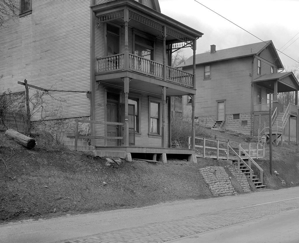
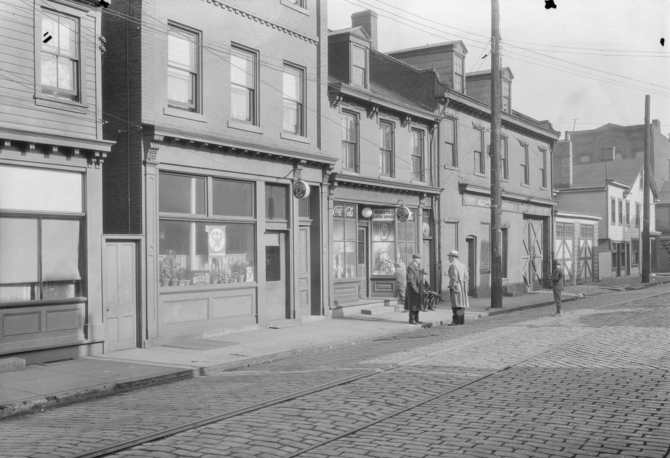
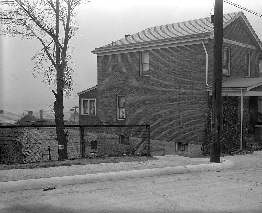
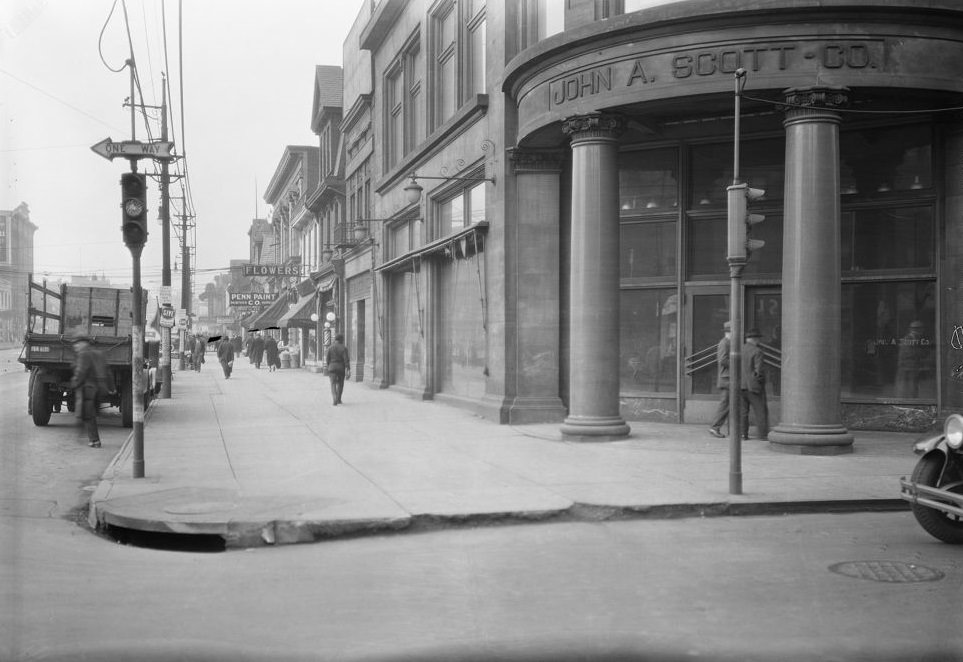
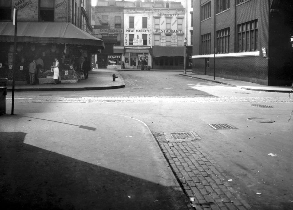
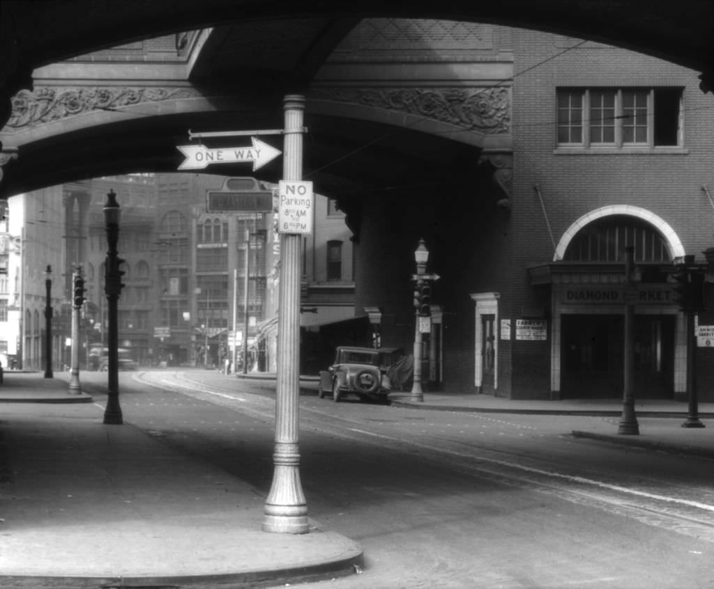
Diamond Street at Market Place was Pittsburgh’s central market zone, and multiple photographs taken in 1933 document it from different angles. The northeast corner and the broader market view show a commercial district that was still functioning despite the Depression — vendors selling produce, buyers moving through the stalls, and the dense mix of wholesale and retail activity that characterized this part of downtown. The market served a practical need that the Depression only intensified: affordable food for a population with shrinking incomes.
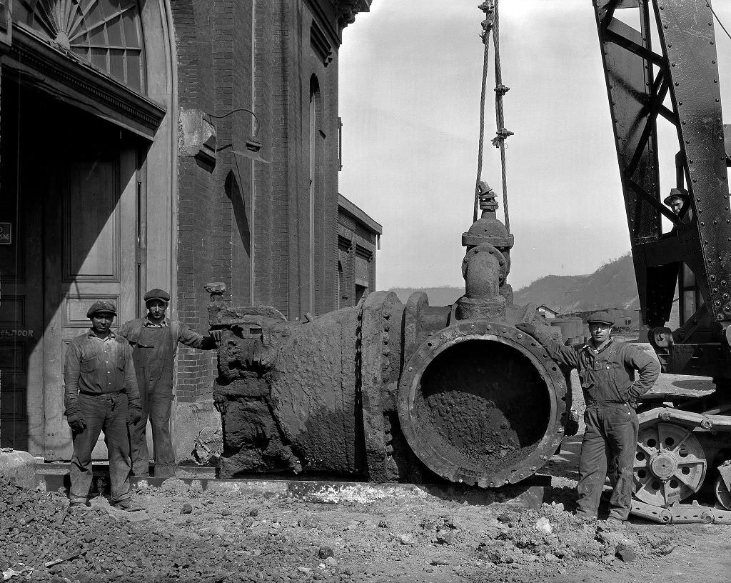
The Brilliant Pumping Station was part of Pittsburgh’s water supply infrastructure, drawing water from the Allegheny River and treating it for distribution across the city. The 42-inch Ludlow valve documented here was a component of the massive mechanical systems that made clean water delivery possible at city scale. Pittsburgh’s water infrastructure required constant maintenance, and the city’s engineers documented equipment and facilities systematically. The pumping stations and their machinery represented an enormous investment in public health infrastructure, one that had to function regardless of economic conditions.
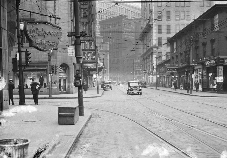
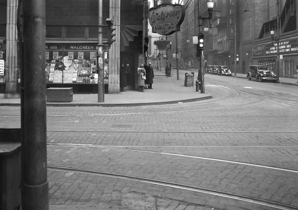
The Stanley Theatre stood at Seventh Street and Penn Avenue in downtown Pittsburgh. Opened in 1928, it was one of the grandest movie palaces in the region, with a capacity of over 3,800 seats. By 1934, it was showing Hollywood films to audiences eager for a few hours away from Depression-era reality. The theater district around Seventh and Penn was one of the liveliest parts of downtown in the mid-1930s, and the Stanley was its centerpiece. Admission prices were kept low enough to draw working-class audiences, making the movies accessible to most of Pittsburgh’s population.
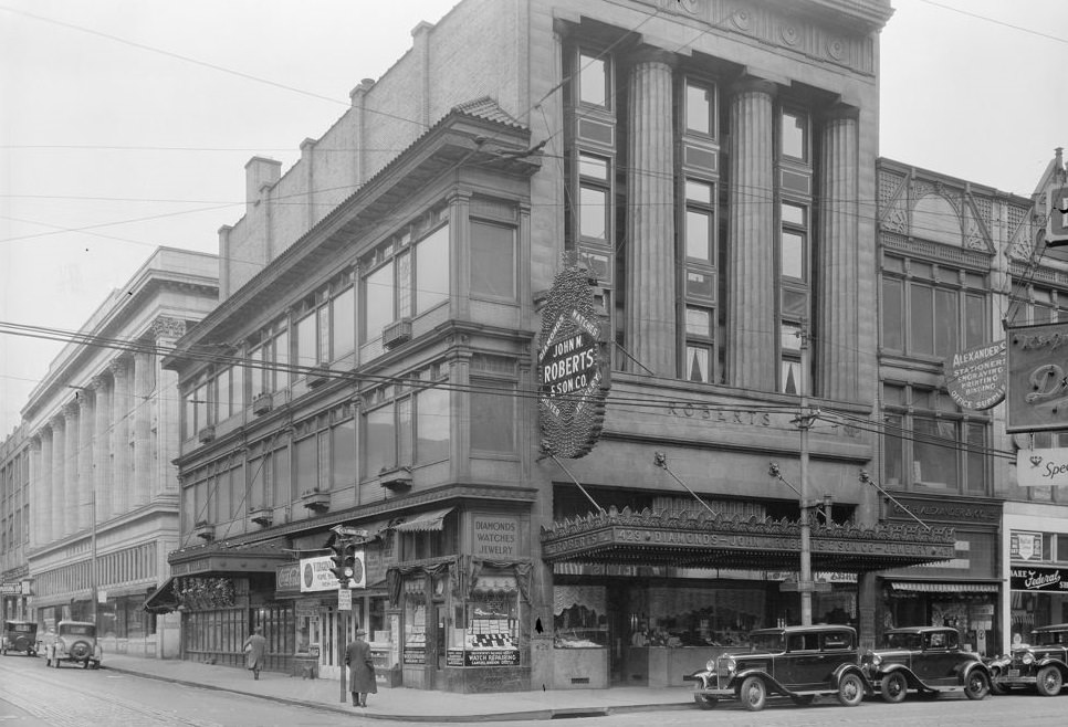
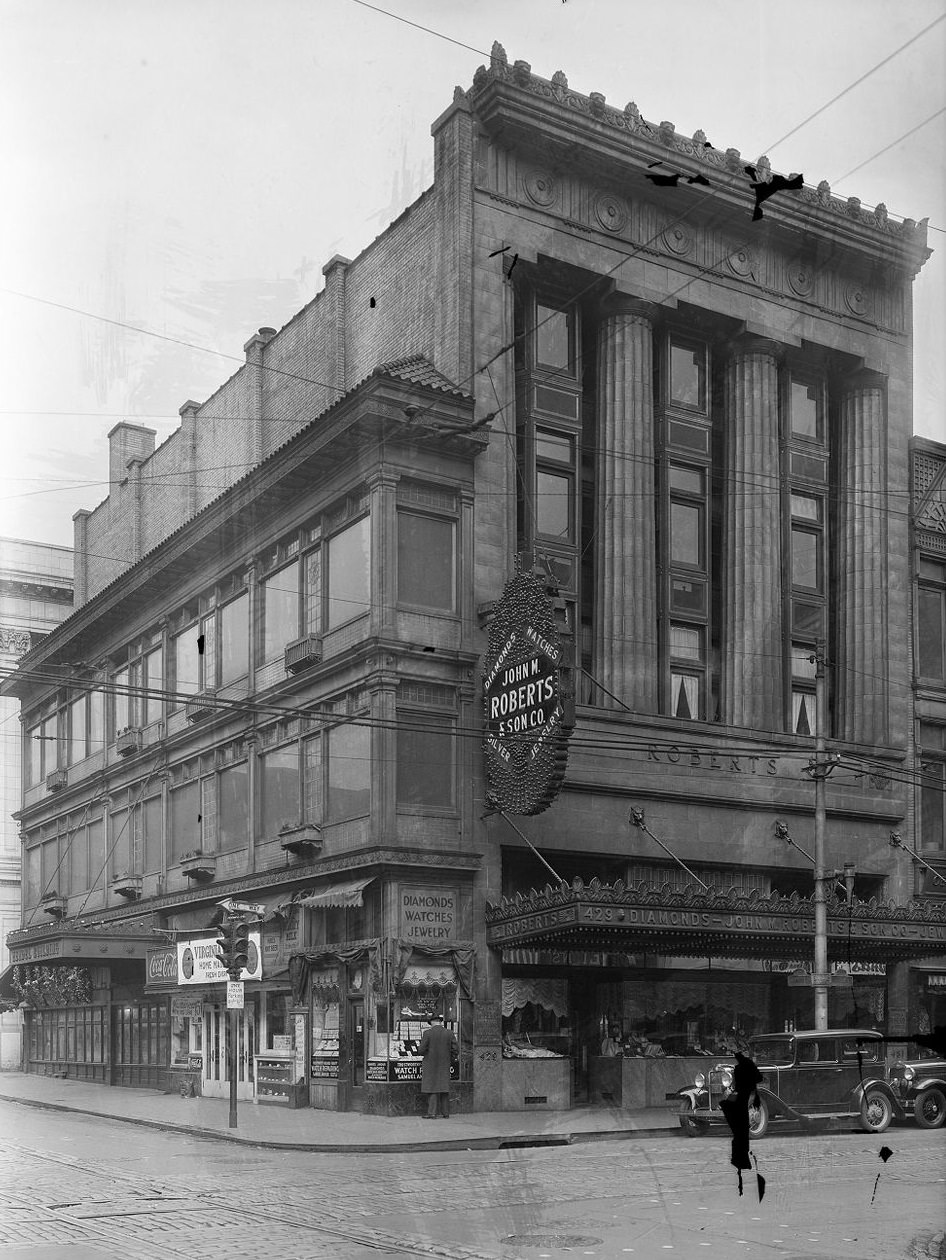
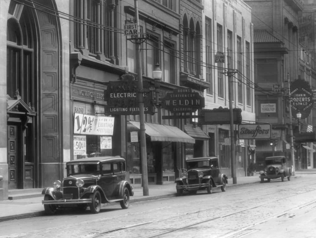
The intersection of Diamond and Wood Streets in downtown Pittsburgh was a commercial anchor. John M. Roberts and Son Company and Donahoe’s occupied prominent storefronts at this corner in 1933. These were established businesses serving downtown customers, and their presence at this intersection reflected the continued function of Pittsburgh’s central business district even during the Depression. Department stores, specialty shops, and service businesses clustered in the downtown core drew shoppers from across the city and surrounding communities.
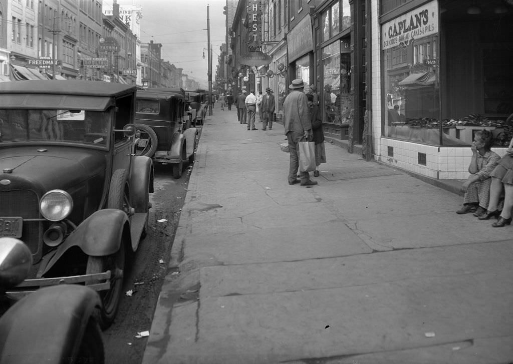
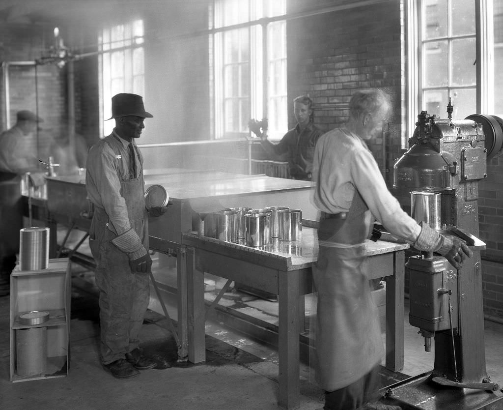
Mayview Hospital’s canning operation in 1933 was part of the institution’s effort to be self-sufficient. The facility — which served both mental health patients and general medical cases — processed and preserved food grown on its own grounds to feed its large residential population. Institutional canning operations like this one were a practical necessity during the Depression, when state budgets for hospitals and other facilities were cut sharply. The ability to grow and preserve food kept operating costs down and ensured a steady food supply for patients and staff.
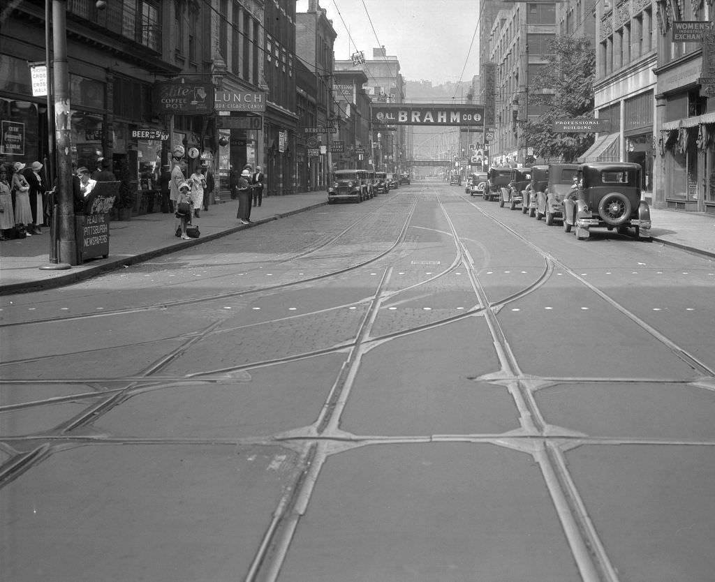
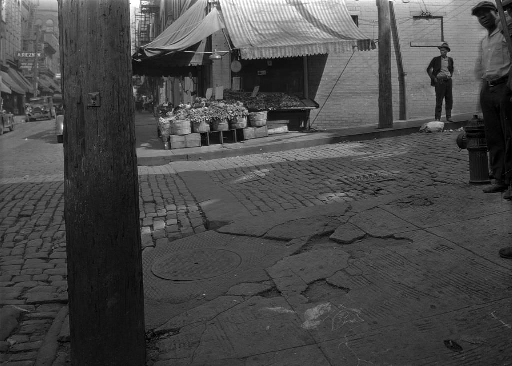
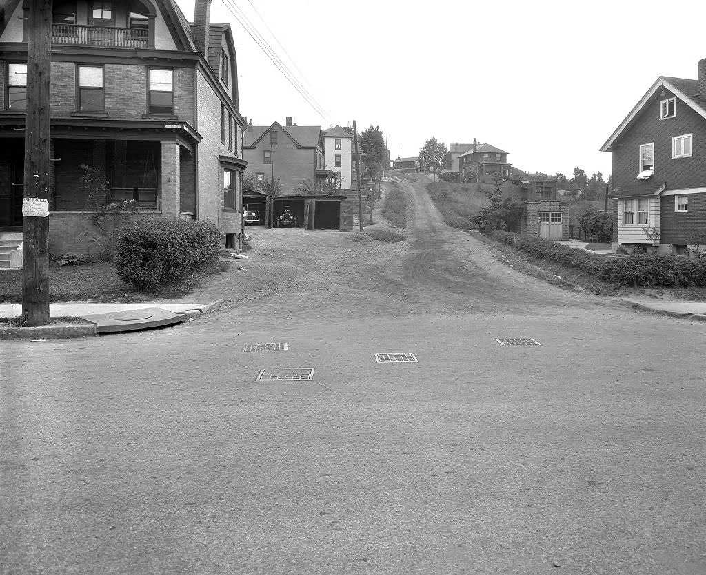
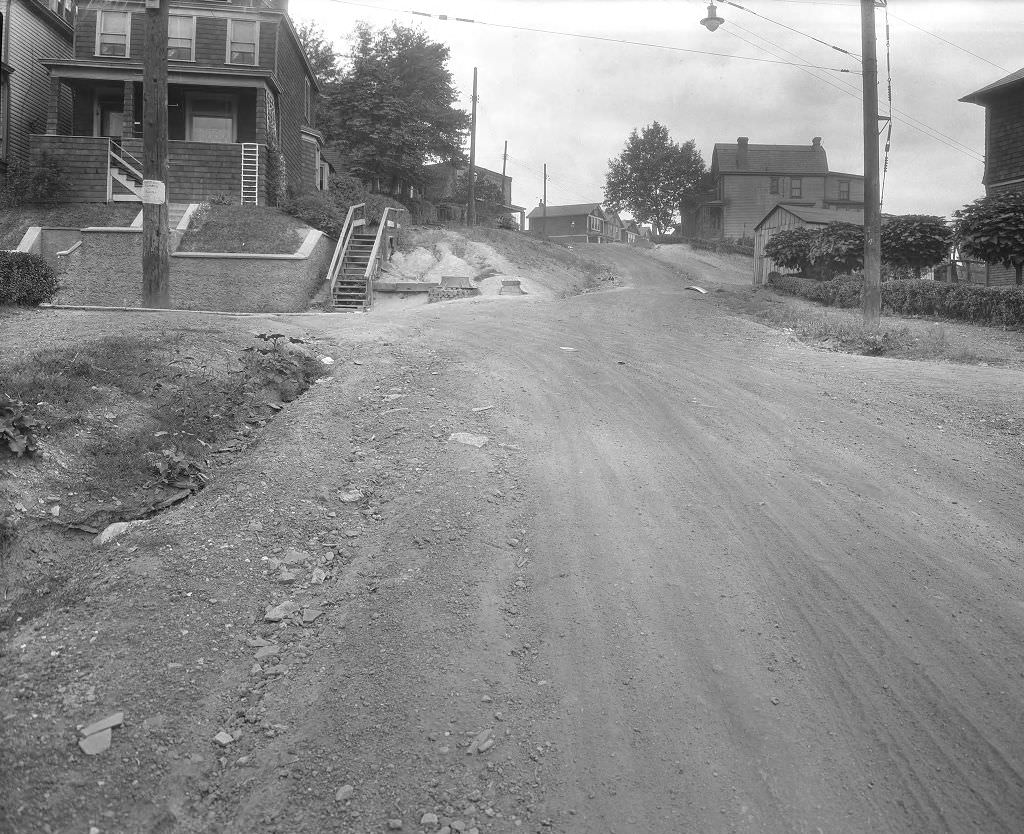
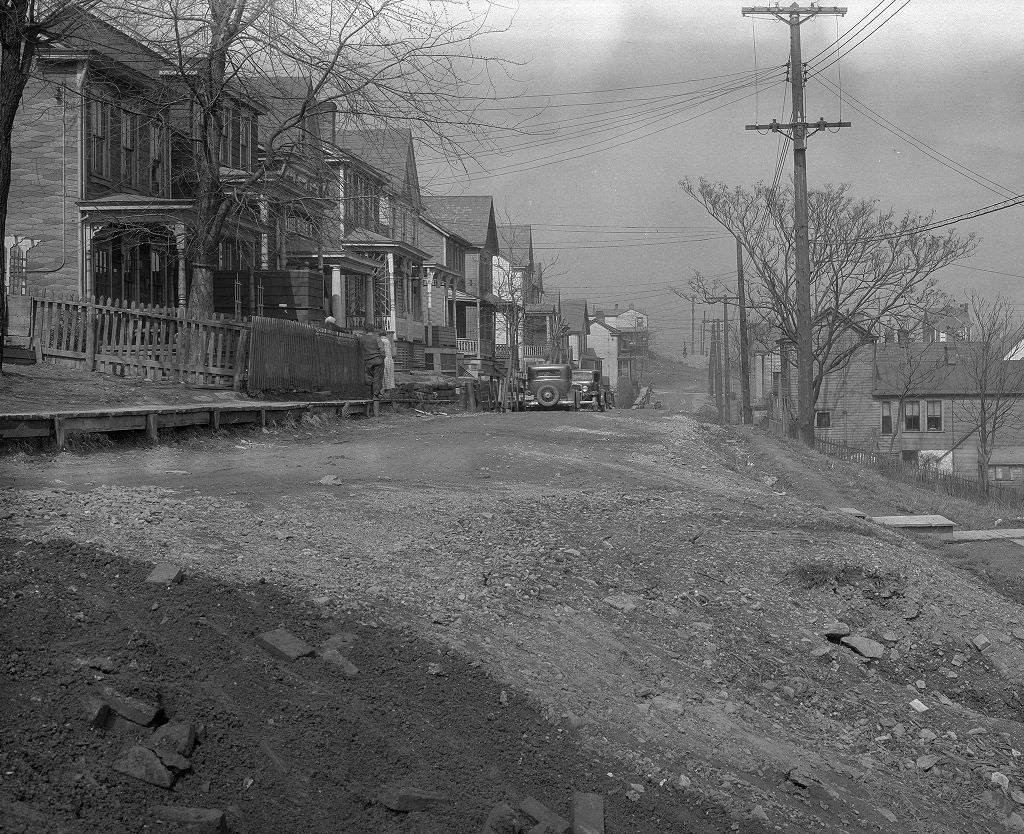
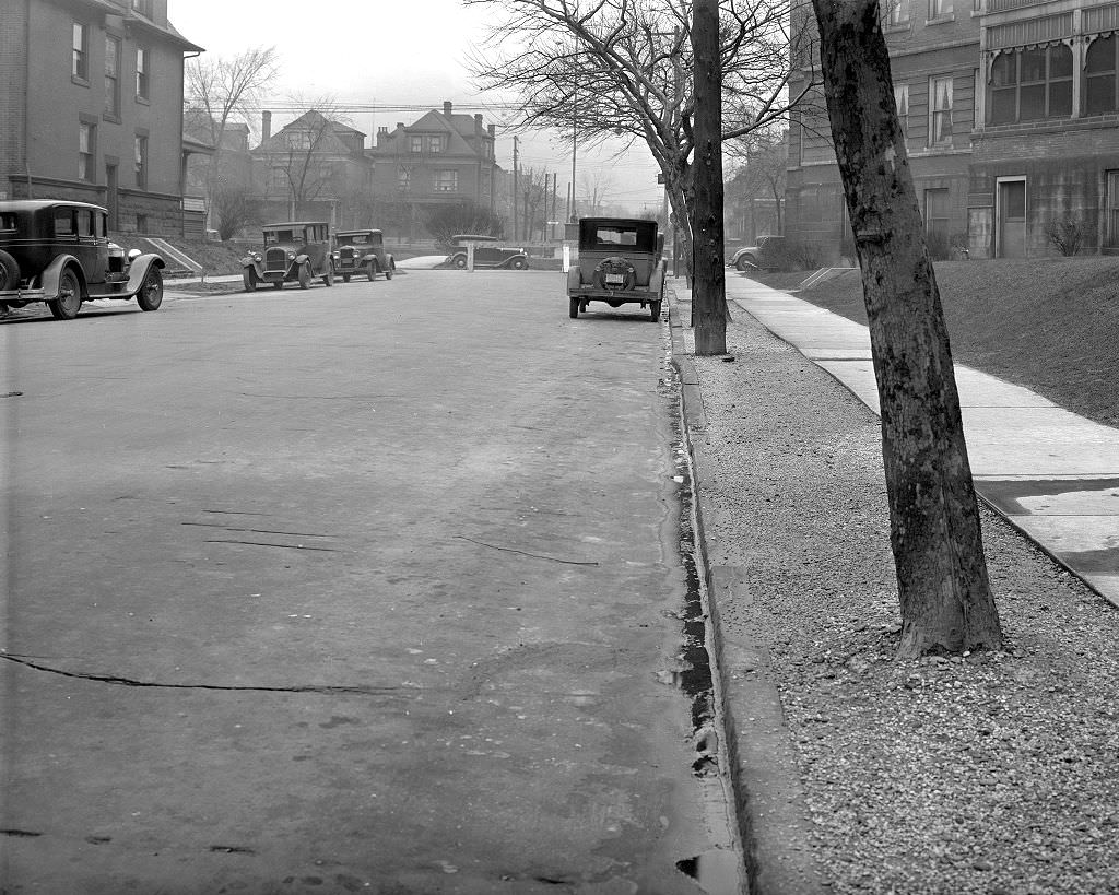
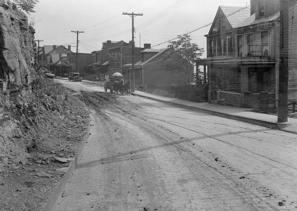
Unpaved roads remained a fact of life in many Pittsburgh neighborhoods as late as 1933. The city’s topography and the piecemeal nature of its development meant that some areas had never been paved at all. Dirt and gravel intersections turned to mud in the rain and created dust problems in dry weather. Municipal road improvement programs were working through the backlog, but progress was slow. For residents on these streets, the condition of the road surface was a constant, grinding inconvenience.
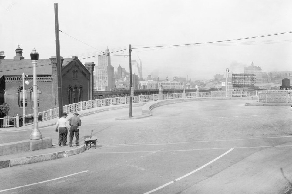
Mount Washington, rising steeply south of the Monongahela, offered some of the best views of Pittsburgh’s downtown. Looking northeast from the Mount Washington roadway extension in 1933 provided a panoramic view of the city — the rivers, the bridges, the downtown buildings, and the smoke that perpetually hung over the industrial districts. Pittsburgh in the 1930s was, by most accounts, one of the smokiest cities in the United States. Coal burned in homes, factories, and railyards produced a nearly constant haze that reduced visibility and coated buildings in soot. This was not yet seen as a crisis requiring action — it was simply the cost of being an industrial city.
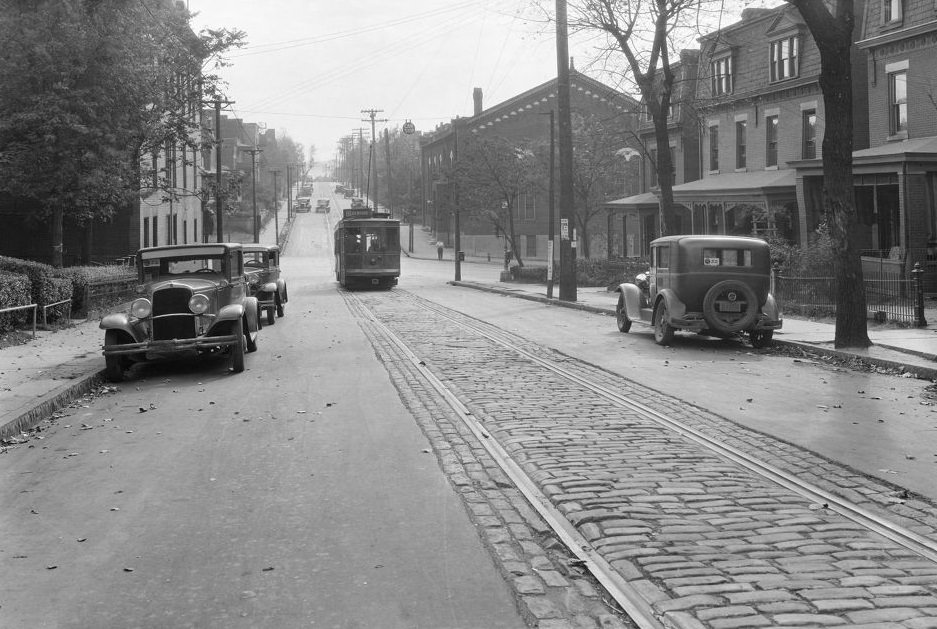
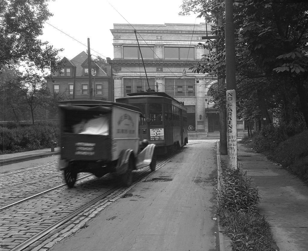
The NRA signs visible along Ward Street in 1933 referred to the National Recovery Administration, one of the first major New Deal agencies established under President Franklin Roosevelt that year. Businesses that agreed to comply with NRA codes — covering minimum wages, maximum hours, and collective bargaining rights — were permitted to display the NRA’s Blue Eagle symbol. These signs appeared in storefronts and on buildings throughout Pittsburgh in 1933 and 1934, a visible signal of the federal government’s effort to regulate the economy and restore confidence. The Atwood trolley running past these signs was part of the transit system that kept Pittsburgh’s workforce moving.
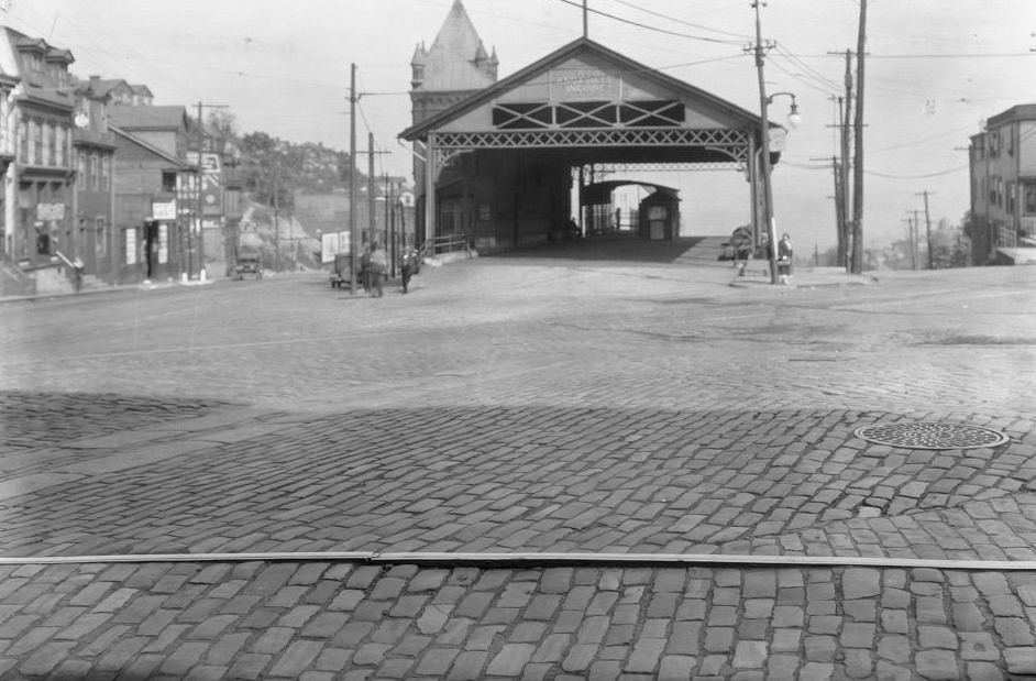
Pittsburgh’s inclines were cable-powered hillside elevators that connected the South Side Slopes and Mount Washington to the neighborhoods below. The Knoxville Incline, seen from Arlington and Warrington Avenues in 1933, was one of several still operating in the city at that time. At their peak, Pittsburgh had more than a dozen inclines. By the 1930s, some had already closed as buses and improved roads offered alternatives, but the surviving inclines remained essential for residents in the steep hillside neighborhoods above the Monongahela who used them for their daily commute.
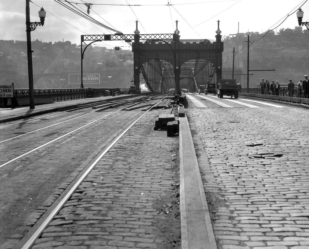
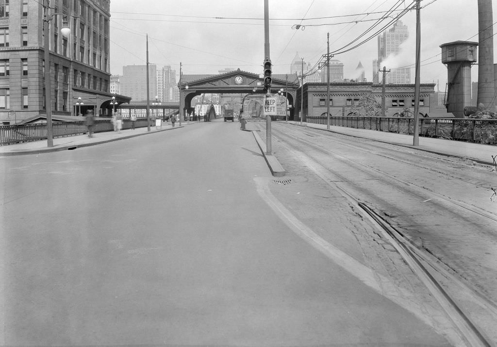
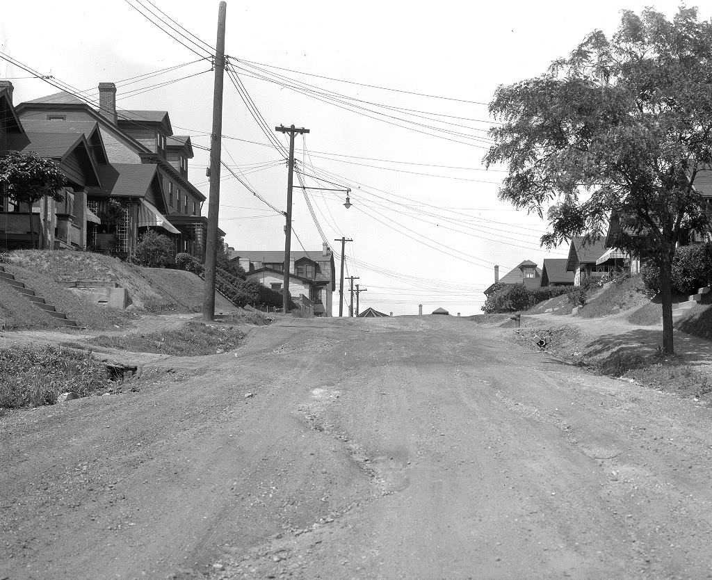
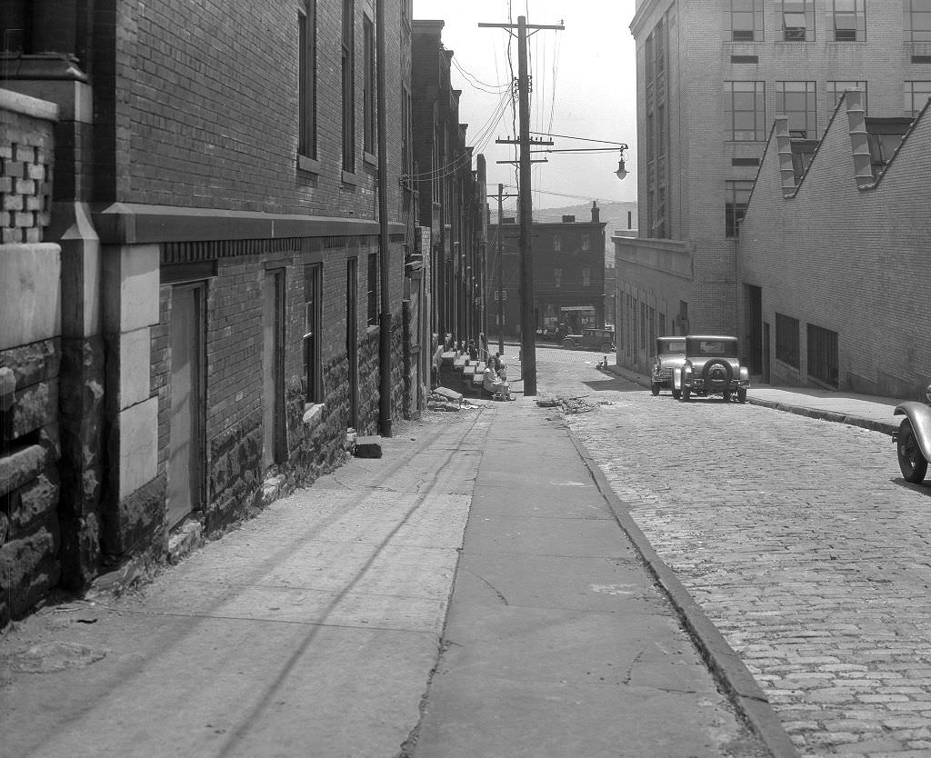
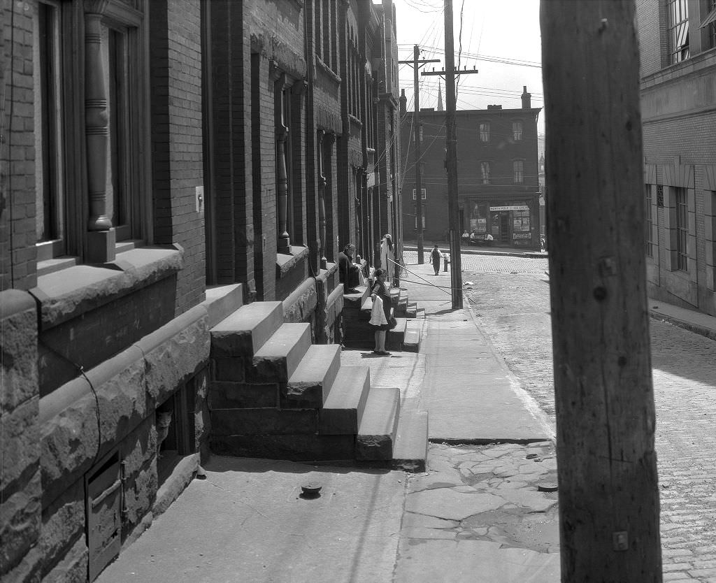
Crawford Street repair work in 1931, documented from two separate vantage points, shows the scale of ongoing road maintenance throughout the city. The Hill District’s streets were subject to the same deterioration as those elsewhere in Pittsburgh, made worse by the hilly terrain and heavy foot and vehicle traffic. Repair projects here were part of the city’s standard maintenance cycle, though in the Depression years, securing the budget to complete this work was more difficult than it had been in the 1920s.
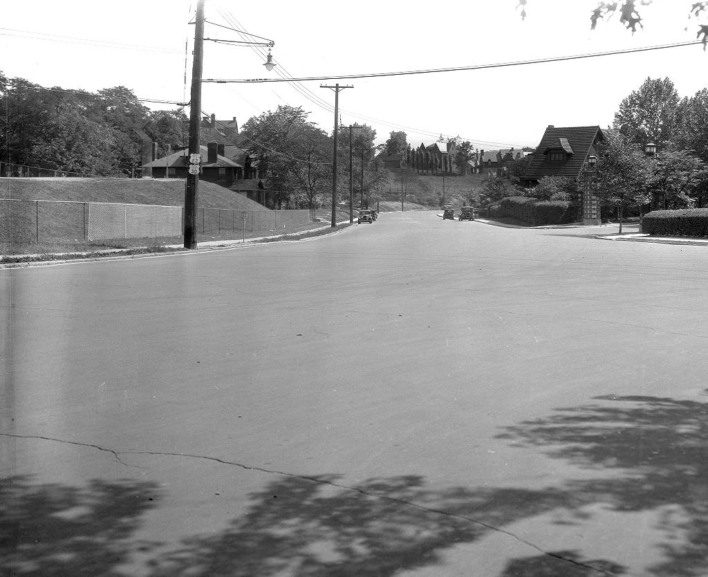
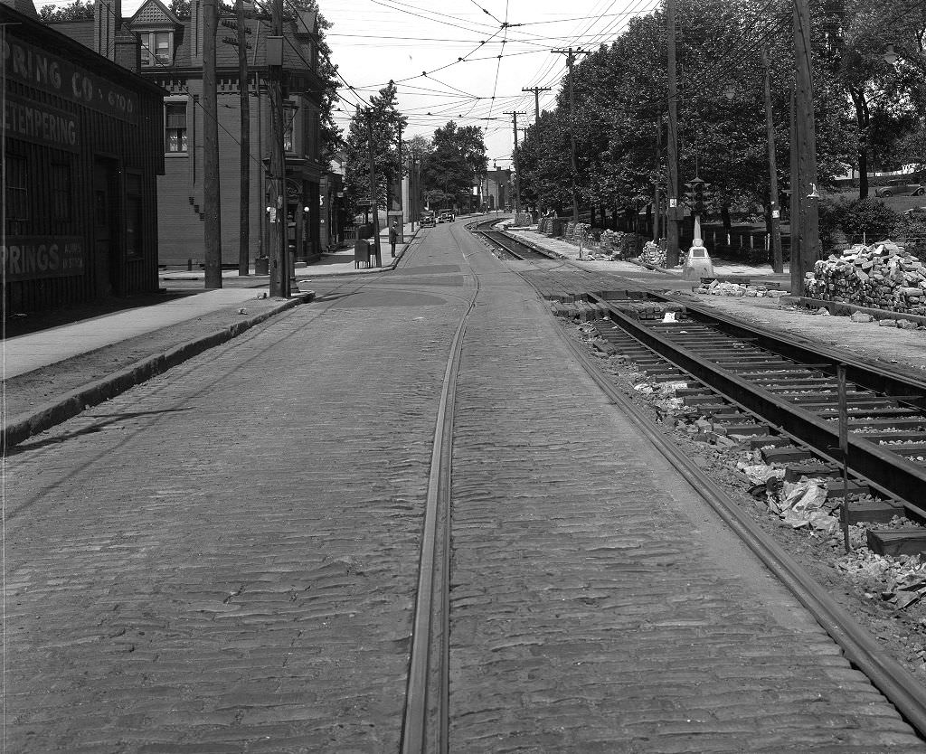
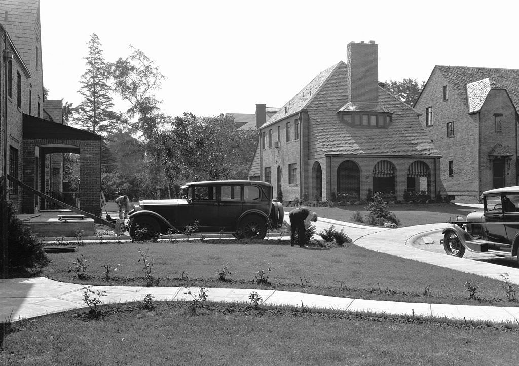
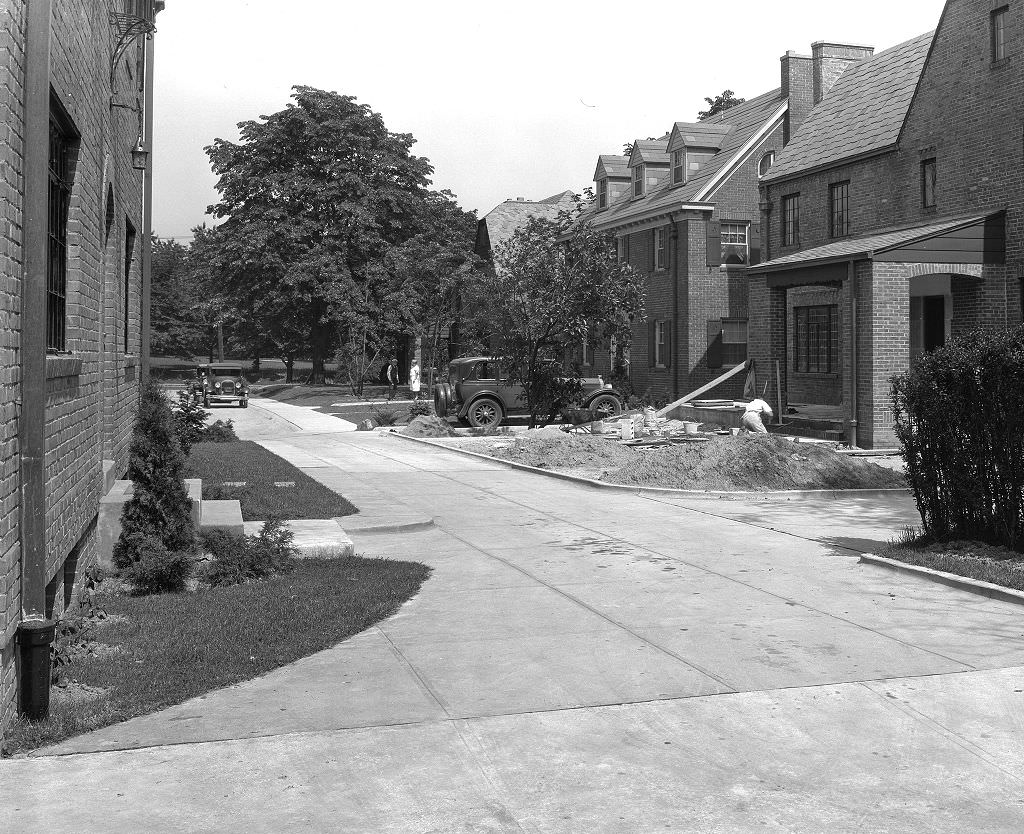
Yorkshire Drive represented a different side of Depression-era Pittsburgh — a quieter, more residential street where a man tending his yard in 1931 suggests a neighborhood maintaining its standards despite hard times. Not all of Pittsburgh’s residents lived in industrial or slum conditions. The city had middle-class and working-class neighborhoods that, while affected by the Depression, retained a degree of stability and order. Yorkshire Drive’s brick houses and maintained yards show that Pittsburgh’s story in the 1930s was not uniform — it varied dramatically by neighborhood and by class.
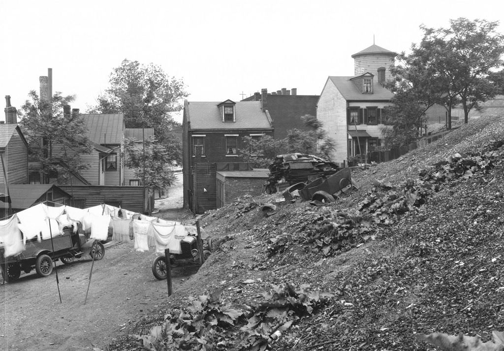
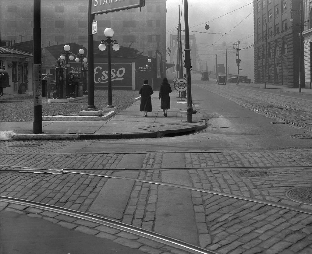
Arlington Avenue climbed the steep hillside of the South Side Slopes, offering elevated views over the Monongahela valley and downtown Pittsburgh. The neighborhood along Arlington in 1931 was a dense residential area where houses clung to the hillside and steps connected streets at different elevations. The view looking northeast from 3249 Arlington captured both the domestic scale of the immediate neighborhood and the industrial panorama visible beyond it — a collision of the intimate and the massive that defined life in Pittsburgh’s hillside communities.
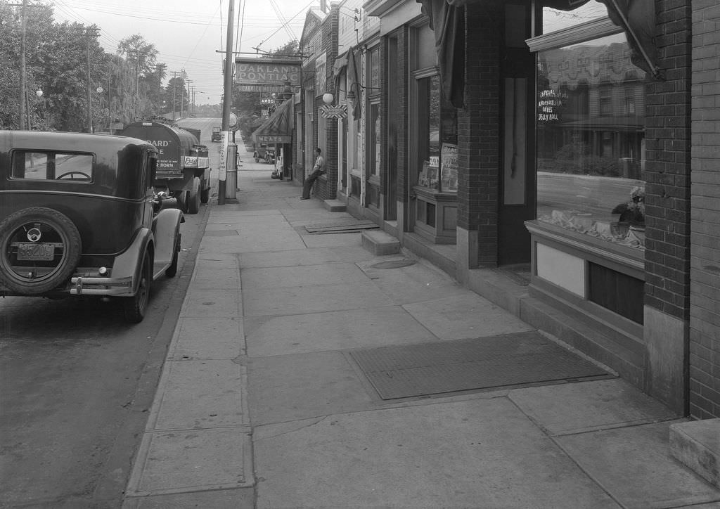
Brownsville Road in Carrick was one of Pittsburgh’s outer neighborhood commercial strips. Looking north along Brownsville Road in 1931, the photograph shows a row of small businesses serving the residential community around them. Carrick was a South Side neighborhood that had developed as a streetcar suburb in the early 20th century, and its commercial district along Brownsville Road reflected that — a mix of grocers, hardware stores, barber shops, and other small businesses that catered to the everyday needs of the surrounding community.
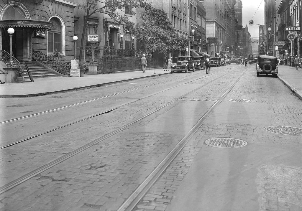
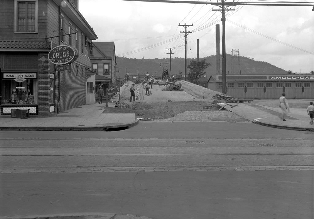
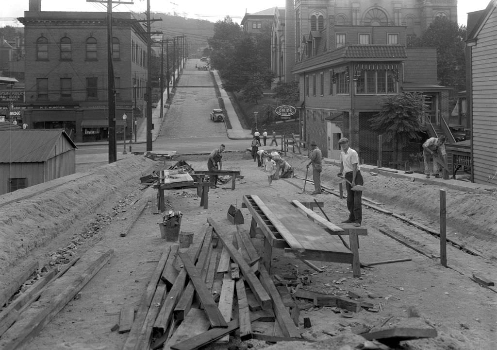
The Elizabeth Street Bridge under construction in 1931 connected the riverfront to Second Avenue, an important link for pedestrians and vehicles moving between the Monongahela waterfront and the residential streets above it. Bridge construction and repair was a constant activity in Pittsburgh, a city whose geography demanded dozens of river and creek crossings. The progress photograph taken from the bridge span toward 2nd Avenue documents the engineering work involved — steel framework, concrete piers, and the river visible below.
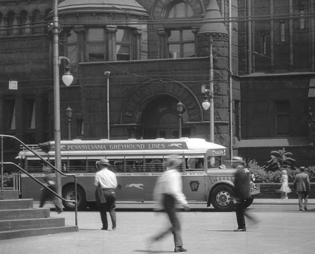
Greyhound Bus service provided intercity transportation for Pittsburghers who couldn’t afford train tickets or didn’t have access to private automobiles. By 1931, Greyhound had established Pittsburgh as a stop on routes connecting it to other major northeastern and midwestern cities. For unemployed workers looking for work in other cities, or for families trying to reconnect during the Depression, the bus offered a cheaper alternative to the railroad. The Greyhound terminal became a transit point for the movement of people that the economic crisis set in motion across the country.
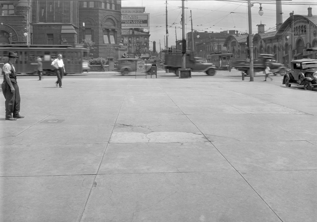
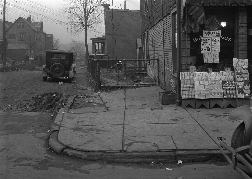
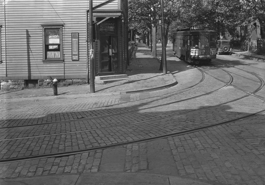
The 44 Knoxville streetcar line served one of Pittsburgh’s southern hillside neighborhoods, running up through Beltzhoover and connecting residents to the broader city transit network. The photograph at the intersection of Beltzhoover and Climax Streets in 1931 documents the streetcar in everyday operation — not a special occasion, just a transit vehicle doing its job on a typical working day. Streetcars like this one were how most Pittsburghers got to work, to market, and across the city. The network was extensive, reliable, and essential.
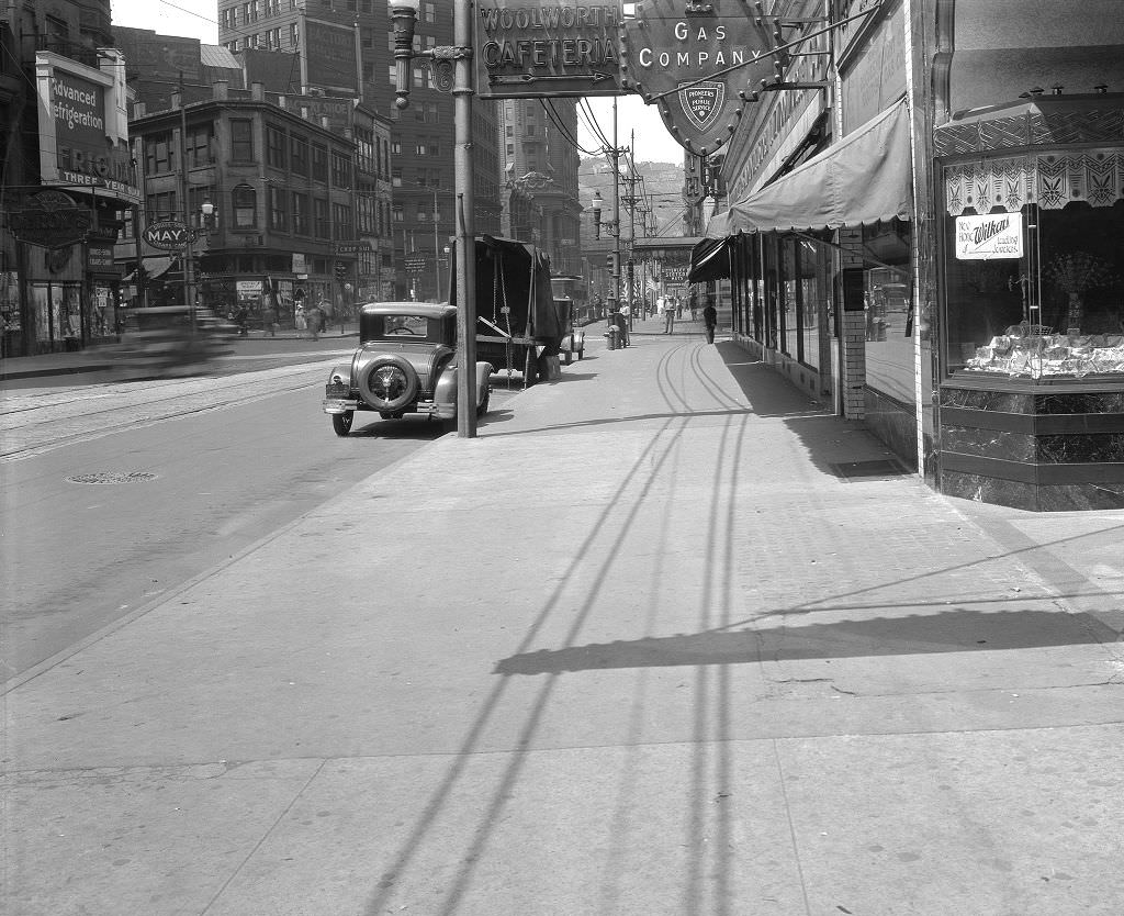
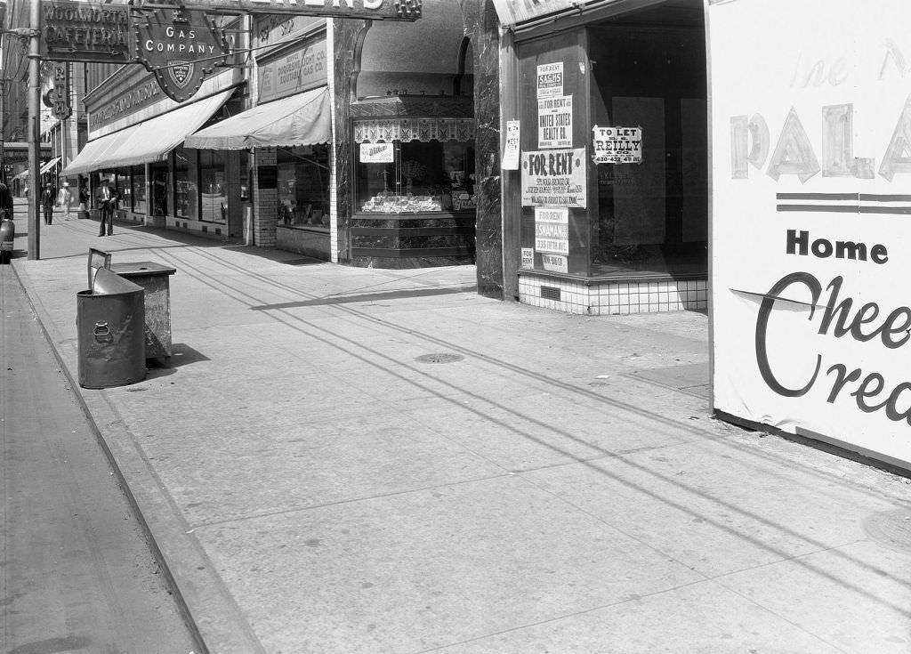
Liberty Avenue was Pittsburgh’s main downtown retail corridor, and in 1931 it was lined with major chain and department stores. Woolworth’s five-and-dime and Rosenbaum’s department store anchored their respective sections of the street. Woolworth’s thrived during the Depression precisely because its model of low-cost goods matched the needs of shoppers with shrinking budgets. Department stores like Rosenbaum’s faced more pressure, competing for a customer base that was buying less. The visual density of Liberty Avenue’s storefronts, signs, and pedestrians in 1931 captures downtown Pittsburgh’s retail heart still beating.
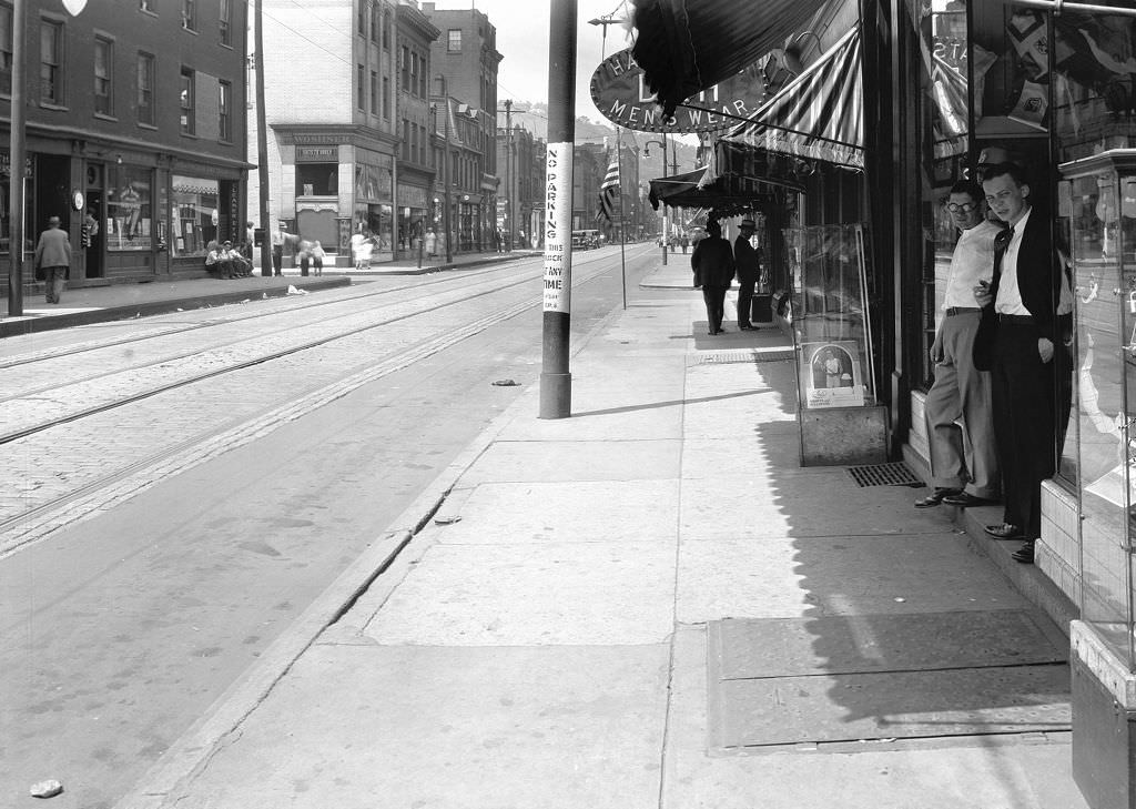
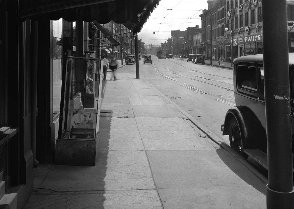
East Carson Street was the South Side’s commercial spine, and the photographs taken in front of 1607 in 1931 show both the street-level life and the building stock of the neighborhood. Two men standing in front of the address are a common sight in Depression-era photographs — men with time on their hands, unemployed or waiting, present on the street in the middle of the day in a way that would have been less common during the boom years. Carson Street continued to function as a commercial corridor throughout the 1930s, but with a noticeably reduced pace.
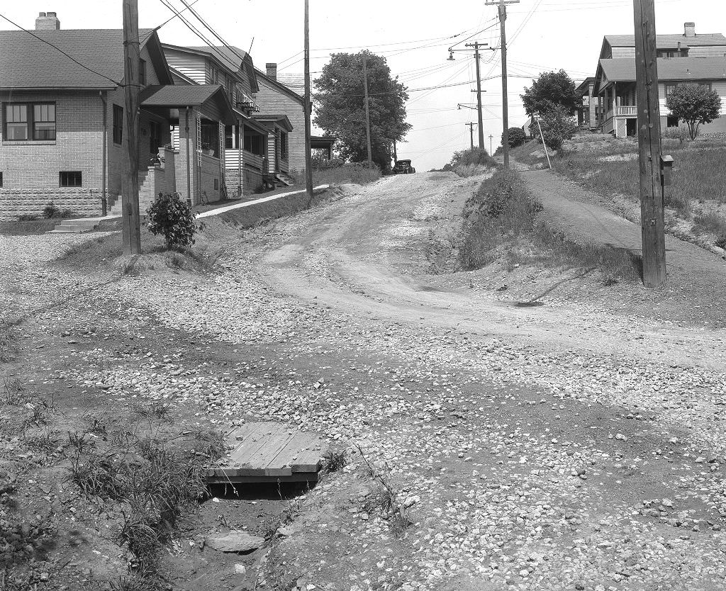
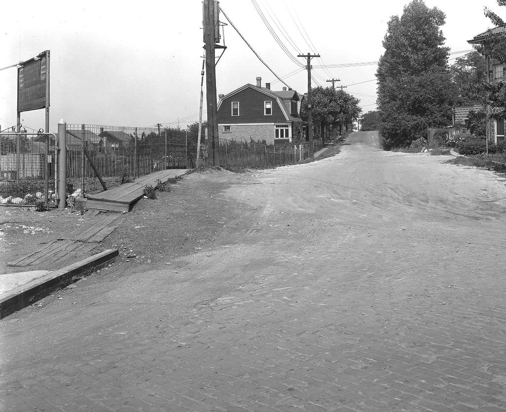

Road grading and surfacing projects on streets like Carrick Avenue, Waddington Street, and Brant Street were standard entries in Pittsburgh’s public works program throughout 1931. The city maintained detailed photographic records of this work, which is why so many images of seemingly unremarkable street improvements survive today. These photographs weren’t meant to be historical documents — they were engineering records, taken to verify that work was completed as specified. Their survival gives modern viewers an unusually granular view of what Pittsburgh looked like at street level during the Depression.