
By 1946, Phoenix, Arizona was home to roughly 120,000 people — and the city was moving fast. World War II had ended, and returning veterans, along with workers drawn by wartime industry, had flooded into the Valley of the Sun. The result was a city straining at its seams, scrambling to build roads, homes, and businesses fast enough to keep up with demand.
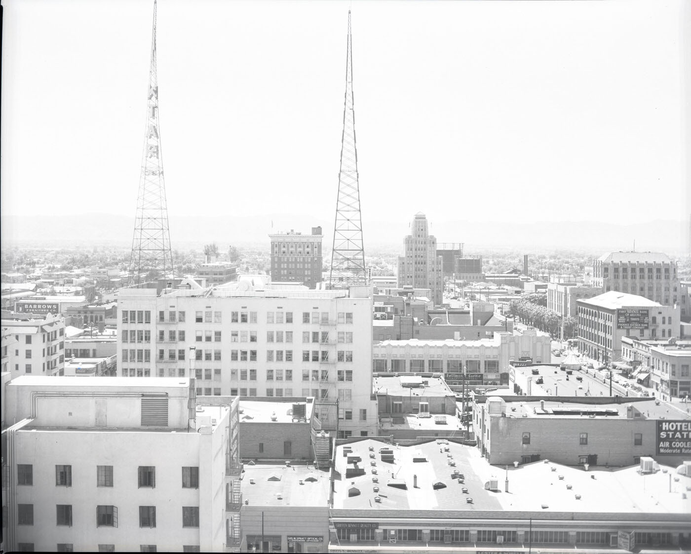
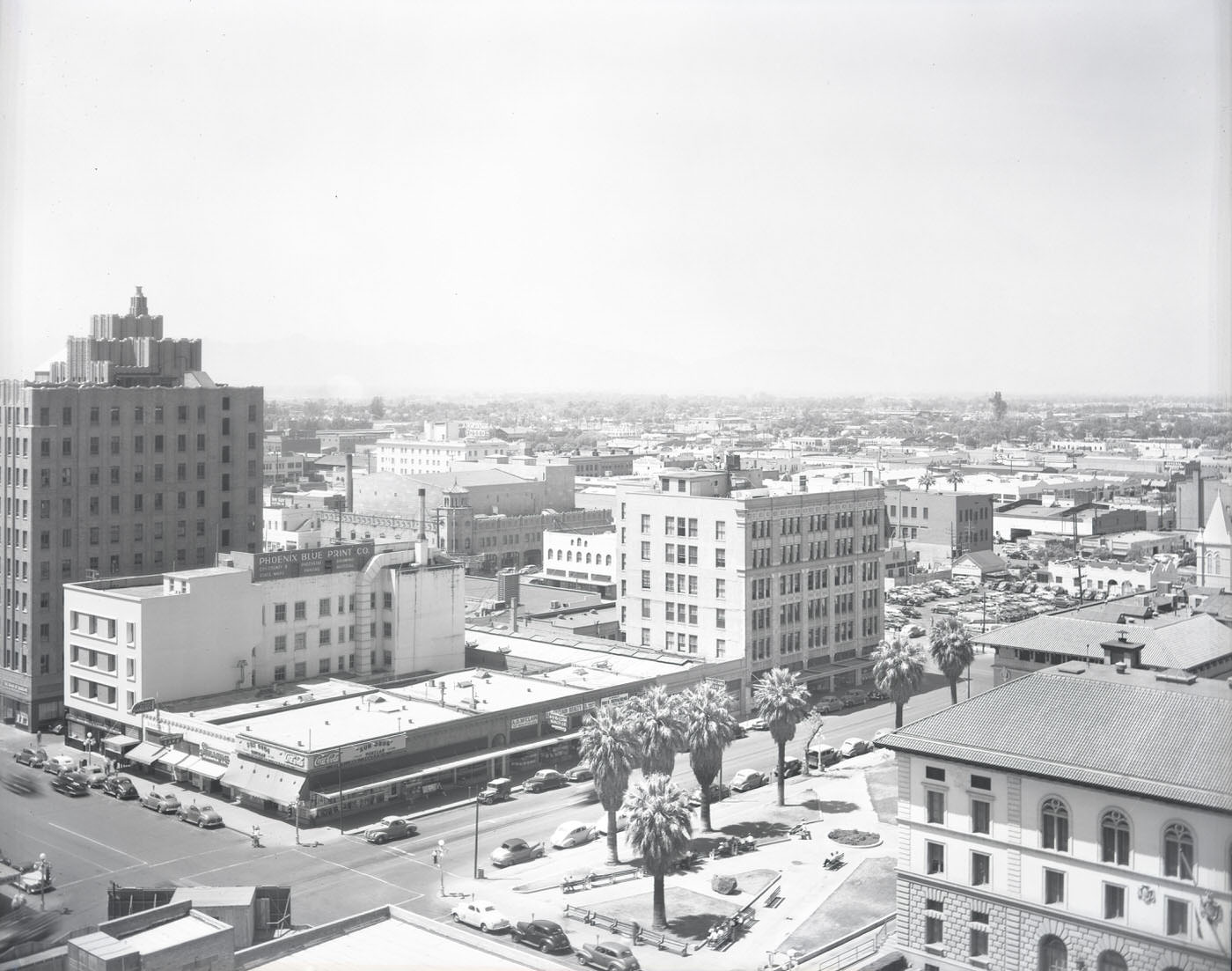
Downtown Phoenix was the beating heart of this growth. Low-rise commercial buildings lined the streets near Central Avenue and Van Buren, and landmarks like the Heard Building — topped with KTAR’s radio towers — anchored the skyline. The city’s street grid was clean and wide, built for a sun-baked desert town that had always planned to grow.
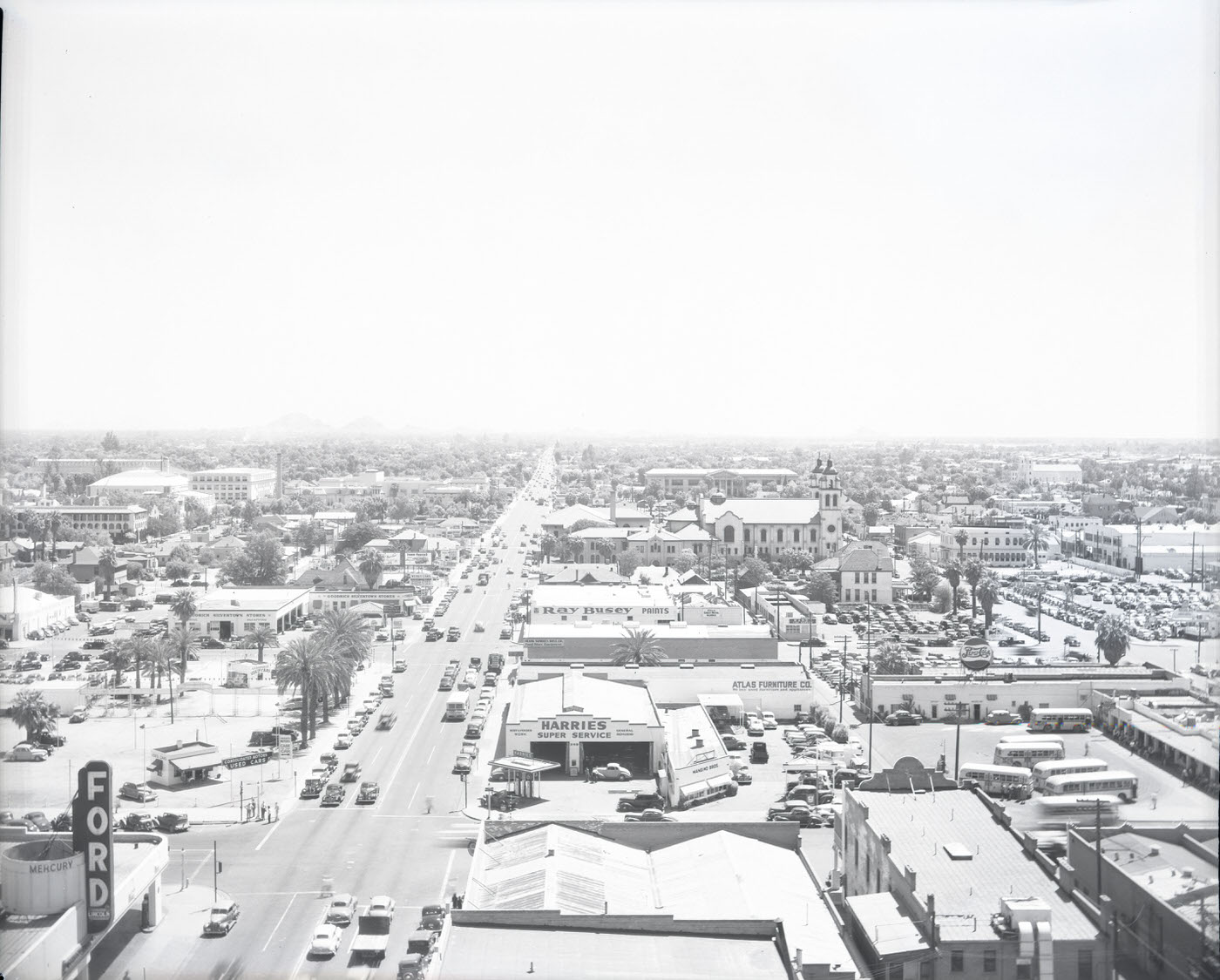
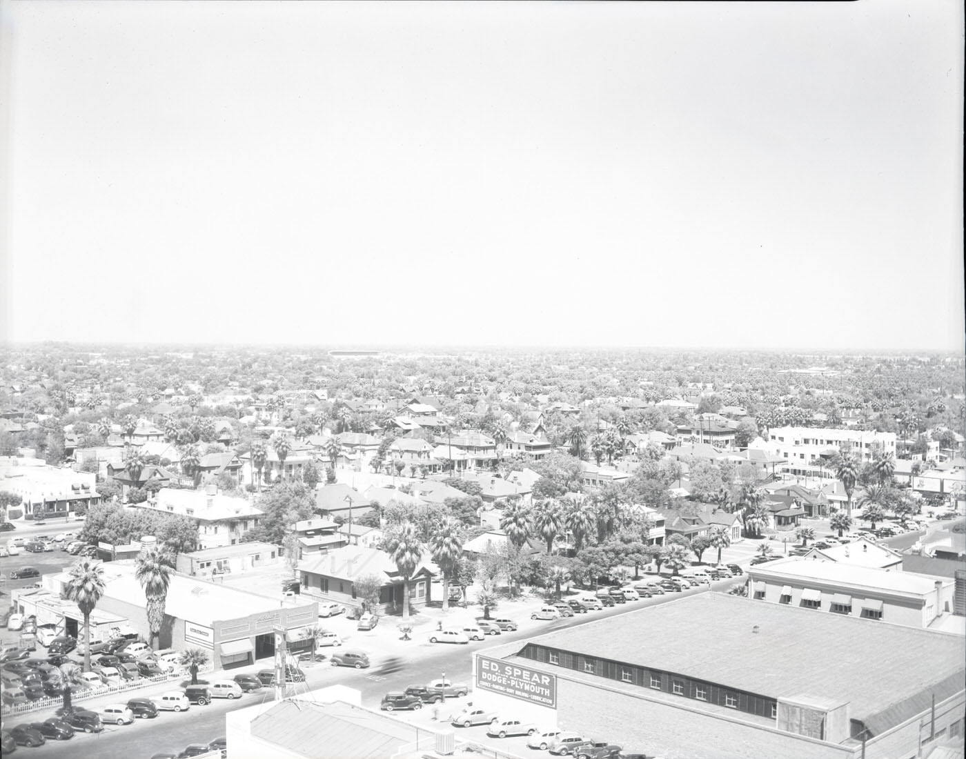
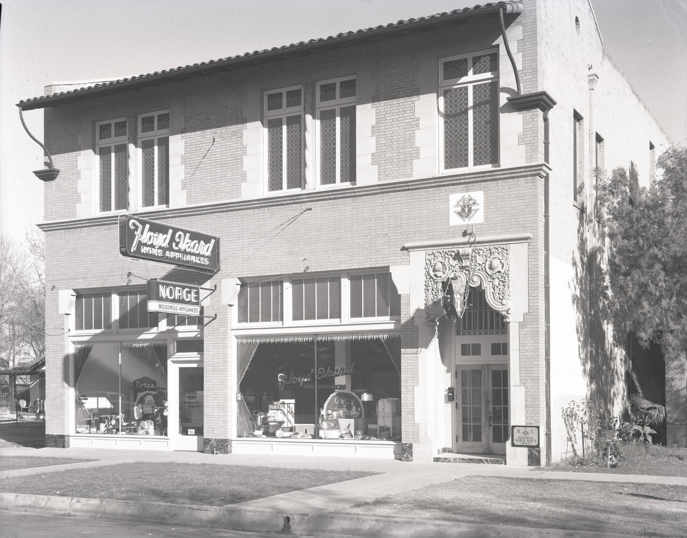
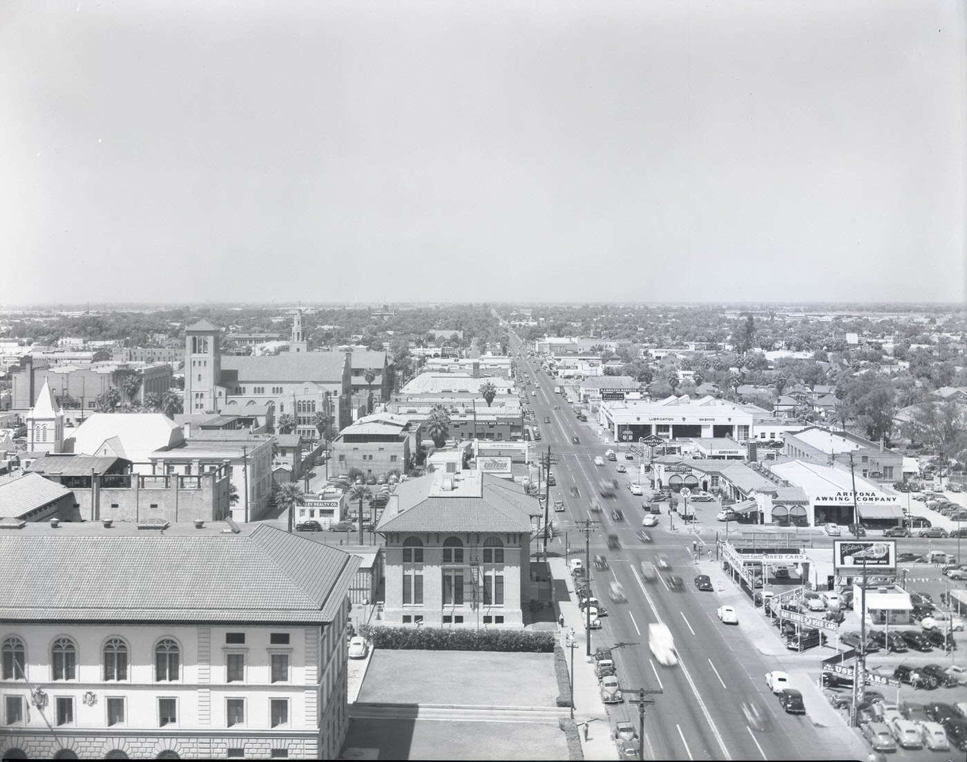
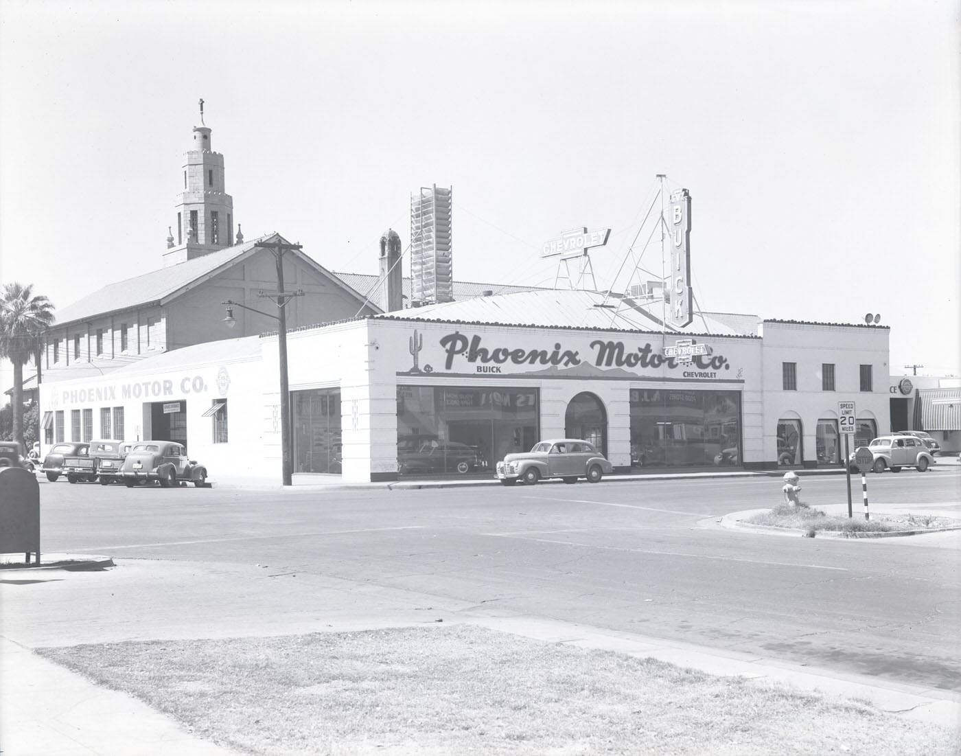
Street-level Phoenix told its own story. Auto dealers, drugstores, service stations, and local businesses competed for space along every major corridor. The car was already central to life in Phoenix — wide streets and abundant sunshine made driving the obvious way to get around.
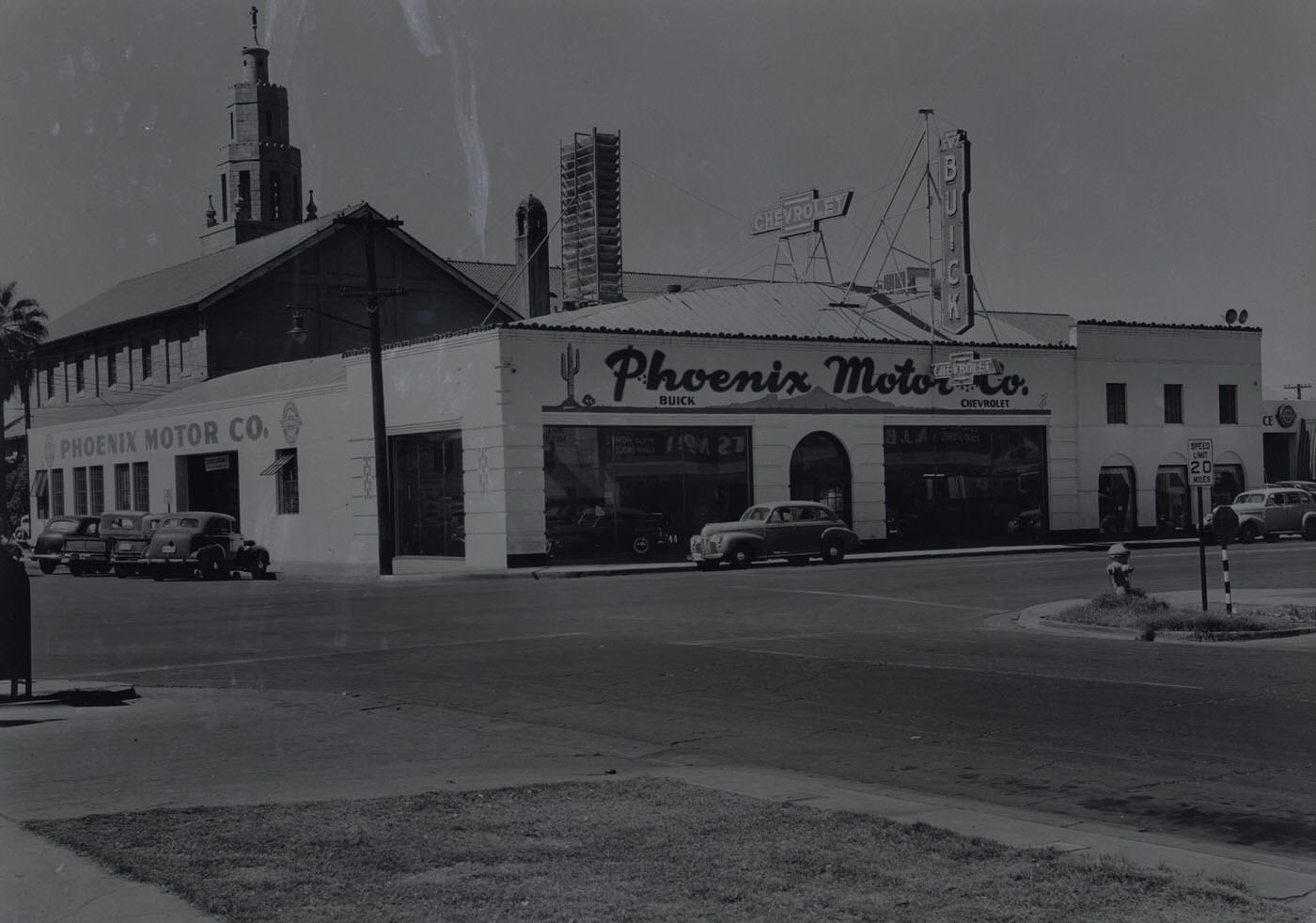
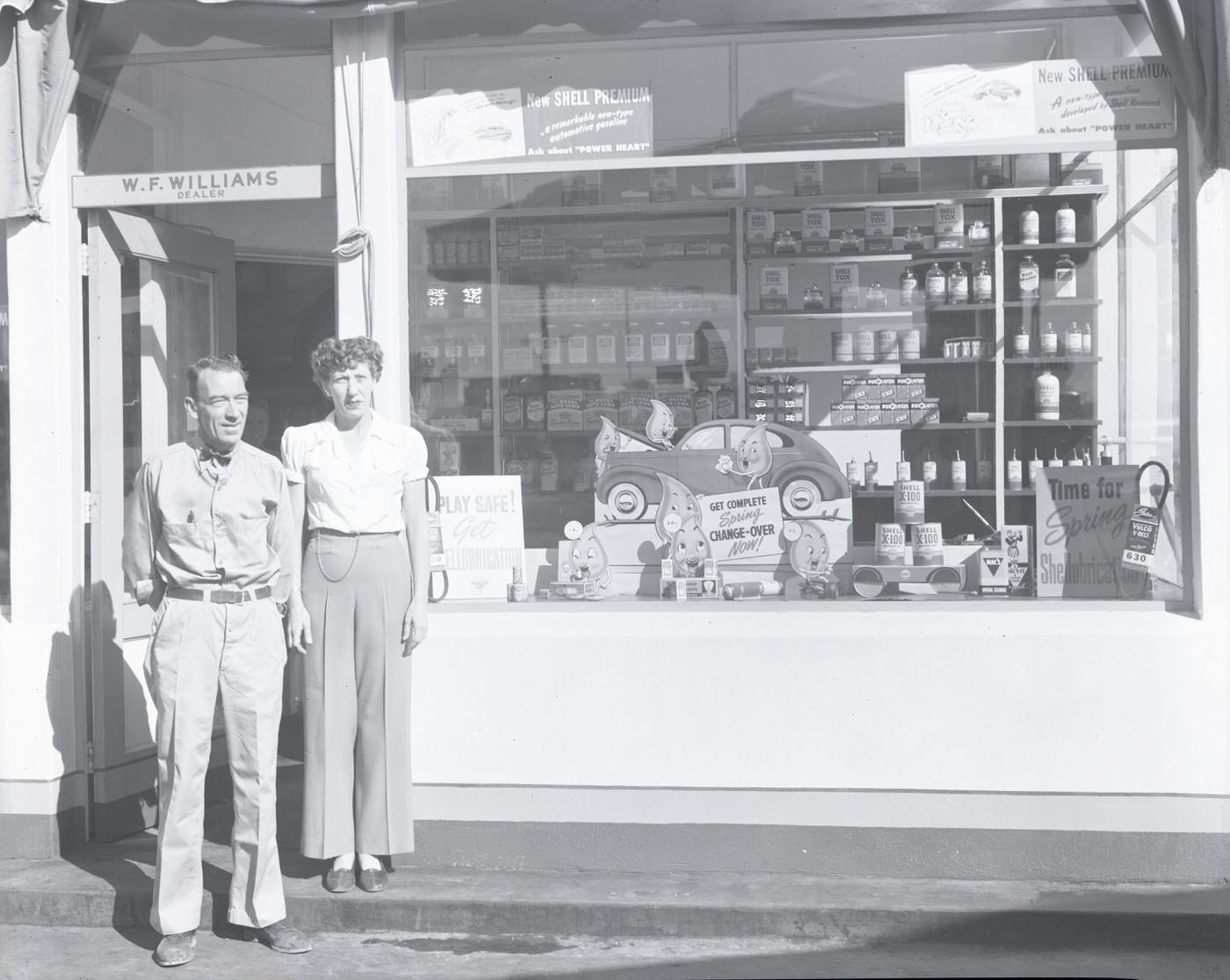
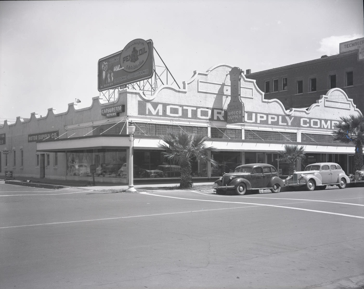
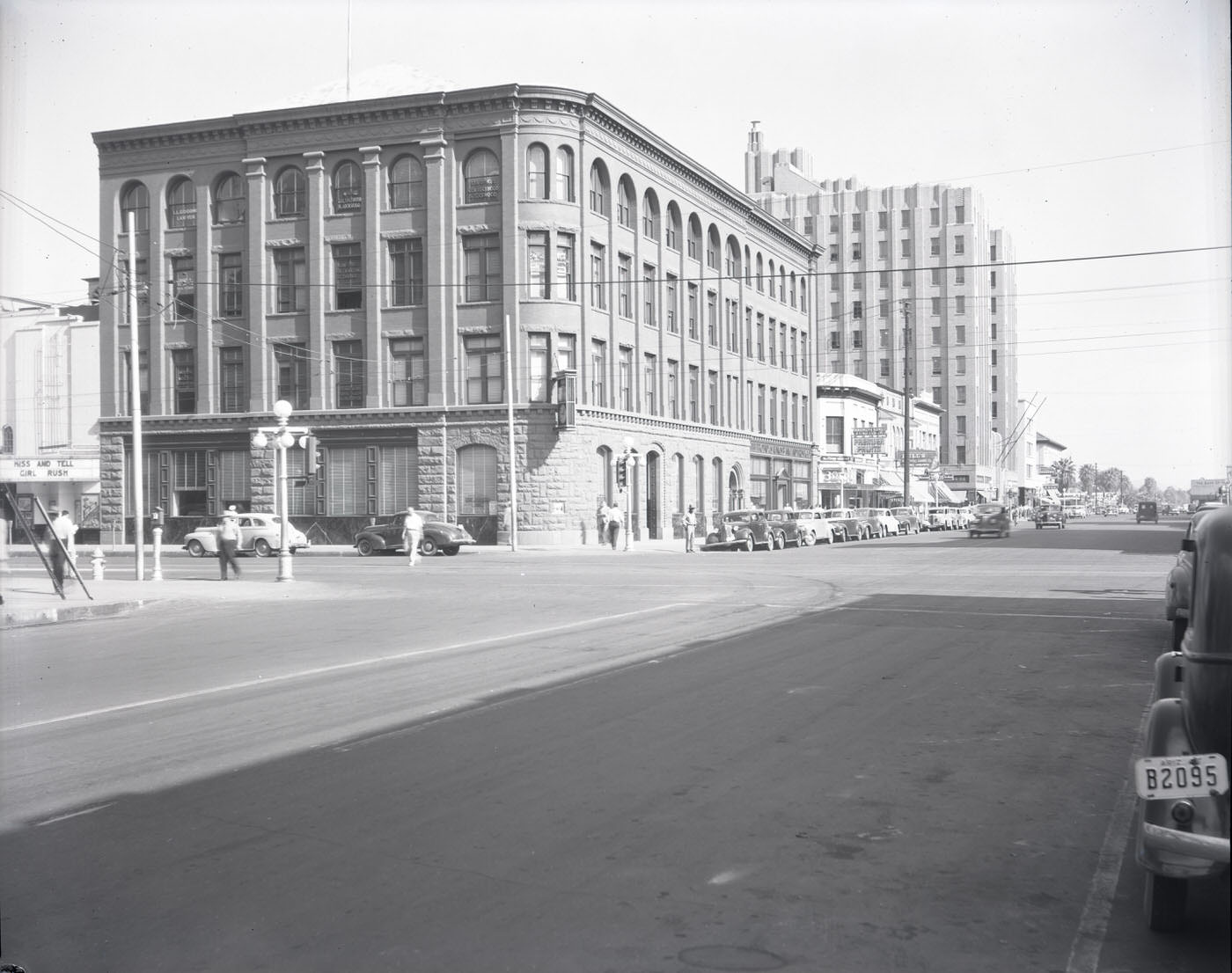
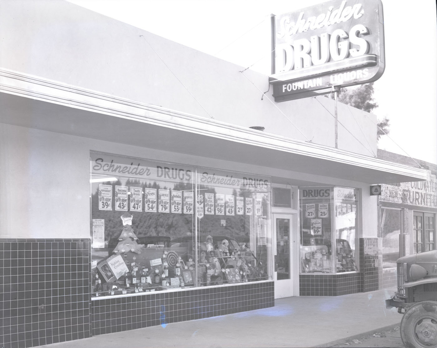
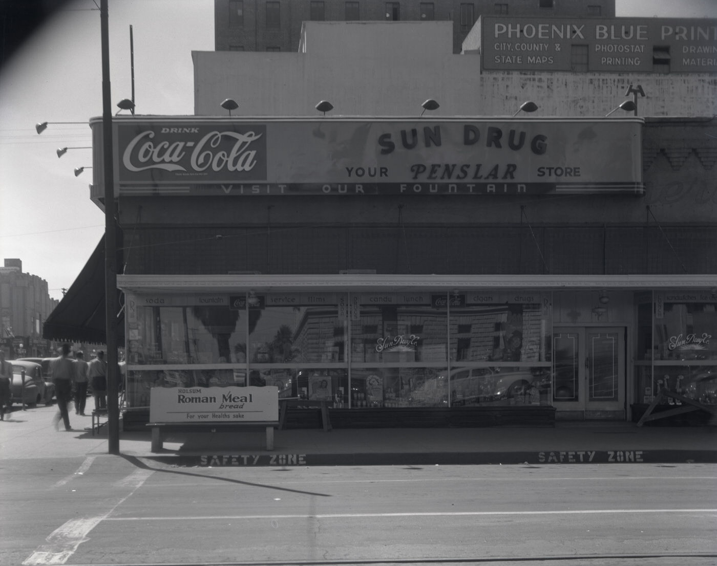
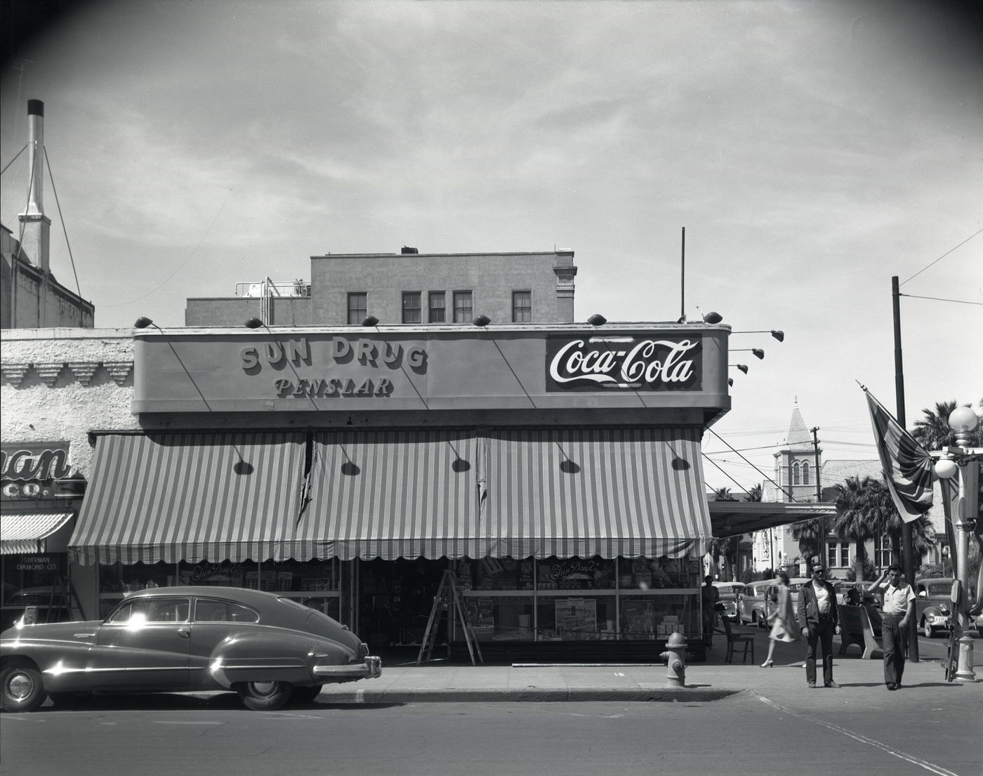
Commerce in postwar Phoenix ranged from auto supply shops and tire dealers to brokerage houses and pharmacies. The Fleming Building at the corner of 1st Ave. and Washington housed the Phoenix National Bank, representing the city’s growing financial sector. Meanwhile, smaller operations like Schneider Drugs and Sun Drug Co. served everyday residents across the city’s expanding neighborhoods.
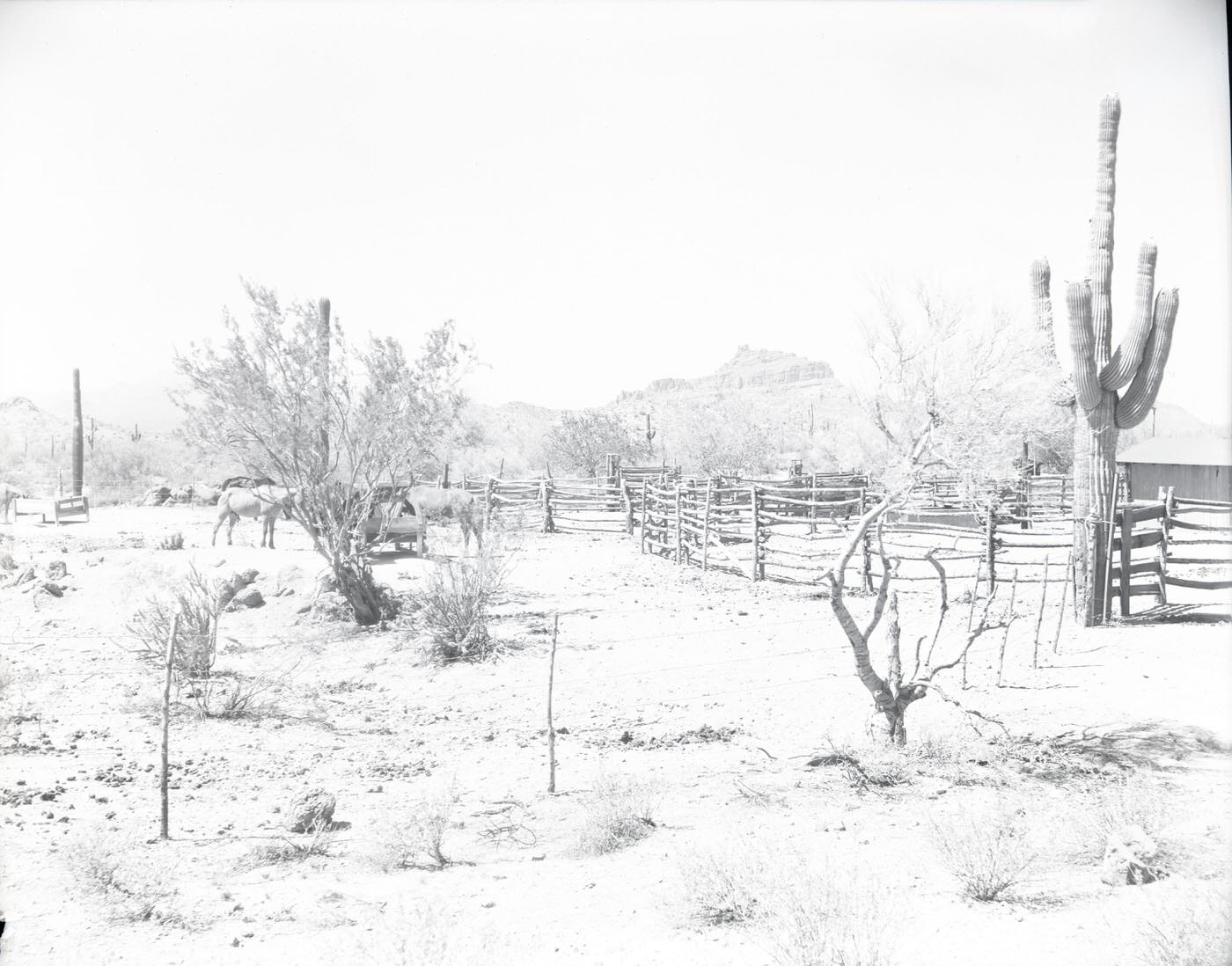
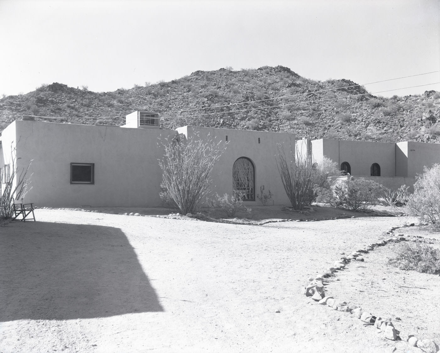
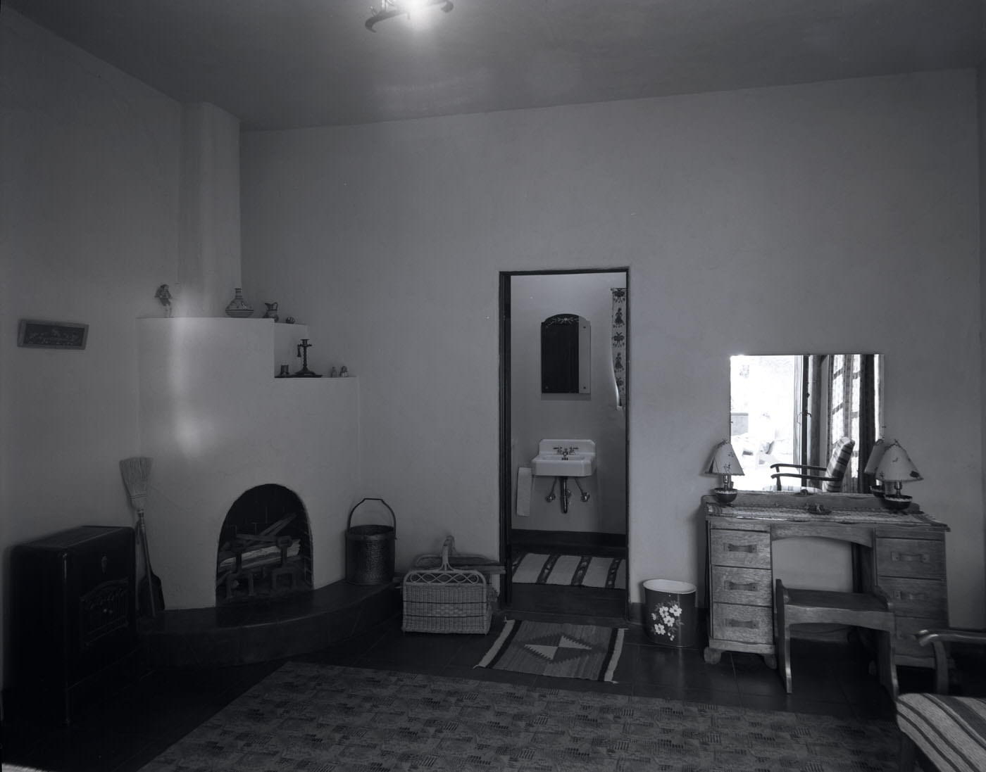
Phoenix’s mild winters had already earned it a reputation as a destination for tourists and retirees. Guest ranches offered an escape into the desert landscape just beyond the city. Red Mountain Ranch, situated on Bush Highway in Mesa, was one such retreat — its grounds, guest rooms, and exterior buildings reflecting the relaxed, sun-soaked atmosphere that drew visitors from colder parts of the country.
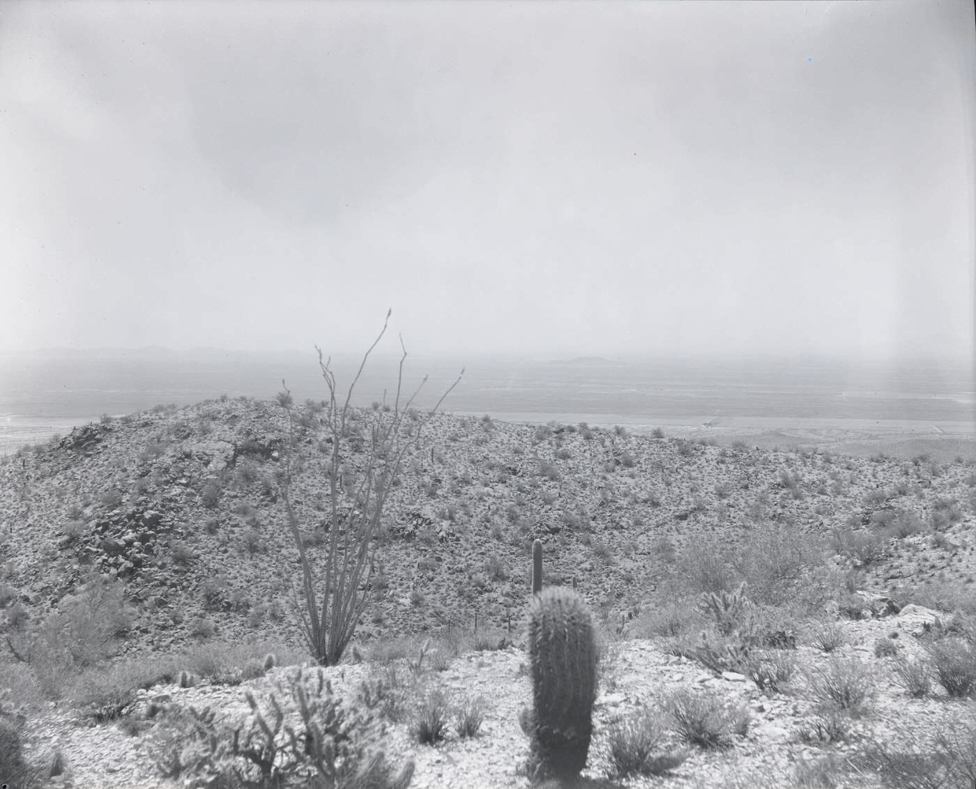
South Mountain loomed large on the southern edge of the city, a rugged desert landmark that defined Phoenix’s horizon. The natural landscape was never far away, even as the city built outward in every direction.
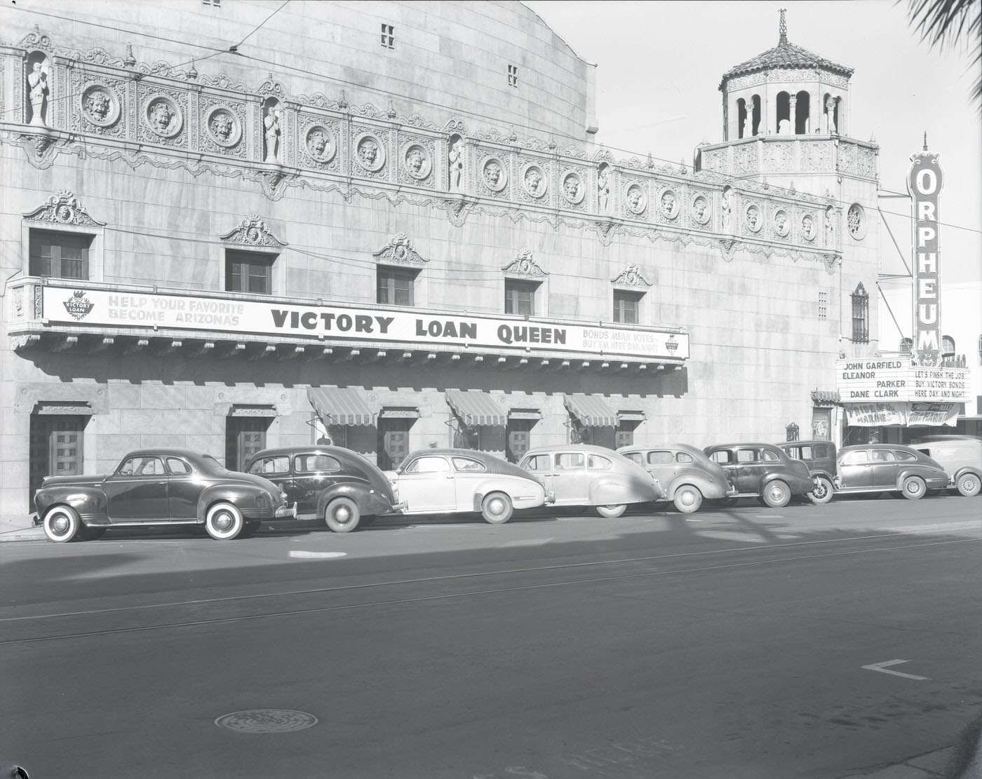
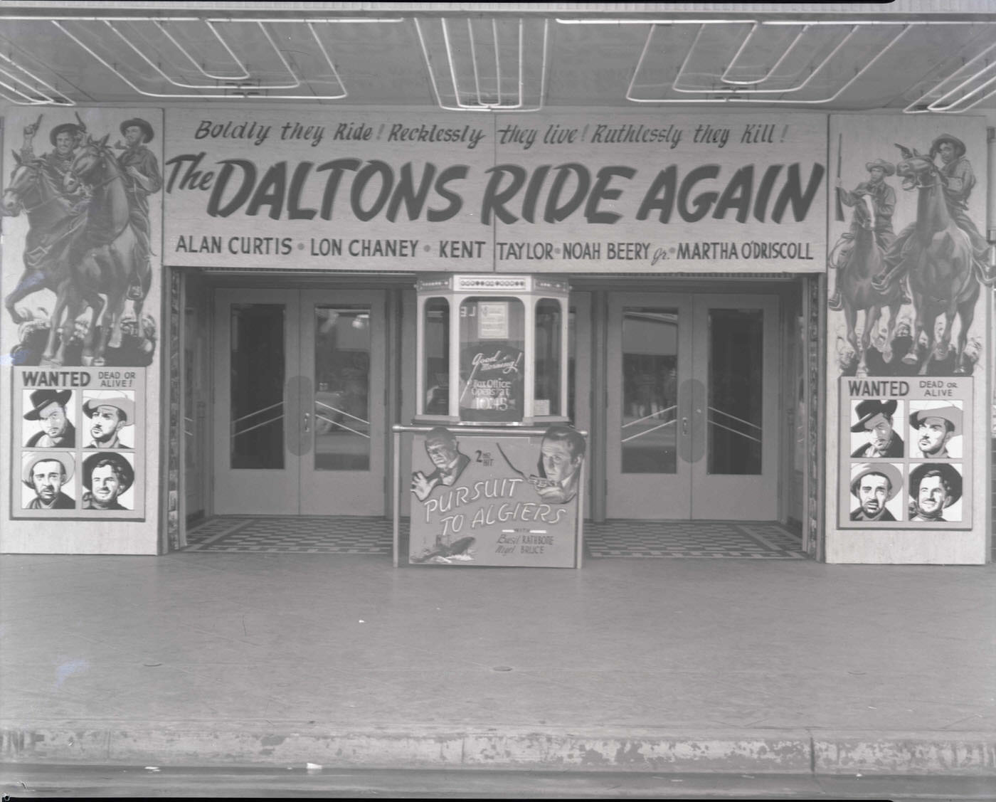
Entertainment was an important part of city life. The Orpheum Theatre and the Rialto Theatre drew crowds to downtown Phoenix, with the Rialto promoting “The Daltons Ride Again” on its marquee. Fraternal organizations like the Knights of Pythias maintained a visible presence on the city’s streets, occupying their own dedicated building.
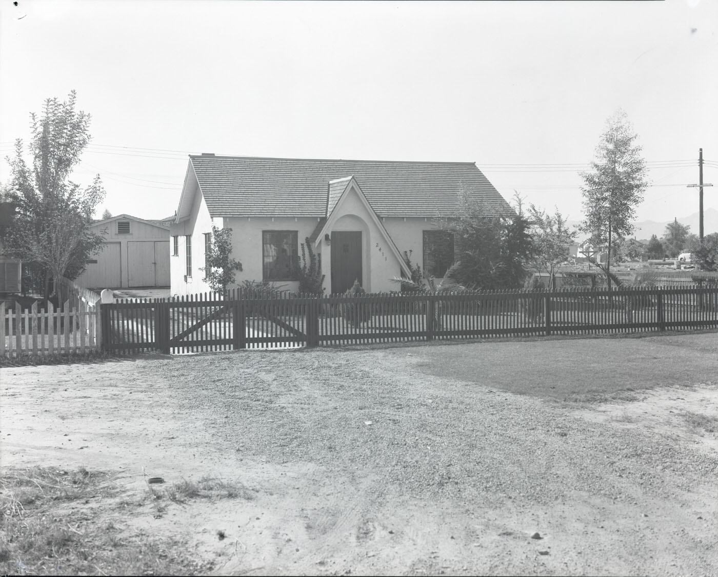
Residential neighborhoods were taking shape across the metro area. Sunnyslope, visible near the intersection of Central and Dunlap, was one of the communities absorbing new residents. The housing shortage caused by postwar population growth pushed developers and the government alike to build quickly — converting military barracks and constructing new housing tracts wherever land allowed.
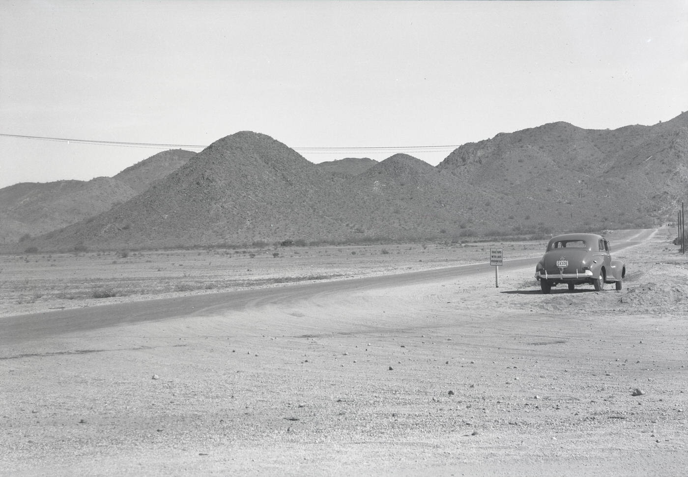
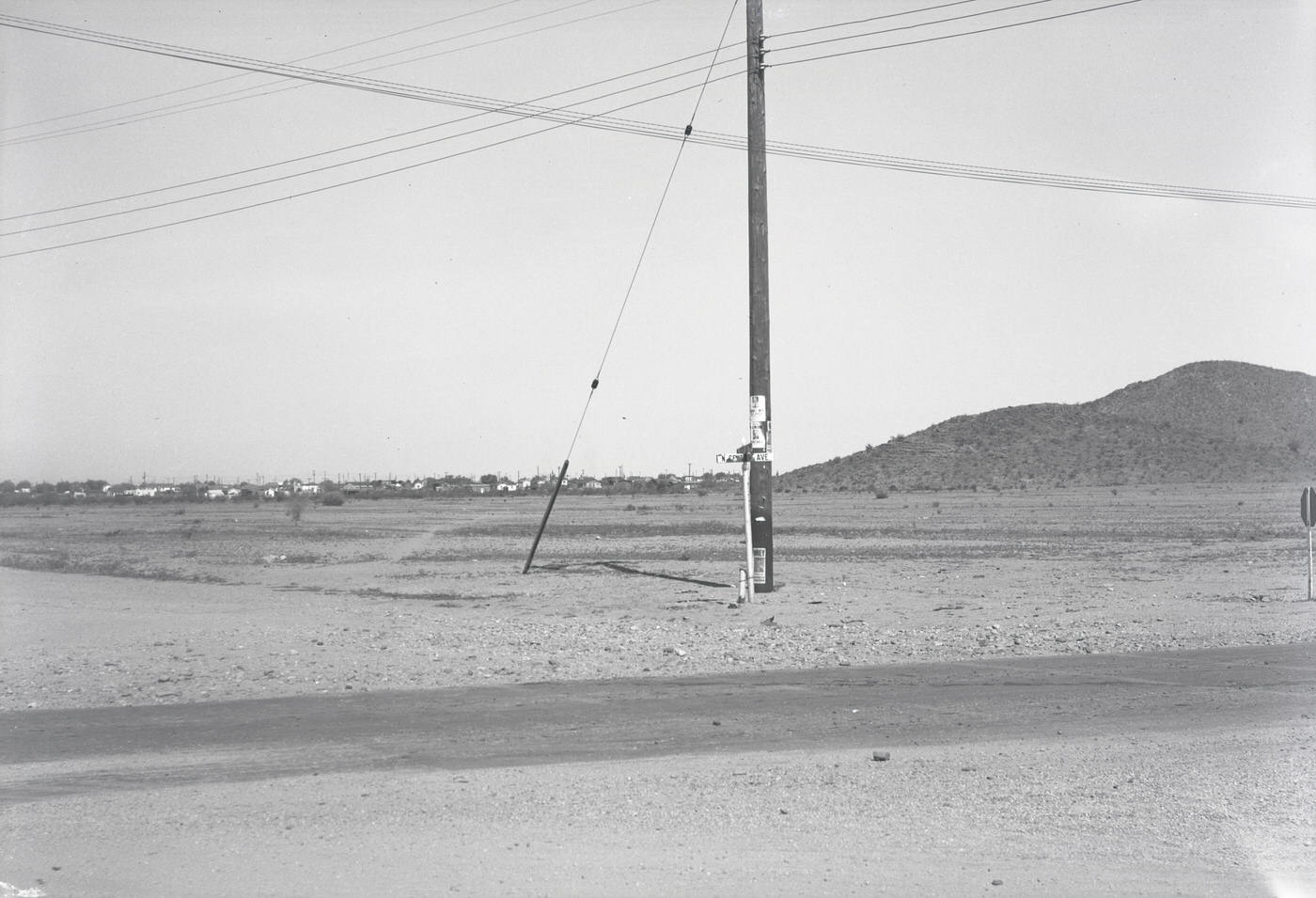
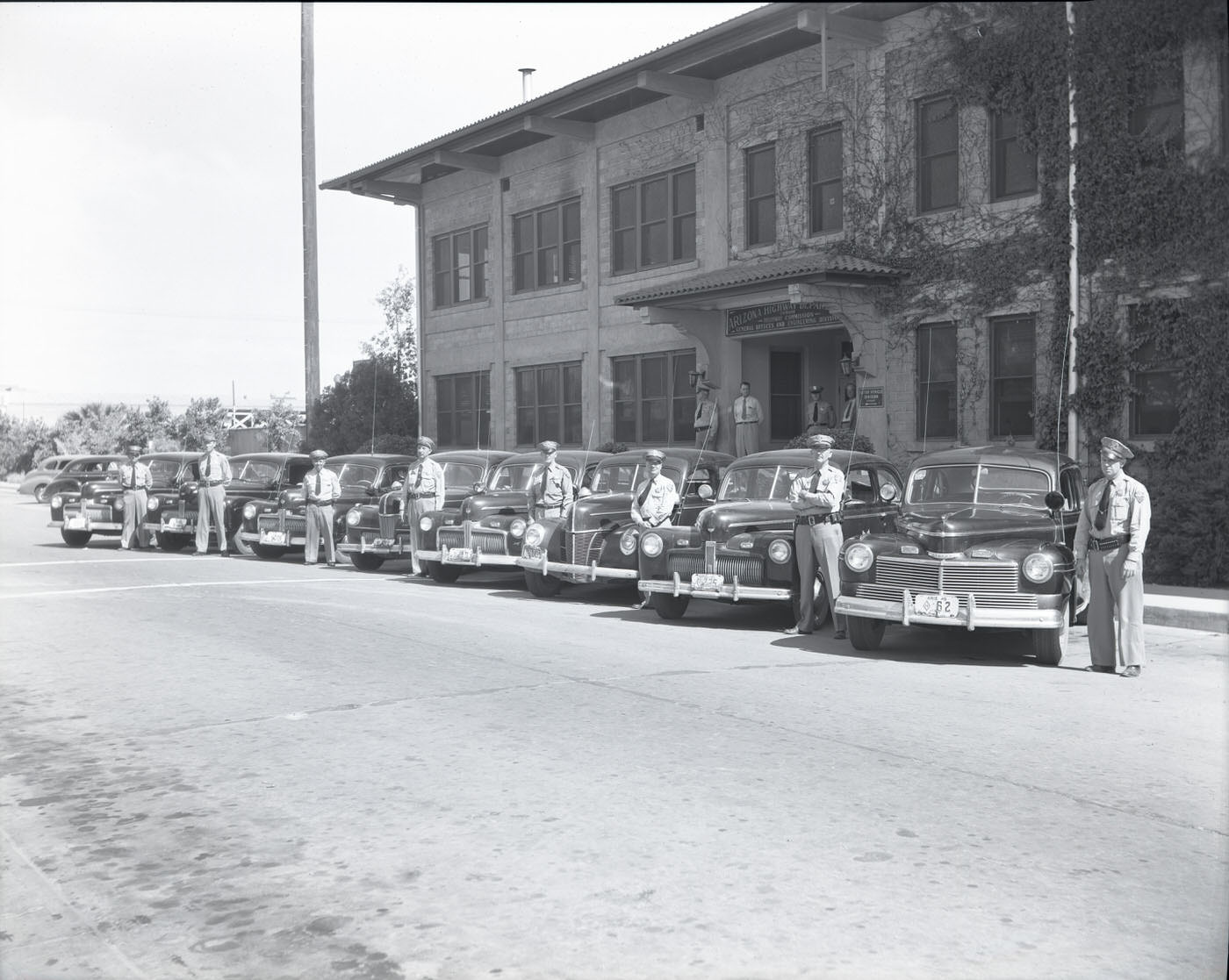
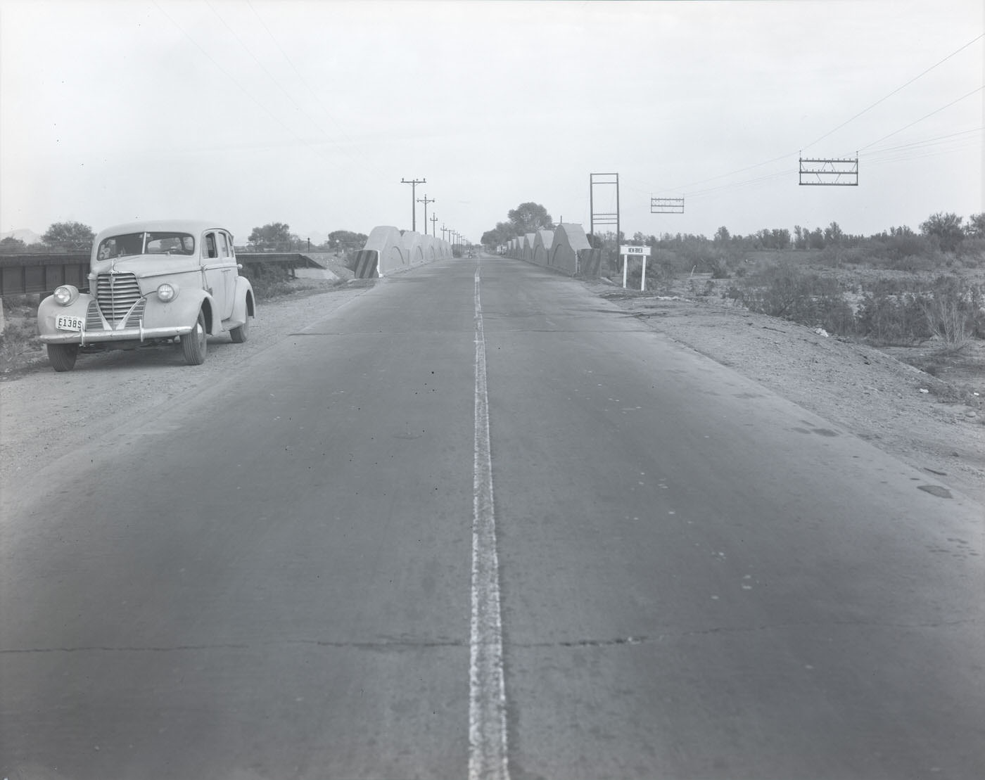
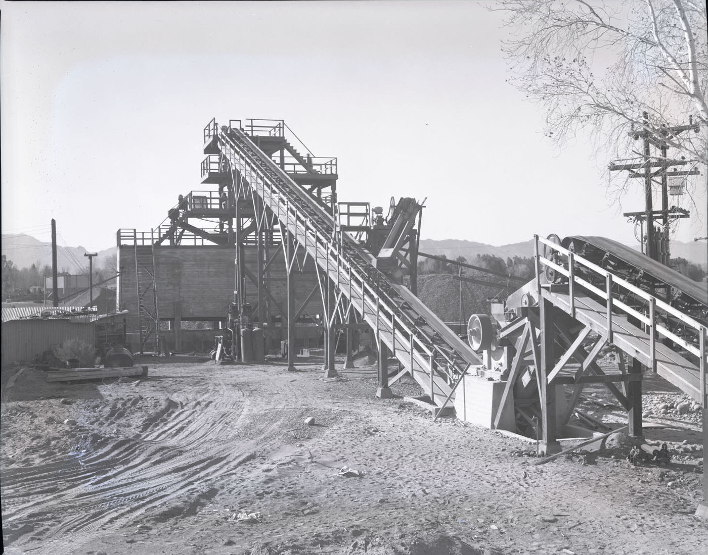
Infrastructure was expanding in every direction. The Arizona Highway Patrol kept watch over a road network that was rapidly growing to connect Phoenix with the surrounding region. New bridges, like the one crossing New River, reflected the state’s investment in transportation. Heavy equipment from companies like Union Rock & Material Co. was a common sight on job sites throughout the area.
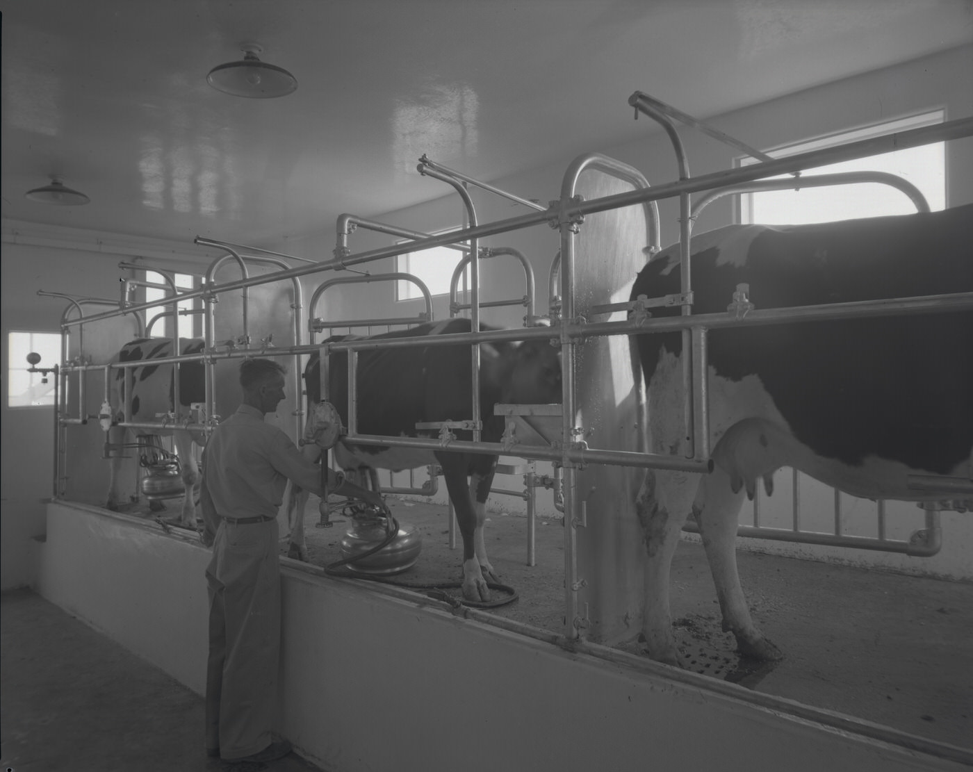
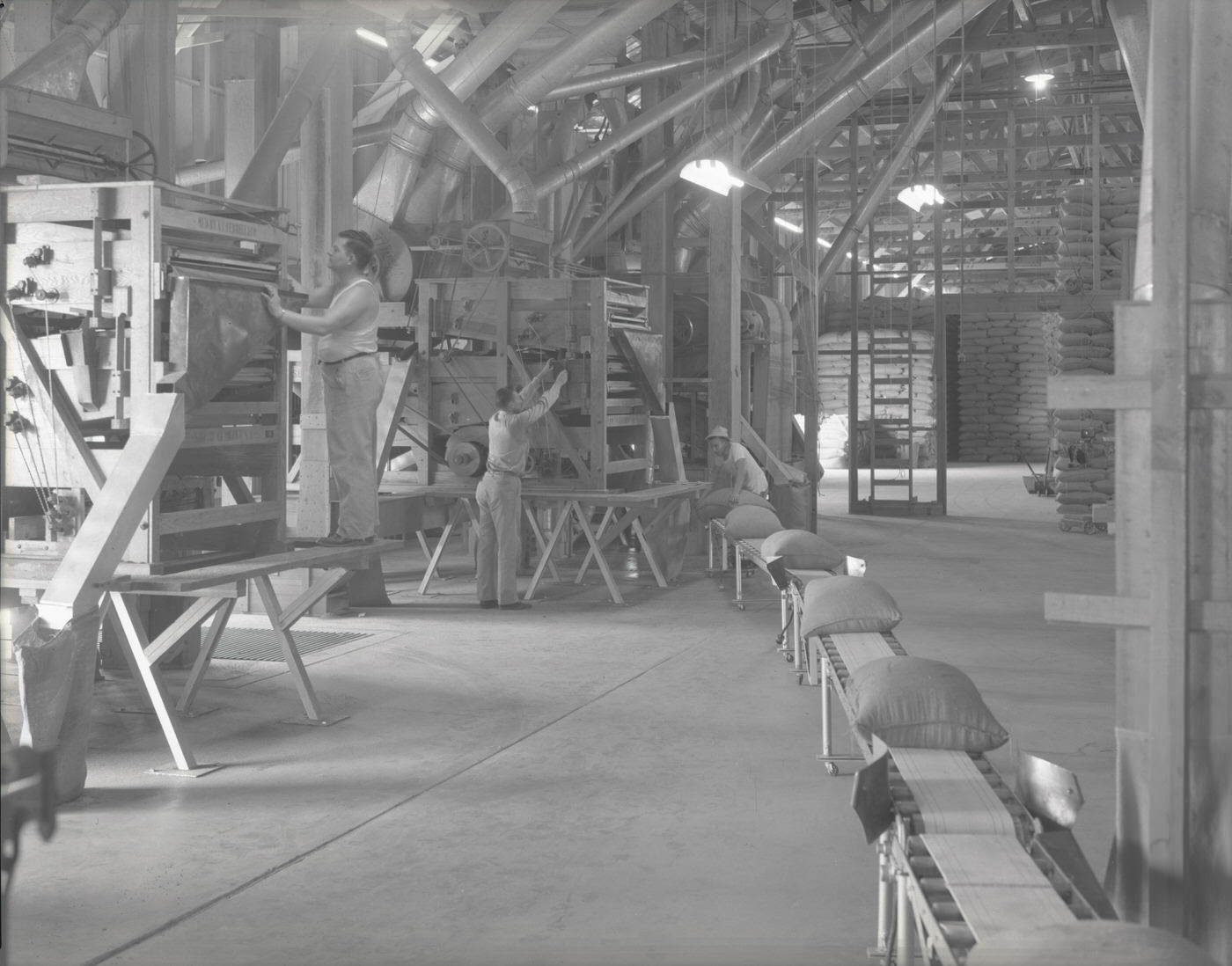
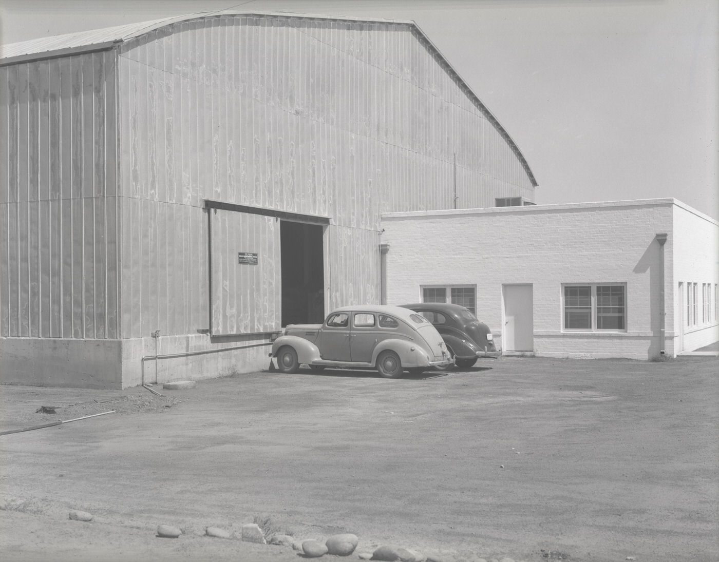
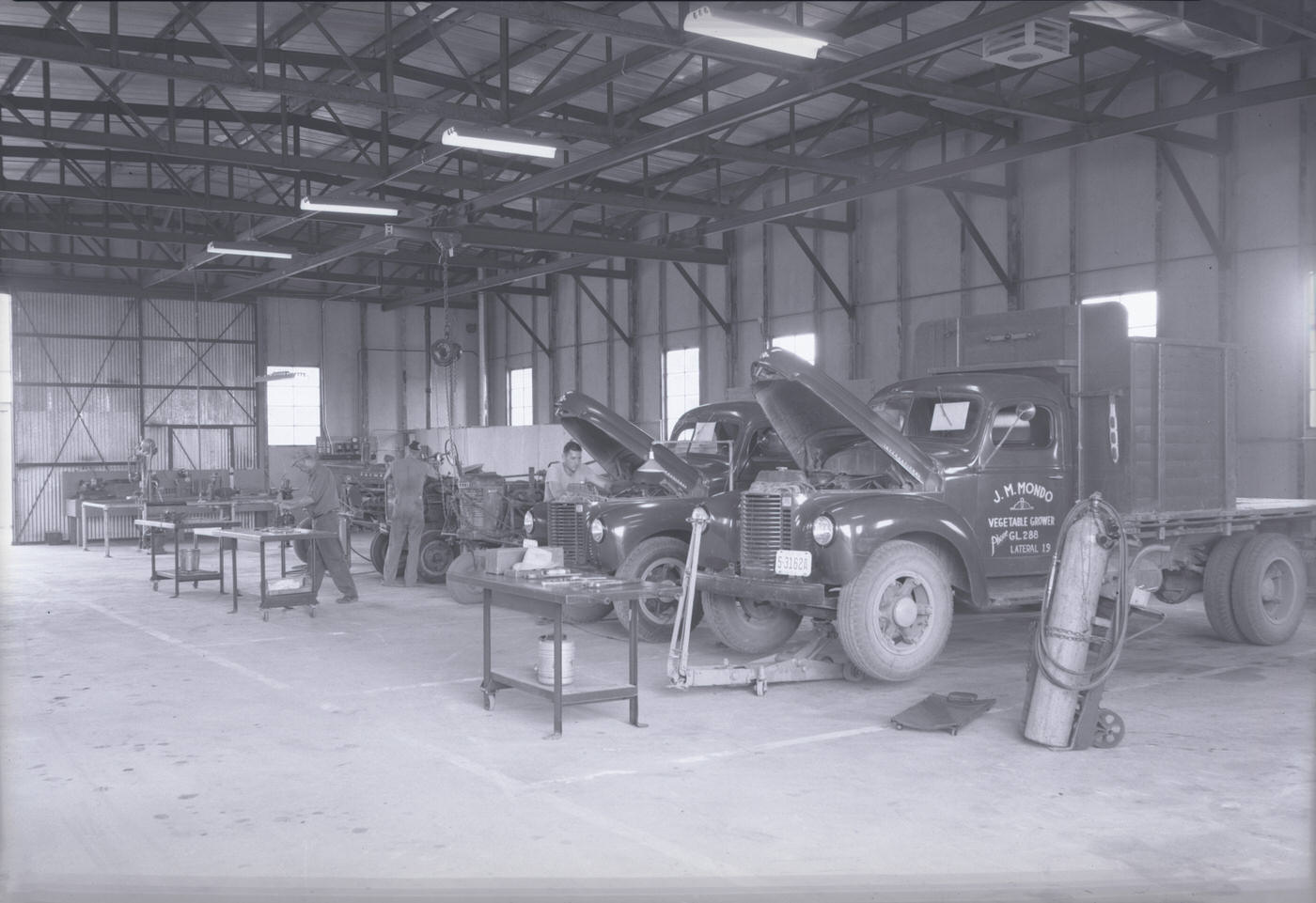
Agriculture still played a role in the broader Phoenix economy in 1946. Babson Brothers Dairy ran a milking operation, while the Advance Seed Co. employed workers to process seeds — a reminder that the Valley’s irrigated farmland remained productive even as the city pressed outward into it. The O. S. Stapley Co.’s Glendale shop stocked tractors, serving the farming operations that stretched across the surrounding region.
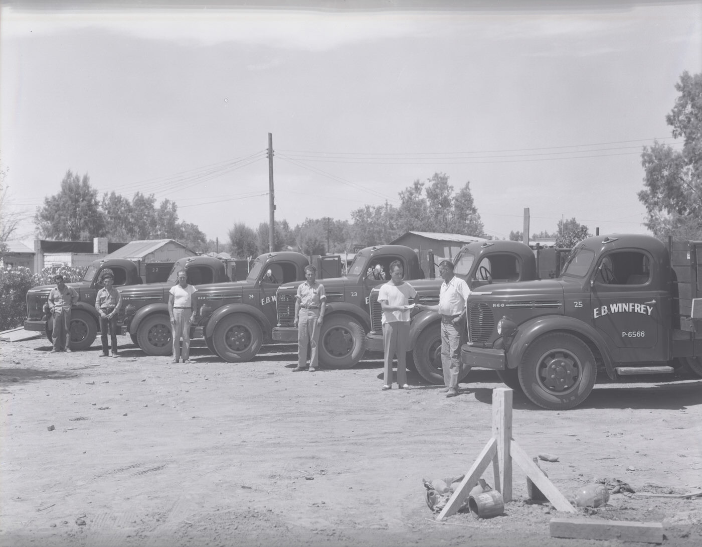
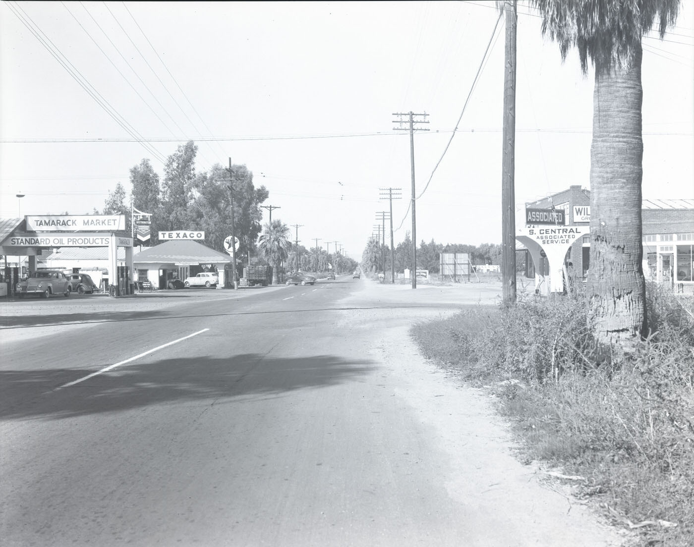
Trucking and freight were essential to keeping Phoenix supplied. The E. B. Winfrey truck fleet represented the kind of commercial logistics operation the city depended on, moving goods through a distribution network that stretched across the Southwest. Glendale Avenue and the 4900 block of S. Central Avenue captured the city’s commercial corridors in full swing.
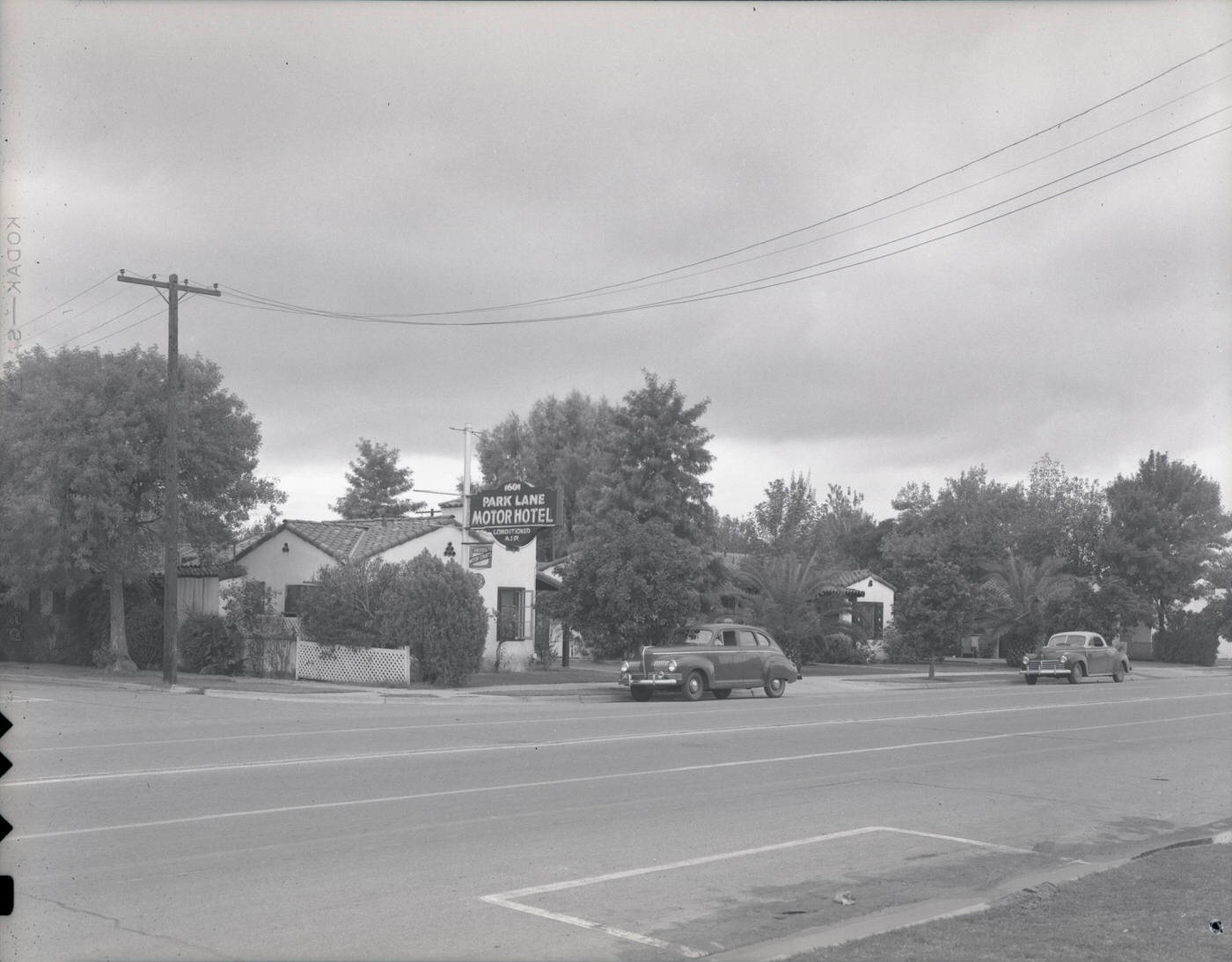
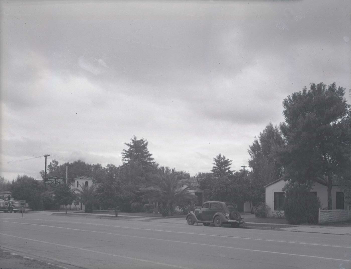
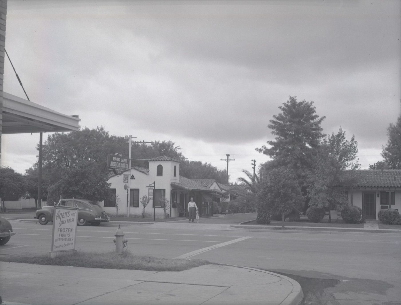
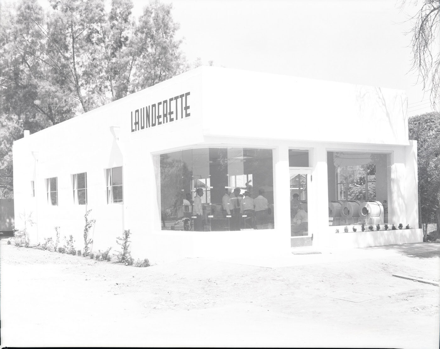
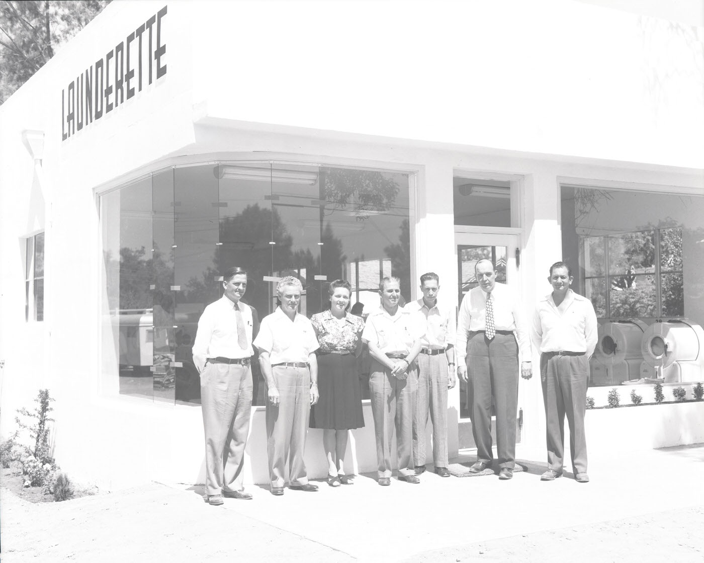
Motor hotels were beginning to appear on Phoenix’s commercial strips, catering to the growing number of travelers arriving by car. The Park Lane Motor Hotel offered roadside accommodations suited for the automobile age — visible from the street and designed for easy access. Laundromats, a relatively new concept at the time, were also showing up in neighborhoods, giving residents a convenient way to handle laundry without taking it home.
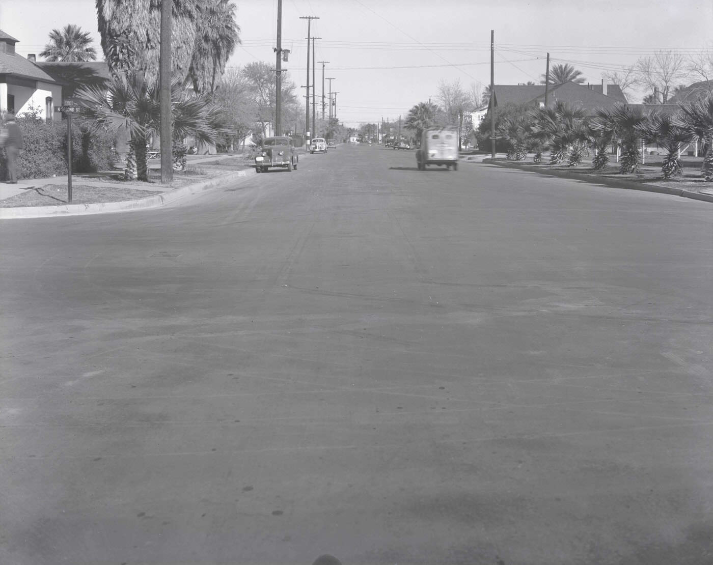
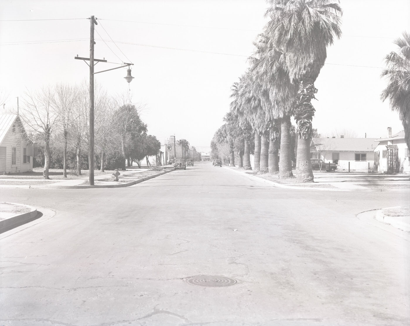
Street scenes from 1946 Phoenix capture the texture of everyday life — pedestrians on sidewalks, storefronts advertising local services, and the wide, sun-lit intersections that defined the city’s layout. Corners like N. 2nd St. and E. Pierce Street, and E. Pierce and N. 11th Streets, show a city that was busy, functional, and growing.
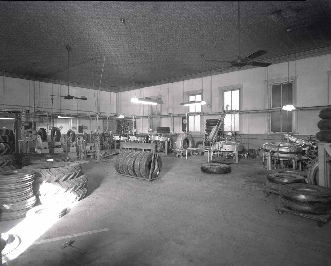
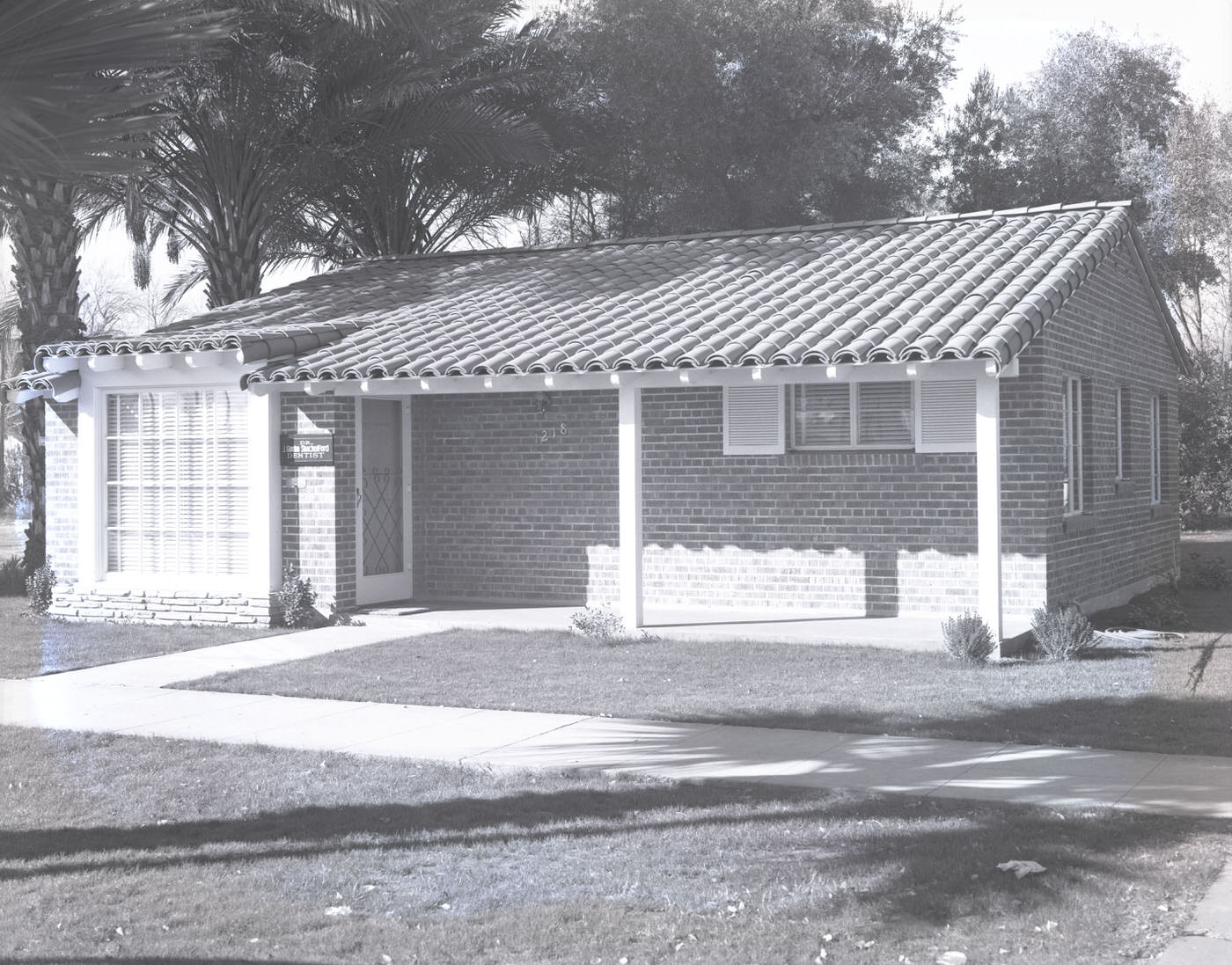
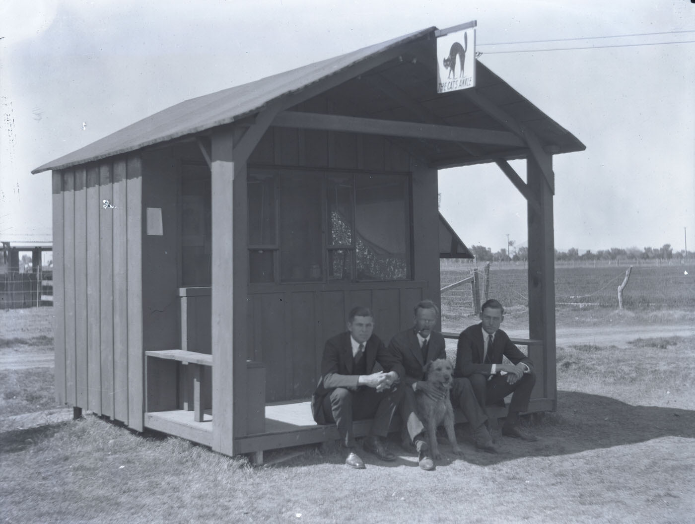
Specialty businesses rounded out the commercial landscape. Earl Stowe Tire Co. kept vehicles rolling, with its interior stocked with tires and service equipment. The Hanson Brokerage Building and Dr. J. Gordon Shackelford’s medical office pointed to the professional services sector that was maturing alongside the city’s population. Places like The Cat’s Axxle added color and variety to Phoenix’s commercial mix.






Wow the city was so different back then
Just moved here myself two years ago,but it blows my mind how quickly the metro’s just proliferated! I heard that Gilbert had about 5,000 people in, like, 1980
The year after my house was built! It’s interesting to reflect on how different it was back then, and how it’s shaped the structure of our city today.
My granda mother and mom moved here that year,she told me van buren was the nicest street in town,a visual i never could’ve imagined until that coment!
Fentanyl free Phoenix