
In 1945, Phoenix, Arizona was a city of about 120,000 people standing at a turning point. For years, the war had shaped nearly every corner of its economy. Cotton, citrus, and cattle still anchored its agricultural roots, but military contracts and training operations had woven themselves deep into the fabric of city life. Nearby installations like Williams Airfield and Falcon Field had trained thousands of pilots and aircrews, while factories inside the city produced aircraft parts, ordnance, and other military equipment. As the war ended, Phoenix had to figure out what it was going to be next.
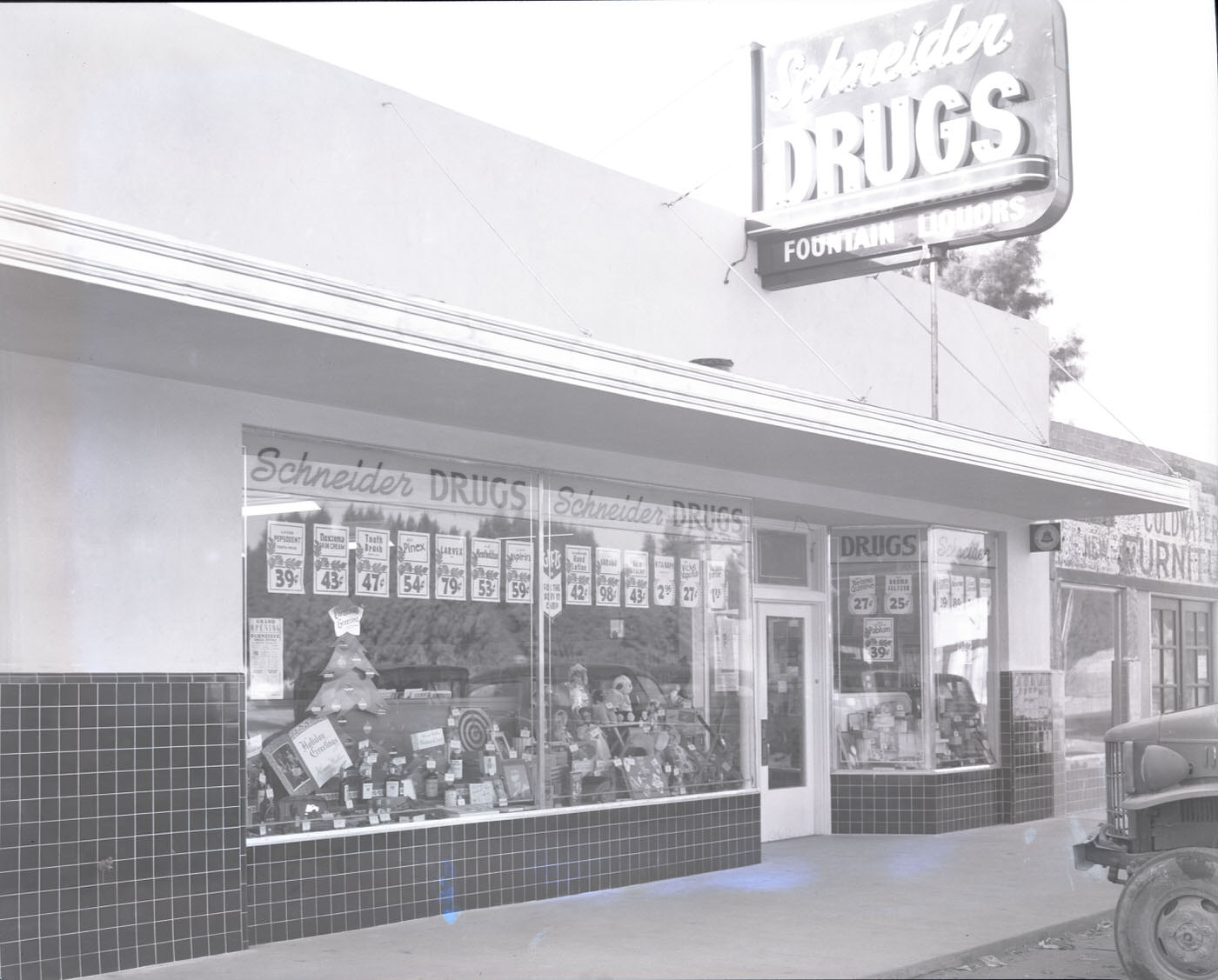
The streets of Phoenix in 1945 told a story of a city still very much in motion. Local drug stores, cafés, hardware suppliers, and service stations lined the main roads, serving a population that had swelled with defense workers and military families. Many of those people, once the bases closed or scaled back, chose to stay. They started businesses, bought homes, and became part of a city that was quickly outgrowing its prewar identity.
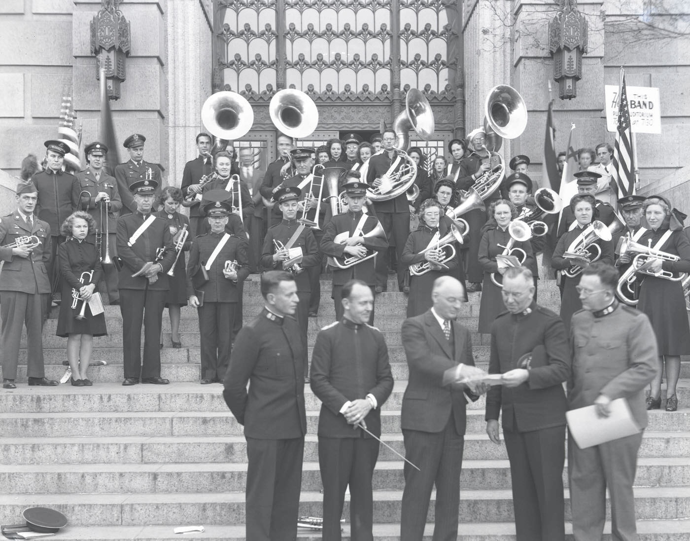
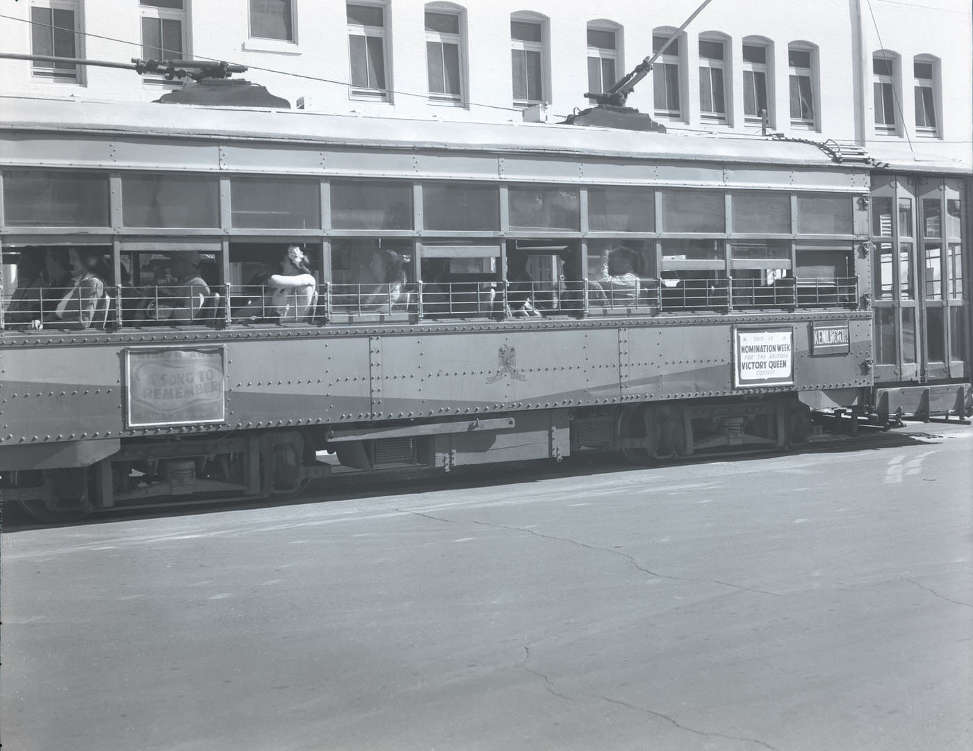
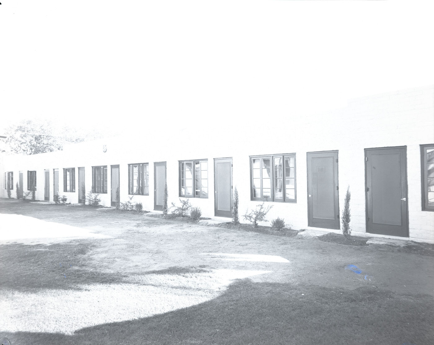
Public transportation still moved people across the city by streetcar, and community organizations like the Salvation Army maintained a visible presence on Phoenix’s streets. The city’s infrastructure reflected a mid-sized American city that had grown quickly under wartime pressure and was now catching up with itself.
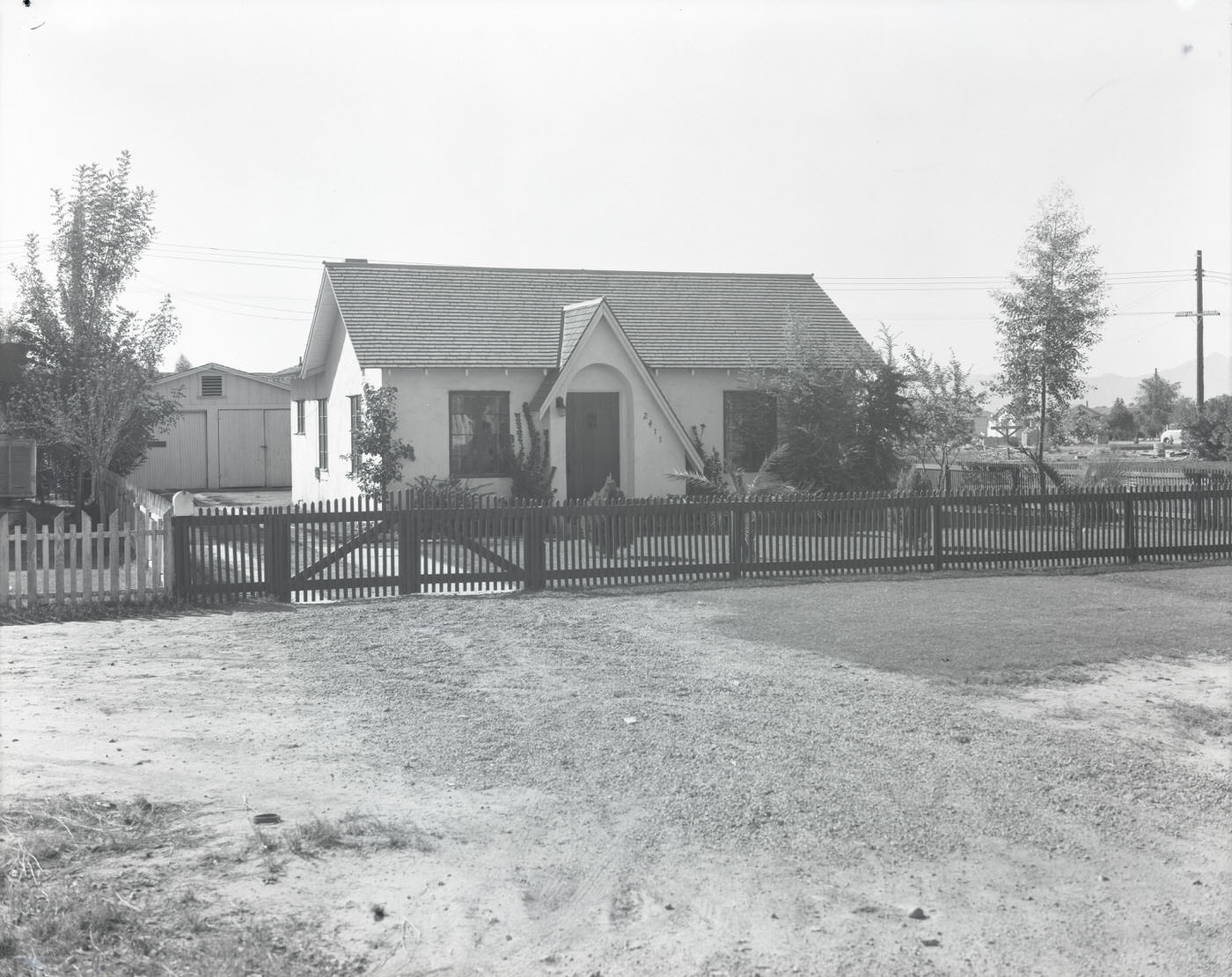
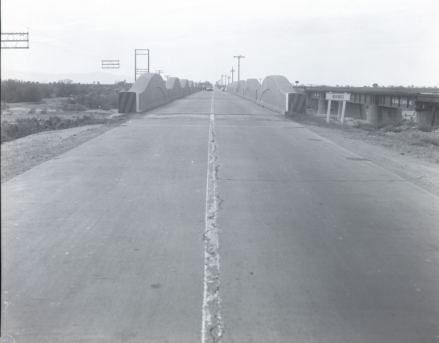
Beyond the downtown core, the landscape shifted between residential neighborhoods, agricultural facilities, and the open desert. Roads crossed waterways like New River, connecting the city to the farmland and rural corridors that still fed its economy. Phoenix sat in a valley shaped by irrigation, and the infrastructure that supported farming — seed companies, feed stores, and produce operations — remained essential in 1945.
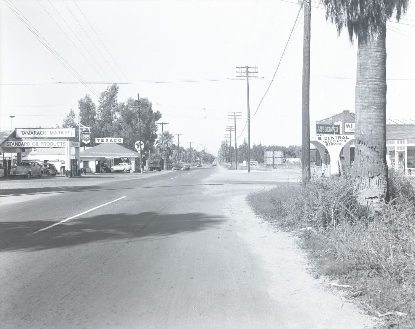
South Central Avenue showed the city’s commercial sprawl pushing outward. Businesses lined the boulevard at a scale that suggested real growth, not just wartime necessity. The 4900 block captured in these photographs shows modest storefronts and parked cars — a familiar American street scene, but one uniquely tied to Phoenix’s flat, sun-drenched geography.
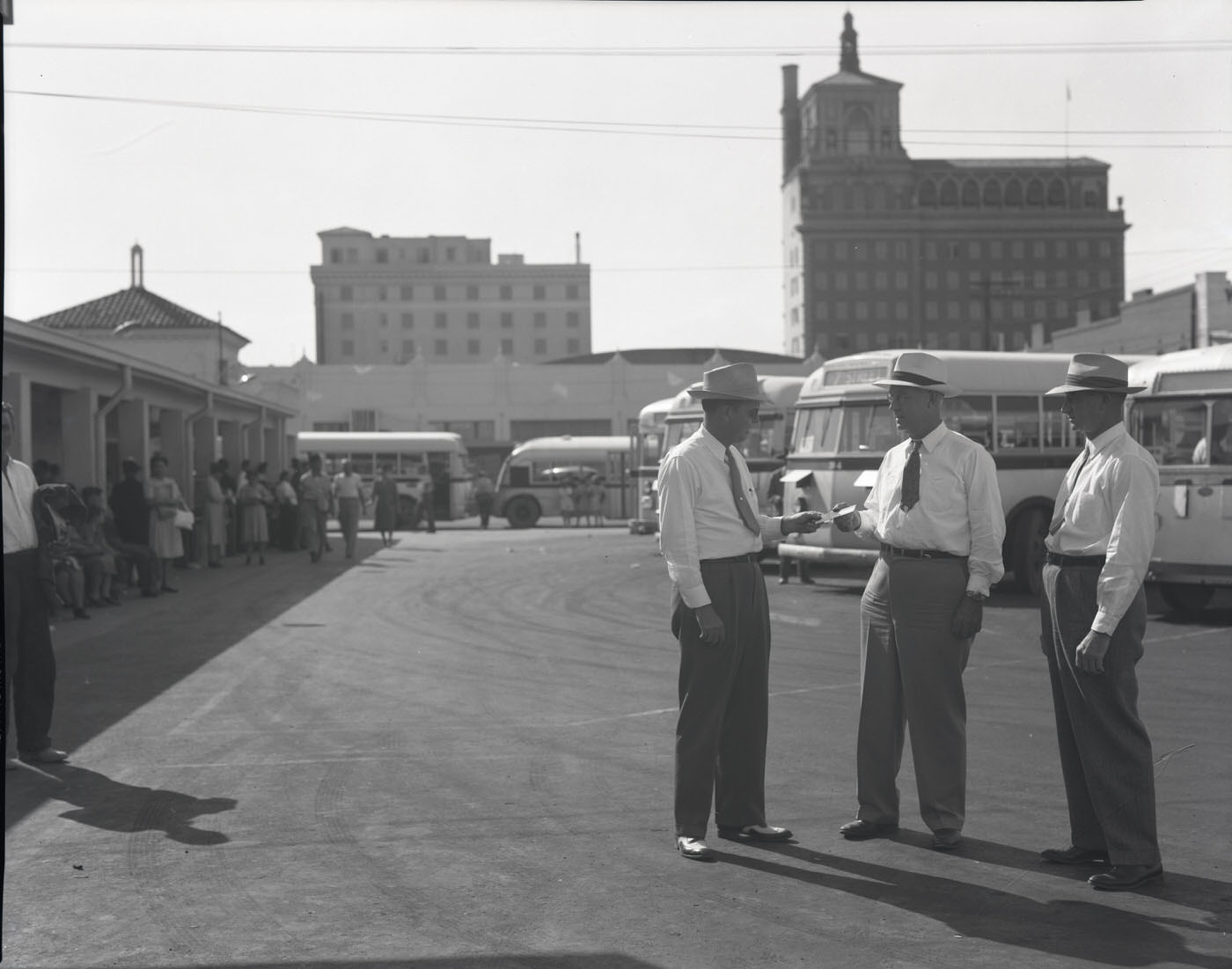
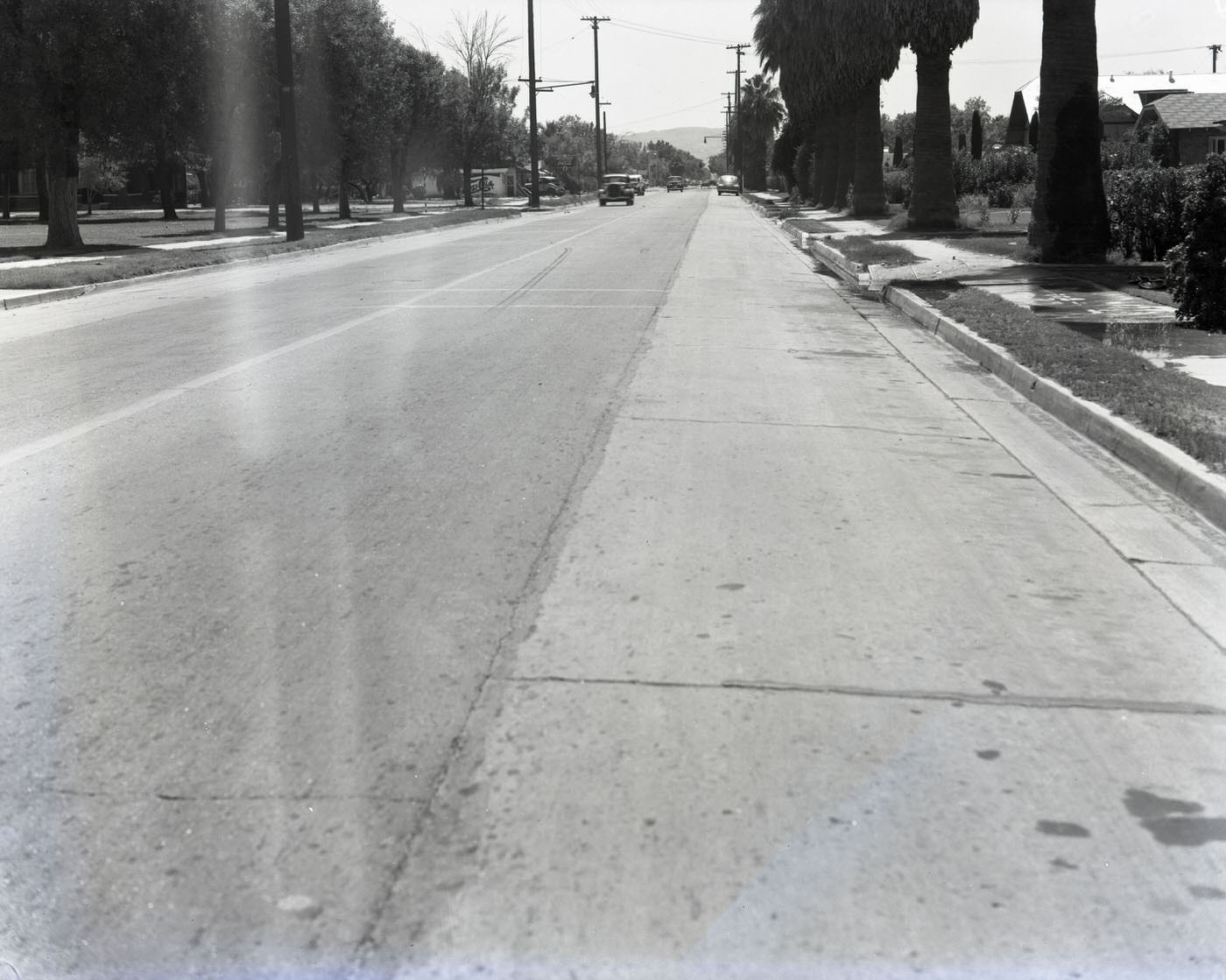
Bus lines like Menderson served a city that was spreading outward into new residential neighborhoods. Housing demand had climbed sharply during the war years, and by 1945, entire blocks of modest homes dotted the landscape. These neighborhoods absorbed the wave of people who had arrived for military and defense work and decided to make Phoenix their permanent home.
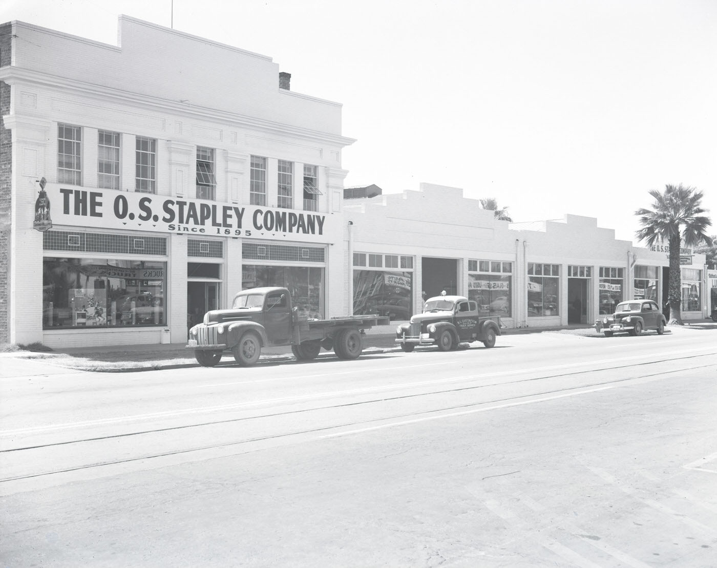
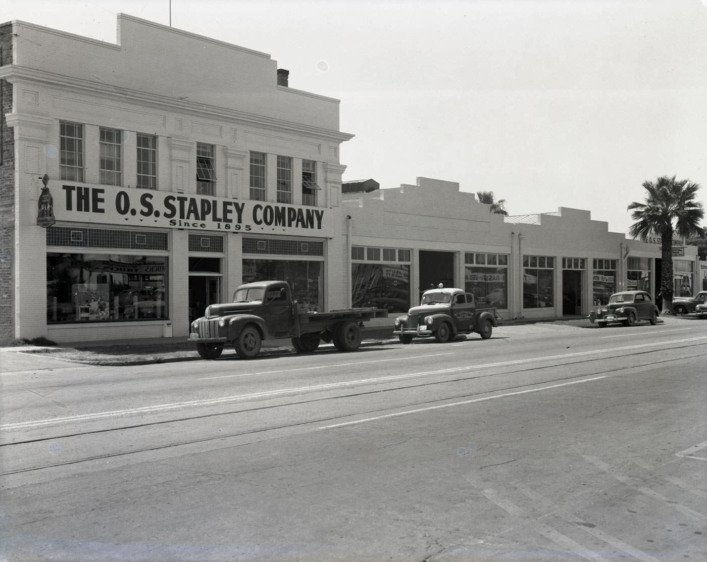
O. S. Stapley Co. was one of Phoenix’s well-established hardware and farm supply businesses. Its storefront in 1945 reflected the dual nature of Phoenix’s economy — serving both the farming community and the growing population of tradespeople and contractors who were building a postwar city.
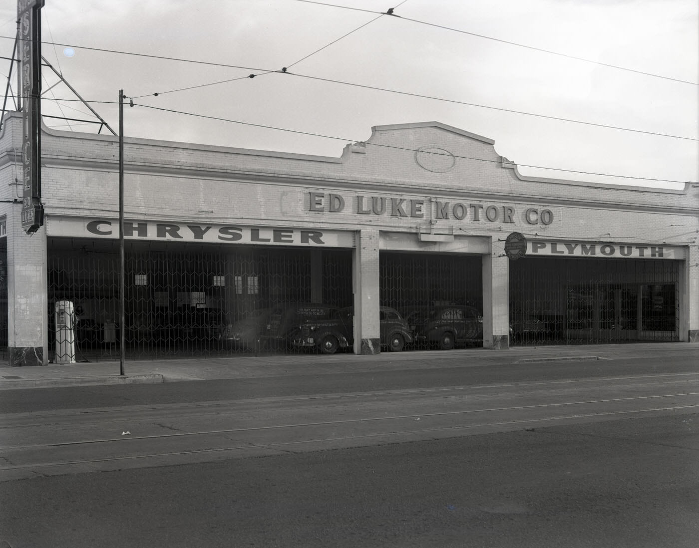
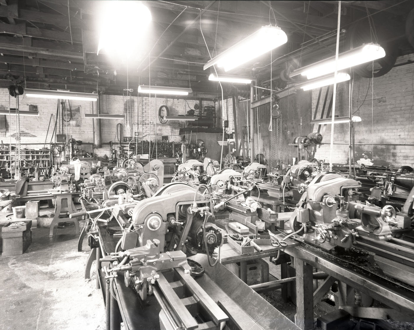
Industrial operations like Hanson Pump & Machine Works kept the city’s mechanical backbone running. Pumps were critical infrastructure in a desert city built on irrigation, and machine shops like this one supplied the equipment that kept farms, factories, and construction sites in operation. Auto dealerships such as Ed Luke Motor Co. pointed toward a postwar consumer economy that would soon accelerate.
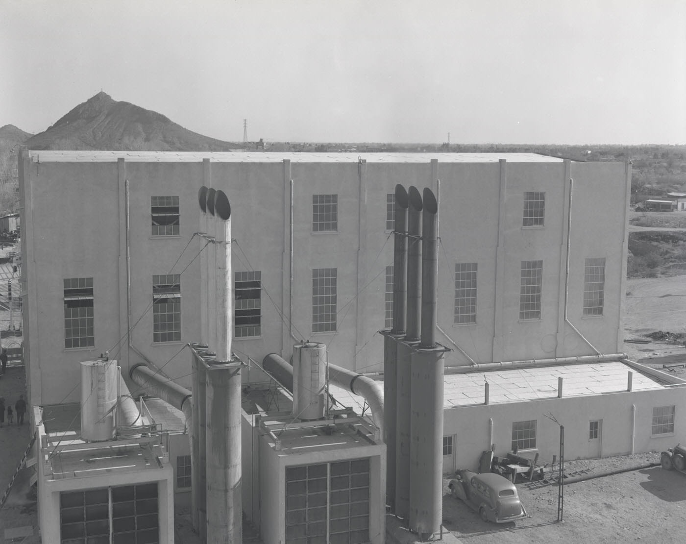
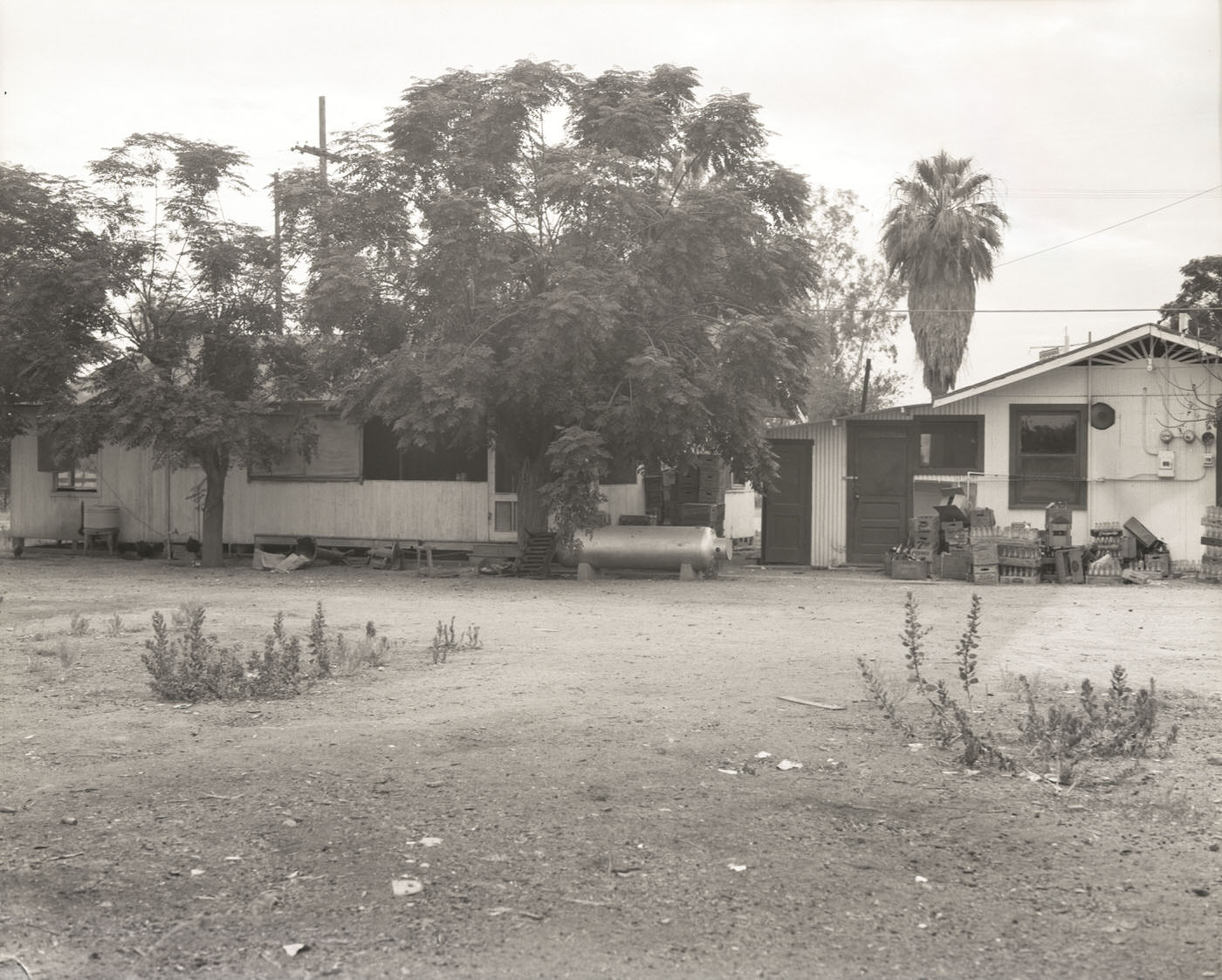
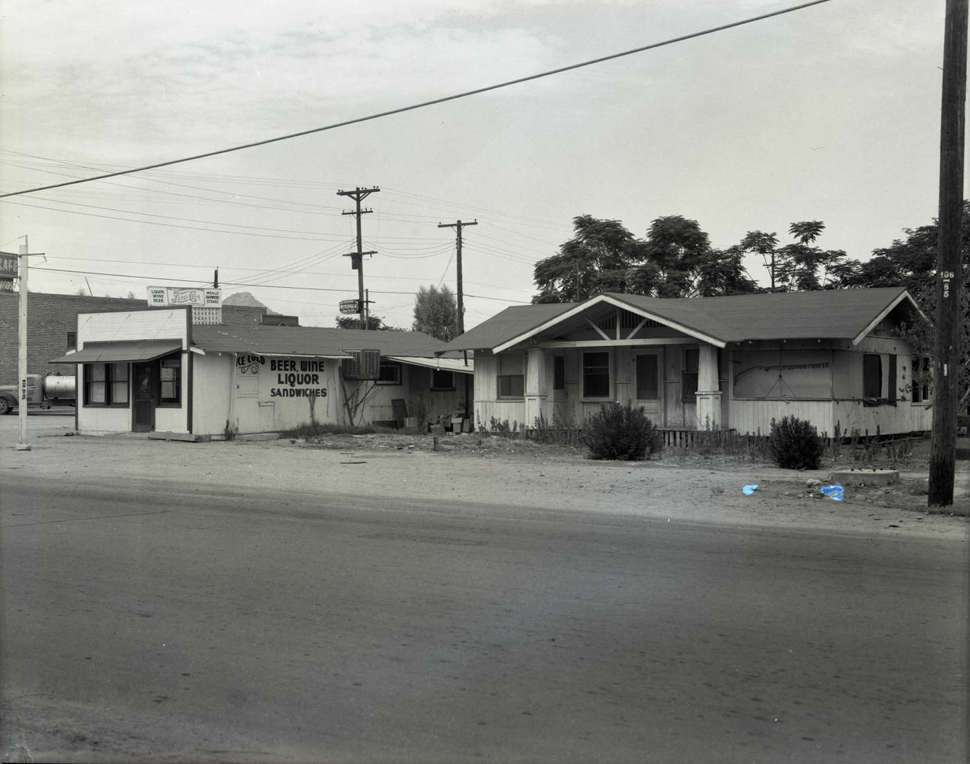
Cafés and diners served the city’s workers at every level. Hotchkins Café was among the local spots that fed the daily rhythm of Phoenix — a place where factory workers, farmers, and servicemen crossed paths over a meal. These small businesses were the connective tissue of a city that ran on long hours and physical labor.
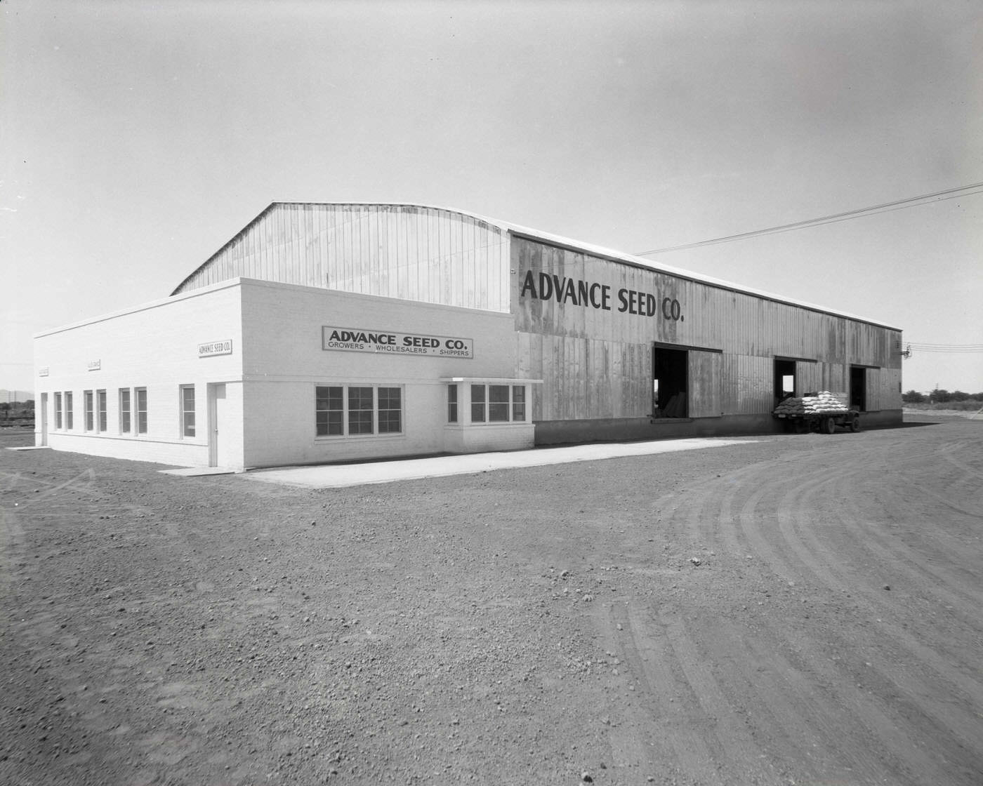
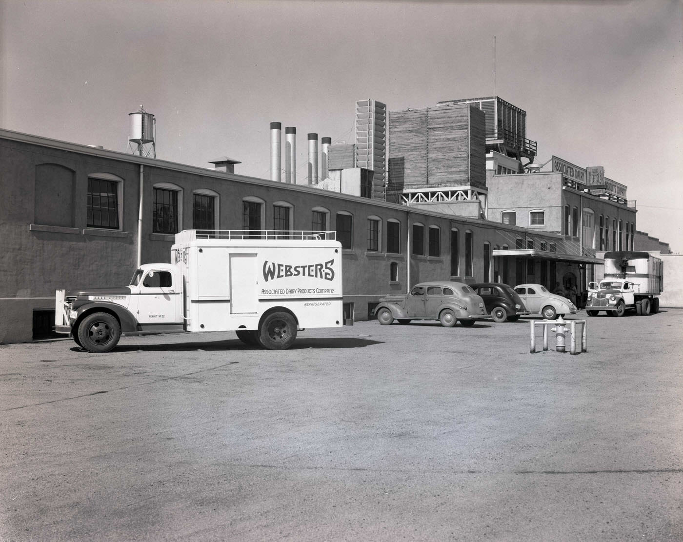
Agriculture remained central to Phoenix’s identity in 1945. Seed companies, dairy operations, and produce firms operated throughout the city and its outskirts, supplying local markets and supporting the broader Salt River Valley farming economy. Associated Dairy Products ran delivery trucks out of its Phoenix facility, bringing fresh goods directly to residents across the region.
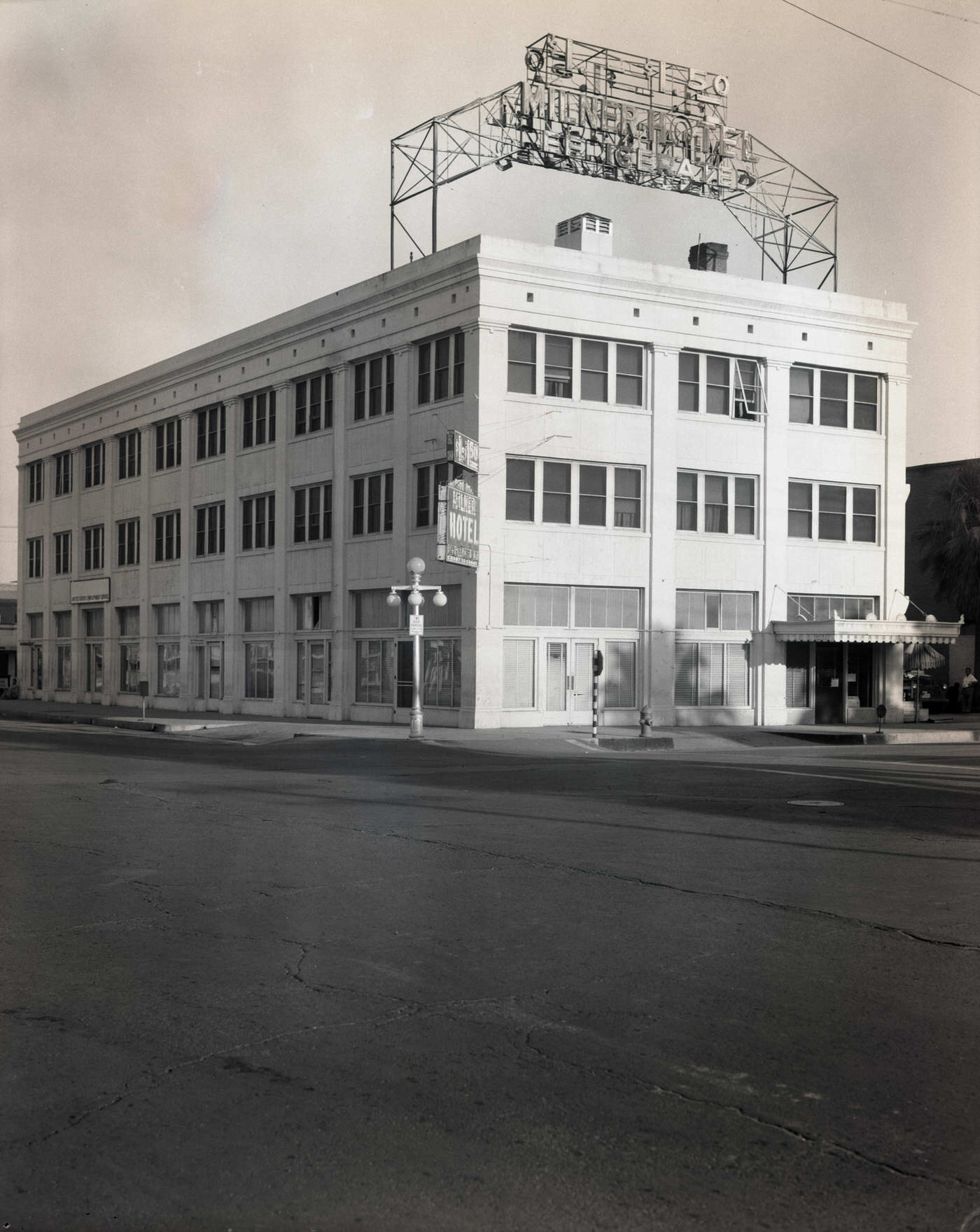
Hotels like the Milner accommodated travelers passing through or new arrivals looking for a place to land while they figured out the city. Phoenix’s mild winters had already earned it a reputation as a destination for people escaping colder climates, and the hotel industry was beginning to position itself for a postwar tourism surge.
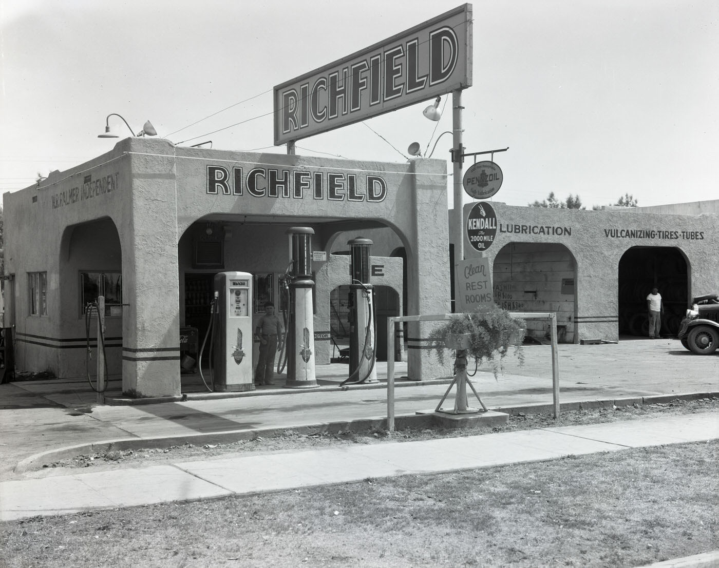
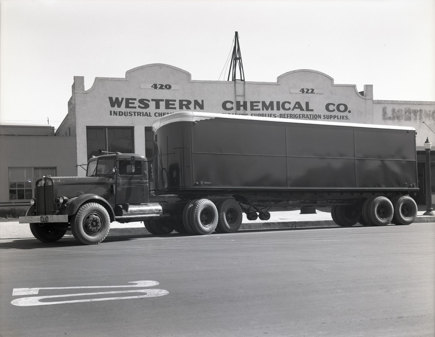
Service stations and chemical supply firms dotted the commercial zones of the city. Richfield Oil operated multiple locations in Phoenix, fueling a car-dependent population in a city with few natural geographic barriers to spreading outward. Western Chemical Co. supplied industrial clients whose operations spanned farming, construction, and manufacturing.
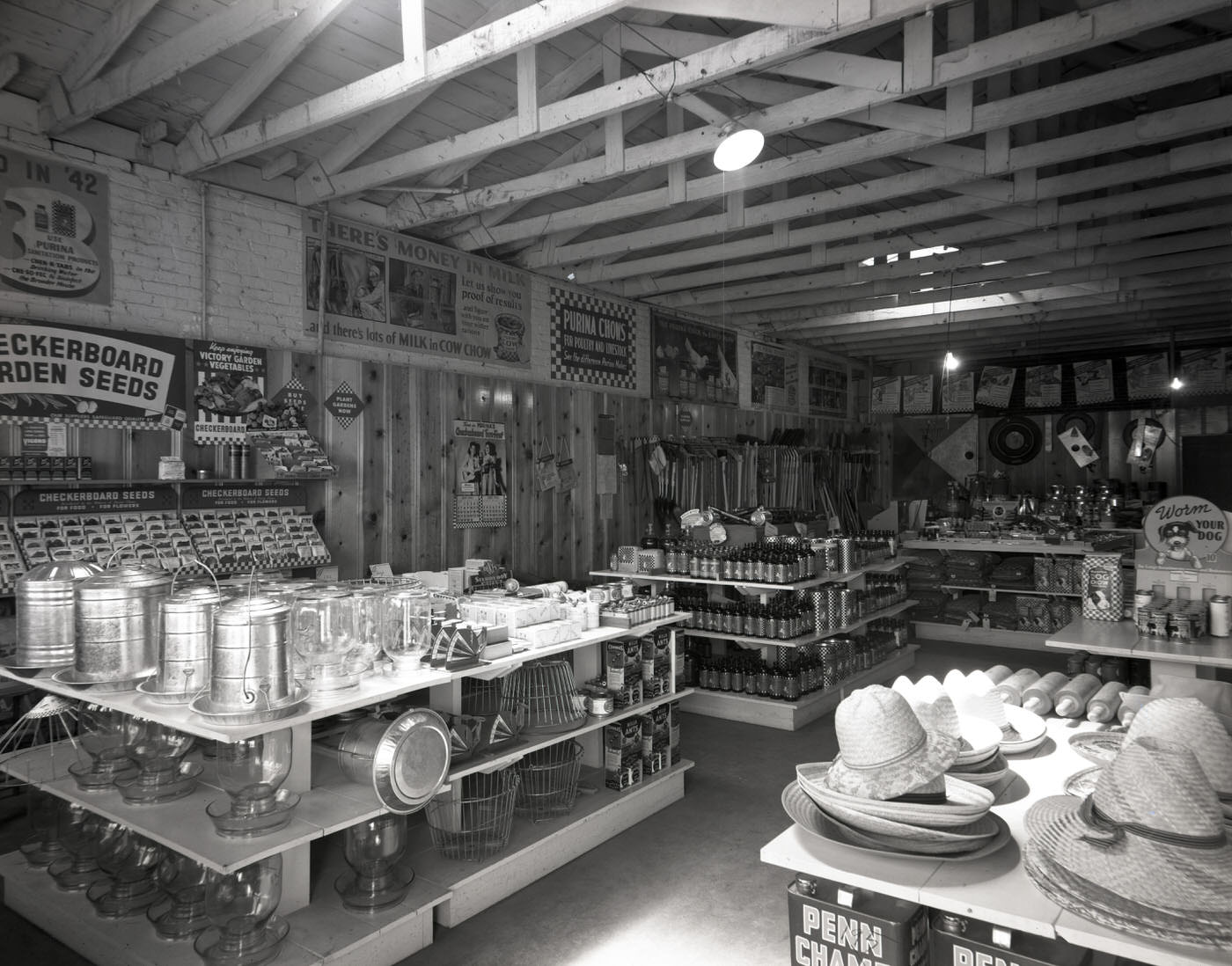
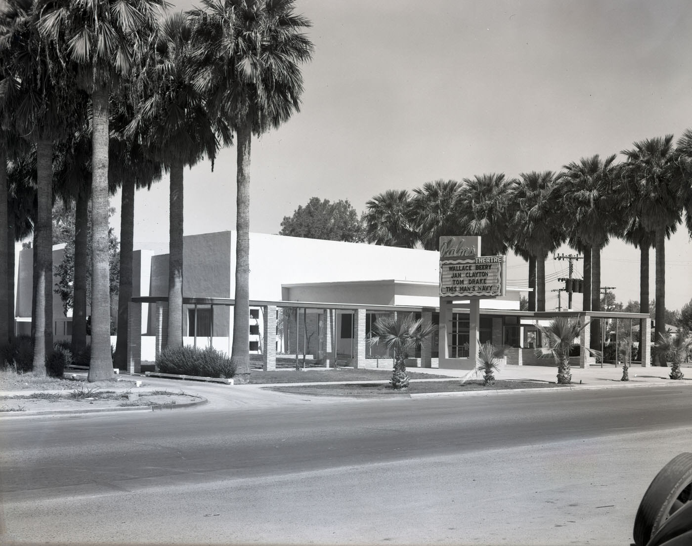
Feed stores like Pratt Feed & Supply Co. stocked everything a Valley farmer or rancher needed, from livestock supplies to basic hardware. Meanwhile, entertainment venues gave residents a place to unwind. The Palms Theatre was one of several movie houses operating in Phoenix in 1945, offering an escape at a time when the country was processing the end of a long and brutal war.
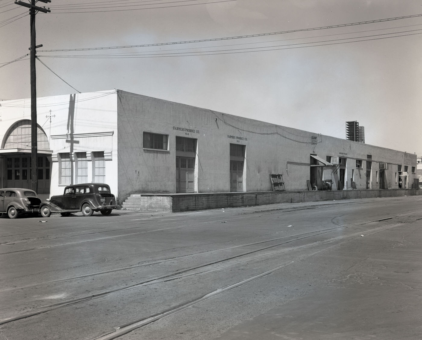
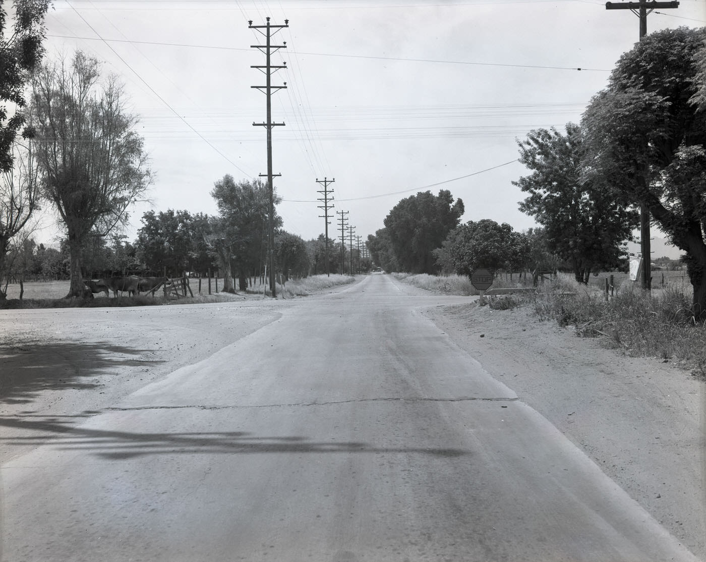
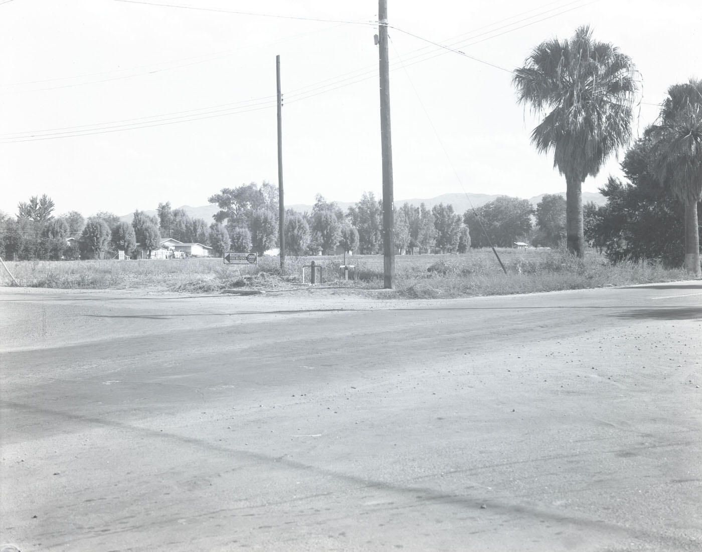
Produce operations and roadside commercial strips marked the edges of the city where urban Phoenix met rural Arizona. Intersections like Mission and Route 11 showed the unpolished, working character of the city’s outer zones — functional, utilitarian, and tied directly to the land and the people working it.
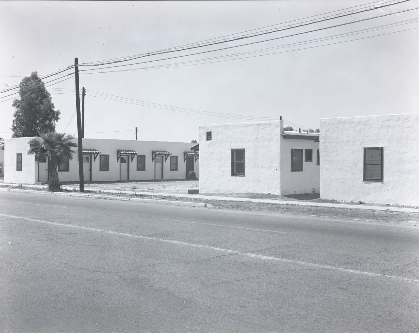
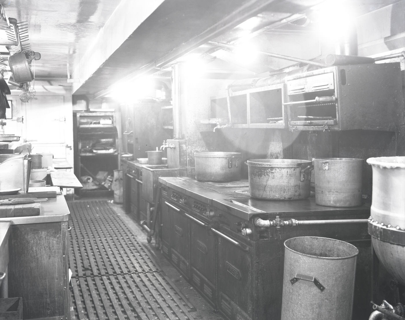
Motels began appearing along Phoenix’s main roads to serve the growing flow of automobile travelers. Inside the Westward Ho, one of the city’s more prominent hotels, a full kitchen operation ran to feed guests and staff alike. The Westward Ho had been a Phoenix landmark since the 1920s and remained a center of the city’s hospitality scene through the war years and beyond.
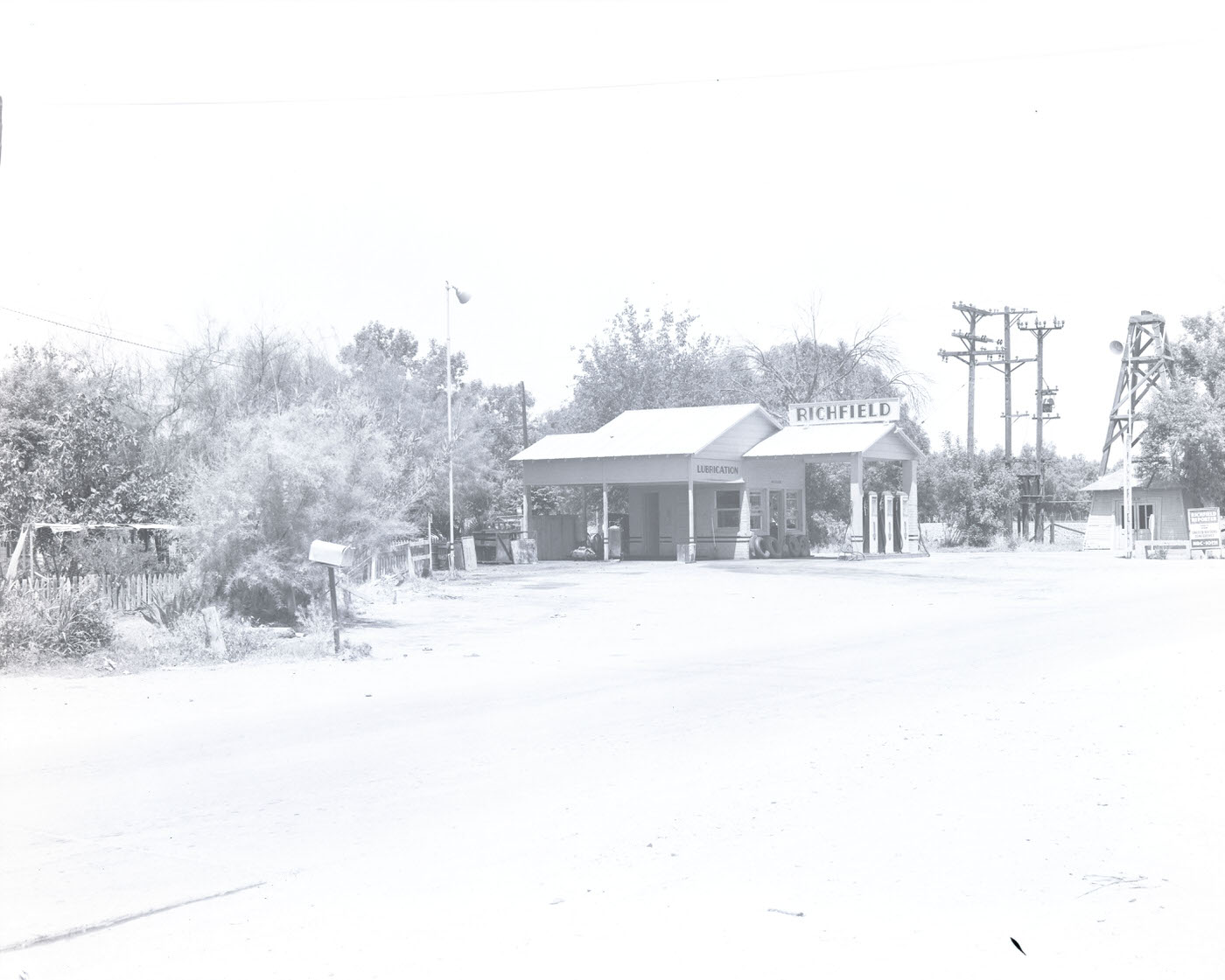
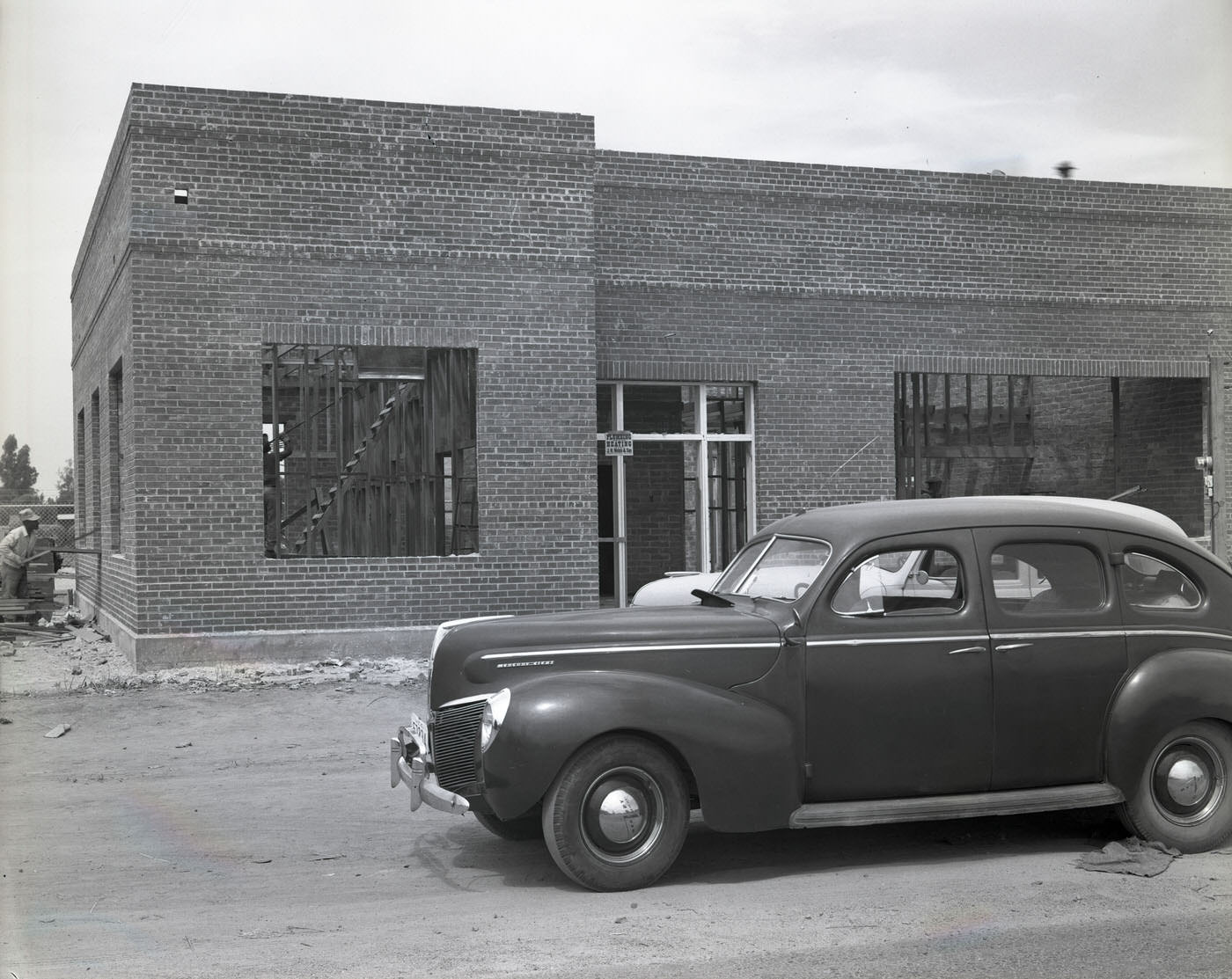
The automobile was already reshaping how Phoenix looked and functioned. Wide streets, service stations on multiple corners, and buildings set back from the road to accommodate parking all pointed toward a city being built around the car. This pattern would accelerate dramatically in the postwar years as Phoenix’s population continued to climb.
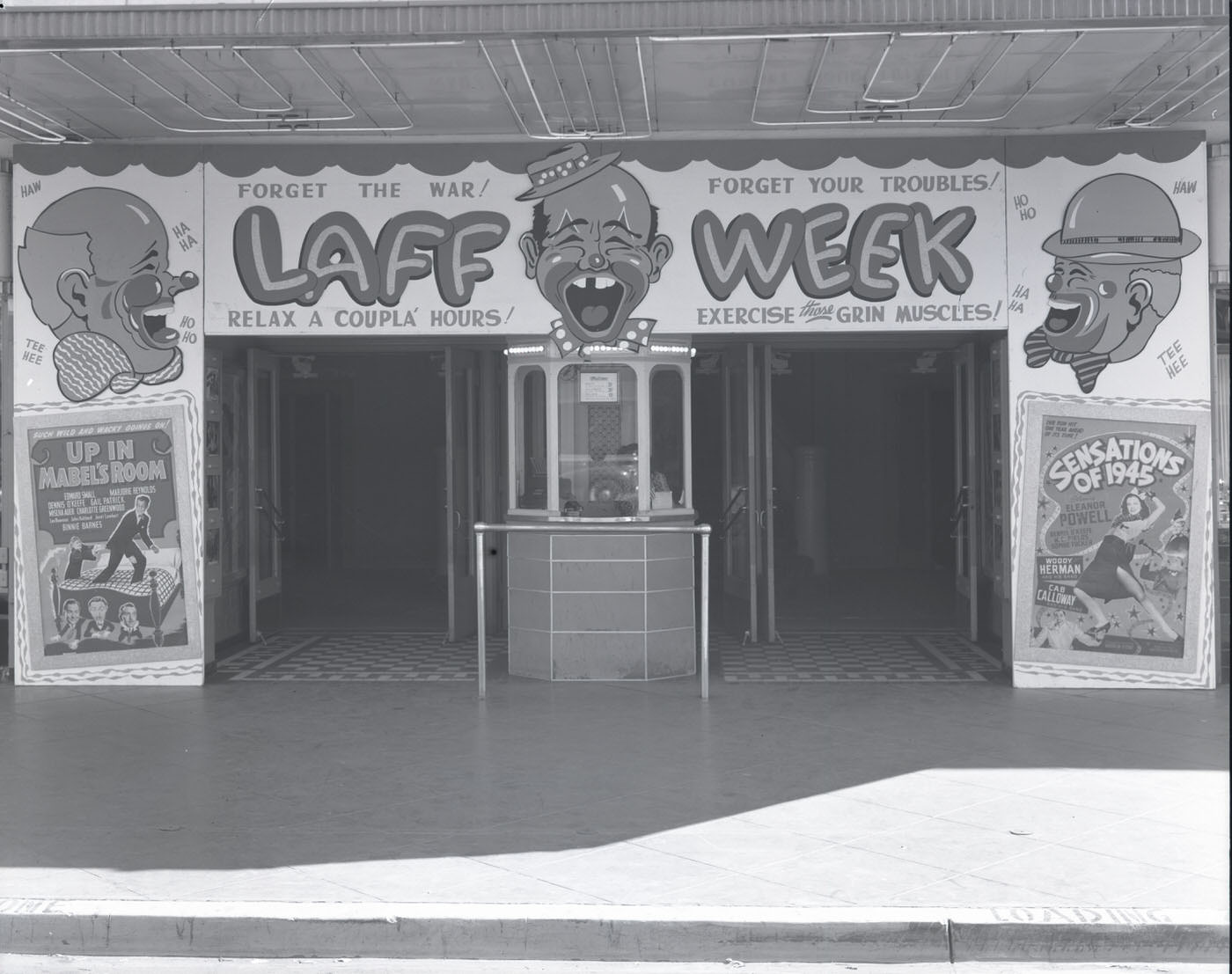
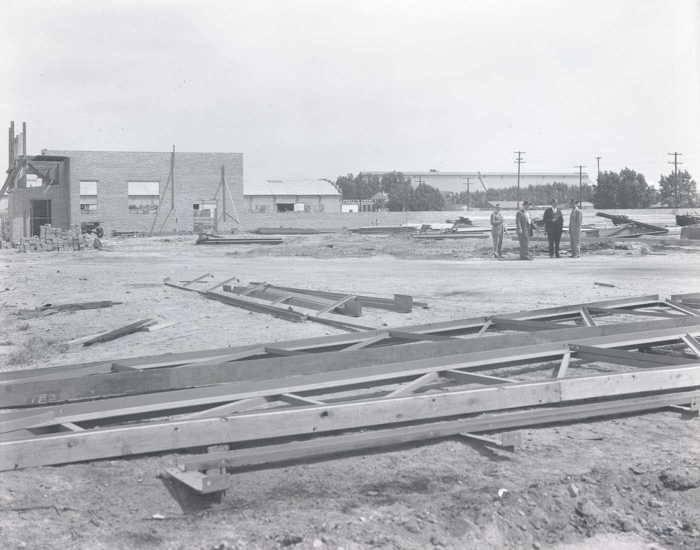
The Rialto Theatre stood as one of Phoenix’s downtown entertainment anchors. Construction activity visible across the city in 1945 reflected confidence in growth — contractors were already breaking ground on new buildings even as the war wound down. Phoenix was not waiting for the economy to stabilize before expanding.
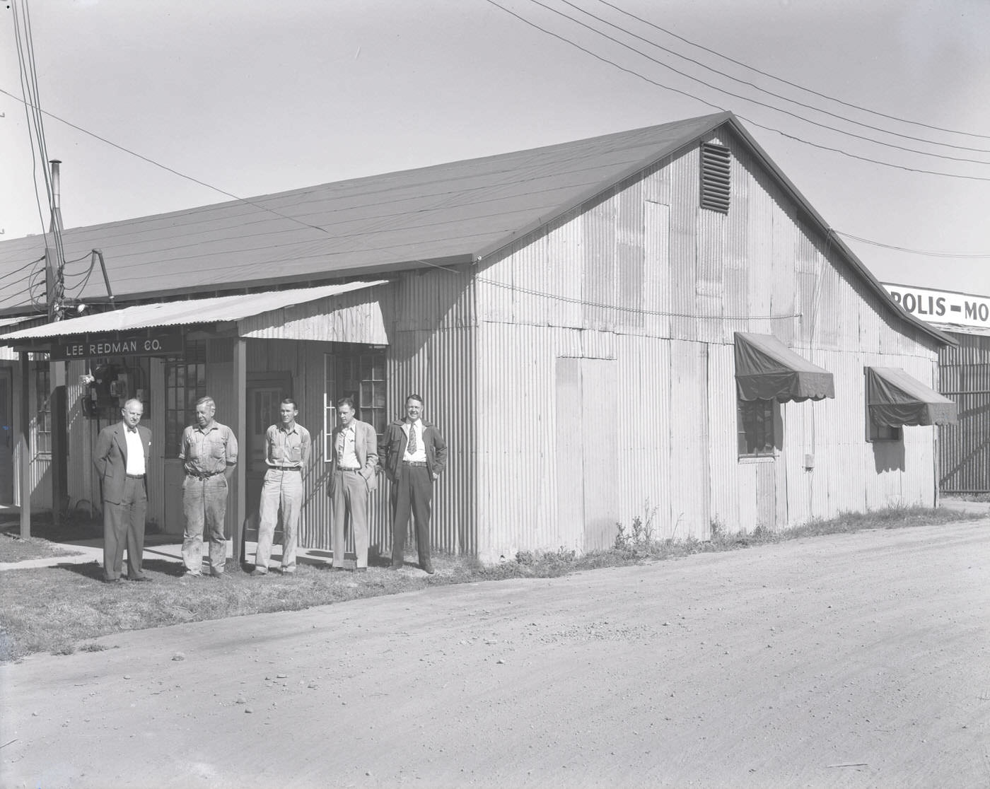
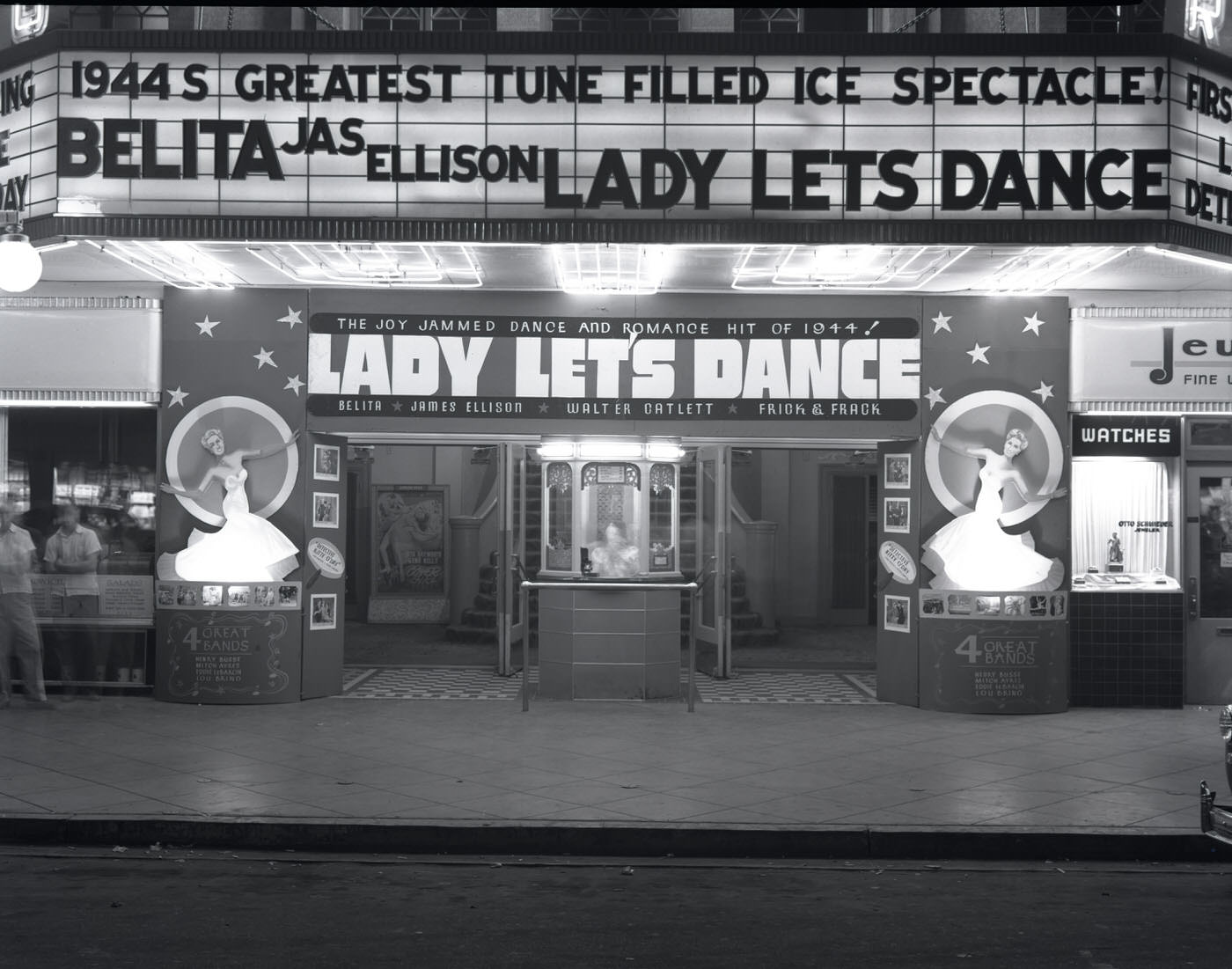
At night, the Rialto’s marquee lit up the street, drawing in crowds from across the city. Scenes like this one captured the social energy of a city that, despite wartime rationing and uncertainty, maintained a public life. Employees of firms like Lee Redman Co. clocked out and joined the foot traffic that filled downtown Phoenix after dark.
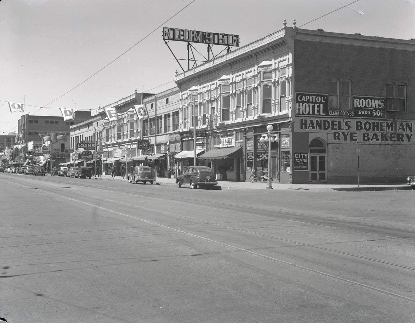
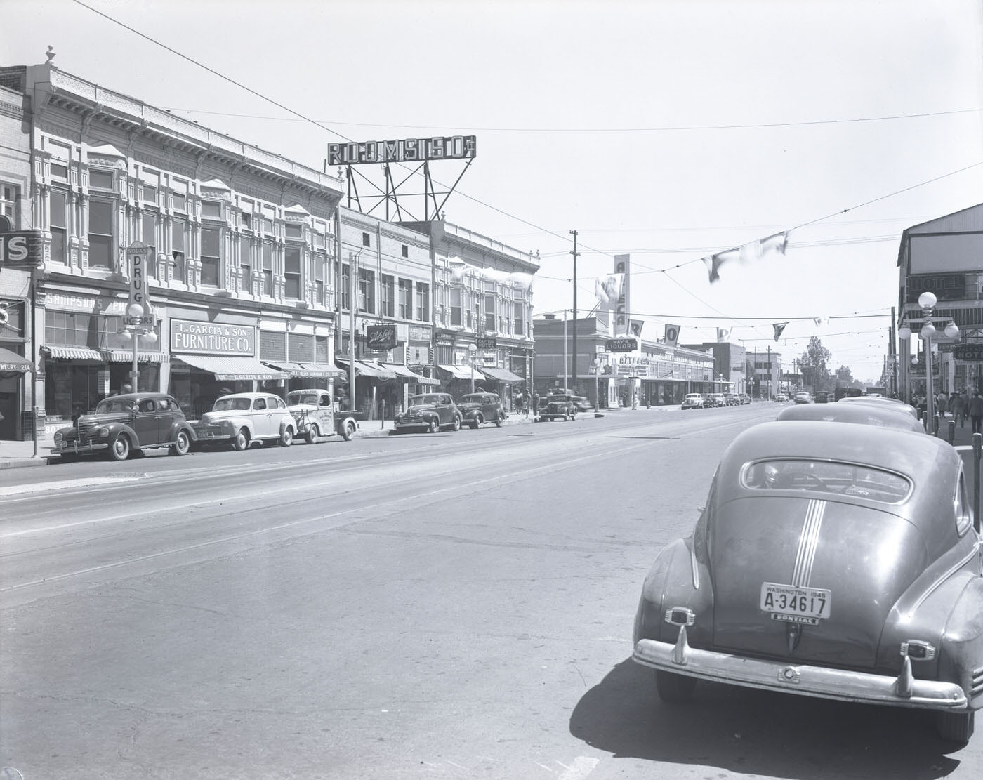
East Washington Street was one of Phoenix’s main commercial corridors. The 200 block housed a mix of businesses that reflected the city’s diversity — Handel’s Bohemian Rye Bakery, the Capitol Hotel, and L. Garcia & Son Furniture Co. sat within steps of each other. Small family-owned shops operated alongside hotels, forming the dense street-level commerce that defined downtown Phoenix in 1945.
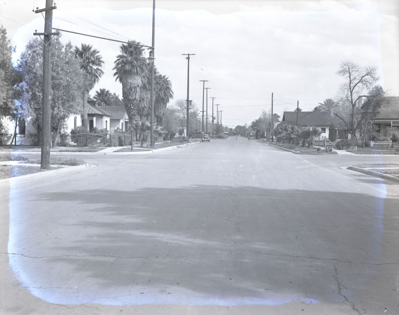
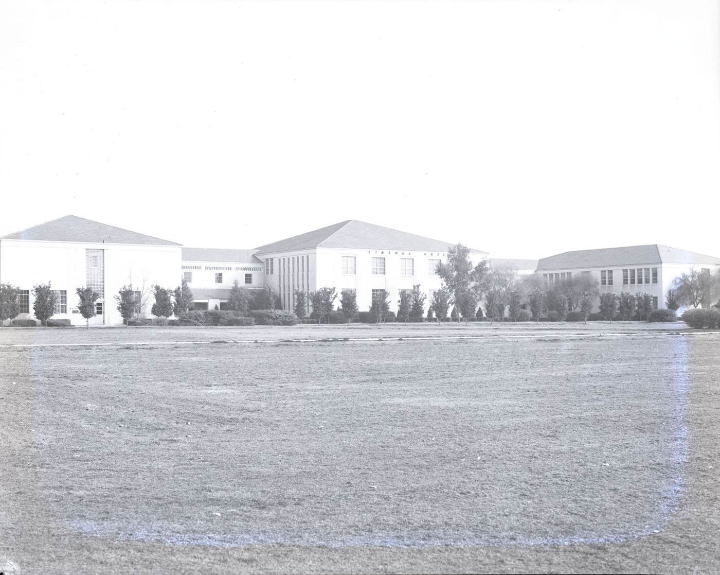
Residential intersections north of downtown showed a quieter, more settled Phoenix. North Phoenix High School served a growing student population in a part of the city that was quickly transitioning from open land to established neighborhood. Schools, churches, and civic buildings followed the residential expansion, filling in the structure of a maturing city.
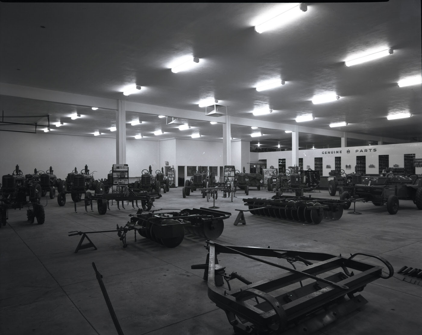
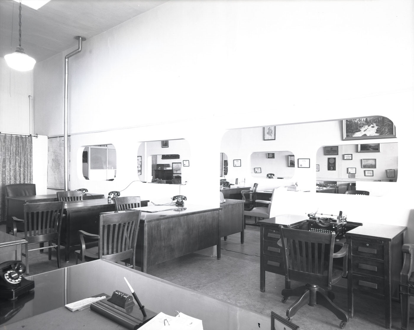
Inside O. S. Stapley Co., shelves were stocked with tools, hardware, and supplies that served the city’s builders and farmers. Real estate offices like A. D. McClain Realty Co. were equally busy. Land transactions in Phoenix were accelerating as new arrivals looked to put down roots, and realtors were positioned at the center of the city’s postwar transformation.
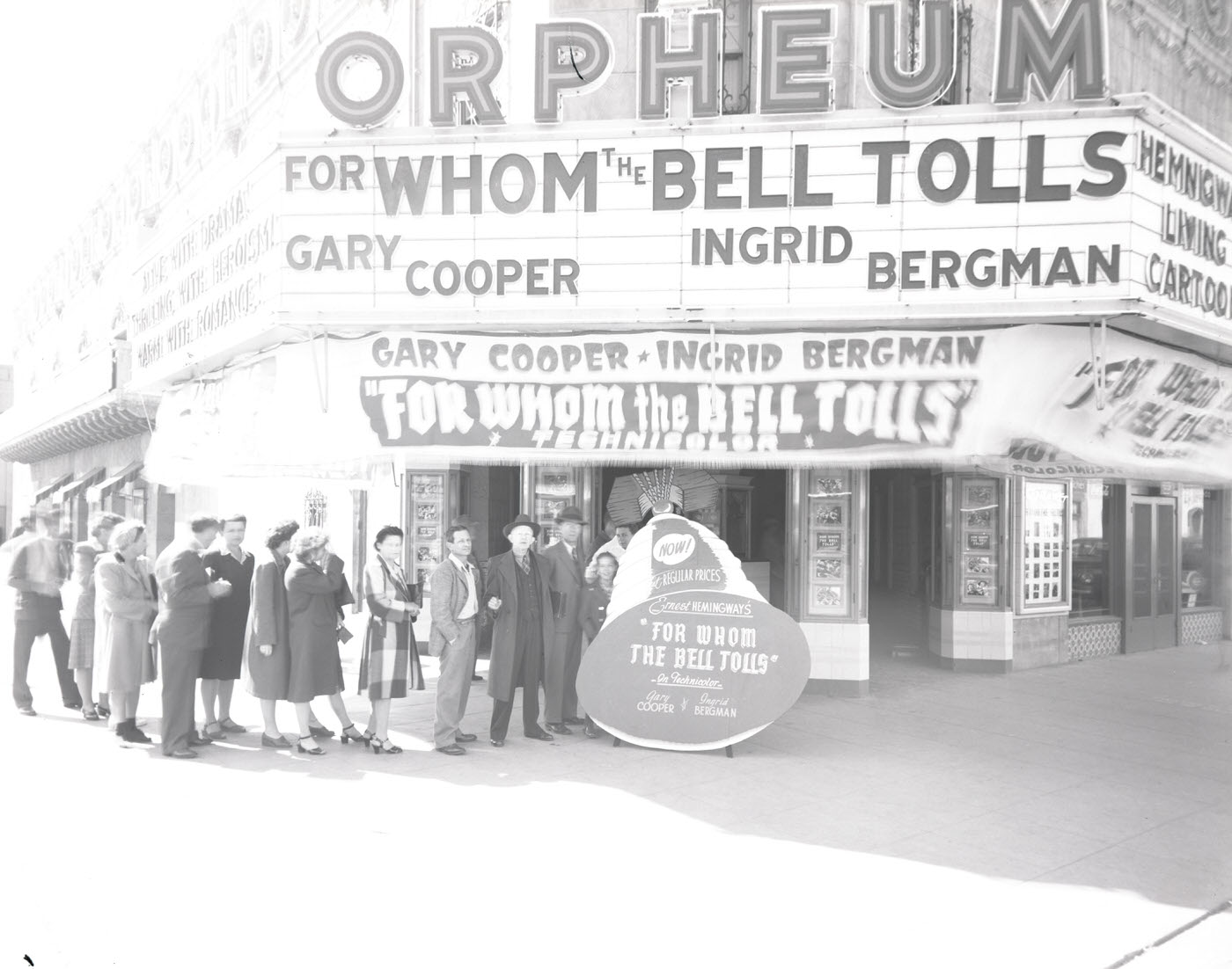
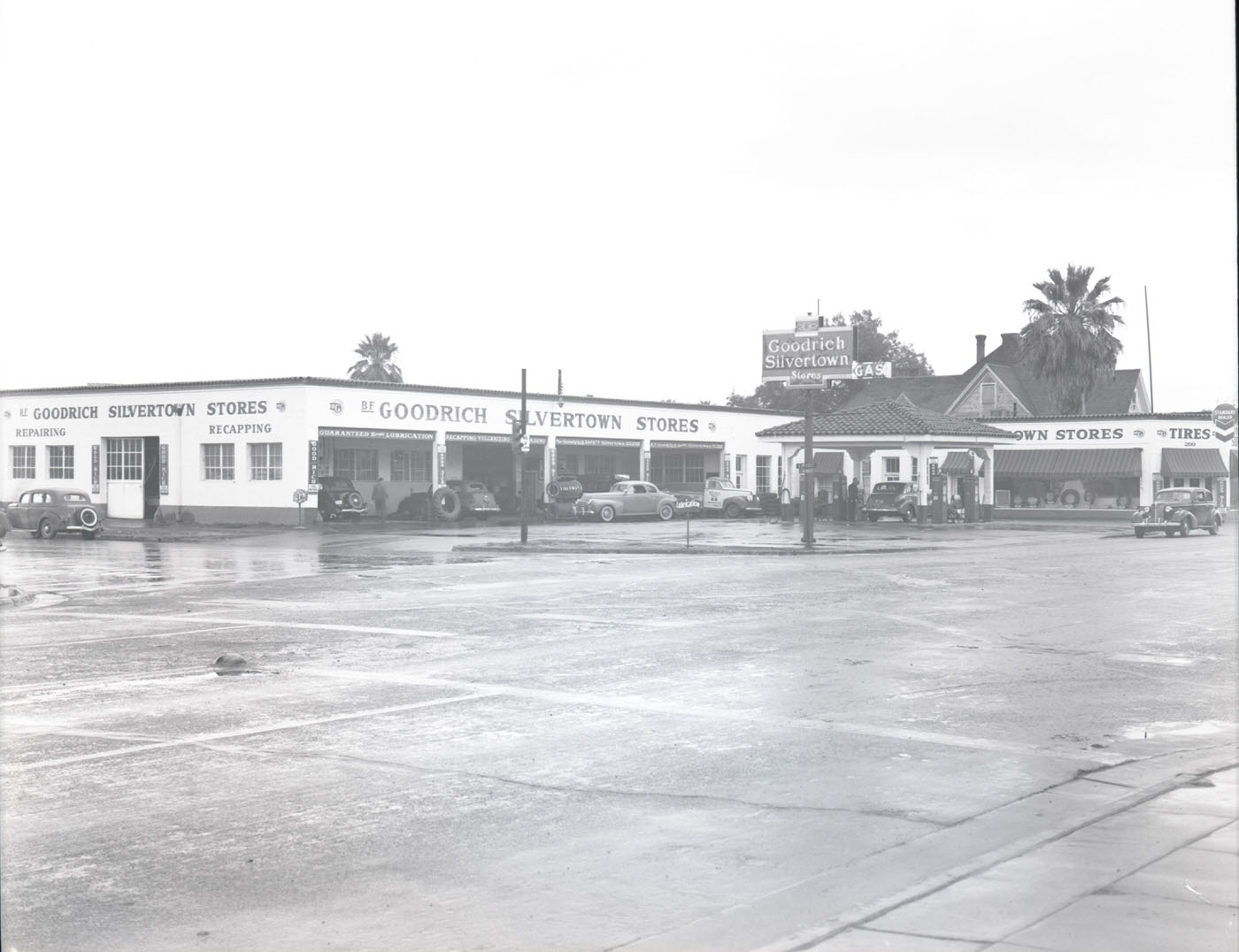
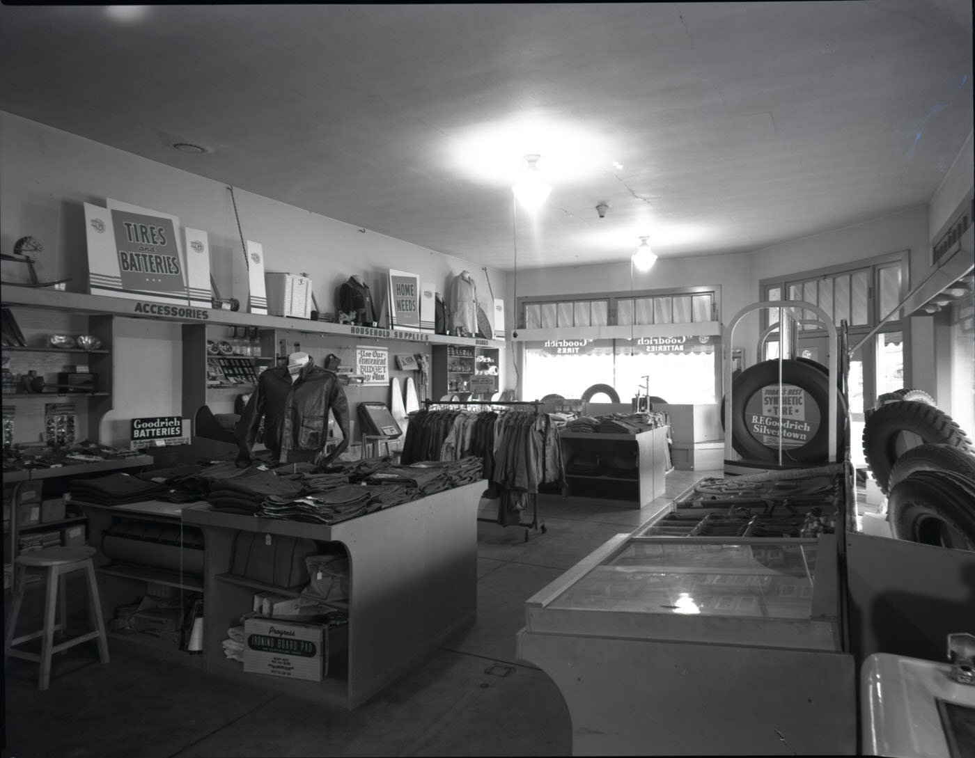
The Orpheum Theatre was one of Phoenix’s most prominent entertainment venues, anchoring the cultural life of the downtown district. Nearby, businesses like Goodrich Silvertown Stores sold tires and automotive supplies to a population that depended on their vehicles for nearly everything.
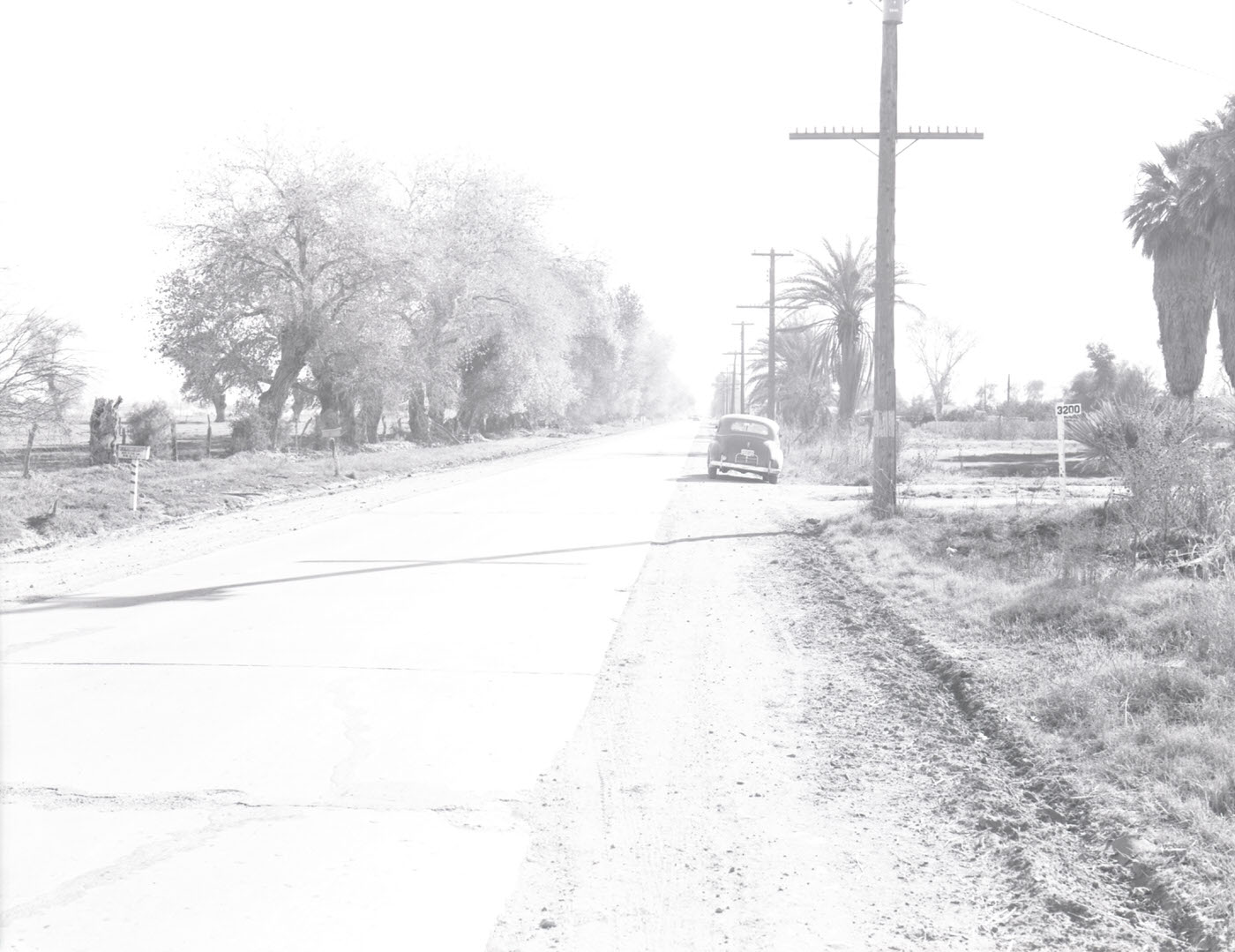
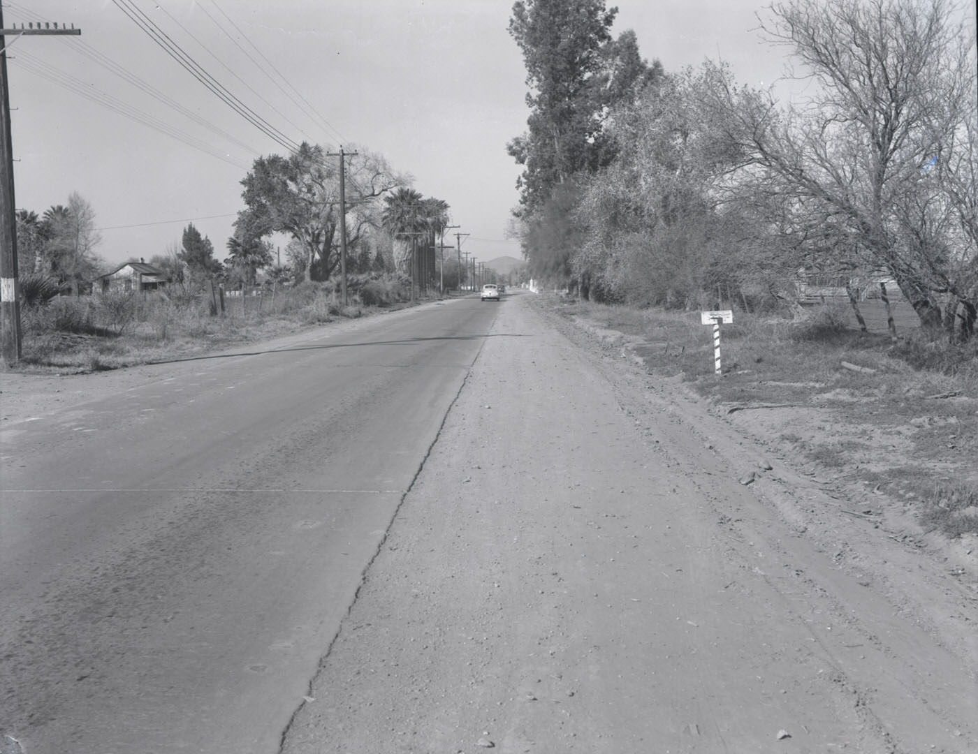
Sportsman’s Park provided Phoenix residents with outdoor recreation space in a city where the mild winter climate made year-round activity possible. Parks, athletic fields, and open public spaces were part of what made Phoenix attractive to the veterans and defense workers choosing to settle there after the war.
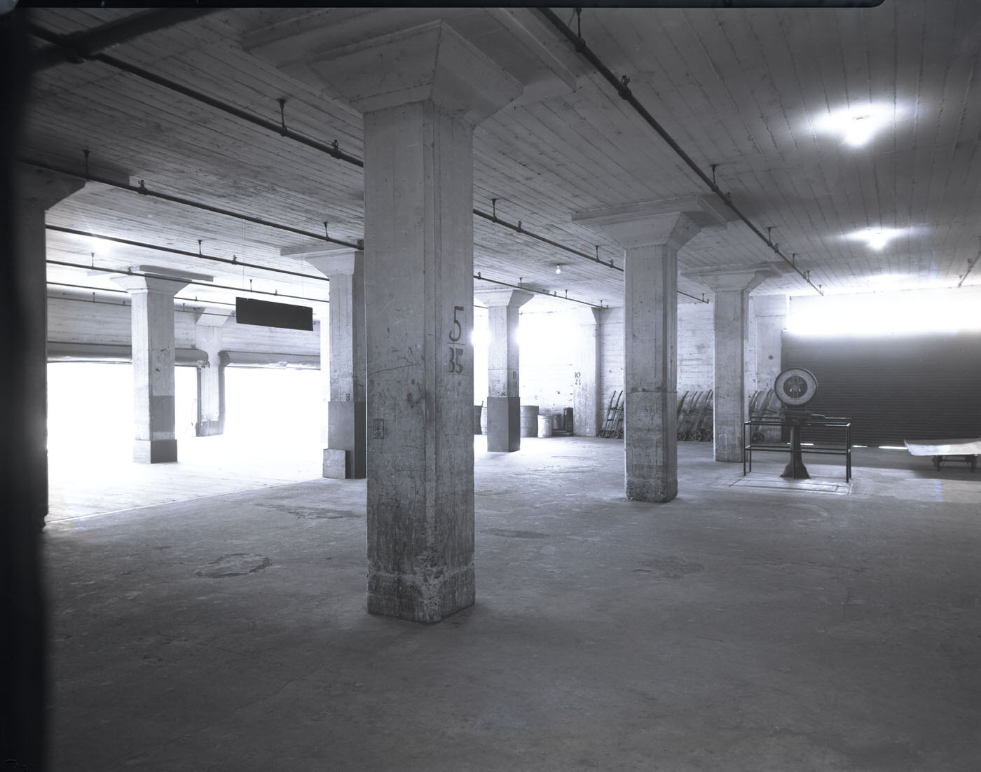
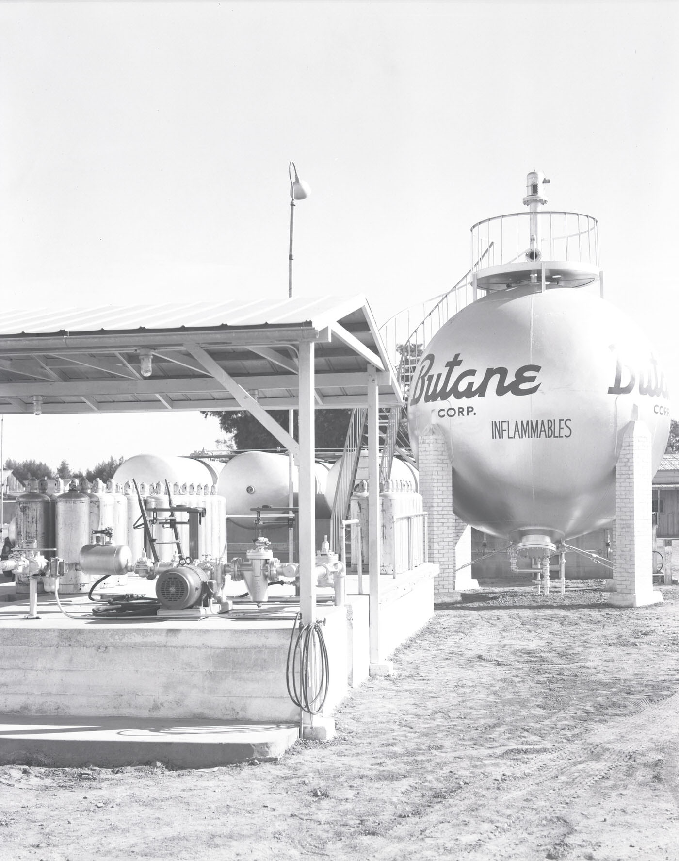
Industrial facilities across Phoenix handled the logistics of supplying a growing city. Loading docks moved goods between warehouses and delivery trucks, while fuel operations like the Butane Corporation supplied energy to homes and businesses. The infrastructure supporting daily life in Phoenix in 1945 was practical, unglamorous, and essential.
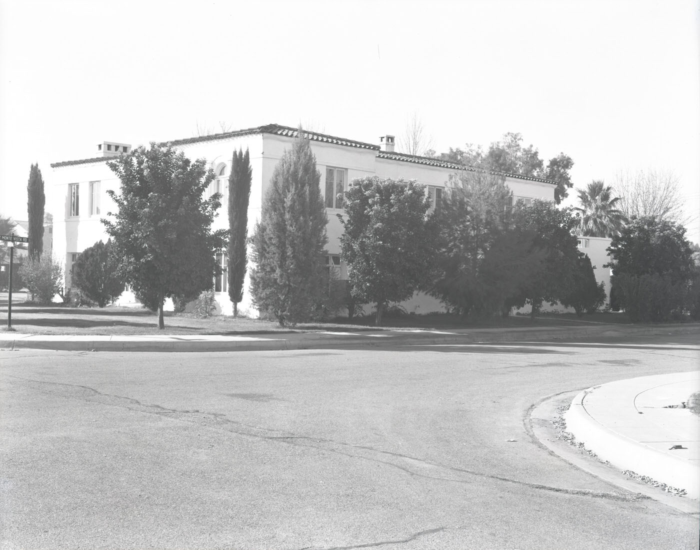
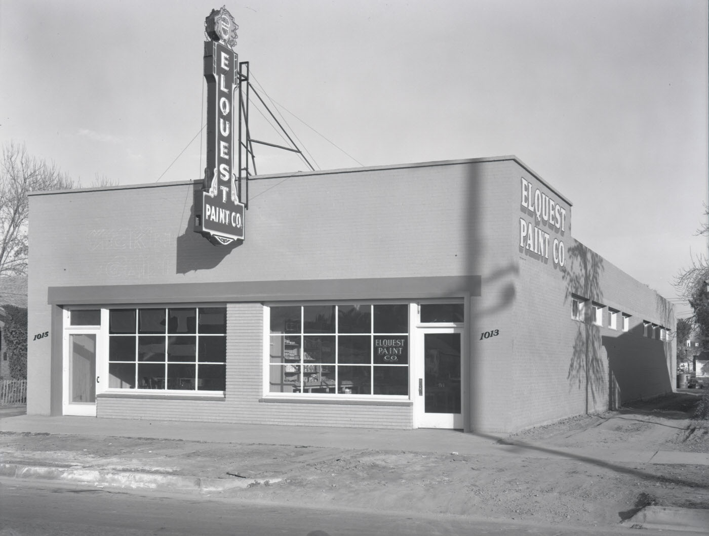
Private residences like the Nels P. Agren home showed the kind of established, comfortable housing that long-time Phoenix residents had built for themselves. Paint companies like Elquest supplied the materials that kept those homes and businesses looking maintained — a small but telling indicator of a city investing in its own upkeep.
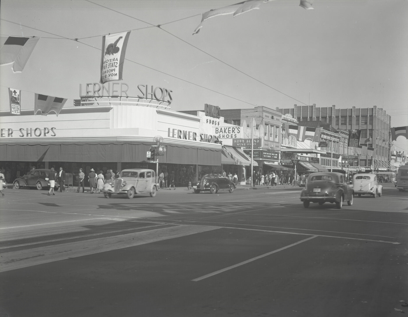
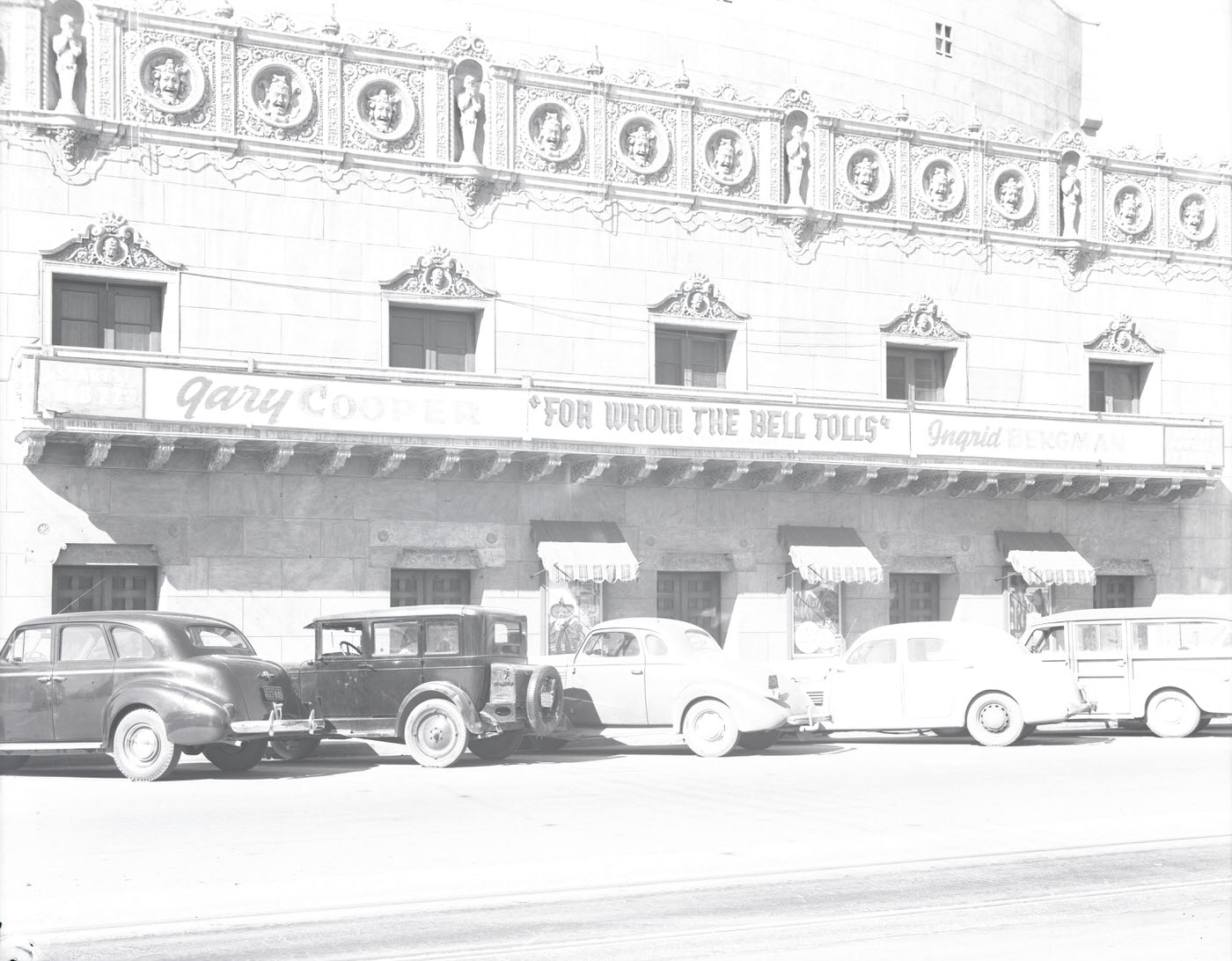
The intersection of Washington Street and Central Avenue was Phoenix’s commercial heart. Looking east from this corner, retail storefronts like the Lerner Shops and Baker’s Shoe Store confirmed the density of trade concentrated in this zone. Central Avenue running north from Washington served as the city’s primary commercial spine, lined with offices, retailers, and service businesses.
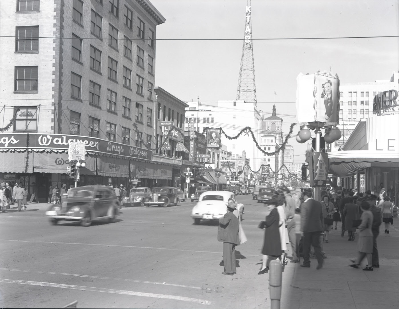
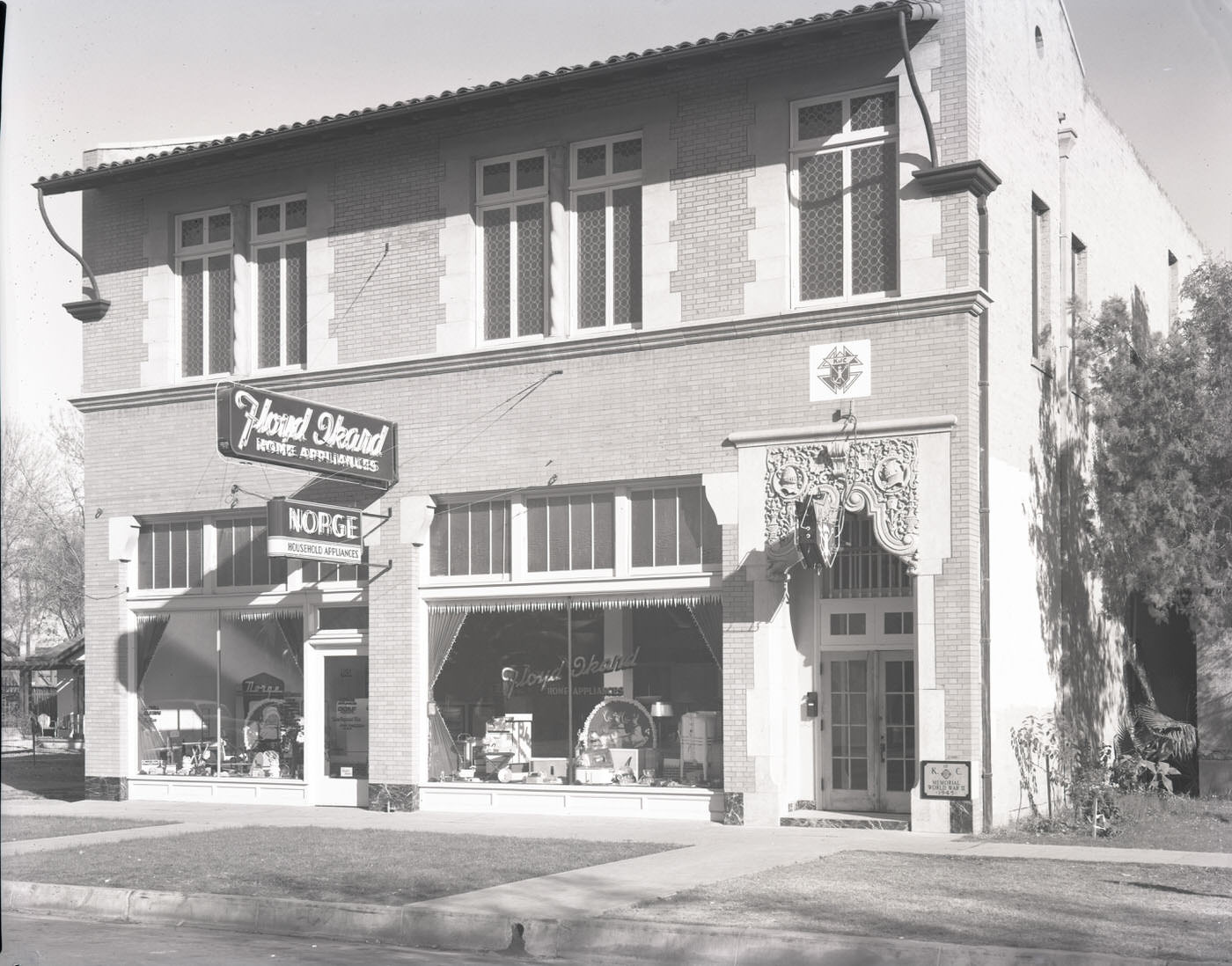
Looking north along Central Avenue from Washington Street, the scale of downtown Phoenix becomes clear. Multi-story buildings lined both sides of the road, and the street carried steady foot and vehicle traffic. Civic and fraternal organizations like the Knights of Pythias maintained buildings close to the city center, reflecting the organized community life that held Phoenix together through the pressures of the war years.
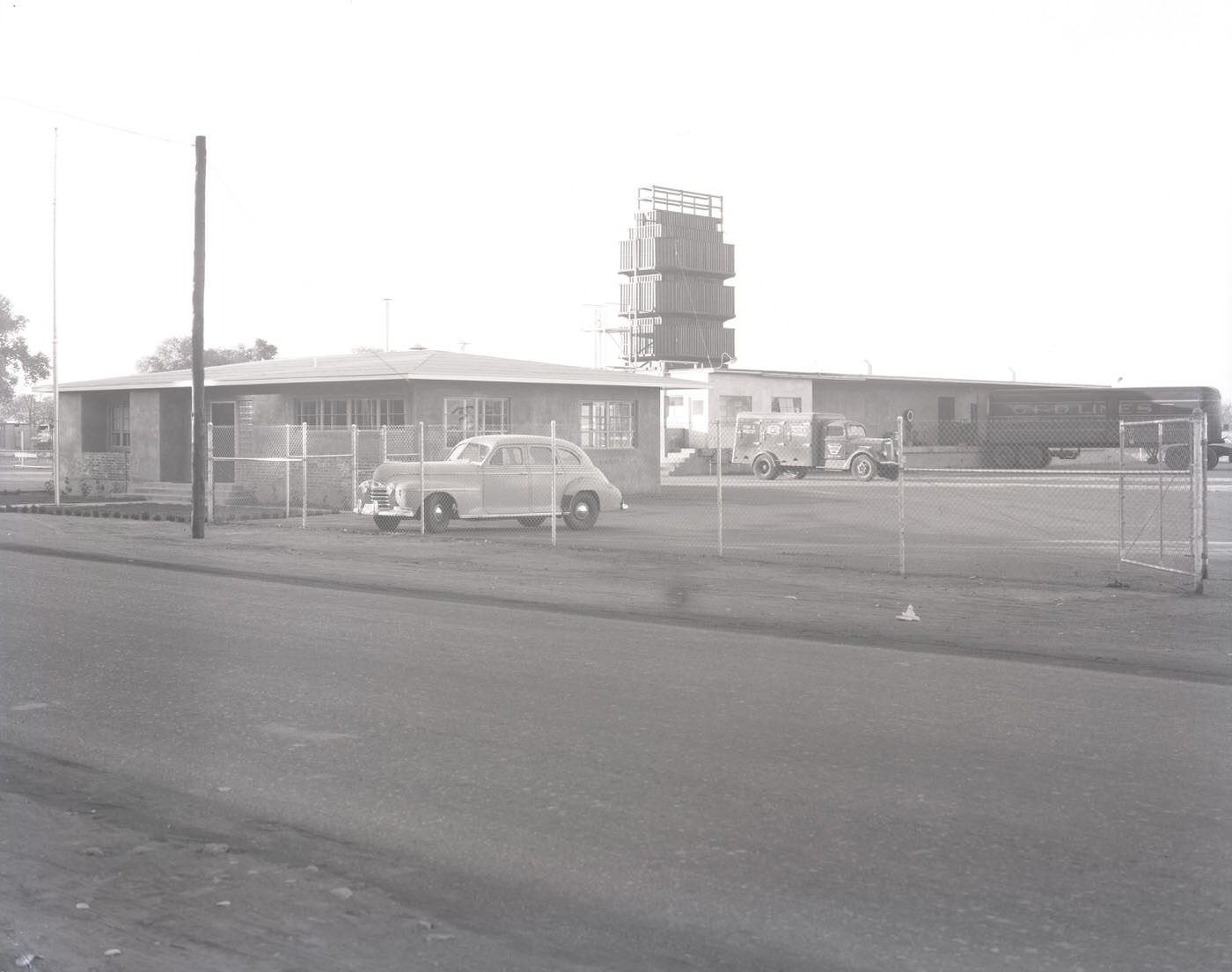
Commercial brokerages like Hanson Brokerage operated in the thick of Phoenix’s business district, facilitating the trade and transactions that kept the regional economy moving. By the end of 1945, Phoenix was a city where agriculture, industry, retail, and real estate all competed for space and attention — a place that had outgrown its origins and was actively becoming something larger.




