Hey There! Before You Go. 😧
Get the best vintage content straight into your inbox!

Don't worry, we don't spam

Phoenix in the 1930s: A Photographic Journey Through a City's Great Depression Era

Phoenix, Arizona in the 1930s was a city in motion. With a population of roughly 65,000, it was still small enough that most residents knew their neighbors — but growing fast enough that new buildings, businesses, and roads were reshaping the landscape year by year. Agriculture anchored the local economy, with cotton, citrus, and cattle driving commerce across the Salt River Valley. Tourism was also on the rise, drawing visitors from cooler northern states who came seeking warm winters and open desert skies. Yet for all its momentum, Phoenix was not immune to the financial devastation sweeping the nation. The Great Depression hit hard, shuttering businesses, idling farms, and pushing unemployment to painful levels. What followed was a decade defined by resilience — a city pressing forward even as it struggled.
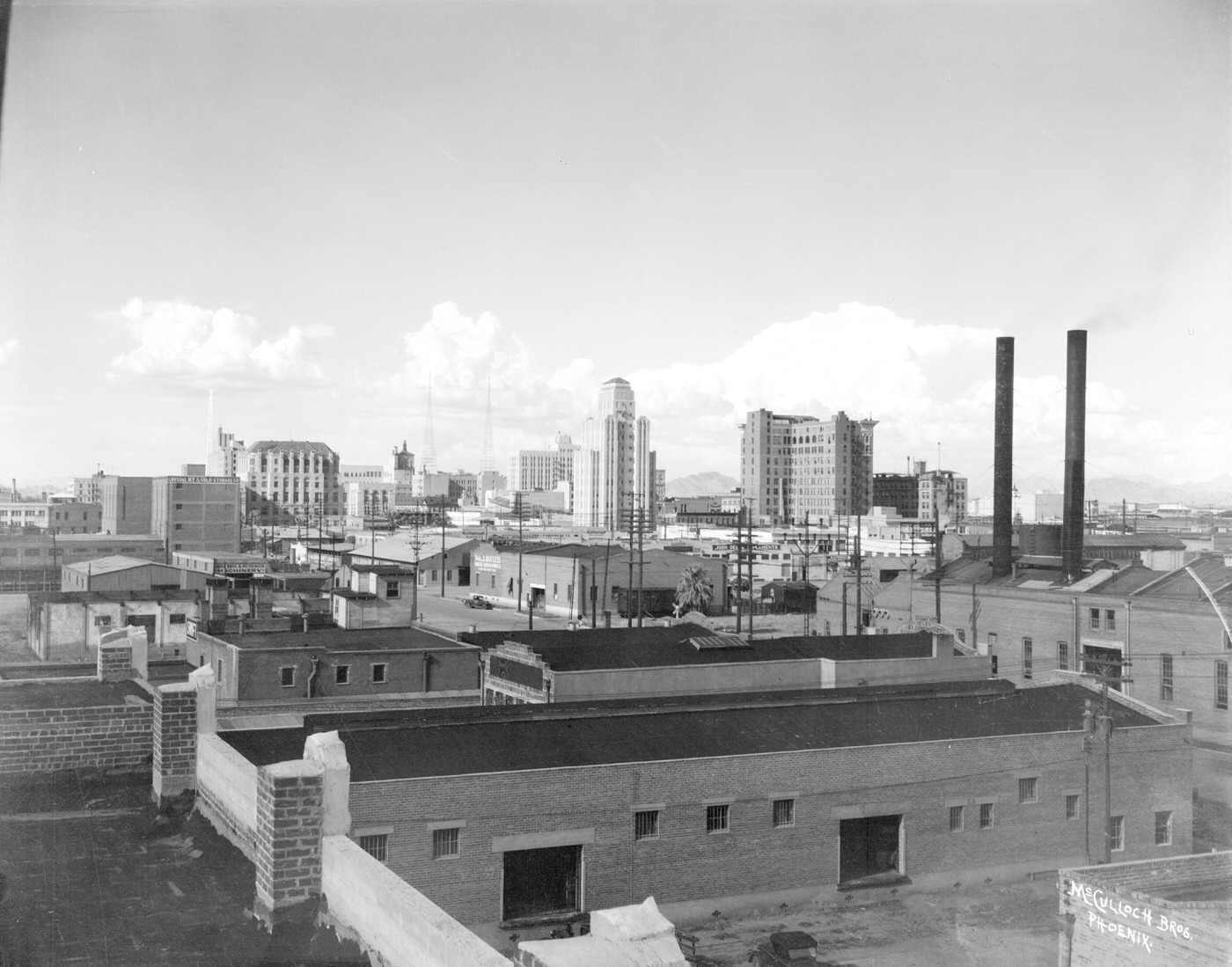
Phoenix Skyline, 1930s

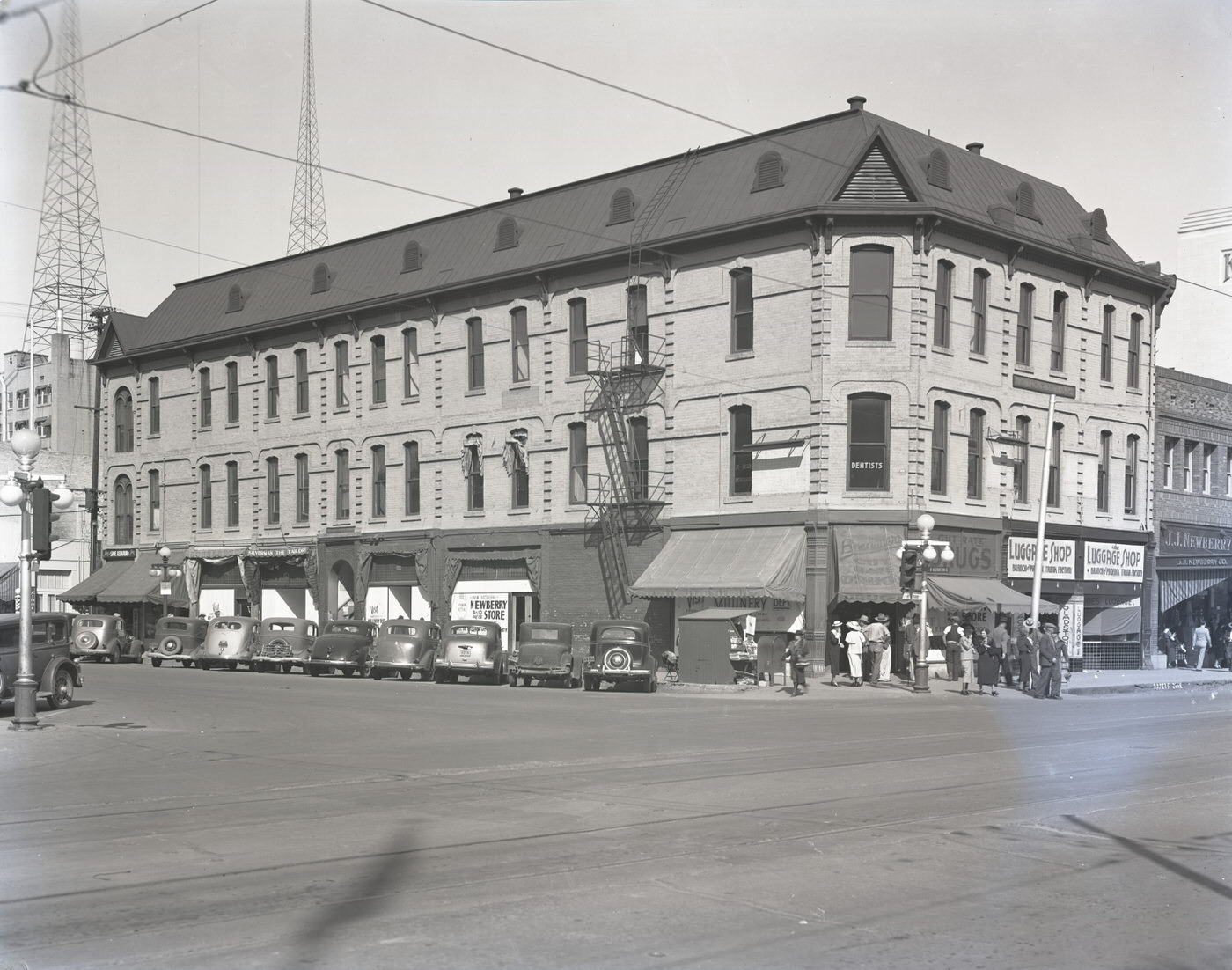
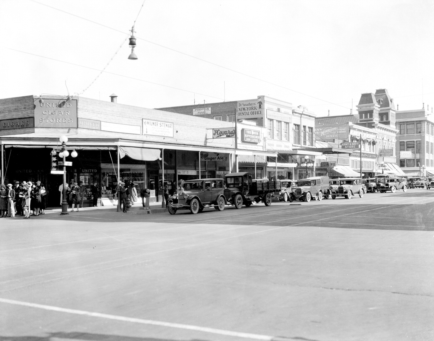
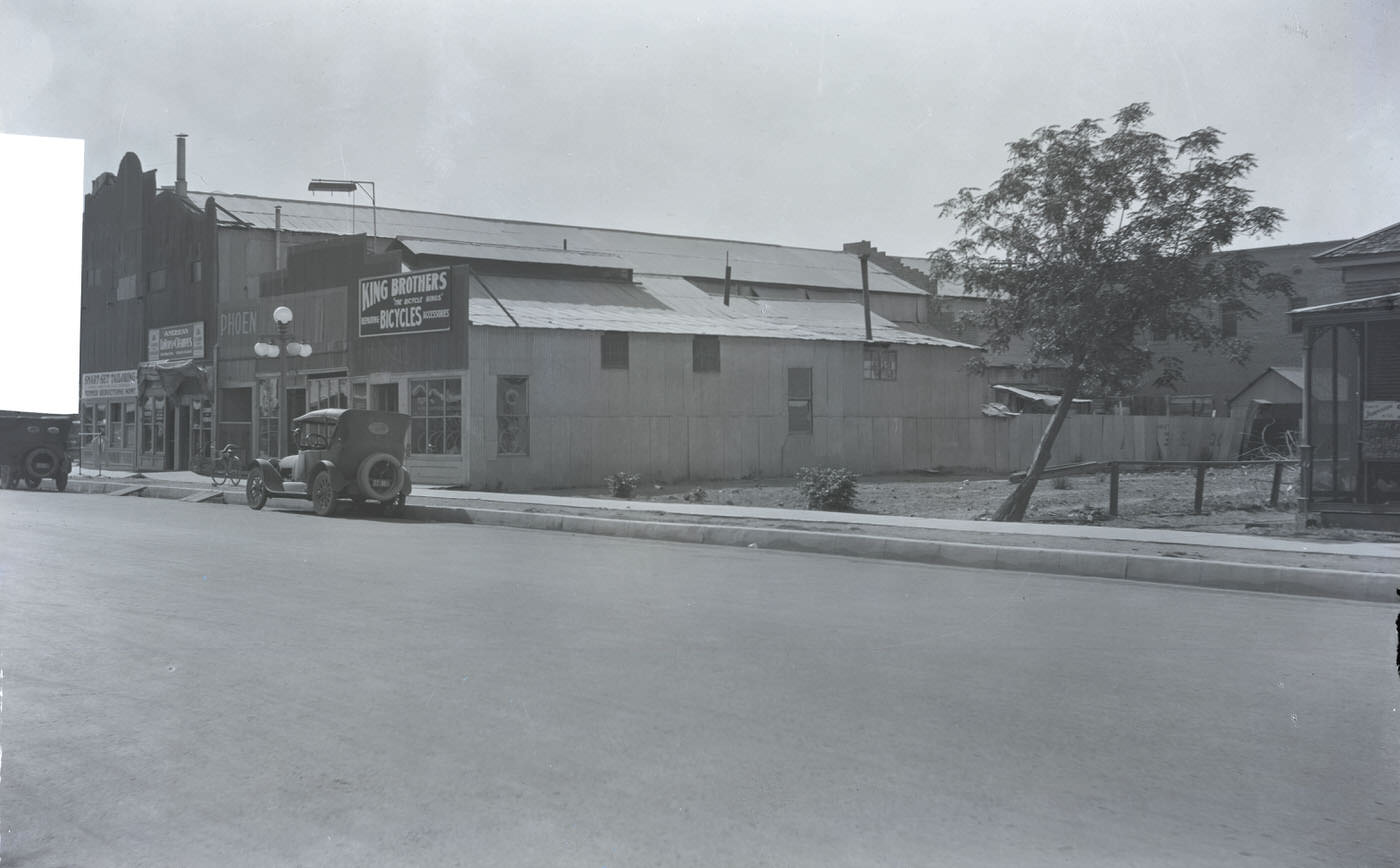
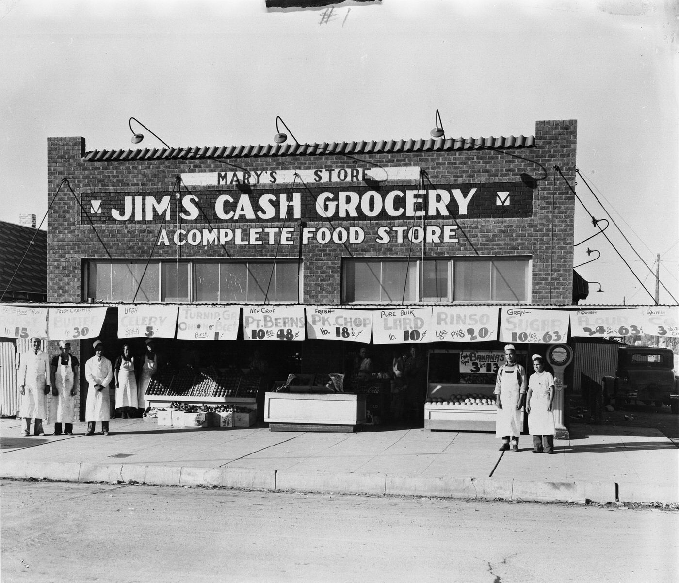
The commercial heart of Phoenix in this era was a compact but active downtown. At the corner of Central Avenue and Washington Street, foot traffic was constant. Storefronts lined the blocks, and the intersection served as the city’s main crossroads for business, transit, and public life. Chain retailers like J.C. Penney held company dinners that doubled as morale-boosting events for staff navigating lean times, while neighborhood grocers like Jim’s Cash Grocery kept employees on the payroll and shelves stocked for working families.
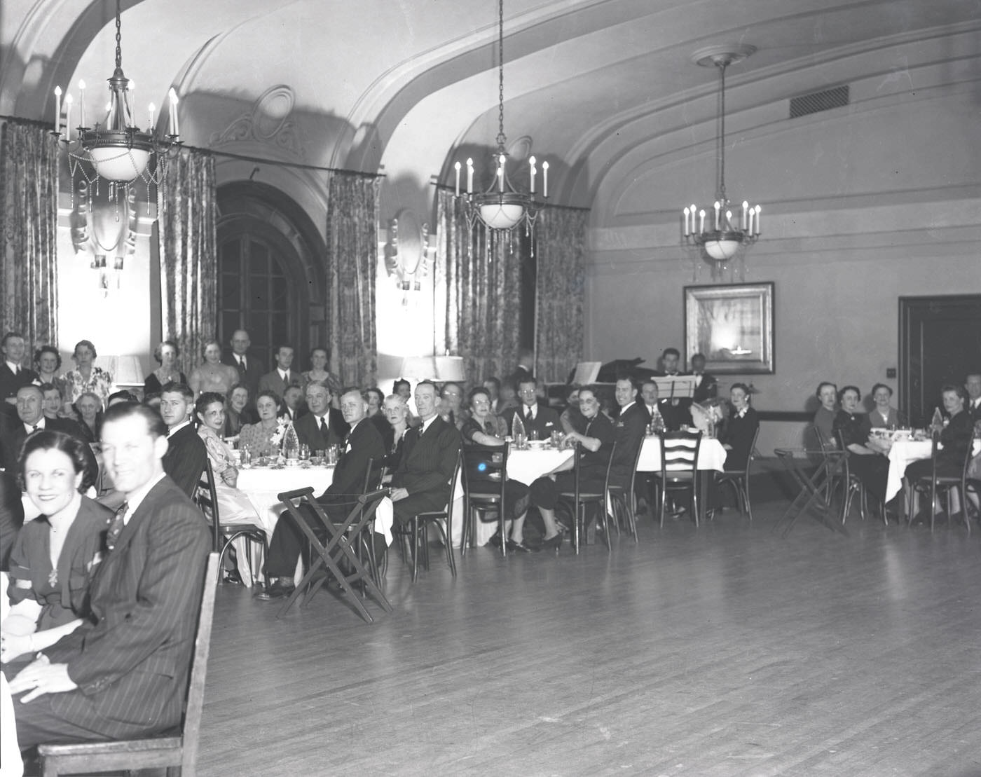
J. C. Penney Co. Dinner, 1930s
Employees in Front of Jim's Cash Grocery Store, 1930s
Employees in Front of Jim’s Cash Grocery Store, 1930s

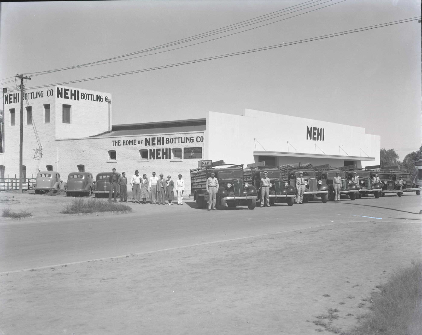
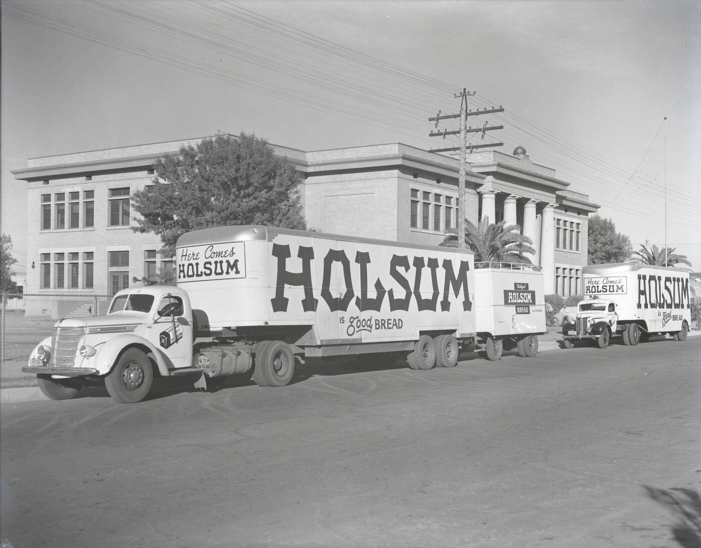
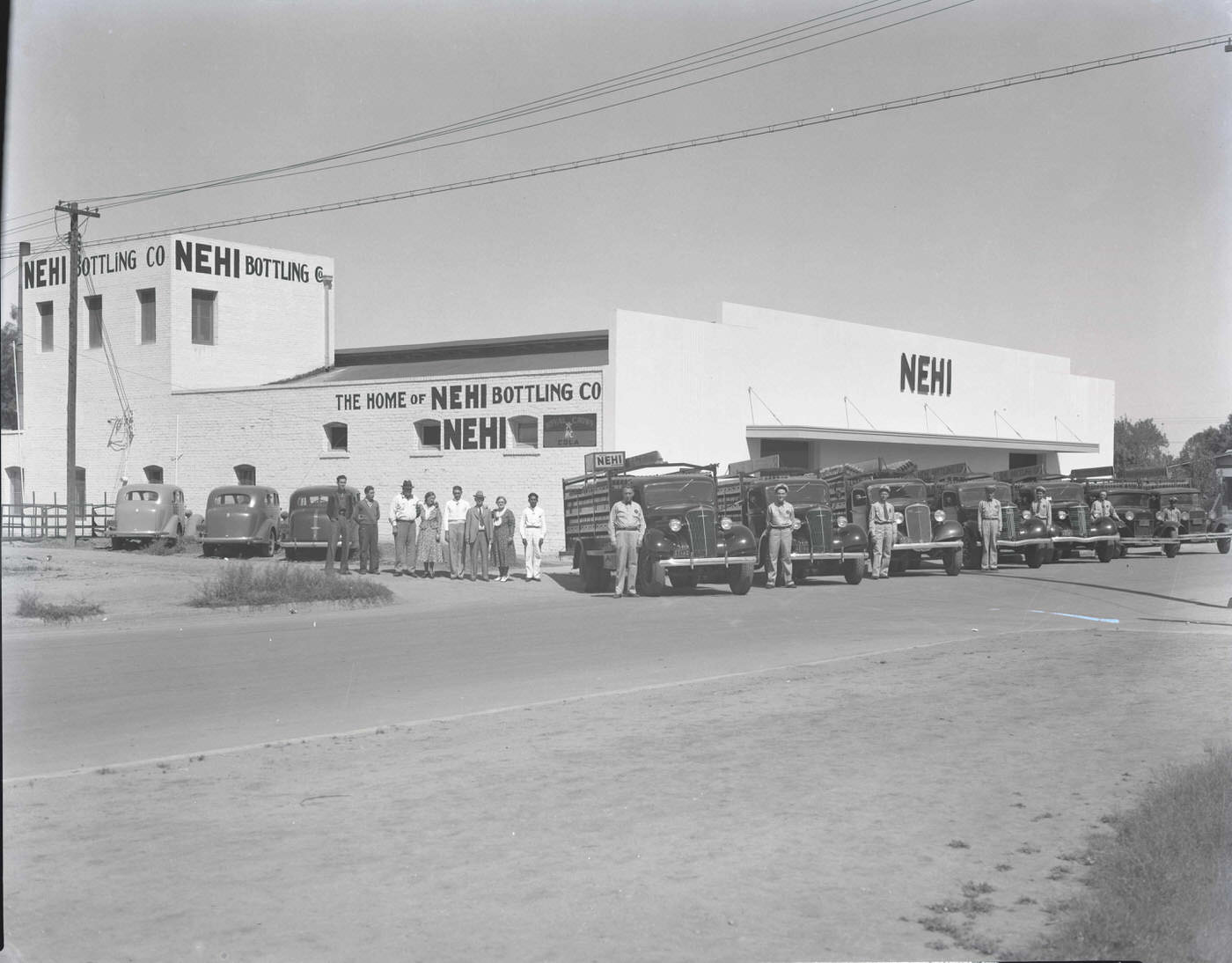
Local bakeries, bottlers, and food producers kept the city fed and employed. Holsum Bakery was one of the more recognizable operations in Phoenix, running a full staff and a fleet of delivery trucks. Nehi Bottling Co. similarly kept workers on and product moving. These weren’t glamorous businesses, but they were the backbone of everyday commerce — the kind of places that paid wages when wages were hard to come by.
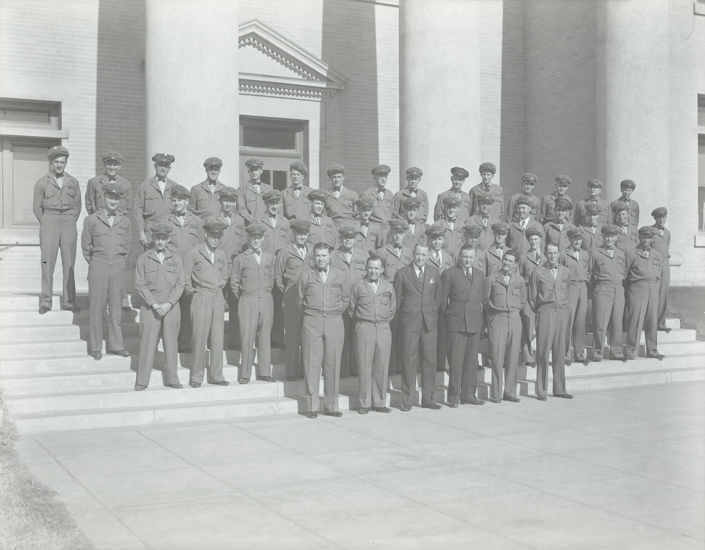
Holsum Bakery Staff, 1930s
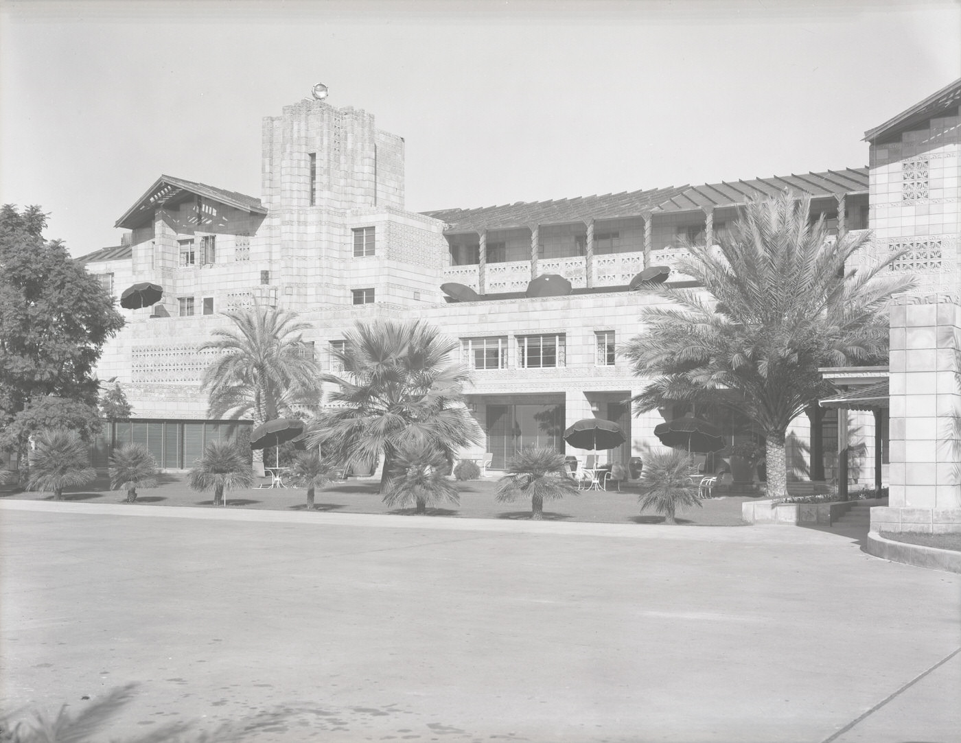
Two Holsom Bakery Eighteen-Wheel Trucks, 1930s
Employees in Front of Nehi Bottling Co. Building, 1930s

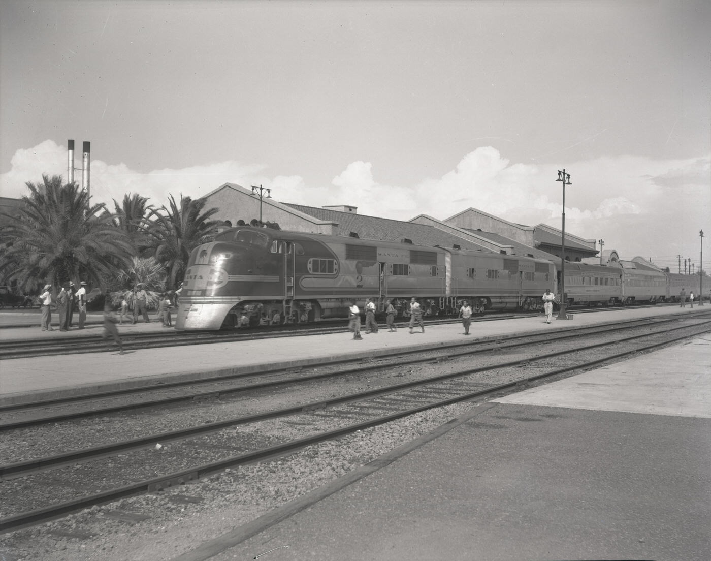
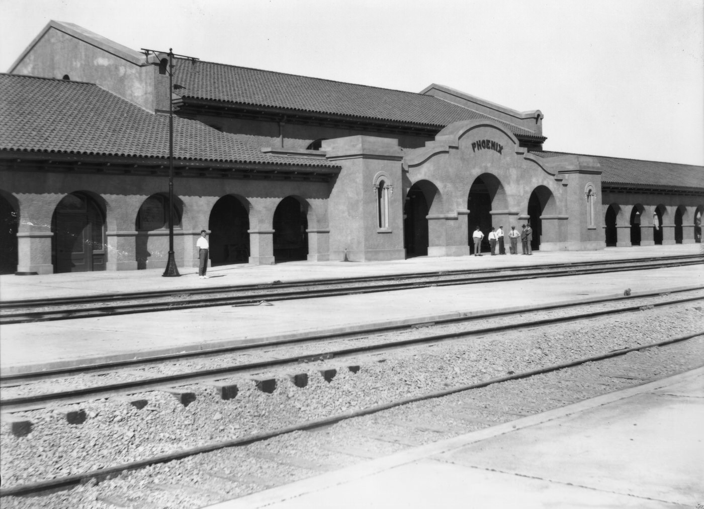
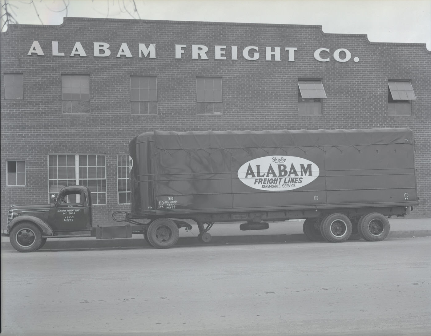
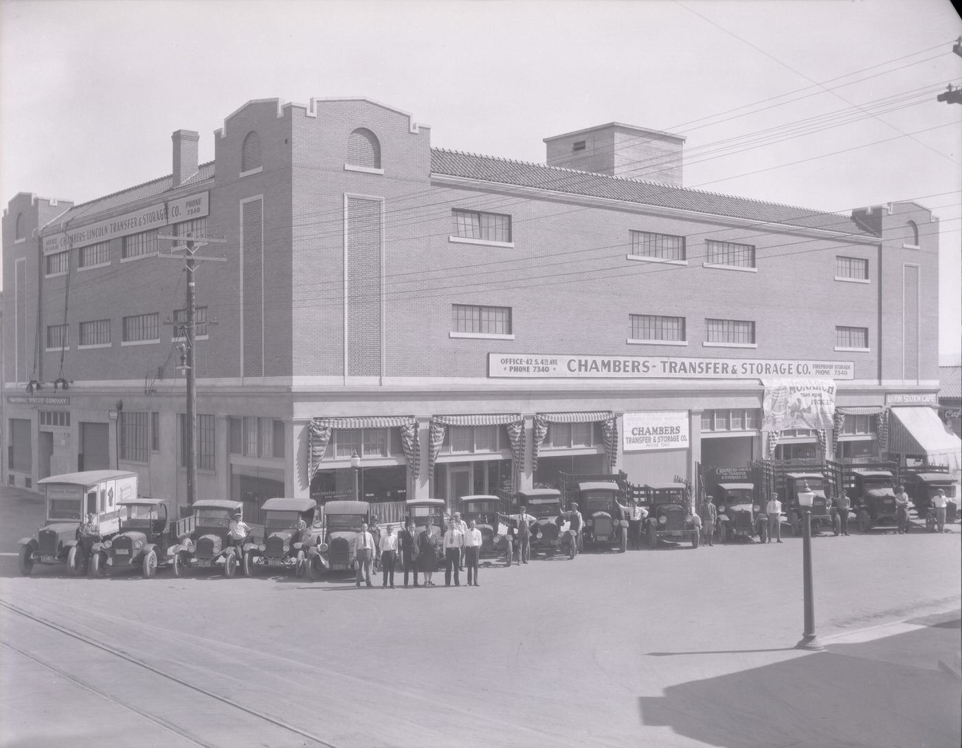
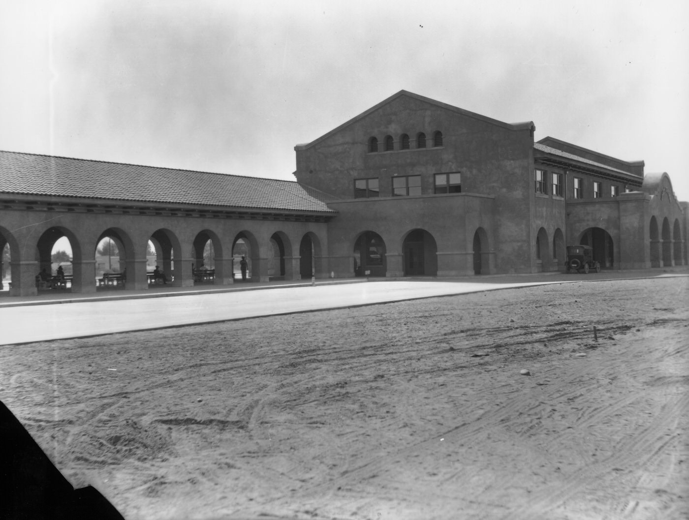
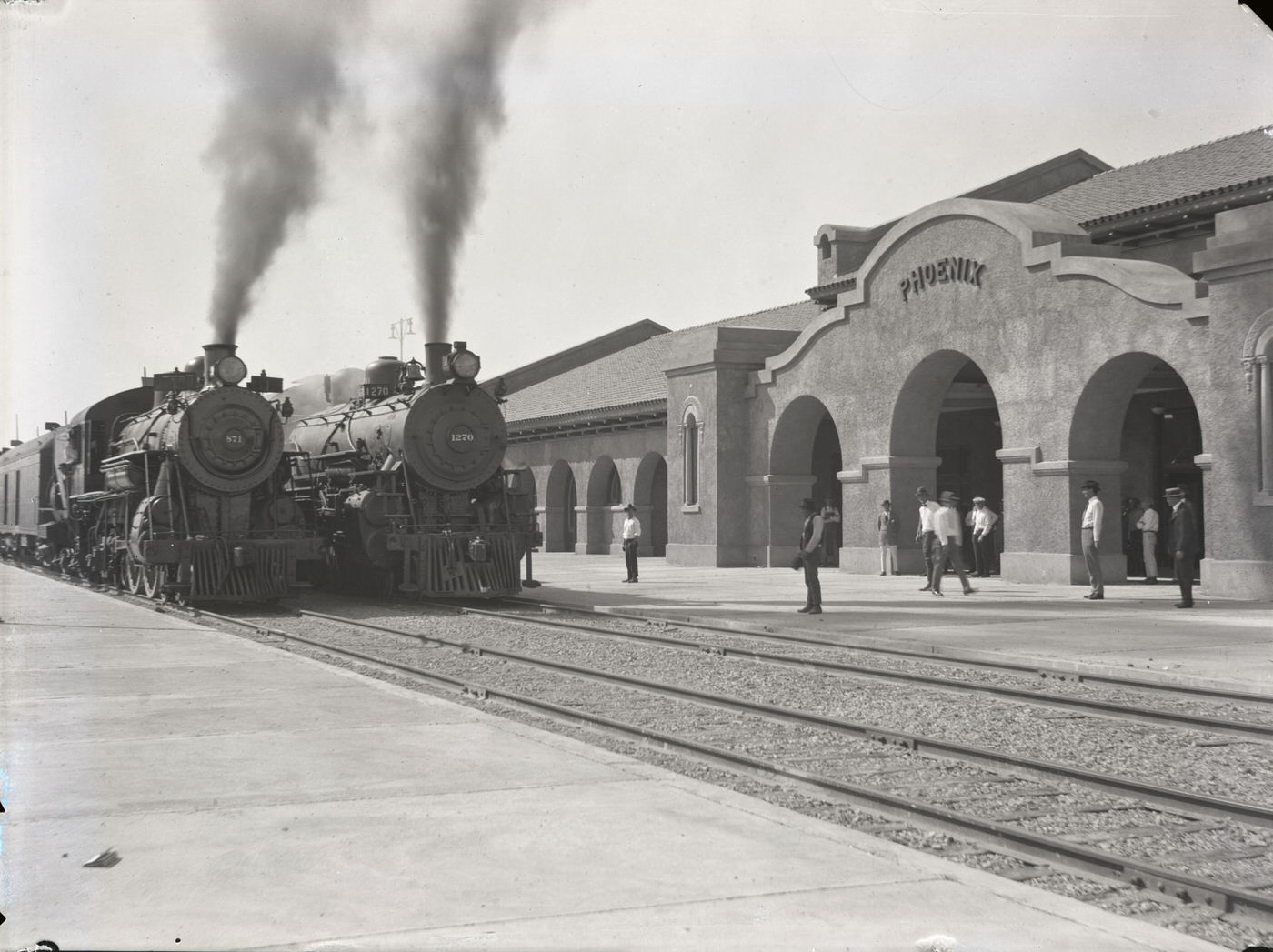
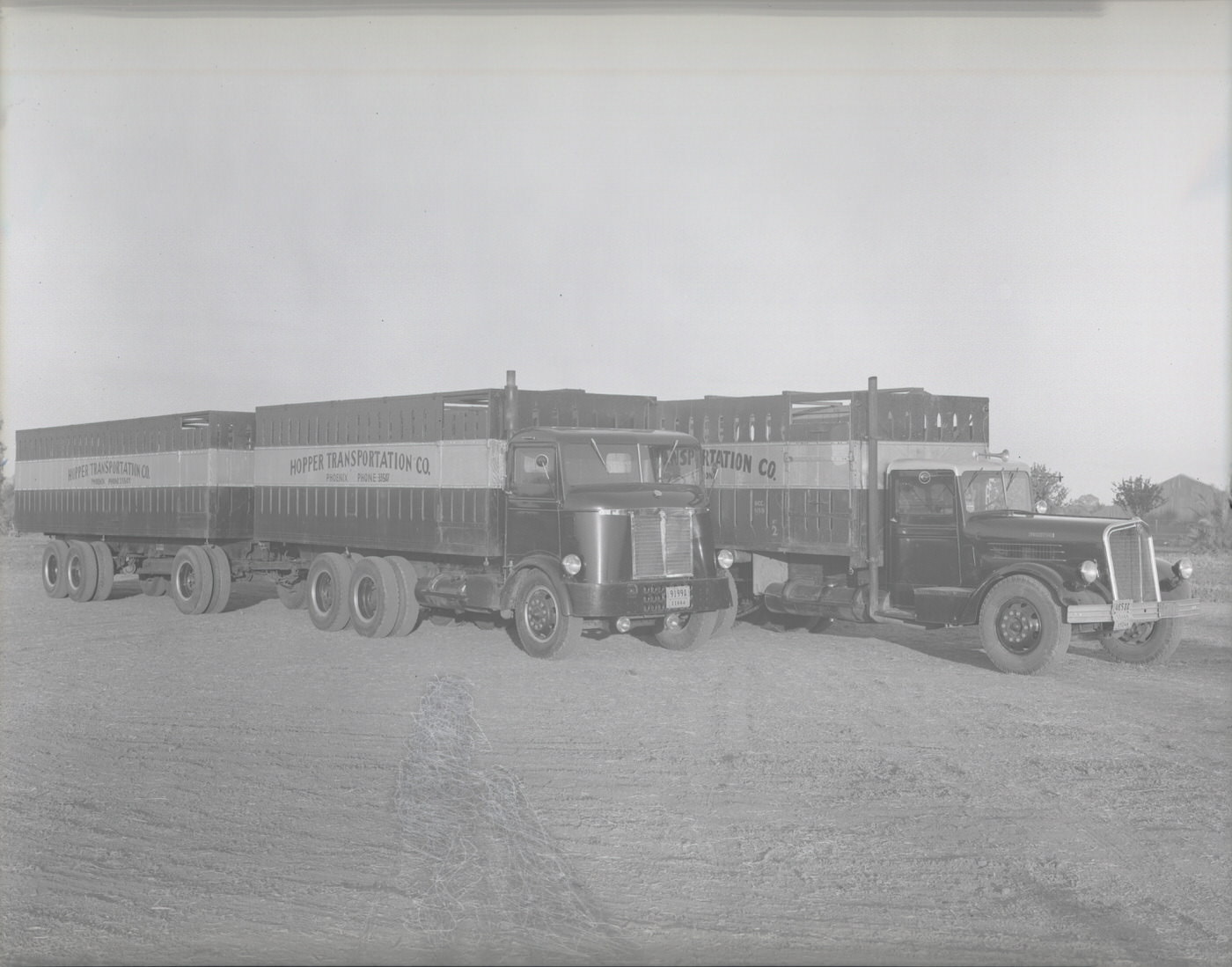
Transportation was transforming the region in visible ways. Trucking companies like Alabam Freight, Hopper Transportation, and Chambers Transfer and Storage hauled goods between farms, warehouses, and commercial districts. The roads connecting Phoenix to its surroundings were steadily improving, and the trucks that ran on them were getting larger. Meanwhile, Union Station handled rail traffic, and the Santa Fe Chief rolled in and out of the Phoenix depot, linking the desert city to the broader national rail network.
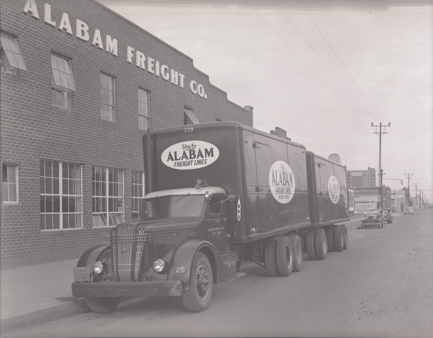
Alabam Trucks Parked Outside the Alabam Freight Company Building, 1930s
Hopper Transporation Company Trucks, 1930s
Santa Fe Chief at the Phoenix Train Depot, 1930s
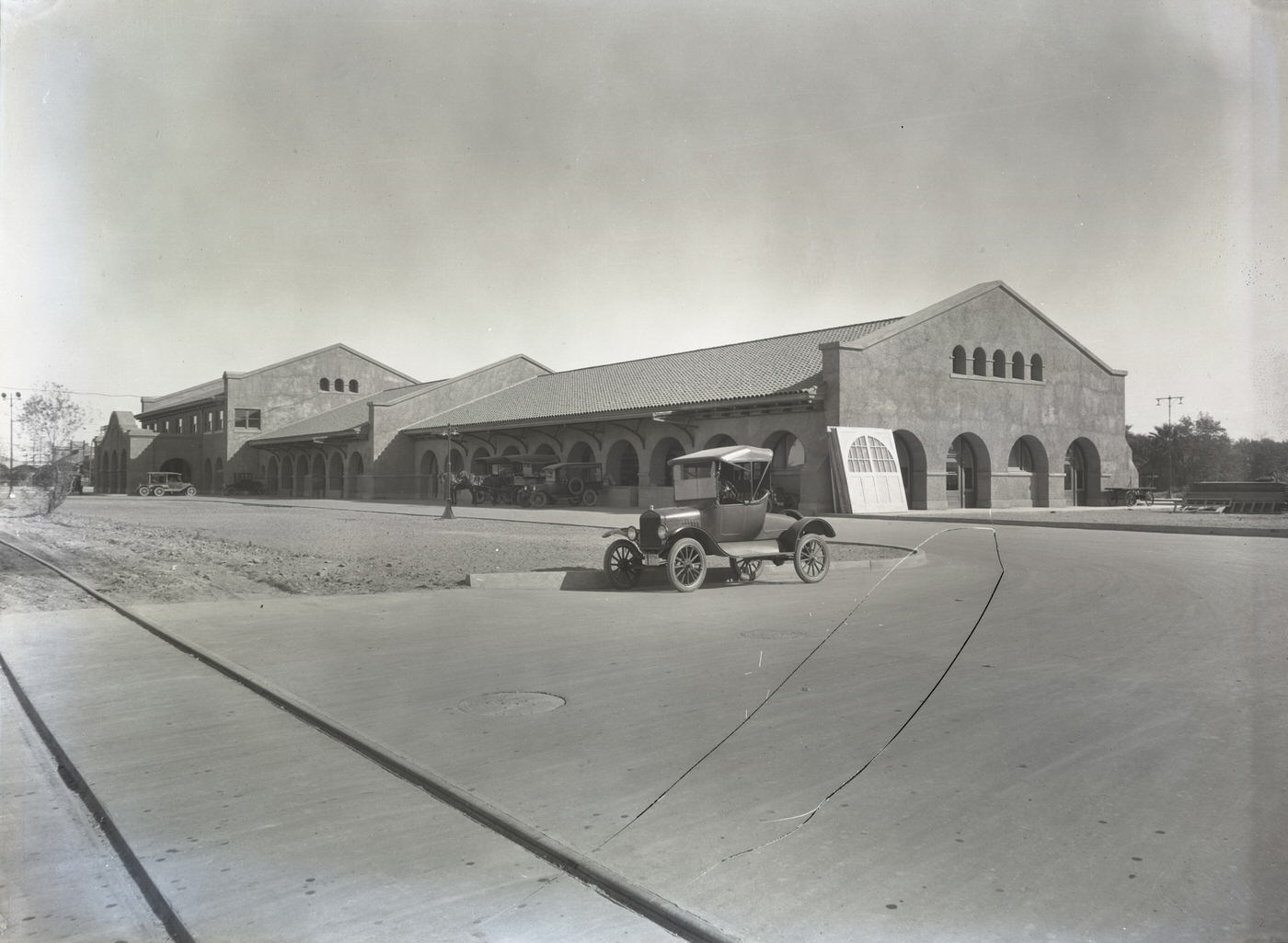
Union Station, 1930s

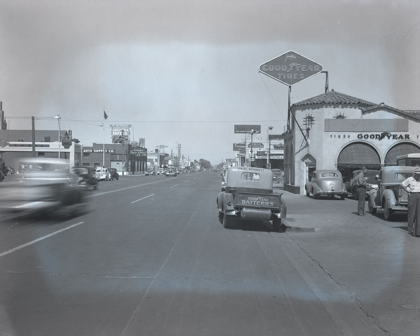
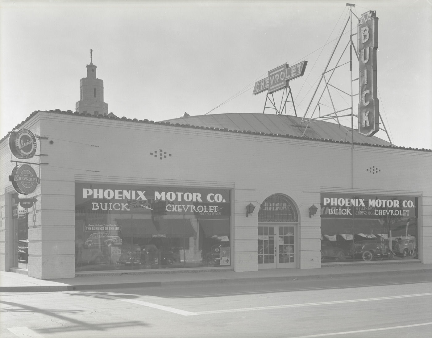
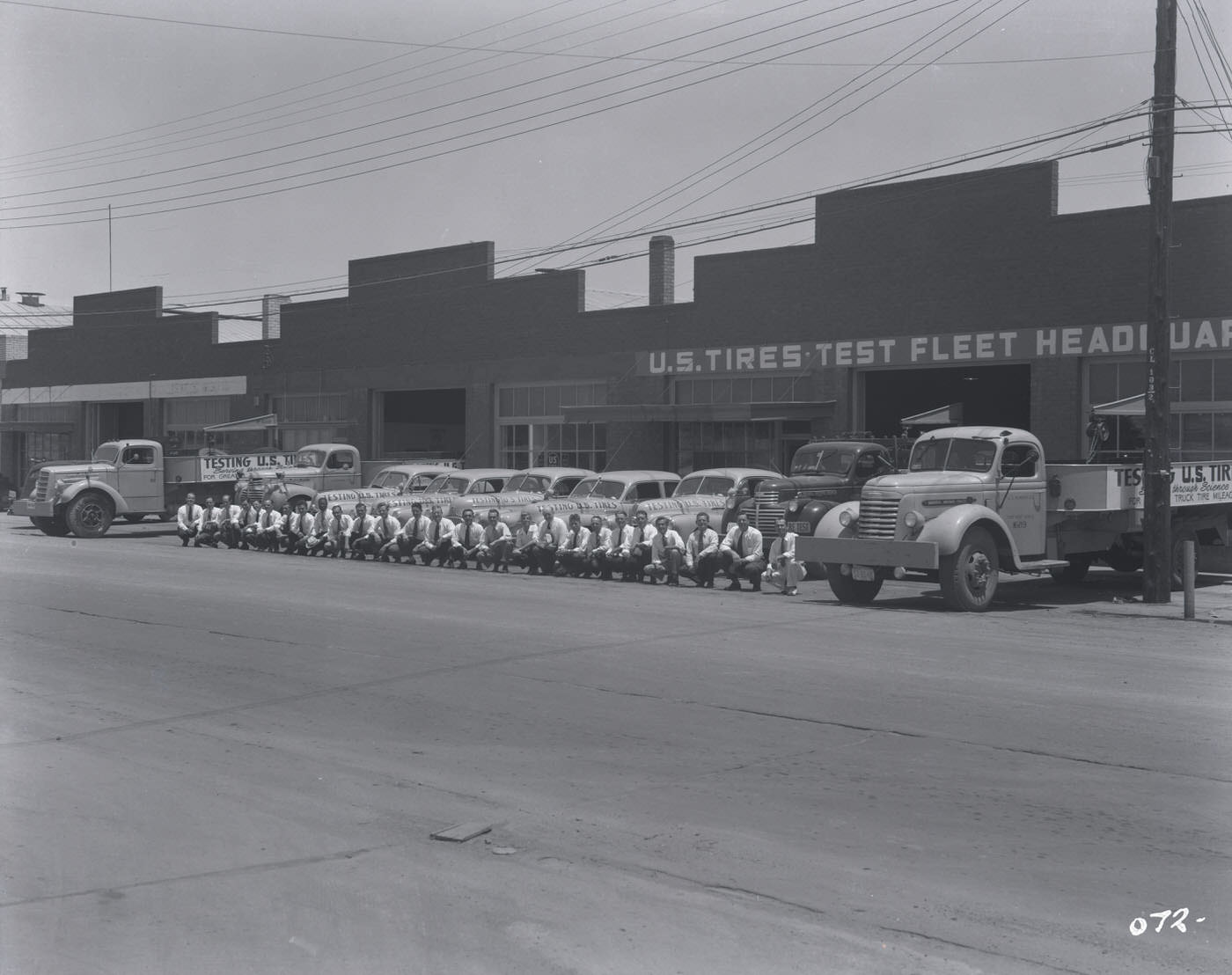
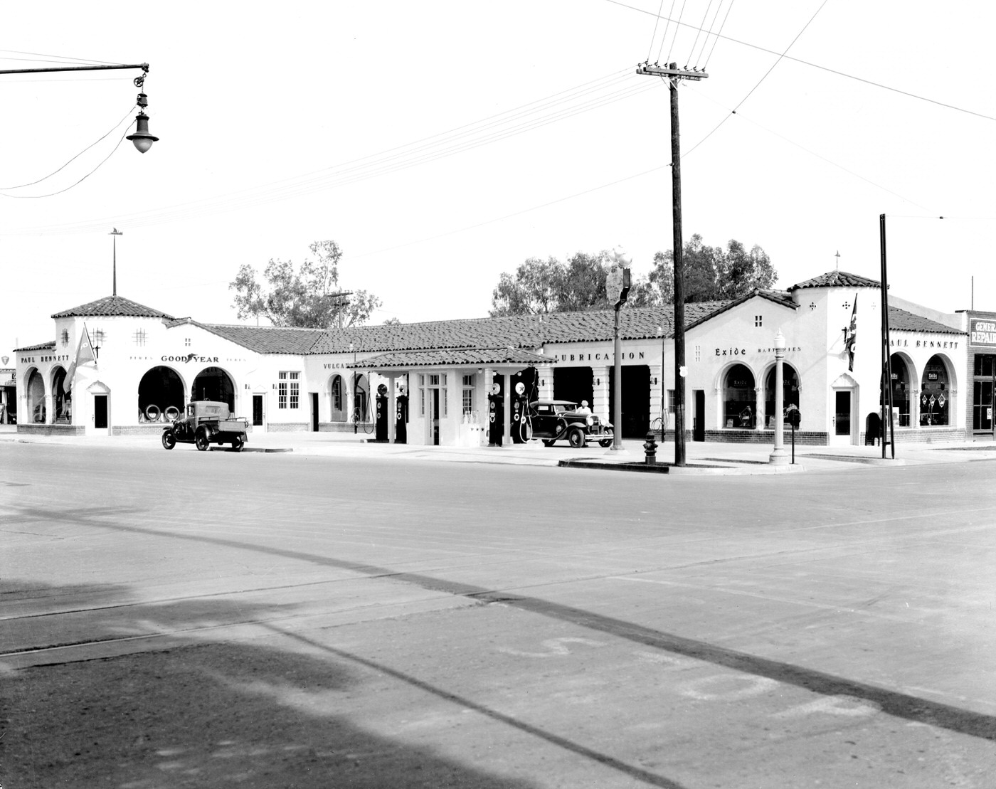
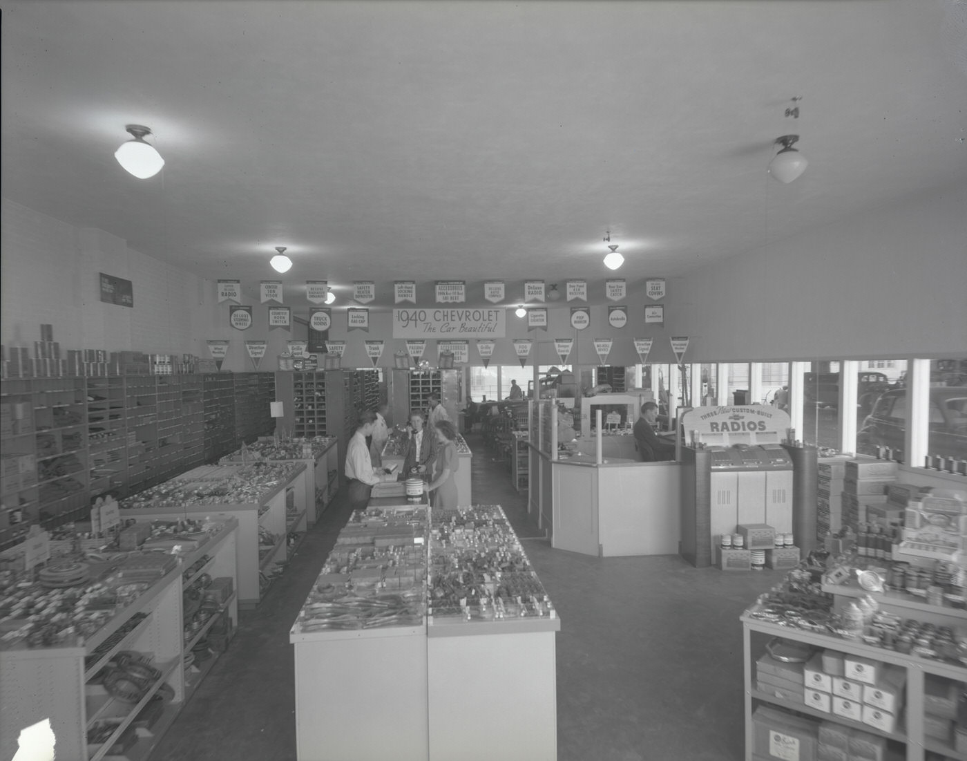
Motor vehicles were becoming central to Phoenix life. Phoenix Motor Co. operated out of a substantial building with a large lot, selling and servicing cars at a time when automobile ownership was expanding even through economic hardship. Goodyear Tire & Rubber Co. and U.S. Tire and Rubber Co. both maintained visible presences in the city, with test fleets running on Valley roads. The growing car culture meant service stations, repair shops, and tire retailers were steady businesses throughout the decade.
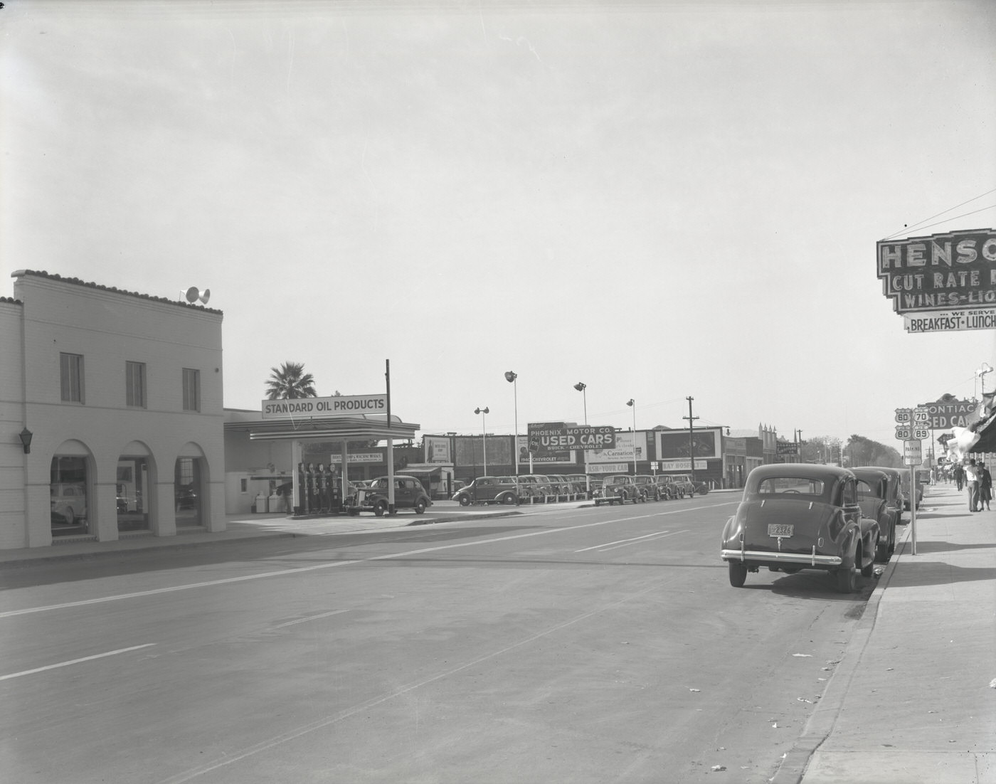
Phoenix Motor Co. Building Exterior and Lot, 1930s
Phoenix Motor Co. Interior, 1930s
Goodyear Tire & Rubber Co. Store Exterior and Street, 1930s

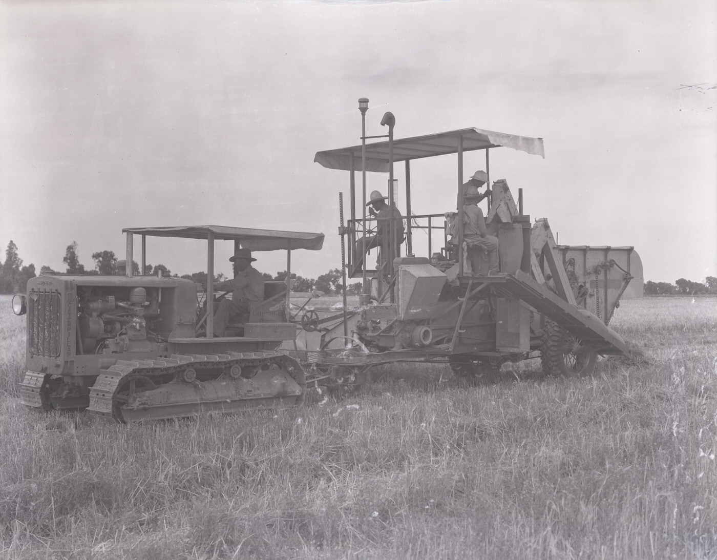
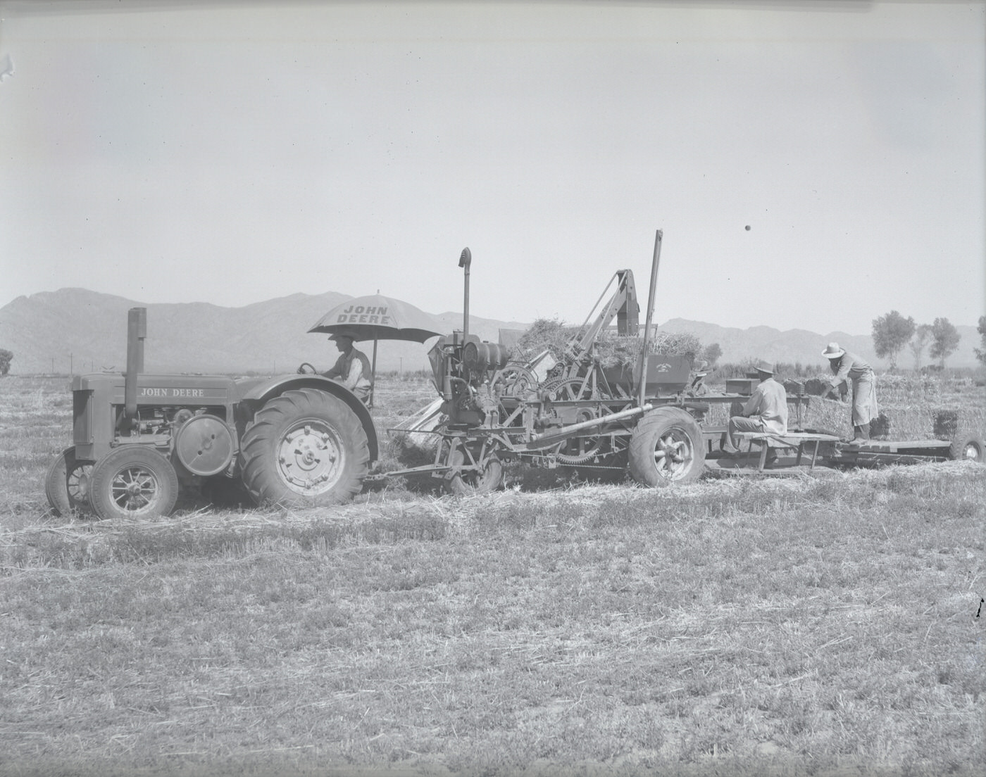
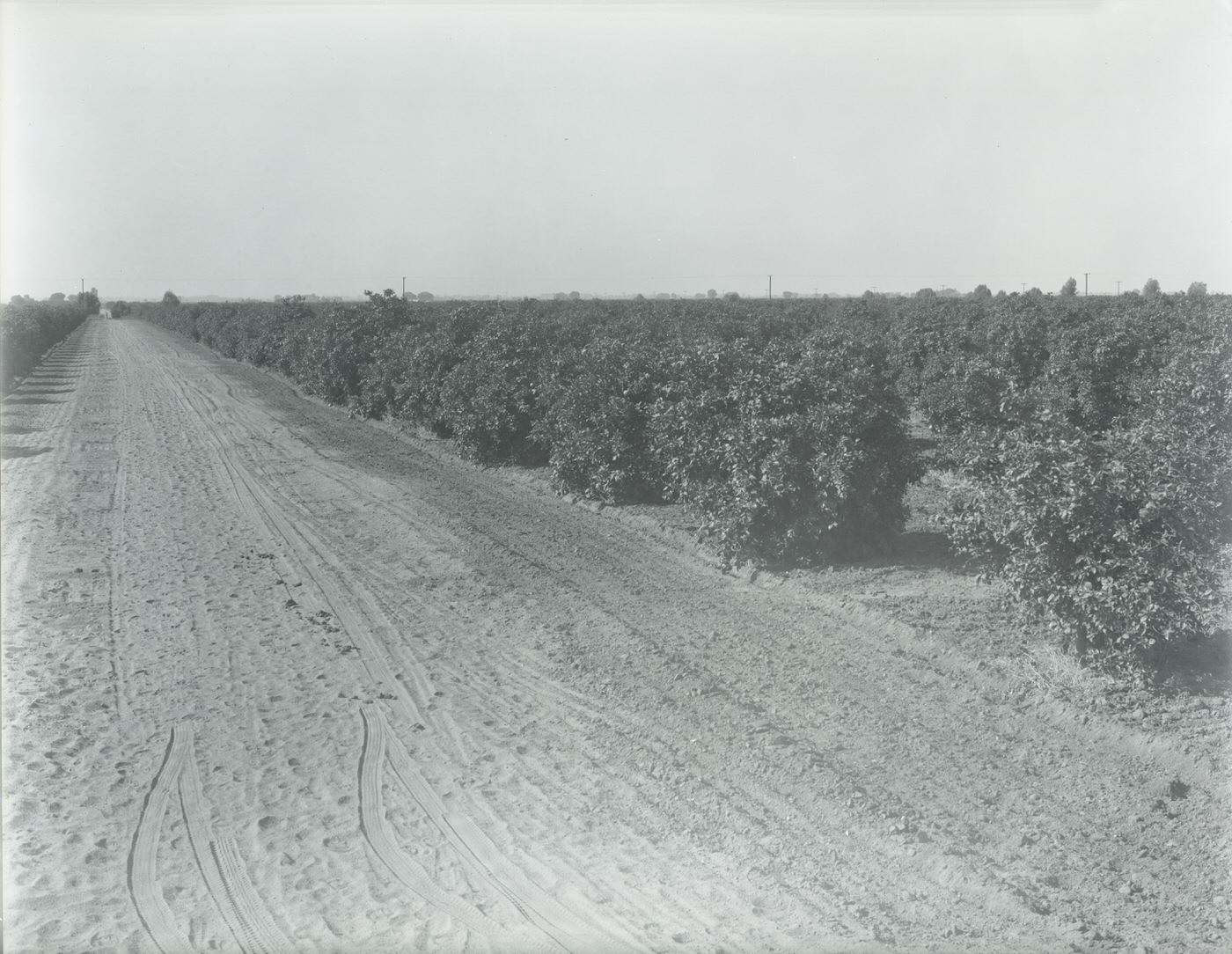
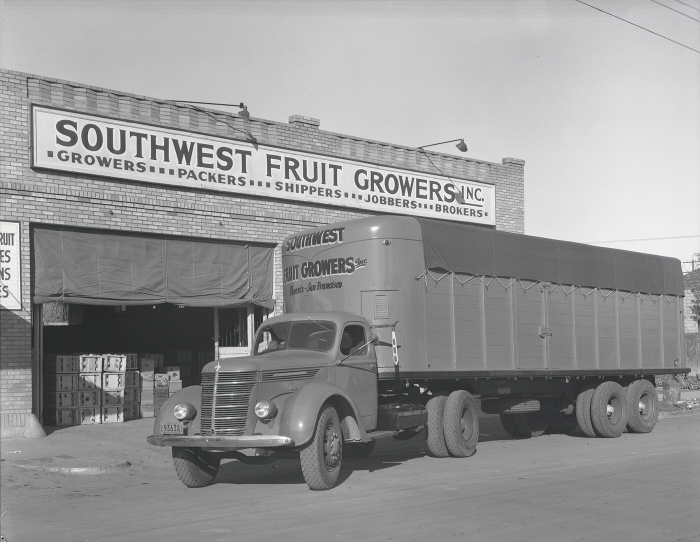
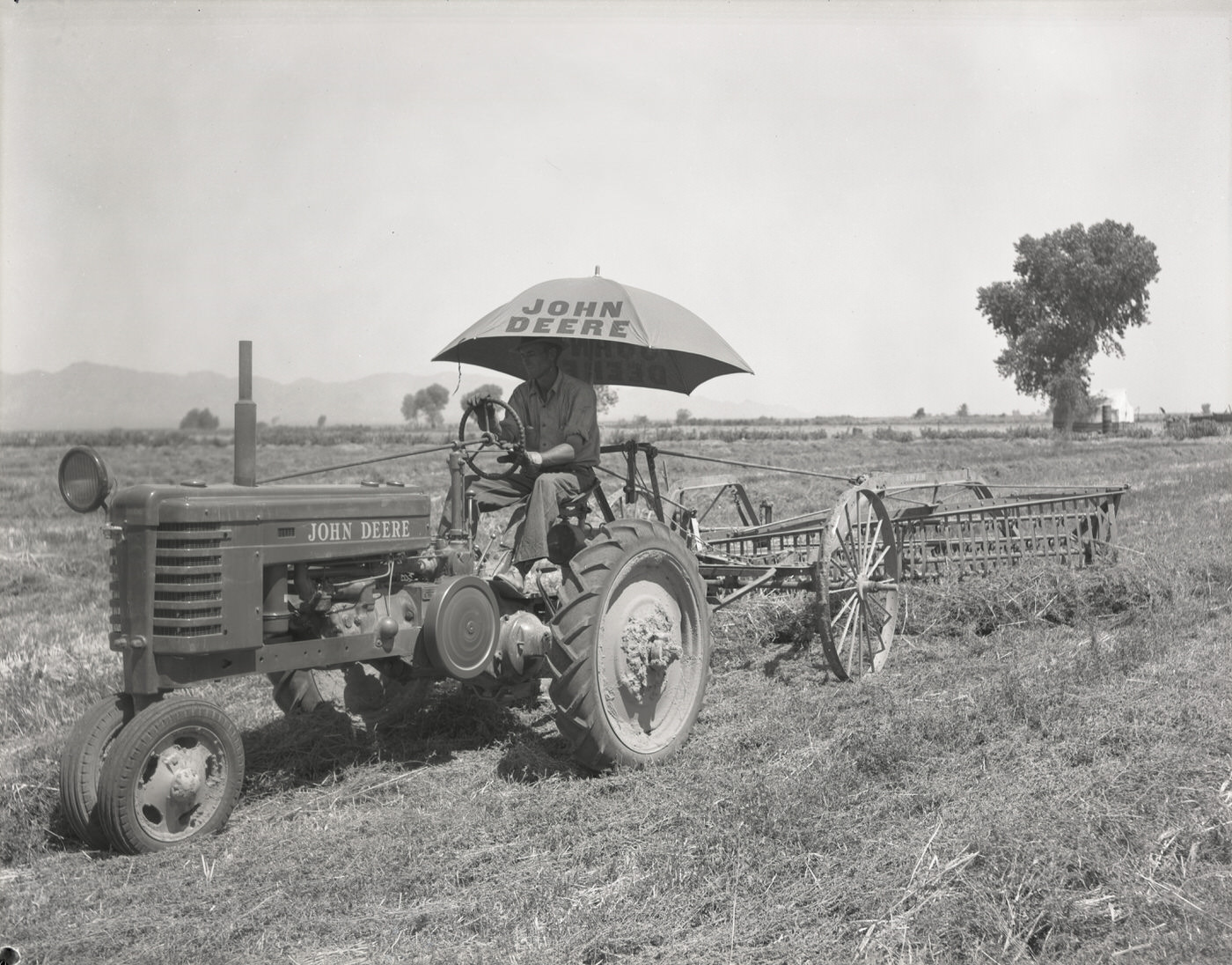
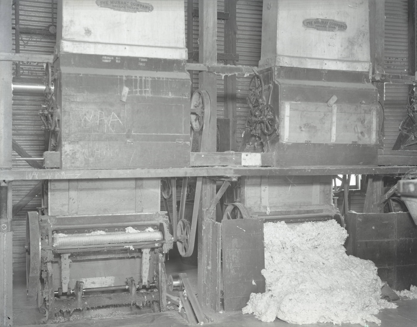
Agriculture remained the dominant industry across the broader Salt River Valley. Fields of cotton and tomatoes stretched out beyond the city limits, worked by hand and increasingly by machine. Grain harvesters and motorized hay balers represented the slow mechanization of farm labor that was reshaping the workforce. Cotton gins processed harvests, and the Southwest Fruit Growers organization helped coordinate the movement of citrus from grove to market. The Salim Ackel citrus grove, located northeast of Mesa, eventually covered 282 acres — an operation that required significant planning and labor to maintain.
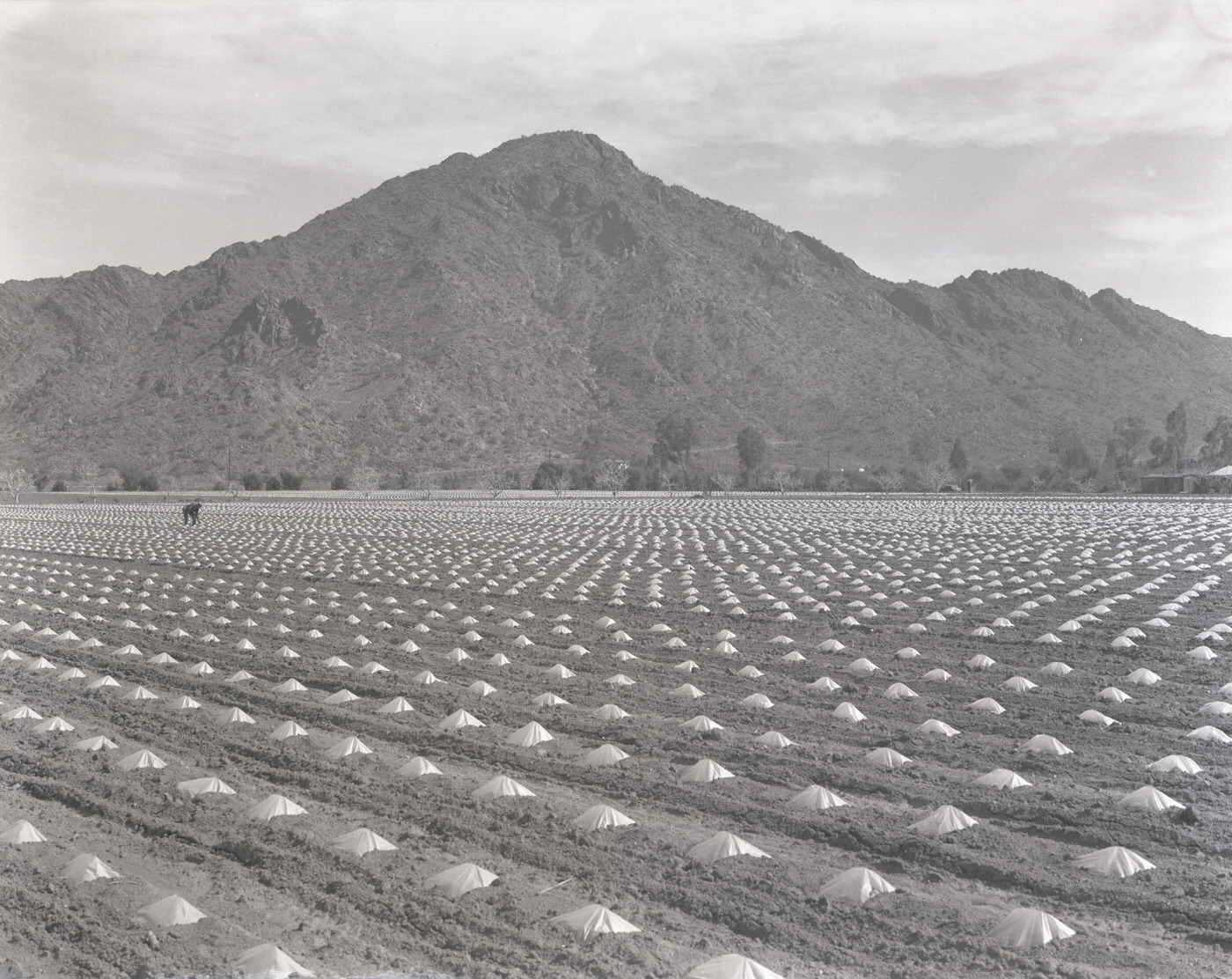
Tomato Field, 1930s
Tomato Field, 1930s
Cotton Gin, 1930s
Cotton Gin, 1930s
Grain Harvester, 1930s
Motorized Hay Baler, 1930s
Salim Ackel Citrus Grove. This grove was located approximately eight miles northeast of Mesa and covered 282 acres in 1945.

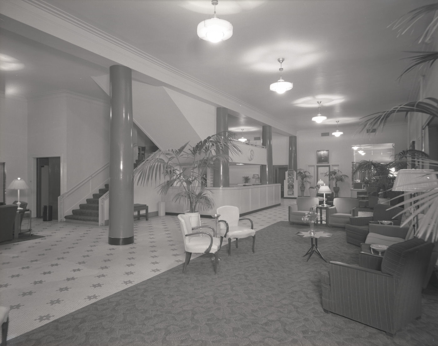
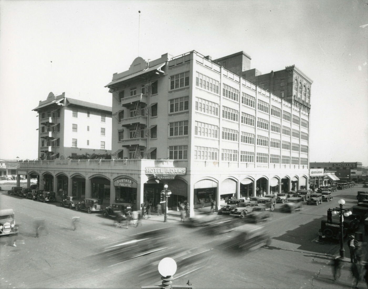
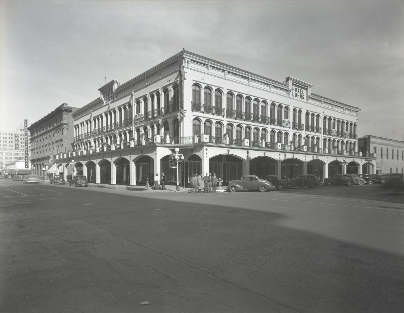
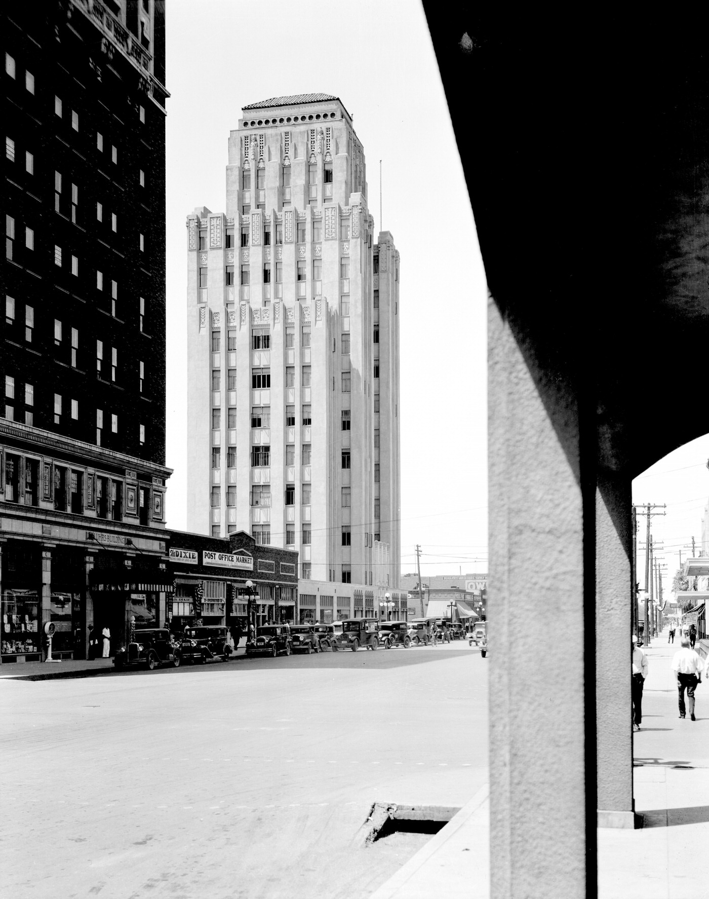
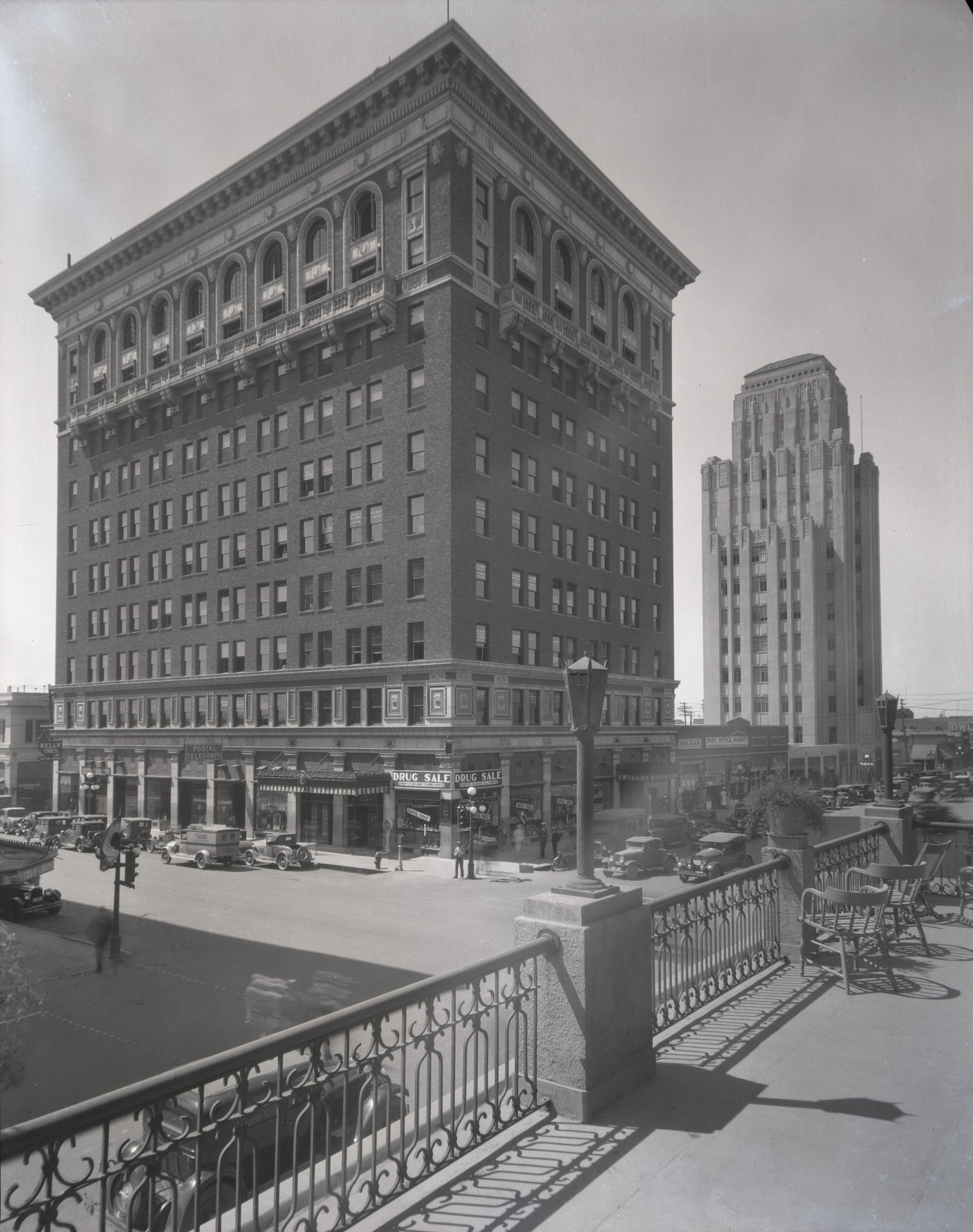
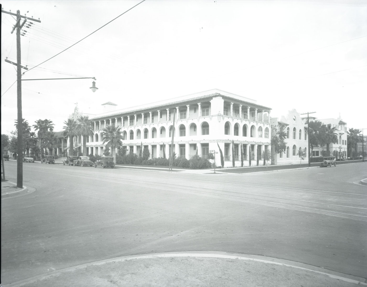
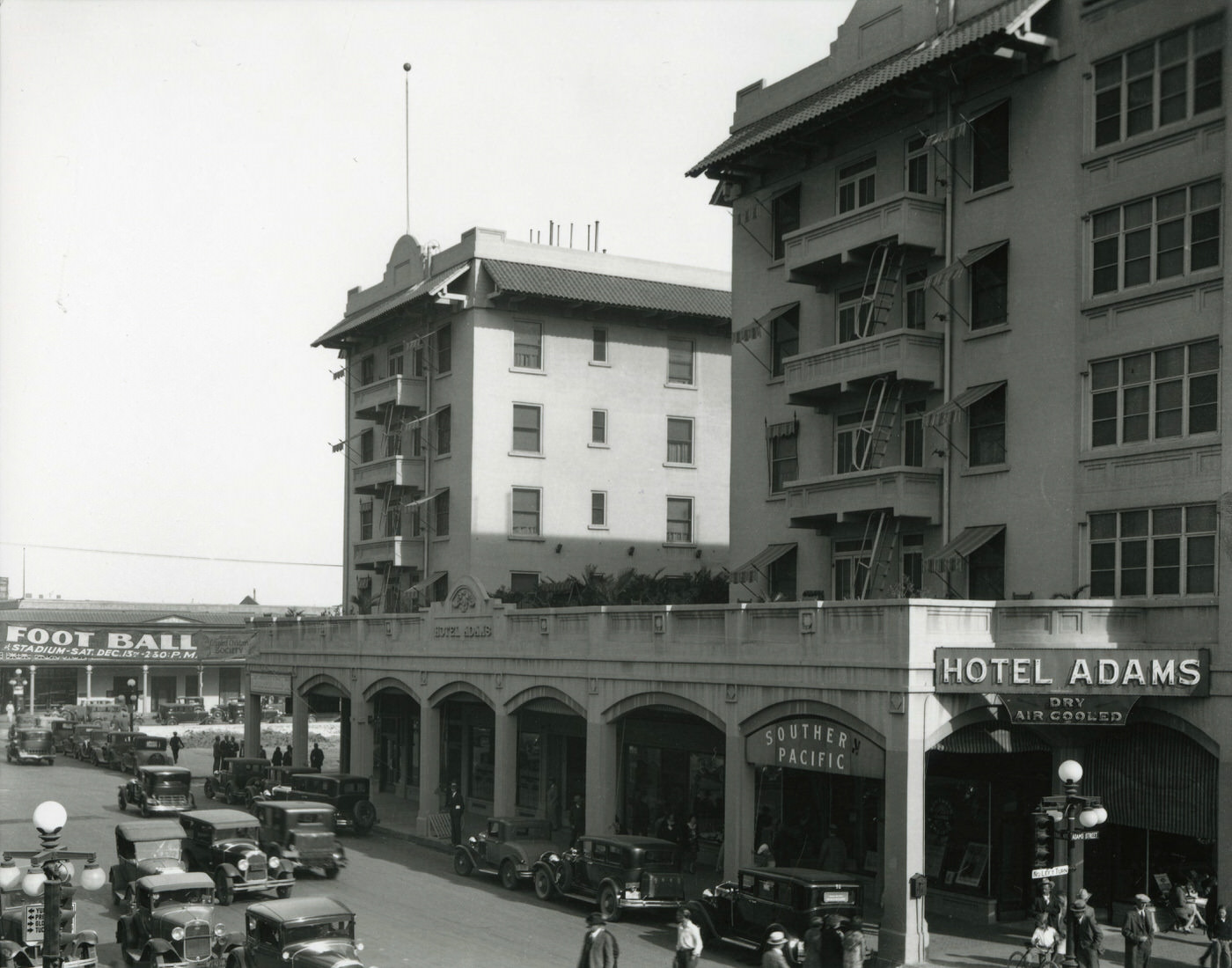
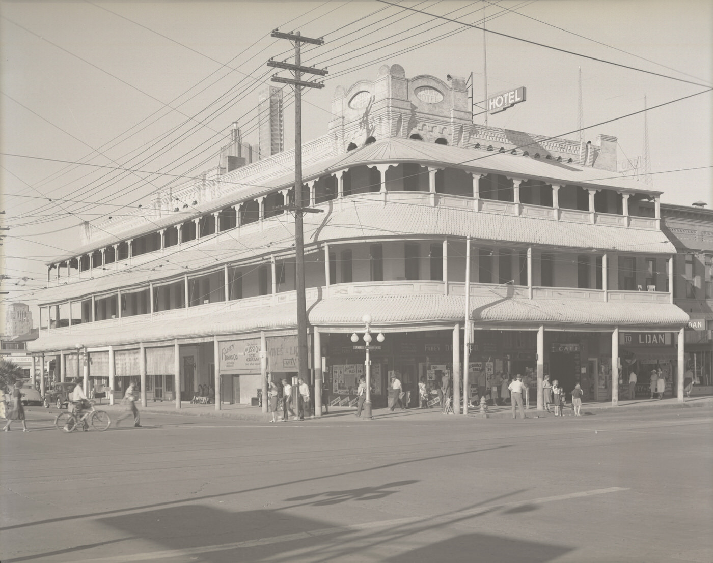
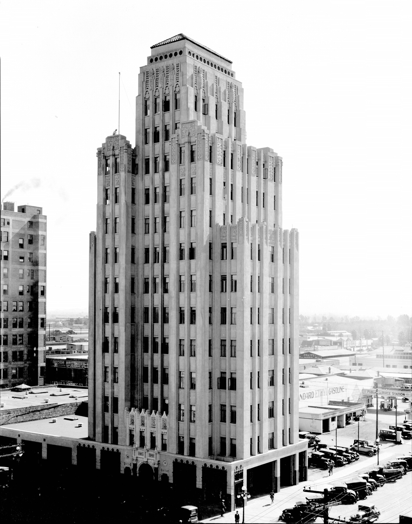
The buildings that lined Phoenix’s downtown streets told the story of a city building confidence in its own permanence. The Luhrs Building, completed in 1924, was the city’s first skyscraper and remained a defining feature of the skyline throughout the decade. Nearby, the Luhrs Tower rose at First Avenue and Jefferson Street, adding height to the downtown profile. The Luhrs Hotel offered a polished lobby and accommodations for visitors and business travelers. The Adams Hotel, also on Central Avenue, was another prominent address, visible from the balcony of the Luhrs Hotel looking south toward Washington.
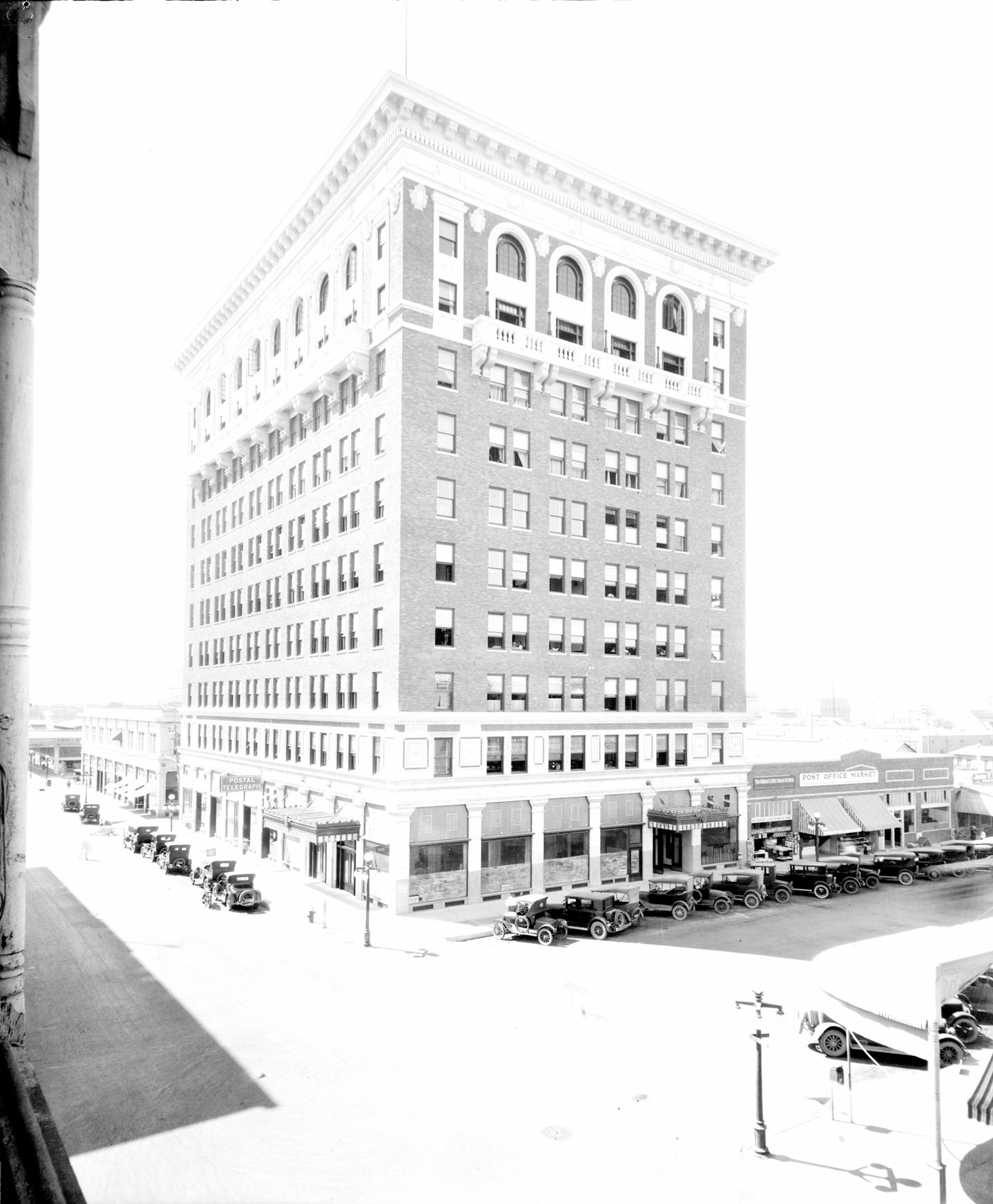
Luhrs Building Exterior, 1930s
Luhrs Tower Exterior, 1930s. The Luhrs Tower stands at First Ave. and Jefferson St. in Phoenix.
Luhrs Hotel Lobby, 1930s
Adams Hotel Exterior, 1930s

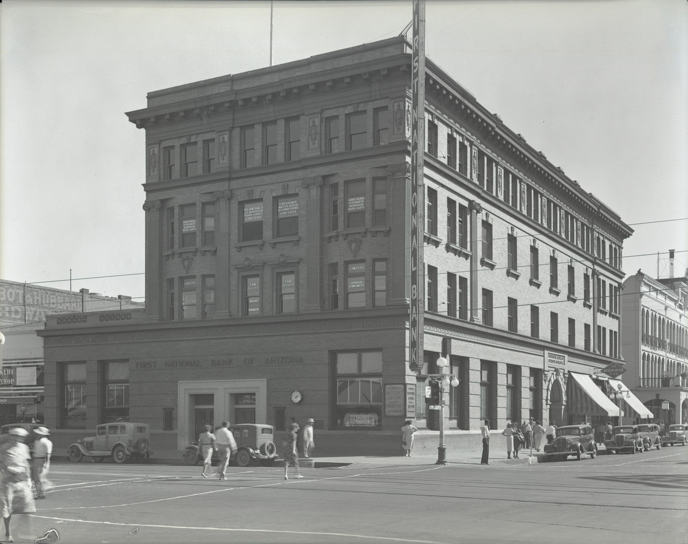
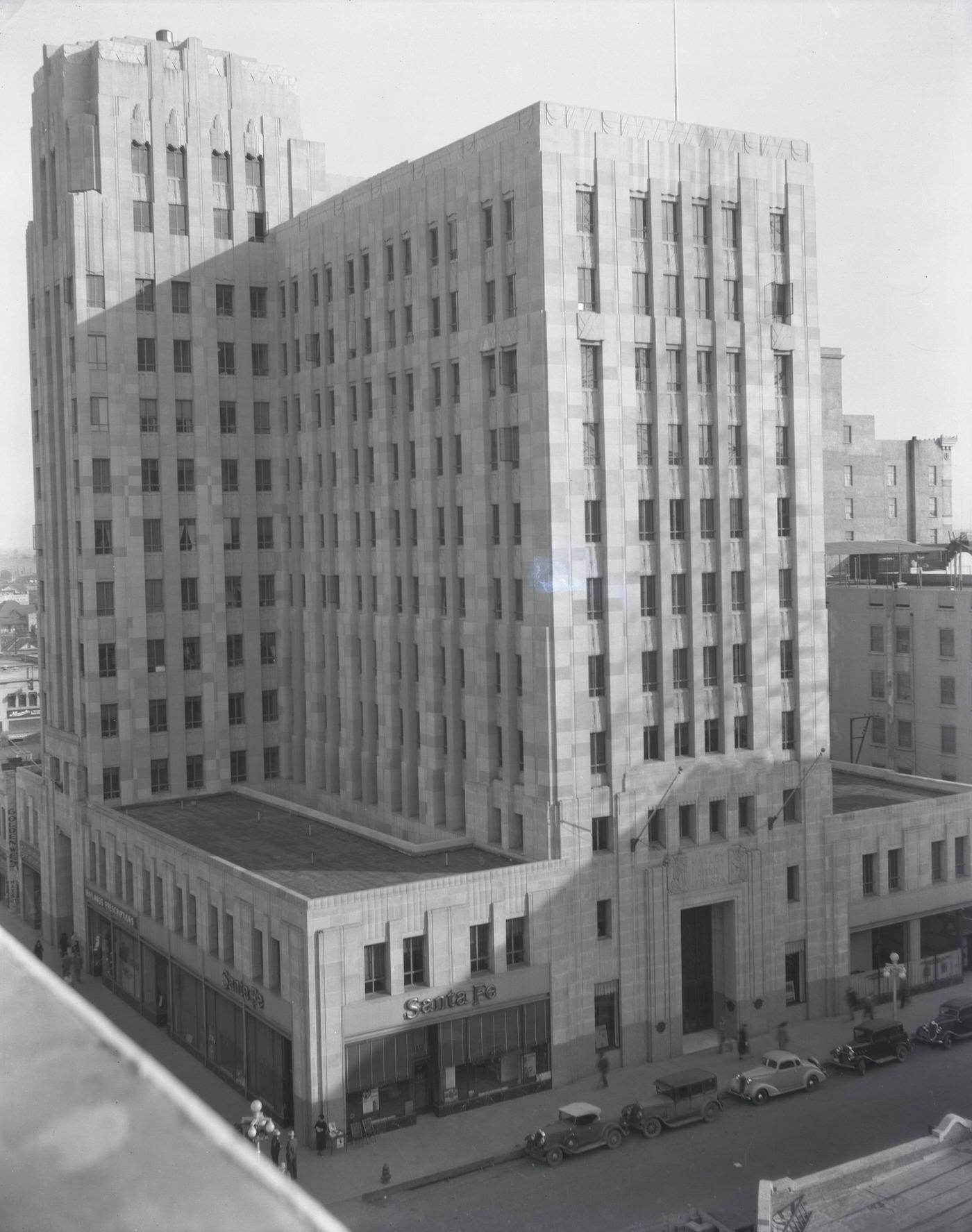
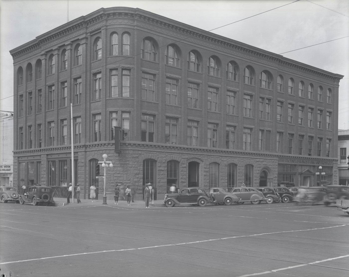
Banking and finance kept a visible footprint downtown. The First National Bank occupied a prominent building at Central Avenue and Washington Street, one of the busiest intersections in the city. The Fleming Building at First Avenue and Washington Street housed the Phoenix National Bank. These institutions had to navigate the pressures of the Depression era — bank failures nationwide numbered in the thousands during the early 1930s — yet both maintained their operations in Phoenix through the decade.
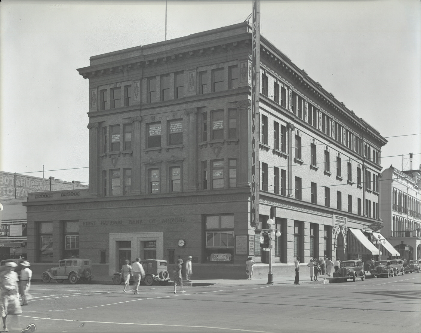
First National Bank Building Exterior. This bank was located at Central Ave. and Washington St. in Phoenix, 1930s
Fleming Building, 1930s. This building stood on the northwest corner of First Ave. and Washington St. in Phoenix and housed the "Phoenix National Bank."
Fleming Building, 1930s. This building stood on the northwest corner of First Ave. and Washington St. in Phoenix and housed the “Phoenix National Bank.”

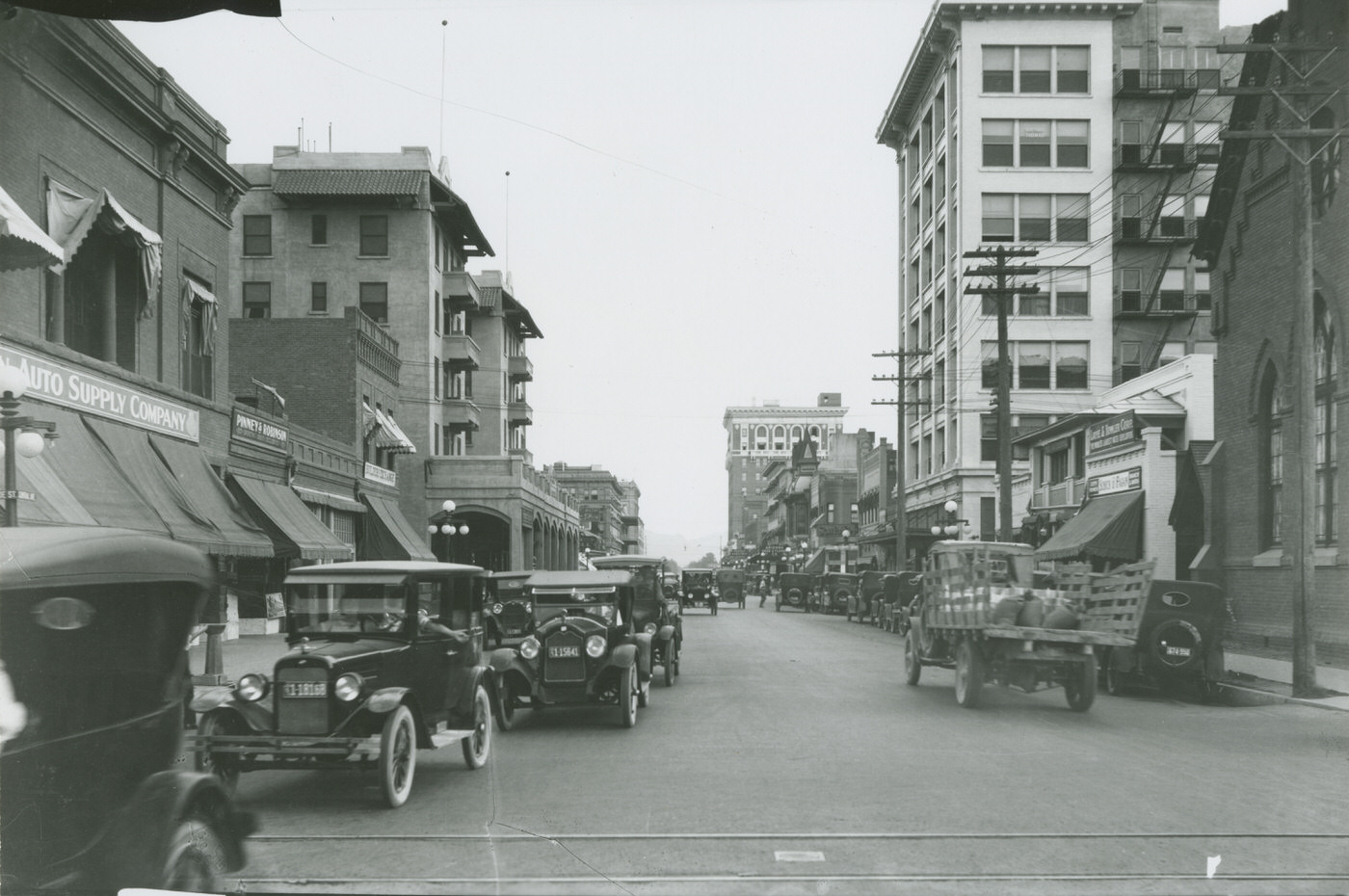
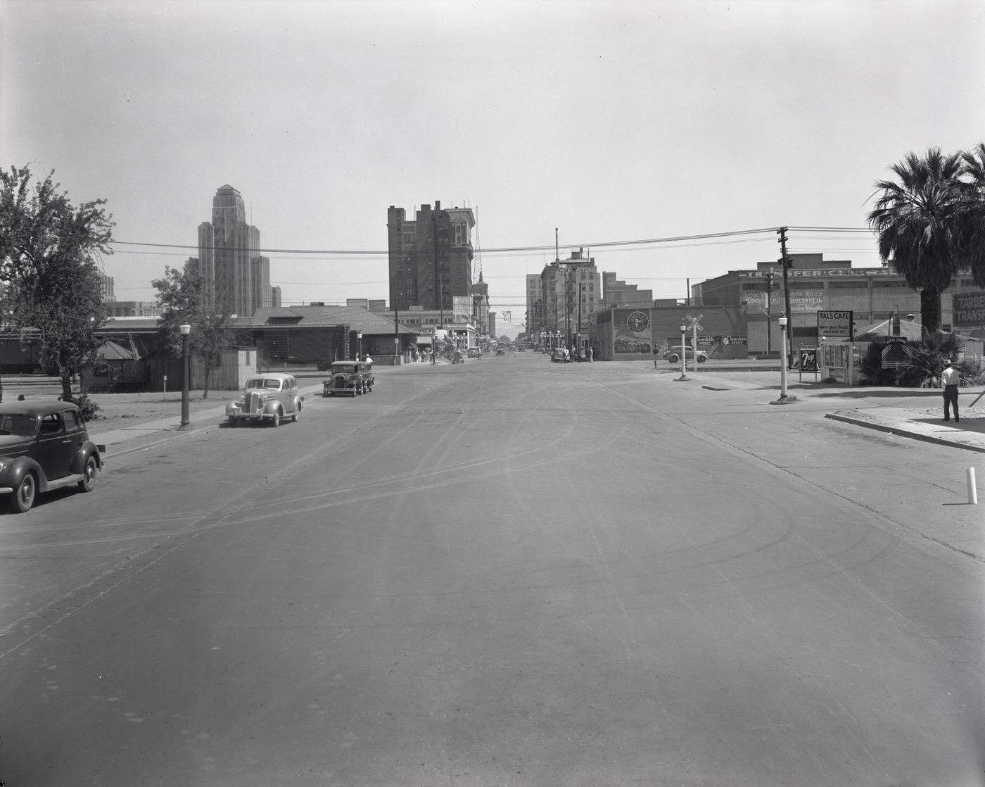
Central Avenue was the main artery of Phoenix life. Photographs from S. Central Avenue near Madison show a street already taking on the look of a proper city corridor. Traffic officers like Charlie Thomas and Lebley Mofford directed vehicles at Central Avenue and Adams Street, managing a flow of cars that would have seemed unimaginable just two decades earlier. Looking south on Central from Monroe, the Heard Building, the Adams Hotel, and the Luhrs Building all came into view together — a skyline that Phoenicians of the era recognized as unmistakably their own.
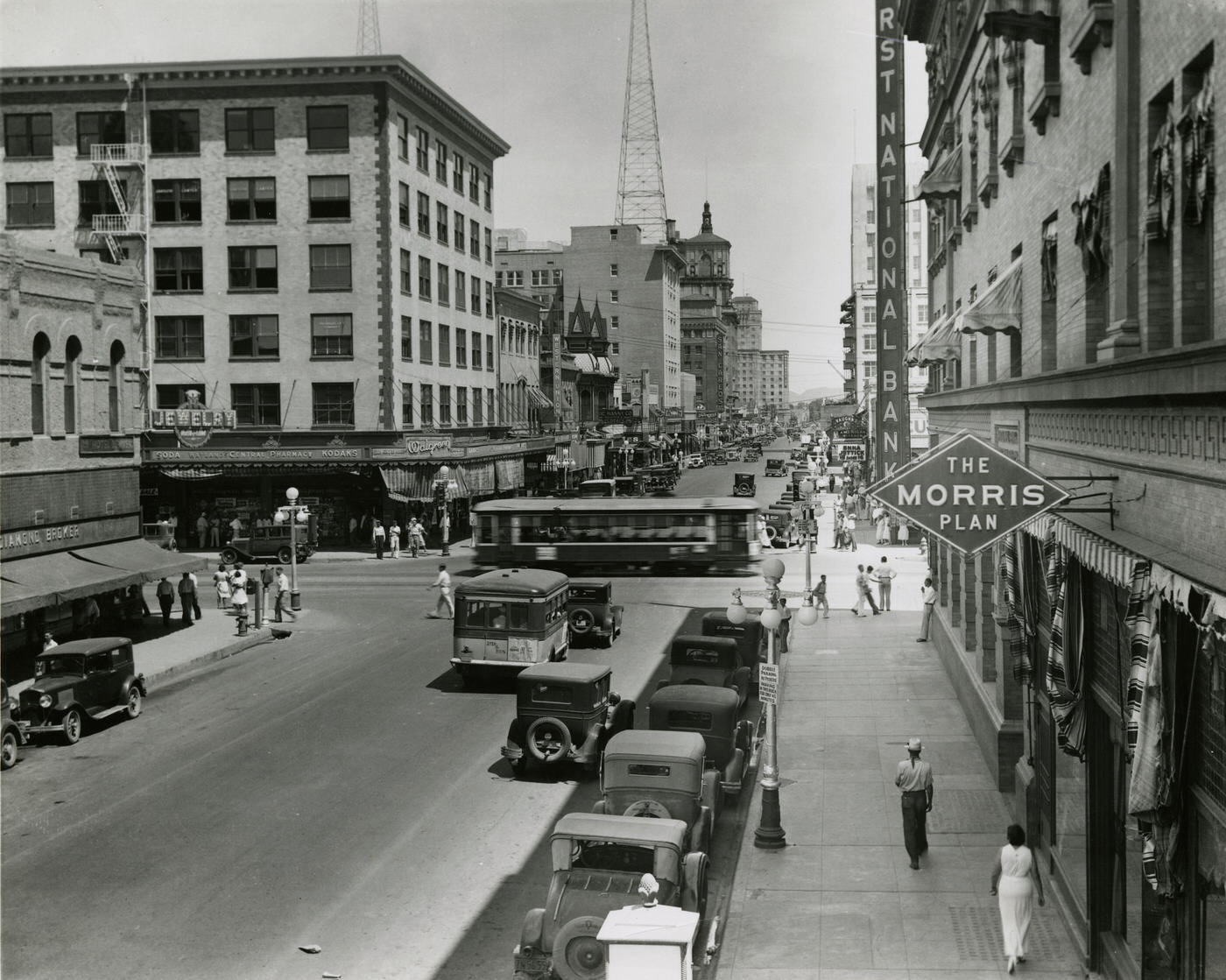
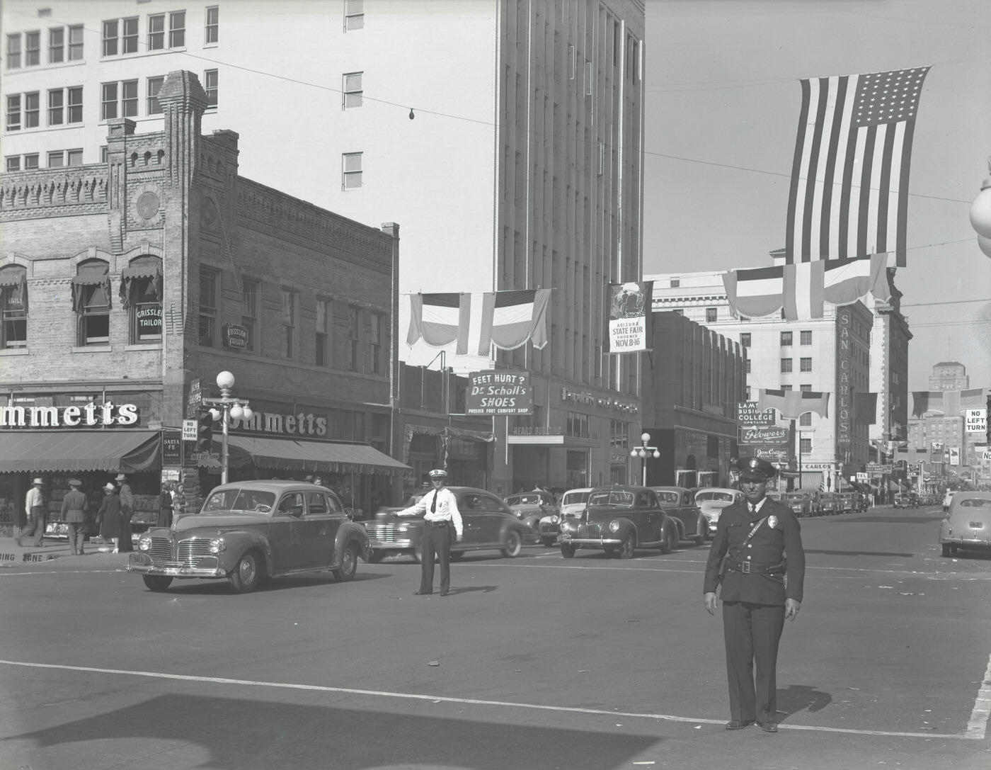
Intersection of Central Ave. and Washington St., 1930s
Charlie Thomas and Lebley Mofford Directing Traffic at Central Avenue and Adams Street, 1930s
View Looking South on Central Ave. From Monroe St. The Heard Building, the Adams Hotel, and the Luhrs Building are visible., 1930s

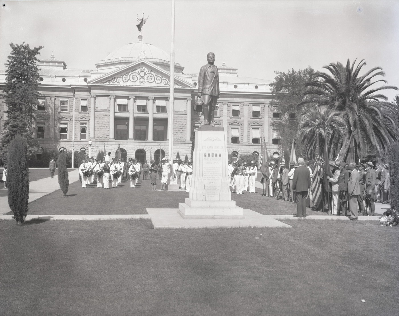
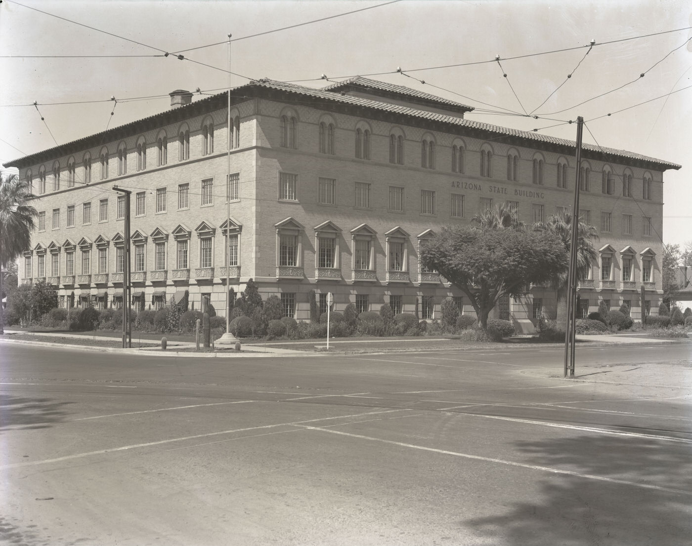
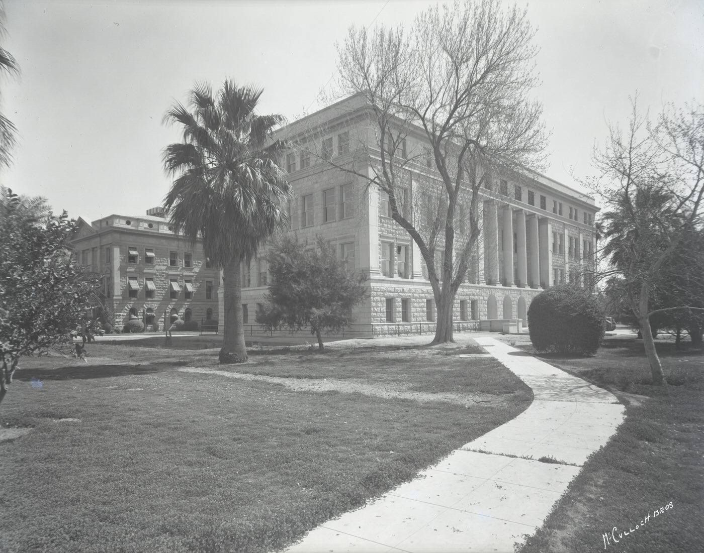
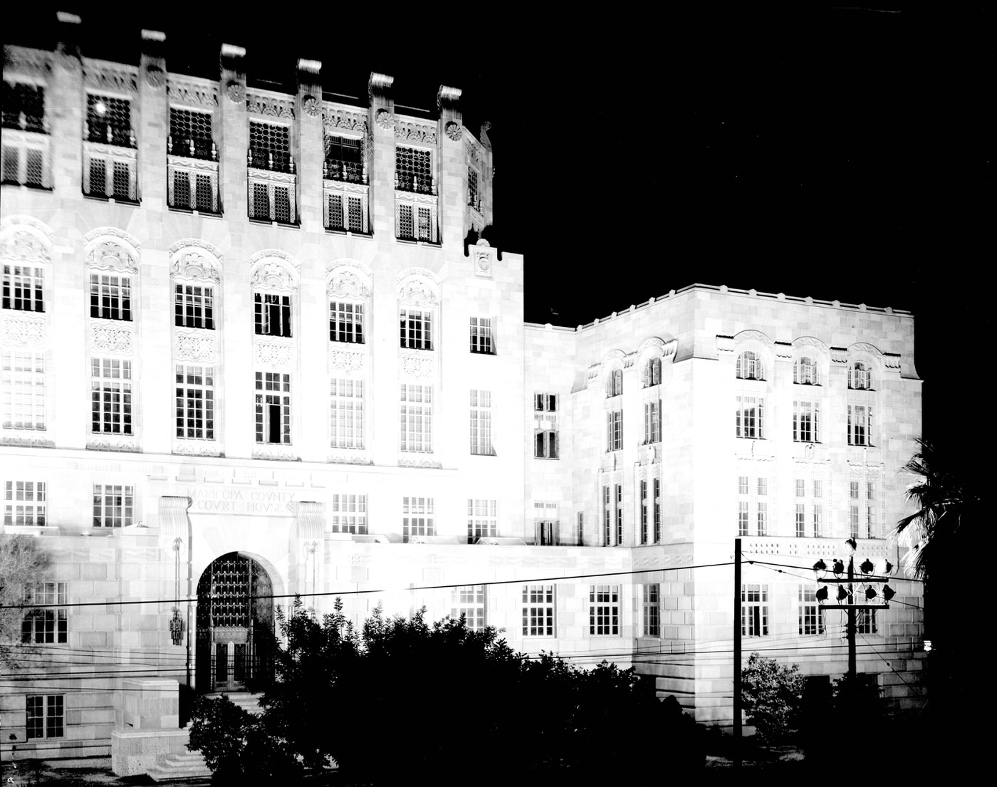
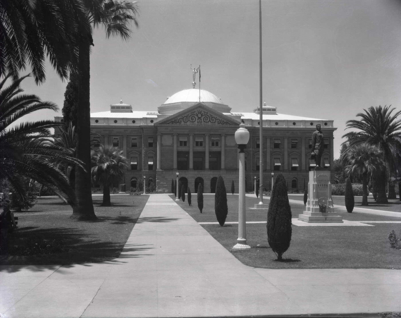
Public institutions reinforced the city’s growing sense of permanence. The Arizona State Capitol, completed in 1900, stood as the seat of territorial and then state government, photographed repeatedly by visitors and locals alike throughout the decade. Phoenix City Hall and the Arizona State House Annex were part of a growing civic infrastructure. Maricopa County Courthouse, photographed dramatically at night, projected authority and stability even during the Depression years. A monument to Frank Luke Jr. — the World War I fighter ace from Phoenix — stood on the Capitol grounds as a point of local pride.
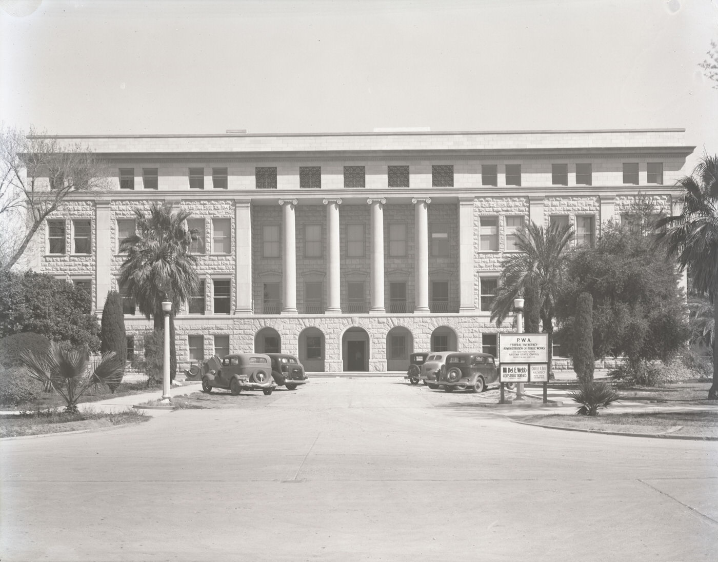
Arizona State Capitol Exterior, 1930s
State Capitol Building Exterior, 1930s
Maricopa County Courthouse at Night, 1930s
Frank Luke, Jr. Monument at the State Capitol, 1930s

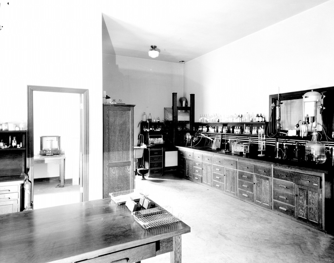
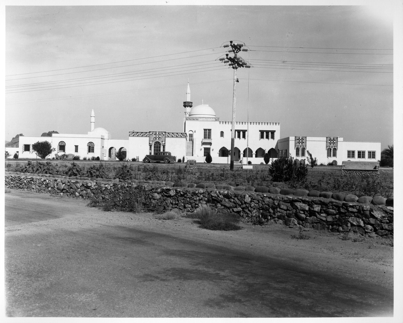
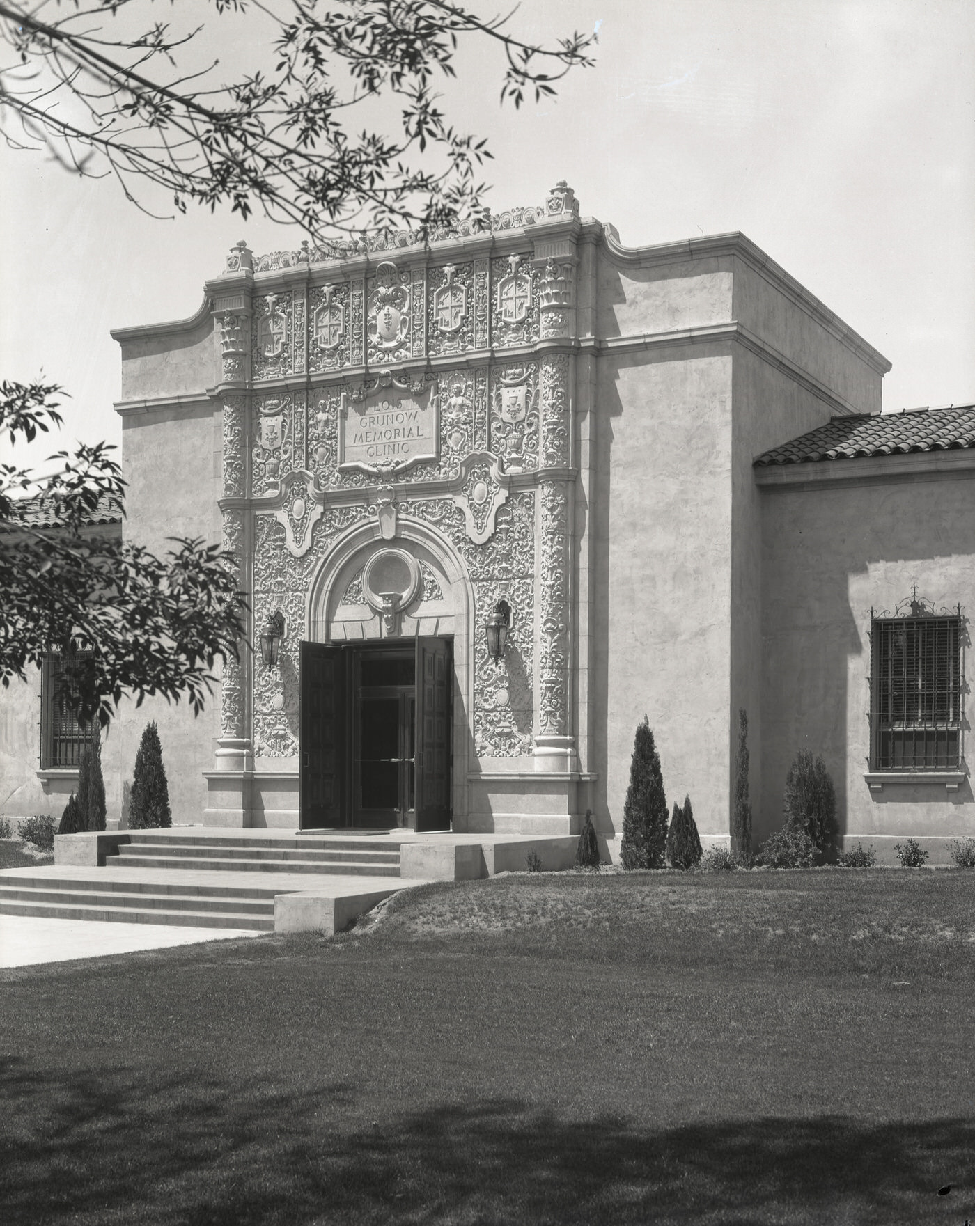
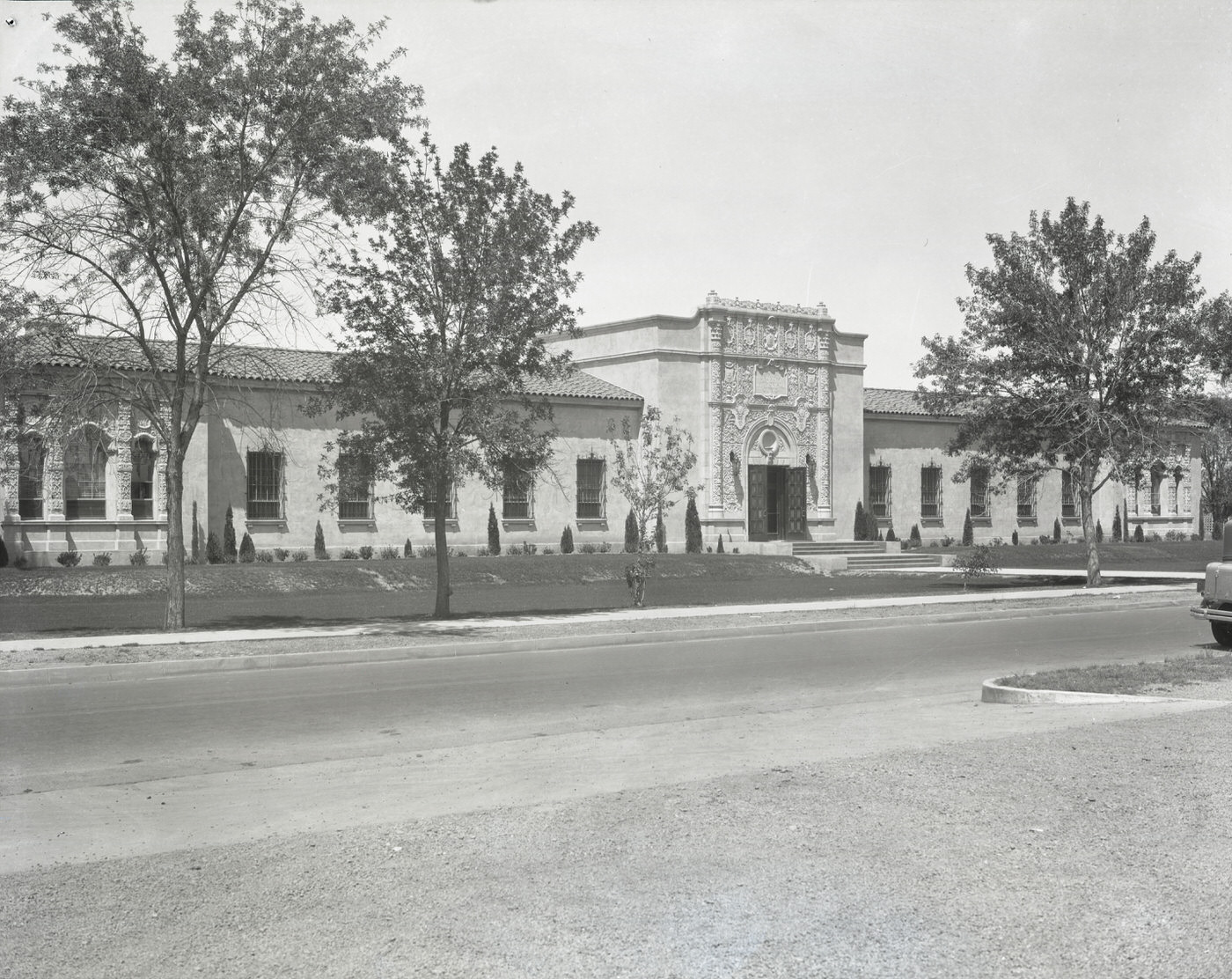
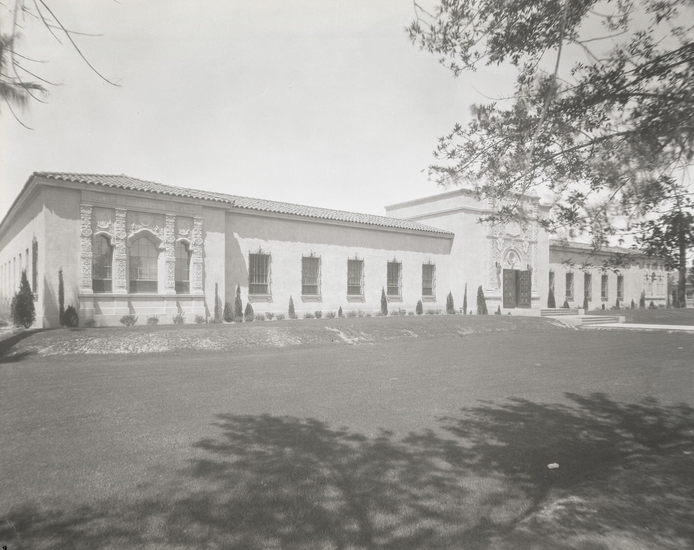
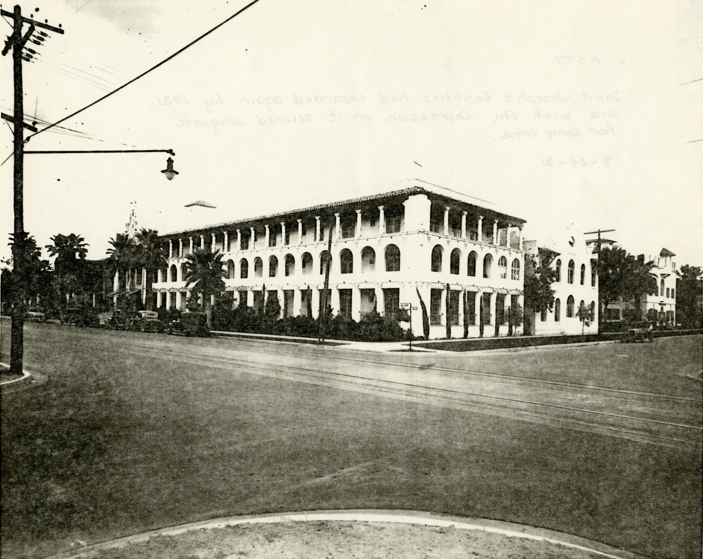
Healthcare in Phoenix was expanding to meet the needs of a larger population. Good Samaritan Hospital on 10th Street and McDowell Road was one of the city’s main medical facilities. St. Joseph’s Hospital had recently undergone an expansion. The Grunow Memorial Clinic on McDowell Road operated a full laboratory and outpatient facilities. For residents who couldn’t access these urban hospitals, tuberculosis remained a serious concern — a sanatorium near Papago Park treated patients whose illness had drawn them to the dry desert air of Arizona in search of relief.
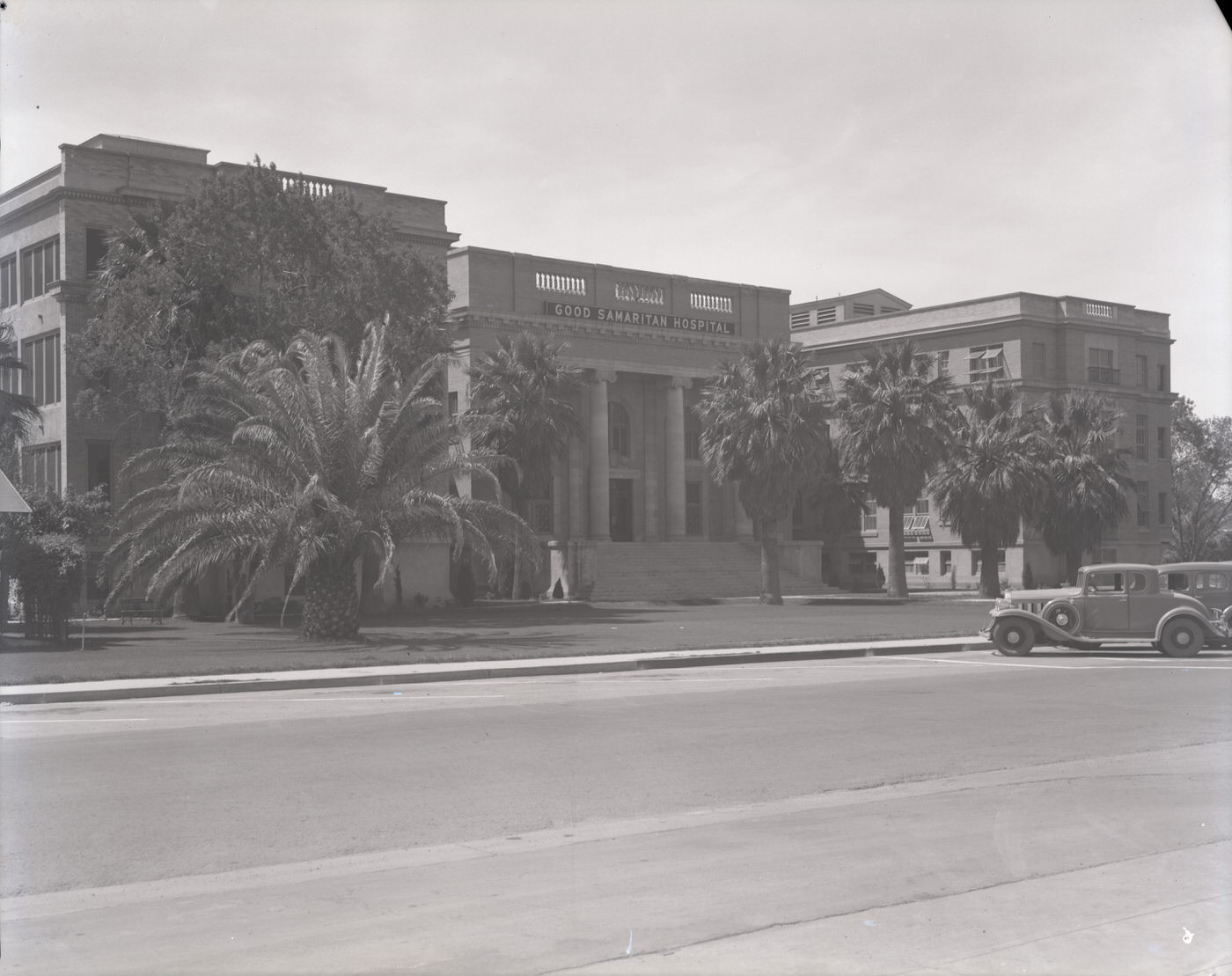
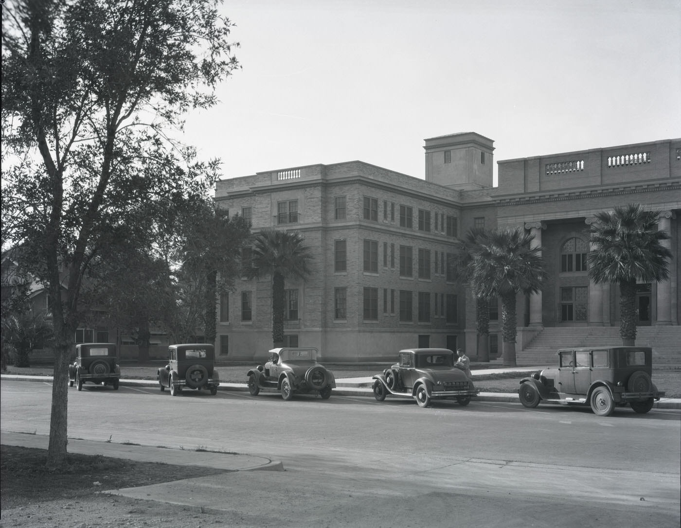
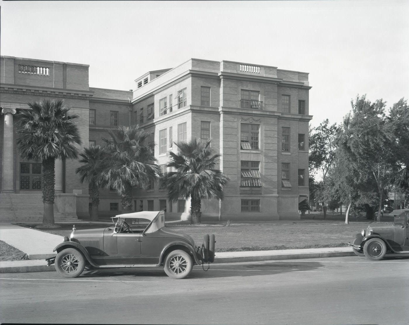
Good Samaritan Hospital Building Exterior, 1930s. This building was located on 10th St. and McDowell Rd. in Phoenix.
Saint Joseph's Facilities After Expansion, 1930s
Saint Joseph’s Facilities After Expansion, 1930s
Grunow Memorial Clinic Laboratory. The Grunow Memorial Clinic is located on McDowell Road in Phoenix, 1930s
Tuberculosis Sanatorium Near Papago Park, 1930s

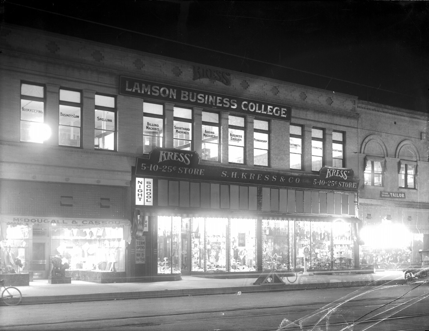
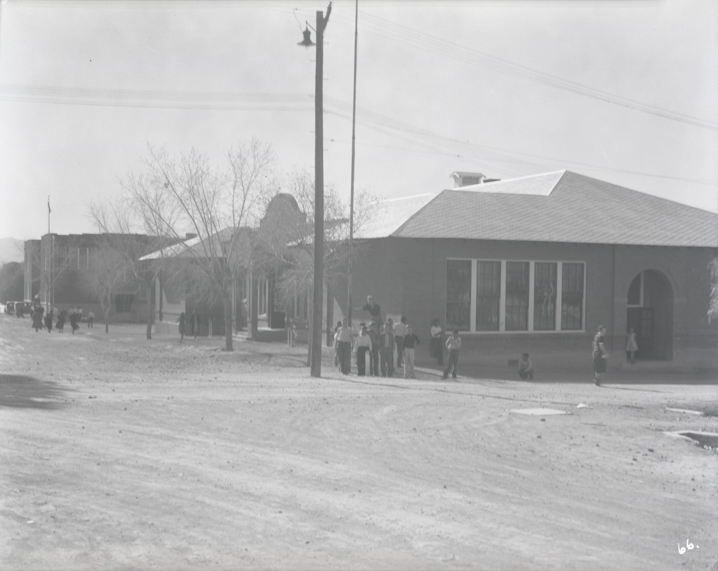
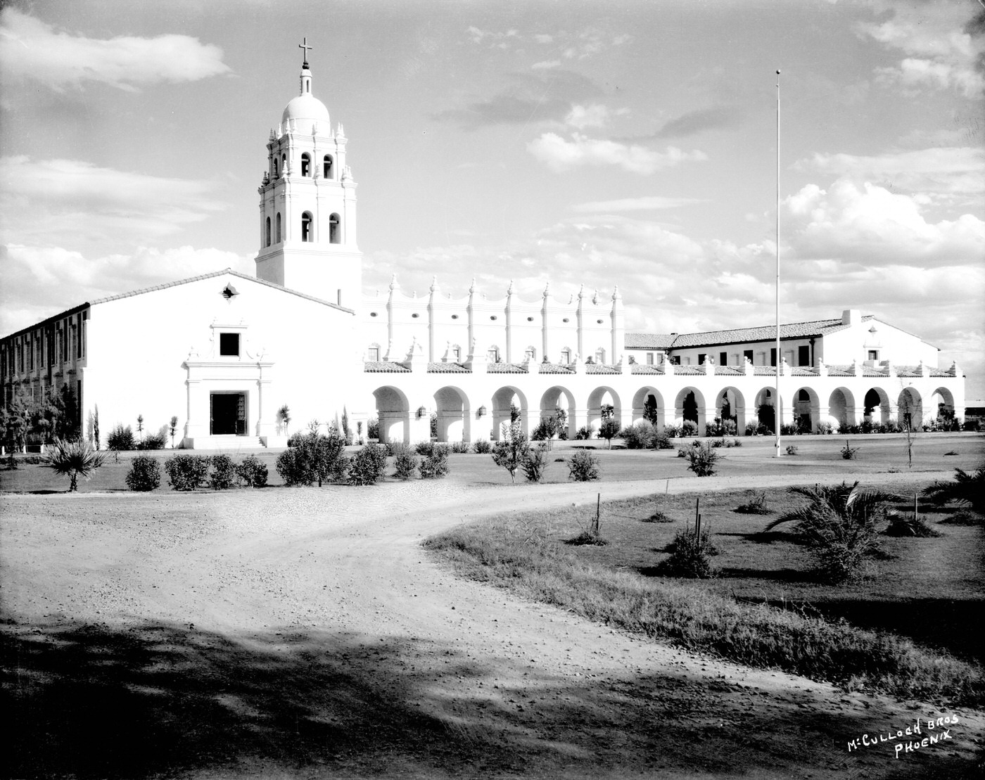
Education was another pillar of 1930s Phoenix. Phoenix Union High School on Van Buren Road served the city’s secondary students. Brophy College offered higher-level instruction in a Spanish Colonial Revival building that stood apart from the flat desert surroundings. Lamson Business College, at Adams and Monroe, trained students for office and clerical work — skills that were in demand even during the Depression. In nearby Hayden, a mining town to the southeast, the local school served children of copper industry workers.
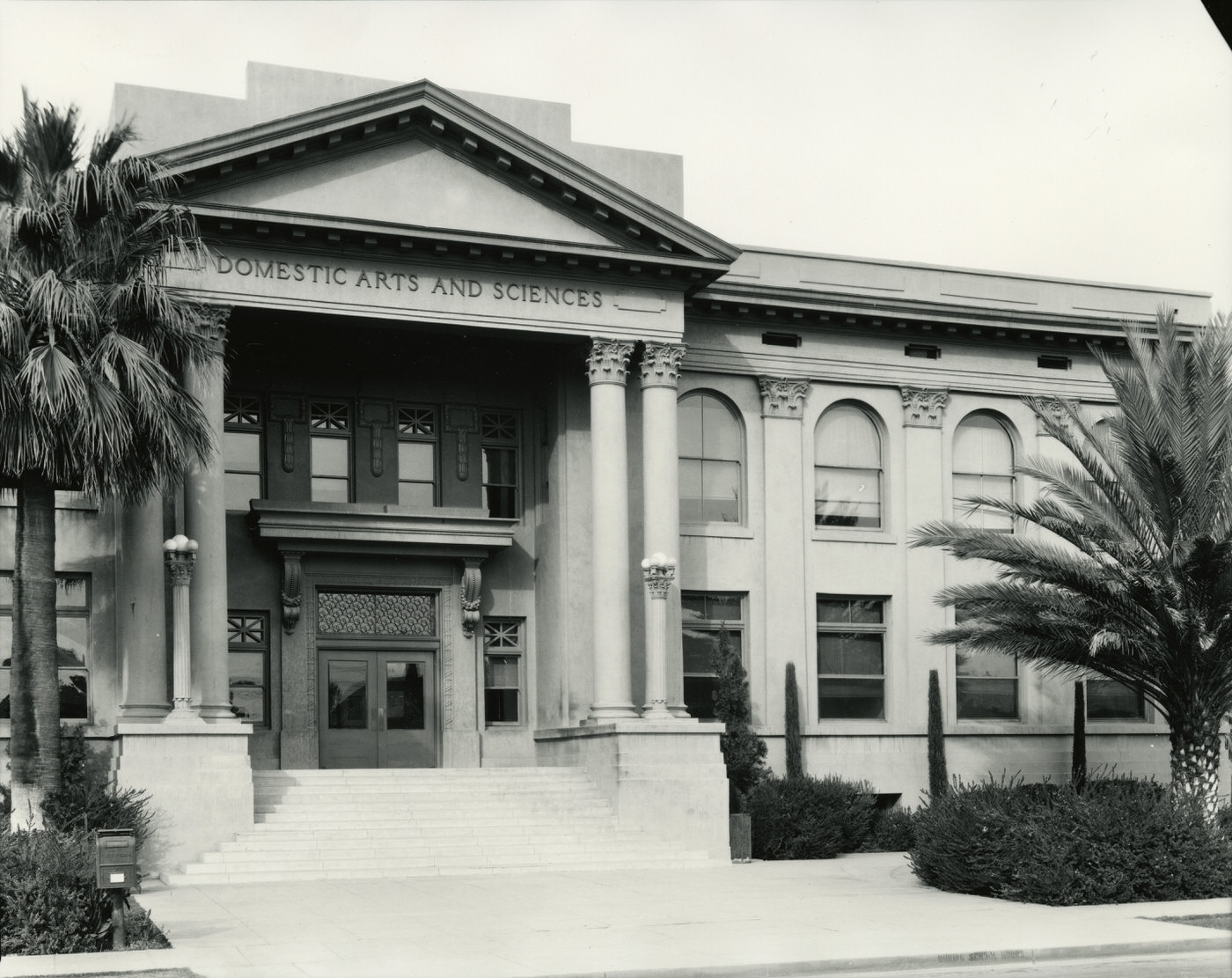
Phoenix Union High School Exterior, 1930s. Phoenix Union High School was located on Van Buren Rd. in Phoenix.
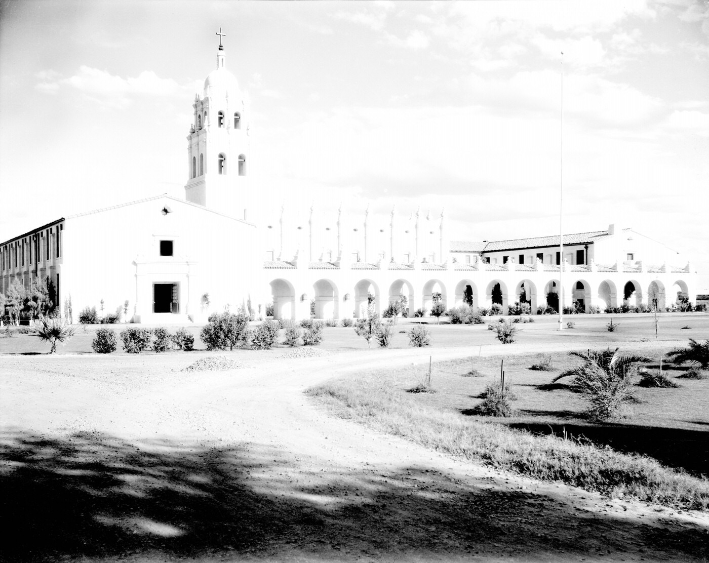
Brophy College Exterior, 1930s
Lamson Business College, 1930s. This college was located at Adams and Monroe in Phoenix.

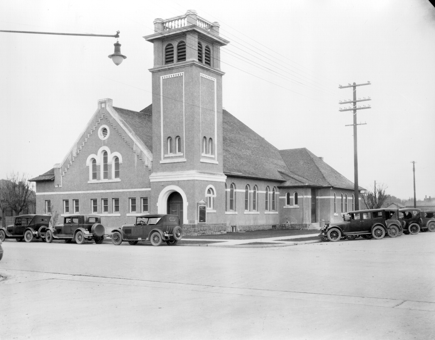
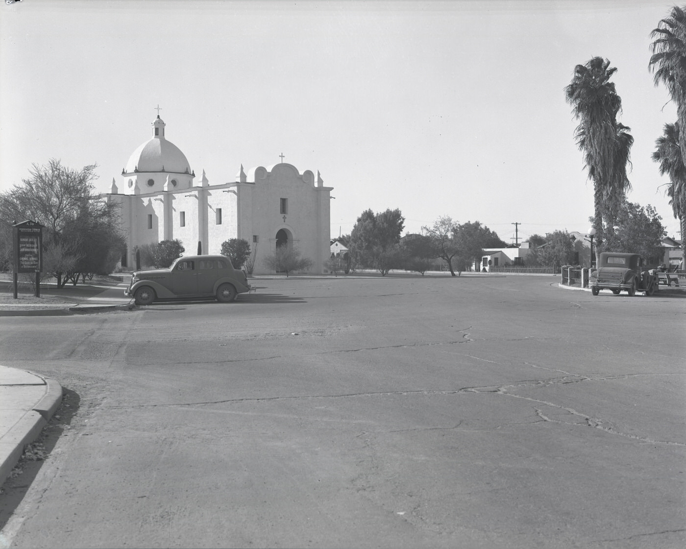
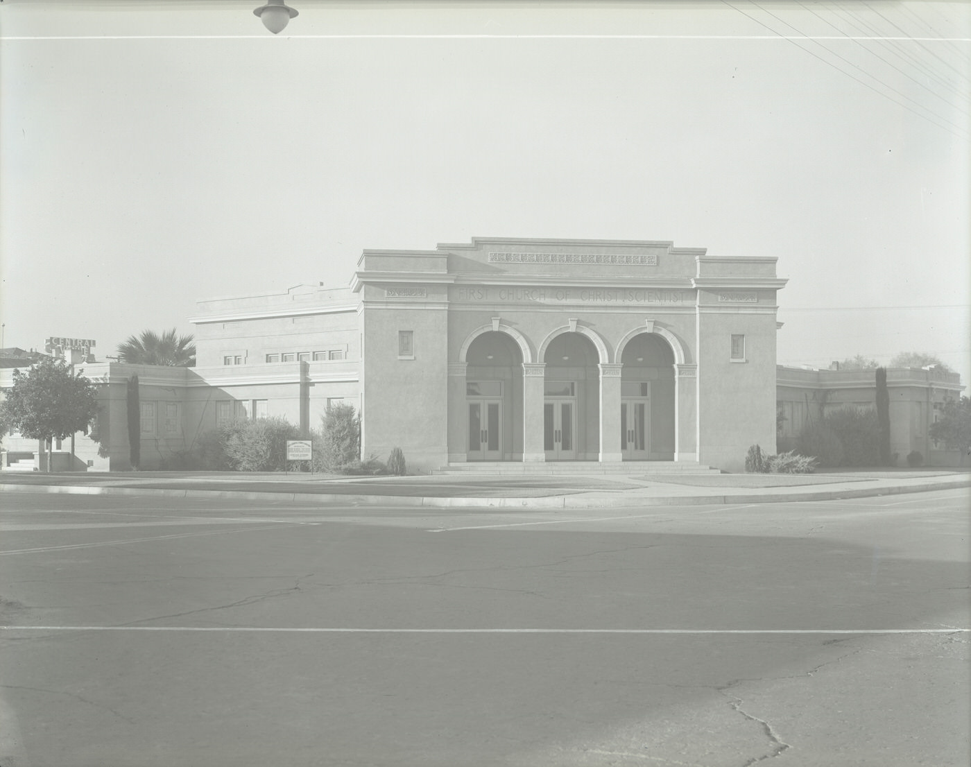
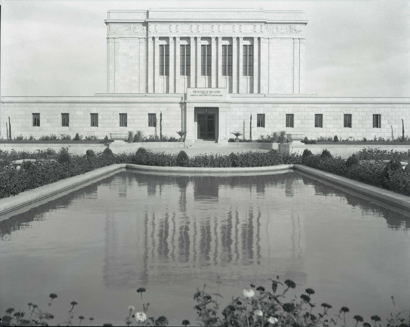
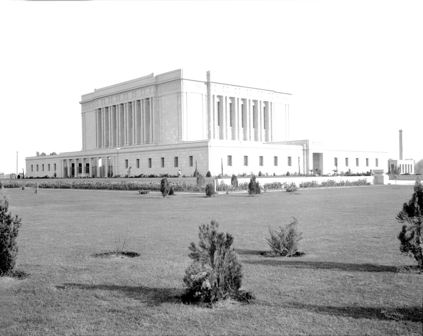
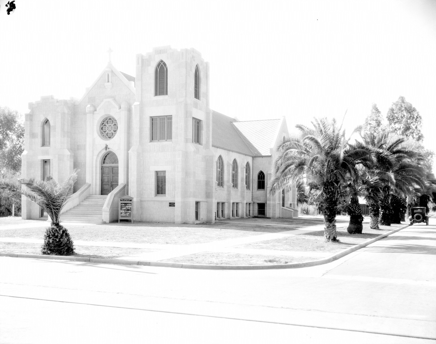
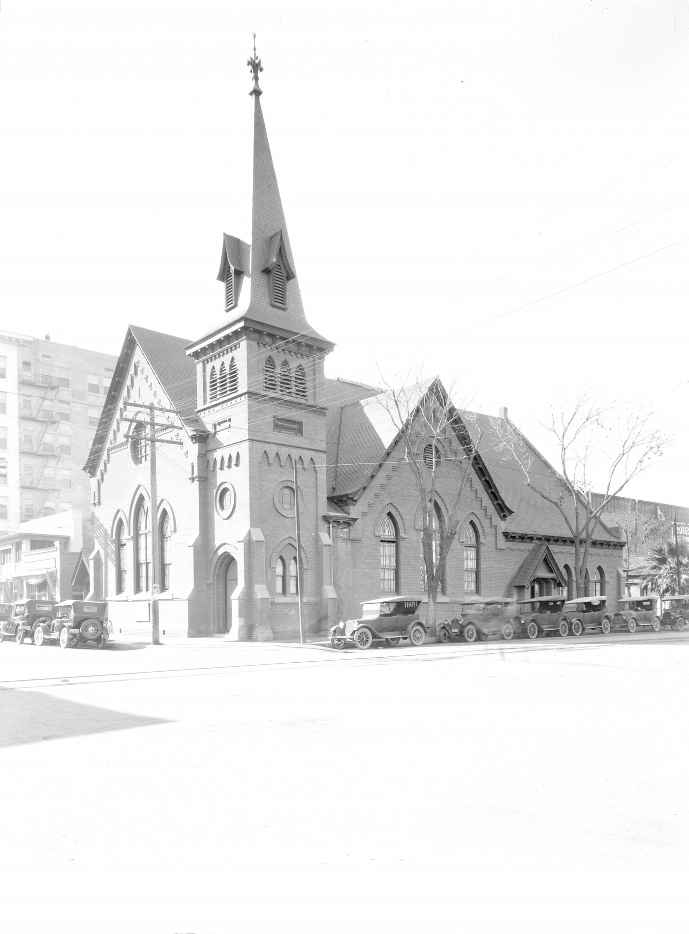
Religion was deeply woven into the daily life of Phoenix and its surrounding communities. The Mormon Temple at Third Avenue and Moreland Street was a landmark for the Latter-day Saint community. Central Methodist Church anchored the southwest corner of Central and Monroe. The First Baptist Church stood at Monroe and Third Avenue. The Christian Science Church at First Street and Roosevelt Road completed a religious landscape that spanned denominations across the downtown area. In Ajo, a copper-mining town to the southwest, the Immaculate Conception Catholic Church served the needs of a working-class parish.
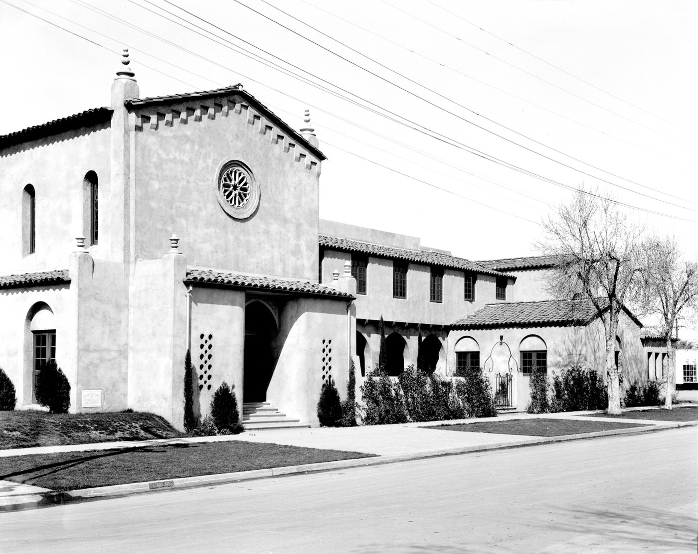
Mormon Temple Exterior. This temple was located at Third Ave. and Moreland St. in Phoenix.
Central Methodist Church Building Exterior, 1930s. Central Methodist was located on the southwest corner of Central Avenue and Monroe Street.
First Baptist Church Exterior, 1930s. This church was located at Monroe St. and Third Ave. in Phoenix
Immaculate Conception Catholic Church in Ajo, Arizona, 1930s

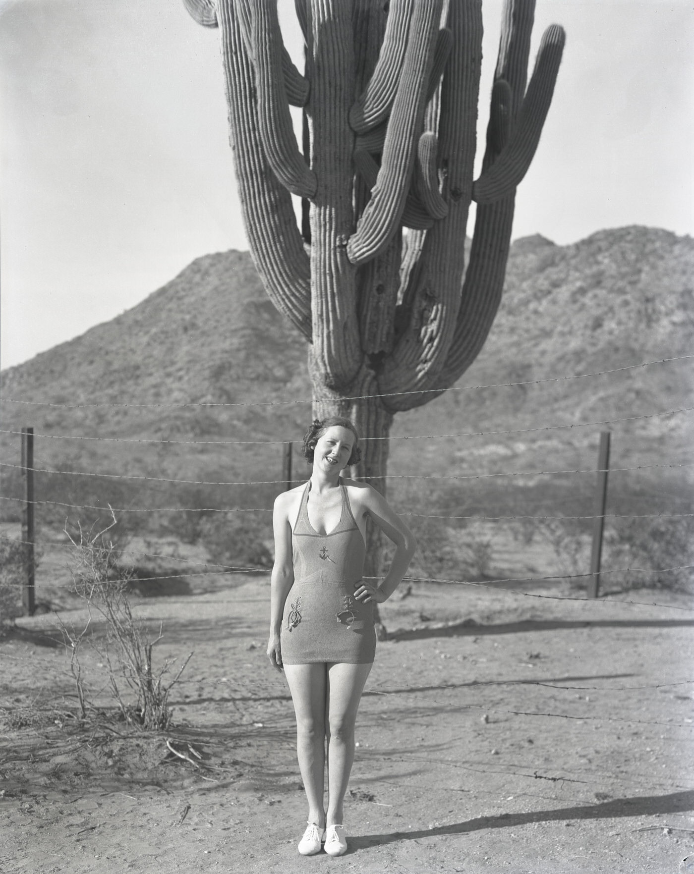
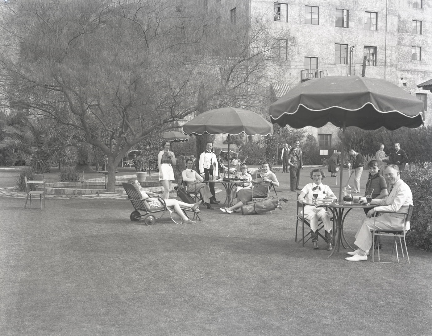
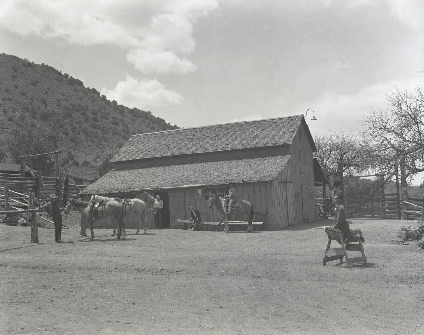
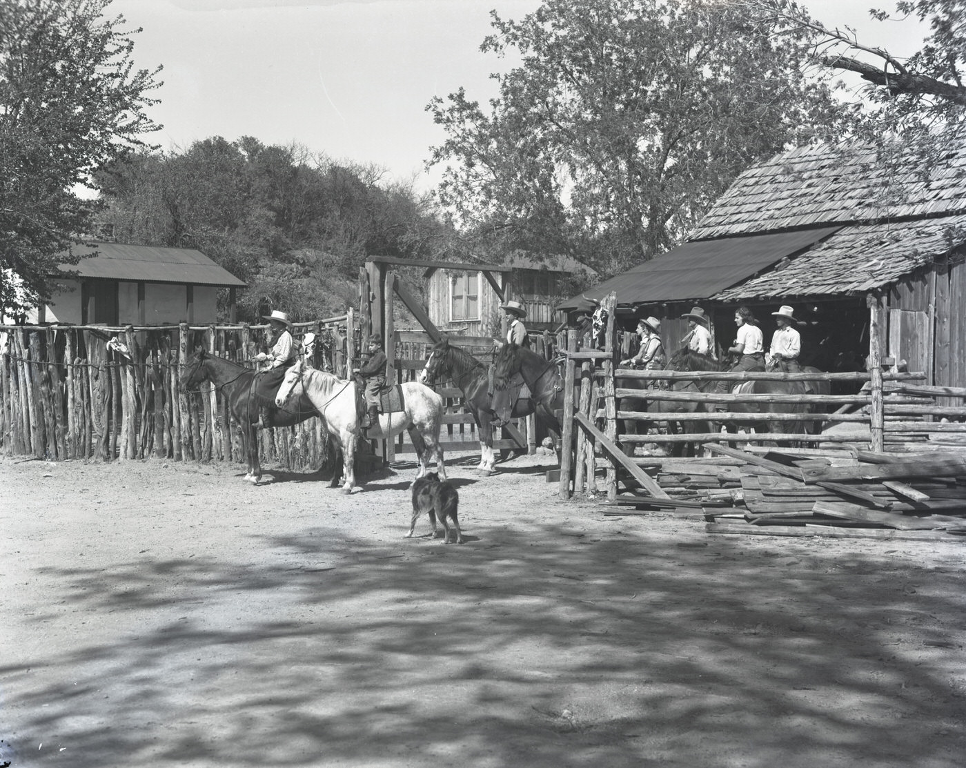
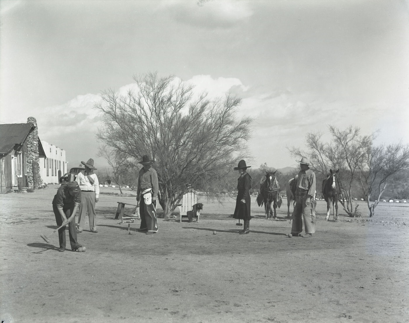
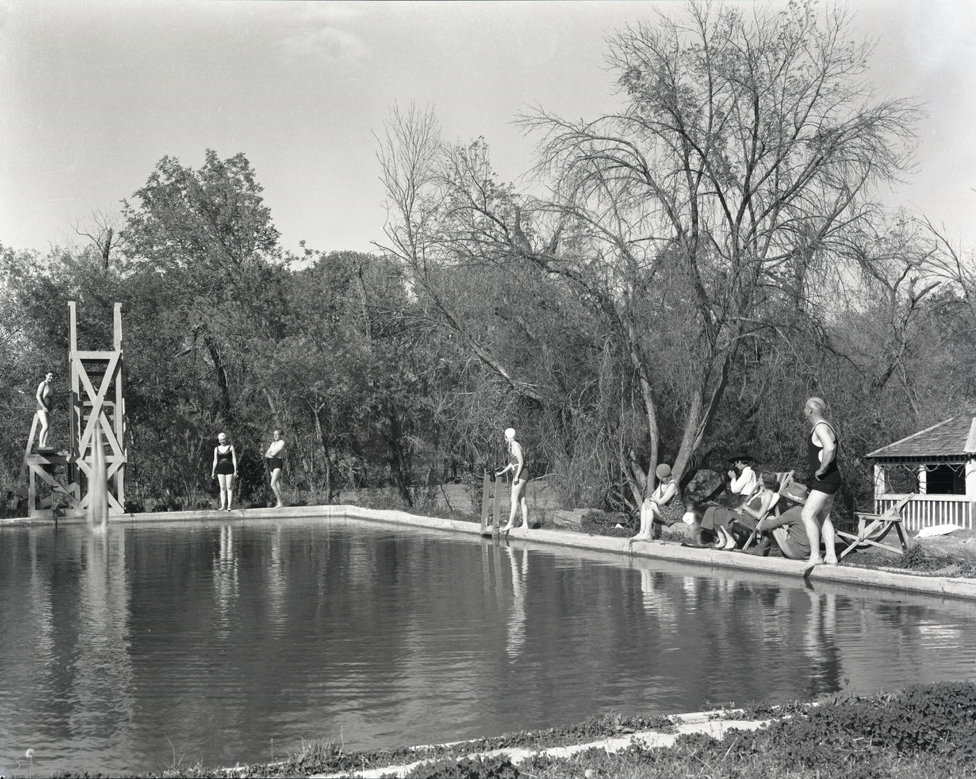
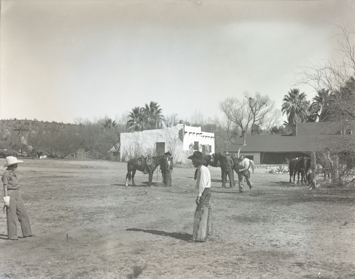
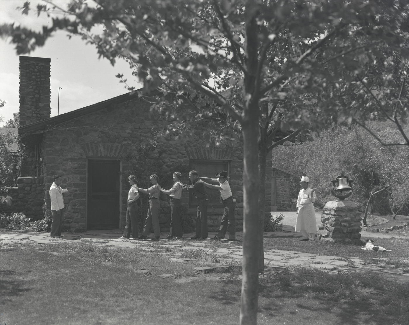
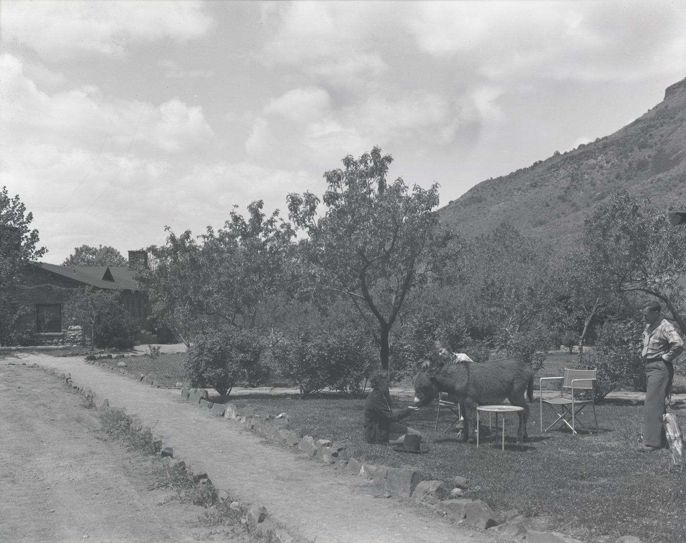
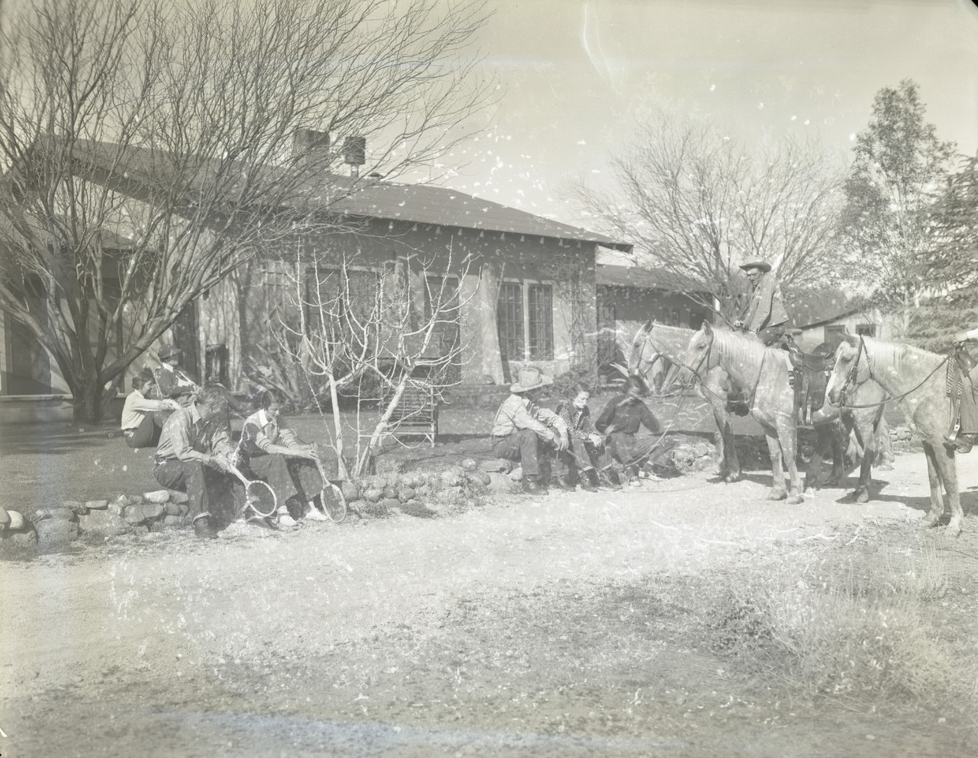
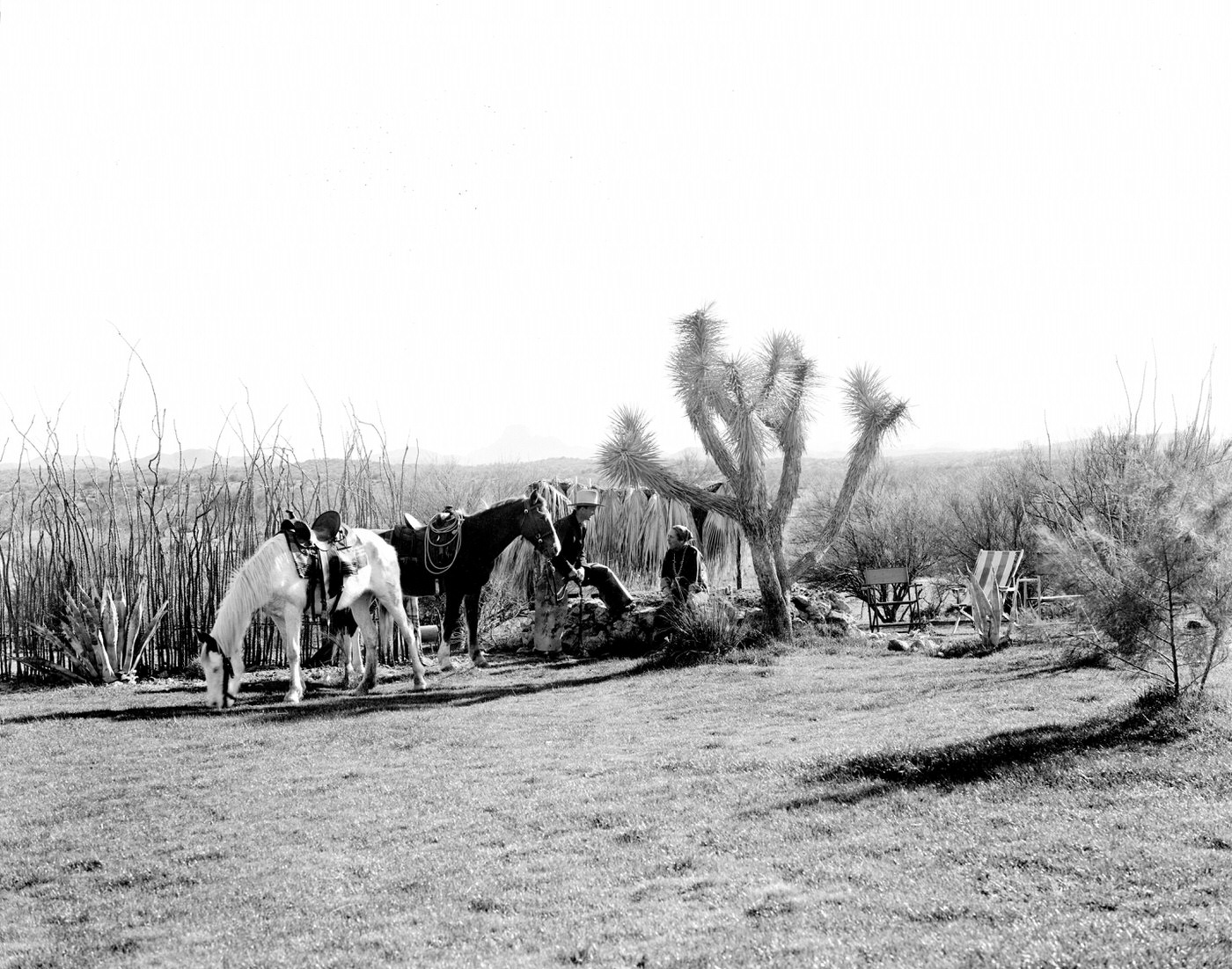
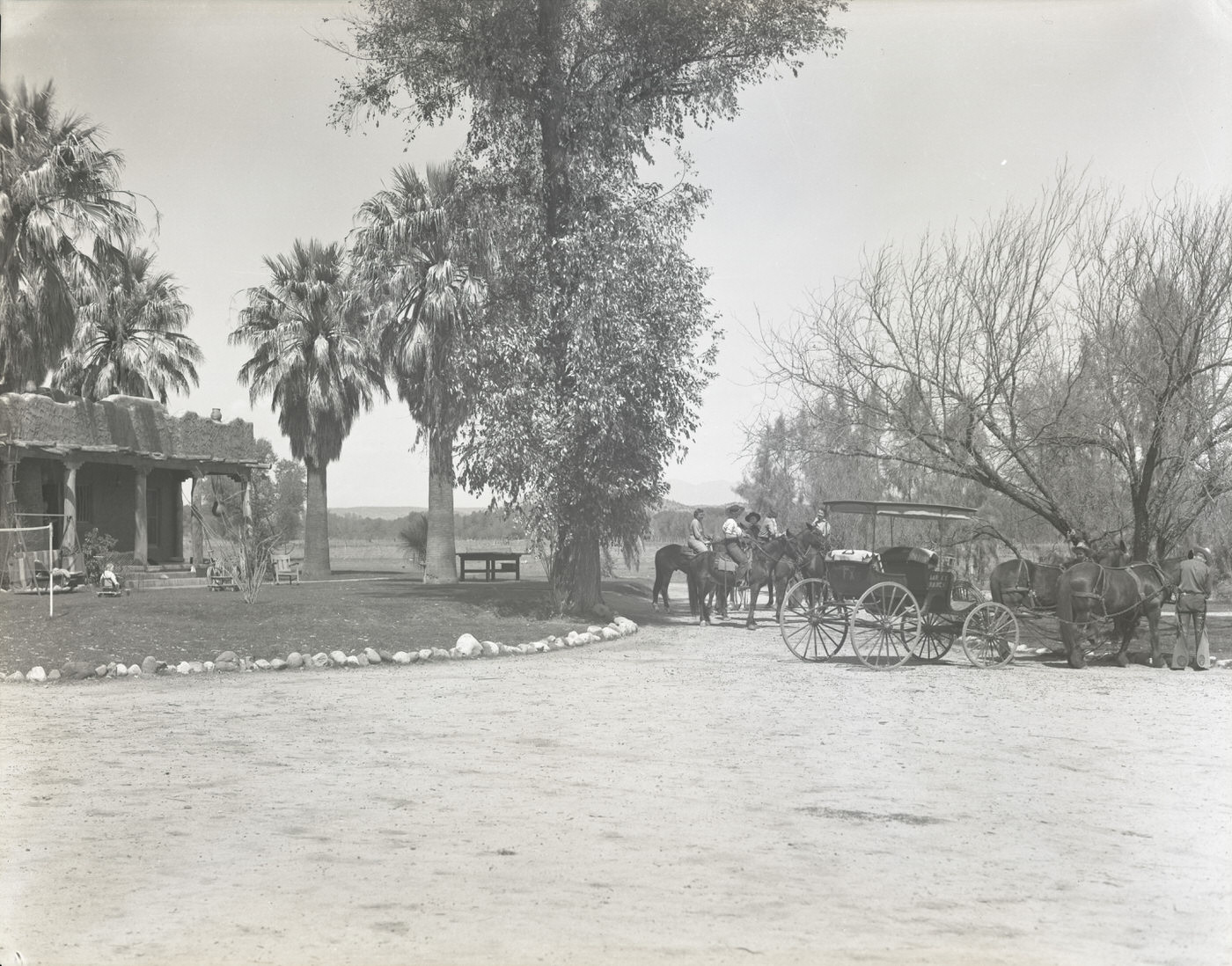
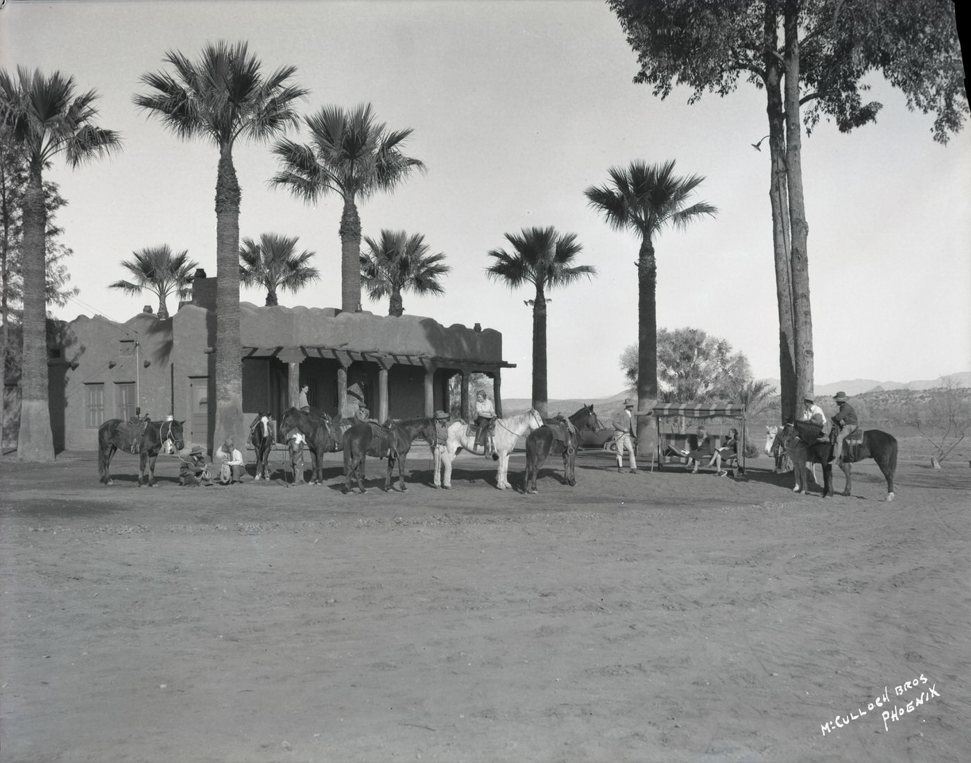
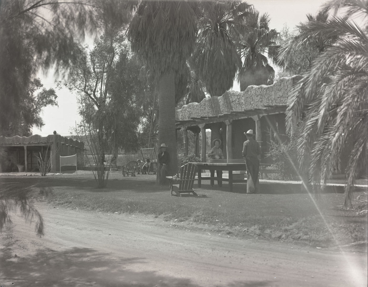
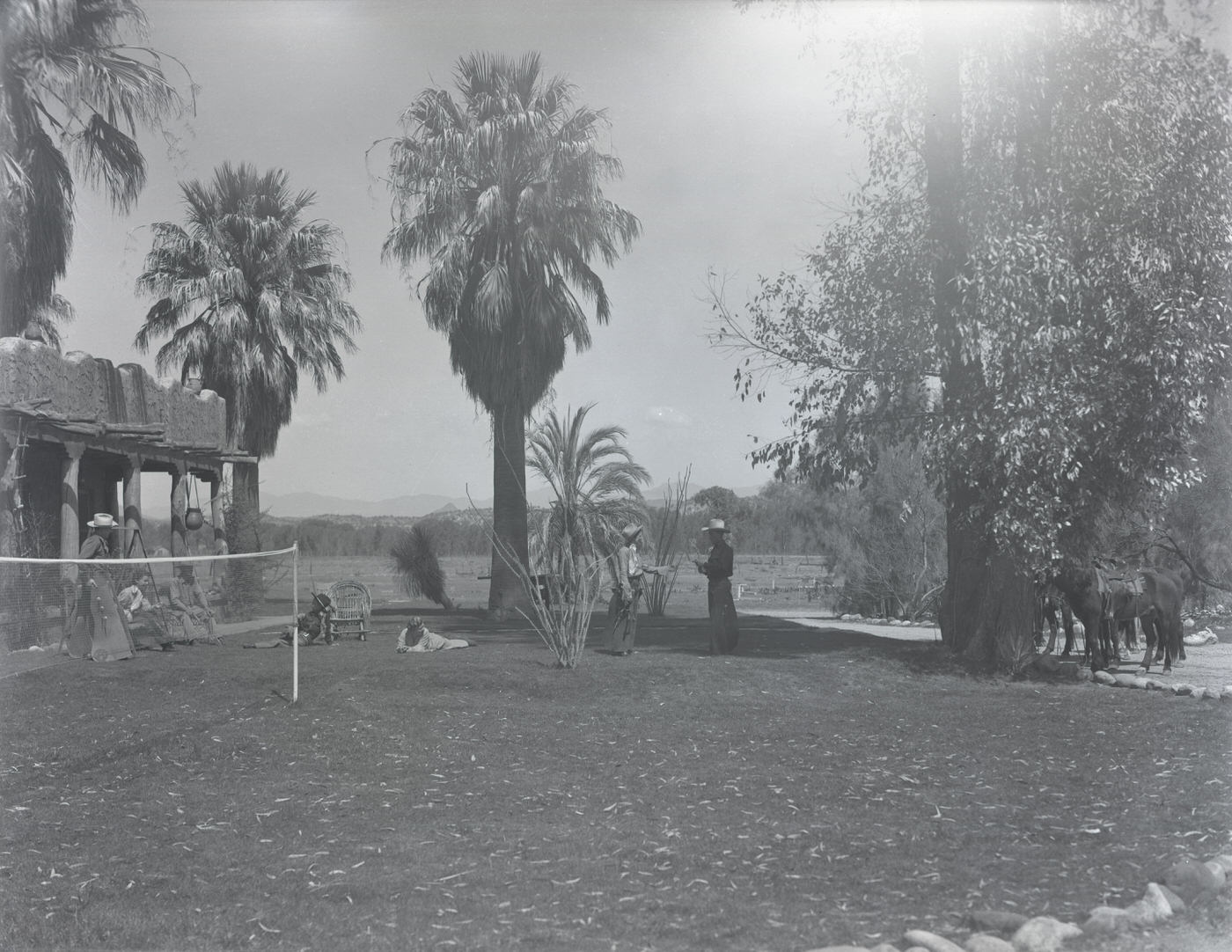
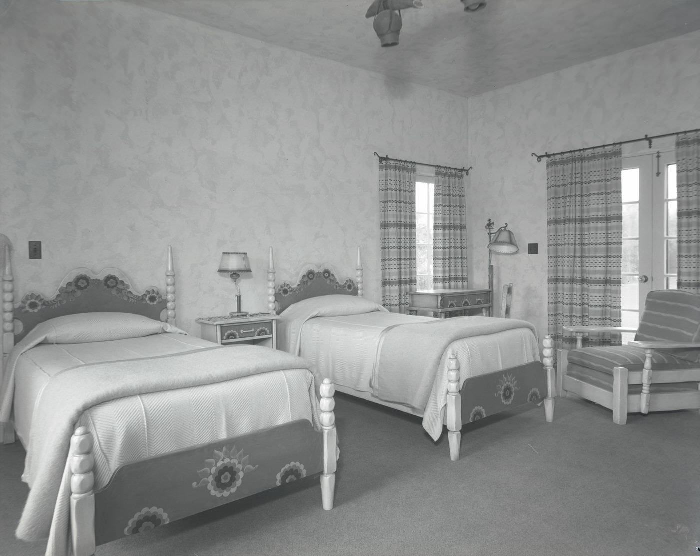
Tourism was a genuine economic force in 1930s Phoenix. The Wigwam Resort in Litchfield Park drew well-heeled guests who came for the golf course, horse corral, and chuck wagon experiences. The Camelback Inn attracted visitors willing to pose in bathing suits in front of giant saguaro cacti. The Westward Ho Hotel, one of the tallest buildings in Arizona at the time, offered rooms and grounds for leisure guests. Smaller guest ranches like Beaver Creek Ranch, the Lazy R C Ranch, Bar FX Ranch, Soda Springs Ranch, Monte Vista Ranch, and Rancho del Sol offered horseback riding, swimming, croquet, and desert excursions to guests who wanted a taste of ranch life without sacrificing comfort.
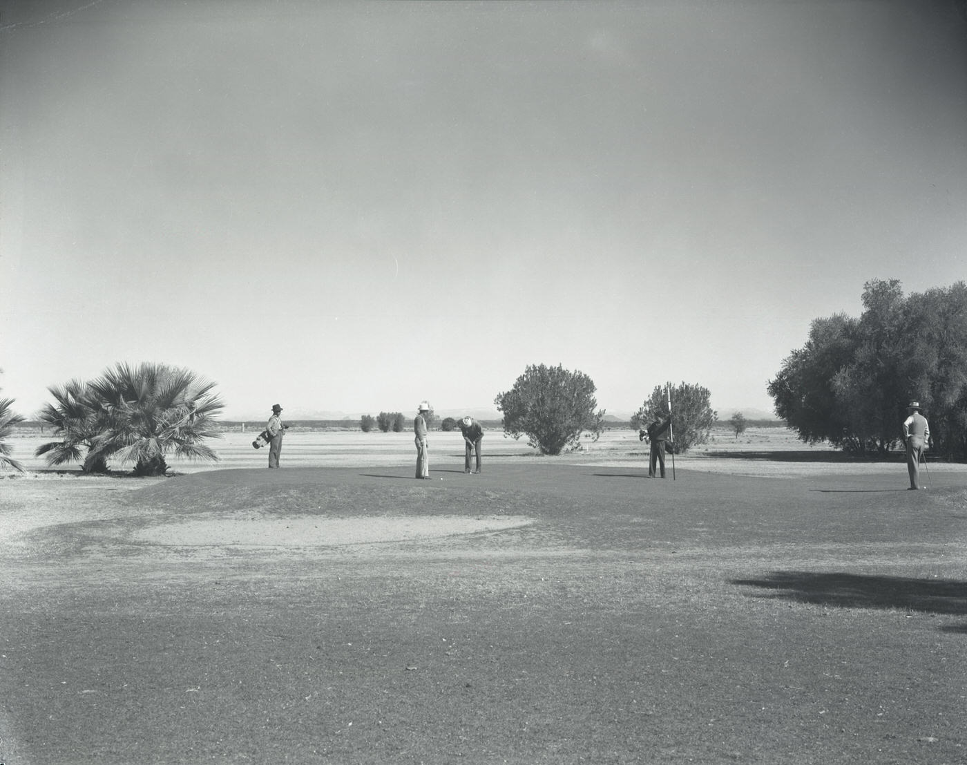
Golf Course at the Wigwam Resort, 1930s
Wigwam Resort Guest Room, 1930s
Camelback Inn Guest in Bathing Suit in Front of Cactus, 1930s
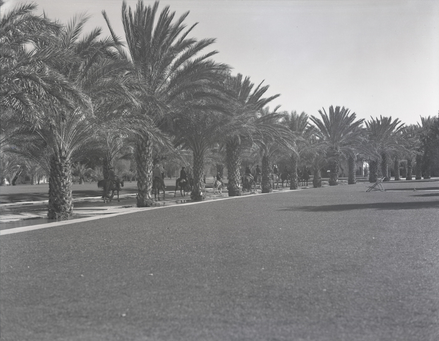
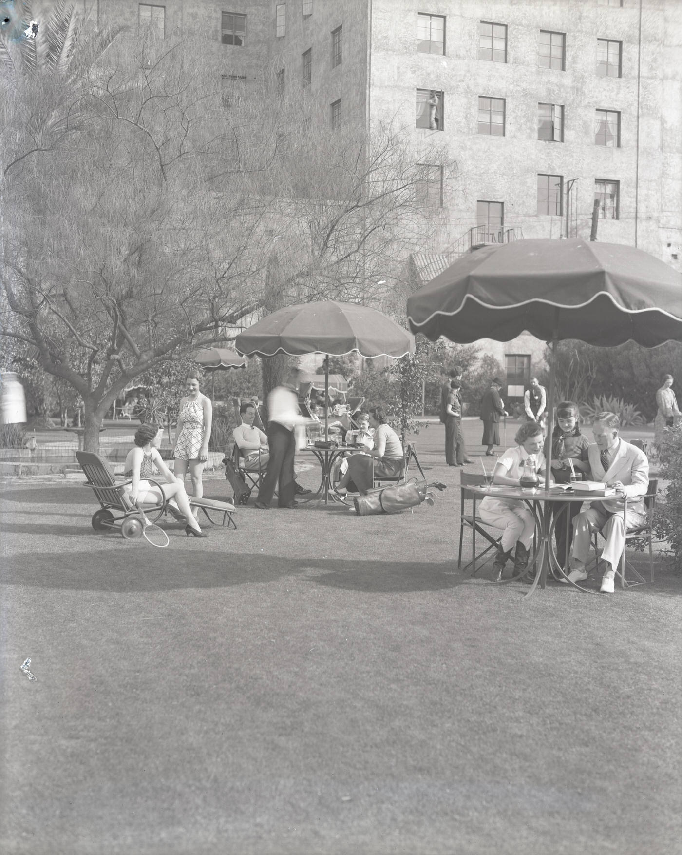
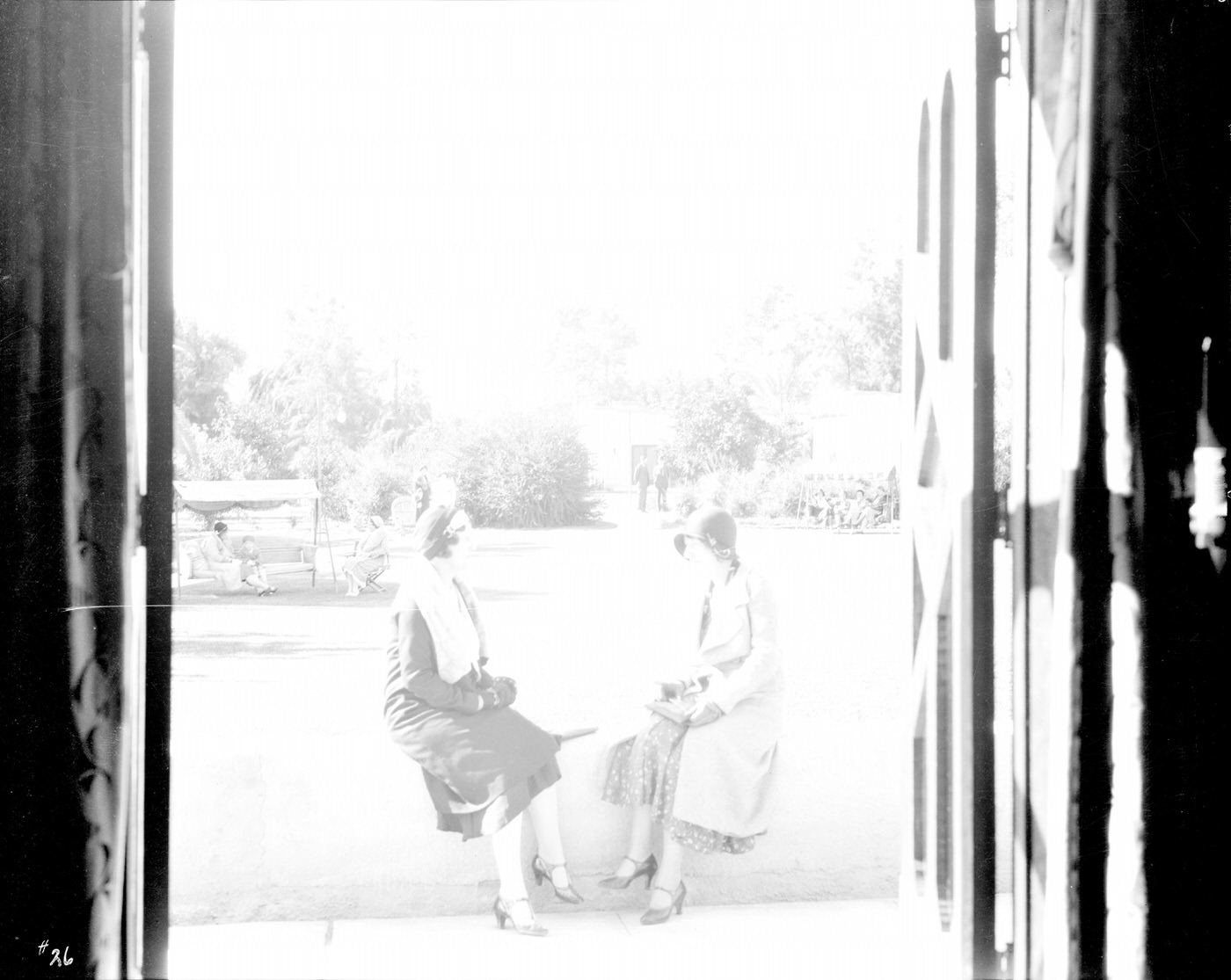
Westward Ho Hotel Guests on Grounds, 1930s
Beaver Creek Ranch Grounds, 1930s
Soda Springs Ranch Guests Horseback Riding, 1930s
Rancho del Sol Guests Playing Croquet, 1930s

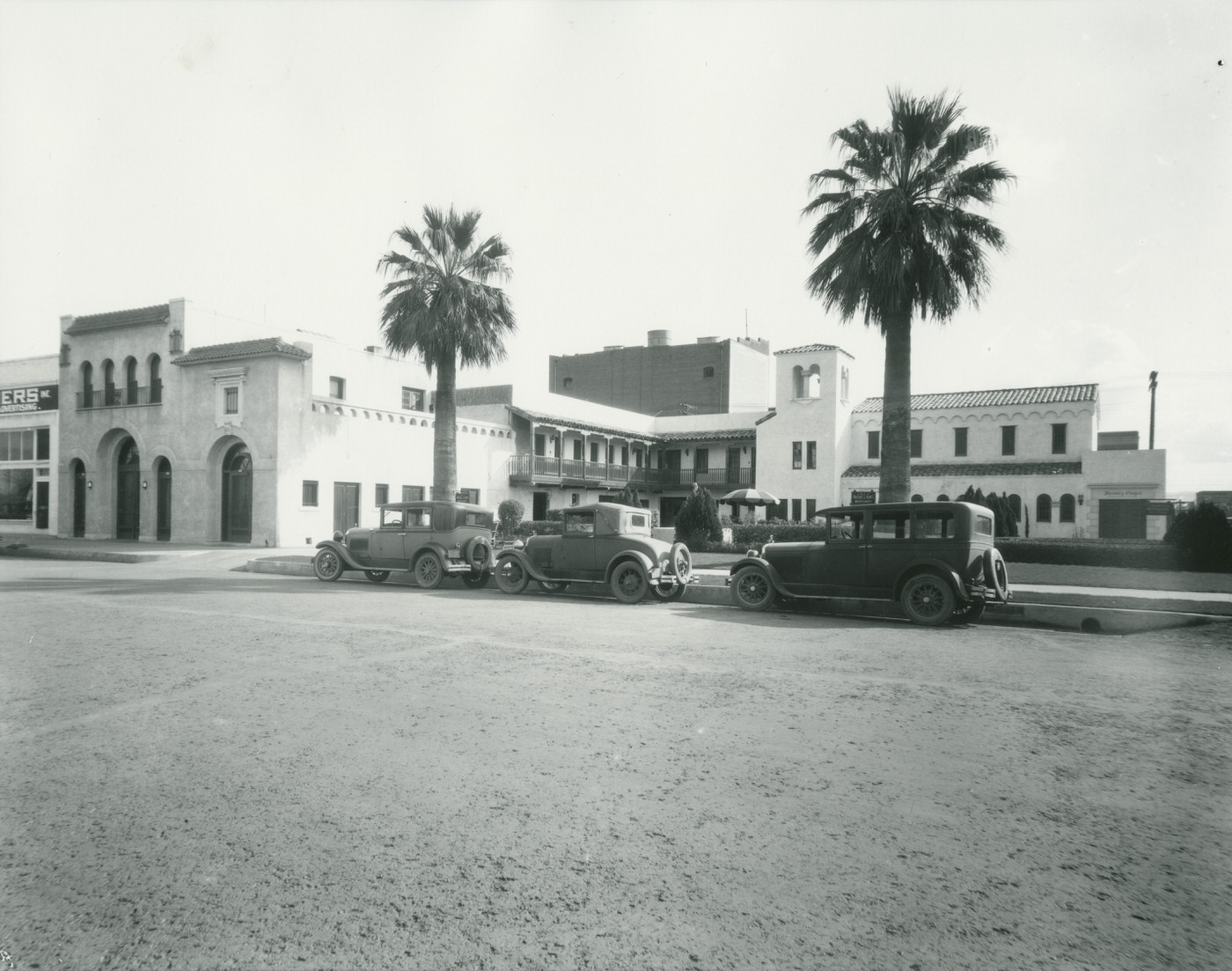
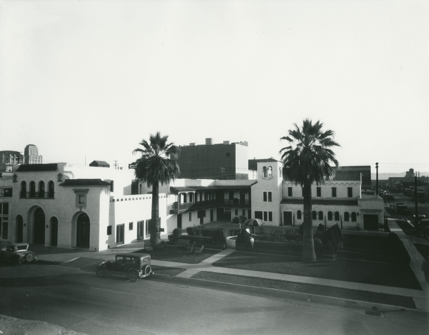
King’s Rest Hotel Motor Court catered to the growing number of motorists who drove into Phoenix along the region’s expanding road network. Motor courts were the predecessors of the modern motel — roadside lodging designed around the car rather than the train. Their presence in the 1930s reflects how thoroughly the automobile had changed travel patterns in just a few decades.
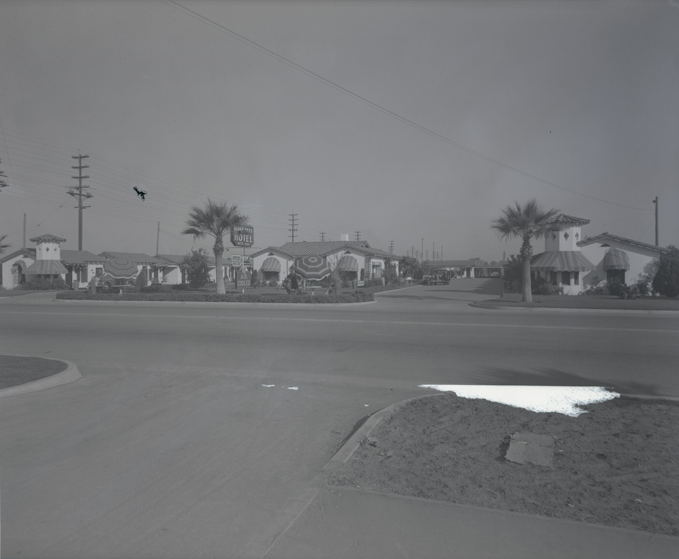
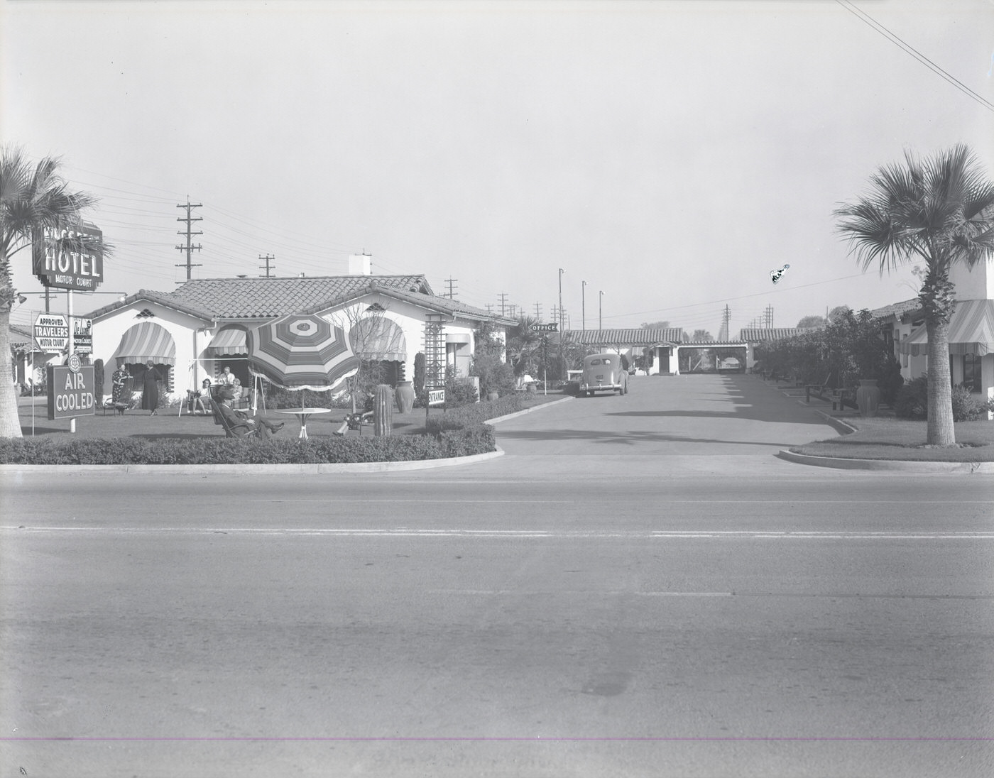
King's Rest Hotel Motor Court, 1930s
King’s Rest Hotel Motor Court, 1930s
King's Rest Hotel Motor Court, 1930s
King’s Rest Hotel Motor Court, 1930s

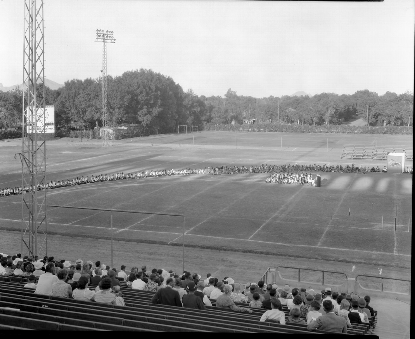
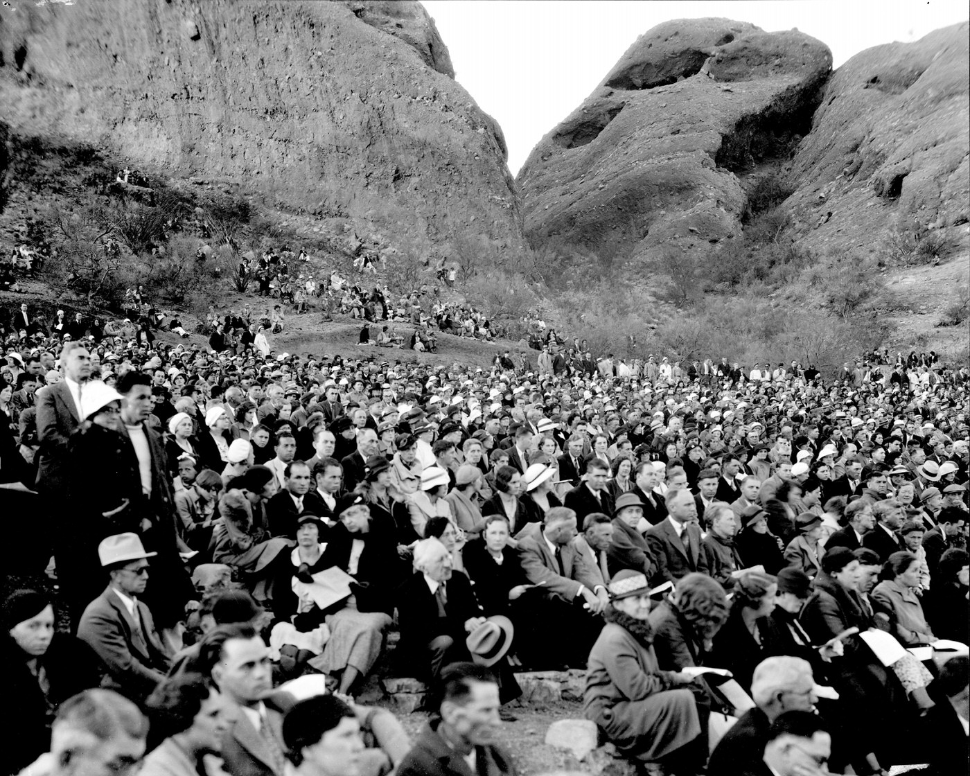
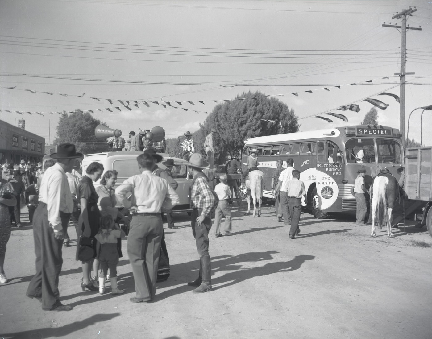
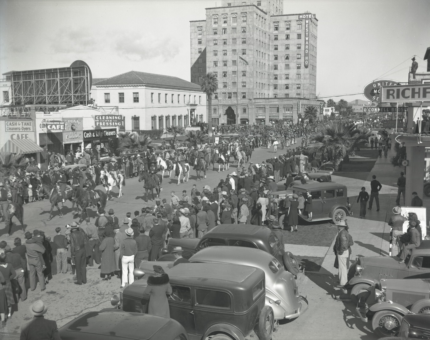
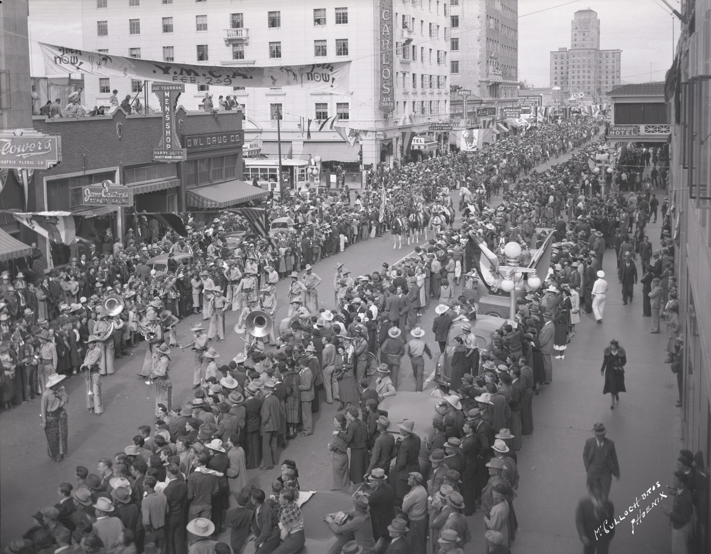
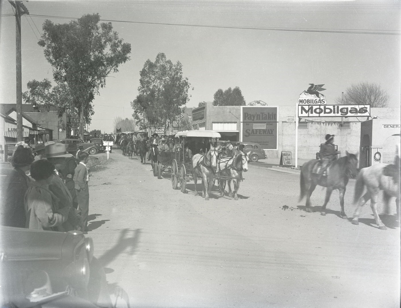
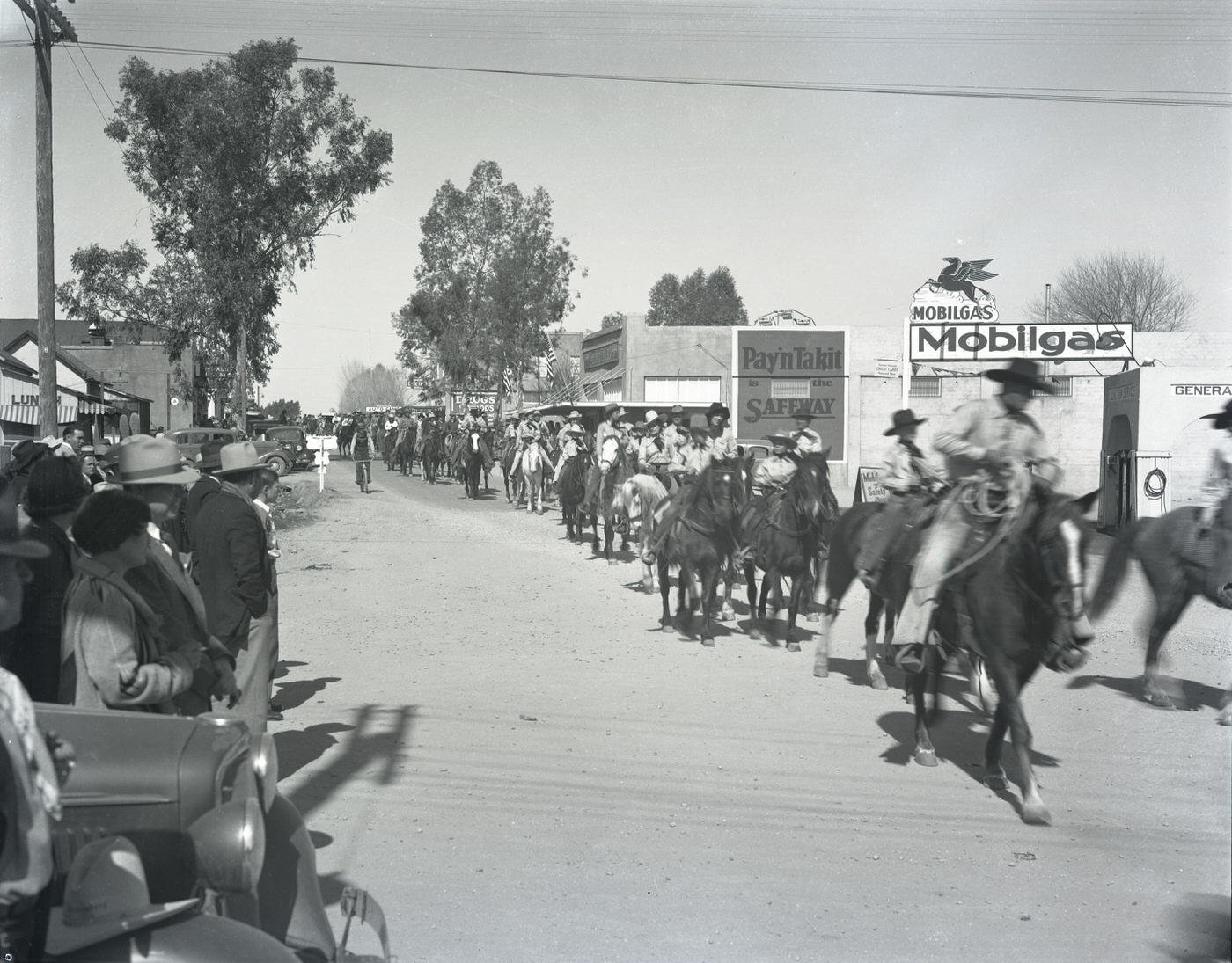
Public gatherings and parades gave Phoenix residents moments of shared community. The Jaycee Rodeo Parade moved south on Central Avenue past Monroe and past Taylor Street, drawing crowds who lined the sidewalks to watch. In Wickenburg, northwest of Phoenix, a parade rolled through the small town’s main street. Camp Fire Girls gathered at Phoenix Stadium. Easter Sunrise Services at Papago Park brought hundreds together at dawn. The Helzapoppin’ Rodeo group posed by a Greyhound Bus, their costumes and energy a bright contrast to the hardships of the Depression years.
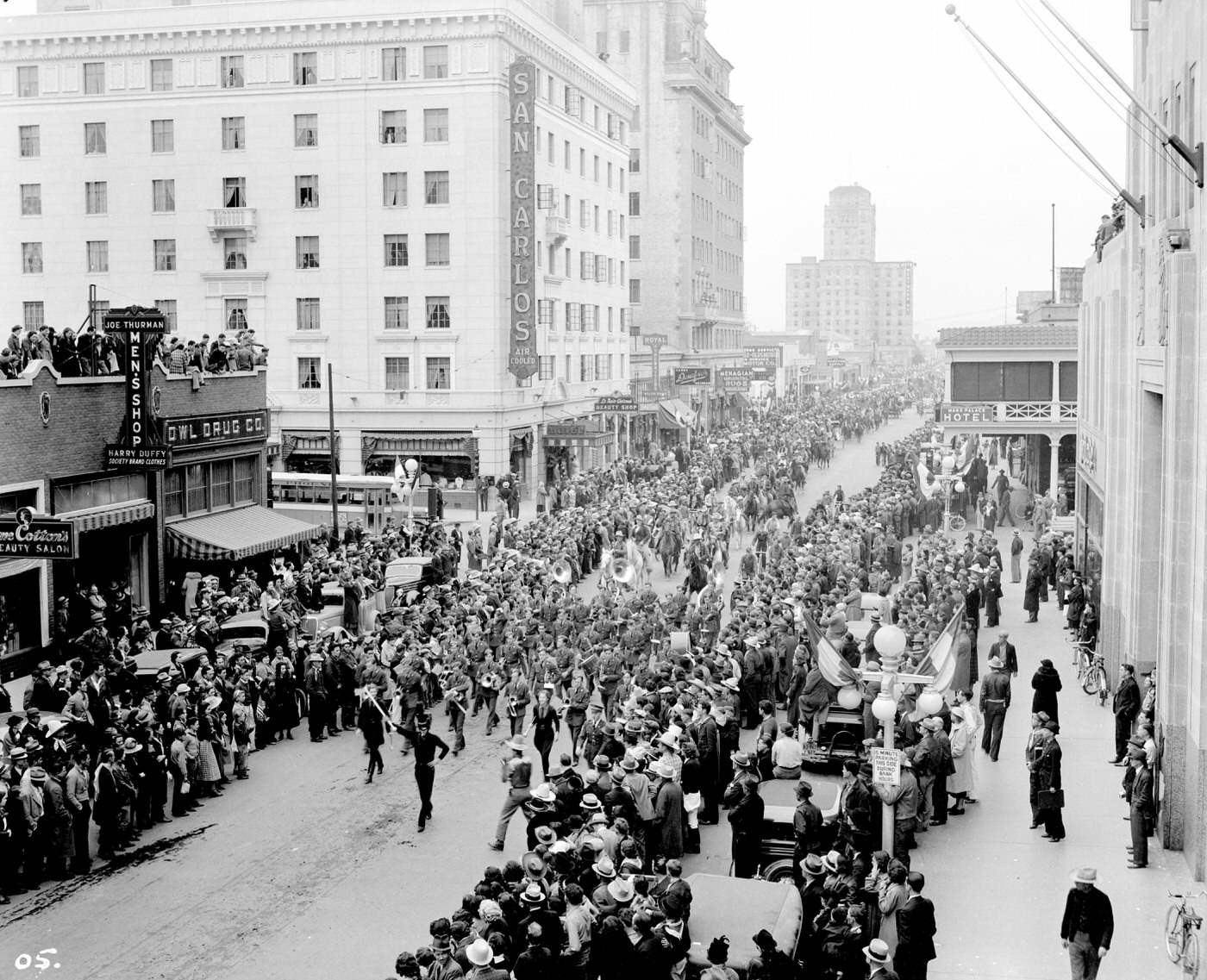
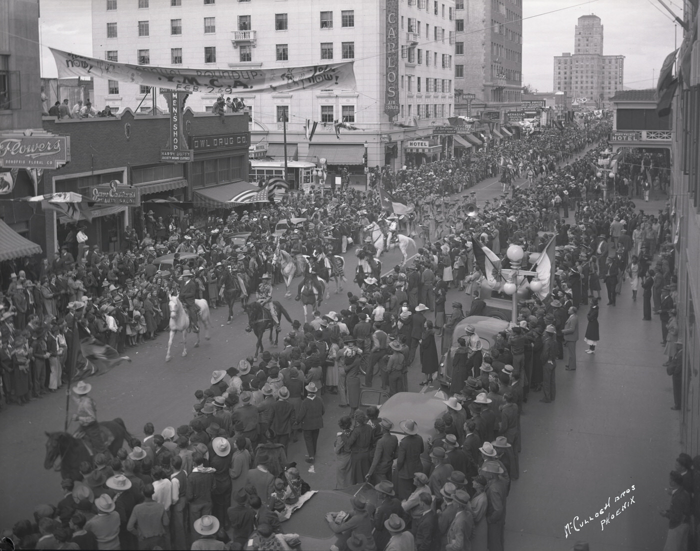
Jaycee Rodeo Parade Moving South on Central at Monroe, 1930s
Parade at the Intersection of Central Ave. and Washington St., 1930s
Camp Fire Girls at the Phoenix Stadium, 1930s
Easter Sunrise Services at Papago Park, 1930s
Helzapoppin' Rodeo Group by Greyhound Bus, 1930s
Helzapoppin’ Rodeo Group by Greyhound Bus, 1930s

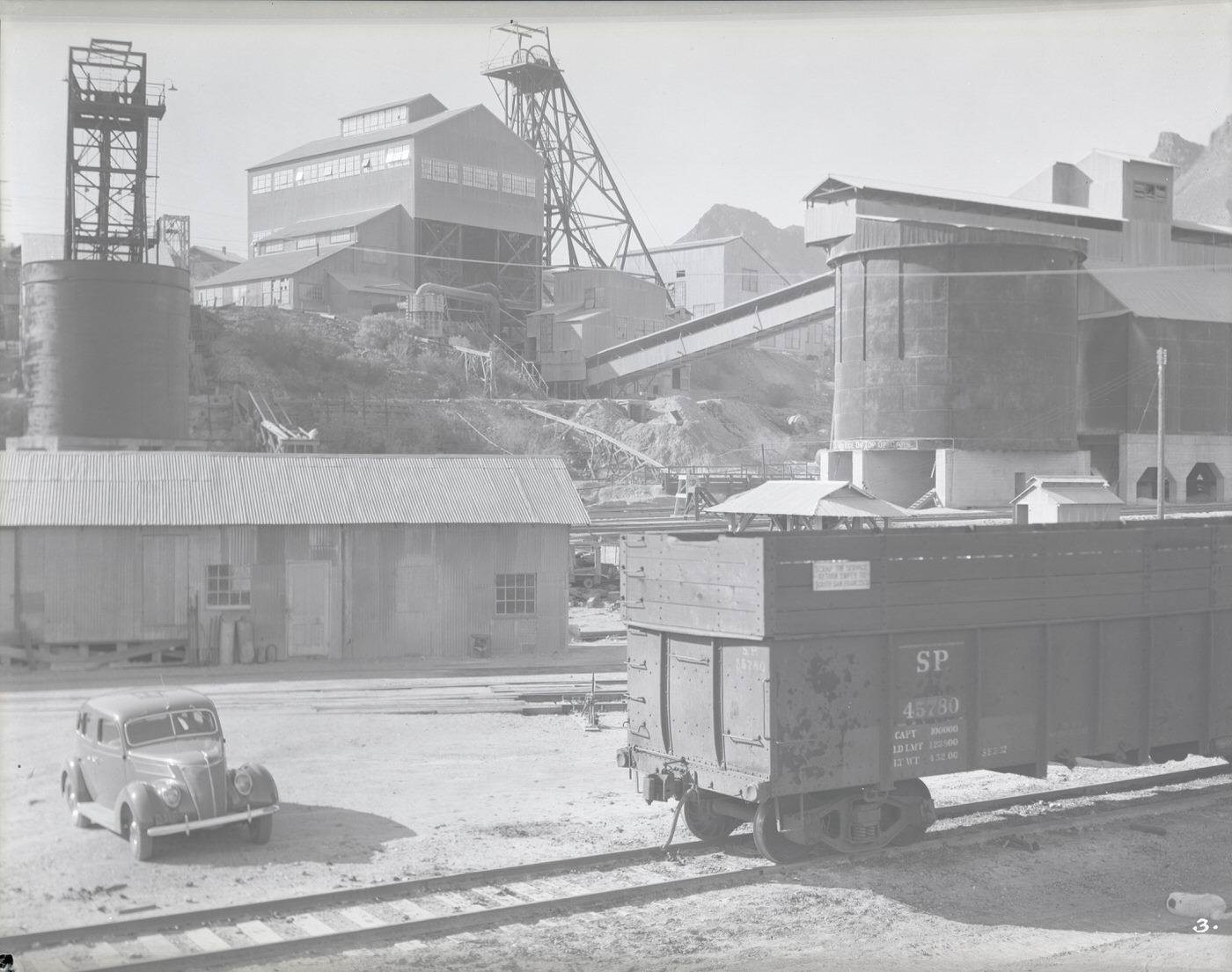
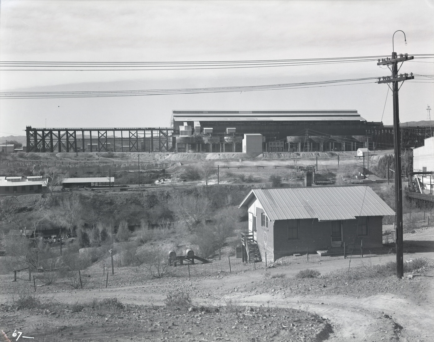
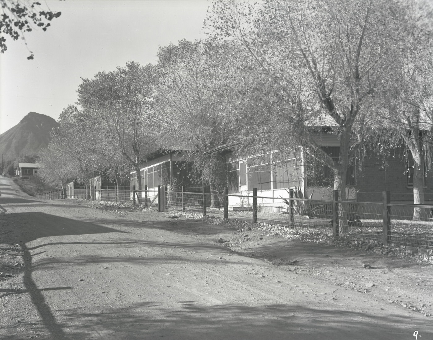
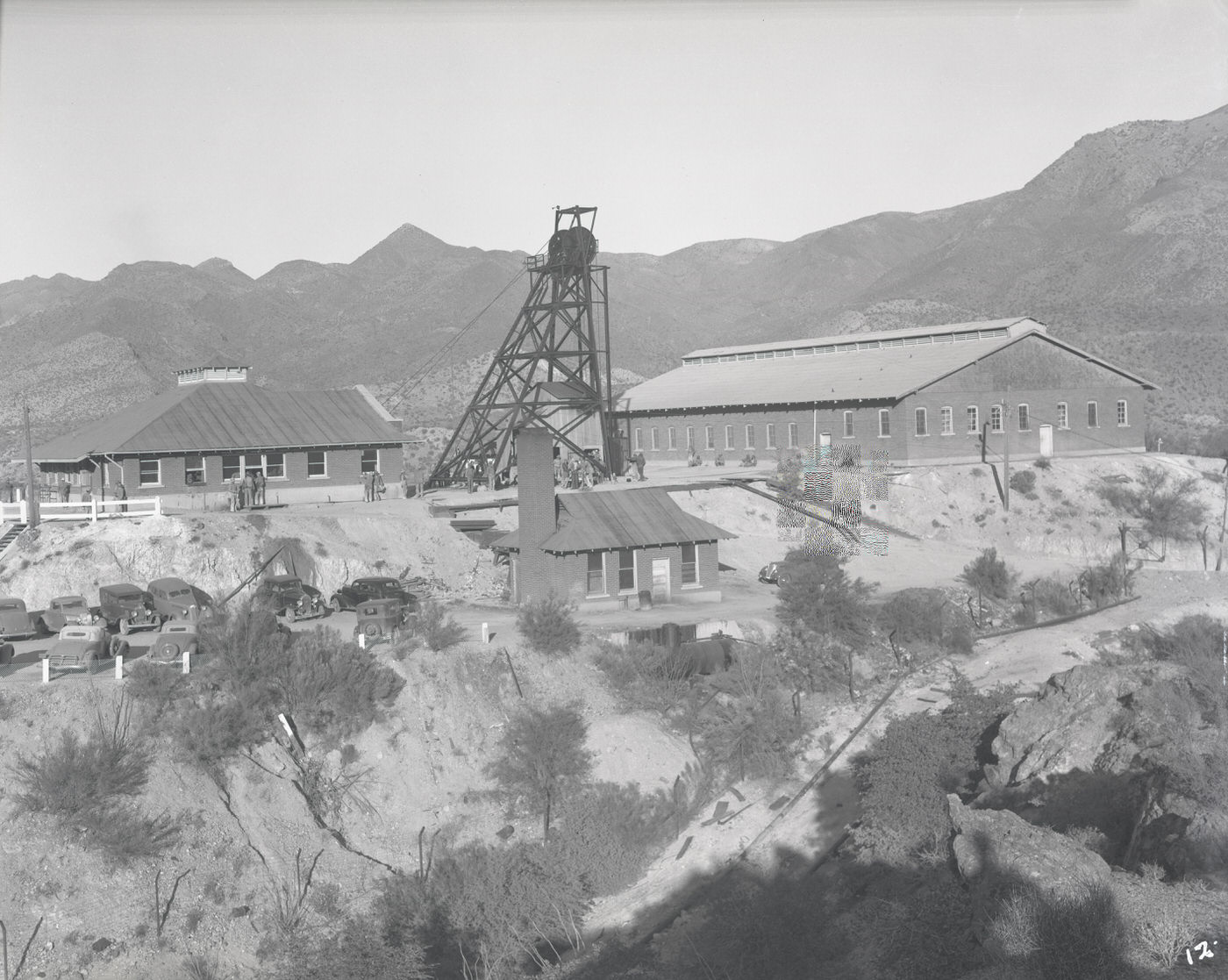
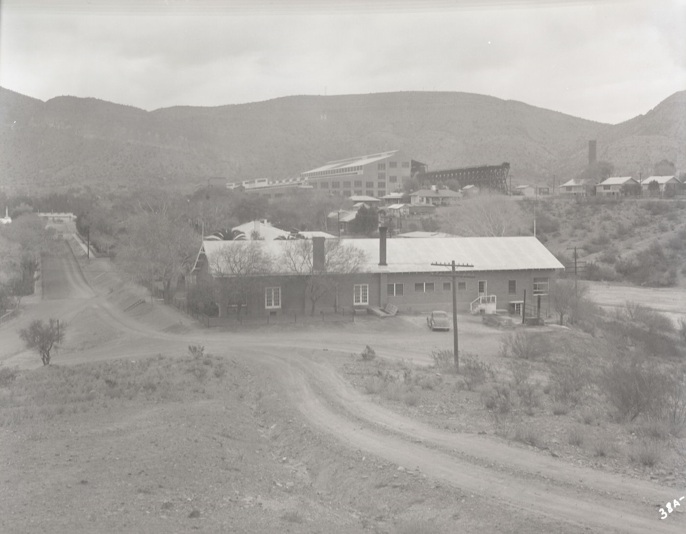
The copper mining towns to the south and southeast of Phoenix represented a different Arizona entirely. In Ray, small company houses lined the hillsides near the mine. In Hayden, a smelter and mill dominated the landscape, with residential streets built around the needs of the industry. Ajo, in the Sonoran Desert, had its own distinct layout — a Spanish Colonial-style plaza with a shopping center and church designed for the workers and families of the Phelps Dodge Corporation. Train yards at the copper mines moved ore by rail, a system that connected these remote operations to the broader national economy.
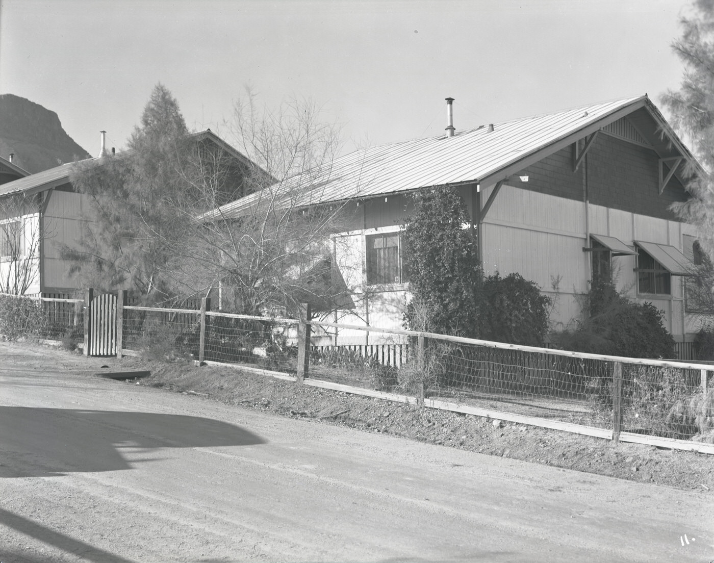
Houses in Ray, Arizona, 1930s
Home and Mill in Hayden, Arizona, 1930s
Shopping Center in Ajo, Arizona, 1930s
Train Yard at Copper Mine, 1930s

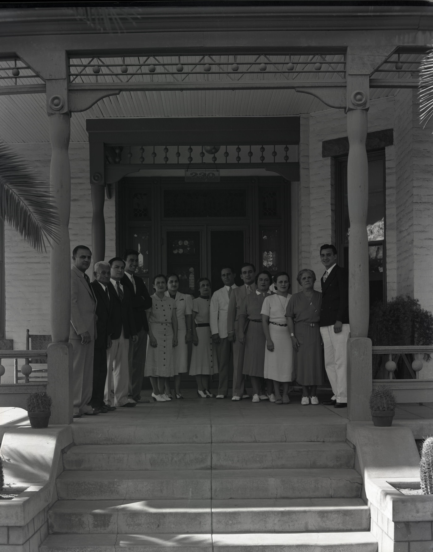
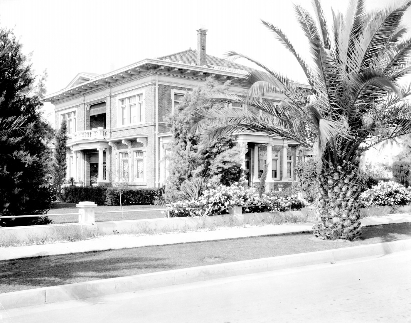
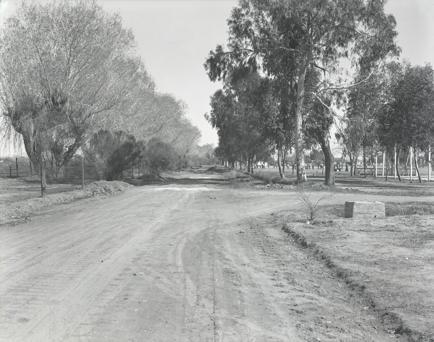
Among the most quietly significant photographs from this era are those documenting everyday Phoenix streets and residential neighborhoods. A rural intersection on the outskirts of the city, Orangewood Avenue showing Glendale Grammar on one side and Manistee Ranch on the other, and the Churchill Residence at 2nd and Monroe Streets all capture the range of settlement patterns across the region. Households like the Grosso family at 230 E. Monroe Street and the Diamond Residence at 1807 N. Central Avenue represent the private lives behind the commercial and civic activity — families who made Phoenix home during one of the most difficult decades in American history.
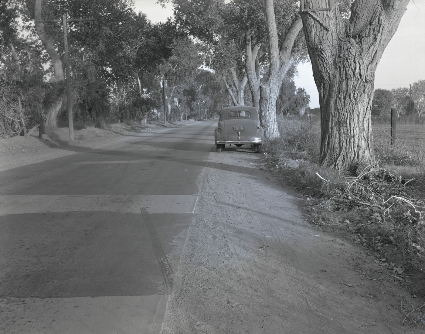
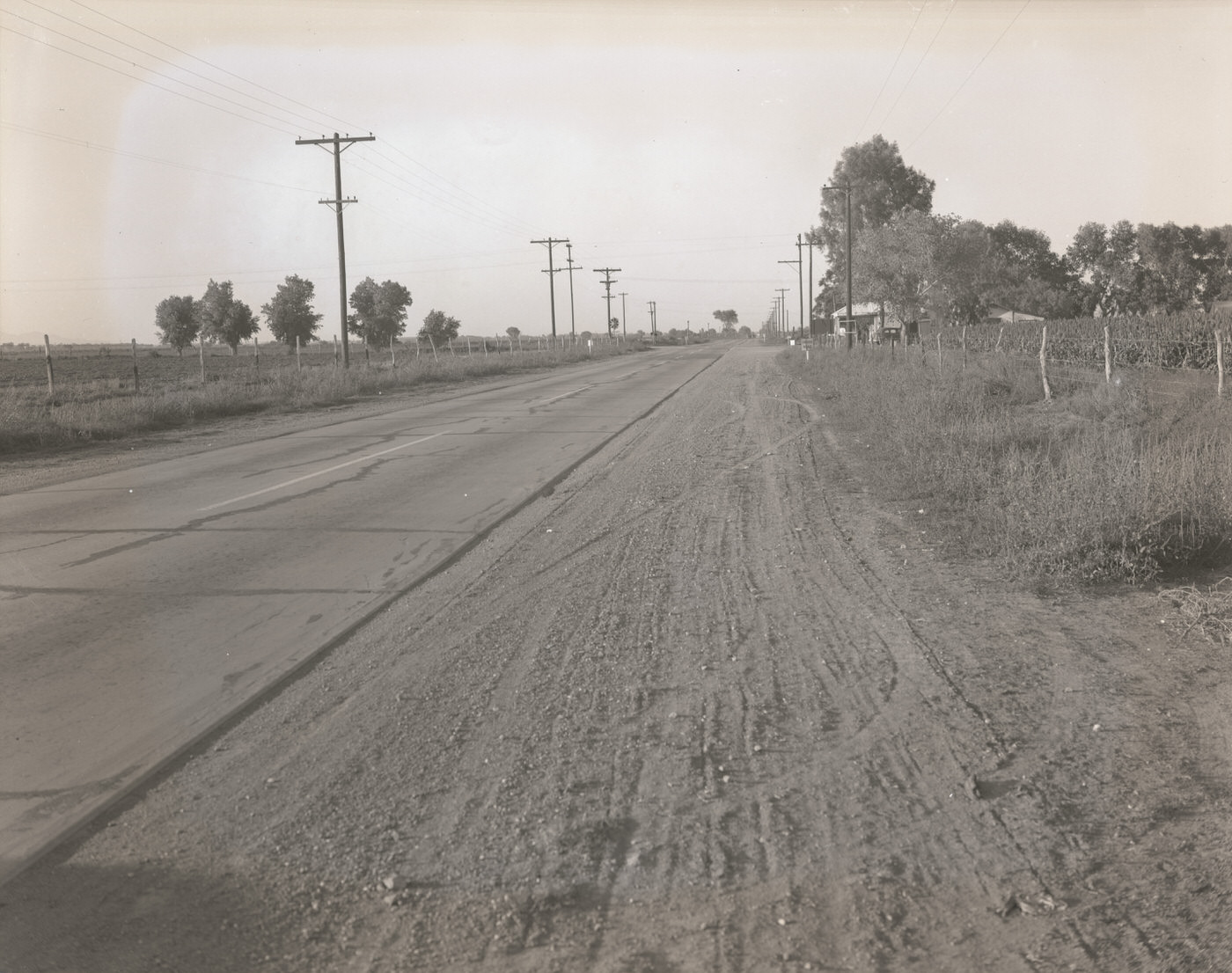
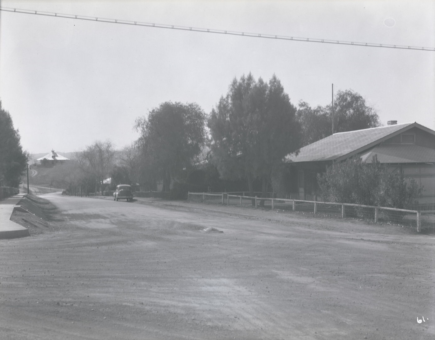
Rural Street, 1930s
Rural Street, 1930s
Orangewood Avenue. Shows Glendale Grammar on the right and Manistee Ranch on the left, 1930s
Grosso Family. In 1938, the Grosso family lived at 230 E. Monroe St. in Phoenix. This picture was taken approximately 3 months before Charles Grosso was killed in an airplane crash.
Diamond Residence Exterior, 1930s. This home was located at 1807 N. Central Ave. in Phoenix. In 1931, it belonged to Isaac and Nellie Diamond

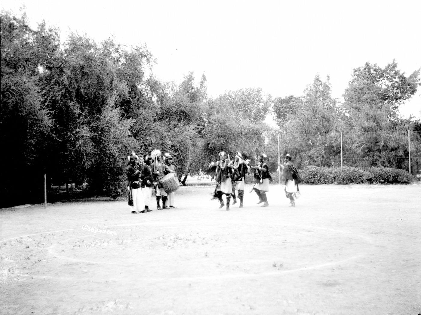
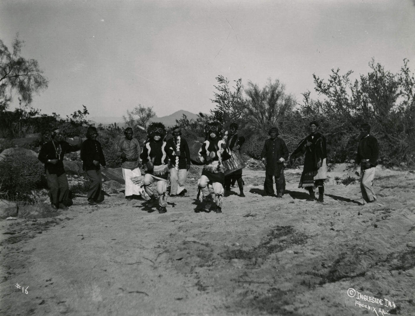
The archaeological past was also present in 1930s Phoenix. The Pueblo Grande ruins, a large Hohokam platform mound located within city limits, drew visitors and researchers. Hopi individuals were documented near the site of what would later become the Pueblo Grande Museum. Native American dancers were photographed as part of a region still deeply connected to its Indigenous heritage. These images sit alongside photographs of new roads and modern storefronts as reminders that the land Phoenix was built on had a long history before the city arrived.
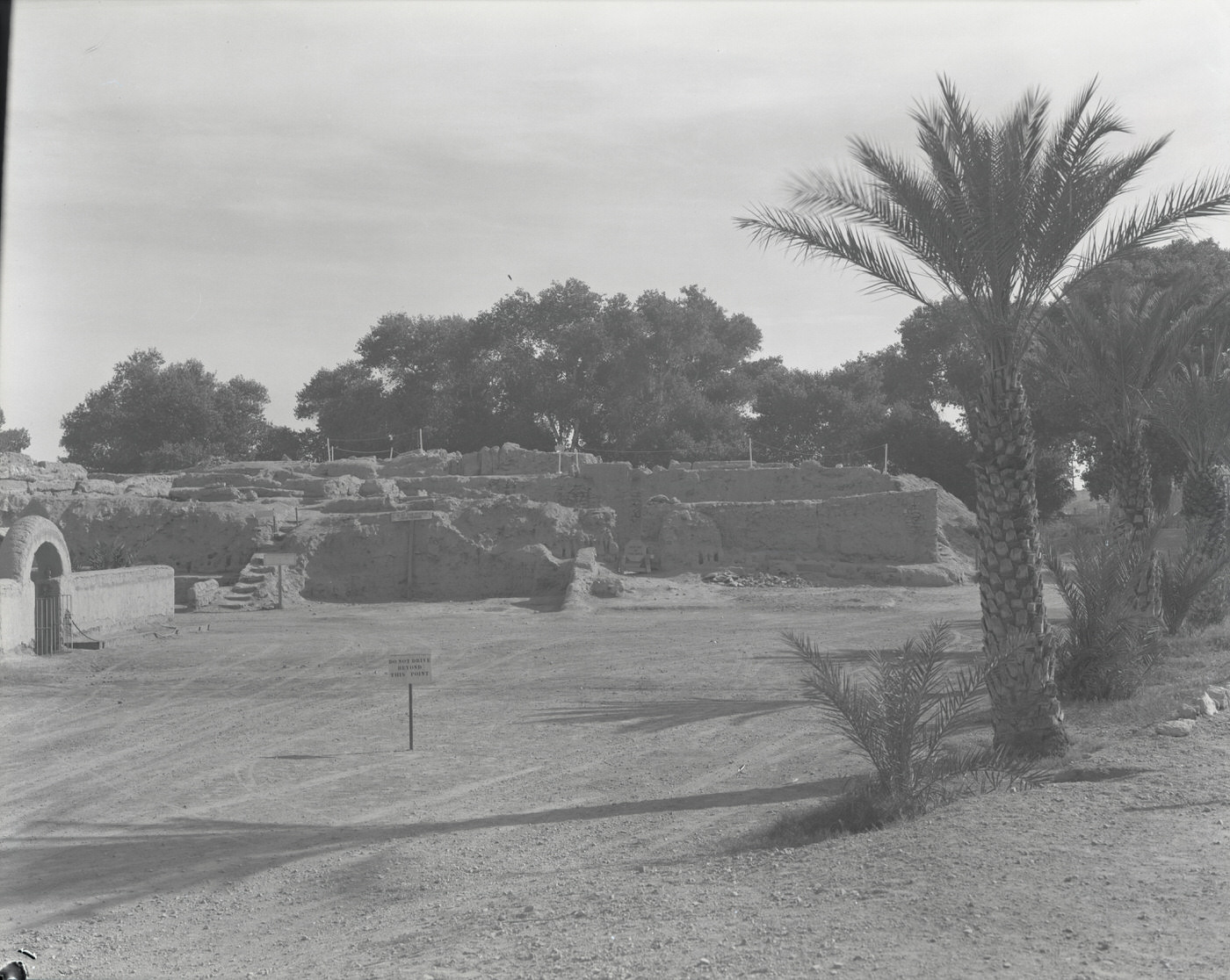
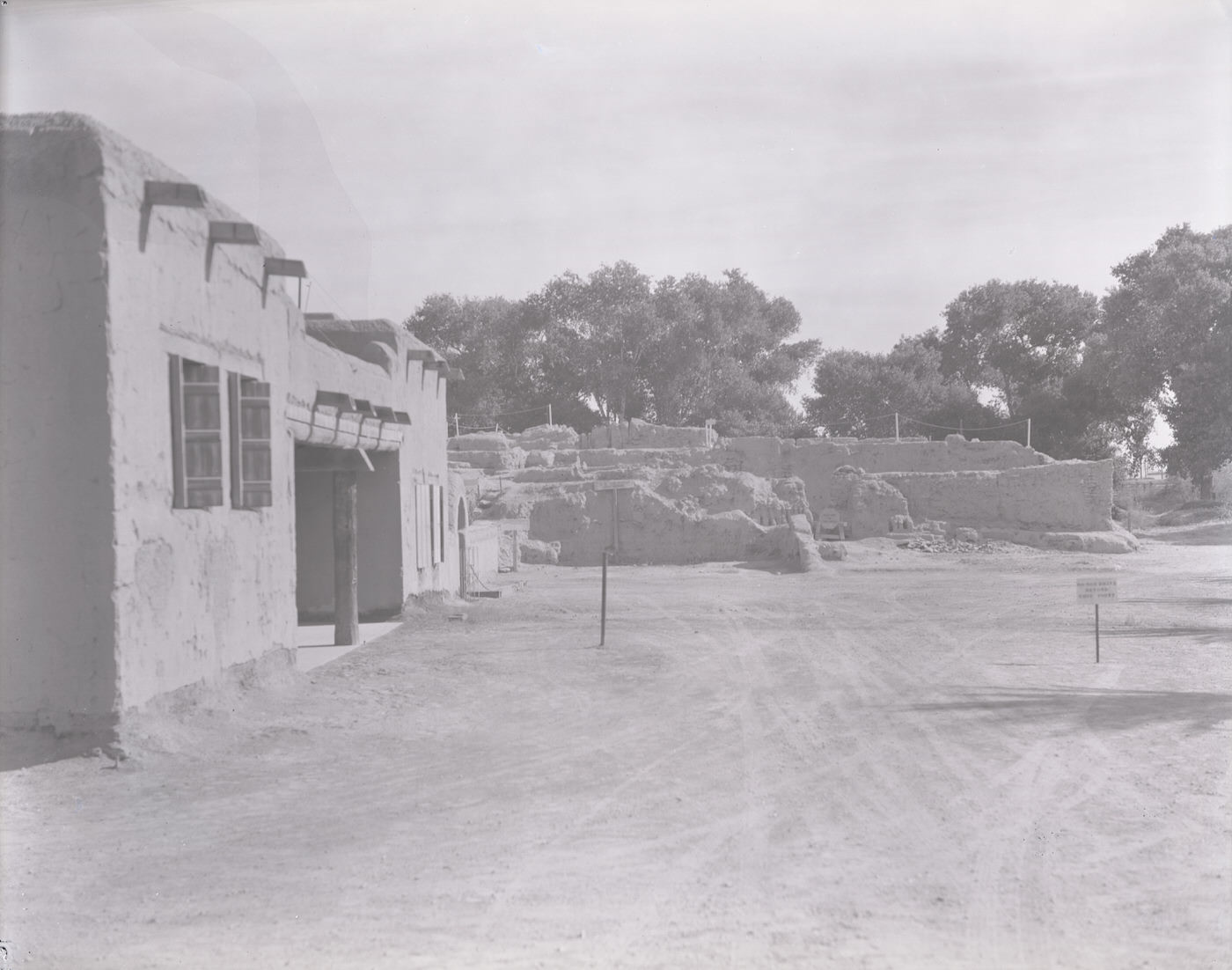
Pueblo Grande Ruins, 1930s
Hopi at Present Site of Pueblo Grande Museum, 1930s. The McCulloch register identifies this image as "Study #16." The date assigned to this photograph is approximate.
Hopi at Present Site of Pueblo Grande Museum, 1930s. The McCulloch register identifies this image as “Study #16.” The date assigned to this photograph is approximate.
Native American Dancers, 1930s

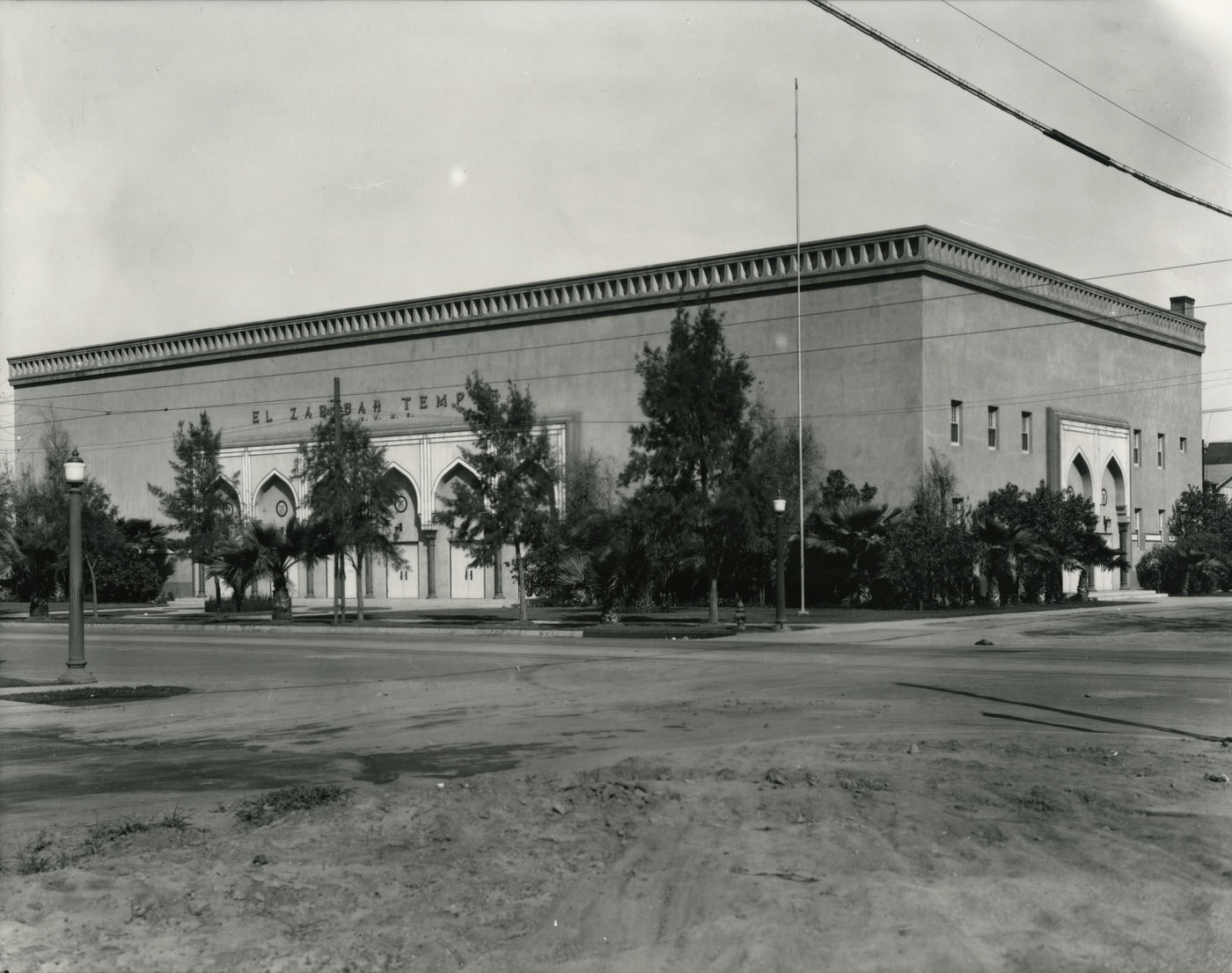
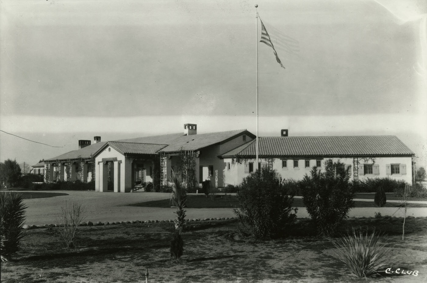
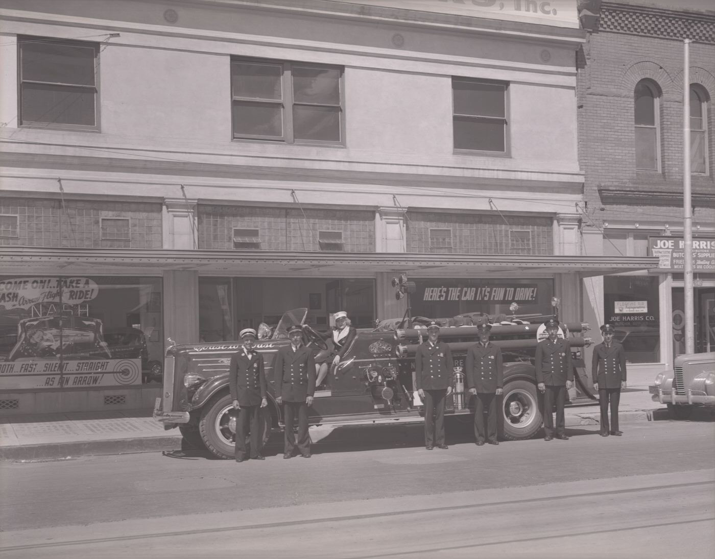
Phoenix’s fire and public safety infrastructure was taking shape during this era. The Phoenix Fire Department’s Central Station No. 1 housed multiple trucks and a full crew. Fire marshals posed beside their vehicles for official photographs. Miller Brothers Motors, a local auto dealer, was photographed with a fire truck parked in front — likely a publicity or civic event. The El Zaribah Shrine Temple on 15th Avenue and Washington Street was a fixture of fraternal life in the city. The Phoenix Country Club at Seventh Street and Thomas Road offered recreation for the city’s professional class.
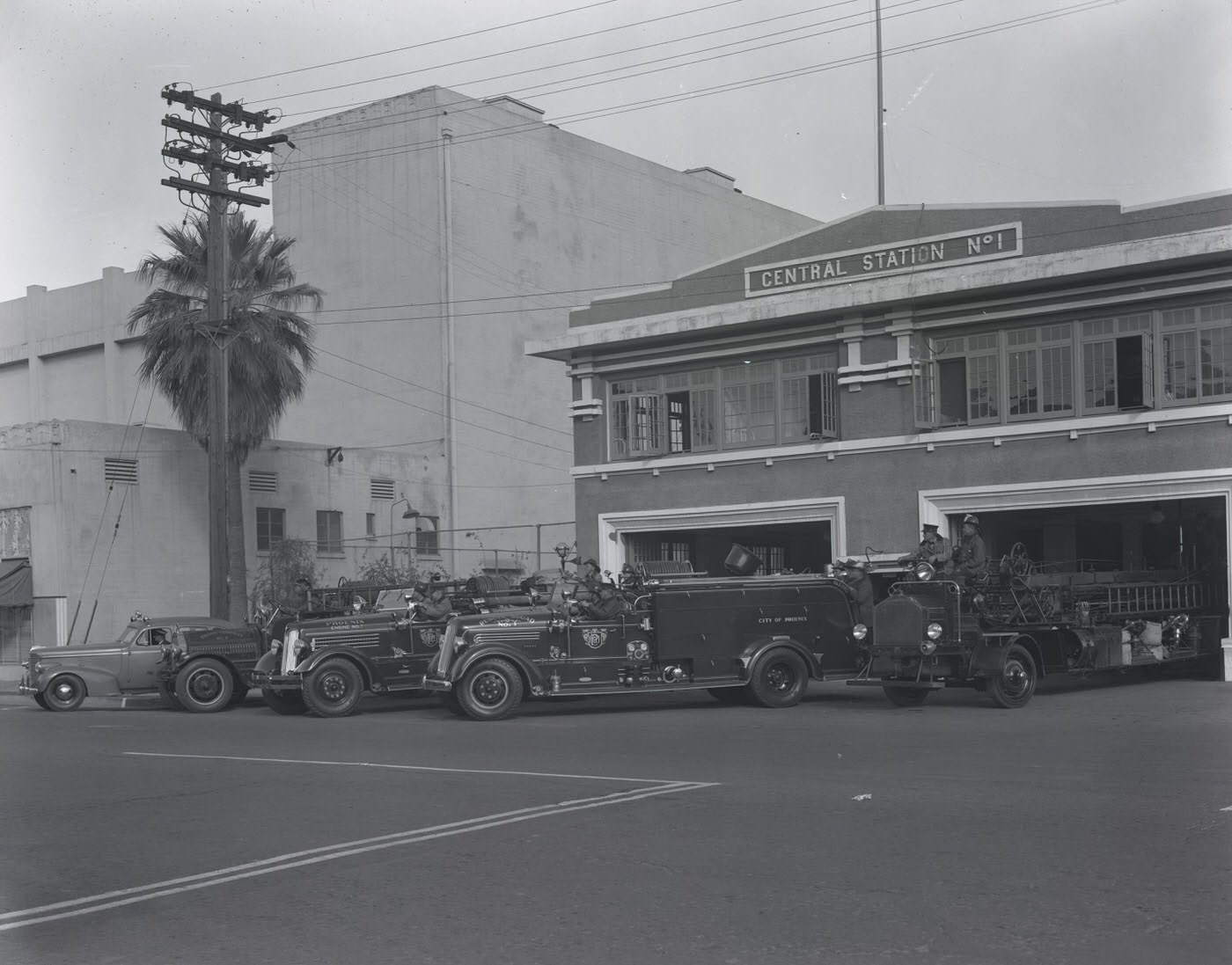
Phoenix Fire Department Central Station #1 with Fire Trucks Parked in Front, 1930s
Fire Truck and Firemen in Front of Miller Brothers Motors, 1930s
El Zaribah Shrine Temple Exterior. This building was located on 15th Ave. and Washington Street in Phoenix, 1930s
Phoenix Country Club Exterior, 1930s. This Club was located at Seventh St. and Thomas Rd. in Phoenix

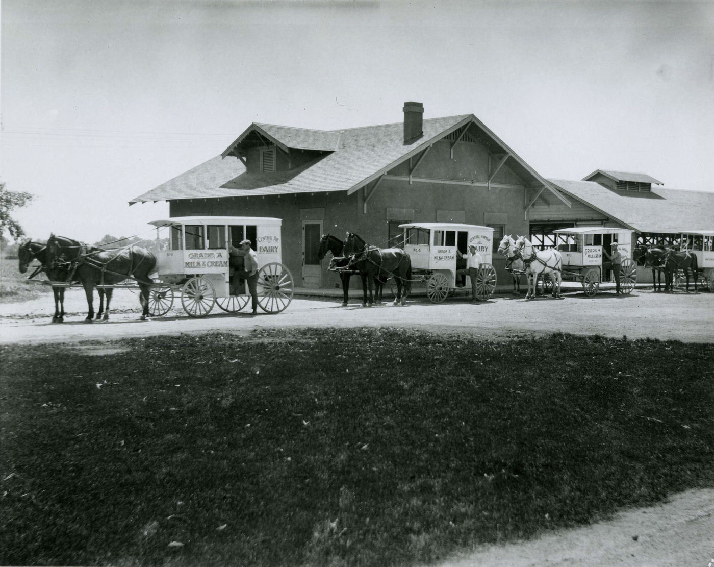
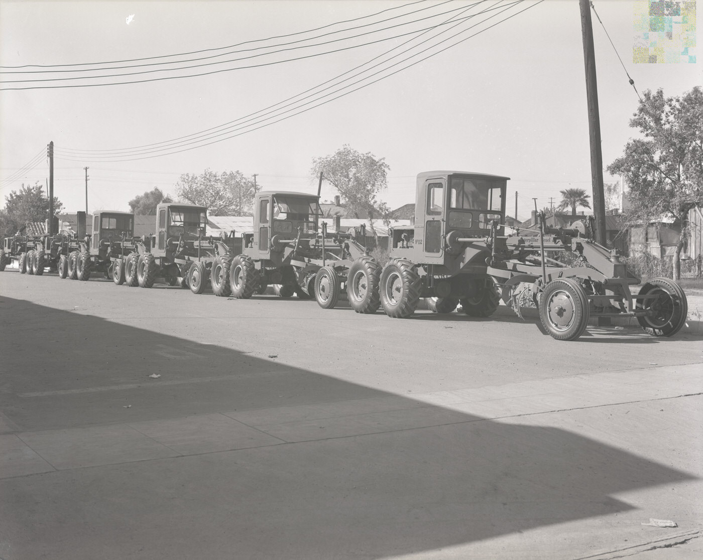
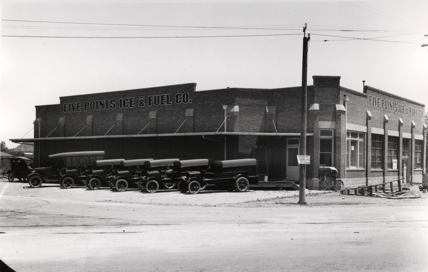
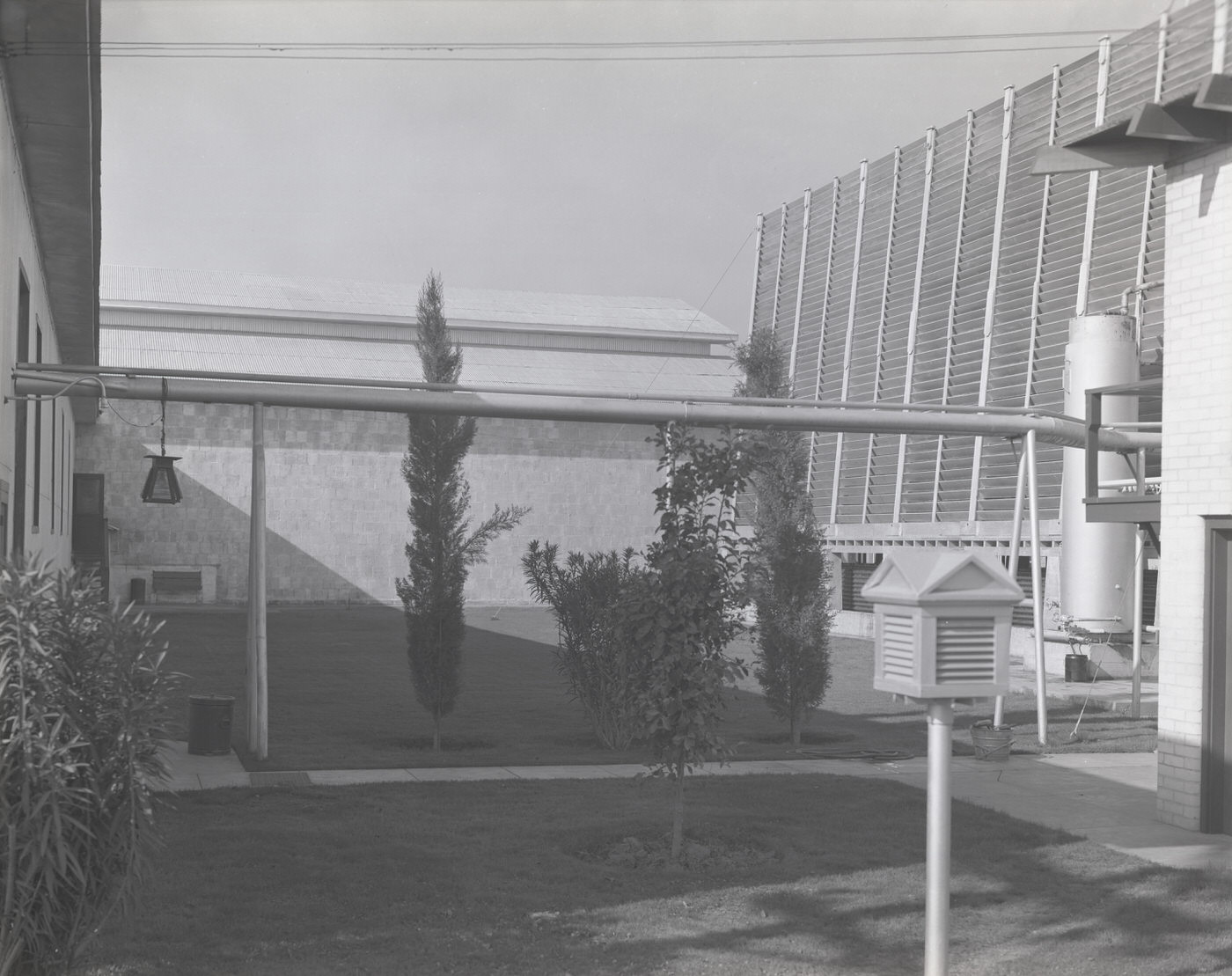
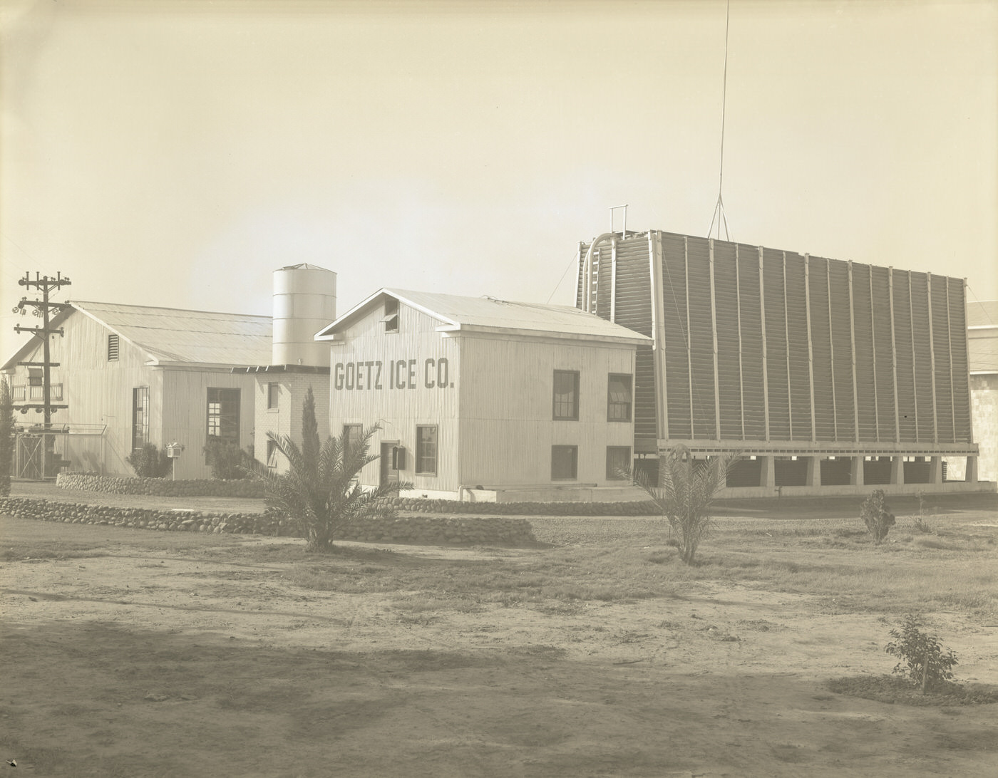
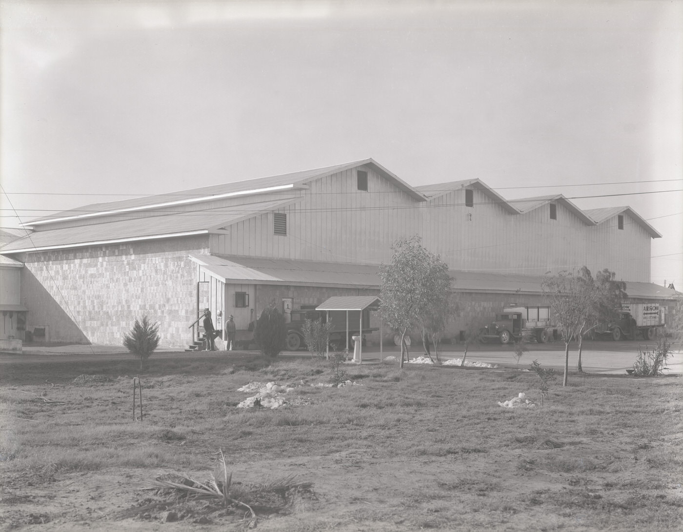
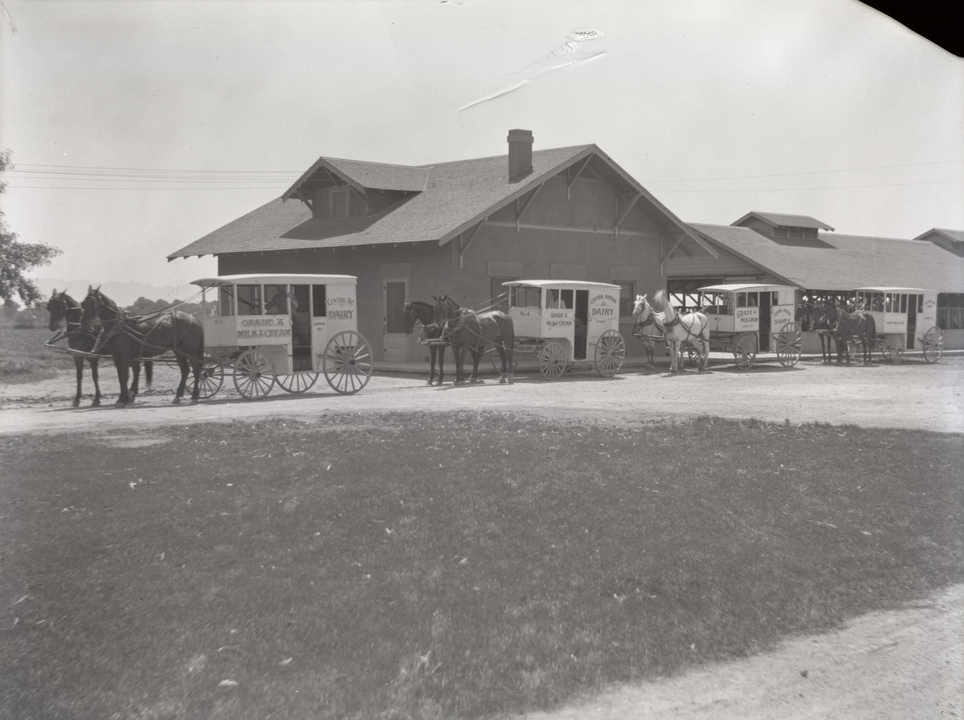
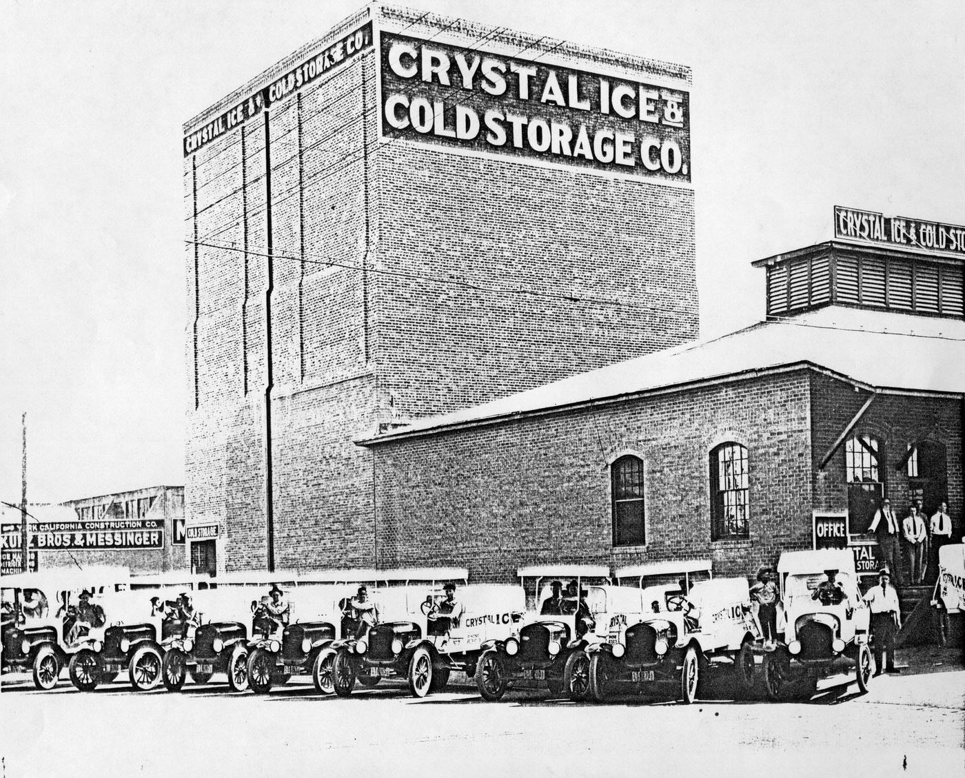
New Deal public works funding flowed into Phoenix throughout the decade, supporting road construction and infrastructure upgrades that shaped the city’s physical layout for years to come. Brown-Bevis Equipment Co. operated paving machinery as part of this broader effort. Ice companies like Goetz Ice Co., Crystal Ice & Cold Storage, and Five Points Ice & Fuel Co. remained essential providers in a desert city without widespread refrigeration. The Central Avenue Dairy still ran horse-drawn milk wagons alongside motorized vehicles, a blend of old and new that characterized much of daily life in 1930s Phoenix.
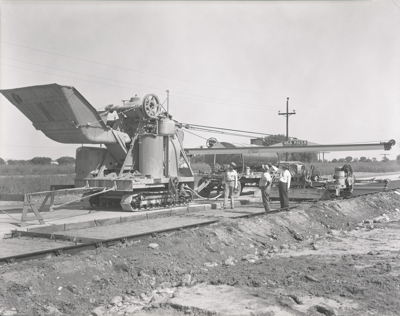
Brown-Bevis Equipment Co. Paving Machinery, 1930s
Crystal Ice & Cold Storage Co.: Exterior of Building and Trucks, 1930s
Central Avenue Dairy with Horse-Drawn Milk Wagons in Front, 1930s

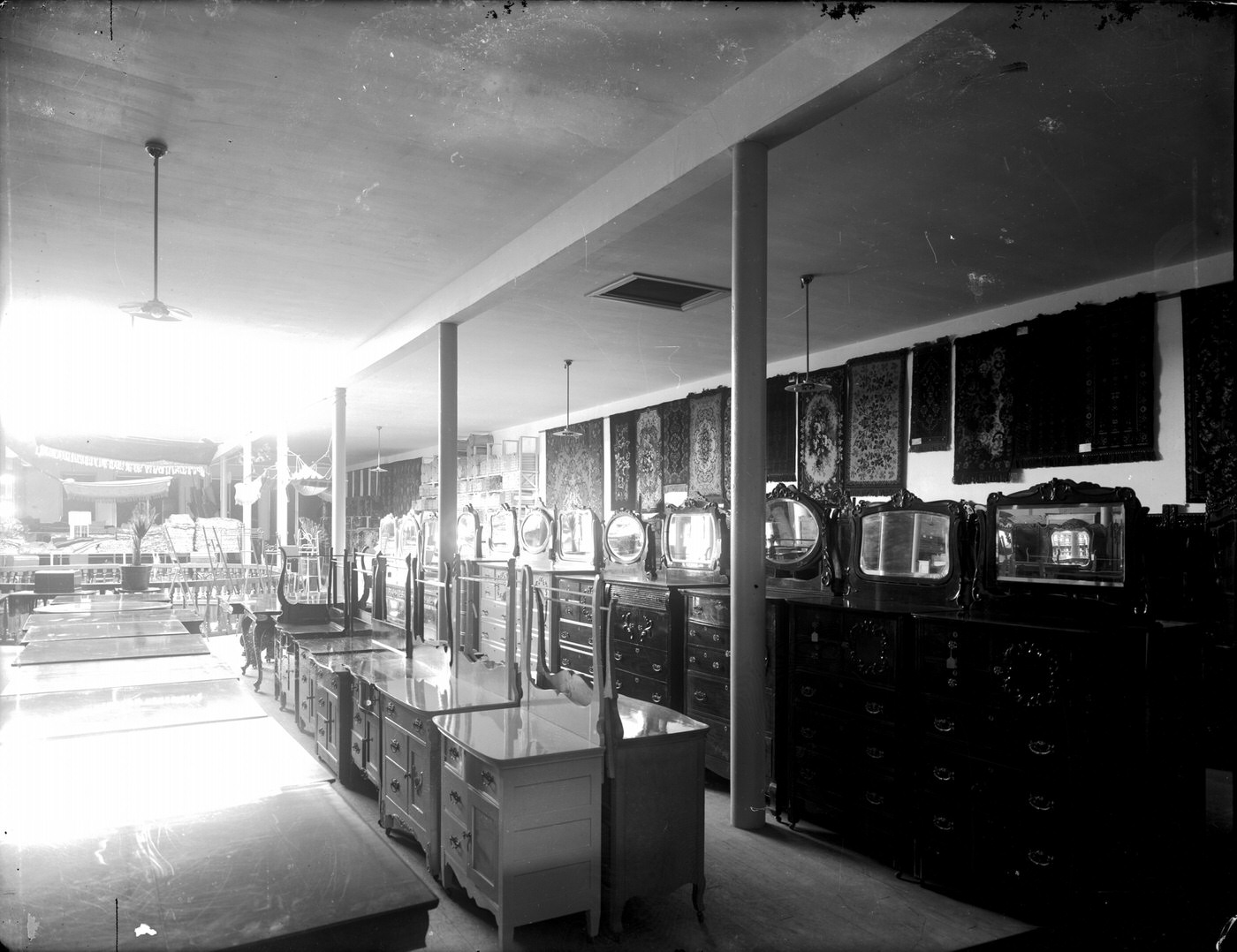
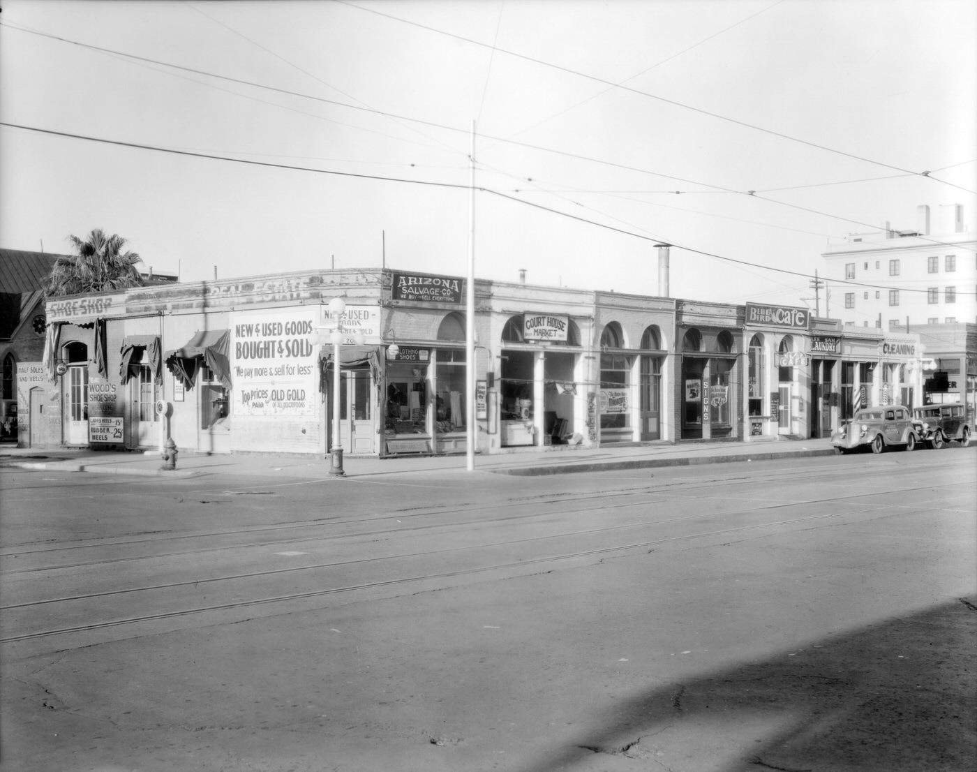
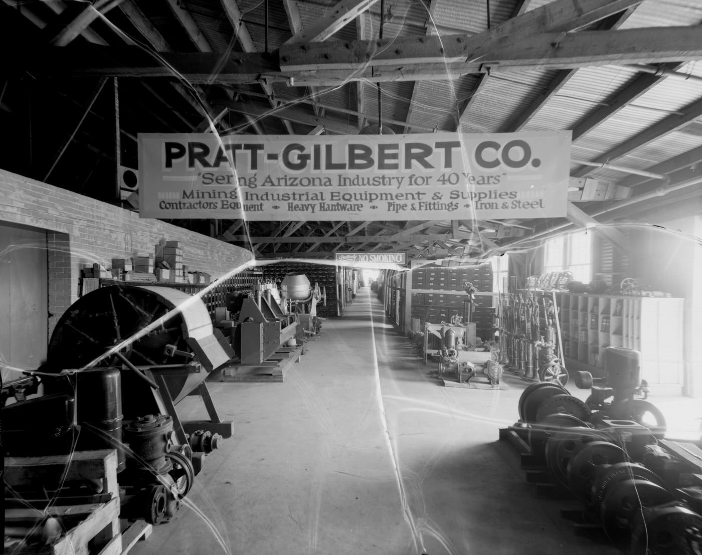
Retail life in downtown Phoenix covered the full range from department stores to hardware shops. J.J. Newberry Co. ran a busy store interior filled with goods. Pratt-Gilbert Hardware Co. maintained both a rebuilt-parts department and a full store floor. Dorris-Heyman Furniture Company displayed its wares in a well-organized showroom. The southwest corner of Second Avenue and Washington Street was dense with small businesses — Arizona Salvage Co., the Court House Market, the Blue Bird Café, and Wood’s Shoe Shop all operating within steps of each other. These were the blocks where Phoenix residents did their shopping, handled their business, and moved through their daily routines.
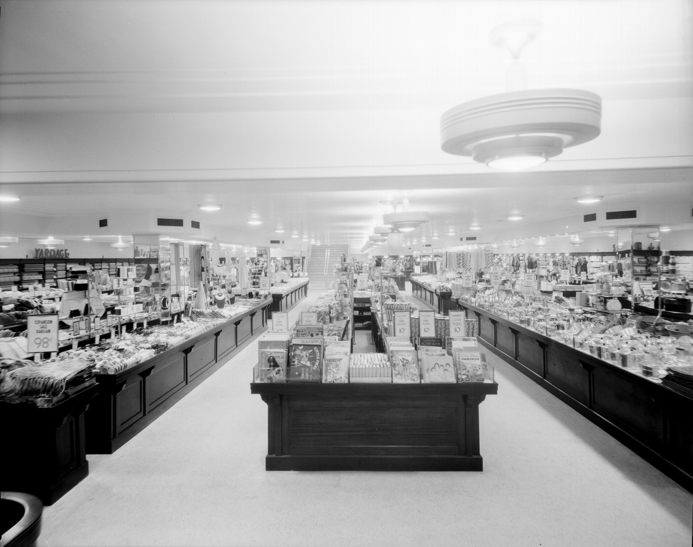
J. J. Newberry Co. Store Interior, 1930s
Pratt-Gilbert Hardware Co. Store Interior, 1930s
Dorris-Heyman Furniture Company: Interior View, 1930s
Southwest Corner of Second Ave. and Washington St., 1930s. Arizona Salvage Co., the Court House Market, the Blue Bird Café, and Wood's Shoe Shop are visible.
Southwest Corner of Second Ave. and Washington St., 1930s. Arizona Salvage Co., the Court House Market, the Blue Bird Café, and Wood’s Shoe Shop are visible.

What the photographs from 1930s Phoenix show, taken together, is a city that refused to stay still. Businesses opened and advertised. Hotels filled with guests. Roads were paved. Schools turned out graduates. Churches held services. Ranches welcomed tourists. Even during the worst years of the Great Depression, Phoenix kept building — physically and socially. These images are what that process looked like, block by block, business by business, face by face.
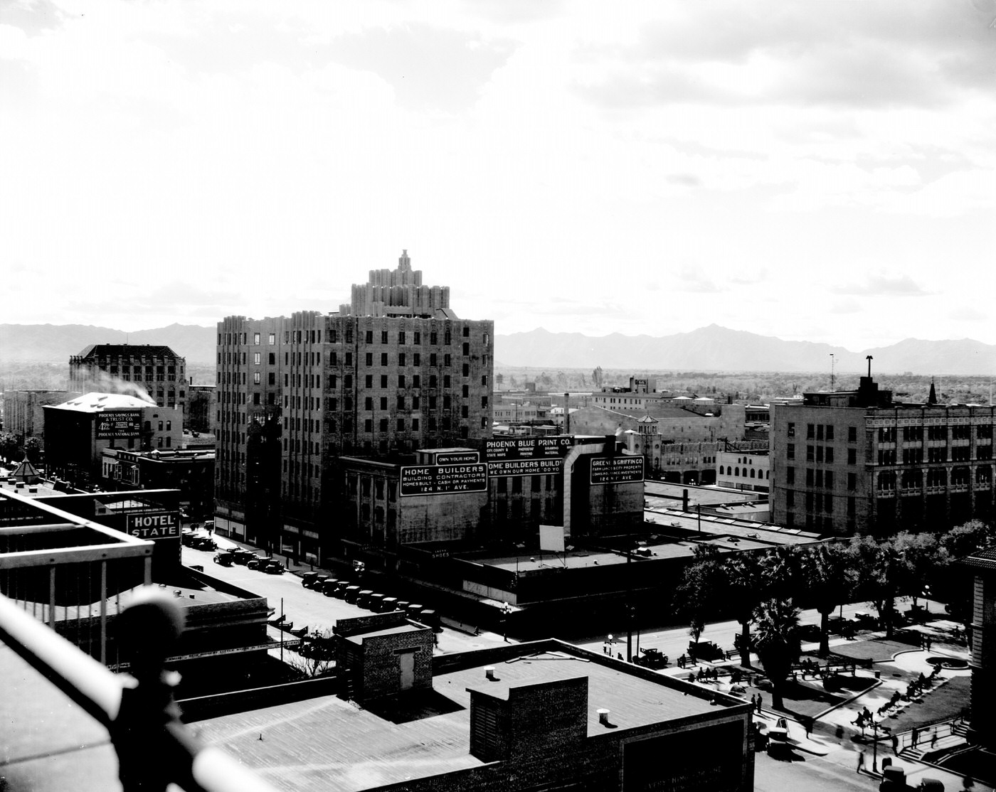
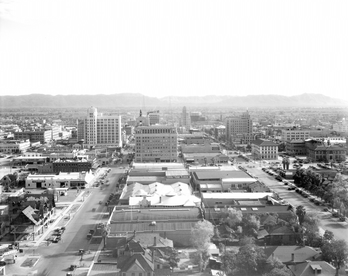
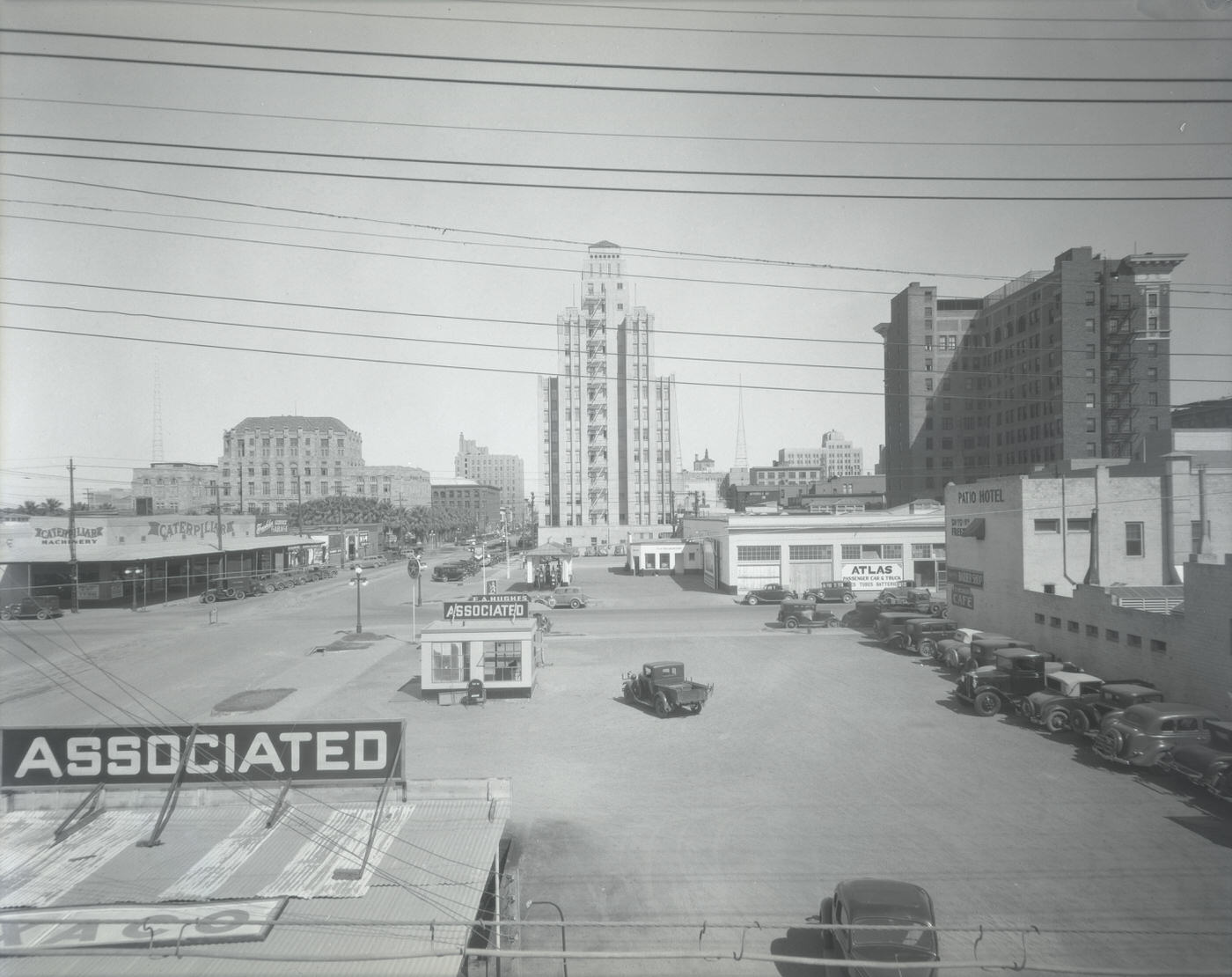
View of Phoenix From the Security Building, 1930s
View of Phoenix From the Westward Ho Hotel, 1930s
Phoenix Motor Co. Building Exterior, 1930s
Southwest Fruit Growers Building Exterior and Truck, 1930s
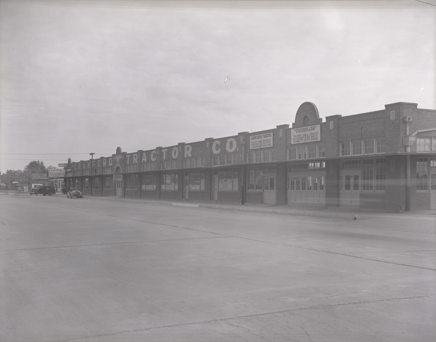
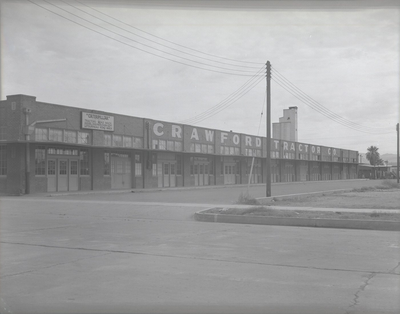
Crawford Tractor Company Building, 1930s
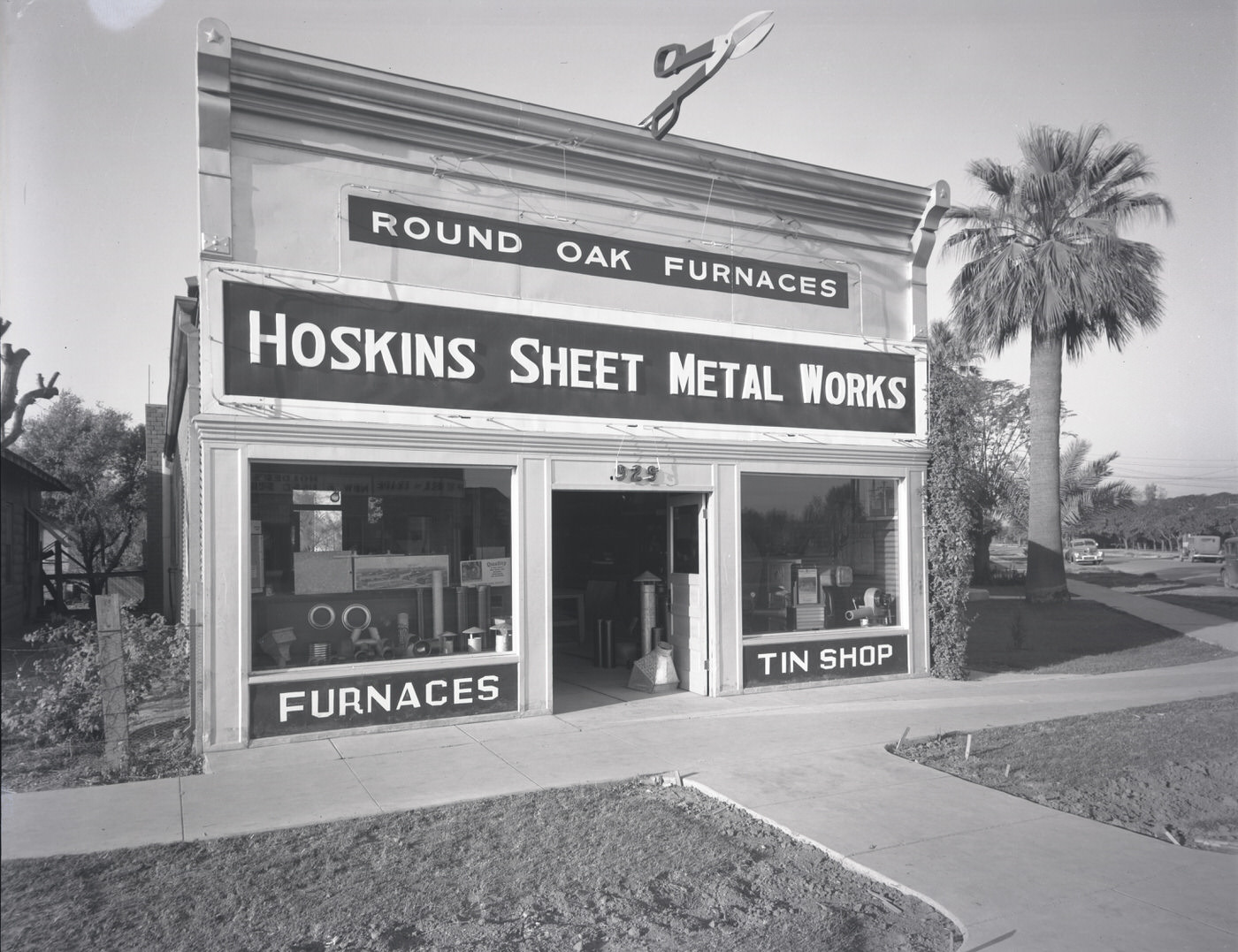
Hoskins Sheet Metal Building Exterior. This building stood at 929 Grand Ave. in Phoenix, 1930s
Rural Intersection, 1930s
Tractors, 1930s
Tractors, 1930s
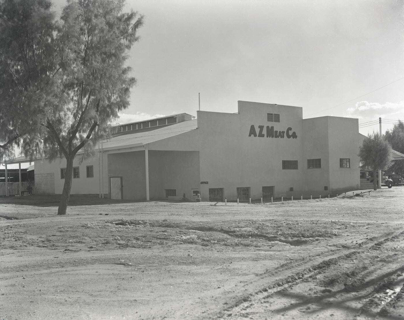
Arizona Meat Company Building, 1930s
S. Central Ave. Near Madison, 1930s
U.S. Tire and Rubber Co. Test Fleet, 1930s
Jaycee Rodeo Parade Moving South on Central Avenue at Taylor Street, 1930s
Alabam Freight Co. Truck Outside Building, 1930s
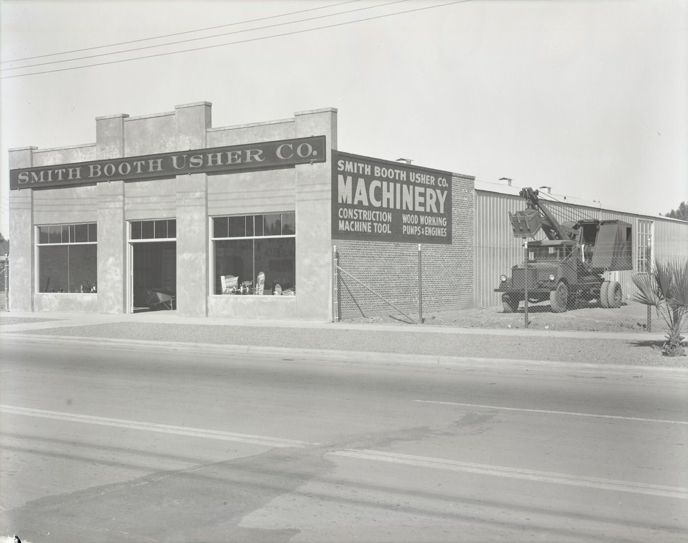
Smith Booth Usher Co. Building Exterior, 1930s
Christian Science Church Building Exterior. This church was located at First St. and Roosevelt Rd. The date assigned to this photograph is approximate, 1930s
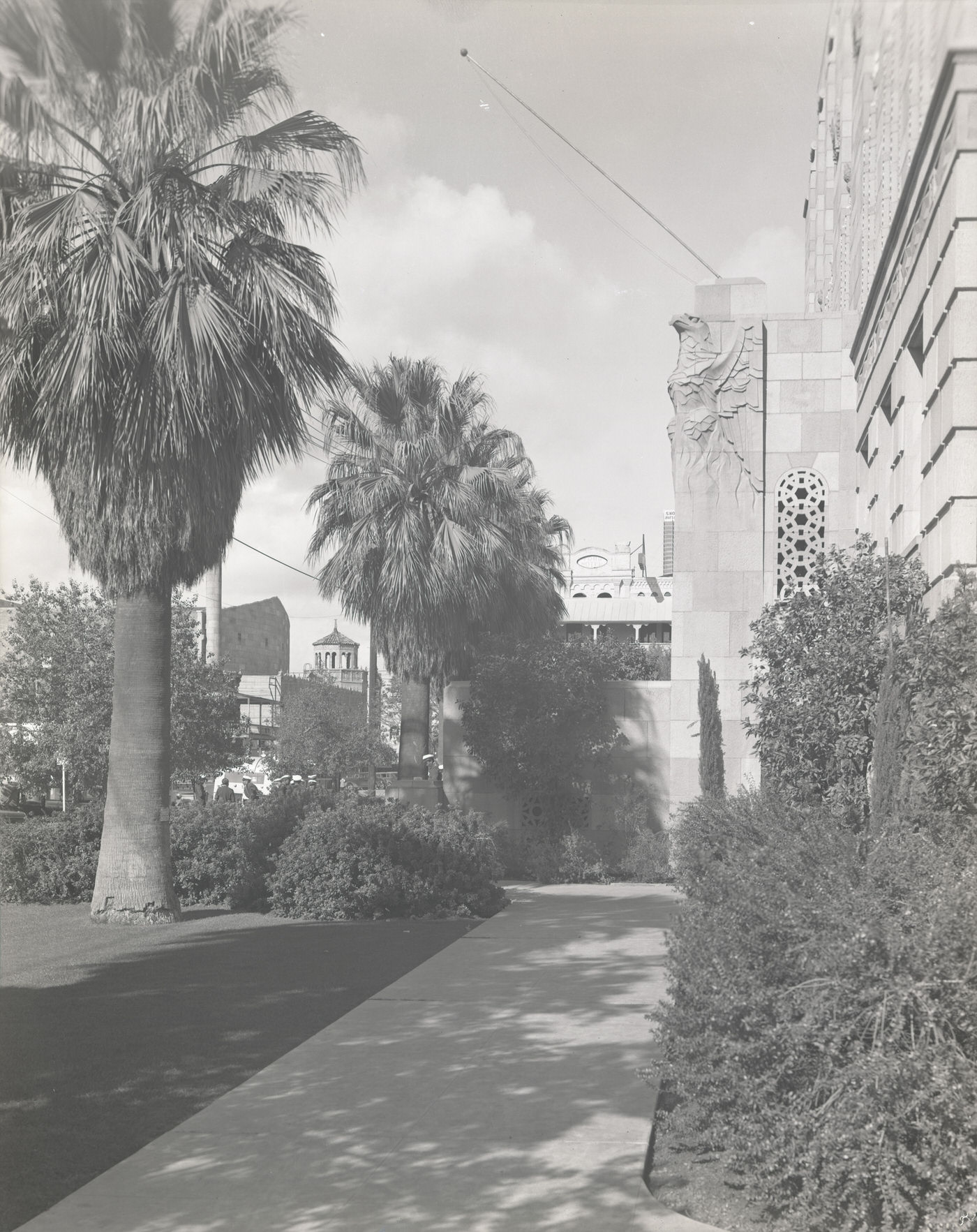
Path Running Alongside Phoenix City Hall, 1930s
Luhrs Hotel Exterior, 1930s
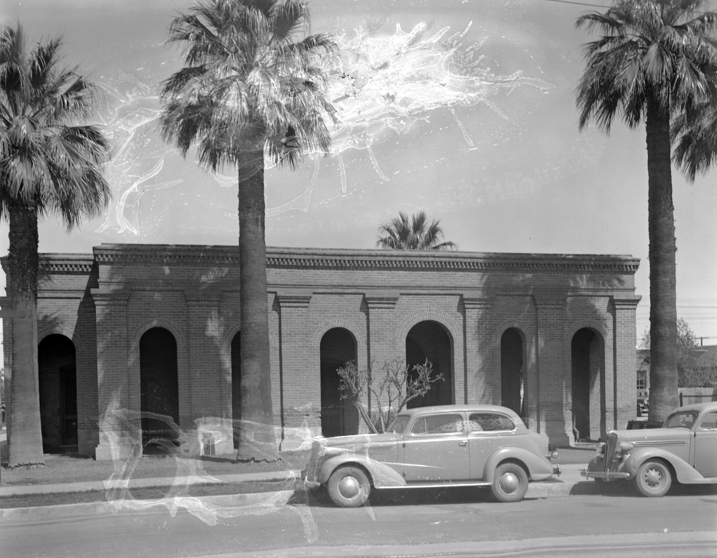
Mormon Temple Exterior, 1930s
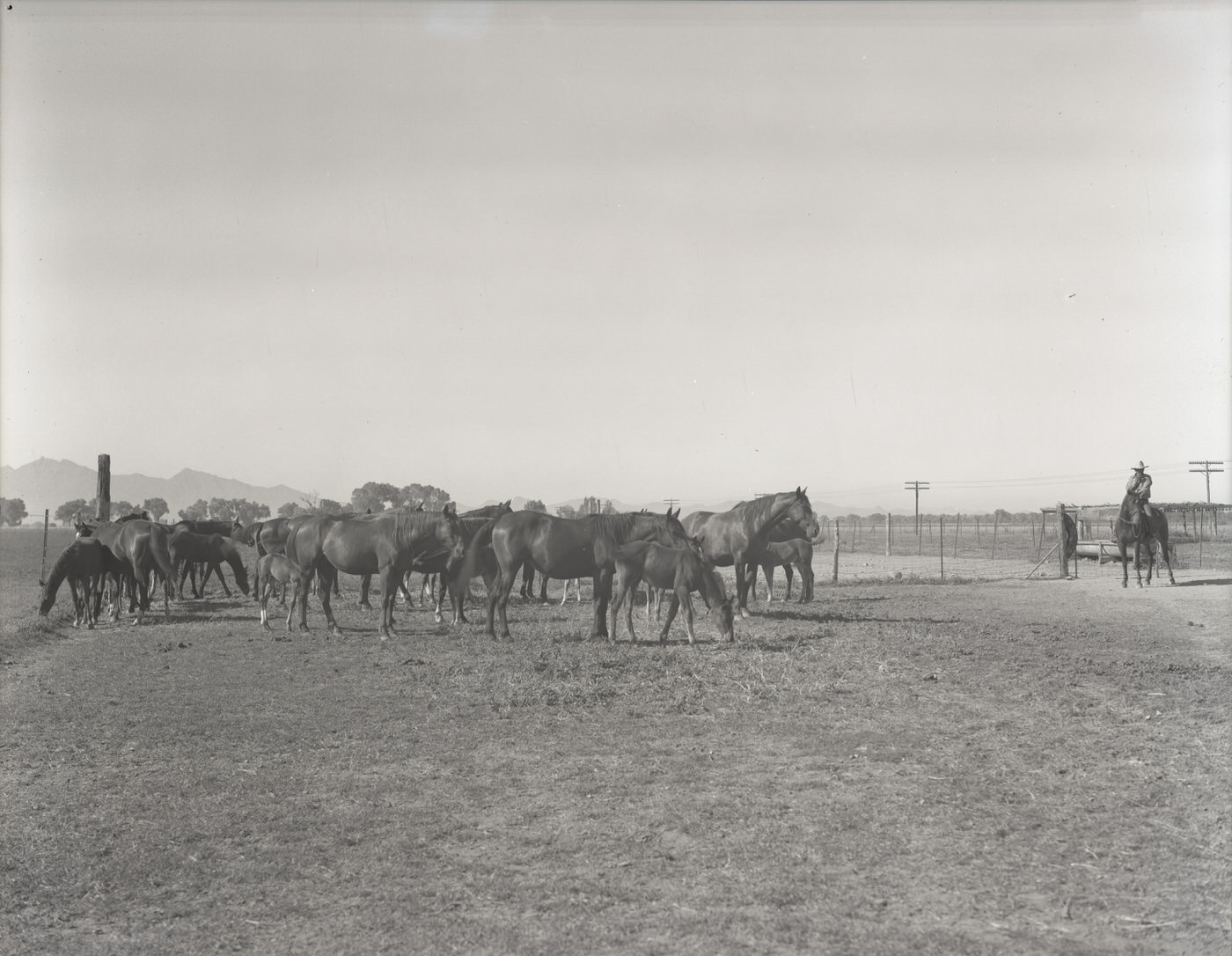
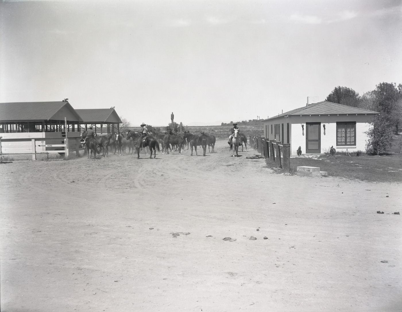
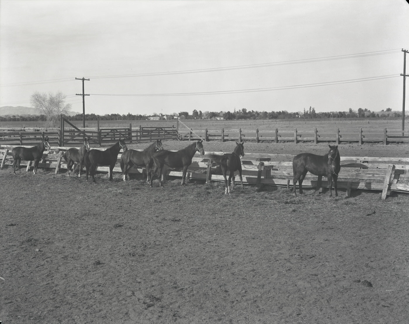
Horses in a Corral, 1930s
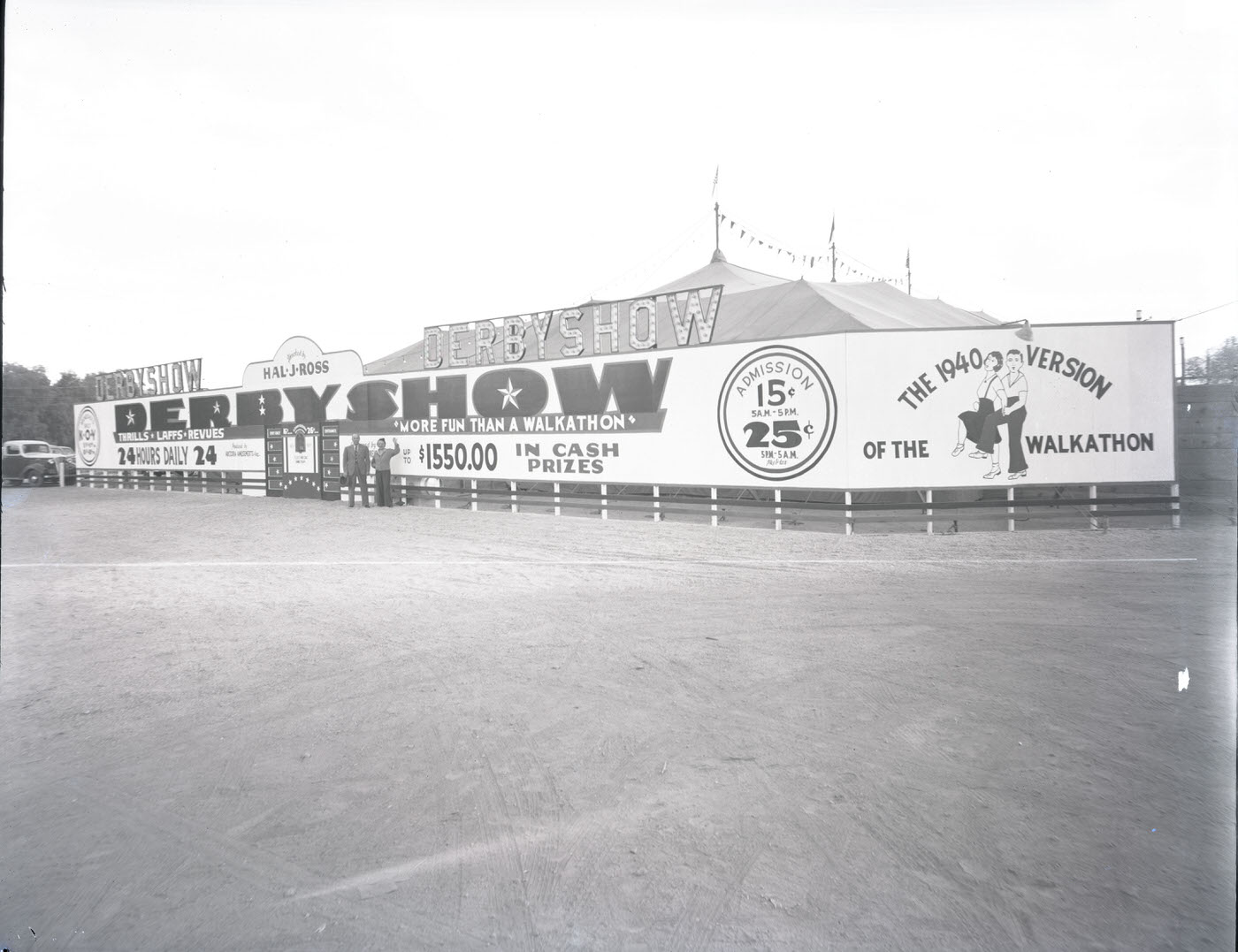
Hal J. Ross Derby Show, 1930s
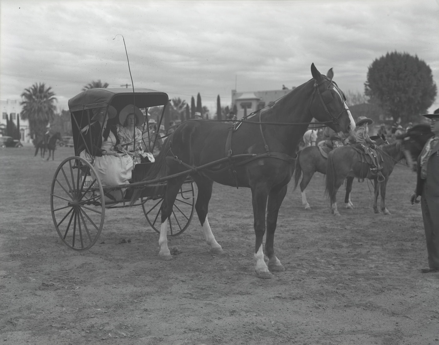
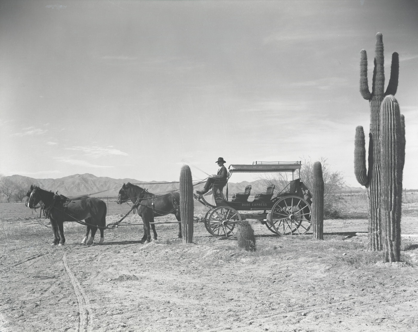
Henry Chambers Horse and Buggy Company Vehicle, 1930s
Jaycee Rodeo Parade Moving South on Central Past Monroe, 1930s
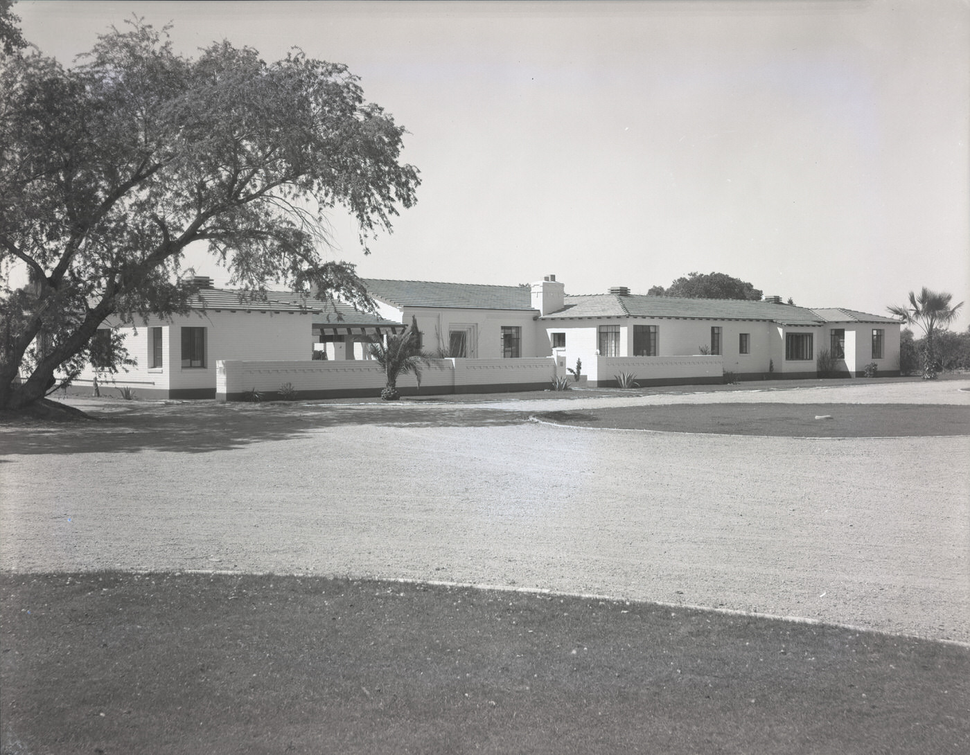
J. J. Lewis Residence Exterior, 1930s
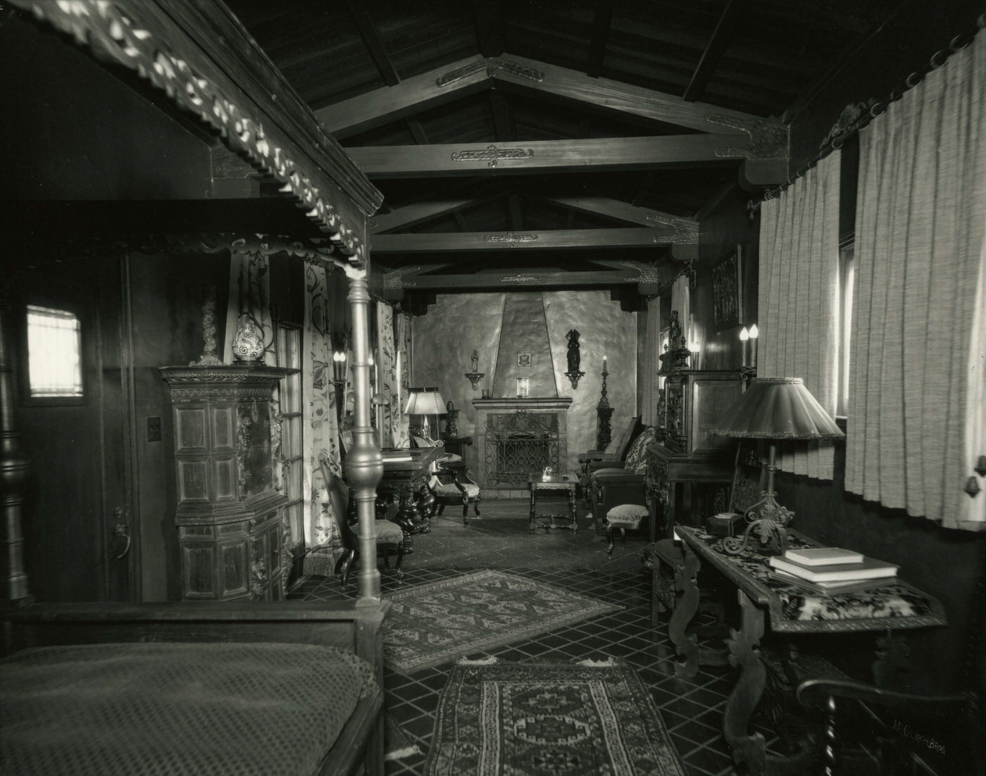
J. J. Lewis Residence Bedroom, 1930s
Wigwam Resort Horse Corral, 1930s
Chuck Wagon From the Wigwam Resort, 1930s
Wigwam Resort Guests, 1930s
Arizona State House Annex, 1930s
Soda Springs Ranch Guests Swimming, 1930s
First National Bank Building Exterior, 1930s. This bank was located at Central Ave. and Washington St. in Phoenix.
Chambers Transfer and Storage Co. Building Exterior. This facility was located at 42 S. 4th Ave. in Phoenix.
Five Points Ice & Fuel Co.: Exterior of Building and Trucks; Phoenix, Arizona, 1930s
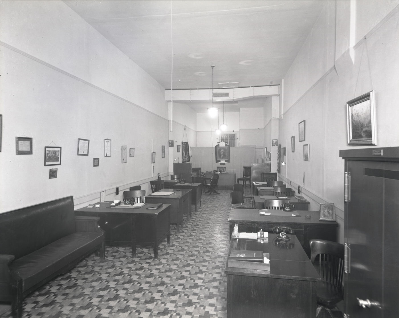
A. D. McClain Realty Interior View, 1930s
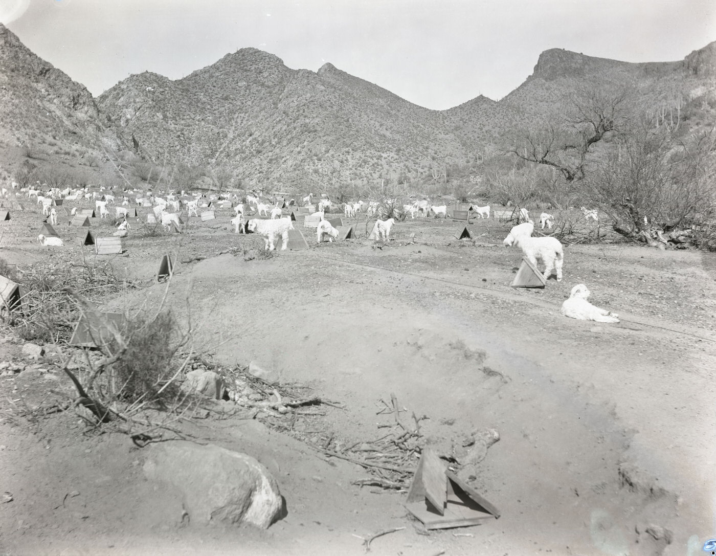
Sheep in a Field, 1930s
Lazy R C Ranch Guests on Horseback, 1930s
Beaver Creek Ranch Guests on Grounds, 1930s
Monte Vista Ranch Guests, 1930s
Rancho del Sol Guests on the Desert, 1930s
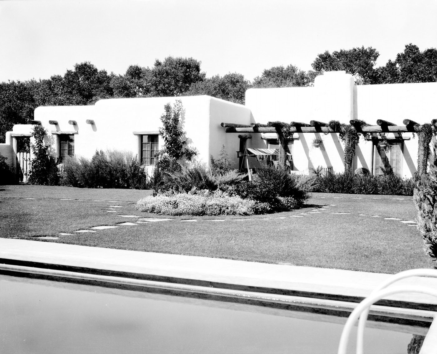
Residence, 1930s
Residence, 1930s
Goetz Ice Co. Building Exterior, 1930s
Ryder Family Group, 1930s
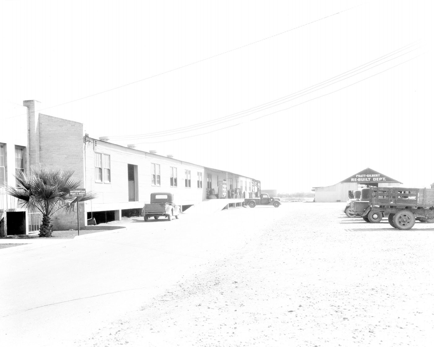
Pratt-Gilbert Hardware Co. Re-Built Department, 1930s
Parade in Wickenburg, Arizona, 1930s
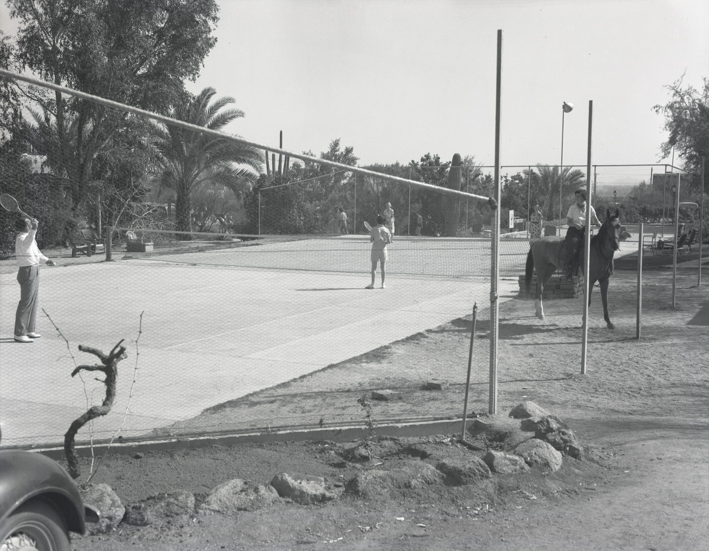
Jokake Inn Guests Playing Tennis, 1930s
Westward Ho Hotel Guests on Grounds, 1930s
Employees in Front of Nehi Bottling Co. Building, 1930s
Churchill Residence, 1930s. This home was located at 2nd and Monroe Streets.
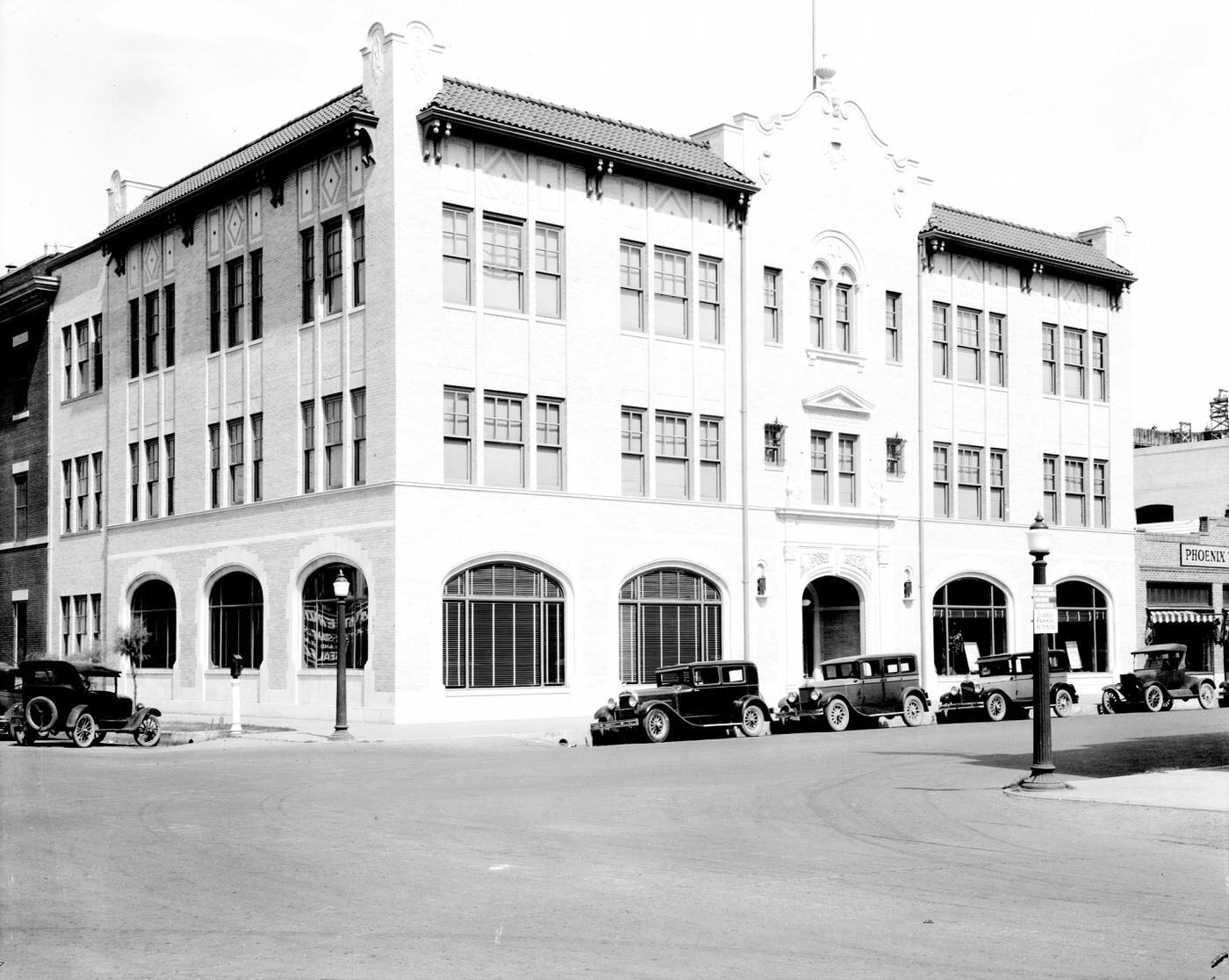
Monihan Building Exterior, 1930s. This building was located at First Ave. and Washington St. in Phoenix.
Parade in Wickenburg, 1930s
Luhrs Tower Exterior. The Luhrs Tower stands at First Ave. and Jefferson St. in Phoenix.
Professional Building Exterior, 1930s. This building was located on the corner of Central Ave. and Monroe Rd. in Phoenix.
First Avenue and Jackson Street, 1930s
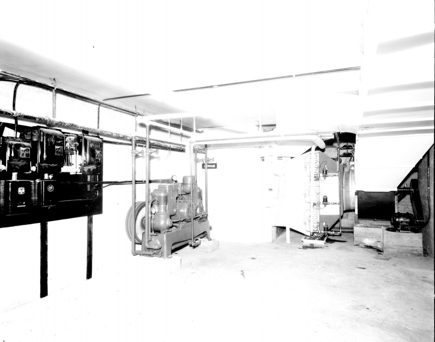
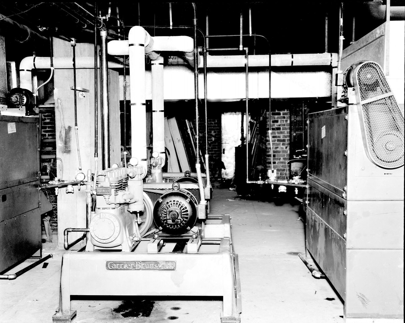
Refrigeration Unit at McDougal and Cassau Cooling Systems, 1930s
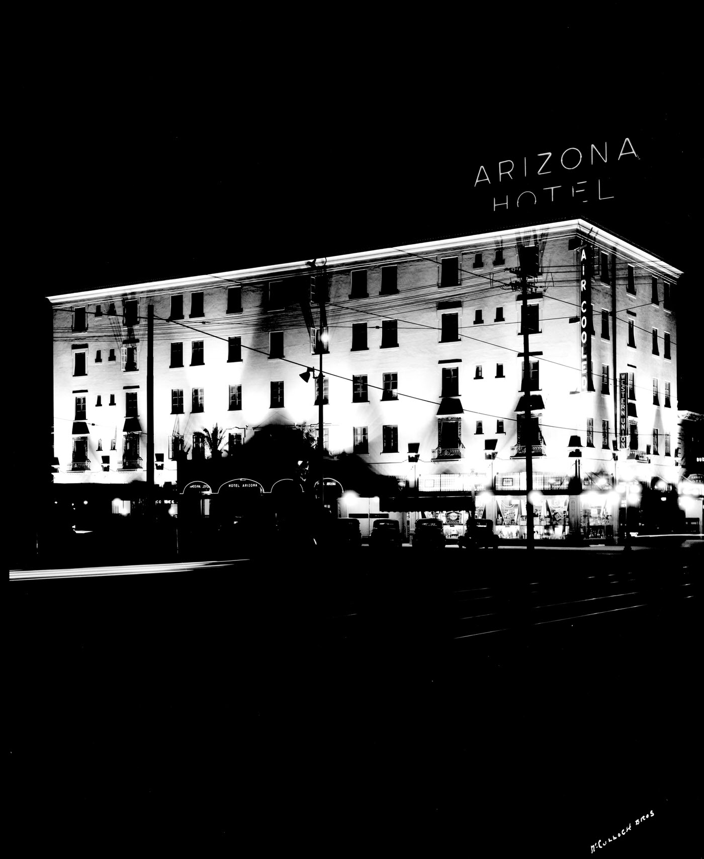
Arizona Hotel at Night, 1930s
Carrier Brunswick Refrigeration Unit at the Arizona Hotel, 1930s
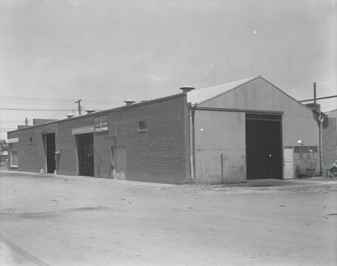
Neil B. McGinnis Co. Building Exterior, 1930s
Goodyear Tire & Rubber Co. Store Exterior, 1930s
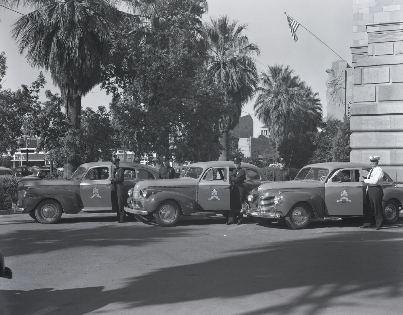
Phoenix Fire Marshals by Their Cars, 1930s
School in Hayden, Arizona, 1930s
Copper Mine, 1930s
Copper Mine, 1930s
Houses in Ray, Arizona, 1930s
Copper Mine, 1930s
Copper Mine, 1930s
School in Hayden, Arizona, 1930s
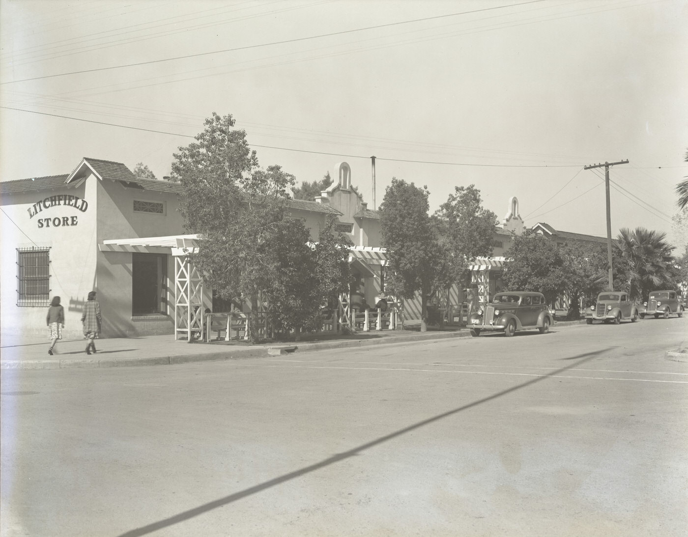
Litchfield Boulevard, 1930s
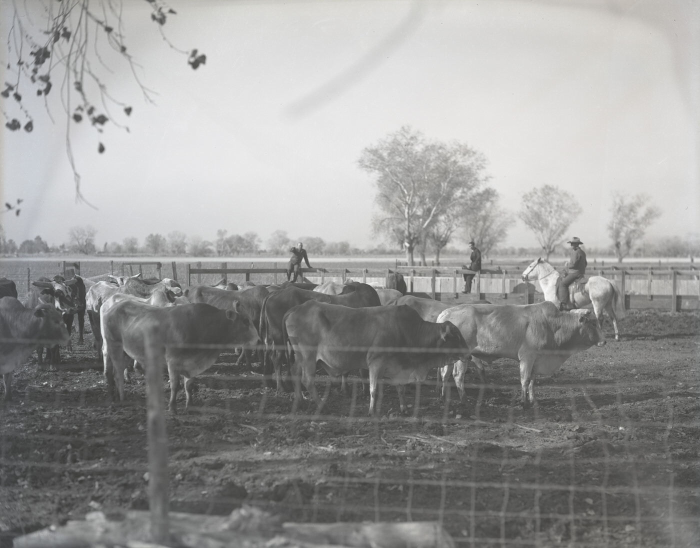
Brahma Bulls in a Corral, 1930s
Shopping Center in Ajo, Arizona, 1930s
Luhrs Building Exterior, 1930s
Brophy College Exterior, 1930s
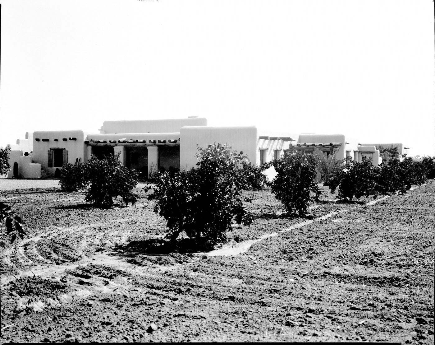
Ranch House on Citrus Ranch. This ranch was located on Northern Ave. in Phoenix, 1930s
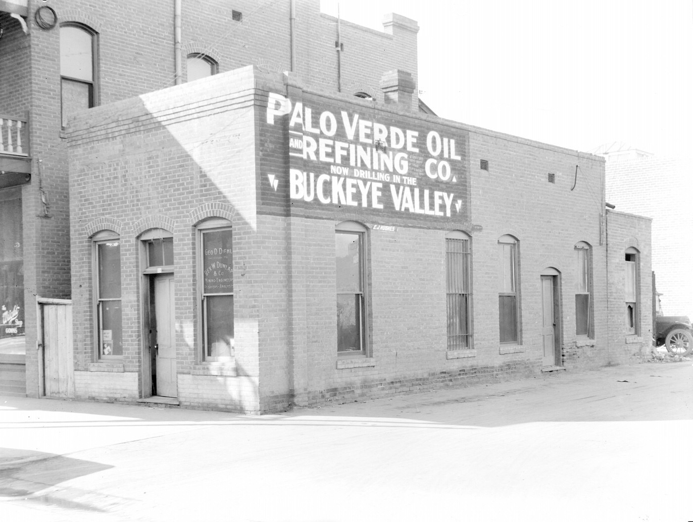
George D. Diehl Building, 1930s. Sign on the building reads "Palo Verde Oil and Refining Co. Now Drilling in the 'Buckeye Valley.'" This building was located at 18 N. 2nd Ave. in Phoenix.
George D. Diehl Building, 1930s. Sign on the building reads “Palo Verde Oil and Refining Co. Now Drilling in the ‘Buckeye Valley.'” This building was located at 18 N. 2nd Ave. in Phoenix.
Wigwam Resort Guests on Grounds, 1930s
Horse Remuda, 1930s
Horse Remuda, 1930s
Wigwam Resort Guests, 1930s
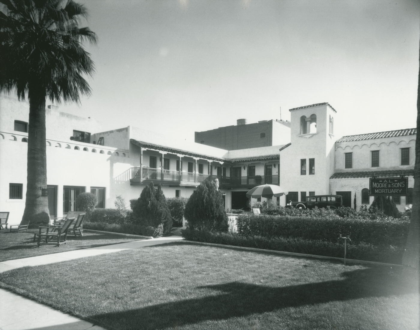
A. L. Moore and Sons Mortuary Exterior View, 1930s
A. L. Moore and Son Mortuary Exterior View. This mortuary was located at 4th Ave. and Adams, 1930s
Grunow Memorial Clinic Exterior, 1930s
Grunow Memorial Clinic Exterior. The Grunow Memorial Clinic is located on McDowell Road in Phoenix, 1930s
Grunow Memorial Clinic Exterior, 1930s
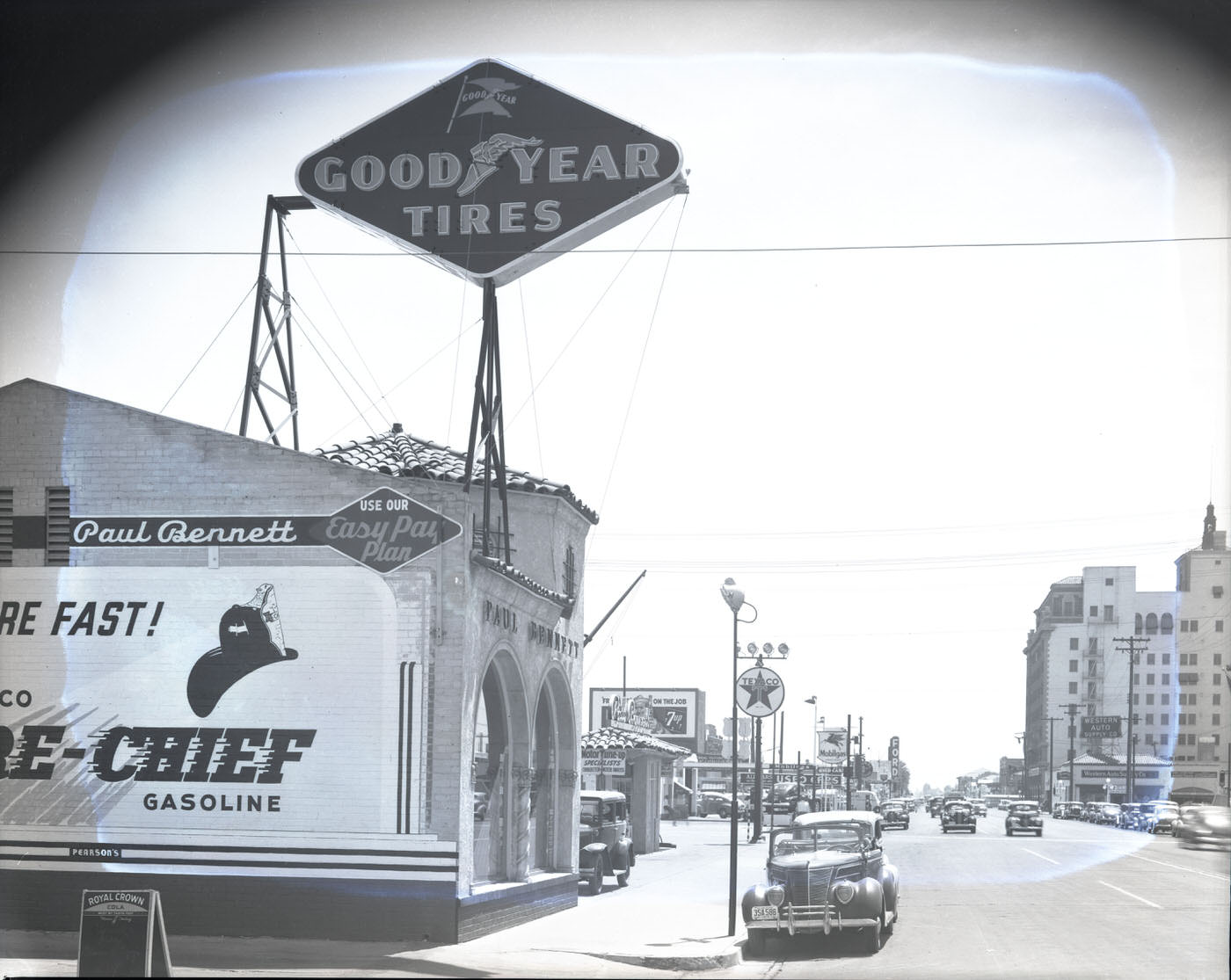
Paul Bennett Service Station Exterior, 1930s
Good Samaritan Hospital Building Exterior, 1930s
Bar FX Ranch Guests on Horseback, 1930s
Bar FX Ranch Guests in Front of Cabin, 1930s
Bar FX Ranch Guests on Grounds, 1930s
St. Joseph's Hospital Exterior, 1930s
St. Joseph’s Hospital Exterior, 1930s
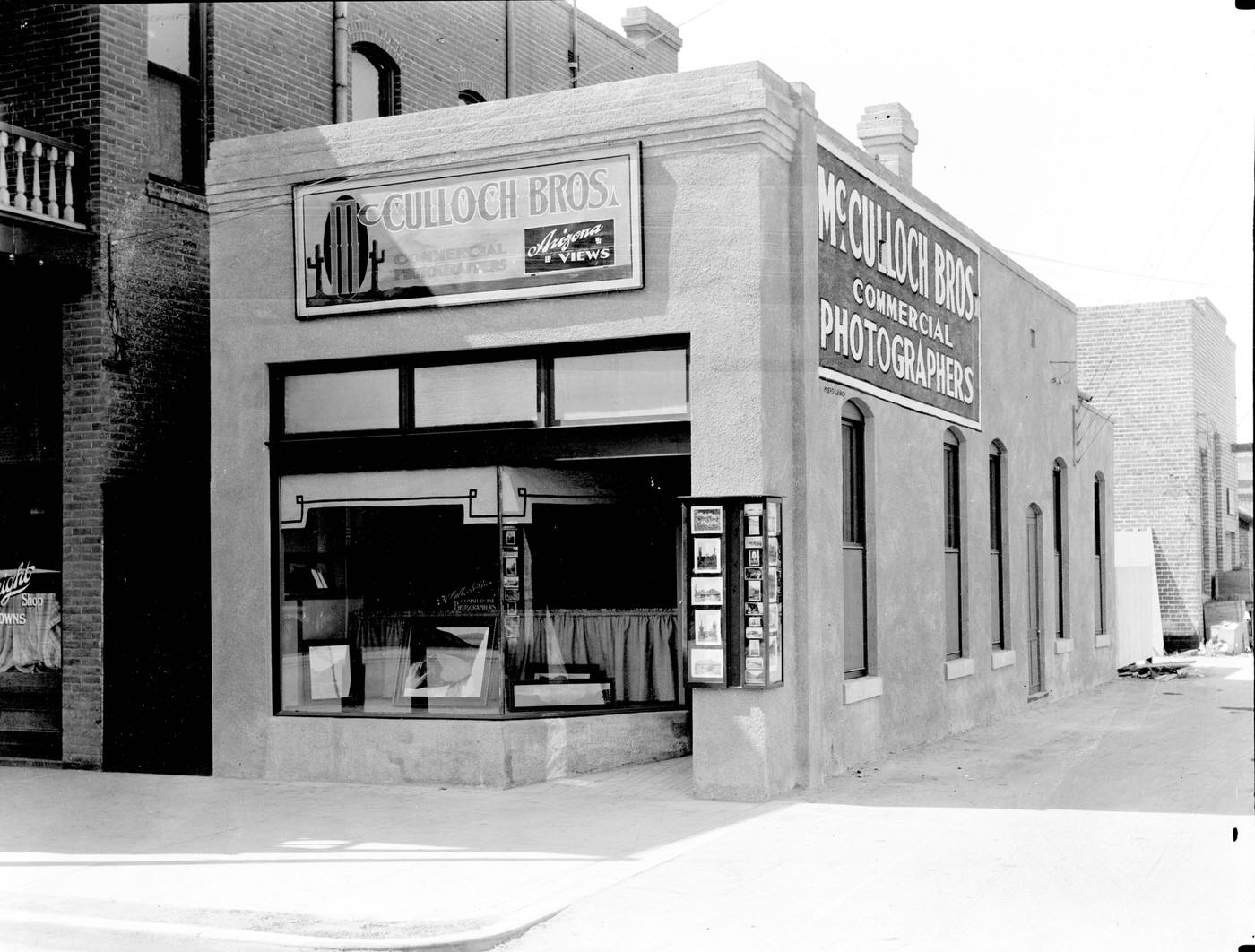
McCulloch Bros. Studio Exterior, 1930s
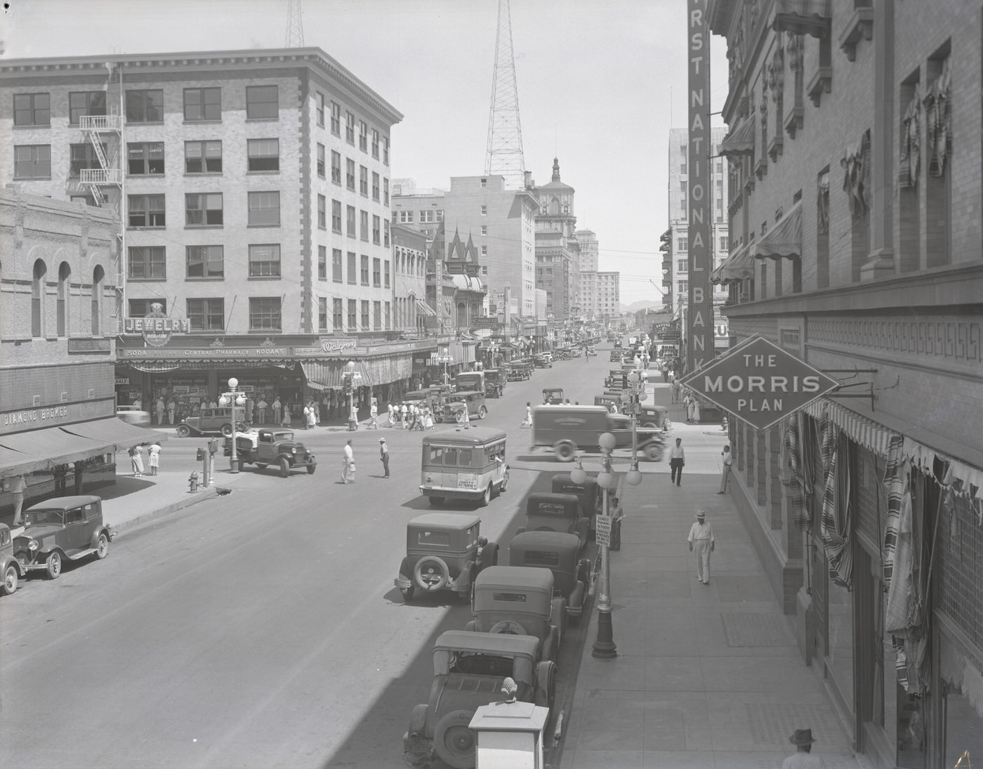
Central Ave. from Luhrs Hotel Balcony on Washington, 1930s
Adams Hotel Exterior, 1930s
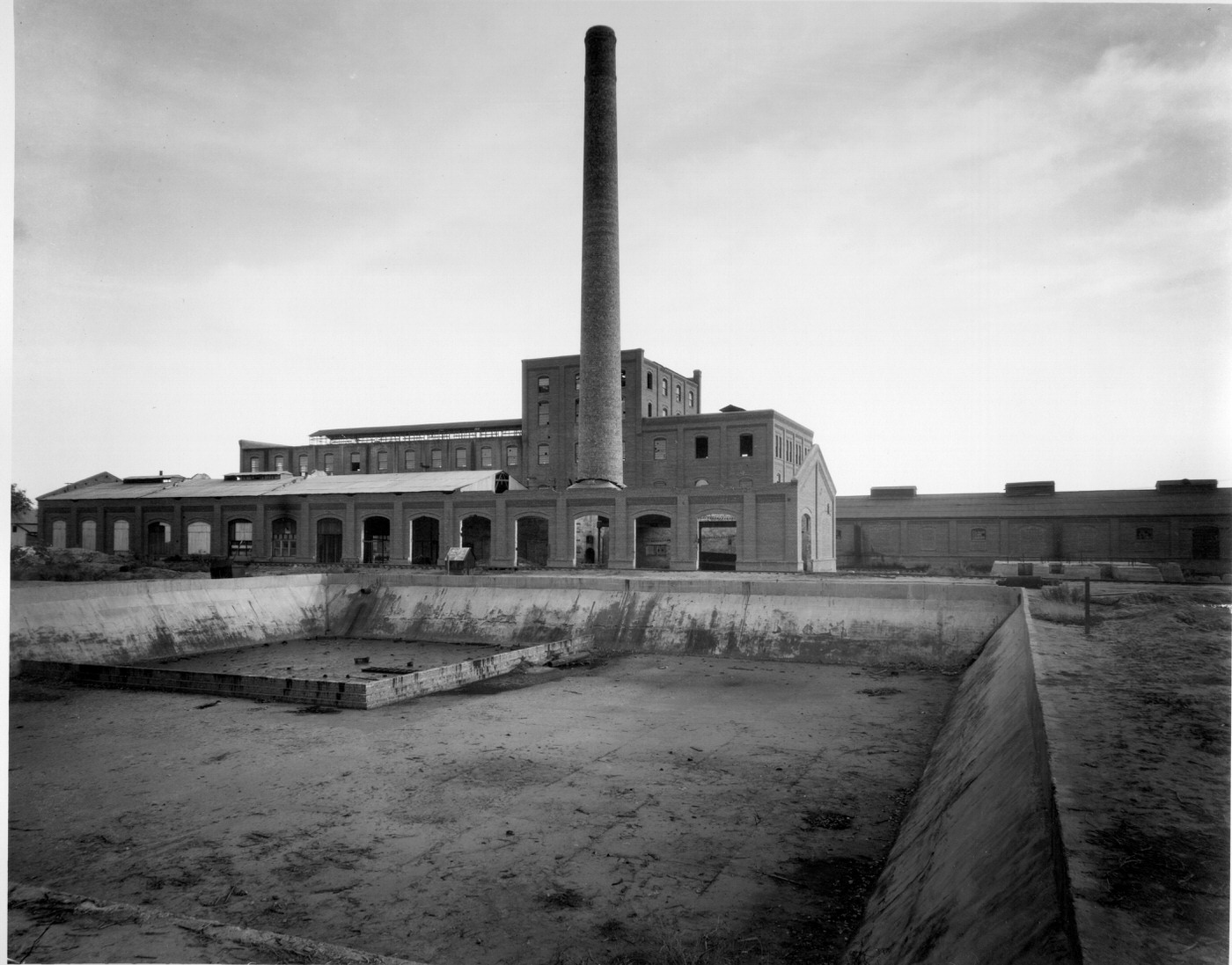
Glendale Sugar Factory, 1930s
Union Station From the Rail Side, 1930s
Milk Wagons Lined at Central Avenue Dairy, 1930s
Union Station From the Rail Side, 1930s
Ford Hotel. The Ford Hotel was located at Second Ave. and Washington St. in Phoenix.
Grace Lutheran Church Exterior, 1930s
Northeast Corner of Washington Street and Central Avenue, 1930s
Telephone Building Exterior, 1930s
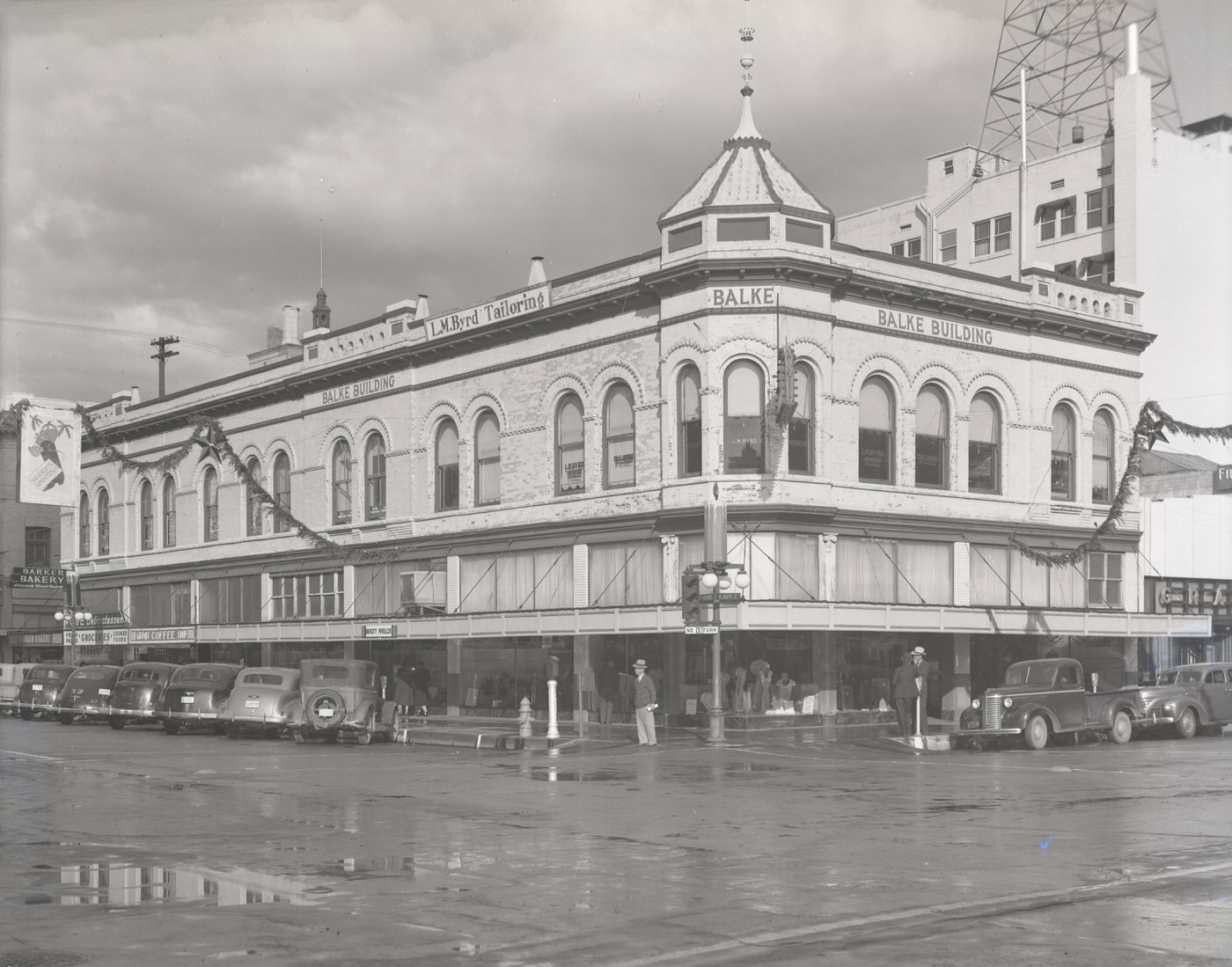
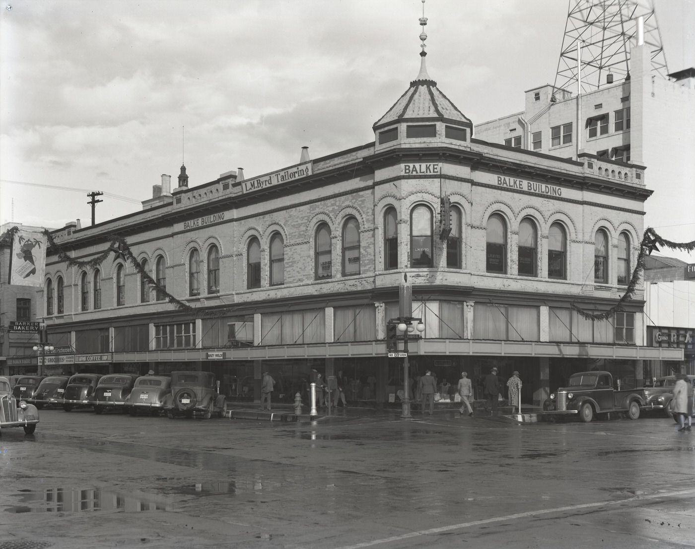
Balke Building, 1930s
Balke Building, 1930s. This building stood on the northeast corner of 1st Avenue and Adams.
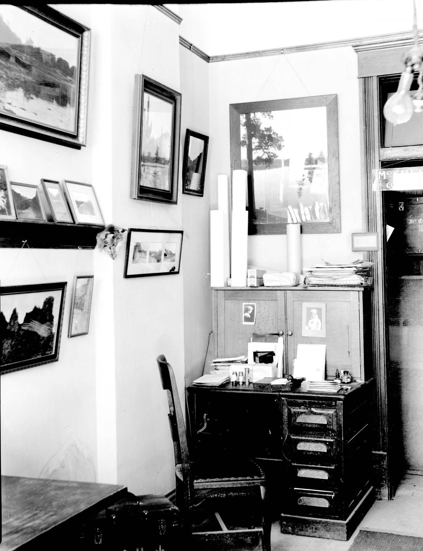
McCulloch Brothers Studio Interior, 1930s
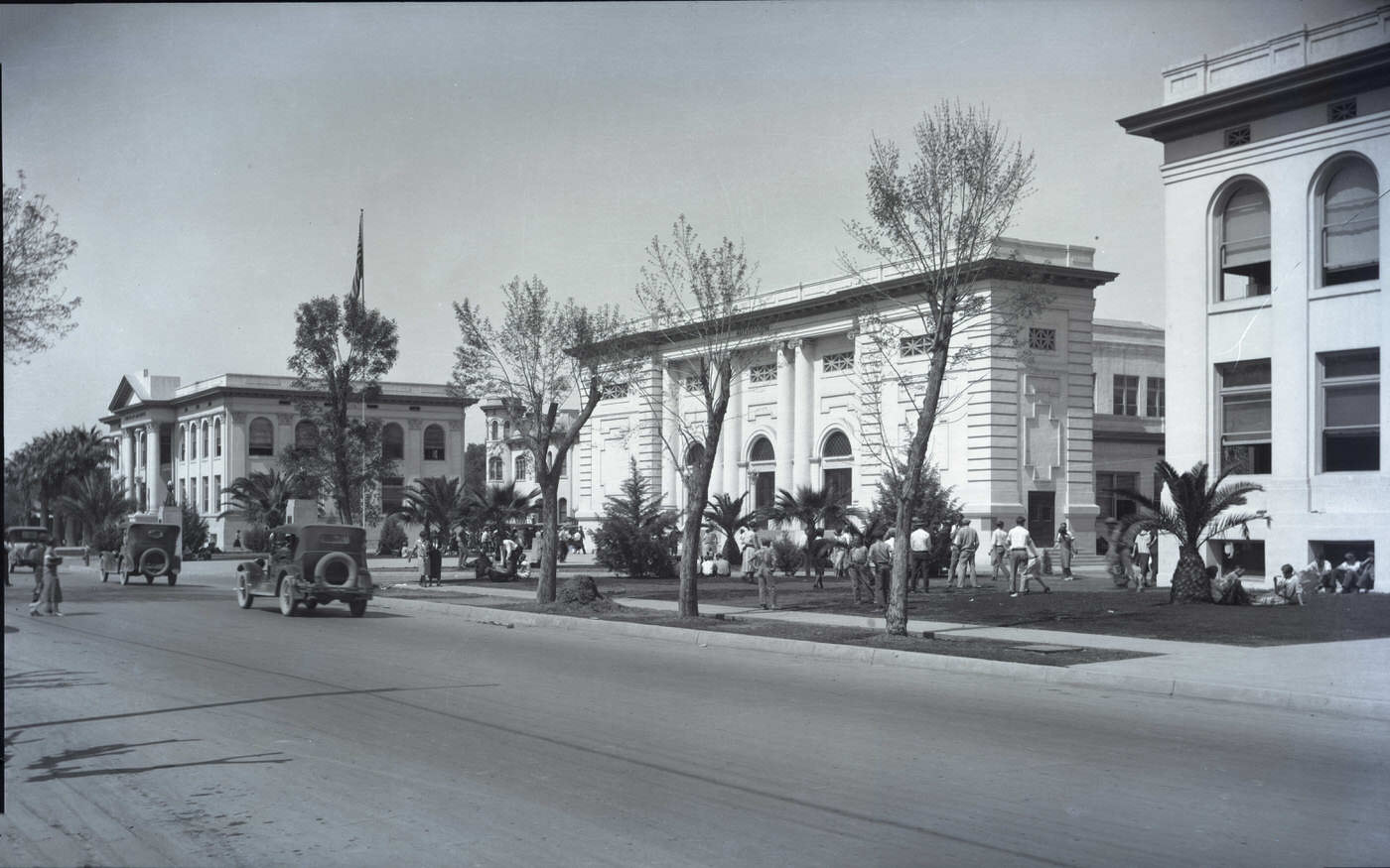
Phoenix Union High School Exterior, 1930s
Pueblo Grande Ruins, 1930s
First and Second Avenues Looking Southeast, 1930s
Grain Harvester, 1930s
Motorized Hay Baler, 1930s
Enjoyed this post? Get new ones in your inbox.

4 thoughts on “Phoenix in the 1930s: A Photographic Journey Through a City's Great Depression Era”

Leave a Comment

Your email address will not be published. Required fields are marked *

Share this Post 🥺

Please take a moment to share this content. Your support is greatly appreciated! 🙌🙏

Share this Post 🥺

Please take a moment to share this content. Your support is greatly appreciated! 🙌🙏
Scroll to Top
 
Hey Friend, Before You Go.. Please like & follow for more interesting content