in

Stunning Historical Photos of Peoria, Illinois in the 1938

Peoria is located about 160 miles southwest of Chicago along the Illinois River, where it widens to form Peoria Lake. It was named after the Peoria Indians, one of the five tribes of the Illinois confederacy, who had long inhabited the area before Europeans arrived. Peoria was incorporated as a village on March 11, 1835.  The city had no mayor, but a village president, Rudolphus Rouse, served from 1835 to 1836. John B Lishk was appointed as the first Chief of Police in 1837. The village president was replaced by William Hale as the first mayor, marking the end of the village presidency.

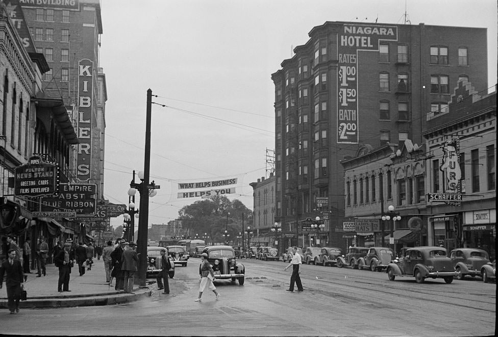
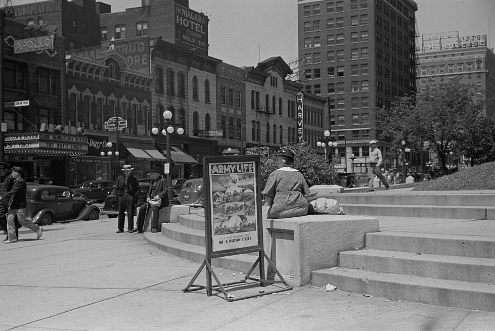
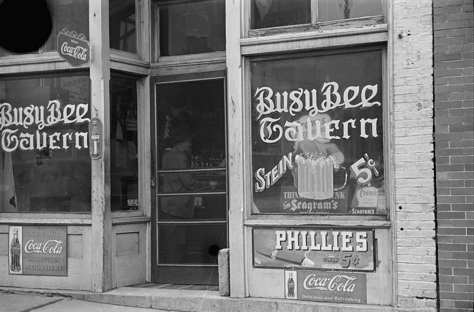
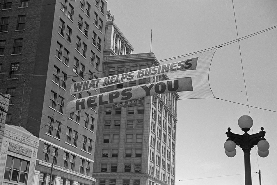
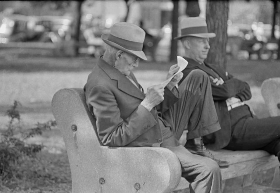
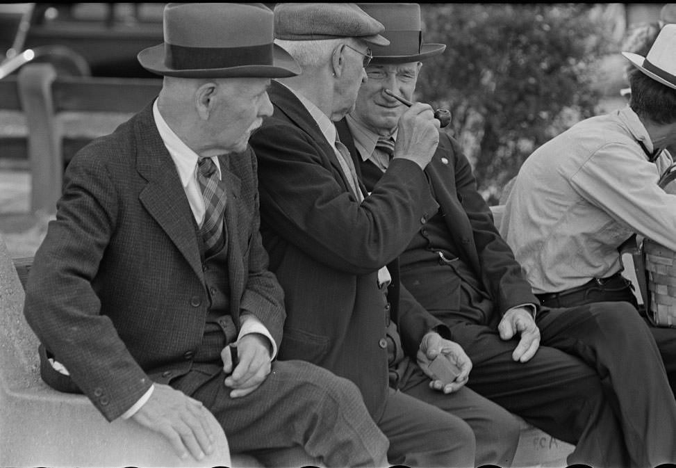
Peoria is a major port on the Illinois River, a trading and shipping center for a predominantly agricultural area with corn, soybeans, and livestock production. Here are some stunning historical photos that show what Peoria looked like in 1938.

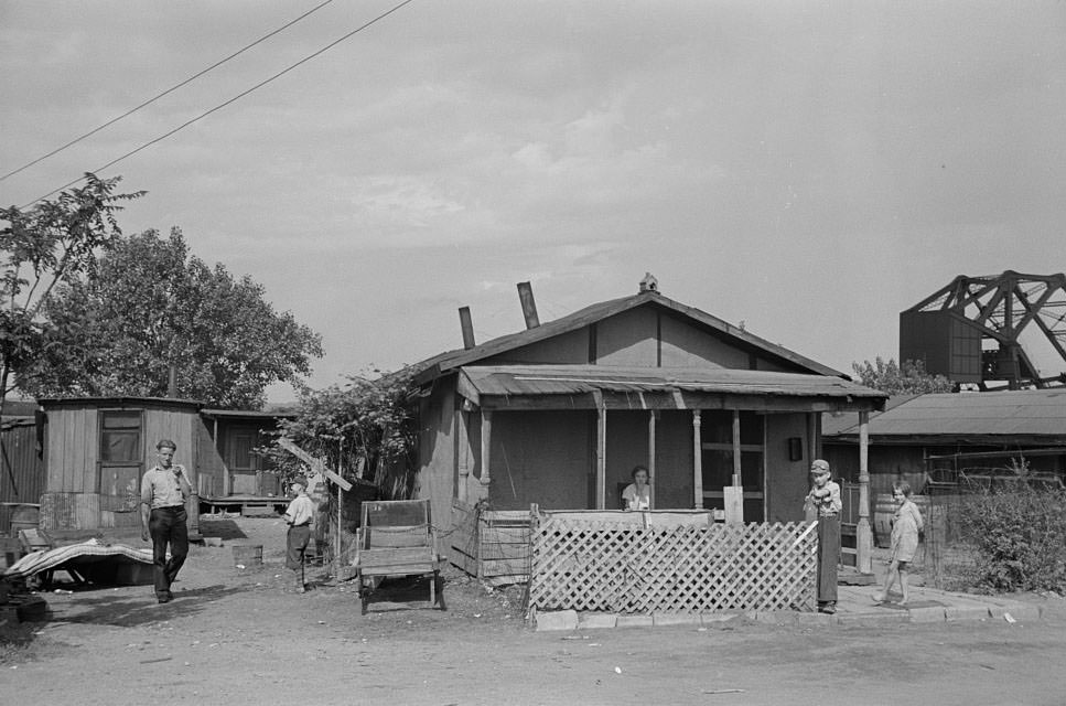
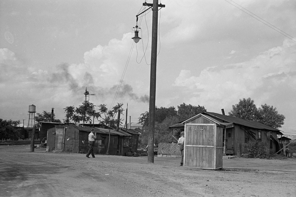
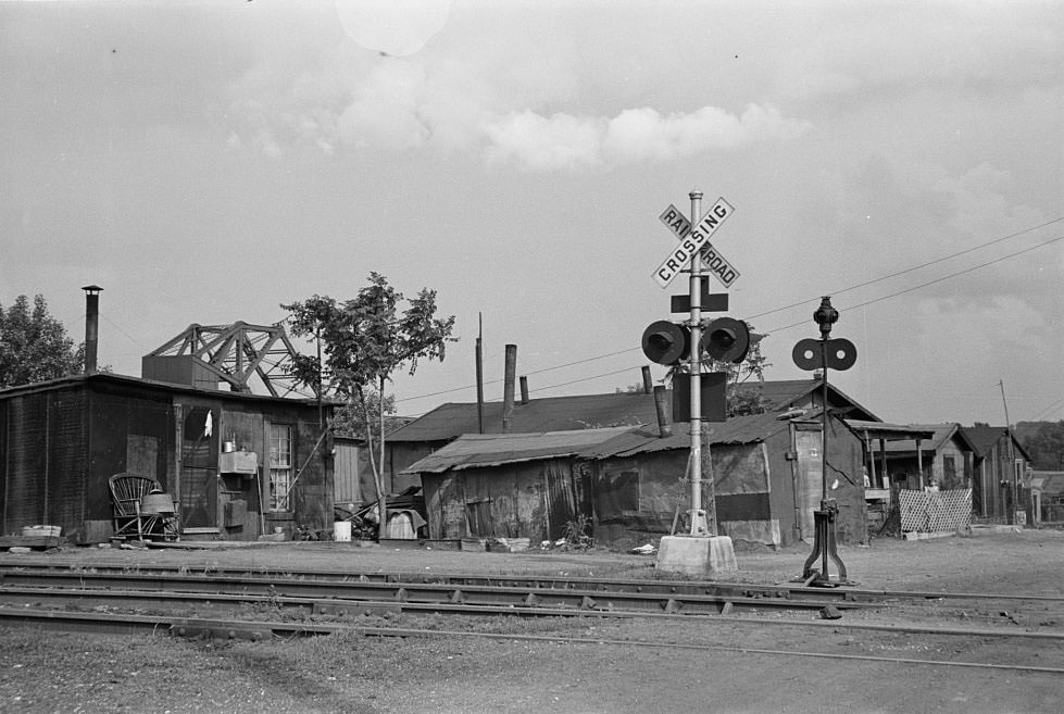
#4 Slums at Cinder Point between railroad and Illinois River, Peoria, Illinois, 1938

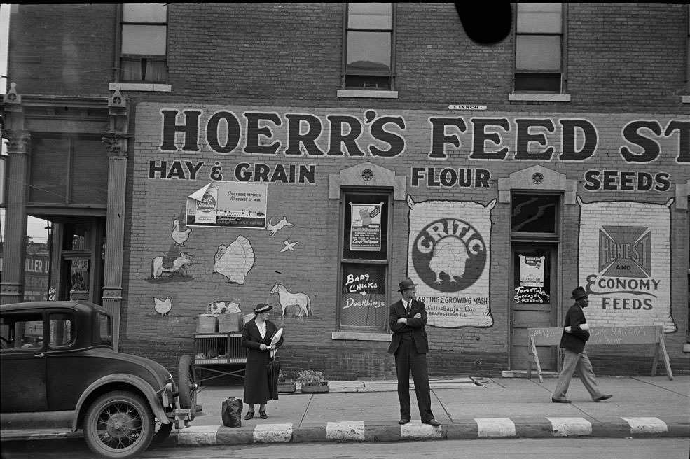
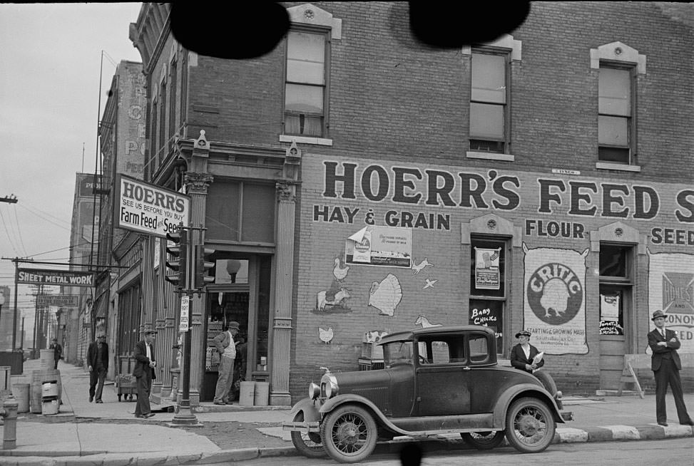
#6 Waiting for a bus in front of feed store, Peoria, Illinois, 1938

#10 Slums at Cinder Point between railroad and Illinois River, Peoria, Illinois, 1938

#11 Waiting for a bus in front of feed store, Peoria, Illinois, 1938

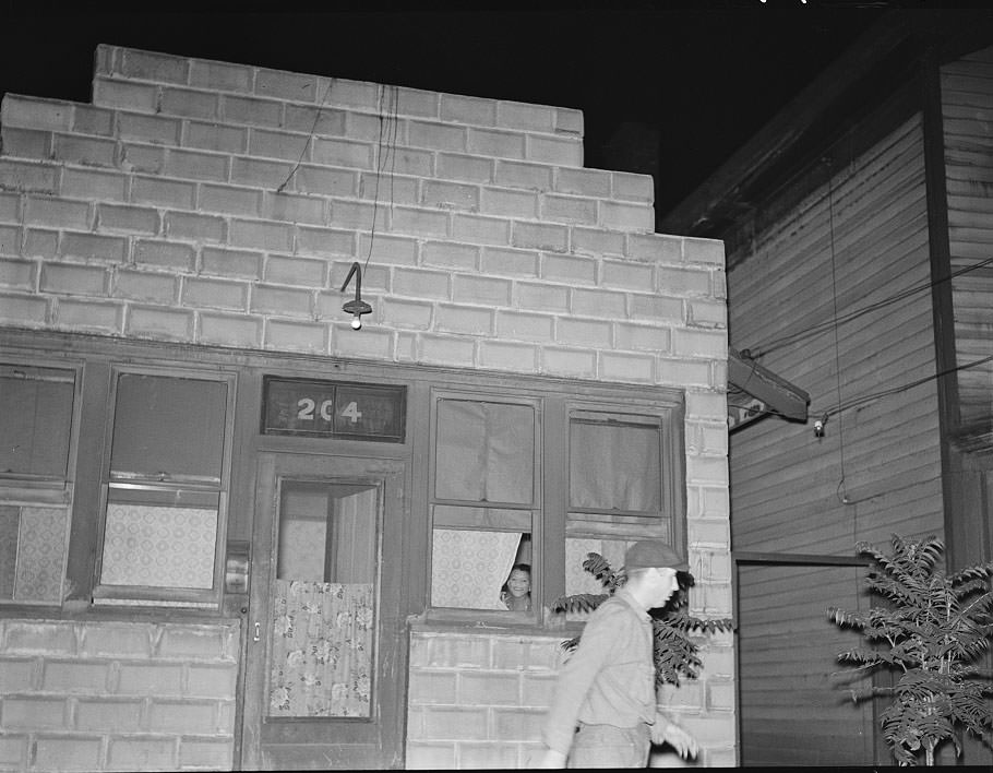
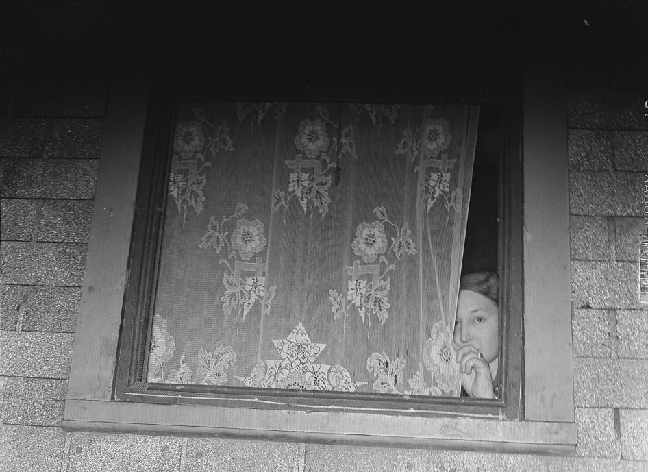
#21 Man leaving prostitute’s house, Peoria, Illinois, 1938

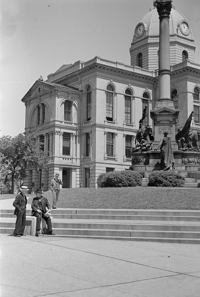
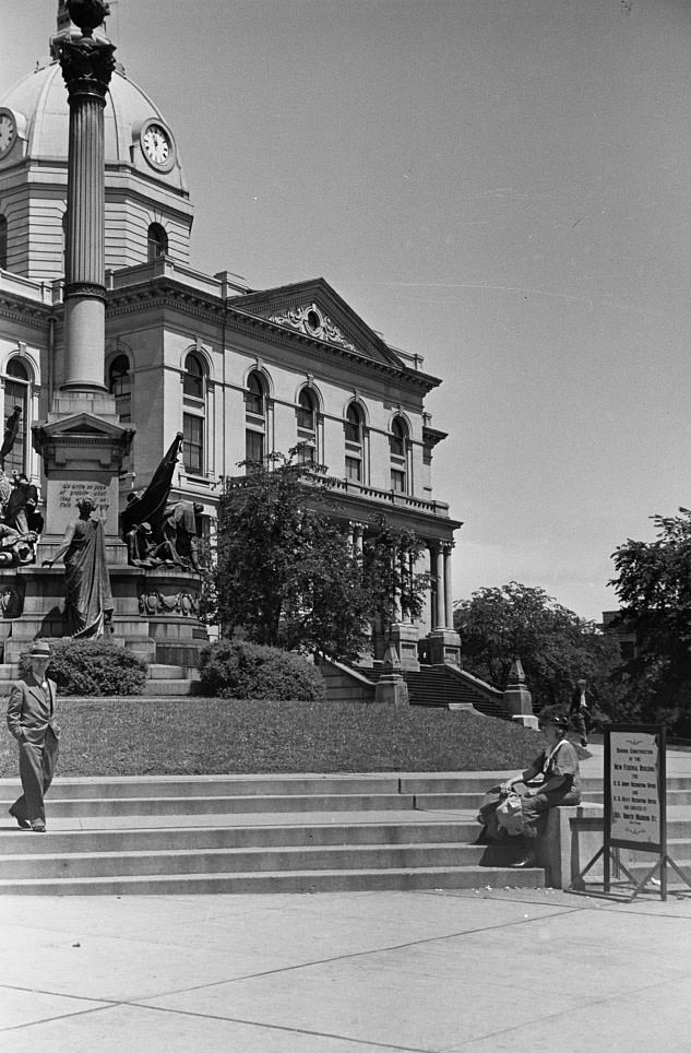
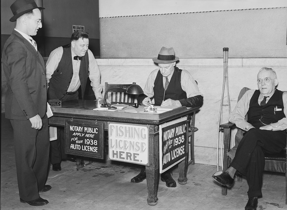
#26 License bureau in courthouse, Peoria, Illinois, 1938

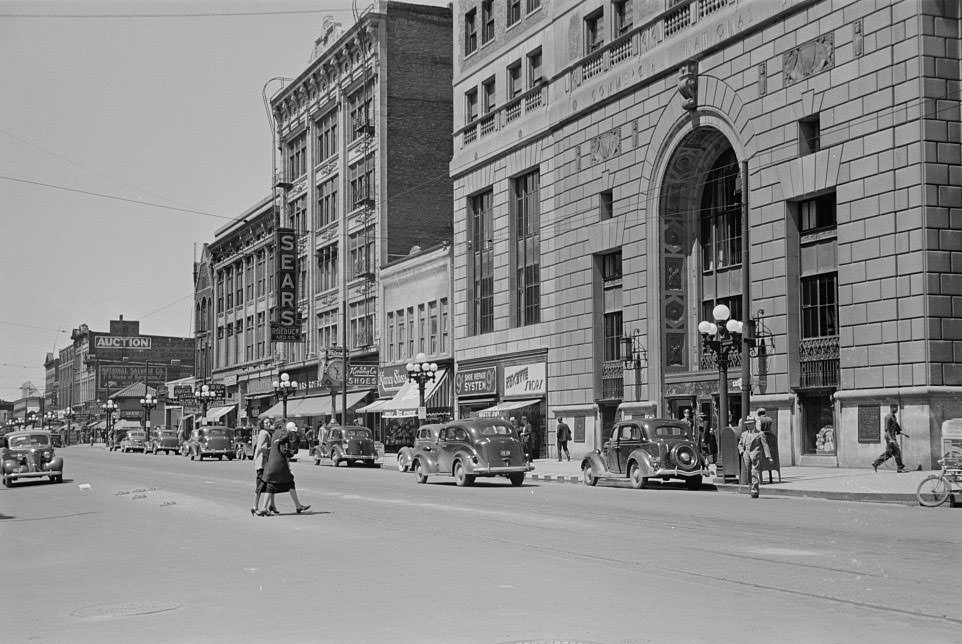
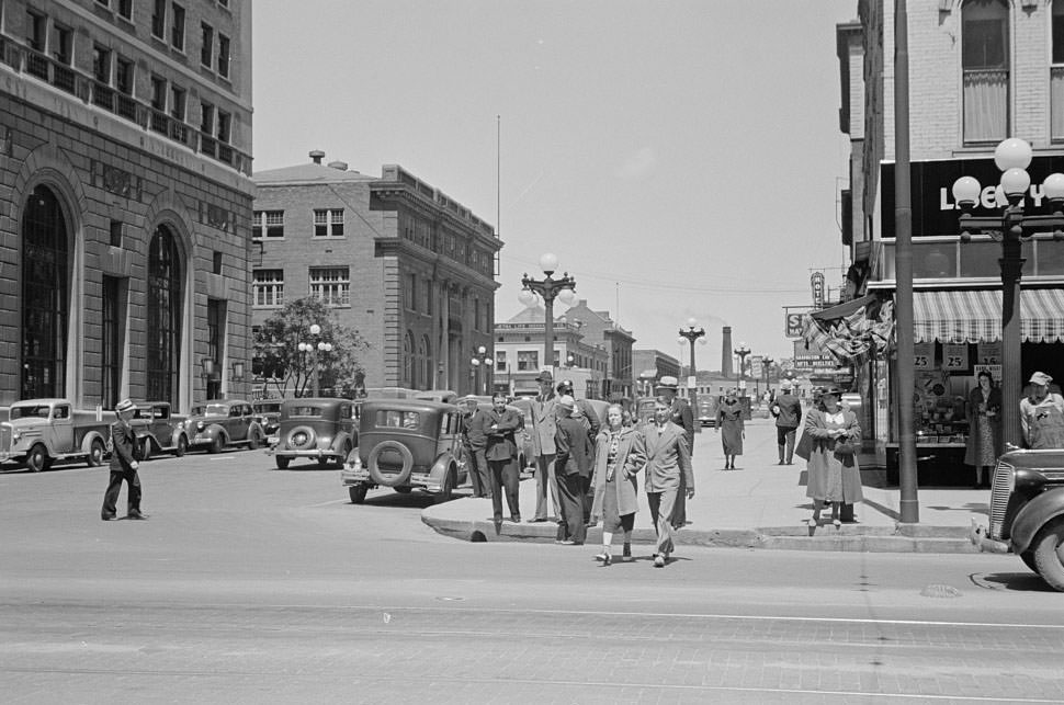
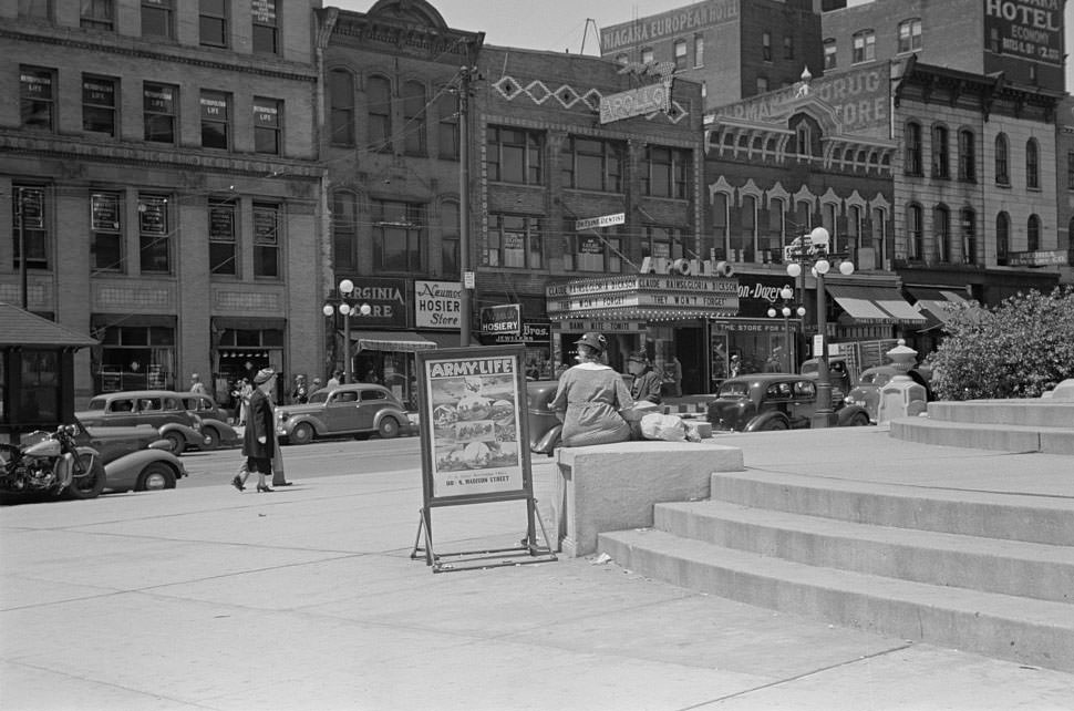
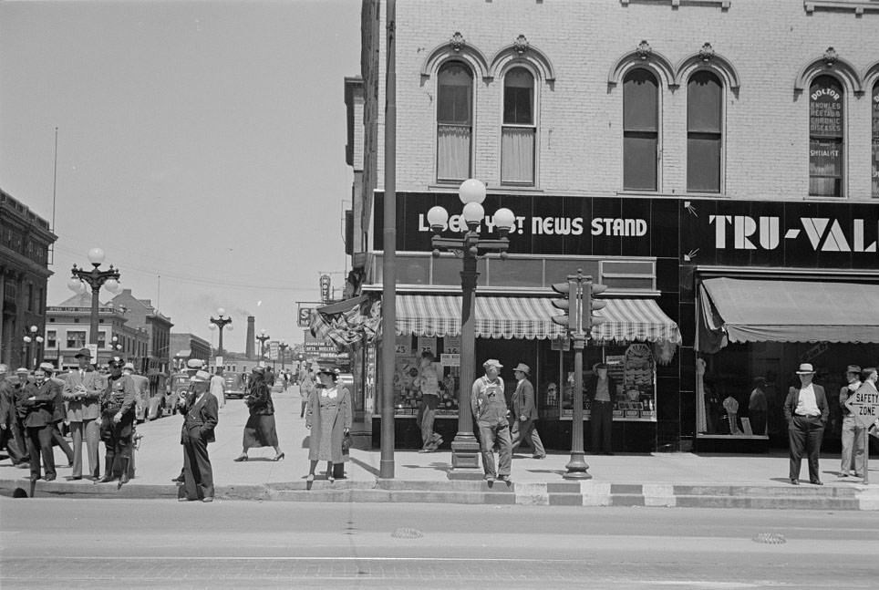
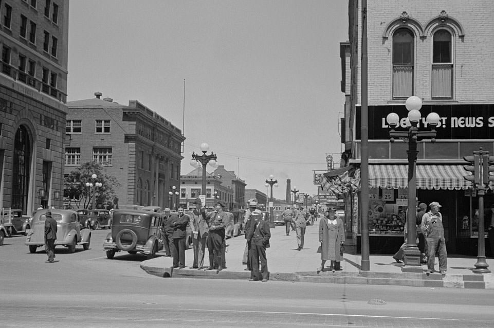
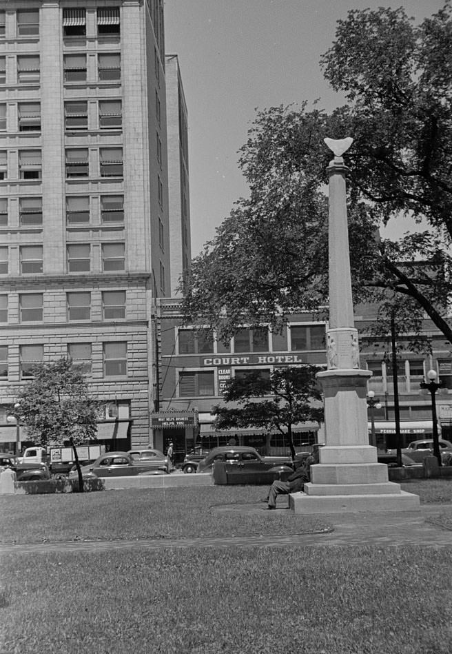
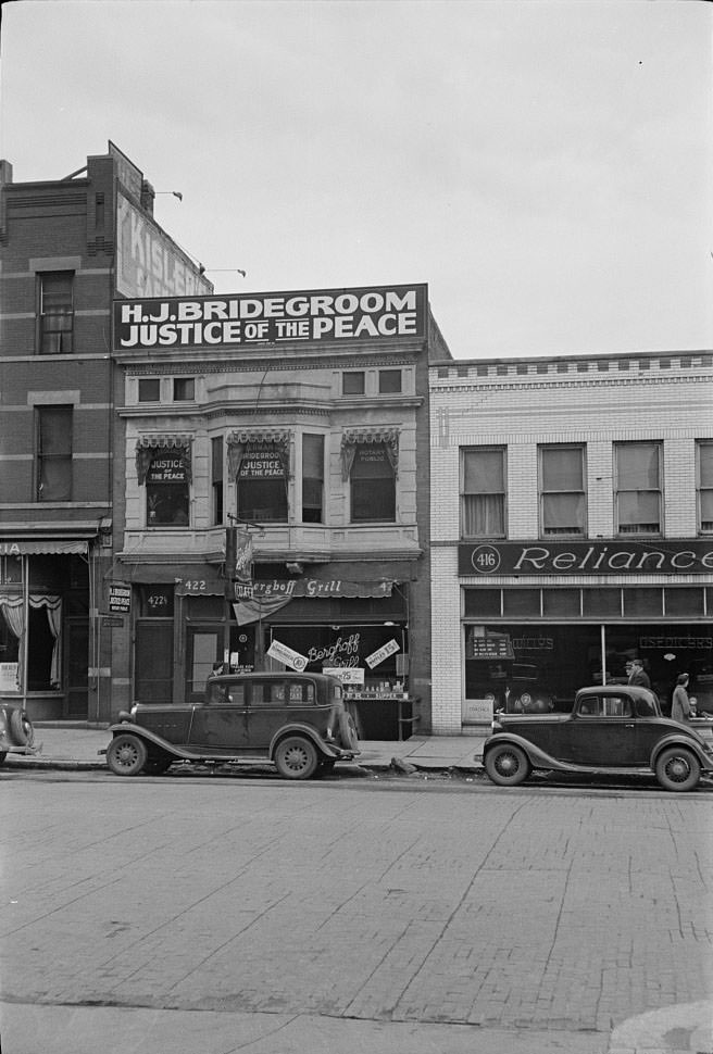
#27 Street opposite courthouse, Peoria, Illinois, 1938

#28 Slums at Cinder Point between railroad and Illinois River, Peoria, Illinois, 1938

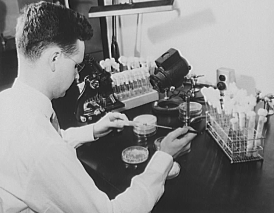
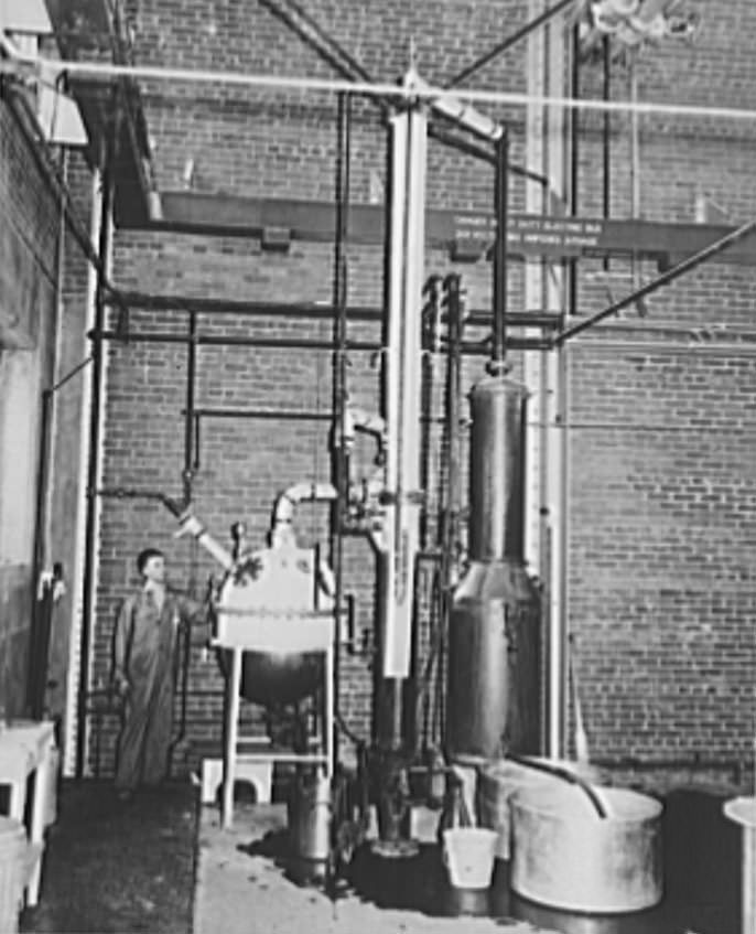
#29 Production of butylene glycol at the Northern Regional Research Laboratory of the U.S. Department of Agriculture at Peoria, Illinois, 1938

#30 Production of butylene glycol at the Northern Regional Research Laboratory of the U.S. Department of Agriculture at Peoria, Illinois, 1938

Avatar of Aung Budhh

Written by Aung Budhh

Husband + Father + librarian + Poet + Traveler + Proud Buddhist. I love you with the breath, the smiles and the tears of all my life.

Leave a Reply

Your email address will not be published. Required fields are marked *

8 Comments