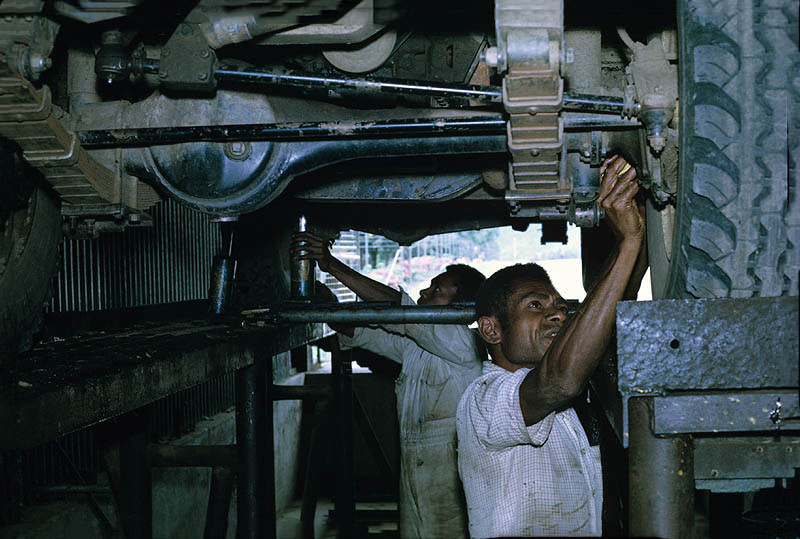
Papua New Guinea occupies the eastern half of the island of New Guinea, along with hundreds of offshore islands in Melanesia. The island itself is the second largest in the world, trailing only Greenland. Its size alone hints at the enormous variety of landscapes, peoples, and ways of life found within its borders.
The country’s modern history was shaped by colonial rule. Germany controlled the north during the 1800s, while Britain held the south. Japan invaded the island during World War II, and the two colonial zones were eventually merged after the war ended. Papua New Guinea formally became an independent nation on September 16, 1975.
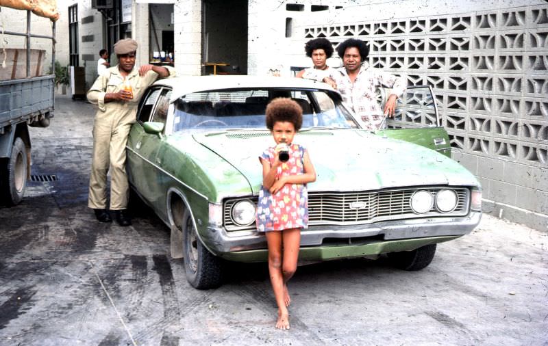
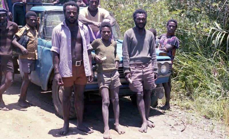
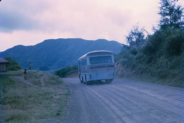
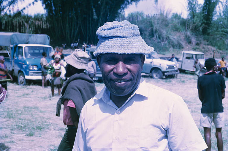
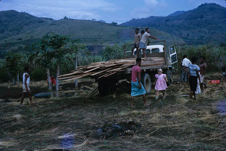
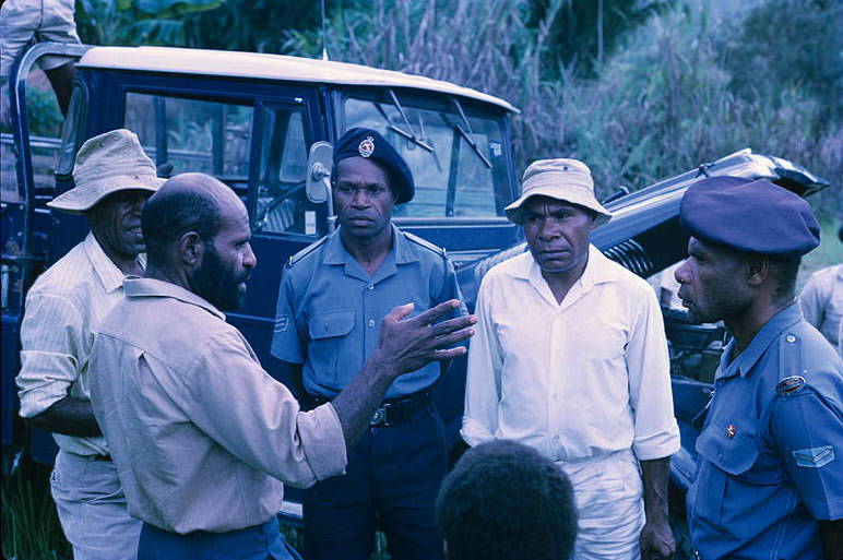
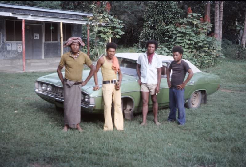
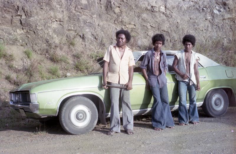
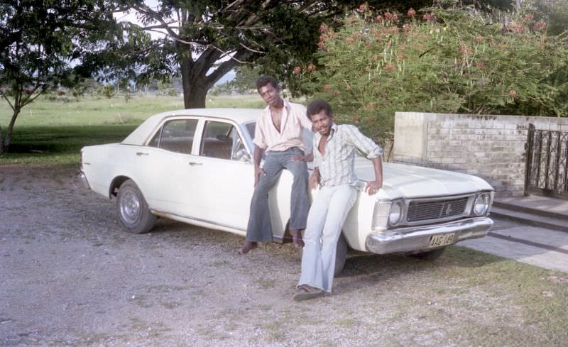
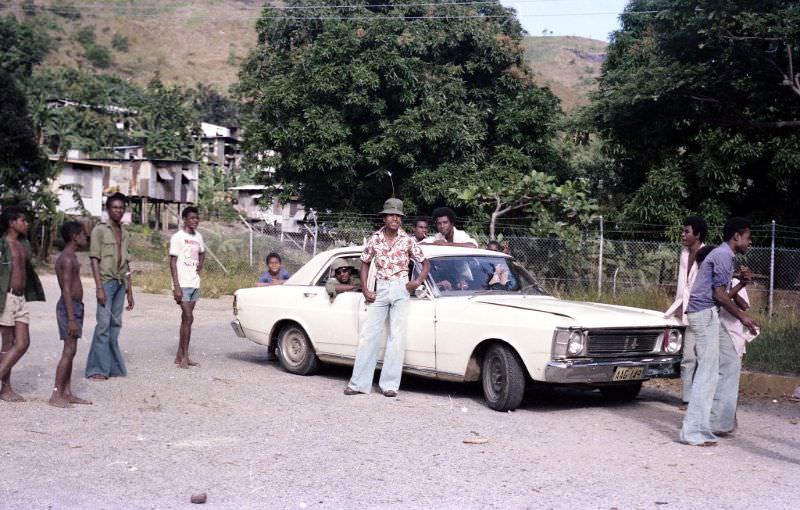
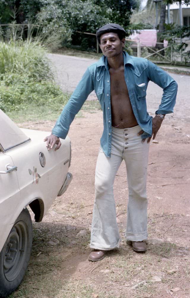
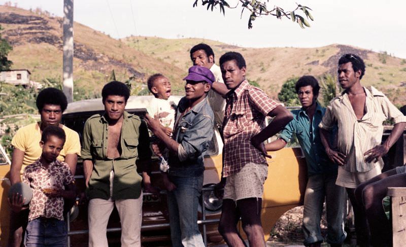
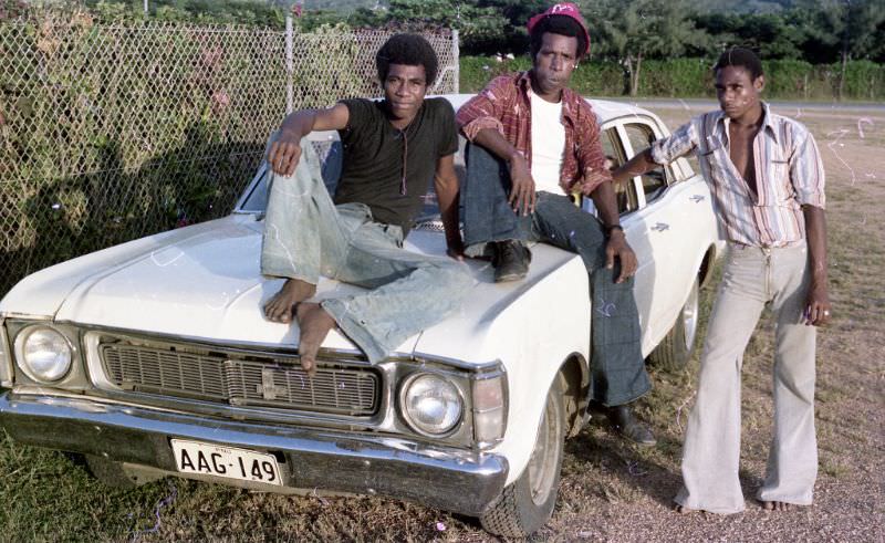
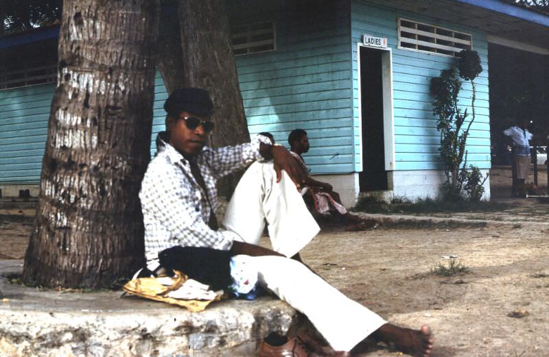
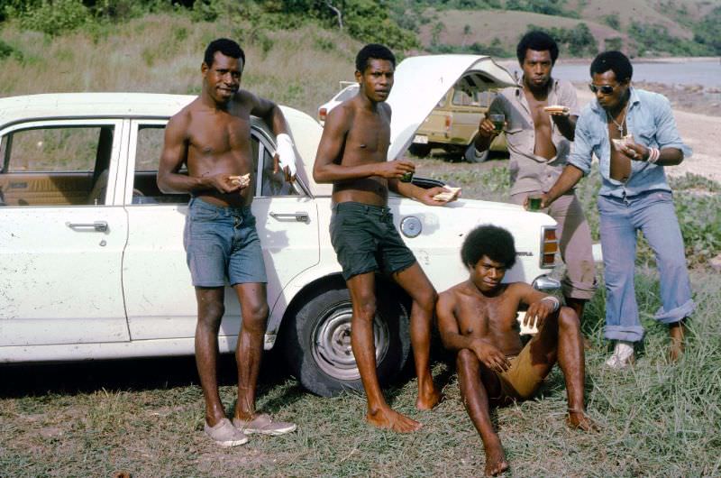
The year of independence, 1975, was captured in everyday snapshots around the capital. Life in and around Port Moresby carried on with a mix of the familiar and the new. Roads outside the city cut through open terrain, and Australian-made Ford models were a common sight on those routes.
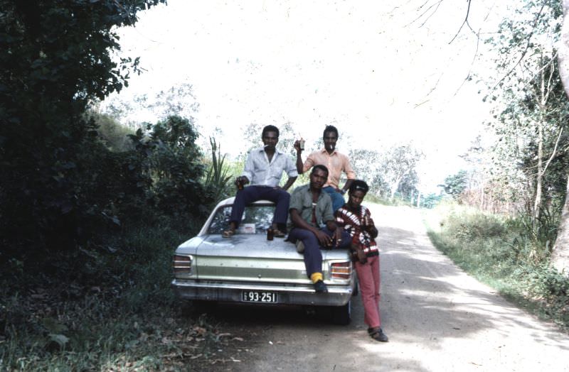
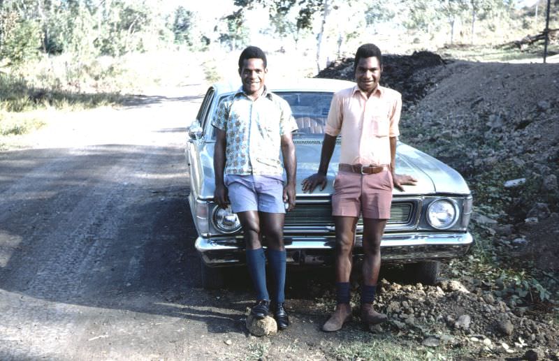
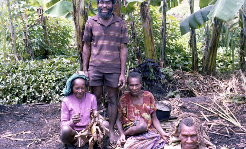
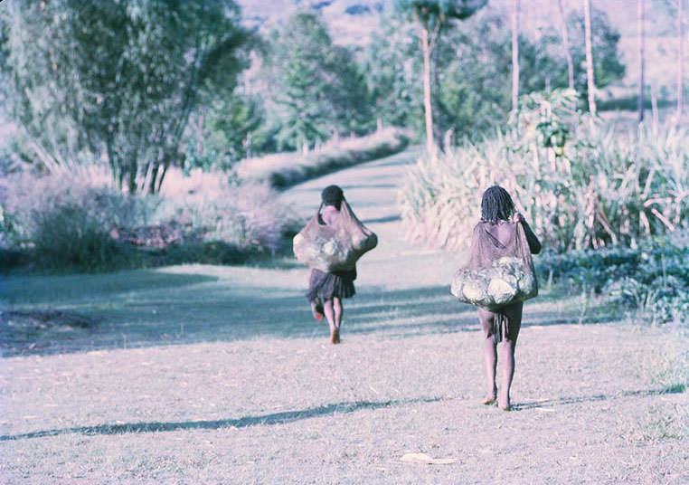
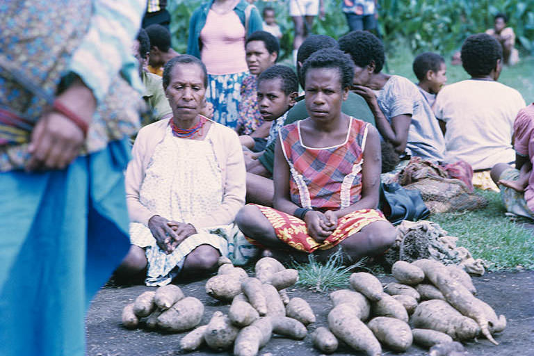
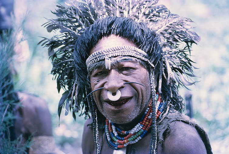
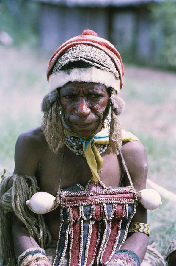
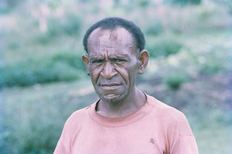
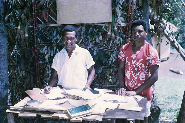
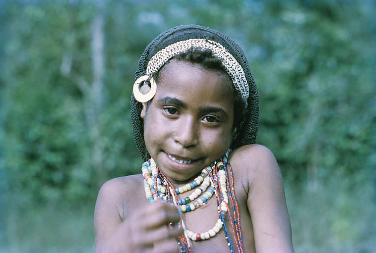
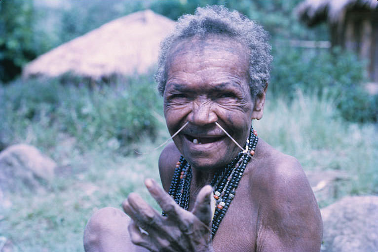
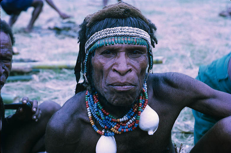
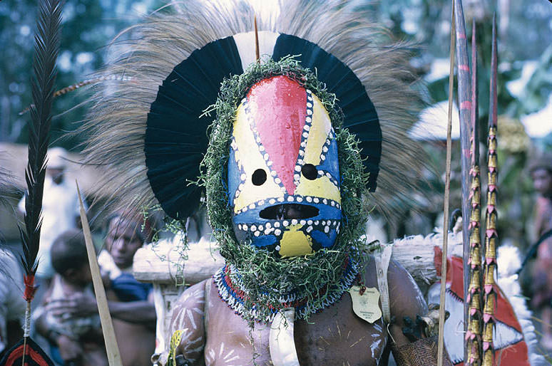
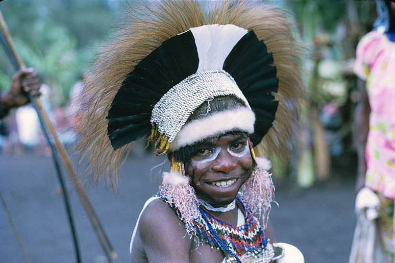
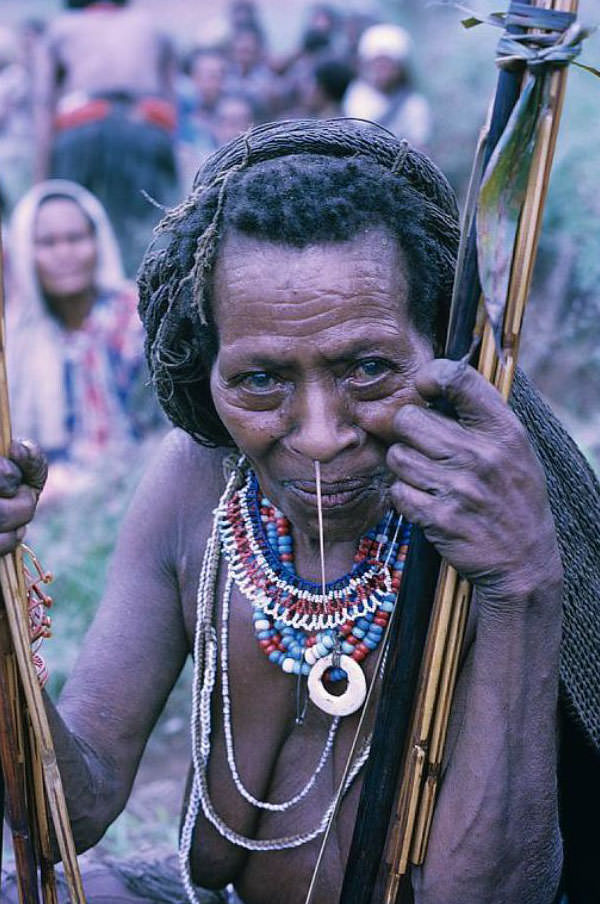
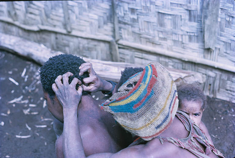
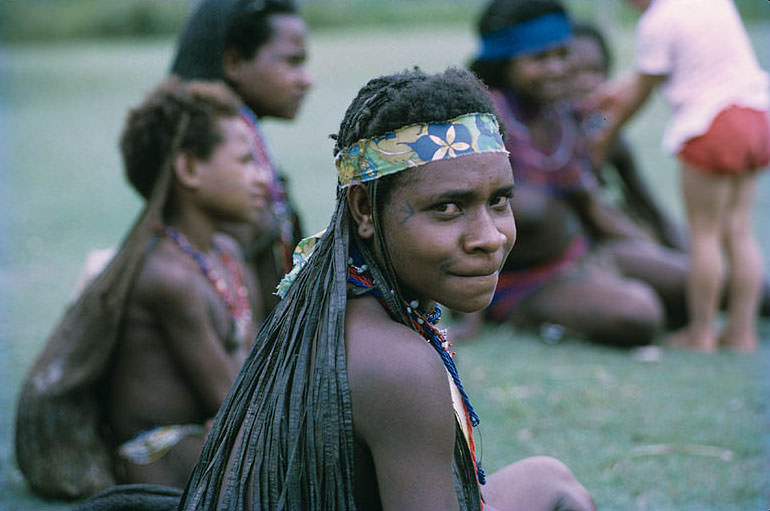
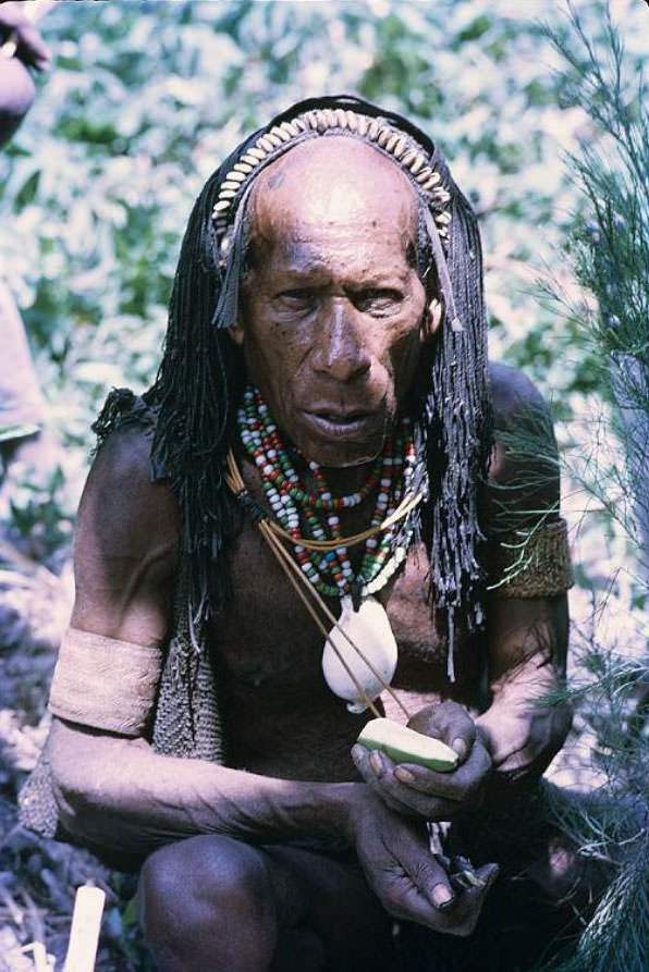
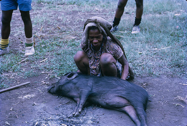
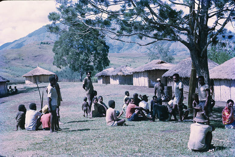
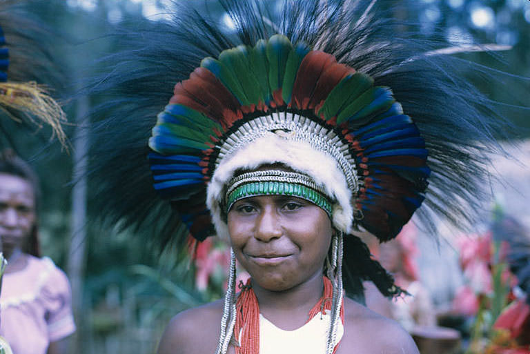
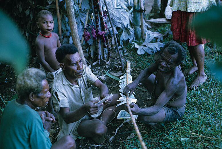
Papua New Guinea is home to more than 700 distinct ethnic groups. They fall into two broad categories: Papuan and Melanesian. The Papuan groups make up the majority of the population and live mainly in the interior highlands and forests. The Melanesian population lives primarily along the coast and on the outer islands.
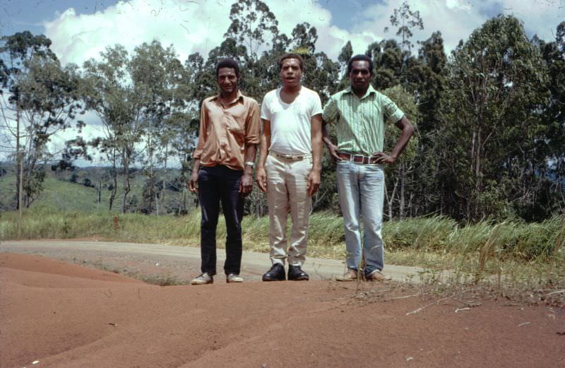
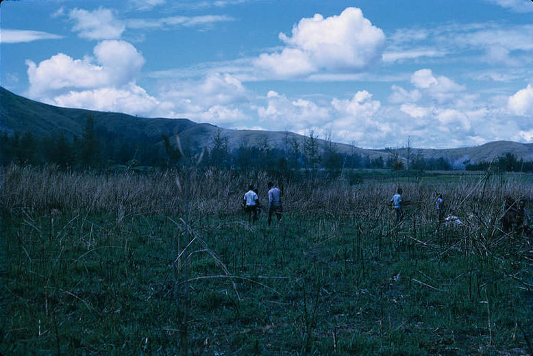
Researchers believe large parts of the island’s interior still hold plant and animal species unknown to science. Several uncontacted groups also remain in those remote areas. The island’s sheer size and dense jungle have kept much of it beyond the reach of outside contact.
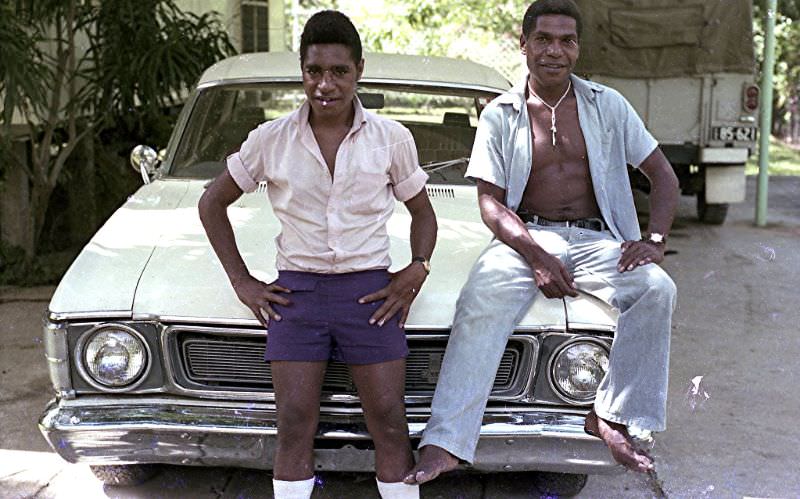
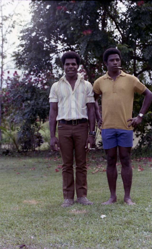
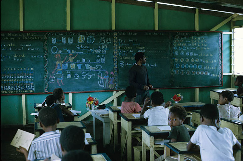
Three languages serve as common tongues across the country: Tok Pisin, Motu, and English. Tok Pisin, a creole language, is widely spoken as a shared way to communicate across different ethnic groups. English remains an official language and is used in government and education.
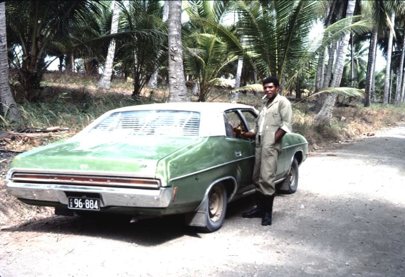
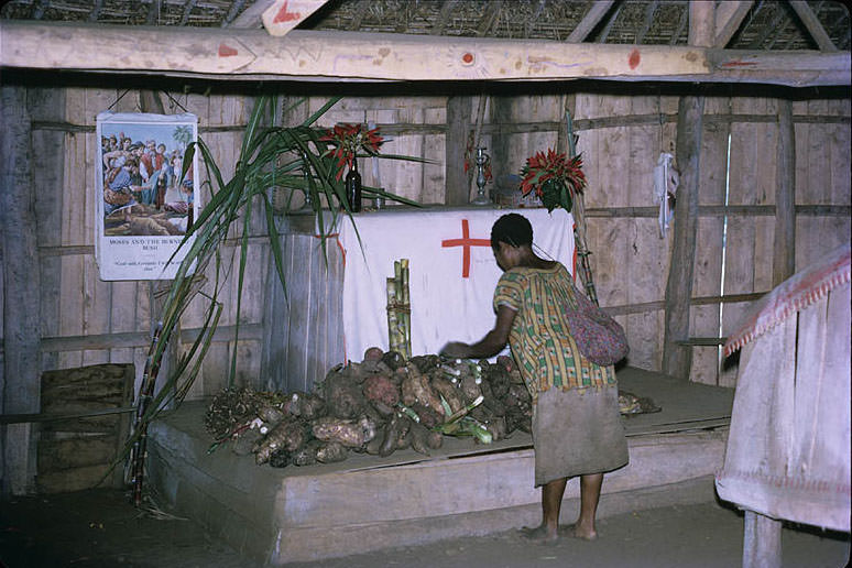
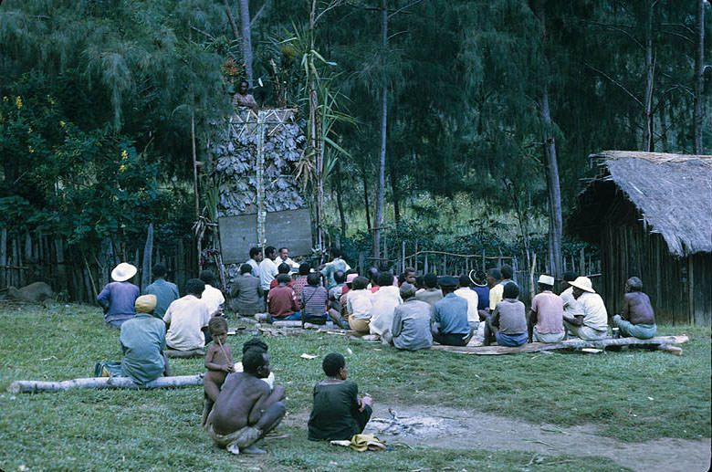
Christianity became the dominant religion across the country, spread largely through missionary activity during the colonial period. By the 1970s, the majority of Papua New Guineans identified as Christian, though traditional beliefs and practices continued alongside it in many communities.
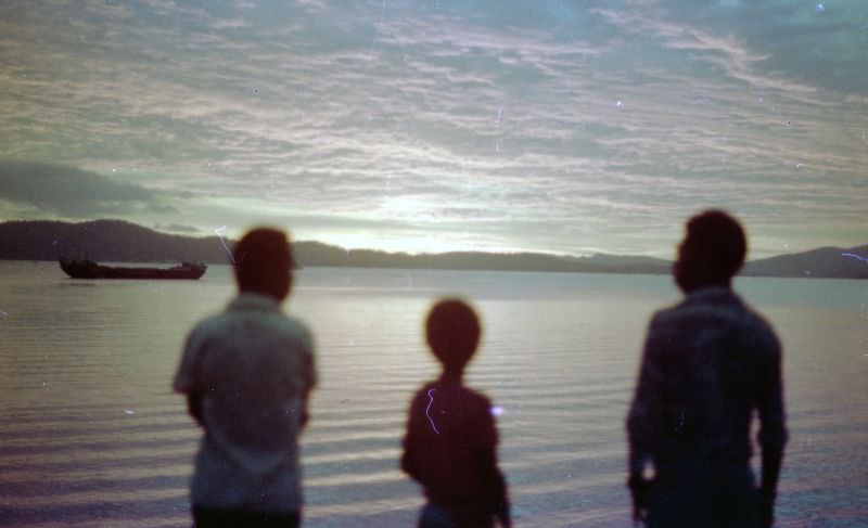
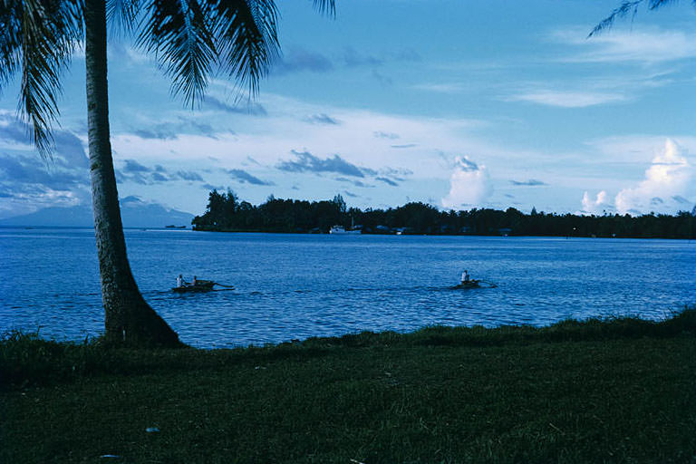
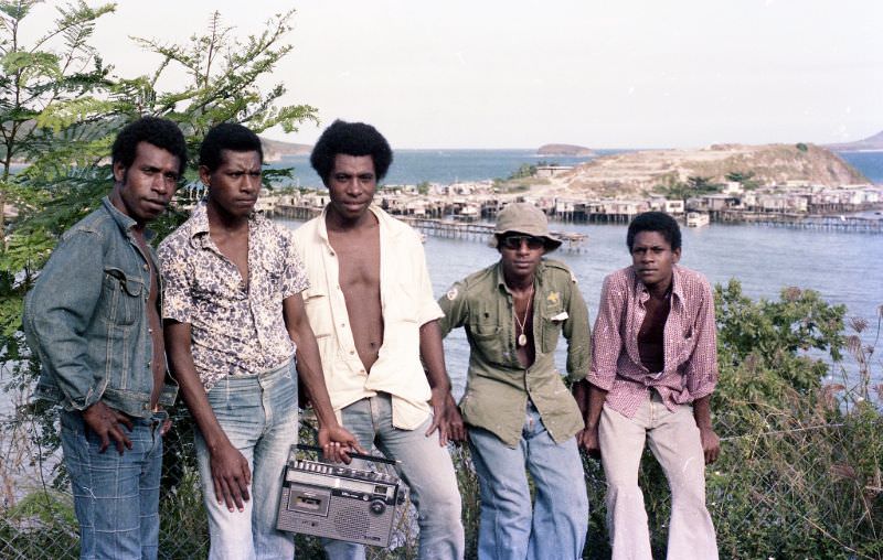
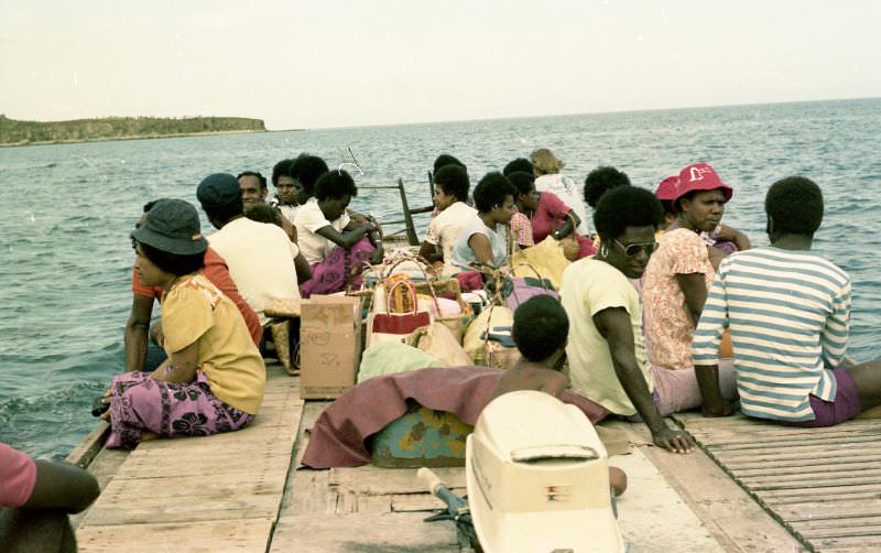
Port Moresby, the capital, sits on a natural harbour on the southern coast. Fairfax Harbour was a center of activity, framed by green hills and open water. The city grew significantly after independence as people from across the country moved in search of work and opportunity.
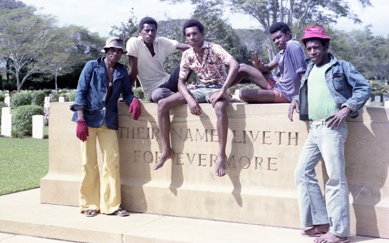
The Bomana War Cemetery, located just outside Port Moresby, holds the graves of soldiers who died during the Pacific campaign of World War II. It is one of the largest Commonwealth war cemeteries in the Asia-Pacific region and serves as a permanent reminder of the fighting that took place on New Guinea’s soil.
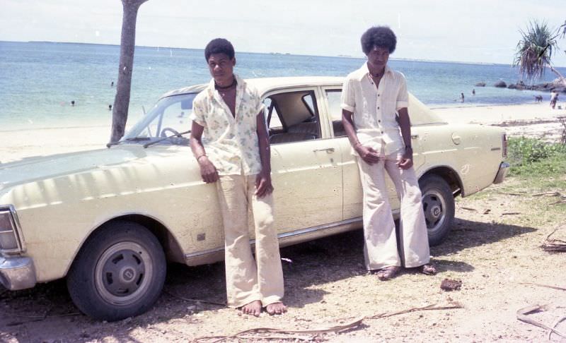
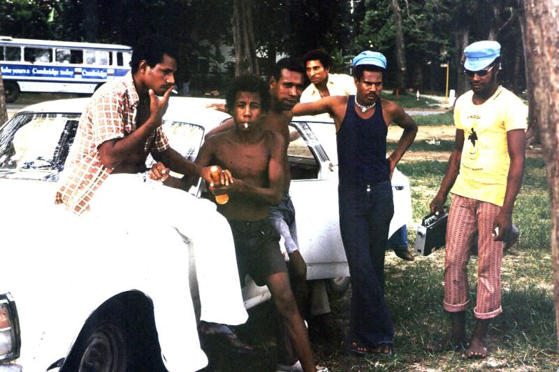
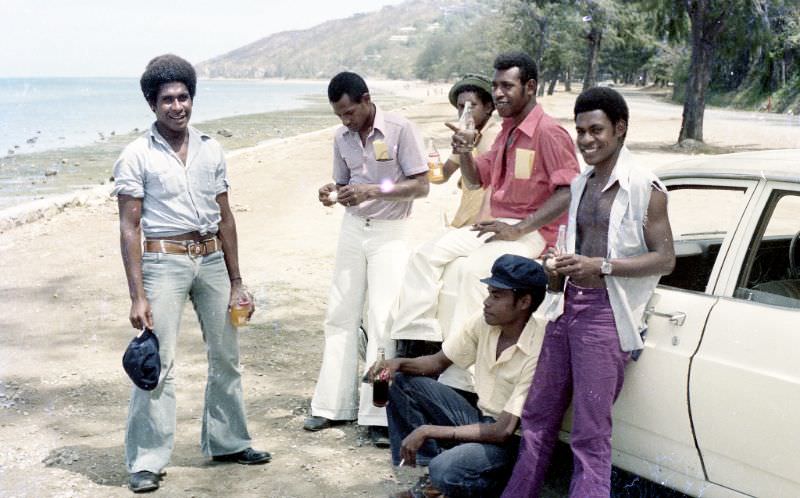
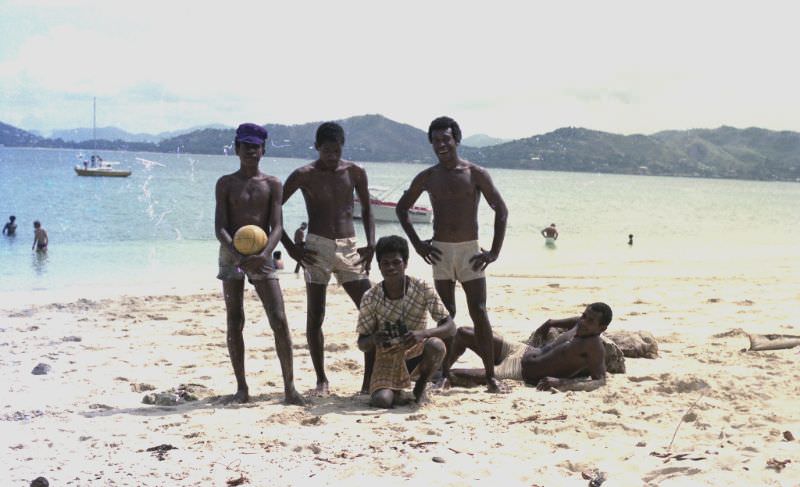
Ela Beach was a popular gathering spot in Port Moresby. Locals spent time there after work and on weekends, relaxing by the water. The beach offered a strip of coastline close to the city center and was a common backdrop for everyday social life in the mid-1970s.
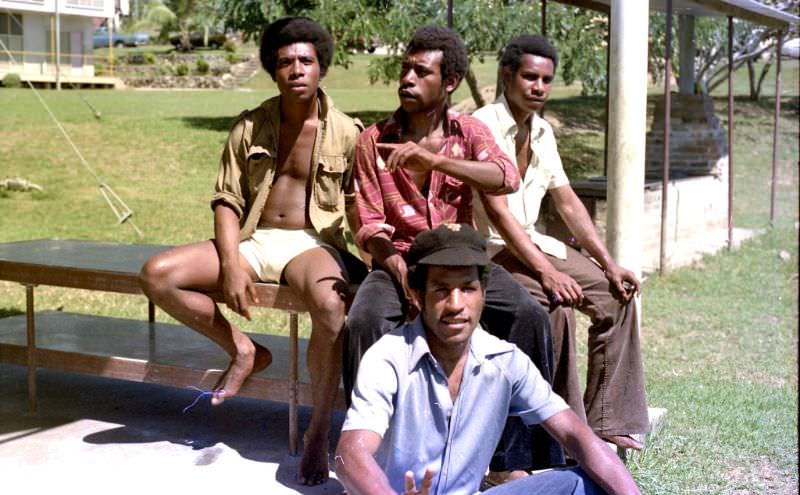
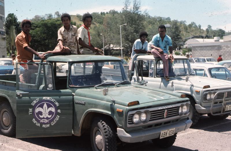
Jacksons Airport, located outside Port Moresby, was the country’s main international gateway. In 1976, it was the departure point for a group of Scouts heading to a Jamboree in Australia — a small but telling sign of the connections Papua New Guinea maintained with the wider world shortly after independence.
Outside the capital, natural spaces like Variata National Park offered a different view of the country. Located in the hills above Port Moresby, the park sits at an elevation that gives a clear view across the surrounding landscape. It was one of Papua New Guinea’s first protected natural areas.
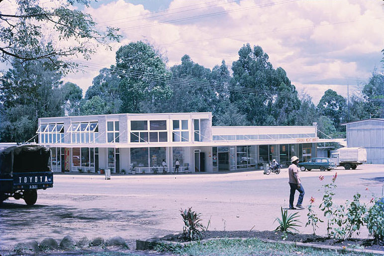
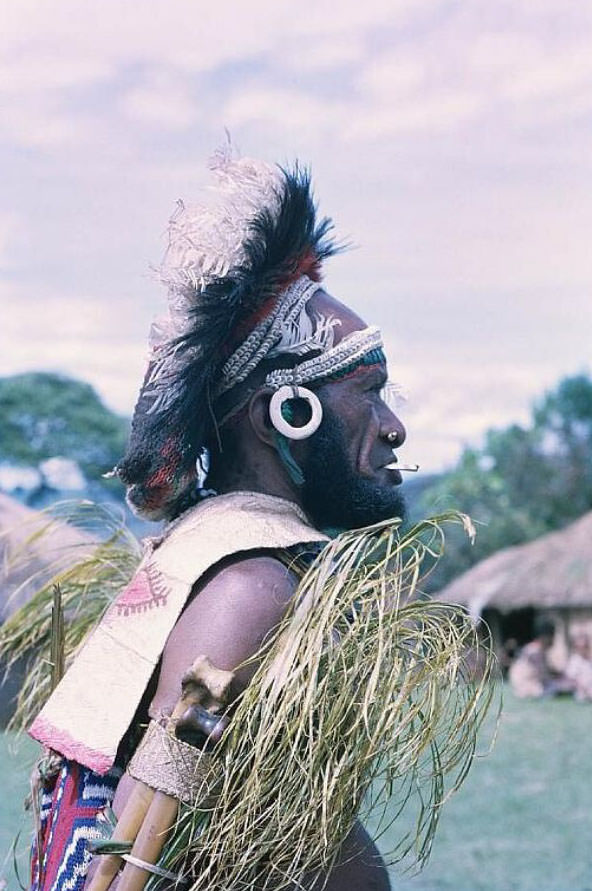
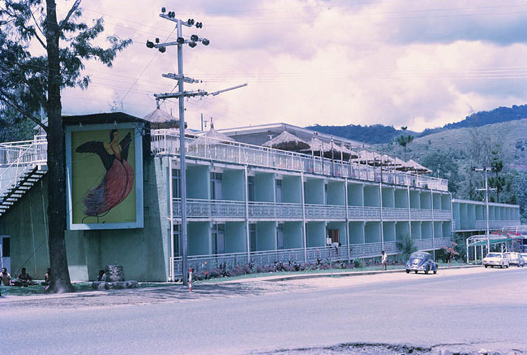
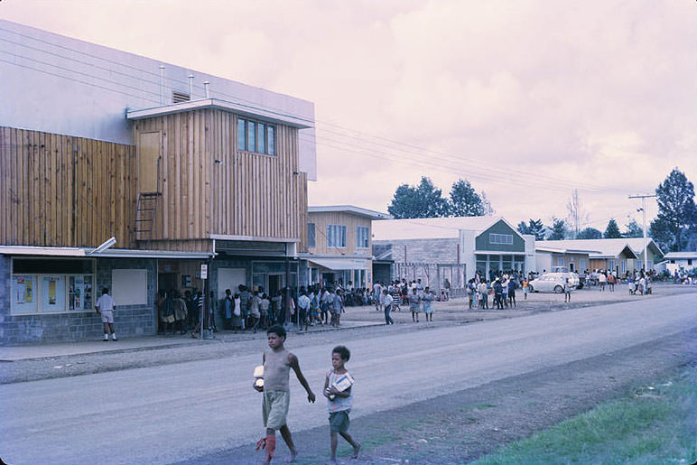
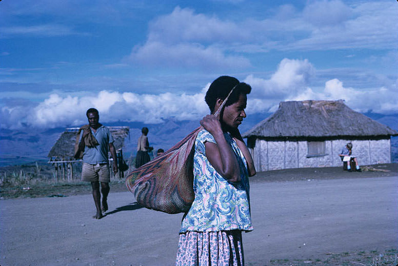
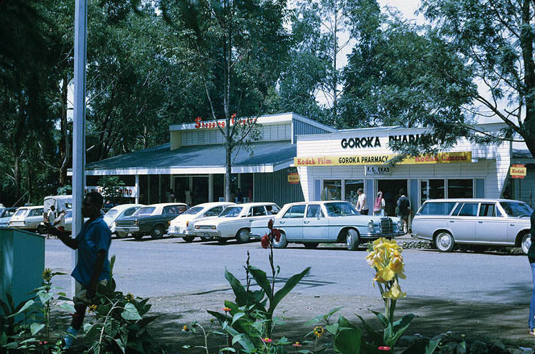
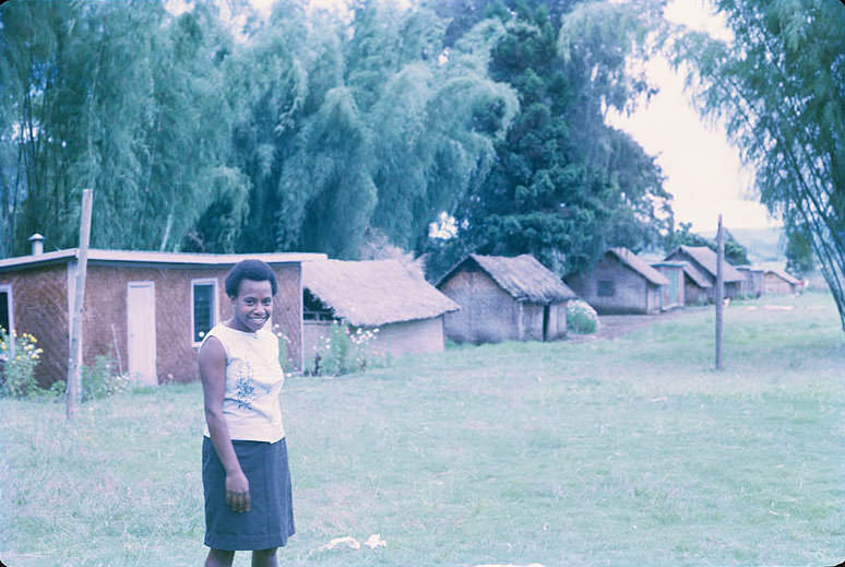
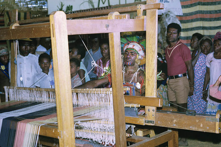
Mount Hagen, situated in the Western Highlands, was one of the major urban centers outside of Port Moresby. It served as a hub for the highlands region and was surrounded by communities that maintained strong traditional customs. By 1978, it had grown into a busy town with its own distinct character.