
Rochester, New York holds a distinct place in American urban history. Founded shortly after the American Revolution, it was originally called “Rochesterville” — named by Colonel Nathaniel Rochester, the man who laid out its first streets. From those modest beginnings, the city grew into one of New York State’s most important industrial centers, eventually becoming the third-largest city in the state.
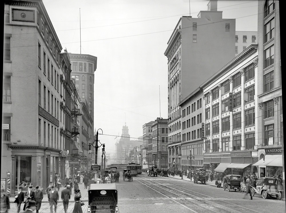
The decades following the Civil War transformed Rochester dramatically. Its population climbed from around 48,000 to over 162,800 by the close of the 19th century. That growth was driven by real economic muscle — flour mills, manufacturing hubs, and a booming garment industry that made Rochester a national leader in men’s fashion. By the turn of the 20th century, the city’s commercial core was busy, its streets crowded with commerce and transit. The intersection of East Main Street, South Avenue, and St. Paul Boulevard was one of the city’s most active crossroads.
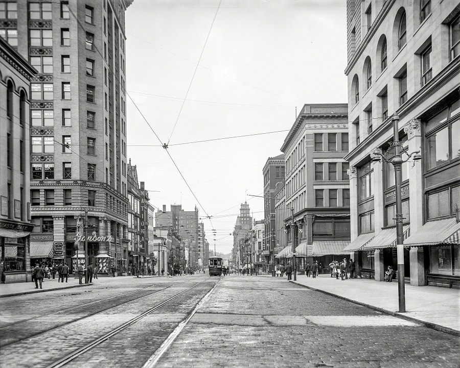
Freight and shipping companies played a central role in keeping Rochester’s economy moving. The Merchants’ Despatch Transportation Co. was one of the key players in the city’s logistics network in the early 1900s, handling goods that fed the city’s mills and factories.

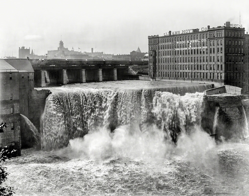
The Genesee River runs straight through the heart of Rochester, and its falls were a defining natural feature of the city’s landscape. The Upper Genesee Falls, photographed here in 1905, had long served as a power source for the city’s early mills and were considered one of Rochester’s most striking natural landmarks.
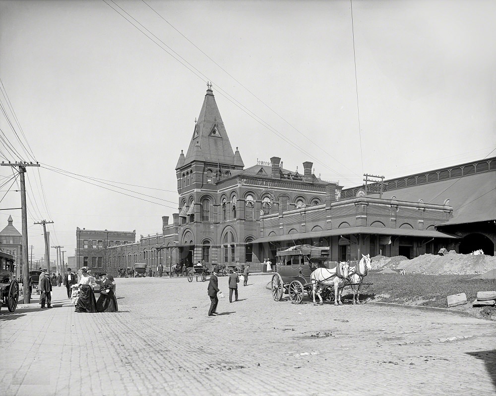
The New York Central Railroad station was a vital artery of movement for Rochester. Passengers, workers, and goods passed through it constantly. Photographed in 1905, the station reflects an era when rail travel was the primary way Americans moved across long distances.
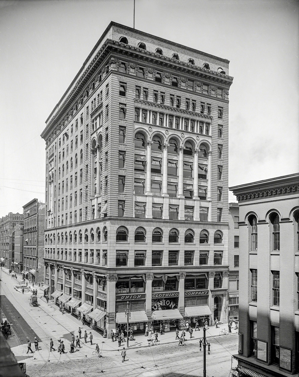
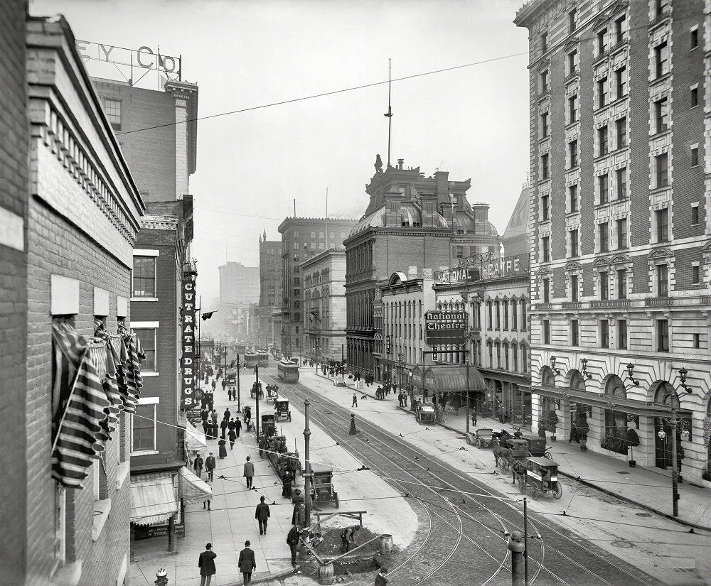
Rochester’s downtown streets in the early 1900s were a mix of commerce and architecture built to impress. The Granite Building, standing at the corner of Main Street and St. Paul, was one of the city’s most recognizable structures — a solid stone presence in an era of rapid urban development.
South Avenue captured in 1906 shows Rochester’s commercial streetscape at full stride — storefronts, foot traffic, and the beginnings of motorized city life sharing space with older modes of transport.
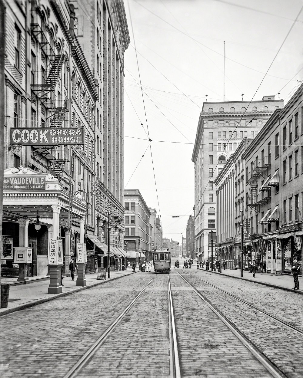
Main Street in 1907 tells a similar story. Rochester’s main commercial thoroughfare was lined with businesses serving a growing population. These streets were the daily backdrop for tens of thousands of residents who lived and worked within walking distance of the city center.
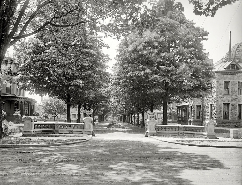
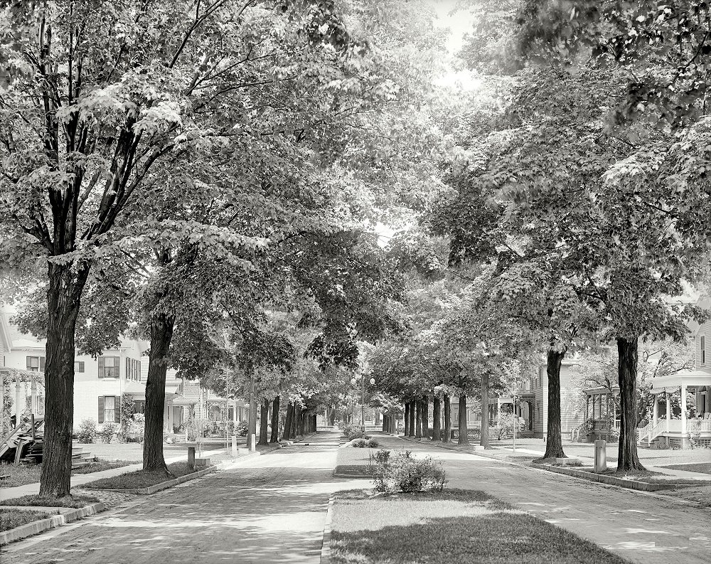
By 1908, Rochester had built the kind of civic and social infrastructure that signaled a mature city. Arnold Park offered residents green space in an otherwise dense urban environment, a place for families to gather away from the noise of industry and traffic.
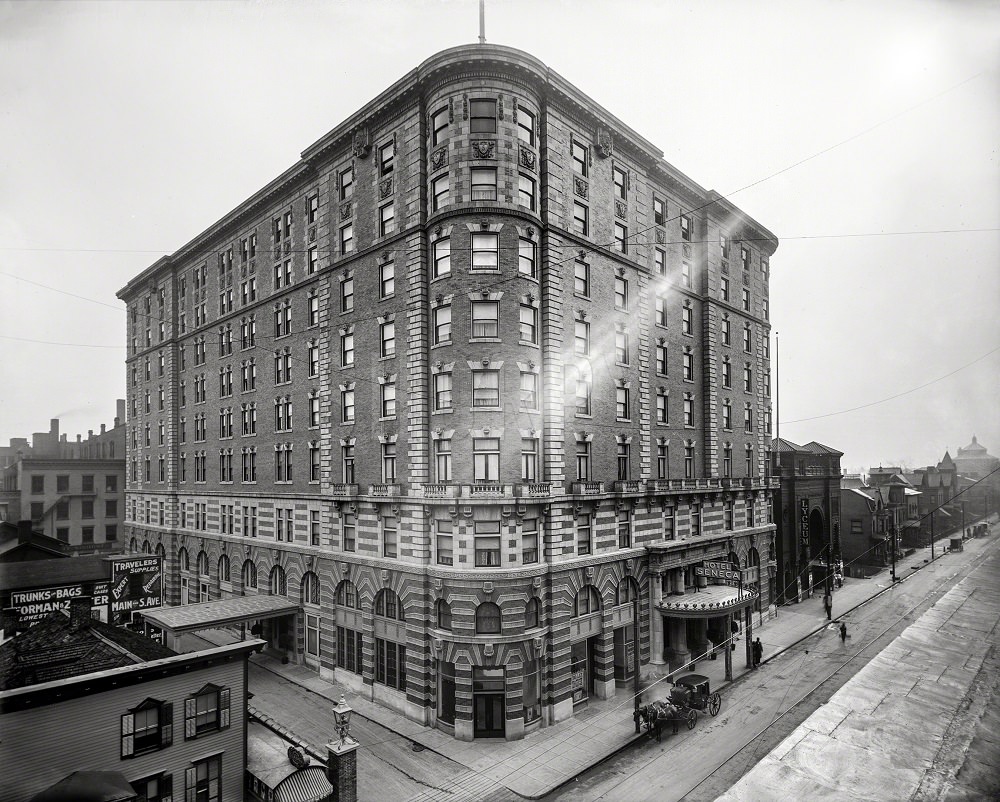
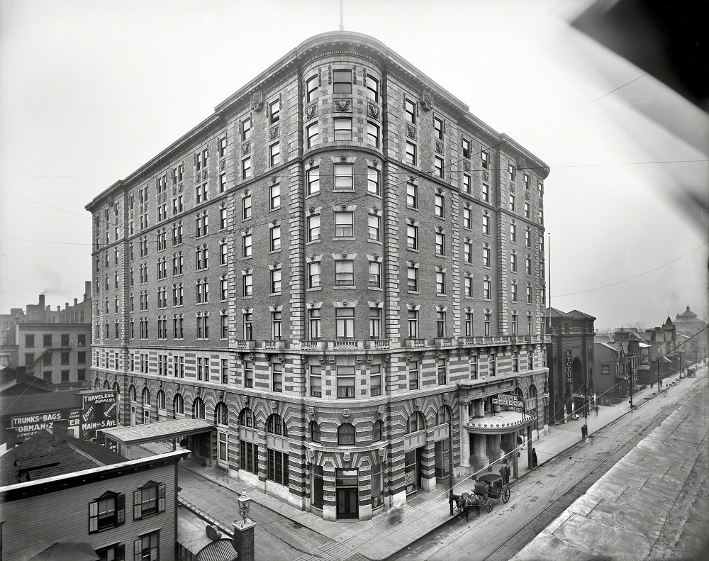
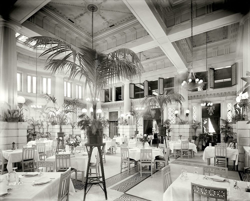
The Hotel Seneca on Clinton Avenue at Cortland Street was one of Rochester’s premier establishments. Its Pompeiian Room — an elaborately decorated dining and entertainment space — reflected the ambitions of a city eager to project sophistication and prosperity.
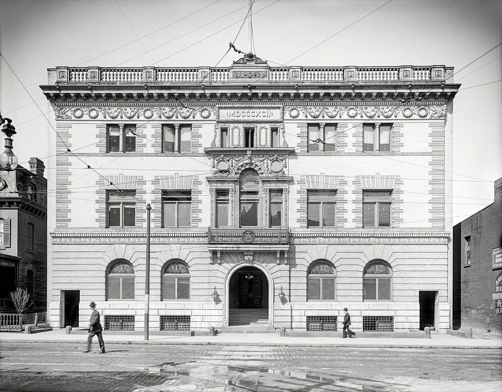
The Elks Temple on Clinton Avenue North, also known as the Eureka Club, was another landmark of Rochester’s civic life in 1908. Fraternal organizations like this one played a significant role in the social fabric of American cities during the early 20th century, bringing together businessmen and community leaders.
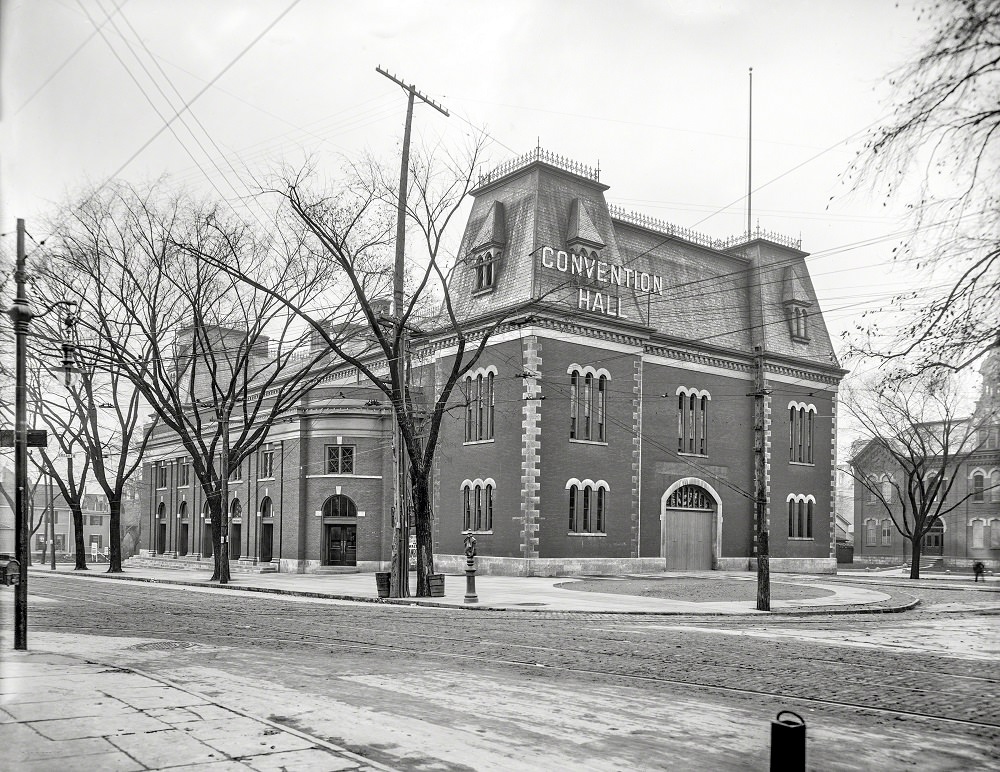
Convention Hall served as one of Rochester’s main gathering places for large public events, meetings, and exhibitions. The building was a fixture of the city’s public life and reflects the scale of civic investment Rochester made during this period.
Arnold Park, photographed again here in 1905, shows a quieter side of Rochester — tree-lined paths and open grounds that provided breathing room in a city otherwise defined by its industrial output and commercial energy.
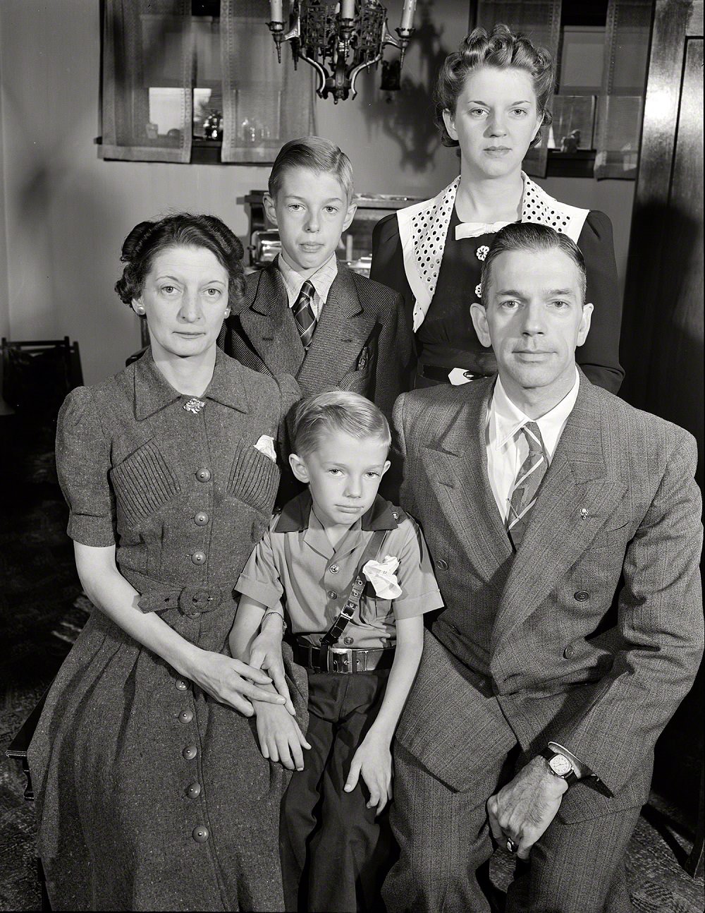
In 1916, the city extended its boundaries in a strip along both banks of the Genesee River all the way to Lake Ontario. Then in the 1920s, Rochester purchased the abandoned Erie Canal lands inside city limits and converted them into a heavy rail mass transit and freight corridor — a bold infrastructure decision that set the city apart from most American municipalities of the time. By the 1940s, Rochester was a functioning wartime city, and everyday family life carried on against the backdrop of World War II. A documentary series of photographs captured the Babcock family — described as a typical American war worker’s family — going about daily life in Rochester in September 1942 and into 1943.
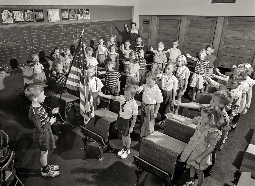
The Babcock photographs offer an unusually intimate look at wartime home life. Young Earl Babcock started his mornings like most American schoolchildren of the era — standing at attention to salute the flag before the school day began.
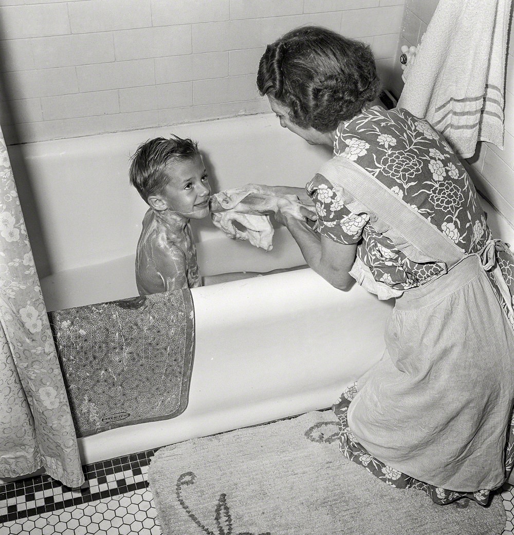
At home, Earl’s mother helped him with his morning bath, a routine domestic scene that the photographer documented as part of the rhythm of family life during wartime.
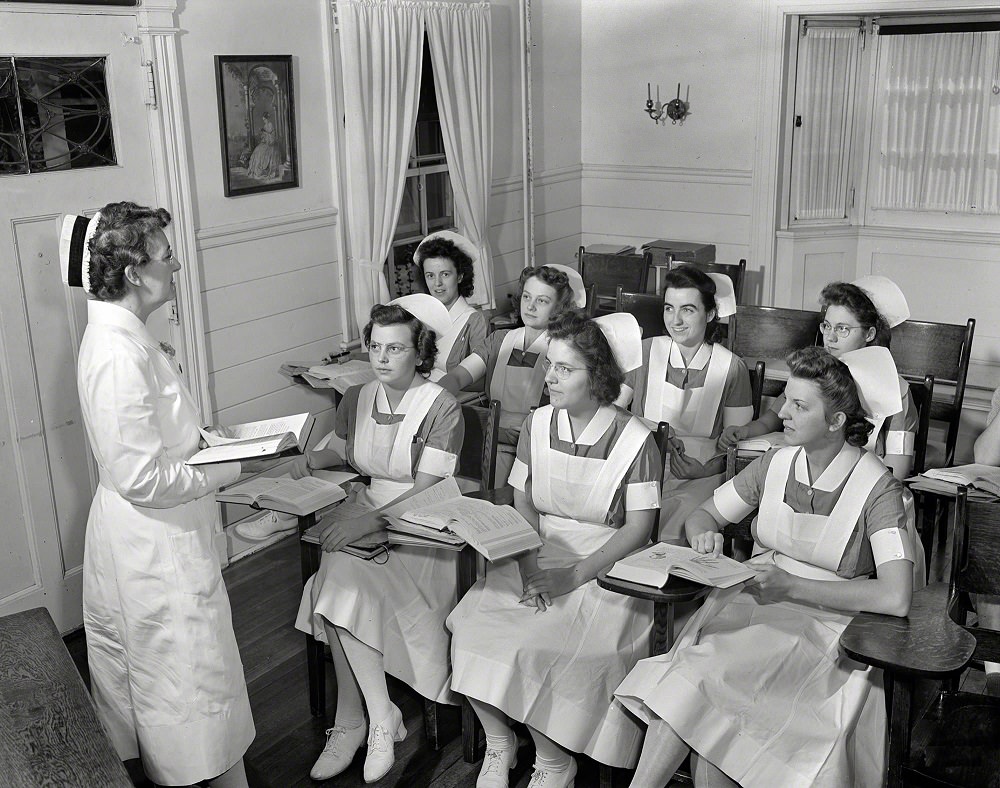
Shirley Babcock, meanwhile, was training as a student nurse — part of a generation of young women who took on essential medical roles as the country mobilized for war. She is photographed here listening to a lecture alongside fellow nursing students.
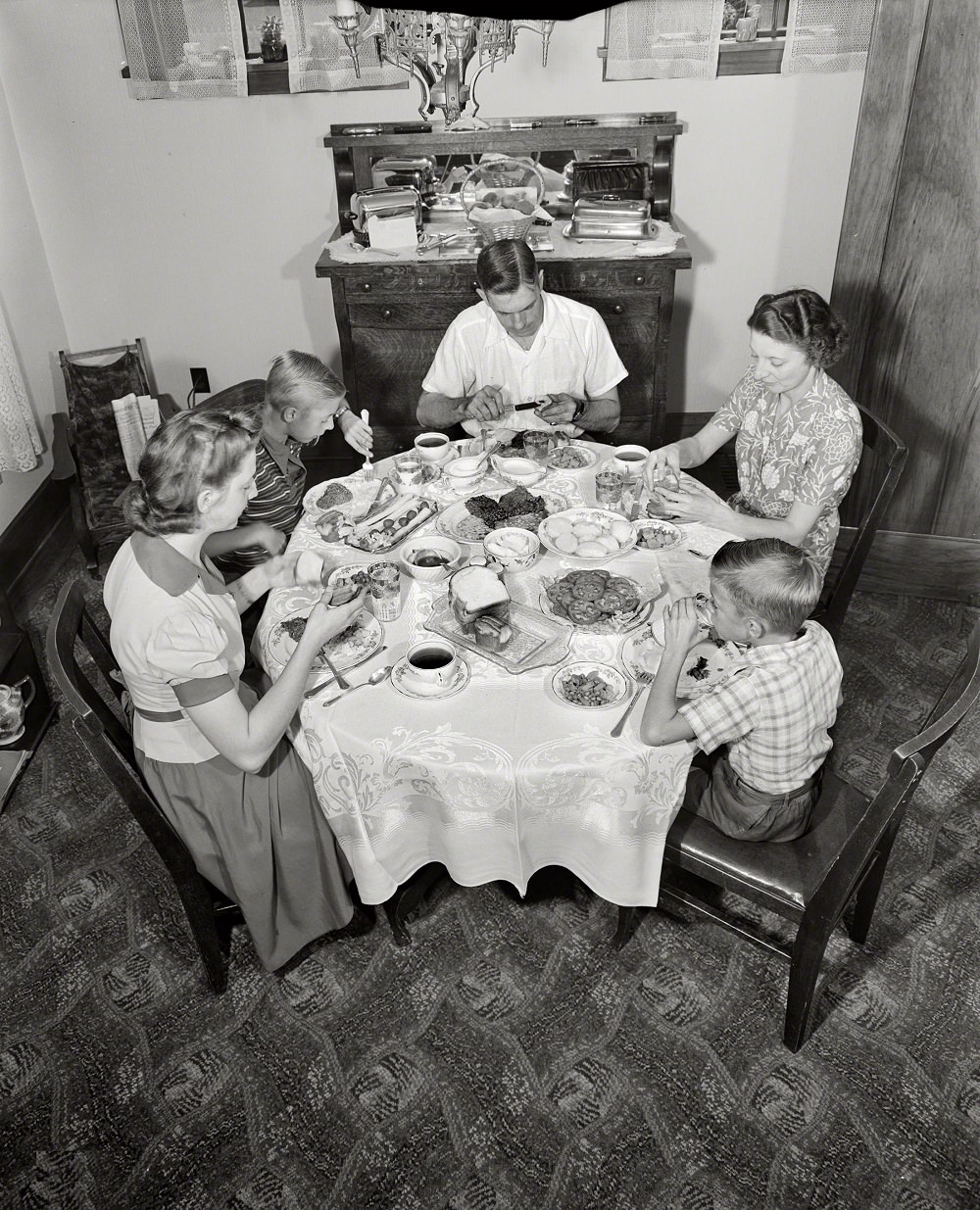
The family gathered each evening for dinner, a shared ritual that anchored daily life even as the war weighed on every household in the country.
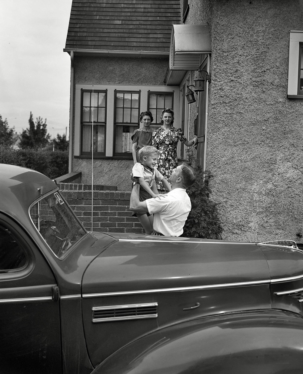
Shirley and Earl greeted their father, Mr. Babcock, at the front of the house — a small, ordinary moment that the photographs preserve with quiet clarity.
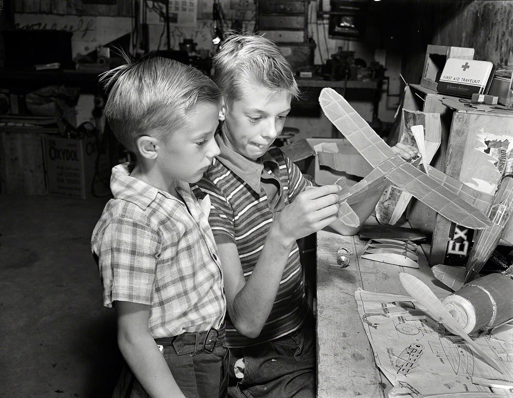
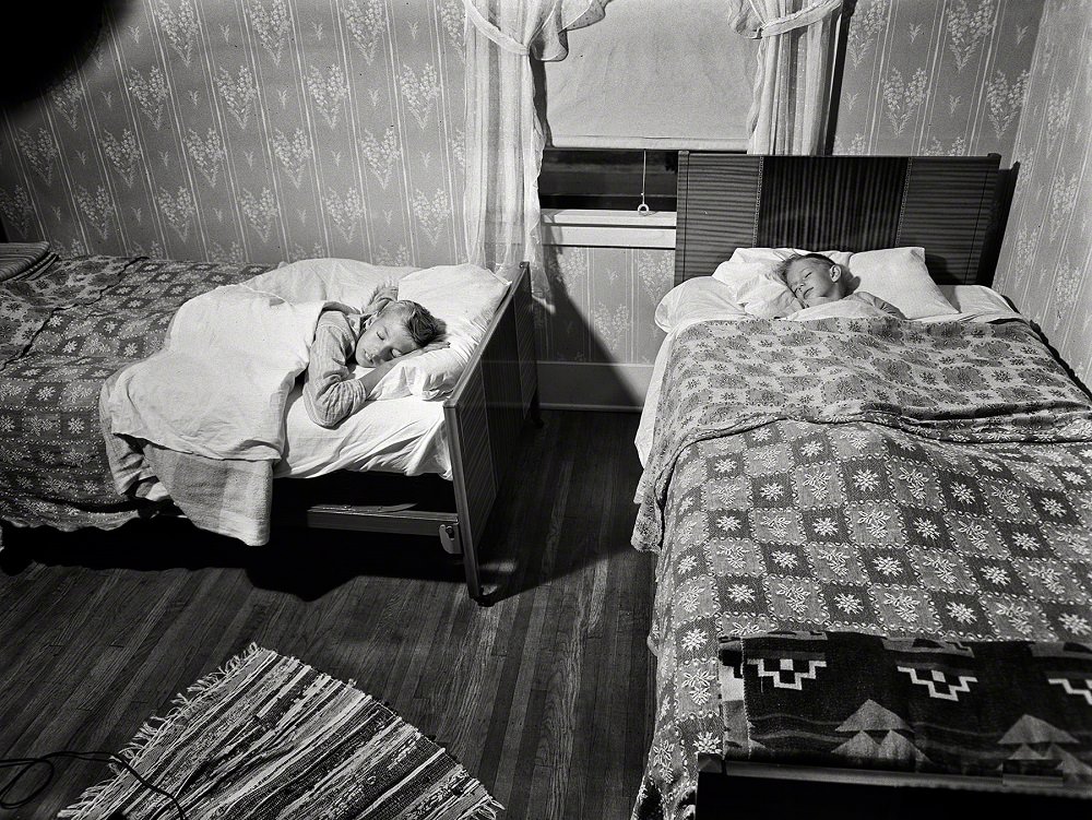
Inside the house, the two Babcock boys shared a bedroom. Their brother Howard built model airplanes — a hobby that reflected the era’s intense national focus on aviation and military hardware.
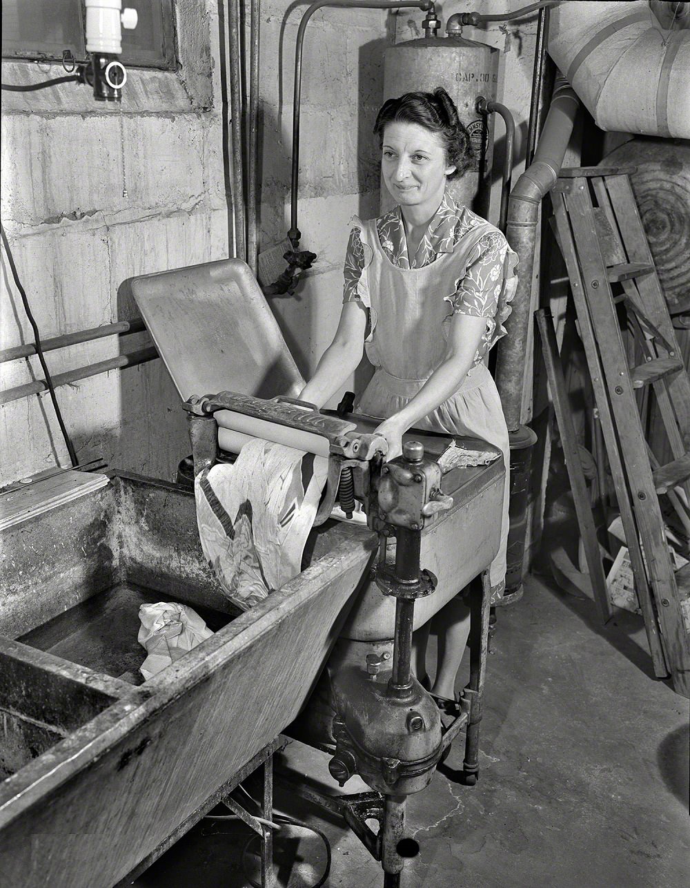
Mrs. Babcock kept the household running with the help of modern appliances of the time. An electric washing machine with a wringer handled the family’s laundry — technology that was still relatively new to many American homes in the early 1940s.
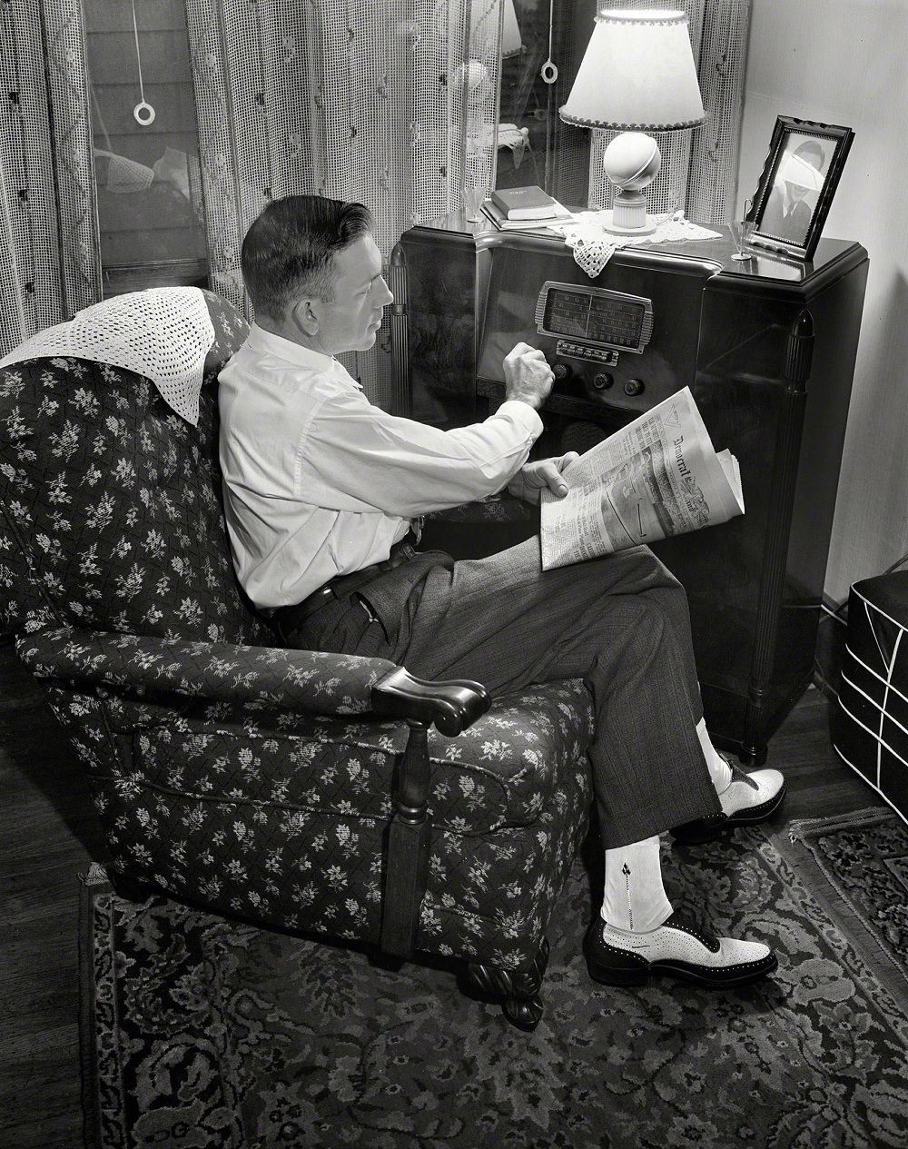
By March 1943, the war had deepened. Mr. Babcock is photographed here tuning his radio for the latest war news — a nightly ritual for millions of American families who relied on broadcast reports to track the progress of a conflict that touched every corner of their lives.





Can anyone provide more information about the Hotel Seneca? It looks stunning.
I was thinking the same! It looks amazing!
There was an occasion when President Taft stayed there. It was generally considered a prime choice for well-to-do visitors to Aqueduct City (a lesser-known Rochester nickname at the turn of the century). The parking lot is currently gravel, so yay, urban modernization!
These phots are Fabulous.
Wish we kept all the light rail
Wish we kept all the light rail
Like the comments for the flag saluting pic,.people discovering how kids used to salute the flag back then is funny
I’ve never seen a salute to the flag like in pic 10… in a classroom in this country.
The one that throws me the most is South Ave I think. It took me awhile to place because there aren’t any historic 4 story buildings in the South Wedge. I eventually placed it though. The Cook Opera House is now where the convention center is. In this photo the first intersection is with W Main st. and the rest beyond that is St. Paul. The only buildings remaining are the ones on the right side of St. Paul st. until you get to where it curves a little at the very back of the photo at Andrews St. and I think all the buildings on St. Paul past Andrews are in this photo as well.
“They paved paradise, put up a parking lot.”
They cut down all the trees and put them in the tree museum. Charged the people a dollar and a half just to se ’em….
I would love to see some photos of the old Erie Canal when it went through the city by way of the aqueduct.
That was definitely the golden era of Rochester. Now we’re living in some sort of weird freak postmodern interpretation of the City of Rochester where the land and properties are owned by a corporation and the decisions are made by executive board members sitting on commissions who also work for the development corporations. We sure went from being a city known for innovation and invention into this freak hybrid privation system that we’re living on today.
These are some nice photos, though.