
Baltimore was founded in 1729 and named after Lord Baltimore, the proprietor of the Maryland colony. From its earliest days, the city operated as a seaport and shipbuilding center, moving tobacco and grain through its docks. Local waterways were soon put to work powering flour mills, and by the 19th century, Baltimore had grown into a major trade hub with dozens of mills lining its rivers. The city’s location on the Chesapeake Bay made it one of the most strategically valuable ports on the East Coast.
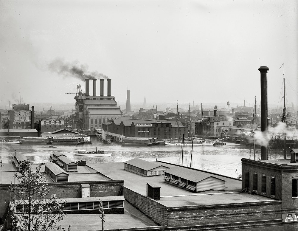
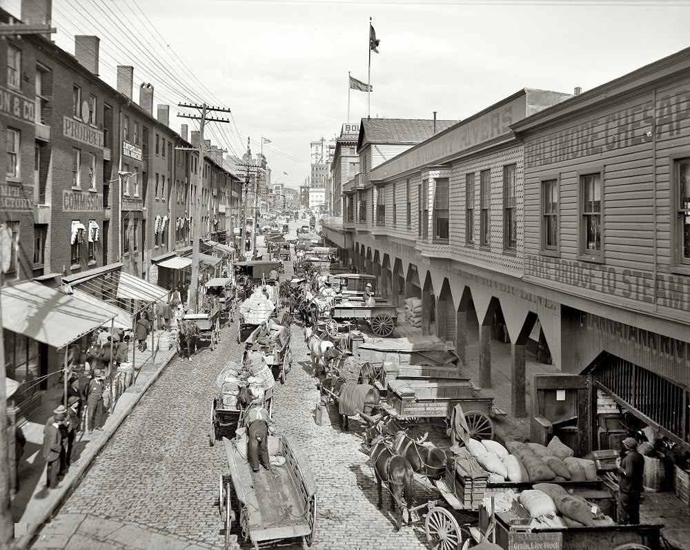
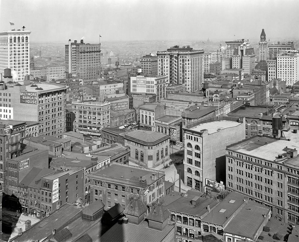
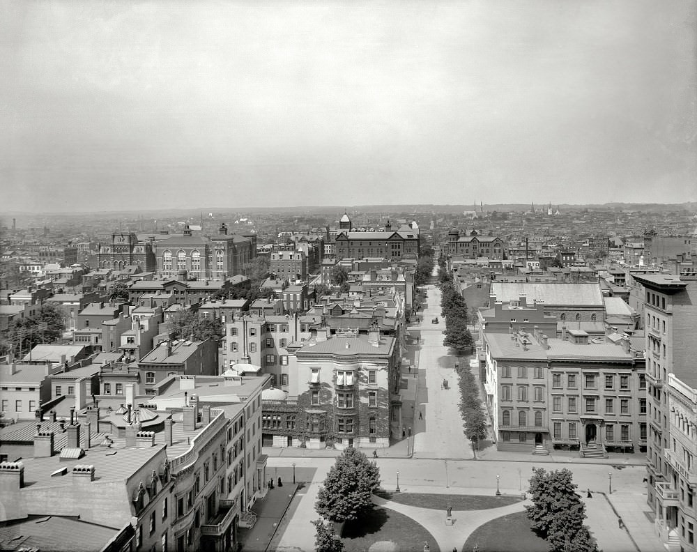
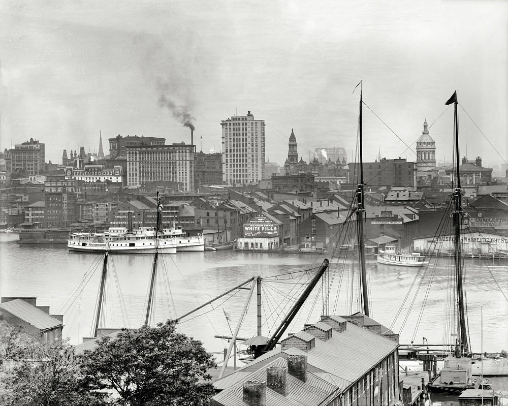
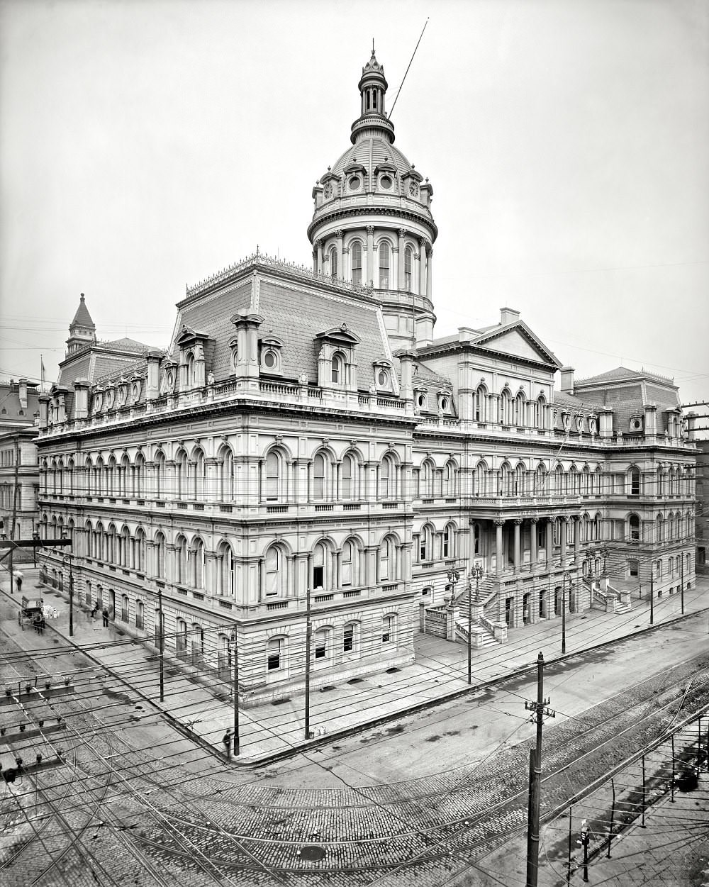
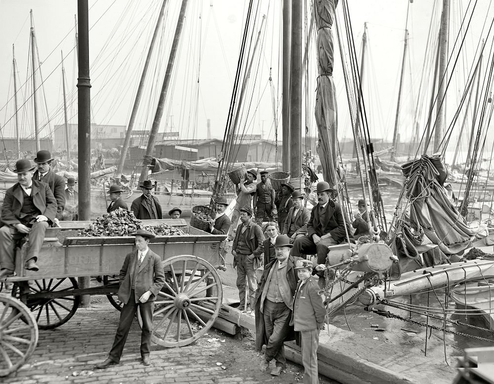
By 1900, Baltimore’s grand civic buildings reflected a city confident in its standing. City Hall, completed in 1875, stood as a symbol of that ambition. The view from Federal Hill in 1903 revealed a dense, growing skyline packed along the waterfront. Streets like Light Street and North Charles Street bustled with horse-drawn carts, early electric streetcars, and vendors selling everything from chestnuts to oysters.
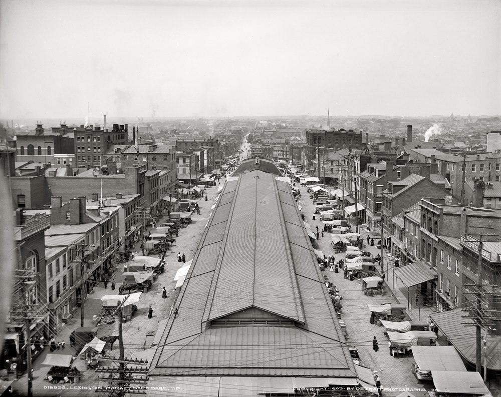
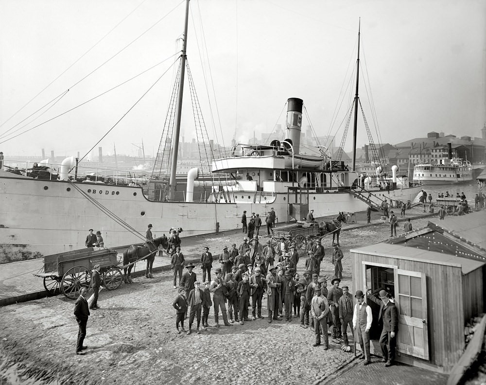
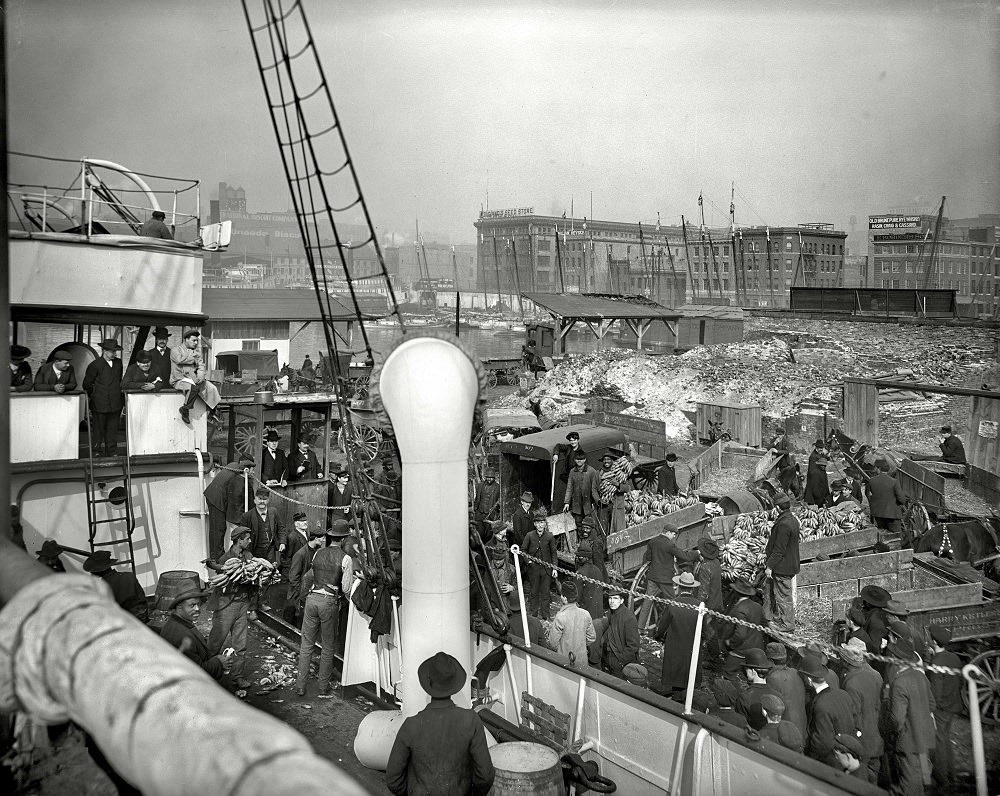
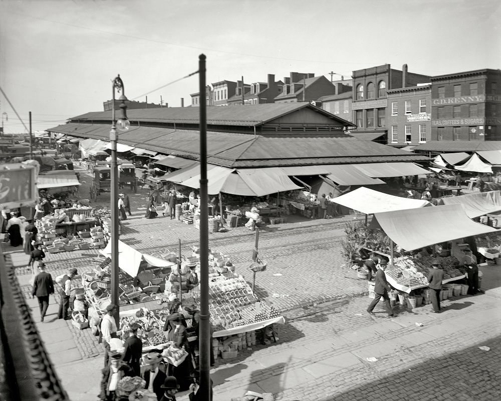
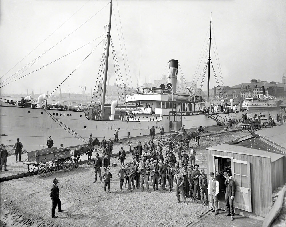
Lexington Market, one of the oldest public markets in the United States, was already a central fixture of daily life by 1903. Vendors packed its stalls, and residents from across the city came to buy fresh produce, meat, and seafood. Down at the docks, stevedores unloaded banana steamers and oyster luggers, their work forming the backbone of Baltimore’s waterfront economy. Payday at the docks drew crowds, with workers lining up to collect their wages.
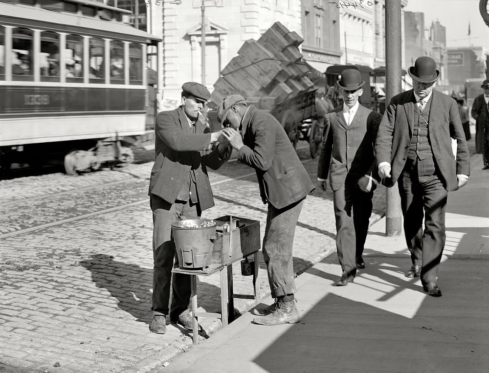
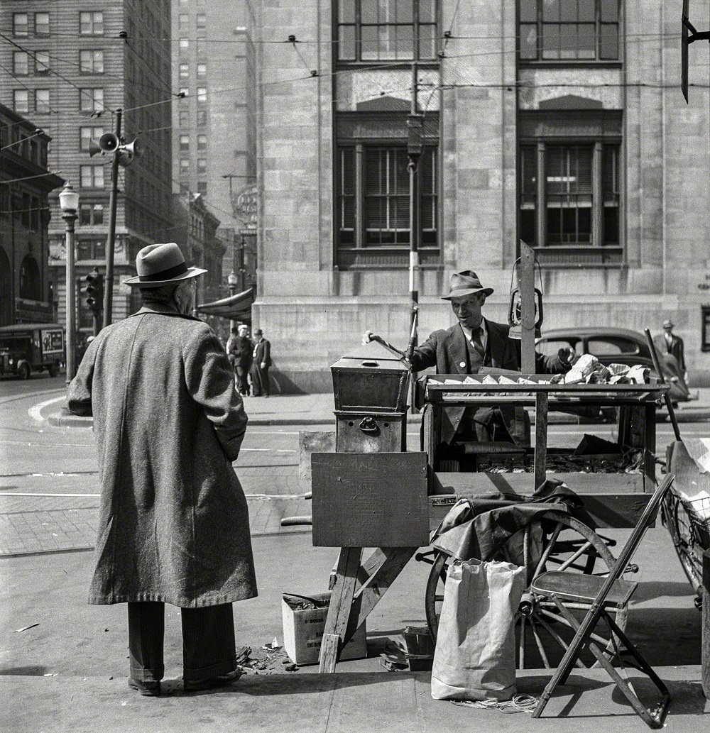
Street vendors were a common sight in early 20th-century Baltimore. A chestnut seller working the corner near 1905 was part of a wider informal economy that operated alongside the city’s formal businesses. A peanut seller stationed at the northeast corner of East Baltimore Street and Holliday Street carried on the same tradition decades later, in 1943. These small-scale sellers were woven into the fabric of daily street life throughout the century.
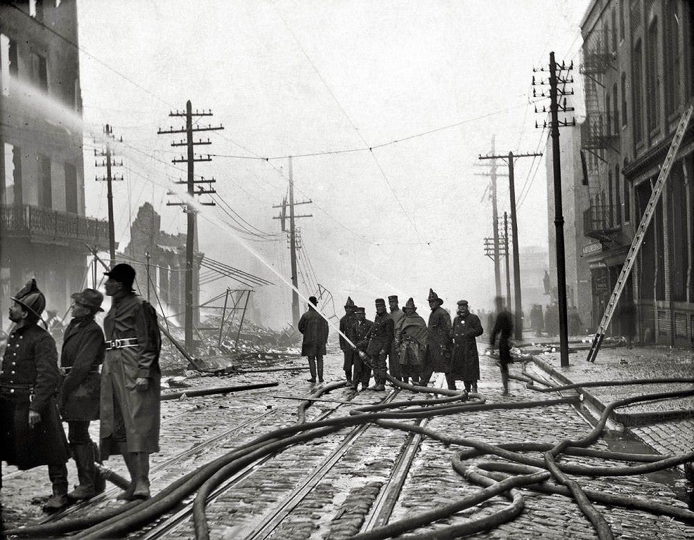
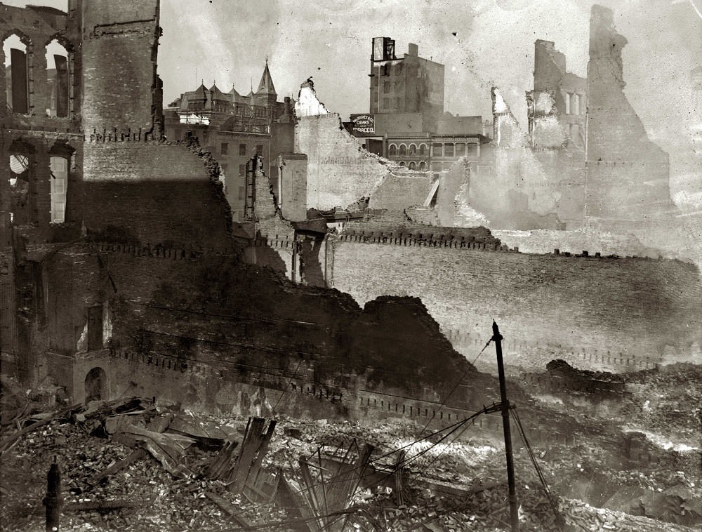
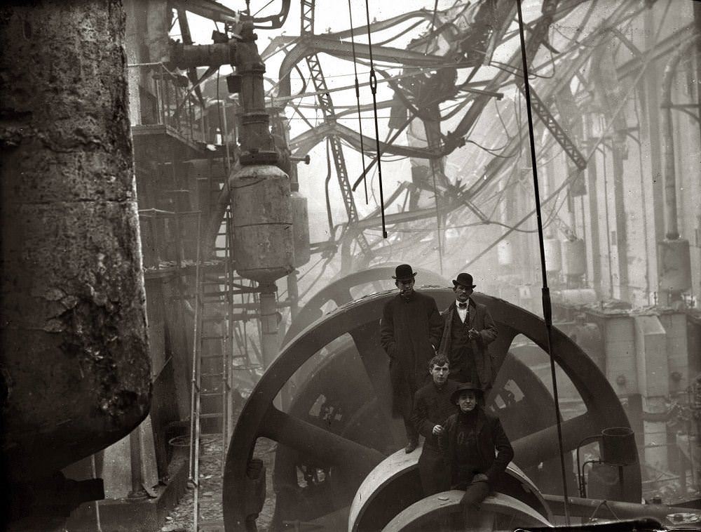
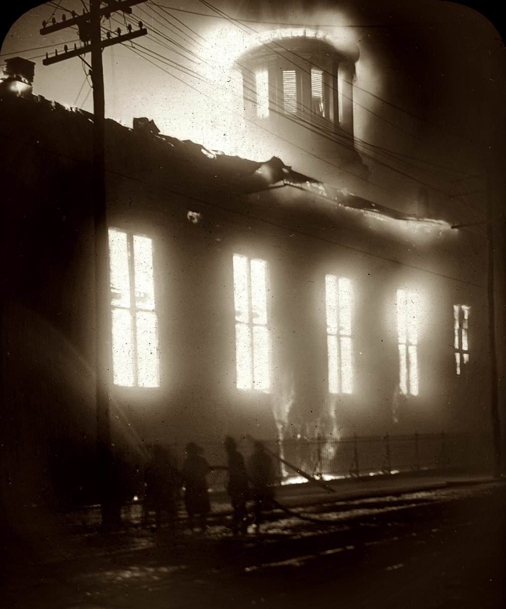
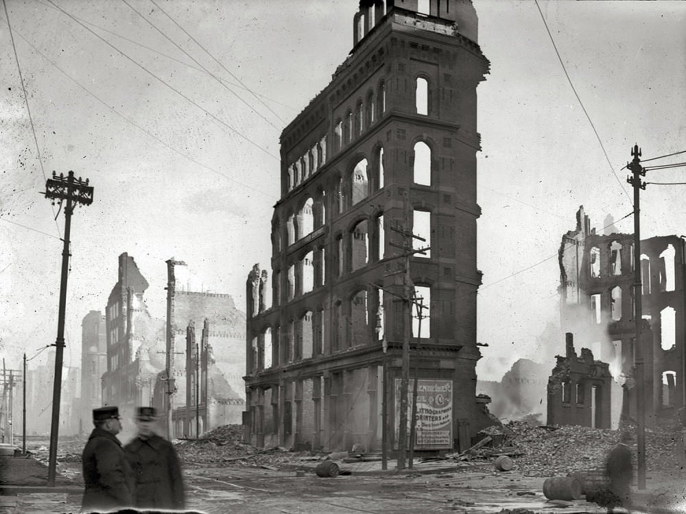
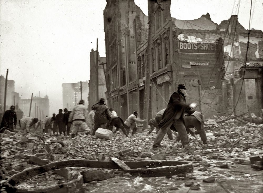
On February 7, 1904, a fire broke out in the Hurst Building on German Street. It spread rapidly through downtown Baltimore, driven by strong winds. By the time it was contained, the fire had burned for nearly 30 hours, destroyed approximately 1,500 buildings, and caused an estimated $150 million in damages. The disaster wiped out roughly 70 city blocks. Firefighters from as far away as New York and Washington arrived to help, but their hoses couldn’t connect to Baltimore’s hydrants due to incompatible fittings — a problem that accelerated national changes in firefighting equipment standards. To stop the fire’s advance, authorities made the decision to dynamite buildings on Baltimore Street, creating firebreaks in the path of the flames.
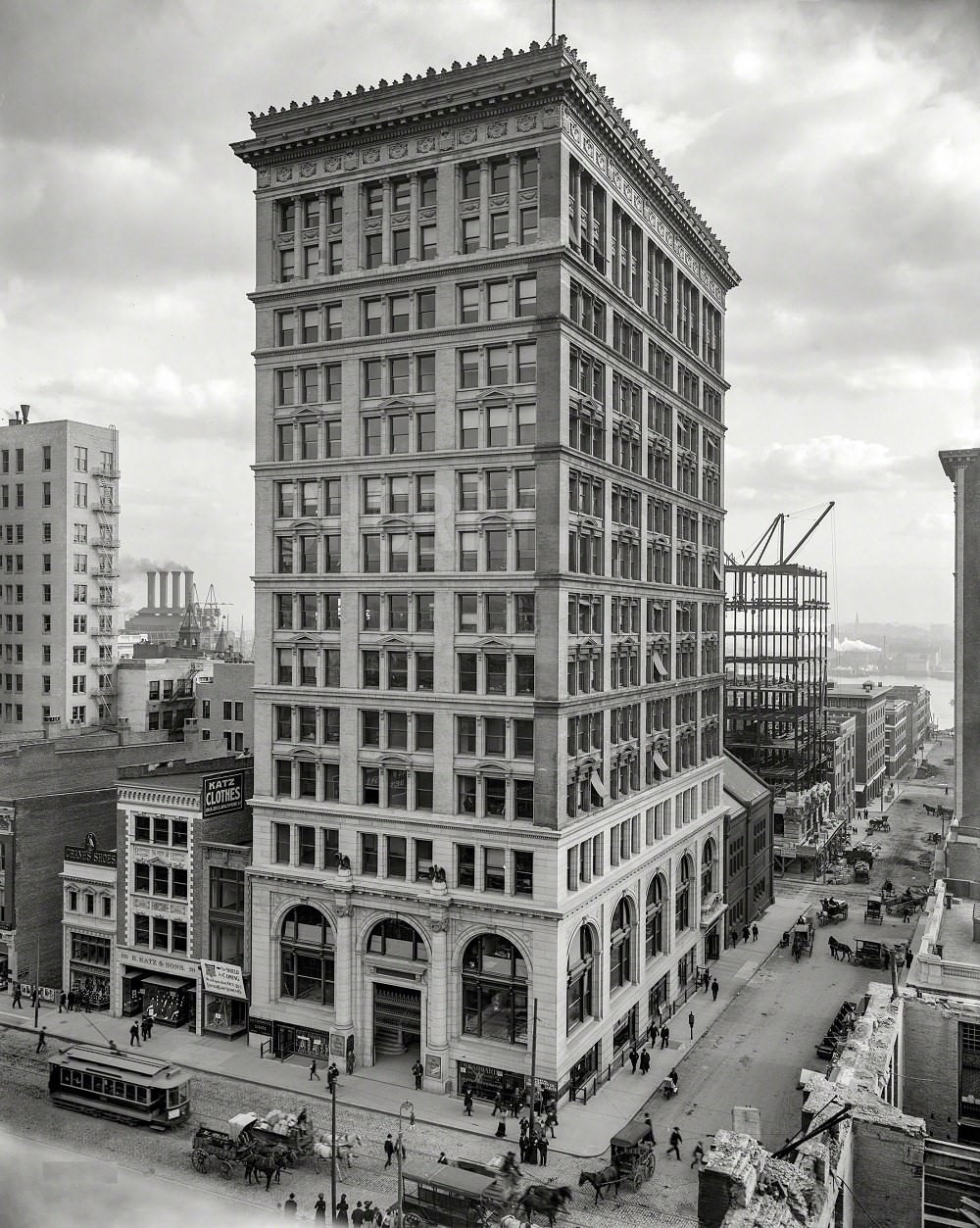
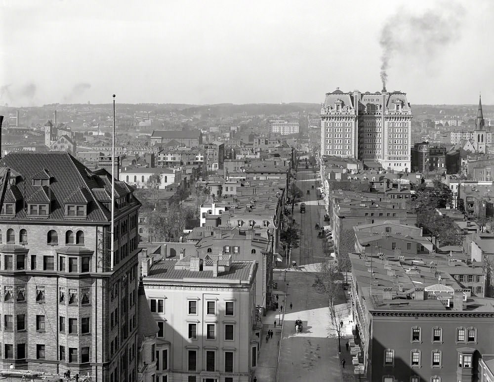
The city was rebuilt quickly and with more deliberate planning than before. New buildings went up on wider streets, and the Continental Building — completed in 1904 and standing 164 feet tall — became one of the first skyscrapers in Baltimore’s rebuilt downtown. By 1906, Light Street and North Charles Street showed a city already moving past the disaster. By 1912, a view from the Emerson Hotel tower showed a transformed skyline.
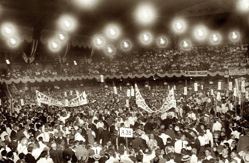
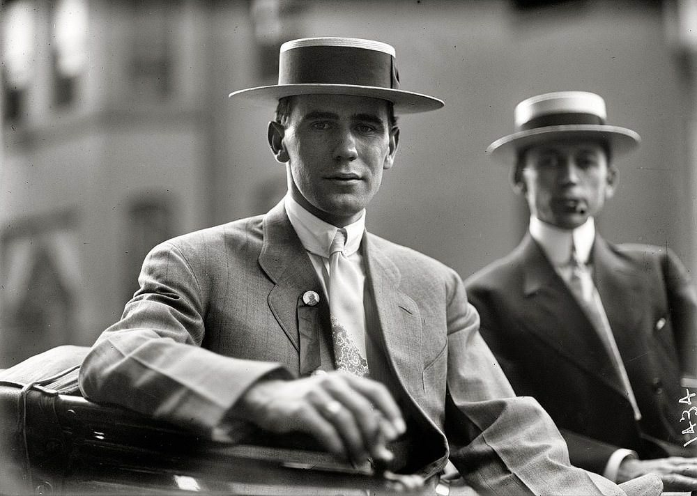
In June 1912, Baltimore hosted the Democratic National Convention. House Speaker Champ Clark of Missouri came in as the frontrunner for the presidential nomination, and his supporters flooded the convention hall. His son Bennett Clark was also present, actively working the floor on his father’s behalf. Despite Clark leading on early ballots, the convention deadlocked and eventually nominated Woodrow Wilson on the 46th ballot.
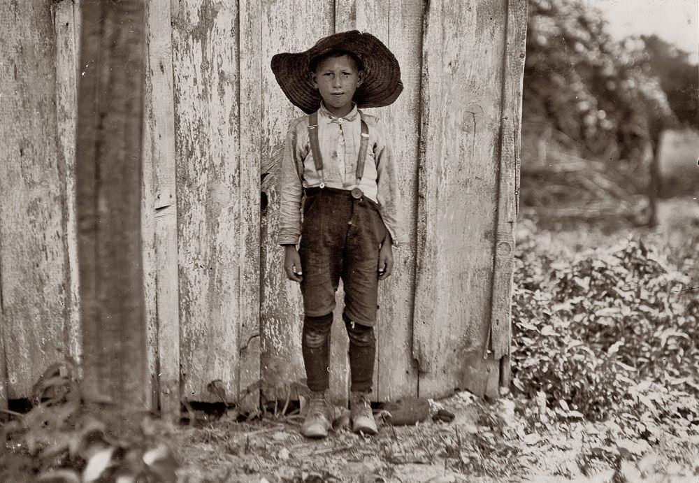
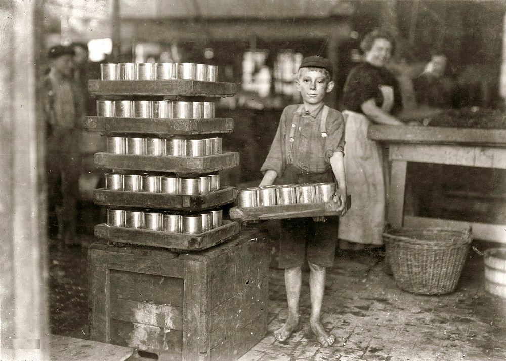
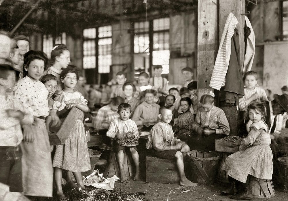
Child labor was visible across Baltimore’s industries in the early 1900s. At the J.S. Farrand Packing Company, young boys carried heavy loads on the factory floor while women and older workers sat stringing beans in long rows. In 1909, photographer Lewis Hine documented these conditions as part of a broader national effort to expose child labor practices. The Farrand images showed children working alongside adults in the canning industry, one of several manufacturing sectors that had grown in Baltimore after the Civil War.
Farm families near Baltimore also worked under difficult conditions in 1909. The Slebzak family, photographed working on the Bottomley farm, represented the rural labor that supplied the city’s markets and canneries. Agricultural work near the city often involved entire families, including children, putting in long days during harvest seasons.
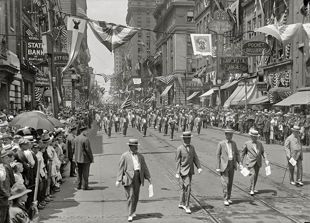
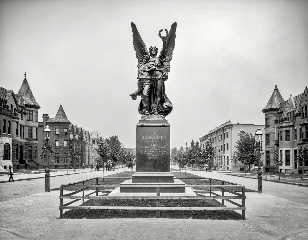
Baltimore’s street-level culture in the 1910s included organized civic parades and public gatherings. The Elks Lodge parade of 1916 drew large crowds to the city’s streets. Four years earlier, the Confederate Soldiers and Sailors’ Monument stood on Mount Royal Avenue as a physical marker of Baltimore’s complicated Civil War memory — the city had been a border city, with loyalties divided between North and South.
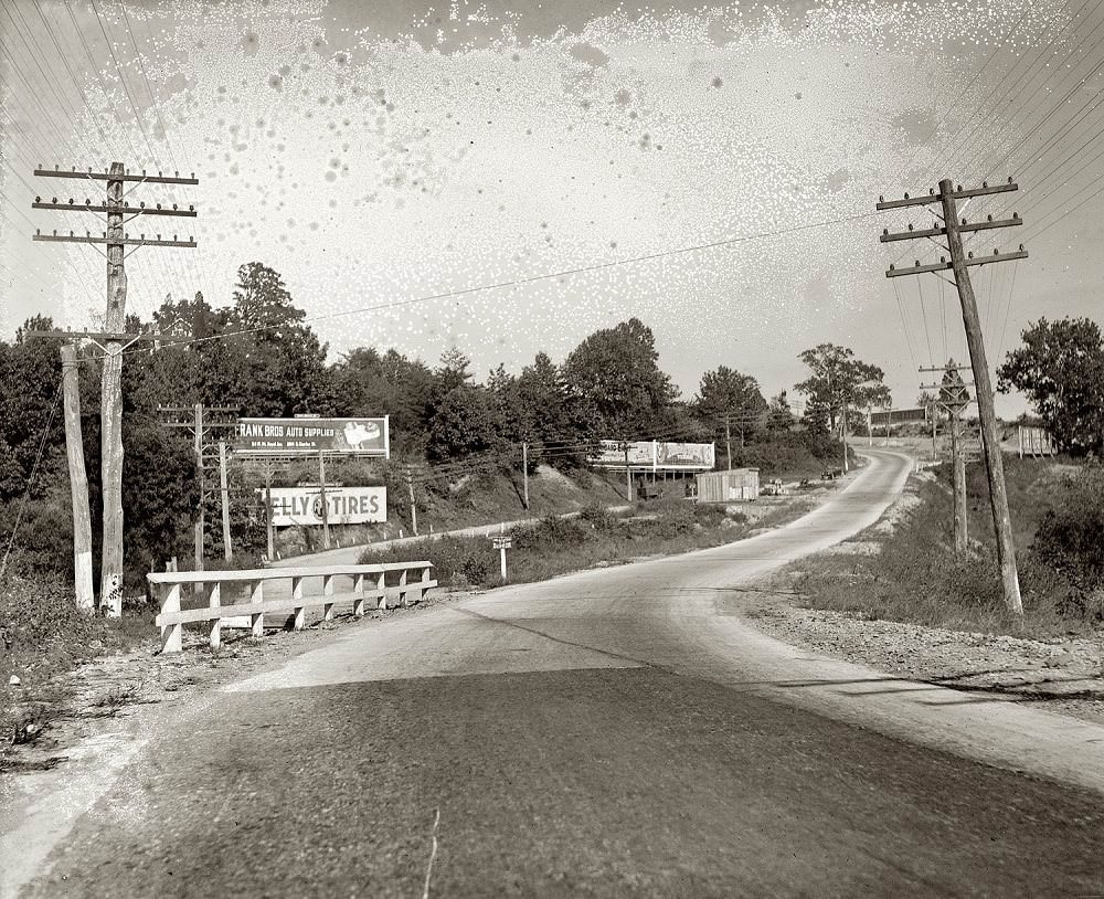
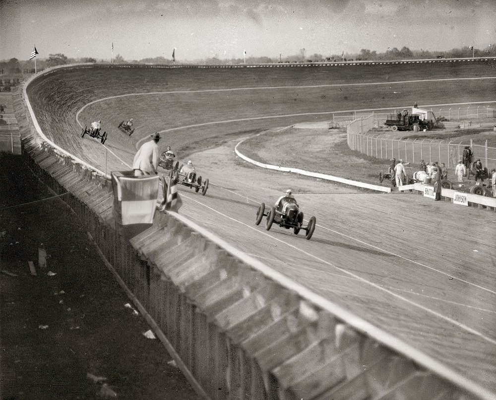
By 1920, Baltimore’s streets had taken on new dangers. Dead Man’s Curve was a notorious stretch of road known for serious accidents. That same decade, the Laurel Speedway’s board track drew racing fans from the region, with rows of cars lined up for competition in July 1925.
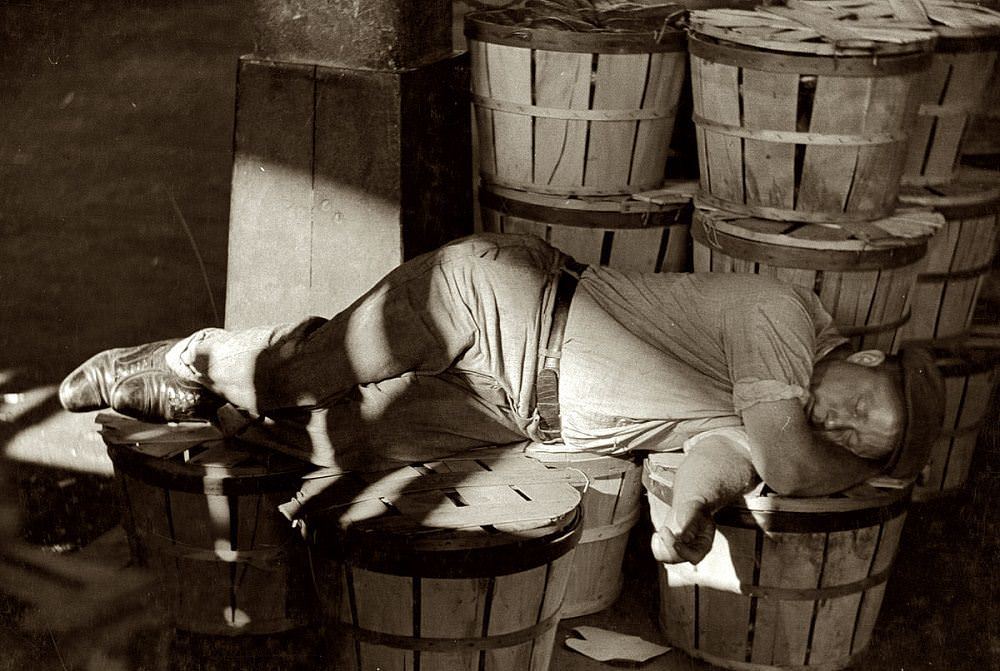
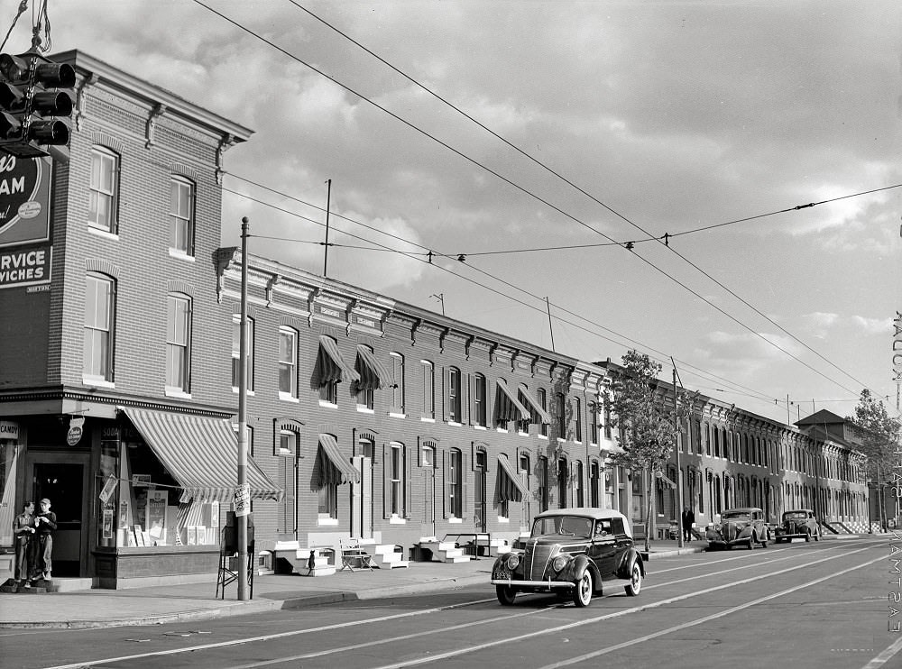
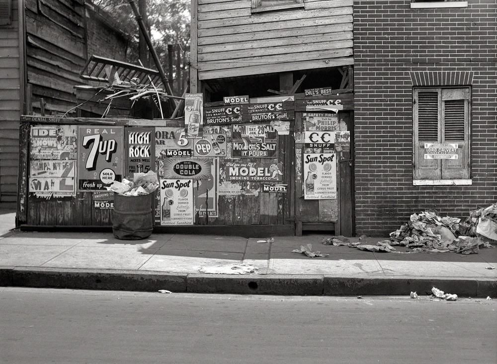
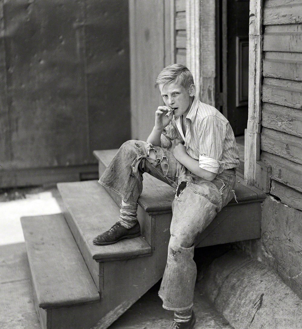
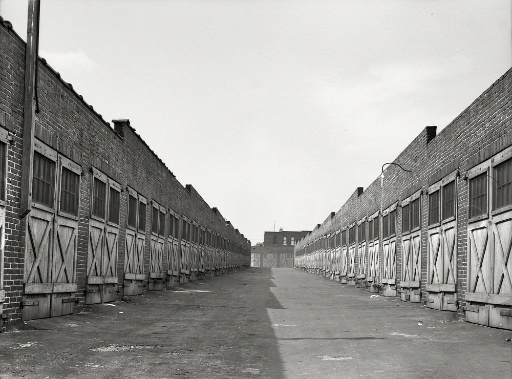
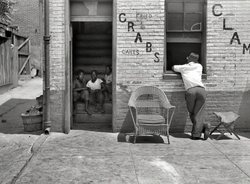
By the late 1930s, photographers working for the Farm Security Administration documented the everyday realities of Baltimore’s working-class neighborhoods. Row houses lined the streets in tight blocks. Alley garages sat behind those rows, and grocery stores operated from cramped back-lot spaces. A man sleeping in the Baltimore fish market in July 1938 captured the exhaustion that came with physical labor in the market trade. Segregation shaped where people lived; photographs from 1938 explicitly documented housing in Baltimore’s Black neighborhoods, labeled as the “Negro section” in the captions of the era.
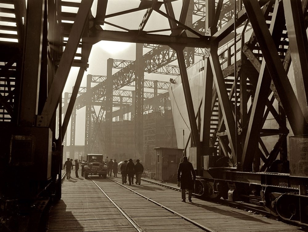
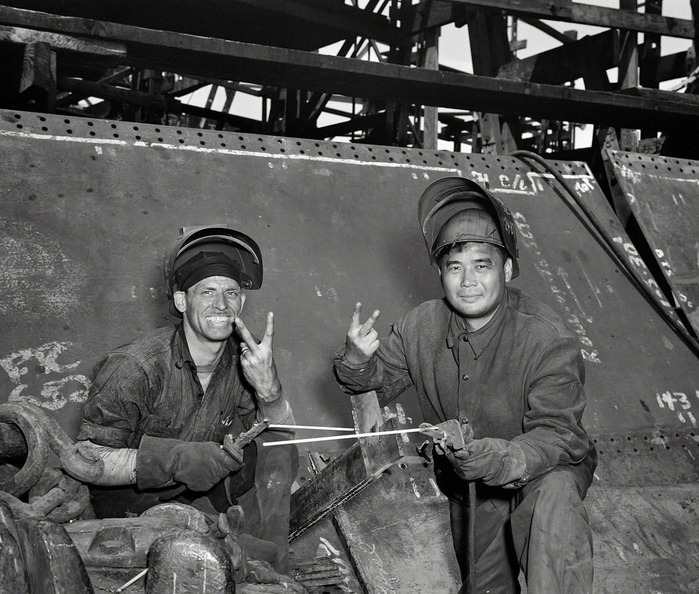
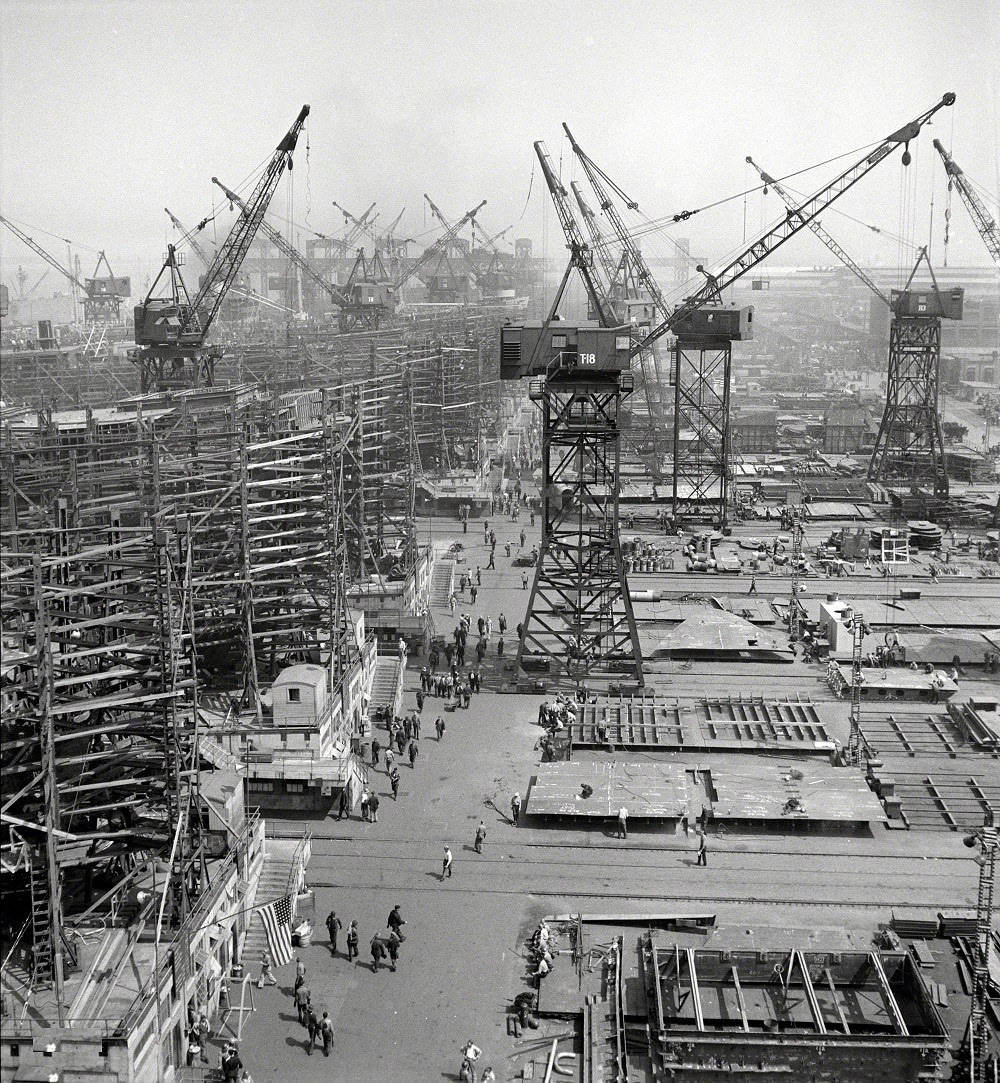
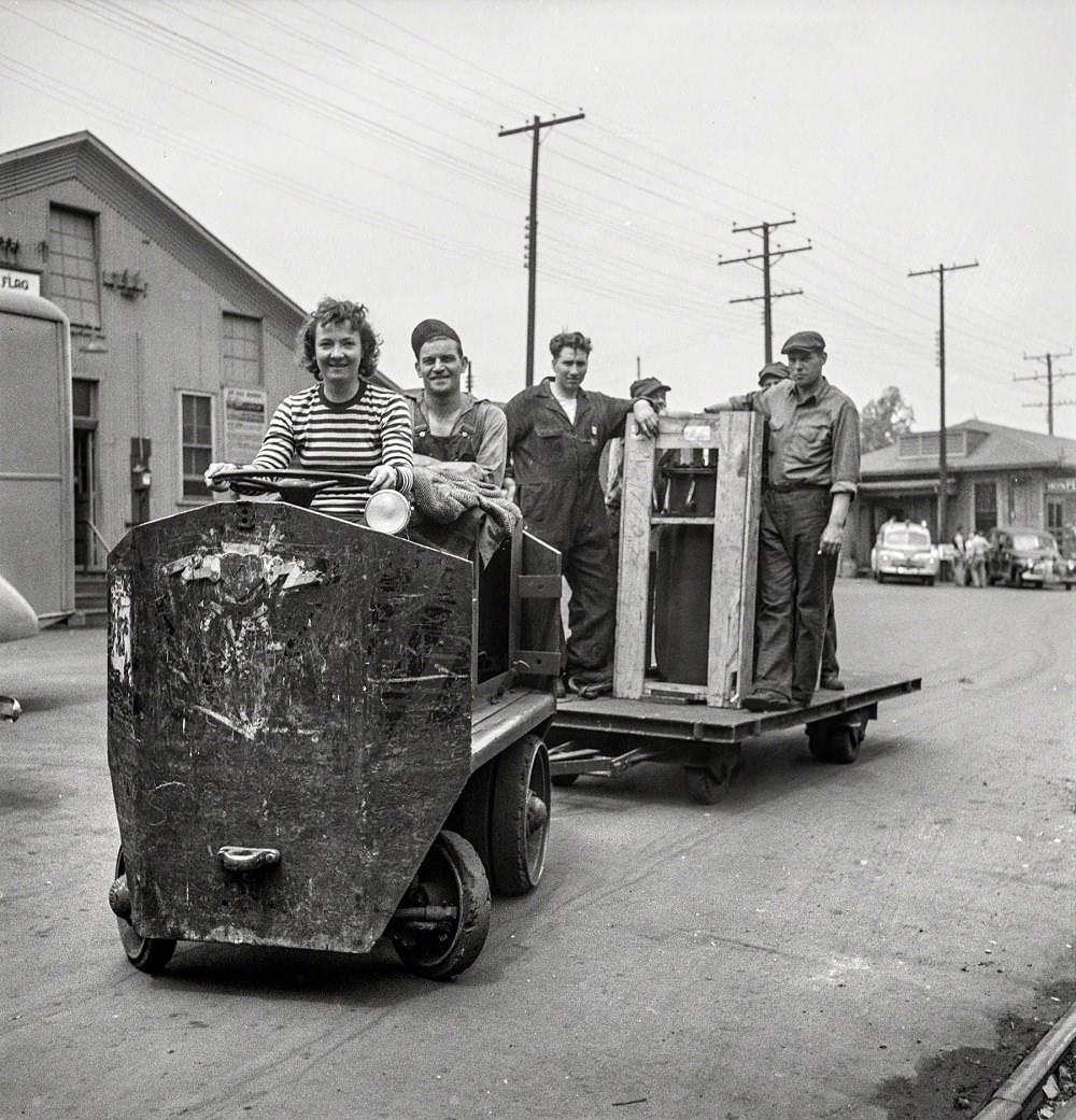
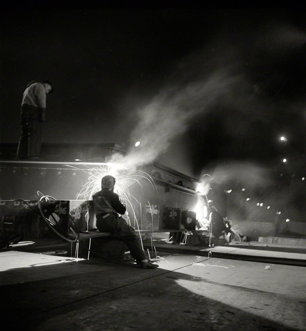
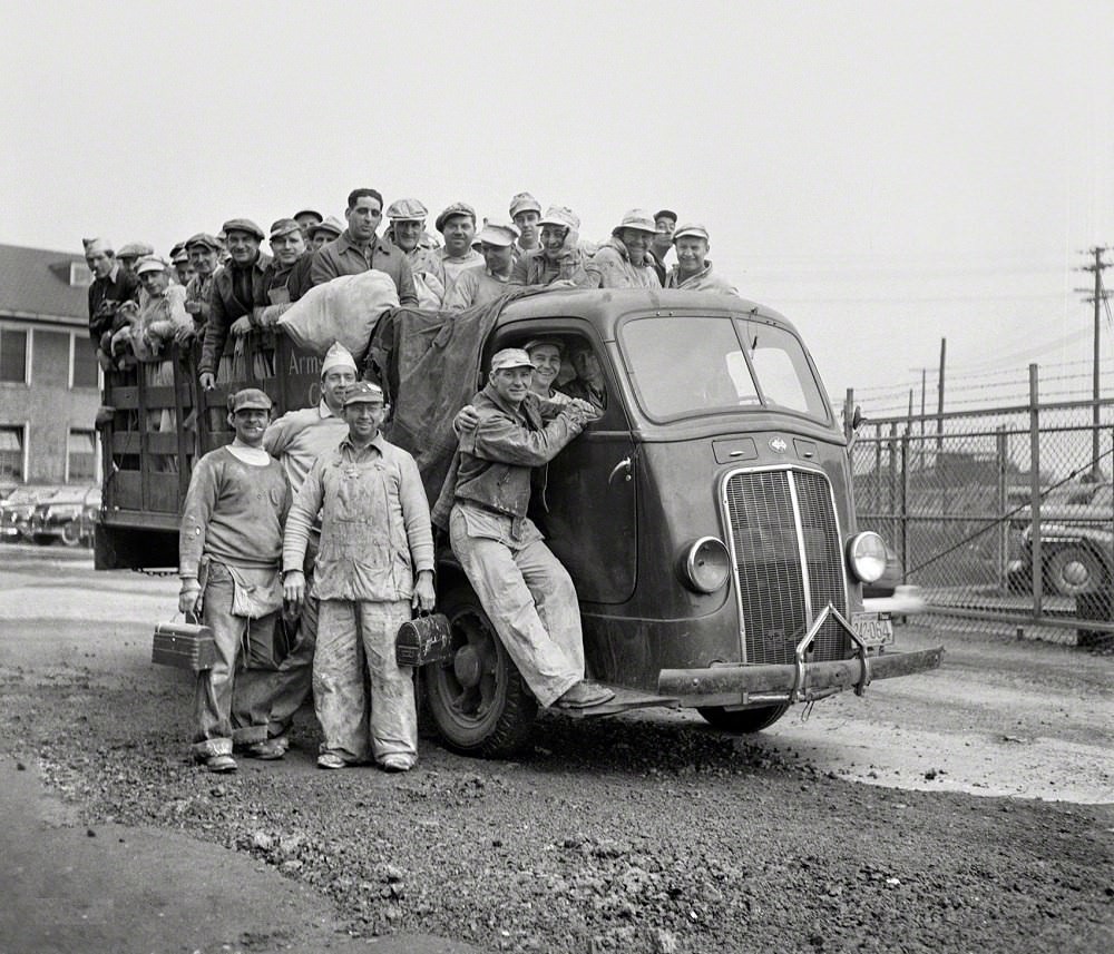
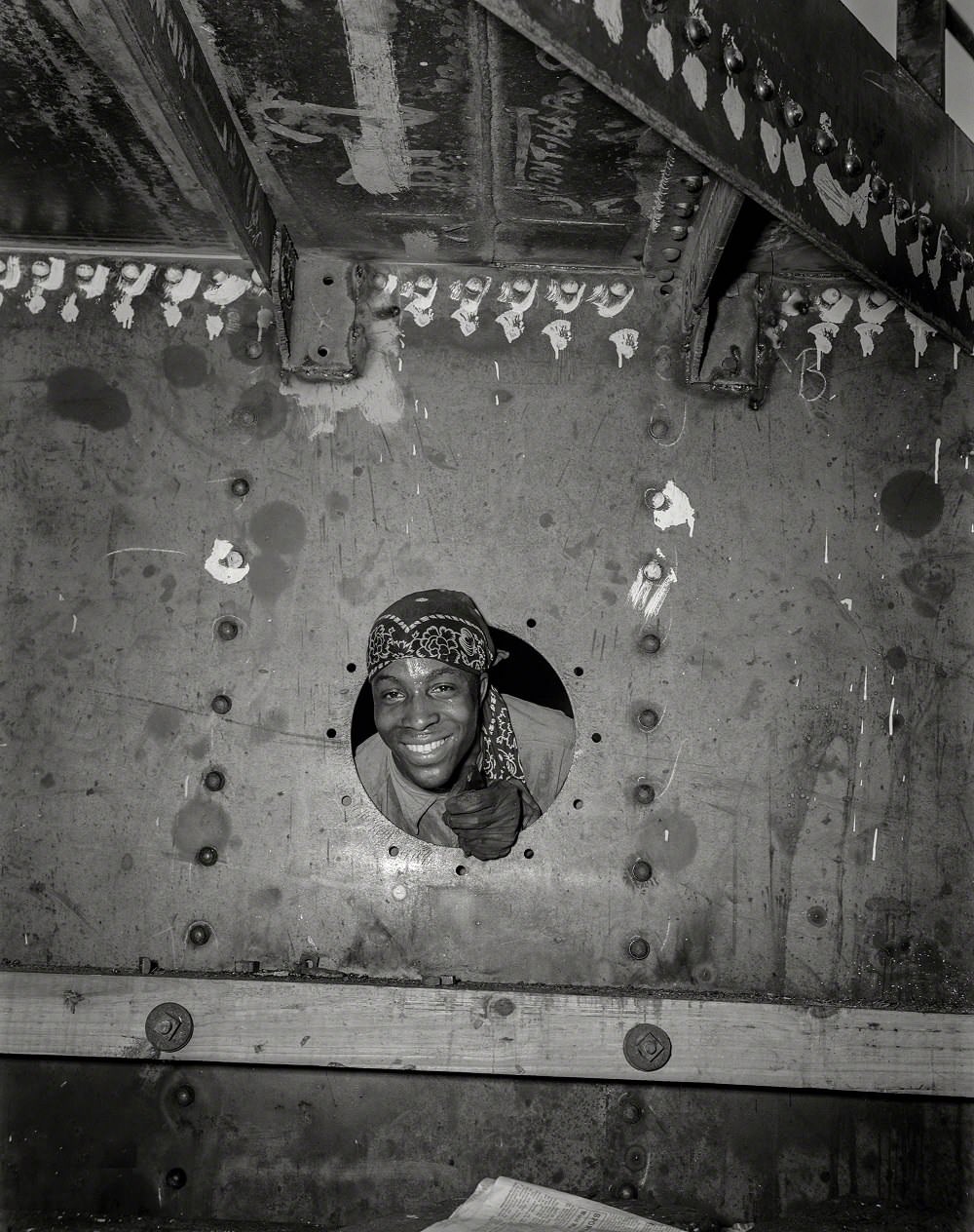
The approach of World War II transformed Baltimore’s economy and daily rhythm. The Bethlehem-Fairfield Shipyards became one of the most productive shipbuilding operations in the country. Over four years, the yard produced 384 vessels and 45 amphibious landing ships. By 1943, the shipyard was operating around the clock, with three shifts of workers cycling through every 24 hours. Getting tens of thousands of workers to and from the yard created a logistical challenge that rippled through the entire city’s transit system.
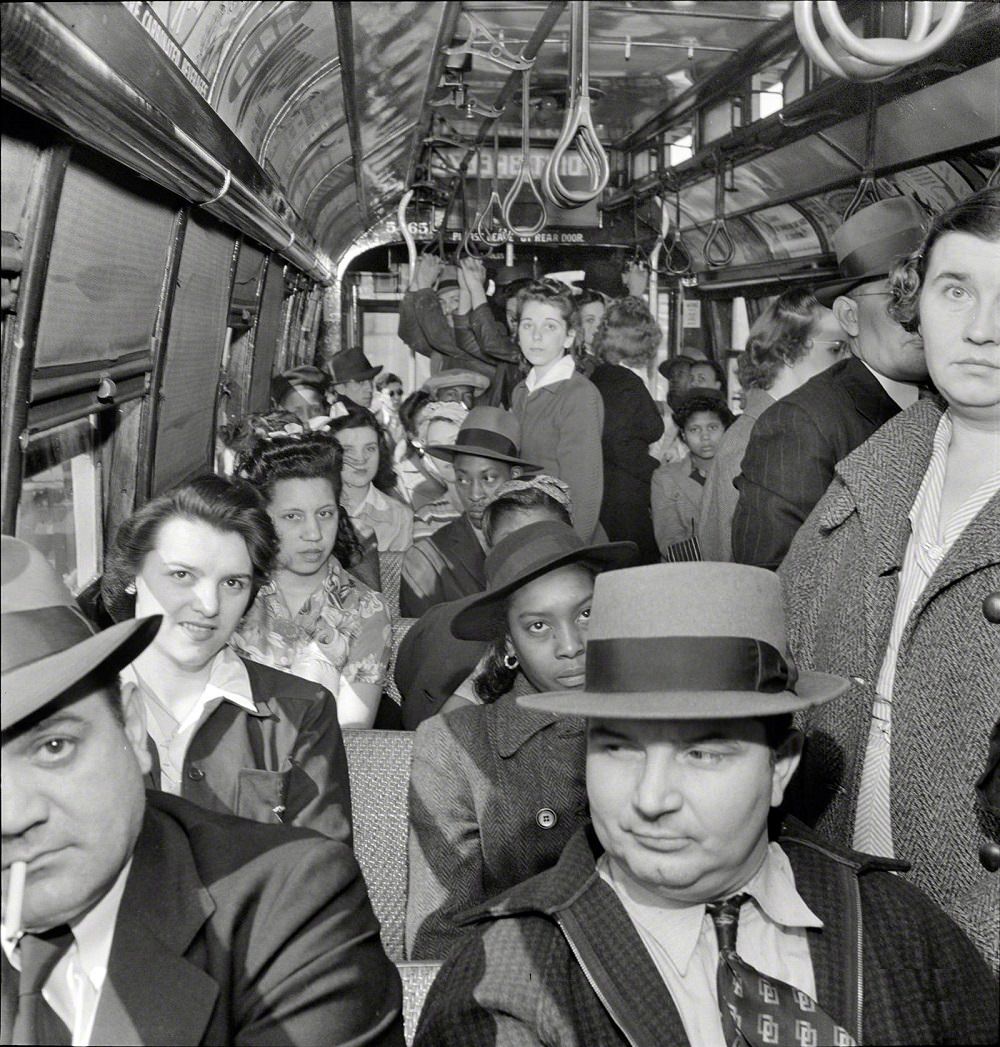
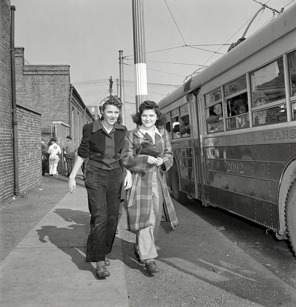
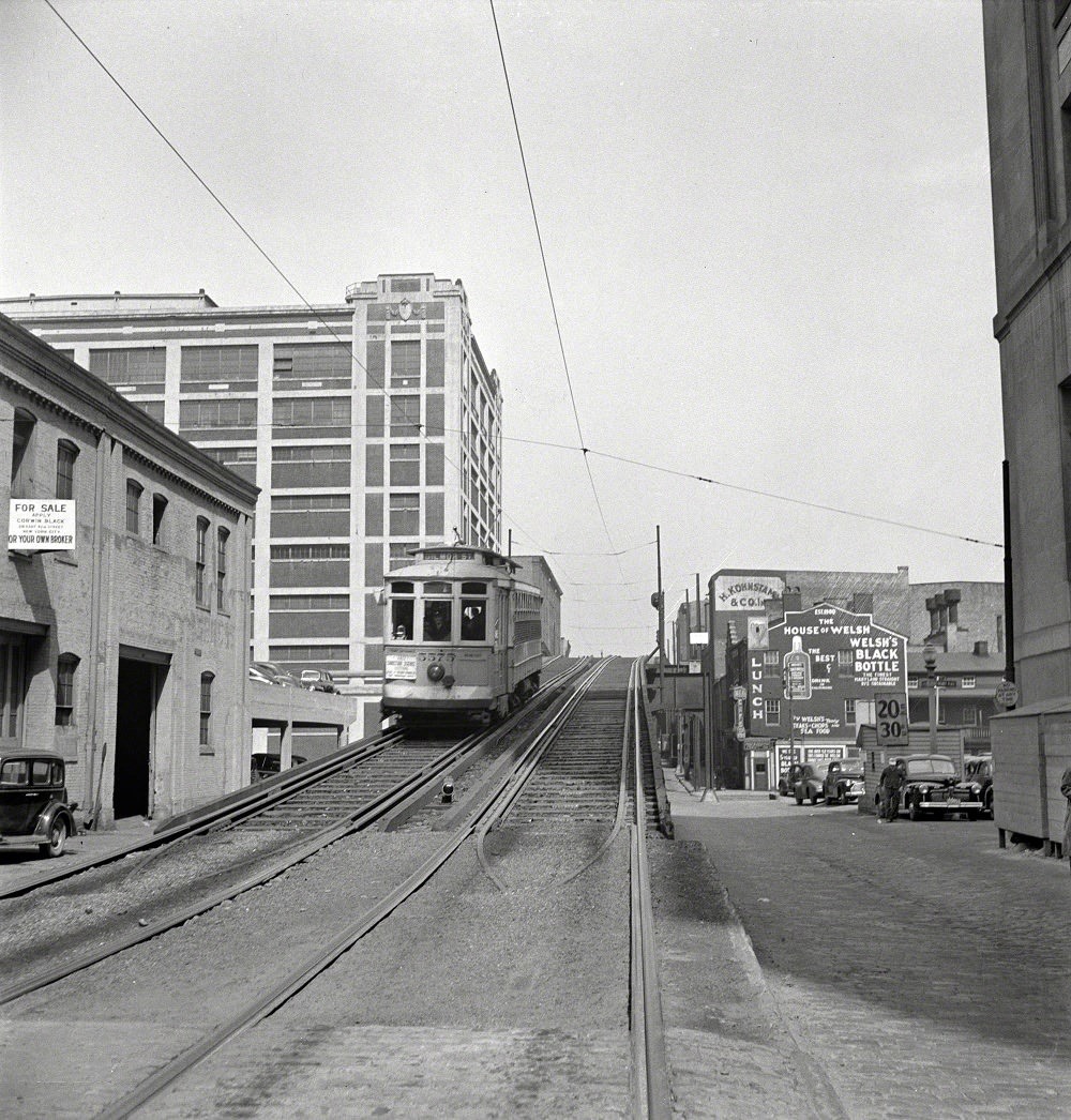
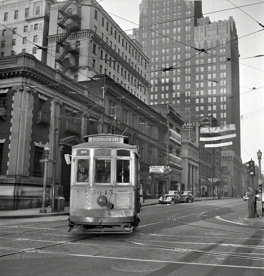
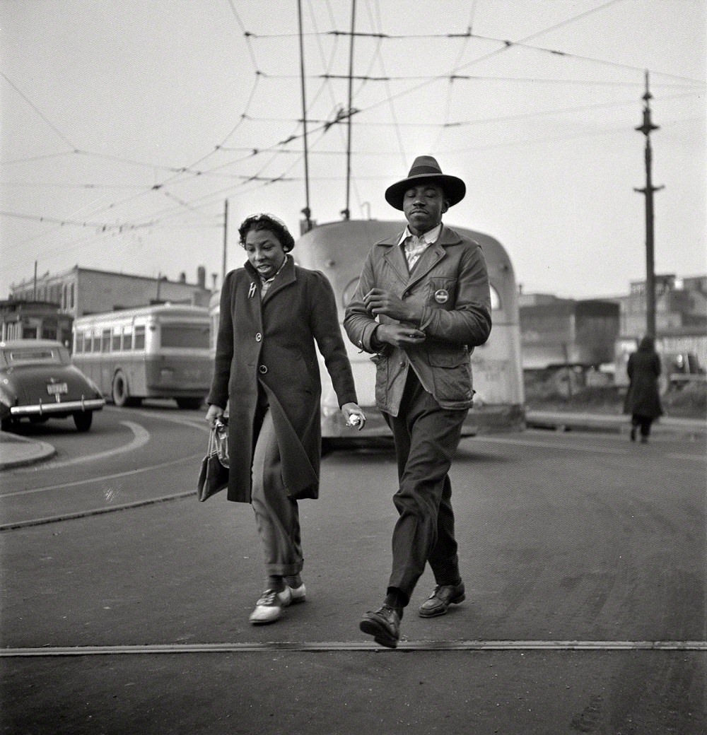
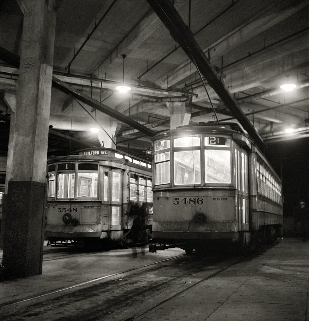
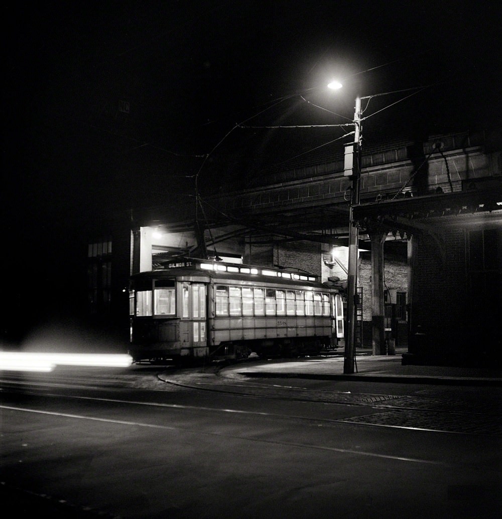
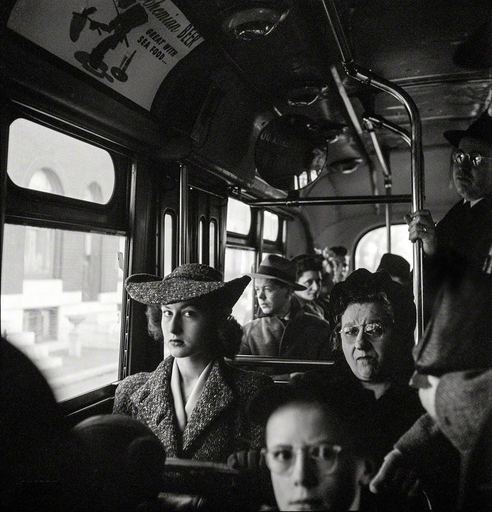
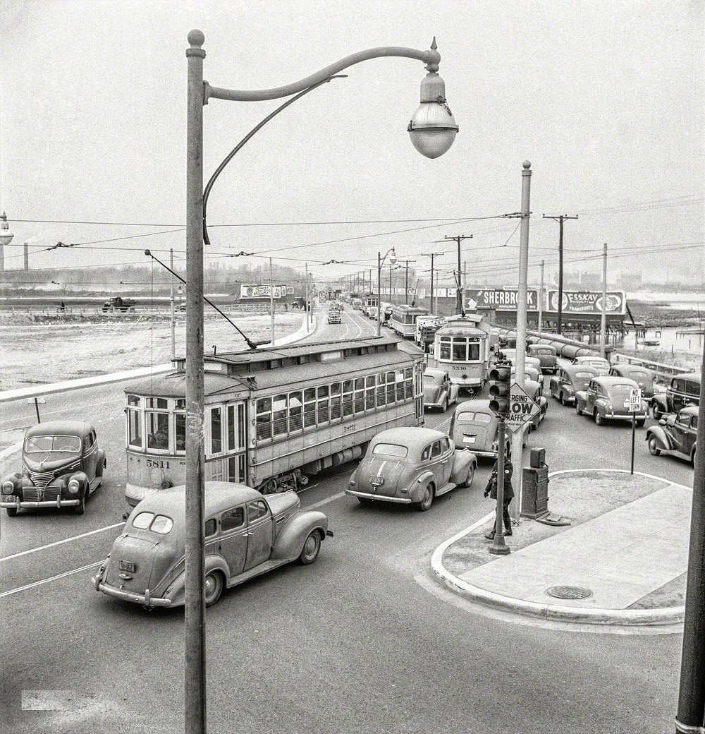
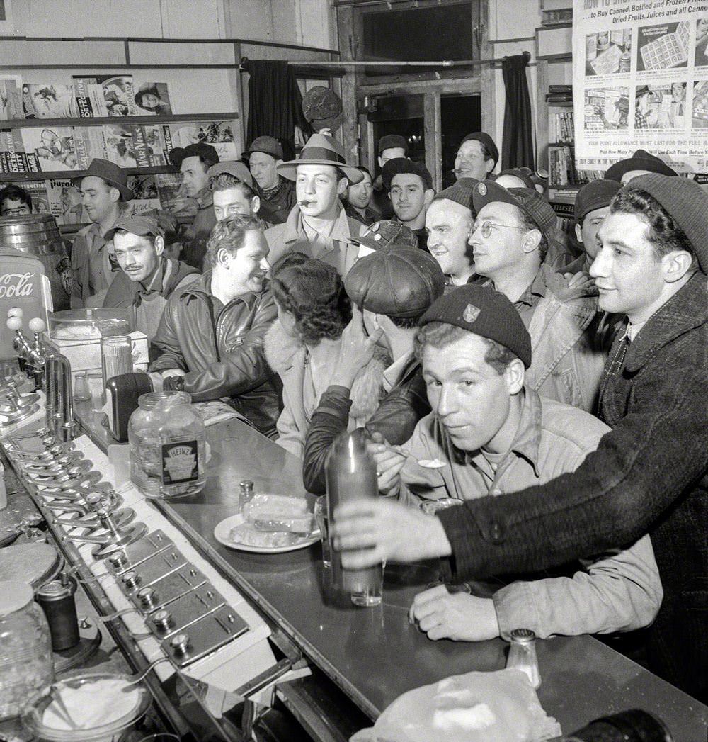
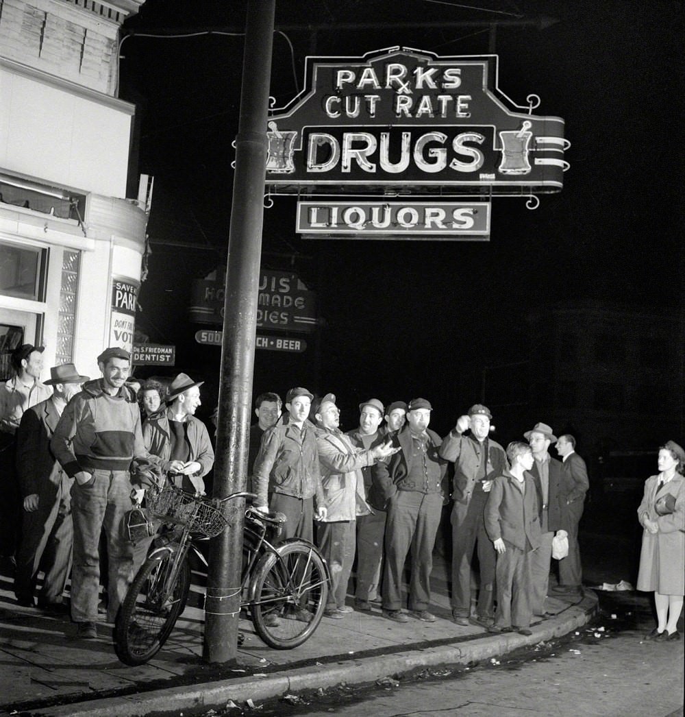
At 7 a.m., workers rushed to catch streetcars, buses, and carpool rides heading to the shipyard. Buses ran packed well beyond their intended capacity. Trolleys ran through the night, and workers waiting at street corners at midnight were a common sight as the midnight shift changed. Traffic jams on the road from Bethlehem Fairfield to Baltimore backed up for long stretches during shift changes. Third-shift workers stopped at drugstores for a quick meal before heading home as the city was waking up.
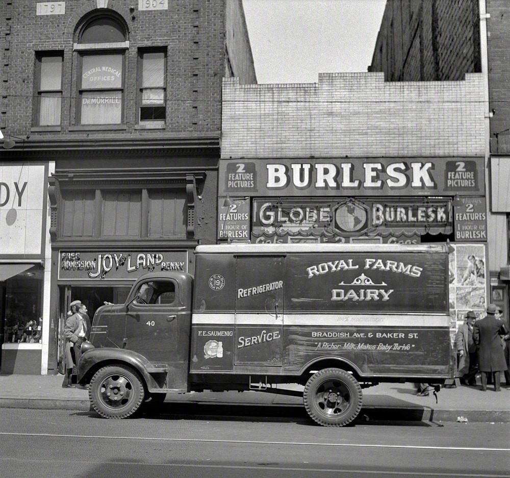
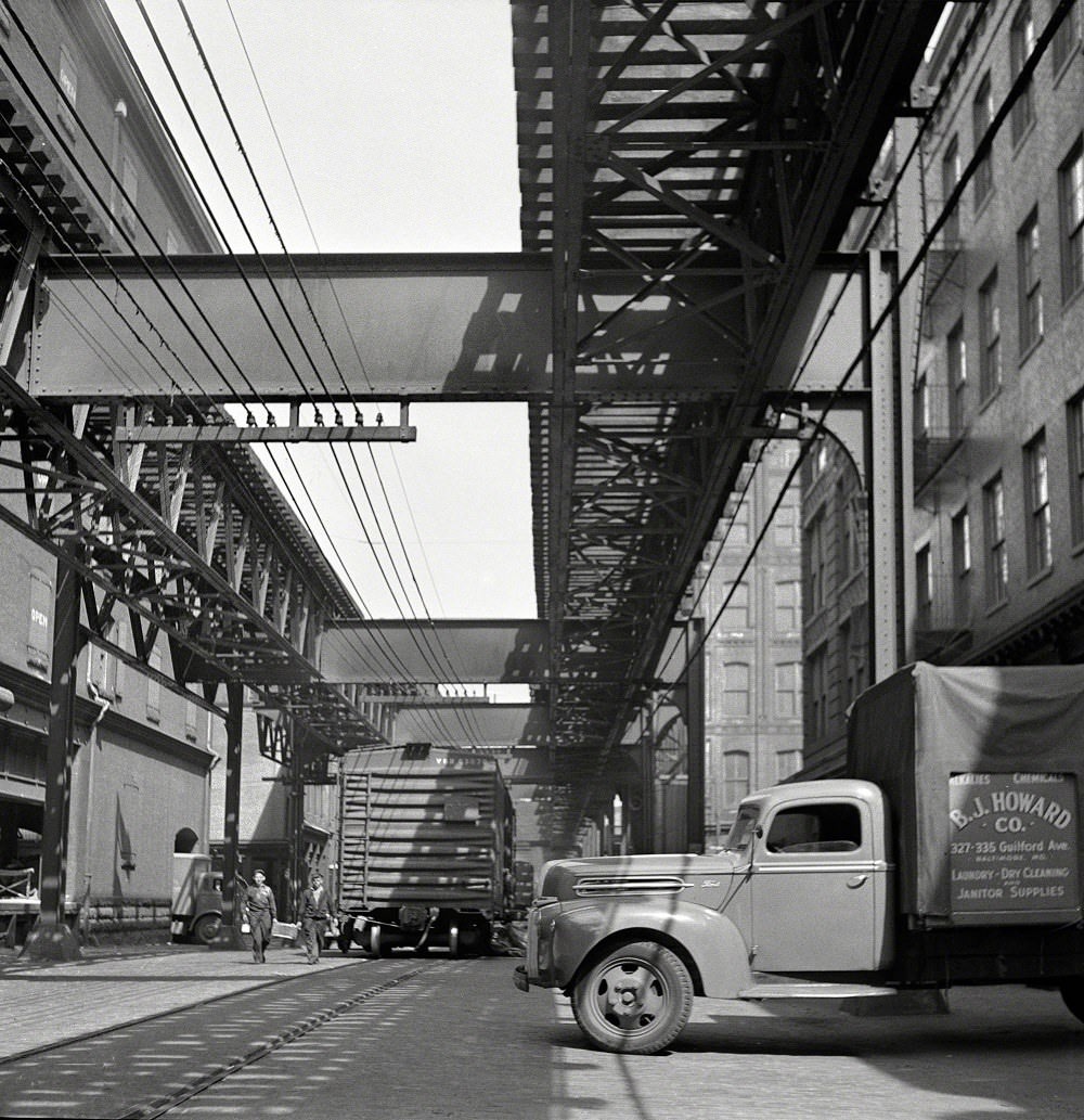
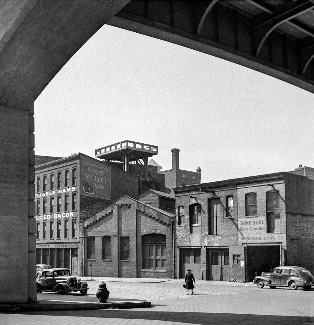
The wartime city showed its character in smaller details too. A dairy truck made its early morning rounds at 410 East Baltimore Street in Taneytown. Street-level shops like Reliable Hams at 428 Guilford Avenue kept operating through the war years. Intersections like Guilford Avenue at Saratoga Street and 2nd and North Calvert Street carried the traffic of a city fully mobilized for war production.
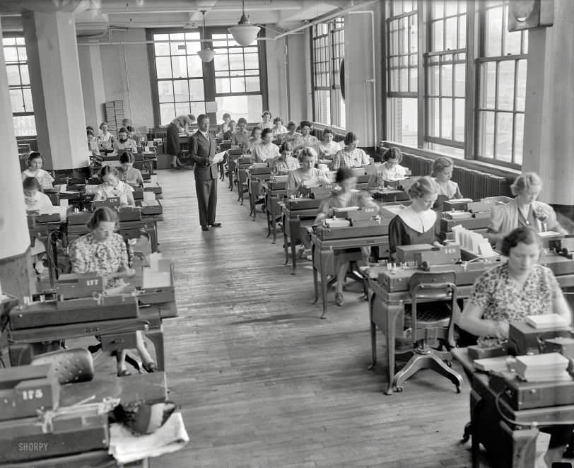
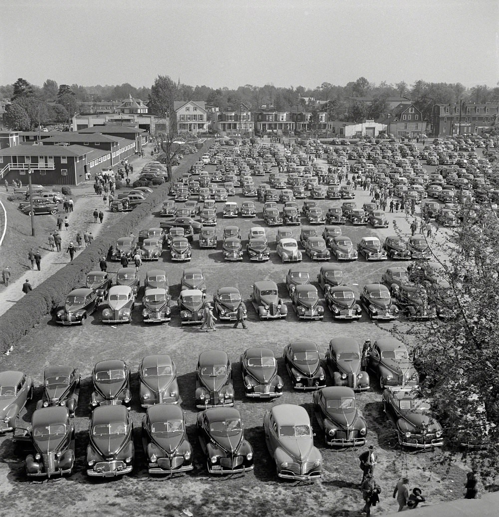
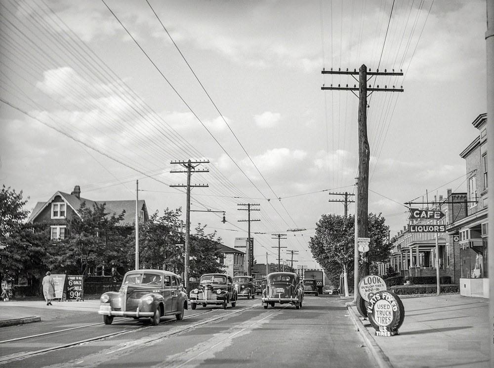
Even during the war, Baltimore held onto its recreational and cultural life. Pimlico Race Course, home of the Preakness Stakes, continued to operate just outside the city. The Baltimore-Washington Boulevard served as a key artery connecting the region, photographed in June 1940 as traffic was already growing along U.S. Highway No. 1. Women working keypunch terminals in 1937 showed the city’s early adoption of office technology as clerical work expanded.
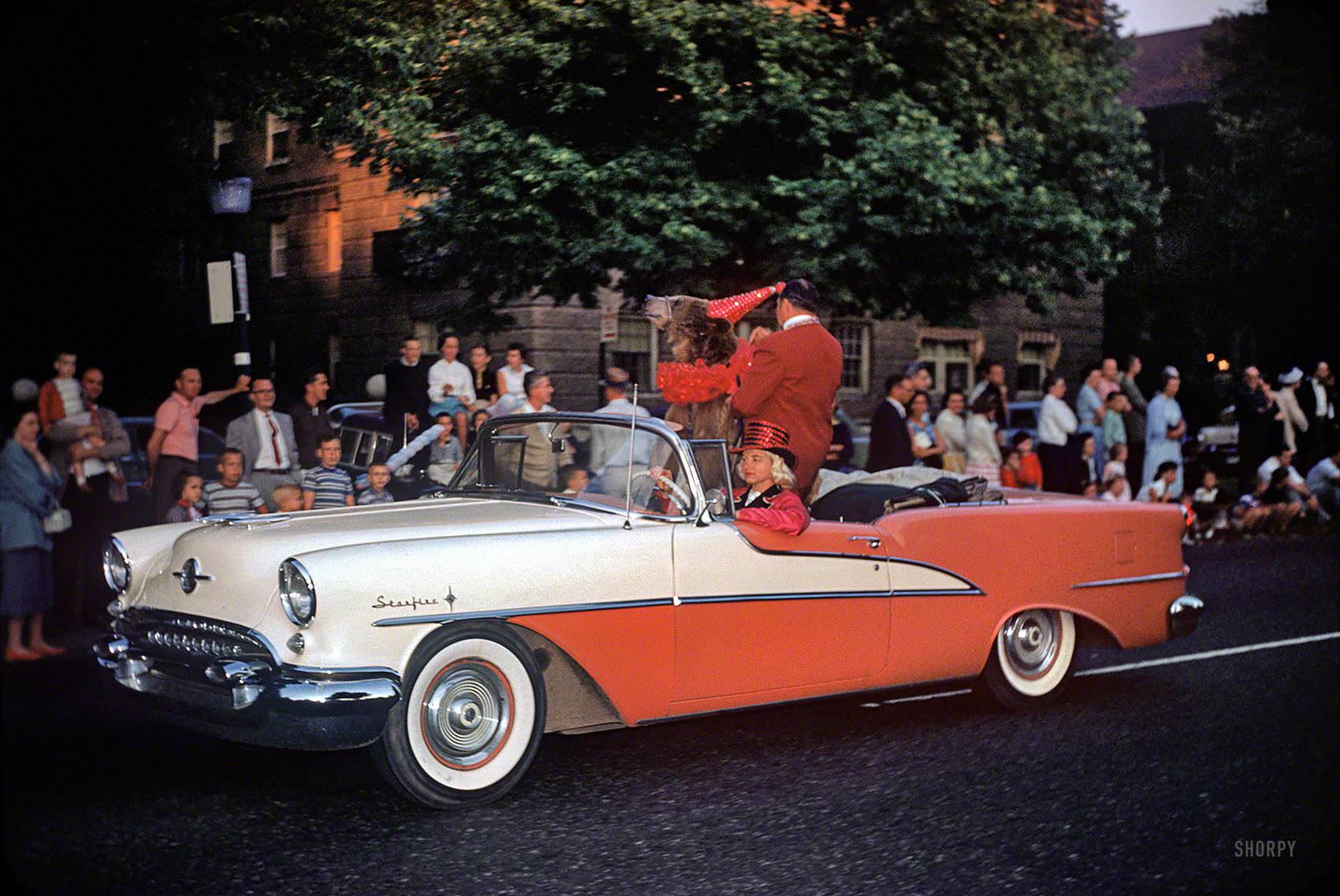
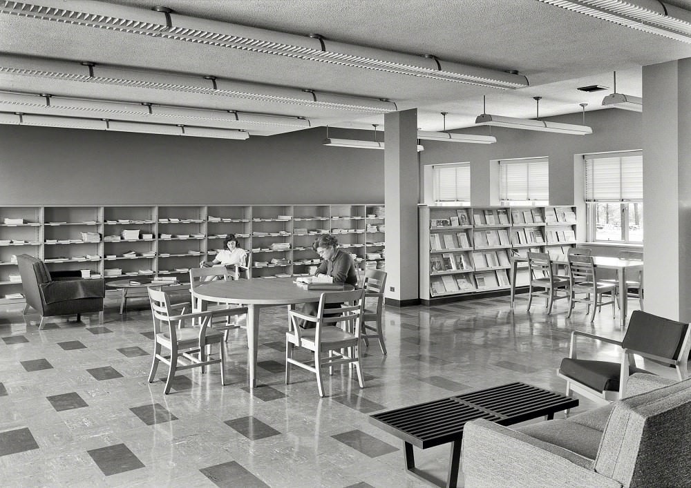
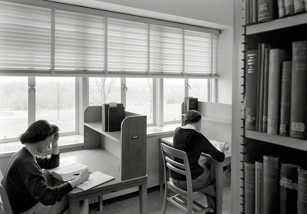
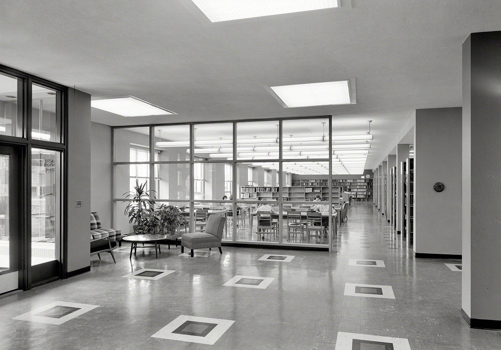
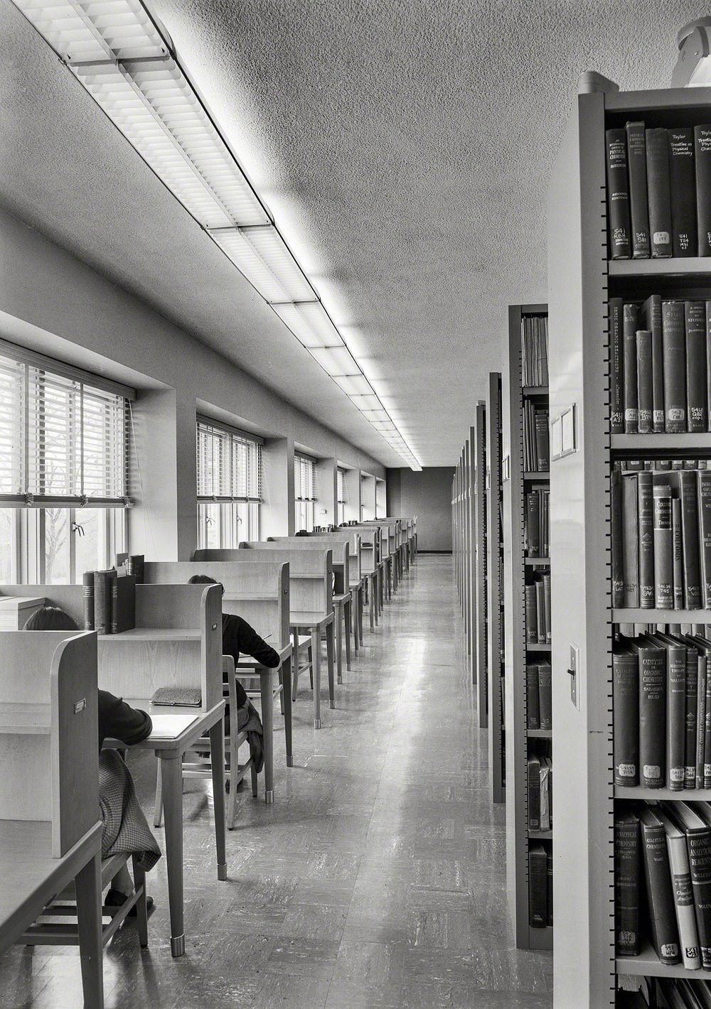
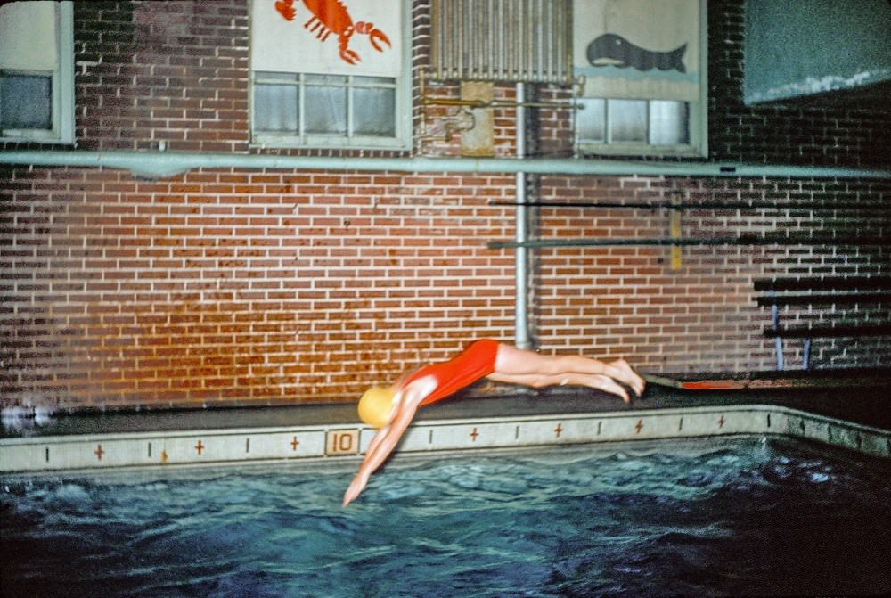
Goucher College in nearby Towson documented Baltimore’s academic life in the postwar years. Photographs from April 1953 captured students in its library and on its campus grounds. By the mid-1950s, Baltimore’s streets had a new kind of energy — a circus parade rolled through in 1958, drawing spectators to the sidewalks. By 1961, a woman diving into a public swimming pool captured the leisure of a city that had grown well beyond its 18th-century origins as a tobacco port.
Below are more rare photographs from Baltimore’s 20th-century archive, covering its streets, landmarks, shipyards, neighborhoods, and daily life across the decades.
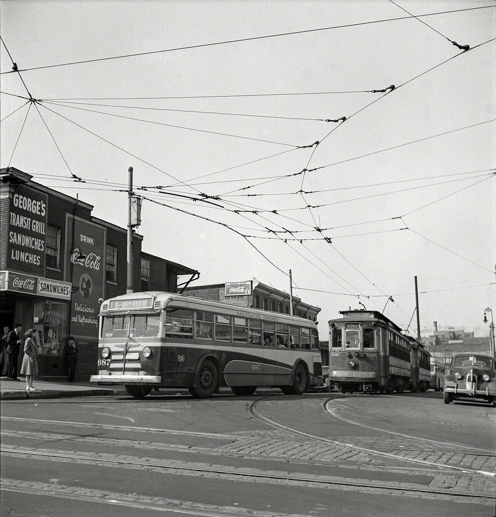





I like seeing all the old trolley cars. Seems like it was a really efficient way to get around the city.
Where is “Dead Man’s curve”?
Great pictures. A lot has changed in the city.