
Norway entered the 1940s as a neutral country. That status ended abruptly on April 9, 1940, when German forces invaded and quickly occupied major cities — Oslo, Bergen, Trondheim, and Narvik all fell within days. The country would remain under German occupation for the next five years, fundamentally reshaping everyday life from the capital to the smallest coastal villages.
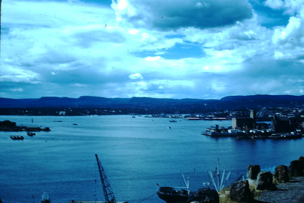
Oslo, as the capital, sat at the center of the occupation. Its streets, buildings, and public institutions carried on under German control, while Norwegians navigated the tension between resistance and daily survival. The city’s harbor remained a working waterway throughout the decade, its docks connecting Norway to the wider world even during the war years.
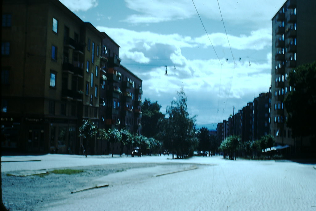
Residential life in Oslo continued in the shadow of occupation. Apartment buildings throughout the city housed families who endured rationing, curfews, and the constant presence of German troops. Despite these pressures, the physical fabric of Oslo remained largely intact — the city itself was not heavily bombed during the war.
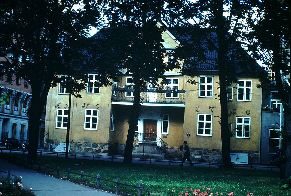
Diplomatic buildings like the El Salvador Consulate, housed in a structure dating back to 1710, stood as reminders of Oslo’s long international history. Even during wartime, the city’s older architecture held its ground alongside the political upheaval taking place around it.
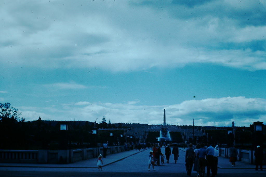
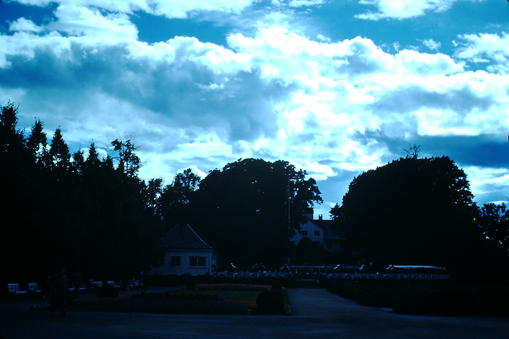
Frogner Park, home to Gustav Vigeland’s famous sculpture installation, offered Oslo residents a place to gather throughout the decade. The park’s open grounds and monumental artworks remained accessible even during the occupation, providing a rare sense of normalcy in an otherwise turbulent time.
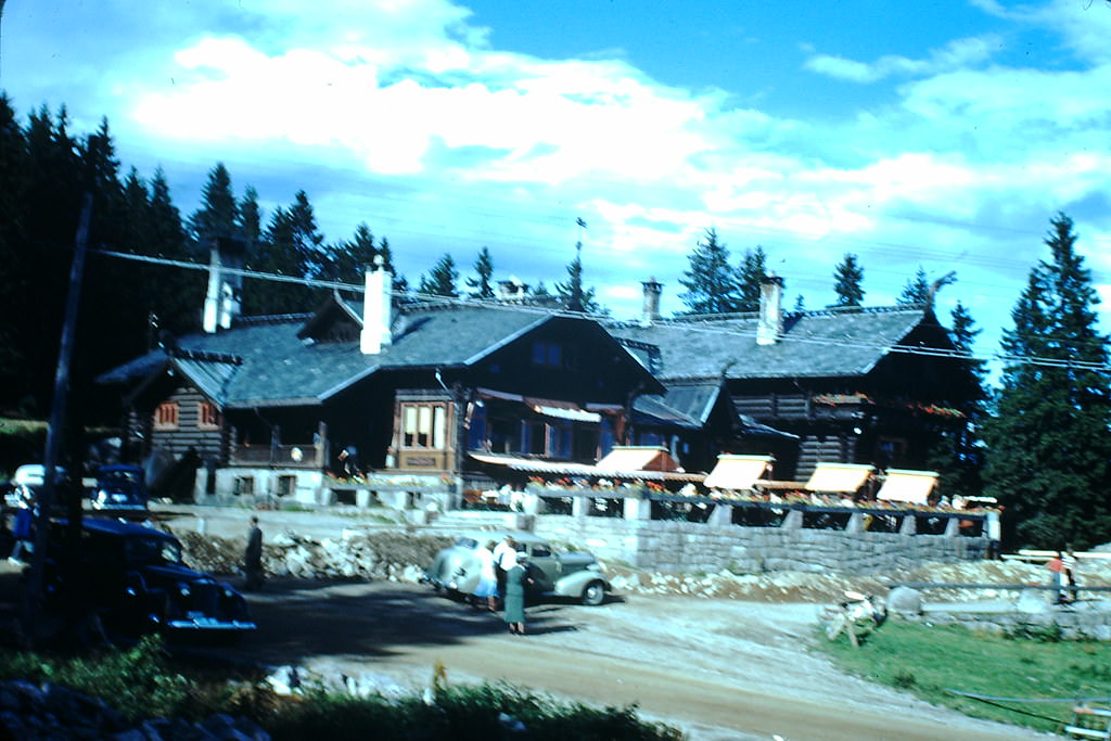
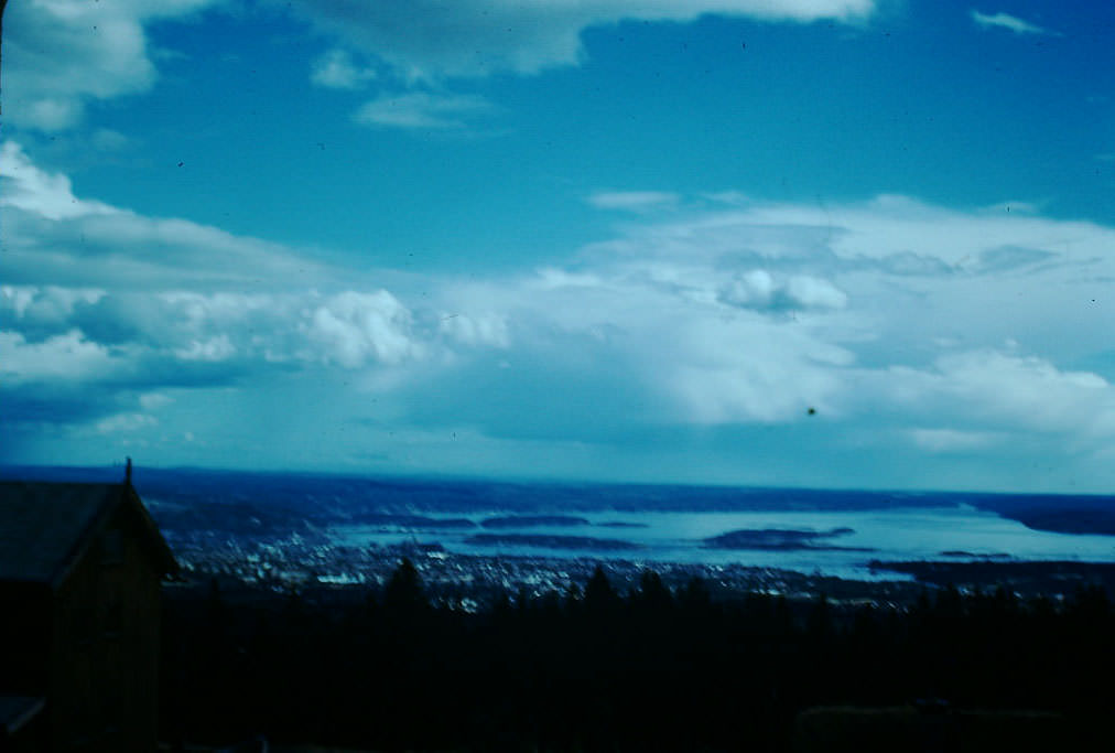
Perched on the hills above Oslo, Frognerseteren Lodge offered sweeping views of the city below. From this elevation, the full spread of Oslo’s urban landscape was visible — a city that had endured occupation but was already beginning to look toward rebuilding by the later years of the decade.
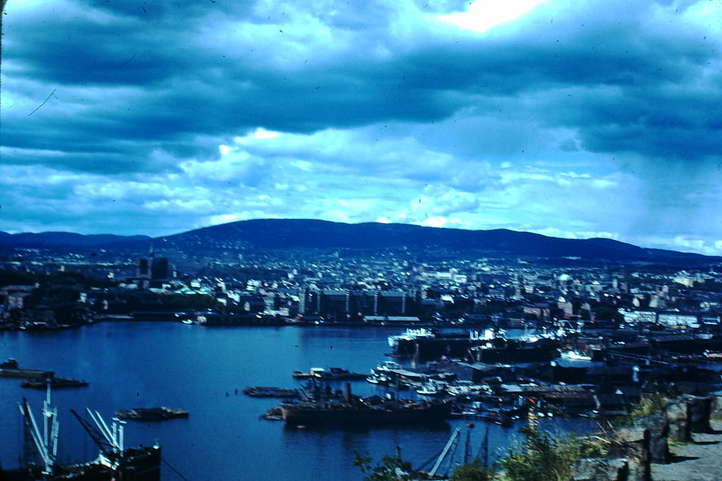
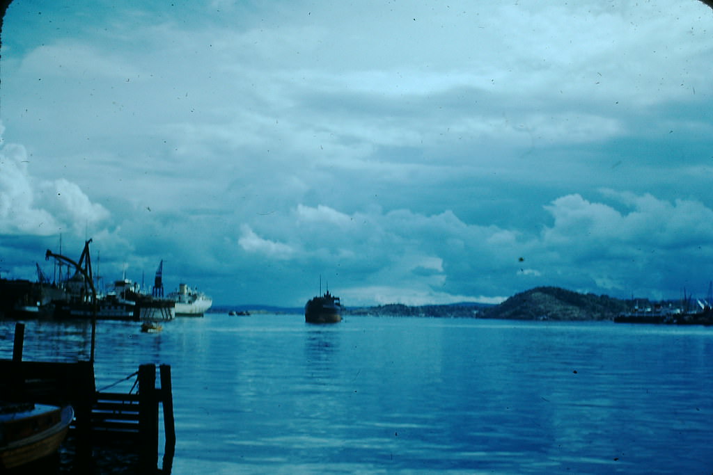
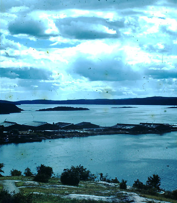
Oslo’s harbor was one of Norway’s most vital assets. Before the war, Norway operated one of the world’s largest merchant fleets. During the occupation, much of that fleet continued operating from Allied-controlled ports, and by 1949, it had fully returned to its pre-war size — a remarkable recovery that powered Norway’s post-war economy.
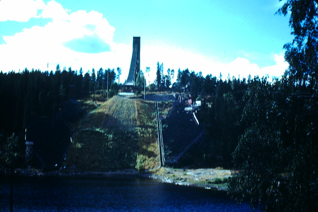
The Holmenkollen Ski Jump stands as one of Norway’s most enduring landmarks. Even during the war years, the structure loomed over the Oslo hills as a symbol of Norwegian sporting culture. Ski jumping and cross-country skiing were not just pastimes in Norway — they were deeply tied to national identity.
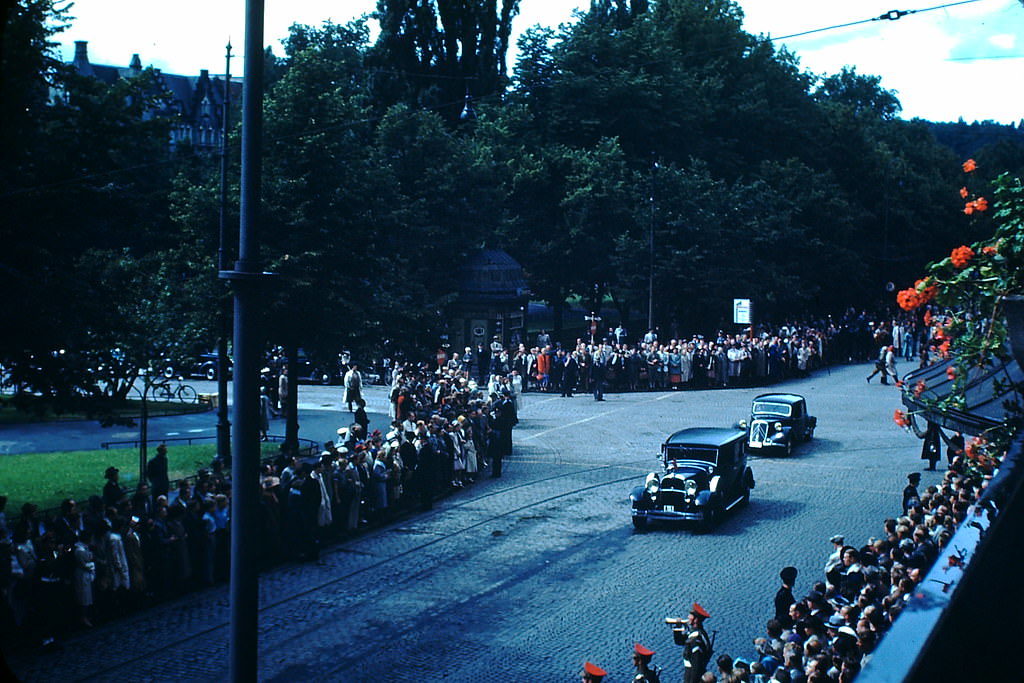
When Germany surrendered in May 1945, King Haakon VII returned to Oslo after more than five years of exile in Britain. His return to the capital was met with enormous crowds and national celebration. The monarchy had served as a symbol of Norwegian resistance throughout the occupation, and the king’s homecoming marked the formal close of the German presence in Norway.
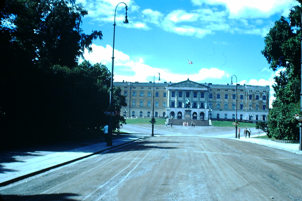
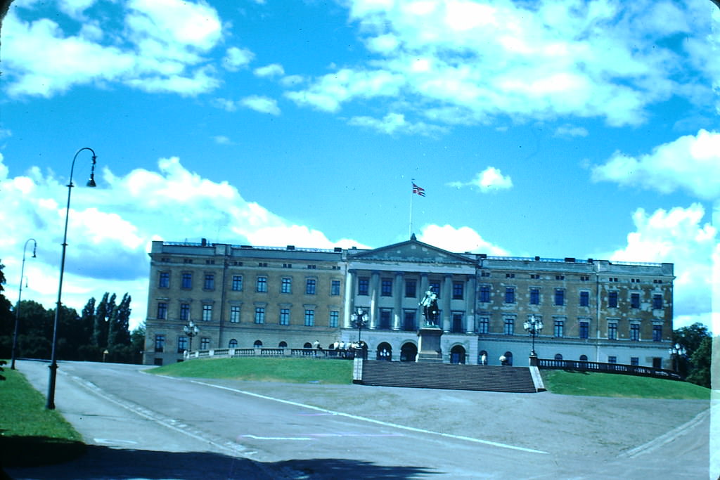
The Royal Palace in Oslo had been occupied by German forces during the war. After liberation, it was restored to its function as the official residence of the Norwegian royal family. Its return to Norwegian hands was both a practical and symbolic act — the seat of the monarchy once again belonged to Norway.
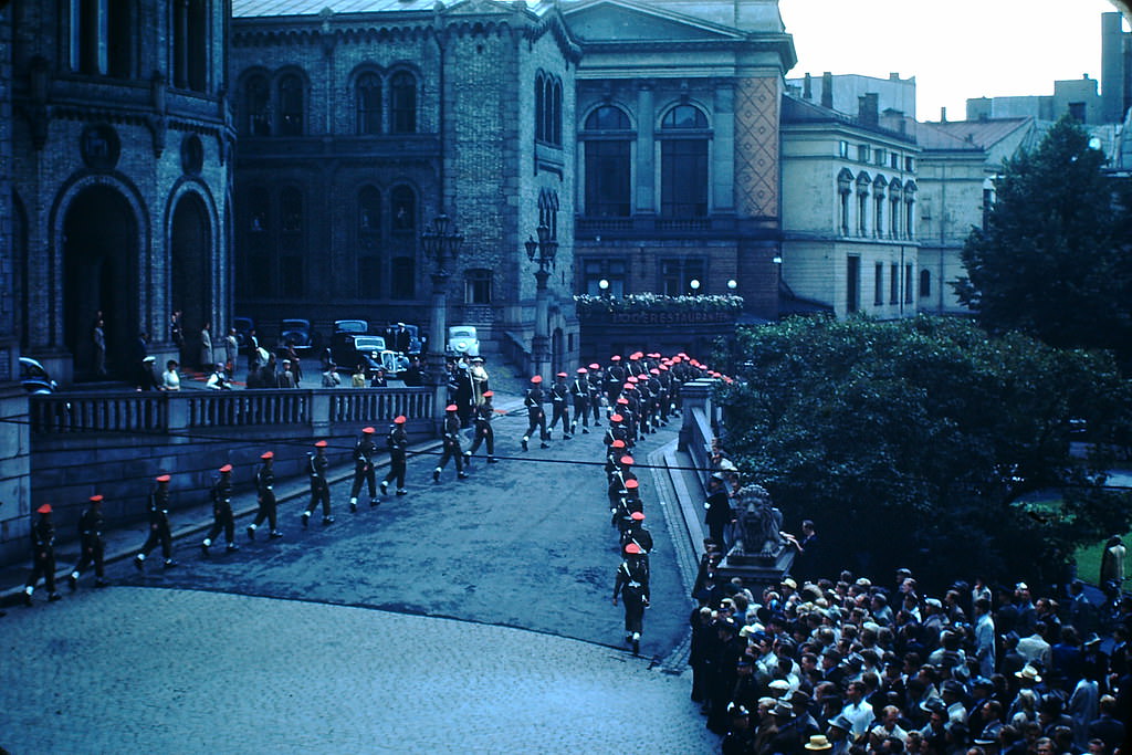
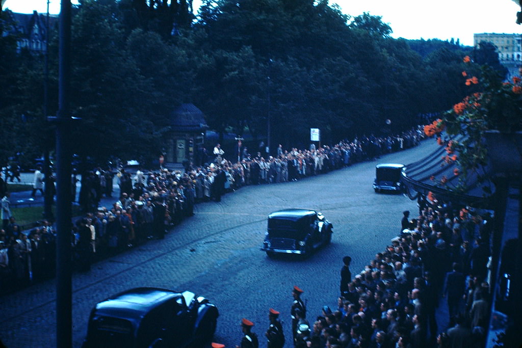
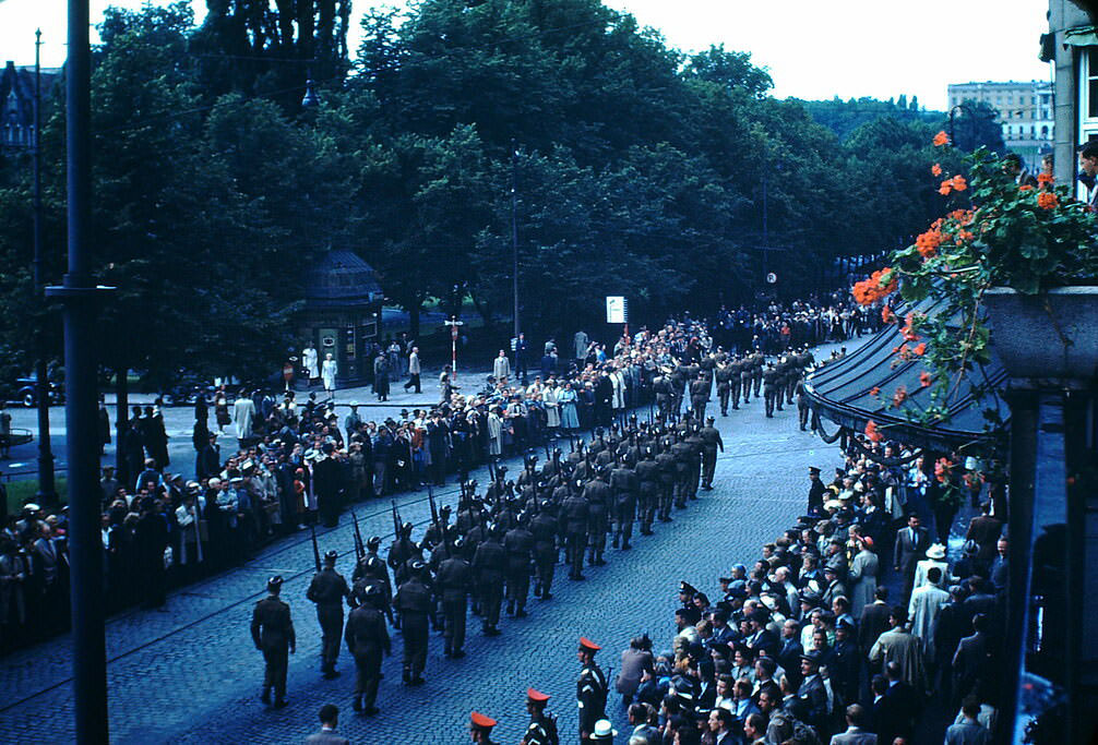
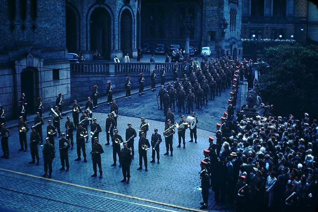
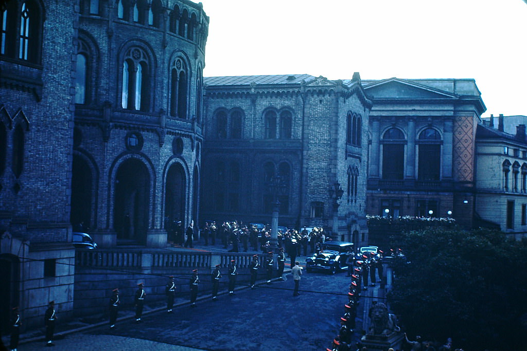
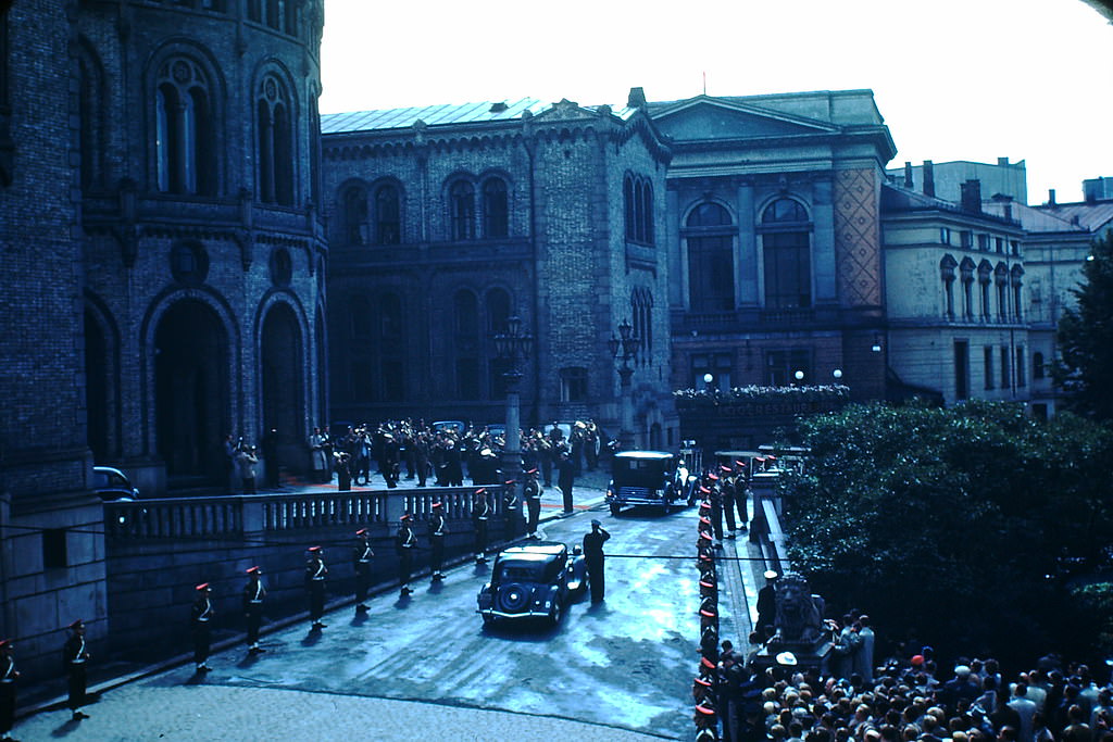
Parliamentary ceremonies in post-liberation Oslo reflected the country’s rapid return to democratic governance. After years of Nazi-appointed administration under Vidkun Quisling — whose name became synonymous with collaboration and betrayal — Norway reinstated its elected institutions without delay. A coalition government under Einar Gerhardsen took power in 1945, followed by a Labour majority government after the autumn general election. The Norwegian Labour Party then governed almost without interruption from 1945 to 1965.
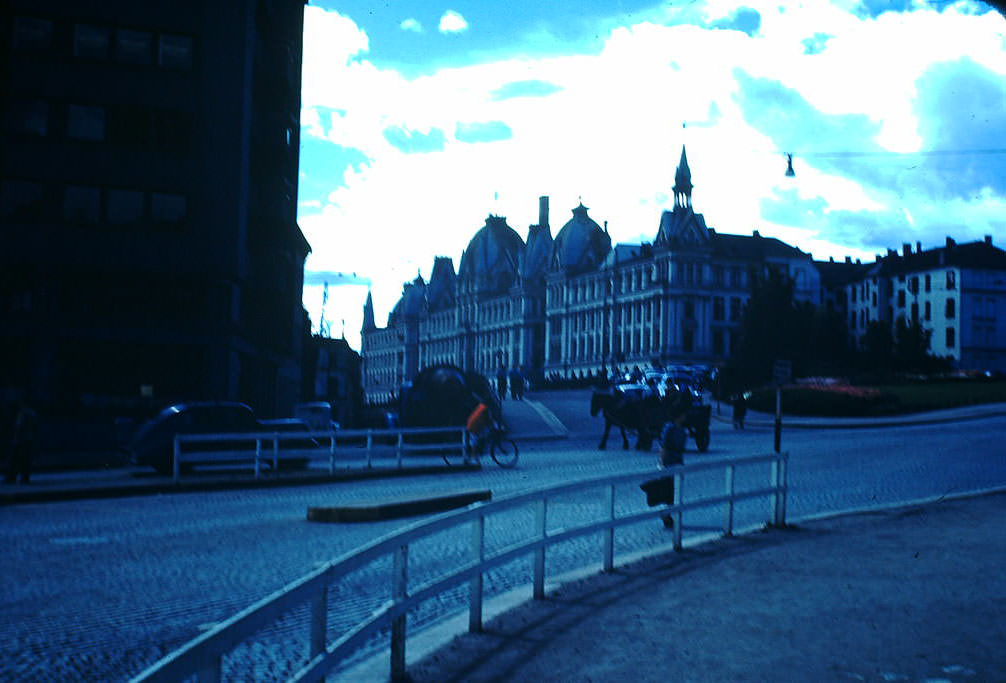
Vidkun Quisling’s home in Oslo stood as a grim footnote to the occupation. Quisling had led the collaborationist government installed by the Germans and was executed by firing squad in October 1945 after being convicted of treason and war crimes. His name entered multiple languages as a common word for traitor.
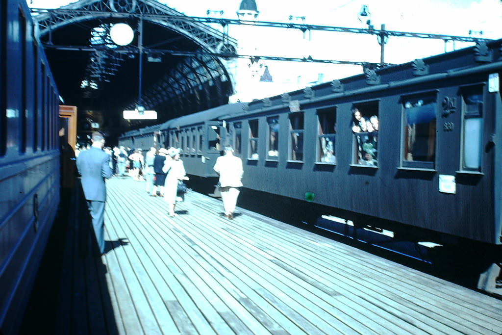
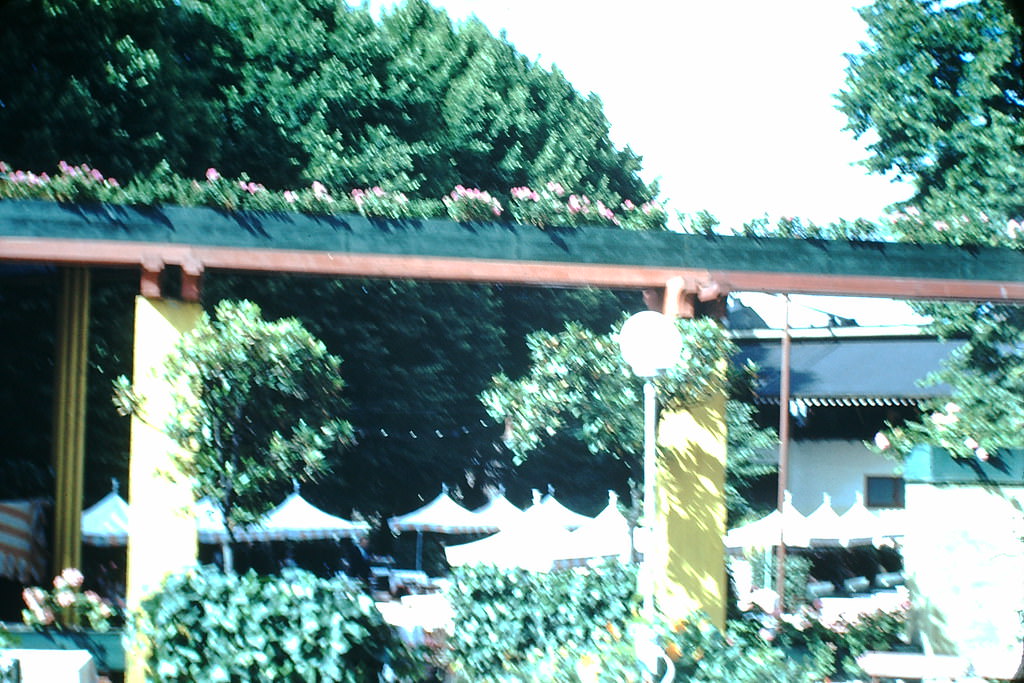
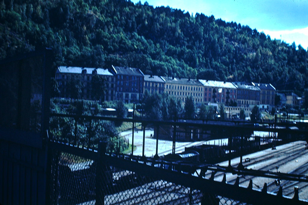
Oslo’s railway station and its restaurants and public spaces give a sense of the city’s everyday rhythm during the 1940s. Trains connected the capital to the rest of the country, and venues like the Skansen Restaurant served as gathering points for residents moving through the city’s social life, even in difficult years.
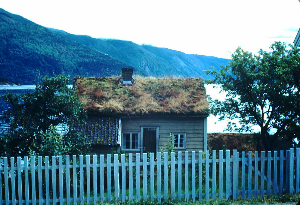
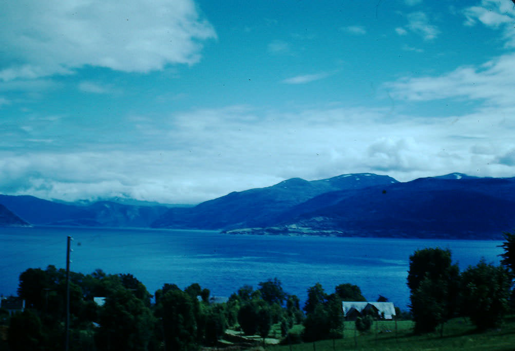
Away from Oslo, the western fjord region offered a completely different face of Norway. Balestrand, a small village on the Sognefjord, had been a popular destination for European travelers since the late 19th century. In the 1940s, its wooden buildings, narrow shorelines, and glacier views remained largely untouched by the war’s destruction.
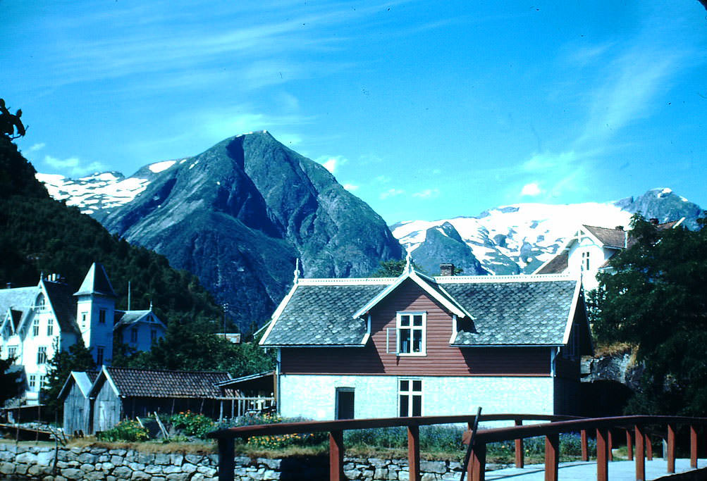
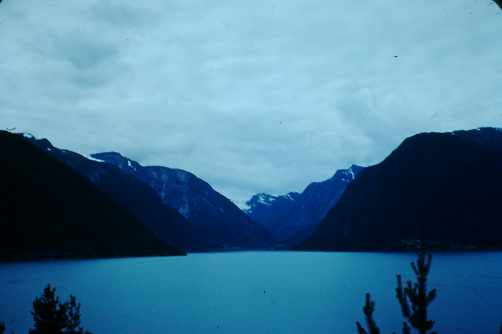
The glacier views around Balestrand drew visitors who came specifically for the landscape. The region sits near the edge of the Jostedalsbreen glacier, the largest glacier on the European mainland, and its ice-capped peaks formed a dramatic backdrop to the quiet fjordside village.
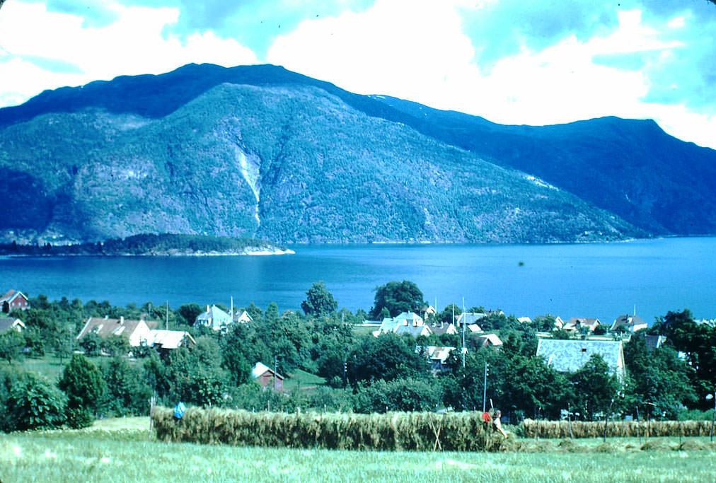
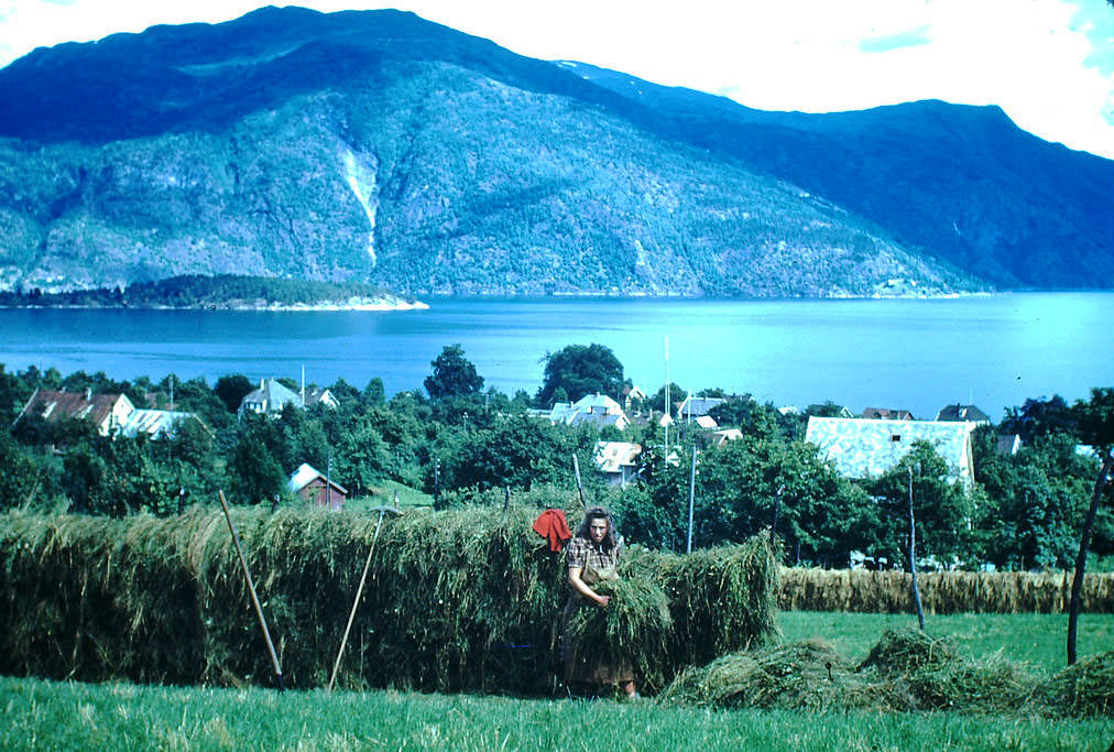
Farming continued as it always had in Balestrand. Haying — cutting and drying grass for animal feed — was a central part of the agricultural calendar in this part of Norway. The steep hillsides and short growing seasons made the work physically demanding, and much of it was still done by hand in the 1940s.
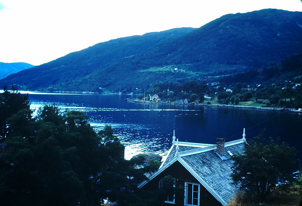
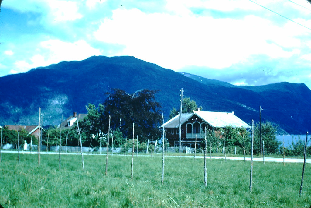
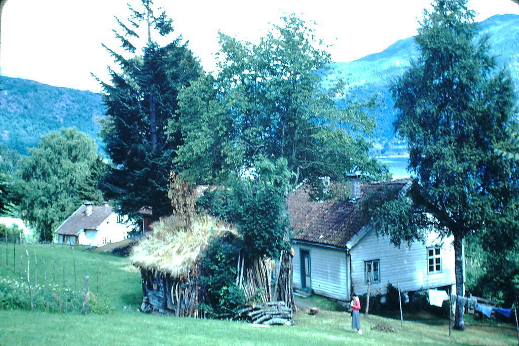
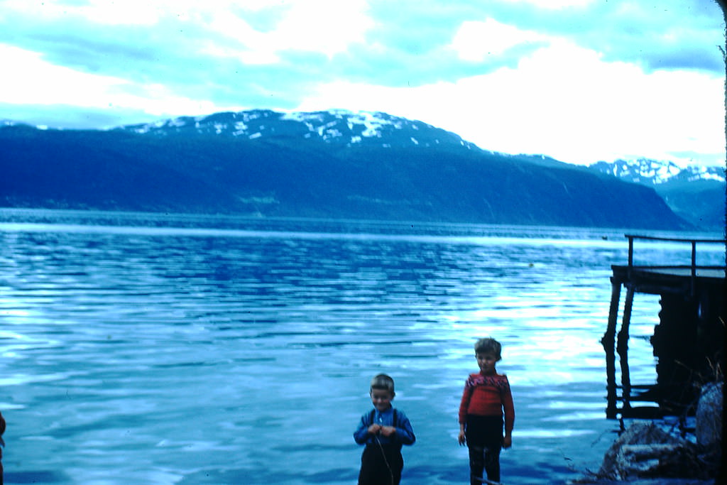
The village of Balestrand itself was small but distinct. Wooden homes and guesthouses lined the waterfront, and the community had long attracted artists and tourists drawn to the fjord scenery. Norwegian painter Hans Dahl was among the most famous residents the area had produced, and his home remained a point of local interest.
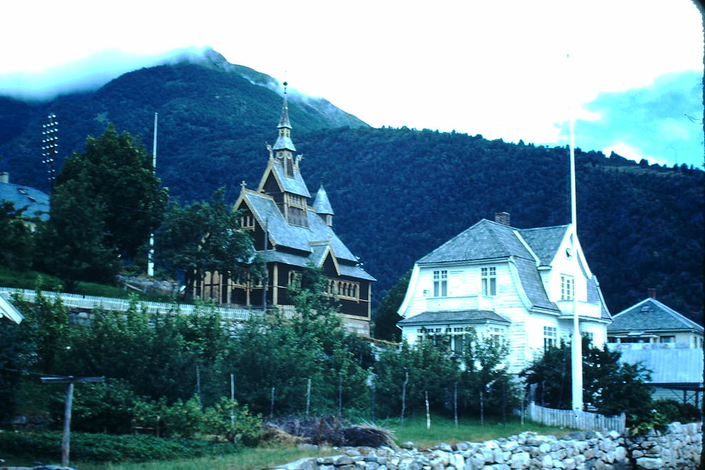
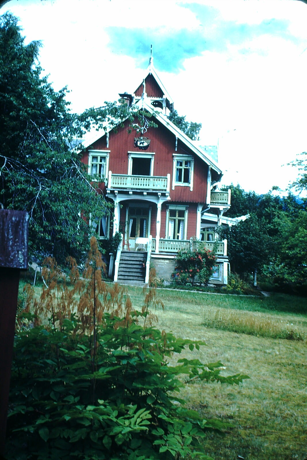
The English Church in Balestrand was built in 1897 for British tourists who regularly summered in the area. Its presence reflects just how popular the Sognefjord region had become among foreign visitors before the war disrupted travel across Europe. Hans Dahl’s home nearby stands as a reminder of the artistic community that once flourished in the village.
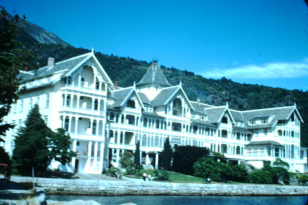
The Kvikne Hotel in Balholm — one of Norway’s most historic hotels — had operated since 1877 and welcomed guests including Kaiser Wilhelm II of Germany. By the 1940s, it remained one of the most recognizable buildings along the Sognefjord, its distinctive wooden structure sitting directly at the water’s edge.
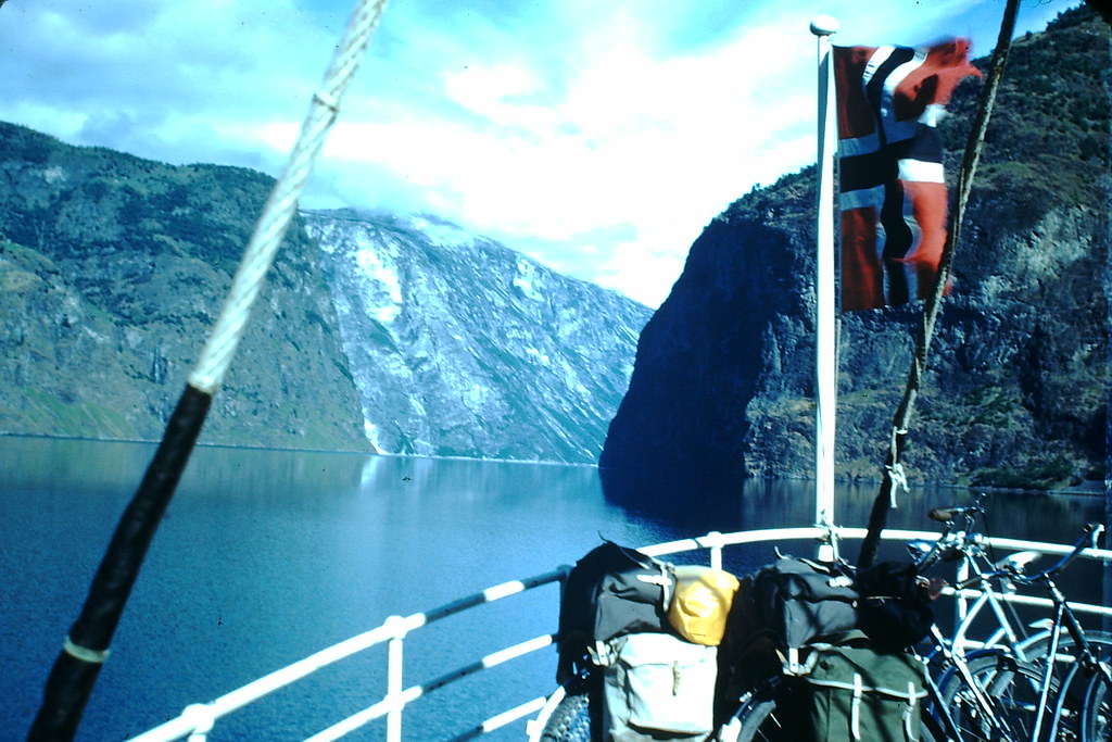
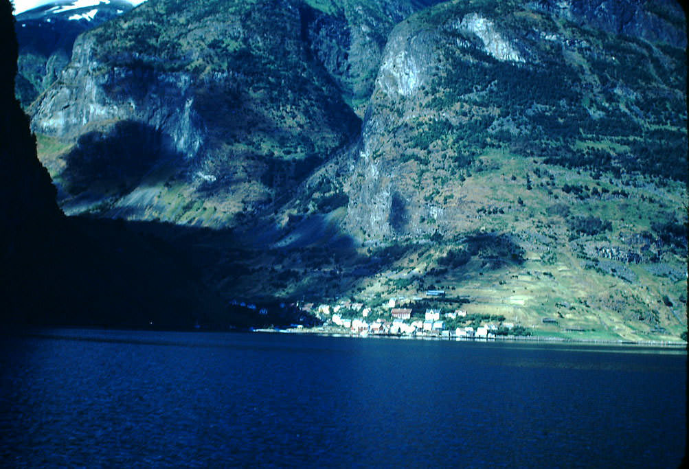
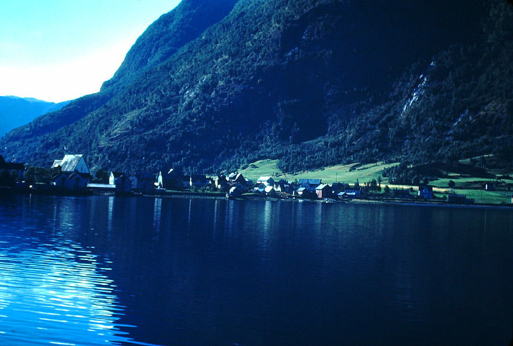
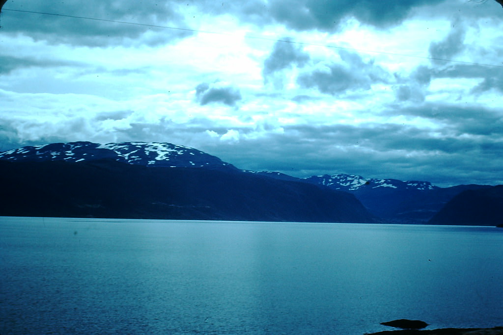
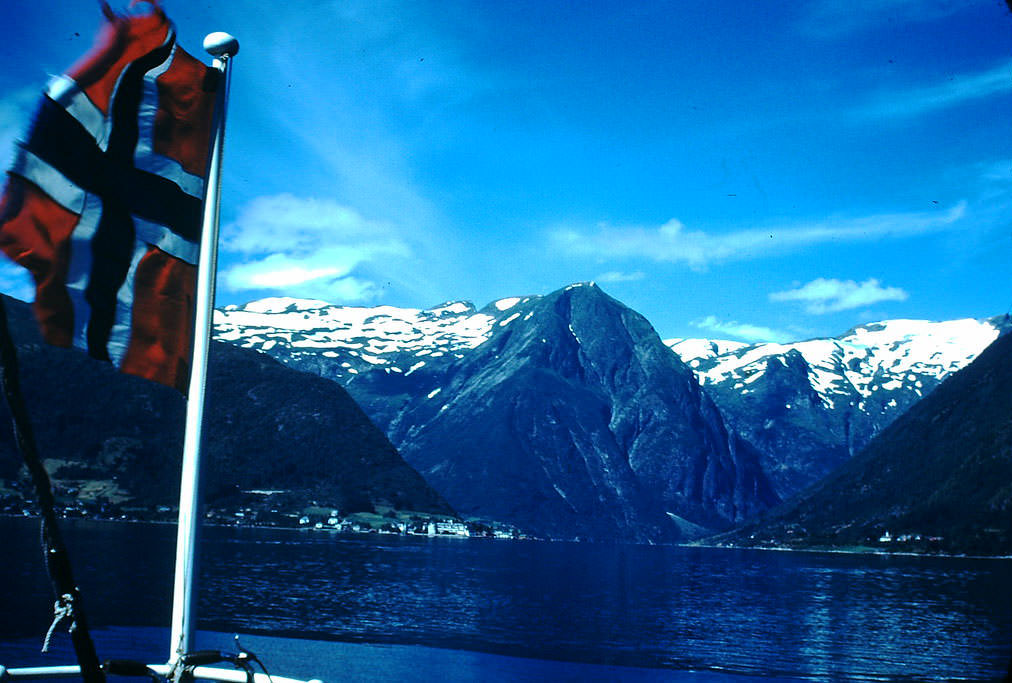
The Sognefjord is Norway’s longest and deepest fjord, stretching 204 kilometers inland from the coast and reaching depths of over 1,300 meters. In the 1940s, it served as a transport corridor connecting isolated farming and fishing communities that had no road access. Boats were not optional — they were essential.
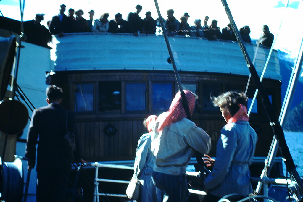
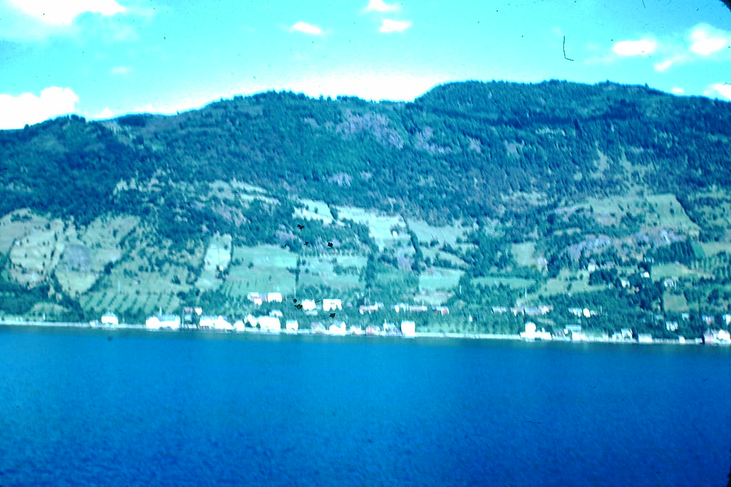
Steamers on the Sognefjord handled both passengers and cargo. The sight of two steamers tied up for transfer was common — goods and travelers alike moved through this system of waterways that stitched the fjord communities together. During the occupation, German forces used these same routes to maintain control over western Norway.
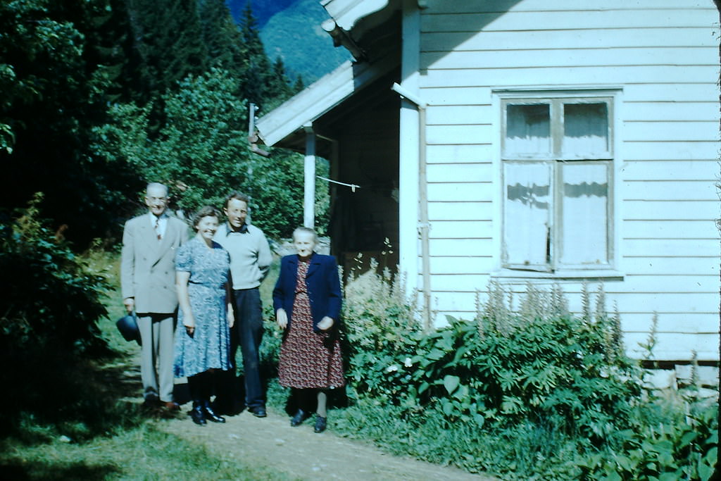
Local families like the Thues of Balestrand represent the human story behind these landscapes. They farmed, fished, and operated guesthouses through occupation and liberation alike, their lives shaped by the fjord and the seasons as much as by the wider events of the decade.
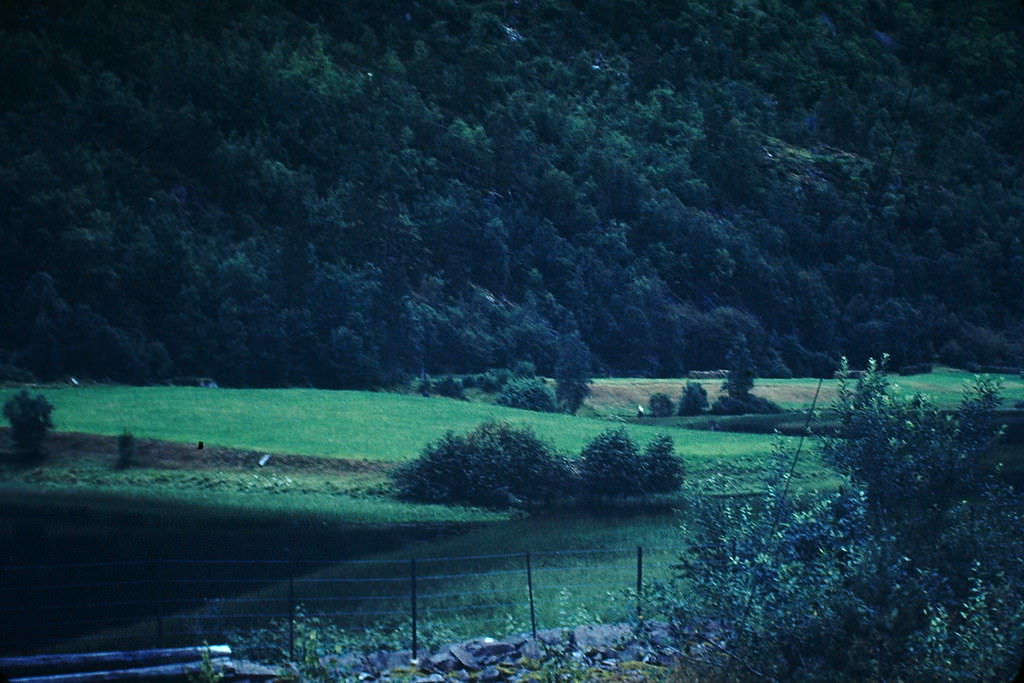
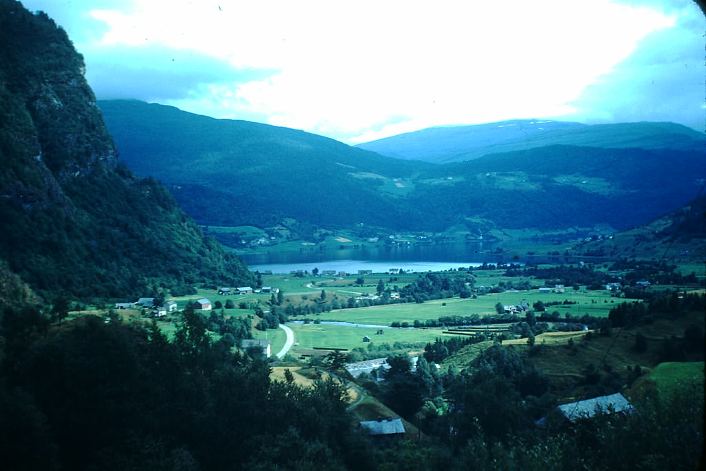
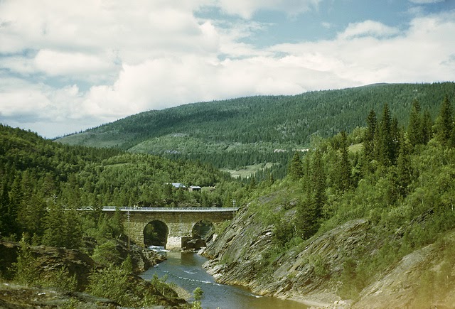
The route from Voss to Granvin passed through some of western Norway’s most striking terrain. Steep valley walls, waterfalls, and dense forest lined the roads and rail lines that connected these inland towns to the coast. Travel through this region in the 1940s was an experience in itself.
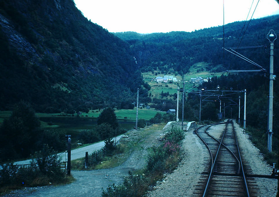
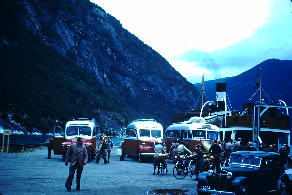
The electric train running between Voss and Granvin offered a view of the Hardangerfjord region, including the Folgefonna glacier visible from Kvandal on the fjord’s southern shore. The Hardangerfjord stretches 179 kilometers and was, like the Sognefjord, a vital artery for communities along its banks.
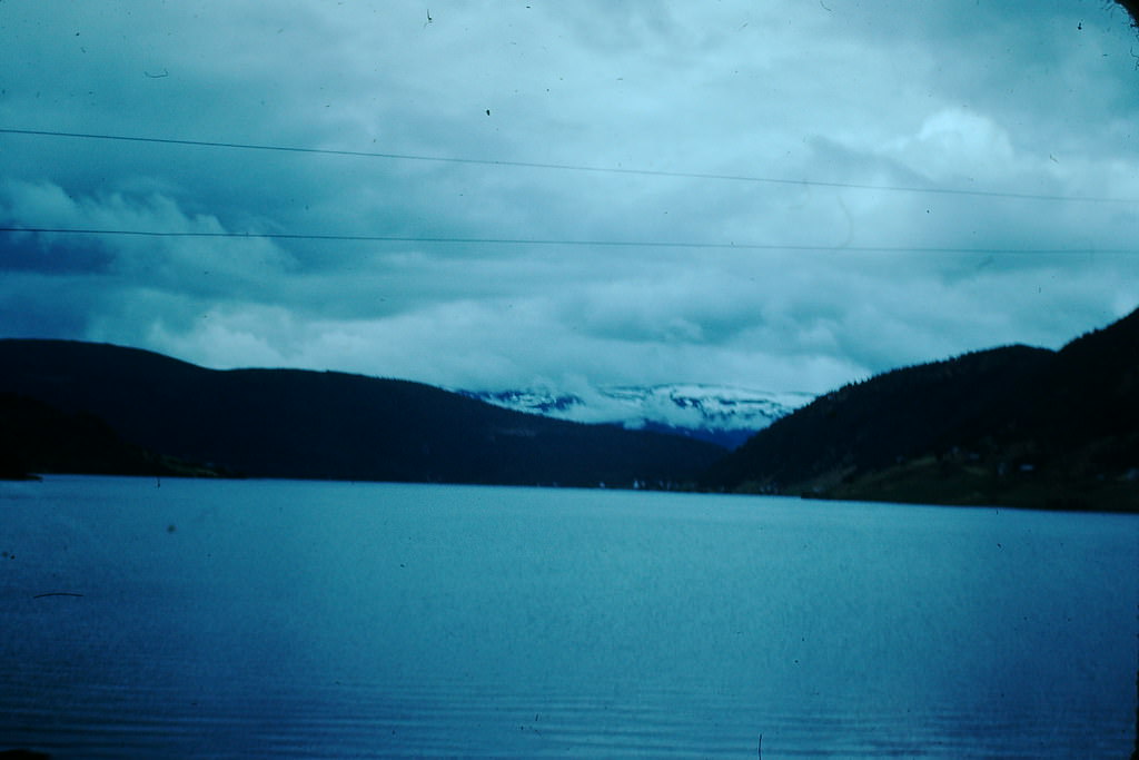
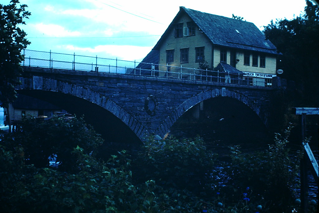
Granvin sits at the innermost point of one of the Hardangerfjord’s arms, and the small town of Norheimsund nearby was notable for its 1909 bridge — a structure that was considered modern infrastructure for its time and continued to serve the community through the 1940s.
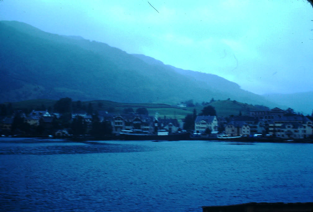
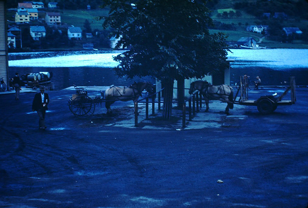
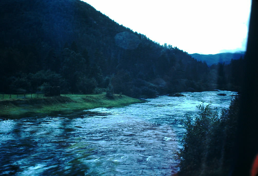
Voss was a regional hub for the inner fjord area. Rivers fed by snowmelt from surrounding mountains ran through the valley, and the town had rail connections that made it an important stop between Bergen and eastern Norway. The rivers near Voss were also well known for salmon fishing.
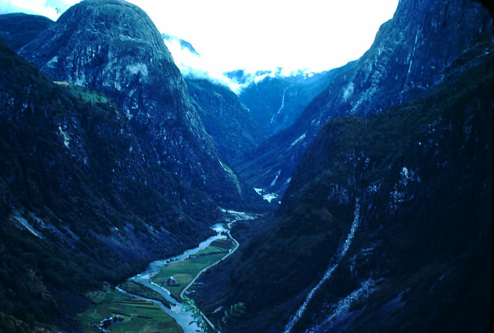
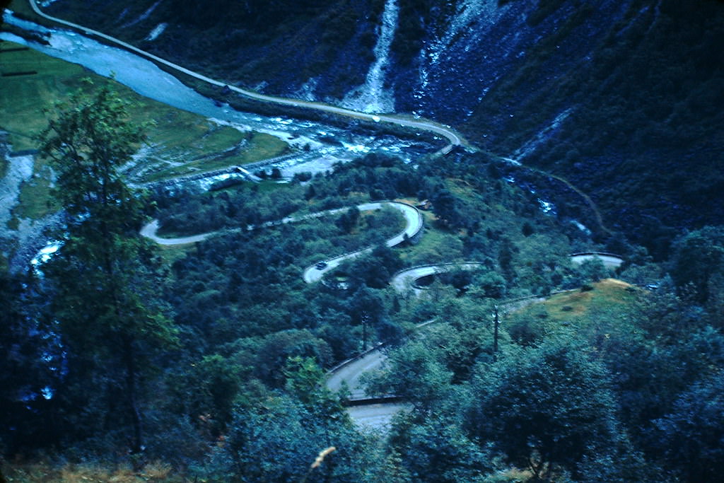
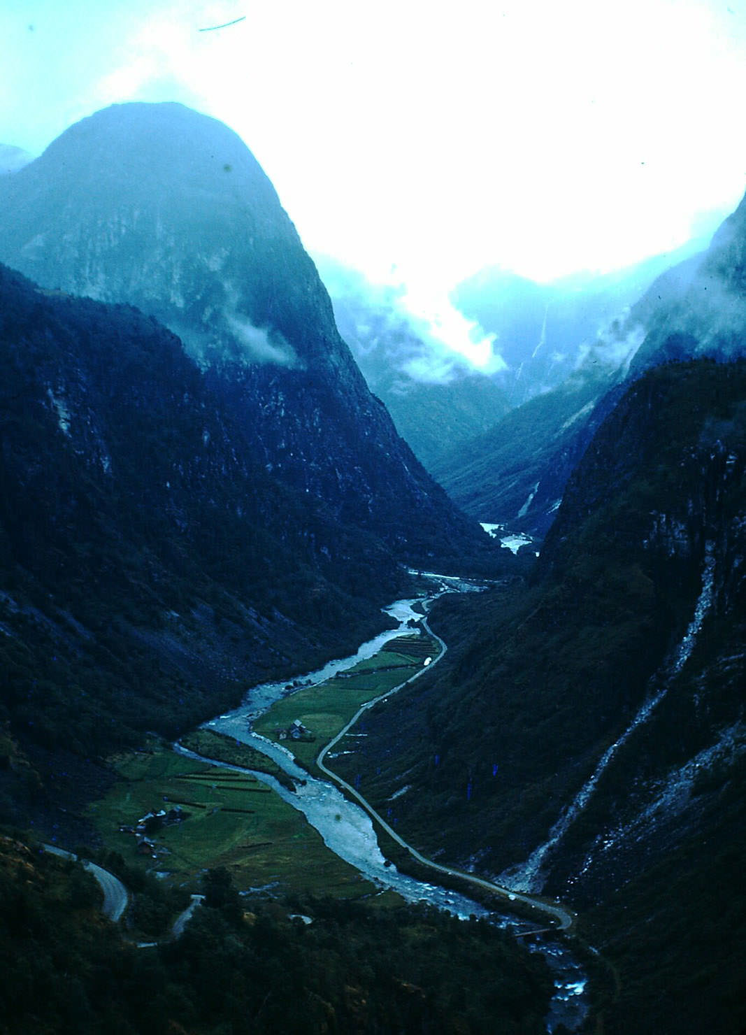
The road to Stalheim is one of the steepest and most dramatic stretches of road in all of Norway. It descends through the Nærøydalen valley in a series of sharp hairpin turns, with walls of rock rising on both sides. In the 1940s, this road was still a demanding route for vehicles, and the scenery along it was considered among the most spectacular in the country.
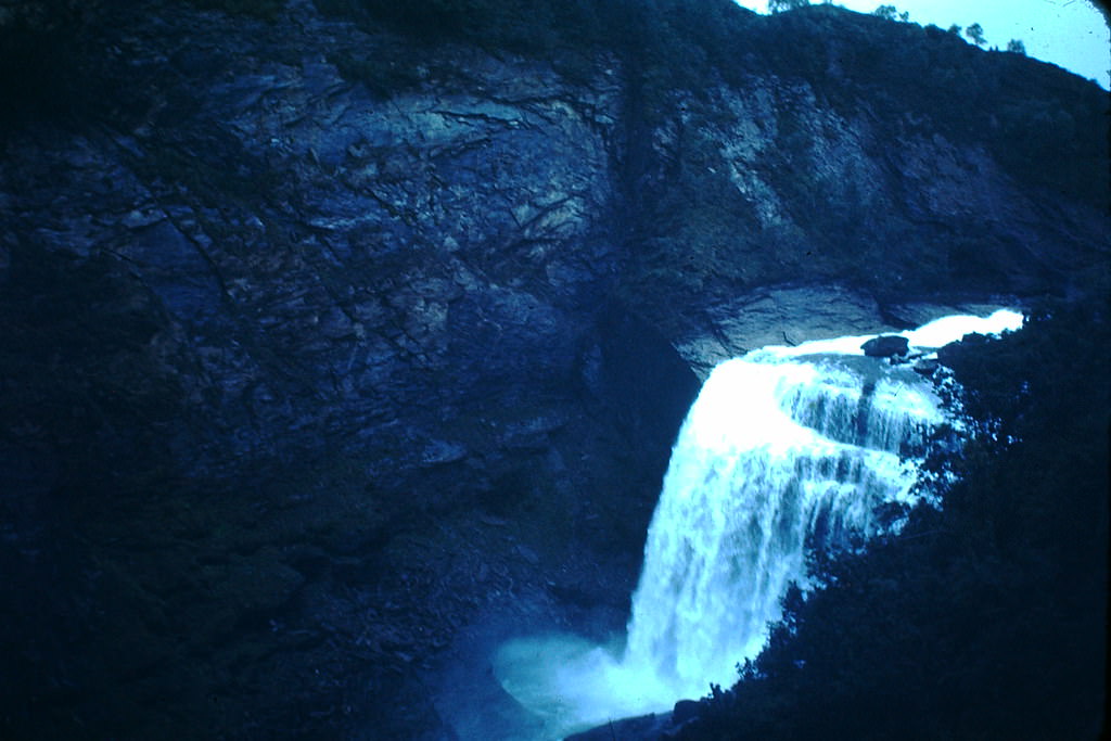
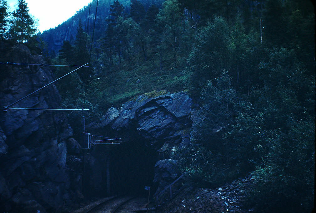
Infrastructure like the tunnel between Voss and Granvin made year-round travel possible in a region where mountain passes could be completely blocked by snow for months at a time. Waterfalls like those at Tokagtel Gorge near Norheimsund thundered down the valley walls, fed by glacial meltwater from above.
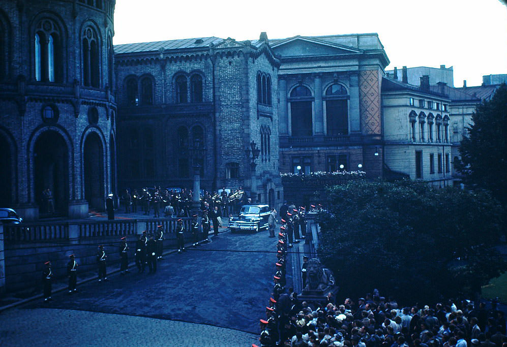
Back in the capital, Norway’s parliament resumed its formal functions after liberation. Closing ceremonies in Oslo’s Storting marked the democratic rhythms of a country returning to self-governance. Meanwhile, out on the Sognefjord, life in villages like Balestrand continued with the same quiet persistence it always had.
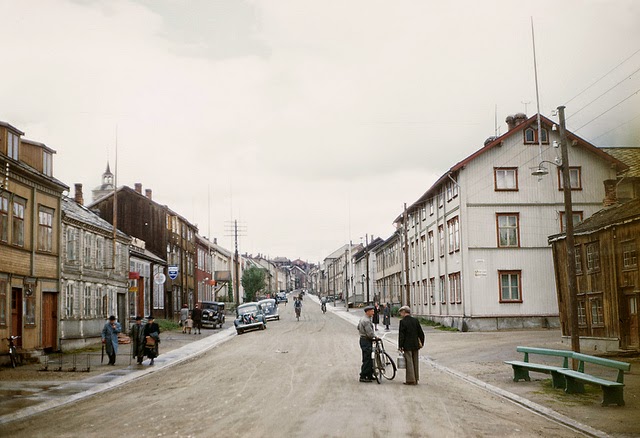
In central Norway, the mining town of Røros presented yet another face of the country. Founded in the 17th century around copper mining, Røros had a distinctive built environment unlike anywhere else in Norway — its wooden buildings and smelting works gave the town an industrial character that set it apart from the fjord villages of the west.
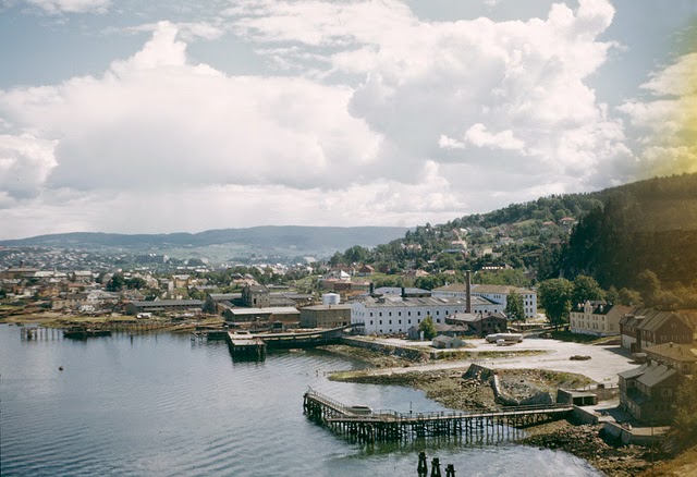
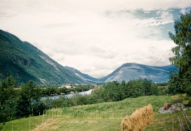
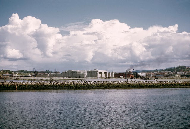
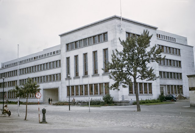
Trondheim, Norway’s third-largest city, had been one of the first to fall to German forces in April 1940. By the mid-1940s, it was working through the same process of recovery as the rest of Norway. To the south, the Gudbrandsdalen Valley in Oppland stretched for hundreds of kilometers — a long, fertile valley that had seen significant fighting during the German invasion.
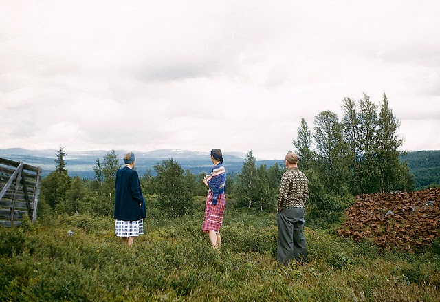
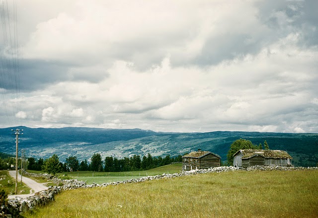
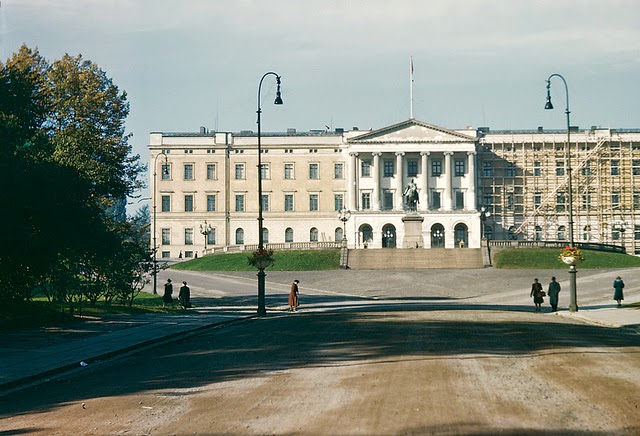
Norway’s mountain terrain — from Kjølingefjell in Sogn og Fjordane to the Gauldalen Valley in Sør-Trøndelag — formed the backbone of a country that was still largely rural in the 1940s. Oslo stood as the modern, urban center, but vast stretches of the country were defined by forests, farmland, and steep mountain ridges.
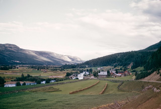
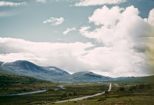
Hedmark and Oppland, in the inland eastern part of Norway, were agricultural heartlands. Valleys like Tyldalen and the Dovre highlands were farming country, with long winters and short summers dictating the pace of life. Dovre had historical significance too — it was home to the Dovrefjell plateau, which Norwegian nationalists had long used as a symbol of unity and endurance.
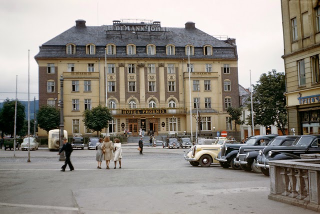
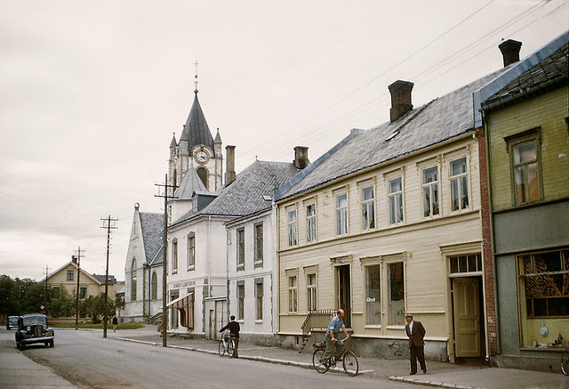
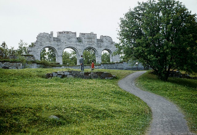
Towns like Levanger and Hamar were smaller regional centers that anchored the agricultural communities around them. Hamar, on the shores of Lake Mjøsa, was the largest town in Hedmark and a key railway junction. Levanger in Nord-Trøndelag served a similar function further north, connecting farming communities to larger markets.
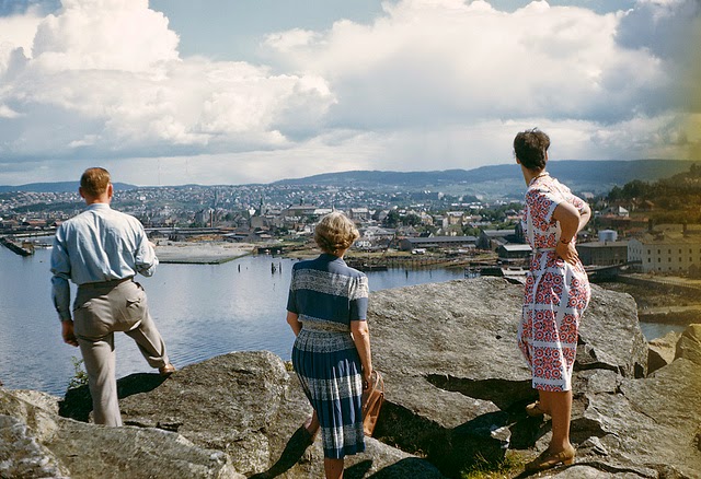
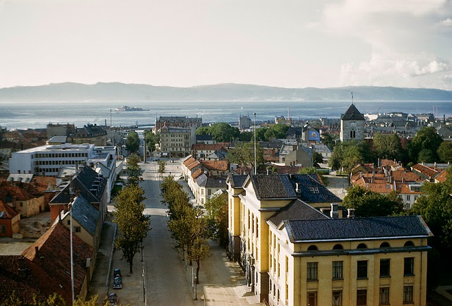
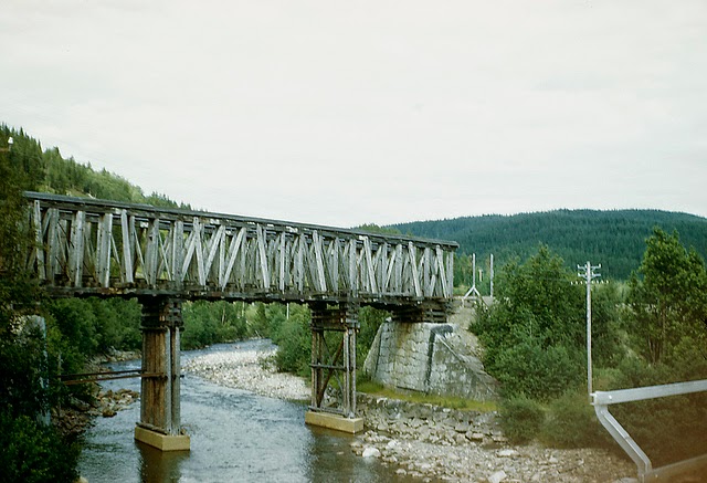
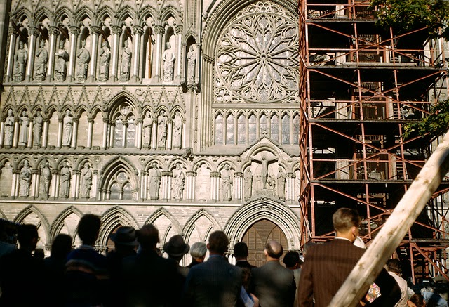
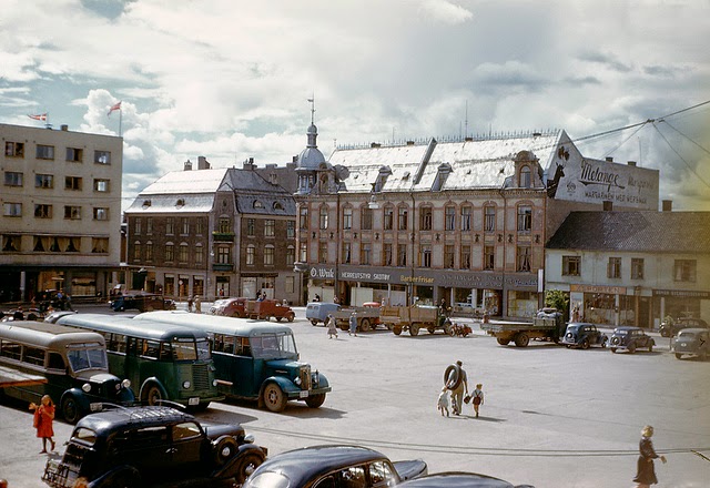
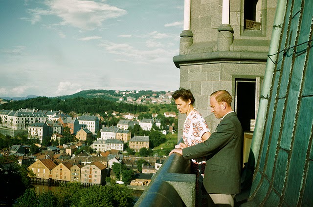
Trondheim’s streets and buildings tell the story of a city that had weathered occupation and was rebuilding its civic life. The Gauldalen Valley south of Trondheim was typical of the Trøndelag landscape — broad, forested, and cut through by rivers flowing toward the Trondheim Fjord.
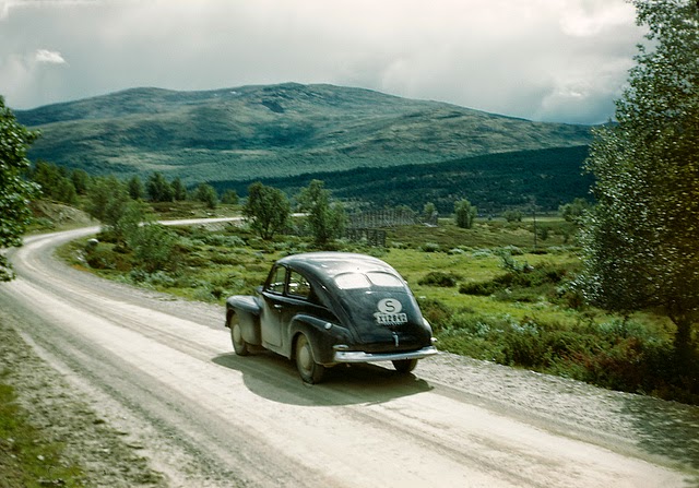
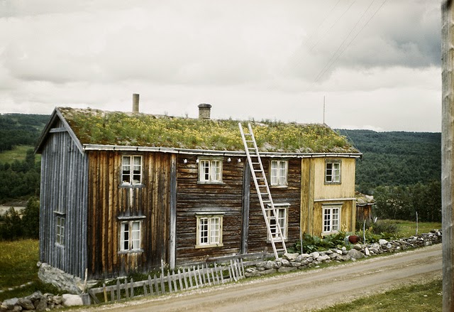
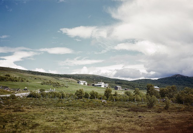
Hjerkinn, at the top of the Dovre mountain pass in Oppland, was one of Norway’s most exposed settlements. Sitting at roughly 1,000 meters above sea level, it served travelers and military personnel crossing the Dovrefjell. The mountain terrain around it was among the most desolate and beautiful in all of Norway.
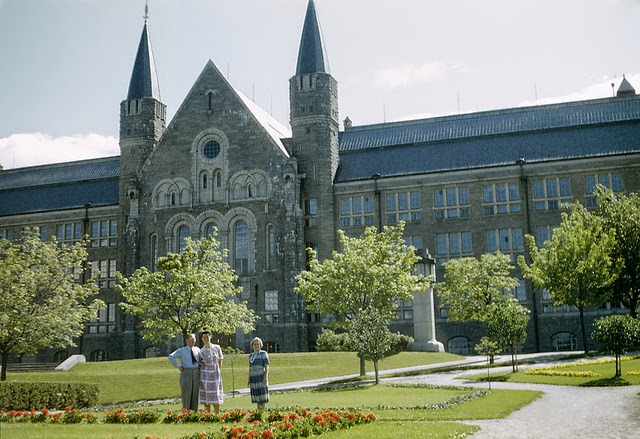
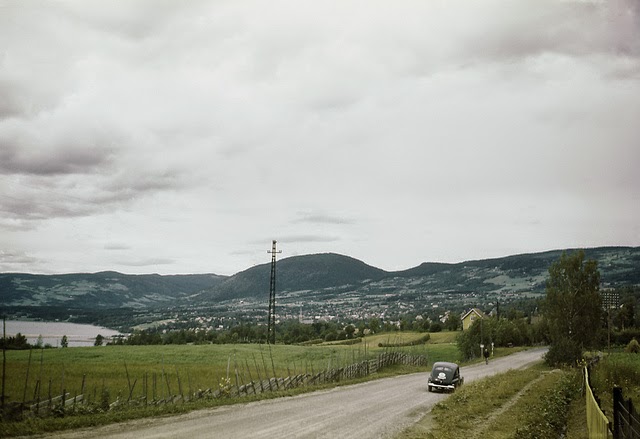
Lillehammer, situated at the northern end of Lake Mjøsa, was one of Oppland’s most recognizable towns. Its lakeside setting and well-preserved wooden architecture made it a place of considerable character. During the German invasion in April 1940, fighting took place in the Lillehammer area as Norwegian and Allied forces attempted to halt the German advance.
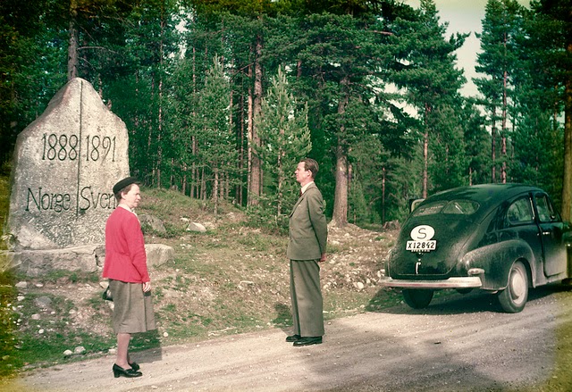
The Swedish-Norwegian border in the Älvdalen area of Sweden was a critical escape route during the occupation. Thousands of Norwegians — including members of the resistance, Jewish refugees, and Allied soldiers — crossed this border to reach neutral Sweden. The forested border region became one of the most important passages of the entire occupation period.
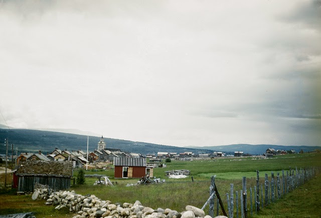
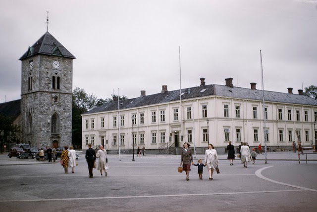
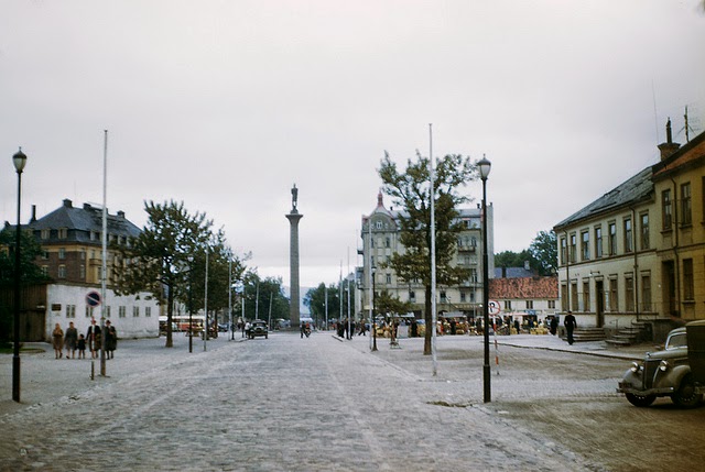
Røros and Trondheim together represent the range of communities in Sør-Trøndelag during the 1940s — a historic mining town and a major coastal city, each with its own wartime experience. German forces used Trondheim as a major naval base, while Røros’s isolation gave it a somewhat different character under occupation.
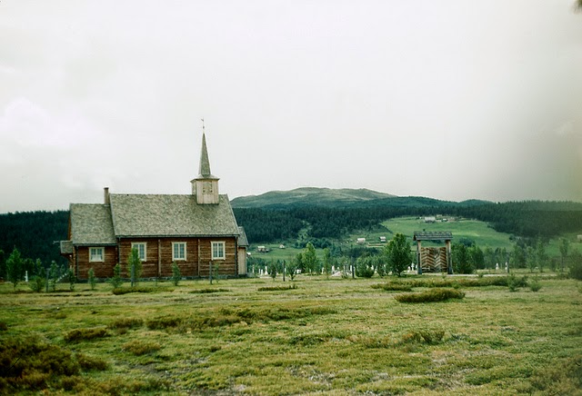
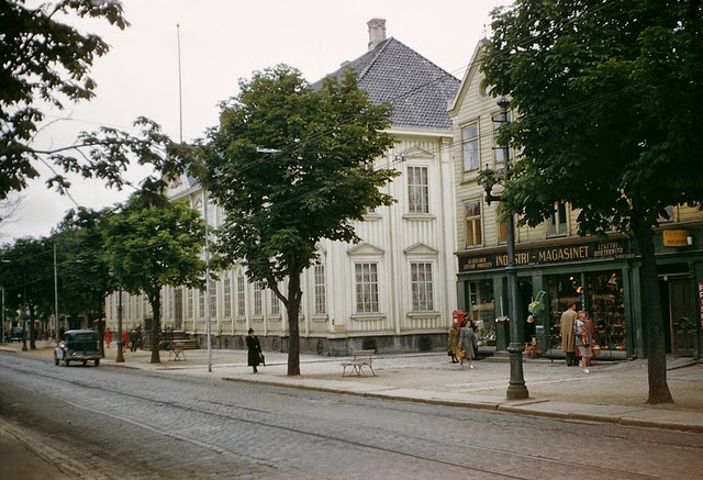
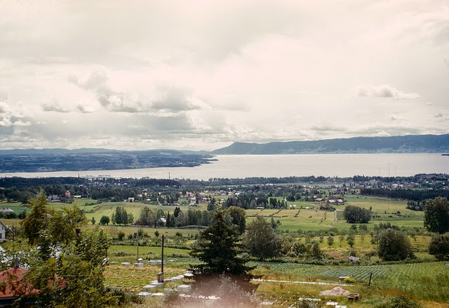
Small settlements like Dalholen in Hedmark were far removed from the political drama in Oslo. These communities lived by farming and forestry, their rhythms tied to the land rather than to governments or armies. Yet the war reached even here — through rationing, requisitioning of resources, and the absence of men who had fled or been sent to labor camps.
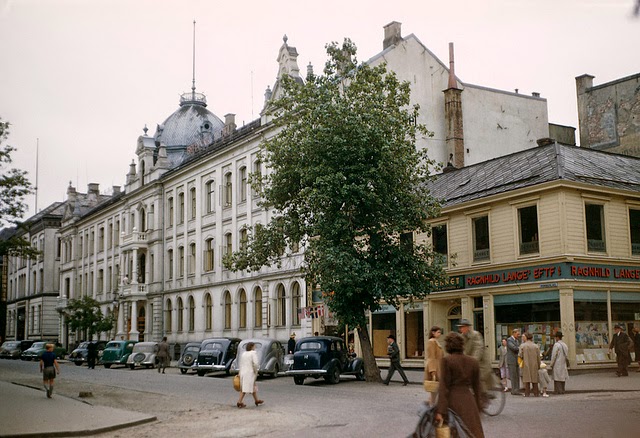
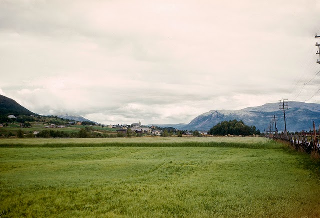
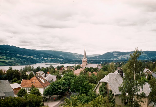
Alvdal in Hedmark and Lillehammer in Oppland both sat along the major inland corridor connecting Oslo to Trondheim. This route had strategic importance during the German invasion and remained significant throughout the occupation. After liberation, it became a route of recovery — carrying supplies, workers, and returning Norwegians back to their towns.
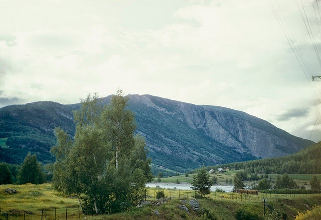
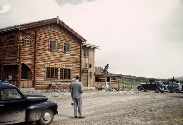
Vinstra in Oppland and the Dovre highlands round out this journey across 1940s Norway. From the fjords of the west to the mountain plateaus of the interior, these photographs capture a country that endured five years of occupation and emerged from the war with its landscapes intact — even as it set about rebuilding everything else.




