
The late 1960s were a turning point for Northern Ireland. The decade had brought economic growth and development, but by its end, deep political and sectarian tensions had spilled into the open. Civil rights marches, street battles, and the arrival of British troops all took place within a few short years, setting the stage for what became known as the Troubles — a conflict that would not formally end until the Good Friday Agreement of 1998. These rare color photographs capture Northern Ireland right at that hinge point in history, showing both the ordinary beauty of the region and the undeniable signs of unrest.
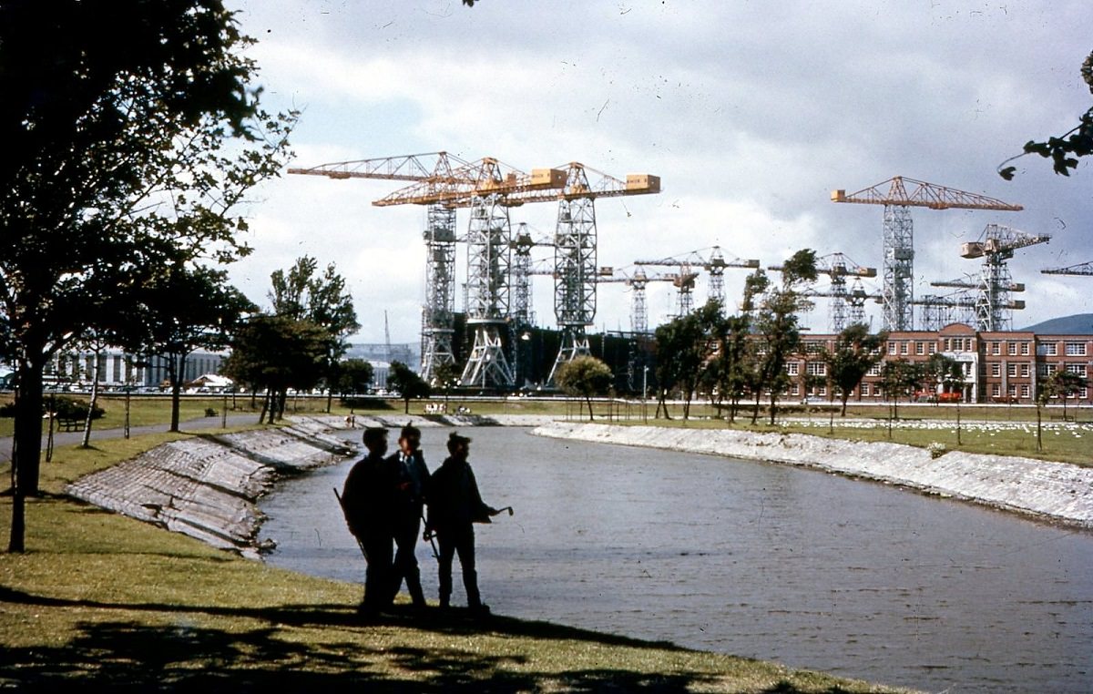
Belfast was the heart of Northern Ireland, and its public spaces reflected a city proud of its civic identity. Victoria Park, one of the city’s green retreats, offered residents a calm escape from urban life in 1969.
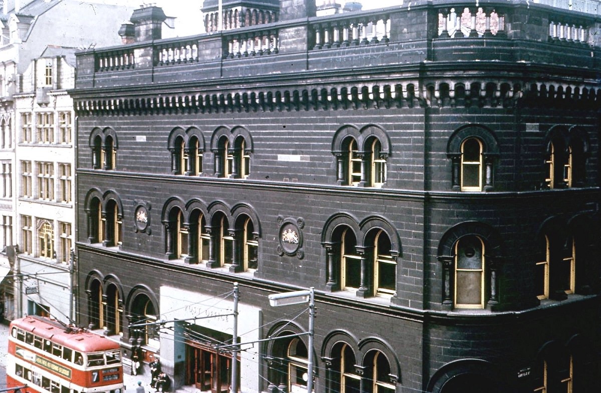
The city’s infrastructure was well established by this era. The General Post Office stood as a central hub of communication and commerce, a solid presence in the urban landscape.
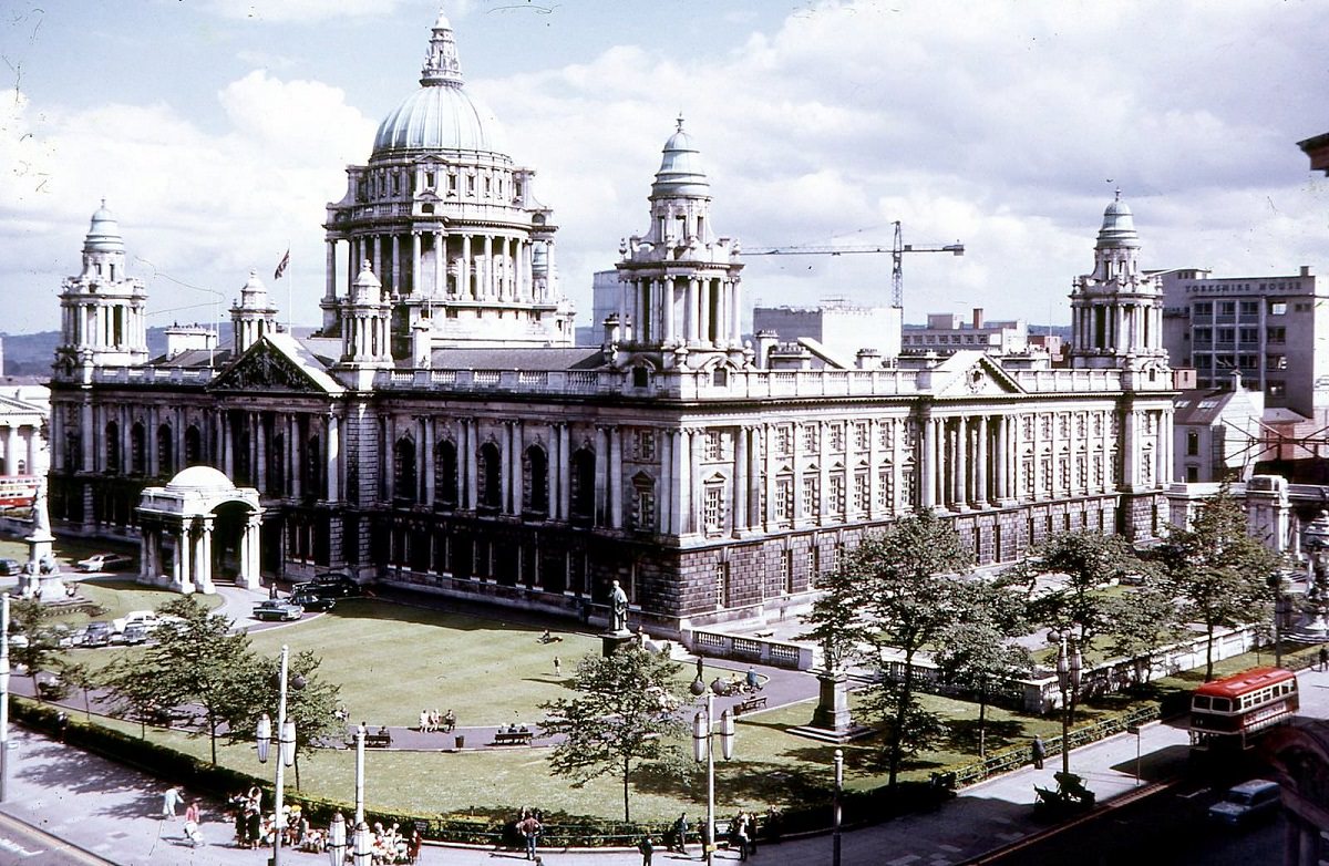
Belfast City Hall, with its grand Baroque Revival architecture, remained one of the most recognizable symbols of the city. Completed in 1906, it dominated the center of Belfast and drew visitors and locals alike.
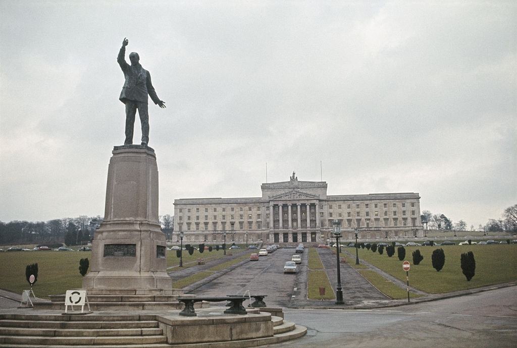
Just outside the city, Stormont was the seat of Northern Ireland’s government. Its sweeping driveway and iconic gates made it one of the most photographed locations in the country.
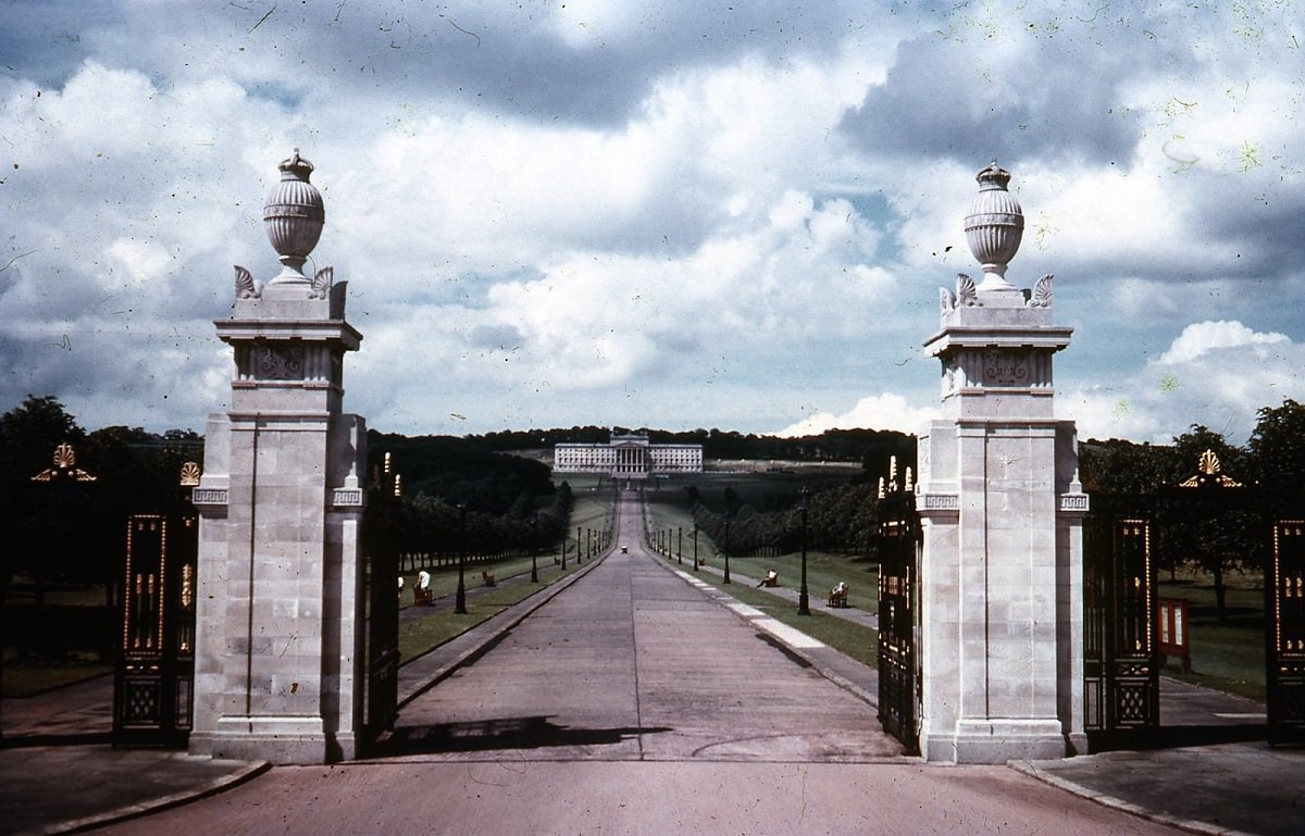
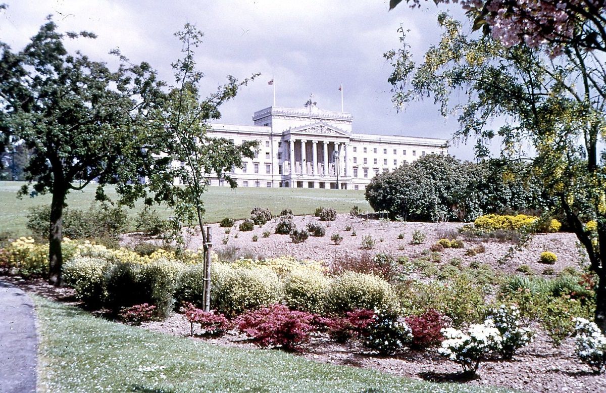
The Parliament Buildings at Stormont housed the government of Northern Ireland during one of its most turbulent periods. Prime Minister Terence O’Neill was attempting to introduce modest reforms when these photos were taken, though his efforts pleased neither hardline unionists nor nationalists demanding faster change.
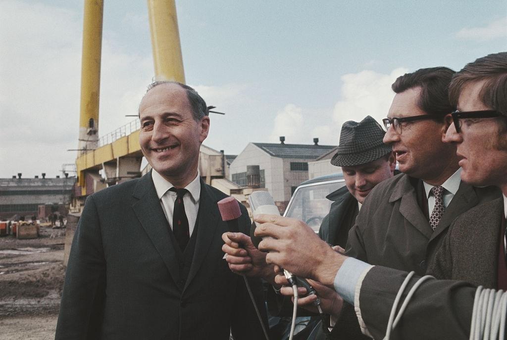
Derry — also known as Londonderry — was the second-largest city in Northern Ireland and the flashpoint for some of the most dramatic events of the era. Its river crossings and waterfront gave the city a distinctive character.
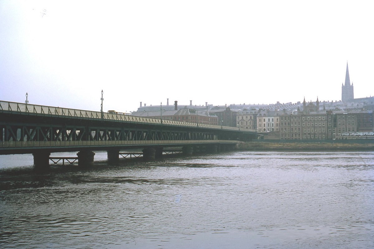
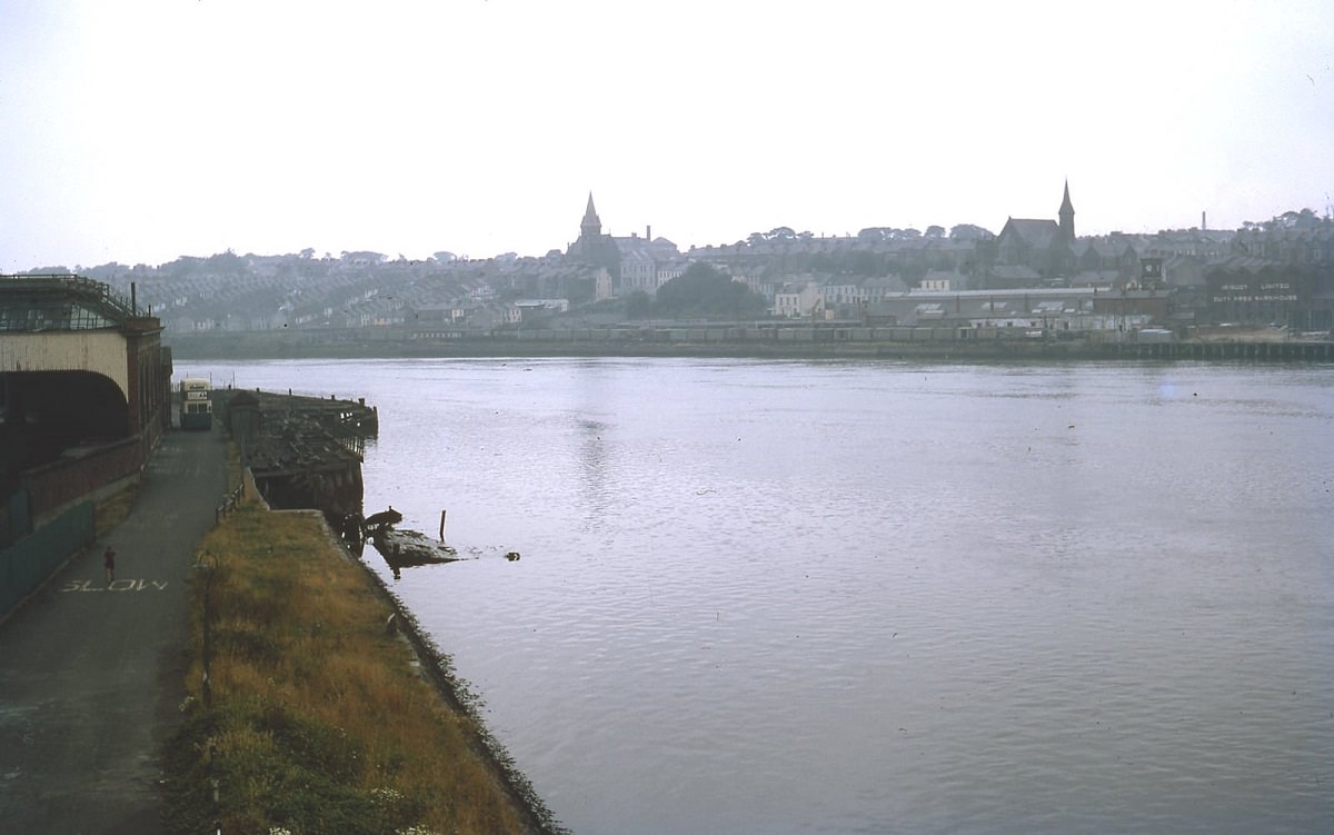
The working wharves of Derry still carried industrial activity in 1969, with dual-gauge rail tracks running along the dockside — a sign of a city that remained connected to trade and commerce even as political tensions mounted.
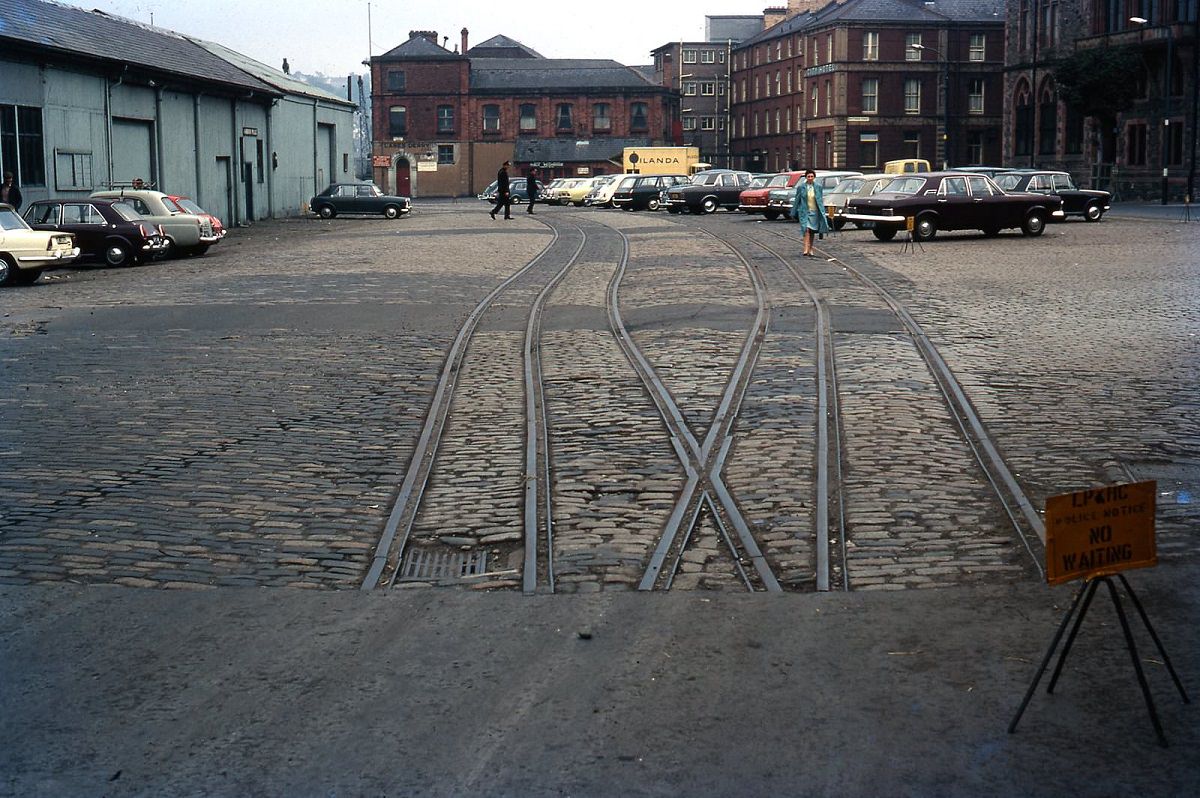
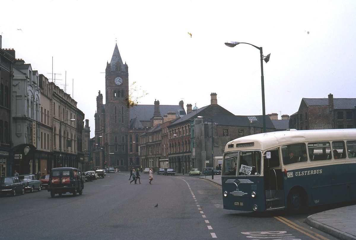
The Bogside was a predominantly Catholic and nationalist neighborhood just outside Derry’s ancient city walls. In August 1969, it became the site of the Battle of the Bogside — three days of intense rioting between residents and the Royal Ulster Constabulary. The area’s residents declared it “Free Derry” and barricaded the streets against police entry.
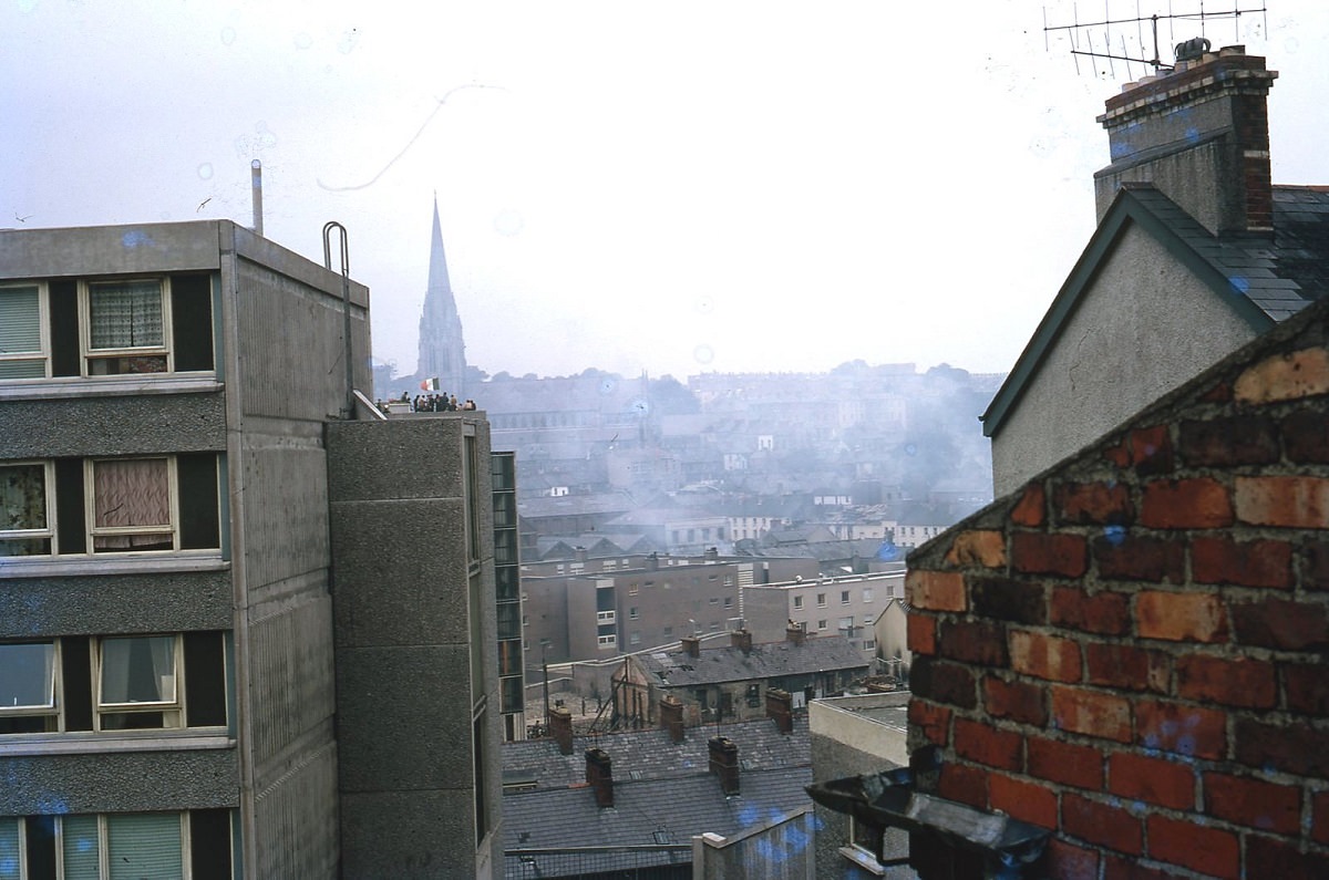
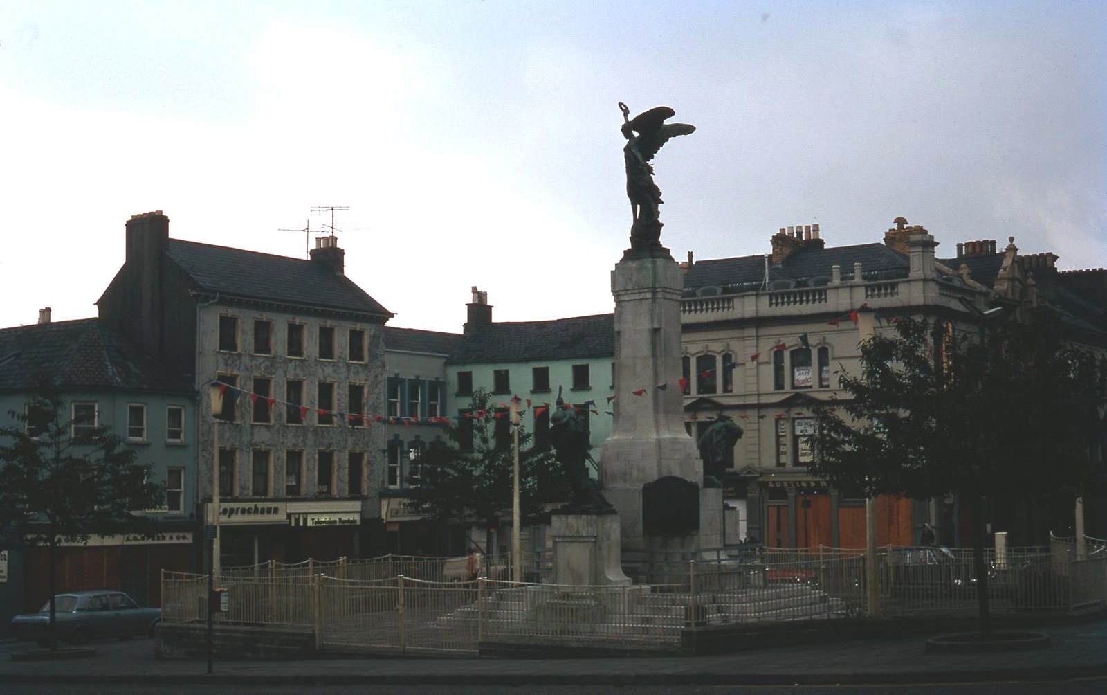
Standing high above the city on the old walls was the monument to Reverend George Walker, a governor of Derry during the famous Siege of 1688–89. The monument was a powerful symbol for the unionist community. It was destroyed by a bomb blast in August 1973, just four years after this photograph was taken.
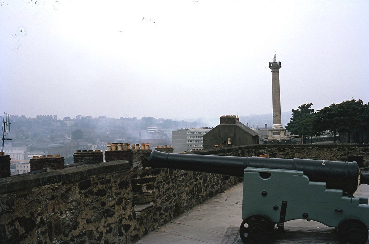
From the base of the Walker Monument, the view across Derry told its own story. Smoke hung over parts of the city — a visible sign of the disorder that had gripped the streets below.
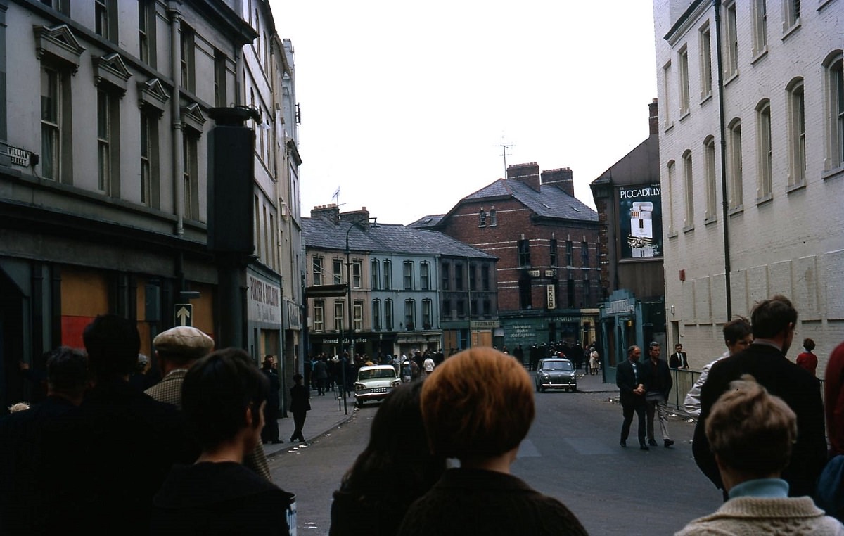
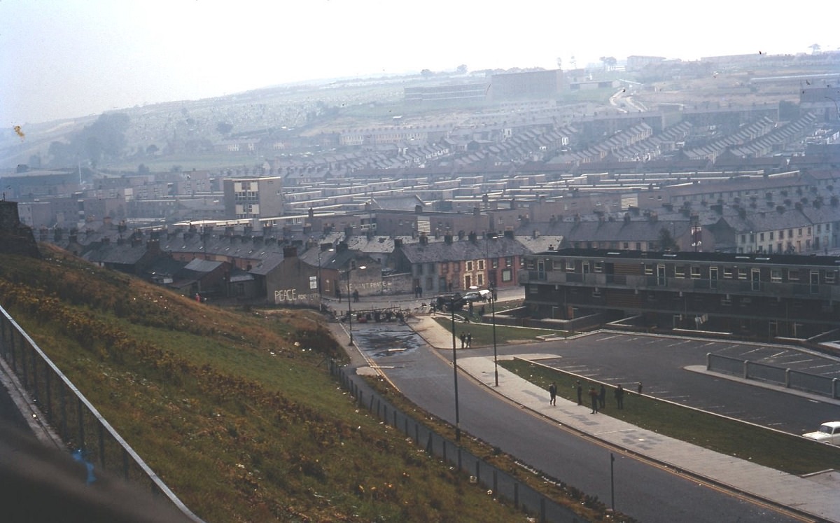
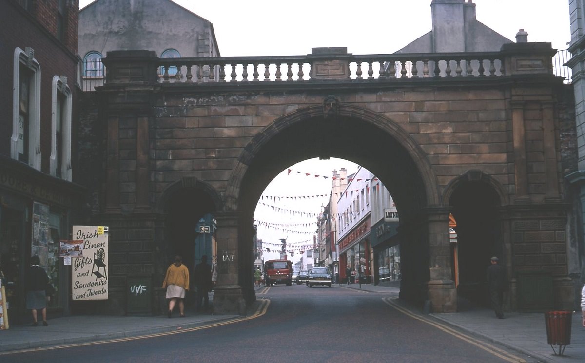
The ancient gates of Derry, part of the city’s 17th-century walls, stood as a reminder of centuries of siege and resistance. Those walls had defined the city’s identity for over three hundred years.
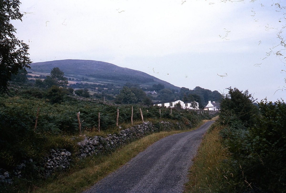
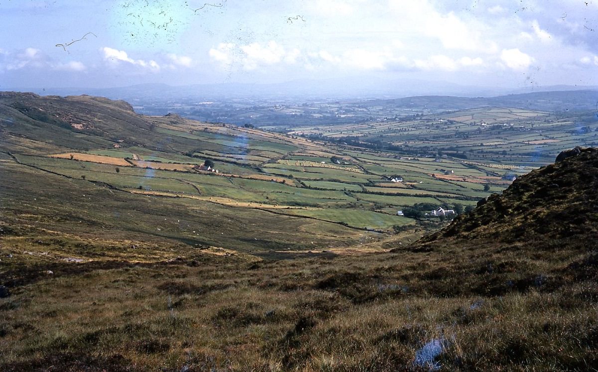
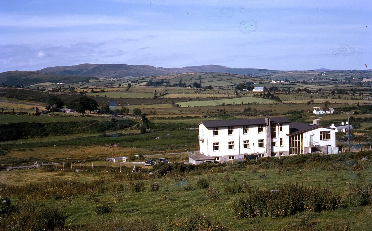
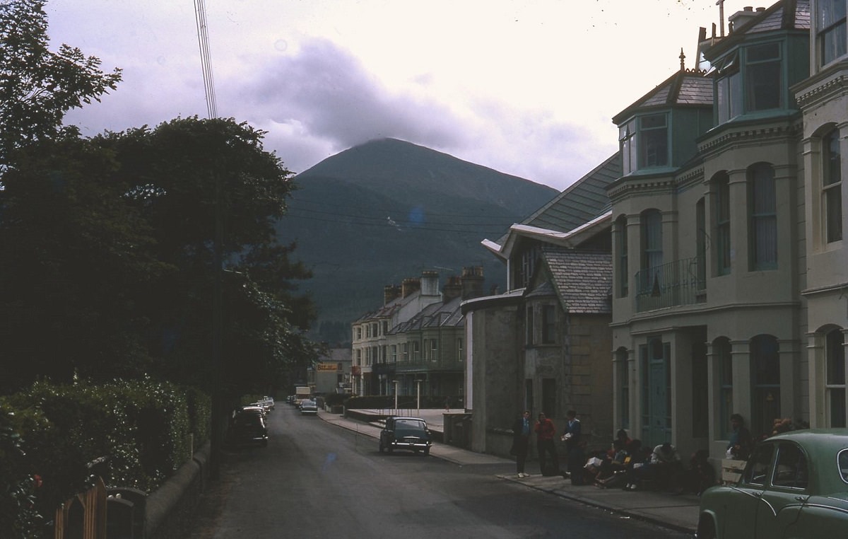
Away from the political centers, Northern Ireland’s countryside offered a striking contrast to the tension in its cities. The Mourne Mountains in County Down were a popular destination for walkers and youth hostelers, with facilities like the Knockbarragh Hostel in Newry serving those exploring the region.
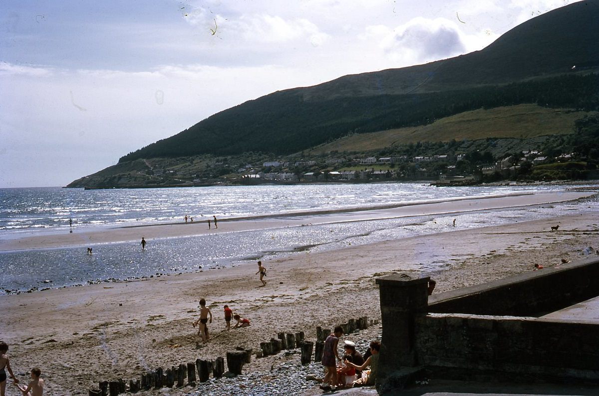
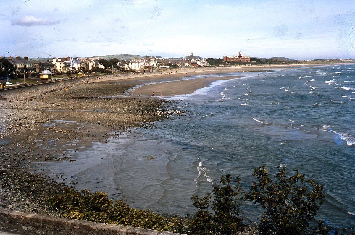
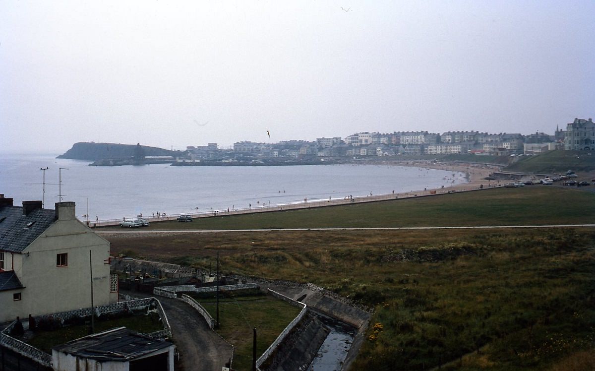
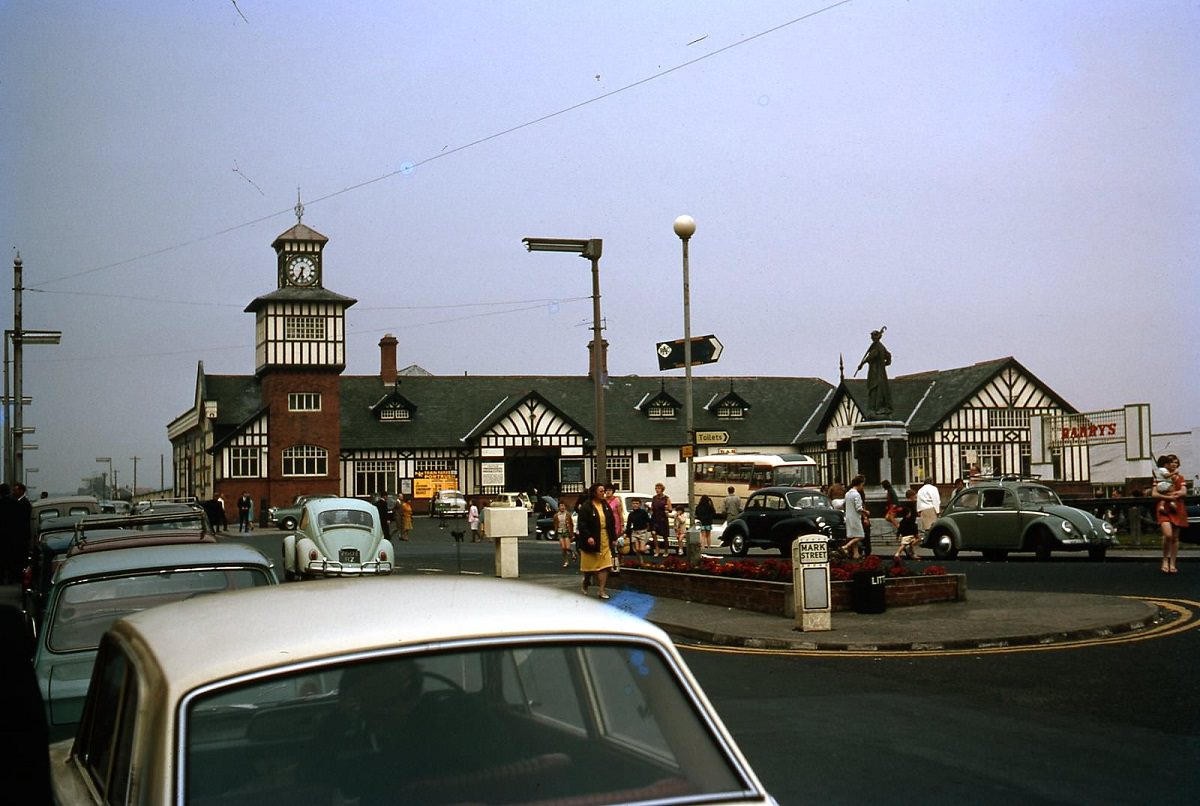
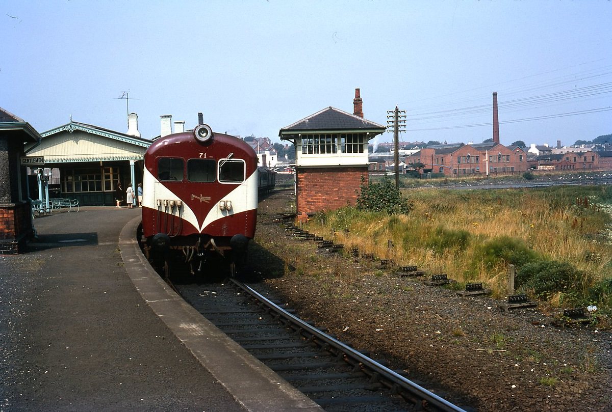
The coastal town of Newcastle sat at the foot of the Mournes, its beach and former railway hotel drawing visitors each summer. Portrush, further north near Coleraine, was another popular seaside destination with a seasonal railway station that opened specifically to handle the summer beach crowds.
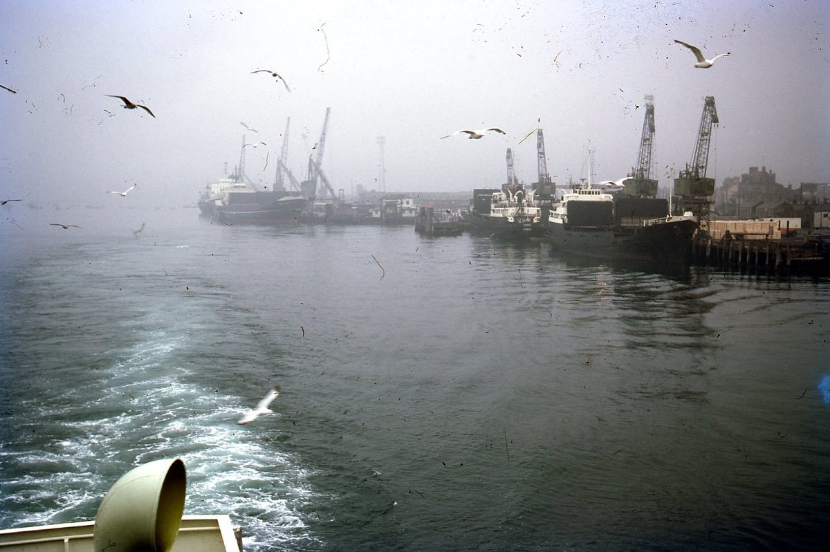
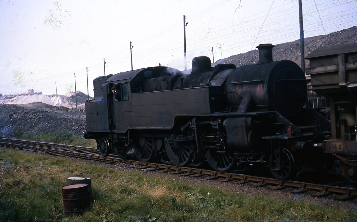
County Antrim and the town of Larne on the northeast coast were also captured in these photographs. Larne served as a key ferry port linking Northern Ireland to Scotland, and the Antrim coastline was among the most scenic in the British Isles. Steam locomotives still operated in the region, with engines photographed at Magheramourne along the Antrim coast line.
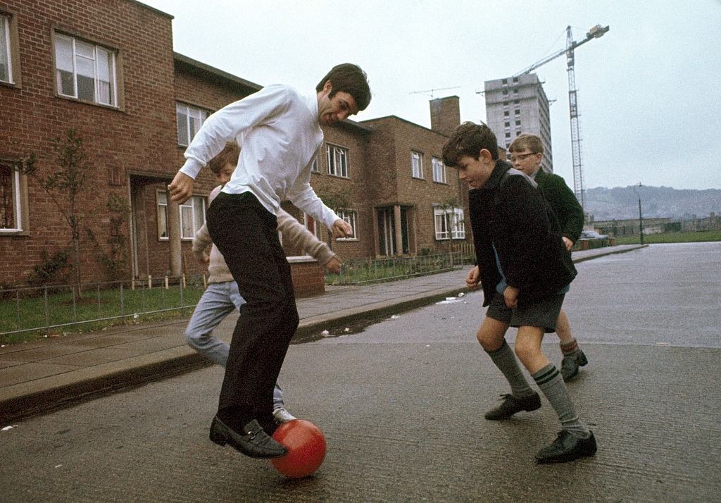
Not all of Belfast’s stories in the late 1960s were defined by conflict. Around 1967, Manchester United footballer George Best — who grew up in the Cregagh estate in east Belfast — was photographed playing football in the street with local boys near his family home. Best had become one of the most celebrated footballers in the world by this point, yet he returned to the streets where he first learned the game.
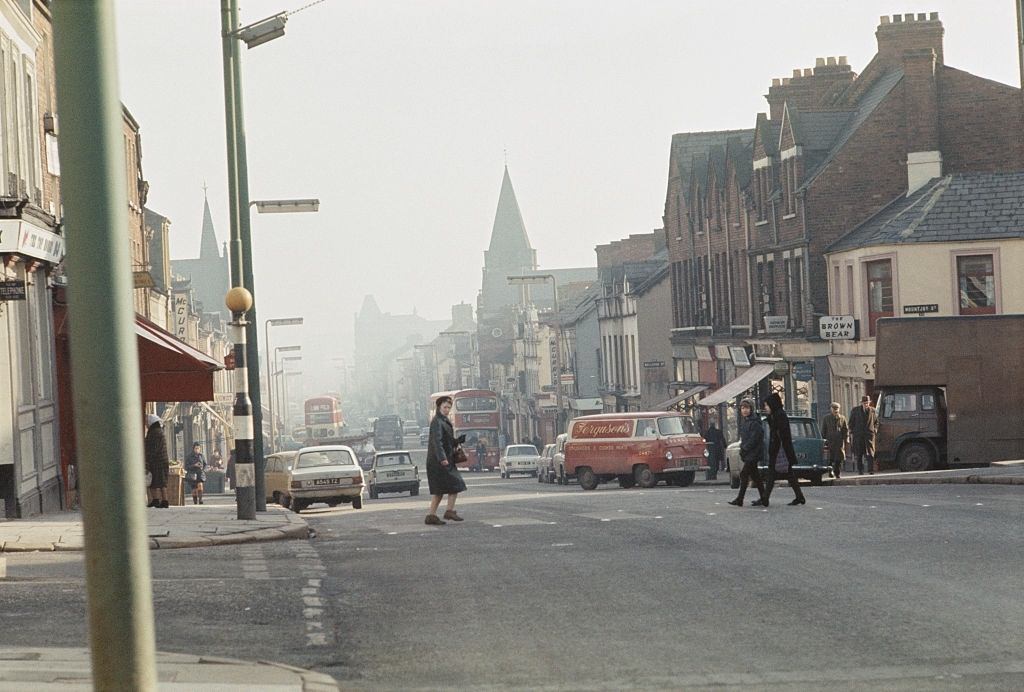
The Shankill Road in west Belfast was a predominantly Protestant and unionist area. By 1969, it had become one of the most contested zones in the city as communal violence erupted across Belfast’s interface neighborhoods.
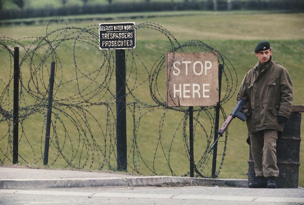
By April 1969, British Army soldiers had been deployed to guard key infrastructure in Belfast, including water works facilities. The army’s presence was meant to stabilize the situation, but the deployment marked a dramatic escalation in the crisis.
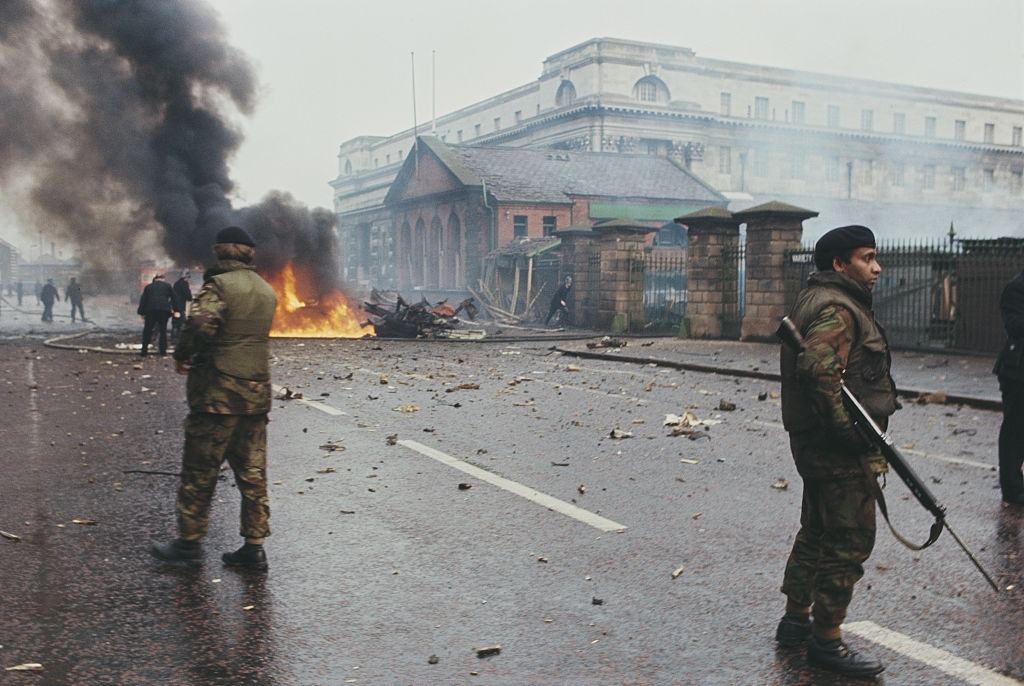
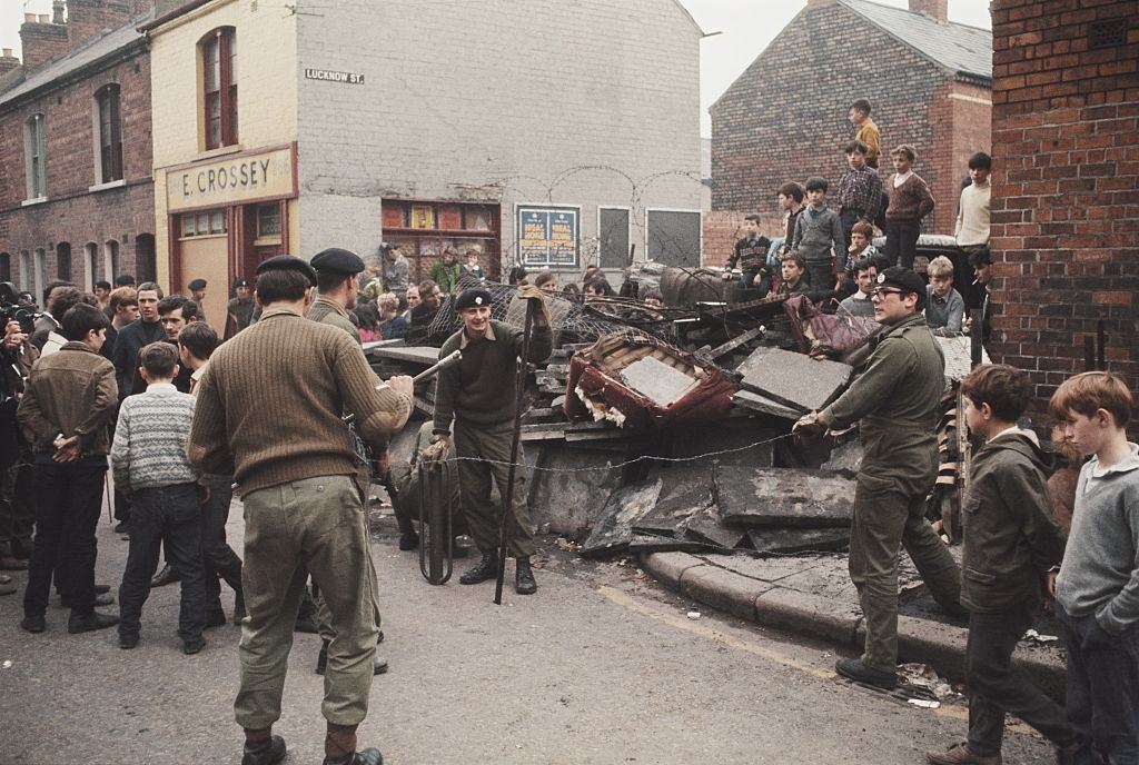
In August 1969, rioting broke out across Belfast with fires set on residential streets. British soldiers stood guard alongside firefighters as they battled the blazes, and troops erected barricades at street corners to separate warring communities.
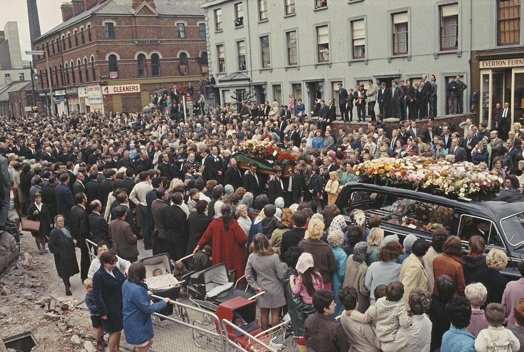
The human cost of the violence was real and immediate. In August 1969, David Linton, a Protestant civilian, was shot dead by nationalist gunmen during the fighting and rioting in Belfast. His funeral march through the city’s streets was a grim marker of how far the situation had deteriorated by the end of the decade.





Ah, Derry’s beautiful River Derry… and its extraordinary Victorian Chamber of Commerce… in Northern Ireland.
Is that near ColaRaine?
Northern Ireland didn’t have color until 1983
Hi George, Best!
How many ways can they spell Northern Ireland?
There’s nothing wrong with these, but I’m a bit of a pedant about it. It says double-decker bridge over Derry River. It’s the Craigavon Bridge and that’s the Foyle River.
pic 20 is salthill