By 1954, the Netherlands had come a long way from the devastation of World War II. Germany had invaded and occupied the country from 1940 to 1945, leaving cities damaged and the economy in ruins. Recovery came quickly, thanks in large part to American funding through the Marshall Plan. The Netherlands also helped reshape postwar Europe by co-founding the Benelux economic alliance with Belgium and Luxembourg, and it became a founding member of both NATO and the European Union. Meanwhile, the Dutch empire was quietly shrinking — Indonesia had declared independence in 1945, and Suriname would follow in 1975. At home, the country was building a modern welfare state and strengthening its deep economic ties with Germany.
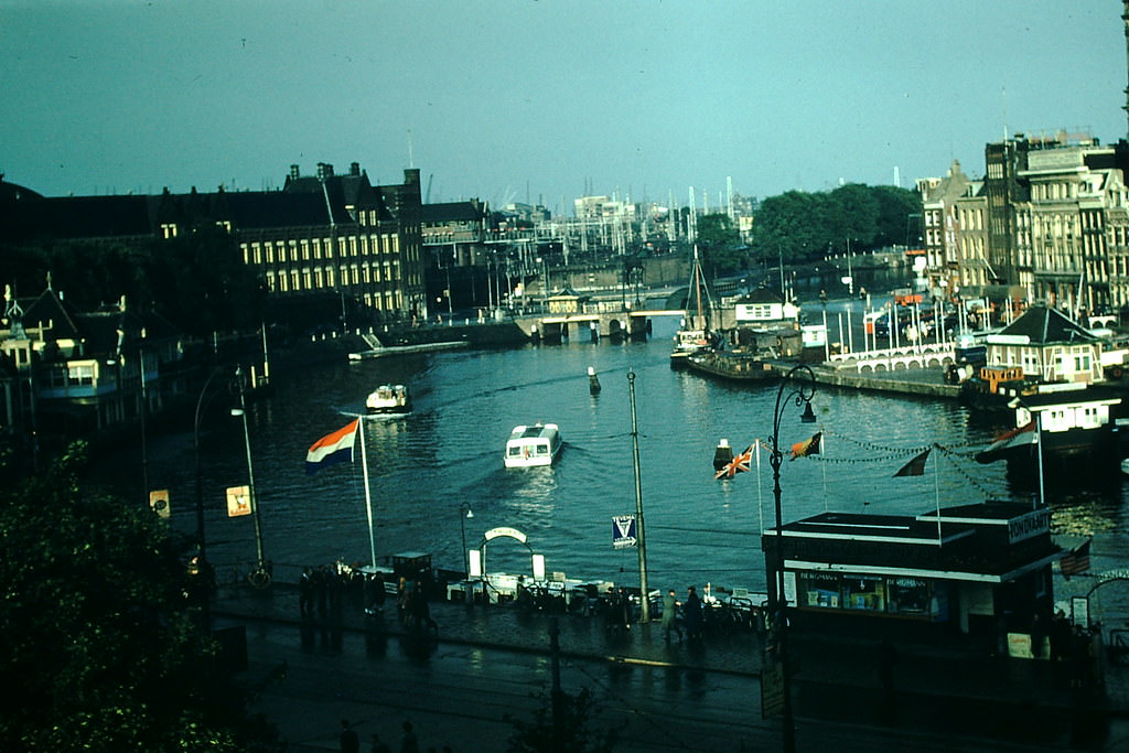
Amsterdam in 1954 still carried the timeless character of its canal-lined streets. The city’s waterways, lined with narrow brick buildings, remained one of the most recognizable sights in all of Europe. Visitors staying along the central corridors had a front-row view of daily life on the water.
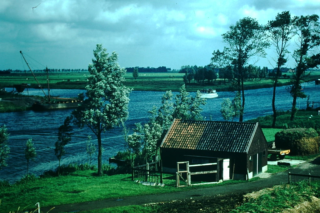
Outside Amsterdam, the canals continued to define the Dutch landscape. Near the northern city of Leeuwarden, waterways cut through flat, open terrain — a reminder that water management was not just a feature of Dutch life but a foundation of it.
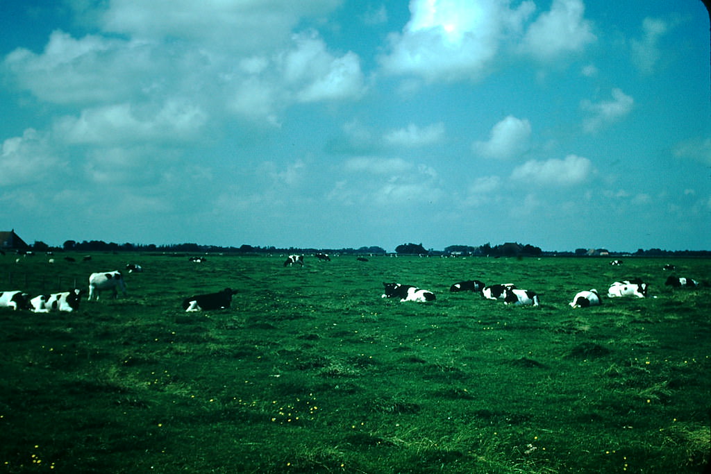
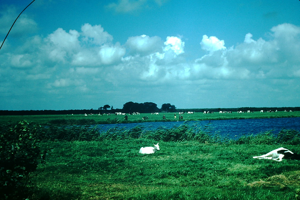
The Dutch countryside in Friesland province was dairy country through and through. Towns like Bolsward and Sneek sat in the middle of some of the most productive farmland in Europe, where herds of cattle grazed on rich, green pastures.
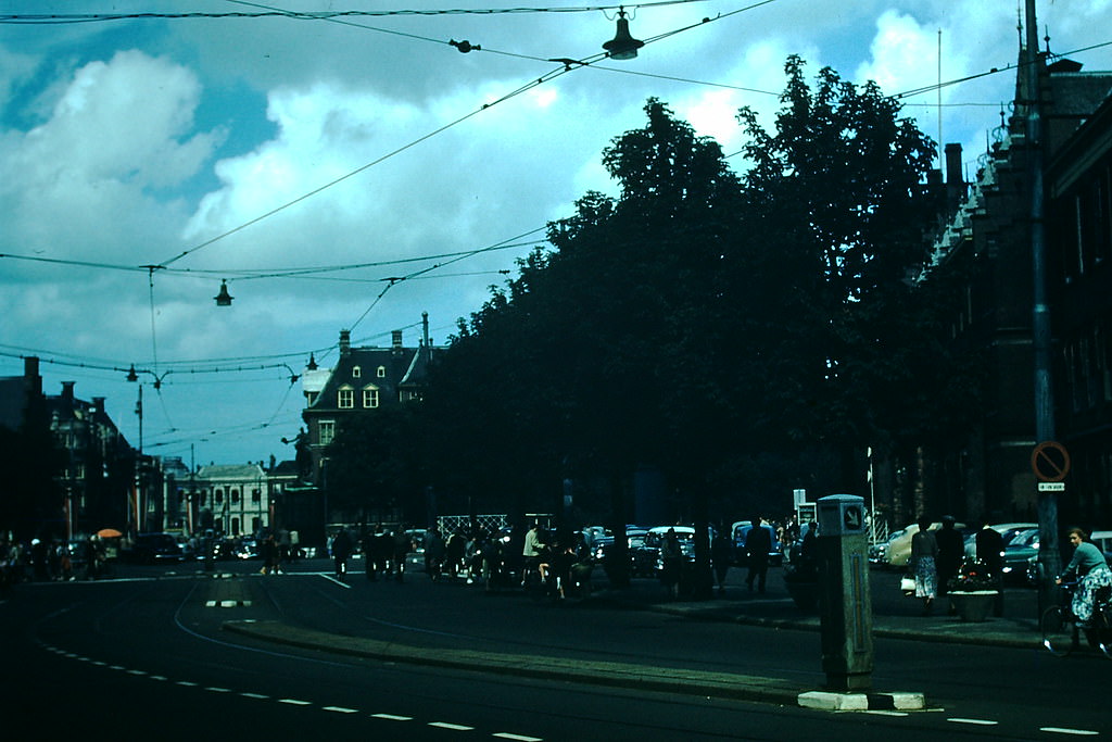
Den Haag — known in English as The Hague — served as the seat of the Dutch government and home to the country’s major public institutions. Its city center mixed grand civic architecture with busy commercial streets, reflecting a nation that was growing more confident by the year.
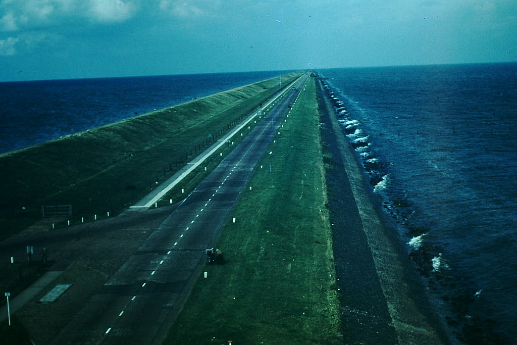
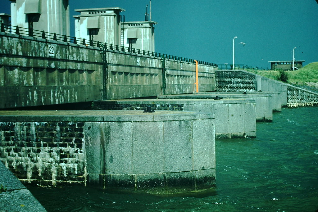
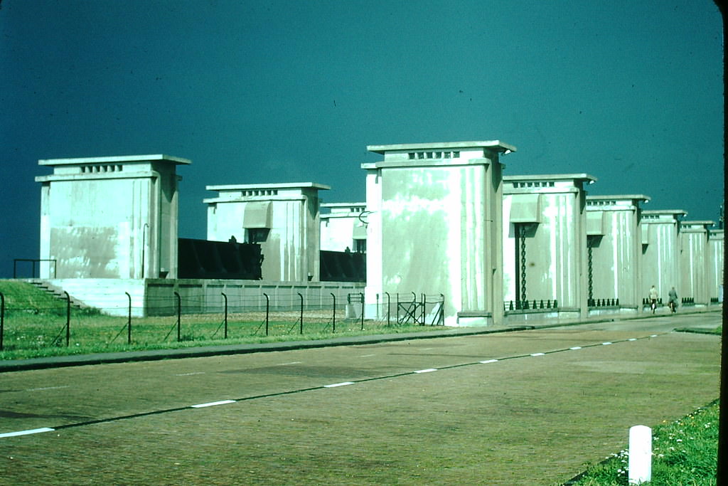
Few engineering projects defined the Netherlands more than its dykes. The Afsluitdijk — a massive barrier dam stretching across the North Sea — had been completed in 1932 and stood as a defining achievement of Dutch water control. By 1954, it had been protecting the country for over two decades.
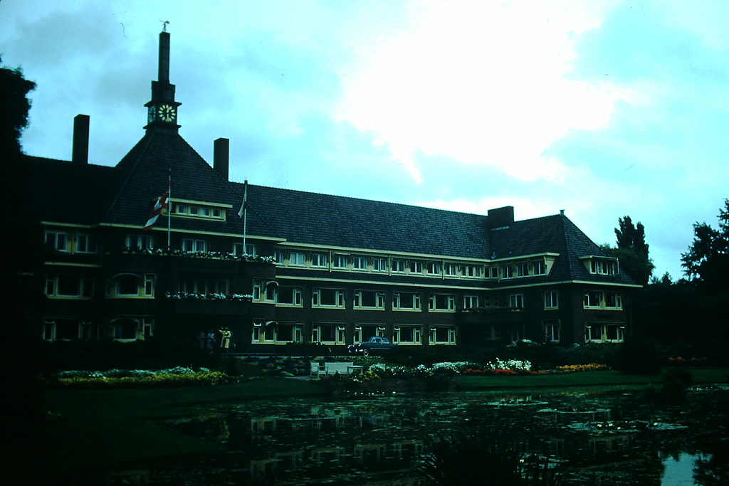
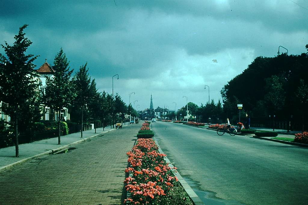
The postwar welfare state was visible not just in policy, but in the built environment. In the park city of Alkmaar, a dedicated home for elderly men offered a glimpse of how Dutch society was investing in care for its aging population.
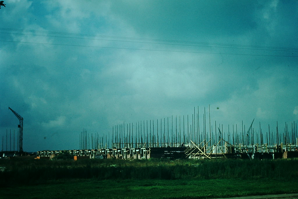
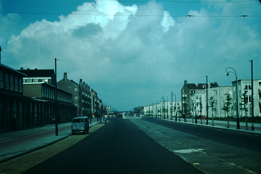
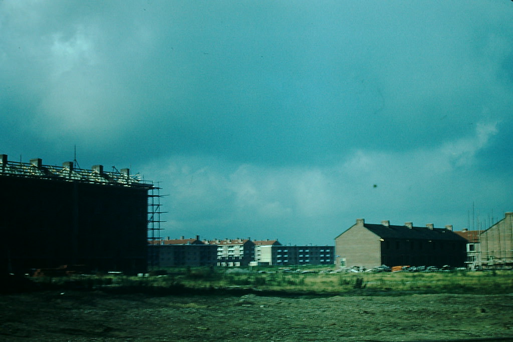
Amsterdam’s postwar housing boom was one of the most visible signs of the city’s recovery and growth. Large-scale housing projects went up across the city, designed to house a population that was growing quickly after years of wartime hardship.
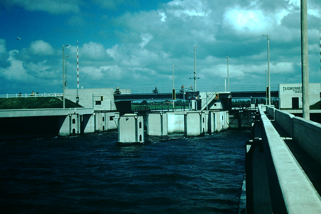
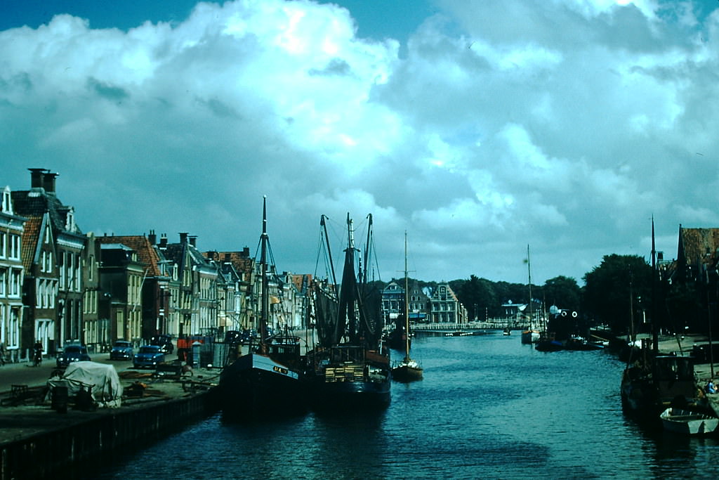
The port city of Harlingen on the Frisian coast was a hub of maritime activity. Its locks and main canal managed the steady flow of boats and barges that kept goods moving between the North Sea and the inland waterways of the Netherlands.
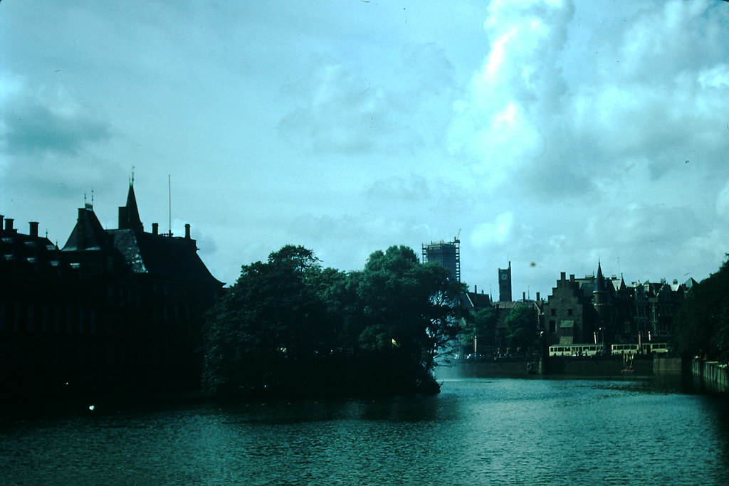
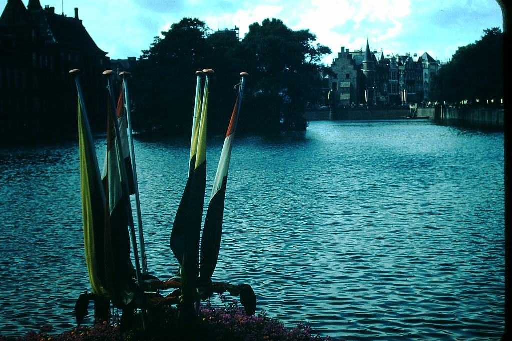
Back in The Hague, the public buildings that housed the Dutch government projected authority and order. These structures were not just administrative centers — they were symbols of a stable, rebuilding democracy.
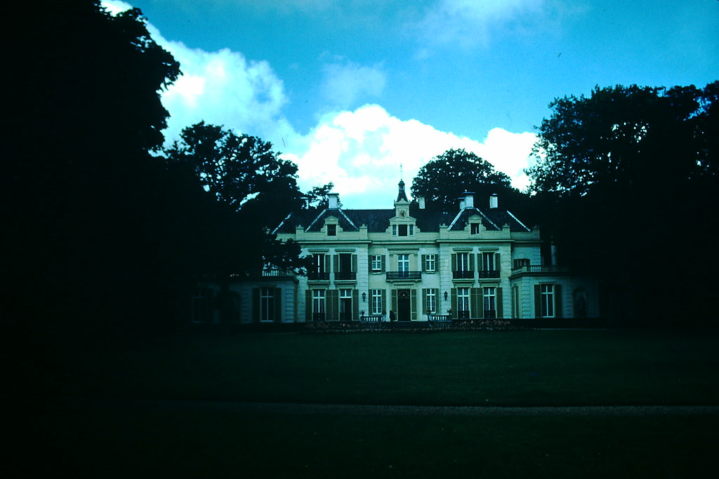
Near Haarlem, state-funded residential homes provided housing for Dutch citizens as part of the growing national welfare system. These developments reflected the government’s direct role in addressing housing needs across the country.
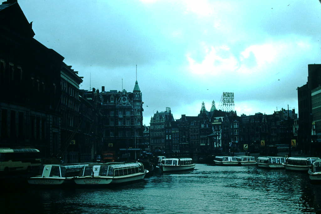
Amsterdam’s Rokin canal ran through the heart of the old city, flanked by shops, trams, and foot traffic. In 1954, it was one of the busiest corridors in the city — a place where traditional Dutch urban life played out every day.
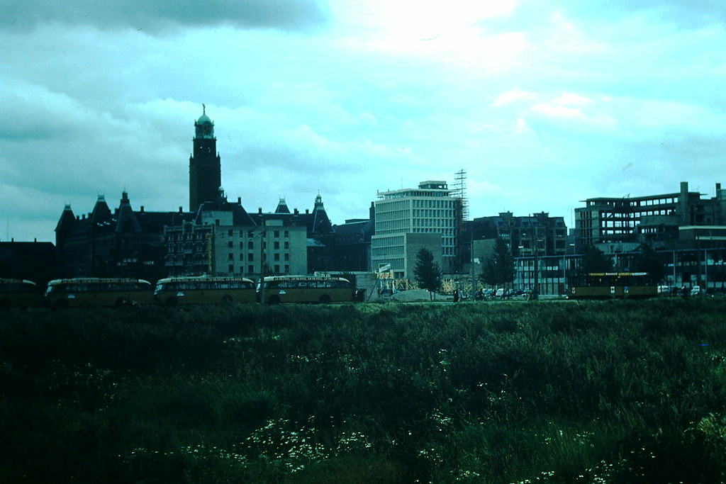
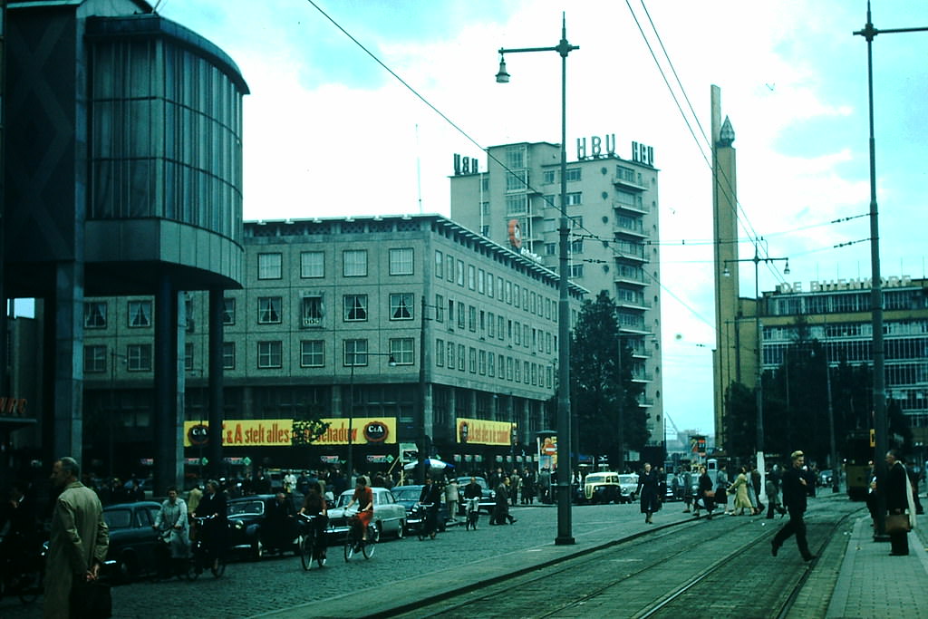
Rotterdam told a different story entirely. Heavily bombed during the German invasion in 1940, the city’s center had been nearly flattened. By 1954, Rotterdam was in the middle of a dramatic rebuilding effort, with new structures rising from what had been rubble just a decade before.
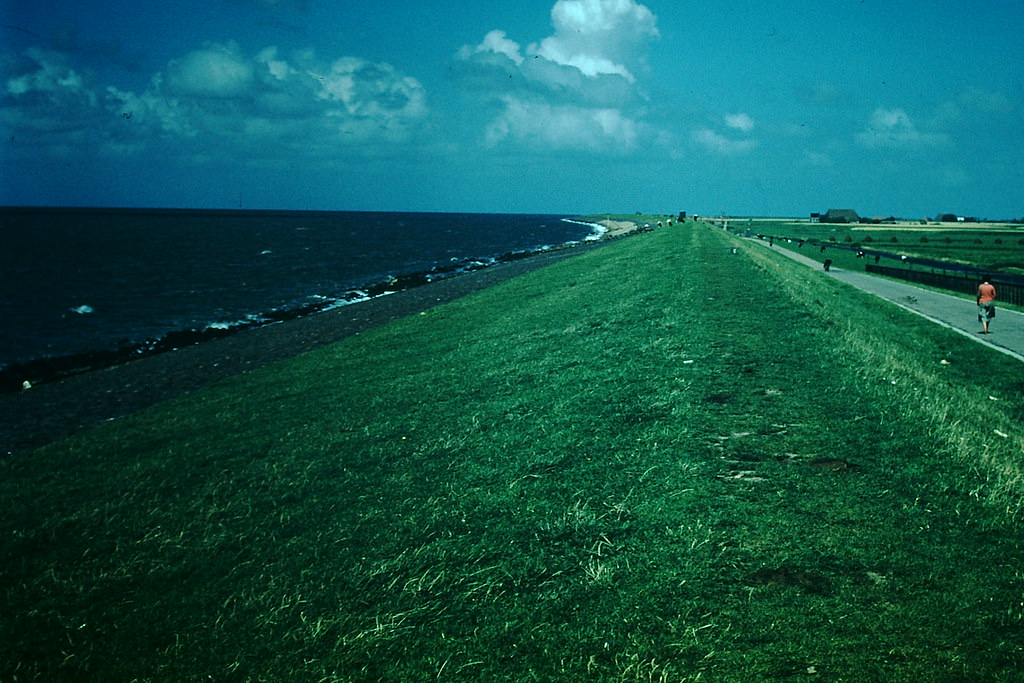
The sea wall north of Harlingen stretched along the coast as a barrier between land and the open North Sea. Looking north from the town, the scale of the Dutch flood-defense system became clear — miles of engineered coastline holding back the sea.
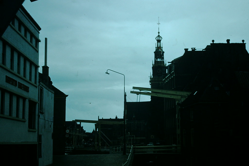
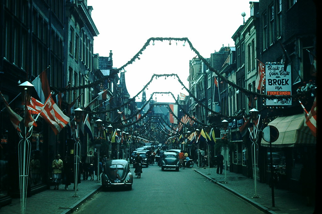
Alkmaar, long known as the cheese capital of the Netherlands, marked a major milestone in 1954 — its 700th anniversary. The city’s streets were decorated to celebrate seven centuries of history, with the famous Waag, or weighing house, standing at the center of the festivities.
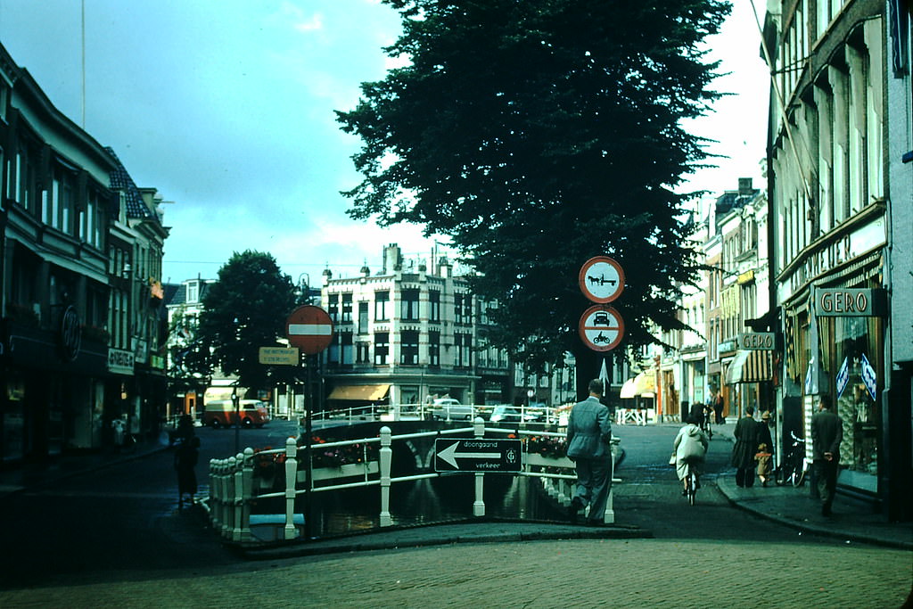
Leeuwarden, the capital of Friesland, showed a quieter side of Dutch urban life in 1954. Its streets carried the character of a regional city still shaped by tradition, where everyday commerce and local culture moved at their own pace.
The Waag in Alkmaar had been the official cheese-weighing building since the 17th century. Every Friday during the summer, wheels of Gouda and Edam were weighed and traded here under a system that had barely changed in hundreds of years.