
Kingston was not Jamaica’s first major city — that distinction belonged to Port Royal. But after a catastrophic earthquake struck Port Royal in 1692, the survivors needed somewhere to go. In July 1693, Kingston was founded at the base of the Liguanea Plains specifically to house those displaced people. From that emergency beginning, the city grew steadily into the island’s dominant urban center.
For most of the 18th century, Spanish Town served as Jamaica’s official capital. Kingston, however, was where the real commercial action was. Its deep natural harbour made it a vital hub for trade between Jamaica and the wider world. Goods moved in and out constantly — sugar, rum, and later bananas heading to international markets, while imported materials arrived in return. By 1788, Kingston had a population of roughly 25,000 people, accounting for about one-tenth of the entire island’s population. Two out of every five residents were free people, including a significant number of free people of color, which set Kingston apart from many other colonial cities of the era.
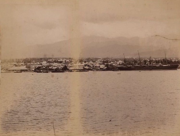
By the end of the 18th century, Kingston had over 3,000 brick buildings — a sign of how seriously the city had developed. It was not a makeshift settlement but a structured, growing urban center. In 1862, Kingston was officially incorporated as a municipality with a mayor and council. That same year, a large fire tore through a significant portion of the city, destroying much of what had been built. Despite that setback, the city recovered and continued to outpace Spanish Town in size and commercial activity.
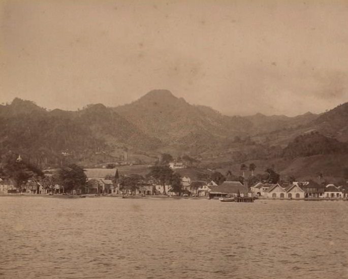
In 1872, Kingston officially replaced Spanish Town as Jamaica’s capital. The decision reflected what was already true on the ground — Kingston was the beating heart of the island. Ten years later, in 1885, the city council’s powers were handed over to a nominated Municipal Board, though a mayor continued to oversee day-to-day city affairs. The photos below, taken from the 1860s through the late 1890s, show exactly what this city looked, felt, and functioned like during those transformative decades.
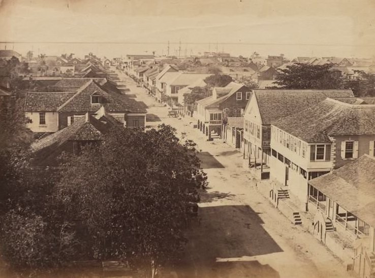
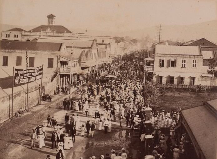
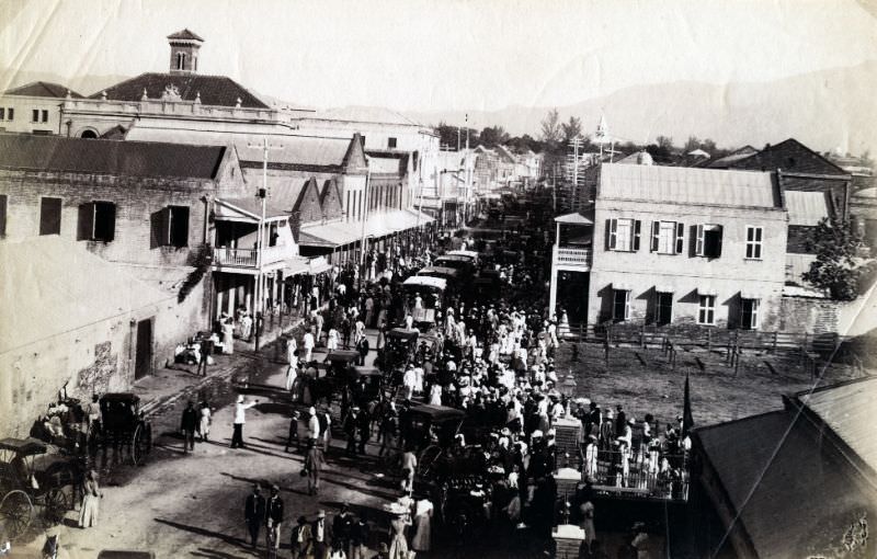
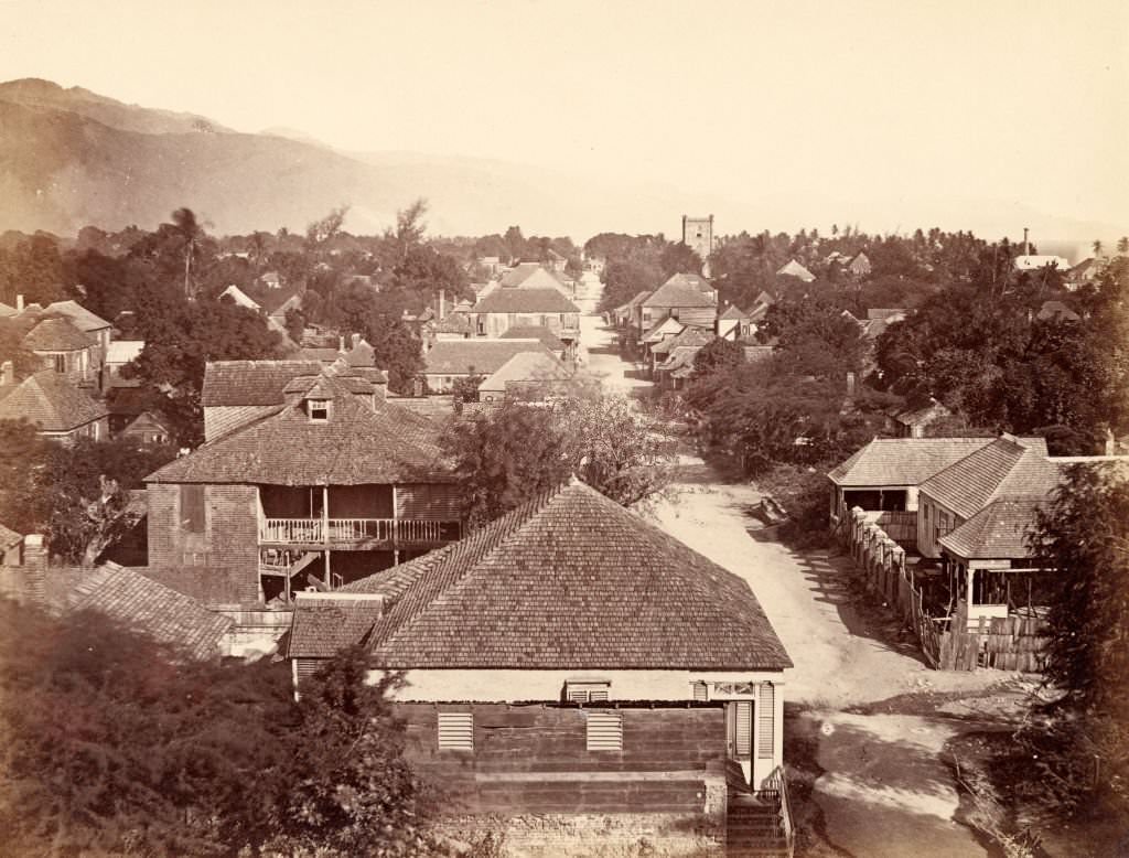
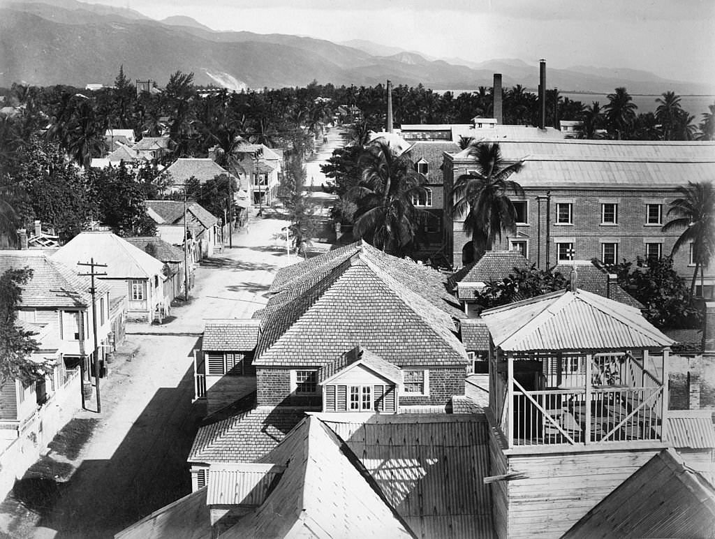
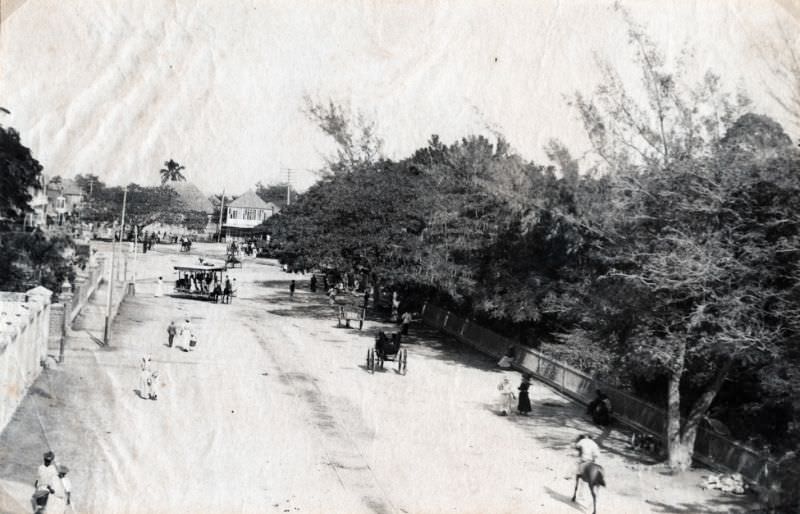
Street life in 1870s Kingston was dense and active. Looking down from above, the roads were filled with pedestrians, vendors, and animals moving in every direction. The city’s layout reflected its colonial origins — wide main streets lined with buildings, with activity concentrated around trade and commerce. Markets were a central part of daily life, drawing people from across the city and the surrounding countryside.
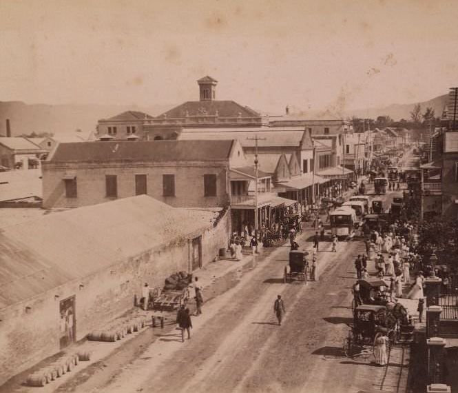
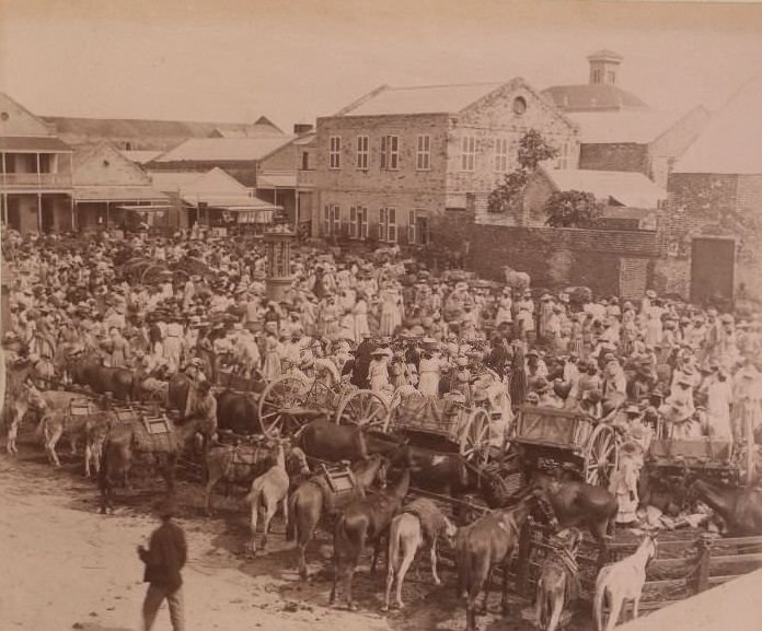
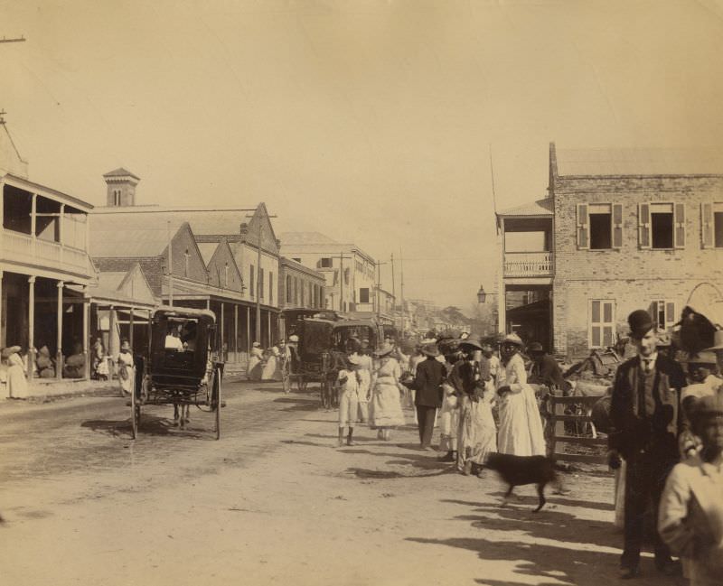
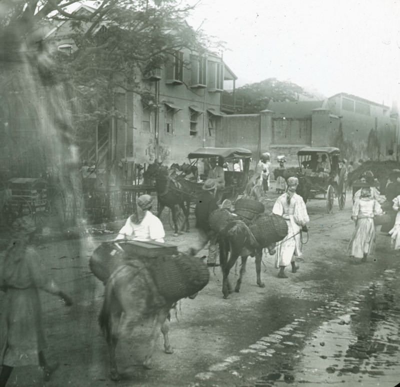
Horse-drawn carts and animals were common sights on Kingston’s roads in the 1870s. The street infrastructure of the time was built for this kind of mixed traffic — people on foot, animals being led to market, and wheeled carts carrying goods. The city’s roads handled everything from daily errands to major commercial shipments moving toward the harbour.
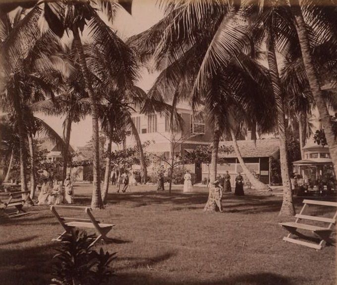
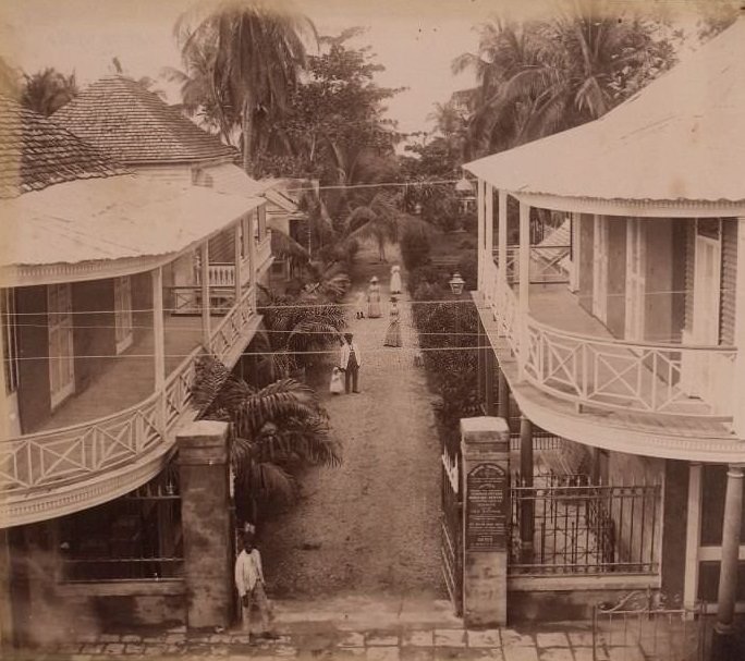
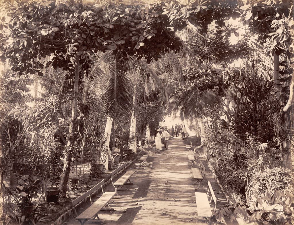
Kingston’s green spaces offered a contrast to its busy commercial streets. Gardens like the Marine Gardens featured formal avenues and ornamental plantings, and they served as gathering places for the city’s residents. These spaces reflected the Victorian-era emphasis on public parks as a sign of civic progress and order.
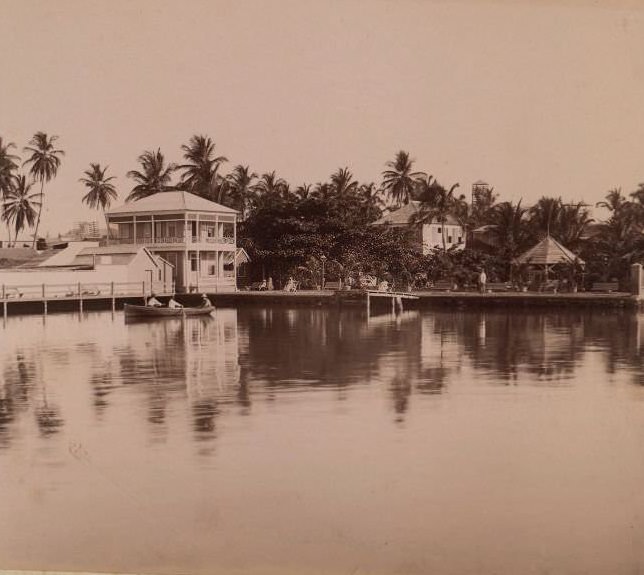
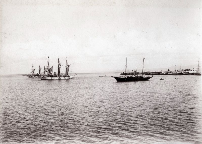
The harbour was Kingston’s most important asset. Ships arriving from North America, Britain, and other Caribbean ports made the waterfront a constant point of activity. The city’s economy depended on the movement of goods through this port, and the waterfront area reflected that importance — busy, functional, and always in use.
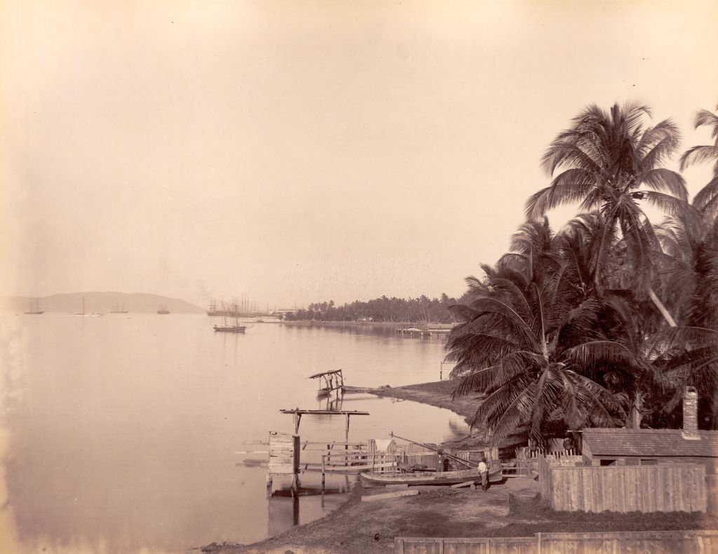
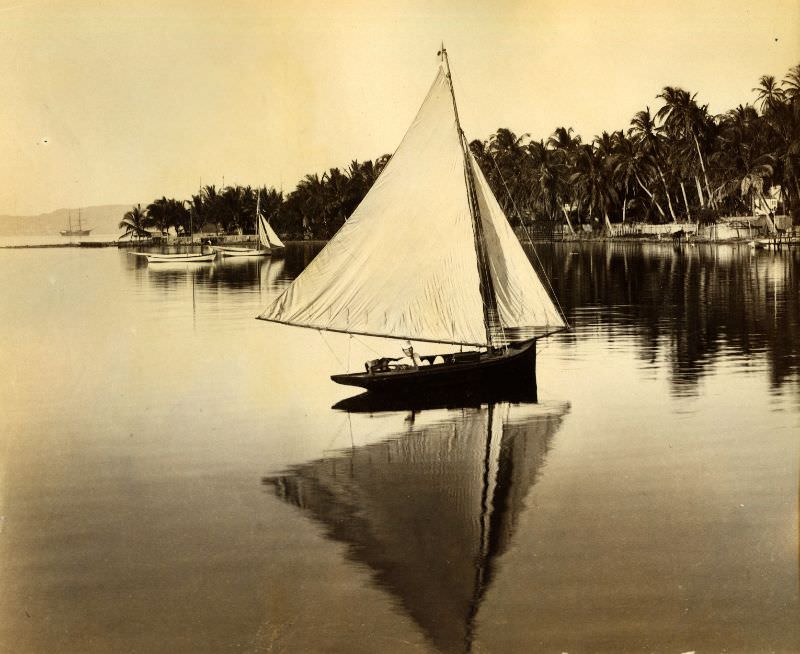
By 1891, Kingston’s harbour was well-established as one of the most active ports in the Caribbean. Coal packets, mail ships, and fruit steamers all used the facility. The process of coaling a ship — loading coal by hand in large baskets carried by workers — was a common sight along the docks and required substantial labour.
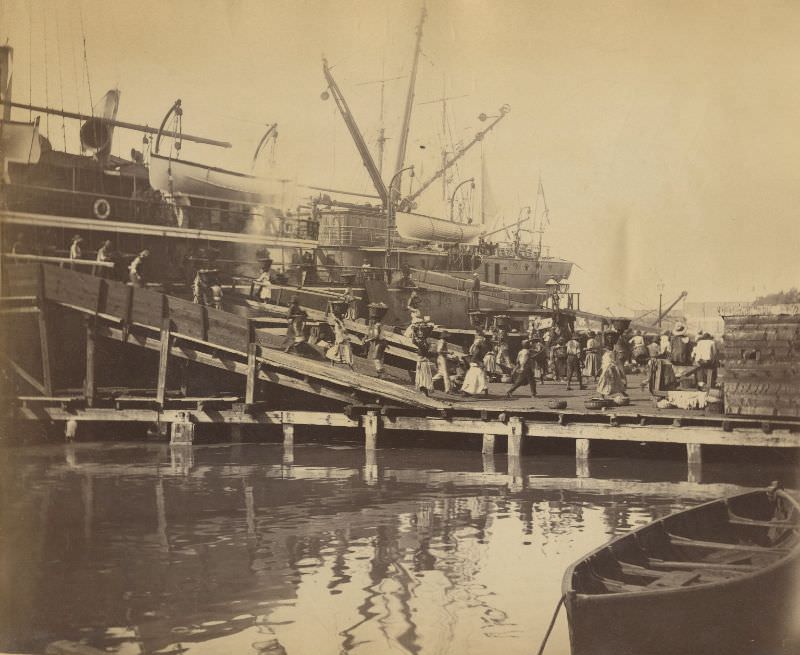
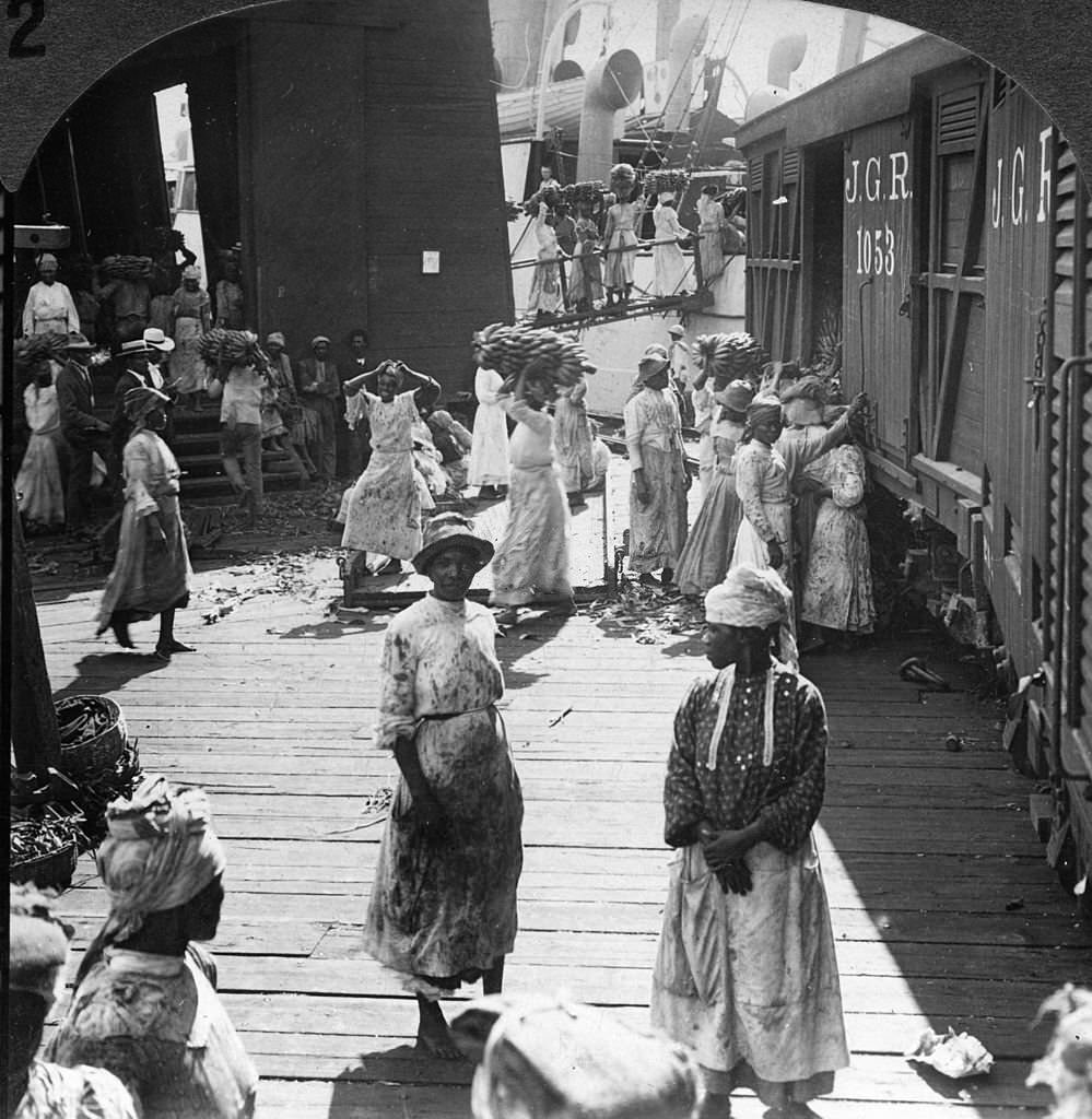
Bananas became one of Jamaica’s most important exports in the second half of the 19th century. Loading fruit steamers at Kingston’s docks was a major operation, with workers carrying bunches of bananas directly onto ships bound for markets in the United States and Canada. The banana trade brought significant money into the island and kept Kingston’s waterfront in constant motion.
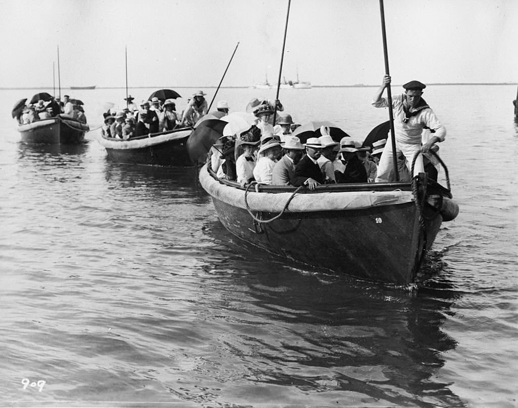
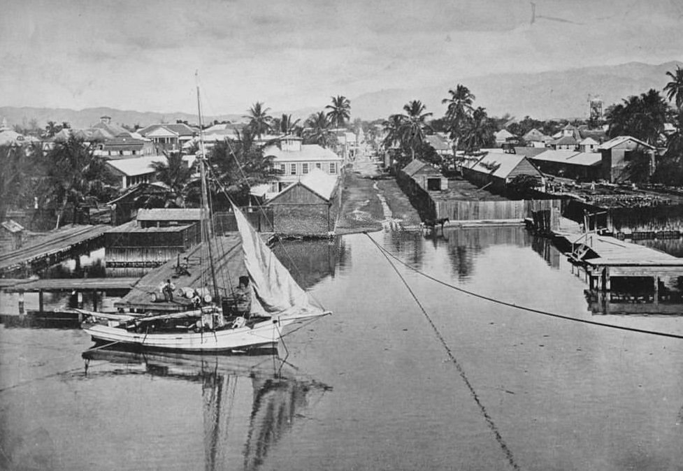
Viewed from the water, Kingston presented a low, wide cityscape backed by the Blue Mountains. The approach from the harbour gave arriving passengers and sailors their first look at Jamaica’s capital — a city built close to sea level with the dramatic mountain range rising steeply behind it.
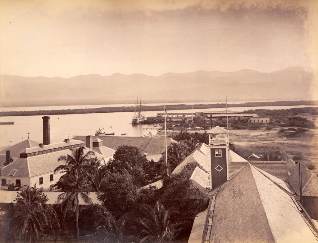
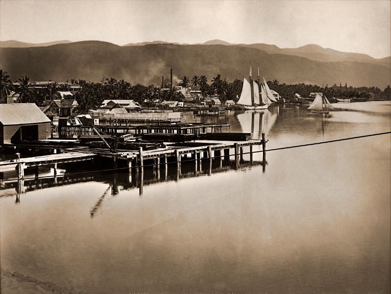
Port Royal, the city that preceded Kingston as the dominant settlement on the harbour, sat just across the water. By 1891, it had long since been reduced to a small community after the 1692 earthquake, but it still served as a reference point across the bay. The view from Port Royal looking back toward Kingston showed how completely the newer city had taken over.
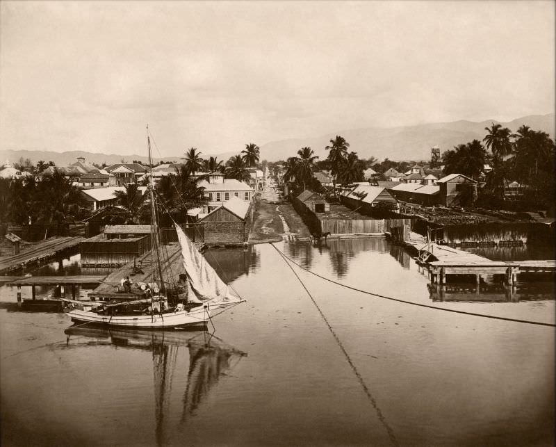
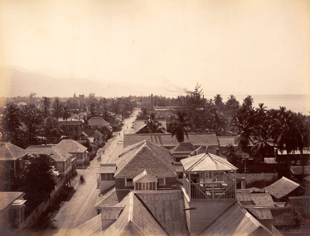
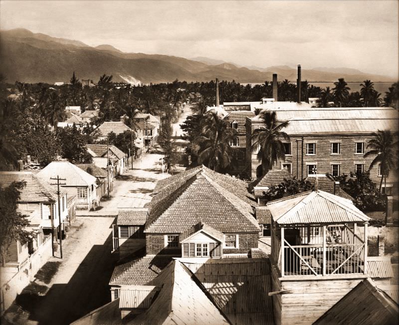
Panoramic views of Kingston in the early 1890s show a city that had spread significantly across the plains. Looking east or west from an elevated position, the urban grid stretched out in an orderly pattern, with the harbour always visible to the south. The Liguanea Plains that had originally drawn the city’s founders provided a flat, easily developed landscape.
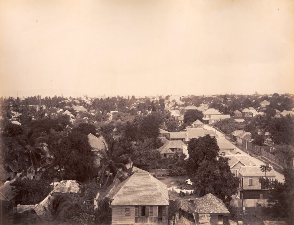
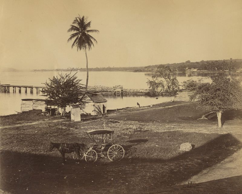
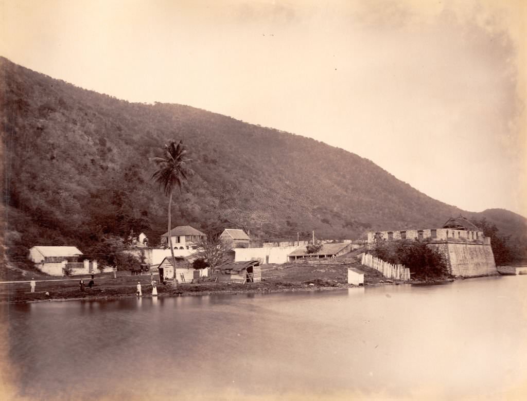
Rock Fort, located on the eastern edge of Kingston Harbour, offered one of the clearest elevated views of the city. The fortification had been built during the British colonial period to protect the harbour entrance. By the 1890s it served more as a landmark than an active military post, but it still provided a commanding perspective over Kingston and the surrounding coastline.
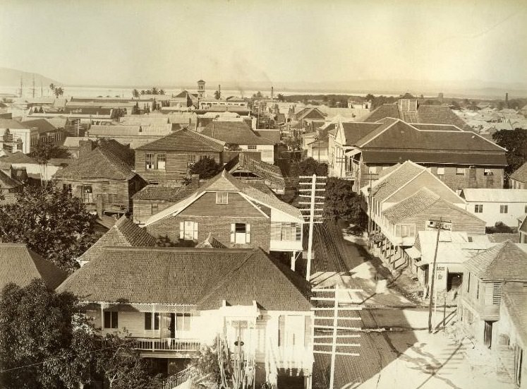
The west end of Kingston had its own distinct character — quieter than the commercial centre but still connected to the city’s broader activity. Streets here were lined with a mix of residential buildings and smaller commercial enterprises. The city’s growth in the 19th century had pushed development westward from the original settlement core.
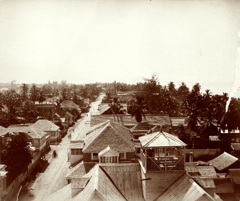
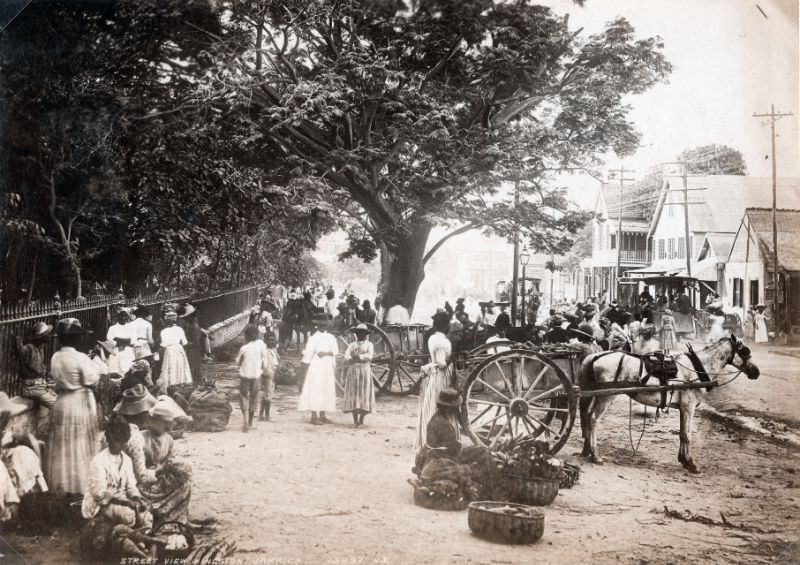
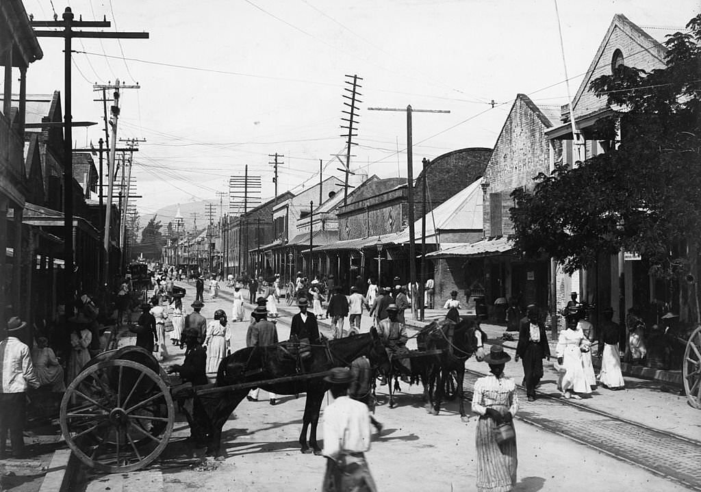
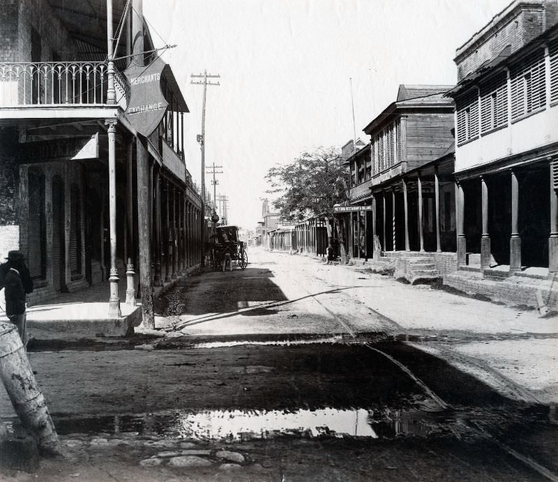
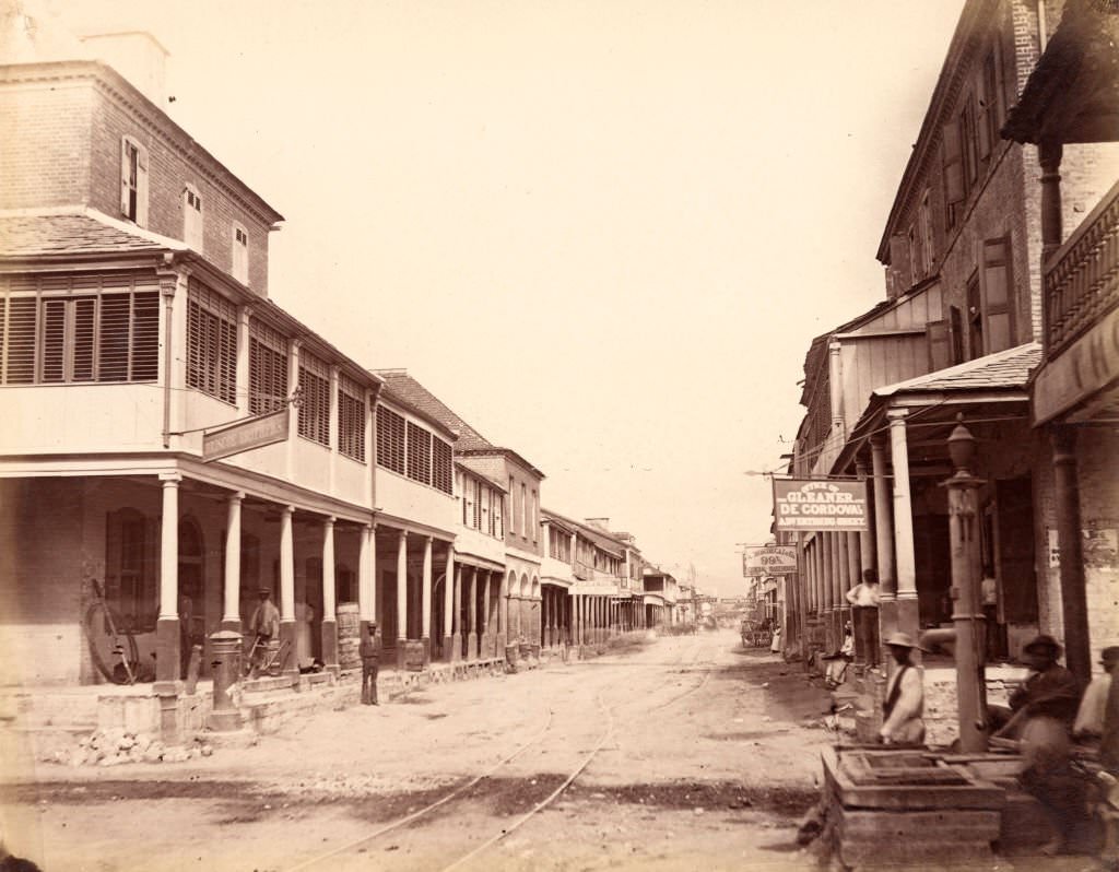
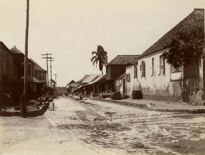
King Street was the main commercial artery running through the heart of Kingston. It connected the waterfront to the interior of the city and was lined with shops, offices, and businesses. On any given day, the street was filled with pedestrians, carts, and vendors. These photographs of King Street from the 1890s capture the scale of commercial activity that made it the city’s central spine.
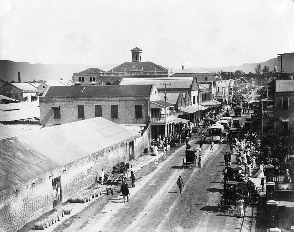
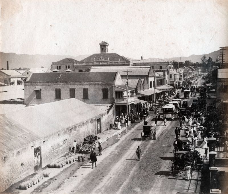
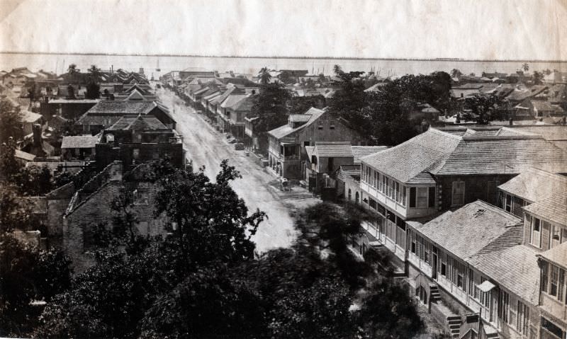

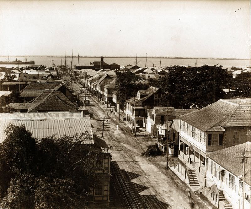
Harbour Street ran parallel to the waterfront and served as the city’s main commercial corridor along the docks. Warehouses, shipping offices, and trading firms lined this street, handling the constant flow of goods moving through the port. The 1890 and 1891 photographs of Harbour Street show a wide, busy road with multi-story buildings that reflected the prosperity the trade economy had brought to Kingston.
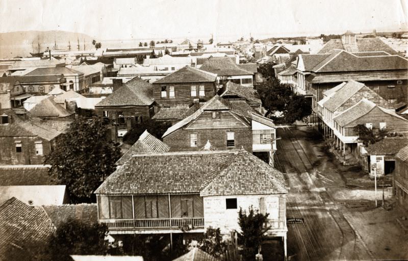
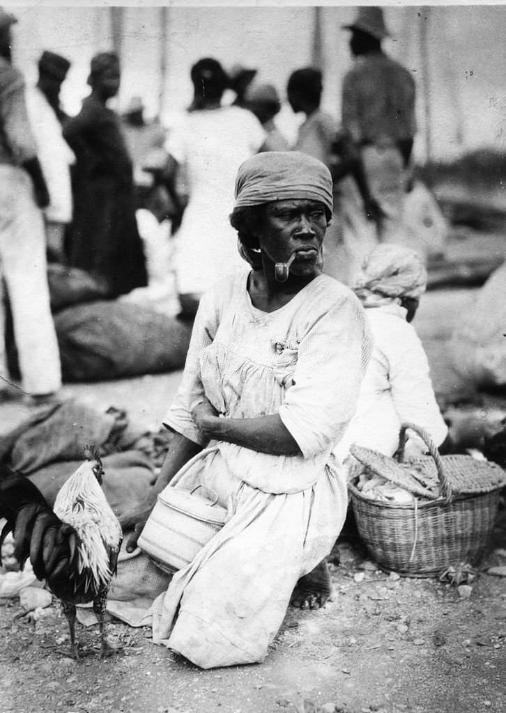
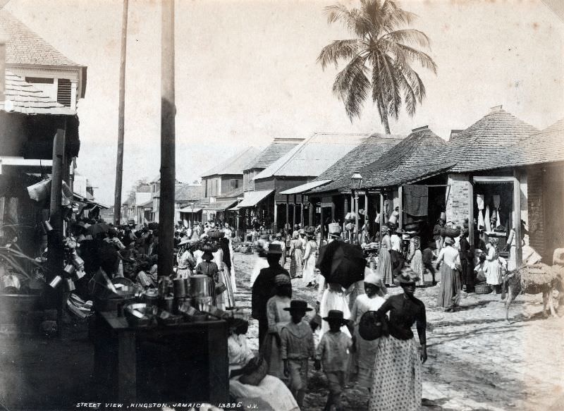
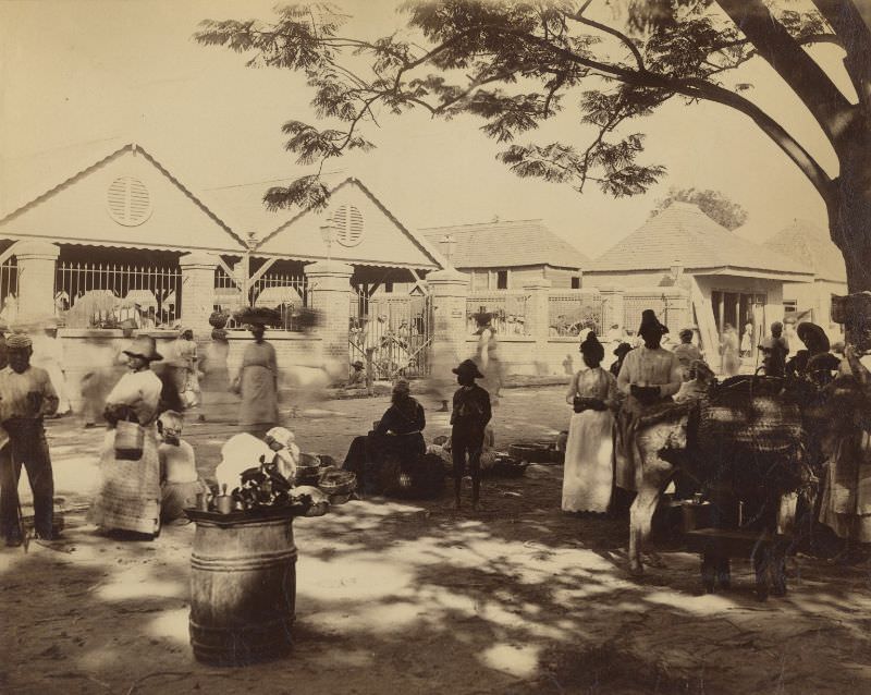
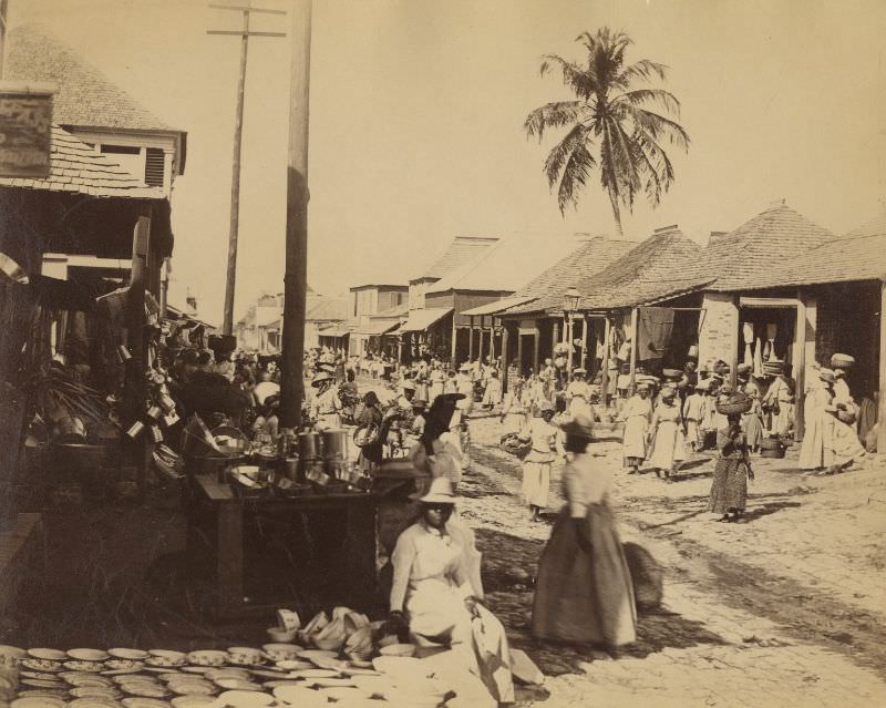
Kingston’s markets were the social and economic centres of working-class life. The Jubilee Market, opened in the 1870s to mark Queen Victoria’s jubilee, was one of the busiest. Located on Orange Street and West Parade, it drew vendors and buyers from across the city and the surrounding rural areas. People came on foot and by cart, carrying produce, goods, and livestock to sell.
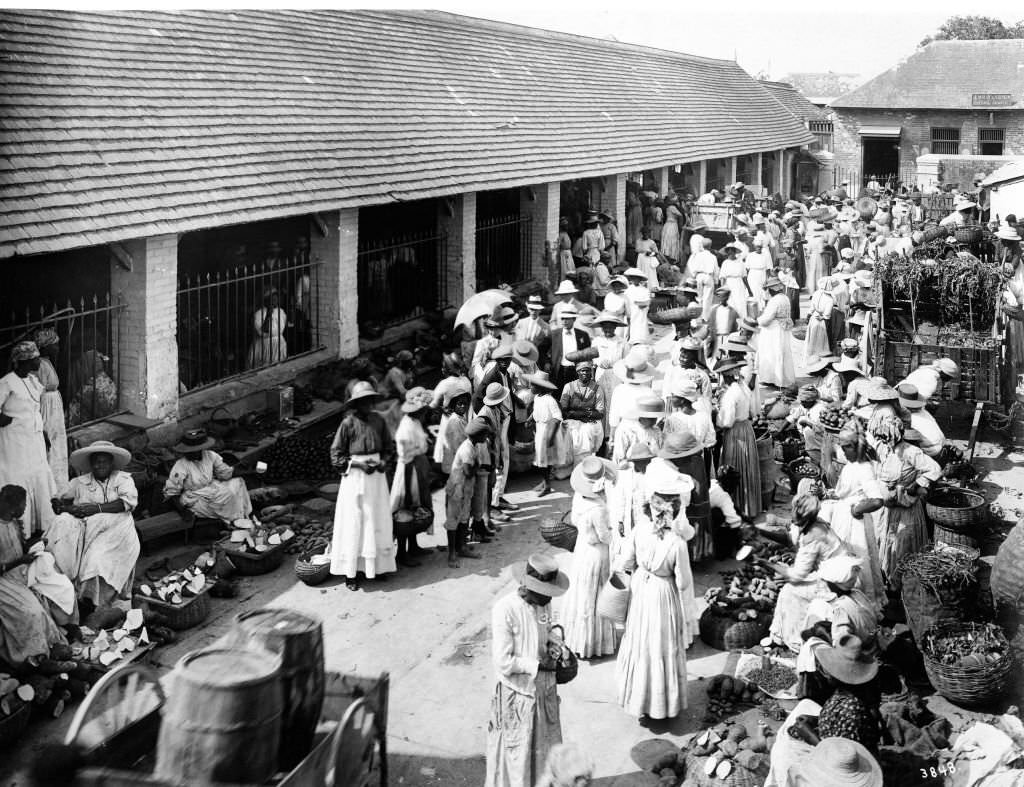
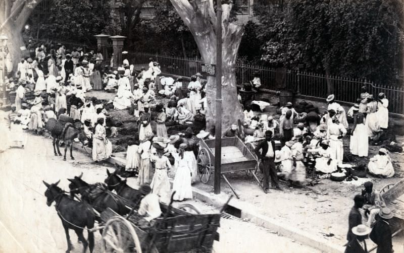
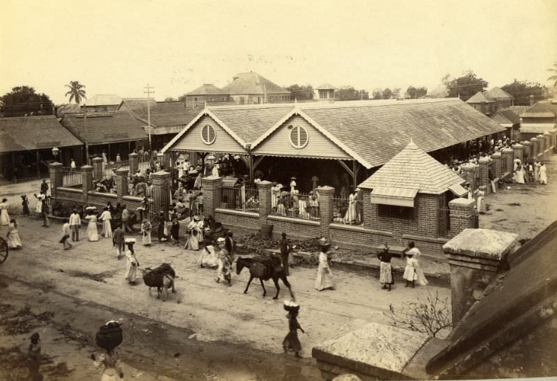
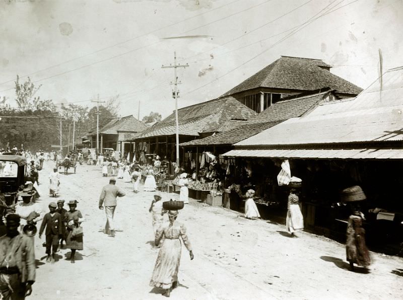
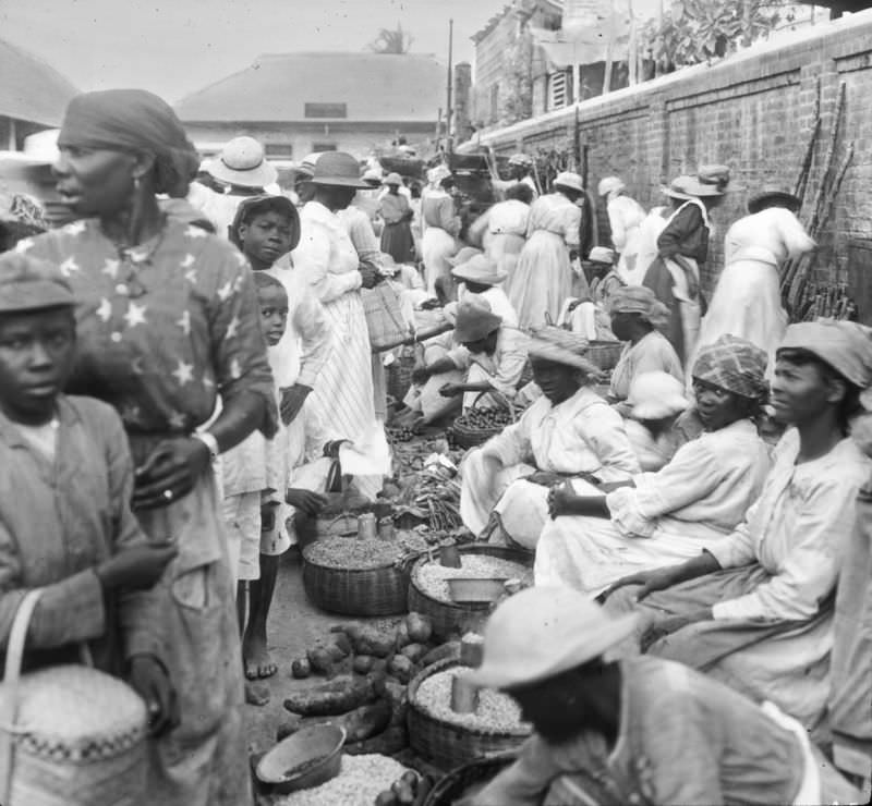
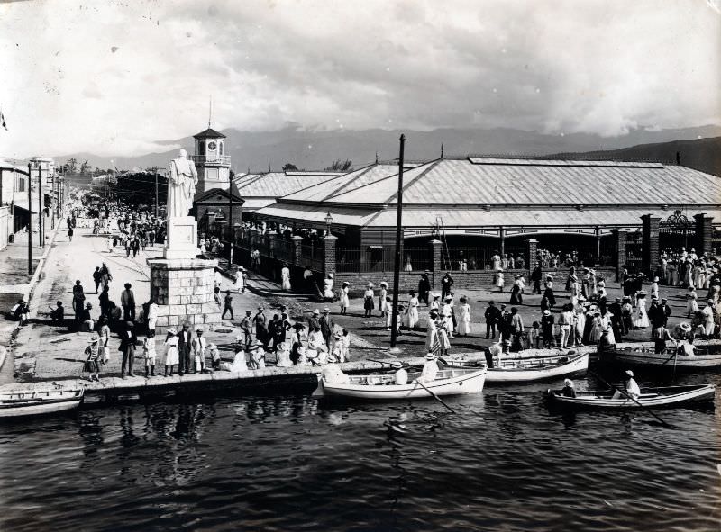
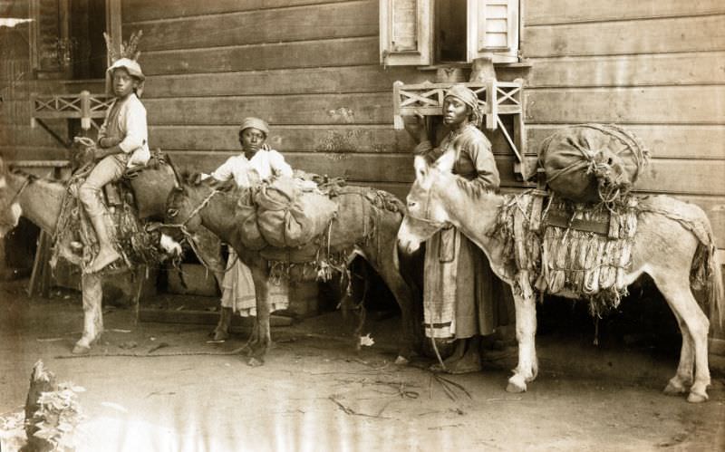
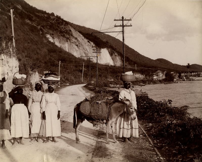
Markets connected rural Jamaica to the capital city. People from the surrounding countryside regularly made the journey into Kingston to sell their goods, arriving on foot along roads like the Rockfort Road and the Spanish Town Road. The roads into the city in the early morning hours were active with vendors, animals, and carts heading toward the market stalls.
One of the most distinctive features of Kingston in the 1890s was its street car system, operated by the Jamaica Street Car Company. Rather than steam-powered vehicles, the trams were pulled by mules along iron rails laid directly into the city’s roads. The system connected different parts of the city, providing a form of public transport that was modern for Jamaica at the time.
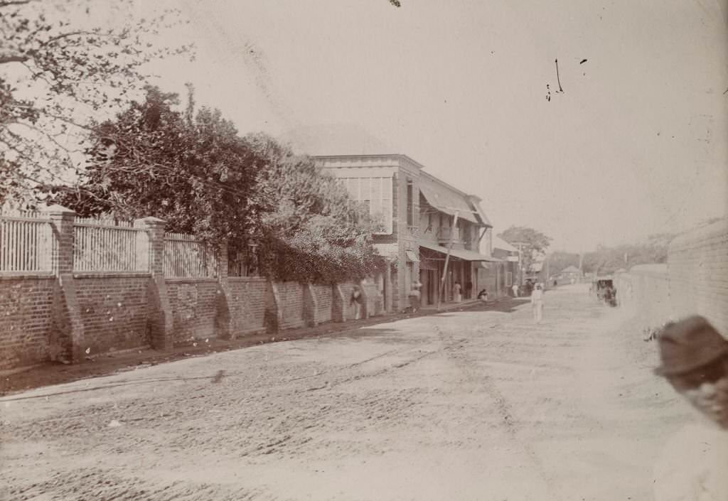
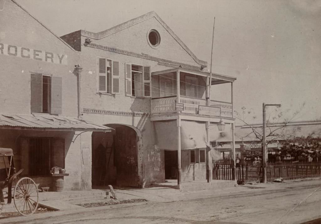
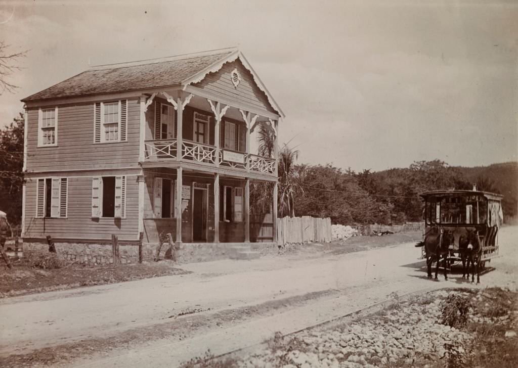
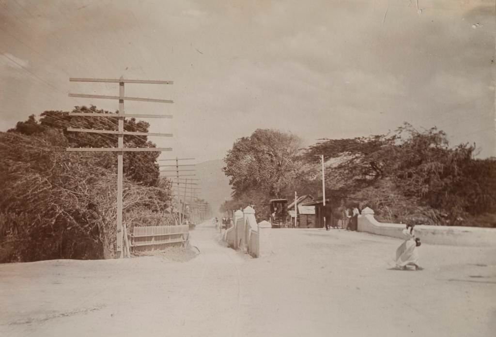
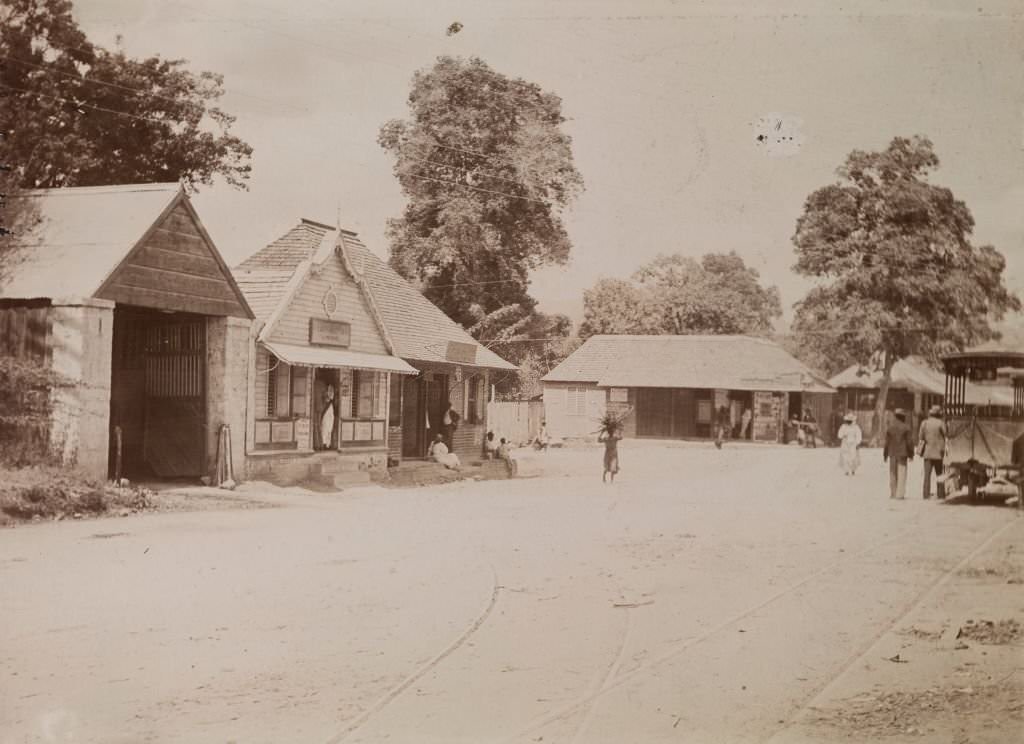
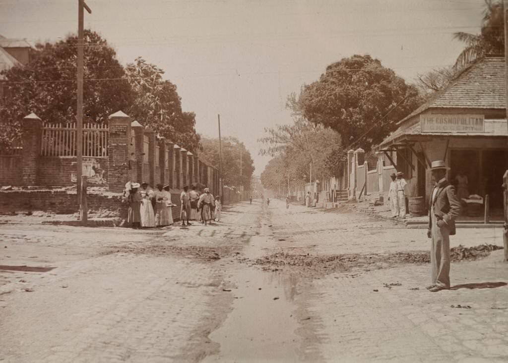
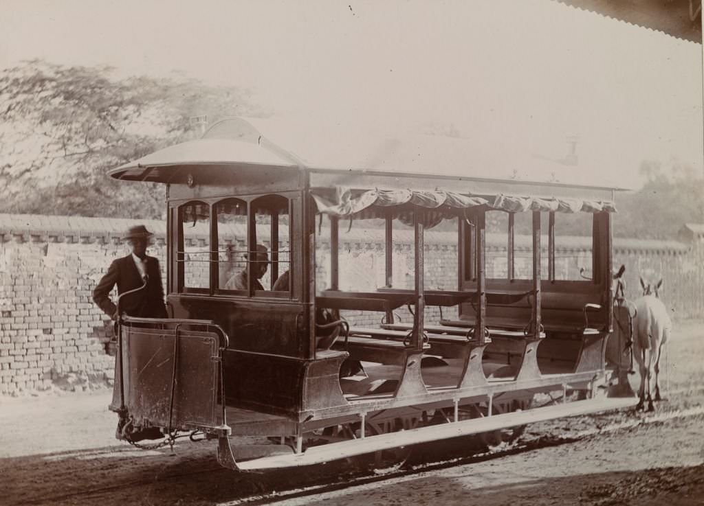
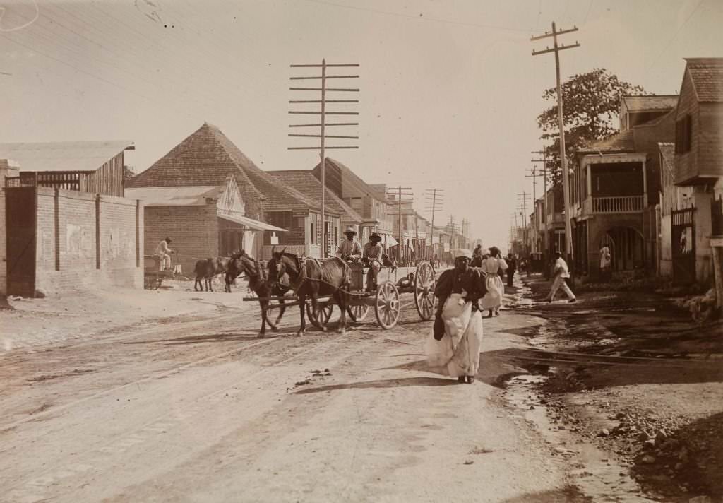
The tram network shared the road with horse-drawn carts, pedestrians, and vendors. Signs along the route gave riders specific instructions — one photograph captures a notice stating that cars would not stop between North Street and Drummond Street on the upward trip. The open-sided tram cars, each pulled by two mules, were a familiar part of Kingston’s street scenery throughout the 1890s.
Everyday street scenes in Kingston showed a city that was economically mixed and culturally layered. Vendors, workers, professionals, and tourists all moved through the same roads and markets. Victorian-era visitors to the island passed through Kingston as part of organized tours, viewing the city’s streets, gardens, and harbour.
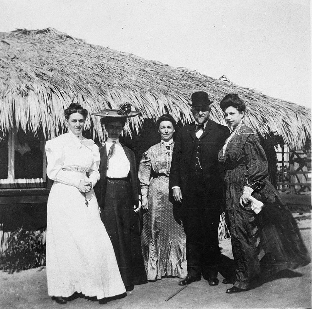
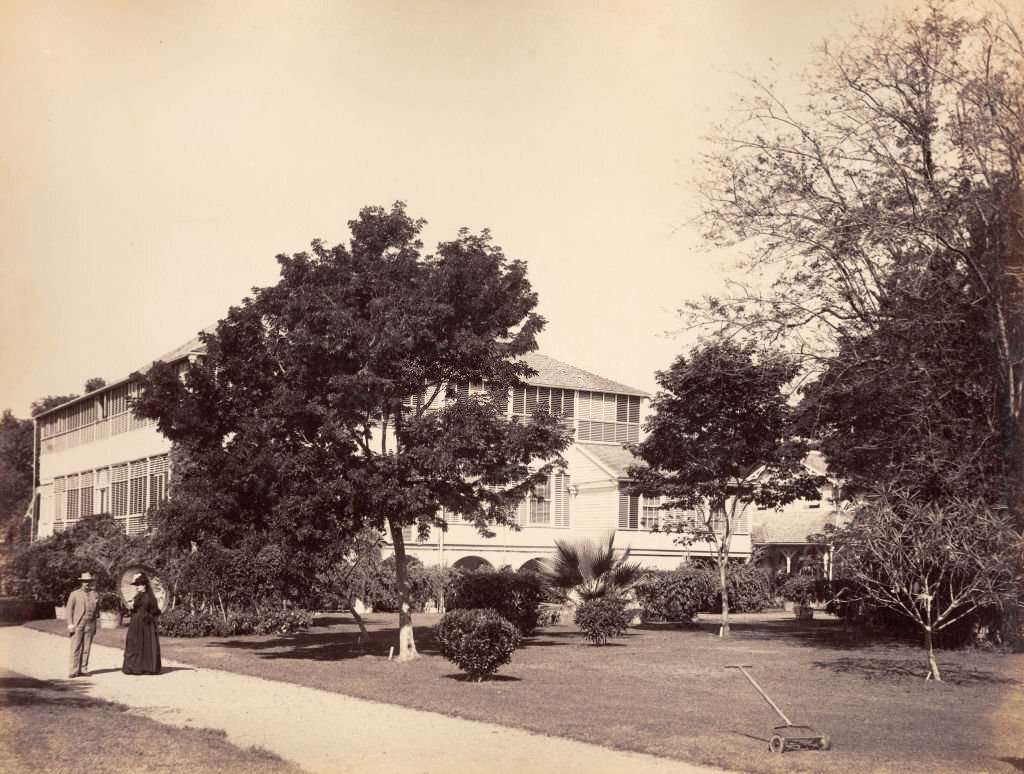
Kingston’s institutions reflected its status as a capital city. King’s House served as the official residence of Jamaica’s governor. In 1887, it was the home of Sir Henry Blake and his wife, Lady Blake. Government House, located near Kingston, was another formal administrative building that represented British colonial authority on the island. These buildings were set apart from the commercial city in style and purpose.
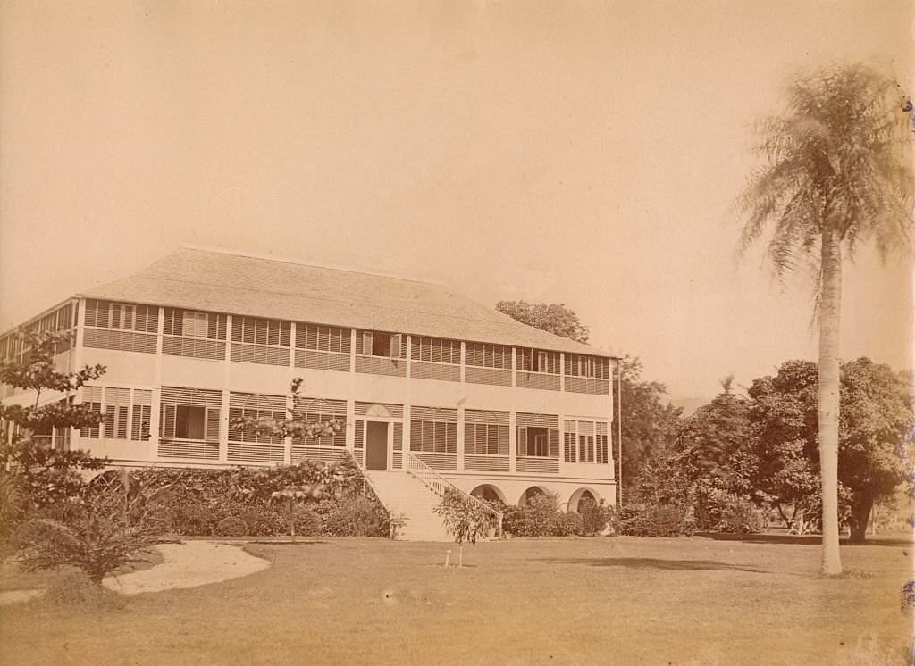
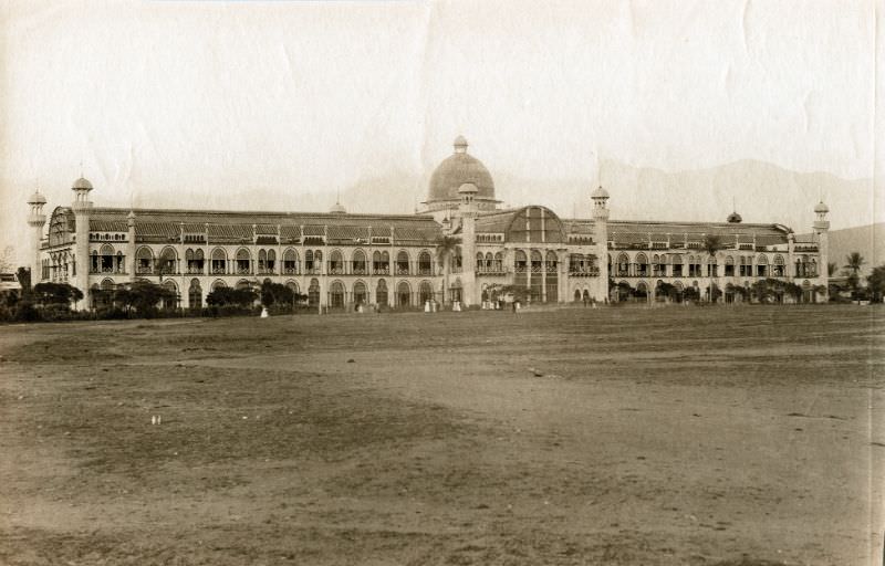
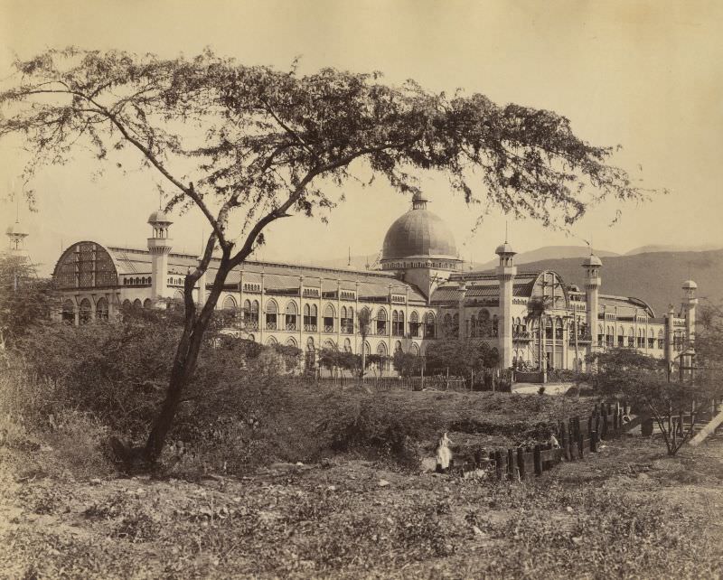
The 1891 Kingston Exhibition was a major event that showcased the island’s agricultural and industrial output. The exhibition hall built for the occasion was a large, purpose-built structure, and the event drew visitors from across Jamaica and from abroad. It was one of the most significant public events held in the city during the late 19th century.
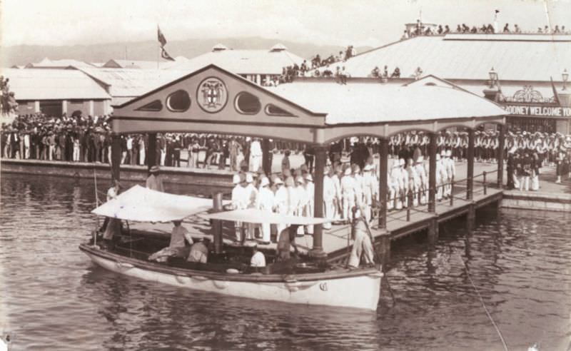
The arrival of Prince George at Kingston in 1891 was a notable occasion. The prince, who would later become King George V, visited Jamaica as part of a naval tour. His arrival at the harbour drew a crowd and marked one of the higher-profile royal visits the city had seen in the 19th century.
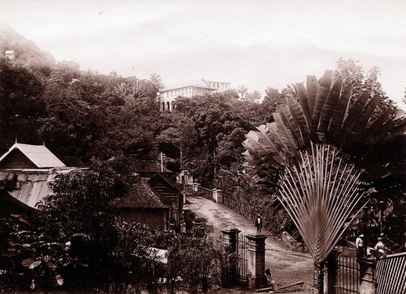
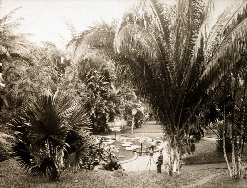
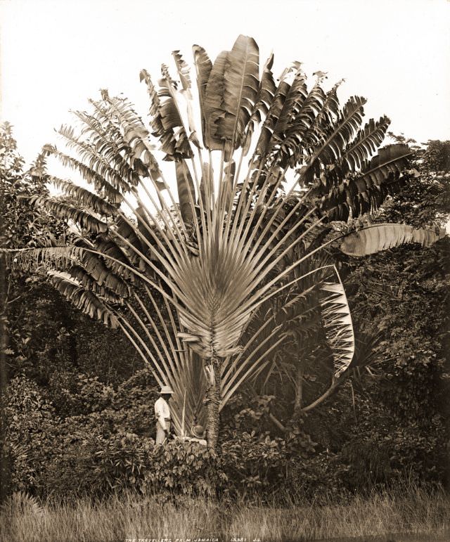
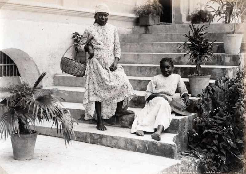
Kingston’s gardens were well-tended and included some notable botanical collections. Castleton Gardens, located north of the city, was one of the finest botanical gardens in the Caribbean. Myrtle Bank Gardens offered a more formal garden setting within the city itself. The traveler’s palm, a plant native to Madagascar but widely grown across the Caribbean, appeared commonly in Kingston’s gardens and public spaces.
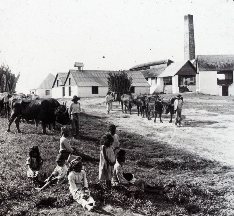
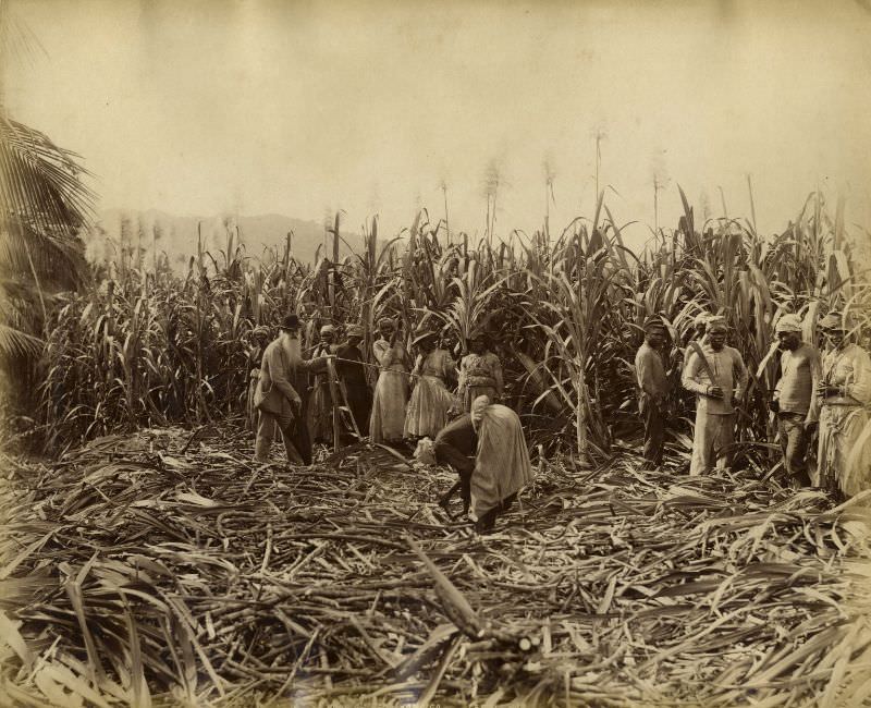
Agriculture remained central to Kingston’s economy and surrounding landscape. Sugar, Jamaica’s defining crop for over two centuries, was still being processed in the region in the 1890s. Sugar mills continued to operate, and cane cutters working in the fields near the city were a common sight. The labour was hard and manual, carried out by workers who were largely descended from enslaved Africans brought to the island during the plantation era.
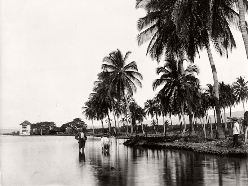
Coconut palms were a defining feature of Kingston’s waterfront and harbour areas. The trees lined the shoreline and appeared in many photographs of the period. Along the harbour, the combination of tall palms, the calm water, and the distant hills gave the city a visual character that was instantly recognizable.
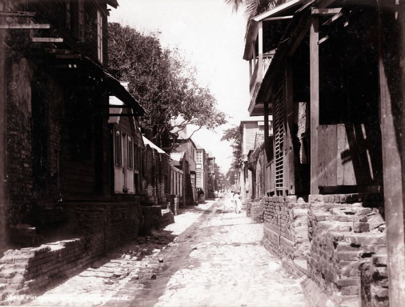
Specific streets outside King Street and Harbour Street also formed important parts of the city’s layout. Beckwith Street, Change Street at its corner with Queen Street, and other named roads each served distinct functions in the city’s daily life. By the late 1890s, the city’s street network had matured into a legible grid that connected the harbour to the residential and administrative areas further inland.
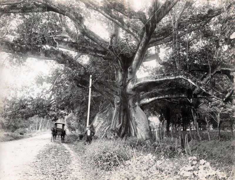
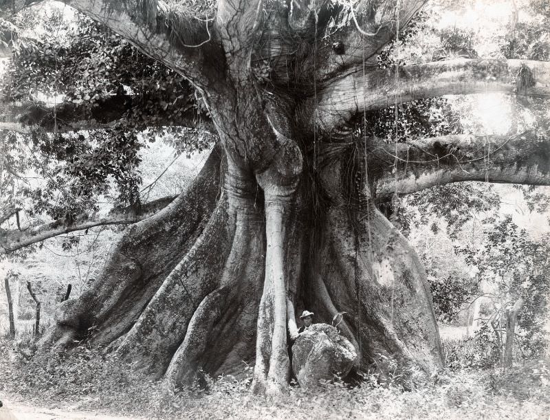
The Spanish Town Road, running westward out of Kingston, was one of the city’s oldest and most historically significant routes. Along it stood Tom Cringle’s Cotton Tree — a massive silk-cotton tree referenced in the 1833 novel Tom Cringle’s Log by Michael Scott. By 1890, the tree was already considered a notable landmark, its enormous trunk and spreading canopy visible from the road.
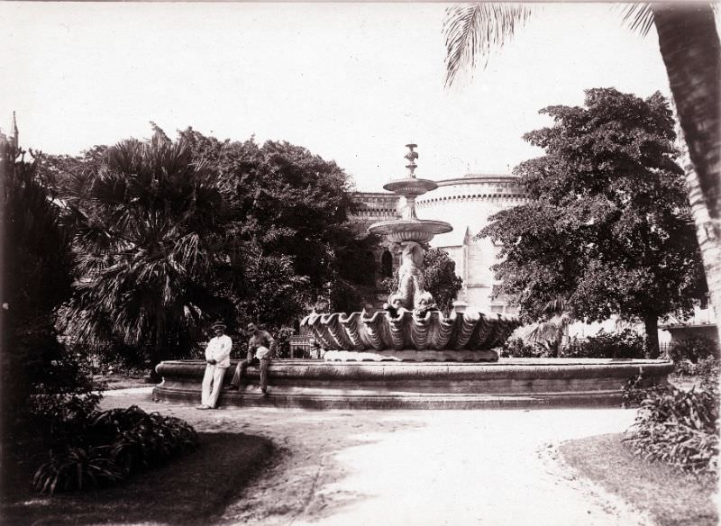
Kingston’s gardens also hosted civic and decorative features. A fountain photographed in 1890 stood as one of the ornamental additions the city had made to its public spaces during the later Victorian period. These kinds of installations reflected the city’s investment in public life and its identity as a proper colonial capital rather than just a port town.
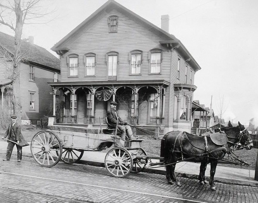
Coal was another essential commodity moving through the harbour. Horse-drawn carriages loaded with coal served the city’s shipping and industrial needs. The docks handled a constant variety of goods, from agricultural exports to industrial inputs, making the waterfront one of the most economically productive areas in the entire Caribbean region.





Wow that’s so interesting!
Thanks for sharing! These are Lovely.
Amazing! Thank you for sharing!
I have no idea how people back then dealt with the heat wearing such clothing. Did antiperspirants exist back then? What is a good deodorant? Is there a reliable source of water for consistent bathing? Within 10 minutes of walking in Kingston, I’m sweating even with 1 layer of sleeveless clothing.
In 1769, Axe Body Spray was created at Appleton Plantation using sinklebible and white rum. It wasn’t as efficient to apply as it is now. However, we did have that.
The irony of this deodorant comment being ever so dry
The same thing often occurs to me. As a general rule, I don’t sweat much in the heat, but the other day I felt cold in the morning, so I wore a sweater…
Kingston Traffic speed back then was probably as fast as traffic now.
Seems like Spanish town rd by may pen cemetery?