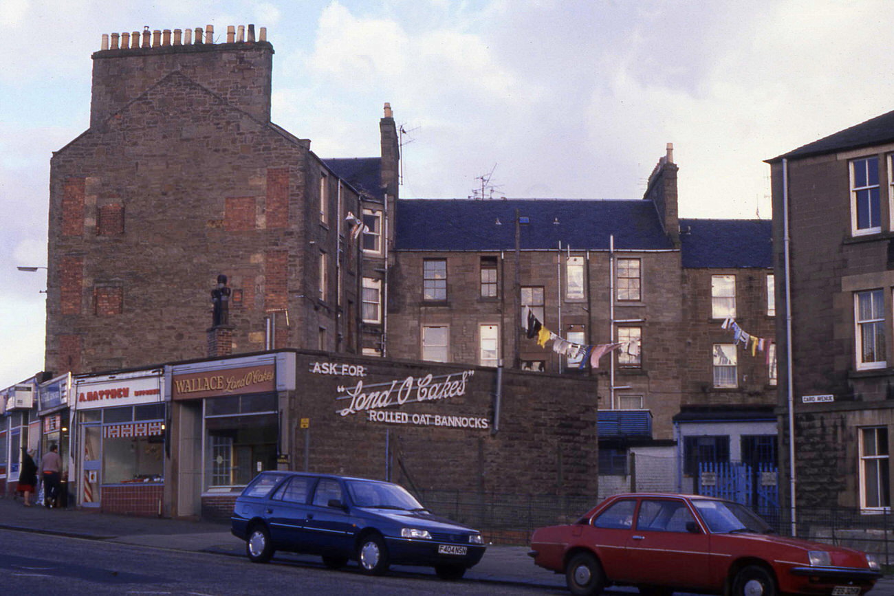
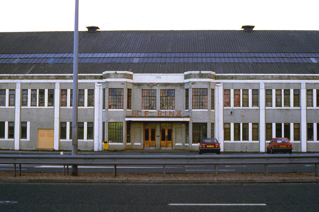
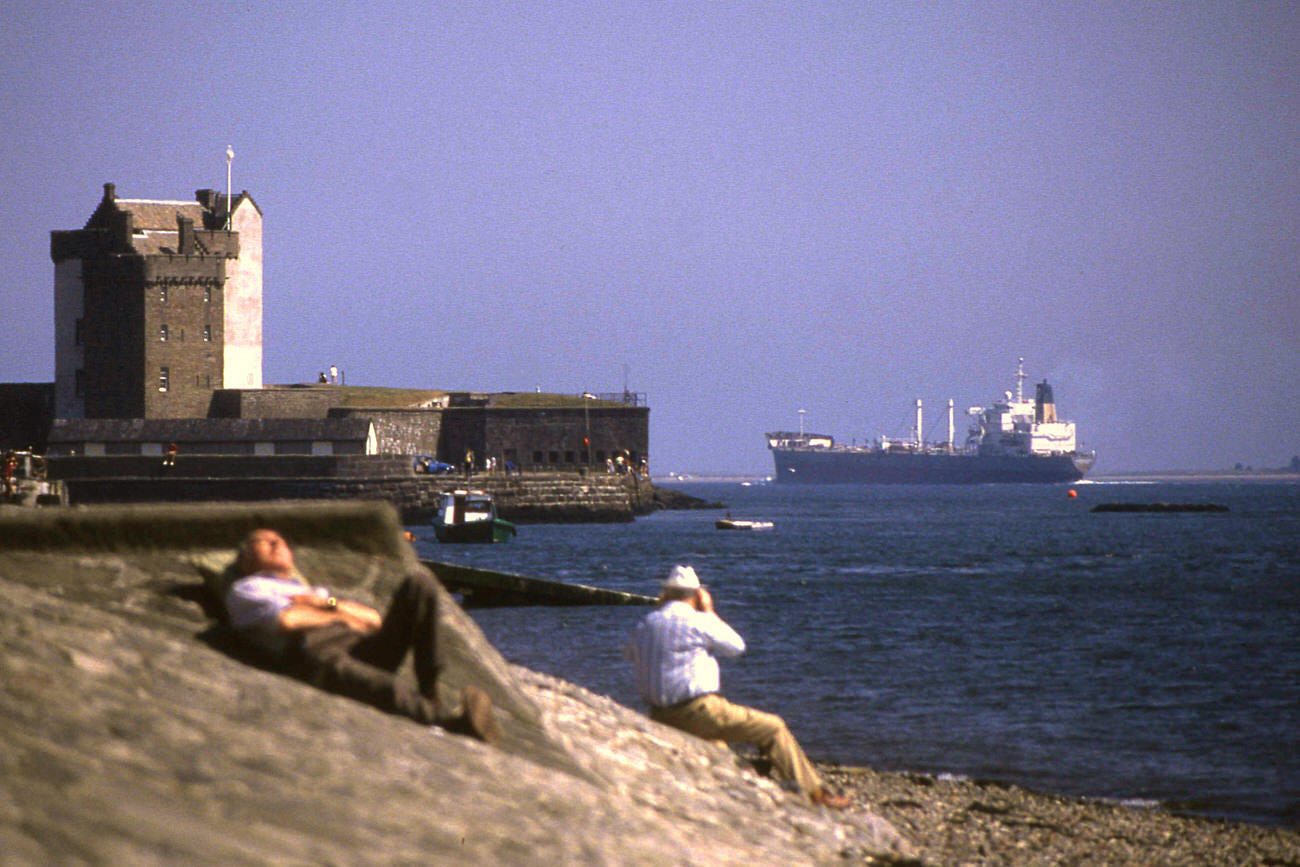
Dundee in the 1980s was a city in the middle of a major transition. Sitting on Scotland’s eastern coast, it had built its identity over generations on industries like jute, shipbuilding, and rail freight. By the time the 1980s arrived, most of those industries were gone or going fast — and the city’s streets, skyline, and communities were changing with them. These photographs capture that moment in remarkable detail.
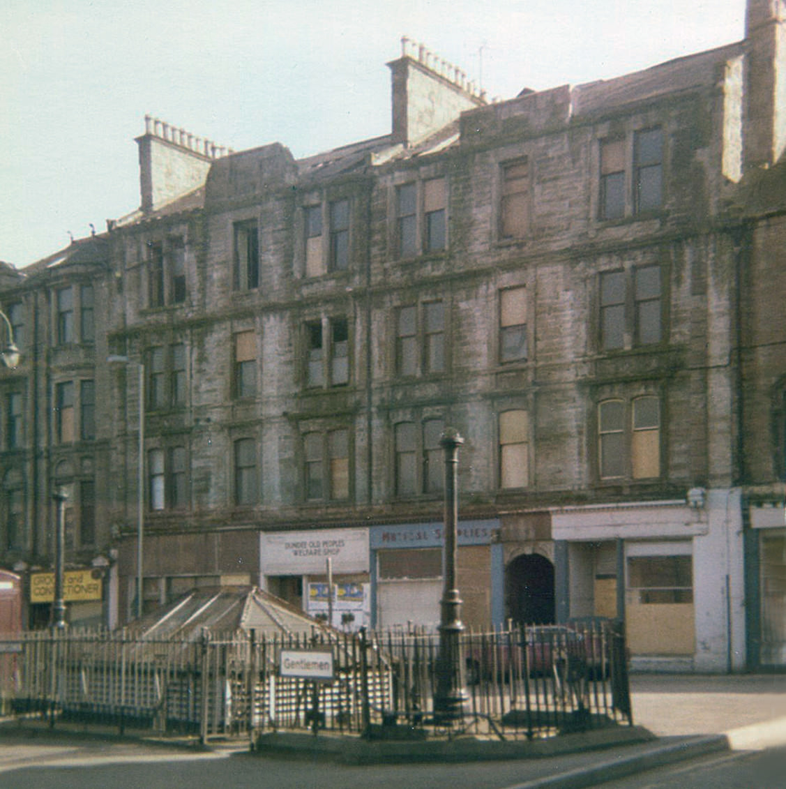
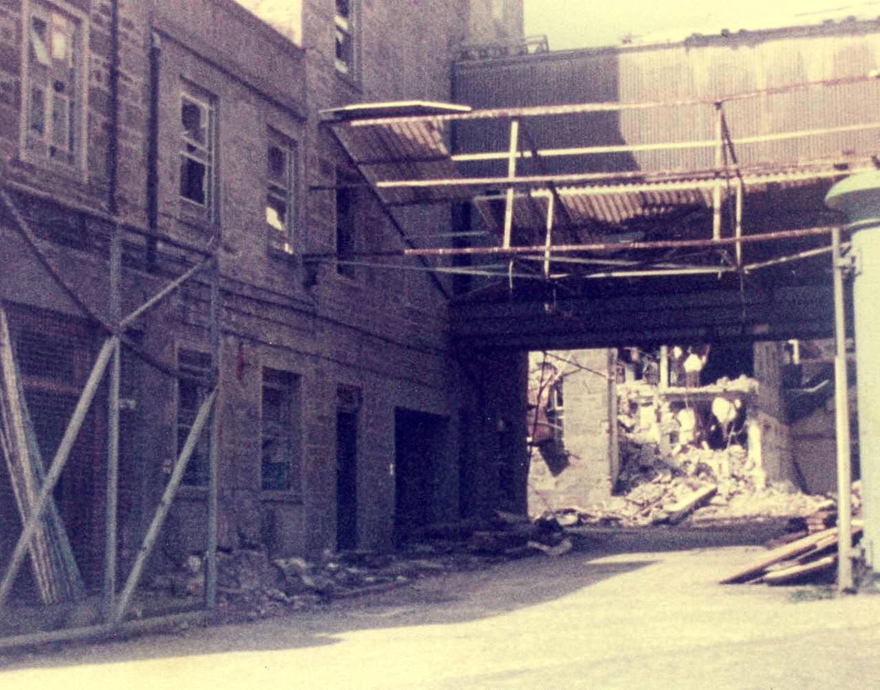
The early years of the decade were particularly hard. The jute mills that had once employed thousands of Dundee workers were shutting their gates for the last time. The Upper Dens jute works, one of the most recognizable industrial sites in the city, began coming down in 1982. Demolition crews moved in at the Crescent Street entrance, marking the physical end of an era that had defined Dundee for over a century.
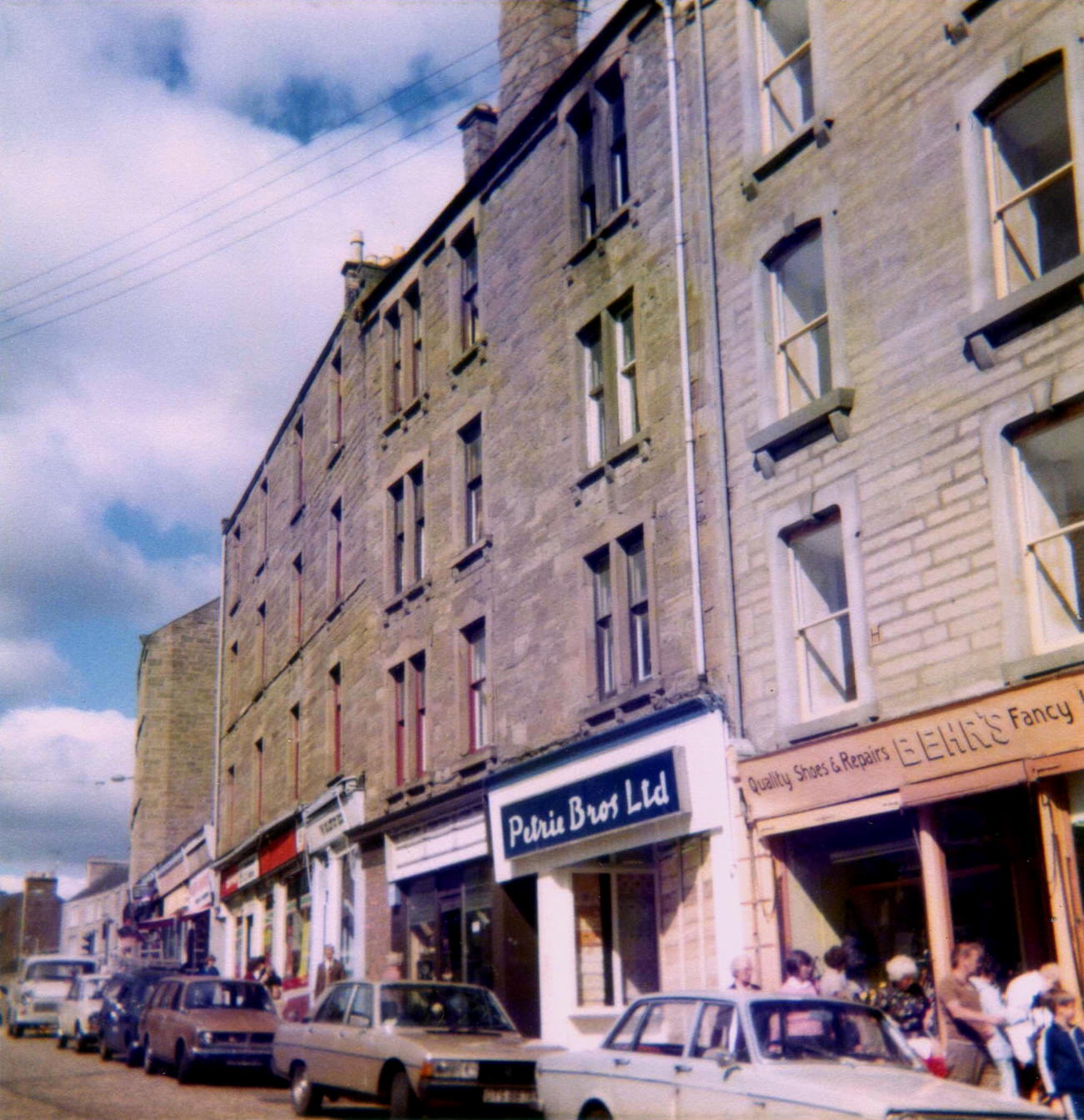
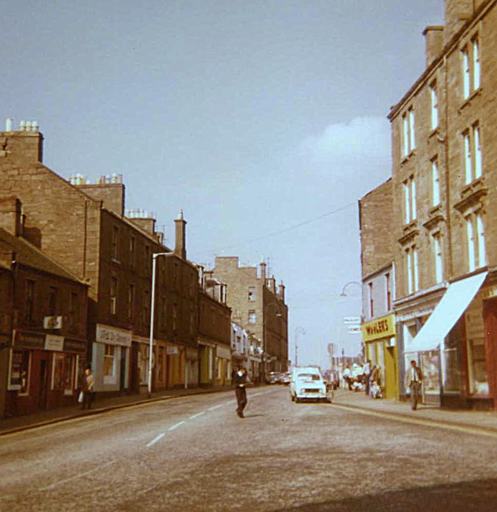
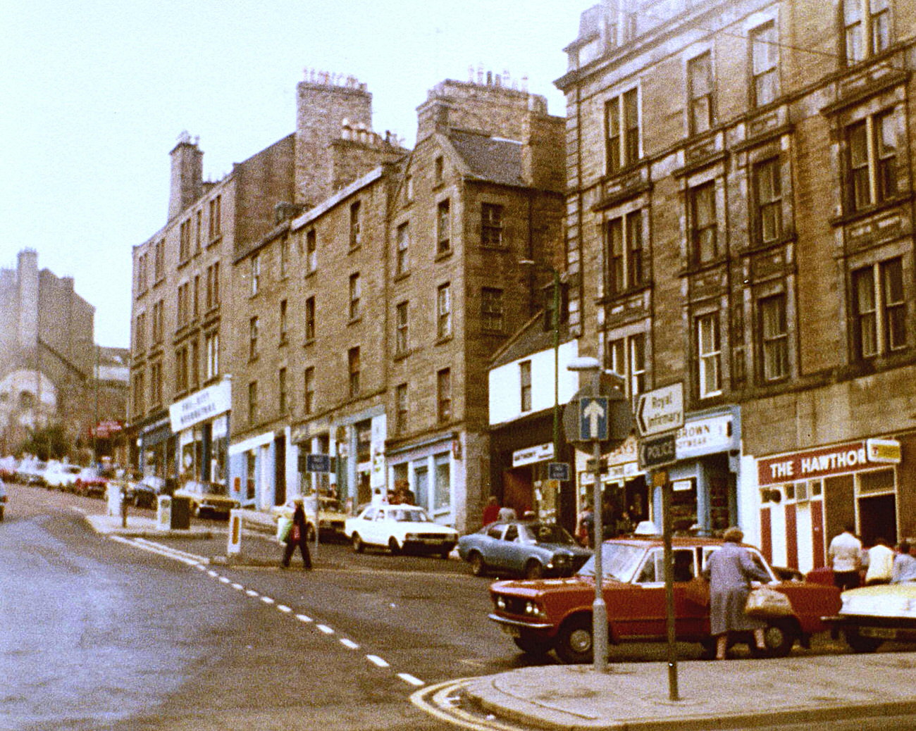
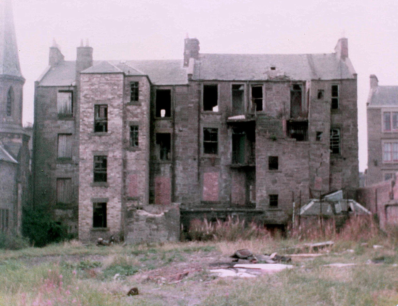
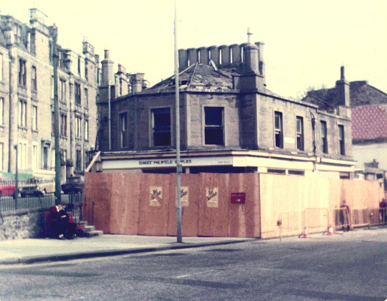
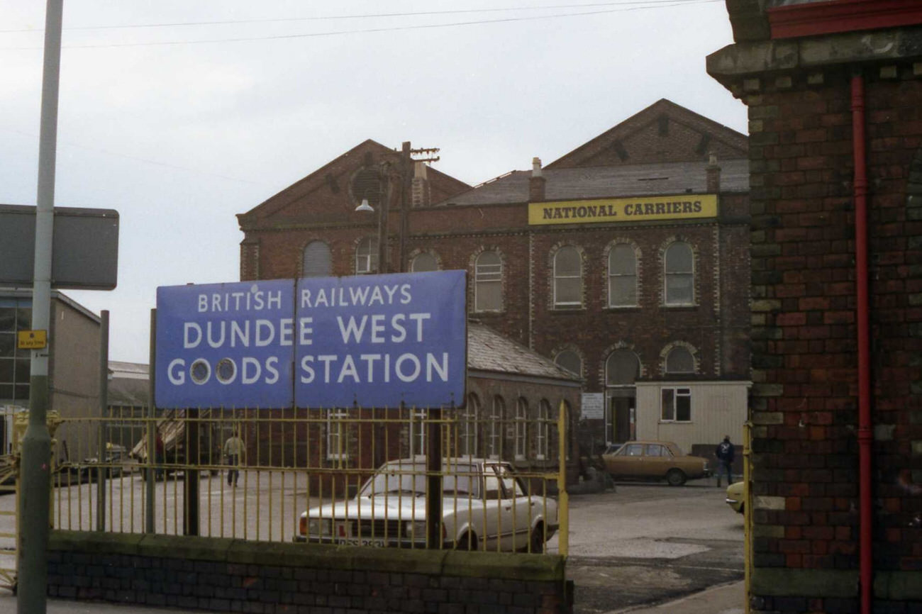
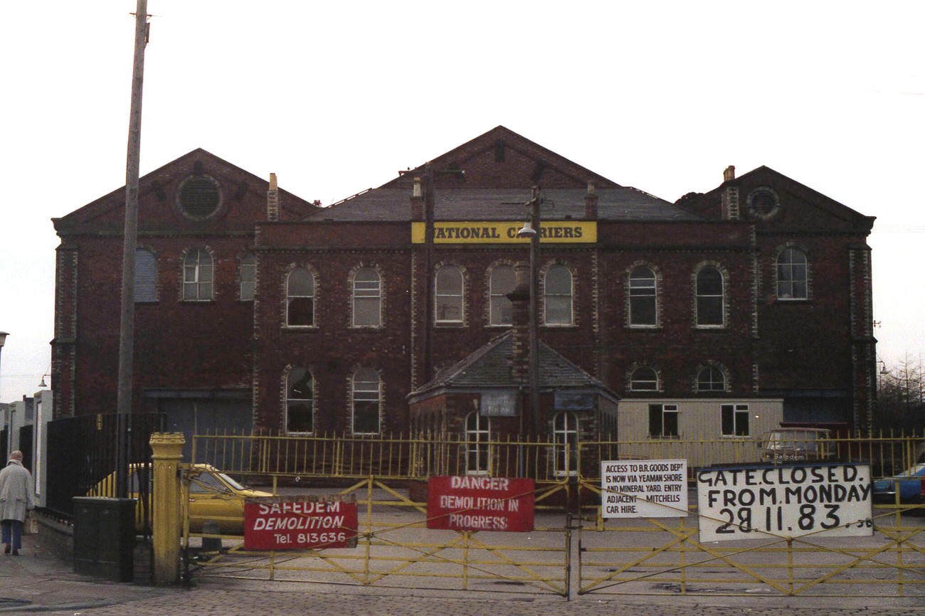
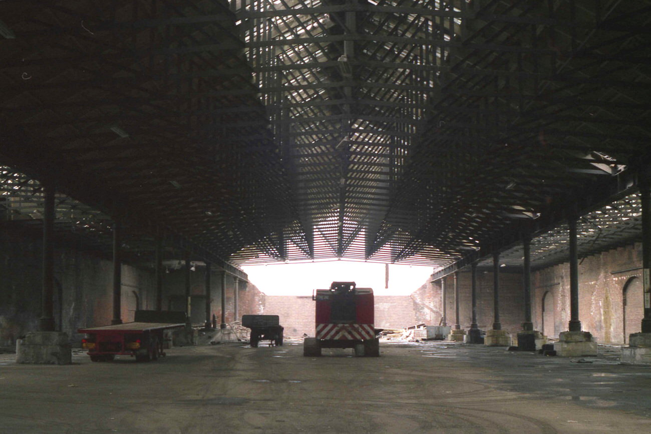
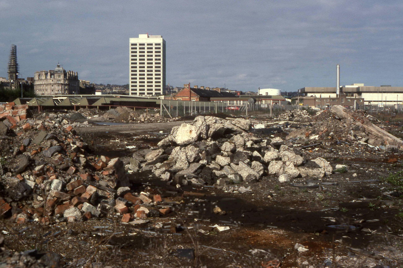
Across the city, demolition was a recurring sight throughout the decade. At the Sinderins, entire blocks came down in 1982. Princes Street followed in 1983. At the foot of Hilltown, buildings in the centre and right of the street were pulled down later in the decade — partly to make way for the inner ring road tunnel that now runs underneath. The old Dundee West goods shed on South Union Street, a massive structure that had handled rail freight for decades, was being demolished by the end of 1983. Even its British Rail sign was still standing on South Union Street as late as that year, a fading marker of what had been.
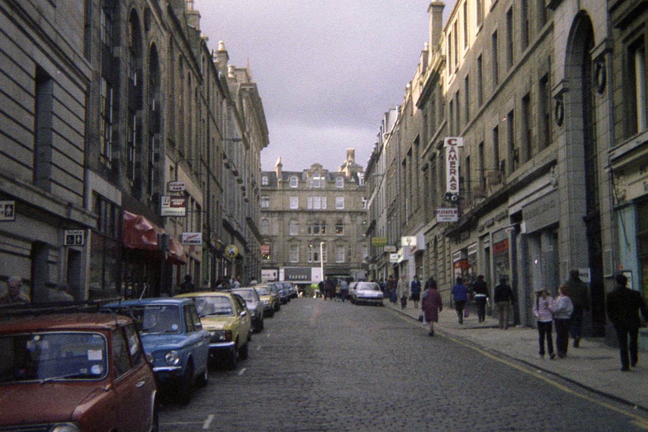
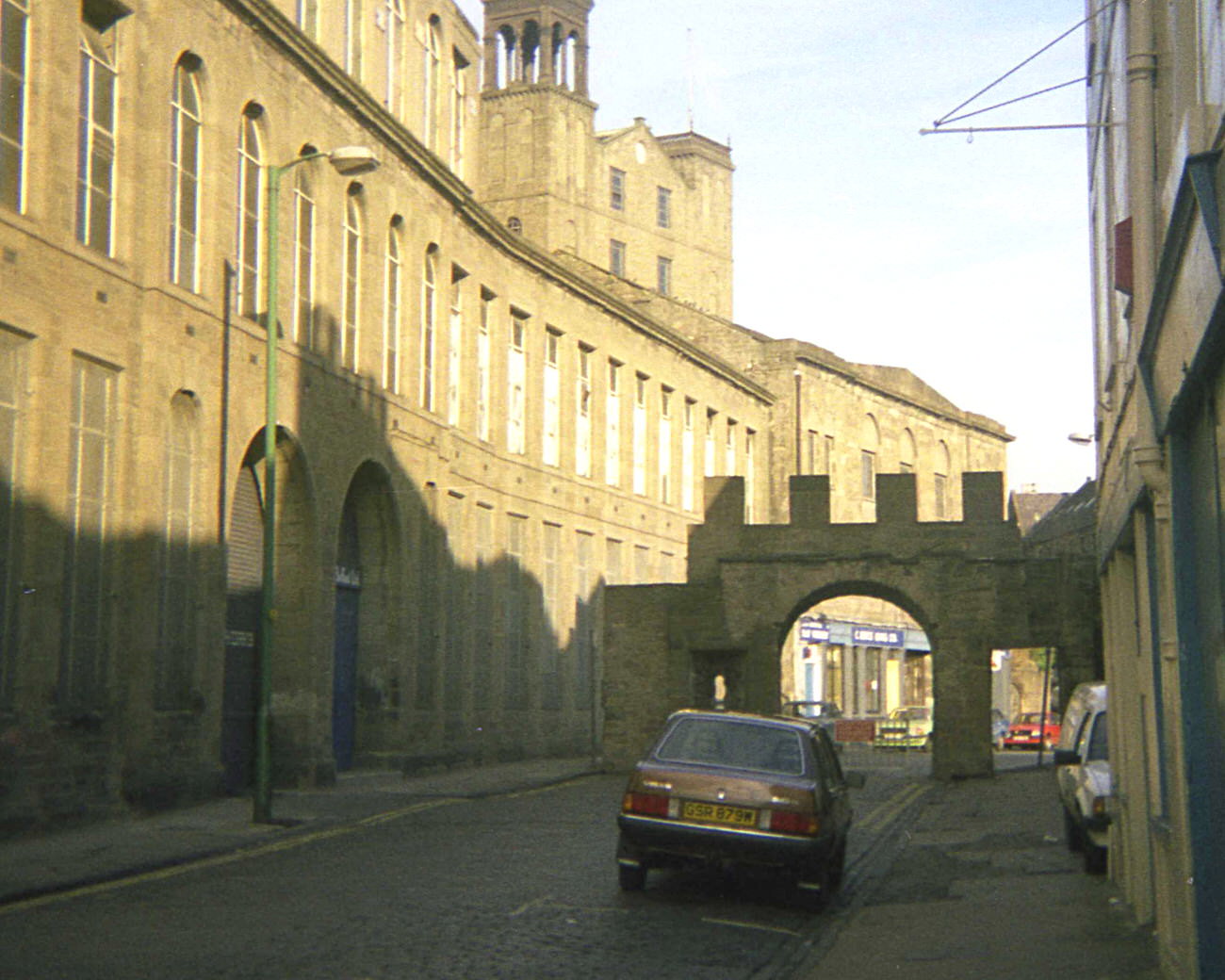
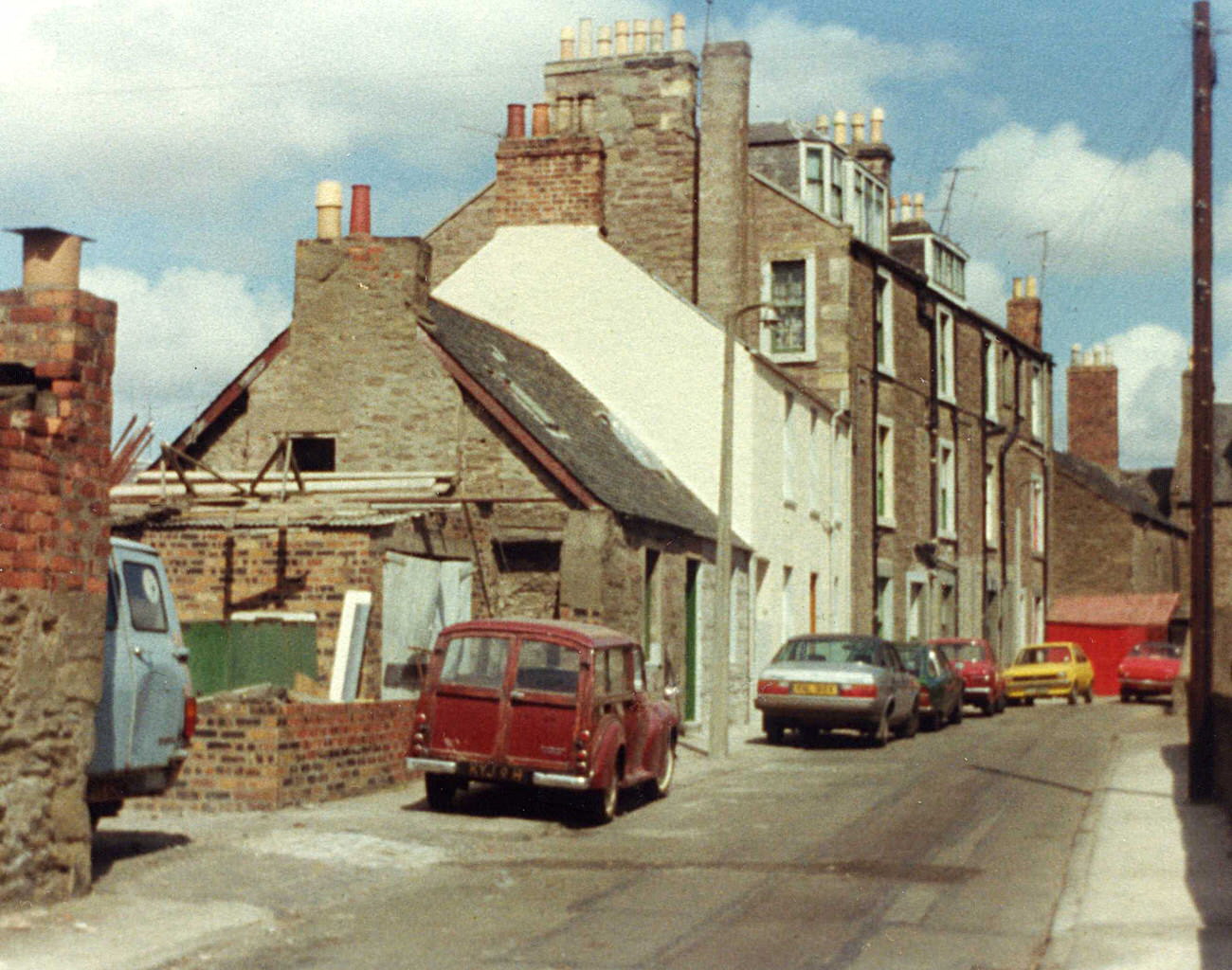
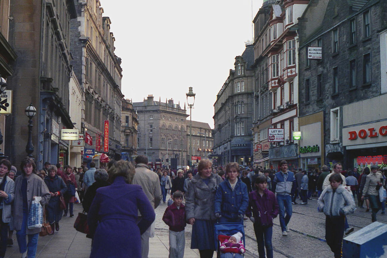
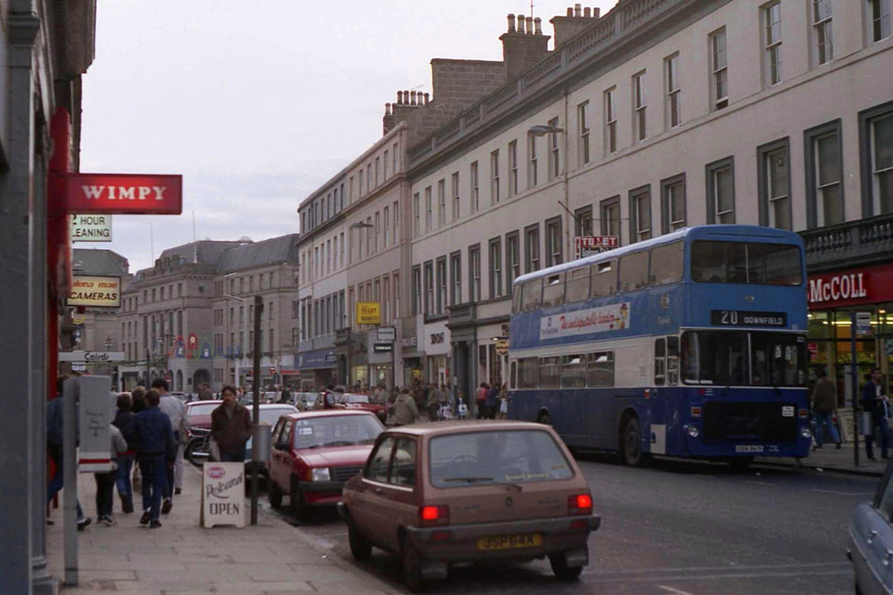
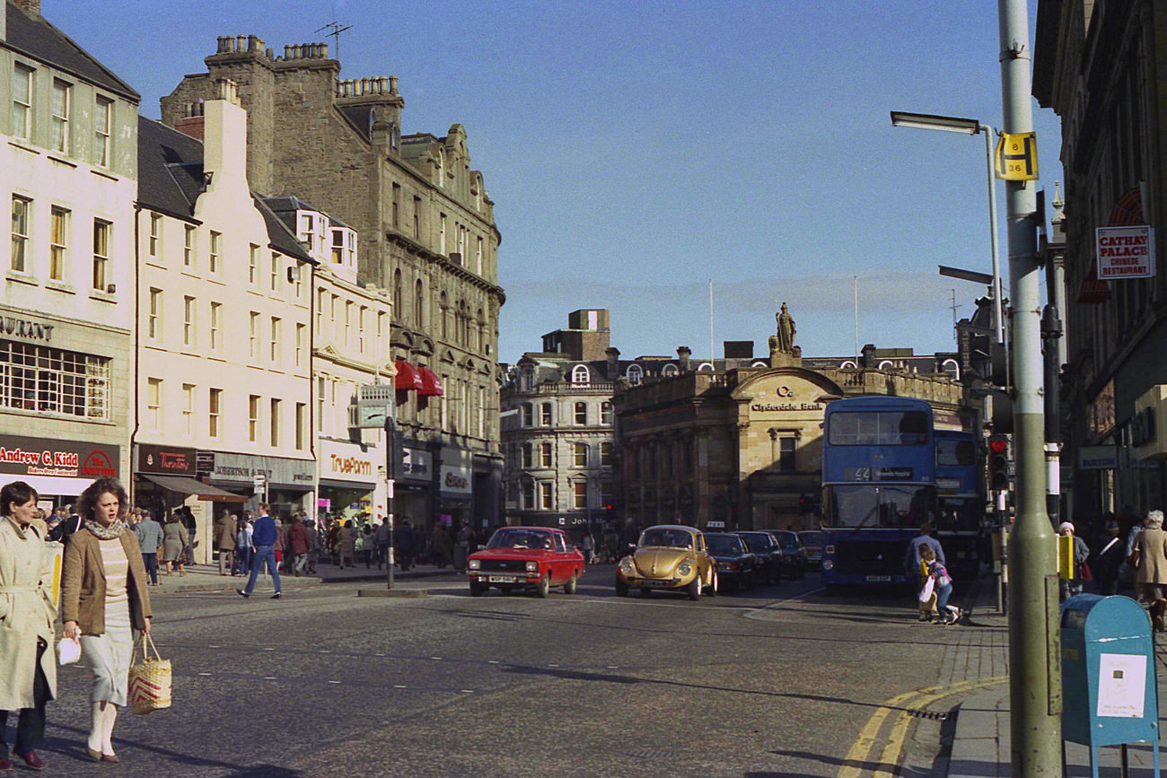
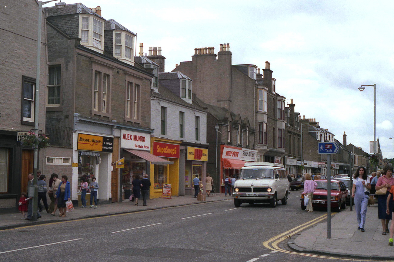
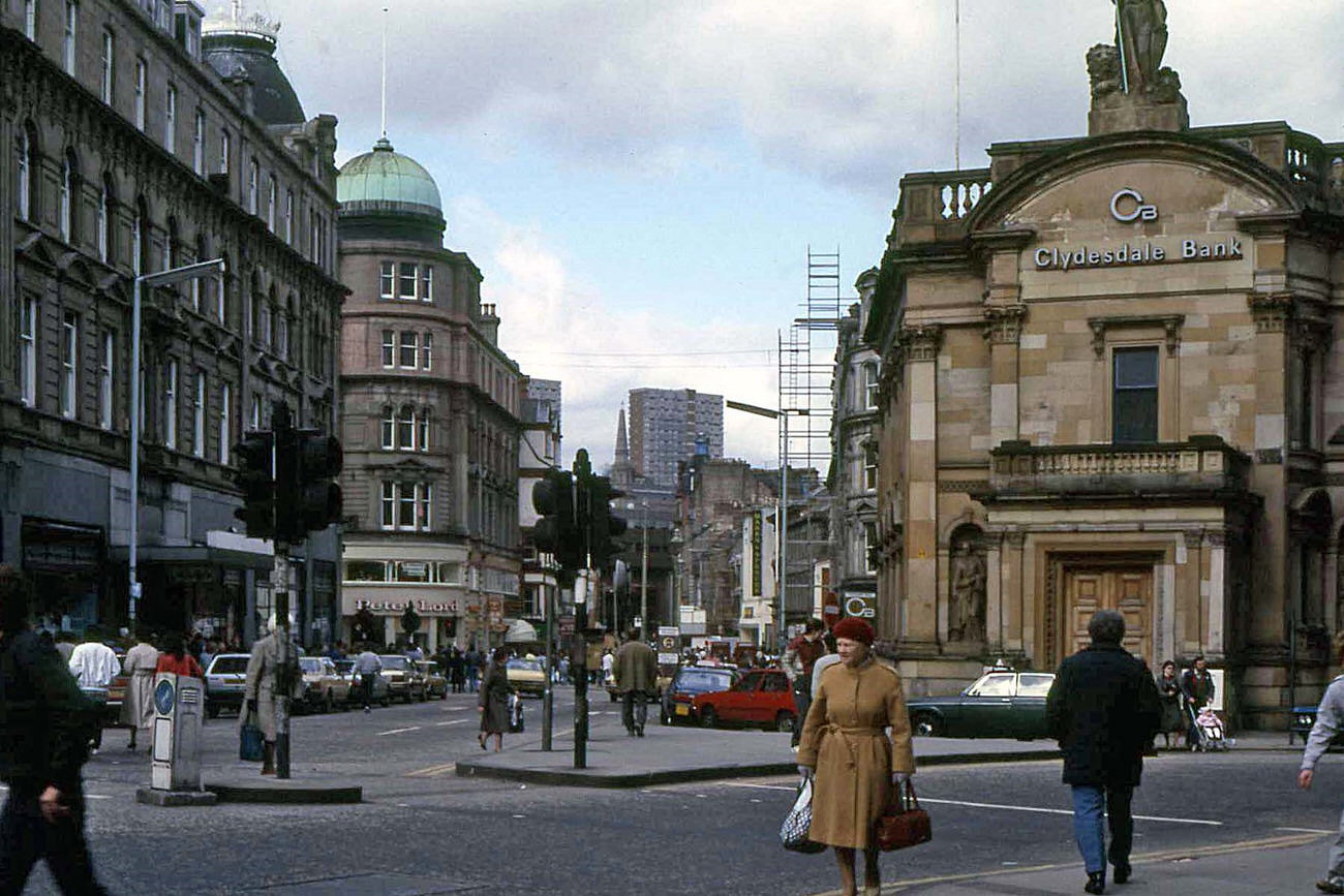
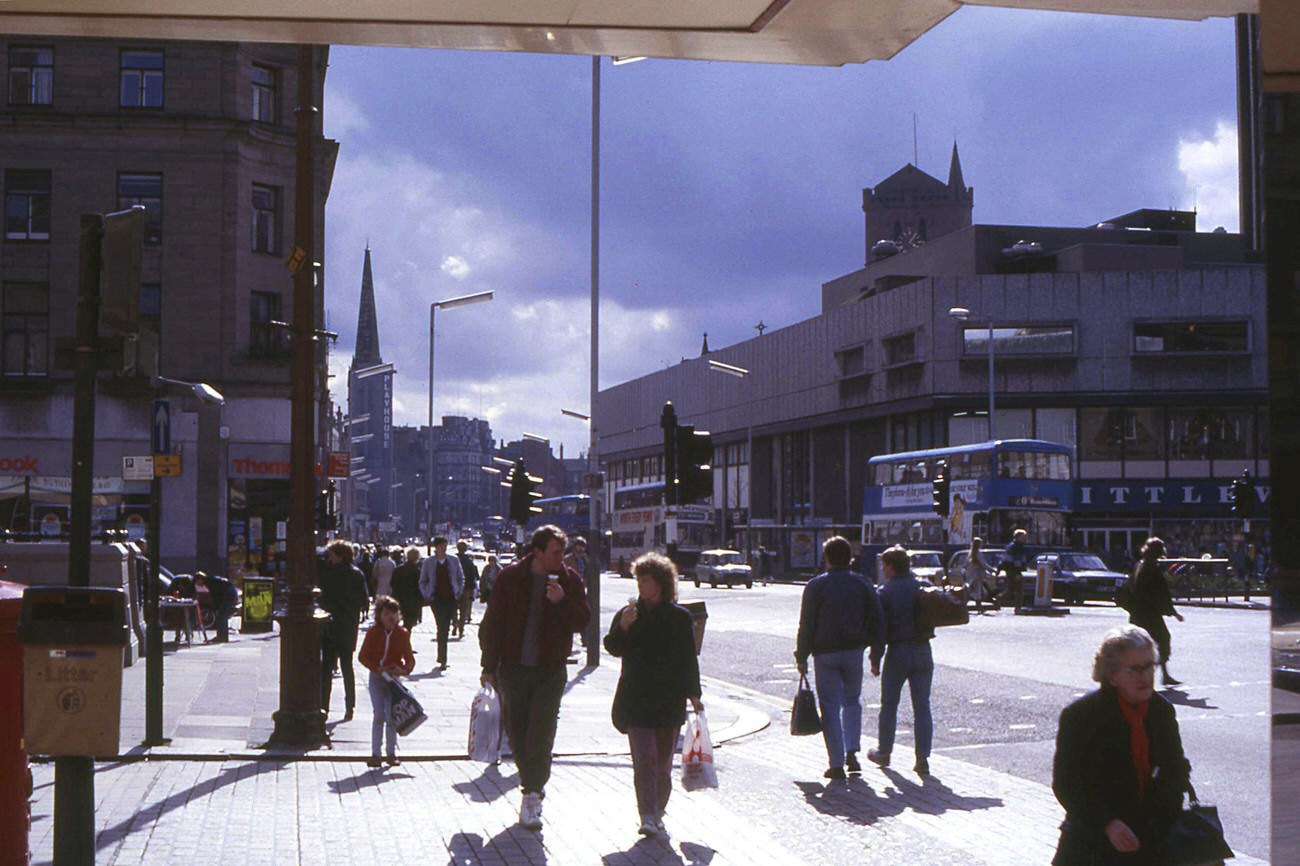
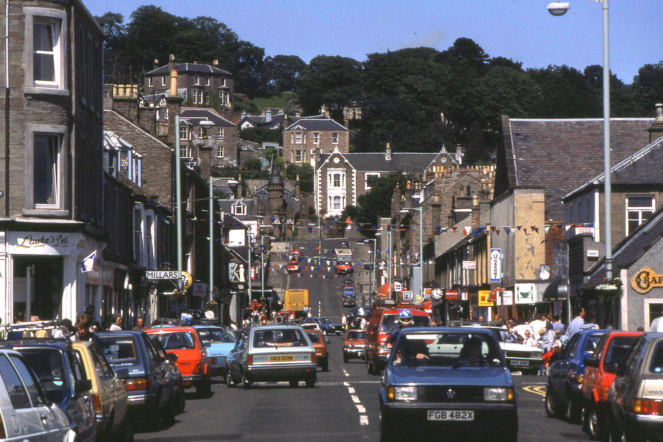
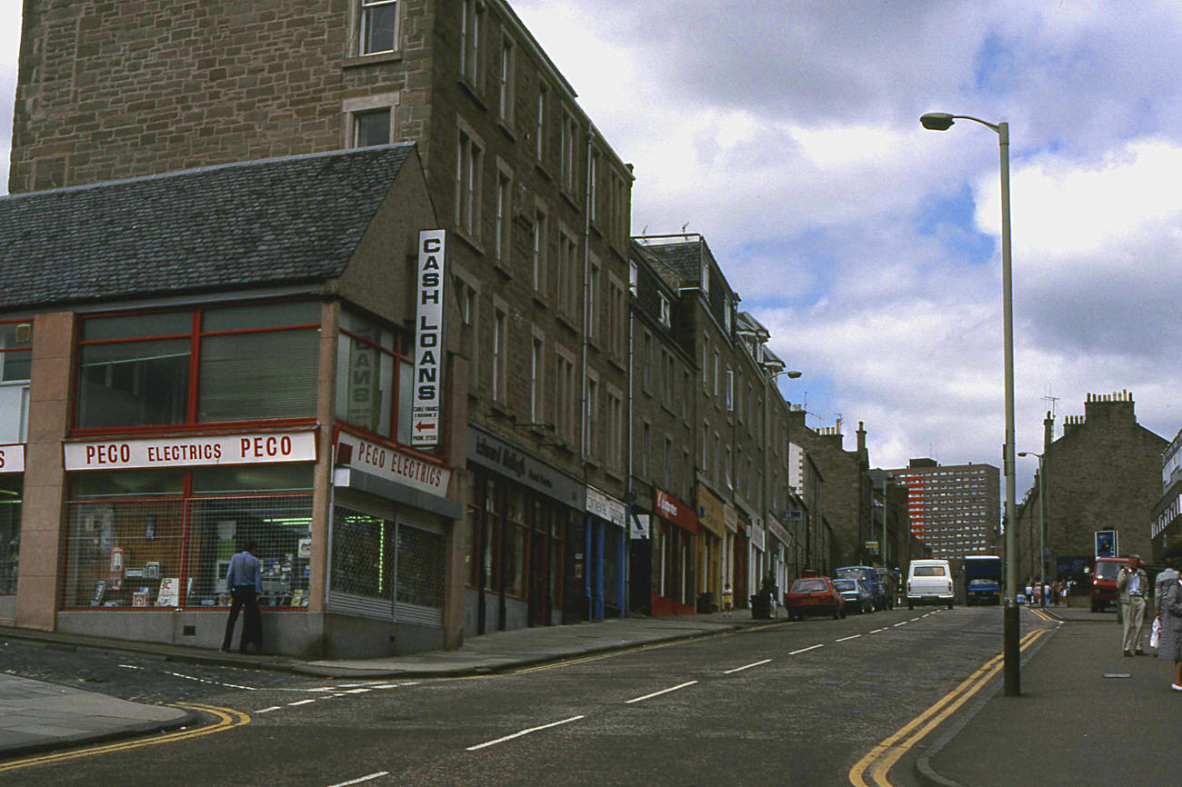
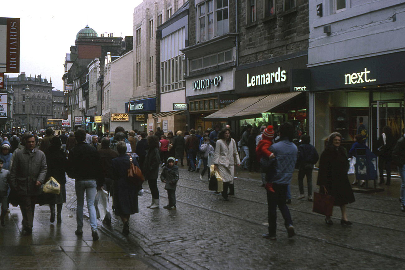
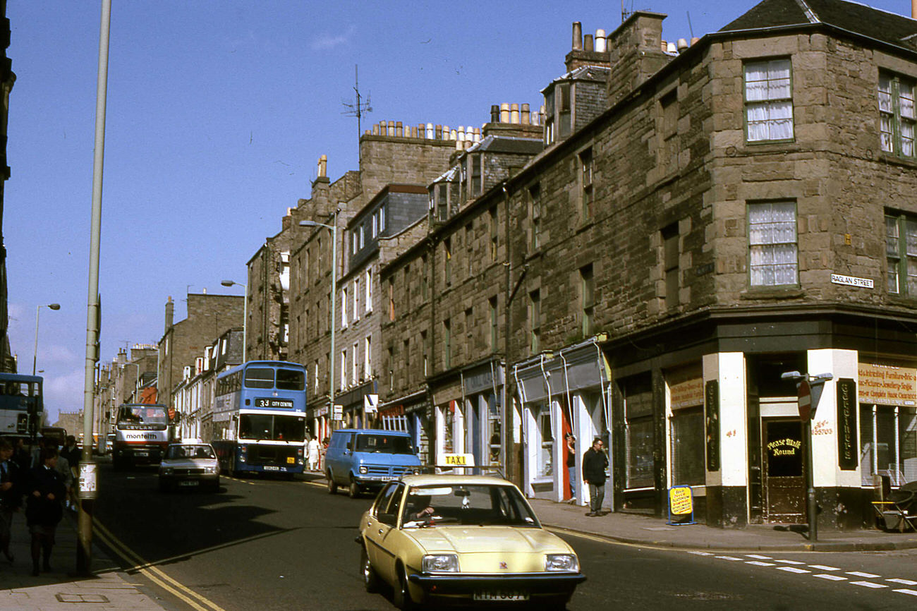
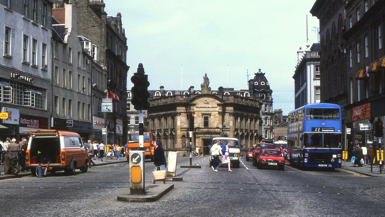
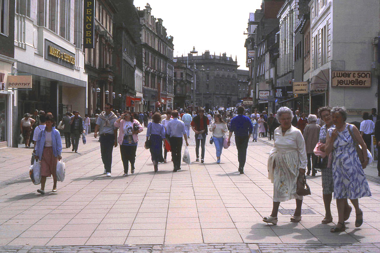
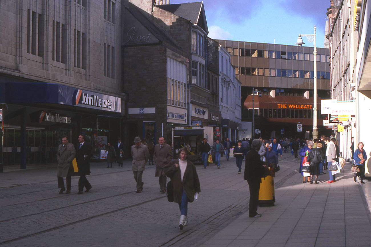
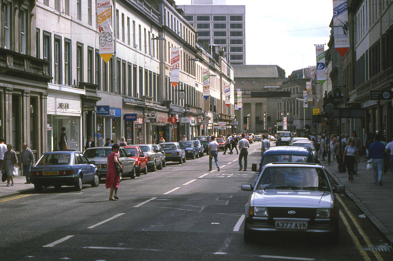
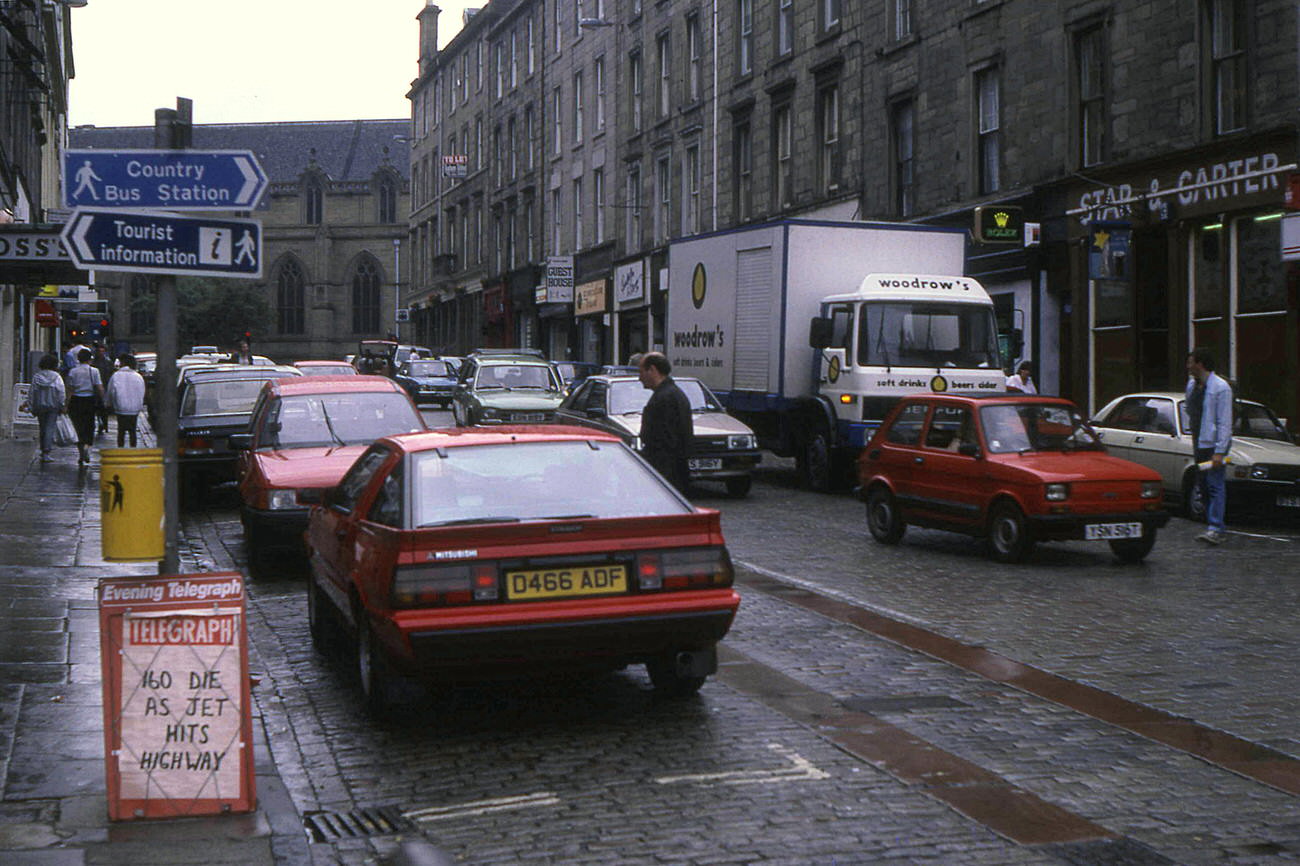
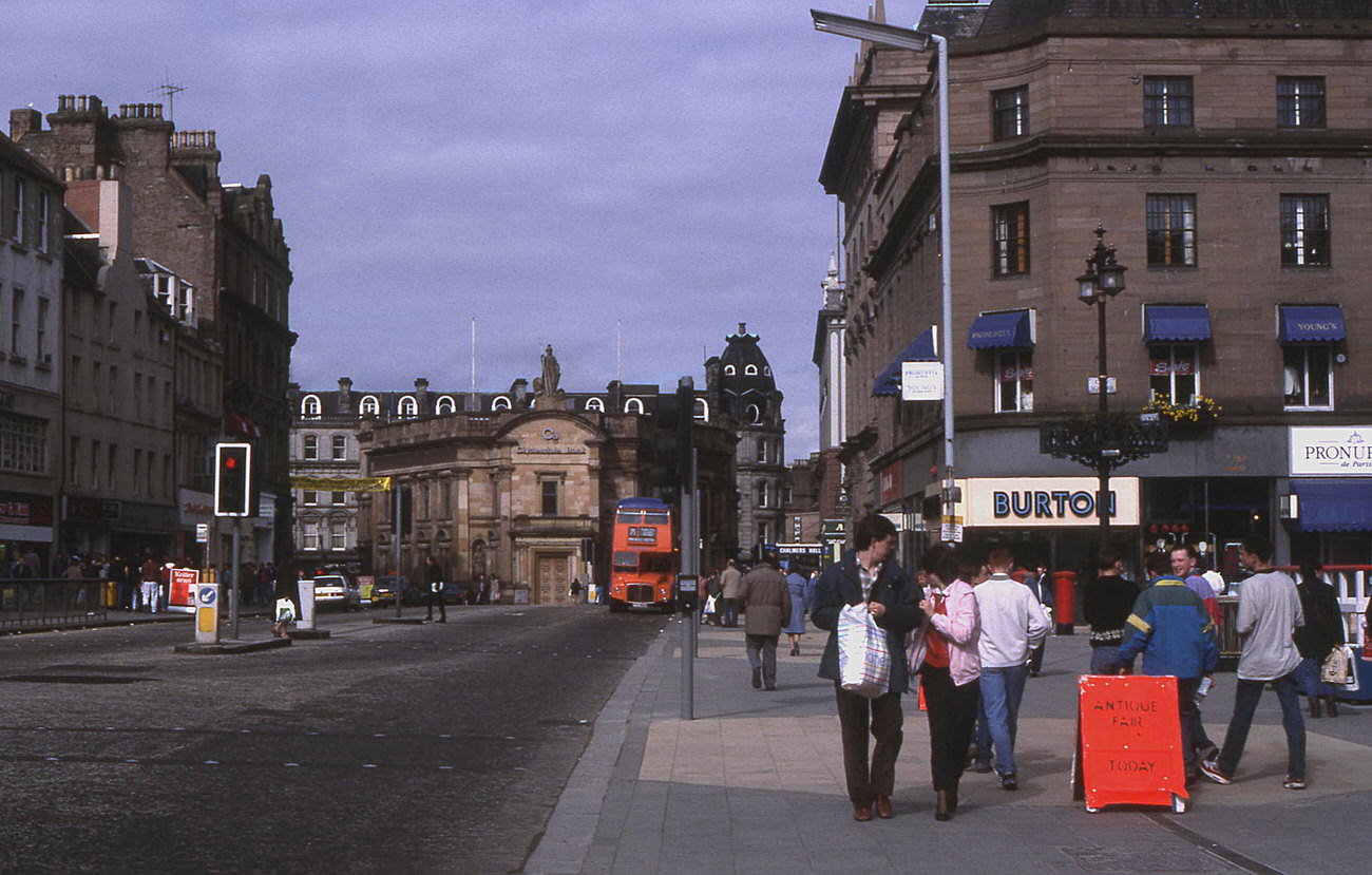
Despite all the demolition, Dundee’s streets stayed busy. Saturday shopping in the Murraygate drew large crowds, and the High Street — still open to vehicles before pedestrianisation — carried a steady mix of cars, buses, and people on foot. The Cowgate saw the same tension between pedestrians and traffic in 1984. Reform Street, the Nethergate, and City Square all appeared regularly in photographs from the period, showing a city that was still very much alive at its centre.
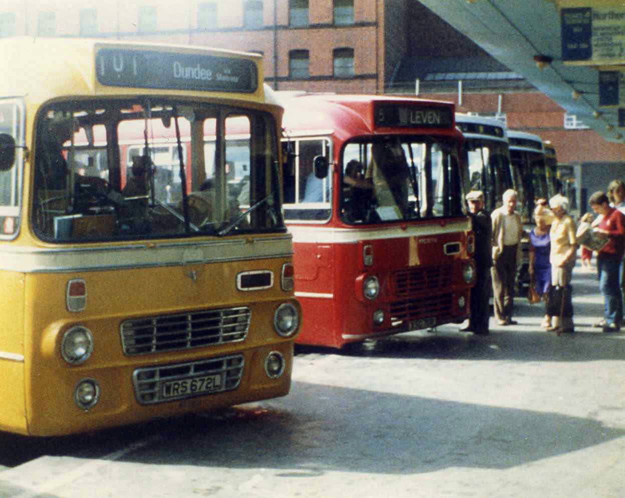
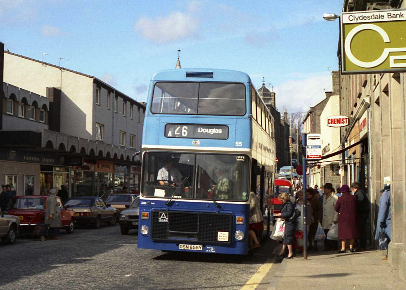
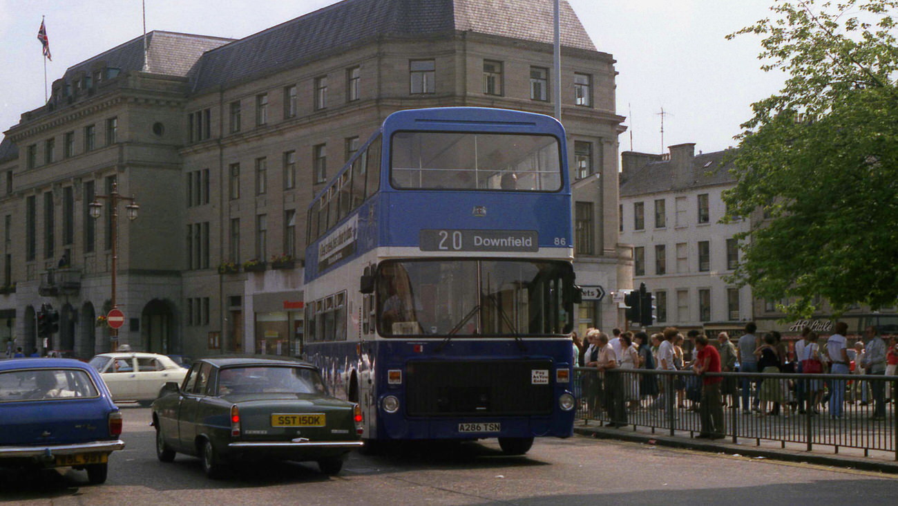
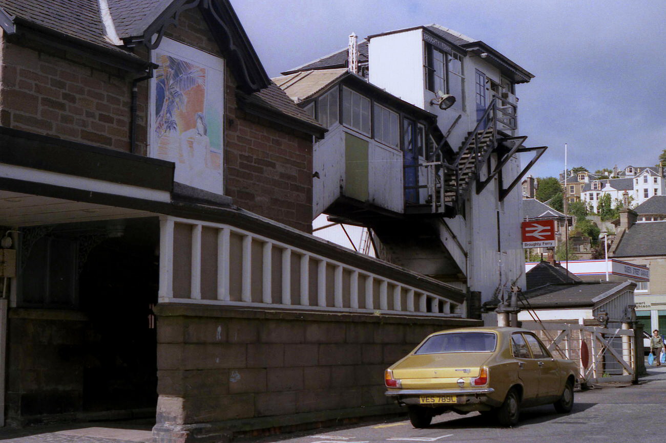
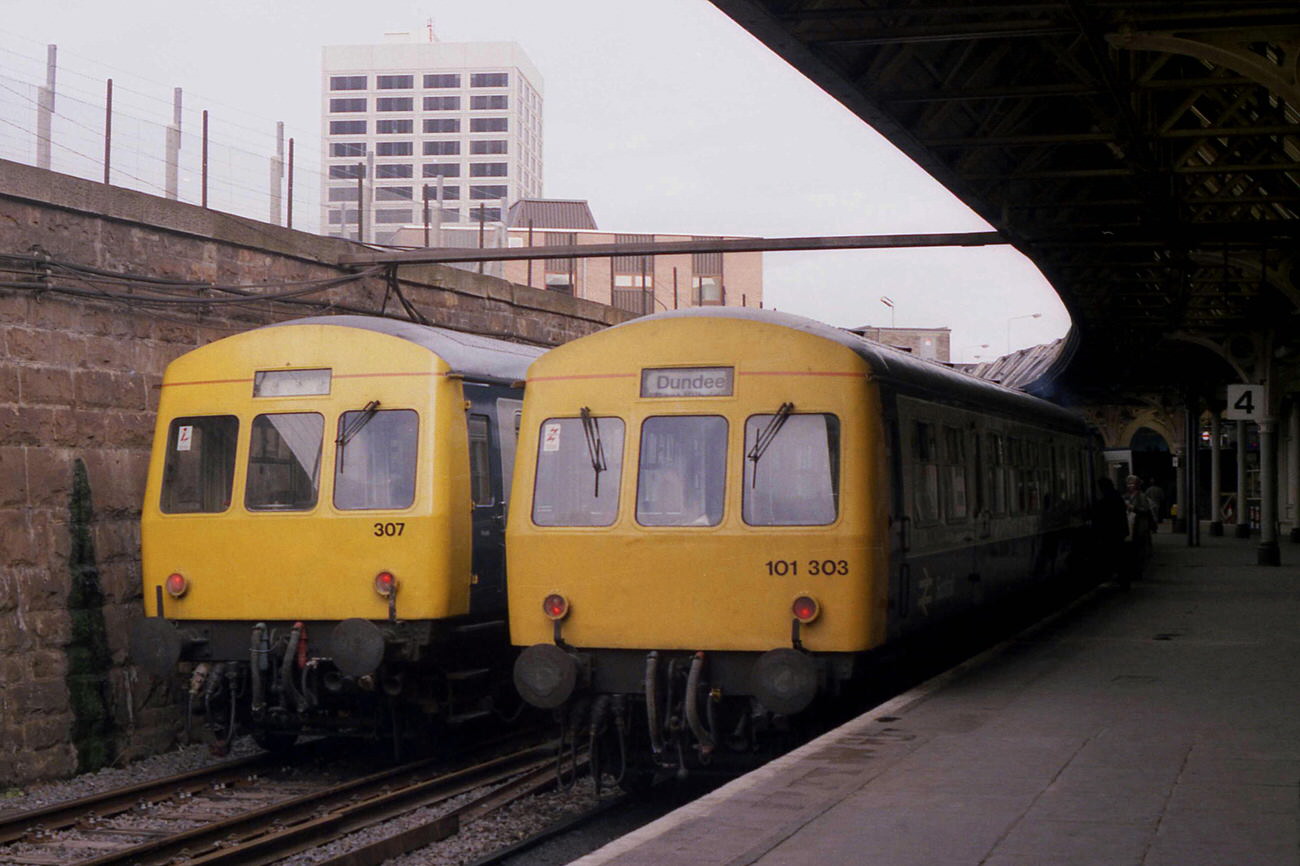
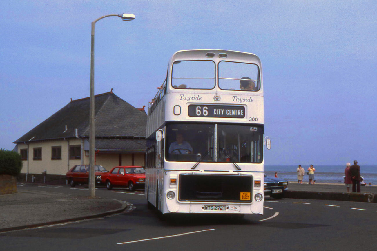
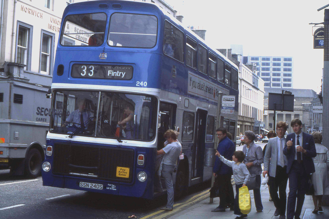
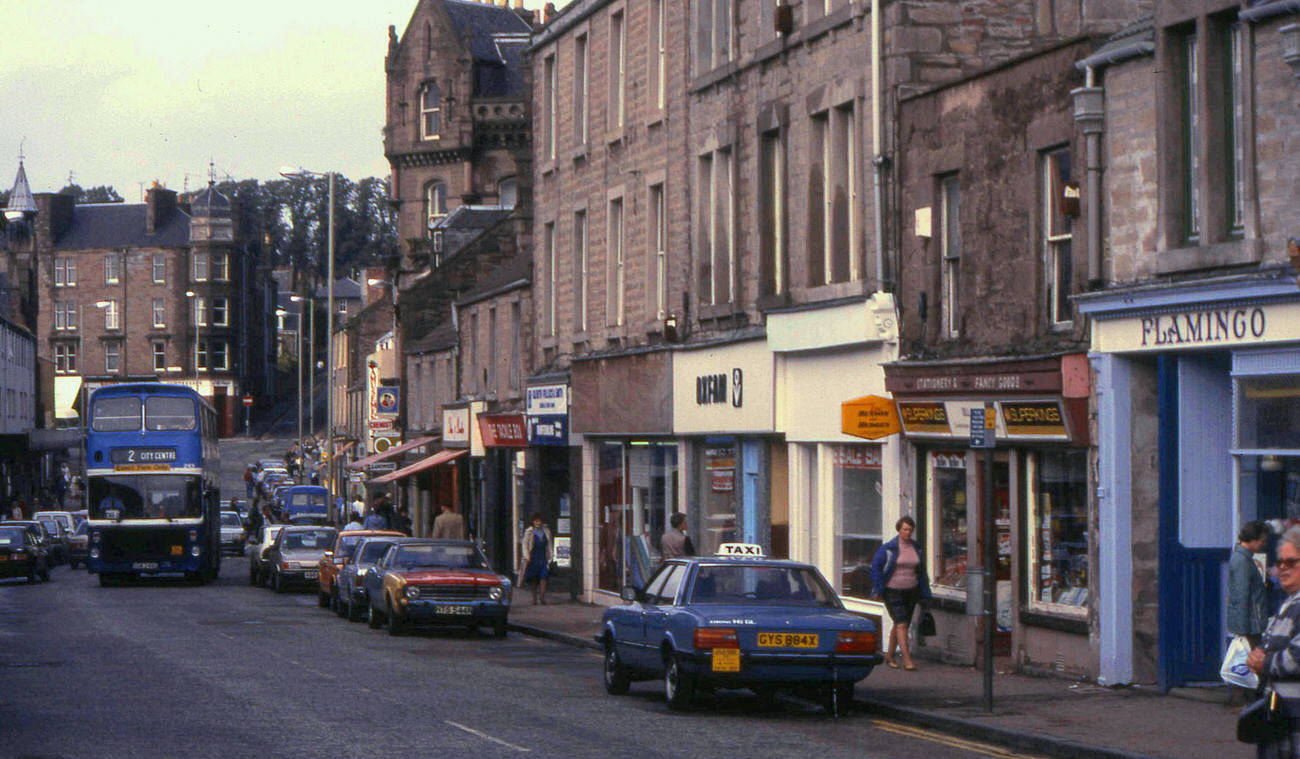
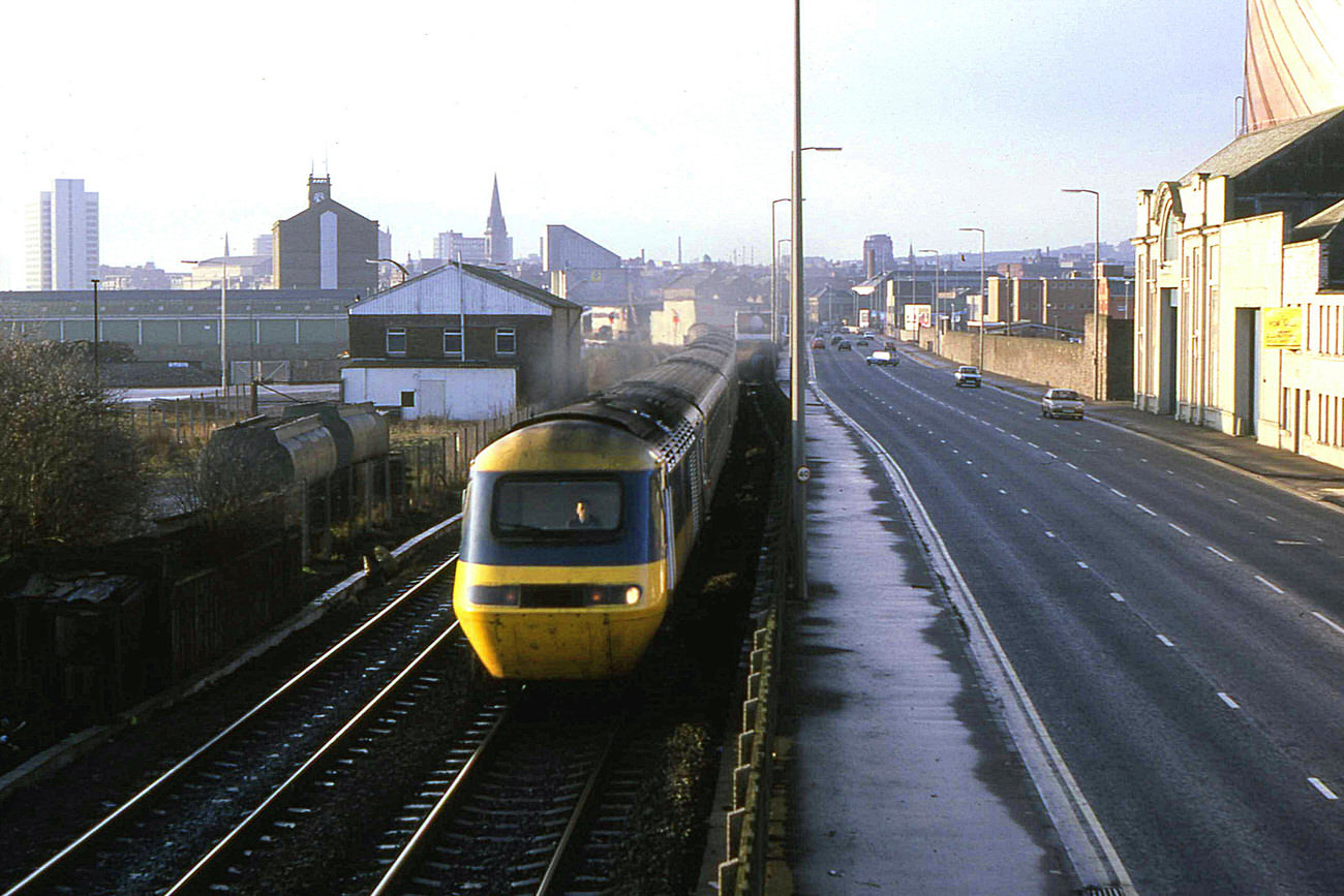
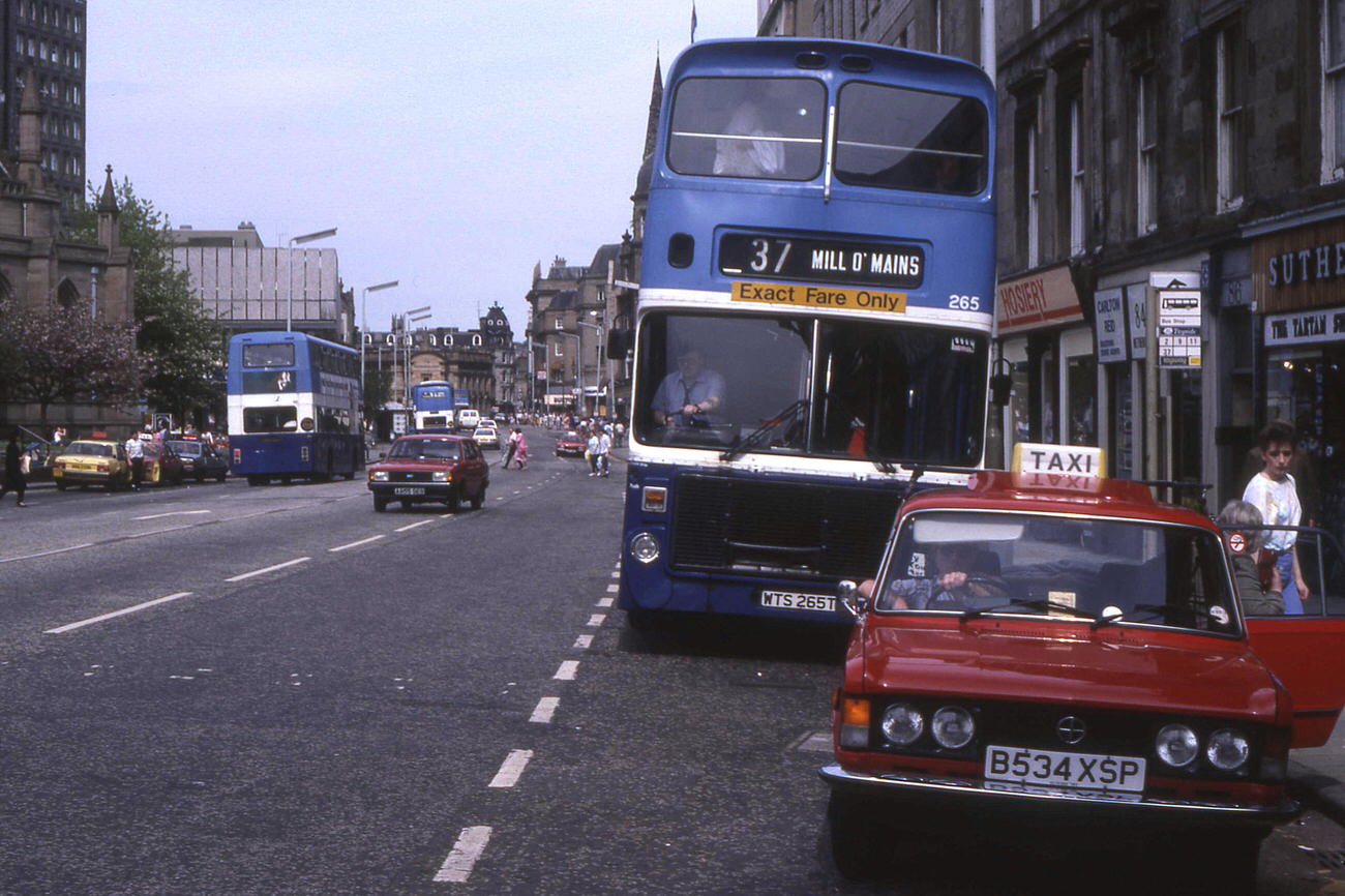
Public transport was a major part of daily life. Tayside’s Volvo Ailsa buses appeared on routes across the city — in the High Street, Reform Street, and out to Broughty Ferry. The open-top Volvo Ailsa leaving Broughty Beach in 1985 was a particular sight. The Seagate bus station served as a central hub, and the Douglas bus running along Lochee High Street was a familiar fixture for residents in that part of the city. On the rail side, Metro-Cammell Class 101 units were running through Dundee station in 1984, and on Christmas Eve 1985, the 07:30 HST from Leeds to Aberdeen passed alongside East Dock Street heading north.
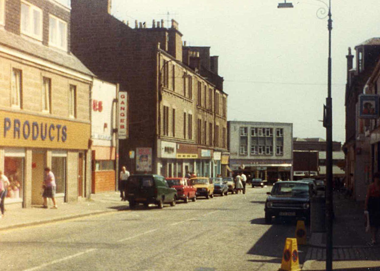
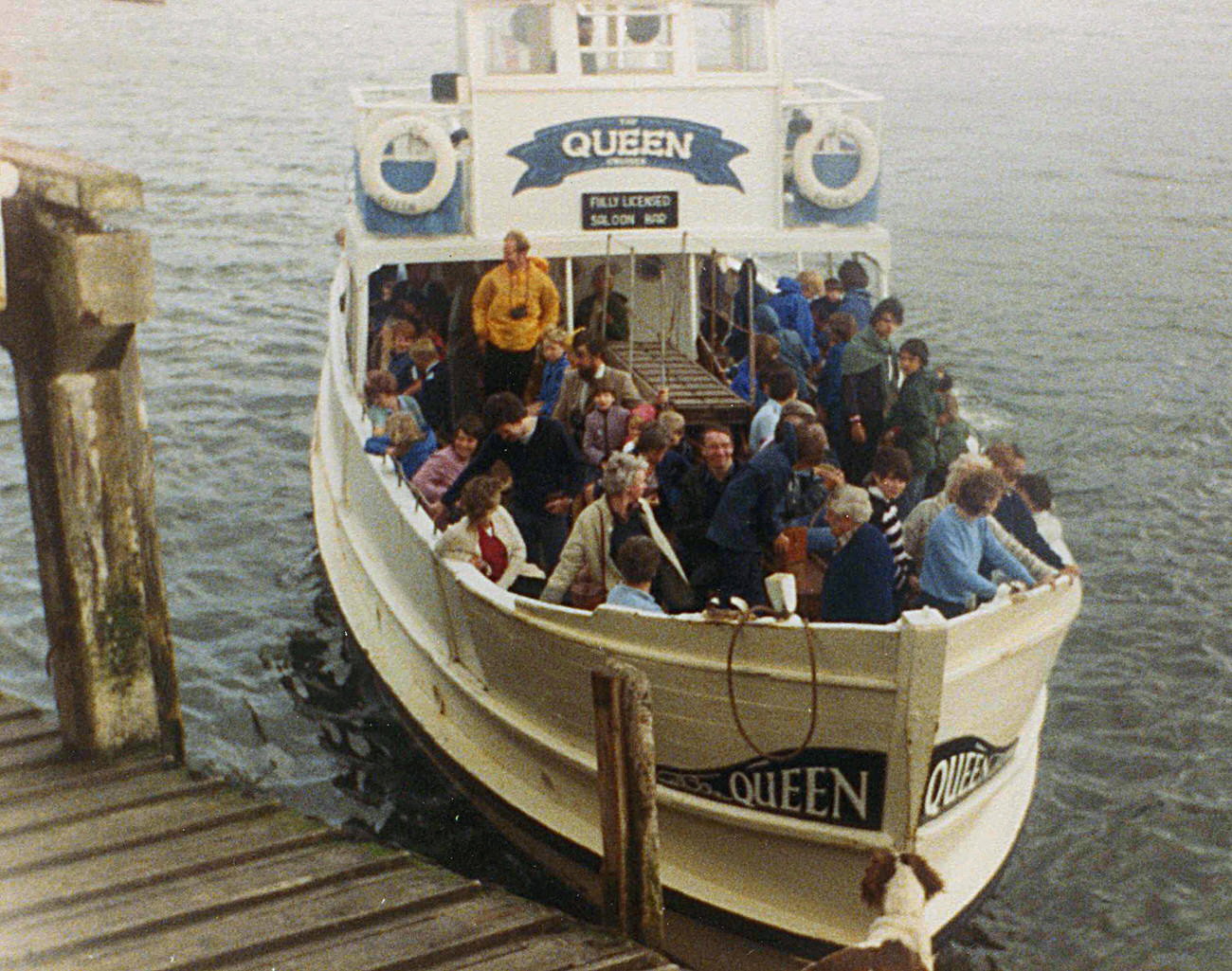
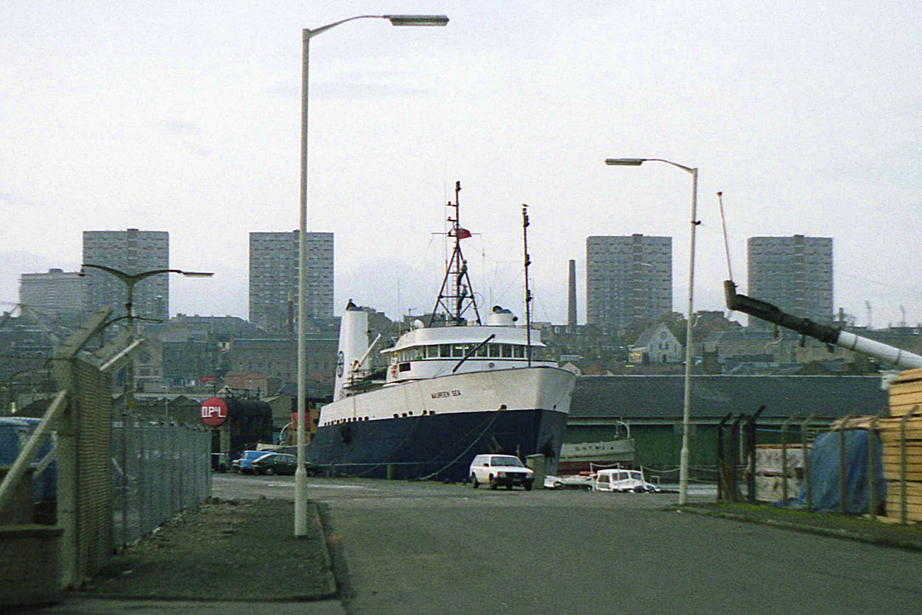
The waterfront told its own story. Victoria Dock, photographed in 1983, showed the remnants of Dundee’s maritime past. By 1988, waterfront clearance was actively under way — old buildings and dock infrastructure being removed as part of broader efforts to reshape that part of the city. Broughty Ferry, just a few miles to the east, retained more of its character, with streets like Brook Street, Gray Street, Fisher Street, and David Street all photographed in the mid-1980s showing tenements and local shops largely intact.
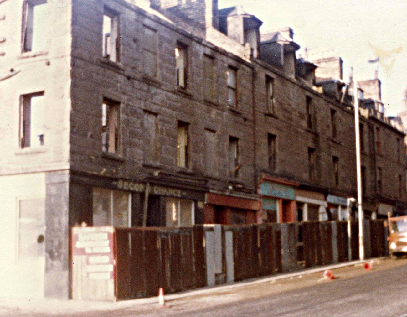
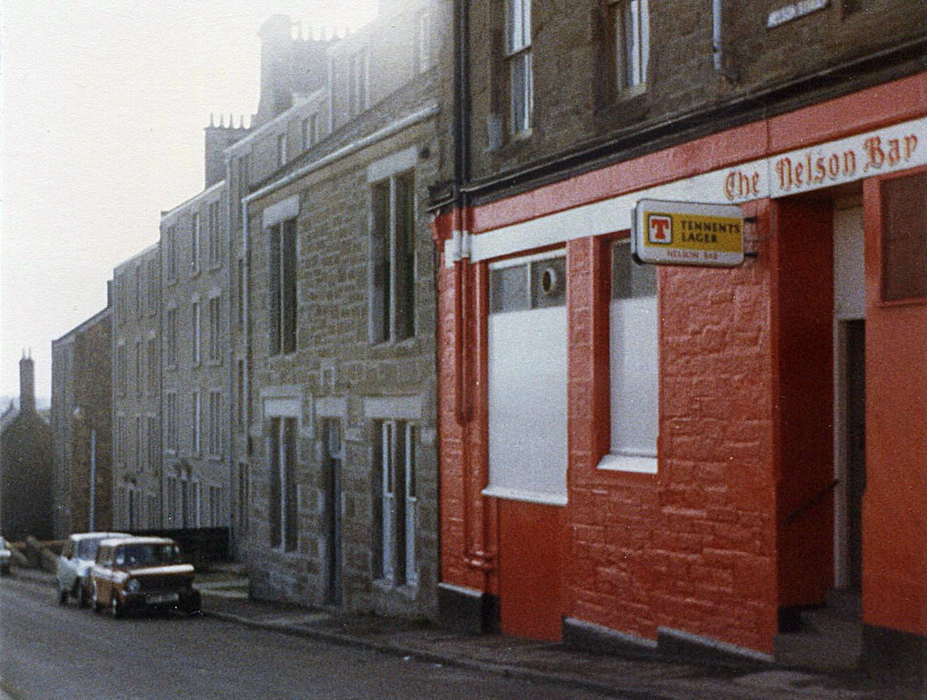
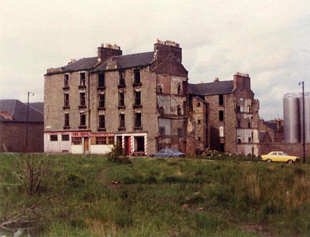
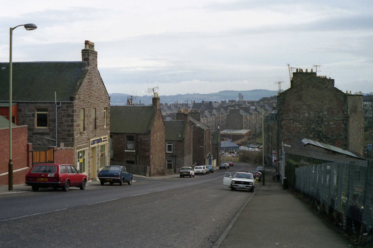
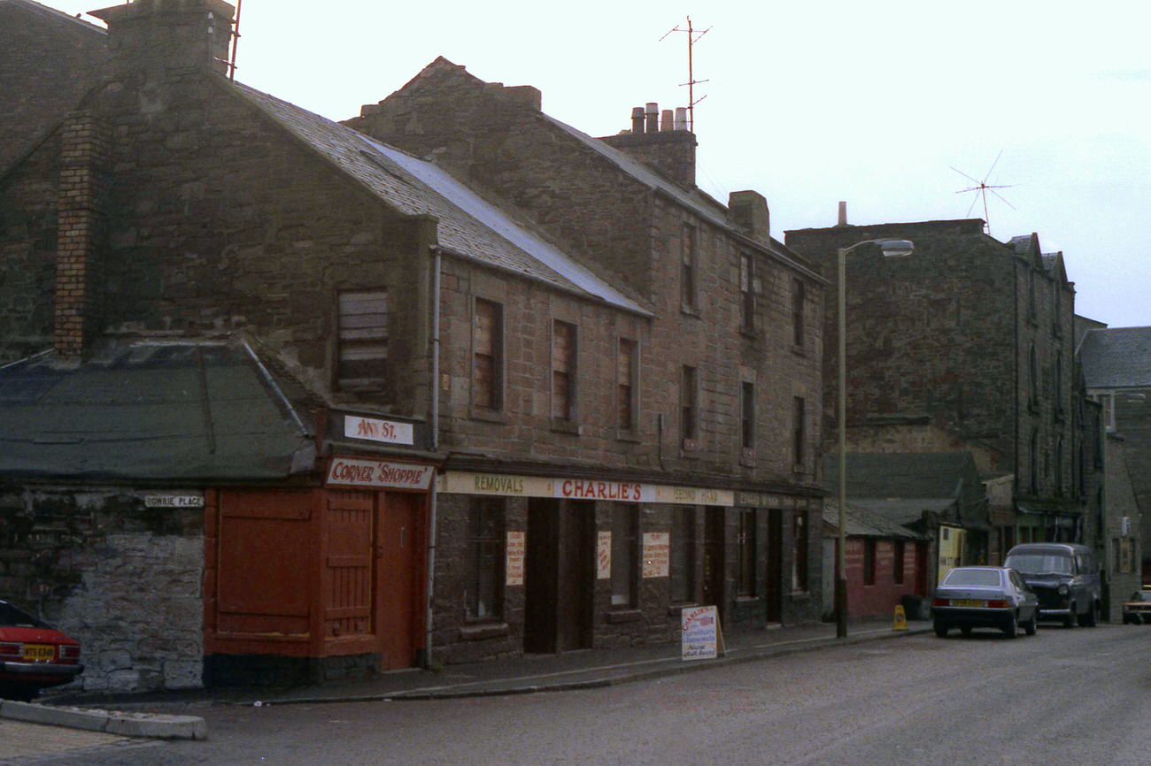
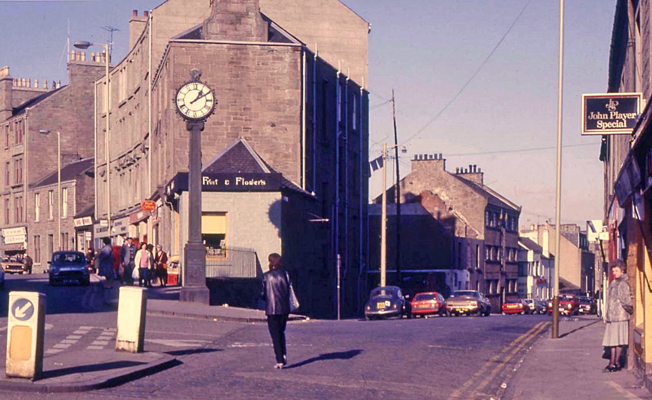
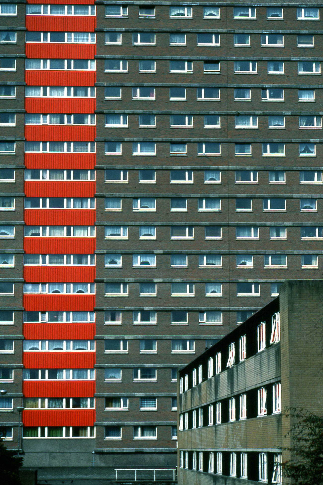
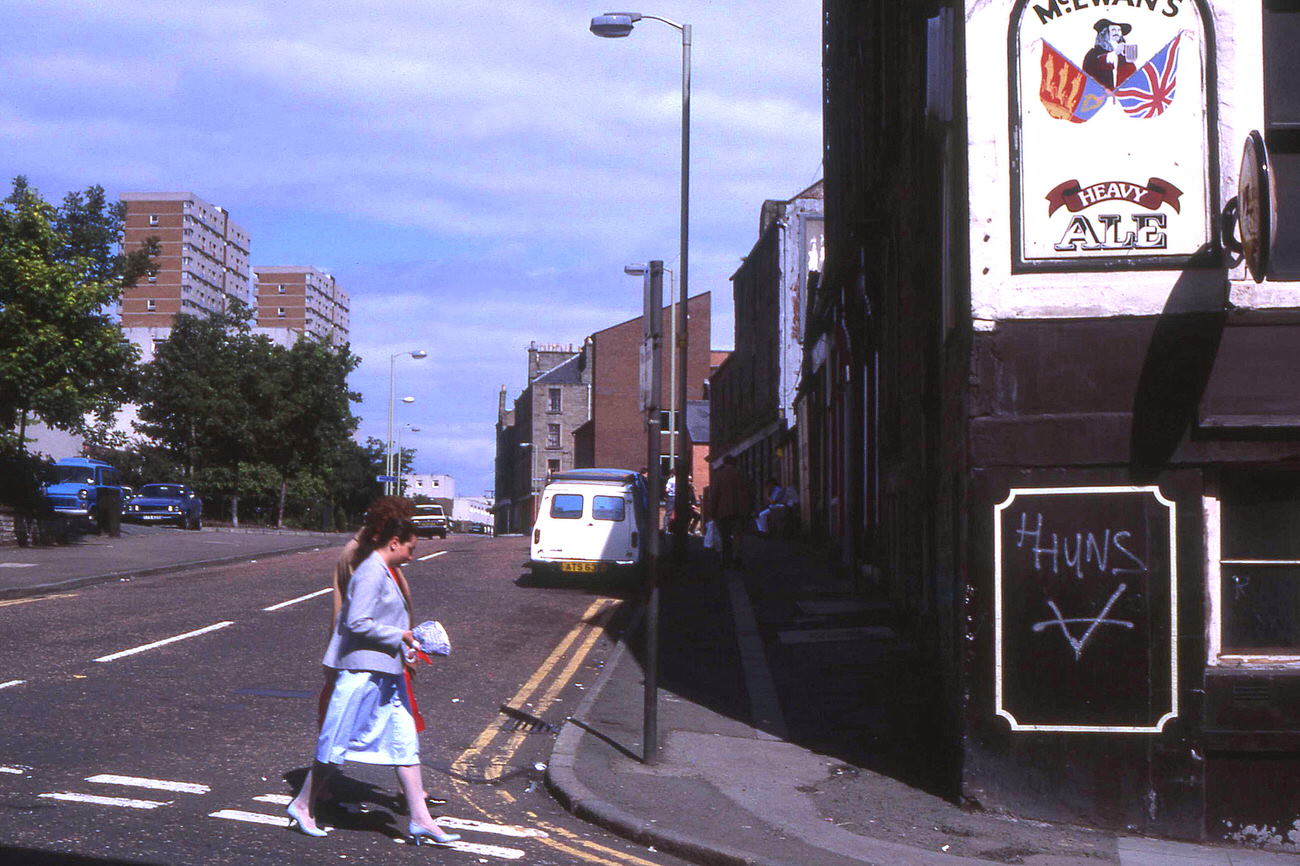
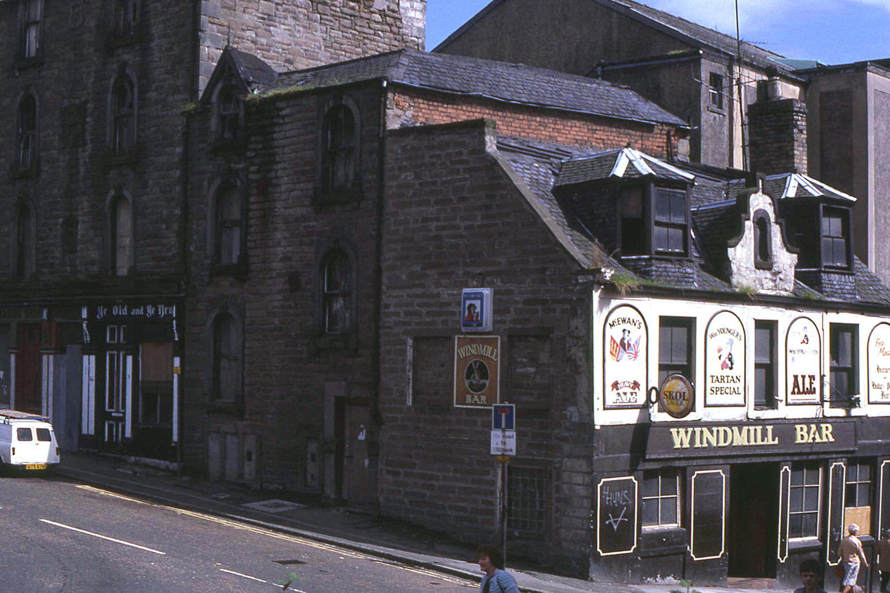
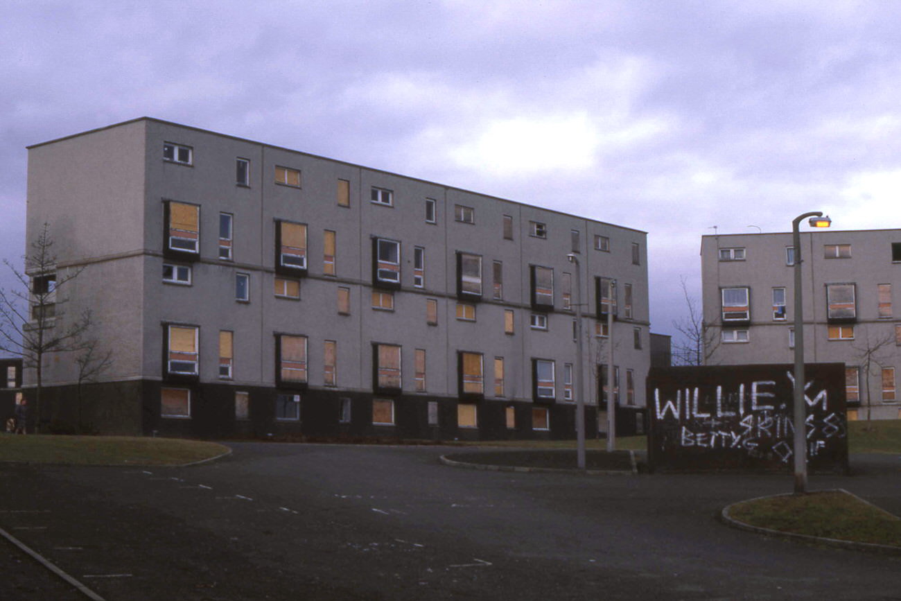
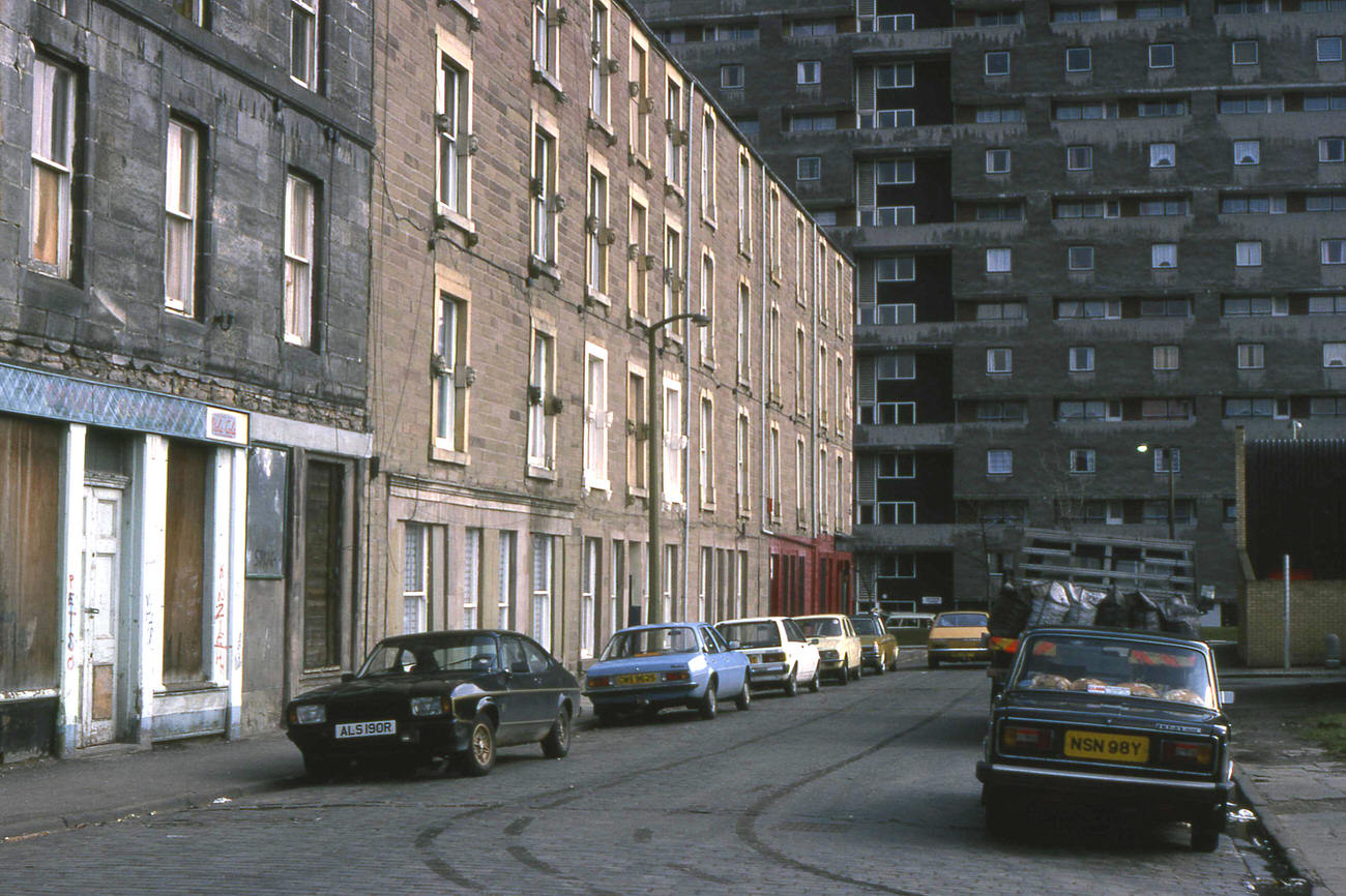
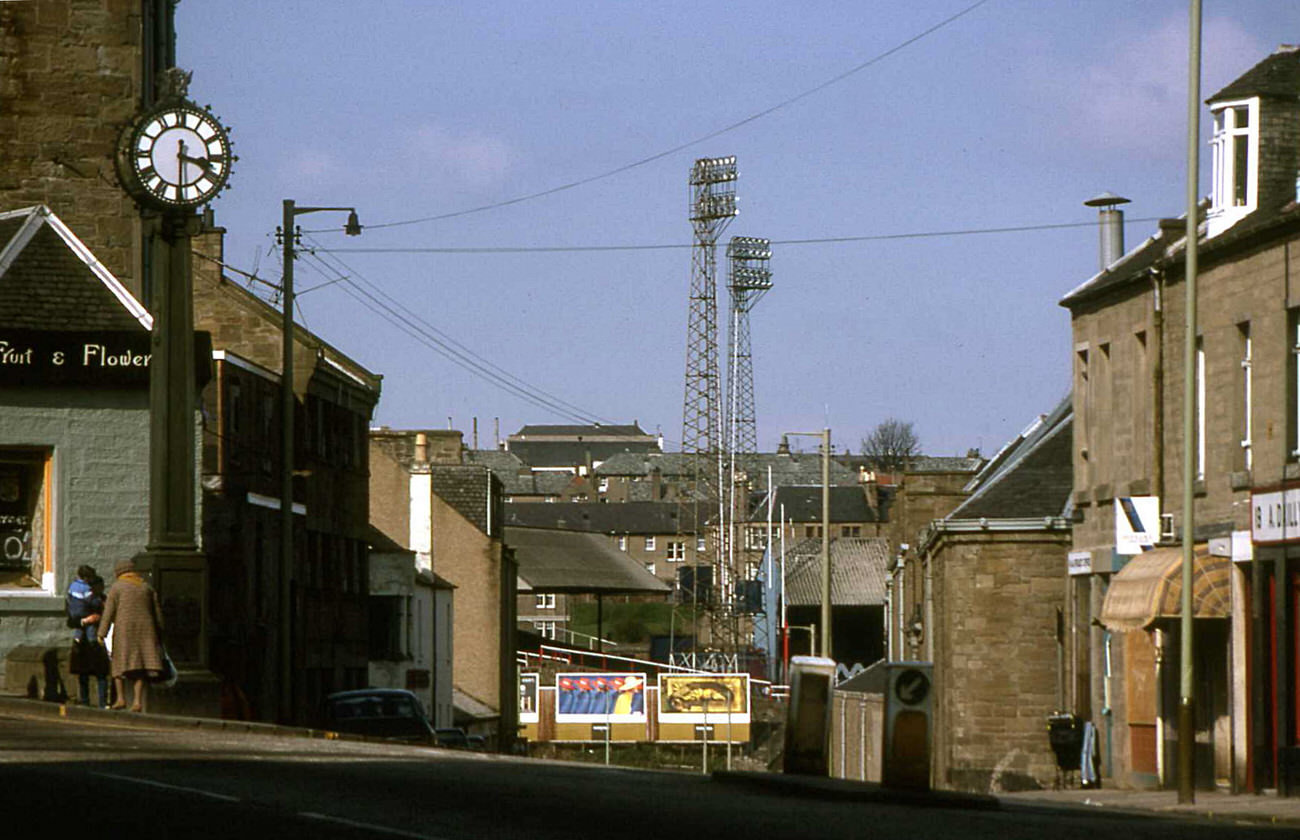
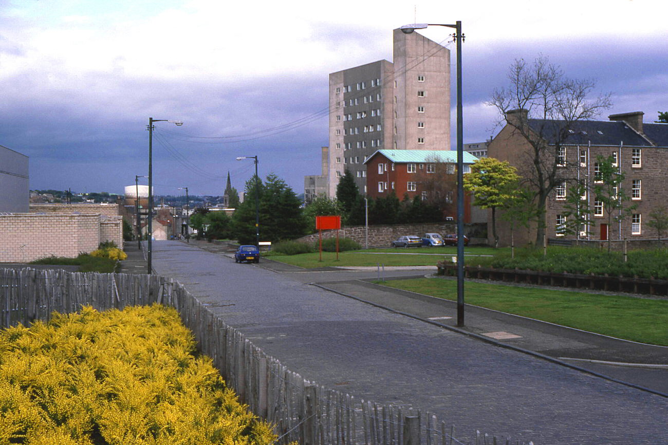
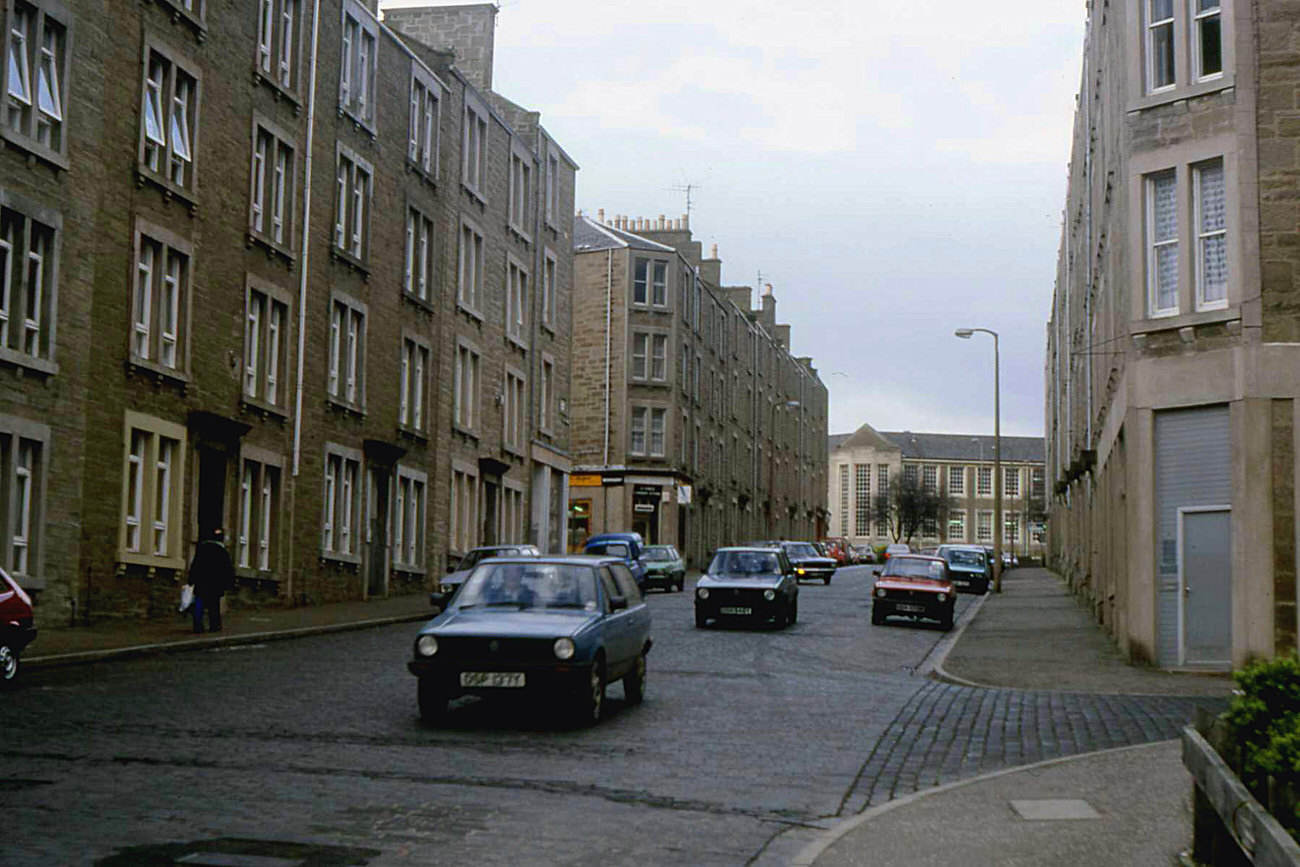
The Hilltown neighbourhood appeared more than anywhere else in photographs from the decade. Its tenements, clock tower, and surrounding streets like Ann Street, Rosebank Street, and Mains Road were captured repeatedly between 1982 and 1986. The Windmill Bar on the corner of Hilltown and Ann Street was a local landmark. Butterburn Court, photographed in 1985, showed the high-rise housing that had replaced much of the older street fabric in parts of the city during the postwar decades.
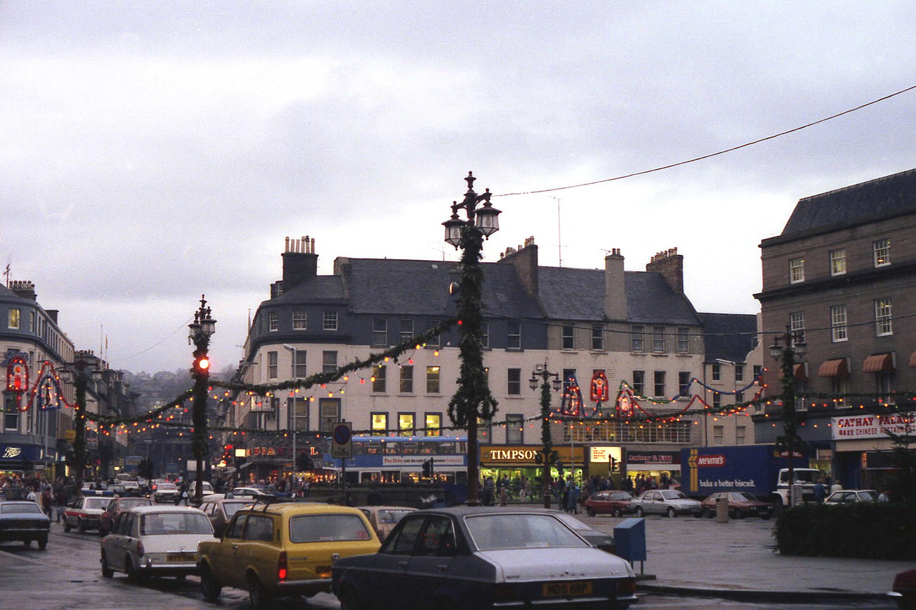
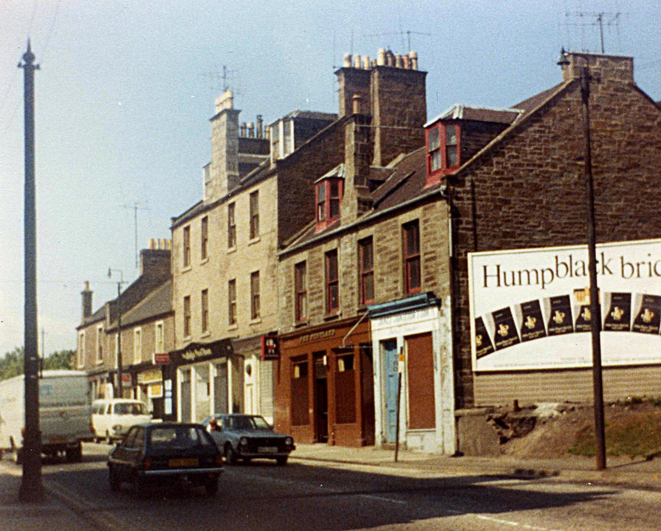
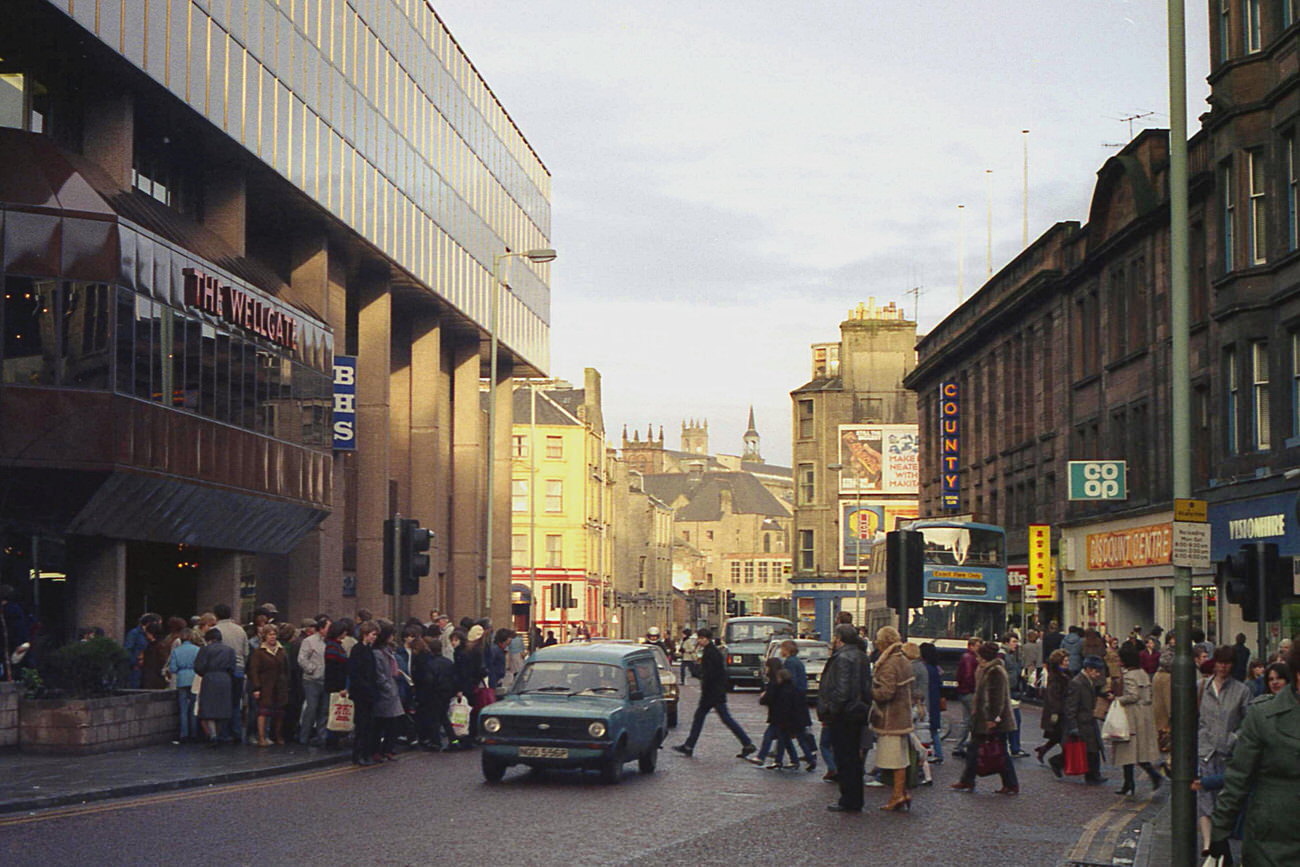
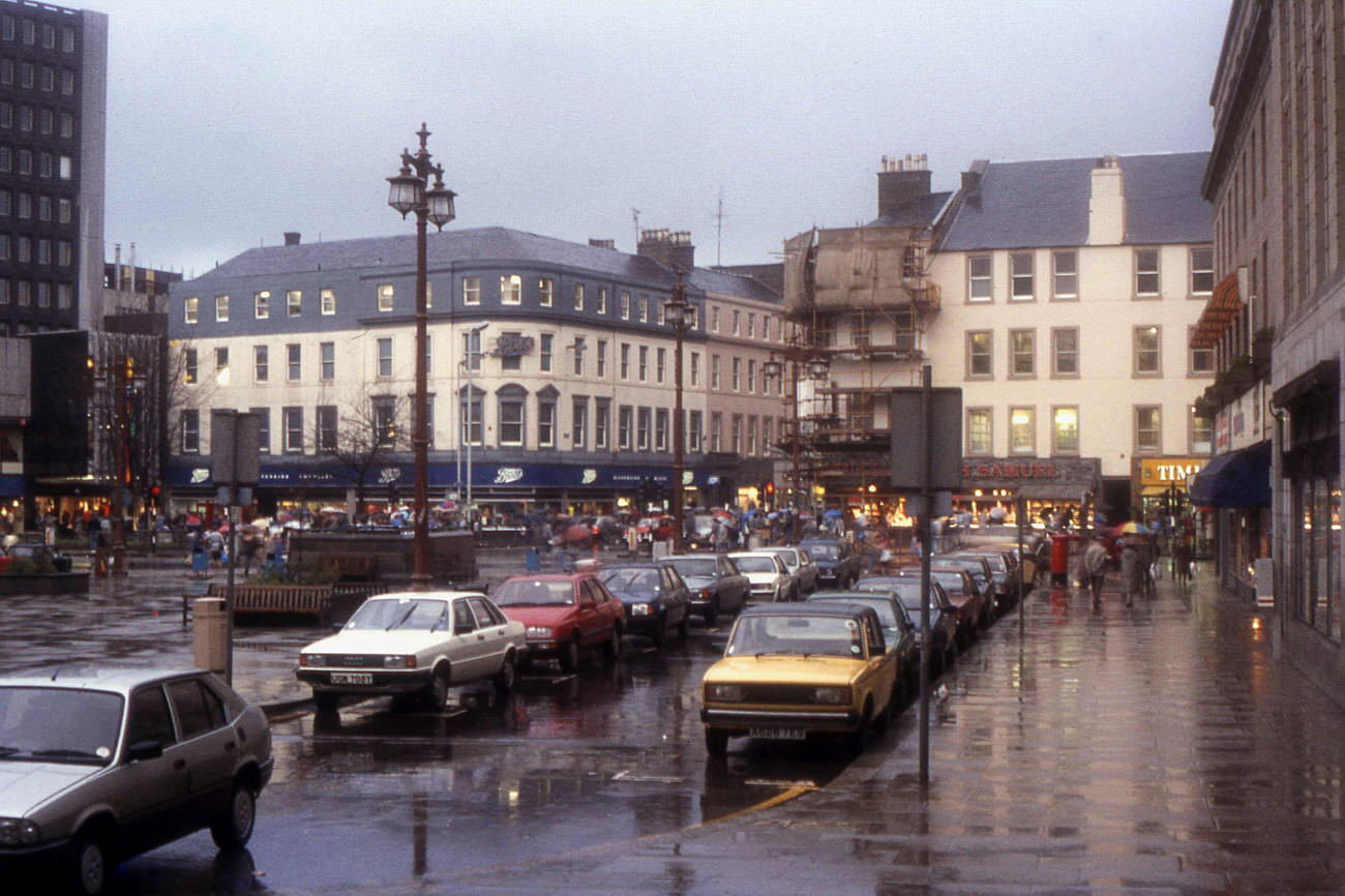
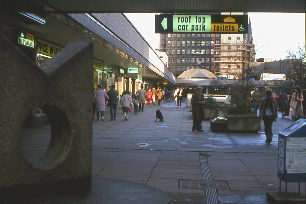
City Square appeared across several years and seasons — dressed in Christmas decorations in 1983, wet with rain in 1984, and busy with ordinary foot traffic in 1986. The Murraygate and Wellgate Centre were photographed together in 1987, showing the modern shopping infrastructure that had been built alongside older commercial streets. Lochee High Street, one of Dundee’s distinct neighbourhood high streets, was photographed in both 1981 and 1985, showing a streetscape that changed slowly despite everything happening elsewhere.
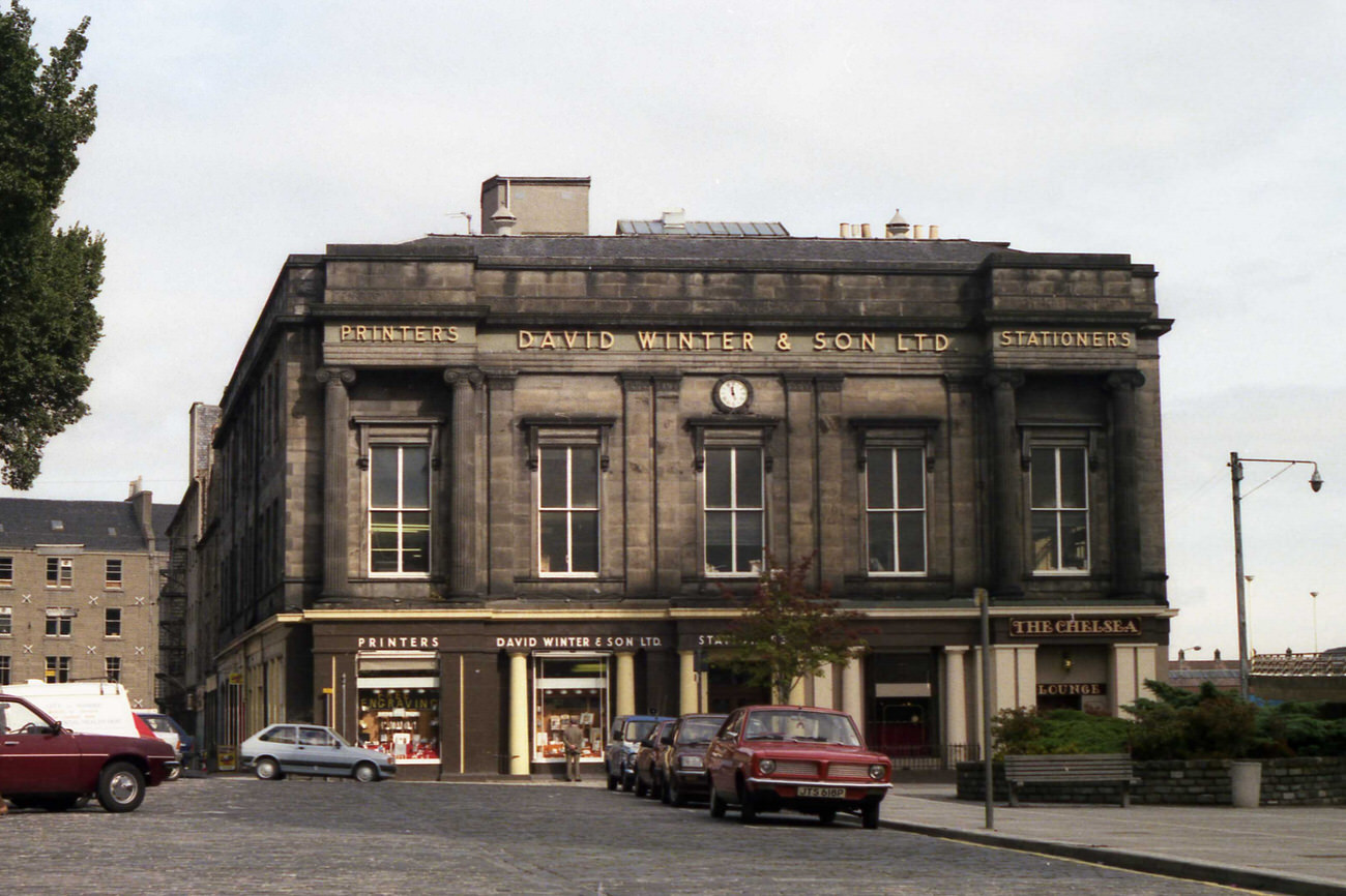
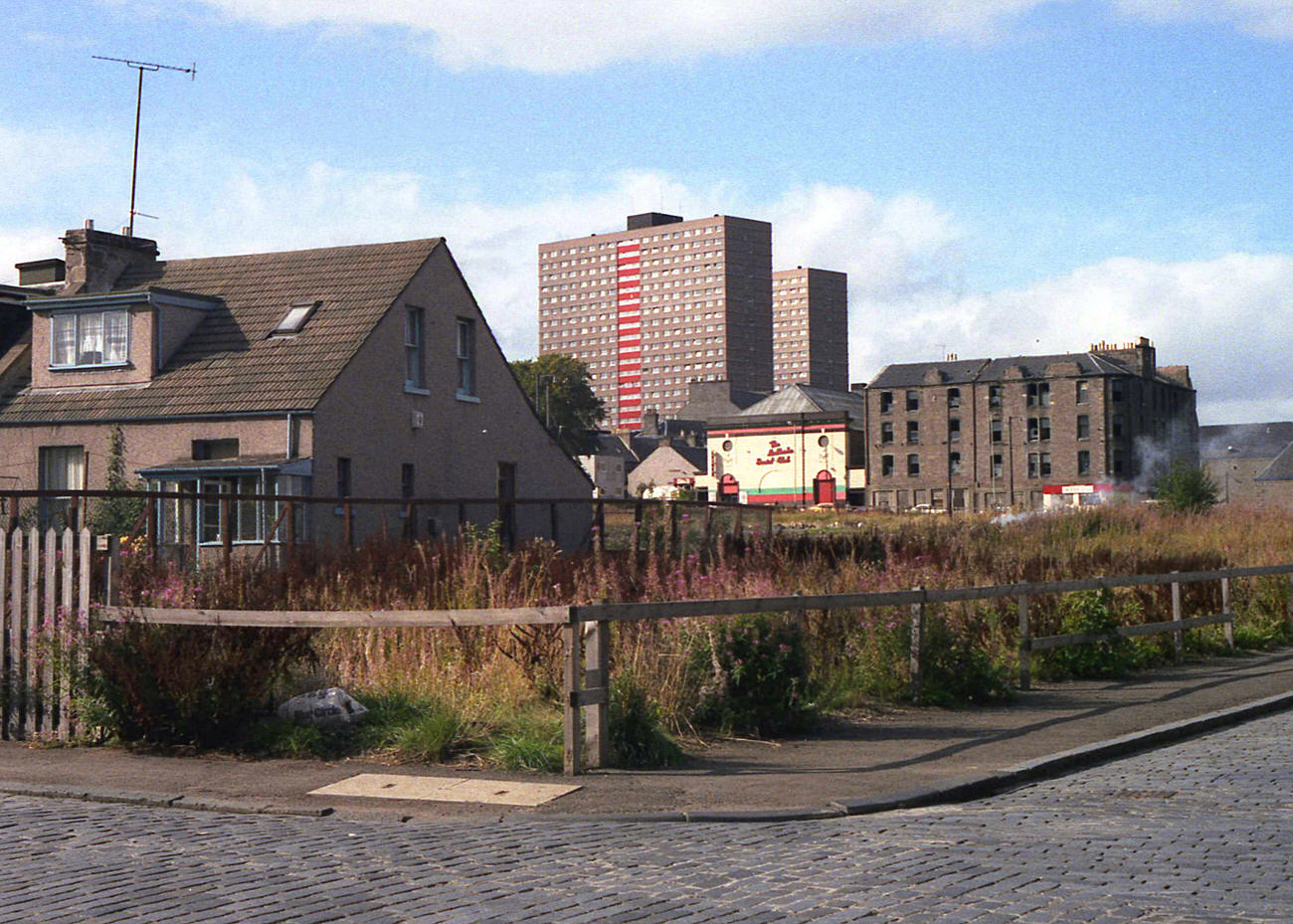
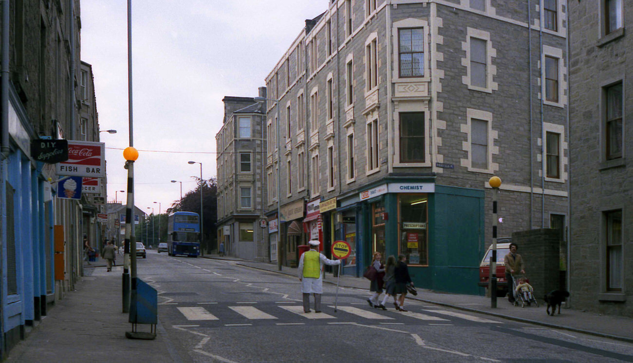
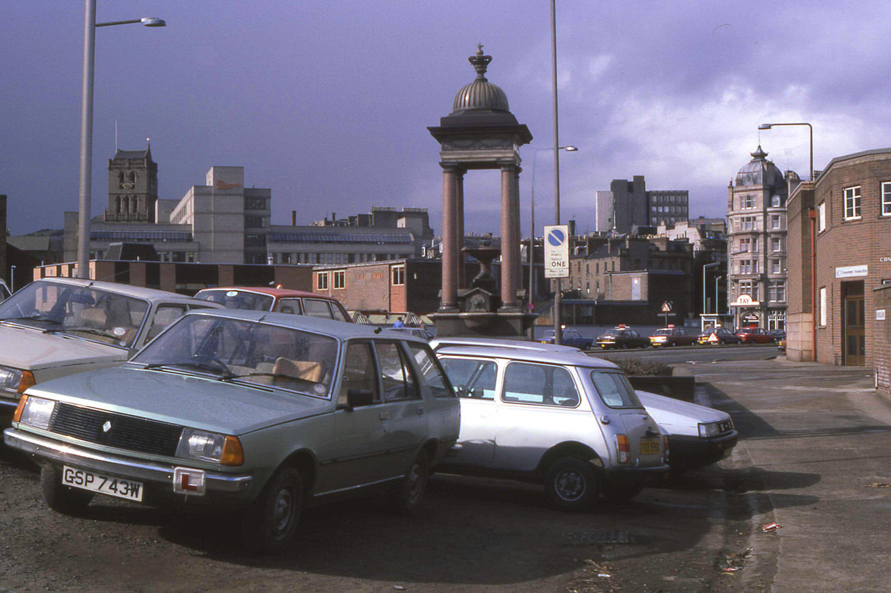
Regeneration efforts were visible by the latter half of the decade. Housing projects, road schemes, and clearance work reshaped neighbourhoods that had struggled for years. The Alexandra Fountain on Riverside Drive was photographed in 1986, and Dunbar Crescent the same year — quieter corners of the city that showed a different pace of life from the busy commercial centre. The Dundee Ice Rink, captured in 1989, was one of many recreational facilities that gave residents somewhere to go beyond the high street.
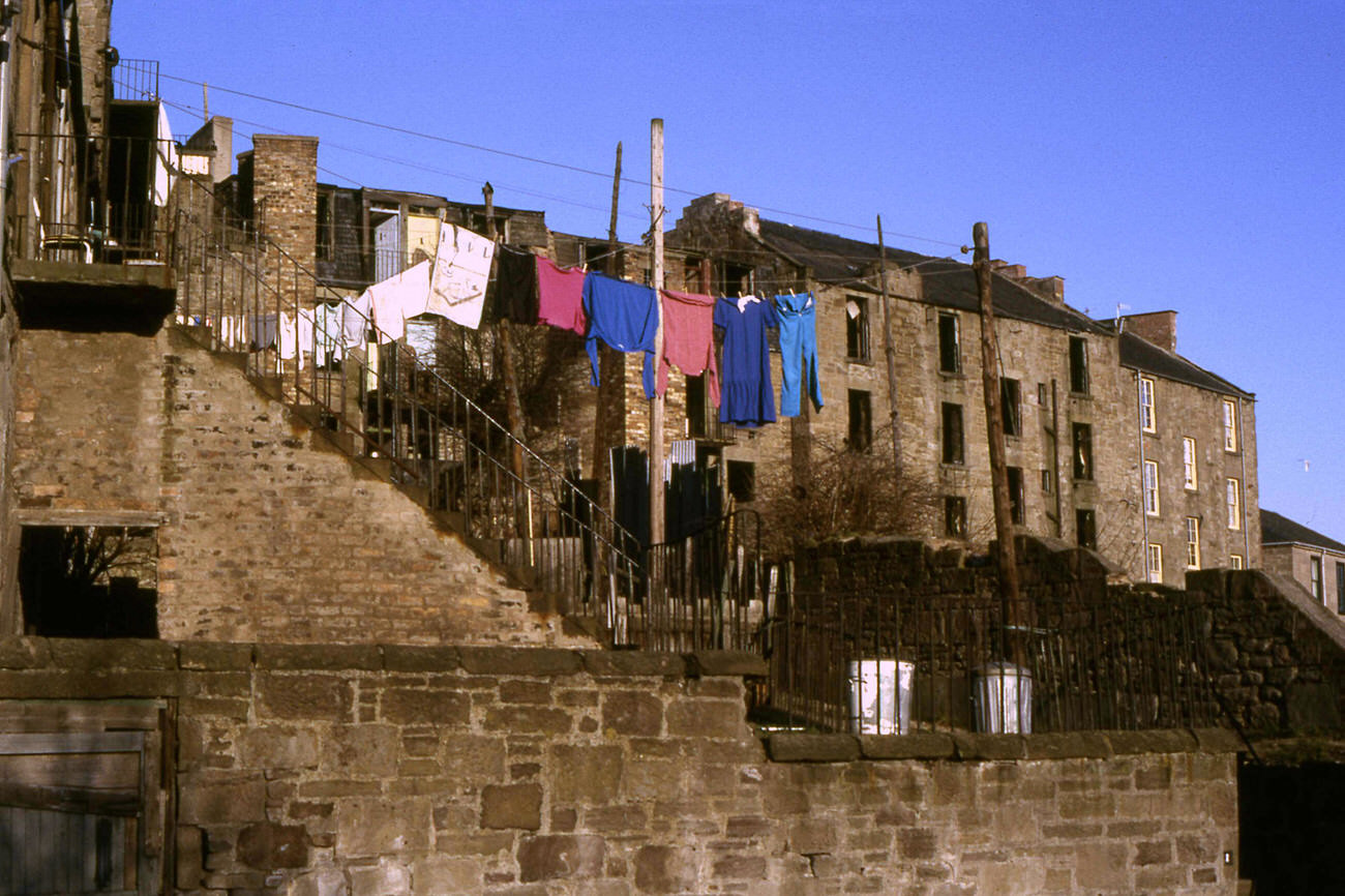
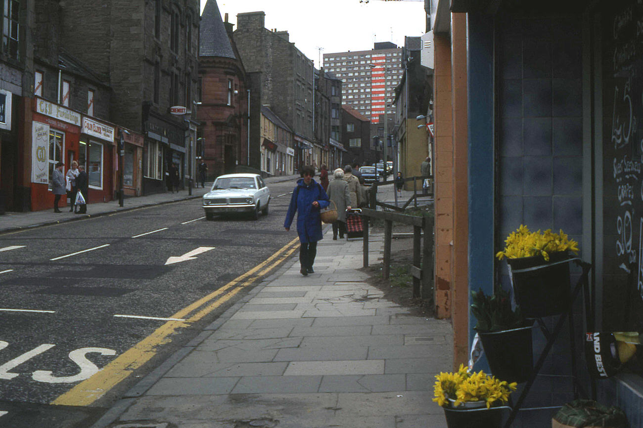
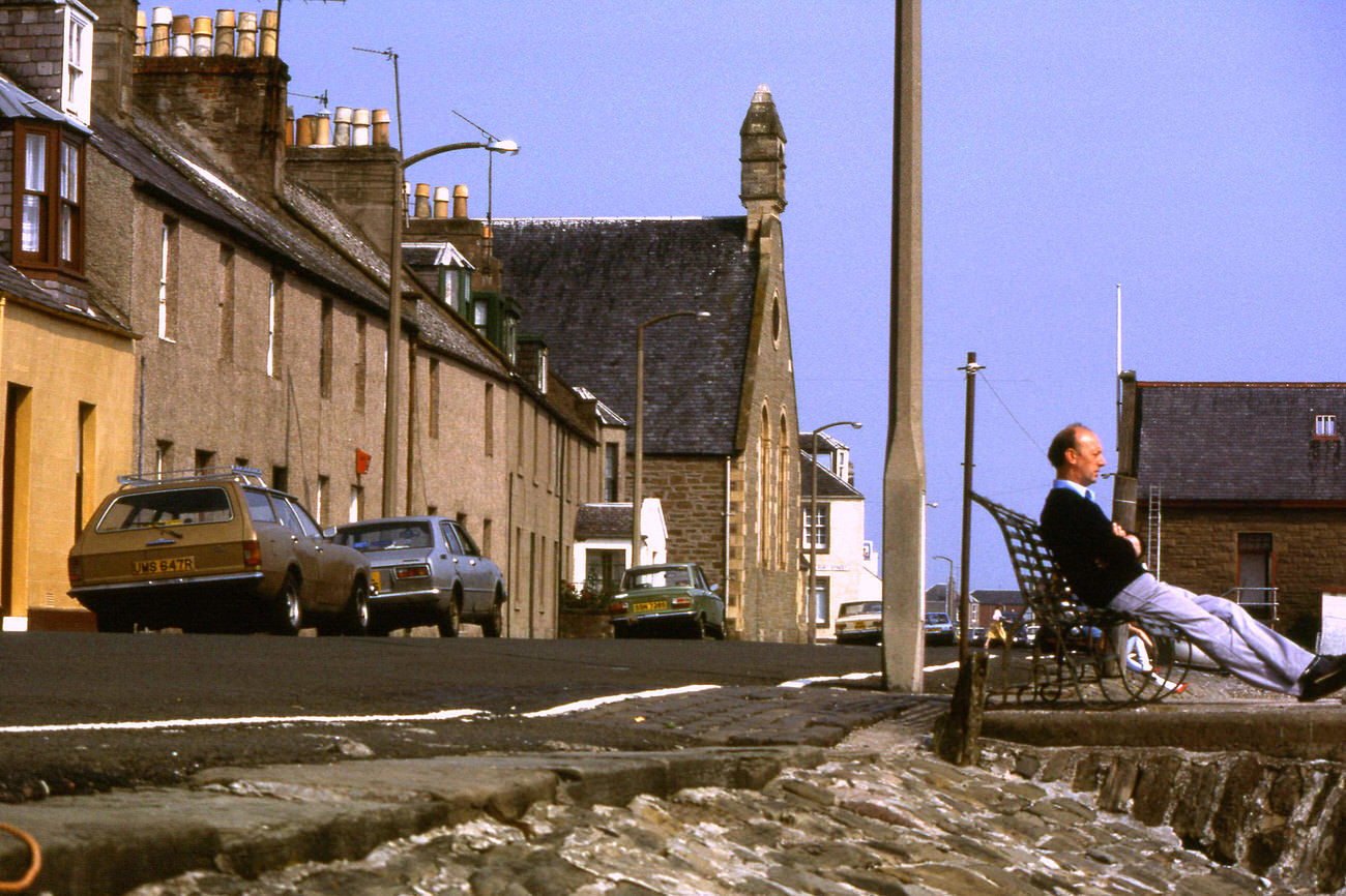
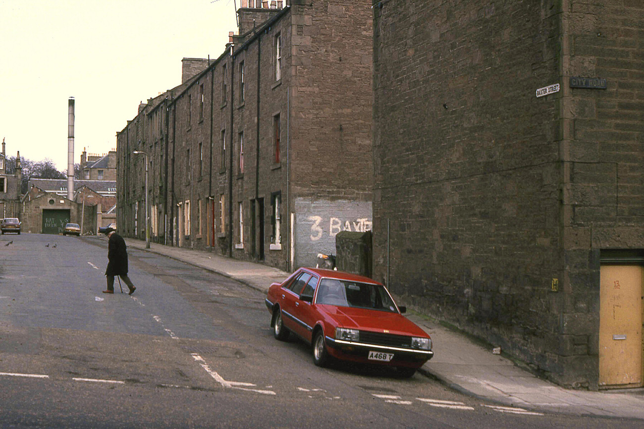
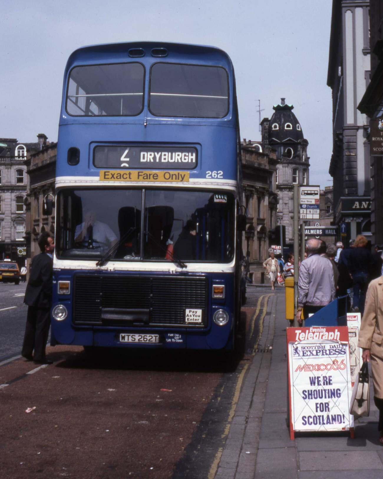
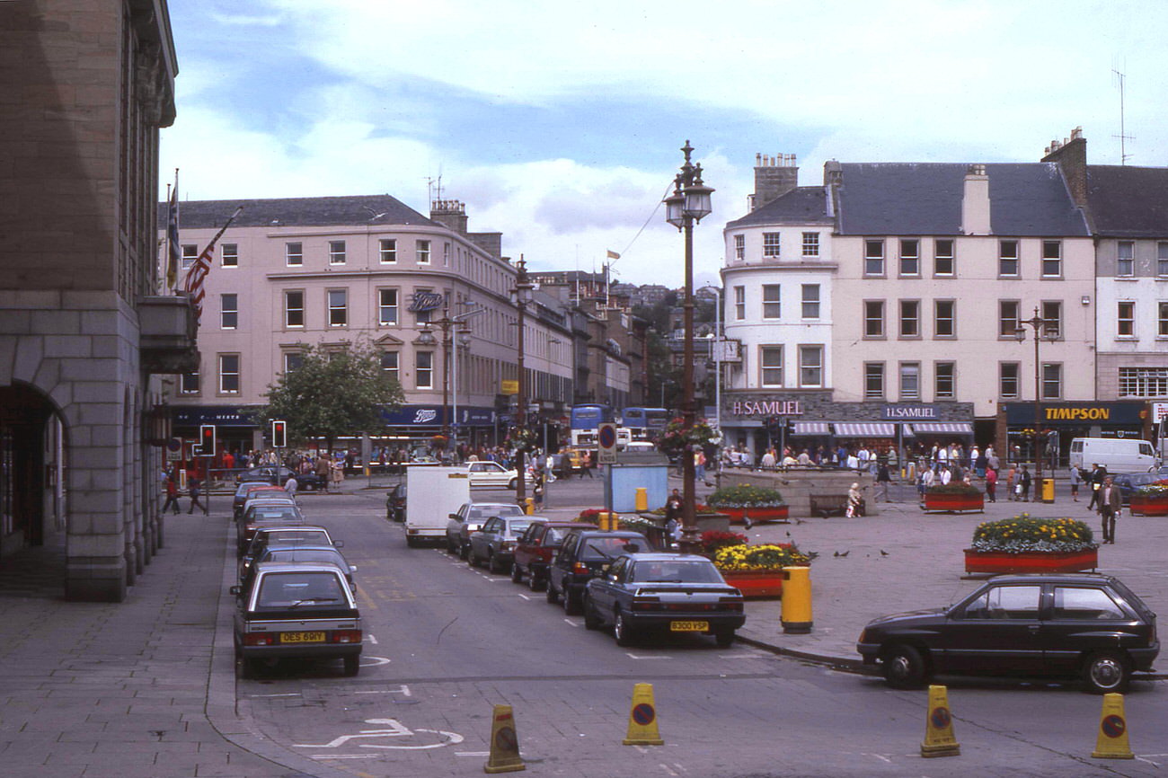
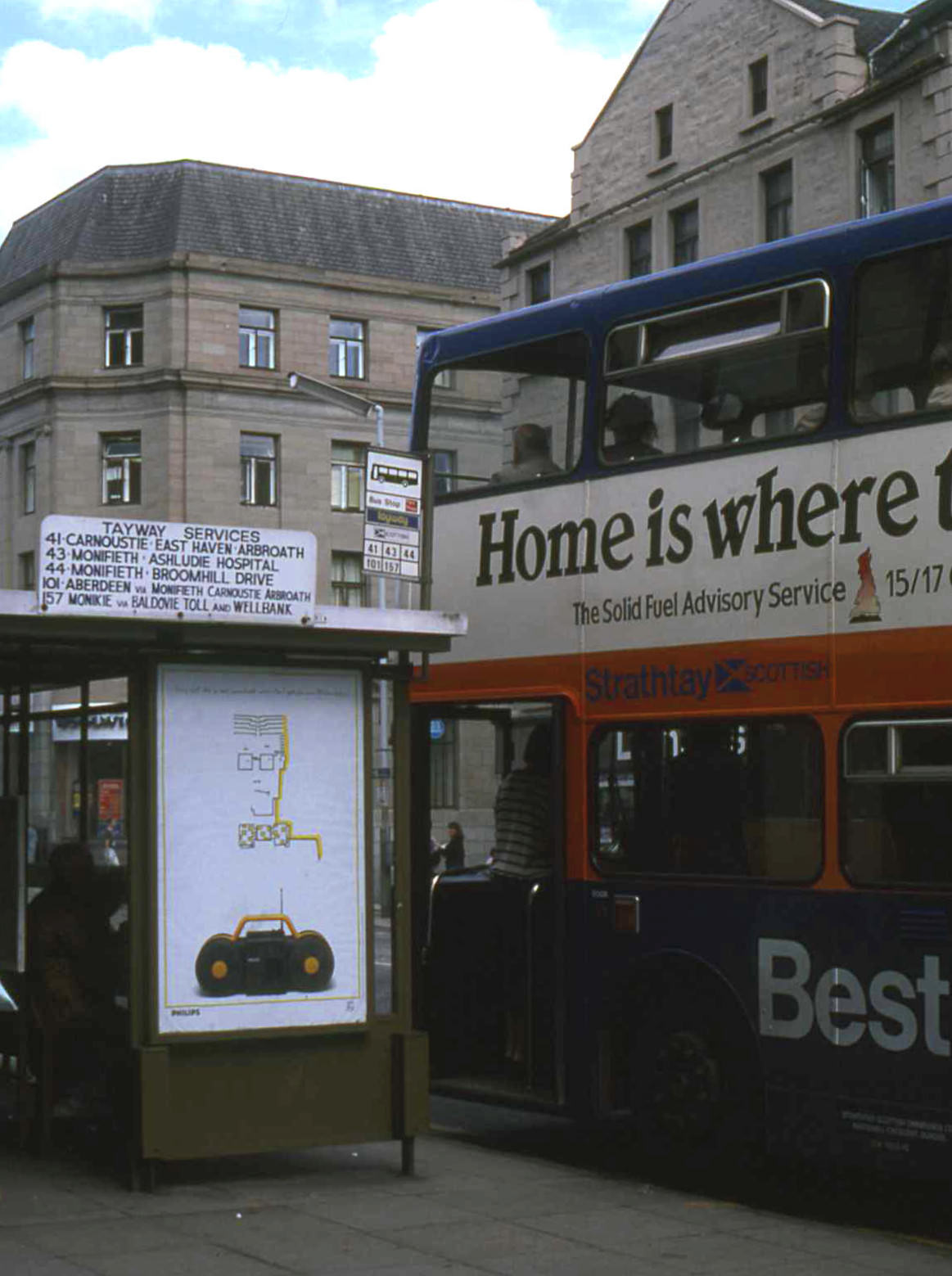
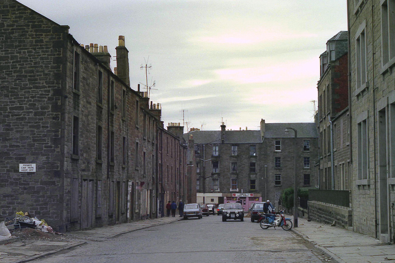
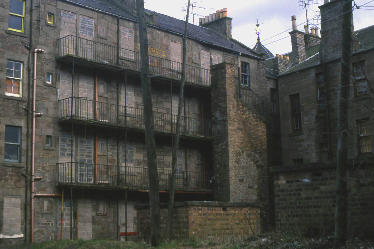
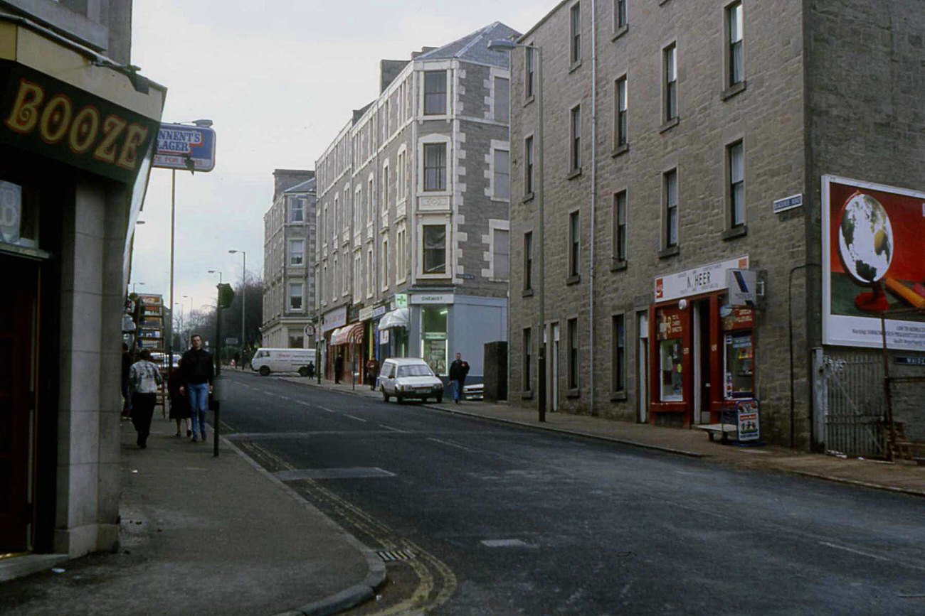
By the late 1980s, large sections of Dundee looked nothing like they had at the start of the decade. The waterfront clearance of 1988 opened up space along the Tay that had been occupied by industrial buildings for generations. Streets like Peddie Street, Blackness Road, and the back of Gardner’s Lane near Lochee Road were photographed in 1988, showing residential areas in various states of use and change. Victoria Road’s tenements, also captured that year, still stood — solid stone buildings that had housed working families for decades.
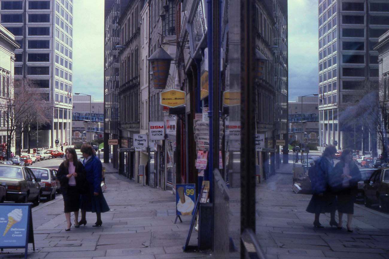

These photographs, taken street by street across the decade, show a Dundee that was losing old landmarks while struggling to build new ones. The people walking through the Murraygate on a winter Saturday, the buses running their routes, the cranes tearing down mill walls — all of it adds up to a picture of a city working through genuine hardship without stopping.