Columbus, Ohio in the 1970s was a city in the middle of a real transformation. It was growing outward into suburbs, building upward with new skyscrapers, and filling its streets with businesses, music, and culture. The photographs from this era capture a city that was confident, busy, and full of energy. From aerial shots of the Scioto River to corner shops on East Broad Street, these images bring 1970s Columbus to life in vivid detail.
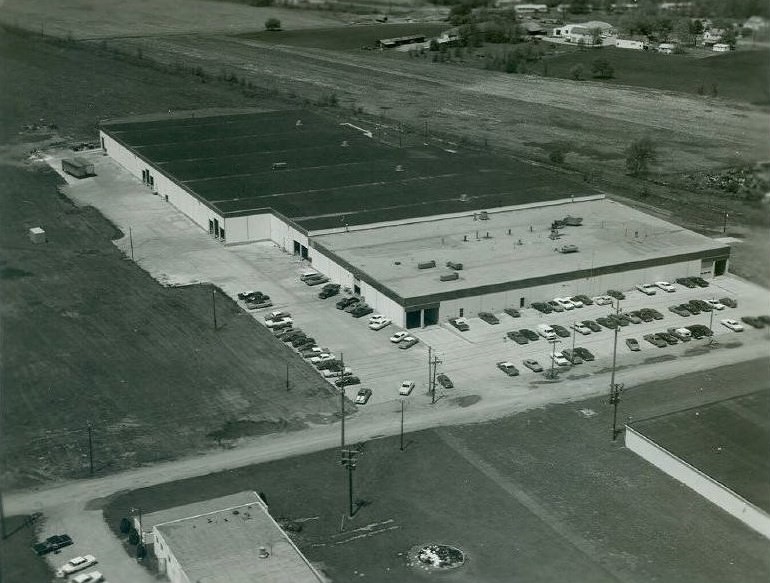
The suburbs around Columbus were expanding fast during this decade. Communities like Worthington, Upper Arlington, and Dublin drew families looking for good schools, quiet streets, and more space. Developers built new neighborhoods at a steady pace, and those areas quickly took on lives of their own — with their own shops, schools, and gathering places.
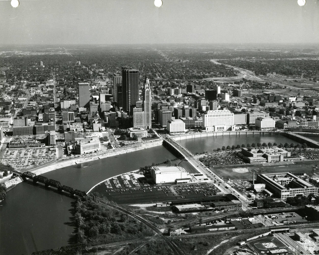
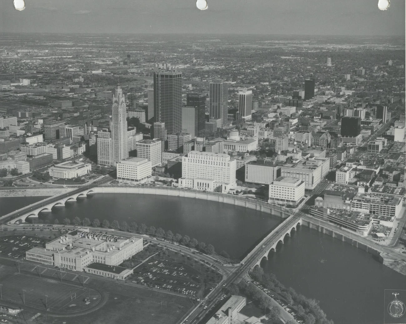
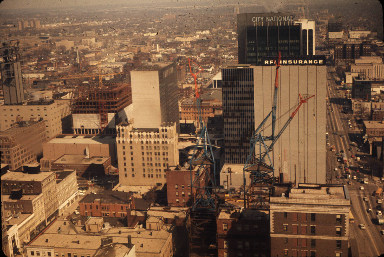
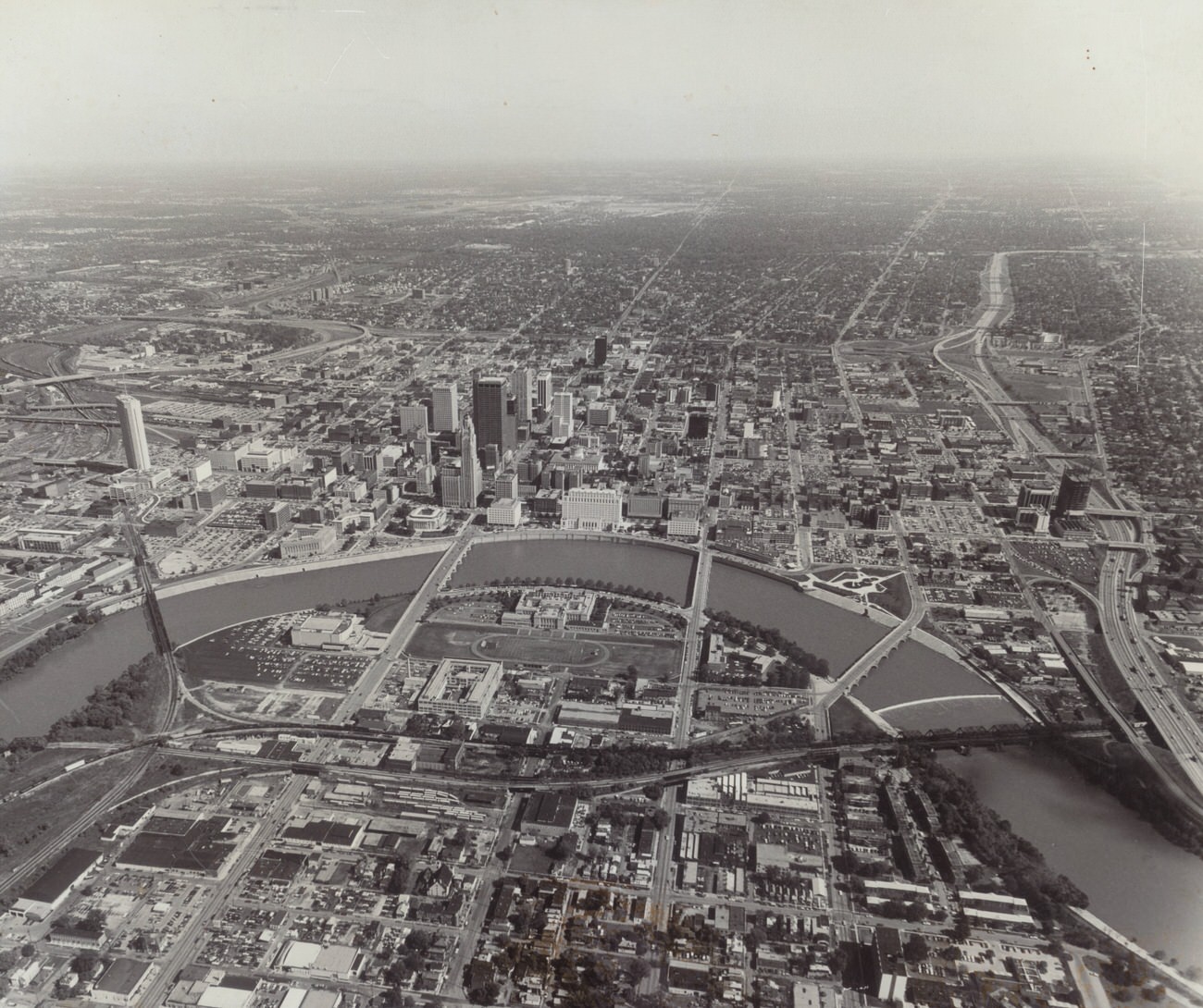
Downtown Columbus sat at the center of it all. The Scioto River formed a natural western boundary, and from the air, the city’s grid of streets and growing cluster of tall buildings made for a striking view. By the early 1970s, cranes were a common sight on the skyline as new construction pushed Columbus into a new era.
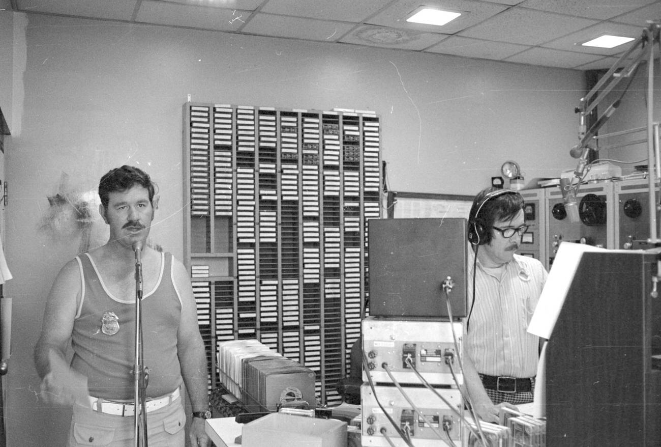
Radio was a major part of daily life in Columbus during this period. The Ohio State Fair, held every August at the fairgrounds on the north side of the city, drew enormous crowds and served as a showcase for local talent and media personalities. Stations like WNCI were a constant presence in the lives of Columbus residents.
At the intersection of Broad and High Streets stood the heart of the city’s civic and commercial life. The LeVeque Tower — a 47-story Art Deco landmark completed in 1927 — gave photographers a commanding view over the city’s rooftops. Looking down from that height in 1972, you could see Columbus in mid-transformation, with older low-rise buildings standing side by side with newer construction.
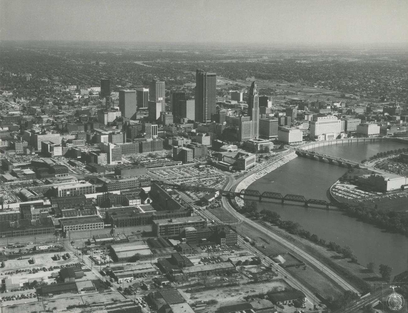
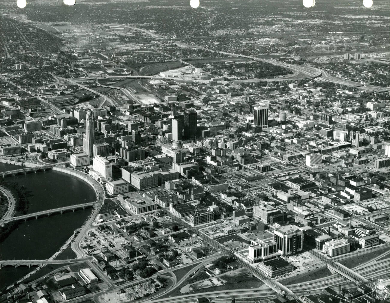
Multiple aerial photographs taken in 1973 show Columbus from different angles, and together they paint a complete picture of the city’s layout. The Scioto River snakes through each frame, separating the west side from the dense downtown core. Streets radiate outward in a rough grid, and the early 1970s skyline — still low by today’s standards — gives the city a compact, walkable feel.
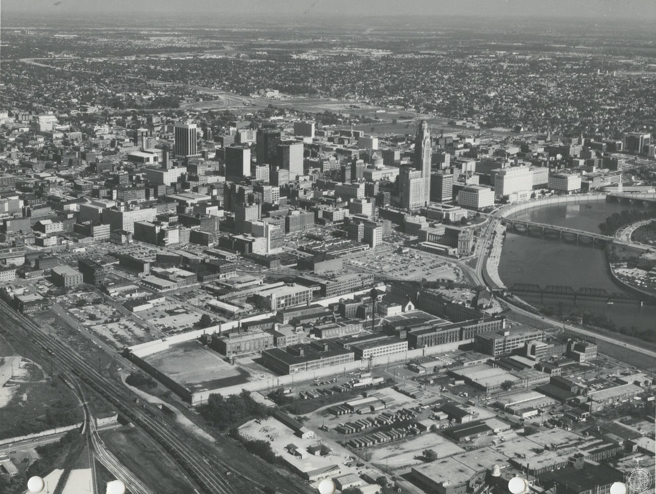
South and southeast of downtown sat two of Columbus’s most significant institutions of confinement. The Ohio Penitentiary, a massive stone structure, had housed inmates since 1834. Not far away, the Belmont Casket Company operated as a reminder of the industrial businesses that filled the edges of the urban core. Both appeared clearly in aerial views of the city during the early 1970s.
The confluence of the Scioto and Olentangy Rivers on the city’s northwest side was a geographic anchor for Columbus. Looking east from that vantage point in 1972, you could trace the city’s expansion toward the horizon, with residential neighborhoods giving way to the denser commercial and civic blocks of downtown.
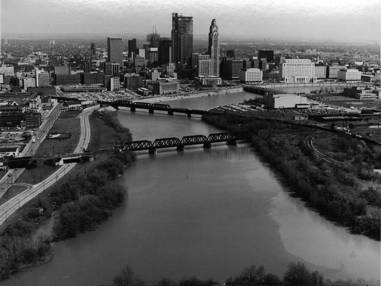
By 1975, the Columbus skyline had changed noticeably. The Rhodes State Office Tower, completed in 1974, now stood as the tallest building in the city at 629 feet. Its rectangular glass-and-concrete form towered over everything around it, announcing that Columbus had entered the age of modern high-rise architecture.
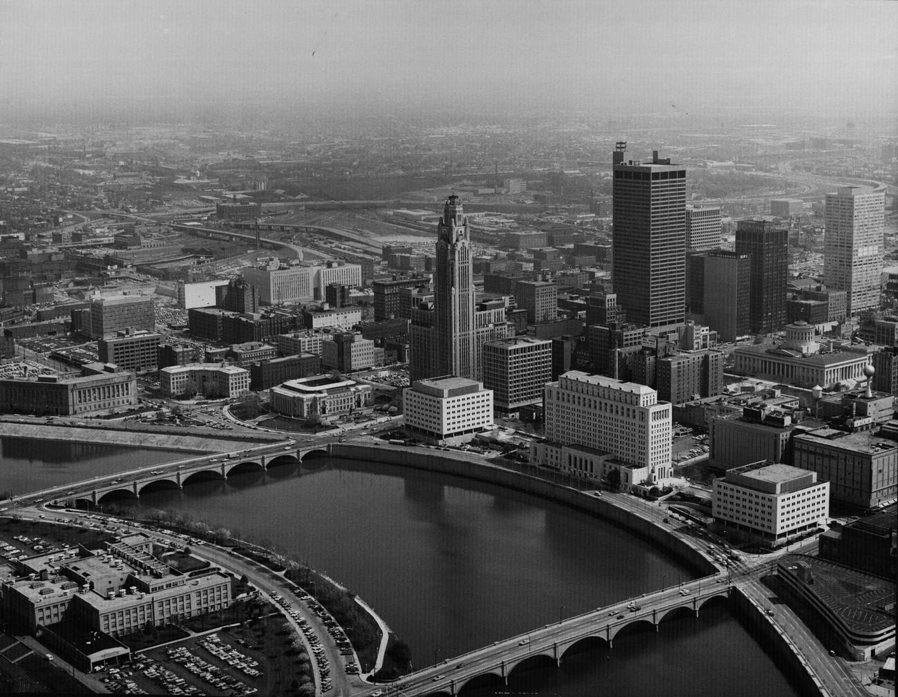
The construction of the Rhodes State Office Tower along East Broad Street was one of the defining building projects of the early 1970s. Work on the tower and surrounding infrastructure, including the Ohio Bell Telephone Company building nearby, reshaped the entire stretch of Broad Street east of downtown. Aerial views from 1972 show both projects mid-construction.
Just north of downtown, the land that would eventually become the Arena District was still dominated by the Ohio Penitentiary in the early 1970s. The prison complex occupied a large block and was surrounded by industrial and residential buildings. Aerial shots from 1971 show this stretch of the city before decades of redevelopment would dramatically change it.
South of downtown, the Brewery District was one of Columbus’s oldest industrial neighborhoods. Looking north from that area in 1971, you could see the full sweep of the downtown skyline rising above the older brick buildings and warehouses that lined the streets closer to the river.
The Franklin County Jail and the Nationwide Insurance building were two very different kinds of institutions that both left their mark on the Columbus skyline. Nationwide, founded in Columbus in 1926, had grown into one of the largest insurance companies in the country by the 1970s, and its headquarters building was a prominent feature of the downtown vista along the Scioto River.
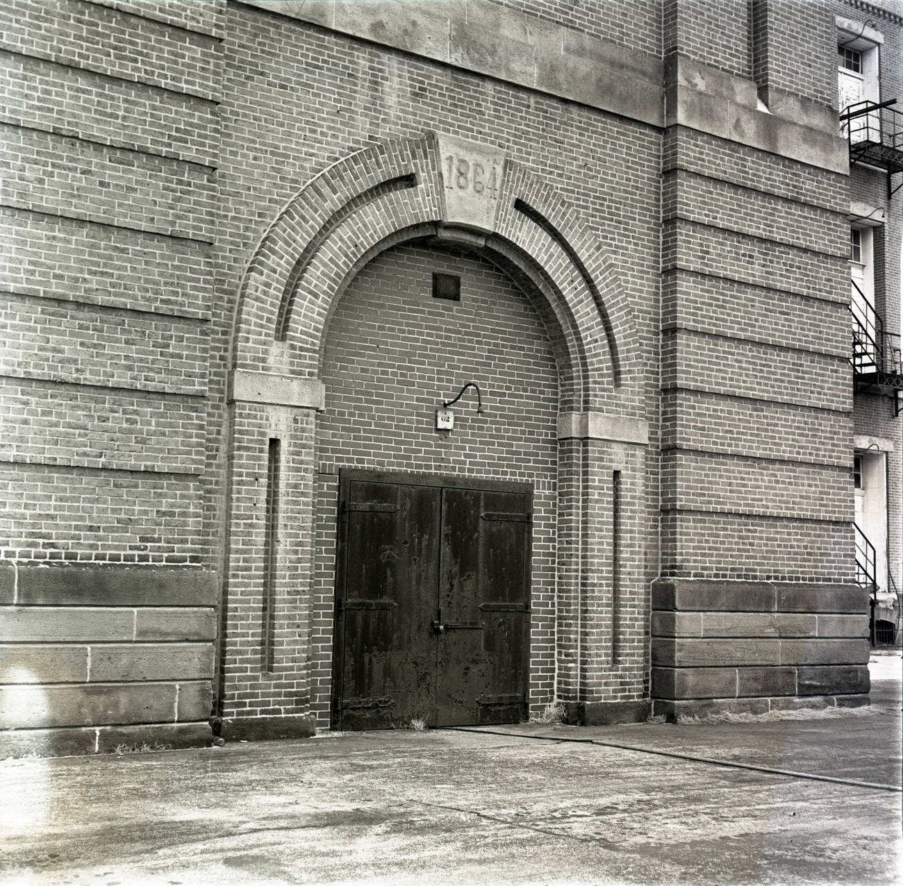
Fort Hayes, located on the north side of Columbus, began as a federal arsenal in the 1860s. The original barracks and shot tower, built between 1863 and 1864, remained standing into the 1970s and were eventually incorporated into the Columbus City Schools campus. The stone structures stood as a quiet reminder of the city’s Civil War-era military history.
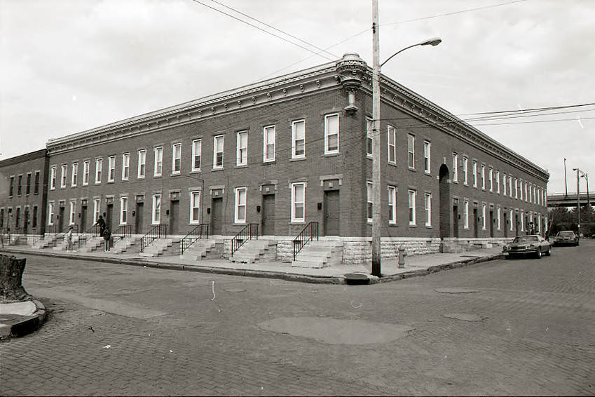
The Italian Village neighborhood, just north of downtown, was home to some of Columbus’s oldest surviving residential architecture. The C.M. Williams Building on the corner of Kerr and Russell Streets was built around 1890 and stood as an early example of apartment design that gave each unit its own street-level entrance — an unusual feature for its time.
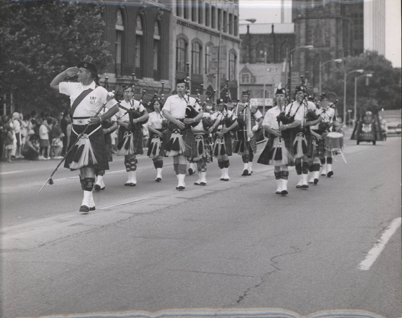
Columbus had a strong tradition of public parades and civic celebrations throughout the 1970s. Groups like the Capital City Pipes and Drums were a regular presence on downtown streets, marching through the city center in full regalia. These events drew large crowds and reinforced the community identity that Columbus residents took pride in.
The Central Police Station on Sullivant Avenue had been the city’s main law enforcement hub since it opened in March 1930. By 1974, the building had decades of history within its walls. It replaced an older workhouse and served as the operational center of the Columbus Division of Police through much of the twentieth century.
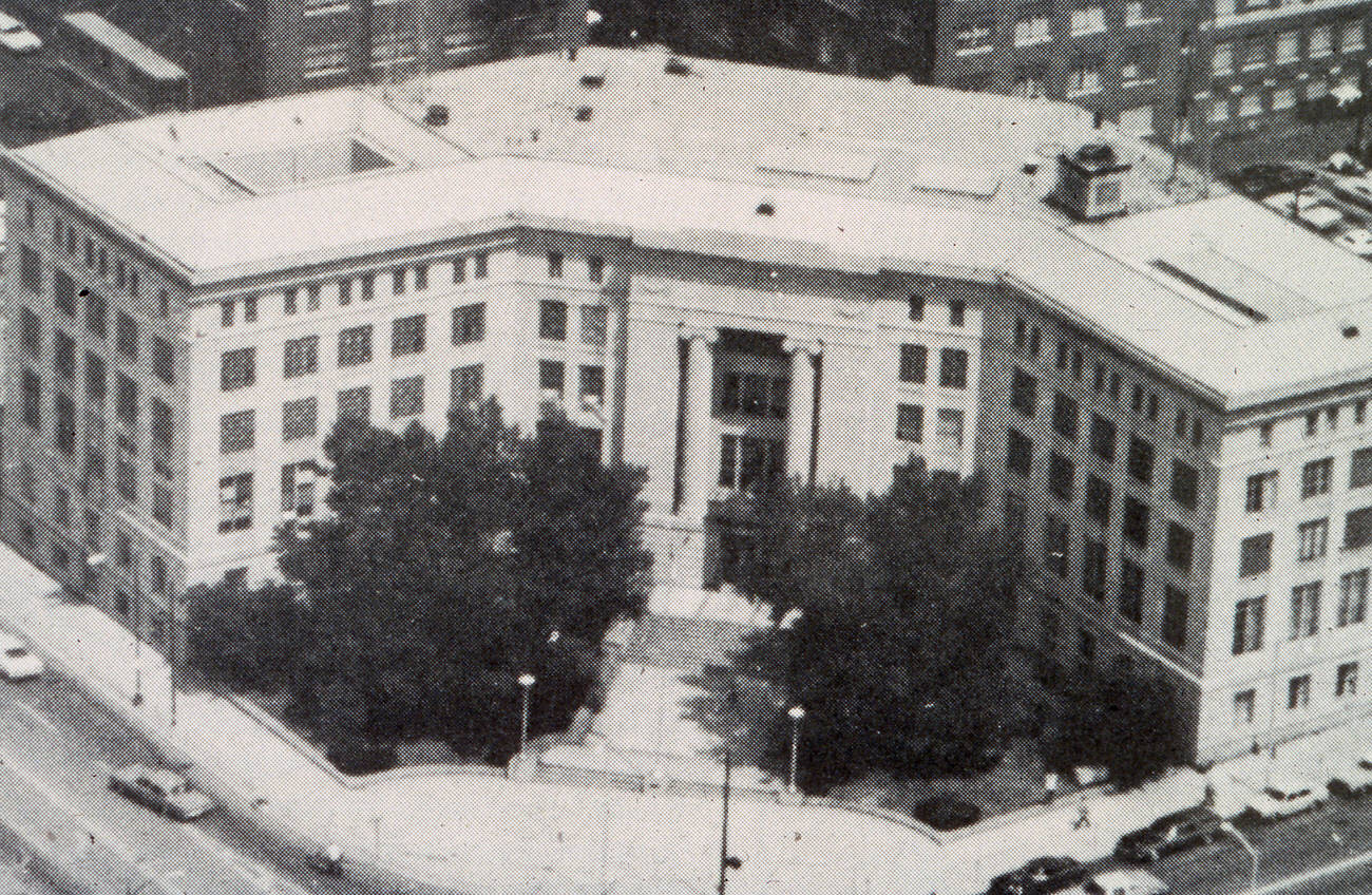
Downtown Columbus saw the demolition of several historically significant buildings during the 1970s. The City Hall Annex, originally built in 1902 as the David S. Gray Century Building, had housed the Charles C. Higgins Company until 1921. It was photographed around 1976 and demolished on March 31, 1980, as part of the city’s ongoing urban renewal effort.
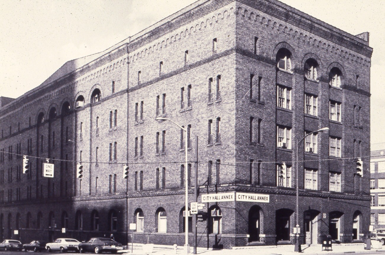
Retail in Columbus expanded well beyond the downtown core during the 1970s. The Colony Bazaar on Kenny Road opened its doors on December 1, 1974, offering shoppers a suburban alternative to the traditional downtown department stores. It was part of a broader pattern of commercial development following population growth into the city’s west and northwest sides.
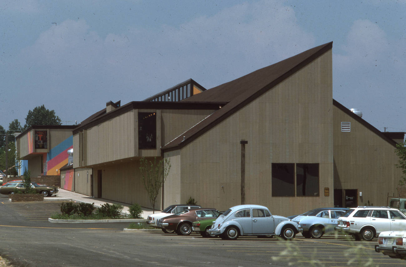
The Columbus Metropolitan Library served as a central resource for the city’s residents throughout the decade. Its main reference room was a spacious, well-used space where students and adults alike came to research, read, and study. The library system was an important civic institution in a city that was growing rapidly in both size and diversity.
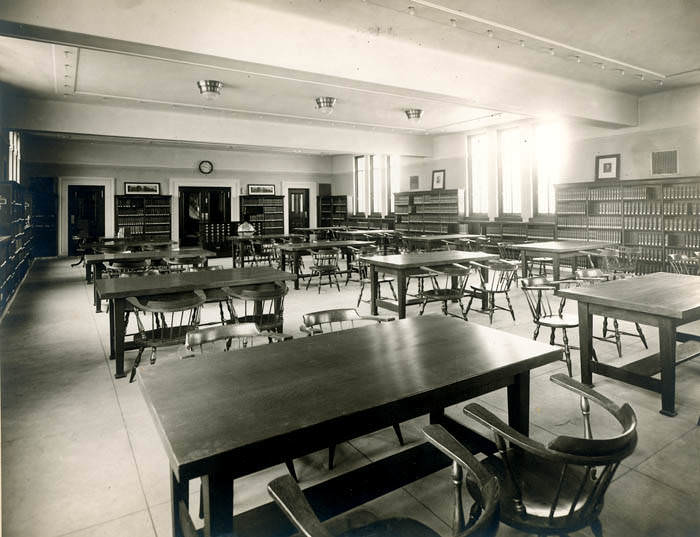
The Third Columbus Union Station was a landmark that didn’t survive the decade. Rail travel had declined sharply in the postwar years, and by the mid-1970s, the station’s days were numbered. It was razed on October 22, 1976, ending the era of grand train travel in Columbus and leaving behind a large gap in the urban fabric near downtown.
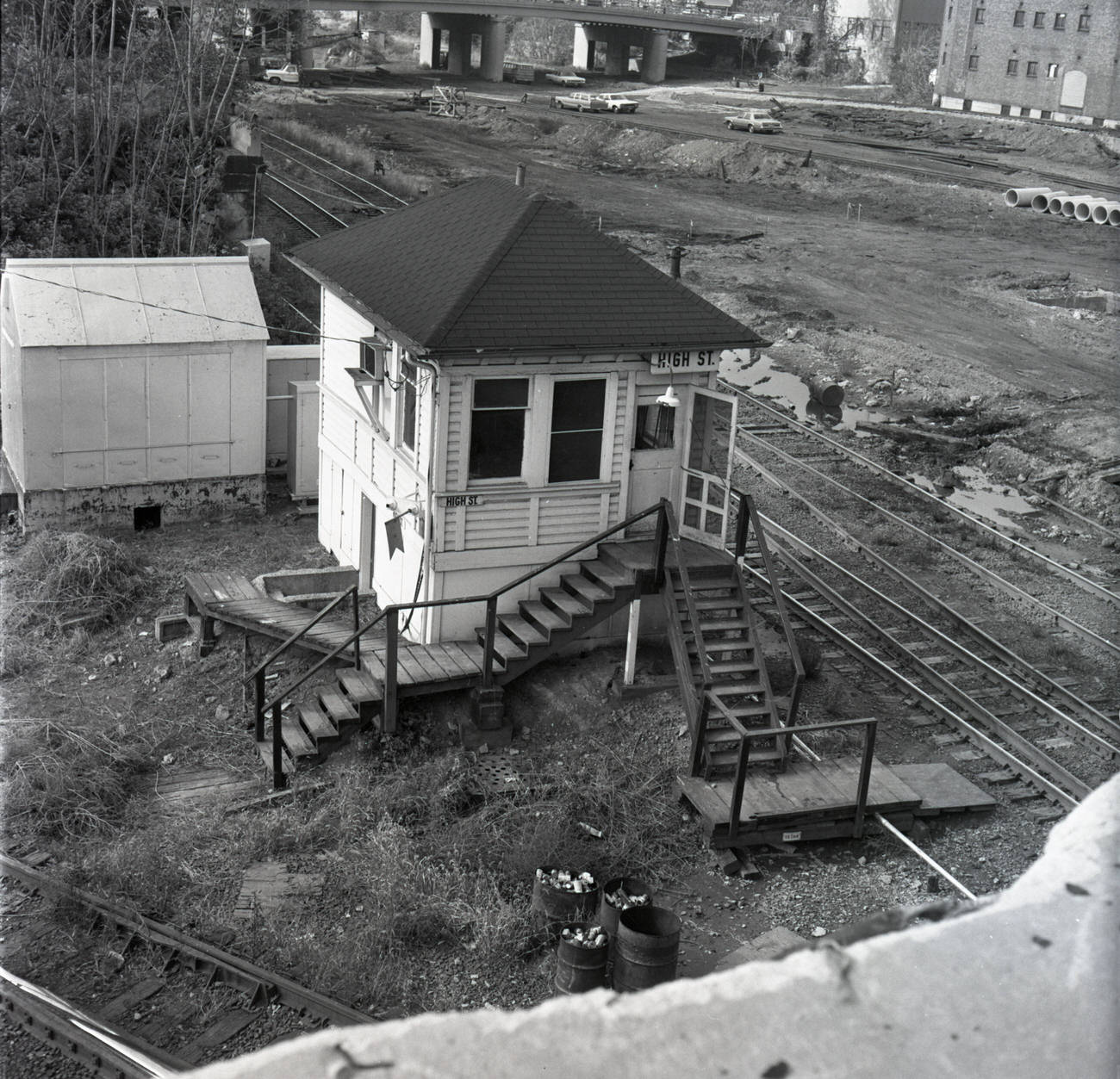
Demolition was a recurring theme in 1970s Columbus. Small businesses and older commercial buildings frequently fell to wrecking crews as the city cleared space for new development. On May 14, 1977, Dave’s Gun Shop came down — one of many neighborhood fixtures that disappeared during this period of aggressive urban change.
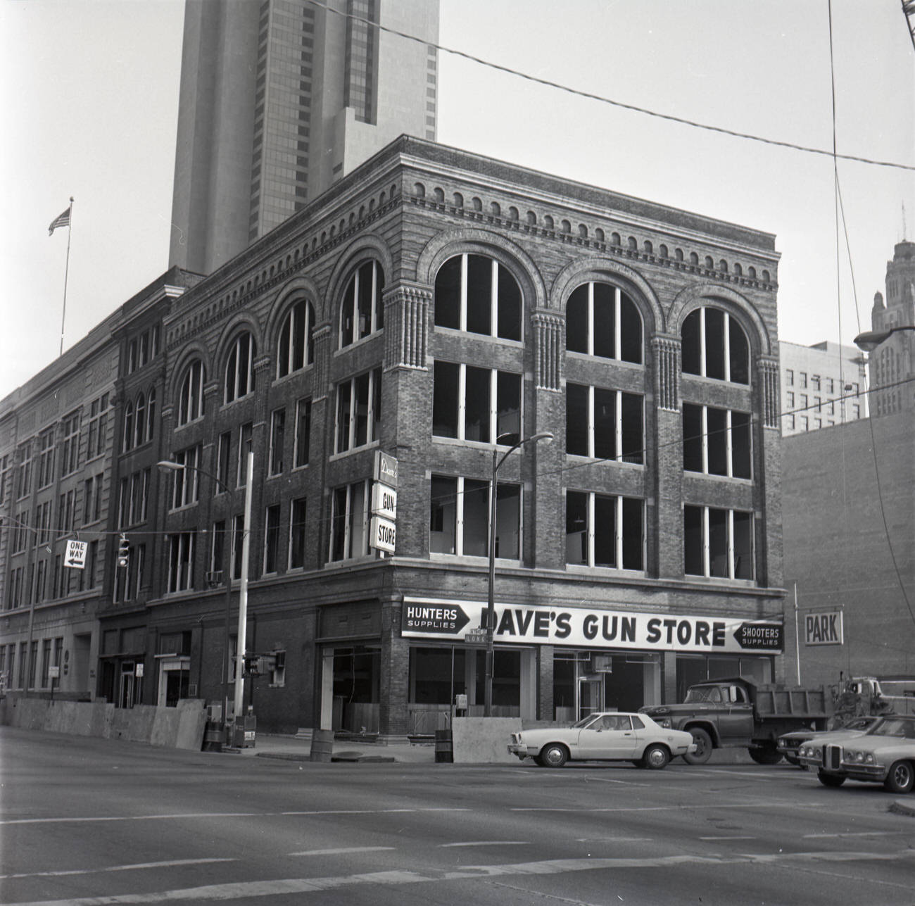
Music and youth culture were thriving in Columbus during the 1970s. Independent record shops were gathering places for music fans, and Discount Records was among those serving that community. Photographed in 1973 by A.V. Shirk, the shop’s exterior reflected the visual style of the era — hand-lettered signs, album art in the windows, and a storefront that drew customers straight off the street.
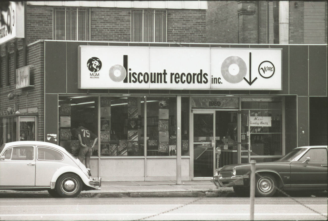
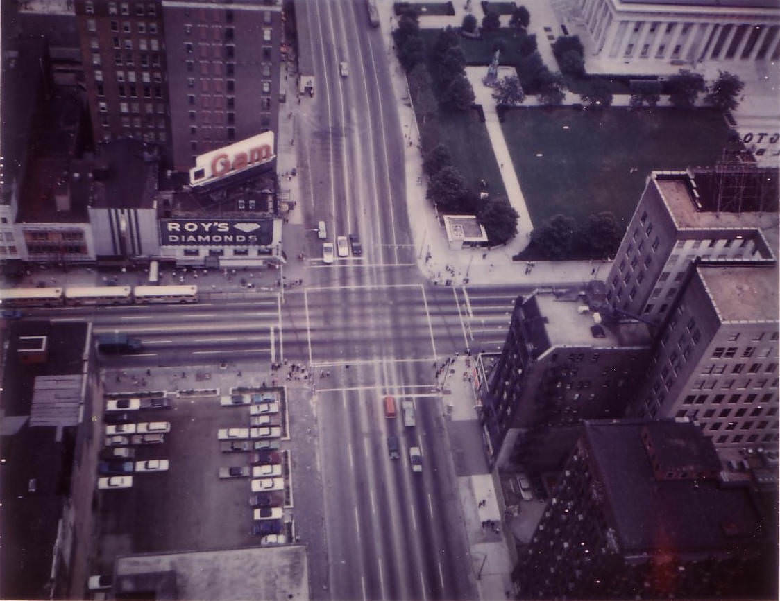
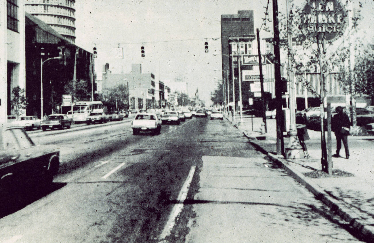
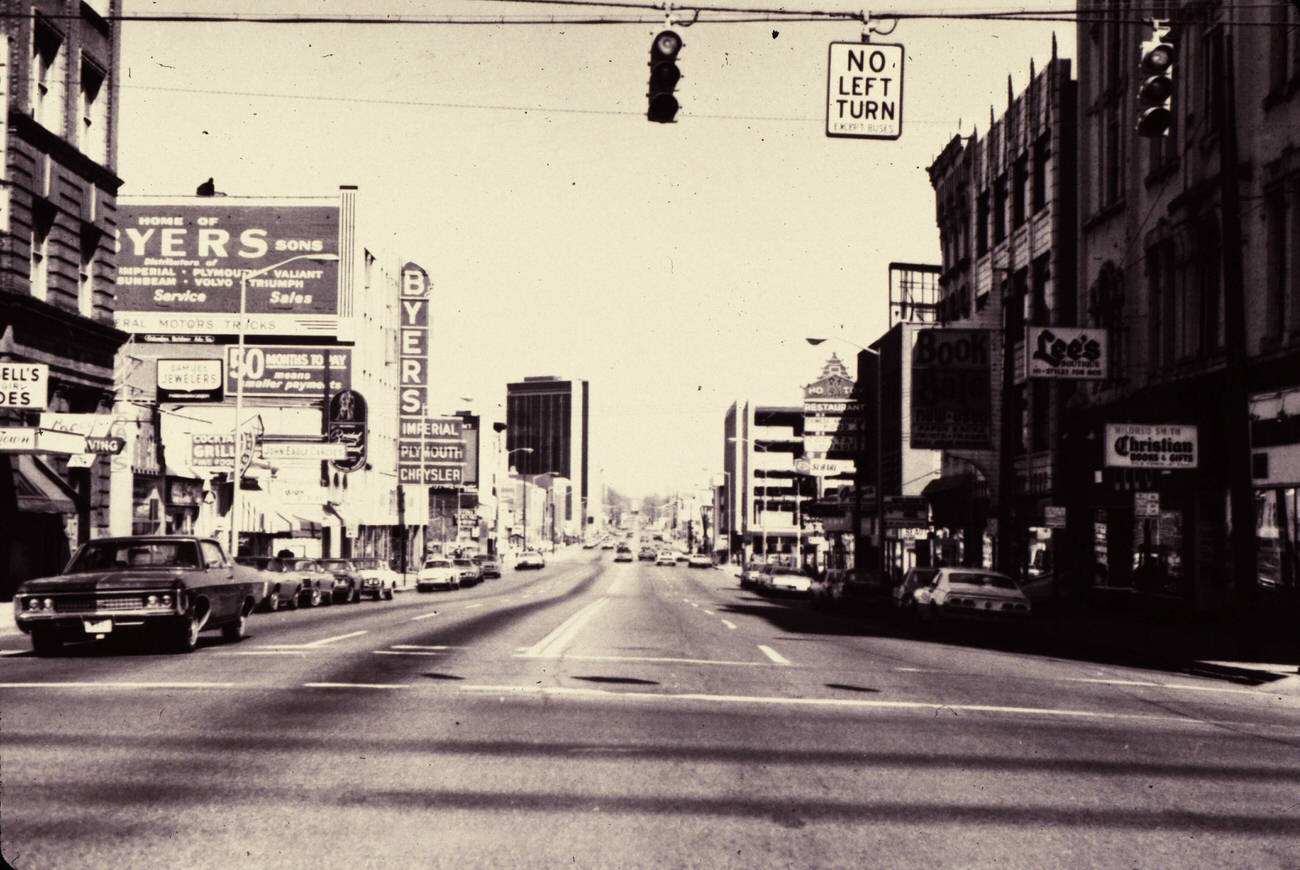
North High Street was the main artery running through Columbus from south to north. Looking south from above in 1977, the street was lined with a dense mix of retail shops, offices, restaurants, and entertainment venues. This corridor anchored the commercial life of the city and served as the main route connecting the university district to the heart of downtown.
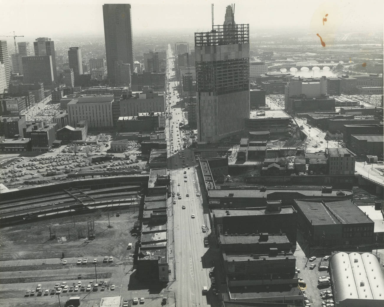
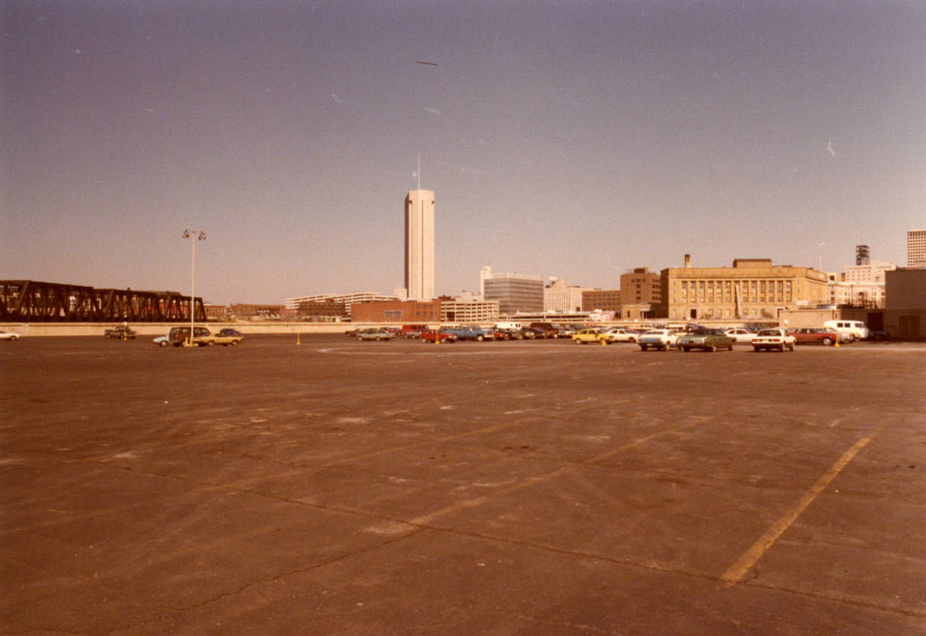
By the end of the decade, Columbus had filled in many of the gaps in its downtown streetscape. A view looking east from the Veterans Memorial parking lot in 1979 shows a city that had grown denser and taller, with the Rhodes Tower now fully dominating the skyline and newer office buildings filling the blocks around it.
East Broad Street in 1973 was a working commercial strip where national chains and local businesses operated side by side. The Len Immke Buick dealership was a well-known local institution, while the first Wendy’s Restaurant — founded in Columbus in 1969 by Dave Thomas — had already begun expanding along key commercial corridors like this one.
East Town Street, running east from South High Street, was a mixed commercial and institutional corridor in the early 1970s. Local storefronts lined the sidewalks alongside larger facilities like the Grant Hospital School of Nursing, which trained medical professionals for the city’s growing healthcare sector.
Columbus claimed Edward “Eddie” Rickenbacker as one of its most celebrated native sons. Born in the city in 1890, Rickenbacker became America’s top flying ace in World War I, with 26 aerial victories, and later built Eastern Air Lines into one of the country’s largest carriers. His birthplace in Columbus was preserved as a point of local pride.
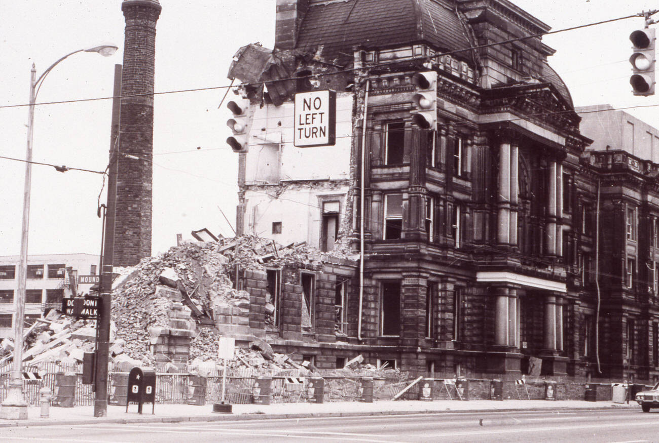
The old Franklin County Courthouse was another casualty of 1970s-era demolition. Work began tearing it down on October 4, 1974. The structure had served the county’s legal system for generations, but city planners determined it no longer met the needs of a growing metropolitan area, and its site was cleared for new development.
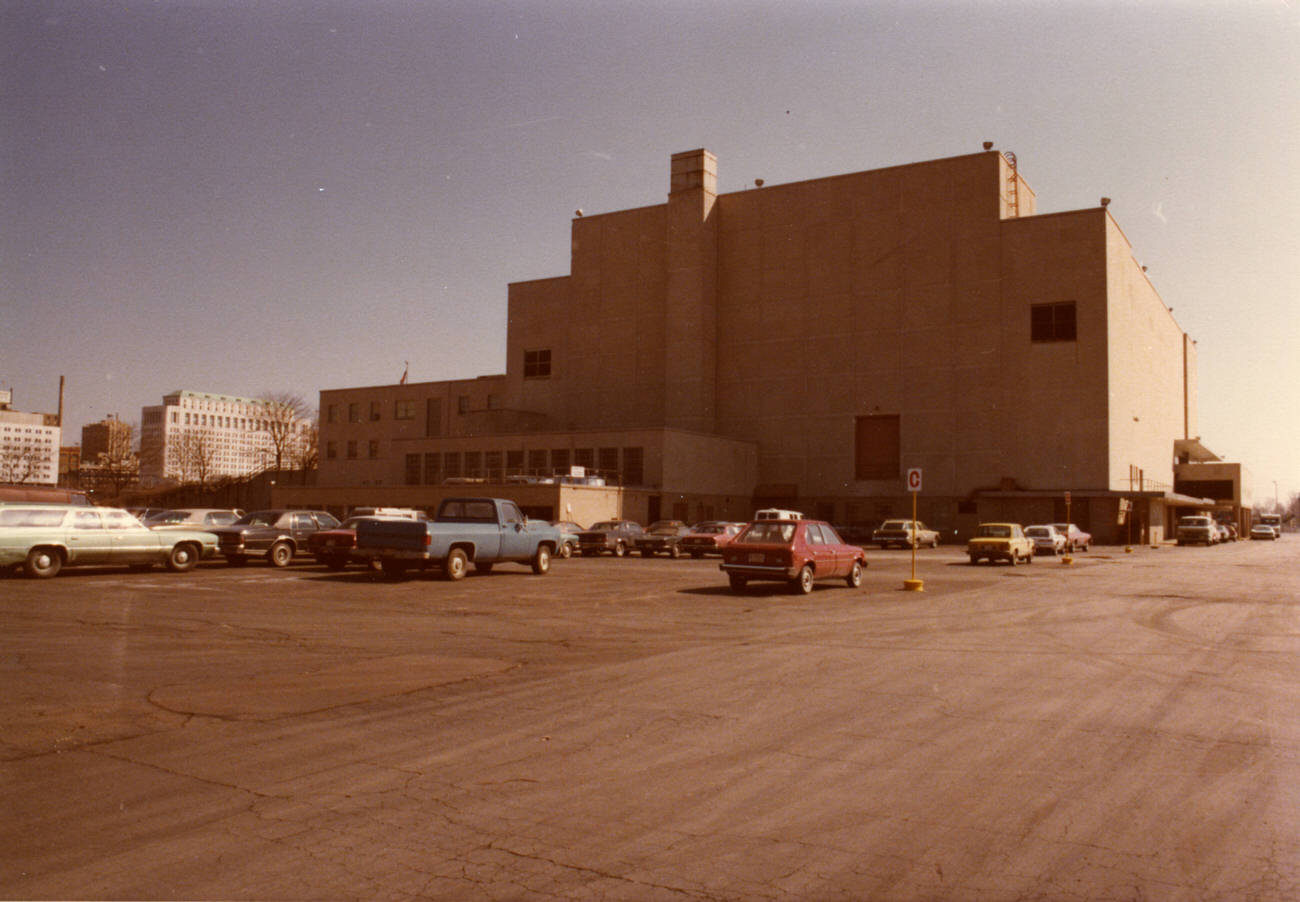
The Franklin County Veterans Memorial stood as a tribute to the men and women from the Columbus area who served in the country’s wars. By 1979, the memorial was a well-established landmark near the Scioto River on the western edge of downtown. Its architecture and grounds were photographed from multiple angles, capturing its role as both a civic space and a place of remembrance.
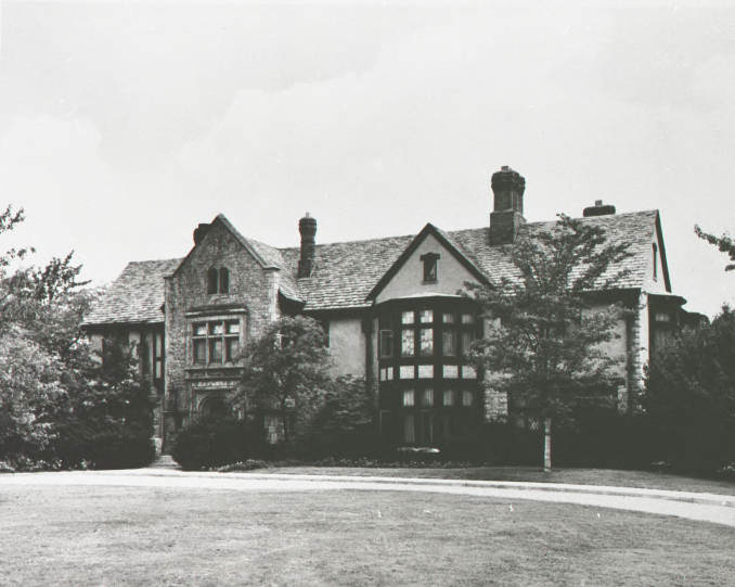
Ohio’s governor resided in Columbus, and the Governor’s Mansion was one of the city’s more recognizable residential landmarks. Located on East Broad Street, the mansion served as both an official residence and a symbol of state government’s presence in the city throughout the 1970s.
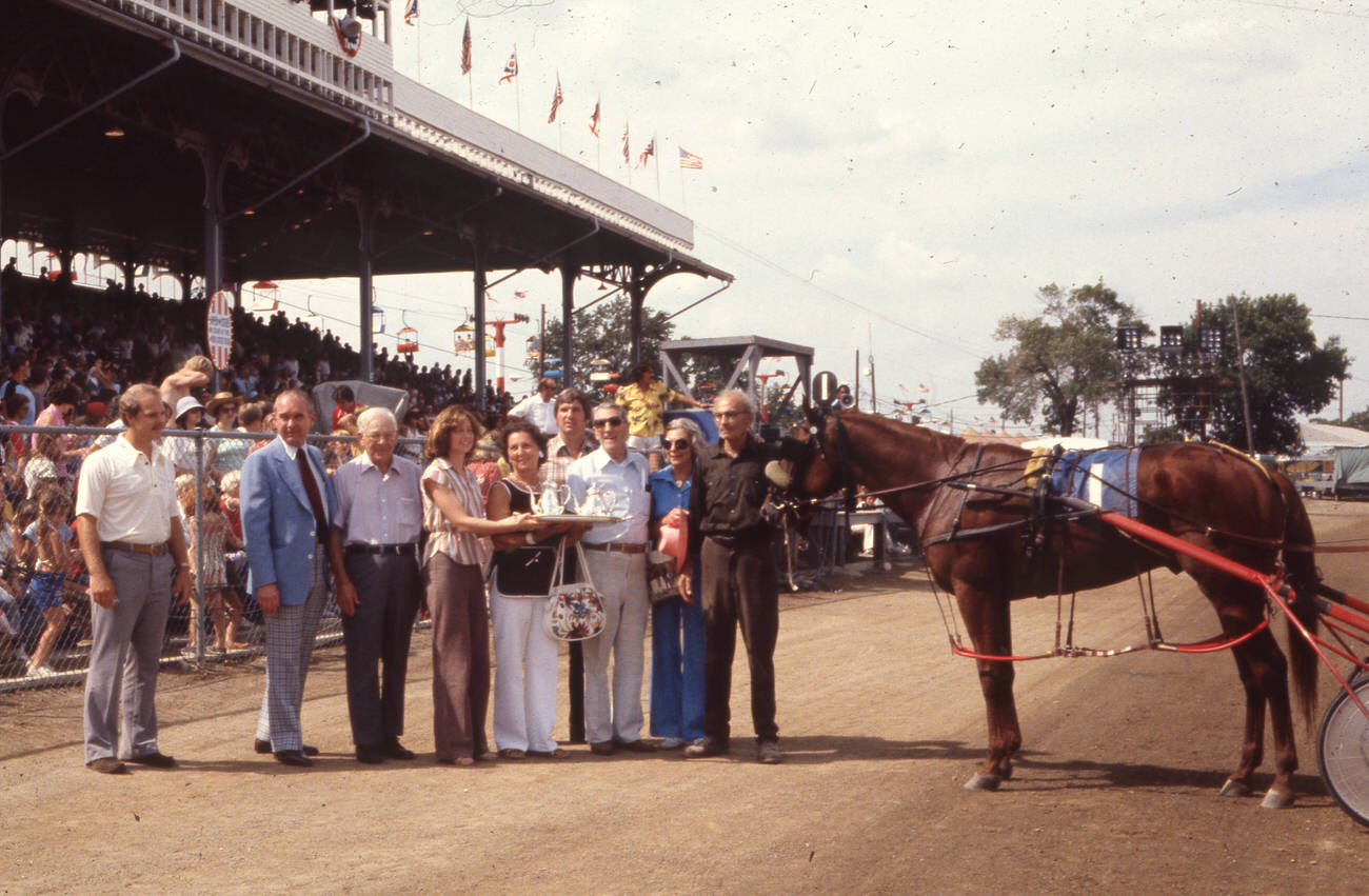
The Ohio State Fair was a major annual event that drew visitors from across the state every August. The Grandstand at the fairgrounds hosted horse racing, concerts, and competitions that packed in large crowds. The winners’ circle was a focal point of the racing events, and the 1978 fair was no exception.
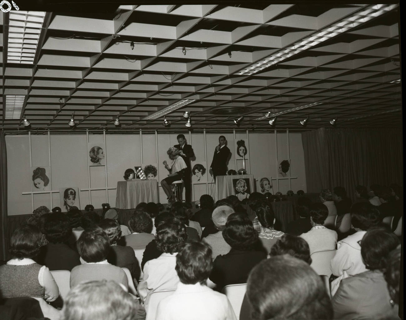
Lazarus department store was the anchor of downtown Columbus shopping in the 1970s. The store’s six-floor building on High Street was a destination for Columbusites of all ages. Events held on the upper floors — like hair styling demonstrations by Drake Zachary in the 6th floor assembly center — drew crowds and kept the store at the center of Columbus social life.
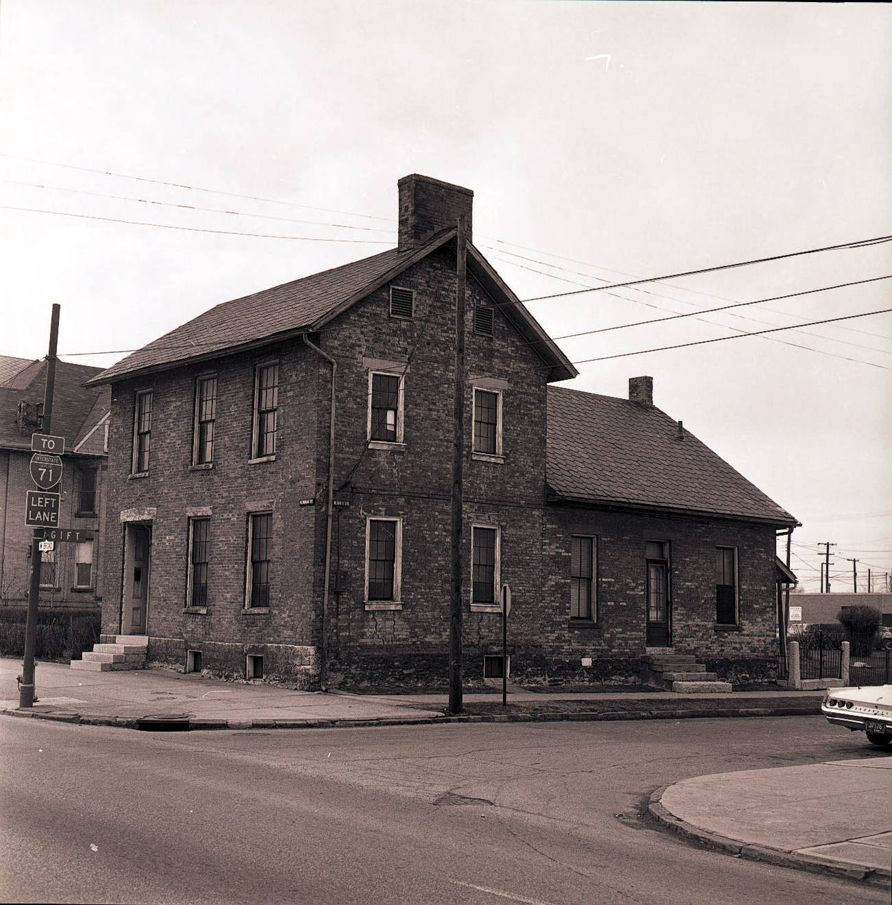
Harrison House was a structure believed to have served as General William Henry Harrison’s headquarters during the War of 1812. By the mid-1970s, the building was a local historical curiosity — a fragile link to the early American frontier era when the land that became Columbus was still contested territory.
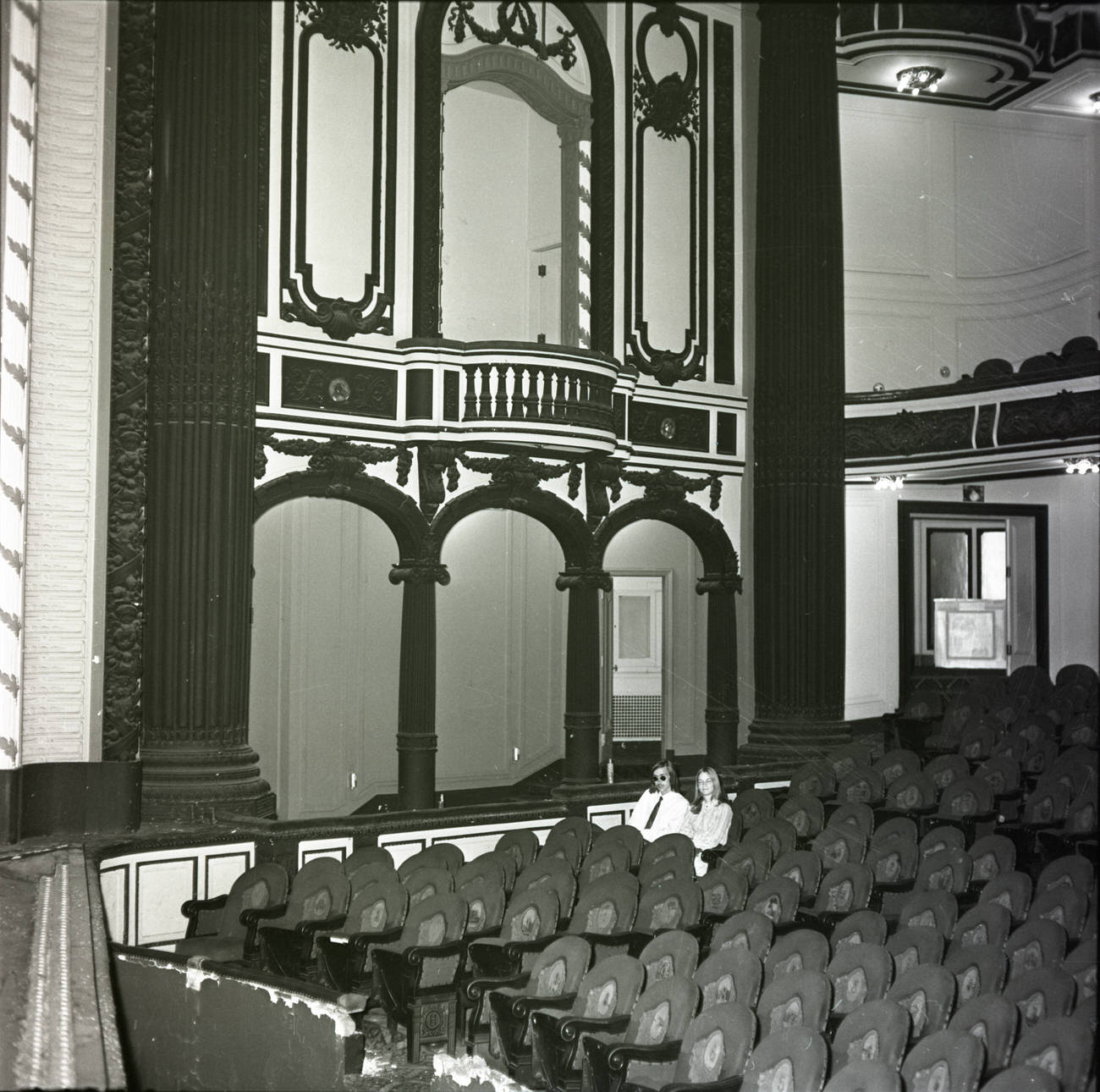
The Hartman Theater, which had opened in 1911, was demolished in 1971 before it could be documented more thoroughly. Photographs taken just before or during demolition that year show the ornate interior — the carved details, the tiered seating, and the grand proscenium arch — that would soon be reduced to rubble. It was one of many theaters that fell across American cities during this era.
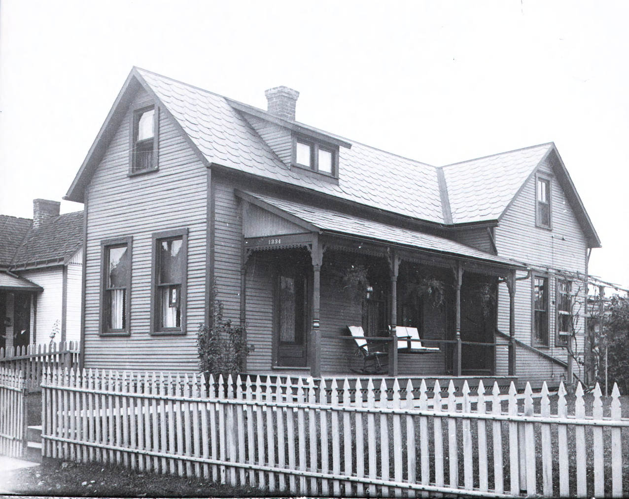
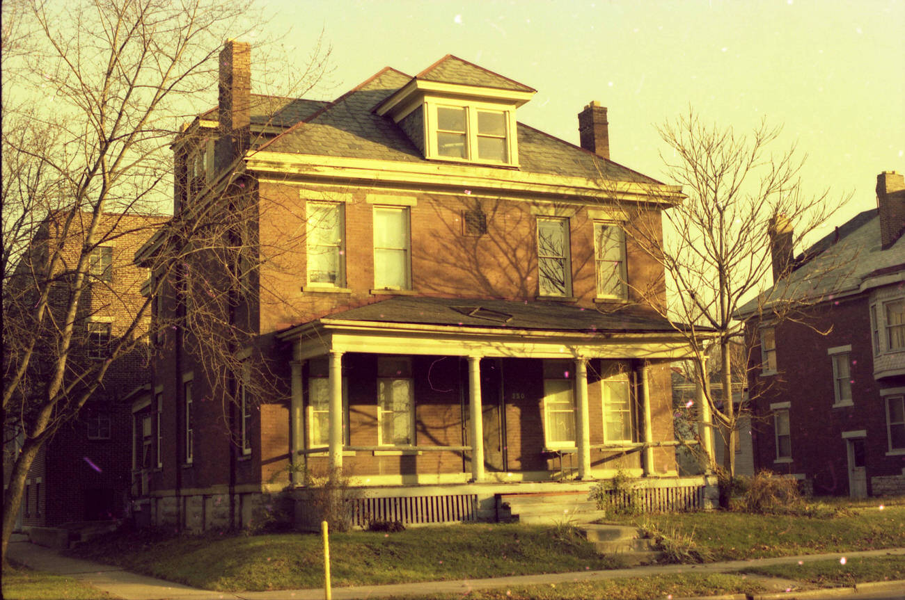
Residential streets throughout Columbus were lined with homes that ranged from modest wood-frame houses to solid brick Victorians. A home at 350 West 5th Street, photographed around 1975, was a typical example of the older housing stock found in the city’s near-west neighborhoods — areas that had been built up in the early twentieth century and were still largely intact.
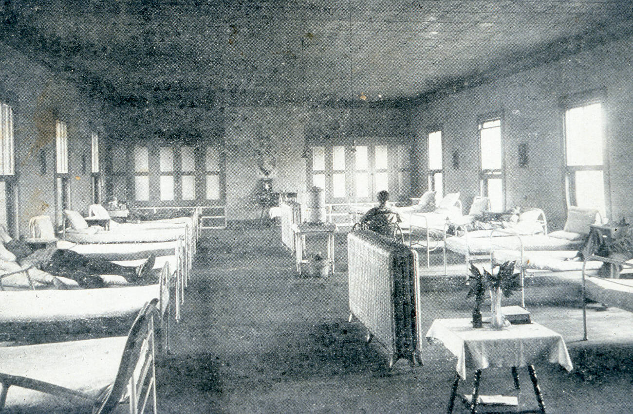
Columbus had several older institutional facilities still in operation during the 1970s. One hospital ward that had been operational since 1895 finally closed on January 1, 1978. Interior photographs taken during its final years show the long rows of beds, the high ceilings, and the functional, unadorned architecture typical of late nineteenth-century medical facilities.
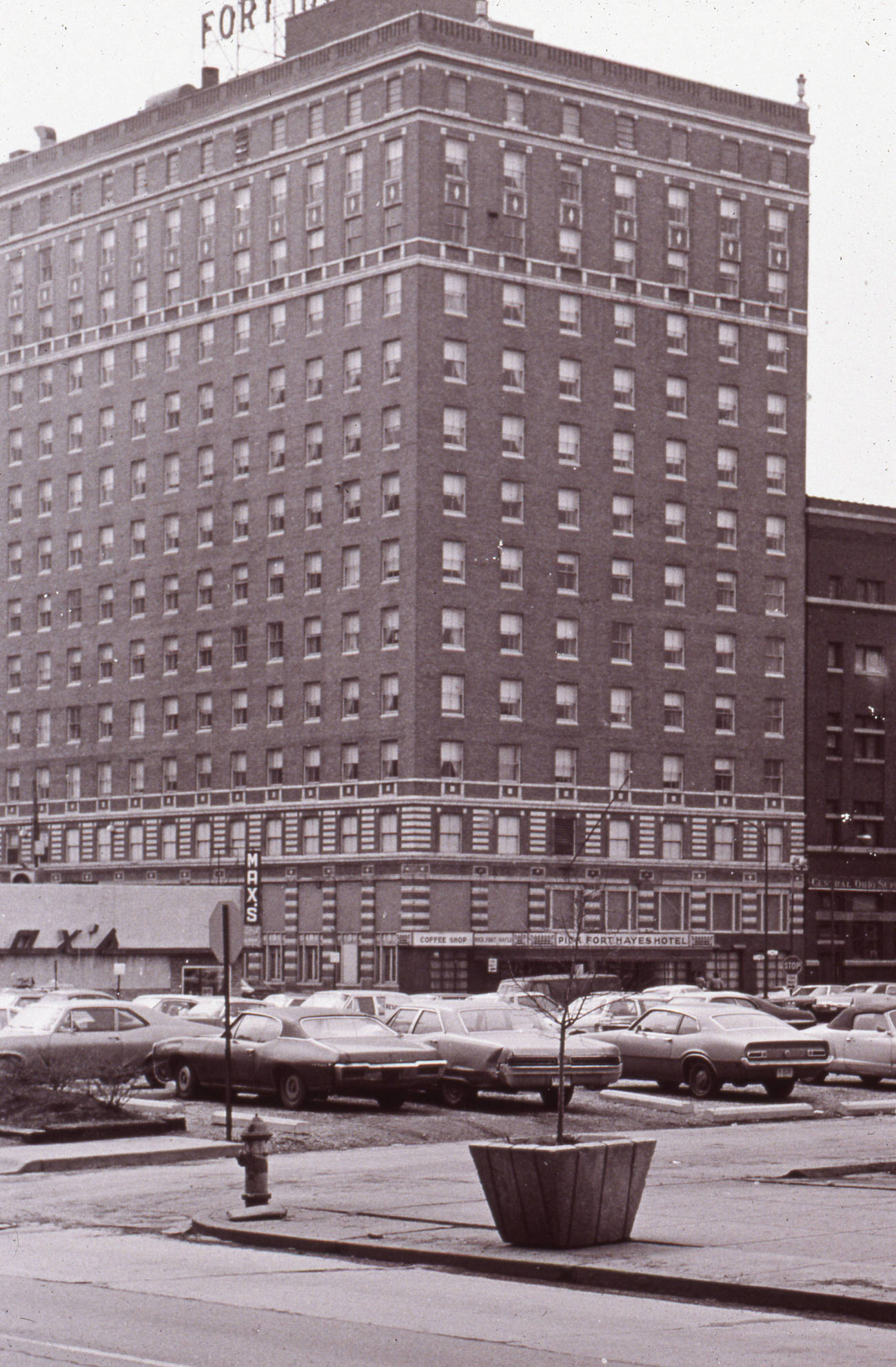
Hotel Fort Hayes, which had opened in 1924 near the old arsenal grounds on the north side of downtown, closed its doors in 1977. For over five decades it had served travelers and hosted civic events. By the time it was photographed around 1972, the hotel was already aging, and its eventual closure marked the end of an era for that part of the city.
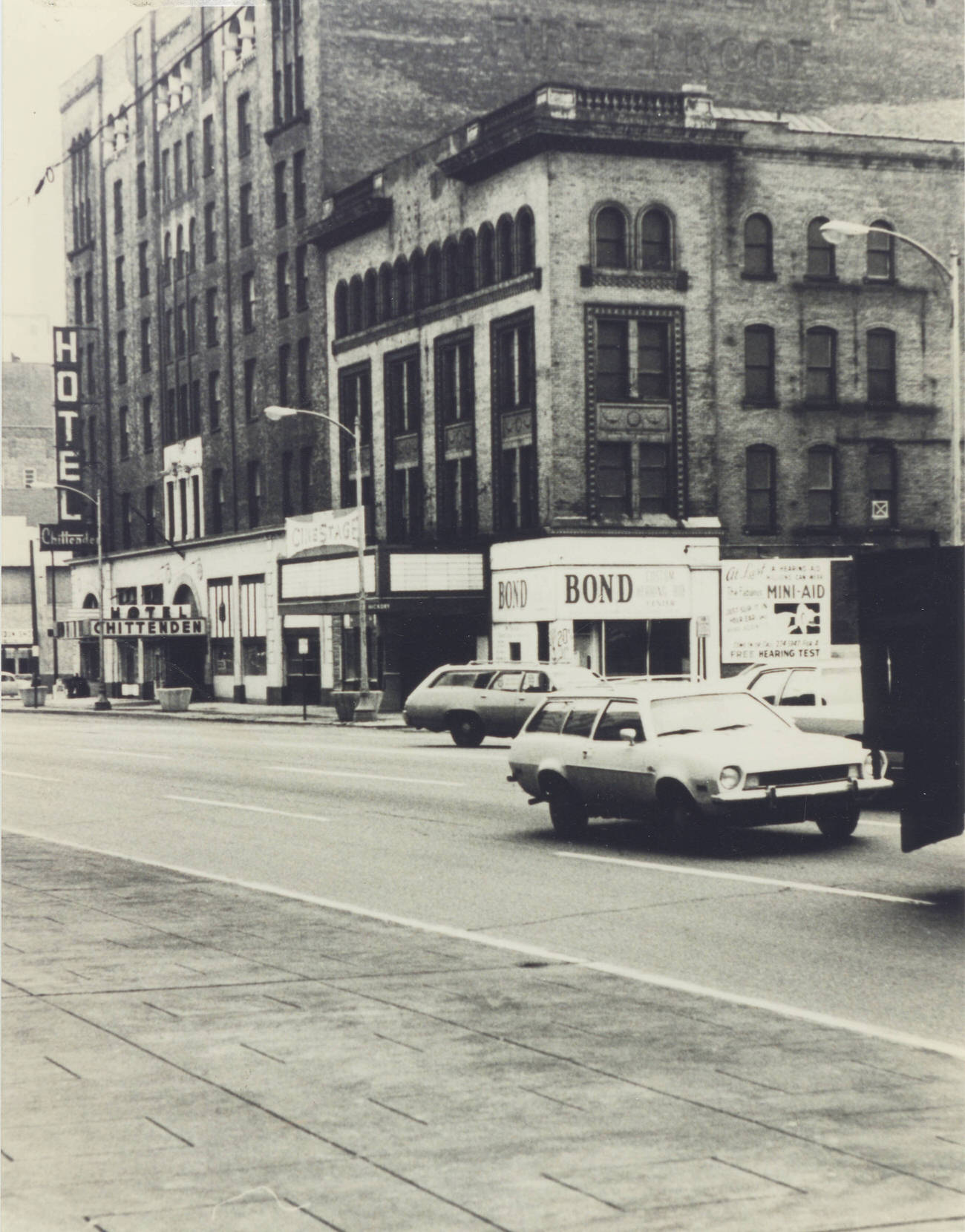
Hunt’s Cinestage on High Street had a long history under various names. The theater traced its roots back to the High Street Theater, which had operated at that location since 1894. By the time it was photographed in the 1970s, it was awaiting demolition — another piece of Columbus’s entertainment history making way for something new.
Columbus was never purely a white-collar or government city. Heavy industry operated in and around the metropolitan area throughout the 1970s, providing jobs and sustaining the working-class neighborhoods that surrounded the factories and plants. A 1972 photograph of industrial facilities near Columbus captures the smoke, machinery, and infrastructure that kept the city’s economy running alongside its growing service sector.