
By the mid-1990s, Chicago was in the middle of a remarkable transformation. Once tagged as a fading Rust Belt city, it was reinventing itself as a global metropolis. Jobs were flowing in, new residents were arriving, and the skyline was evolving. The 1990s marked the only decade since the 1950s that a major Midwestern city actually gained population — and Chicago led that charge. Photographer Steven Martin was there to capture it all. His images from 1996 offer a ground-level view of a city caught between its industrial past and an ambitious future.
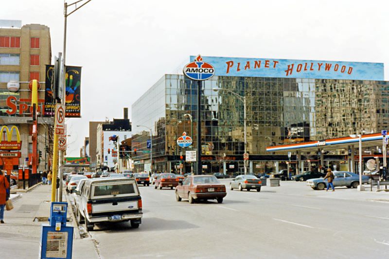
River North was one of the neighborhoods feeling that change most directly. In the early 1990s, it was still a mixed-use area with aging buildings, light industry, and pockets of older residential stock. By 1996, developers had taken notice. Galleries, restaurants, and upscale residential conversions were spreading block by block. The neighborhood sat just north of the Chicago River and within easy walking distance of the Magnificent Mile, making it one of the most coveted stretches of real estate in the city.
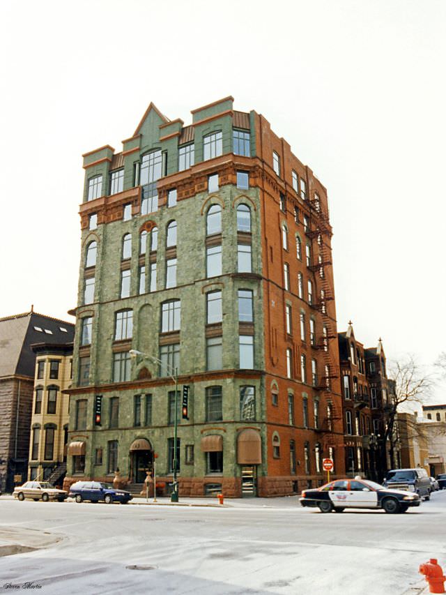
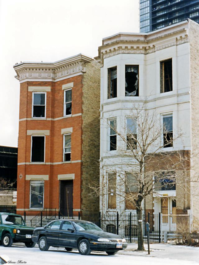
Not every building in River North survived the decade. Older townhouses and low-rise apartment buildings were being cleared to make way for new construction. Some structures, like the one at the corner of Dearborn and Erie, still stood in February 1996, but their days were numbered. This cycle of demolition and development was playing out across several Chicago neighborhoods simultaneously, pushing longtime residents out while drawing in a wealthier population.
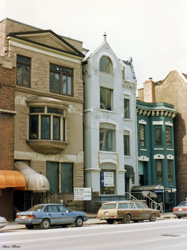
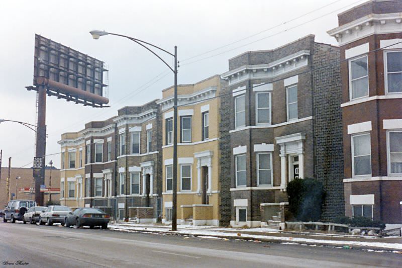
Some residential blocks still held on. Streets like North Dearborn and Harrison showed rows of older townhouses that had defined Chicago’s built environment for generations. These brick-and-stone structures dated back to the late 19th and early 20th centuries, built during the era when Chicago was one of the fastest-growing cities in the world. By 1996, many of these blocks sat in an uncertain middle ground — valuable enough to attract developer interest, but not yet fully swept away.
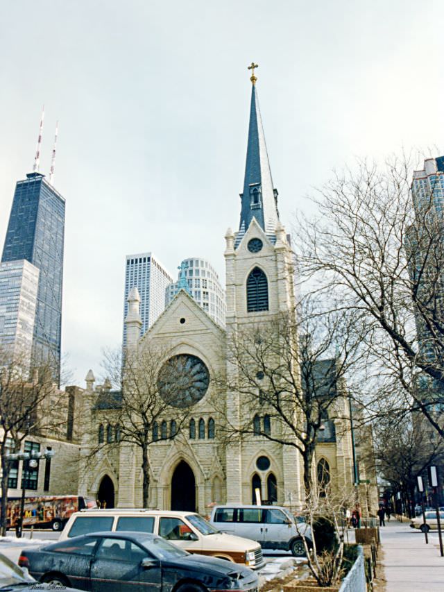
Holy Name Cathedral on State Street has anchored the Near North Side since 1875. It serves as the seat of the Roman Catholic Archdiocese of Chicago, one of the largest Catholic dioceses in the United States. The cathedral’s Gothic Revival façade stands in sharp contrast to the modern towers that surround it. In February 1996, Martin’s photograph caught it in winter light — solid, stone, and unmoved by the commercial energy building around it.
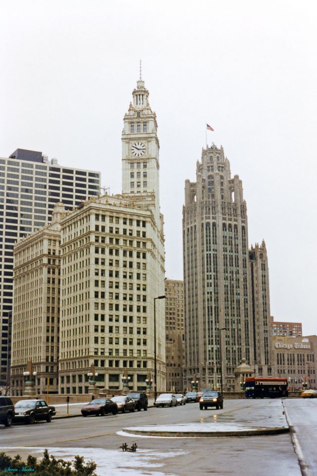
At the north end of the Michigan Avenue Bridge, two of Chicago’s most recognizable skyscrapers face each other across the street. The Wrigley Building, with its white terra-cotta cladding and clock tower, was completed in 1924. Directly across stands Tribune Tower, finished in 1925, built in a Gothic style and famously embedded with stones from historic sites around the world. Together they mark the southern gateway to the Magnificent Mile, one of the most commercially productive stretches of urban real estate in America.
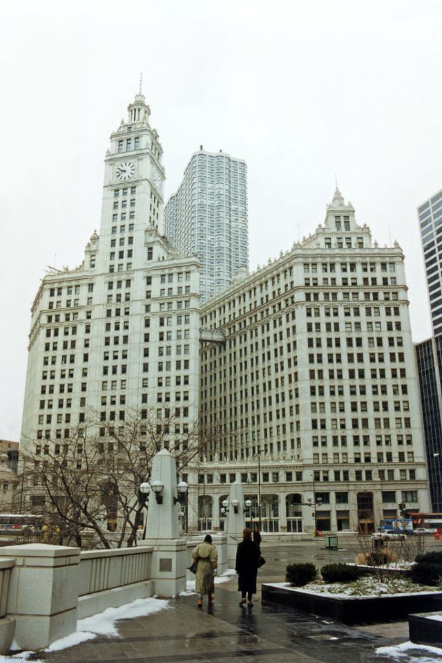
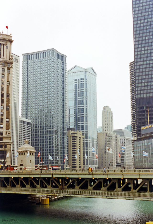
The Chicago River runs east-west through the heart of the city before turning south toward Lake Michigan. The Michigan Avenue Bridge, known formally as the DuSable Bridge, connects the Loop to the Magnificent Mile and sees some of the heaviest pedestrian traffic in the city. From the bridge in February 1996, Martin captured the river corridor lined with landmark towers. Just to the south, three of the most architecturally significant buildings along this stretch were visible from the bridge.
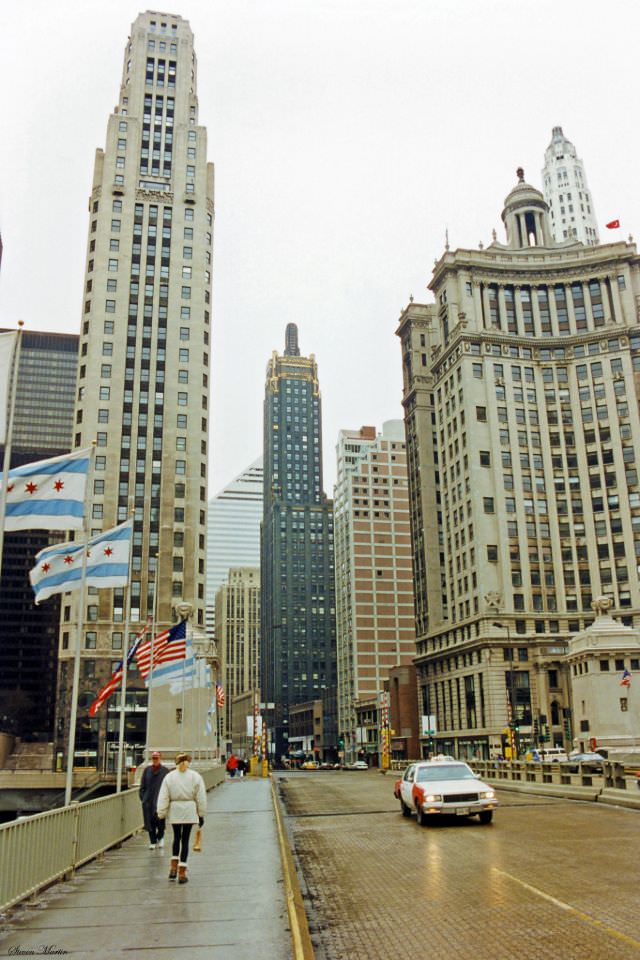
Three landmark skyscrapers, the 333 N. Michigan Avenue, Carbide & Carbon Building, and the London Guarantee Building, are visible from left to right, February 1996
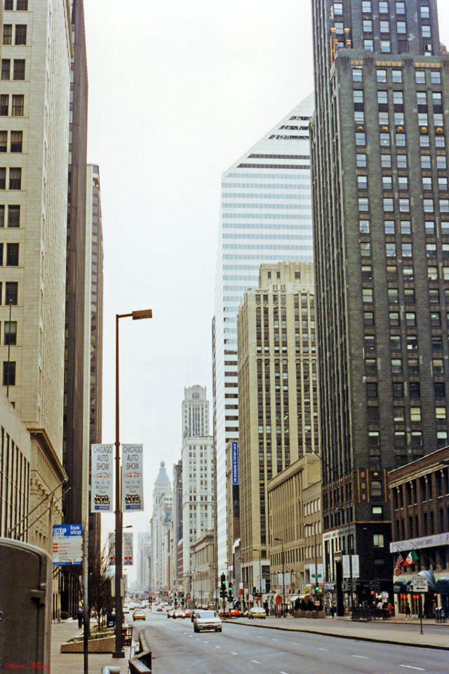
The stretch of Michigan Avenue south of the river told a different story than the commercial bustle of the Magnificent Mile to the north. Here, the avenue ran alongside Grant Park, with its broad lawns and formal landscaping creating a buffer between the street and Lake Michigan. The buildings lining this side carried their own history — office towers, hotels, and cultural institutions that had shaped Chicago’s downtown identity for decades.
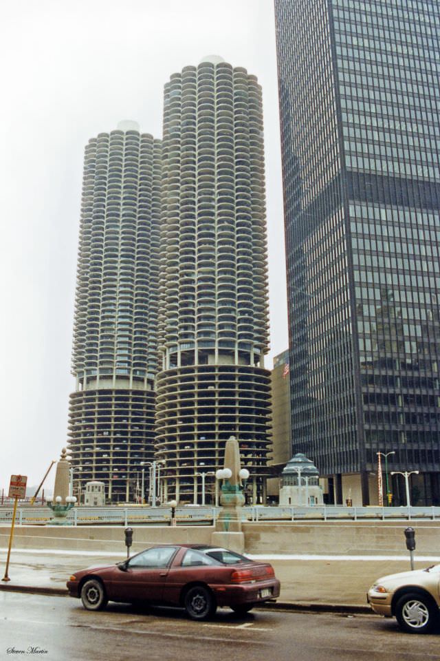
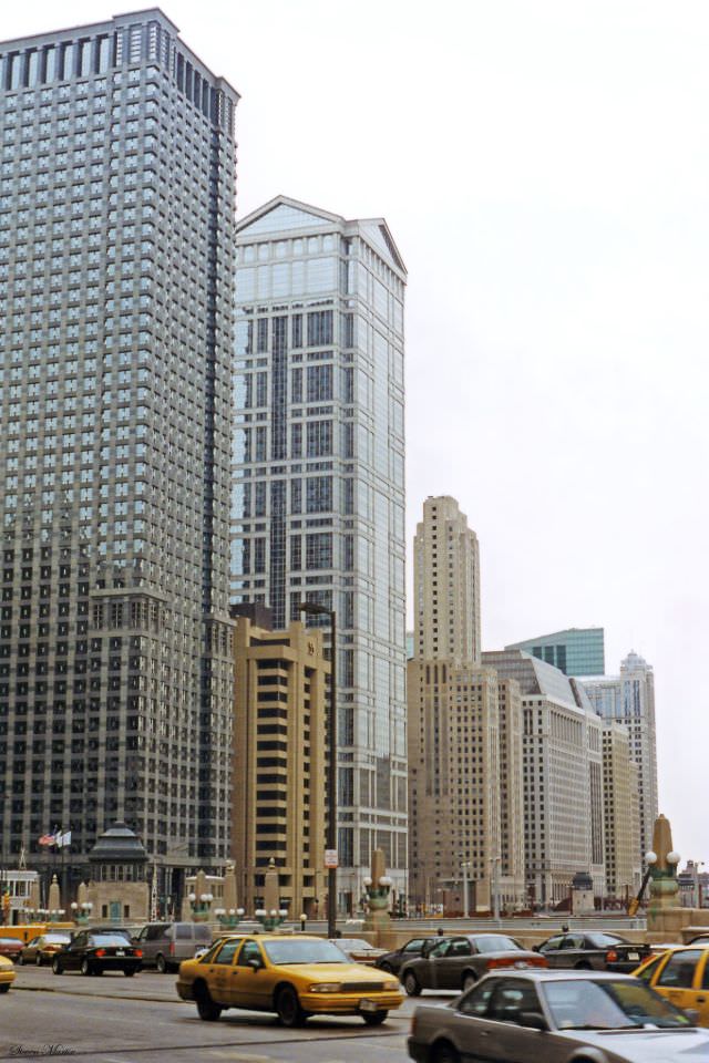
Wacker Drive runs along both the north and south banks of the Chicago River, forming a double-decker street system that is unique in American urban design. The upper level carries regular traffic while the lower level, built in 1926, handles commercial deliveries and through-traffic. By 1996, the drive was lined with a mix of older towers and newer glass-curtain office buildings, reflecting the city’s layered architectural timeline.
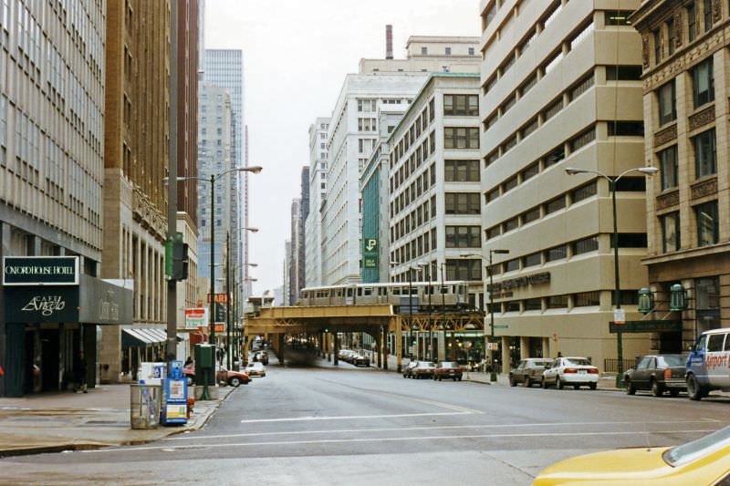
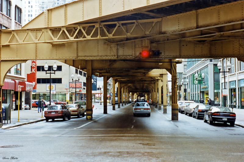
Wabash Avenue runs one block east of State Street through the Loop, and it carries one of Chicago’s most distinctive features overhead: the elevated train tracks of the ‘L.’ The steel structure supporting those tracks dates back to the 1890s, and the rumble of trains above the street has been a constant of daily life in the Loop for well over a century. Martin photographed the avenue from multiple vantage points, capturing the way the elevated structure casts the street in shadow and gives it a distinctly gritty, urban character.
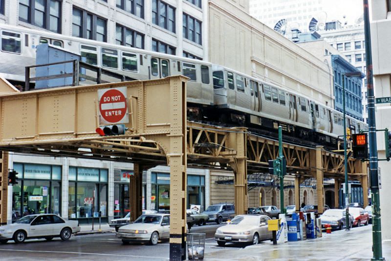
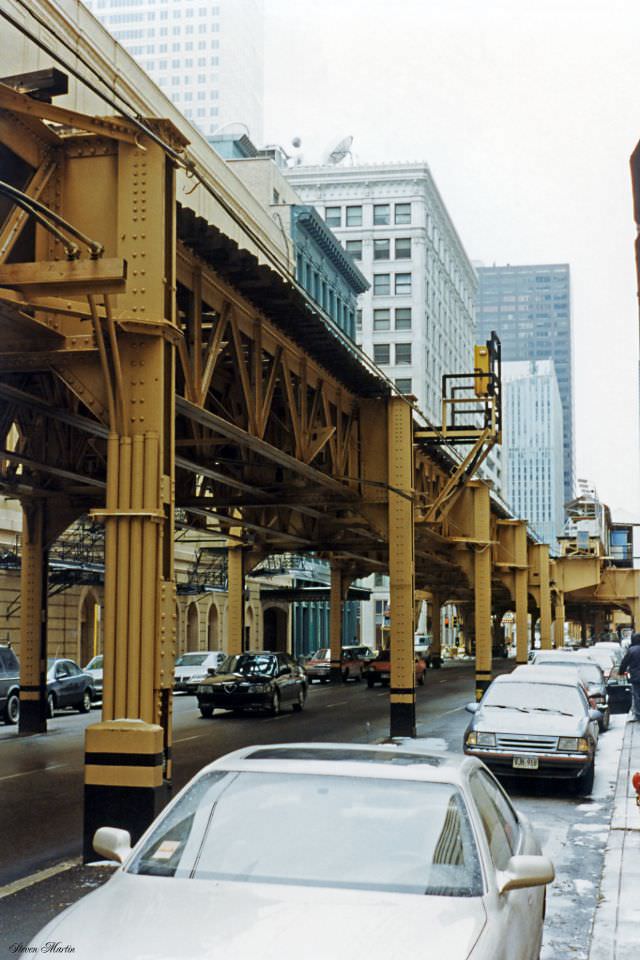
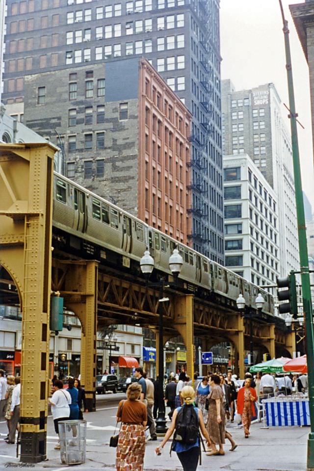
The Loop’s elevated rail system forms a rough rectangle around the central business district, giving the neighborhood its name. Trains on the ‘L’ have circled these downtown blocks since 1897. By 1996, the system was carrying hundreds of thousands of riders each day, connecting the city’s neighborhoods to its commercial core. The infrastructure itself was aging, but it remained the circulatory system of downtown Chicago.
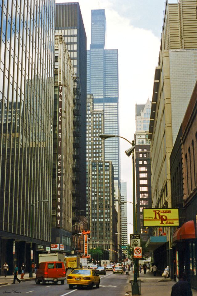
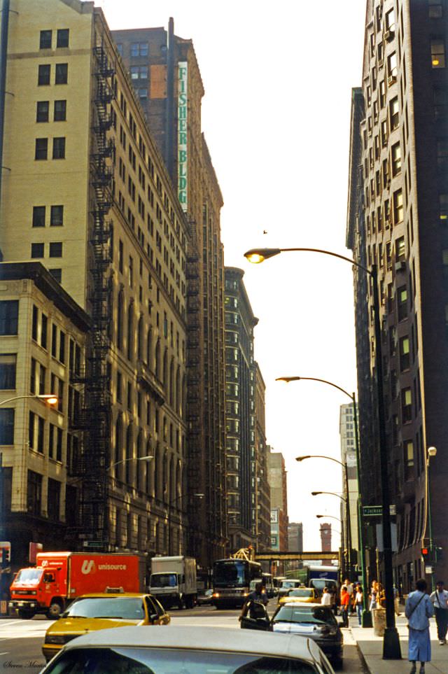
Federal Plaza on Dearborn Street is home to the Everett McKinley Dirksen United States Courthouse and the John C. Kluczynski Federal Building. The plaza sits in the heart of the Loop and features Alexander Calder’s massive red steel sculpture, ‘Flamingo,’ installed in 1974. The open public space was a notable feature in a dense urban core where open ground was rare.
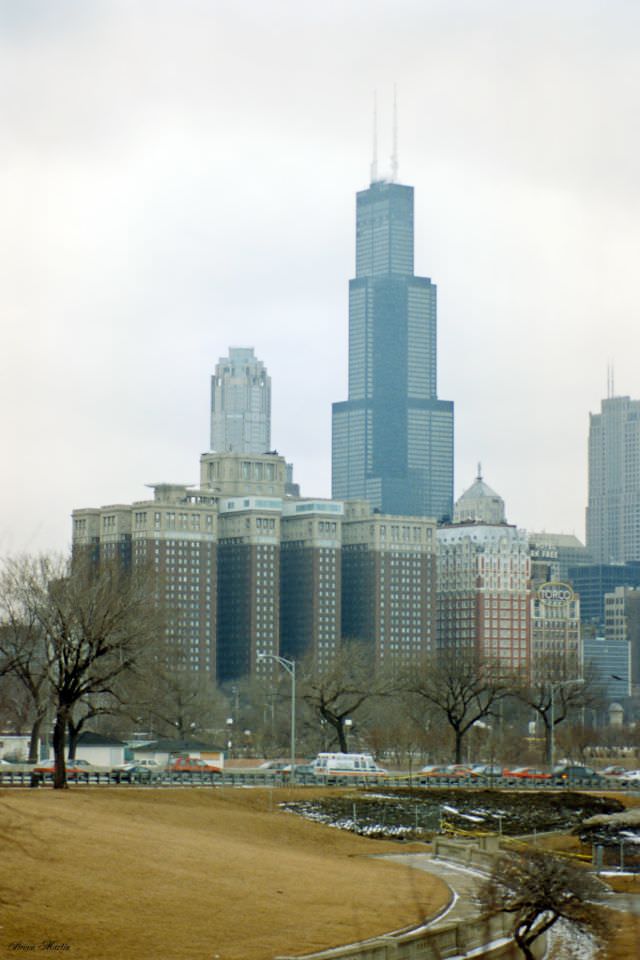
The Sears Tower dominated the Chicago skyline from the moment it was completed in 1973. At 1,450 feet, it was the tallest building in the world until 1998 — a title it held for 25 years. In 1996, it still carried the Sears name, having been sold by Sears, Roebuck and Company in 1994 but not yet rebranded. Its bundled-tube structural design, developed by architect Bruce Graham and engineer Fazlur Rahman Khan, made it both an engineering landmark and a symbol of Chicago’s ambition.
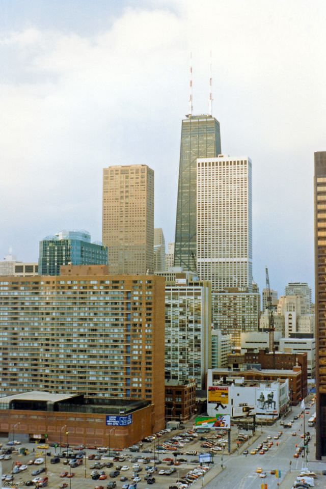
North along Michigan Avenue, the John Hancock Center stood as the second-tallest structure in Chicago. Completed in 1969, its distinctive X-bracing on the exterior was a signature feature of the same design team behind the Sears Tower. Nearby, Water Tower Place opened in 1975 as one of the first vertical urban shopping malls in the country. By the mid-1990s, both buildings had become defining landmarks of the Magnificent Mile corridor.
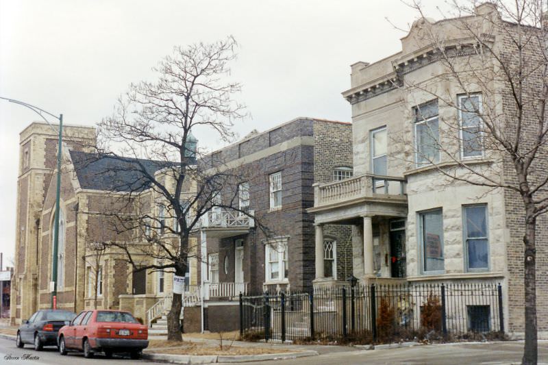
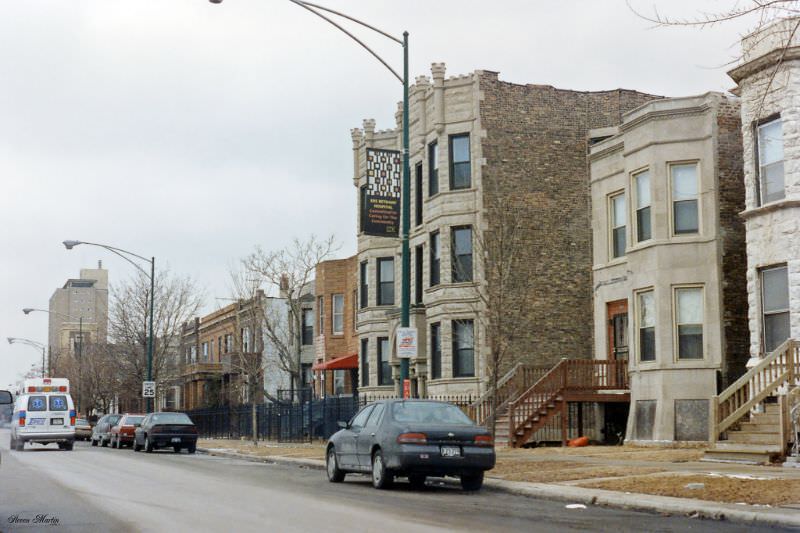
Congress Parkway runs east-west through the southern edge of the Loop, forming one boundary of Grant Park. In February 1996, the parkway offered a view of the city’s varied architectural layers — older churches and residential buildings sitting alongside later commercial construction. The street connected the dense urban core to the broader South Side, passing through a stretch that had seen its share of economic decline in previous decades.
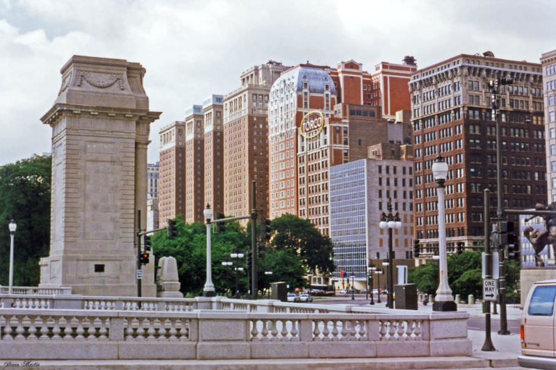
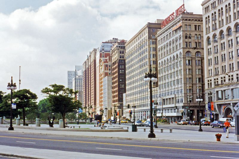
The Chicago Hilton and the Blackstone Hotel both face Michigan Avenue from the western edge of Grant Park along Congress Parkway. The Blackstone, which opened in 1910, hosted numerous U.S. presidents and became famous as the site where the phrase ‘smoke-filled room’ entered the American political vocabulary, referring to the backroom dealings at the 1920 Republican National Convention. The Hilton, originally built as the Stevens Hotel in 1927, was once the largest hotel in the world by room count. Both buildings were still active in 1996, though the Blackstone had fallen into a period of decline and would not be restored until the early 2000s.
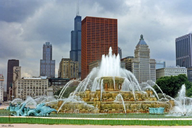
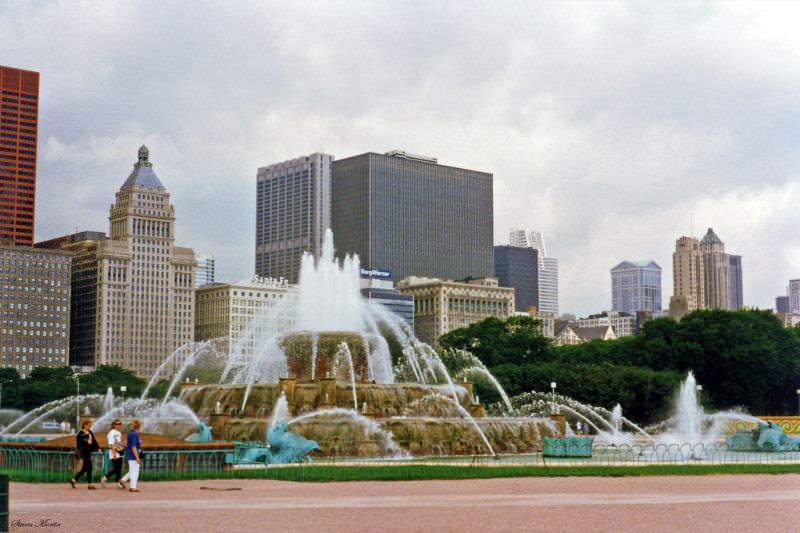
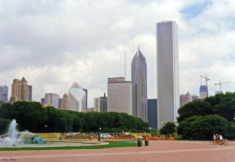
Grant Park stretches along Chicago’s lakefront between Michigan Avenue and Lake Michigan. At its center sits Buckingham Fountain, one of the largest fountains in the world. Completed in 1927, it was designed by Edward H. Bennett and modeled after the Latona Fountain at Versailles, though built at twice the scale. The fountain runs from May through October each year, and its central jet can reach 150 feet in the air. From the fountain’s edge, the Loop skyline to the west and the lake to the east created one of the most photographed views in the city.
The Museum Campus sits at the southern end of Grant Park, jutting out into Lake Michigan on a peninsula formed after Lake Shore Drive was rerouted in 1996. That reconfiguration freed up 57 acres of land and connected the Field Museum, the Shedd Aquarium, and the Adler Planetarium into a single walkable campus. The project was one of the most significant public works changes to Chicago’s lakefront in decades, and the photographs from July 1996 caught it right at the time of that transition.
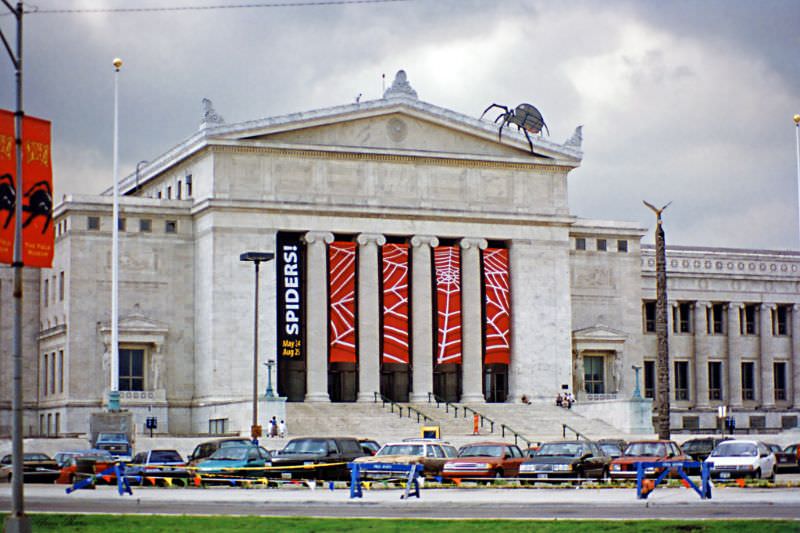
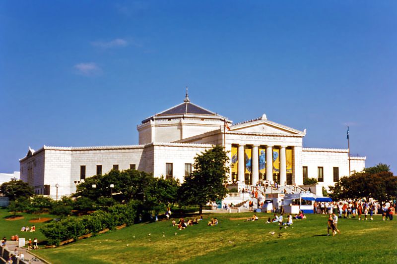
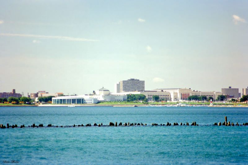
The Field Museum of Natural History opened in its current building in 1921, constructed in a neoclassical style using Georgia marble. The Shedd Aquarium, which opened in 1930, was the first inland aquarium in the United States to house saltwater fish. By 1996, both institutions drew millions of visitors annually and anchored Chicago’s identity as a city with serious cultural infrastructure.
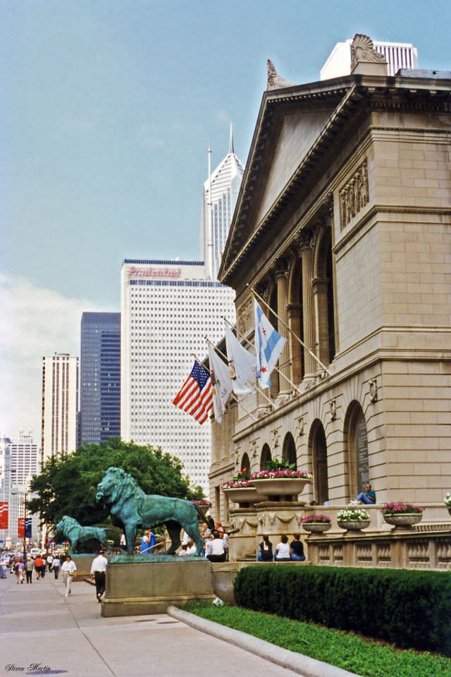
The Art Institute of Chicago sits at the intersection of Michigan Avenue and Adams Street, its bronze lion sculptures guarding the main entrance since 1894. The museum houses one of the most significant art collections in the world, including Georges Seurat’s ‘A Sunday on La Grande Jatte’ and Grant Wood’s ‘American Gothic.’ In 1996, the museum was operating out of its original Beaux-Arts building, years before the Modern Wing designed by Renzo Piano would be added in 2009.
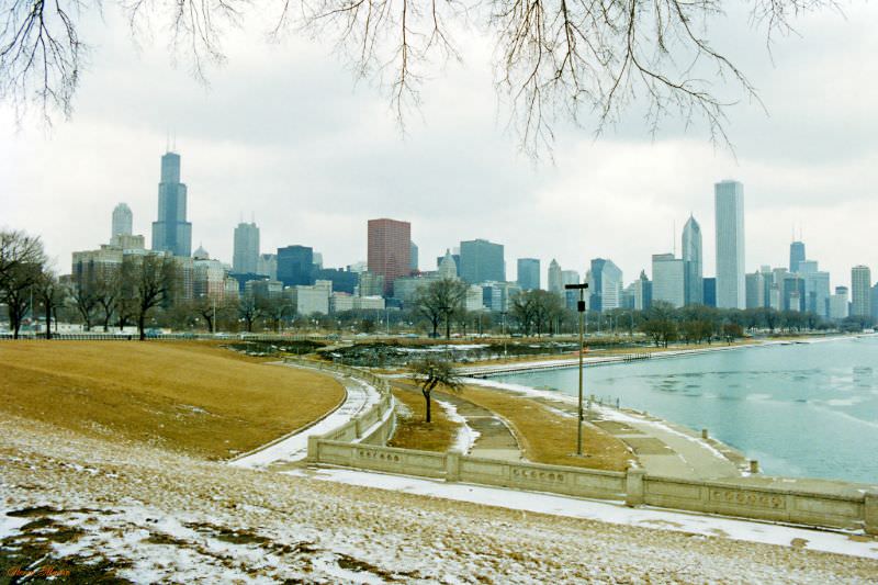
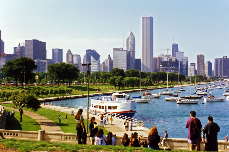
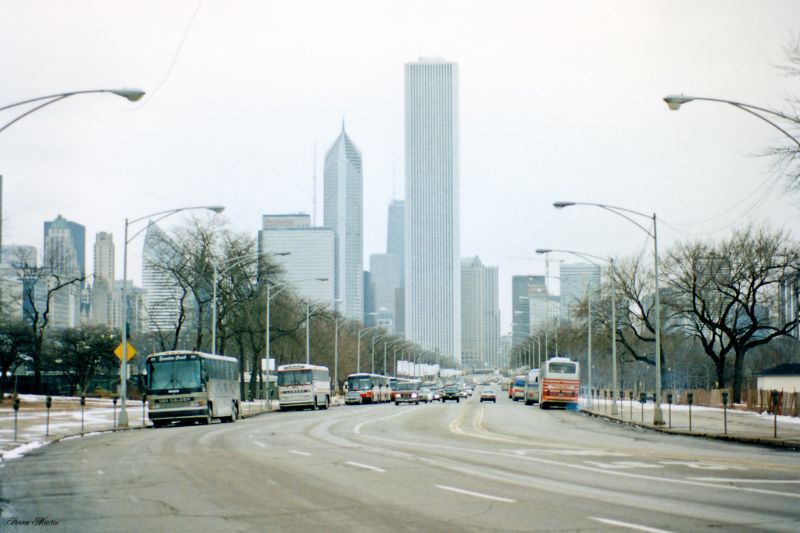
The lakefront gave Martin some of his most striking vantage points. Chicago’s relationship with Lake Michigan is fundamental to the city’s identity. More than 18 miles of lakefront are publicly accessible, a fact owed largely to the vision of Daniel Burnham, whose 1909 Plan of Chicago insisted the lakefront remain ‘forever open, clear, and free.’ The winter skyline from February 1996 and the summer view from the Shedd Aquarium both show a city that had grown dense and tall along that shoreline.
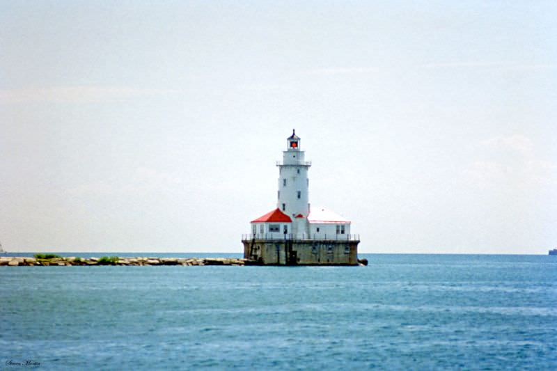
The Chicago Harbor Lighthouse stands at the end of a breakwater pier at the entrance to the Chicago River’s mouth into Lake Michigan. The current lighthouse structure was built in 1893 in time for the World’s Columbian Exposition and has guided vessels into Chicago Harbor ever since. It remains an active navigational aid operated by the U.S. Army Corps of Engineers.
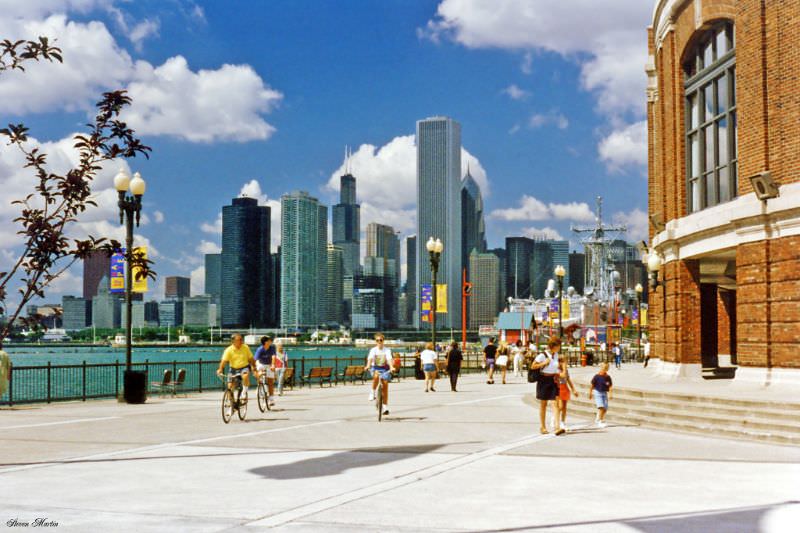
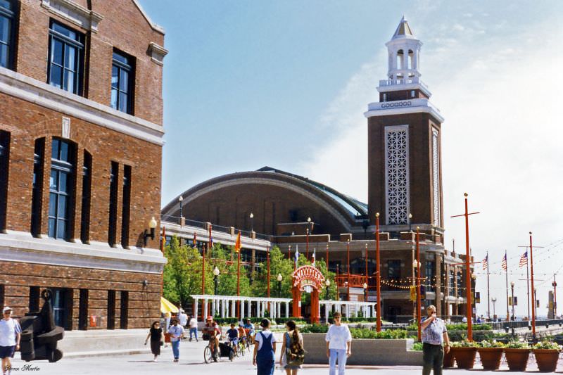
Navy Pier was in the middle of a complete reinvention in 1996. The pier, which stretches 3,300 feet into Lake Michigan, originally opened in 1916 as a commercial shipping and passenger facility. It later served as a Naval training center during World War II — the source of its current name. By the time Steven Martin photographed it in July 1996, a major redevelopment project had just been completed, transforming it into a public entertainment and cultural destination. The Ferris wheel, festival hall, and IMAX theater had all recently opened, drawing more than seven million visitors in its first year.
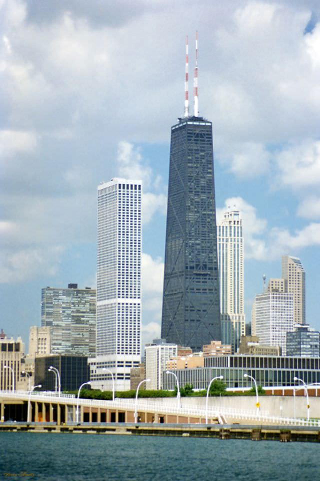
From the east end of Navy Pier, the full sweep of Chicago’s North Michigan Avenue skyline came into view. The white tower of Water Tower Place and the dark steel frame of the John Hancock Center stood side by side against the sky, two of the most recognizable buildings in a city known for its architecture. The pier itself became the foreground — a newly revived public space connecting Chicagoans directly to the lake that had always defined their city’s geography.





No SUVs, I miss that.
Ugh, my back hurts.
The idea of my Keroppi stationery haul from FAO Schwarz appearing on a nostalgia website for British boomers awaiting death does not appeal to me at all
Why do these photos look so old??” – Me, 3 seconds from having a very bad realization about my age
I am thoroughly unstunned
Always am stunned when I look back on an ordinary photo of ‘A Dams Street’.
Calling 2 and 3-flats “townhomes”….
Stunning garbage.
and they don’t even know the name of marina city…it’s just “landmark condominiums”.
This doesn’t really work as a time capsule, most of these photos are of buildings and bits of skyline that haven’t changed at all since 1996.
There’s a few more buildings now. The Michigan Ave bridge pic, you can see the edge of the old Sun Times building (Trump Tower hasn’t replaced it), that’s nostalgic to me haha.
But in some of these you can see how much more surface parking lots there were back in the 90s.
The year I was born here! Our city is so beautiful. And crazy how not much has changed in the Loop at all
Thank you for the post
I was taken aback by how much hasn’t changed within that slideshow lol
This is kinda silly. If the heading didn’t say this was mid 1990s I’m not so sure I’d be able to tell.