
Cape Town in the 1970s was a city of sharp contrasts. On one hand, its streets buzzed with everyday life — vendors selling magazines, traffic officers directing cars, buses packed with commuters, and shoppers hunting for bargains at busy markets. On the other hand, the apartheid government controlled nearly every aspect of life for the city’s non-white residents. These photographs capture both sides of that reality: the ordinary rhythms of daily life and the heavy political backdrop that shaped them.
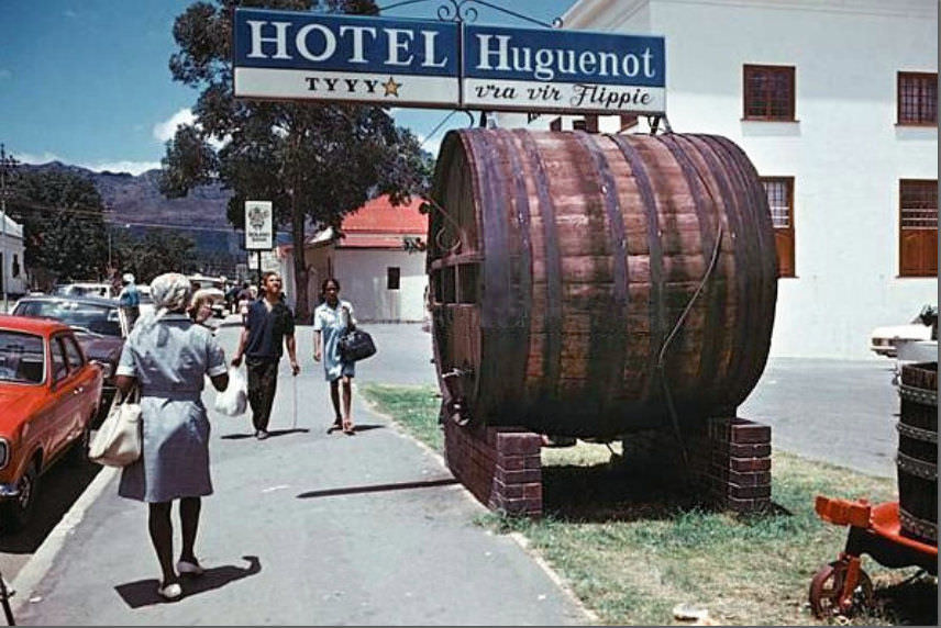
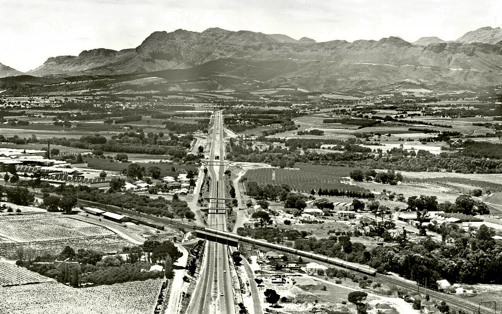
The wine-growing valleys beyond the city, like Franschoek, offered a picture-postcard version of South Africa that stood in stark contrast to the tensions brewing in urban areas. But even these pastoral landscapes existed within the same apartheid system that was tightening its grip across the country.
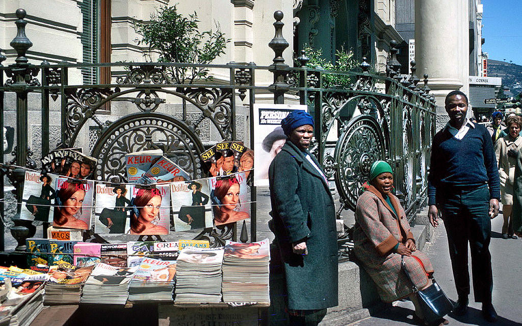
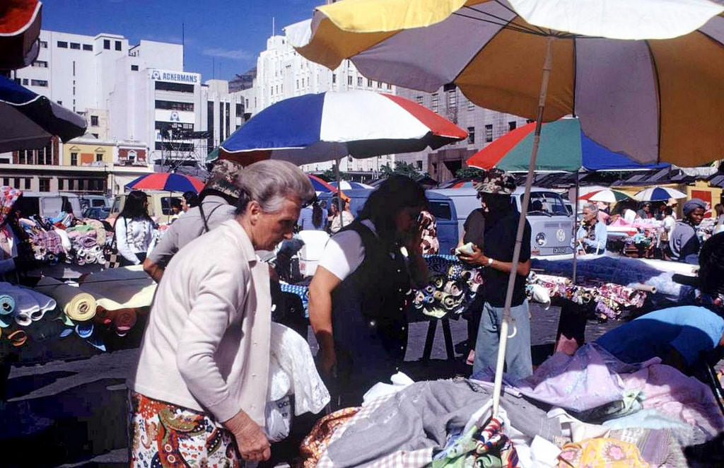
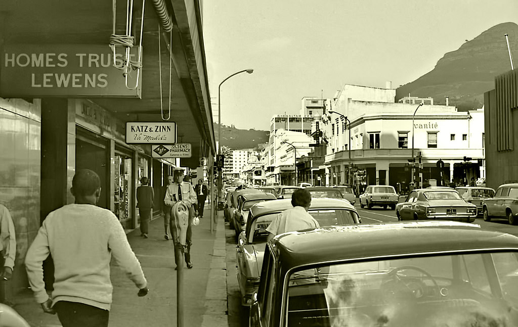
Street traders were a fixture of Cape Town’s city centre throughout the decade. Magazine sellers, hawkers, and market stall owners filled Loop Street, Adderley Street, and the Grand Parade with commerce and noise. The city’s commercial core was active and densely populated, a place where different communities briefly shared the same pavements despite the laws designed to keep them apart.
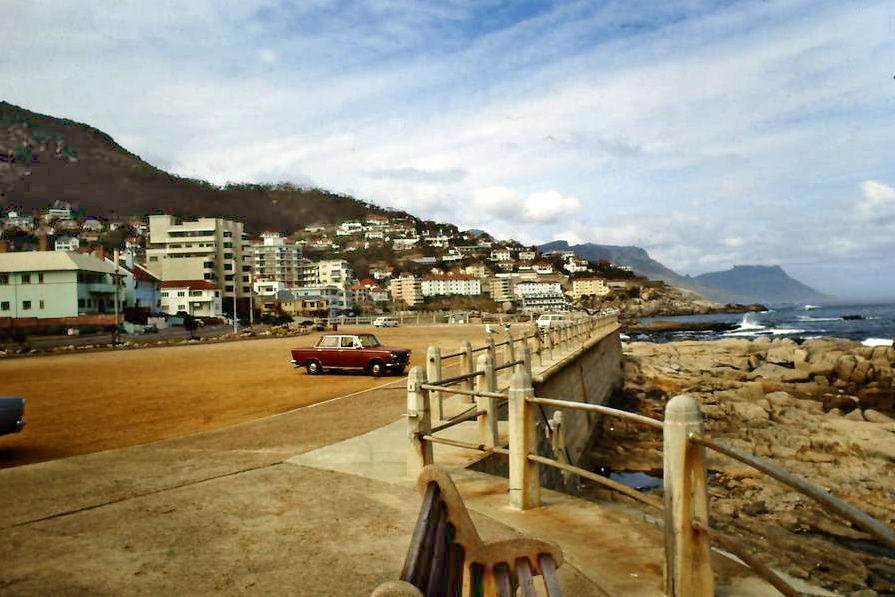
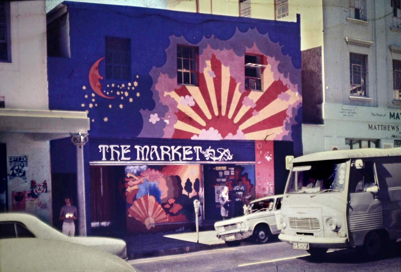
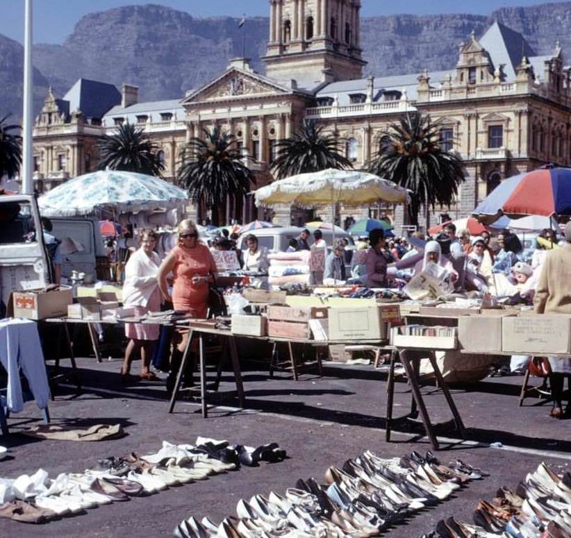
Loop Street’s market was one of those places where the city’s commercial energy was most visible. Stalls lined the street, and shoppers moved between them looking for deals. These scenes of everyday trade make it easy to forget the legal framework that determined who could work where, who could shop where, and who could live where.
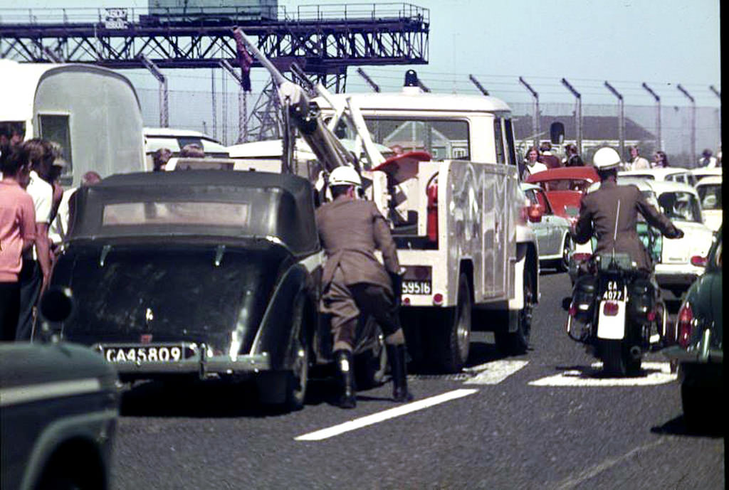
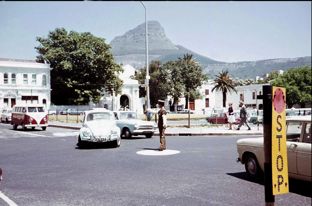
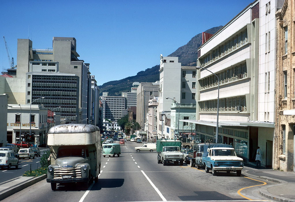
By the early 1970s, Cape Town’s streets were growing busier. Traffic officers directed vehicles at key intersections across the city centre, including the rush-hour bottlenecks along Heerengracht and the Eastern Boulevard. The road network was expanding, and new infrastructure projects were already beginning to reshape the urban landscape.
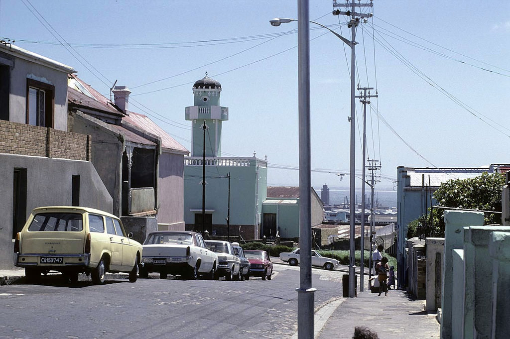
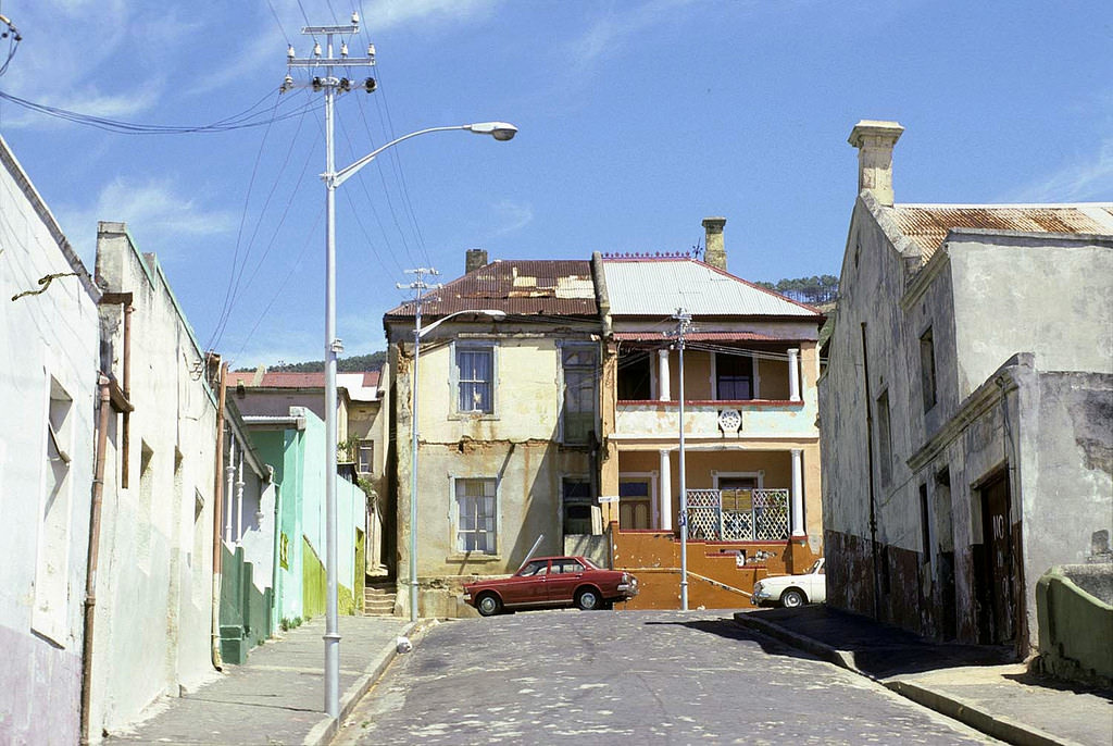
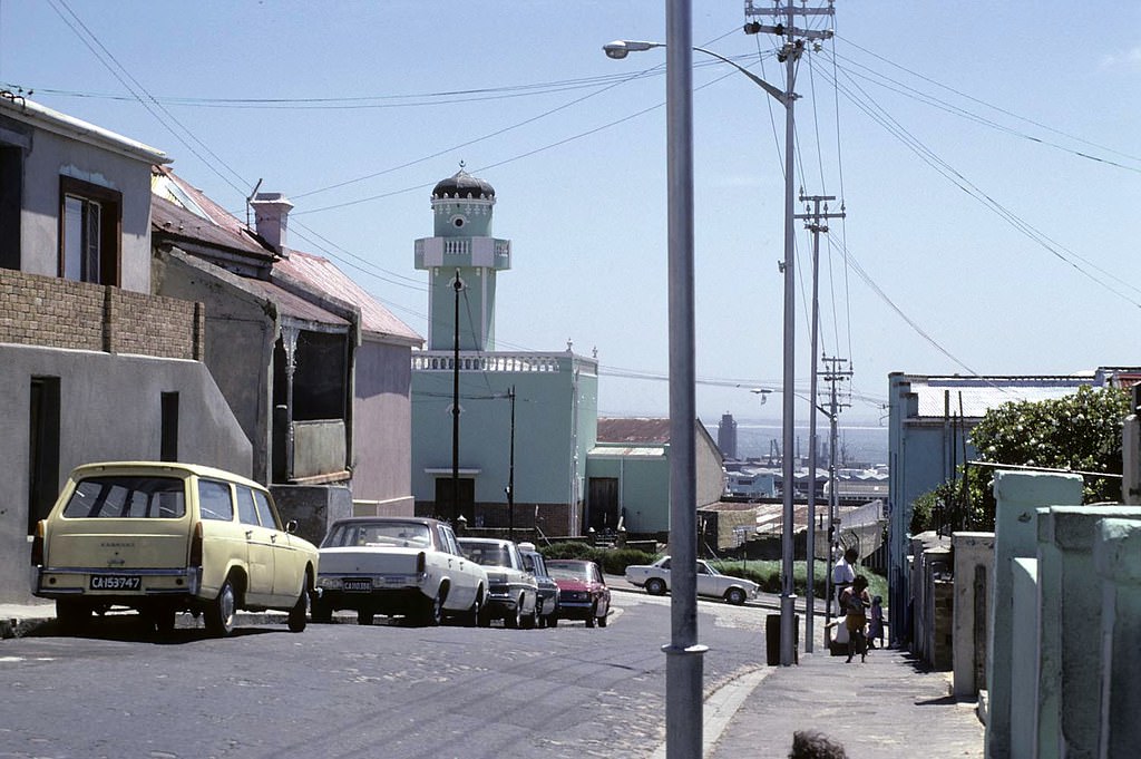
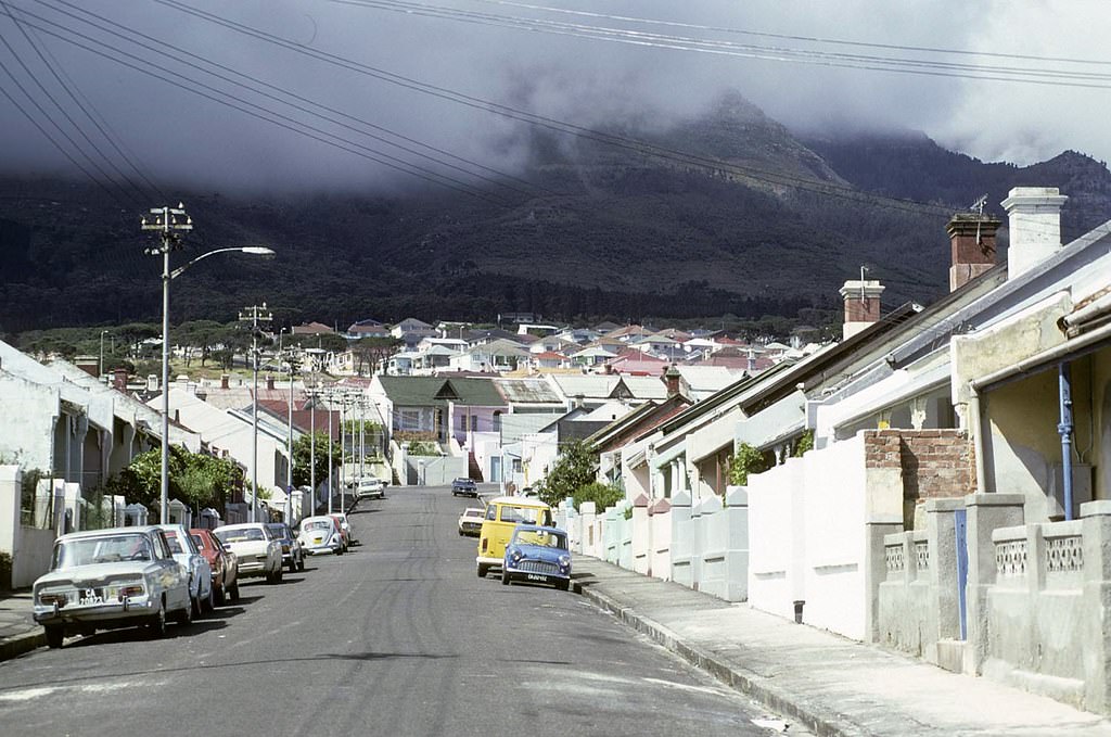
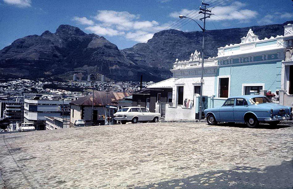
Bo-Kaap, the historic Cape Malay quarter on the slopes of Signal Hill, retained its distinct character throughout the decade. Its narrow streets, colourful homes, and tight-knit Muslim community gave it an identity unlike anywhere else in the city. Unlike District Six, Bo-Kaap survived the forced removals of the era, though its residents were not immune to the pressures of apartheid legislation.
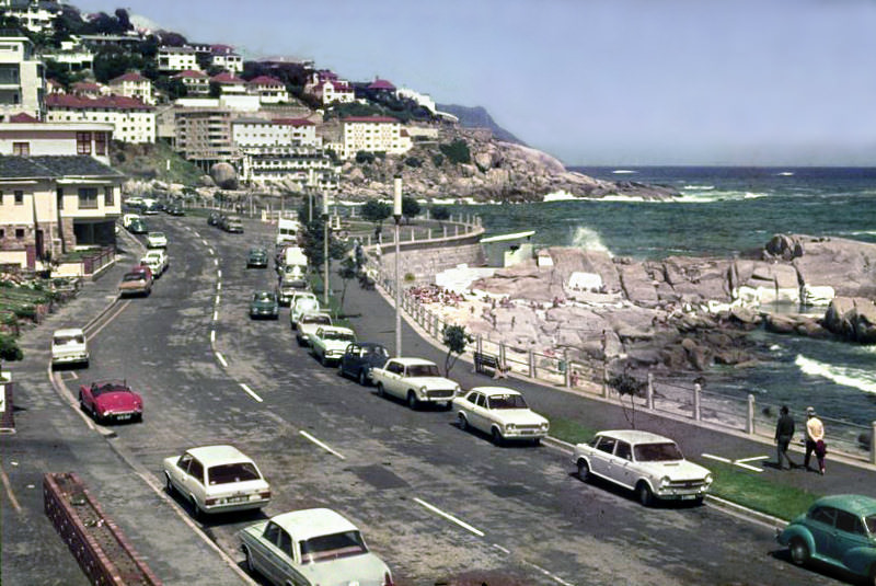
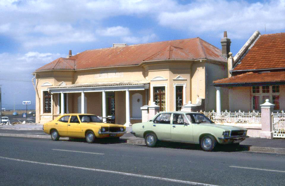
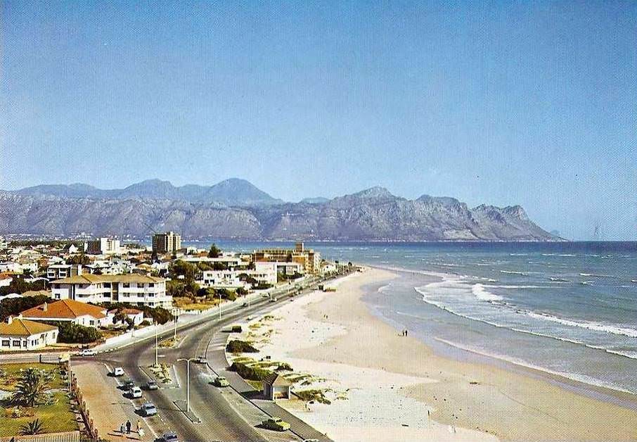
Cape Town’s Atlantic coastline was one of its most striking features. From Mouille Point to Bantry Bay, the roads hugged the ocean, offering views that drew residents and visitors alike. But South Africa’s beaches were segregated under the Separate Amenities Act. Designated beaches for white residents were well-maintained; those assigned to non-white communities were often far less so.
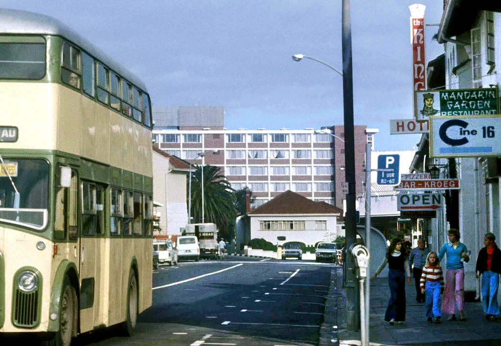
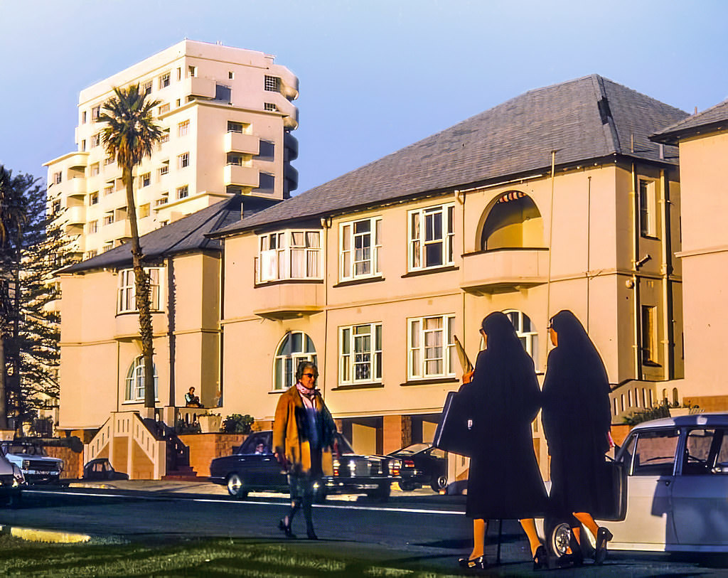
Sea Point in the 1970s was one of Cape Town’s most densely populated white residential suburbs. Its main road and surrounding streets were filled with apartment blocks, hotels, and shops. The suburb had a lively, urban feel that set it apart from quieter southern suburbs neighborhoods, and photographs from the era show streets busy with cars and pedestrians throughout the day.
Cape Town’s harbour was one of the busiest ports in the southern hemisphere. The Ben Schoeman Dock, which was still taking shape in the mid-1970s, expanded the port’s capacity and changed the waterfront’s appearance significantly. The docks were a major employer and a hub of industrial activity, even as the city centre around them continued to grow upward and outward.
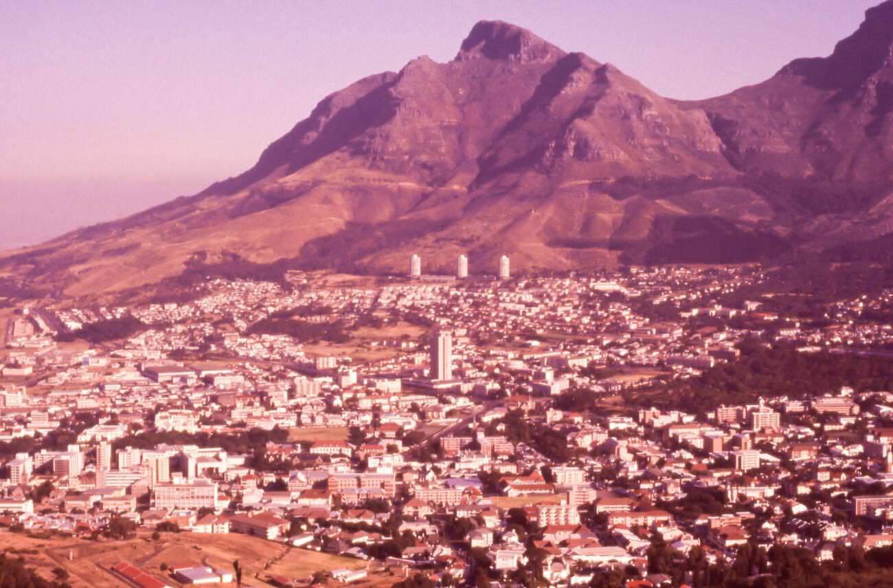
One of the most contested areas in 1970s Cape Town was District Six. Declared a white group area in 1966, the suburb’s forced removals were carried out through the early 1970s. Thousands of residents — predominantly Coloured and Indian families who had lived there for generations — were forcibly relocated to the Cape Flats, far from the city centre. Their homes were bulldozed. The photographs taken in District Six during this period document a community in the final stages of being erased by government order.
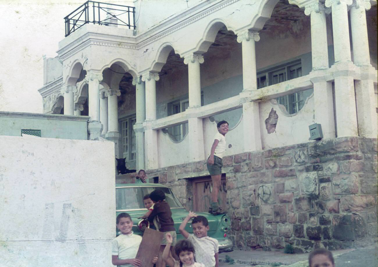
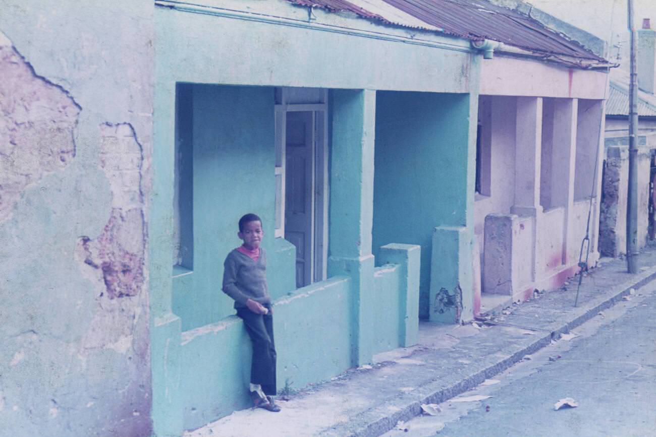
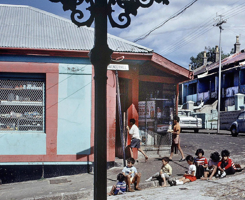
The faces of District Six residents captured in these photographs are a direct record of a community that the government sought to scatter and silence. Cafes on the corners of College and Cambridge Streets, homes on Lavenderhill Street, and the daily life that played out on its pavements all vanished within a few years. By the late 1970s, much of the area was empty land.
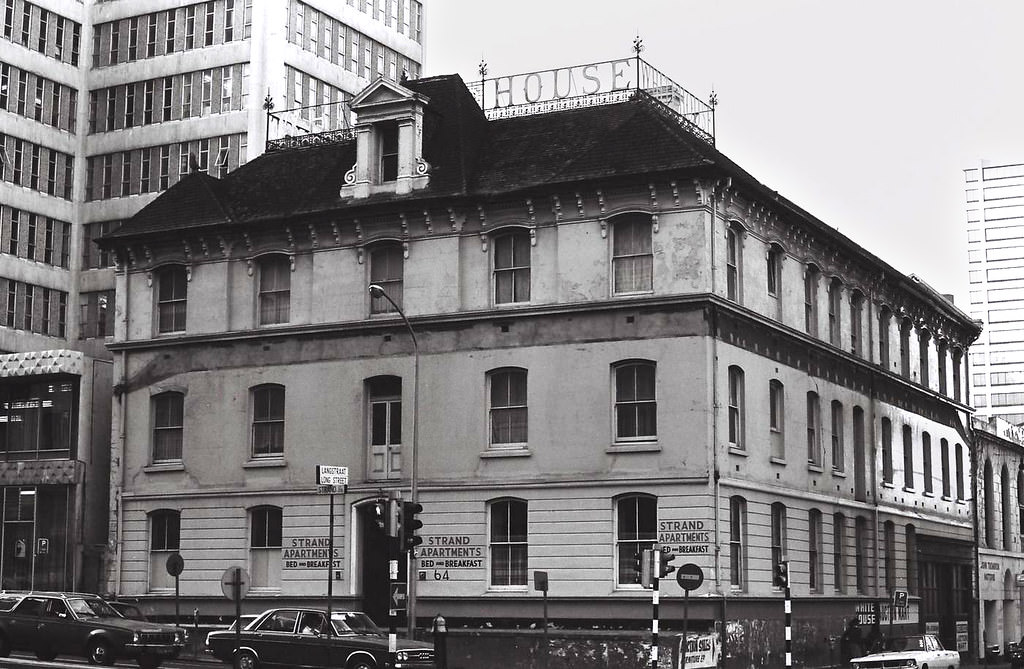
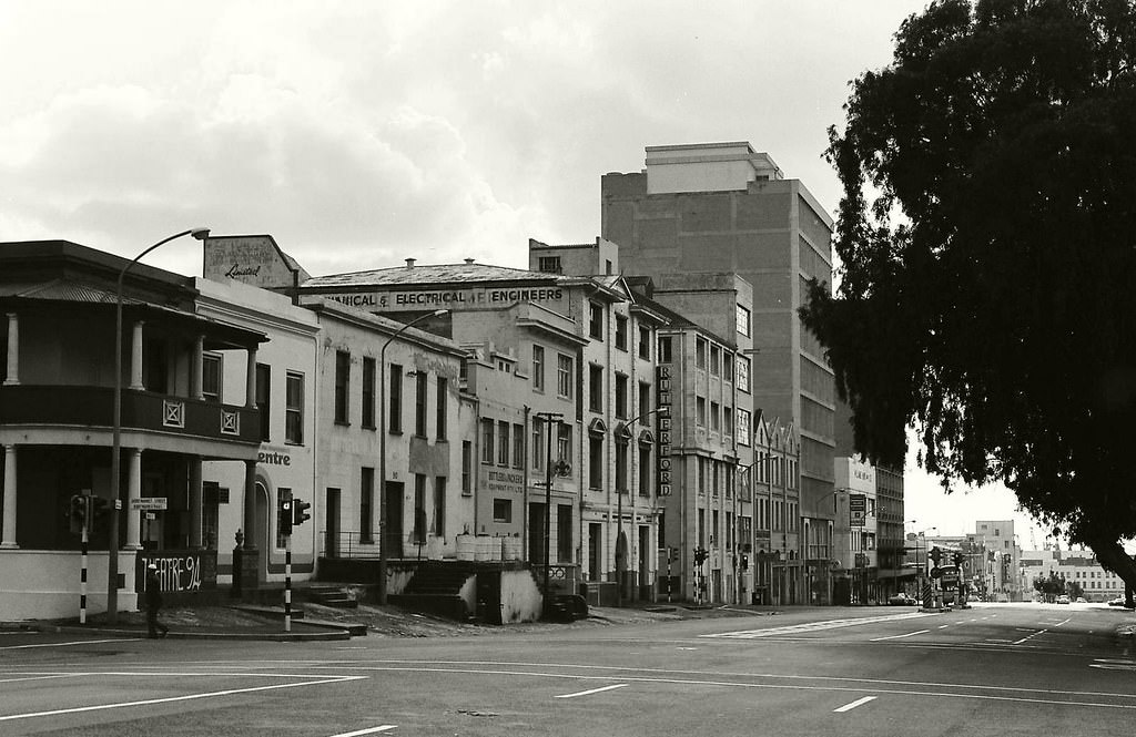
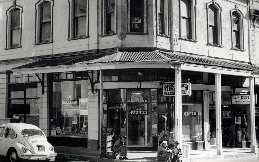
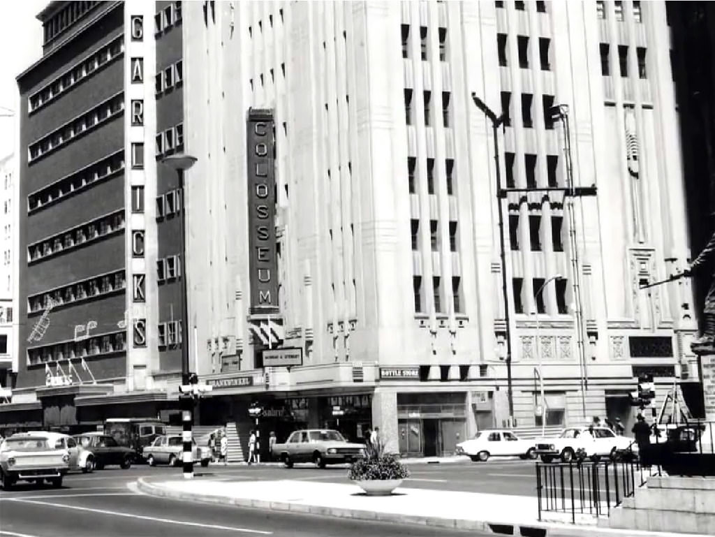
The city centre continued to function as Cape Town’s commercial and administrative heart throughout the decade. Hotels like the White House and Elizabeth served travellers, while the streets around Bree, Shortmarket, and Long Street remained busy with shops, offices, and foot traffic. These were the streets where the city’s economic life played out day after day.
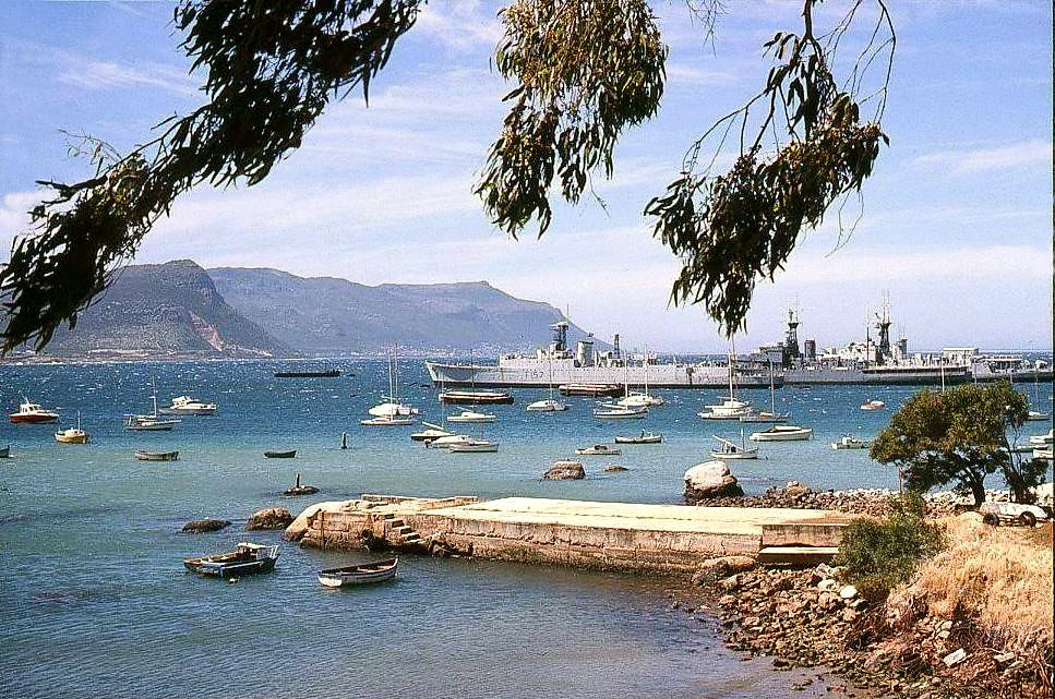
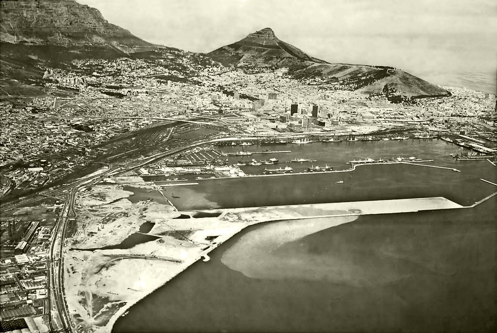
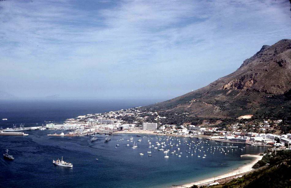
Simonstown, at the far end of the False Bay coastline, operated as South Africa’s main naval base. Its bay, quiet streets, and Victorian-era buildings gave it a character distinct from the rest of the peninsula. Meanwhile, back in the city, the harbour expansion underway at the Ben Schoeman Dock was one of the decade’s largest construction projects.
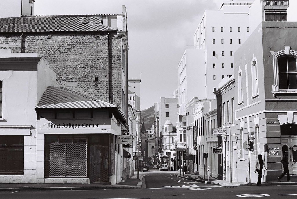
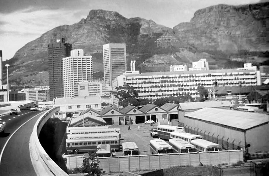
Public transport was essential for Cape Town’s non-white working population, who were pushed to the Cape Flats by the forced removals but still needed to travel into the city for work. Bus routes and the Simonstown railway line carried thousands of workers each day. The Prestwich Street bus depot and depots like it were critical infrastructure in a city deliberately designed to separate where people lived from where they worked.
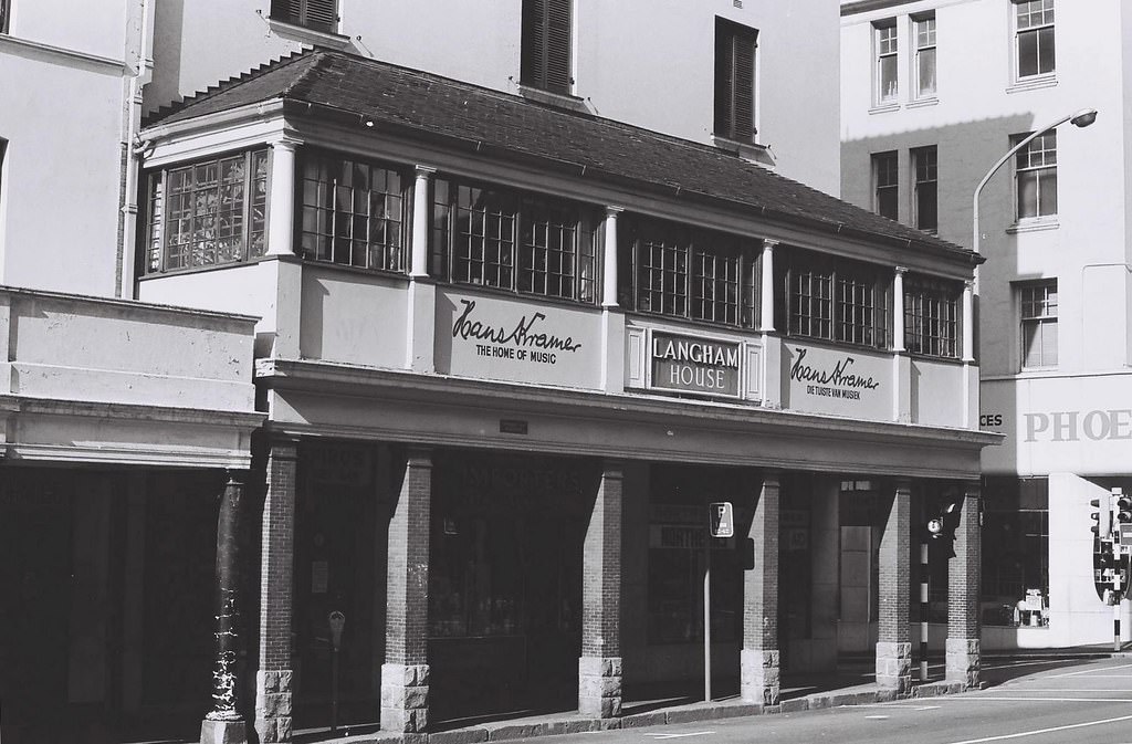
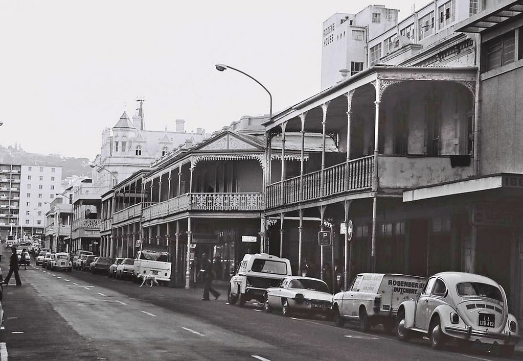
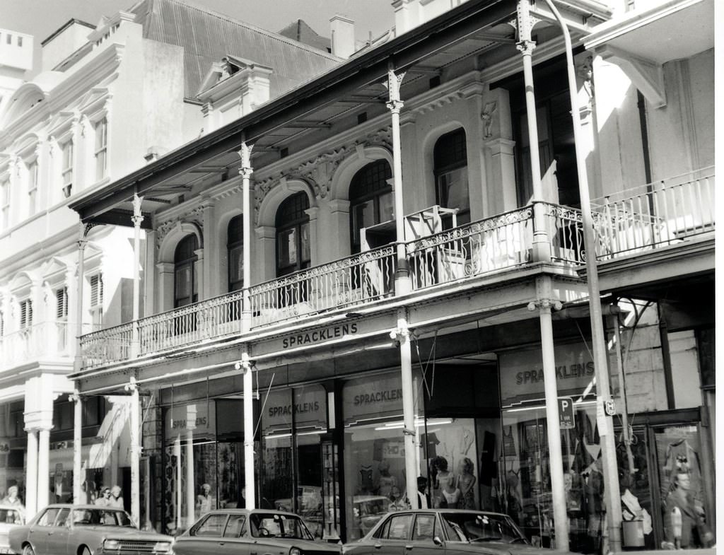
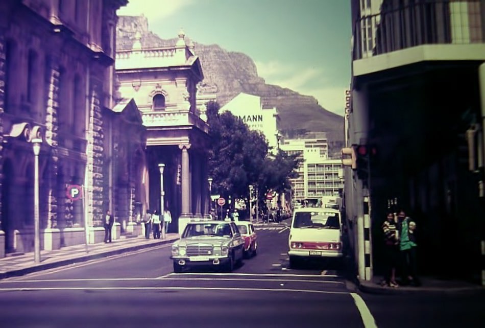
Long Street was one of Cape Town’s most recognisable thoroughfares. Its Victorian and Edwardian architecture, ornate iron balconies, and diverse mix of businesses made it a landmark. By 1977, it was still lined with the kind of small shops, hotels, and residential buildings that had been there for decades, though the broader city around it was changing fast.
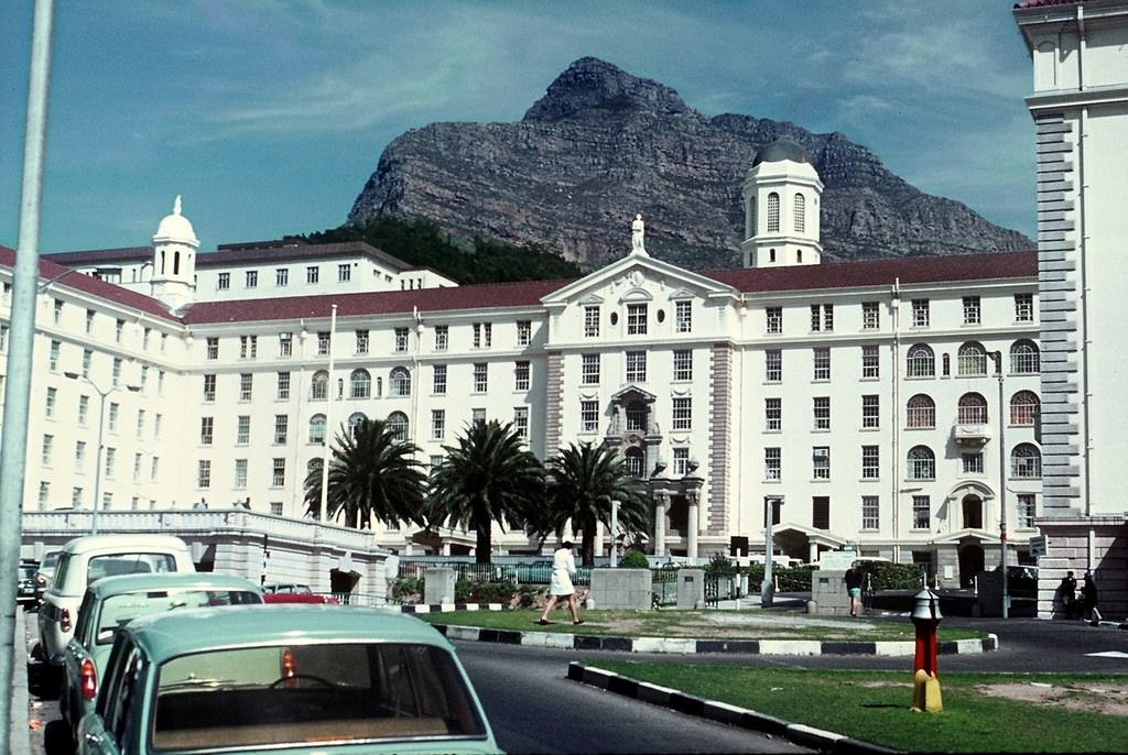
Groote Schuur Hospital, built on the slopes of Devil’s Peak, was already world-famous by the time these photographs were taken — it was here that Dr. Christiaan Barnard performed the world’s first successful human heart transplant in 1967. In the 1970s, it remained one of the most advanced medical facilities in Africa, though under apartheid, its wards were racially segregated.
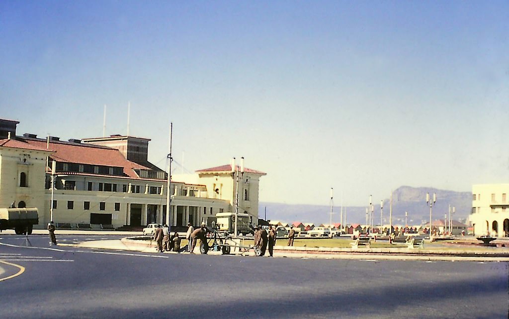
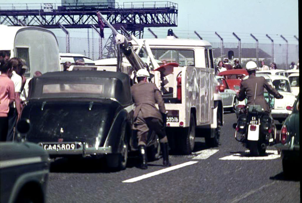
Muizenberg, on the False Bay side of the peninsula, was a popular beach town with a long history as a seaside resort. Its pavilion was a well-known gathering point. Like all of South Africa’s public amenities, its beaches and facilities were segregated by race throughout this period.
1976 was a turning point across South Africa. The Soweto Uprising in June of that year, sparked by the forced introduction of Afrikaans as a language of instruction in black schools, set off a wave of protests that spread to Cape Town and other cities. Security forces responded with live ammunition. The death toll ran into the hundreds. For many Cape Town residents going about their daily lives — catching buses, going to work, shopping on Adderley Street — that year marked a before and after.
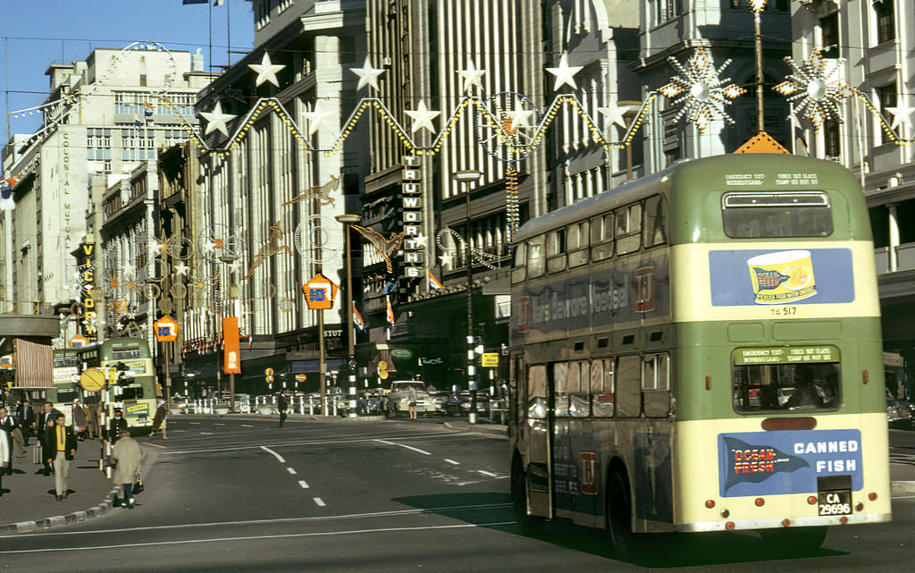
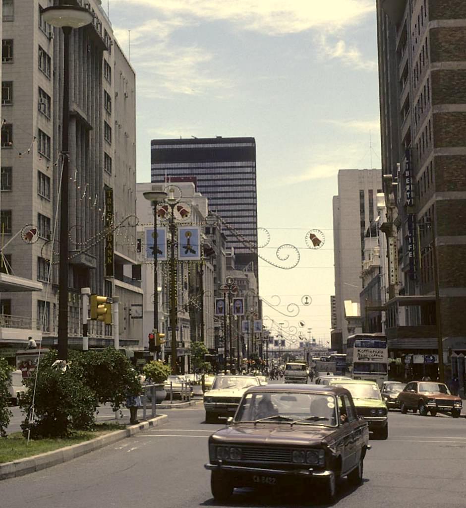
Despite the political climate, life in Cape Town had its festive moments. The city decorated its streets, people gathered at the Grand Parade on Saturday mornings, and the cultural scene — particularly in music — remained active. Cape Jazz, a sound rooted in both American jazz traditions and indigenous South African rhythms, was one of the most vibrant art forms to emerge from the city during this period. It was music that spoke directly to the contradictions of life under apartheid.
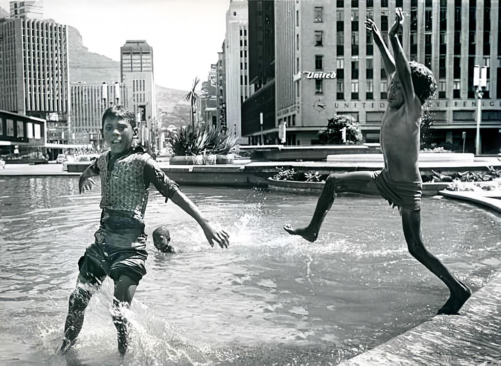
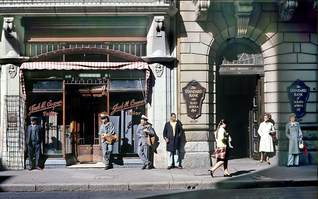
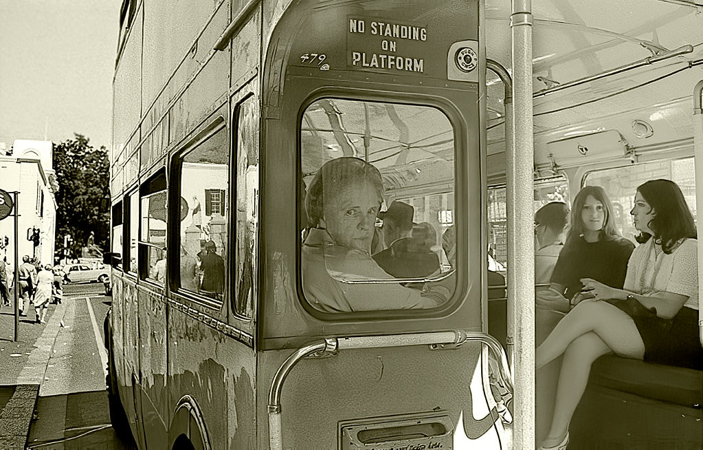
Waiting for a bus was a daily reality for the majority of Cape Town’s workforce. St George’s Street and other city centre stops saw long queues every morning and evening as workers moved between the city and the townships. The bus system, while essential, operated under apartheid rules — separate vehicles or separate sections for different racial groups.
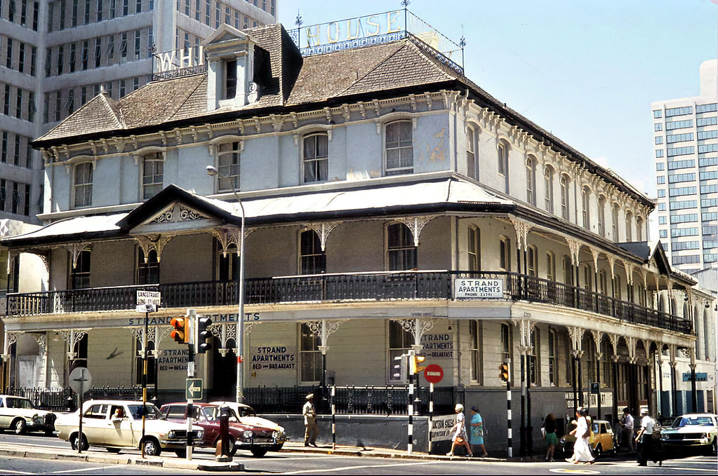
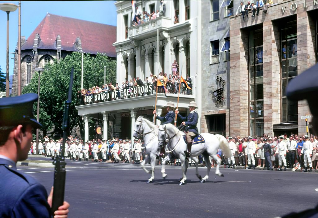
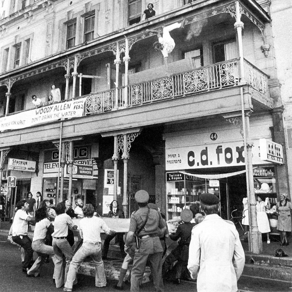
Cape Town served as South Africa’s legislative capital, and the annual Opening of Parliament was one of the city’s most formal occasions. Politicians and dignitaries gathered on the streets around Parliament while most of the country’s population had no vote and no representation in the chamber being opened. The ceremony took place against a backdrop of intensifying resistance to the government’s racial policies, including growing student movements at the University of Cape Town.
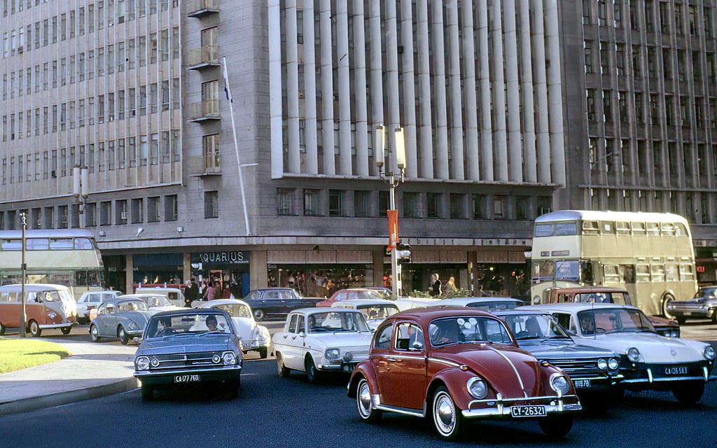
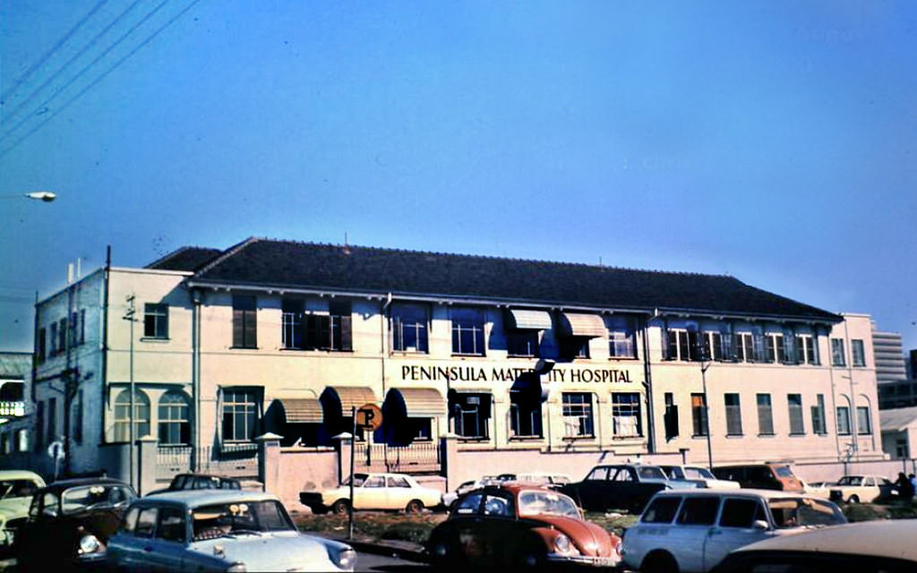
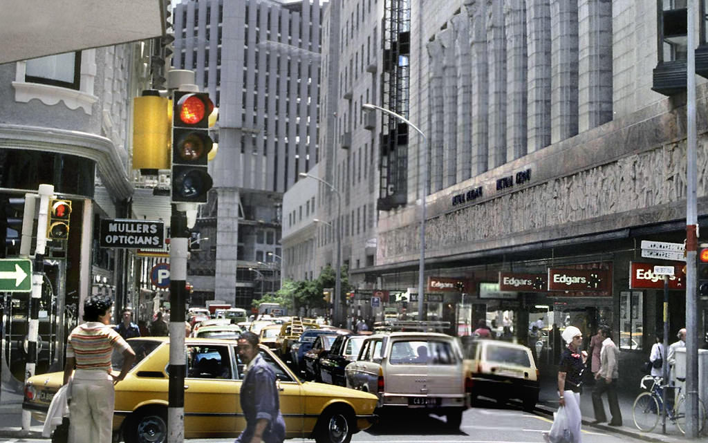
One of the decade’s most visible construction projects was the Golden Acre shopping complex, built over the original Cape Town railway station site. By late 1977 and into 1978, its concrete frame was rising along Parliament Street, changing the city’s skyline and signalling a shift toward large-scale retail development in the urban core. The Civic Centre on the Foreshore was another major project that reshaped the city’s public face during this era.
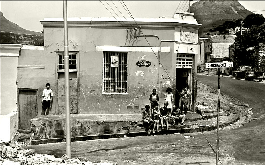
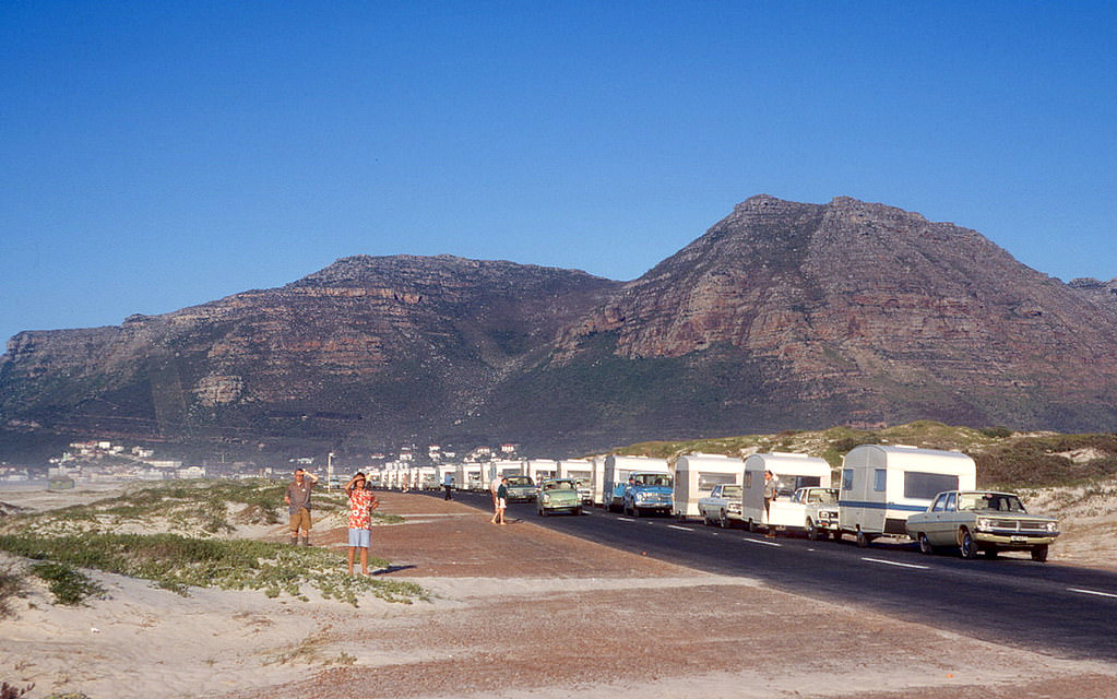
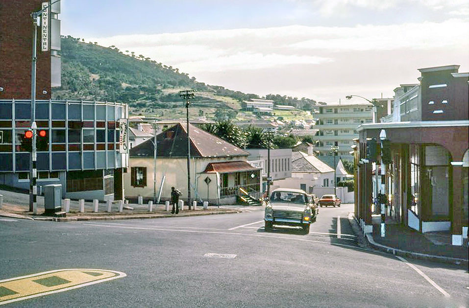
The southern suburbs and Atlantic Seaboard neighbourhoods like Gardens, Tamboerskloof, and Camps Bay had a quieter, more residential feel. Apartment blocks, corner shops, and tree-lined streets defined daily life in these areas, which were designated as white residential zones under the Group Areas Act.
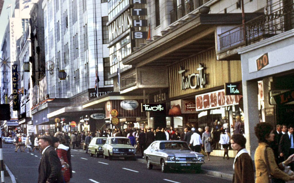
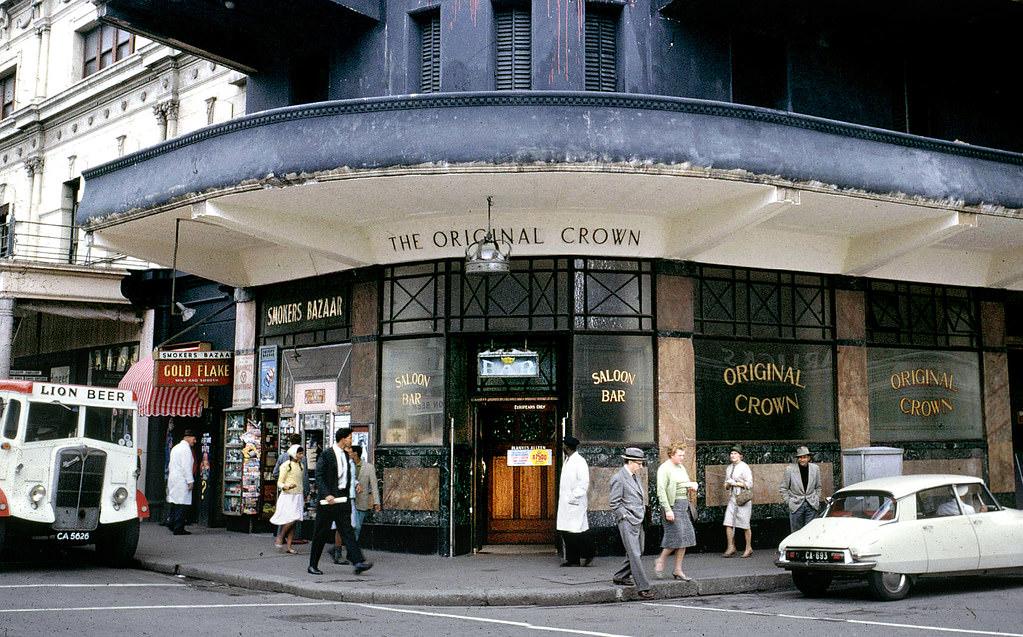
Adderley Street was Cape Town’s main commercial artery. Banks, shops, and hotels lined both sides of the road, and the street was decorated with flags for the tenth anniversary of the Republic in 1971. The Crown Bar at the corner of Adderley and Waterkant was one of those institutions that anchored city life — a place where working people stopped in before and after shifts.
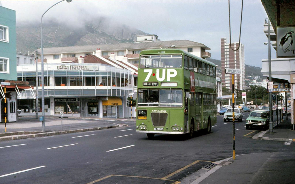
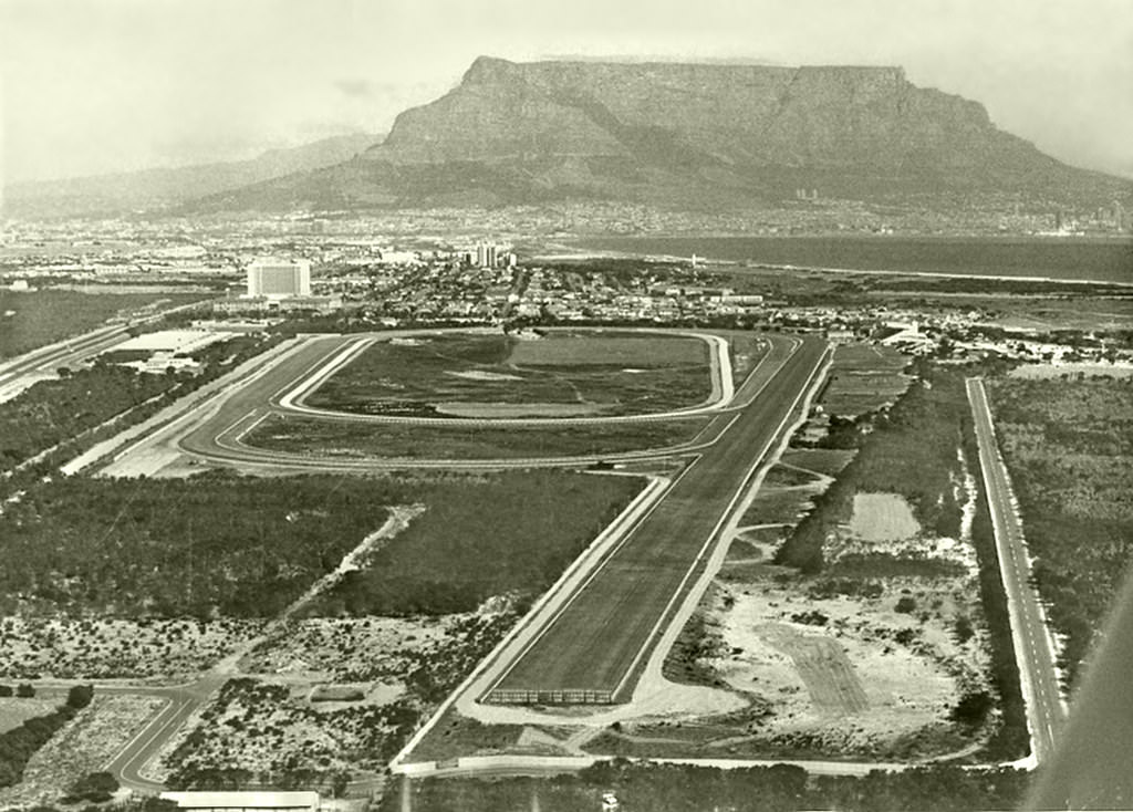
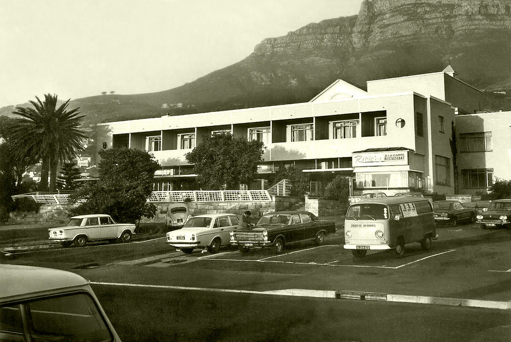
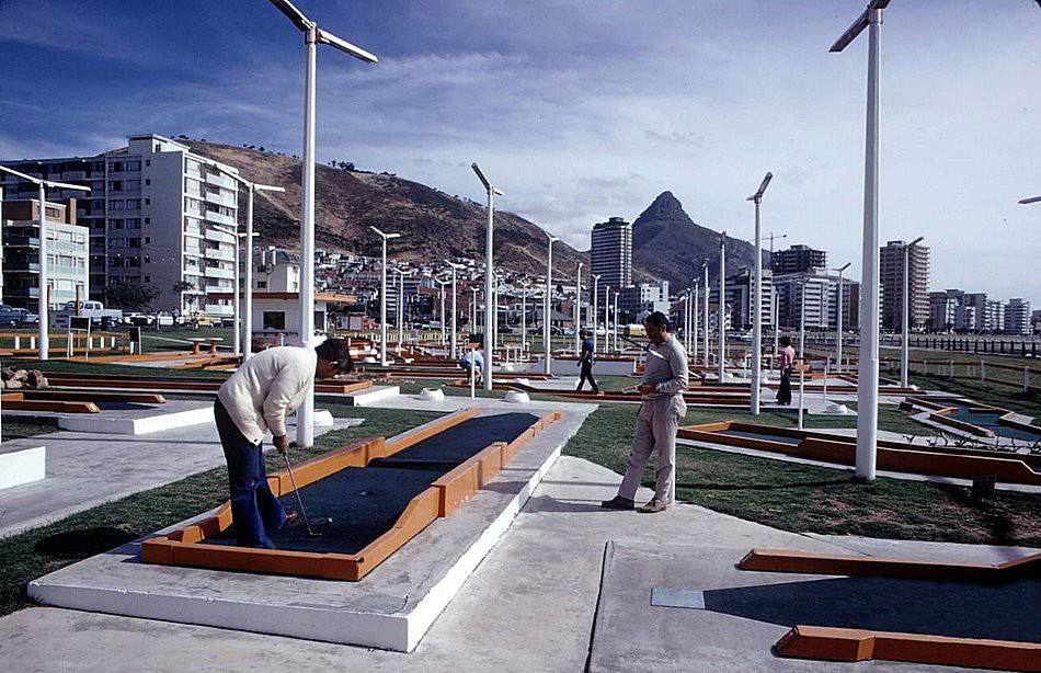
Beyond the political turmoil, Cape Town maintained a range of leisure activities for those who had access to them. The Milnerton Racecourse drew crowds in the late 1970s, the Putt-Putt course at Green Point was a popular family outing, and the Rotunda Hotel in Camps Bay’s Riviera Lounge attracted regular visitors throughout the decade before the building was eventually redeveloped into what is now the Bay Hotel.
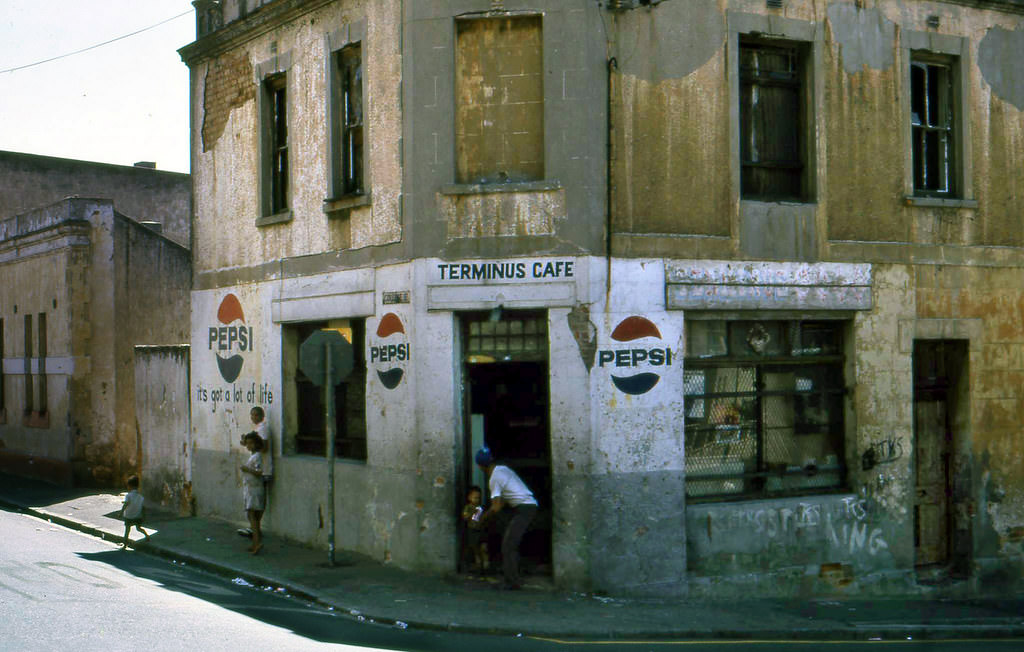
The café on the corner of College and Cambridge Streets in District Six was the kind of neighbourhood fixture that defined the area’s social life. By the mid-1970s, most of the streets it stood on were already being cleared. The café, like the community around it, was a casualty of a policy that prioritised racial geography over lived human experience.
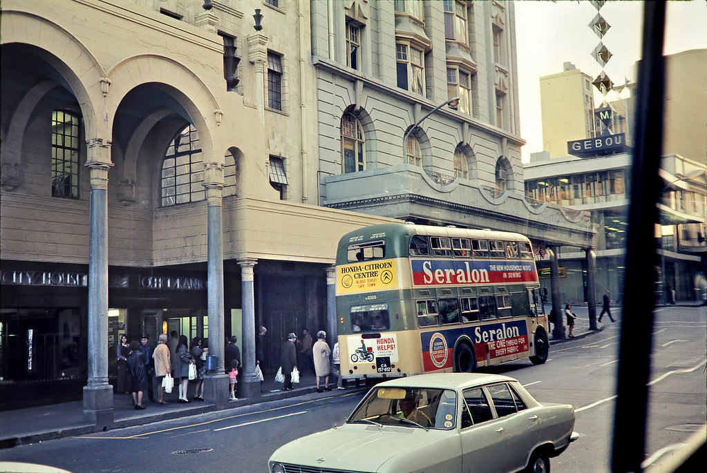
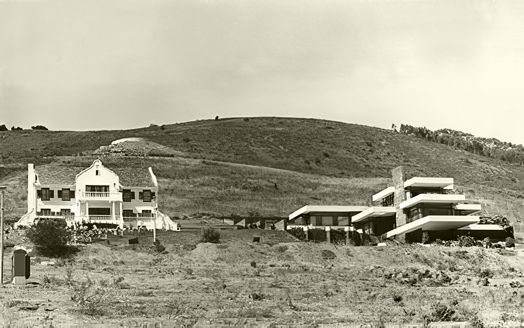
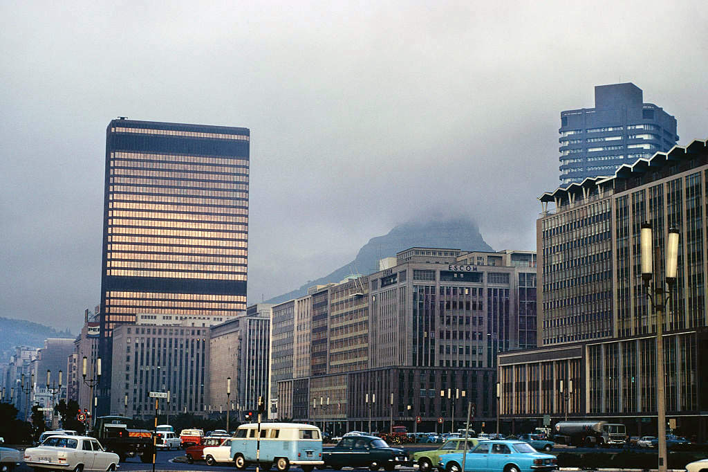
Strand Street in 1974 showed a city still transitioning. Electricity House stood where the Cape Sun Hotel would eventually be built, a reminder of how much the central business district’s physical fabric changed over the decade. New buildings replaced old ones, and the skyline that was familiar in 1970 looked noticeably different by 1979.
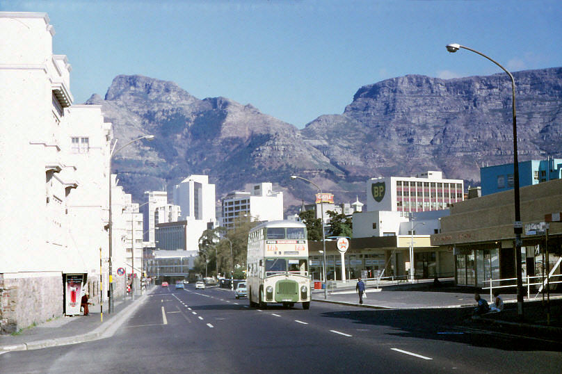
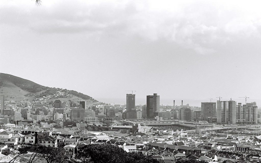
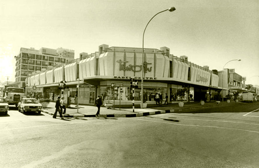
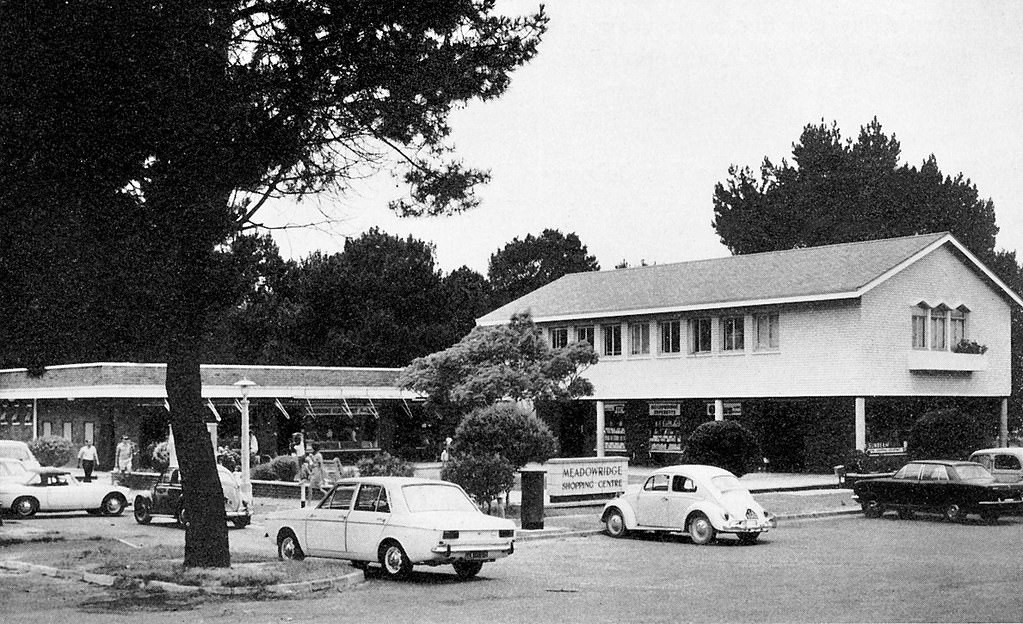
By 1975, Cape Town’s city skyline reflected the modernist architectural wave that had swept through South African cities since the 1960s. Taller office buildings and new commercial developments changed the profile of the city centre, while suburbs like Bellville and Parow expanded outward with shopping centres such as the Sabel Centre and Meadowridge, bringing retail closer to residential areas beyond the city bowl.
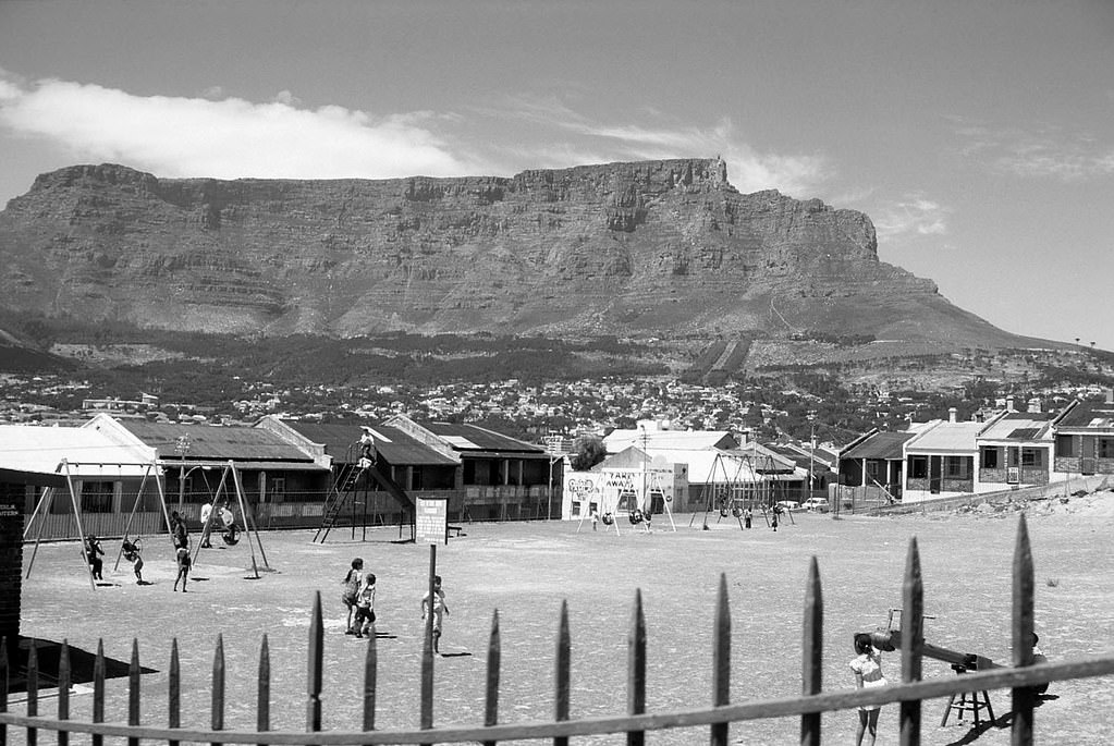
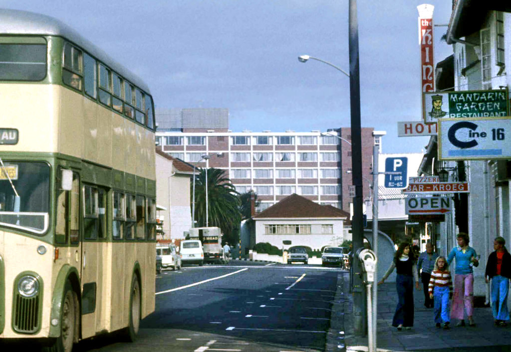
Children played in the parks of Schotsche Kloof, families strolled along the Sea Point promenade, and the rhythms of neighbourhood life continued even as the political situation deteriorated. These photographs from the early and mid-1970s document a city that was simultaneously ordinary and extraordinary — mundane in its daily routines, but extraordinary in the scale of injustice its residents were living through.
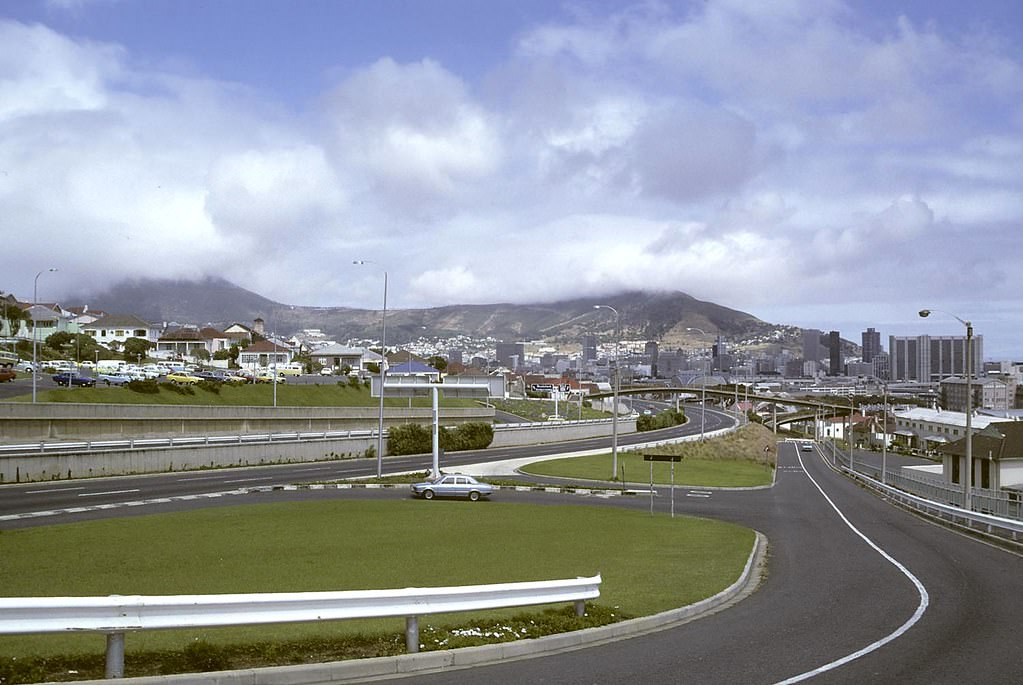
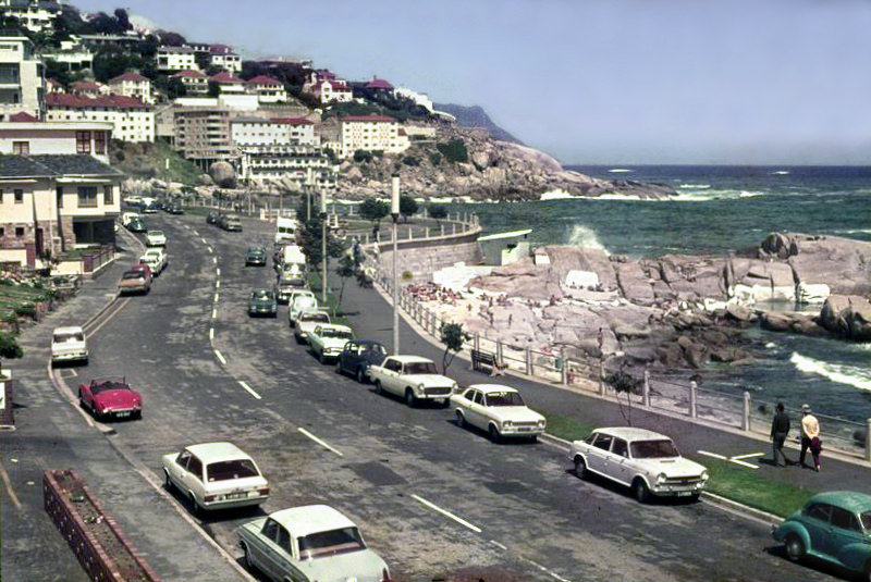
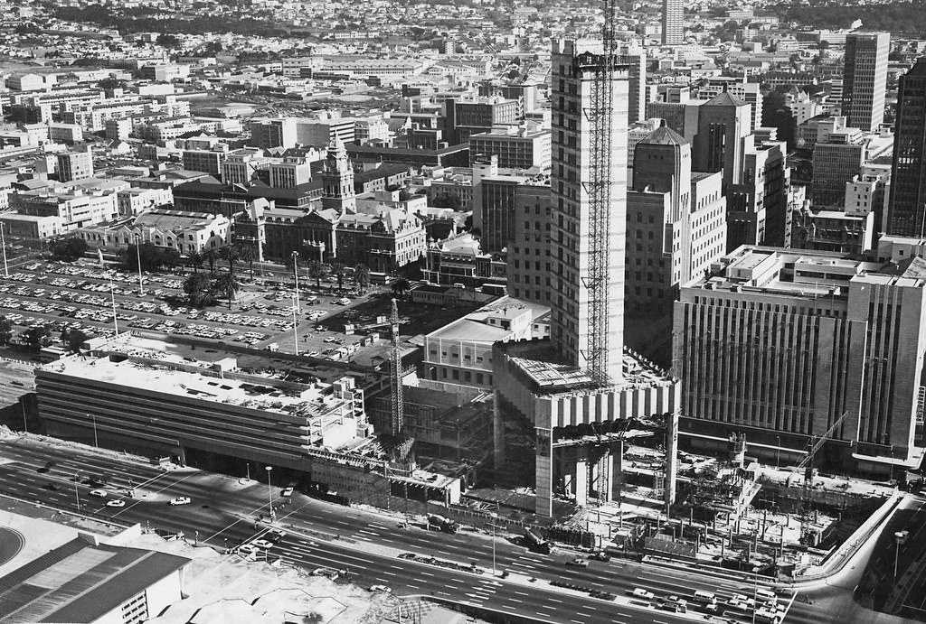
The Golden Acre’s construction progress through 1977 was closely watched. It was one of the most ambitious commercial development projects the city had seen, and its eventual completion transformed the area around Adderley Street’s top end. The building’s scale signalled the kind of modernist ambition that characterised Cape Town’s built environment during this period.
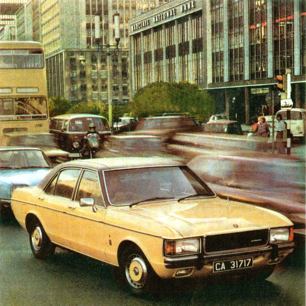
The Ford Granada advertisement photographed in the Heerengracht during rush hour in 1977 captures something telling about the era. Consumer culture and car ownership were aggressively marketed to white South Africans even as the country faced international isolation and internal resistance. The economy was shifting, but for those with access to it, spending power was real and visible on the city’s streets.
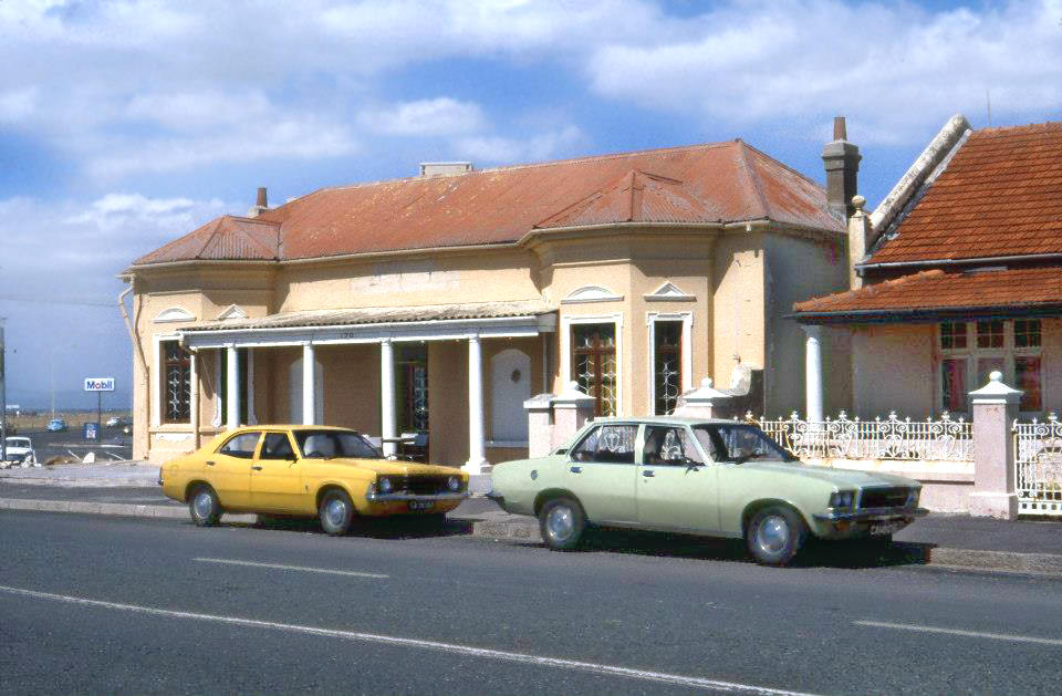
Mouille Point’s Beach Road in 1973 shows the kind of coastal urban streetscape that made Cape Town distinctive. Low-rise buildings, quiet pavements, and the ocean just beyond the road gave the area an unhurried feel that contrasted sharply with the tension-filled city centre just a few kilometres away.
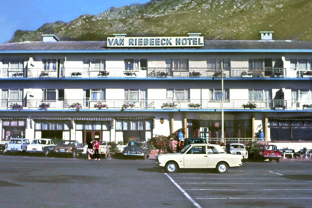
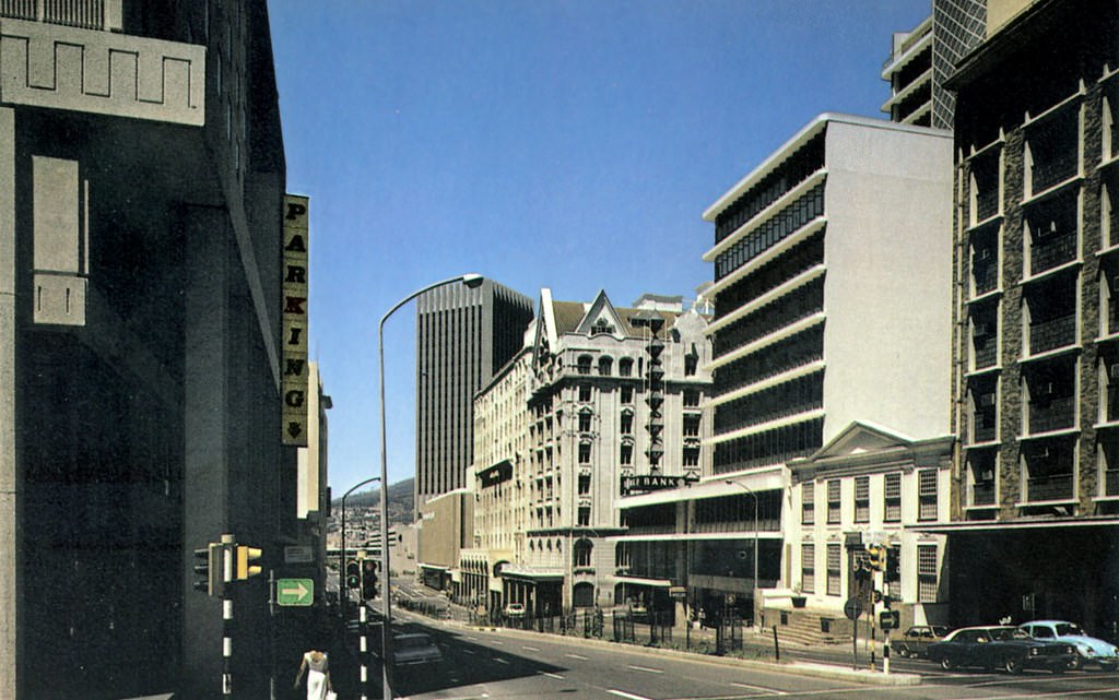
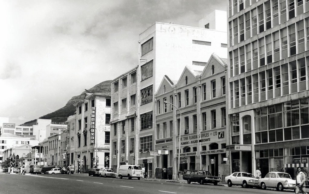
Gordon’s Bay, with the Van Riebeeck Hotel looking out over the water, was a quieter coastal escape from the city. Bree Street in the city centre, photographed in 1972, presents a very different picture — a dense urban street lined with the kind of small businesses and pedestrian activity that characterised Cape Town’s commercial neighbourhoods throughout the decade.
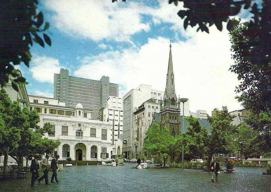
Greenmarket Square had been a gathering place in Cape Town since the eighteenth century. By 1977, it was still a central point in the city’s daily life — surrounded by historic buildings and filled with the activity of people moving through the city centre. It was one of those spaces that persisted through every era of the city’s history, regardless of the political climate around it.
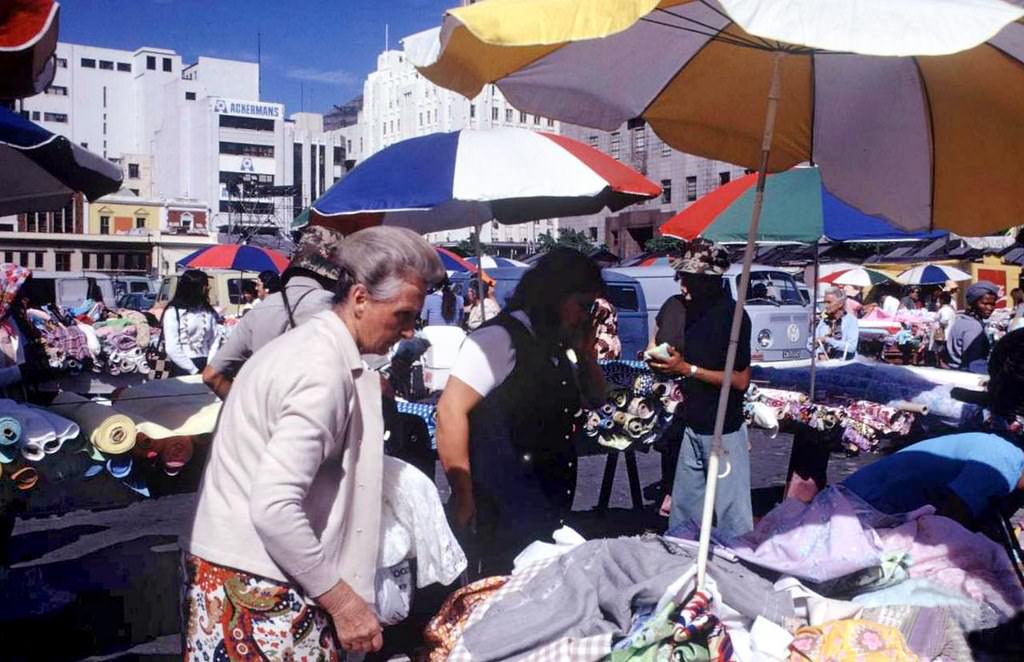
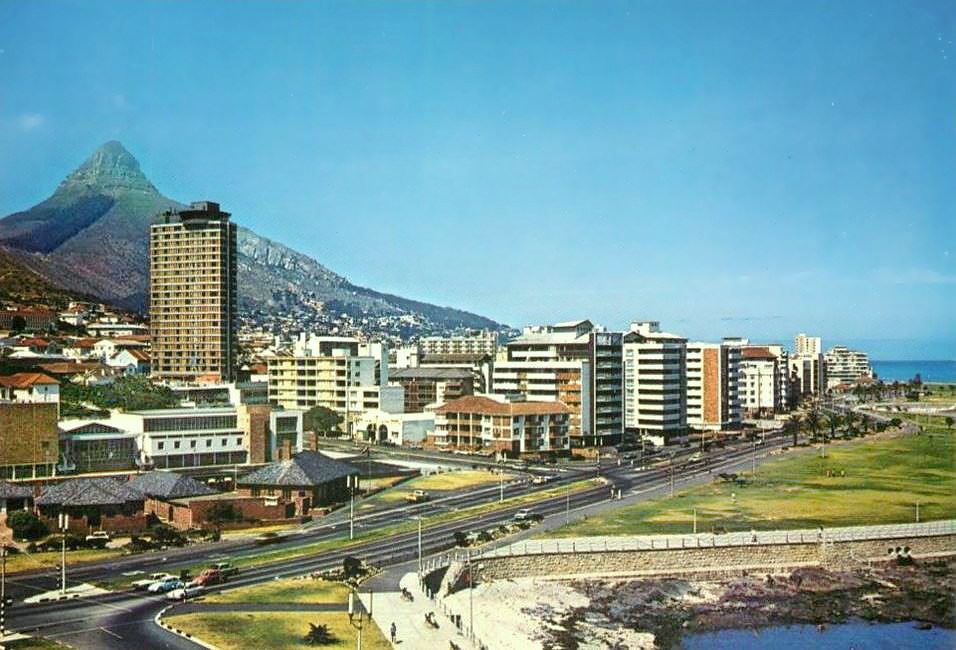
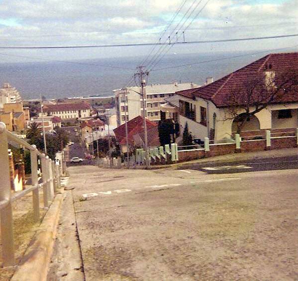
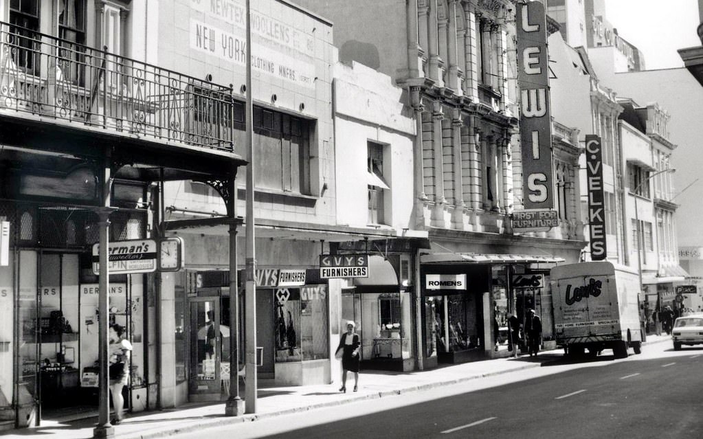
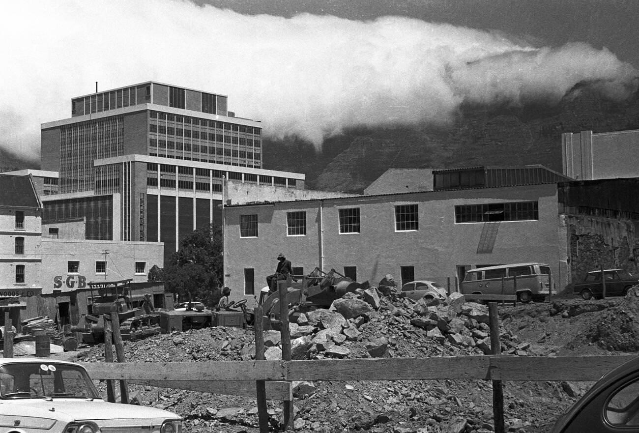
Plein Street in 1974 sat at the edge of Cape Town’s political and commercial worlds. Parliament was nearby, and so were department stores like Woolworths and Garlicks. Photographs from the area show building sites being prepared for new developments — the Old Mutual Centre and Shell House were both under construction, reshaping the block by block appearance of the city centre.
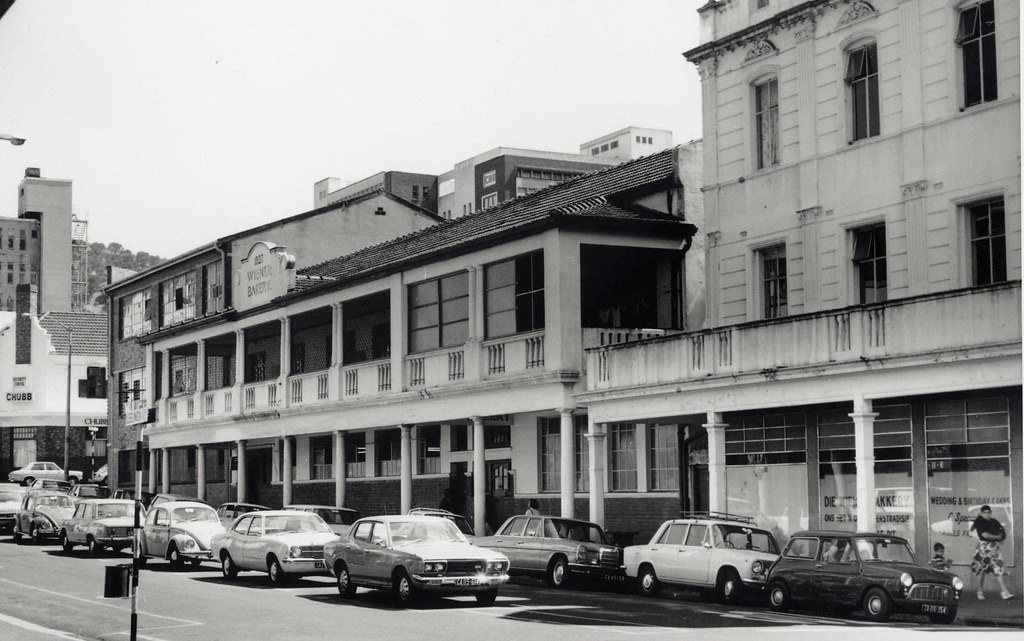
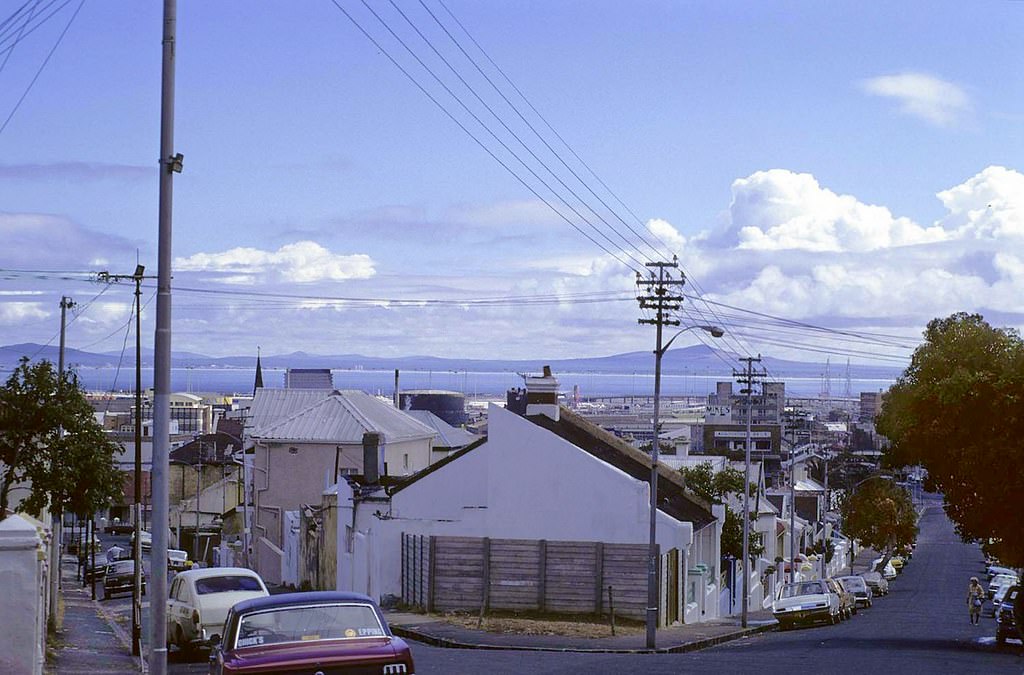
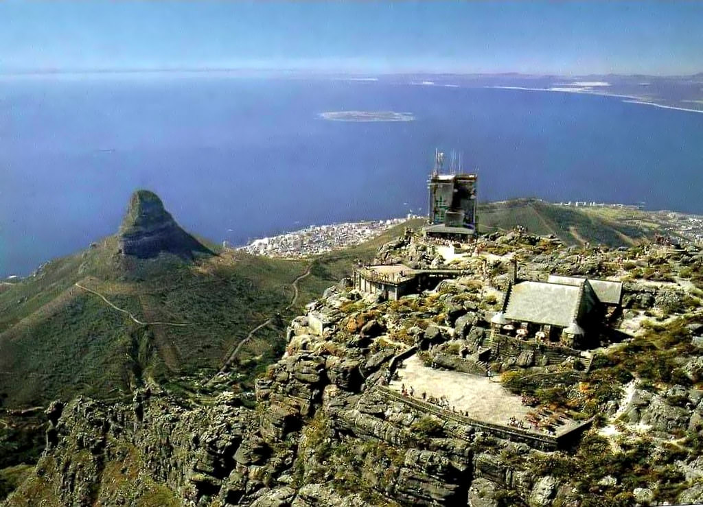
Table Mountain stood over all of it — the construction sites, the bulldozed neighbourhoods, the crowded bus stops, the beachfront hotels, and the Parliament buildings. From its summit, photographed in 1978, the full sweep of the city was visible: the harbour, the Atlantic, the Cape Flats stretching inland, and the bowl of the city itself. It was unchanged by everything happening below.
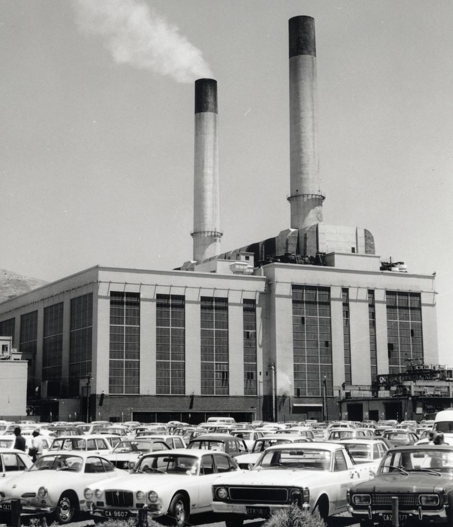
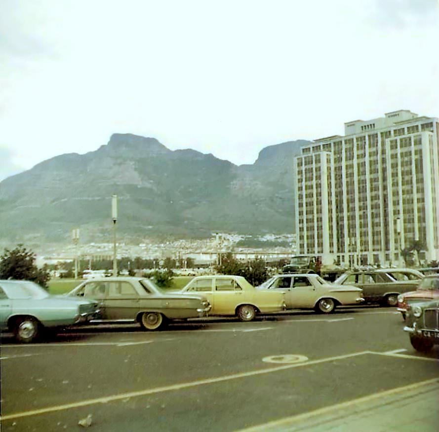
The Foreshore, reclaimed from the sea in the 1940s, was still finding its identity in the 1970s. Large open parking areas occupied land that would later be developed. The Civic Centre was under construction by 1975, and the whole area between the city centre and the harbour was a work in progress throughout the decade.
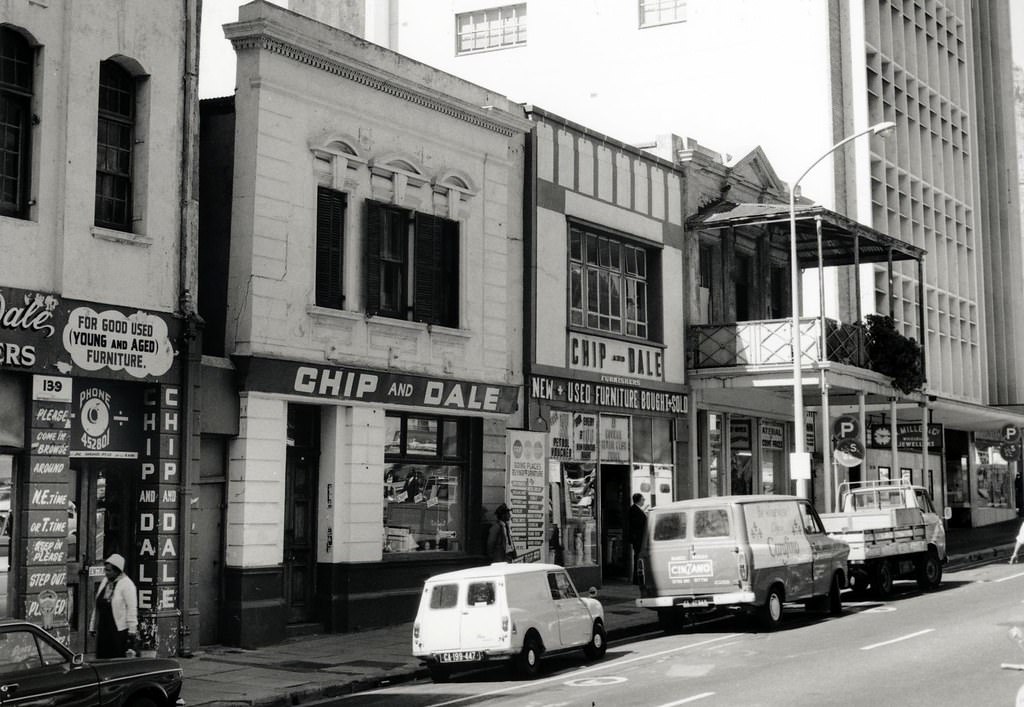
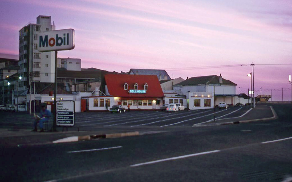
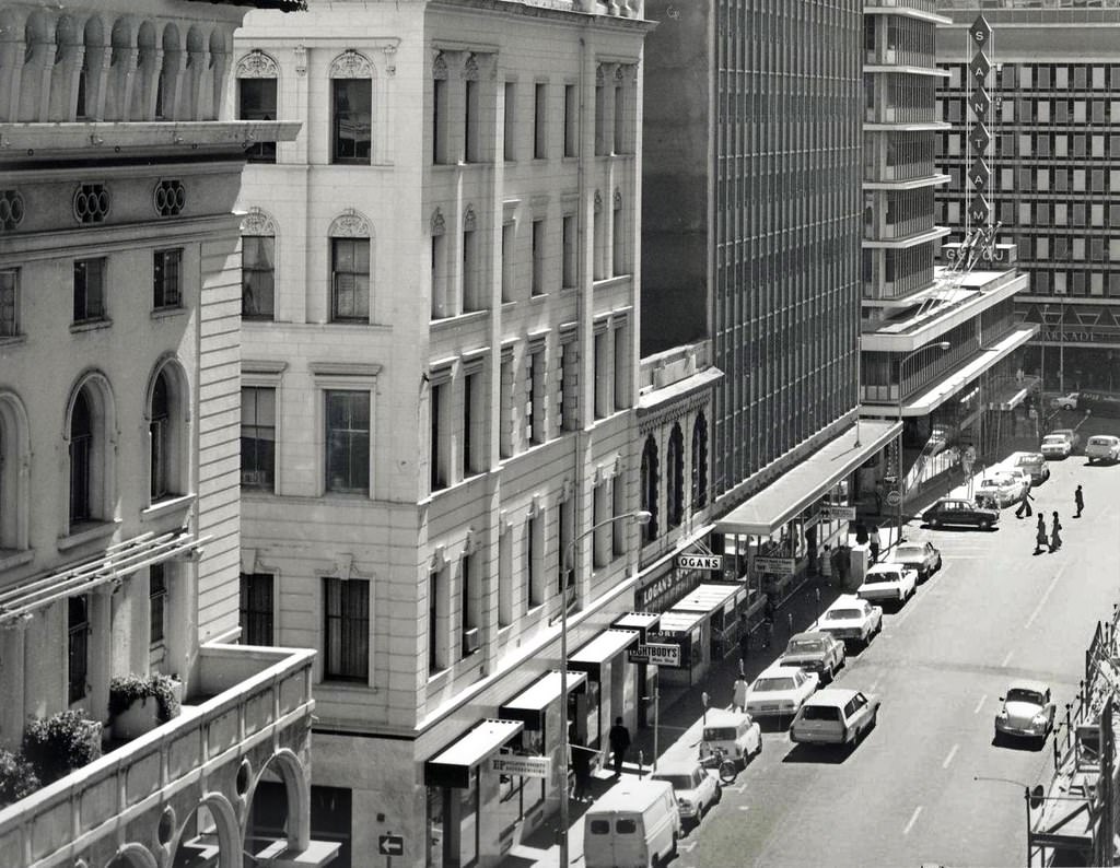
Burg Street in 1974 was part of the grid of streets that made up Cape Town’s city bowl. Alongside it, roads like Keerom Street retained buildings with long histories — number 14 and 16 Keerom Street, for example, once housed the Netherlands Club before later becoming a restaurant. These streets carried layers of history beneath their ordinary exteriors.
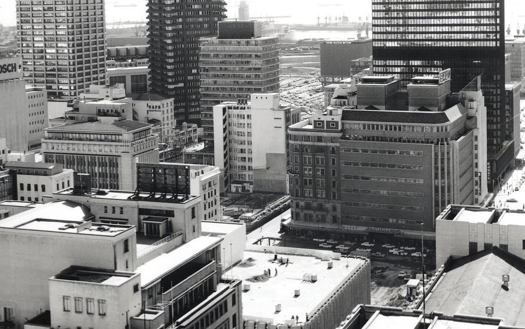
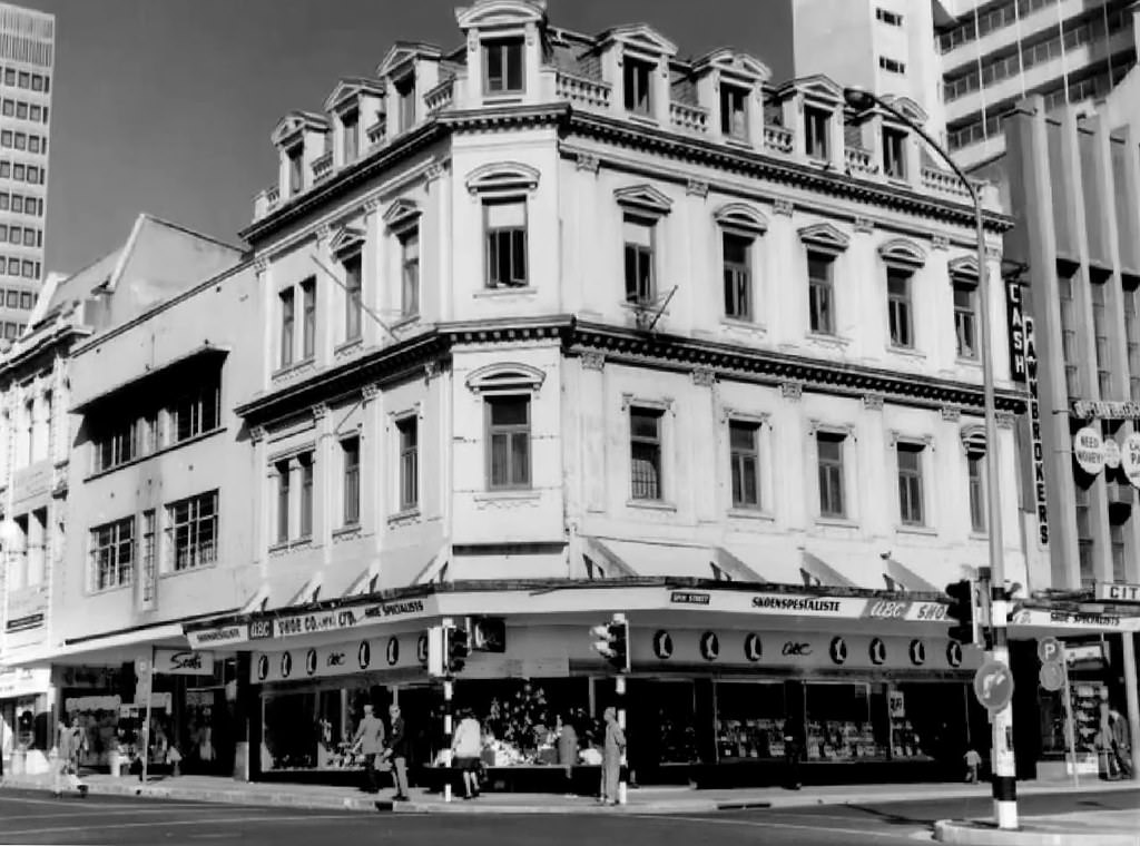
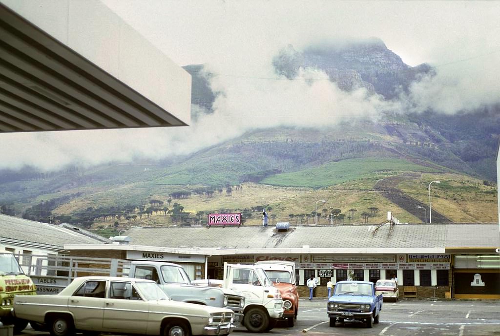
Woodstock, just east of the city bowl, was a working-class neighbourhood with a distinct character. Sir Lowry Road, Brabant Street, and Roberts Street were lined with the kind of modest homes, corner shops, and light industrial buildings that defined the area. Like many Cape Town suburbs, its demographics were shaped by the Group Areas Act, which had forced many of its original Coloured residents out during earlier decades.
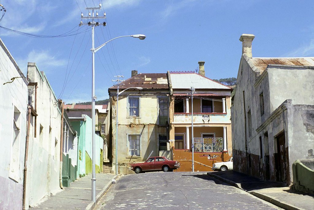
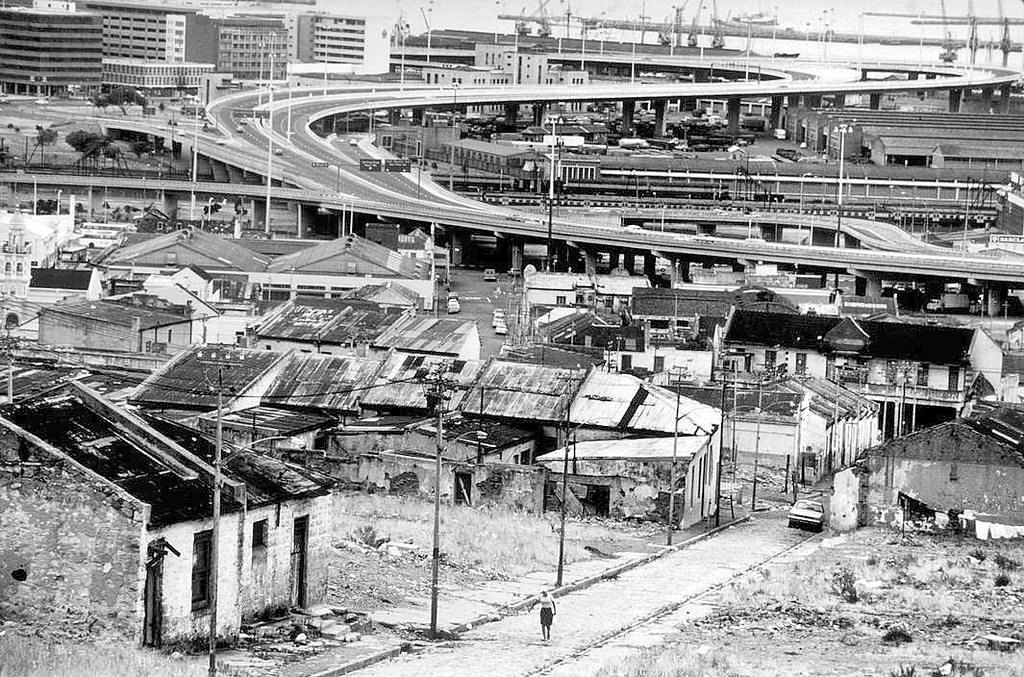
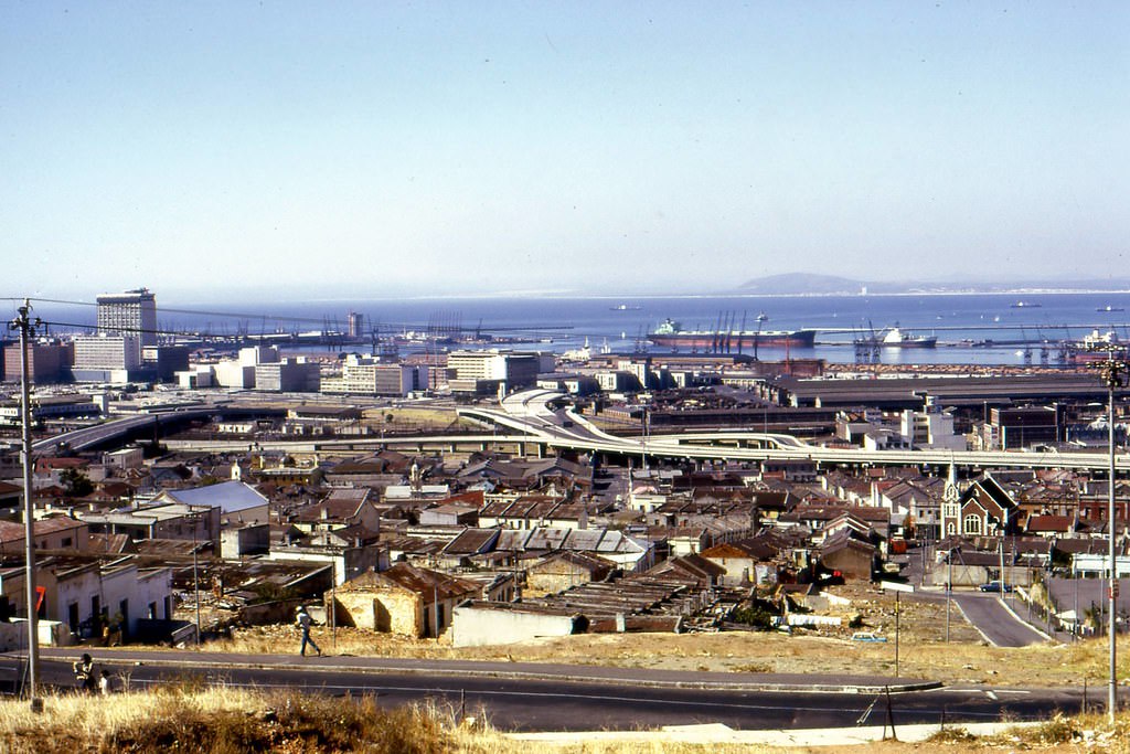
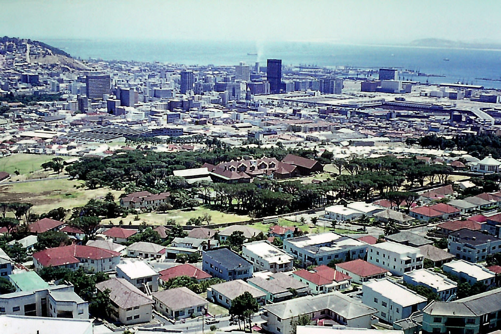
By 1979, the view from where District Six once stood was one of open, cleared land. The harbour was visible in the distance, but the streets, homes, cafes, and community that had once filled that hillside were gone. The photograph of that view is one of the most arresting documents of what apartheid’s forced removals actually looked like on the ground.
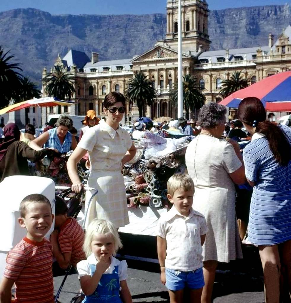
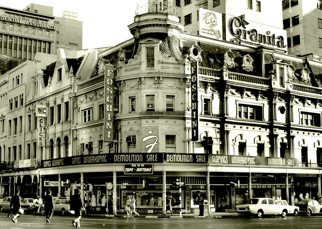
The Grand Parade on a Saturday morning was one of Cape Town’s great public gatherings. Stalls spread across the open square in front of the City Hall, and people from across the city came to buy and sell. It was one of the few public spaces where the city’s different communities occupied the same ground, even if the rest of their lives were legally kept separate.
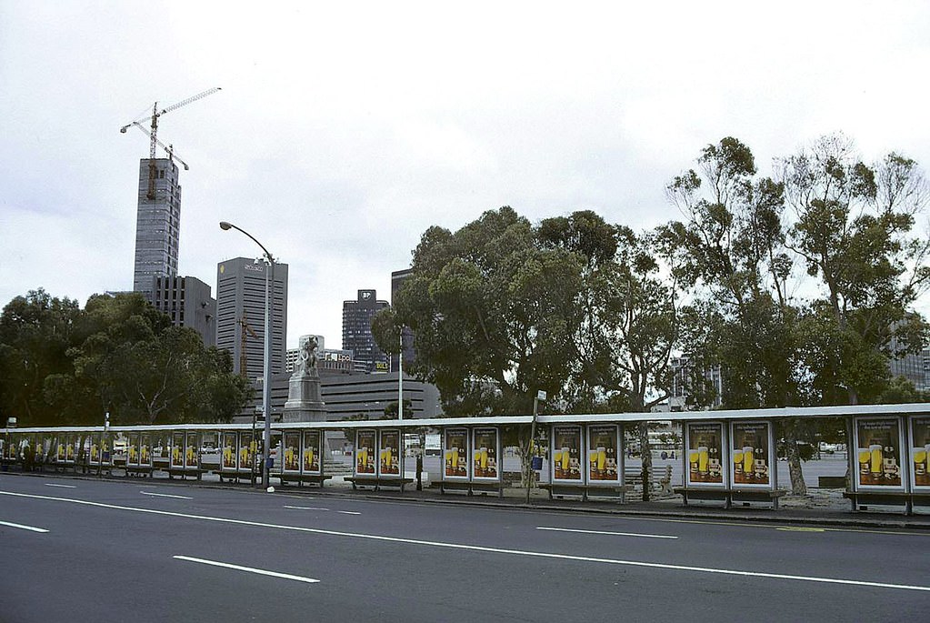
Adderley Street in 1977 was in the middle of a transformation. The Golden Acre was rising at its top end, and the street itself was busy with the commerce and movement of a major city. By 1979, the entrance to the underground mall below the Golden Acre complex had opened, connecting the street to an entirely new layer of retail beneath it.
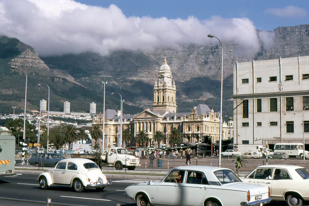
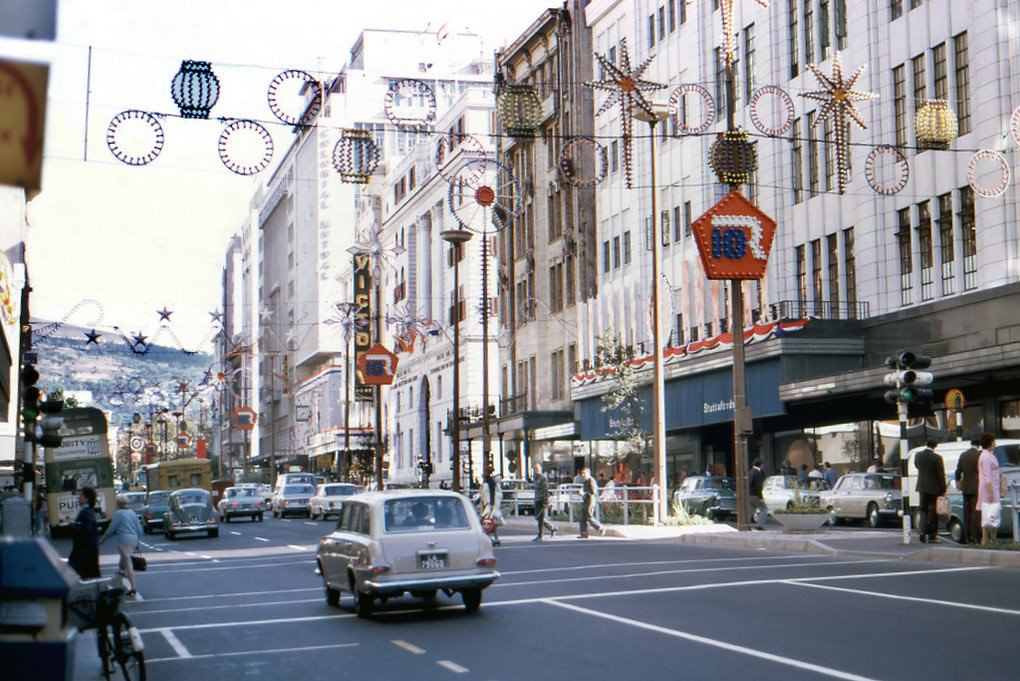
In 1971, Adderley Street was decorated to mark the tenth anniversary of South Africa becoming a republic. The flags and banners were a deliberate act of state pageantry, a performance of national pride by a government whose legitimacy was increasingly challenged at home and abroad. The City Hall behind it, a handsome Edwardian building completed in 1905, provided an imposing backdrop to the proceedings.
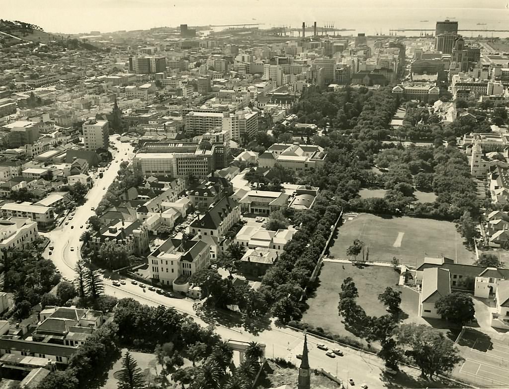
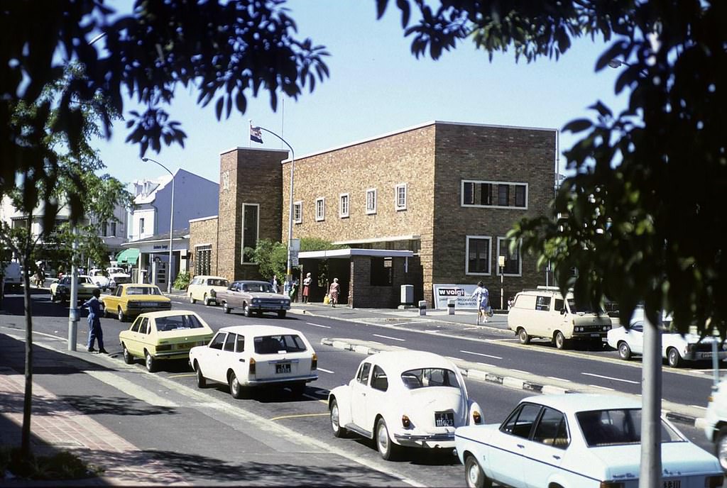
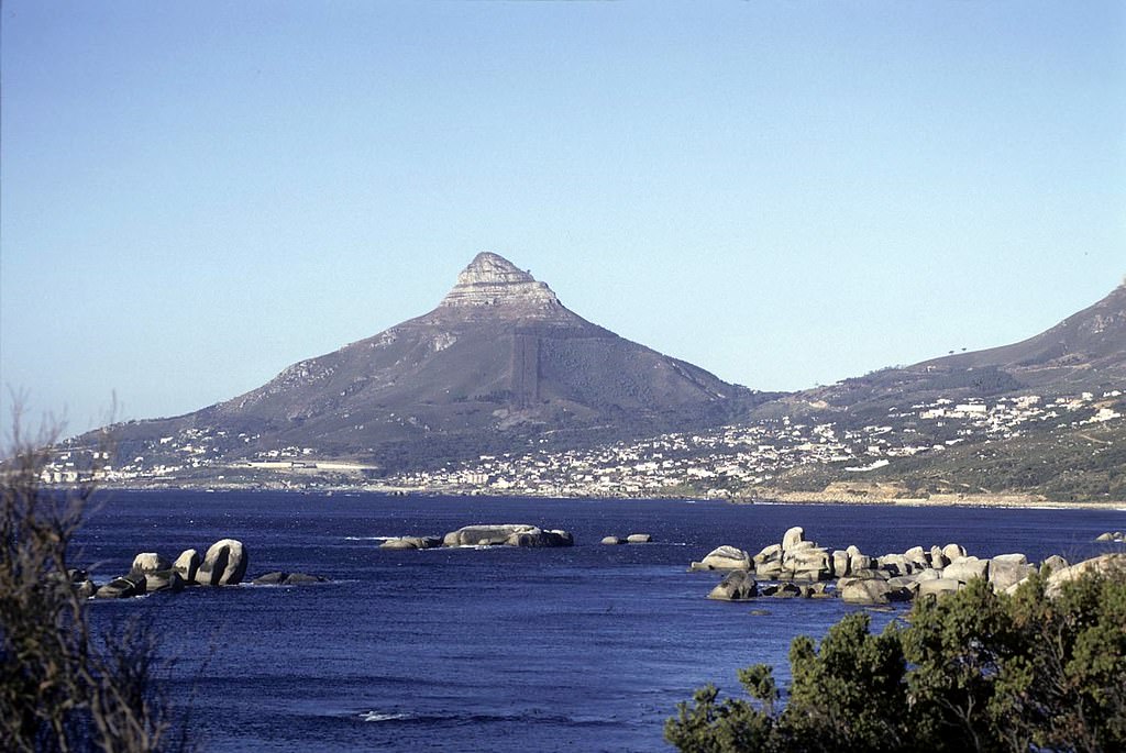
Government Avenue, running through the Company’s Garden, was one of Cape Town’s most elegant public spaces. Its oak-lined walkway connected the Houses of Parliament to the South African Museum, the National Gallery, and other institutions of state. By 1979, as the photograph of Oudekraal’s pristine coastline shows, the natural beauty of the peninsula remained untouched — a constant in a decade that had changed so much else.
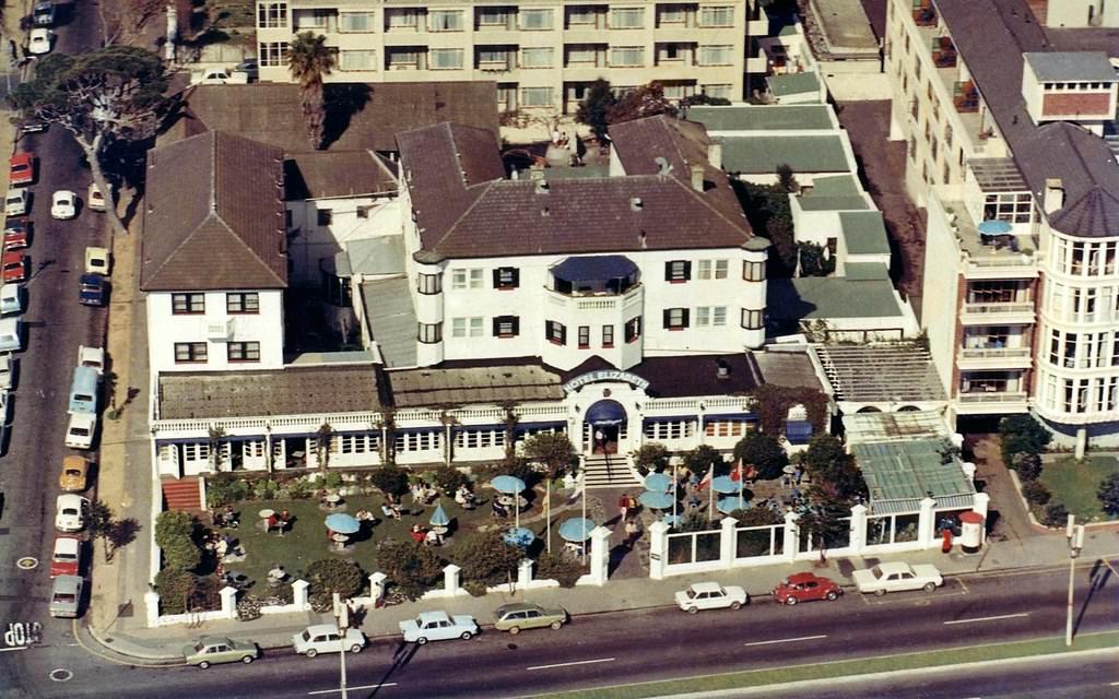
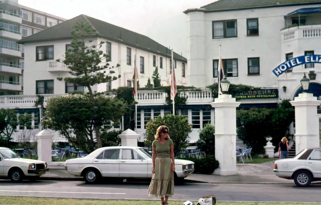
The Hotel Elizabeth, photographed both in 1970 and again in 1978, bookends the decade neatly. The building itself changed little on the outside, but the city around it shifted considerably. New hotels, new roads, new shopping complexes, and the erasure of entire neighbourhoods had all taken place within those eight years.
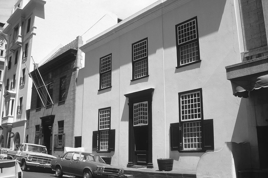
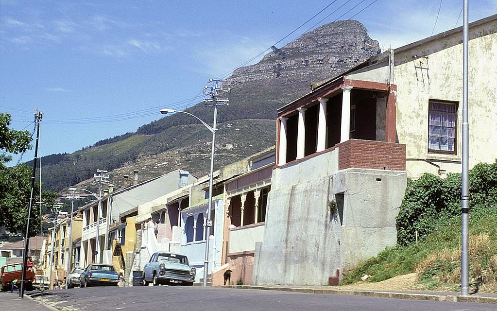
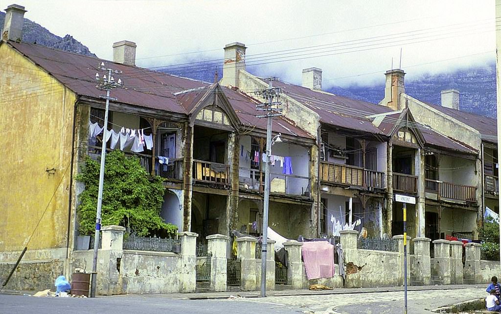
District Six in 1977 was a neighbourhood in its final stages of destruction. Most residents had already been removed, and the physical clearing of the area was well advanced. What remained were fragments — a street here, a building there — before those too were demolished. The photographs taken there during this period are among the most important documents of what the forced removals actually destroyed.
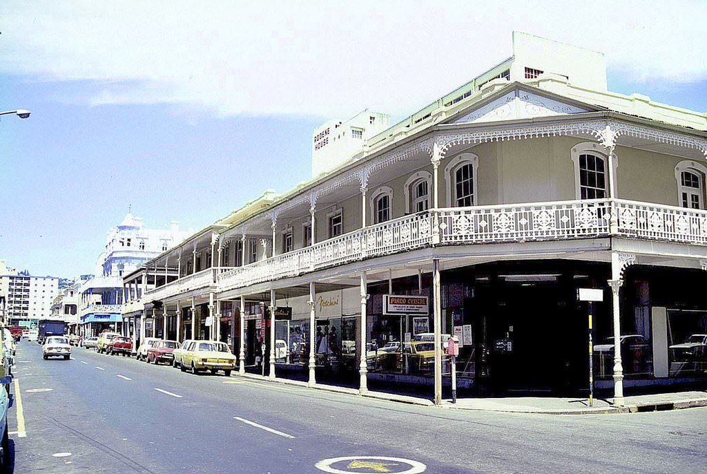
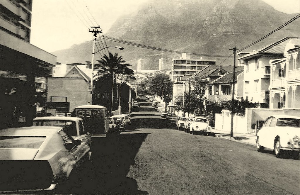
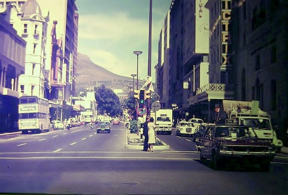
The Gardens suburb, with streets like Union Street photographed in September 1974, was a quiet residential area tucked behind the city centre. Its Victorian and Edwardian homes sat beneath the slopes of Table Mountain, largely insulated from the economic and political upheaval playing out in other parts of the city.
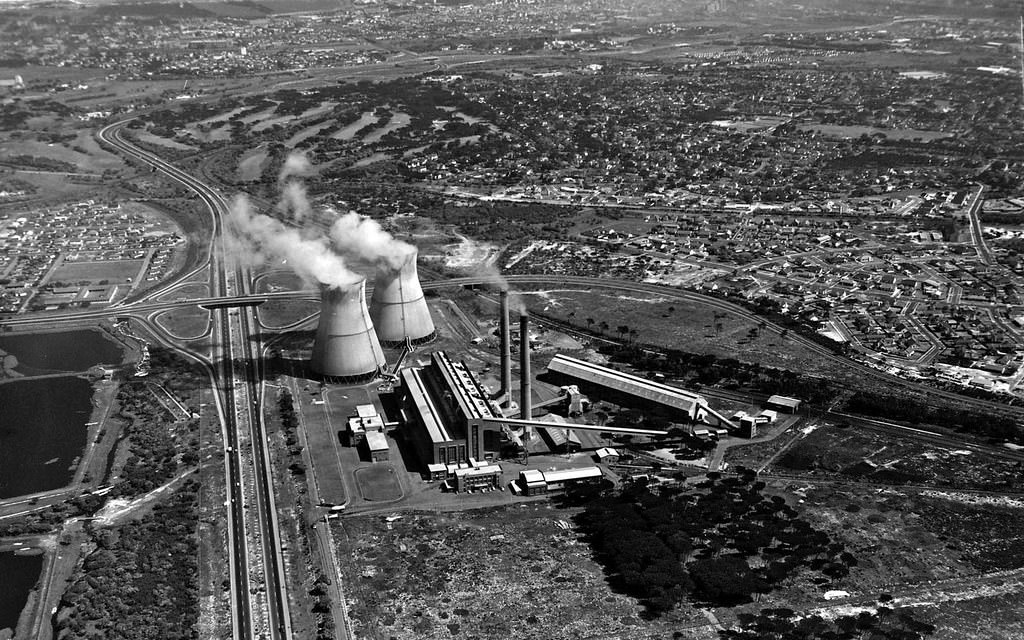
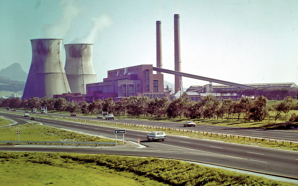
The Athlone Power Station, with its distinctive twin cooling towers, was a major piece of industrial infrastructure that served the Cape Flats and surrounding areas. By the 1970s, it had already become one of Cape Town’s most recognisable landmarks, visible from many parts of the city and the N2 highway approaching from the east.
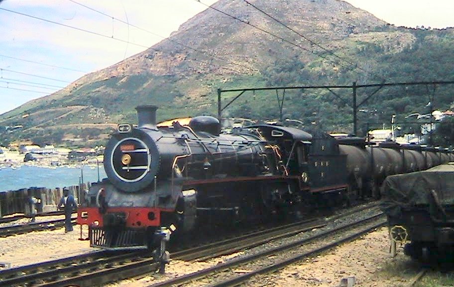
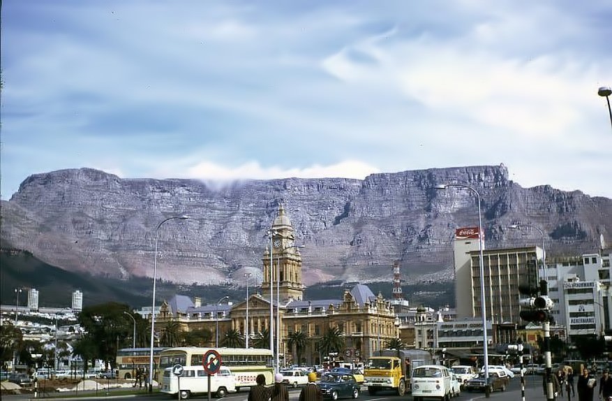
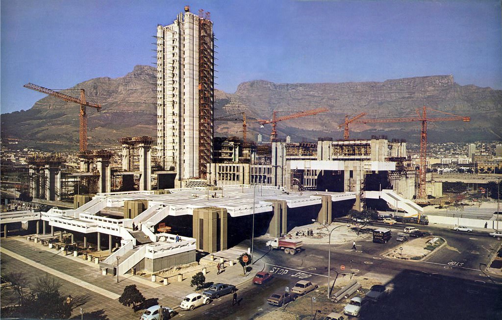
The Simonstown railway line, running along the False Bay coast, was one of the most scenic commuter routes in the world. Its 1977 photograph shows it in regular working operation, carrying passengers along a coastline that remained one of the peninsula’s most dramatic stretches. The City Hall photographed against Table Mountain in 1973 and the Civic Centre rising on the Foreshore in 1975 together capture the old and new Cape Town sharing the same frame.
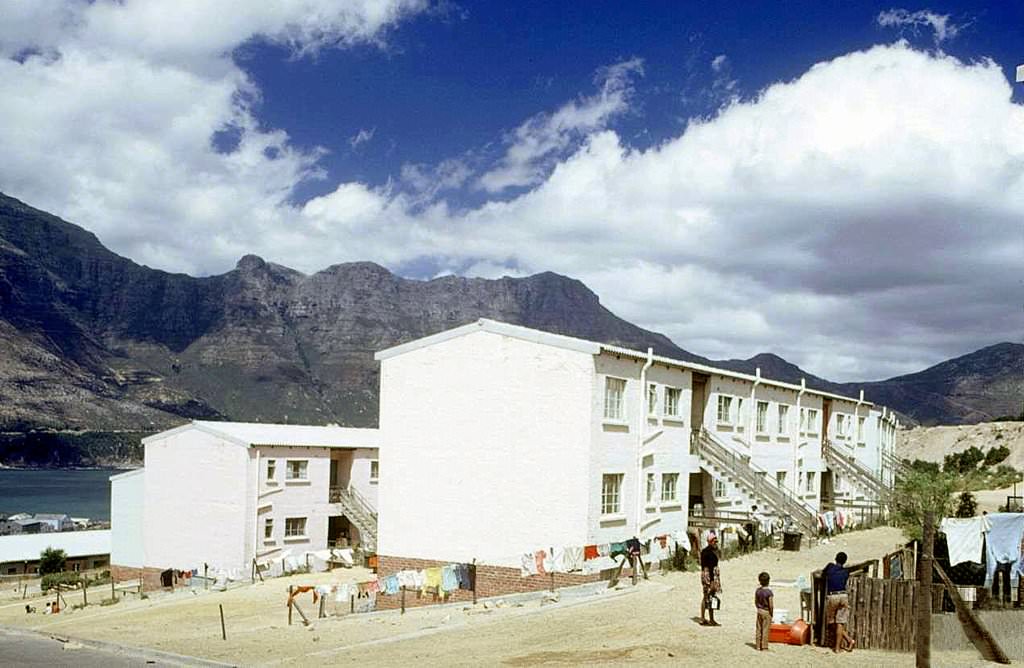
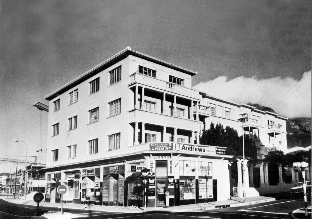
New apartment blocks were going up throughout the city in the 1970s. Hout Bay saw new flats built in 1974, and Breda Court on Mill Street stood as one of the earliest purpose-built flat complexes in Cape Town — built as flats rather than tenements, a distinction that mattered in how the building was designed and who it was marketed to.
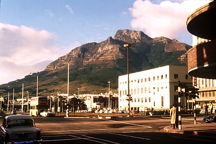
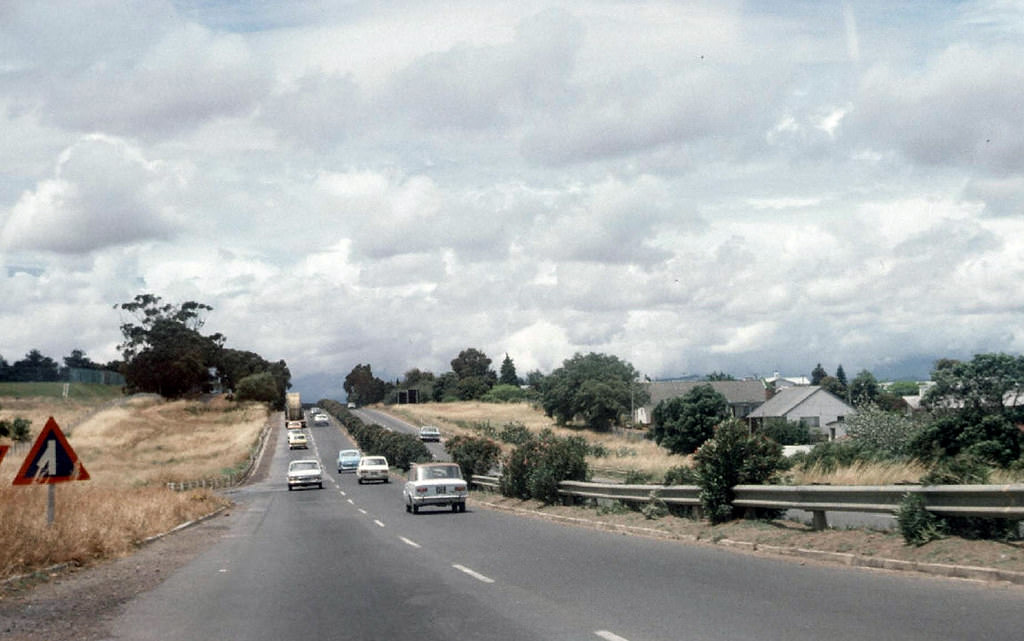
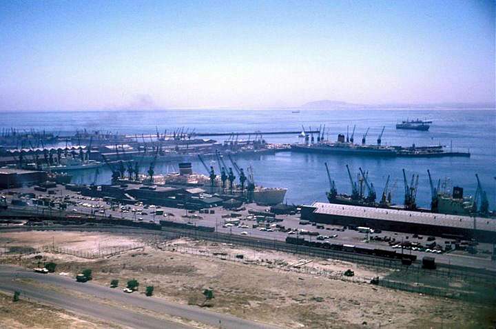
Cape Town’s docks in 1970 were a working port, full of cargo ships, cranes, and the constant activity of loading and unloading. The N1 highway to Paarl, photographed in 1974, shows the arterial roads that connected the city to the winelands and the rest of the country — routes that also carried the goods and produce on which the city’s economy depended.
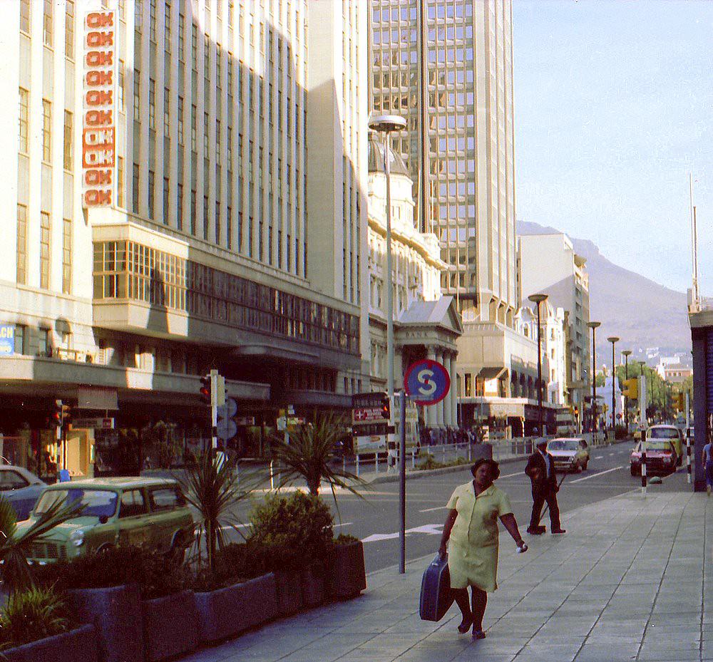
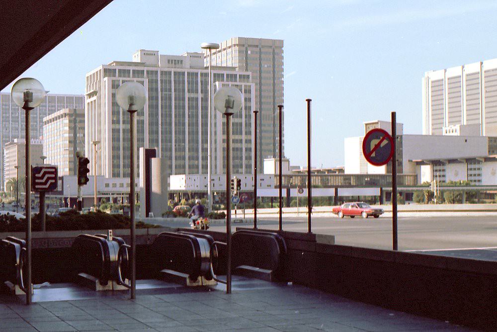
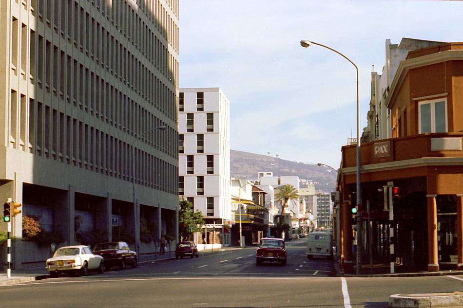
By 1979, Long Street and Adderley Street had both changed from how they looked at the decade’s start. The underground mall entrance on Adderley Street was a new feature that reflected how retail was beginning to move below street level. Shoppers entering through that entrance were stepping into a new model of urban retail, one that would define South African city centres through the decades to come.
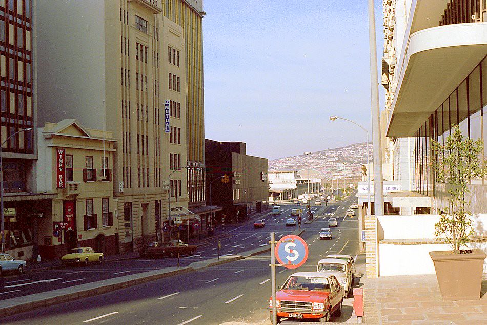
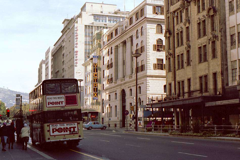
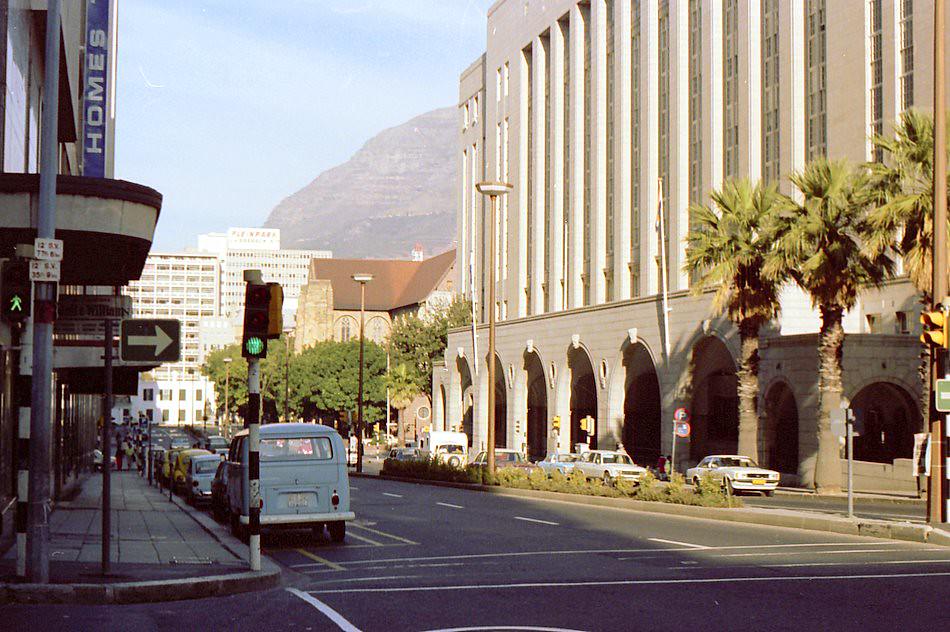
Wale Street in 1979 ran directly past the entrance to the Bo-Kaap and skirted the edge of what had been District Six. The street connected layers of the city’s history in a single stretch — colonial architecture, a surviving Muslim quarter, and the empty land where a neighbourhood once stood. These end-of-decade photographs document a city that entered the 1980s already transformed by the forces — political, economic, and architectural — that had defined the previous ten years.





Looks alright?
What’s it like now? I hear it’s a beautiful city. Must be even better after 30years of unity and prosperity
Yeah it is much much better.
Nice
Id love to visit sometime
Cool photos, interesting to see how much has changed and what has stayed the same
I mean, I live in Cape Town and go to these places often.
It looks about the same except for 50 years of development added and a shit load of Germans and US people ruining Sea Point onwards. Some more homelessness and beggars as well obviously.
I’d much rather live with what it is now than living with what devastation was going on to have a road that’s a bit cleaner.
It could be better, obviously. We need to rid the government of corruption and stop the rich from buying out everything people need, to name a couple of things.
Look at the pic with the bus, it was Christmas time, I recall vividly how we would drove from beach to beach to see the different lights, it was very cool.
No. 26 is not Cape Town.
The “good ol’ days”, right?