
Cape Town in the 1950s was a city of sharp contrasts. Apartheid had been made law in 1948, and by the time the new decade began, its effects were being felt across every street, suburb, and community in South Africa. Racial segregation divided where people lived, worked, shopped, and went to school. Yet despite those rigid boundaries, Cape Town remained a city full of noise, movement, and life. The streets were busy, the markets were packed, and the waterfront hummed with activity day and night.
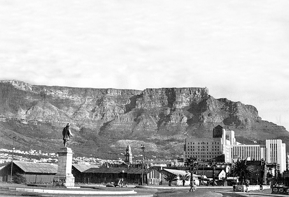
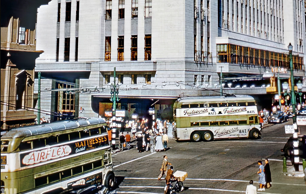
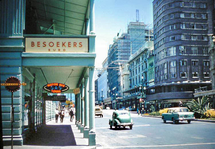
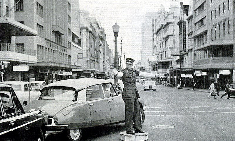
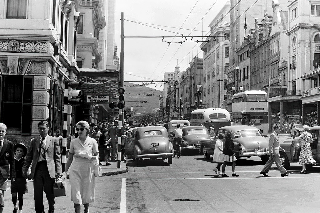
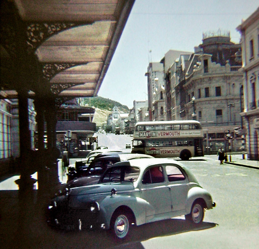
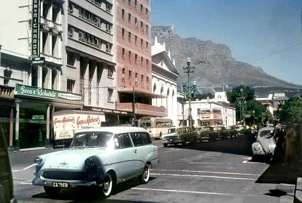
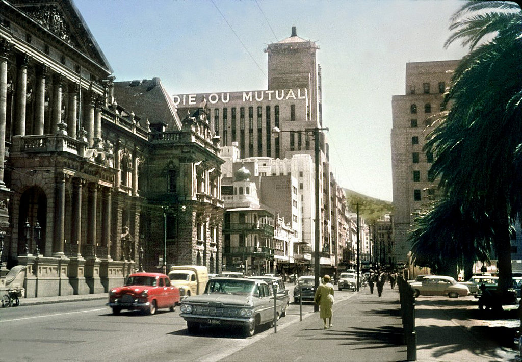
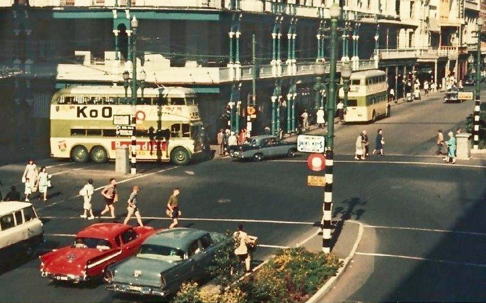
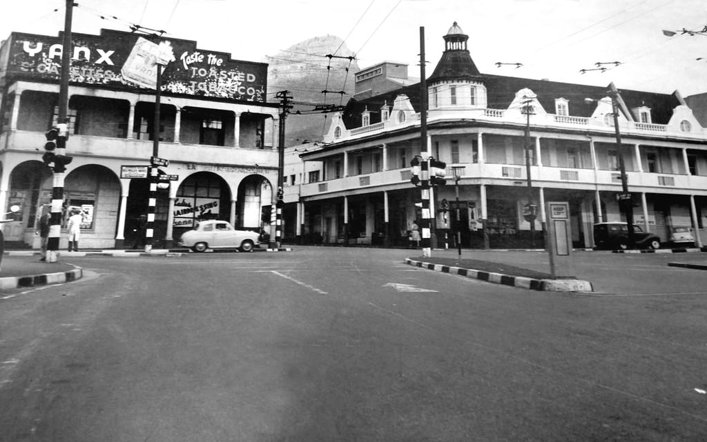
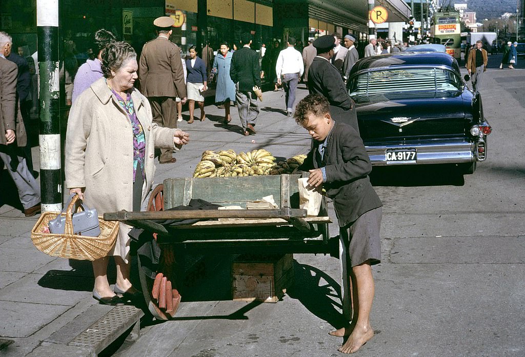
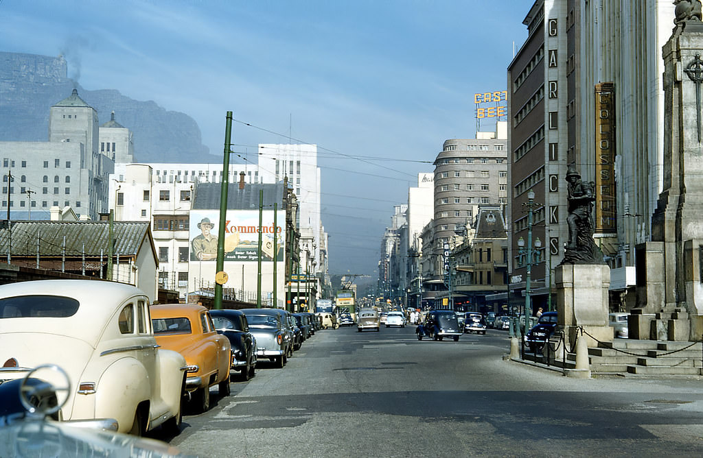
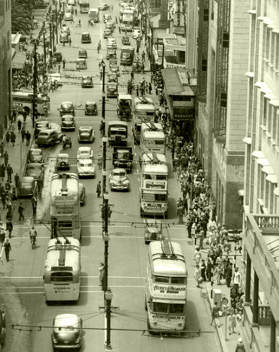
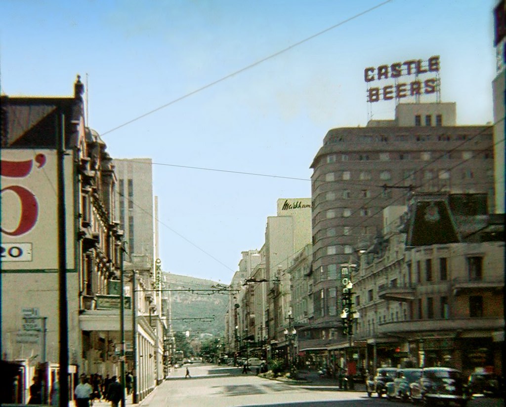
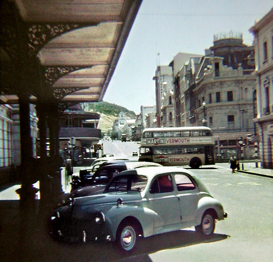
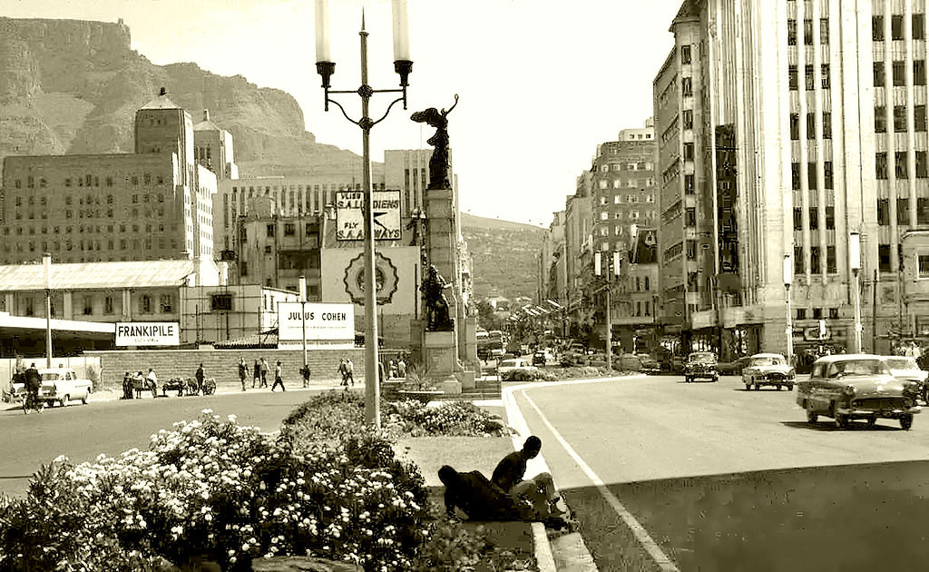
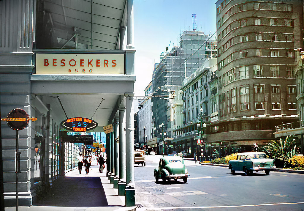
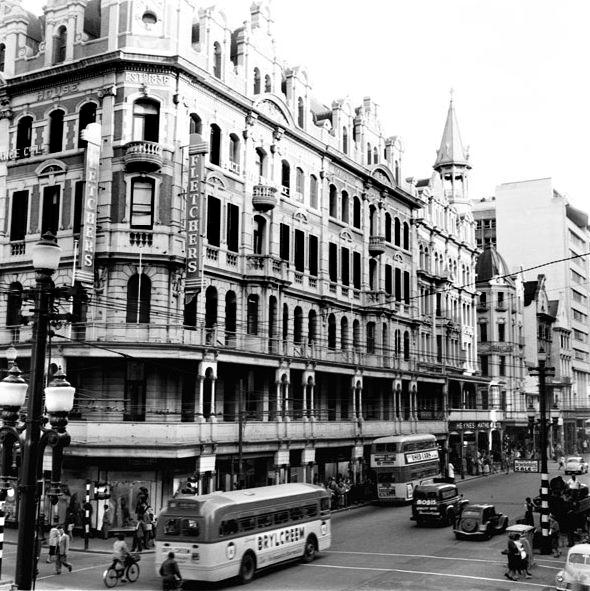
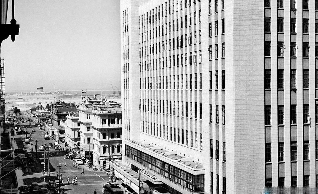
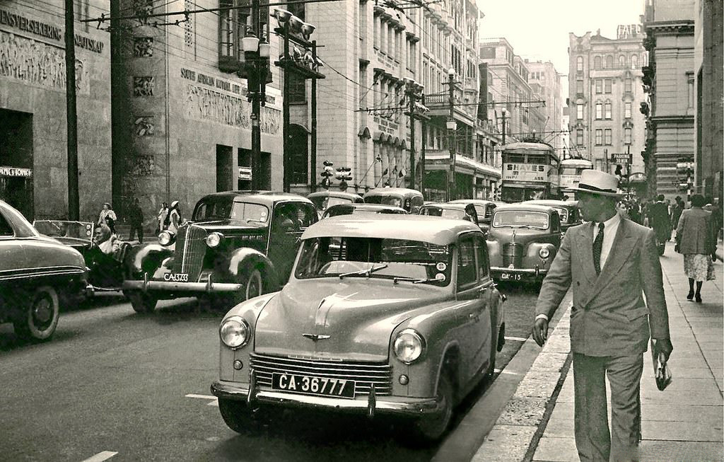
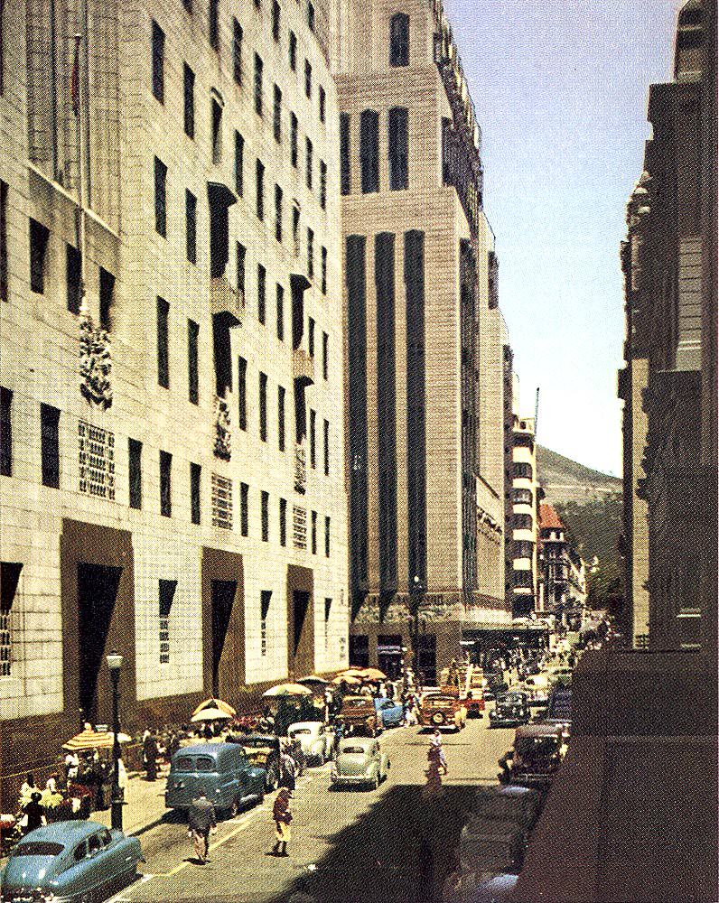
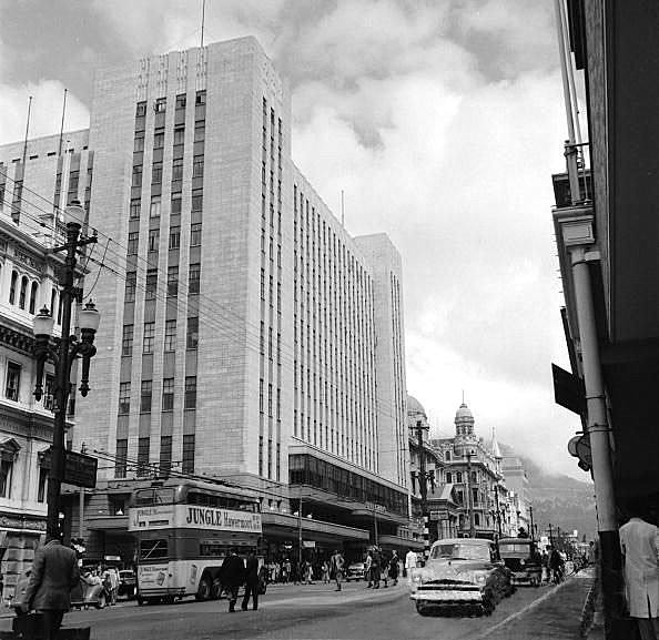
Adderley Street was the beating heart of the city. Trolley buses ran along its length, shops lined both sides, and crowds of pedestrians filled the pavements at all hours. The O.K. Bazaars, a large retail store with a striking white facade, was a landmark that drew shoppers from across the city. On any given day, the street mixed business, transport, and street life into one continuous flow of activity.
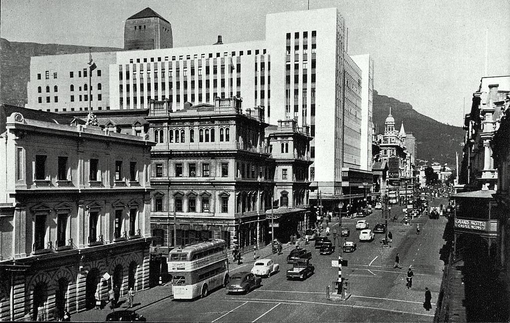
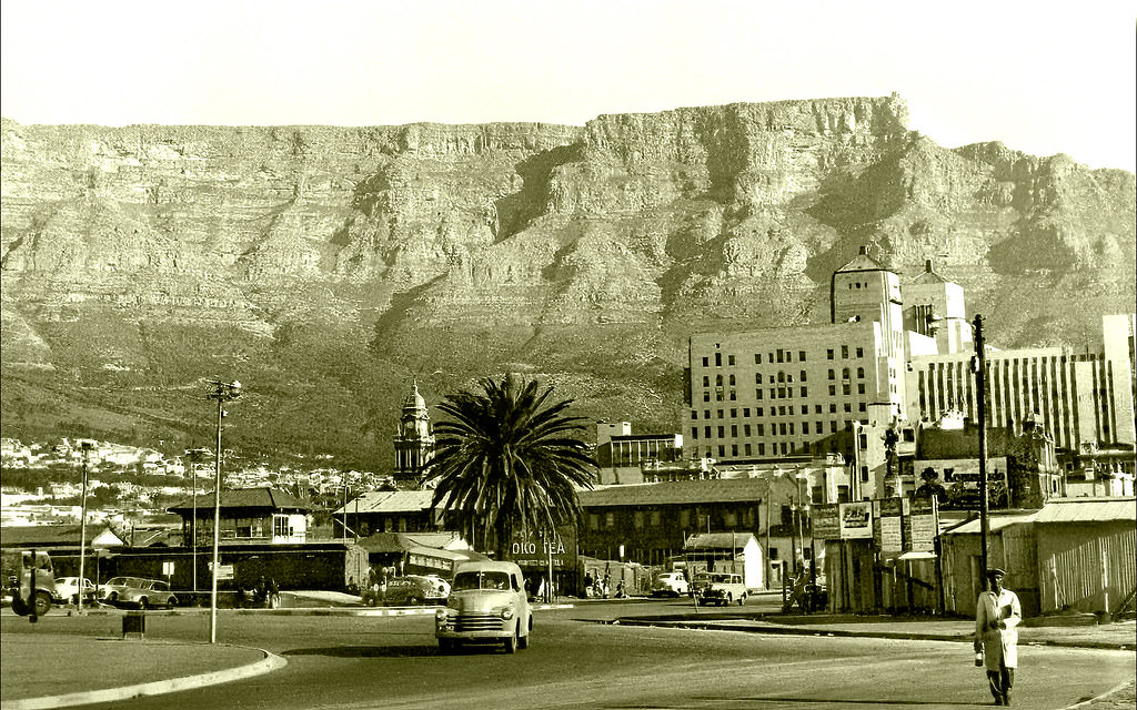
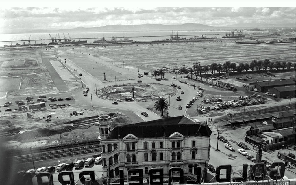
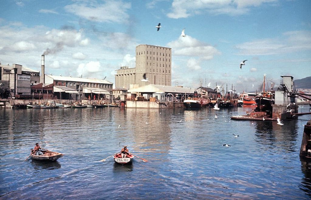
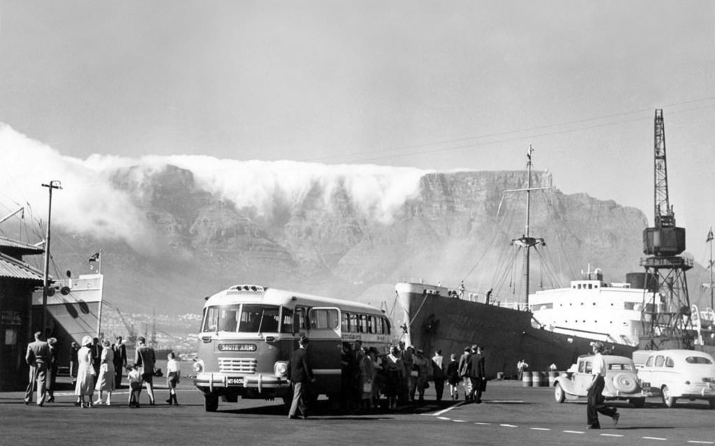
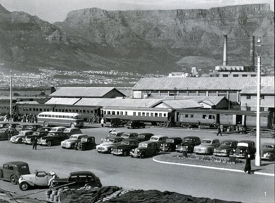
At the foot of Adderley Street sat Monument Station, identifiable by the large JOKO TEA signboard overhead. From there, rail tracks crossed Adderley Street and ran along Dock Road toward the old Power Station and Duncan Docks. It was a working piece of infrastructure that tied the city center directly to its port. The docks were a critical part of Cape Town’s economy, handling cargo, passengers, and naval vessels throughout the decade.
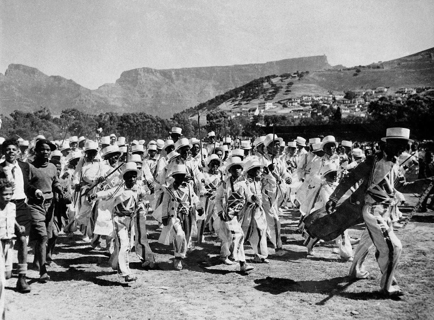
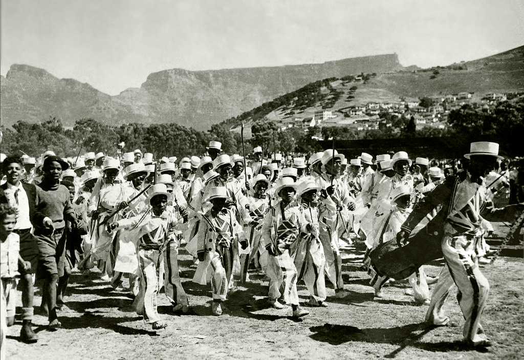
New Year’s Day 1950 brought one of Cape Town’s most colorful traditions to the streets. The Cape Town parade on January 1st filled the city with performers in costumes inspired by 19th-century American military uniforms — a tradition tied to the Kaapse Klopse, or Cape Minstrel Carnival. This annual event was a major expression of identity for the Cape Malay and Coloured communities, who had kept the tradition alive for generations despite the political pressures closing in around them.
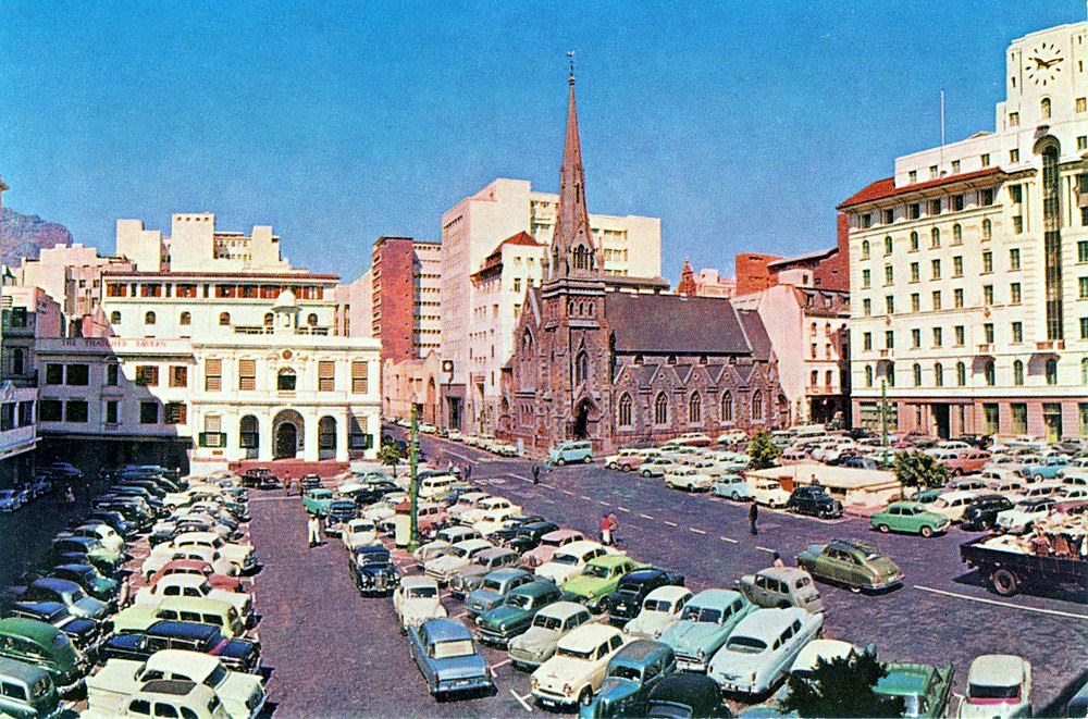
Greenmarket Square served as one of the city’s main public gathering spots. Vendors set up stalls, traders sold goods, and the square stayed active from morning to late afternoon. Its cobblestones and surrounding Victorian and Cape Dutch buildings gave it a character that set it apart from the more modern stretches of the city. Throughout the decade, it remained a central node of commercial and social activity.
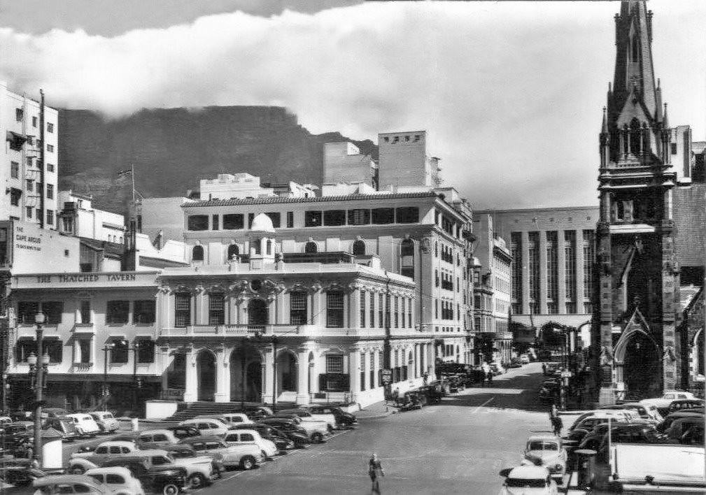
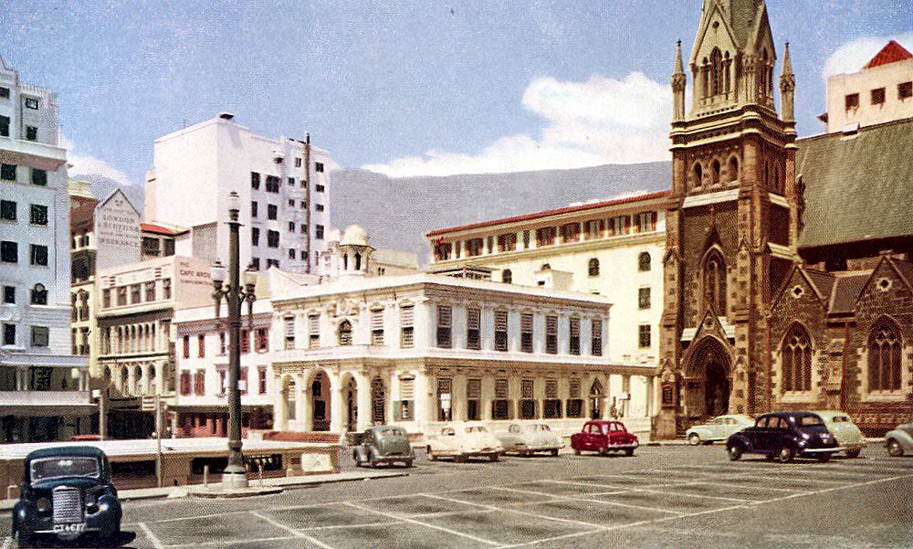
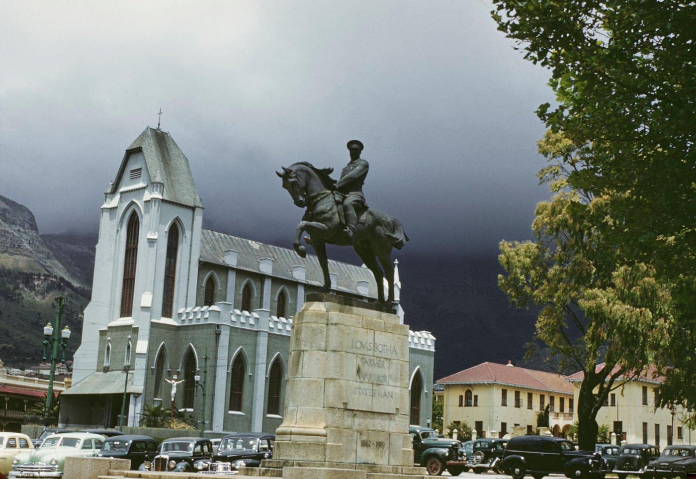
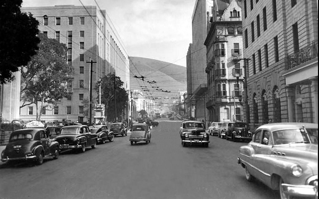
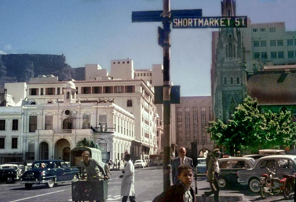
Cape Town’s architecture in the 1950s reflected its layered history. Cape Dutch gables sat alongside Victorian storefronts and newer modernist office buildings. The Cultural History Museum, the Castle of Good Hope, and St. Mary’s Roman Catholic Cathedral — with its equestrian statue of Louis Botha on the corner of Roeland and Plein Streets — were among the landmarks that anchored the city’s built environment. These weren’t just old buildings; they were active parts of daily city life.
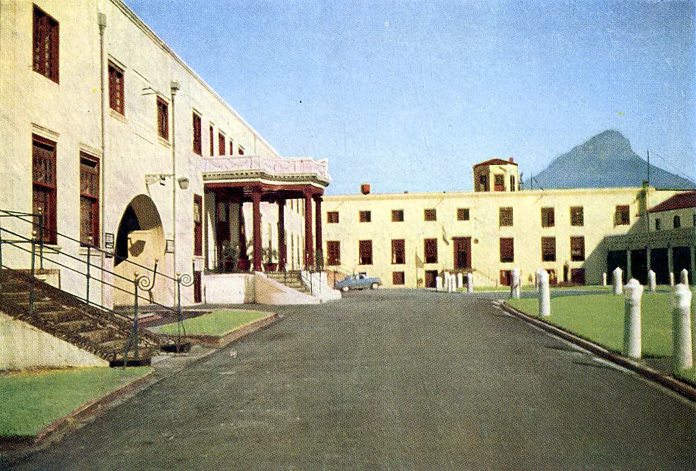
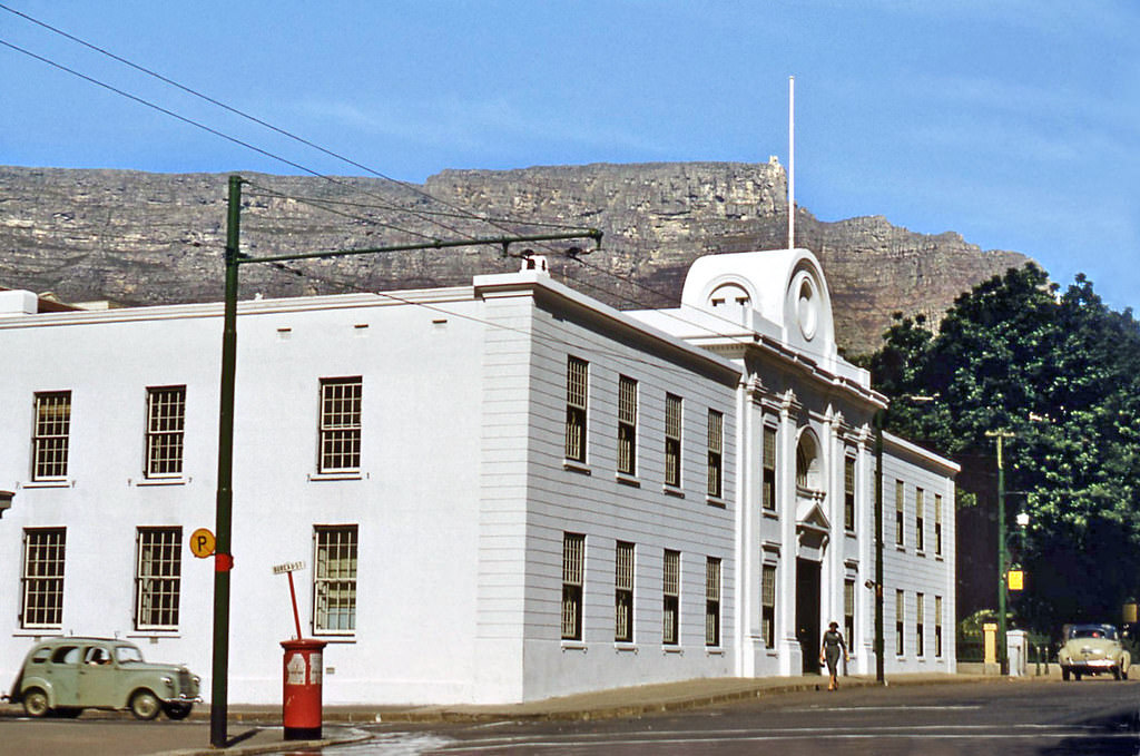
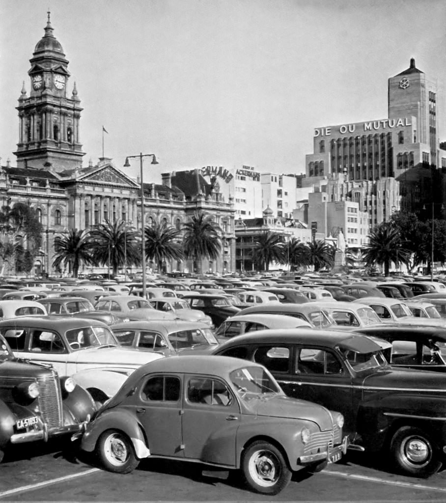
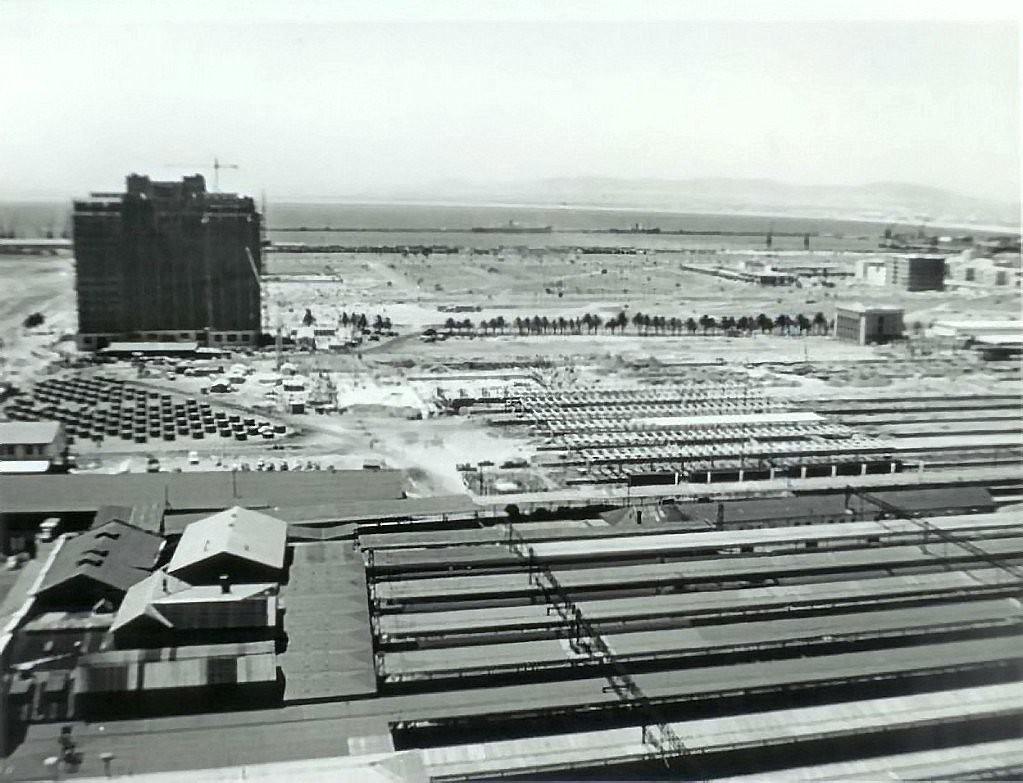
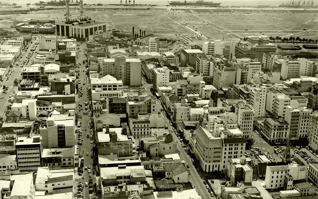
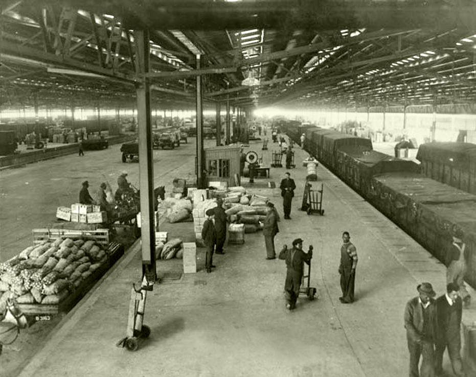
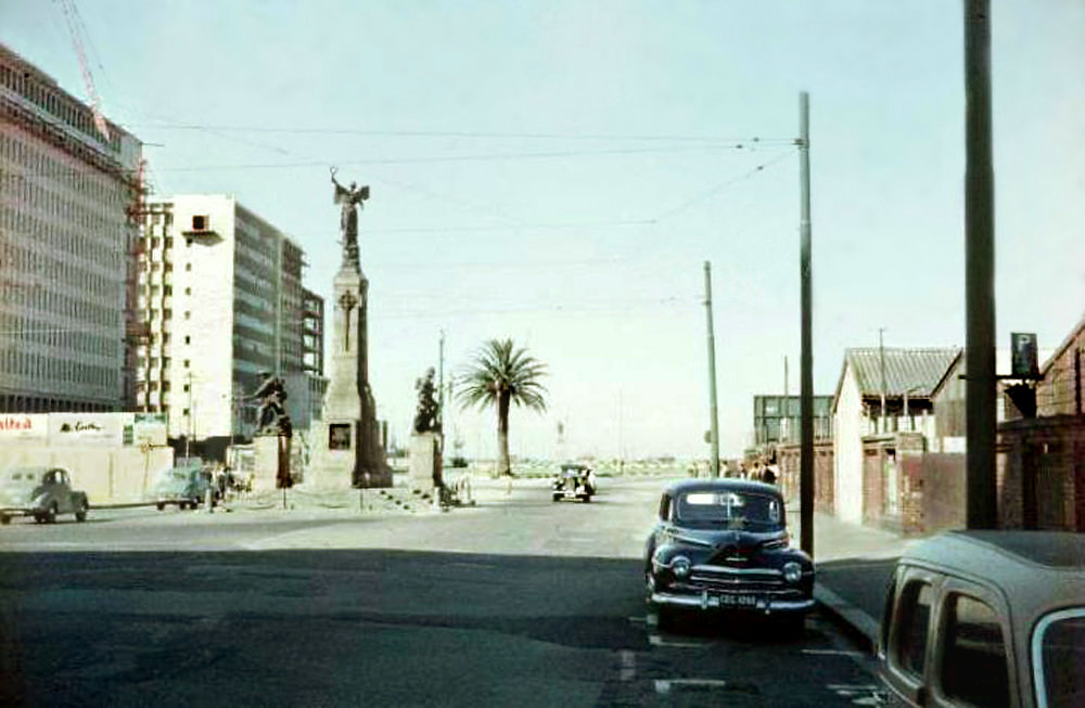
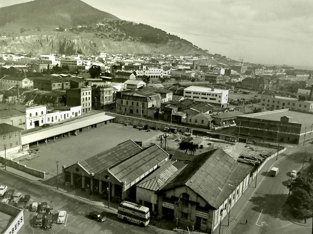
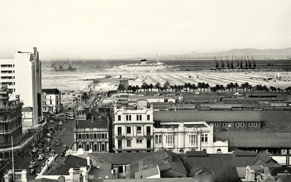
In 1951, the foreshore area was still largely open and undeveloped, a barren stretch of reclaimed land that would gradually take shape as the decade progressed. By 1957, the foreshore had begun to fill with parked cars and new development. The Culemborg goods yard handled rail freight nearby, and Duncan Docks continued to expand to accommodate the volume of shipping moving through the port.
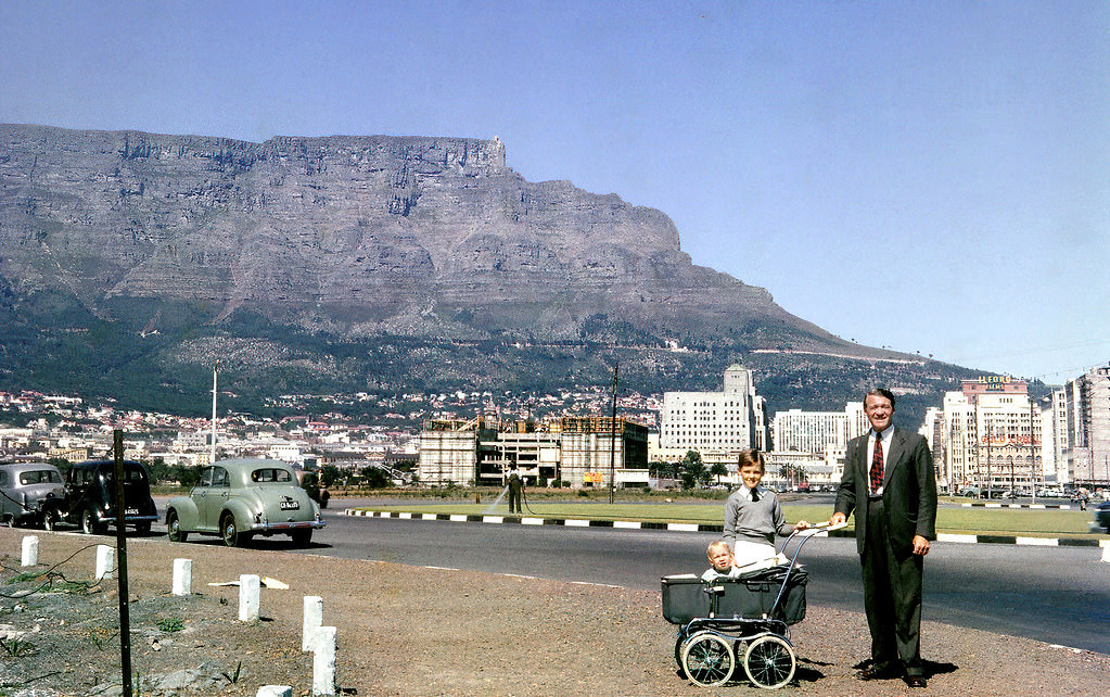
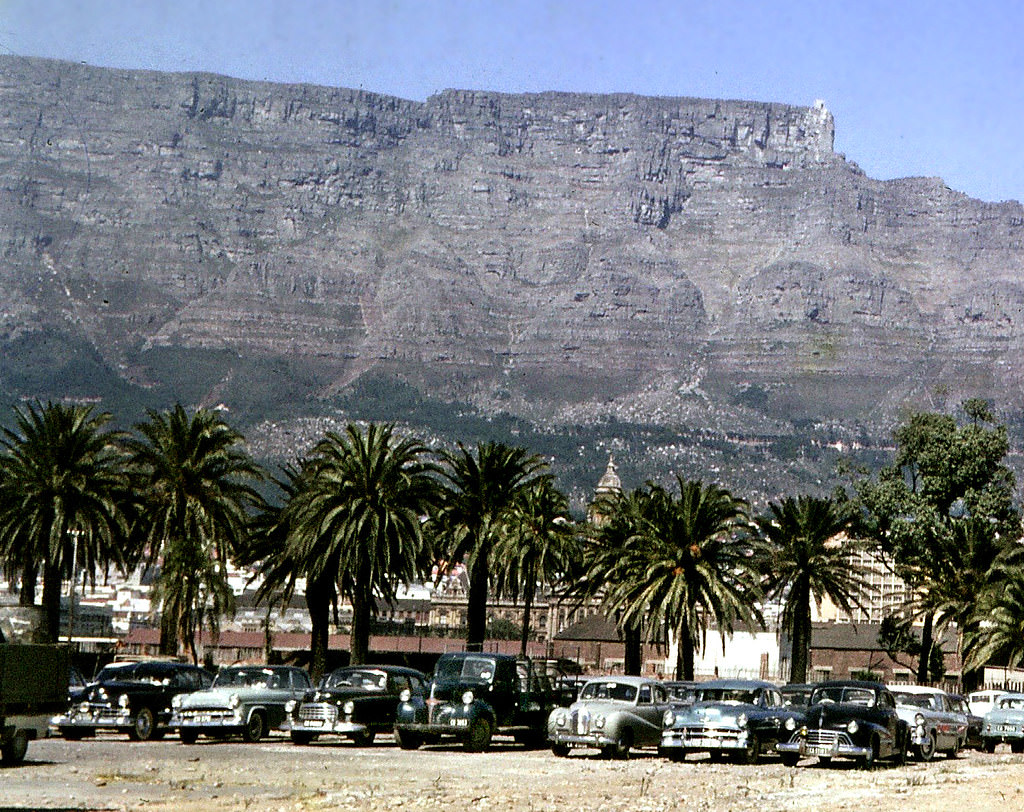
The University of Cape Town’s annual RAG (Raising and Giving) fundraiser was a fixture on the city calendar throughout the 1950s. Students took to the streets of Adderley Street and the surrounding area, drawing large crowds and generating a festive atmosphere. The RAG parades of 1951, 1954, and 1955 were well-attended events that briefly transformed the city center into a stage.
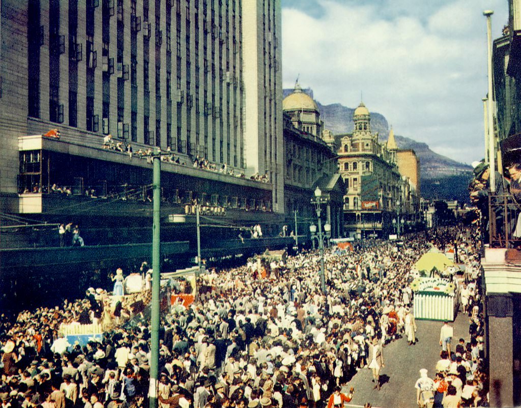
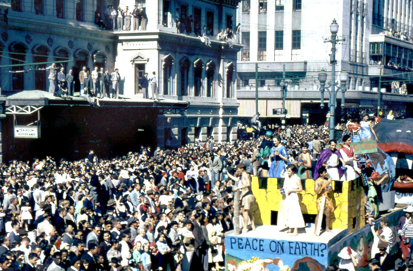
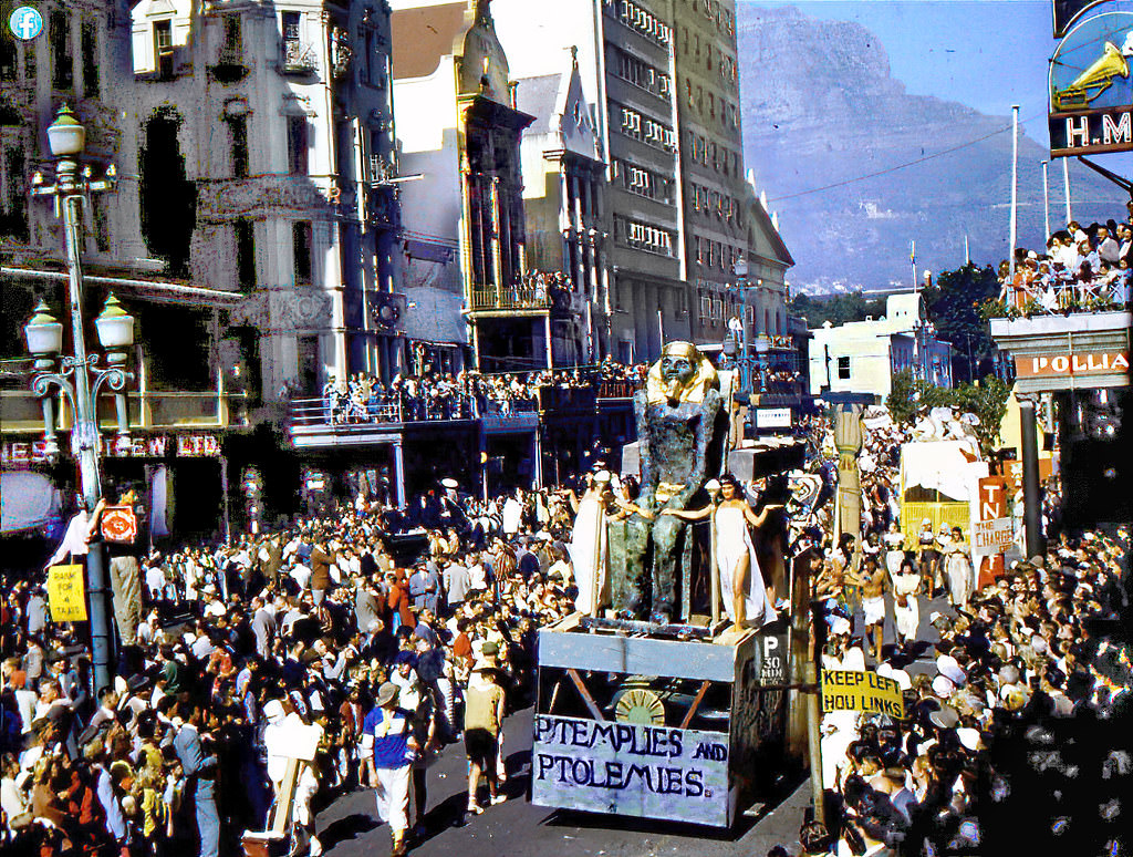
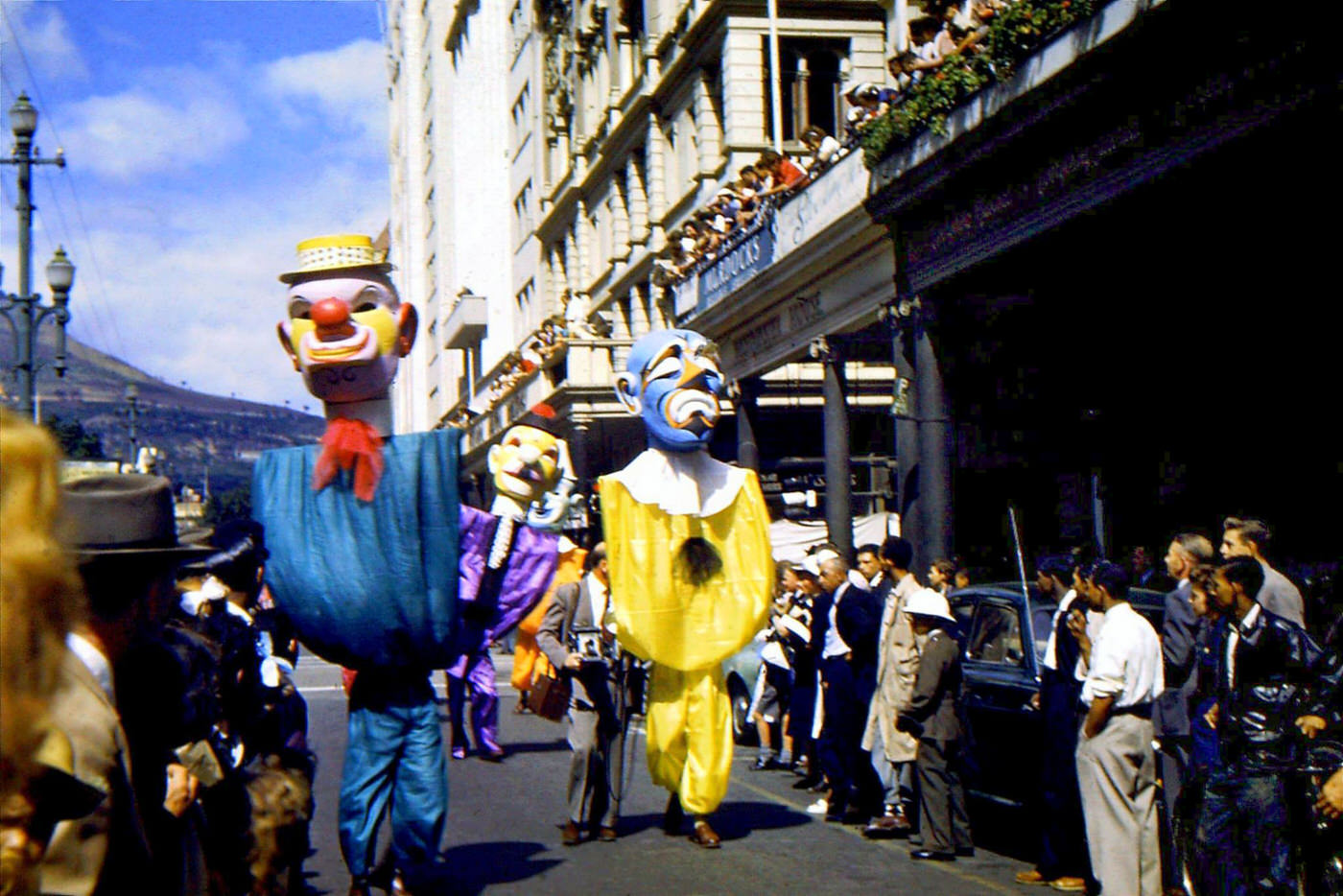
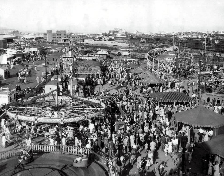
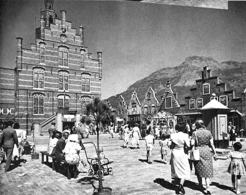
In 1952, Cape Town hosted the Van Riebeeck Festival, commemorating 300 years since Jan van Riebeeck’s arrival at the Cape. The event included a fun fair, public ceremonies, and large-scale gatherings that drew visitors from across the country. It was one of the biggest public events the city saw during the decade, and photographs from the festival capture crowds, pageantry, and organized displays spread across the city.
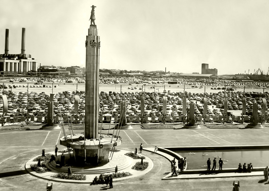
The Grand Parade, located in front of the old City Hall, was another hub of public life. Markets, political gatherings, and everyday foot traffic all passed through this open space. It was a place where the rhythms of the city were visible in one concentrated area — vendors, buses, commuters, and shoppers all sharing the same ground.
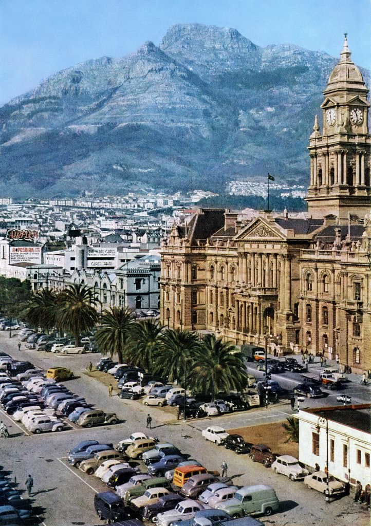
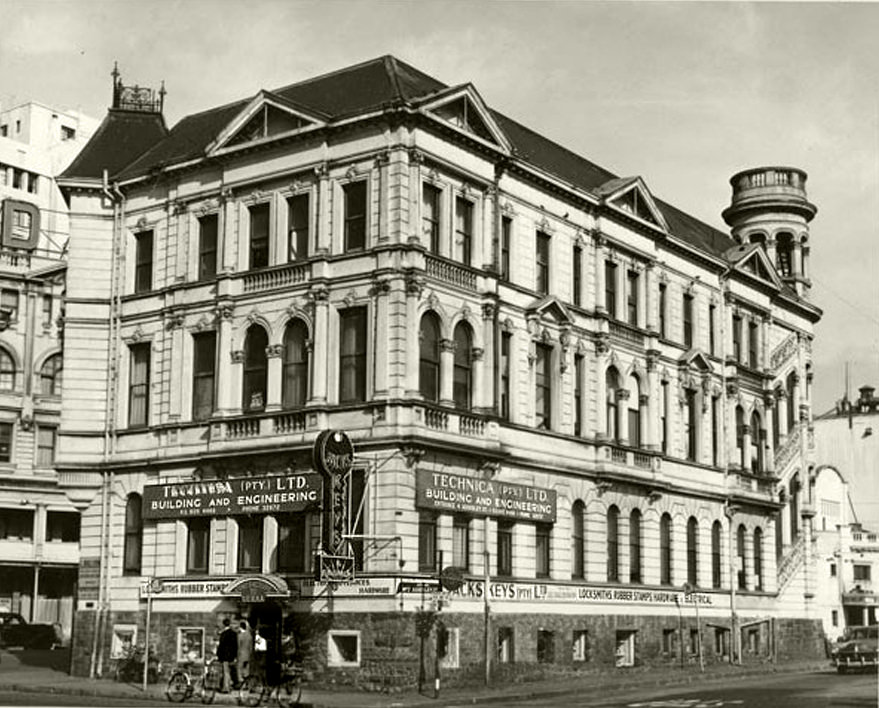
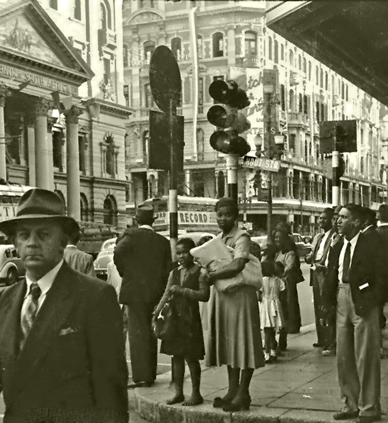
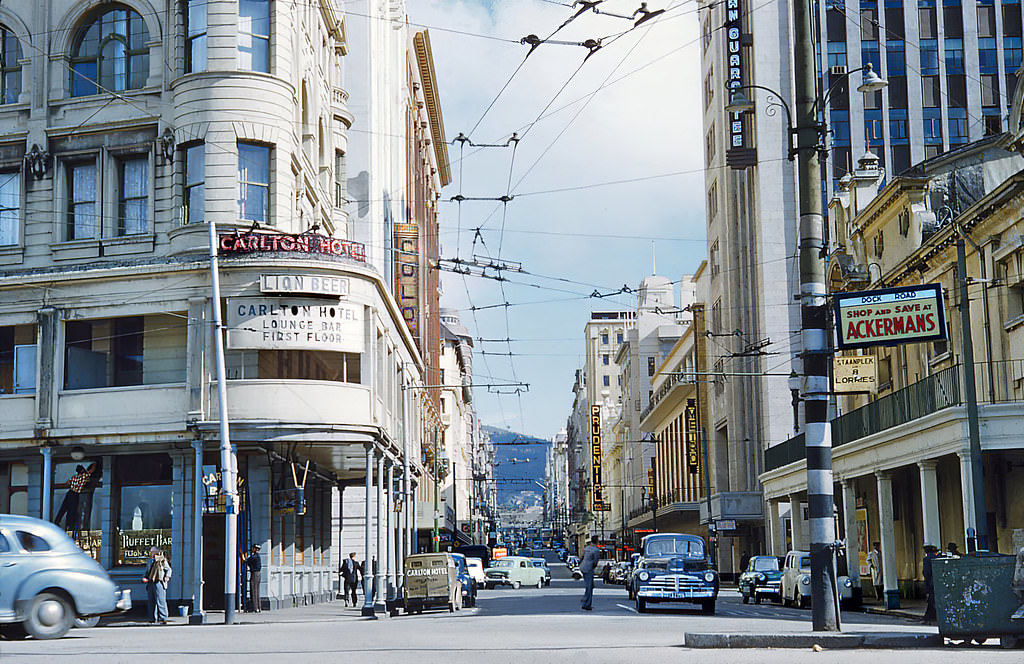
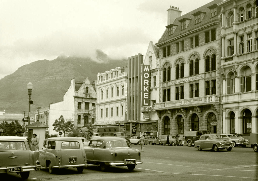
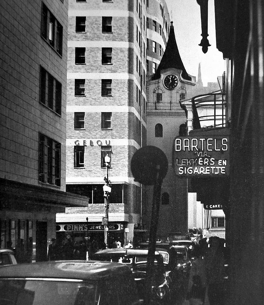
The Flat Iron Building on Adderley Street — where the ABSA Centre stands today — housed Messrs Thomson Watson & Co. in 1953. It was one of several distinctive commercial buildings that gave the street its character during that era. Nearby, the corner of Hout and Adderley streets showed a dense mix of retail signage and foot traffic that reflected just how commercially active the city center was.
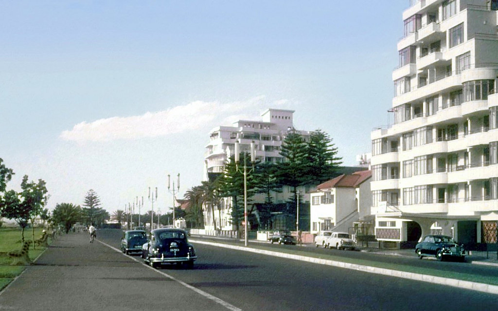
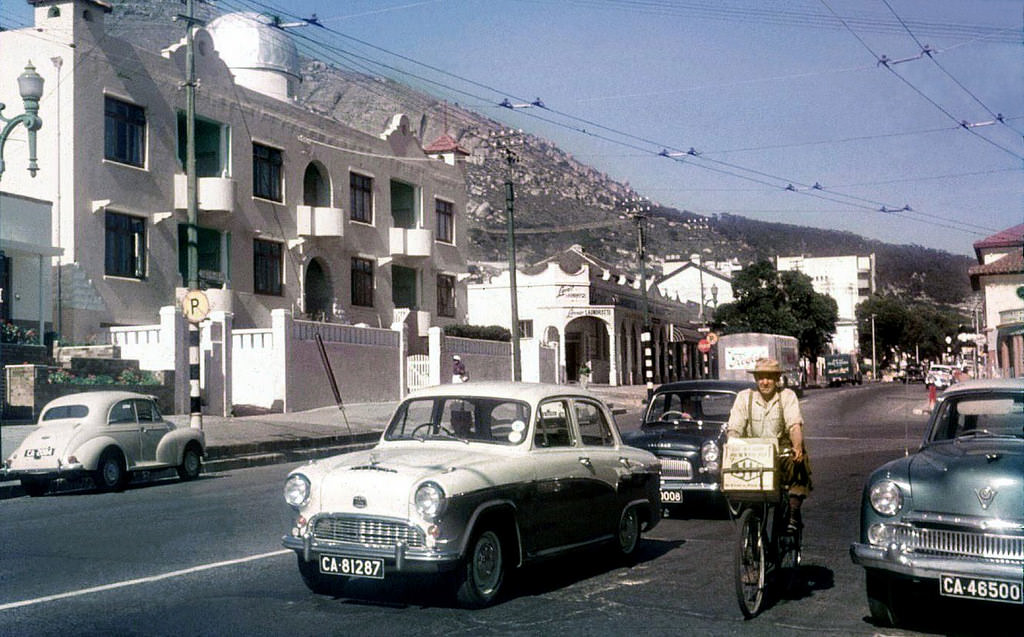
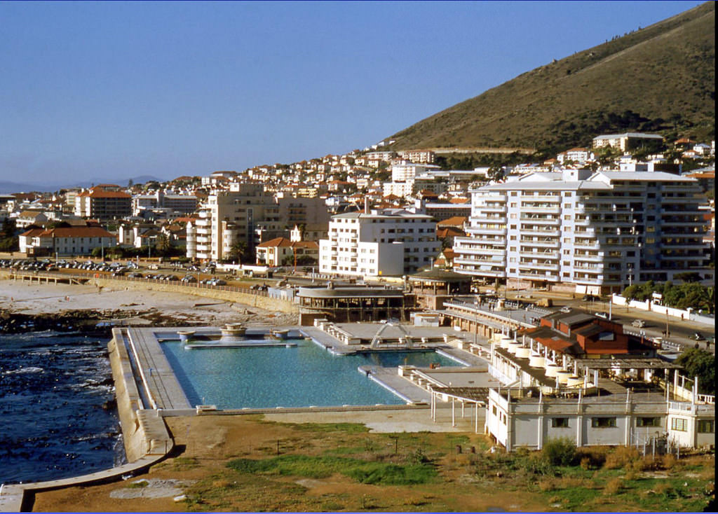
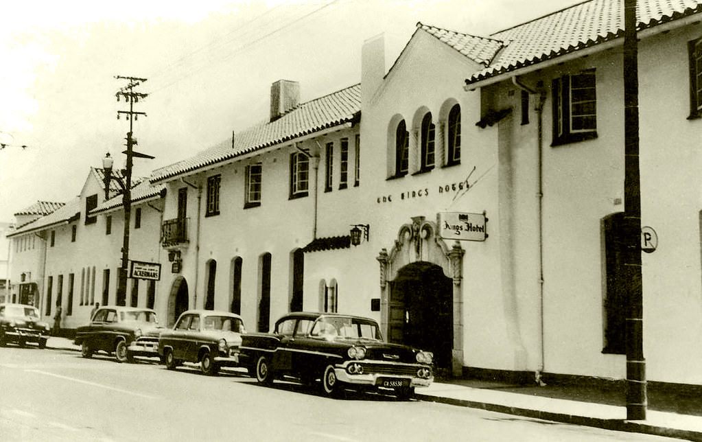
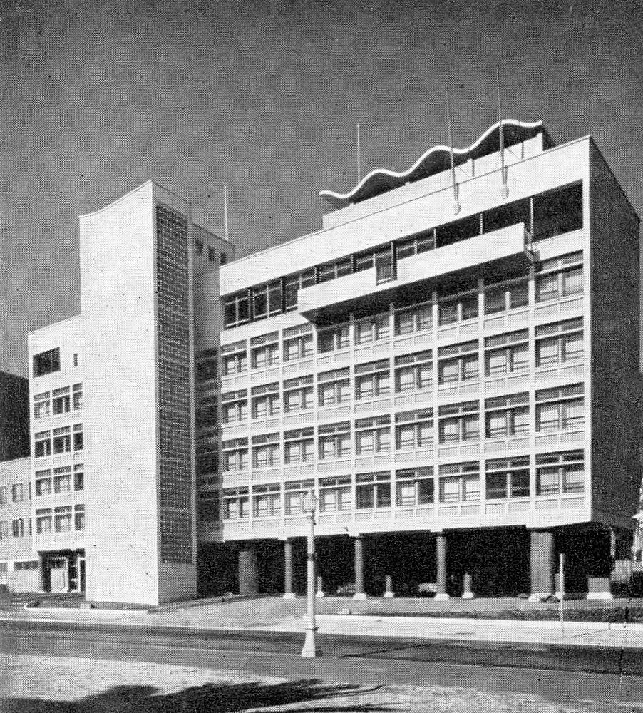
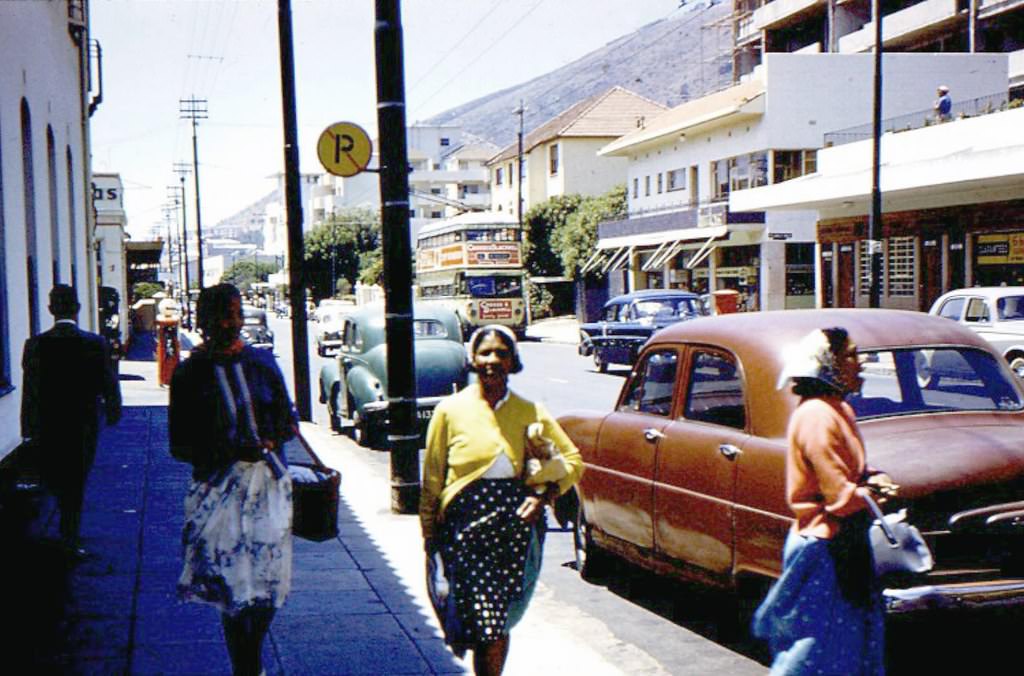
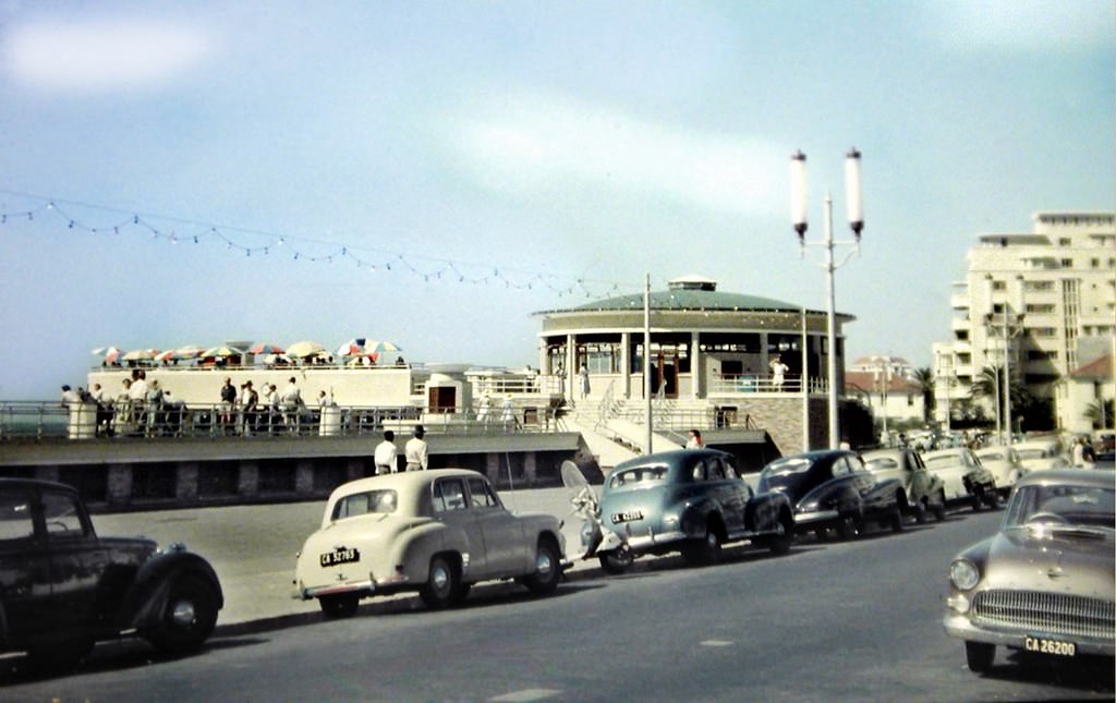
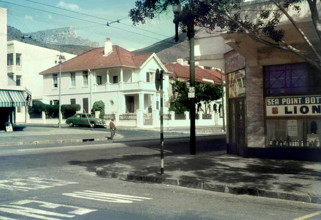
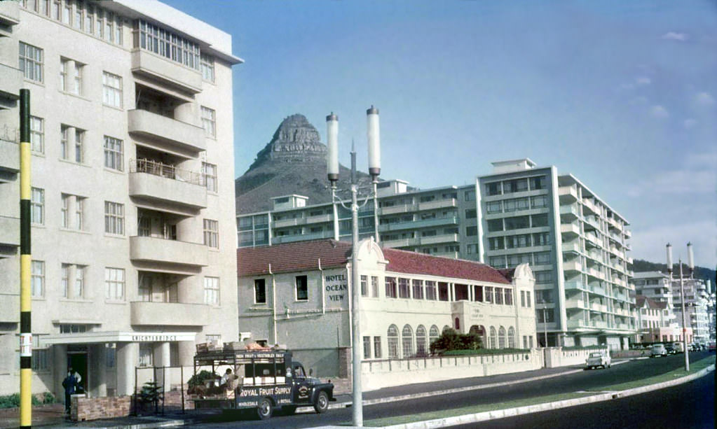
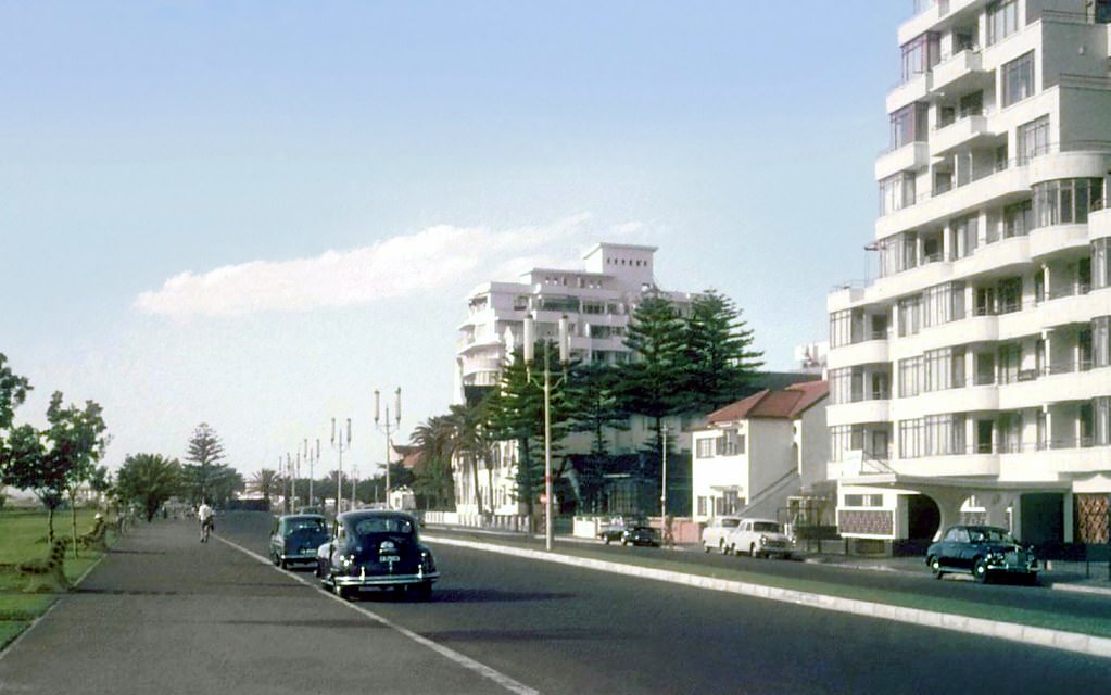
Sea Point, stretching along the Atlantic coastline, was one of the city’s more affluent residential and leisure districts. Beach Road and Main Road were lined with hotels, restaurants, shops, and apartment buildings. The Sea Point Pool attracted swimmers, and the beachfront filled with families on weekends. The Kings Hotel, the SABC broadcast house newly completed on Beach Road in 1959, and the busy pavements of Main Road all reflected a suburb in its stride.
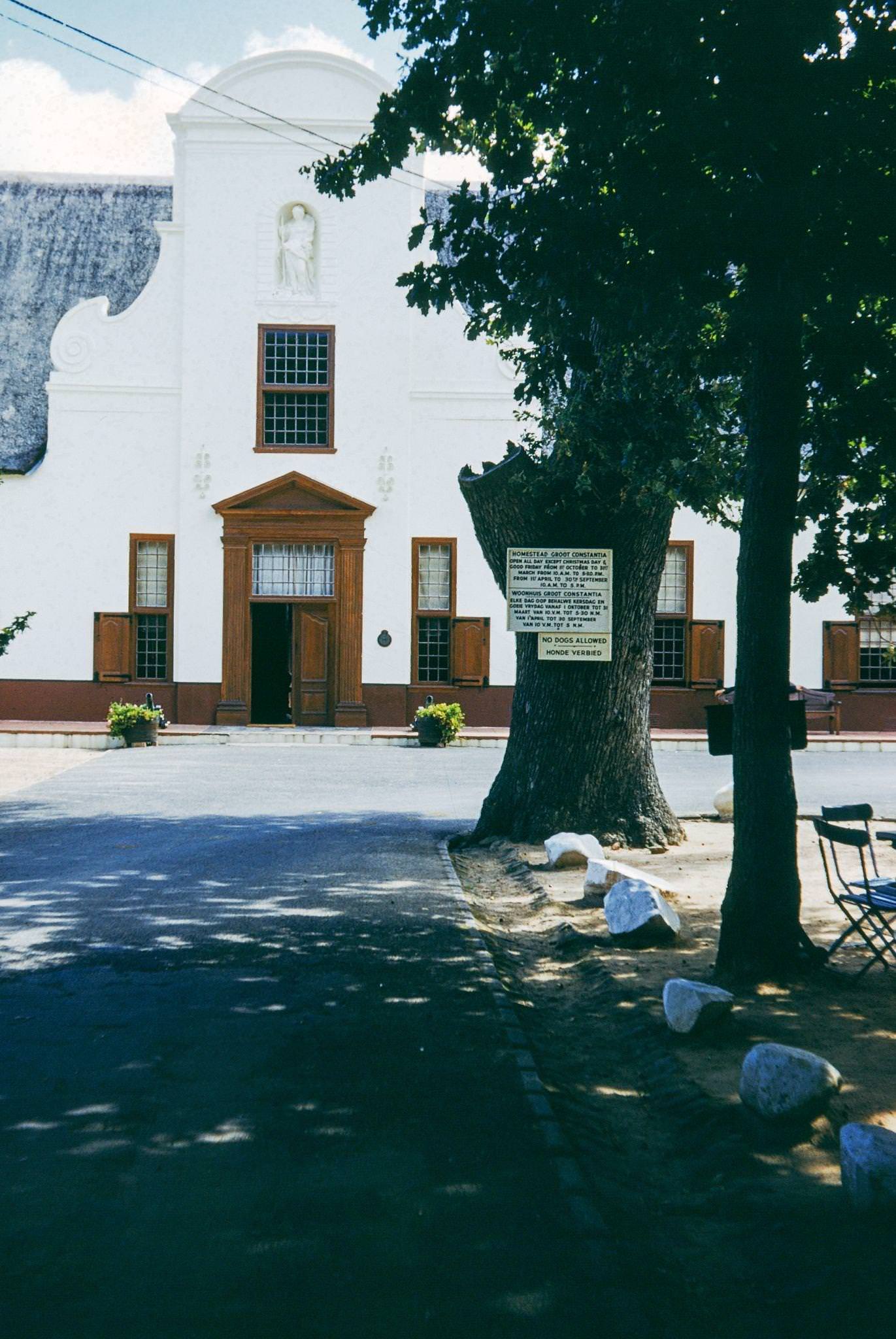
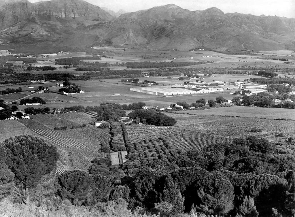
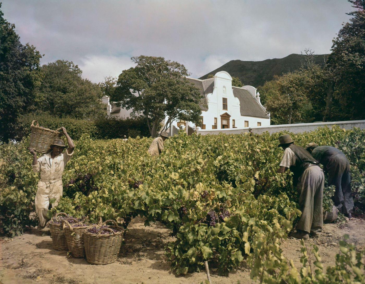
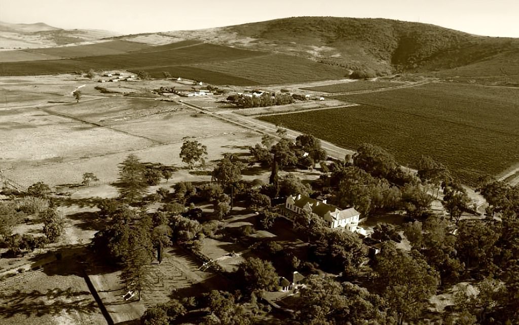
Outside the city center, the wine-growing regions of Paarl, Stellenbosch, and Constantia continued to operate as they had for centuries. The Groot Constantia wine estate, photographed in 1952, showed the stately Cape Dutch architecture and manicured grounds of one of South Africa’s oldest wine farms. At Laborie wine farm in Paarl and at vineyards near the town itself, farm workers harvested grapes by hand, picking bunches from the vines at harvest time — labor that powered one of the Western Cape’s most important industries.
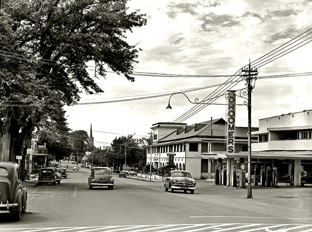
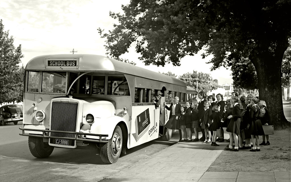
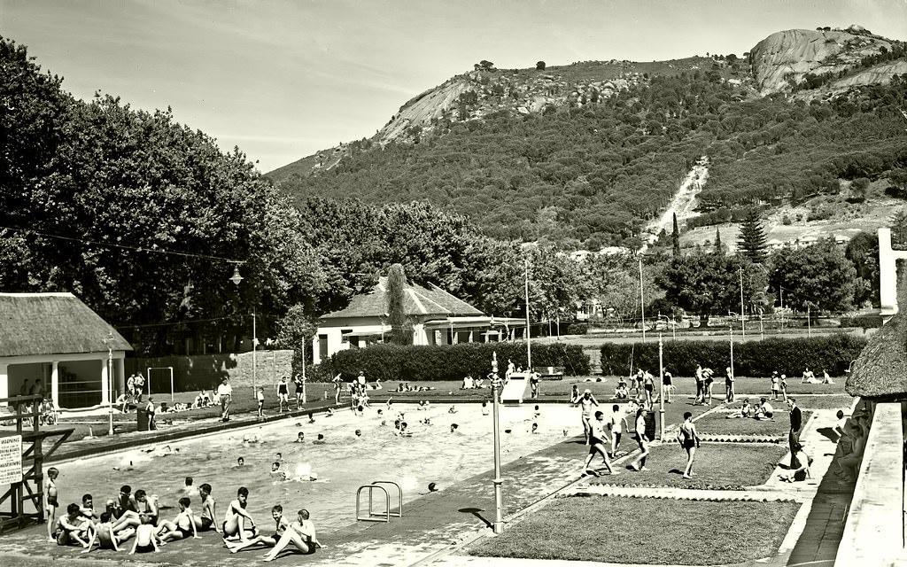
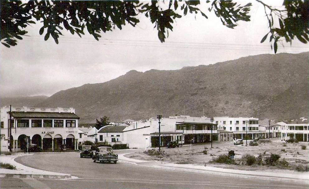
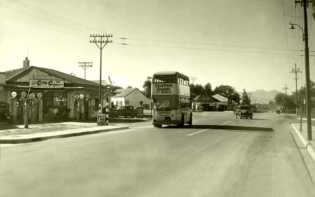
Paarl’s Main Road in 1952 showed a quiet, well-ordered town with wide streets and low-slung buildings typical of the Cape winelands. A school bus served the town the same year, transporting children through the area. The Paarl municipal swimming pool was also photographed in 1952, showing a recreational facility that served the town’s residents — though, under apartheid rules, access to such facilities was determined by race.
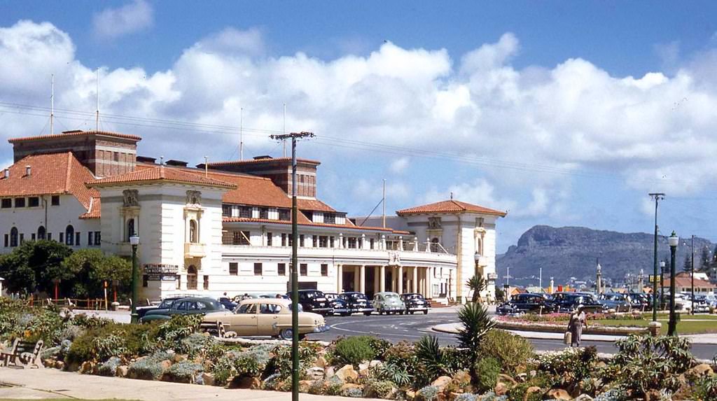
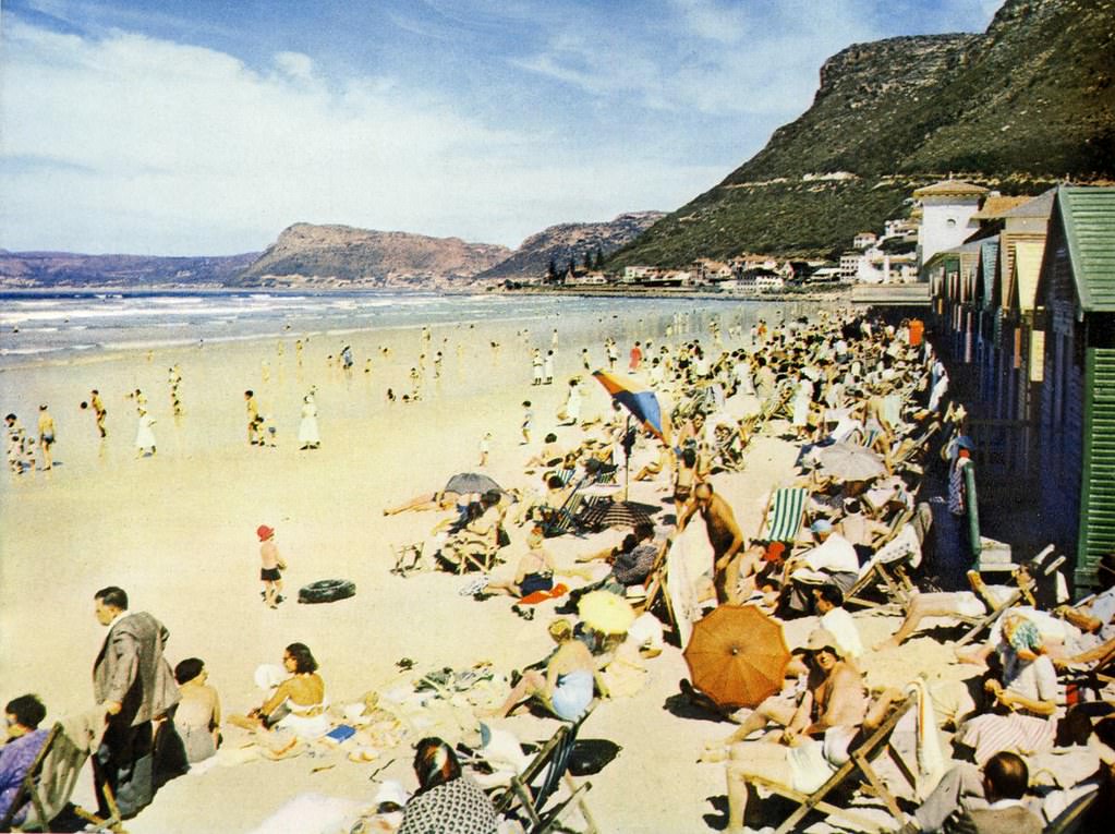
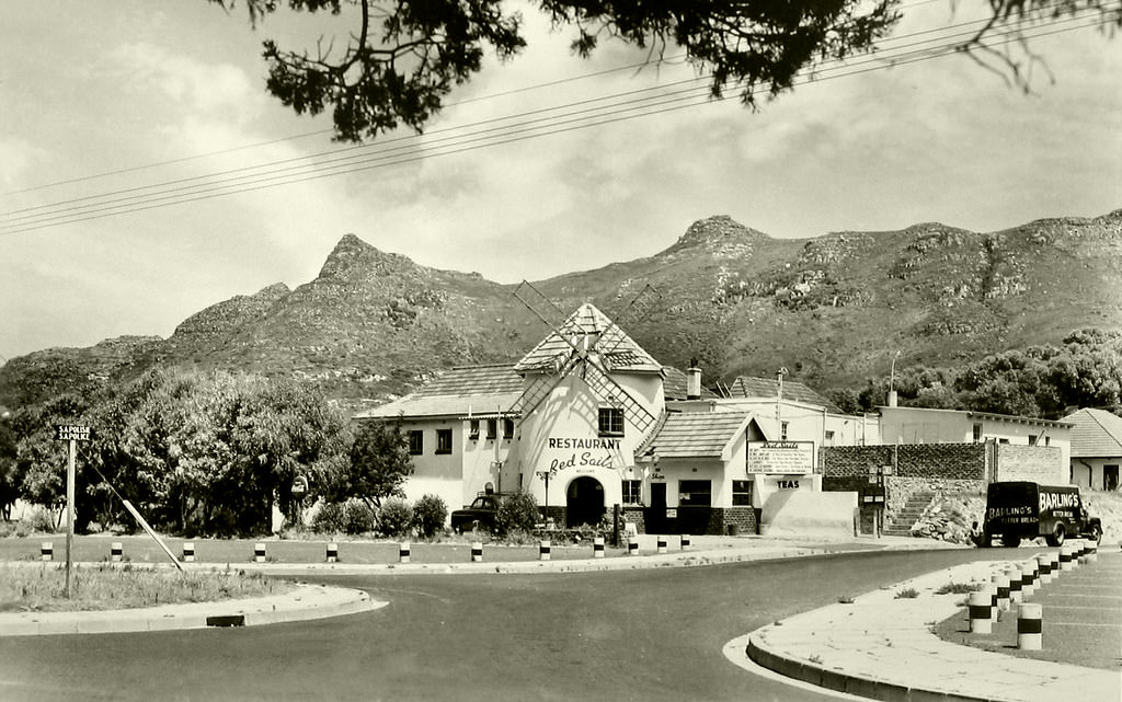
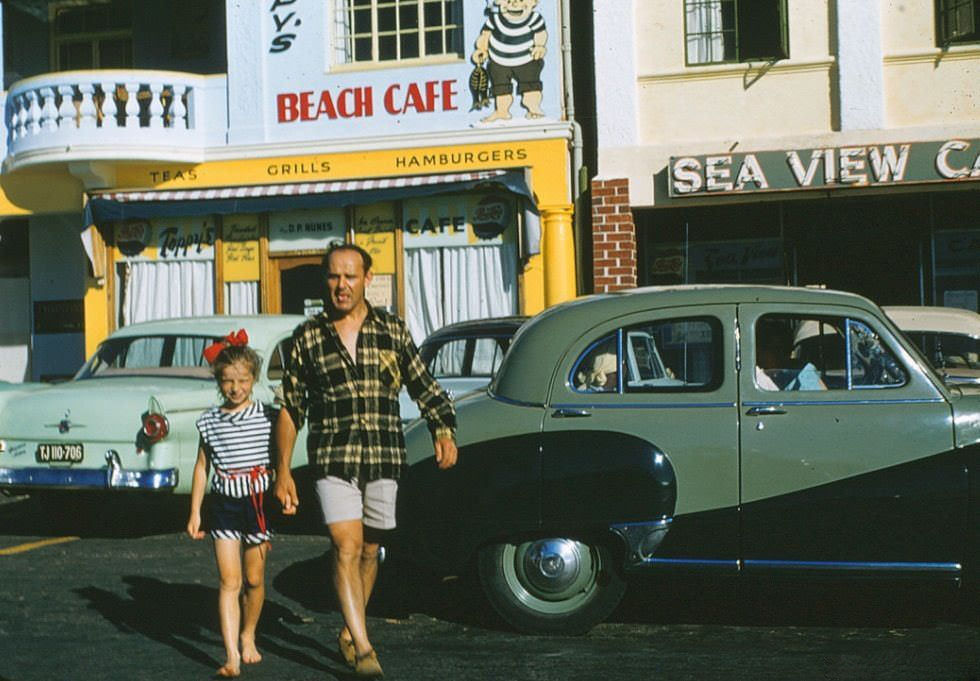
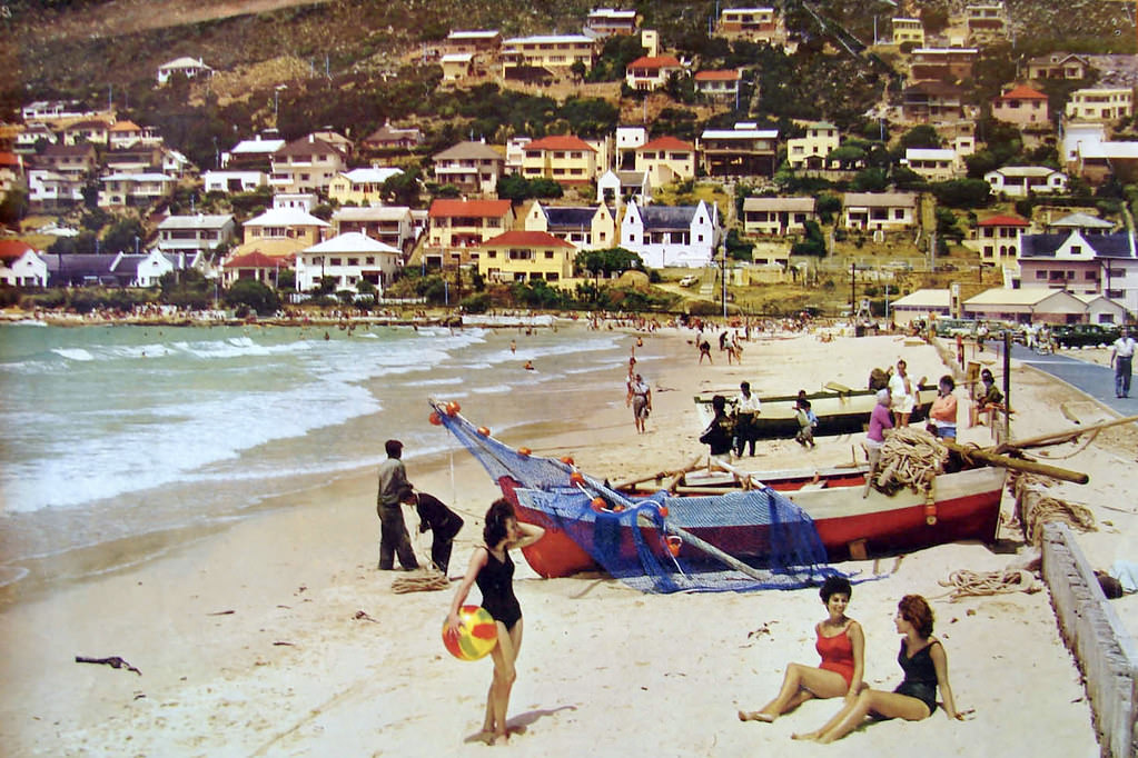
The coastal towns surrounding Cape Town each had their own distinct character. Muizenberg, with its famous pavilion photographed in 1953, was a beach resort popular with day-trippers from the city. Hout Bay’s Red Sails restaurant in 1955 catered to those visiting the harbor village. Gordon’s Bay had its own beach café by 1957. Fish Hoek, photographed in both 1950 and 1958, was a quiet seaside town with a long beach and a tight-knit community.
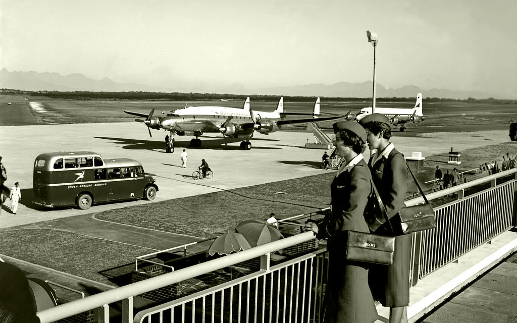
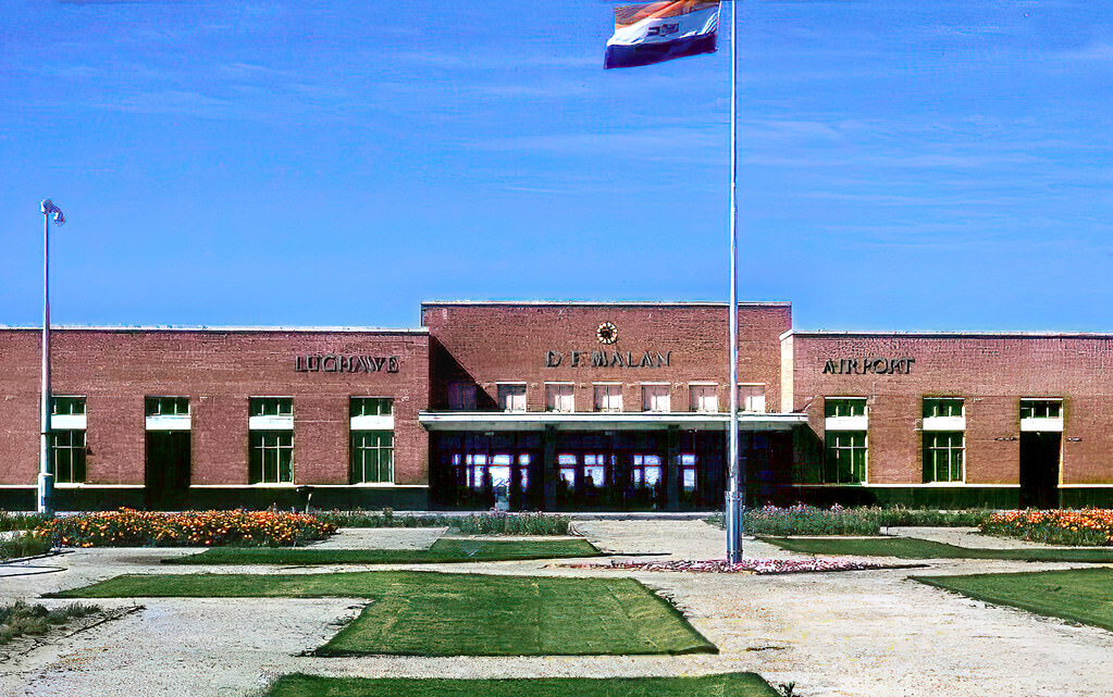
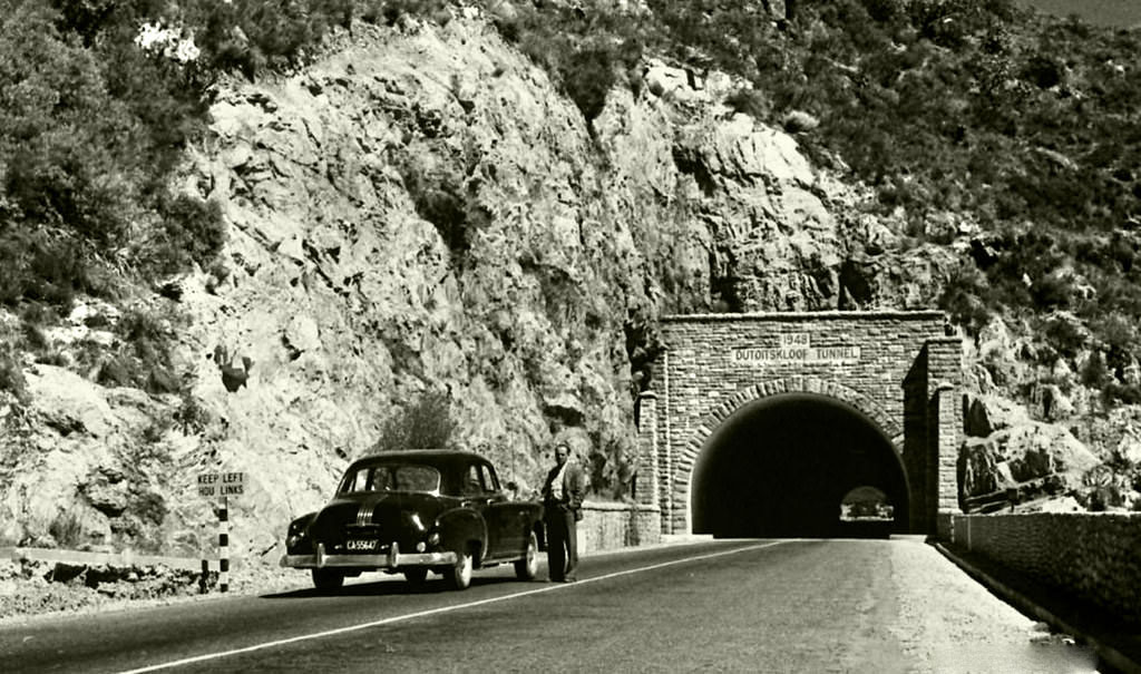
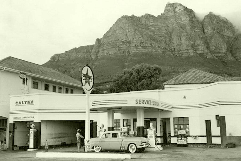
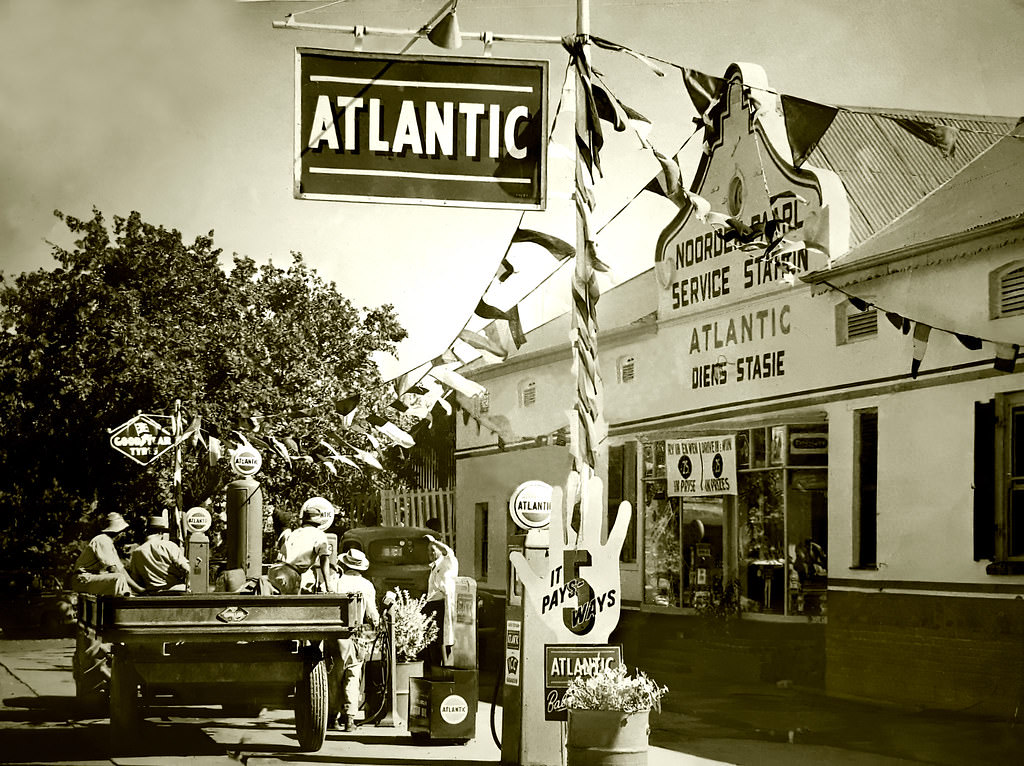
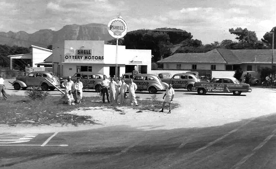
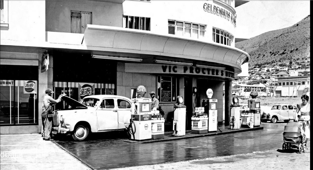
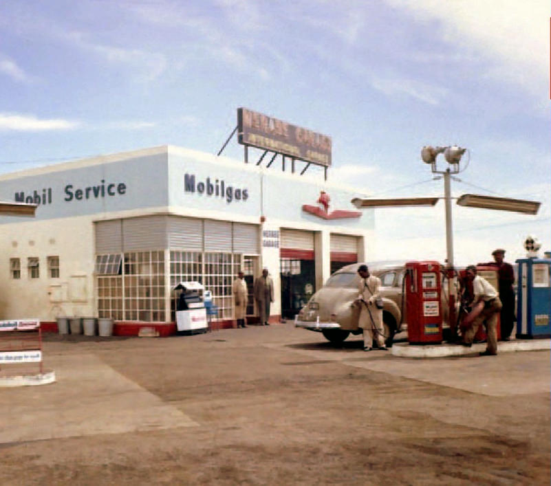
Transport across the Cape Peninsula was evolving rapidly. D.F. Malan Airport opened in 1955, giving Cape Town a new gateway for air travel. Service stations appeared in Camps Bay, Three Anchor Bay, Paarl, and across the suburbs, catering to a growing number of private car owners. The Du Toit’s Kloof Tunnel, photographed at its opening in March 1952, punched a route through the mountains to link the Cape with the interior more directly.
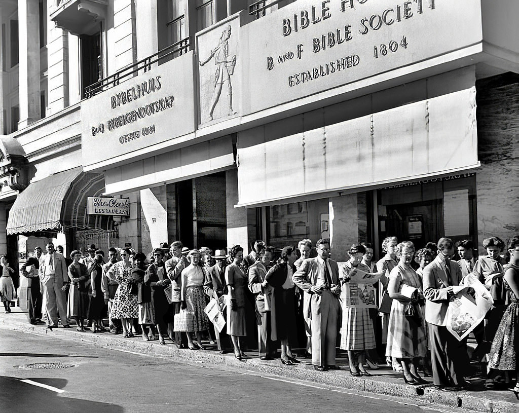
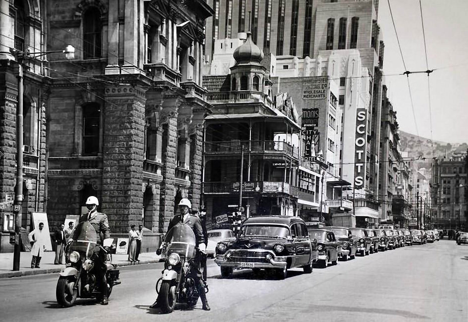
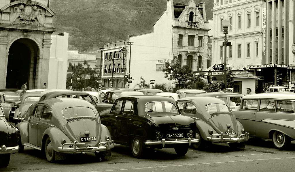
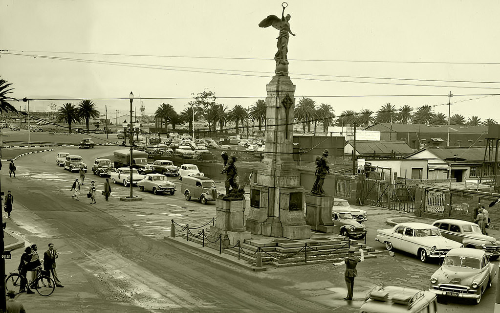
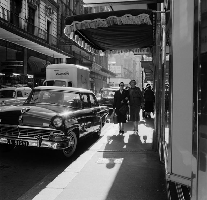
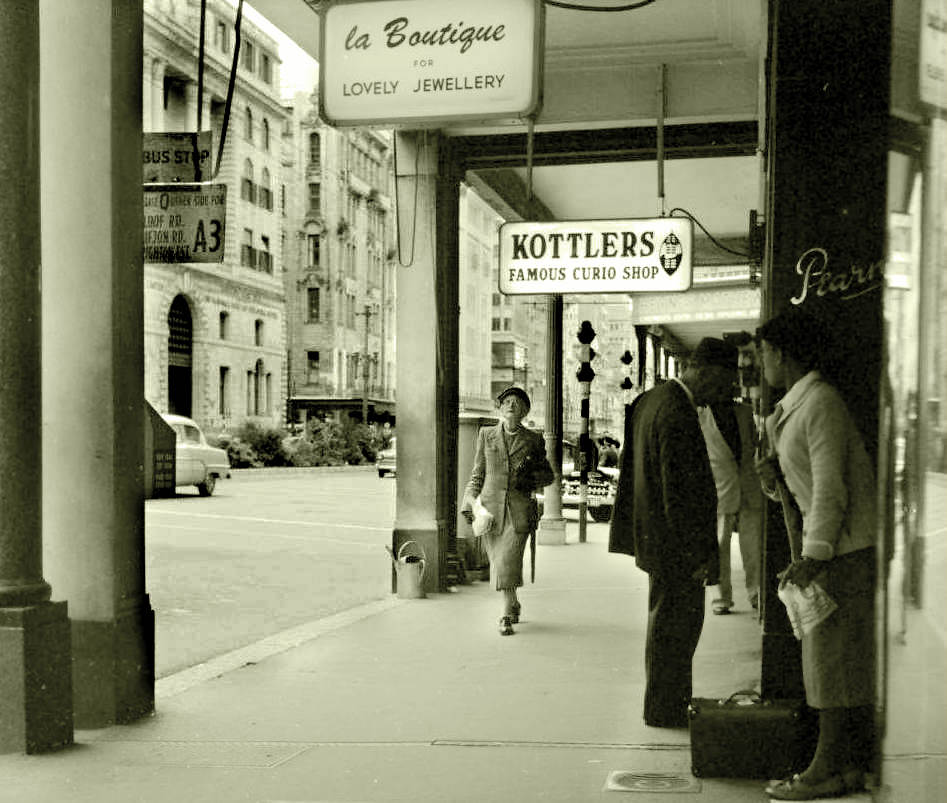
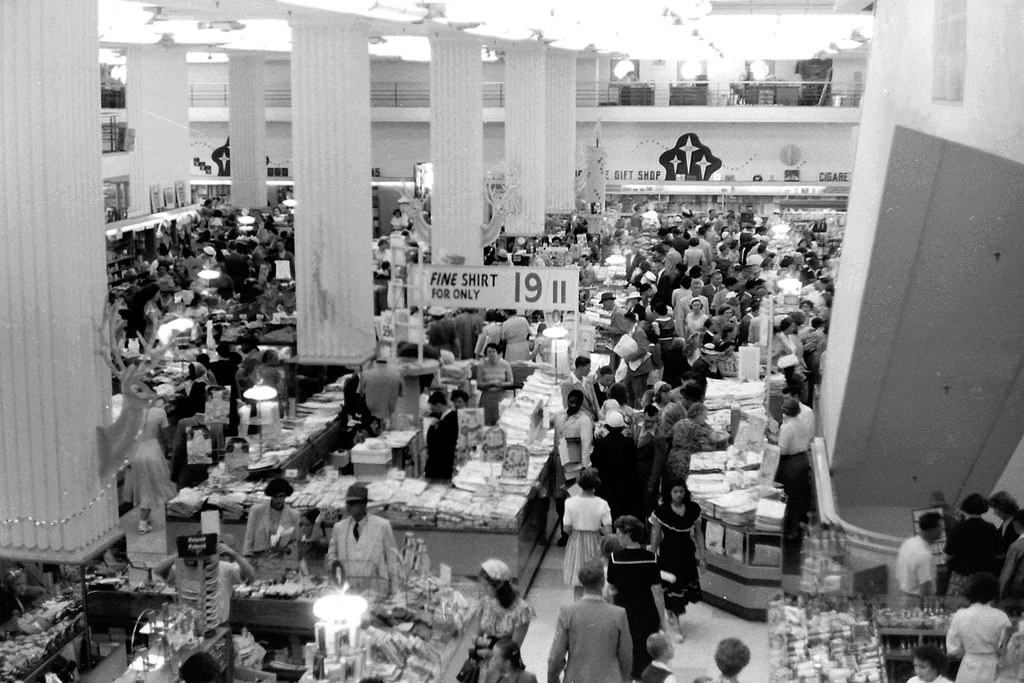
The city’s streets showed the full texture of everyday life. People queued for buses at St. George’s Street in 1955. A traffic cop directed vehicles along Adderley Street. A funeral procession moved along Darling Street in 1957. Christmas shoppers crowded the pavements in 1953. These weren’t exceptional moments — they were the ordinary rhythms of a city that kept moving regardless of what was happening in the political sphere.
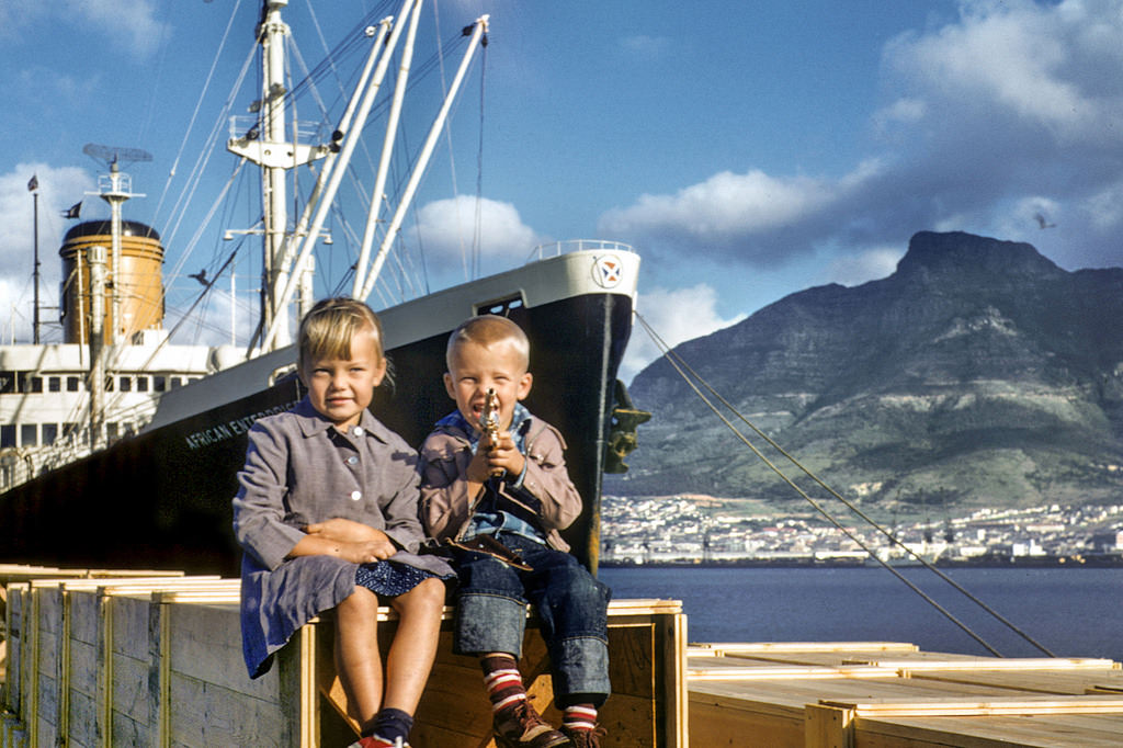
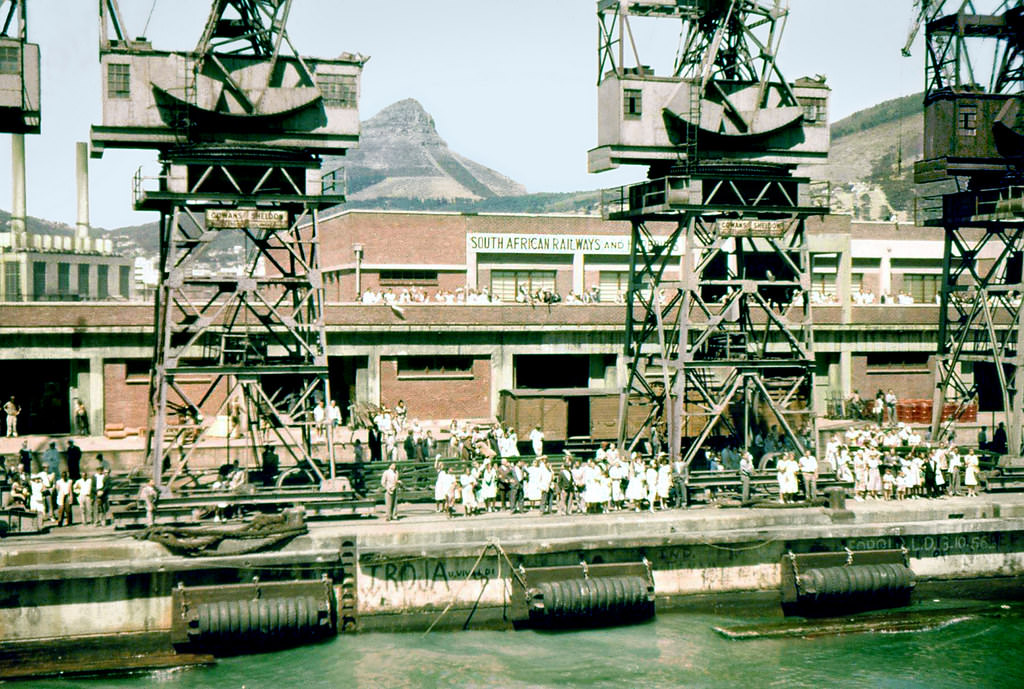
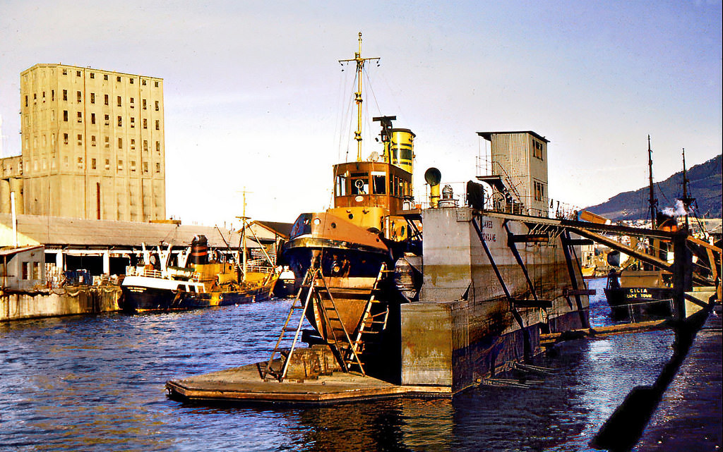
The Victoria Basin and Duncan Docks were central to Cape Town’s role as a major port city. Ships arrived carrying cargo, immigrants, and passengers. In 1957, a photograph captured new immigrants arriving from America, one small part of the steady movement of people that flowed through the port. Photographs from G Berth in 1958 show crowds waving goodbye as ships departed — a common sight at a port where arrivals and departures were daily events.
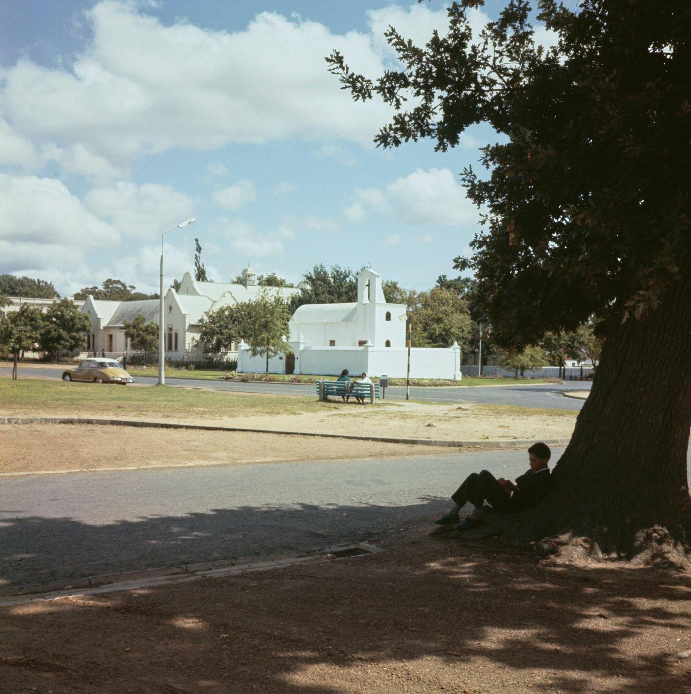
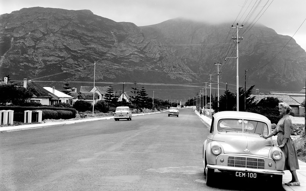
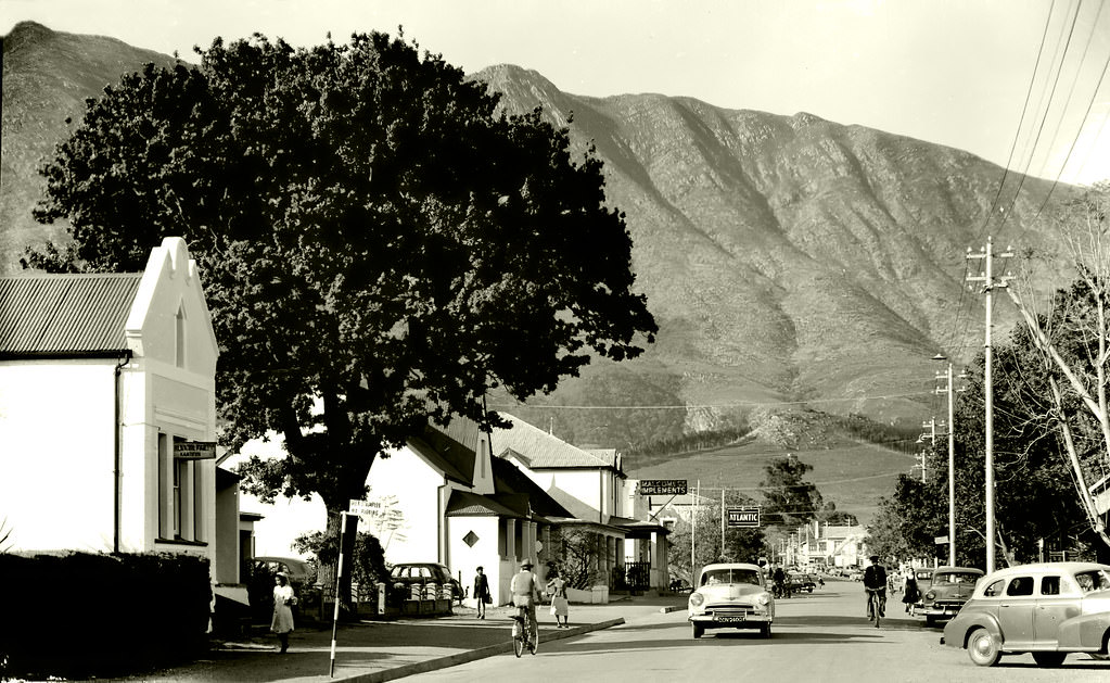
Further afield, the Stellenbosch Town Square in 1952 showed the quiet dignity of the historic university town. Hermanus’s Main Road in 1955 was similarly unhurried. Swellendam’s main street in 1954 reflected the slower pace of a rural town far removed from the city’s density. These photographs of the wider Cape Province fill in the picture of a region that extended well beyond Cape Town’s boundaries.
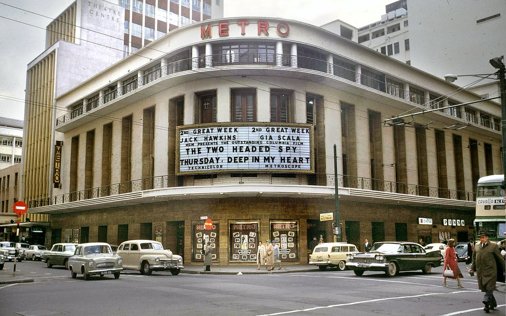
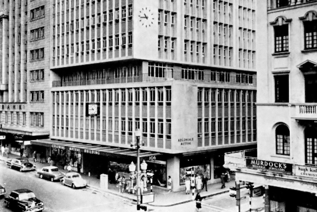
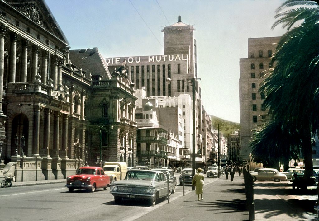
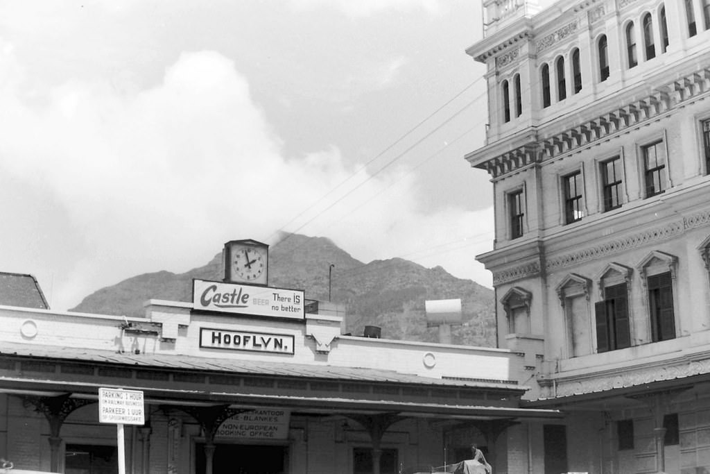
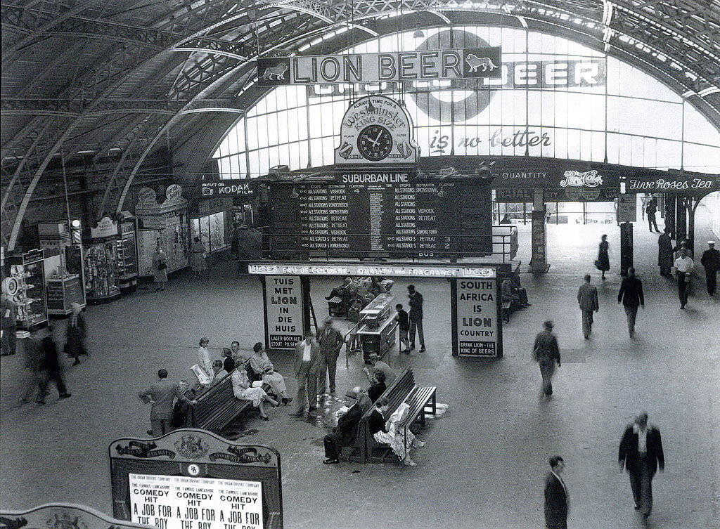
Back in the city, the late 1950s brought new construction. The new Cape Town railway station was under development by 1959. The Metro Cinema stood on the corner of Waterkant and St. George’s Streets. Riebeeck Square, Church Square, and Parliament Street all showed a city whose built form was changing, with newer buildings rising alongside older ones. The Colonial Mutual Building, photographed in 1959, was one example of the modernist commercial architecture beginning to reshape the skyline.
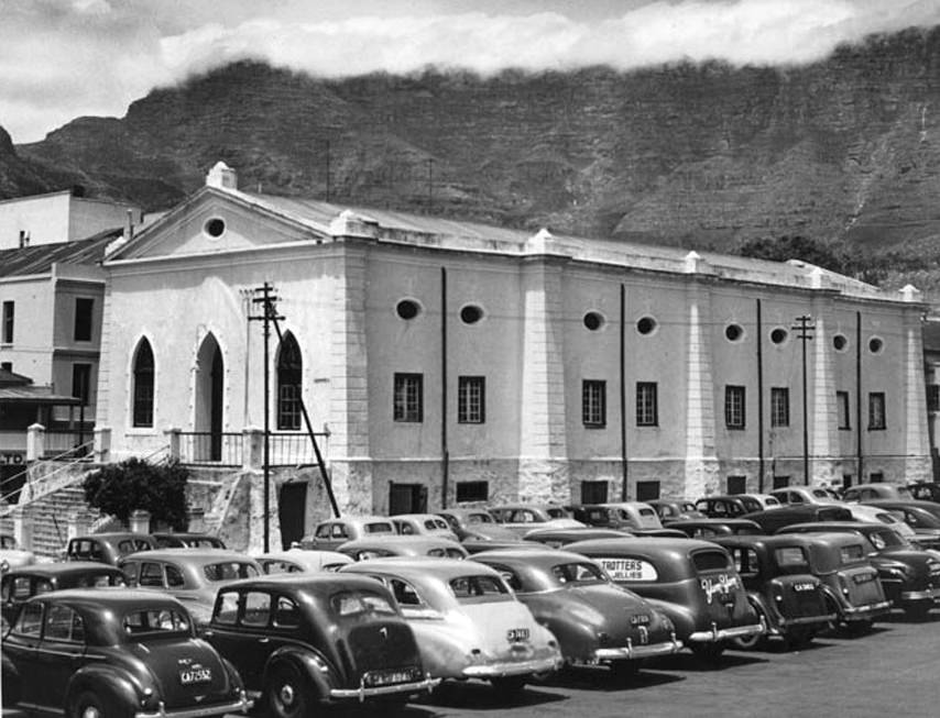
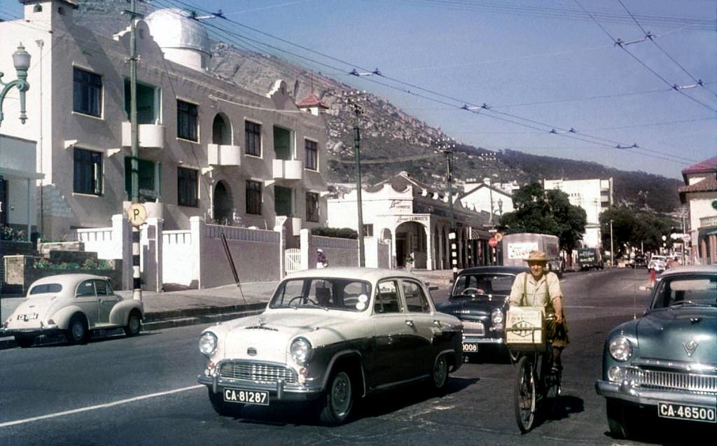
These photographs, taken by various photographers across the decade, preserve what Cape Town looked and felt like before major urban changes — many driven by apartheid-era planning — altered communities and landscapes beyond recognition. They show streets full of cars, people, and commerce; coastlines busy with swimmers and fishermen; and a city navigating modernity while carrying the full weight of its complicated history.
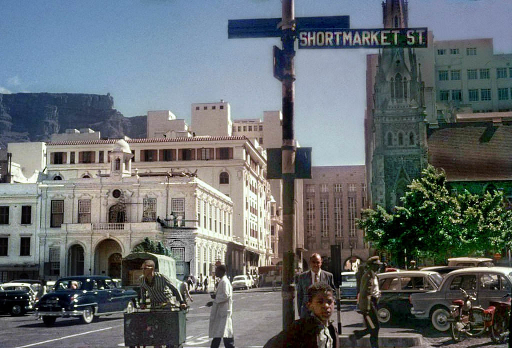
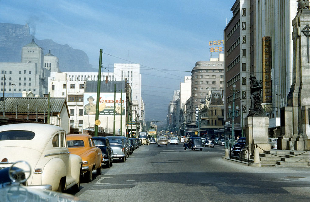
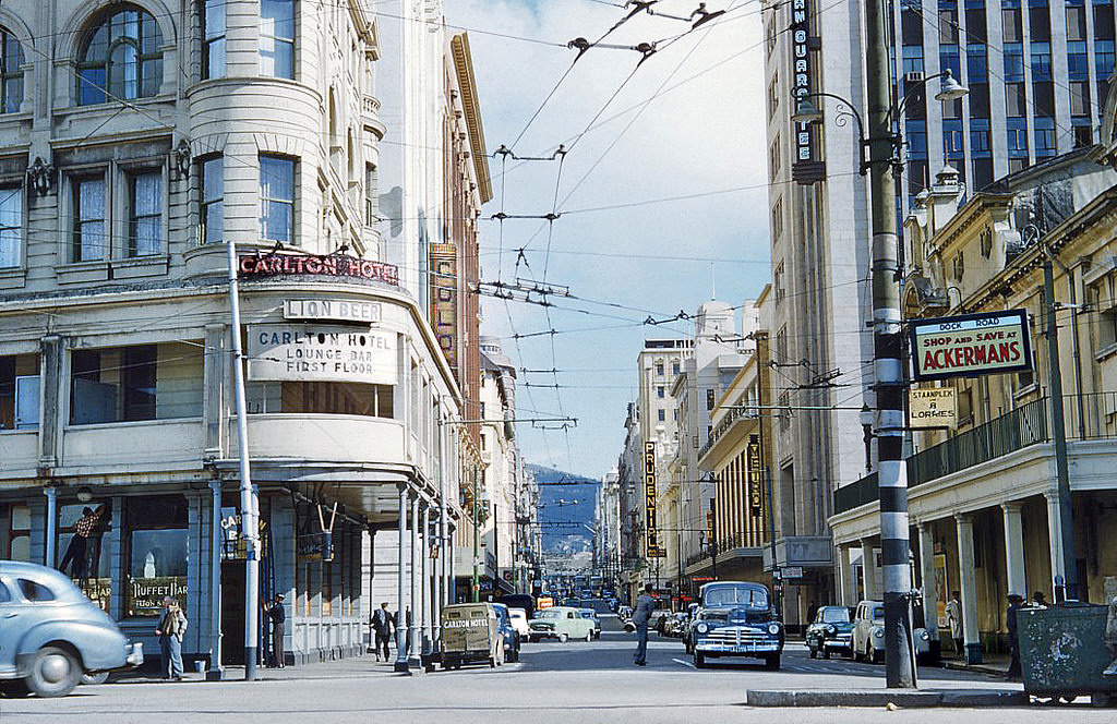

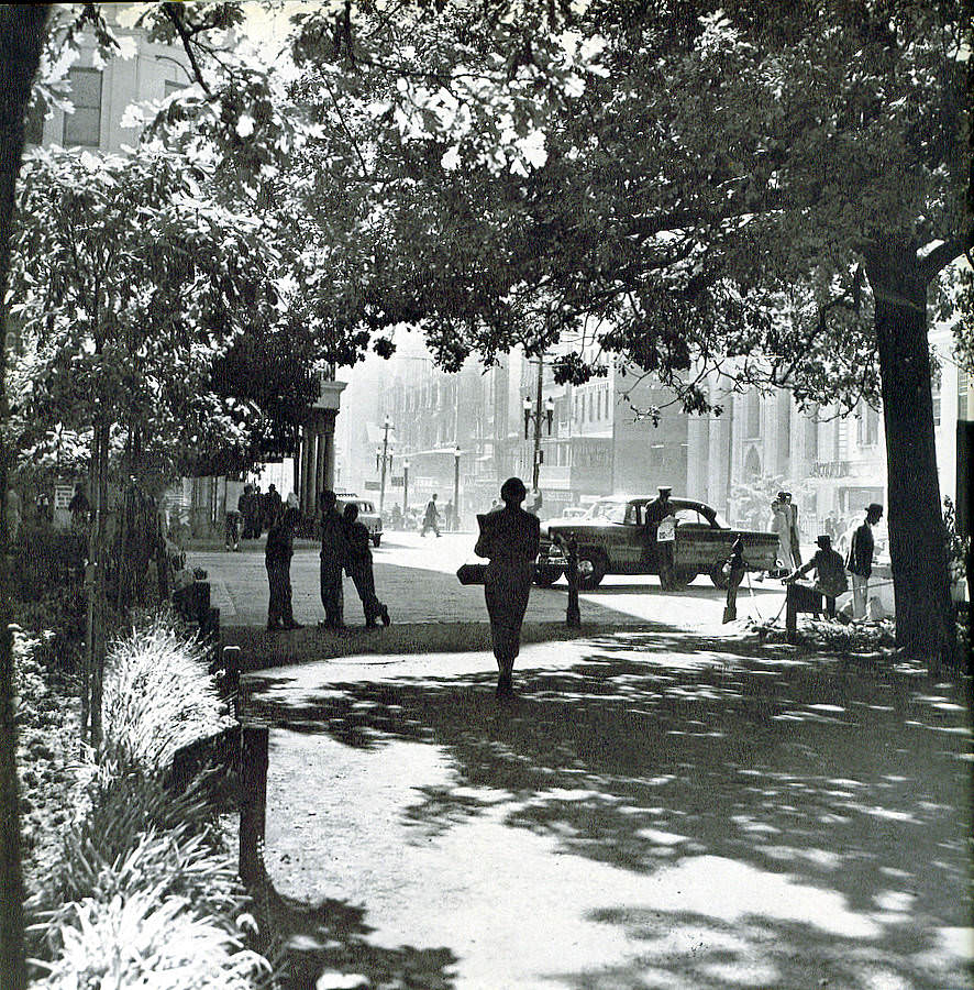





Besides the old cars it doesn’t actually look much different