By 1986, Burma was a country caught between two economic realities. In the early part of the decade, the government had seen moderate growth, partly because it loosened its strict ban on foreign financial aid. Funding began flowing in from institutions like the Asian Development Bank and the International Bank for Reconstruction and Development. But that progress was fragile. Falling prices for Burma’s commodity exports, rising import costs, and growing external debt payments all worked against the country’s momentum. Growth slowed, and the cracks in the socialist economic model — put in place in the early 1960s — were becoming hard to ignore.
Reforms were on the horizon. By 1987 and 1988, the government proposed sweeping changes that included attracting foreign investment and opening up foreign trade in a significant way. But in 1986, those changes hadn’t arrived yet. Life across Burma’s cities and countryside continued under the same system that had governed the country for decades. These photographs capture that moment — streets, rivers, temples, and people — frozen in time just before the country began to shift.
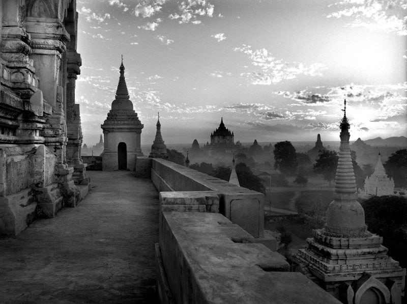
Bagan, home to thousands of ancient temples and pagodas, remained one of Burma’s most striking landscapes in 1986. The Ananda Temple, built in the 11th century during the Pagan Kingdom, stood as one of the best-preserved monuments in the entire plain. Its white-washed exterior and gilded spire rose above the dry, flat terrain, drawing both Buddhist pilgrims and a trickle of foreign visitors.
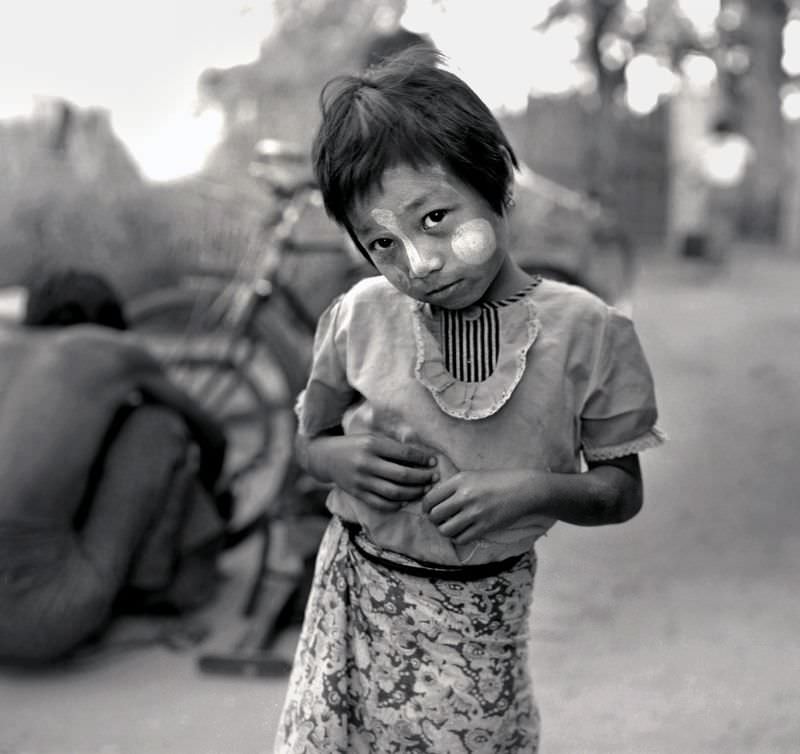
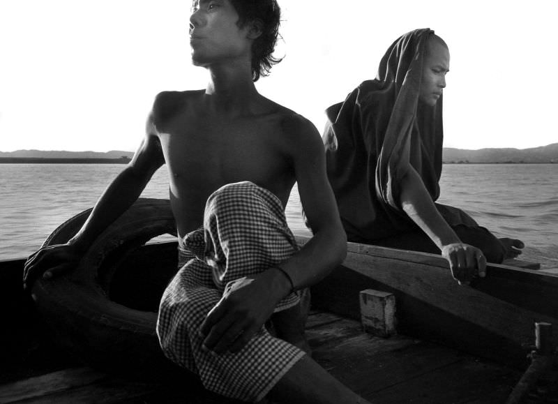
Everyday life in Bagan carried on at a pace set by the seasons and the river. The Irrawaddy River was the country’s main artery, connecting the interior to the coast and serving as a lifeline for trade, transport, and daily routines.
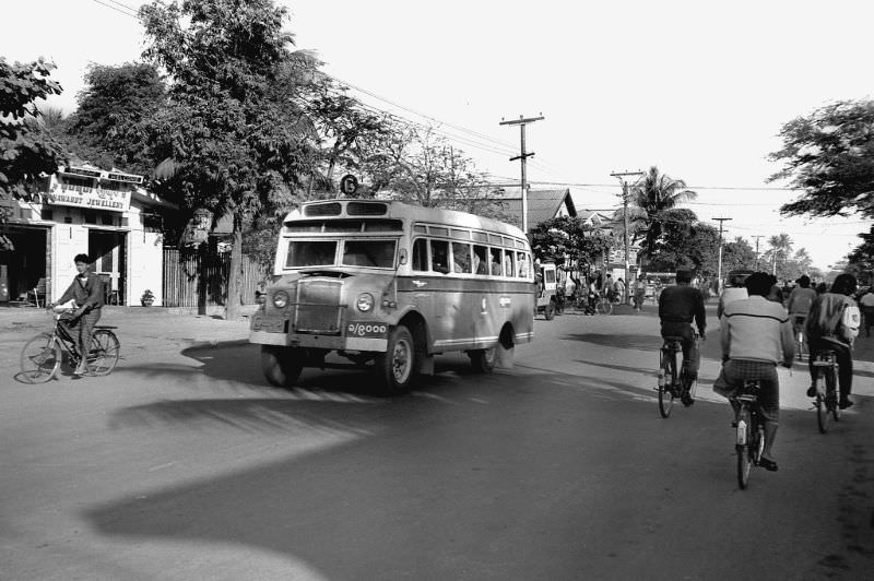
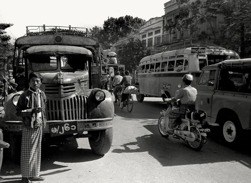
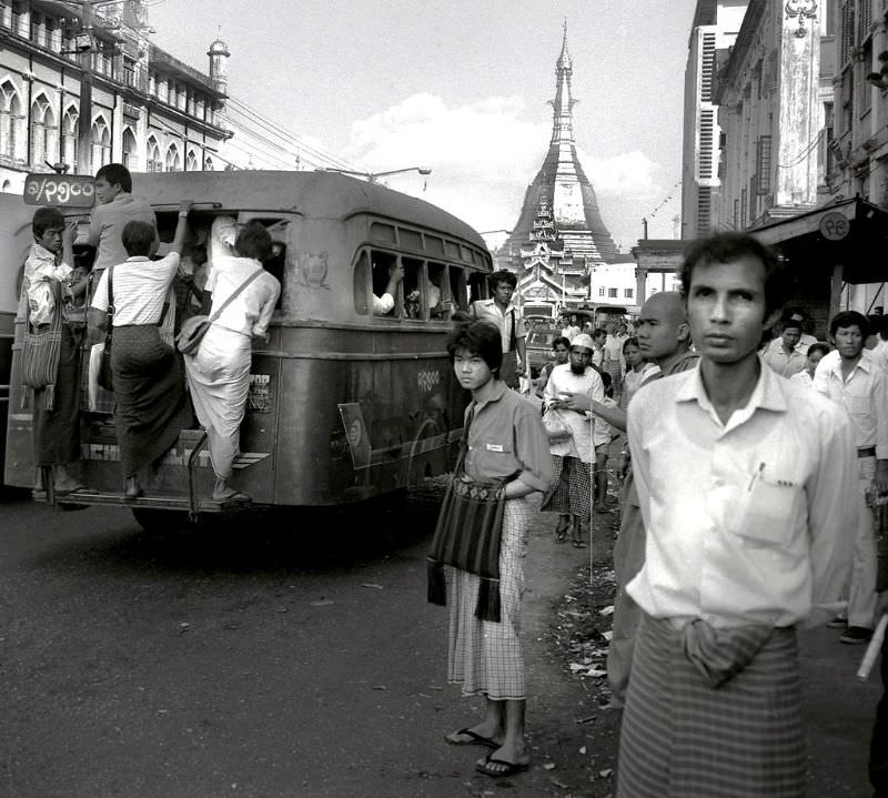
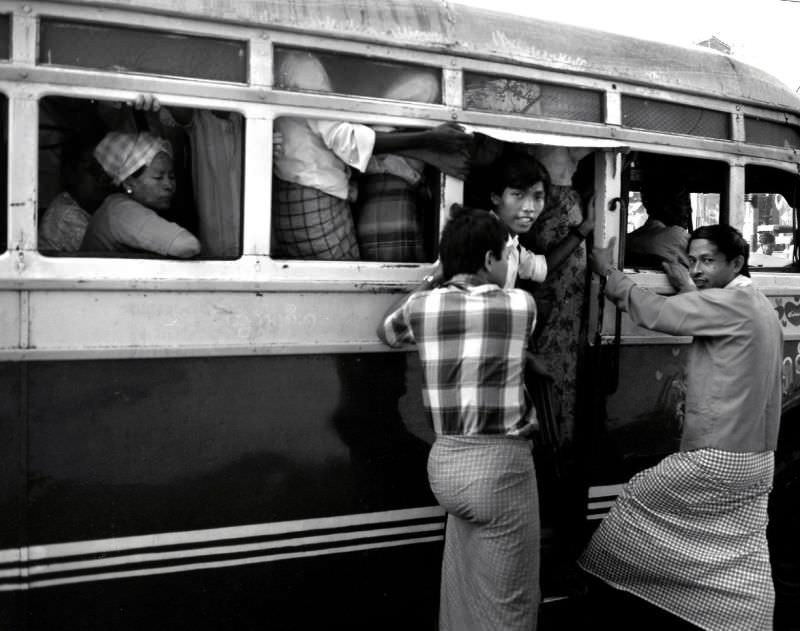
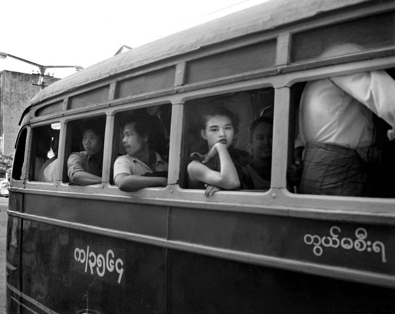
Mandalay, Burma’s second-largest city, sat at the cultural heart of the country. It was a center for traditional crafts, Buddhist monasteries, and commerce. Getting around the city meant relying on a public transit system that was aging but functional — buses packed with commuters navigating streets that mixed colonial-era architecture with open-air markets.
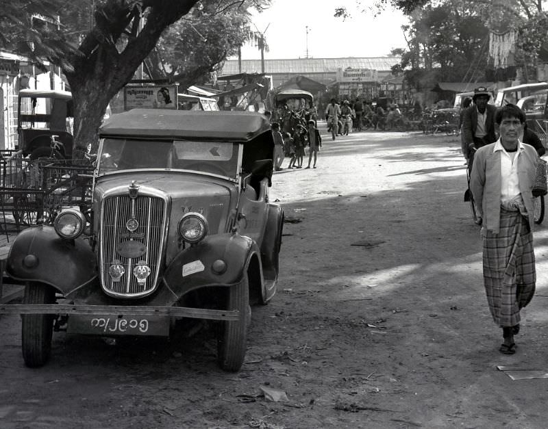
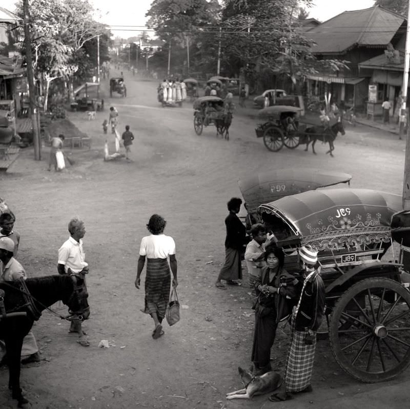
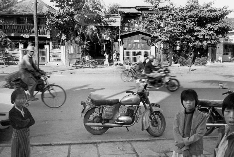
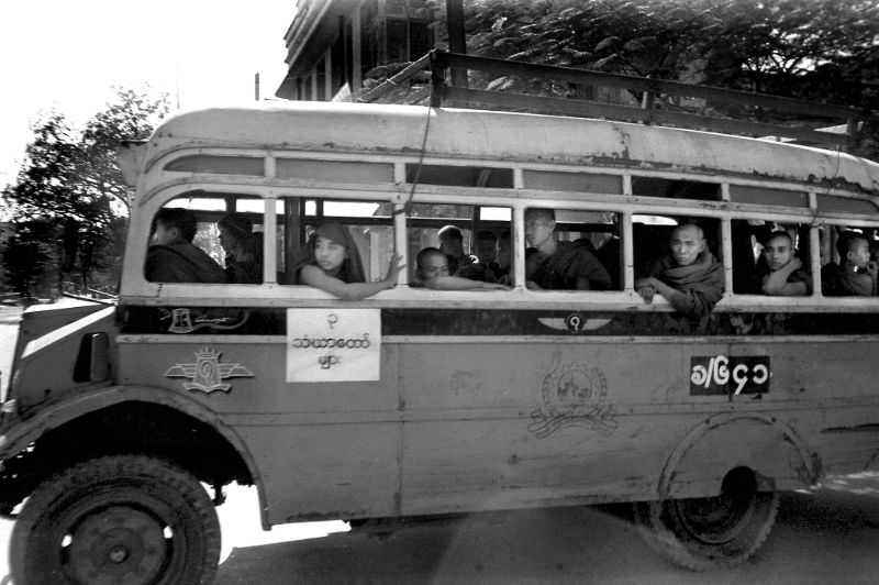
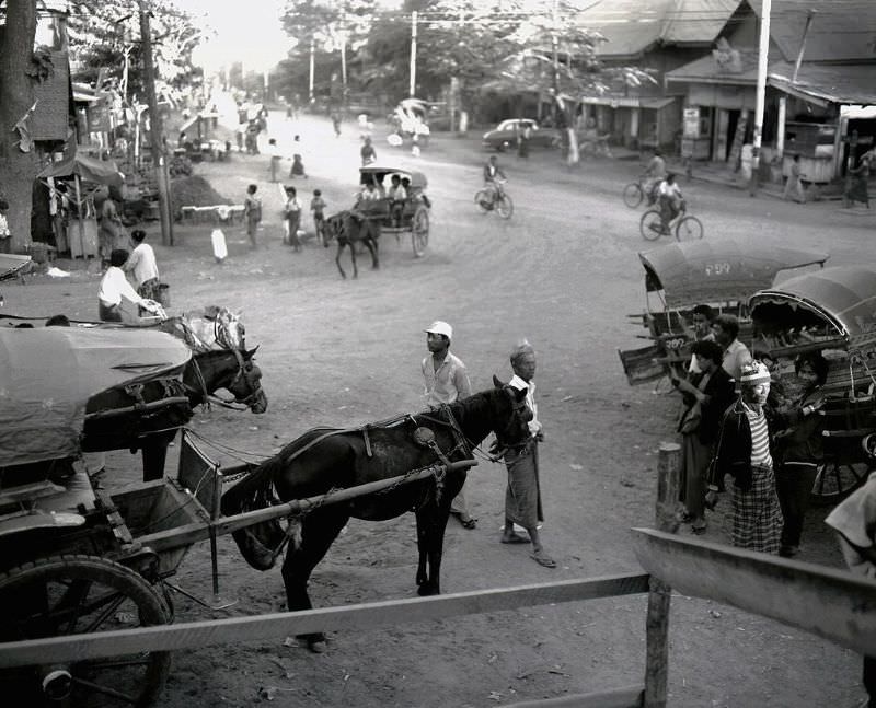
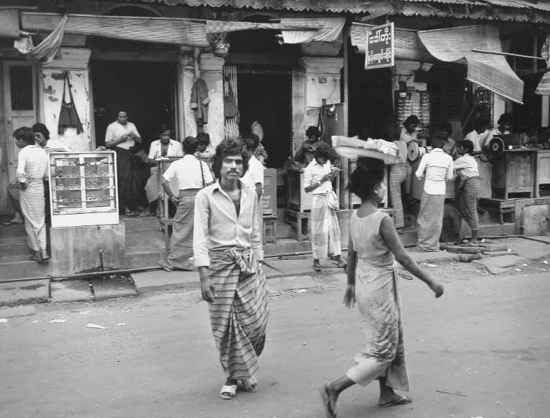
The streets of central Mandalay told a story of a city that was busy but not hurried. Vendors, cyclists, and pedestrians shared the road in a rhythm that had changed little over the years. Street scenes like these were a window into how most Burmese people actually spent their days — working, moving, trading.
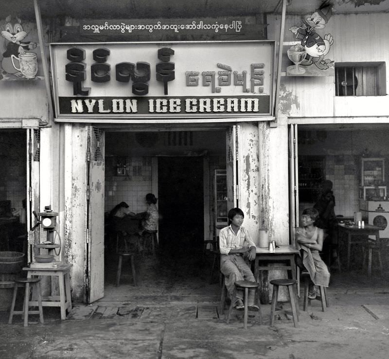
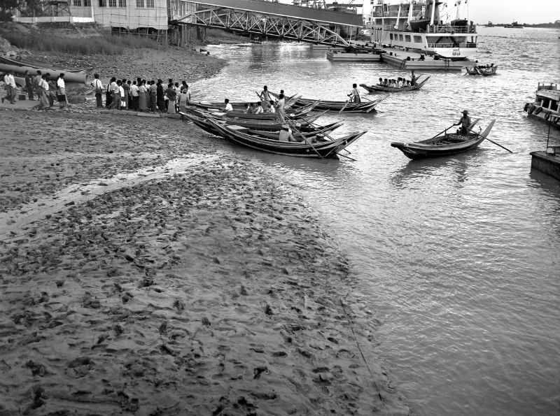
The Irrawaddy River near Mandalay was a constant scene of activity. Ferries carried passengers across its wide, brown waters, connecting communities on either bank. For many people, the ferry crossing was simply part of the daily commute — nothing remarkable, just necessary.
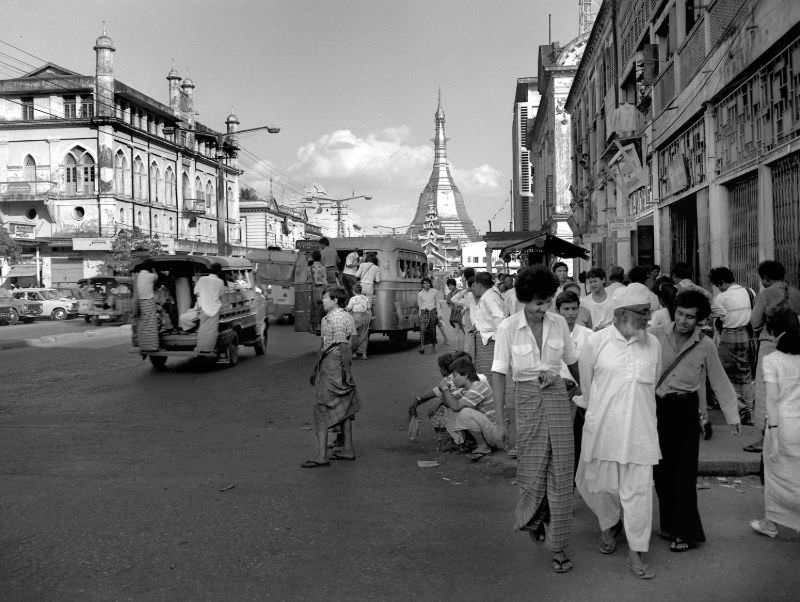
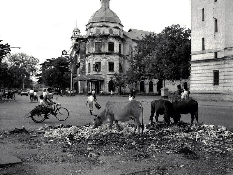
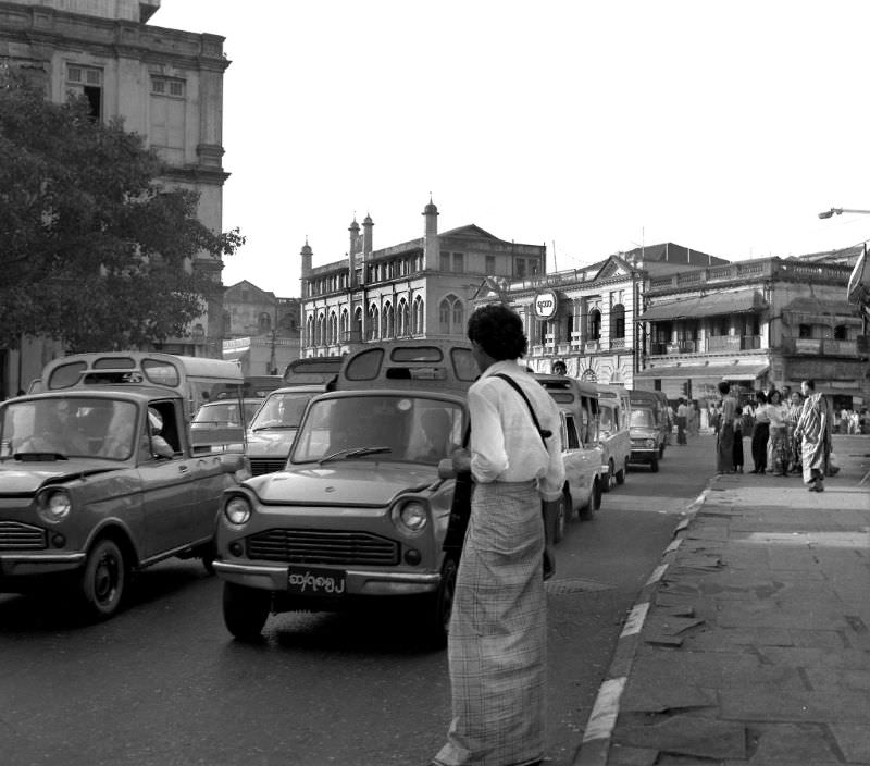
Rangoon, the country’s capital, was the most internationally recognizable city in Burma. Its downtown core still carried the bones of British colonial rule — wide boulevards, grand administrative buildings, and multi-story commercial blocks. But by 1986, many of those structures were weathered, under-maintained, and quietly fading.
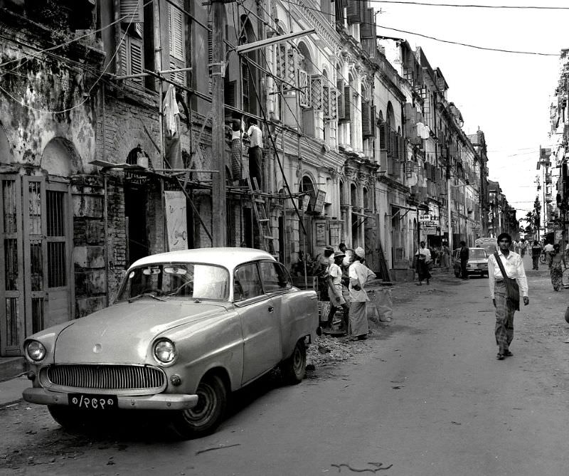
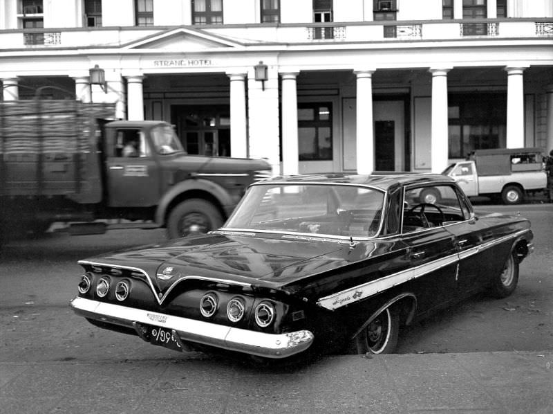
One of the more unusual sights in Rangoon’s streets was the 1961 Chevrolet Impala hardtop parked in front of the Strand Hotel. Burma’s isolation under socialist rule had kept foreign car imports virtually frozen for decades, meaning older vehicles remained in use long past their prime in other countries. A right-hand drive Chevy Impala from 1961 still rolling through Rangoon in 1986 was a direct result of that isolation.
Colonial-era architecture was still standing across Rangoon’s business district, including structures like the Balthazar Building. These buildings were relics of a different era, when Rangoon was one of the most prosperous port cities in Southeast Asia.
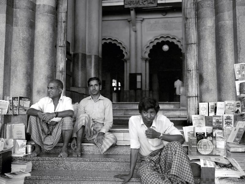
On Sule Pagoda Road, booksellers set up on the steps of the Bengali Sunni Jameh Mosque, selling their wares in the open air. The road itself was one of Rangoon’s main commercial arteries, lined with shops, pagodas, and the foot traffic of a city that moved largely on foot and by bus.
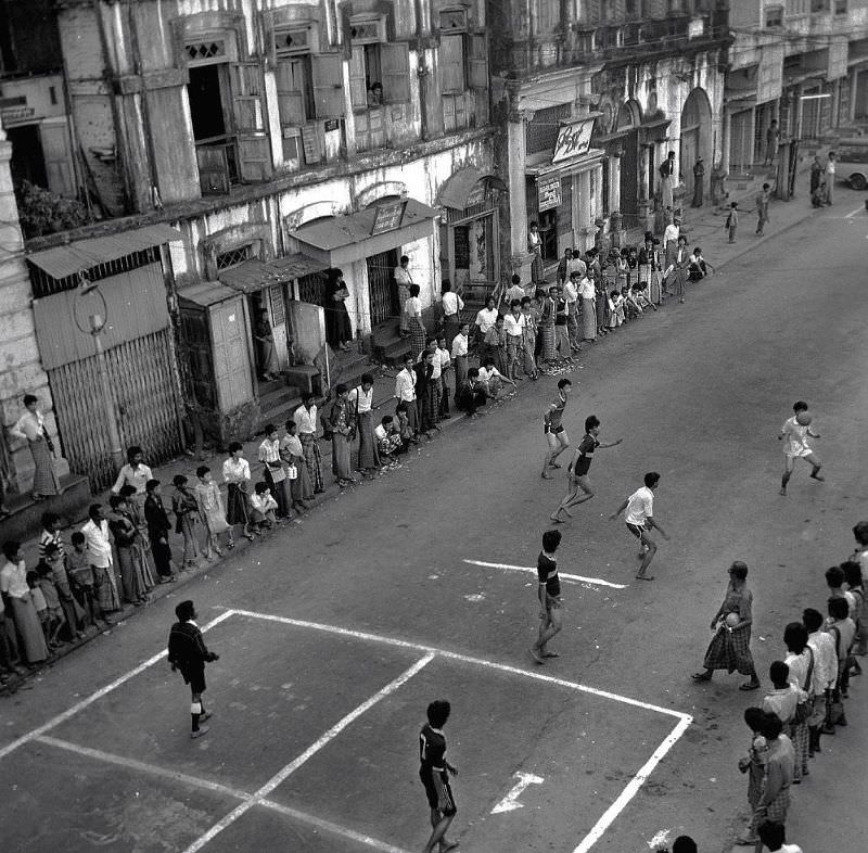
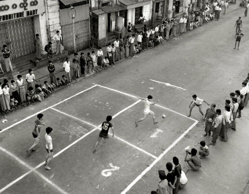
Sport was a regular part of street life in Rangoon. Football matches played out in open spaces across the city, drawing crowds of onlookers and players of all ages. These informal tournaments were entirely self-organized, taking place on any flat stretch of ground available.
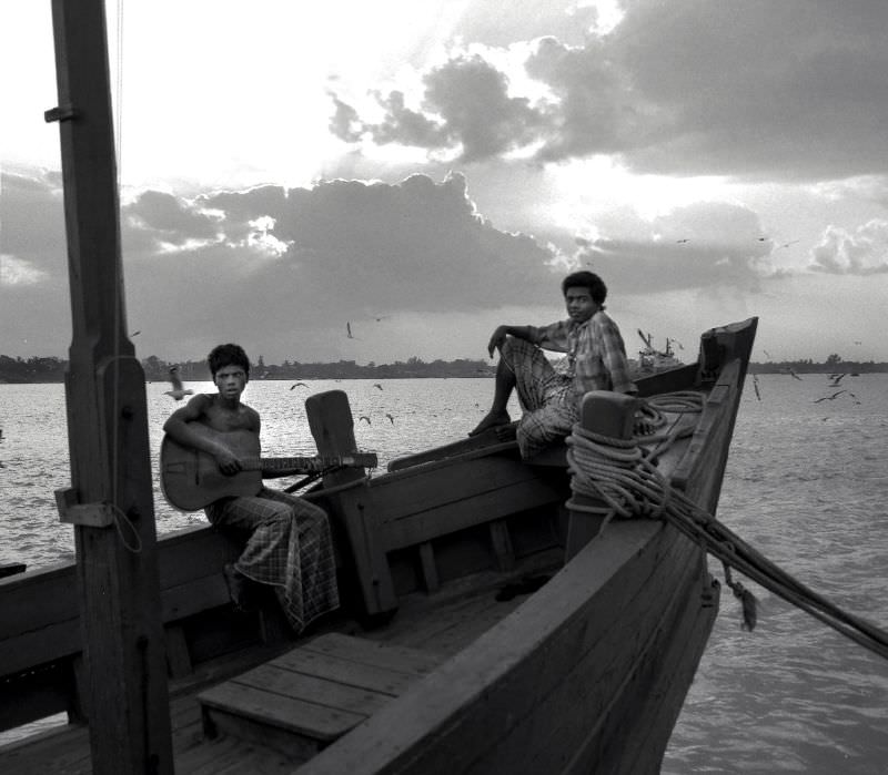
The waterfront near the Pansodan Ferry was another active hub. The Irrawaddy and its tributaries ran through and around Rangoon, and river transport remained a practical, widely-used option for getting people and goods from one place to another.
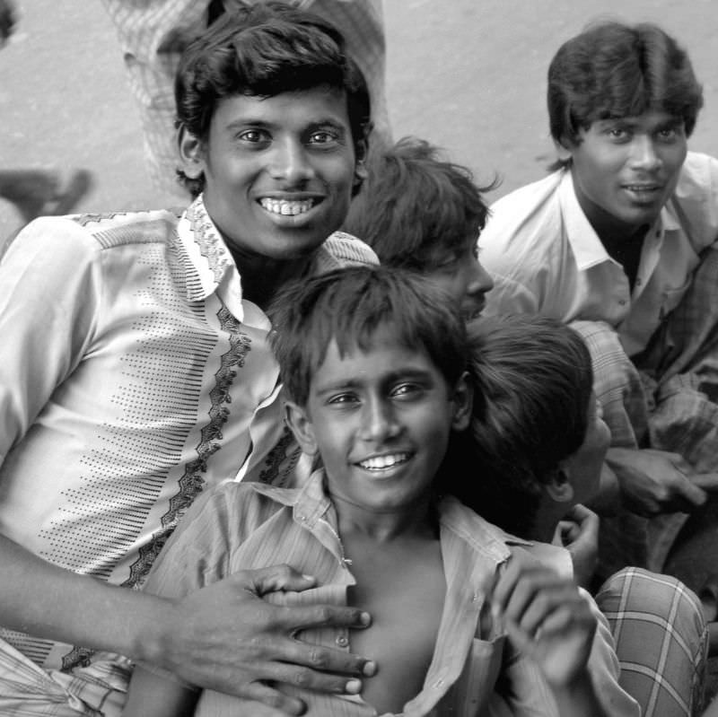
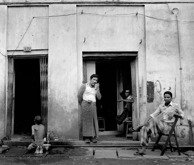
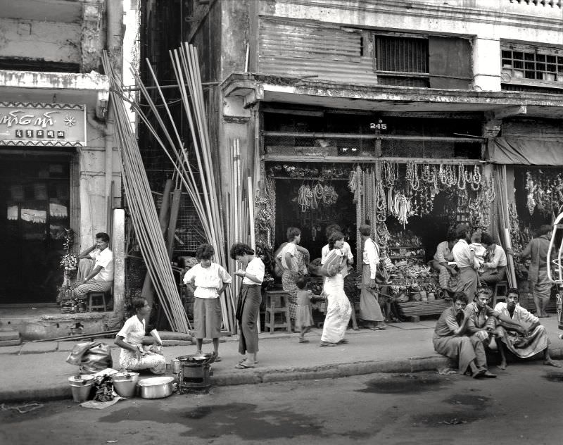
Rangoon’s business district in 1986 was a dense mix of commerce and everyday life. Streets were crowded with vendors, shoppers, and workers. The buildings above them told a story of past prosperity, while the street-level activity showed a city still very much in motion despite its economic constraints.
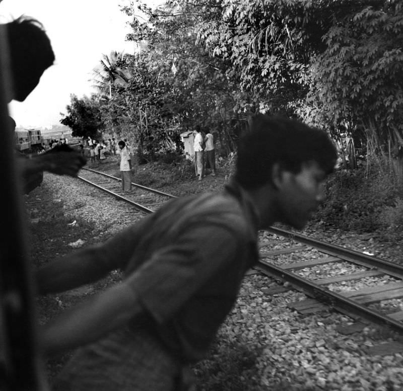
Beyond the cities, Burma’s rail lines connected towns and villages across the interior. Near Thazi, a junction town in central Burma, trains carried passengers and cargo through flat agricultural land. The railway system, built largely during British rule, was still the backbone of long-distance travel in the country.
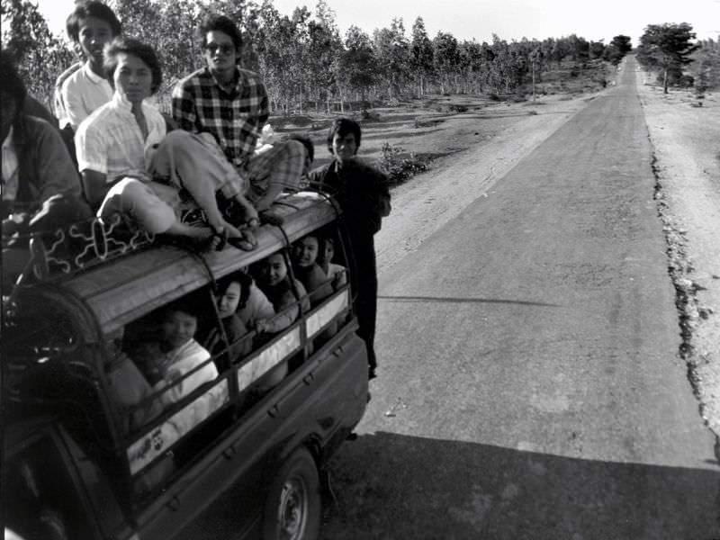
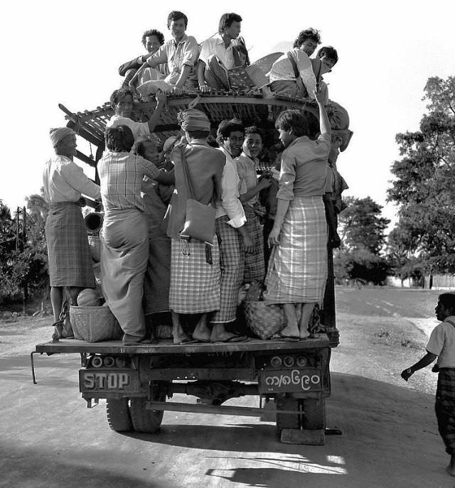
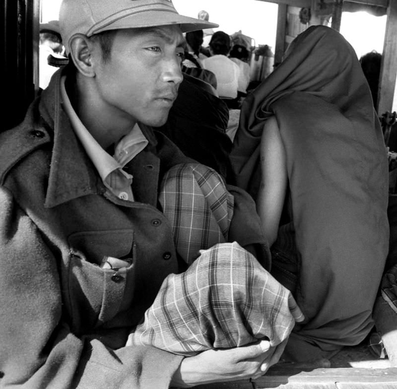
The road between Bagan and Thazi cut through some of Burma’s most open terrain. Stretches of empty roadway connected these towns, and the journey between them gave a clear sense of just how vast and sparsely populated the Burmese interior was. Public transit in Thazi, as in much of rural Burma, meant crowded vehicles making long runs between towns with few alternatives.