
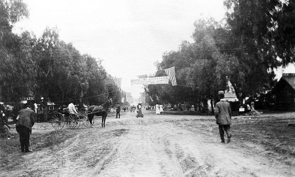
Burbank, California began as part of Spanish land grants — Rancho San Rafael and La Providencia — before dentist David Burbank established a sheep ranch there in 1867. The Providencia Land, Water, and Development Company formally laid out the city in 1887, the same year it began to take shape along Olive Avenue. These rare photographs capture Burbank and its surrounding region in the late 19th century, documenting the town’s earliest streets, buildings, and communities.
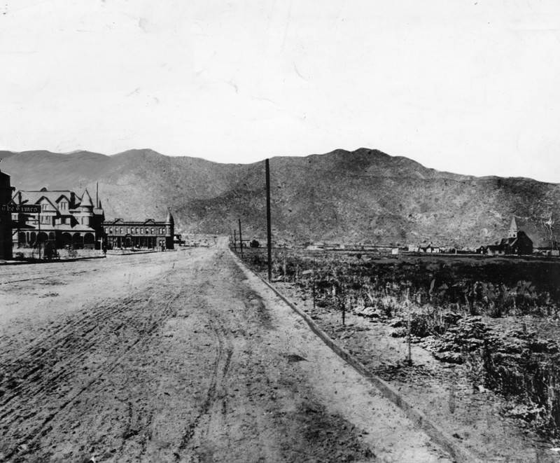
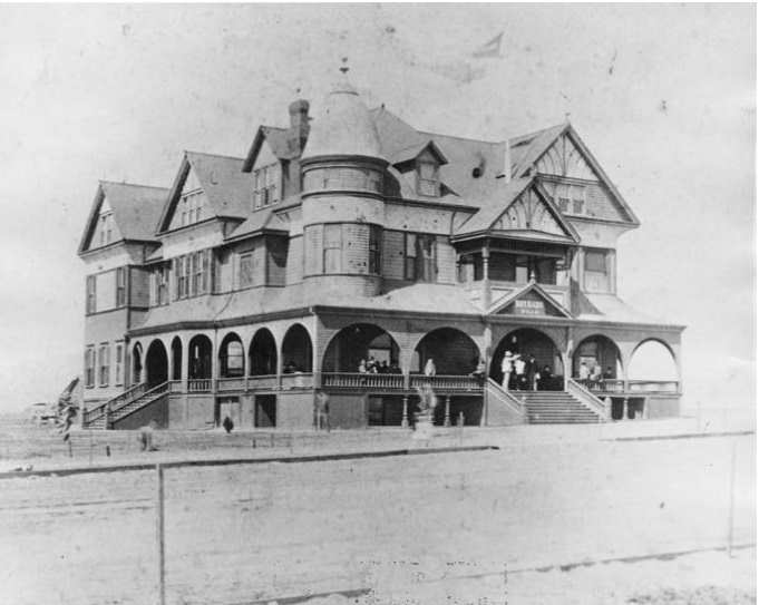
The Burbank Villa Hotel was built in 1887 by Dr. Burbank and his son-in-law John W. Griffin at a cost of $30,000.00. It was later renamed the Santa Rosa Hotel and remodeled into apartments. By the late 1920s, it had been torn down and replaced with the post office located at 135 E. Olive Avenue.
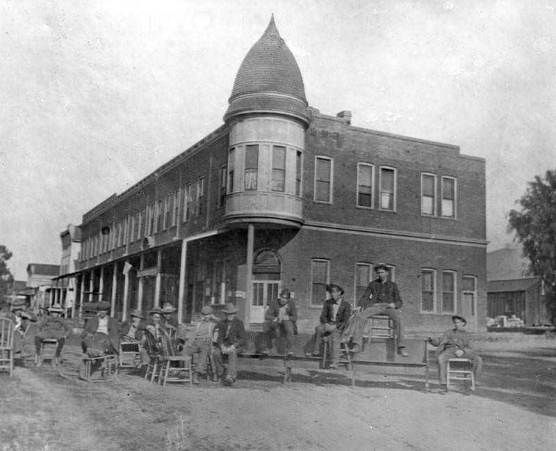
Group photo of several men sitting in front of the Burbank Block. The Burbank Block was the first brick building in town, located on San Fernando Road (now Golden Mall) and Olive Avenue in Burbank. The Brick Block was erected during 1887 by the Providencia Land & Water Co. for the newly platted town of Burbank.
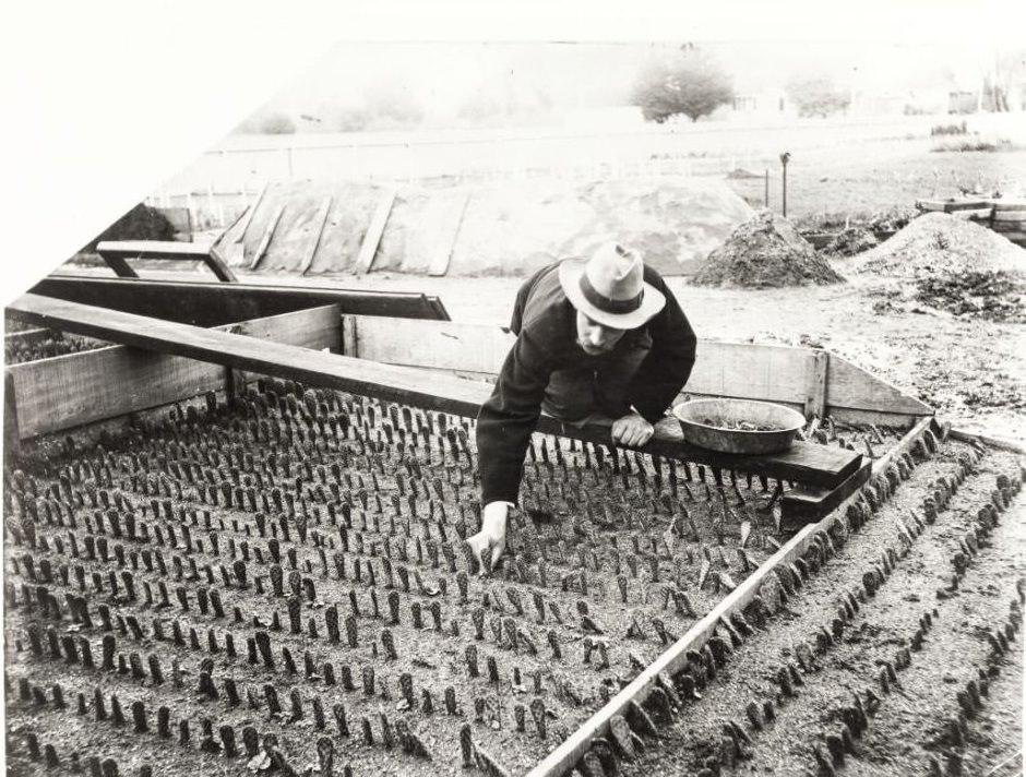
Luther Burbank planting cactus in a raised bed. He is kneeling on a board.
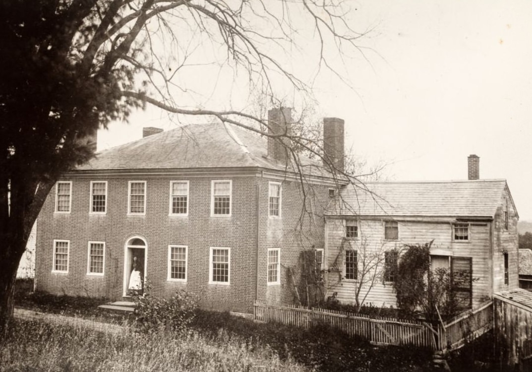
Early photo of Burbank’s birthplace in Lancaster, Massachusetts. Close-up of house.
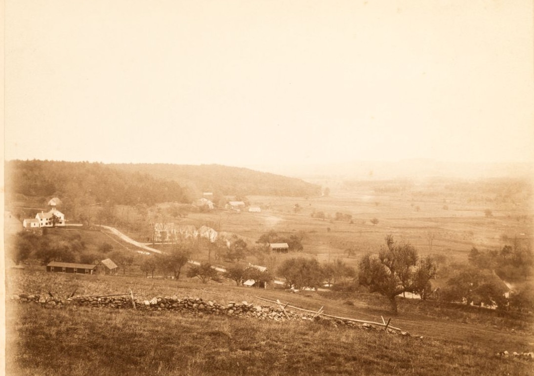
Sepia-toned photograph showing Burbank’s birthplace in Lancaster, Massachusetts, built in about 1850. Scene of fields and surrounding neighbors — Burbank Farm left of center.
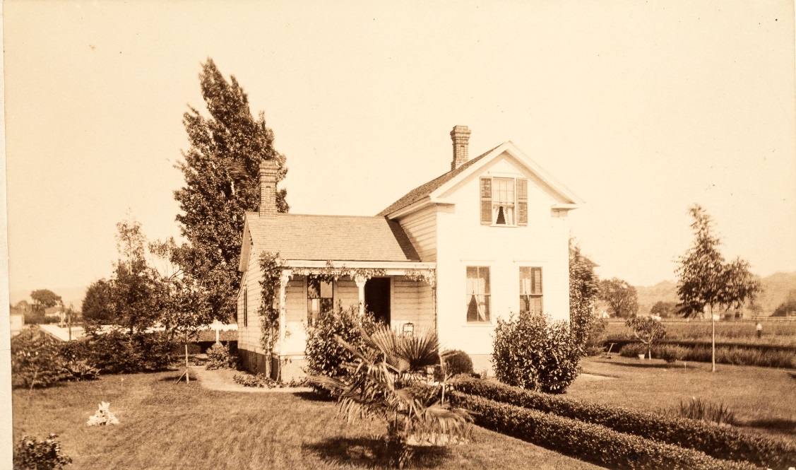
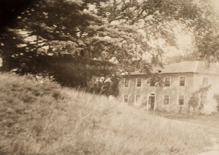
Early photo of Burbank’s birthplace in Lancaster, Massachusetts. Close-up of house.
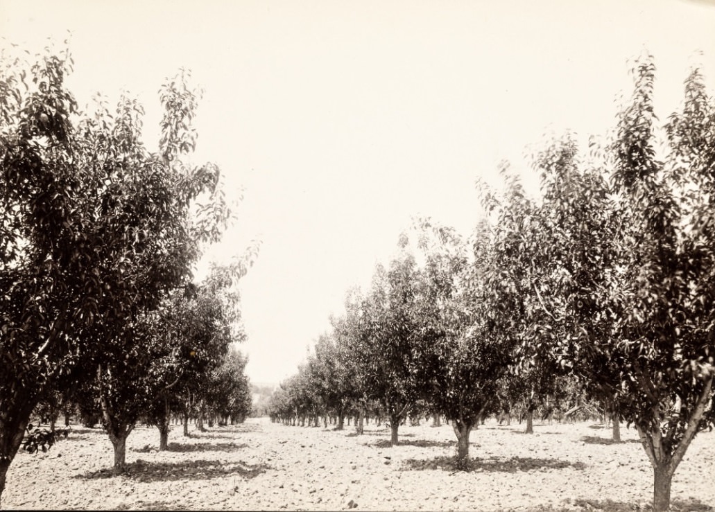
Plain black and white photo of the Frei orchard. May show trees purchased from Luther Burbank.
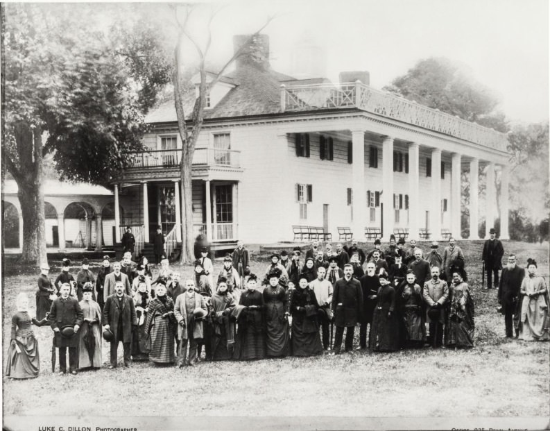
Luther Burbank at Mount Vernon — retouched. Burbank is near the center of the photo, hatless, with long sideburns.
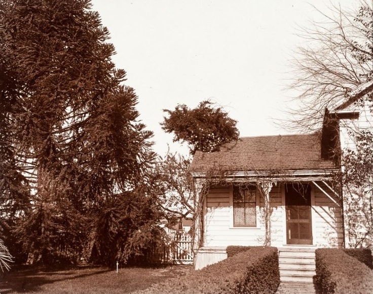
Black and white snapshot of an old house showing the front porch.
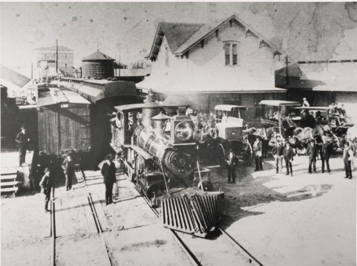
Steam engine in the foreground; station with a second wood story. Horse and buggies waiting for passengers.
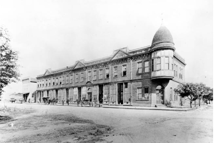
The Burbank Block Building, the first brick building in the area, shortly after its construction at Olive Avenue and San Fernando Boulevard, with people, horses, and carriages at left. In 1910 many of its decorative pediments were removed, and the cupola was removed following earthquake damage, possibly in 1933. The building has housed a post office, restaurants, and office space.
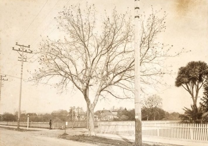
View of the corner of Santa Rosa Avenue and Tupper Street taken from Santa Rosa Avenue, looking toward the old county courthouse and showing picket fences and an old house in the distance.
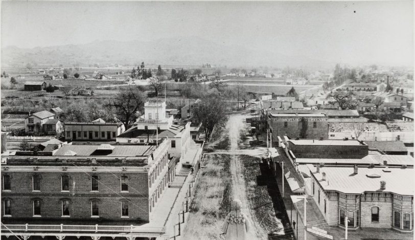
Santa Rosa Avenue looking south from the Courthouse — 1890. Burbank’s home can be seen in the far distance. Visible are: J. P. Clark Fashion Stables and the Grand Hotel. Credit: Junior College, Santa Rosa. Copy by Don Meacham, 915 Colorado Blvd., Santa Rosa. Black and white.
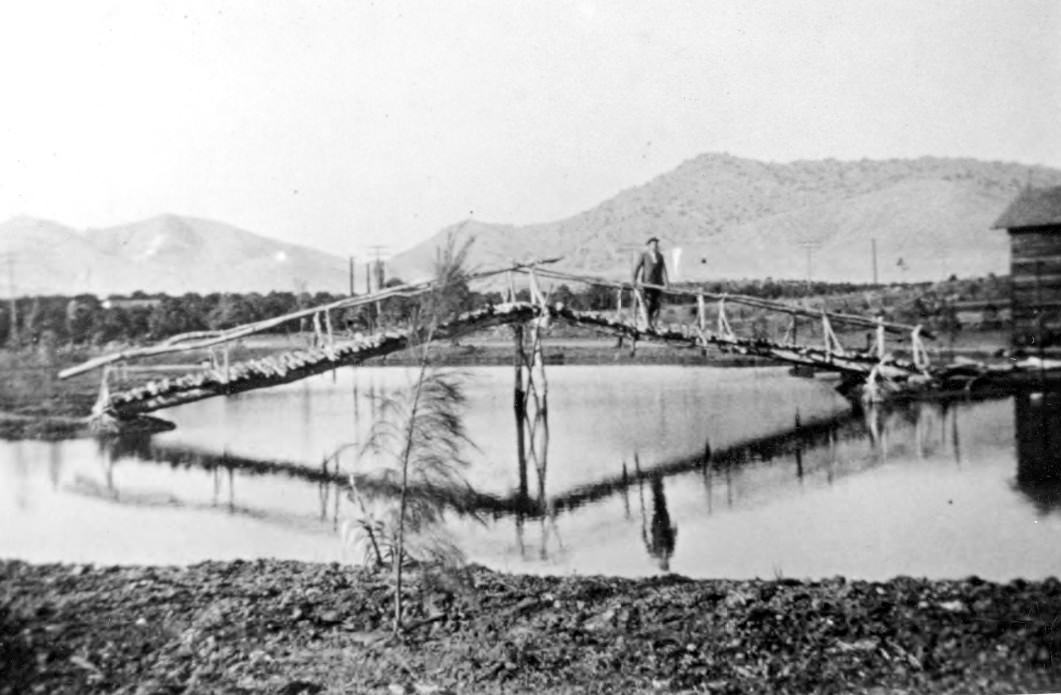
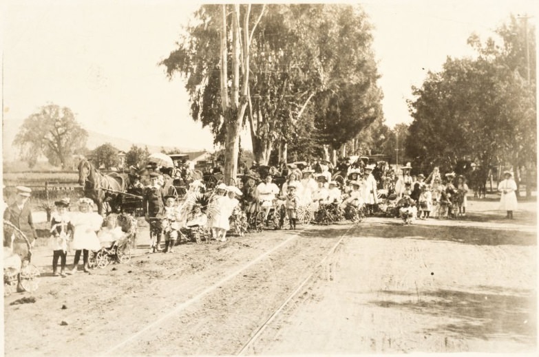
May be related to a Burbank event — the word “Wizard” appears on a fence post. Children are ready to parade with baby buggies; a horse-drawn wagon is on the left of the group. “First Rose Parade on McDonald Avenue” was organized by Judge Ware as a young boy. Strollers are decorated with flowers.
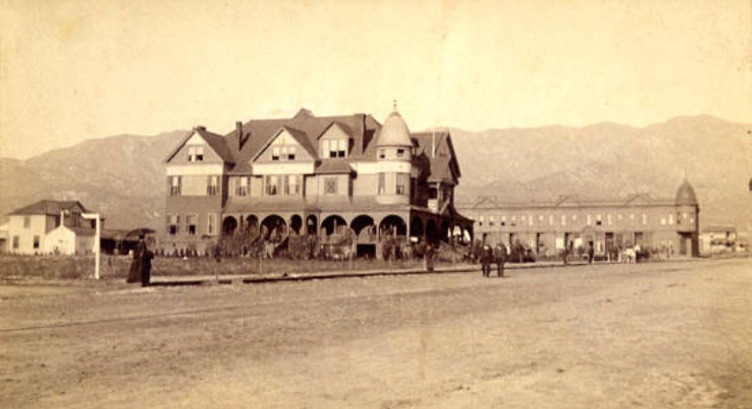
Street scene including the Burbank Villa Hotel, Burbank, California. The Burbank Villa Hotel (with turret, gables, and verandas with arches) was built by Dr. Burbank and his son-in-law John W. Griffin in 1887 at a cost of $30,000.00. Later, the hotel was renamed the Santa Rosa Hotel and was a popular place for weddings and parties. During the 1920s the hotel was remodeled into apartments, and by 1927 it had been torn down and replaced by the post office. Today, this post office is known as the Burbank Downtown Station and is located at 135 E. Olive Avenue.
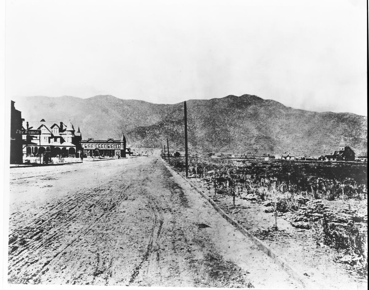
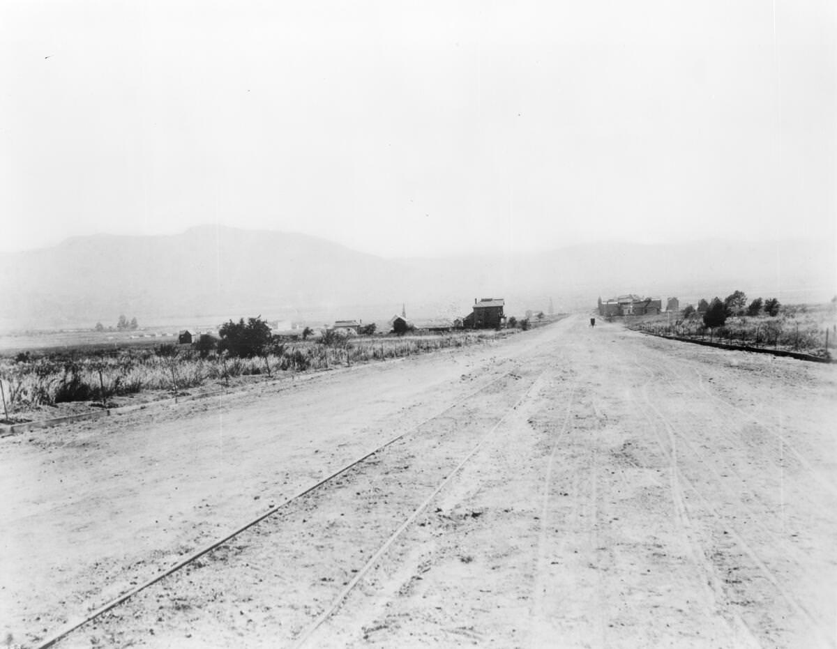
An unpaved road fills most of the frame, showing a horse-drawn trolley-car track at its center that was discontinued after roughly one year. In the distance, a horse-drawn carriage navigates the road, flanked on either side by spread-out farm homesteads. A windmill tower and the spires of a church can be seen to the left of the street. Mountains are visible along the horizon.
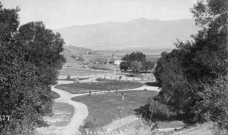
Panoramic view of the Ostrich Farm Park in Glendale, located near Burbank on the old railroad from Burbank Junction, later Sanborn Junction and Sunset Blvd.
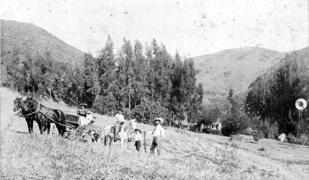
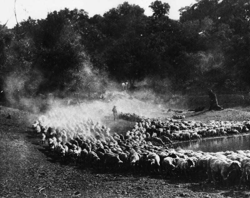
View of a flock of sheep around a reservoir in Garvanza, near where Luther Burbank Middle School is now located.
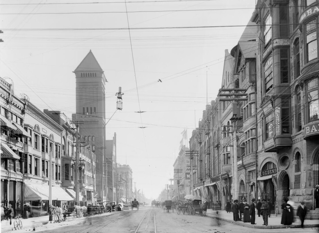
Photograph of Broadway looking south from Second Street, Los Angeles, ca. 1895–1905. Three- and four-story buildings line both sides of the road, which runs from the foreground to the background at center. City Hall is visible, as are horse-drawn carriages and numerous pedestrians on the sidewalk. Streetcar rails are in the middle of the road. Utility wires are visible overhead.
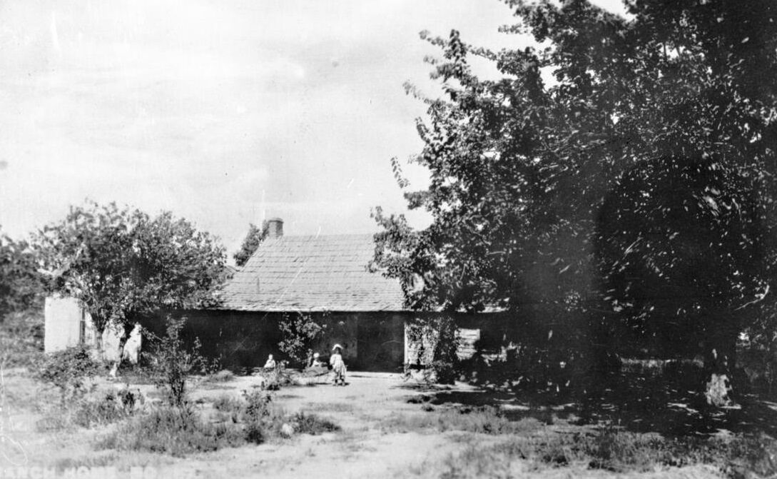
Exterior of the Machado Ranch and Stage Station at Lake Elsinore (later, 1938, known as the P.H. Ripply Place), ca. 1898–1900. Looking toward the lake from the south side. Children playing in front on the ground among large trees.
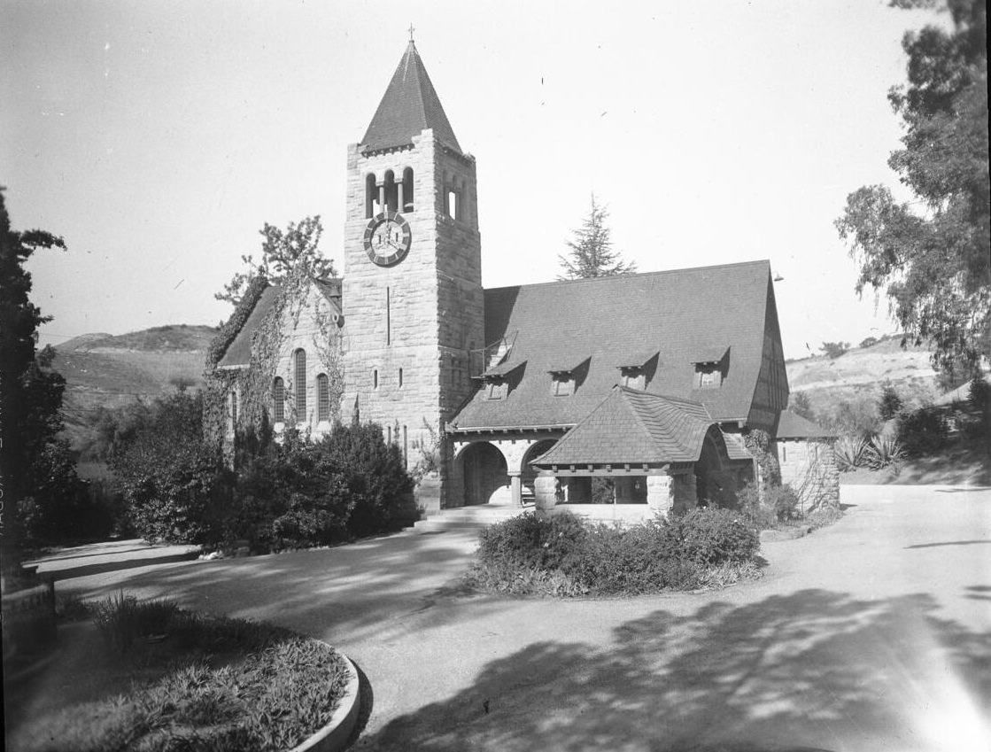
Photograph (streetscape, horizontal) of the Church of the Angels, 1100 North Avenue 64, Highland Park. The Victorian-style church is about four stories tall. It features a clock tower, inclined roofs, and stone masonry walls. A wall built to surround the property is also made of stone masonry. Trees surround the property. Hills are visible in the background.
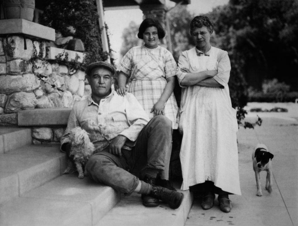





Thank you; these photos are fantastic.
Aung Budhh ~ This was amazing……thank you for your research & time spent putting this all together. I love you with the breath, smiles, & tears of all MY life, too!
I love your local history photos! I’m not sure why they included pictures of Luther Burbank. David Burbank was not associated with the city named after him.
Amazing! It’s hard to believe that they started construction on the Burbank Blvd Bridge in 1893!
It was probably like the rest of Southern California…“Orange groves, orange groves as far as the eye can see.”
I sometimes wonder what it would have been like to explore the Verdugo for the first time.