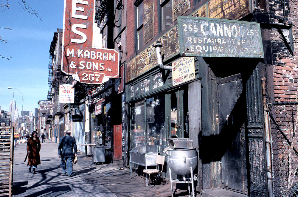
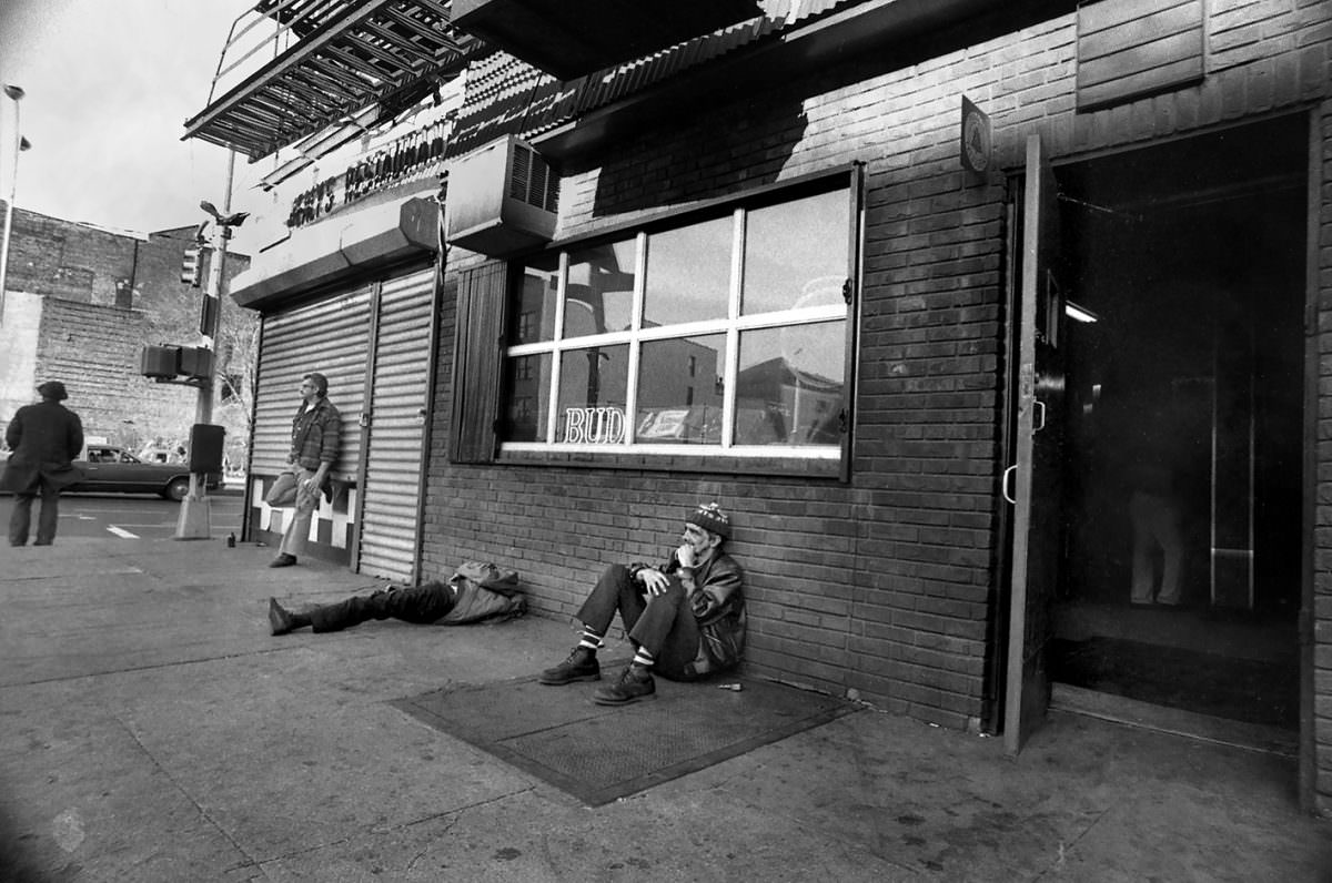
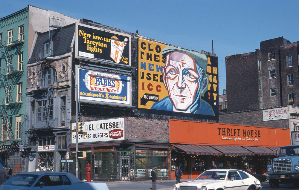
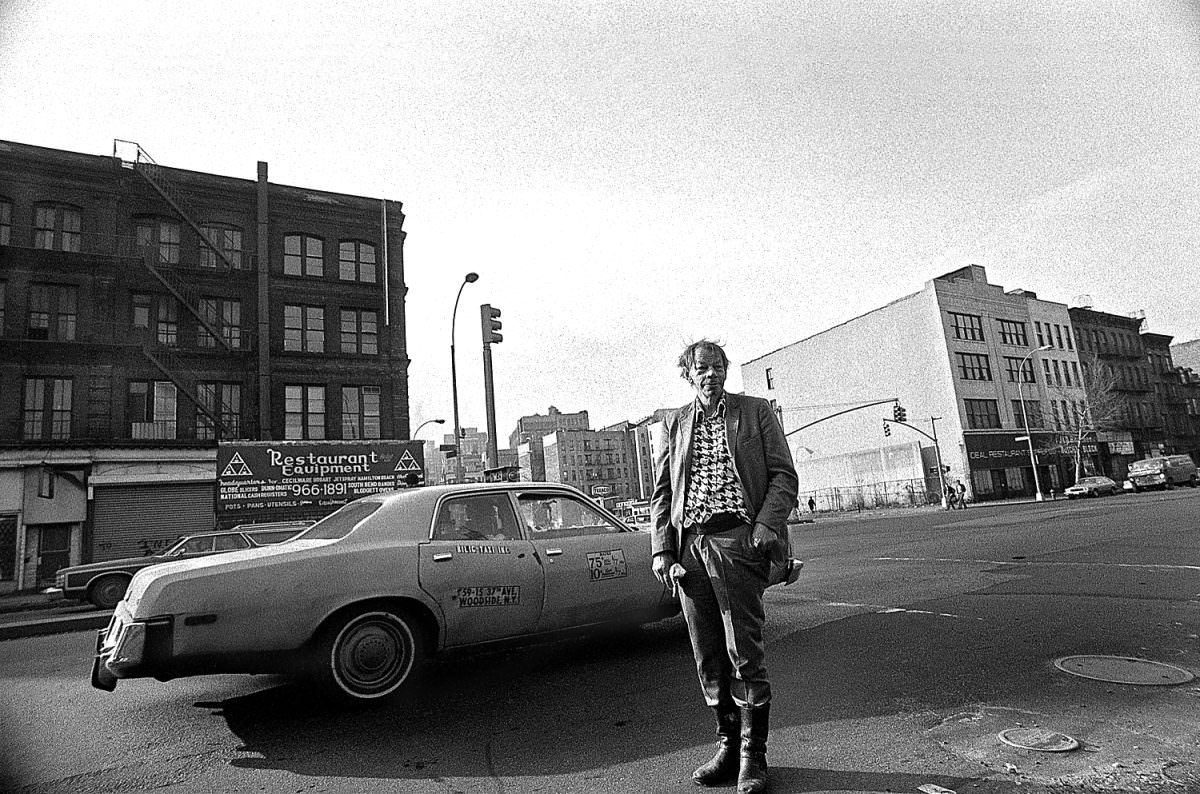
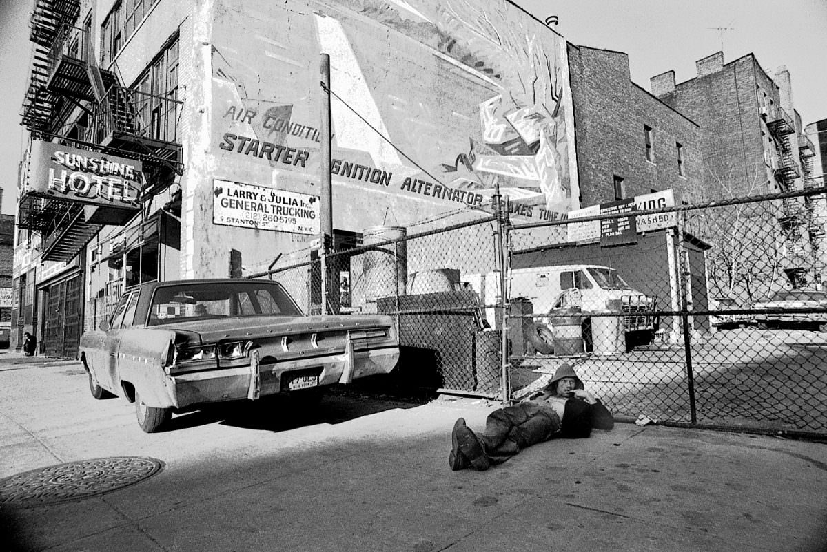
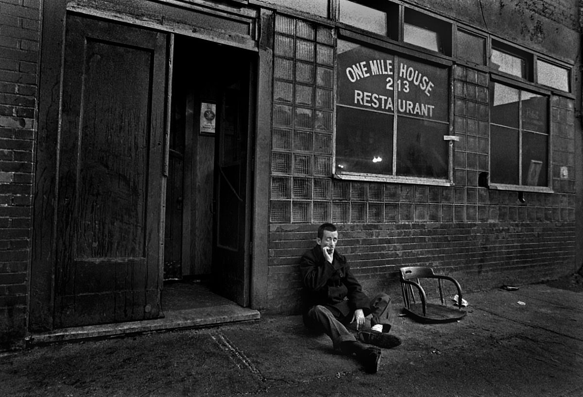
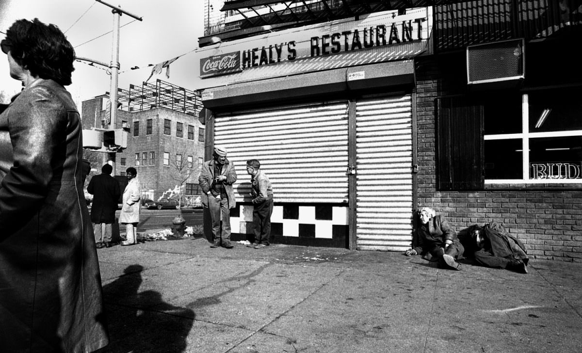
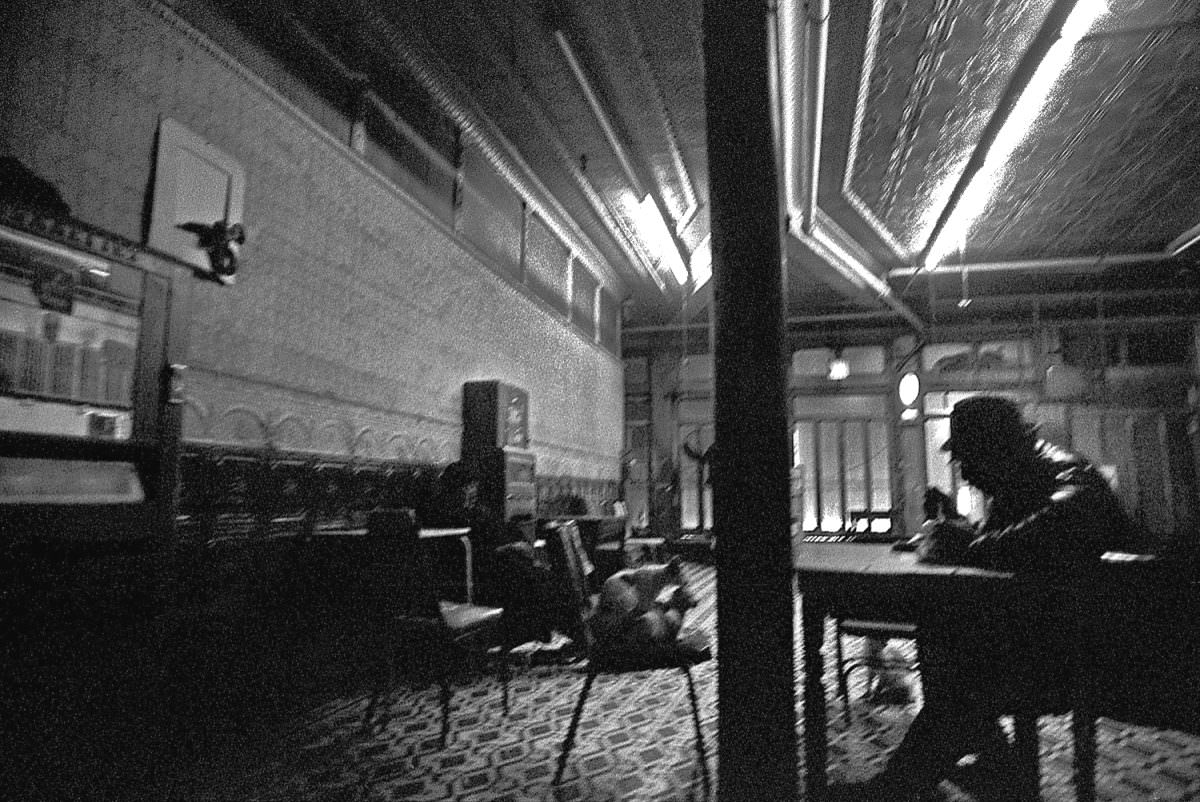
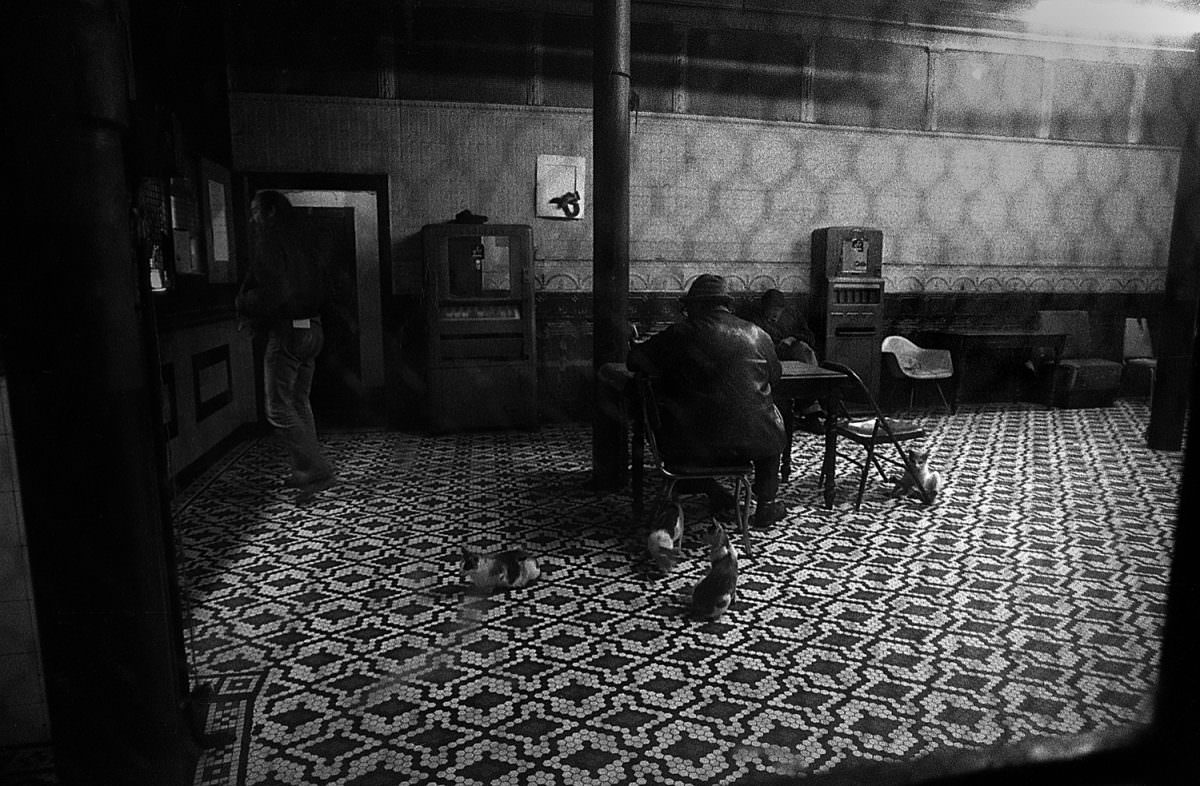
In 1978, the Bowery neighborhood in New York City was a very different place than it is today. The Bowery was a historic neighborhood on the Lower East Side of Manhattan. It was known for being a rough and gritty area, with a high concentration of flophouses, bars, and social service agencies. The population of the Bowery in 1978 was primarily made up of men who were homeless or low-income.
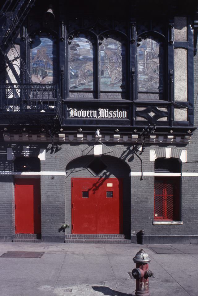
During the 1970s, the Bowery was in a state of decline. Many factories, warehouses, and tenements that had once defined the neighborhood had been abandoned, and the area was plagued by poverty, crime, and homelessness. Many of the residents were struggling with addiction and mental health issues, and many shelters, halfway houses, and other social service agencies were located in the neighborhood.
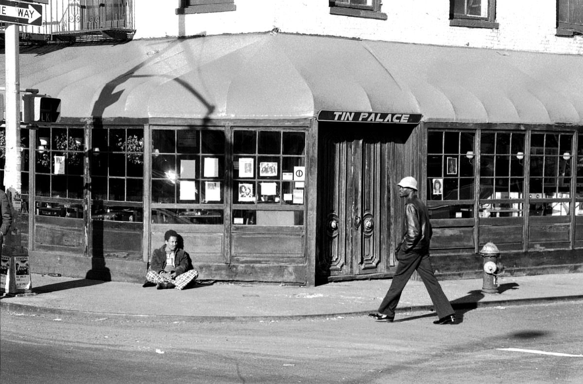
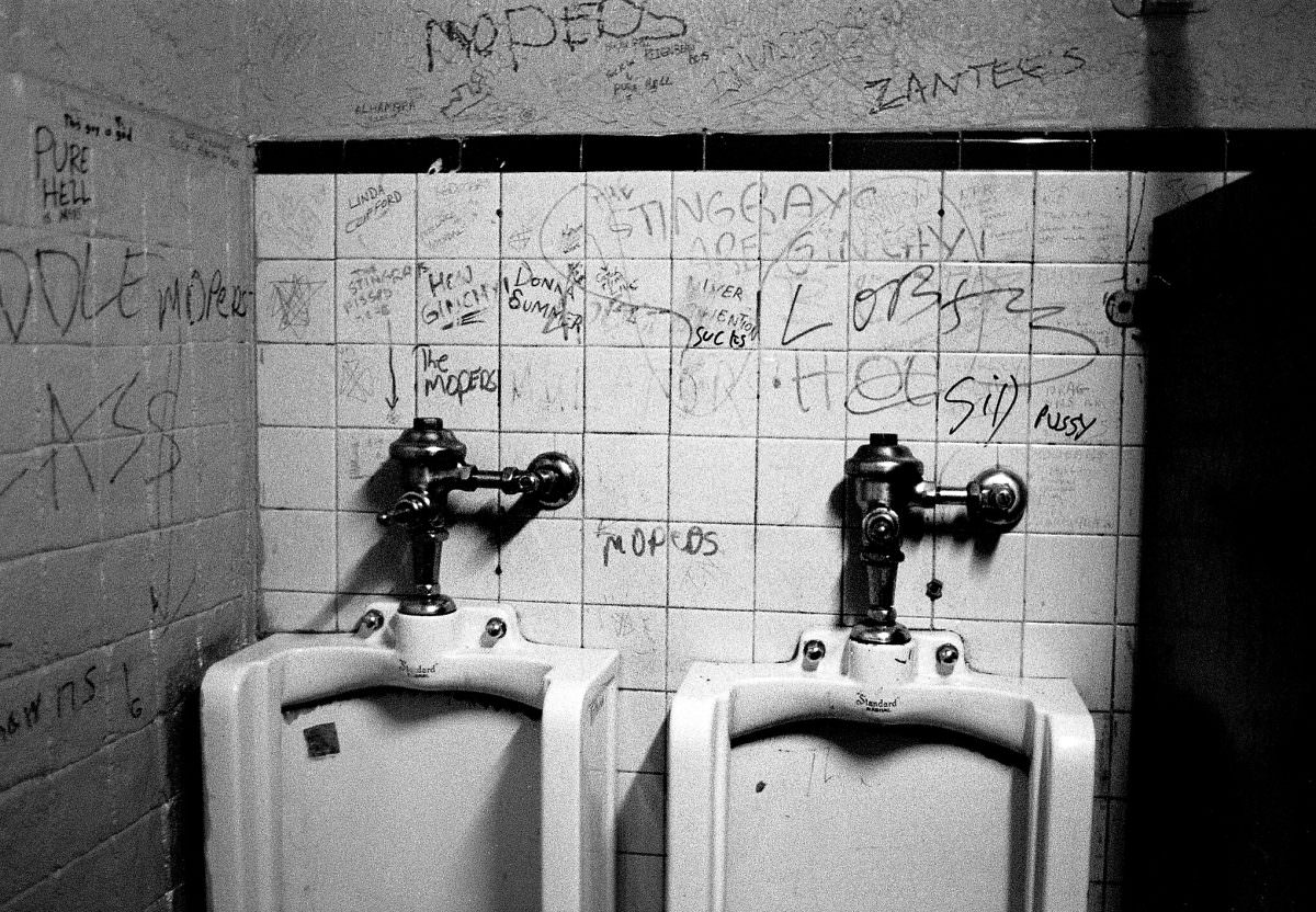
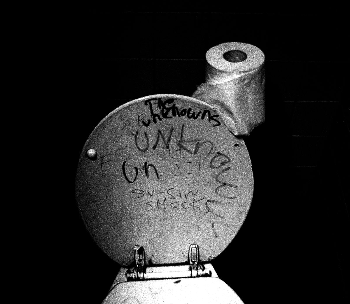
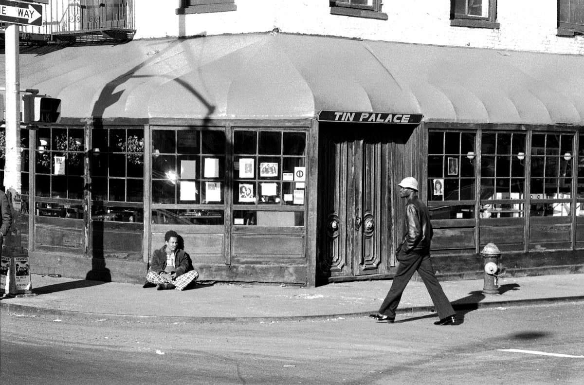
The Bowery was also known for its punk rock scene. Many of the bars and clubs in the area hosted punk and new wave bands, and the Bowery became a destination for punk fans from all over the city.
In 1978, the city government was planning urban renewal projects in the Bowery. The area was rezoned to allow for the construction of new buildings and the redevelopment of existing structures. However, this plan met with resistance from local residents and business owners, concerned about the displacement of low-income residents and the loss of the neighborhood’s character.
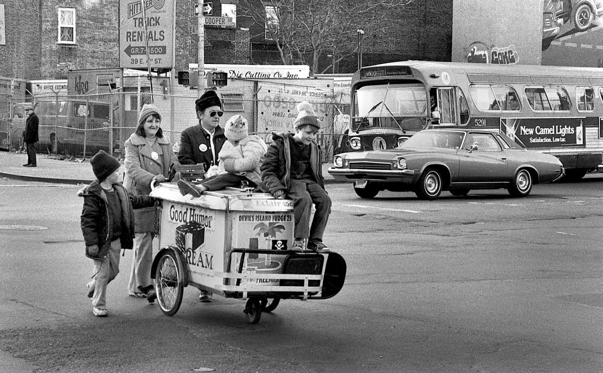
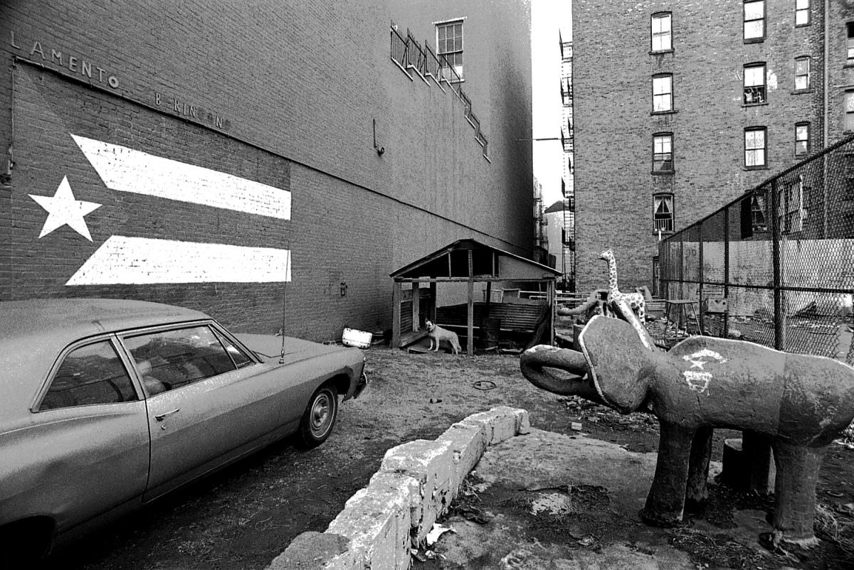
Spanish photographer Manel Armengol was there in the summer of 1978, and he captivated the street life of Bowery in his photographs.



Nice pictures, but I’m confused. Does the article refer to the literal Bowery Street (which runs from the financial district to the east village) or the neighborhood?
Growing up, I always thought the Bowery extended south of CBGB’s. Around Cooper Square, I guess.
The pics are showing the lower east side though.