
In the late 1800s, a photographer named Robert French traveled across Ireland capturing towns, streets, and landmarks on glass plate negatives. His work became part of the Lawrence Collection — a visual record of Ireland from roughly 1870 to 1910. The collection holds thousands of images showing what the country looked like before the modern world reshaped it. Decades later, a remarkable project set out to stand in those same spots and take the same photographs again.
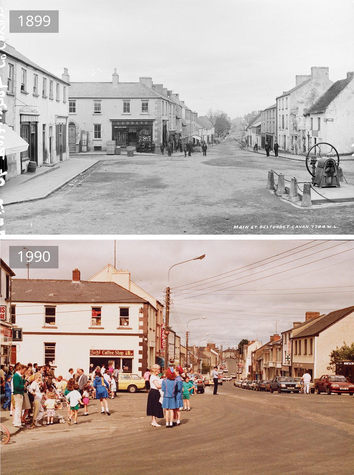
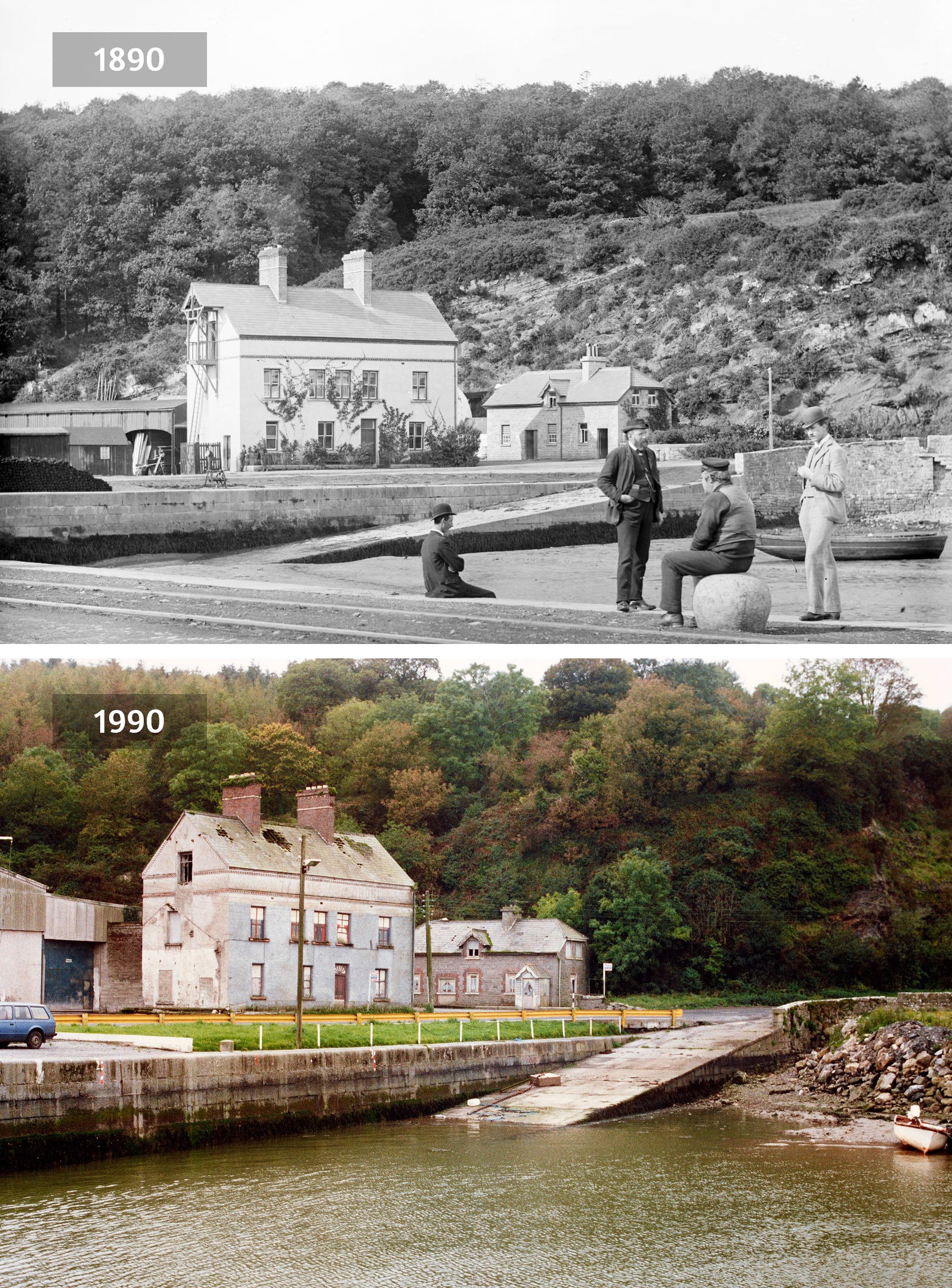
In the 1990s, the Federation of Local History Societies and the Federation for Ulster Local Studies teamed up with 77 volunteer photographers to recreate the original images. Each photographer tracked down the exact location of an old Lawrence photo and captured the same scene roughly one hundred years later. The goal was straightforward: document how Ireland’s physical environment had changed. Together, the old and new photographs form side-by-side comparisons that show a century of transformation in a single glance.
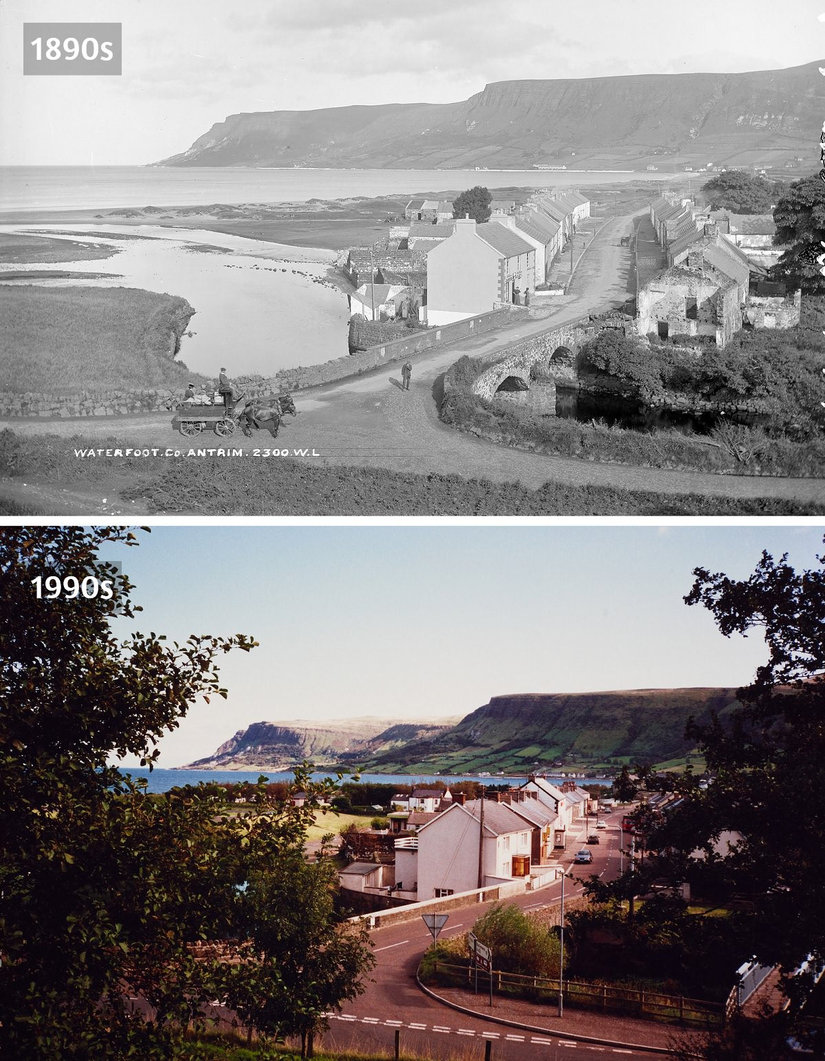
The volunteers chose scenes based on their historical significance, geographic spread, and variety — with a strong focus on street scenes. Towns across every county in Ireland were included, from busy market squares to quiet coastal villages. The result is a nationwide snapshot of change, covering both the Republic of Ireland and Northern Ireland.
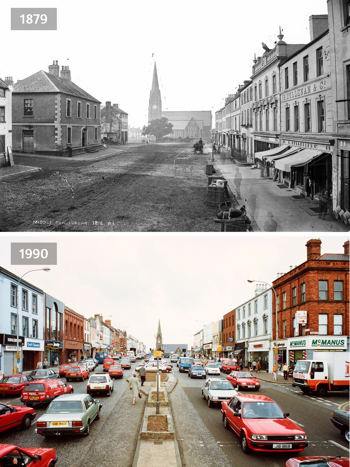
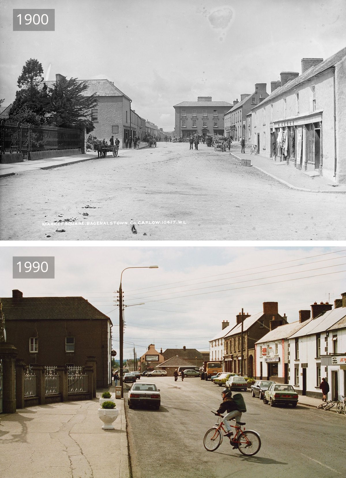
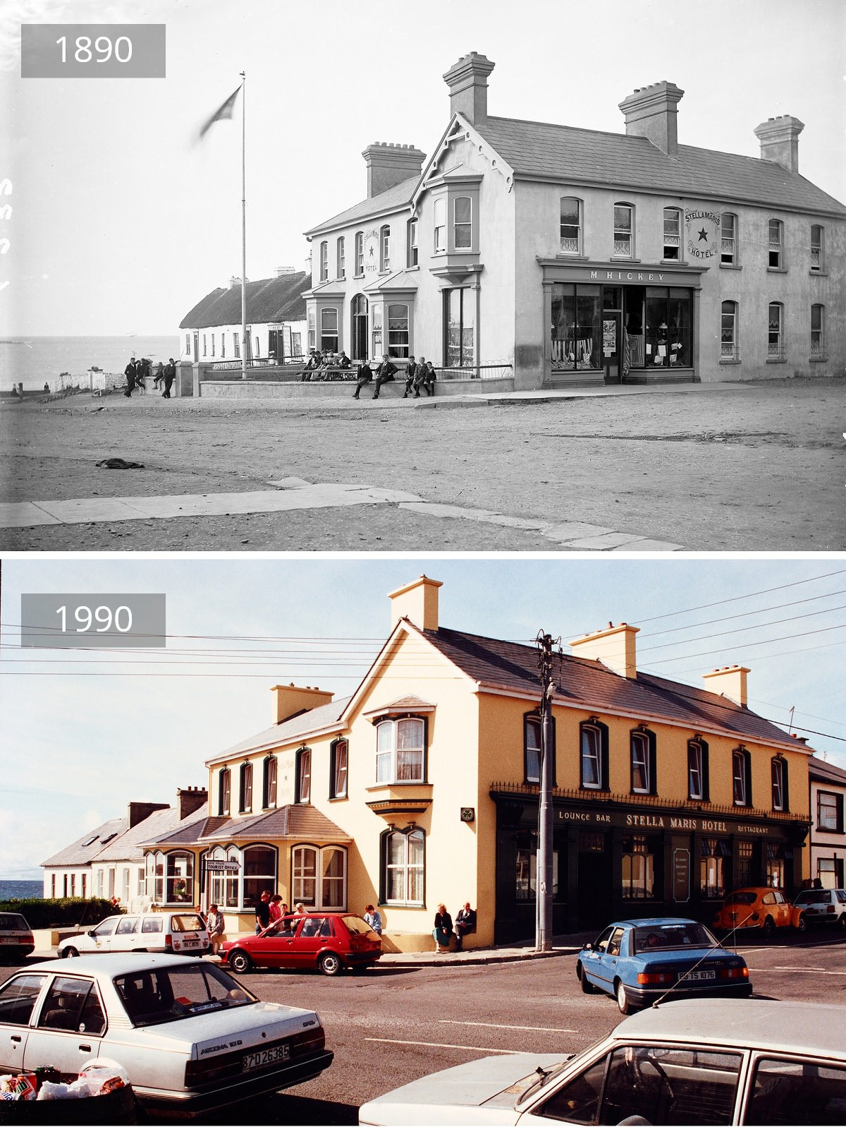
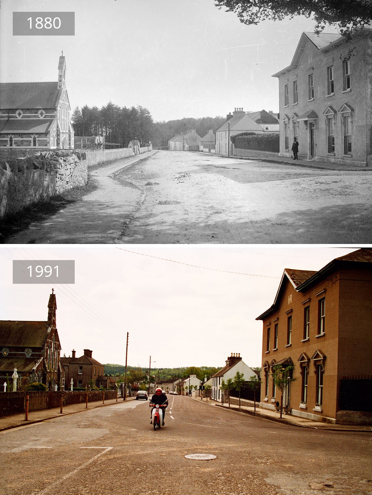
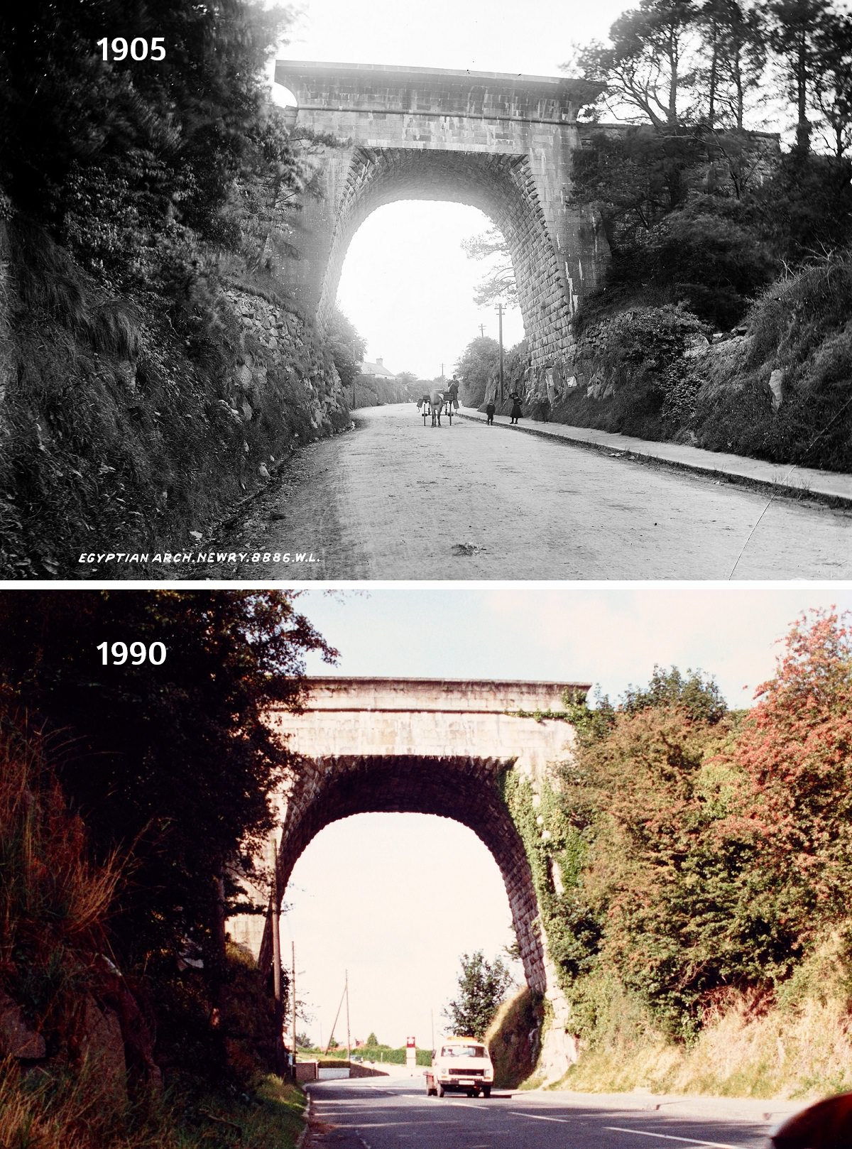
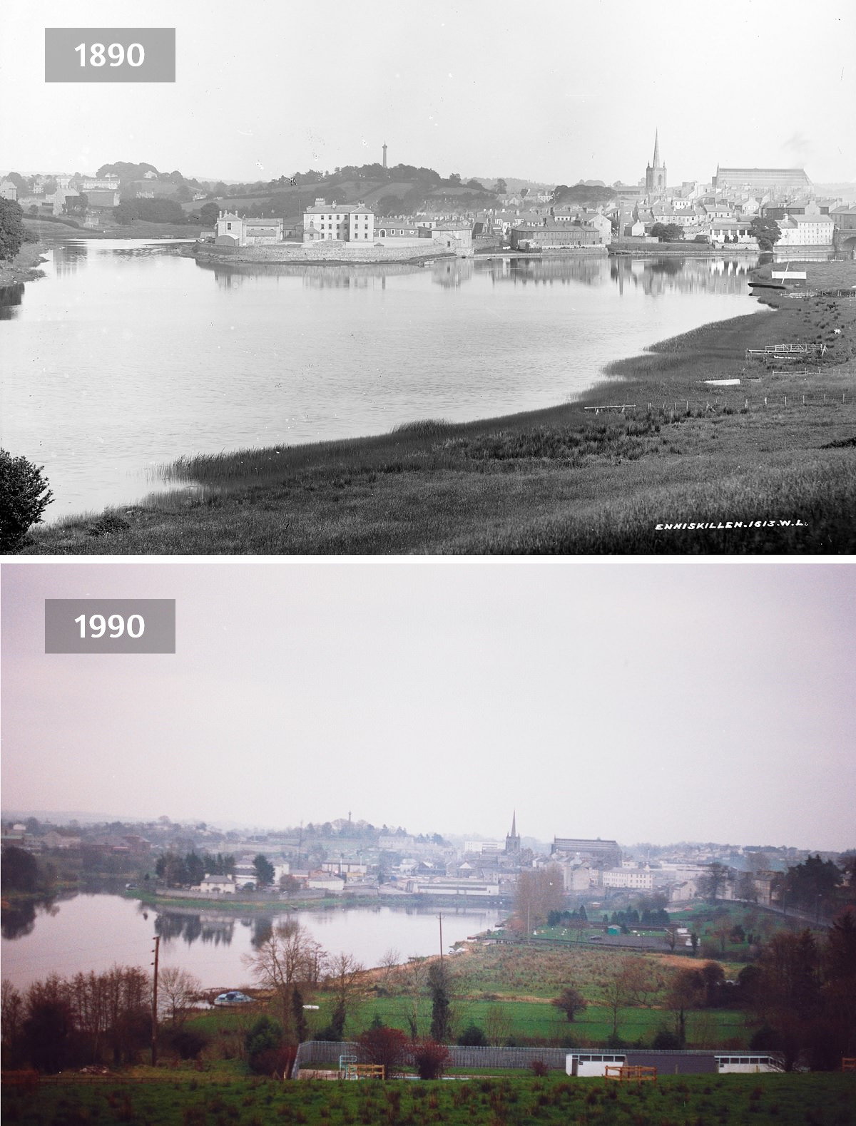
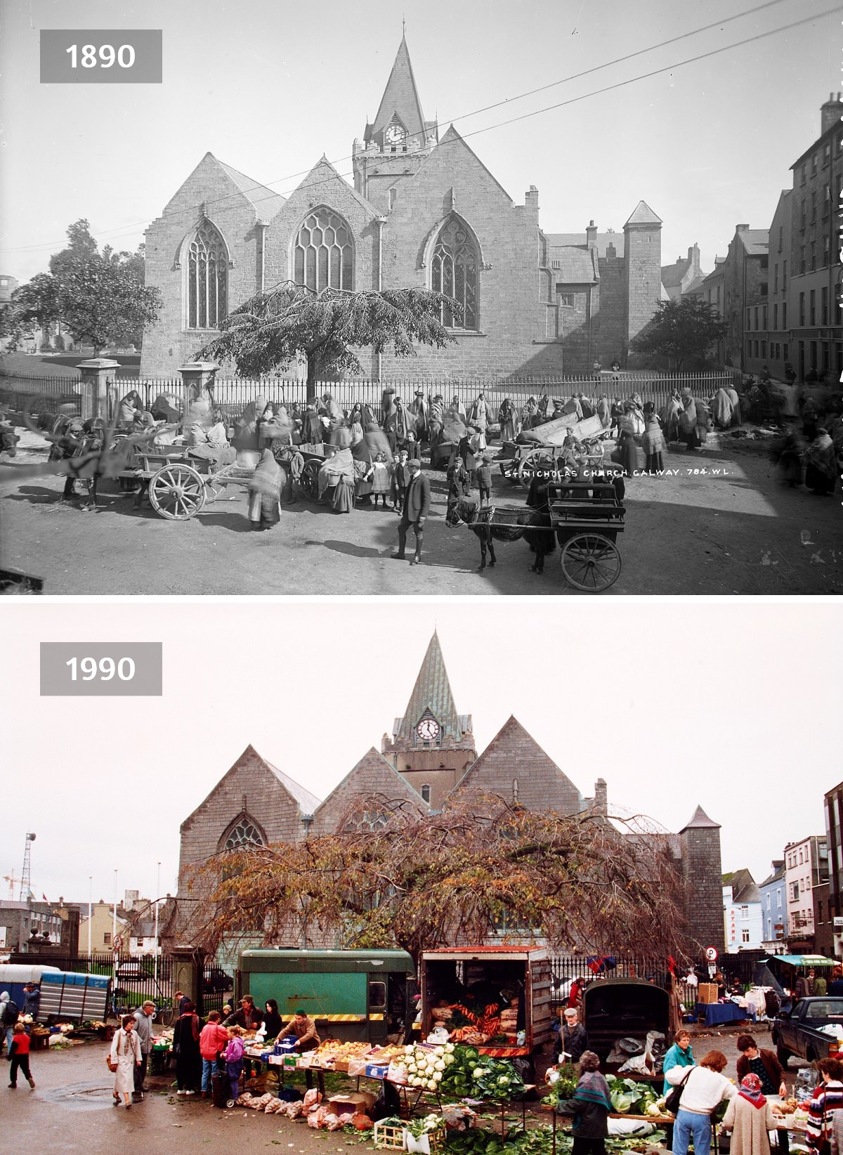
Some locations show dramatic change — buildings demolished, roads widened, shop fronts modernized. Others are surprisingly unchanged, with the same stone walls and church spires standing exactly where they stood a century before. In many of the small-town scenes, the basic layout of streets has held firm even as the details shifted around it. Cars replaced horses. Signage changed. Trees grew taller or disappeared entirely.
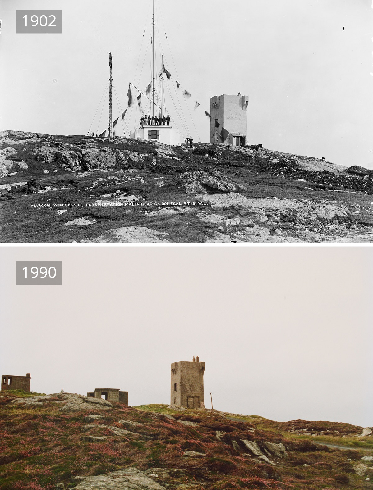
Among the more unusual entries is the Marconi Wireless Telegraph Station at Malin Head in County Donegal. Photographed in 1902, just years after Guglielmo Marconi pioneered transatlantic wireless communication, the station sits at Ireland’s most northerly point. The 1990 rephotograph shows what time and the elements did to the infrastructure at that remote, windswept location.
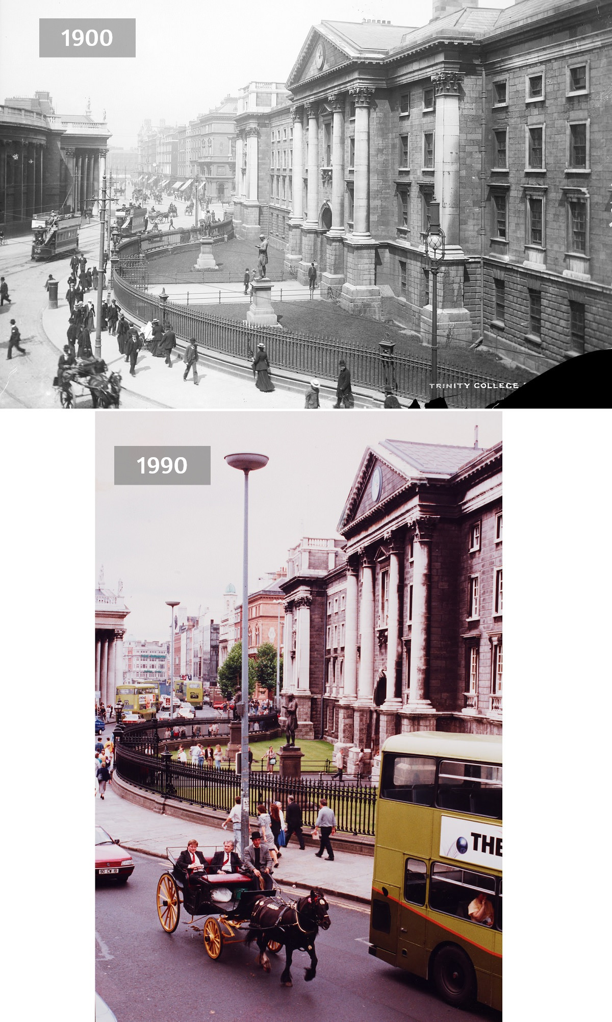
In Dublin, Trinity College appears in both the 1900 and 1990 photographs, its iconic facade largely unchanged — a rare example of architectural continuity in a capital city that saw enormous upheaval during the 20th century, including the 1916 Rising and the Irish Civil War.
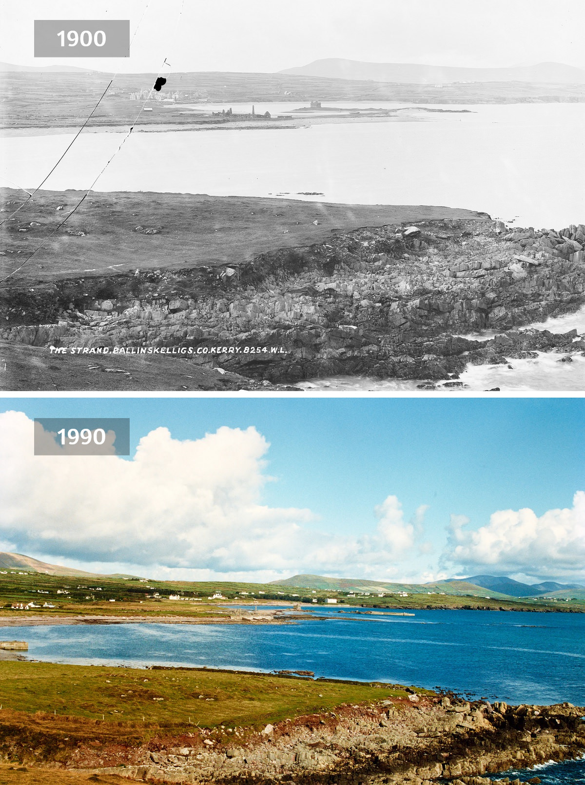
Coastal and rural scenes add another dimension to the project. The strand at Ballinskelligs in Kerry, the Tea House at Glencar in Leitrim, and the sawmill at Foynes in Limerick each tell a different story about how Irish rural life evolved — or in some cases, faded — over the decades.
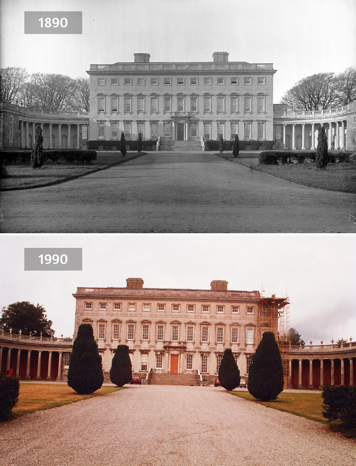
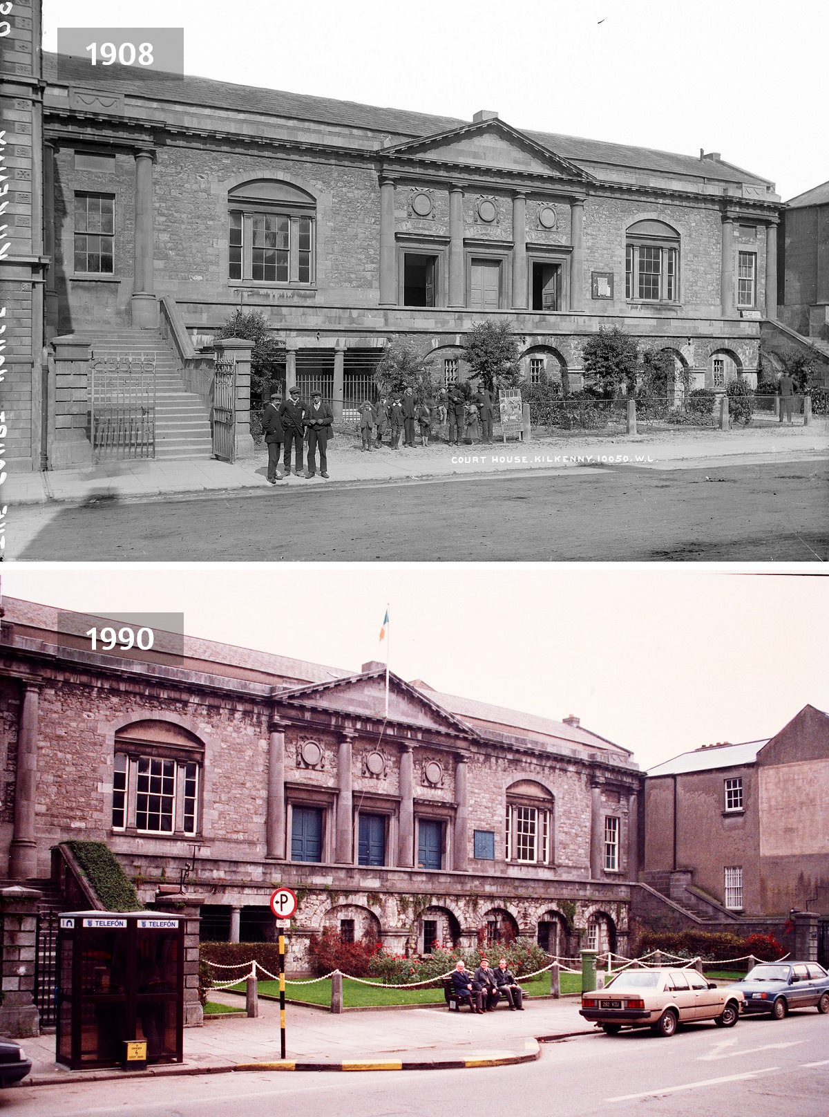
Full sets of prints — both the original Lawrence photographs and the new rephotographs — were deposited with the National Library of Ireland and the Ulster Museum. Beyond that, each county library in the Republic received a set of prints specific to its own area, making the archive locally accessible as well as nationally preserved.
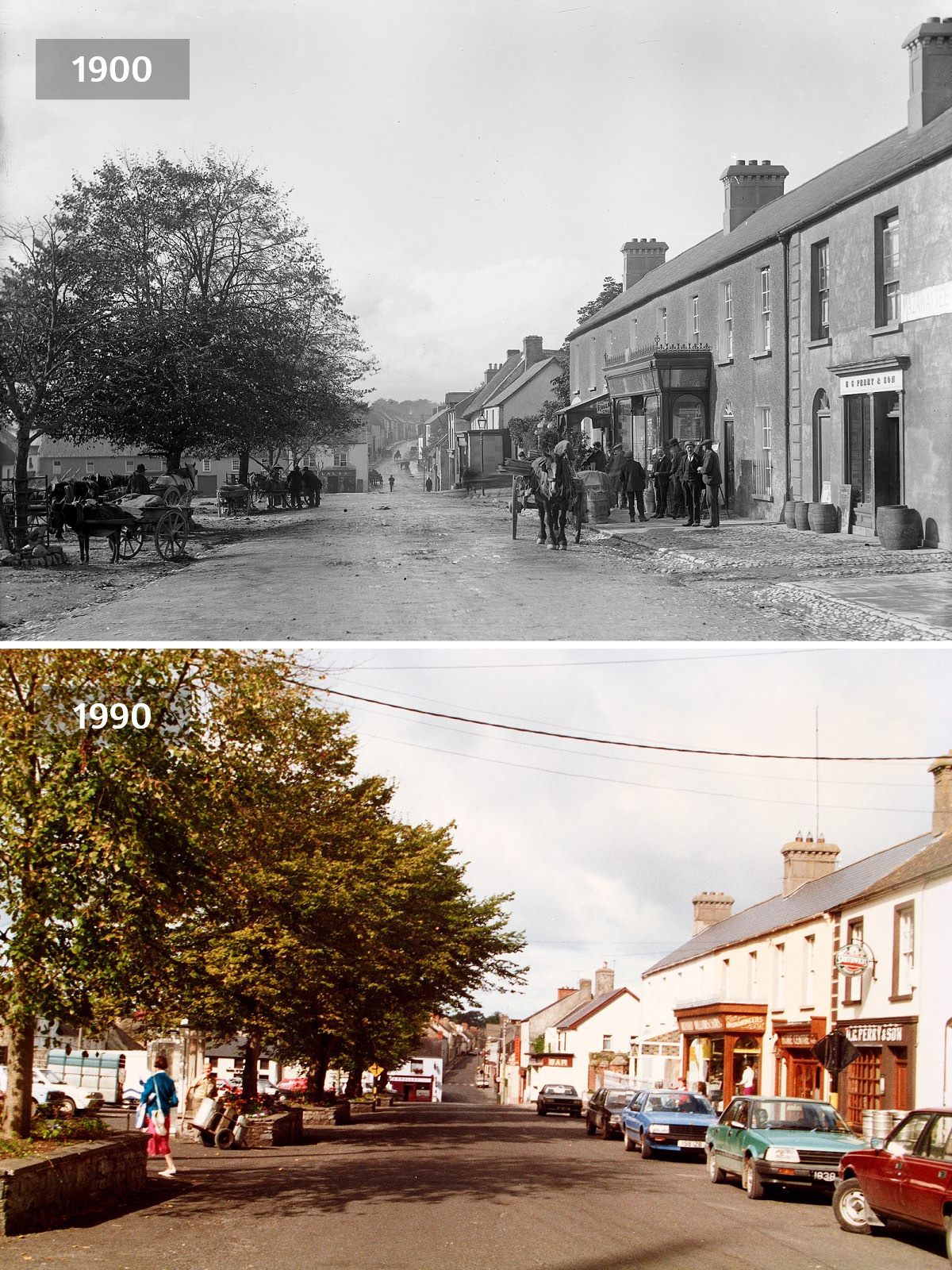
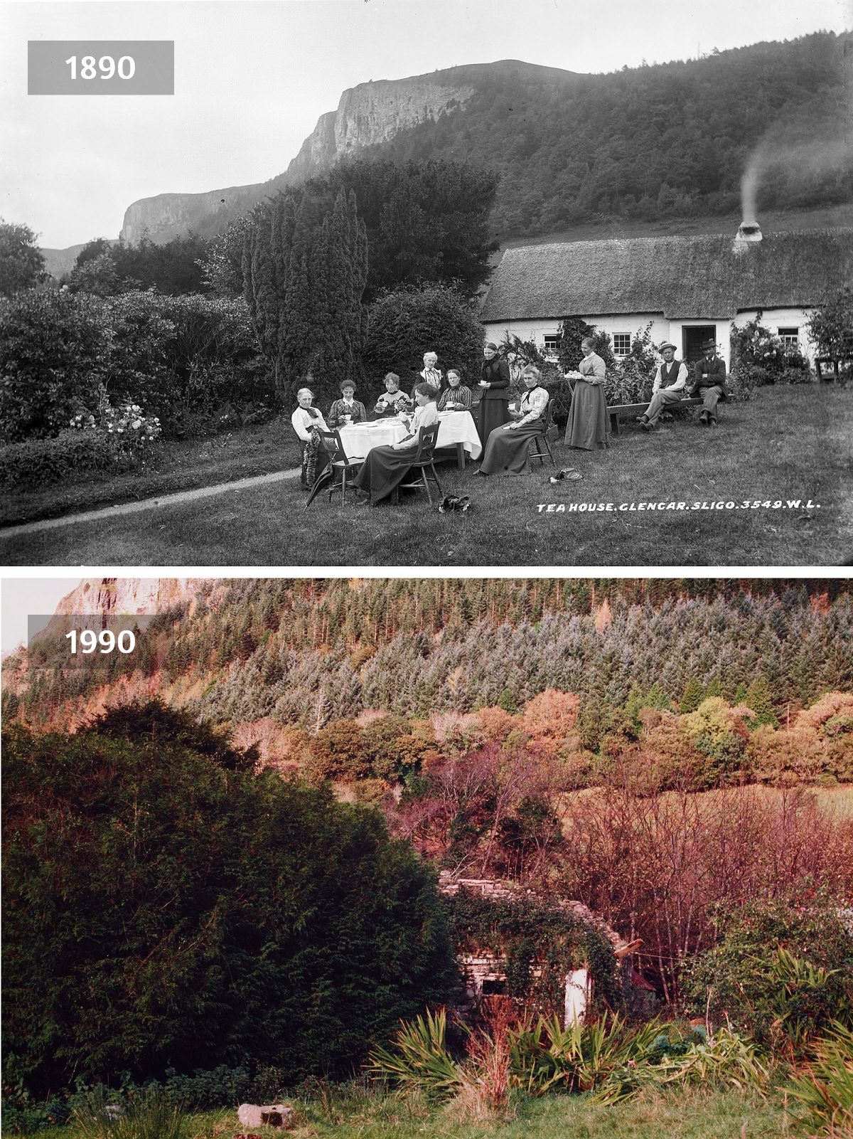
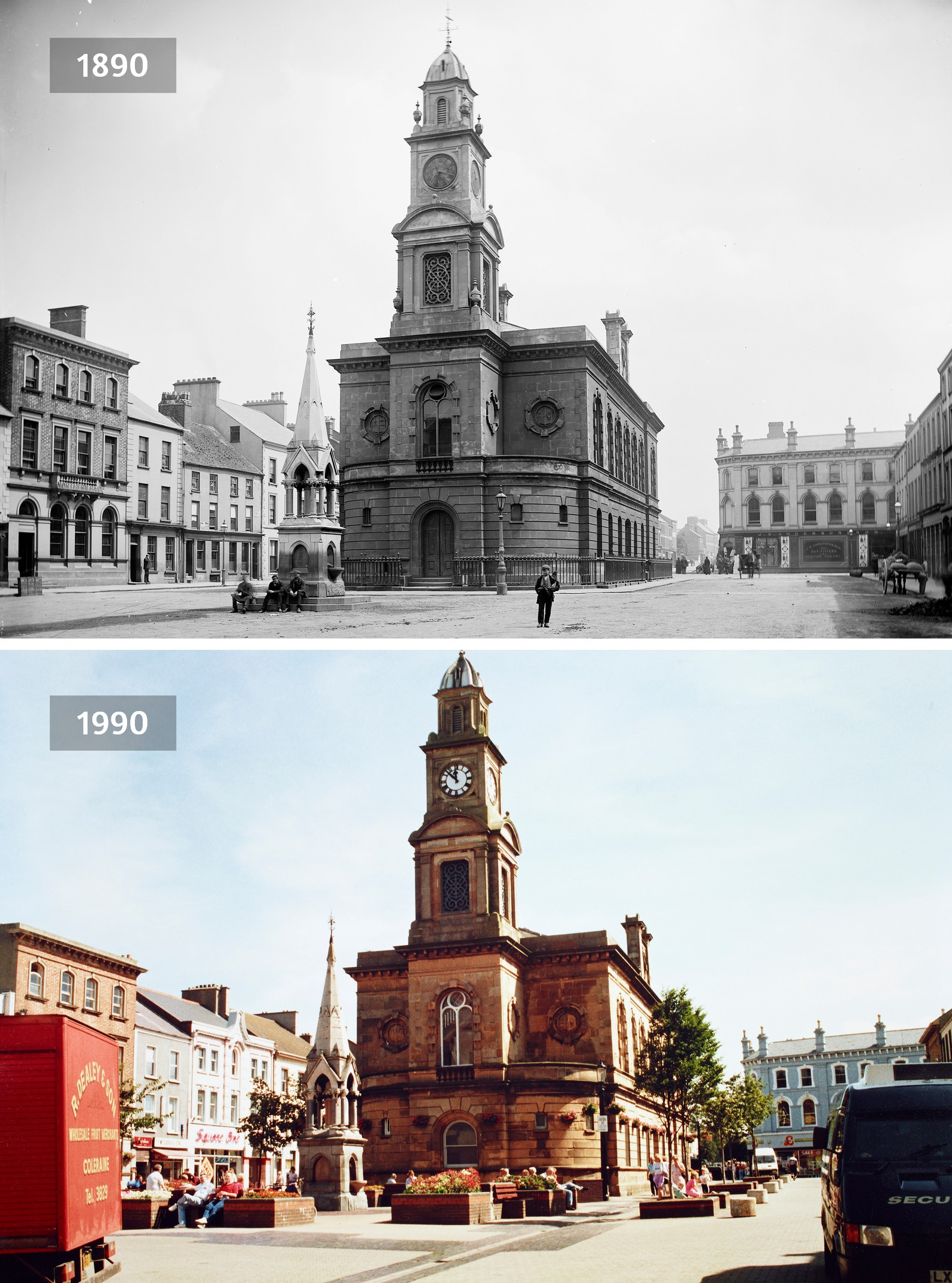
The Diamond in Coleraine, like many of the town-center scenes in the project, captures the rhythm of everyday Irish life across two very different eras. Taken together, these paired photographs offer something no written record can — a direct, unfiltered look at the same place across a hundred years of history.



It doesn’t look like it has changed at all.
Excuse me, in picture #1 there are clearly ghosts. There are also houses on the left, so obviously the ghosts resided in the homes; clear out the houses and clear out the ghost riffraff.
So they paved the roads?
They also added a few more 3’s
Love the ‘after’ pictures are almost 40 years old.