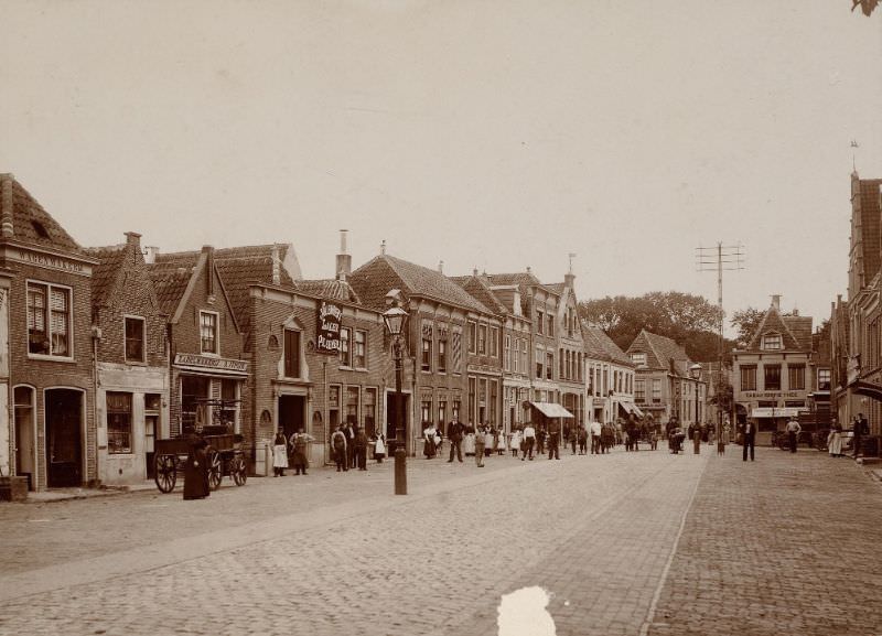
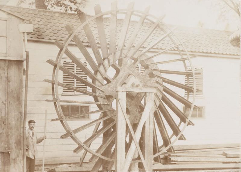
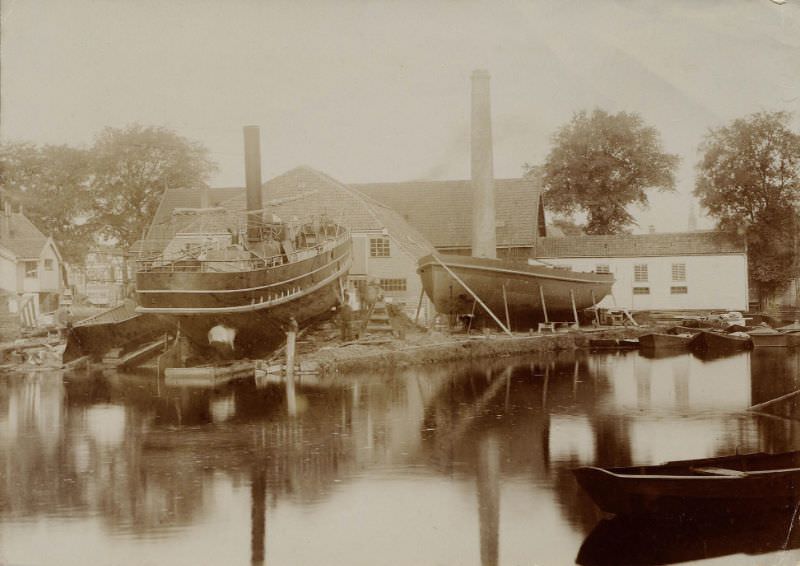
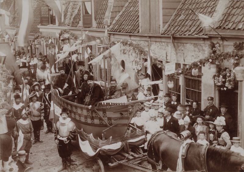
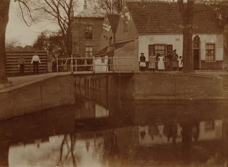
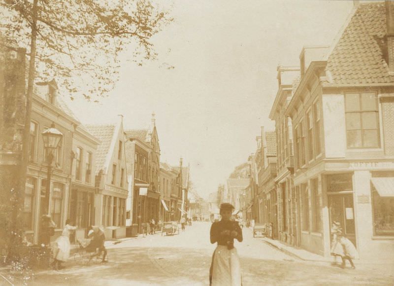
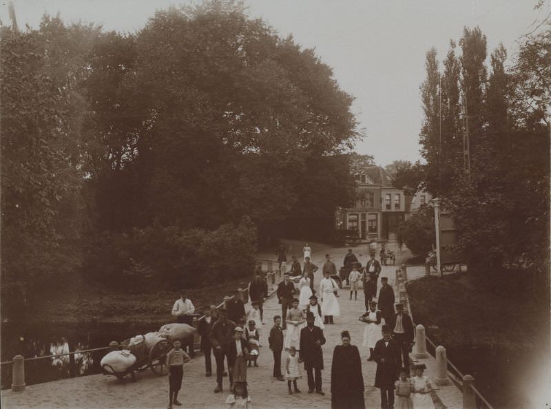
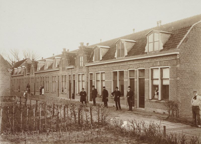
Alkmaar sits in the province of North Holland, and by the late 19th century it was one of the more active mid-sized cities in the Netherlands. Its streets were lined with brick buildings featuring ornate stepped gables and red tile roofs — the kind of architecture that had defined Dutch towns for centuries. Canals cut through the city, and the surrounding countryside fed its economy with grain, livestock, and dairy. These photographs, taken between 1871 and 1898, capture the city at a specific moment in time, before industrialization fully reshaped it.
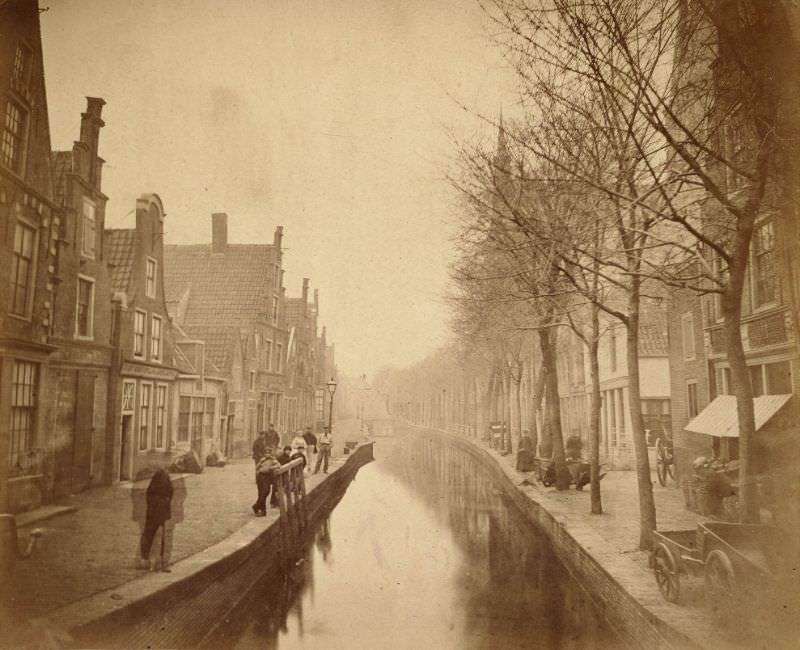
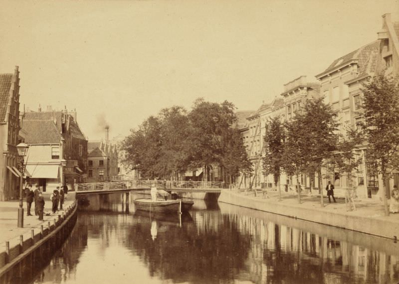
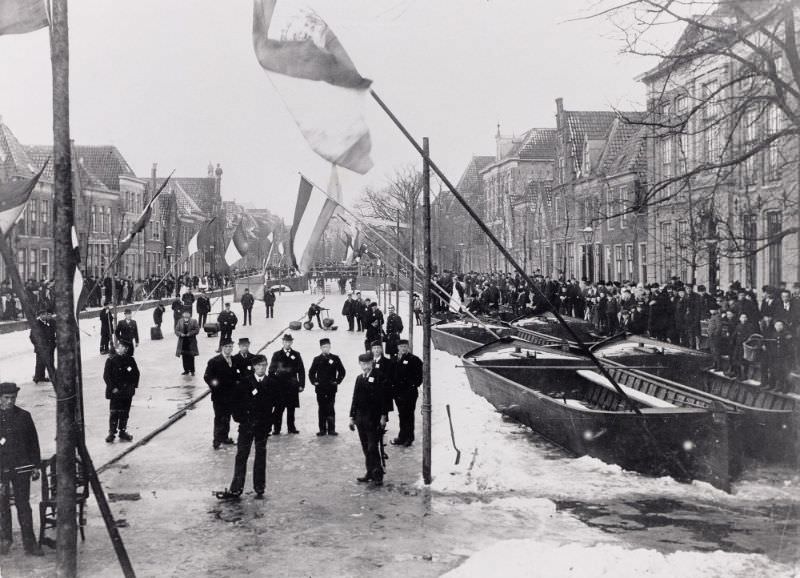
The Luttik Oudorp was one of Alkmaar’s central waterways, flanked by merchant houses and small businesses that depended on the canal for moving goods. Streets like this one were the veins of the city’s commerce.
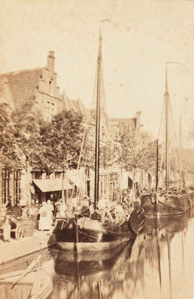
The Paardenmarkt — literally the horse market — was a key gathering point in the city. Live animal trading was a regular part of life in Dutch market towns, and Alkmaar was no exception. Farmers from the region brought horses, cattle, and other livestock to sell, making the market square a lively and often noisy place.
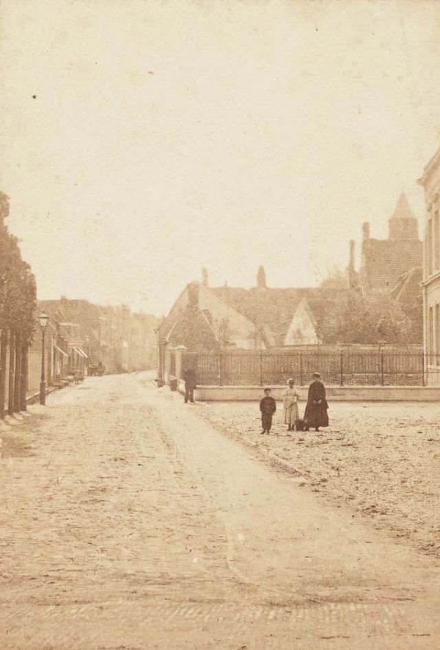
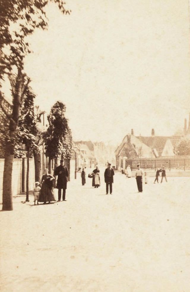
The Oudegracht, or Old Canal, ran through the heart of Alkmaar and served as both a transport route and a visual landmark. Goods moved along it by barge, and the buildings that faced it were among the oldest in the city.
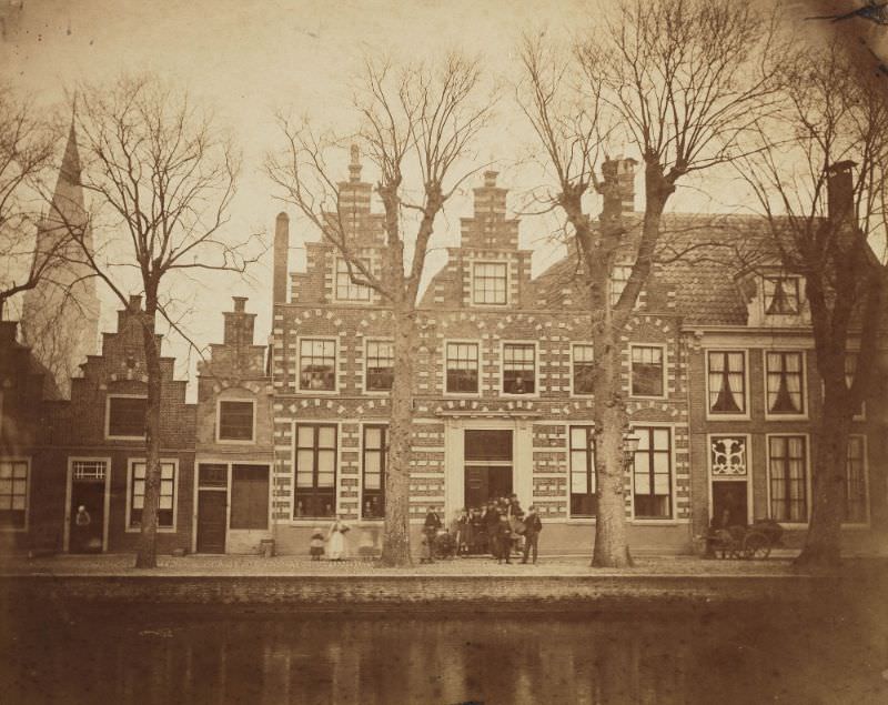
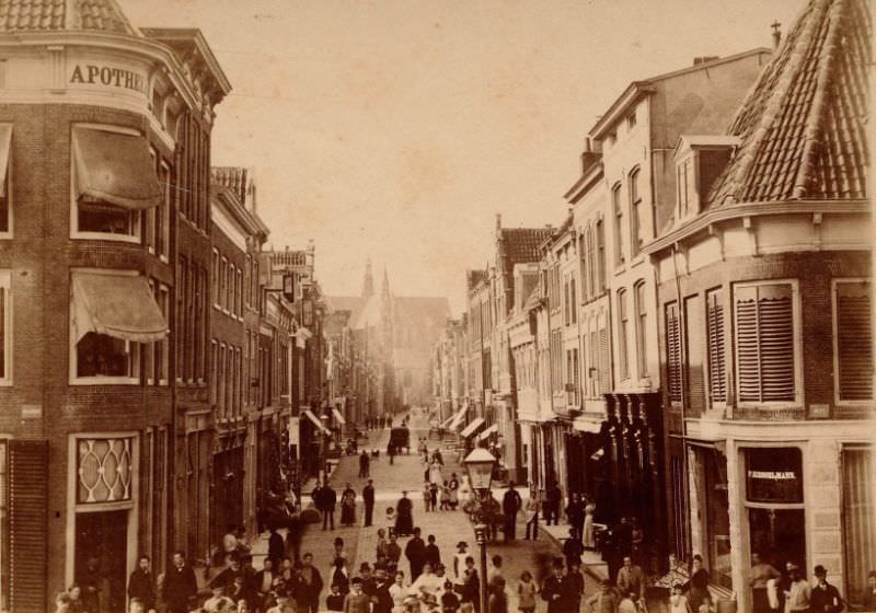
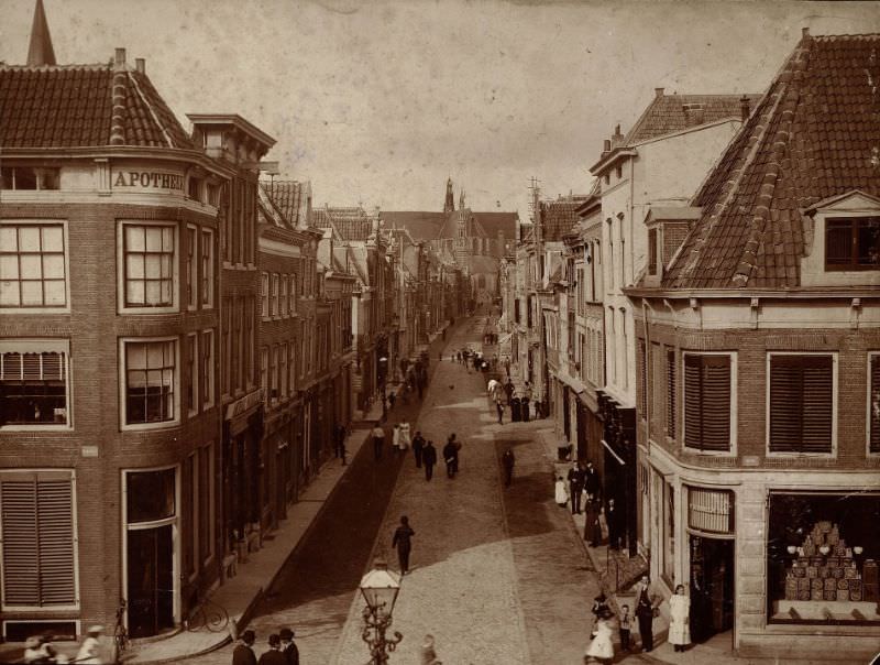
Langestraat was Alkmaar’s main commercial street. Shops, workshops, and traders occupied its buildings, and foot traffic there was constant throughout the week. It appears in photographs across multiple decades, showing gradual but steady changes in storefronts, signage, and street surfaces.
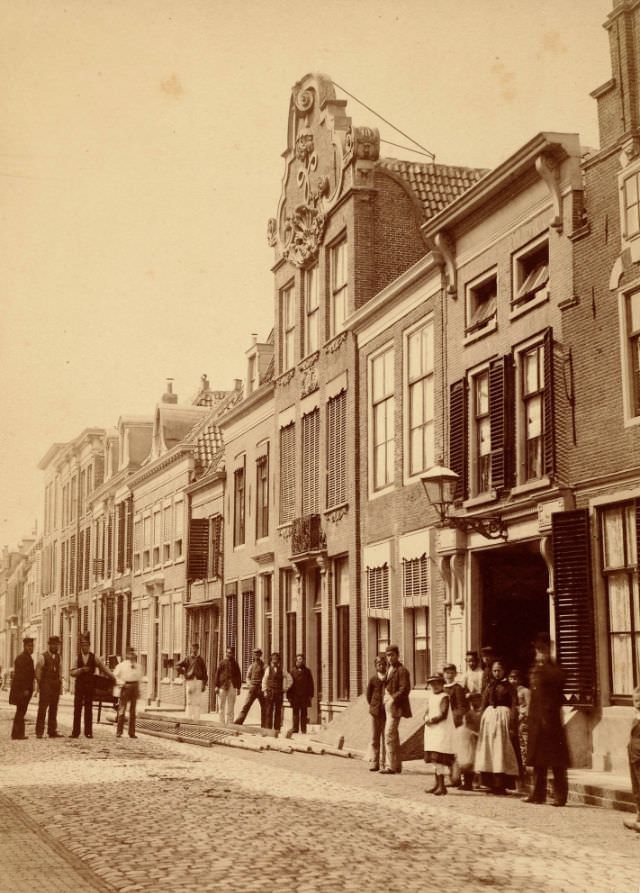
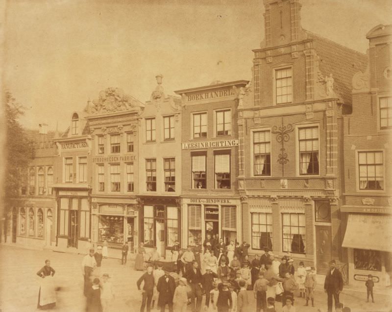
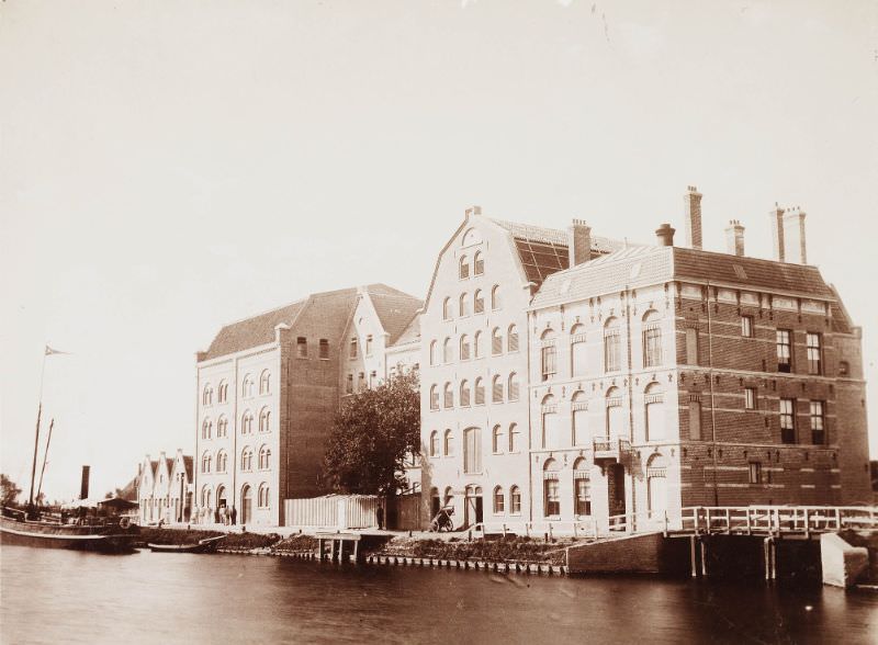
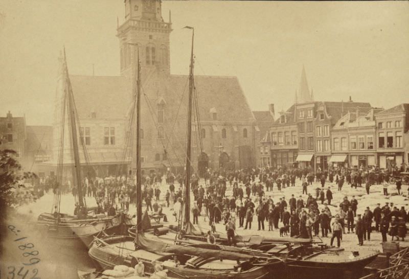
No feature of Alkmaar was more famous than its cheese market. Dating back to the 16th century, the market was held every Friday morning in the town square. Farmers brought large wheels of Gouda and Edam from the surrounding countryside, and buyers came from across the region. At the center of this operation stood the Waag — the Weigh House — built in the 16th century and used to officially weigh cheese before transactions were finalized. The Waag was one of the most important buildings in the city’s daily commercial life.
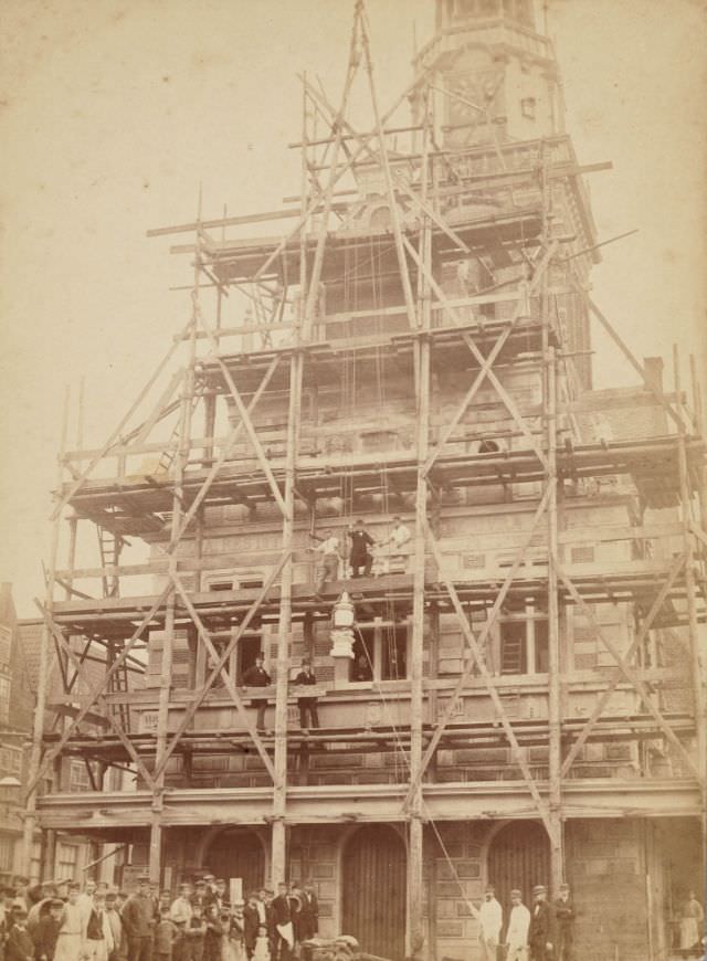
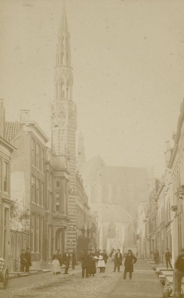
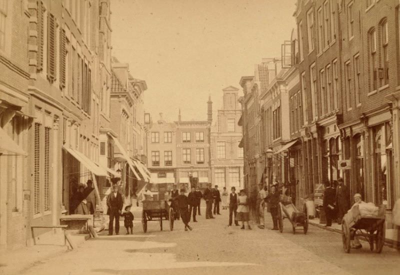
The Voordam was another prominent street in Alkmaar, connecting key parts of the city and serving as a route for both locals and traders moving between the canal and the market areas.
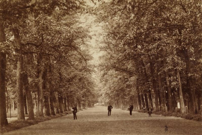
Outside the commercial center, Alkmaar also had green spaces and recreational areas. The Kennemerpark offered residents a place to walk and gather away from the bustle of the market streets.
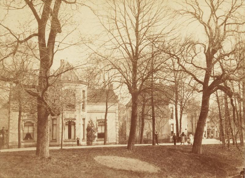
The Eilandswal was a canal-side street that gave a clear view of the city’s relationship with water. Alkmaar’s urban layout was shaped by its canals, and neighborhoods like this one show how closely daily life was tied to the waterways — for transport, trade, and the simple geography of getting around.
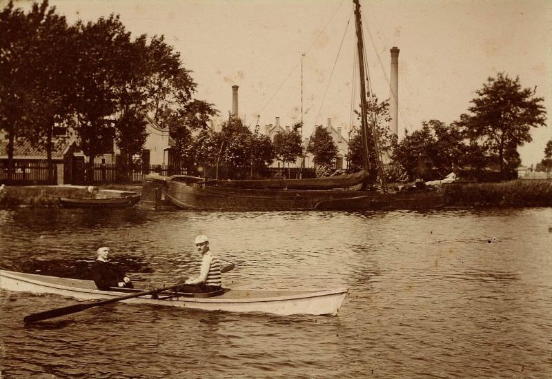
By 1890, the Kaasmarkt — the cheese market square — was still a defining feature of the city. The trade in cheese remained central to Alkmaar’s identity and economy throughout the entire late 19th century, drawing visitors and supporting a wide network of farmers, carriers, and merchants.
New residential and civic development was underway by the early 1890s. Streets like Nieuwlandersingel reflected the city’s gradual expansion beyond its old core, with wider roads and newer building styles beginning to appear alongside the traditional Dutch architecture.
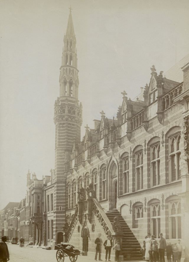
The Stadhuis, or City Hall, was a focal point of civic life in Alkmaar. Municipal governance, legal matters, and official city business all passed through it. Its presence in the urban streetscape was a reminder of the organized civic structure that kept a trading city like Alkmaar running.
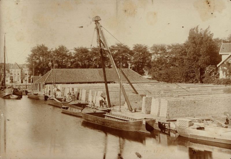
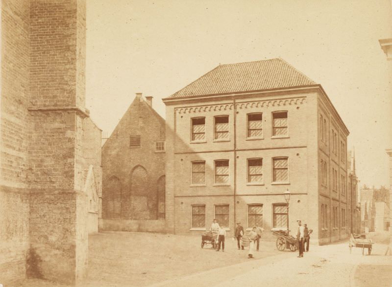
The Verdronkenoord — a name that translates roughly to the “drowned corner” — was one of the older canal-side districts in the city. Its name points to the low-lying, flood-prone nature of much of North Holland, where water management was a constant concern.
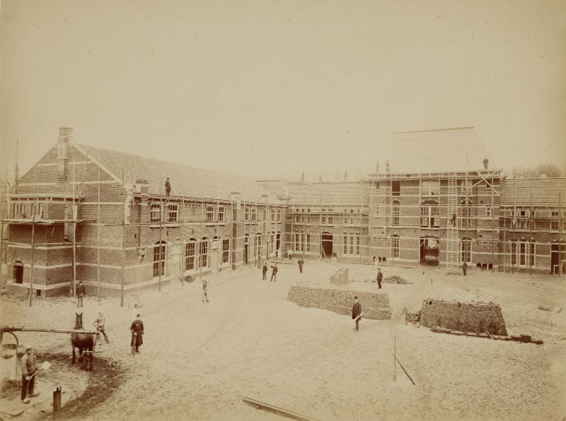
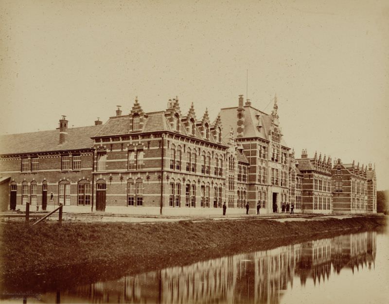
Alkmaar also maintained a military presence during this period. The Cadettenschool trained young officer cadets, and its buildings reflected the institutional seriousness of military education in 19th-century Netherlands.
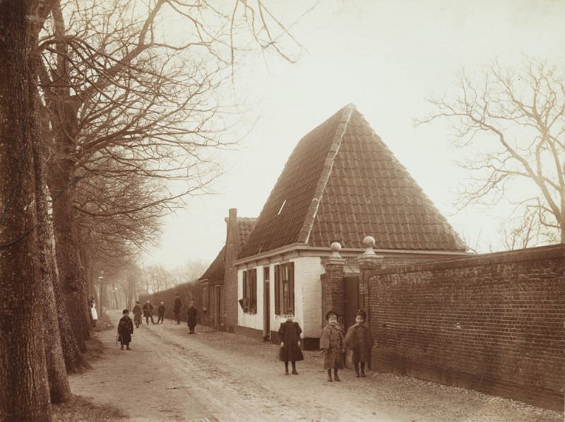
On the outskirts of the city, areas like Kooimeer and the Voormeer showed a different side of Alkmaar — quieter, more open, and closely connected to the flat, water-rich landscape of North Holland.
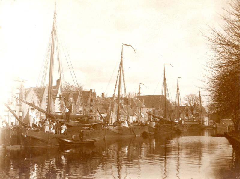
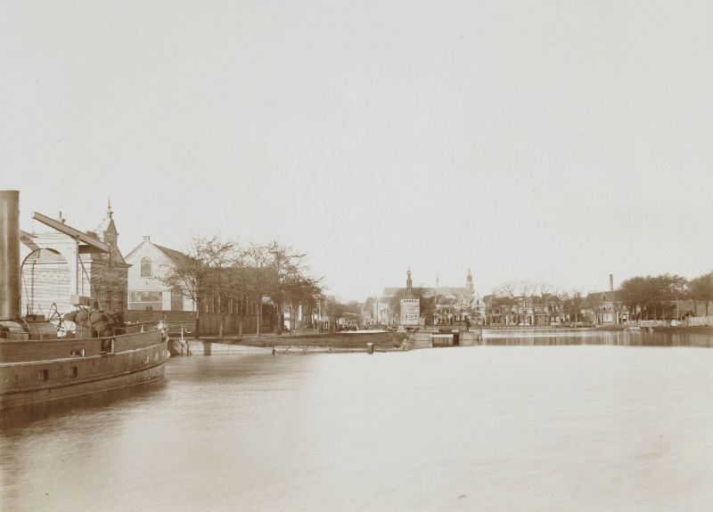
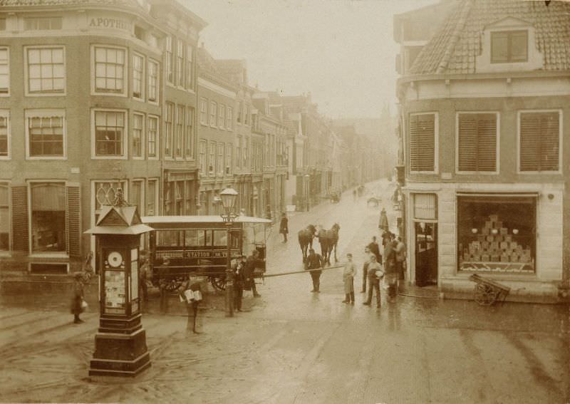
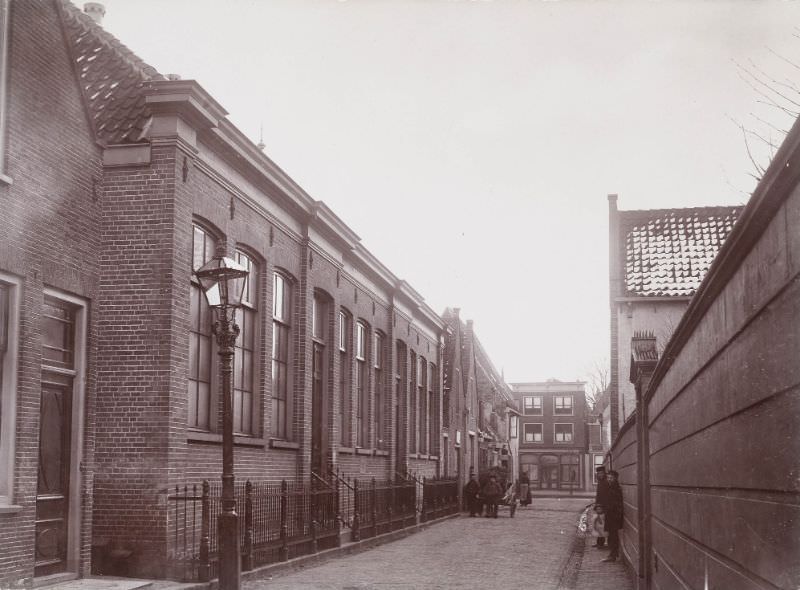
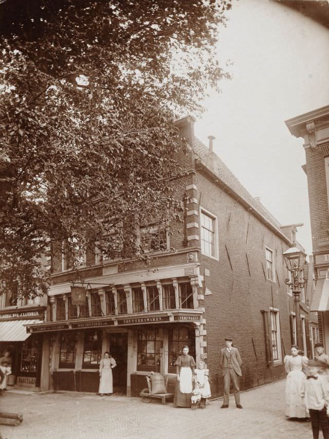
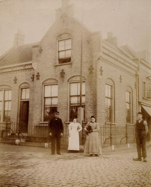
By the mid-1890s, photography was capturing Alkmaar’s streets in greater detail. The Laat, Lindenlaan, and Luttik Oudorp all show neighborhoods where residential and commercial life overlapped — multi-story brick homes sat next to small workshops, and canal-facing buildings still dominated the older quarters of the city.
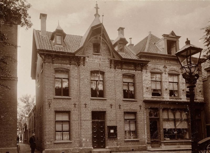
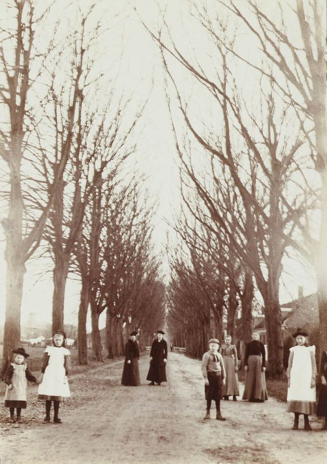
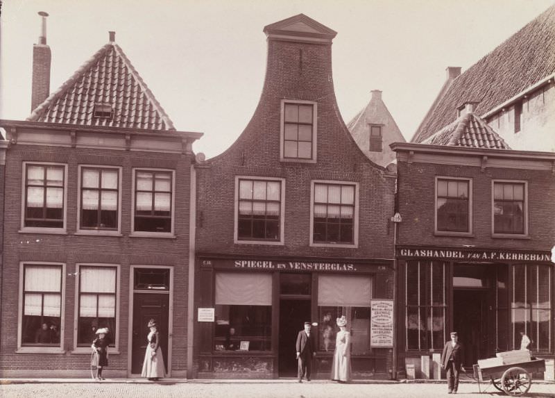
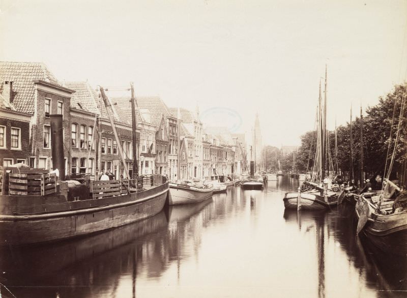
The Ritsevoort was a street in the older part of Alkmaar where the medieval street plan was still largely intact. Narrow, direct, and built close to the canal network, streets like this had changed little in their basic layout since the city’s earlier centuries.
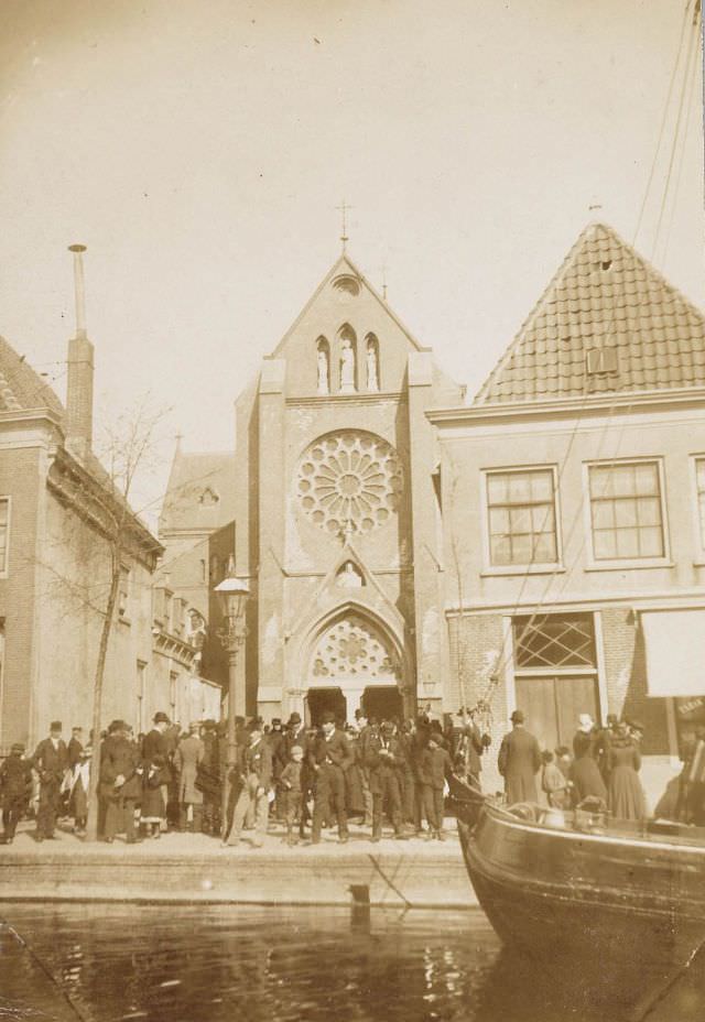
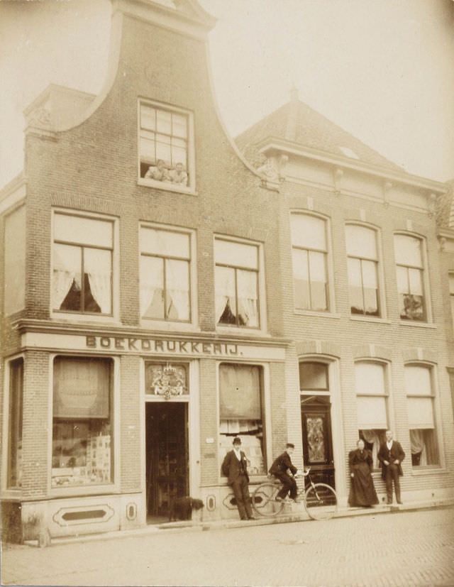
The Oudegracht reappears in photographs from 1896, showing the same canal corridor that had defined the city for centuries. Barges still moved along it, and the warehouses and merchant homes lining its banks remained in active use.
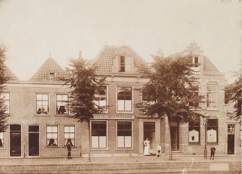
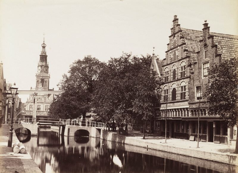
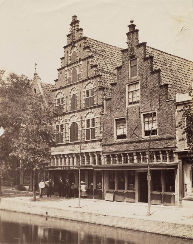
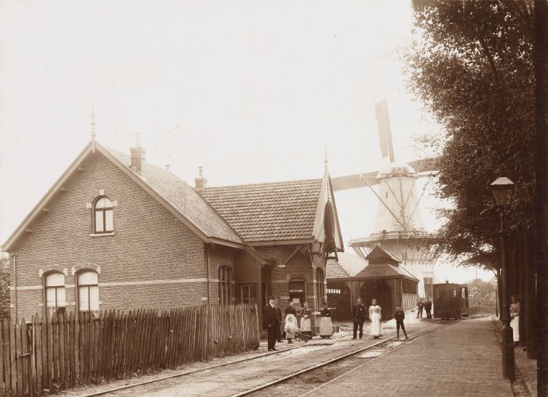
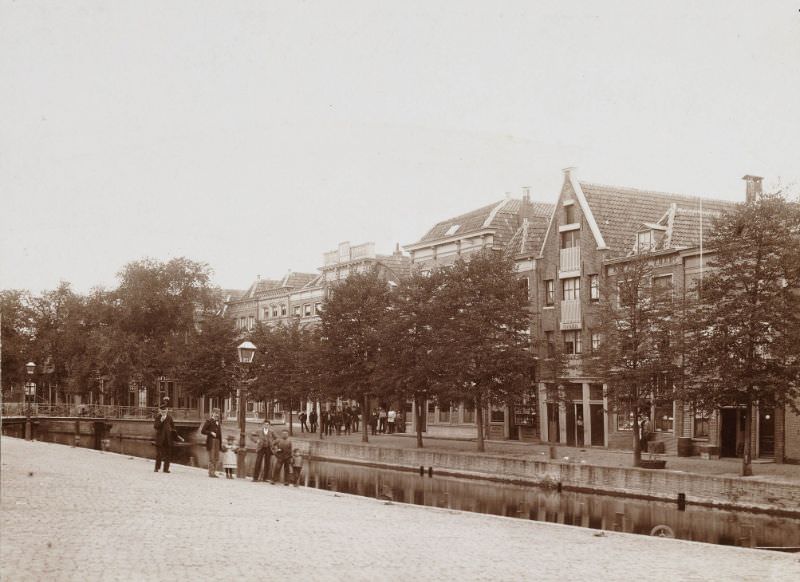
As the decade approached its end, photographs from 1898 show Alkmaar’s streets, waterways, and neighborhoods still operating much as they had for generations. The Eilandswal, De Dijk, and the Scheteldoekshaven all reflect a city where traditional Dutch urban life — built around water, trade, and brick — remained firmly in place as the 19th century drew to a close.