Alaska is the largest state in the United States, sitting at the extreme northwest corner of the North American continent. It holds 17 of the 20 highest peaks in the entire country. Today it is the 49th state, admitted to the union in 1959. But its path to American ownership began decades earlier, with one of the most debated land deals in U.S. history.
In 1867, U.S. Secretary of State William Henry Seward purchased Alaska from Russia for $7.2 million — less than two cents per acre. It took six full months to convince Congress to ratify the treaty. Critics mocked the deal, calling it “Seward’s Folly.” They believed the vast, frozen land had nothing worth buying. Then, in the 1890s, gold was discovered. The purchase became one of the most profitable land acquisitions in American history, and Alaska was transformed almost overnight.
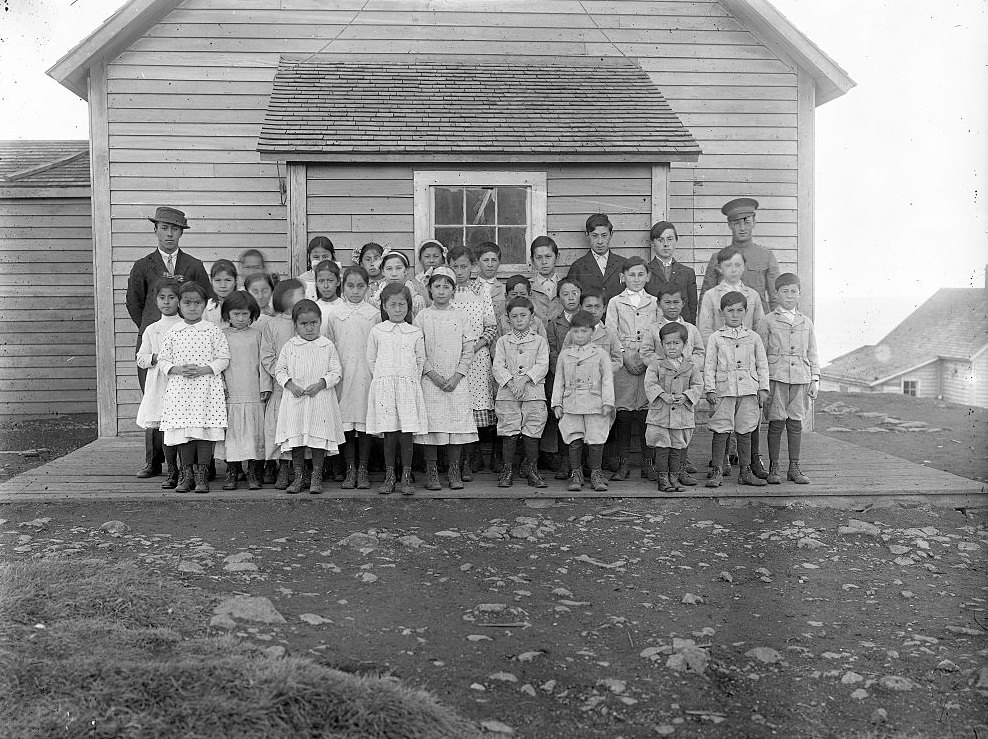
Before the gold rush changed everything, Alaska was already home to a rich mix of peoples and cultures. Schools had been established on some of the islands, serving both Native and settler communities. St. George Island, one of the remote Pribilof Islands in the Bering Sea, was no exception.
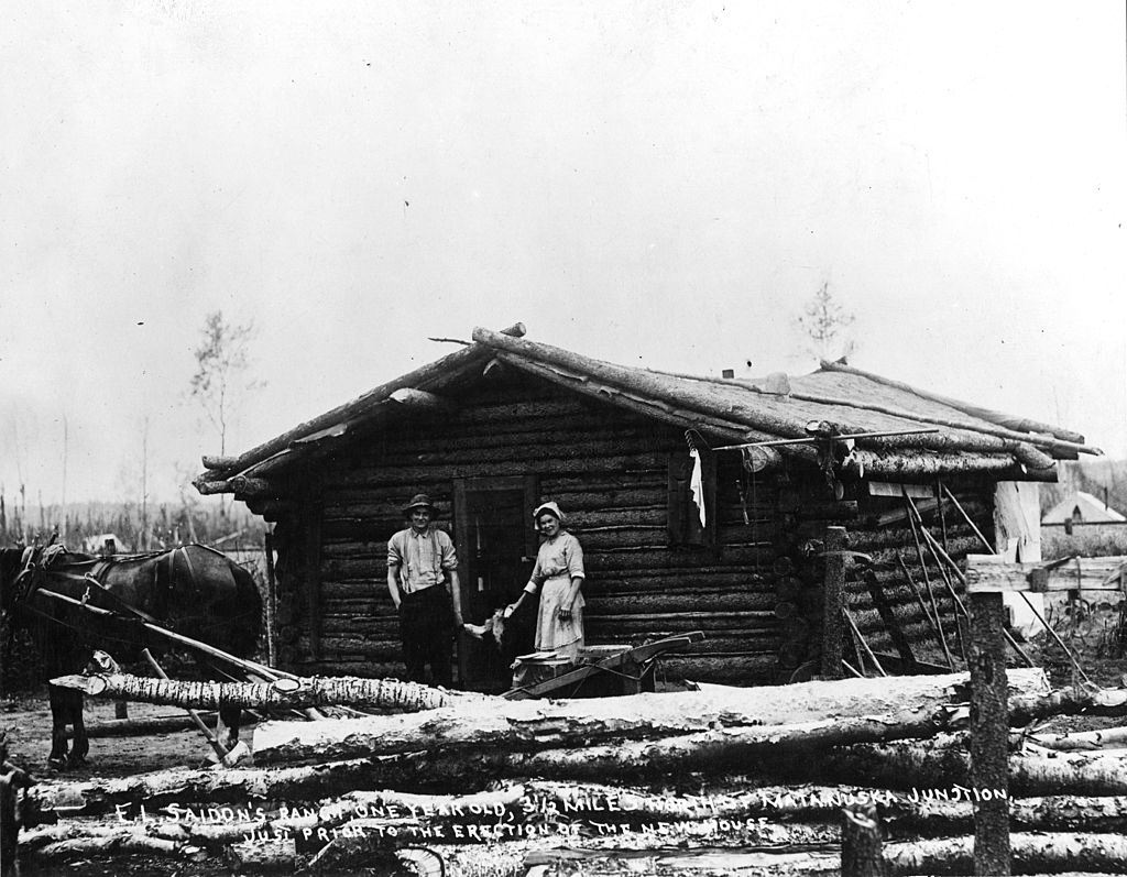
Settlers and pioneers who made their way to Alaska built homes from whatever materials were available. Log cabins were common across the territory, offering sturdy shelter against the brutal winters. Life was rugged and largely self-sufficient.
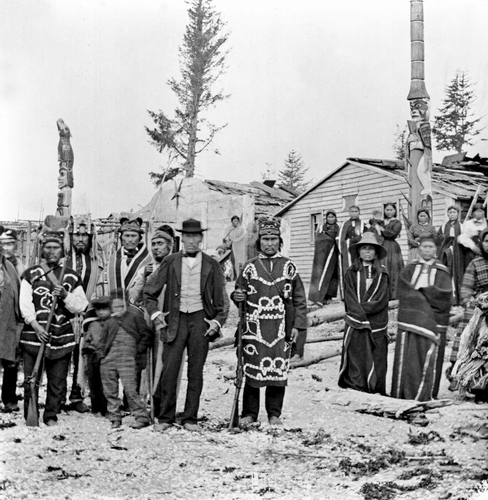
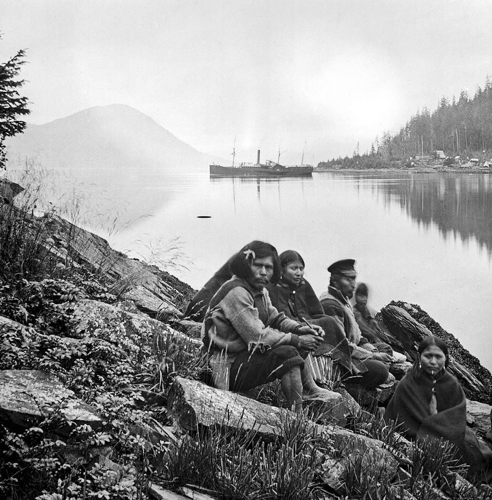
Long before American or Russian settlers arrived, Alaska was home to dozens of Indigenous peoples. The Tlingit were among the most established, with villages stretching along the southeastern coastline. Their community at Tongass was one of the oldest and most well-known Tlingit settlements in the region.
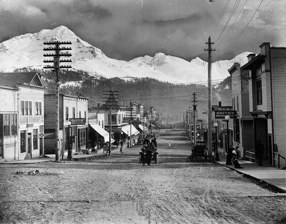
Even in the 1860s, some Alaskan towns were developing recognizable infrastructure. Cordova, located along the southern coast, had boardwalks, utility poles, and streets that showed the early signs of organized settlement.
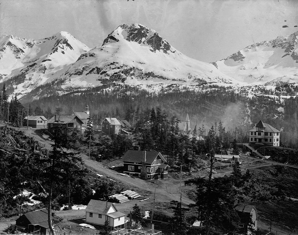
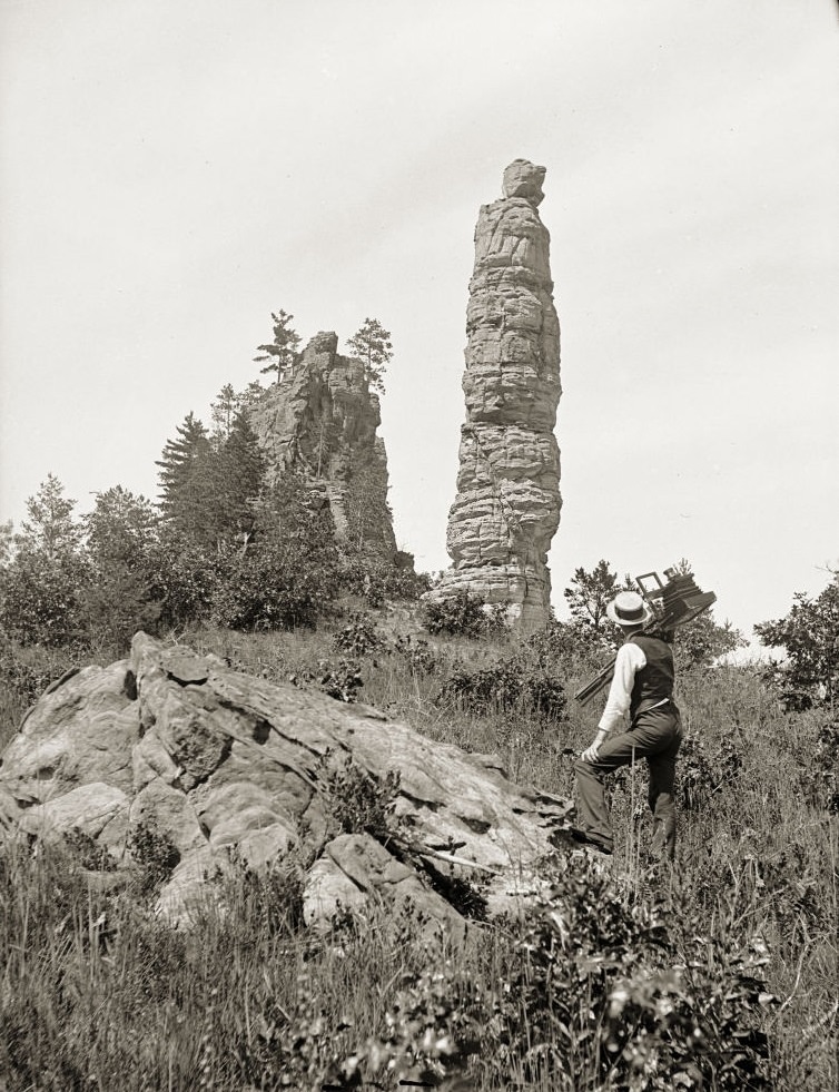
Alaska’s coastline was filled with dramatic natural landmarks that also served strategic purposes. Rocky outcroppings like Pillar Rock were notable features along the waterways, while military posts dotted the territory in the years following the American purchase.
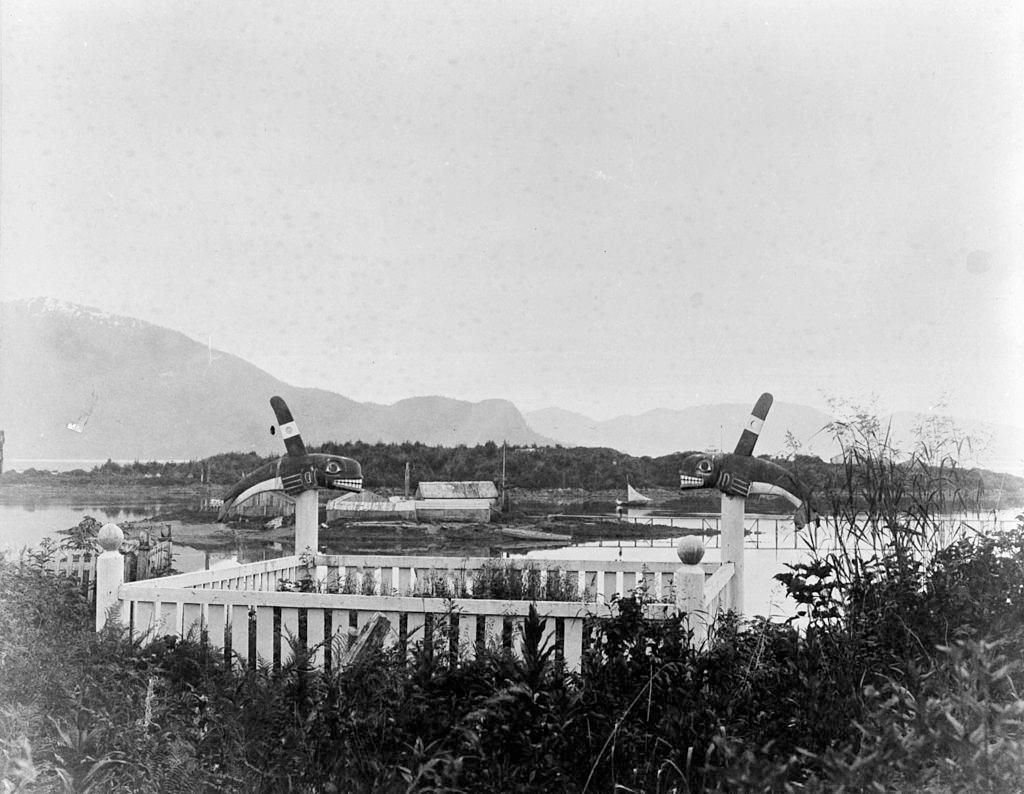
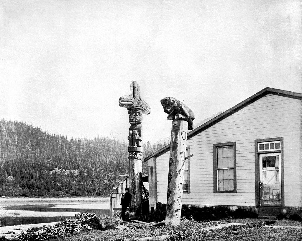
Indigenous burial traditions were deeply visible across the Alaskan landscape. Near Fort Wrangell, grave sites marked with towering totem poles were a common sight. Totem poles served as both memorials and records of family lineage, carved with figures representing ancestors and clan histories.
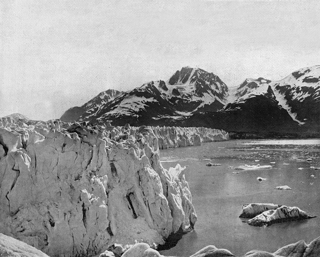
The Muir Glacier in southeastern Alaska was among the territory’s most striking natural features. Named after the naturalist John Muir, who visited the region in the late 19th century, the glacier drew the attention of scientists, explorers, and early tourists alike.
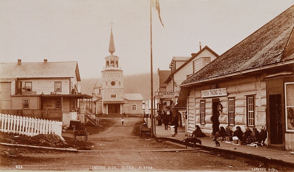
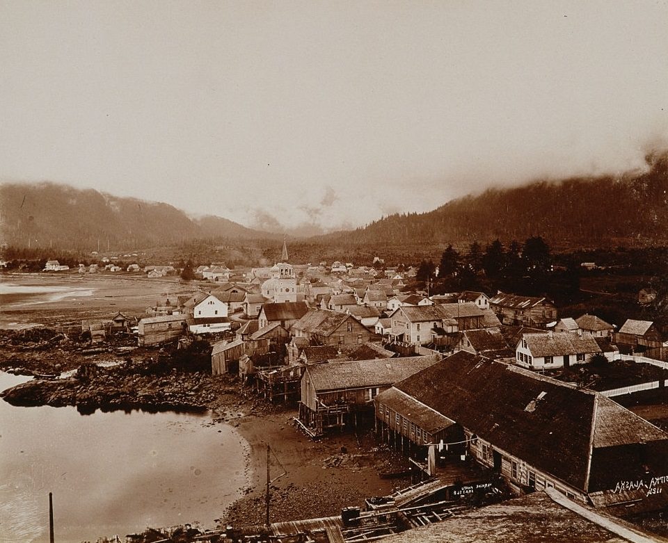
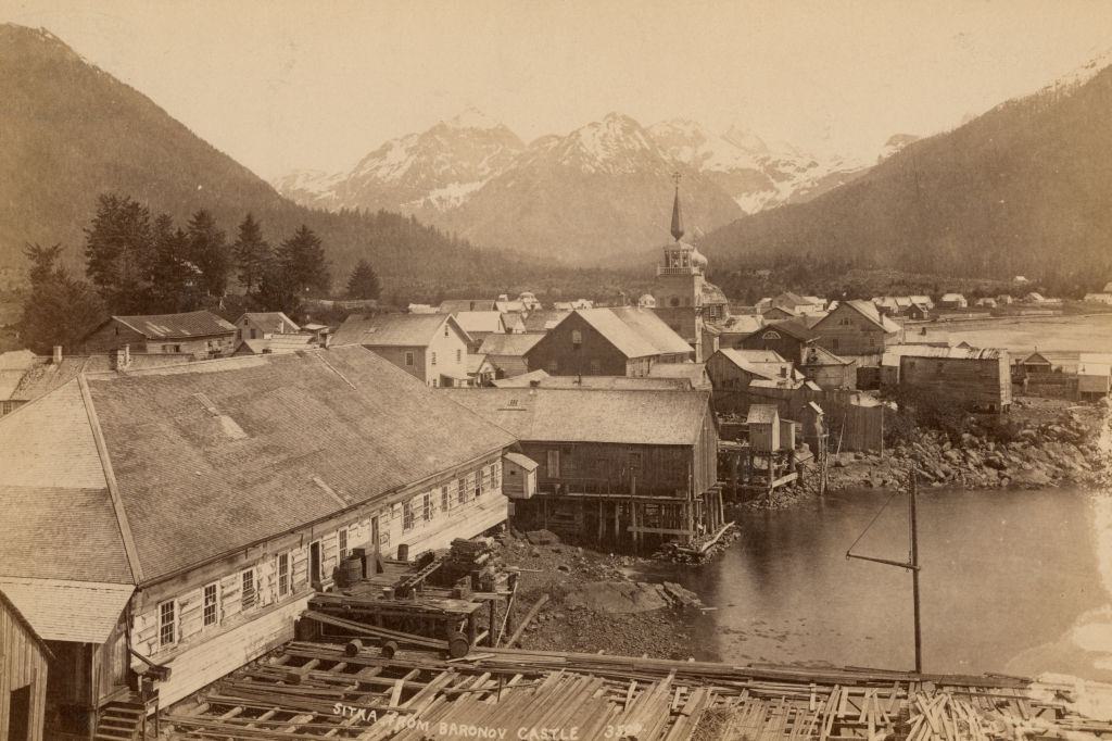
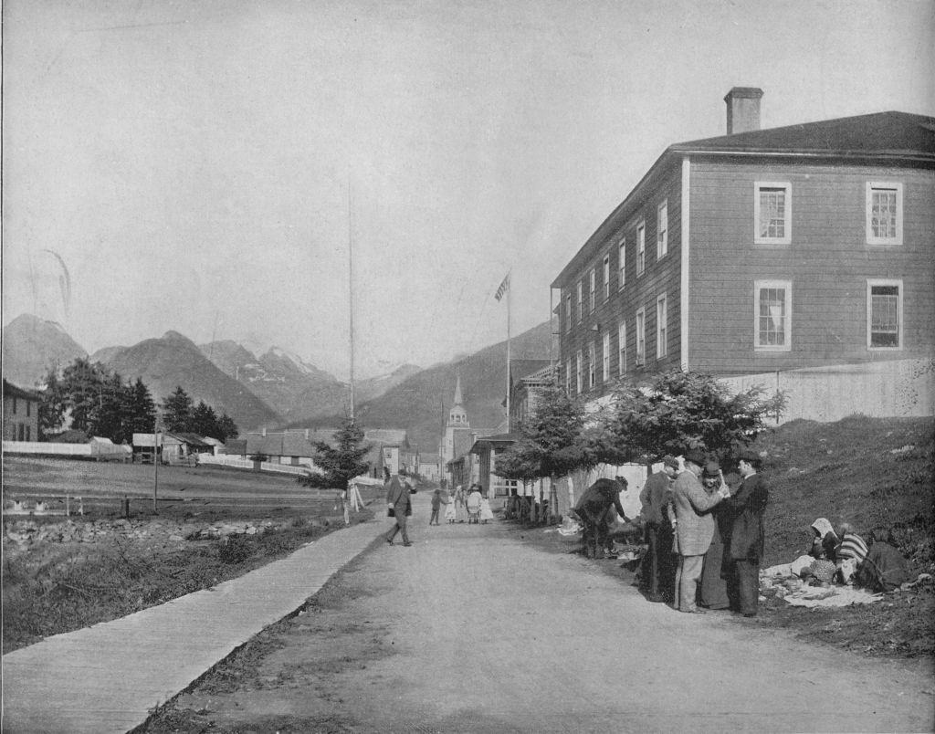
Sitka, located on Baranof Island in southeastern Alaska, was the most important city in the territory during this era. It had served as the capital of Russian America and remained Alaska’s largest and most developed settlement well into the American period. Residents gathered in the streets and around its central buildings as the town continued to grow.
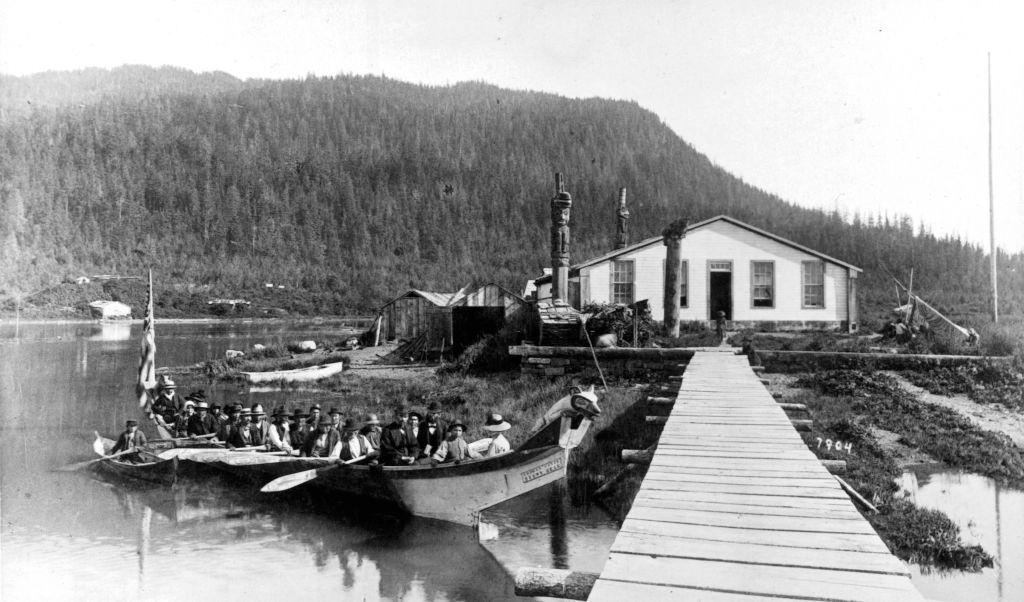
Fort Wrangell was one of the key military and trading posts in southeastern Alaska. The Tlingit people of the area maintained strong cultural traditions even as American settlers moved in. Funeral ceremonies, such as those held near Chief Shakes’s house, were significant events that blended spiritual practice with community gathering.
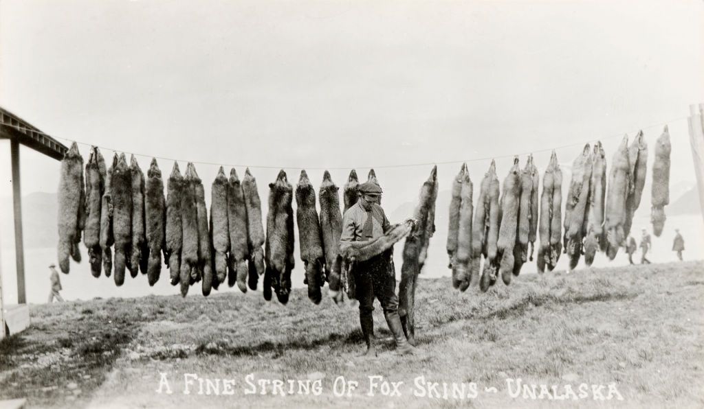
The fur trade remained a major economic activity across Alaska throughout the 19th century. Fox pelts were among the most valuable, and trappers on the Aleutian Islands — including Unalaska — collected large quantities each season.
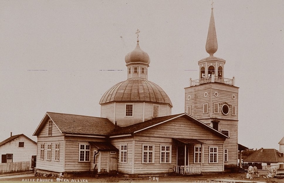
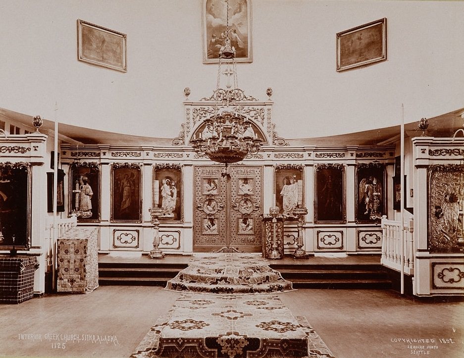
Russia’s cultural presence in Alaska did not disappear after the 1867 sale. Russian Orthodox churches remained active and central to the lives of many communities. St. Michael’s Cathedral in Sitka, one of the oldest Russian Orthodox churches on American soil, stood as a direct reminder of the territory’s Russian past.
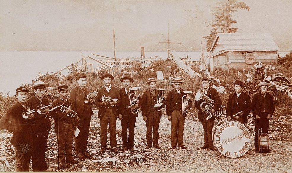
Native Alaskan communities actively engaged with new cultural elements while maintaining their own traditions. In the town of Metlakatla, a group of Native American brass musicians formed a cornet band — a striking example of how Indigenous communities adapted and participated in the changing world around them.
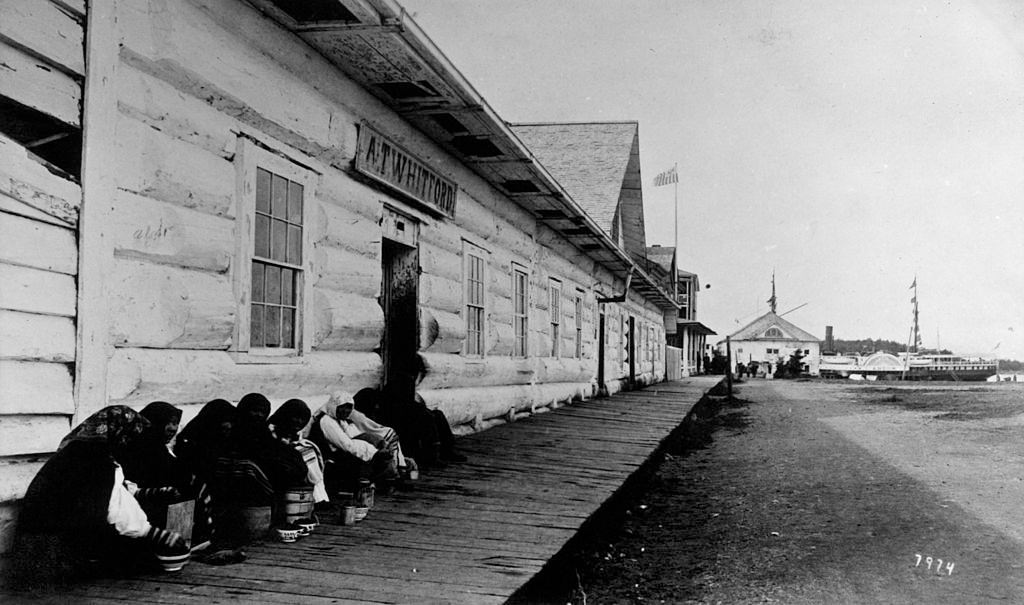
Sitka’s commercial streets showed the blend of Native and settler life that defined the city in the 1890s. The Sitka Trading Company was a hub of daily commerce, and Native women regularly sold goods and gathered outside its doors. Sitka had earned the nickname “Paris of the Pacific” during its years as the center of the Russian-American fur trade.
Totem poles were among the most visible symbols of Indigenous culture across Alaska. Carved by skilled craftsmen from the region’s towering cedar trees, they recorded clan histories, honored the dead, and marked important events. By the 1890s, they had also become objects of fascination for outside visitors.
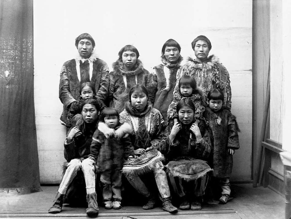
In Port Clarence, along the western coast of Alaska near the Bering Strait, Inuit communities lived in ways shaped by the harsh Arctic environment. Thick fur clothing was essential for survival, and extended family groups stayed close together through the long winters.
Sitka’s position on a sheltered harbor, surrounded by forested mountains, made it one of the most visually striking settlements in the territory. Views from Baranof Castle — the old Russian governor’s residence — showed a town that had grown steadily since the days of Russian rule.
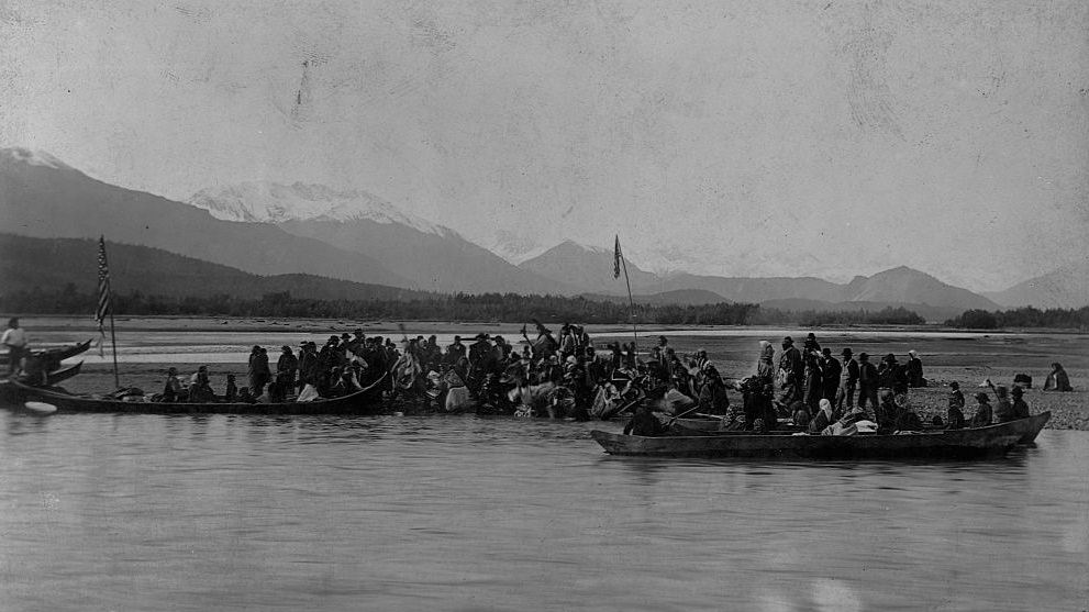
The Tlingit village of Klukwan, located along the Chilkat River in southeastern Alaska, was one of the most culturally significant Indigenous communities in the region. Klukwan was a center of Tlingit art, ceremony, and trade, and its residents maintained strong traditions into the late 19th century.
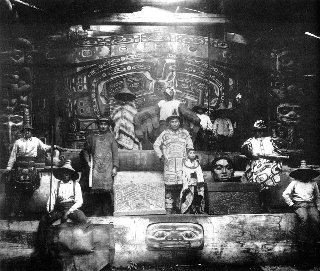
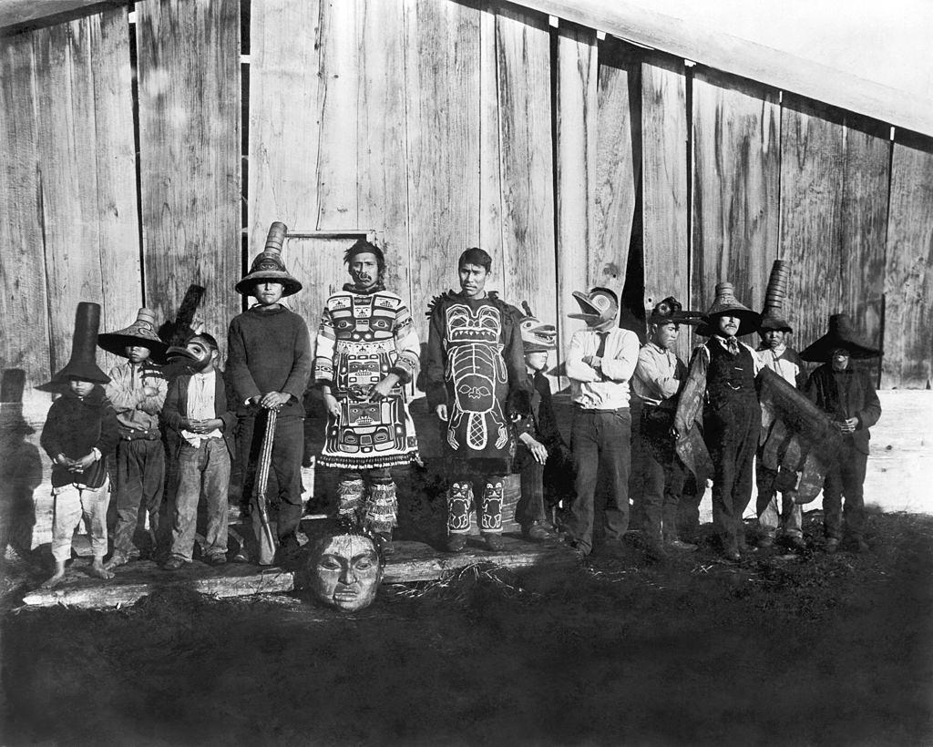
The Chilkat Tlingit of southeastern Alaska were known for their elaborate ceremonial regalia. Dancing costumes worn in front of Chief Klart-Reech’s house at Chilkat displayed the intricate craftsmanship and cultural pride that defined Tlingit society. Potlatch ceremonies, which included feasting and dancing, brought communities together along the Chilkat River.
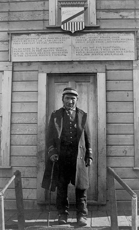
Kah-chuckte, identified as the Chief of Neltusken from Killisnoo, Alaska, was photographed in 1895. His portrait is one of many taken during this period as photographers documented the faces and lives of Alaska’s Indigenous leaders.
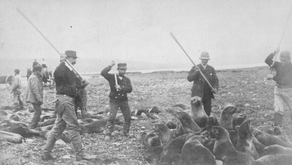
On St. Paul Island in the Pribilof Islands, Inuit hunters carried out the annual seal harvest. Seals were clubbed to death at designated killing grounds on the island’s shore. The practice was a central part of the local economy and had been conducted under both Russian and American management of the islands.
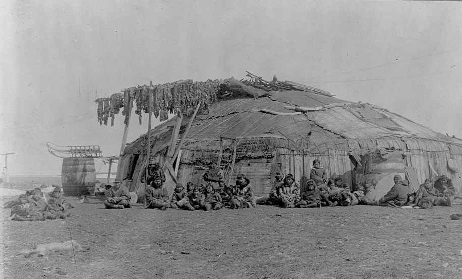
On St. Lawrence Island in the Bering Sea, Inuit families lived in structures built from wood and animal skins. Walrus meat was dried on poles near the entrance of their homes — a practical method of preserving food through the long, frozen winter months.
The discovery of gold in the Klondike region in the mid-1890s set off one of the largest mass migrations in North American history. Tens of thousands of prospectors poured into Alaska, flooding its trails, rivers, and towns. The Chilkoot and White Pass trails became the main routes into the gold fields, and the landscape was soon transformed by the sheer number of people crossing it.
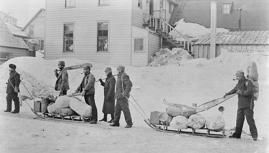
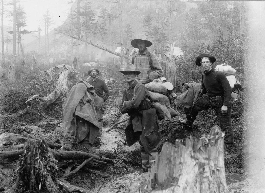
The trails leading to the Klondike were brutal. Men hauled hundreds of pounds of supplies over snow-covered mountain passes. Devil’s Bluff near Sheep Camp was one of the most punishing stretches of the journey, requiring teams of men to drag their equipment up steep, icy slopes.
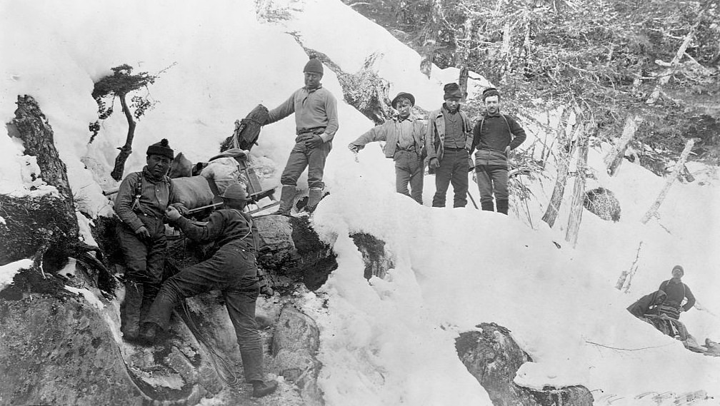
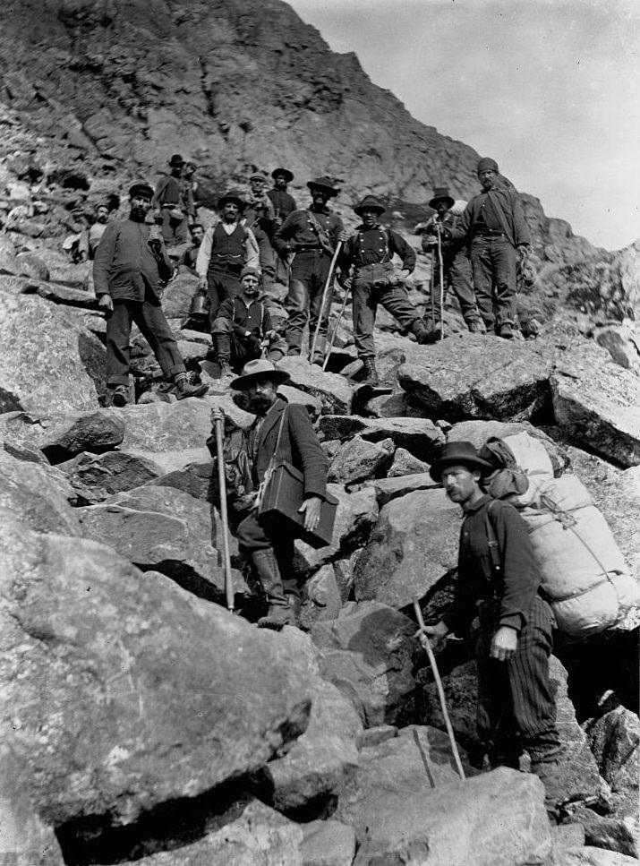
The White Pass route between Alaska and Canada became a key corridor during the gold rush. Miners moved in long, slow columns through the mountain pass, carrying everything they needed to survive and work in the remote gold fields of the Klondike.
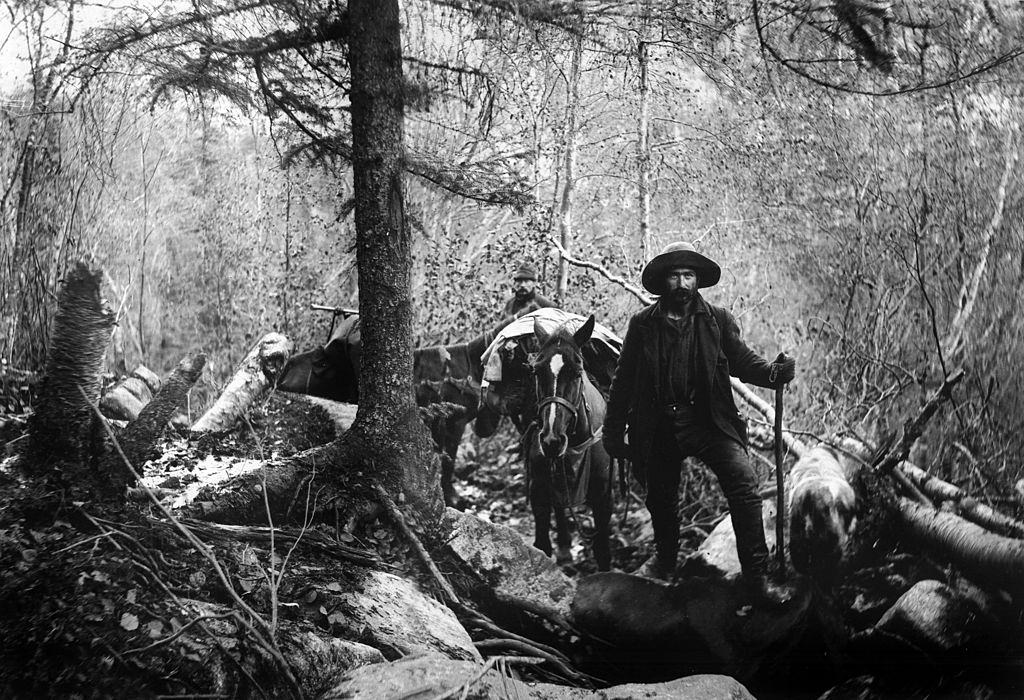
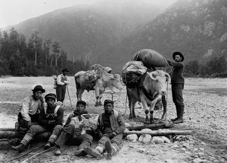
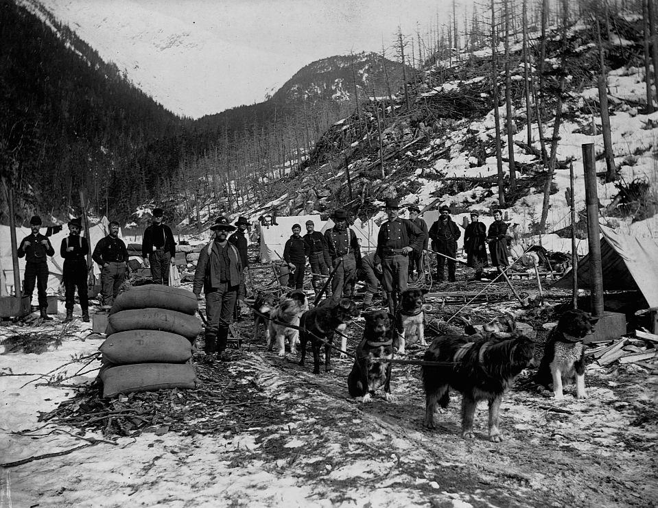
Dog sled teams were an essential form of transport across Alaska’s vast, snow-covered interior. Prospectors used them to haul supplies between camps, especially in areas where pack animals could not travel. Near Dyea Canyon, isolated camps served as rest points for men pushing deeper into the Yukon Territory.
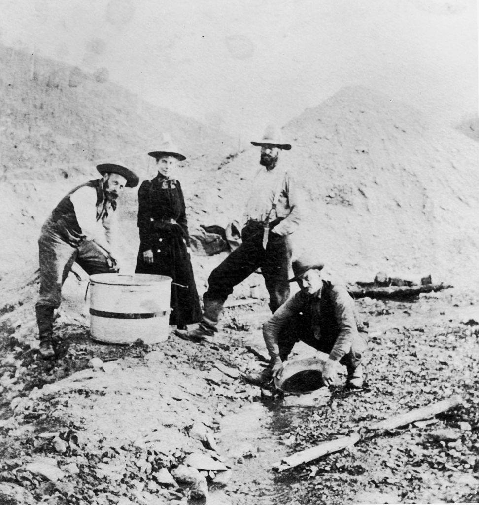
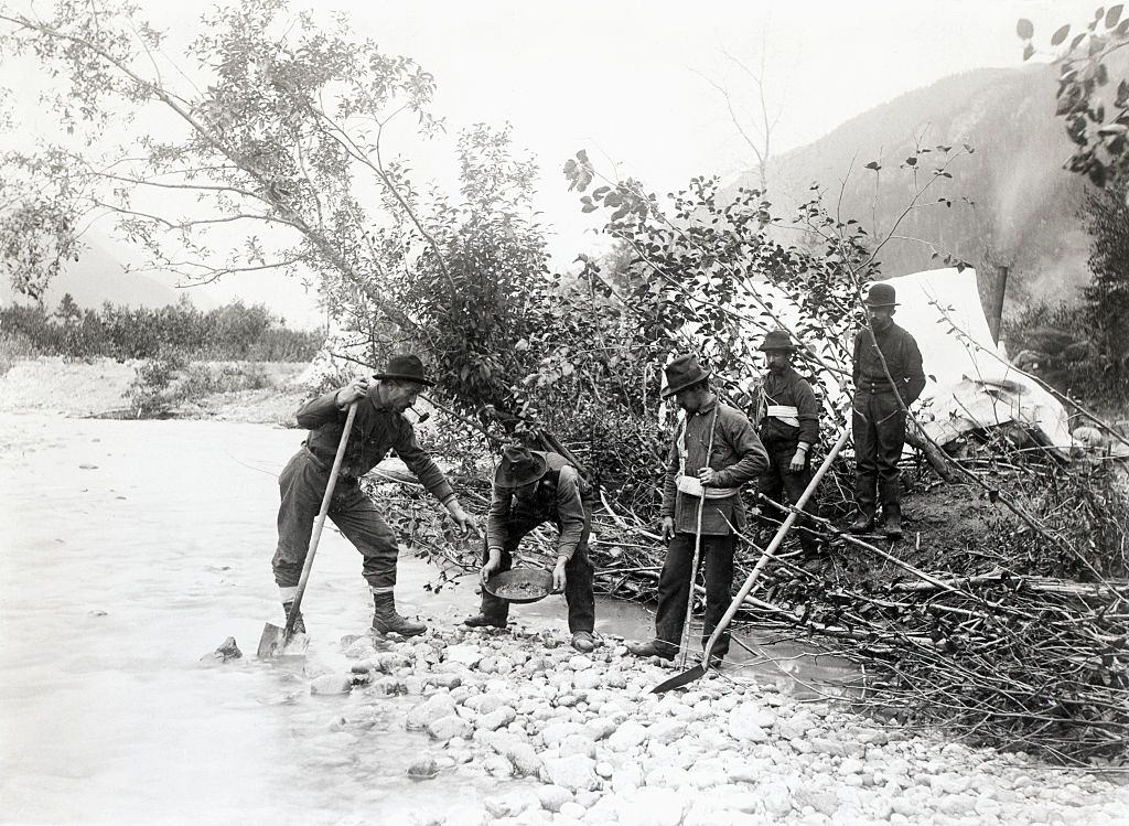
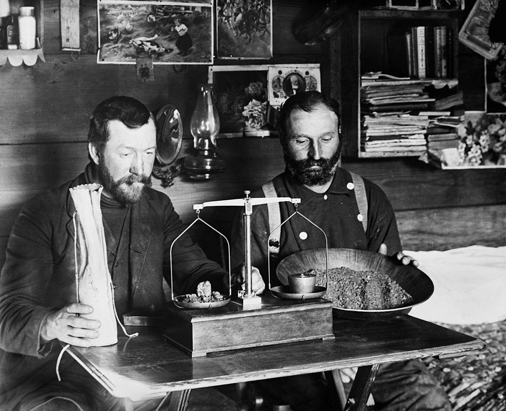
Gold panning along the rivers of the Klondike region was backbreaking work. Prospectors spent long days crouched over cold water, sifting gravel for traces of gold. Some struck it rich, but most did not. The work was slow, physically demanding, and deeply uncertain.
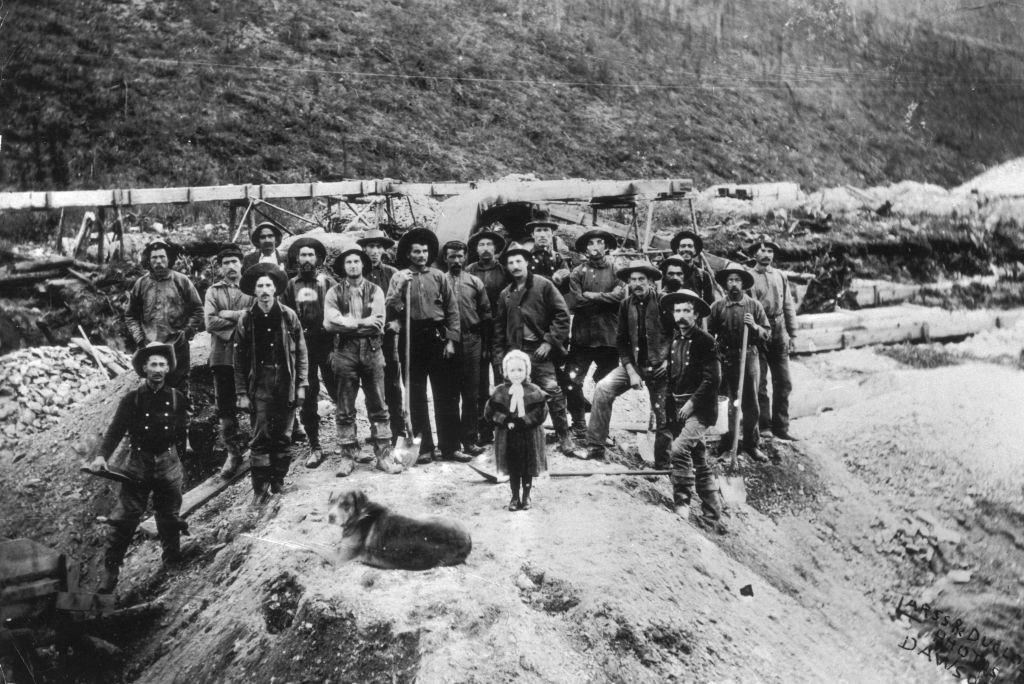
At established claims like W.M. Cowley’s site on Bonanza Creek, organized mining operations employed multiple workers. Weighing and recording gold was a careful process, with each season’s “clear-up” representing the cumulative results of months of labor.
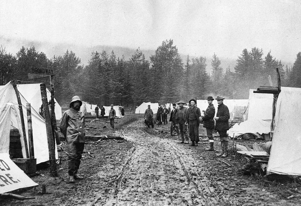
The gold rush created instant towns. Skagway, located in the panhandle region of Alaska, went from empty shoreline to a bustling settlement in a matter of months. Its earliest form was a row of tents — temporary structures that would soon give way to wooden storefronts, saloons, and hotels.
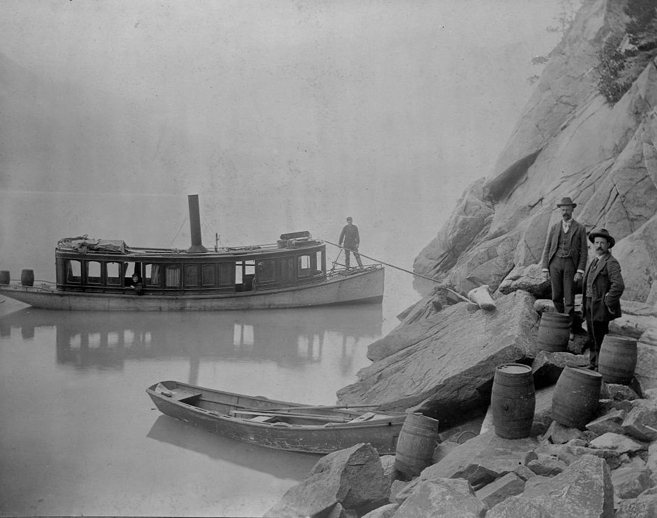
As Skagway grew, law enforcement became a pressing concern. Untaxed alcohol flowed freely through the boomtown, and customs officials worked to control smuggling along the border. Two officials were photographed seizing contraband liquor — a small but telling snapshot of the legal challenges that came with rapid, unplanned growth.
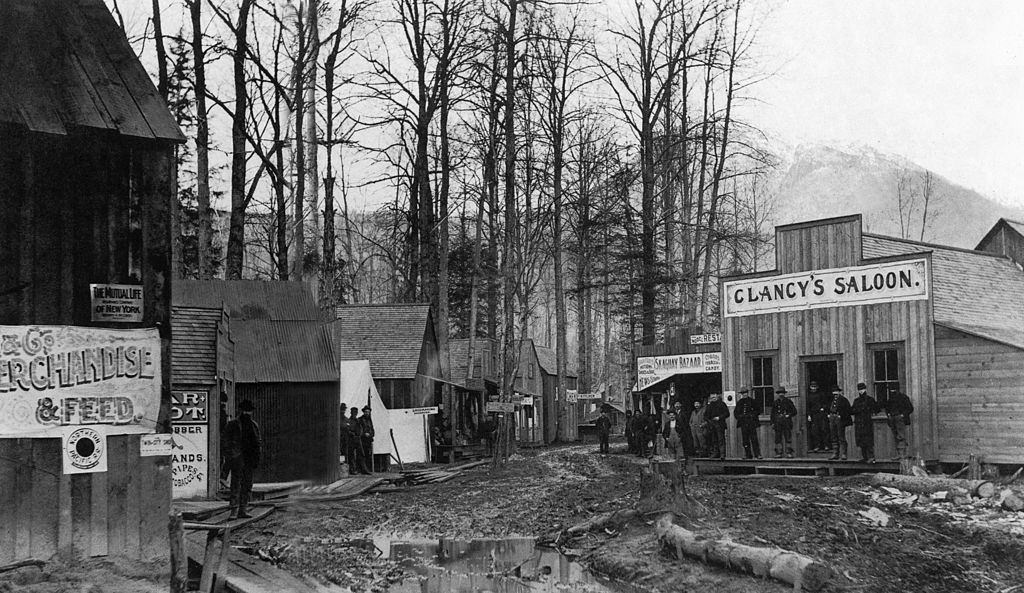
Saloons were fixtures of every gold rush town. Clancy’s Saloon, photographed in 1897, was typical of the drinking establishments that sprang up wherever miners gathered. They served as social centers as much as drinking spots, offering card games, music, and a brief escape from the hardships of mining life.
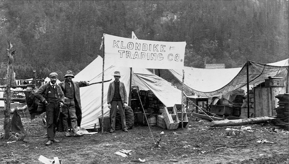
Commerce followed the miners wherever they went. The Klondike Trading Company operated out of a large tent, selling general supplies to prospectors who needed everything from food and tools to clothing and rope. Tent-based stores were a defining feature of the gold rush economy.
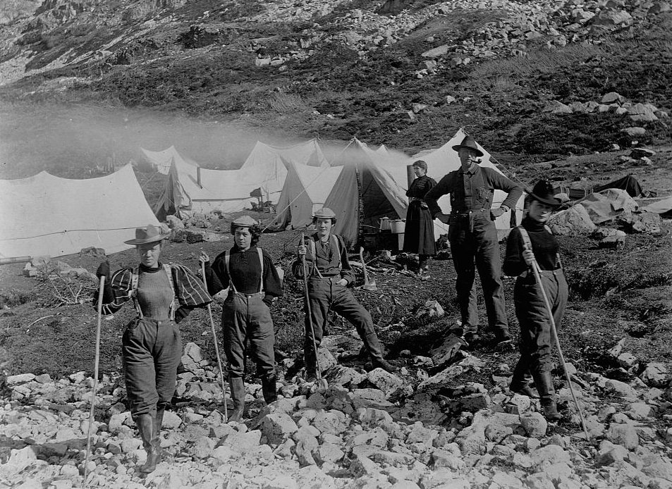
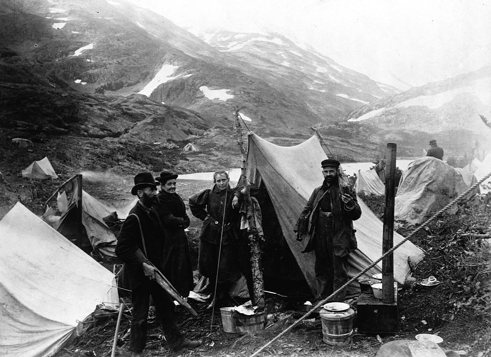
Not everyone who traveled north during the gold rush was a miner. Actresses, missionaries, entrepreneurs, and adventurers all made the journey. Groups of performers heading for the Klondike gold fields stopped at rest camps like Happy Camp along the trail, taking breaks during the grueling overland trek.
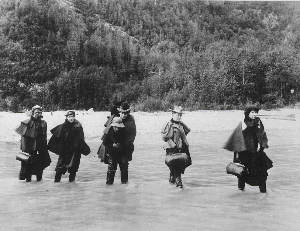
River crossings were a regular obstacle on the routes to the gold fields. With no bridges, everyone — including performers traveling to entertain the miners — had to find ways across the cold, fast-moving Alaskan rivers.
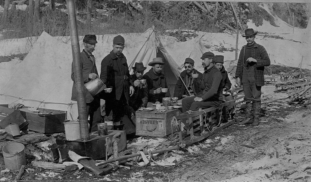
Prospectors on the Yukon Trail took their rest where they could. Lunch breaks on supply crates along the trail were a common scene. Groups traveled together for safety and company, sharing food and information about conditions ahead.
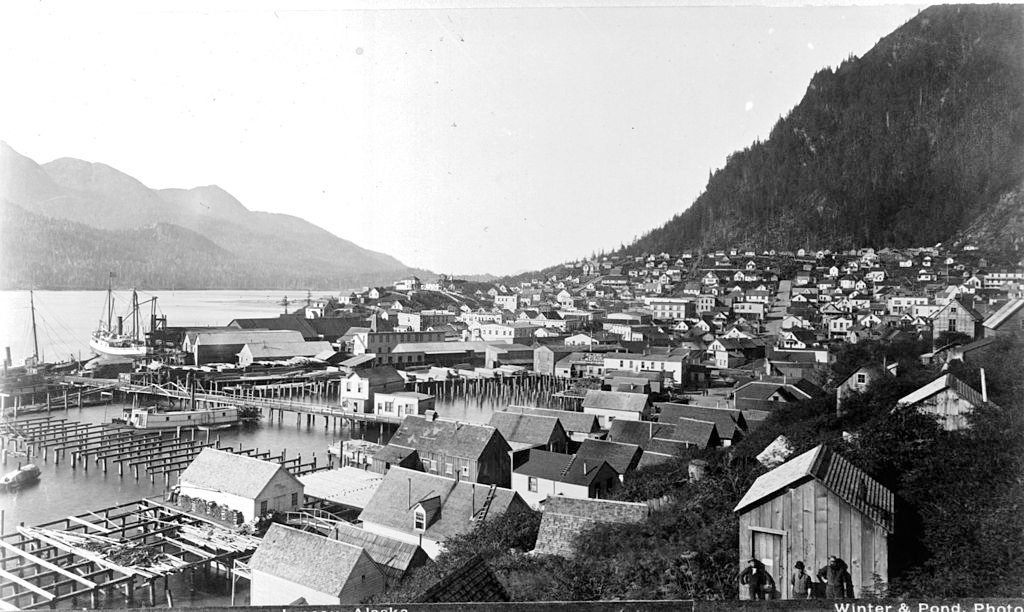
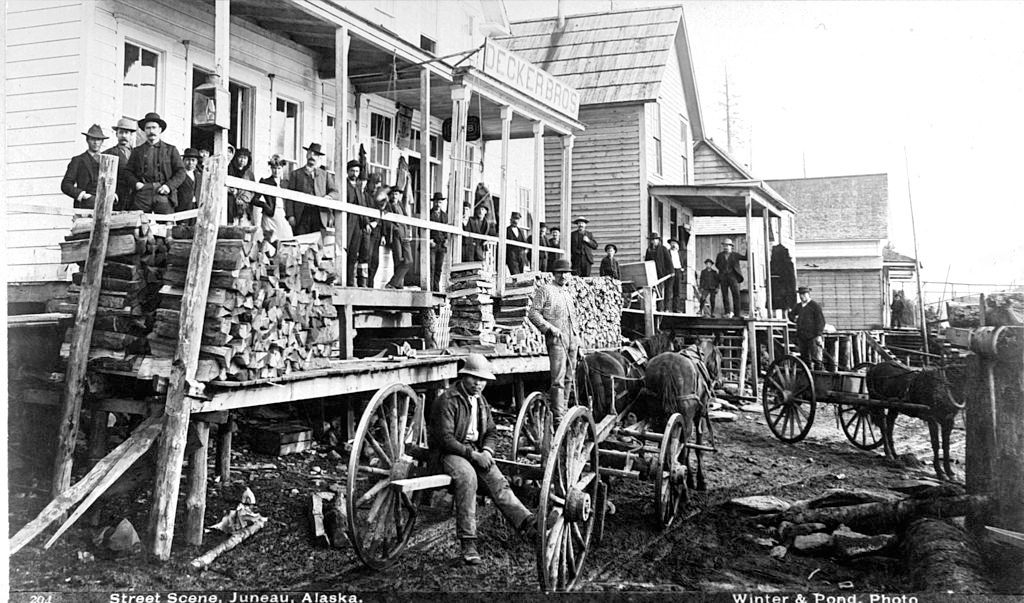
Juneau, located on the Gastineau Channel in southeastern Alaska, developed into one of the territory’s most important cities during the gold rush era. Its streets reflected the rapid growth that came with increased population and trade.
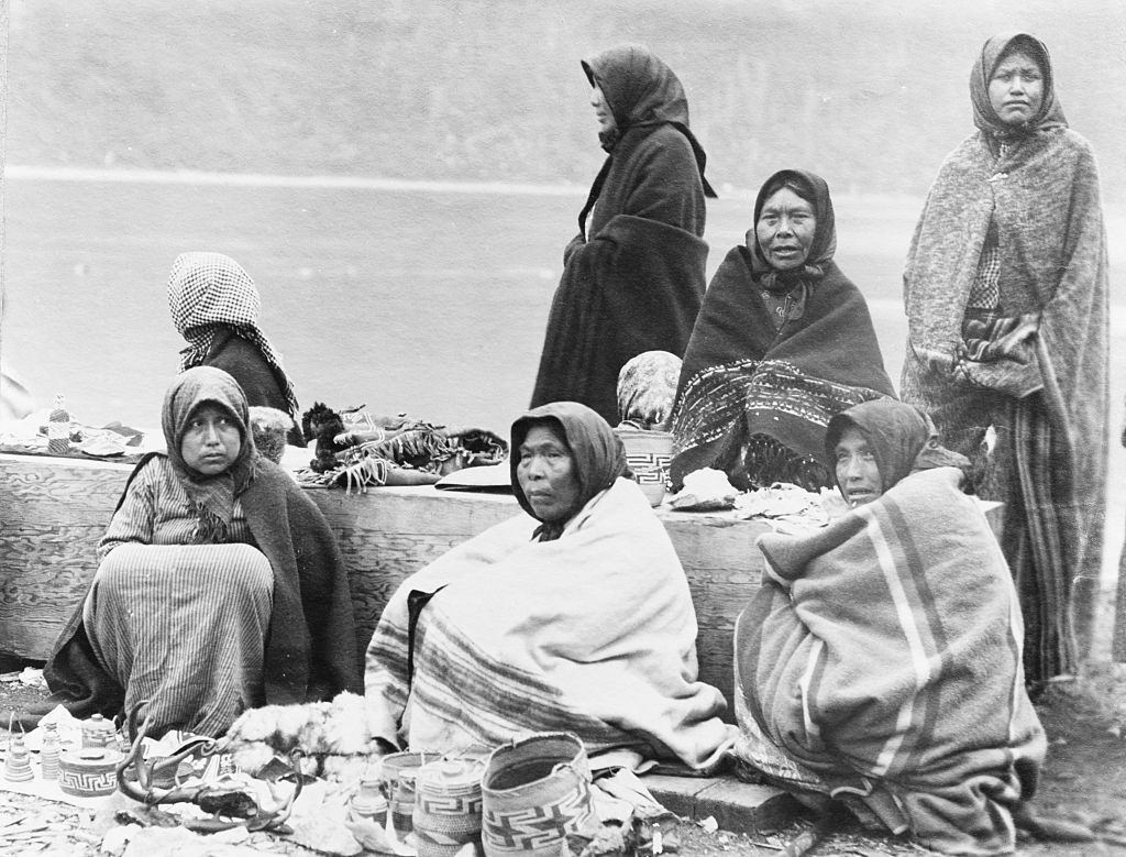
Tlingit women near the Treadwell Mine used the arrival of steamships as a commercial opportunity. They set up along the docks at the mine site, selling handmade baskets and small goods to tourists who were making their way through southeastern Alaska. The Treadwell Mine, on Douglas Island near Juneau, was one of the largest gold mining operations in the world at the time.
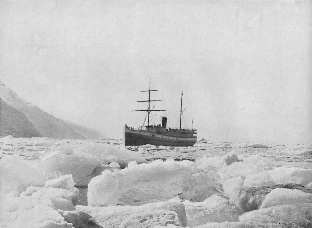
Steamships played a vital role in connecting Alaska’s isolated communities and transporting people to and from the territory. Vessels like the Queen navigated the spectacular waters of Glacier Bay, carrying passengers through one of the most dramatic landscapes in North America.
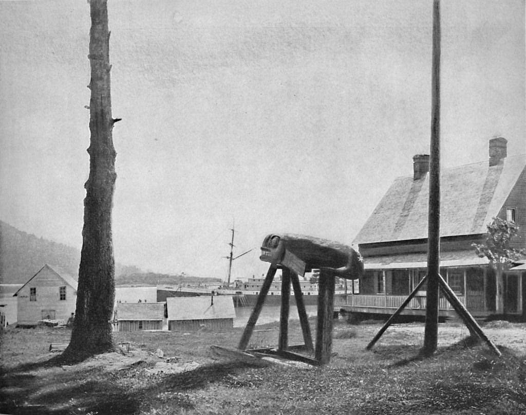
Fort Wrangell remained one of the key settlements in southeastern Alaska throughout this period, serving as both a military post and a center of trade between Indigenous peoples and incoming settlers.
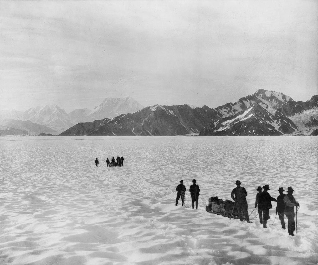
Alaska’s mountain ranges were among the most imposing in the world. Mounts Malaspina, Augusta, and Hitchcock, photographed in 1897, illustrated the scale of the territory’s landscape — vast, largely untouched, and far beyond anything most Americans had ever seen.
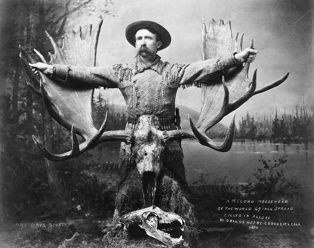
Wildlife in Alaska was as abundant as its mineral wealth. A moose with a 69-inch antler spread, shot in 1897, was considered a record-setting trophy. Big game hunting drew sportsmen to the territory alongside the miners and traders.
Sitka’s streets and waterfront continued to bustle in the late 1890s. As the former capital of Russian America, the city carried layers of history visible in its architecture, its mix of residents, and the totem poles and Russian Orthodox domes that stood side by side across the town.
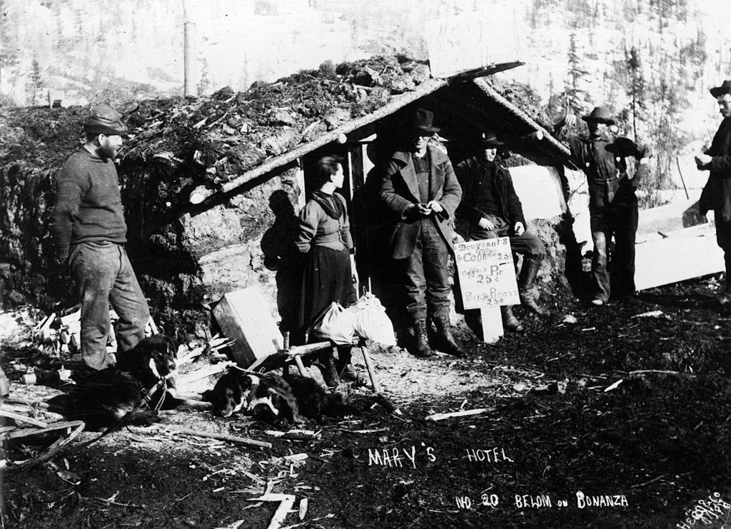
Hotels like Mary’s emerged in the smaller towns and mining camps that dotted Alaska’s interior during the gold rush years. These establishments provided basic accommodation to the waves of prospectors, traders, and travelers moving through the territory.