Kununurra sits in Western Australia’s Kimberley region, close to the Northern Territory border, along one of the area’s major waterways. The land around it holds wide valleys, lakes, and rich farmland fed by the Ord River Irrigation Area. Today it serves as a base for exploring northwestern Australia, with tourism and mining both playing a key role in the local economy. But before any of that, the town had to be built from scratch — and these rare photographs from the Kununurra Museum document exactly how it happened.
The groundwork began in December 1959, when the Public Works Department moved its camp from Bandicoot Bar to the new townsite. By November of that year, the very first permanent building had already gone up — a Government Office. Streets were being marked out, and the raw outline of a future town was beginning to take shape on what had been untouched land.
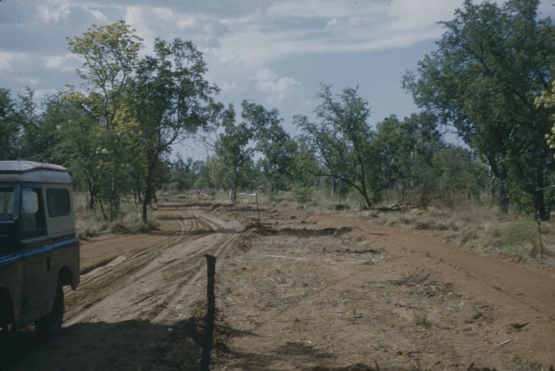
Coolibah Drive was one of the first streets to be formally marked out in November 1959. Workers staked out the road corridors across the open ground, laying the foundation for what would become the town’s street network.
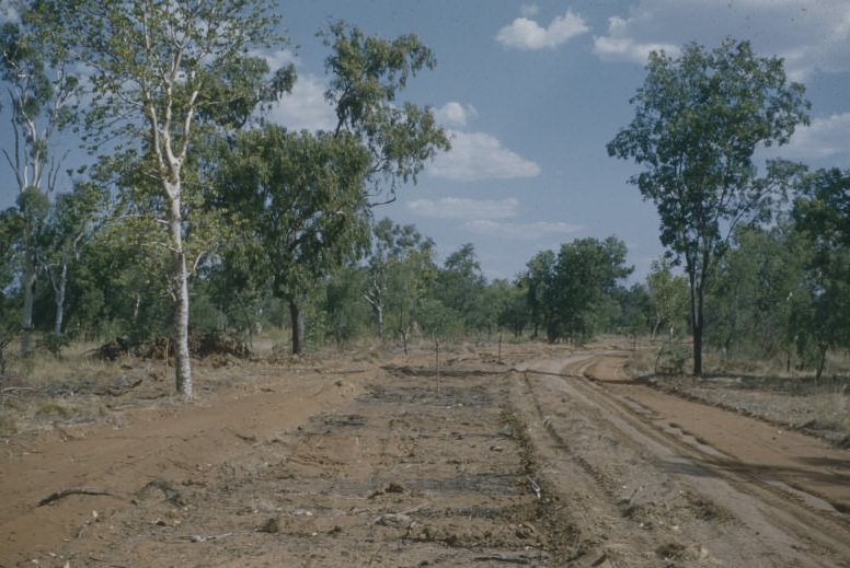
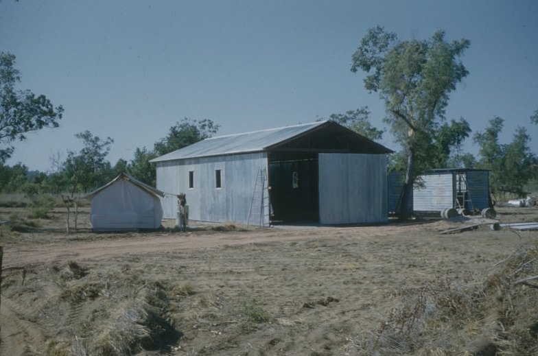
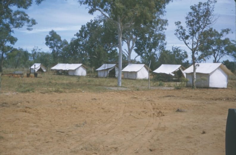
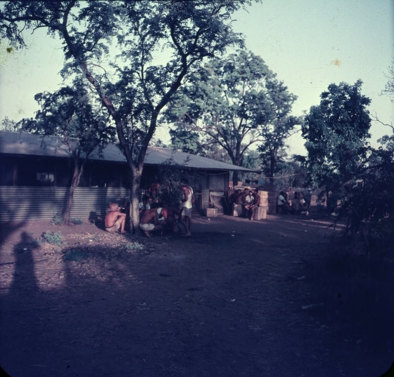
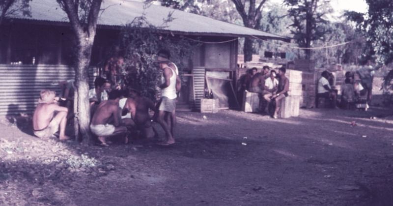
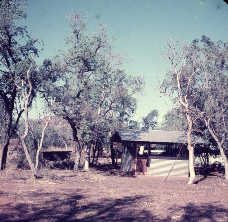
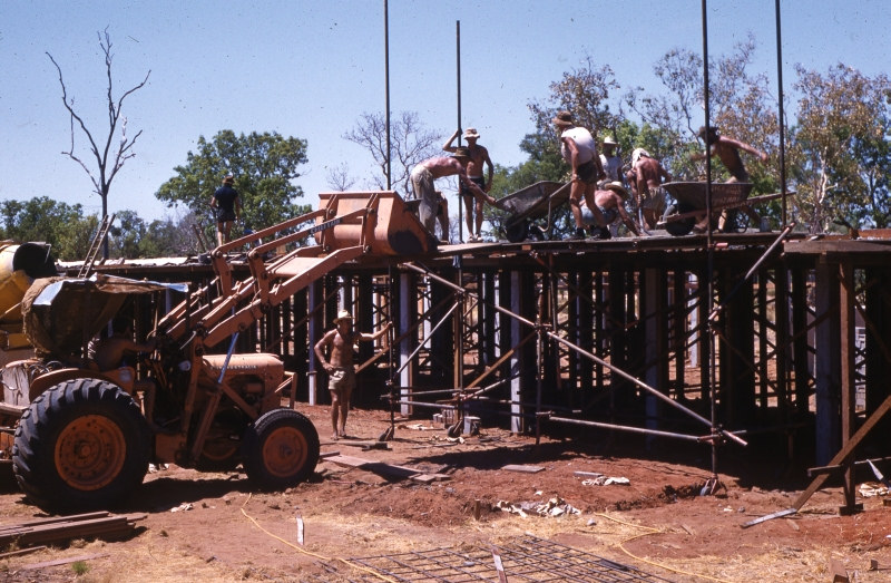
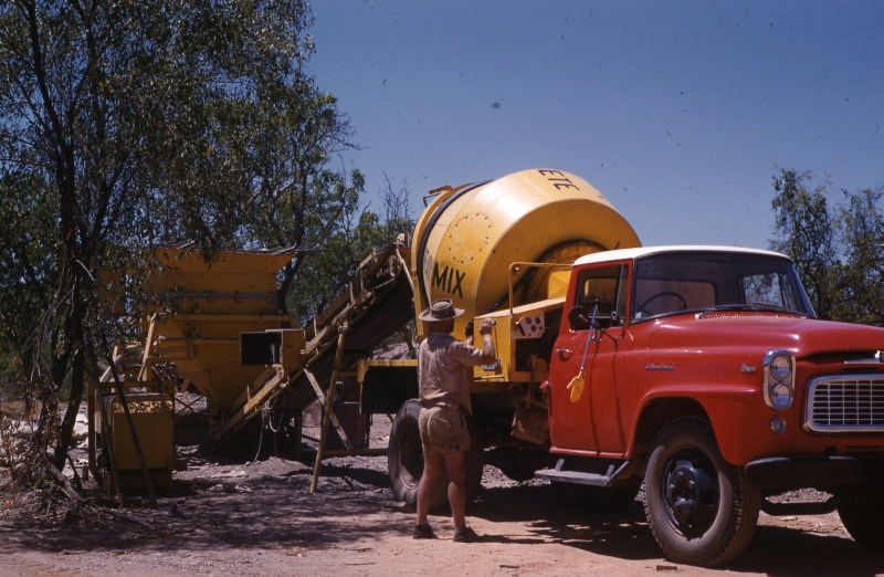
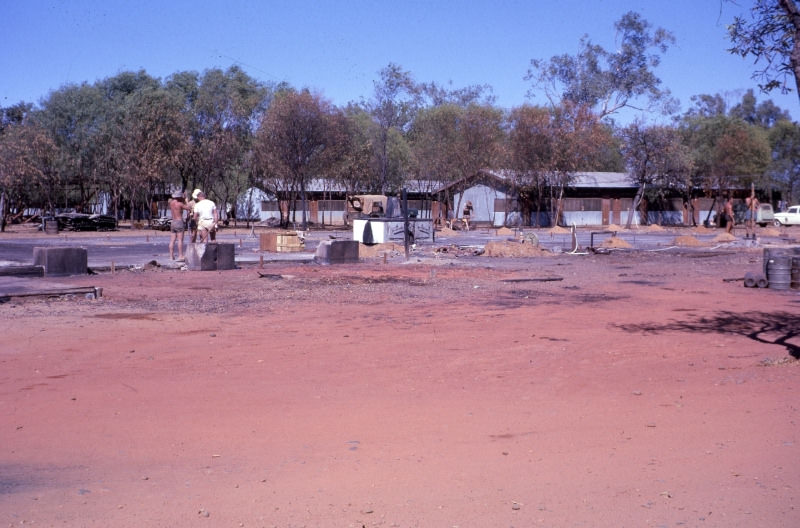
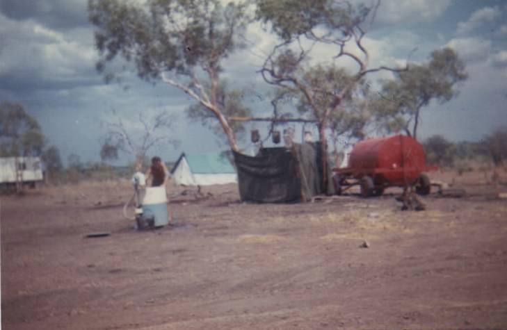
Through 1960, construction picked up pace rapidly. Workers were still living in tents as late as April of that year, but by mid-year, proper streets like Cajuput Street were beginning to take form. The Geraldton Building Company was a central force in the early construction phase, with its foreman’s hut and a wet canteen — which workers gathered at for afternoon sessions — among the early structures on site.
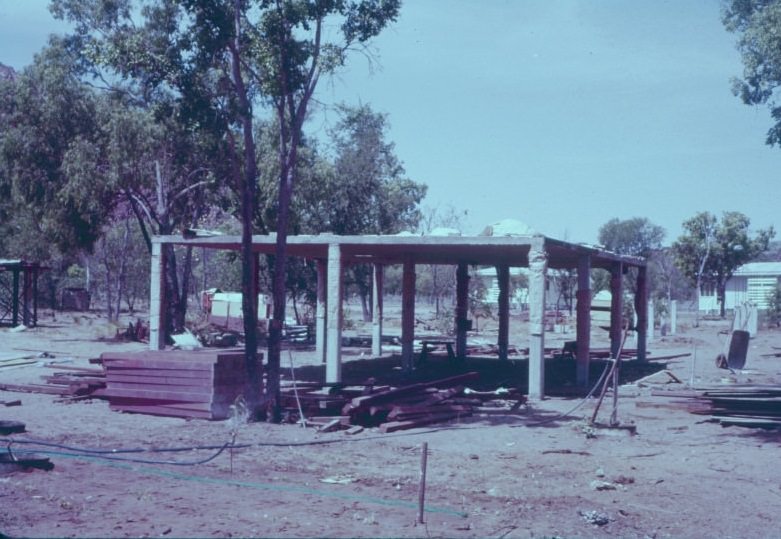
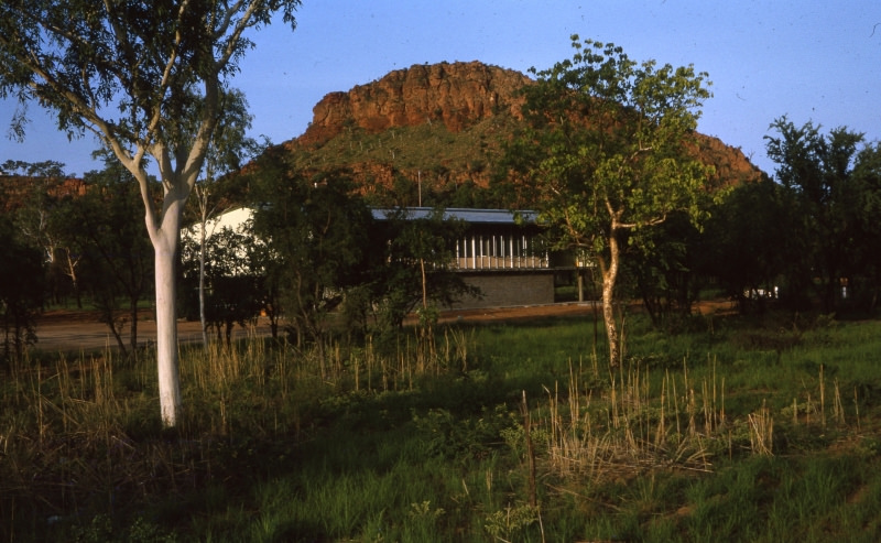
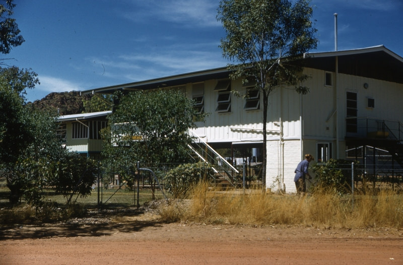
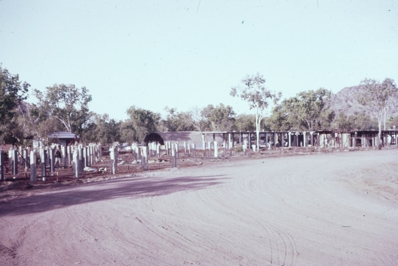
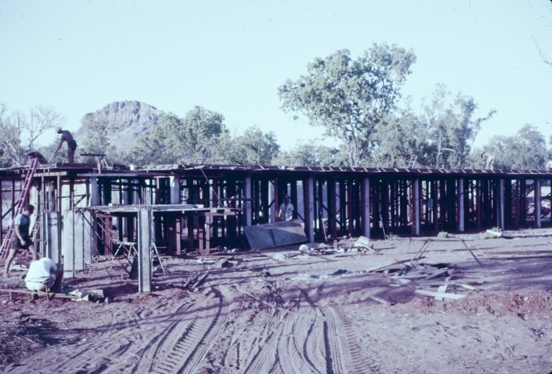
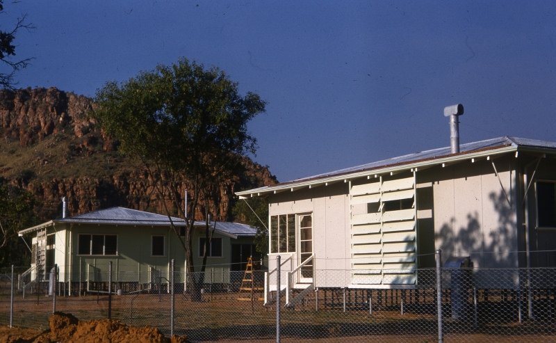
Key infrastructure was going up across the townsite throughout late 1960. A hostel block was under construction with Mount Cyril visible in the background, while the power station building was also being raised. The Public Works Office was designed to sit seven feet off the ground — a practical measure given the tropical climate. The first two residential houses in Kununurra appeared on Cajuput Street, with Kelly’s Knob rising in the background.
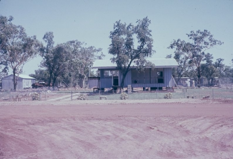
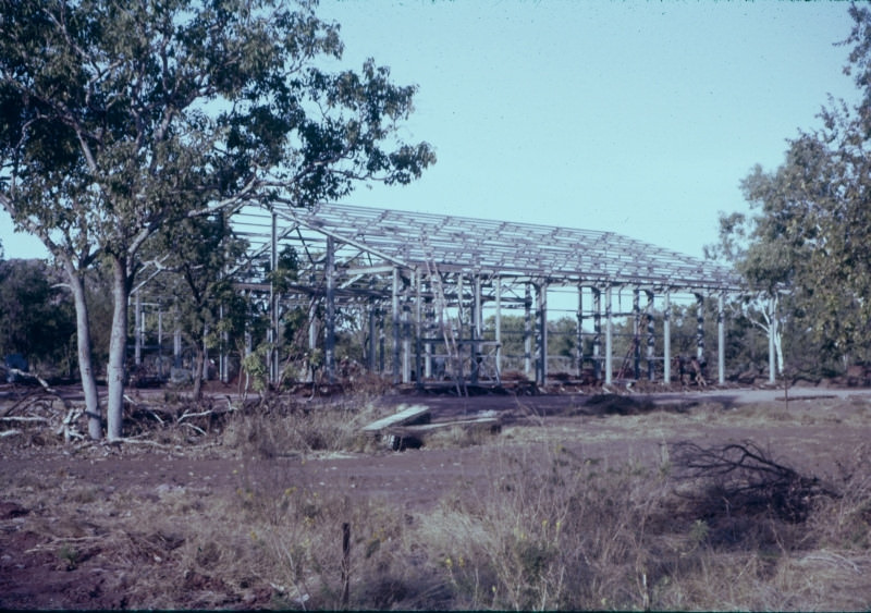
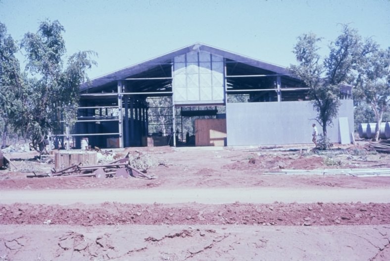
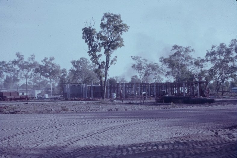
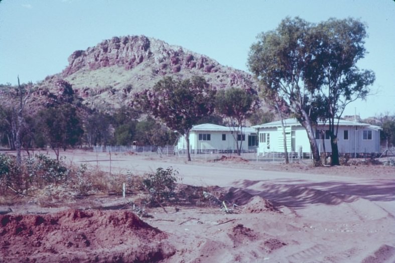
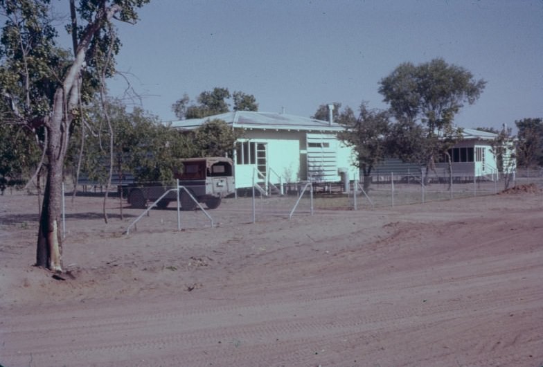
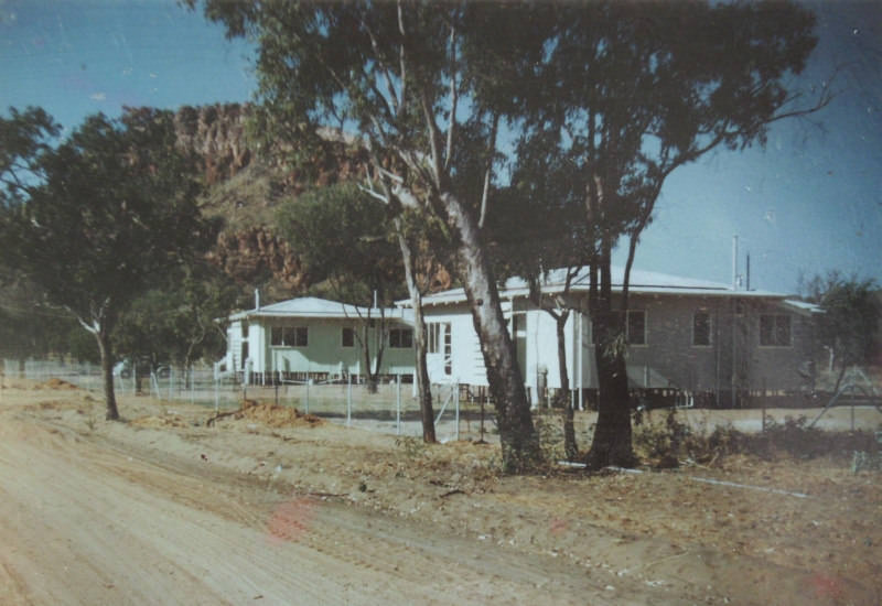
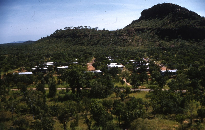
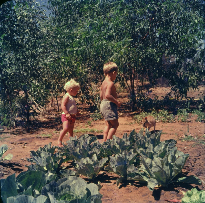
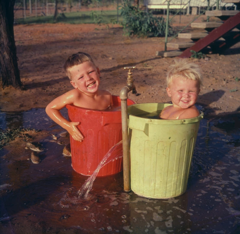
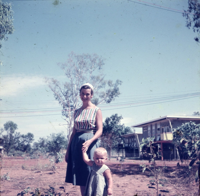
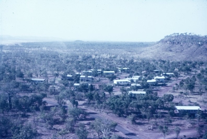
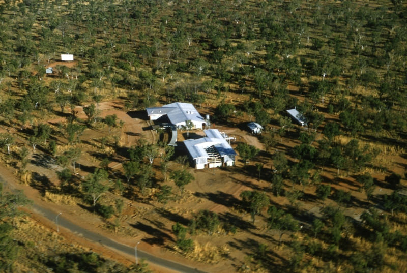
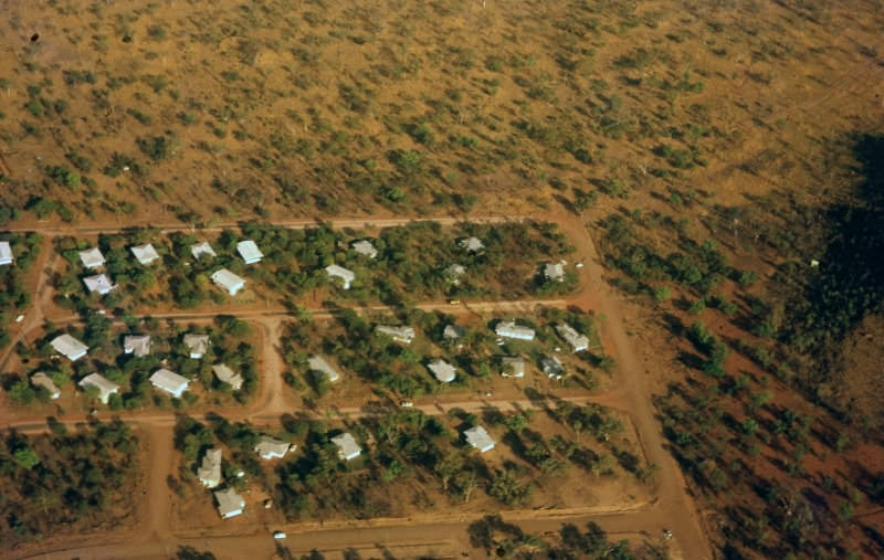
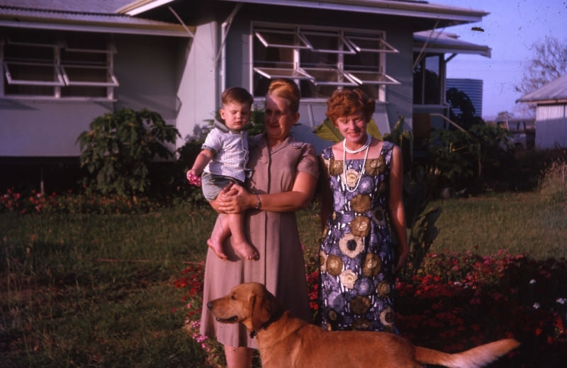
By 1961, families had moved into the new homes. Children cooled off beside houses in the October heat and played in neighbours’ gardens alongside wildlife like wallabies. An aerial photograph taken in December 1961 shows the town’s layout starting to fill in, with roads, buildings, and cleared land spreading outward from the original core.
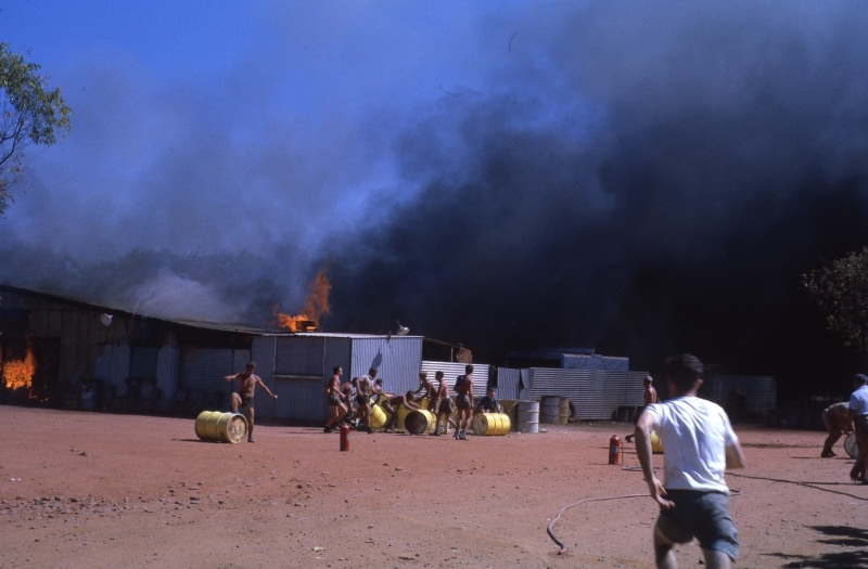
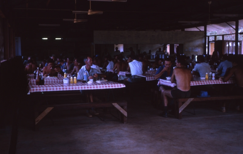
In August 1962, a fire destroyed the Diversion Dam Worker’s Mess Hall, capturing the risks of life on a remote construction site. Despite setbacks like this, building continued. The Government Hostel, Ord River Club, laundry and shower facilities, and the Town Administration Building all took shape through 1962.
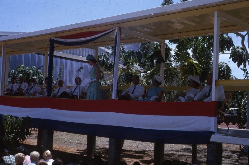
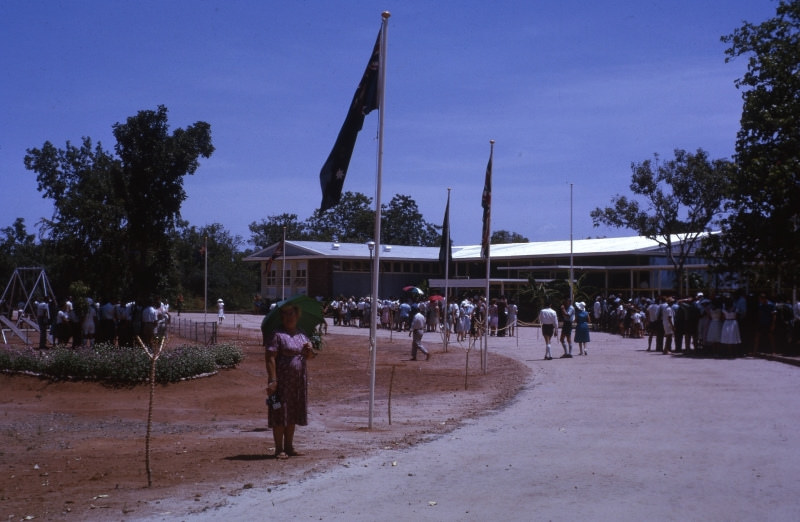
March 1963 brought a royal visit to Kununurra. The Queen spoke from the walkway of the Club to the assembled crowd — a remarkable moment for a town that had only existed for a few years. An aerial shot from that same year shows the first housing area laid out with Kelly’s Knob clearly visible behind the rooftops.
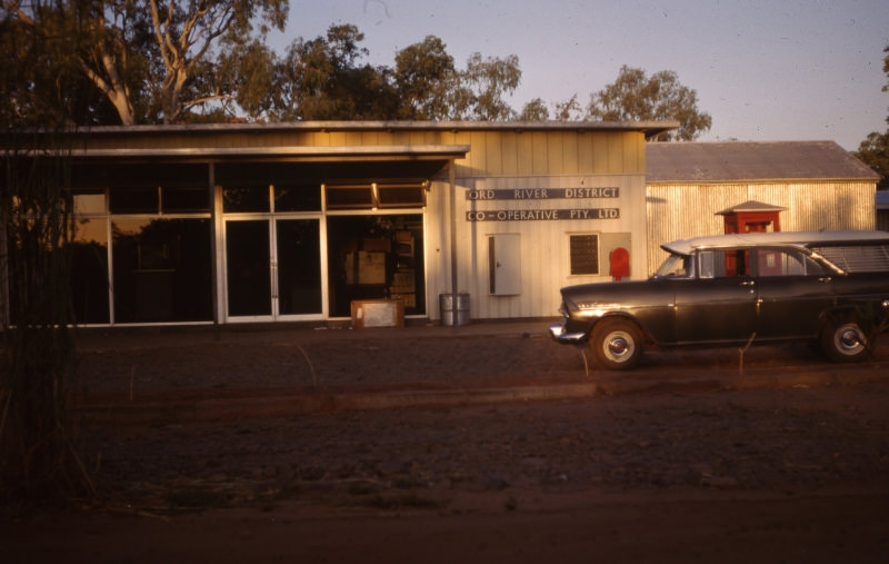
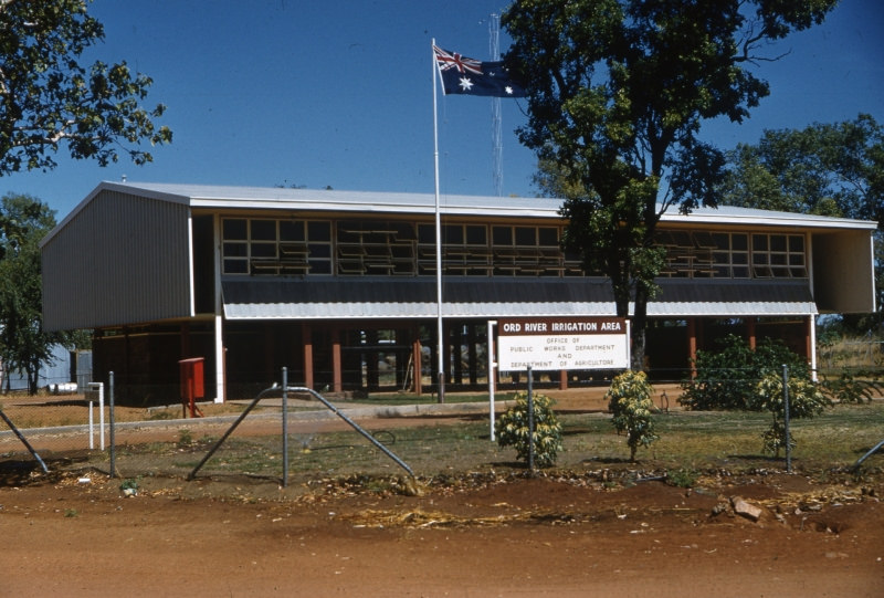
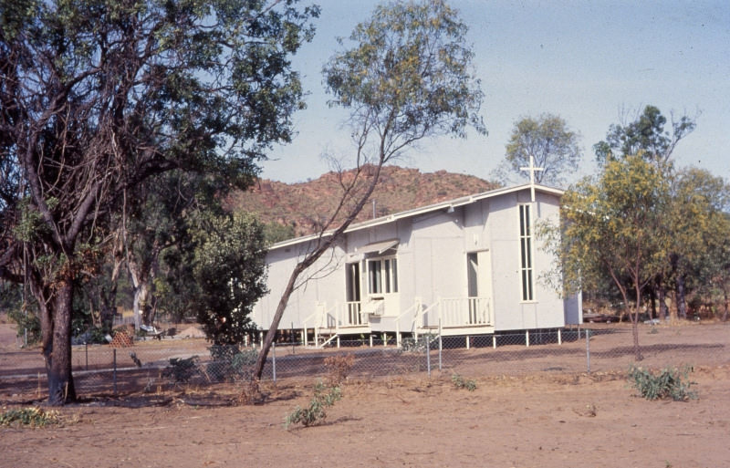
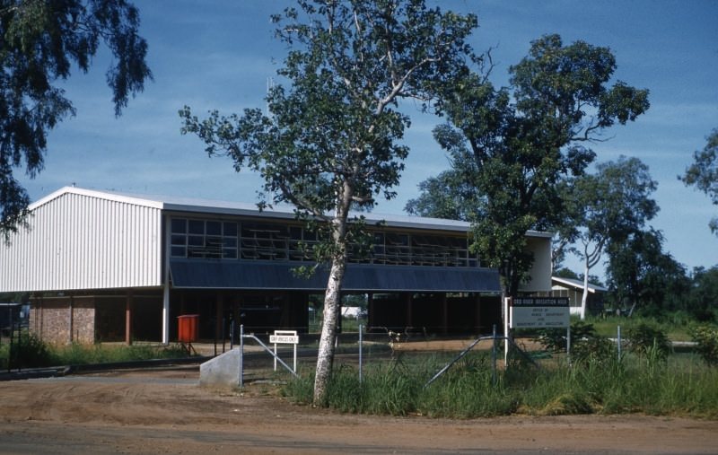
By 1964, the town had a functioning high school, its first shop and post office through the Ord River Co-operative, and a Public Works and Department of Agriculture building serving the Ord River Irrigation Area. Houses were now being built on elevated foundations — a design suited to the heat. The Ord River Co-operative building on record as the first combined shop and post office in Kununurra marks how quickly essential services were established. The following year, the original Roman Catholic Church was completed, adding another permanent fixture to the growing town.