
Corona is one of the most historically layered neighborhoods in all of Queens, New York City. Its name dates back to 1870, when Thomas Waite Howard — the area’s first postmaster — chose it. A second theory ties the name to the Crown Building Company, which reportedly developed parts of the area and used a crown as its emblem. Either way, the name stuck, and the neighborhood grew into a dense, working-class community shaped by wave after wave of immigrant families.
By 1982, Corona was a fully formed urban neighborhood with a strong Latino identity, especially Puerto Rican and Dominican. National Street, Roosevelt Avenue, and the blocks surrounding the elevated subway lines were the veins of daily life. The photos in this collection — all taken in 1982 — capture that world in remarkable detail. Streets alive with foot traffic, small businesses stacked side by side, graffiti-covered walls, and families going about their routines.
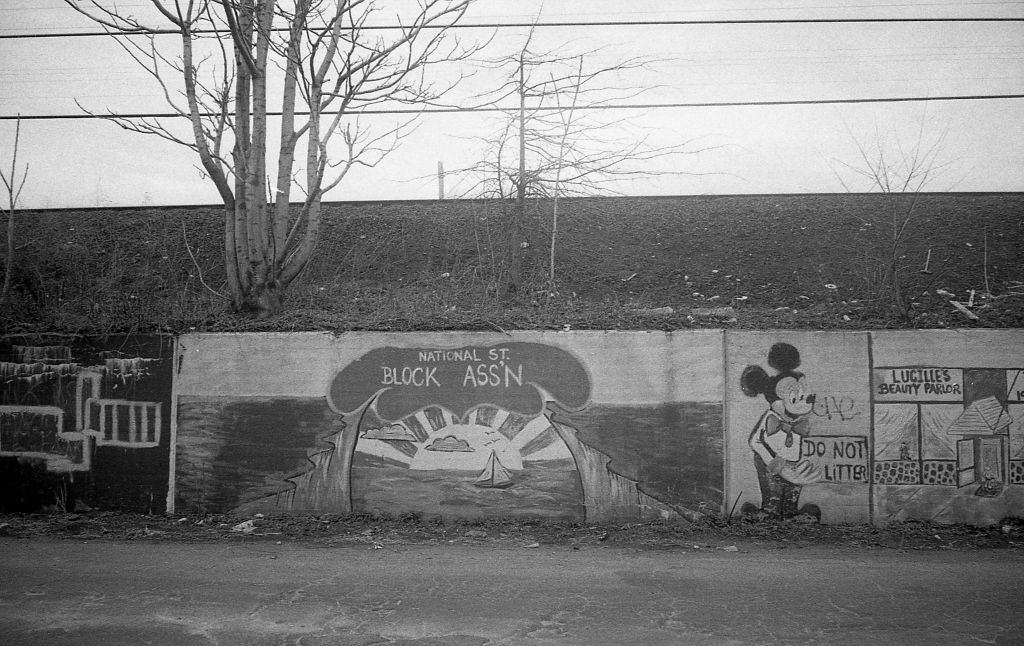
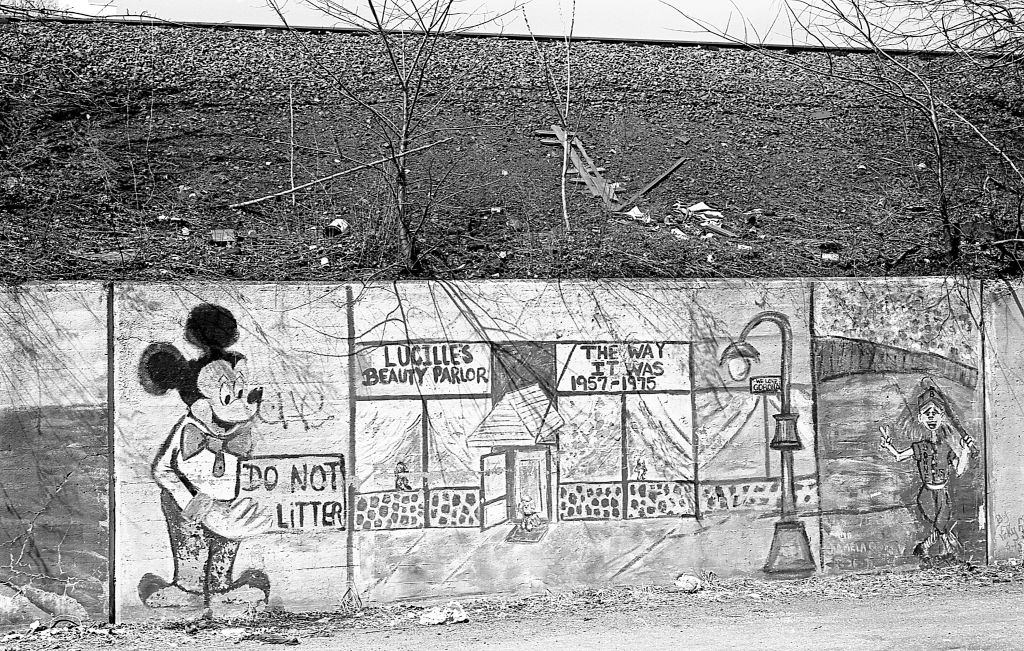
Graffiti was everywhere in early 1980s New York City. It covered subway cars, retaining walls, and building facades across all five boroughs. In Corona, the walls along 45th Avenue were no exception. For many young residents, graffiti was a form of public expression in a city that offered few other outlets. The city government viewed it mostly as vandalism and spent considerable resources trying to remove it — a battle it was clearly losing by 1982.
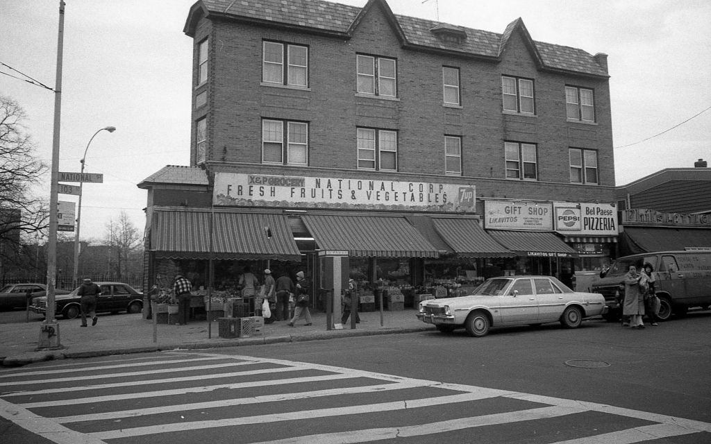
National Street was the commercial backbone of Corona’s Latino community. Small storefronts lined the blocks — bodegas, laundromats, restaurants, and dollar stores — all serving a tight-knit, working-class population. At the corner of 103rd and National, the mix of businesses reflected the neighborhood’s character: practical, affordable, and deeply local.
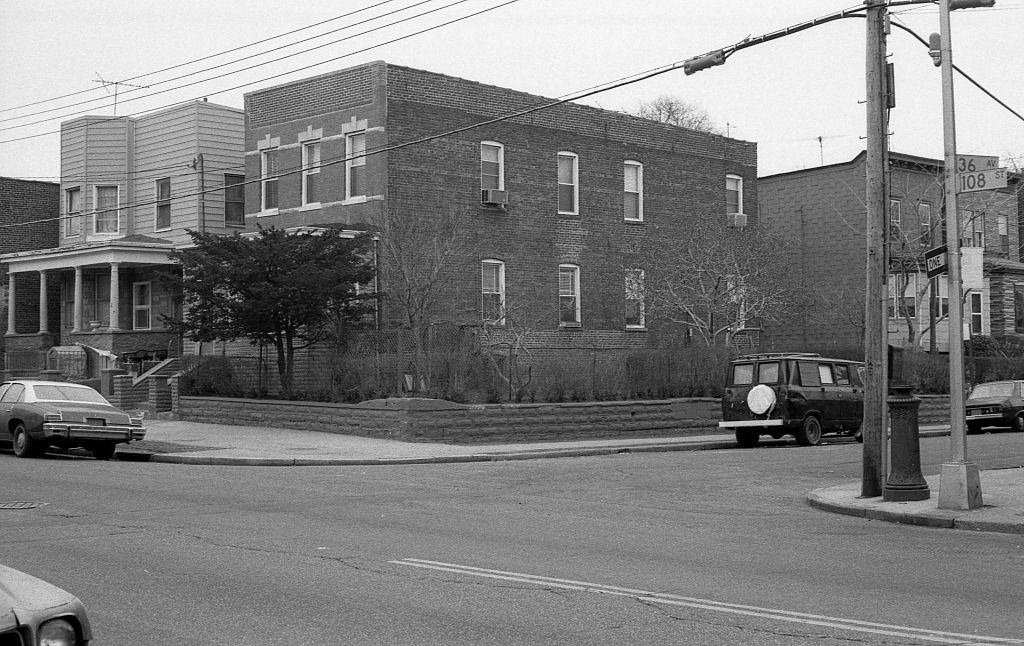
Residential life in Corona was built around attached brick homes and low-rise apartment buildings. The intersection of 108th Street and 36th Avenue shows the density typical of the neighborhood — buildings pressed close together, stoops leading directly to the sidewalk, and very little green space. This was urban living at its most compact.
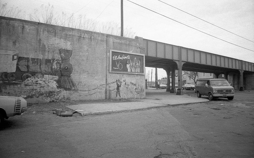
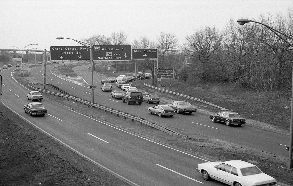
The Grand Central Parkway cuts through the northern edge of Corona, connecting the neighborhood to the broader infrastructure of Queens and Long Island. In 1982, it carried heavy commuter traffic, as it still does today. Its elevated lanes pass close enough to the surrounding streets that the sound of traffic was a constant backdrop for residents living nearby.
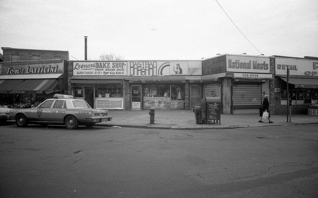
Veteran’s Square at 102nd and National streets served as one of Corona’s small civic anchors. It was the kind of modest urban park where older residents sat on benches, kids cut through on their way home from school, and local businesses used the foot traffic to their advantage. The surrounding storefronts on 102nd Street were a mix of services catering directly to the neighborhood.
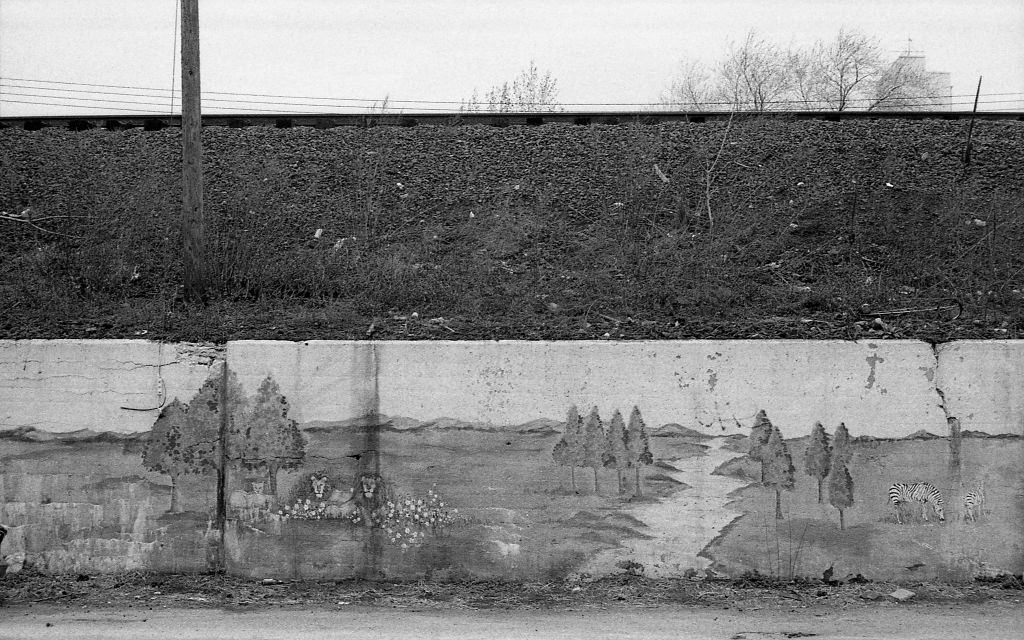
The retaining walls along 45th Avenue had become canvases by 1982. What the city called graffiti, many artists in the community called style writing — a highly structured art form with its own rules, rivalries, and hierarchy. Tags, throw-ups, and full pieces competed for wall space throughout the neighborhood.
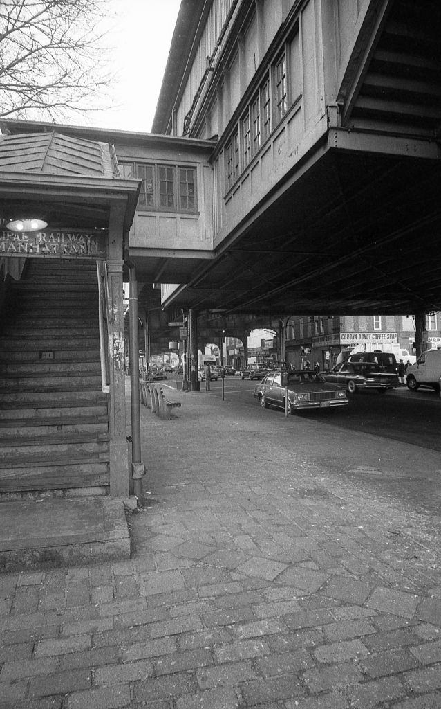
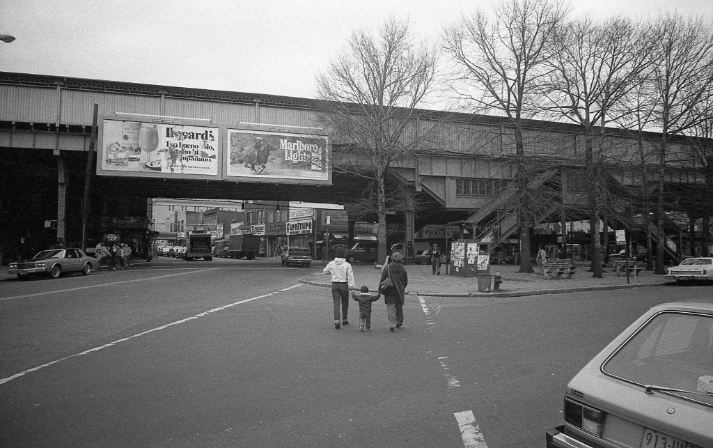
Roosevelt Avenue was Corona’s main artery. The elevated subway line running above it — the 7 train — was the lifeline connecting residents to the rest of the city. The staircases leading up to the platform were worn and heavily used. In 1982, a subway ride cost 75 cents. Many Corona residents relied on the 7 train for their daily commute into Manhattan.
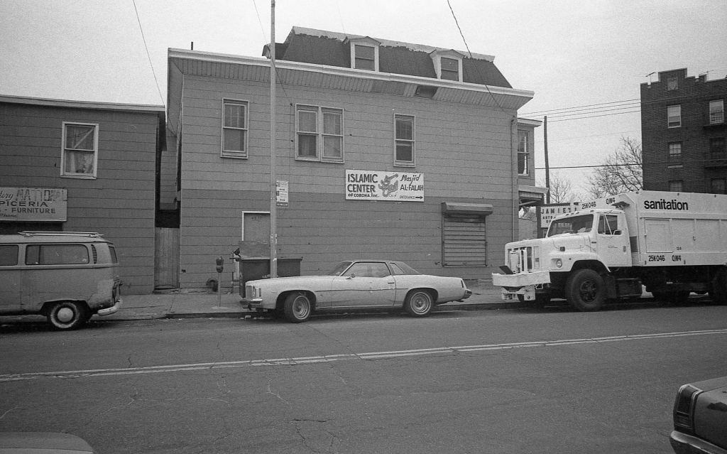
By 1982, Corona’s religious landscape was already diverse. Masjid Al-Falah on National Street served the neighborhood’s growing Muslim population, which included families from South Asia, the Middle East, and parts of Africa. The mosque’s presence on a street otherwise dominated by Latino businesses reflected just how layered Corona’s demographics had become.
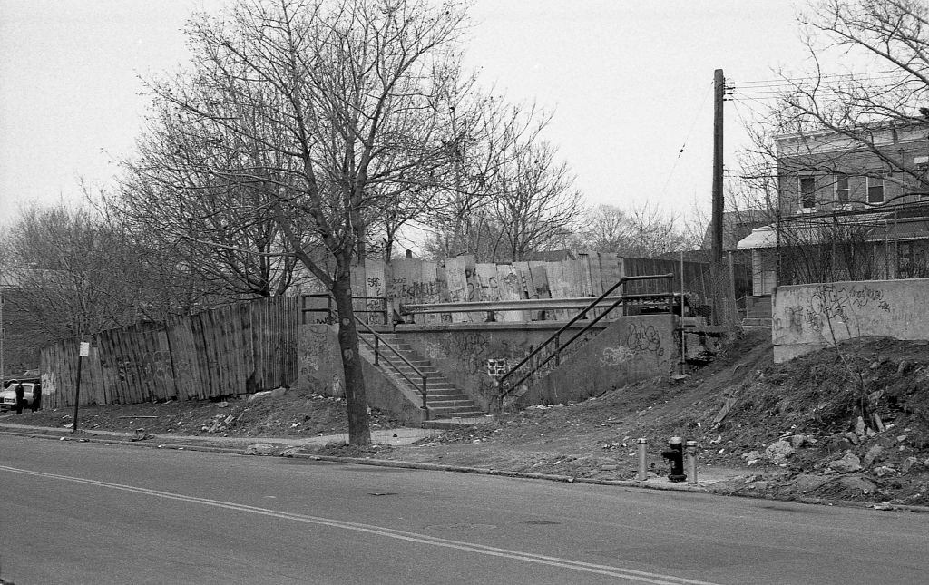
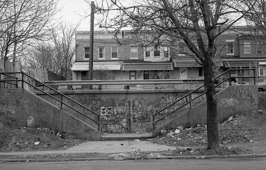
The residential blocks near 110th Street showed the wear that came with years of deferred maintenance. Crumbling cement staircases, covered in layers of spray paint, led up to front doors. This was part of a broader crisis. New York City in 1982 was still struggling through the financial collapse that had begun in the mid-1970s. City services had been cut dramatically, and working-class neighborhoods like Corona bore the brunt of the neglect.
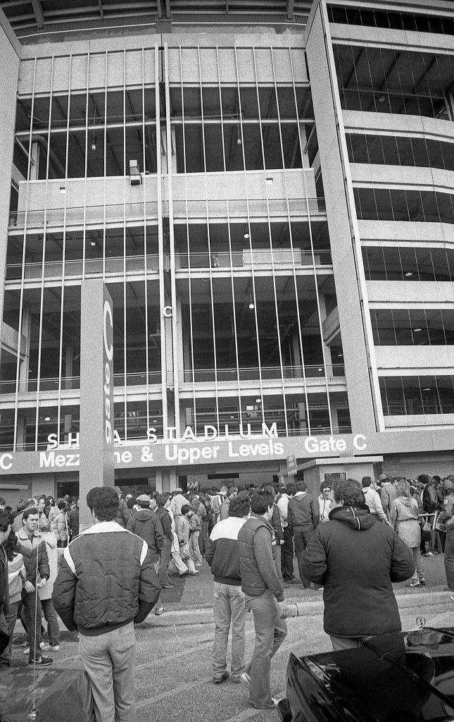
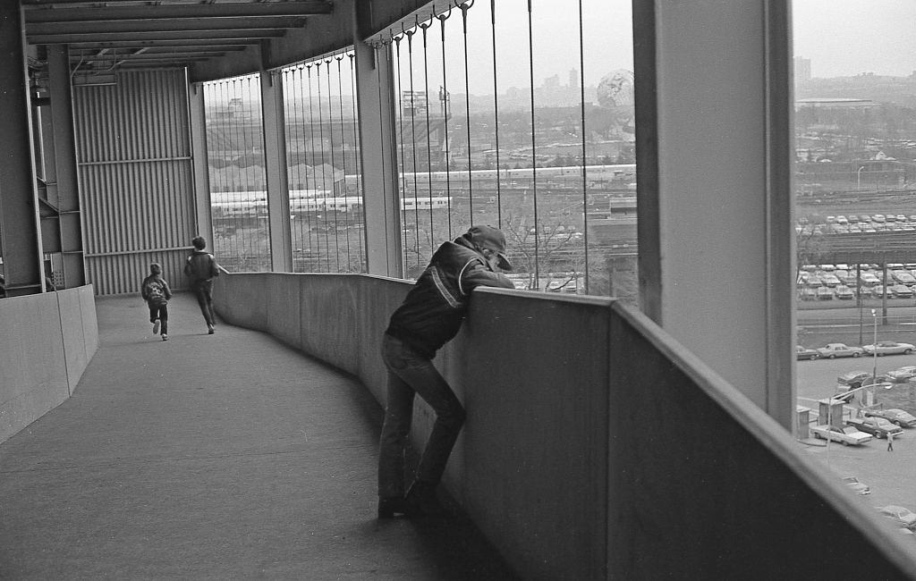
No landmark defined Corona’s northeastern edge quite like Shea Stadium. Home to the New York Mets since 1964, the stadium sat just off the Grand Central Parkway and drew tens of thousands of fans to the neighborhood on game days. On Opening Day in 1982, fans poured through Gate C to watch the Mets take on the Philadelphia Phillies. Before the first pitch, groundskeepers covered the field during a 35-minute rain delay — a fitting start for a Mets season.
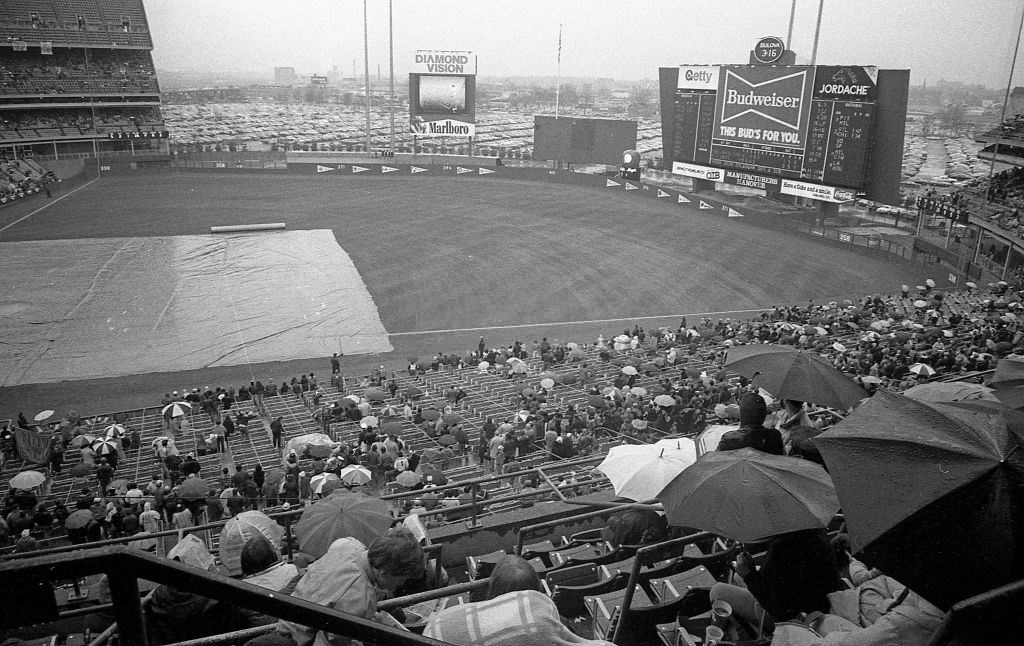
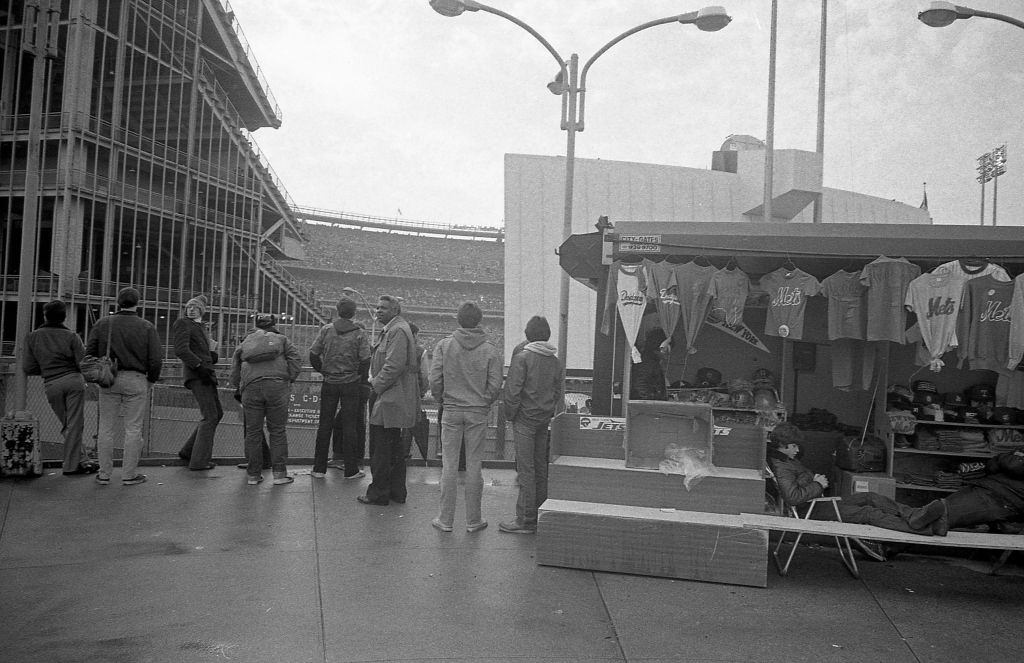
Opening Day at Shea was always a neighborhood event. Fans from Corona and across Queens made the walk or short ride to the stadium, filling the upper and lower decks. The 1982 Mets finished the season with a 65–97 record, placing them last in the NL East — but on Opening Day, the energy in the stands was still full of optimism.
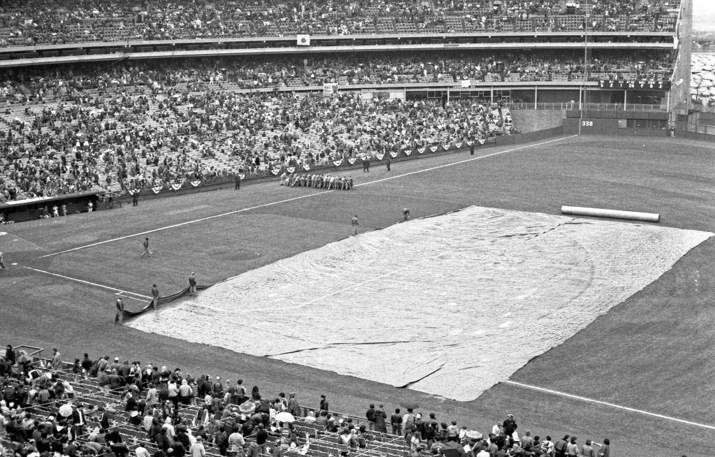
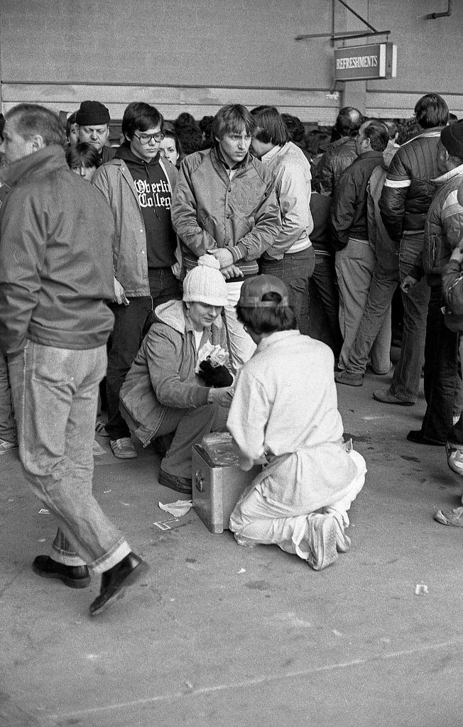
Shea Stadium’s concession vendors were as much a part of the experience as the game itself. Hot dogs, peanuts, and sodas moved through the aisles steadily throughout every inning. The vendor culture at Shea was loud and constant — a familiar soundtrack for anyone who attended games there in the early 1980s.
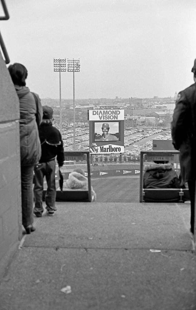
Shea Stadium installed its Diamond Vision scoreboard in 1982, making it one of the first Major League Baseball stadiums to feature a large-scale video board. From the upper deck, fans could watch instant replays and between-inning entertainment on the screen — a novelty at the time. The board became a defining feature of Shea’s identity throughout the decade.
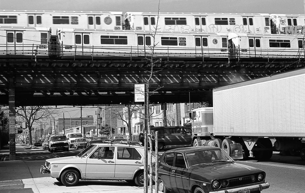
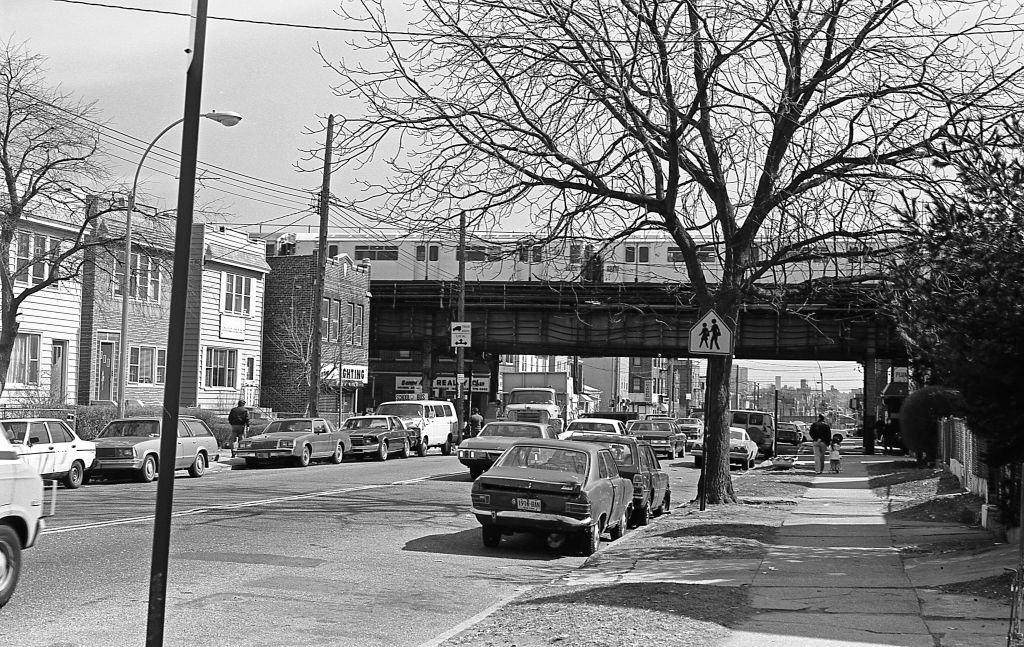
The elevated 7 train cast a permanent shadow over Roosevelt Avenue. At 108th Street, the steel columns supporting the tracks divided the road and created a dark, noisy corridor below. Car traffic, pedestrians, and street vendors all shared that space. The noise of trains passing overhead was relentless — every few minutes, the rumble and screech of wheels on steel tracks filled the street.
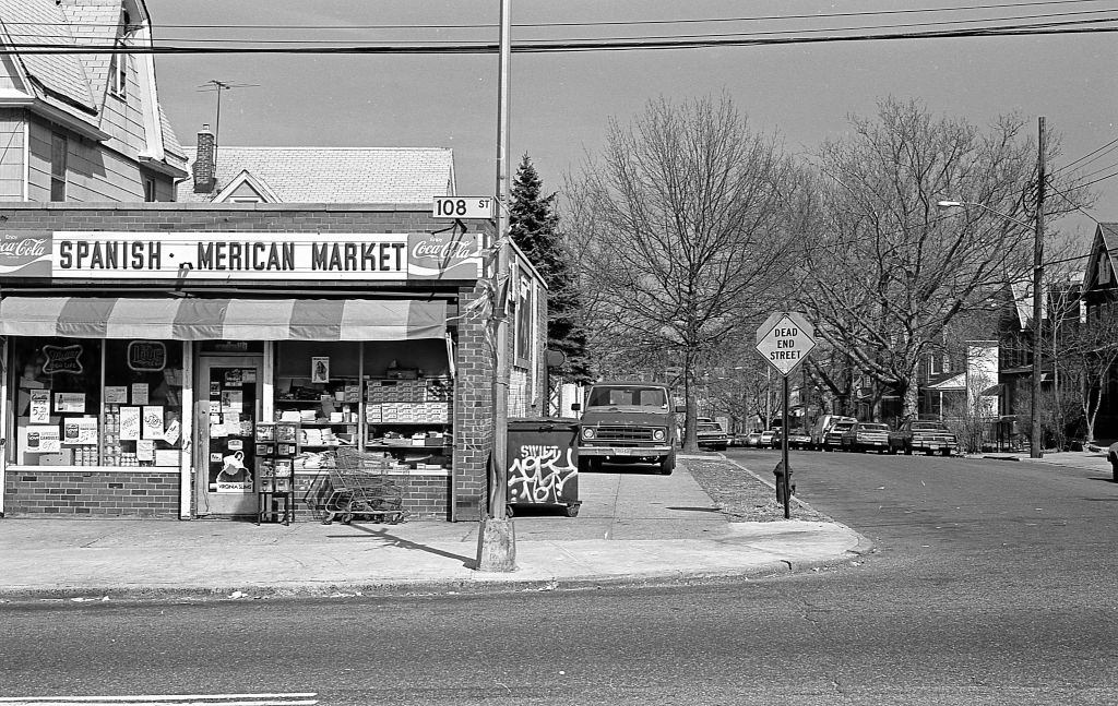
The Spanish-American Market at 108th and 37th Drive was the kind of store that anchored a block. It sold a mix of American staples and Latin ingredients — plantains, dried beans, sofrito, fresh herbs — alongside everyday goods. These markets were essential in neighborhoods like Corona, where residents wanted familiar foods from home that mainstream supermarkets didn’t carry.
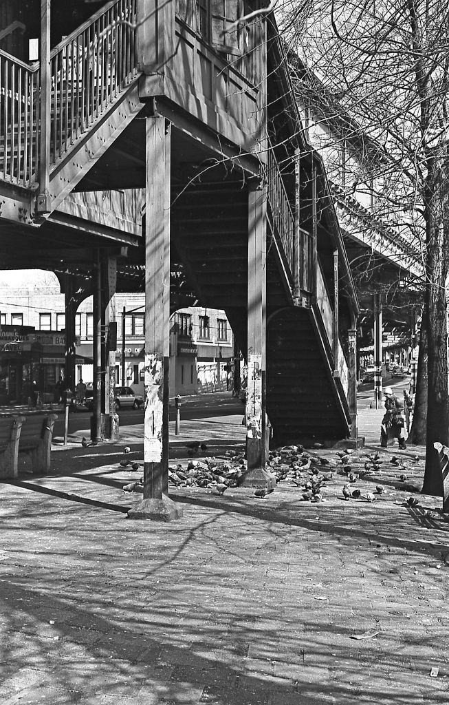
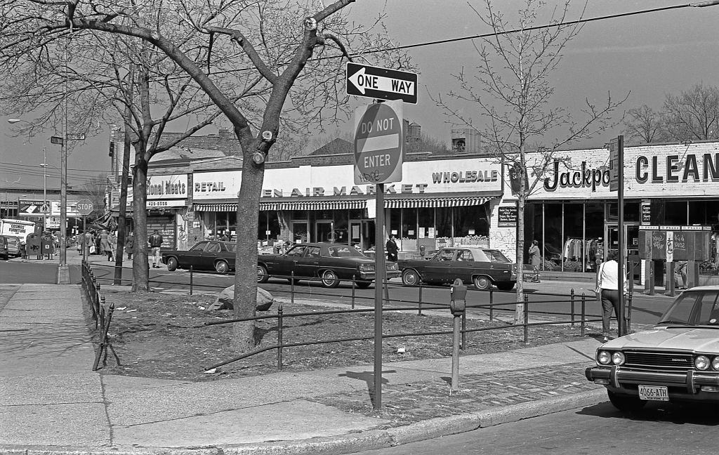
Veteran’s Square connected three major streets — 102nd, National, and 42nd Avenue — making it a natural gathering point. The small park’s triangular shape was typical of plazas formed by intersecting diagonal streets, a pattern found throughout Queens. In 1982, the park showed signs of the city’s fiscal struggles: worn benches, cracked pavement, minimal upkeep.
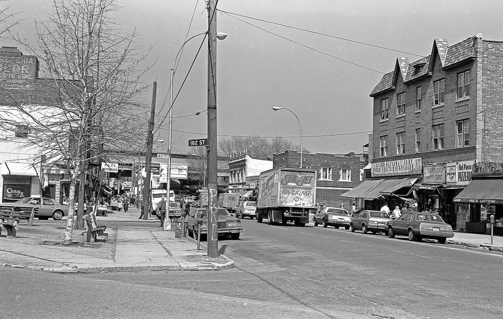
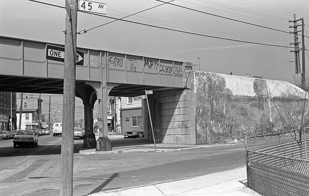
The 7 train’s elevated structure stretched across multiple intersections throughout Corona, appearing in photo after photo as a defining feature of the landscape. At 45th Avenue and National Street, the tracks crossed overhead, their steel lattice framing the street below. The line connected Corona to Flushing to the east and Times Square to the west, making it one of the most important transit routes in all of Queens.
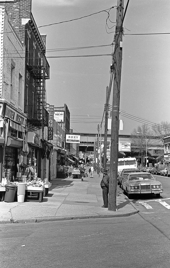
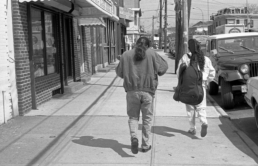
On National Street near 43rd Avenue, two men walked with their long hair tied back in ponytails — one carrying several musical instrument cases over his shoulder. It’s a small detail, but it says a lot about Corona in 1982. The neighborhood had a strong music culture, particularly in Latin jazz and salsa, and musicians were a common sight on these blocks.
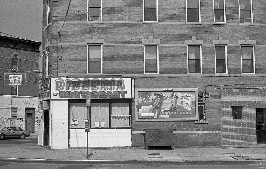
La Cantina De Don Chicho Pizzeria at Junction Boulevard and Corona Avenue was the kind of spot that mixed cultures on a menu. A pizzeria with a Spanish name, in a neighborhood where Italian-American history and Latino identity had been overlapping for decades. Corona had been an Italian-American stronghold earlier in the 20th century, and by 1982 those two communities shared streets, storefronts, and in some cases, kitchens.





I miss the Italian food of the seventies and eighties.
The era I most associate with
I miss it so much even though it is NOT the same neighborhood it once was.
Many Dominicans from the towns and countryside moved into that area and made it their home to Northern Blvd.
Goodbye to Rosie, Queen of Corona…
1982 is not vintage
My God. This is where I grew up. Such a great neighborhood to be brought up. I loved it . Miss those times . Sigh 😔
Why are these in black and white?
Thought I was the only one who noticed that immediately
17 and 18 seem to be around 109th and 110th on 37th
When did Corona go to sh!t? After Covid or before?
Hmm never hear of national street til now
Wow I lived 2-3 blocks from picture 2. Intersection of 45th Avenue and National Street, in the Corona neighborhood. Walked there to go to elementary school. Crazy how this looks. At one point there was an LIR station here but closed.