
Rio de Janeiro is Brazil’s second-most populous city and one of the most visited cities in the entire Southern Hemisphere. Its reputation rests on a striking combination of natural and cultural features — sweeping beaches, dramatic mountain peaks, vibrant street art, and the largest carnival celebration in the world. The city served as Brazil’s colonial capital starting in 1763, and after independence, it remained the national capital until 1960, when Brasília took that role.
After World War II, Rio grew at a rapid pace. The population surged, skyscrapers went up, new landmarks were built, and major bridges and freeways reshaped the city’s layout. The economy shifted away from agriculture and moved toward industry. By the time the 1980s arrived, Rio was a city in full motion — dense, colorful, and full of contrast. These photographs capture exactly that.
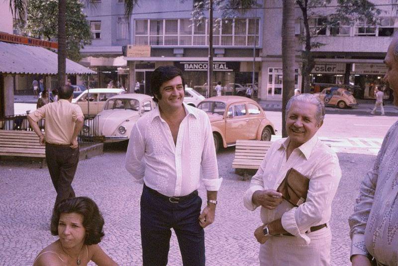
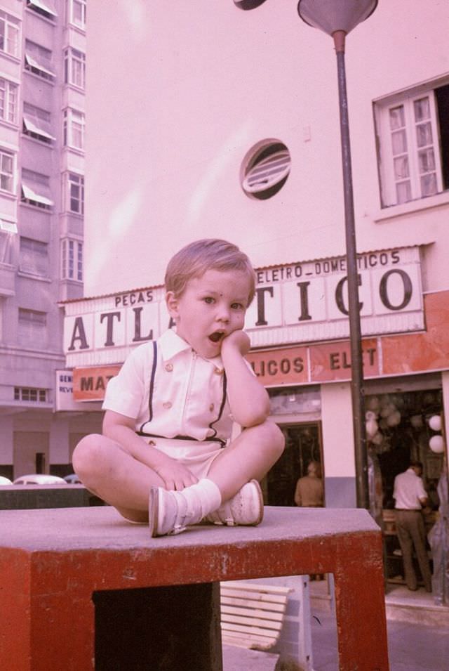
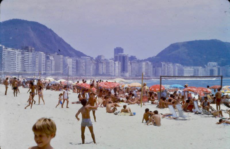
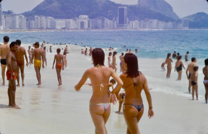
Copacabana was the heartbeat of Rio in the 1980s. Its famous 4-kilometer beachfront strip drew locals and tourists alike, seven days a week. The wide mosaic sidewalk along Avenida Atlântica — a wavy black-and-white pattern inspired by Portuguese pavement — bordered a beach that never seemed to sleep. Vendors, volleyball games, swimmers, and sunbathers filled every stretch of sand from morning to evening.
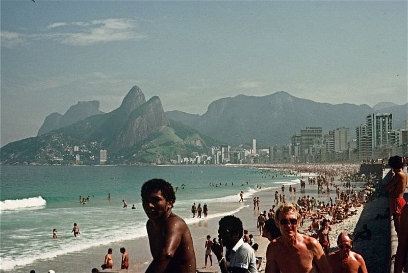
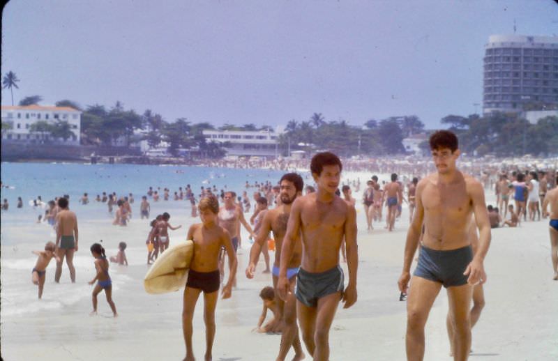
Just south of Copacabana sits Ipanema, a neighborhood that became internationally famous thanks to the 1962 bossa nova song “The Girl from Ipanema.” By 1980, it had grown into one of Rio’s most fashionable addresses, with its beach drawing a younger, trend-conscious crowd. The two neighborhoods shared the same warm Atlantic water but carried distinct personalities.
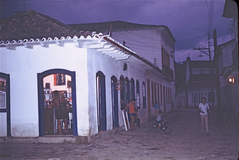
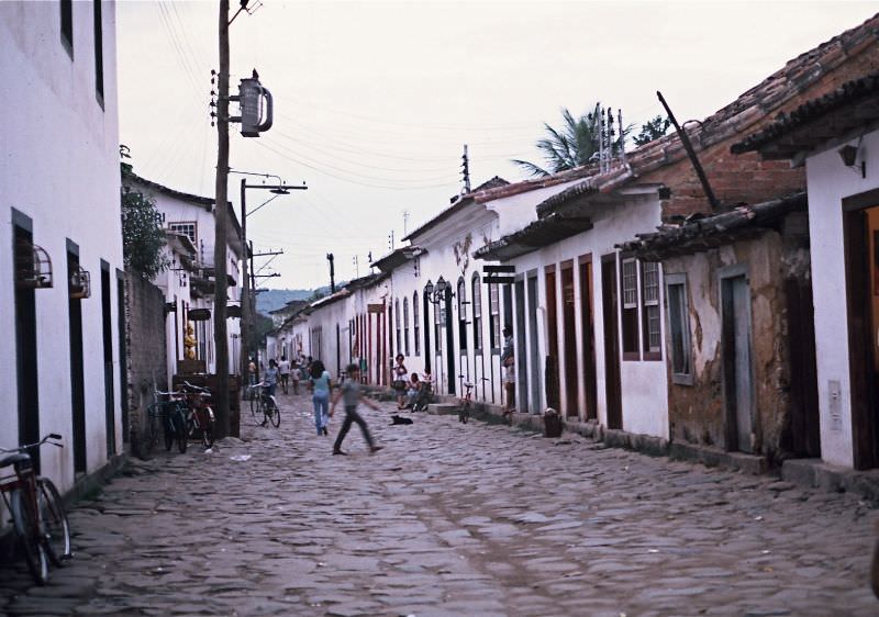
About 250 kilometers southwest of the city center lies Paraty, a colonial port town that had been largely frozen in time since the 18th century. Its cobblestone streets, whitewashed buildings with brightly painted window frames, and historic churches made it a striking contrast to the modern bustle of Rio. In 1980, Paraty was already recognized as a Brazilian national historic site, and visitors traveled there to experience a Brazil that predated the industrial age.
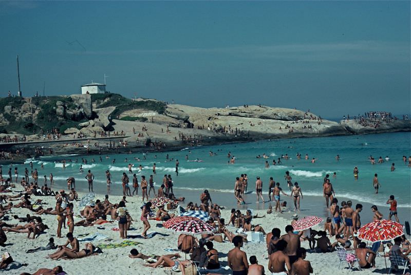
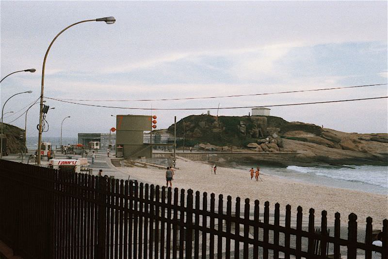
Praia do Arpoador sits at the narrow rocky point where Ipanema ends and Copacabana begins. It was a favorite spot for surfers and those who wanted to watch the sunset over the ocean. The rock formation jutting into the sea gave it a rawer feel than its more polished neighboring beaches, and the waves made it one of the best surf breaks in the city.
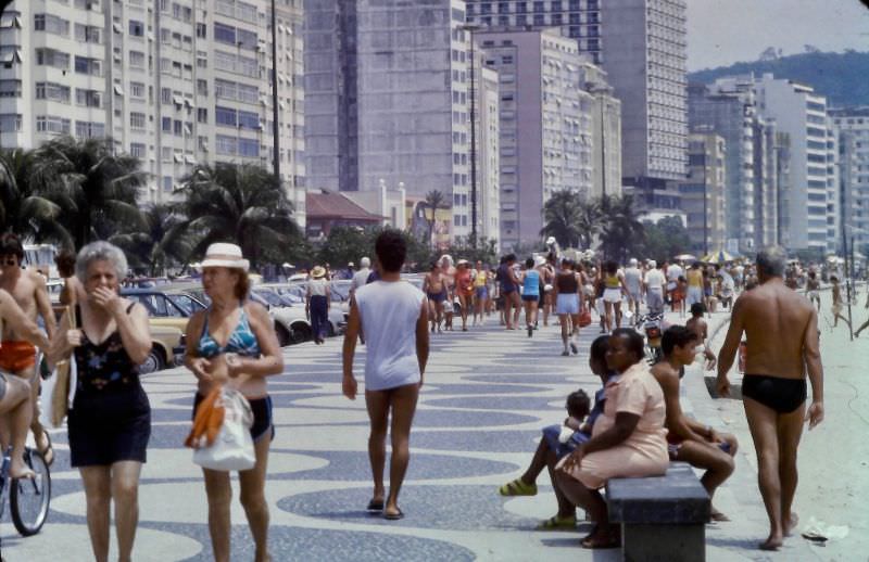
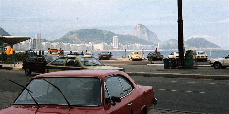
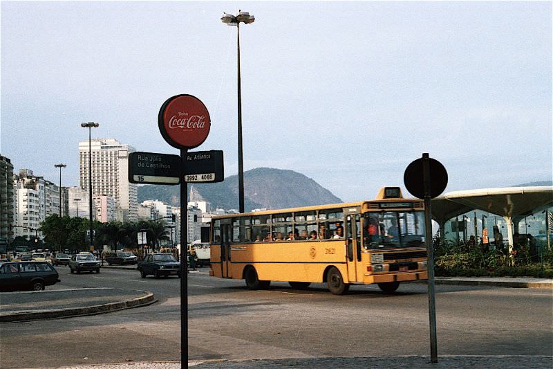
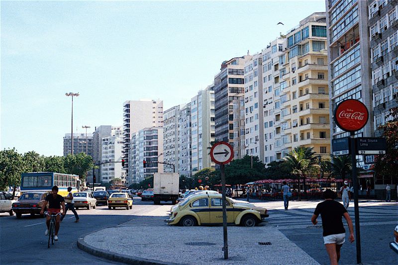
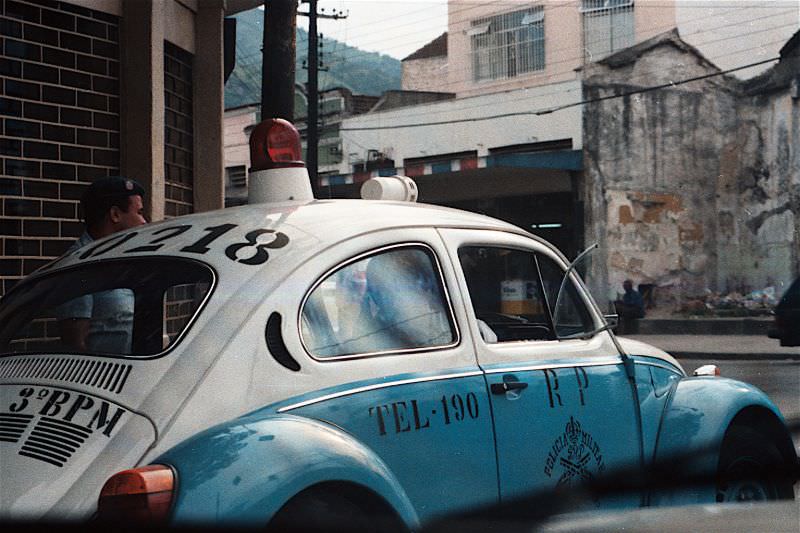
Avenida Atlântica ran the full length of Copacabana Beach and served as one of Rio’s most recognizable streets. In 1984, it was lined with luxury hotels, open-air kiosks, and a constant flow of traffic. The avenue was both a tourist corridor and a working road, with cars, taxis, and buses moving alongside people strolling the wide sidewalk. The Volkswagen Beetle — known in Brazil as the “Fusca” — was everywhere on these streets, serving as taxis and even police vehicles.
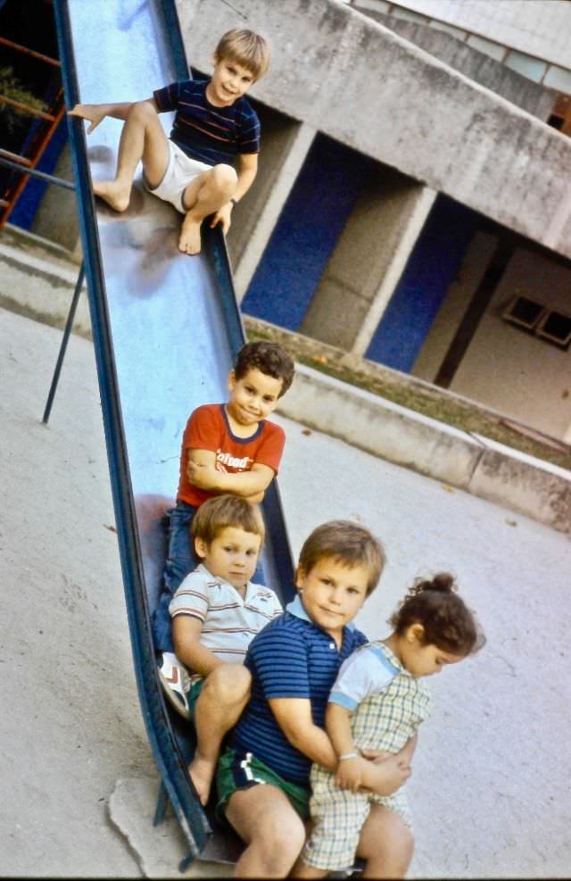
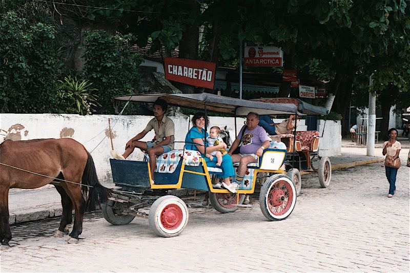
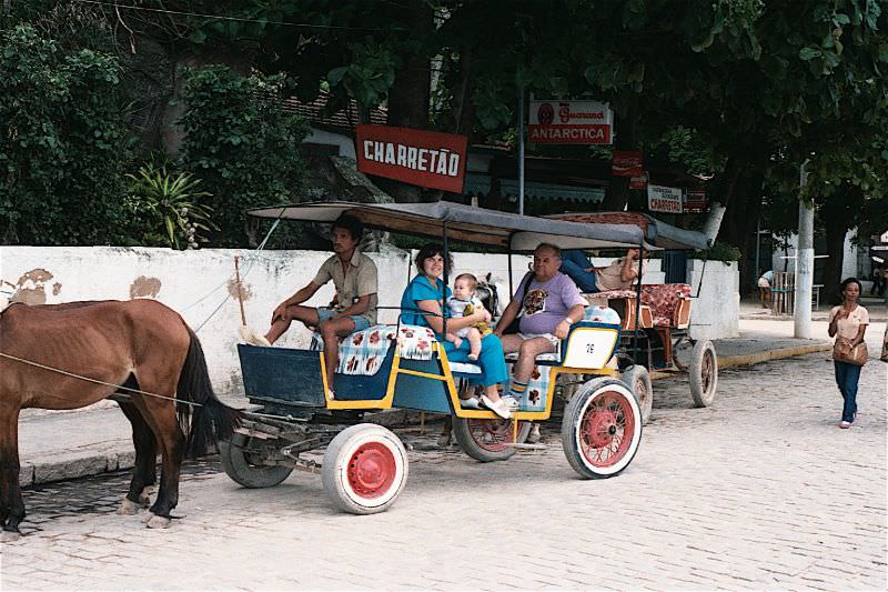
Paquetá Island, located in Guanabara Bay, offered a completely different pace of life from the mainland city. Motor vehicles were banned on the island, and residents and visitors got around by bicycle or horse-drawn carriage. In 1984, the island’s slow, quiet rhythm made it a popular escape for cariocas — the name for Rio’s residents — looking for a break from the city’s intensity.
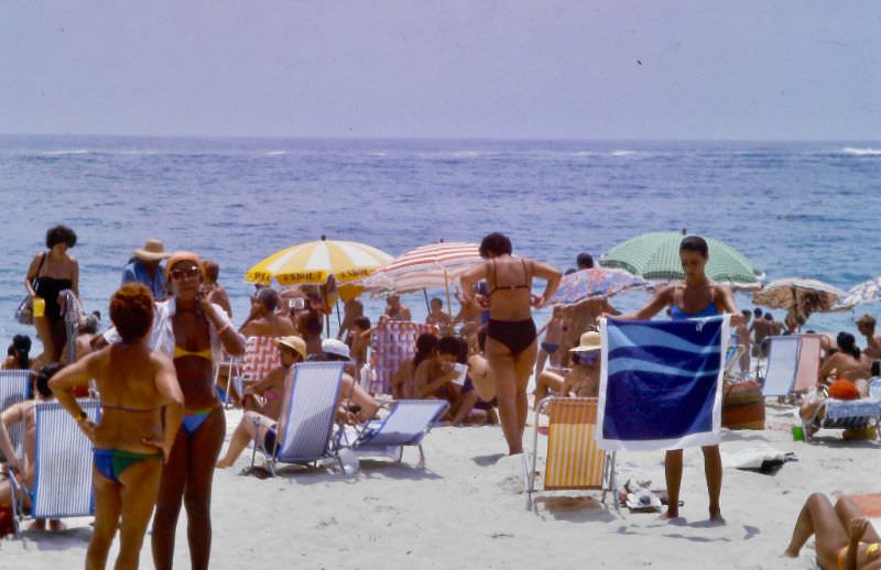
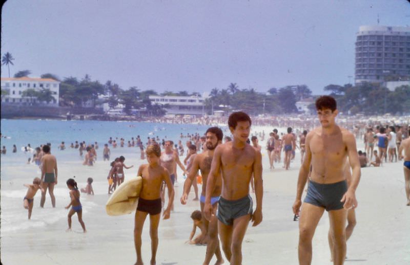
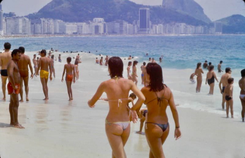
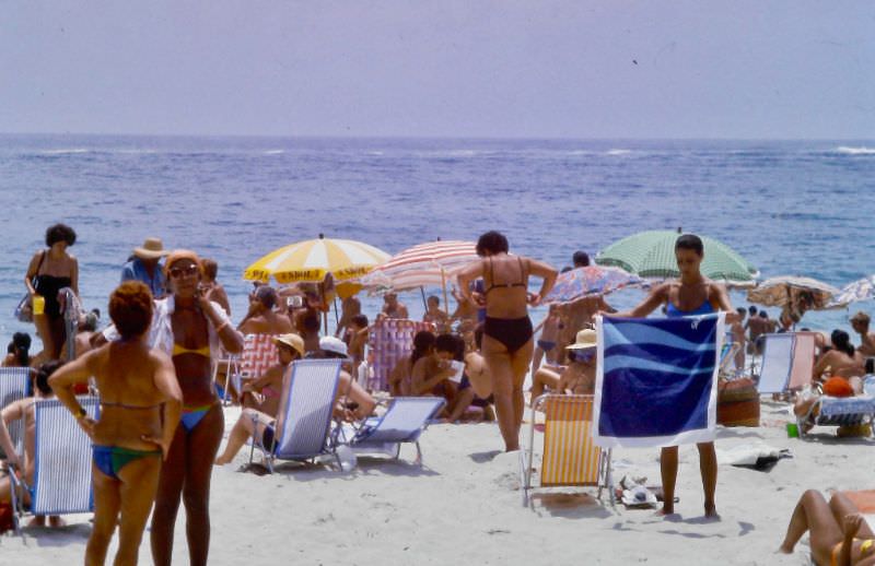
Copacabana Beach in 1984 was a social institution. Each section of the beach was informally claimed by different groups — families near the posts closer to the Leme end, surfers near Arpoador, football players scattered throughout. Beach vendors walked the sand selling everything from mate tea and coconut water to snacks and sunglasses. The beach operated as an outdoor living room for much of the city.
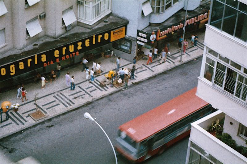
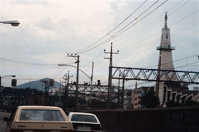
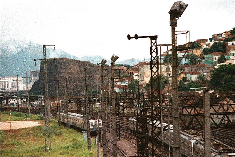
Engenho Novo was a working-class neighborhood in Rio’s North Zone. Far from the postcard beaches of the South Zone, it was a dense residential and commercial district shaped by the rail lines that ran through it. The neighborhood’s name — Portuguese for “new mill” — reflected its origins as an area tied to sugar production during earlier centuries.
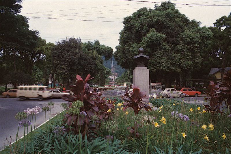
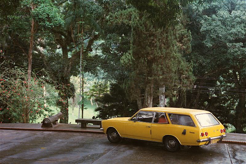
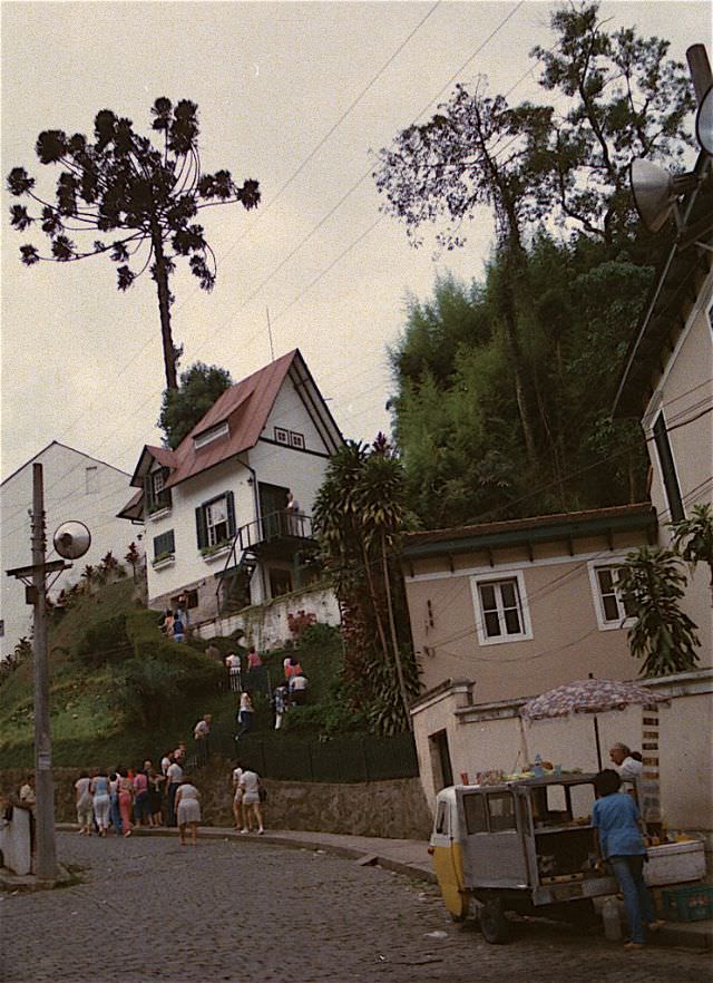
Petrópolis, a mountain city about 65 kilometers north of Rio, served as the summer retreat for Brazilian emperors in the 19th century. By the 1980s, it remained a well-preserved destination known for its European-influenced architecture, cool climate, and lush gardens. The city was also home to the Santos Dumont House and Museum, dedicated to the Brazilian aviation pioneer Alberto Santos Dumont, who built a small chalet there that he called “A Encantada” — The Enchanted One.
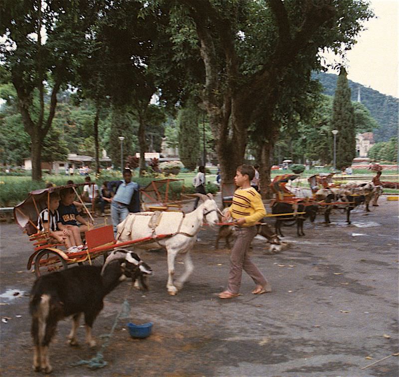
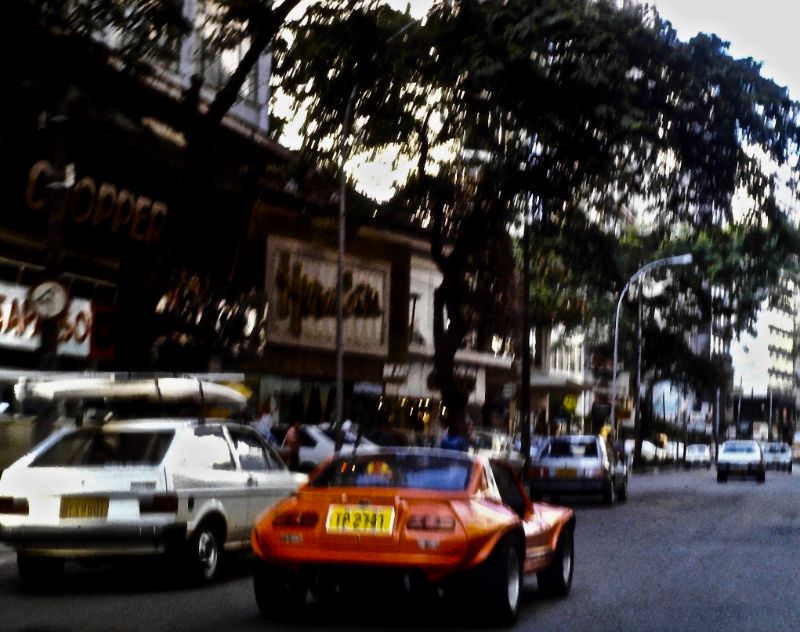
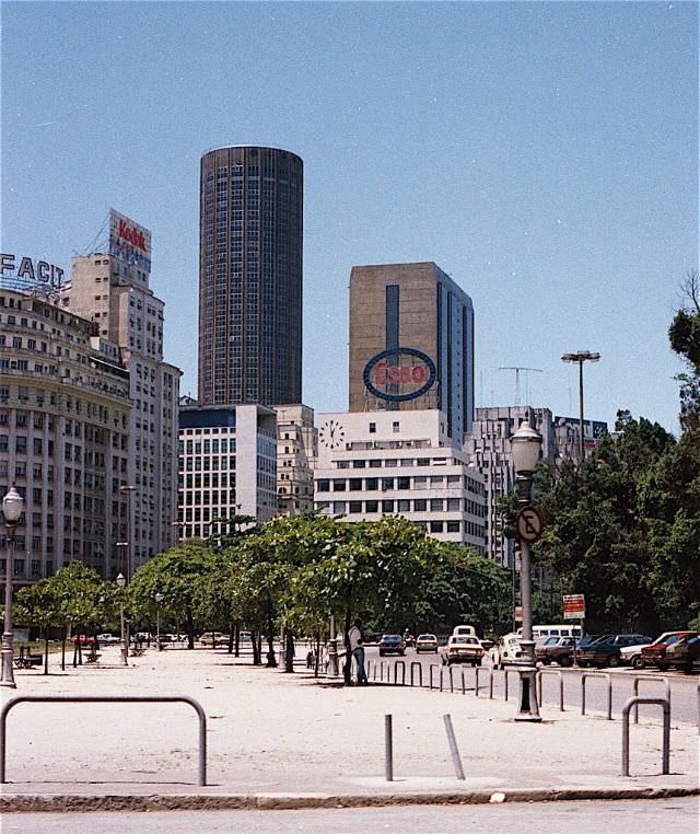
Rio’s streets in 1984 carried a particular kind of energy — crowded, loud, and layered. Downtown streets like Avenida Presidente Vargas cut through the city in broad, busy lanes, flanked by mid-century office buildings and commercial storefronts. Street vendors, pedestrians, and a steady flow of Fusca taxis gave the sidewalks a constant rhythm that was distinctly carioca.
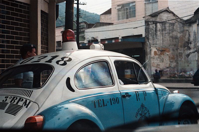
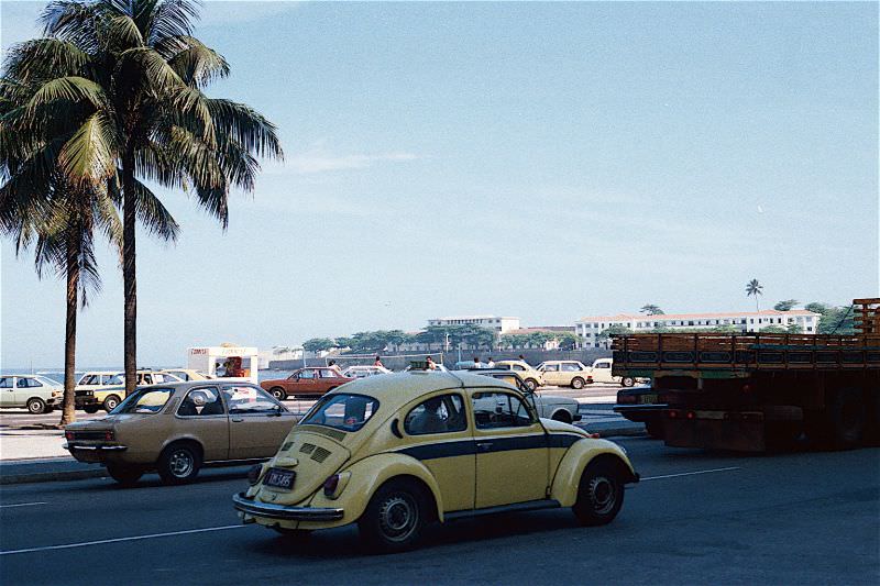
The Volkswagen Beetle was produced in Brazil from 1959 onward, and by the 1980s it had become deeply woven into Rio’s urban landscape. The city’s taxi fleet relied heavily on the Fusca, its small frame weaving easily through congested streets. Police departments also used Beetle variants as patrol cars, a sight that became one of the more distinctive images of Rio during this era.
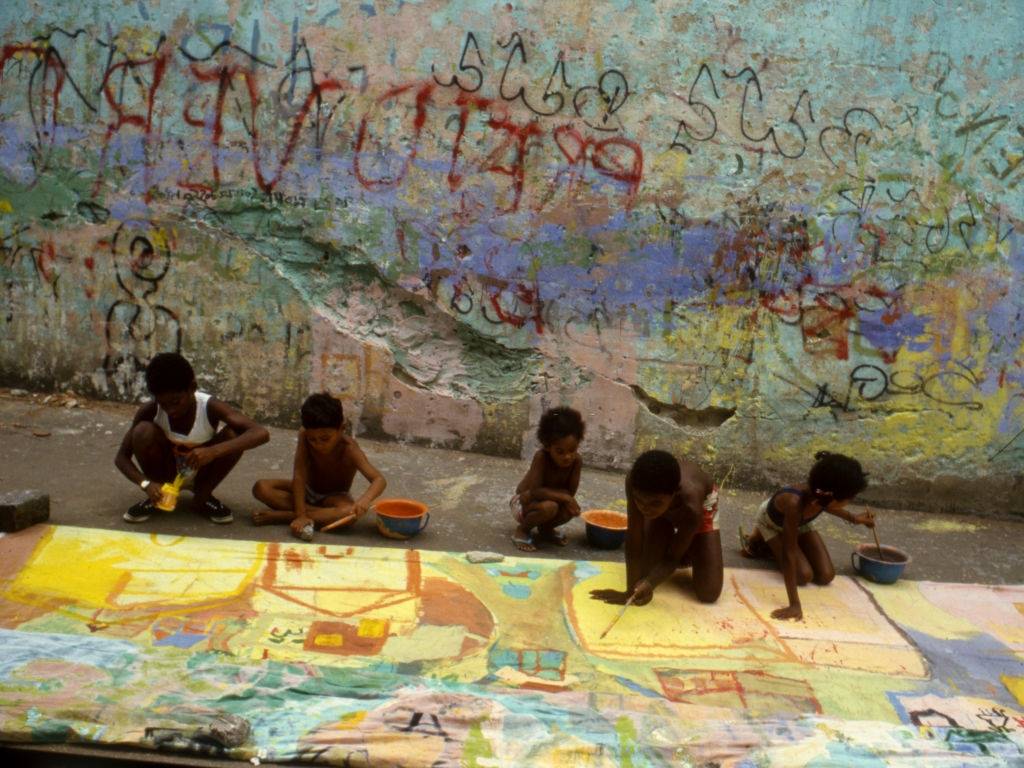
Rio’s favelas — informal hillside settlements — were home to a large portion of the city’s population throughout the 1980s. These communities developed largely without government planning, expanding rapidly as migration from rural Brazil brought more people to the city than formal housing could absorb. Life in the favelas was defined by tight-knit communities, limited infrastructure, and significant economic hardship, even as the settlements sat directly adjacent to some of the wealthiest neighborhoods in Brazil.
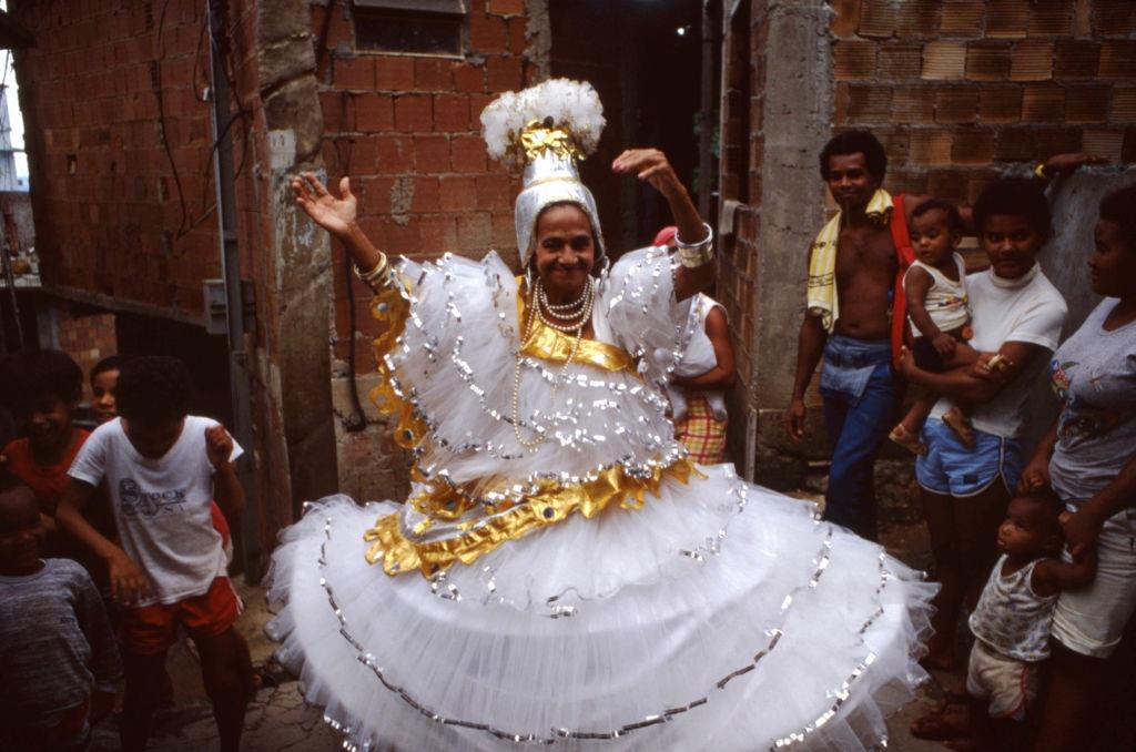
Rio’s carnival was, and remains, the largest in the world. Each year, samba schools from the city’s neighborhoods — many based in the favelas — spent months preparing elaborate floats, costumes, and choreography for their parade down the Sambódromo. The 1980s were a particularly important decade for carnival, as the Sambódromo itself was built in 1984 by architect Oscar Niemeyer, replacing the open street parades with a dedicated competition venue that could seat tens of thousands of spectators.
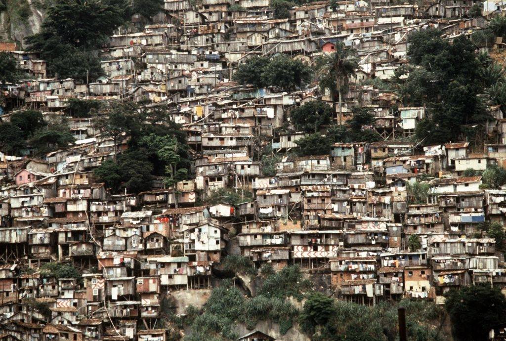
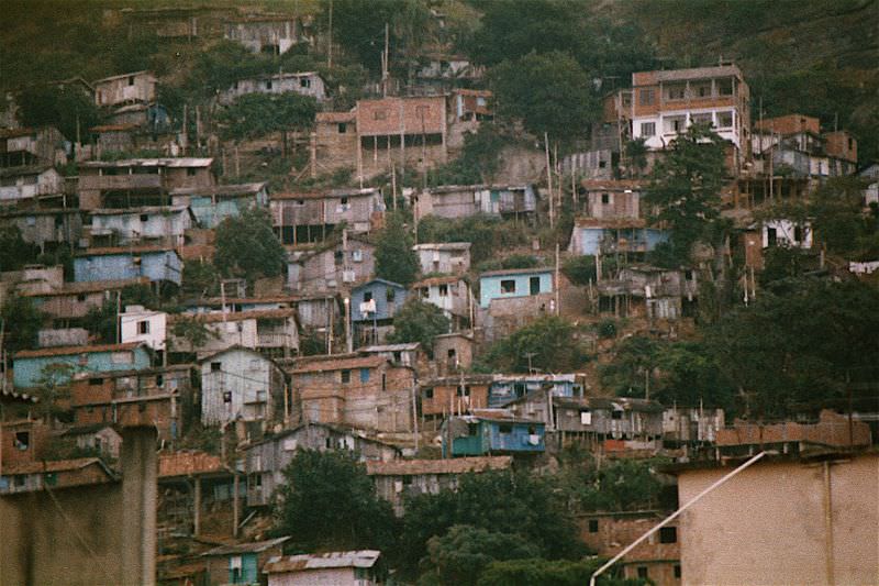
The contrast between wealth and poverty in 1980s Rio was sharp and visible. Favelas climbed the hills directly above upscale beachfront neighborhoods like Copacabana, with makeshift brick and wood homes stacked densely on slopes that offered commanding views of the same ocean that bordered five-star hotels below. This geographic closeness between extreme wealth and extreme poverty was one of the defining characteristics of Rio’s urban reality.
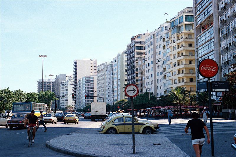
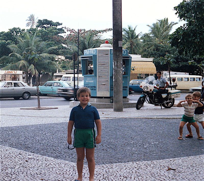
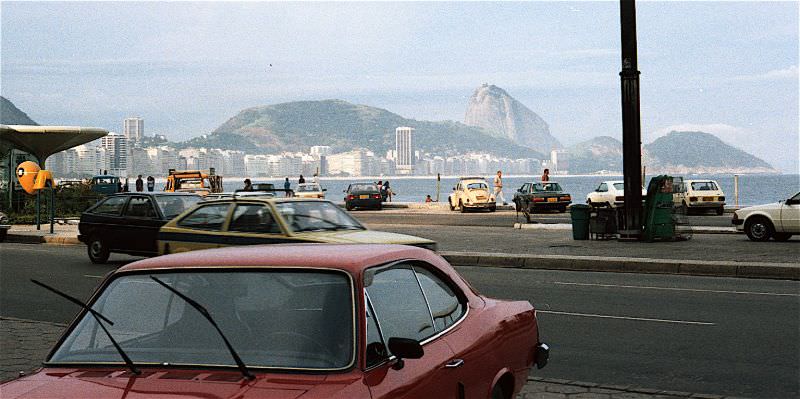
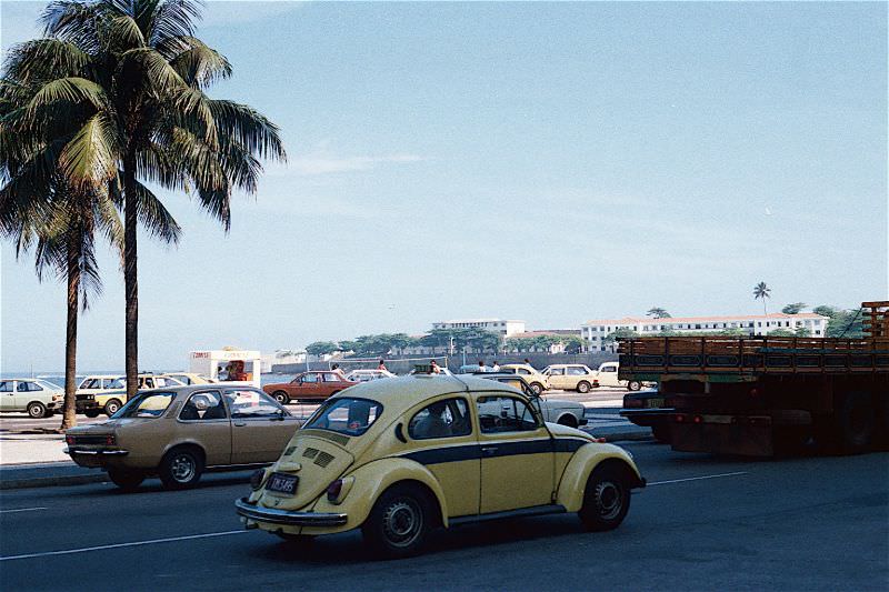
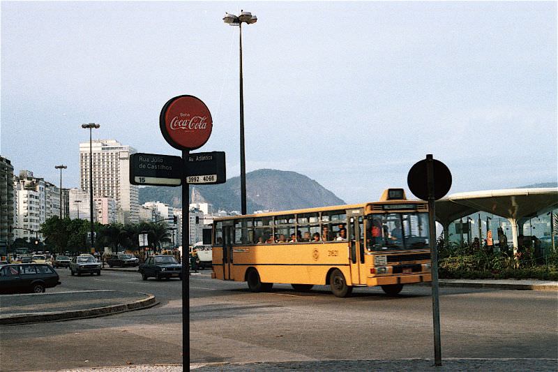
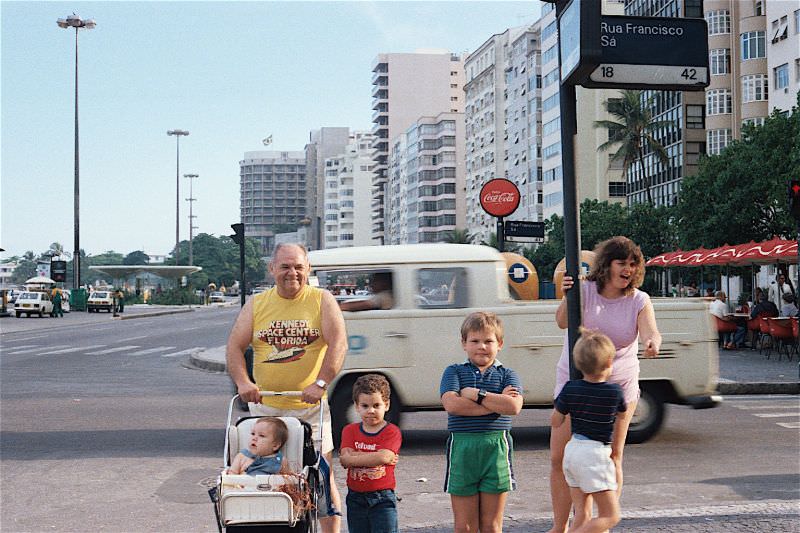
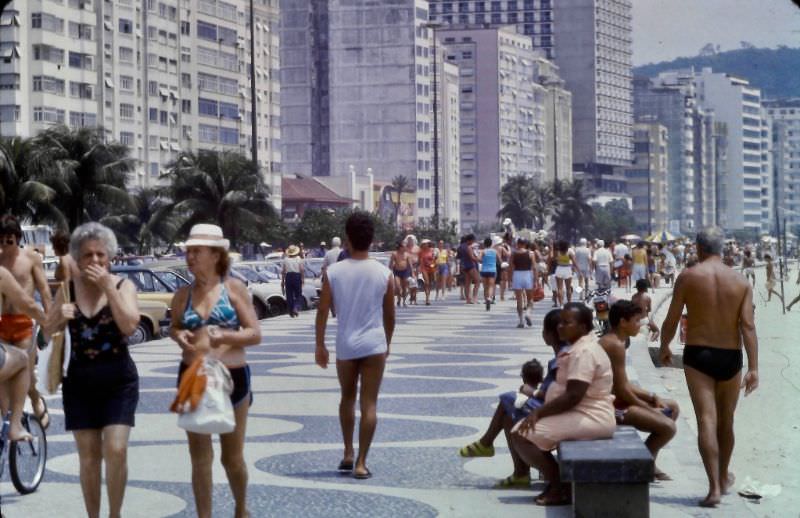
Throughout 1984, Avenida Atlântica appeared again and again as the visual centerpiece of Copacabana. Its sidewalks, hotels, and beachside activity captured the energy of a neighborhood that was simultaneously a tourist destination and a lived-in community. The avenue attracted photographers drawn to its combination of elegant architecture, street life, and the ever-present backdrop of the South Atlantic.
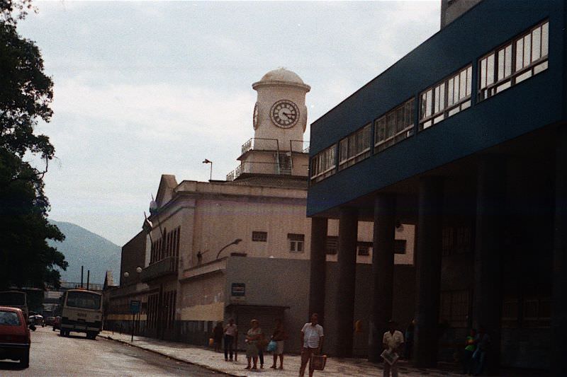

Aterro do Flamengo was a large urban park built on reclaimed land along Guanabara Bay. Designed by landscape architect Roberto Burle Marx and opened in 1965, it stretched across 1.2 million square meters and included walking paths, sports courts, playgrounds, and open green spaces. By 1984, it had become one of the most heavily used public parks in the city, giving residents of the densely packed South Zone direct access to open space along the water.
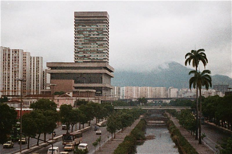
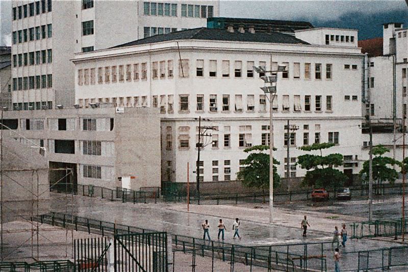
Canal do Mangue was a historic waterway running through Rio’s North Zone, connecting the city’s port area to the inland neighborhoods. By the 1980s, it had become heavily polluted, surrounded by industrial and residential development. The canal was a remnant of an older Rio, a reminder of the city’s pre-industrial geography that had been increasingly built over and neglected as the metropolis expanded.
Santos Dumont Airport sat right on the edge of downtown Rio along the shore of Guanabara Bay. Named after Brazil’s aviation pioneer, it handled domestic flights and served as the city’s secondary airport alongside Galeão International. The view from above showed the tight packing of the city center — a grid of mid-century buildings pressed up against the bay, with the hills and favelas rising behind them.
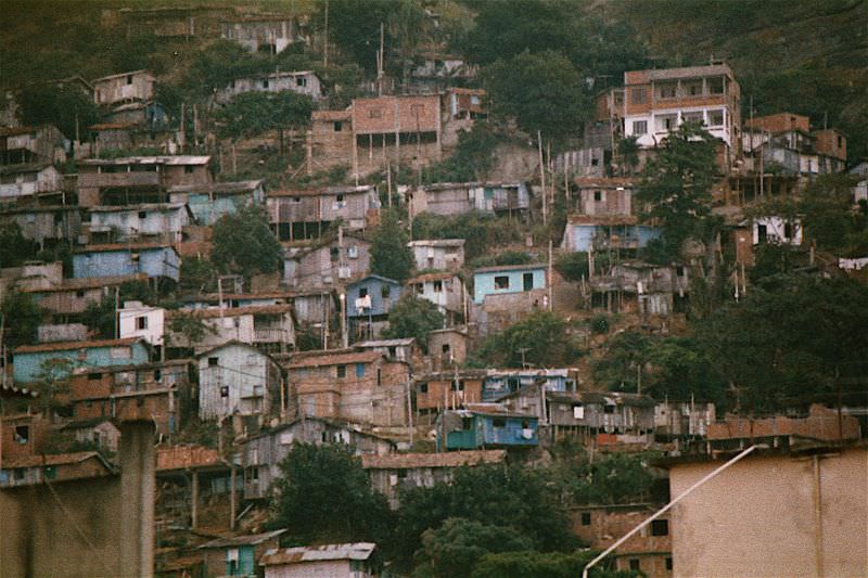
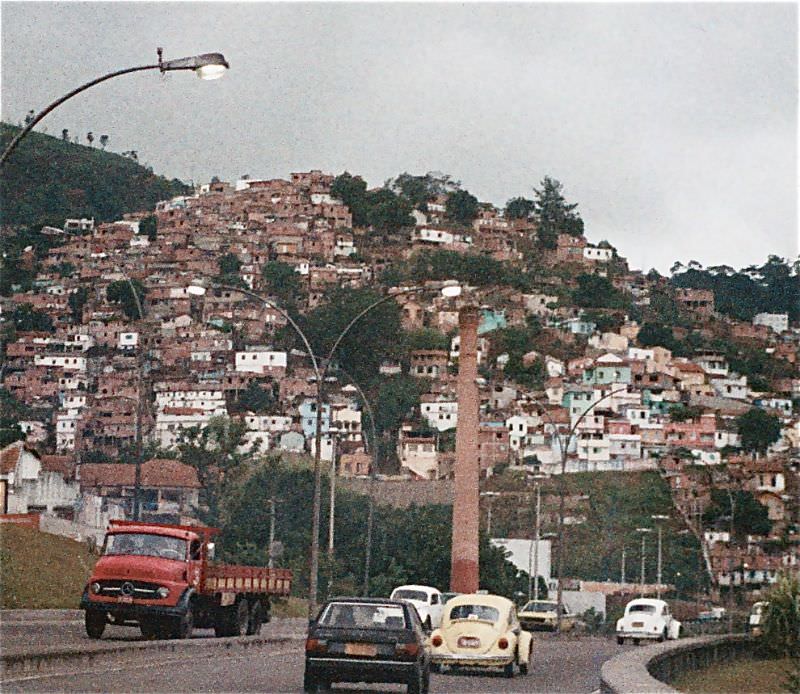
The favelas of Rio were not on the city’s periphery — they were embedded within it. Communities like Pavão-Pavãozinho and Cantagalo sat directly on the hills above Copacabana and Ipanema. Residents of these hillside communities often worked in the formal economy below, traveling downhill each day to jobs in hotels, restaurants, and homes in the wealthy South Zone neighborhoods at their feet.
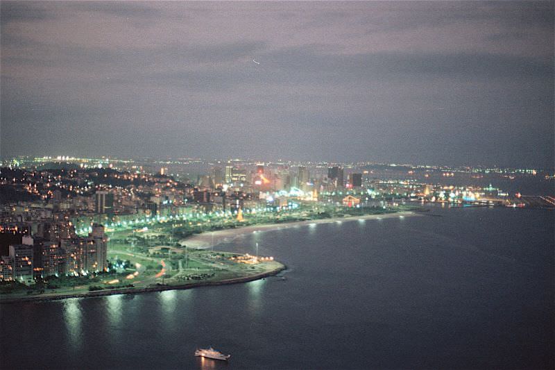
Sugarloaf Mountain — known in Portuguese as Pão de Açúcar — rises 396 meters at the mouth of Guanabara Bay. From its summit, the full scope of Rio’s geography was visible: the bay, the beaches, the flat grid of the city center, the green hills, and the favelas climbing their slopes. A cable car system first built in 1912 carried visitors to the top, and by 1984 it was one of the most iconic tourist experiences in South America.
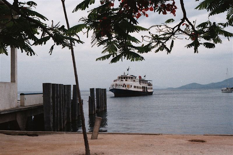
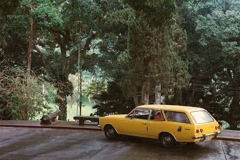
Parque da Cidade — City Park — sat in the Gávea neighborhood and offered a forested escape within the urban landscape. The park’s trails wound through Atlantic Forest vegetation that had survived the city’s expansion, offering views down toward the Lagoa Rodrigo de Freitas and the South Zone coastline. It was one of several green spaces in Rio where the original forest cover remained intact amid the concrete sprawl.
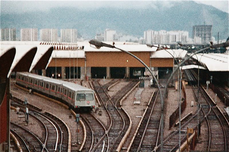
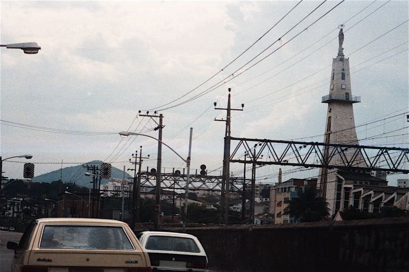
Rio’s train network, operated by the Rêde Ferroviária Federal — the Federal Railway Network — connected the city center to outlying neighborhoods and suburbs across the metropolitan region. The trains were a primary mode of transport for workers in the North Zone and beyond, carrying hundreds of thousands of passengers daily on lines that had been built decades earlier. By the 1980s, the network was aging and overcrowded, but it remained essential to the city’s daily movement.
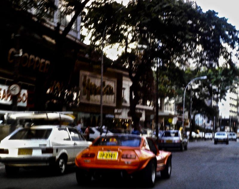
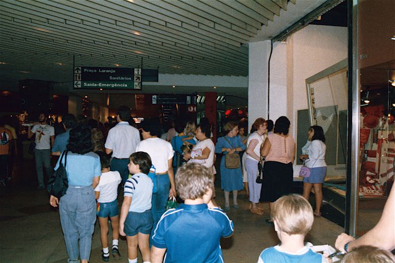
Rio Sul Shopping Center opened in 1980 in the Botafogo neighborhood, becoming one of the first large enclosed malls in Rio. Its arrival marked a shift in how the city’s middle and upper classes shopped and socialized. By 1984, Rio Sul was a well-established retail hub, drawing customers from across the South Zone and signaling the growing influence of American-style consumer culture in Brazilian urban life.
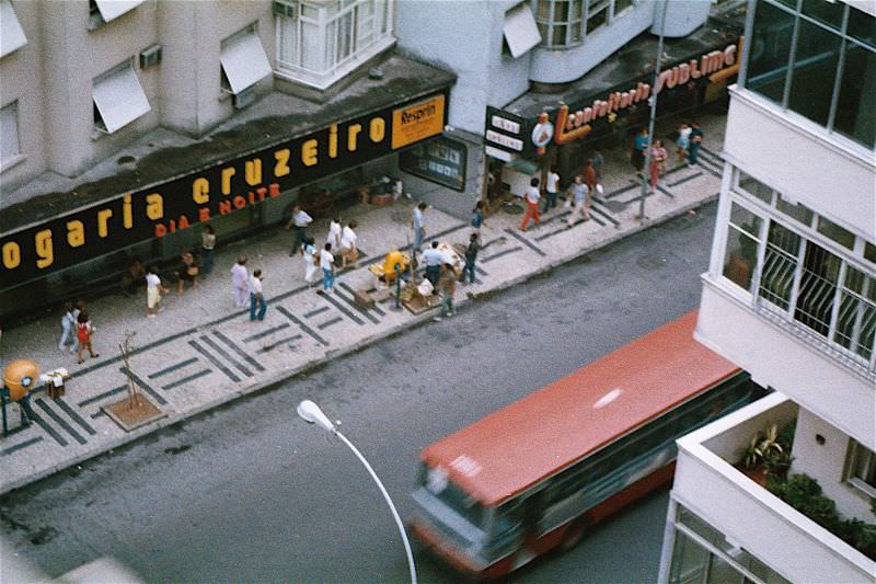
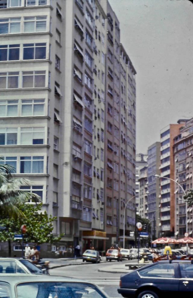
Rua Sousa Lima was one of the residential side streets cutting through Copacabana, away from the tourist-facing beachfront. Streets like this one showed the neighborhood’s denser, more lived-in character — apartment buildings close together, small shops at street level, laundry visible on balconies. Copacabana in 1984 was one of the most densely populated urban areas in the world, with tens of thousands of people packed into its relatively small footprint.
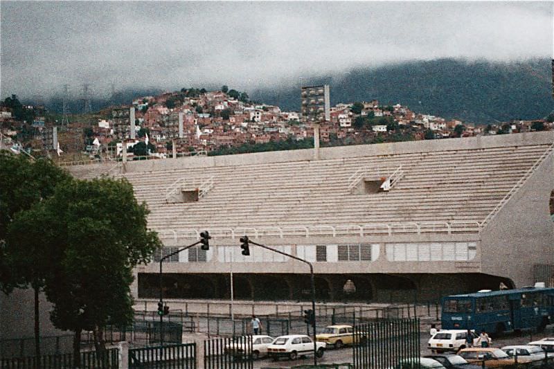
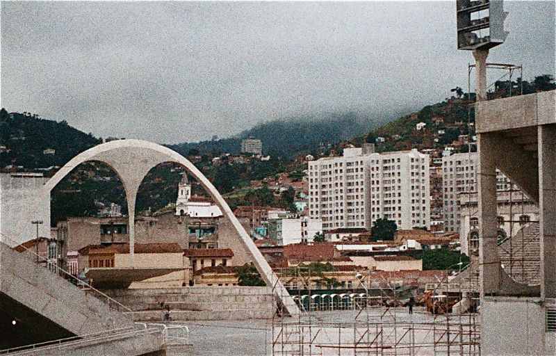
The Sambódromo Marquês de Sapucaí was completed in 1984, designed by Oscar Niemeyer and built in just 17 months. The 700-meter parade avenue was flanked by permanent grandstands and bleachers with a capacity of around 90,000 spectators. Before its construction, carnival parades ran through the open streets of downtown Rio. The Sambódromo gave the competition a permanent home and transformed carnival into a more organized, ticketed event while preserving the extraordinary scale and spectacle that made it famous worldwide.





It doesn’t look much different
So the same
It seems that nothing has changed…
The new ingenuity hasn’t changed at all