

In the late 1930s, Cincinnati was a city in motion. Neighborhoods were growing, construction projects were reshaping old streets, and everyday life carried on against a backdrop of Depression-era hardship. One young man made it his mission to document all of it. Nelson Ronsheim was just 18 years old when he began photographing Cincinnati with remarkable dedication. A student of history, he understood the value of preserving what others walked past without a second glance. By the end of the decade, he had captured more than 800 photographs of the city — its streets, its people, its skyline, and its quiet corners.
Ronsheim’s work spans two years, from 1938 into 1939, and the range of subjects he chose tells a complete story of urban life. He photographed major infrastructure projects alongside children playing in parks. He pointed his camera at factory workers, city skylines, river views, and neighborhood staircases. The result is one of the most detailed visual records of Cincinnati from this period. The photos below are drawn from that collection, and each one offers a precise window into what the city looked like during those years.
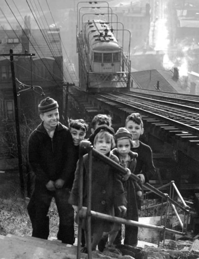
The Mt. Adams neighborhood appears throughout Ronsheim’s work, and one of his earliest images shows why the area fascinated him. The Mt. Adams incline was a funicular railway that carried passengers up the steep hillside, and it remained a fixture of daily life in late 1930s Cincinnati.
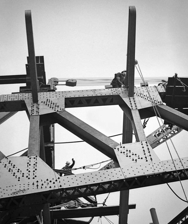
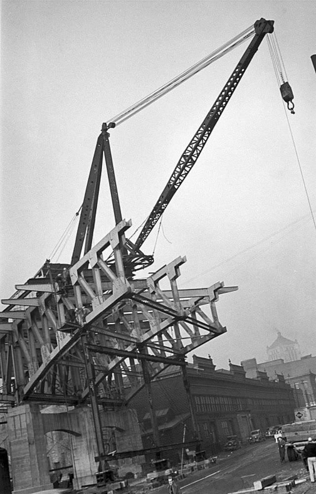
While residents moved through their daily routines, the city itself was being physically rebuilt. January 1938 saw major construction work underway on Columbia Parkway, a road project that required a viaduct to carry traffic over Eggleston Avenue. Ronsheim documented the project from multiple angles, showing both the scale of the work and the industrial machinery involved.
The same month, Ronsheim turned his lens toward other parts of the city’s changing road network. The Kenton Street overpass, looking west down Florence Avenue, showed how new infrastructure was layering itself over older streets and neighborhoods.
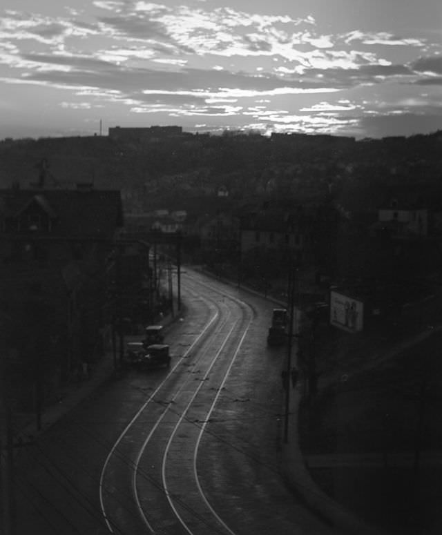
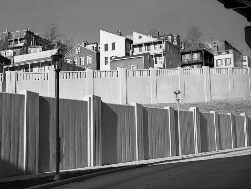
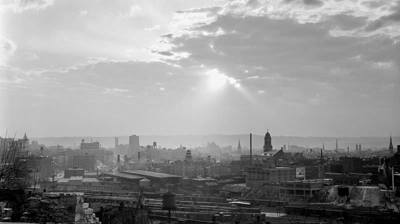
By spring 1938, Ronsheim was capturing the quieter rhythms of city life. A morning street scene from April shows Cincinnati at an early hour, before the day’s full activity began. Around the same time, he sought out elevated viewpoints that gave a fuller picture of the downtown skyline.
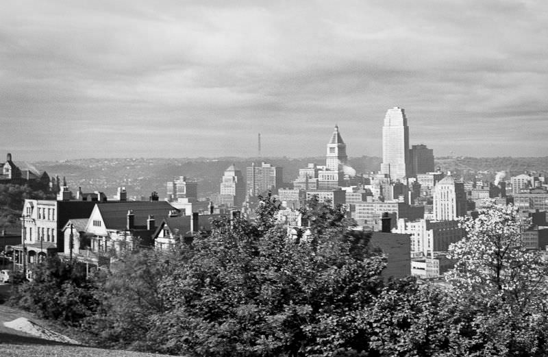
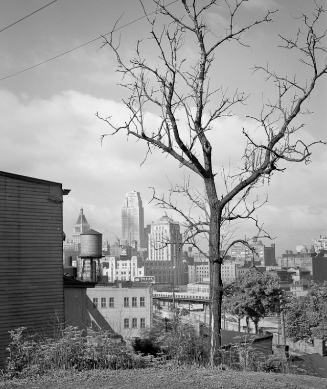
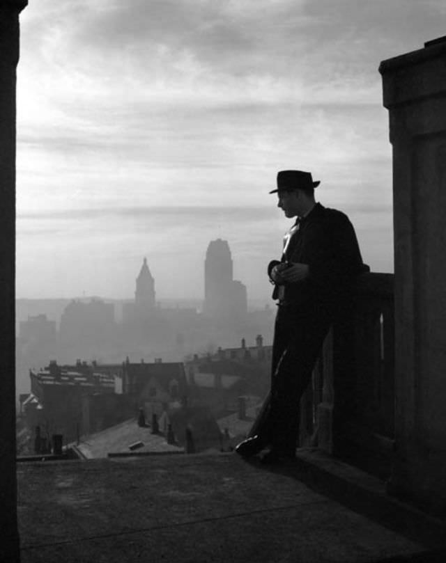
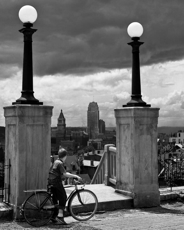
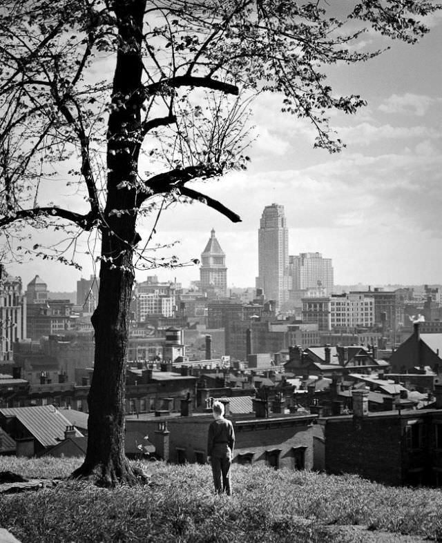
In February 1938, Ronsheim photographed a young man standing and looking out over the downtown Cincinnati skyline. The image captures a moment of quiet observation — a person pausing to take in the city much the same way Ronsheim himself was doing through his camera.
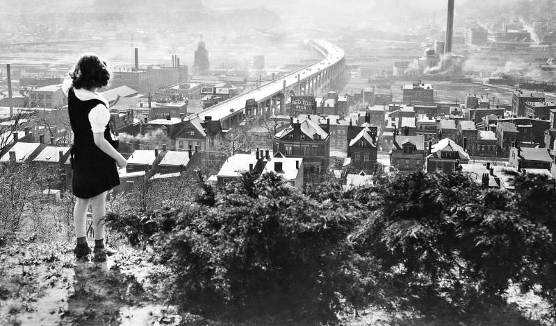
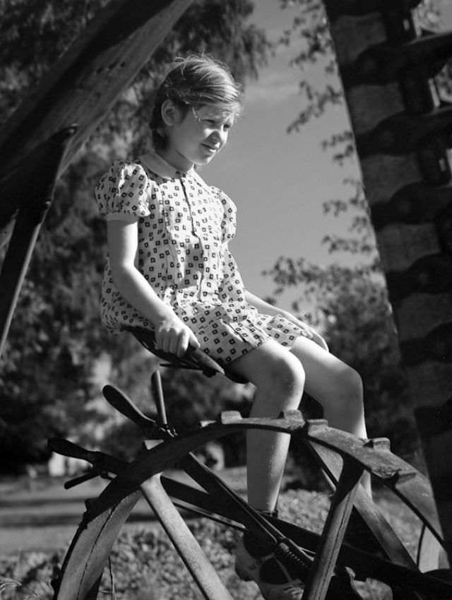
Moving into 1939, Ronsheim’s photographs show a city where children played freely in parks and open spaces. In April, he photographed a 9-year-old girl in Fairview Park, one of several images in his collection that document the lives of Cincinnati’s youngest residents.
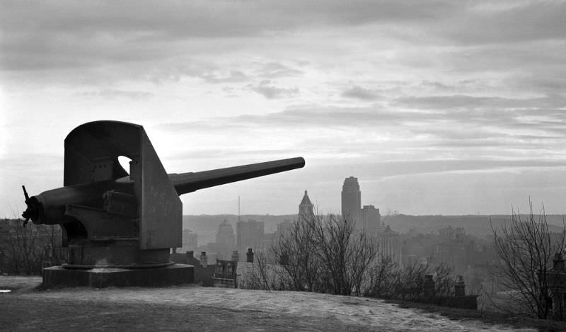
Mt. Adams held a Civil War-era cannon that overlooked Ida Street. The cannon was a physical reminder of the city’s deeper history, sitting quietly in the neighborhood while modern life moved around it.
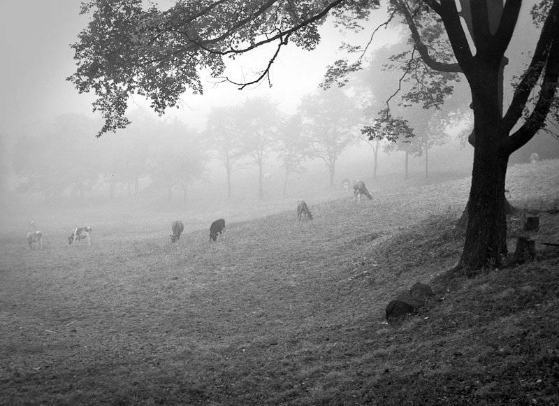
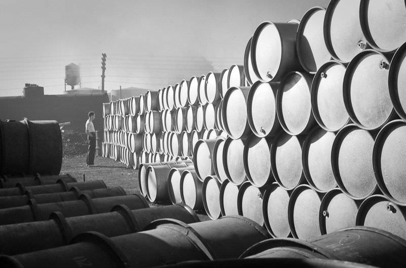
Not every subject Ronsheim photographed was architectural or scenic. In September 1939, he documented a working dairy farm on Glenwood Avenue near Canyon Drive — a reminder that agricultural operations still existed within the city’s boundaries. That same summer, he went inside the Procter & Gamble factory and photographed a workman beside a massive drum used in the manufacturing process.
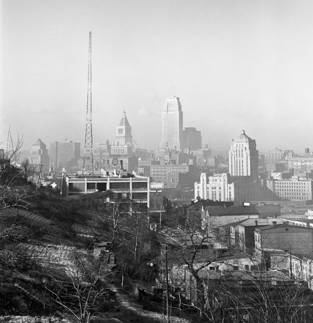
Ronsheim frequently sought high vantage points to capture the full sweep of the city. From Immaculata Church in Mt. Adams, he photographed downtown Cincinnati stretched out below in May 1939. The church sits at the top of a steep hill, and the view it offers over the city is striking.
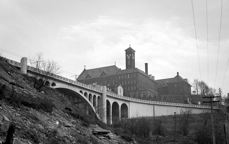
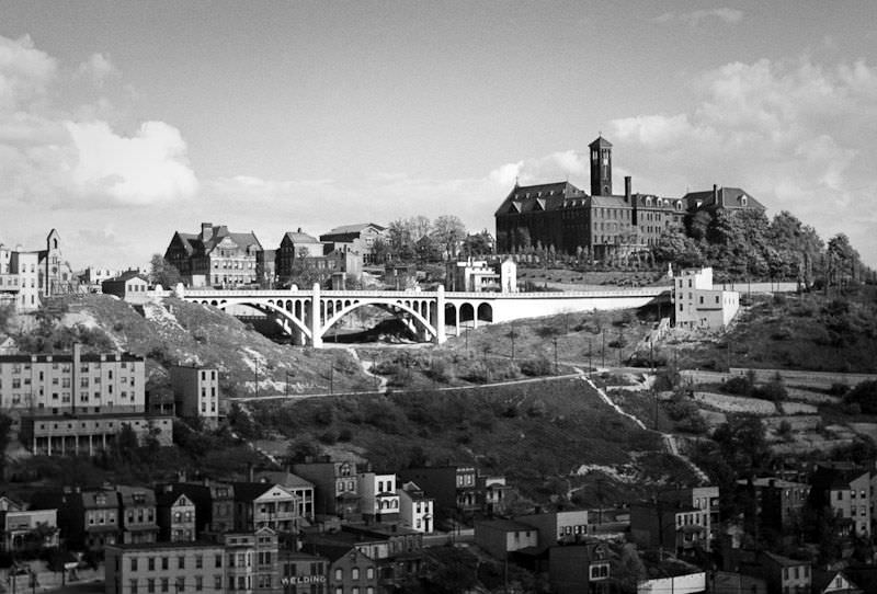
Religious architecture was another subject Ronsheim returned to more than once. In March 1939, he photographed the Holy Cross Monastery as seen from Elsinore Place, a view that showed the building sitting firmly within the hillside landscape of the neighborhood.
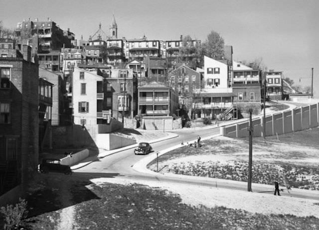
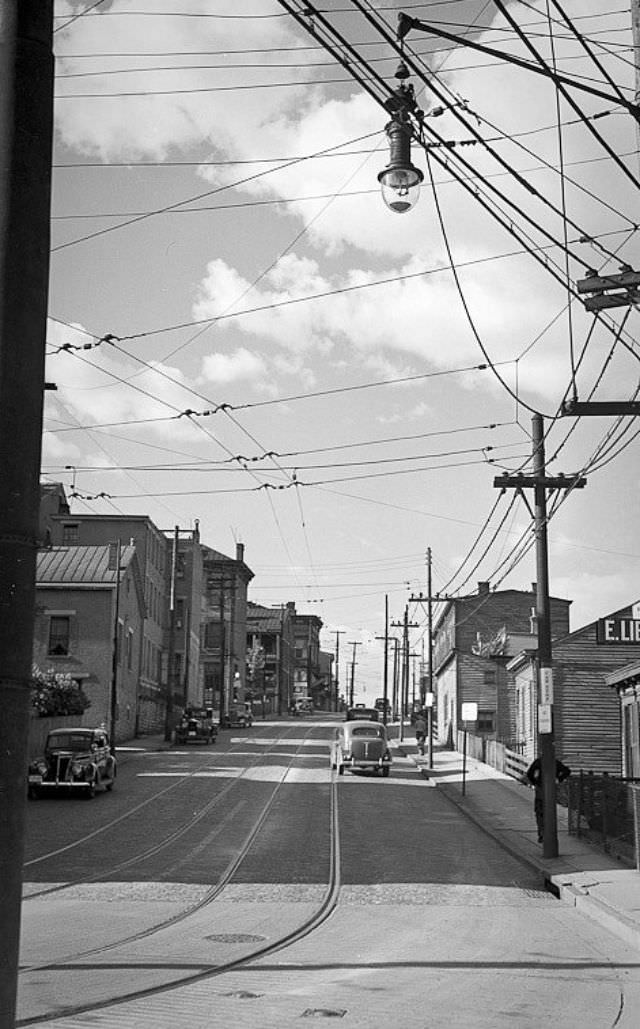
Laurel Street, later renamed Ezzard Charles Drive, appeared in an April 1939 photograph looking west, with Union Terminal visible in the distance. The terminal, which had opened in 1933, was still a relatively new presence on the Cincinnati skyline at the time Ronsheim photographed it.
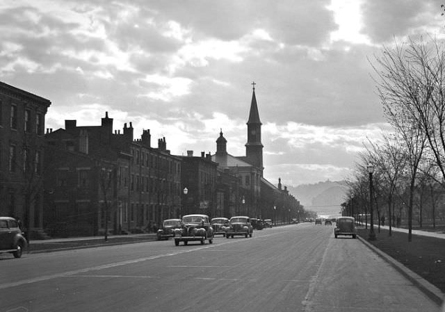
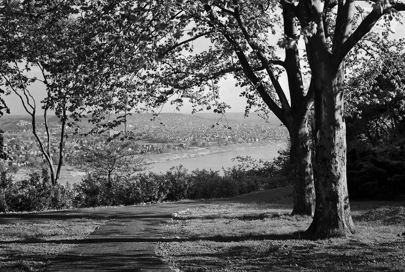
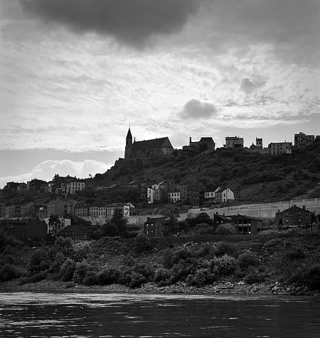
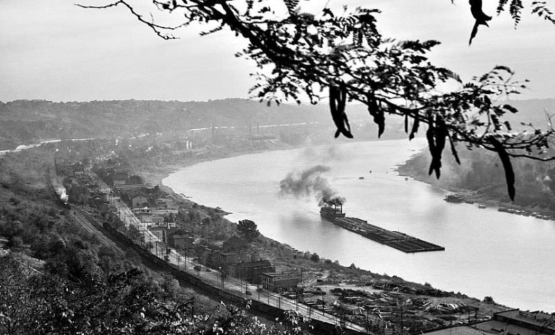
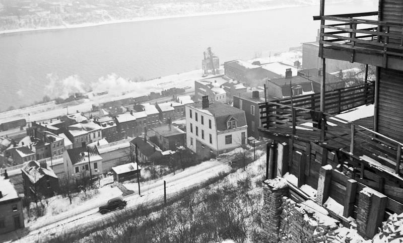
Eden Park, situated on a bluff above the Ohio River, gave Ronsheim access to views that extended across state lines. Looking east from the park toward Bellevue, Kentucky, the Ohio River fills the foreground and the Kentucky hills rise on the opposite bank.
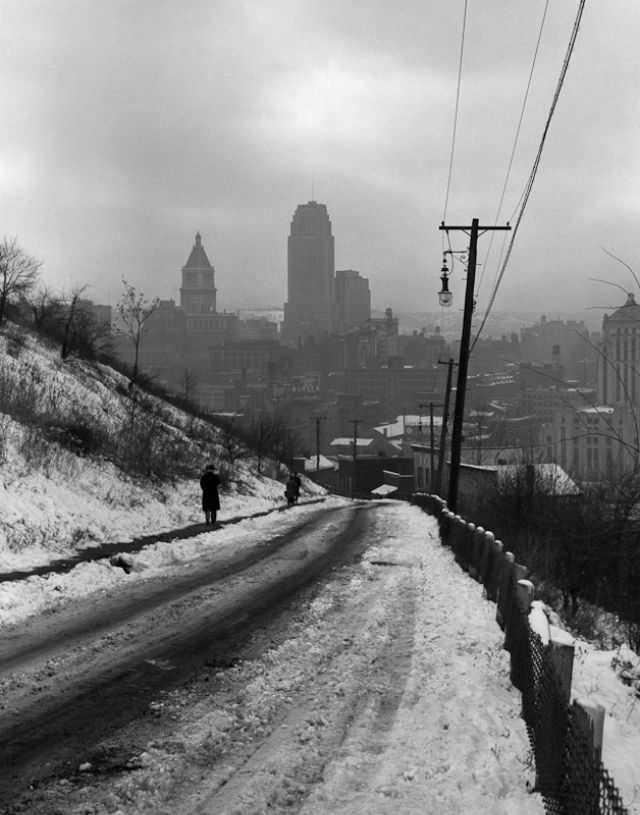
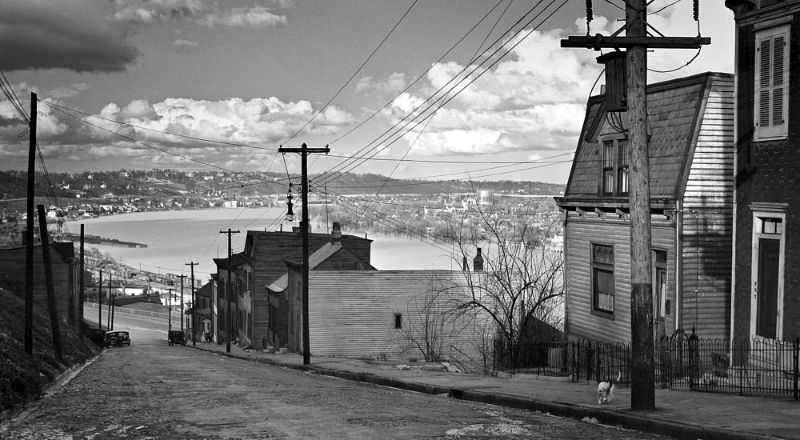
The Western Hills Viaduct, completed in 1932, was another piece of modern infrastructure that Ronsheim documented. His August 1939 photograph from the lower deck of the viaduct looks south, with Union Terminal and the post office building visible in the distance on the left.
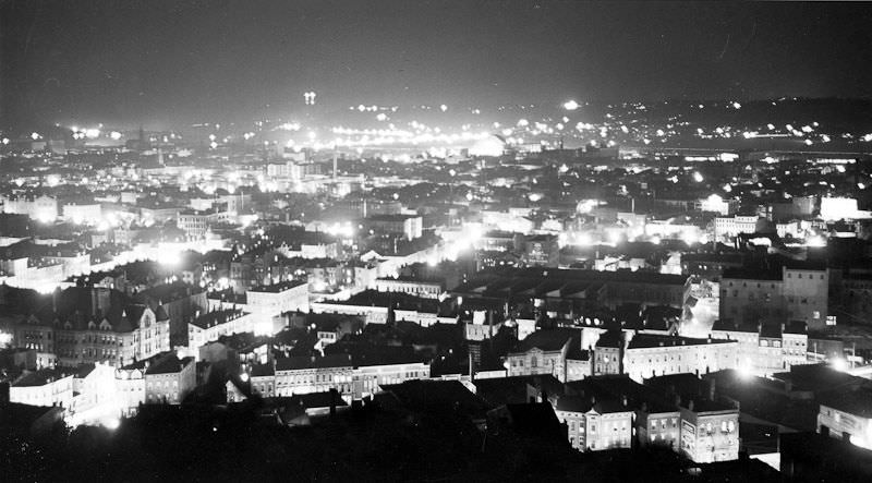
Ronsheim also ventured out at night. Over-the-Rhine, the dense German immigrant neighborhood north of downtown, appears in a June 1939 nighttime photograph. The neighborhood was still heavily populated in this era, and its streets at night had a distinct character compared to the daytime images Ronsheim captured elsewhere in the city.
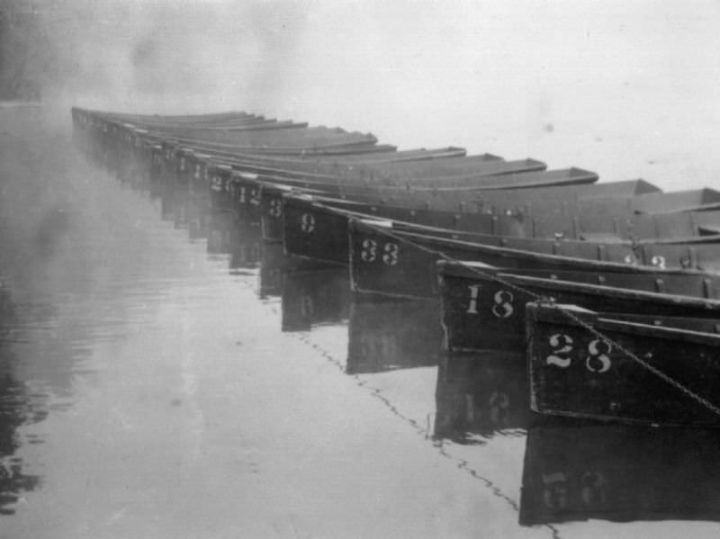
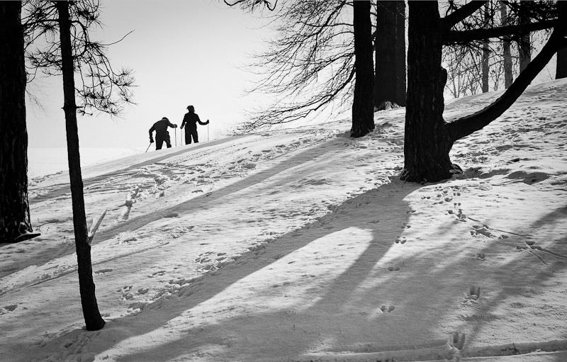
Burnet Woods, a public park in the Clifton neighborhood, appears twice in Ronsheim’s collection under very different conditions. In February 1939, he photographed skiers using the park’s slopes during winter. By September, the same park appeared in a morning photograph of rowboats sitting still on the water at 8:30 AM.
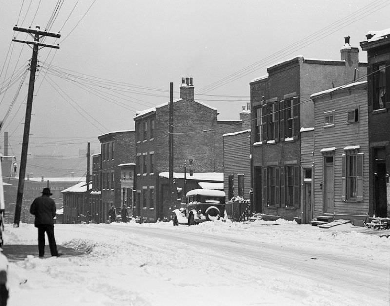
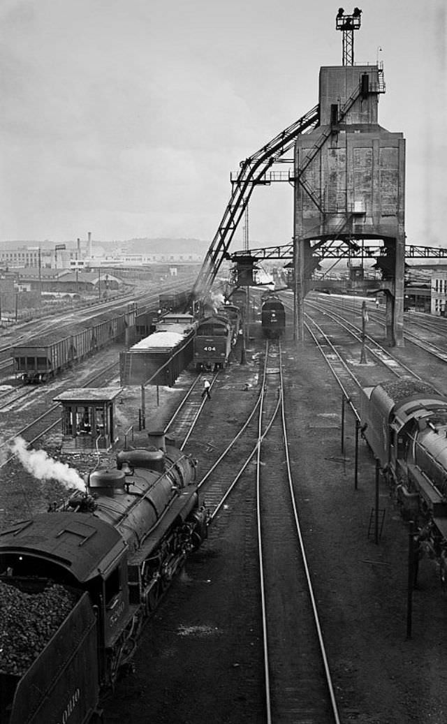
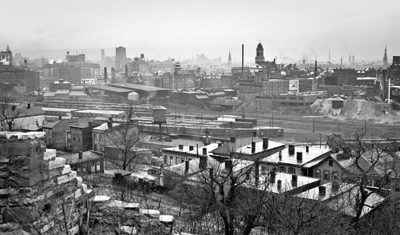
One of the more industrially focused images from the collection shows the train yard sandwiched between Gilbert Avenue and Reading Road on the east side of downtown. By April 1939, the yard was already described as once busy — a sign that rail freight activity in that location had already begun to decline.
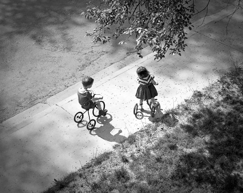
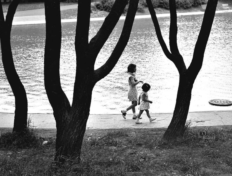
Back in Eden Park, Ronsheim photographed two children walking around the reflecting pool in June 1939. The following day, he was at Jackson Hill Park, where he captured two sisters making their way down a stairway toward Mulberry Street.

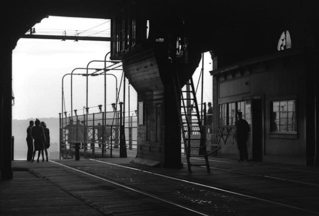
The Mt. Adams incline upper station appears in a March 1939 interior photograph. The incline had been operating since 1876, and by the time Ronsheim photographed it, the station interior still reflected the utilitarian design of a working transit facility that thousands of people moved through each week.
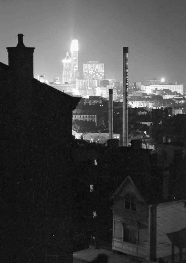
The George Hunt Pendleton House at 559 Liberty Hill in the Prospect Hill District provided another elevated view of downtown. Pendleton was a prominent 19th-century Ohio politician, and the house where he once lived still stood in 1939 when Ronsheim used its position to frame a view of the city below.
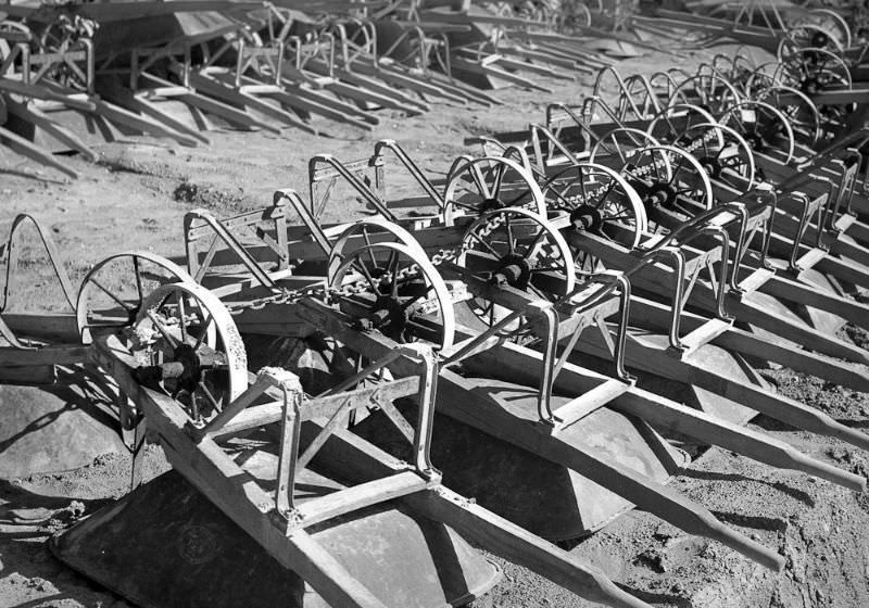
One of the most telling photographs in the entire collection comes from February 1939. A cluster of wheelbarrows sits idle — equipment used in Depression-era government work programs that had temporarily ground to a halt. The New Deal public works initiatives employed large numbers of Americans throughout the 1930s, and Cincinnati was no exception. These programs built and repaired roads, parks, and public buildings across the city. The idle wheelbarrows in Ronsheim’s photograph represent a pause in that work, frozen in time by an 18-year-old with the foresight to recognize what he was looking at.

Sometimes I like to think about what it would take to move 75 so the city can be a city once again. Flying cars, pigs?
Even if 75 is destined to remain under construction forever, it might as well serve as a means of undoing a massive crime against the West Side.
Mass transit and density
So exactly what the city had prior to Interstate 75 being run through the city??
Can you tell the source(s) of these photos, particularly #6? Thanks in advance.
That’s it, folks!
First time I’ve seen these pictures, so thanks
Can someone help me find Music Hall?
It is a beautiful, haunted, and alive venue. You can go and check.
Why did they get rid of the subway?
The project was never completed. The project had originally been planned and a bond issued in the 1910’s, but World War 1 delayed construction and increased costs. By the end of the 1920s, the costs had ballooned and a little more than 2 miles of tunnels had been completed. The unfinished subway lines are still under the city today.
It’s not true that they’ve been abandoned. Tunnels are used for a variety of infrastructure purposes, including water lines, electrical wires, and fiber optic cables. You get in serious trouble if you get caught breaking in.
There are many of these in the north east. I’ve been in a lot of them. It’s pretty uneventful
Yep! The one in Cincinnati has the water main running through the tunnel, and there are two stations built. A few years ago, my friend and I were able to get in and it was pitch black and pretty eerie once you got far enough away from the entrance. There is a brick wall where it stops, but the rest of the tunnel isn’t, so that’s cool. It runs through downtown, but I forget where it runs, but it’s right off one of the major highways.